Trails in Spain
5,963 hiking trails, each with its route, climb, walking time and grade.
All trails, page 35 of 125
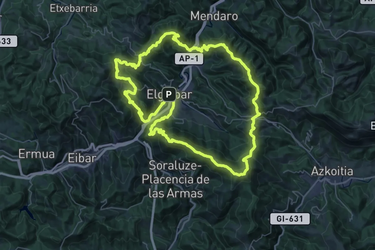
Demanding · Summit
Elgoibarko bira
37.0 km · ↑ 1900 m · 13 h 21 min
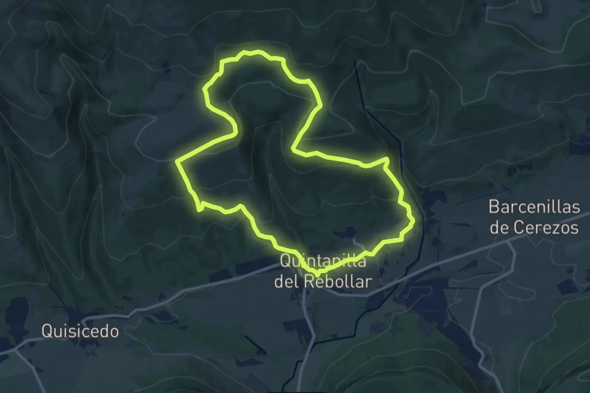
Medium · Trail
El hayal de Quintanilla y la Fuente de Uemas
10.8 km · ↑ 431 m · 3 h 39 min
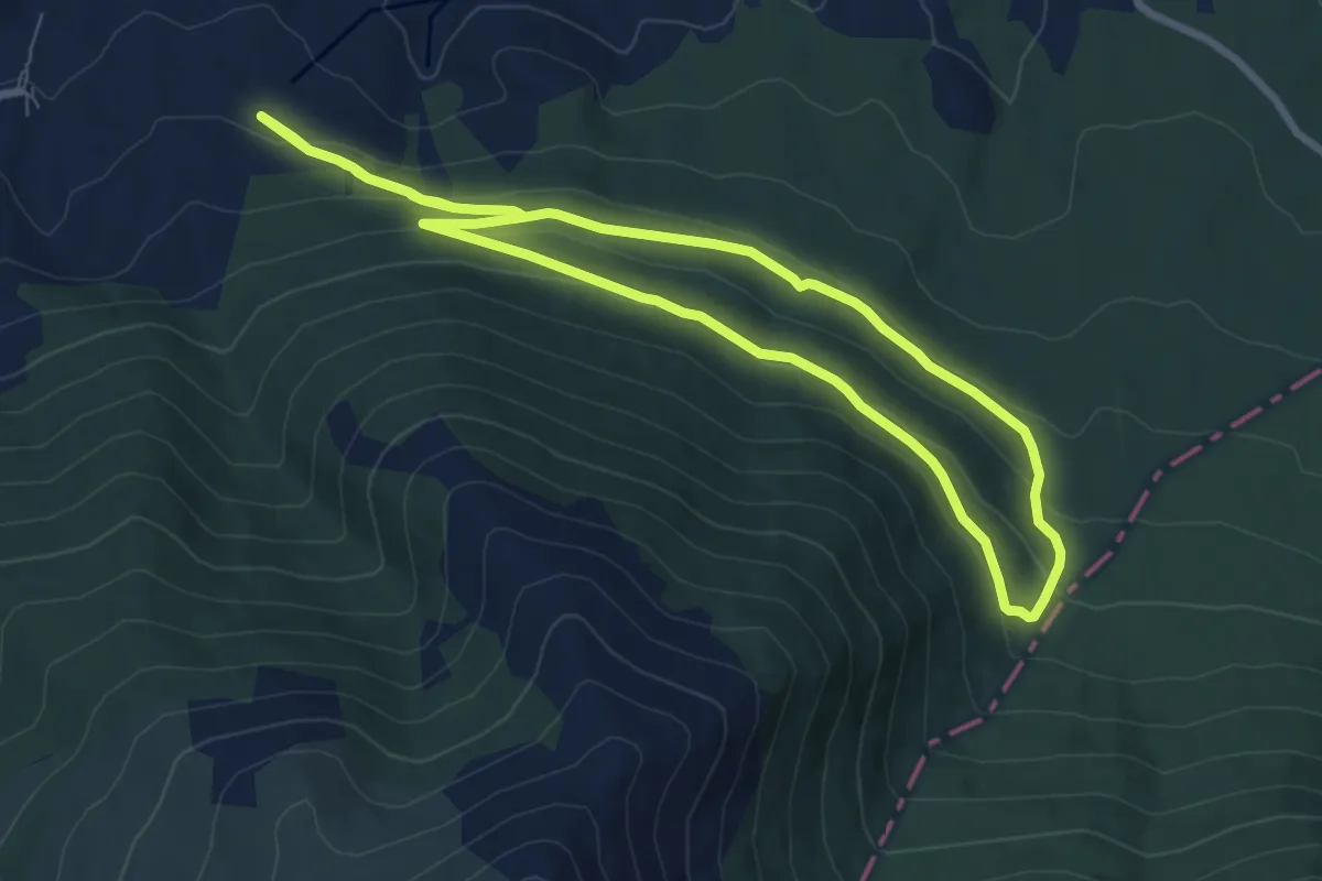
Easy · Trail
El Hayedo del Moncayo
8.0 km · ↑ 239 m · 2 h 31 min
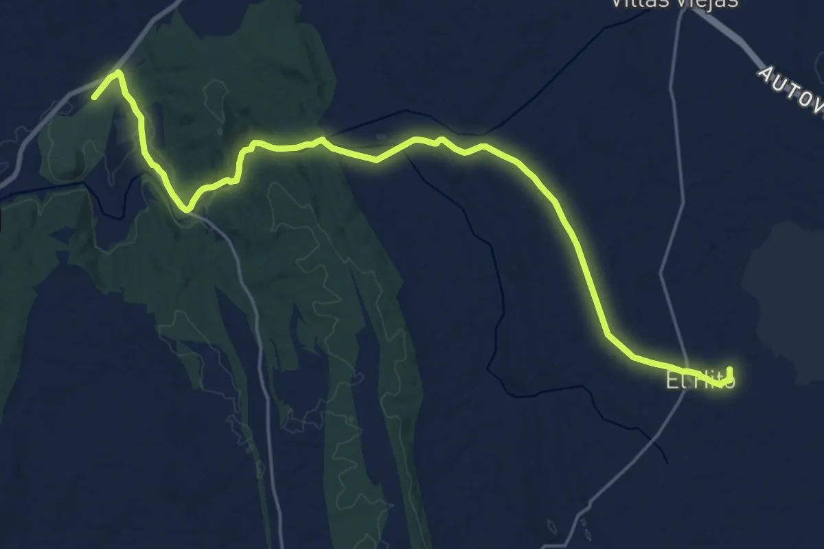
Demanding · Trail
El Hito - Segobriga
24.8 km · ↑ 248 m · 6 h 23 min
Easy · Trail
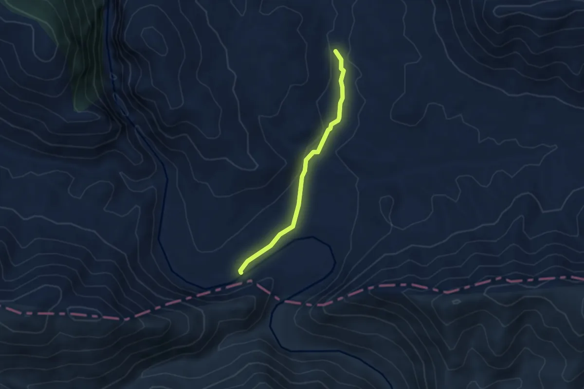
El Hoyo - Hoz del Jándula Sur
4.4 km · ↑ 52 m · 1 h 9 min
Demanding · Summit
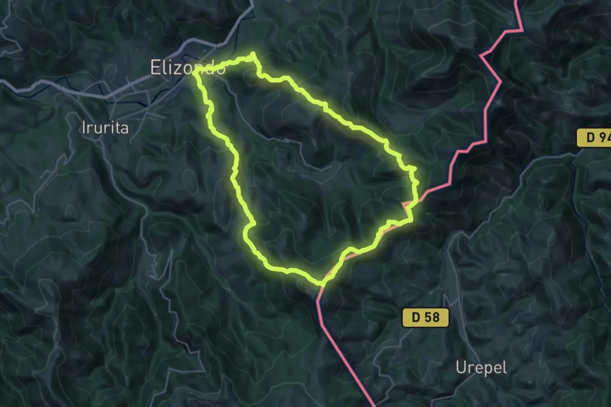
Elizondo - Berderiz - Argibel - Elizondo
22.6 km · ↑ 1065 m · 7 h 57 min
Demanding · Summit
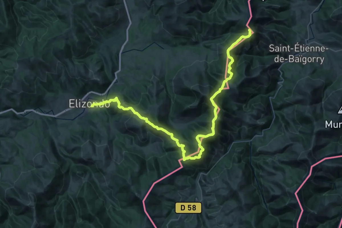
Elizondo - Berderiz - Izpegi - Buztanzelaiko lepoa
23.0 km · ↑ 1546 m · 8 h 47 min
Demanding · Trail
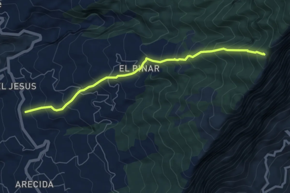
El Jesús-Risco de las Pareditas
7.4 km · ↑ 854 m · 3 h 35 min
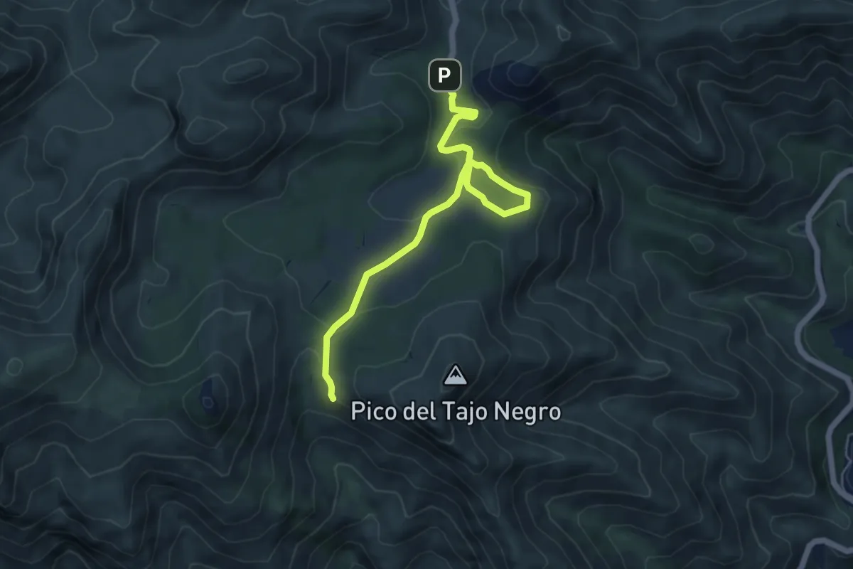
Easy · Trail
El Juanar - Puerto Marbella
6.3 km · ↑ 168 m · 1 h 51 min
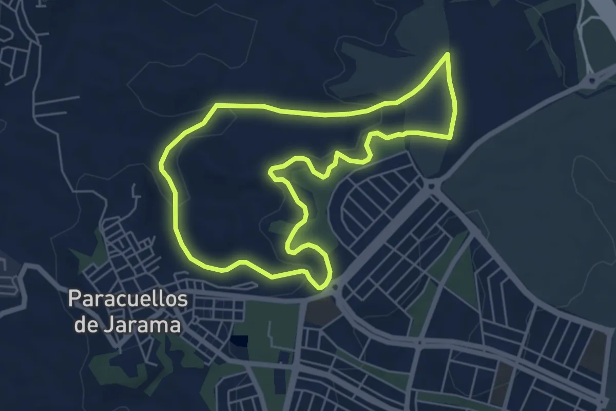
Easy · Trail
El Lavadero y Las Guindaleras
5.5 km · ↑ 107 m · 1 h 36 min
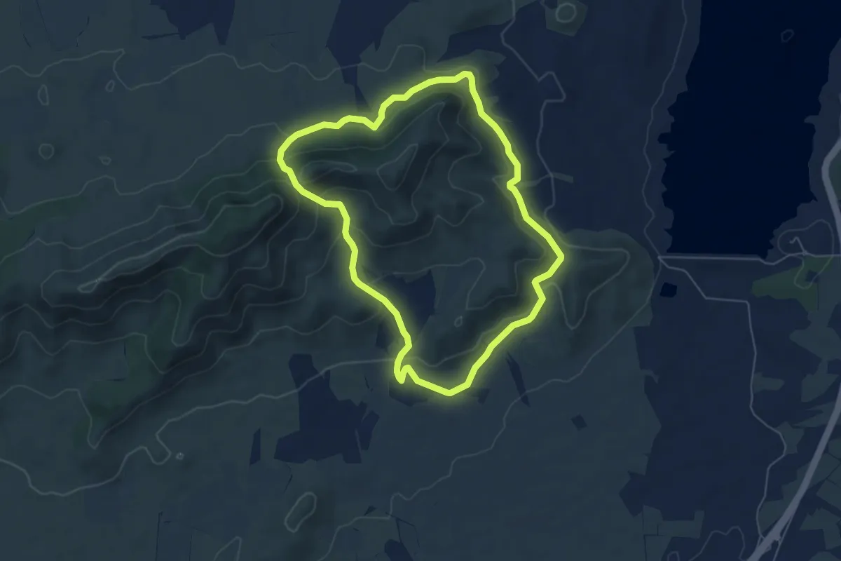
Easy · Trail
El Madrono y la Florida
6.4 km · ↑ 246 m · 2 h 8 min
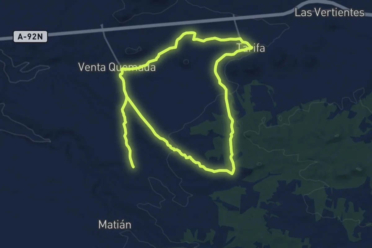
Medium · Trail
El Malagón
15.4 km · ↑ 161 m · 4 h 12 min
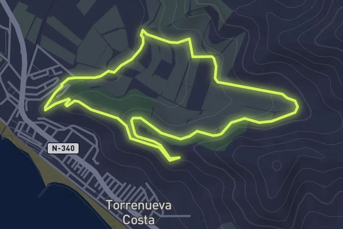
Easy · Trail
El Maraute
3.9 km · ↑ 116 m · 1 h 14 min
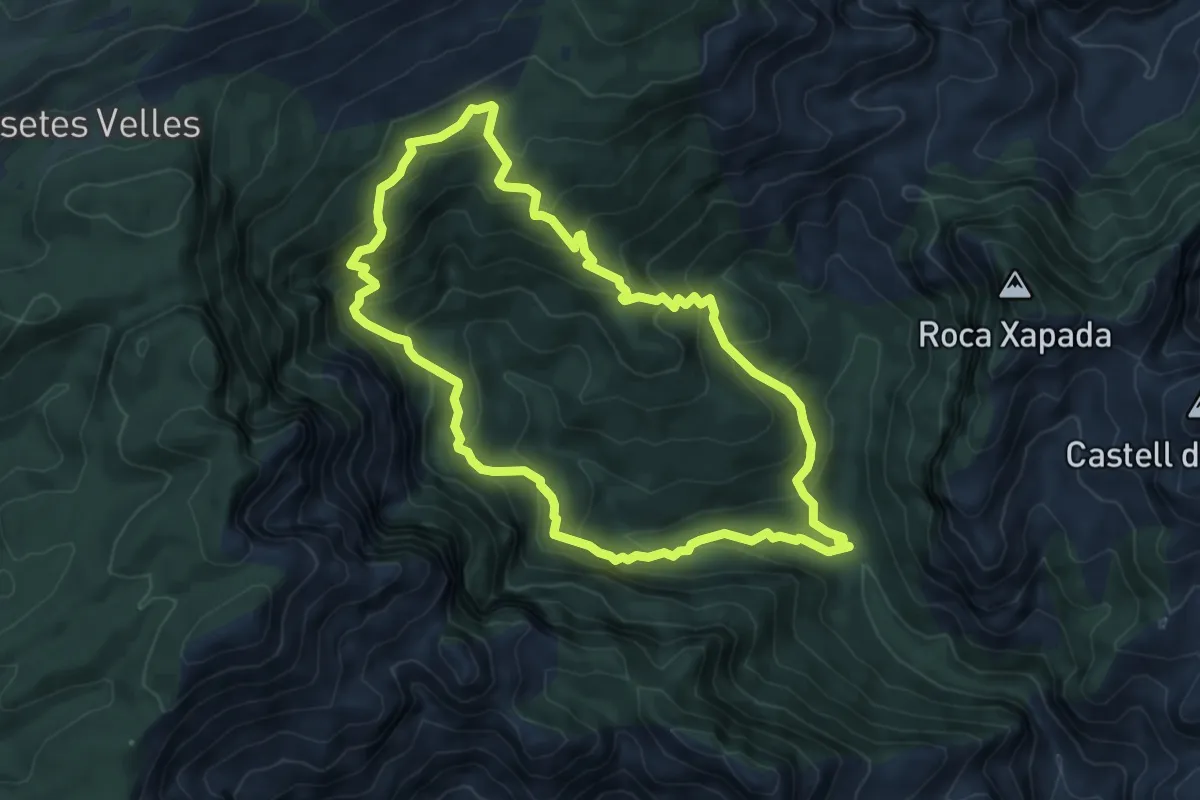
Medium · Summit
El Mas de Barró
7.5 km · ↑ 483 m · 2 h 55 min
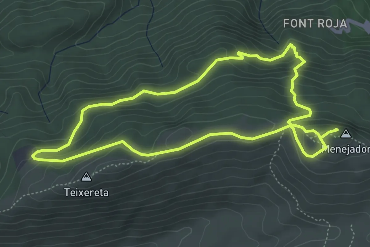
Medium · Summit
El Menejador
5.5 km · ↑ 287 m · 2 h
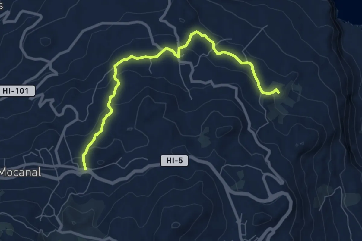
Medium · Summit
El Mocanal-El Tamaduste
8.5 km · ↑ 271 m · 2 h 35 min
Easy · Trail
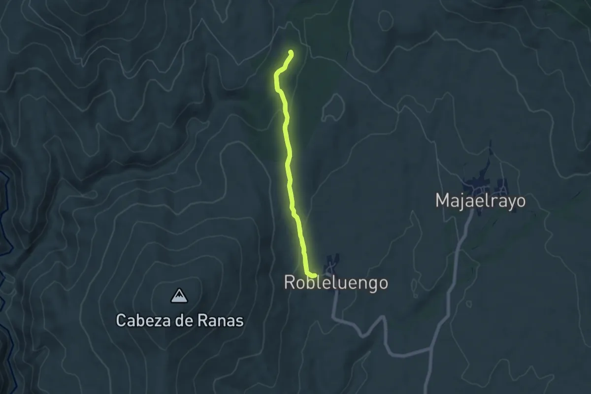
El Molino de Majaelrayo
4.8 km · ↑ 97 m · 1 h 24 min
Easy · Summit
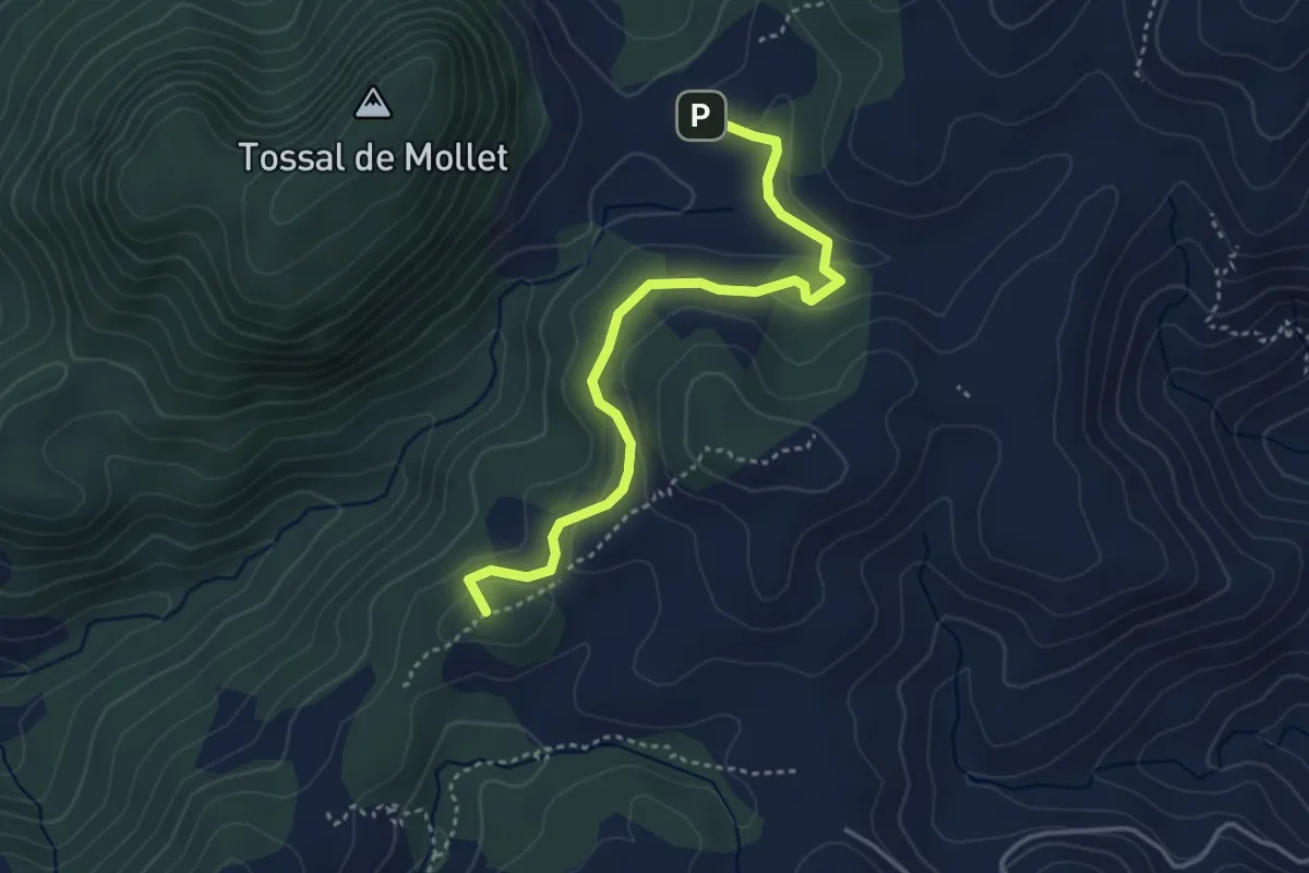
El Mollet
4.3 km · ↑ 84 m · 1 h 11 min
Medium · Trail
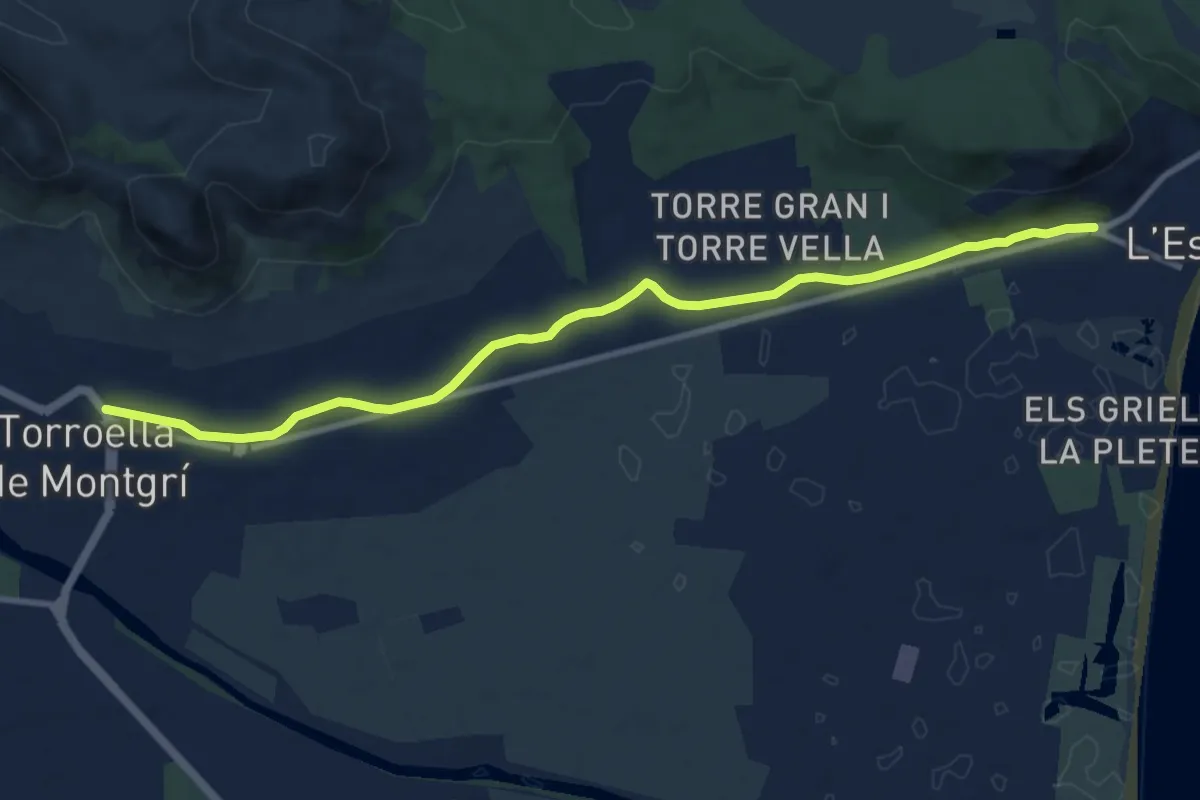
El Montgí Illes Medes i Baix Ter
11.4 km · ↑ 40 m · 2 h 46 min
Medium · Trail
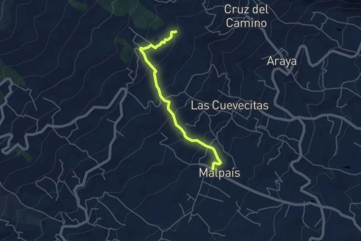
El Moralito
5.0 km · ↑ 341 m · 1 h 55 min
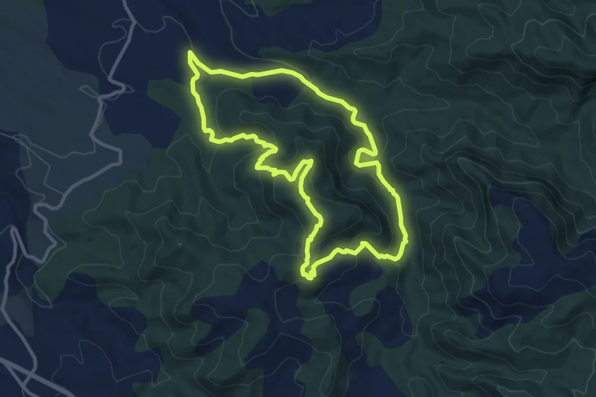
Medium · Summit
El morral de les Moles
8.4 km · ↑ 266 m · 2 h 40 min
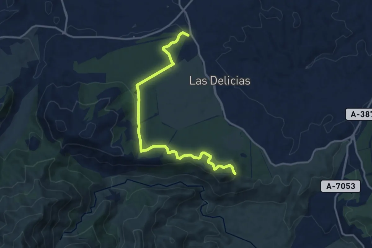
Medium · Trail
El Nacimiento - Mirador de Cerro Alaminos
11.8 km · ↑ 274 m · 3 h 23 min
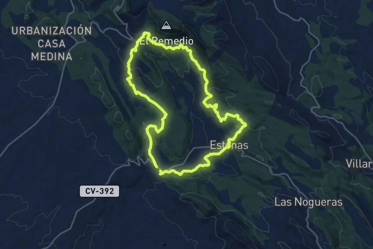
Medium · Trail
El Negrete
14.8 km · ↑ 398 m · 4 h 33 min
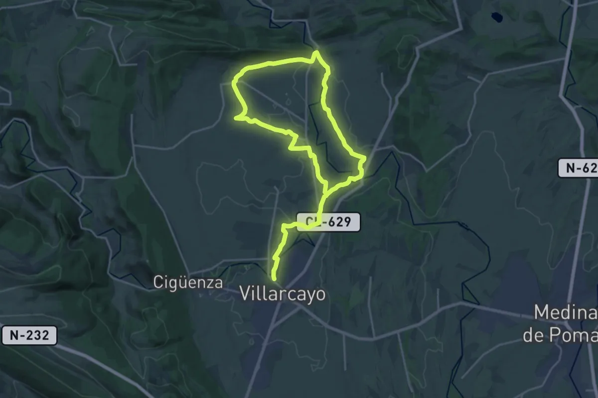
Demanding · Trail
El Nela y el Trema
30.4 km · ↑ 202 m · 7 h 37 min
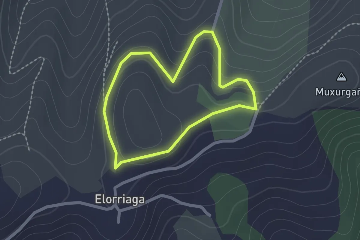
Easy · Summit
Elorriaga
1.7 km · ↑ 60 m · 33 min
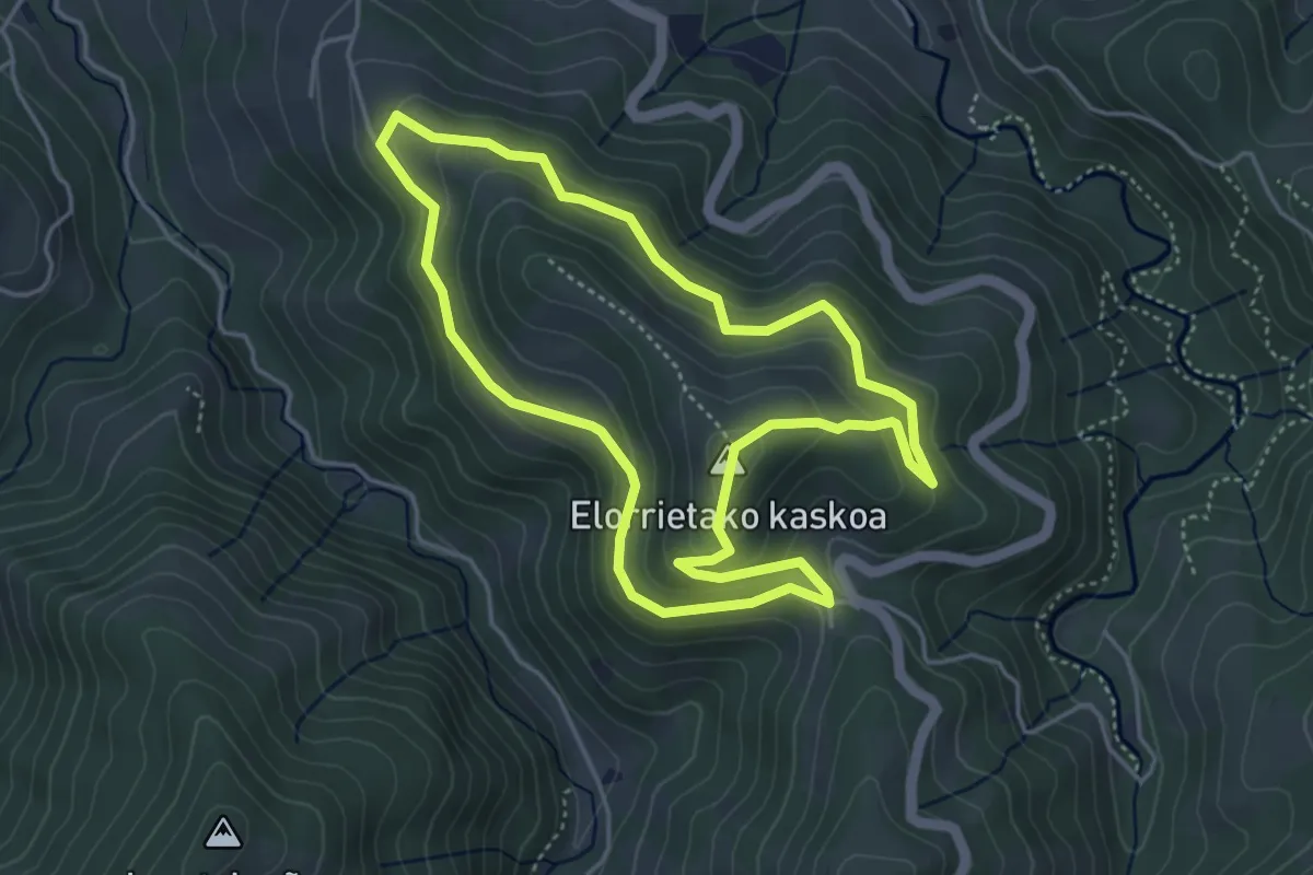
Easy · Summit
Elorrietako kaskoa
4.6 km · ↑ 218 m · 1 h 37 min
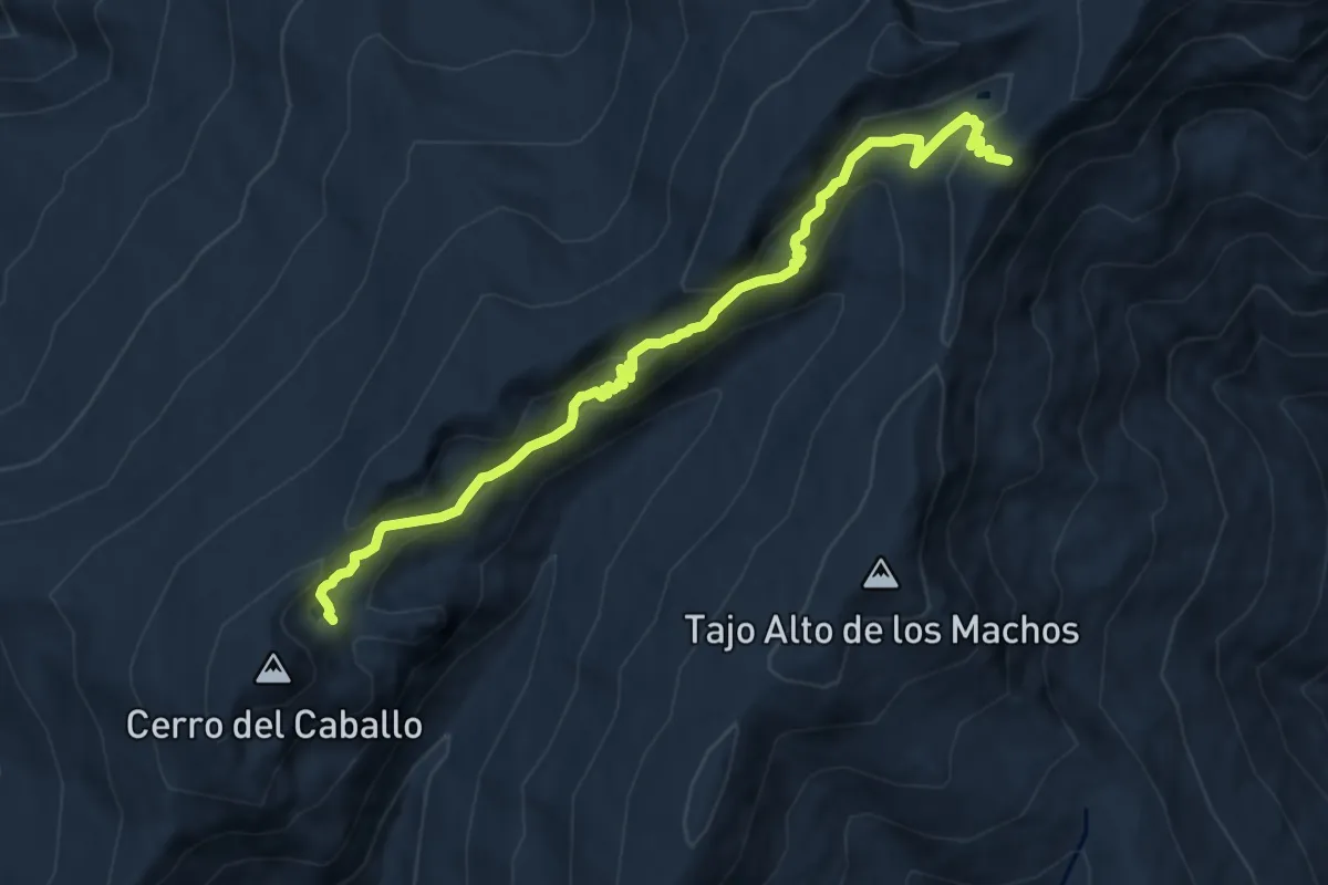
Expert · Summit
Elorrieta - Laguna Caballo (Verea Cortá)
11.2 km · ↑ 720 m · 4 h 12 min
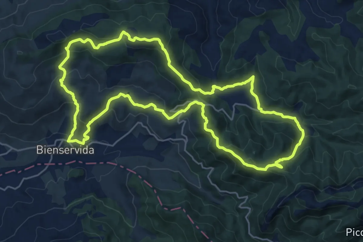
Demanding · Summit
El Padrón
19.3 km · ↑ 895 m · 6 h 46 min
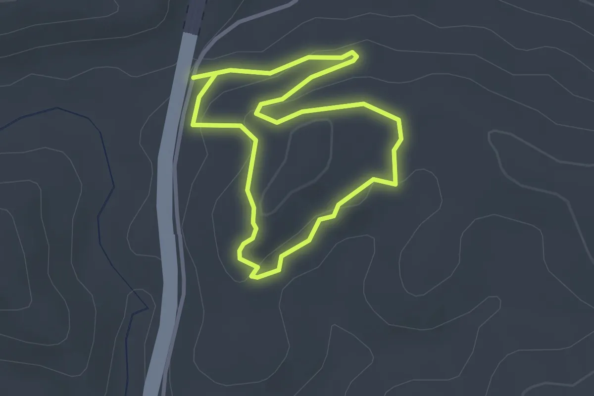
Easy · Trail
El Palancar
2.8 km · ↑ 73 m · 51 min
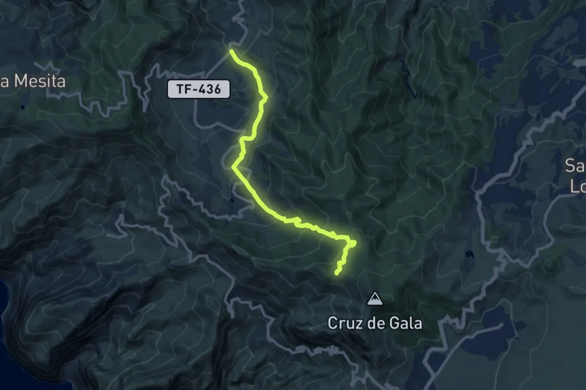
Medium · Trail
El Palmar – Cumbre de Bolico
11.0 km · ↑ 720 m · 4 h 9 min
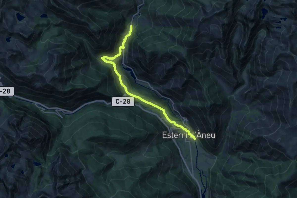
Demanding · Trail
El pas del temps: Isil-La Pobla de Segur
20.2 km · ↑ 809 m · 6 h 32 min
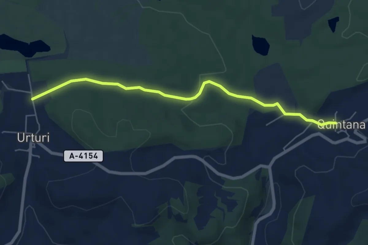
Easy · Trail
El Paseo
5.2 km · ↑ 111 m · 1 h 29 min
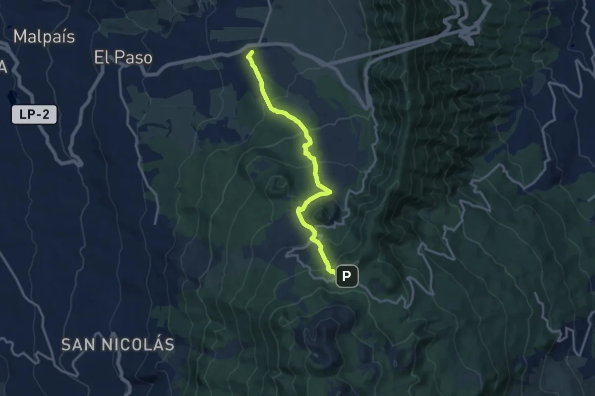
Medium · Summit
El Paso-Refugio del Pilar
12.3 km · ↑ 647 m · 4 h 18 min
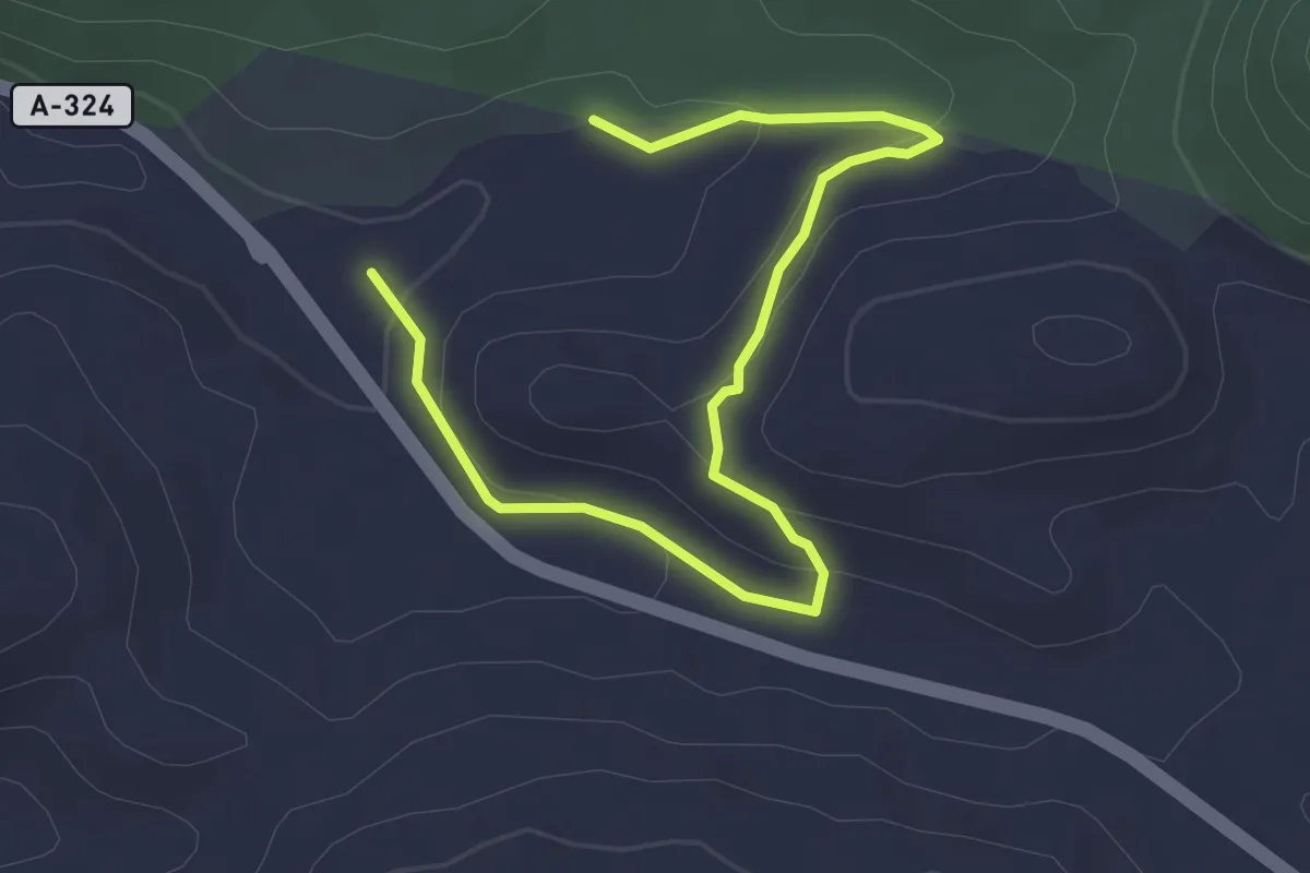
Easy · Trail
El Peralejo
4.5 km · ↑ 129 m · 1 h 20 min
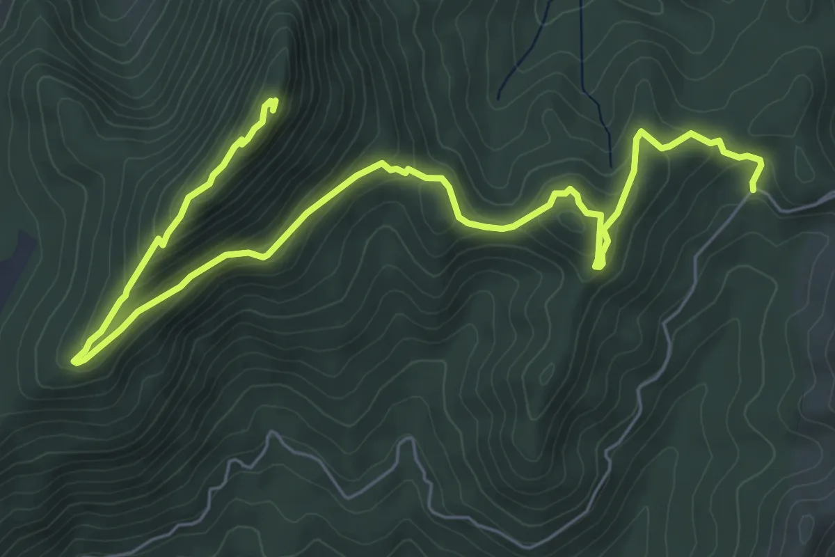
Medium · Trail
El Pilarillo - Peñalta
9.5 km · ↑ 394 m · 3 h 6 min
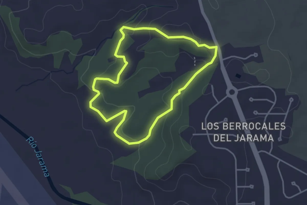
Easy · Trail
El Pinar de Los Berrocales
3.5 km · ↑ 85 m · 1 h 3 min
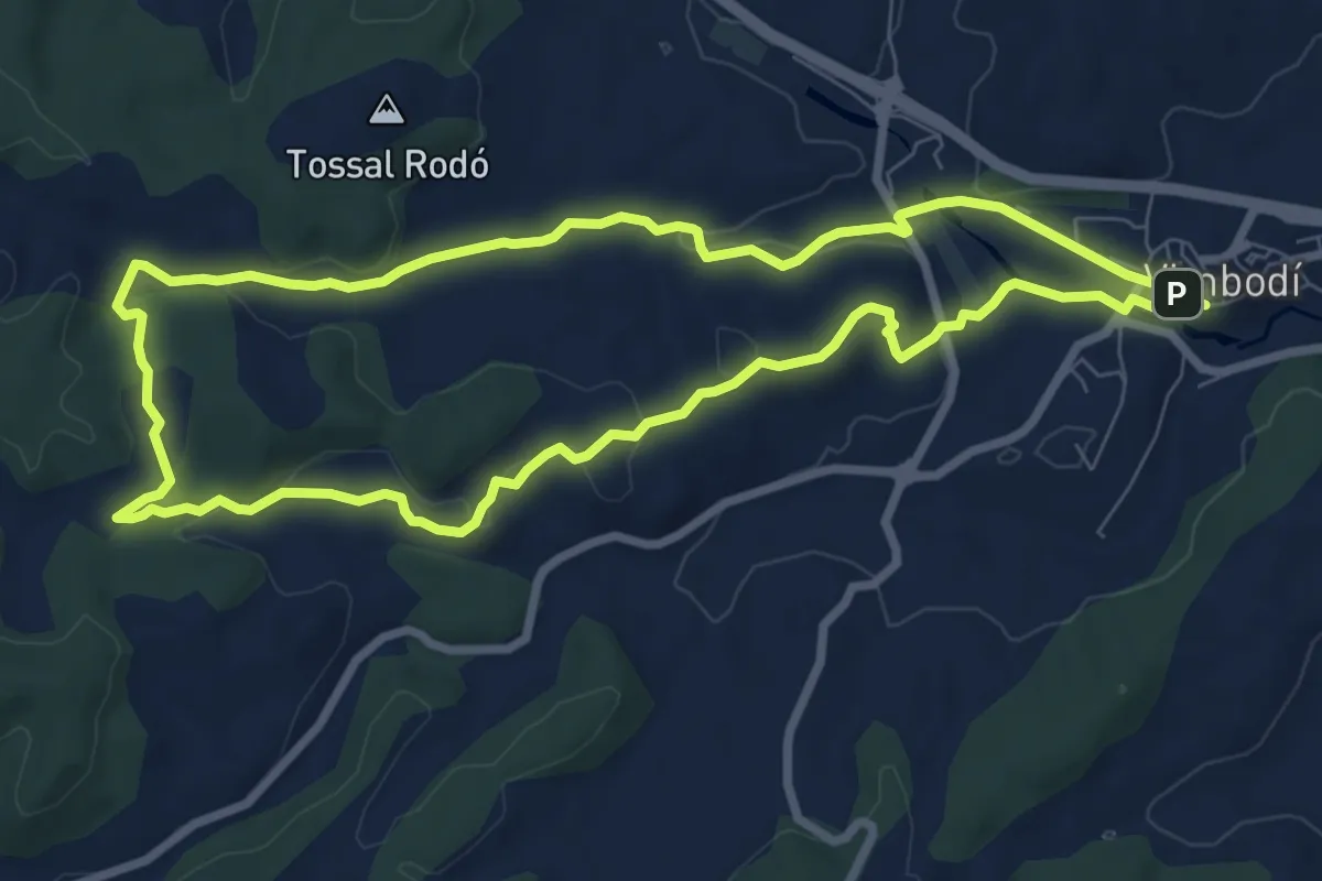
Medium · Summit
El Pinar dels diumenges
8.7 km · ↑ 150 m · 2 h 30 min
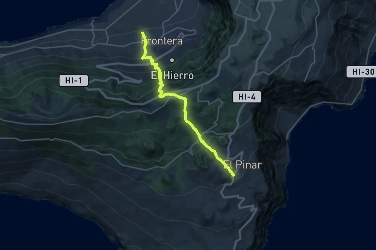
Demanding · Trail
El Pinar El Golfo Camino de el Golfo
9.5 km · ↑ 1150 m · 4 h 33 min
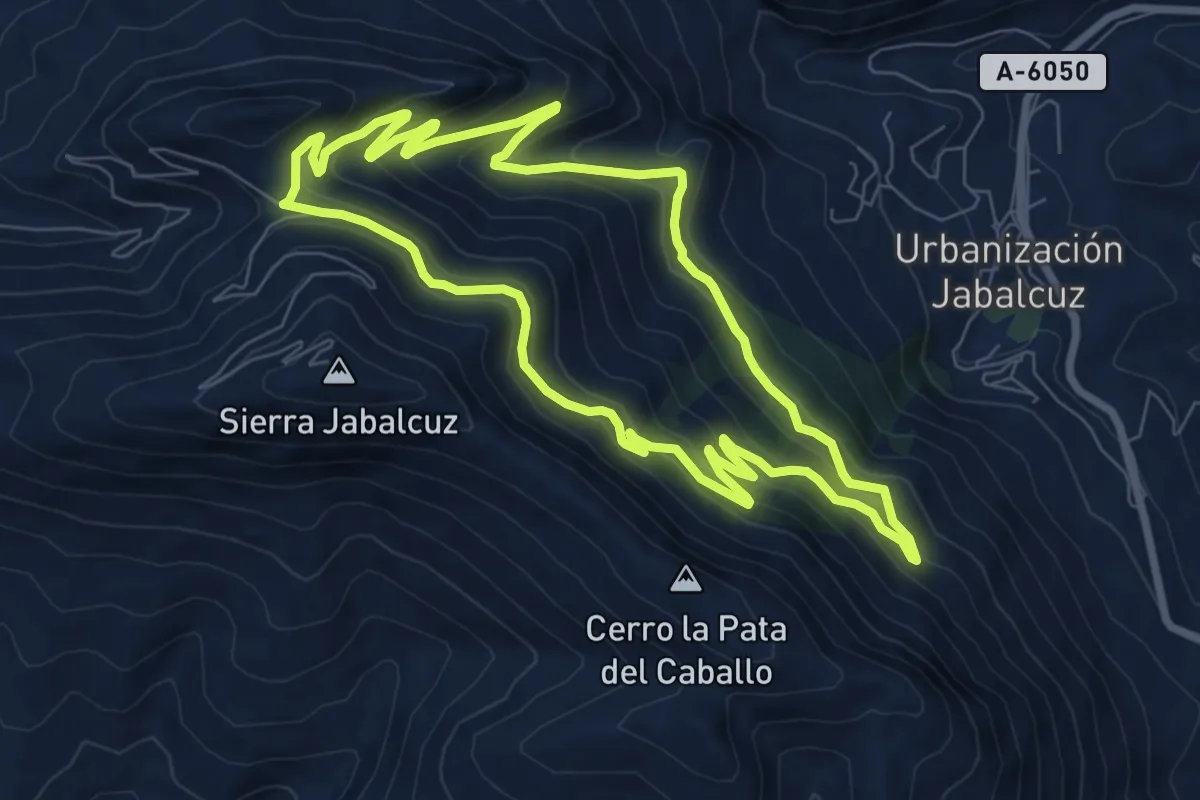
Medium · Trail
El Pincho
8.9 km · ↑ 527 m · 3 h 22 min
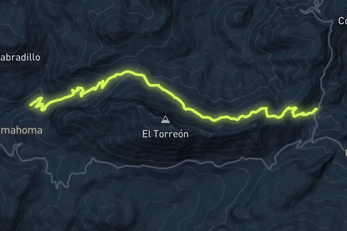
Demanding · Trail
El Pinsapar
10.4 km · ↑ 1044 m · 4 h 34 min
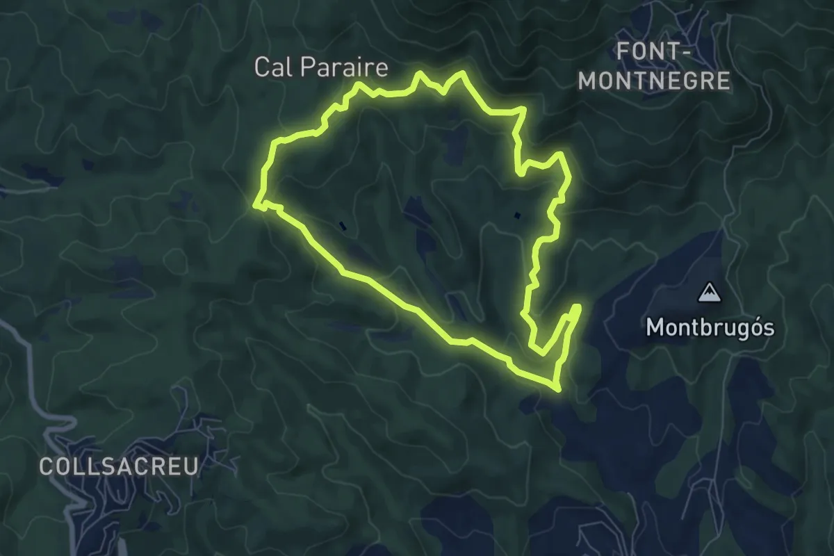
Medium · Trail
El Pla de Forcs
7.7 km · ↑ 333 m · 2 h 39 min
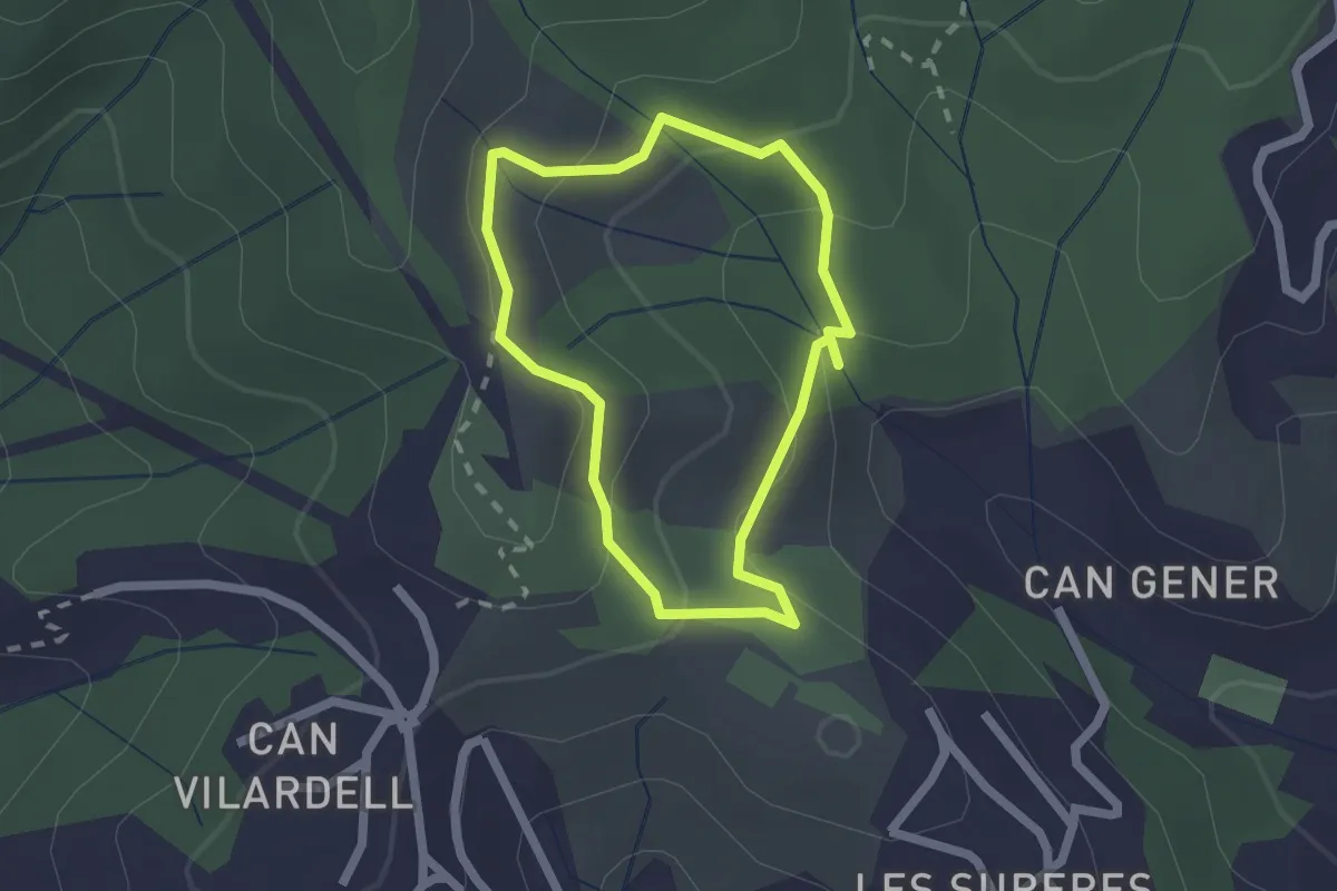
Easy · Trail
El Pont de la Vila
1.8 km · ↑ 84 m · 38 min
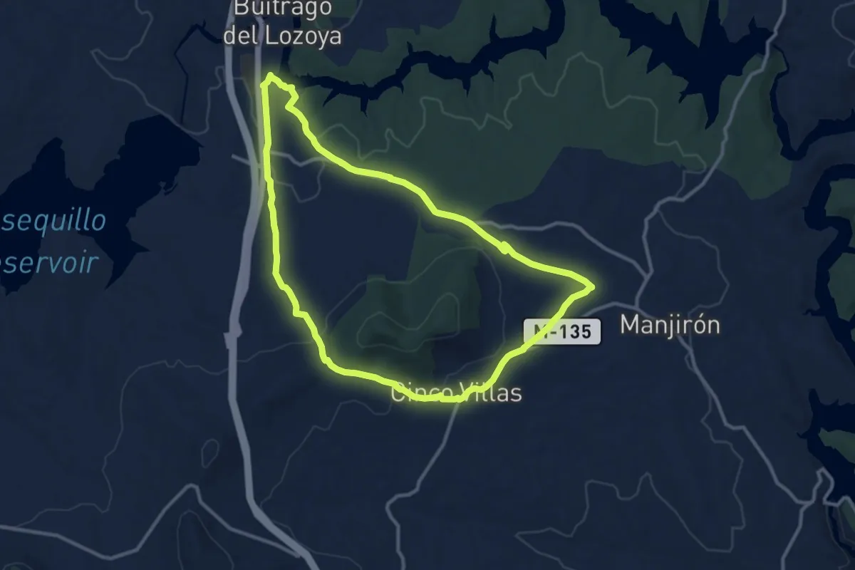
Medium · Trail
El Portachuelo Viejo
11.8 km · ↑ 223 m · 3 h 26 min
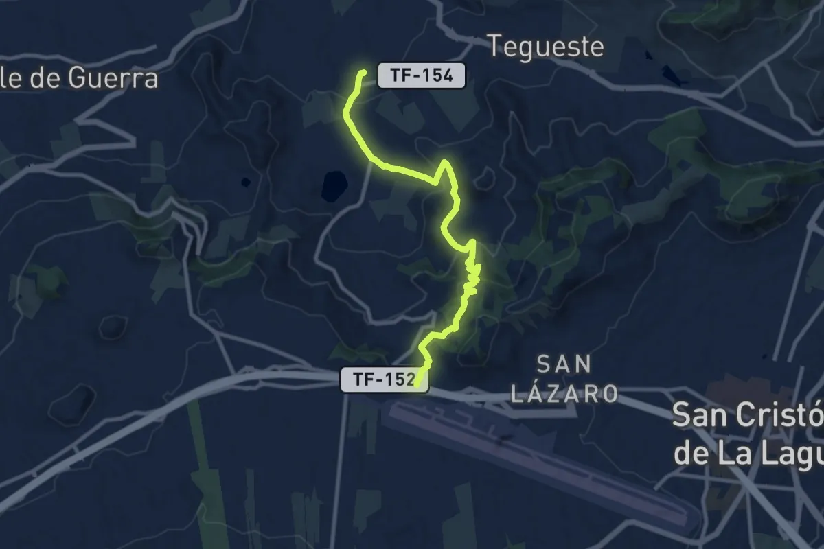
Medium · Trail
El Portezuelo-El Socorro
11.5 km · ↑ 527 m · 3 h 51 min
Medium · Summit
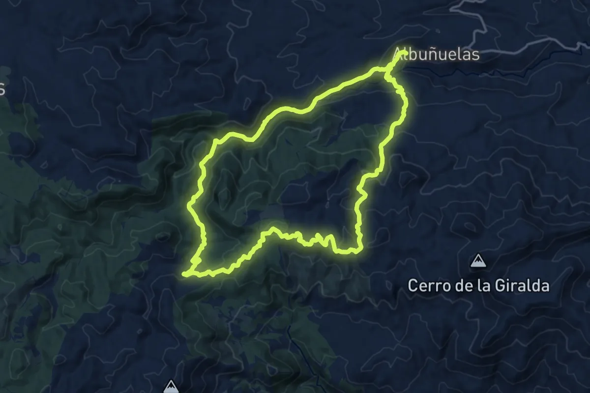
El Pozuelo
17.6 km · ↑ 673 m · 5 h 52 min
Medium · Trail
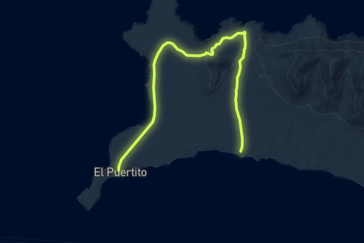
El Puertito - Caleta de La Madera - El Puertito
16.5 km · ↑ 332 m · 4 h 37 min
Medium · Trail
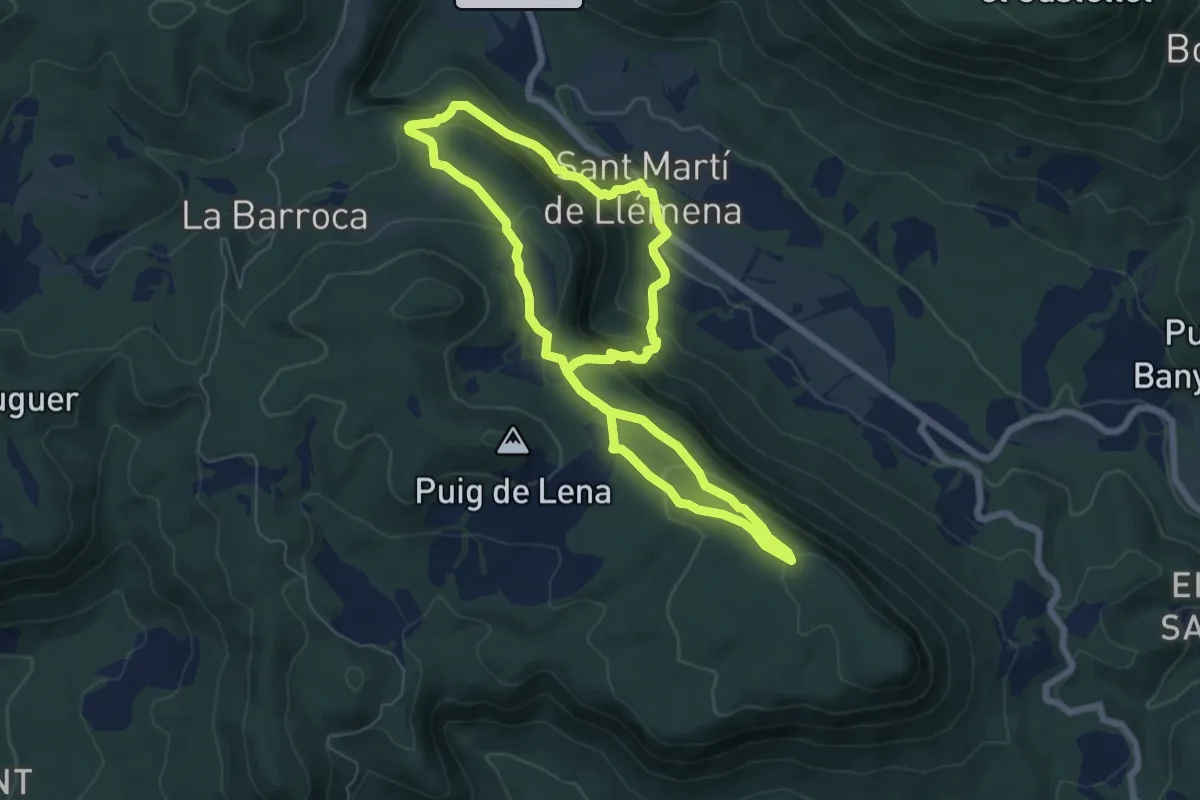
El Puig i l'ermita de Sant Roc de la Barroca
6.8 km · ↑ 344 m · 2 h 26 min
Medium · Trail
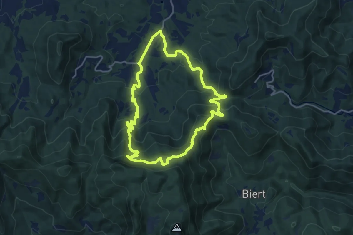
El Refugi dels emboscats
11.8 km · ↑ 538 m · 4 h 7 min