Trails in Spain
5,963 hiking trails, each with its route, climb, walking time and grade.
All trails, page 36 of 125
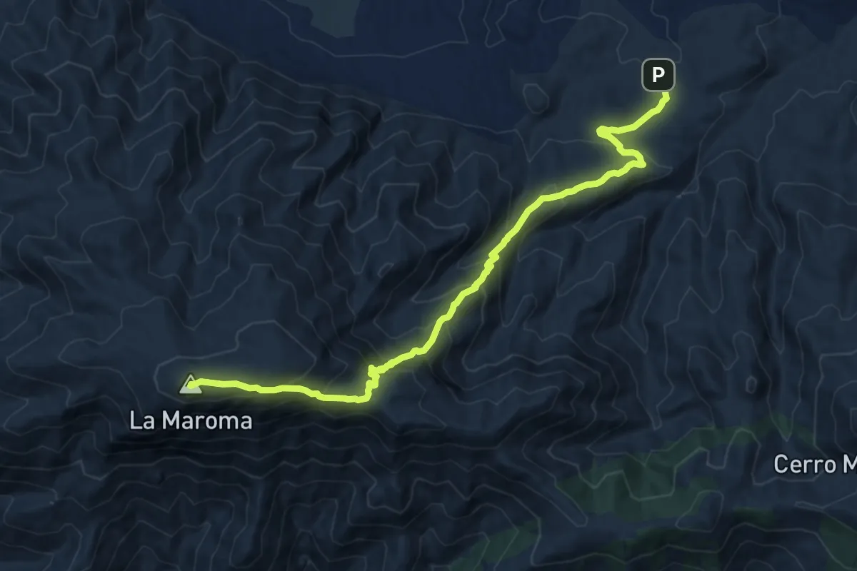
Demanding · Summit
El Robledal - La Maroma
15.0 km · ↑ 988 m · 5 h 41 min
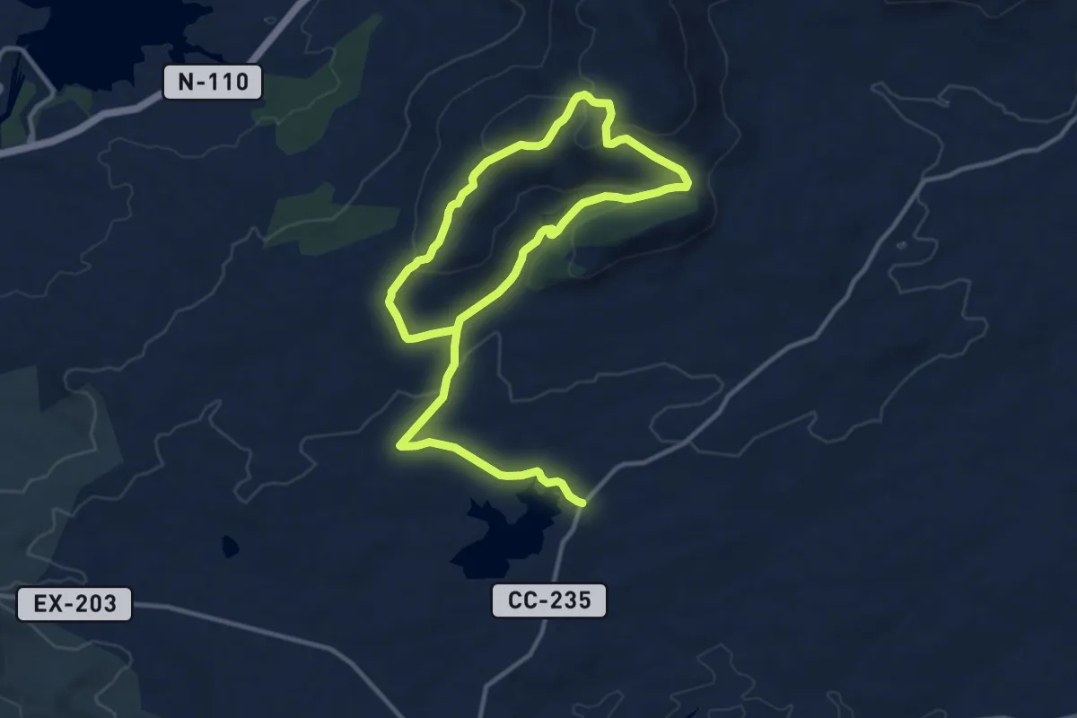
Medium · Trail
El Robledo
10.7 km · ↑ 210 m · 3 h 10 min
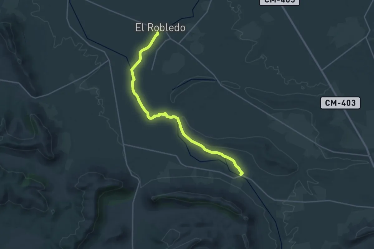
Demanding · Trail
El Robledo - Casas del Río
20.6 km · ↑ 16 m · 4 h 54 min
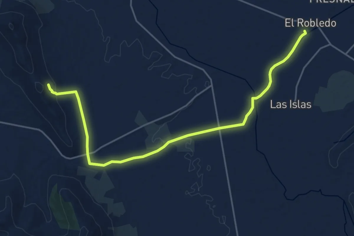
Demanding · Trail
El Robledo - Cueva del Moro
18.1 km · ↑ 182 m · 4 h 41 min
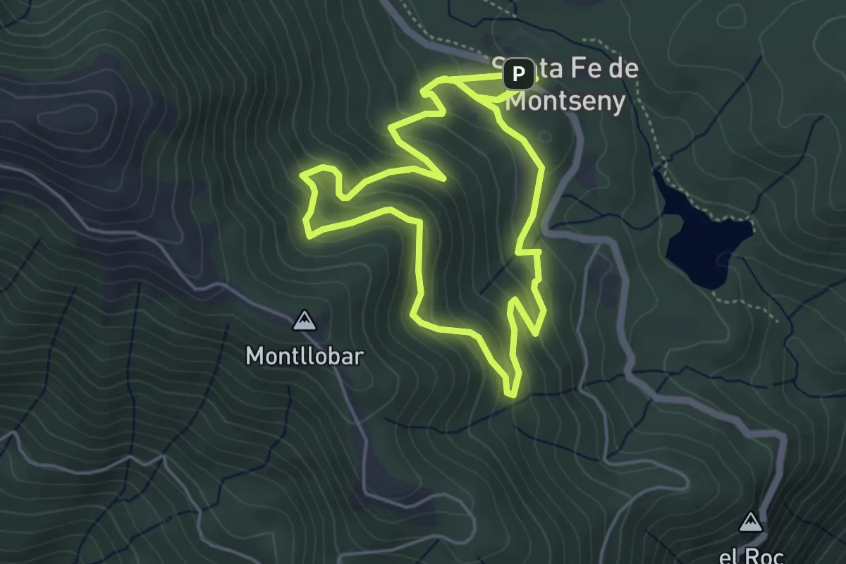
Easy · Summit
El Roc Perer
4.9 km · ↑ 280 m · 1 h 49 min
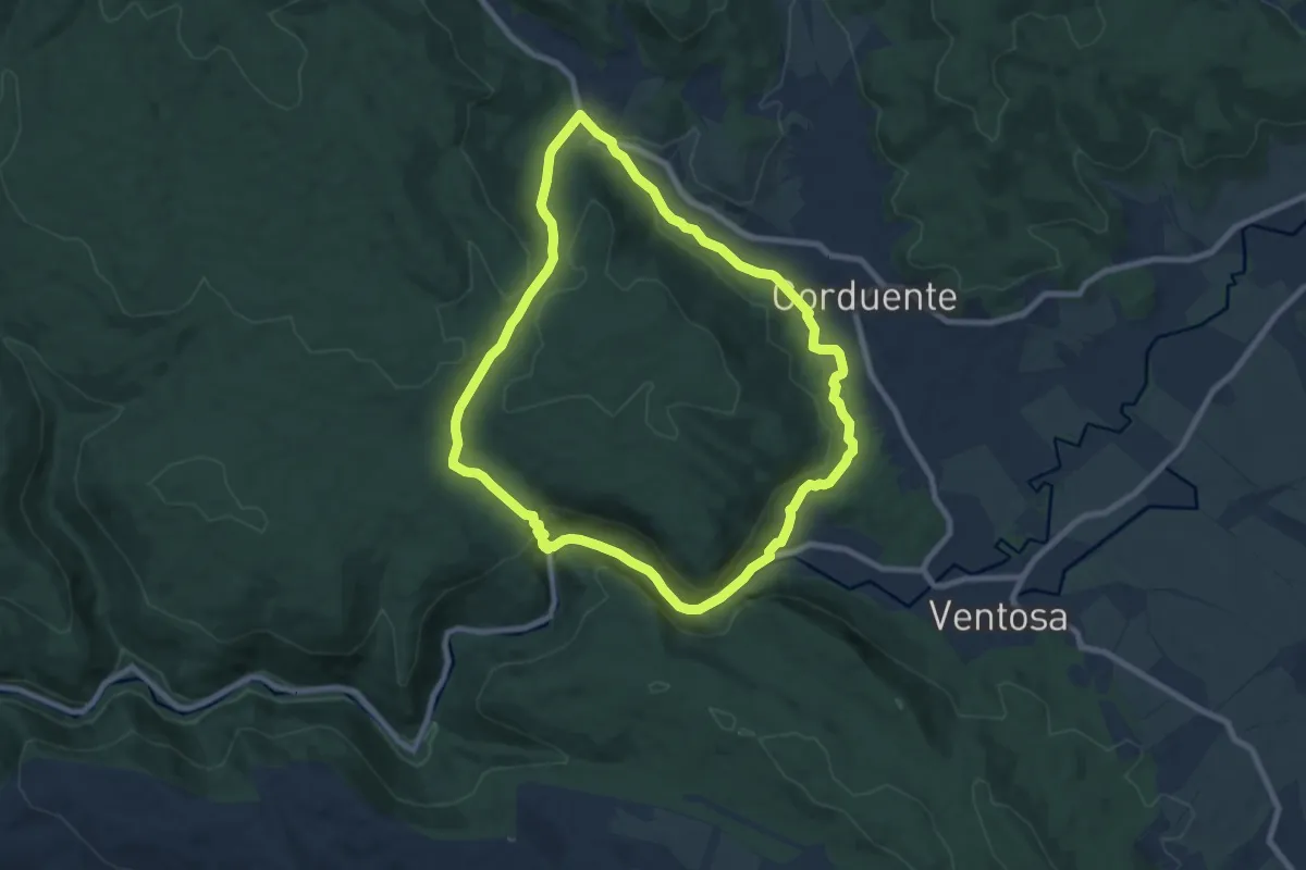
Medium · Trail
El Rodenal
8.8 km · ↑ 265 m · 2 h 46 min
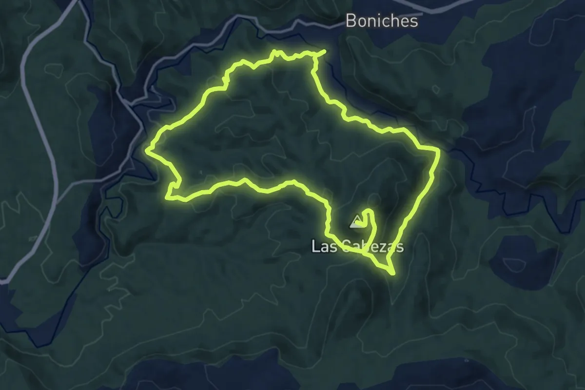
Medium · Summit
El Rodenal de Boniches
15.7 km · ↑ 515 m · 5 h 3 min
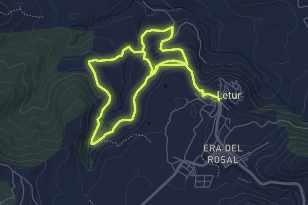
Medium · Trail
El Ruico-Fuensata-Artezuela
10.2 km · ↑ 418 m · 3 h 19 min
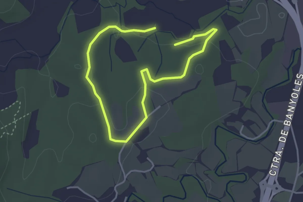
Easy · Trail
Els amics del bosc
5.3 km · ↑ 75 m · 1 h 25 min
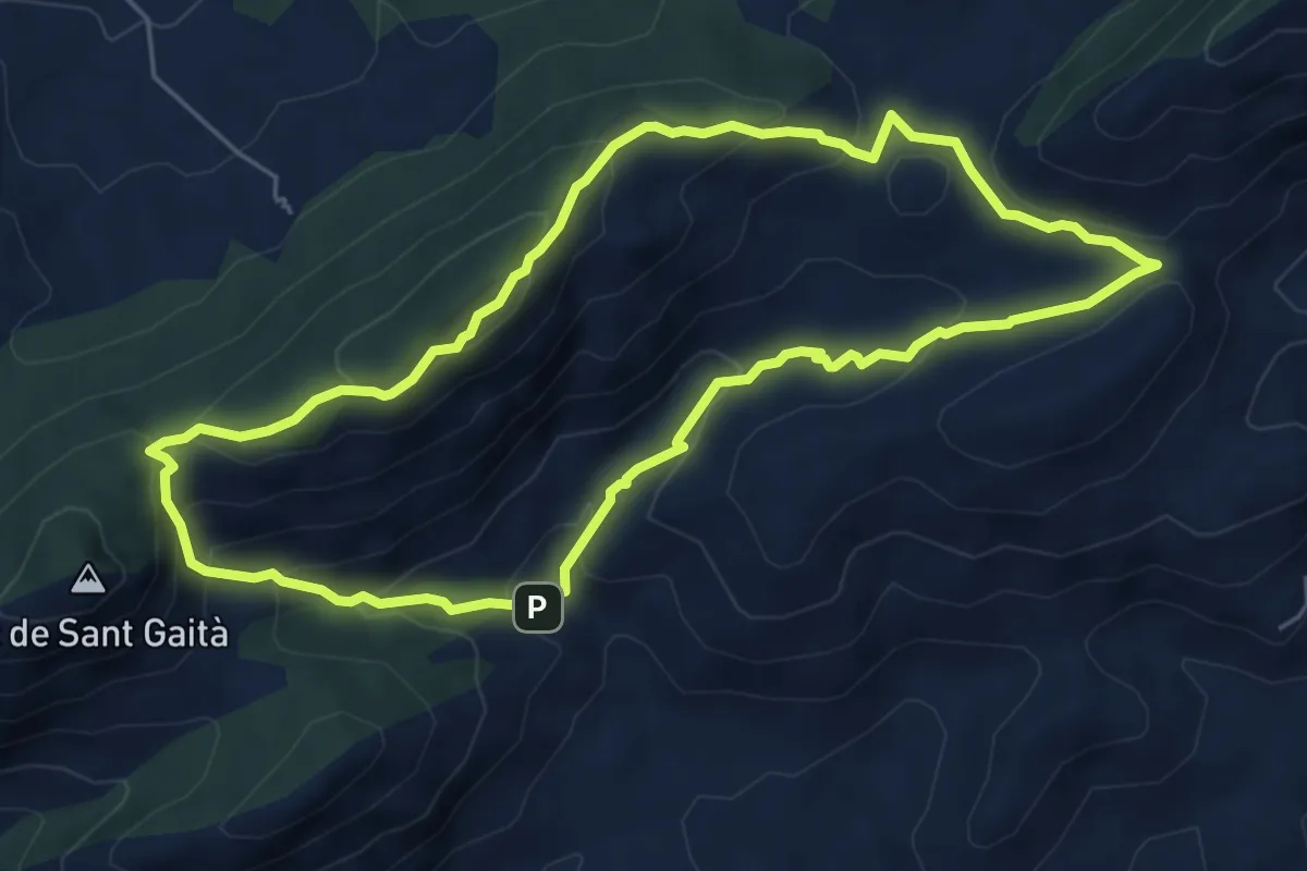
Medium · Summit
Els Anouers
6.3 km · ↑ 366 m · 2 h 22 min
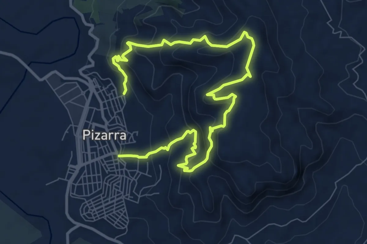
Medium · Trail
El Santo
6.3 km · ↑ 478 m · 2 h 35 min
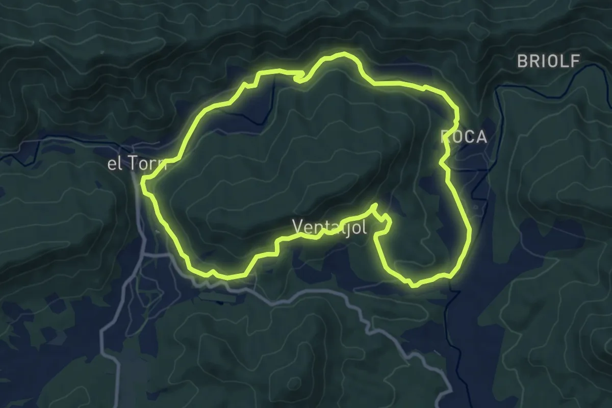
Medium · Trail
El Santuari del Collell: Presó de Guerra
9.9 km · ↑ 204 m · 2 h 55 min
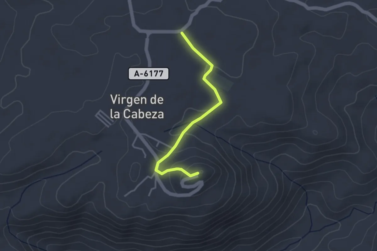
Easy · Trail
El Santuario
3.2 km · ↑ 109 m · 1 h
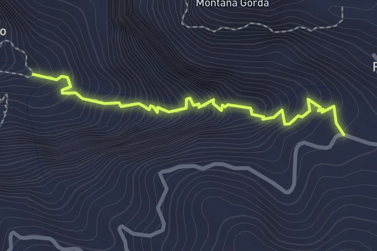
Medium · Trail
El Sao - Fagagajesto
2.7 km · ↑ 375 m · 1 h 27 min
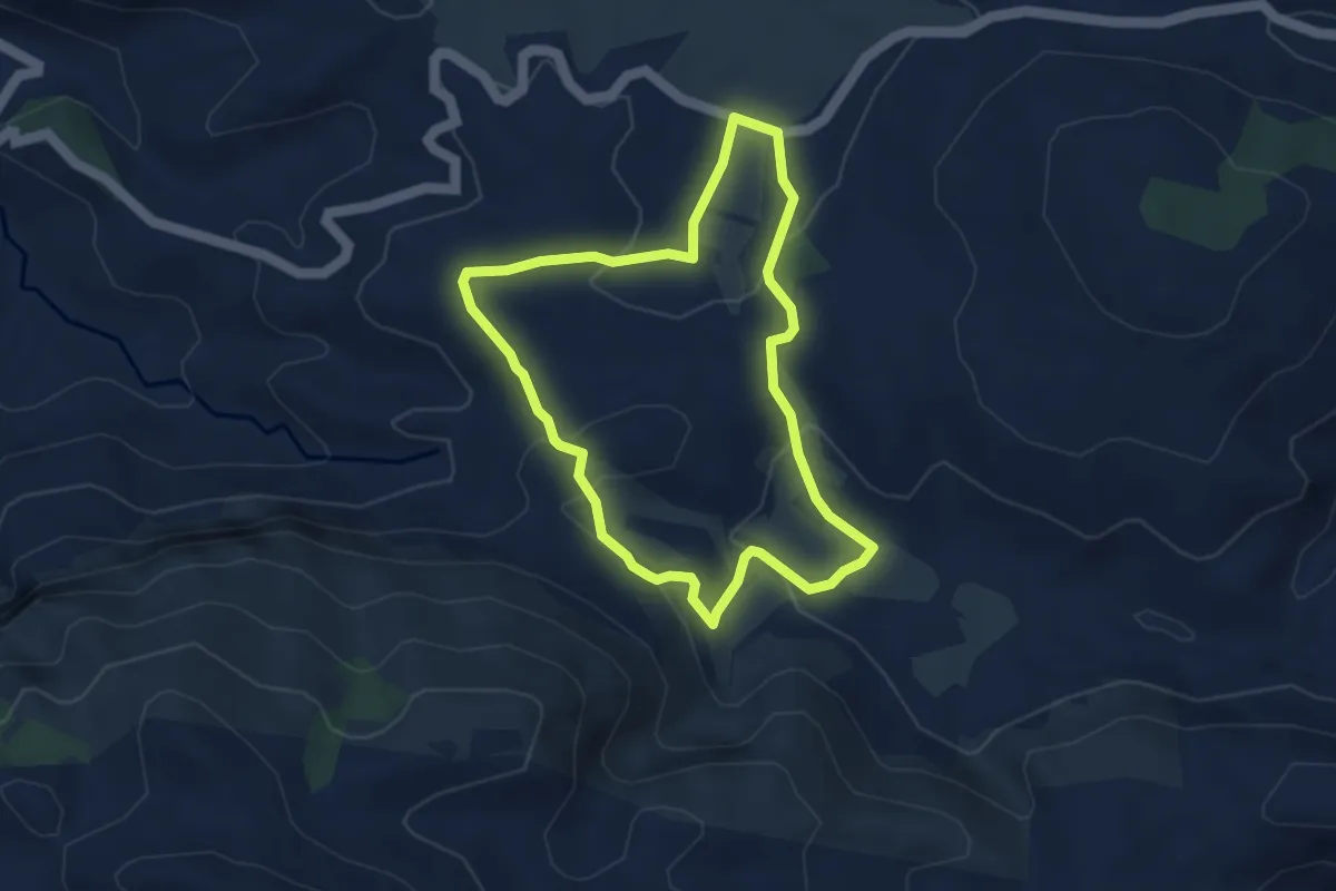
Medium · Trail
els Arcs
4.1 km · ↑ 108 m · 1 h 15 min
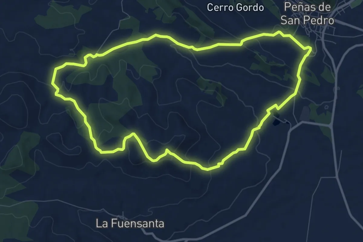
Medium · Trail
El Sargal
10.3 km · ↑ 273 m · 3 h 10 min
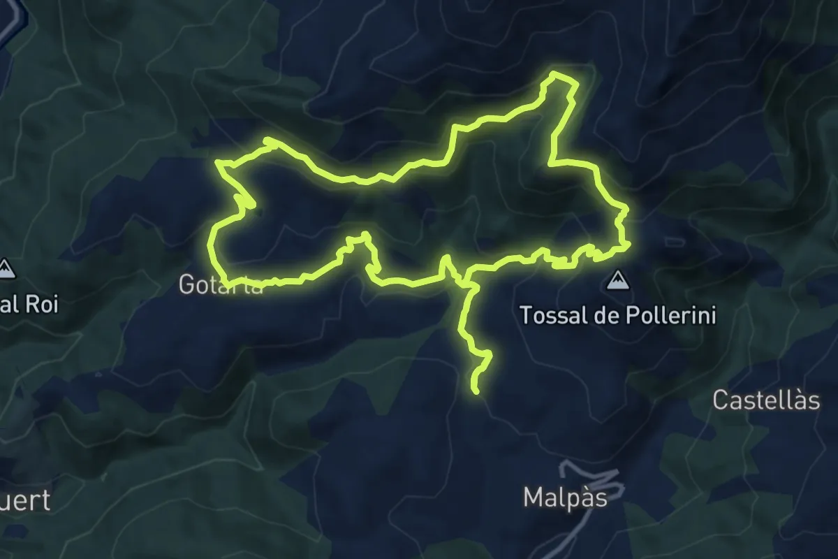
Medium · Summit
Els Barons d'Erill
12.6 km · ↑ 641 m · 4 h 33 min
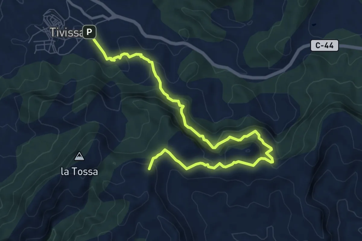
Medium · Summit
Els Borjos. Tivissa
10.4 km · ↑ 703 m · 3 h 58 min
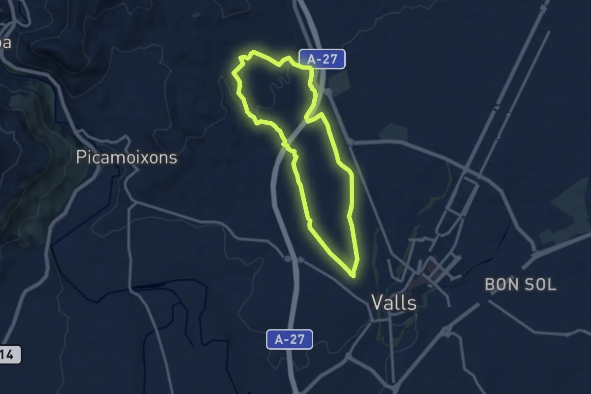
Medium · Trail
Els Boscos de Valls
8.7 km · ↑ 122 m · 2 h 26 min
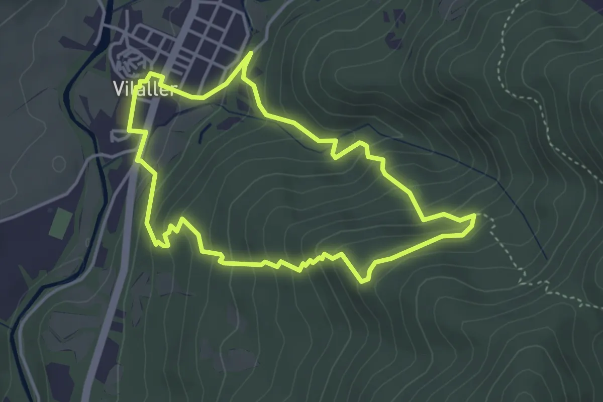
Medium · Trail
Els Carantos de Vilaller
3.9 km · ↑ 261 m · 1 h 32 min
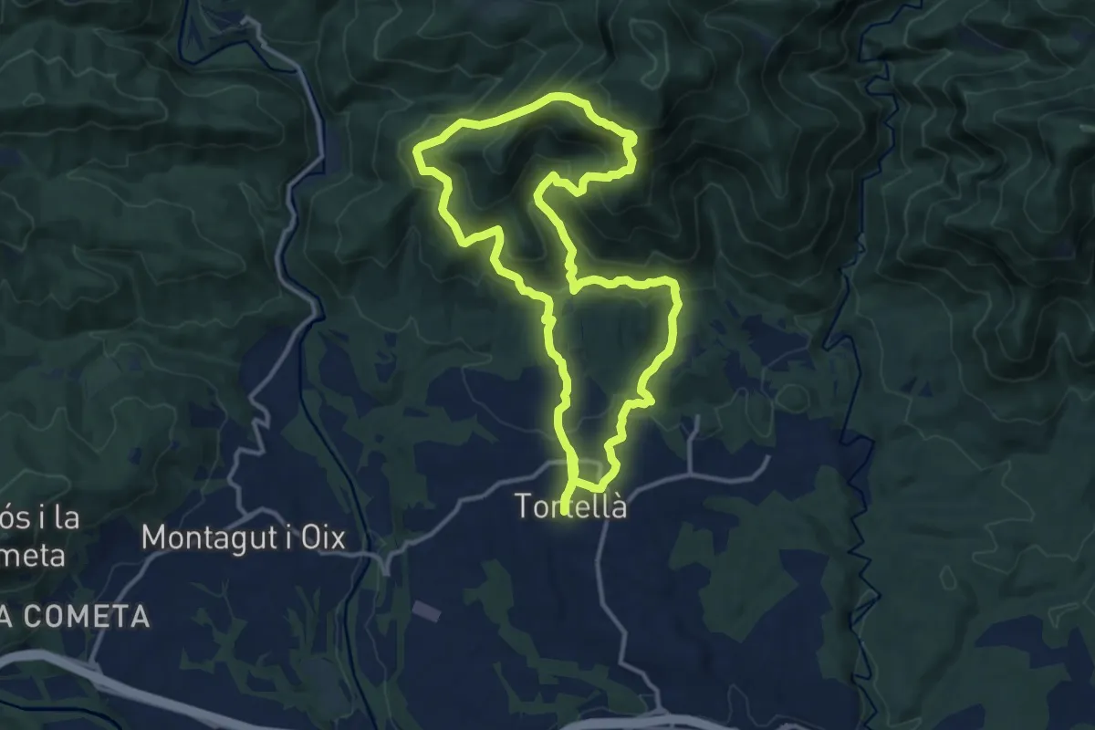
Medium · Summit
Els Comuns. Tortellà
12.9 km · ↑ 696 m · 4 h 45 min
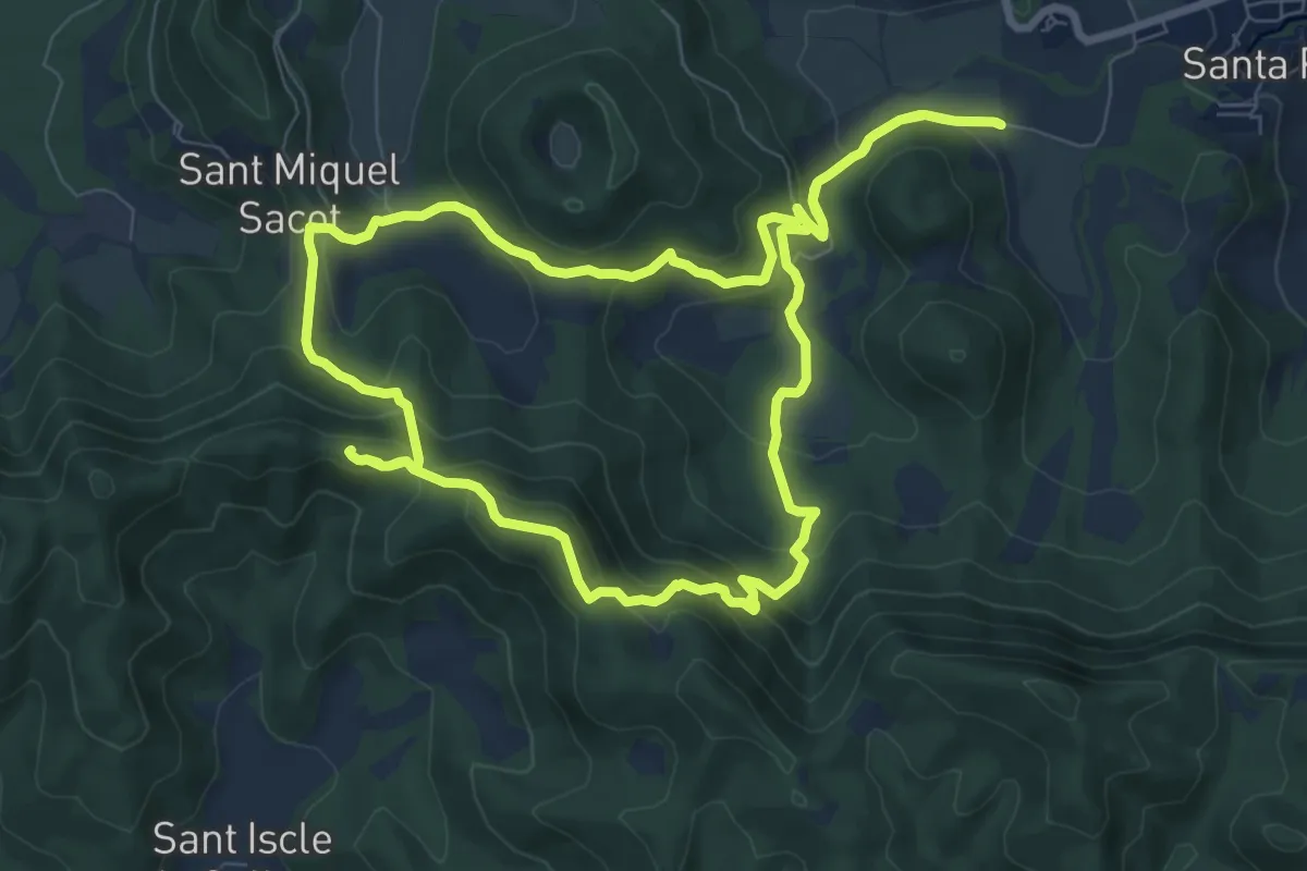
Medium · Summit
Els dos castells
9.2 km · ↑ 485 m · 3 h 22 min
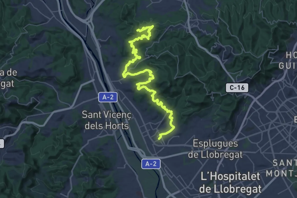
Demanding · Summit
Els dos castells. De Sant Feliu al Papiol per Molins de Rei
37.5 km · ↑ 1293 m · 11 h 40 min
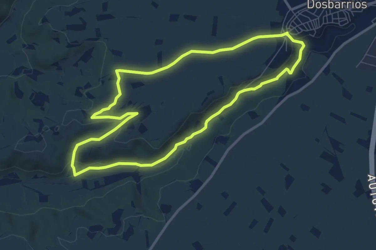
Easy · Trail
El Sendero del Agua
7.9 km · ↑ 97 m · 2 h 11 min
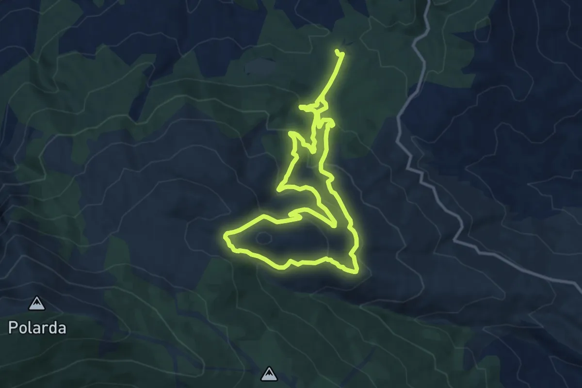
Medium · Trail
El Serbal - Cerrón de Guzmán - El Serbal
10.5 km · ↑ 462 m · 3 h 39 min
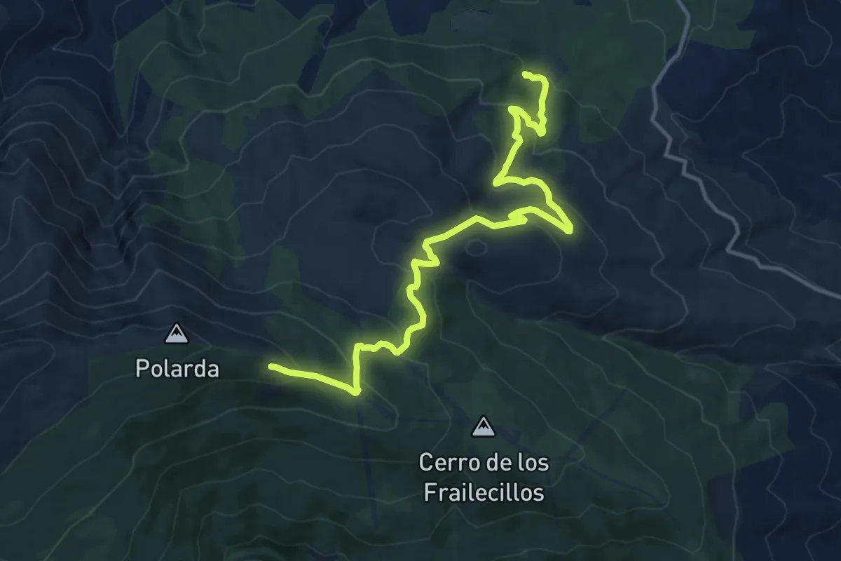
Demanding · Cabin
El Serbal - La Polarda
15.8 km · ↑ 857 m · 5 h 36 min
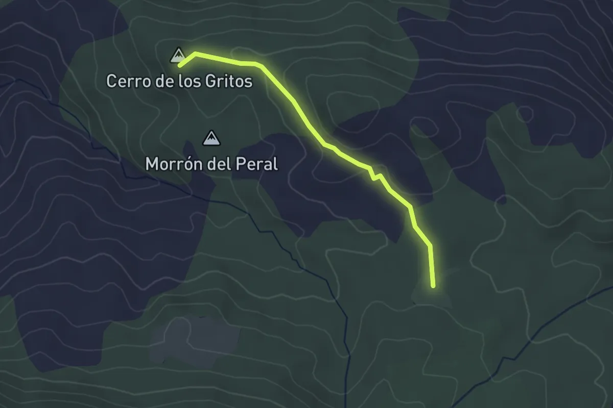
Easy · Summit
El Serbal - Peñón de Carroquero
3.4 km · ↑ 97 m · 1 h 1 min
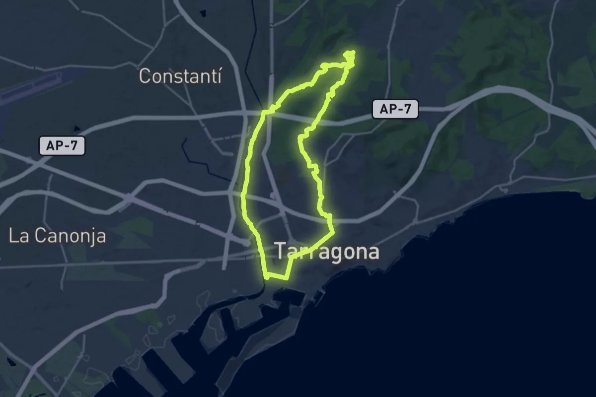
Medium · Trail
El Serrallo
14.9 km · ↑ 266 m · 4 h 19 min
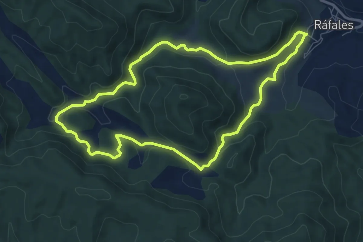
Easy · Trail
Els Estrets
7.4 km · ↑ 233 m · 2 h 22 min
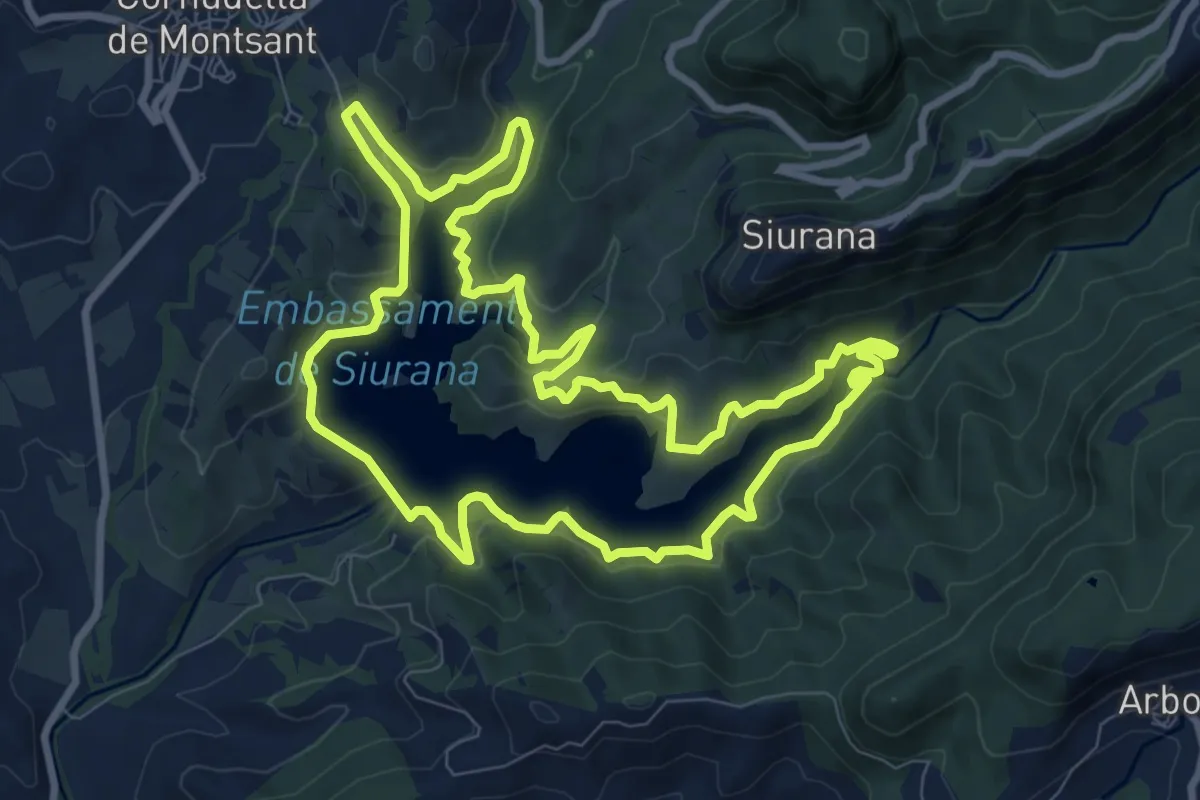
Medium · Summit
Els Miralls de la Muntanya. Cornudella de Montsant
10.1 km · ↑ 456 m · 3 h 30 min
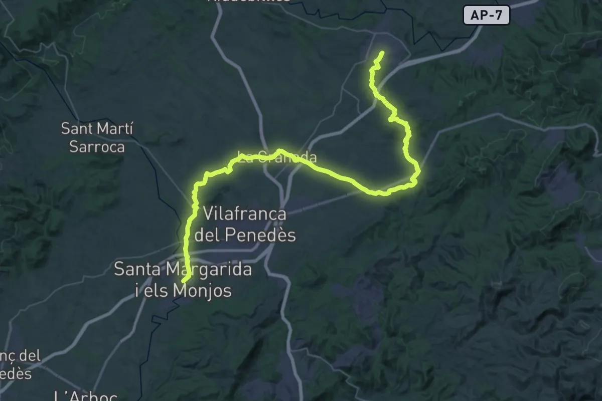
Demanding · Trail
Els Monjos - Sant Sadurní
28.0 km · ↑ 339 m · 7 h 45 min
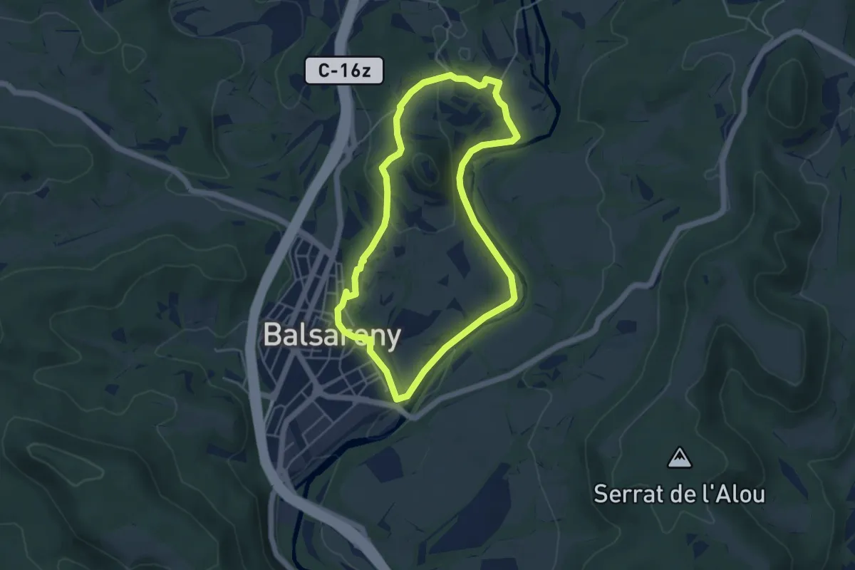
Easy · Trail
Els Orígens de la Sèquia (Balsareny)
4.7 km · ↑ 118 m · 1 h 25 min
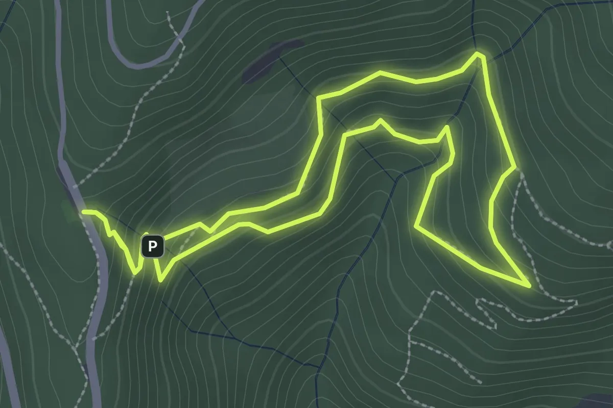
Easy · Trail
El Sot de l'Infern
3.2 km · ↑ 201 m · 1 h 14 min
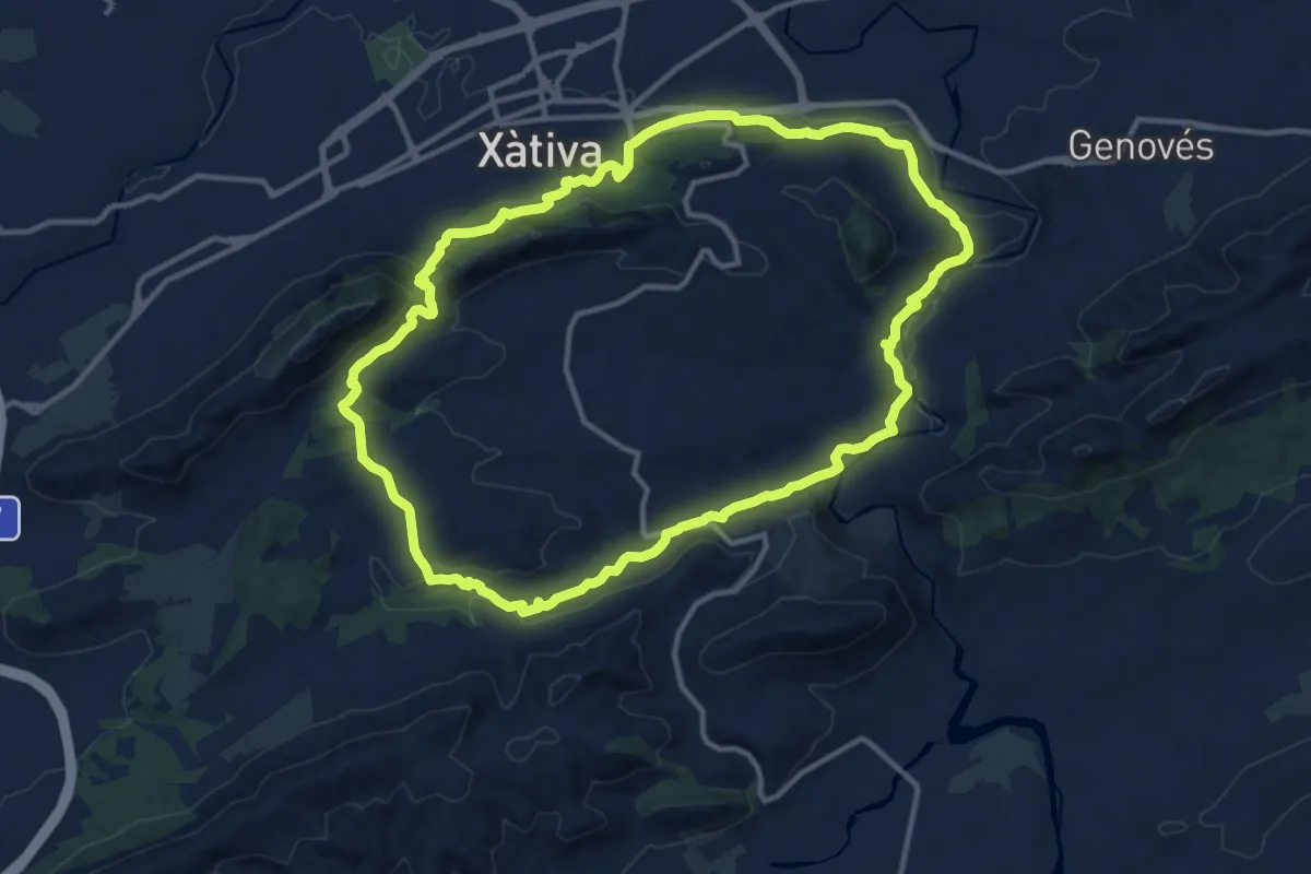
Medium · Summit
Els Paratges de Xàtiva
14.1 km · ↑ 372 m · 4 h 20 min
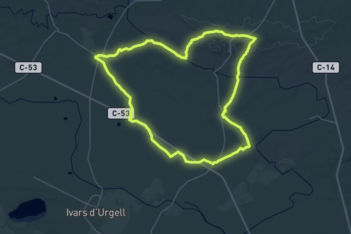
Demanding · Trail
Els Plans d'Almenara
26.3 km · ↑ 221 m · 7 h 3 min
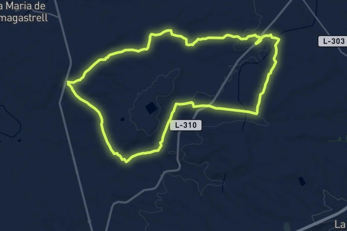
Demanding · Trail
Els Plans de Conill
18.1 km · ↑ 143 m · 4 h 50 min
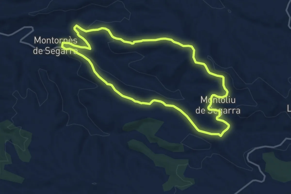
Medium · Trail
Els plans de la Segarra
10.8 km · ↑ 209 m · 3 h 8 min
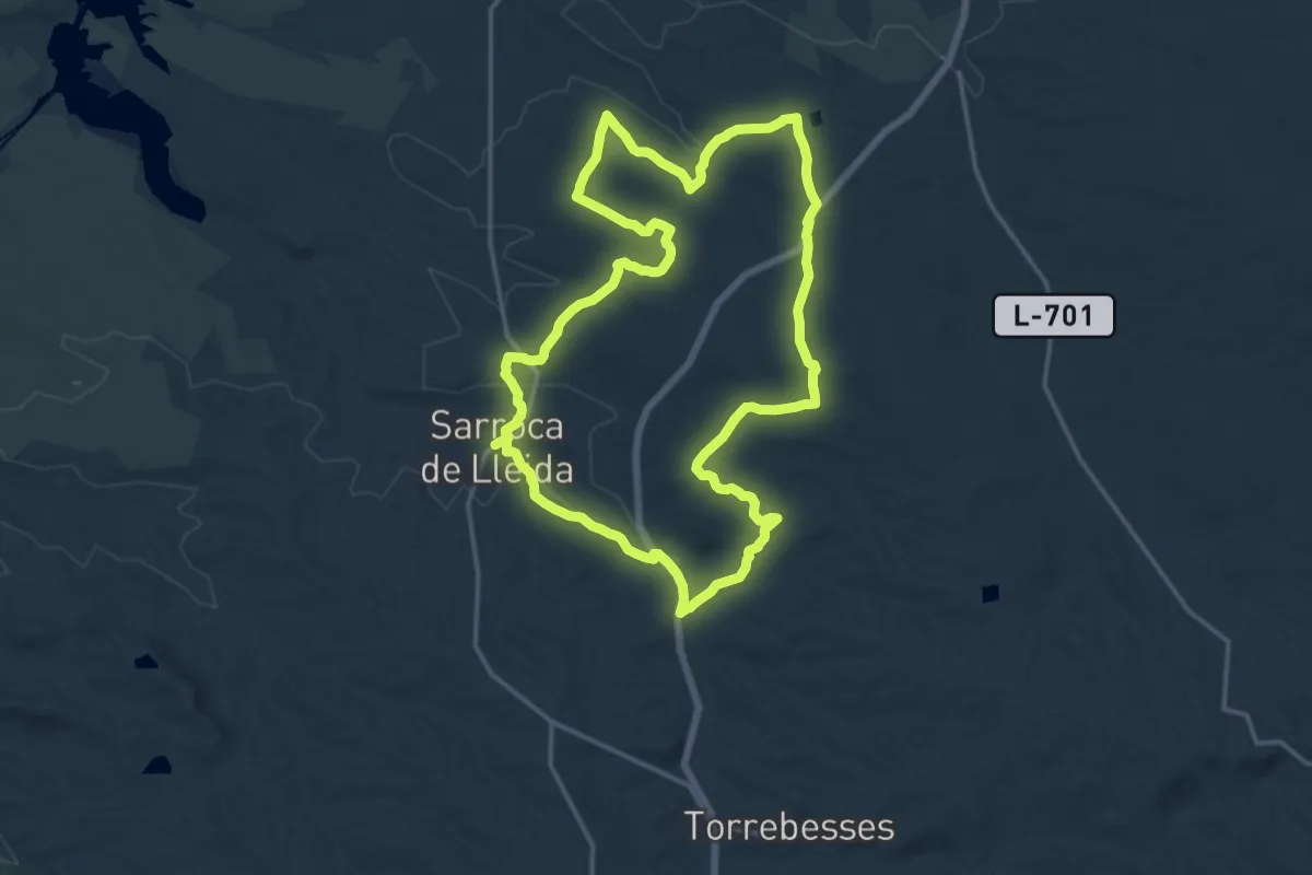
Medium · Summit
Els plans de Sarroca de Lleida
17.8 km · ↑ 199 m · 4 h 52 min
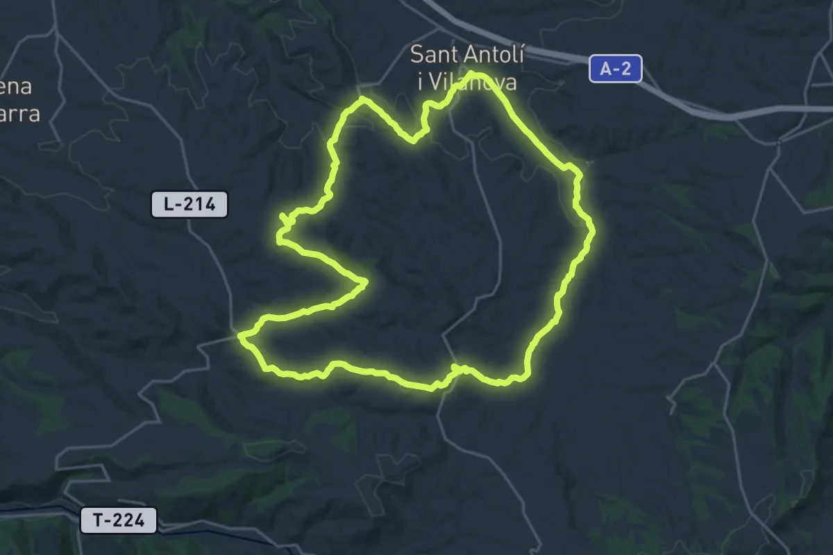
Demanding · Summit
Els turons de la Segara
22.6 km · ↑ 396 m · 6 h 30 min
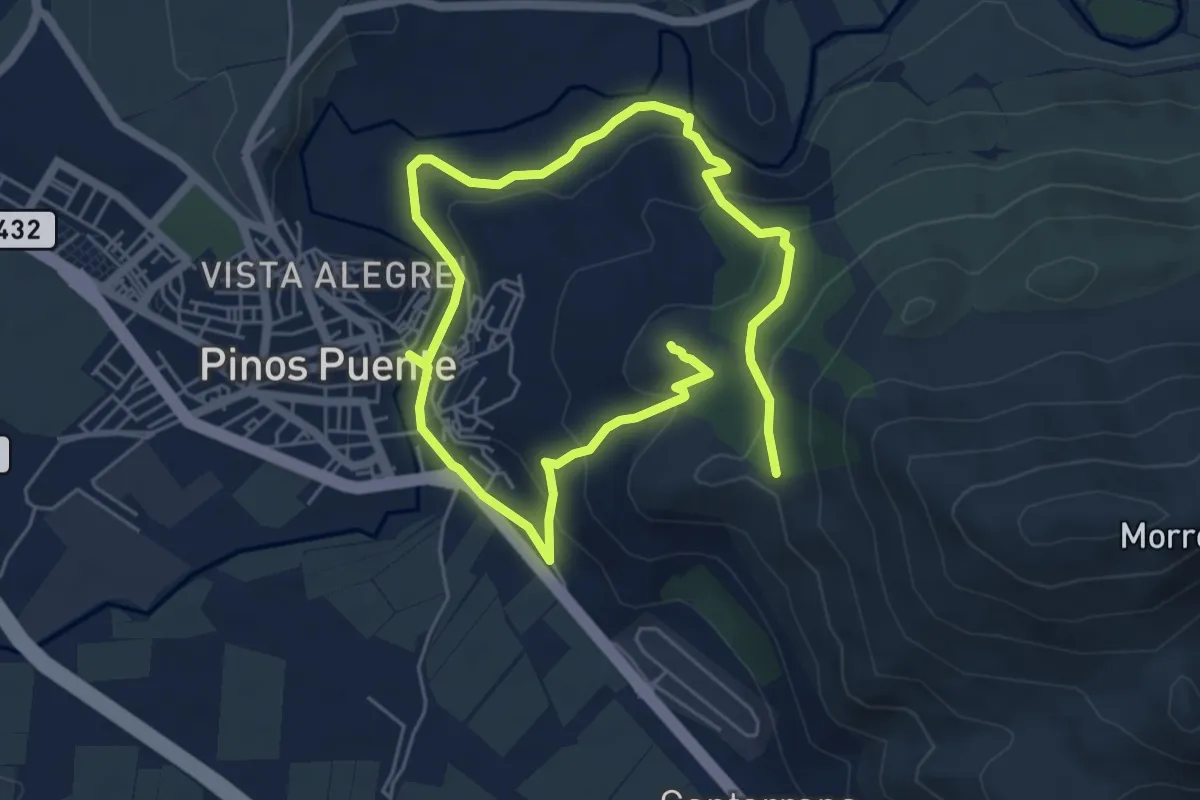
Medium · Summit
El Tajo del Sereno. Sierra y Agua.
10.4 km · ↑ 352 m · 3 h 12 min
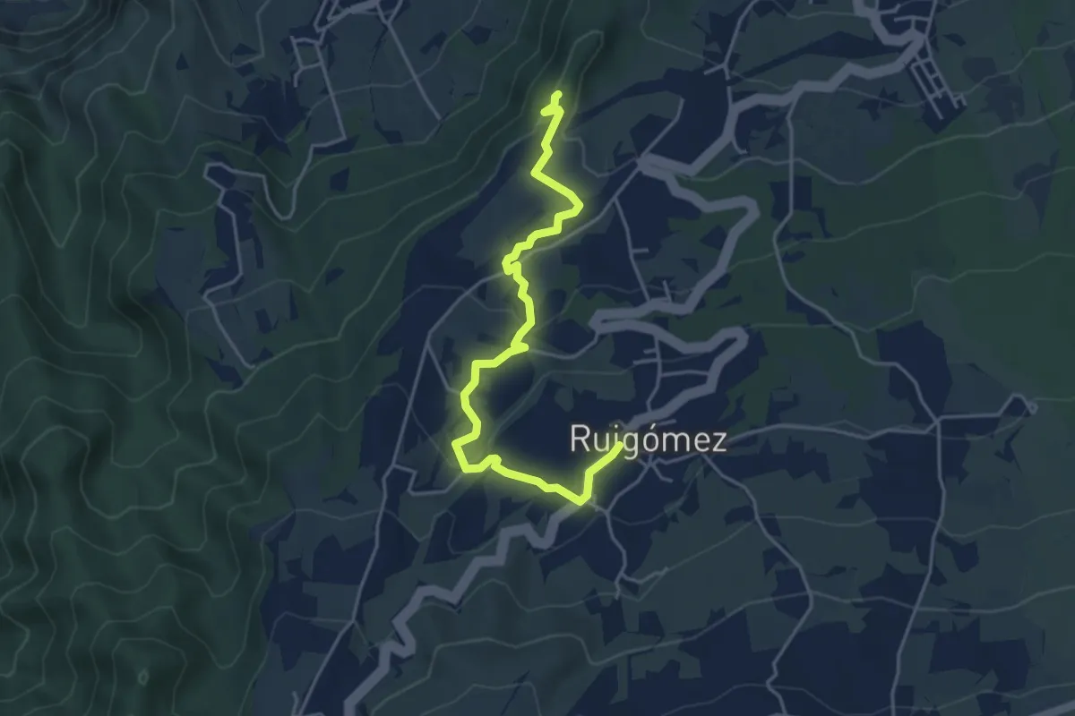
Easy · Summit
El Tanque Alto- Ruigómez-San José de Los Llanos
5.8 km · ↑ 158 m · 1 h 42 min
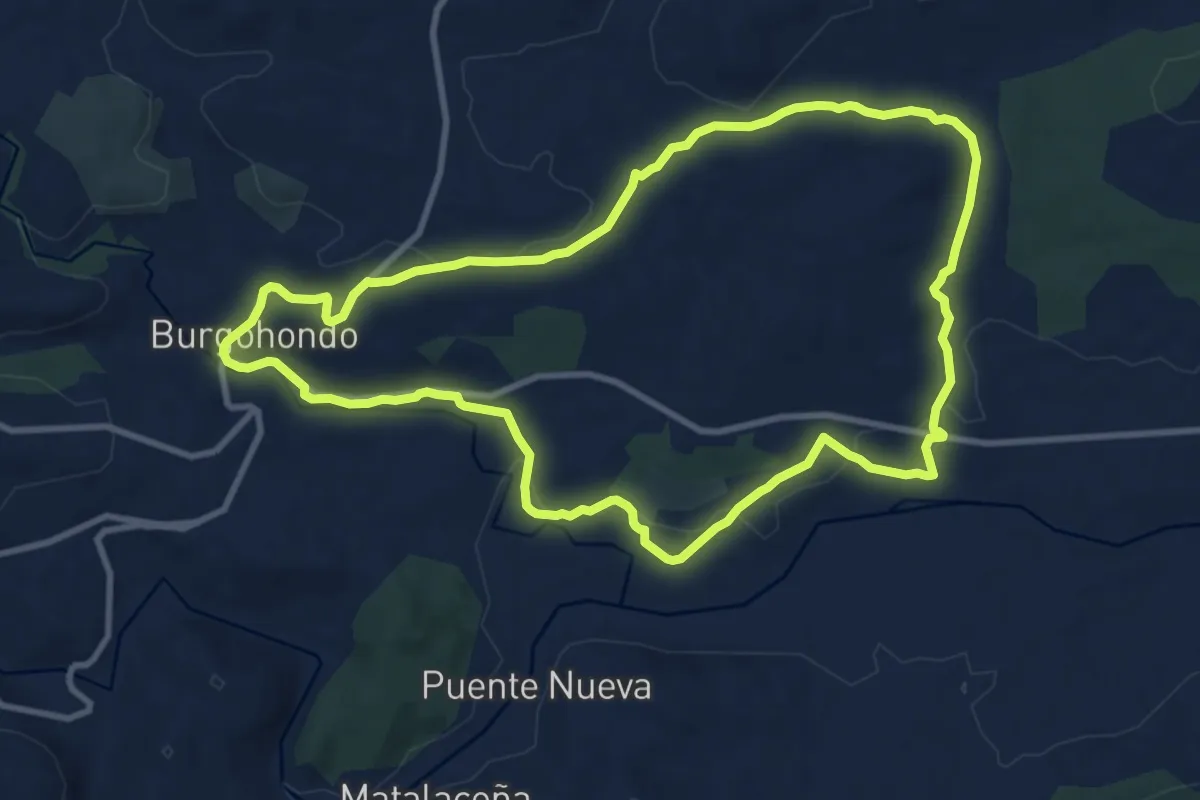
Medium · Trail
El Tejar
11.3 km · ↑ 174 m · 3 h 12 min
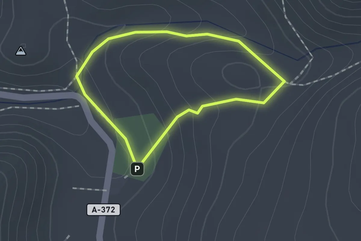
Easy · Trail
EL TESORILLO
1.3 km · ↑ 62 m · 27 min
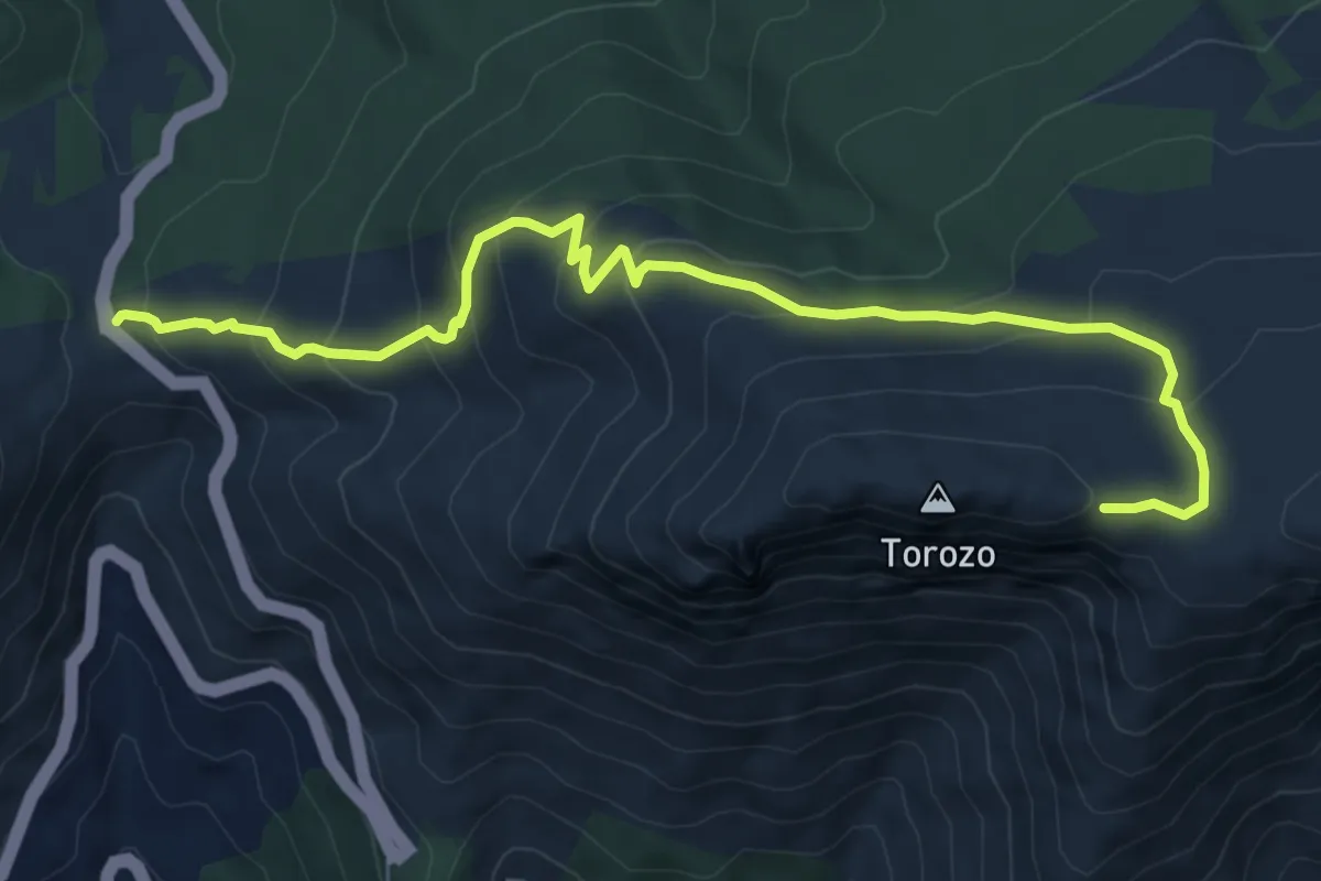
Medium · Trail
El Torozo
9.0 km · ↑ 552 m · 3 h 19 min
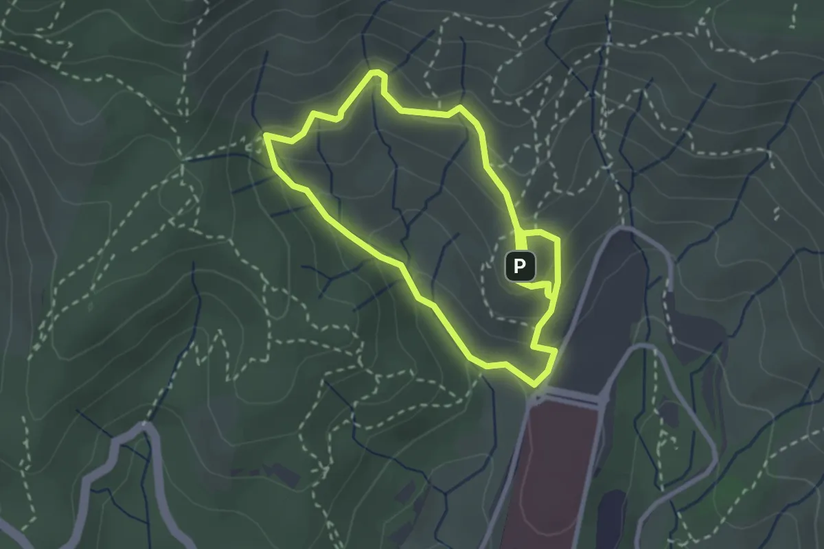
Easy · Summit
El torrent de l'Amigó
2.8 km · ↑ 181 m · 1 h 5 min
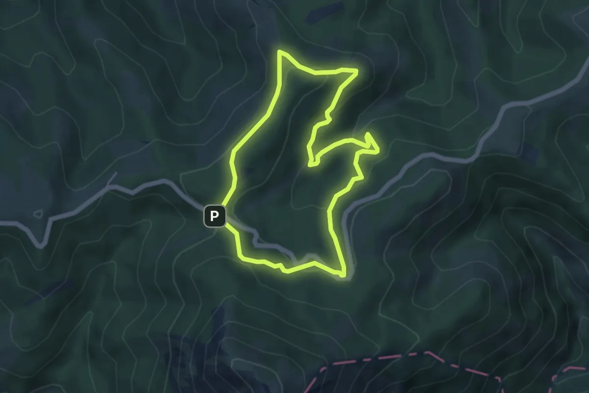
Medium · Summit
Elurzuloen bidea
4.5 km · ↑ 197 m · 1 h 33 min
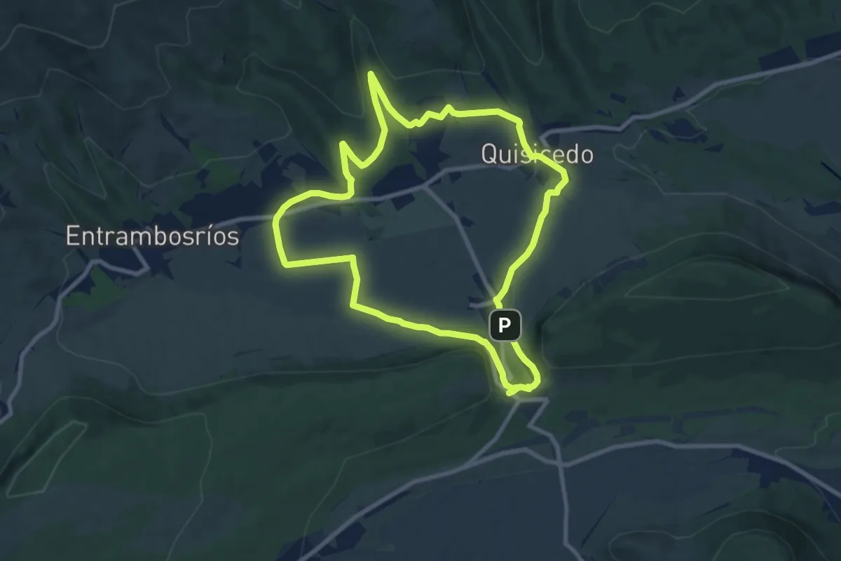
Medium · Summit
El Valle
8.8 km · ↑ 161 m · 2 h 34 min
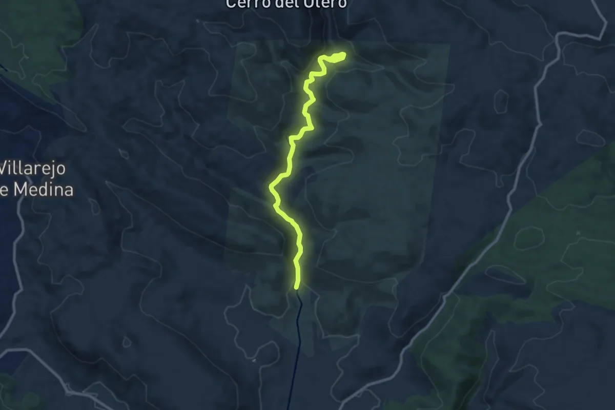
Medium · Trail
El valle de los Milagros
9.4 km · ↑ 175 m · 2 h 36 min