Trails in Spain
5,963 hiking trails, each with its route, climb, walking time and grade.
All trails, page 37 of 125
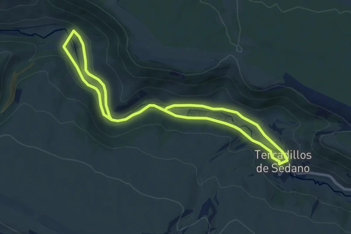
Medium · Trail
El Valle de San Antón
10.9 km · ↑ 142 m · 2 h 52 min
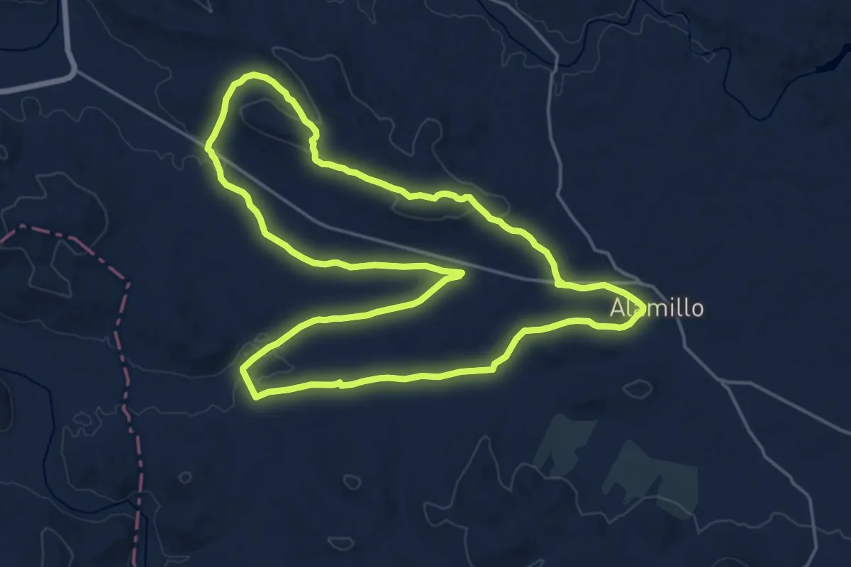
Demanding · Trail
El Valle - Las Hectáreas
21.1 km · ↑ 280 m · 5 h 53 min
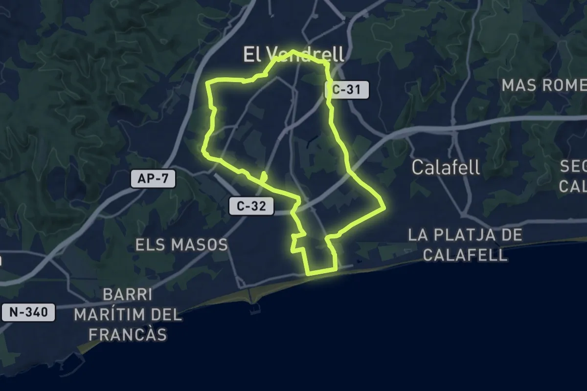
Medium · Trail
El Vendrell-El Vendrell
13.9 km · ↑ 117 m · 3 h 44 min
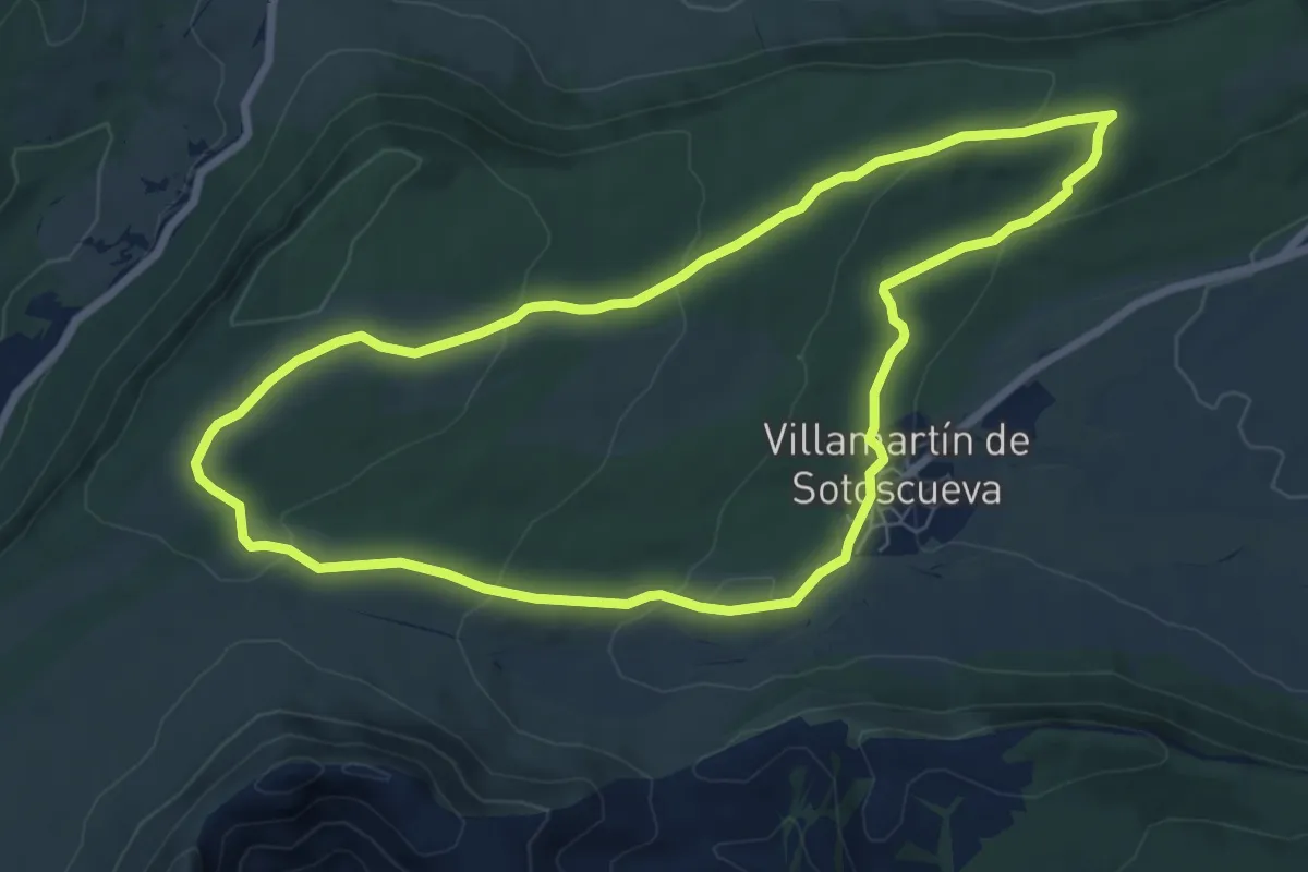
Easy · Trail
El Ventanón
7.7 km · ↑ 208 m · 2 h 22 min
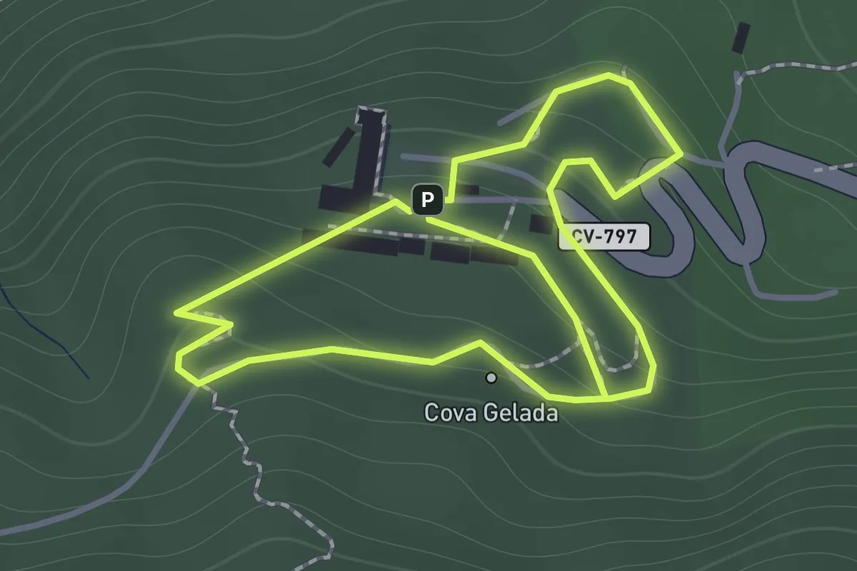
Easy · Trail
El xicotet
2.7 km · ↑ 154 m · 58 min
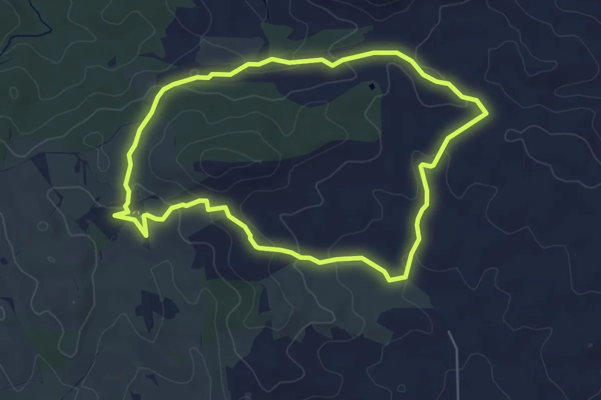
Easy · Trail
El Zorro Blauwe Route 6km
5.3 km · ↑ 105 m · 1 h 34 min
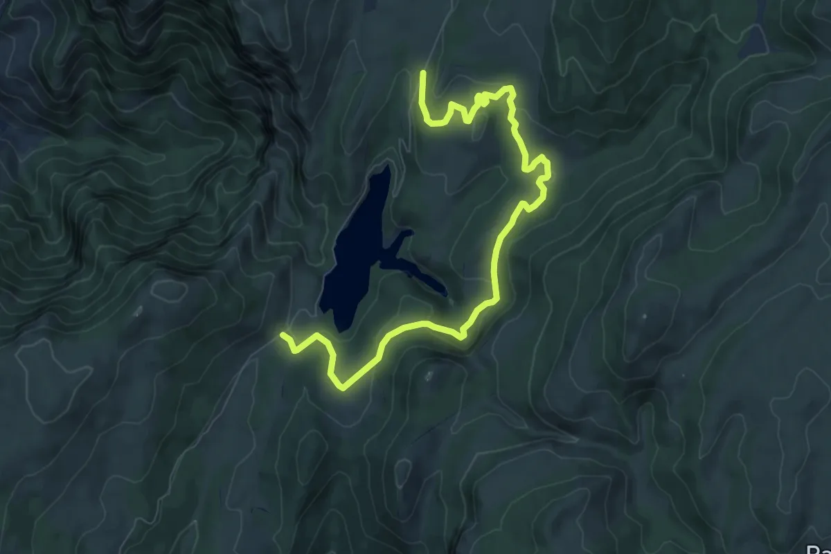
Medium · Trail
Embalse de Aguascebas
10.6 km · ↑ 340 m · 3 h 15 min
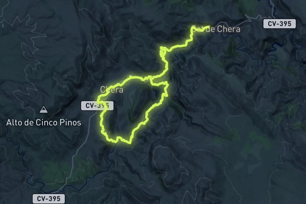
Demanding · Trail
Embalse de Buseo
21.1 km · ↑ 636 m · 6 h 46 min
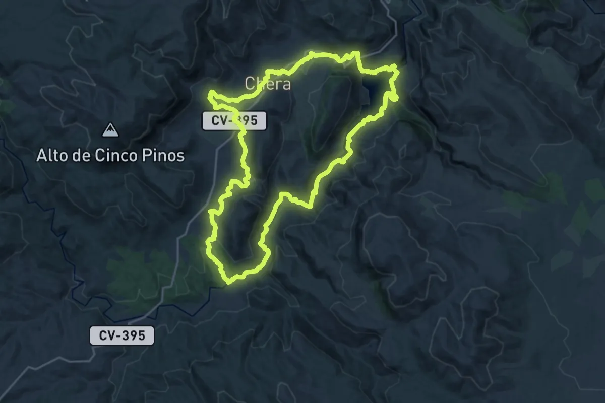
Demanding · Trail
Embalse de Buseo, Reatillo y La Garita
20.8 km · ↑ 601 m · 6 h 30 min
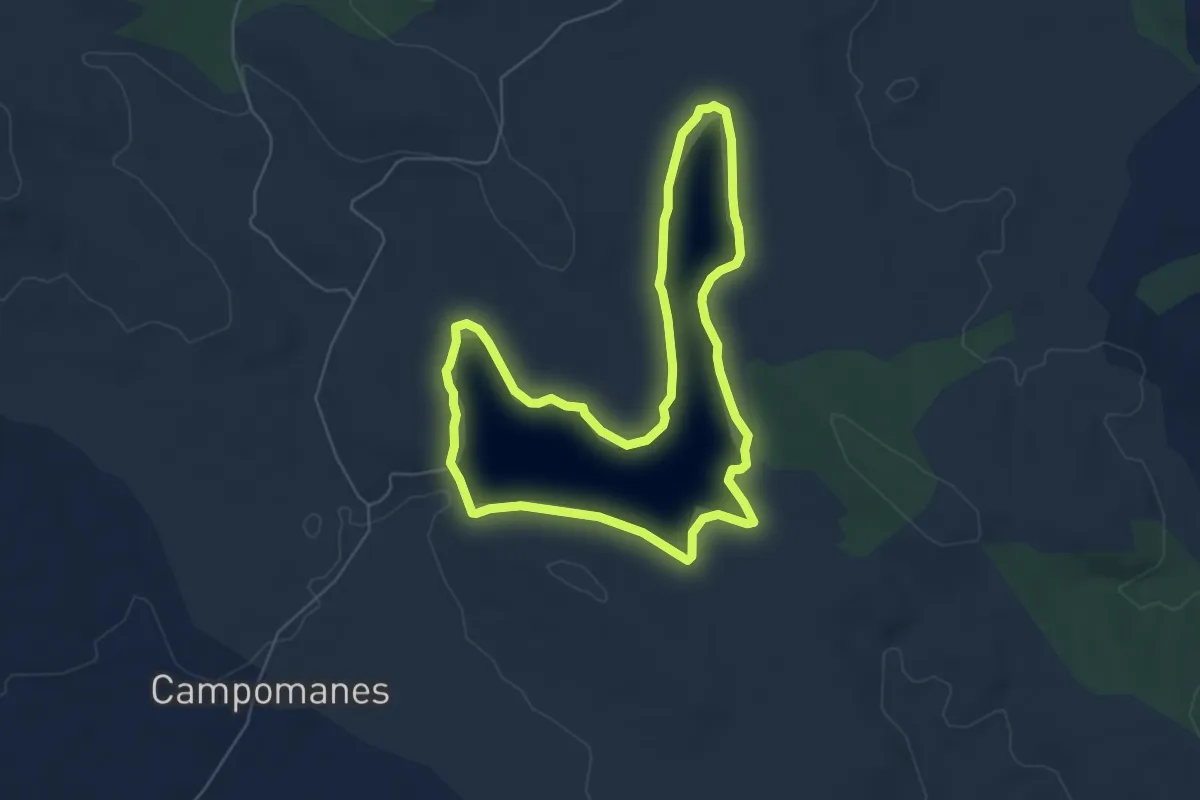
Easy · Trail
Embalse de Cornalvo
6.6 km · ↑ 148 m · 1 h 59 min
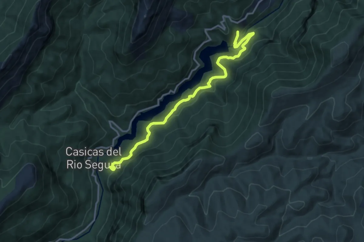
Medium · Trail
Embalse de las Anchuricas
11.8 km · ↑ 542 m · 3 h 58 min
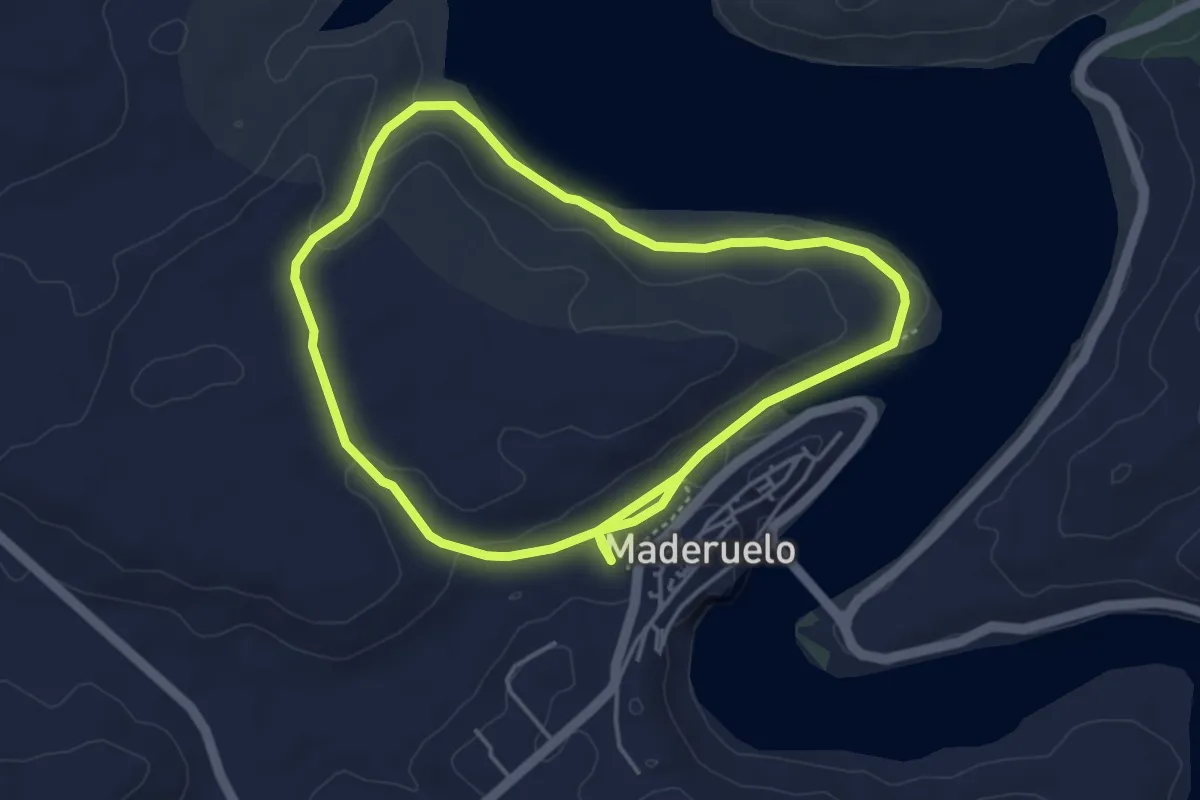
Easy · Trail
Embalse de Linares del Arroyo
4.3 km · ↑ 63 m · 1 h 13 min
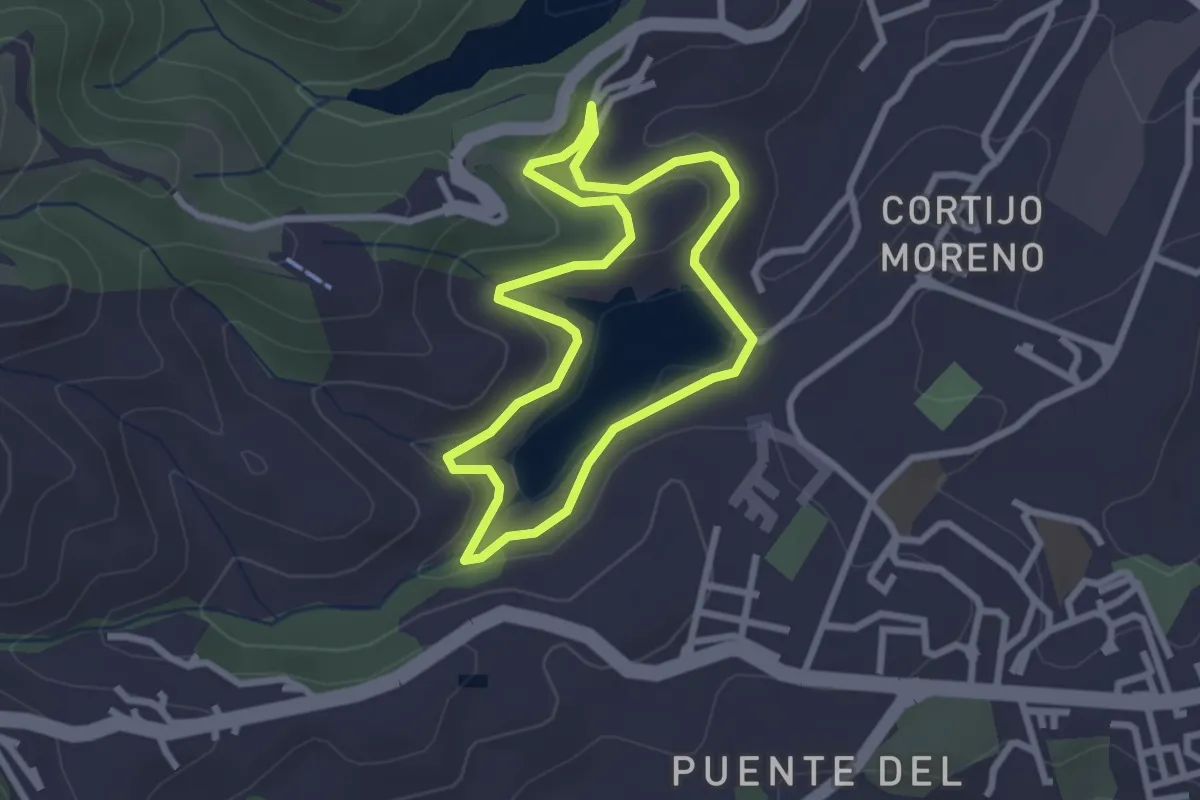
Easy · Trail
Embalse del Infierno
2.8 km · ↑ 76 m · 51 min
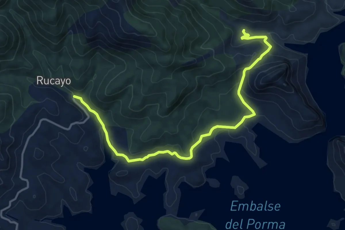
Medium · Trail
Embalse del Porma
11.9 km · ↑ 398 m · 3 h 40 min
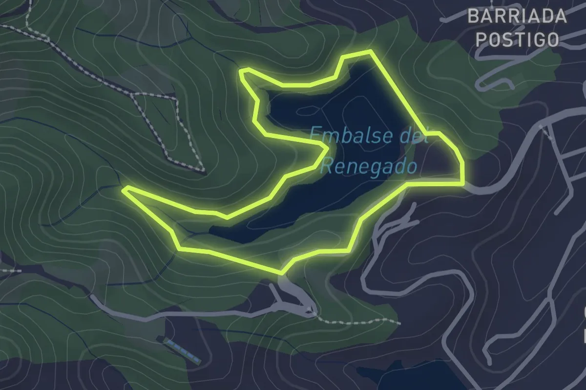
Easy · Trail
Embalse del Renegado
2.7 km · ↑ 73 m · 50 min
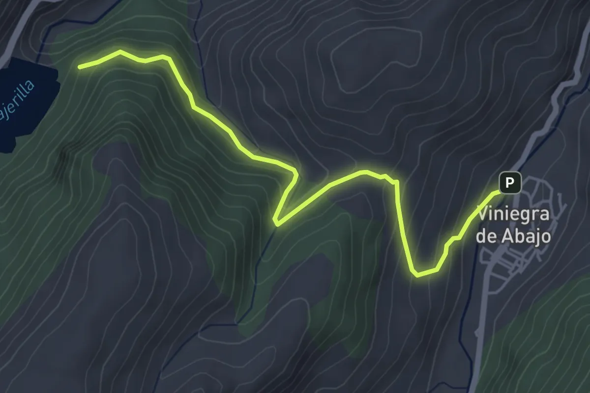
Easy · Trail
Embalse de Mansilla
5.5 km · ↑ 306 m · 1 h 57 min
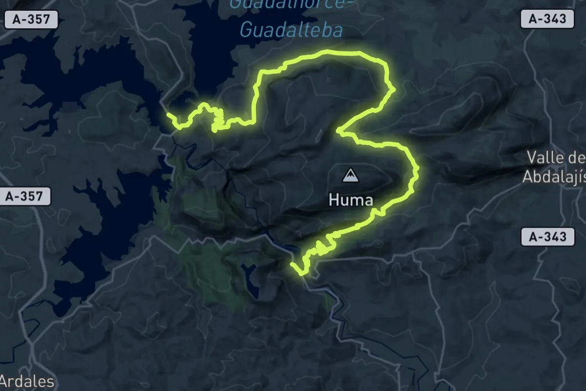
Demanding · Trail
Embalses del Guadalhorce - Estación del Chorro
23.1 km · ↑ 900 m · 7 h 47 min
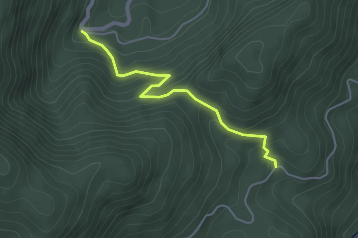
Easy · Trail
Empalme del Valle
3.7 km · ↑ 224 m · 1 h 22 min
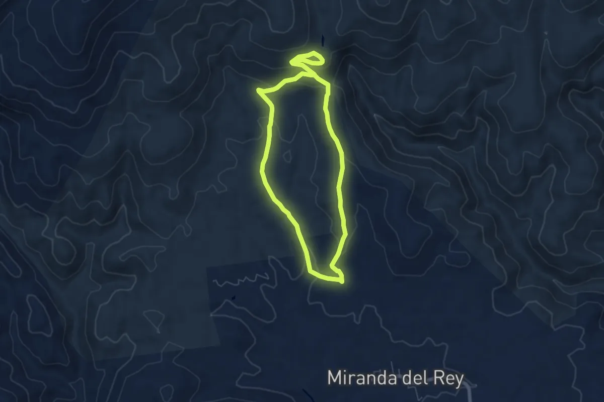
Easy · Trail
Empedraillo
6.0 km · ↑ 179 m · 1 h 52 min
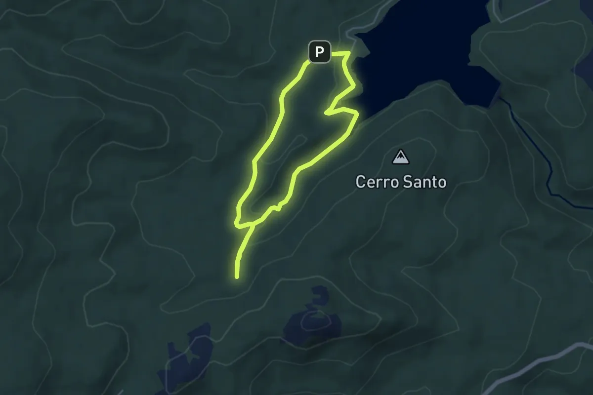
Easy · Trail
En busca del agua
4.0 km · ↑ 91 m · 1 h 13 min
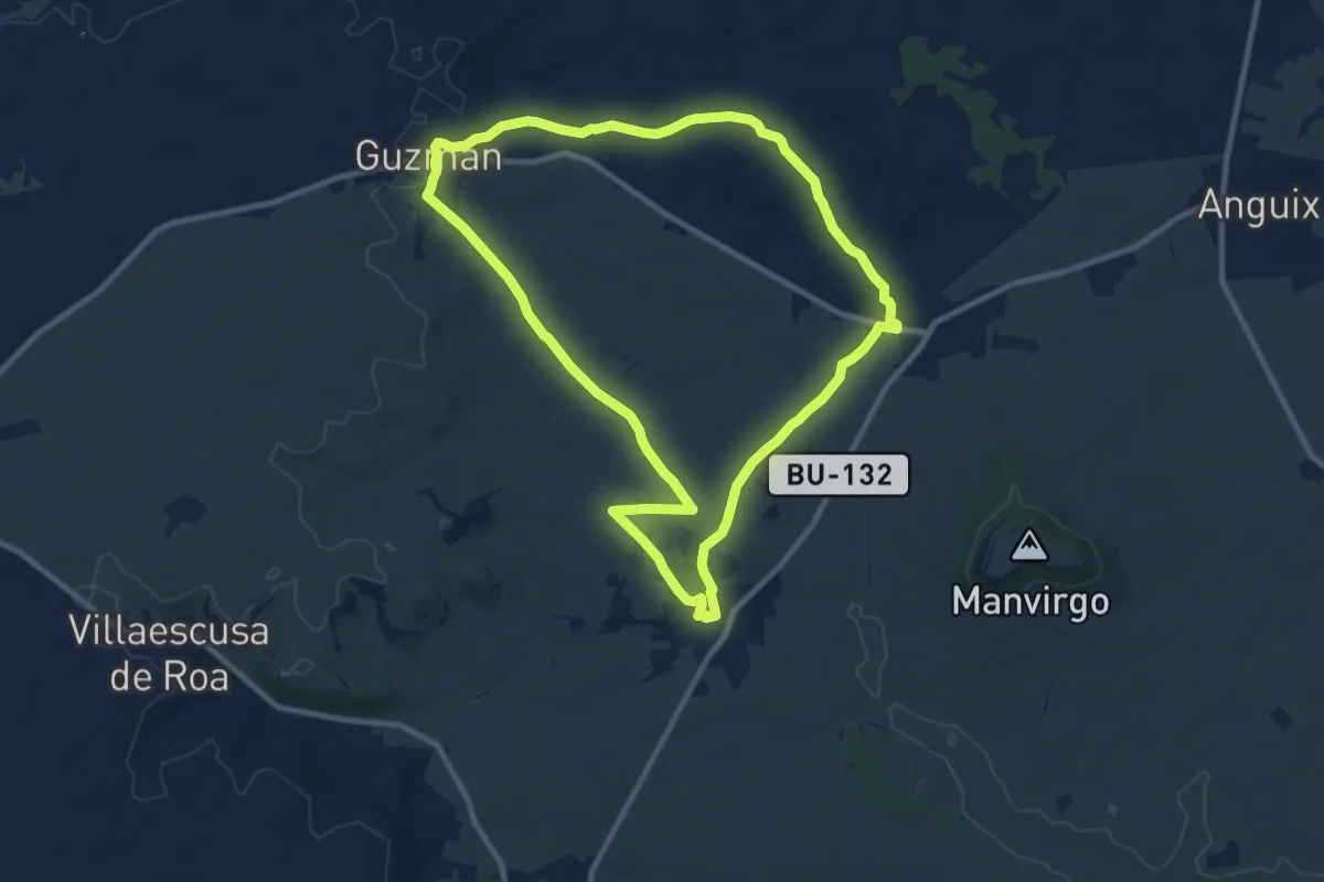
Medium · Trail
En busca de los origenes
10.9 km · ↑ 103 m · 2 h 57 min
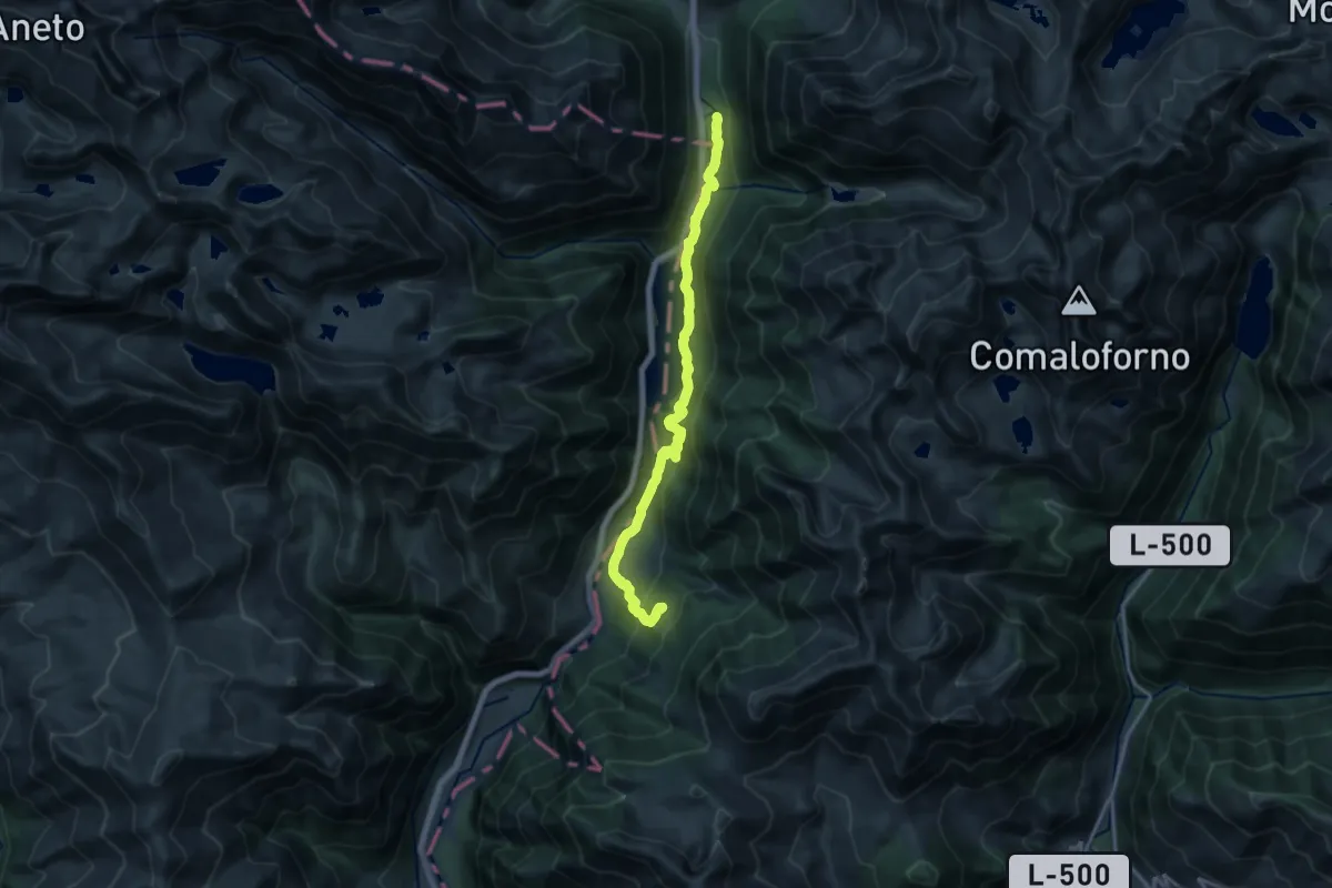
Medium · Trail
Encantats
8.7 km · ↑ 443 m · 3 h 8 min
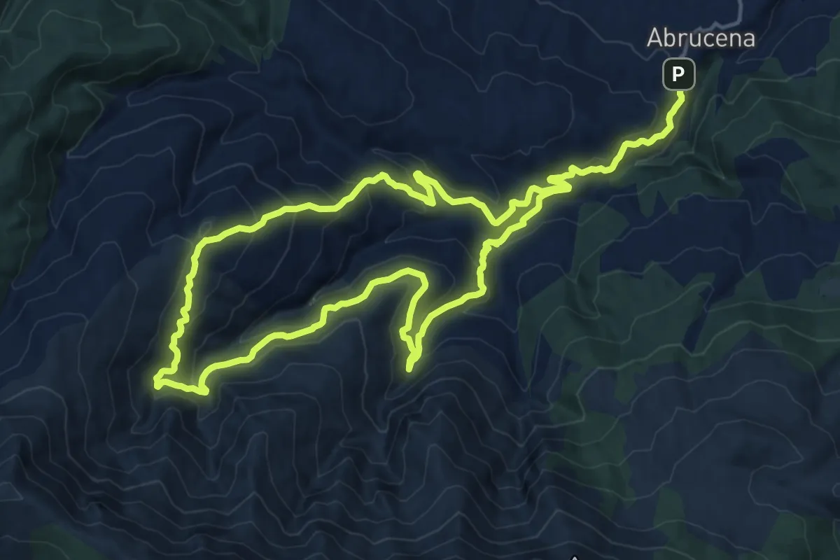
Demanding · Trail
Encinar de Abrucena
17.2 km · ↑ 974 m · 6 h 22 min
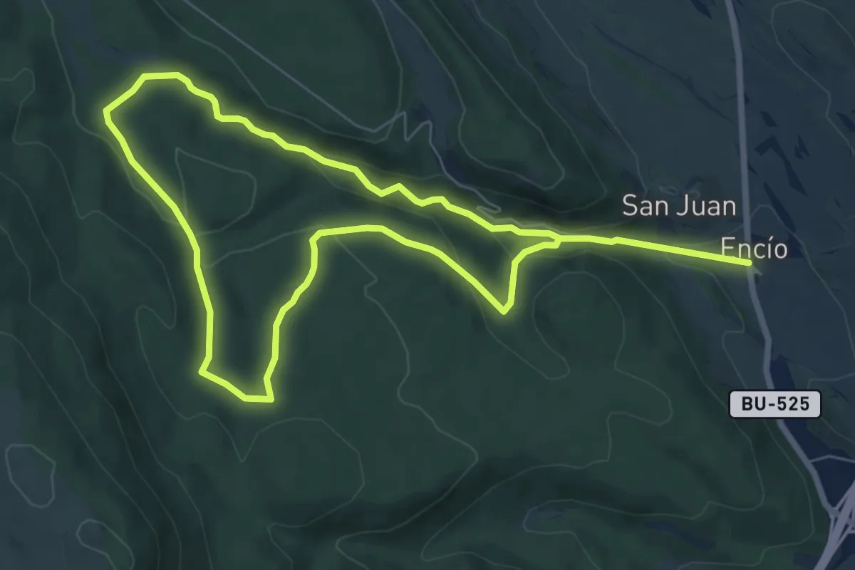
Medium · Trail
Encio
13.3 km · ↑ 359 m · 3 h 55 min
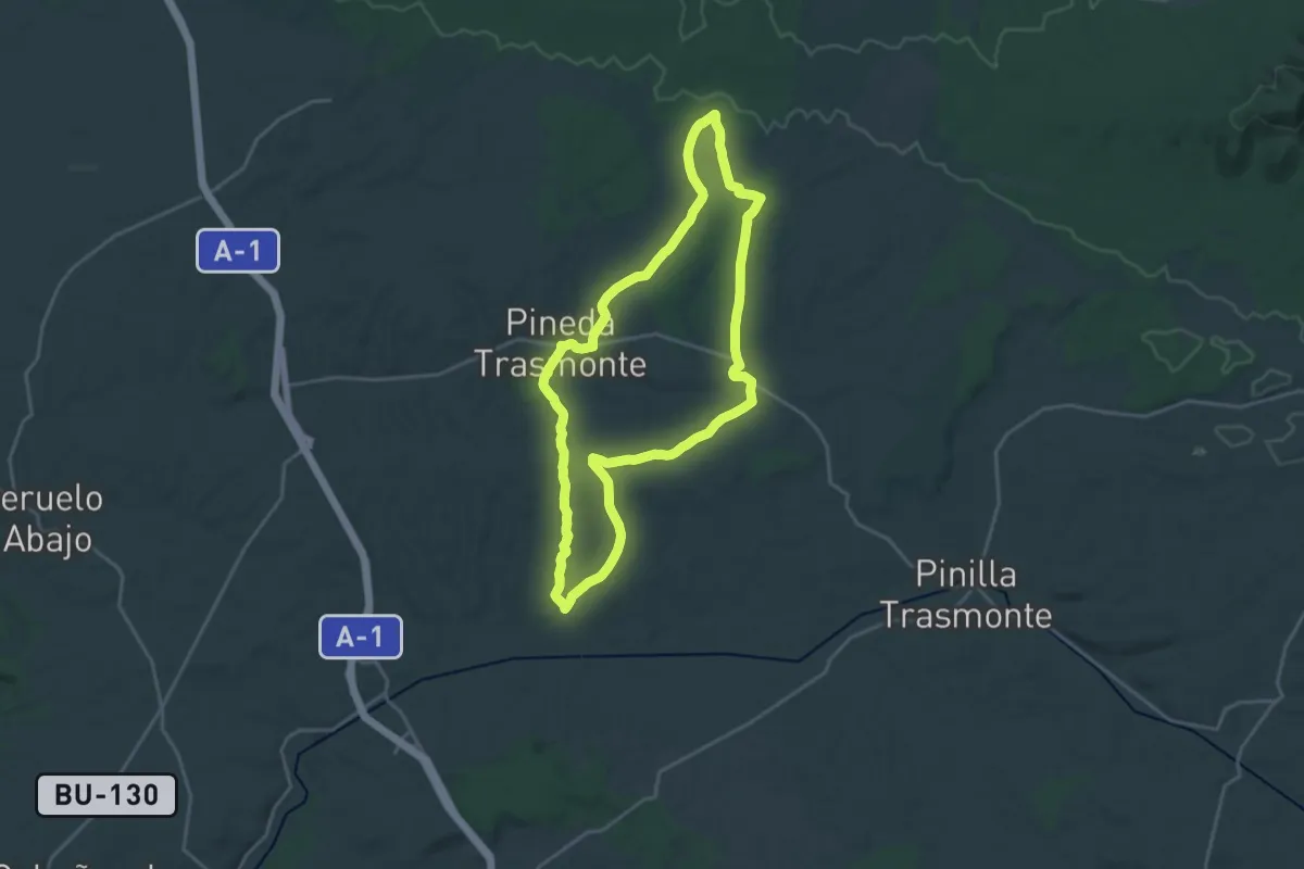
Demanding · Trail
Enebral
20.5 km · ↑ 182 m · 5 h 31 min
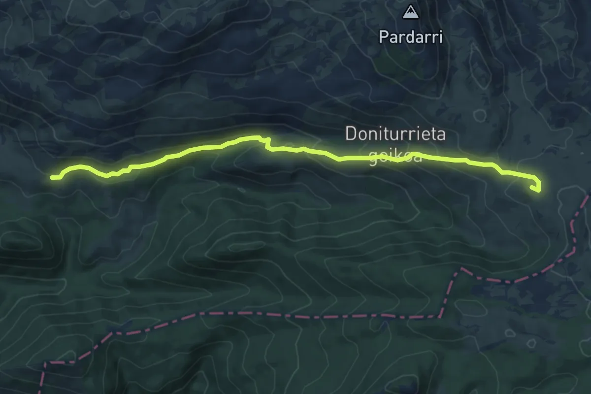
Medium · Summit
Enirio bidea
9.5 km · ↑ 361 m · 3 h 1 min
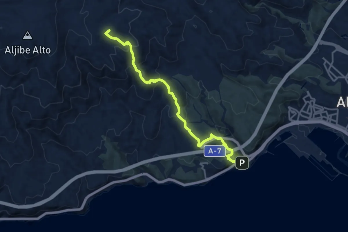
Medium · Summit
Enix-Almería
12.3 km · ↑ 624 m · 4 h 16 min
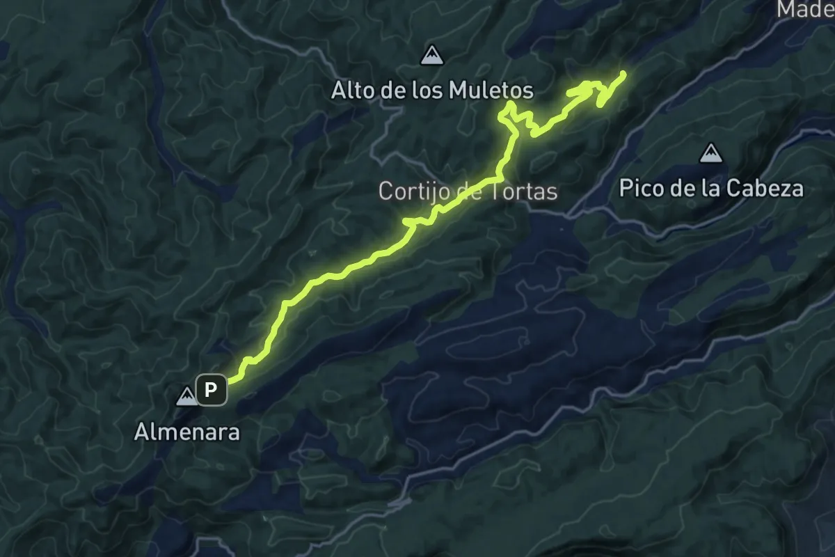
Demanding · Trail
Enlace GR-66 con GR-67
21.7 km · ↑ 691 m · 6 h 38 min
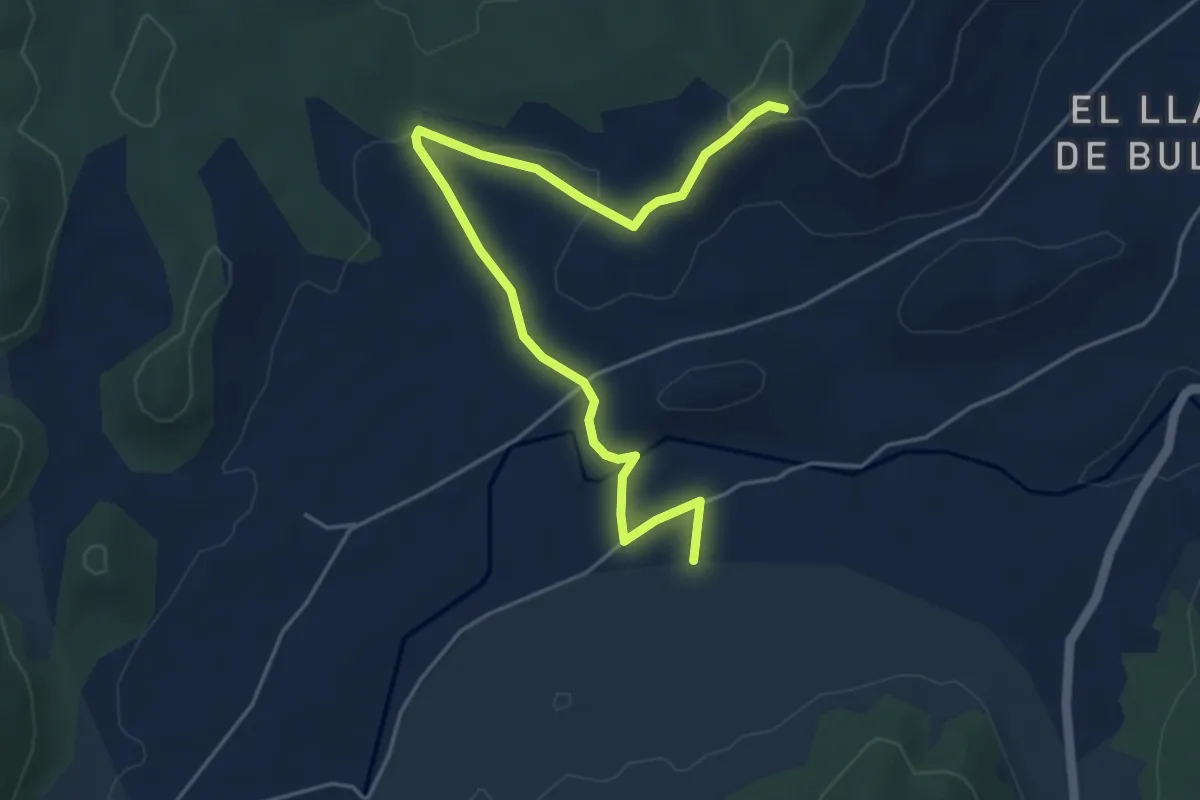
Easy · Trail
Enlace Rio Mula
6.4 km · ↑ 91 m · 1 h 43 min
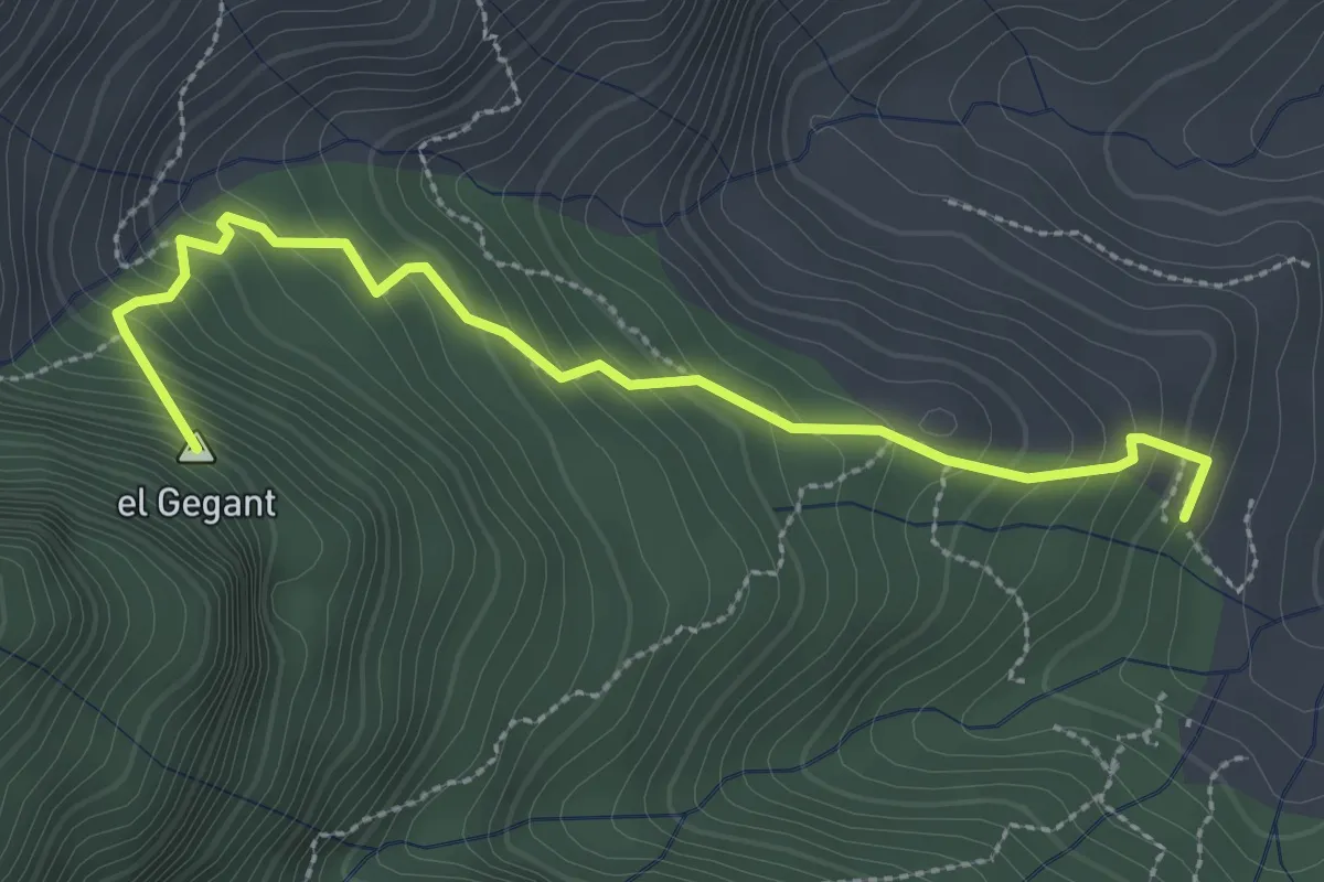
Medium · Summit
Enllaç GR-7 Coll de Carabasa - GR-171 El Toscar
3.3 km · ↑ 312 m · 1 h 28 min
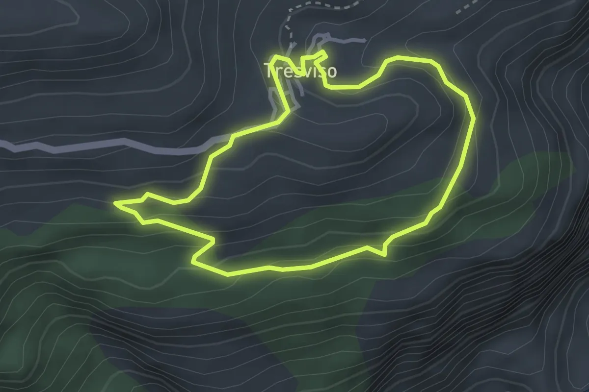
Easy · Trail
Entorno de Tresviso
2.9 km · ↑ 158 m · 1 h 5 min
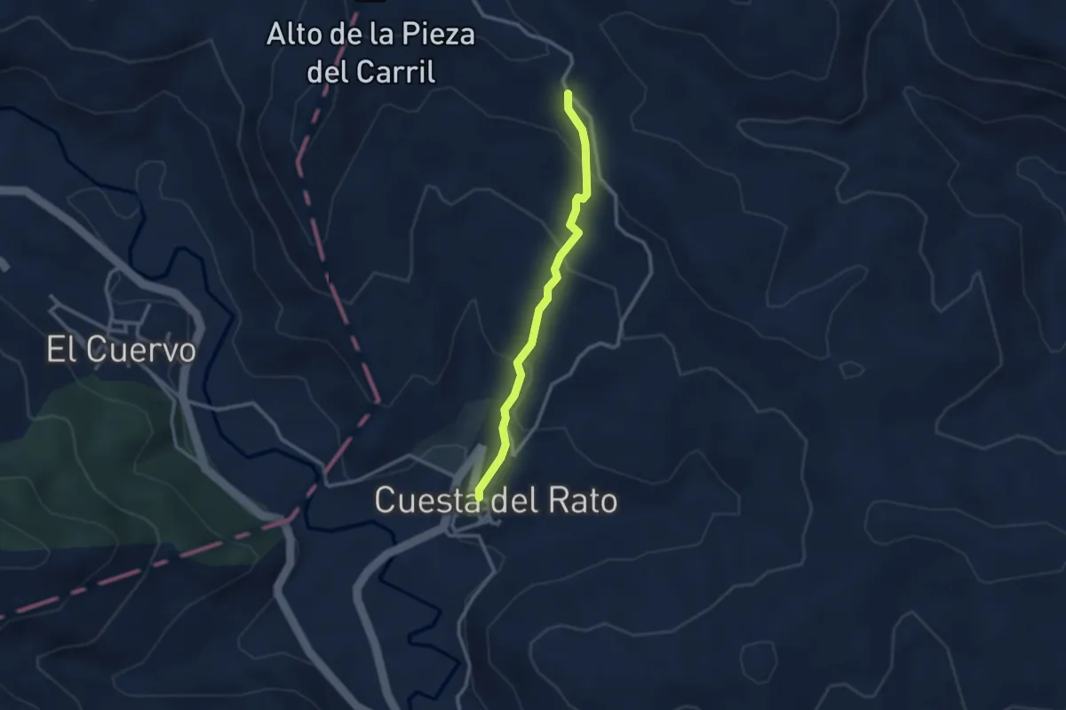
Easy · Trail
Entrada Ruta del Rodeno
1.4 km · ↑ 144 m · 35 min
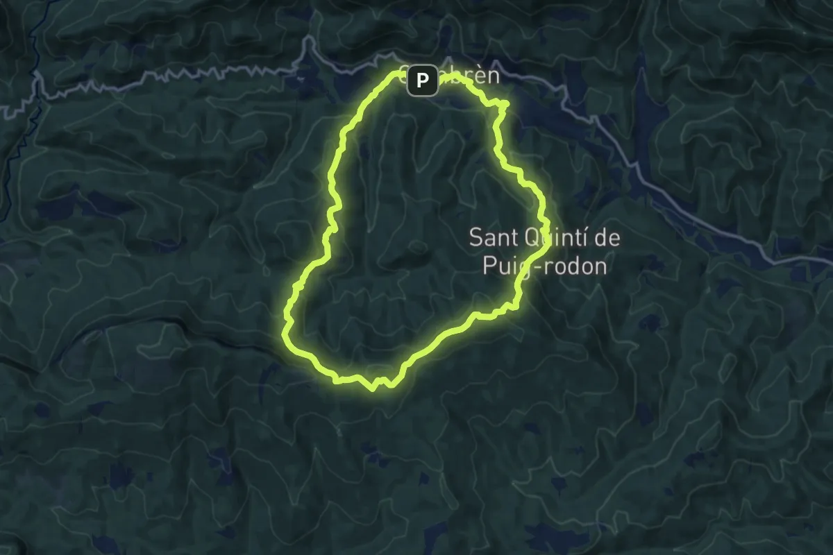
Medium · Trail
Entre antigues parròquies de Gombrèn, Campdevànol i les Lloses
12.9 km · ↑ 674 m · 4 h 41 min
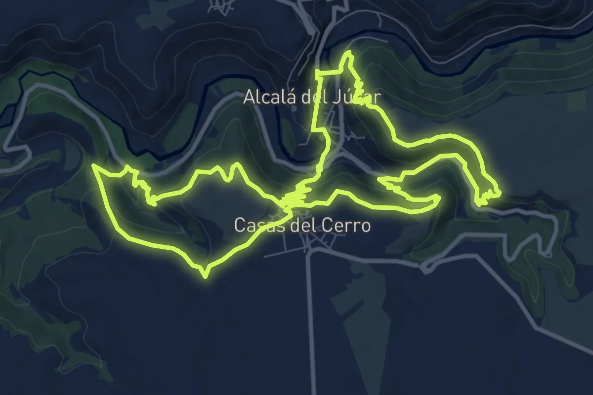
Medium · Trail
Entrebarrancos
11.2 km · ↑ 497 m · 3 h 52 min
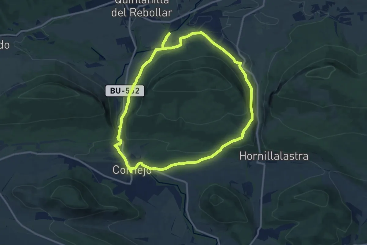
Medium · Trail
Entre desfiladeros
9.7 km · ↑ 224 m · 2 h 55 min
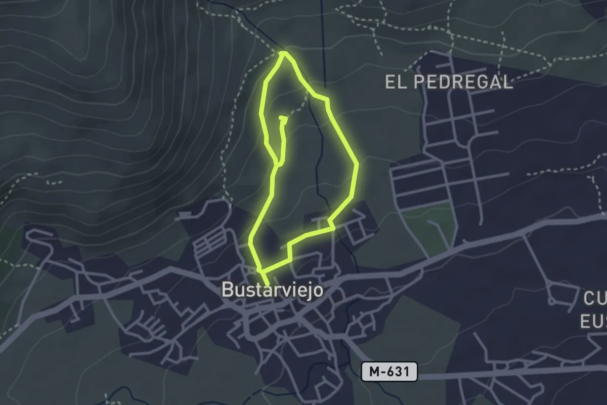
Easy · Trail
Entre pozas y huertos
2.5 km · ↑ 91 m · 49 min
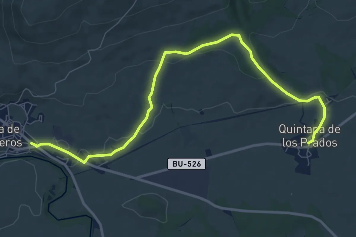
Medium · Trail
Entre prados
9.0 km · ↑ 173 m · 2 h 29 min
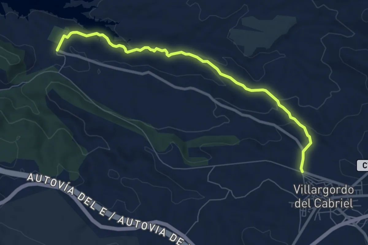
Easy · Trail
Entre saladares y bancales
7.9 km · ↑ 242 m · 2 h 23 min
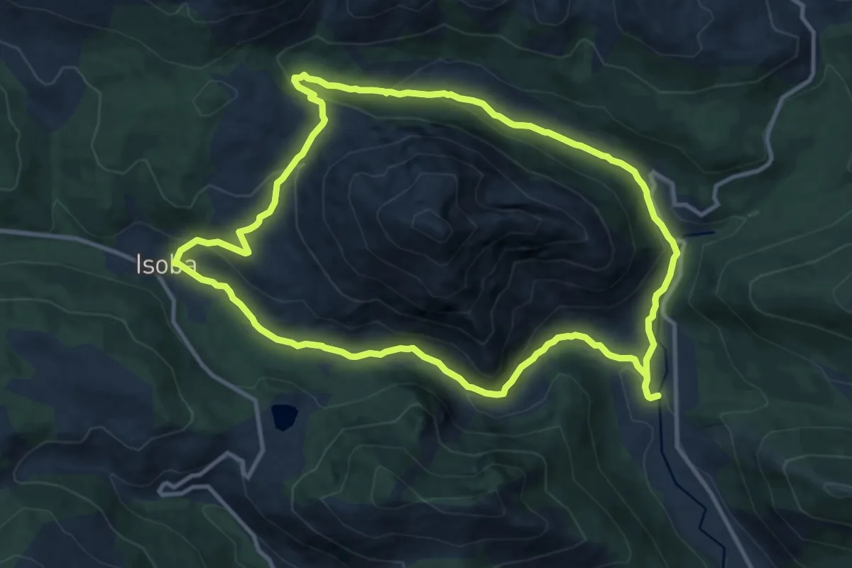
Medium · Trail
Entrevalles y el Valle del Pinzón
11.6 km · ↑ 342 m · 3 h 38 min
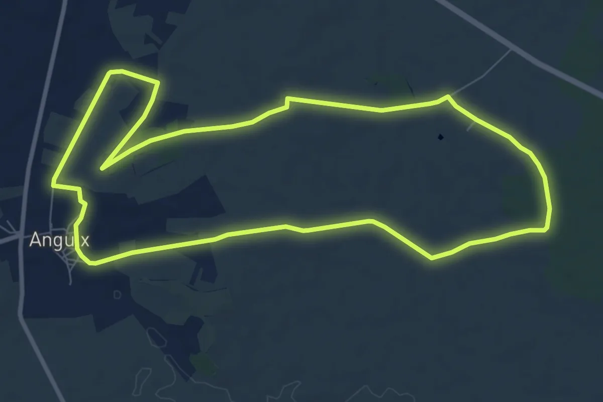
Medium · Trail
Entre vaso y espaldera
8.7 km · ↑ 78 m · 2 h 21 min
Medium · Trail
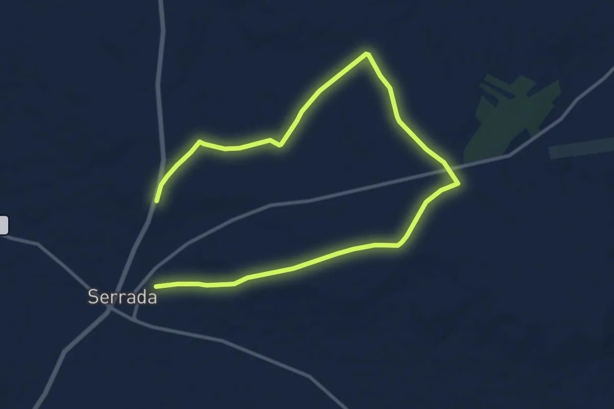
Entre Viñas
15.3 km · ↑ 67 m · 3 h 45 min
Easy · Trail
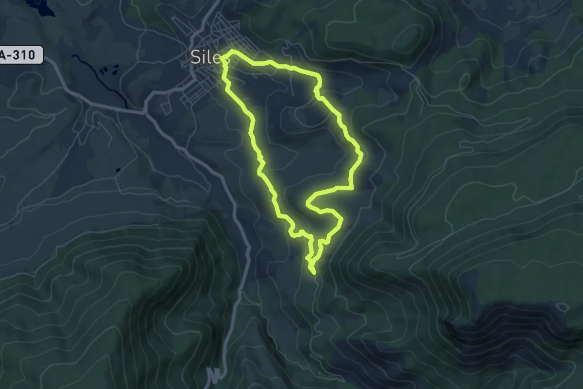
Era del Concejo
6.7 km · ↑ 209 m · 2 h 7 min
Easy · Trail
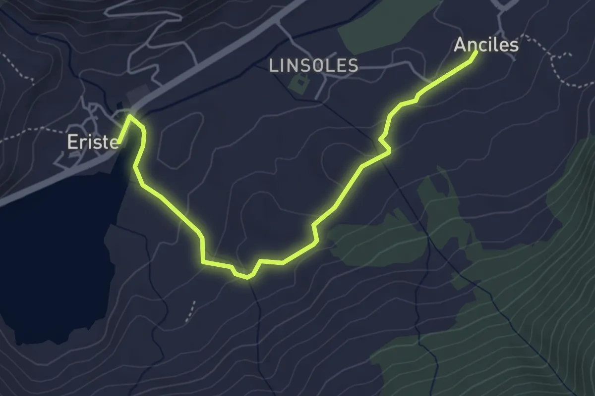
Eriste – Casa de Conques – Anciles
5.1 km · ↑ 126 m · 1 h 29 min
Demanding · Cabin
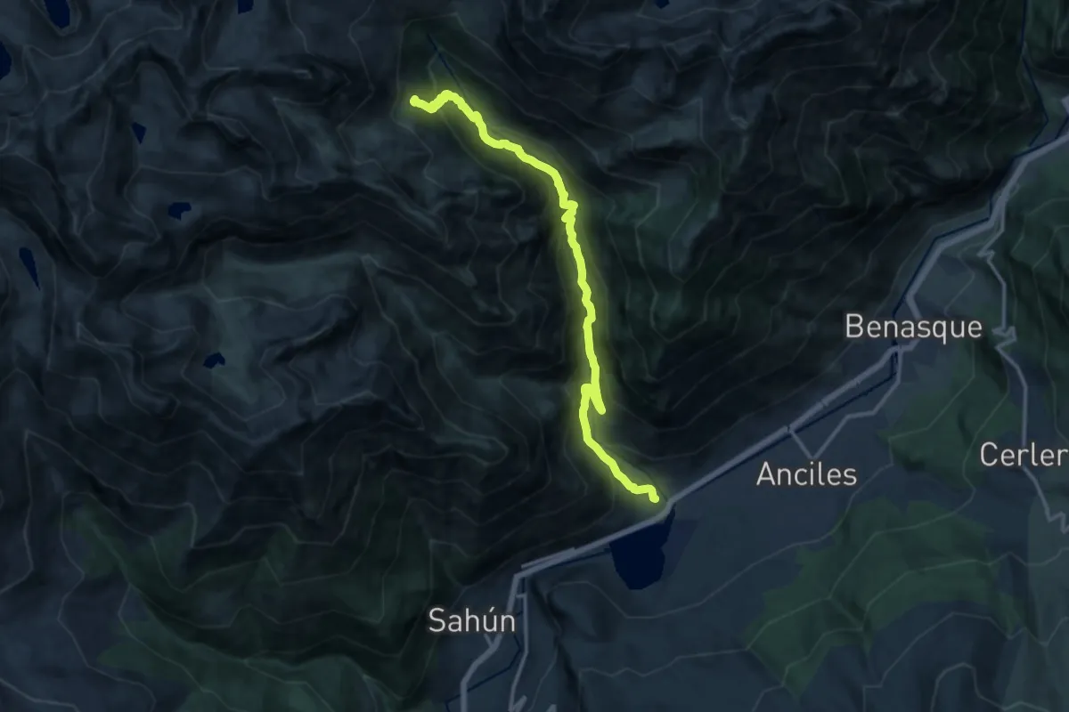
Eriste – Refugio Ángel Orús o El Forcau
14.5 km · ↑ 1103 m · 5 h 49 min
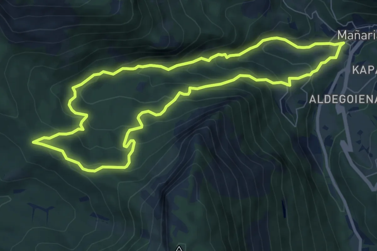
Medium · Summit
Erleabe, erleen bidea
7.6 km · ↑ 467 m · 2 h 54 min
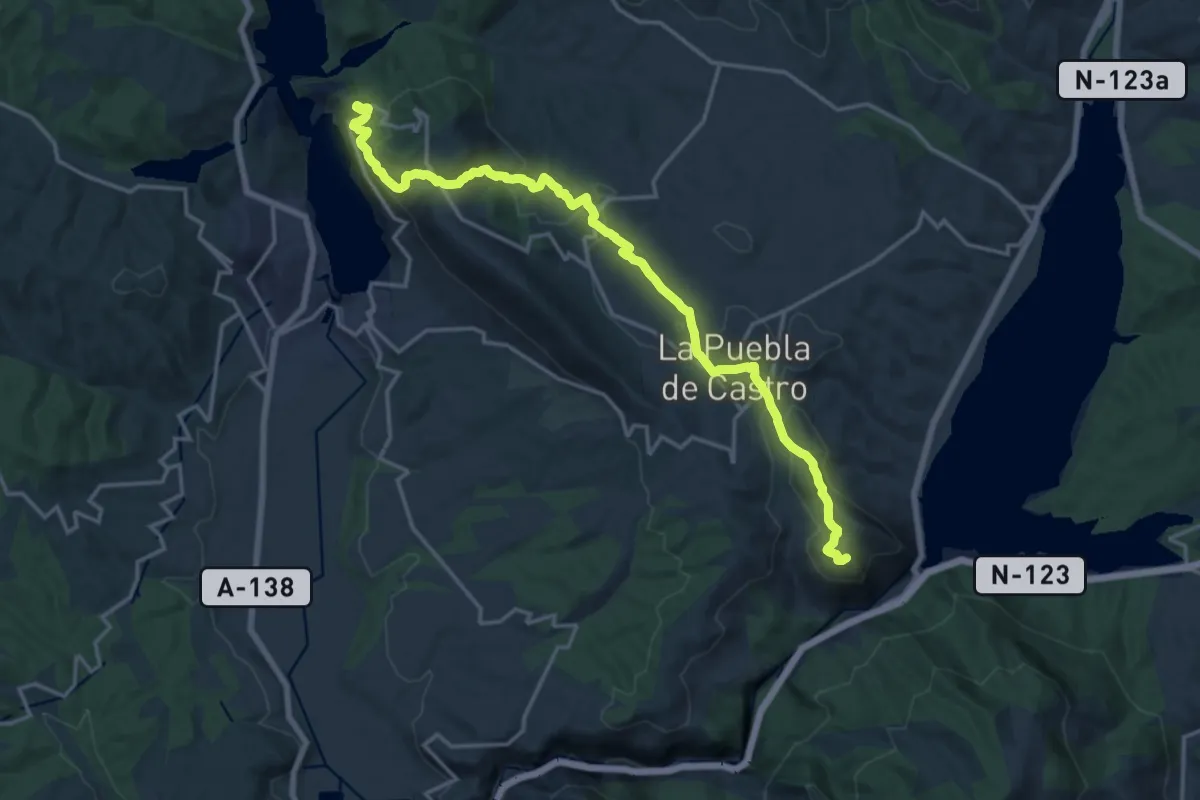
Demanding · Trail
Ermita de Castro-Torreciudad
19.9 km · ↑ 731 m · 6 h 16 min
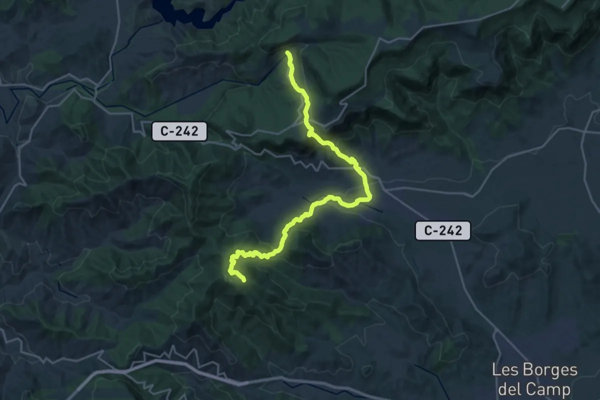
Demanding · Trail
Ermita de la Mare de Déu de Puigcerver - Arbolí
20.9 km · ↑ 1122 m · 7 h 22 min
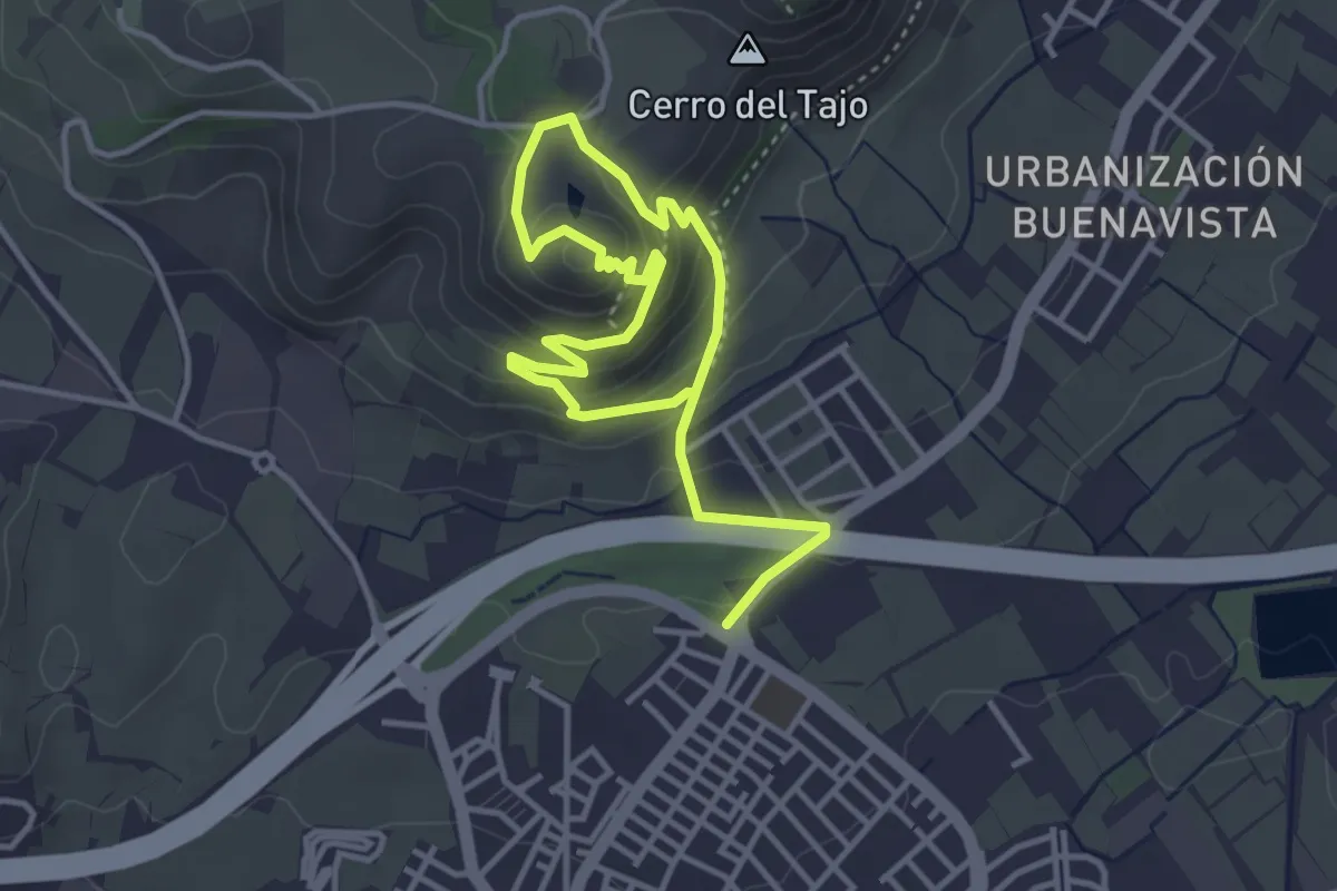
Medium · Trail
Ermita de los Tres Juanes
3.1 km · ↑ 152 m · 1 h 8 min