Trails in Spain
5,963 hiking trails, each with its route, climb, walking time and grade.
All trails, page 38 of 125
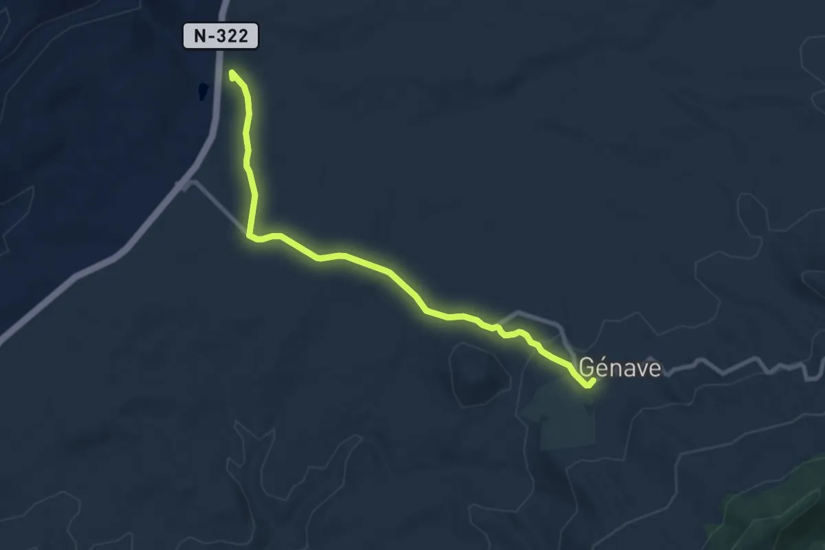
Medium · Trail
Ermita de Nuestra Señora del Campo
9.0 km · ↑ 125 m · 2 h 24 min
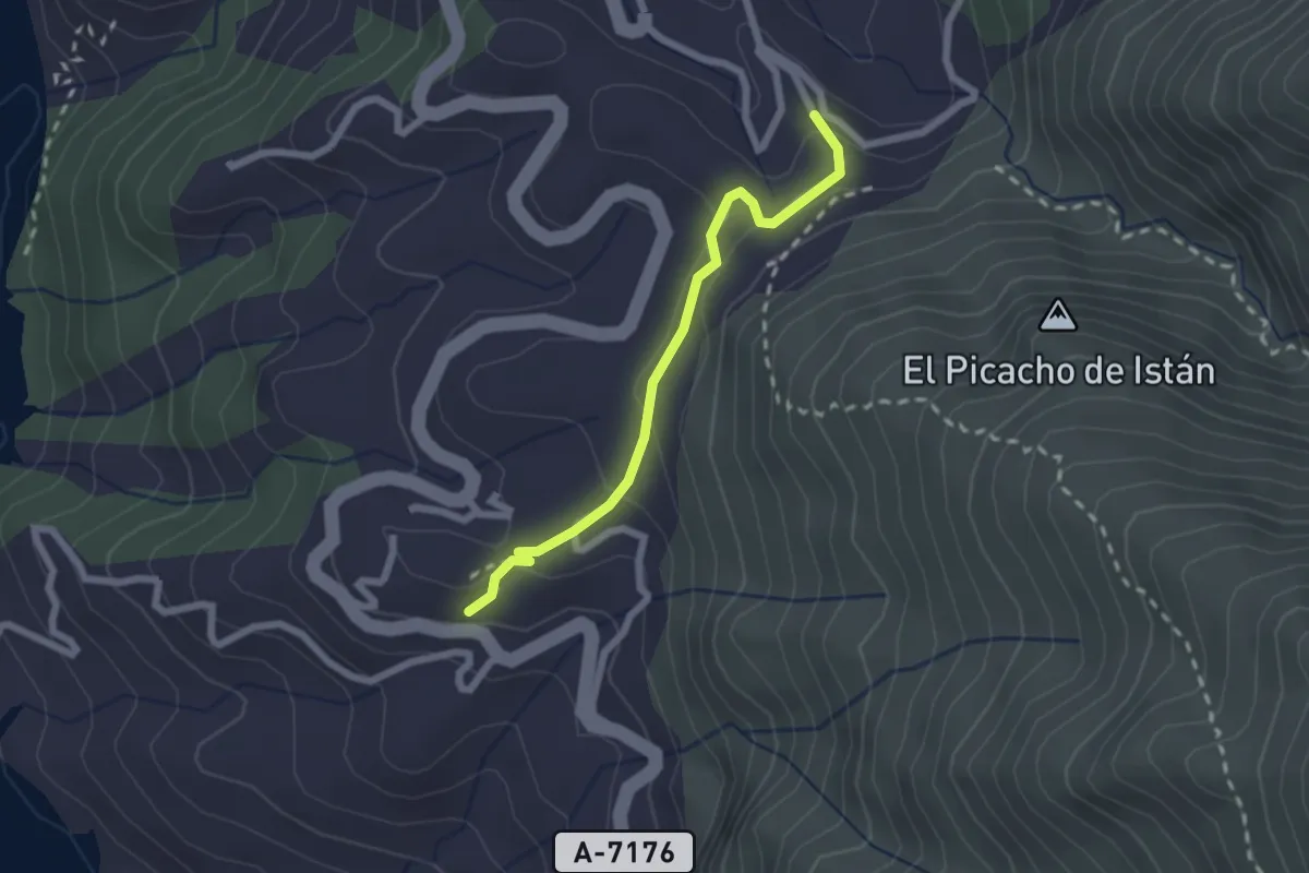
Easy · Trail
Ermita de San Miguel
2.4 km · ↑ 96 m · 46 min
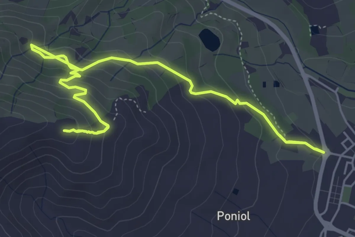
Medium · Trail
Ermita de Sant Pere
3.7 km · ↑ 333 m · 1 h 33 min
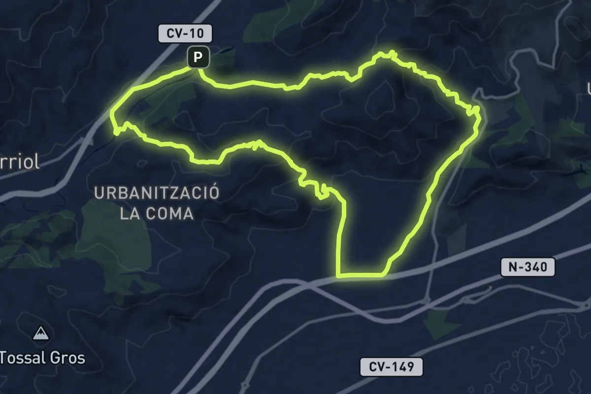
Medium · Trail
Ermita la Magdalena - Ermita Sant Vicent - Ermita la Magdalena
15.1 km · ↑ 474 m · 4 h 48 min
Easy · Trail
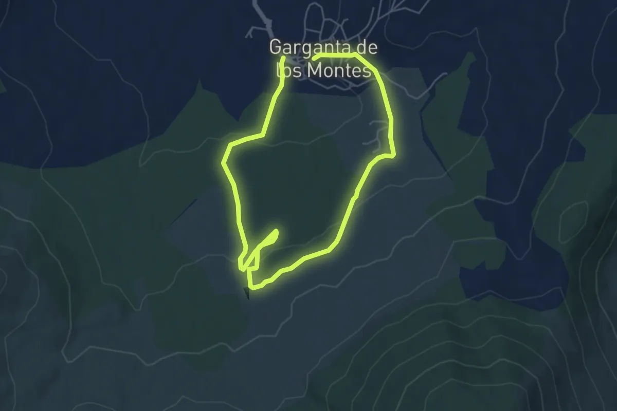
Ermita Ntra. Sra. de los Prados
4.7 km · ↑ 122 m · 1 h 26 min
Medium · Summit
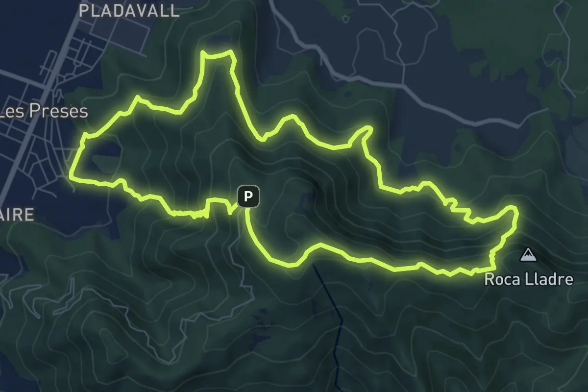
Ermites del Corb
9.2 km · ↑ 614 m · 3 h 38 min
Easy · Trail
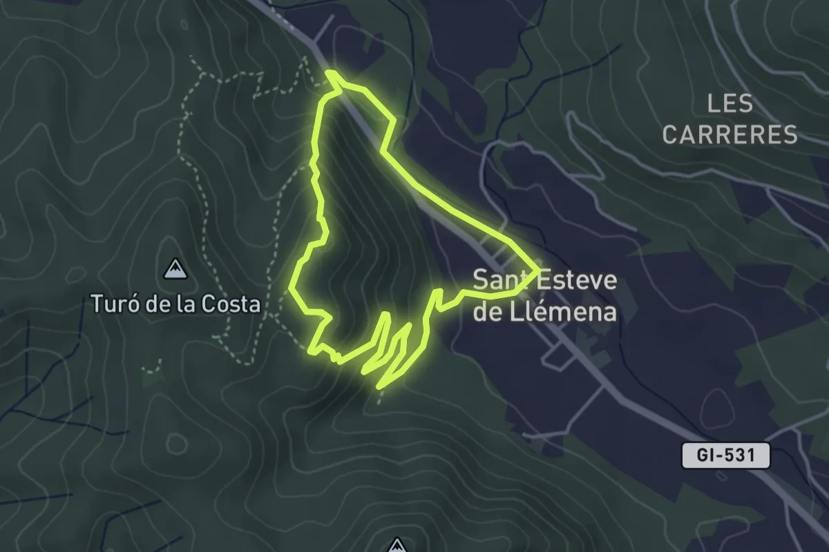
Ermites de Sant Cebrià i Bell-lloc
3.7 km · ↑ 174 m · 1 h 18 min
Easy · Trail
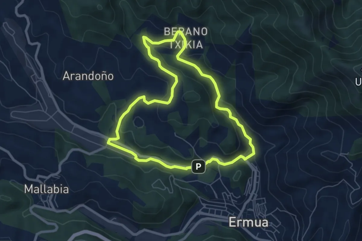
Ermua - Mallabia
6.1 km · ↑ 163 m · 1 h 52 min
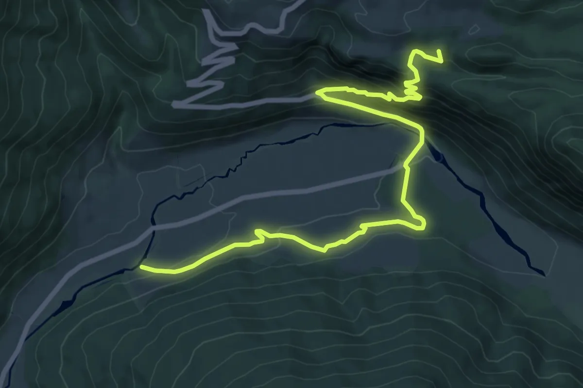
Medium · Summit
Errege bidea: Arrako - Belaguako aterpea
12.3 km · ↑ 604 m · 4 h 13 min
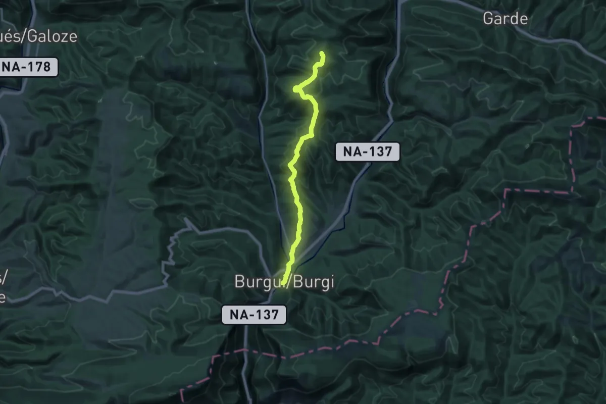
Medium · Summit
Errege bidea: Burgi-Bidankoze bide-adarra
16.7 km · ↑ 732 m · 5 h 32 min
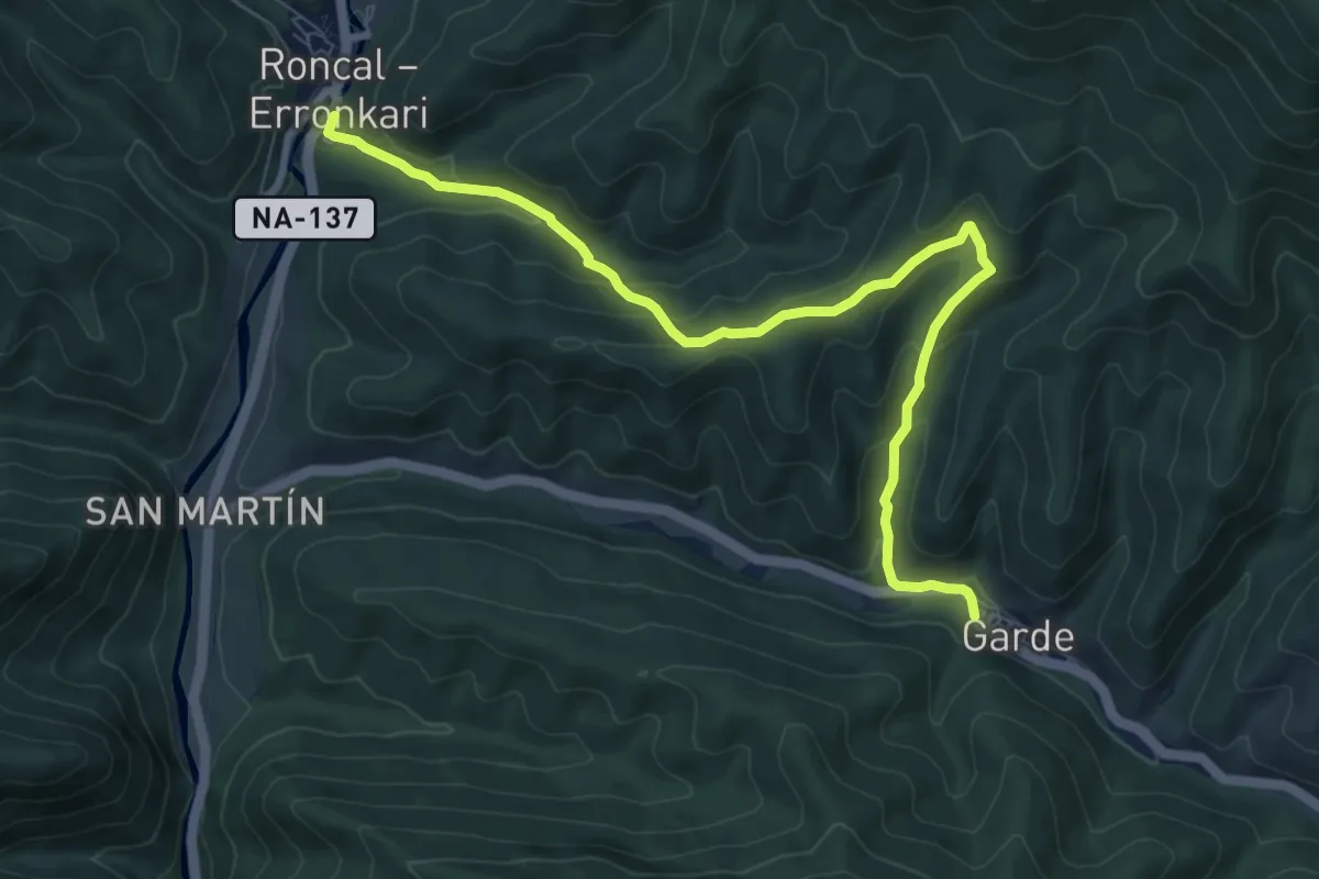
Medium · Trail
Errege bidea: Erronkari - Garde bide-adarra
9.7 km · ↑ 438 m · 3 h 14 min
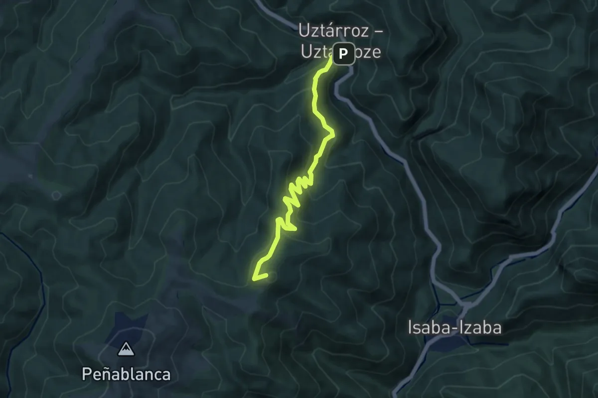
Medium · Summit
Errege bidea: Izaba - Uztarroze bide-adarra
9.5 km · ↑ 593 m · 3 h 32 min
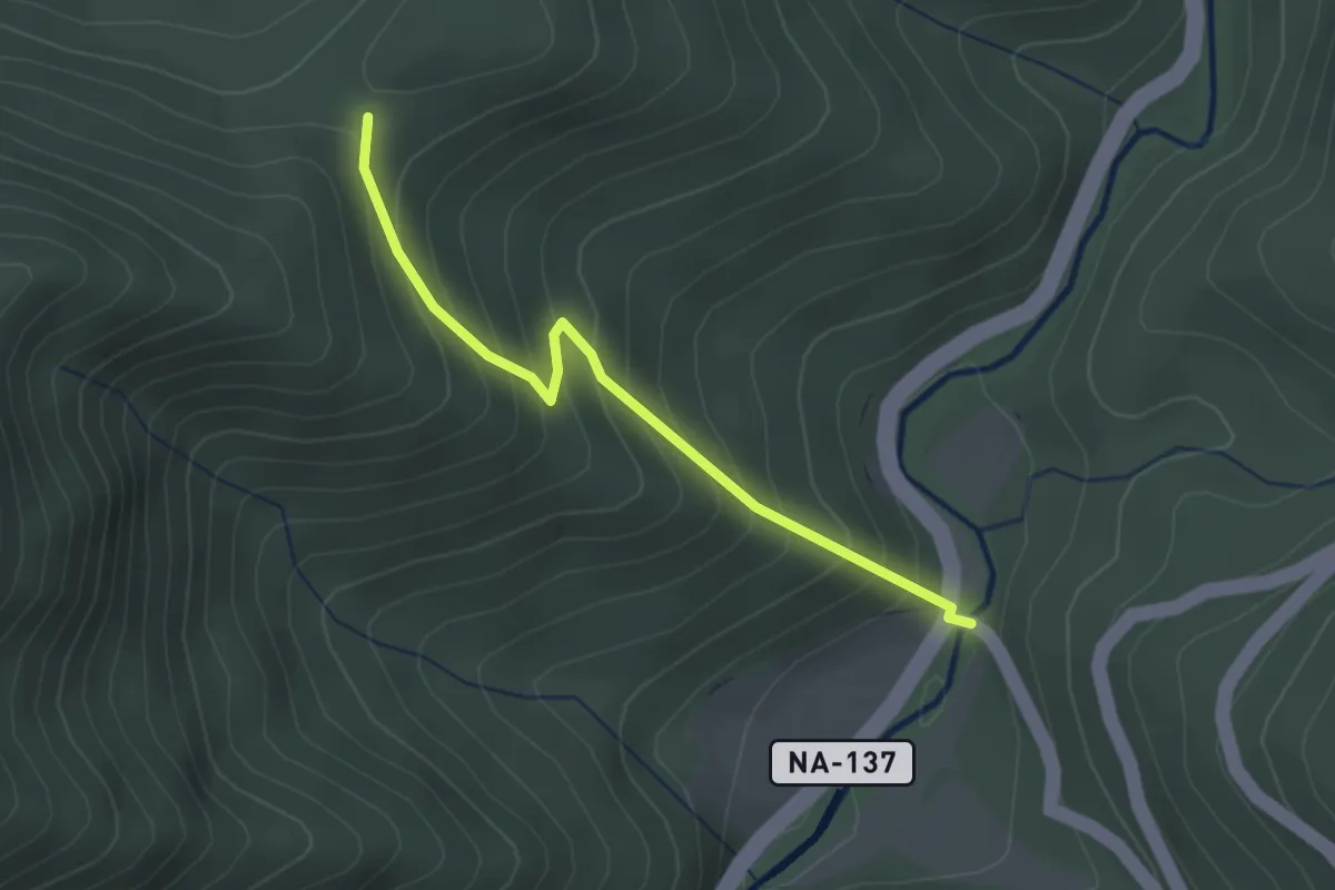
Easy · Trail
Errege bidea: Lotura 1. Martiaberroa
2.6 km · ↑ 269 m · 1 h 11 min
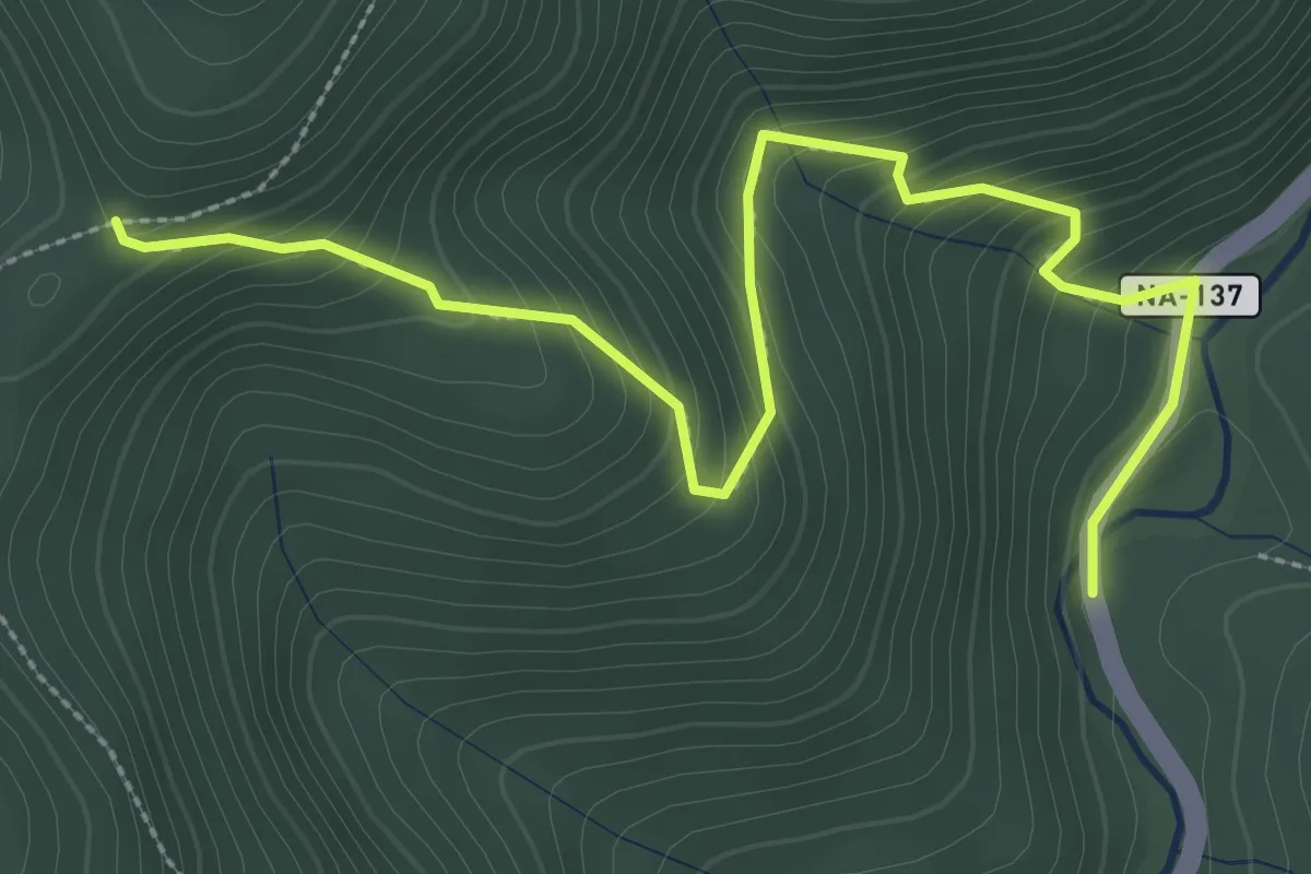
Medium · Trail
Errege bidea: Lotura 2. Ekialterrea
3.8 km · ↑ 321 m · 1 h 36 min
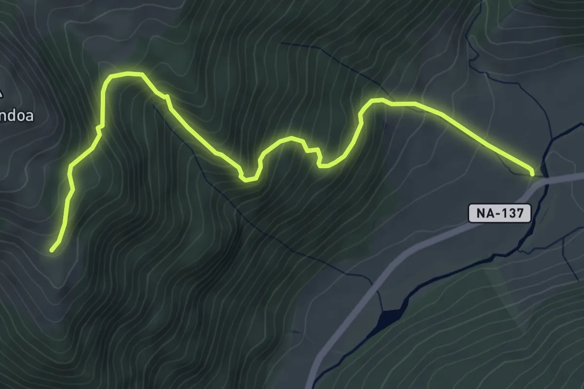
Medium · Trail
Errege bidea: Lotura 3. Zarzakulea
6.8 km · ↑ 670 m · 3 h 3 min
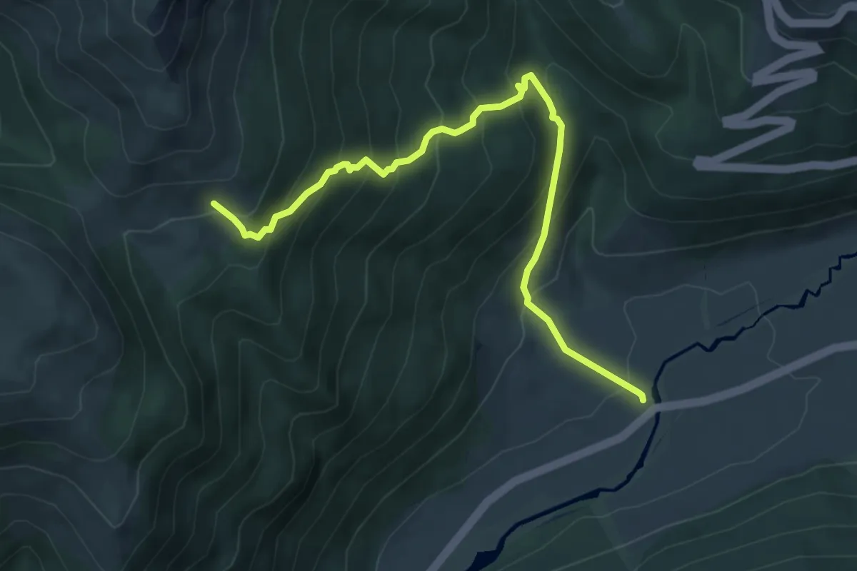
Medium · Trail
Errege bidea: Lotura 4. Lapatia
6.6 km · ↑ 573 m · 2 h 48 min
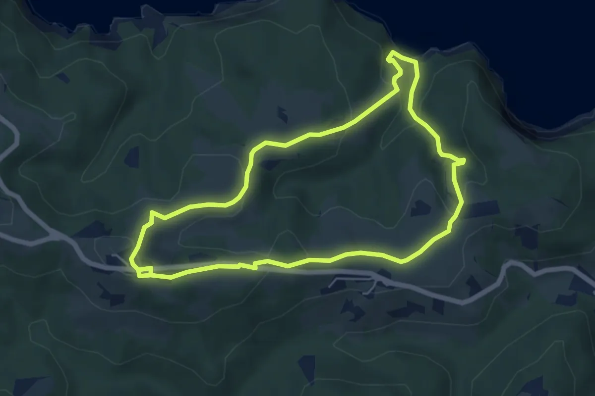
Easy · Summit
Erregeen bidetik
4.9 km · ↑ 188 m · 1 h 38 min
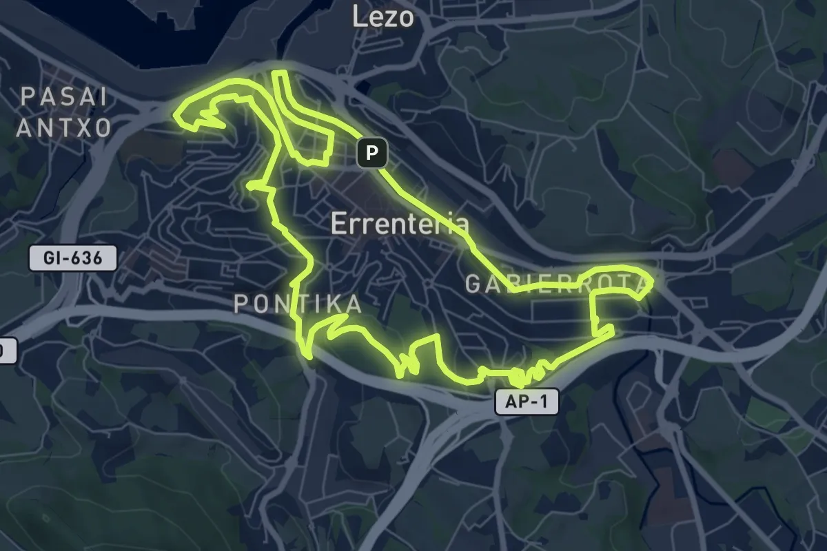
Medium · Summit
Errenteriako parkeak
9.5 km · ↑ 150 m · 2 h 42 min
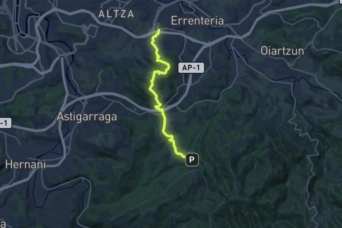
Medium · Trail
Errenteriatik Aiako Harrira
14.3 km · ↑ 499 m · 4 h 27 min
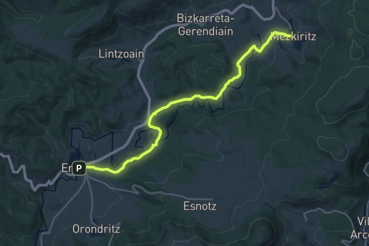
Medium · Trail
Erro - Mezkiritz
12.7 km · ↑ 223 m · 3 h 29 min
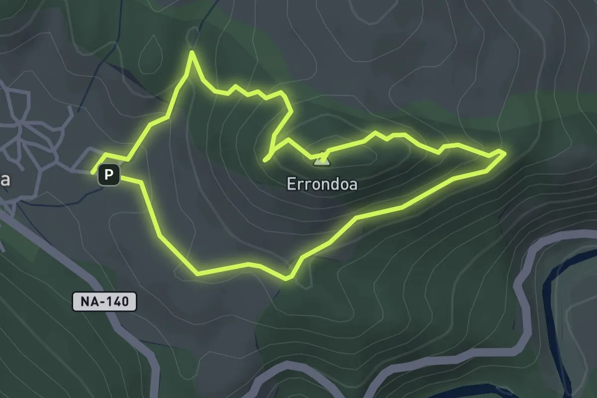
Easy · Summit
Errondoko Behatokia
3.2 km · ↑ 201 m · 1 h 14 min
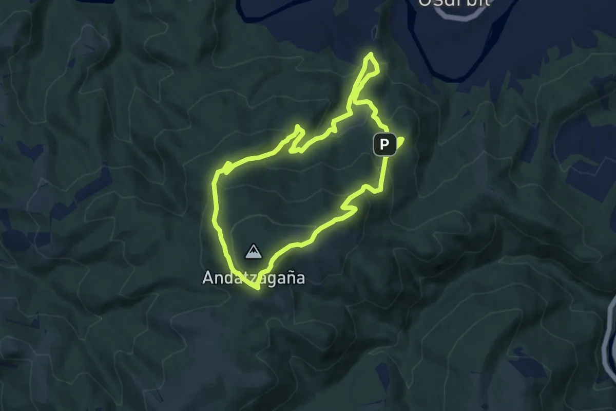
Medium · Trail
Errotarrien bidea
8.5 km · ↑ 459 m · 3 h 8 min
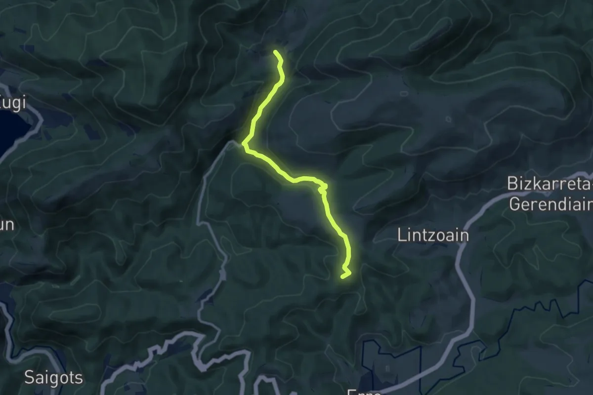
Medium · Summit
Erro - Zilbeti
8.9 km · ↑ 308 m · 2 h 46 min
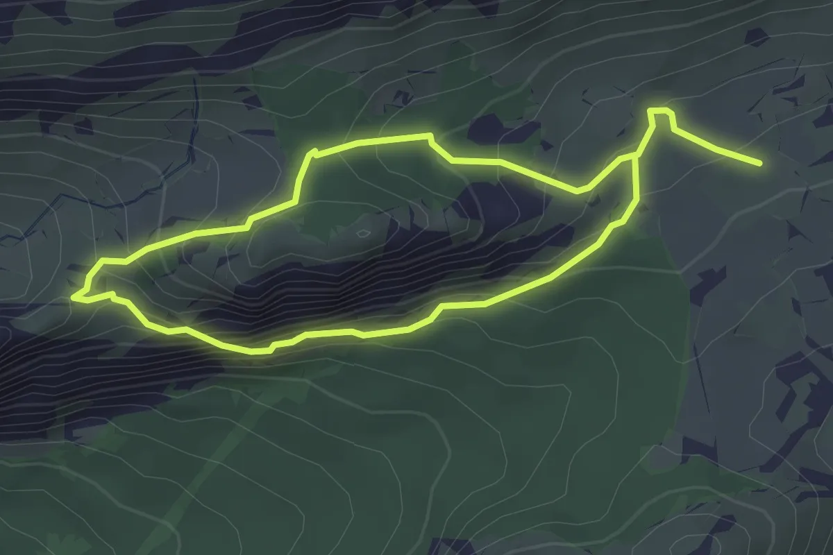
Medium · Trail
Escaleras Árabes
3.2 km · ↑ 267 m · 1 h 22 min
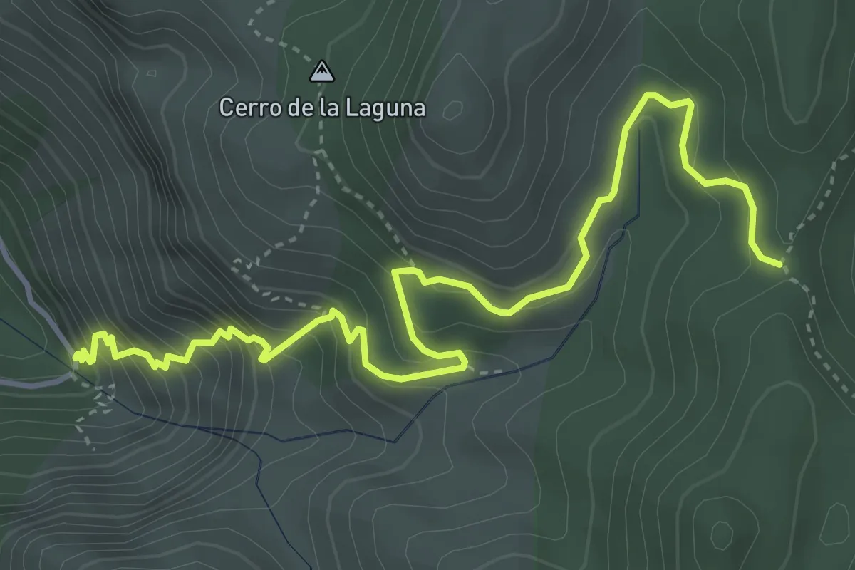
Demanding · Trail
Escaleruela
5.7 km · ↑ 576 m · 2 h 36 min
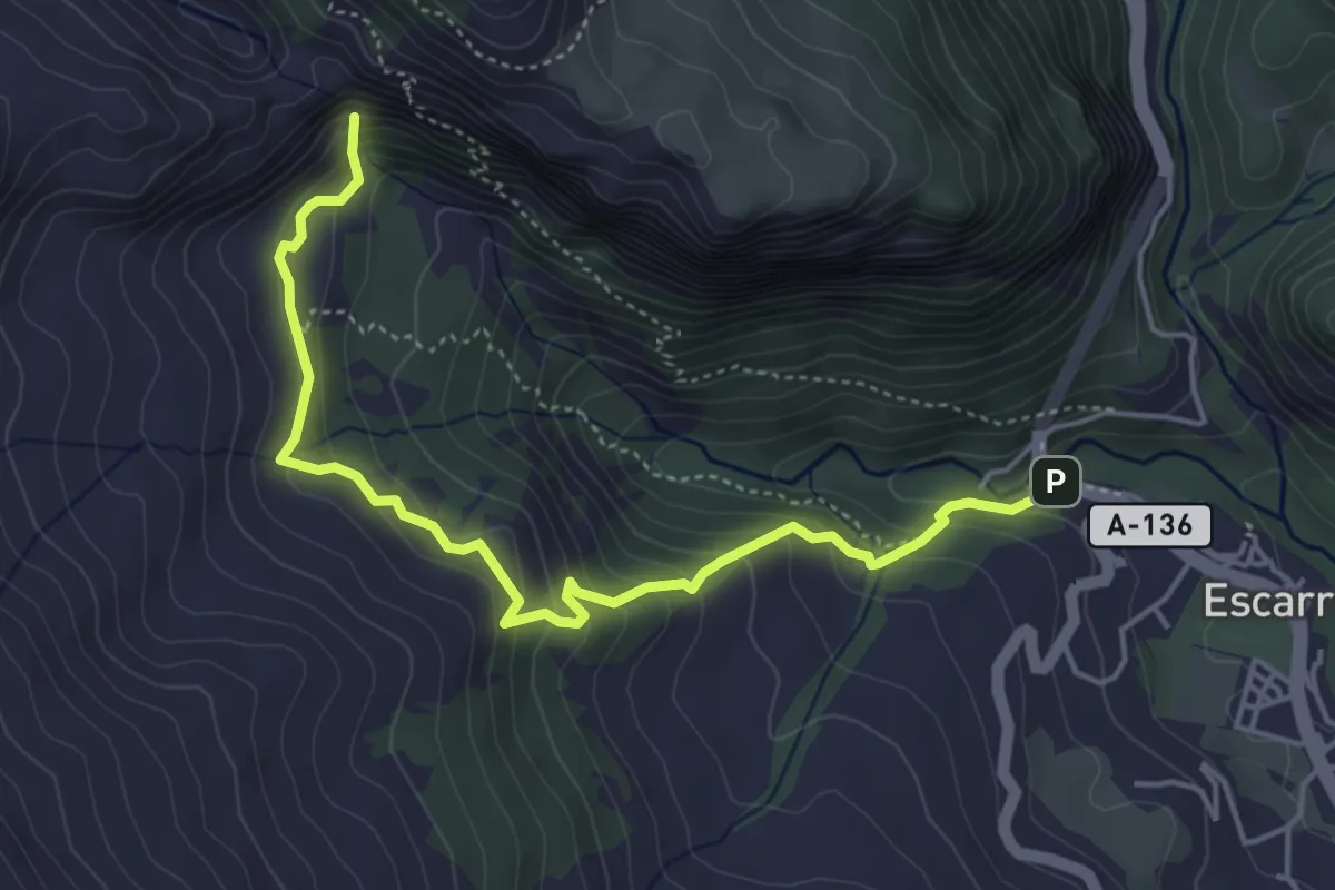
Medium · Trail
Escarrilla - El Salto
5.3 km · ↑ 456 m · 2 h 15 min
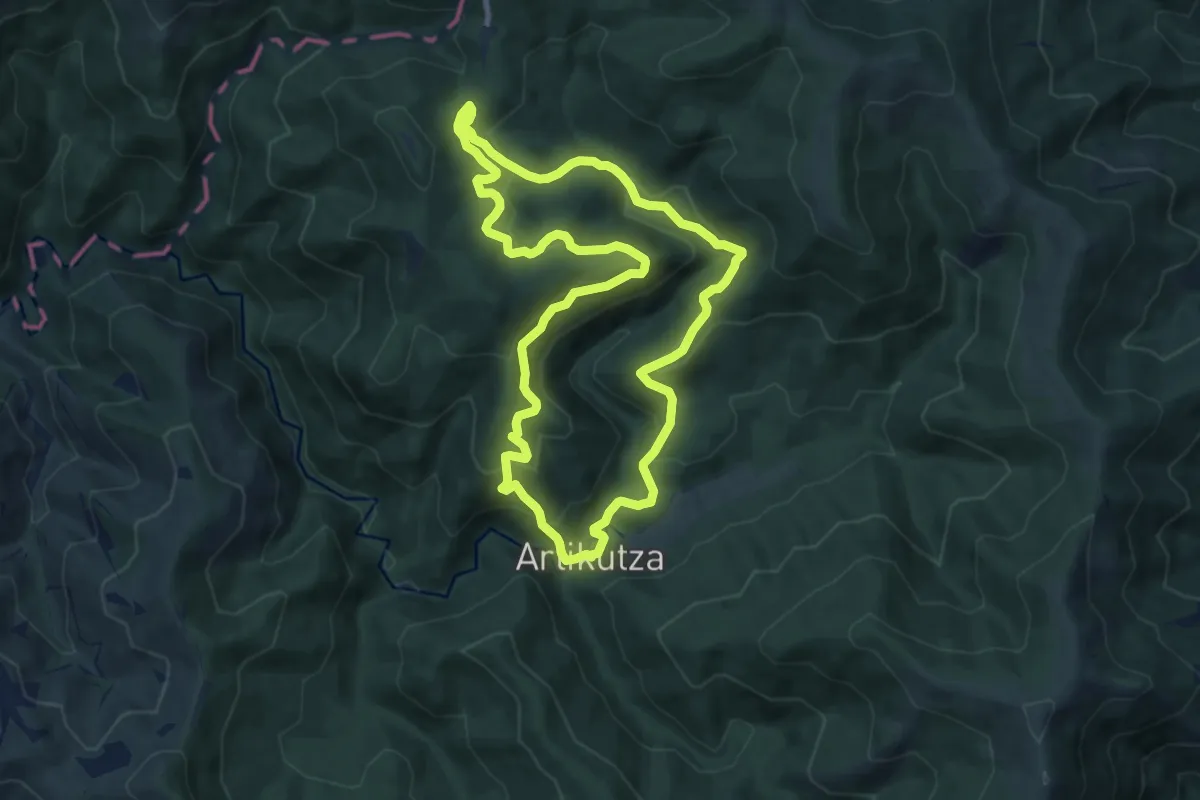
Medium · Summit
Eskas - Artikutza
9.3 km · ↑ 483 m · 3 h 23 min
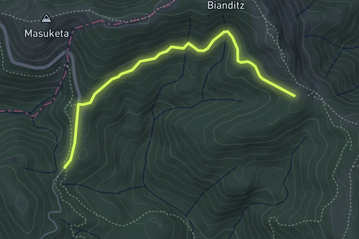
Easy · Trail
Eskas-Pagolleta-Izu-Artikutza-Eskas
2.5 km · ↑ 133 m · 51 min
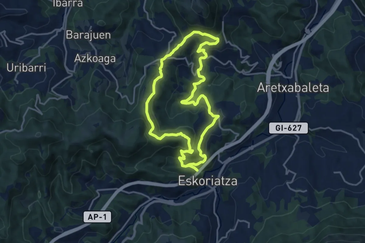
Medium · Trail
Eskolore: Latabide
11.5 km · ↑ 496 m · 3 h 56 min
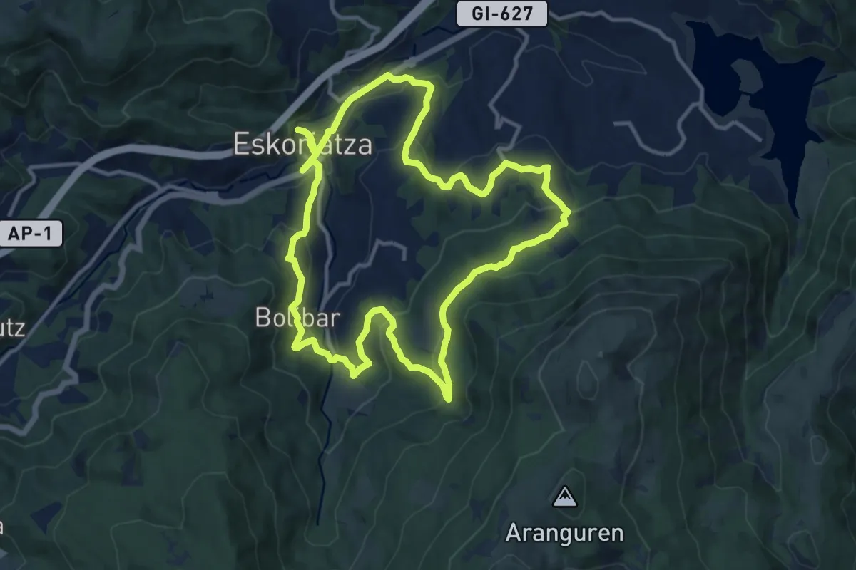
Medium · Trail
Eskolore Mandobide
12.3 km · ↑ 496 m · 4 h 10 min
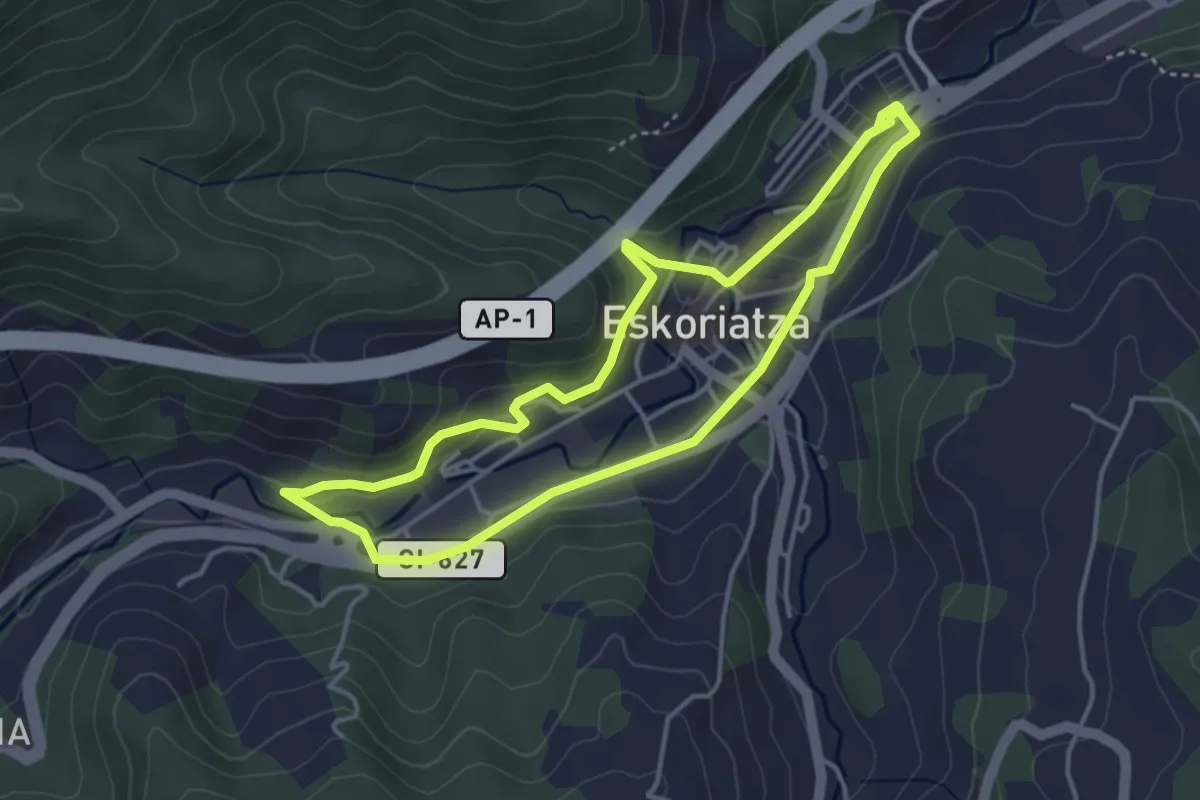
Easy · Trail
Eskoriatzaren tartea
4.0 km · ↑ 97 m · 1 h 12 min
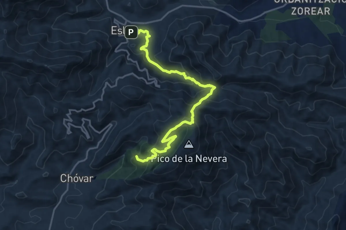
Medium · Summit
Eslida a Chóvar
13.2 km · ↑ 770 m · 4 h 47 min
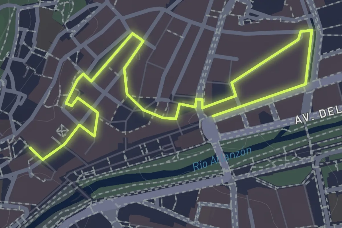
Easy · Trail
Espacios de mercado, espacios de fiesta
3.5 km · ↑ 13 m · 52 min
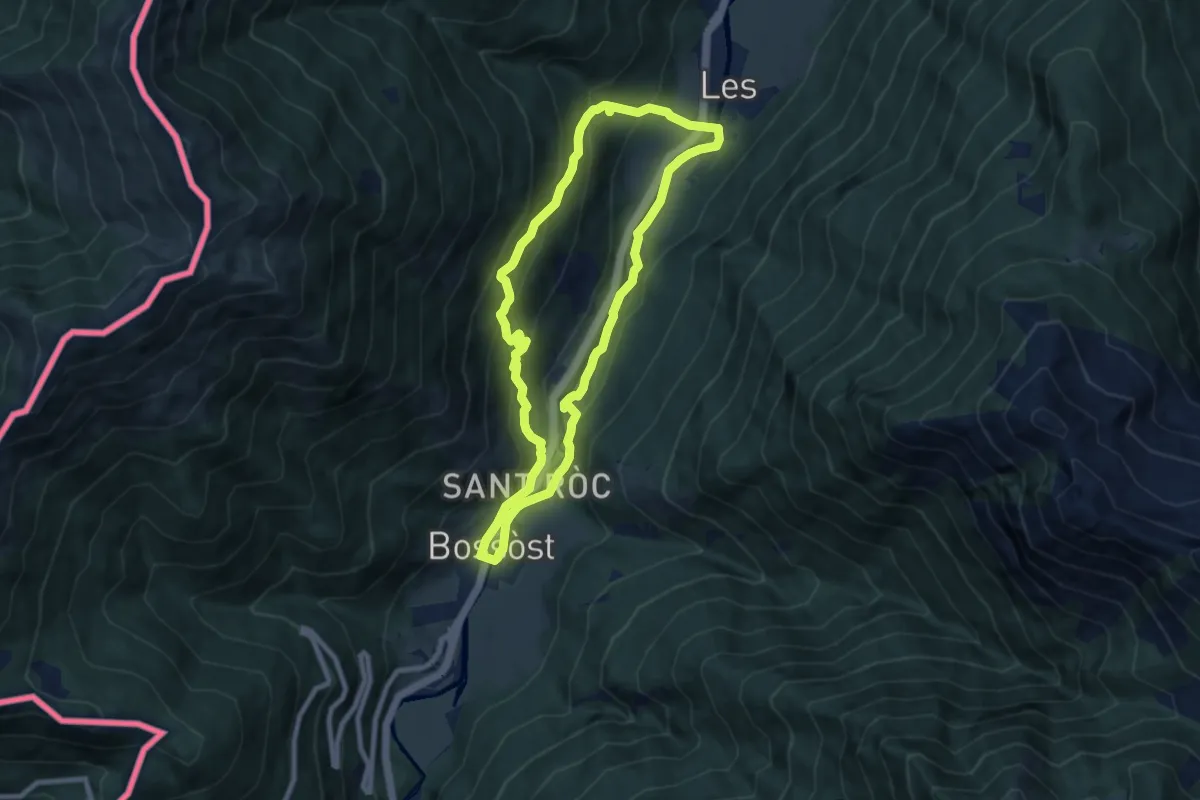
Medium · Trail
Espalias
8.1 km · ↑ 381 m · 2 h 51 min
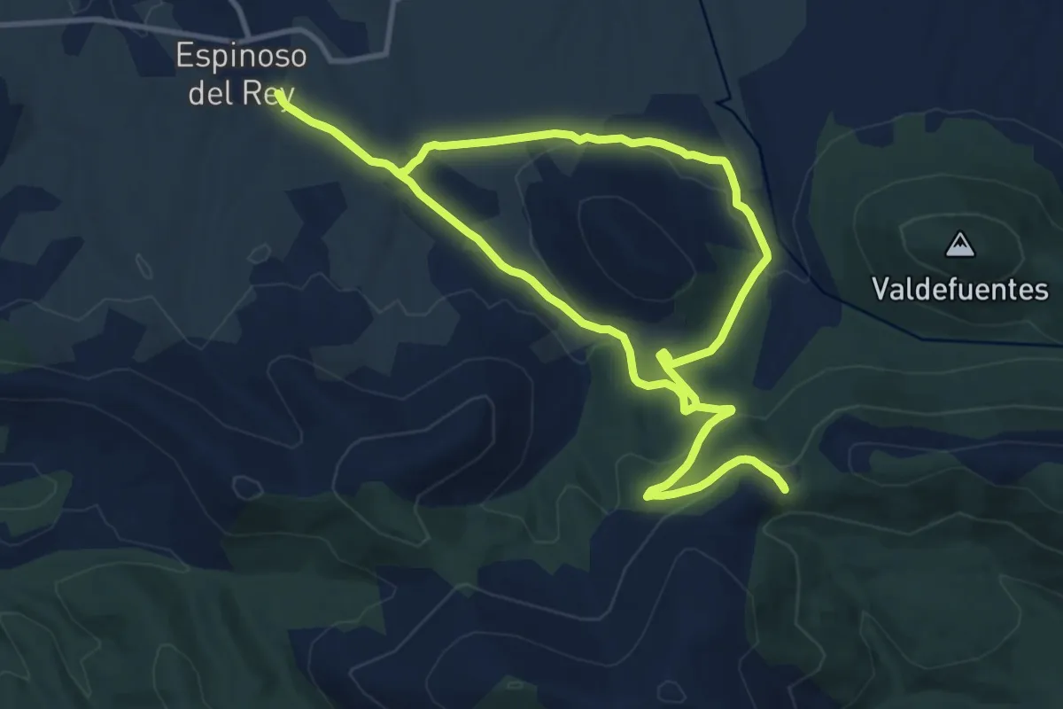
Medium · Trail
Espinoso del Rey - Risco Ñaña
13.2 km · ↑ 346 m · 4 h 2 min
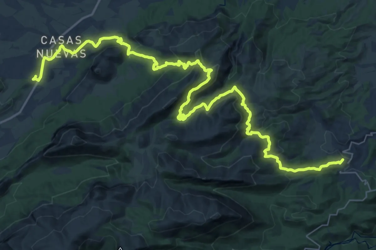
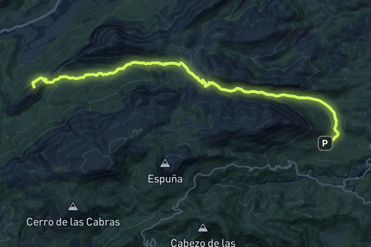
Demanding · Summit
Esputrek. Tramo 1 El Berro - Casas Nuevas
41.9 km · ↑ 1689 m · 13 h 33 min
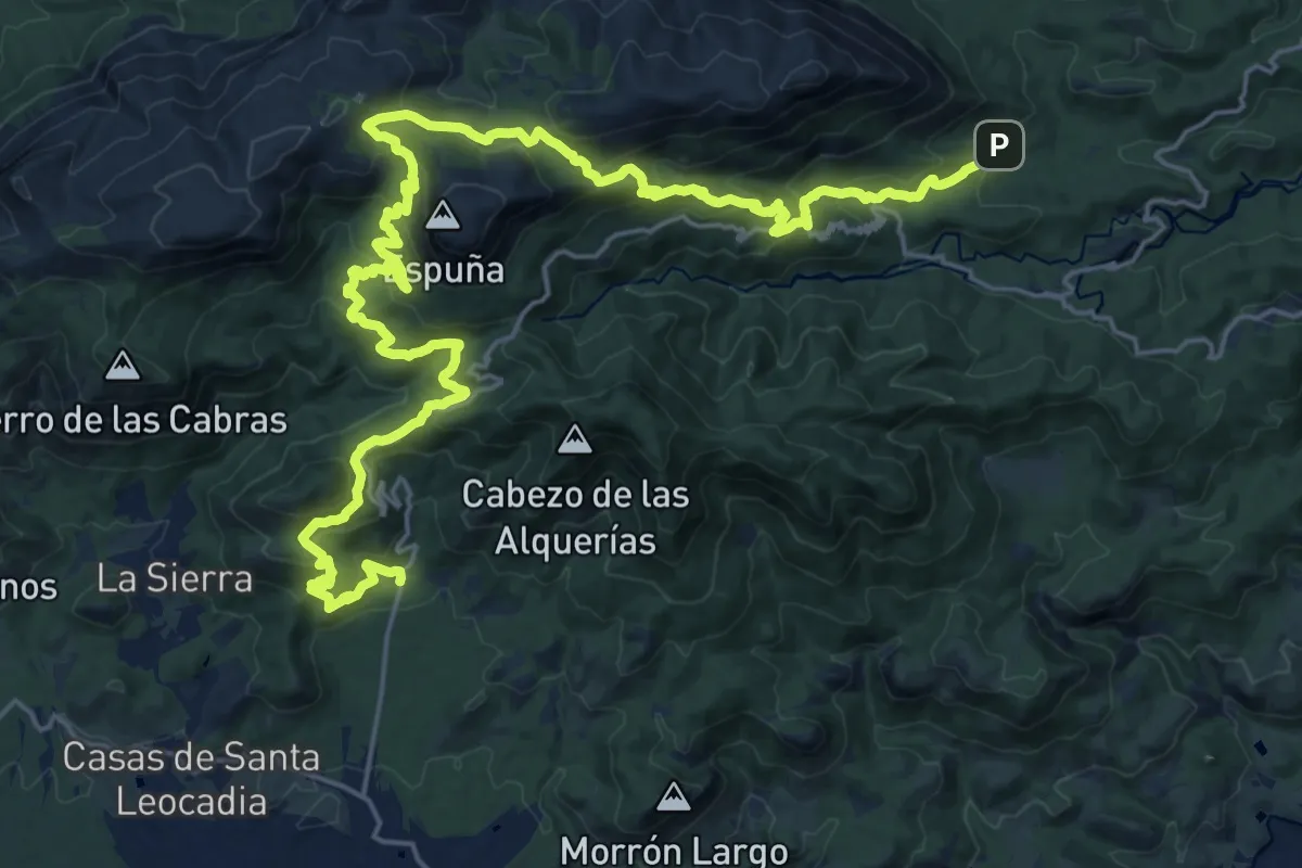
Demanding · Summit
Esputrek. Tramo 2 Casas Nuevas - La Perdiz
23.8 km · ↑ 1157 m · 8 h 8 min
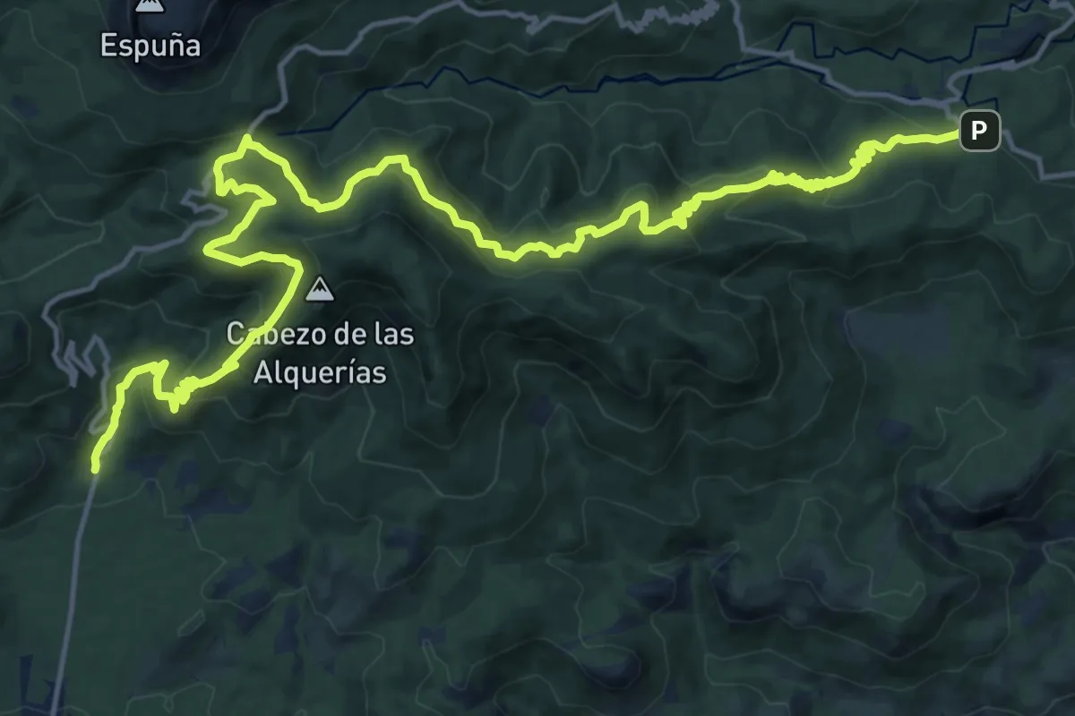
Demanding · Trail
Esputrek. Tramo 3 La Perdiz - Las Alquerías
17.9 km · ↑ 887 m · 6 h 23 min
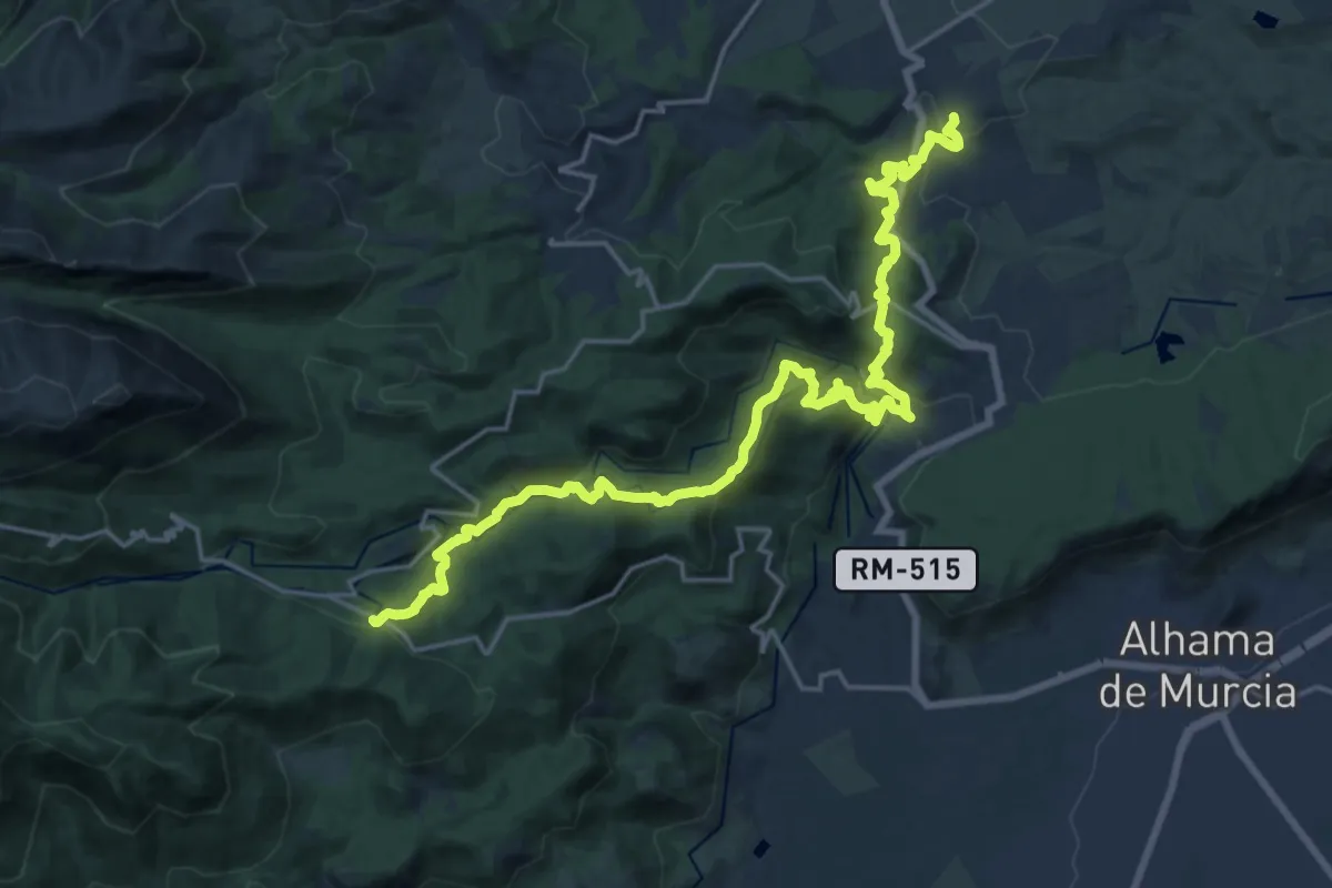
Medium · Trail
Esputrek. Tramo 4 Las Alquerías - Centro de Visitantes Ricardo Codorníu
12.8 km · ↑ 744 m · 4 h 48 min
Demanding · Trail
Esputrek. Tramo 5 Centro de Visitantes Ricardo Codorníu - Gebas
13.7 km · ↑ 854 m · 5 h 5 min
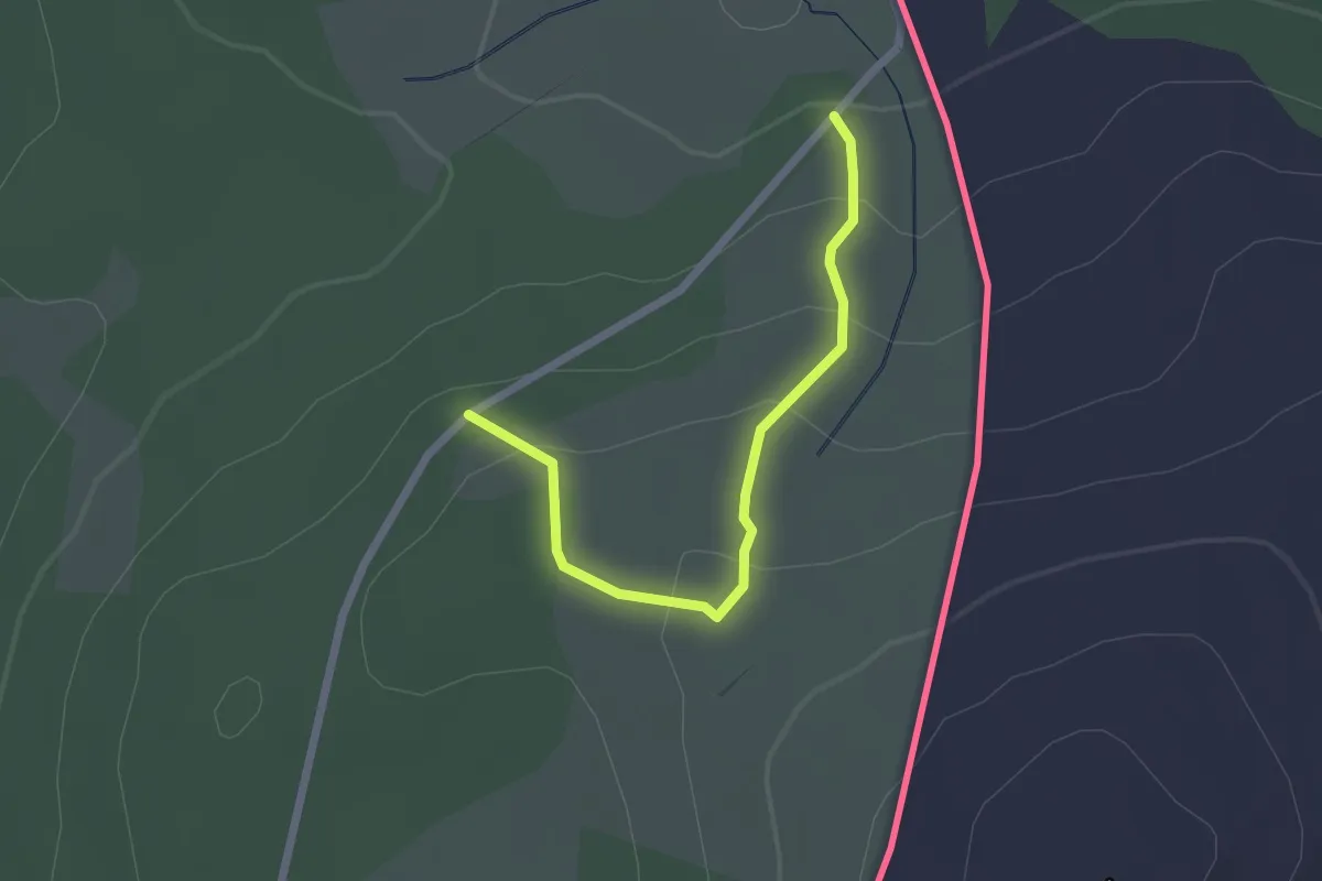
Easy · Trail
Estação da Biodiversidade de Fóios
2.4 km · ↑ 124 m · 50 min
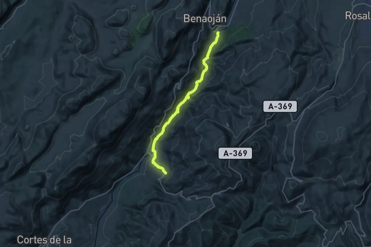
Demanding · Trail
Estación de Benaojan - Jimera de Líbar
18.3 km · ↑ 524 m · 5 h 28 min
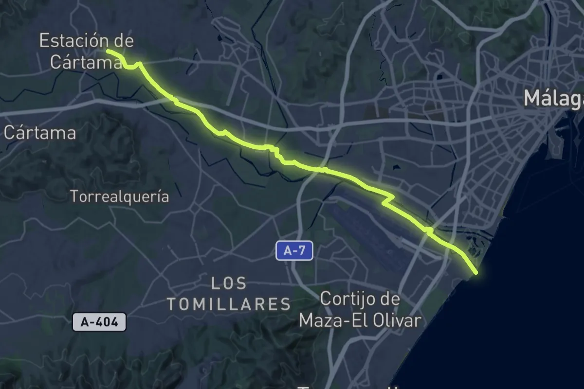
Medium · Trail
Estación de Cártama - Málaga
17.7 km · ↑ 31 m · 4 h 30 min
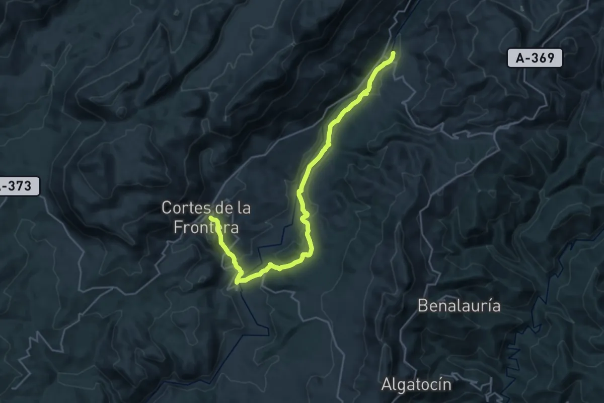
Demanding · Trail
Estación de Jimera de Líbar - Cortes de la Frontera
24.5 km · ↑ 632 m · 7 h 9 min
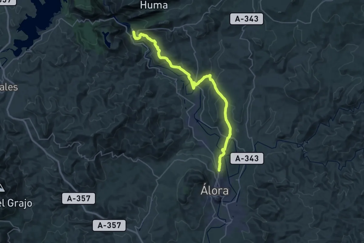
Medium · Trail
Estación del Chorro - Álora
14.1 km · ↑ 344 m · 4 h 14 min
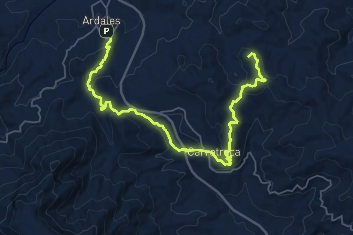
Demanding · Summit
Estación del Chorro - Ardales
19.1 km · ↑ 730 m · 6 h 6 min
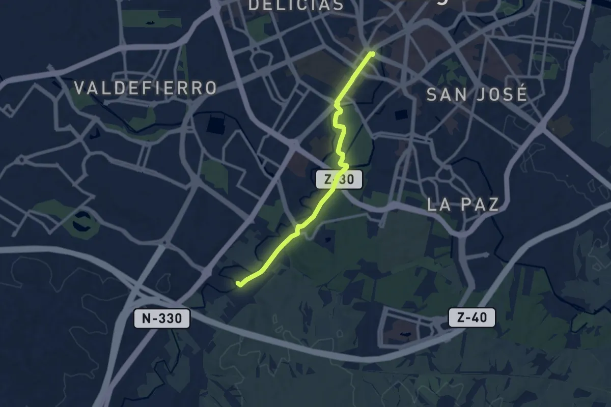
Medium · Trail
Estación Goya-La Junquera
9.0 km · ↑ 87 m · 2 h 19 min
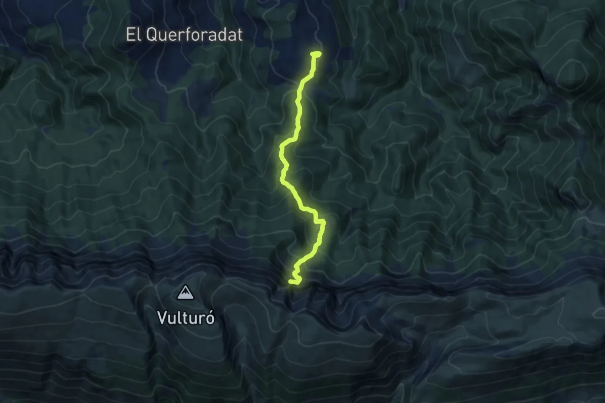
Demanding · Summit
Estana al Coll de la Canal del Cristall
9.9 km · ↑ 834 m · 4 h 9 min