Trails in Spain
5,963 hiking trails, each with its route, climb, walking time and grade.
All trails, page 39 of 125
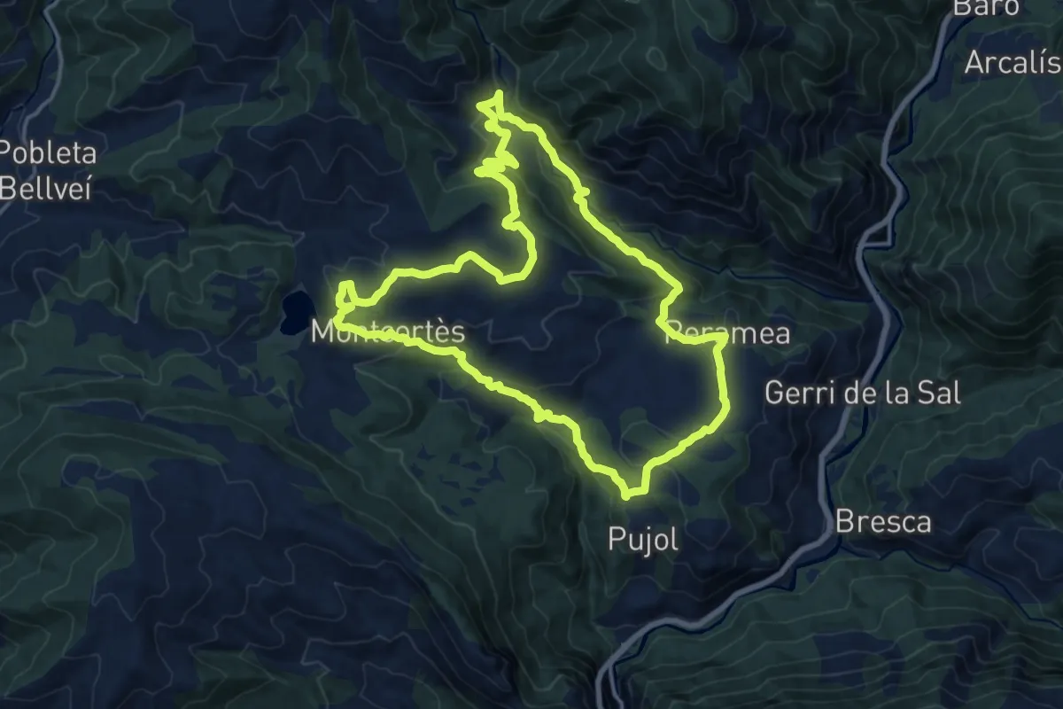
Medium · Summit
Estany de Montcortès i Bosc Encantat
17.1 km · ↑ 639 m · 5 h 40 min
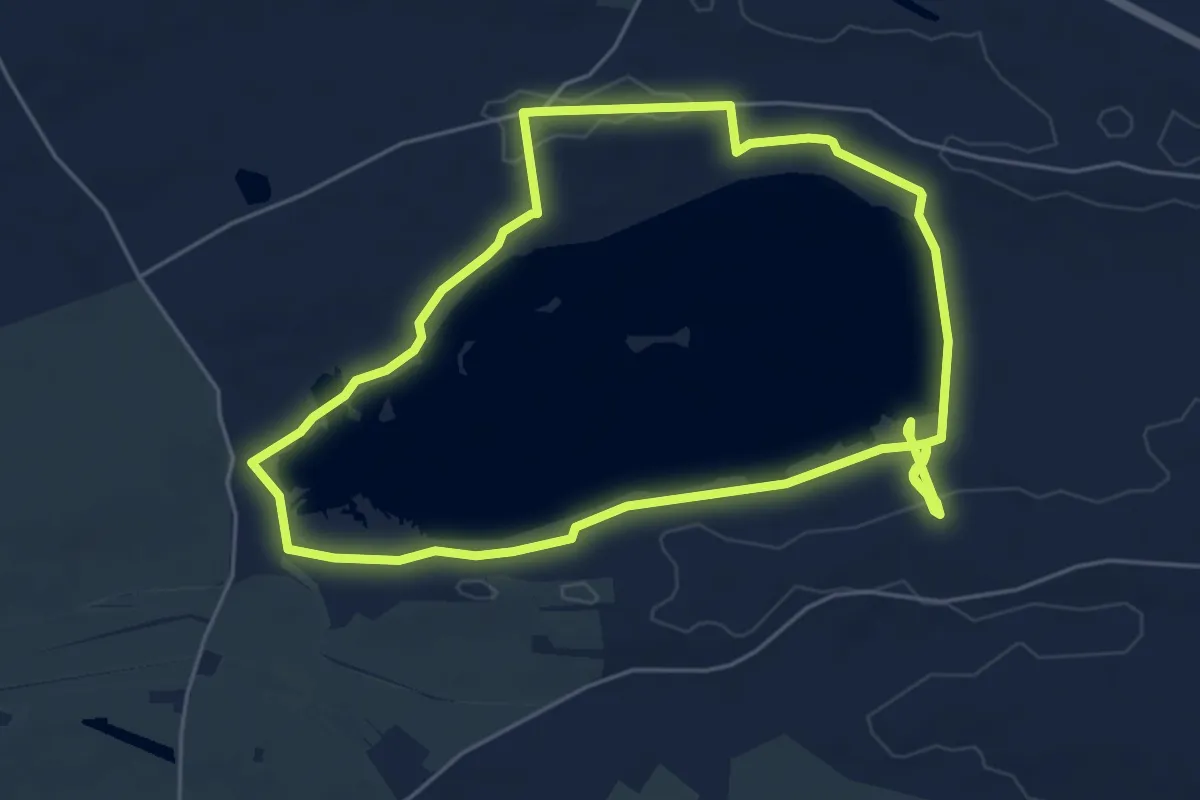
Easy · Trail
Estany d'Ivars i Vila-sana
6.1 km · ↑ 33 m · 1 h 36 min
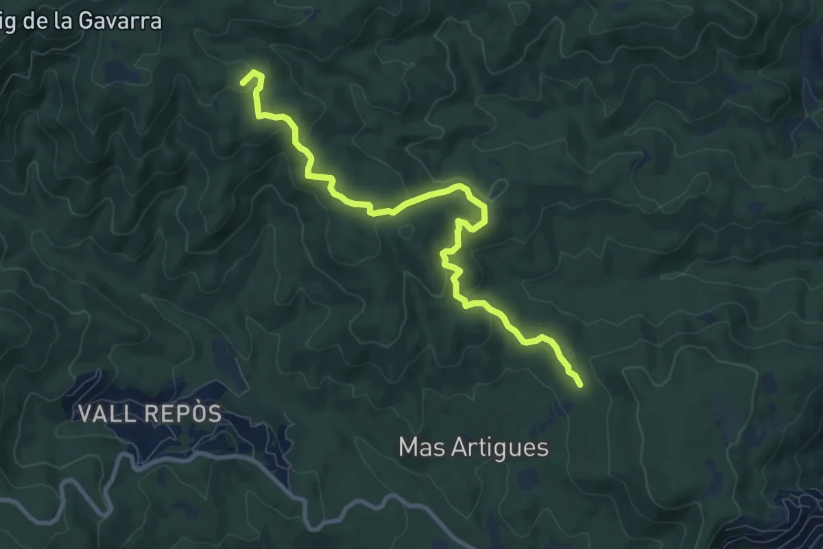
Medium · Summit
Estanyots del Castell
9.5 km · ↑ 300 m · 2 h 54 min
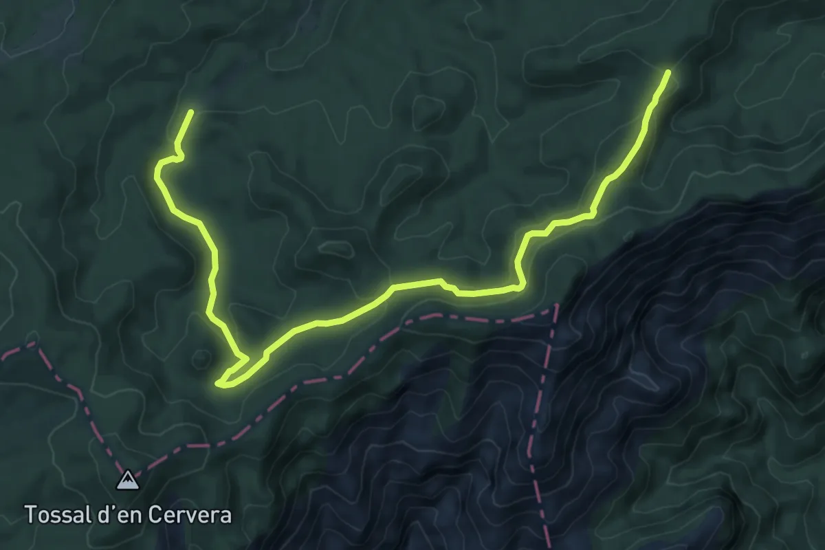
Medium · Trail
Estels del Sud
11.1 km · ↑ 403 m · 3 h 30 min
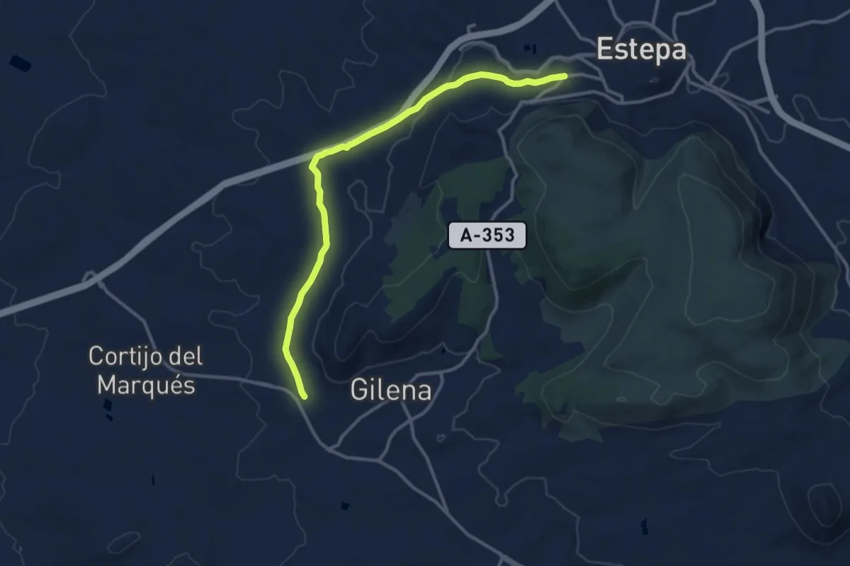
Medium · Trail
Estepa-Gilena
14.0 km · ↑ 215 m · 3 h 46 min
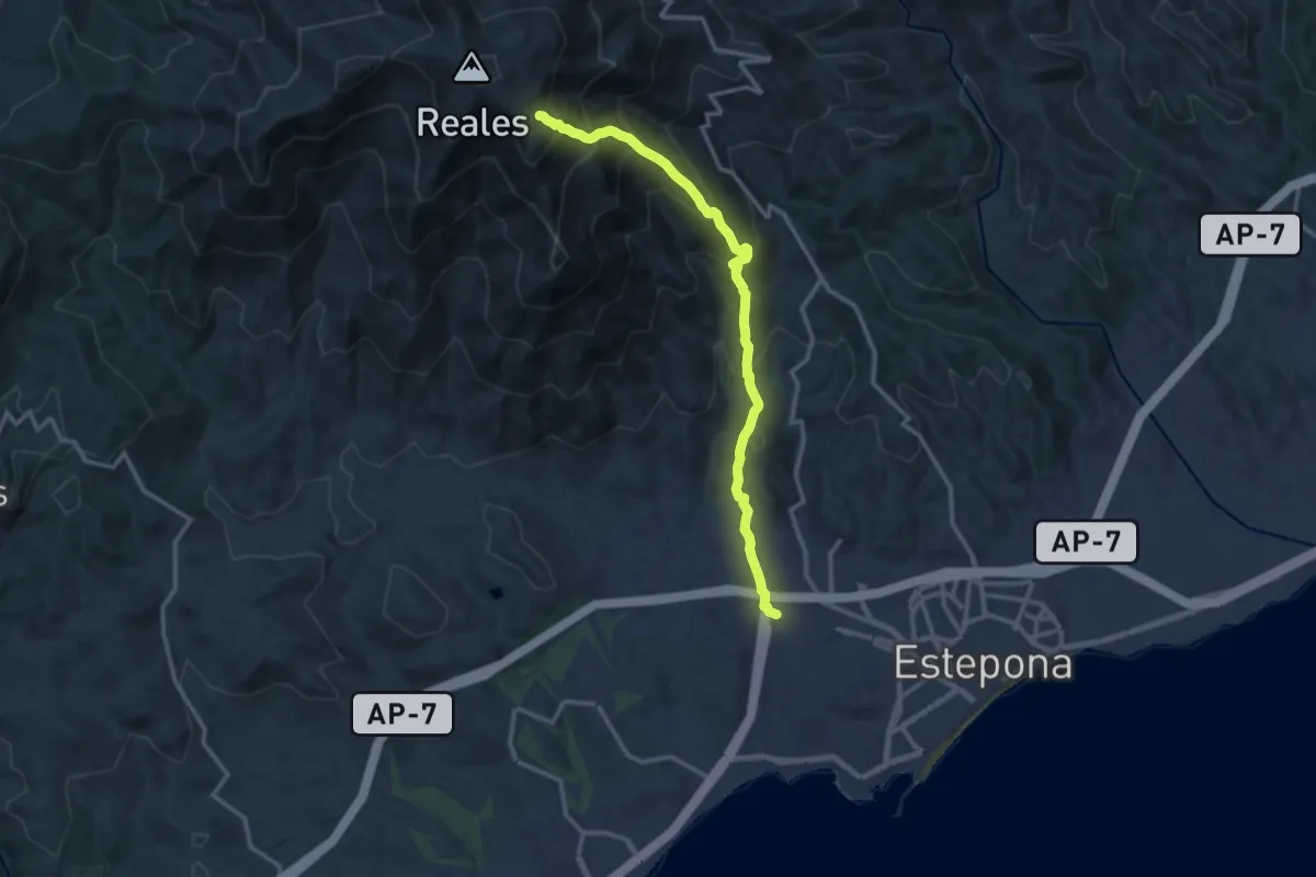
Demanding · Trail
Estepona - Los Reales
14.8 km · ↑ 1326 m · 6 h 22 min
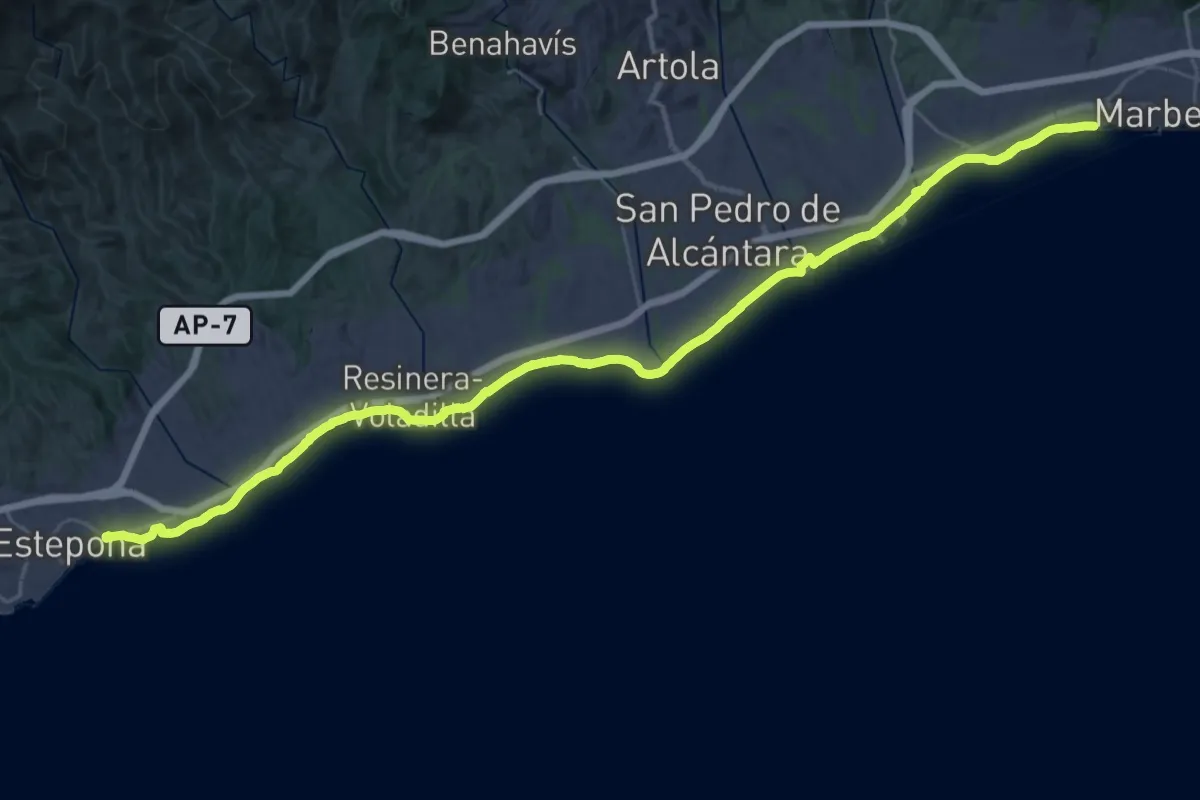
Demanding · Trail
Estepona - Marbella
25.3 km · ↑ 26 m · 6 h 23 min
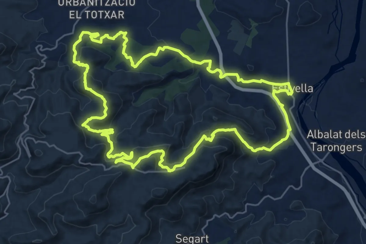
Demanding · Summit
Estivella - Penya Roja
20.7 km · ↑ 829 m · 6 h 58 min
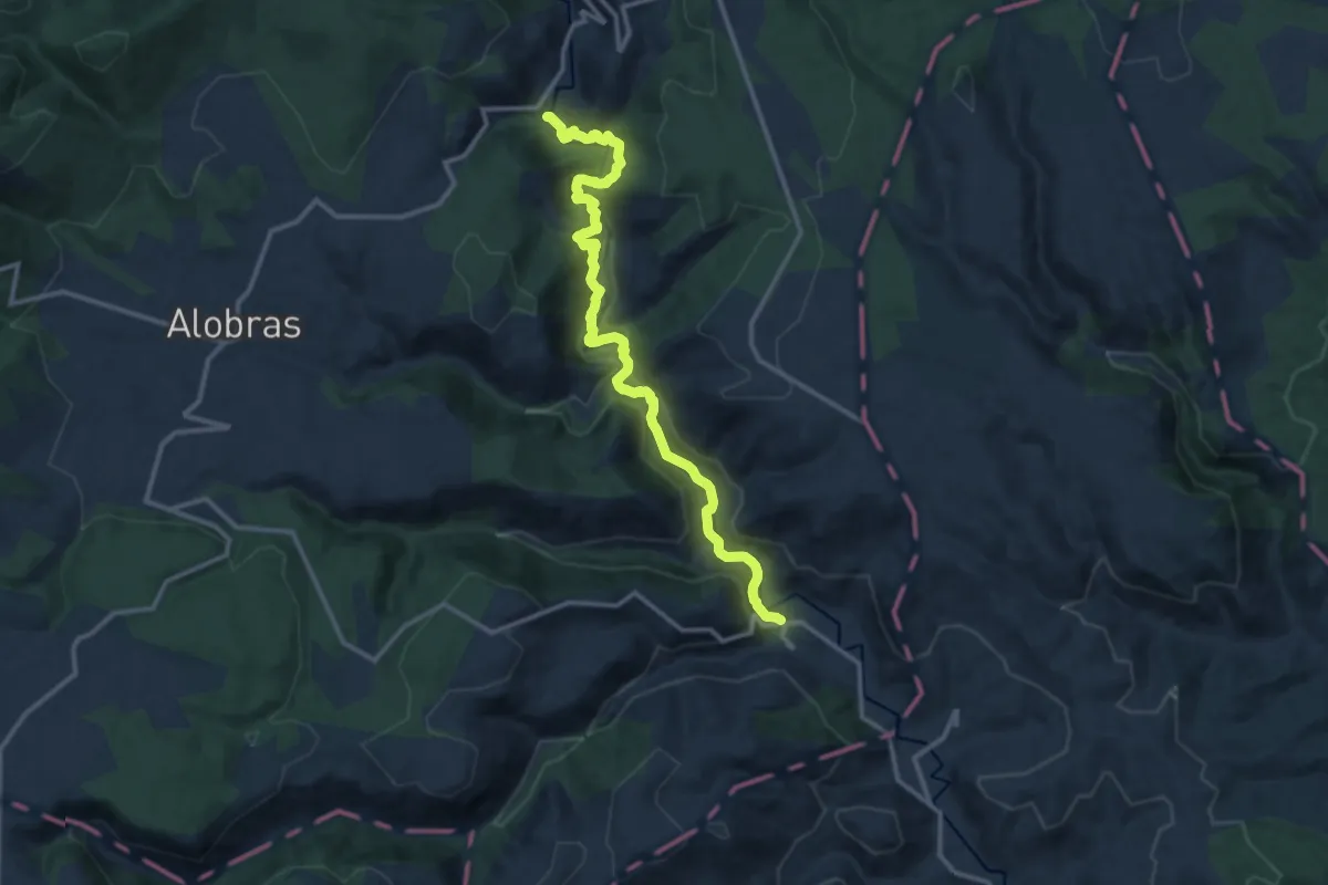
Medium · Trail
Estrechos del Río Ebrón
15.1 km · ↑ 680 m · 5 h 2 min
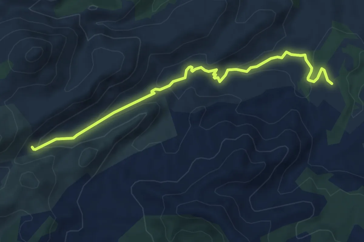
Easy · Cabin
Es Verger - Albarca
7.5 km · ↑ 229 m · 2 h 16 min
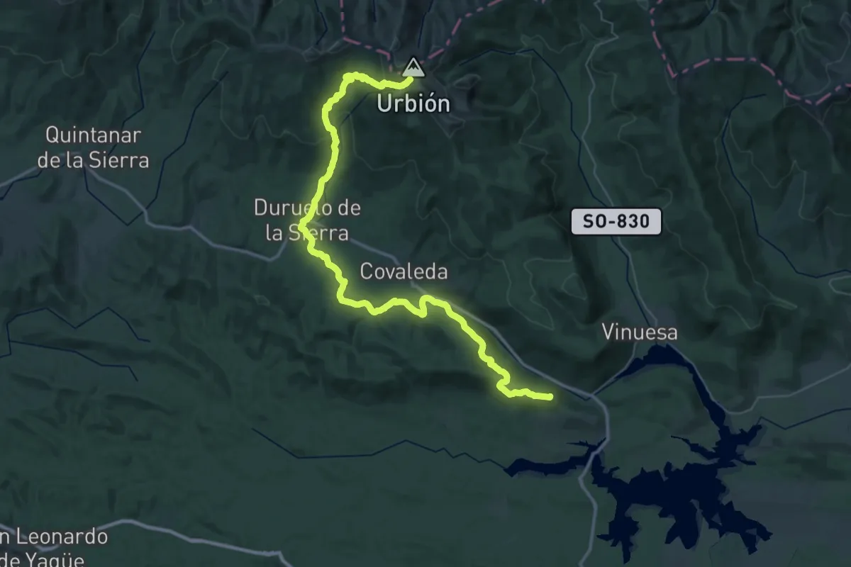
Demanding · Summit
Etapa 01: Fuentes del Duero – Vinuesa
57.6 km · ↑ 1401 m · 16 h 38 min
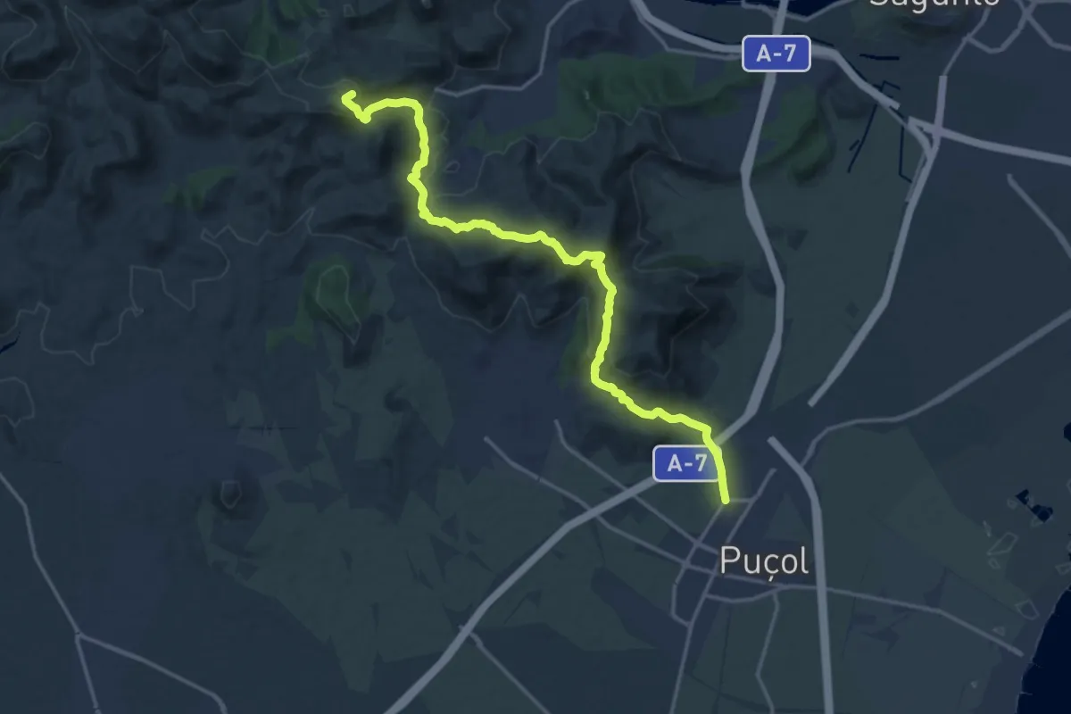
Demanding · Summit
Etapa 01: Puçol - Segart
19.1 km · ↑ 817 m · 6 h 17 min
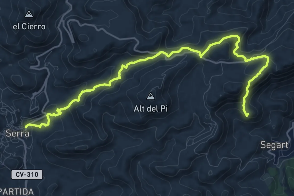
Medium · Summit
Etapa 02: Segart - Serra
15.2 km · ↑ 768 m · 5 h 15 min
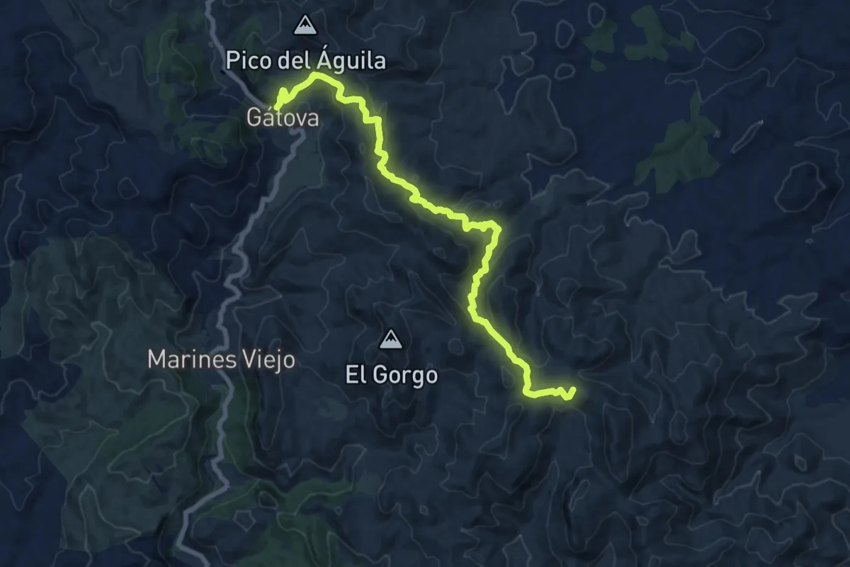
Demanding · Summit
Etapa 03: Serra - Gátova
18.1 km · ↑ 814 m · 6 h 2 min
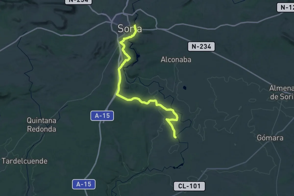
Demanding · Trail
Etapa 03: Soria – Ituero
28.4 km · ↑ 314 m · 7 h 47 min
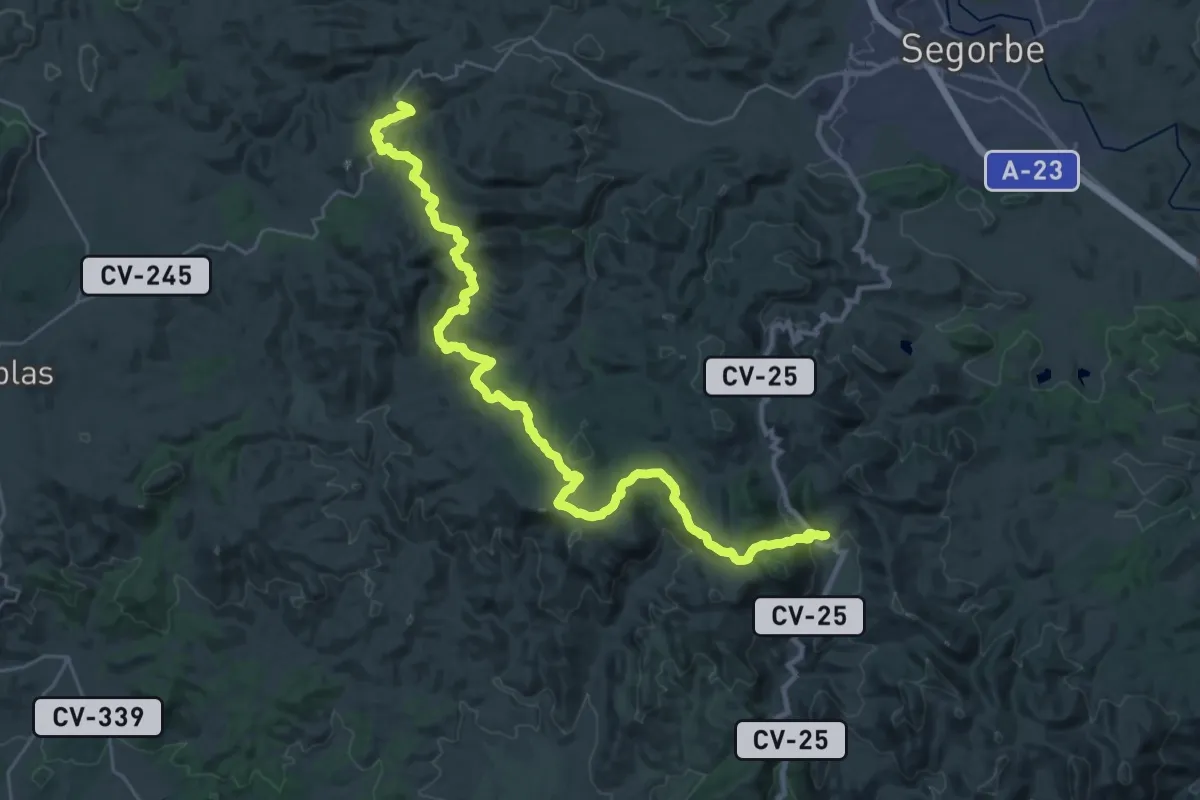
Demanding · Trail
Etapa 04: Gátova - Cueva Santa
19.4 km · ↑ 437 m · 5 h 55 min
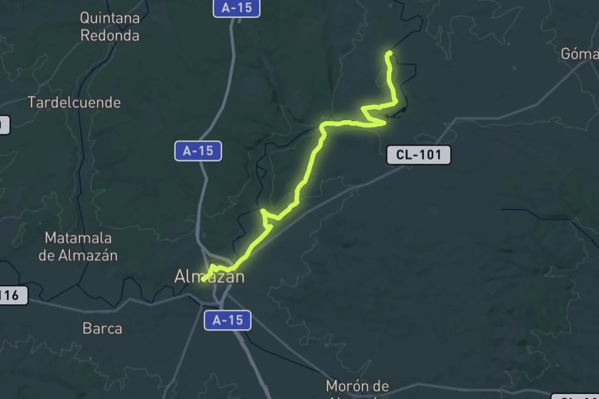
Demanding · Trail
Etapa 04: Ituero – Almazán
29.4 km · ↑ 191 m · 7 h 46 min
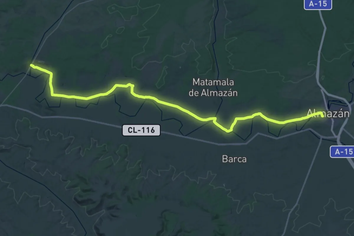
Demanding · Trail
Etapa 05: Almazán – Andaluz
27.9 km · ↑ 168 m · 7 h 19 min
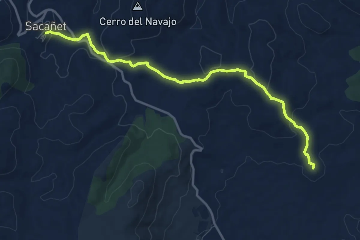
Medium · Summit
Etapa 05: Cueva Santa - Sacañet
9.7 km · ↑ 246 m · 2 h 49 min
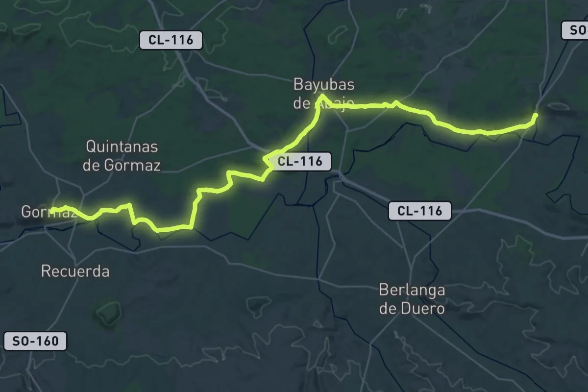
Demanding · Trail
Etapa 06: Andaluz – Gormaz
21.4 km · ↑ 119 m · 5 h 36 min
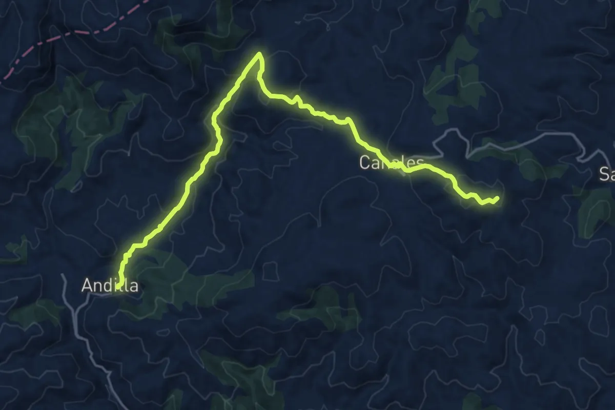
Demanding · Summit
Etapa 06: Sacañet - Andilla
21.3 km · ↑ 790 m · 6 h 44 min
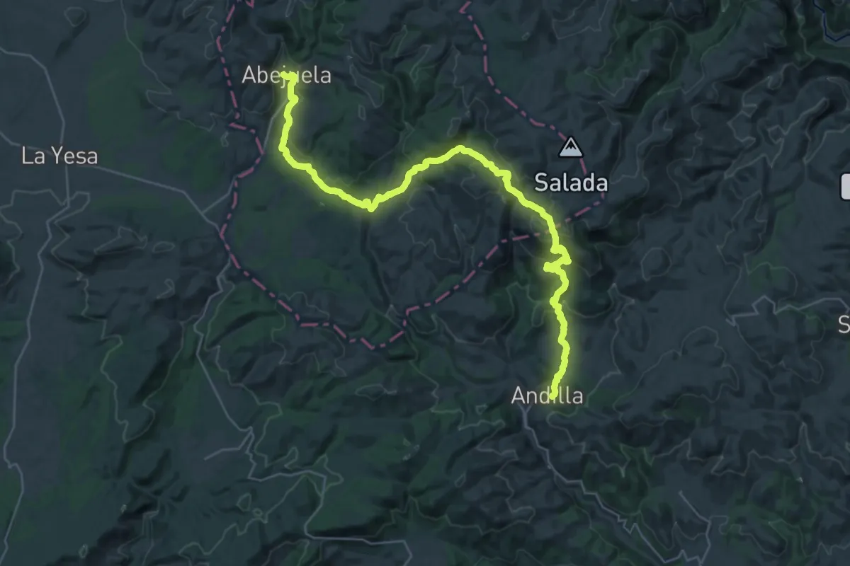
Demanding · Trail
Etapa 07: Andilla - Abejuela
19.0 km · ↑ 862 m · 6 h 29 min
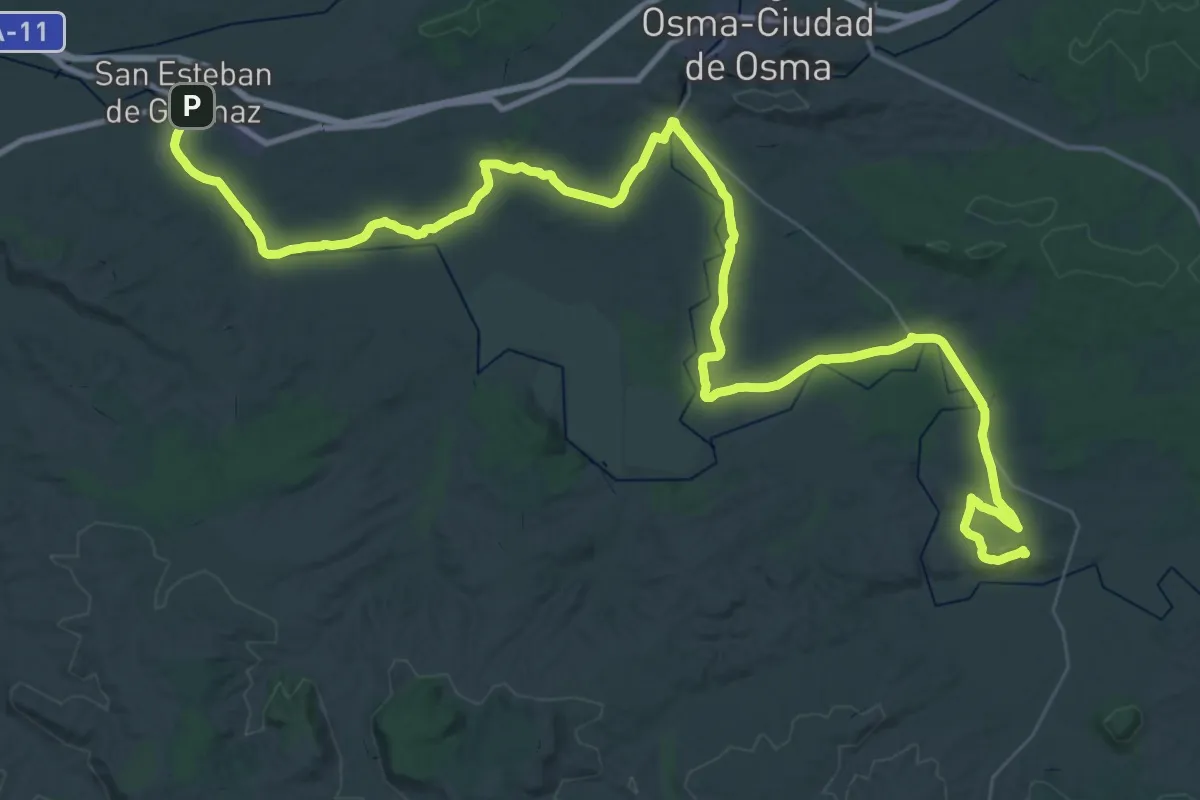
Demanding · Trail
Etapa 07: Gormaz – San Esteban de Gormaz
33.3 km · ↑ 257 m · 8 h 50 min
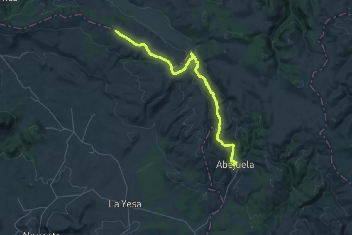
Demanding · Summit
Etapa 08: Abejuela - Arcos de las Salinas
27.1 km · ↑ 496 m · 7 h 29 min
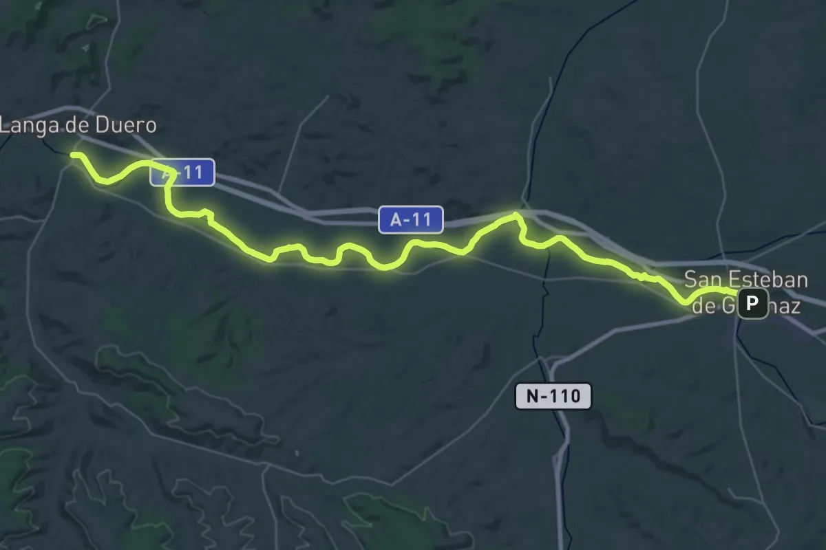
Demanding · Trail
Etapa 08: San Esteban de Gormaz – Langa de Duero
21.6 km · ↑ 32 m · 5 h 29 min
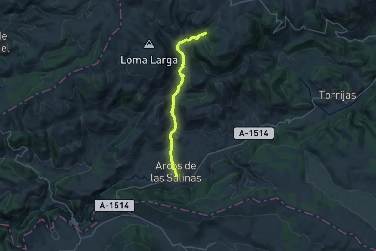
Medium · Trail
Etapa 09: Arcos de las Salinas - Camarena de la Sierra
16.5 km · ↑ 655 m · 5 h 19 min
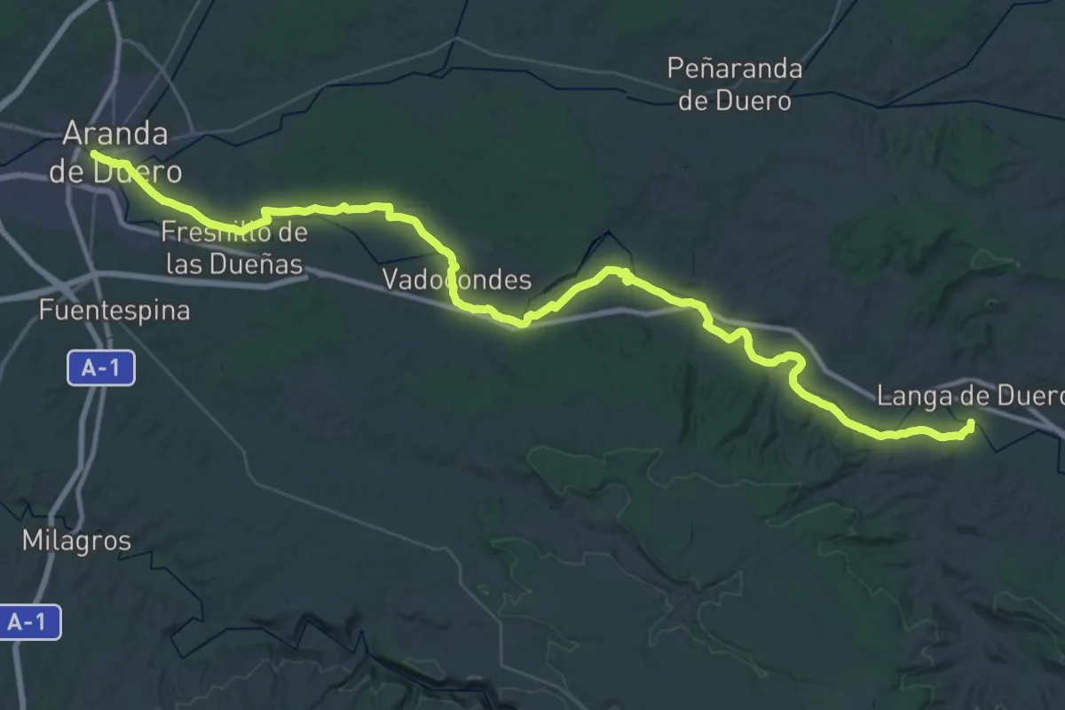
Demanding · Trail
Etapa 09: Langa de Duero – Aranda de Duero
32.0 km · ↑ 161 m · 8 h 20 min
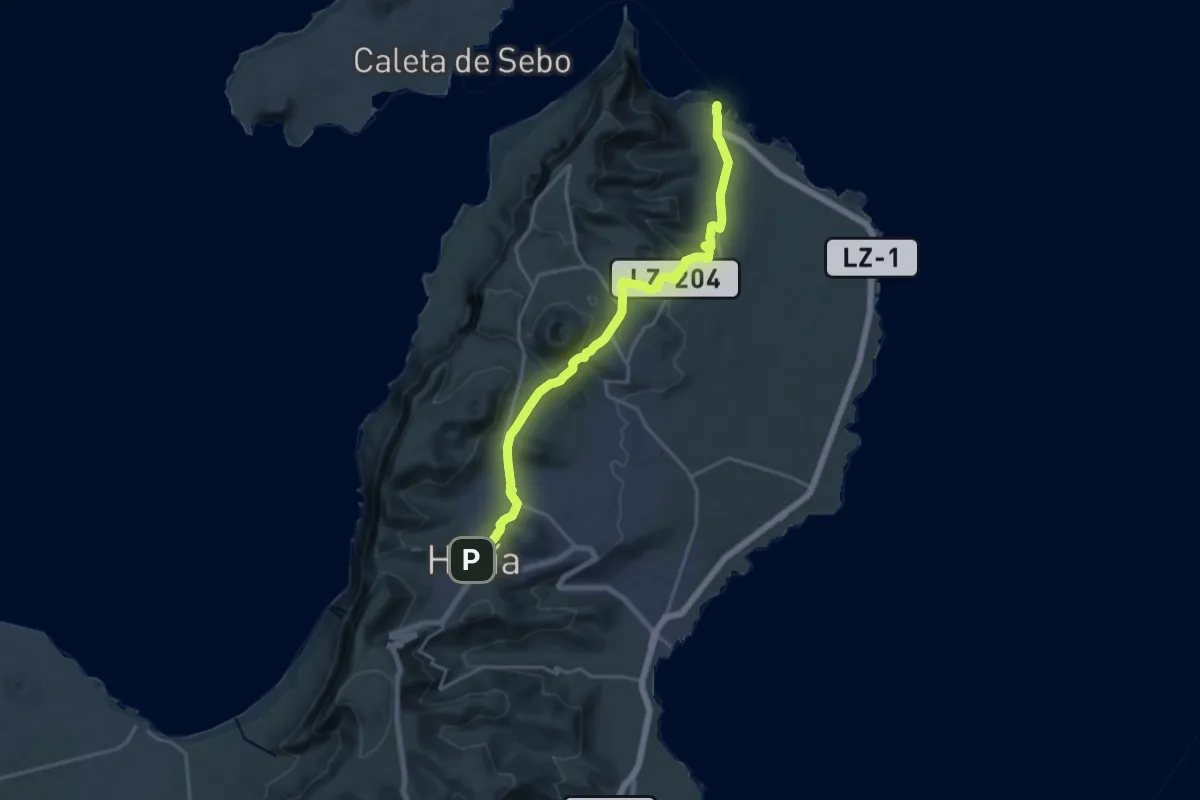
Demanding · Trail
Etapa 1
24.4 km · ↑ 650 m · 7 h 10 min
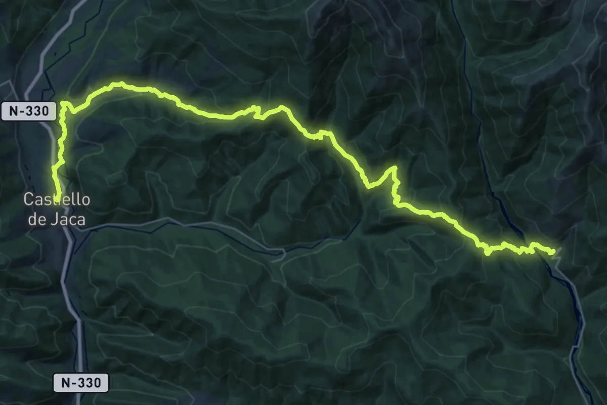
Demanding · Trail
Etapa 10: Acumuer – Castiello de Jaca
19.5 km · ↑ 1040 m · 7 h 1 min
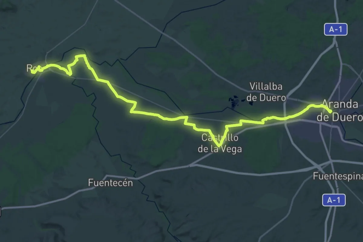
Demanding · Trail
Etapa 10: Aranda de Duero – Roa
28.2 km · ↑ 107 m · 7 h 17 min
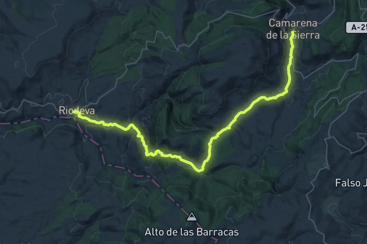
Medium · Trail
Etapa 10: Camarena de la Sierra - Riodeva
15.7 km · ↑ 652 m · 5 h 11 min
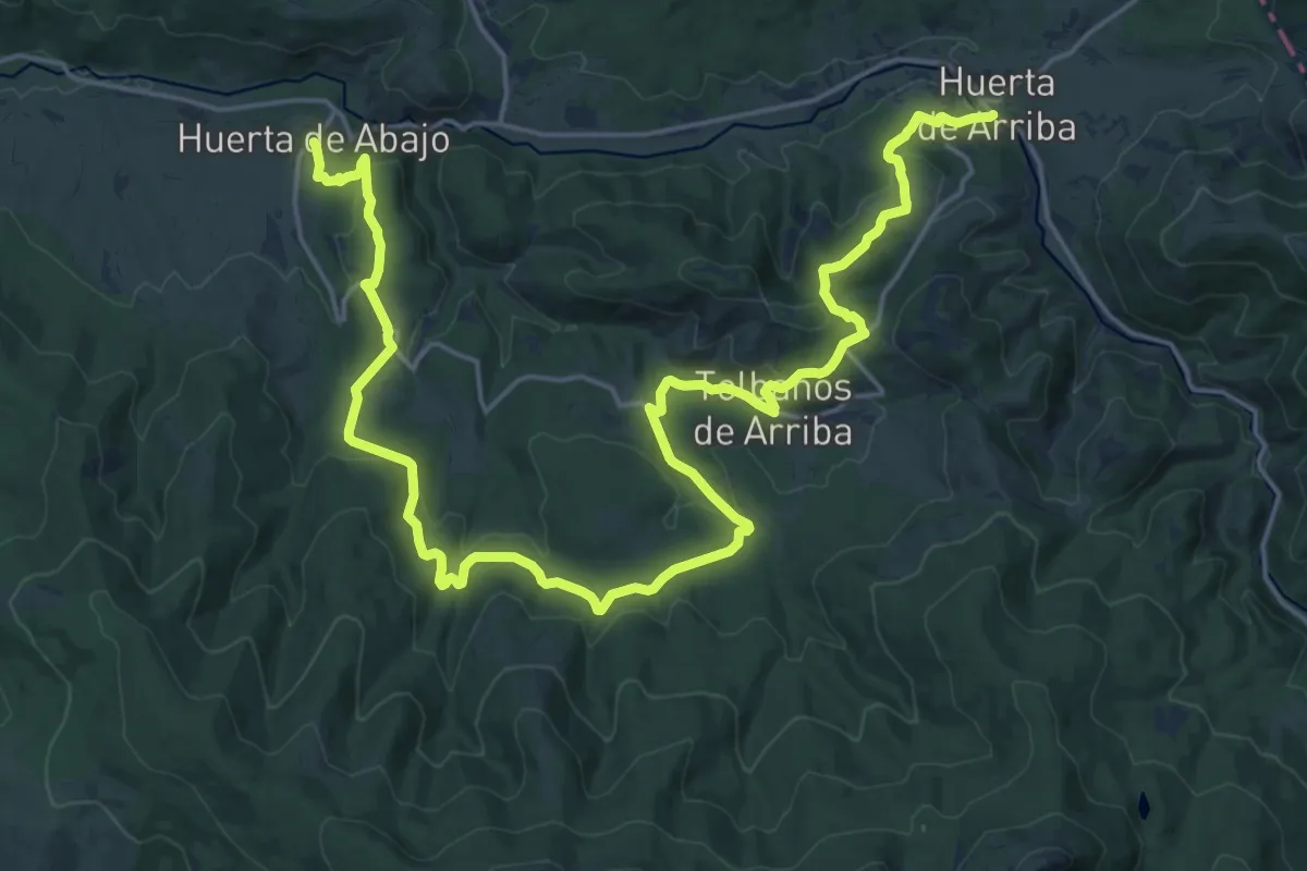
Medium · Trail
Etapa 10 Huerta de Abajo - Huerta de Arriba
14.9 km · ↑ 393 m · 4 h 35 min
Demanding · Pilgrim path
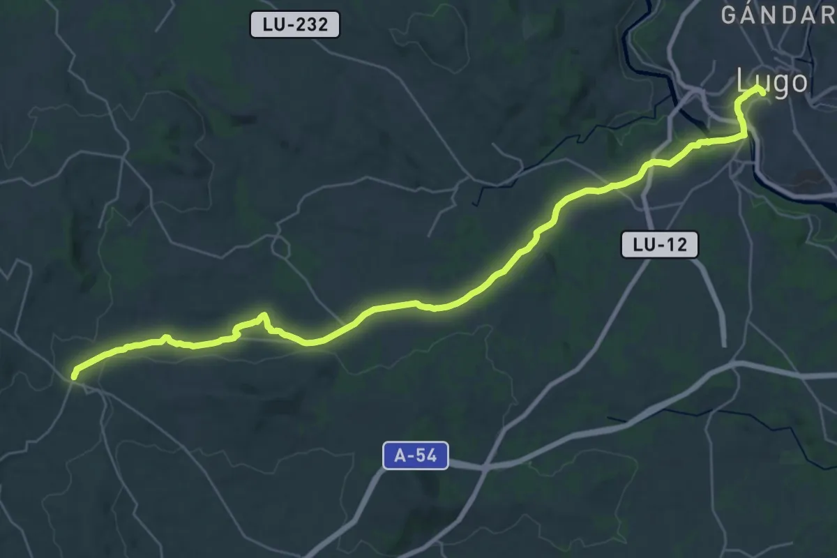
Etapa 10: Lugo - San Romao da Retorta
18.3 km · ↑ 258 m · 5 h 12 min
Medium · Trail
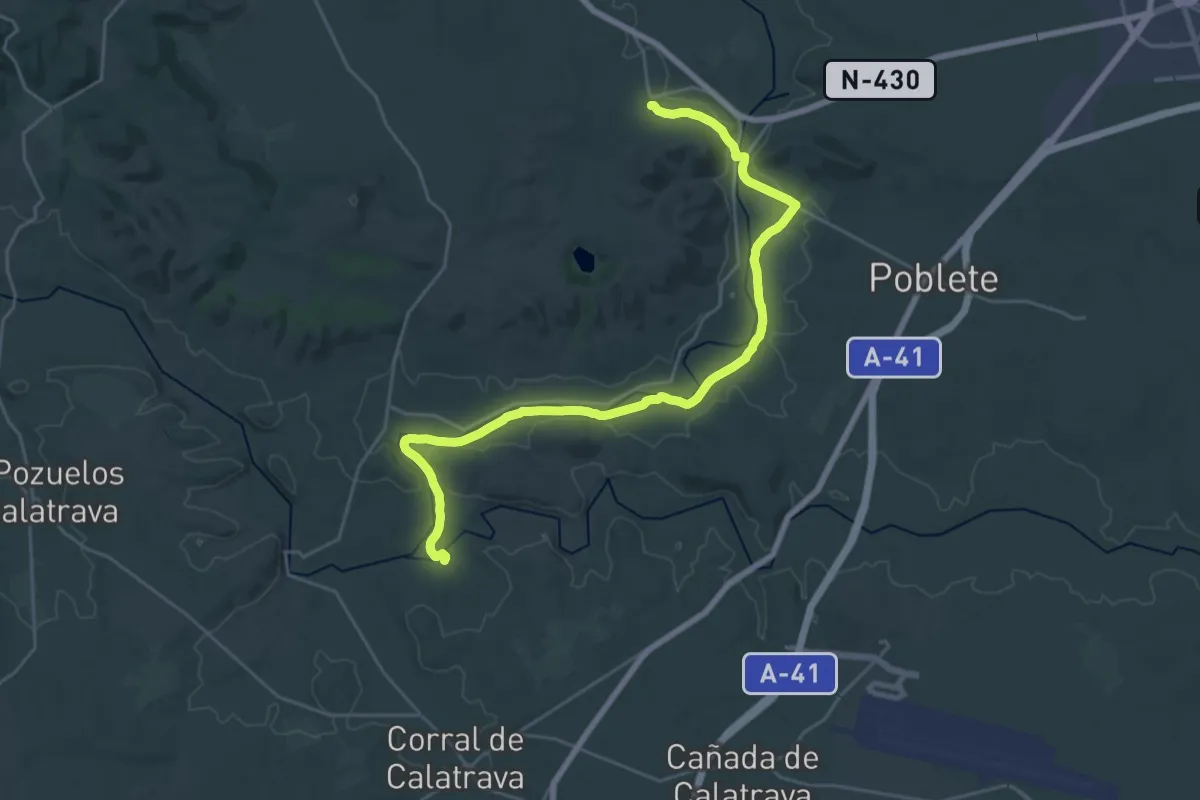
Etapa 10: Valverde - Corral de Calatrava
16.2 km · ↑ 113 m · 4 h 16 min
Medium · Summit
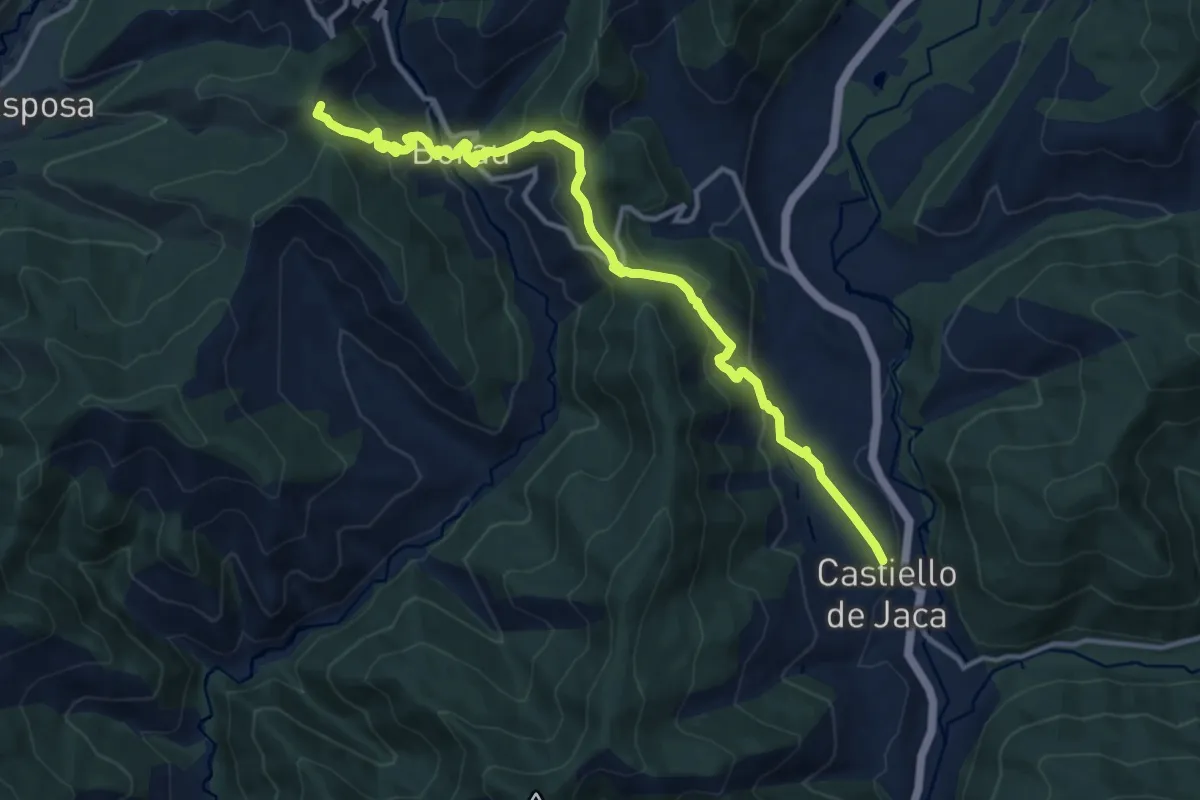
Etapa 11: Castiello de Jaca – Aragüés del Puerto
14.4 km · ↑ 666 m · 4 h 50 min
Medium · Trail
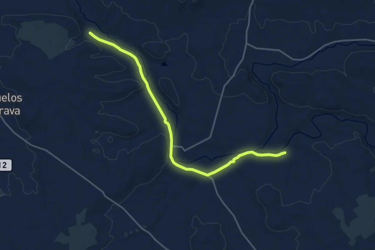
Etapa 11: Corral de Calatrava - Los Pozuelos de Calatrava
14.7 km · ↑ 35 m · 3 h 33 min
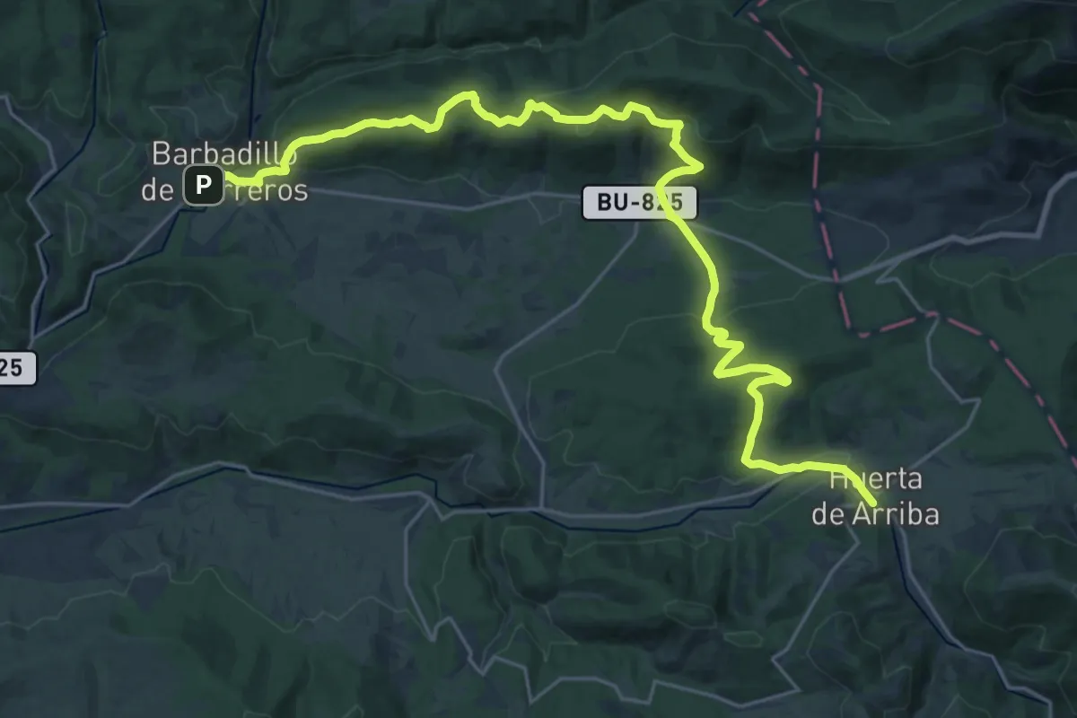
Medium · Trail
Etapa 11 Huerta de Arriba - Barbadillo de Herreros
15.1 km · ↑ 548 m · 4 h 55 min
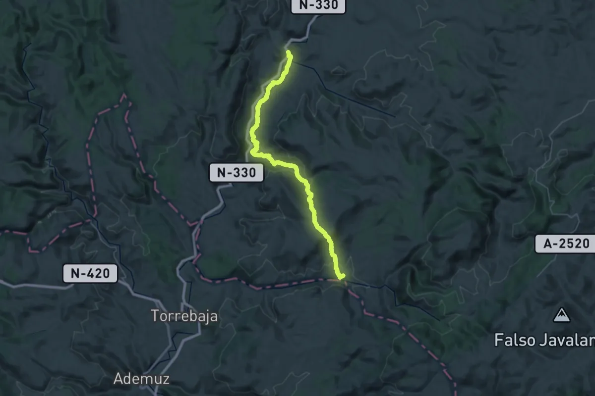
Demanding · Trail
Etapa 11: Riodeva - Villel
18.7 km · ↑ 451 m · 5 h 43 min
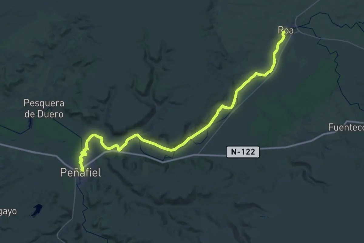
Demanding · Trail
Etapa 11: Roa – Peñafiel
26.8 km · ↑ 76 m · 6 h 53 min
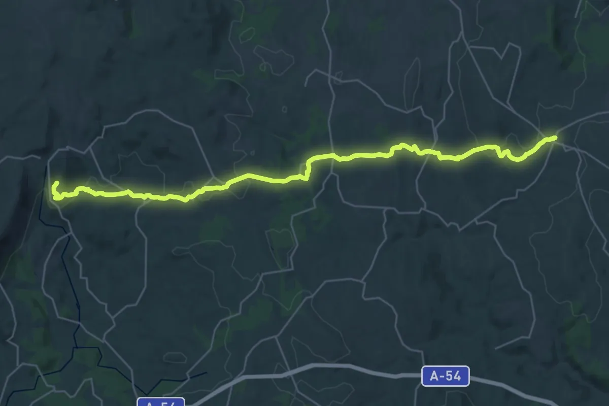
Medium · Summit
Etapa 11: San Romao da Retorta - Melide
15.9 km · ↑ 447 m · 4 h 52 min
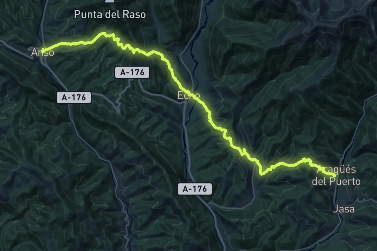
Demanding · Trail
Etapa 12: Aragües del Puerto – Ansó
20.0 km · ↑ 1041 m · 7 h 19 min
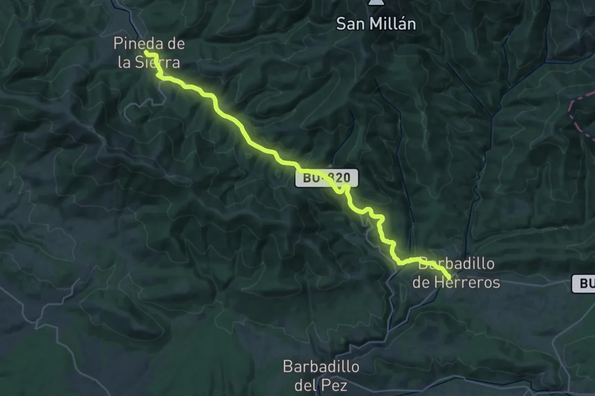
Medium · Trail
Etapa 12 Barbadillo de Herreros - Pineda de la Sierra
15.1 km · ↑ 302 m · 4 h 28 min
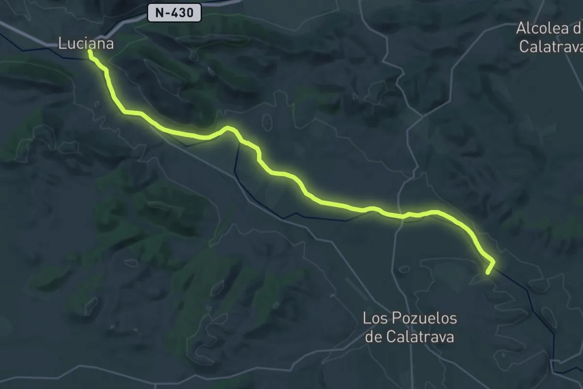
Medium · Trail
Etapa 12: Los Pozuelos de Calatrava - Luciana
17.1 km · ↑ 39 m · 4 h 21 min
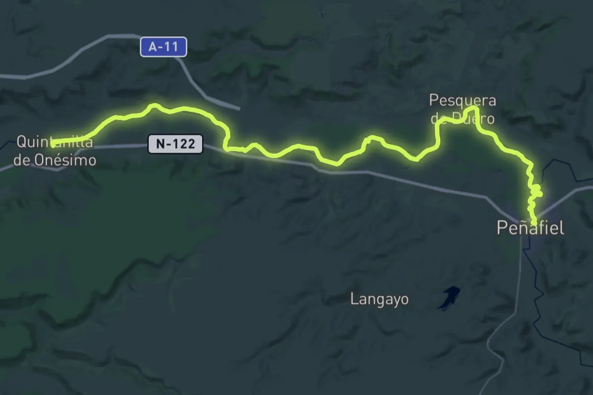
Demanding · Trail
Etapa 12: Peñafiel – Quintanilla de Onésimo
30.8 km · ↑ 26 m · 7 h 46 min
Demanding · Trail
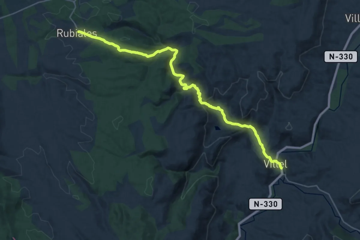
Etapa 12: Villel - Rubiales
22.5 km · ↑ 599 m · 6 h 37 min
Medium · Summit
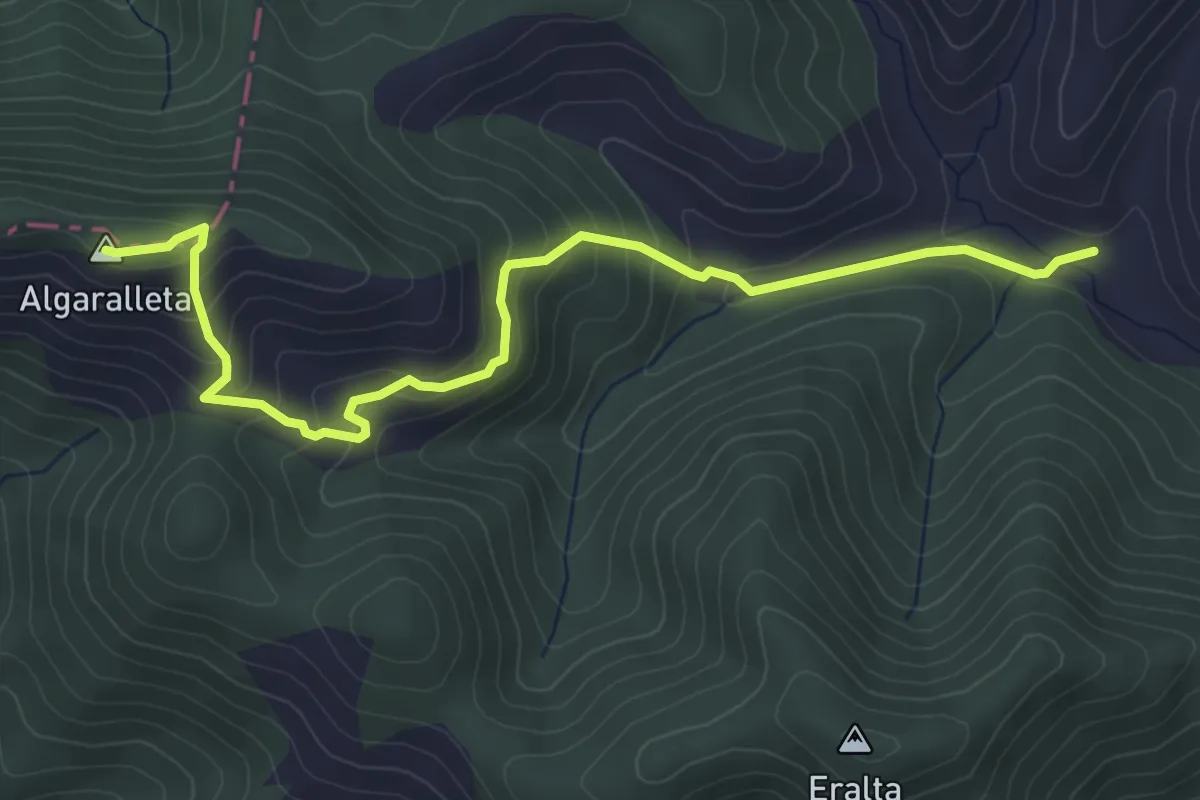
Etapa 13: Ansó – Vértice de Algaraieta
5.4 km · ↑ 373 m · 2 h 5 min
Demanding · Trail
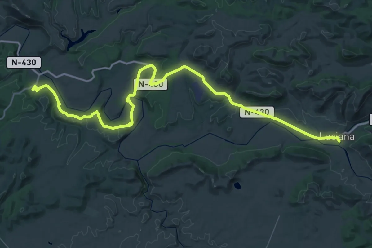
Etapa 13: Luciana - Albergue Juvenil Puente de Retama
26.9 km · ↑ 345 m · 7 h 28 min
Demanding · Trail
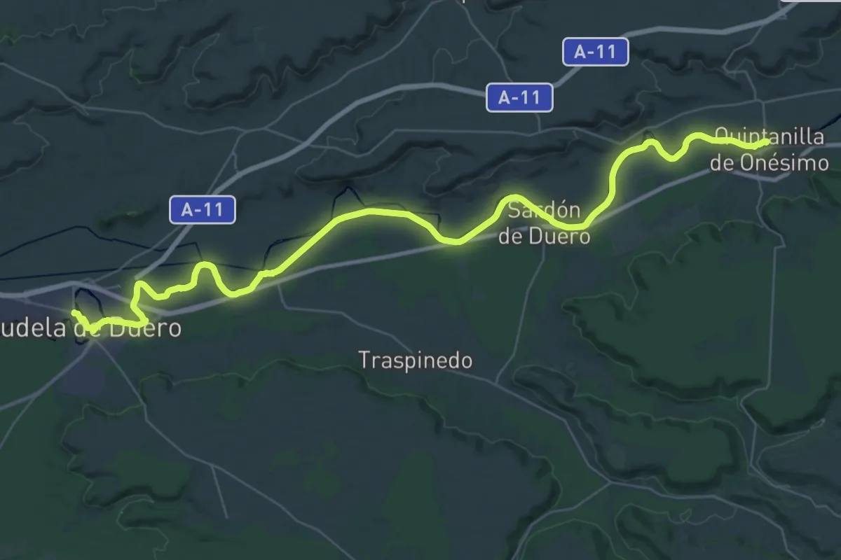
Etapa 13: Quintanilla de Onésimo – Tudela de Duero
24.8 km · ↑ 46 m · 6 h 19 min