Trails in Spain
5,963 hiking trails, each with its route, climb, walking time and grade.
All trails, page 40 of 125
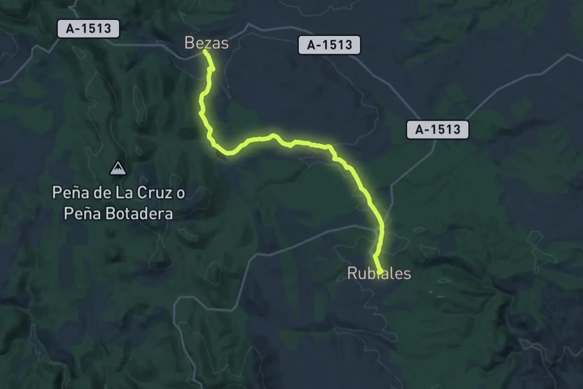
Demanding · Trail
Etapa 13: Rubiales - Bezas
20.8 km · ↑ 380 m · 5 h 44 min
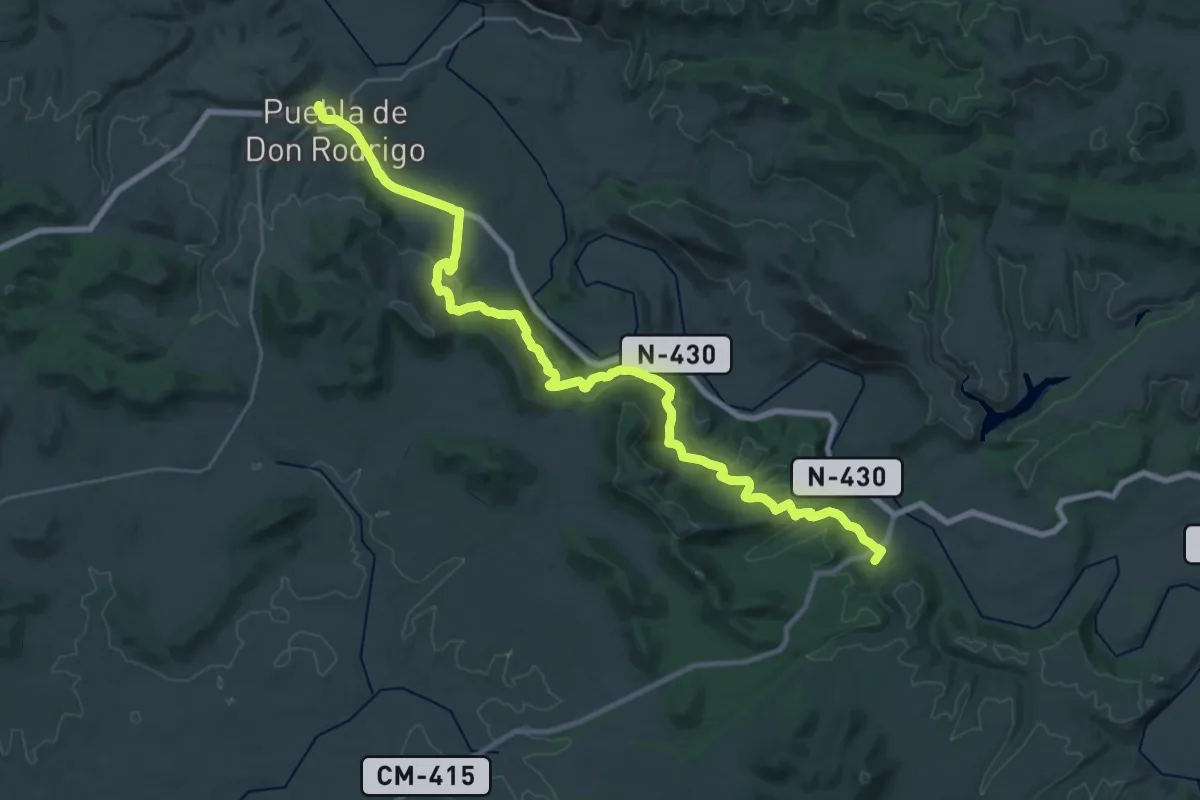
Demanding · Trail
Etapa 14: Albergue Juvenil Puente de Retama - Puebla de Don Rodrigo
18.6 km · ↑ 378 m · 5 h 30 min
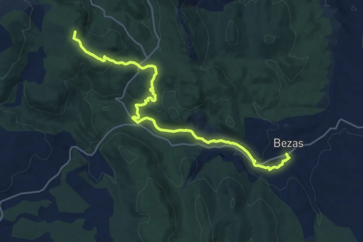
Medium · Summit
Etapa 14. Bezas - Albarracín
16.3 km · ↑ 383 m · 4 h 41 min
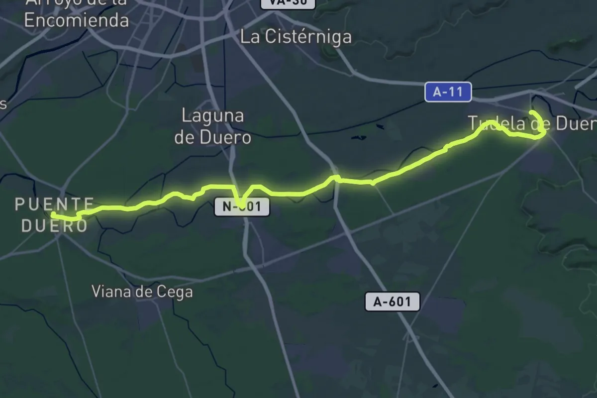
Demanding · Trail
Etapa 14: Tudela de Duero – Puente Duero
22.2 km · ↑ 71 m · 5 h 42 min
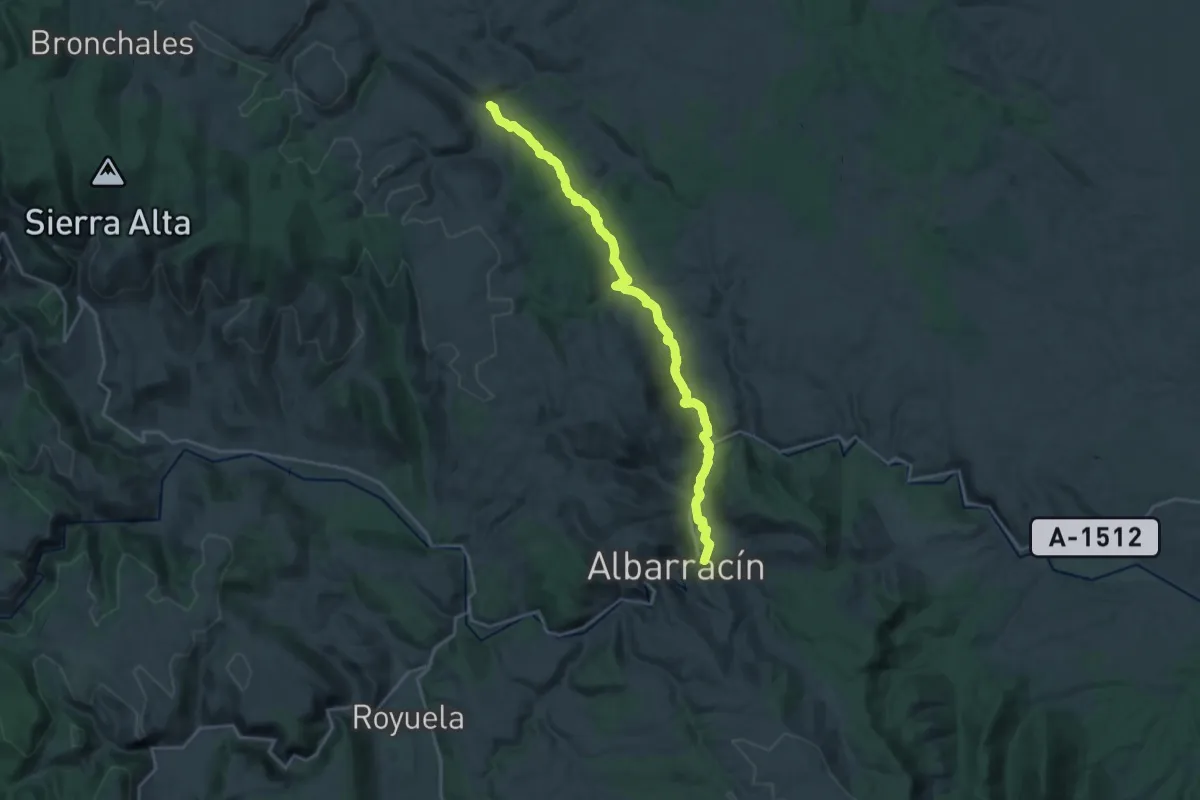
Demanding · Trail
Etapa 15: Albarracín - Monterde de Albarracín
26.7 km · ↑ 536 m · 7 h 28 min
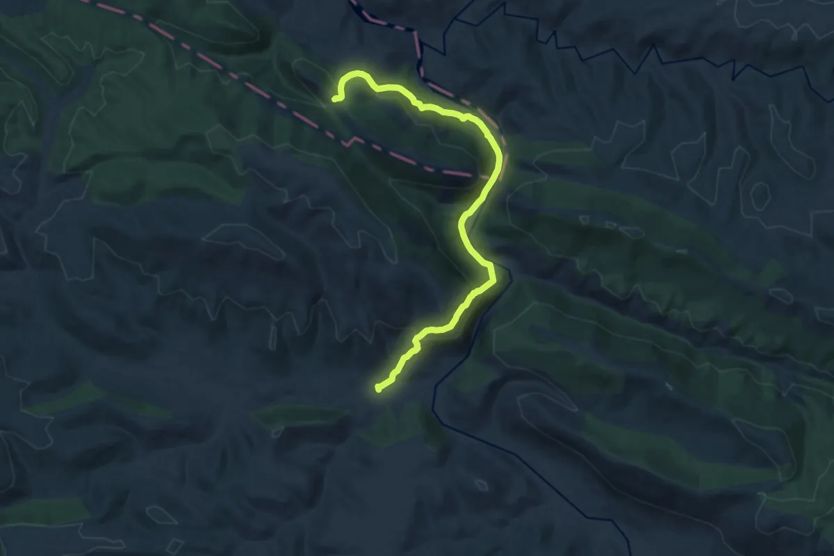
Demanding · Cabin
Etapa 15: Puebla de Don Rodrigo - Refugio de Valhondillo
17.1 km · ↑ 811 m · 5 h 48 min
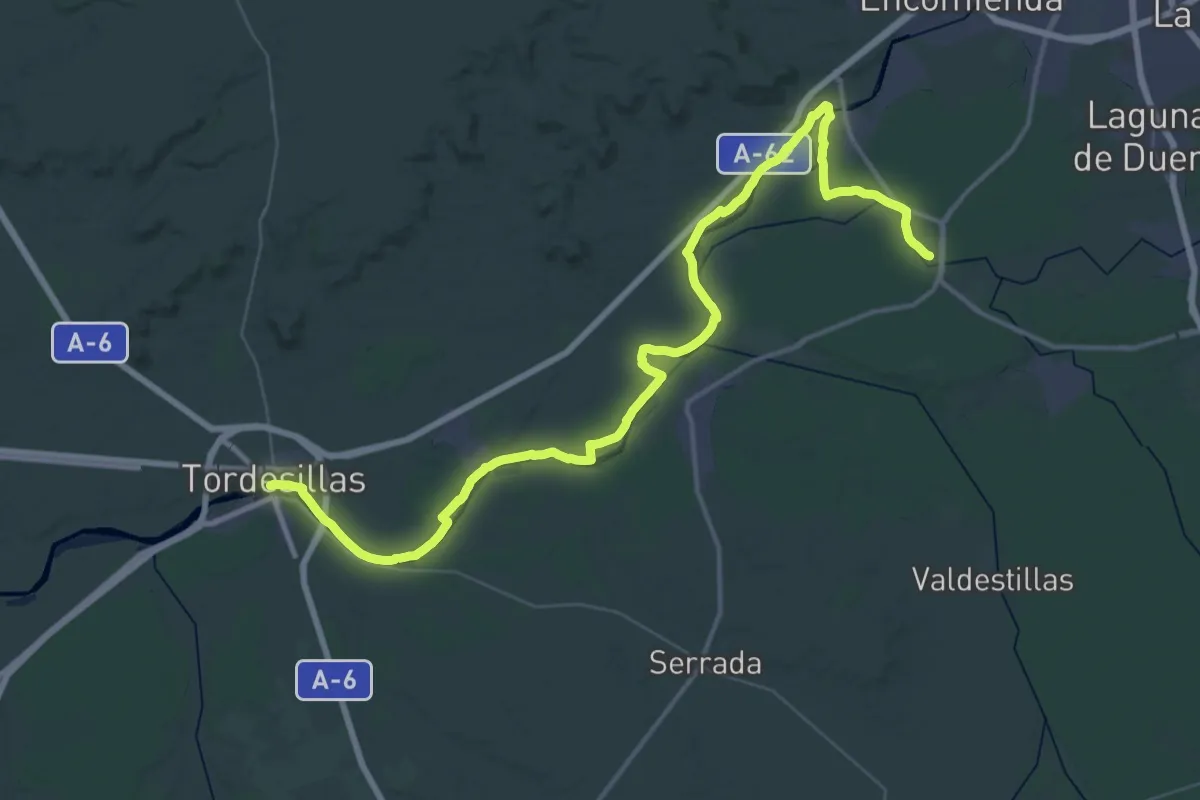
Demanding · Trail
Etapa 15: Puente Duero – Tordesillas
31.6 km · ↑ 78 m · 8 h 4 min
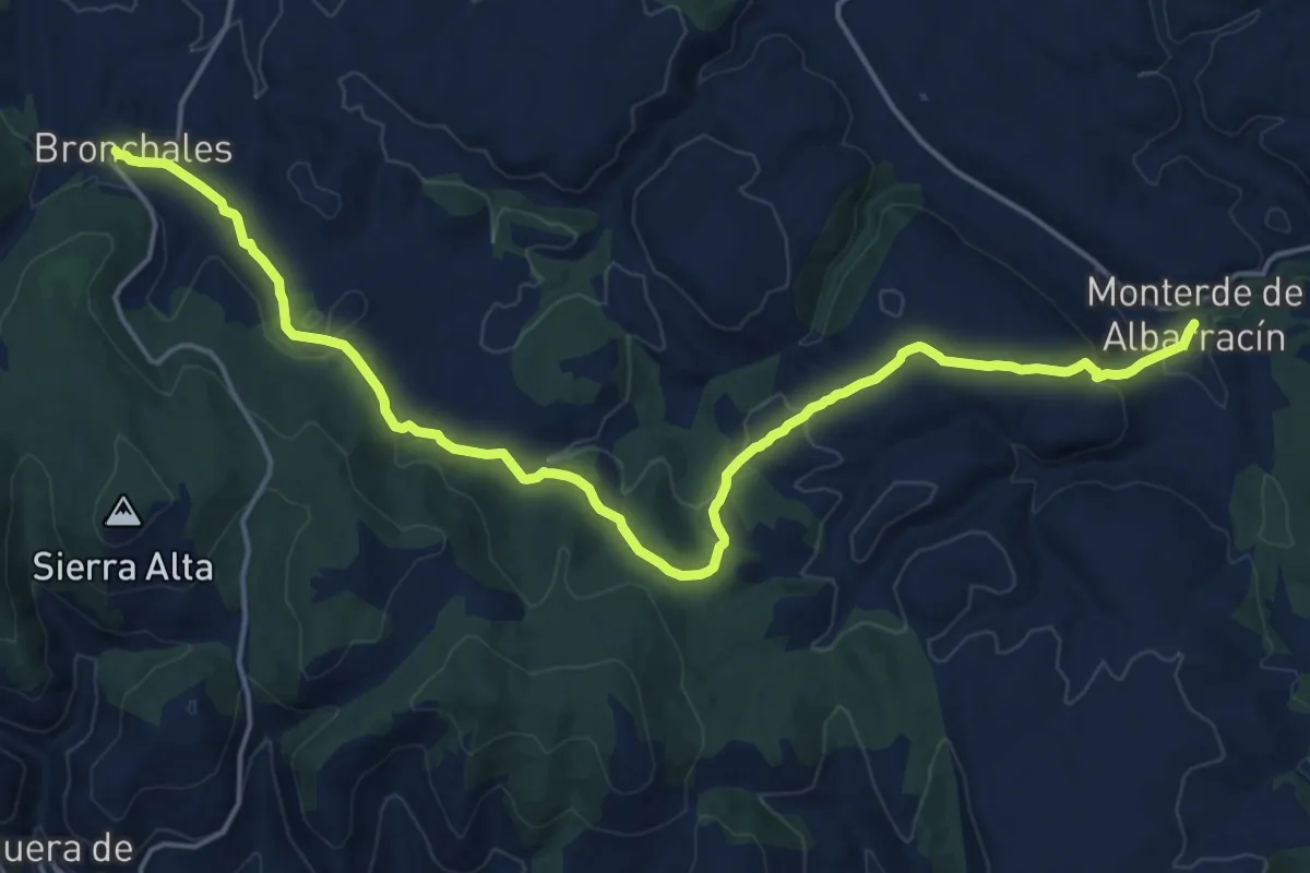
Demanding · Trail
Etapa 16: Monterde de Albarracín - Bronchales
22.7 km · ↑ 624 m · 6 h 43 min
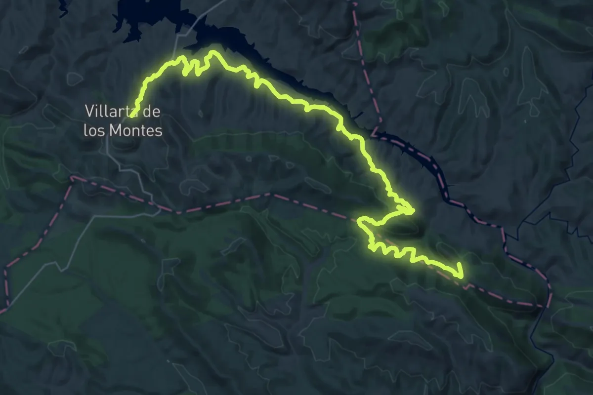
Demanding · Cabin
Etapa 16: Refugio de Valhondillo - Villarta de los Montes
22.0 km · ↑ 606 m · 6 h 46 min
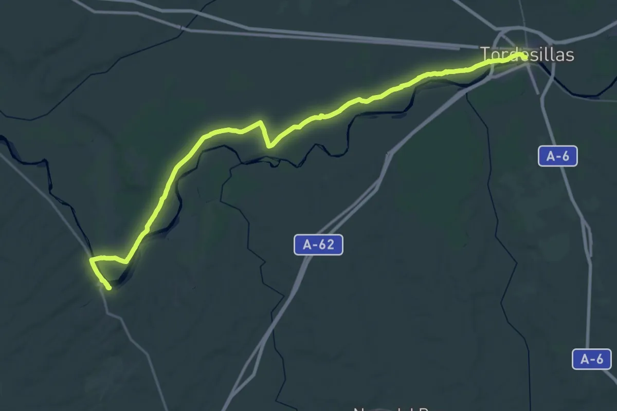
Demanding · Trail
Etapa 16: Tordesillas – Castronuño
31.4 km · ↑ 175 m · 8 h 13 min
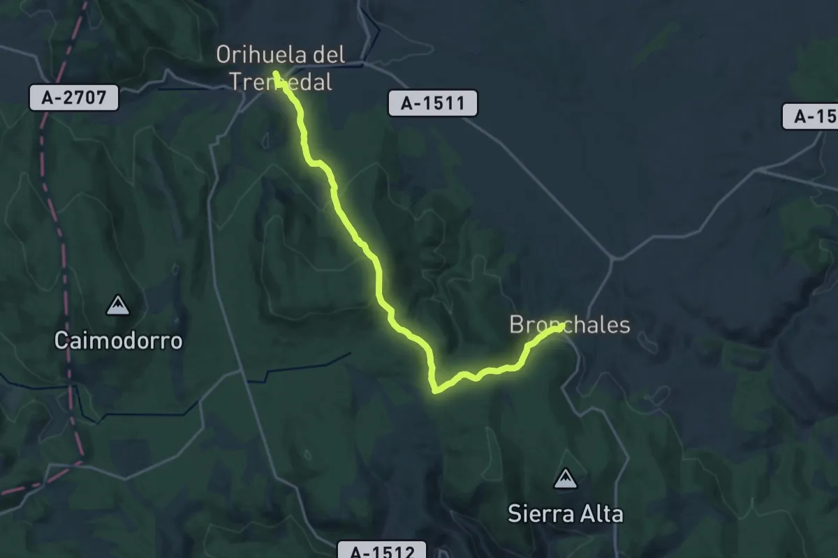
Demanding · Trail
Etapa 17: Bronchales - Orihuela del Tremedal
19.8 km · ↑ 738 m · 6 h 16 min
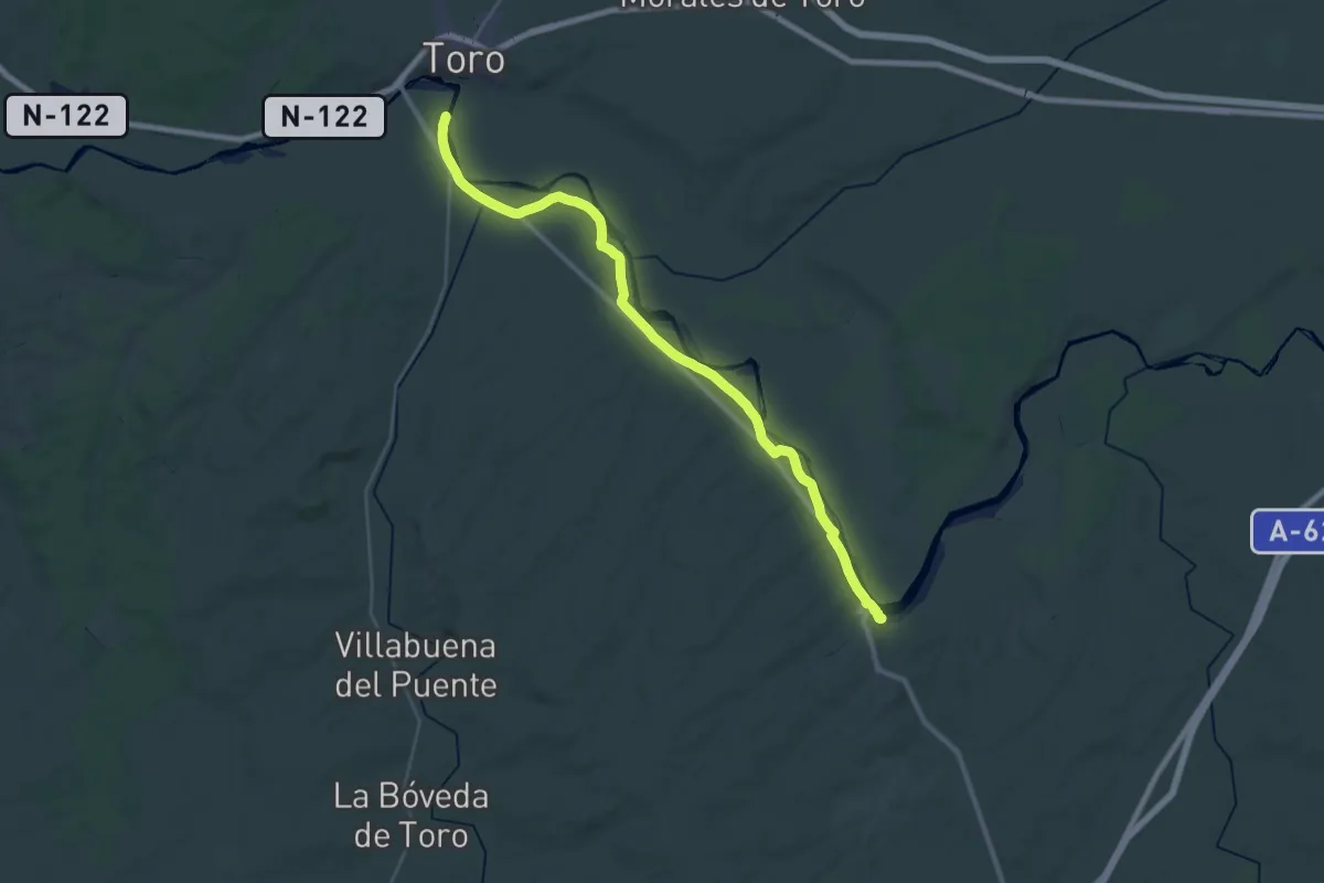
Demanding · Trail
Etapa 17: Castronuño – Toro
19.9 km · ↑ 45 m · 5 h 6 min
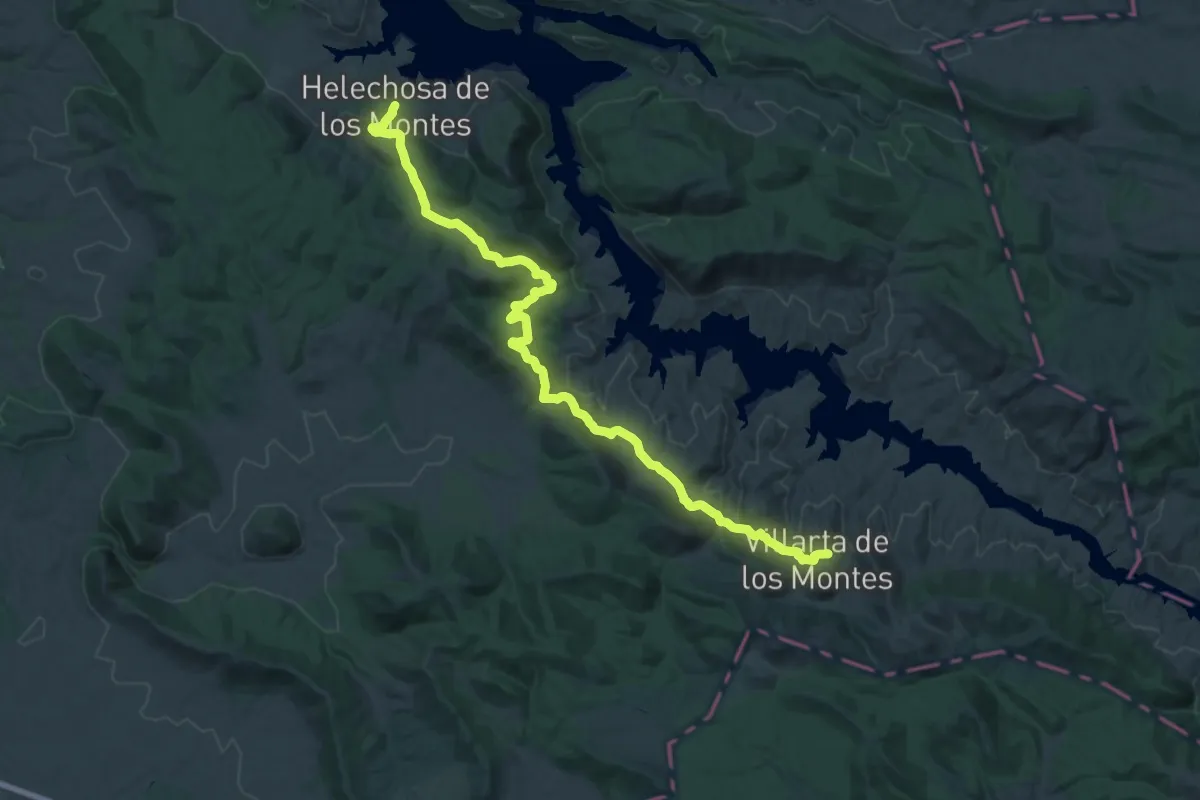
Demanding · Trail
Etapa 17: Villarta de los Montes - Helechosa de los Montes
20.5 km · ↑ 556 m · 6 h 16 min
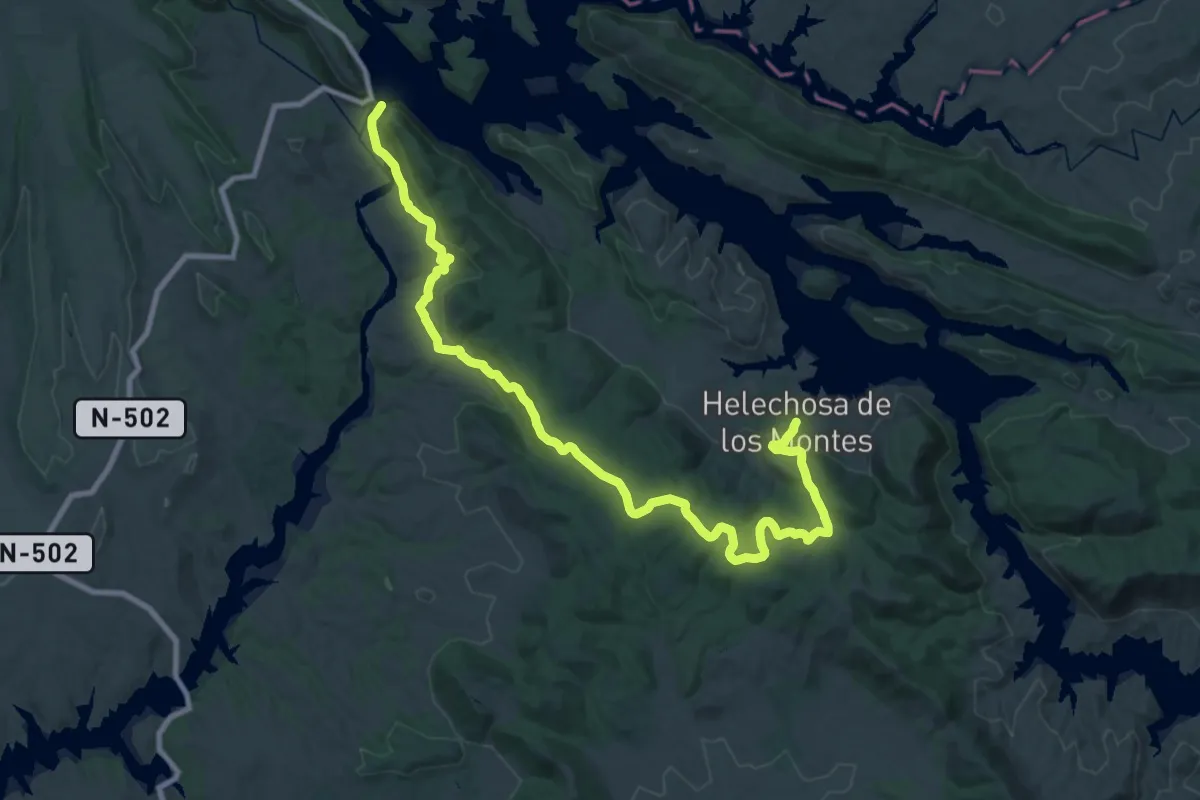
Demanding · Trail
Etapa 18: Helechosa de los Montes - Poblado de Gaudisa
23.7 km · ↑ 534 m · 7 h 3 min
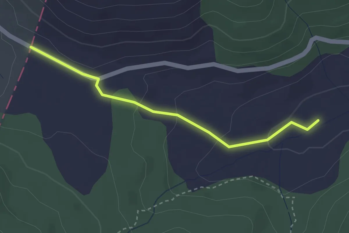
Easy · Trail
Etapa 18: Orihuela del Tremedal - Límite provincial Guadalajara
2.9 km · ↑ 87 m · 52 min
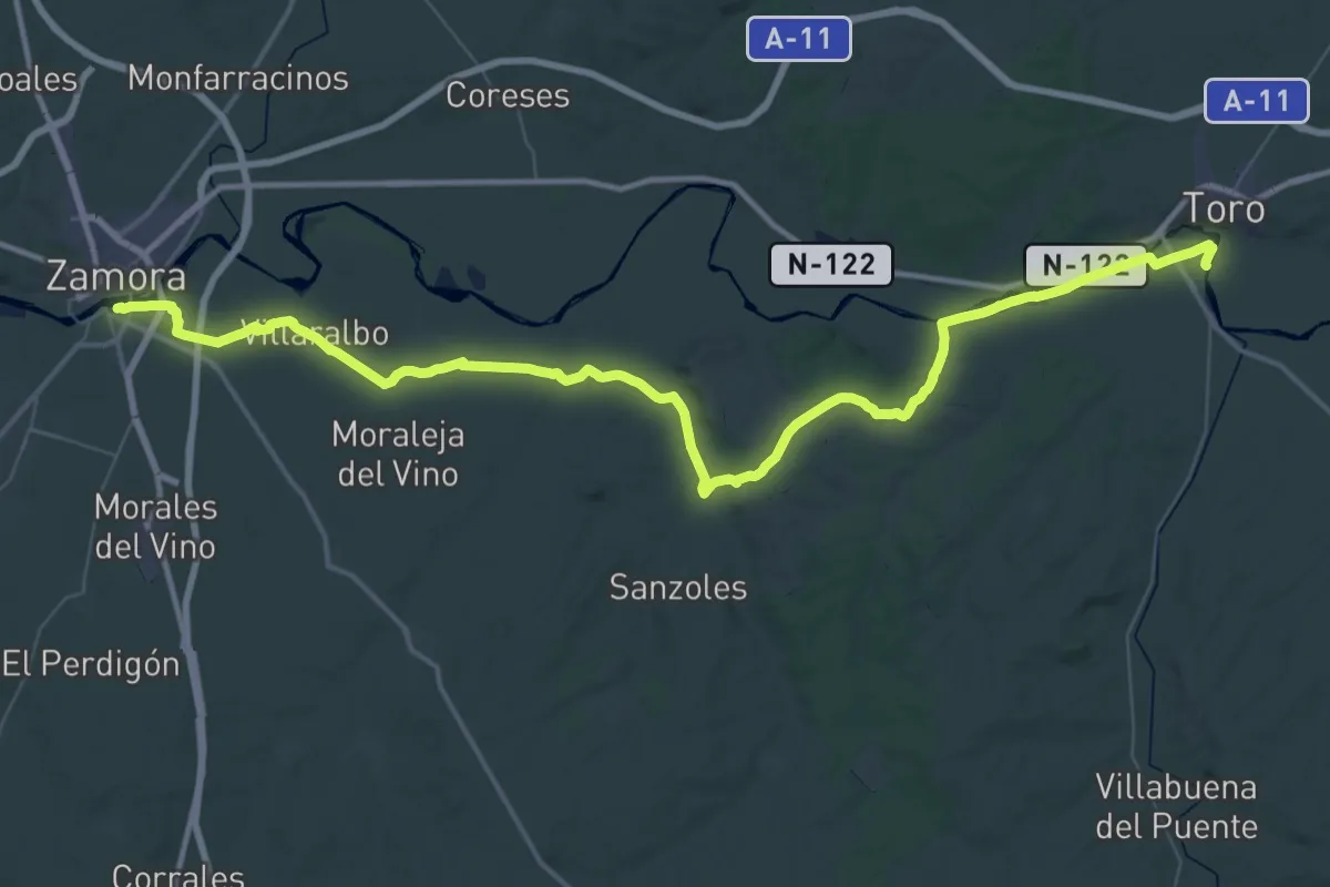
Demanding · Trail
Etapa 18: Toro – Zamora
37.4 km · ↑ 228 m · 9 h 50 min
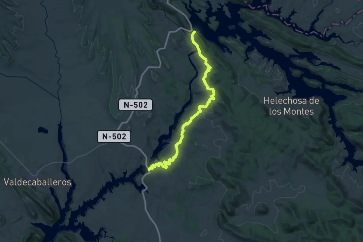
Demanding · Trail
Etapa 19: Poblado de Gaudisa - Castilblanco
22.4 km · ↑ 468 m · 6 h 39 min
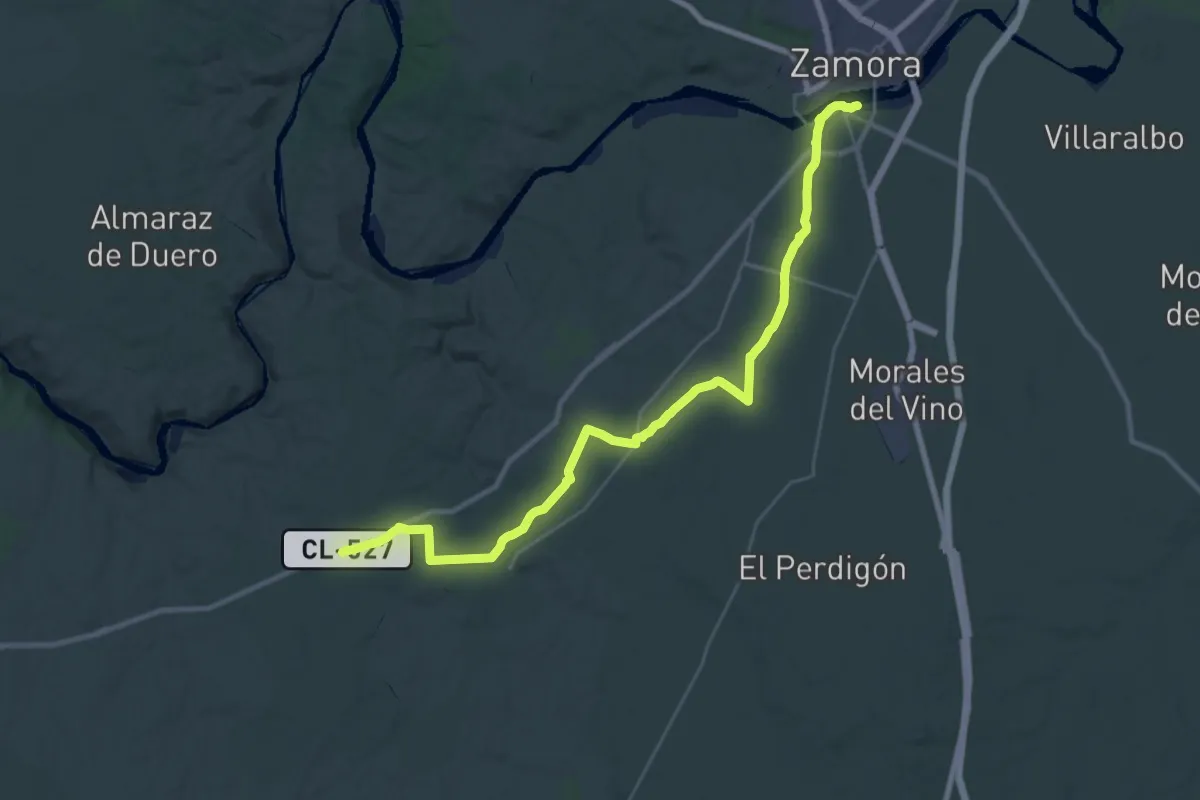
Demanding · Trail
Etapa 19: Zamora – Pereruela
18.4 km · ↑ 47 m · 4 h 46 min
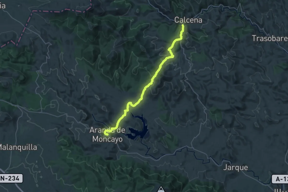
Demanding · Trail
Etapa 1: Calcena - Aranda de Moncayo
25.5 km · ↑ 749 m · 7 h 39 min
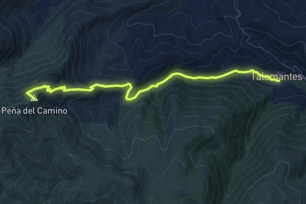
Medium · Summit
Etapa 1: Collado de la Estaca - Talamantes
10.3 km · ↑ 646 m · 3 h 50 min
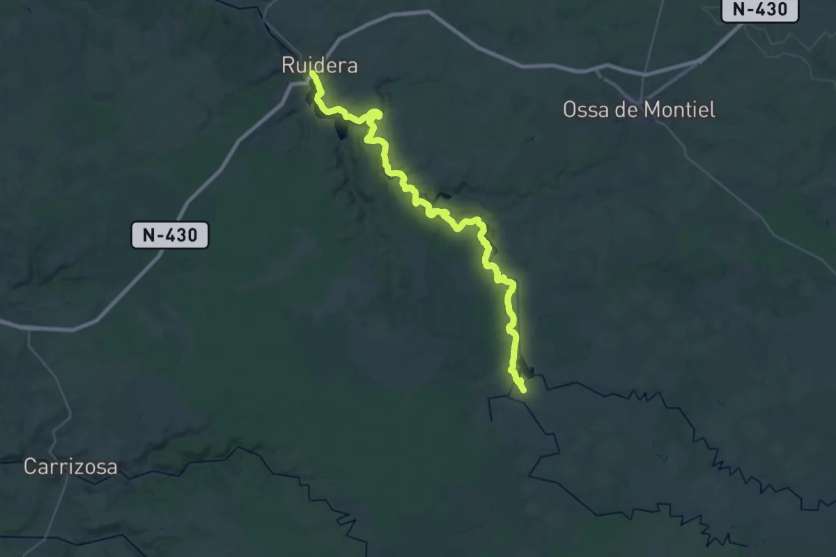
Demanding · Trail
Etapa 1: Laguna Blanca - Riudera
21.2 km · ↑ 179 m · 5 h 45 min
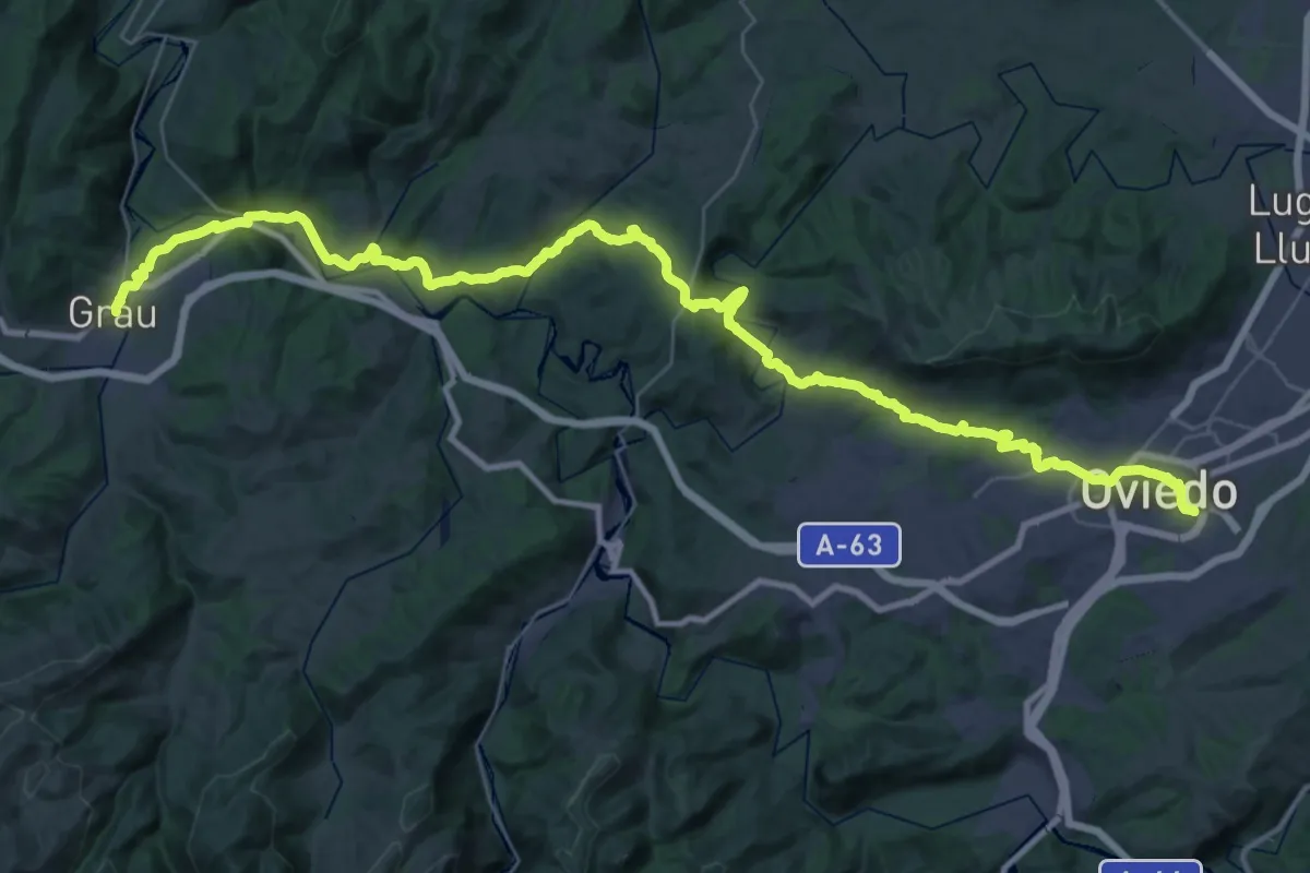
Demanding · Pilgrim path
Etapa 1: Oviedo/Uviéu - Grau/Grado
26.2 km · ↑ 634 m · 7 h 50 min
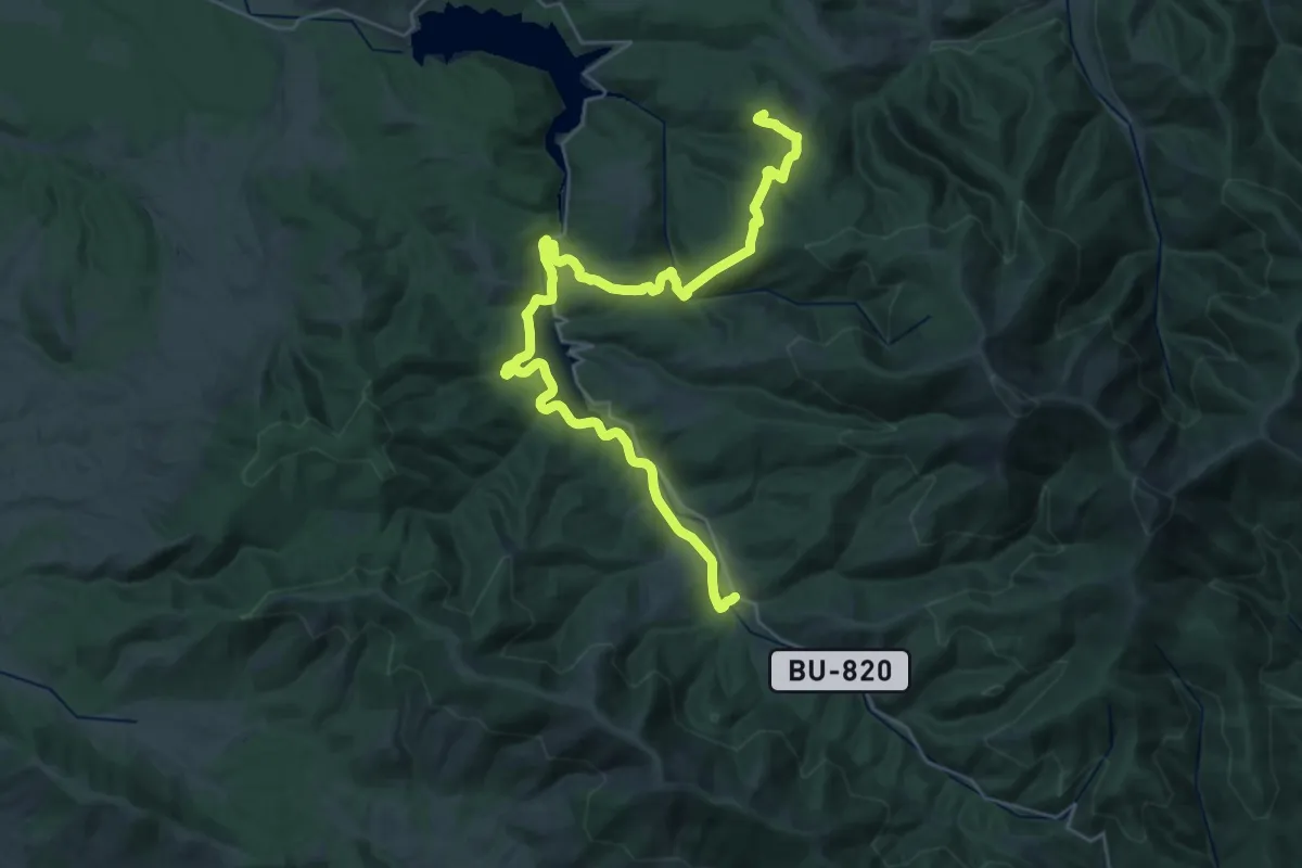
Demanding · Summit
Etapa 1 Pineda de la Sierra - Alarcia
39.2 km · ↑ 1279 m · 12 h 2 min
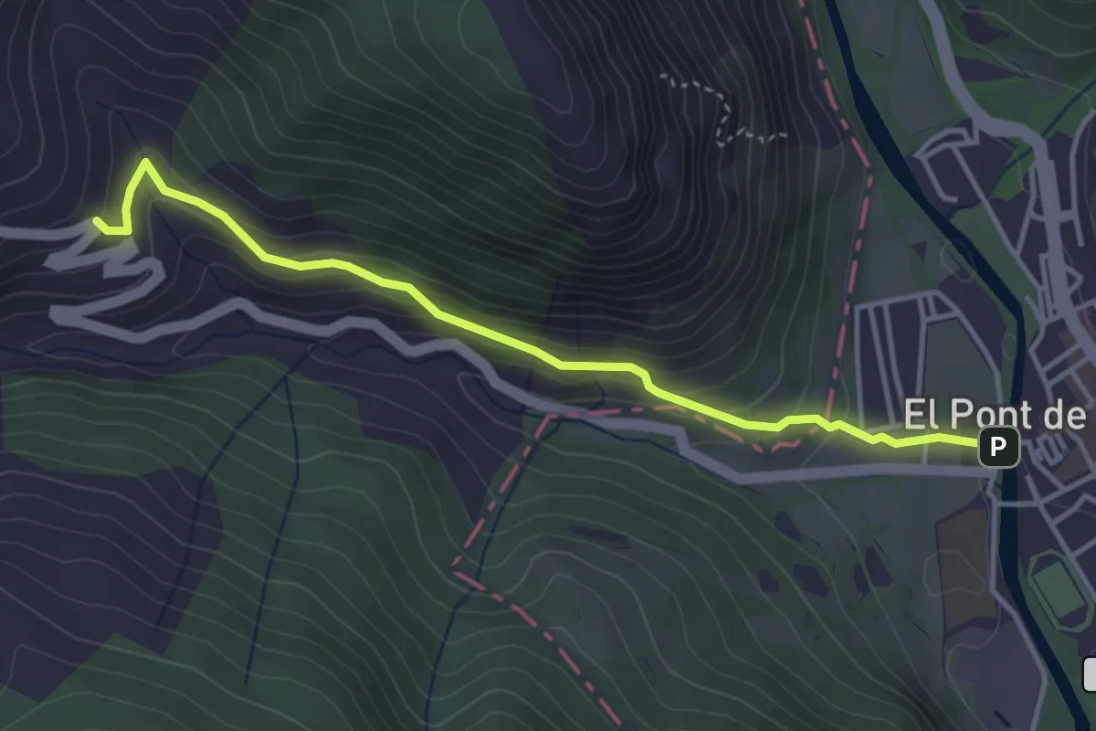
Easy · Trail
Etapa 1: Pont de Suert – Bonansa – San Feliu de Veri
4.1 km · ↑ 253 m · 1 h 31 min
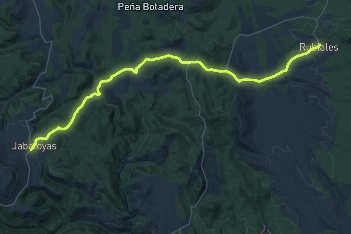
Medium · Trail
Etapa 1: Rubiales - Jabaloyas
15.2 km · ↑ 583 m · 4 h 56 min
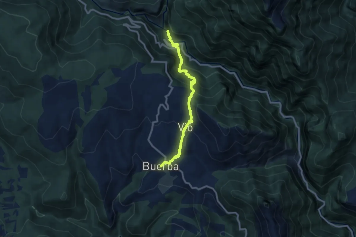
Medium · Trail
Etapa 1: San Úrbez - Buerba
7.3 km · ↑ 545 m · 2 h 54 min
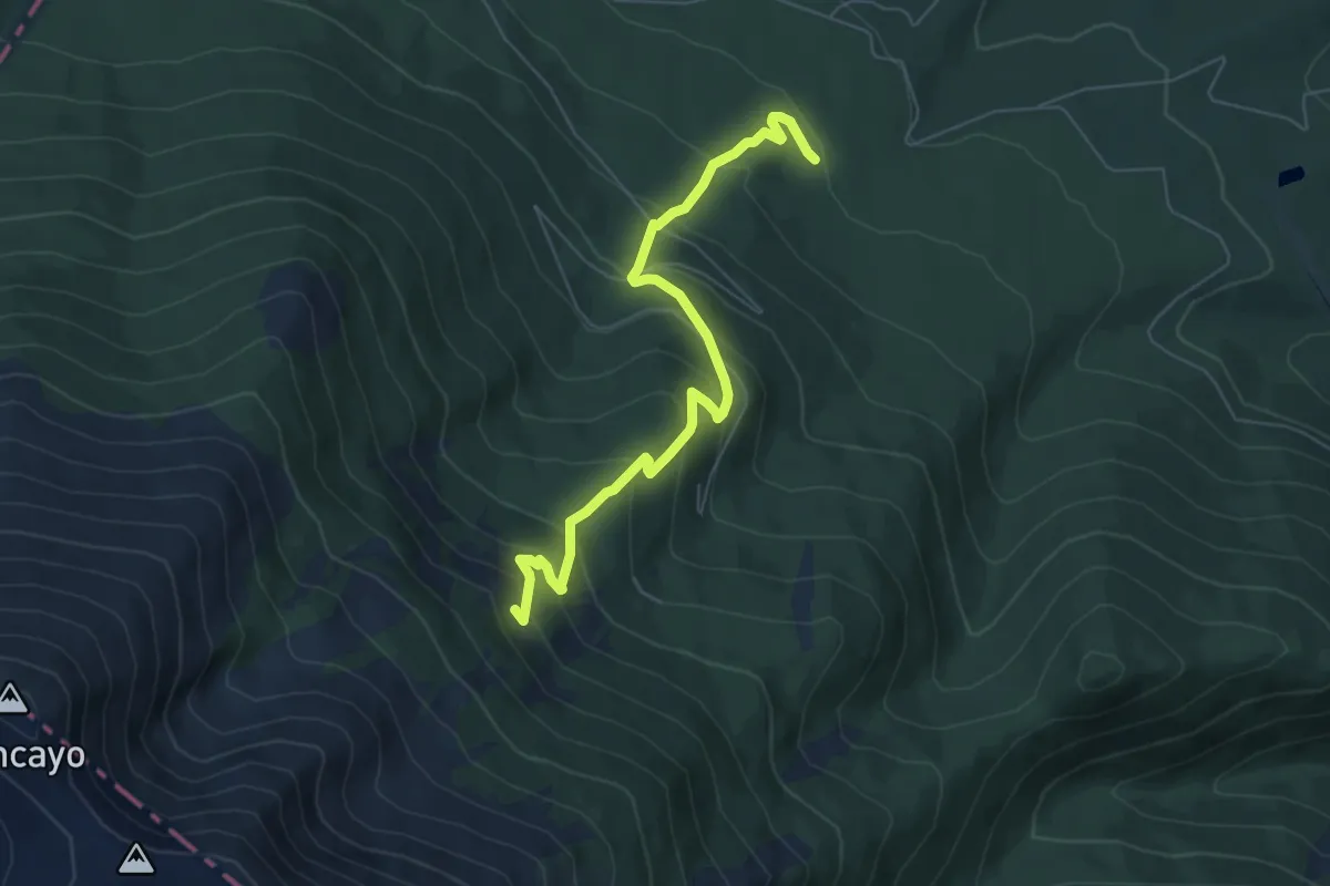
Medium · Trail
Etapa 1: Tarazona - Santuario del Moncayo
7.1 km · ↑ 521 m · 2 h 49 min
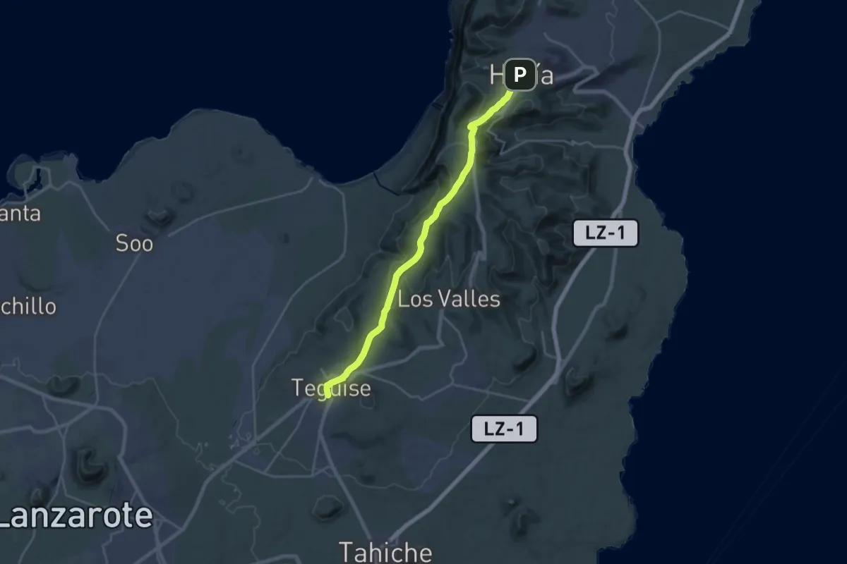
Demanding · Trail
Etapa 2
25.0 km · ↑ 741 m · 7 h 31 min
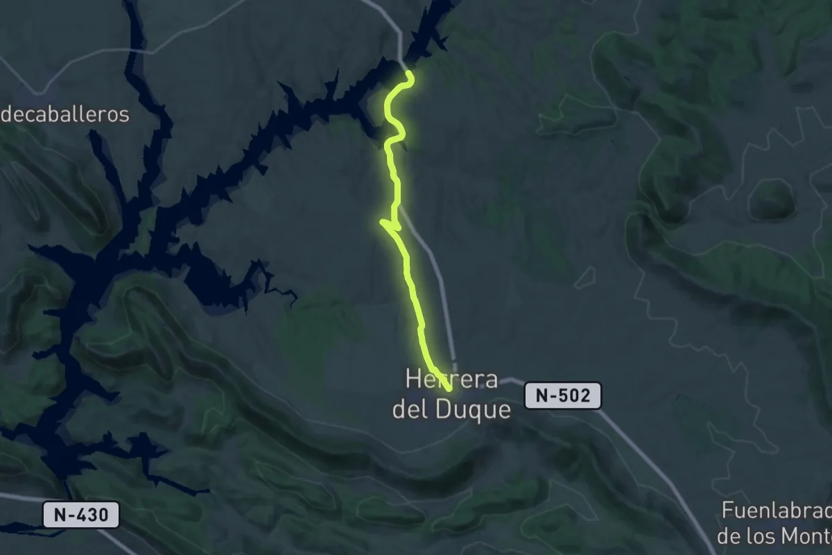
Demanding · Trail
Etapa 20: Castilblanco - Herrera del Duque
23.6 km · ↑ 405 m · 6 h 26 min
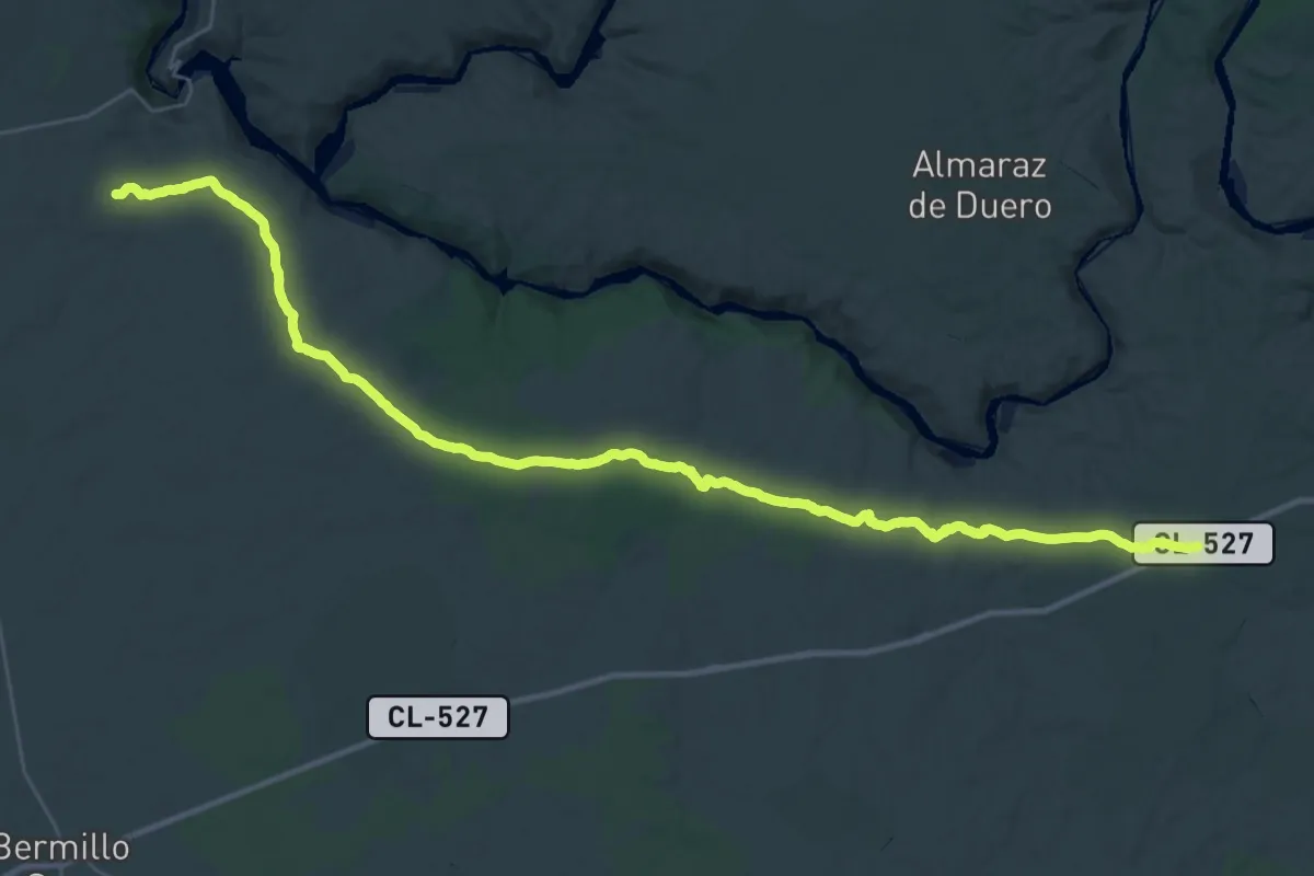
Demanding · Trail
Etapa 20: Pereruela – Moral de Sayago
23.5 km · ↑ 234 m · 6 h 24 min
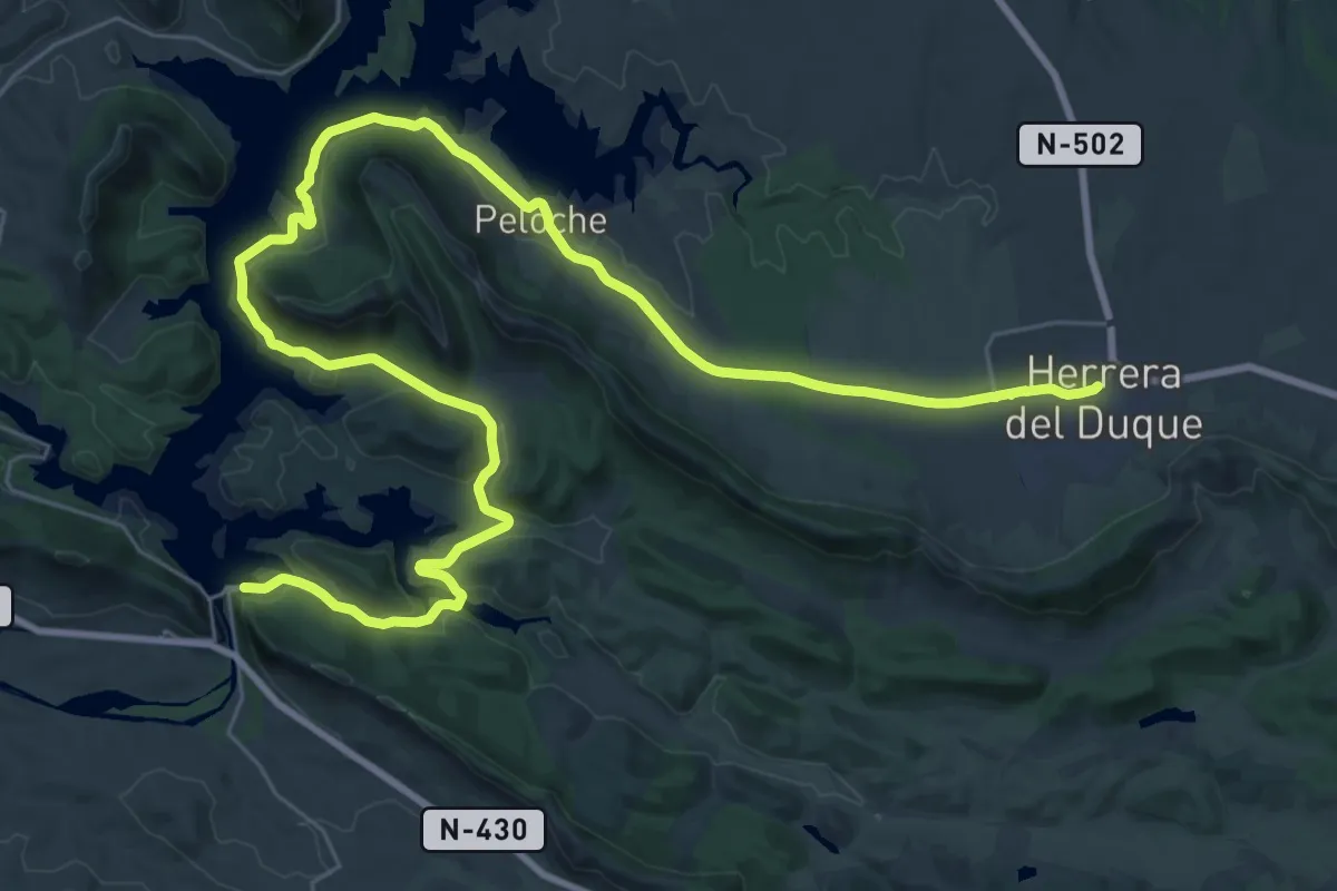
Demanding · Trail
Etapa 21: Herrera del Duque - Puerto Peña
25.5 km · ↑ 329 m · 7 h 9 min
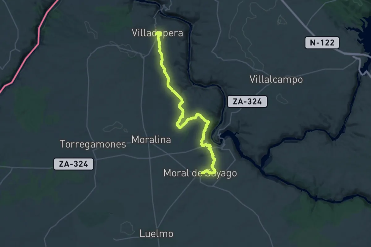
Demanding · Trail
Etapa 21: Moral de Sayago – Villadepera
28.9 km · ↑ 517 m · 7 h 56 min
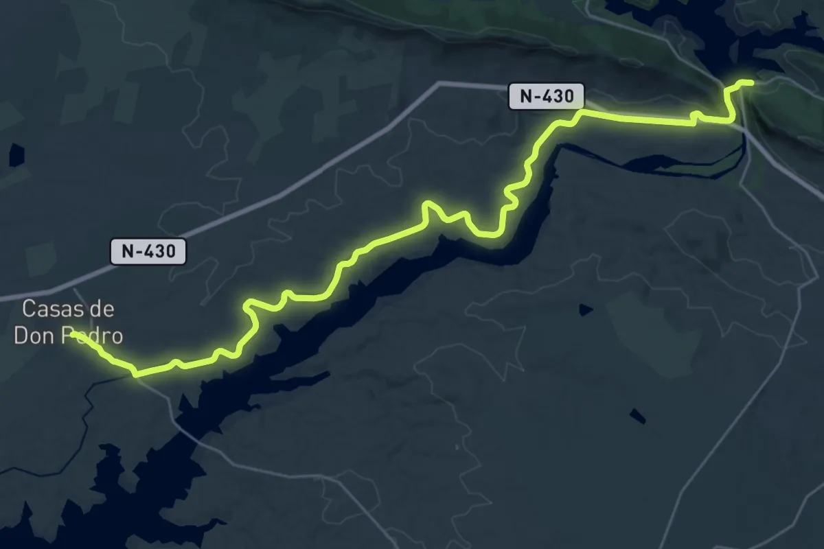
Demanding · Trail
Etapa 22: Puerto Peña - Casas de Don Pedro
18.6 km · ↑ 180 m · 5 h 3 min
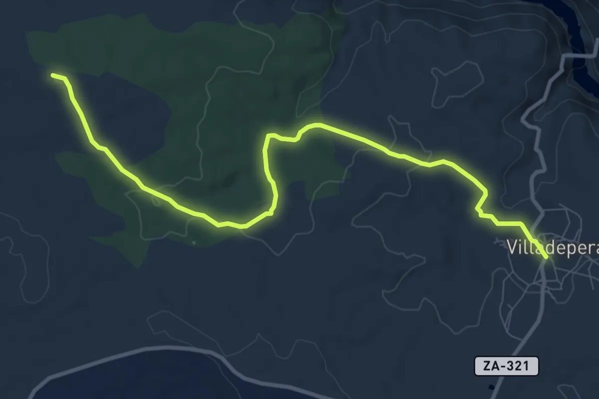
Medium · Summit
Etapa 22: Villadepera – Villardiegua de la Ribera
10.4 km · ↑ 229 m · 2 h 57 min
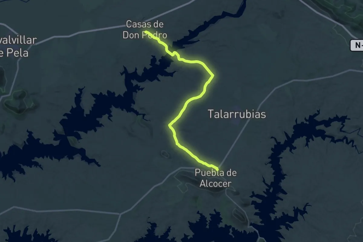
Demanding · Trail
Etapa 23: Casas de Don Pedro - Puebla de Alcocer
20.5 km · ↑ 308 m · 5 h 44 min
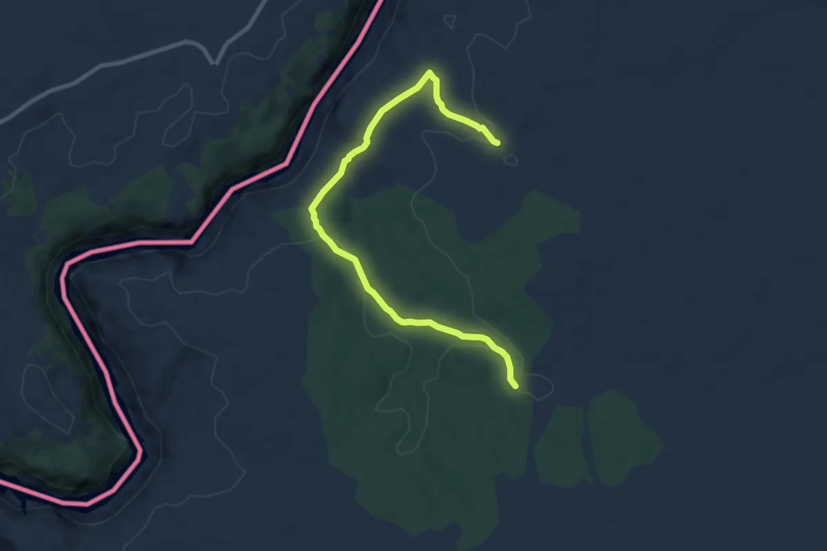
Medium · Trail
Etapa 23: Villardiegua de la Ribera – Torregamones
9.4 km · ↑ 162 m · 2 h 34 min
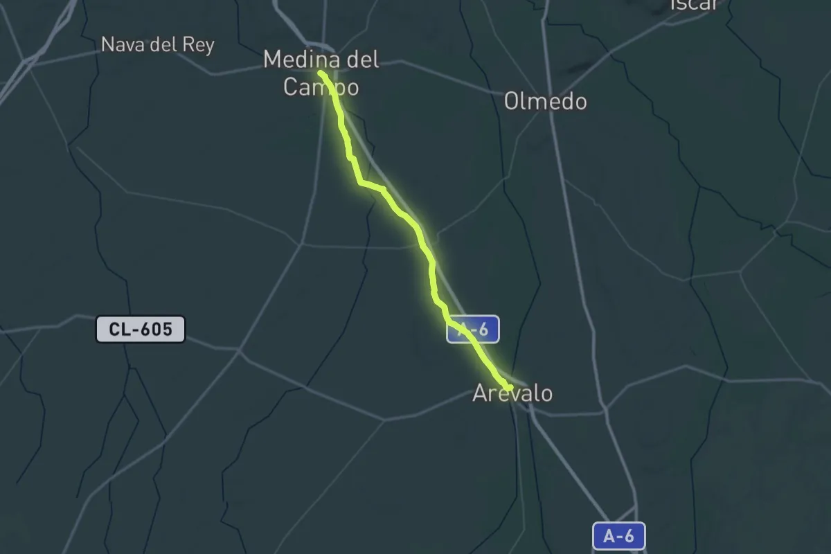
Demanding · Trail
Etapa 24: Arévalo - Medina del Campo
33.8 km · ↑ 121 m · 8 h 40 min
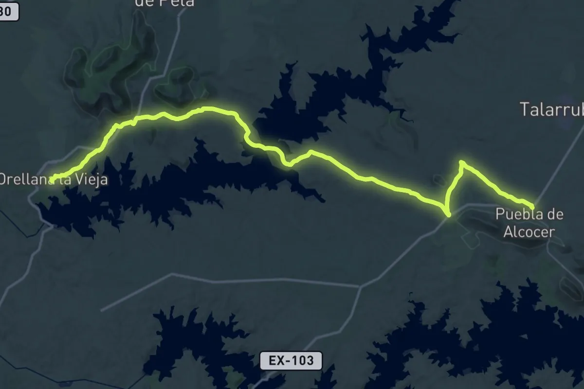
Demanding · Trail
Etapa 24: Puebla de Alcocer - Orellana la Vieja
32.1 km · ↑ 452 m · 8 h 57 min
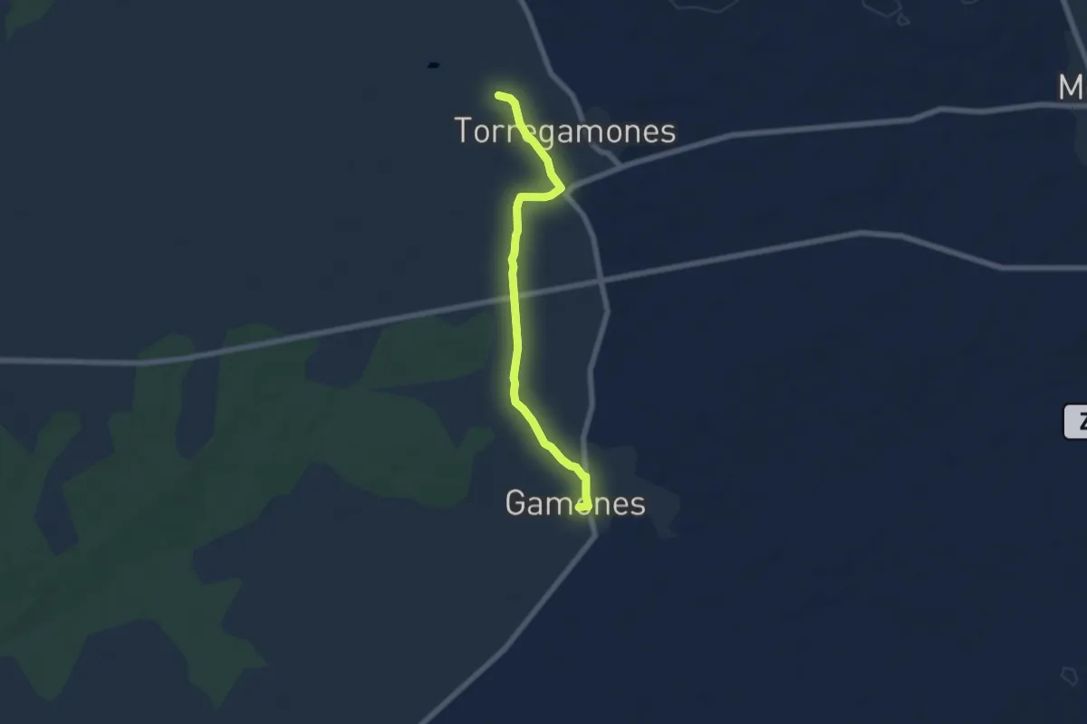
Easy · Trail
Etapa 24: Torregamones – Gamones
6.5 km · ↑ 36 m · 1 h 36 min
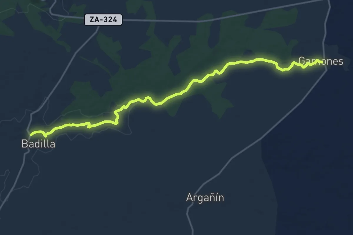
Medium · Trail
Etapa 25: Gamones – Badilla
16.2 km · ↑ 79 m · 4 h
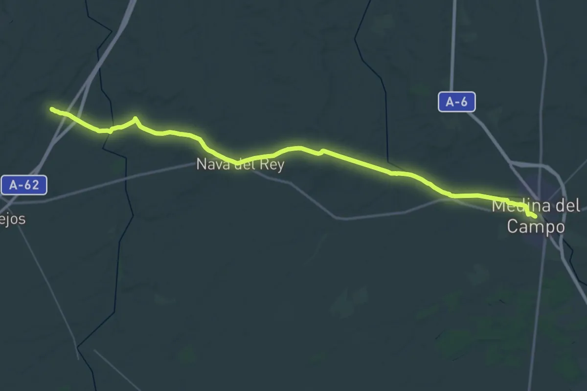
Demanding · Trail
Etapa 25: Medina del Campo - Sieteiglesias de Trabancos
25.1 km · ↑ 174 m · 6 h 38 min
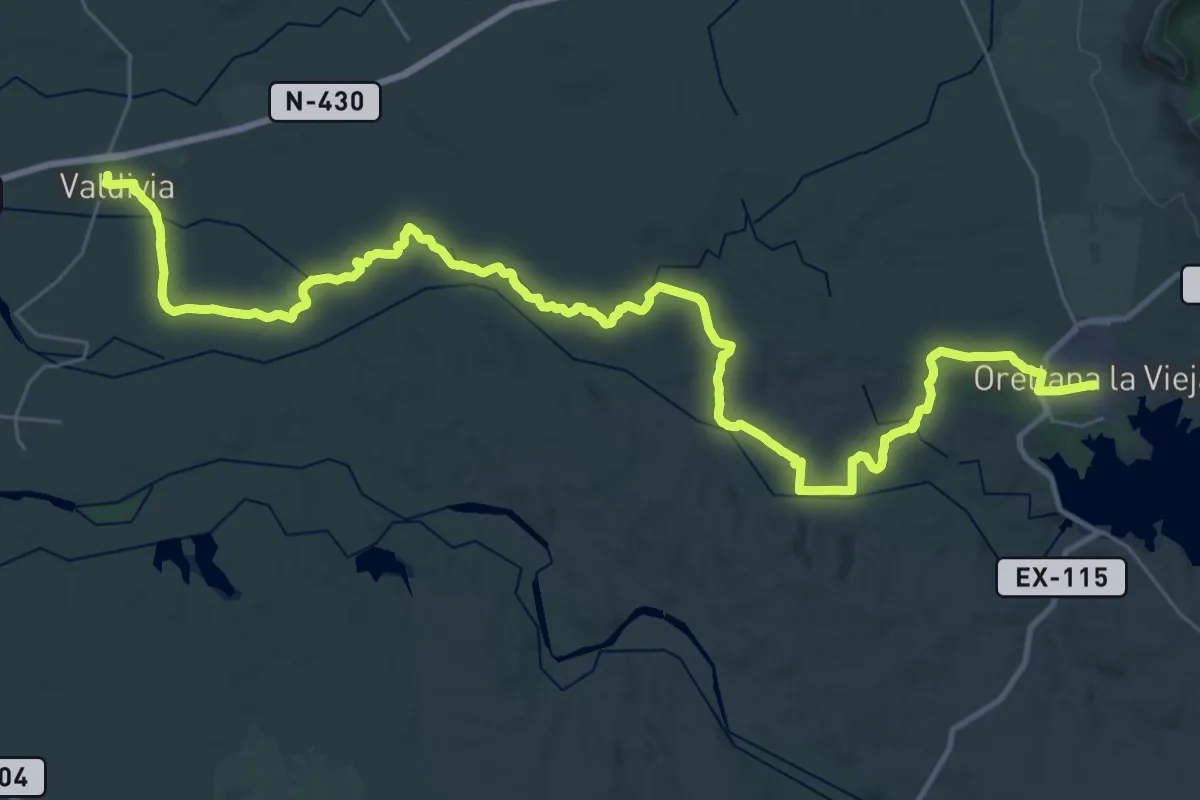
Demanding · Trail
Etapa 25: Orellana la Vieja - Valdivia
24.8 km · ↑ 146 m · 6 h 34 min
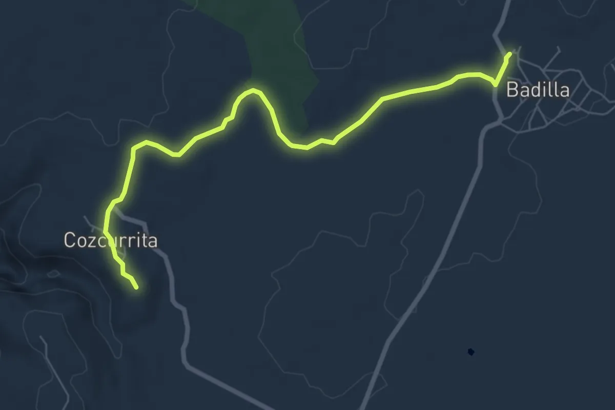
Easy · Trail
Etapa 26: Badilla – Cozcurrita
7.3 km · ↑ 37 m · 1 h 49 min
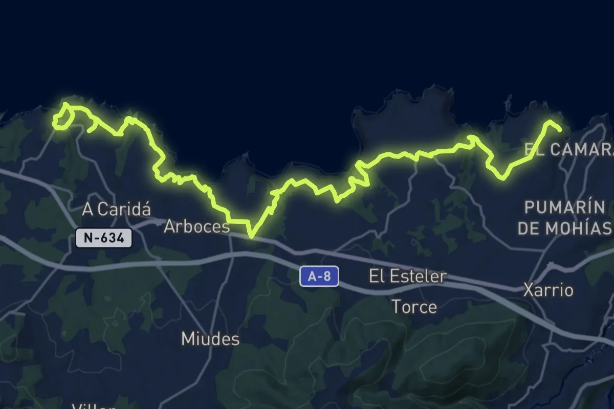
Medium · Trail
Etapa 26 Ortiguera - Viavélez
15.1 km · ↑ 390 m · 4 h 36 min
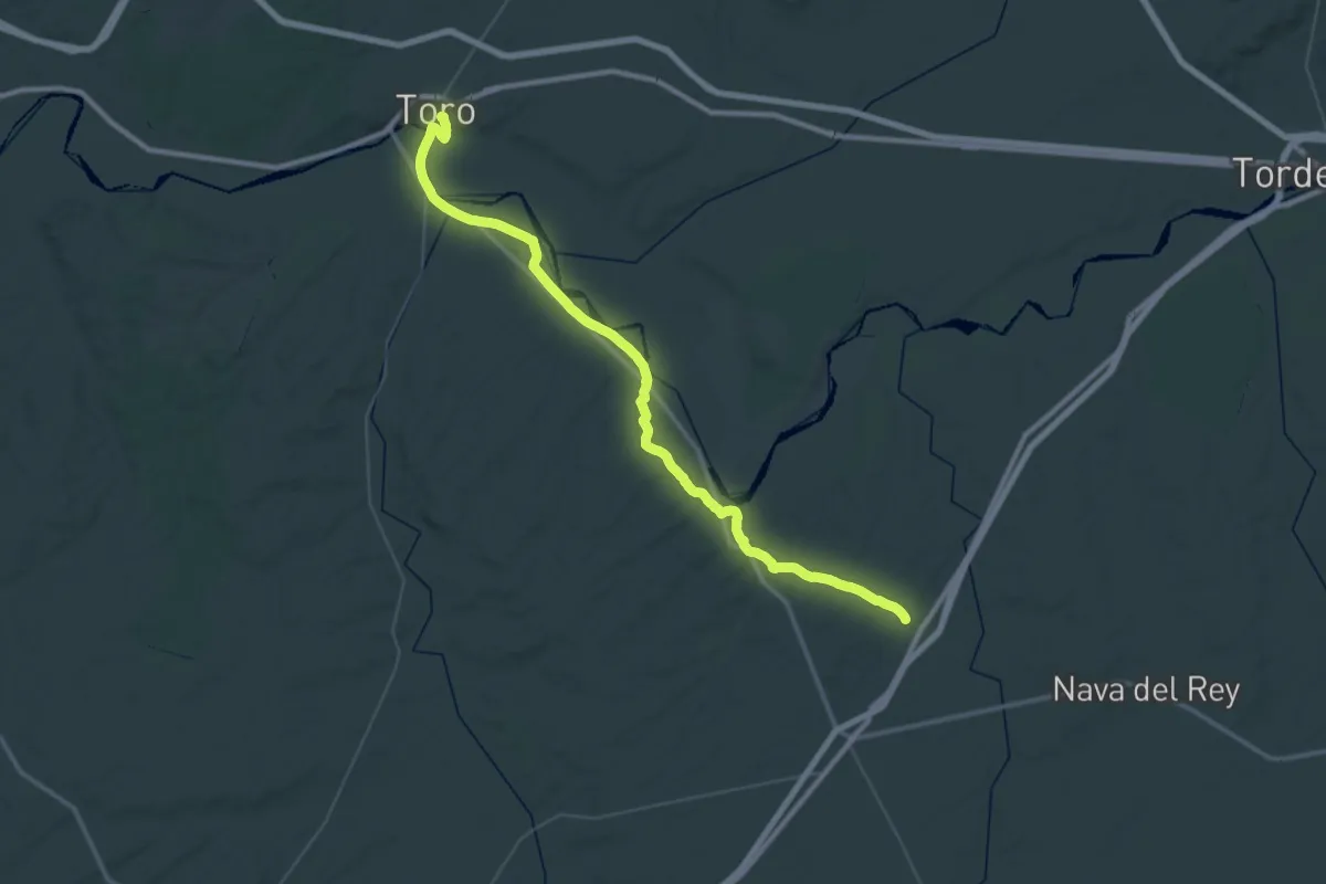
Demanding · Trail
Etapa 26: Sieteiglesias de Trabanco - Toro
30.8 km · ↑ 382 m · 8 h 31 min
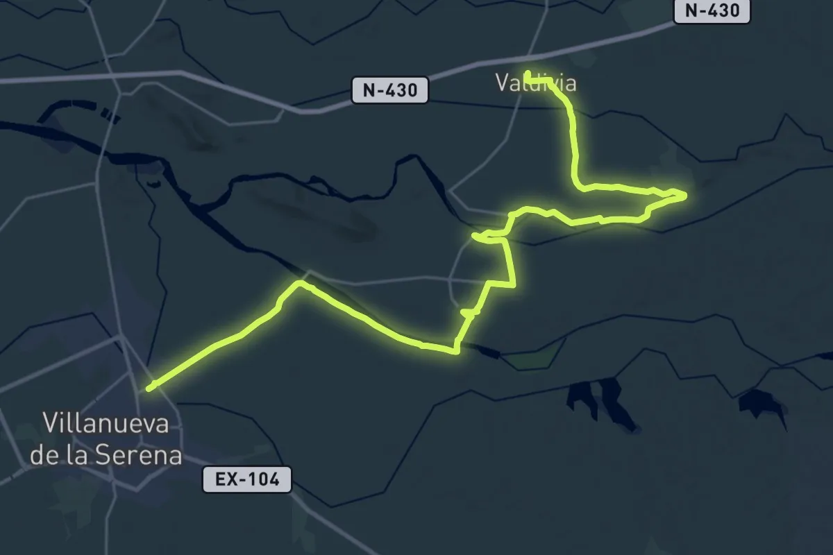
Demanding · Trail
Etapa 26: Valdivia - Villanueva de la Serena
19.4 km · ↑ 40 m · 4 h 56 min
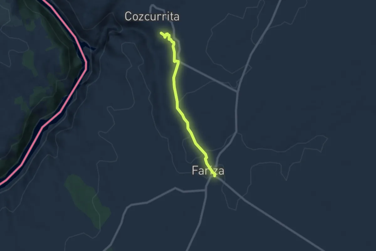
Easy · Trail
Etapa 27: Cozcurrita – Fariza
5.5 km · ↑ 66 m · 1 h 27 min
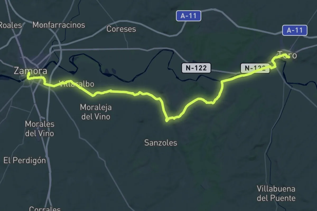
Demanding · Trail
Etapa 27: Toro - Zamora
39.9 km · ↑ 316 m · 10 h 37 min