Trails in Spain
5,963 hiking trails, each with its route, climb, walking time and grade.
All trails, page 41 of 125
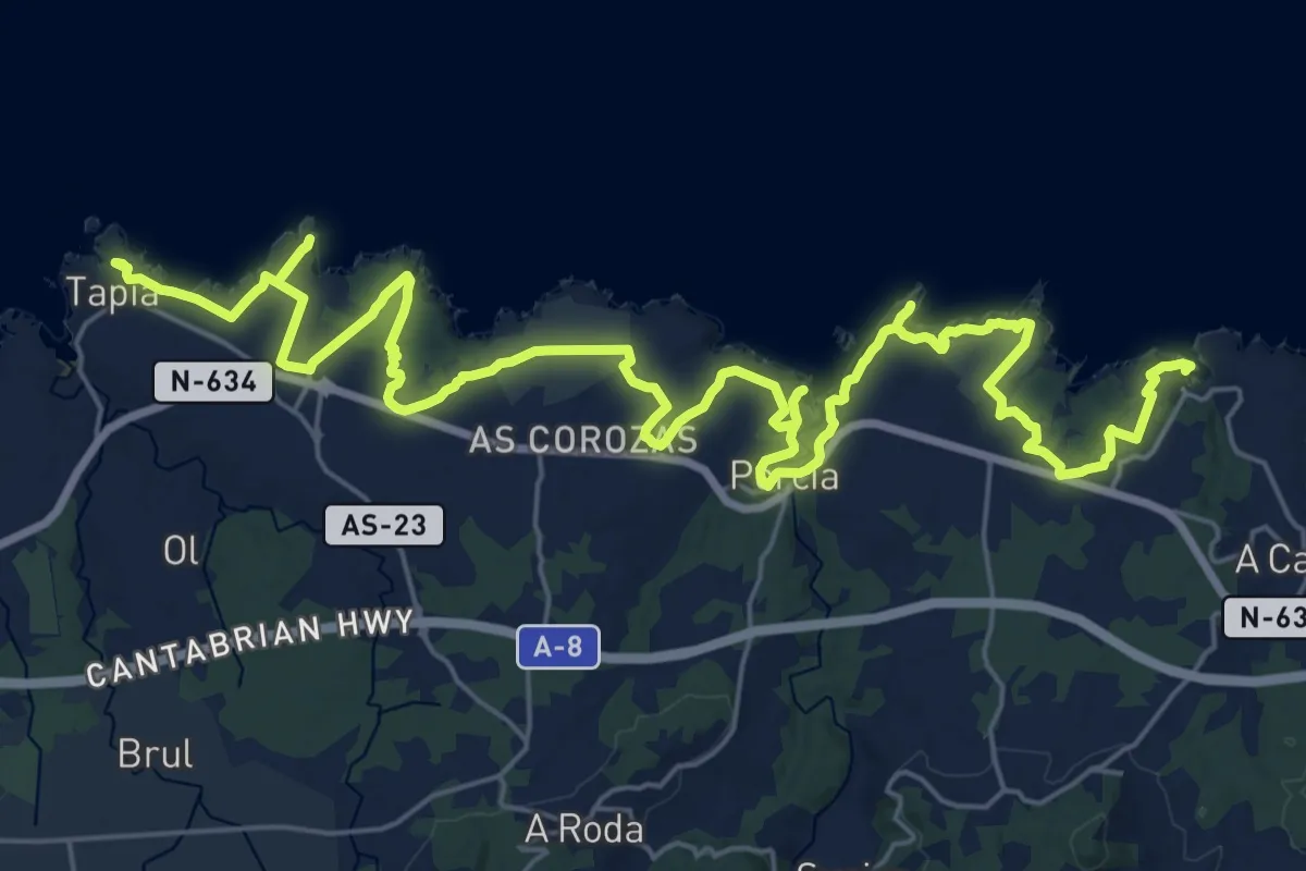
Demanding · Trail
Etapa 27 Viavélez - Tapia de Casariego
19.1 km · ↑ 256 m · 5 h 20 min
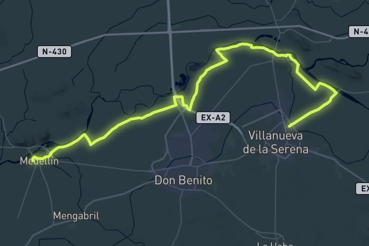
Demanding · Trail
Etapa 27: Villanueva de la Serena - Medellín
28.9 km · ↑ 57 m · 7 h 20 min
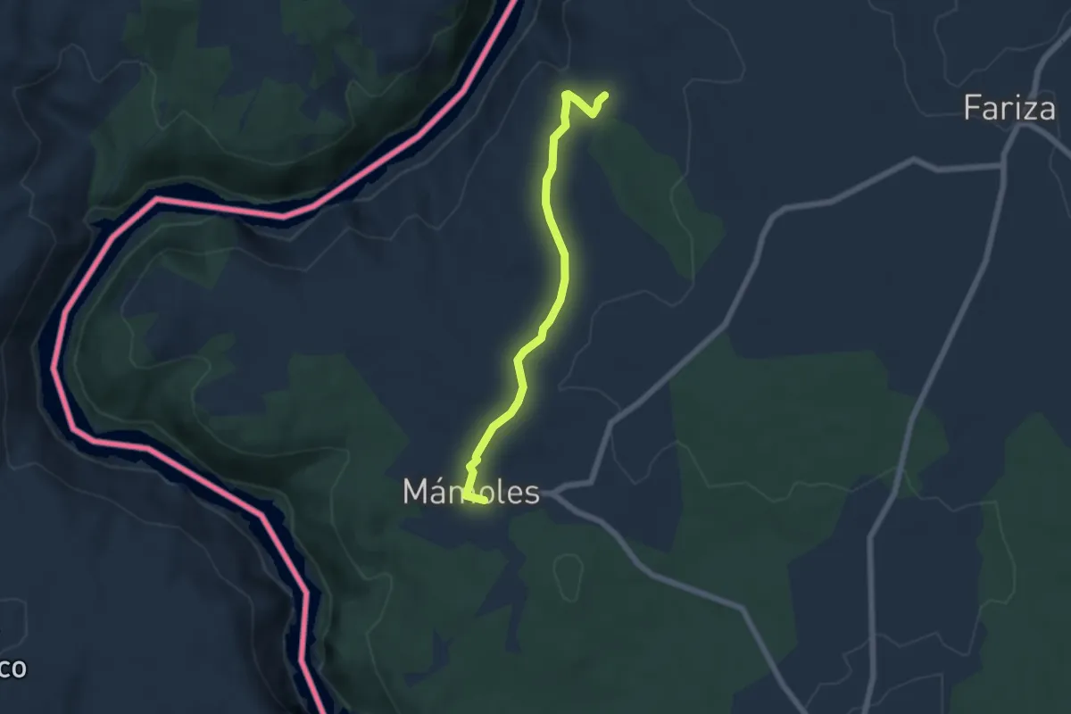
Easy · Trail
Etapa 28: Fariza – Mámoles
5.7 km · ↑ 111 m · 1 h 35 min
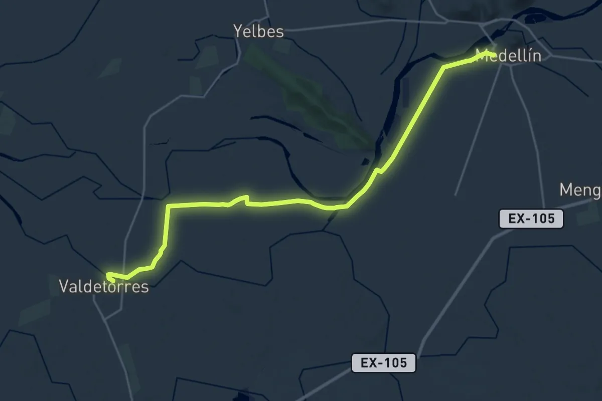
Demanding · Trail
Etapa 28: Medellín - Valdetorres
25.2 km · ↑ 17 m · 6 h
Demanding · Trail
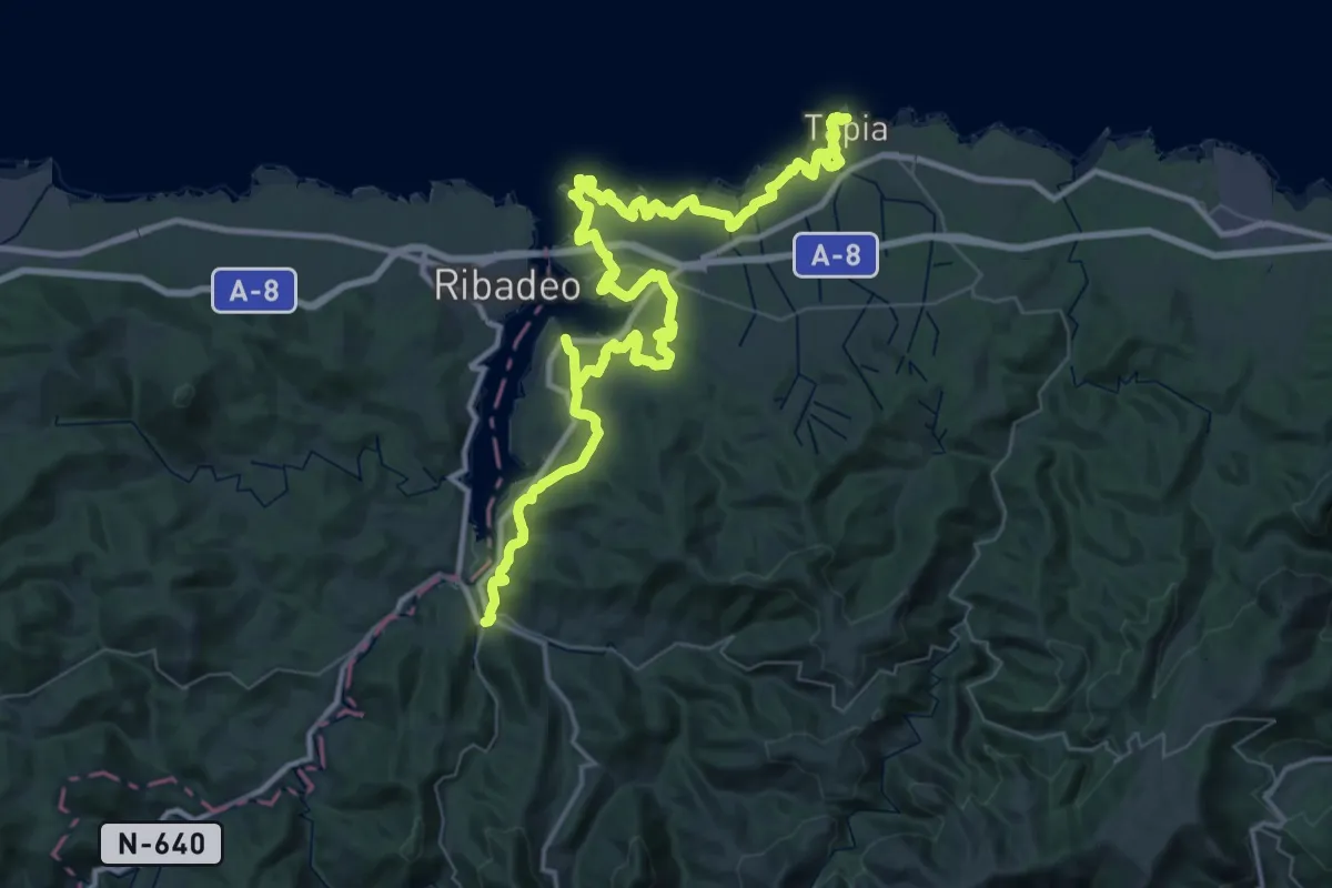
Etapa 28 Senda Costera Tapia de Casariego - Vegadeo
34.7 km · ↑ 537 m · 9 h 50 min
Easy · Trail
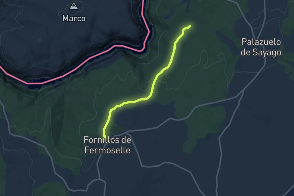
Etapa 29: Mámoles – Fornillos de Fermoselle
7.9 km · ↑ 126 m · 2 h 8 min
Demanding · Trail
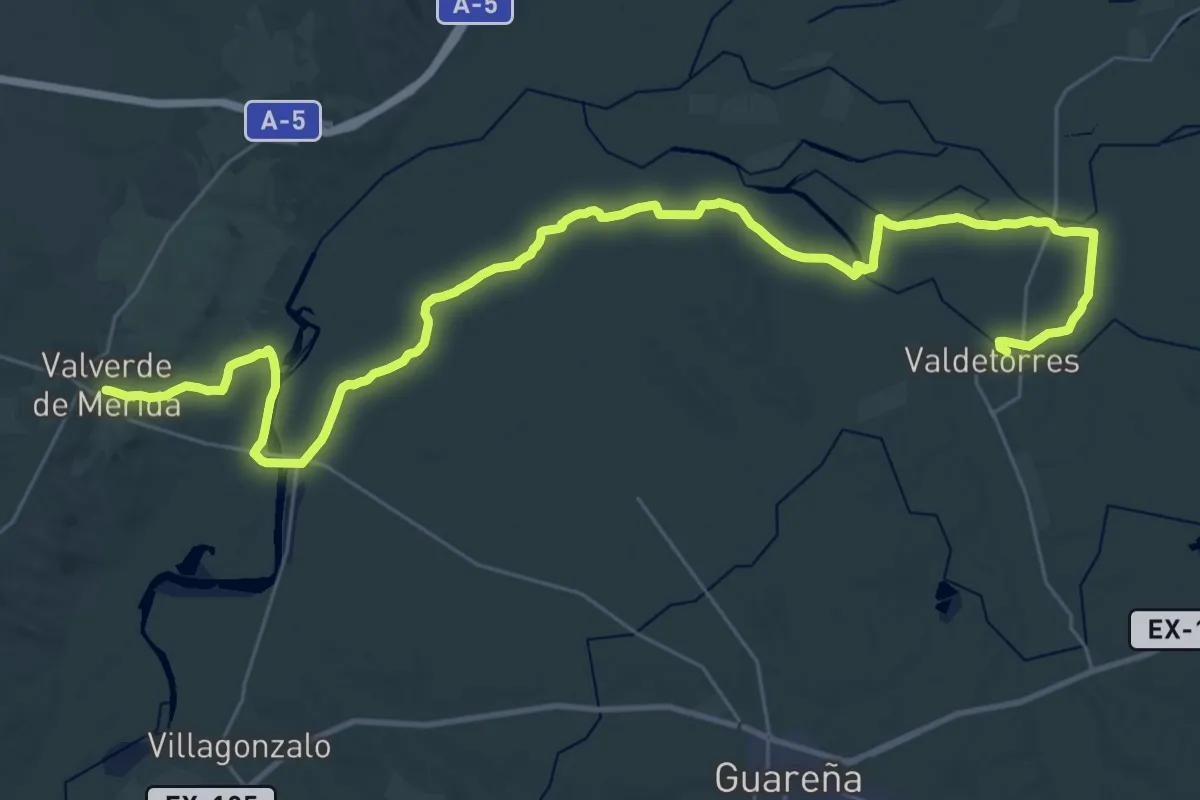
Etapa 29: Valdetorres - Valverde de Mérida
23.4 km · ↑ 76 m · 6 h
Demanding · Summit
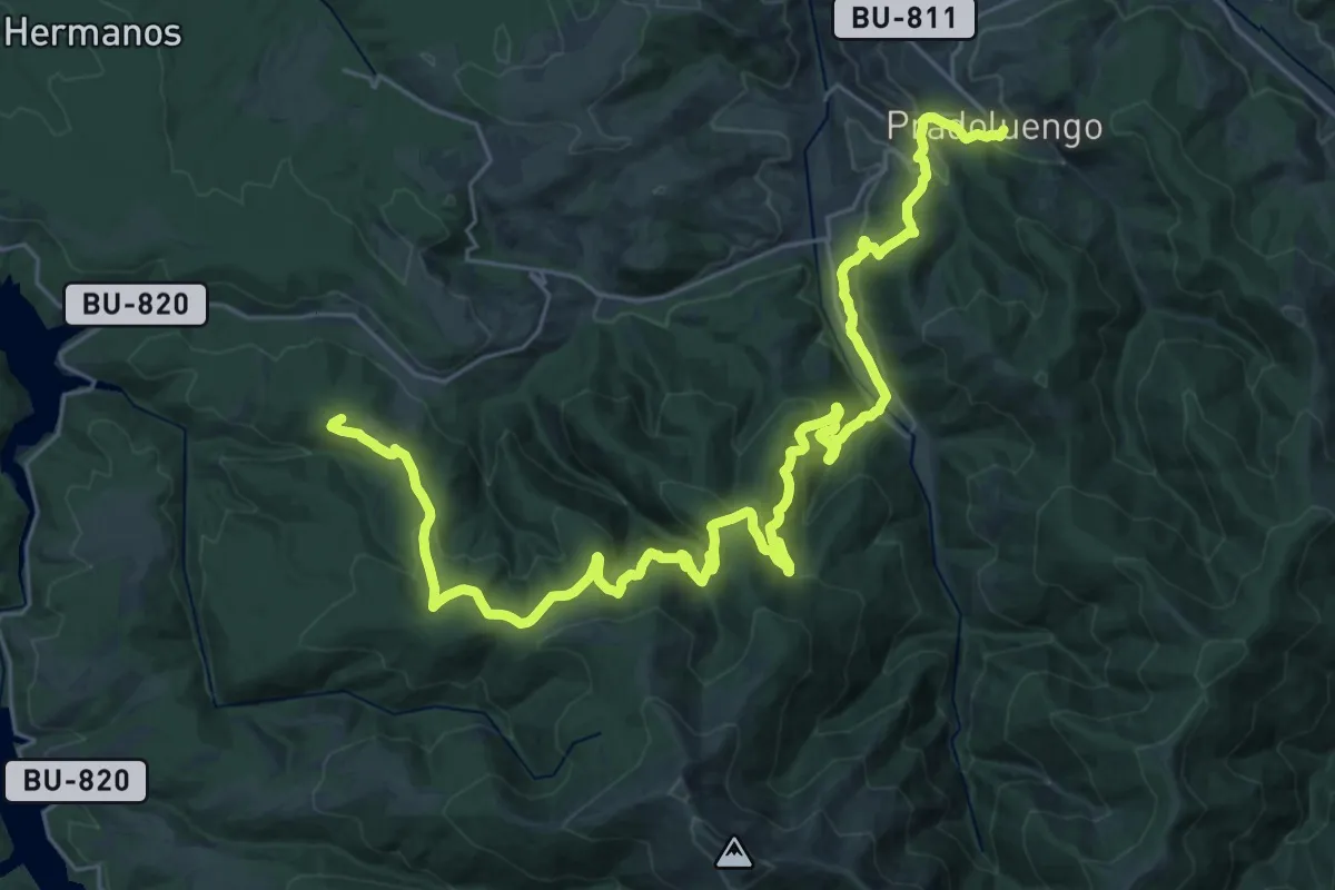
Etapa 2 Alarcia - Pradoluengo
40.0 km · ↑ 1778 m · 13 h 18 min
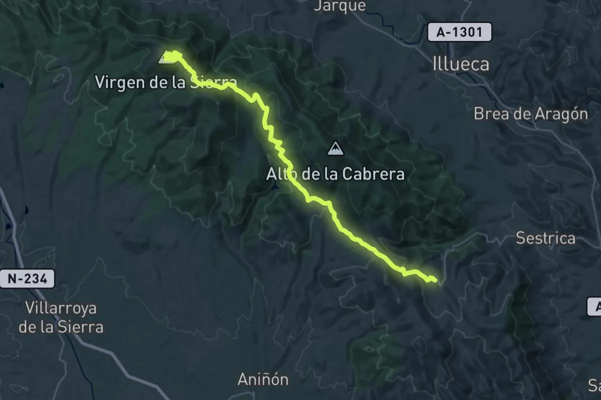
Demanding · Summit
Etapa 2: Aranda de Moncayo - Viver de la Sierra
30.0 km · ↑ 802 m · 8 h 49 min
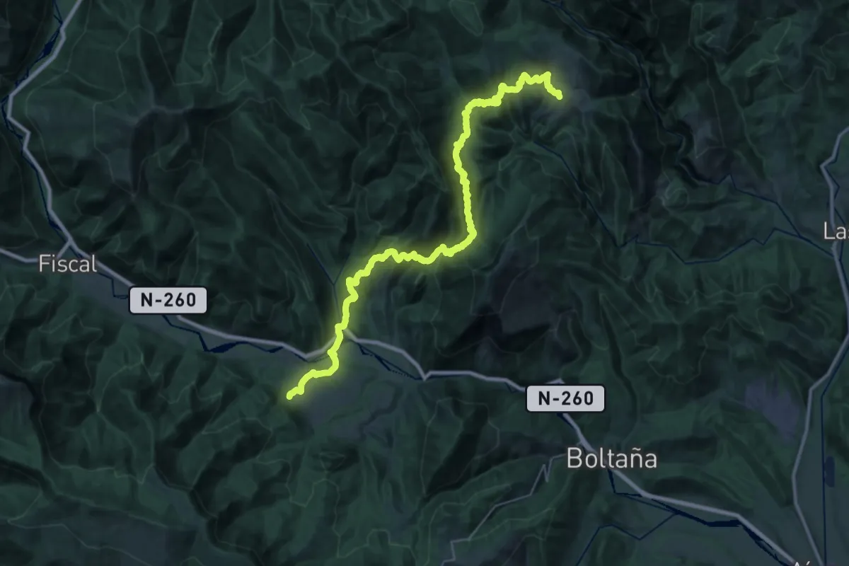
Demanding · Trail
Etapa 2: Buerba - Albella
19.2 km · ↑ 771 m · 6 h 39 min
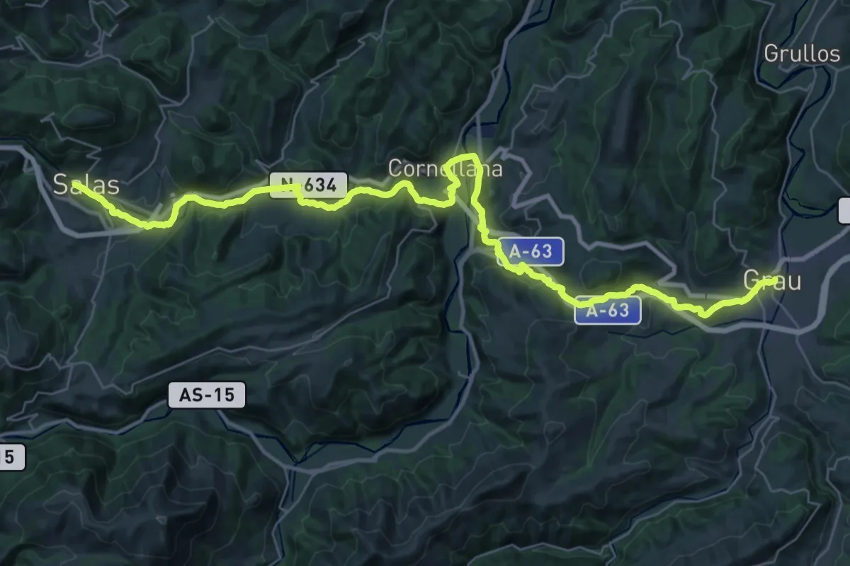
Demanding · Pilgrim path
Etapa 2: Grau/Grado - Salas
22.2 km · ↑ 698 m · 6 h 58 min
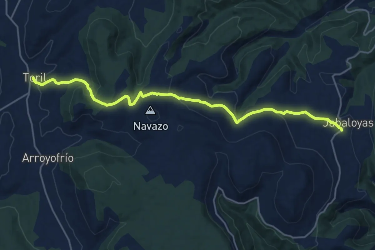
Medium · Trail
Etapa 2: Jabaloyas - Toril
15.8 km · ↑ 482 m · 4 h 46 min
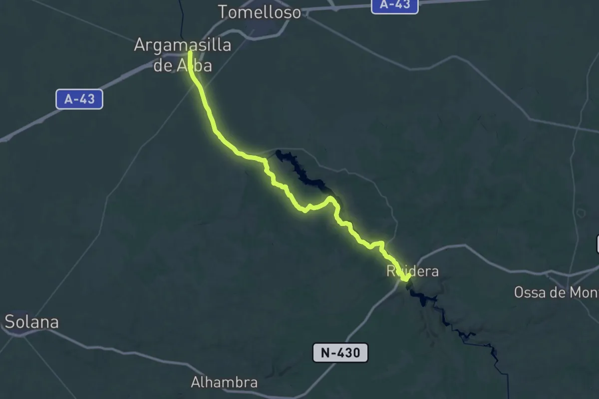
Demanding · Trail
Etapa 2: Ruidera - Argamasilla de Alba
31.0 km · ↑ 182 m · 8 h 12 min
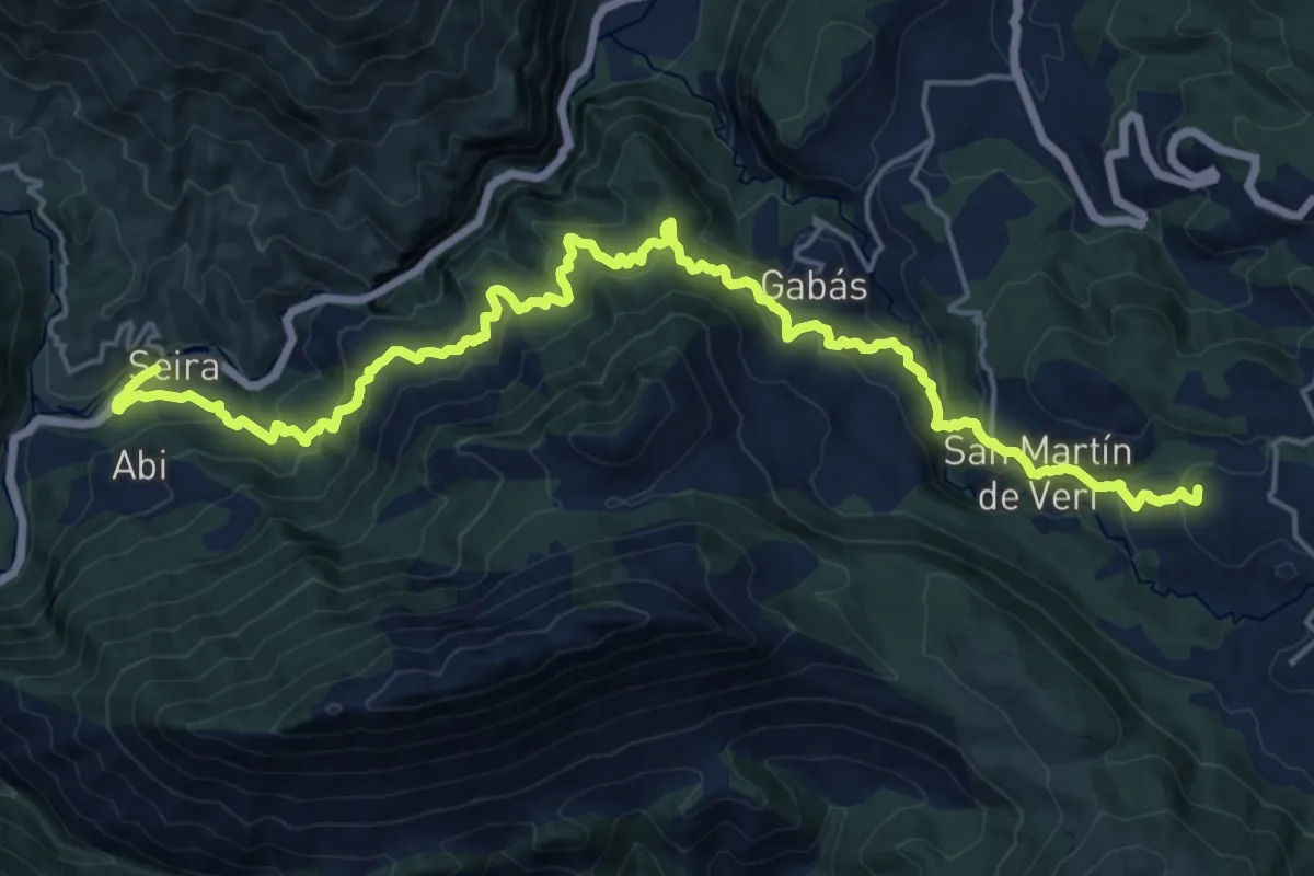
Demanding · Summit
Etapa 2: San Feliu de Veri – Seira
25.3 km · ↑ 1355 m · 8 h 54 min
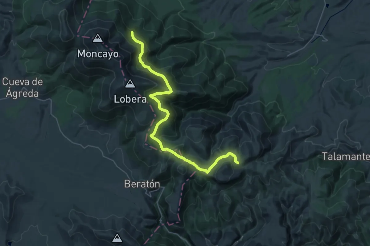
Medium · Trail
Etapa 2: Santuario del Moncayo - Purujosa
14.6 km · ↑ 517 m · 4 h 50 min
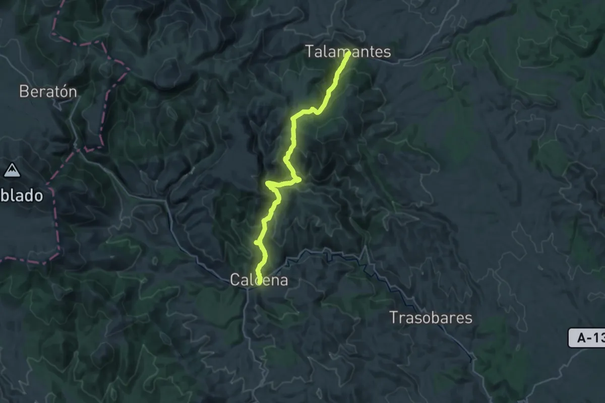
Medium · Trail
Etapa 2: Talamantes - Calcena
12.3 km · ↑ 651 m · 4 h 31 min
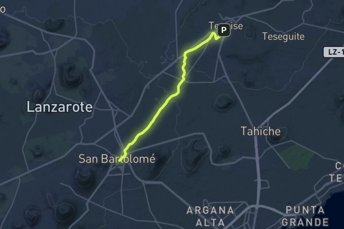
Demanding · Trail
Etapa 3
18.4 km · ↑ 208 m · 4 h 48 min
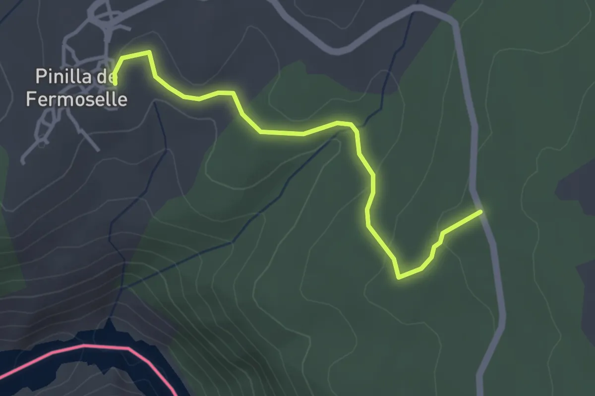
Easy · Trail
Etapa 30: Fornillos de Fermoselle – Pinilla de Fermoselle
3.5 km · ↑ 72 m · 1 h
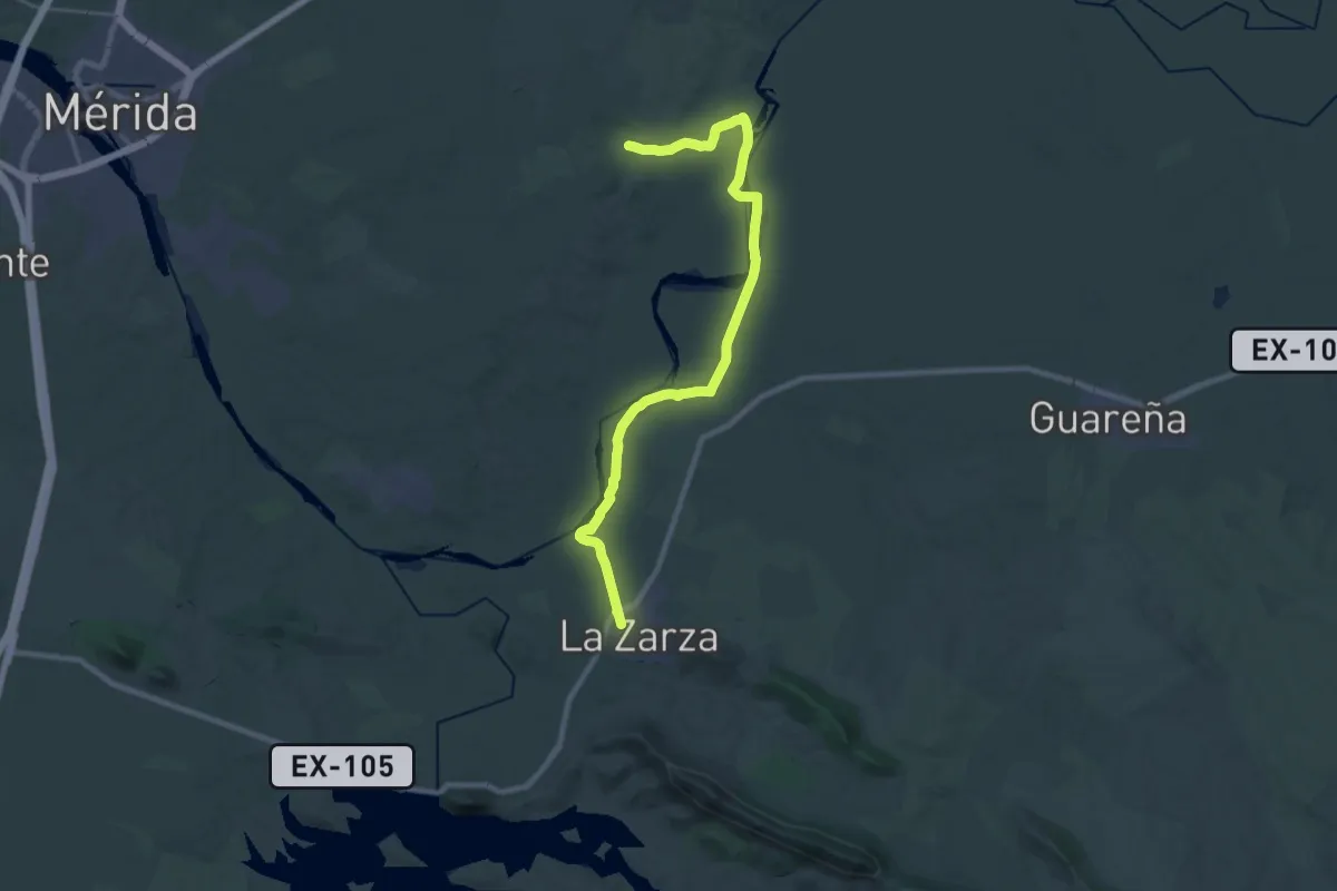
Medium · Trail
Etapa 30: Valverde de Mérida - La Zarza
16.4 km · ↑ 109 m · 4 h 21 min
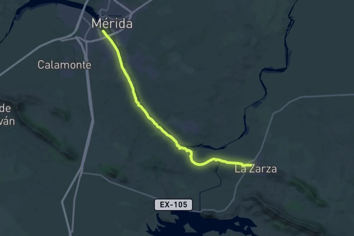
Medium · Trail
Etapa 31: La Zarza - Mérida
17.9 km · ↑ 115 m · 4 h 42 min
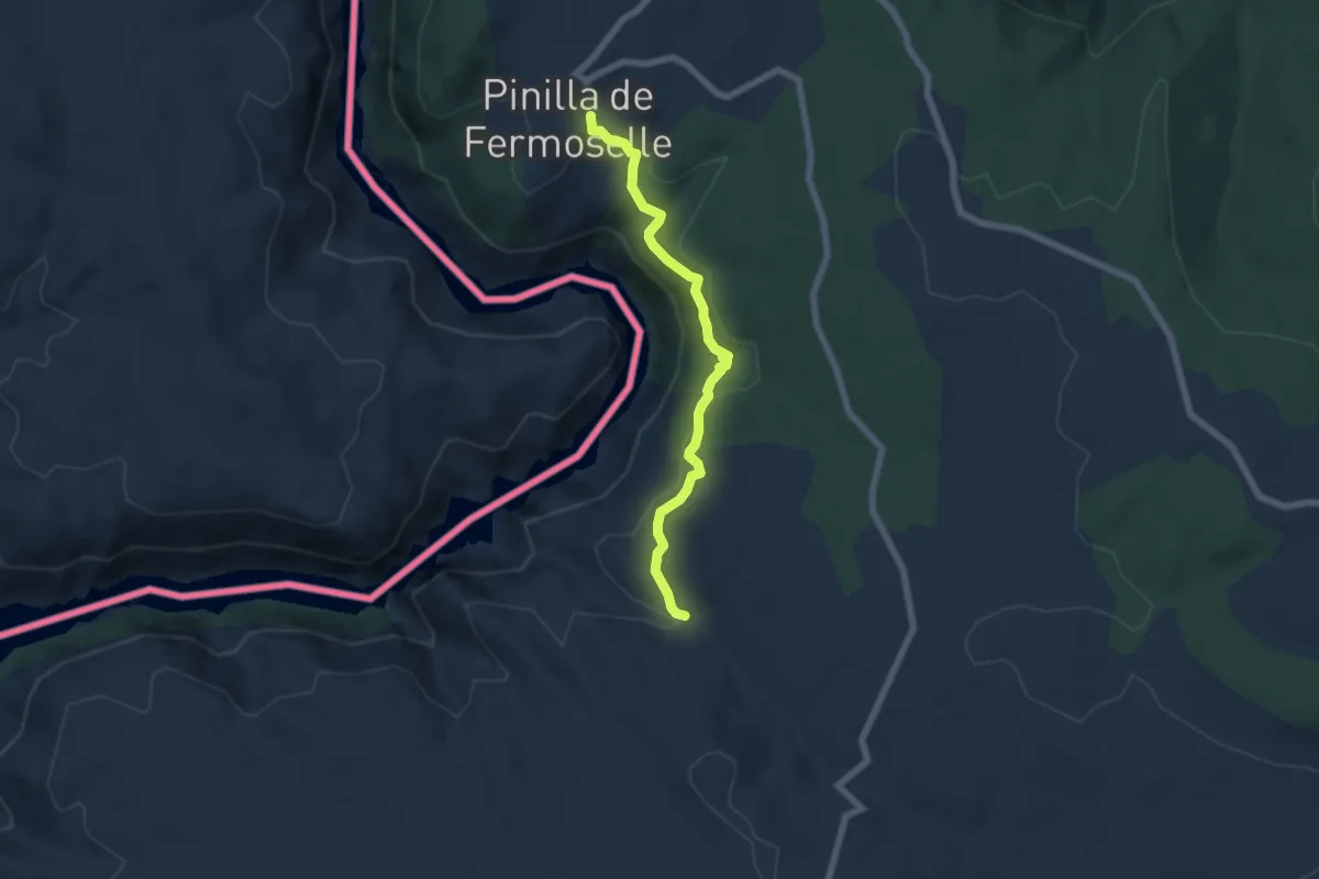
Easy · Trail
Etapa 31: Pinilla de Fermoselle – Fermoselle
6.4 km · ↑ 232 m · 2 h 1 min
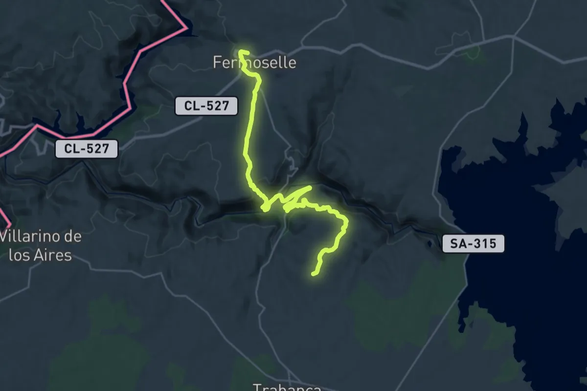
Demanding · Summit
Etapa 32: Fermoselle – Trabanca
25.6 km · ↑ 744 m · 7 h 40 min
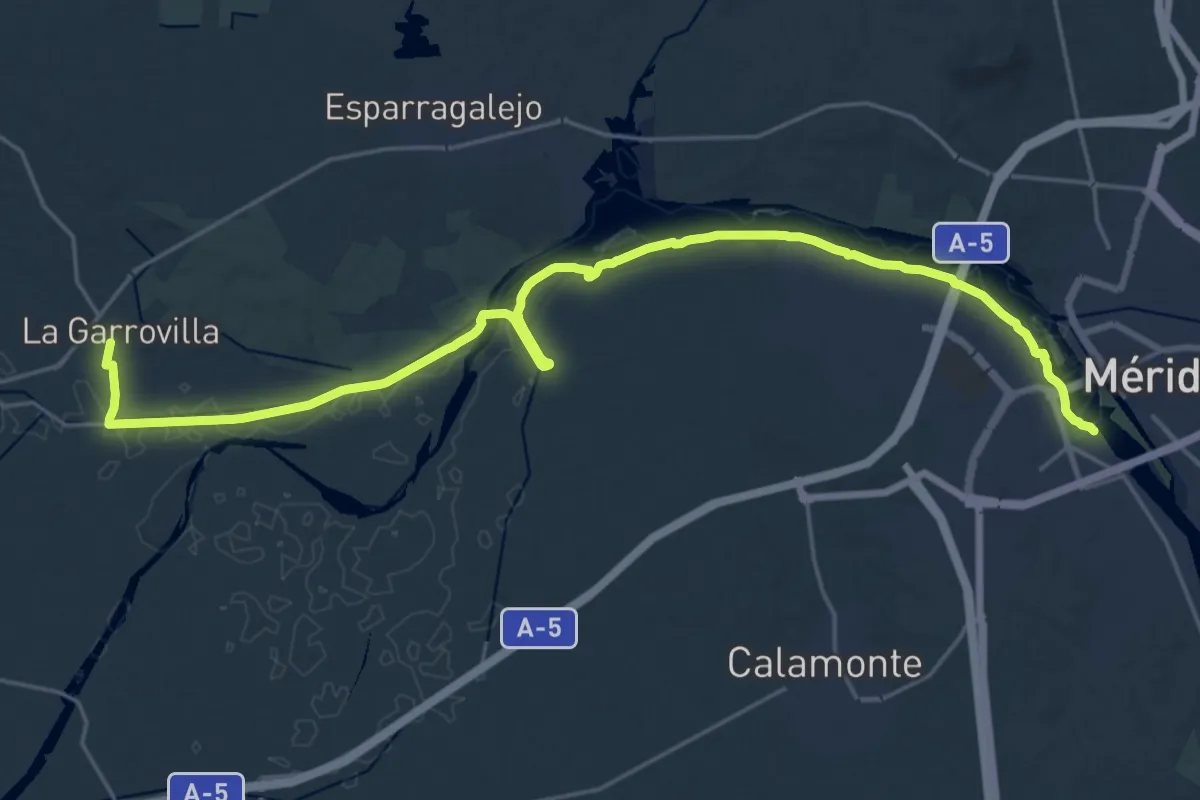
Demanding · Trail
Etapa 32: Mérida - La Garrovilla
30.2 km · ↑ 113 m · 7 h 22 min
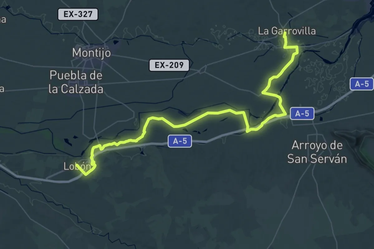
Demanding · Trail
Etapa 33: La Garrovilla - Lobón
26.0 km · ↑ 34 m · 6 h 36 min
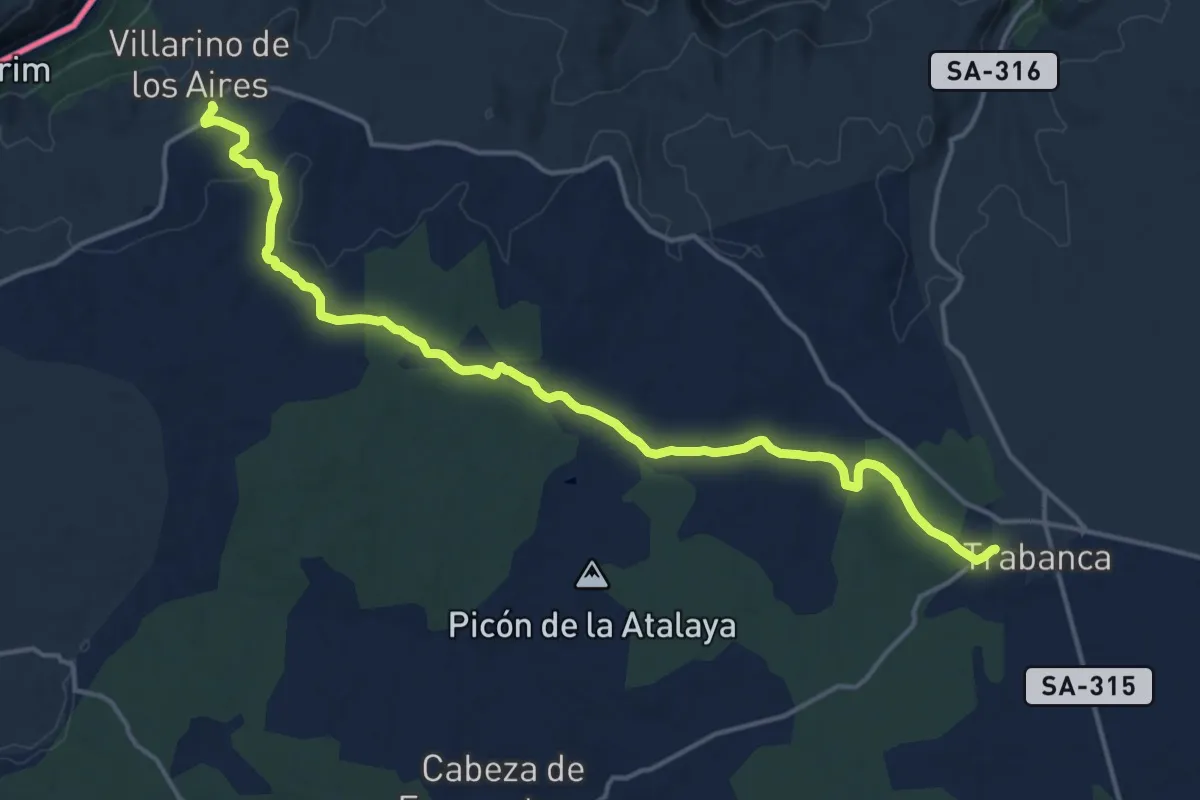
Demanding · Trail
Etapa 33: Trabanca – Villarino de los Aires
19.2 km · ↑ 258 m · 5 h 5 min
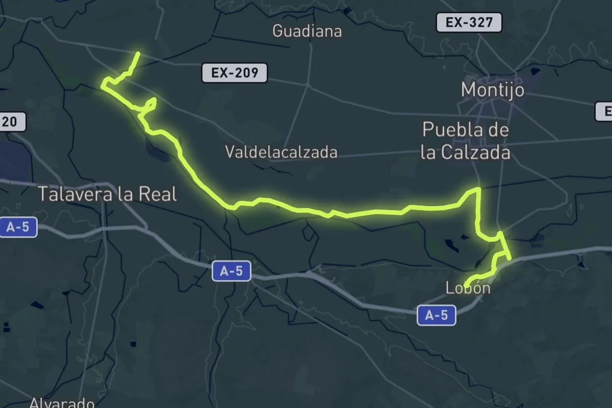
Demanding · Trail
Etapa 34: Lobón - Pueblonuevo de Guadiana
25.3 km · ↑ 83 m · 6 h 28 min
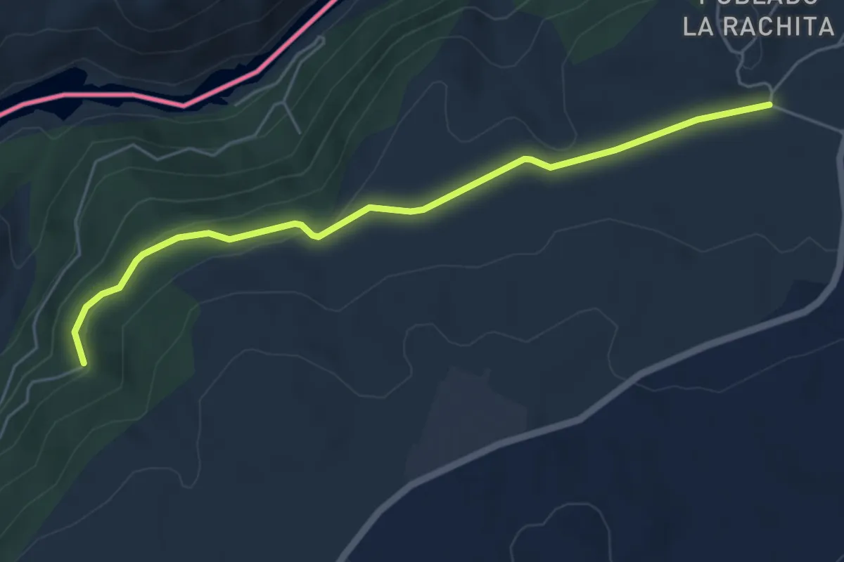
Easy · Trail
Etapa 34: Villarino de los Aires – Pereña de la Ribera
5.7 km · ↑ 118 m · 1 h 36 min
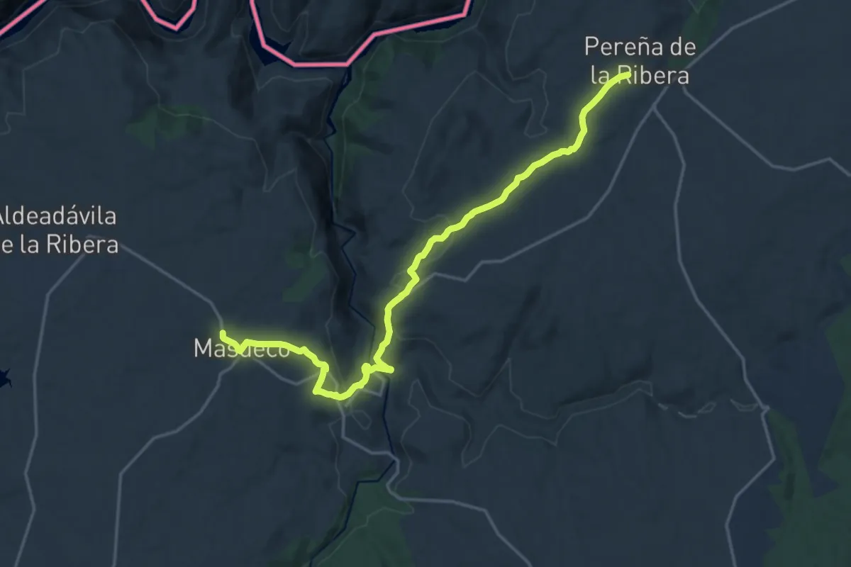
Demanding · Trail
Etapa 35: Pereña de la Ribera – Masueco
19.2 km · ↑ 565 m · 5 h 46 min
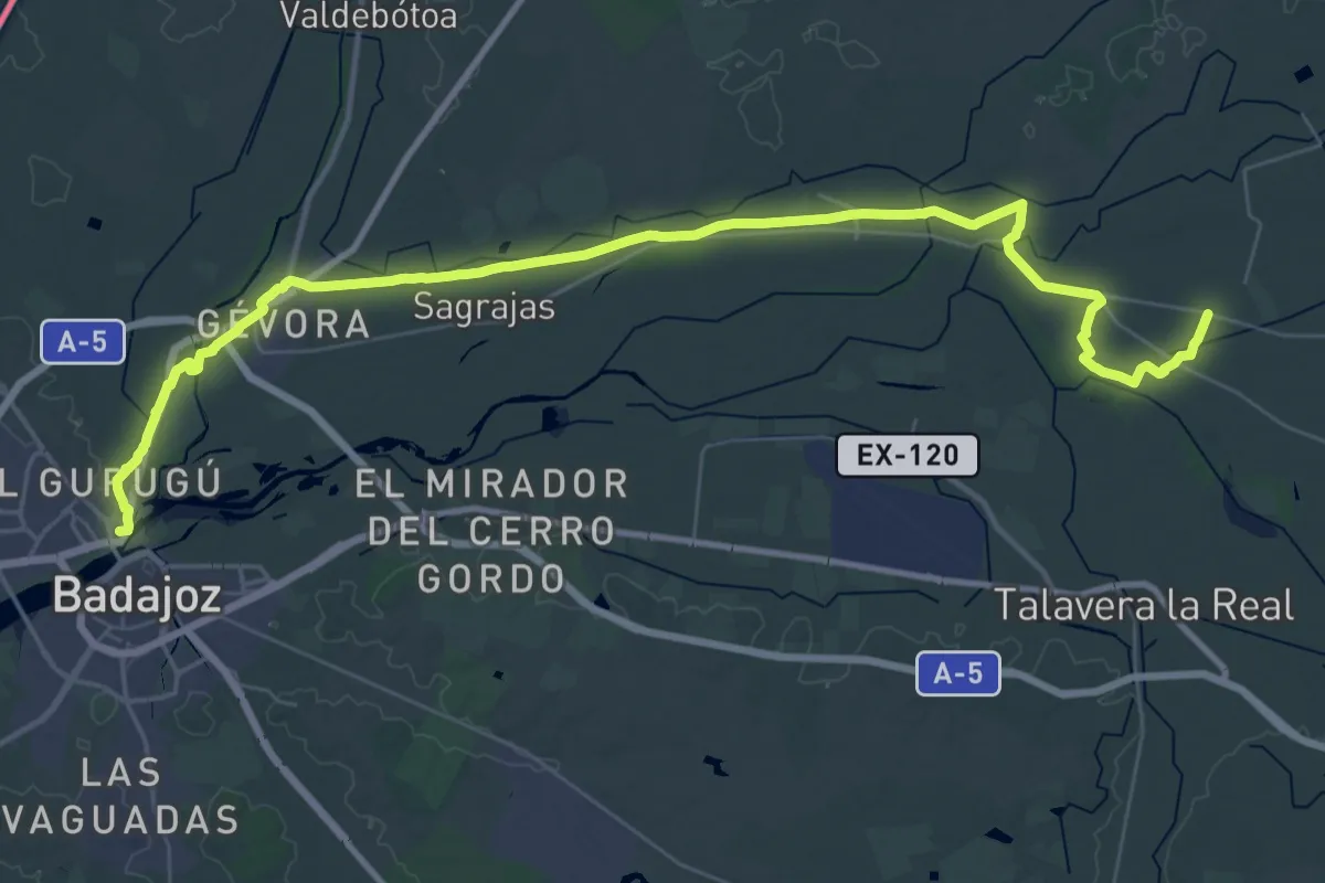
Demanding · Summit
Etapa 35: Pueblonuevo de Guadiana - Badajoz
52.0 km · ↑ 124 m · 12 h 33 min
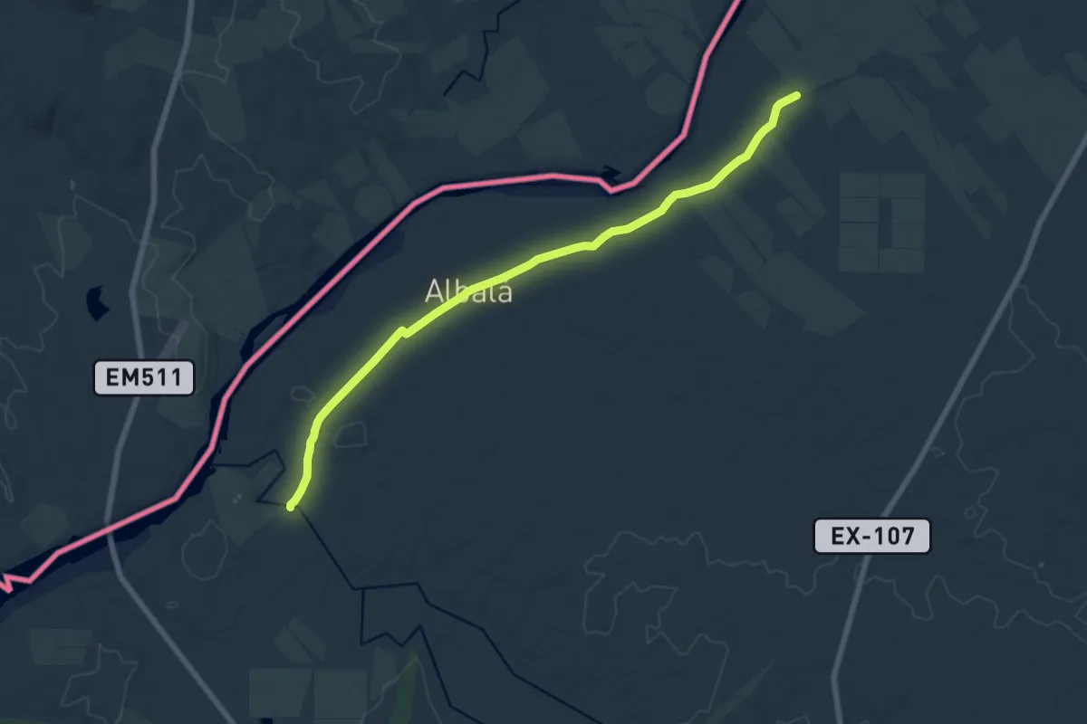
Medium · Trail
Etapa 36: Badajoz - San Francisco de Olivenza
17.8 km · ↑ 97 m · 4 h 25 min
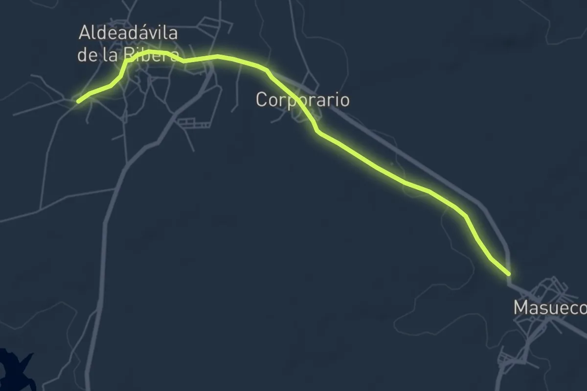
Easy · Trail
Etapa 36: Masueco – Aldeadávila de la Ribera
6.6 km · ↑ 57 m · 1 h 41 min
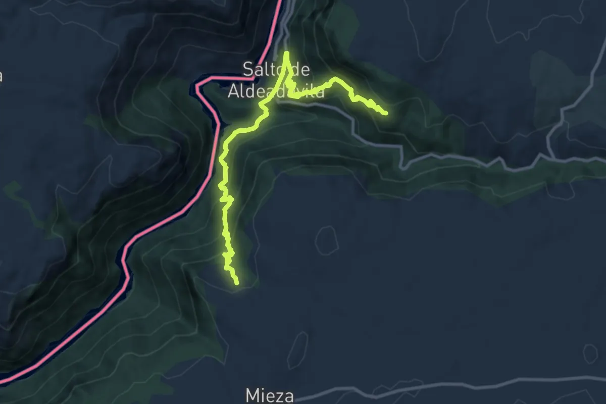
Demanding · Trail
Etapa 37: Aldeadávila de la Ribera – Mieza
11.8 km · ↑ 839 m · 4 h 36 min
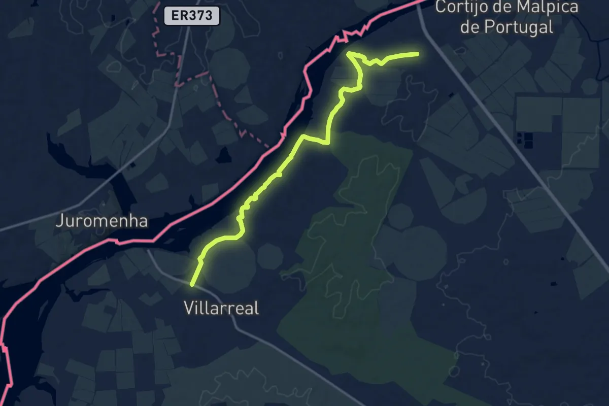
Medium · Trail
Etapa 37: San Francisco de Olivenza - Villarreal
15.7 km · ↑ 174 m · 4 h 4 min
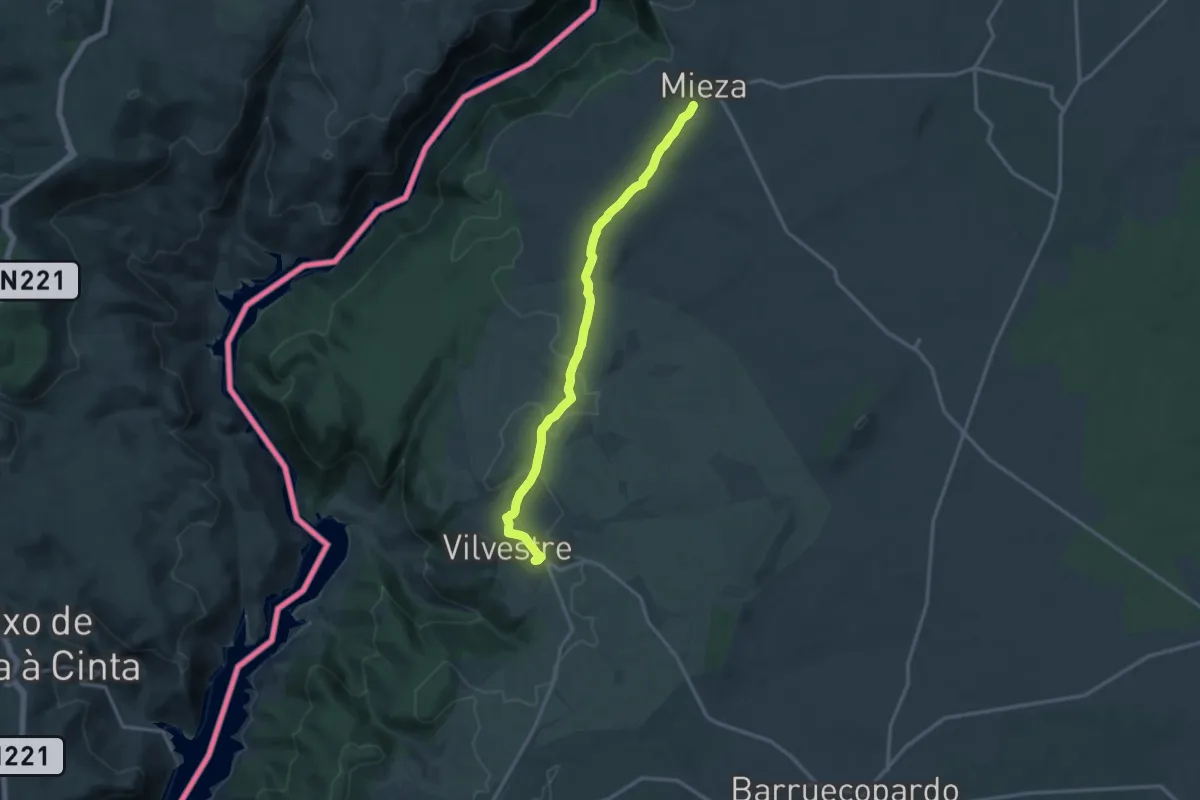
Medium · Trail
Etapa 38: Mieza – Vilvestre
15.6 km · ↑ 190 m · 4 h 6 min
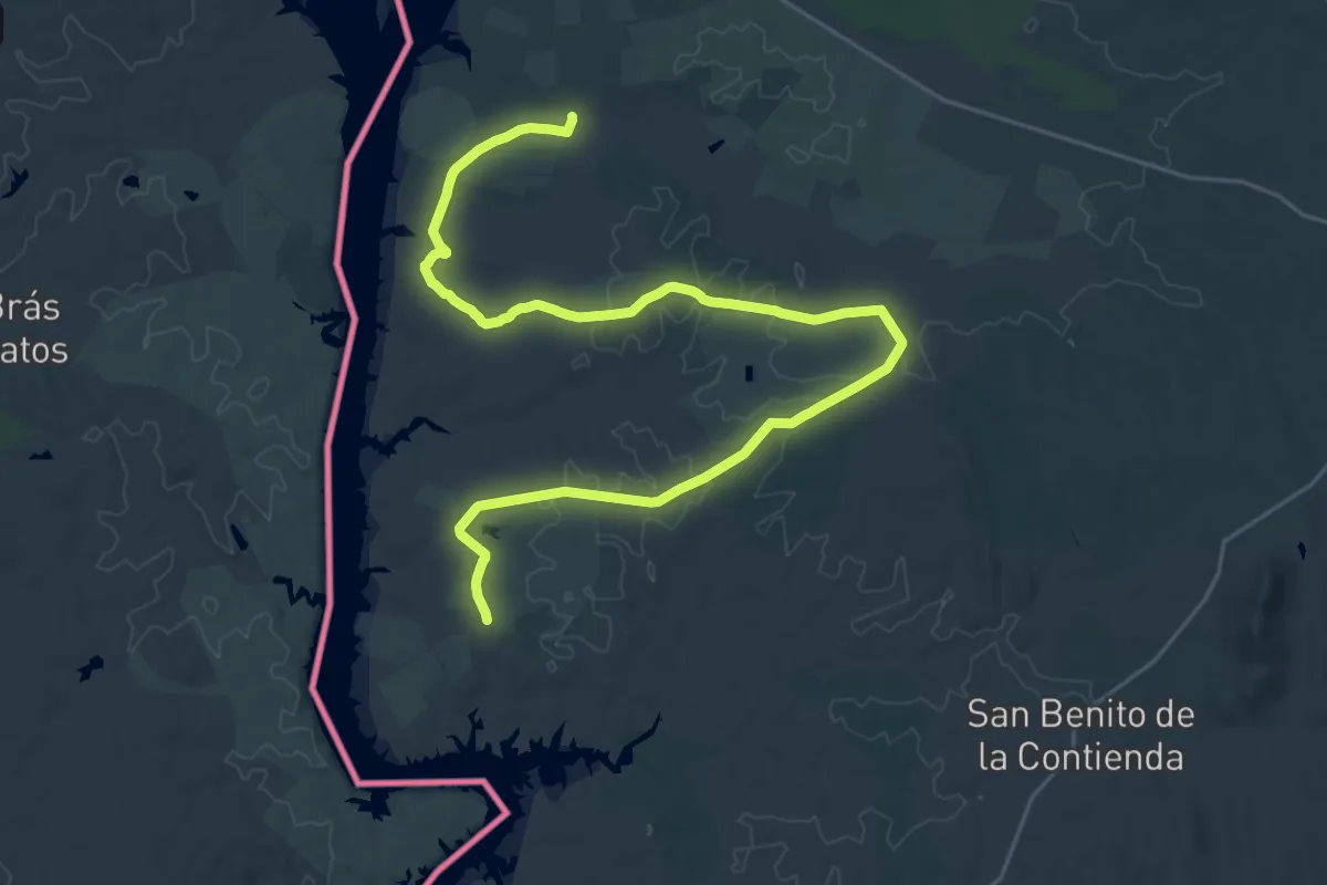
Demanding · Trail
Etapa 38: Villarreal - San Benito de la Contienda
18.4 km · ↑ 82 m · 4 h 47 min
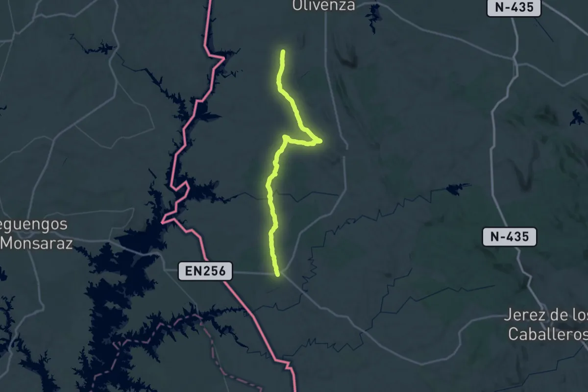
Demanding · Trail
Etapa 39: San Benito de la Contienda - Vilanueva del Fresno
38.6 km · ↑ 369 m · 10 h 26 min
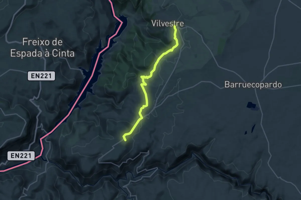
Demanding · Trail
Etapa 39: Vilvestre – Saucelle
18.1 km · ↑ 431 m · 5 h 13 min
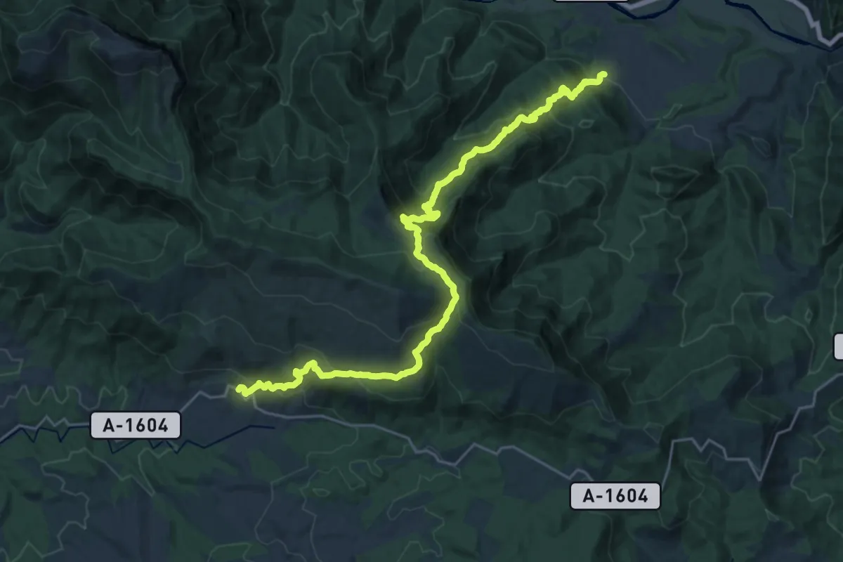
Demanding · Trail
Etapa 3: Albella - Laguarta
13.3 km · ↑ 962 m · 5 h 13 min
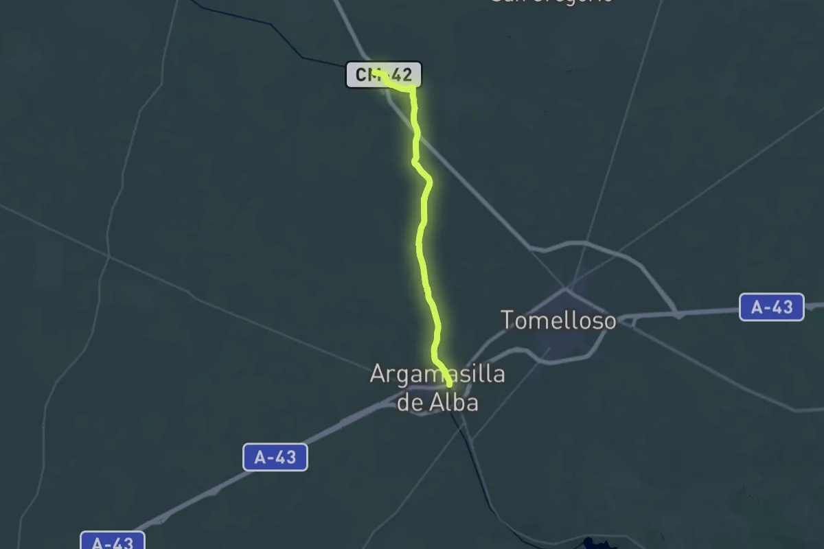
Medium · Trail
Etapa 3: Argamasilla de Alba - Alameda de Cervera
17.9 km · ↑ 34 m · 4 h 33 min
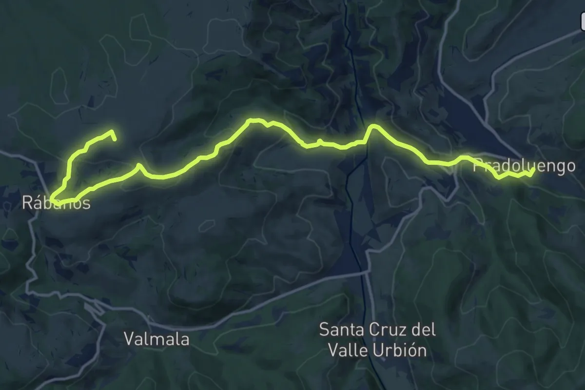
Medium · Summit
Etapa 3 Pradoluengo - Villafranca Montes de Oca
16.6 km · ↑ 586 m · 5 h 12 min
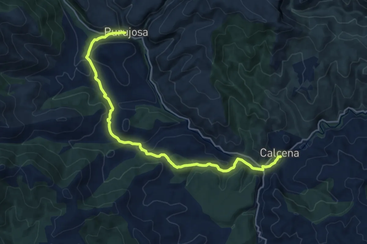
Medium · Trail
Etapa 3: Purujosa - Calcena
17.4 km · ↑ 588 m · 5 h 23 min
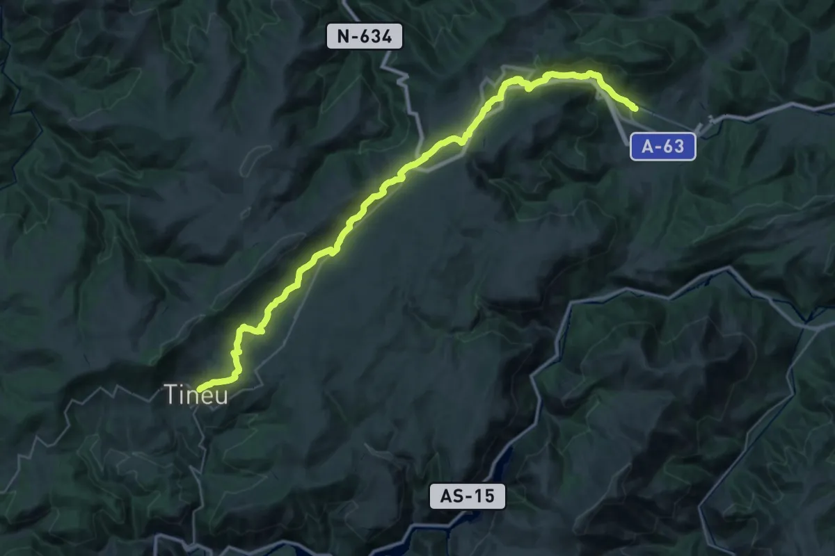
Demanding · Pilgrim path
Etapa 3: Salas - Tinéu
19.9 km · ↑ 755 m · 6 h 23 min
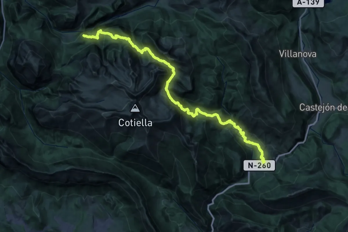
Demanding · Summit
Etapa 3: Seira – Saravillo
47.0 km · ↑ 3716 m · 19 h 9 min
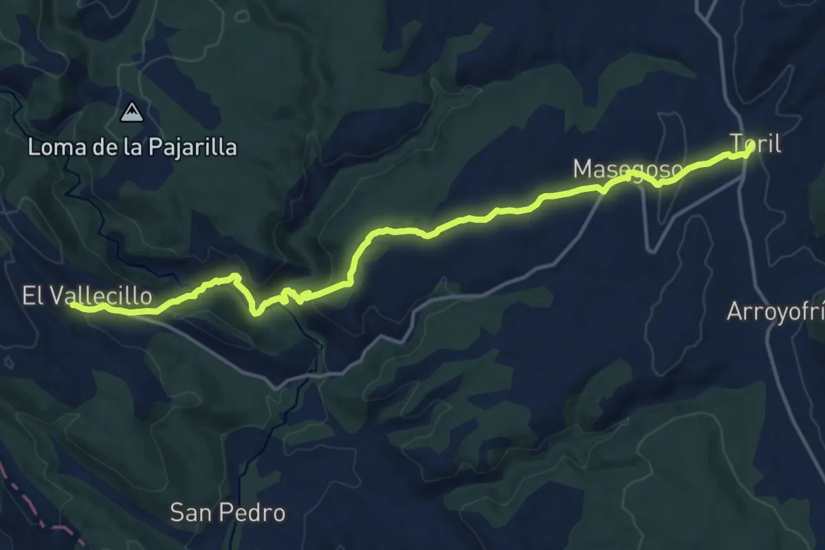
Medium · Trail
Etapa 3: Toril - El Valecillo
17.3 km · ↑ 586 m · 5 h 22 min
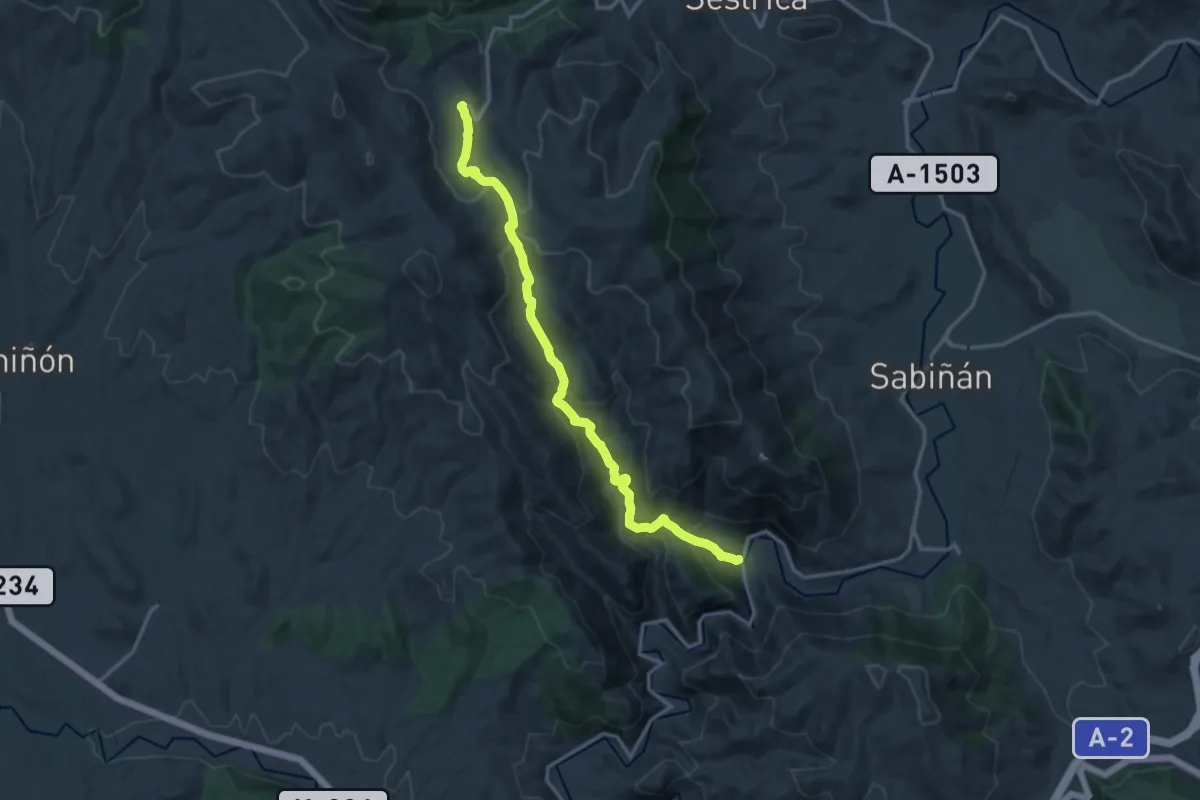
Medium · Trail
Etapa 3: Viver de la Sierra - Embid de la Ribera
16.7 km · ↑ 758 m · 5 h 35 min
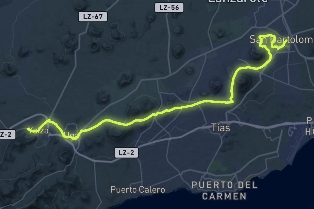
Demanding · Trail
Etapa 4
23.0 km · ↑ 601 m · 6 h 59 min
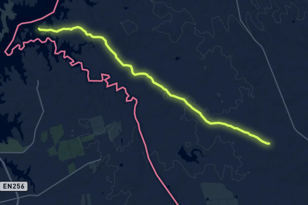
Demanding · Trail
Etapa 40: Circuito Villanueva del Fresno
21.0 km · ↑ 111 m · 5 h 12 min
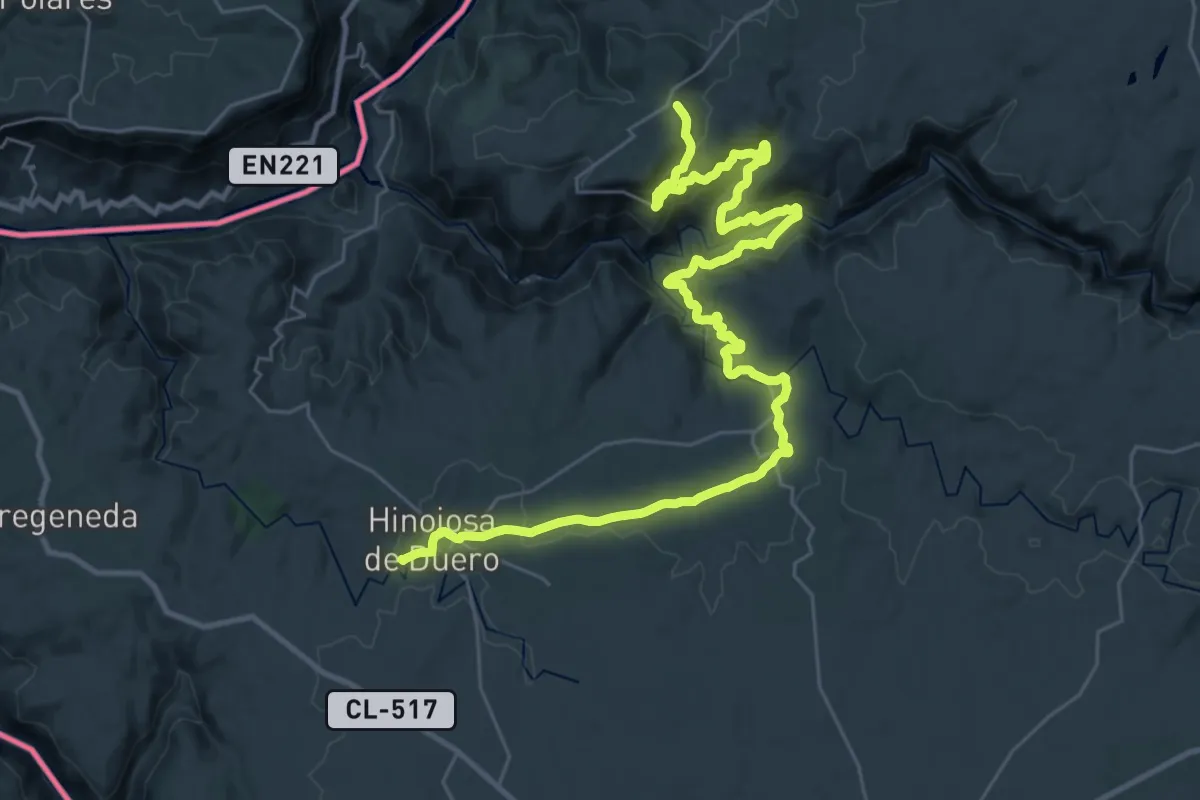
Demanding · Trail
Etapa 40: Saucelle – Hinojosa de Duero
21.0 km · ↑ 916 m · 7 h 11 min