Trails in Spain
5,963 hiking trails, each with its route, climb, walking time and grade.
All trails, page 42 of 125
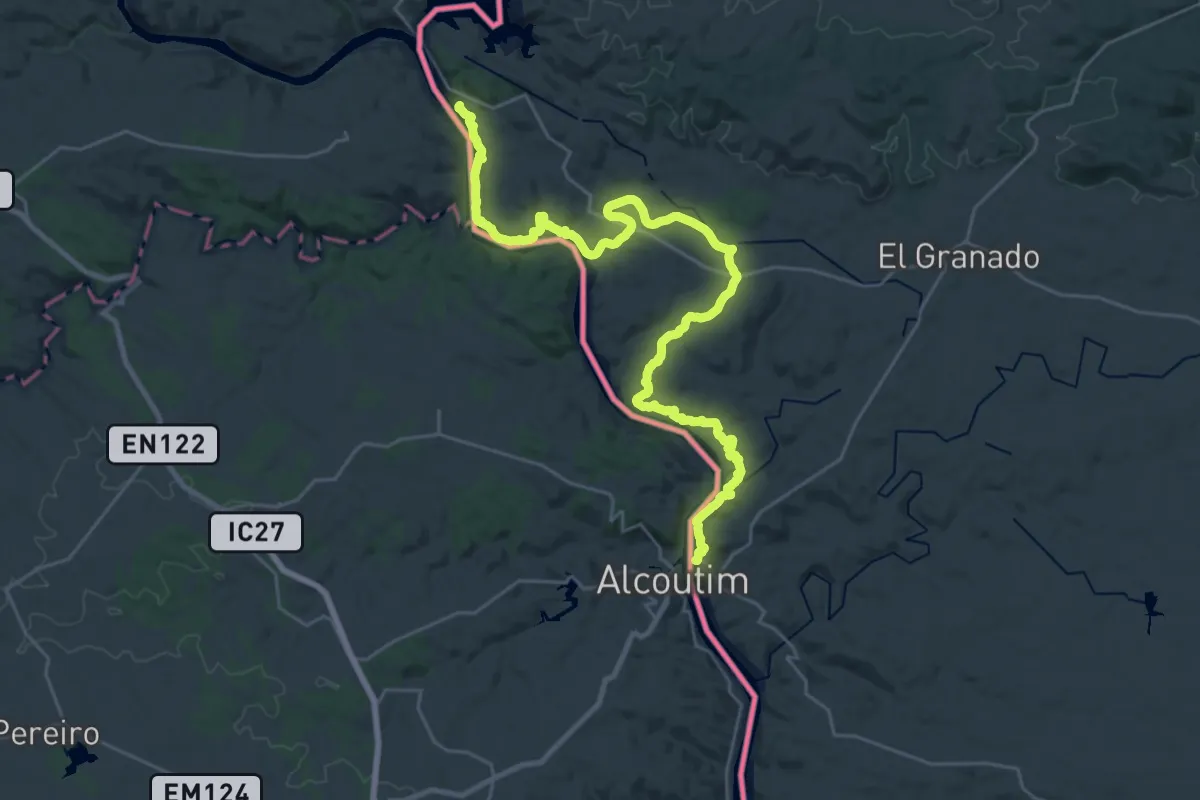
Demanding · Trail
Etapa 41: Cuartel Cañaveral - Sanlúcar de Guadiana
18.6 km · ↑ 319 m · 5 h 21 min
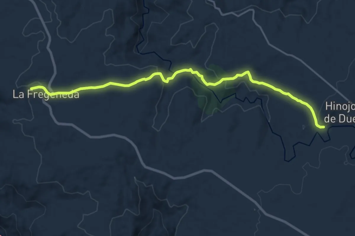
Medium · Trail
Etapa 41: Hinojosa de Duero – La Fregeneda
13.8 km · ↑ 320 m · 3 h 57 min
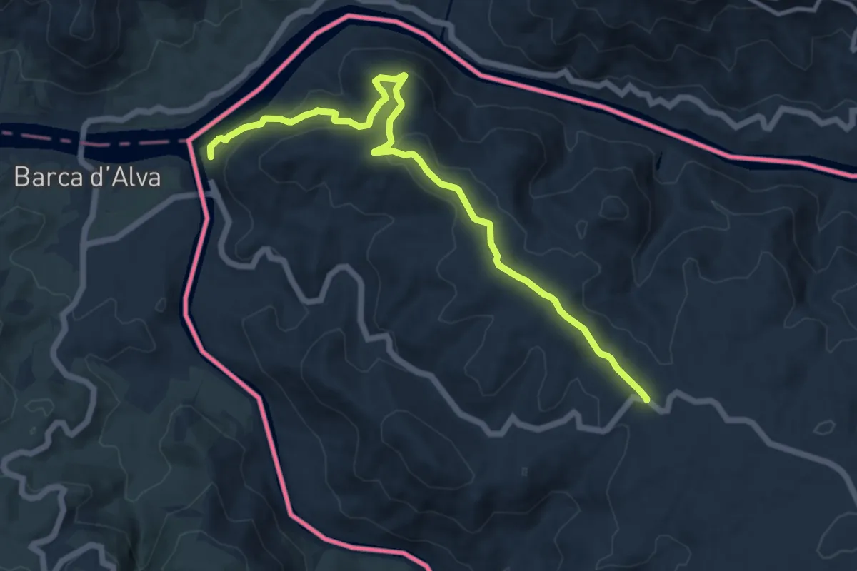
Medium · Trail
Etapa 42: La Fregeneda – Vega Terrón
12.3 km · ↑ 465 m · 3 h 55 min
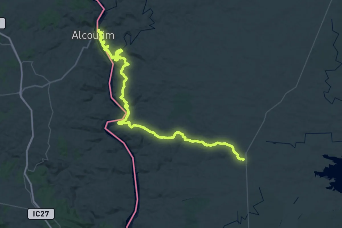
Demanding · Trail
Etapa 42: Sanlúcar de Guadiana - San Silvestre de Guzmán
24.7 km · ↑ 387 m · 7 h 5 min
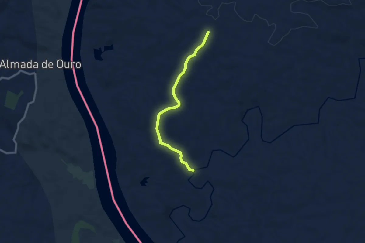
Easy · Trail
Etapa 43: San Silvestre de Guzmán - Villablanca
6.6 km · ↑ 103 m · 1 h 46 min
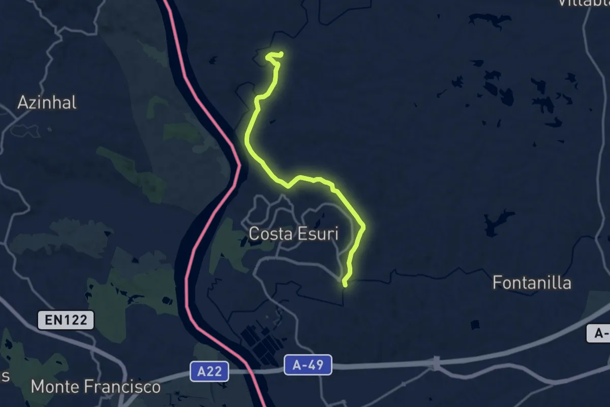
Medium · Trail
Etapa 44: Villablanca - Ayamonte
13.6 km · ↑ 150 m · 3 h 32 min
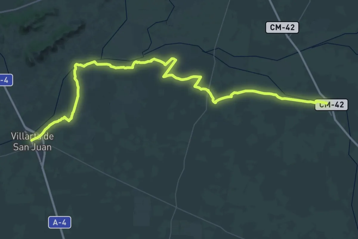
Demanding · Trail
Etapa 4: Alameda de Cervera - Villarta de San Juan
38.7 km · ↑ 43 m · 9 h 45 min
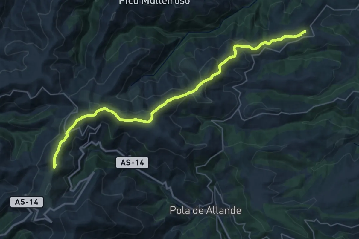
Medium · Summit
Etapa 4b: Variante de Hospitales
12.3 km · ↑ 658 m · 4 h 16 min
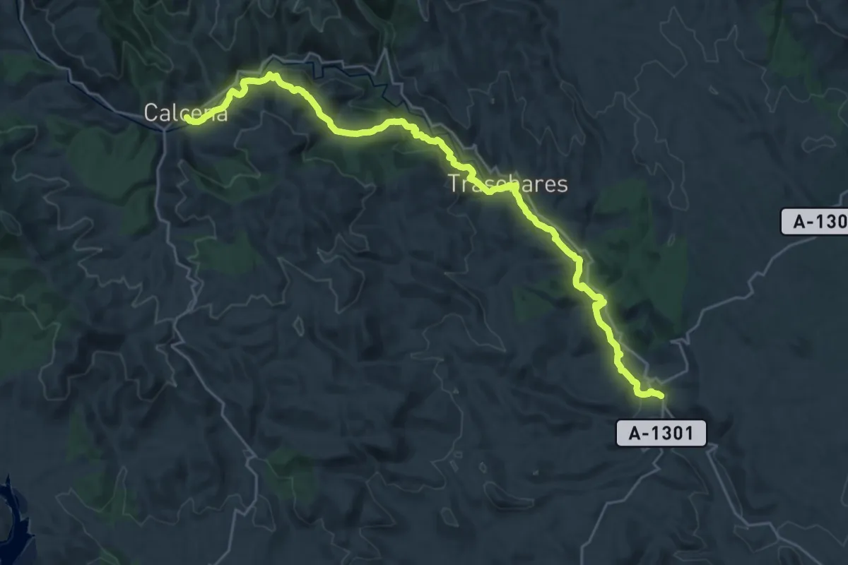
Medium · Trail
Etapa 4: Calcena - Tierga
15.1 km · ↑ 298 m · 4 h 32 min
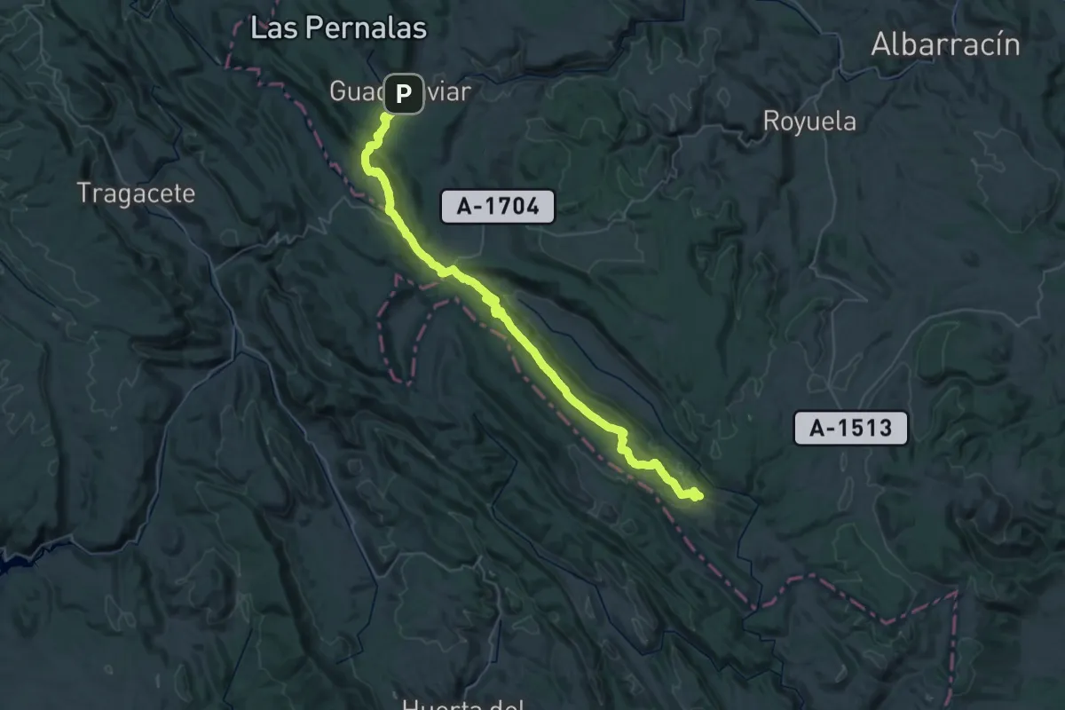
Demanding · Trail
Etapa 4: El Valecillo - Nacimiento del Tajo - Guadalaviar
28.5 km · ↑ 717 m · 8 h 45 min
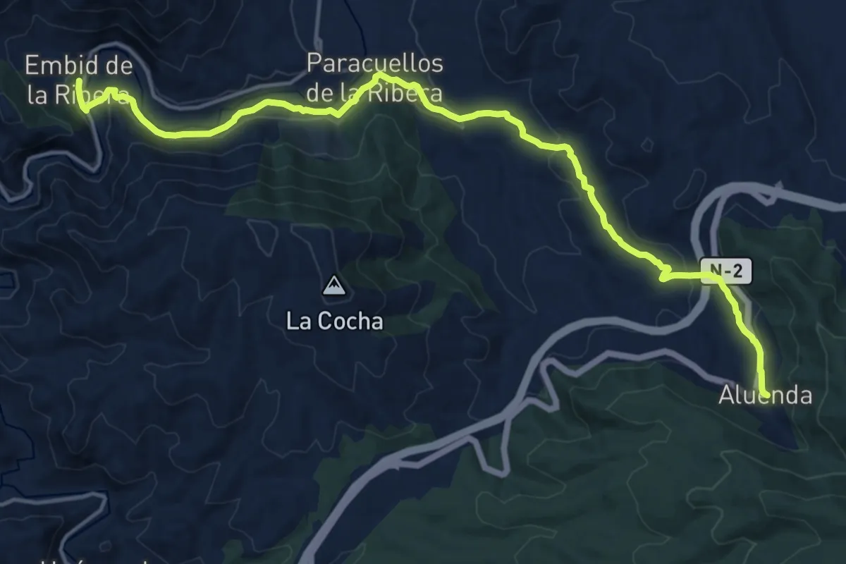
Demanding · Trail
Etapa 4: Embid de la Ribera - Aluenda
18.5 km · ↑ 517 m · 5 h 30 min
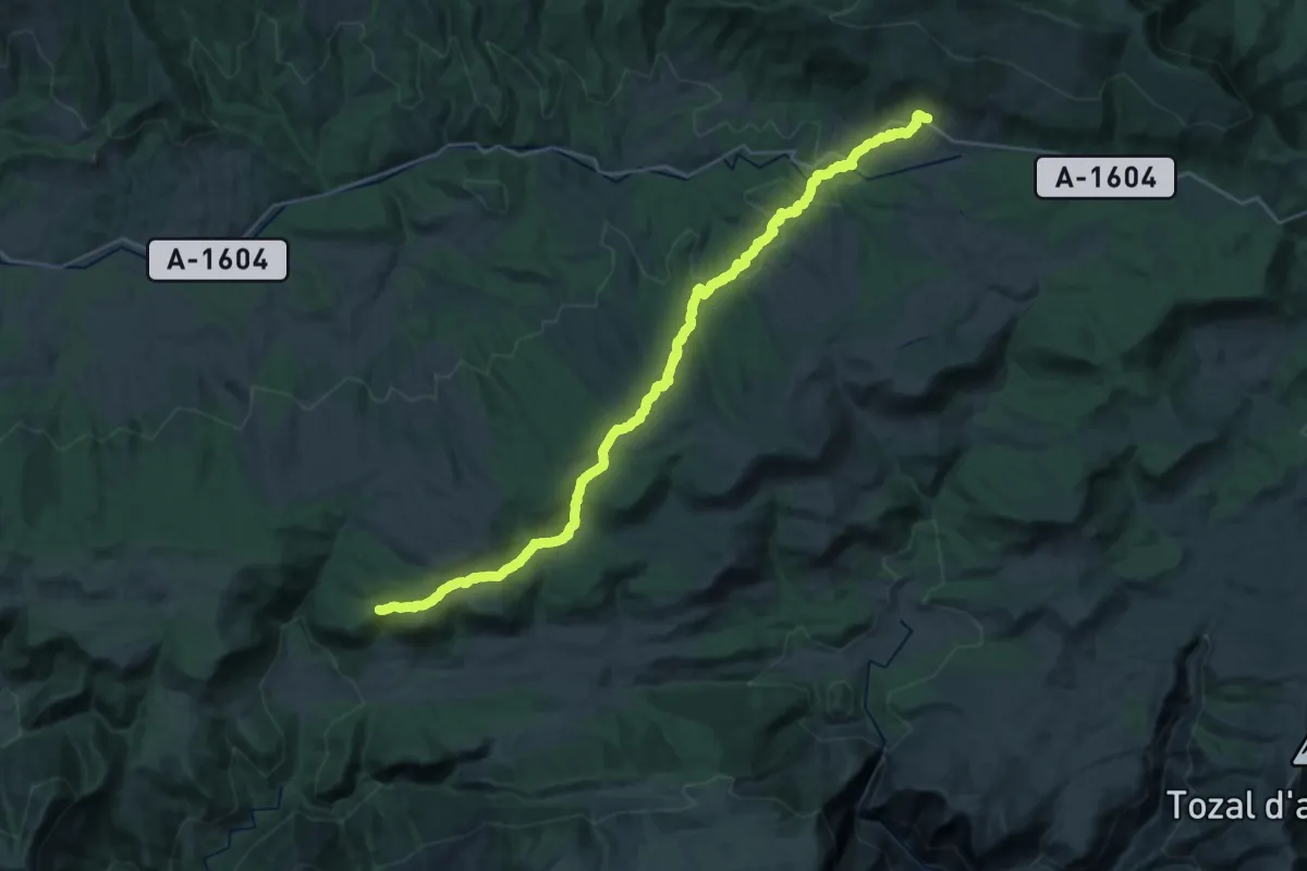
Demanding · Summit
Etapa 4: Laguarta - Nocito
32.2 km · ↑ 1146 m · 10 h 5 min
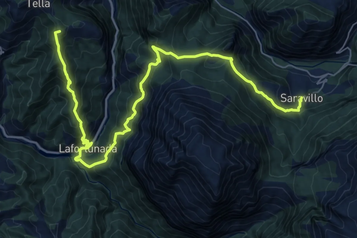
Demanding · Summit
Etapa 4: Saravillo – Tella
26.7 km · ↑ 1768 m · 10 h 9 min
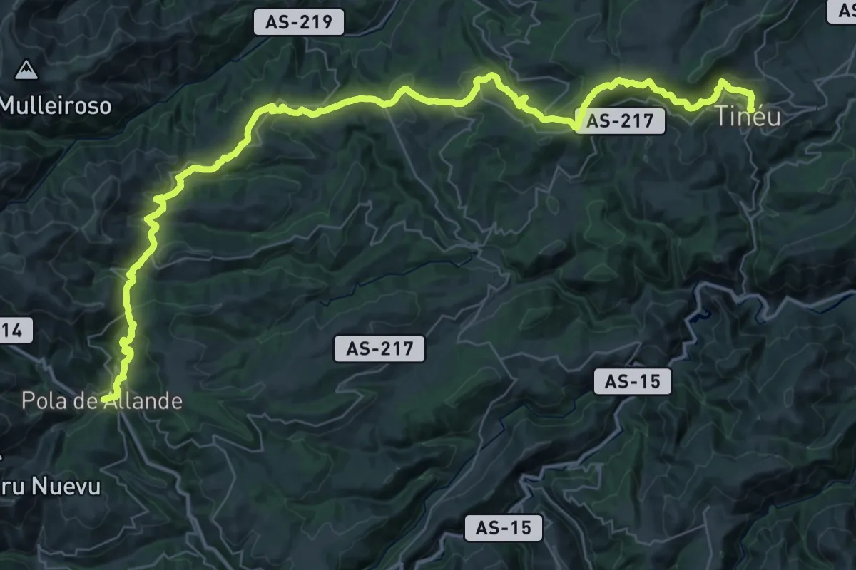
Demanding · Pilgrim path
Etapa 4: Tinéu - Pola de Allande
26.6 km · ↑ 824 m · 8 h 31 min
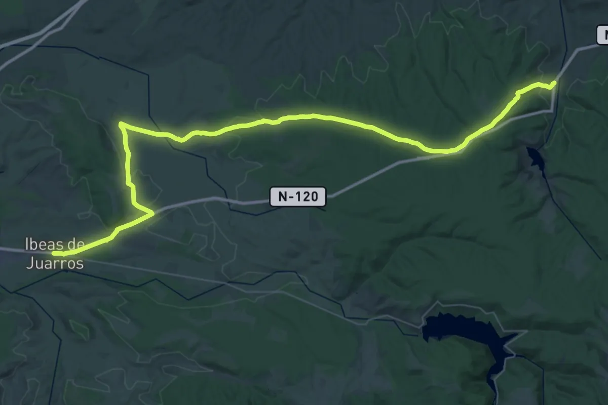
Demanding · Trail
Etapa 4 Villafranca Montes de Oca - Ibeas de Juarros
26.0 km · ↑ 342 m · 7 h 15 min
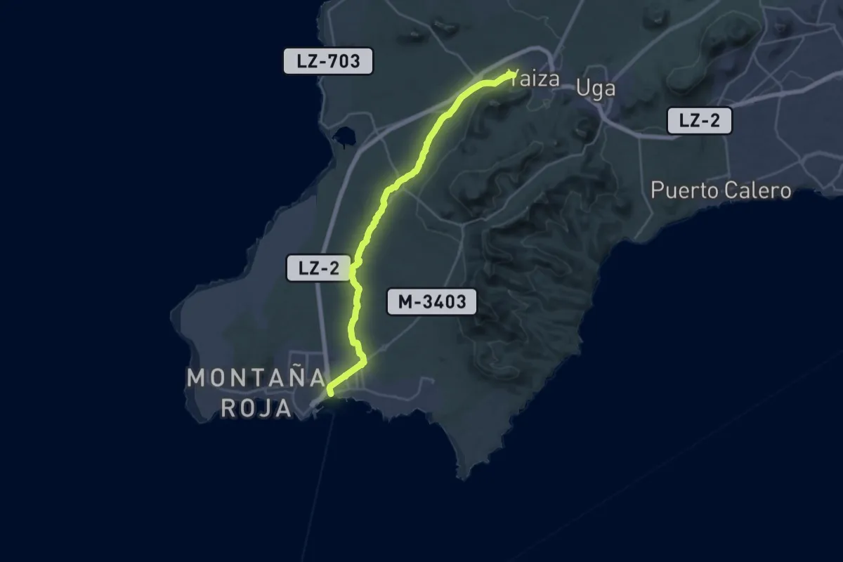
Demanding · Trail
Etapa 5
28.1 km · ↑ 294 m · 7 h 16 min
Demanding · Trail
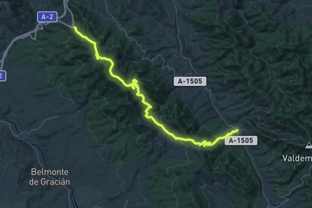
Etapa 5: Aluenda - Tobed
18.6 km · ↑ 755 m · 6 h 23 min
Medium · Trail
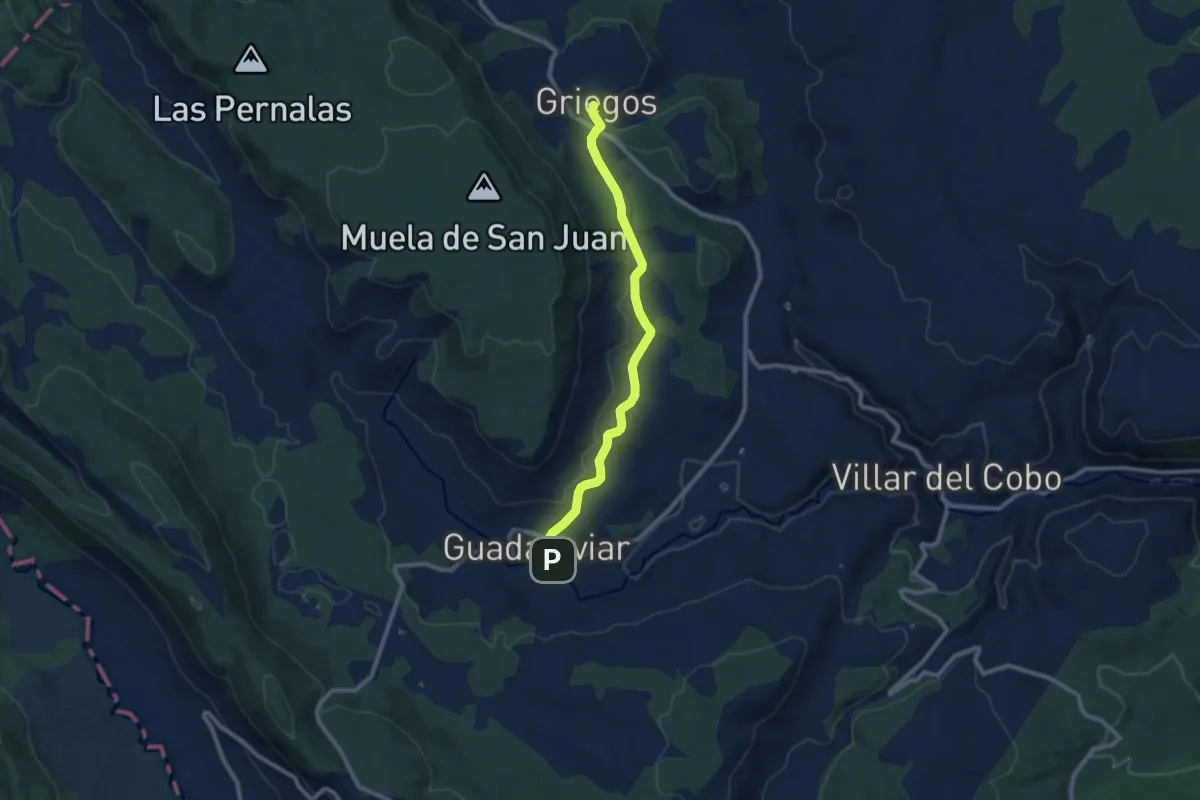
Etapa 5: Guadalaviar - Griegos
10.0 km · ↑ 129 m · 2 h 38 min
Demanding · Trail
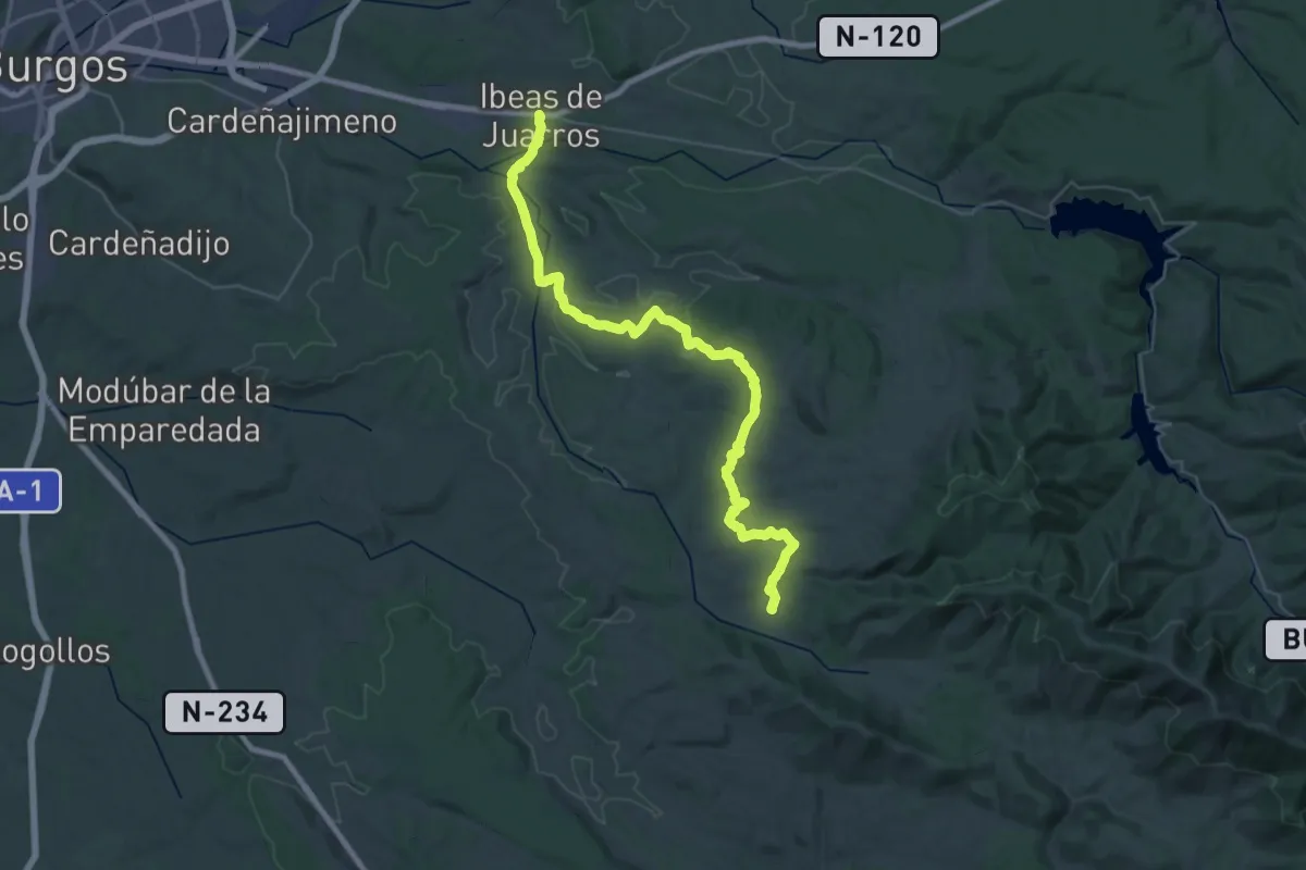
Etapa 5 Ibeas de Juarros - Palazuelos de la Sierra
22.8 km · ↑ 409 m · 6 h 30 min
Demanding · Summit
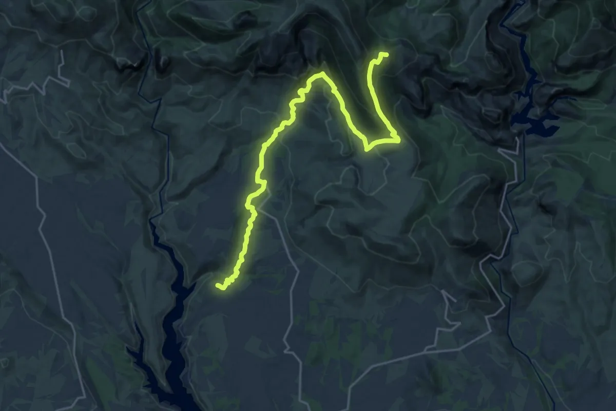
Etapa 5: Nocito - Chibluco
23.3 km · ↑ 1111 m · 7 h 55 min
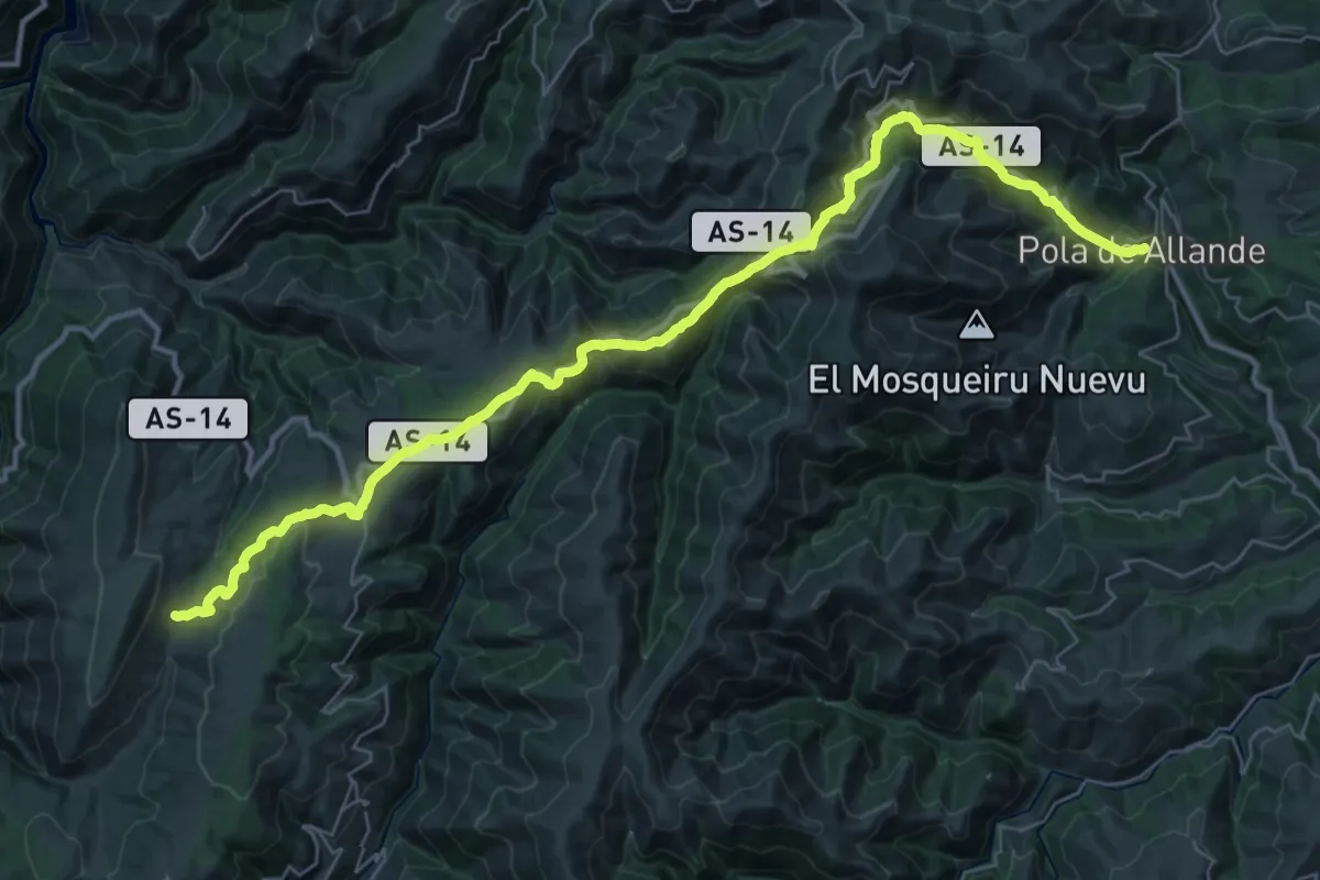
Demanding · Pilgrim path
Etapa 5: Pola de Allande - A Mesa
22.0 km · ↑ 980 m · 7 h 28 min
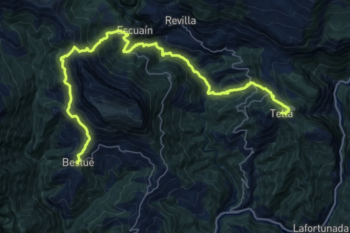
Demanding · Trail
Etapa 5: Tella – Bestué
14.5 km · ↑ 1041 m · 5 h 50 min
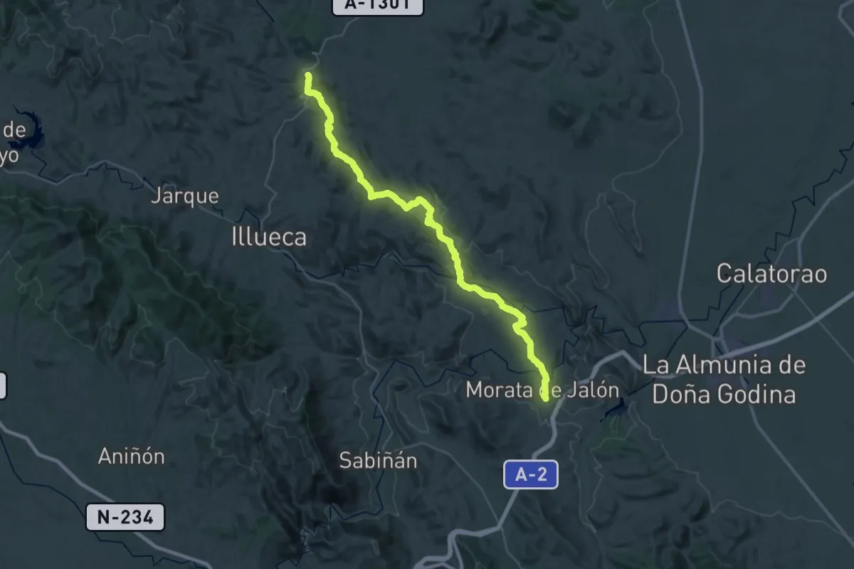
Demanding · Trail
Etapa 5: Tierga - Morata de Jalón
24.0 km · ↑ 264 m · 6 h 39 min
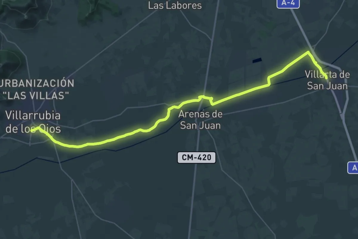
Demanding · Trail
Etapa 5: Villarta de San Juan - Villarrubia de los Ojos
19.6 km · ↑ 25 m · 4 h 57 min
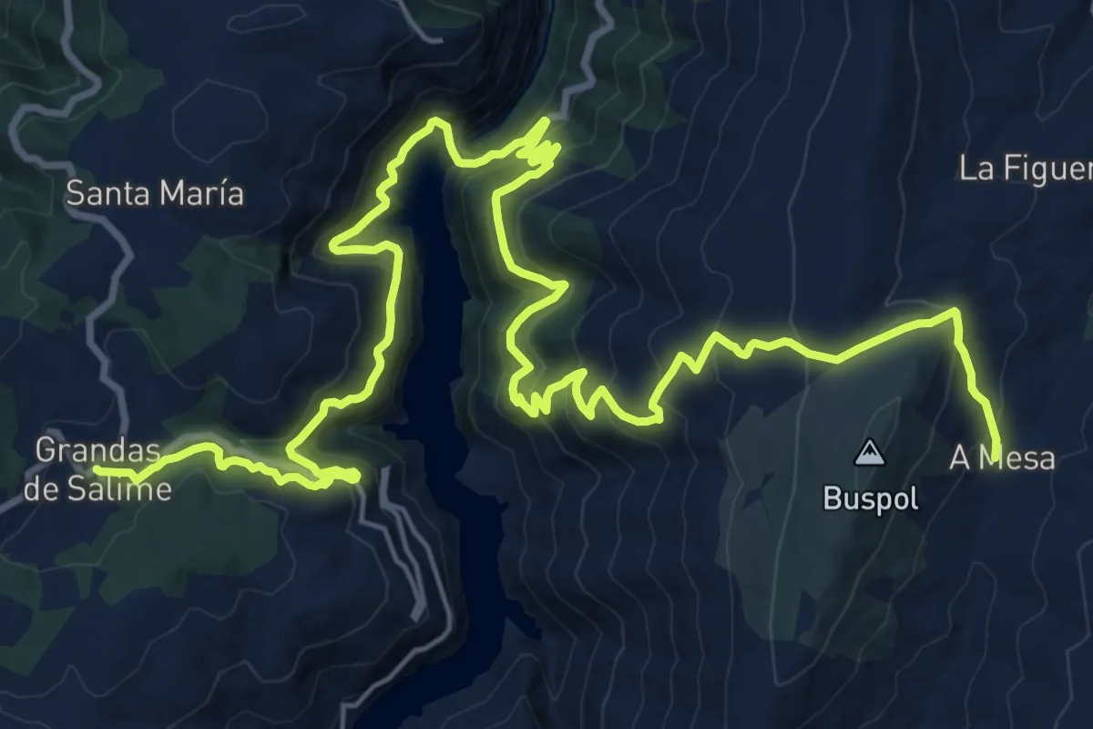
Demanding · Pilgrim path
Etapa 6: A Mesa - Grandas de Salime
15.6 km · ↑ 1172 m · 6 h 17 min
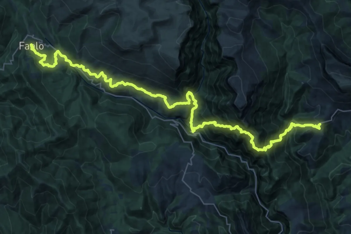
Demanding · Trail
Etapa 6: Bestué – Fanlo
19.3 km · ↑ 1859 m · 8 h 47 min
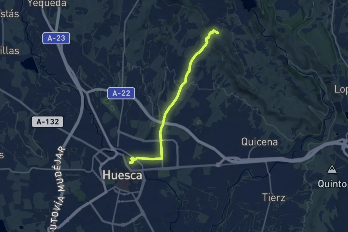
Medium · Summit
Etapa 6: Chibluco - Huesca
11.5 km · ↑ 189 m · 3 h 7 min
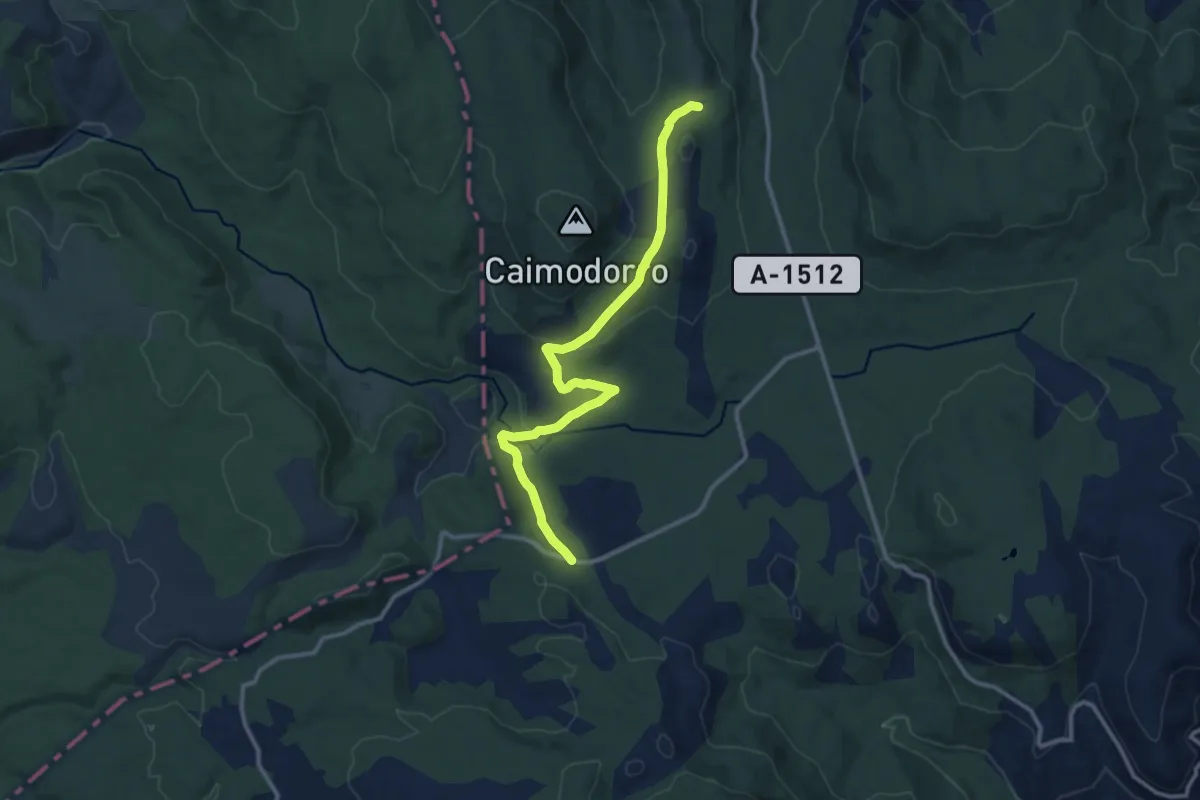
Medium · Trail
Etapa 6: Griegos - Orihuela del Tremedal
12.9 km · ↑ 304 m · 3 h 42 min
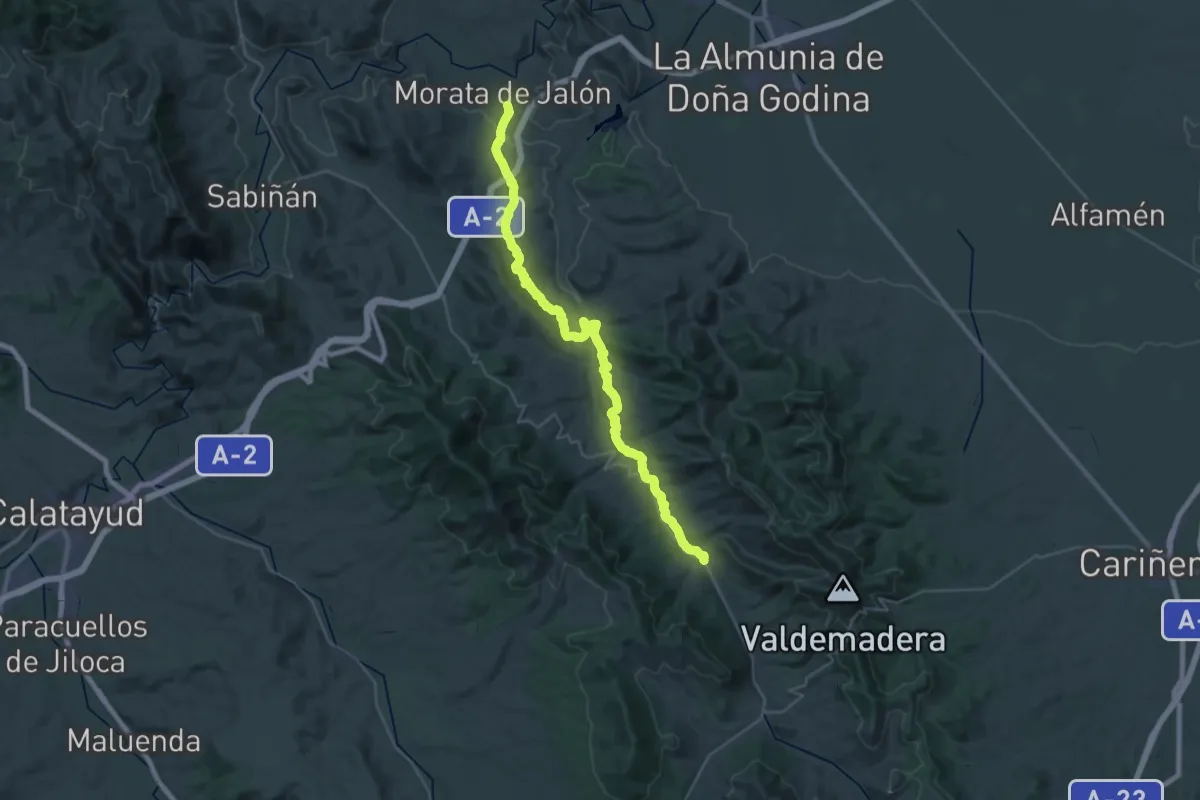
Demanding · Trail
Etapa 6: Morata de Jalón - Tobed
20.8 km · ↑ 571 m · 6 h 21 min
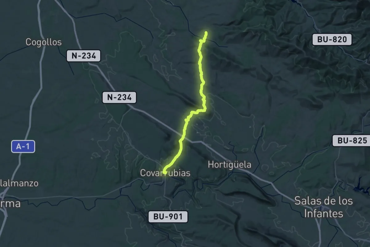
Demanding · Trail
Etapa 6 Palazuelos de la Sierra - Covarrubias
22.4 km · ↑ 563 m · 6 h 55 min
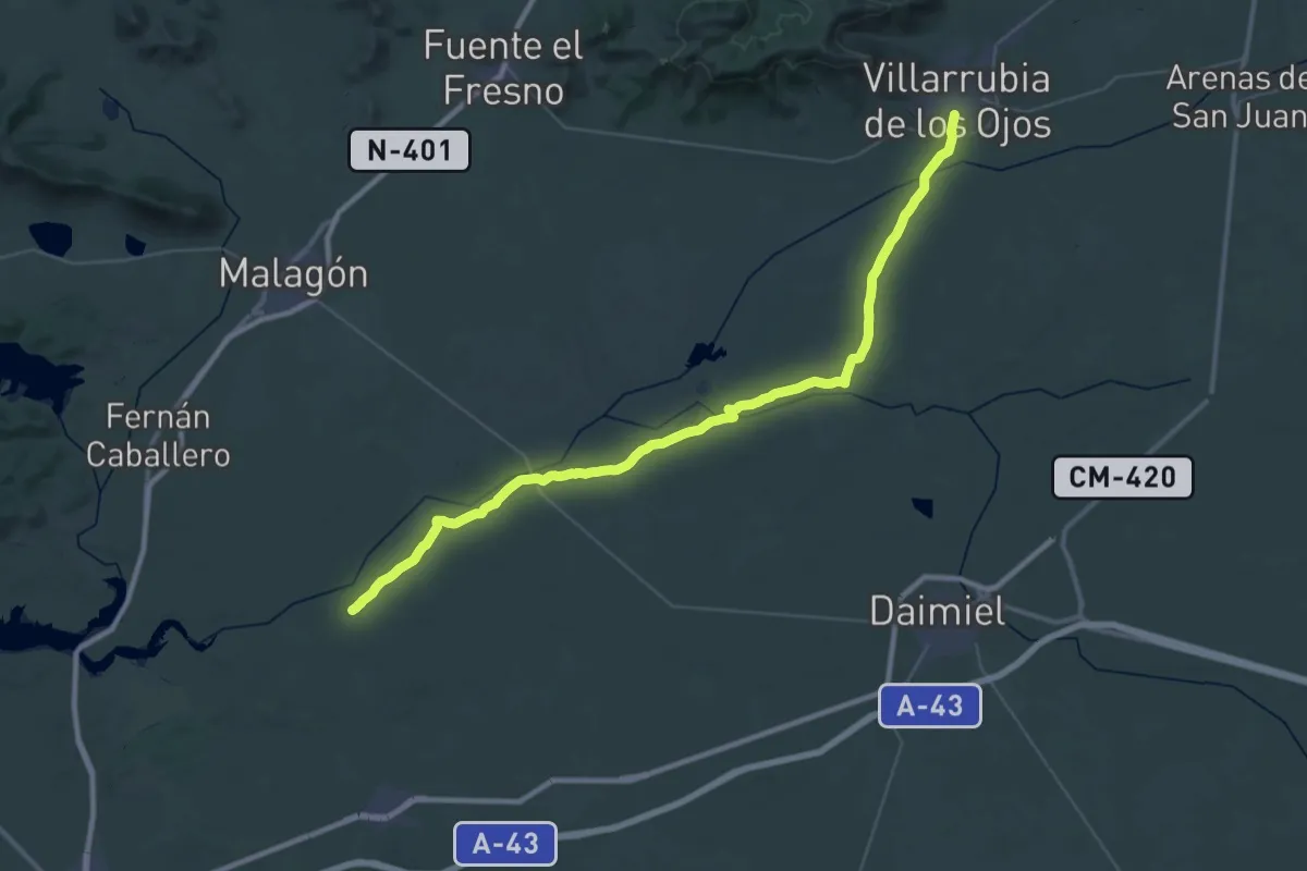
Demanding · Trail
Etapa 6: Villarubia de los Ojos - Santuario de la Encarnación
28.5 km · ↑ 65 m · 7 h 17 min
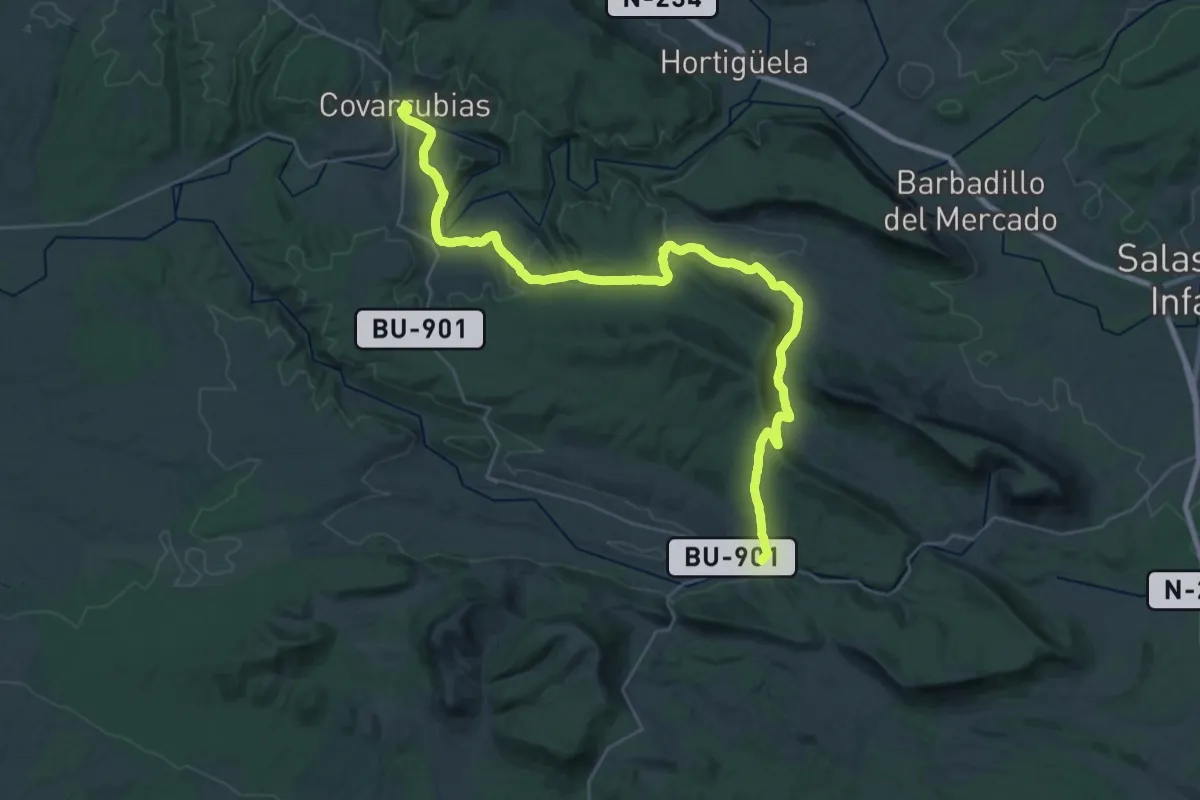
Demanding · Trail
Etapa 7 Covarrubias - Santo Domingo de Silos
22.3 km · ↑ 637 m · 6 h 53 min
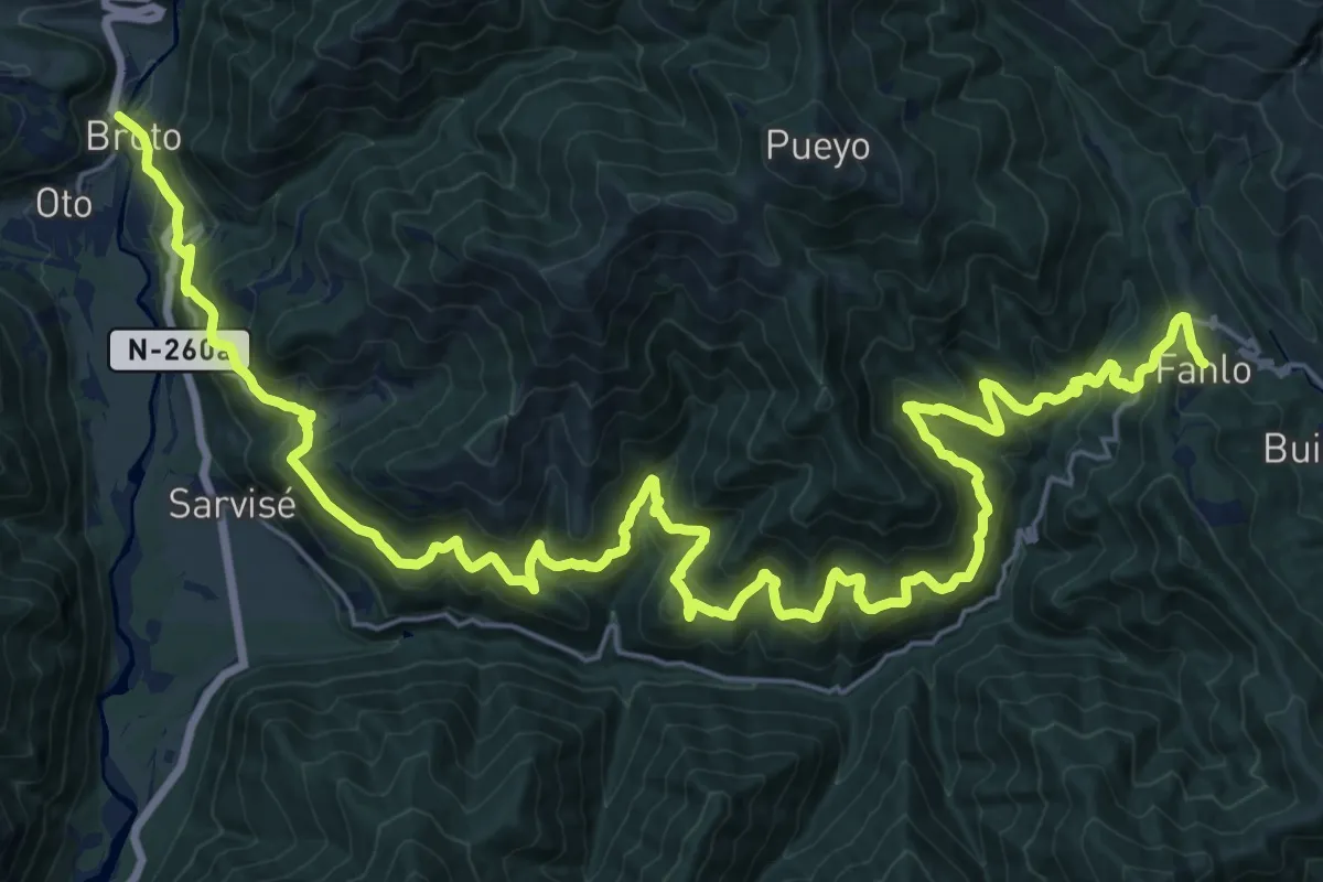
Demanding · Trail
Etapa 7: Fanlo – Broto
18.7 km · ↑ 1358 m · 7 h 23 min
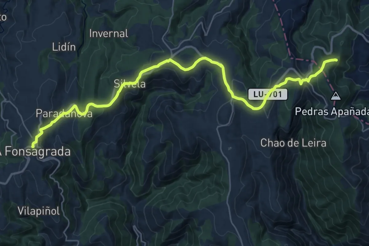
Medium · Pilgrim path
Etapa 7: Grandas de Salime - A Fonsagrada
12.7 km · ↑ 262 m · 3 h 50 min
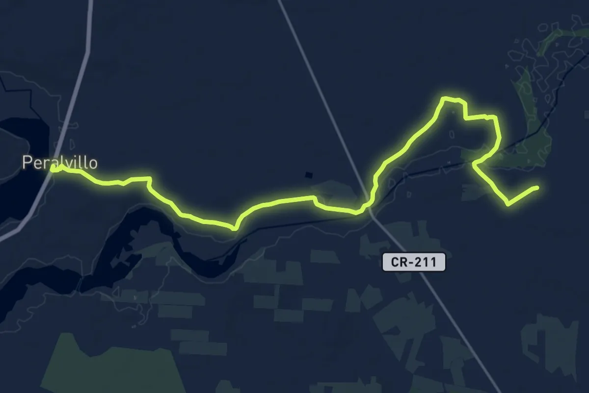
Demanding · Trail
Etapa 7: Santuario de la Encarnación - Peralvillo
21.3 km · ↑ 55 m · 5 h 9 min
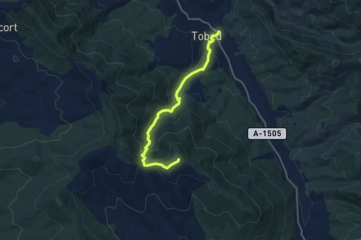
Medium · Summit
Etapa 7: Tobed - Codos
9.2 km · ↑ 575 m · 3 h 25 min
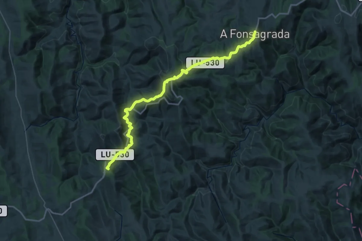
Demanding · Summit
Etapa 8: A Fonsagrada - O Cádavo
18.7 km · ↑ 798 m · 6 h 25 min
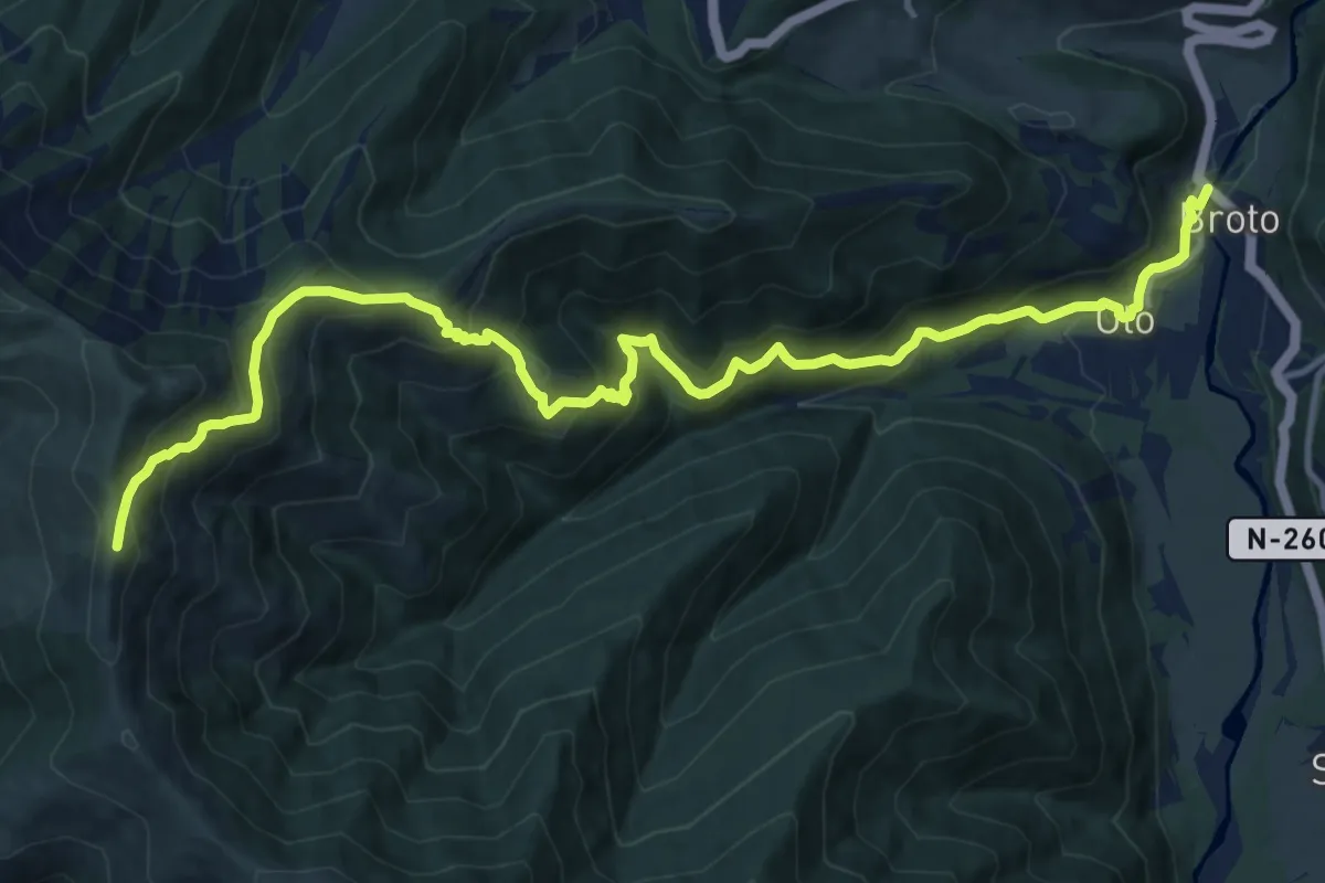
Demanding · Summit
Etapa 8: Broto – Biescas
16.9 km · ↑ 1254 m · 6 h 43 min
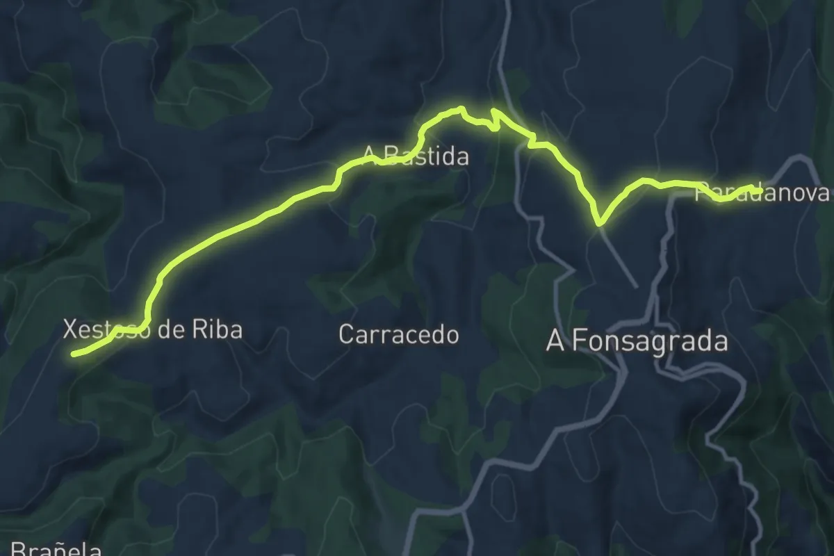
Medium · Summit
Etapa 8b: Variante da Proba de Burón
7.0 km · ↑ 345 m · 2 h 27 min
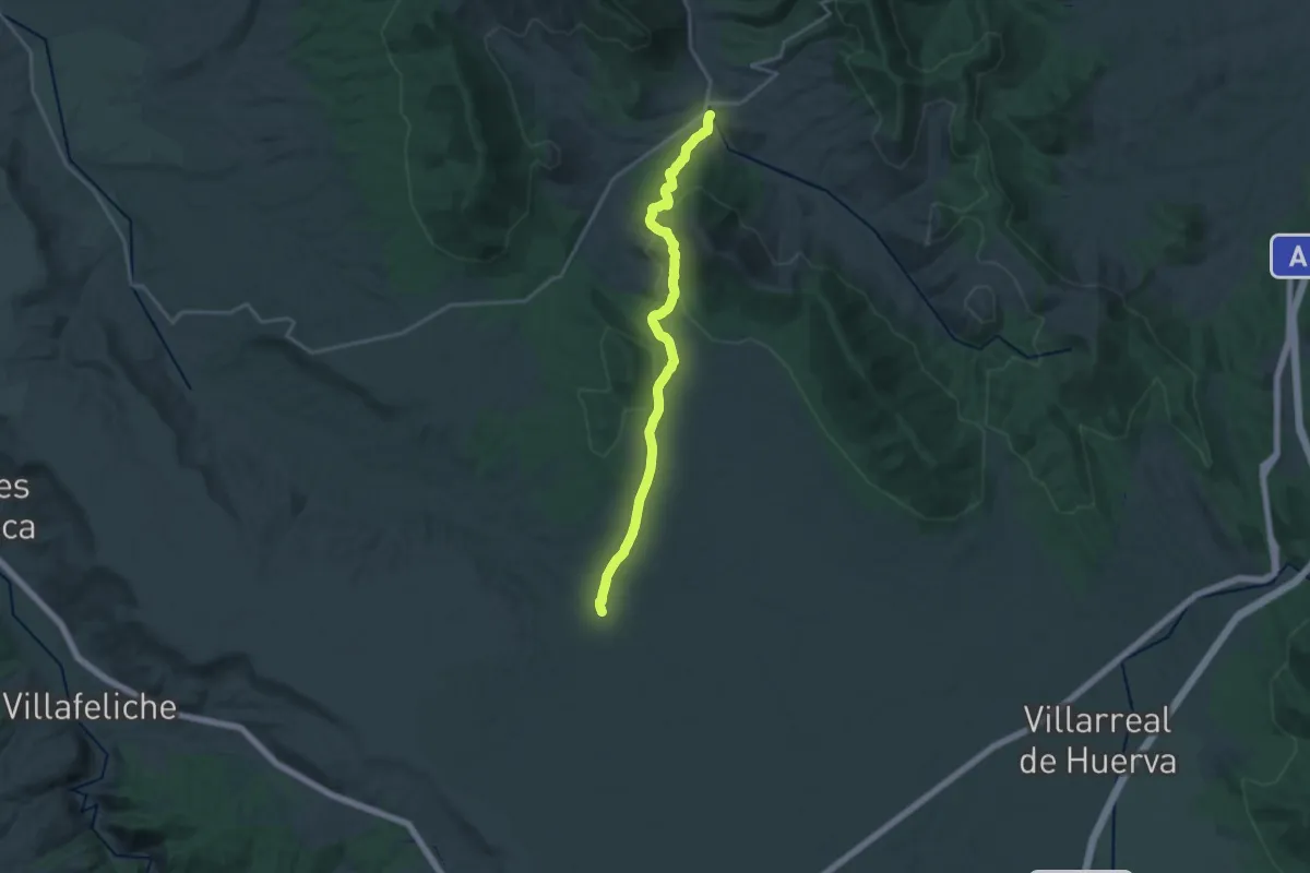
Demanding · Trail
Etapa 8: Codos - Langa del Castillo
21.5 km · ↑ 630 m · 6 h 27 min
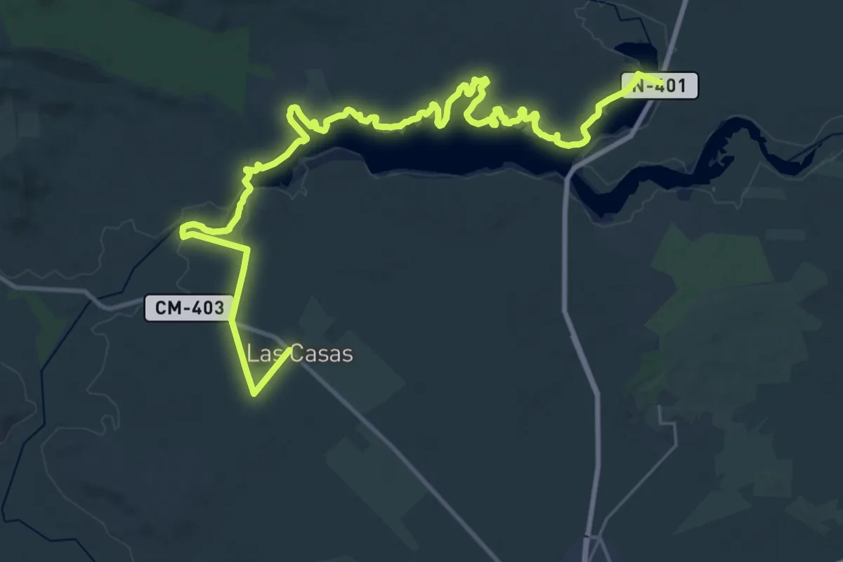
Demanding · Trail
Etapa 8: Peralvillo - Las Casas
21.3 km · ↑ 85 m · 5 h 29 min
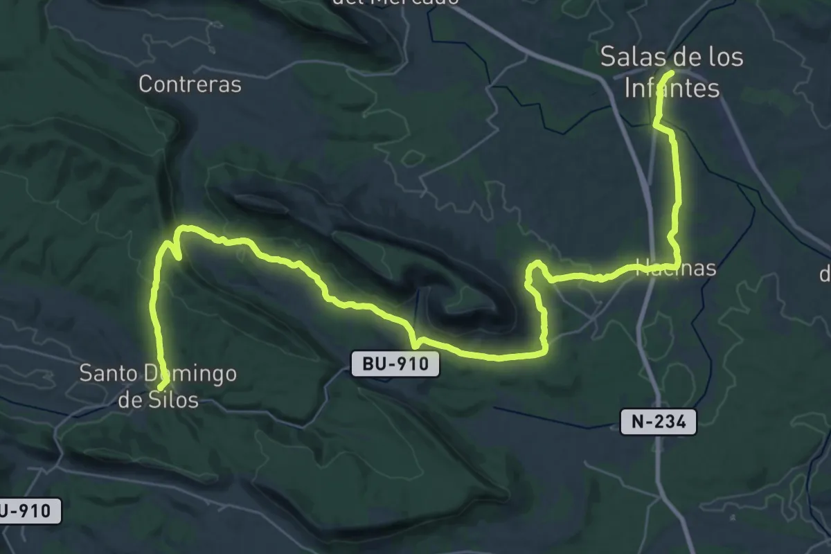
Demanding · Trail
Etapa 8 Santo Domingo de Silos - Salas de los Infantes
23.2 km · ↑ 455 m · 6 h 46 min
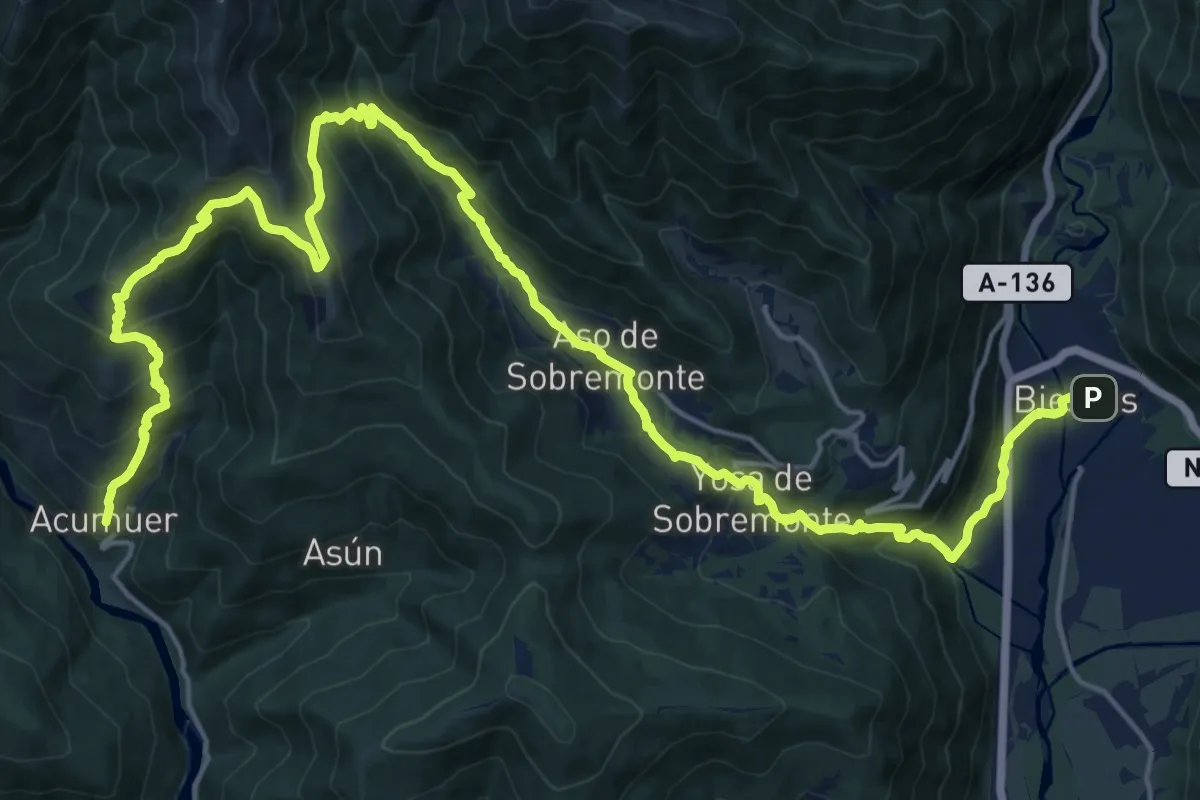
Demanding · Trail
Etapa 9: Biescas – Acumuer
14.5 km · ↑ 965 m · 5 h 35 min
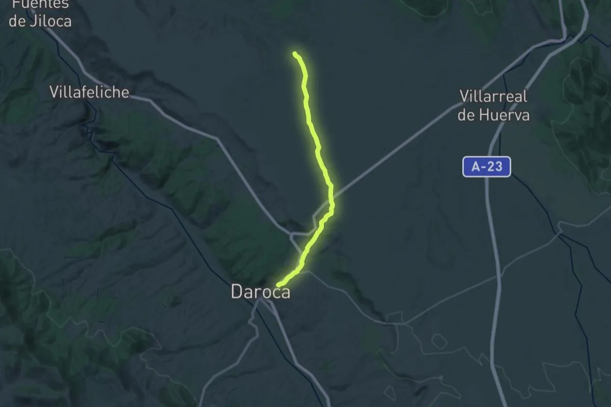
Demanding · Trail
Etapa 9: Langa del Castillo - Daroca
24.3 km · ↑ 208 m · 6 h 11 min
Medium · Trail
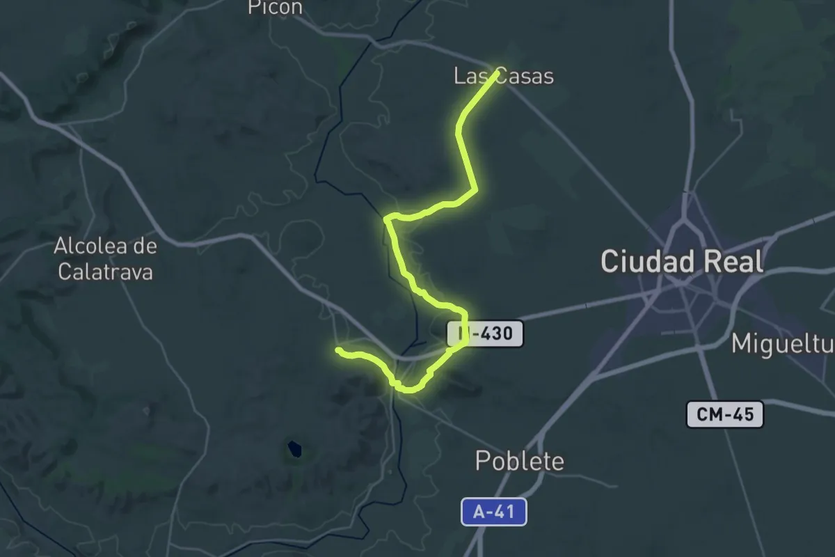
Etapa 9: Las Casas - Valverde
15.9 km · ↑ 178 m · 4 h 22 min
Demanding · Summit
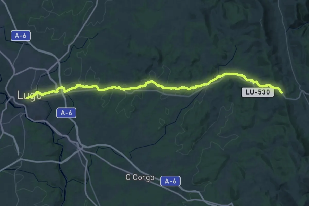
Etapa 9: O Cádavo - Lugo
27.7 km · ↑ 749 m · 8 h 22 min
Demanding · Summit
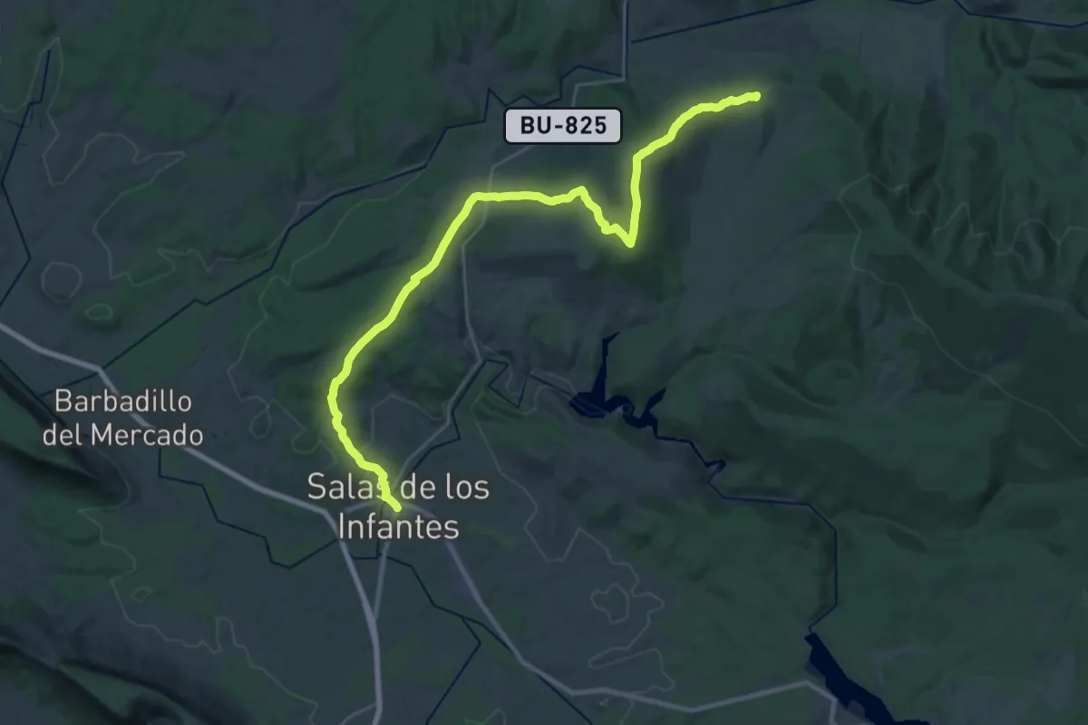
Etapa 9 Salas de los Infantes - Huerta de Abajo
34.8 km · ↑ 609 m · 9 h 32 min
Demanding · Cabin
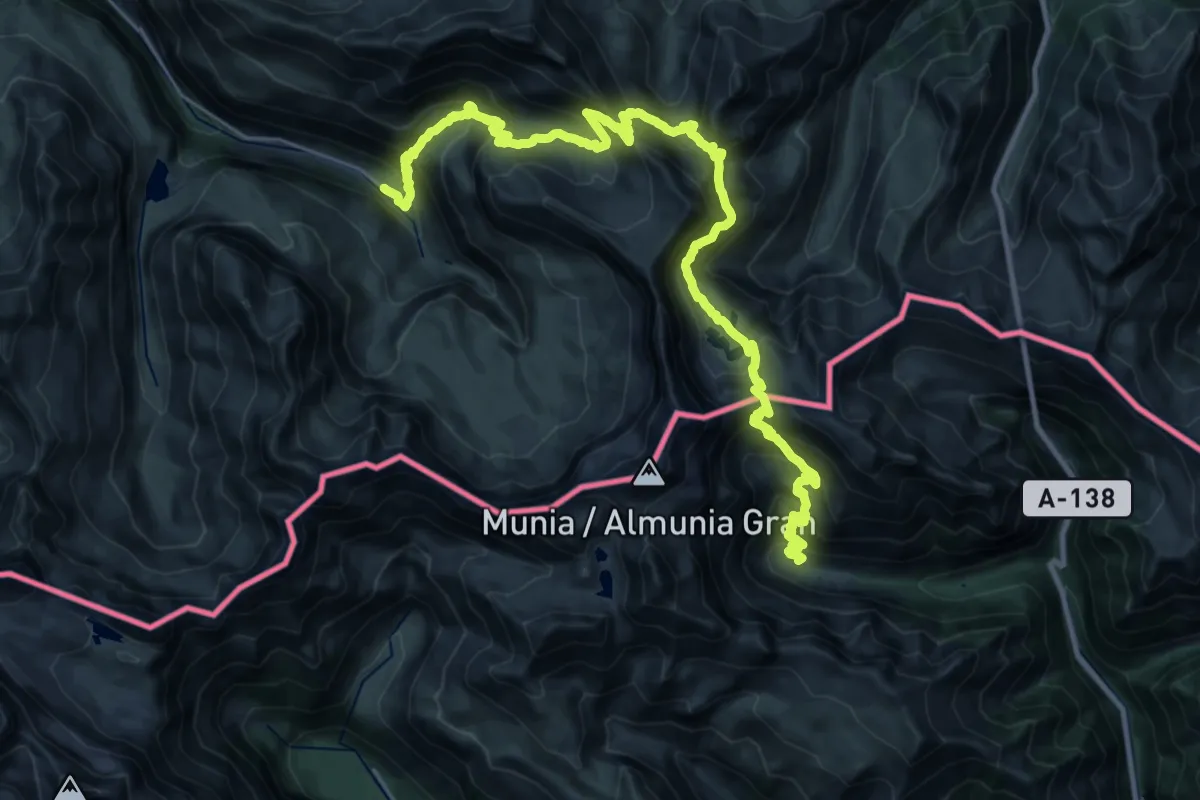
Étape 17
19.4 km · ↑ 1346 m · 7 h 52 min