Trails in Spain
5,963 hiking trails, each with its route, climb, walking time and grade.
All trails, page 43 of 125
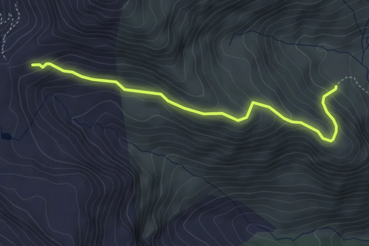
Medium · Trail
Étape 18
4.6 km · ↑ 288 m · 1 h 43 min
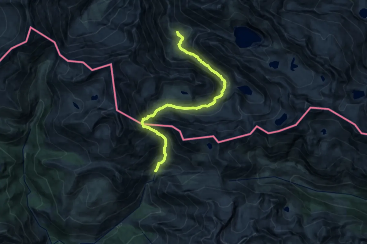
Demanding · Cabin
Étape 19
17.4 km · ↑ 1598 m · 7 h 34 min
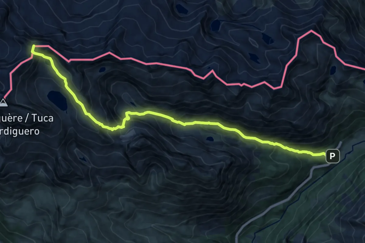
Expert · Summit
Étape 21
15.8 km · ↑ 1291 m · 6 h 31 min
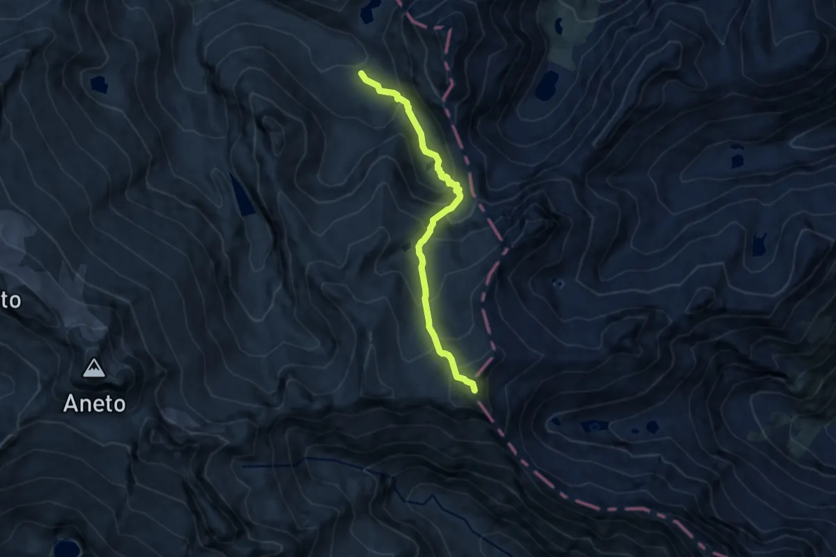
Expert · Summit
Étape 22
7.6 km · ↑ 779 m · 3 h 29 min
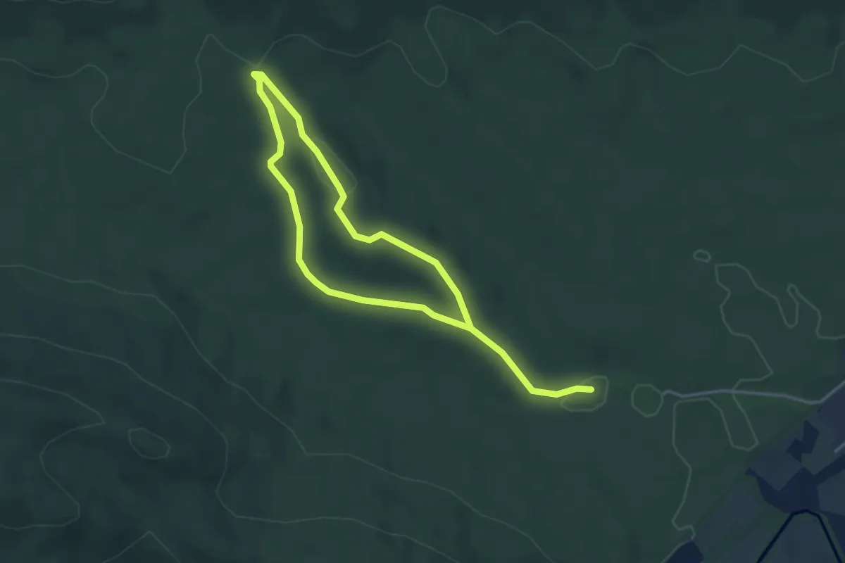
Easy · Trail
Etxarriko haritz zaharren ibilbidea
3.1 km · ↑ 45 m · 52 min
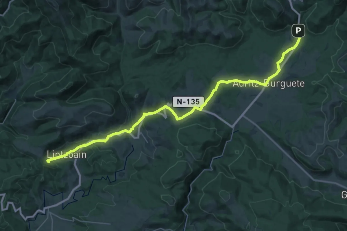
Demanding · Summit
European long distance path E3 - part Spain
28.4 km · ↑ 660 m · 8 h 9 min
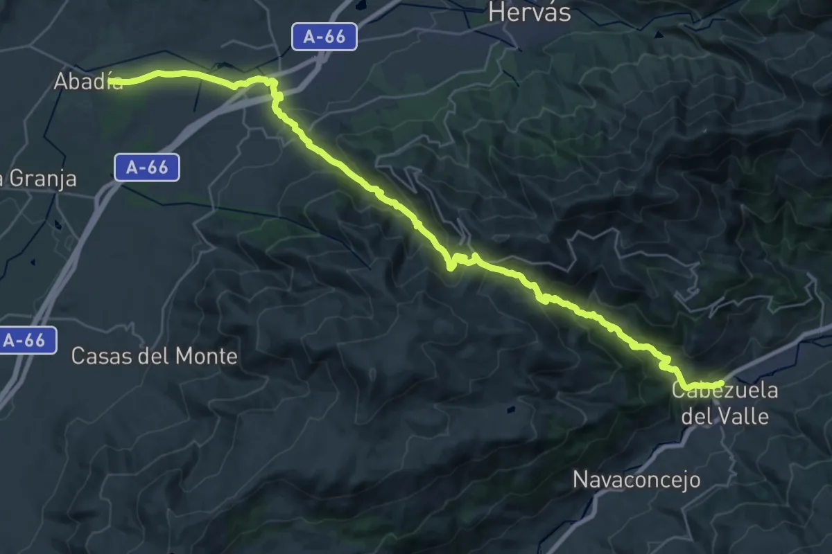
Demanding · Trail
European long distance path E7 - part Spain (Mainland)
20.1 km · ↑ 977 m · 7 h 10 min
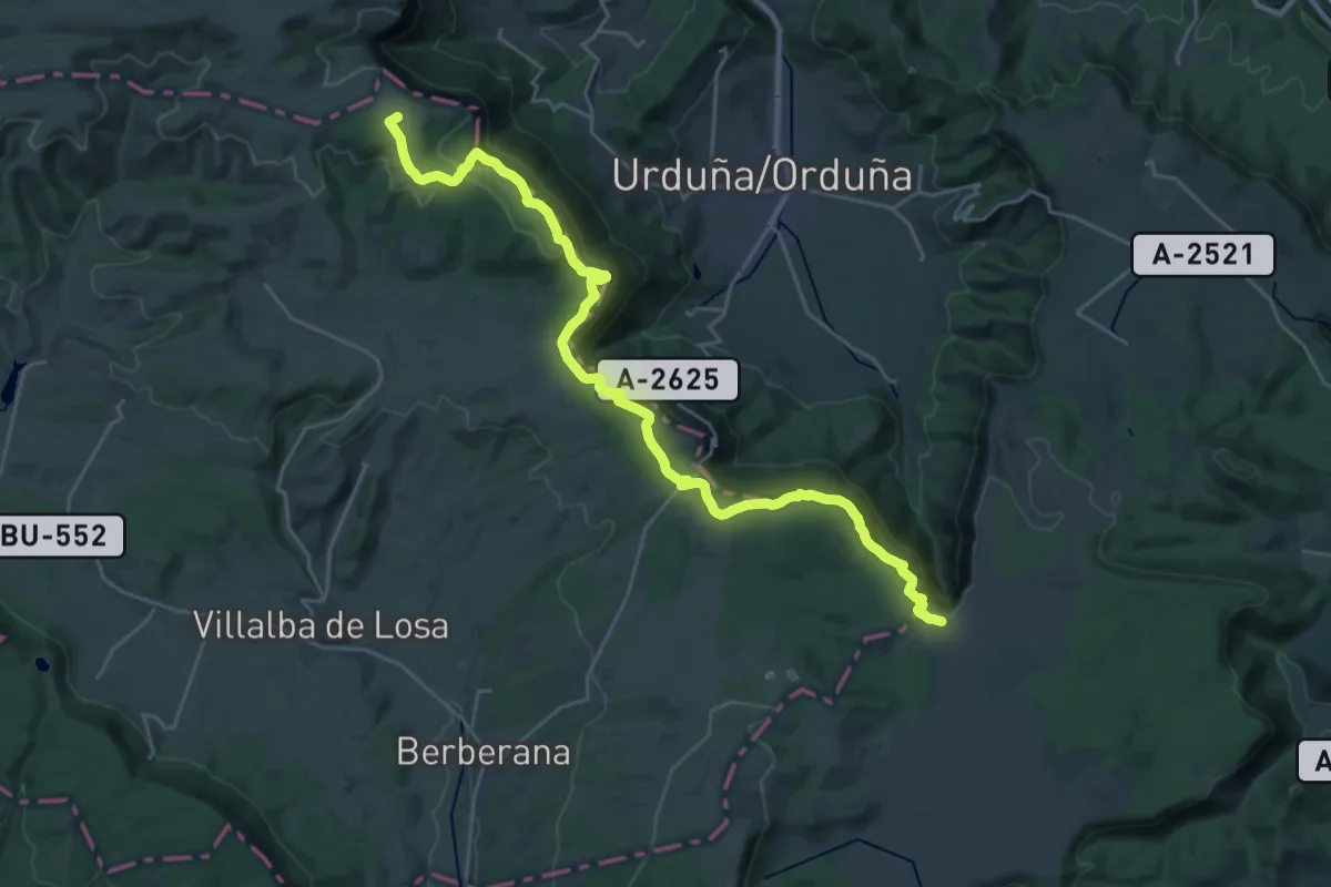
Demanding · Summit
Euskal Herriko ibilaldia
30.0 km · ↑ 1170 m · 9 h 37 min
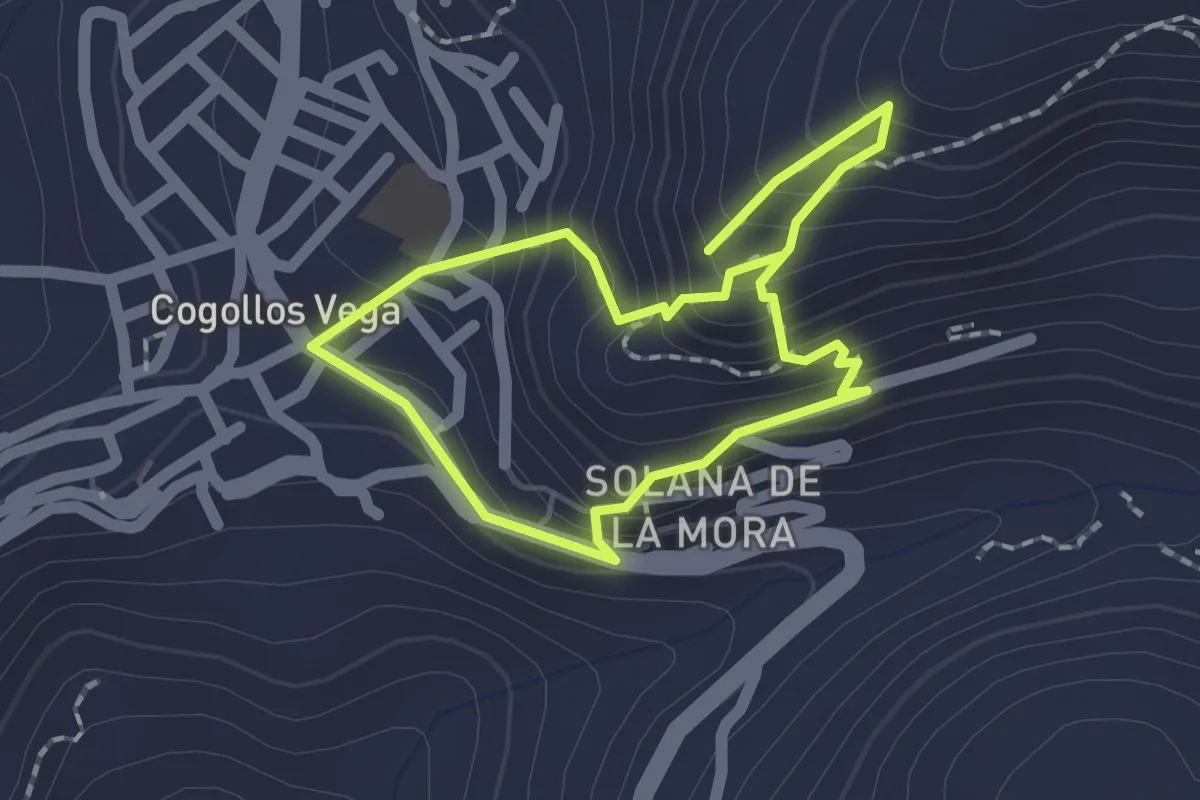
Easy · Trail
Excursión al Tajo
1.8 km · ↑ 154 m · 47 min
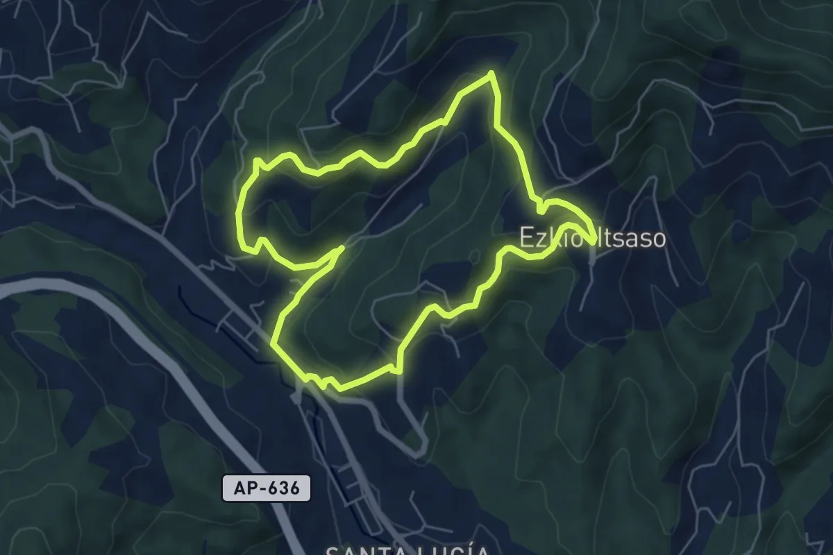
Easy · Trail
Ezkioko Dolare Baserriak
5.8 km · ↑ 303 m · 2 h 6 min
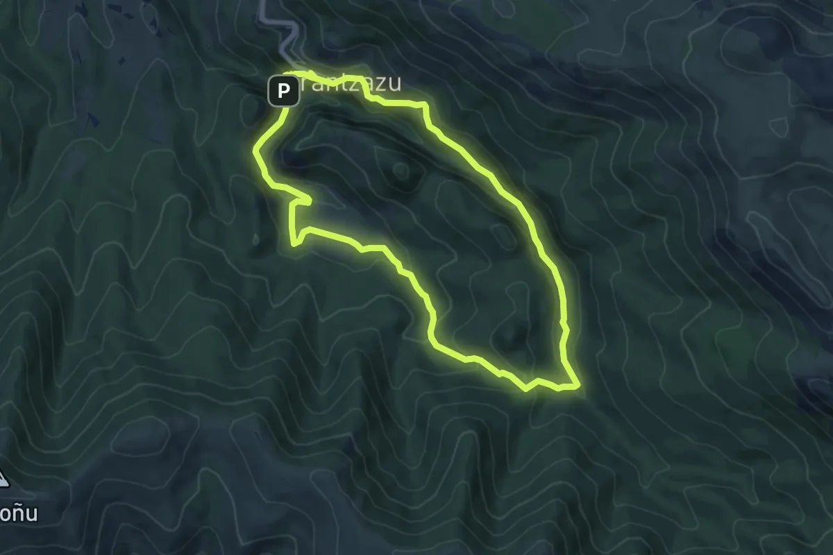
Medium · Summit
Ezkutuko bidea
7.1 km · ↑ 343 m · 2 h 31 min
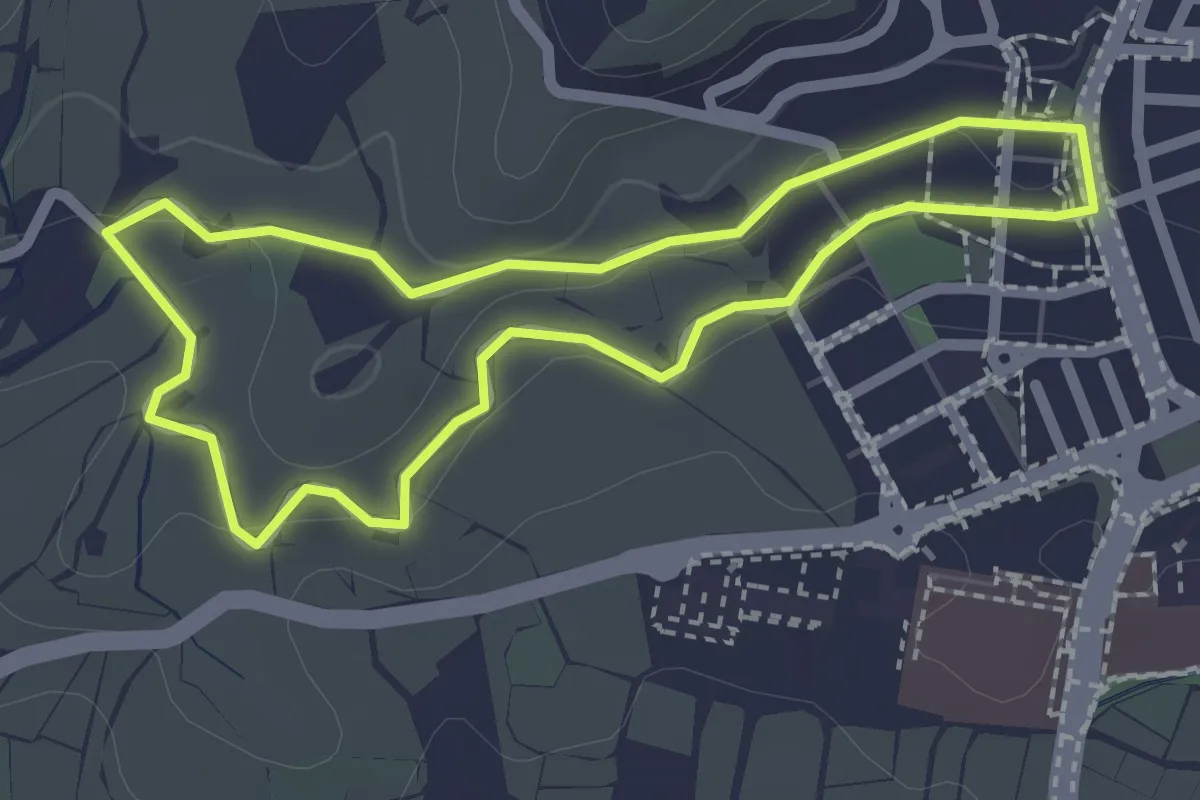
Easy · Trail
Fábricas Azucareras
2.4 km · ↑ 31 m · 39 min
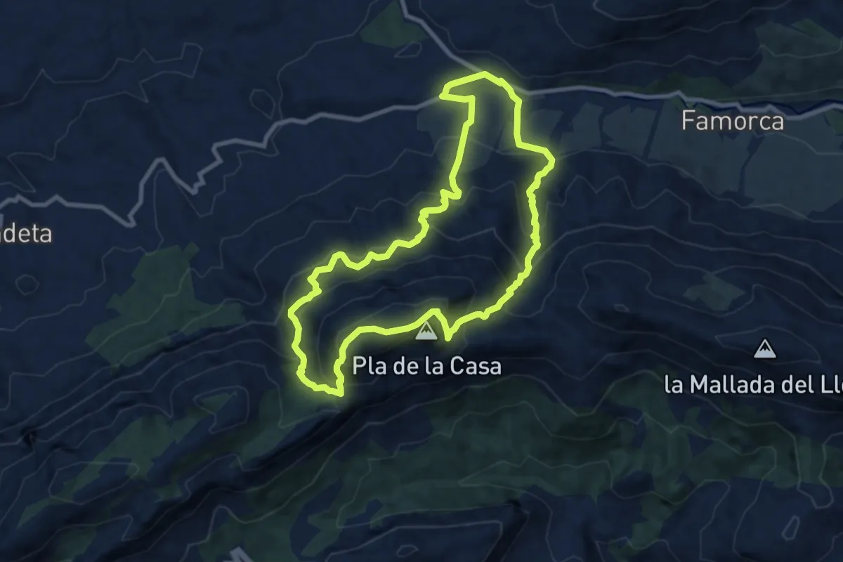
Medium · Summit
Fageca – Pla de la Casa - Fageca
9.3 km · ↑ 699 m · 3 h 50 min
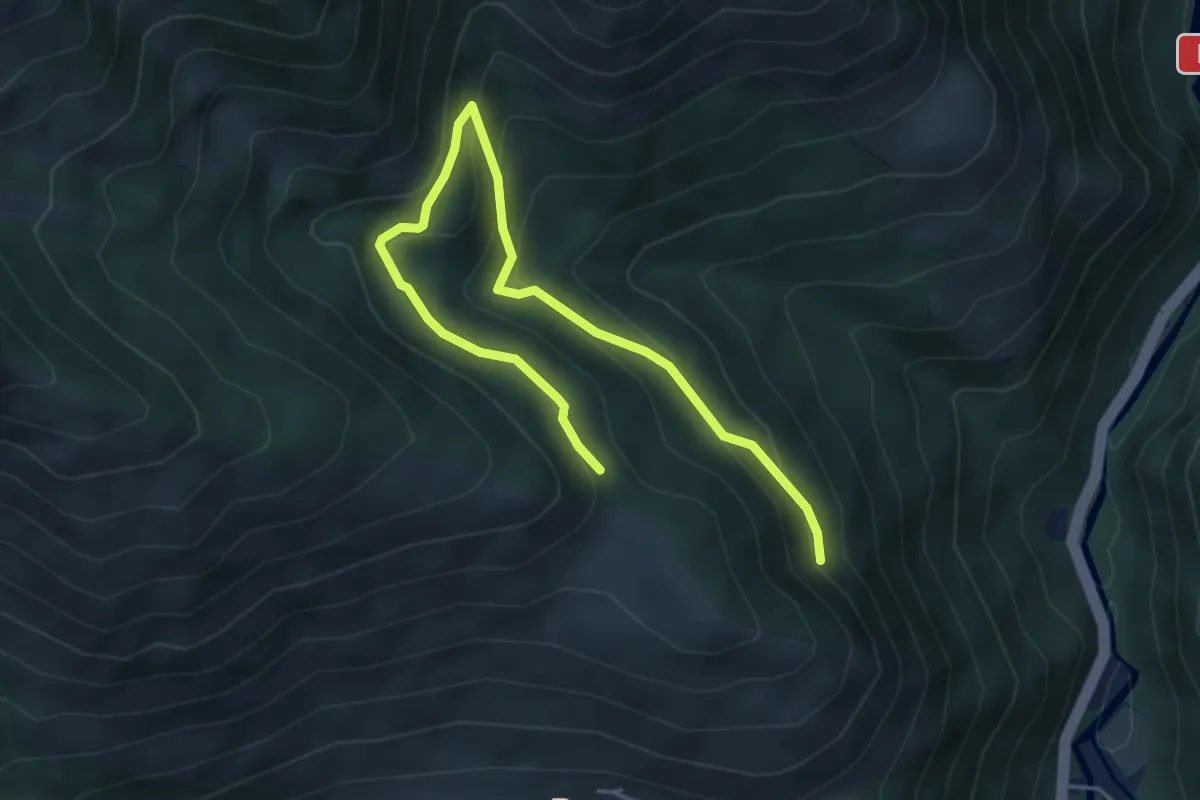
Medium · Trail
Fageda de Carlac
3.1 km · ↑ 109 m · 1 h 6 min
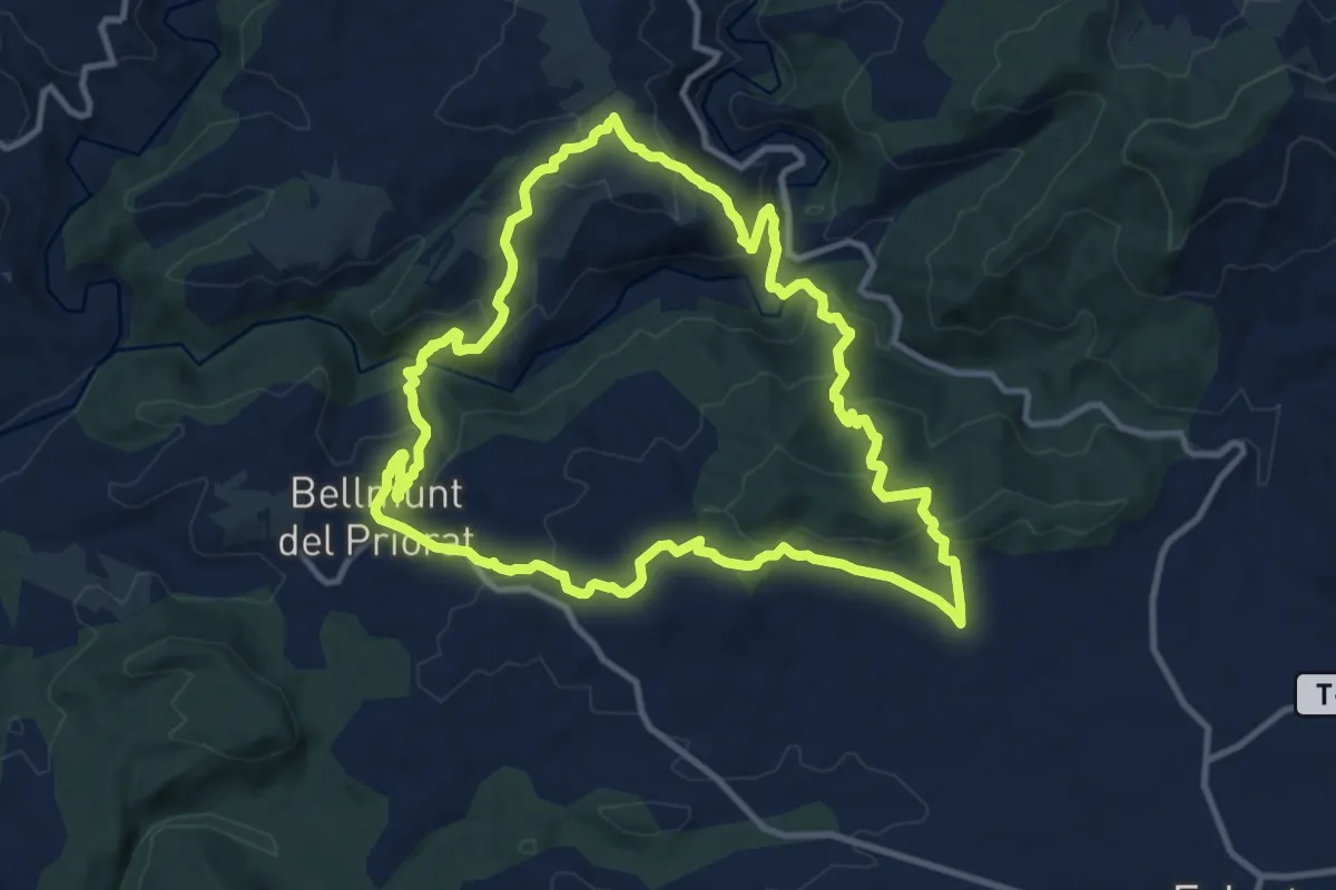
Medium · Trail
Falset. Els batecs del vi
11.9 km · ↑ 541 m · 4 h 9 min
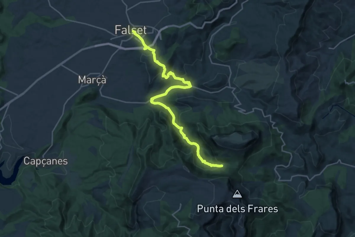
Demanding · Trail
Falset-Mola de Colldejou
20.8 km · ↑ 711 m · 6 h 27 min
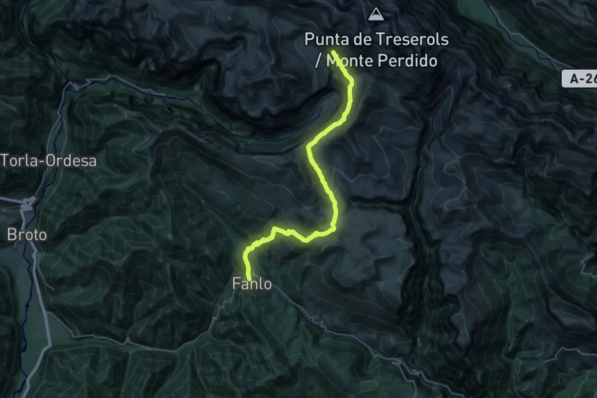
Demanding · Cabin
Fanlo - Cuello Arenas - Refugio de Góriz
13.3 km · ↑ 1034 m · 5 h 10 min
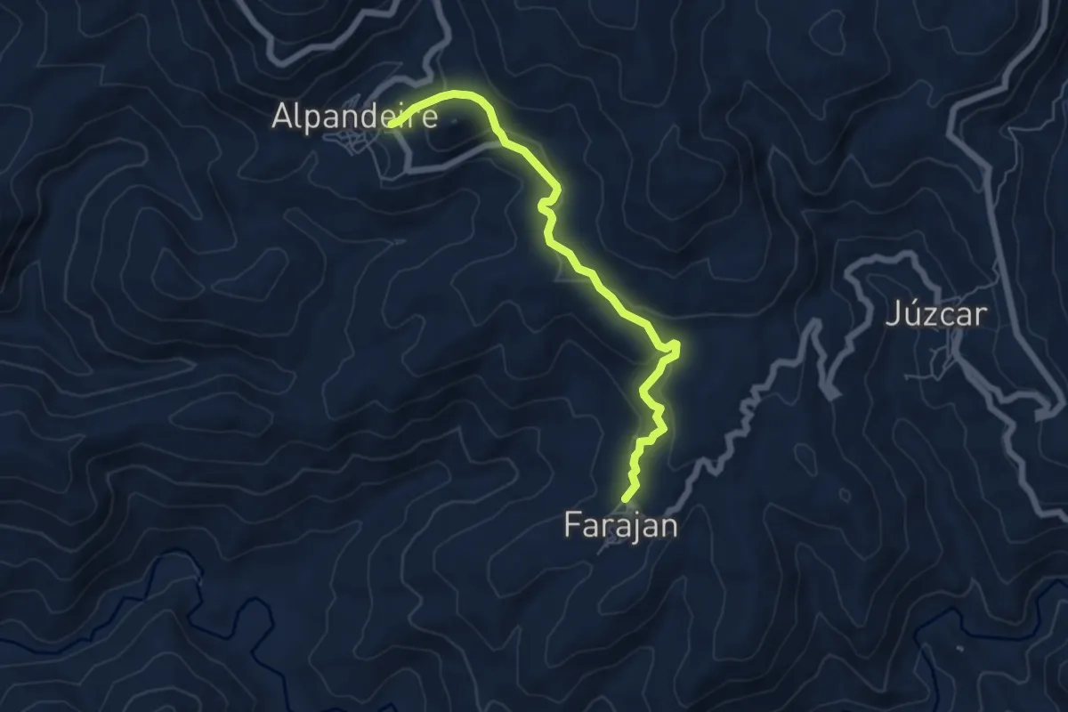
Easy · Trail
Faraján - Alpandeire
6.6 km · ↑ 307 m · 2 h 13 min
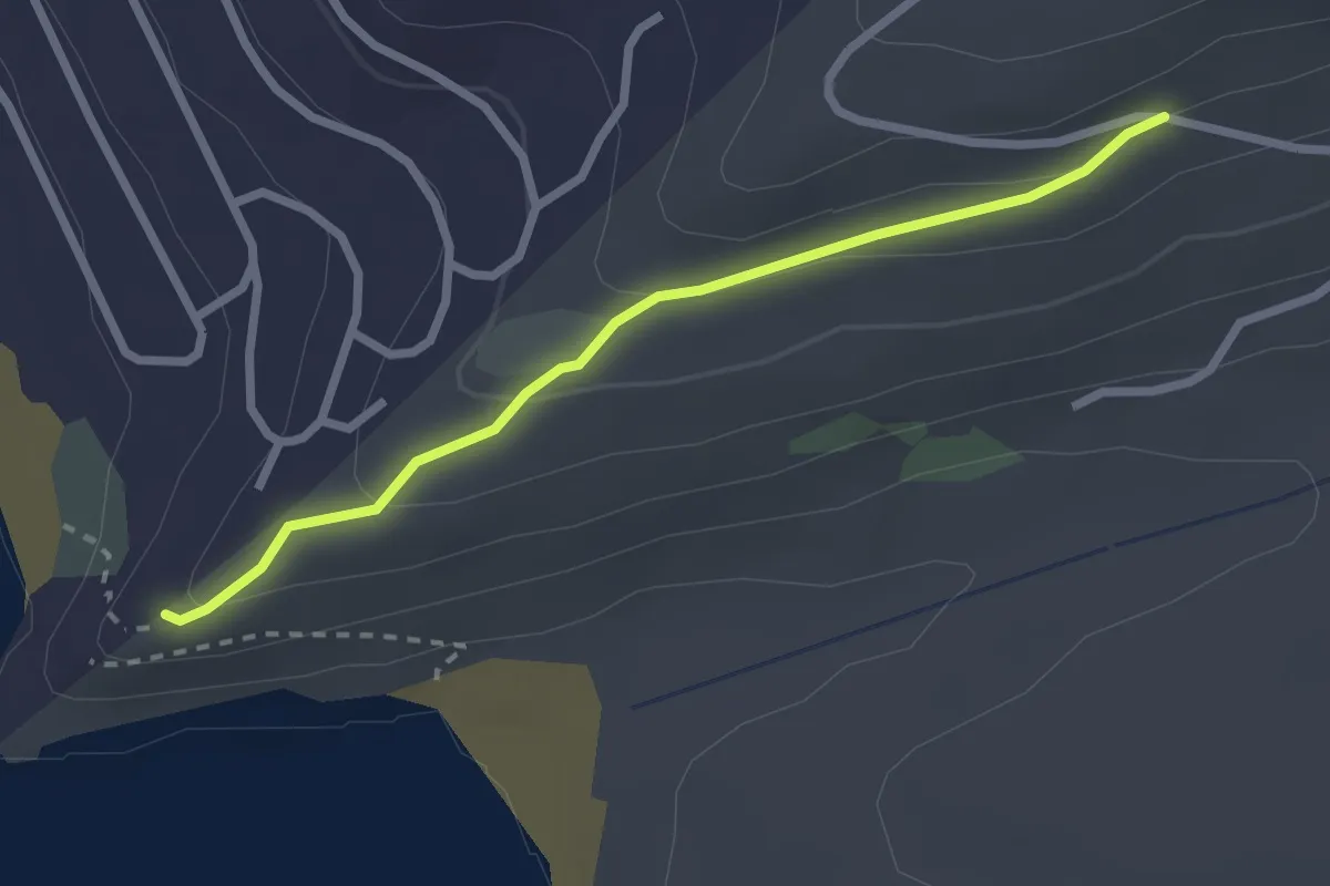
Easy · Trail
Faro Camarinal
2.9 km · ↑ 94 m · 53 min
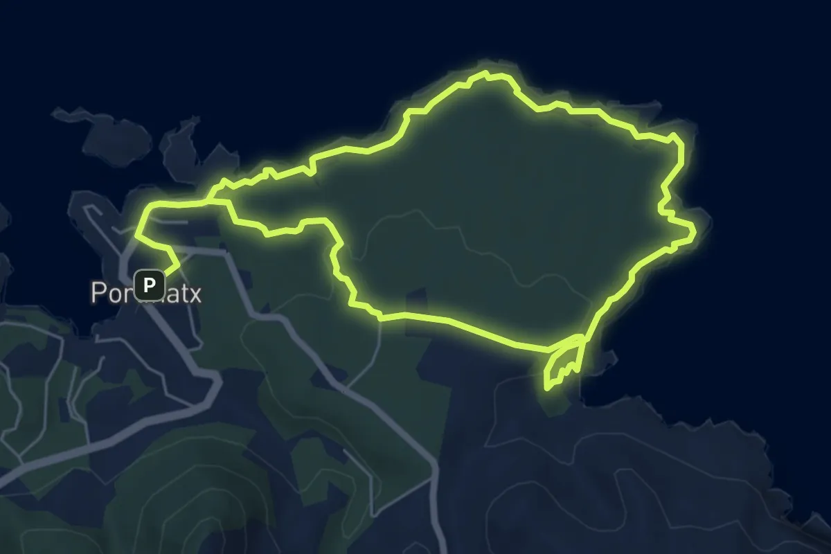
Easy · Trail
Faro des Moscarter
6.4 km · ↑ 151 m · 1 h 56 min
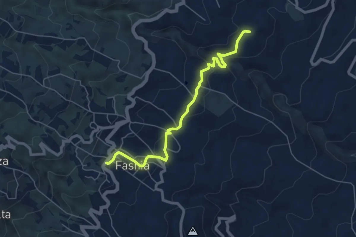
Easy · Summit
Fasnia-El Escobonal
6.4 km · ↑ 230 m · 2 h 1 min
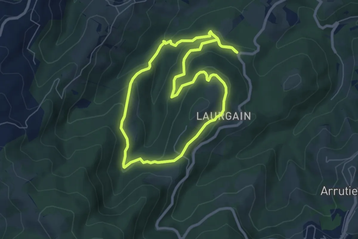
Easy · Trail
Faunaren ibilbidea
5.8 km · ↑ 244 m · 1 h 59 min
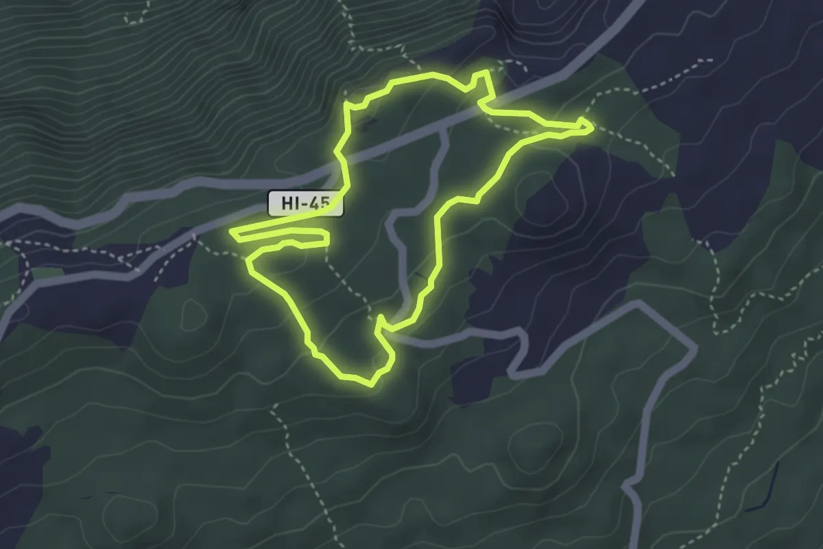
Medium · Summit
Fayal - Fuente del Lomo
4.5 km · ↑ 98 m · 1 h 20 min
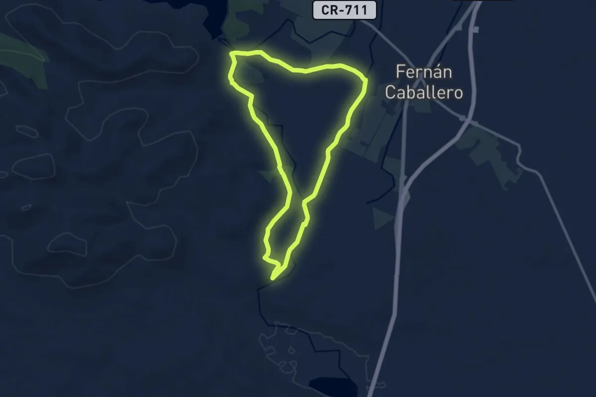
Medium · Trail
Fernán Caballero - El Congosto
9.8 km · ↑ 37 m · 2 h 32 min
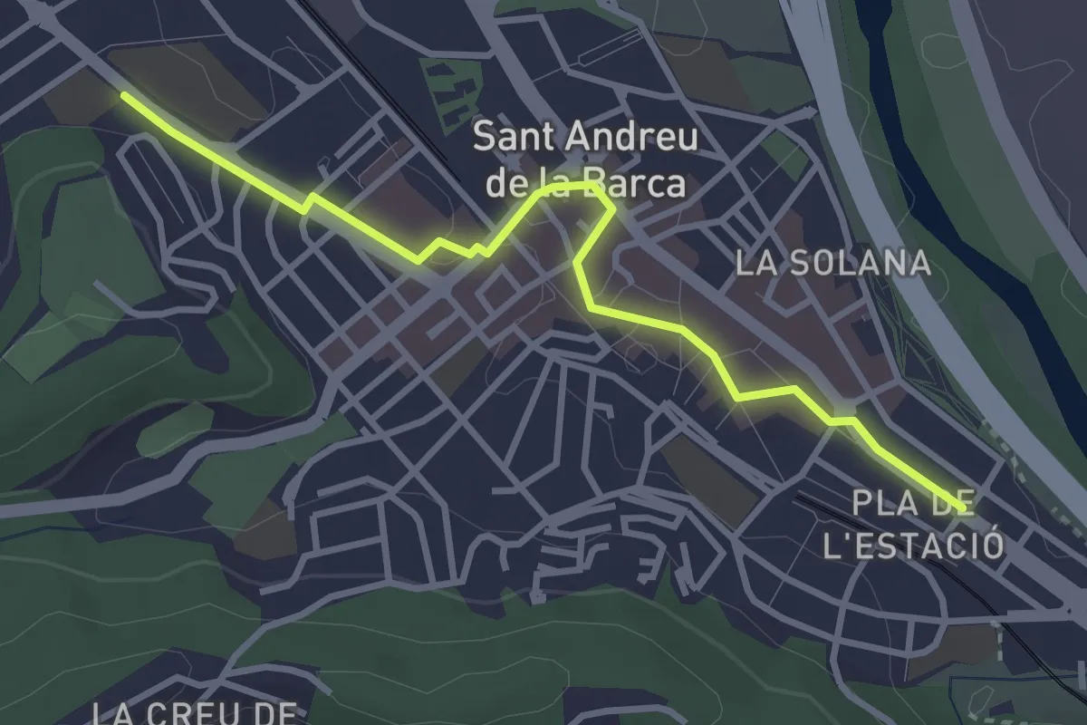
Easy · Trail
Festival d'art urbà KROMATIC
3.6 km · ↑ 23 m · 54 min
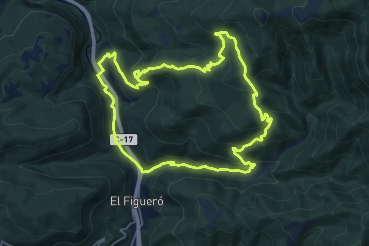
Medium · Summit
Figaró-Tagamanent
11.7 km · ↑ 590 m · 4 h 12 min
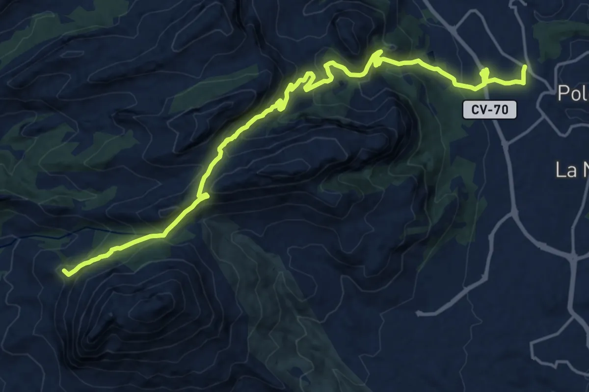
Demanding · Summit
Finestrat - Polop
20.5 km · ↑ 1133 m · 7 h 18 min
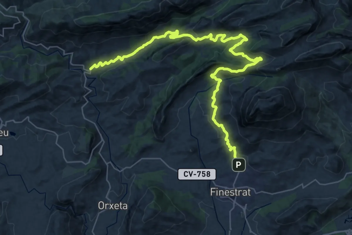
Medium · Trail
Finestrat-Sella
17.2 km · ↑ 602 m · 5 h 34 min
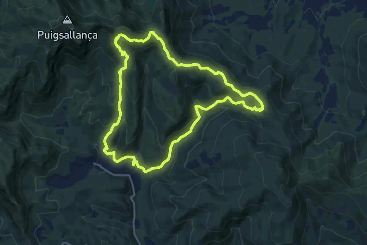
Medium · Summit
Finestres-Sant Aniol pel coll de Palomera
11.4 km · ↑ 617 m · 4 h 12 min
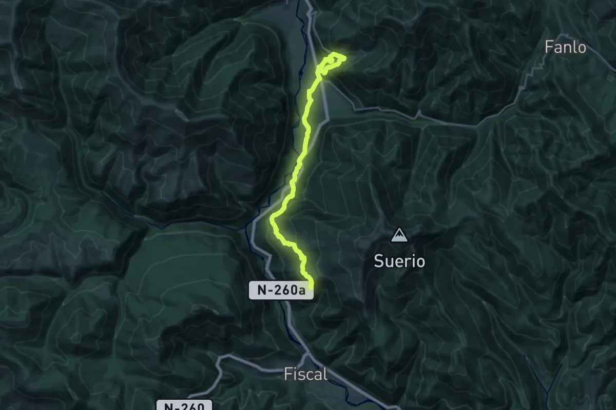
Demanding · Trail
Fiscal - Buesa
22.4 km · ↑ 1168 m · 7 h 49 min
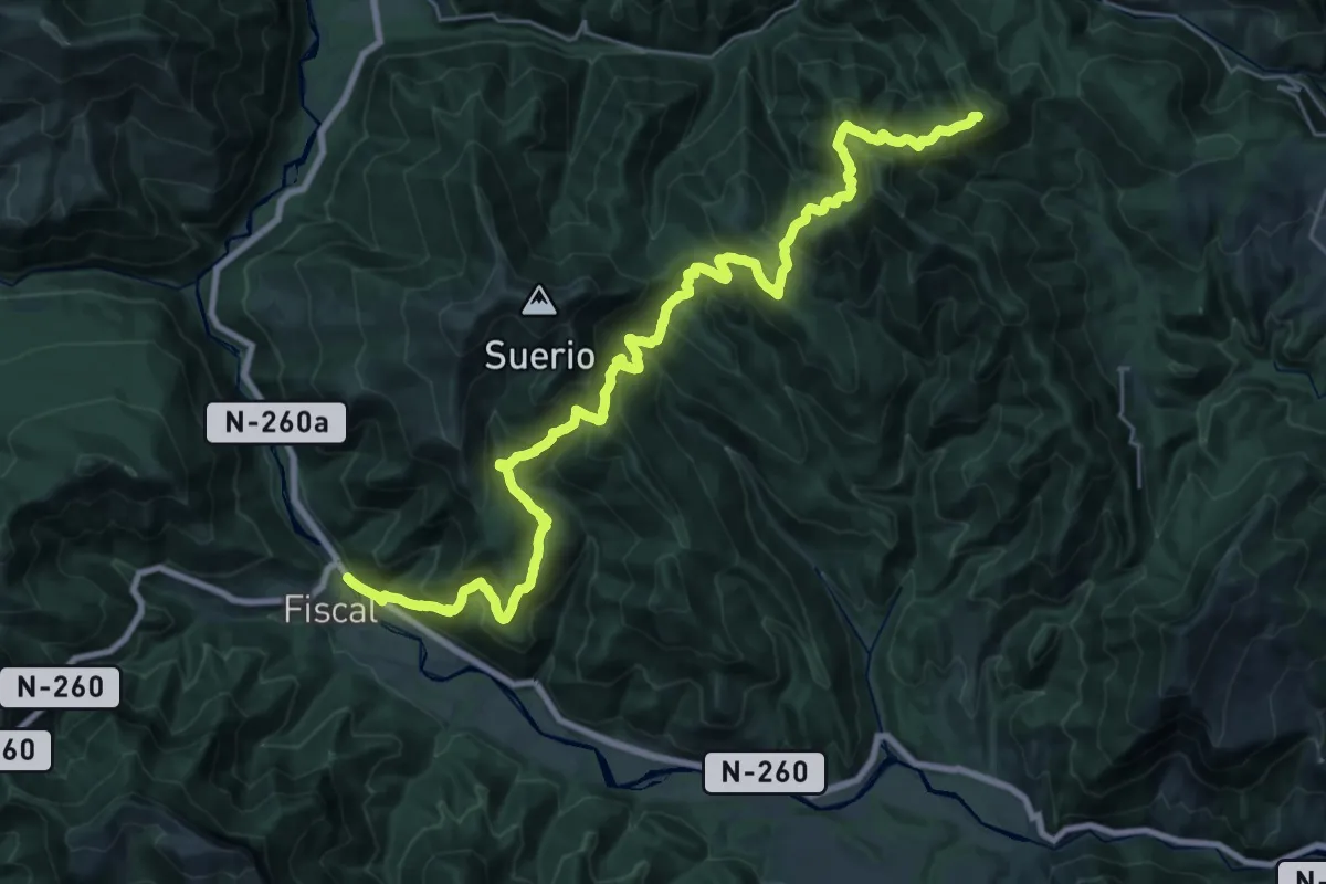
Demanding · Summit
Fiscal - Fanlo
37.0 km · ↑ 2100 m · 13 h 18 min
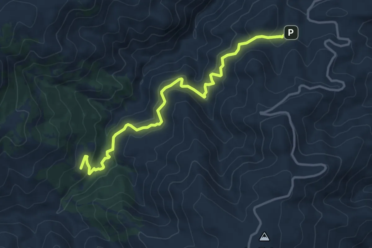
Medium · Trail
Floranes - Arredondo
10.7 km · ↑ 509 m · 3 h 37 min
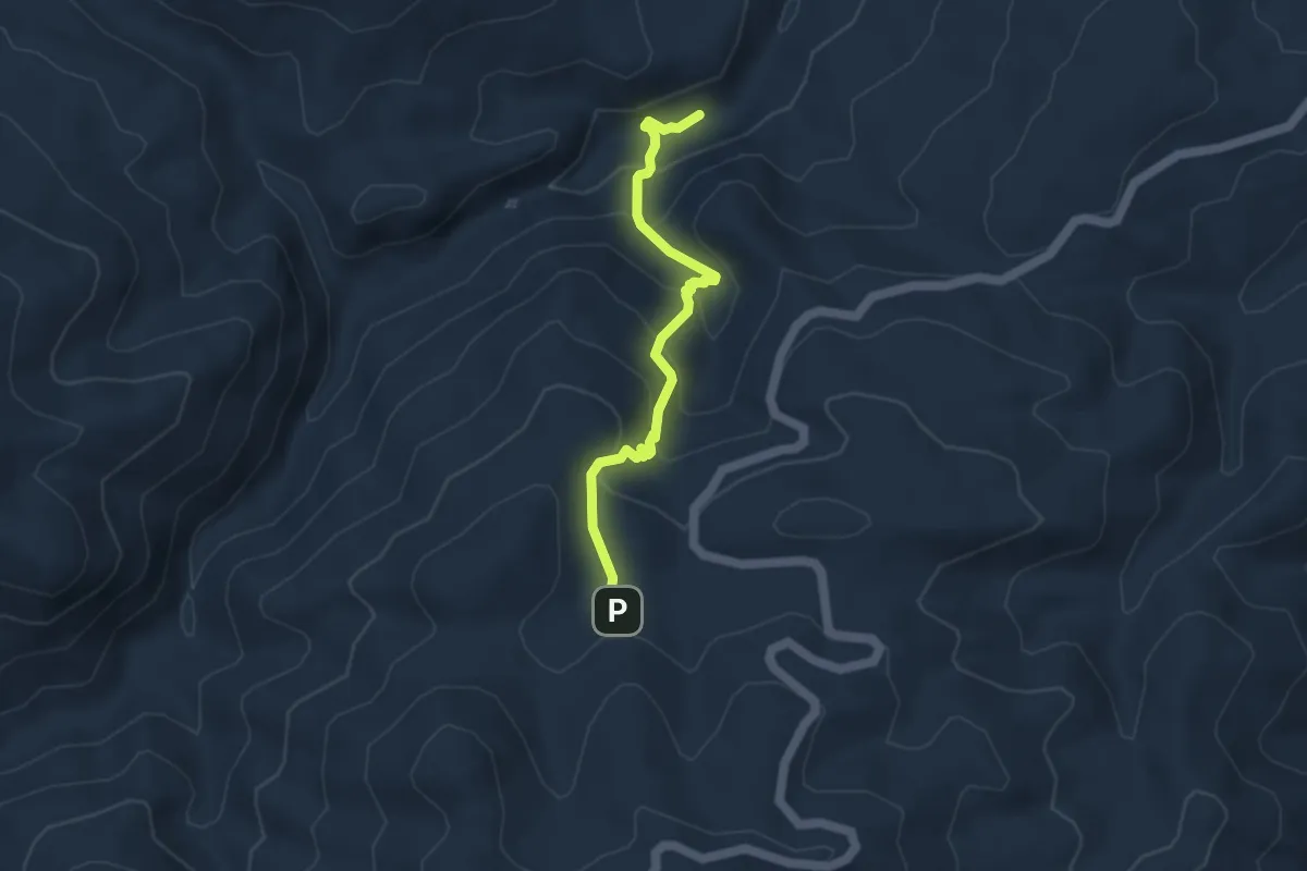
Medium · Trail
Floranes - Cerro Panizo
4.7 km · ↑ 345 m · 1 h 51 min
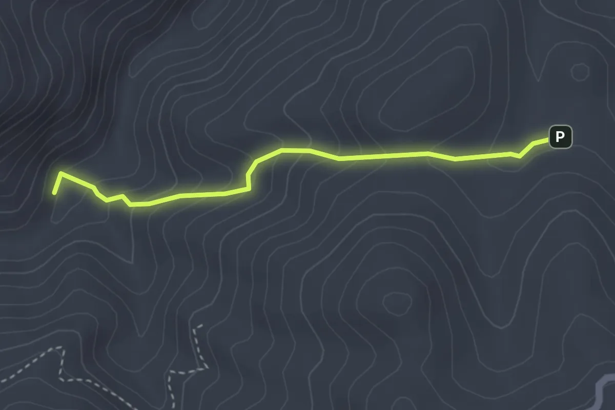
Medium · Trail
Floranes - Cortijo del Tío Capote
3.5 km · ↑ 241 m · 1 h 21 min
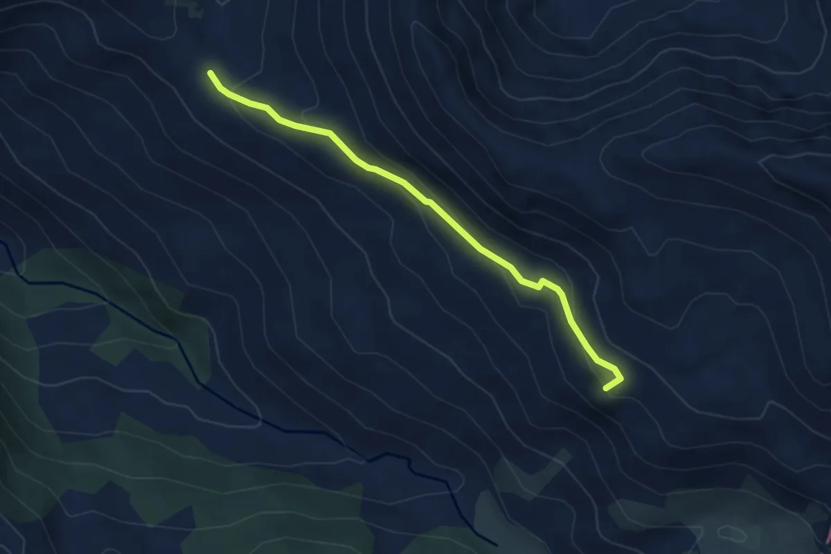
Medium · Summit
Foces del Pino
4.4 km · ↑ 215 m · 1 h 31 min
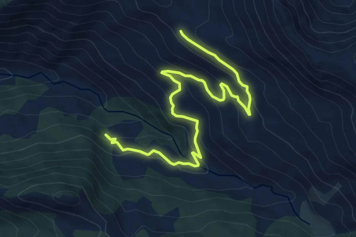
Medium · Trail
Foces del Pino
9.5 km · ↑ 466 m · 3 h 15 min
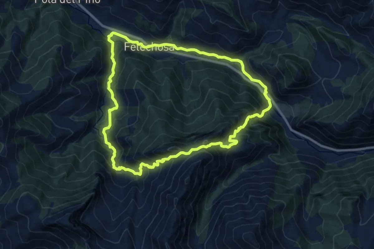
Demanding · Trail
Foces del Pino
13.2 km · ↑ 930 m · 5 h 18 min
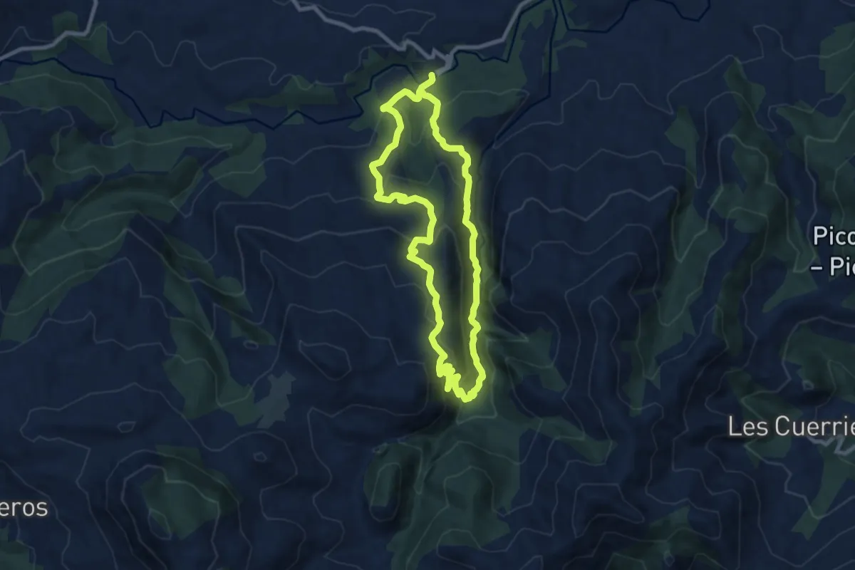
Demanding · Trail
Foces del Río Pendón
16.5 km · ↑ 965 m · 5 h 59 min
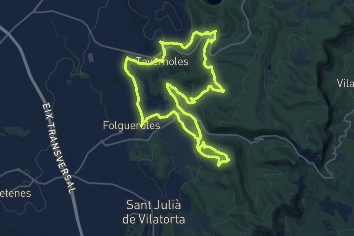
Medium · Trail
Folgueroles - Casol de Puigcastellet - Pla de Savassona
14.1 km · ↑ 430 m · 4 h 27 min
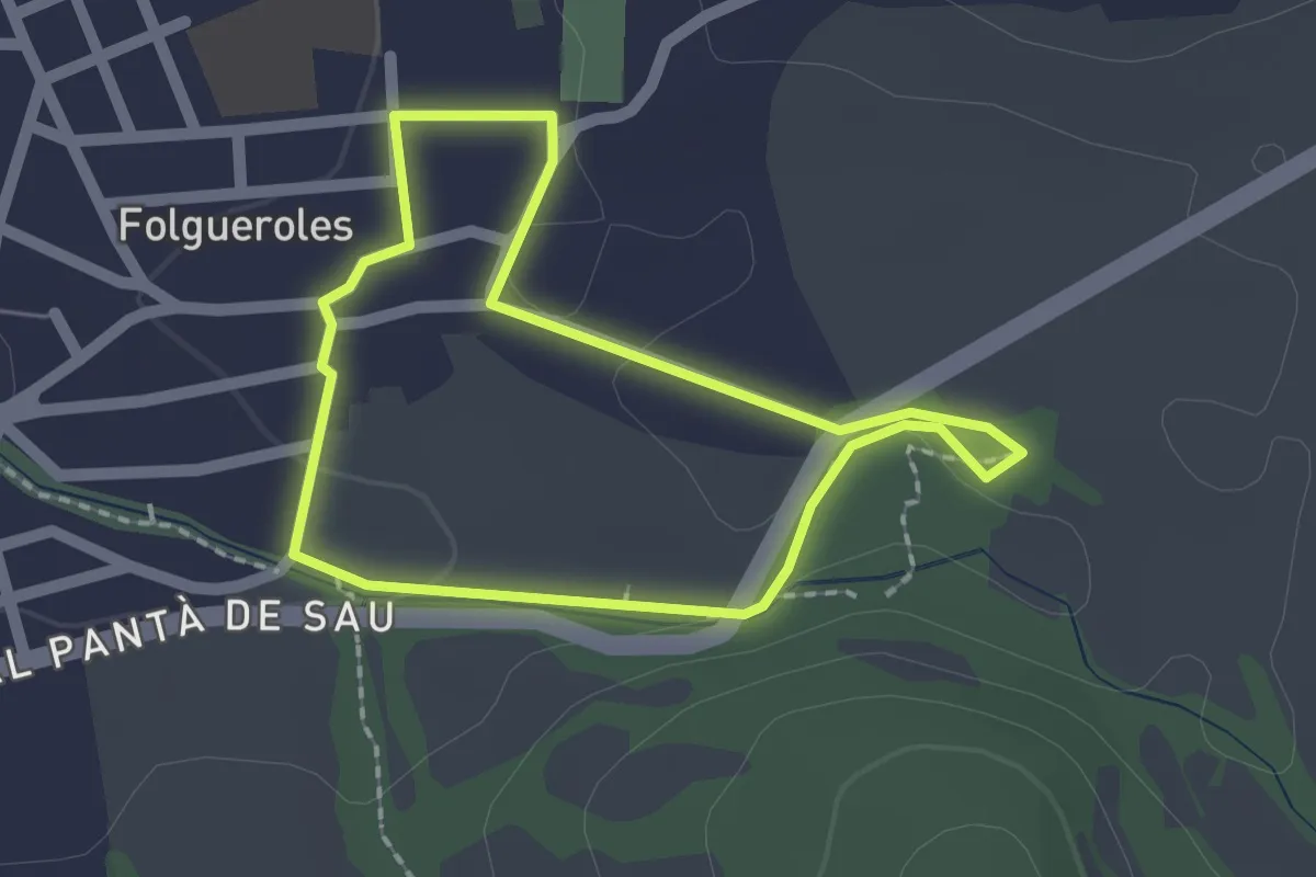
Easy · Trail
Folgueroles-Font Trobada
1.8 km · ↑ 12 m · 29 min
Easy · Trail
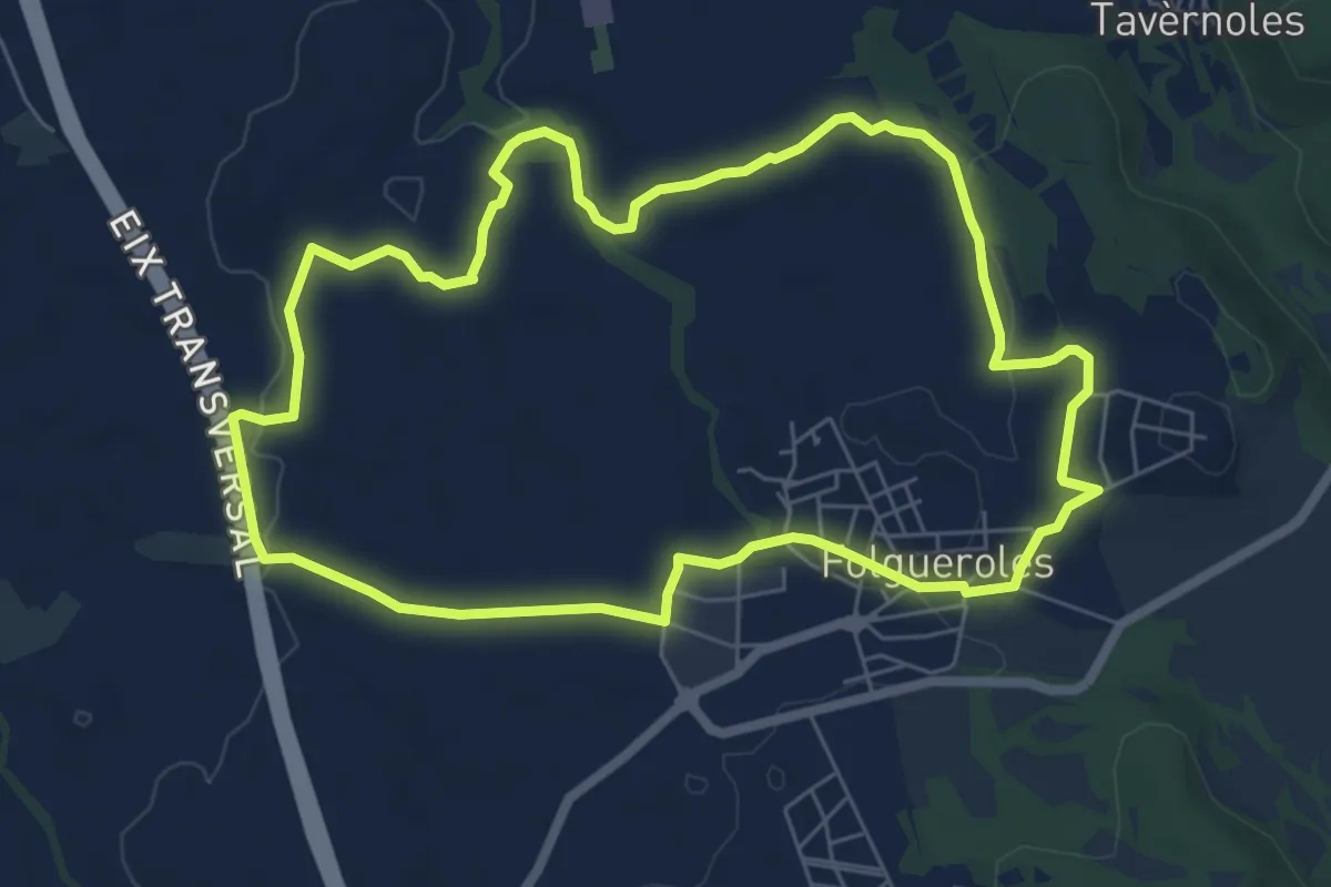
Folgueroles-Monòlits de Jacint Verdaguer
7.2 km · ↑ 85 m · 1 h 59 min
Medium · Trail
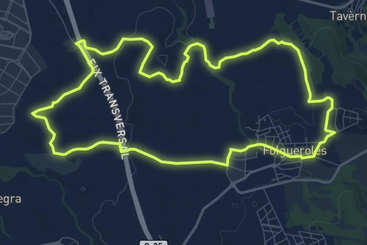
Folgueroles-Sant Jordi de Puigseslloses
10.1 km · ↑ 103 m · 2 h 45 min
Medium · Trail
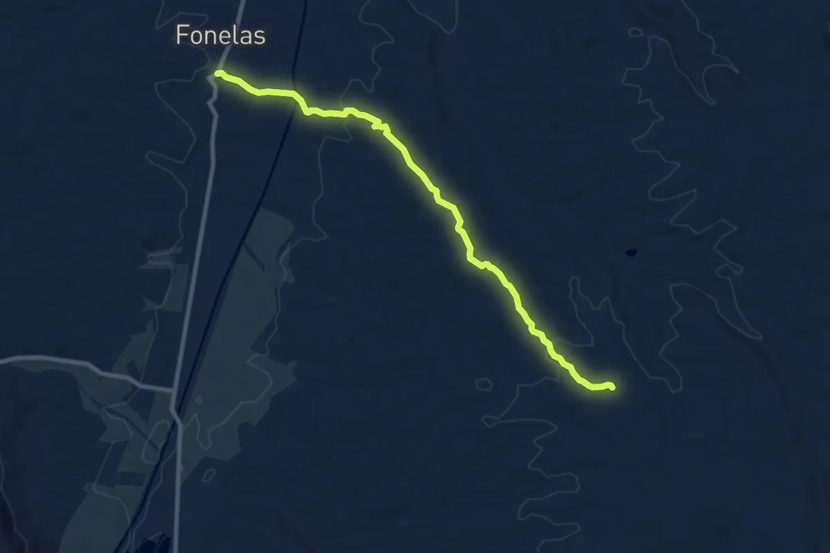
Fonelas-San Torcuato
9.3 km · ↑ 165 m · 2 h 33 min
Easy · Trail
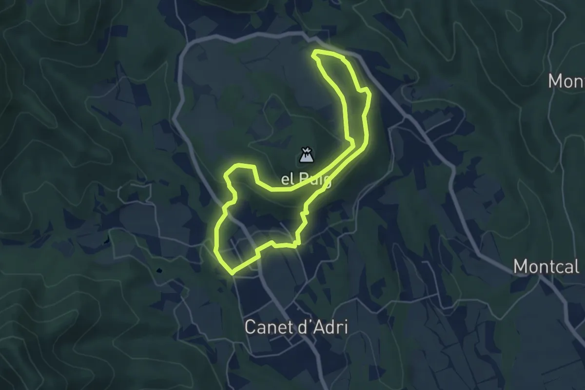
Font de la Torre i volcà de Puig d'Adri
5.2 km · ↑ 178 m · 1 h 41 min
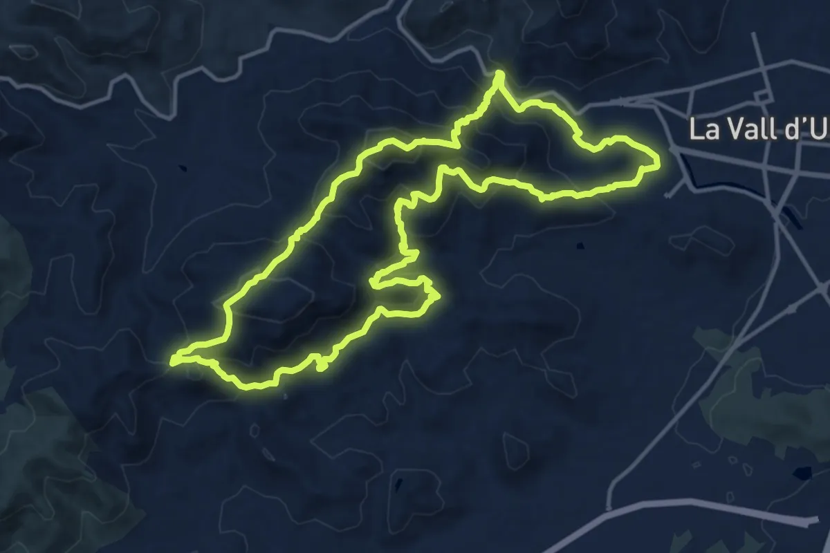
Expert · Summit
Font del Nogueret - Font de Cabres
14.9 km · ↑ 979 m · 5 h 50 min
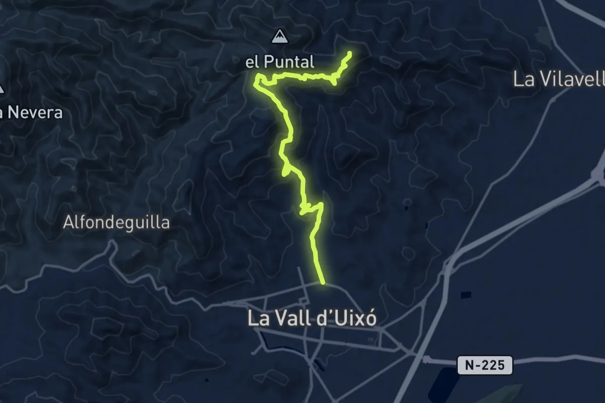
Demanding · Summit
Font del Nogueret - Font de Cabres
15.2 km · ↑ 870 m · 5 h 28 min
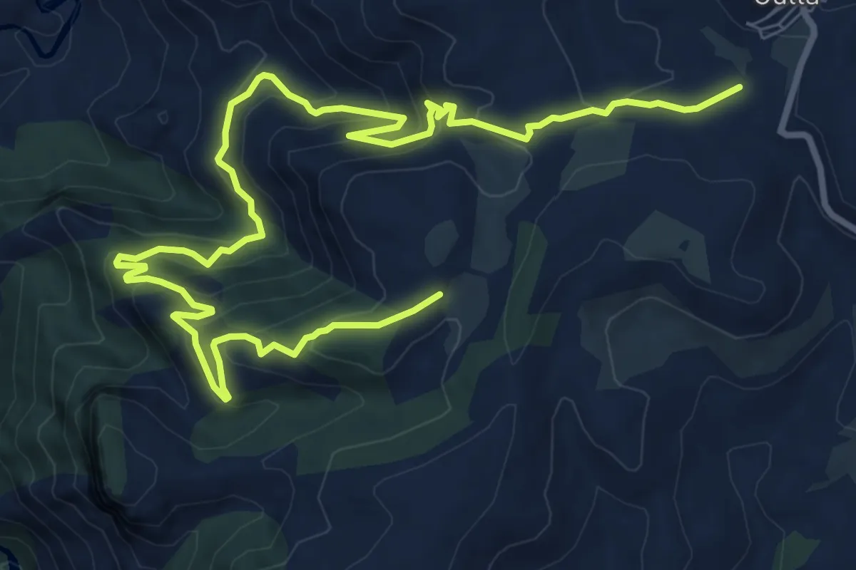
Medium · Trail
Font de l'Oli
13.3 km · ↑ 725 m · 4 h 42 min
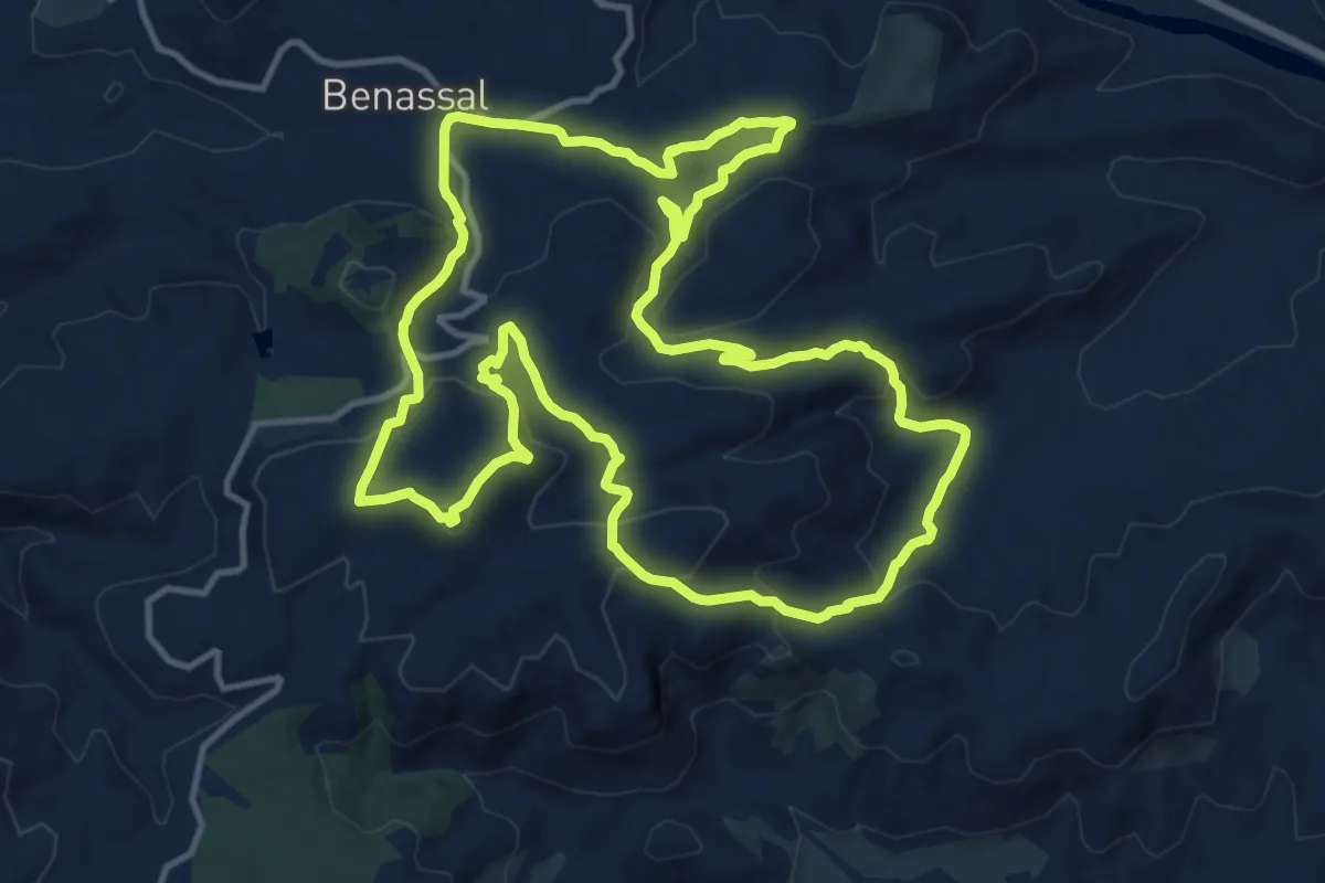
Medium · Summit
Font de l'Ombria
15.0 km · ↑ 621 m · 5 h 5 min