Trails in Spain
5,963 hiking trails, each with its route, climb, walking time and grade.
All trails, page 44 of 125
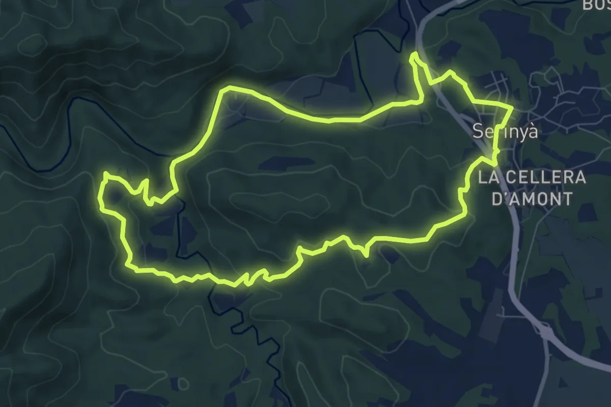
Medium · Trail
Font de Perduts
9.3 km · ↑ 247 m · 2 h 52 min
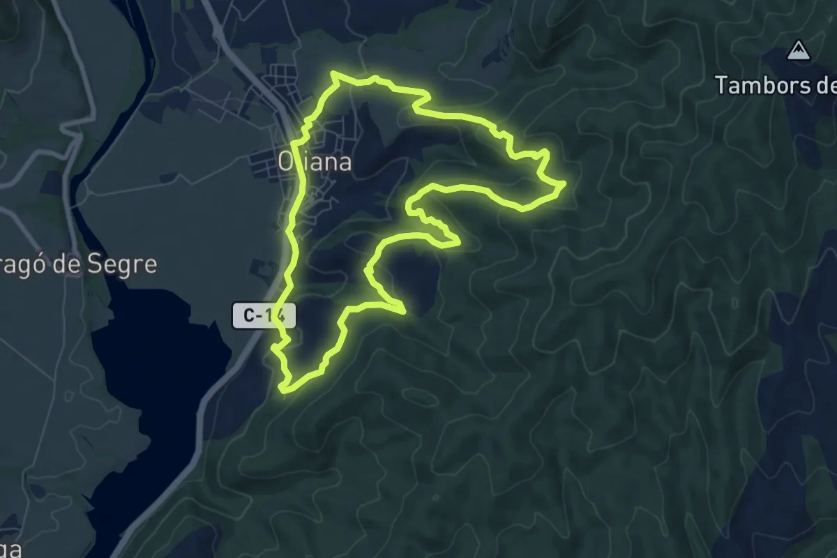
Medium · Trail
Fonts d'Oliana
8.3 km · ↑ 374 m · 2 h 54 min
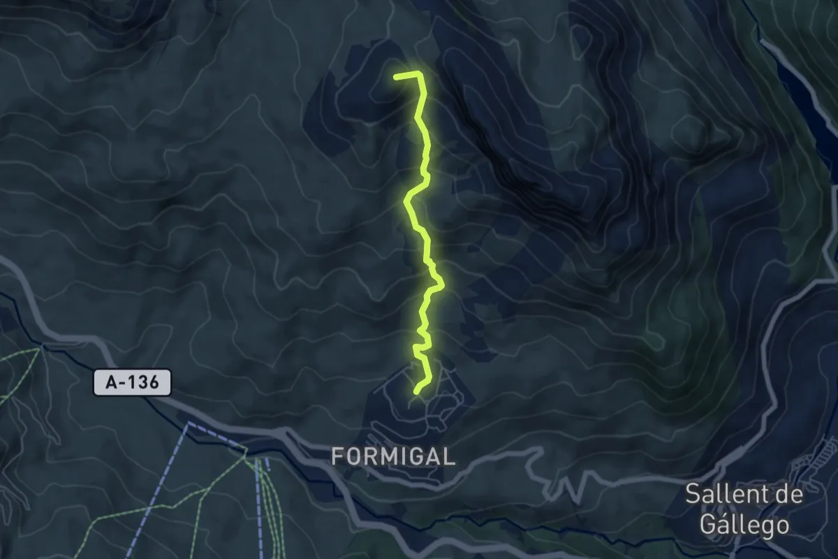
Medium · Summit
Formigal - Collado de Foratata
5.1 km · ↑ 456 m · 2 h 12 min
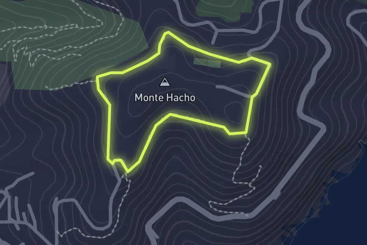
Easy · Summit
Fortaleza del Hacho
1.8 km · ↑ 56 m · 34 min
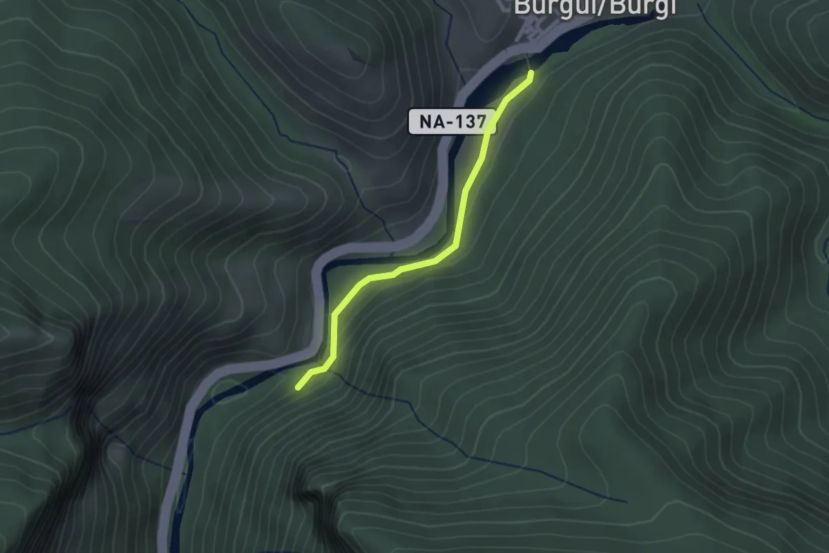
Easy · Trail
Foz de Burgui
2.3 km · ↑ 58 m · 40 min
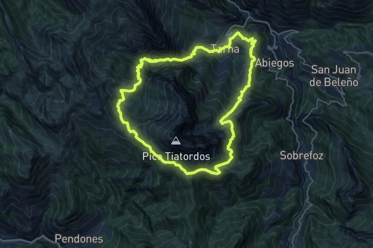
Demanding · Trail
Foz de la Escalada-Tiatordos
16.2 km · ↑ 1294 m · 6 h 51 min
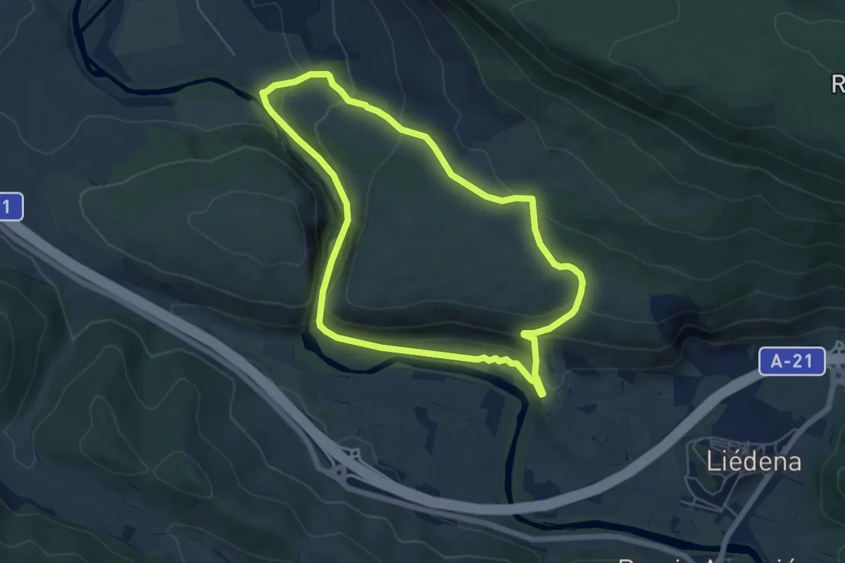
Easy · Trail
Foz de Lumbier
5.7 km · ↑ 276 m · 2 h 1 min
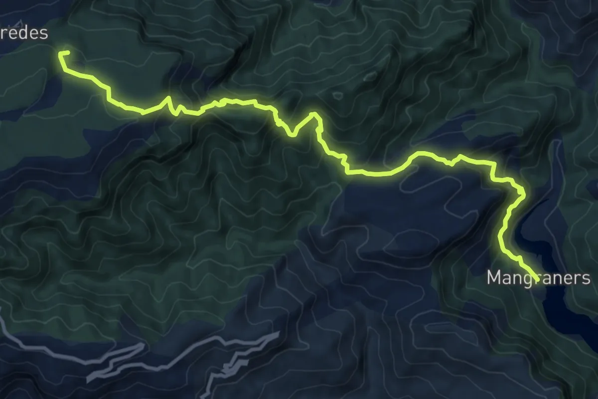
Demanding · Summit
Fredes – Pantà d'Ulldecona pel Portell de l'Infern
13.1 km · ↑ 955 m · 5 h 10 min
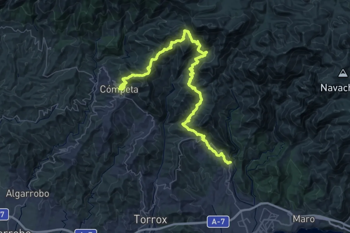
Demanding · Summit
Frigiliana - Cómpeta
24.3 km · ↑ 1458 m · 9 h 4 min
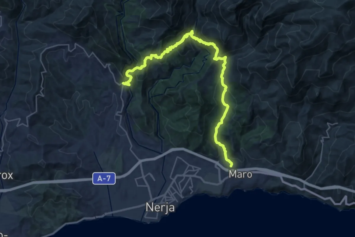
Medium · Trail
Frigiliana - Nerja
13.3 km · ↑ 745 m · 5 h 1 min
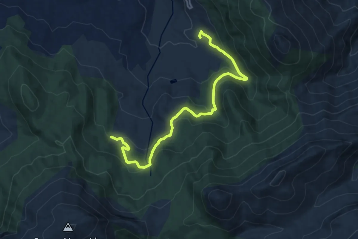
Medium · Trail
Fuenmayor
12.9 km · ↑ 466 m · 4 h 3 min
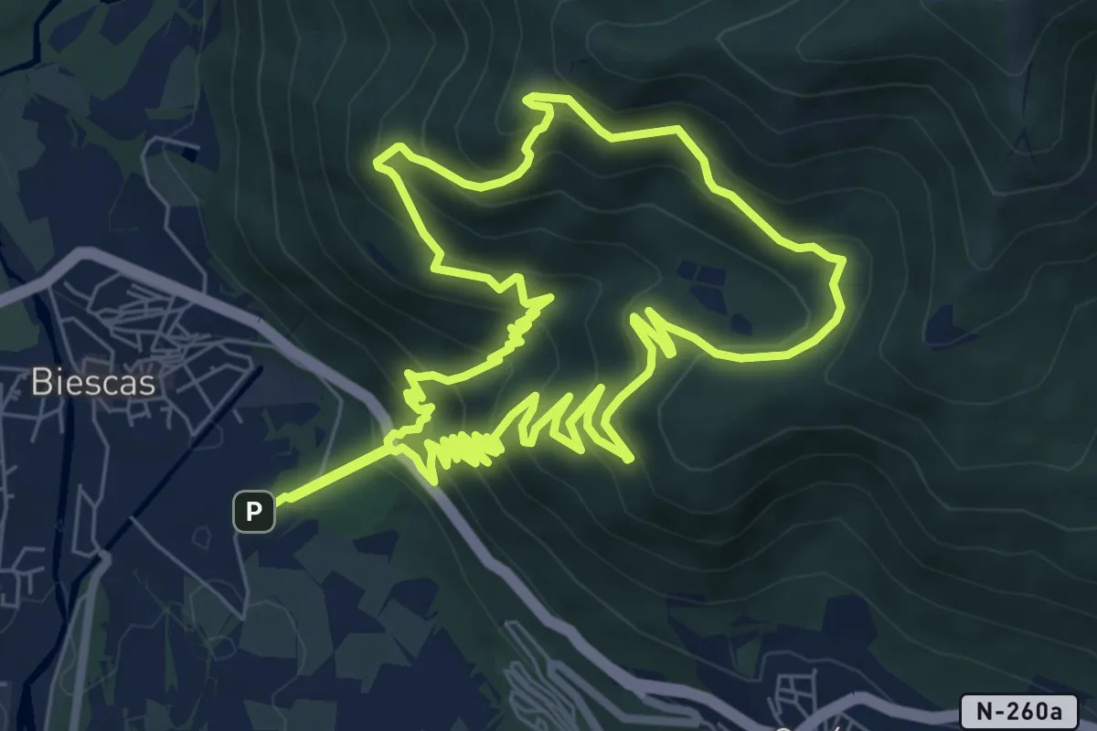
Medium · Summit
Fuente Chaimona
8.5 km · ↑ 649 m · 3 h 32 min
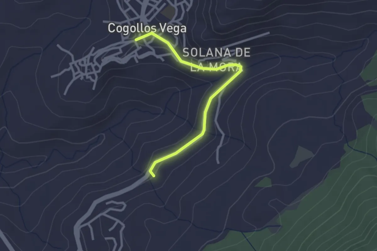
Easy · Trail
Fuente de Carrañacas
2.9 km · ↑ 62 m · 49 min
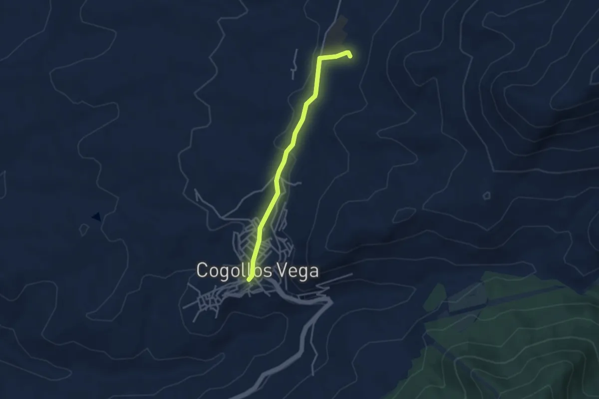
Easy · Trail
Fuente de Catacena
3.7 km · ↑ 91 m · 1 h 4 min
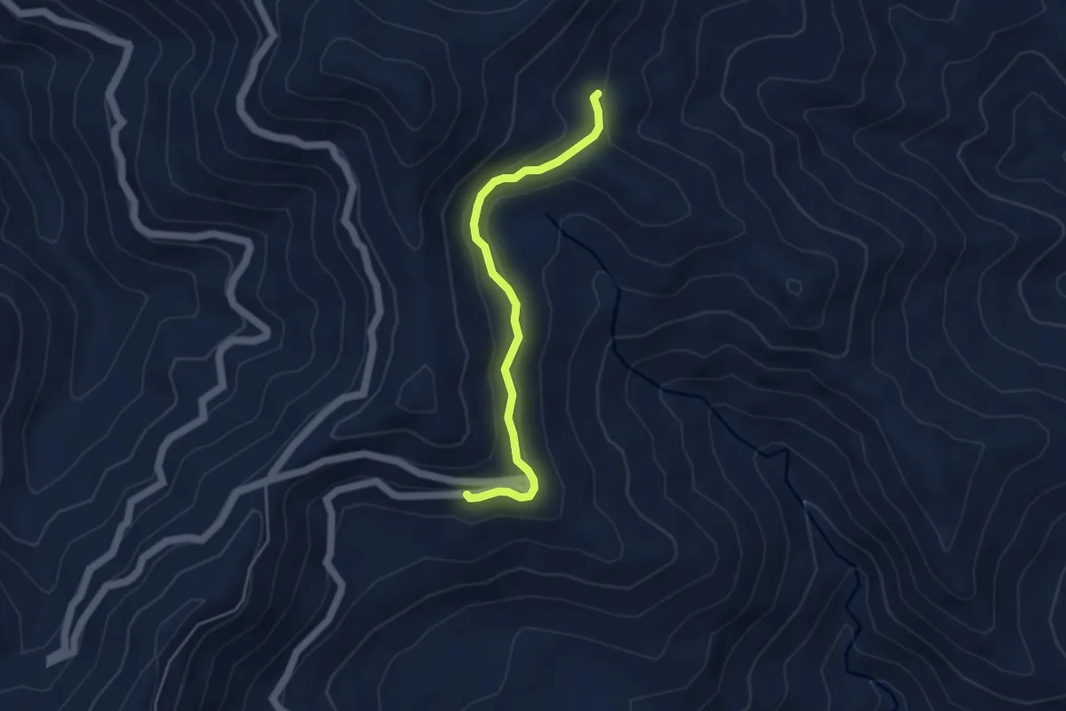
Easy · Trail
Fuente de El Porrejón
4.6 km · ↑ 214 m · 1 h 33 min
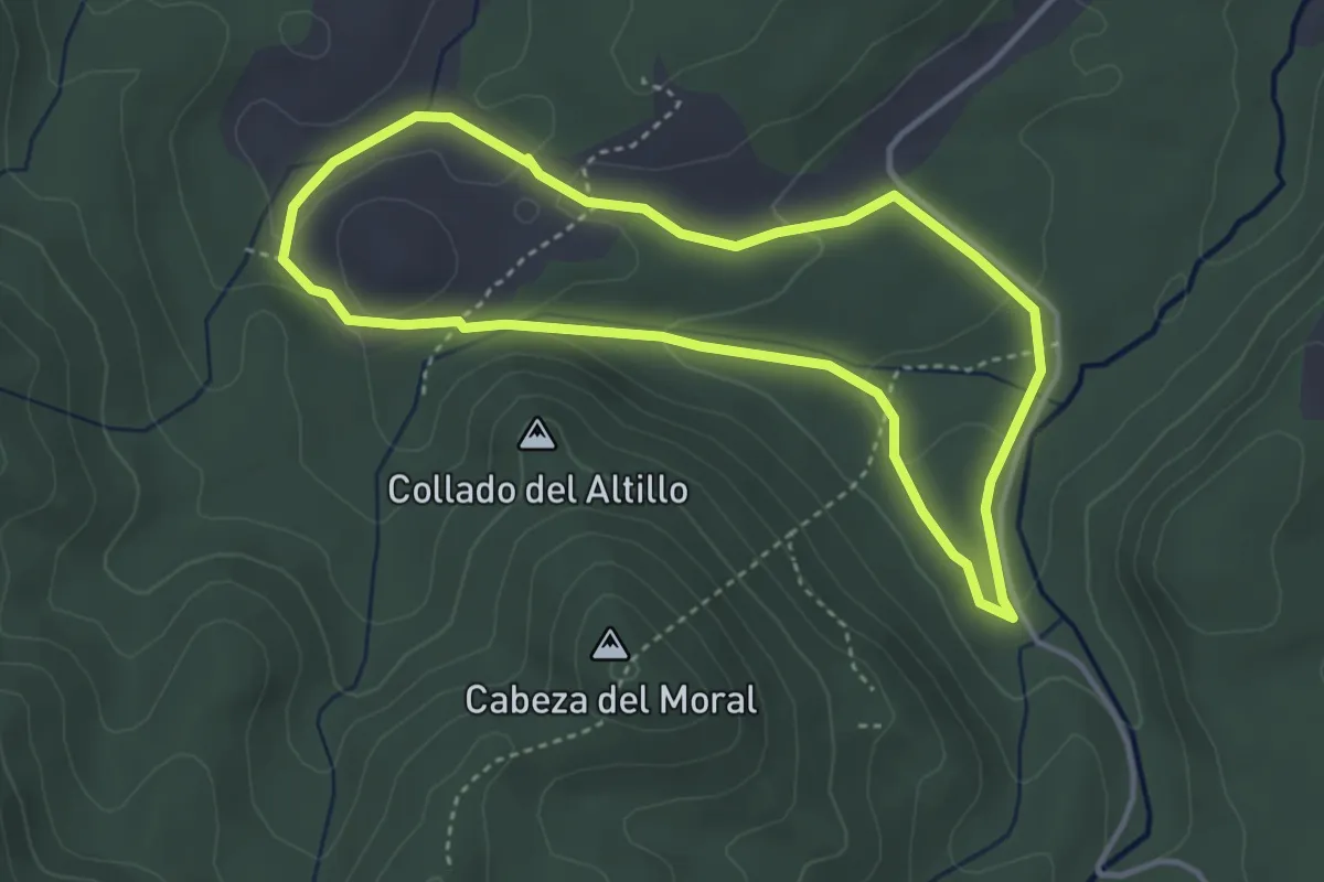
Easy · Trail
Fuente de La Ardilla-Estepares (Micológico)
3.9 km · ↑ 74 m · 1 h 8 min
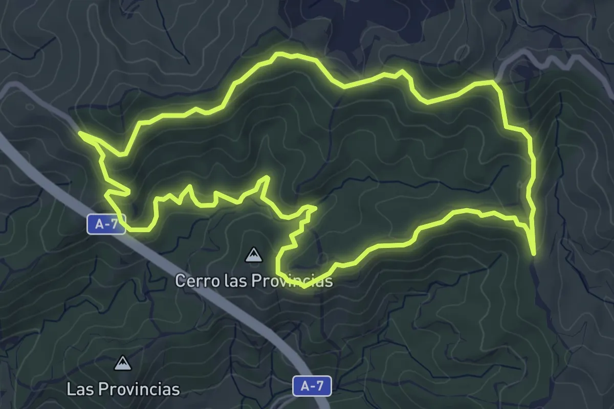
Easy · Summit
Fuente de la Bullarenga
7.4 km · ↑ 272 m · 2 h 26 min
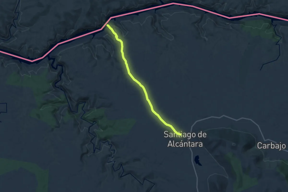
Medium · Trail
Fuente de la Geregosa
14.0 km · ↑ 232 m · 3 h 48 min
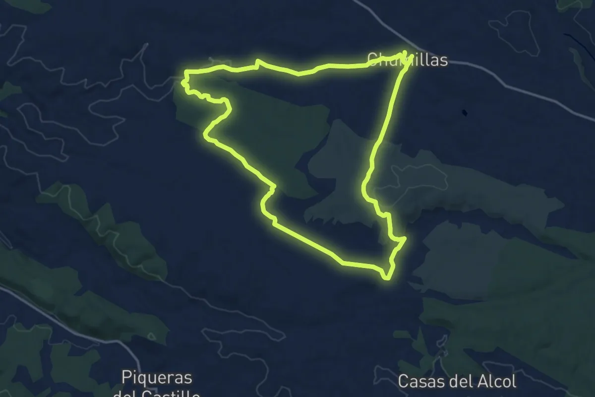
Medium · Trail
Fuente de la Hontanilla
15.4 km · ↑ 183 m · 4 h 15 min
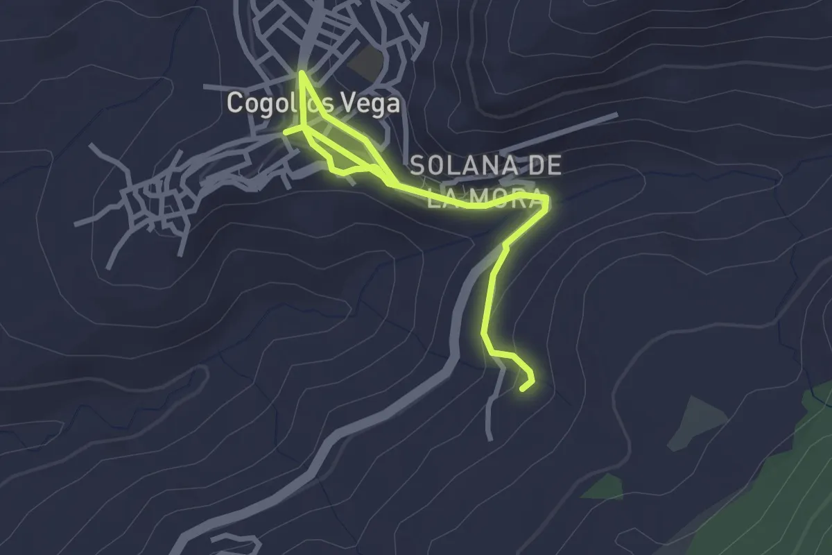
Easy · Trail
Fuente de la Sartén
3.7 km · ↑ 101 m · 1 h 5 min
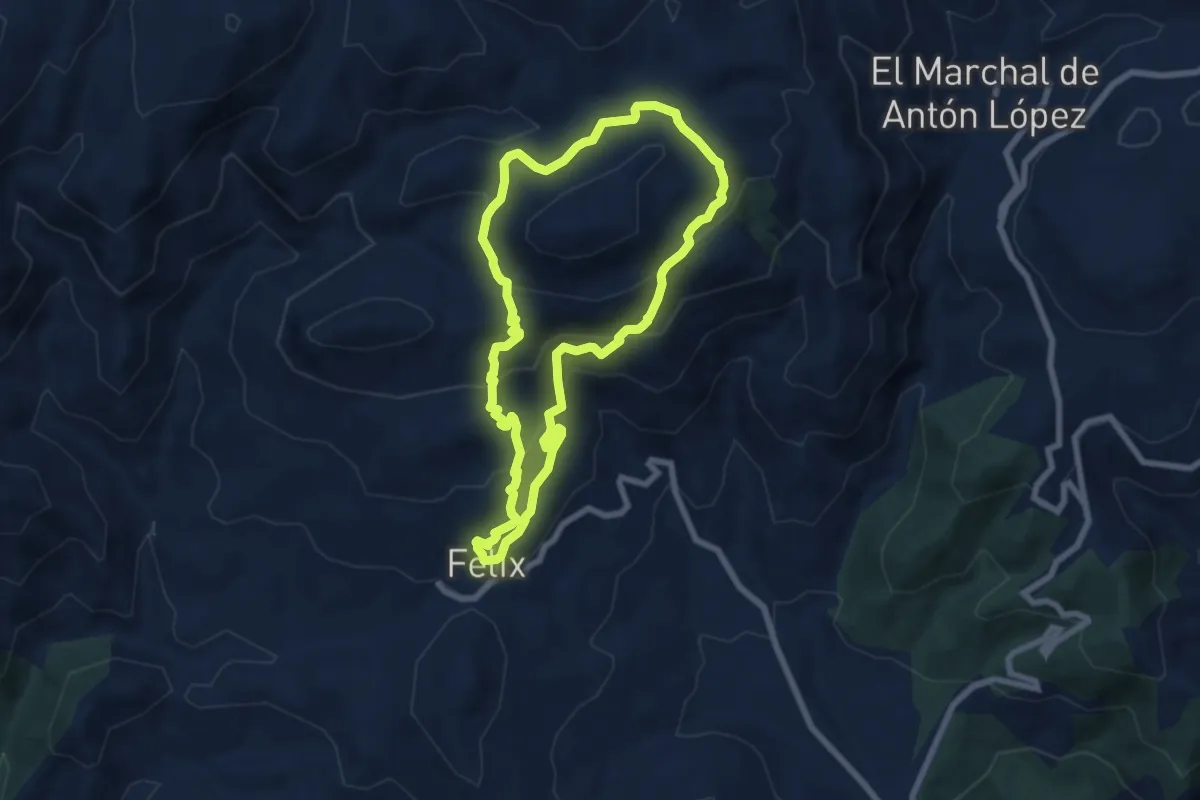
Medium · Trail
Fuente del Lentisco
7.8 km · ↑ 420 m · 2 h 52 min
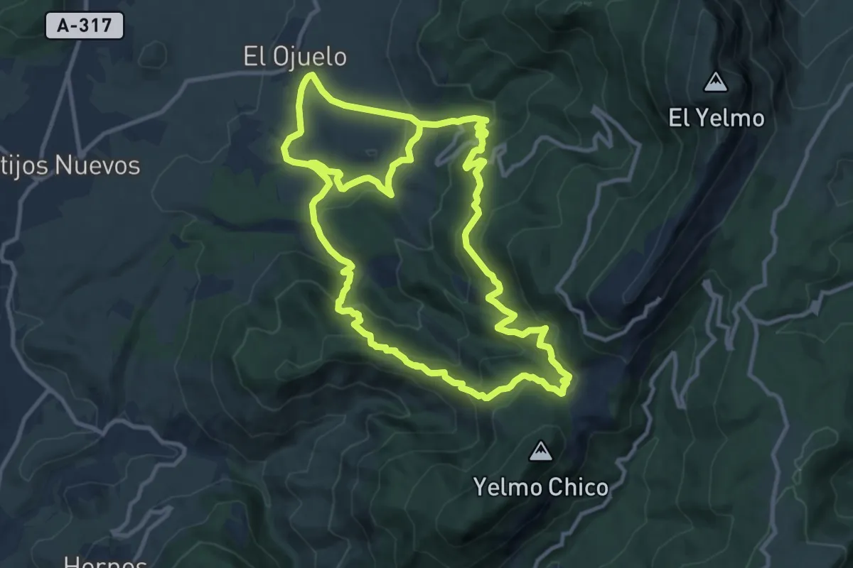
Medium · Trail
Fuente de los Ganados
12.8 km · ↑ 624 m · 4 h 35 min
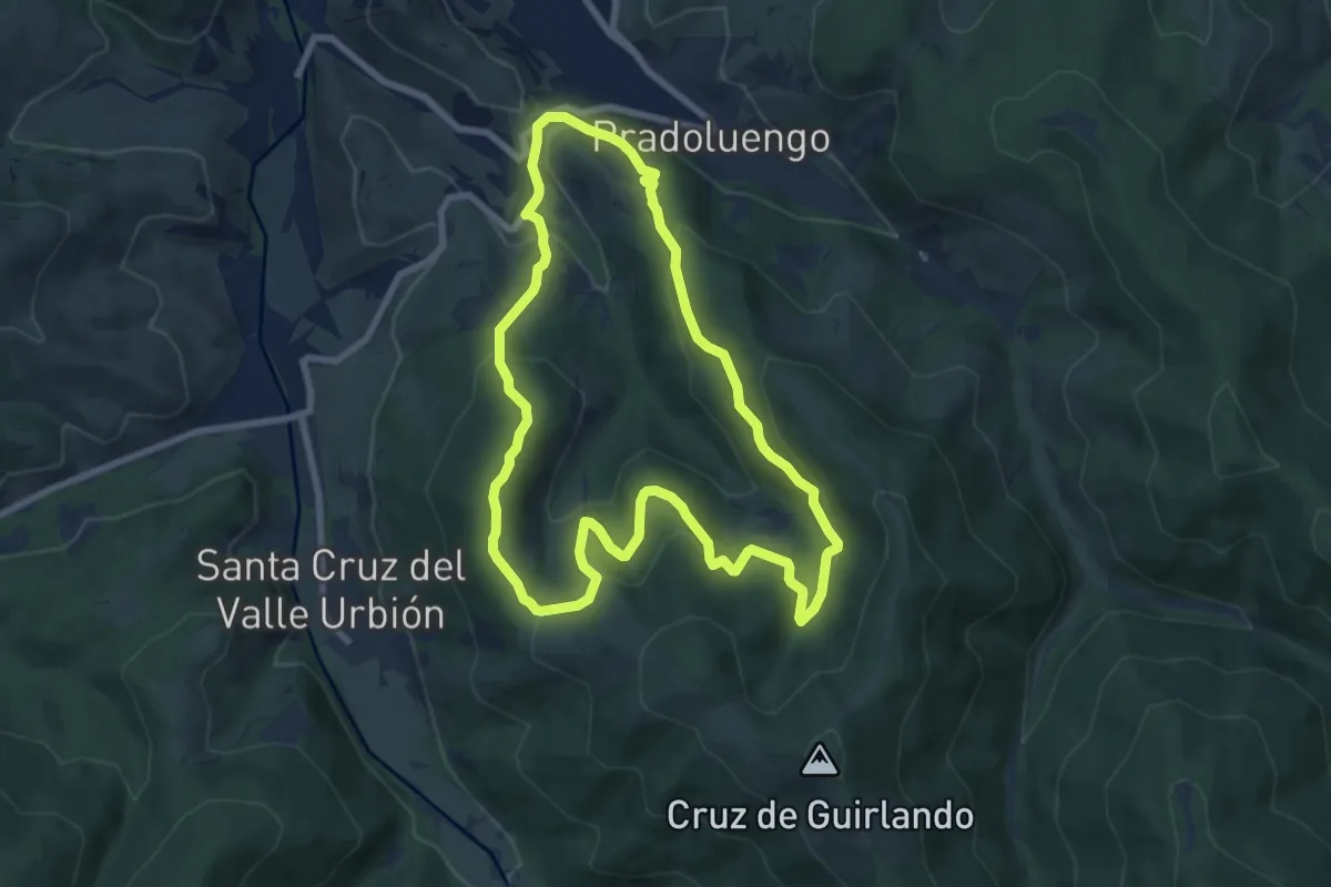
Medium · Trail
Fuente de los Lobos
8.3 km · ↑ 383 m · 2 h 54 min
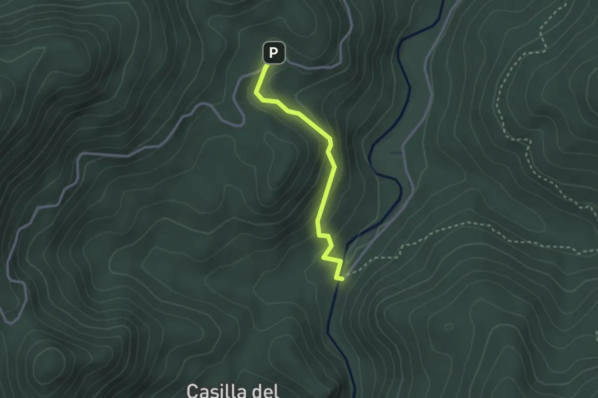
Easy · Trail
Fuente del Oso - Puente de las Herrerías
2.7 km · ↑ 128 m · 54 min
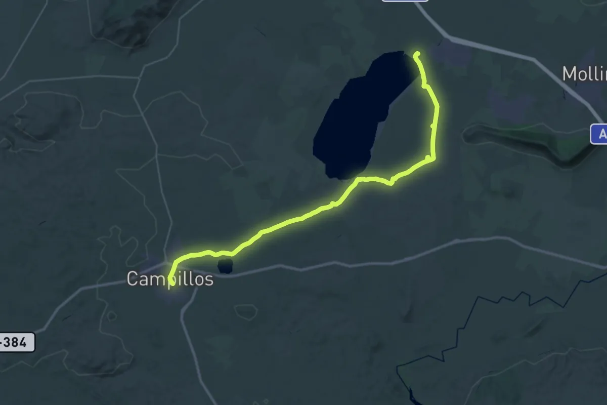
Demanding · Trail
Fuente de Piedra - Campillos
19.0 km · ↑ 118 m · 4 h 59 min
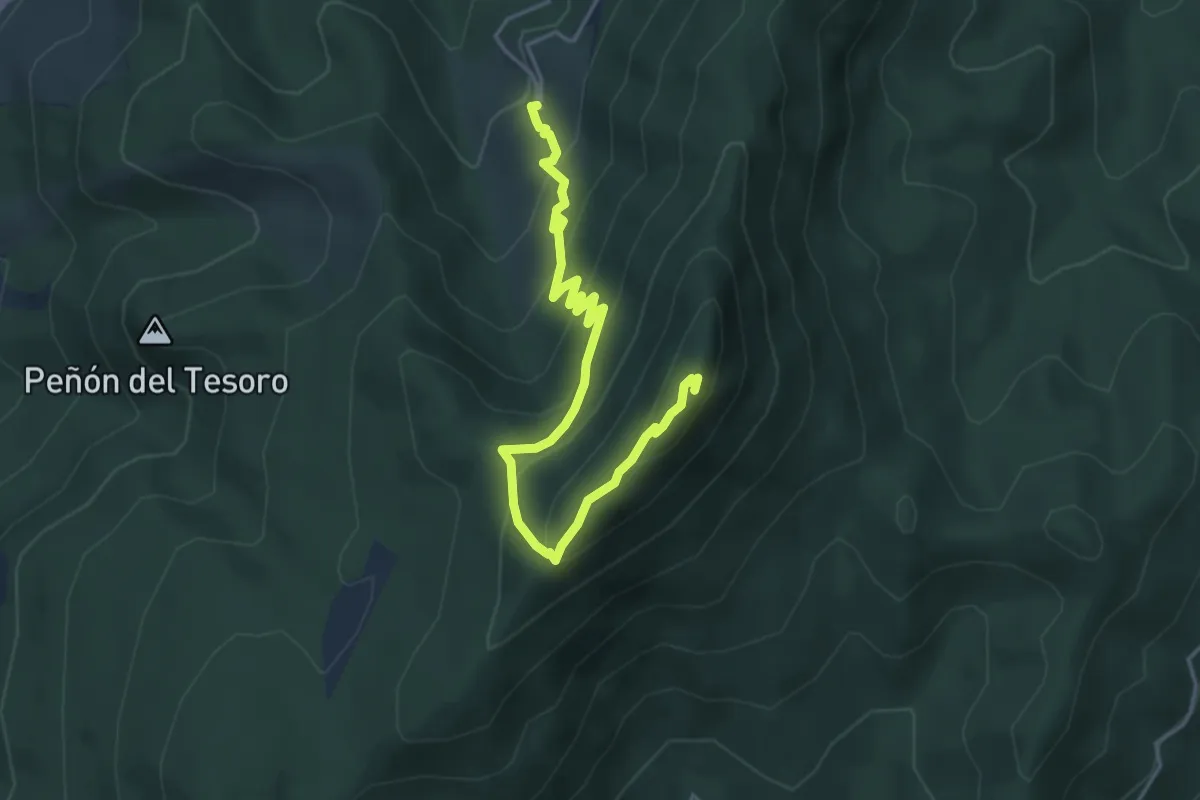
Medium · Trail
Fuente de San Miguel - Cumbre de Peñalta
5.4 km · ↑ 362 m · 2 h 4 min
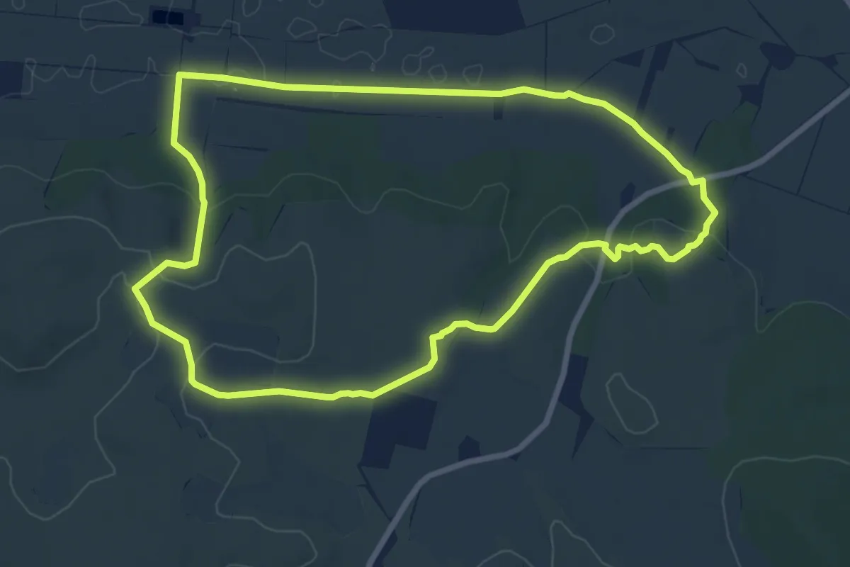
Medium · Trail
Fuente de Siles. Ermita de la Magdalena
8.2 km · ↑ 140 m · 2 h 21 min
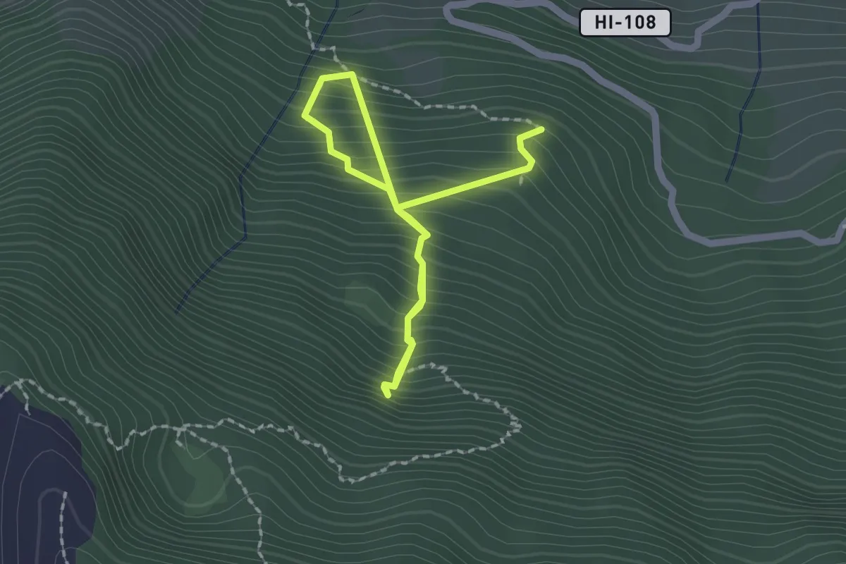
Medium · Trail
Fuente Mencáfete
3.4 km · ↑ 565 m · 2 h 2 min
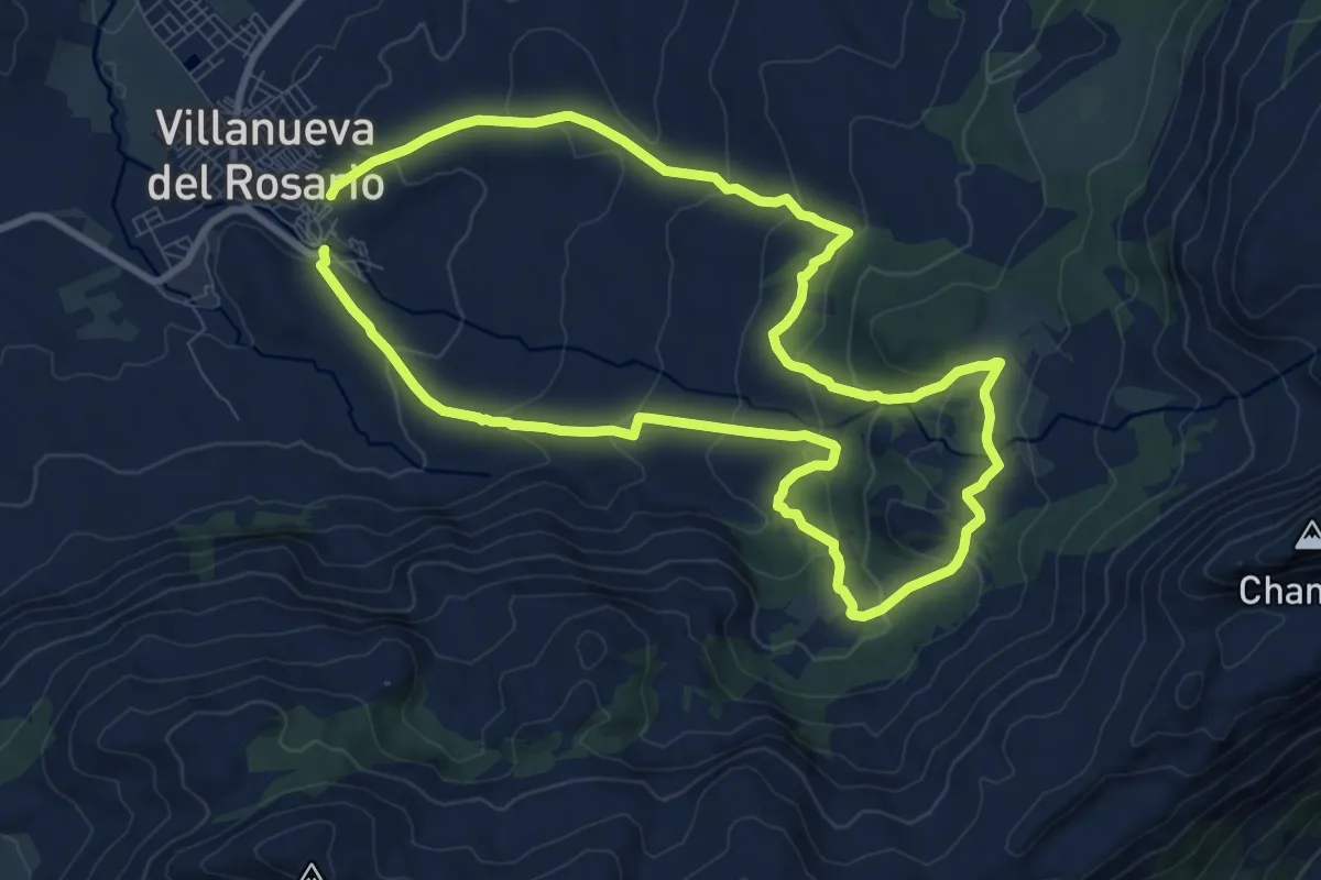
Medium · Trail
Fuentes de Hondonero
10.1 km · ↑ 450 m · 3 h 29 min
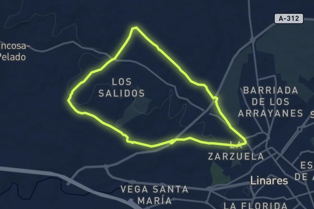
Medium · Trail
Fundición la Tortilla
9.5 km · ↑ 69 m · 2 h 32 min
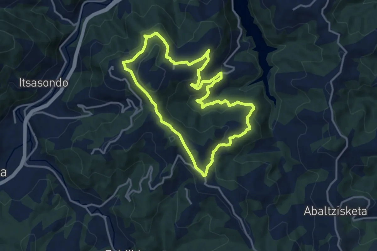
Medium · Summit
Gaintza
10.0 km · ↑ 369 m · 3 h 17 min
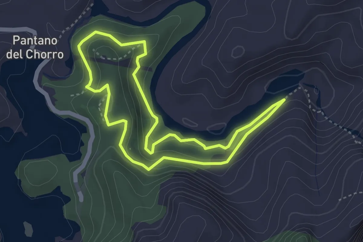
Medium · Trail
Gaitanejo
3.7 km · ↑ 195 m · 1 h 22 min
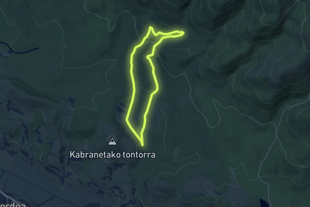
Easy · Trail
Galarretako ehun urtetik gorako haritzak
4.4 km · ↑ 131 m · 1 h 22 min
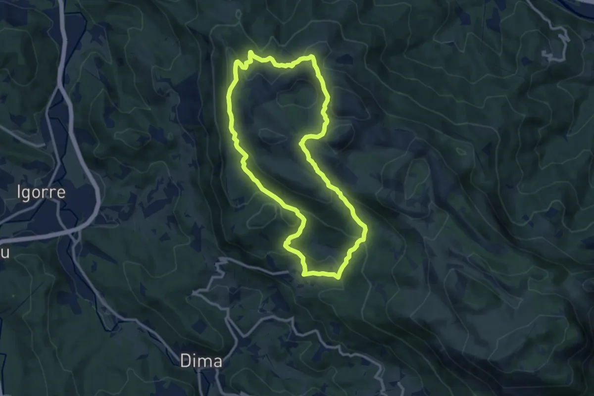
Medium · Summit
Galdarako bira
9.7 km · ↑ 472 m · 3 h 27 min
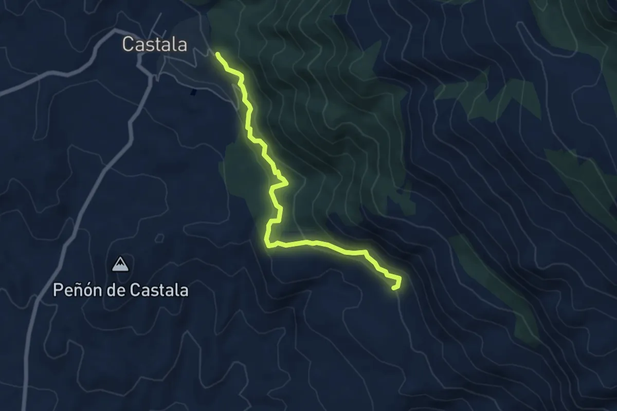
Easy · Trail
Galería Morales
6.5 km · ↑ 311 m · 2 h 13 min
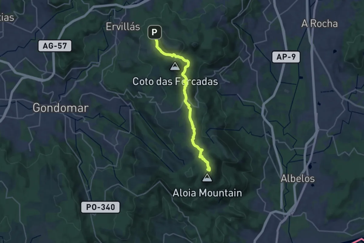
Medium · Summit
Galiñeiro-Aloia
17.4 km · ↑ 557 m · 5 h 19 min
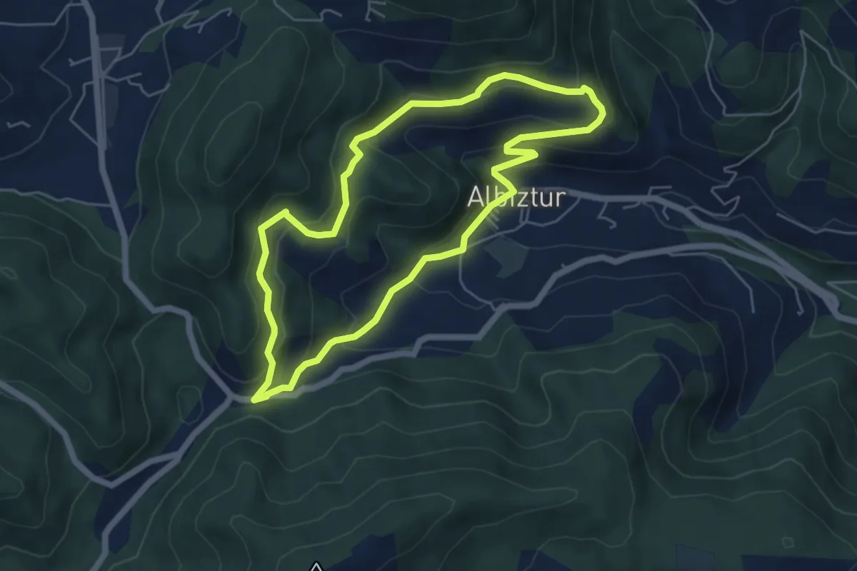
Medium · Trail
Galtzadako bidea
5.3 km · ↑ 328 m · 2 h 2 min
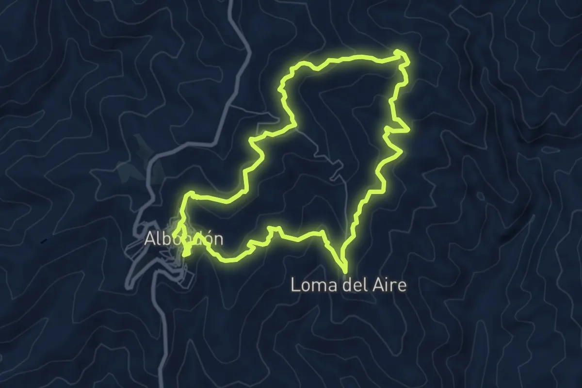
Medium · Trail
Gálvez-Los Animicas
8.2 km · ↑ 395 m · 2 h 55 min
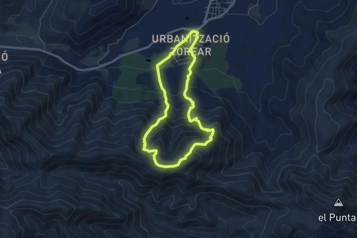
Medium · Trail
Gamelló - Penyes Blanques
5.5 km · ↑ 436 m · 2 h 19 min
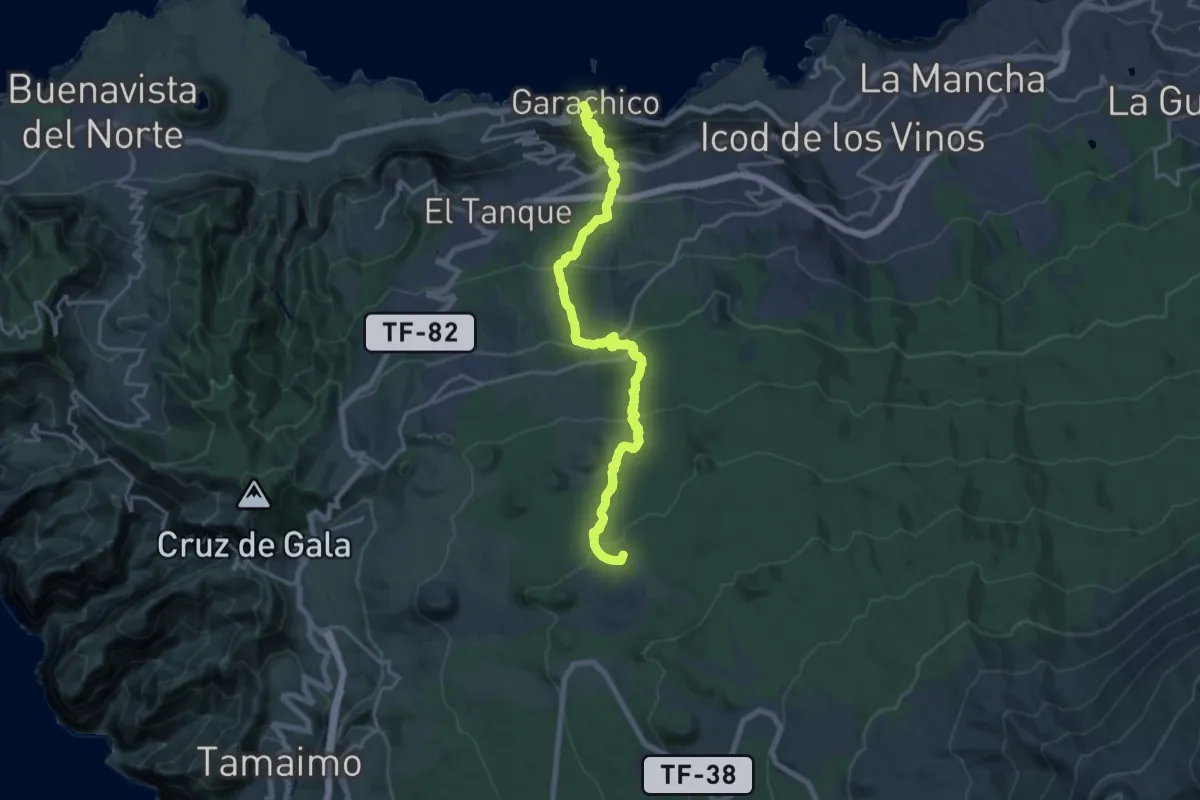
Demanding · Summit
Garachico - Montaña Chinyero
26.0 km · ↑ 1574 m · 9 h 33 min
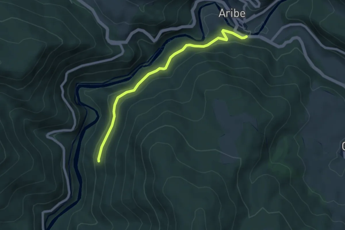
Easy · Trail
Garaioako milurteko haritza
5.6 km · ↑ 184 m · 1 h 43 min
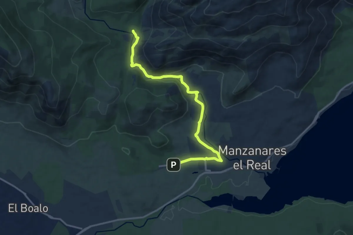
Demanding · Trail
Garganta de la Camorza
10.9 km · ↑ 144 m · 2 h 53 min
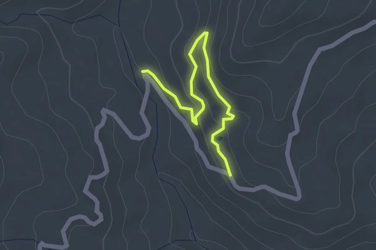
Easy · Trail
Garganta de la Pulga
3.6 km · ↑ 156 m · 1 h 11 min
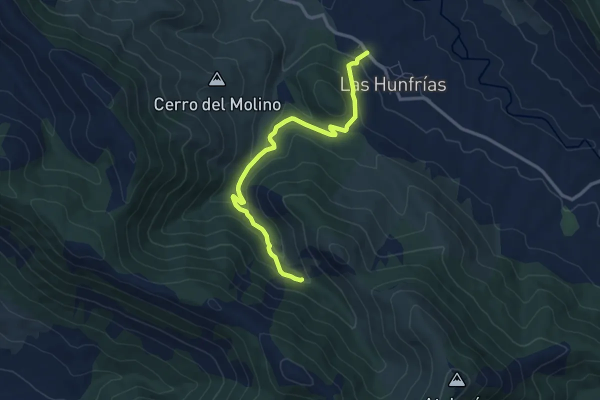
Medium · Trail
Garganta de las Lanchas
8.0 km · ↑ 308 m · 2 h 34 min
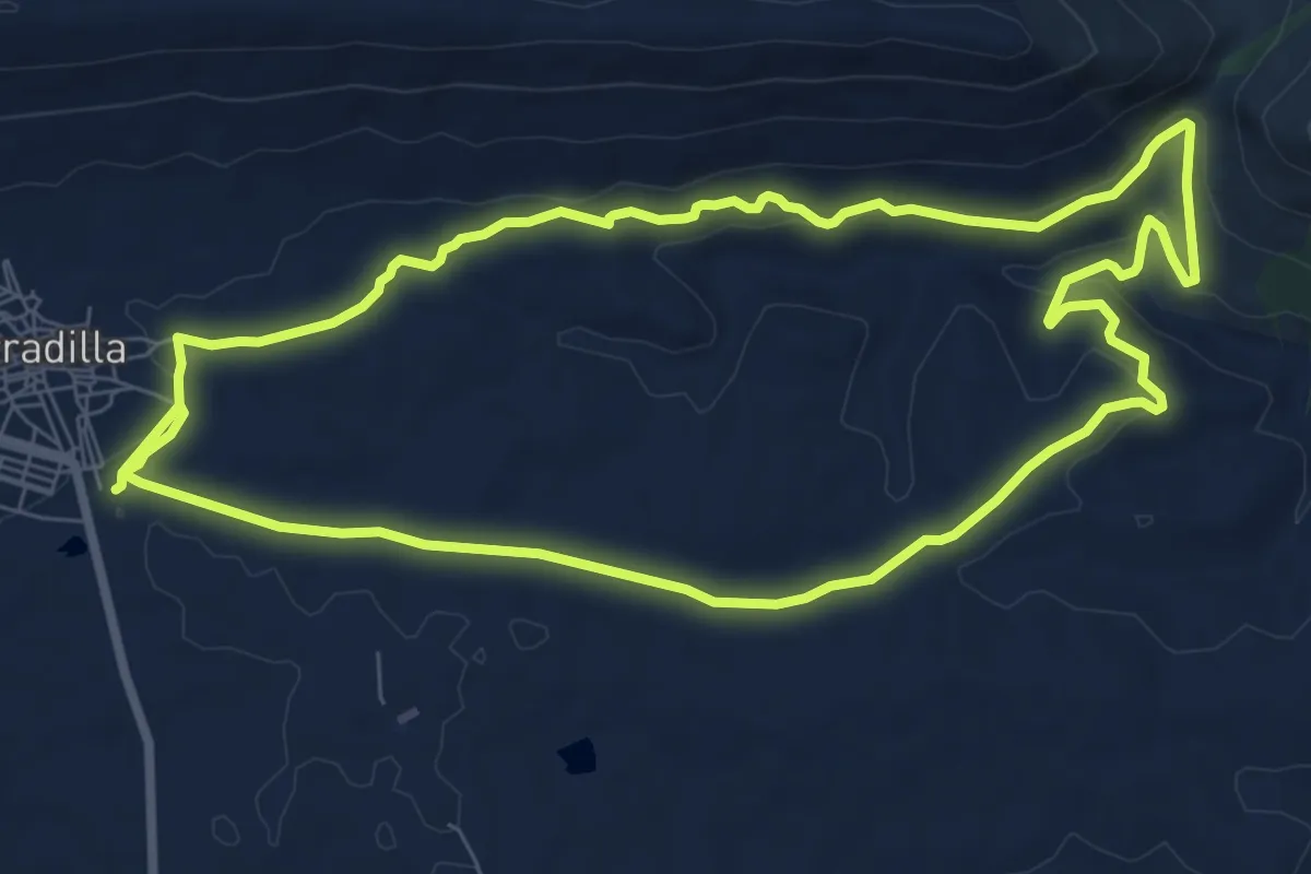
Medium · Trail
Garganta del Fraile
9.2 km · ↑ 176 m · 2 h 40 min
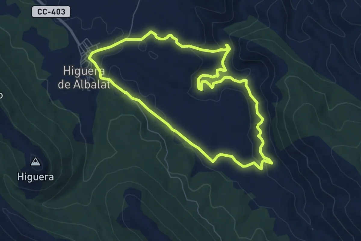
Easy · Trail
Garganta de los Nogales
7.3 km · ↑ 206 m · 2 h 16 min
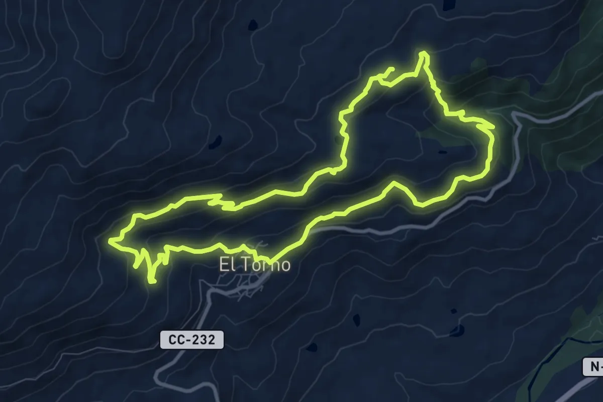
Medium · Trail
Garganta La Puria - Arroyo Labradillo
10.5 km · ↑ 502 m · 3 h 43 min
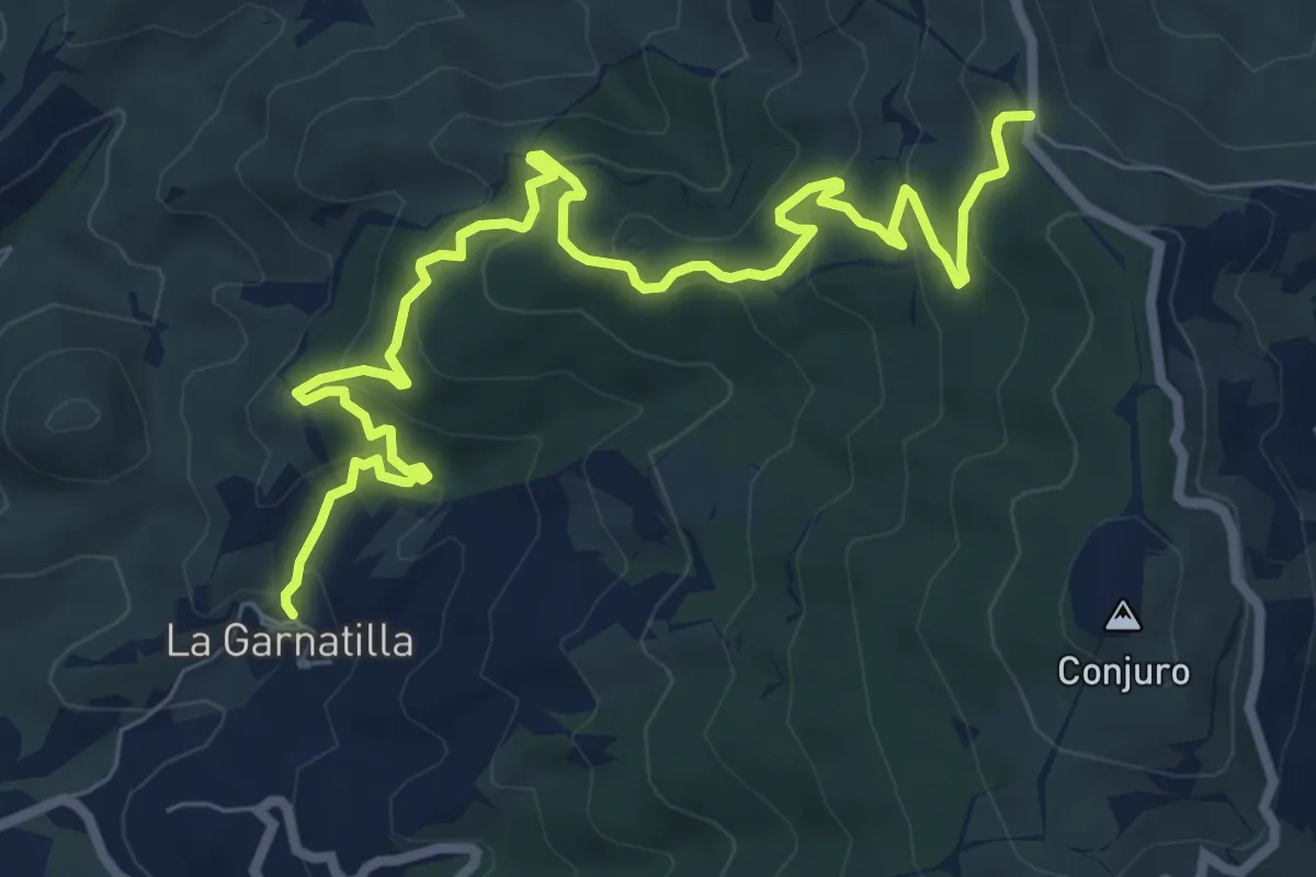
Medium · Trail
Garnatilla-Alcántara
10.6 km · ↑ 628 m · 3 h 52 min