Trails in Spain
5,963 hiking trails, each with its route, climb, walking time and grade.
All trails, page 45 of 125
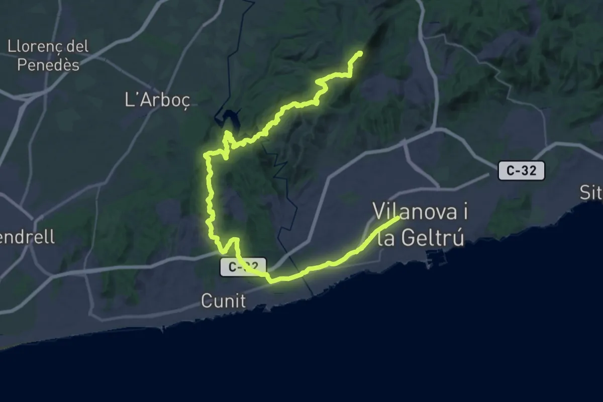
Demanding · Summit
Garraf
51.7 km · ↑ 1121 m · 14 h 38 min
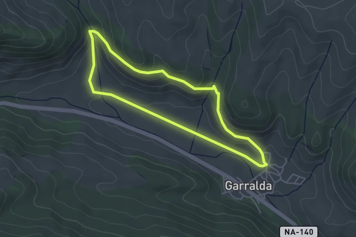
Easy · Trail
Garralda-Kadea-Garralda
3.7 km · ↑ 101 m · 1 h 8 min
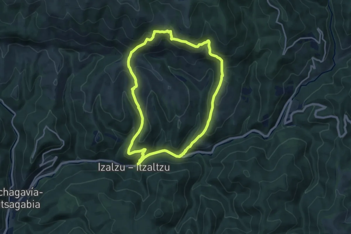
Medium · Summit
Gartxoten Bidea
11.1 km · ↑ 610 m · 4 h 5 min
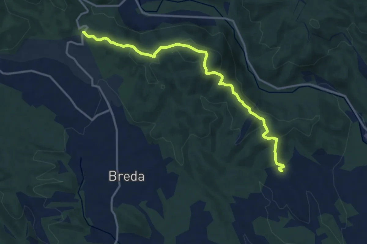
Medium · Trail
Gaserans-Coll de n'Orri
10.1 km · ↑ 312 m · 3 h 4 min
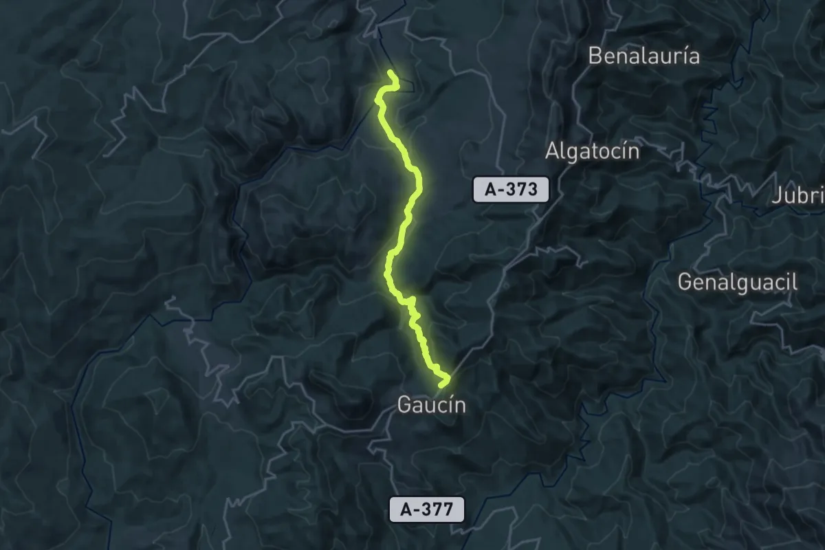
Demanding · Trail
Gaucín - Estación de Cortes de la Frontera
19.9 km · ↑ 781 m · 6 h 23 min
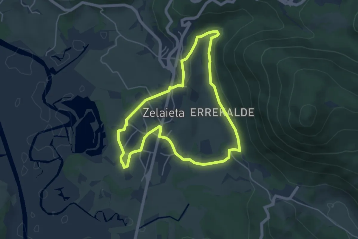
Easy · Trail
Gautegiz-Artega. Ibilbide bat erroten ondoko errekan barrena
4.3 km · ↑ 85 m · 1 h 16 min
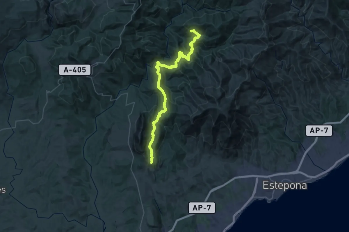
Demanding · Trail
Genalguacil - Casares
19.7 km · ↑ 1078 m · 7 h 20 min
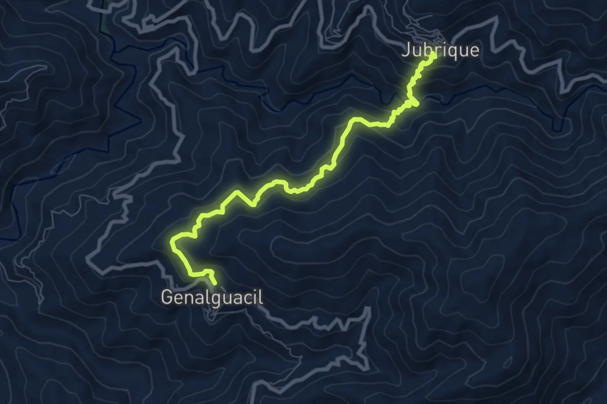
Medium · Trail
Genalguacil - Jubrique
8.9 km · ↑ 606 m · 3 h 24 min
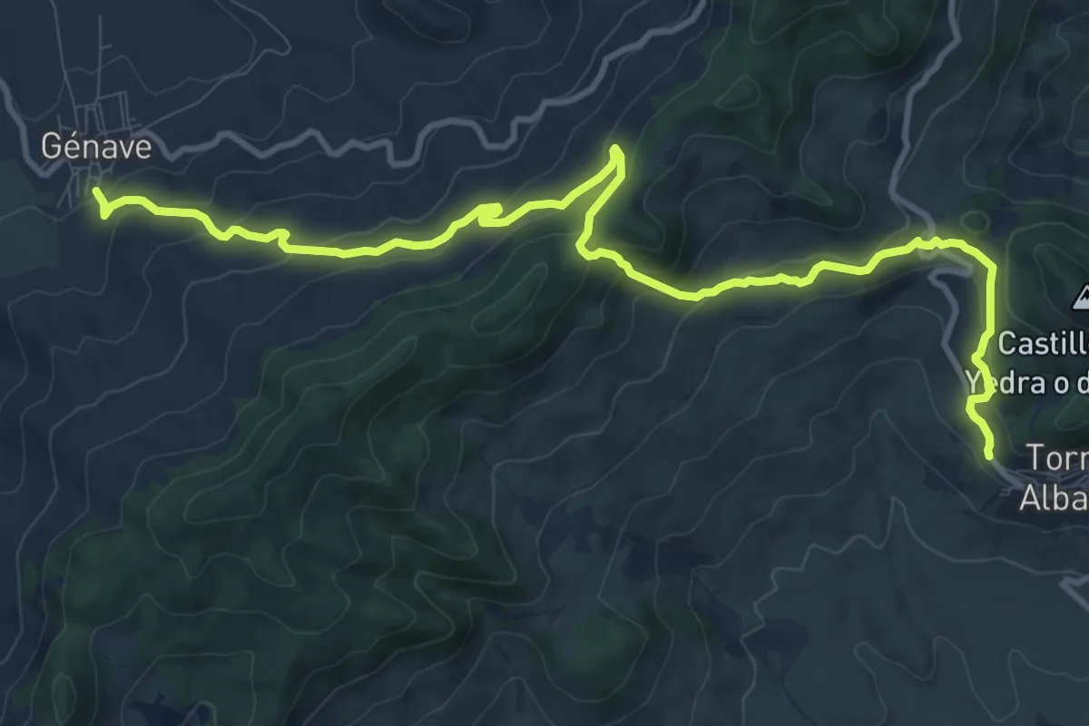
Medium · Trail
Génave - Torres de Albanchez
14.5 km · ↑ 670 m · 4 h 52 min
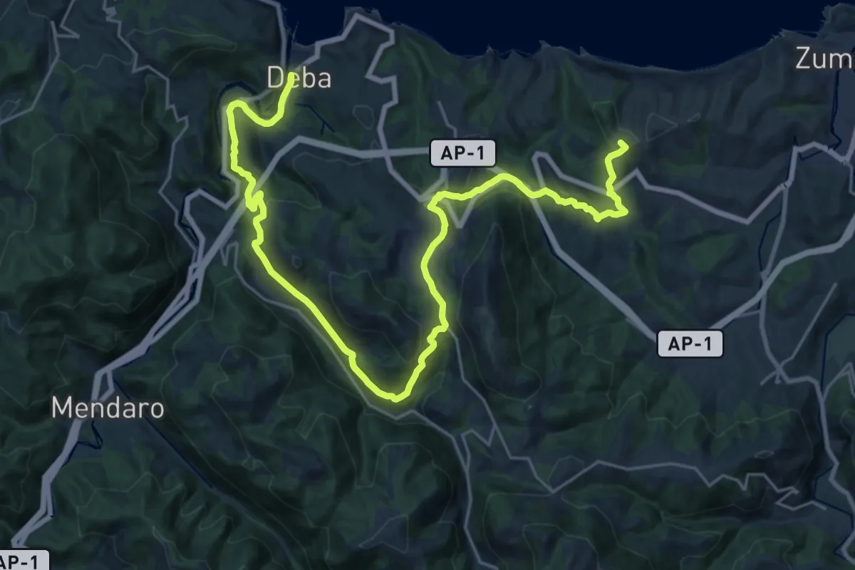
Demanding · Summit
Geoparkeko Bira - Deba-Zumaia
31.1 km · ↑ 1074 m · 9 h 40 min
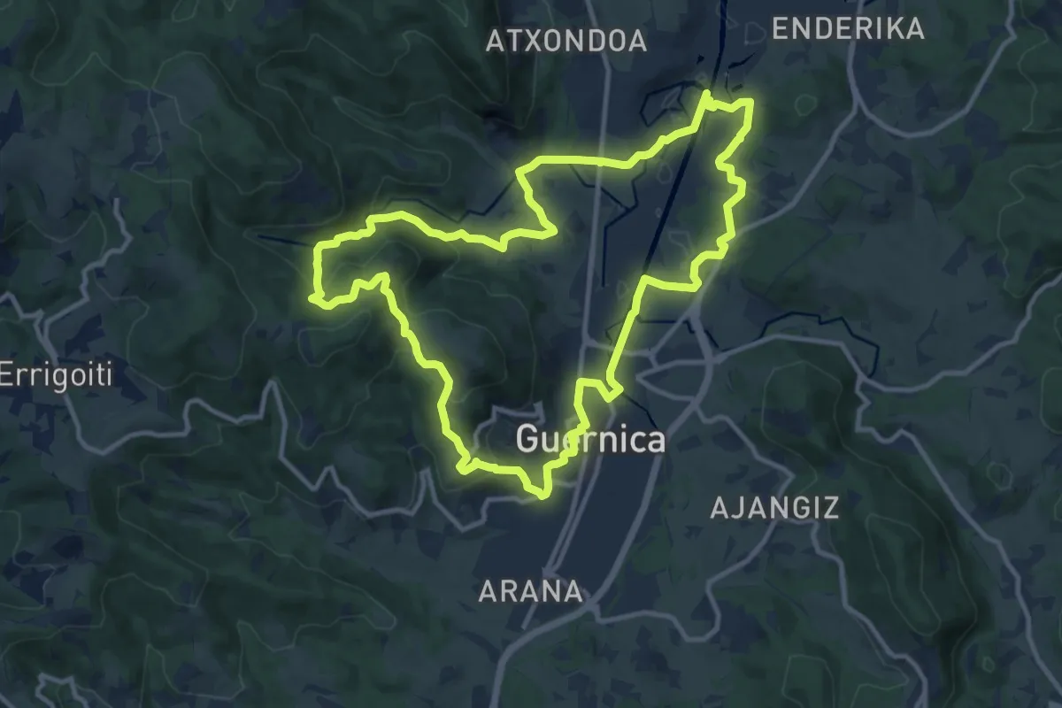
Medium · Trail
Gernika-Lumo Forua. Estuarioaren bihotzean barrena
12.4 km · ↑ 301 m · 3 h 46 min
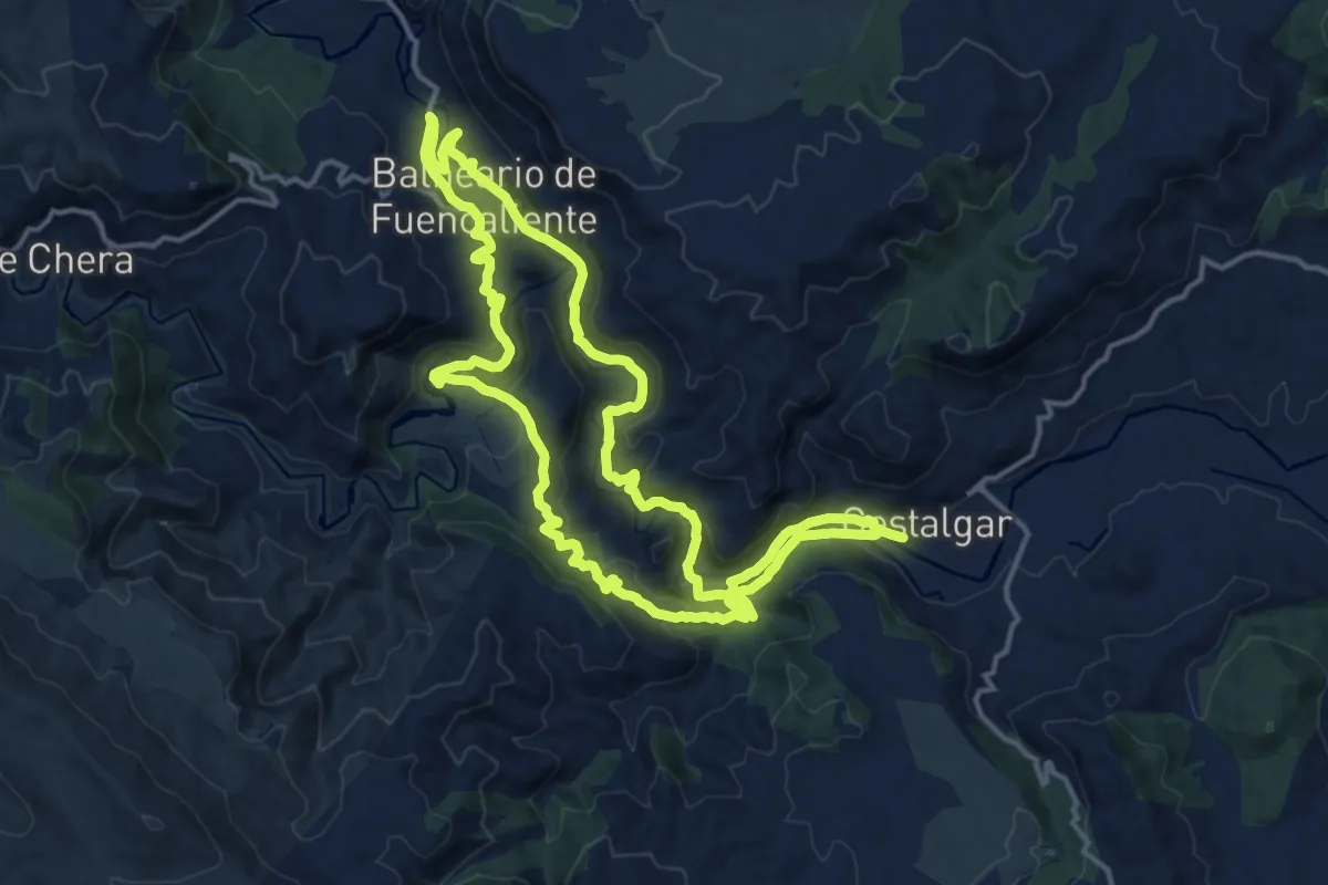
Demanding · Summit
Gestalgar - Balneario Chulilla - Gestalgar
16.4 km · ↑ 563 m · 5 h 19 min
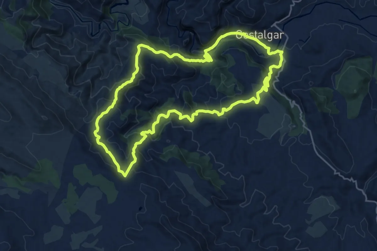
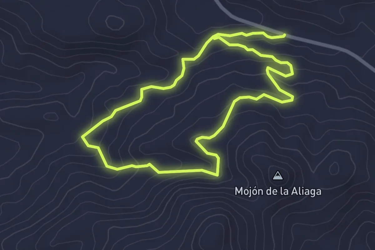
Medium · Summit
Gestalgar - El Salto - Pera - Gestalgar
17.7 km · ↑ 704 m · 5 h 56 min
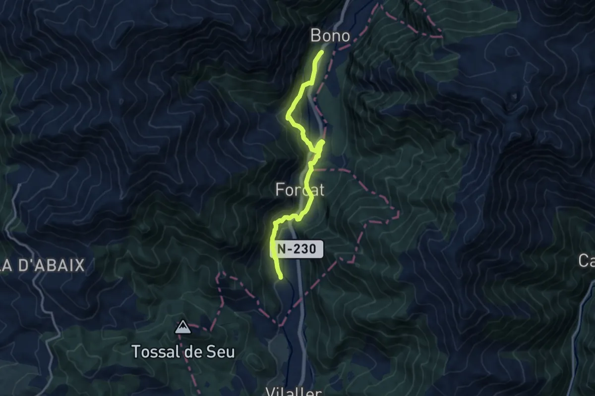
Easy · Trail
Gibralberca
5.1 km · ↑ 188 m · 1 h 41 min
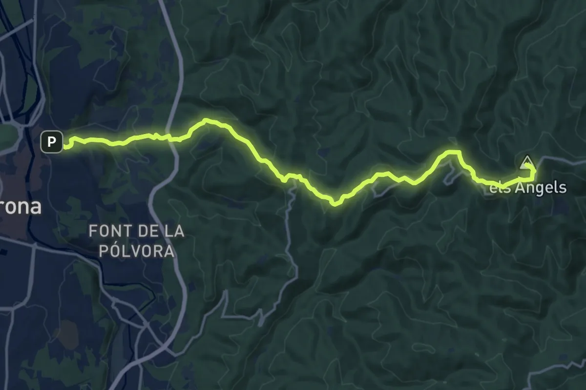
Medium · Trail
Ginaste - Viñals - Estet - Bono
11.7 km · ↑ 421 m · 3 h 40 min
Medium · Summit
Girona-Madremanya
17.5 km · ↑ 652 m · 5 h 33 min
Medium · Summit
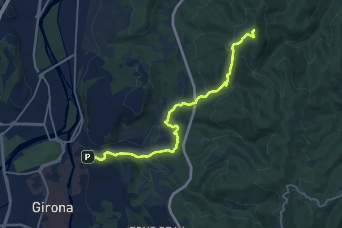
Girona-Sant Martí Vell
10.5 km · ↑ 408 m · 3 h 22 min
Easy · Summit
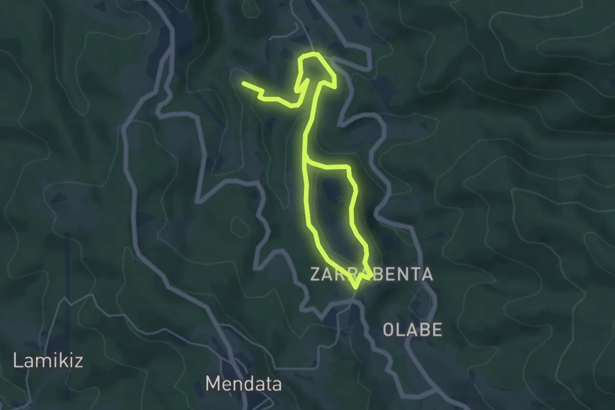
Golako. Haran sorginduaren barrena
7.0 km · ↑ 210 m · 2 h 7 min
Easy · Summit
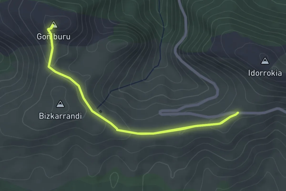
Goñiburuko begiratokia
3.6 km · ↑ 128 m · 1 h 10 min
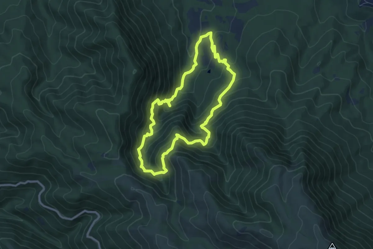
Medium · Summit
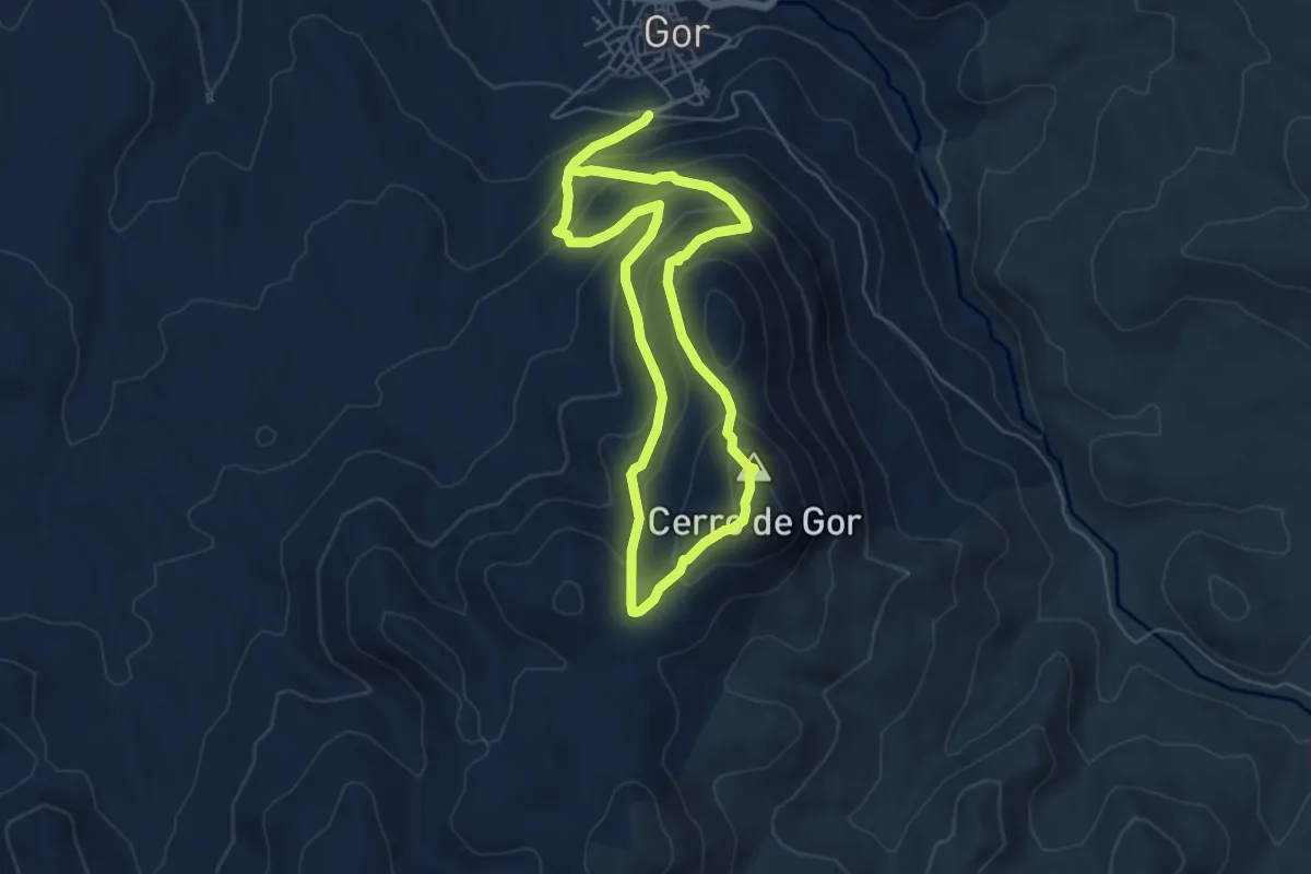
Gor - Cerro de Gor
5.7 km · ↑ 447 m · 2 h 22 min
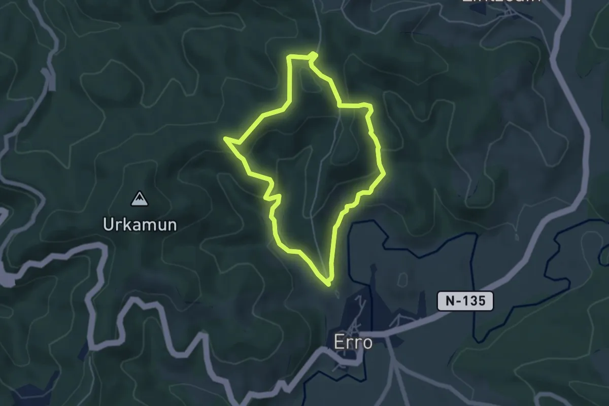
Medium · Summit
Gorg Negre i torrent dels Rentadors
7.0 km · ↑ 582 m · 3 h 1 min
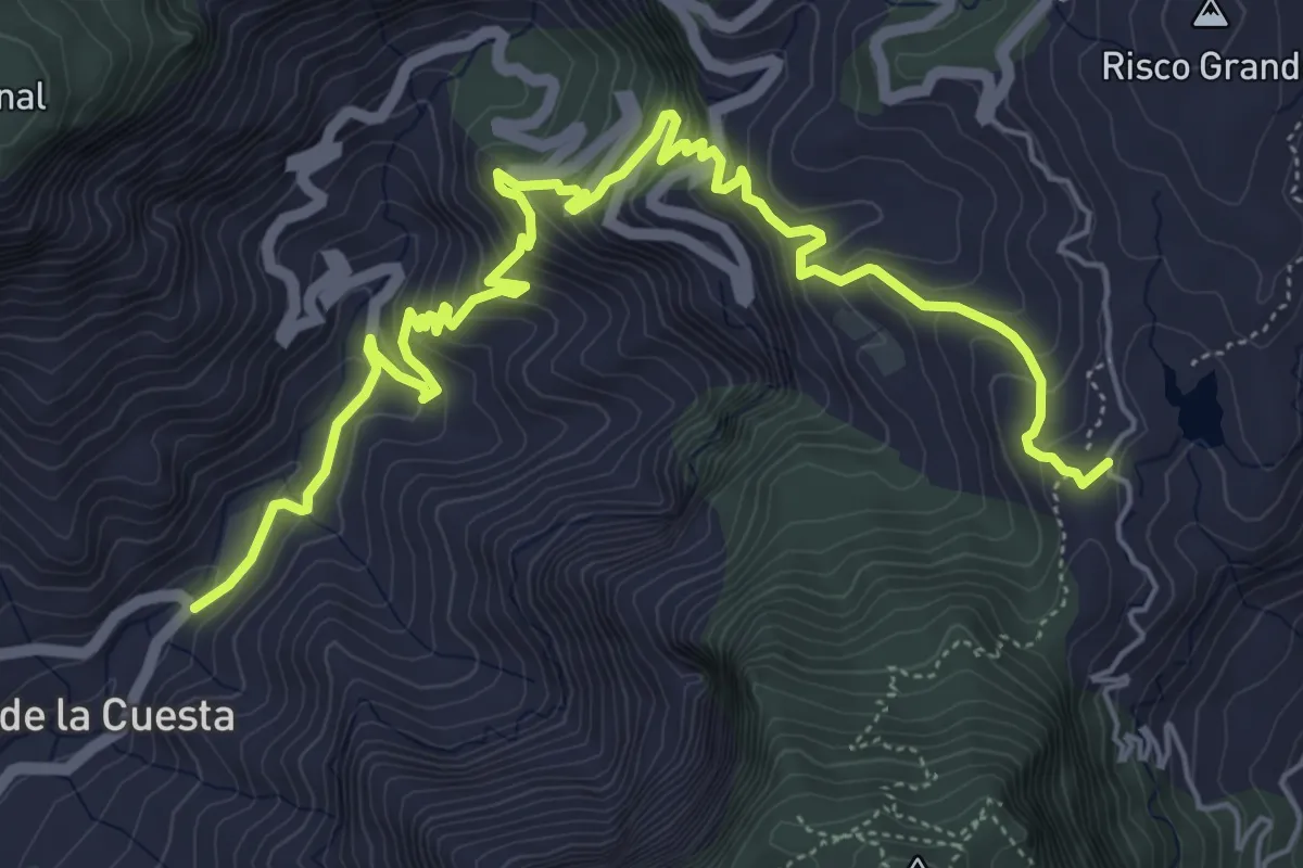
Easy · Summit
Gotorlekuko bidea
4.4 km · ↑ 159 m · 1 h 27 min
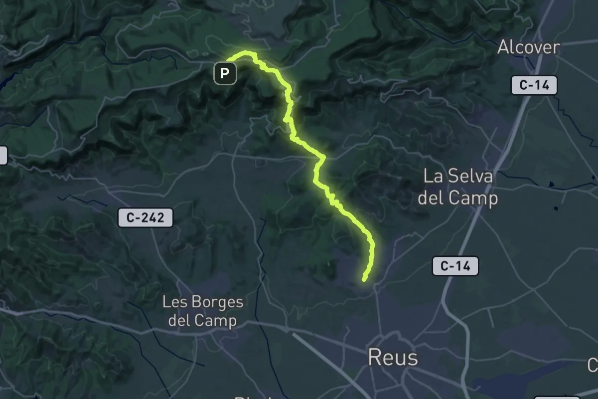
Medium · Trail
GR 139v, Variante Pie de la Cuesta, Mogan - Barranquillo Andres
9.5 km · ↑ 726 m · 3 h 49 min
Demanding · Summit
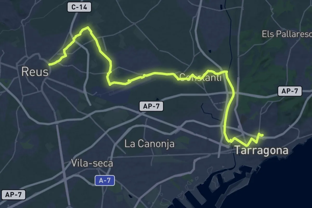
GR 172 De la Mussara a Bellprat - Etapa 01
29.6 km · ↑ 1315 m · 9 h 51 min
Demanding · Trail
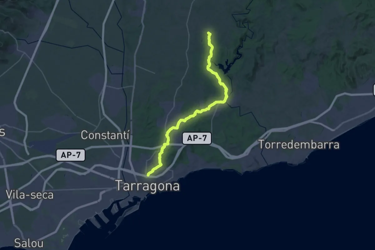
GR 172 De la Mussara a Bellprat - Etapa 02
21.4 km · ↑ 102 m · 5 h 37 min
Medium · Trail
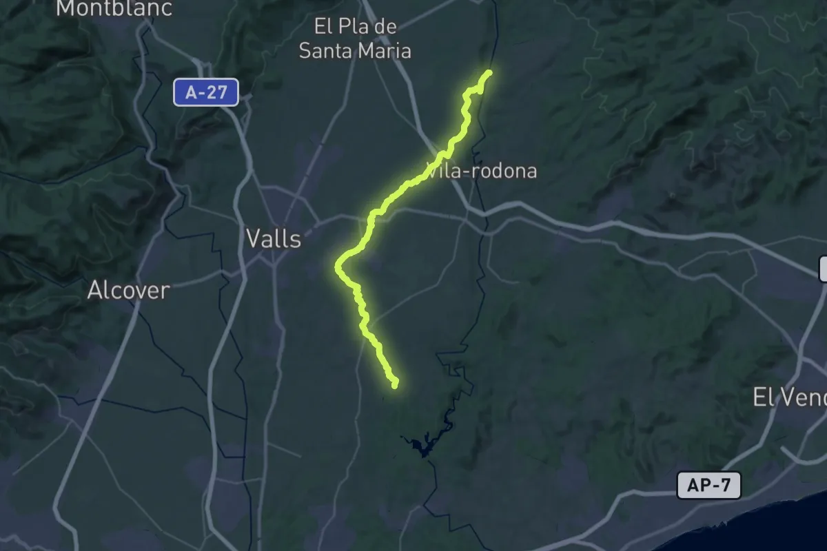
GR 172 De la Mussara a Bellprat - Etapa 03
17.3 km · ↑ 317 m · 4 h 57 min
Demanding · Trail
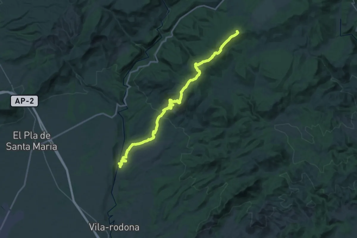
GR 172 De la Mussara a Bellprat - Etapa 04
20.3 km · ↑ 251 m · 5 h 33 min
Demanding · Summit
GR 172 De la Mussara a Bellprat - Etapa 05
33.5 km · ↑ 823 m · 9 h 41 min
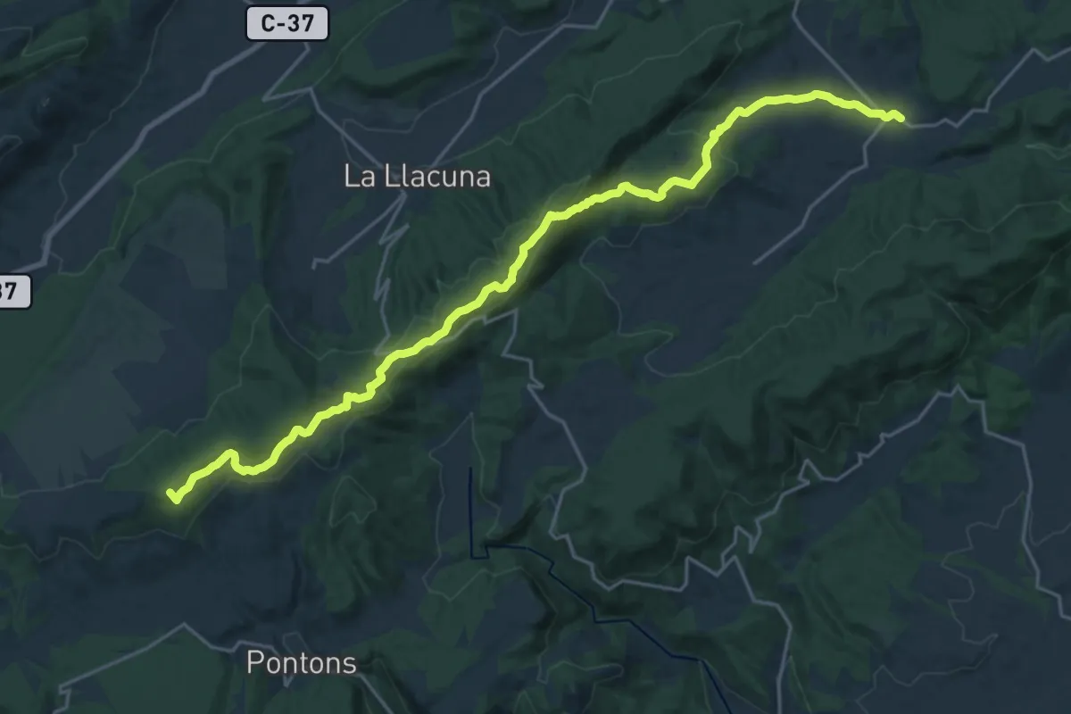
Demanding · Summit
GR 172 De la Mussara a Bellprat - Etapa 06
26.3 km · ↑ 712 m · 7 h 45 min
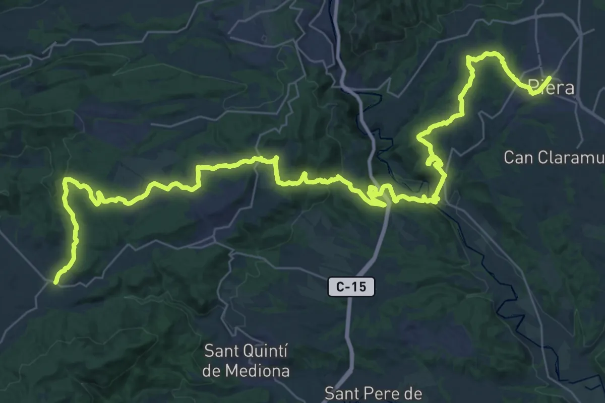
Demanding · Trail
GR 172 De la Mussara a Bellprat - Etapa 07
24.8 km · ↑ 520 m · 7 h 23 min
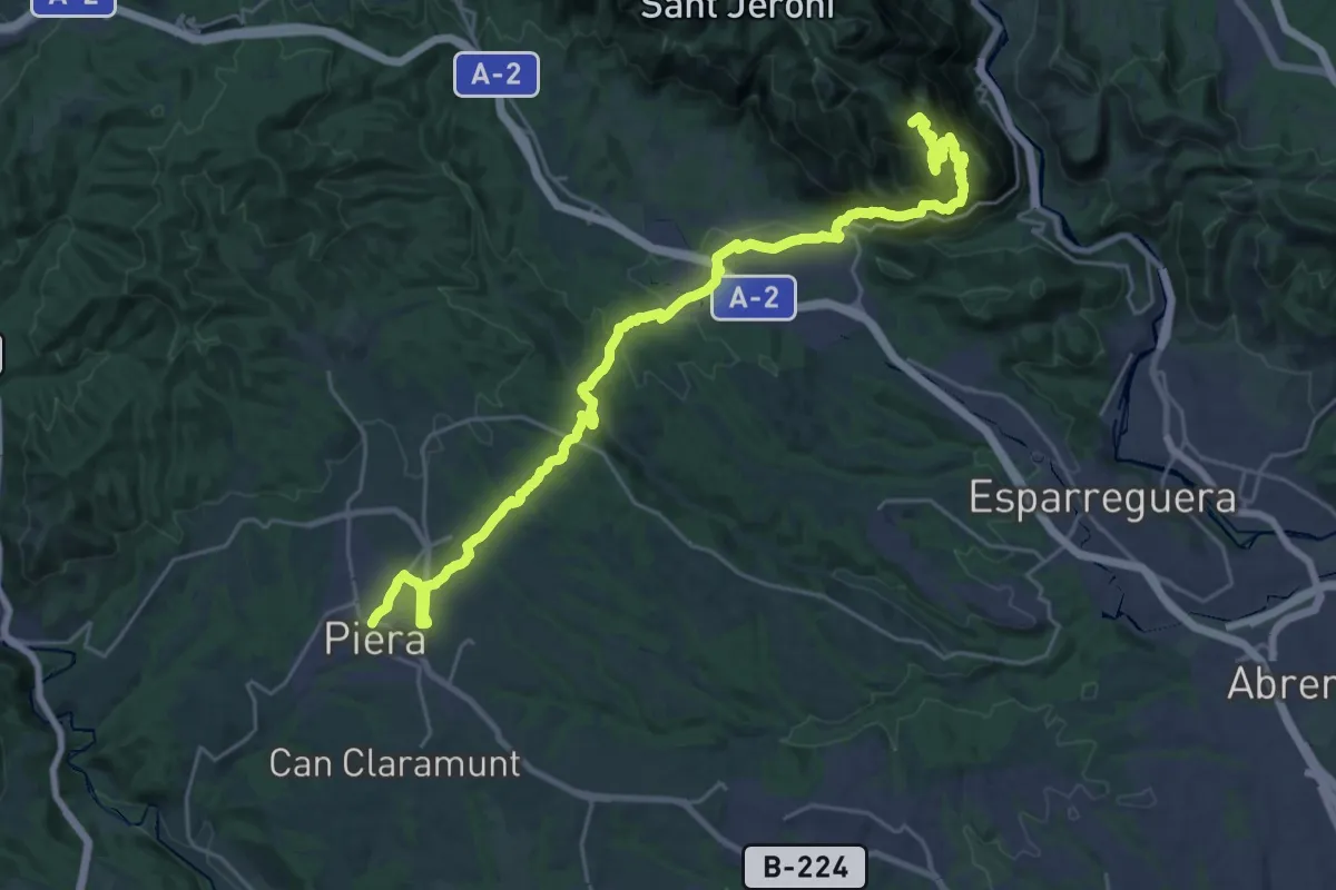
Demanding · Summit
GR 172 De la Mussara a Bellprat - Etapa 08
33.9 km · ↑ 1843 m · 11 h 59 min
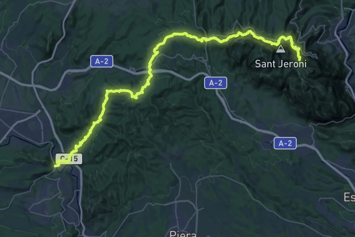
Demanding · Summit
GR 172 De la Mussara a Bellprat - Etapa 09
43.7 km · ↑ 2678 m · 16 h 7 min
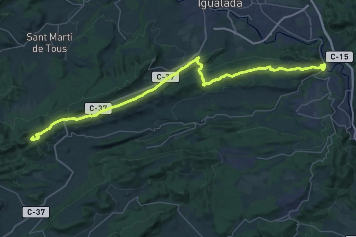
Demanding · Summit
GR 172 De la Mussara a Bellprat - Etapa 10
35.7 km · ↑ 865 m · 10 h 19 min
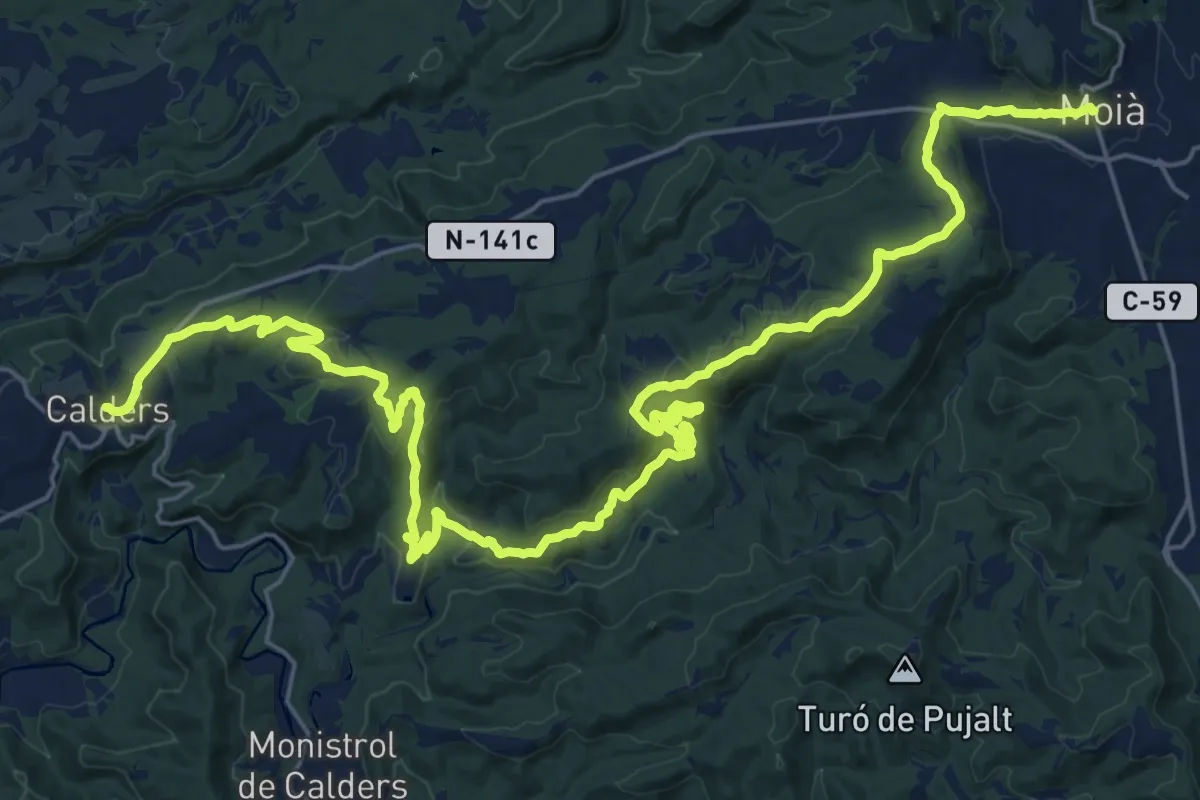
Demanding · Trail
GR 177 Ronda del Moianès - Etapa 1
18.6 km · ↑ 562 m · 5 h 47 min
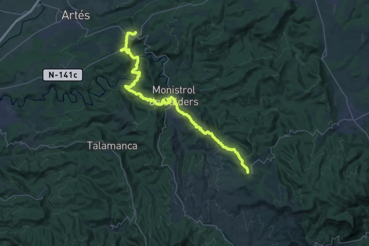
Demanding · Summit
GR 177 Ronda del Moianès - Etapa 2
31.5 km · ↑ 1259 m · 10 h 9 min
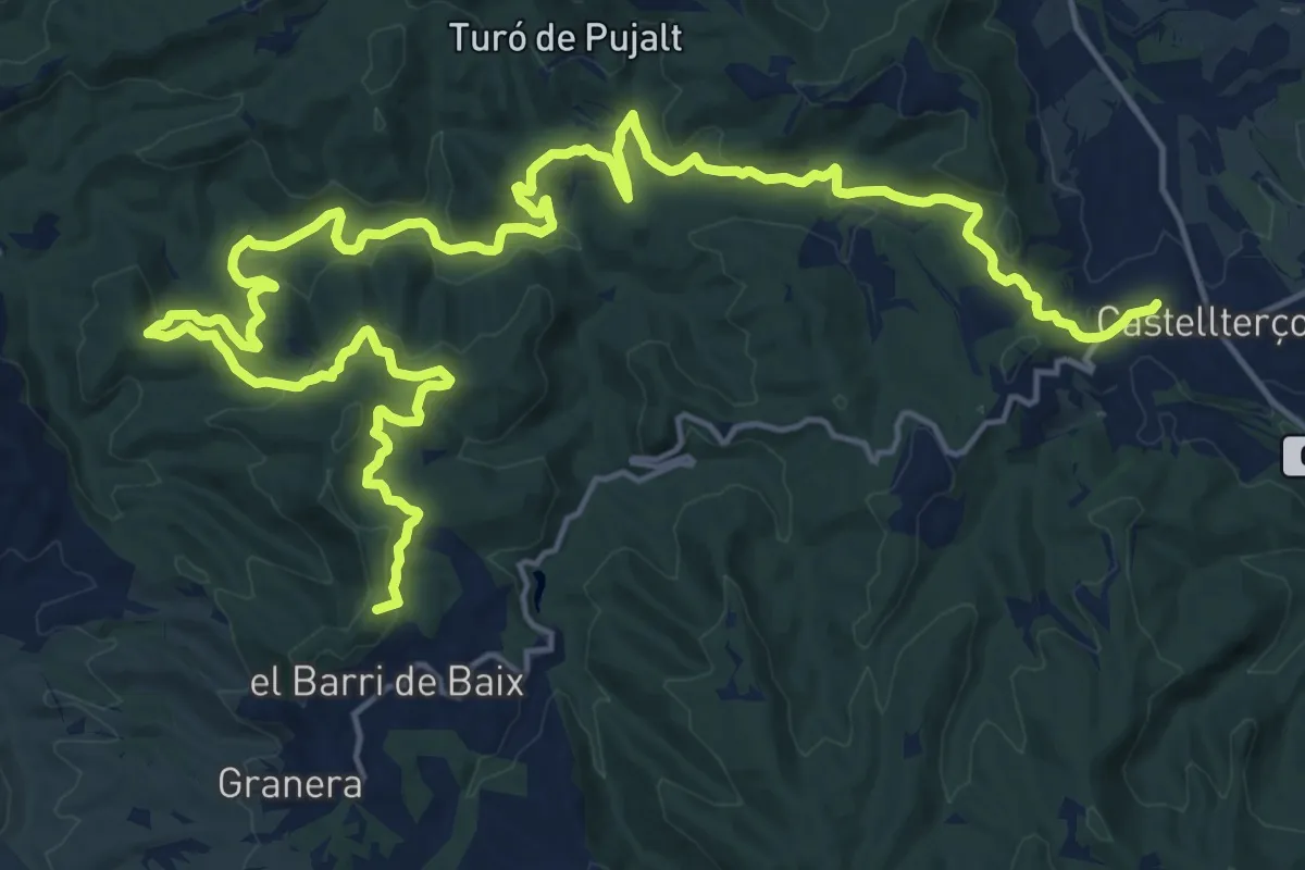
Demanding · Summit
GR 177 Ronda del Moianès - Etapa 3
30.3 km · ↑ 991 m · 9 h 18 min
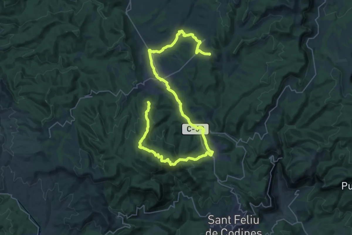
Demanding · Summit
GR 177 Ronda del Moianès - Etapa 4
35.9 km · ↑ 953 m · 10 h 33 min
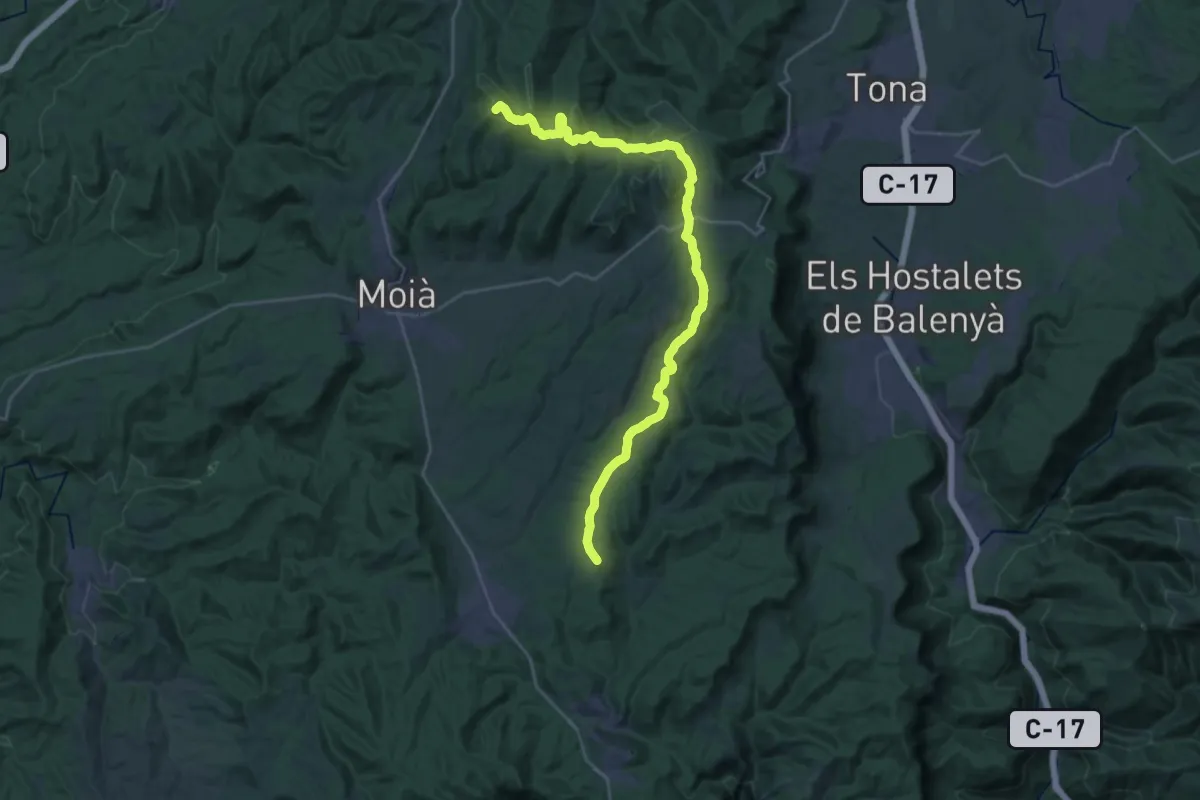
Demanding · Summit
GR 177 Ronda del Moianès - Etapa 5
32.5 km · ↑ 661 m · 9 h 6 min
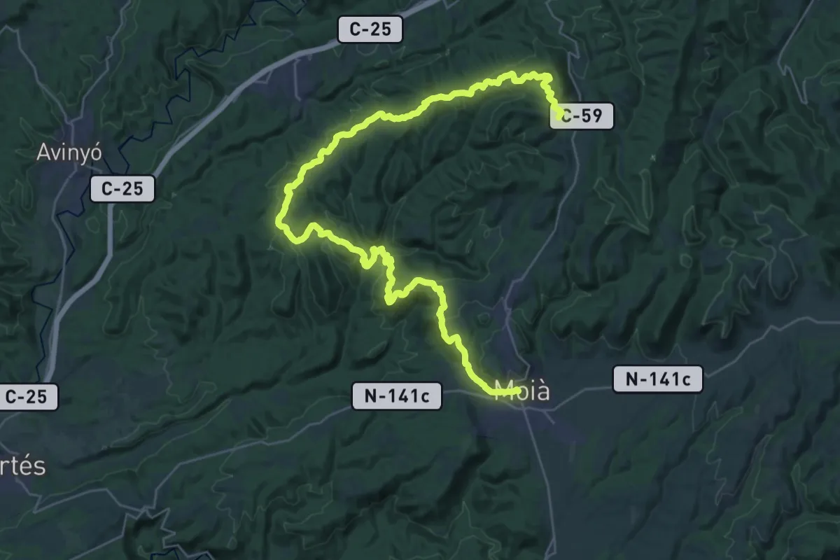
Demanding · Summit
GR 177 Ronda del Moianès - Etapa 6
42.5 km · ↑ 1266 m · 12 h 46 min
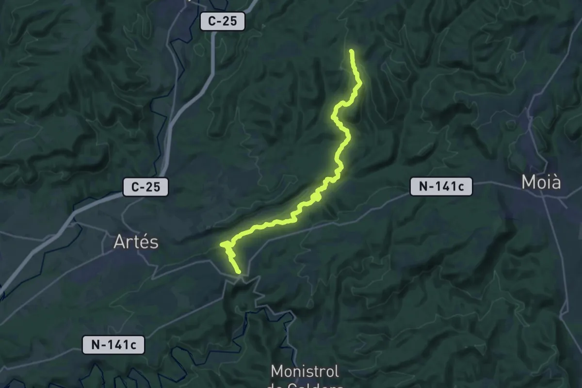
Demanding · Trail
GR 177 Ronda del Moianès - Variant 177.1 Rojans - Calders
23.4 km · ↑ 652 m · 6 h 57 min
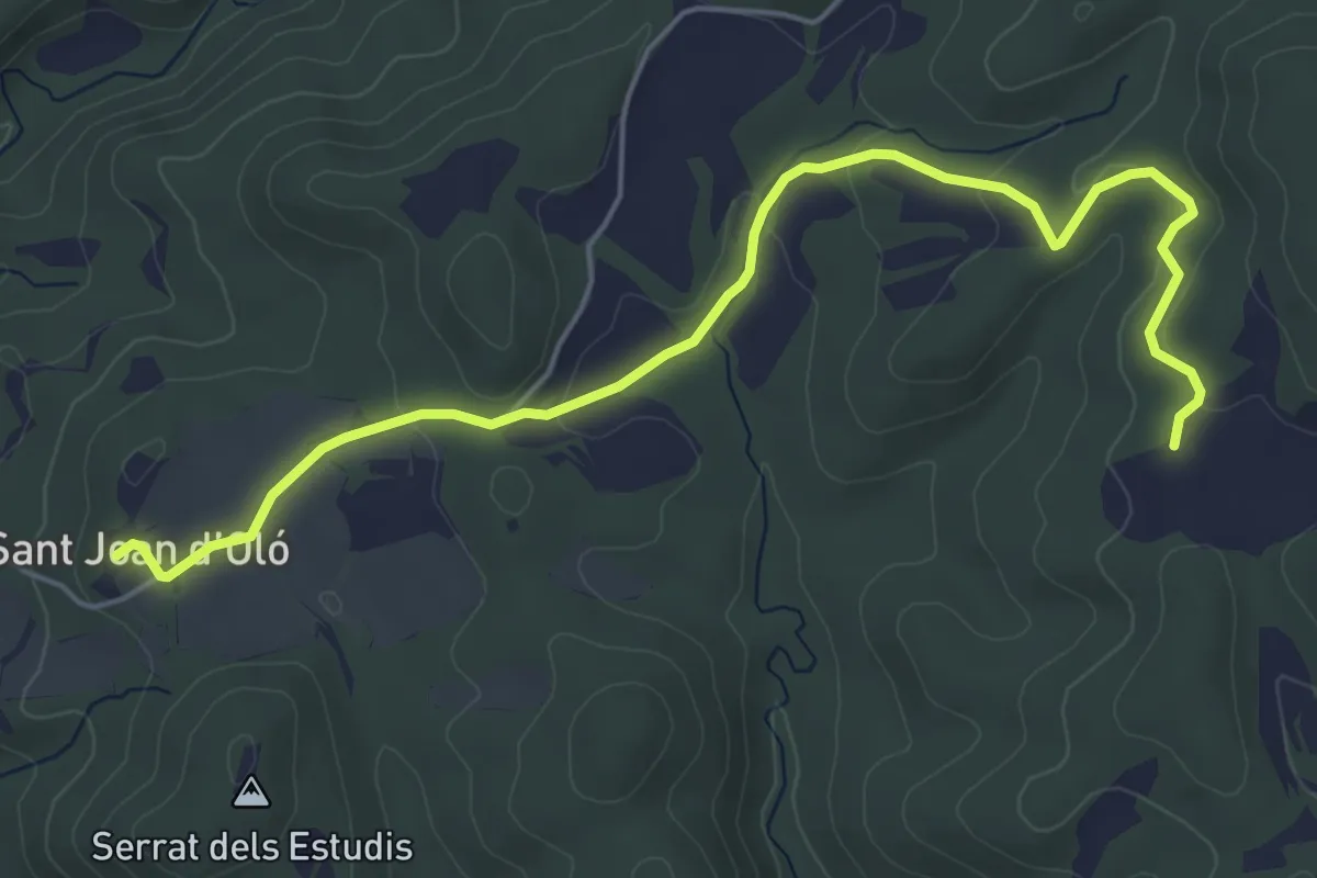
Easy · Trail
GR 177 Ronda del Moianès - Variant 177.2 Rojans - Sant Joan d'Oló
6.6 km · ↑ 161 m · 1 h 54 min
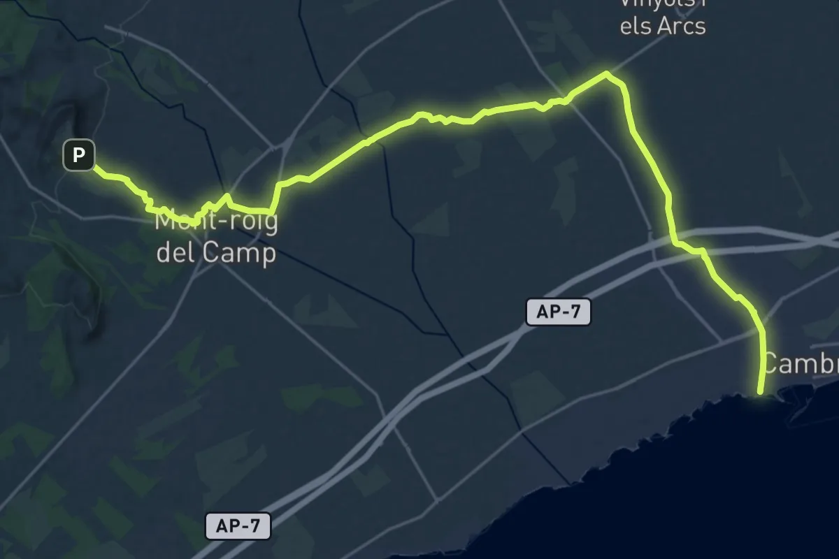
Demanding · Trail
GR 192 Camí del Vent - Etapa 1
30.7 km · ↑ 298 m · 7 h 54 min
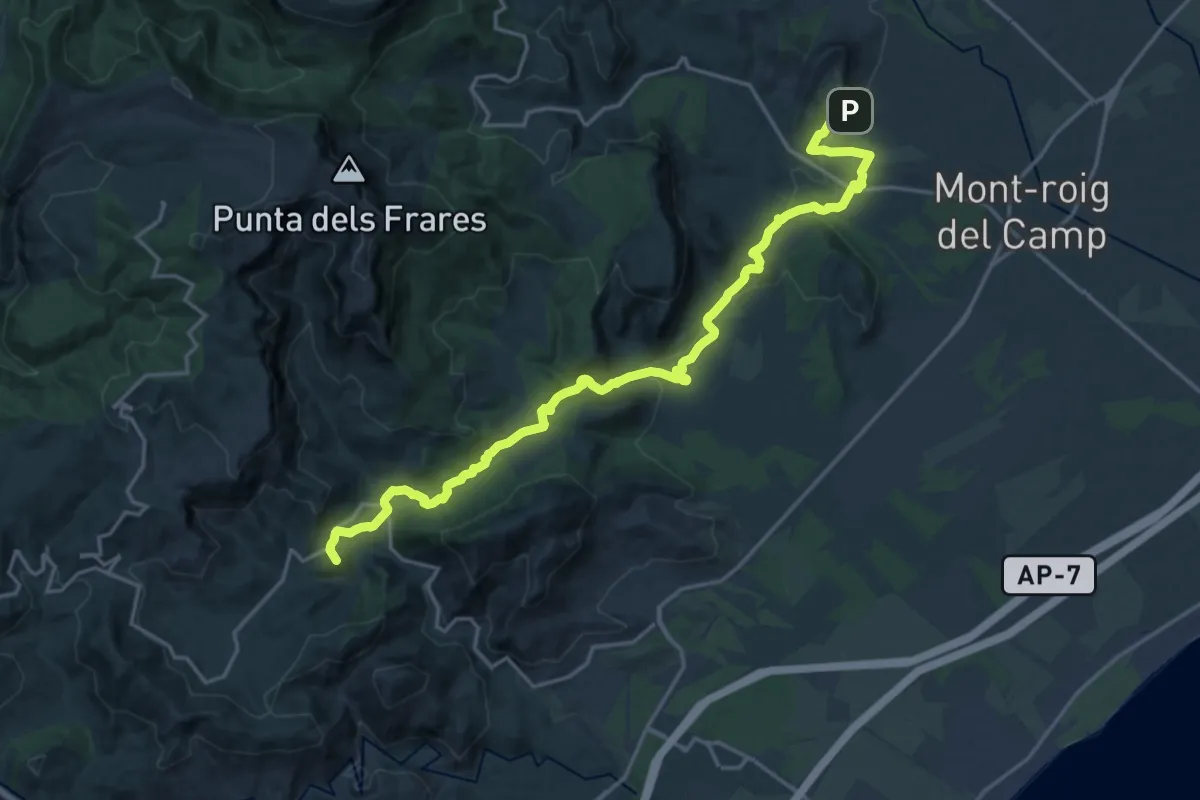
Demanding · Summit
GR 192 Camí del Vent - Etapa 2
23.7 km · ↑ 621 m · 6 h 57 min
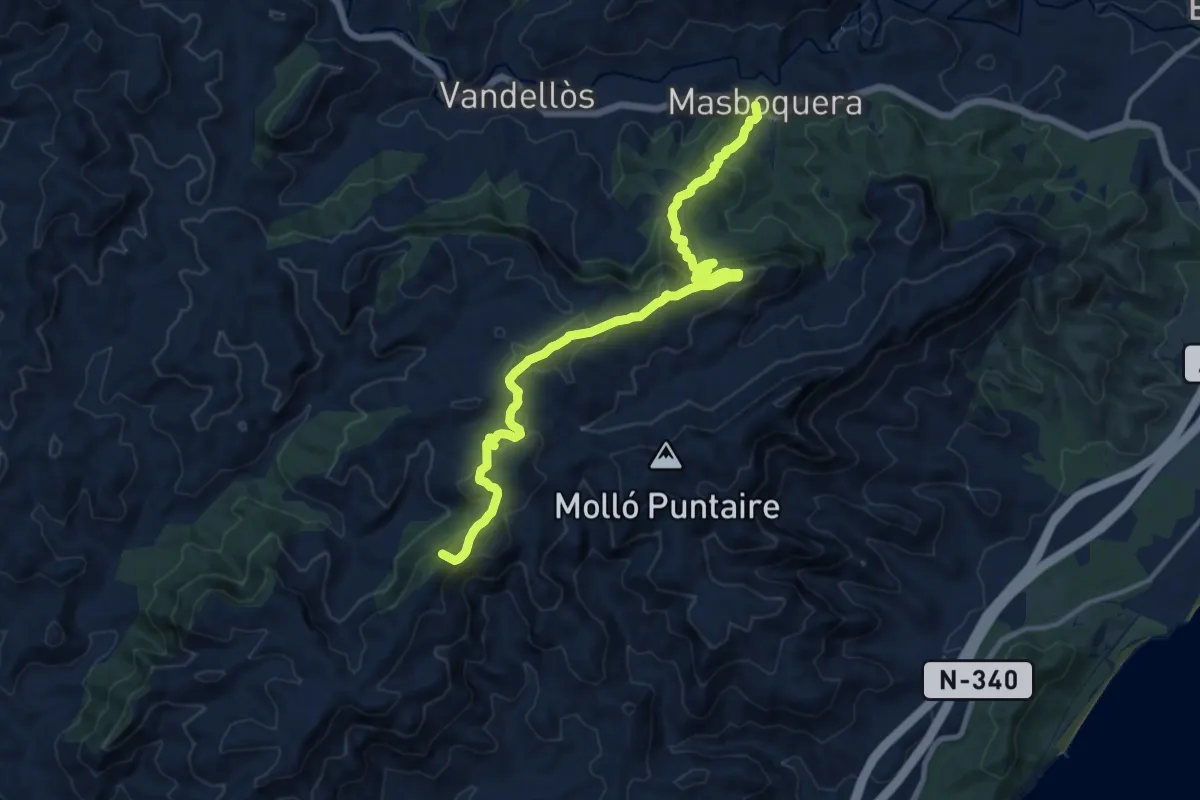
Demanding · Summit
GR 192 Camí del Vent - Etapa 3
15.9 km · ↑ 884 m · 5 h 40 min
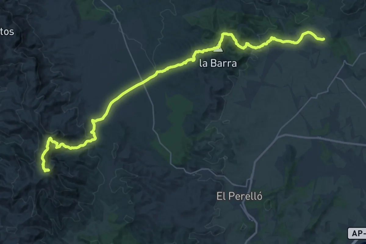
Demanding · Summit
GR 192 Camí del Vent - Etapa 4
35.0 km · ↑ 1288 m · 11 h 3 min
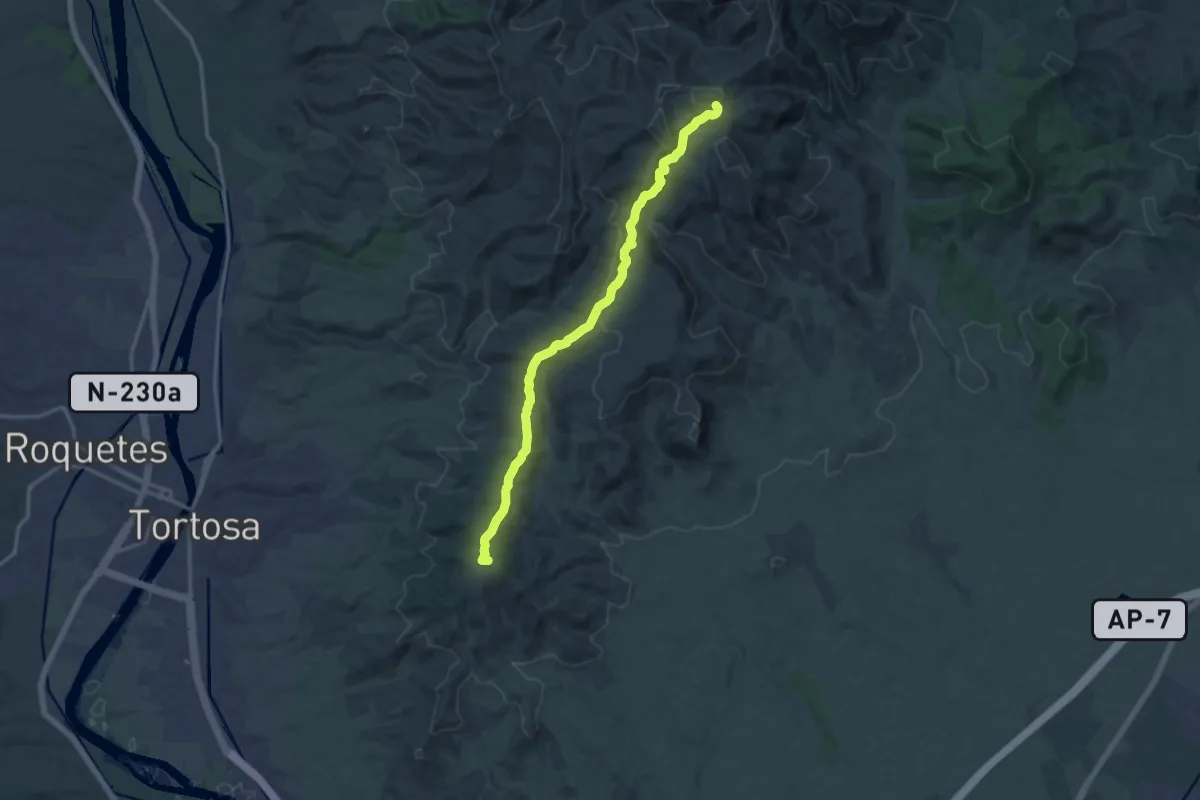
Medium · Summit
GR 192 Camí del Vent - Etapa 5
15.6 km · ↑ 499 m · 4 h 46 min
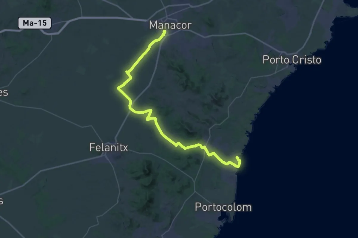
Demanding · Trail
GR226 - Ruta del Lievant Etapa 1
24.4 km · ↑ 184 m · 6 h 31 min
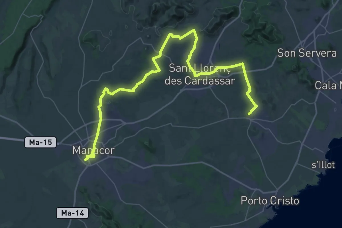
Demanding · Trail
GR 226 - Ruta del Lievant Etapa 2
23.9 km · ↑ 261 m · 6 h 34 min