Trails in Spain
5,963 hiking trails, each with its route, climb, walking time and grade.
All trails, page 49 of 125
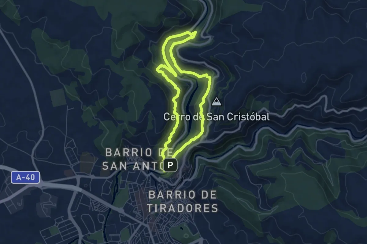
Medium · Trail
Hoz del Jucar y San Julian
6.8 km · ↑ 346 m · 2 h 27 min
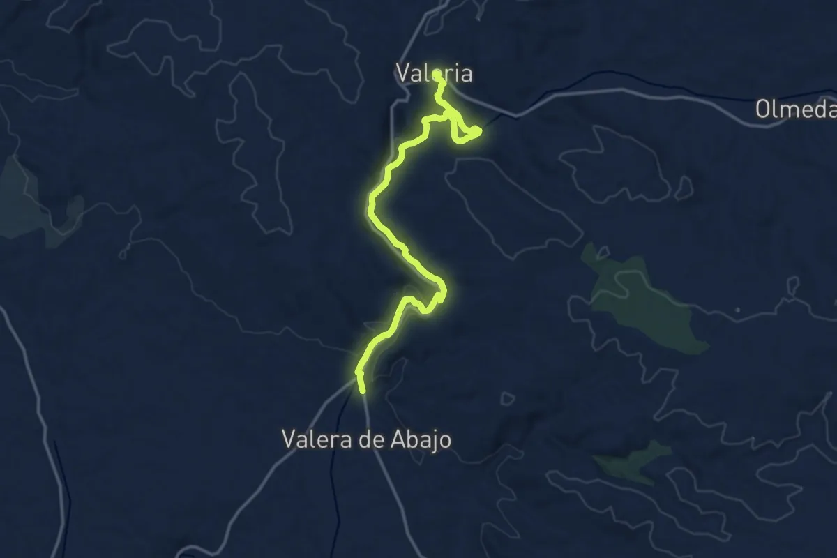
Medium · Trail
Hoz del río Gritos y Páramos de las Varelas
15.8 km · ↑ 353 m · 4 h 29 min
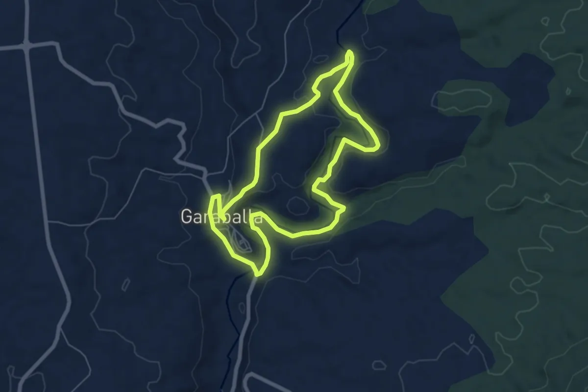
Easy · Trail
Hoz del río Ojos de Moya. Garaballa
6.1 km · ↑ 110 m · 1 h 45 min
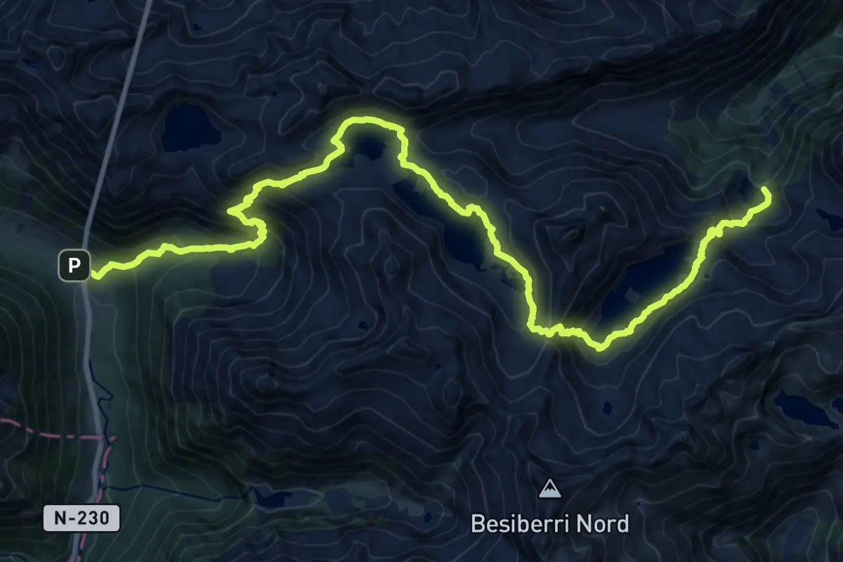
Demanding · Cabin
HRP Étape 23
13.2 km · ↑ 1039 m · 5 h 22 min
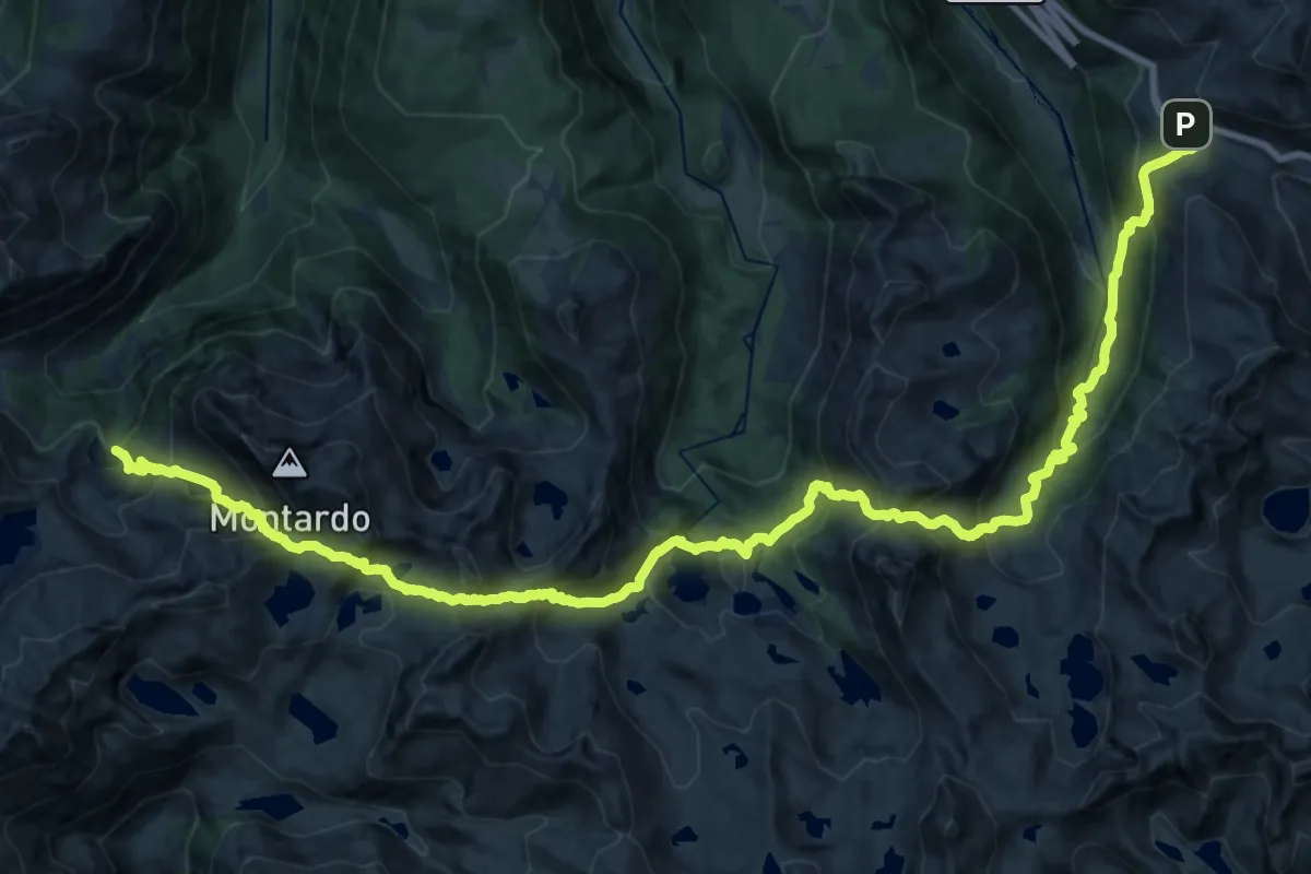
Demanding · Cabin
HRP Étape 24
16.8 km · ↑ 1285 m · 7 h 2 min
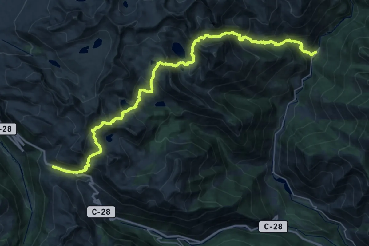
Demanding · Trail
HRP Étape 25
16.1 km · ↑ 1714 m · 7 h 21 min
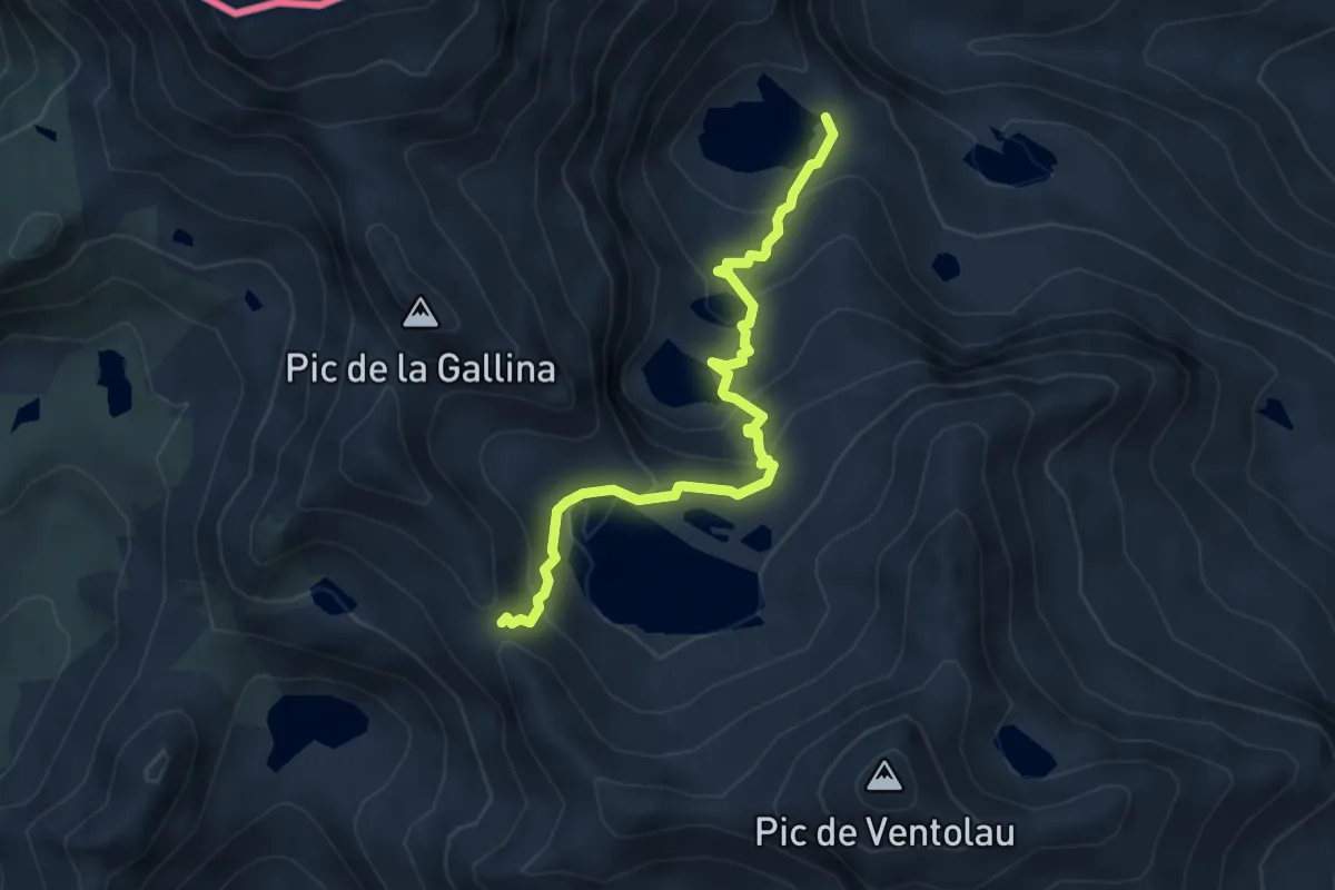
Medium · Cabin
HRP Étape 26
4.8 km · ↑ 302 m · 1 h 47 min
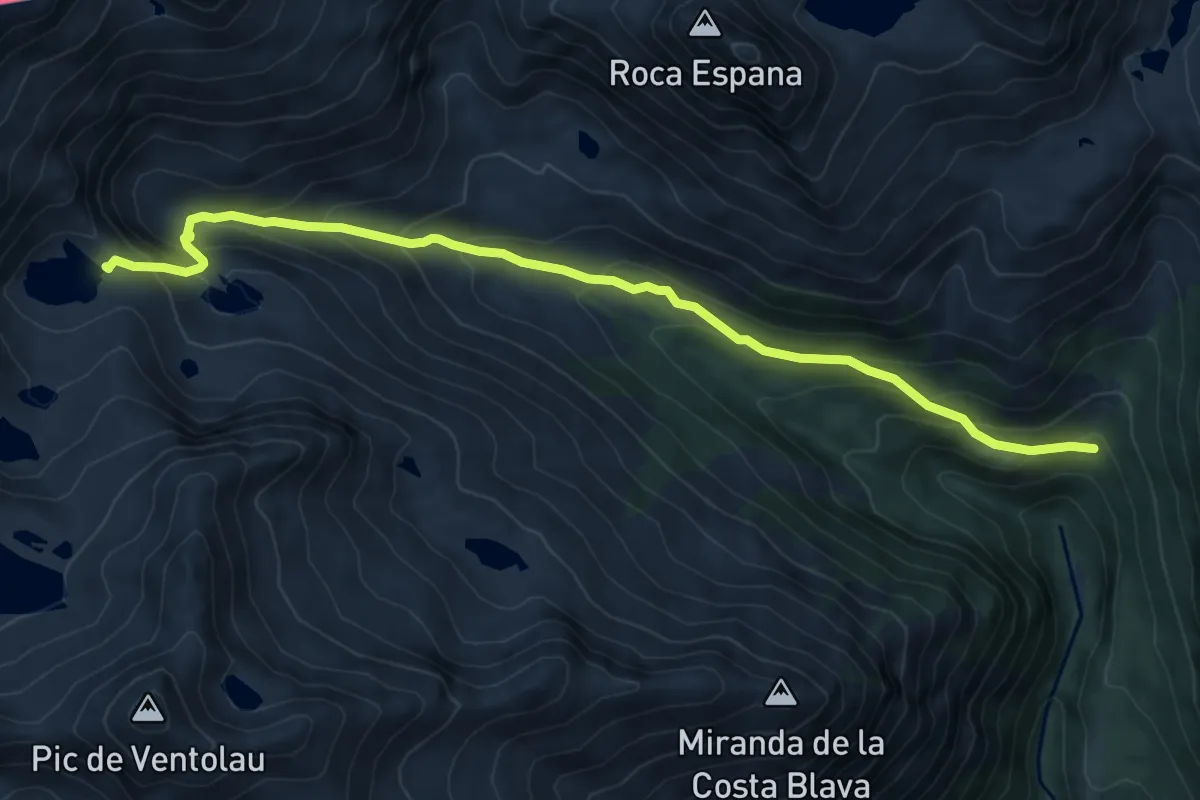
Medium · Cabin
HRP Étape 27
8.5 km · ↑ 580 m · 3 h 16 min
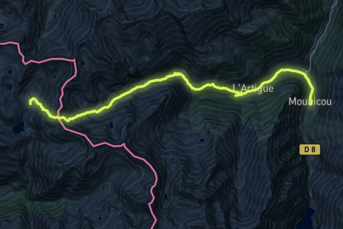
Demanding · Trail
HRP Étape 28
12.4 km · ↑ 518 m · 4 h 42 min
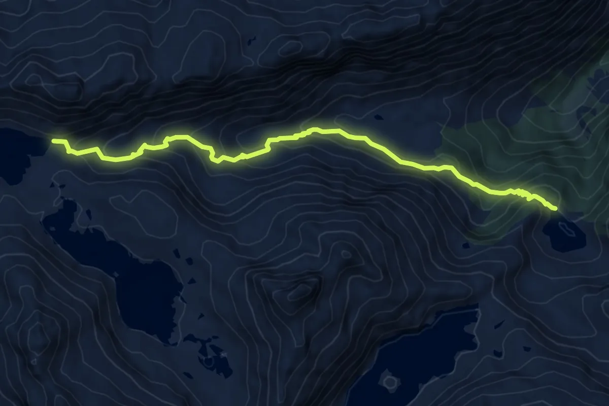
Demanding · Trail
HRP Variante 23.1
9.2 km · ↑ 624 m · 3 h 31 min
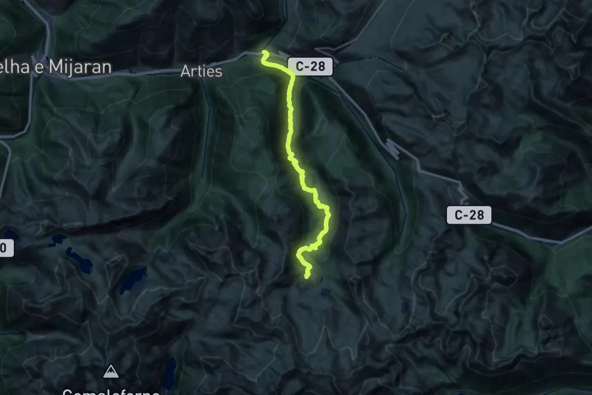
Medium · Trail
HRP Variante 24.1
13.0 km · ↑ 45 m · 3 h 47 min
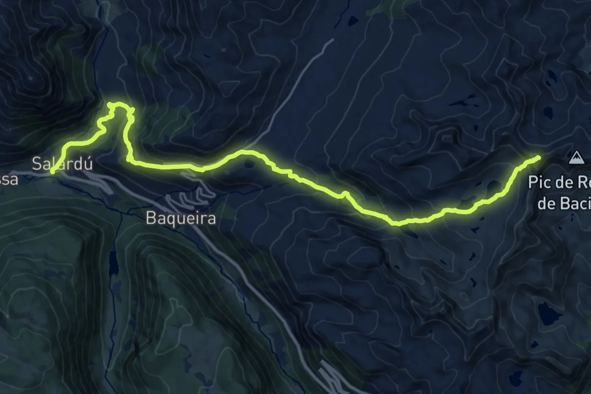
Demanding · Summit
HRP Variante 25.1
25.5 km · ↑ 1507 m · 9 h 18 min
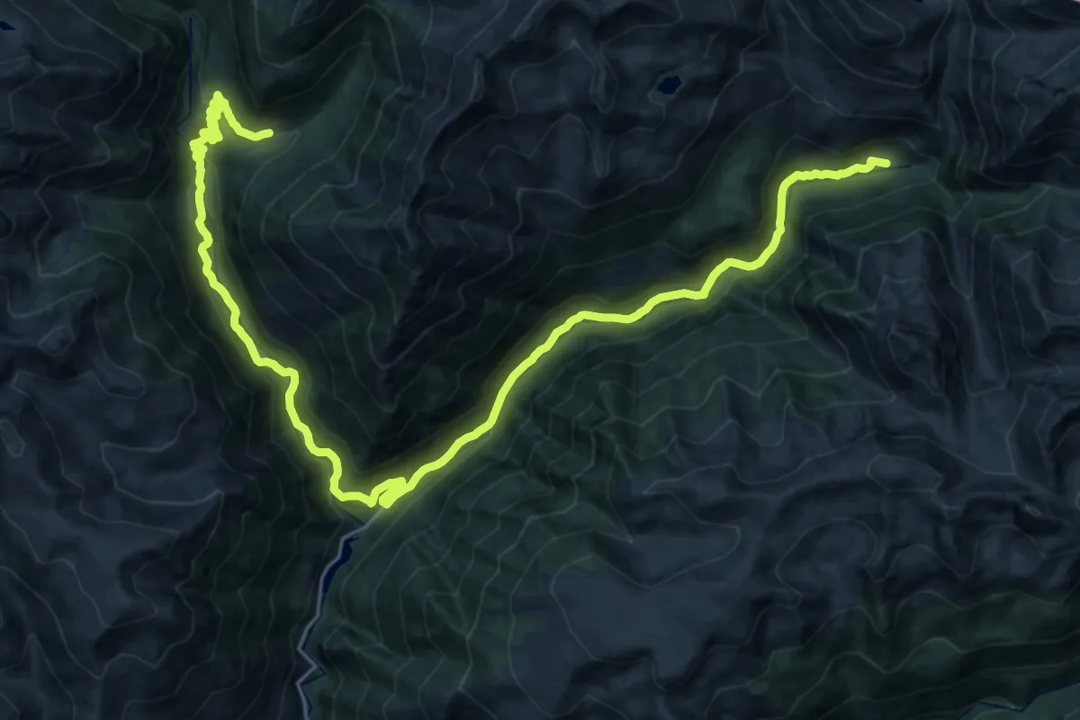
Medium · Trail
HRP Variante 27.1
17.0 km · ↑ 518 m · 5 h 27 min
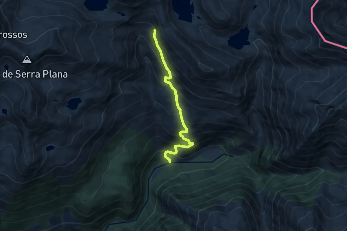
Medium · Trail
HRP Variante 28.1
6.8 km · ↑ 671 m · 3 h 3 min
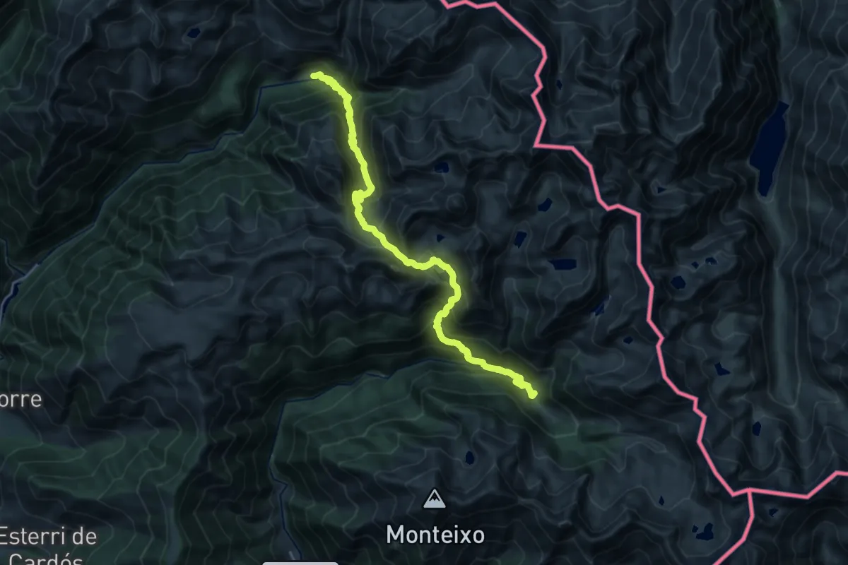
Expert · Trail
HRP Variante 28.2
12.1 km · ↑ 1180 m · 5 h 23 min
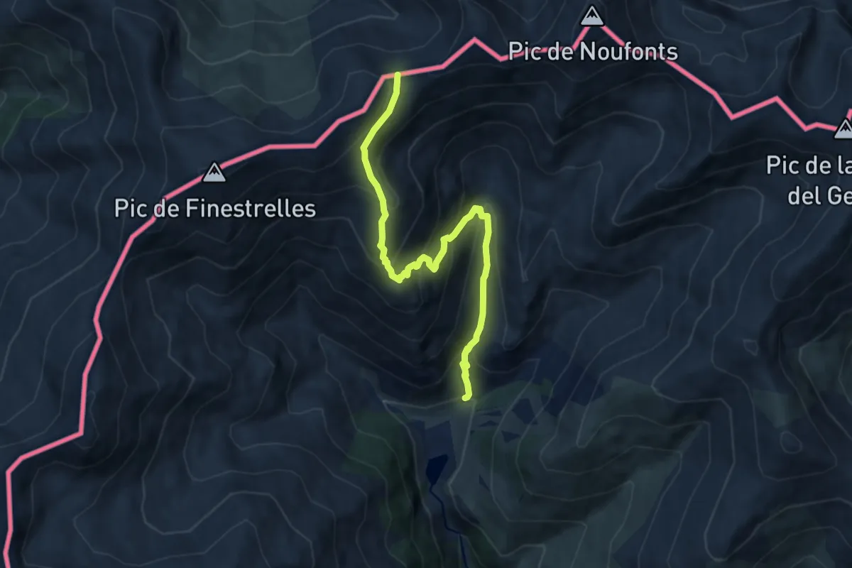
Medium · Trail
HRP Variante 35.2
8.8 km · ↑ 715 m · 3 h 38 min
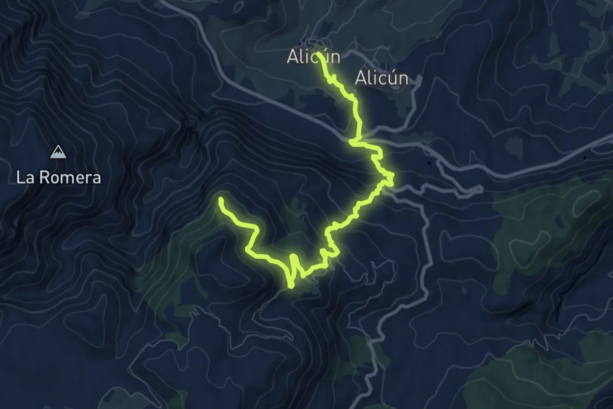
Medium · Trail
Huécija - Ermita de la Santa Cruz
11.7 km · ↑ 715 m · 4 h 19 min
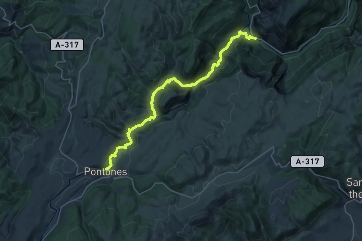
Demanding · Trail
Huelga Utrera - Cueva del Agua - Pontones
21.8 km · ↑ 879 m · 7 h 3 min
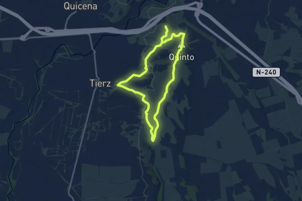
Easy · Summit
Huellas de la Guerra. Trincheras de Loporzano y Tierz
7.2 km · ↑ 151 m · 2 h 8 min
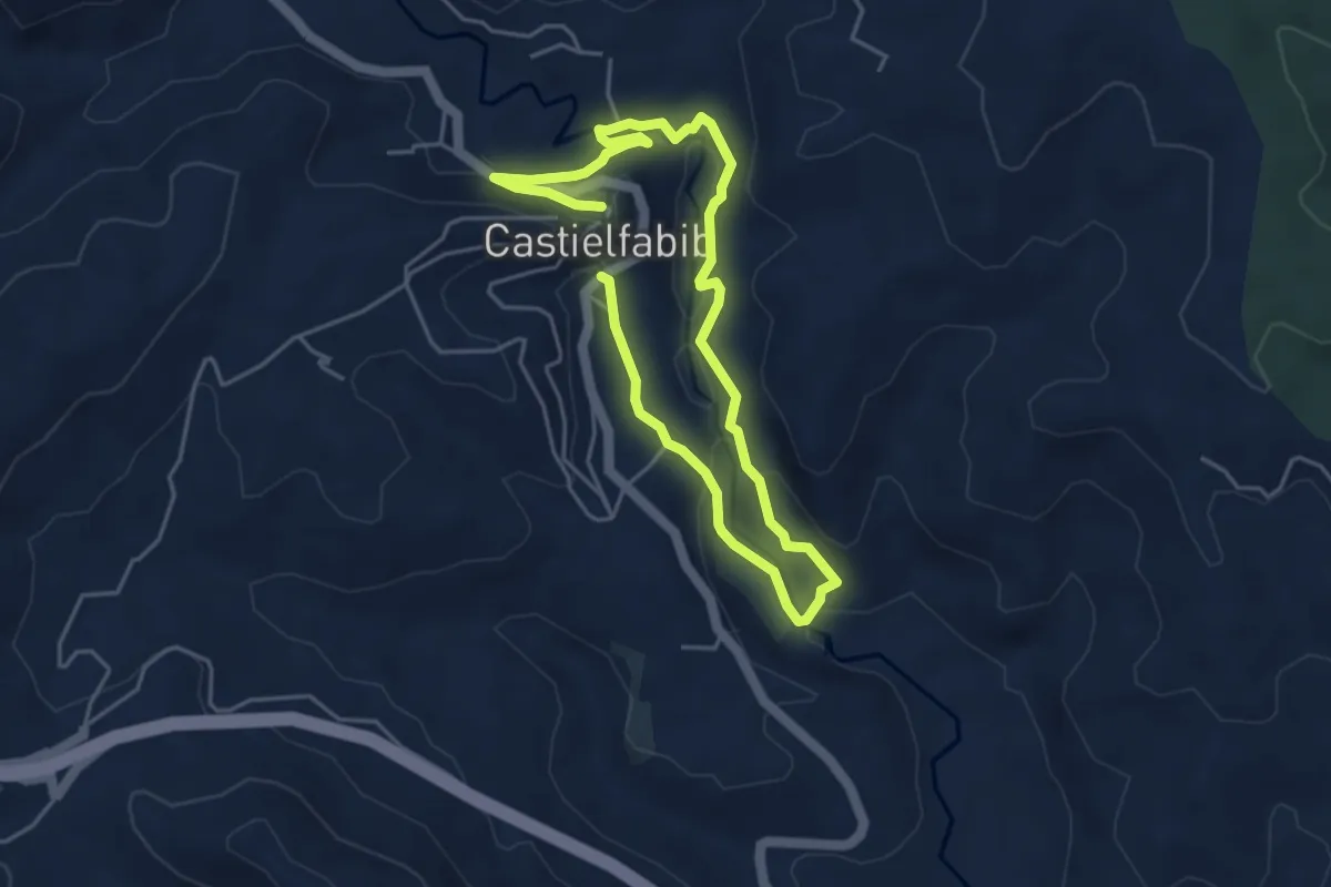
Easy · Trail
Huellas del Ebrón
4.0 km · ↑ 159 m · 1 h 21 min
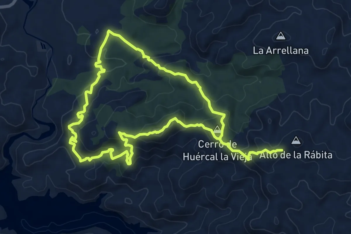
Medium · Summit
Huércal La Vieja
9.6 km · ↑ 537 m · 3 h 31 min
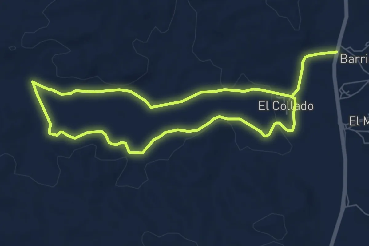
Easy · Trail
Humedales de El Margen
6.2 km · ↑ 73 m · 1 h 43 min
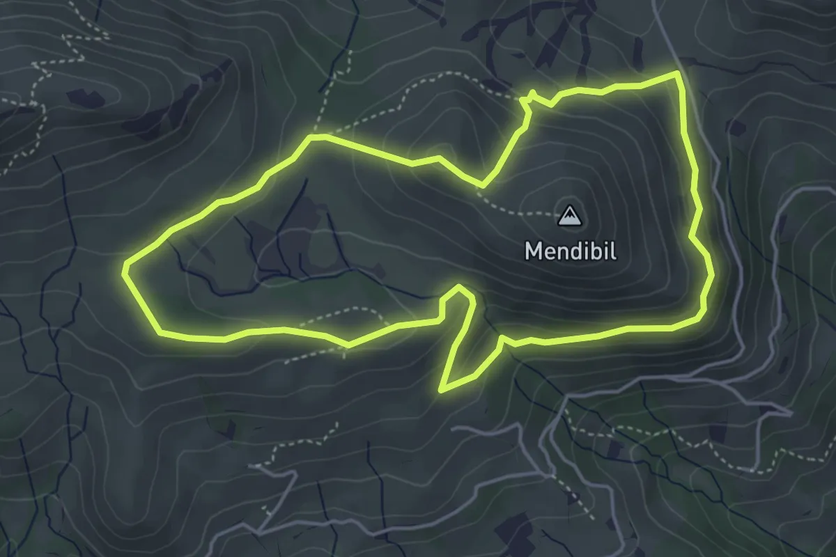
Medium · Summit
Ibaineta
5.0 km · ↑ 230 m · 1 h 44 min
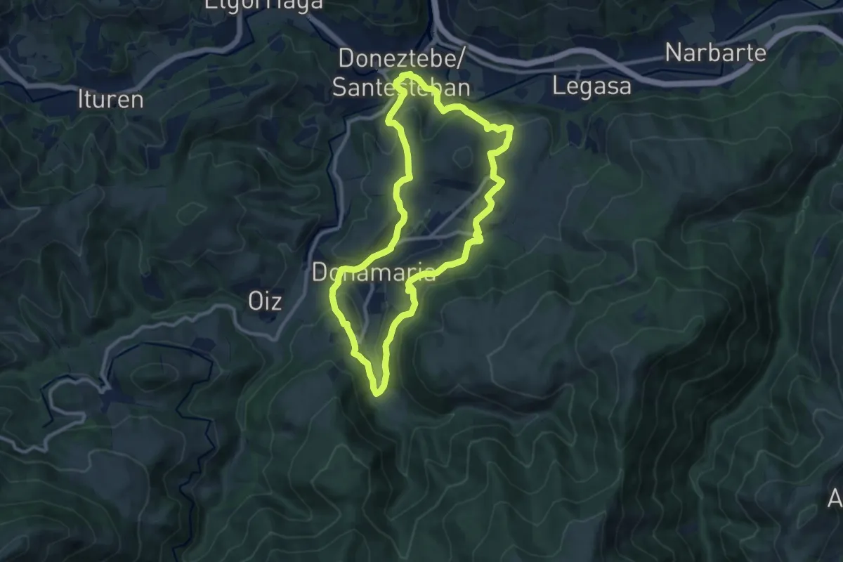
Medium · Summit
Ibargoiora
9.9 km · ↑ 321 m · 3 h 10 min
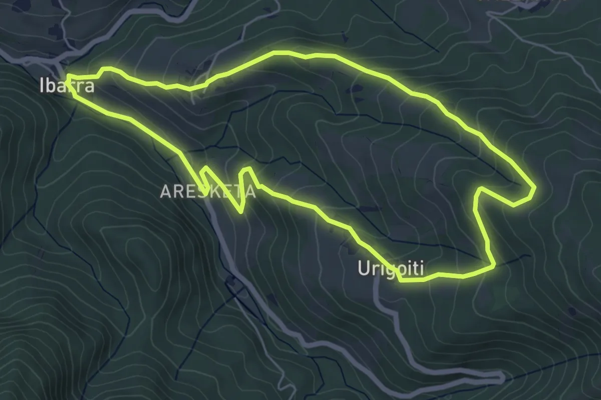
Easy · Trail
Ibarra - Urigoiti
5.9 km · ↑ 316 m · 2 h 10 min
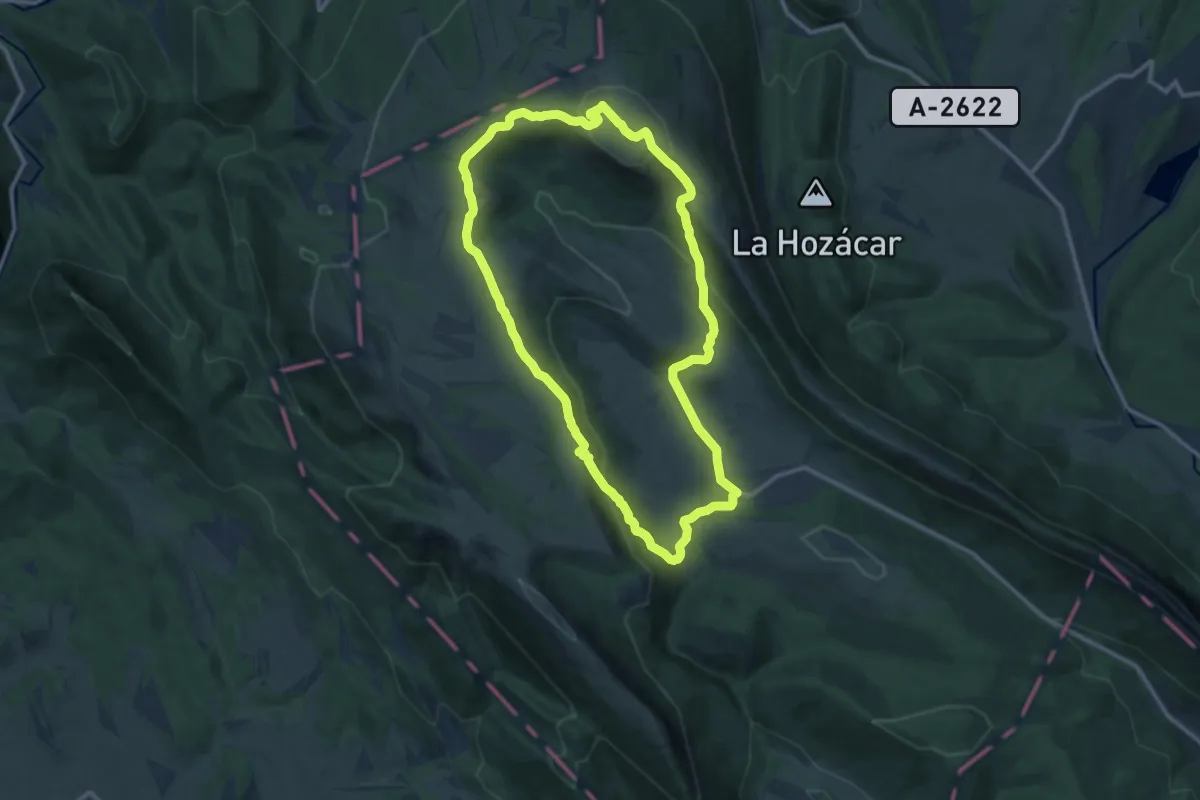
Medium · Summit
Ibarreko goialdean barrena
12.3 km · ↑ 404 m · 3 h 56 min
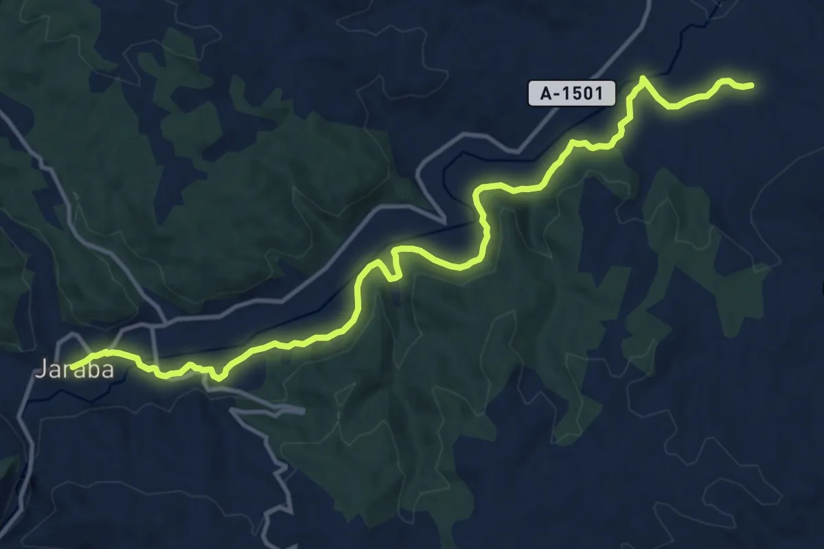
Medium · Trail
Ibdes-Jaraba
15.2 km · ↑ 197 m · 4 h 1 min
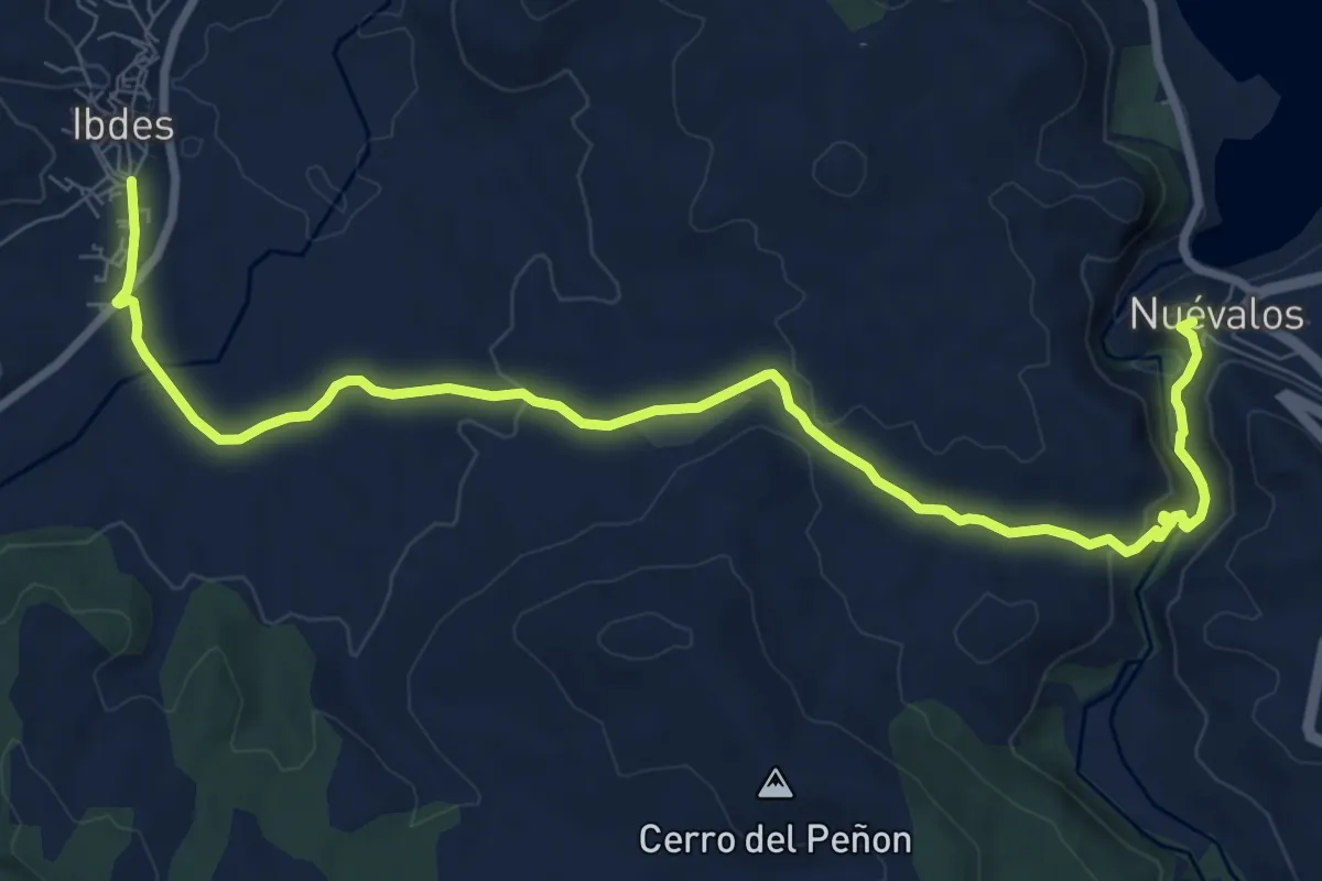
Medium · Trail
Ibdes-Nuevalos
11.2 km · ↑ 204 m · 3 h 5 min
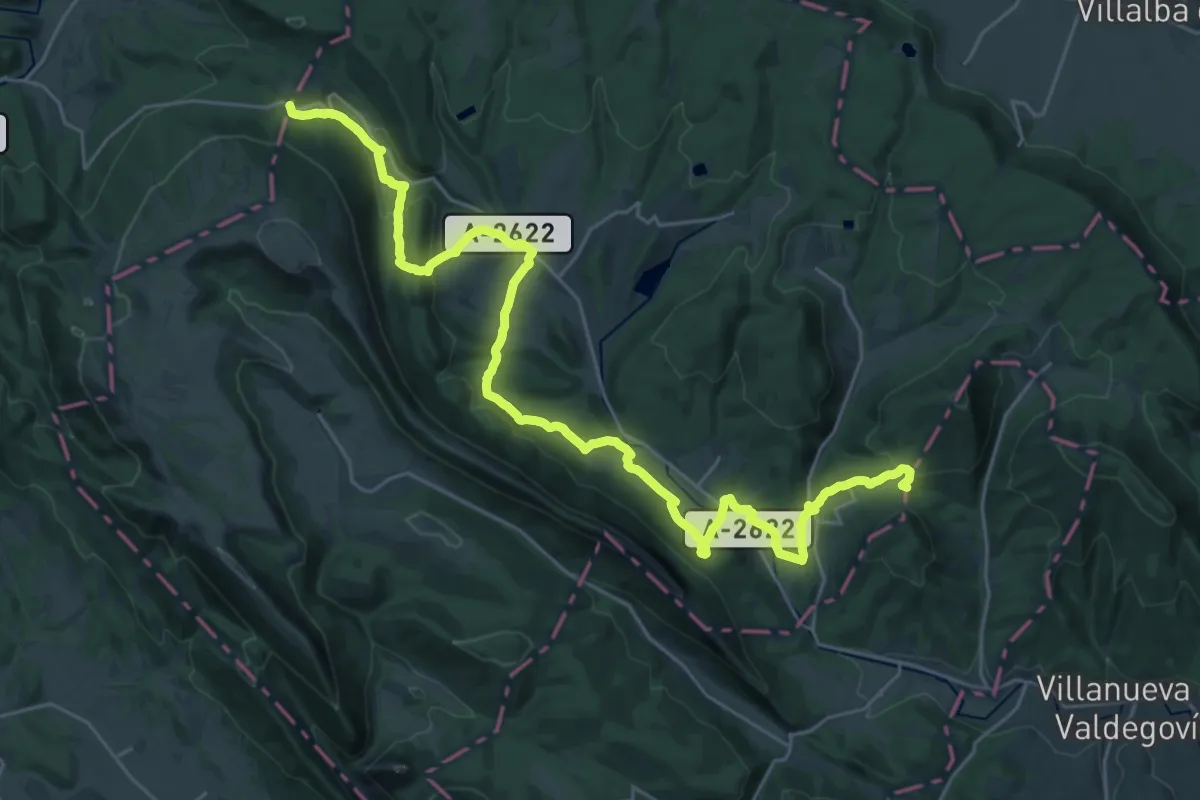
Demanding · Summit
Ibilbide historikoa: Araba
36.0 km · ↑ 1133 m · 10 h 57 min
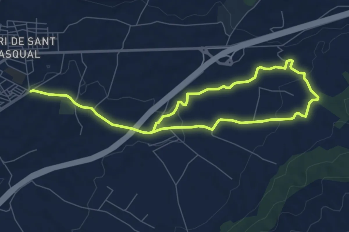
Easy · Trail
Ibi -Les Foies Blanques
5.5 km · ↑ 89 m · 1 h 35 min
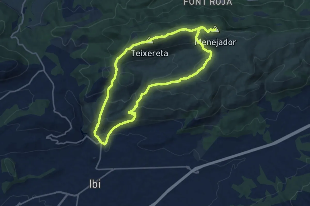
Demanding · Summit
Ibi - Serra del Menejador
21.2 km · ↑ 1236 m · 7 h 41 min
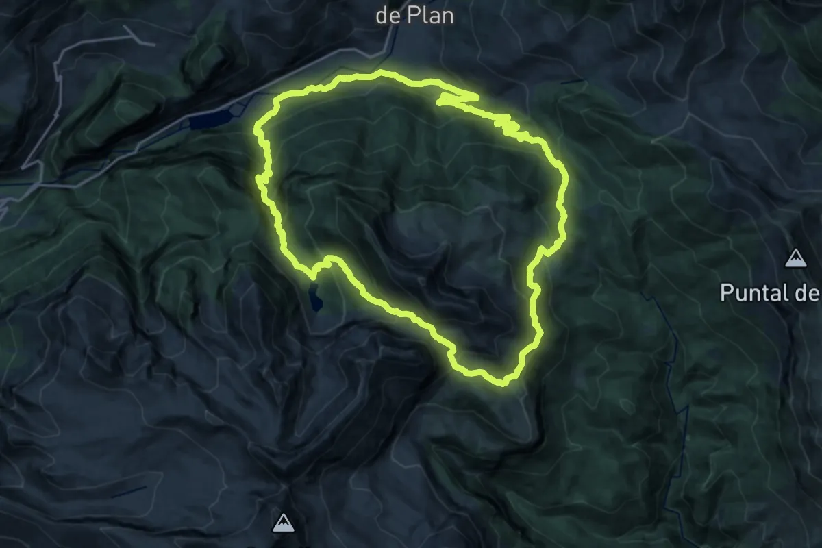
Demanding · Trail
Ibón de Plan / Basa de La Mora
20.9 km · ↑ 1455 m · 8 h 22 min
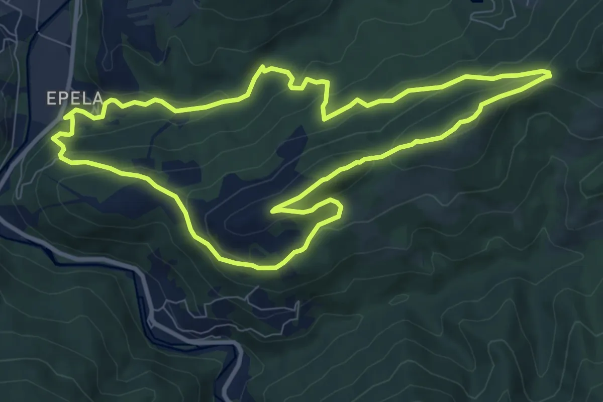
Medium · Summit
Igoringo trikuharriak
8.5 km · ↑ 388 m · 2 h 59 min
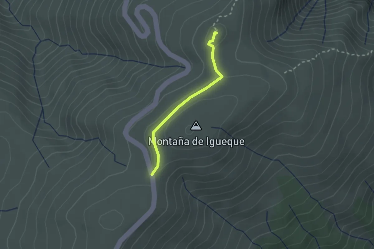
Easy · Summit
Igueque
2.2 km · ↑ 31 m · 35 min
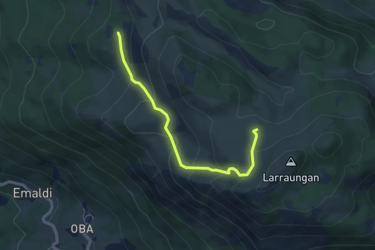
Easy · Summit
Ikazkinen bidea
4.6 km · ↑ 296 m · 1 h 44 min
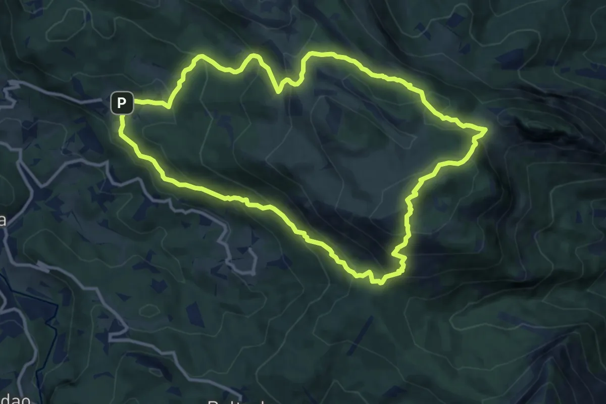
Medium · Summit
Ikazkinen bidea
11.4 km · ↑ 751 m · 4 h 29 min
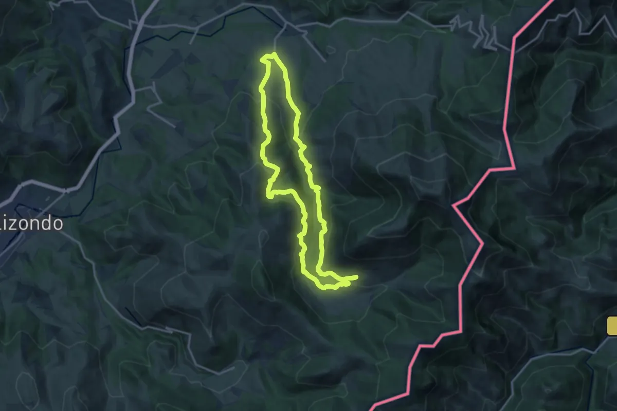
Medium · Trail
Iñarbegi
12.7 km · ↑ 521 m · 4 h 19 min
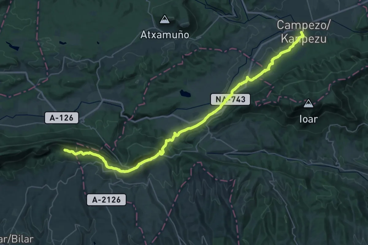
Medium · Pilgrim path
Inaziotar bidea
17.6 km · ↑ 598 m · 5 h 32 min
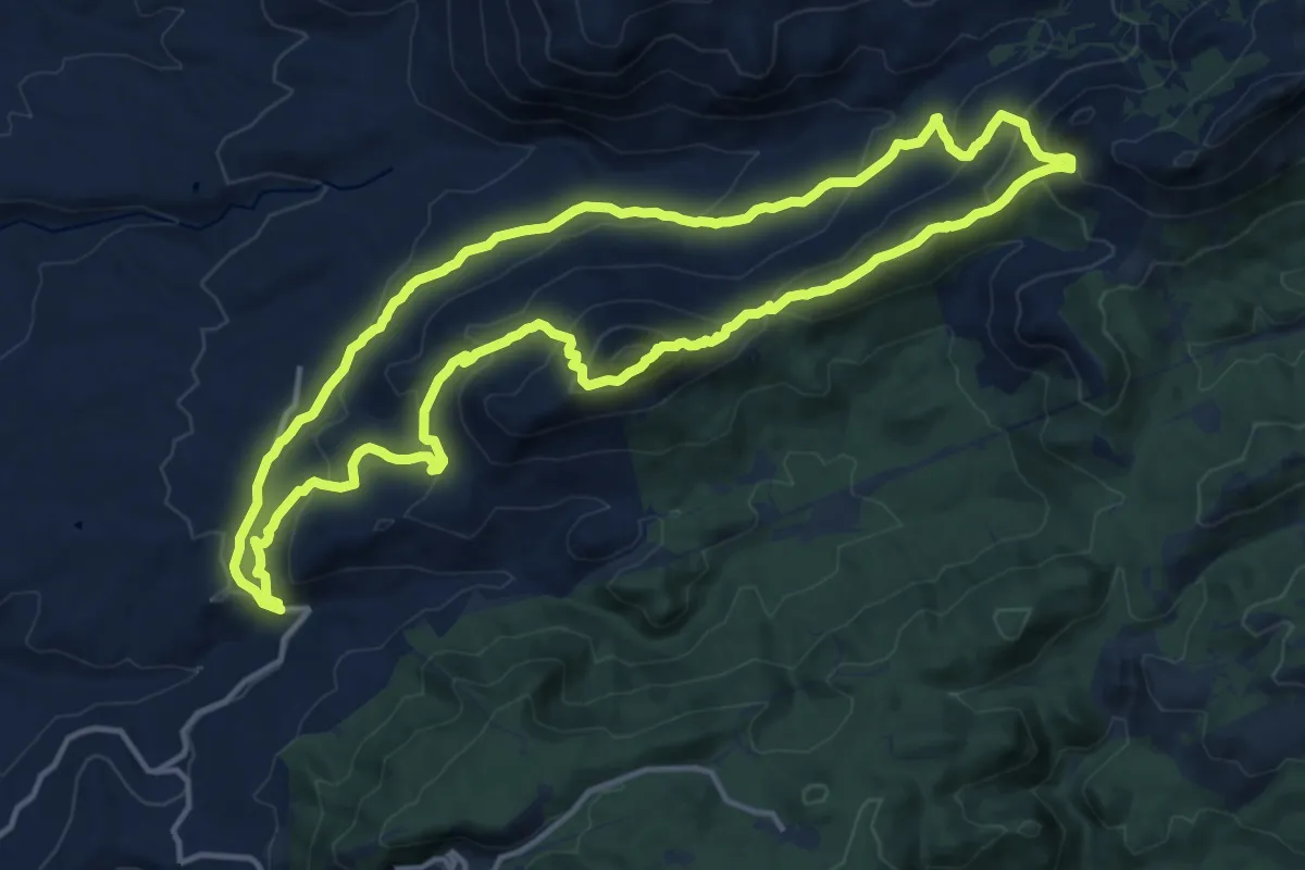
Demanding · Summit
Integral de Cogollos de la Vega
17.0 km · ↑ 859 m · 6 h 6 min
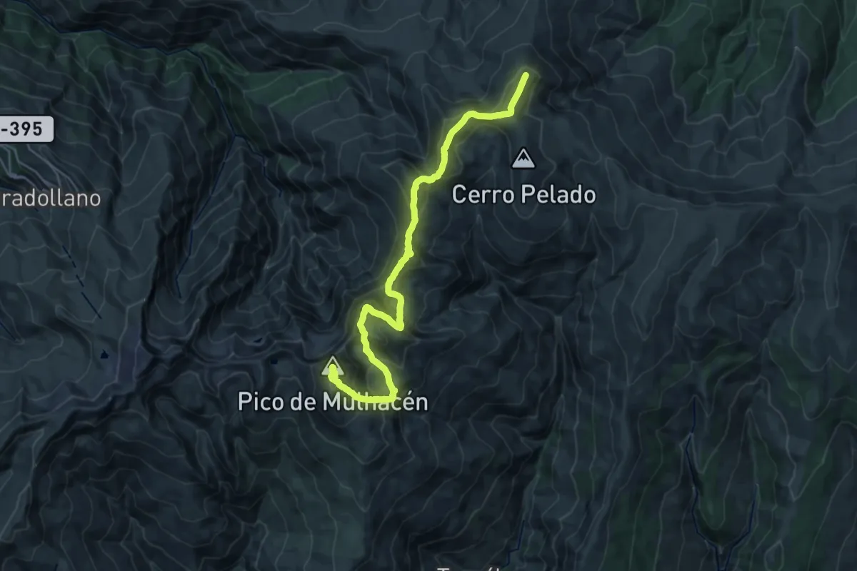
Expert · Summit
Integral de Sierra Nevada
32.1 km · ↑ 2533 m · 13 h 4 min
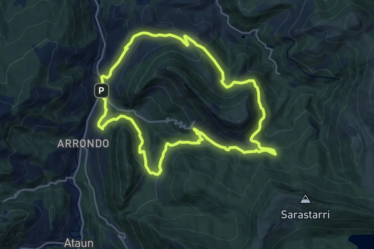
Medium · Trail
Intsustiko Itzulia
13.0 km · ↑ 628 m · 4 h 37 min
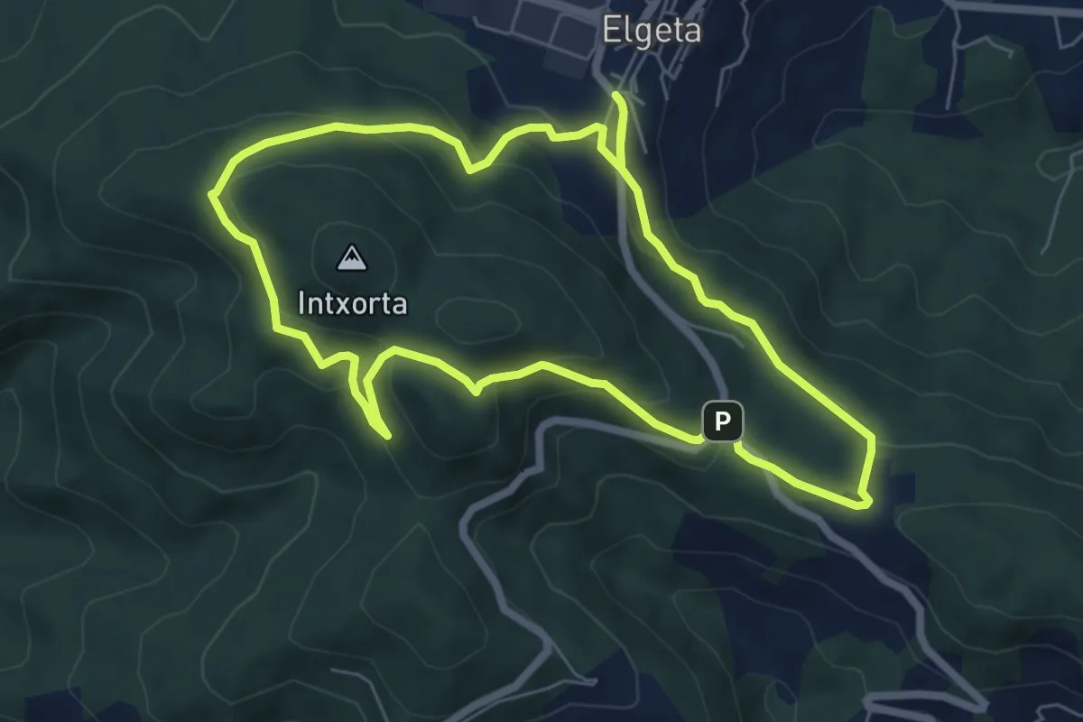
Easy · Summit
Intxorta - Asentzio
6.6 km · ↑ 291 m · 2 h 16 min
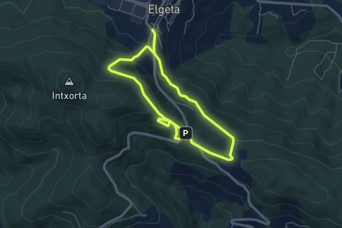
Easy · Trail
Intxortako atea
4.7 km · ↑ 248 m · 1 h 41 min
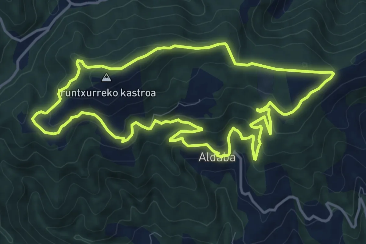
Medium · Summit
Intxurreko bira
10.2 km · ↑ 509 m · 3 h 39 min
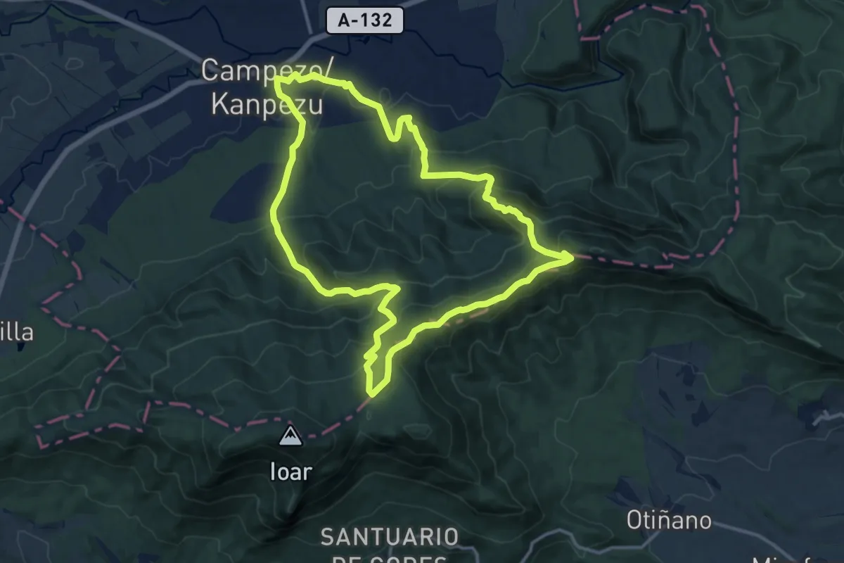
Demanding · Summit
Ioar mendirako ibilbidea
13.1 km · ↑ 767 m · 4 h 56 min
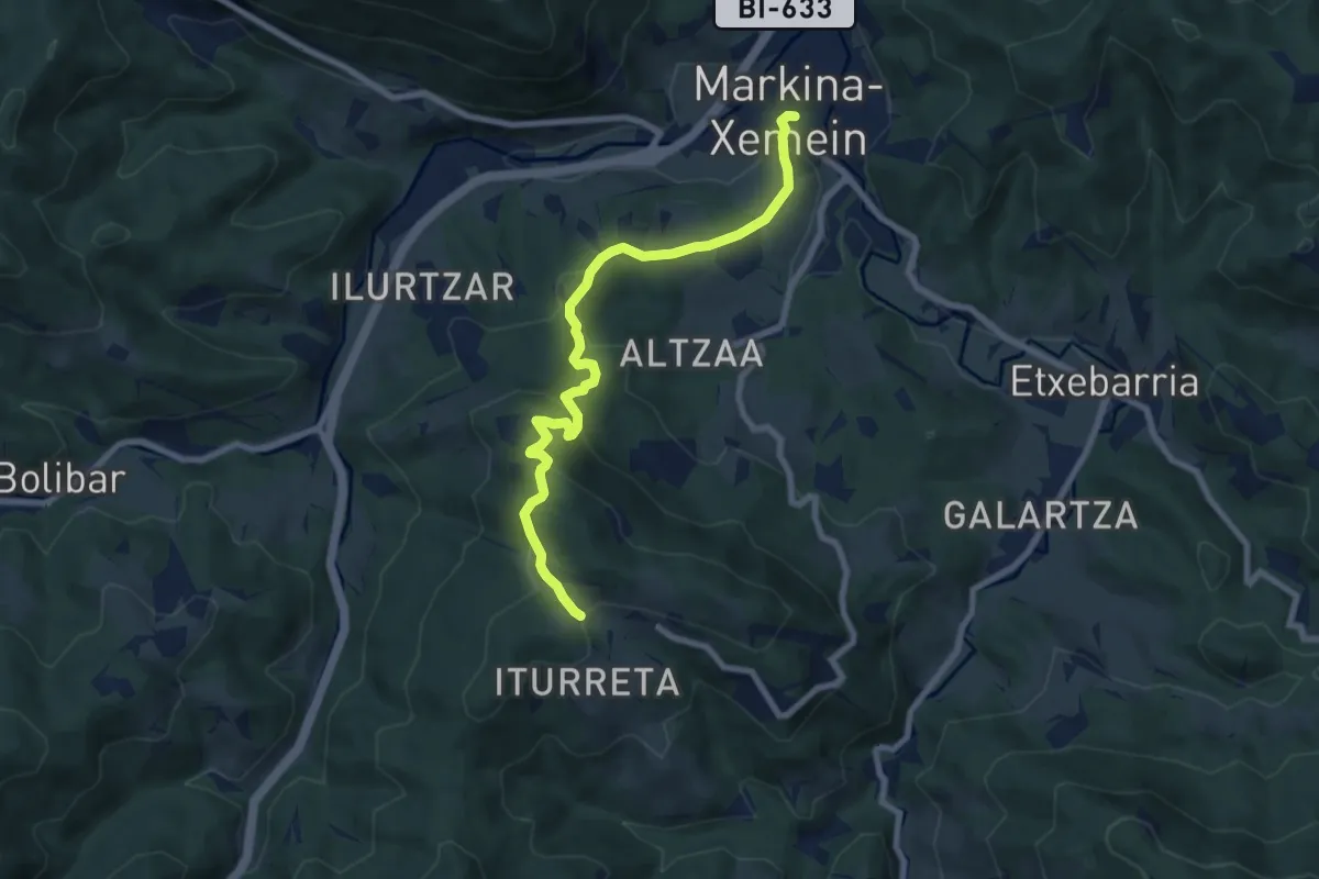
Medium · Trail
Iparragirreko saihesbidea
8.3 km · ↑ 368 m · 2 h 46 min
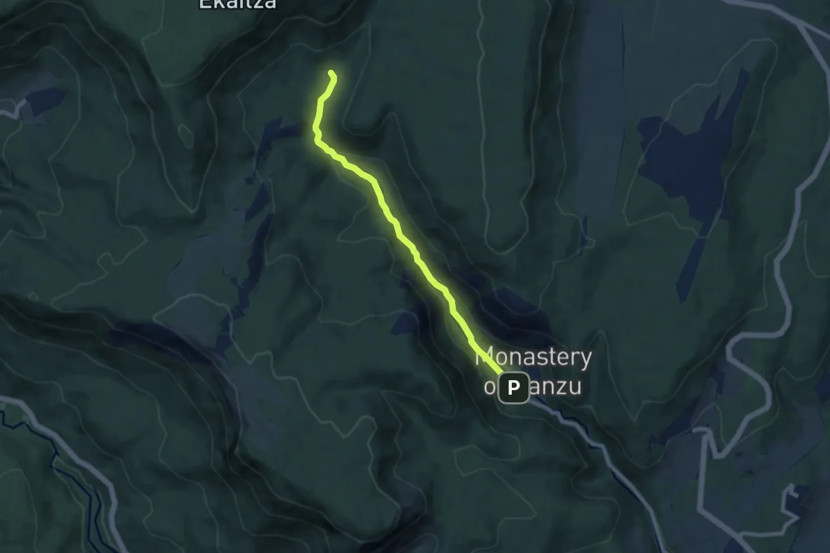
Medium · Trail
Irantzu ibaiaren arroila
7.0 km · ↑ 193 m · 2 h 4 min
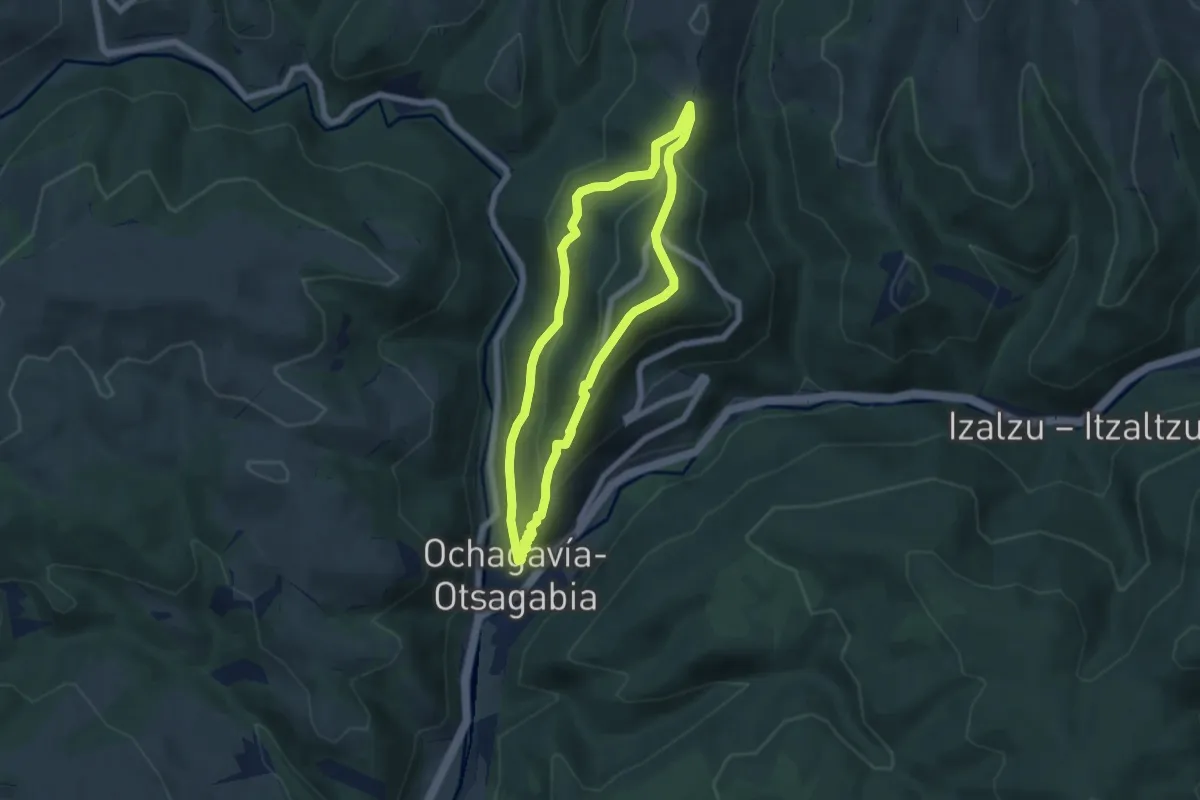
Easy · Summit
Irati eta Muskildarako bide zaharra
5.9 km · ↑ 304 m · 2 h 7 min