Trails in Spain
5,963 hiking trails, each with its route, climb, walking time and grade.
All trails, page 50 of 125
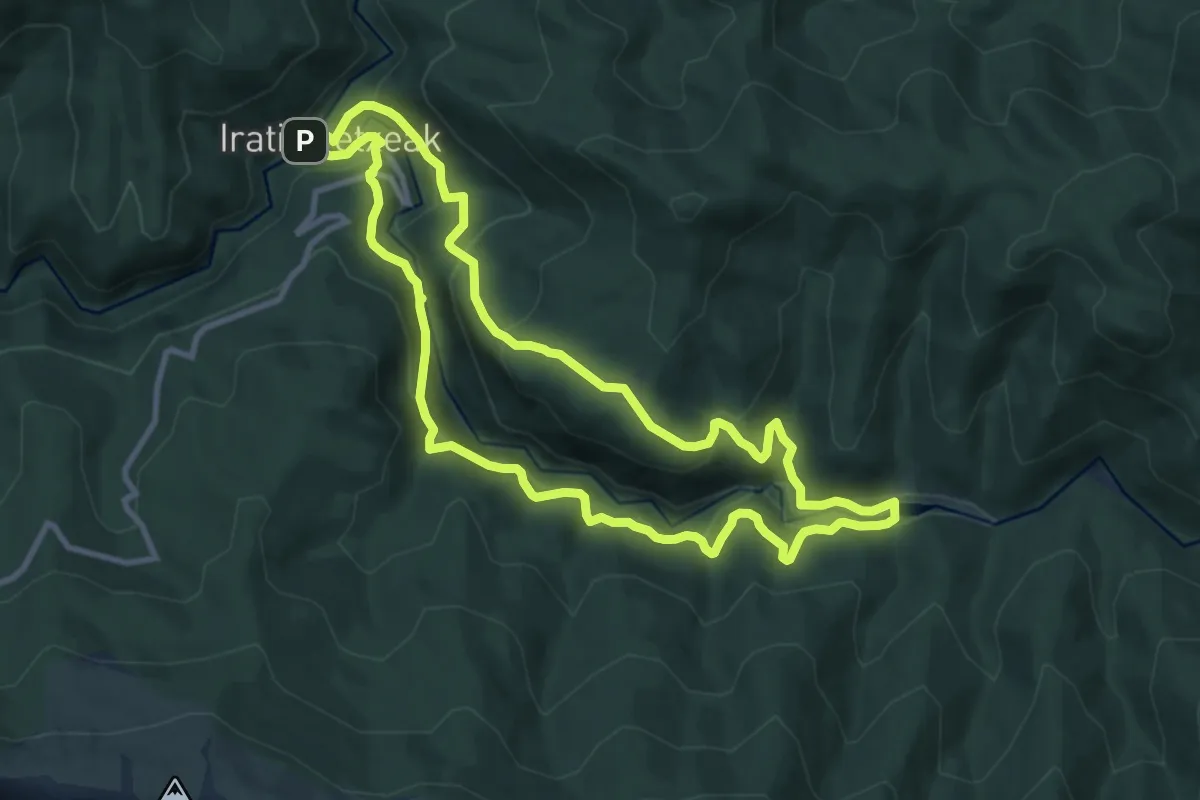
Medium · Trail
Iratiko etxeetako bide zaharra
10.3 km · ↑ 473 m · 3 h 36 min
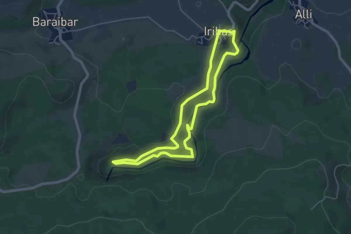
Medium · Trail
Iribasko iturburuak
4.4 km · ↑ 86 m · 1 h 17 min
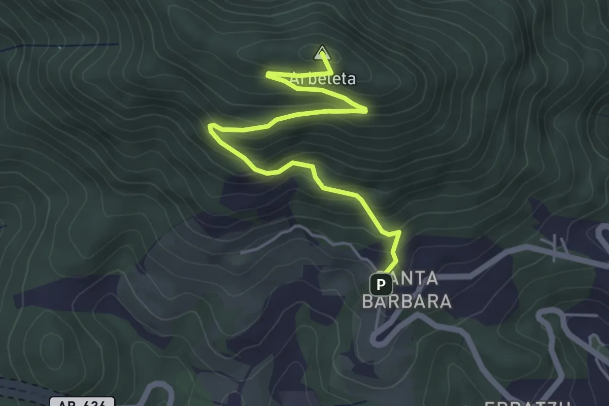
Easy · Summit
Irimora igoera
4.9 km · ↑ 306 m · 1 h 50 min
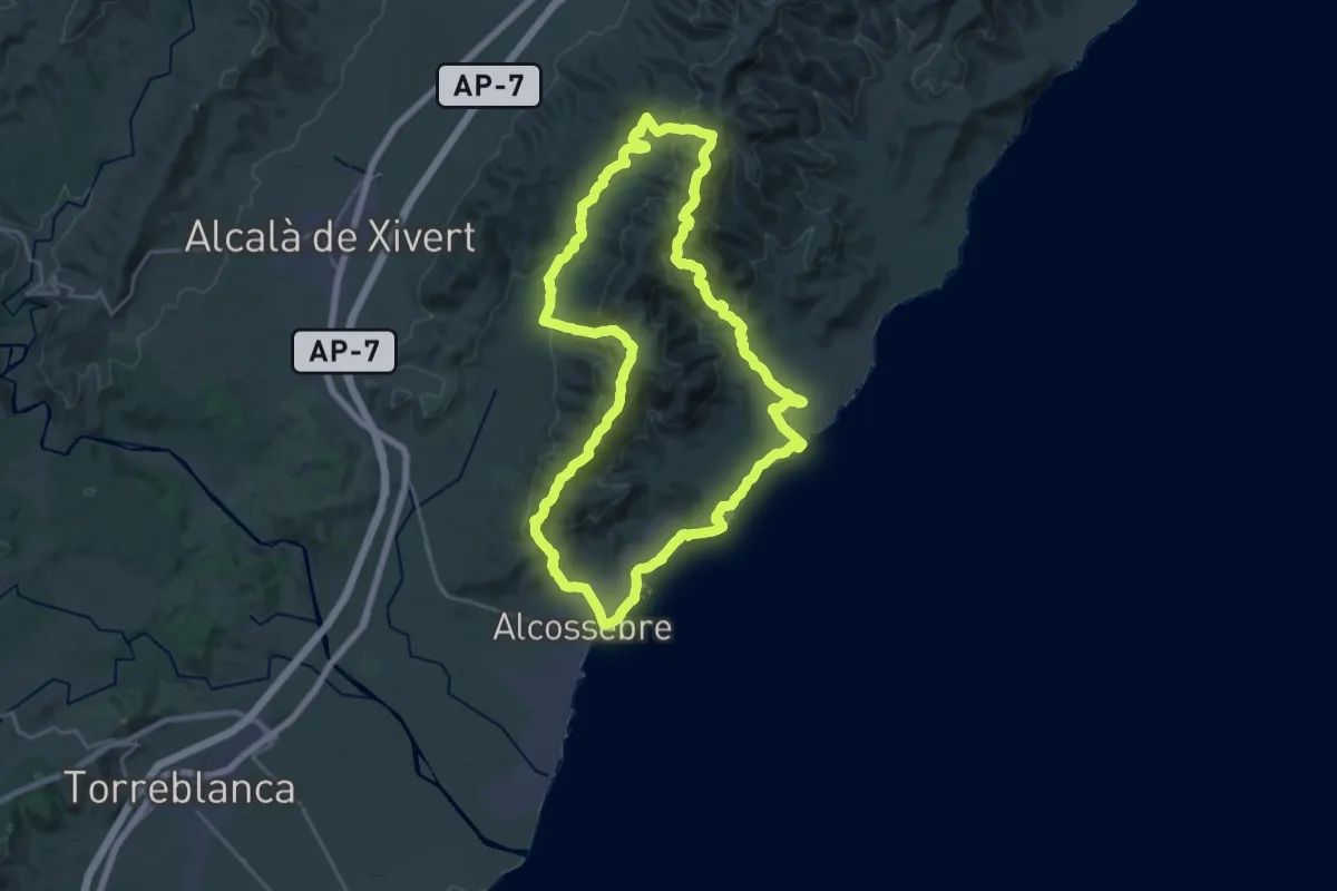
Demanding · Summit
Irta - Campanilles
26.8 km · ↑ 960 m · 8 h 47 min
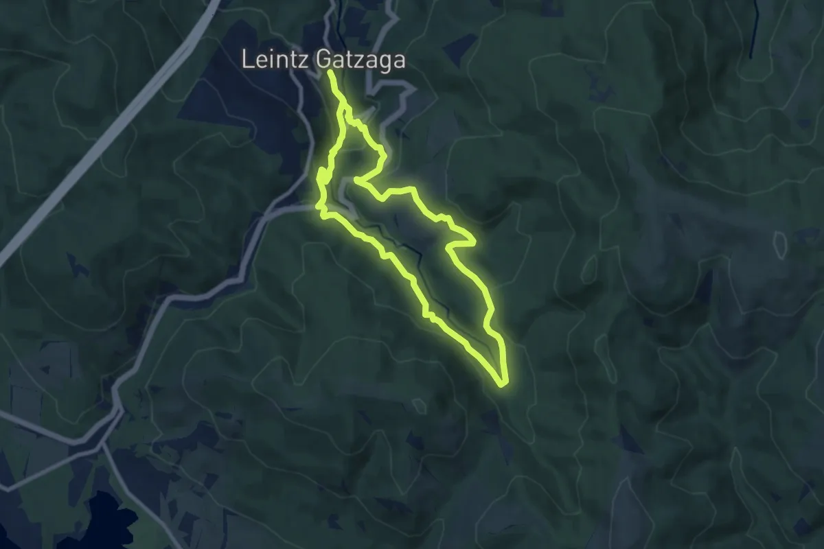
Medium · Trail
Iruerreketa
7.9 km · ↑ 322 m · 2 h 41 min
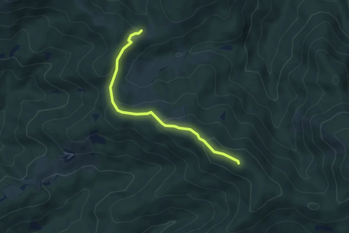
Easy · Summit
Irumugarrieta – Makatza – San Segismundo ermita
4.7 km · ↑ 218 m · 1 h 36 min
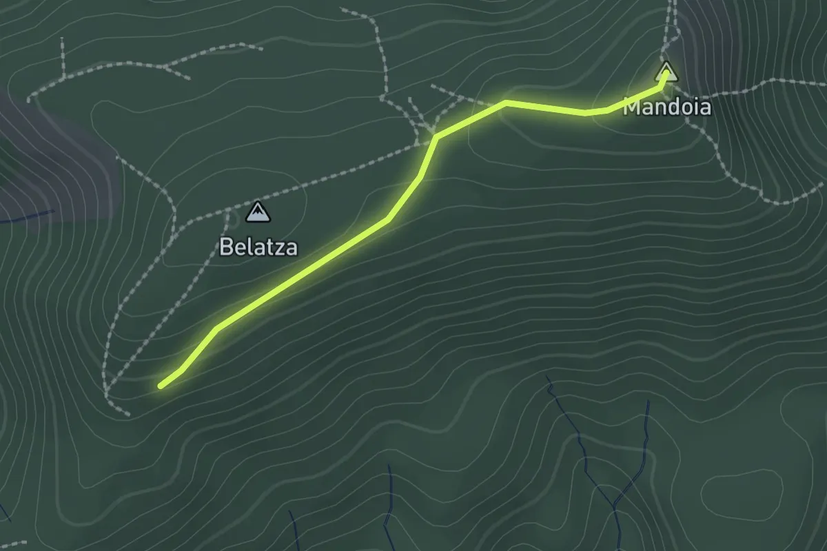
Easy · Summit
Irumugarrieta – Mandoia – lotura
2.1 km · ↑ 78 m · 39 min
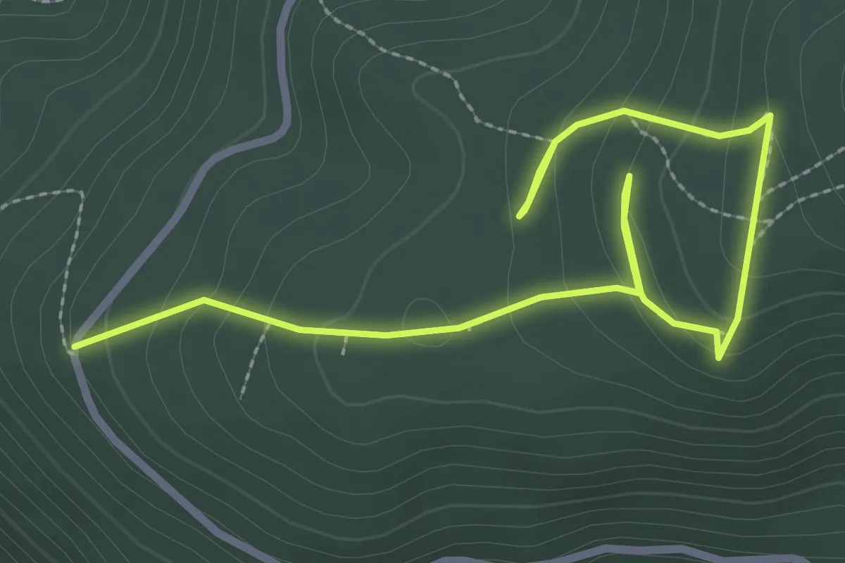
Medium · Trail
Irusoko megalitoak
1.9 km · ↑ 62 m · 39 min
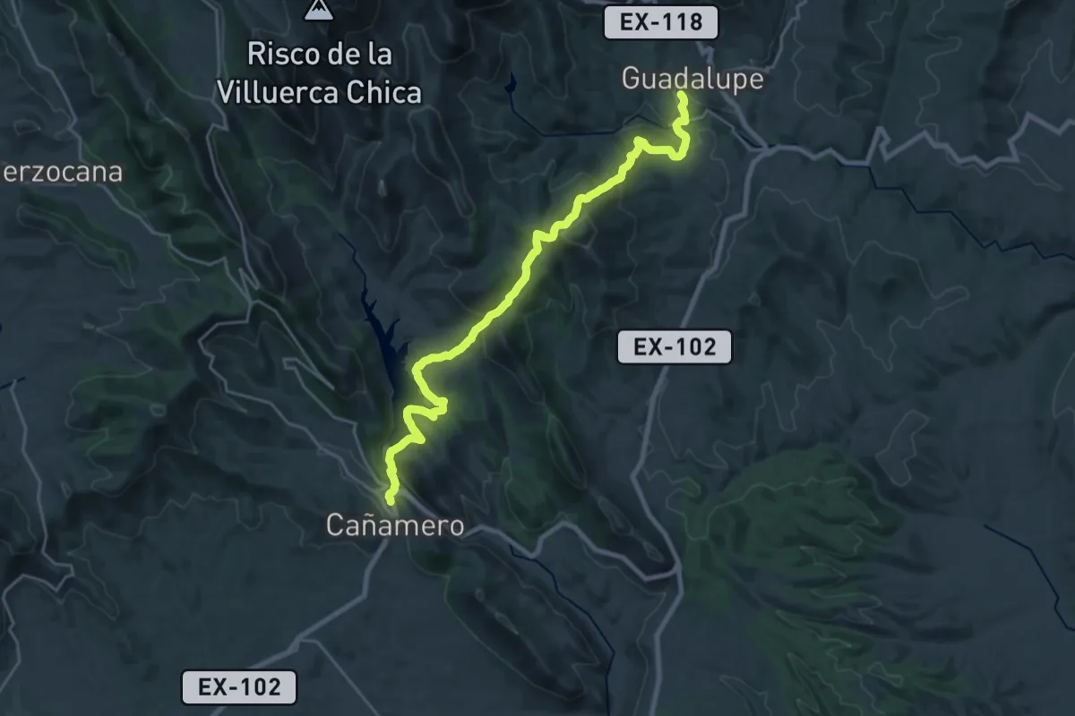
Medium · Trail
Isabel la Católica
12.8 km · ↑ 468 m · 4 h 13 min
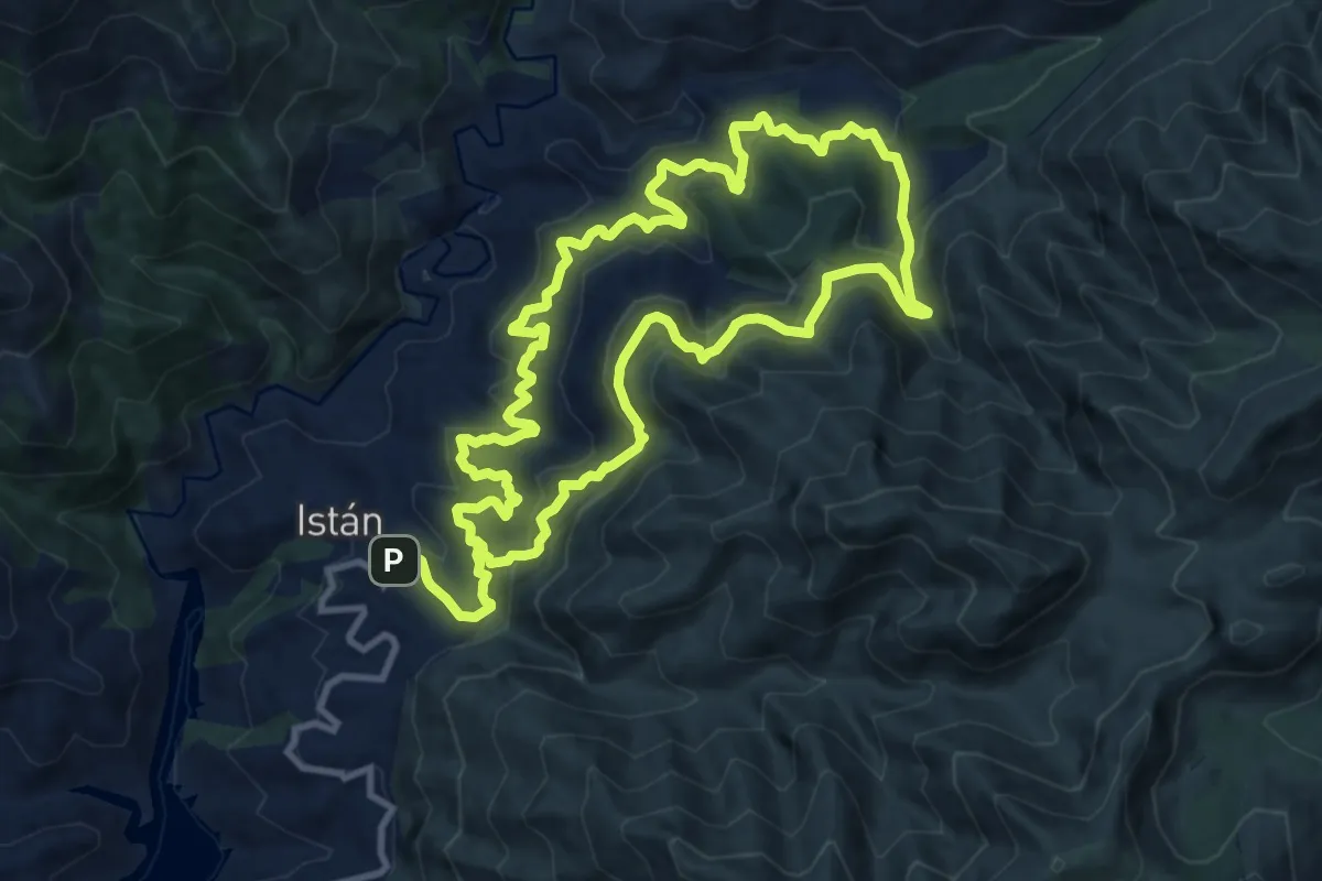
Medium · Trail
Istán - Cañada del Infierno
12.3 km · ↑ 704 m · 4 h 35 min
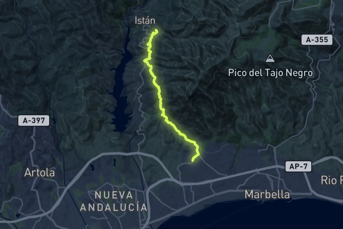
Demanding · Trail
Istán - Marbella
17.0 km · ↑ 824 m · 5 h 48 min
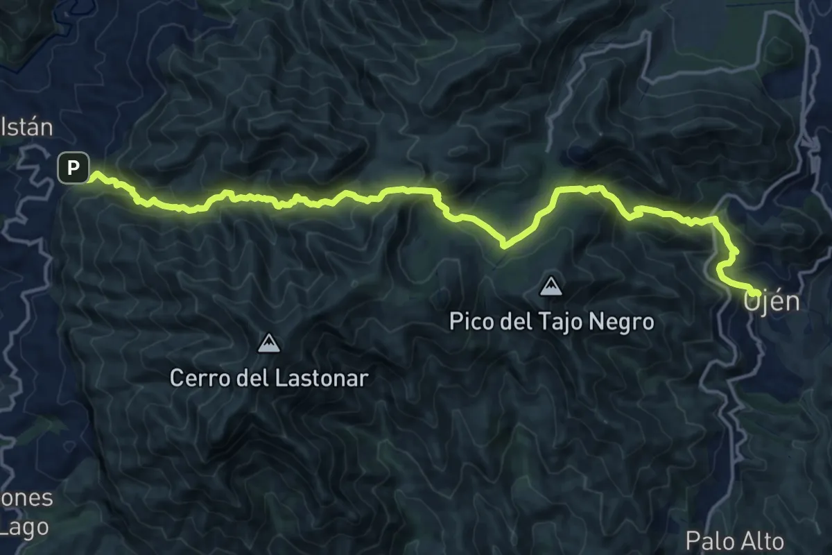
Demanding · Trail
Istán-Ojén
10.5 km · ↑ 731 m · 4 h 13 min
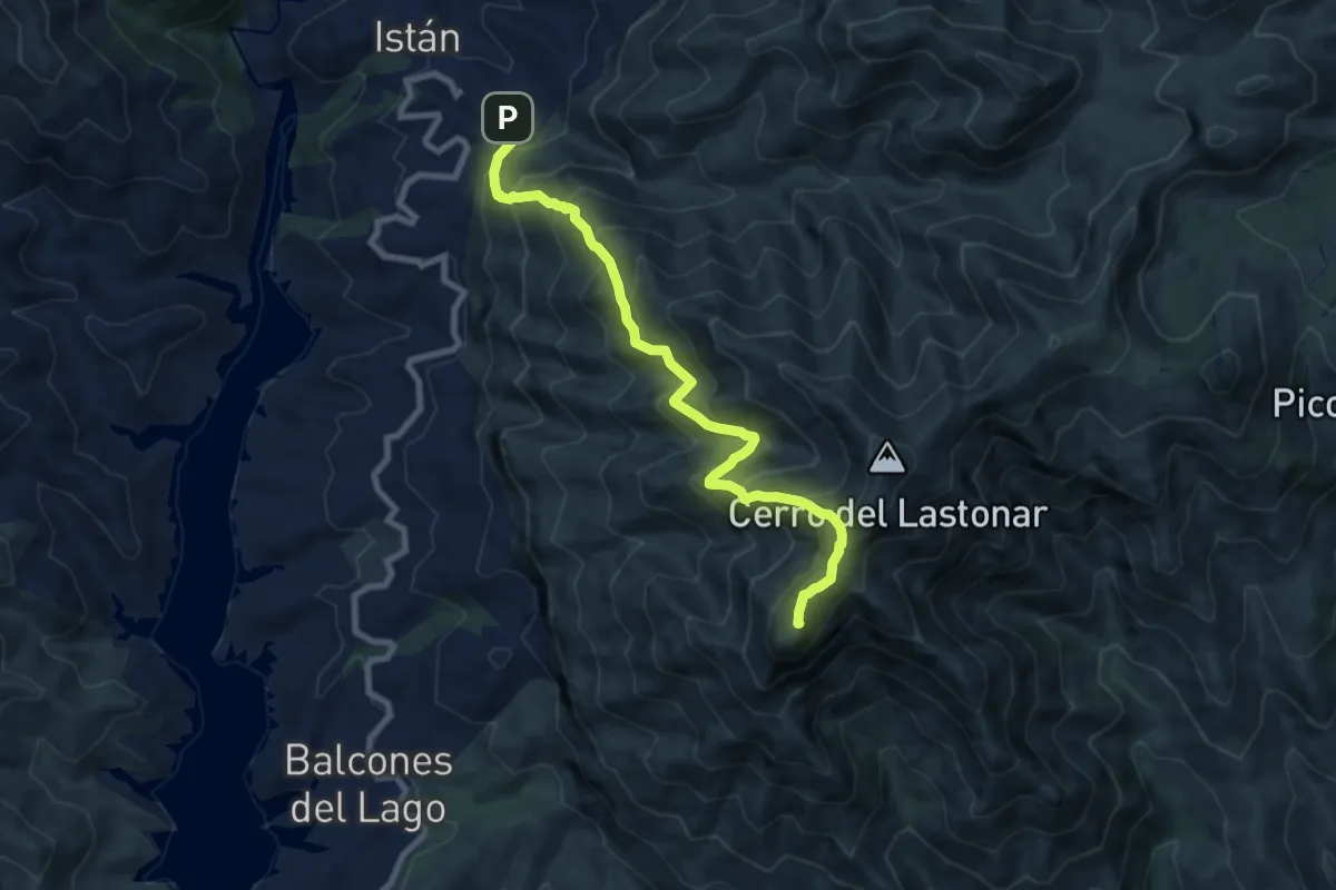
Expert · Summit
Istán - Pico de la Concha
9.9 km · ↑ 970 m · 4 h 26 min
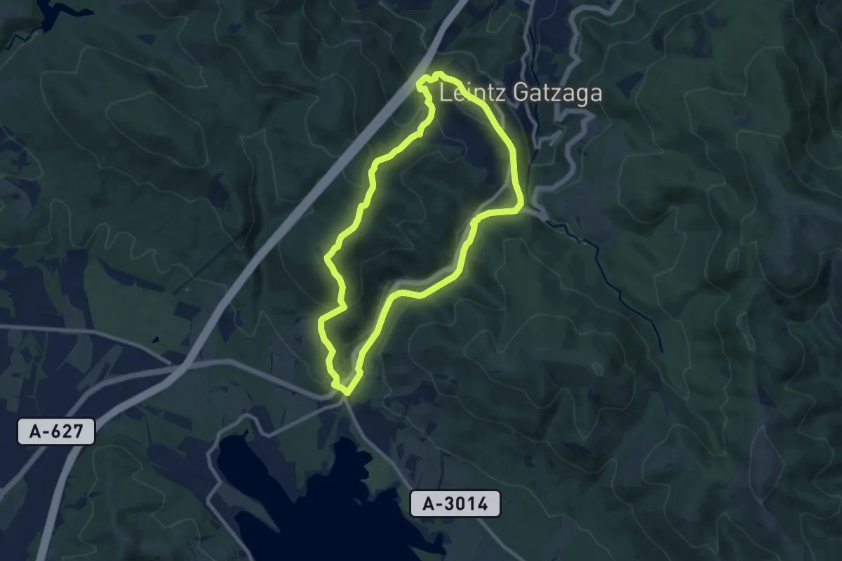
Medium · Summit
Isuskitza
9.2 km · ↑ 287 m · 2 h 55 min
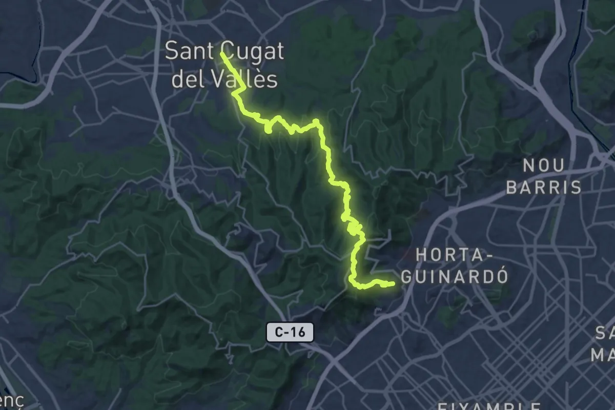
Demanding · Summit
Itinerari al Coll-s'Erola
26.3 km · ↑ 890 m · 8 h 8 min
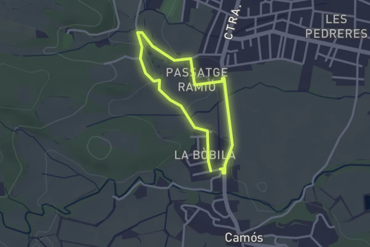
Easy · Trail
Itinerari Curt - Camós
2.1 km · ↑ 24 m · 34 min
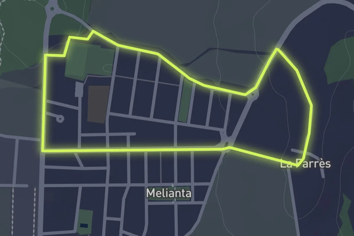
Easy · Trail
Itinerari Curt - Fontcoberta
2.5 km · ↑ 24 m · 40 min
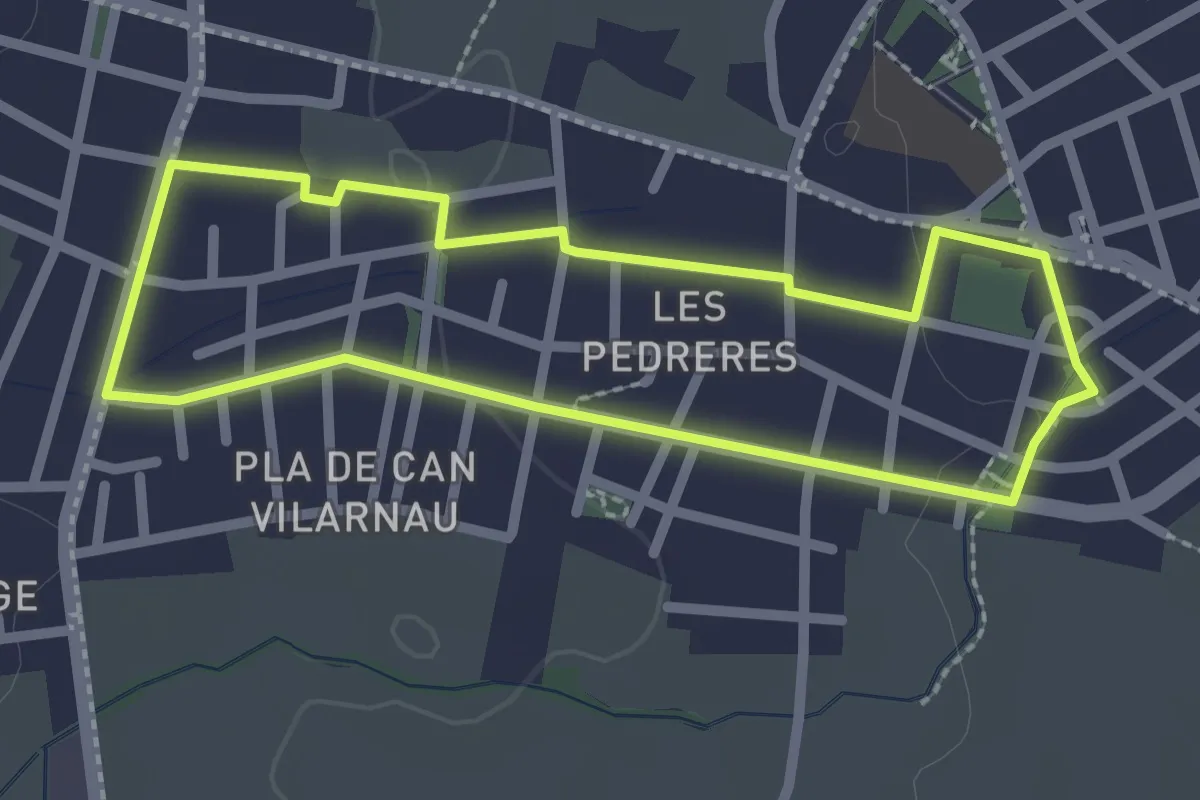
Easy · Trail
Itinerari Curt - Les Pedreres
2.4 km · ↑ 13 m · 37 min
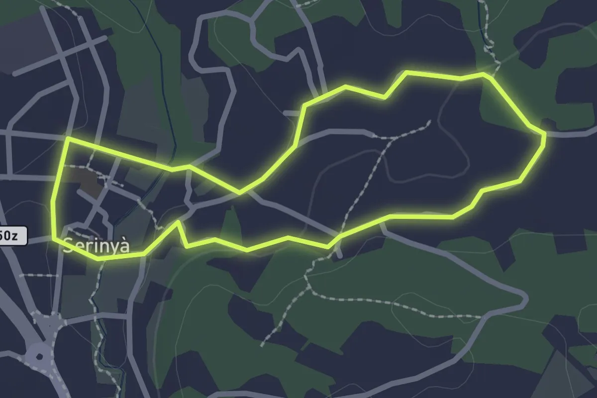
Easy · Trail
Itinerari Curt - Serinyà
2.3 km · ↑ 15 m · 36 min
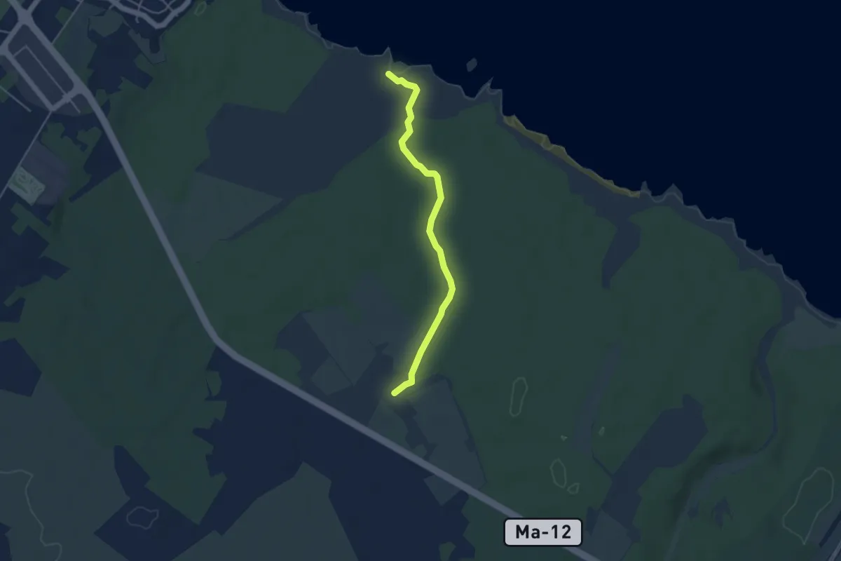
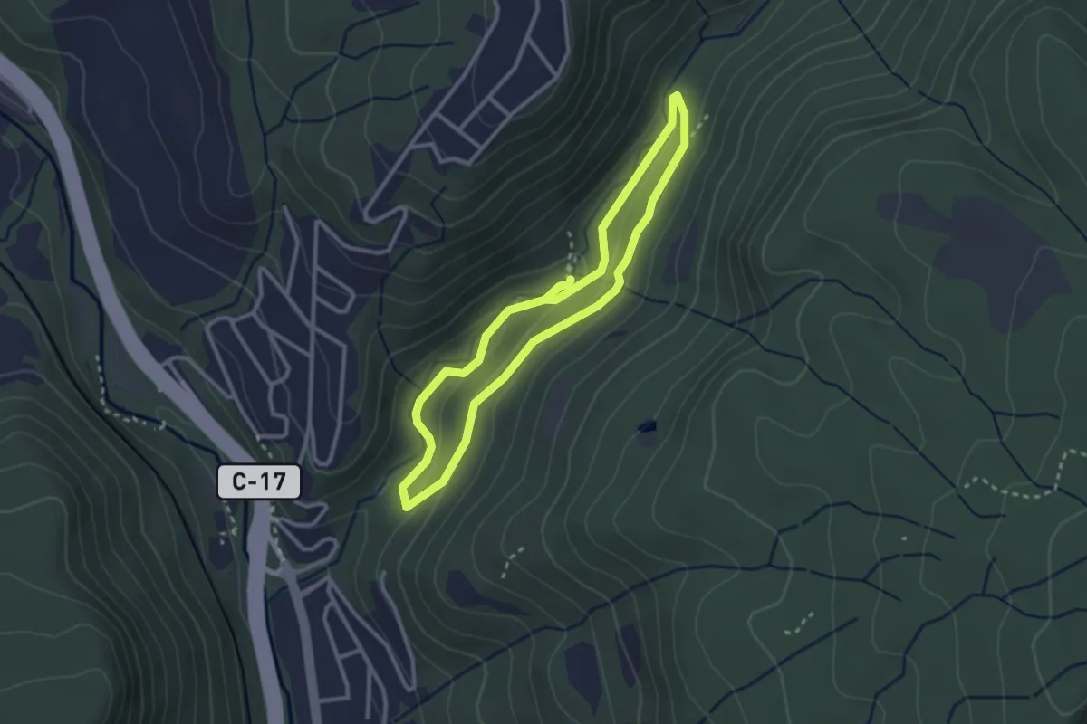
Easy · Trail
Itinerari de la Necròpoloi de la punta des Fenicis
4.6 km · ↑ 31 m · 1 h 9 min
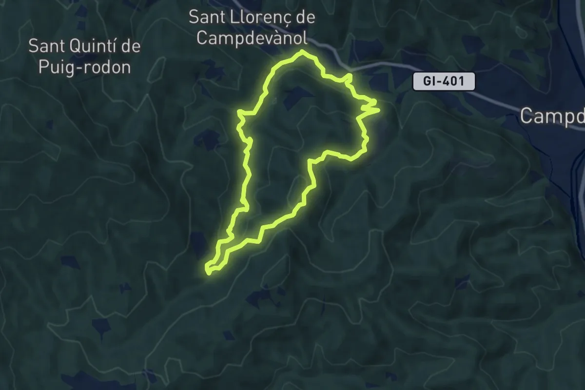
Medium · Trail
Itinerari de la riera de Martinet
2.8 km · ↑ 80 m · 53 min
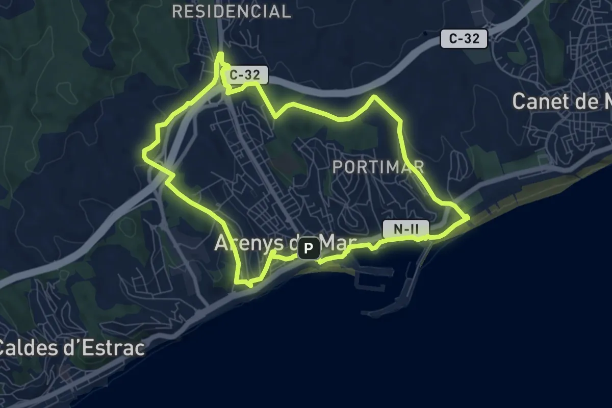
Medium · Trail
itinerari de natura dels Gorgs del Torrent de la Cabana
8.0 km · ↑ 323 m · 2 h 43 min
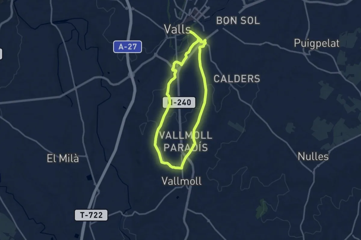
Medium · Trail
Itinerari de Natura pels Rials d'Arenys de Mar
8.3 km · ↑ 173 m · 2 h 28 min
Medium · Trail
Itinerari de Salut: Camí de Vallmoll
10.3 km · ↑ 88 m · 2 h 46 min
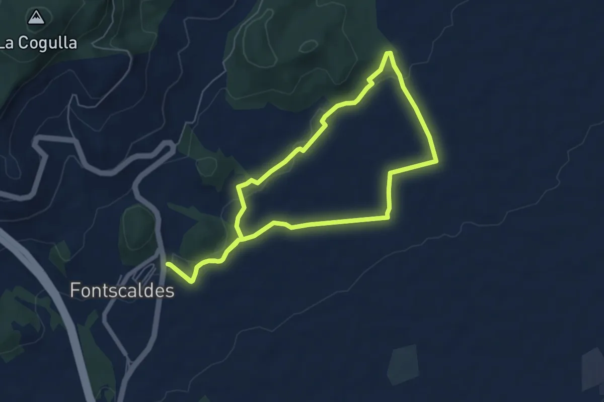
Easy · Trail
Itinerari de Salut: Fontscaldes - Torre de la Mixarda/Pont del Diable
5.7 km · ↑ 73 m · 1 h 34 min
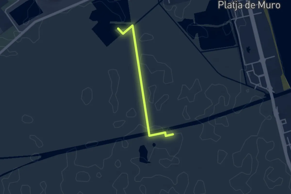
Easy · Trail
Itinerari des Colombars
3.3 km · ↑ 0 m · 47 min
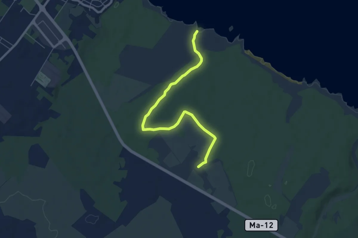
Easy · Trail
Itinerari de Son Bauló
7.1 km · ↑ 39 m · 1 h 46 min
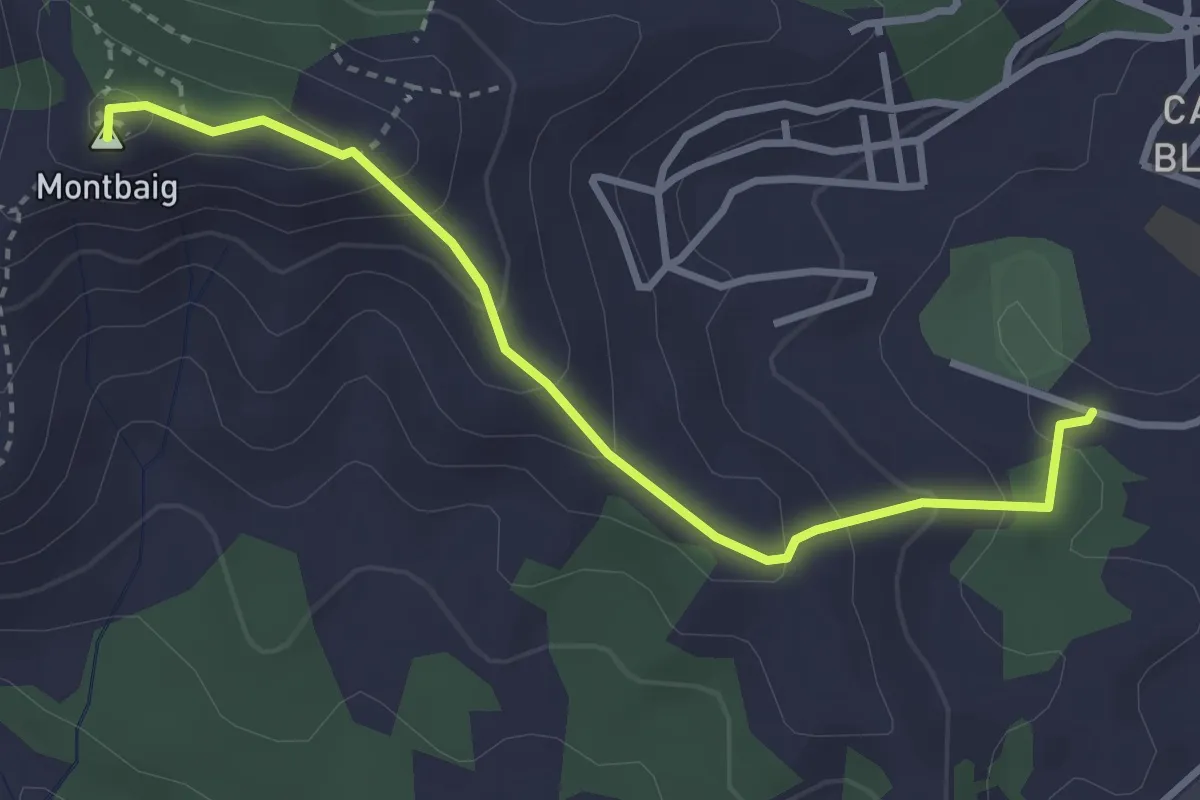
Easy · Summit
Itinerari el Cordal de Sant Ramon
3.6 km · ↑ 221 m · 1 h 20 min
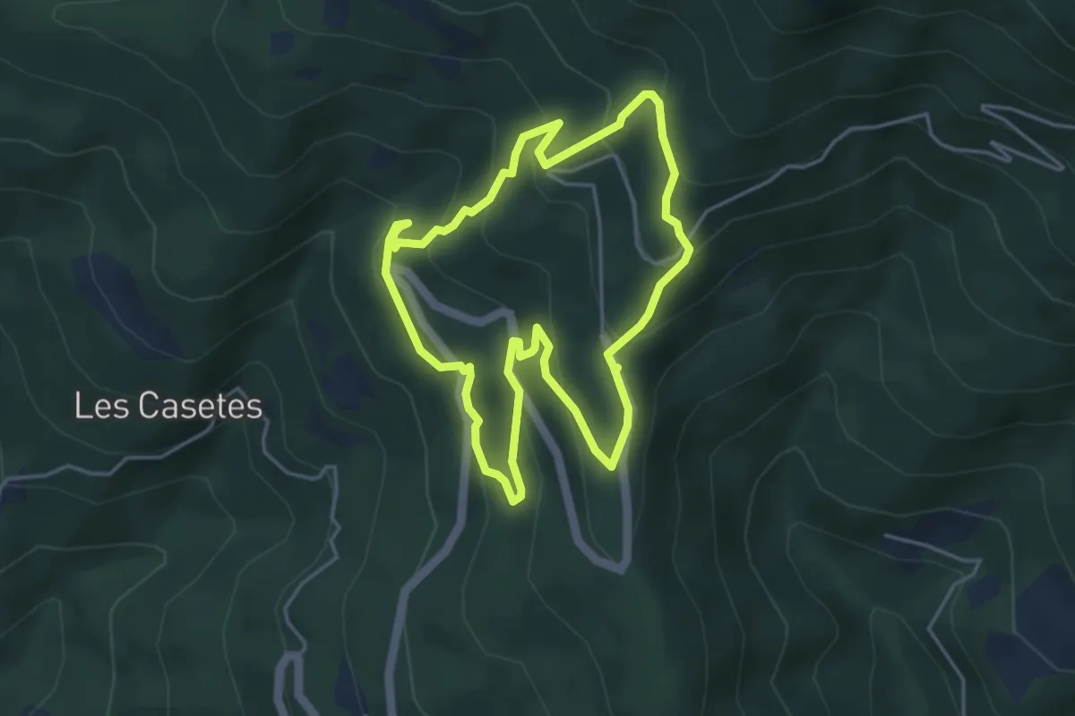
Medium · Trail
Itinerari Forestal de Fontmartina
4.4 km · ↑ 293 m · 1 h 45 min
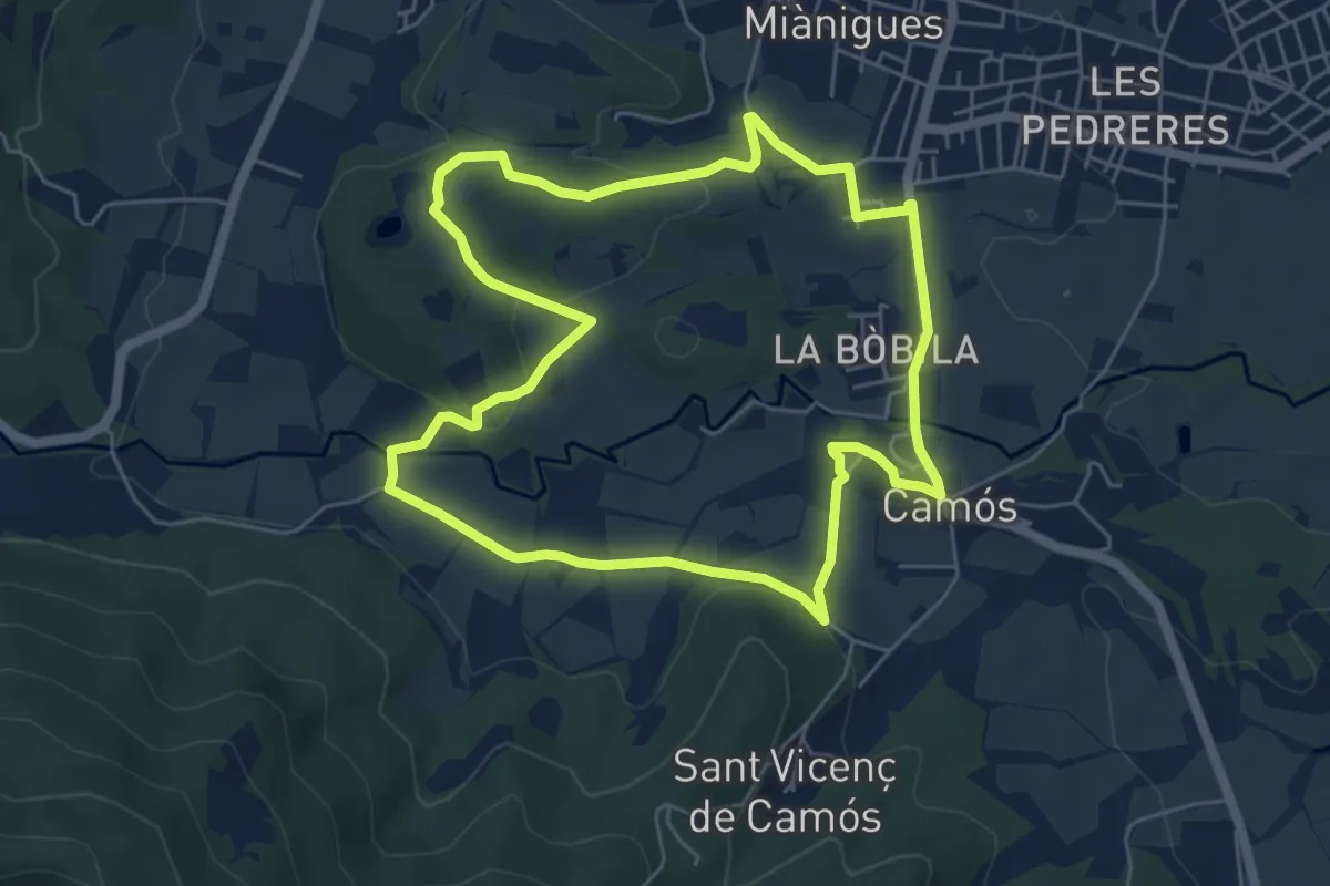
Easy · Trail
Itinerari Llarg - Camós
6.0 km · ↑ 91 m · 1 h 42 min
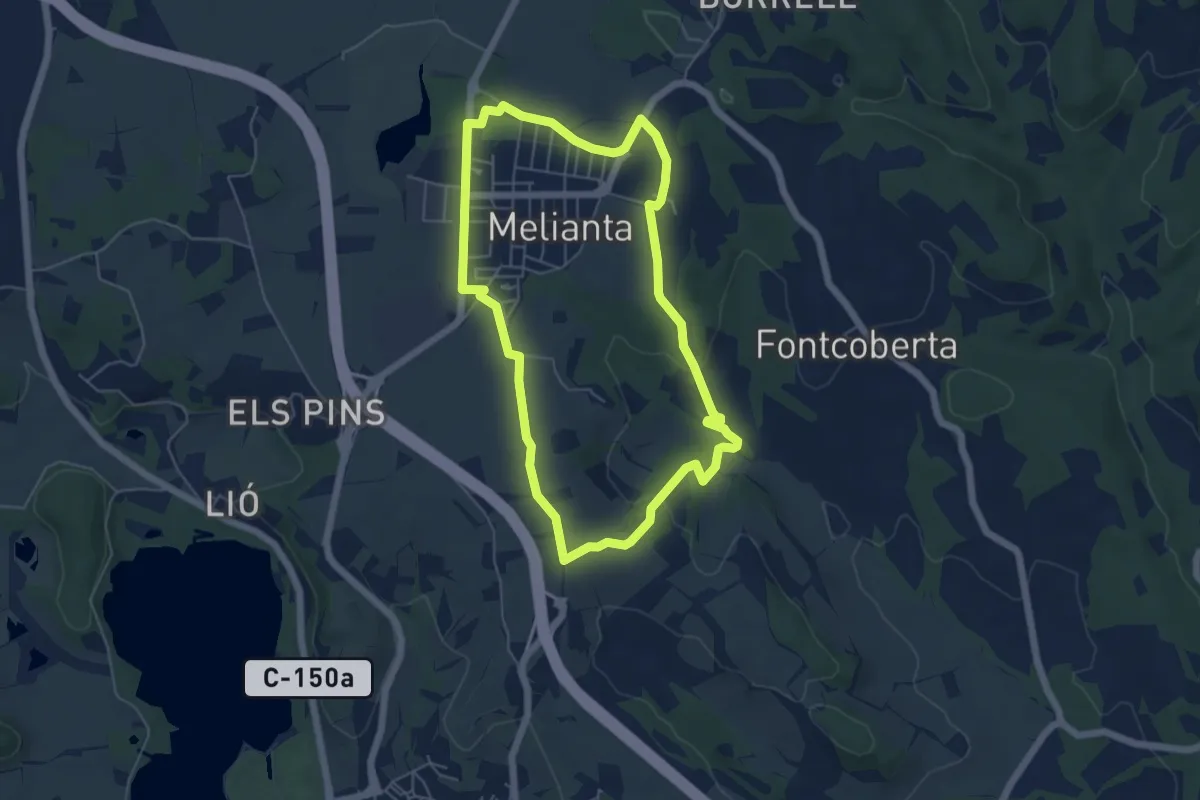
Easy · Trail
Itinerari Llarg - Fontcoberta
5.7 km · ↑ 84 m · 1 h 37 min
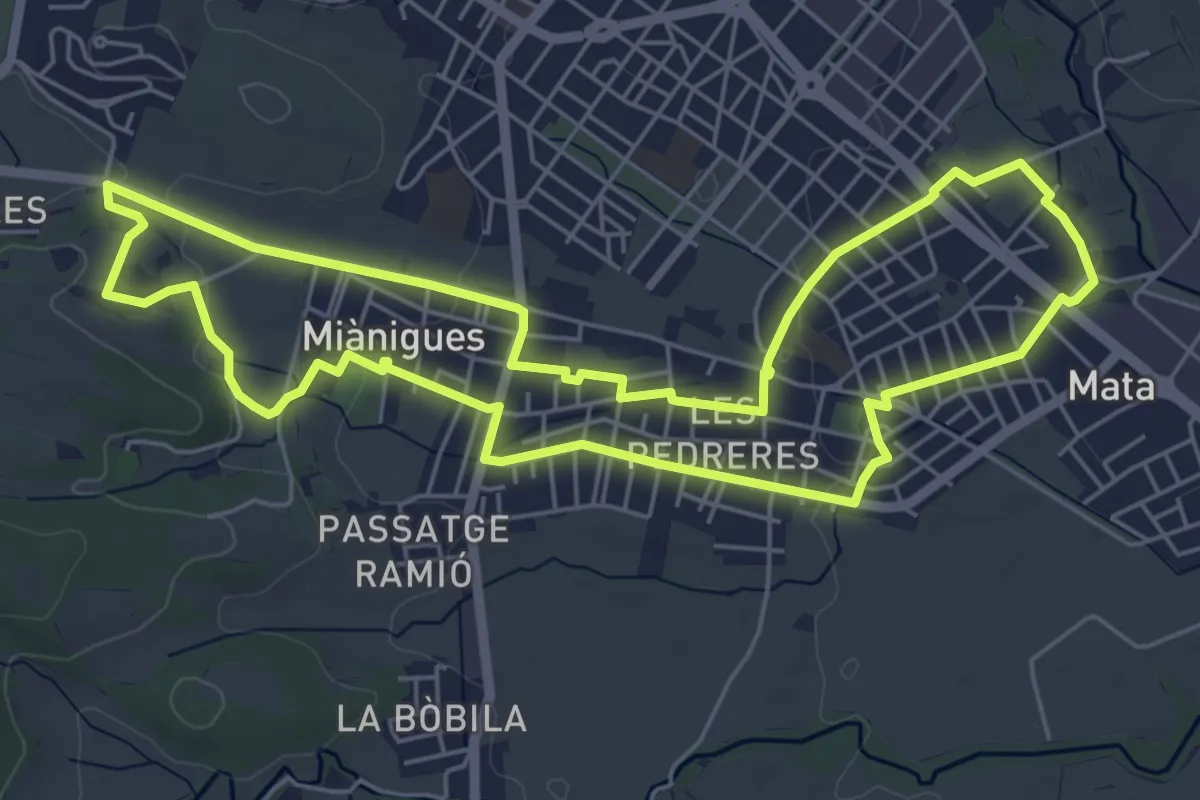
Easy · Trail
Itinerari Llarg - Mata-Miànigues
6.6 km · ↑ 60 m · 1 h 47 min
Easy · Trail
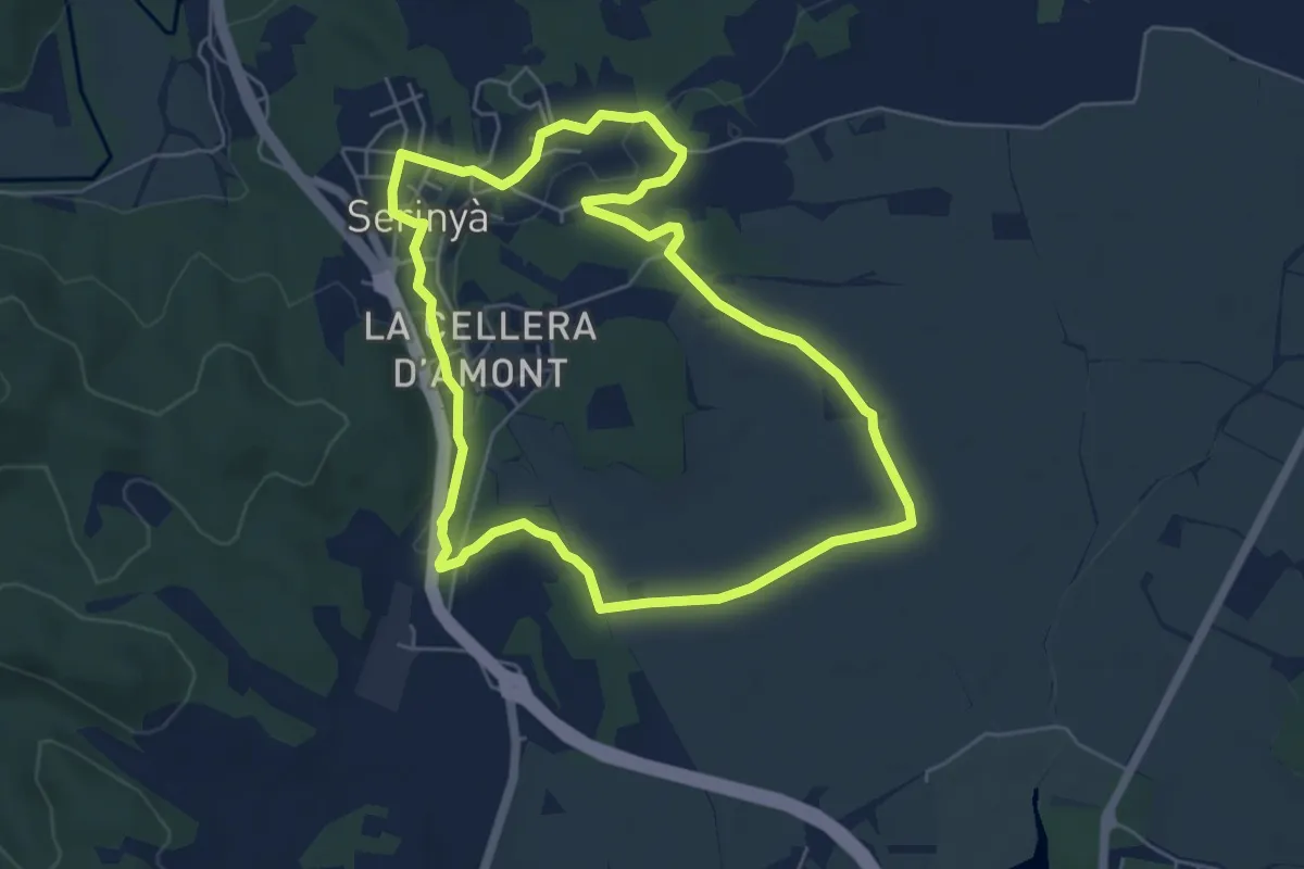
Itinerari Llarg - Serinyà
6.0 km · ↑ 36 m · 1 h 35 min
Medium · Trail
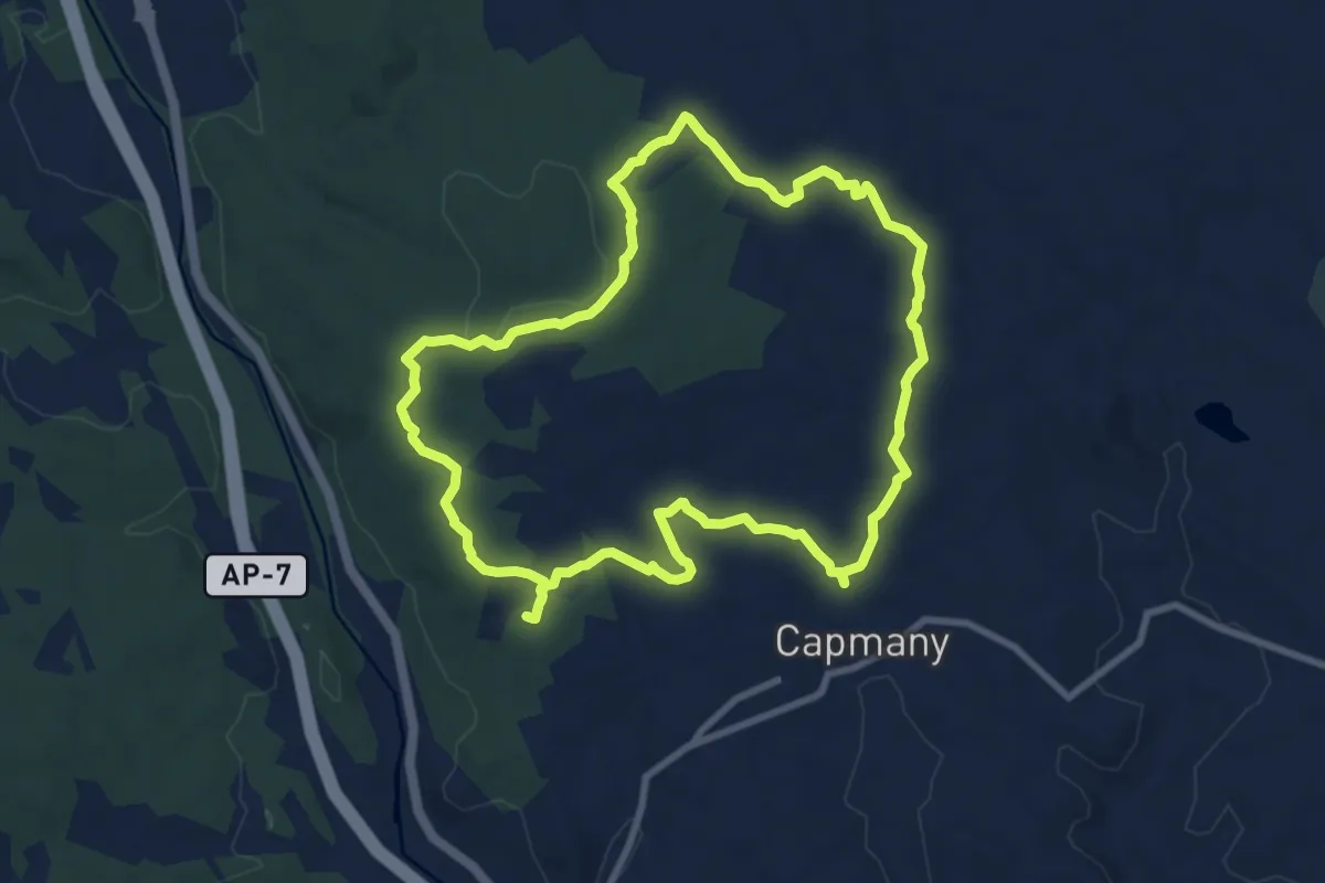
Itinerari megalític de Campmany
9.6 km · ↑ 105 m · 2 h 37 min
Medium · Trail
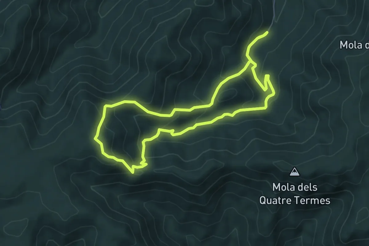
Itinerari micològic de Castellfolit
6.1 km · ↑ 369 m · 2 h 19 min
Easy · Trail
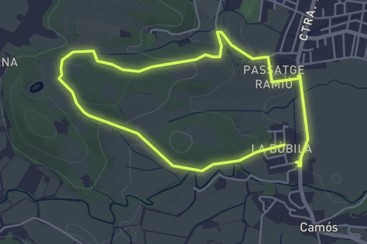
Itinerari Mitjà - Camós
3.7 km · ↑ 55 m · 1 h 3 min
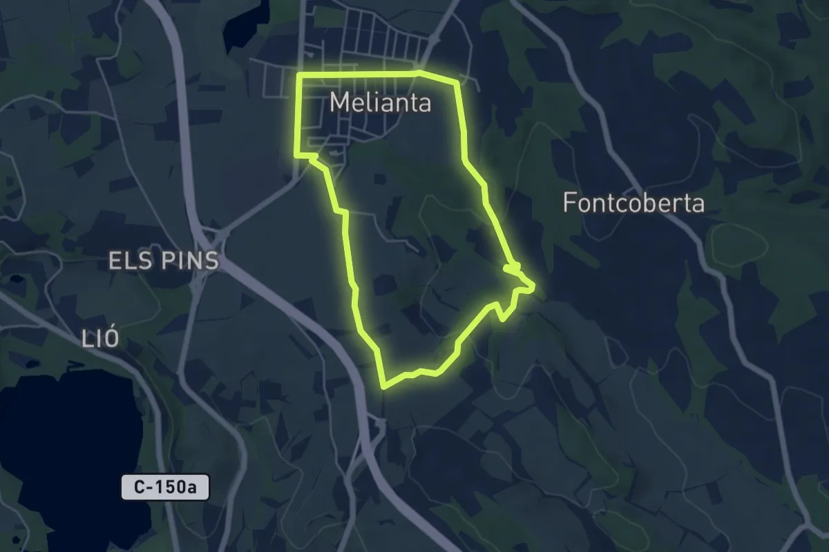
Easy · Trail
Itinerari Mitjà - Fontcoberta
4.8 km · ↑ 80 m · 1 h 23 min
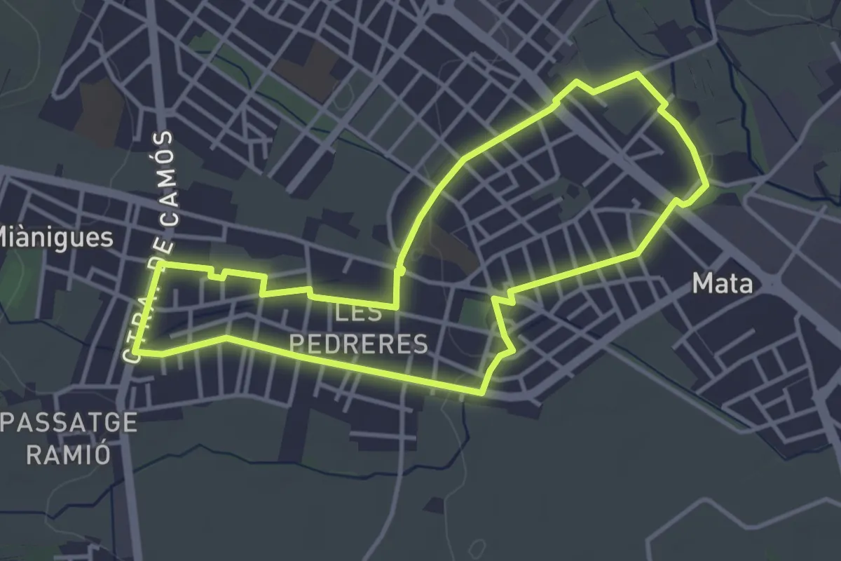
Easy · Trail
Itinerari Mitjà - Mata-Les Pedreres
4.0 km · ↑ 17 m · 1 h 2 min
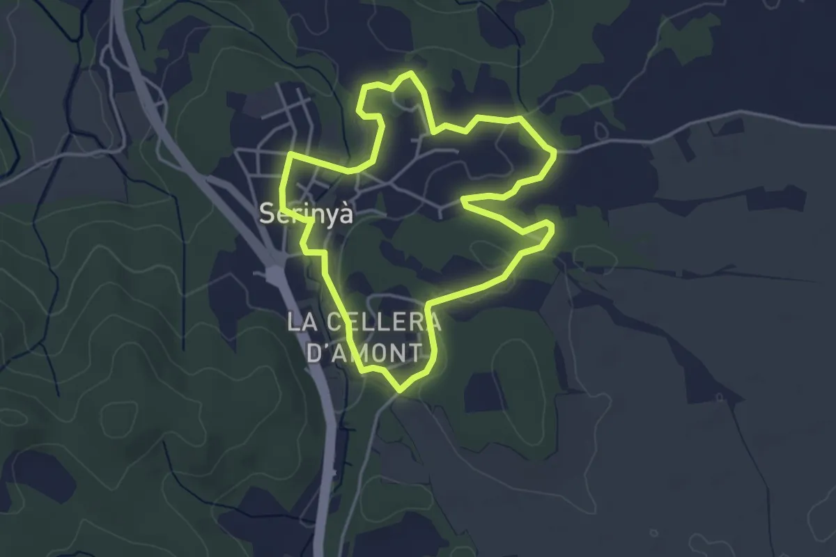
Easy · Trail
Itinerari Mitjà - Serinyà
4.0 km · ↑ 33 m · 1 h 4 min
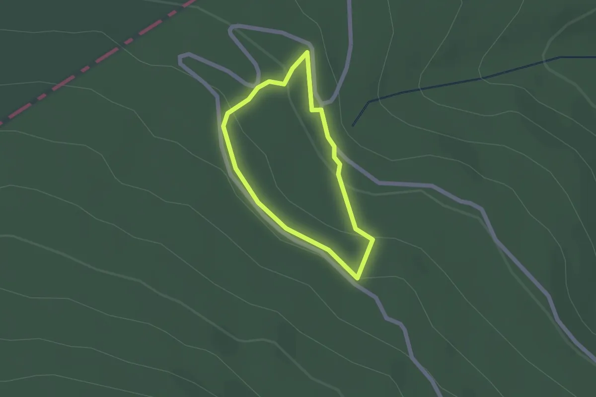
Easy · Trail
Itinerario Botánico Agramonte
1.5 km · ↑ 56 m · 29 min
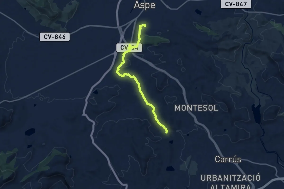
Medium · Trail
Itinerario de la Fuente de la Gota - Aspe
12.1 km · ↑ 189 m · 3 h 16 min
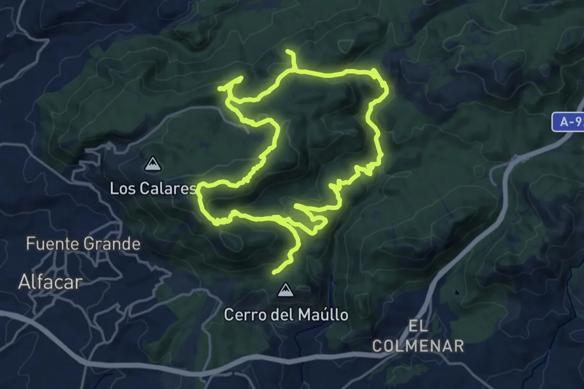
Demanding · Summit
Itinerario de las Trincheras
19.2 km · ↑ 664 m · 6 h 13 min
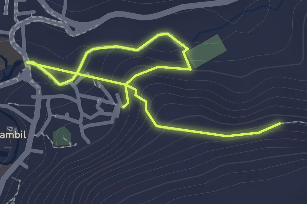
Easy · Trail
Itinerario saludable de la Torrecilla
3.1 km · ↑ 122 m · 59 min
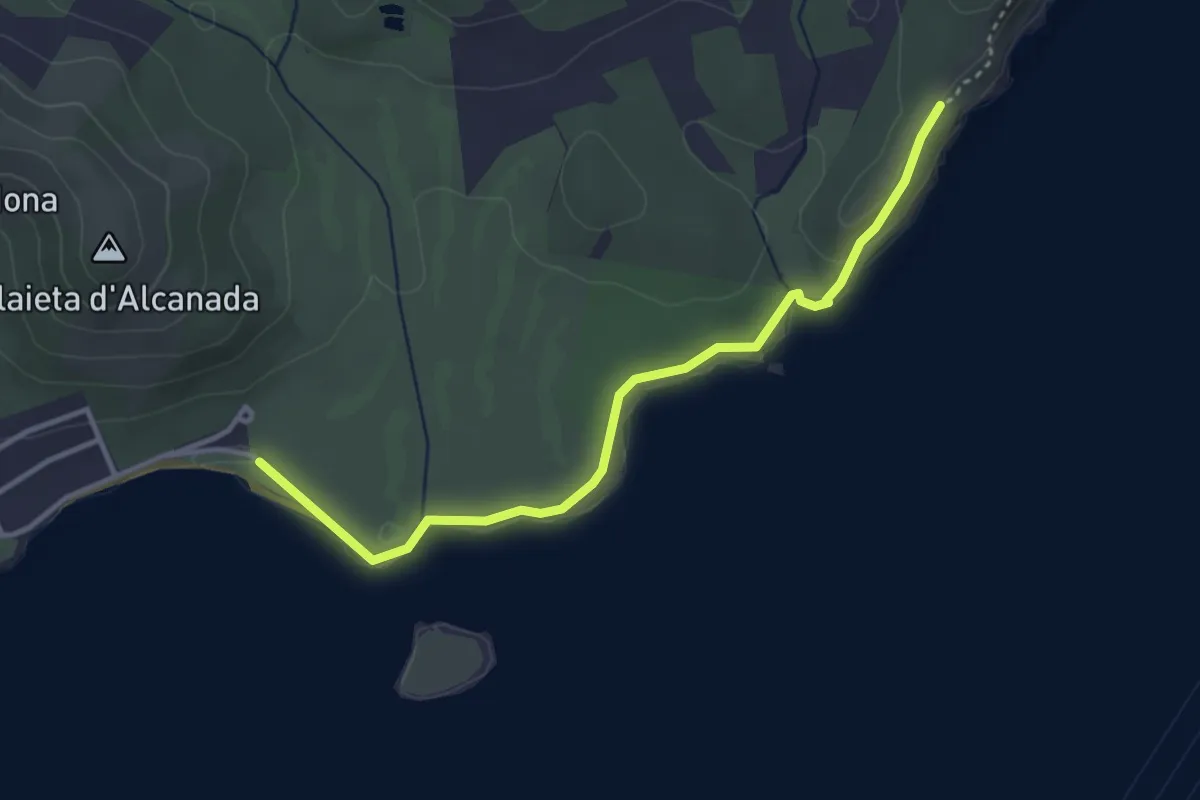
Easy · Trail
Itineraris ornitològics 1 - Costa d'Alcanada
4.0 km · ↑ 35 m · 1 h 1 min
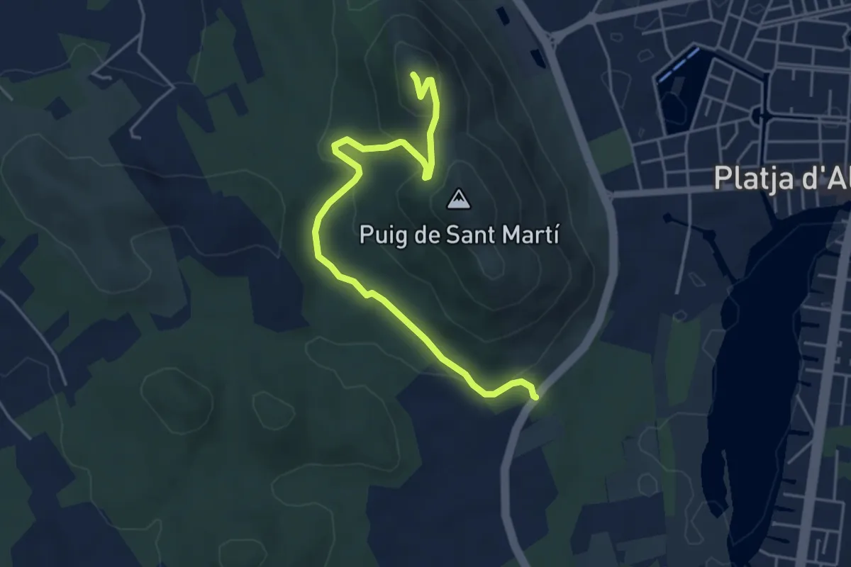
Easy · Trail
Itineraris ornitològics 5 - Puig de Sant Martí
5.5 km · ↑ 248 m · 1 h 50 min
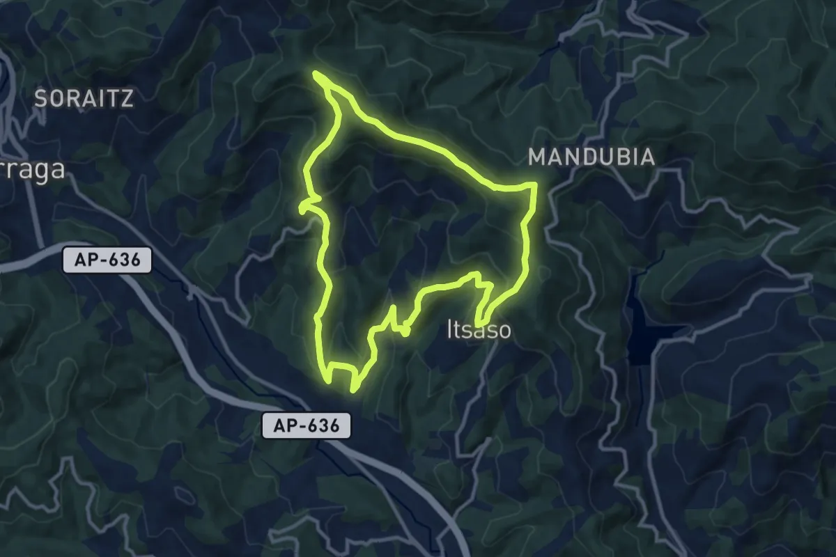
Medium · Summit
Itsasoko Itzulia Mandubitik
11.0 km · ↑ 545 m · 3 h 55 min
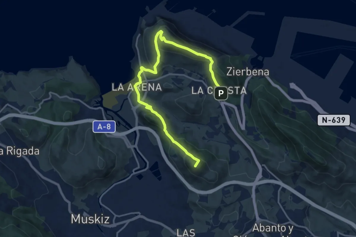
Medium · Summit
Itsasoko zaporea
13.4 km · ↑ 756 m · 4 h 48 min
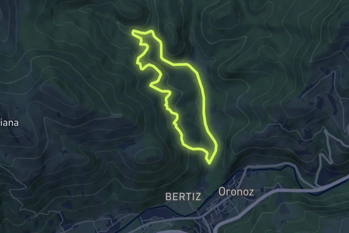
Easy · Trail
Iturburua
5.2 km · ↑ 229 m · 1 h 48 min