Trails in Spain
5,962 hiking trails, each with its route, climb, walking time and grade.
All trails, page 52 of 125
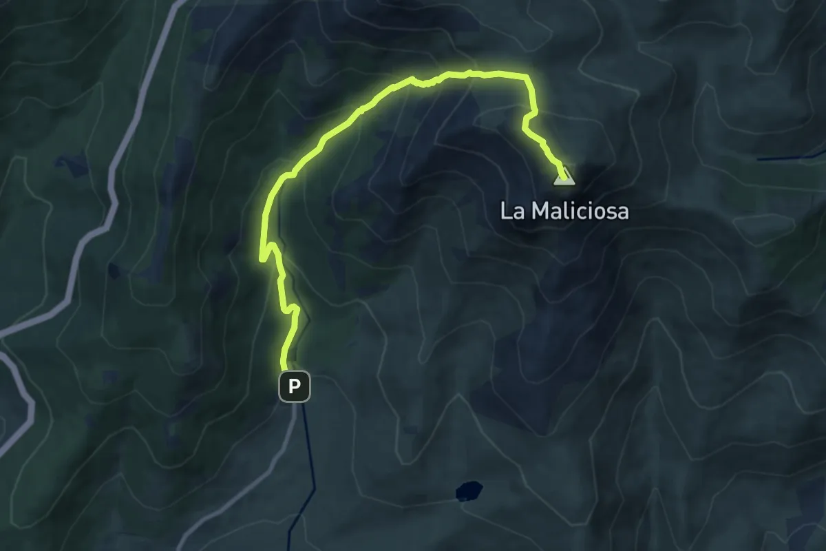
Demanding · Summit
La Barranca - La Maliciosa
10.6 km · ↑ 834 m · 4 h 19 min
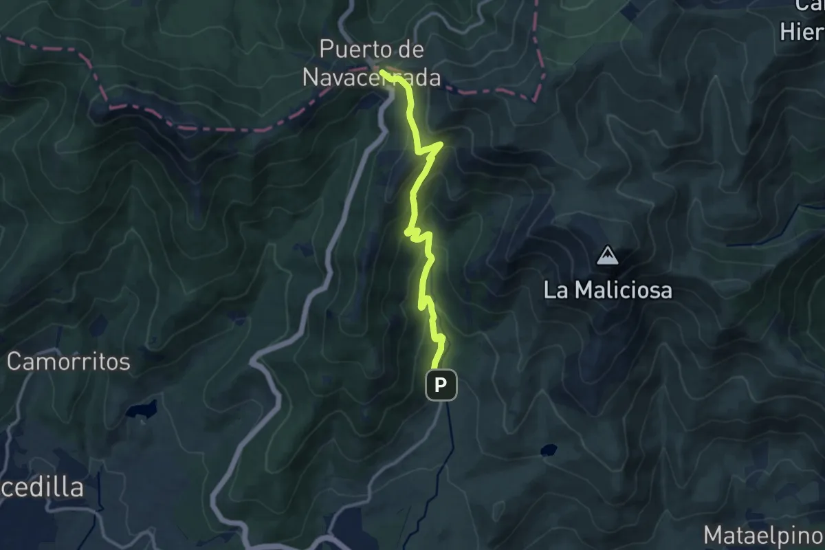
Medium · Cabin
La Barranca - Pto. de Navacerrada
11.3 km · ↑ 669 m · 4 h 8 min
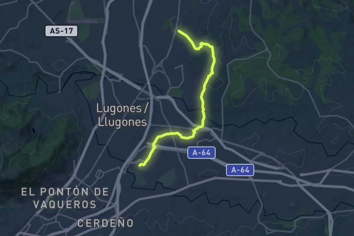
Medium · Trail
La Belga - Viella - Parque Periurbano de Les Folgueres
15.1 km · ↑ 205 m · 4 h
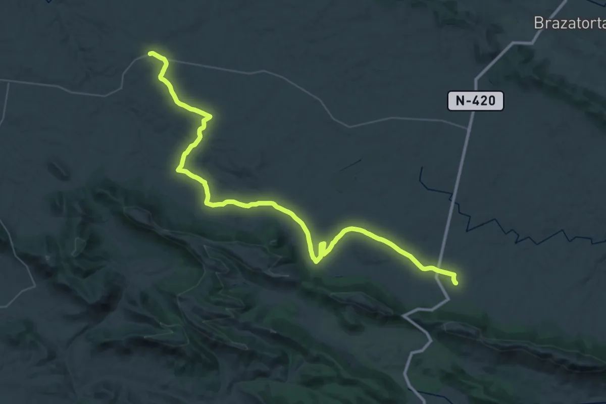
Demanding · Trail
La Bienvenida - Encina Milenaria
26.2 km · ↑ 310 m · 7 h 10 min
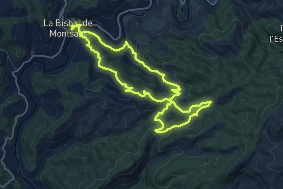
Medium · Summit
la Bisbal de Falset
10.6 km · ↑ 457 m · 3 h 38 min
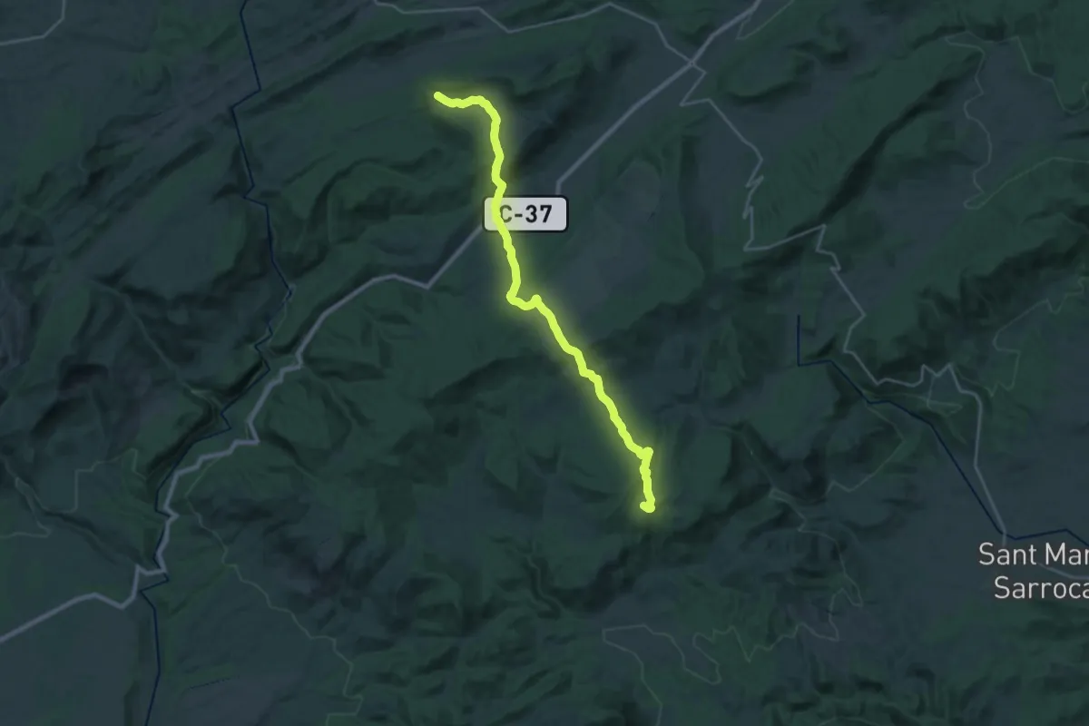
Demanding · Summit
La Bisbal del Penedés - Sant Magí de Bufaganya
26.8 km · ↑ 709 m · 7 h 51 min
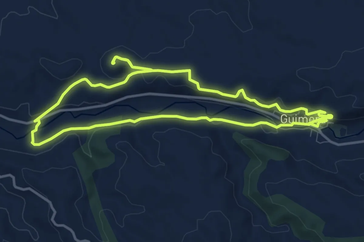
Medium · Trail
La Bovera i el Corb
9.5 km · ↑ 217 m · 2 h 50 min
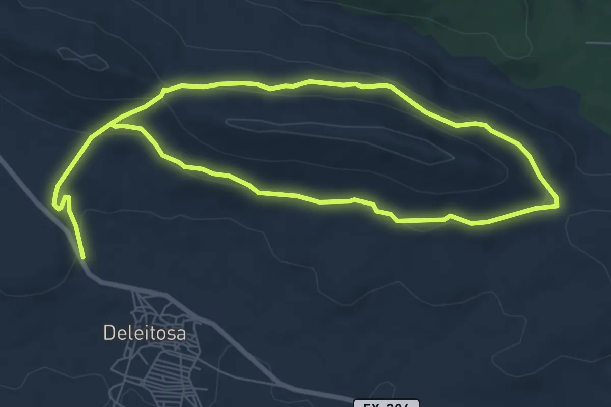
Easy · Trail
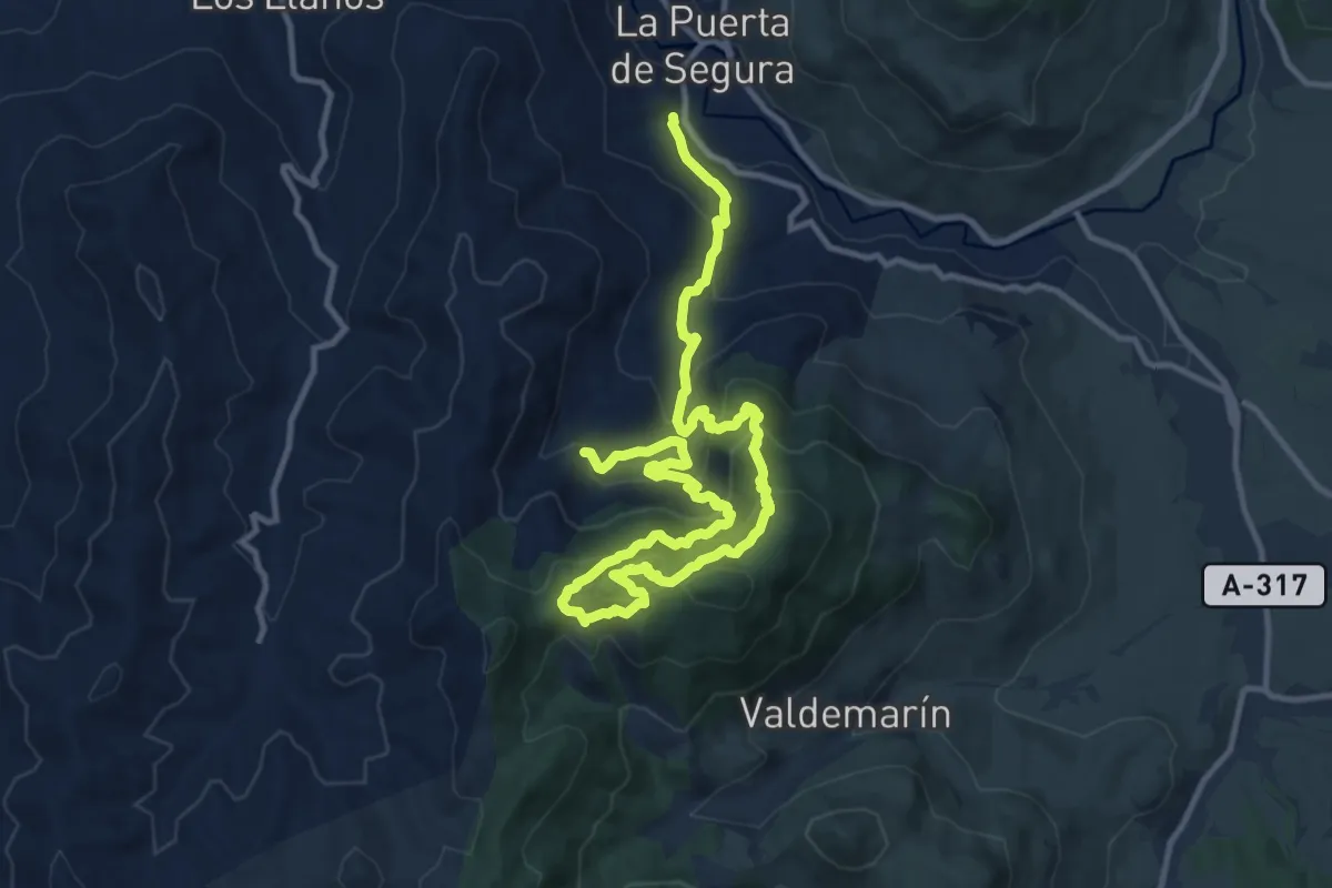
La Breña
6.3 km · ↑ 123 m · 1 h 53 min
Medium · Summit
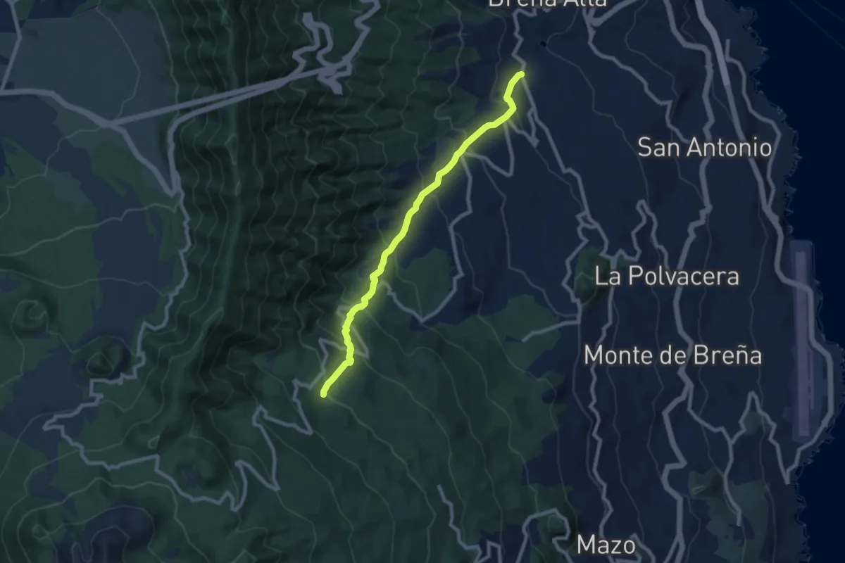
La Buitrera
9.2 km · ↑ 767 m · 3 h 48 min
Medium · Trail
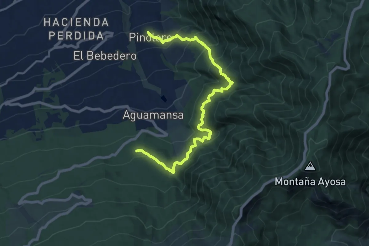
La Calafata - Pista de El Carbonero
10.0 km · ↑ 649 m · 3 h 46 min
Demanding · Trail
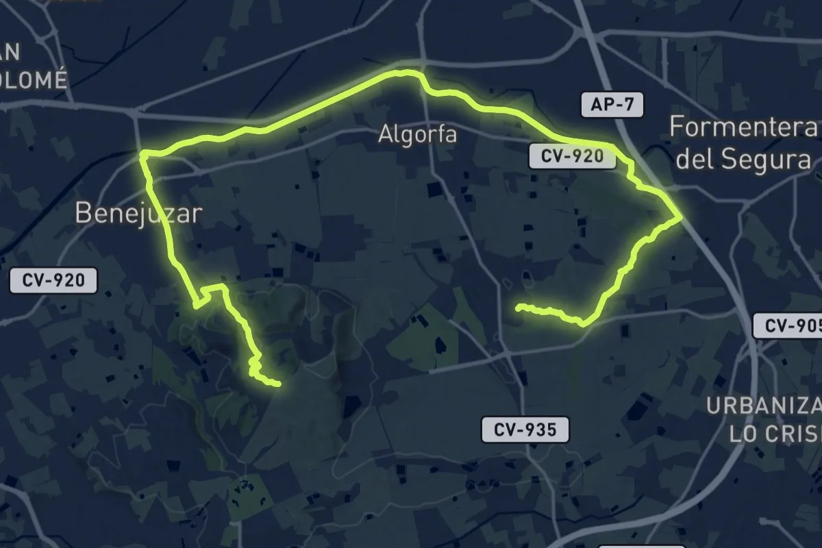
La Caldera - Casa del Agua - Pinolere
13.1 km · ↑ 1130 m · 5 h 32 min
Demanding · Summit
La Caldera del Gigante
32.8 km · ↑ 268 m · 8 h 19 min
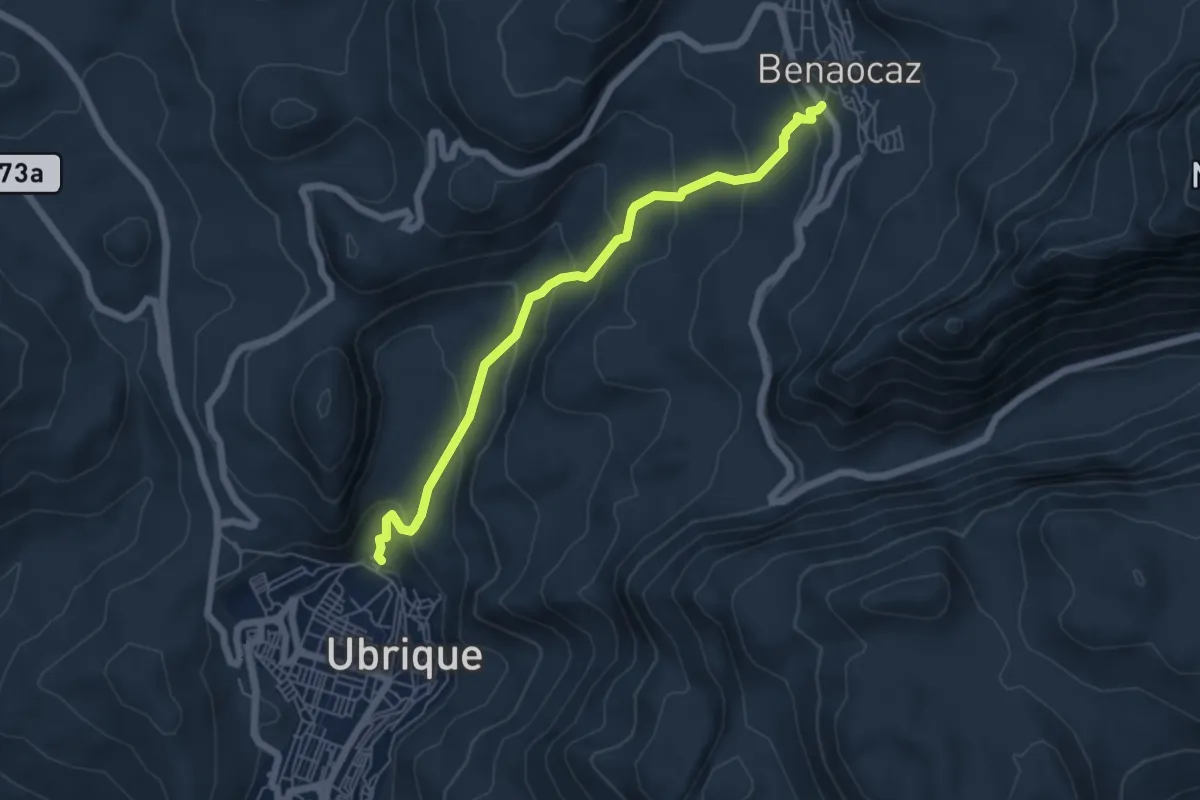
Medium · Trail
LA CALZADA ROMANA
6.6 km · ↑ 399 m · 2 h 25 min
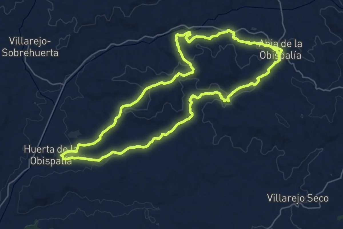
Demanding · Trail
La Calzadilla
21.5 km · ↑ 388 m · 6 h 14 min
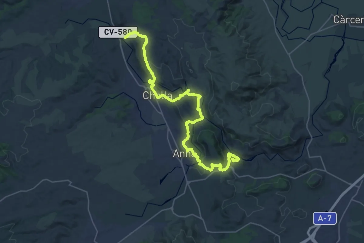
Medium · Trail
La Canal
14.5 km · ↑ 402 m · 4 h 27 min
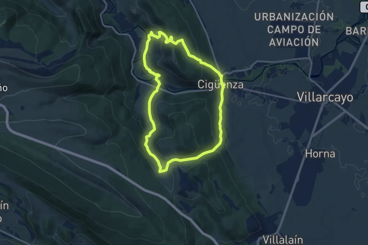
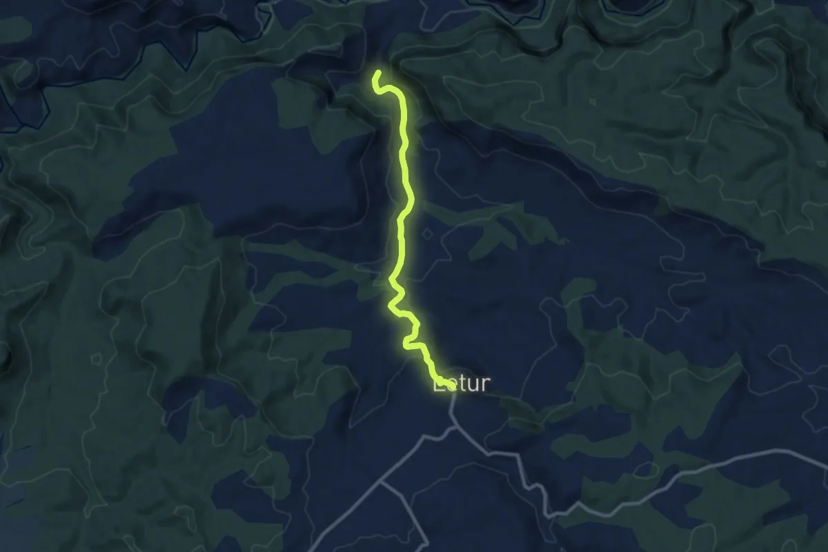
Medium · Trail
La Canaleja
9.5 km · ↑ 393 m · 3 h 13 min
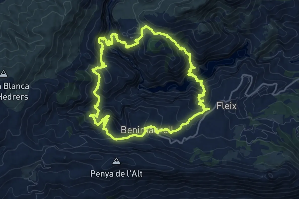
Medium · Trail
La Cascada
9.6 km · ↑ 326 m · 2 h 58 min
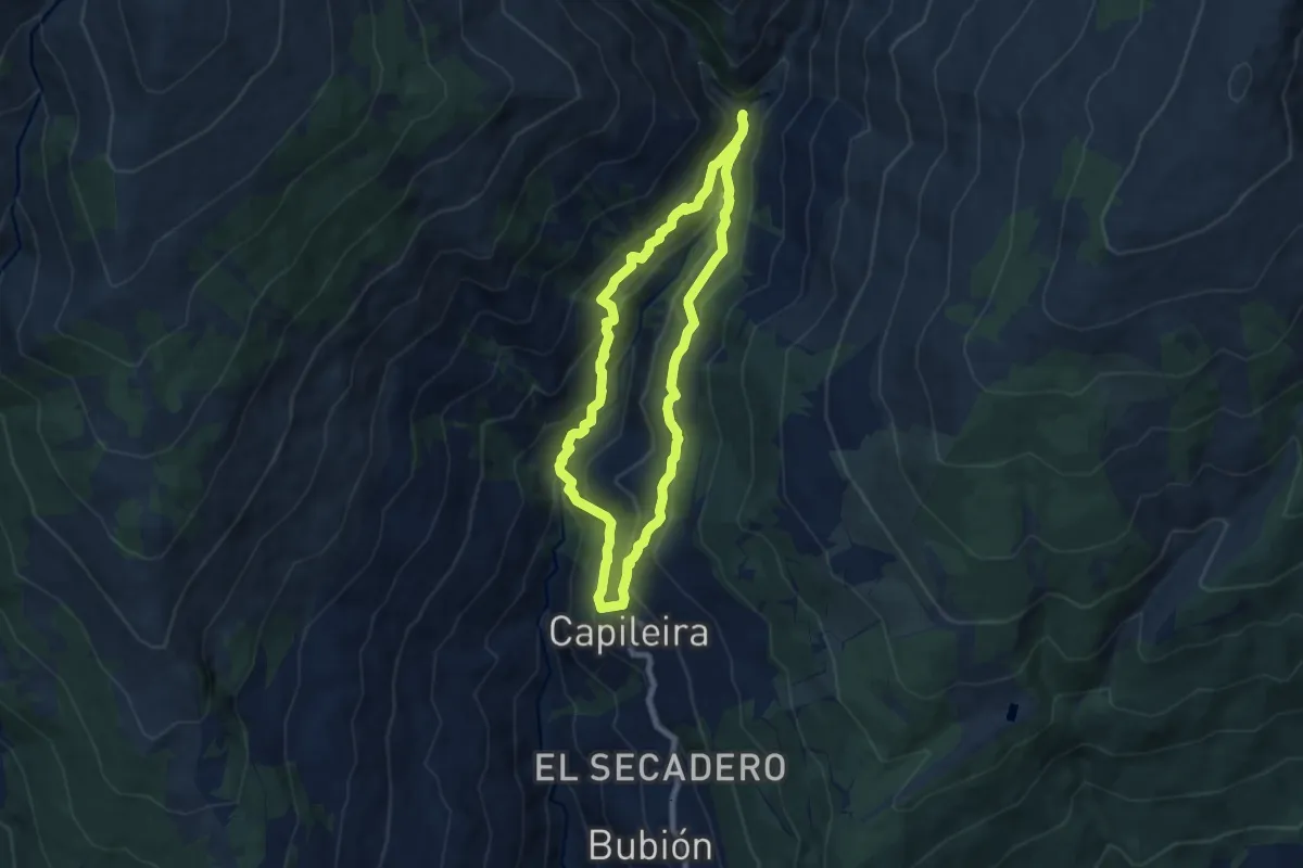
Demanding · Trail
La catedral del senderismo
12.6 km · ↑ 921 m · 5 h 8 min
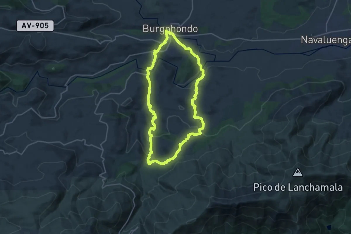
Medium · Trail
La Cebadilla
7.7 km · ↑ 445 m · 2 h 54 min
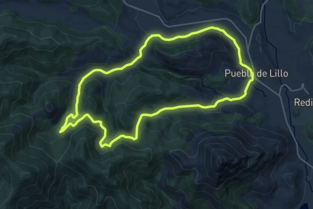
Medium · Summit
La Cendra del Espino
16.3 km · ↑ 452 m · 5 h 4 min
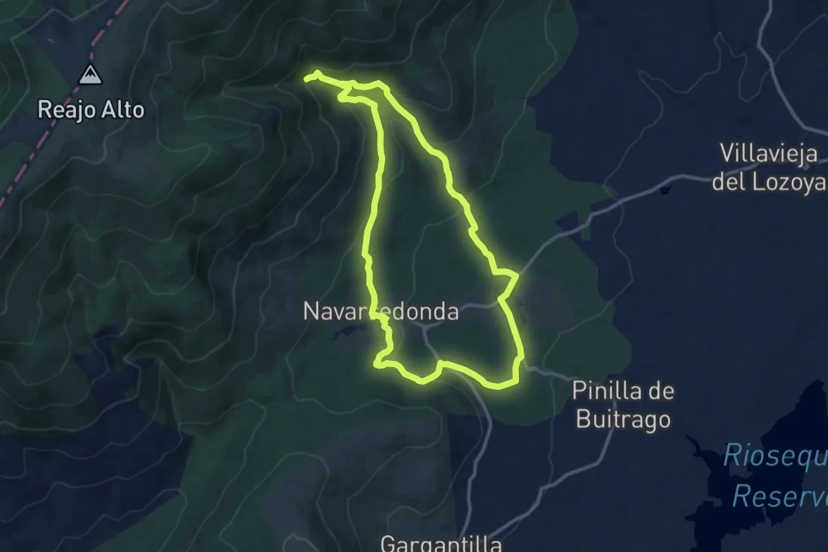
Medium · Trail
La Cervatina
13.5 km · ↑ 430 m · 4 h 19 min
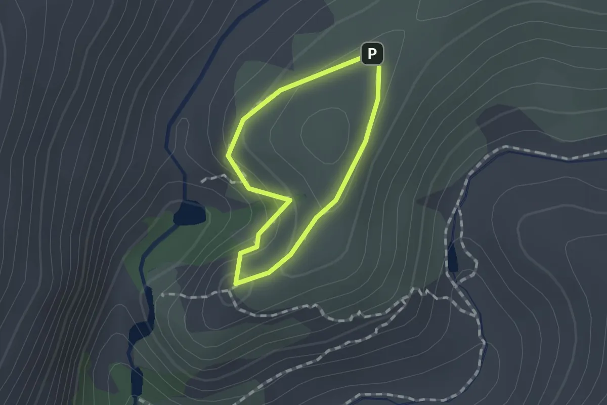
Medium · Trail
La Chorrera de San Mamés
11.4 km · ↑ 418 m · 3 h 44 min
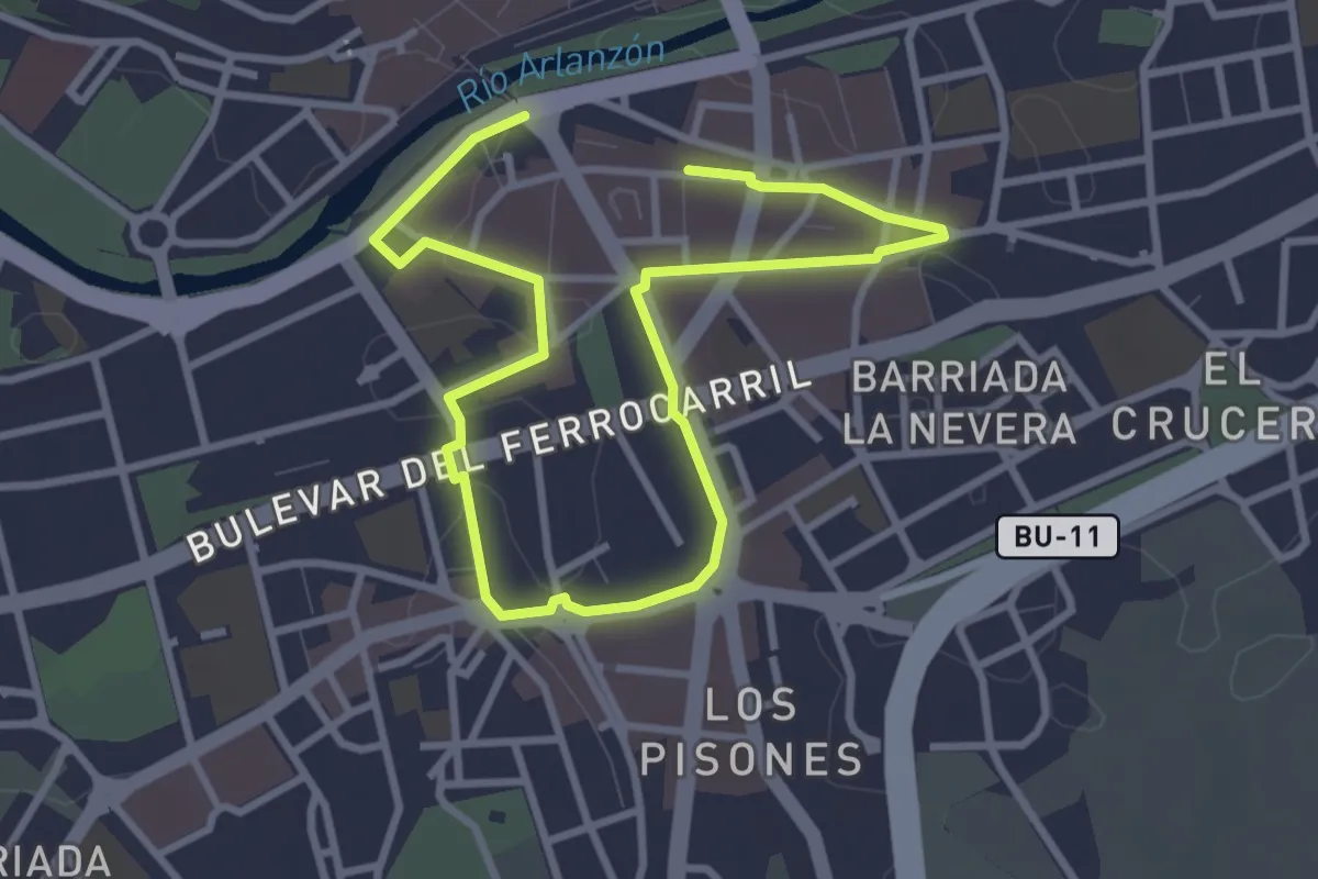
Easy · Trail
La Cimbarra
1.0 km · ↑ 35 m · 20 min
Easy · Trail
La ciudad de la vega
5.2 km · ↑ 13 m · 1 h 16 min
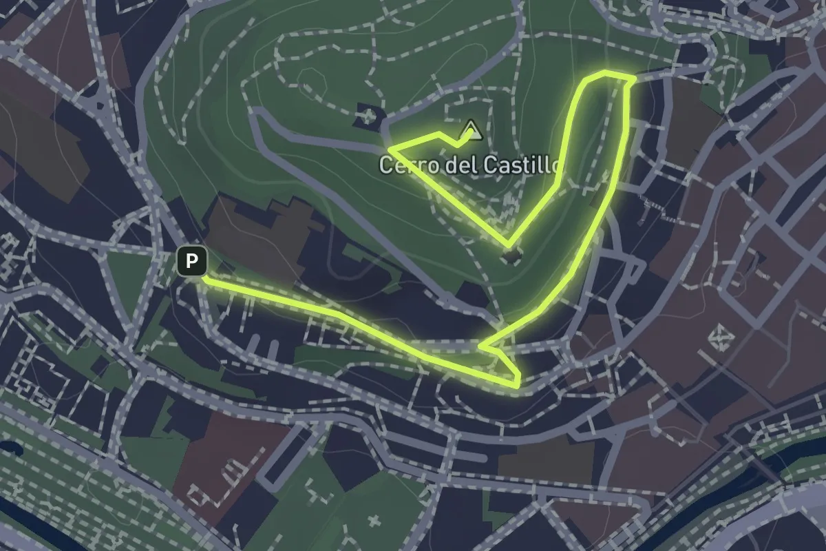
Easy · Summit
La ciudad de los barrios altos
2.7 km · ↑ 61 m · 47 min
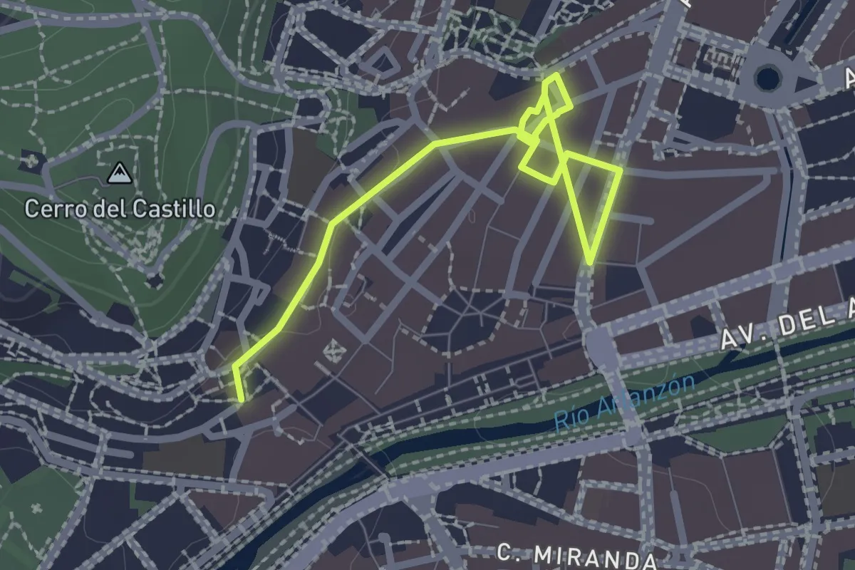
Easy · Trail
La ciudad de los nobles y de los mercaderes
2.8 km · ↑ 24 m · 42 min
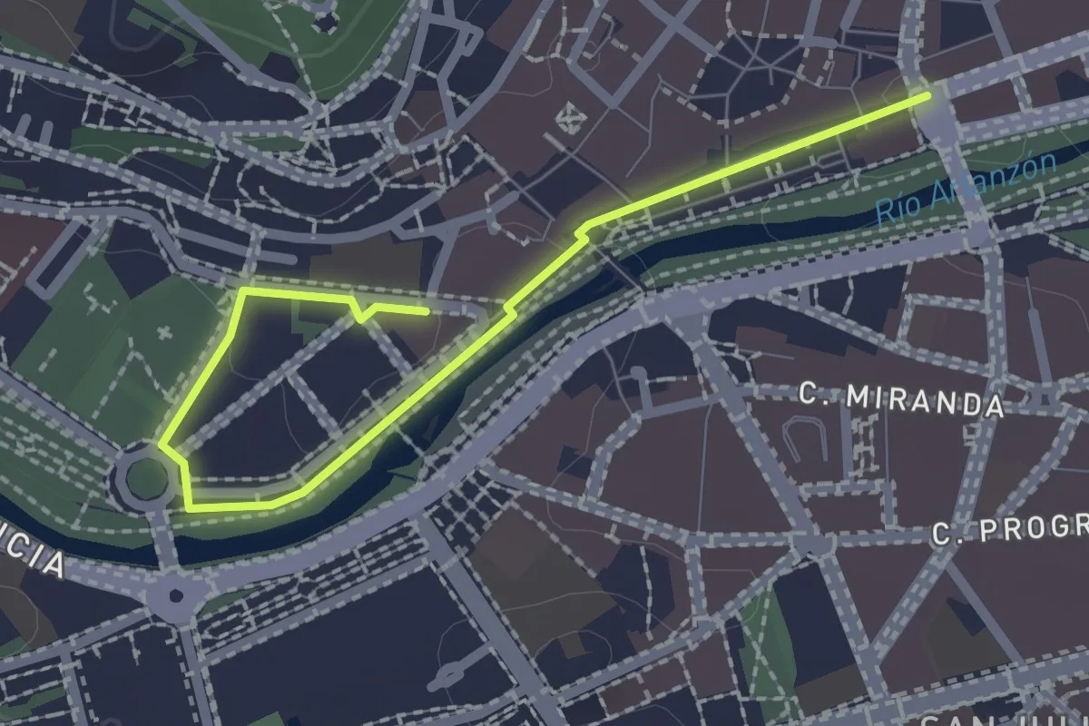
Easy · Trail
La ciudad ilustrada y la ciudad burguesa
2.6 km · ↑ 13 m · 38 min
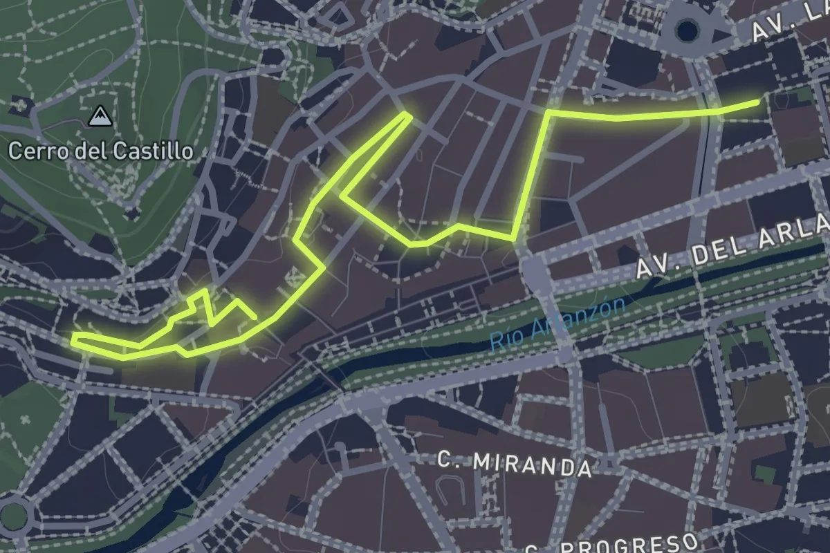
Easy · Trail
La ciudad llana
4.0 km · ↑ 31 m · 1 h 1 min
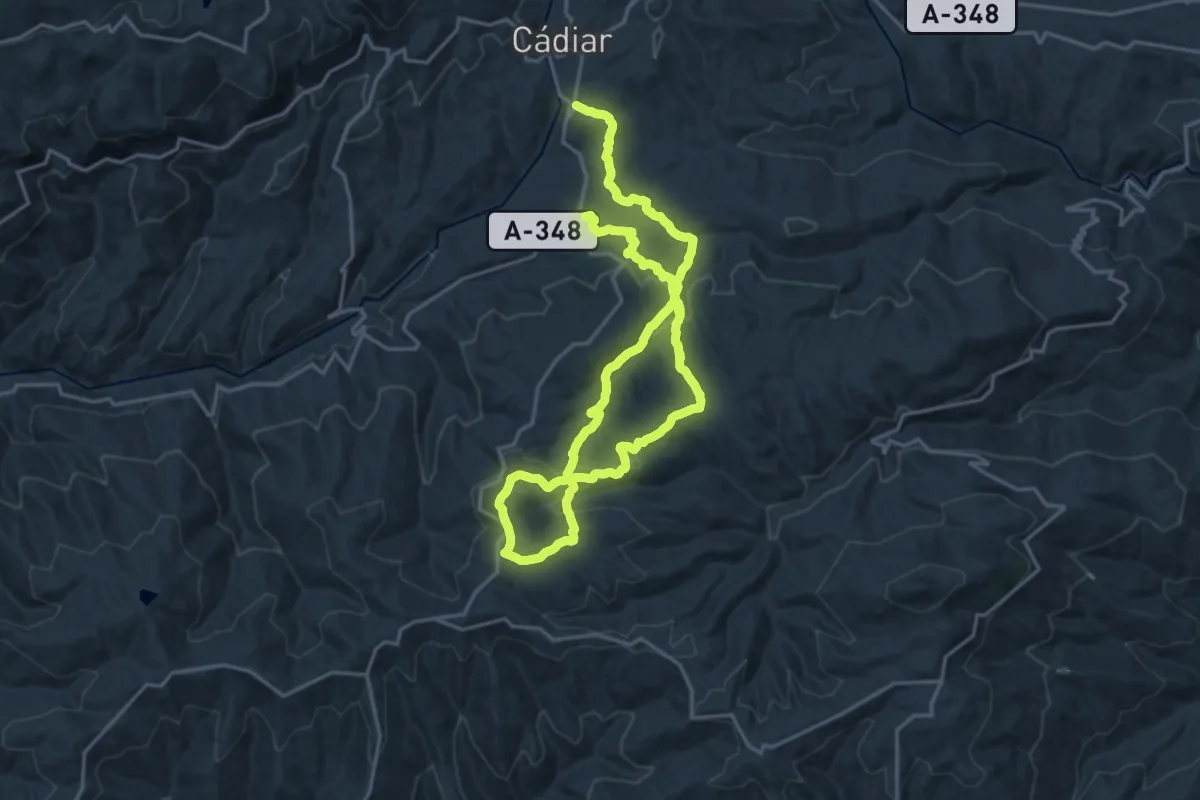
Medium · Trail
La Contraviesa
17.6 km · ↑ 562 m · 5 h 37 min
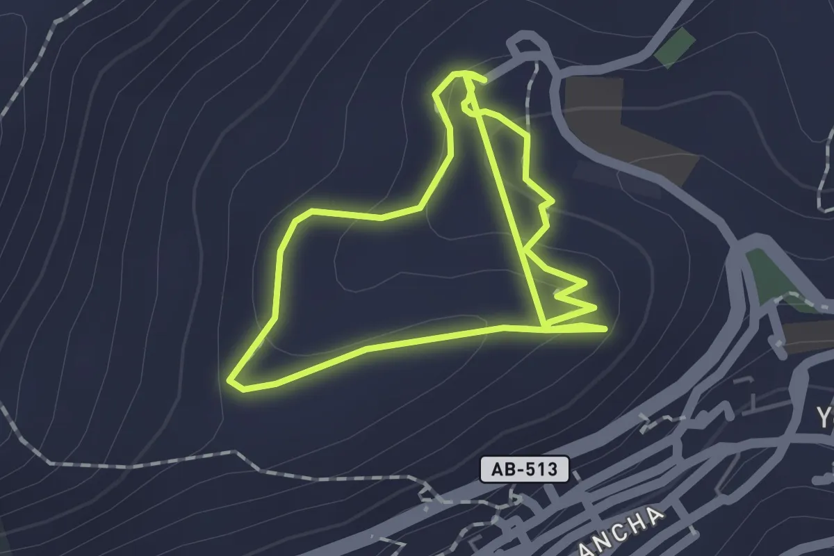
Easy · Trail
La Cruz de San Cristobal
1.7 km · ↑ 61 m · 33 min
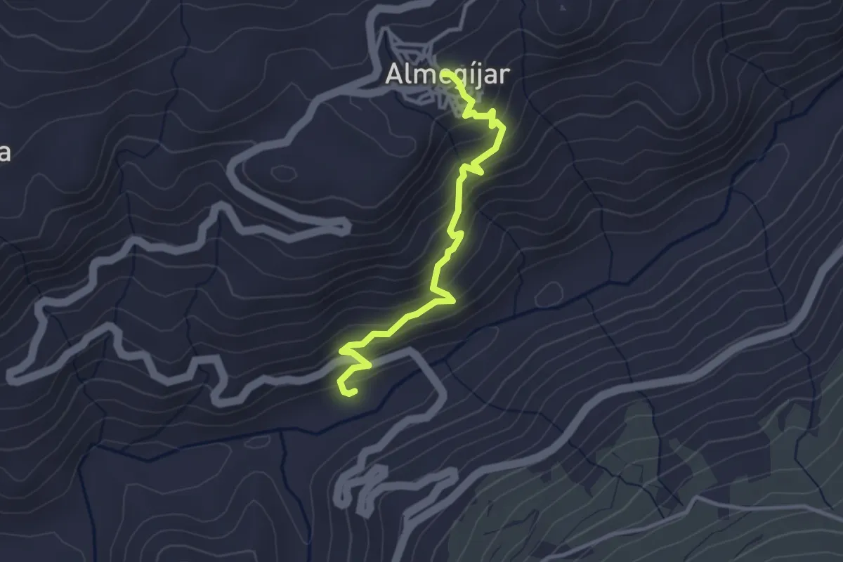
Easy · Trail
La Cuesta
3.5 km · ↑ 312 m · 1 h 31 min
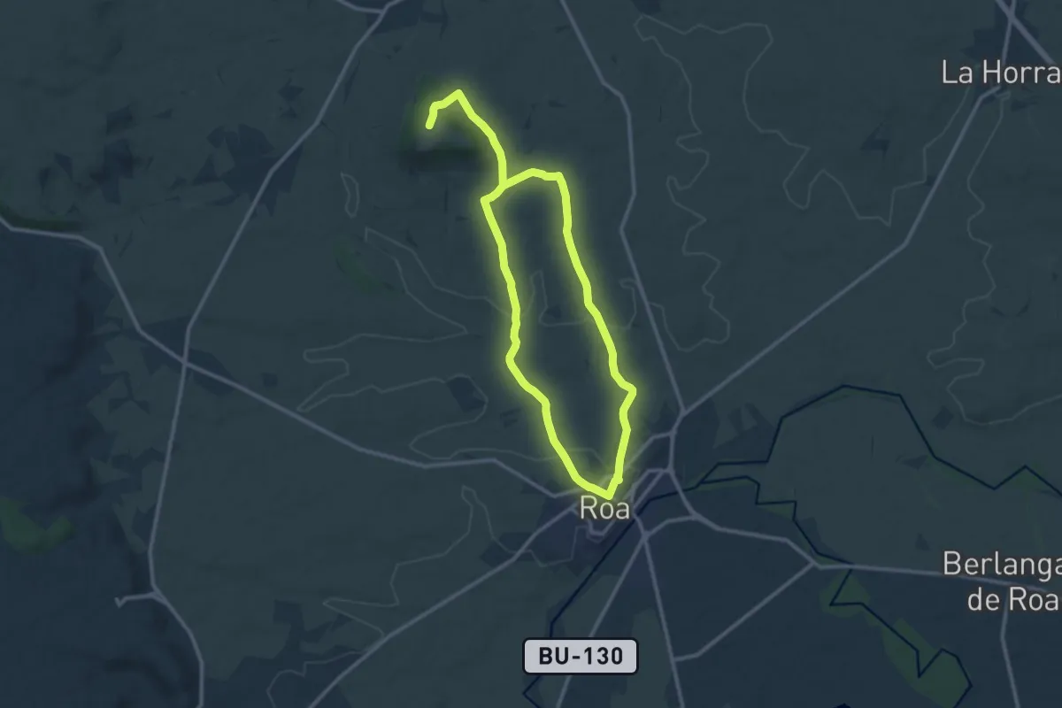
Demanding · Trail
La Cuesta Manvirgo
20.7 km · ↑ 332 m · 5 h 37 min
Easy · Trail
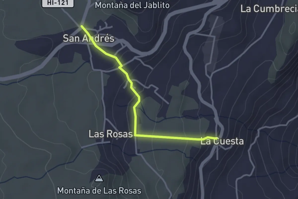
La Cuesta - San Andrés
3.5 km · ↑ 134 m · 1 h 7 min
Easy · Trail
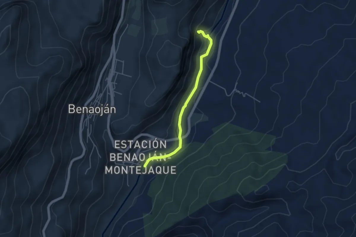
La Cueva del Gato
4.5 km · ↑ 69 m · 1 h 12 min
Medium · Summit
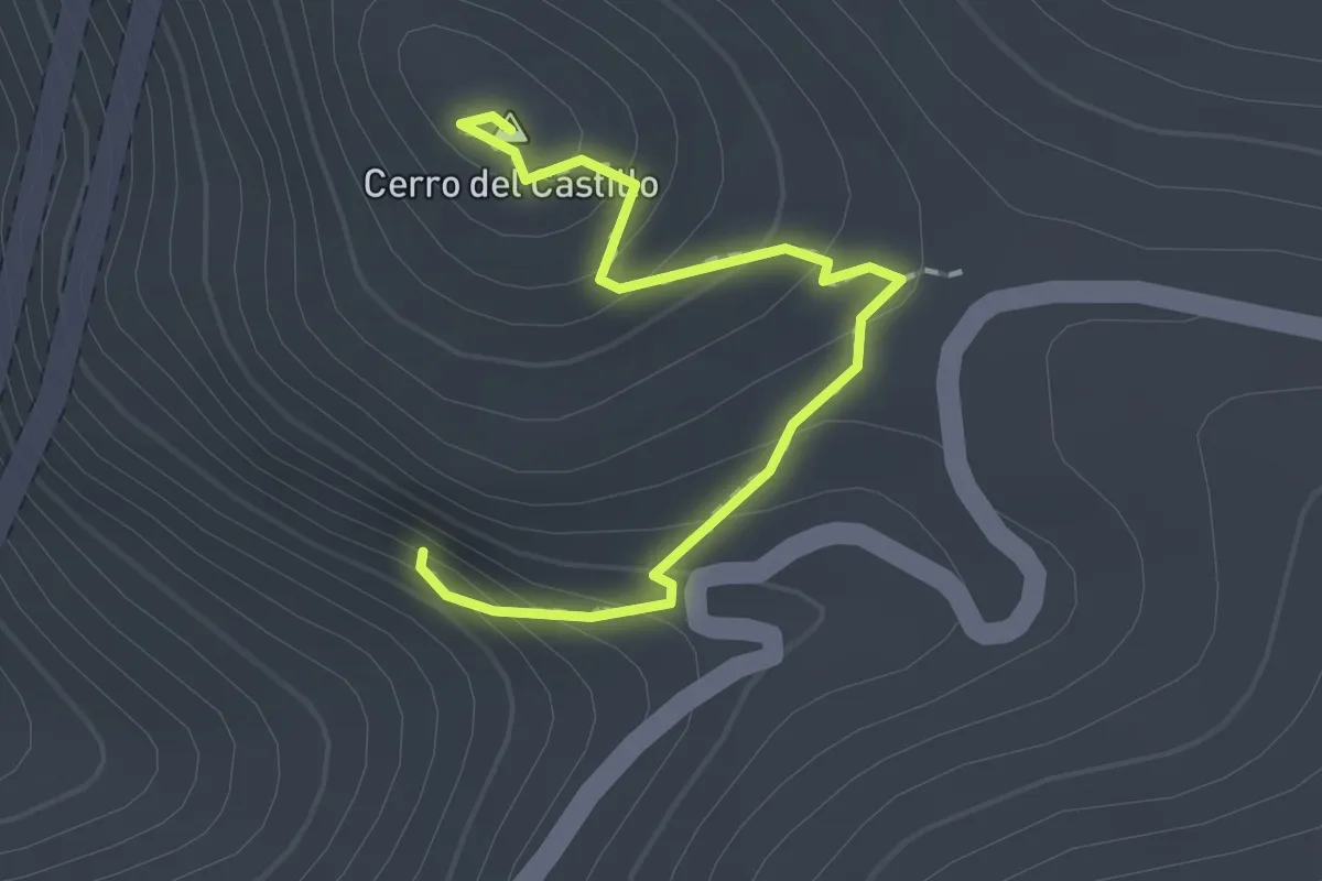
La Cueva de los Muñecos
2.0 km · ↑ 123 m · 45 min
Medium · Trail
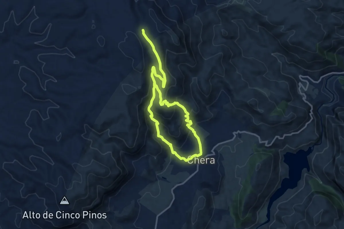
La Cueva Negra
8.9 km · ↑ 501 m · 3 h 16 min
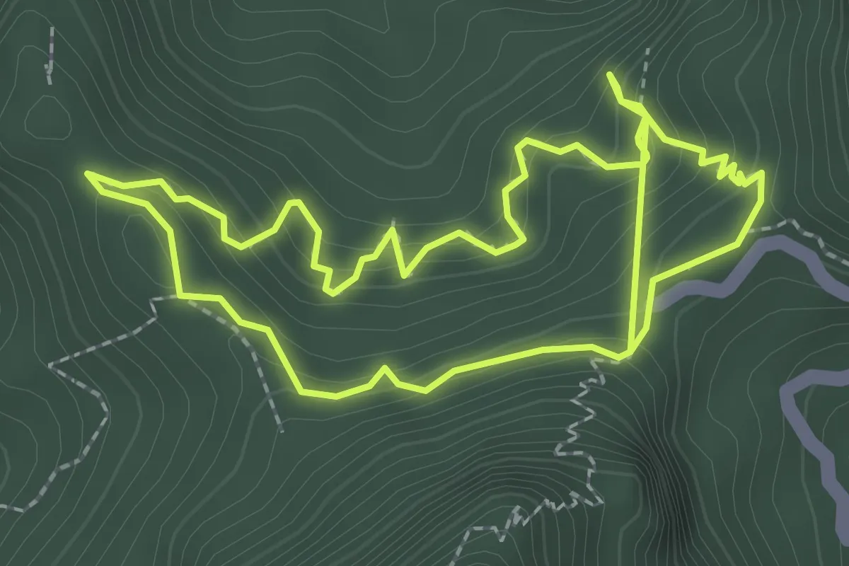
Medium · Trail
La Cumbrecita – Lomo de las Chozas
2.9 km · ↑ 189 m · 1 h 11 min
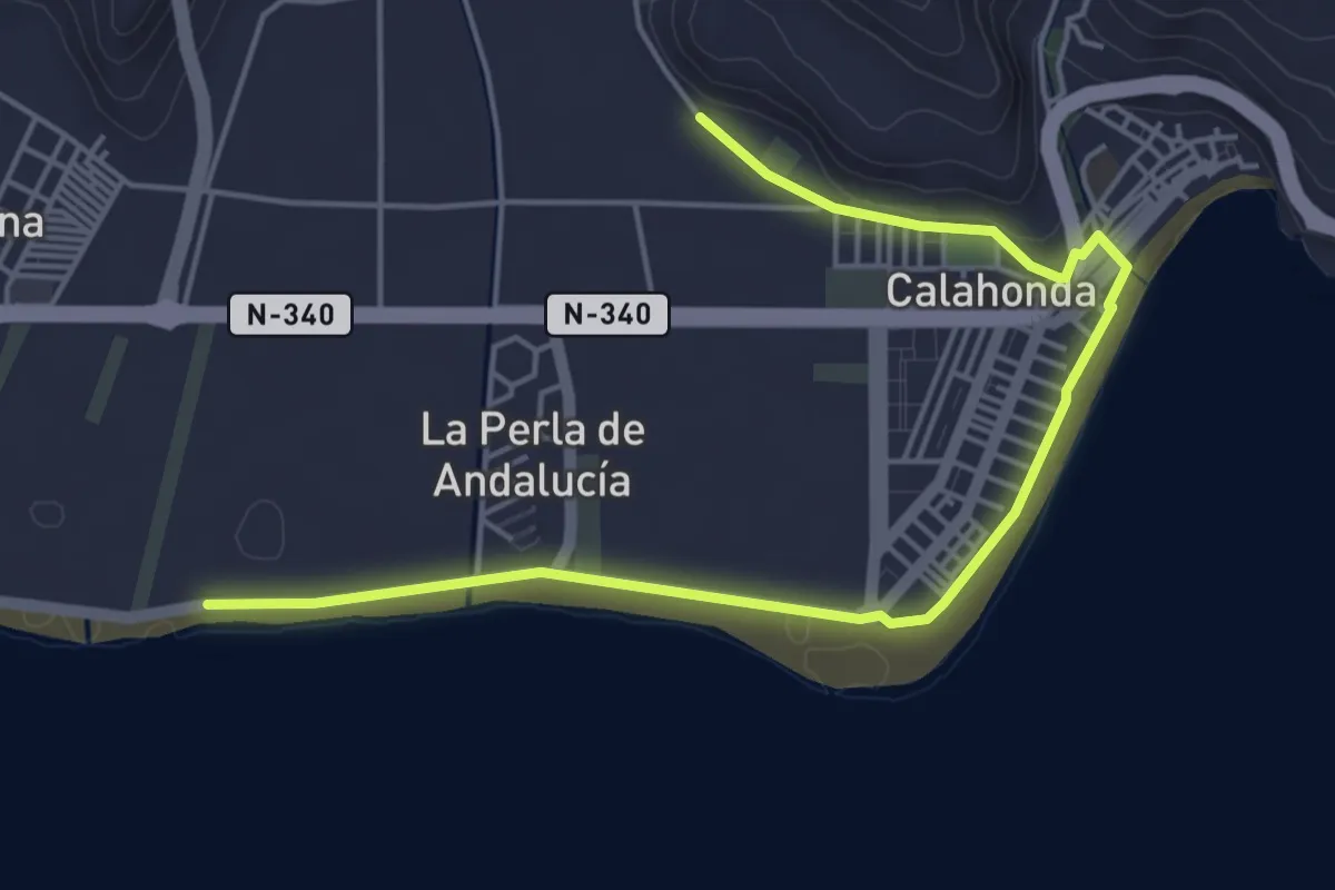
Easy · Trail
La Defensa Costera
6.7 km · ↑ 32 m · 1 h 40 min
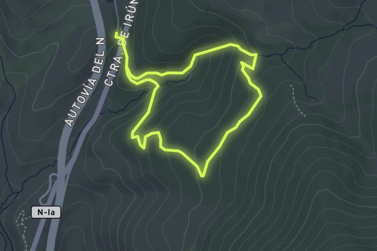
Easy · Trail
La Dehesa Bonita de Somosierra
3.6 km · ↑ 130 m · 1 h 11 min
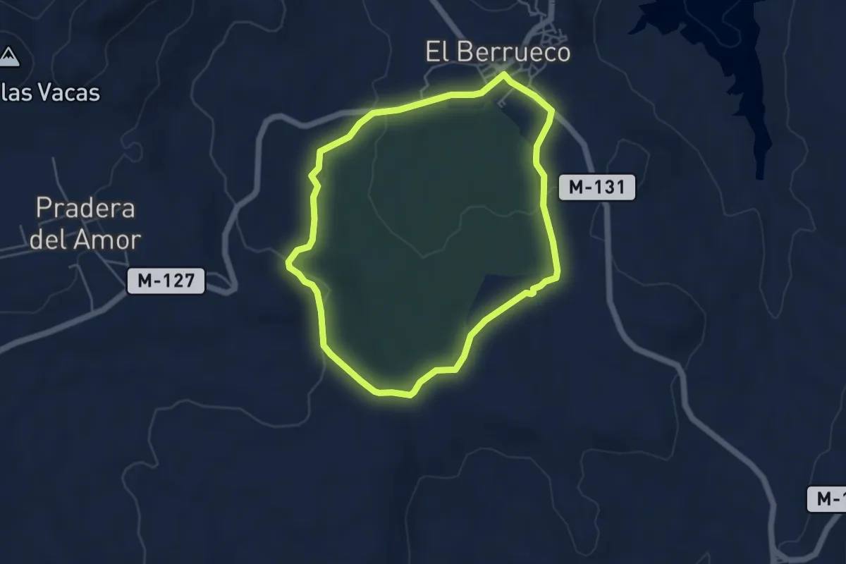
Easy · Trail
La dehesa boyal
4.9 km · ↑ 75 m · 1 h 22 min
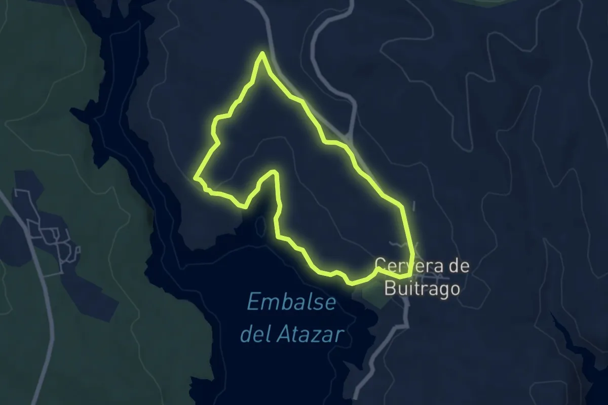
Easy · Trail
La dehesa del Soto
5.3 km · ↑ 93 m · 1 h 32 min
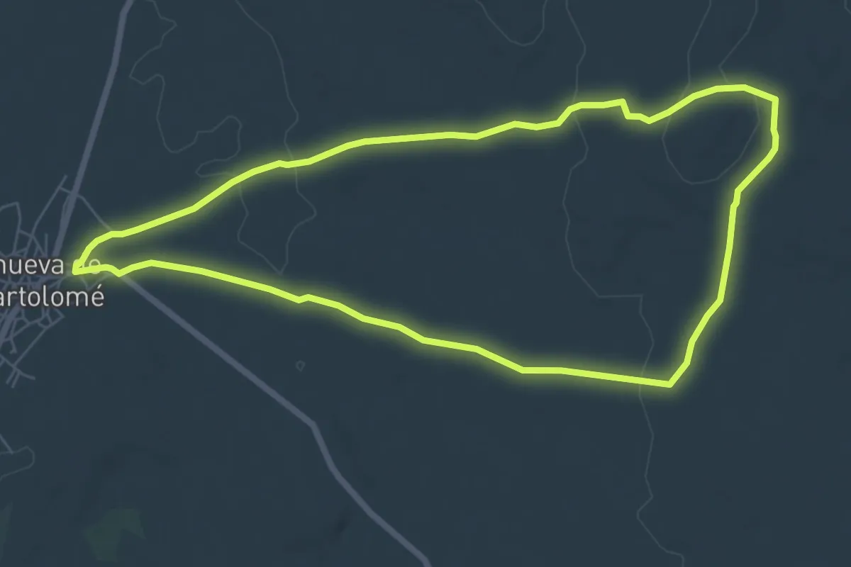
Easy · Trail
La Dehesilla Aldeanueva de San Bartolomé
7.3 km · ↑ 119 m · 2 h 5 min
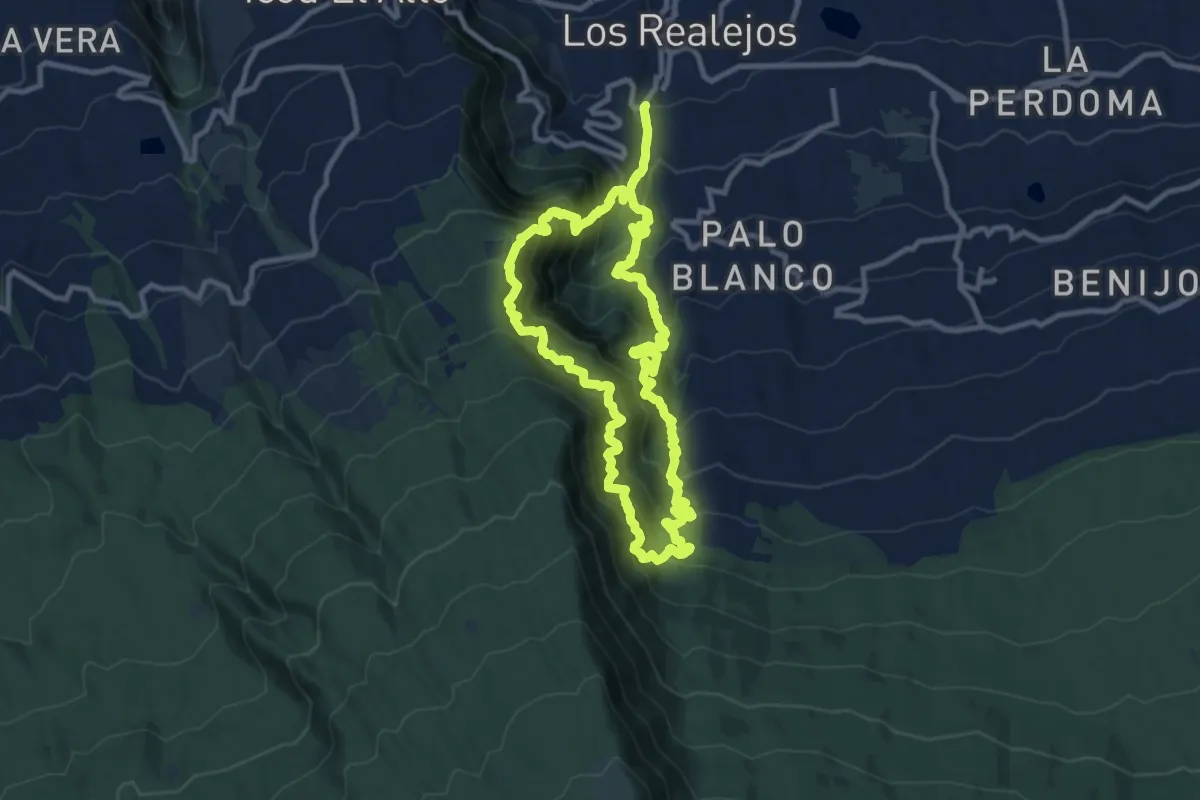
Demanding · Trail
Ladera de Tigaiga
12.7 km · ↑ 1524 m · 6 h 28 min
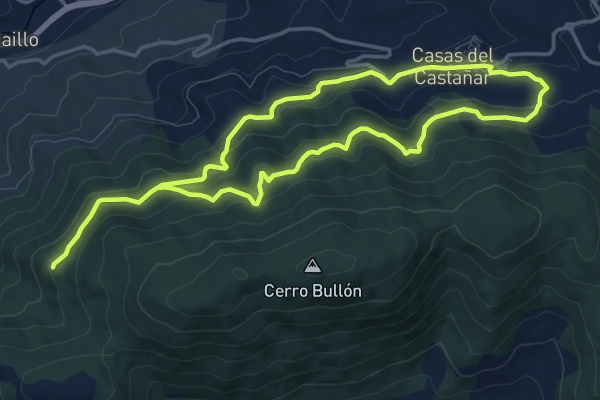
Medium · Trail
La era de San Bernabé
9.3 km · ↑ 372 m · 3 h 7 min
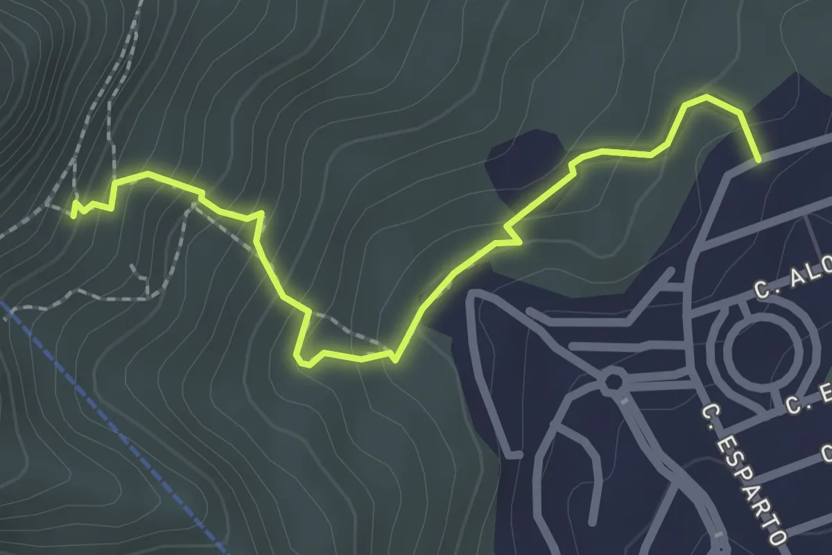
Easy · Trail
La Ermita
2.6 km · ↑ 233 m · 1 h 7 min
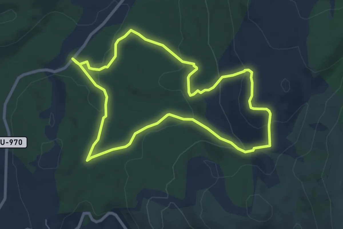
Easy · Cabin
La Espineda Checa
6.0 km · ↑ 191 m · 1 h 56 min
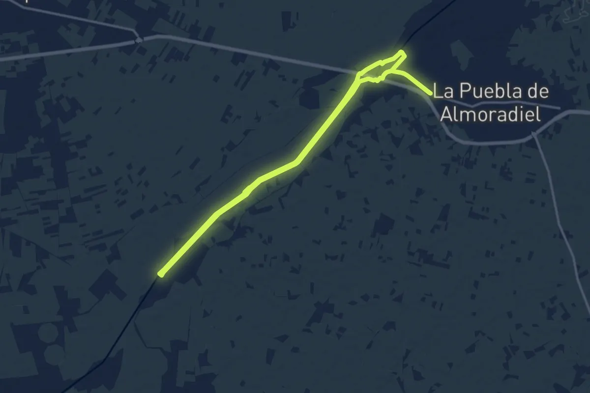
Medium · Trail
La Estela del Gigüela
13.8 km · ↑ 8 m · 3 h 29 min
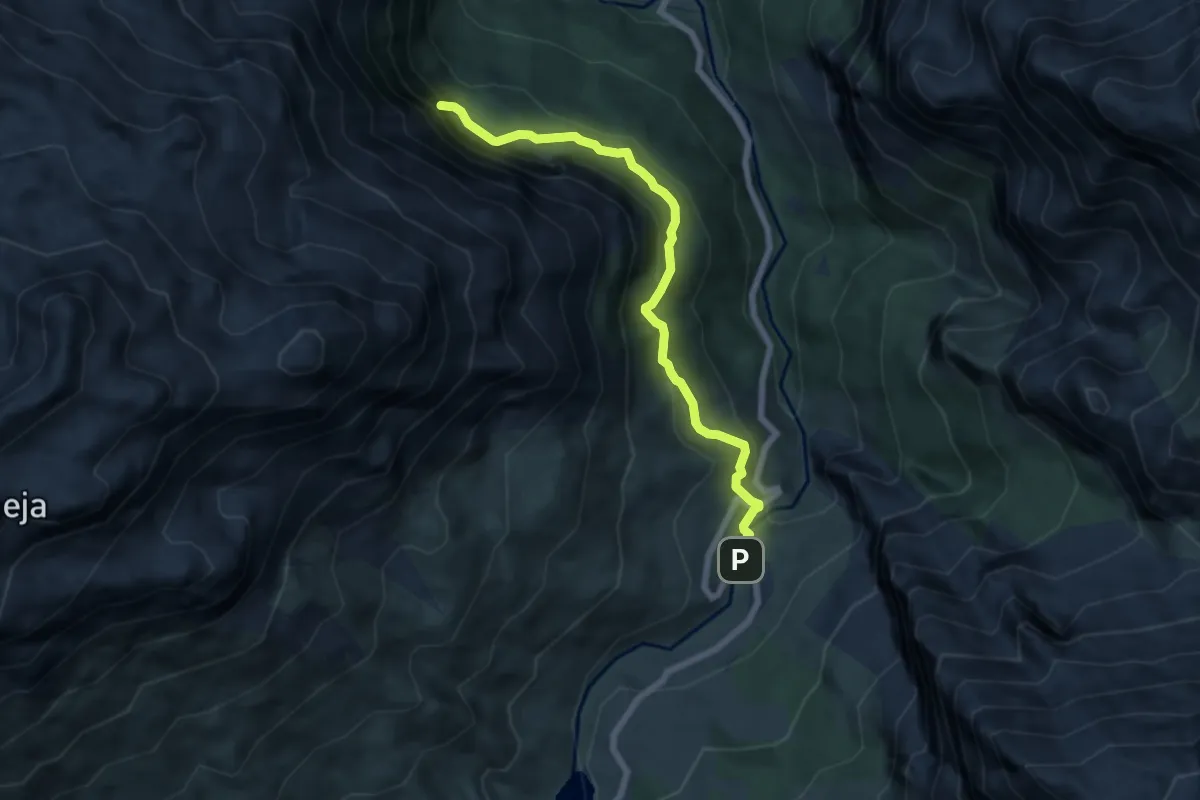
Medium · Trail
La Farfada
6.8 km · ↑ 419 m · 2 h 31 min