Trails in Spain
5,962 hiking trails, each with its route, climb, walking time and grade.
All trails, page 53 of 125
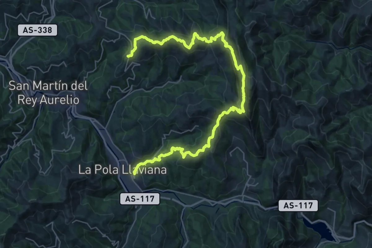
Demanding · Trail
La Faya - La Pola
18.0 km · ↑ 767 m · 6 h 20 min
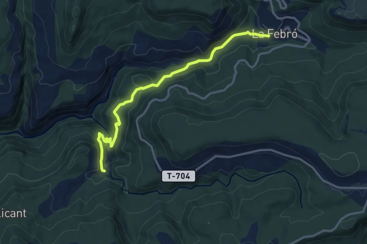
Medium · Trail
La Febrò - Salt del Gorg
8.5 km · ↑ 326 m · 2 h 43 min
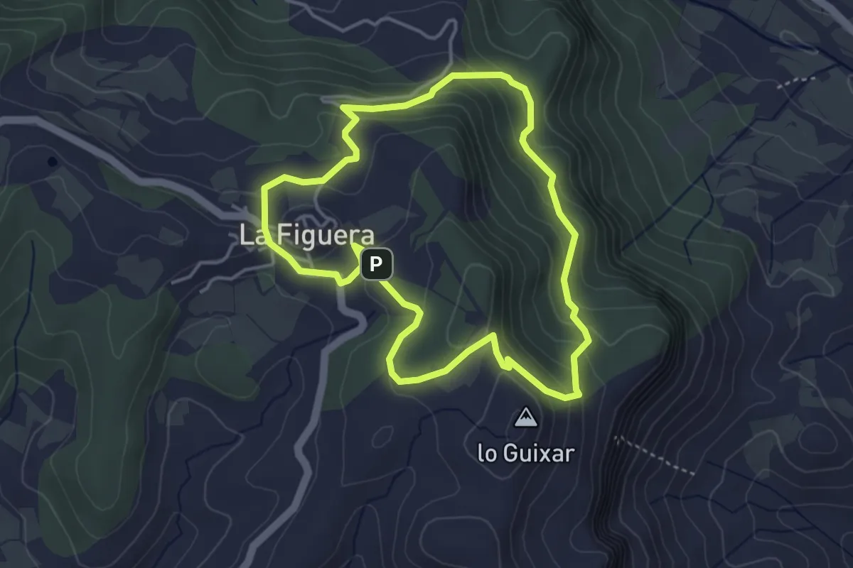
Easy · Summit
la Figuera
4.1 km · ↑ 186 m · 1 h 25 min
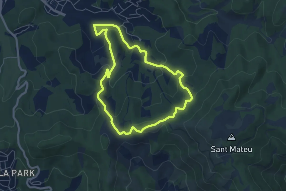
Easy · Summit
La Font de Can Gurguí
5.3 km · ↑ 198 m · 1 h 45 min
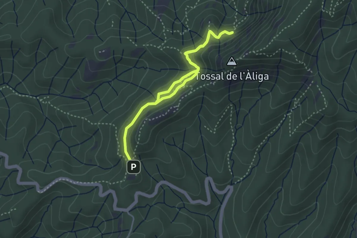
Medium · Summit
La font de la Portella
2.7 km · ↑ 126 m · 57 min
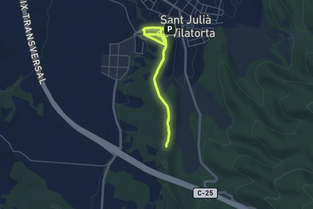
Medium · Trail
La Font de la Riera
4.3 km · ↑ 68 m · 1 h 14 min
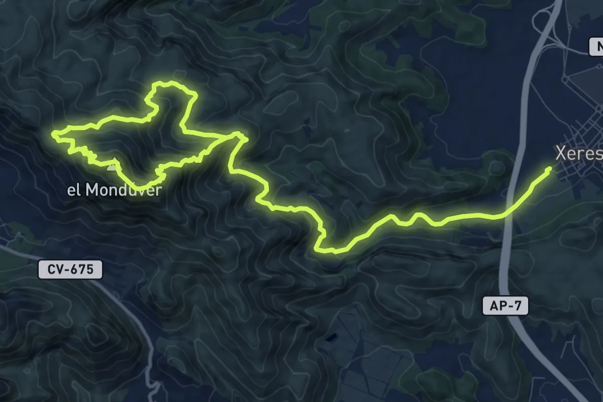
Medium · Summit
La Font del Mondúver - Xeresa
10.0 km · ↑ 469 m · 3 h 42 min
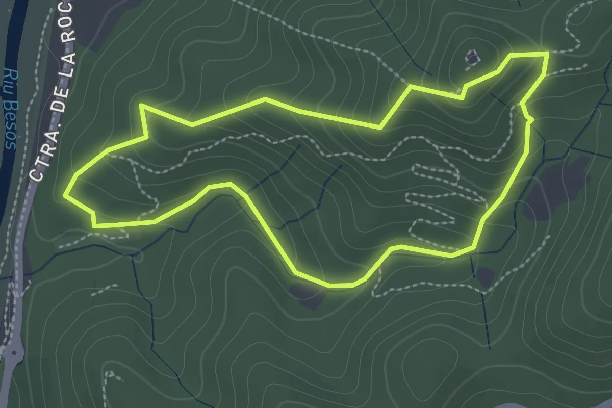
Medium · Summit
La font del Tort
2.8 km · ↑ 171 m · 1 h 4 min
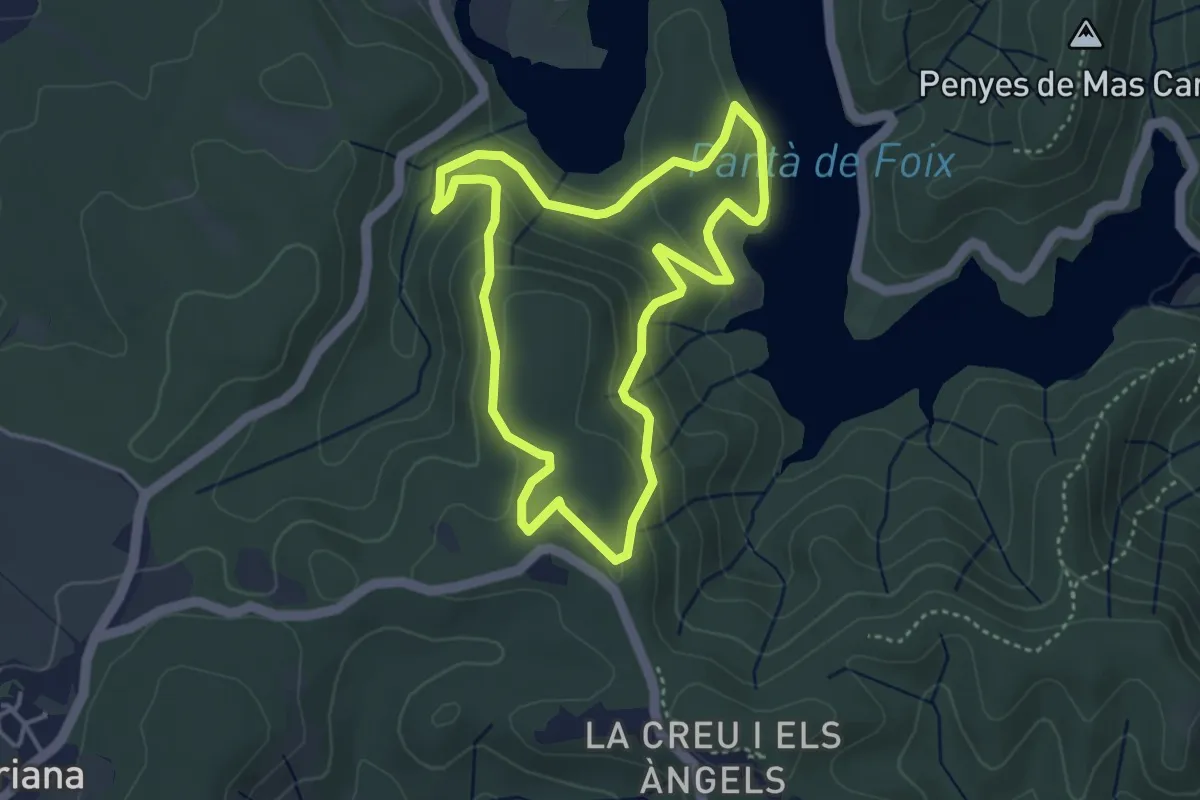
Easy · Trail
La Font d'Horta
4.1 km · ↑ 148 m · 1 h 20 min
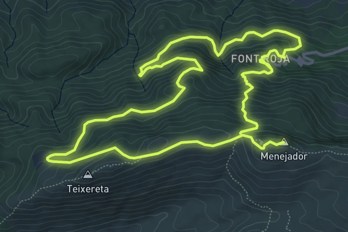
Medium · Summit
La font roja
8.4 km · ↑ 490 m · 3 h 10 min
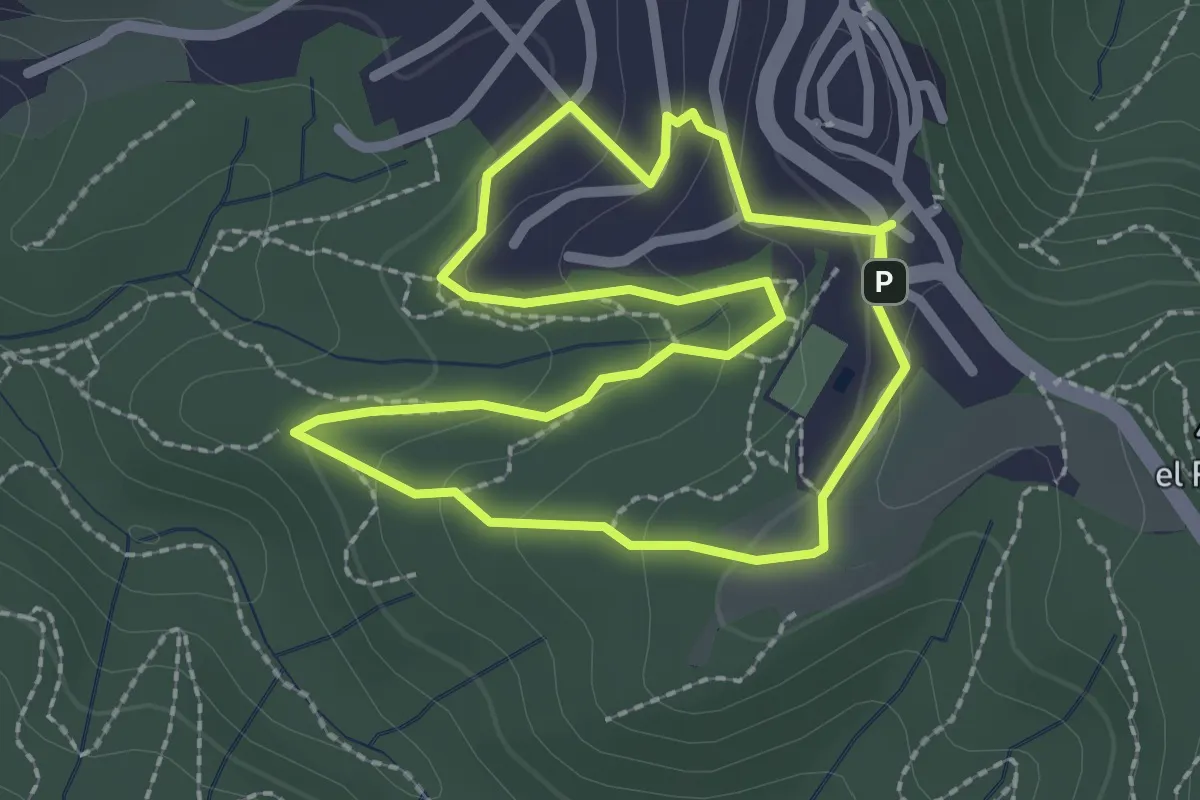
Easy · Trail
La Fot del Janet
2.5 km · ↑ 94 m · 49 min
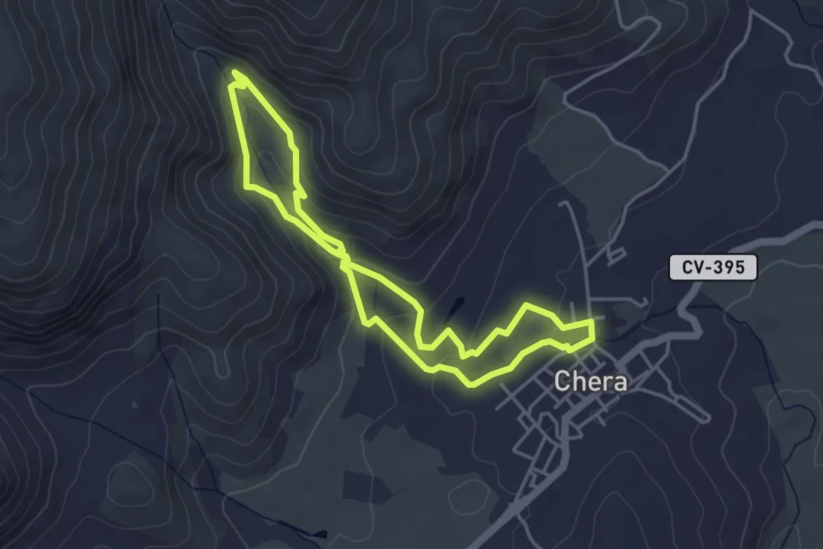
Easy · Trail
La Fuente Gorda
3.9 km · ↑ 134 m · 1 h 16 min
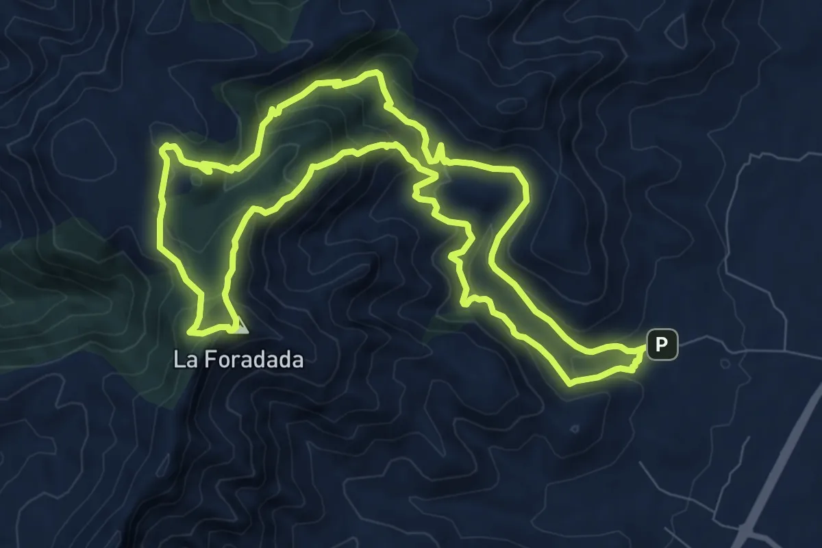
Medium · Summit
La Furadada del Montsià
10.3 km · ↑ 575 m · 3 h 49 min
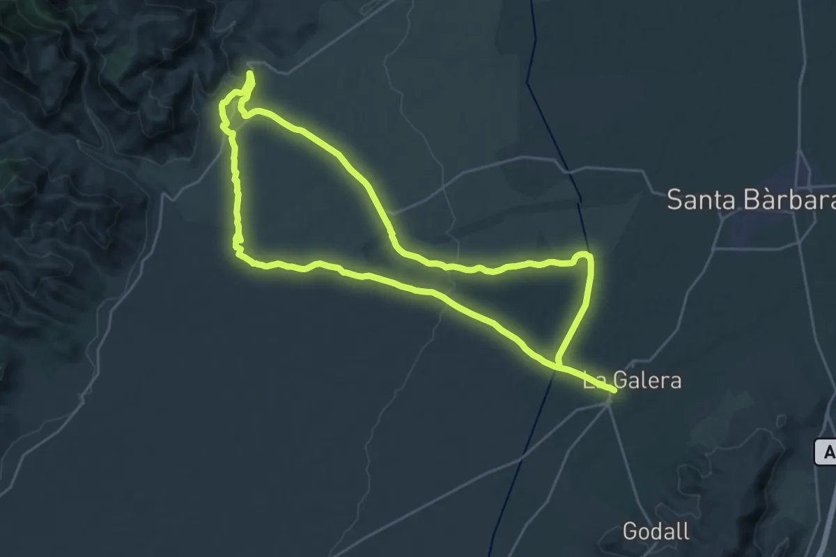
Demanding · Trail
La Galera-Mas de Barberans
25.6 km · ↑ 278 m · 7 h 1 min
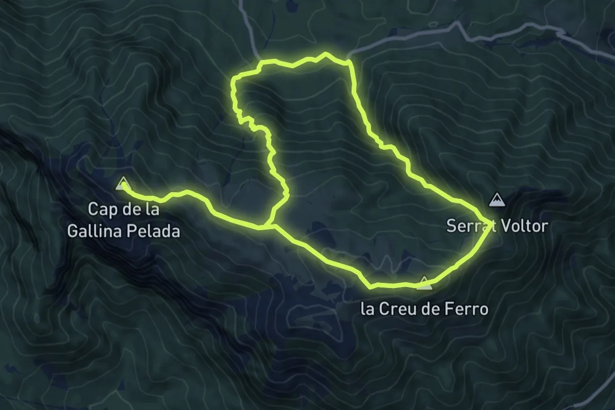
Expert · Summit
La Gallina Pelada
10.1 km · ↑ 785 m · 4 h 14 min
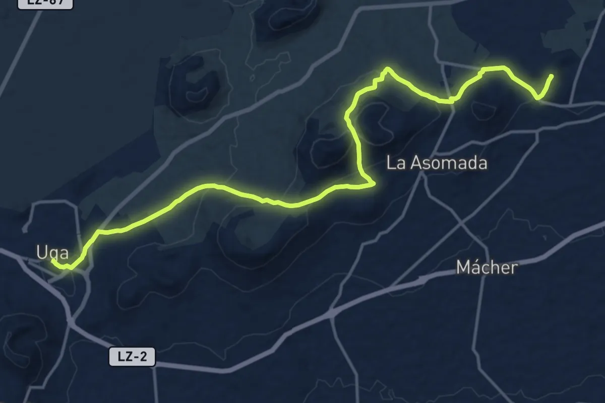
Demanding · Summit
La Geria
19.7 km · ↑ 712 m · 6 h 11 min
Medium · Trail
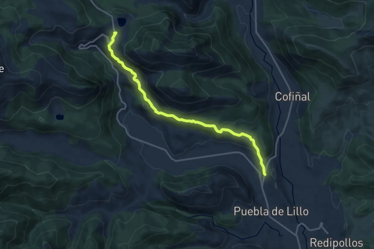
Lago de Isoba
11.1 km · ↑ 488 m · 3 h 41 min
Medium · Trail
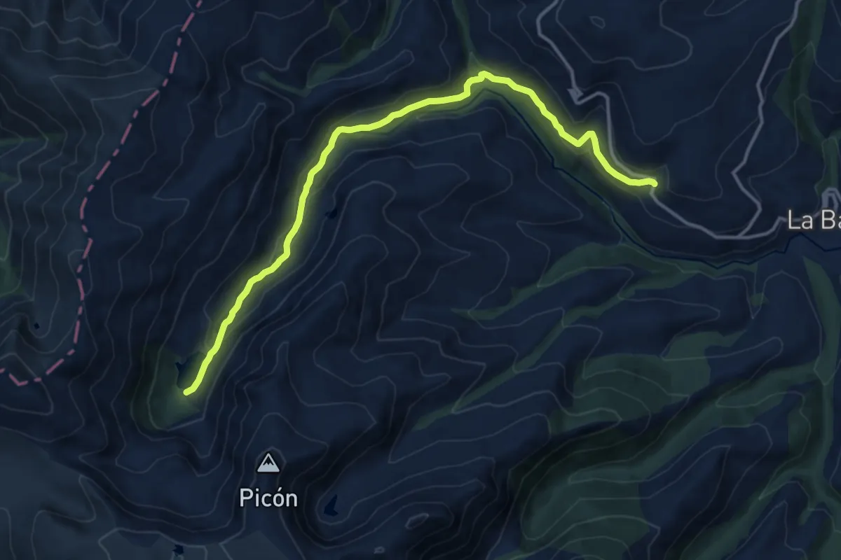
Lago de la Baña
15.2 km · ↑ 355 m · 4 h 22 min
Medium · Trail
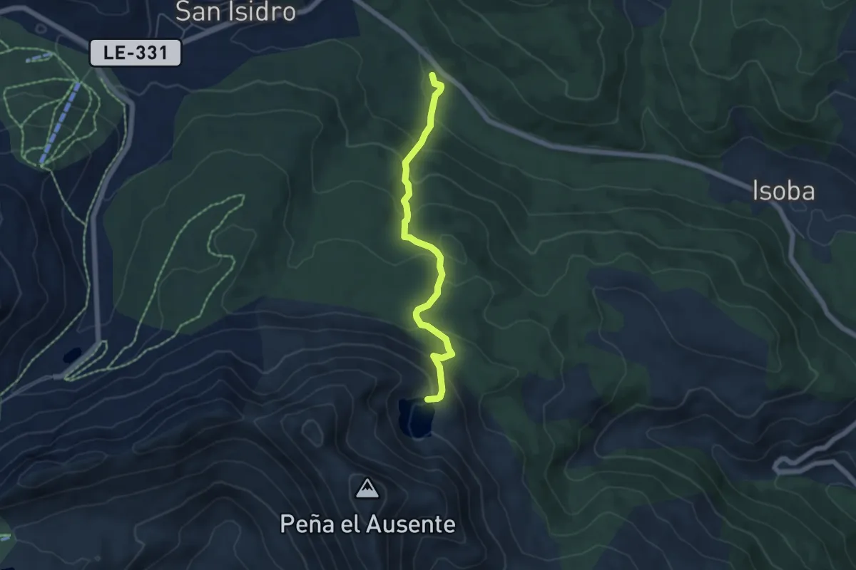
Lago del Ausente
5.2 km · ↑ 358 m · 2 h 1 min
Medium · Trail
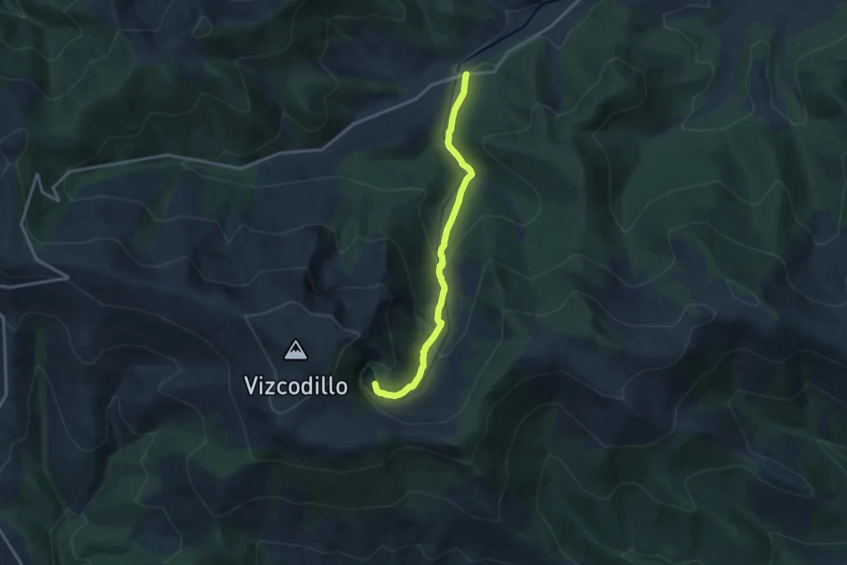
Lago de Truchillas
11.4 km · ↑ 582 m · 3 h 57 min
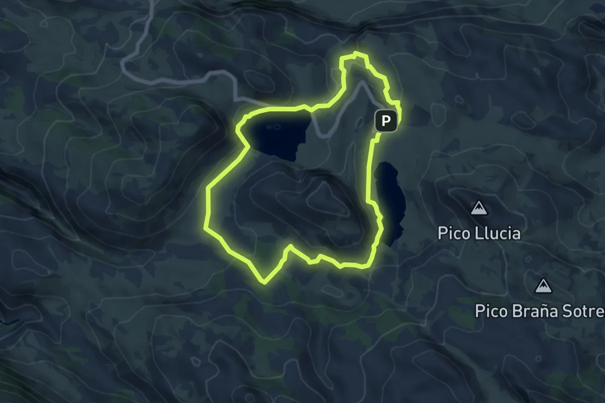
Medium · Trail
Lagos de Covadonga
5.8 km · ↑ 223 m · 1 h 56 min
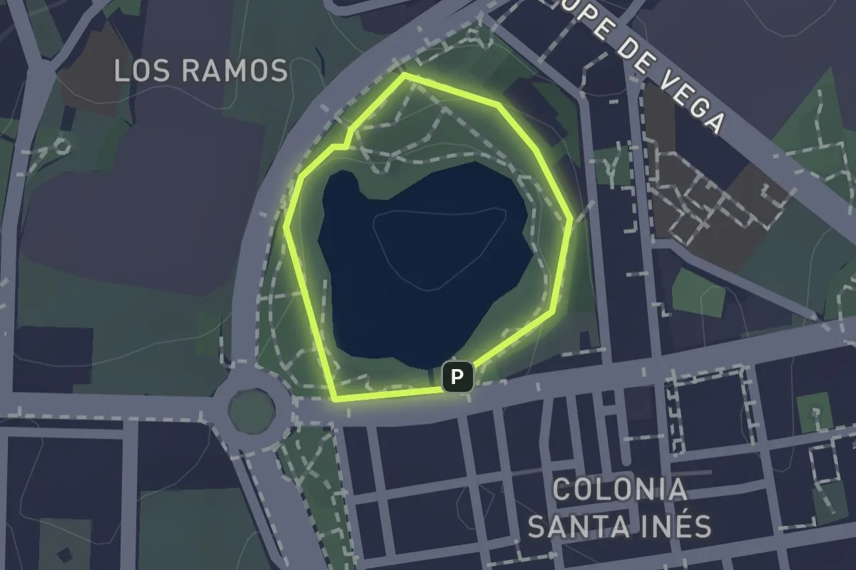
Easy · Trail
Laguna de la Barrera
1.0 km · ↑ 16 m · 17 min
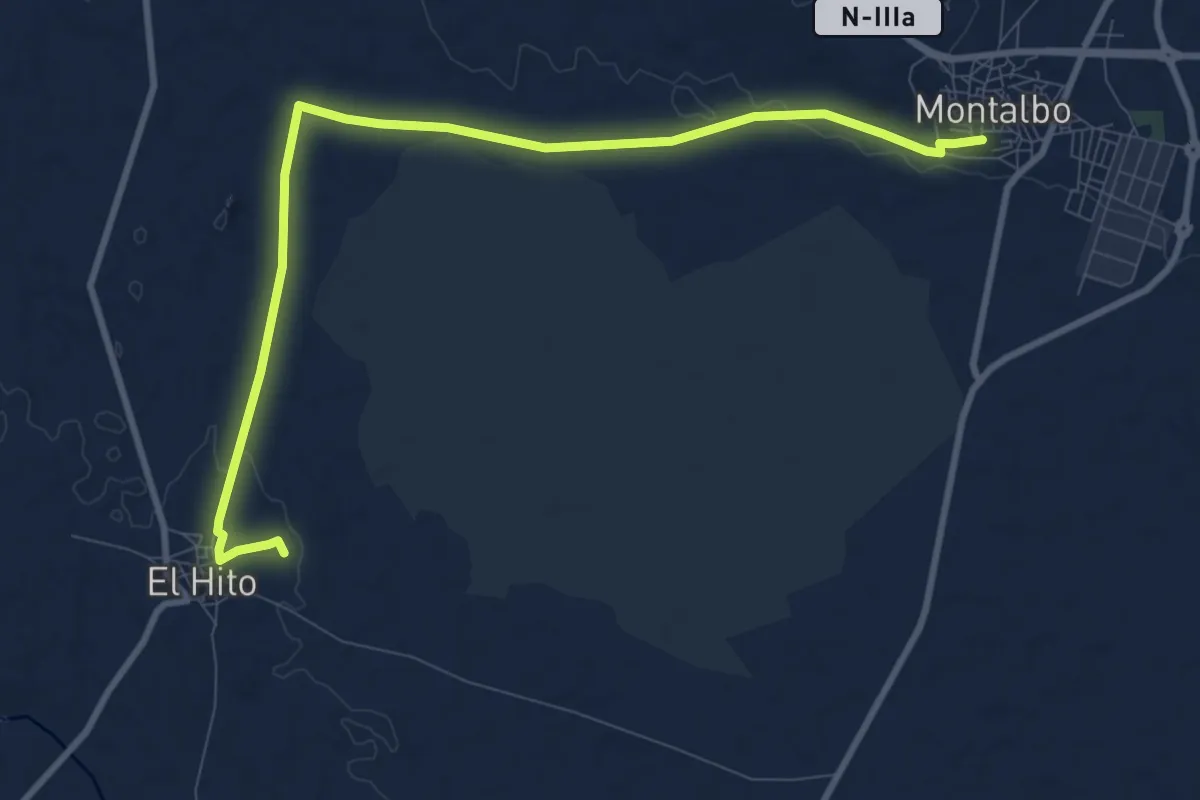
Medium · Trail
Laguna del Hito. Montalbo
11.9 km · ↑ 93 m · 3 h
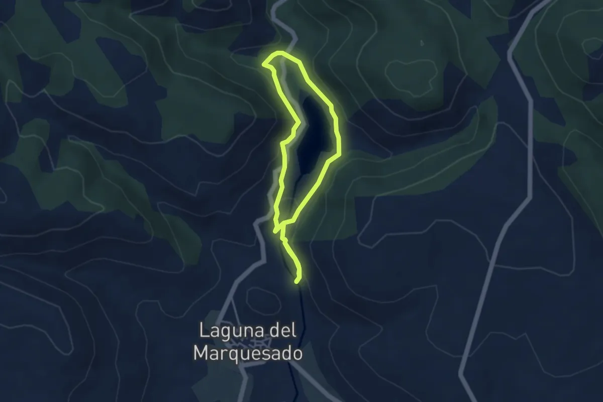
Easy · Trail
Laguna del Marquesado
3.4 km · ↑ 115 m · 1 h 5 min
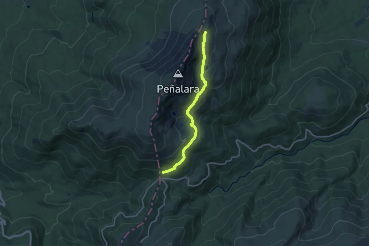
Medium · Cabin
Laguna de los Pájaros
9.9 km · ↑ 466 m · 3 h 21 min
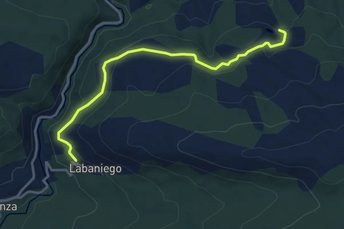
Easy · Trail
Laguna del Ratón
7.0 km · ↑ 217 m · 2 h 7 min
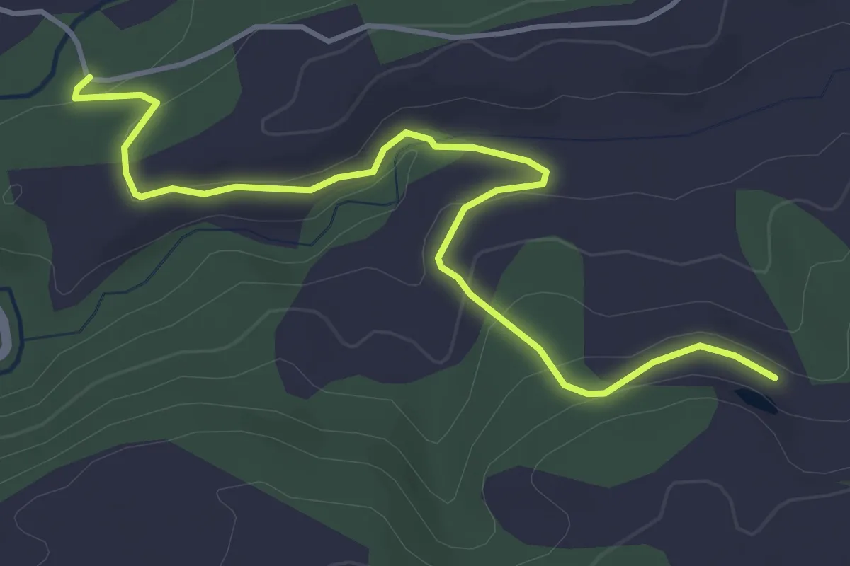
Easy · Trail
Laguna del ratón 2
4.9 km · ↑ 156 m · 1 h 30 min
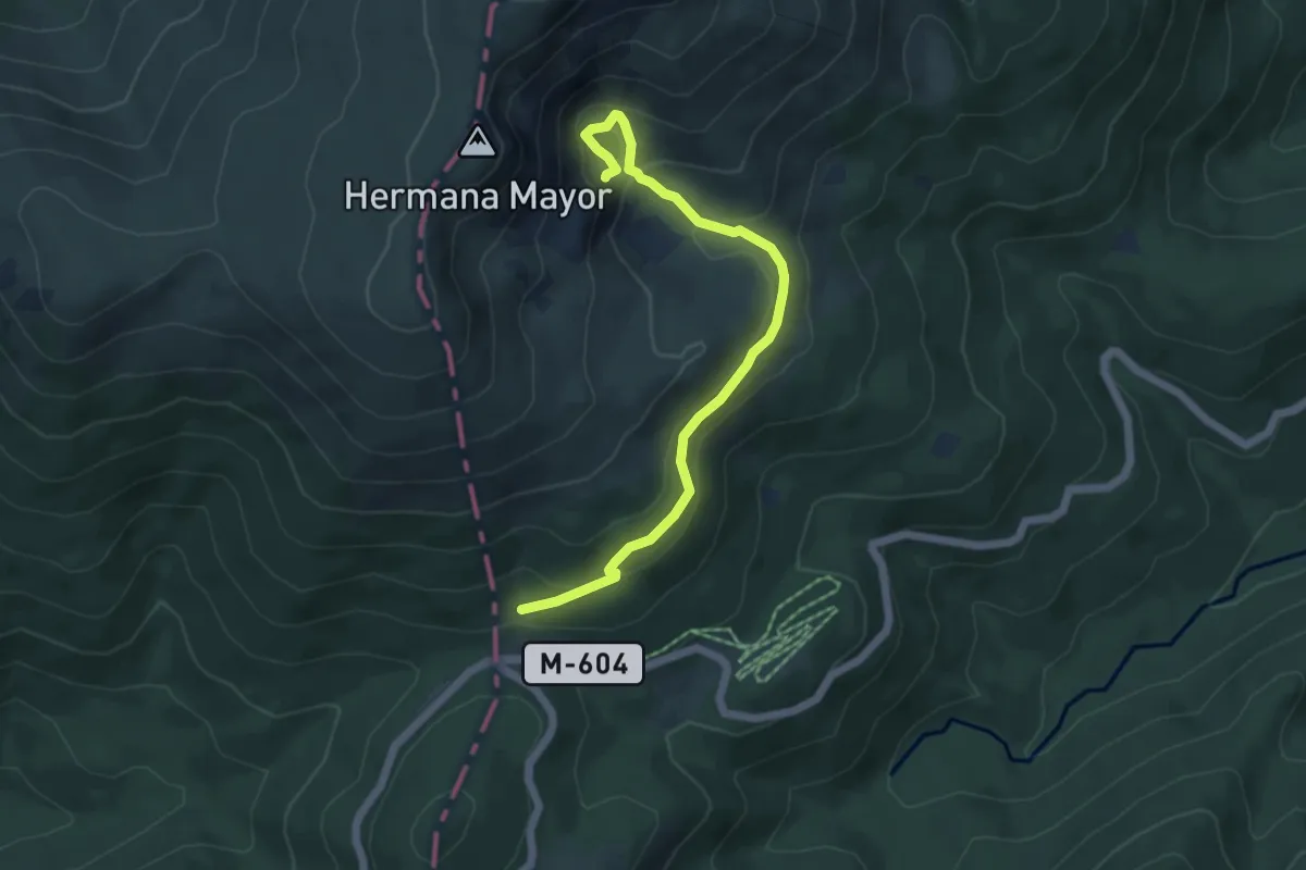
Medium · Cabin
Laguna de Peñalara
6.0 km · ↑ 277 m · 2 h 1 min
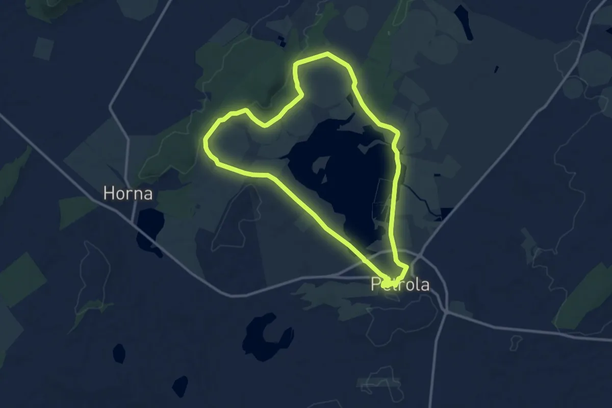
Medium · Trail
Laguna de Pétrola
11.5 km · ↑ 108 m · 3 h 6 min
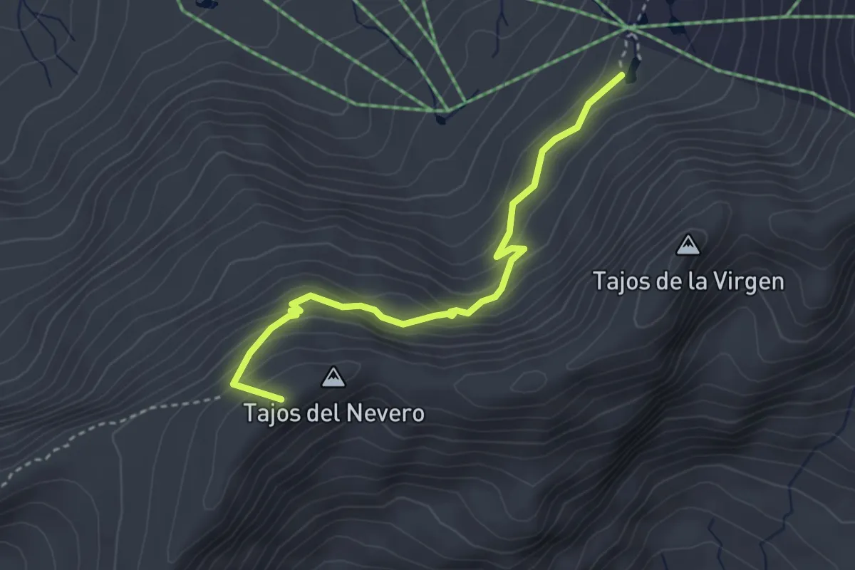
Easy · Summit
Lagunillos de la Virgen - Elorrieta
3.8 km · ↑ 289 m · 1 h 32 min
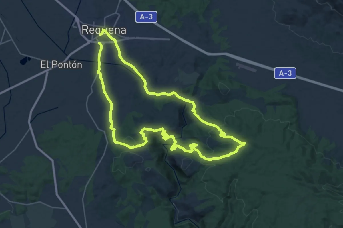
Demanding · Trail
La Herrada del Gallego
22.2 km · ↑ 541 m · 6 h 44 min
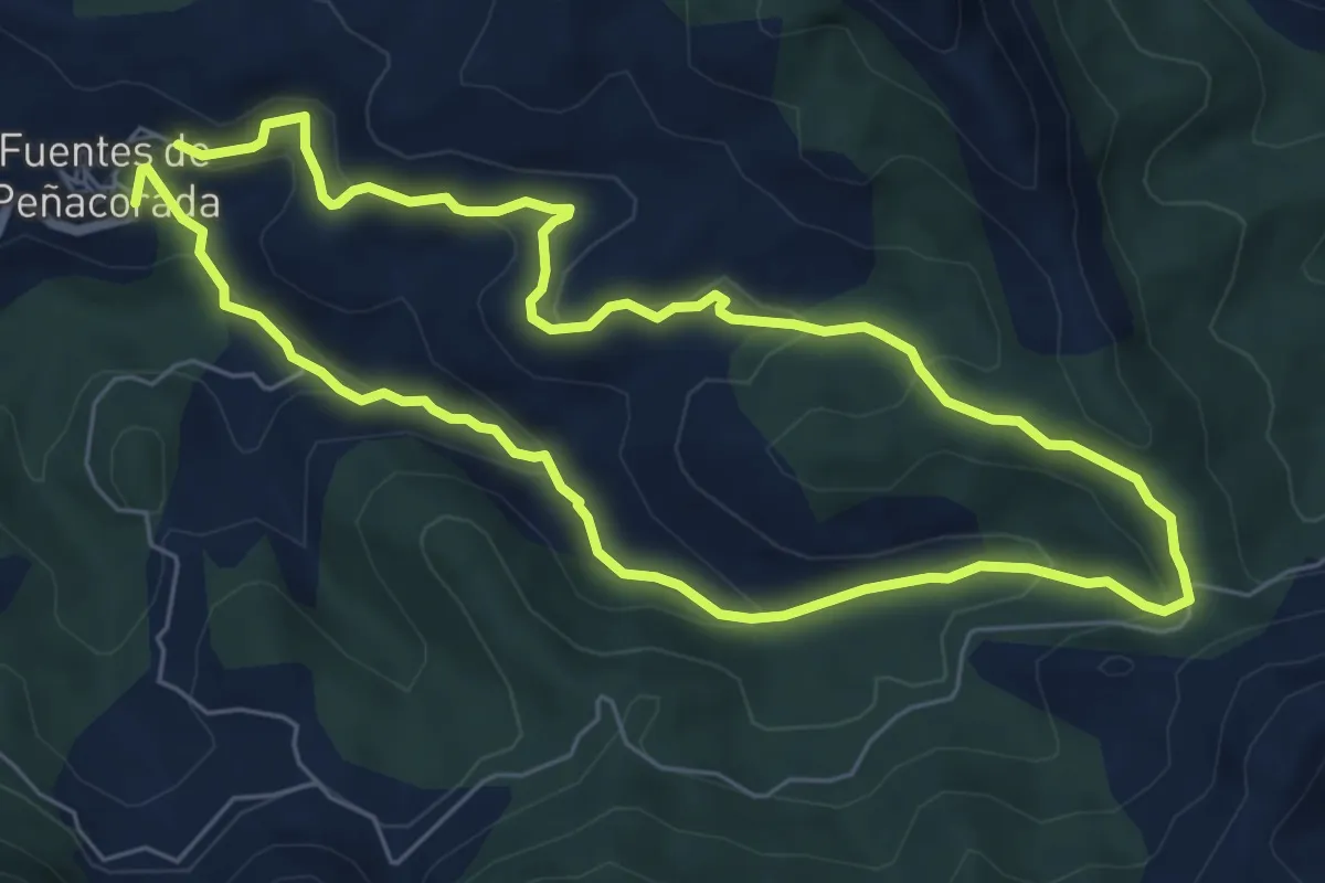
Medium · Trail
La Huella de las Legiones
12.9 km · ↑ 602 m · 4 h 20 min
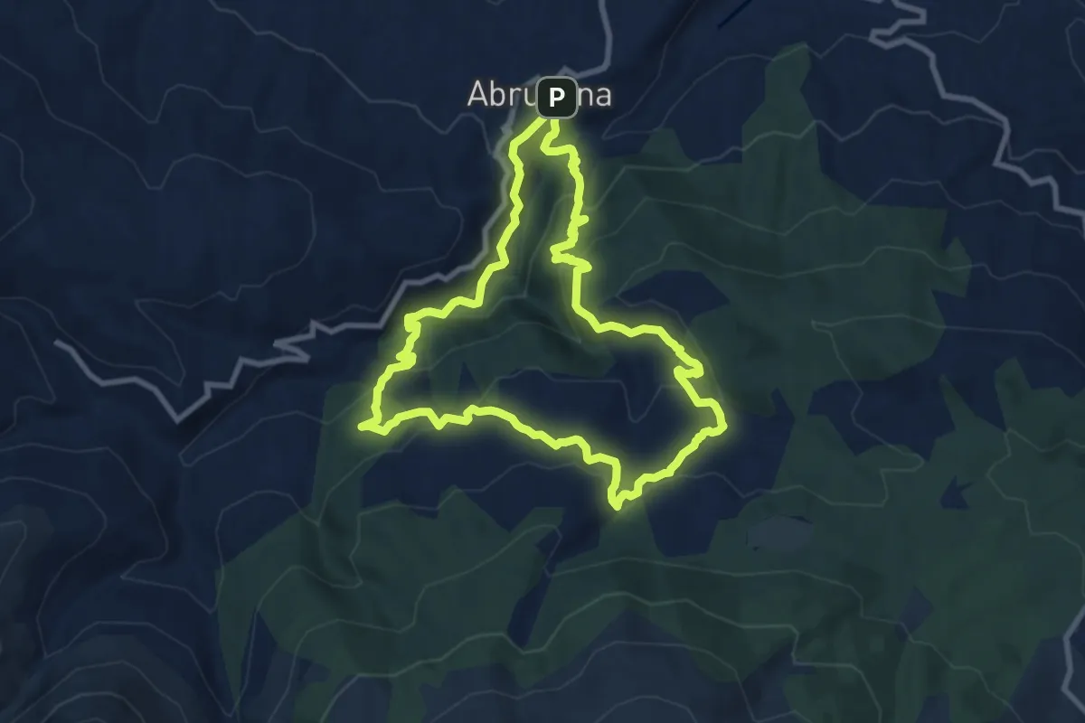
Medium · Summit
La Jairola - El Castillejo
9.7 km · ↑ 523 m · 3 h 34 min
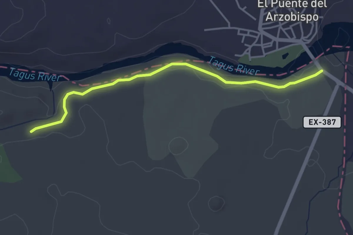
Easy · Trail
La Jara
4.1 km · ↑ 54 m · 1 h 5 min
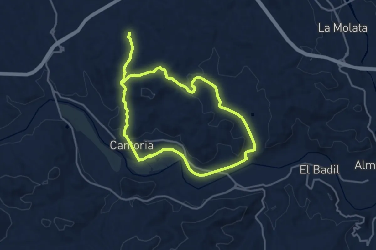
Medium · Trail
La Jata
10.1 km · ↑ 182 m · 2 h 54 min
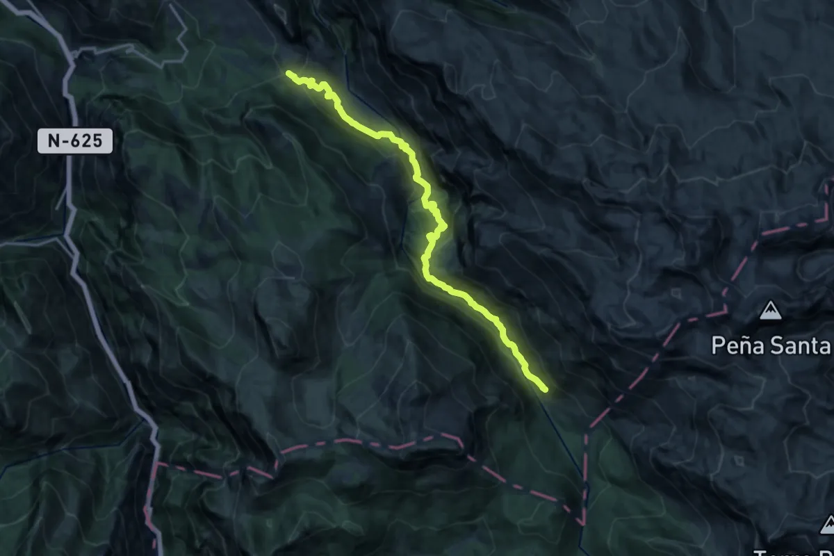
Demanding · Trail
La Jocica - Carombo
16.1 km · ↑ 985 m · 5 h 57 min
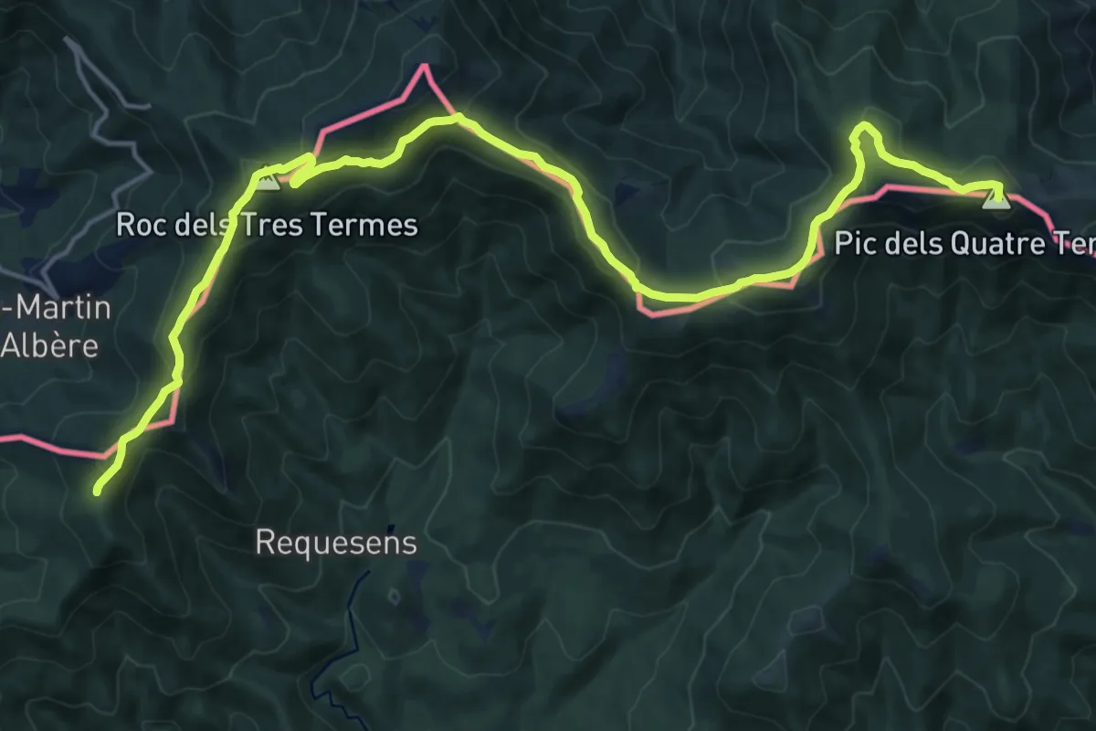
Demanding · Summit
La Jonquera-Portbou
21.2 km · ↑ 889 m · 6 h 56 min
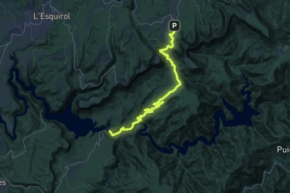
Medium · Trail
La Jonquera - Sant Adrià del Besós. Variant Rupit
15.4 km · ↑ 565 m · 5 h 18 min
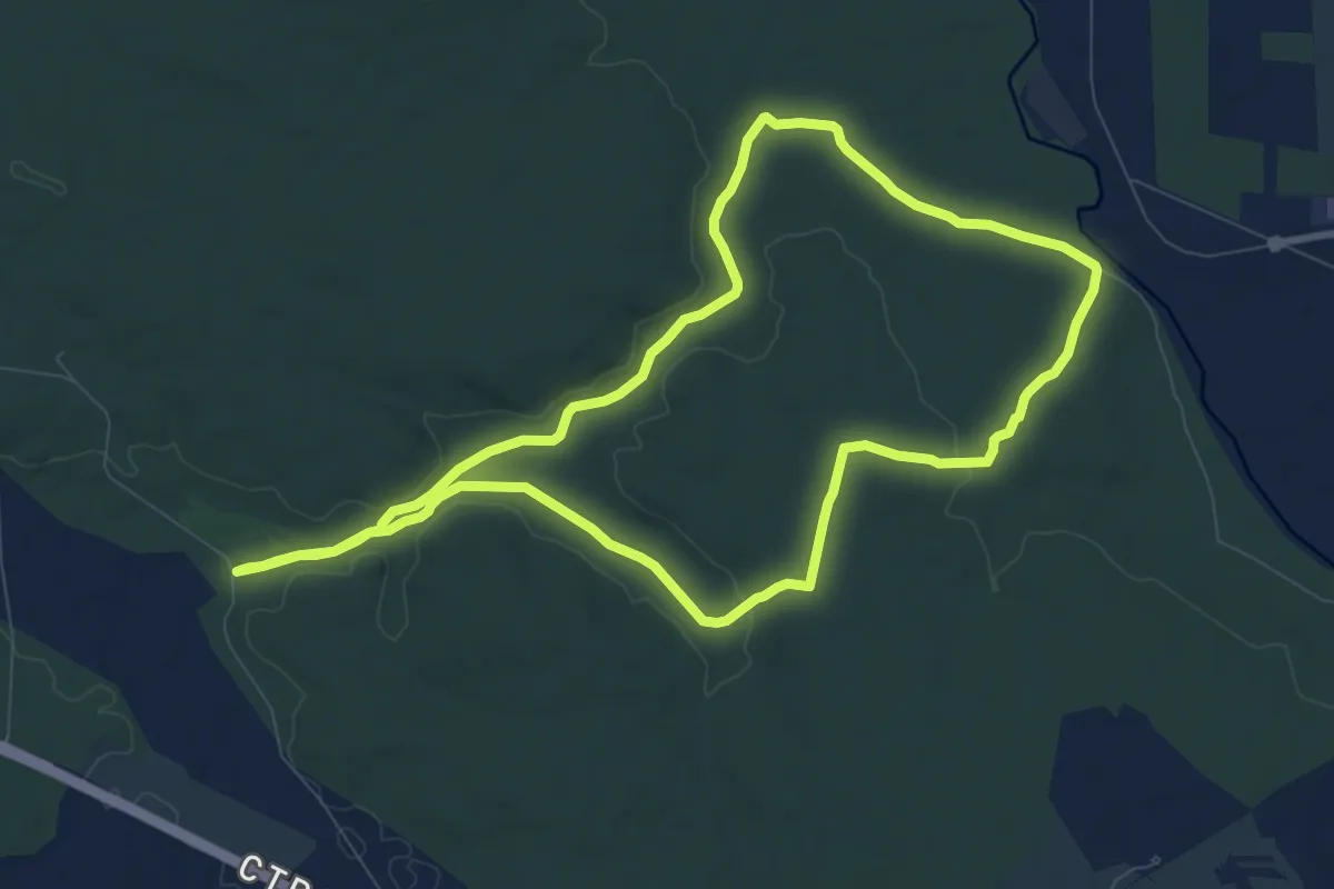
Medium · Trail
La Junta de los Rios
9.9 km · ↑ 71 m · 2 h 37 min
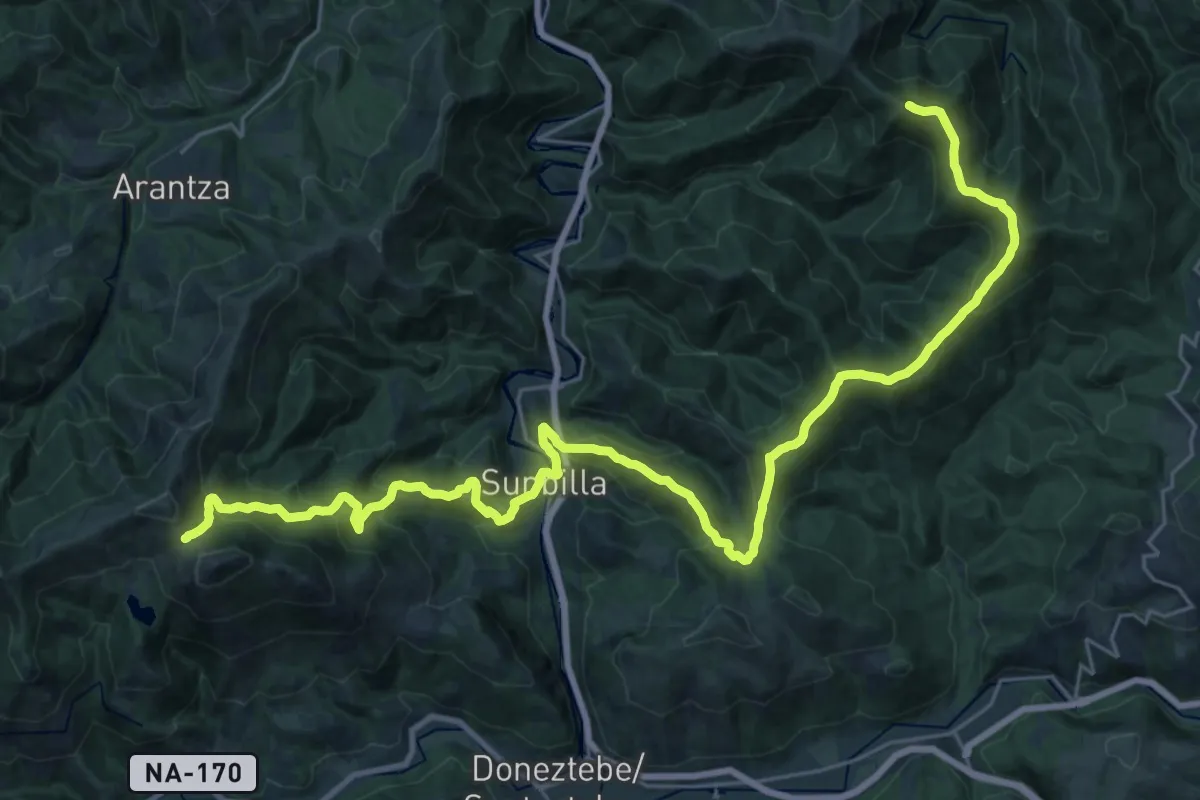
Demanding · Summit
Lakaingo lepoa - Bustitza
36.3 km · ↑ 1941 m · 12 h 47 min
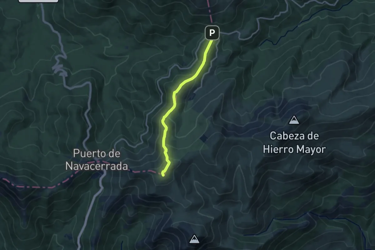
Medium · Summit
La Loma del Noruego
10.2 km · ↑ 493 m · 3 h 28 min
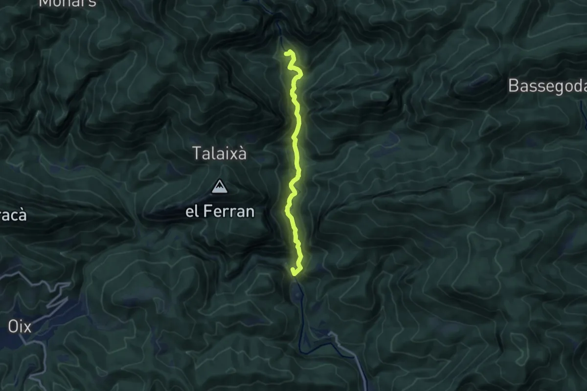
Medium · Summit
L'Alta Garrotxa de Vayreda
9.9 km · ↑ 445 m · 3 h 18 min
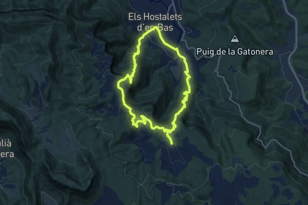
Medium · Summit
L'altiplà de Collsacabra
10.9 km · ↑ 636 m · 4 h 6 min
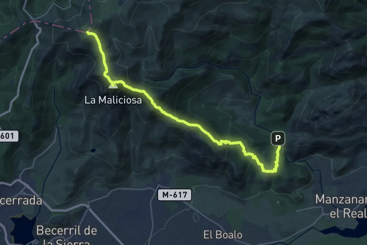
Demanding · Summit
La Maliciosa (por la cuerda de los Porrones)
24.3 km · ↑ 1601 m · 9 h 12 min
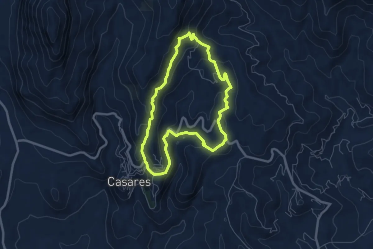
Medium · Trail
La Manga – Celima – Arroyo Hondo
6.3 km · ↑ 276 m · 2 h 11 min
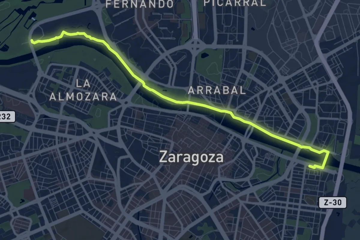
Medium · Trail
La margen izquierda, entre puentes
10.9 km · ↑ 51 m · 2 h 41 min
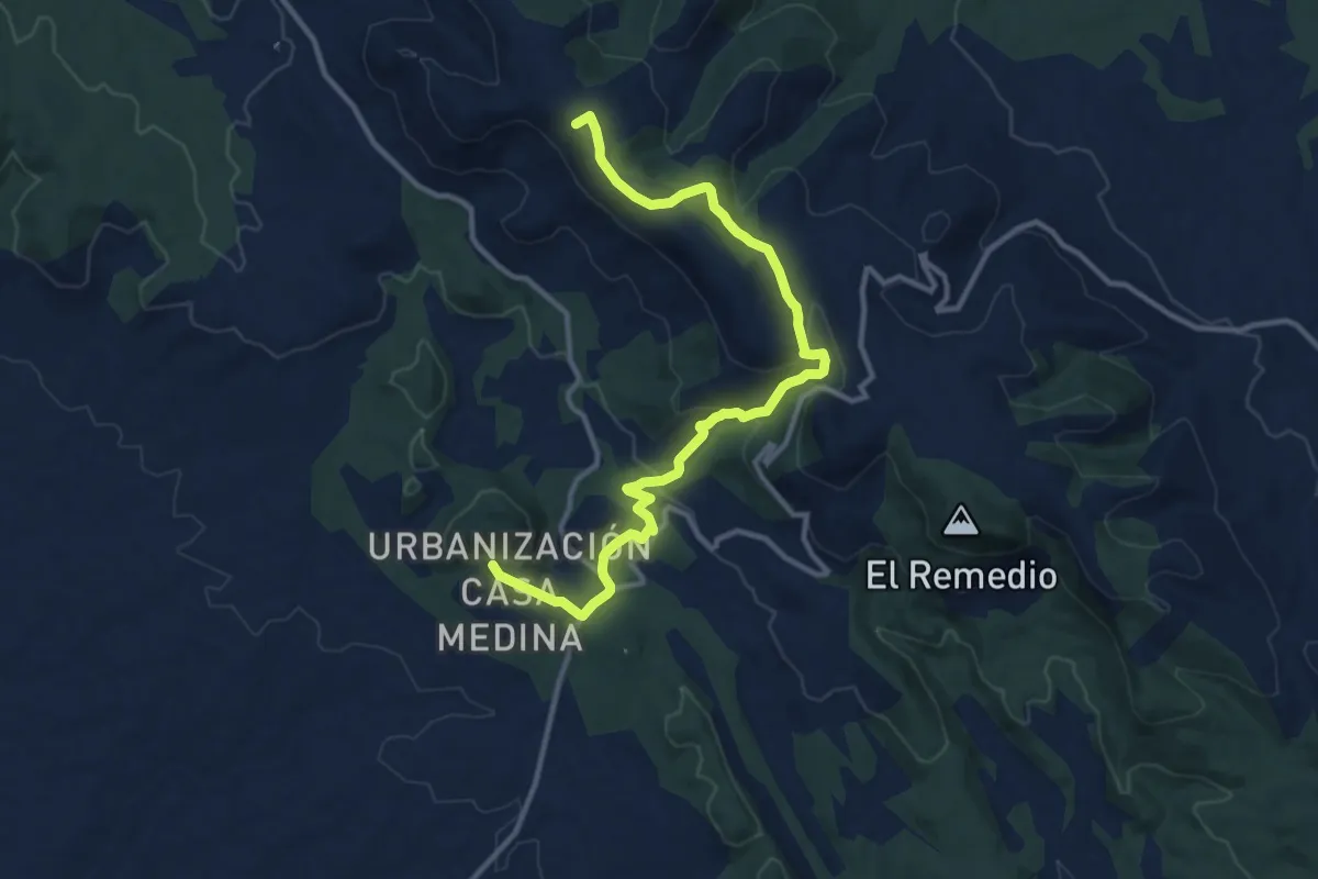
Medium · Summit
La Mazorra
14.4 km · ↑ 419 m · 4 h 18 min
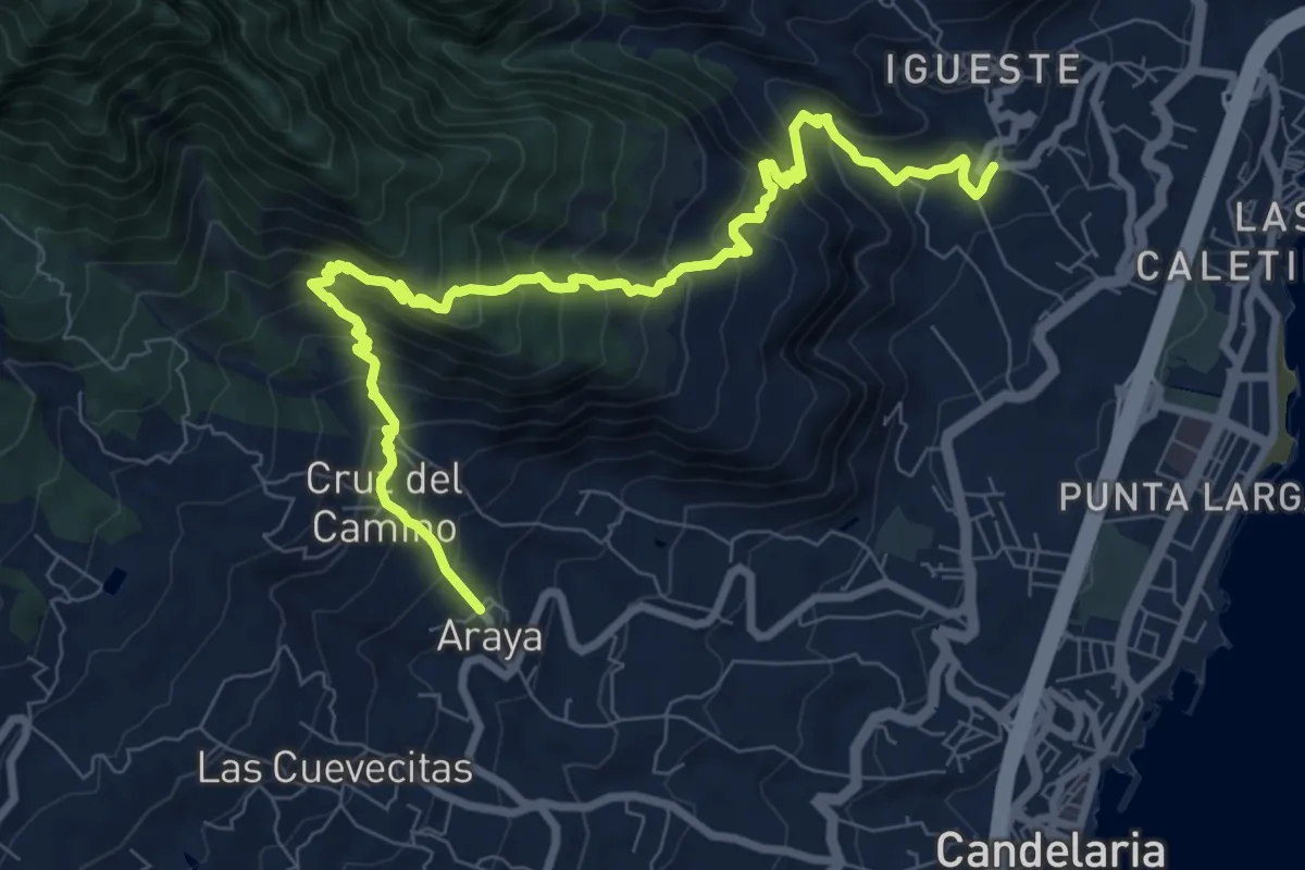
Demanding · Trail
La Mesa
12.7 km · ↑ 1208 m · 5 h 37 min