Trails in Spain
5,962 hiking trails, each with its route, climb, walking time and grade.
All trails, page 54 of 125
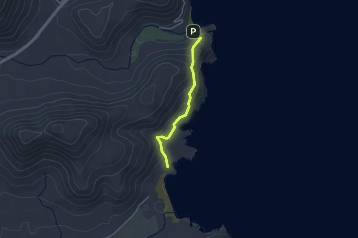
Easy · Trail
La Molata
2.9 km · ↑ 138 m · 59 min
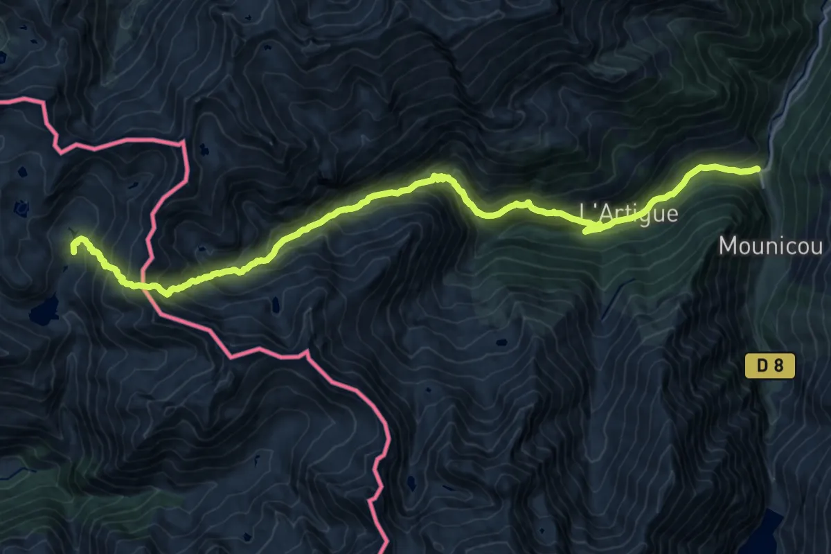
Demanding · Trail
La Molinasa - Marc
11.3 km · ↑ 458 m · 4 h 20 min
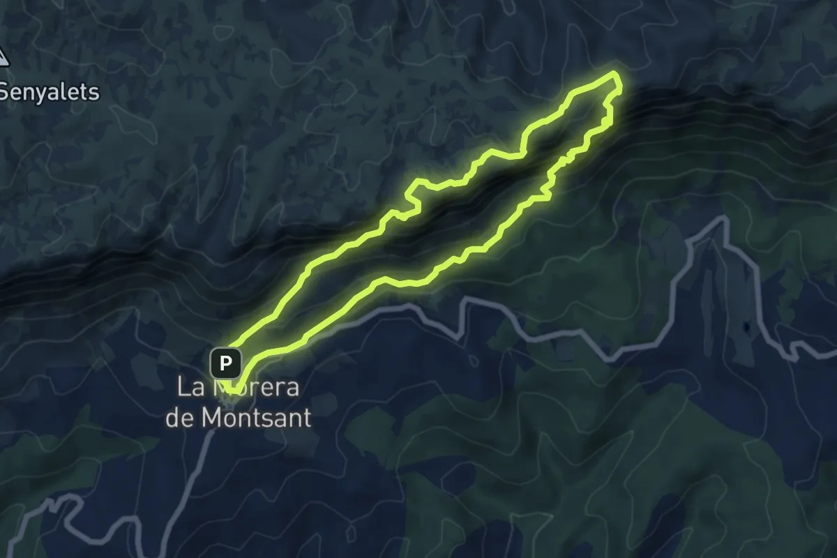
Expert · Summit
la Morera de Montsant
6.5 km · ↑ 454 m · 2 h 36 min
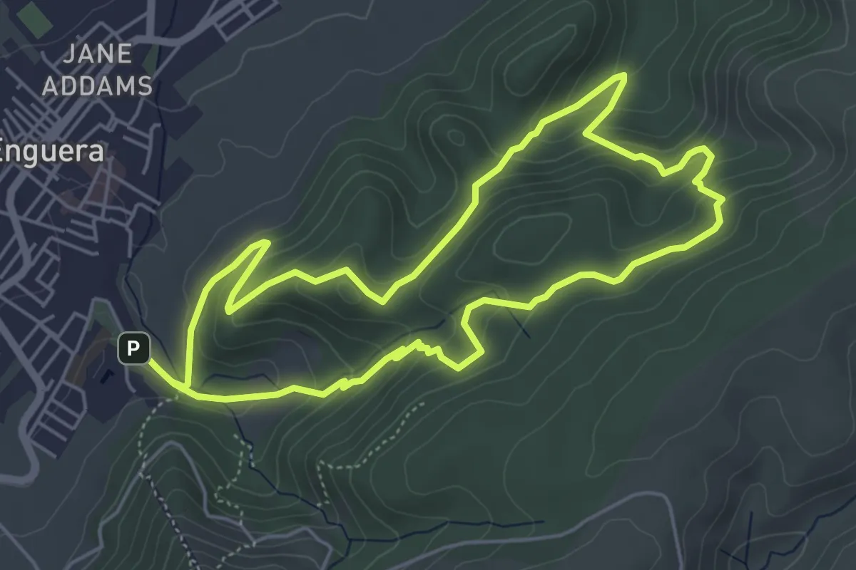
Medium · Trail
La Mota - Castillo - Fuente Lucena
5.8 km · ↑ 333 m · 2 h 10 min
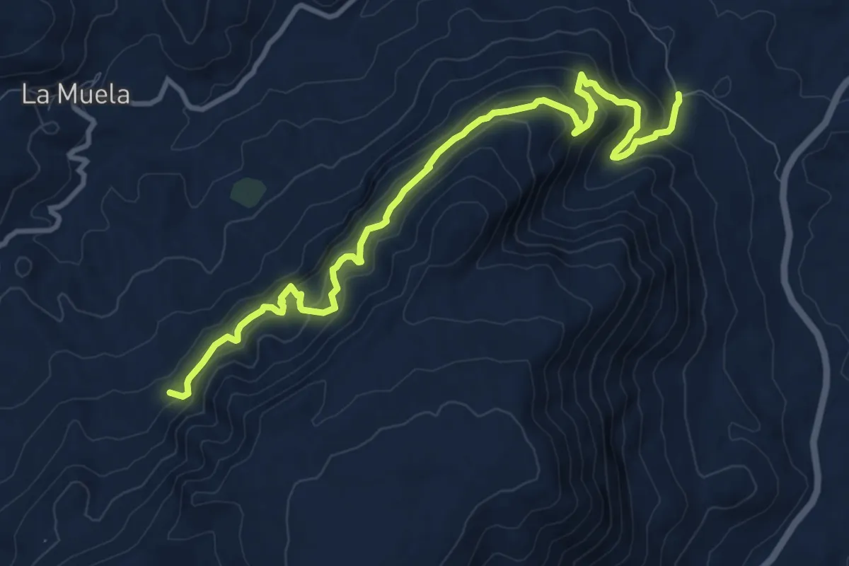
Demanding · Trail
LA MUELA - LOS NACIMIENTOS
12.8 km · ↑ 972 m · 5 h 8 min
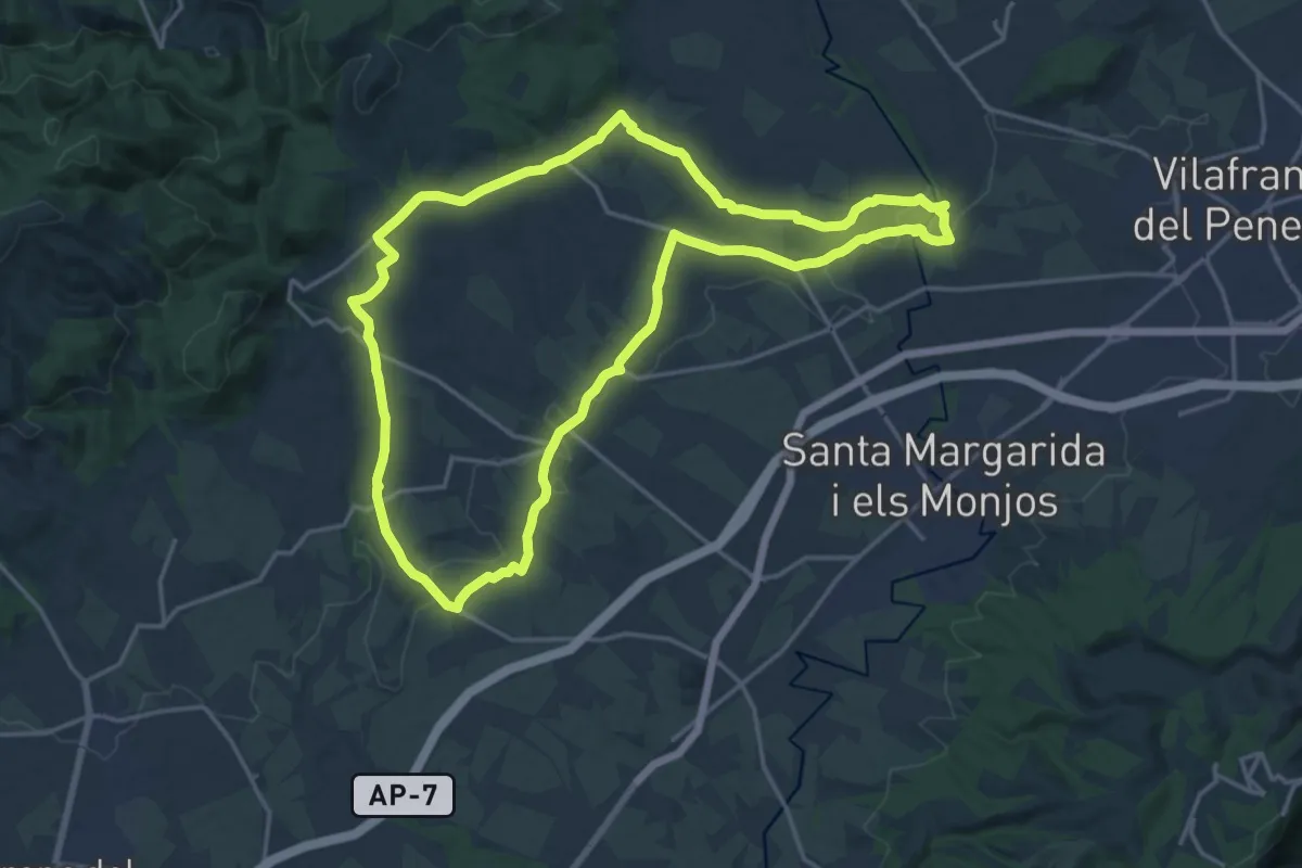
Demanding · Trail
La Múnia
19.7 km · ↑ 135 m · 5 h 12 min
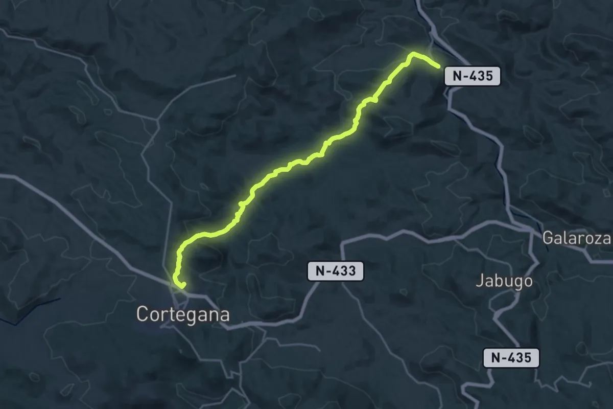
Demanding · Trail
La Nava a Cortegana
21.0 km · ↑ 574 m · 6 h 13 min
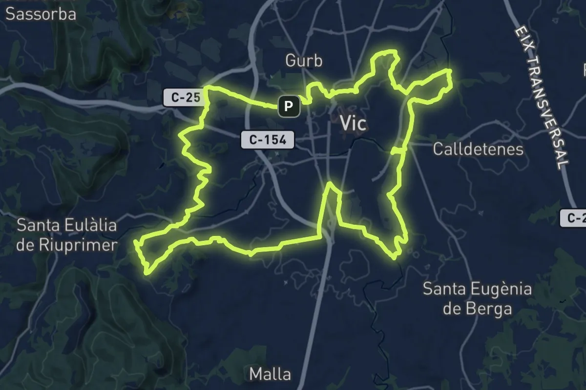
Demanding · Summit
L'Anella Verda de Vic
25.7 km · ↑ 263 m · 7 h
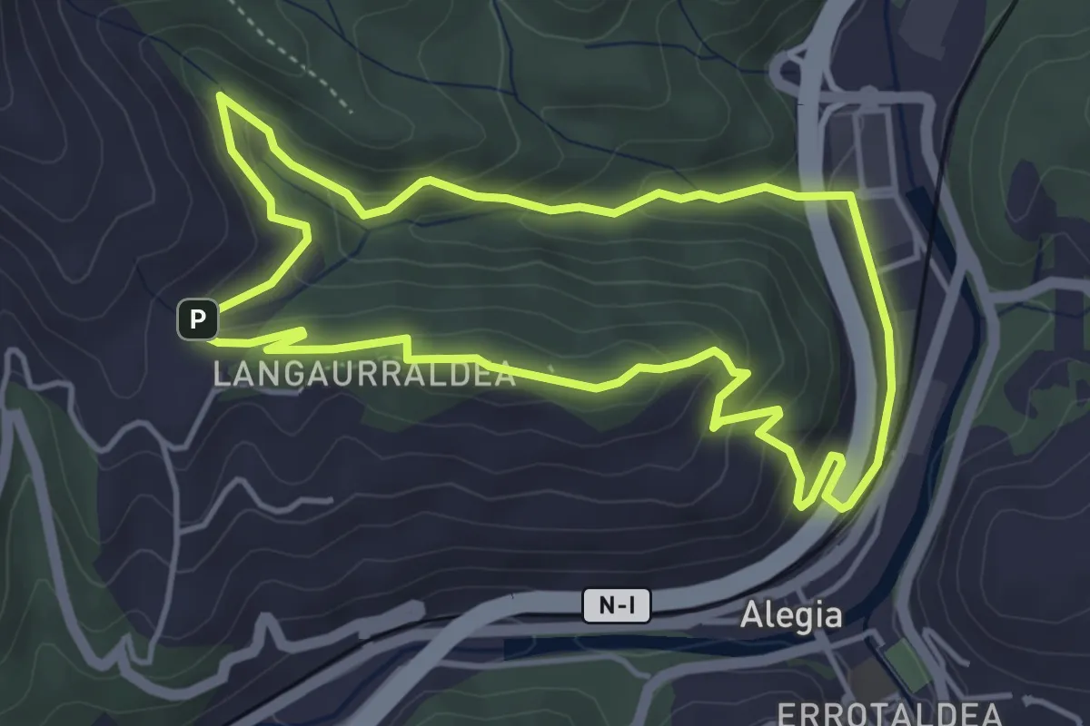
Medium · Summit
Langaurre
4.5 km · ↑ 226 m · 1 h 37 min
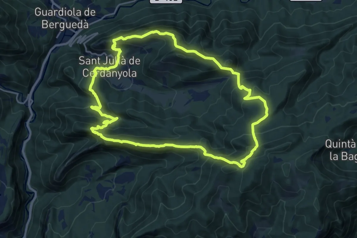
Demanding · Summit
La Olla de Sant Julià de Cerdanyola
15.5 km · ↑ 1071 m · 6 h 11 min
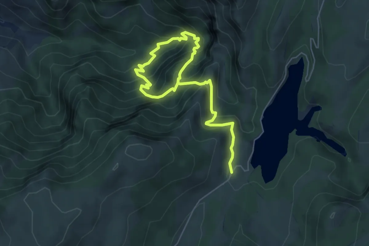
Medium · Trail
La Osera
7.5 km · ↑ 763 m · 3 h 26 min
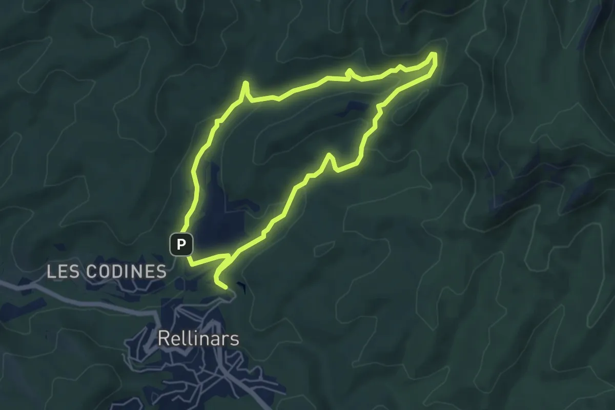
Medium · Trail
La pedra seca
5.3 km · ↑ 128 m · 1 h 36 min
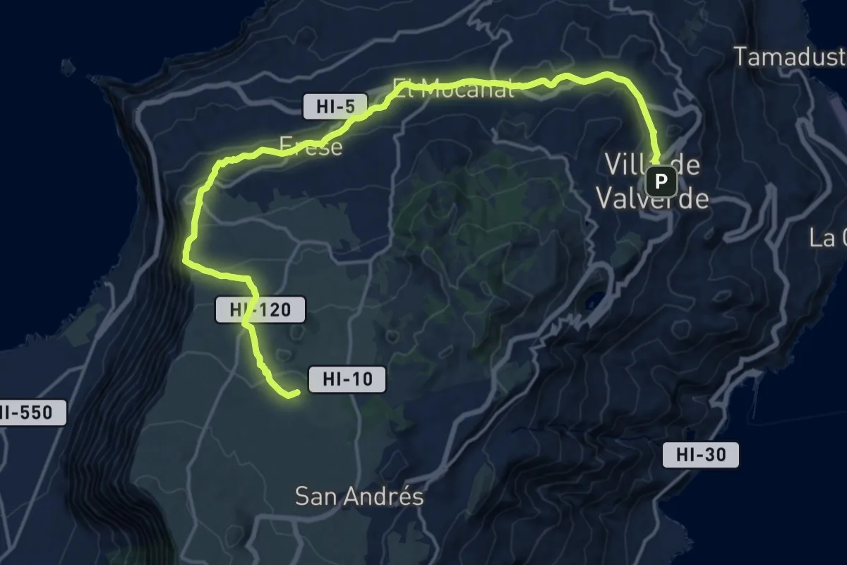
Demanding · Summit
La Peña Camino de el Norte
24.5 km · ↑ 921 m · 7 h 47 min
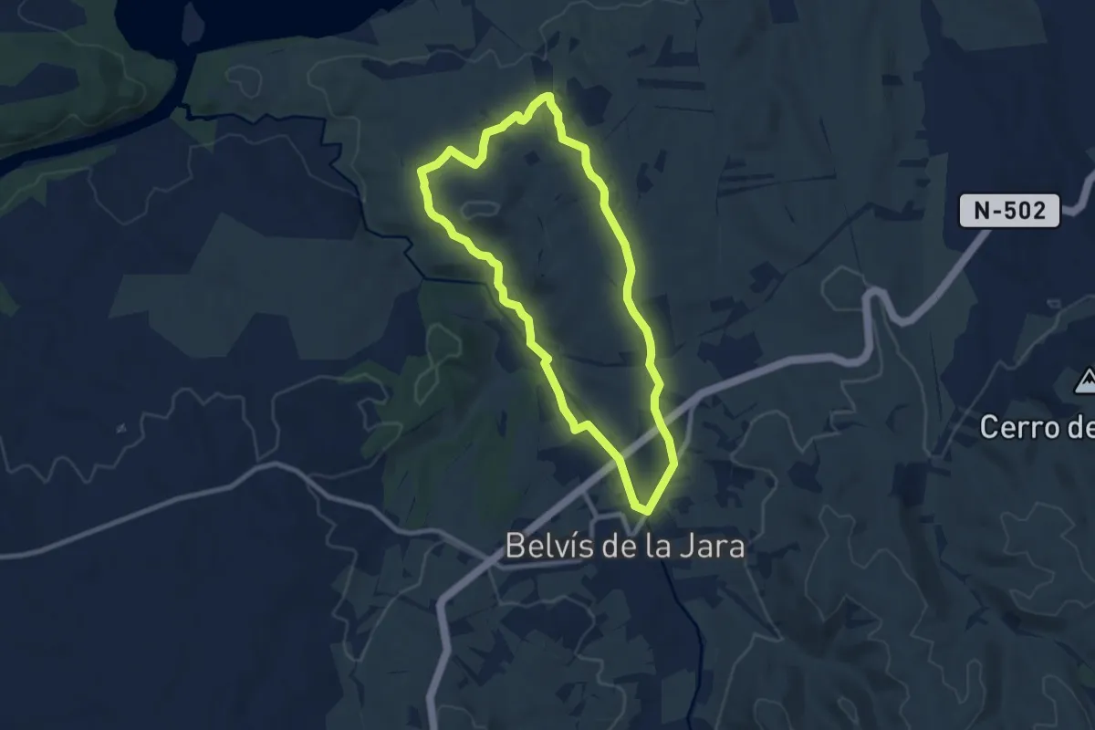
Medium · Trail
La Peña de la Mora
8.8 km · ↑ 107 m · 2 h 26 min
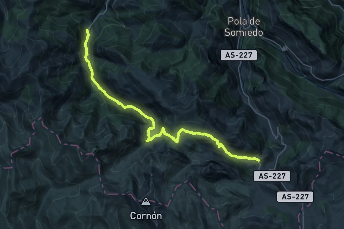
Demanding · Trail
La Peral - Villar de Vildas
12.9 km · ↑ 904 m · 4 h 56 min
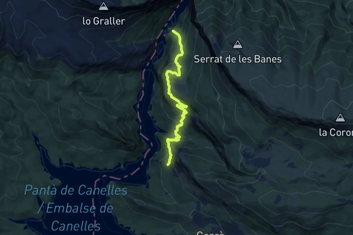
Medium · Summit
La Pertusa-Congost de Mont-rebei
9.6 km · ↑ 792 m · 4 h
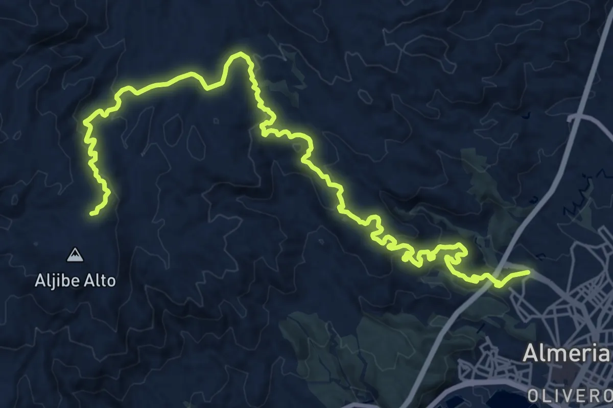
Demanding · Trail
La Peseta - Camino de Enix
15.5 km · ↑ 893 m · 5 h 28 min
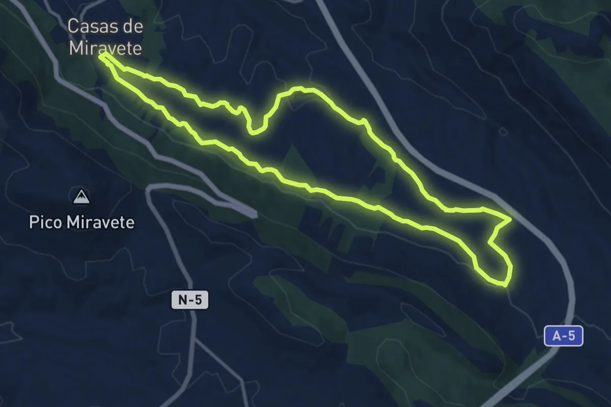
Medium · Trail
La Piñuela
11.1 km · ↑ 182 m · 3 h 11 min
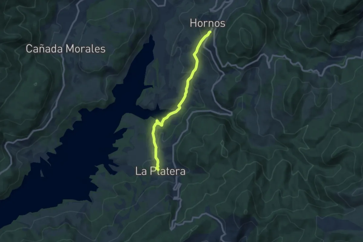
Medium · Trail
La Platera - Hornos de Segura
8.0 km · ↑ 300 m · 2 h 32 min
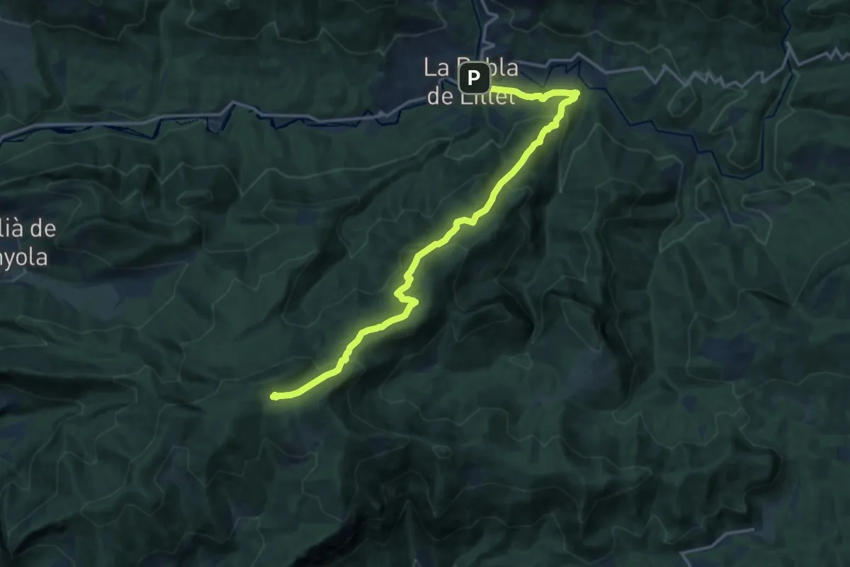
Demanding · Summit
La Pobla de Lillet - Pla de la Clusa
17.5 km · ↑ 956 m · 6 h 13 min
Medium · Summit
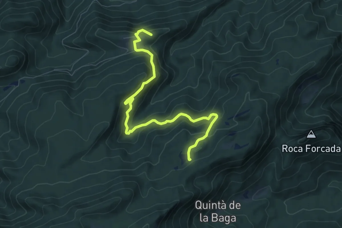
La Pobla de Lillet - Prat Gespador
9.2 km · ↑ 628 m · 3 h 31 min
Medium · Summit
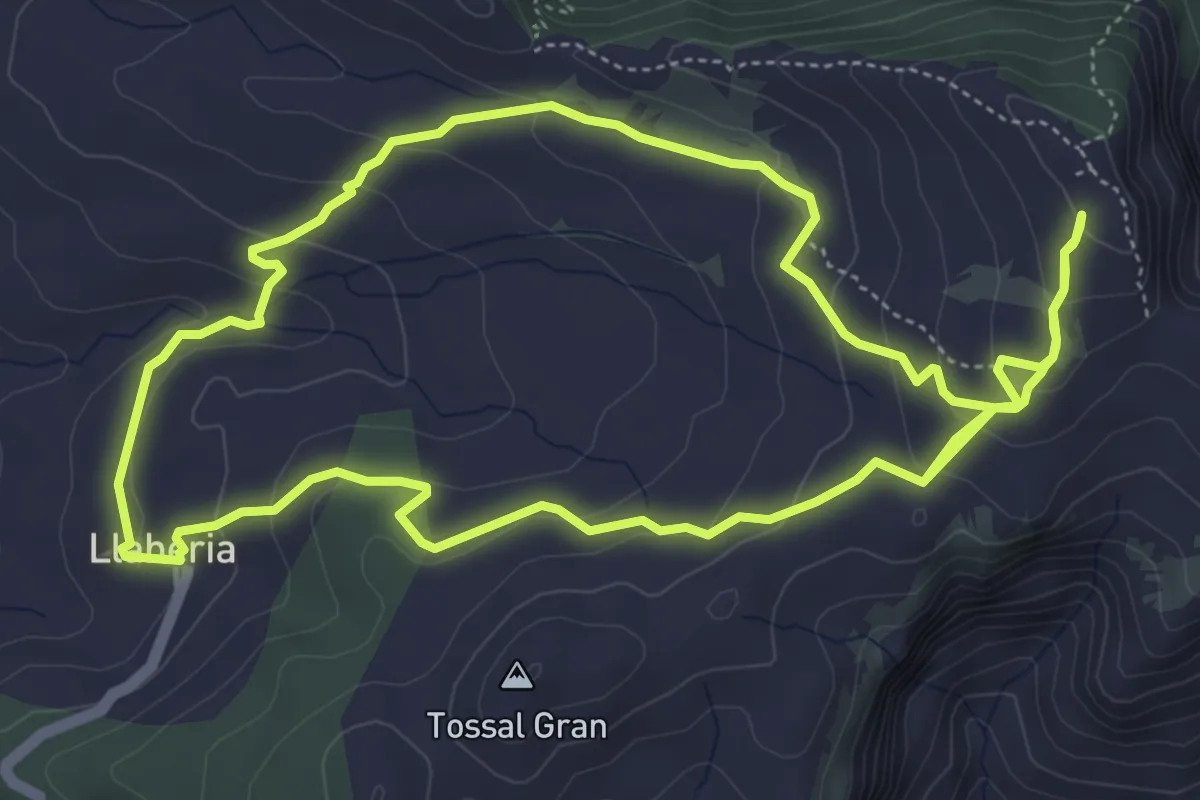
La predicció del Temps, la Miranda
5.9 km · ↑ 286 m · 2 h 4 min
Medium · Trail
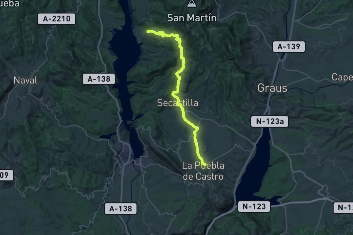
La Puebla de Castro-Secastilla-Puy de Cinca
13.7 km · ↑ 549 m · 4 h 37 min
Easy · Trail
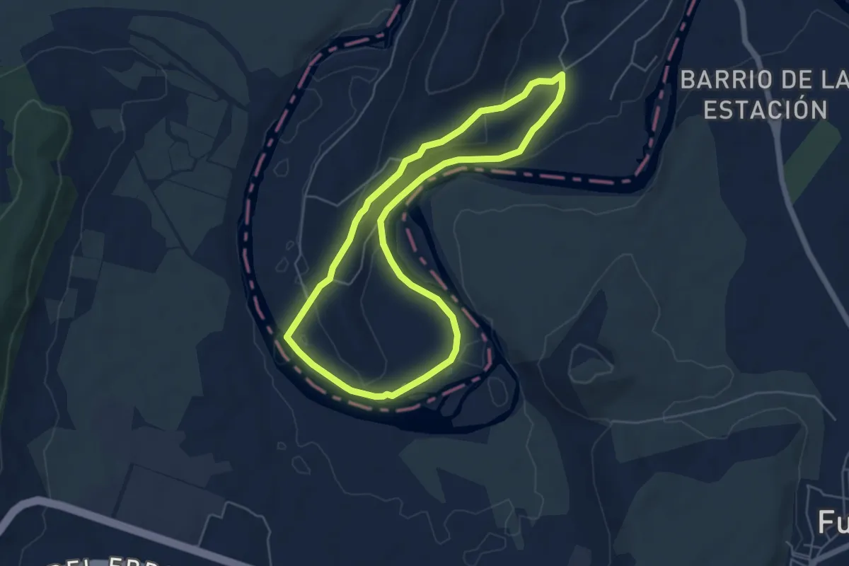
Lapuebla de Labarcako Ebro ibaiaren ibarbasoa
5.3 km · ↑ 94 m · 1 h 32 min
Medium · Trail
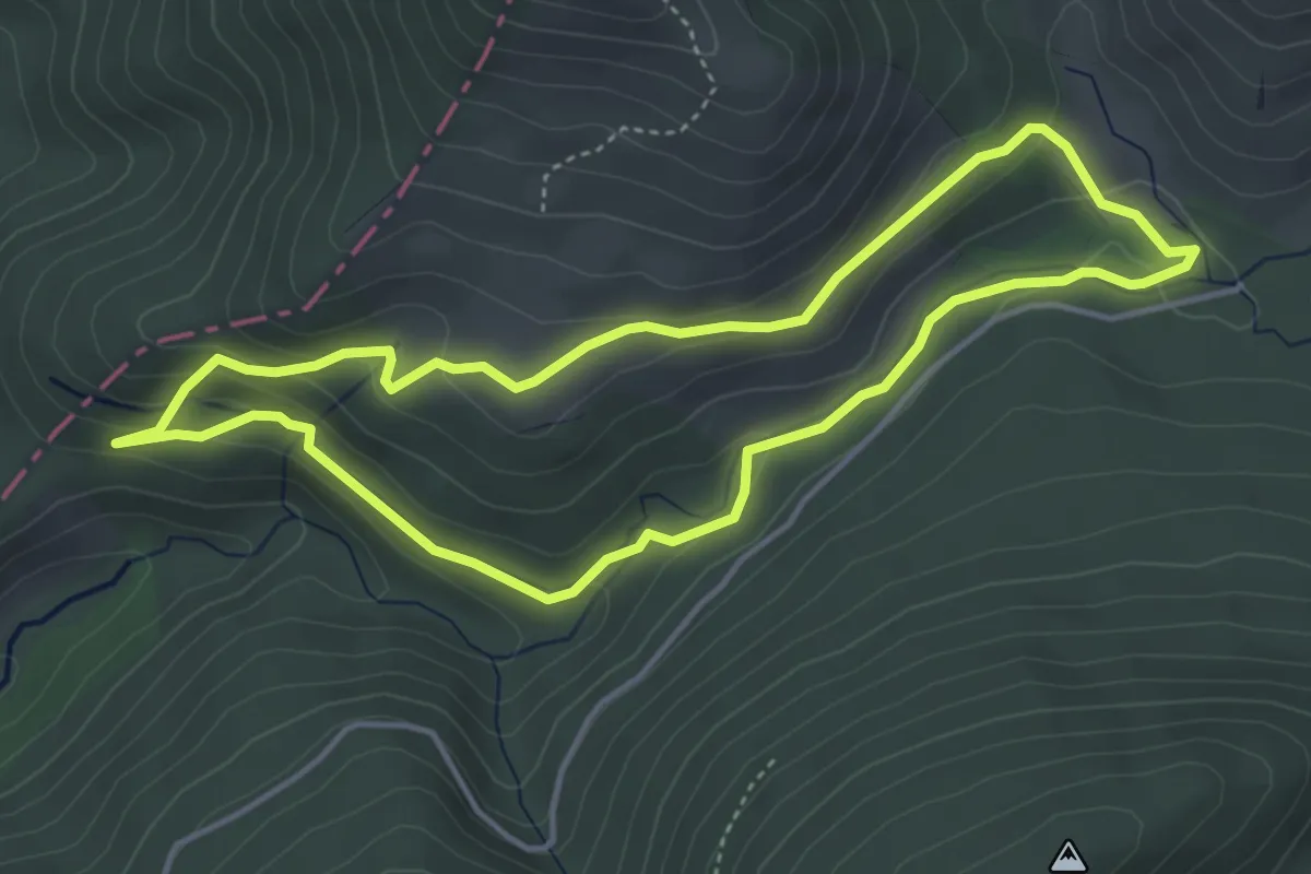
Lapurren kaltzada
4.5 km · ↑ 148 m · 1 h 26 min
Medium · Trail
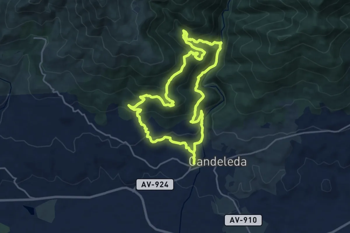
La Raya-Arroyo de Castañarejo
13.5 km · ↑ 638 m · 4 h 46 min
Easy · Trail
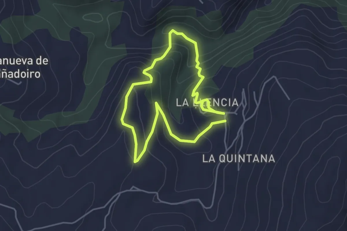
La Regueirina
3.6 km · ↑ 166 m · 1 h 15 min
Easy · Trail
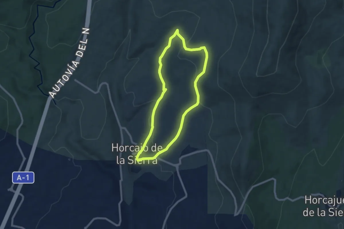
La reguera y la dehesa de Horcajo
5.8 km · ↑ 155 m · 1 h 47 min
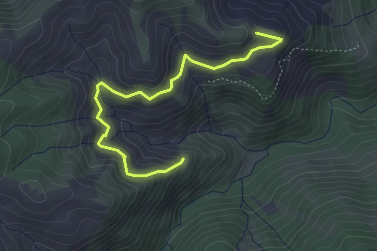
Medium · Trail
La Rejía
5.3 km · ↑ 408 m · 2 h 8 min
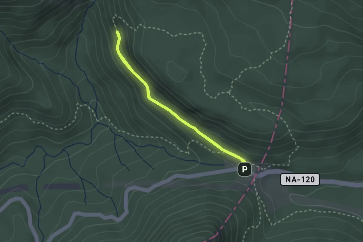
Easy · Trail
Lareo ibilbidea
2.2 km · ↑ 126 m · 49 min
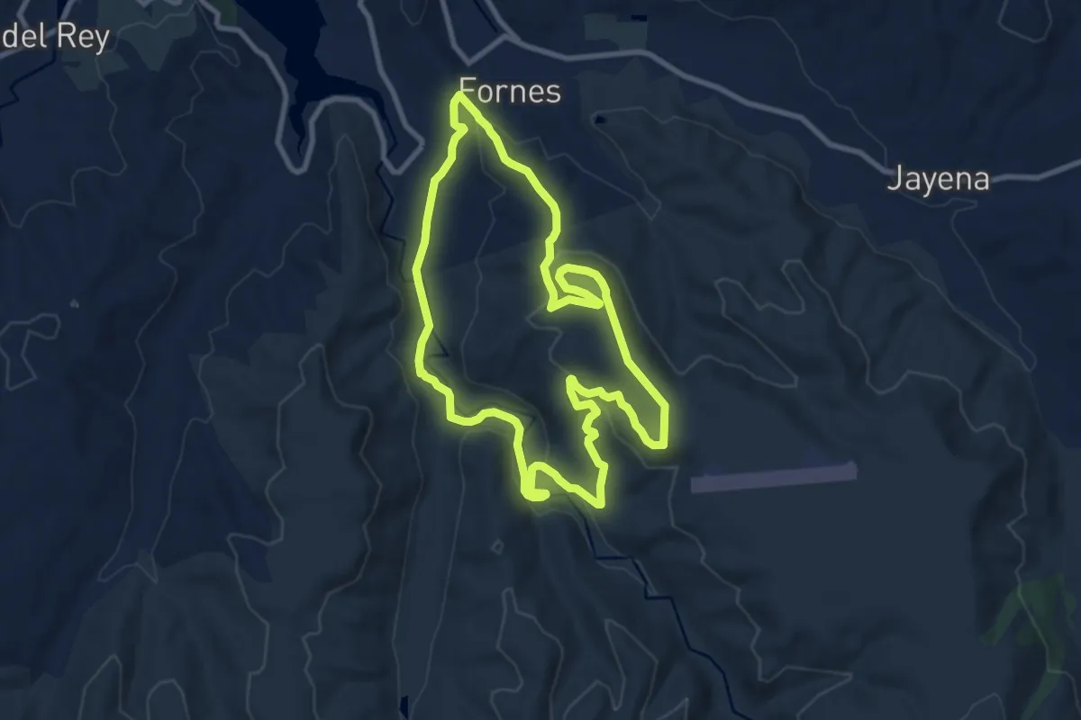
Medium · Summit
La Resinera
10.4 km · ↑ 266 m · 3 h 11 min
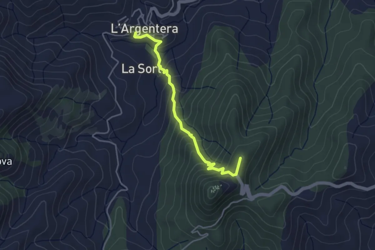
Easy · Summit
L'Argentera - Castell Monestir d'Escornalbou
3.7 km · ↑ 266 m · 1 h 27 min
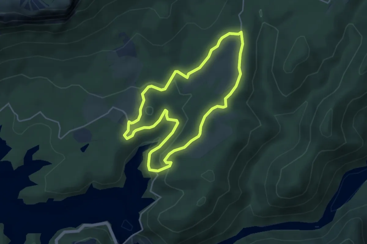
Easy · Trail
La Riba-el Bruguer
4.2 km · ↑ 101 m · 1 h 15 min
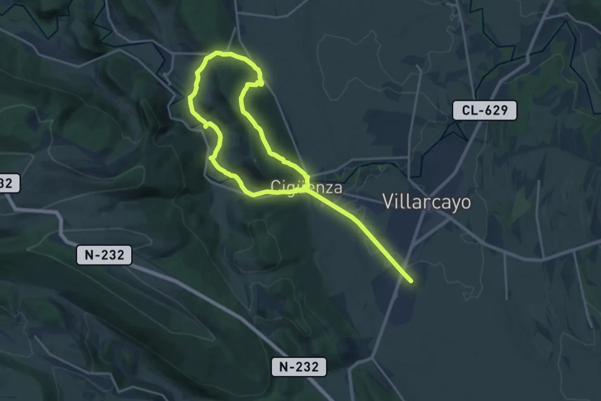
Demanding · Trail
La Riberal del Nela
24.5 km · ↑ 541 m · 6 h 57 min
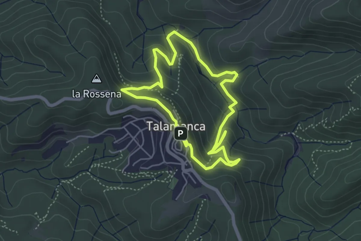
Medium · Trail
La Riera de Talamanca
4.3 km · ↑ 236 m · 1 h 36 min
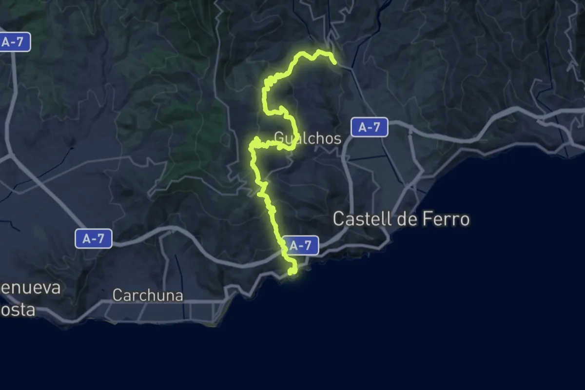
Demanding · Trail
La Rijana-Rambla de Gualchos
14.3 km · ↑ 900 m · 5 h 29 min
Demanding · Trail
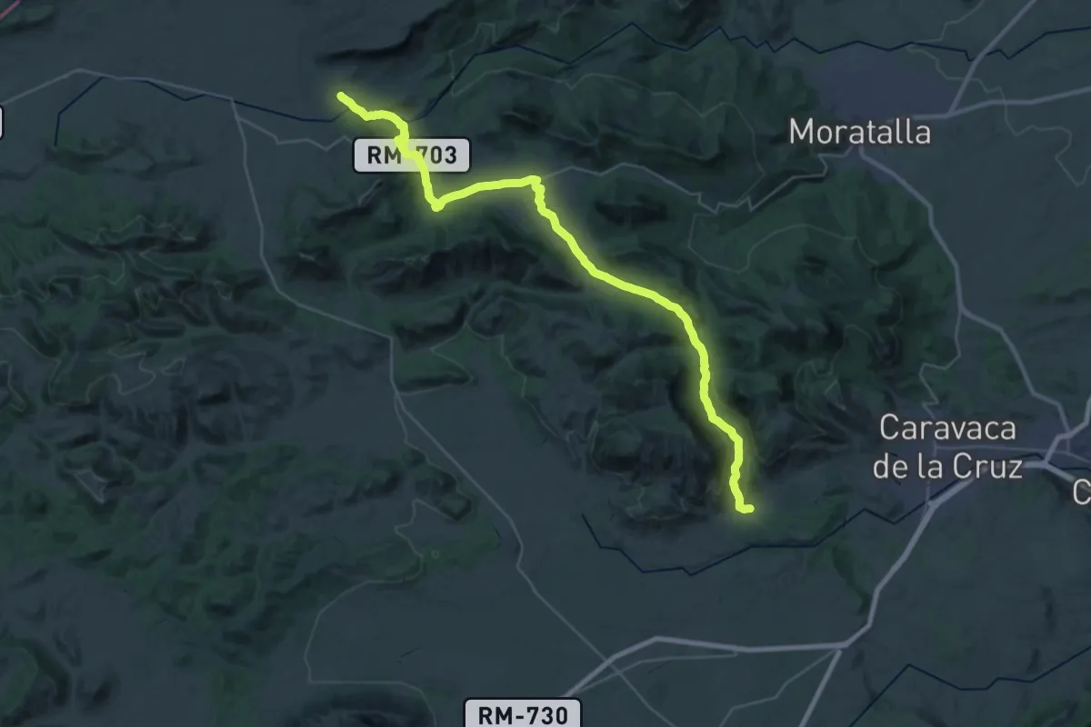
La Risca - Llano de Béjar (Caravaca)
22.1 km · ↑ 556 m · 6 h 35 min
Medium · Trail
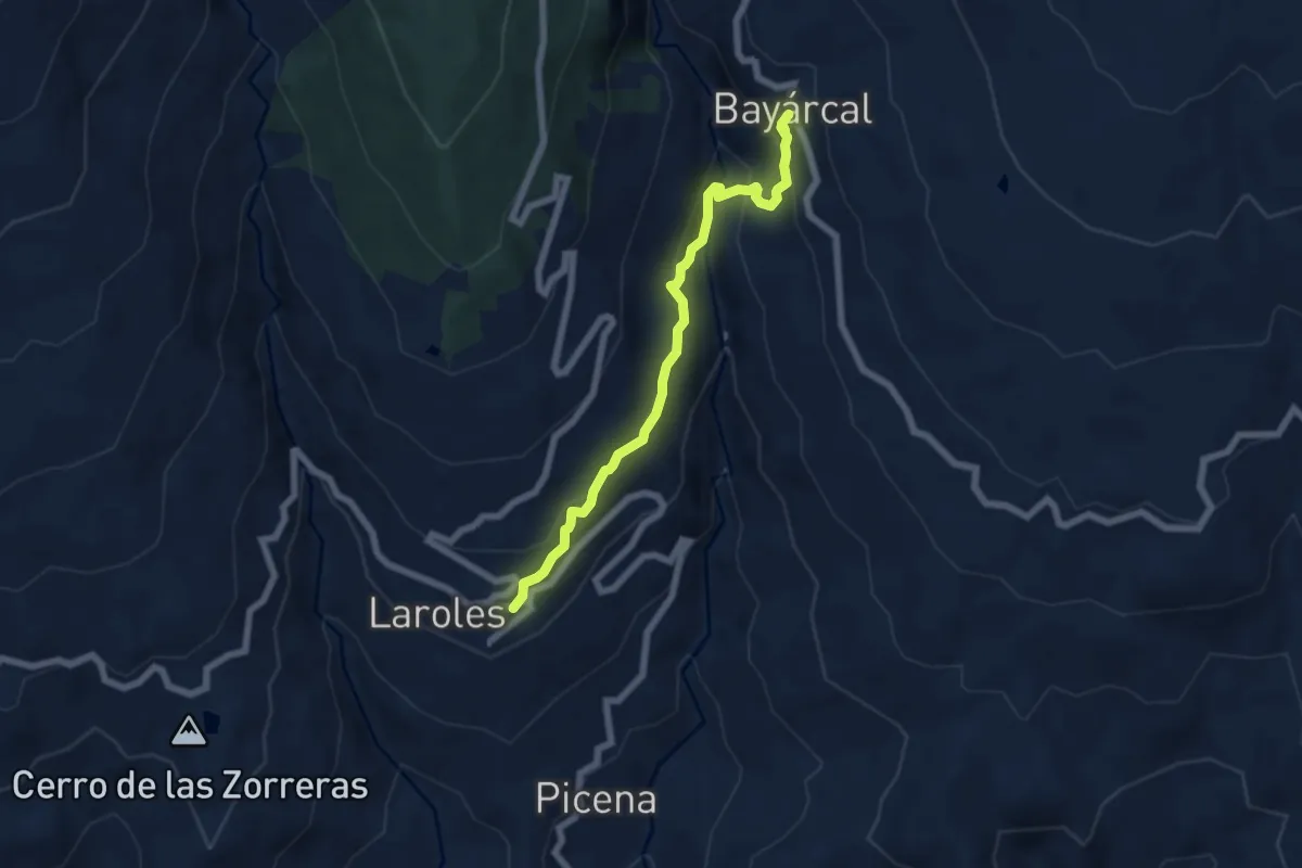
Laroles-Bayárcal
6.8 km · ↑ 423 m · 2 h 32 min
Medium · Trail
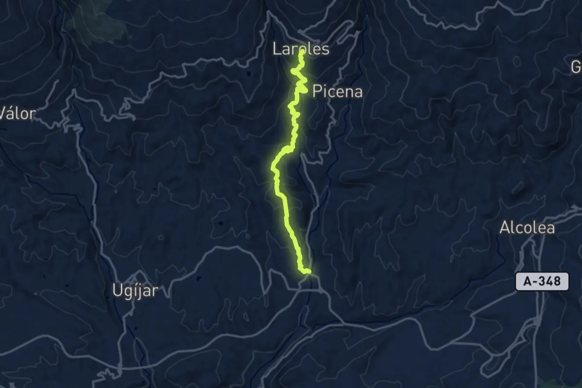
Laroles-Cherin
13.5 km · ↑ 787 m · 4 h 53 min
Medium · Summit
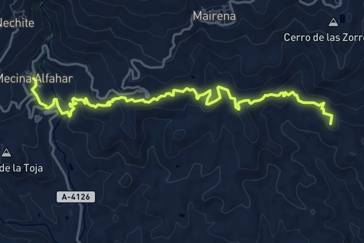
Laroles-Mecina Alfahar
12.5 km · ↑ 584 m · 4 h 13 min
Medium · Summit
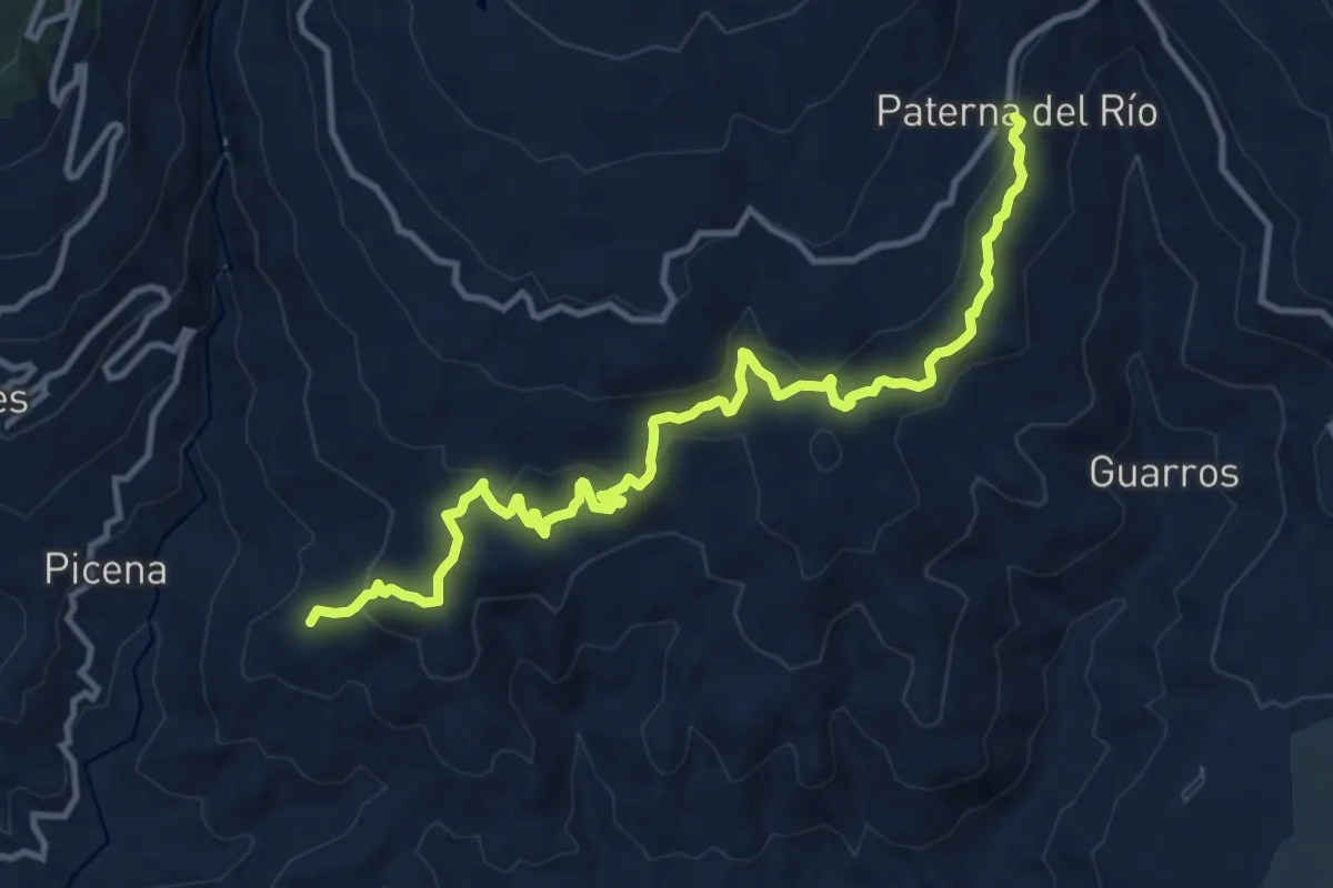
Laroles-Paterna del Rio
14.9 km · ↑ 579 m · 4 h 46 min
Medium · Summit
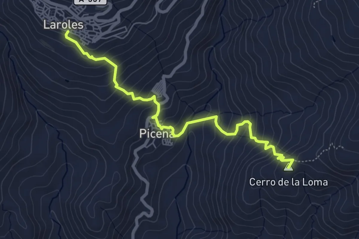
Laroles-Picena-Alcolea
6.5 km · ↑ 510 m · 2 h 39 min
Demanding · Cabin
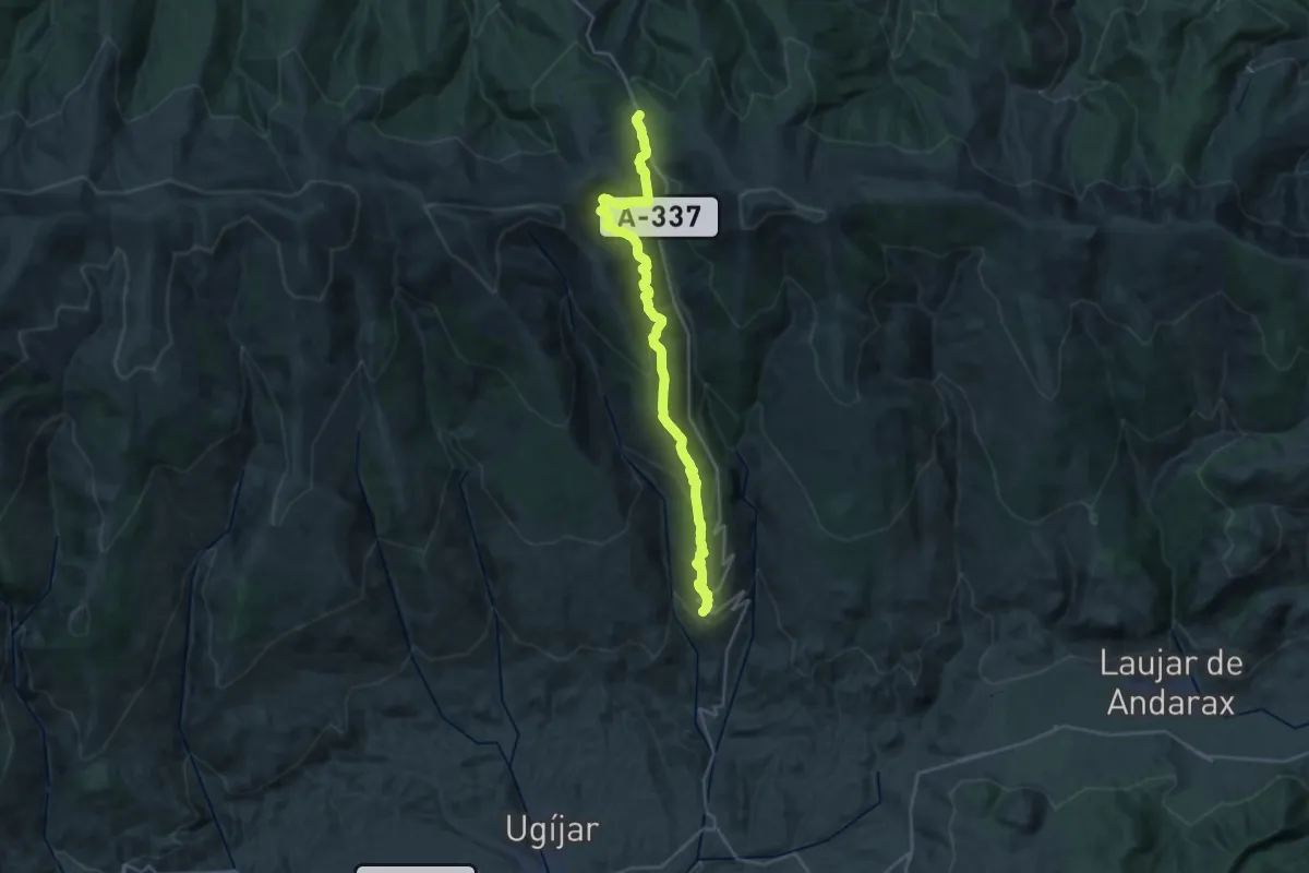
Laroles-Puerto de la Ragua
15.3 km · ↑ 1286 m · 6 h 7 min
Medium · Summit
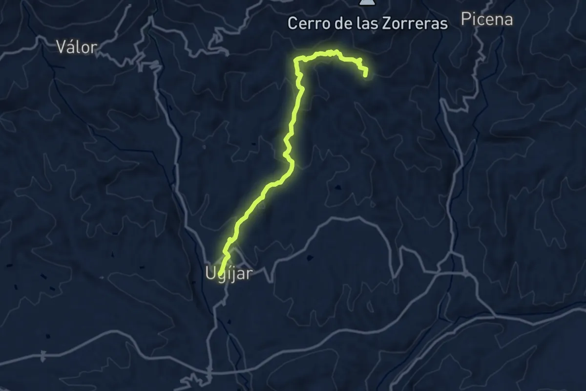
Laroles-Ugijar
12.1 km · ↑ 476 m · 3 h 53 min
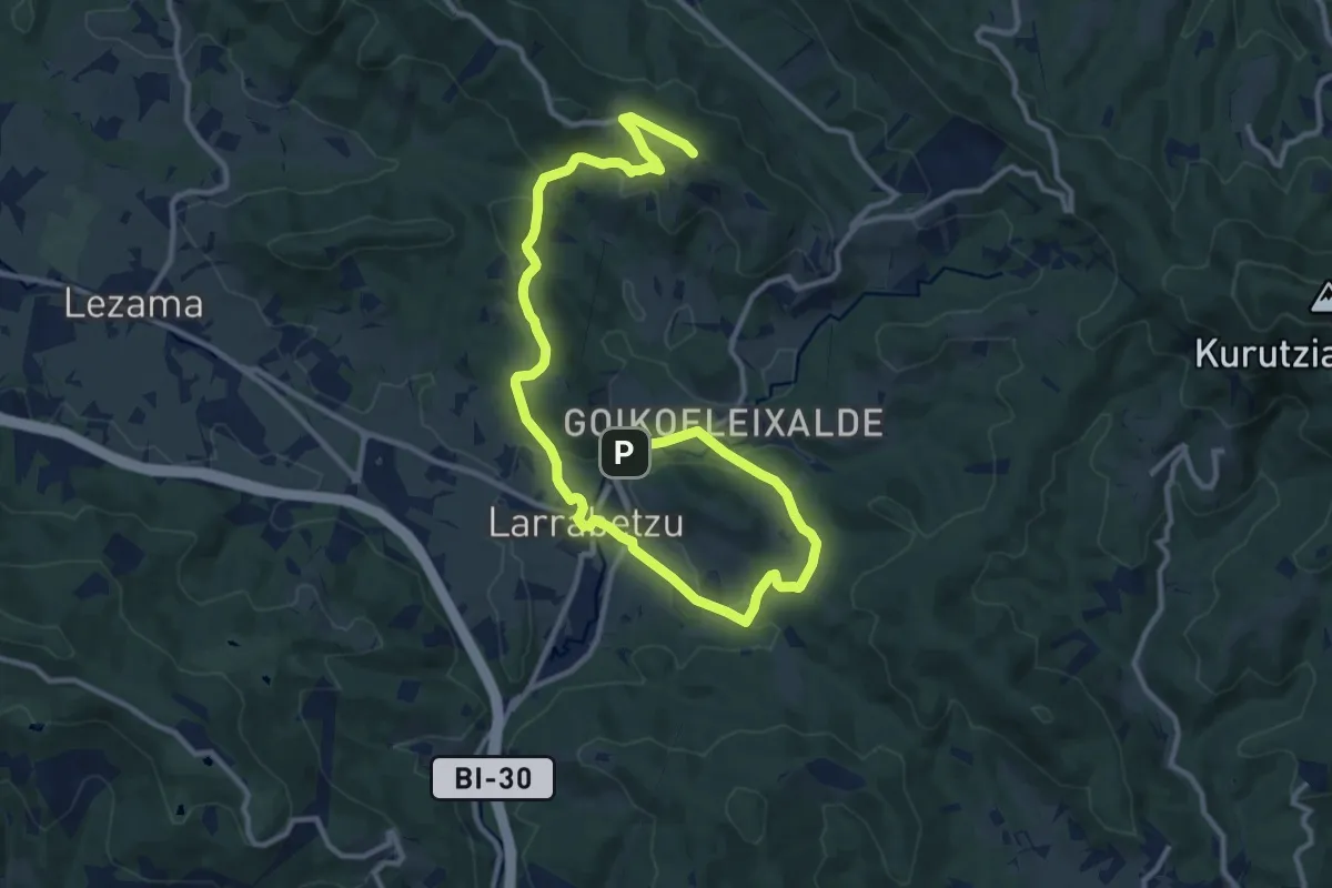
Medium · Summit
Larrabideak
16.9 km · ↑ 435 m · 4 h 56 min
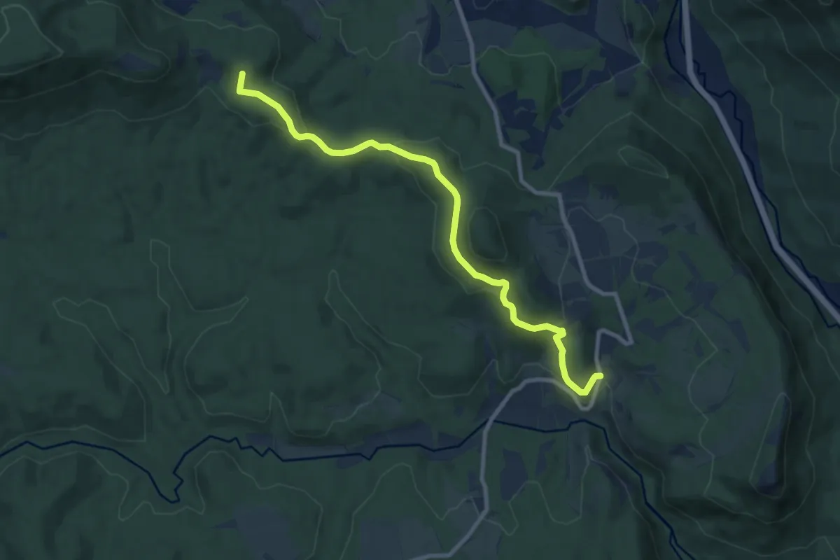
Medium · Summit
Larrabila
9.3 km · ↑ 388 m · 3 h 2 min
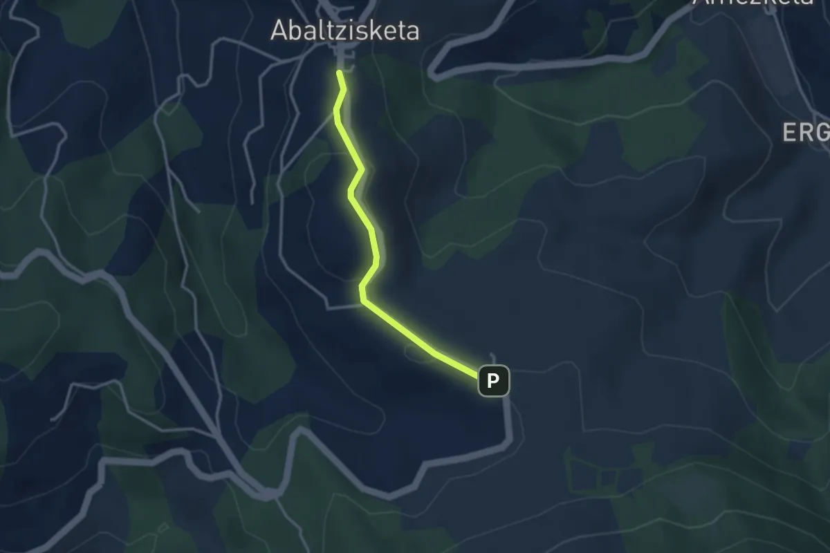
Easy · Trail
Larraitzeko ibilbide irisgarria
2.9 km · ↑ 45 m · 46 min
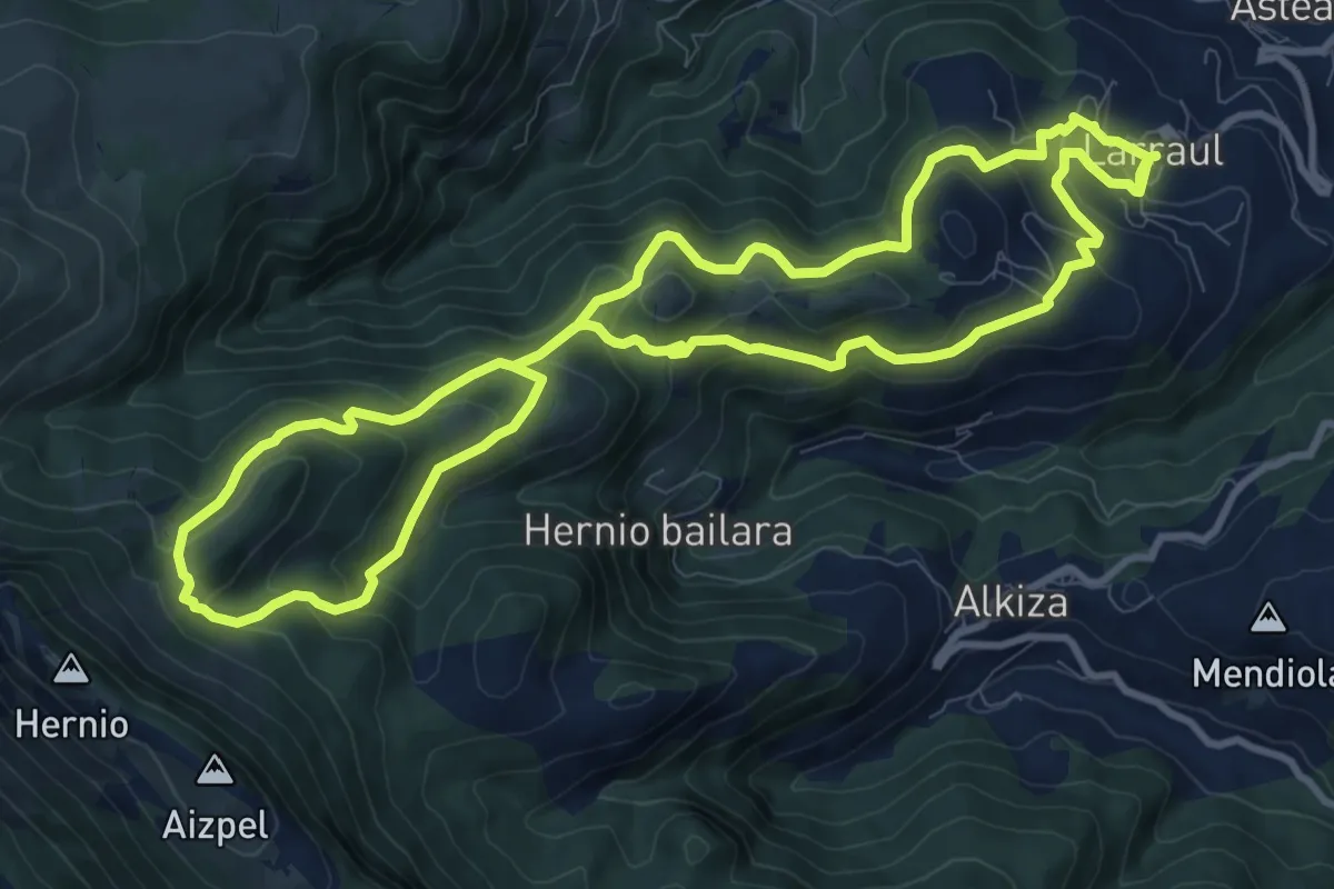
Medium · Summit
Larraul-Hirumugarrieta-Larraul
11.0 km · ↑ 630 m · 4 h 6 min