Trails in Spain
5,962 hiking trails, each with its route, climb, walking time and grade.
All trails, page 55 of 125
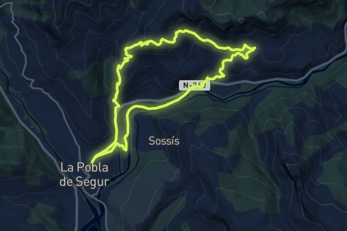
Medium · Summit
l'Arreposador
11.2 km · ↑ 499 m · 3 h 52 min
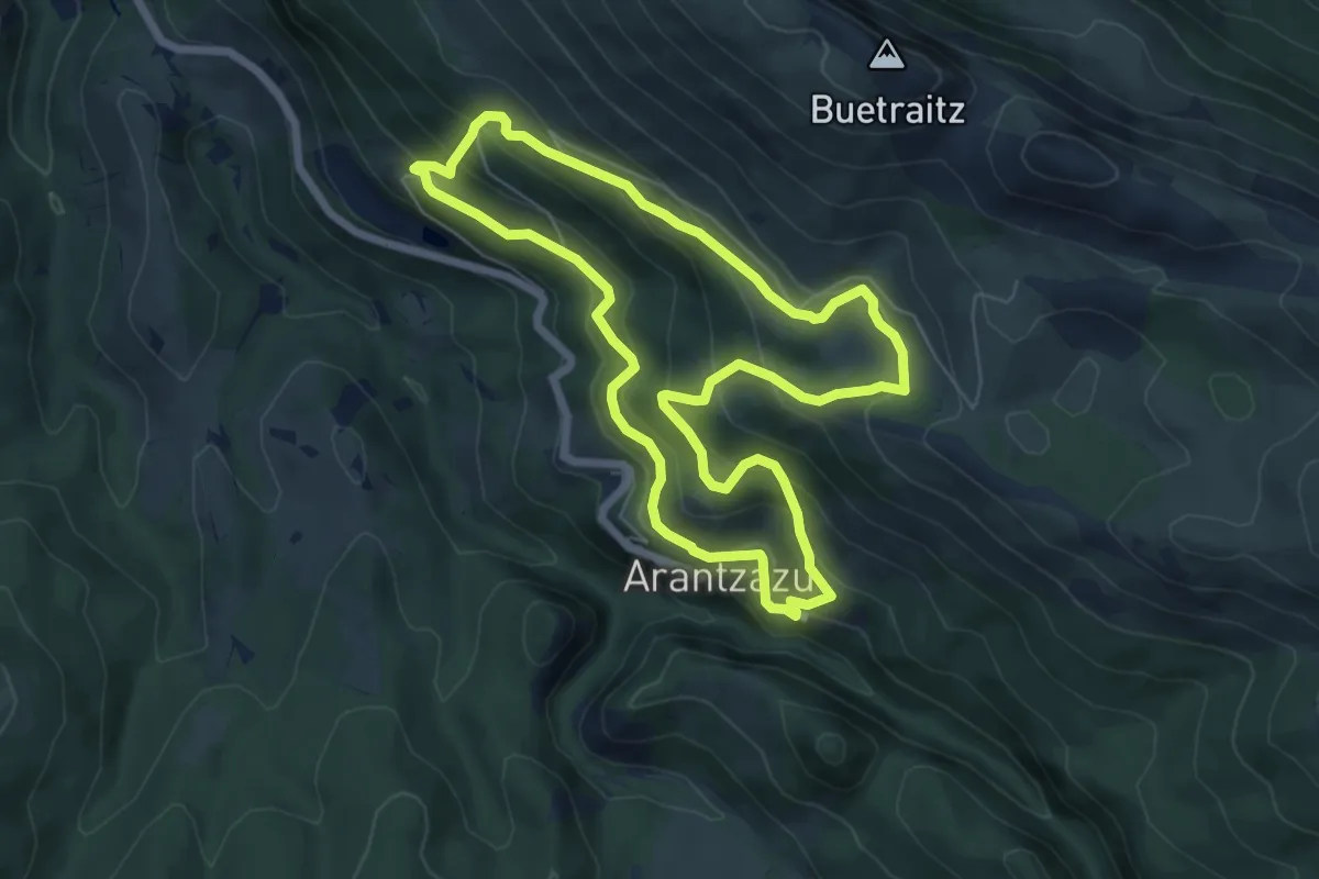
Medium · Trail
Larrez larre
6.8 km · ↑ 399 m · 2 h 33 min
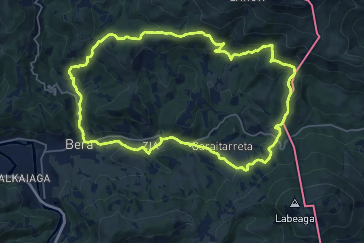
Medium · Summit
Larun
14.0 km · ↑ 605 m · 4 h 49 min
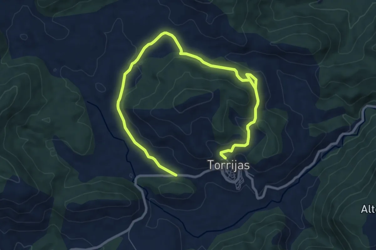
Medium · Trail
La Ruta del Colesterol
10.8 km · ↑ 248 m · 3 h 5 min
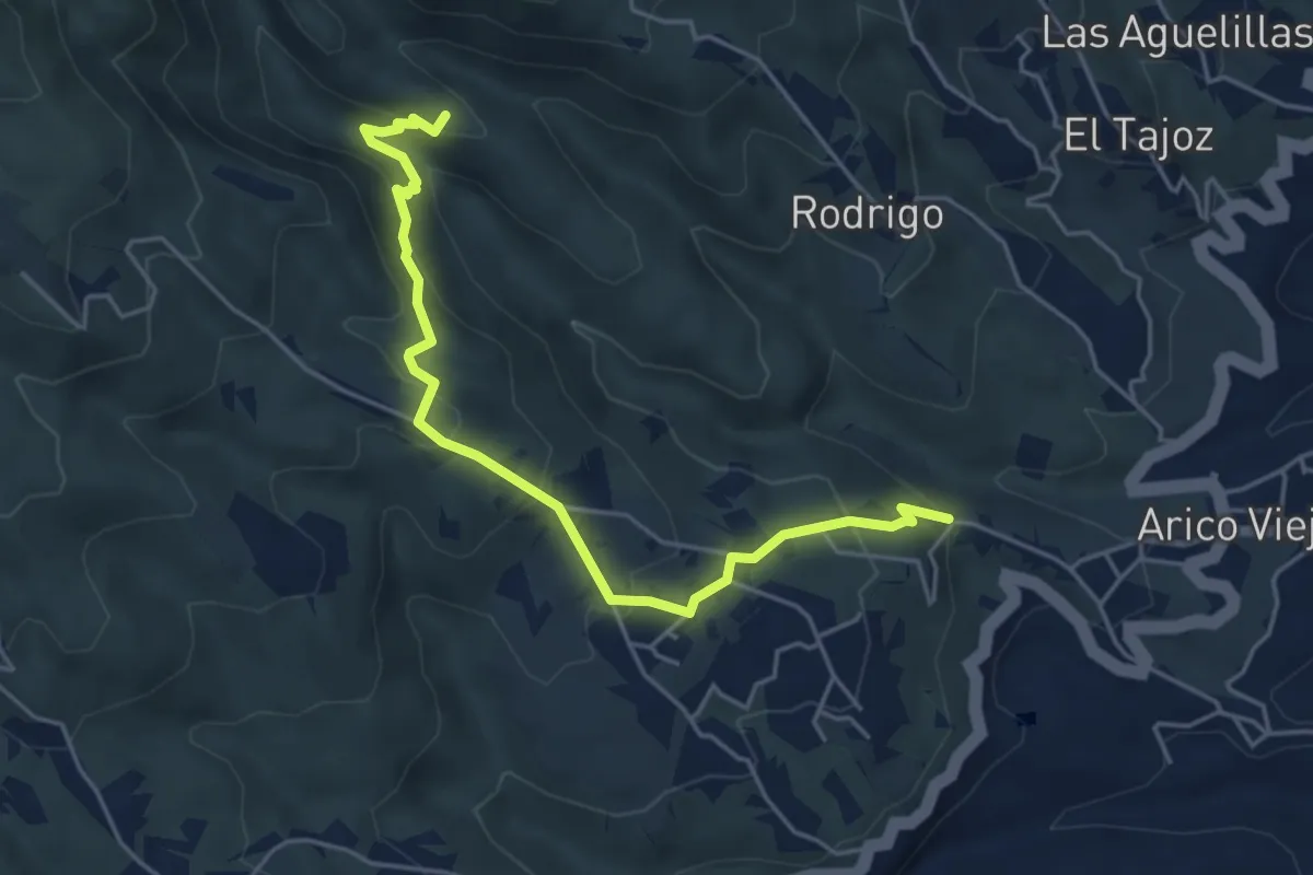
Medium · Trail
La Sabinita - Tamadaya
6.4 km · ↑ 400 m · 2 h 22 min
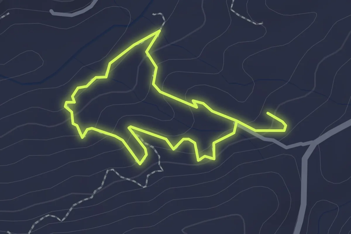
Easy · Trail
Las acequias de la Alquería
2.0 km · ↑ 84 m · 41 min
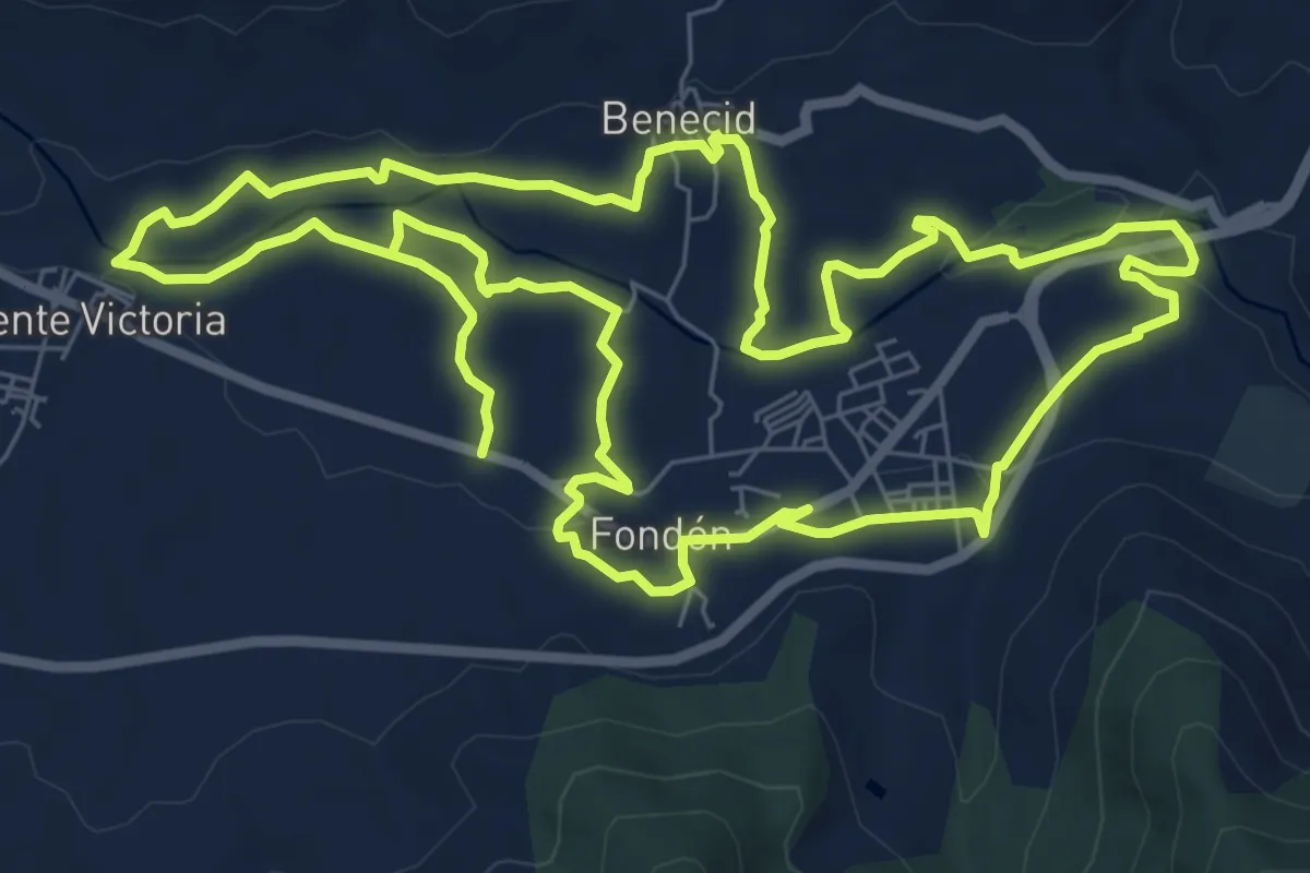
Medium · Trail
Las acequias del río
10.0 km · ↑ 133 m · 2 h 47 min
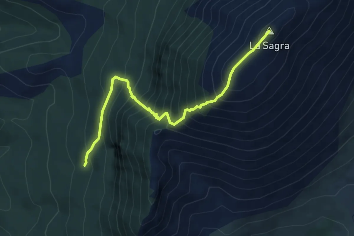
Demanding · Summit
La Sagra - Bosque Vertical
6.5 km · ↑ 802 m · 3 h 16 min
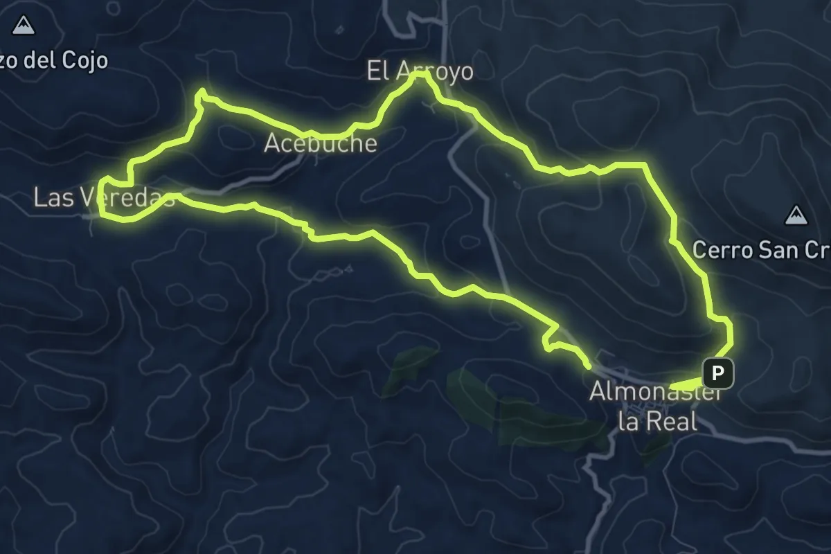
Demanding · Trail
Las Aldeas de Poniente
23.4 km · ↑ 890 m · 7 h 28 min
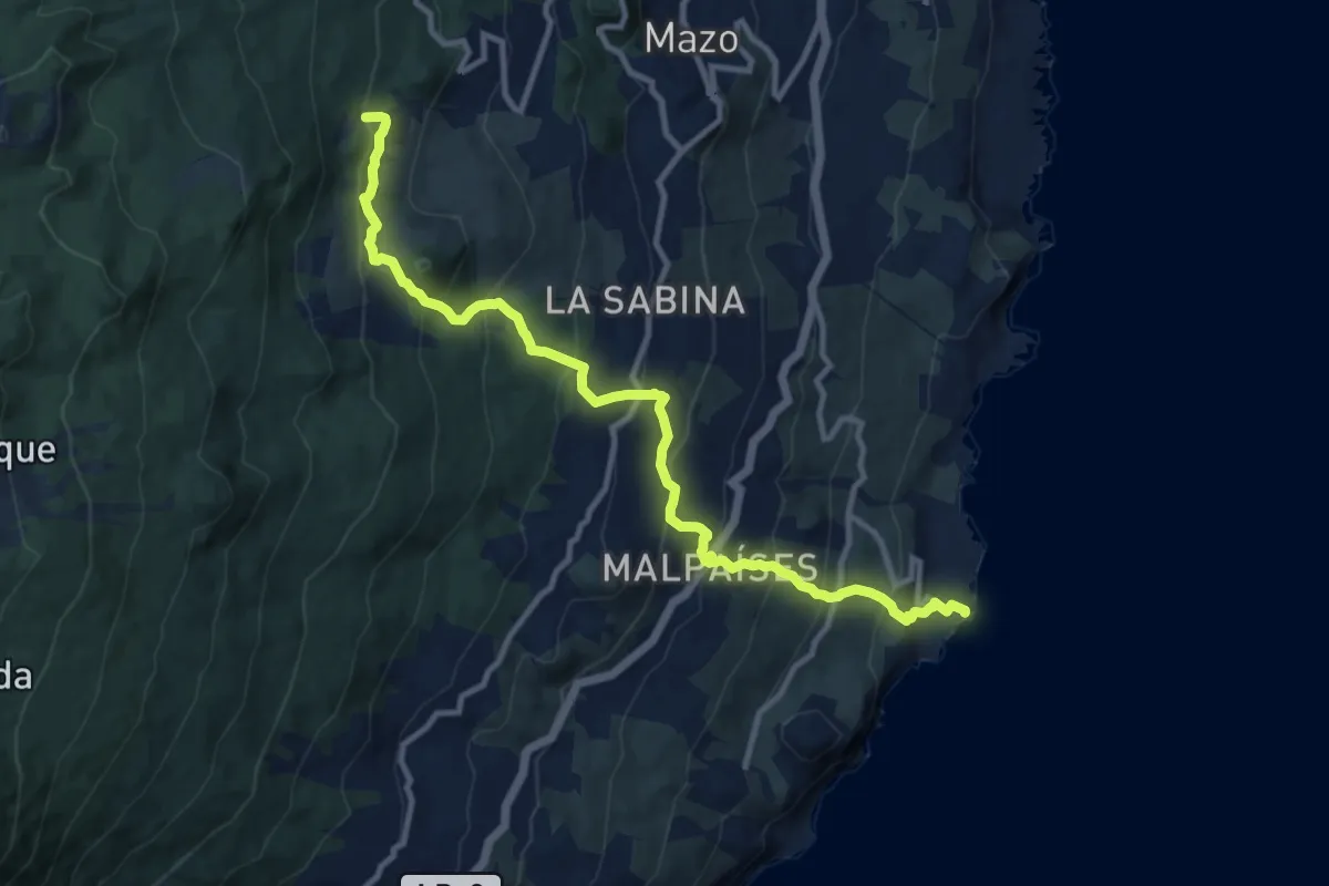
Demanding · Trail
La Salemera-PR LP 16
14.8 km · ↑ 1070 m · 5 h 48 min
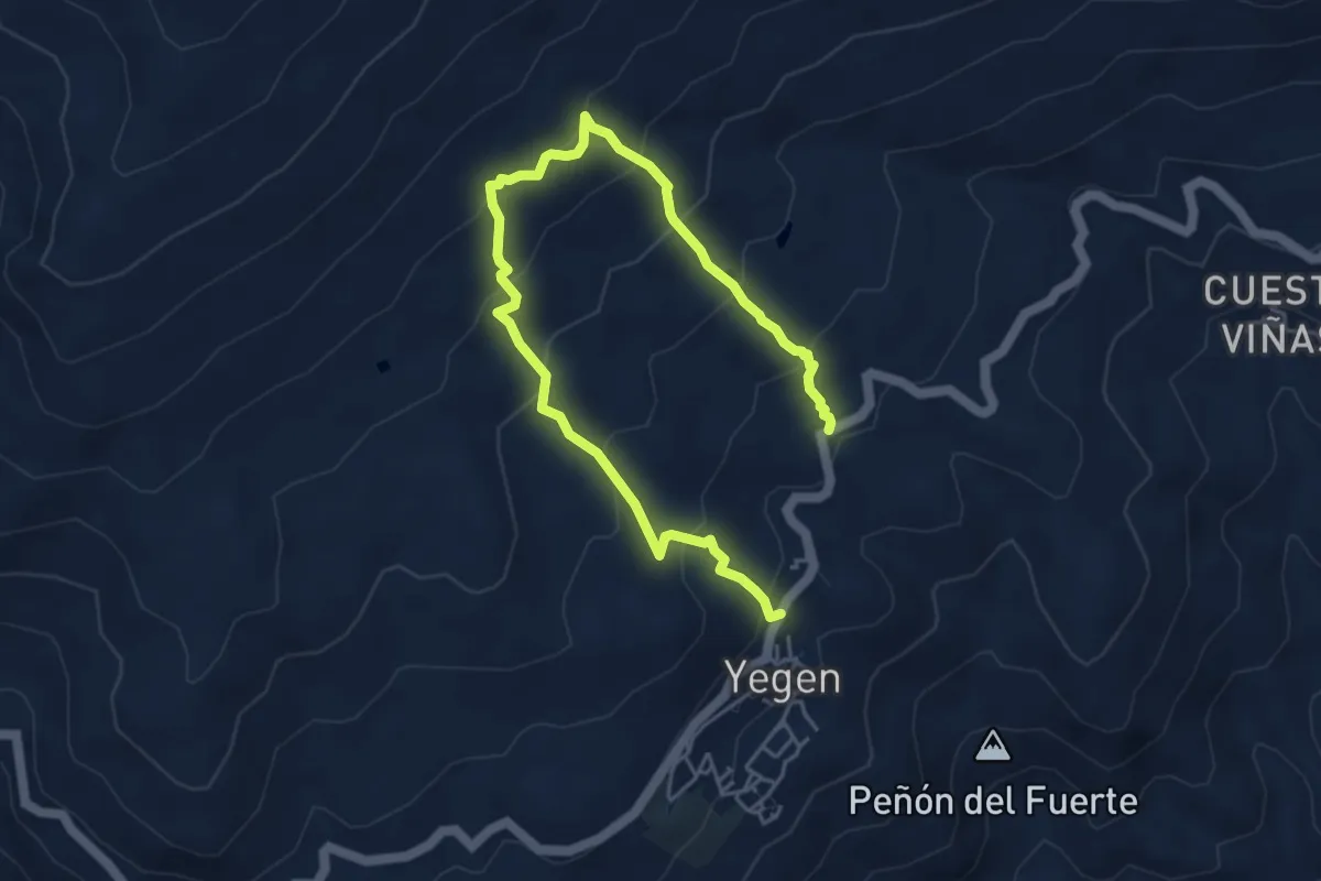
Easy · Trail
La Salud
3.5 km · ↑ 274 m · 1 h 28 min
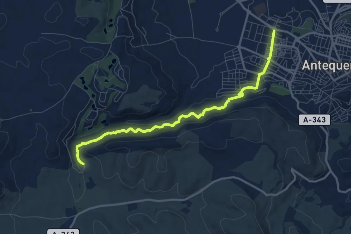
Medium · Trail
Las Arquillas
9.4 km · ↑ 571 m · 3 h 28 min
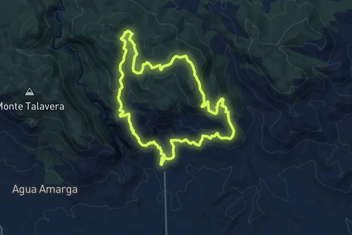
Medium · Summit
Las Arrodeas - El Pinatar
13.3 km · ↑ 595 m · 4 h 37 min
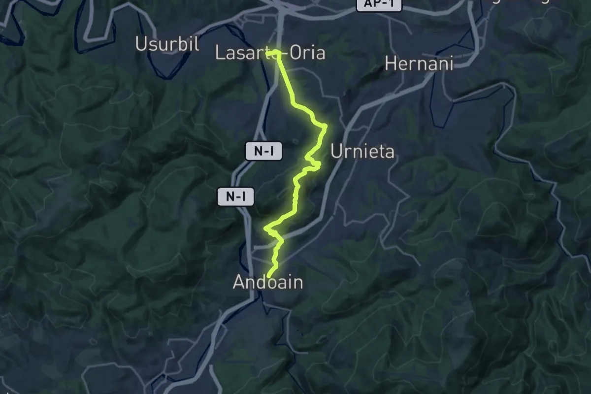
Medium · Trail
Lasarte-Oria - Andoain
16.2 km · ↑ 686 m · 5 h 19 min
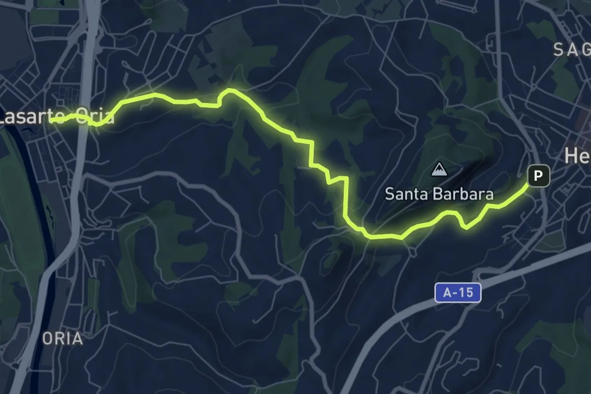
Medium · Trail
Lasarte-Oria - Hernani
8.7 km · ↑ 288 m · 2 h 40 min
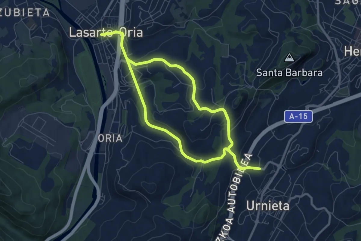
Demanding · Trail
Lasarte-Oria - Urnieta
18.3 km · ↑ 584 m · 5 h 35 min
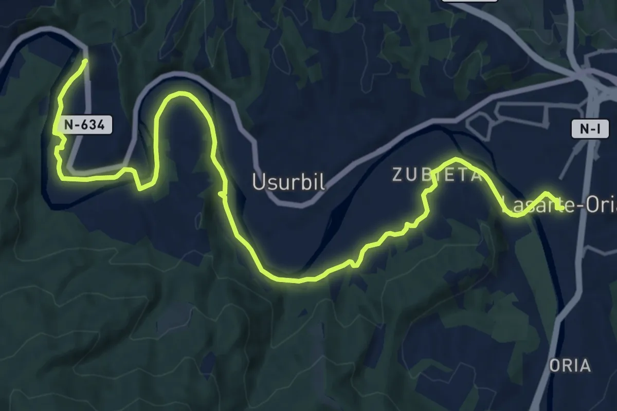
Demanding · Trail
Lasarte-Oria - Usurbil (Aginaga)
18.1 km · ↑ 167 m · 4 h 38 min
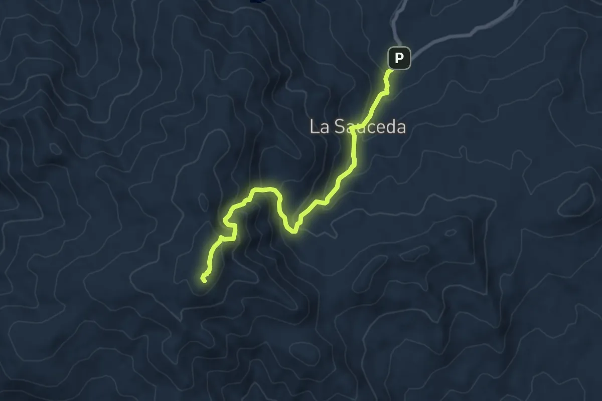
Medium · Summit
La Sauceda
8.7 km · ↑ 582 m · 3 h 19 min
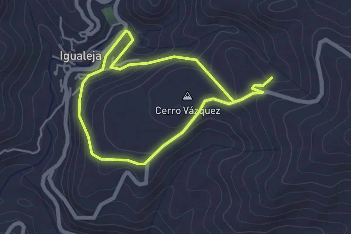
Easy · Summit
Las Caleras
3.3 km · ↑ 146 m · 1 h 8 min
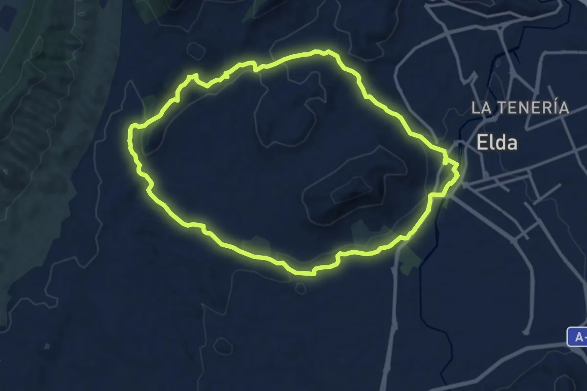
Medium · Trail
Las cañadas
11.9 km · ↑ 217 m · 3 h 27 min
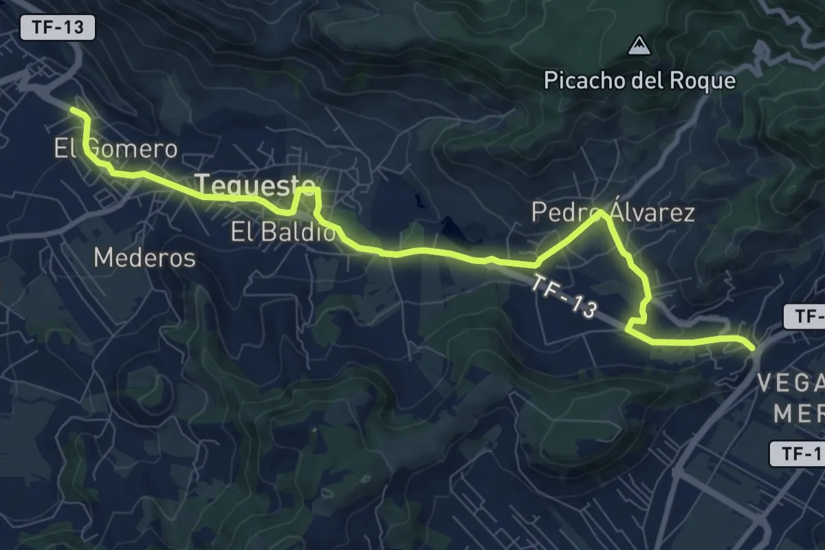
Medium · Trail
Las Canteras-Las Toscas
12.7 km · ↑ 355 m · 3 h 46 min
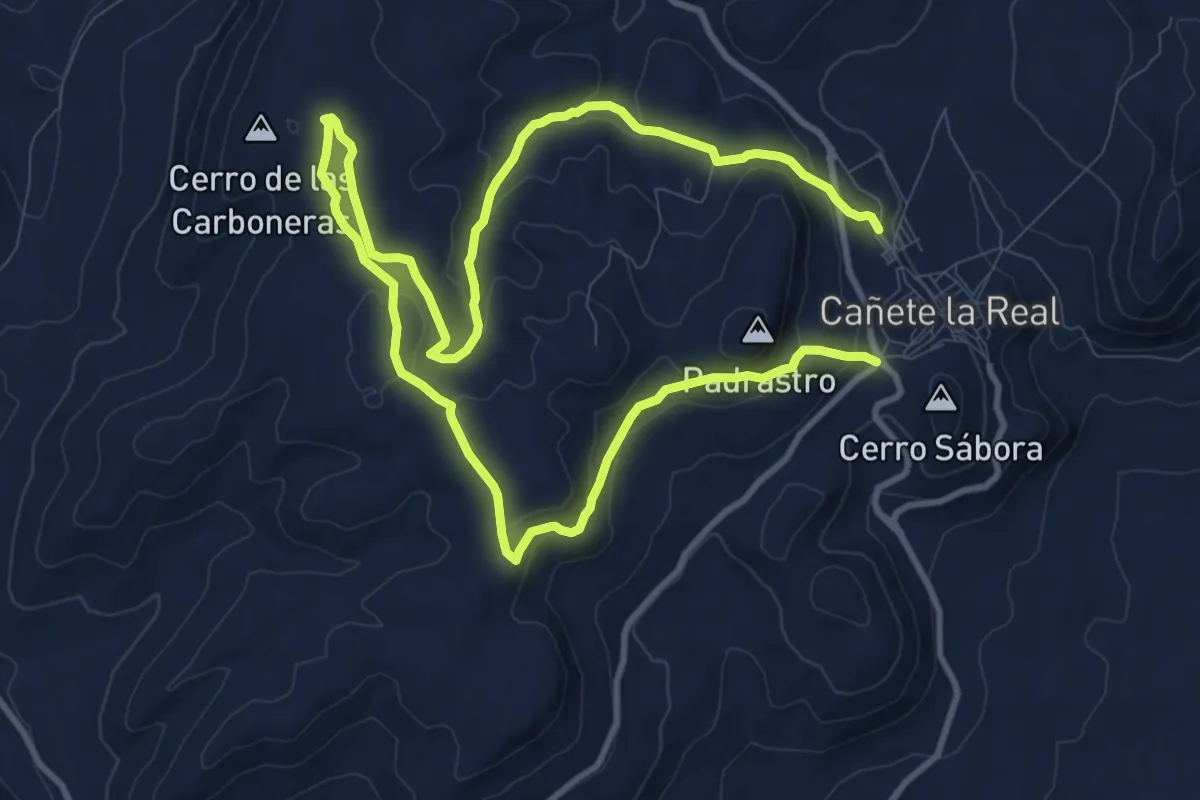
Medium · Trail
Las Carboneras
10.1 km · ↑ 269 m · 3 h 8 min
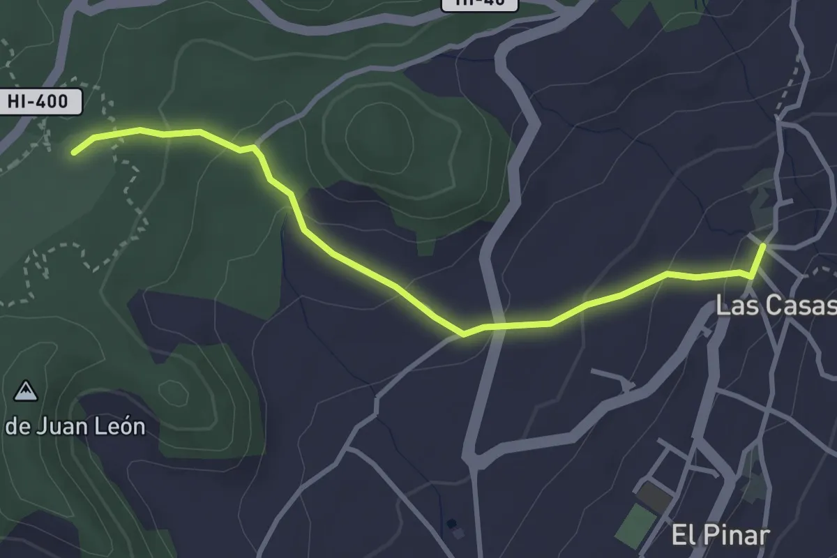
Easy · Trail
Las Casas-Hoya del Morcillo
4.0 km · ↑ 160 m · 1 h 18 min
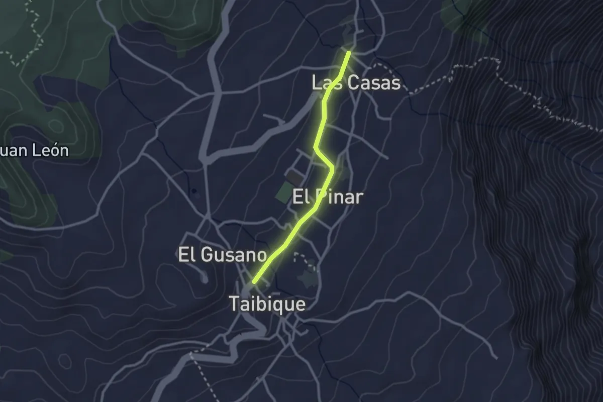
Easy · Trail
Las Casas-Taibique
2.7 km · ↑ 36 m · 43 min
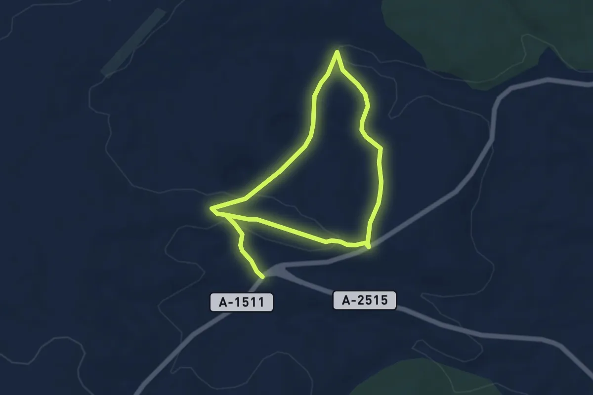
Easy · Trail
Las Celadas
7.4 km · ↑ 113 m · 2 h
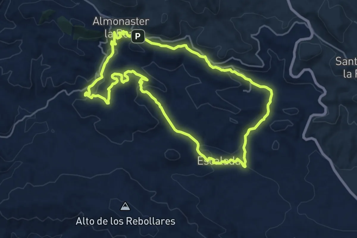
Medium · Trail
Las Cuatro Riveras
15.3 km · ↑ 481 m · 4 h 52 min
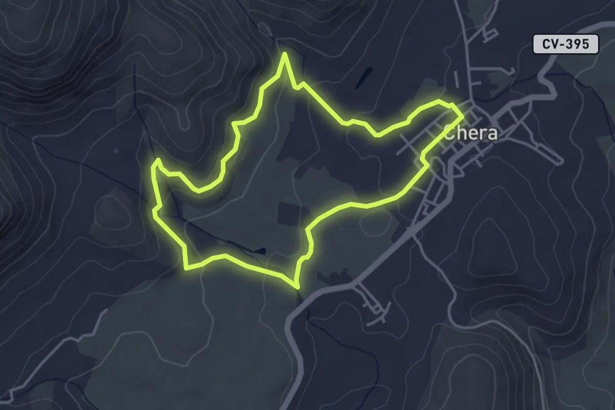
Easy · Trail
Las Cuevas de la Garita
4.1 km · ↑ 148 m · 1 h 21 min
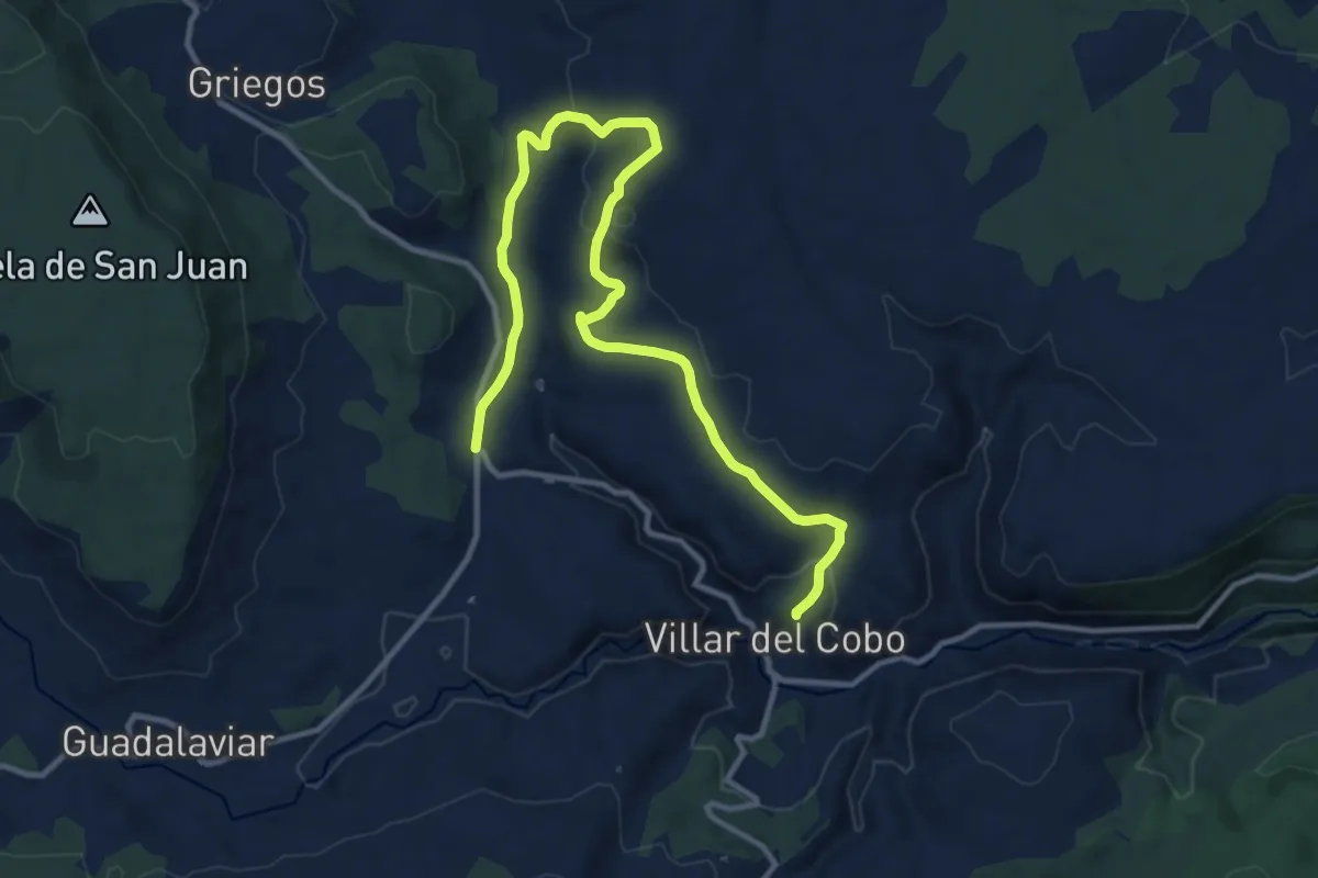
Medium · Trail
Las Dolinas
15.6 km · ↑ 497 m · 4 h 45 min
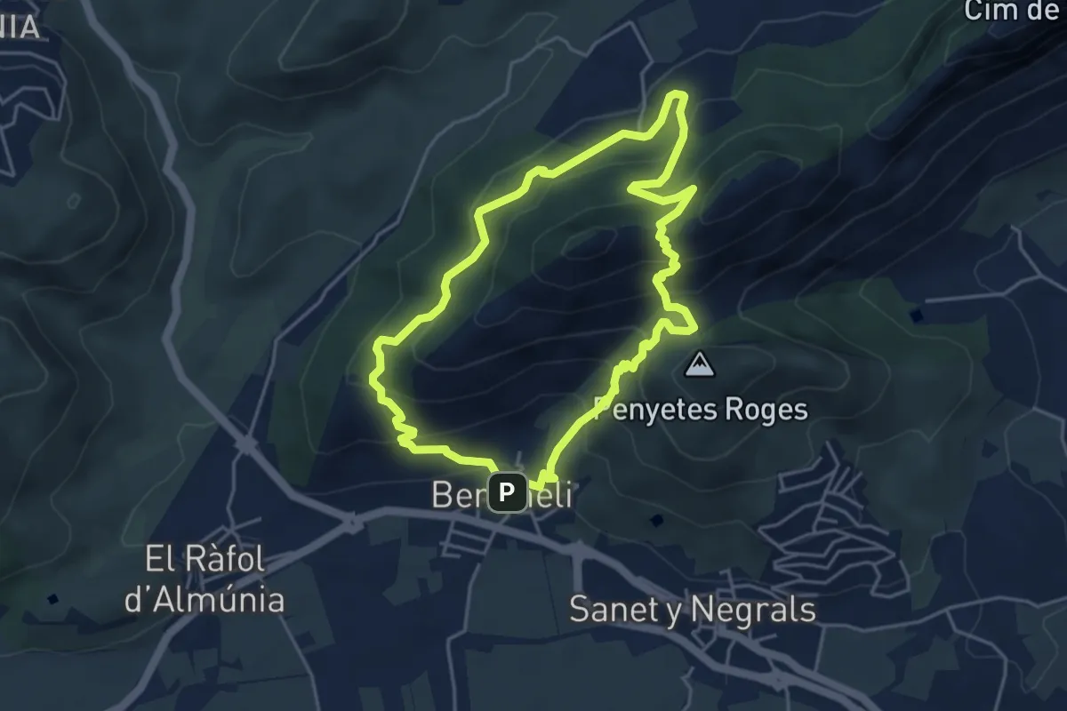
Medium · Summit
la Segària de Benimeli
4.7 km · ↑ 326 m · 1 h 53 min
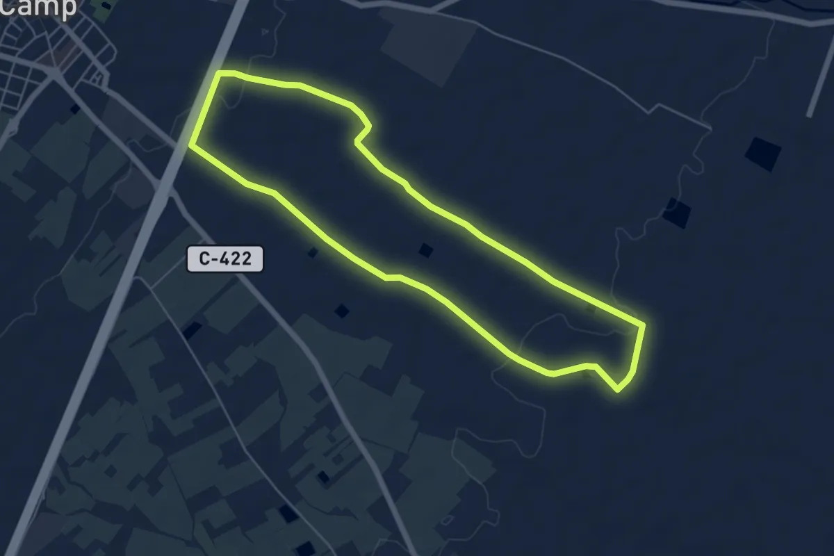
Easy · Trail
La Selva del Camp
5.9 km · ↑ 64 m · 1 h 37 min
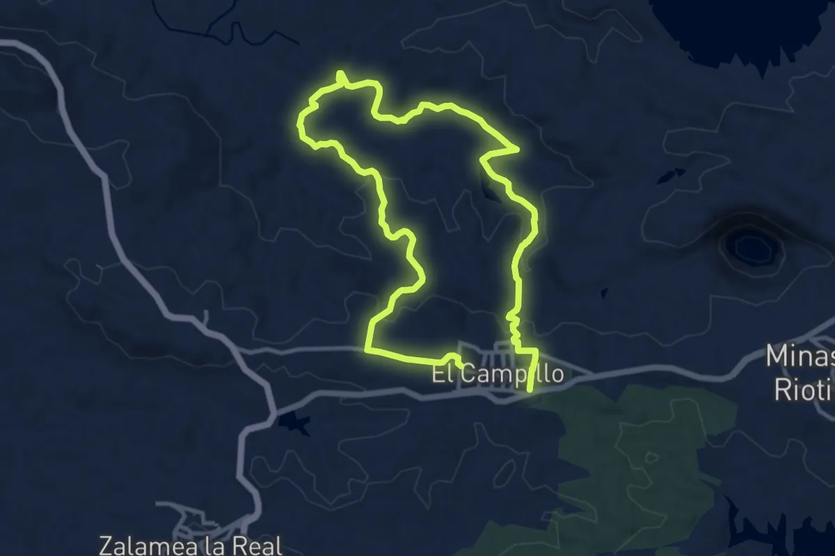
Demanding · Trail
La Senda del Tintillo Un Viaje a Marte
20.5 km · ↑ 492 m · 5 h 55 min
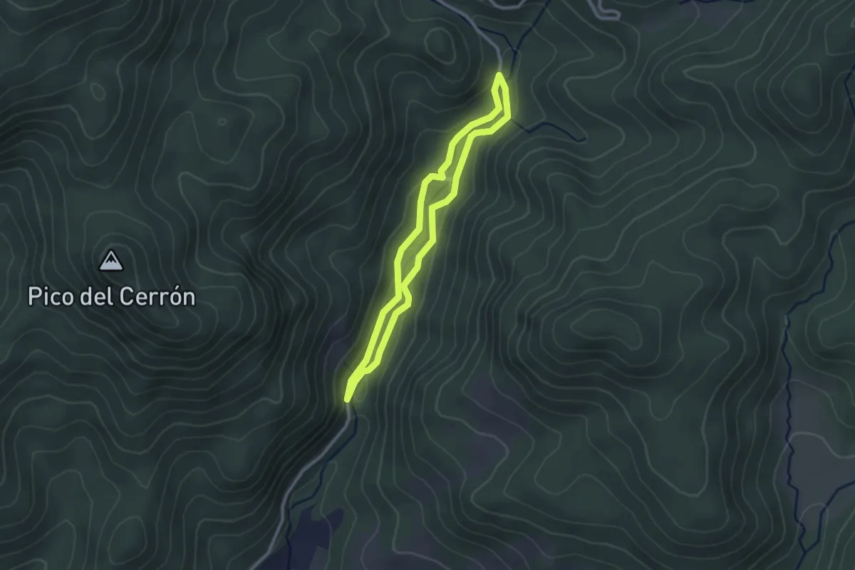
Easy · Trail
La Senda Encantada
2.6 km · ↑ 70 m · 48 min
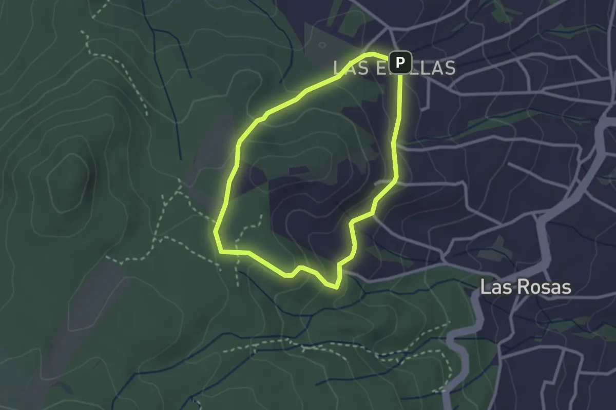
Easy · Trail
Las Erillas
2.9 km · ↑ 107 m · 57 min
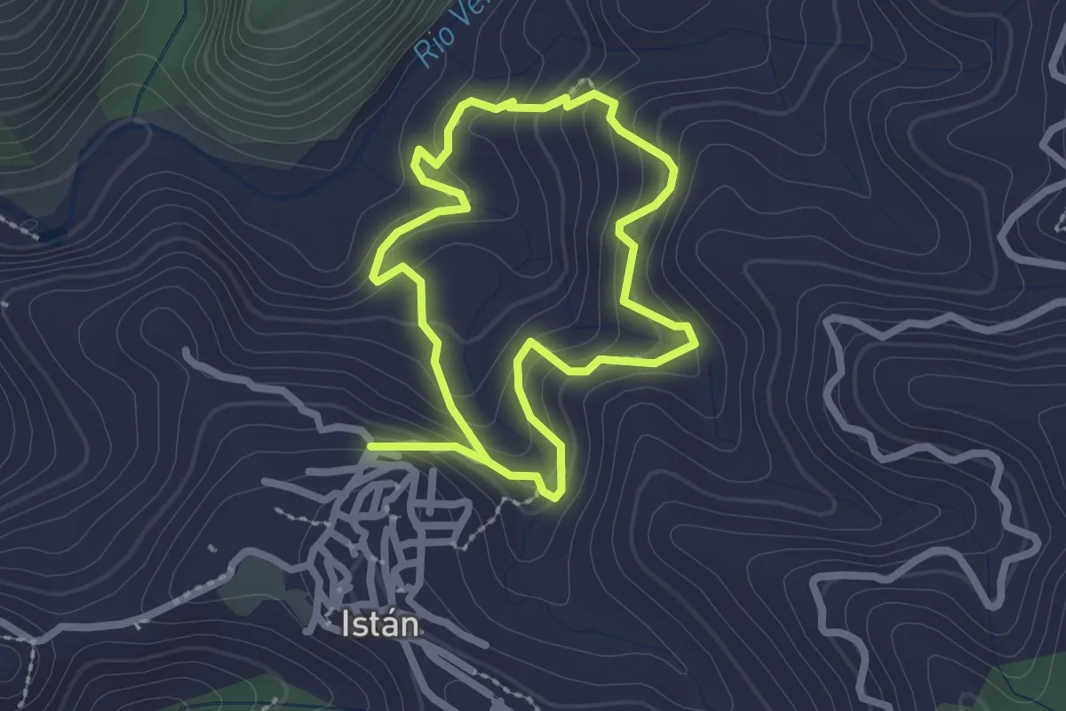
Easy · Trail
Las Errizas de las Gallegas
2.3 km · ↑ 149 m · 54 min
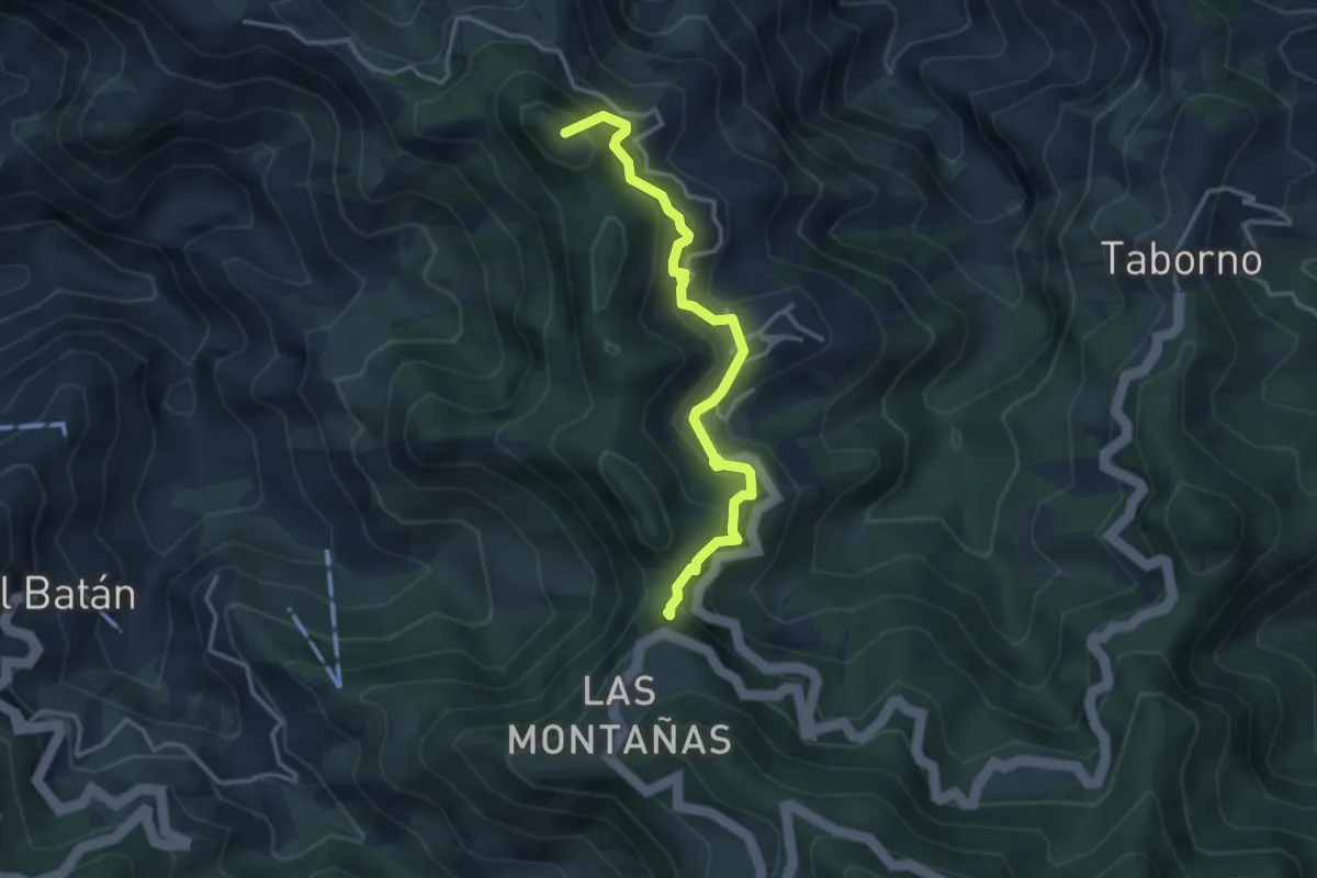
Medium · Summit
Las Escaleras - Las Carboneras - Chinamada
4.3 km · ↑ 387 m · 1 h 51 min
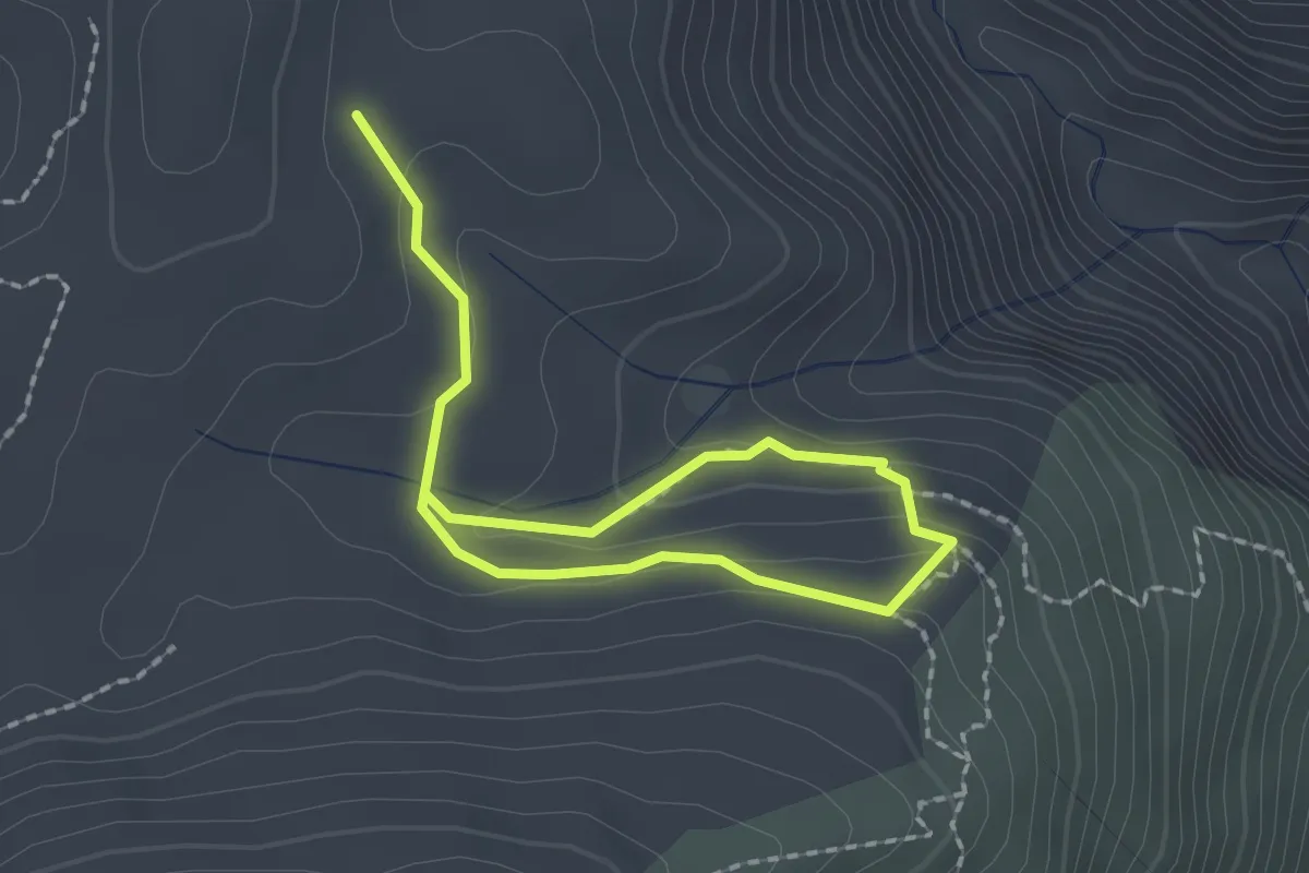
Easy · Trail
Las Escaleretas
1.5 km · ↑ 77 m · 32 min
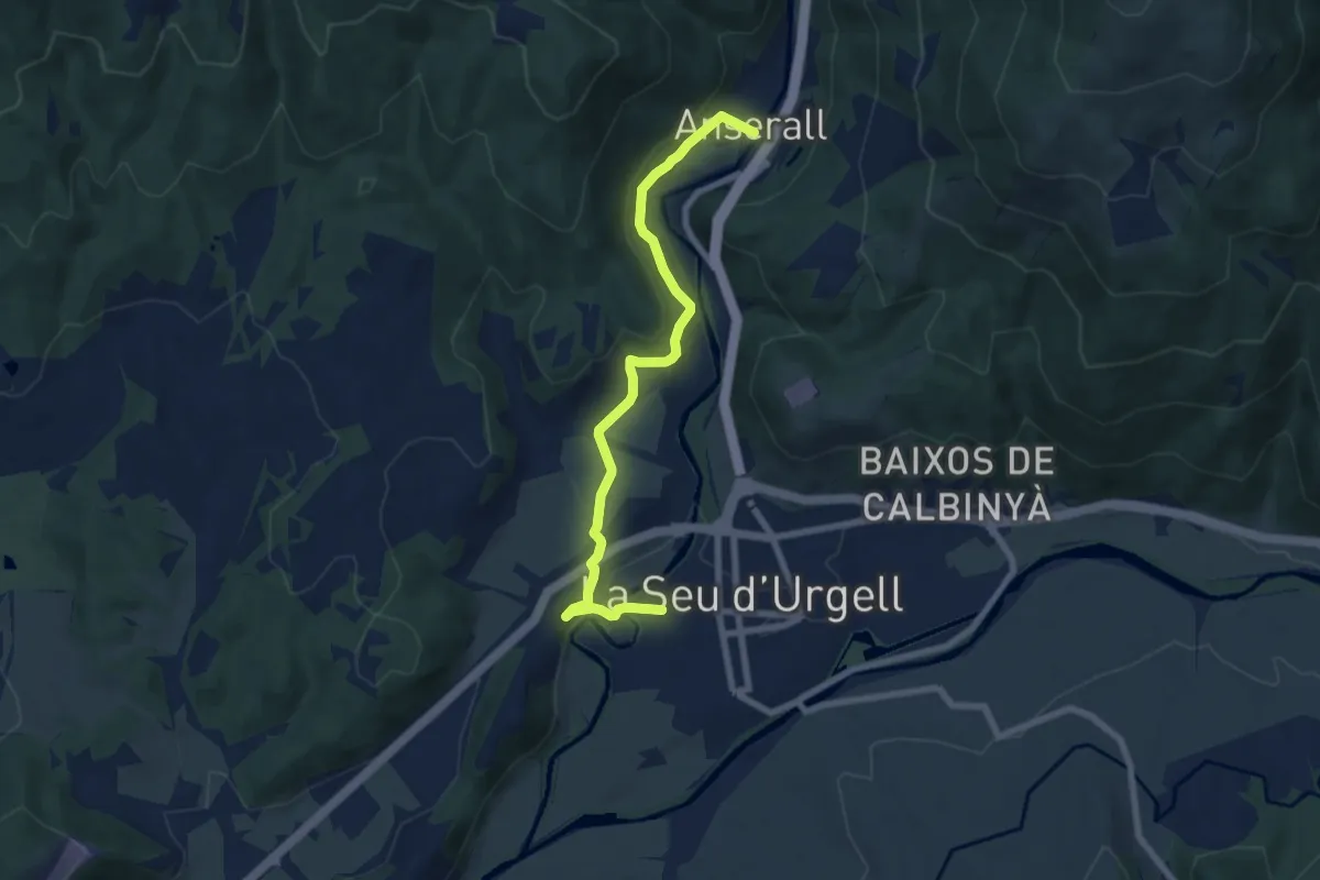
Easy · Trail
La Seu-Anserall
8.0 km · ↑ 212 m · 2 h 21 min
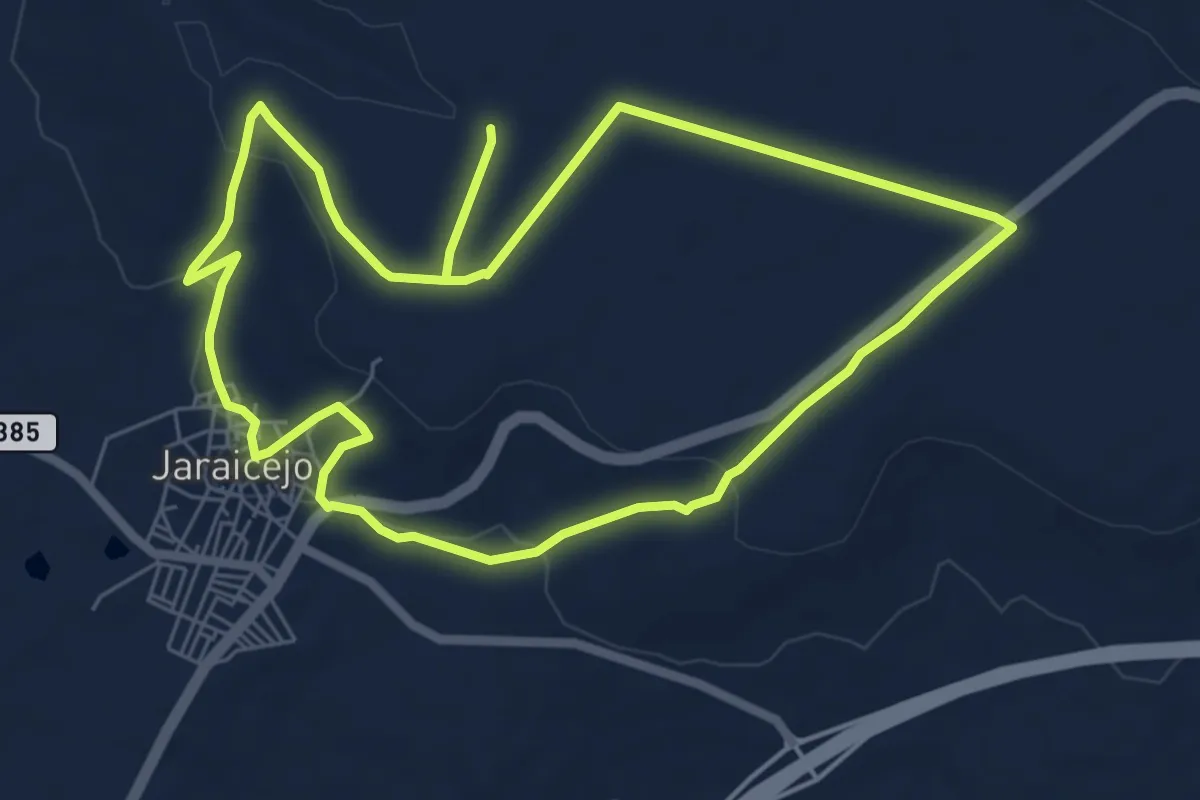
Easy · Trail
Las Fuentes
7.4 km · ↑ 114 m · 2 h 5 min
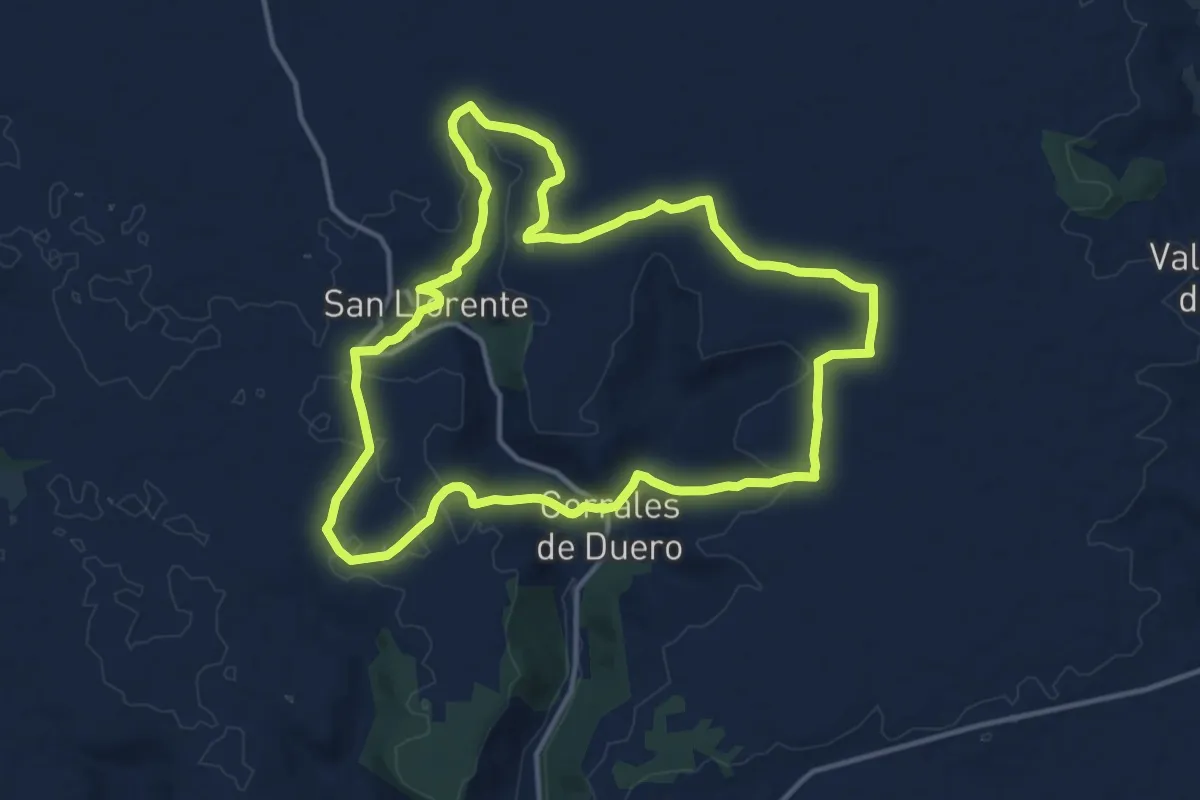
Medium · Trail
Las Fuentes
14.7 km · ↑ 156 m · 4 h
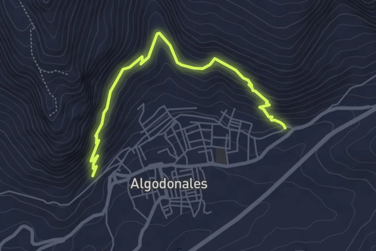
Medium · Trail
LAS FUENTES
6.2 km · ↑ 433 m · 2 h 23 min
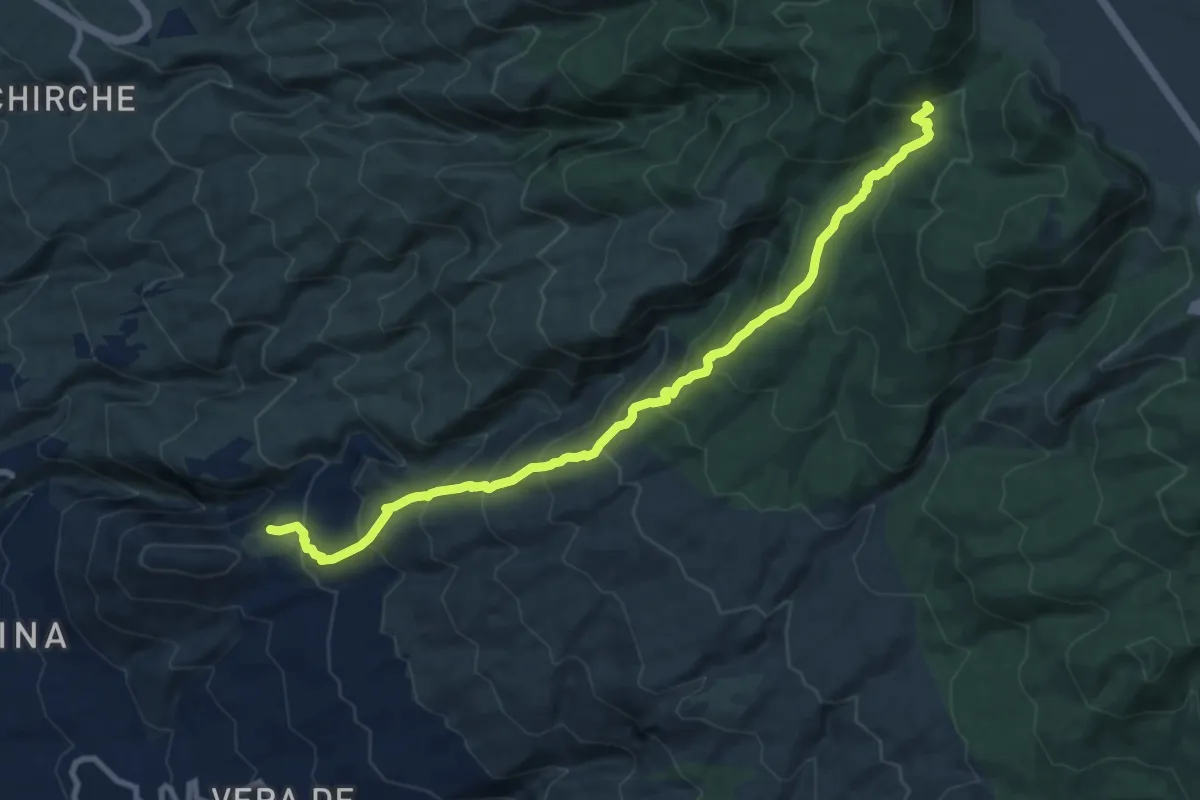
Demanding · Trail
Las Fuentes - Boca de Tauce
12.9 km · ↑ 1039 m · 5 h 18 min
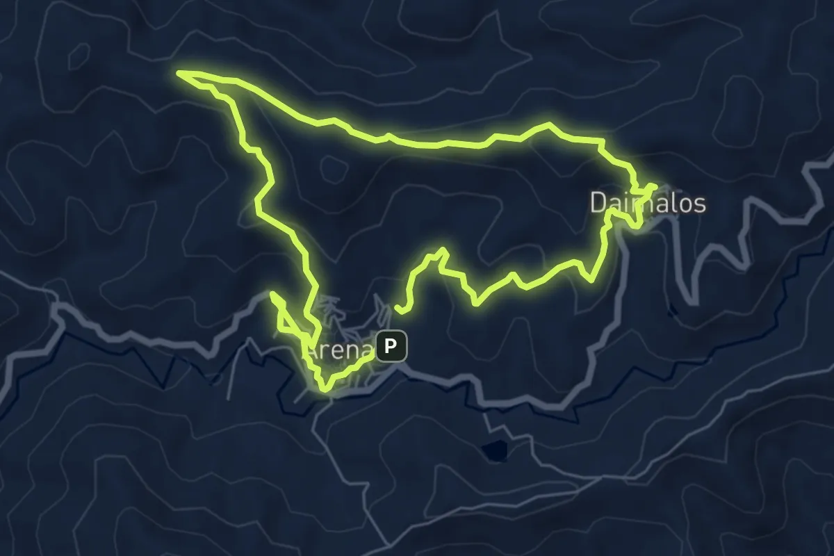
Easy · Trail
Las Fuentes y Los Almendros
6.8 km · ↑ 290 m · 2 h 19 min
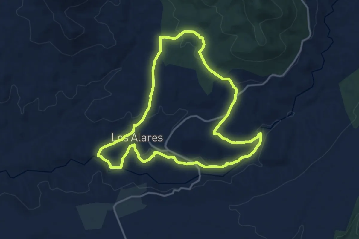
Medium · Trail
Las Hoces del Rio Estenilla
11.7 km · ↑ 217 m · 3 h 24 min
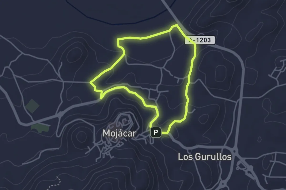
Easy · Trail
Las Huertas de Mojácar
3.5 km · ↑ 100 m · 1 h 6 min
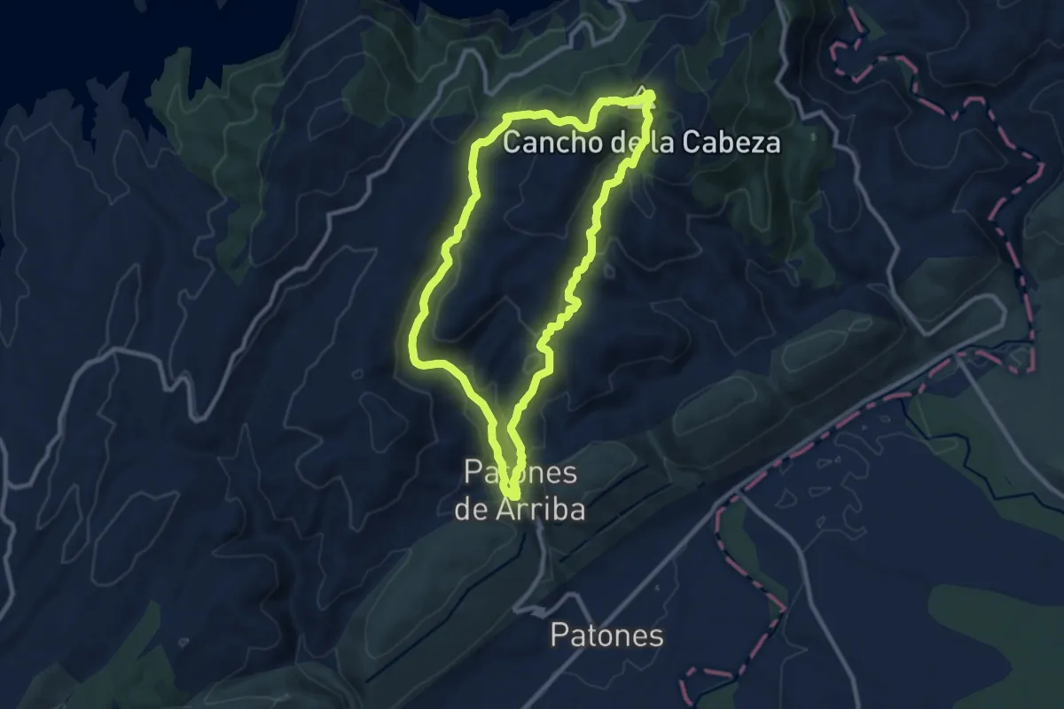
Medium · Summit
La Sierra de Patones
10.0 km · ↑ 464 m · 3 h 31 min
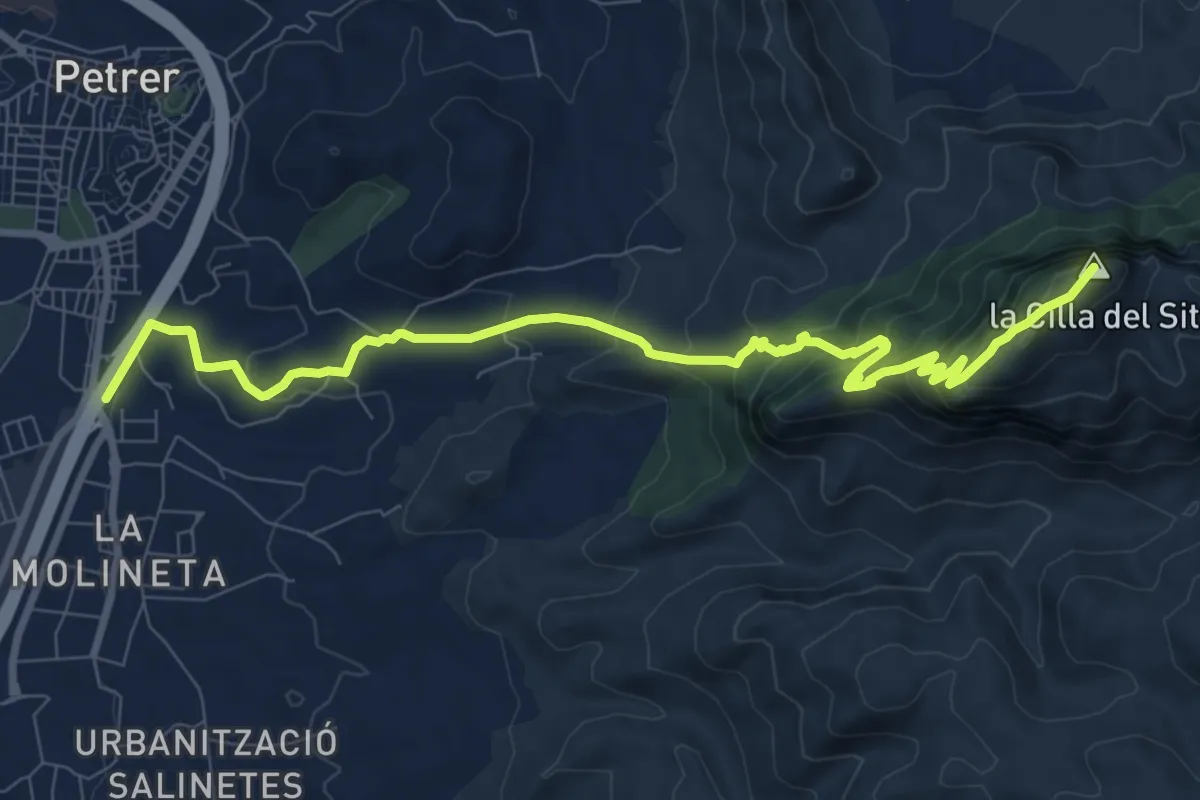
Medium · Summit
La silla del Cid
11.6 km · ↑ 690 m · 4 h 14 min
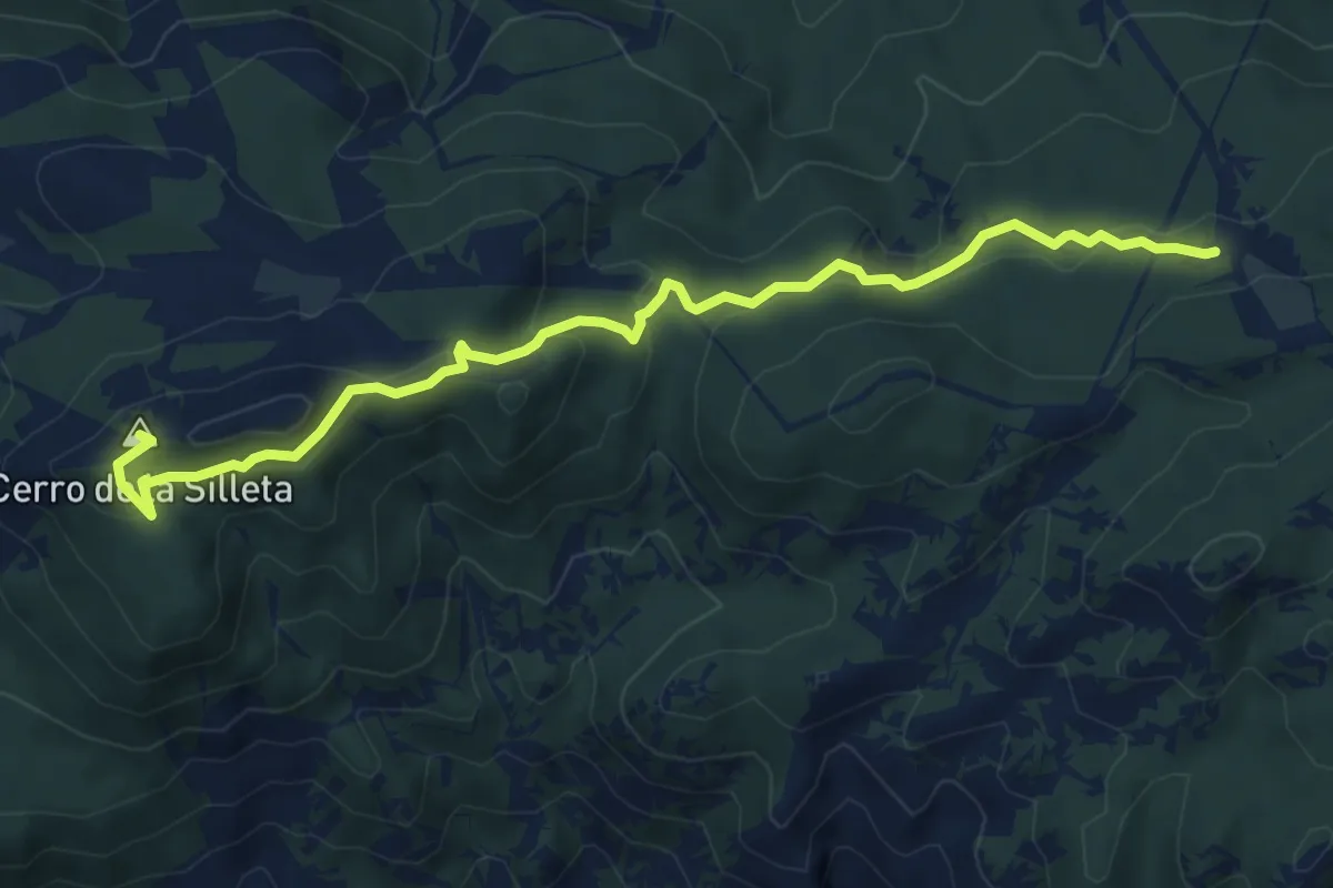
Medium · Summit
La Silleta del Padul
8.2 km · ↑ 305 m · 2 h 36 min
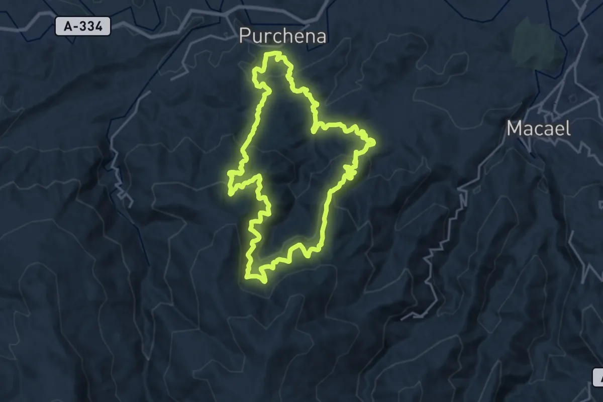
Demanding · Trail
La Silveria
18.2 km · ↑ 1079 m · 6 h 54 min