Trails in Spain
5,962 hiking trails, each with its route, climb, walking time and grade.
All trails, page 56 of 125
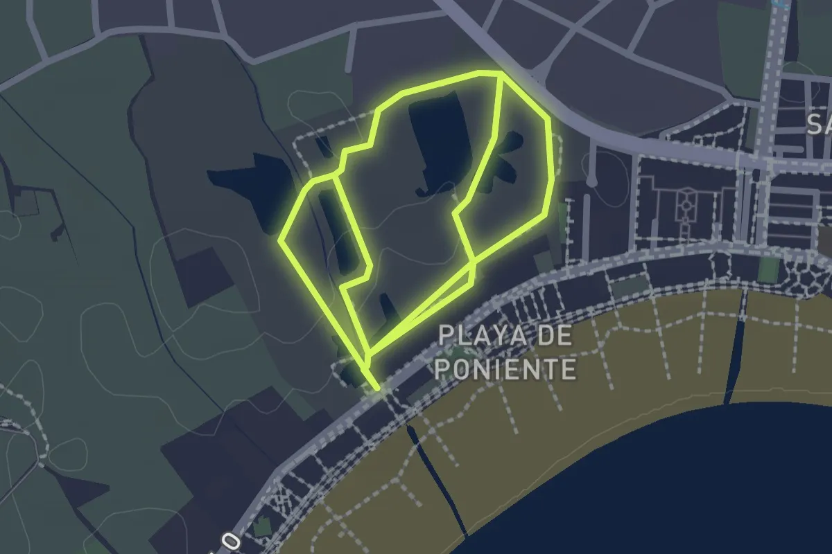
Easy · Trail
Las Lagunas
2.4 km · ↑ 0 m · 36 min
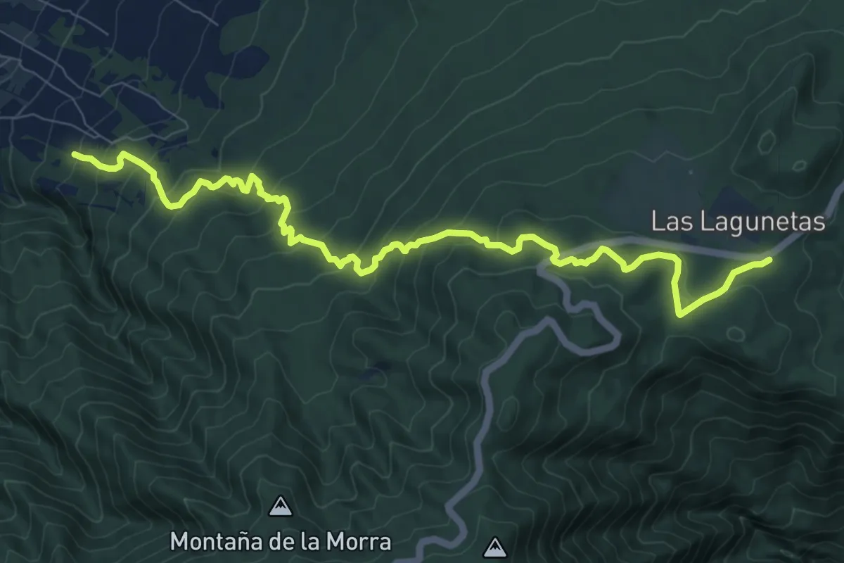
Demanding · Trail
Las Lagunetas-Hoya del Abade
12.8 km · ↑ 815 m · 4 h 48 min
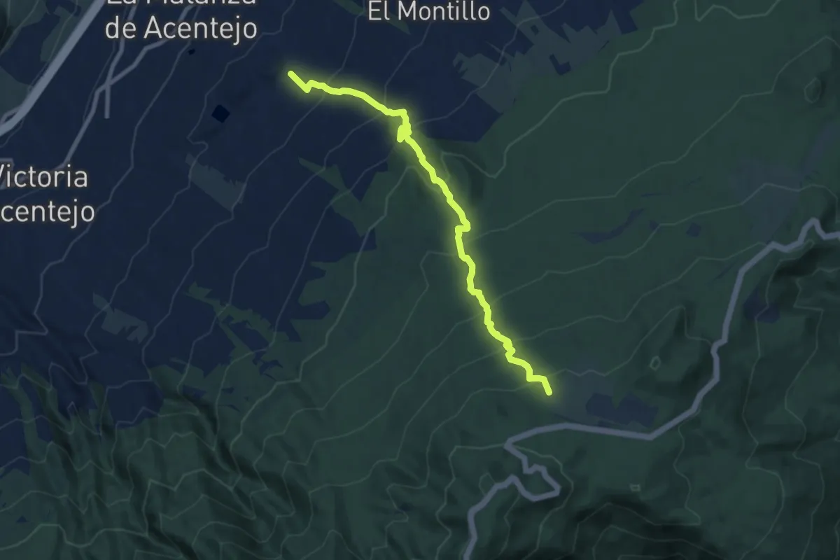
Demanding · Summit
Las Lagunetas-Los Nateros
10.3 km · ↑ 815 m · 4 h 11 min
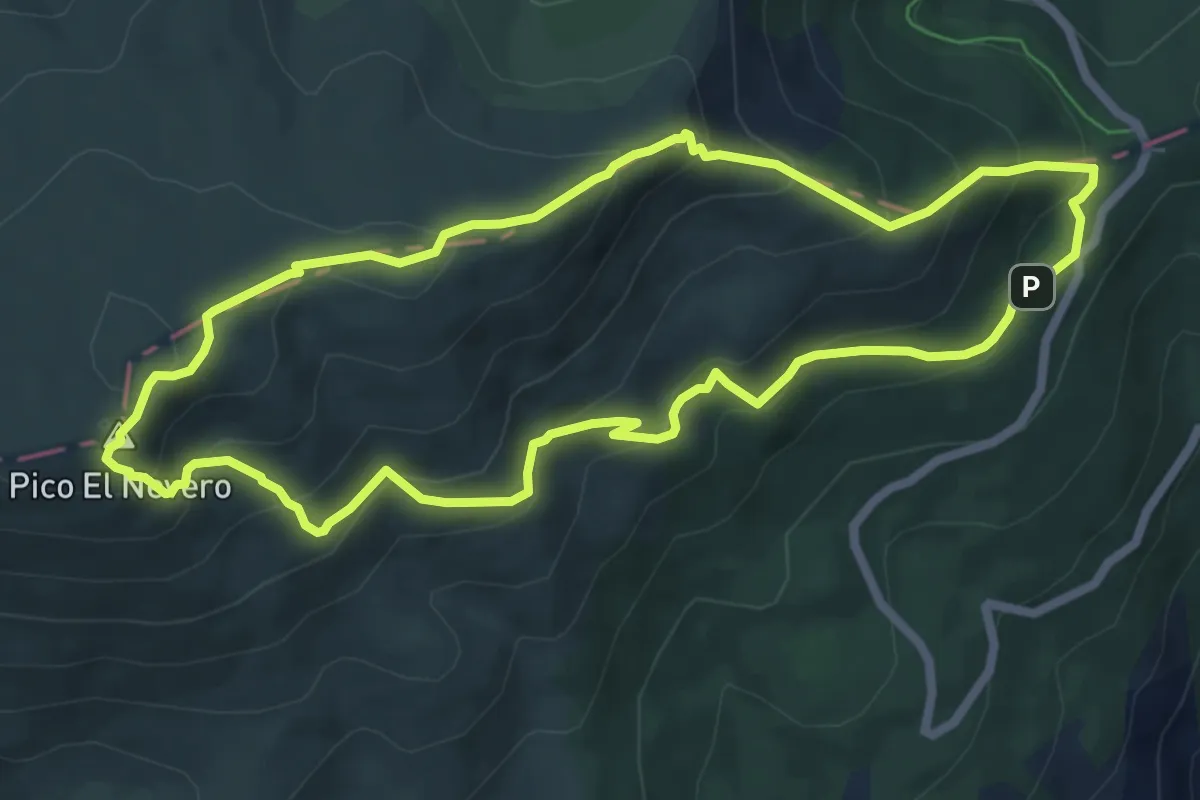
Medium · Summit
Las Lagunillas y El Nevero
7.0 km · ↑ 434 m · 2 h 42 min
Easy · Trail
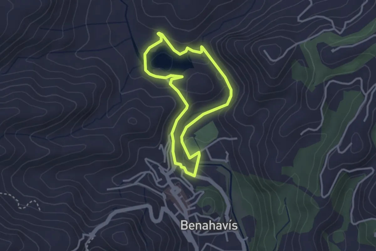
Las Libélulas del Guadalmina
2.9 km · ↑ 53 m · 51 min
Easy · Trail
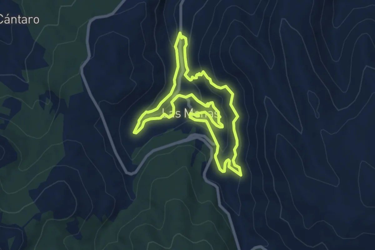
Las Menas
6.5 km · ↑ 287 m · 2 h 14 min
Easy · Trail
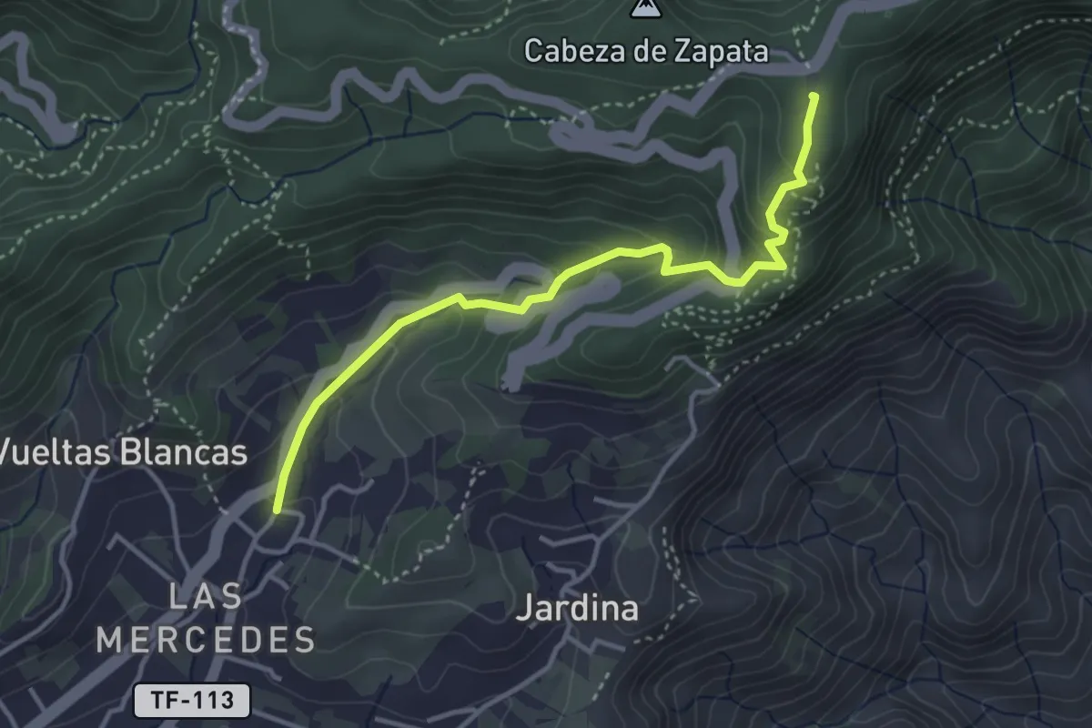
Las Mercedes - Cruz del Carmen
4.6 km · ↑ 289 m · 1 h 43 min
Demanding · Trail
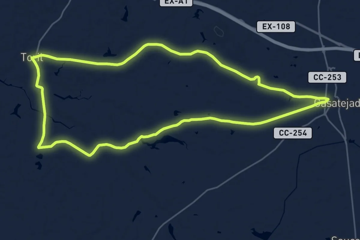
Las Mestas
20.0 km · ↑ 52 m · 5 h 7 min
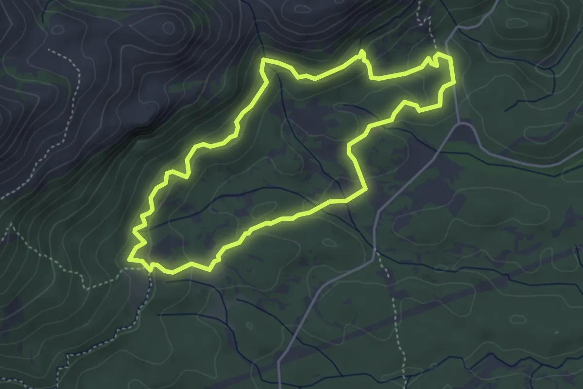
Medium · Trail
Las Mimbres
4.9 km · ↑ 166 m · 1 h 34 min
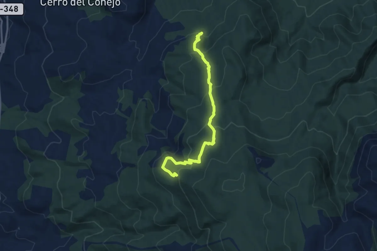
Medium · Summit
Las Minas y Caparidán
5.1 km · ↑ 430 m · 2 h 3 min
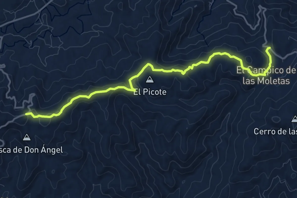
Medium · Trail
Las Moletas
13.5 km · ↑ 263 m · 3 h 45 min
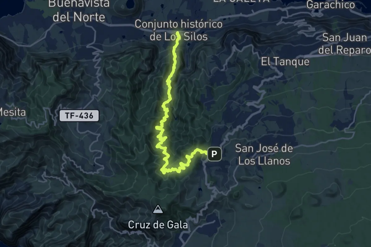
Medium · Trail
Las Moradas
10.8 km · ↑ 505 m · 4 h 14 min
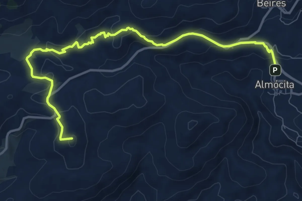
Medium · Summit
Las Paces - Minas de la Solana
10.9 km · ↑ 363 m · 3 h 21 min
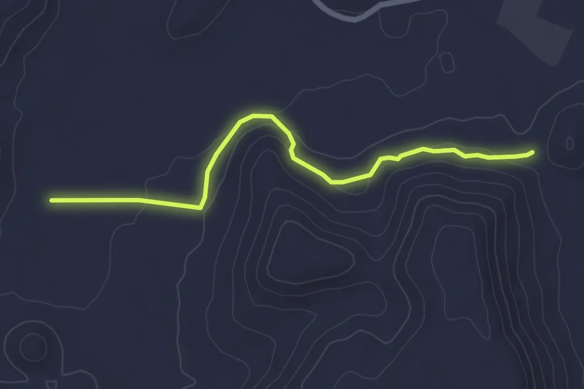
Easy · Trail
Las Piedras del Chantre
5.2 km · ↑ 130 m · 1 h 30 min
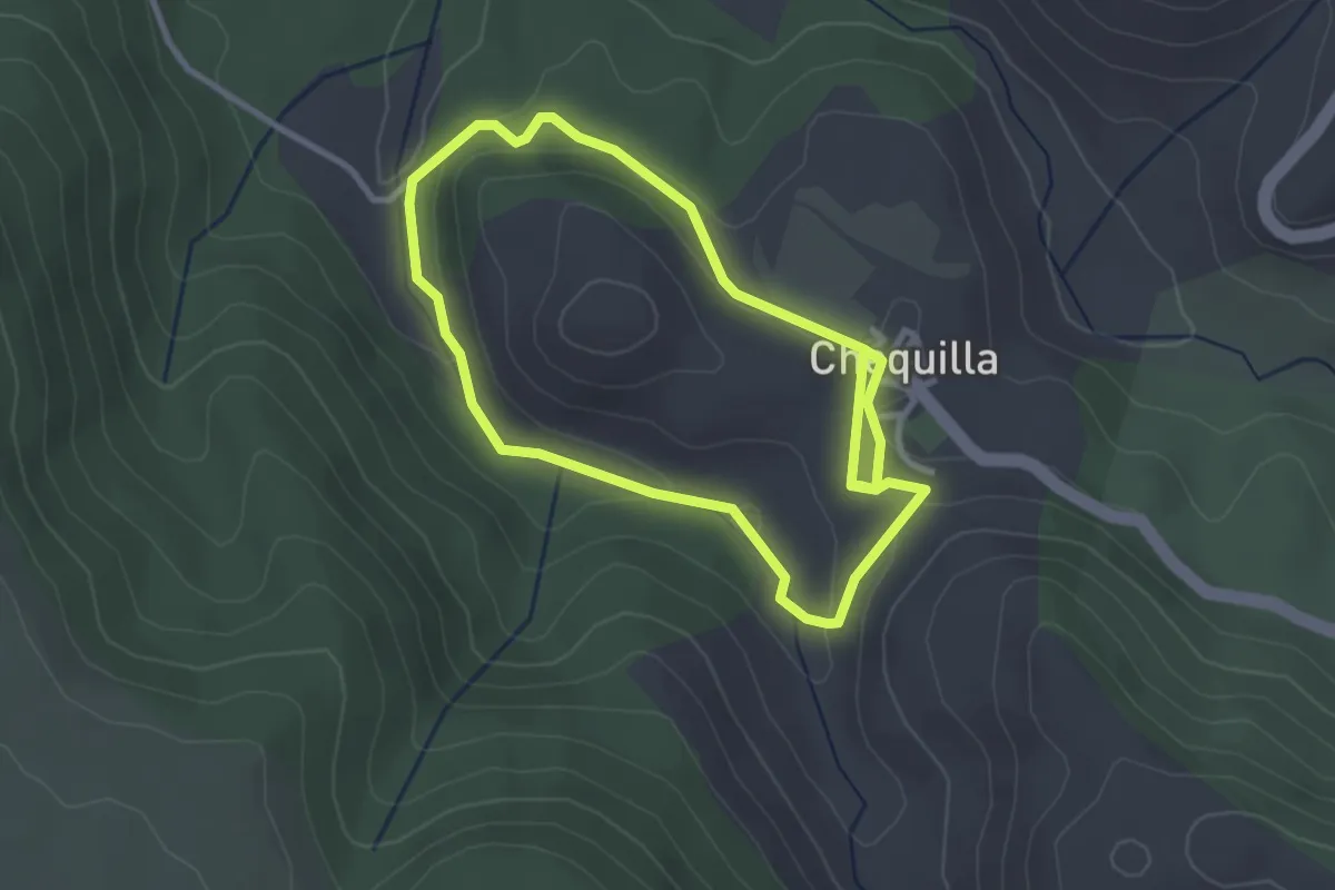
Easy · Trail
Las Piedras Rojas de Chequilla
3.0 km · ↑ 64 m · 53 min
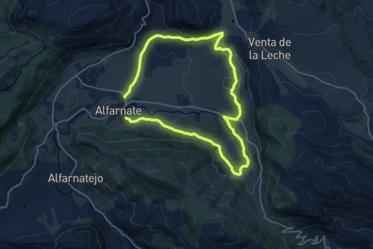
Medium · Trail
Las Pilas
11.8 km · ↑ 245 m · 3 h 30 min
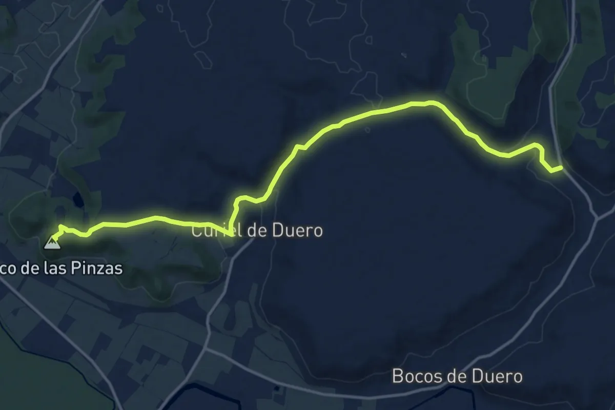
Medium · Summit
Las Pinzas
16.0 km · ↑ 355 m · 4 h 33 min
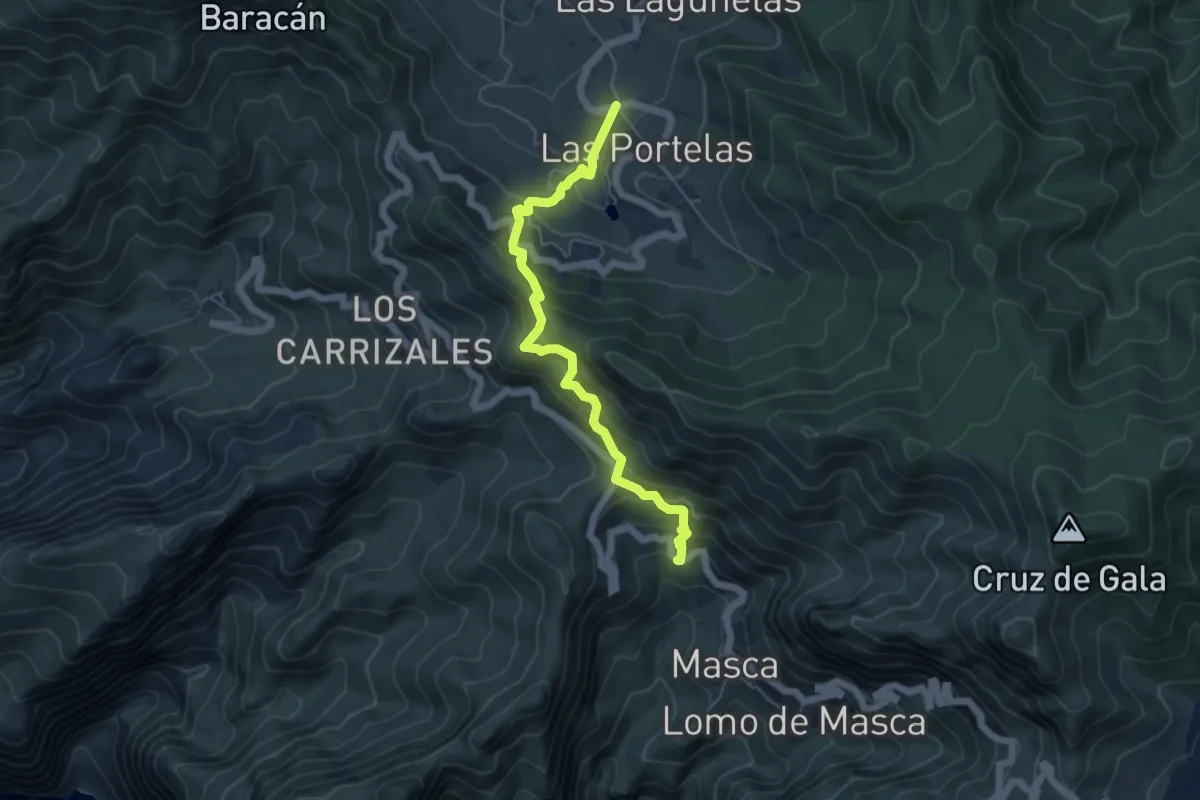
Medium · Trail
Las Portelas – Masca
6.7 km · ↑ 579 m · 2 h 50 min
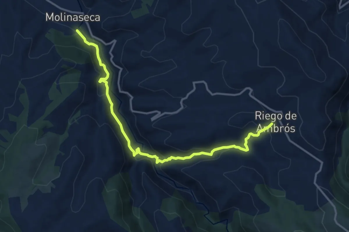
Medium · Trail
Las Puentes de Malpaso
11.3 km · ↑ 596 m · 3 h 58 min
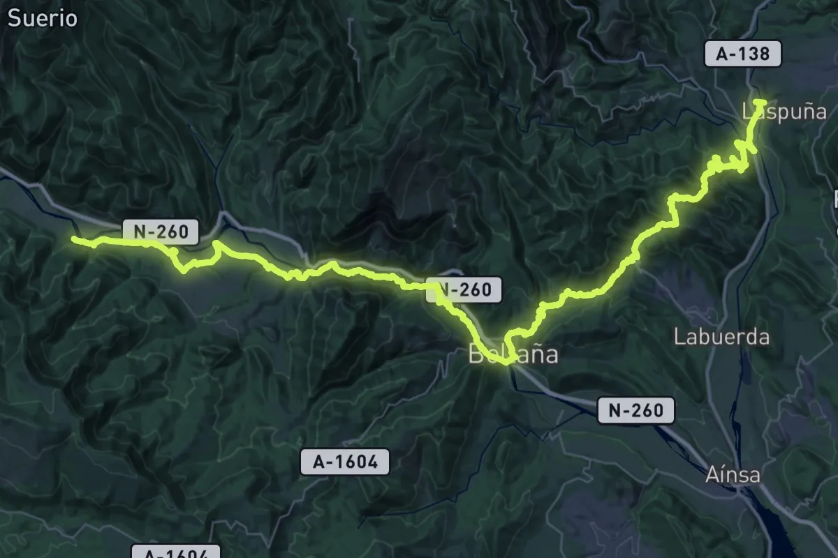
Demanding · Trail
Laspuña - Boltaña - Fiscal
32.0 km · ↑ 1169 m · 10 h 35 min
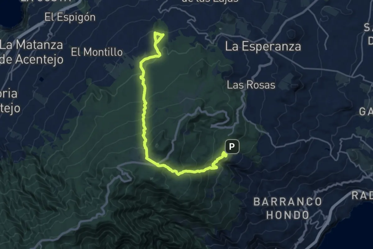
Demanding · Trail
Las Raices-Lomo de la Jara
21.6 km · ↑ 1240 m · 7 h 47 min
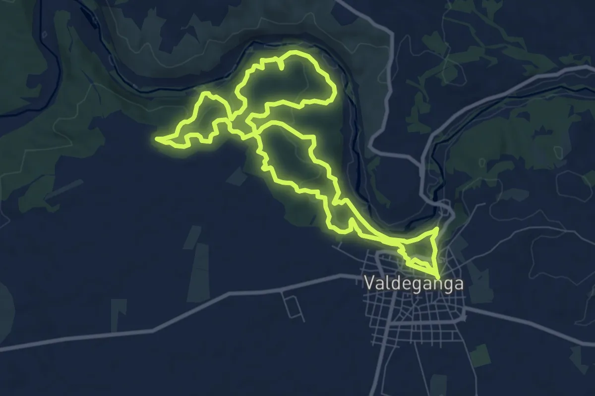
Medium · Trail
Las ramblas de la Abadia y el Batán
10.5 km · ↑ 407 m · 3 h 31 min
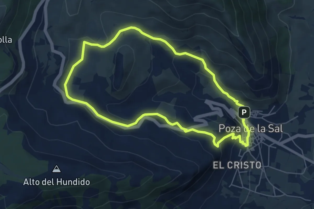
Easy · Summit
Las Salinas de Poza
5.5 km · ↑ 208 m · 1 h 50 min
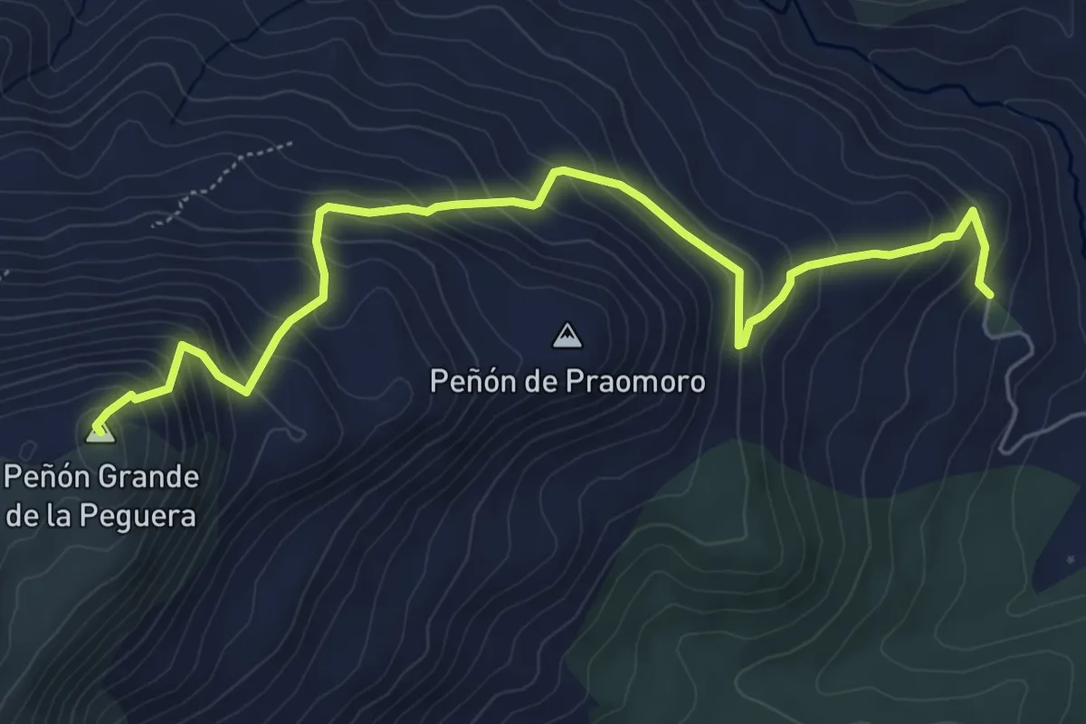
Expert · Summit
Las Santas - La Sagra
7.5 km · ↑ 590 m · 3 h 3 min
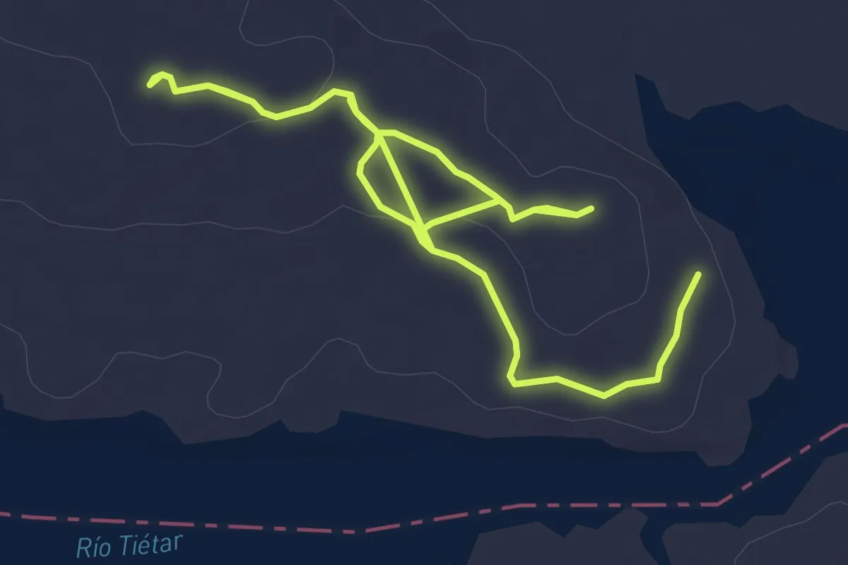
Easy · Trail
Las Tejoneras
6.7 km · ↑ 103 m · 1 h 48 min
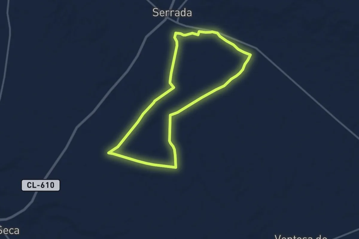
Medium · Trail
Las Trescientas
10.0 km · ↑ 43 m · 2 h 36 min
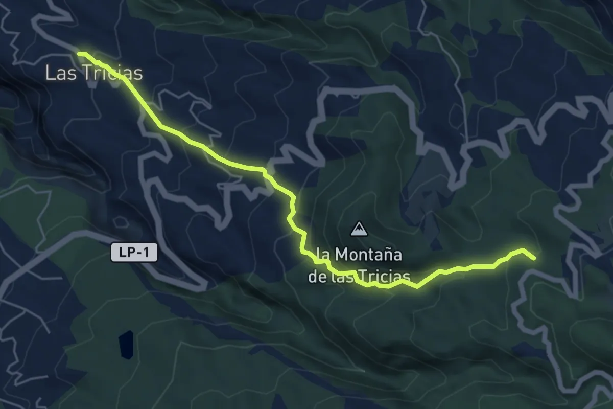
Medium · Trail
Las Tricias-Wanderweg PR LP 10
6.8 km · ↑ 484 m · 2 h 40 min
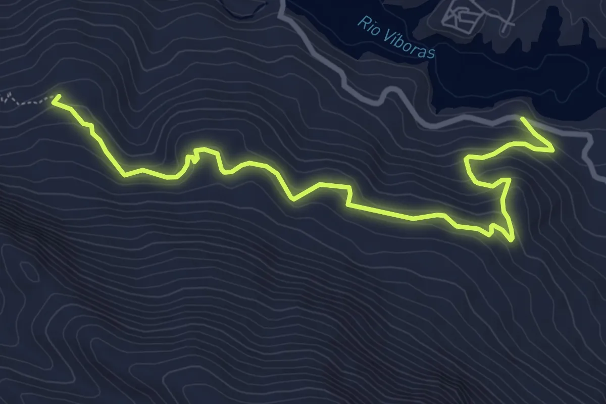
Medium · Trail
Las Umbrías de la Sierrade la Caracolera
8.2 km · ↑ 358 m · 2 h 43 min
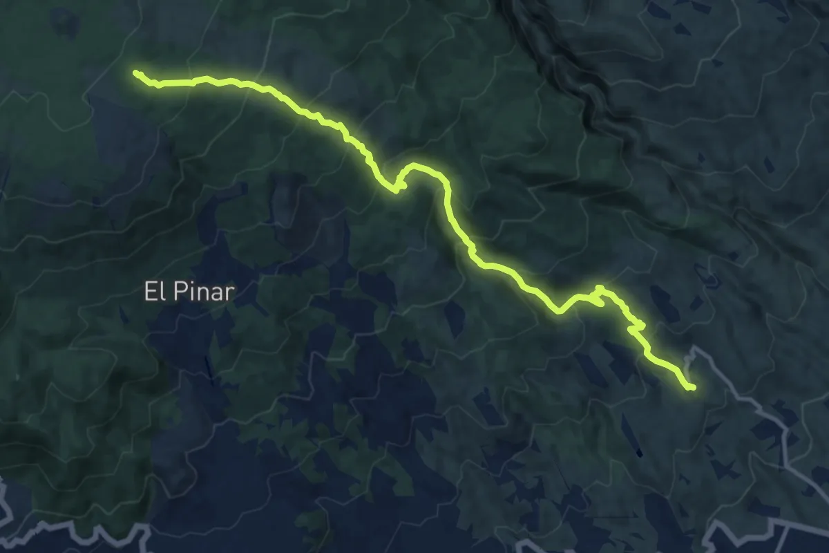
Demanding · Trail
Las Vegas - Los Escurriales
16.5 km · ↑ 1111 m · 6 h 19 min
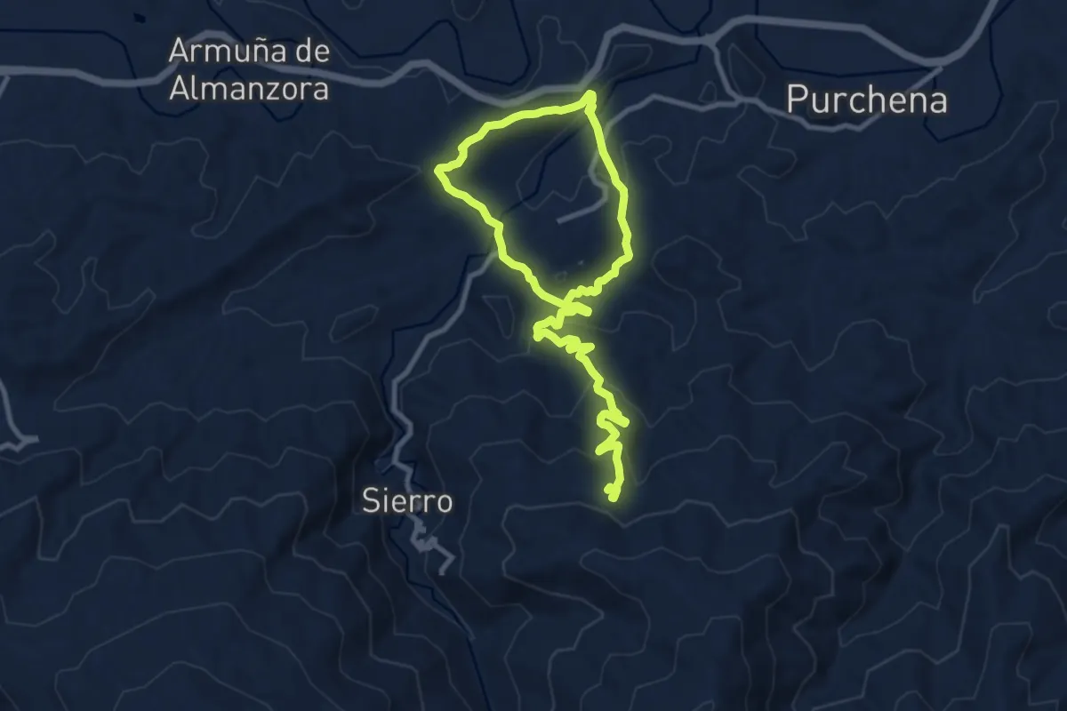
Medium · Trail
Las Yeseras de Suflí
8.2 km · ↑ 202 m · 2 h 39 min
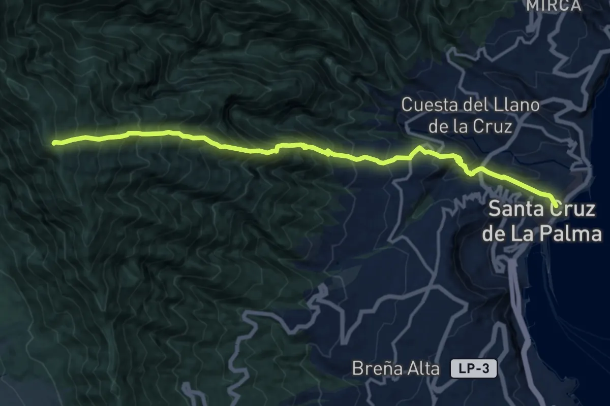
Expert · Trail
La Tabladita - Santa Cuz de La Palma
15.7 km · ↑ 1893 m · 7 h 49 min
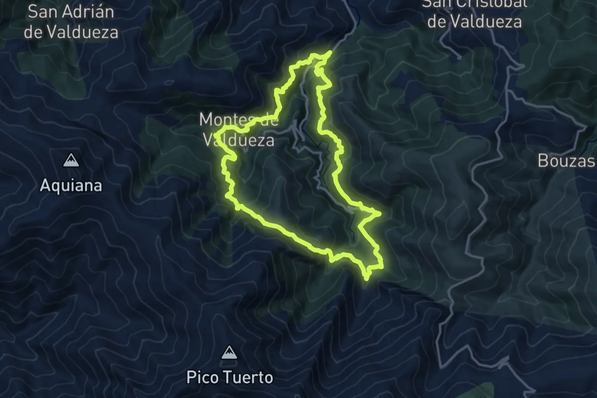
Demanding · Trail
La Tebaida Berciana
13.7 km · ↑ 1086 m · 5 h 46 min
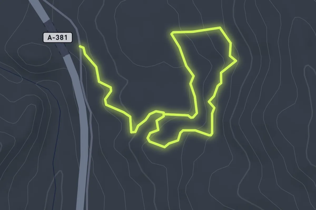
Easy · Trail
La Teja
6.6 km · ↑ 187 m · 1 h 57 min
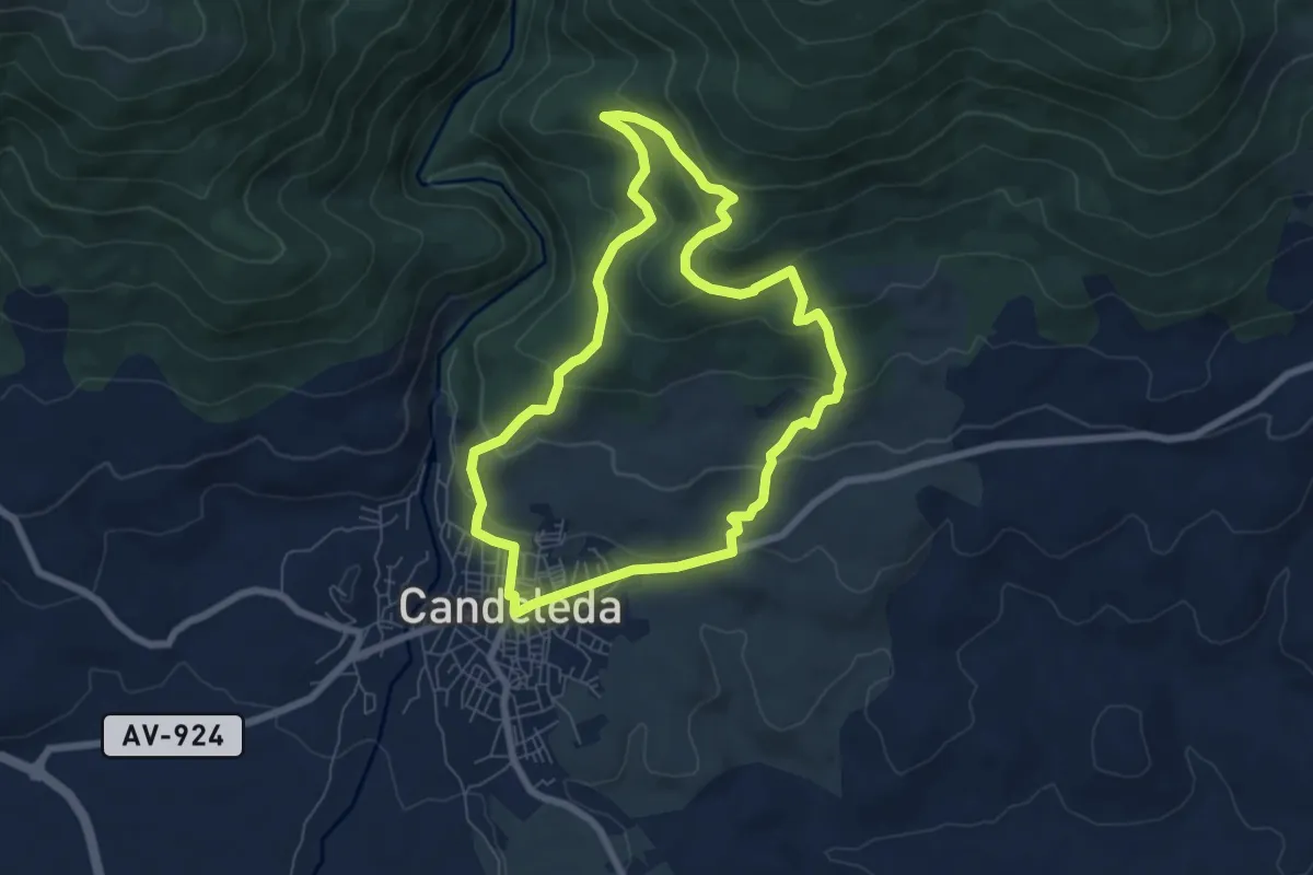
Easy · Trail
La Tijera
7.3 km · ↑ 311 m · 2 h 29 min
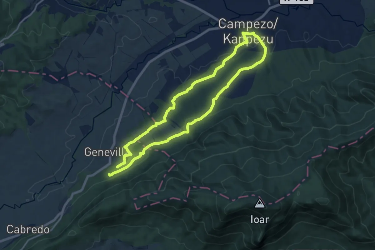
Demanding · Trail
La Torca-rako ibilbidea
20.8 km · ↑ 342 m · 5 h 39 min
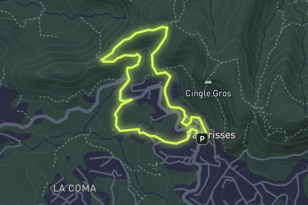
Medium · Summit
la Torrota de Vacarisses
3.3 km · ↑ 142 m · 1 h 8 min
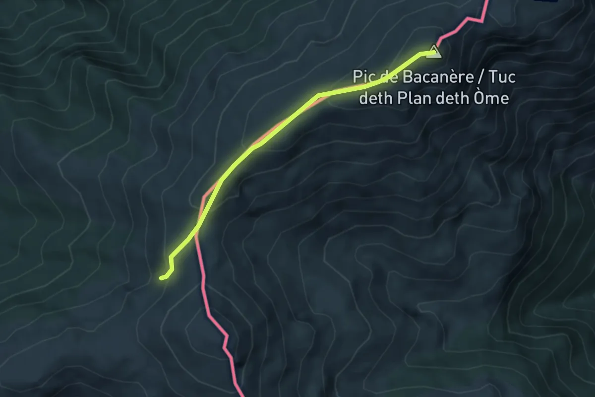
Medium · Summit
La traversée des Pyrénées - sec.5
4.2 km · ↑ 248 m · 1 h 32 min
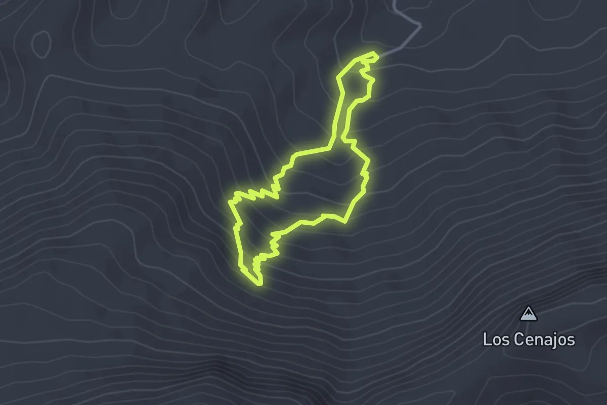
Easy · Trail
La Umbría de la Virgen
3.1 km · ↑ 230 m · 1 h 16 min
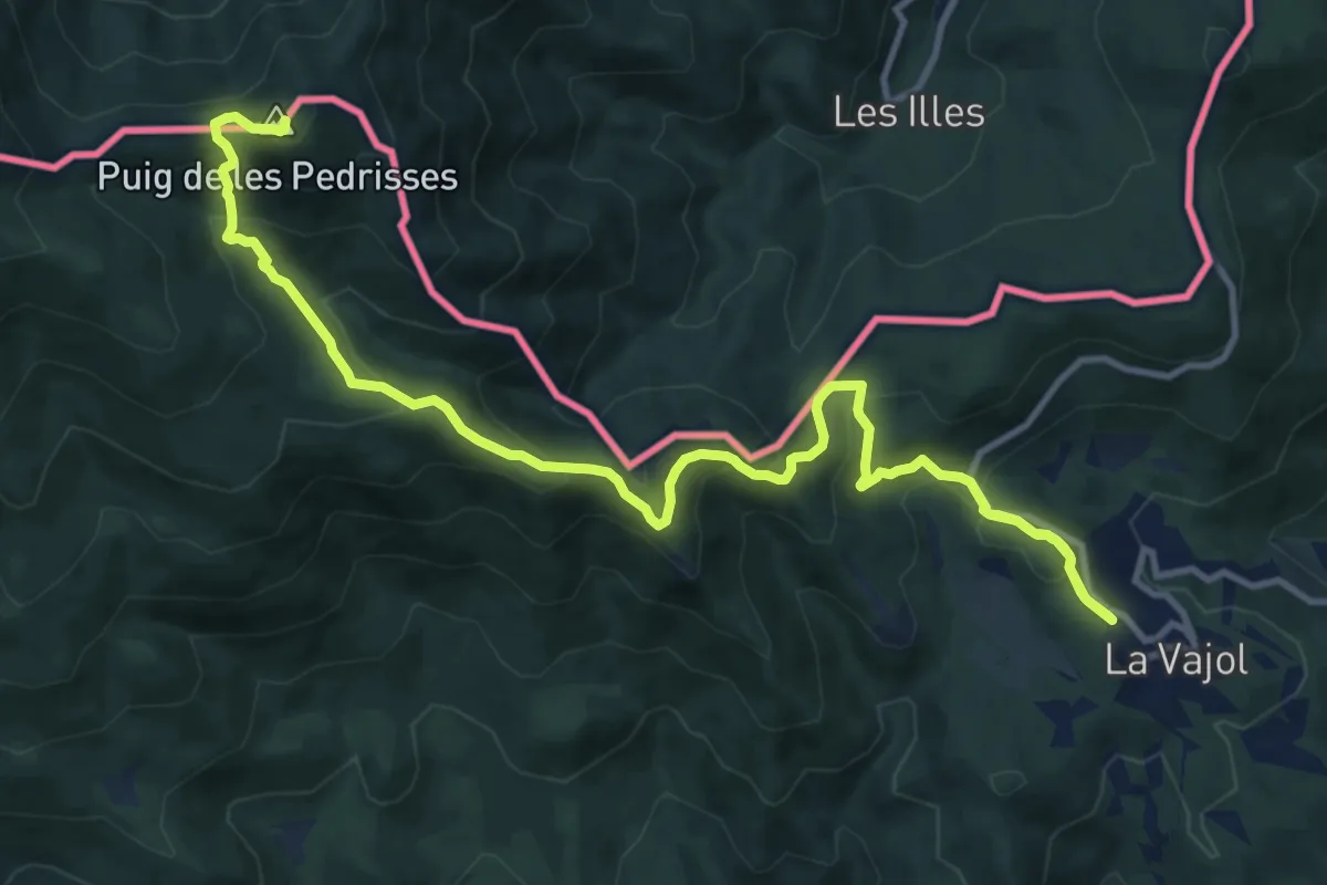
Demanding · Summit
La Vajol al Santuari i al Puig de les Salines
15.6 km · ↑ 873 m · 5 h 35 min
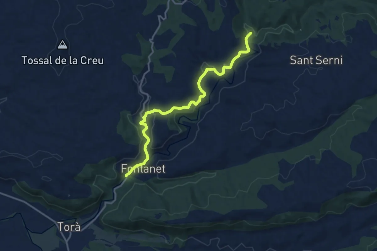
Medium · Trail
La Vall del Llobregós. Vaiant Torà - Cruïlla del Toll de l'Amic de la Riera de Llanera
11.3 km · ↑ 203 m · 3 h 6 min
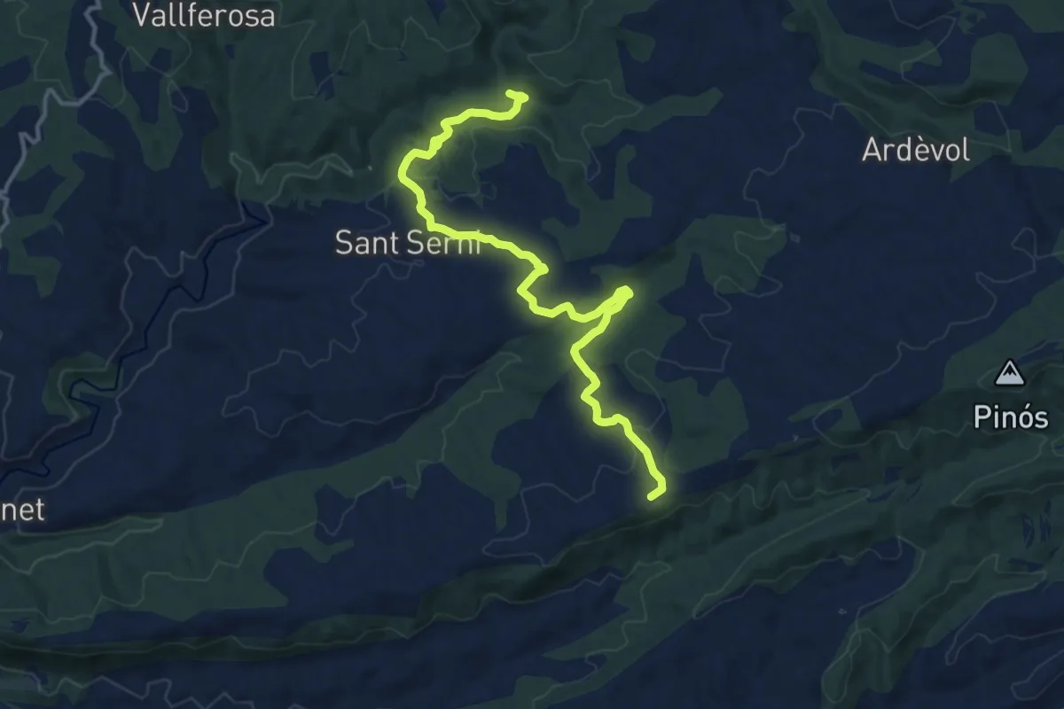
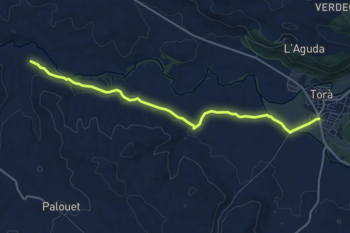
Medium · Trail
La Vall del Llobregós. Variant Riera de Llanera - Mas Petja
14.9 km · ↑ 308 m · 4 h 11 min
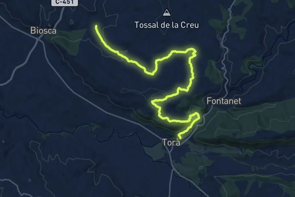
Medium · Trail
La Vall del Llobregós. Variant Torà - Cruïlla del Bon Pas
9.9 km · ↑ 65 m · 2 h 28 min
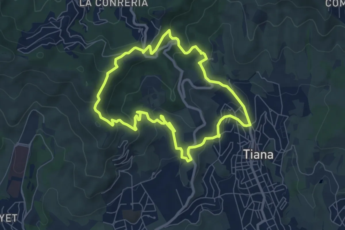
Demanding · Trail
La Vall del Llobregós.Variant Torà - Mas Mesquita
19.9 km · ↑ 467 m · 5 h 43 min
Medium · Summit
La vall de Montealegre
6.7 km · ↑ 279 m · 2 h 17 min
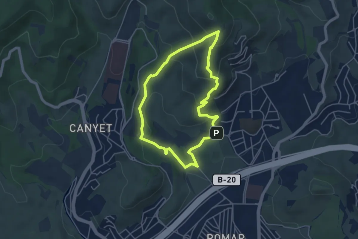
Easy · Summit
La Vall de Pomar
4.0 km · ↑ 230 m · 1 h 29 min
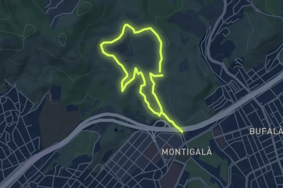
Easy · Summit
La vall de Sant Jeroni de la Murtra
4.2 km · ↑ 80 m · 1 h 13 min
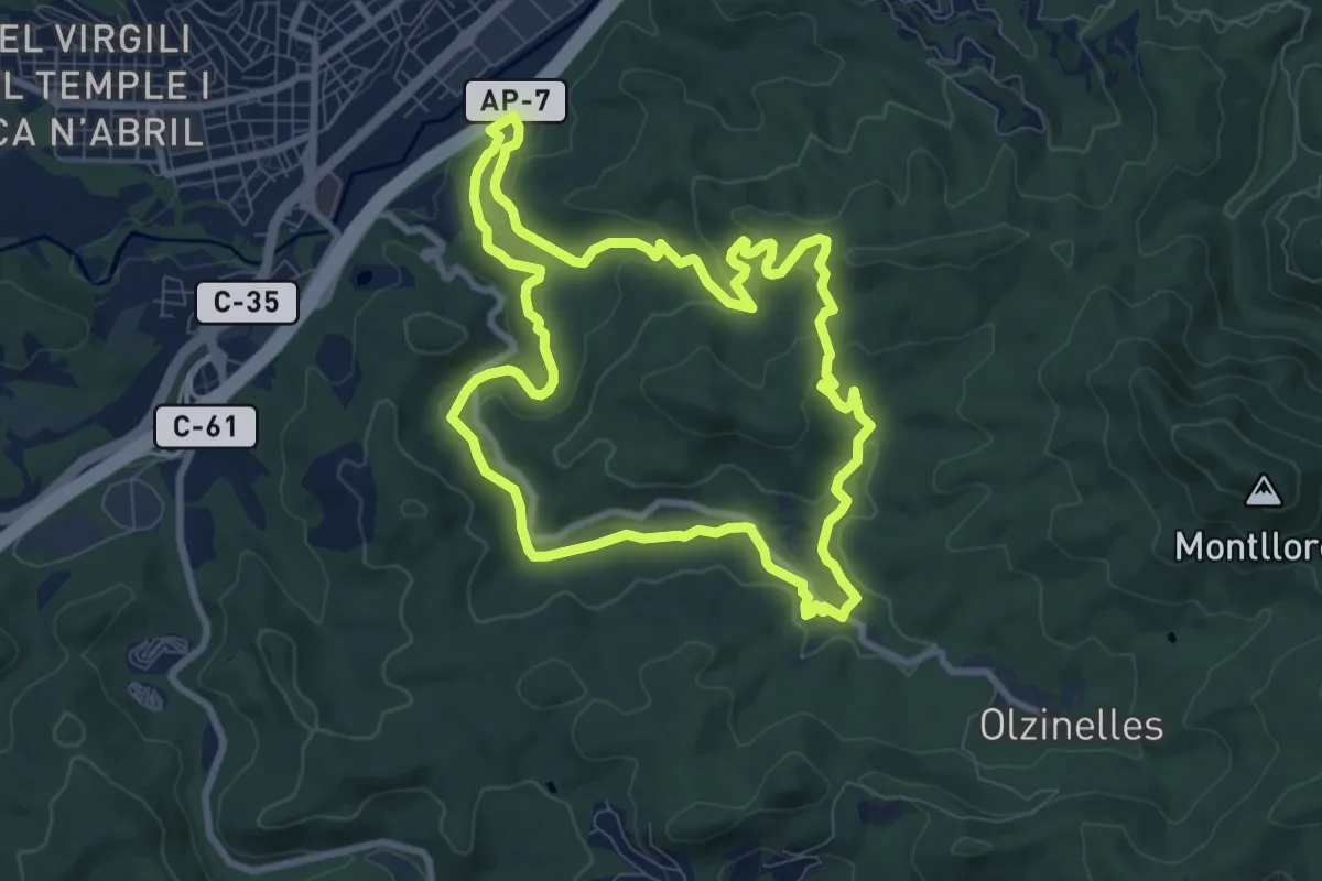
Medium · Trail
La vall d'Olzinelles
9.2 km · ↑ 223 m · 2 h 47 min
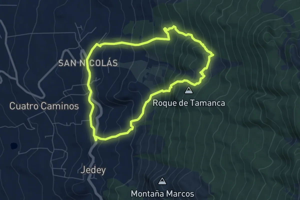
Demanding · Summit
Lavas de San Juan
7.7 km · ↑ 591 m · 3 h 12 min