Trails in Spain
5,962 hiking trails, each with its route, climb, walking time and grade.
All trails, page 57 of 125
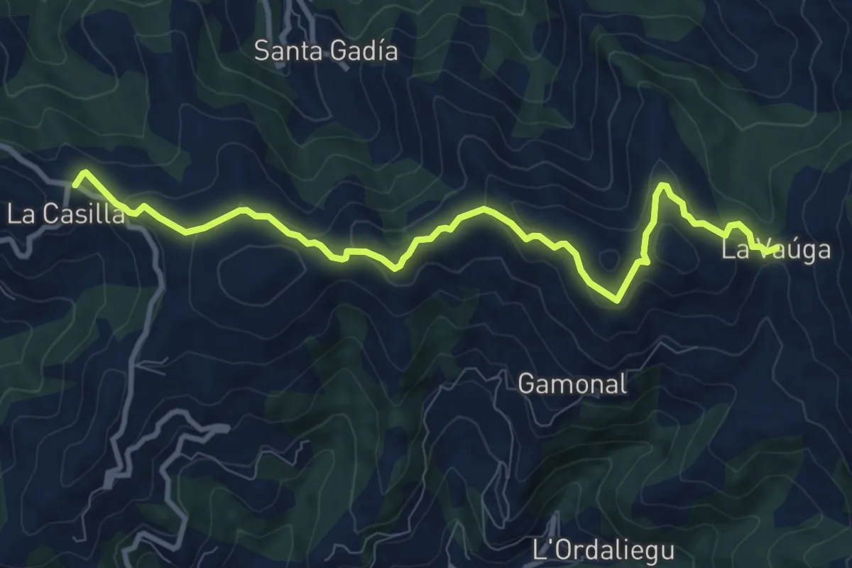
Medium · Trail
La Vaúga
10.2 km · ↑ 380 m · 3 h 14 min
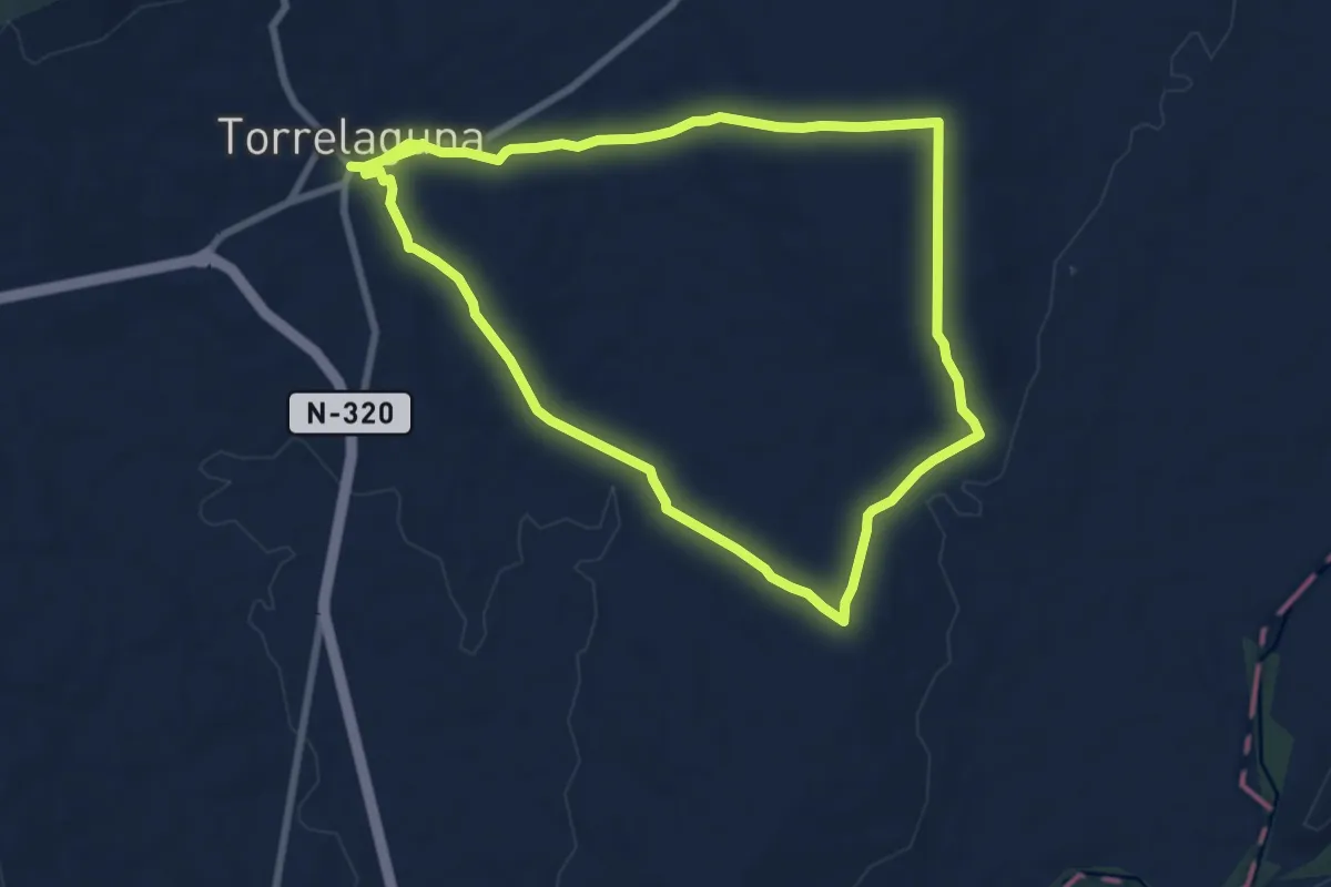
Medium · Trail
La Vega del Jarama
8.5 km · ↑ 91 m · 2 h 20 min
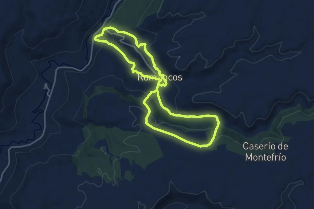
Medium · Trail
La Vega y La Alcarria Romanquena
10.8 km · ↑ 291 m · 3 h 21 min
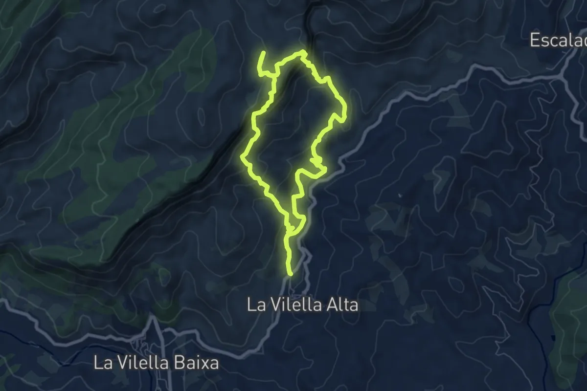
Medium · Summit
la Vilella Alta
7.1 km · ↑ 419 m · 2 h 42 min
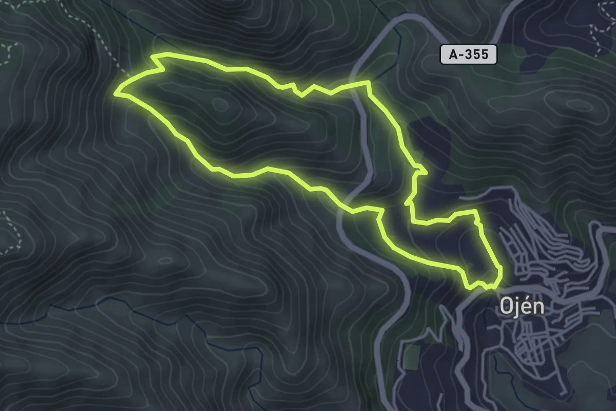
Demanding · Trail
La Virgencita
4.5 km · ↑ 319 m · 1 h 50 min
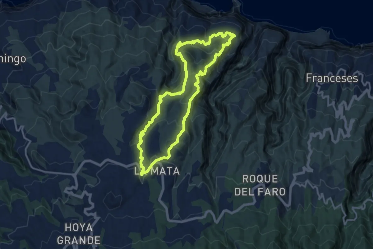
Medium · Summit
La Zarza
11.2 km · ↑ 786 m · 4 h 30 min
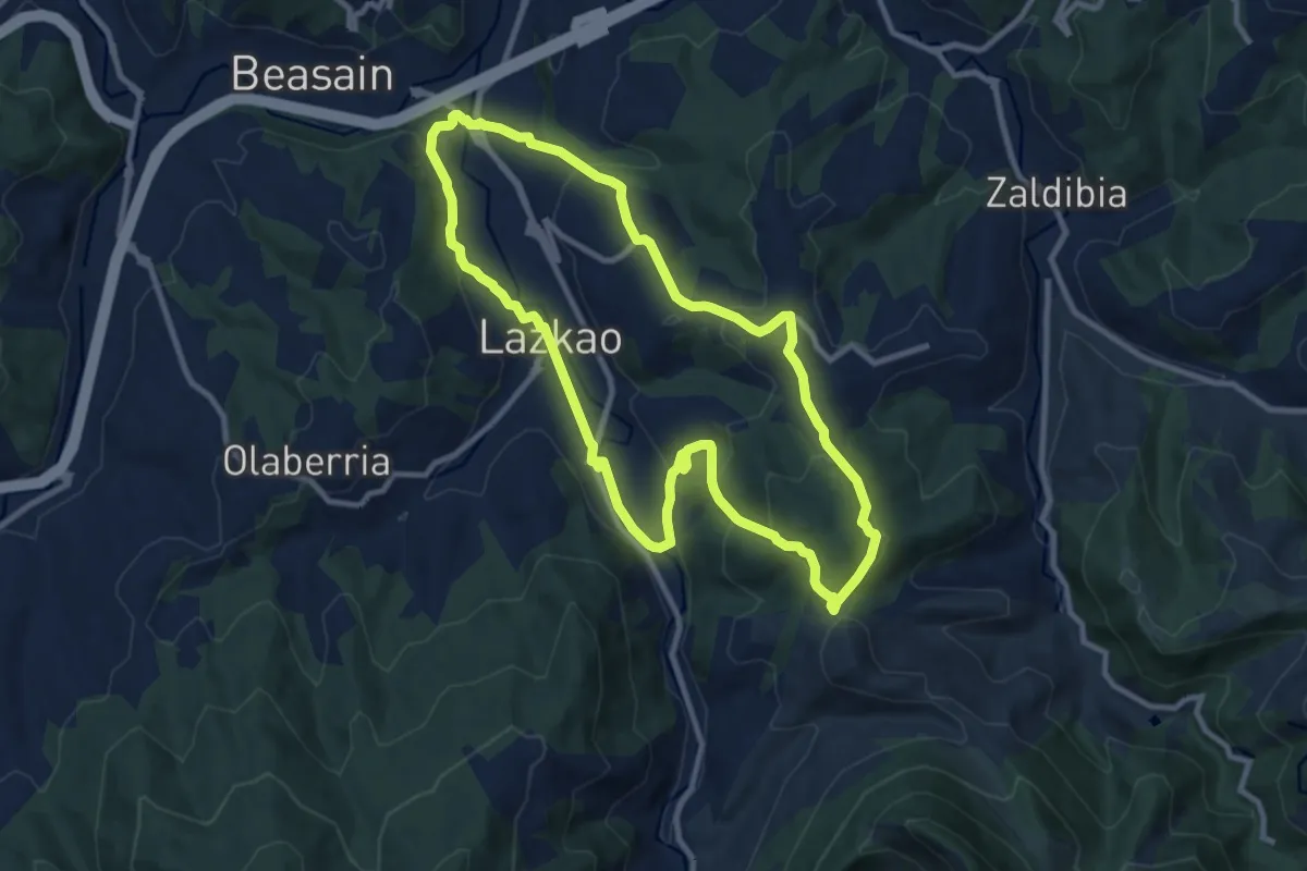
Medium · Trail
Lazkao-Iramendi
10.1 km · ↑ 357 m · 3 h 19 min
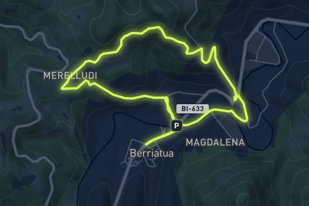
Easy · Summit
Lea-Artibaiko bazterrak
5.9 km · ↑ 293 m · 2 h 7 min
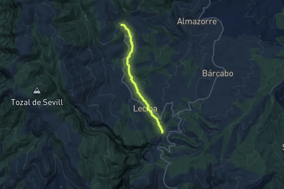
Medium · Trail
Lecina - Betorz/Lecina - Fuente de Lecina
10.6 km · ↑ 351 m · 3 h 16 min
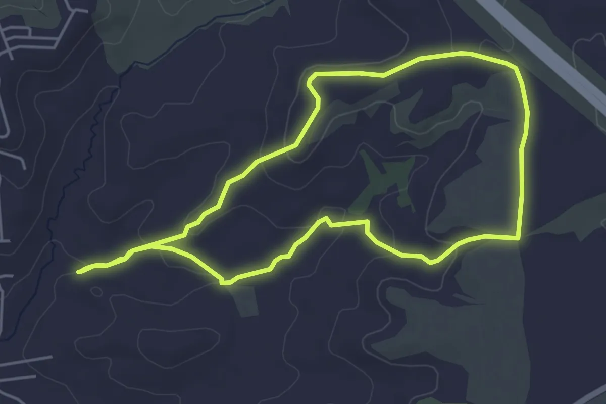
Easy · Trail
Leganitos - Barrancos de las Viñas
4.9 km · ↑ 110 m · 1 h 27 min
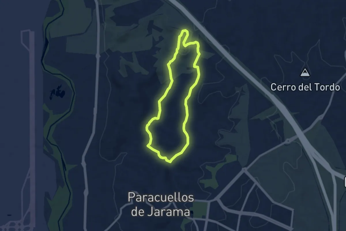
Easy · Trail
Leganitos - Cerro de La Mesilla
6.1 km · ↑ 140 m · 1 h 49 min
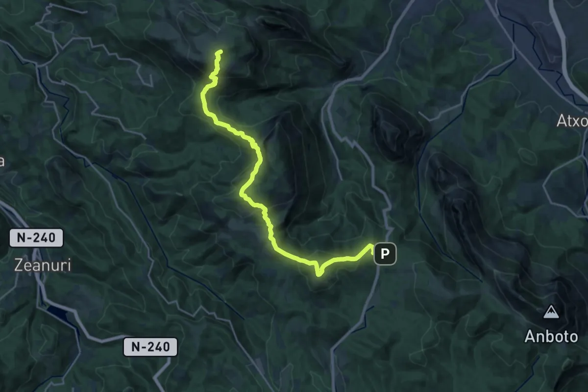
Demanding · Summit
Legarmendiko ibilbide handia
20.7 km · ↑ 1290 m · 7 h 41 min
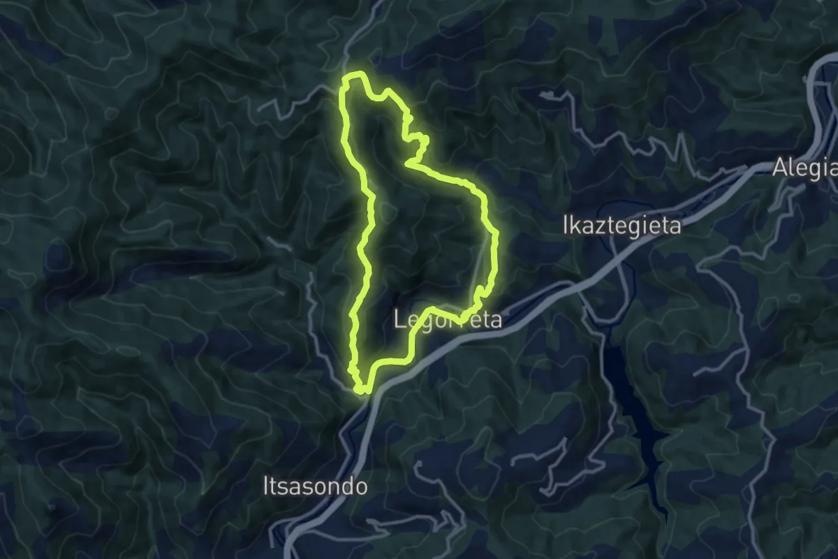
Medium · Summit
Legorreta-Santamaña-Legorreta
11.0 km · ↑ 518 m · 3 h 53 min
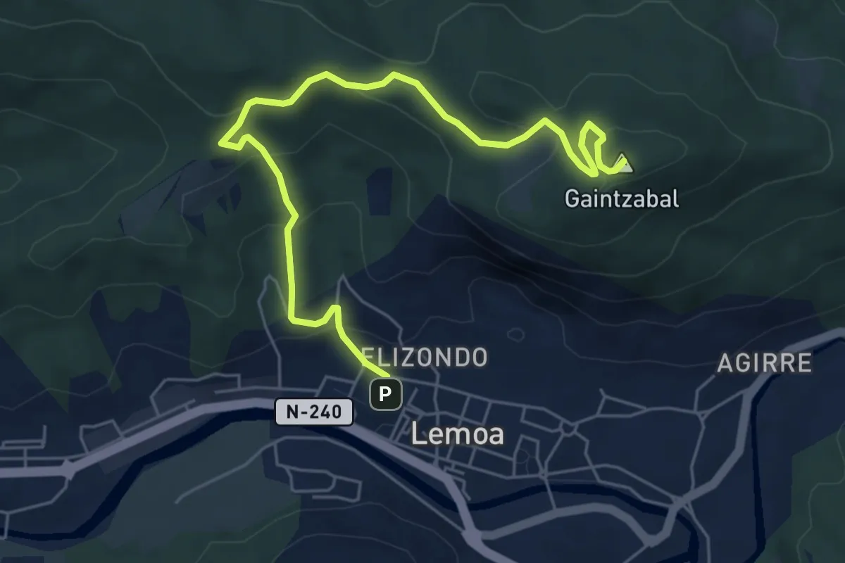
Medium · Summit
Lemoatxa 1937
6.9 km · ↑ 365 m · 2 h 26 min
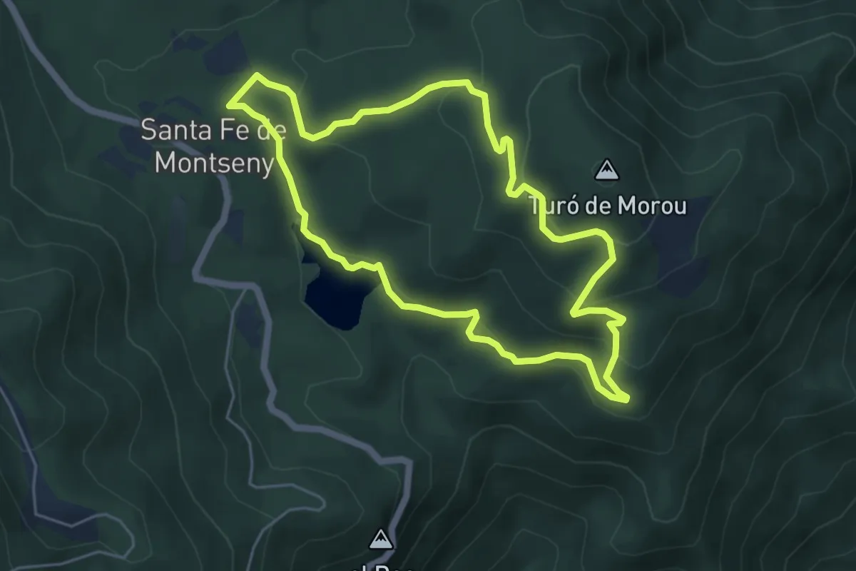
Easy · Trail
L'empedrat de Morou
5.2 km · ↑ 228 m · 1 h 47 min
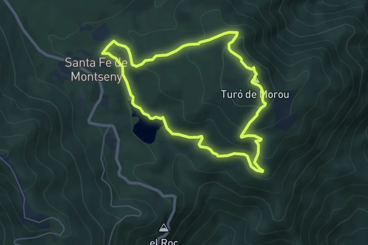
Easy · Summit
L'empedrat de Morou (variant)
5.4 km · ↑ 253 m · 1 h 54 min
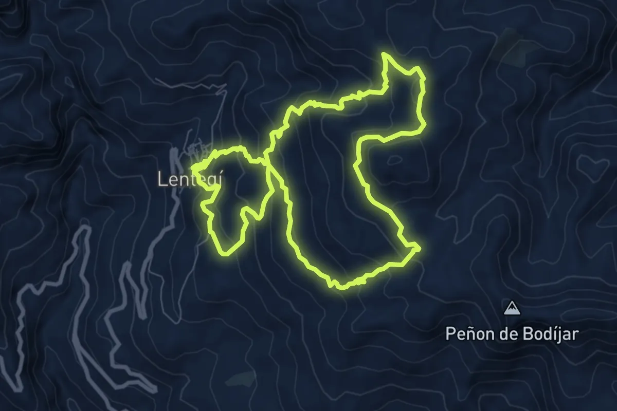
Medium · Summit
Lentegí Las Bizarras Entre Sierras
9.2 km · ↑ 549 m · 3 h 29 min
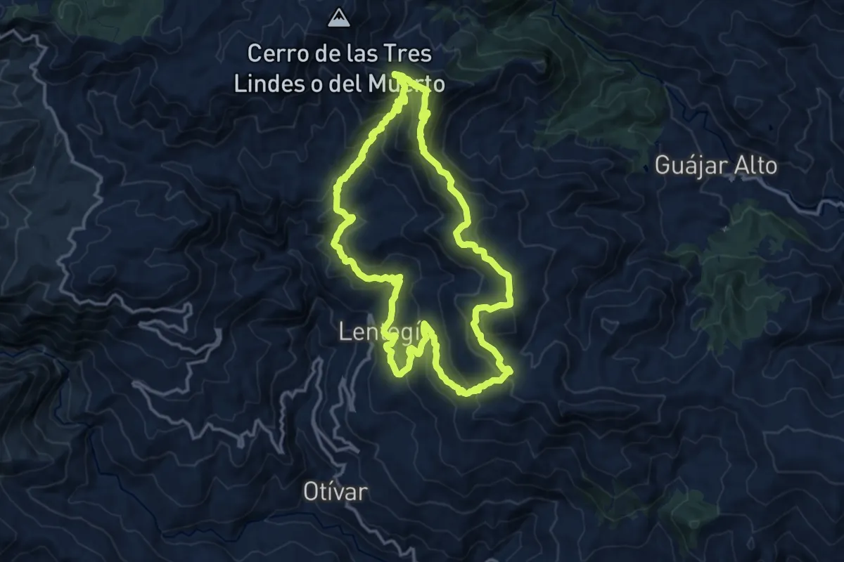
Demanding · Summit
Lentegí - Puerto Viejo
15.1 km · ↑ 848 m · 5 h 38 min
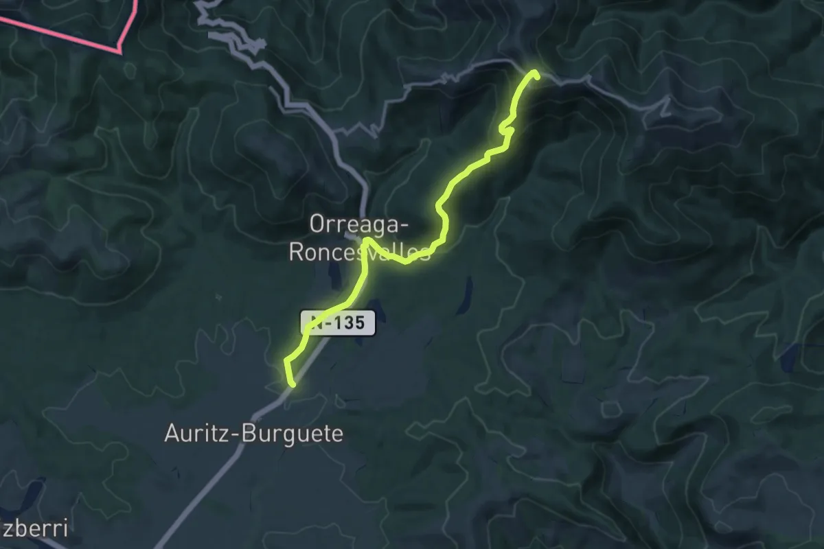
Medium · Summit
Lepoeder (GR12) - Auritz (GR11)
11.8 km · ↑ 578 m · 4 h 2 min
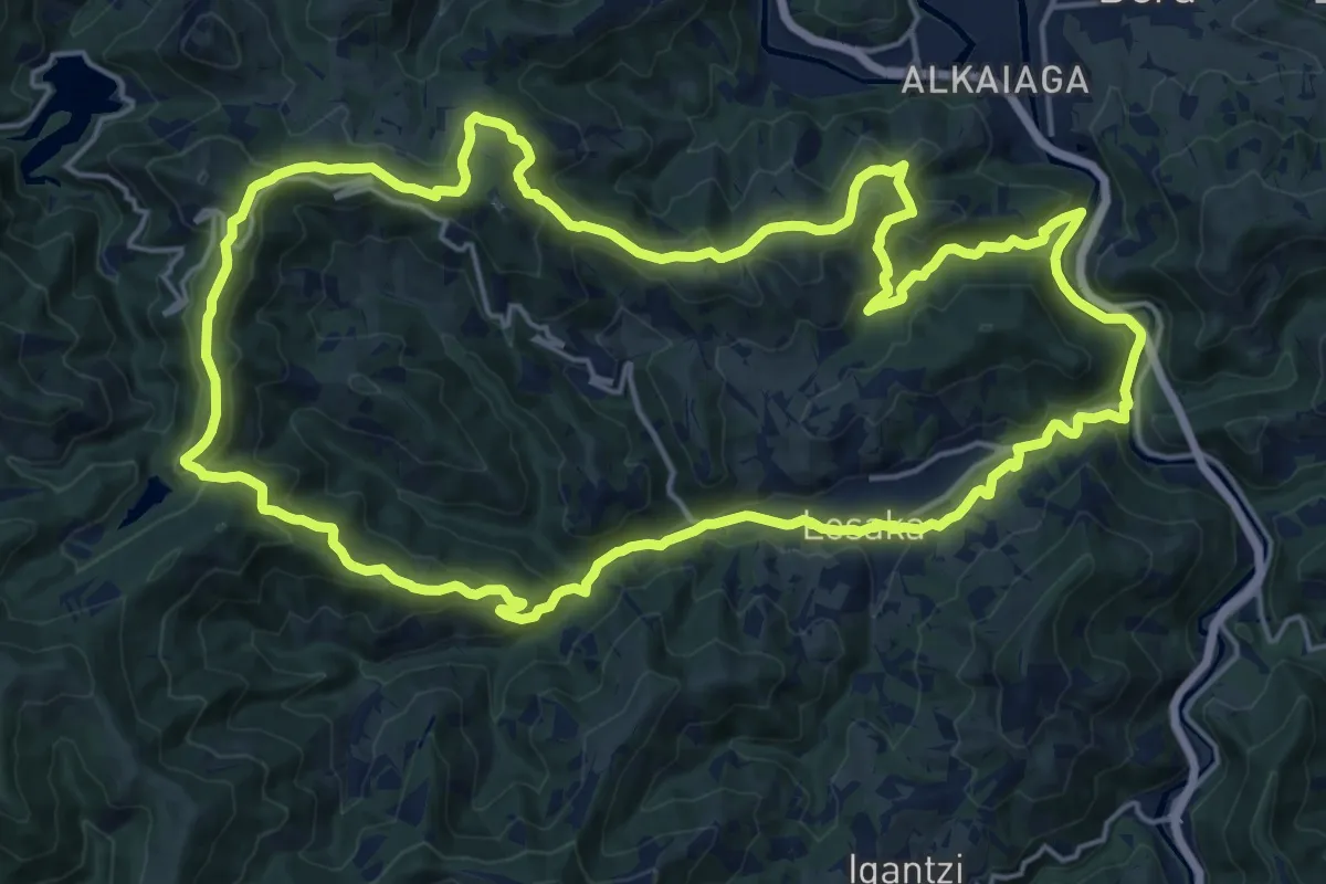
Demanding · Summit
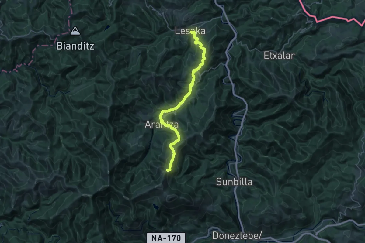
Lesaka - Agina
22.0 km · ↑ 766 m · 7 h 9 min
Demanding · Summit
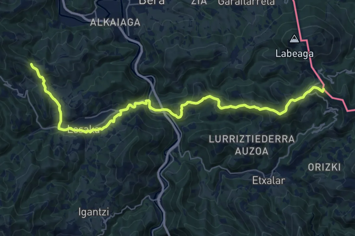
Lesaka-Bustitza
25.3 km · ↑ 1393 m · 9 h
Demanding · Summit
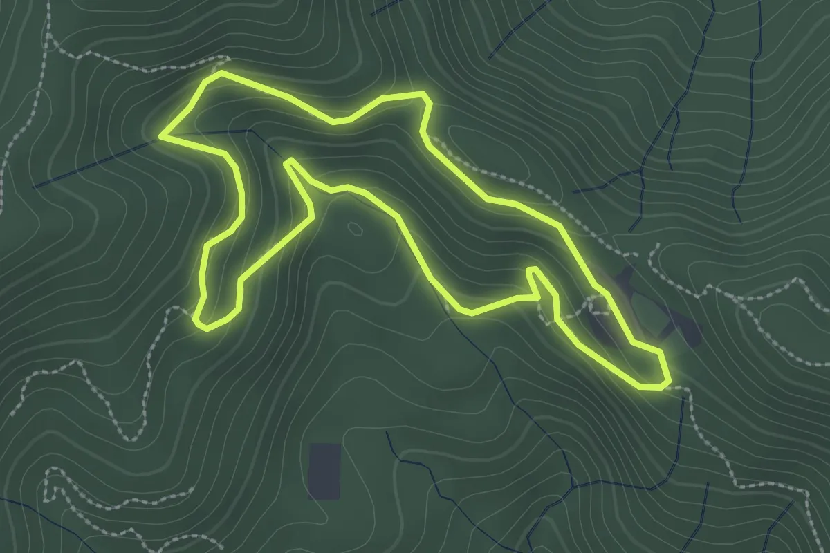
Lesakako aldaera
24.8 km · ↑ 1074 m · 8 h 12 min
Easy · Trail
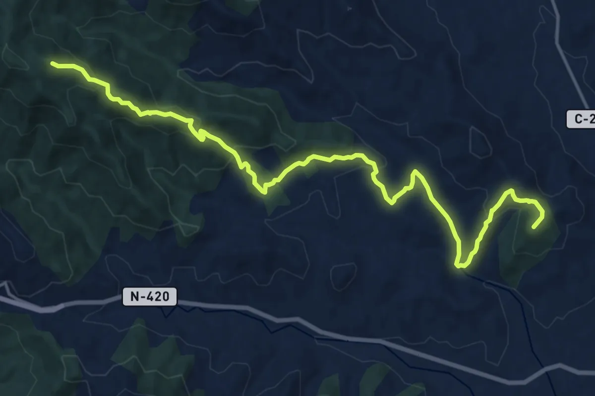
Les Alzines de Can Portell
3.0 km · ↑ 172 m · 1 h 7 min
Medium · Summit
Les Borges del Camp-Puigcerver
16.2 km · ↑ 777 m · 5 h 30 min
Medium · Trail
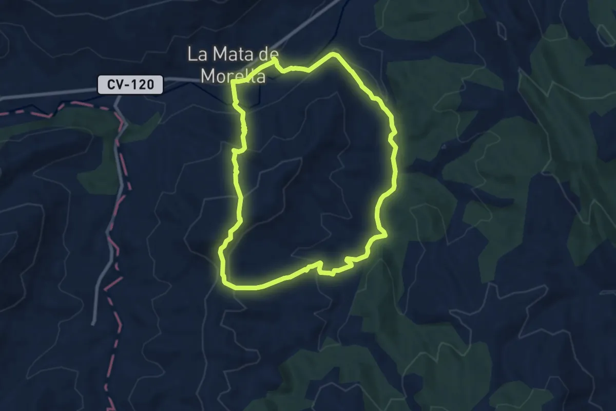
Les Clapisses
8.2 km · ↑ 308 m · 2 h 44 min
Easy · Summit
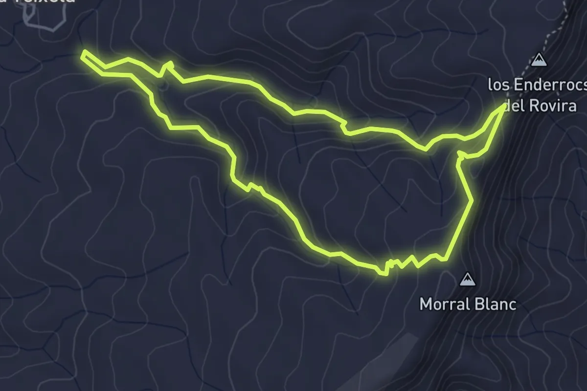
Les crestes que domina el Mestral. Pradell de la Teixeta
4.8 km · ↑ 270 m · 1 h 47 min
Easy · Trail
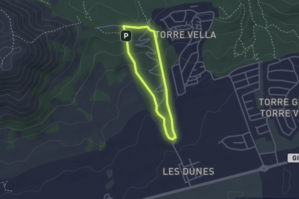
Les Dunes
2.3 km · ↑ 90 m · 47 min
Medium · Trail
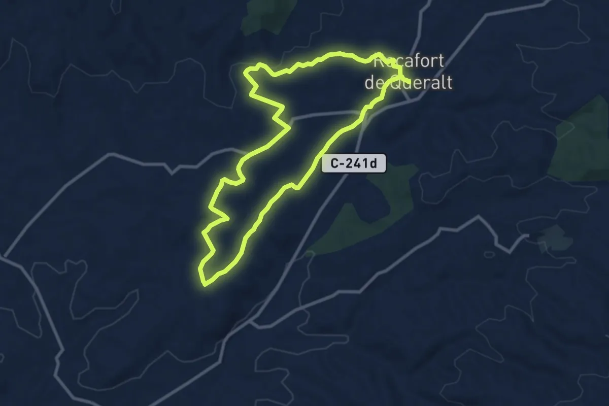
Les fites dels camps de conreu. Rocafort de Queralt
8.8 km · ↑ 90 m · 2 h 23 min
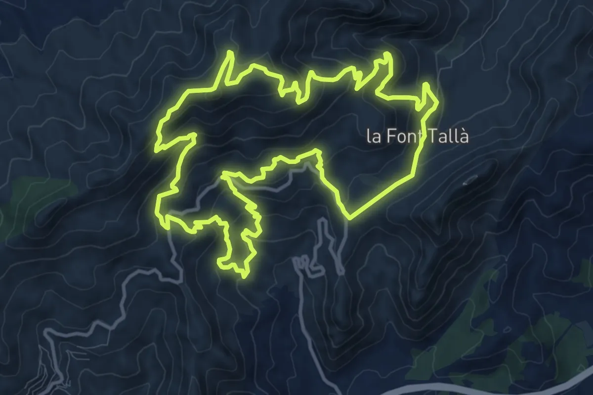
Medium · Summit
Les Fonts del Desert
13.1 km · ↑ 751 m · 4 h 55 min
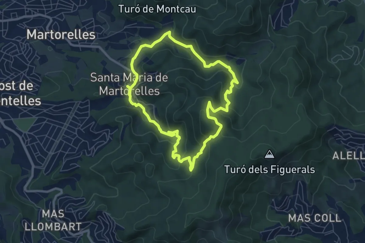
Demanding · Summit
Les fonts de Santa Maria de Martorelles
6.7 km · ↑ 311 m · 2 h 21 min
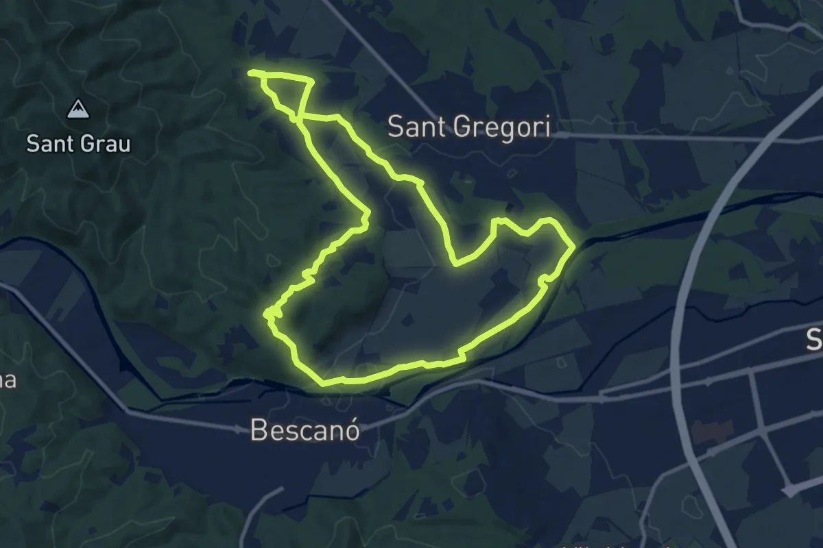
Medium · Trail
Les fonts naturals de Sant Gregori
11.5 km · ↑ 109 m · 3 h 7 min
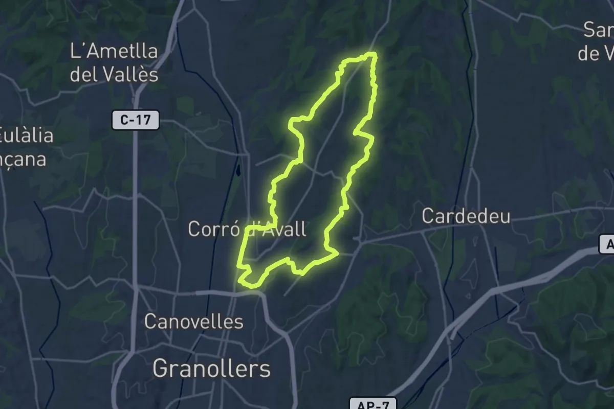
Medium · Trail
Les Franqueses del Vallès
16.6 km · ↑ 222 m · 4 h 38 min
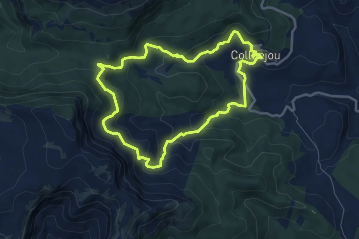
Medium · Trail
Les obagues de la Serra. Colldejou
6.6 km · ↑ 347 m · 2 h 24 min
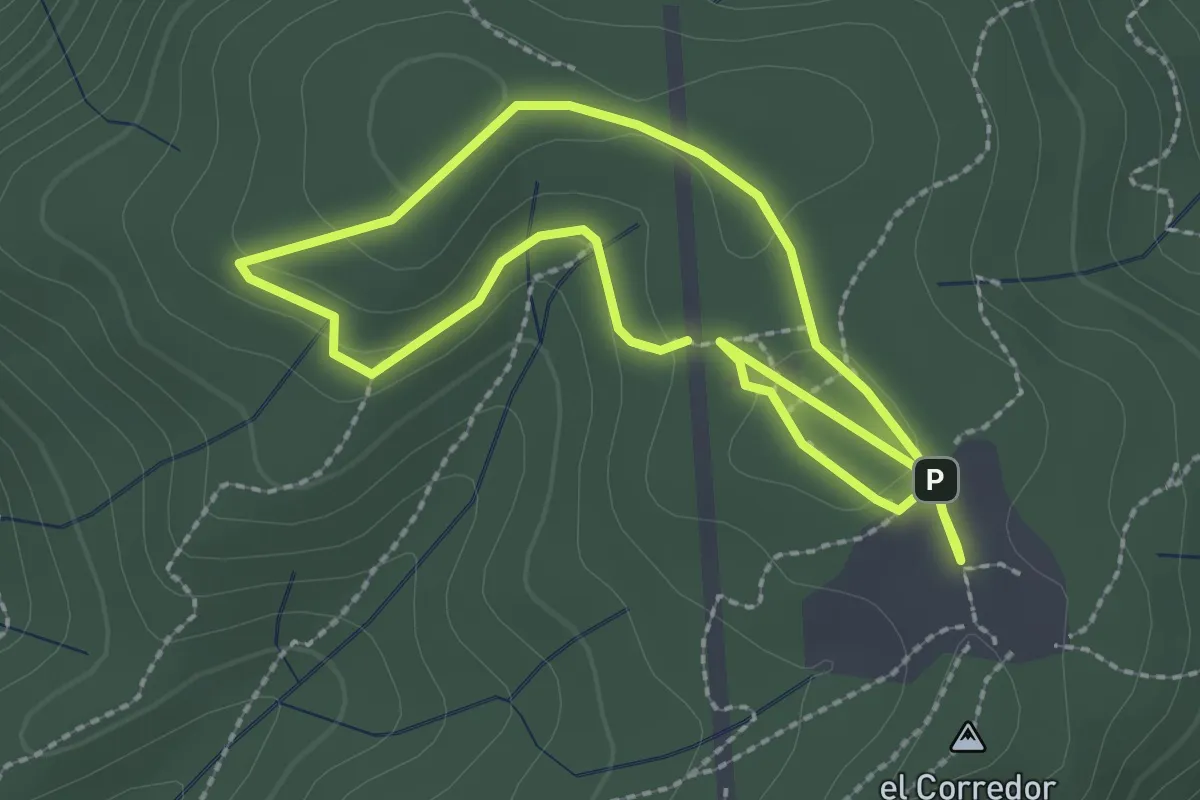
Easy · Trail
Les Planes del Corredor
2.4 km · ↑ 19 m · 38 min
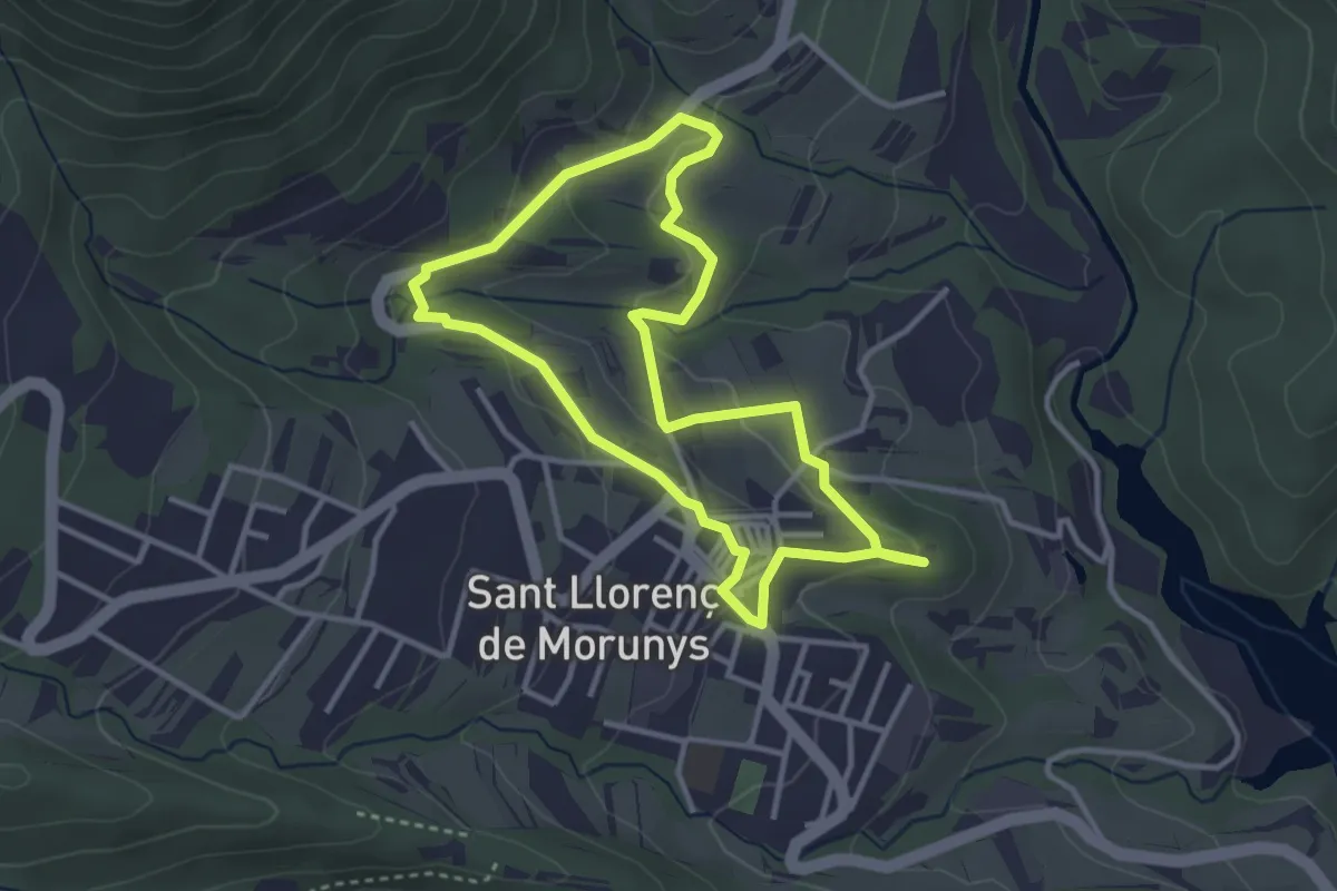
Easy · Trail
Les pomeres
3.5 km · ↑ 93 m · 1 h 4 min
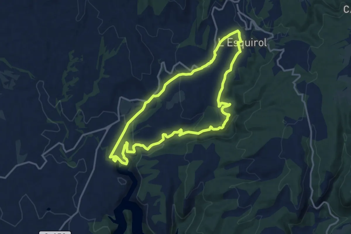
Medium · Trail
L'Esquirol, Salts i Gorgues
11.1 km · ↑ 397 m · 3 h 38 min
Easy · Trail
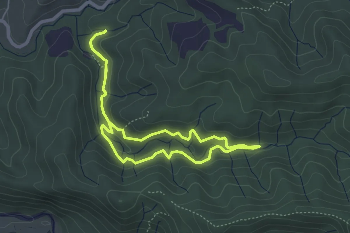
Les tines de la vall del Flequer
4.3 km · ↑ 156 m · 1 h 25 min
Medium · Trail
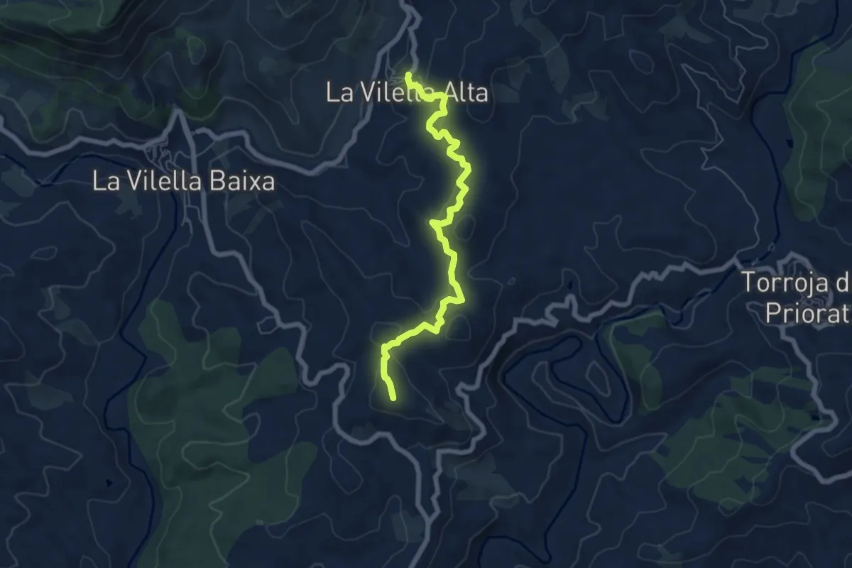
Les vinyes de la Mare de Déu
6.6 km · ↑ 325 m · 2 h 15 min
Easy · Summit
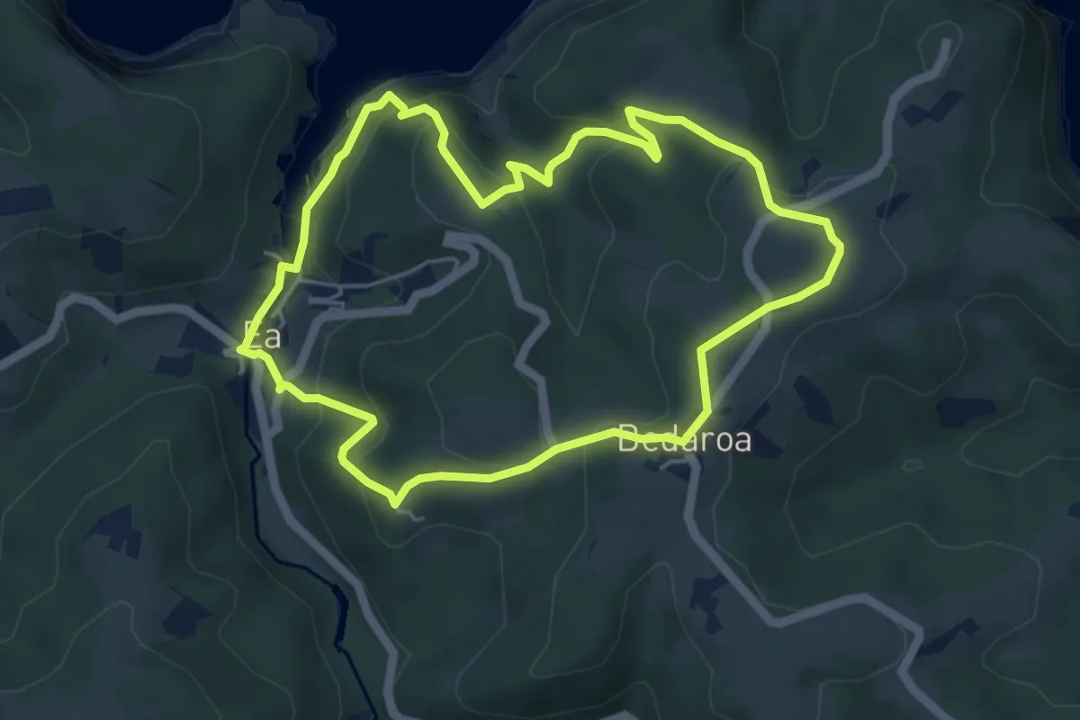
Letaniak bidezidorra
5.2 km · ↑ 204 m · 1 h 45 min
Medium · Summit
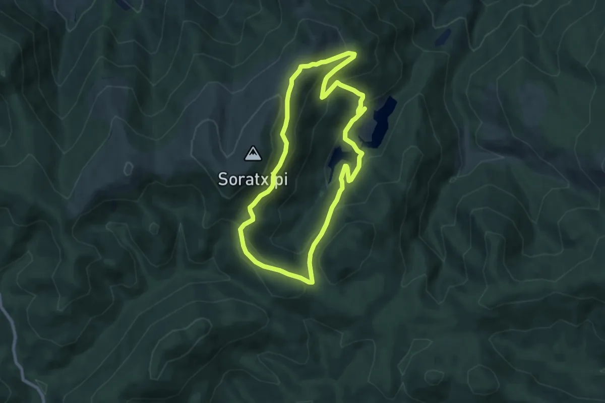
Leurtzako basoa
7.4 km · ↑ 331 m · 2 h 33 min
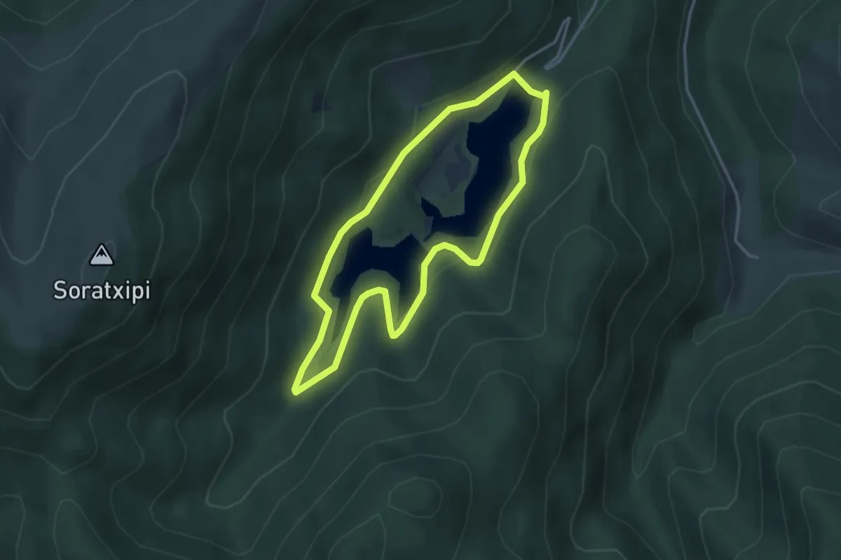
Easy · Trail
Leurtzako ibilbidea
3.4 km · ↑ 131 m · 1 h 8 min
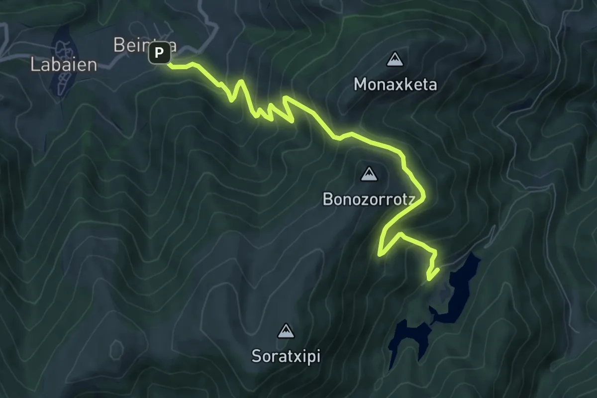
Medium · Trail
Leurtzatik Beintza Labaienera
9.4 km · ↑ 661 m · 3 h 39 min
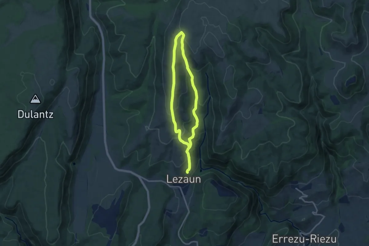
Medium · Summit
Lezaungo pagadia
9.1 km · ↑ 387 m · 3 h 6 min
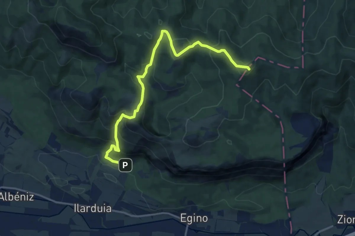
Expert · Summit
Lezeko itzulia
11.5 km · ↑ 741 m · 4 h 19 min
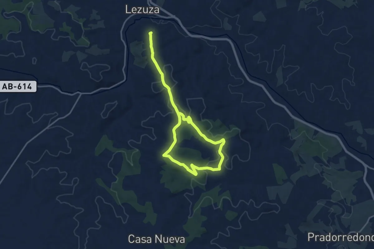
Medium · Trail
Lezuza: Dehesa Boyal
12.2 km · ↑ 209 m · 3 h 30 min
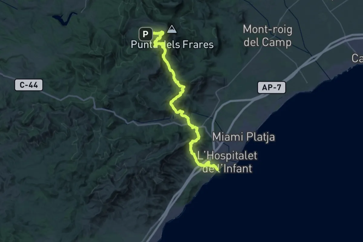
Demanding · Trail
l'Hospitalet de l'Infant - Llaberia
21.9 km · ↑ 822 m · 7 h 36 min
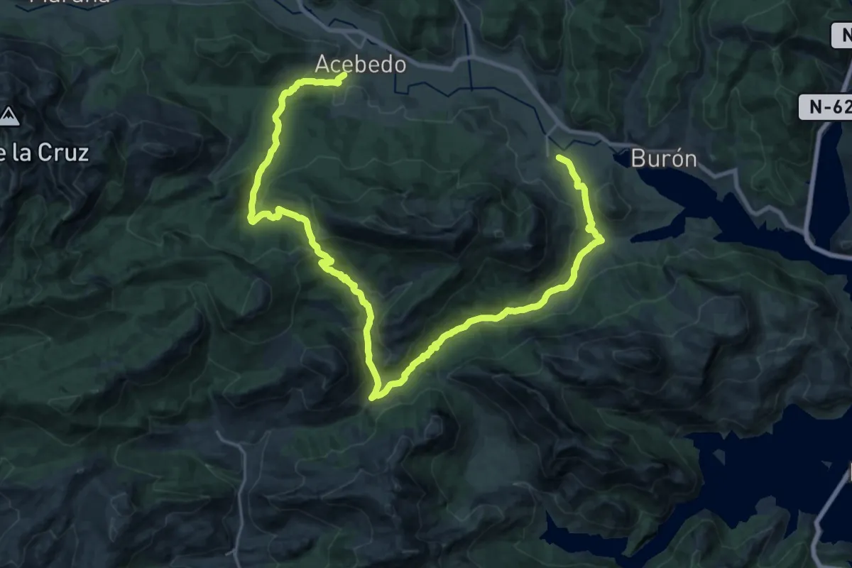
Medium · Trail
Liegos-Acevedo
16.1 km · ↑ 625 m · 5 h 21 min
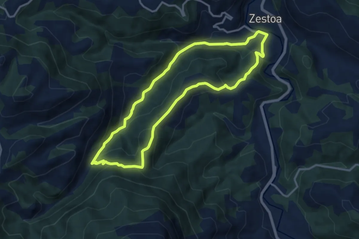
Medium · Trail
Lili-Goltzibar-Zestoa
8.4 km · ↑ 390 m · 2 h 57 min