Trails in Spain
5,962 hiking trails, each with its route, climb, walking time and grade.
All trails, page 58 of 125
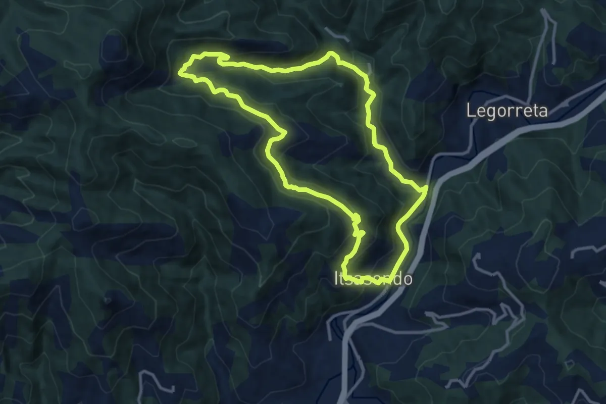
Medium · Trail
Lizardiko bira
10.4 km · ↑ 509 m · 3 h 42 min
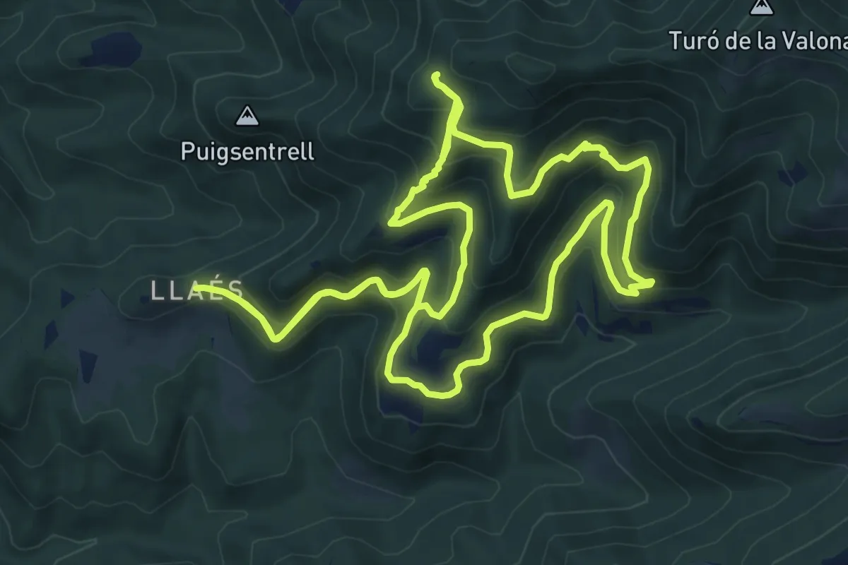
Medium · Trail
Llaés, balmes
9.8 km · ↑ 644 m · 3 h 52 min
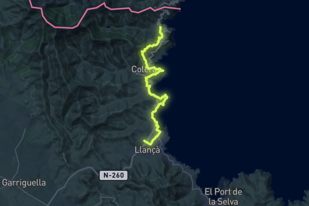
Medium · Trail
Llançà a Colera i Porbou
12.8 km · ↑ 474 m · 4 h 13 min
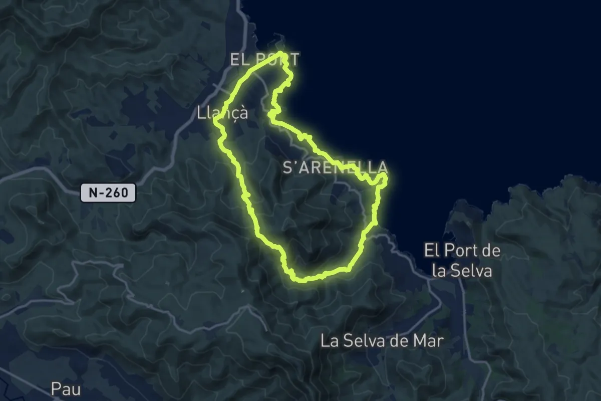
Medium · Trail
Llançà a la Vall de Santa Creu i el camí de ronda de Port de la Selva
14.3 km · ↑ 510 m · 4 h 40 min
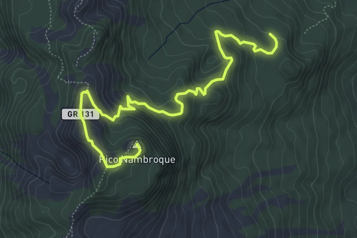
Medium · Summit
Llano de las Moscas-Pico Nambroque
9.0 km · ↑ 469 m · 3 h 9 min
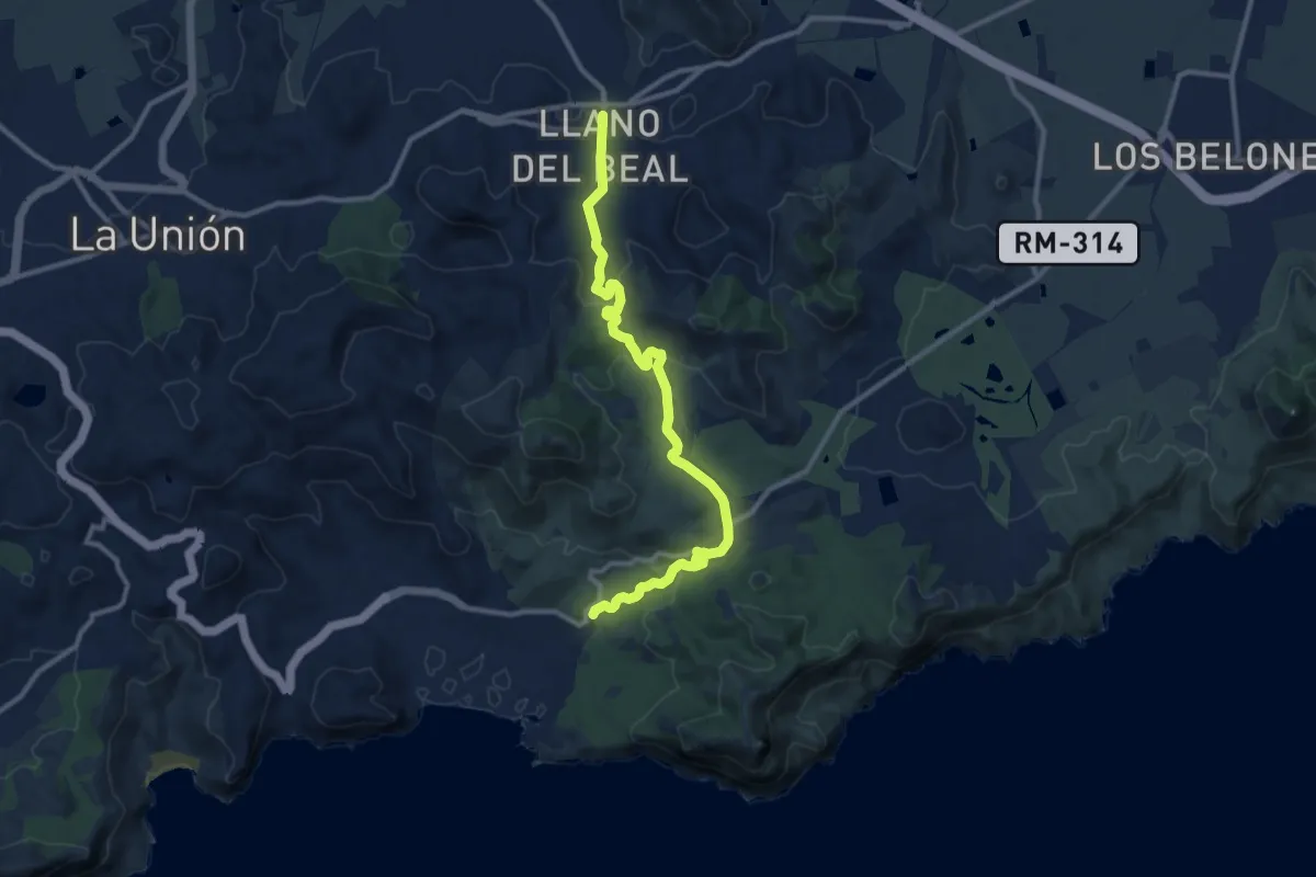
Medium · Trail
Llano del Beal
12.9 km · ↑ 404 m · 3 h 56 min
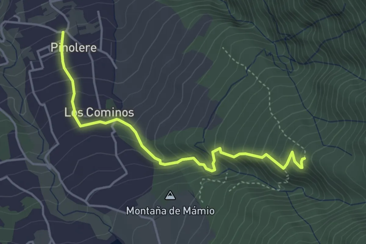
Medium · Trail
Llano de los Corrales - Pinolere
5.0 km · ↑ 461 m · 2 h 11 min
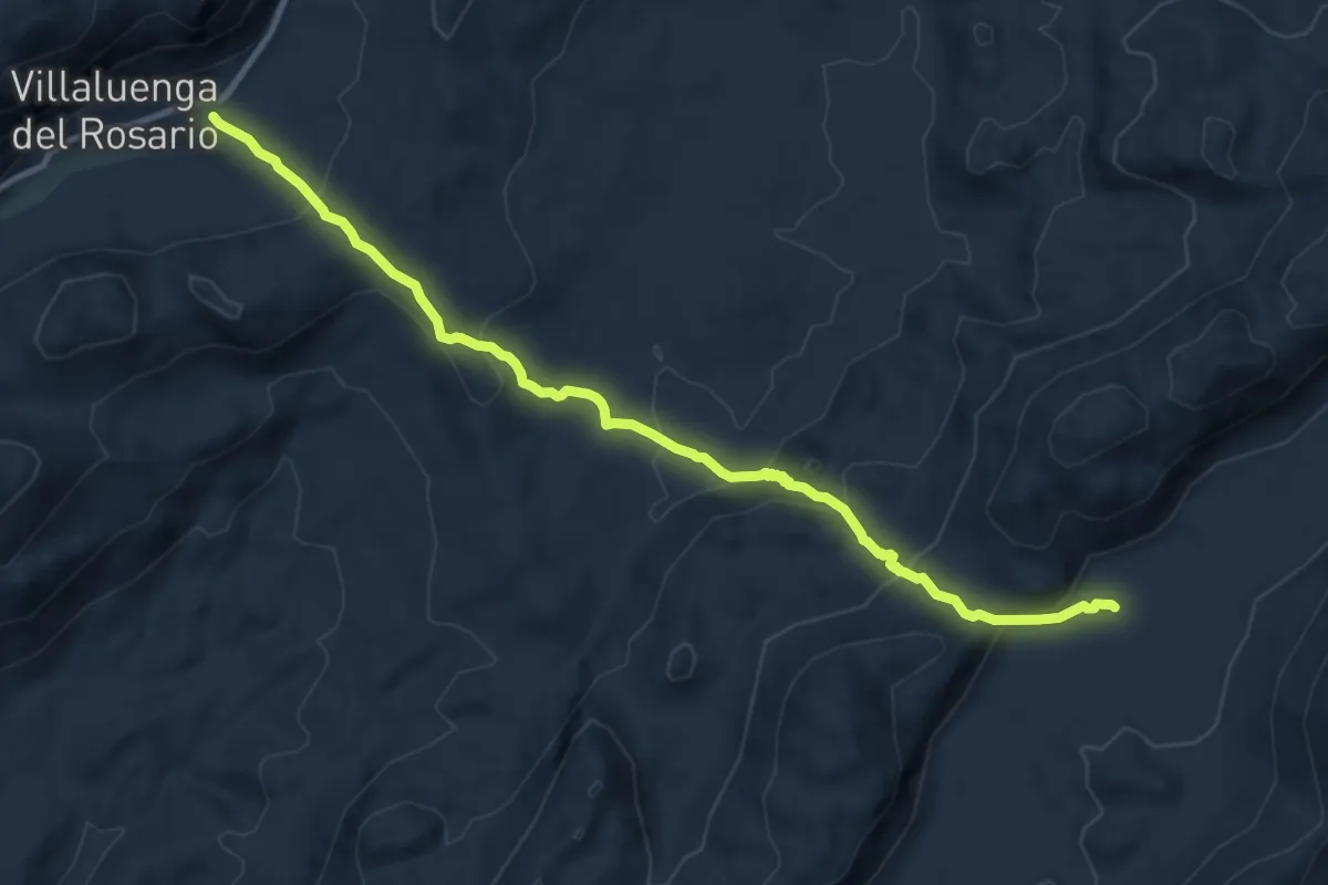
Medium · Trail
LLANO DEL REPUBLICANO
12.3 km · ↑ 552 m · 4 h 6 min
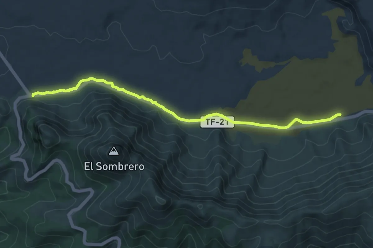
Medium · Trail
Llano de Ucanca-Boca Tauce
9.4 km · ↑ 68 m · 2 h 22 min
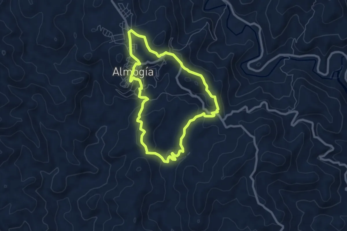
Easy · Summit
Llano El Espinar
6.7 km · ↑ 233 m · 2 h 10 min
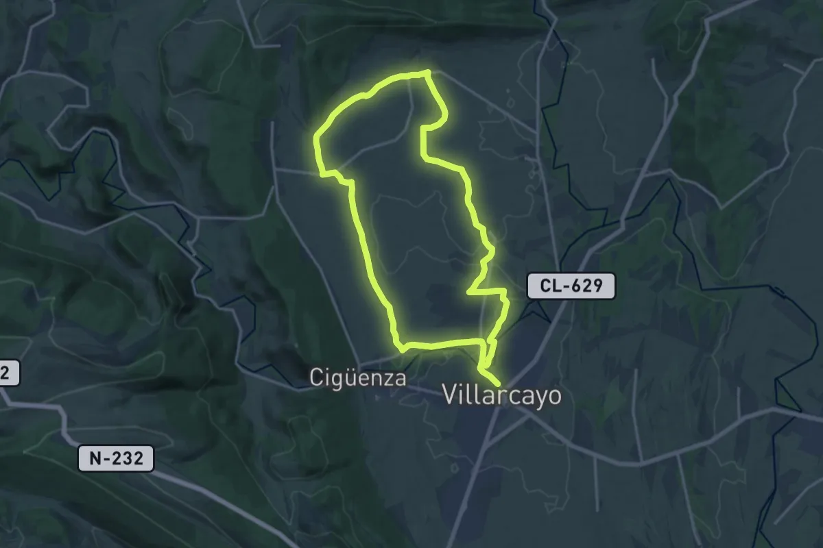
Medium · Trail
Llanos de Castilla la Vieja
15.1 km · ↑ 88 m · 3 h 58 min
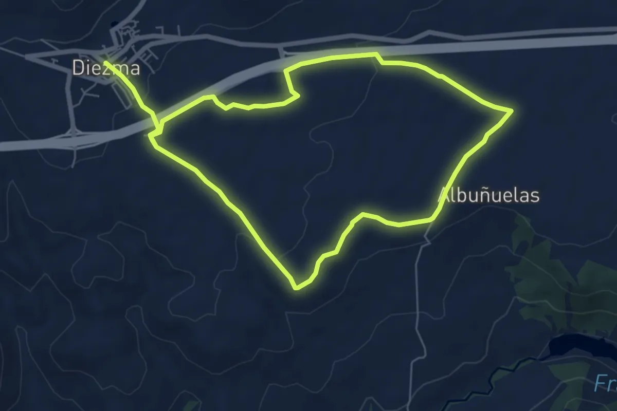
Easy · Trail
Llanos de Diezma
6.6 km · ↑ 77 m · 1 h 50 min
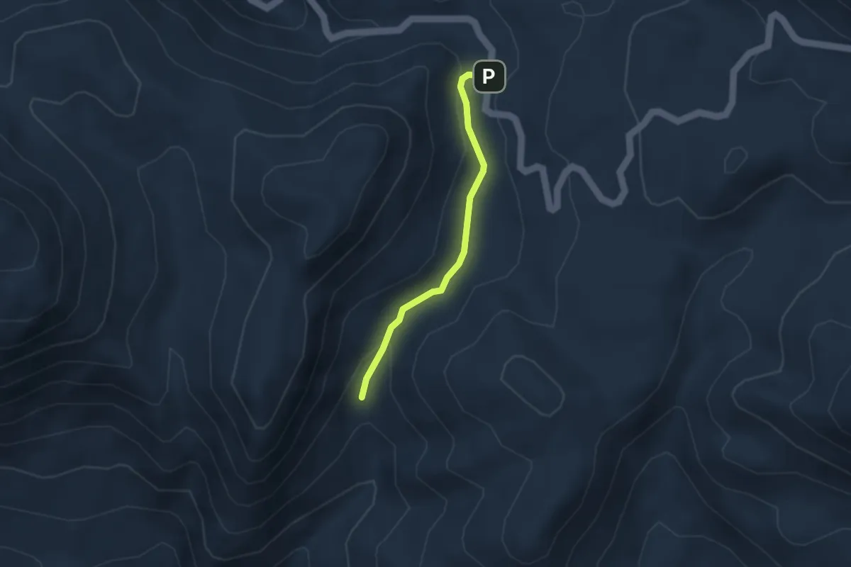
Easy · Trail
LLANOS DEL BERRAL
3.1 km · ↑ 76 m · 54 min
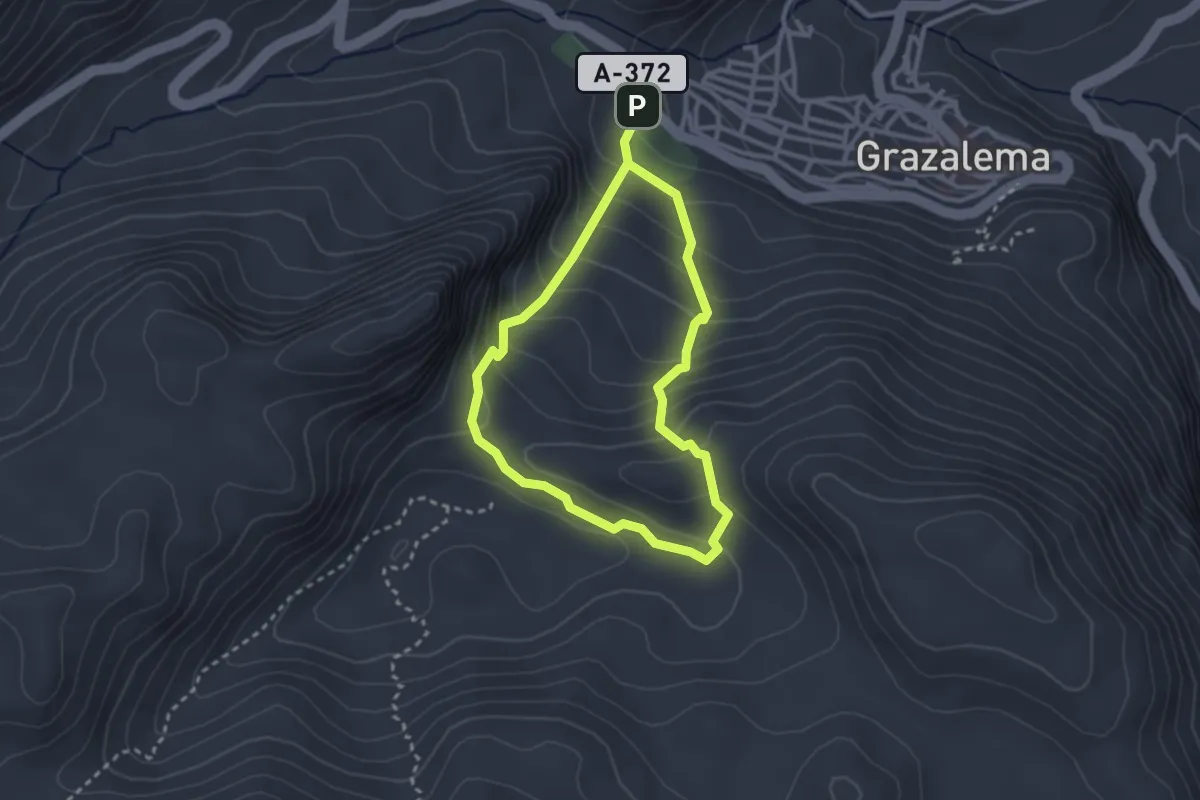
Easy · Trail
LLANOS DEL ENDRINAL
2.8 km · ↑ 226 m · 1 h 11 min
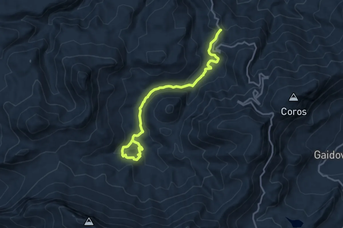
Medium · Trail
Llanos del Rabel
11.7 km · ↑ 529 m · 3 h 55 min
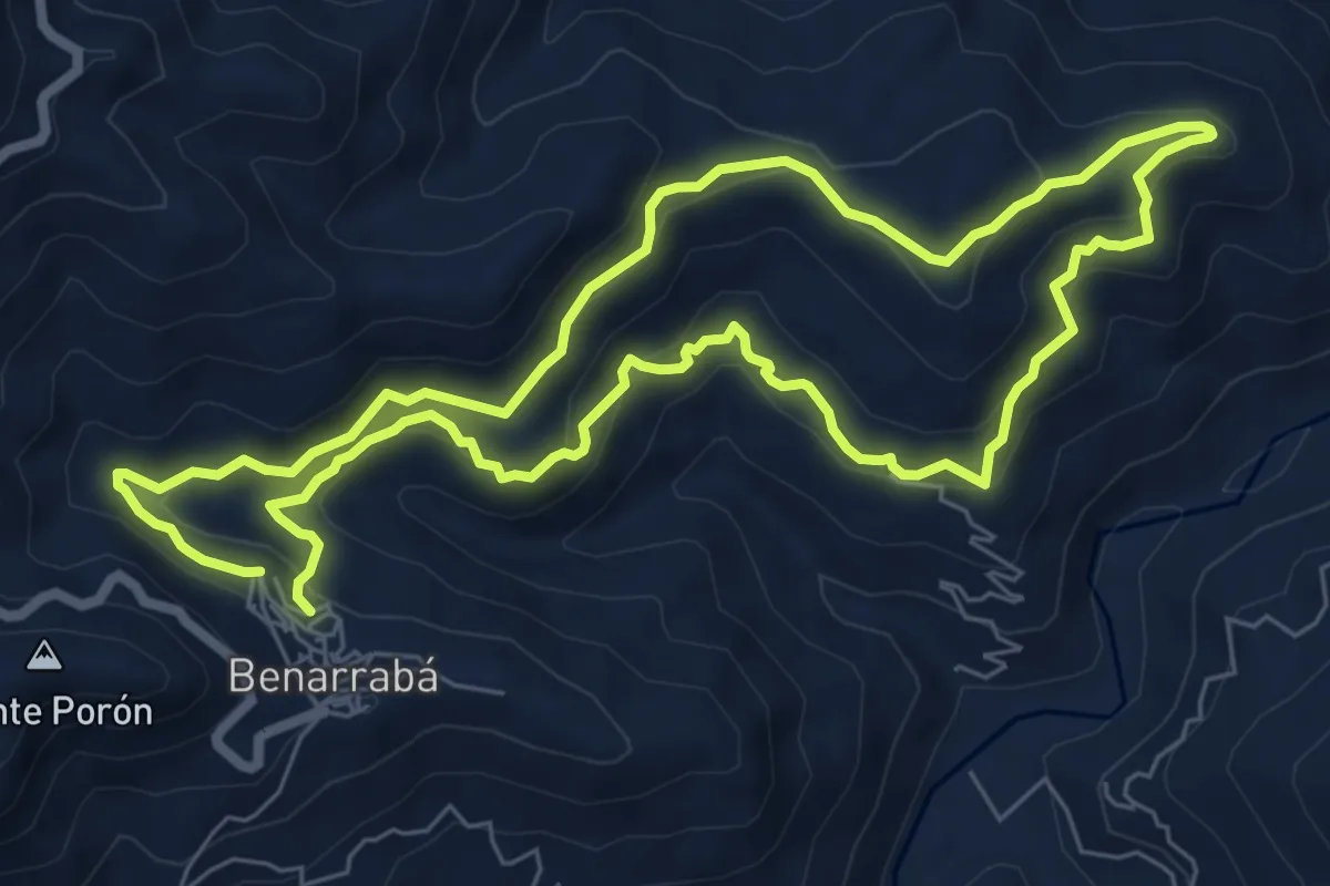
Medium · Trail
Llanos del Rey
7.9 km · ↑ 417 m · 2 h 53 min
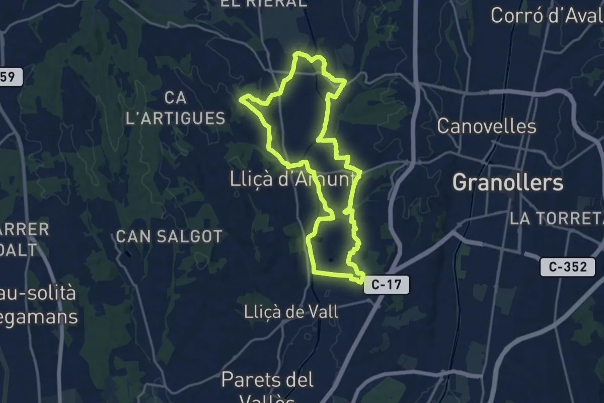
Medium · Trail
Lliçà d'Amunt
14.1 km · ↑ 171 m · 3 h 53 min
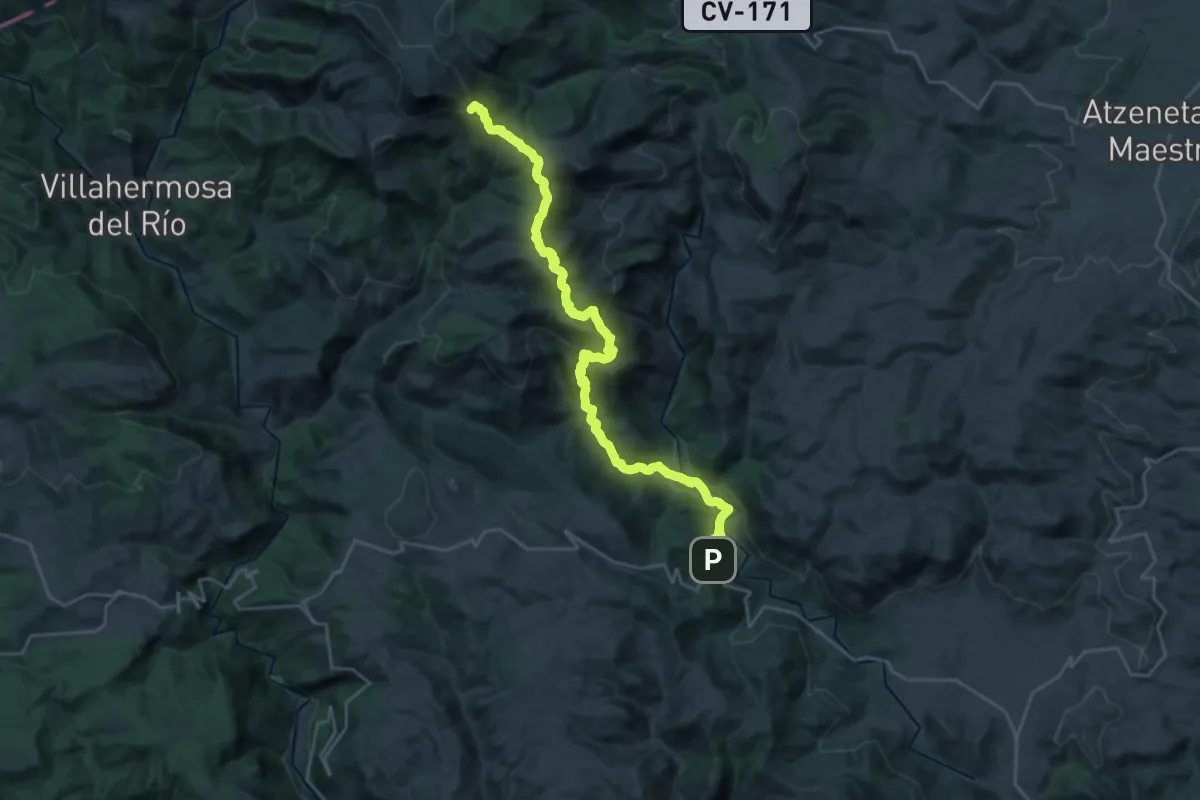
Demanding · Summit
Llucena - Sant Joan de Penyagolosa
31.5 km · ↑ 1489 m · 10 h 40 min
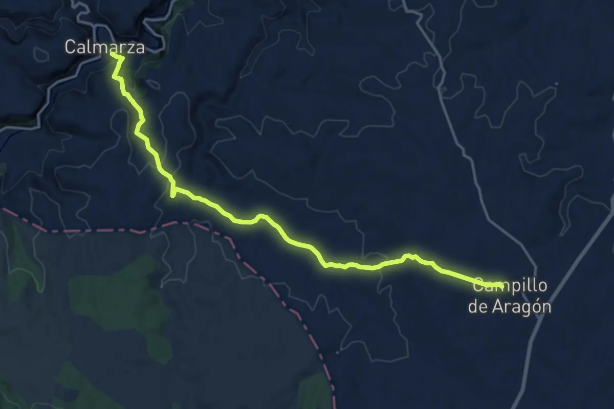
Medium · Trail
Llumes - Calmarza
16.0 km · ↑ 406 m · 4 h 39 min
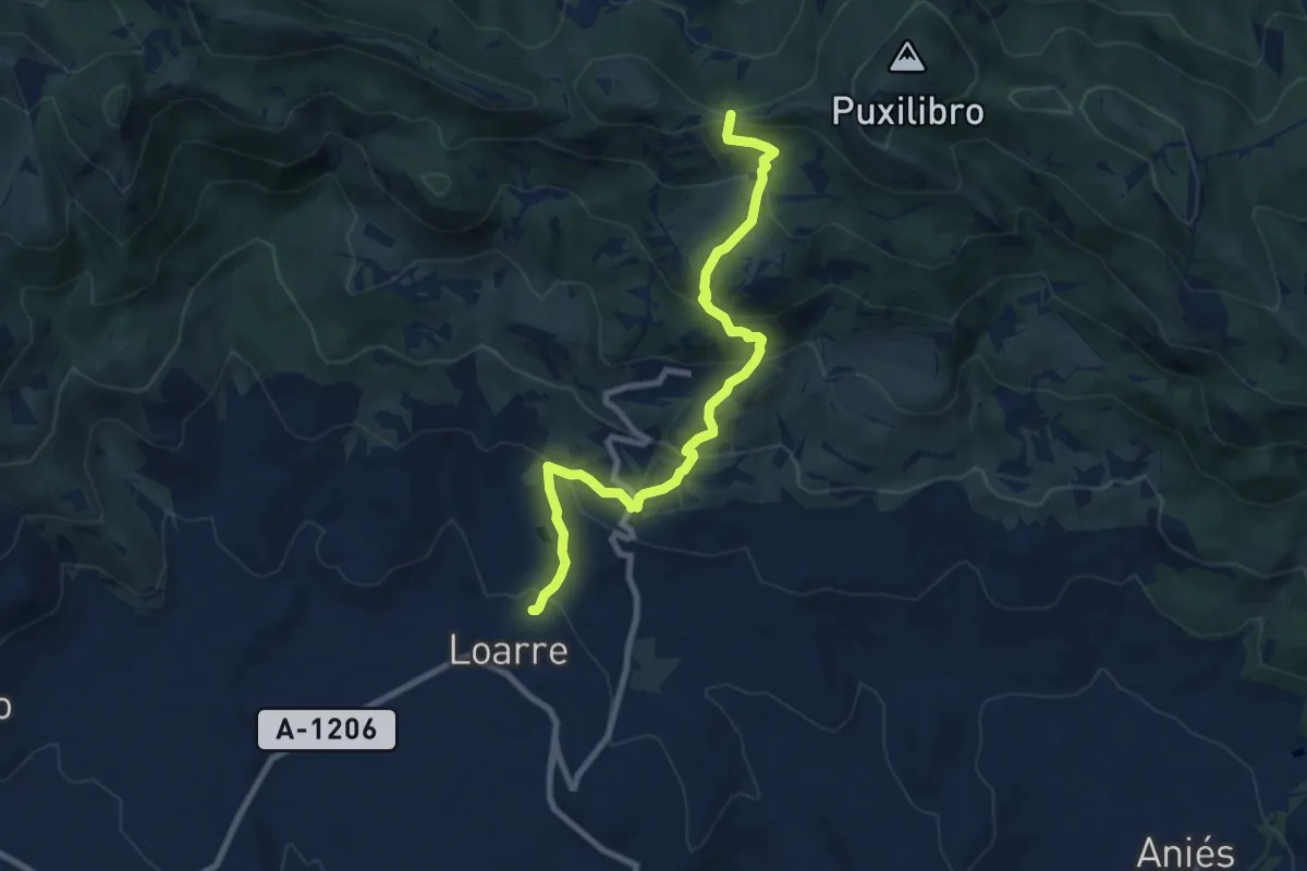
Medium · Summit
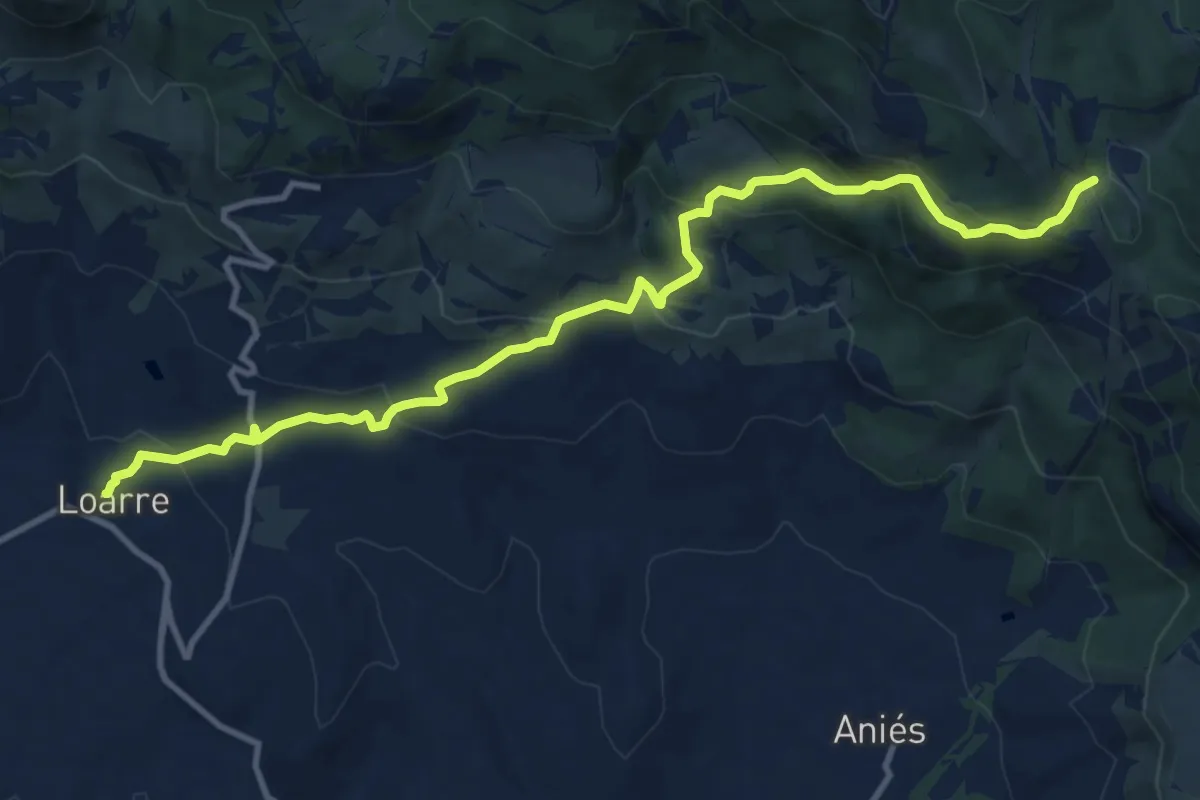
Loarre - Castillo de Loarre - Rasal
9.5 km · ↑ 609 m · 3 h 34 min
Medium · Cabin
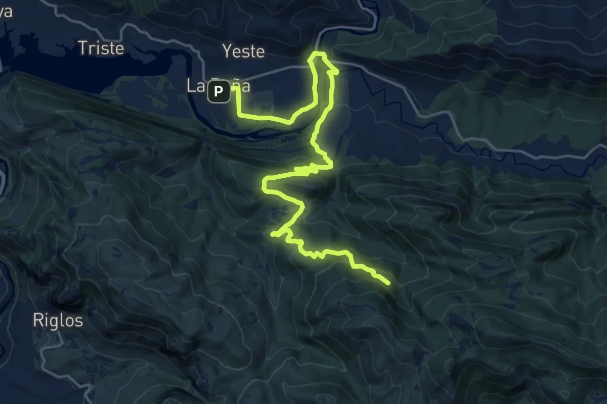
Loarre - La Paúl de Aniés
13.2 km · ↑ 605 m · 4 h 25 min
Demanding · Summit
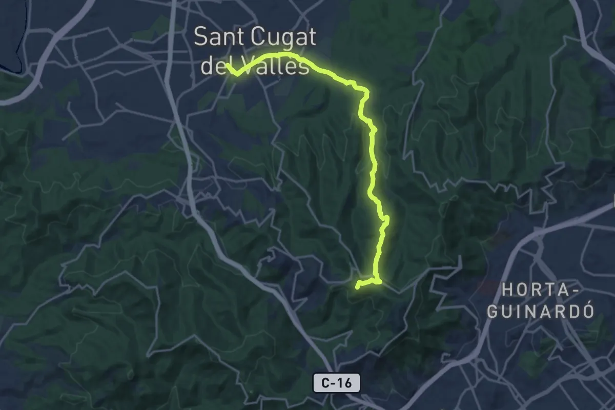
Loarre - La Peña Estación
22.2 km · ↑ 826 m · 7 h 2 min
Medium · Summit
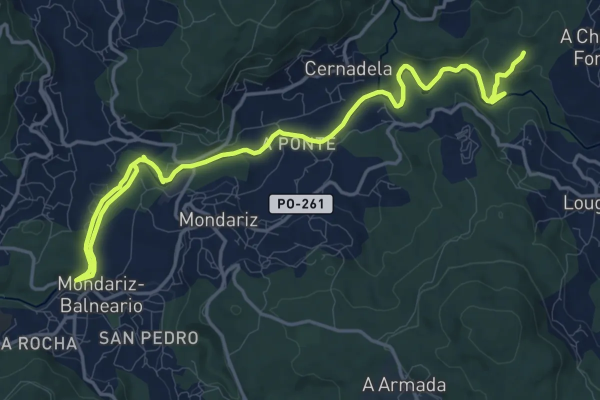
L'Obaga de Collserola
16.6 km · ↑ 435 m · 4 h 52 min
Medium · Trail
local
15.7 km · ↑ 217 m · 4 h 10 min
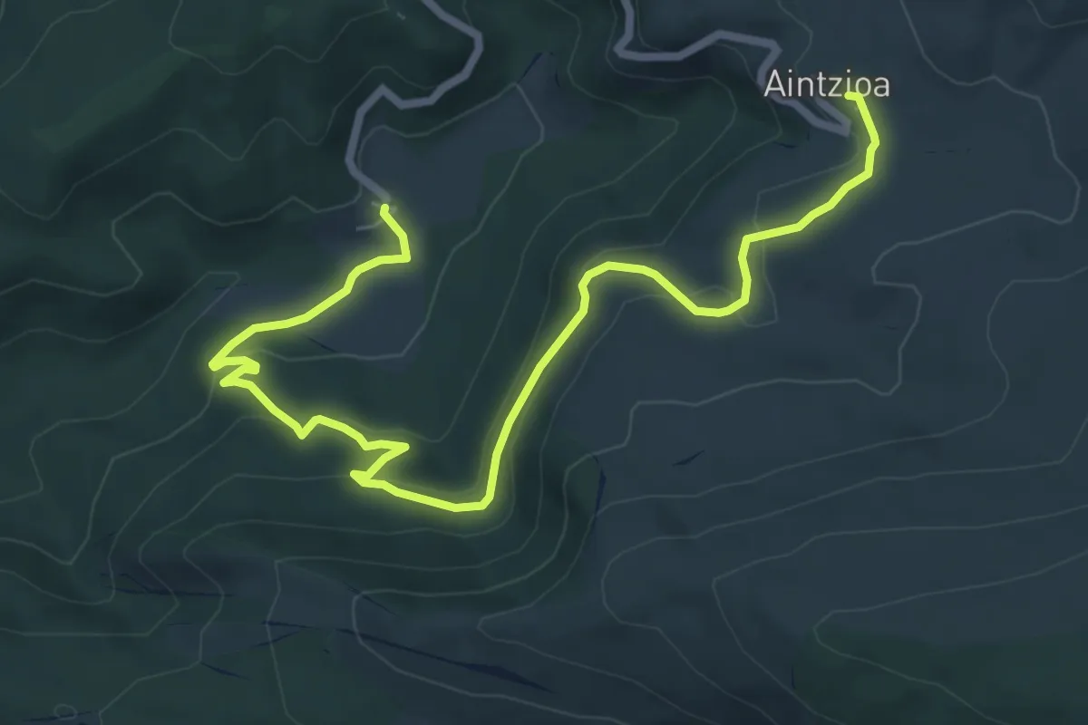
Medium · Trail
Loizu - Aintzioa
9.0 km · ↑ 352 m · 2 h 54 min
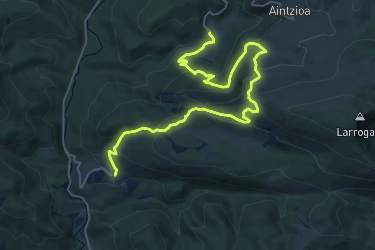
Demanding · Trail
Loizu - Ardaitz
16.9 km · ↑ 847 m · 5 h 50 min
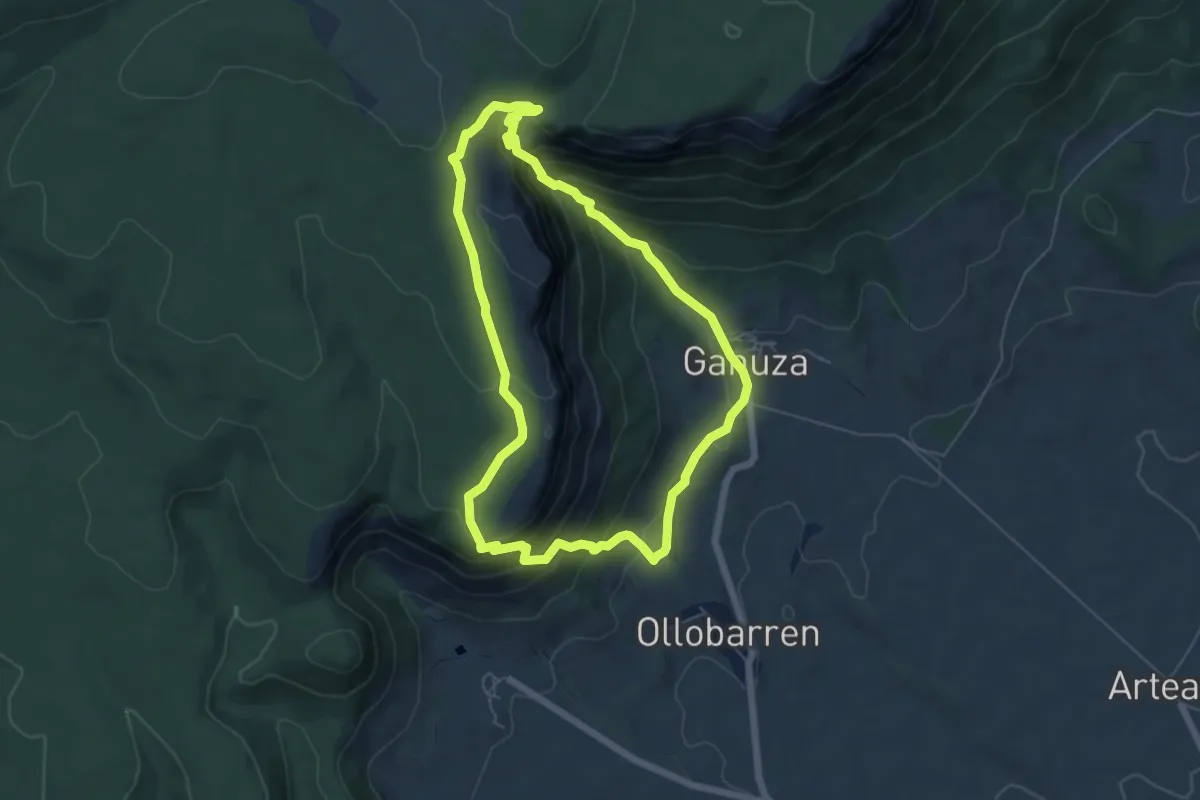
Medium · Trail
Lokizko Santiago basilika
6.1 km · ↑ 373 m · 2 h 20 min
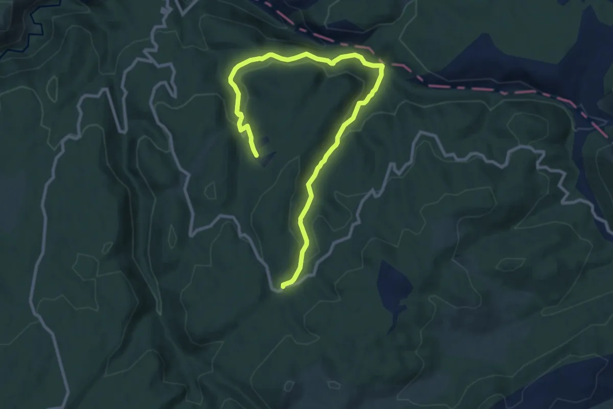
Easy · Trail
Loma Gandía
6.0 km · ↑ 205 m · 2 h
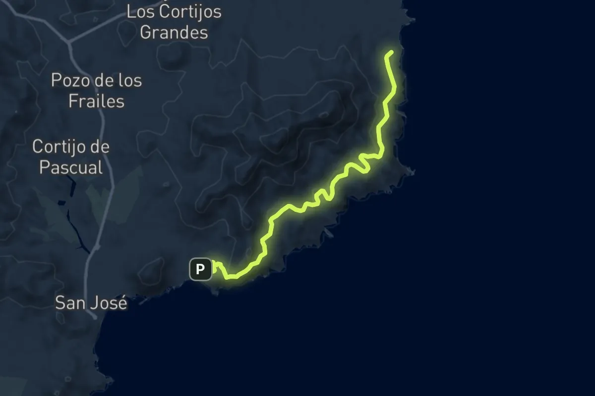
Medium · Trail
Loma Pelada
12.0 km · ↑ 410 m · 3 h 44 min
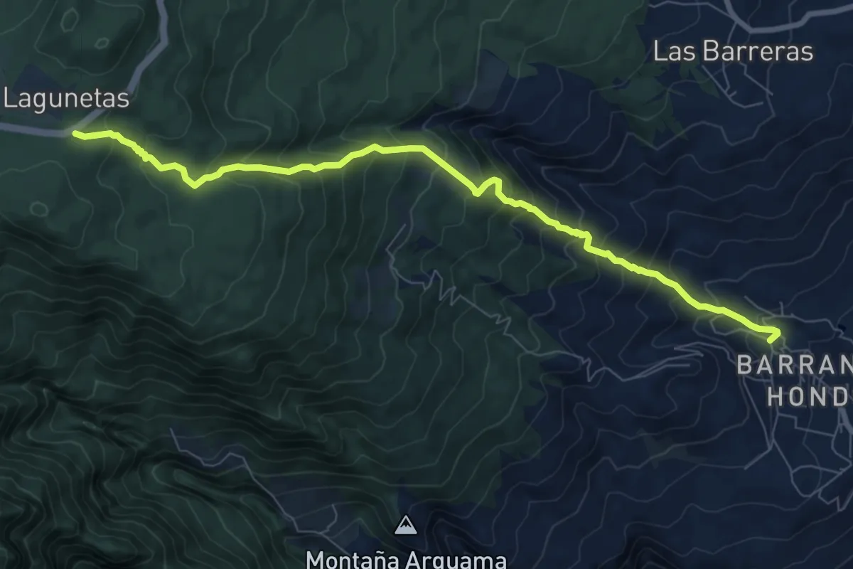
Demanding · Trail
Lomo el Centeno
10.7 km · ↑ 1001 m · 4 h 42 min
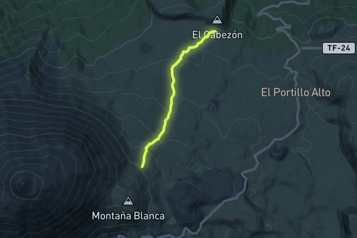
Medium · Trail
Lomo Hurtado
9.6 km · ↑ 462 m · 3 h 16 min
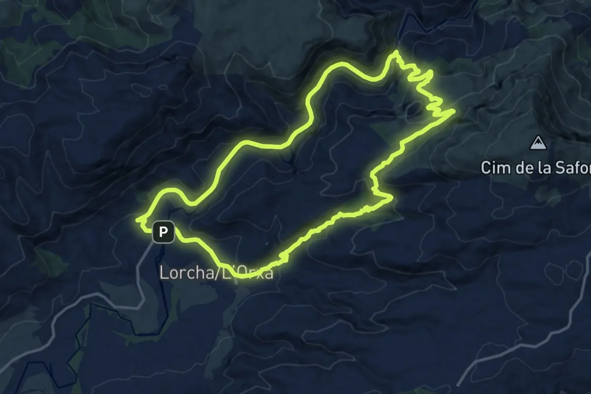
Medium · Trail
l'Orxa - Àrees Recreatives
14.6 km · ↑ 554 m · 4 h 52 min
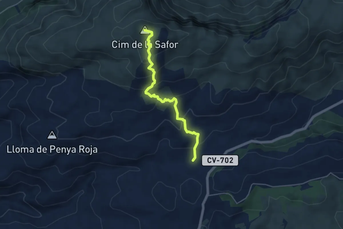
Medium · Summit
l'Orxa - Cumbre Safor - l'Orxa
4.4 km · ↑ 320 m · 1 h 44 min
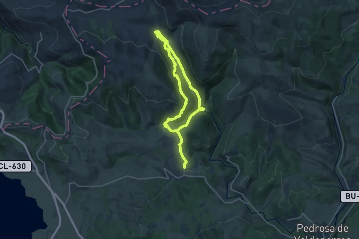
Demanding · Trail
Los Ahidios
22.0 km · ↑ 772 m · 6 h 52 min
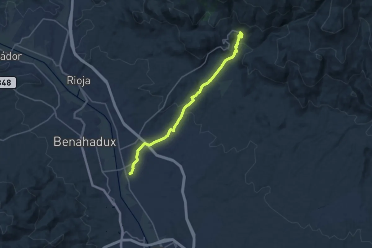
Medium · Trail
Los Baños
15.3 km · ↑ 423 m · 4 h 31 min
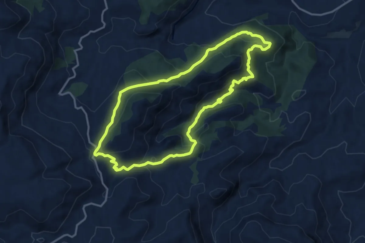
Medium · Trail
Los Barranquillos
10.2 km · ↑ 544 m · 3 h 43 min
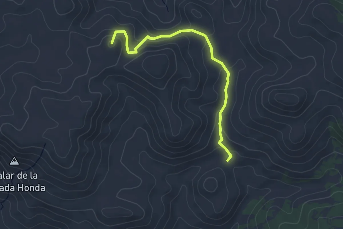
Easy · Summit
Los Blanquizares
4.7 km · ↑ 186 m · 1 h 31 min
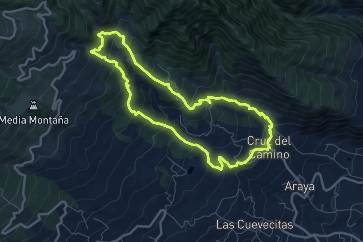
Medium · Trail
Los Brezos
8.2 km · ↑ 685 m · 3 h 31 min
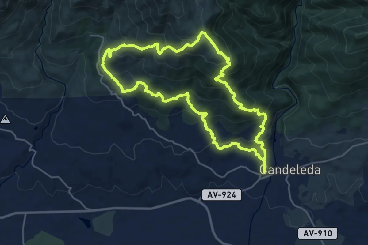
Demanding · Trail
Los Cabreros
14.8 km · ↑ 840 m · 5 h 31 min
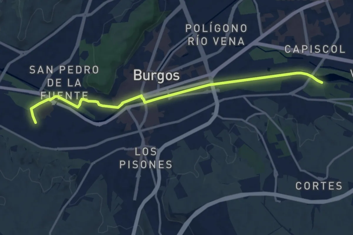
Medium · Trail
Los caminos del agua siguiendo el Arlanzón
11.0 km · ↑ 44 m · 2 h 41 min
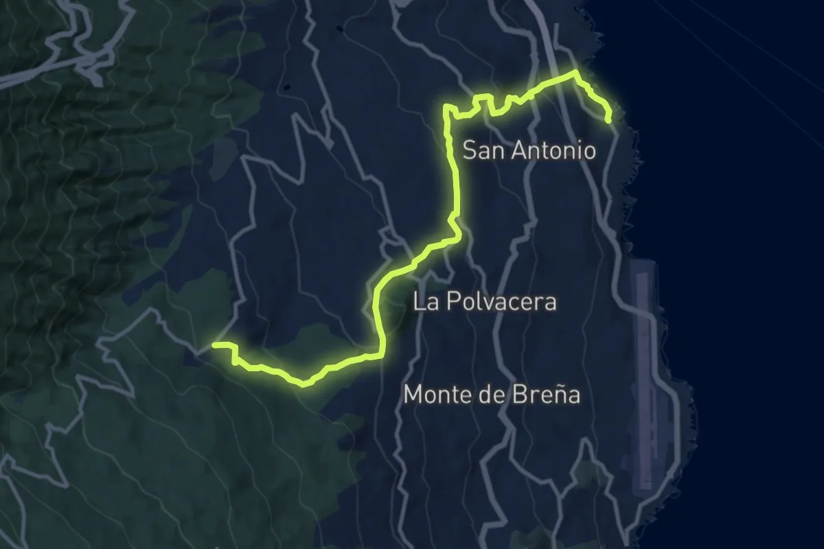
Medium · Trail
Los Cancajos - Cruz de La Pavona
15.5 km · ↑ 715 m · 5 h 13 min
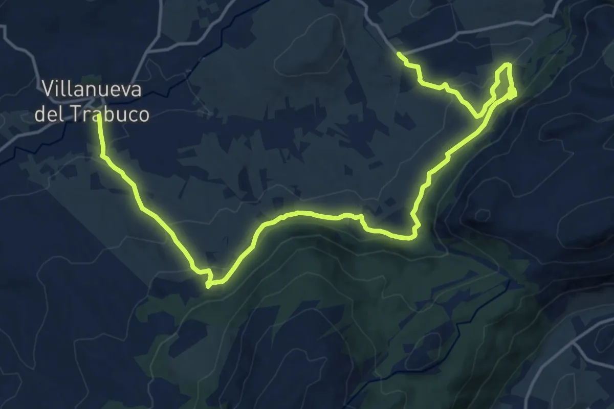
Demanding · Trail
Los Caños
21.8 km · ↑ 808 m · 6 h 54 min
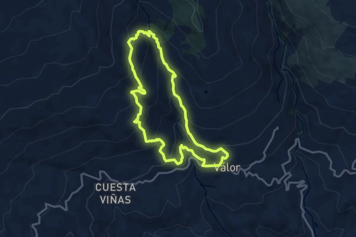
Medium · Trail
Los Castaños
8.5 km · ↑ 529 m · 3 h 17 min
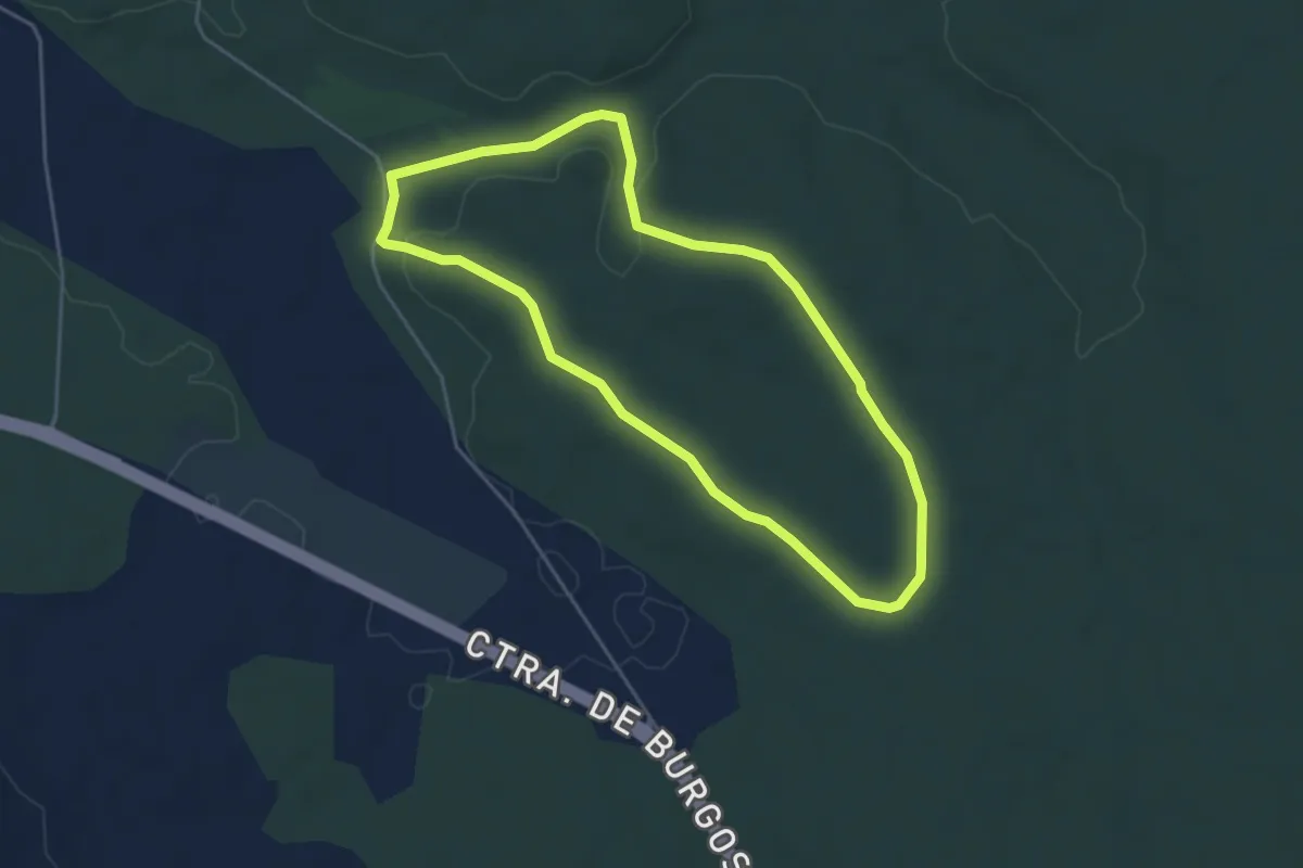
Easy · Trail
Los Castillejos
4.6 km · ↑ 51 m · 1 h 16 min
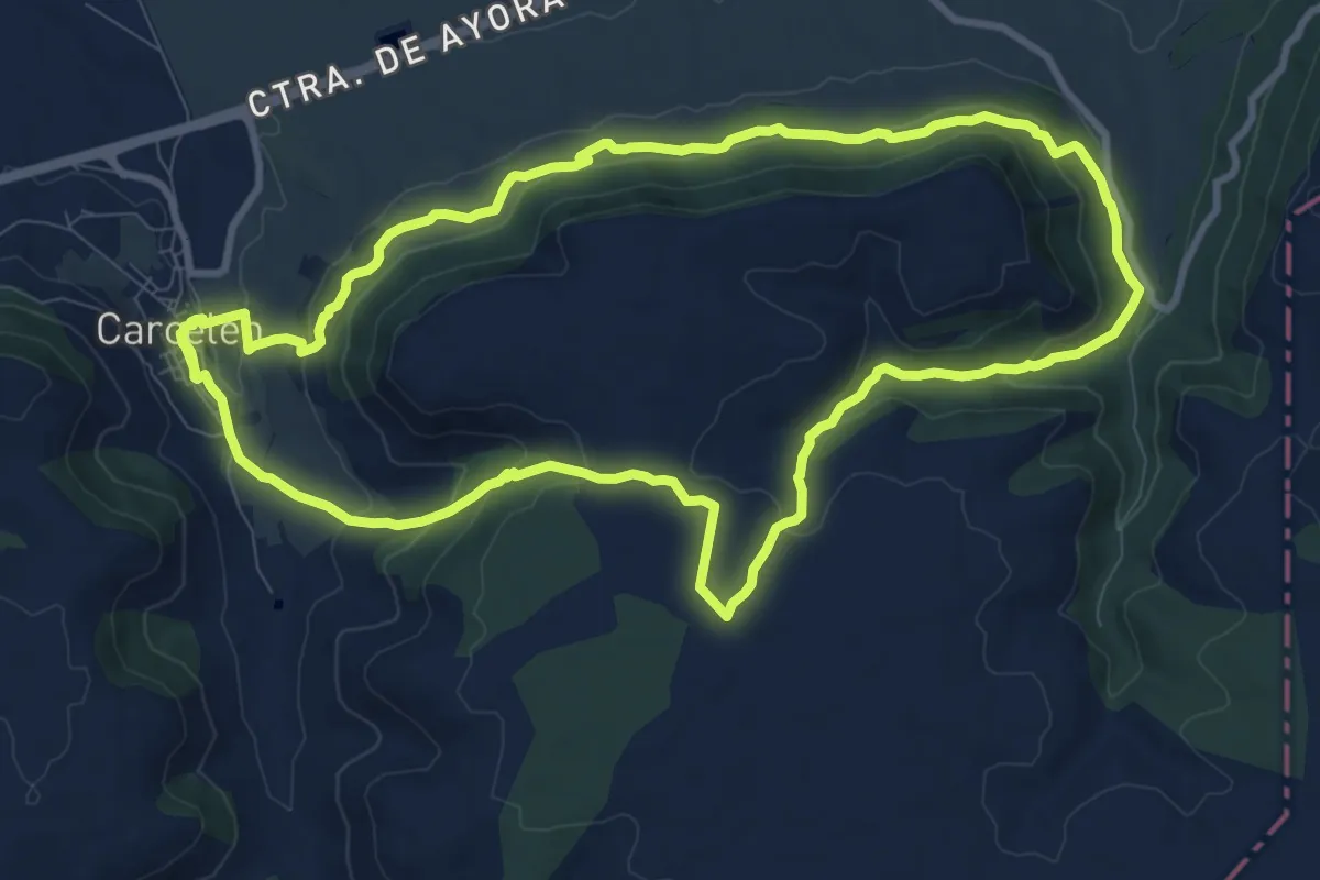
Medium · Trail
Los Castillejos de Carcelésn
11.4 km · ↑ 348 m · 3 h 36 min
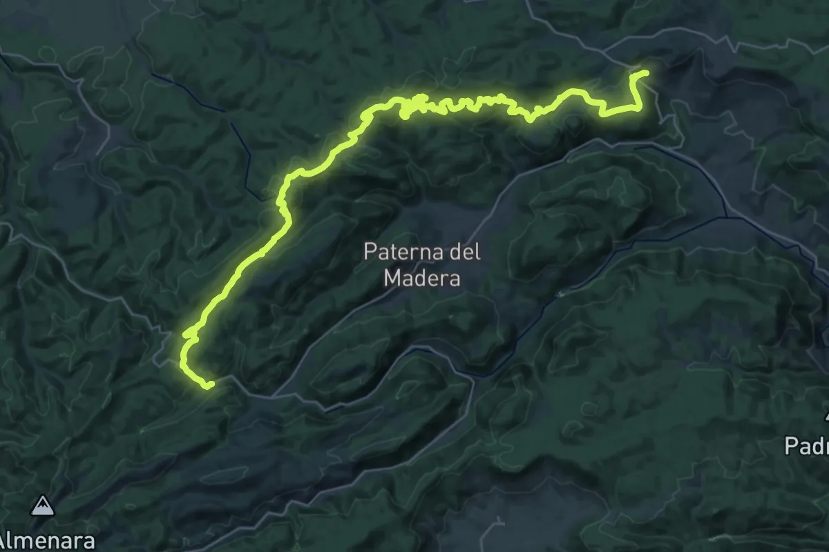
Demanding · Trail
Los Catalmerejos-Cortijo de Tortas
22.6 km · ↑ 674 m · 6 h 59 min
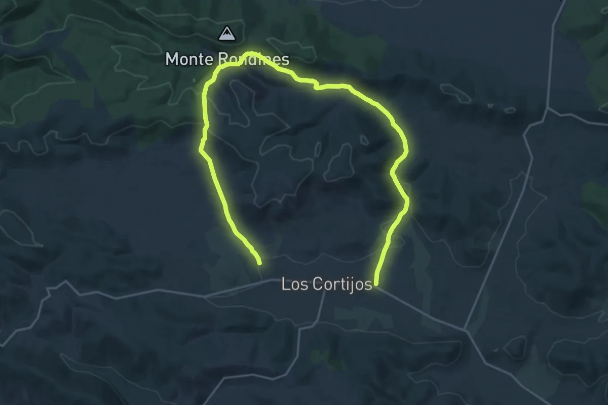
Medium · Trail
Los Cortijos - Valdeiba
14.3 km · ↑ 334 m · 4 h 17 min
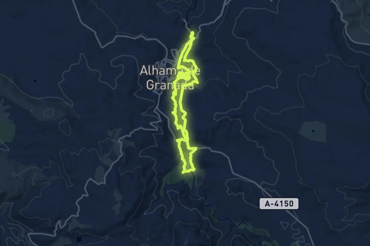
Medium · Trail
Los Crestones del Río Marchan
12.8 km · ↑ 355 m · 3 h 59 min