Trails in Spain
5,962 hiking trails, each with its route, climb, walking time and grade.
All trails, page 59 of 125
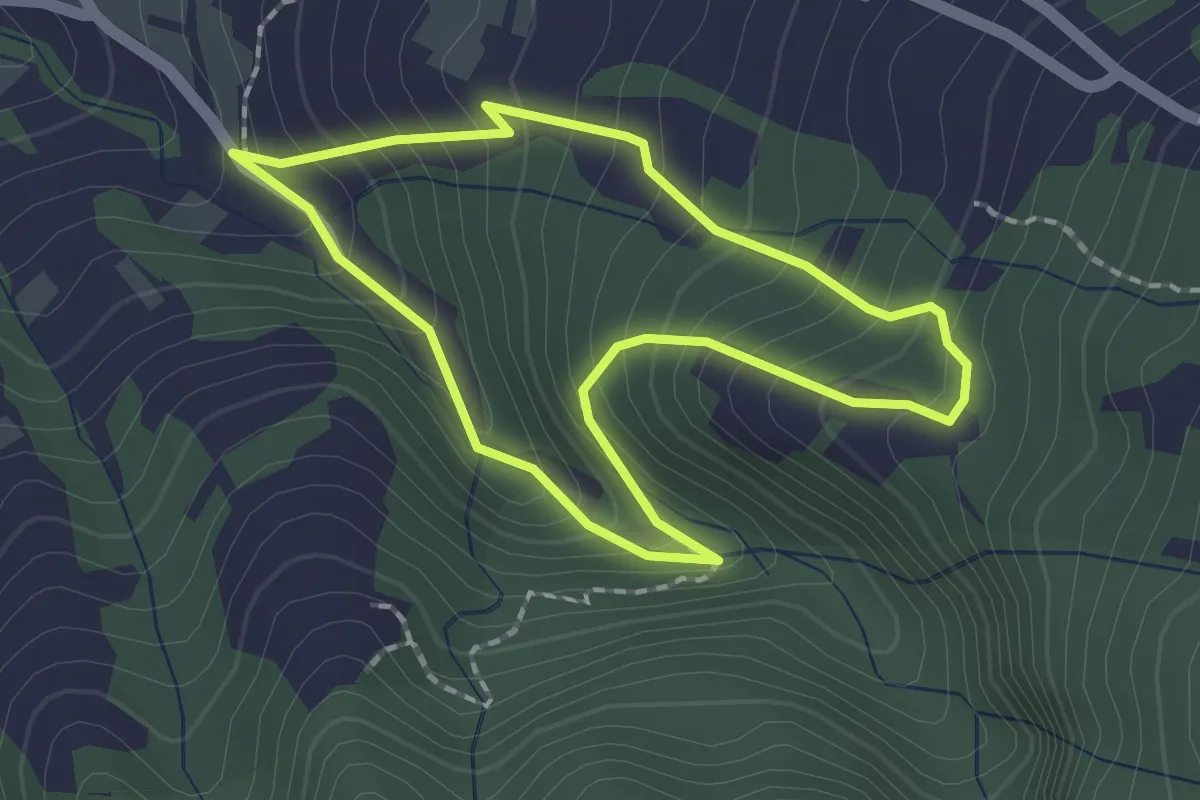
Easy · Trail
Los Dornajos. Ruta de los Castaños
2.1 km · ↑ 202 m · 58 min
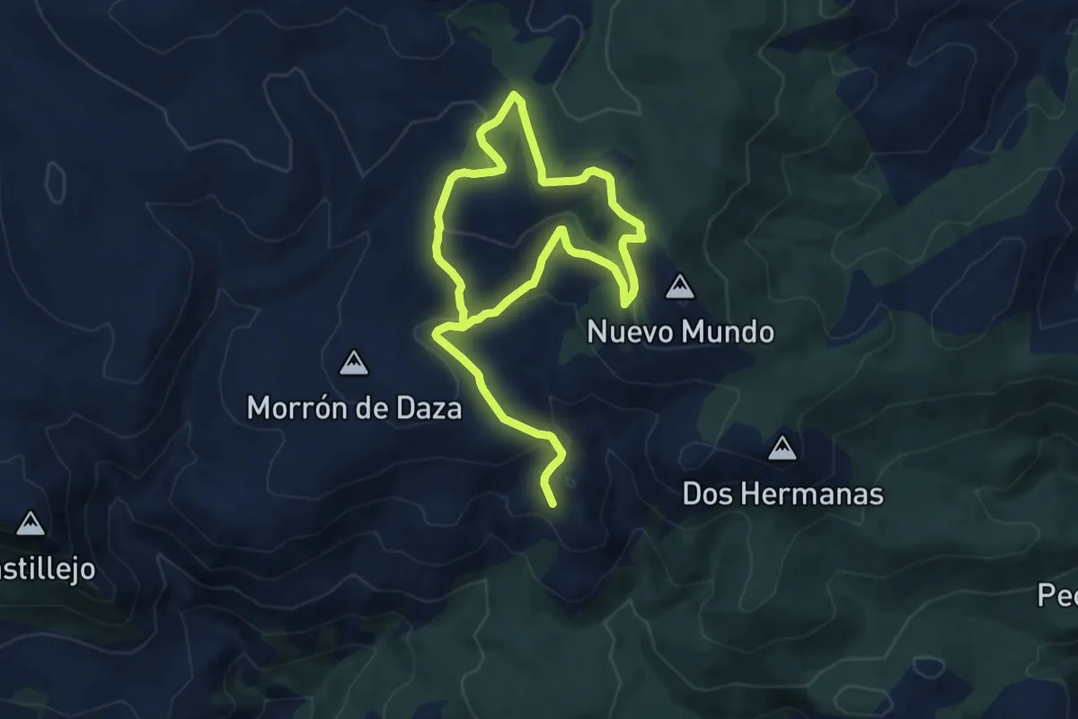
Medium · Summit
Los Dosmiles Meridionales de Sierra de Gádor
8.4 km · ↑ 215 m · 2 h 39 min
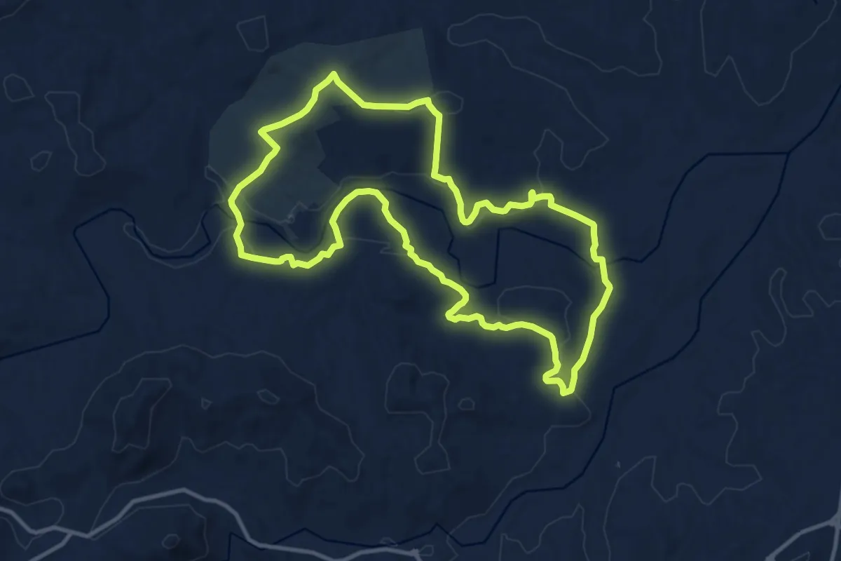
Medium · Trail
Los Dos Ríos
13.2 km · ↑ 217 m · 3 h 46 min
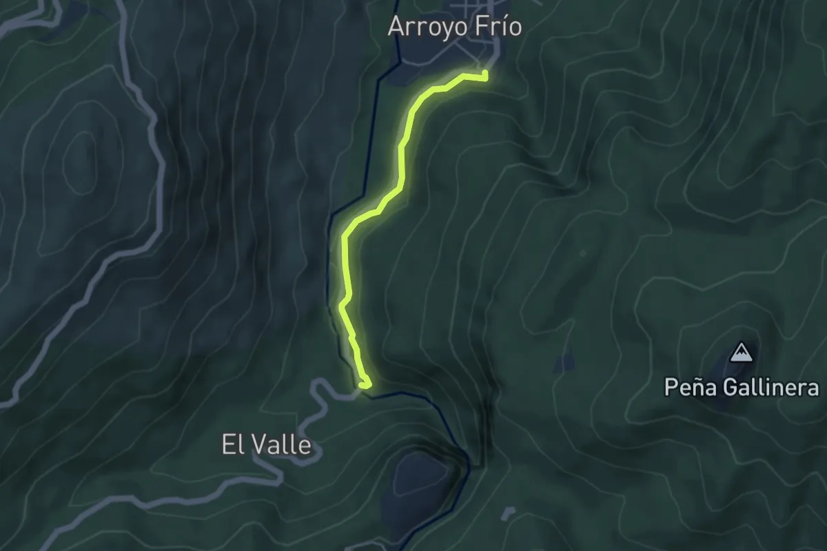
Easy · Trail
Los Galdones
4.0 km · ↑ 81 m · 1 h 8 min
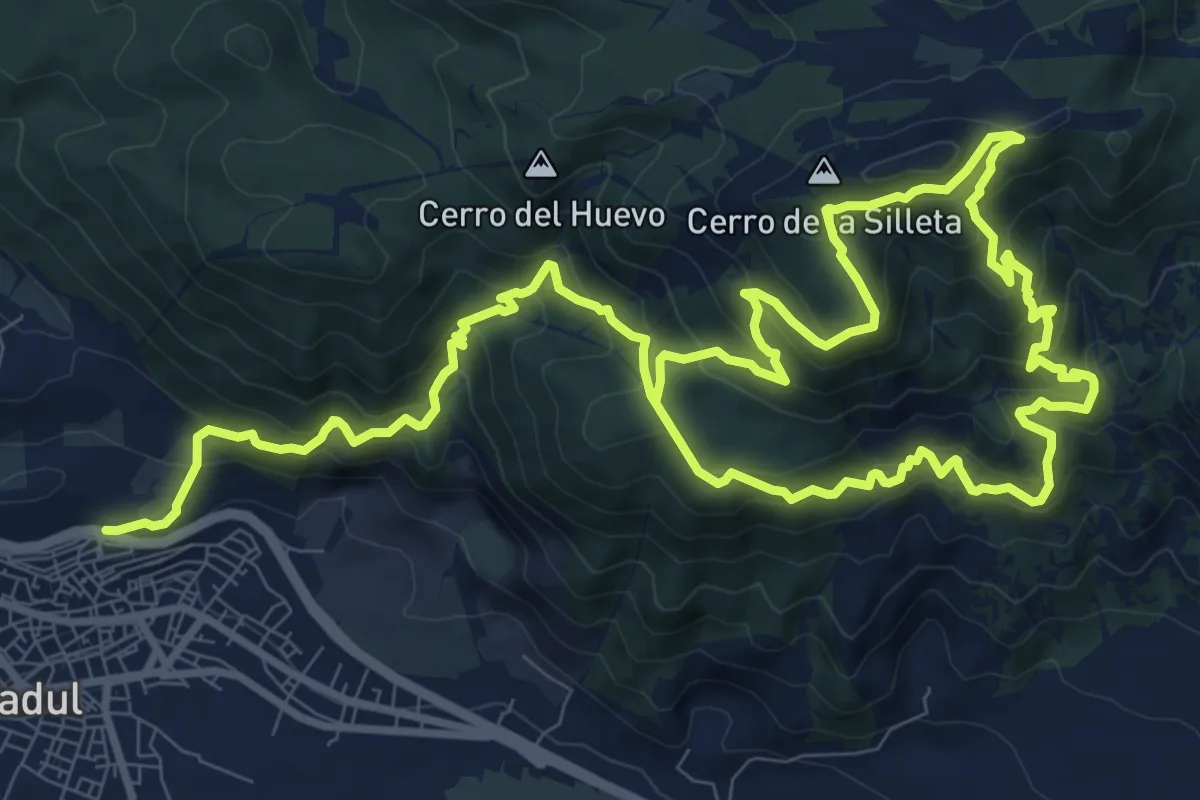
Demanding · Summit
Los Gudaris
10.7 km · ↑ 1023 m · 4 h 41 min
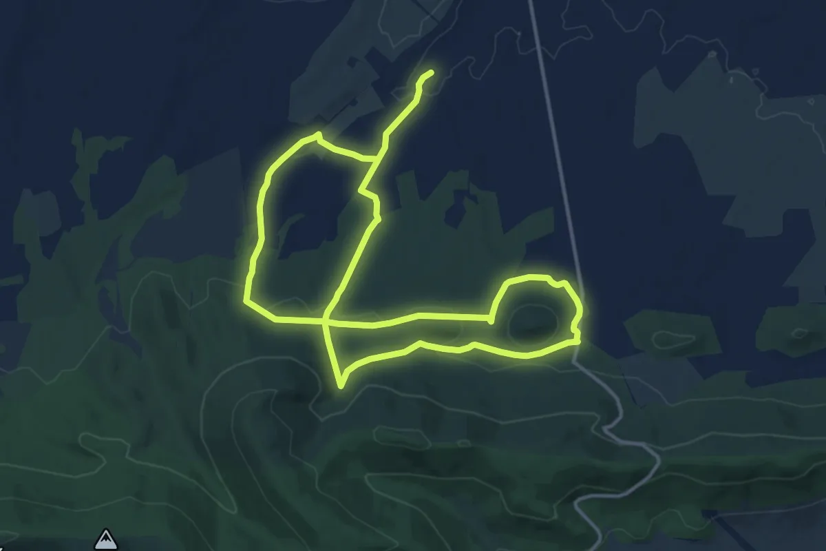
Demanding · Trail
Los Hitos de Orgaz
26.9 km · ↑ 531 m · 7 h 30 min
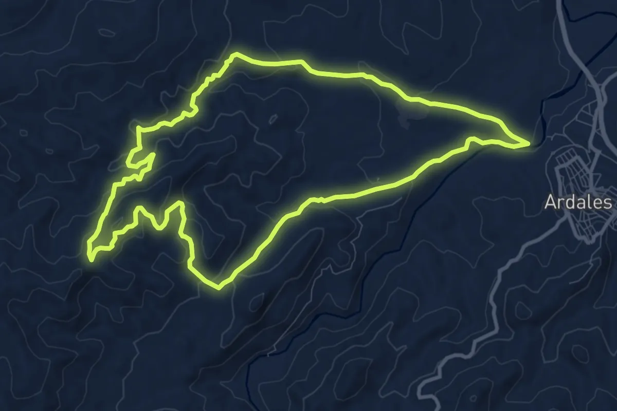
Medium · Trail
Los Jiménez - Fuente Garzón
11.8 km · ↑ 371 m · 3 h 45 min
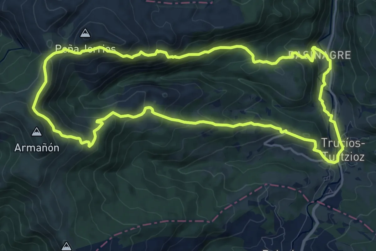
Medium · Trail
Los Jorrios ibilbidea
12.8 km · ↑ 702 m · 4 h 44 min
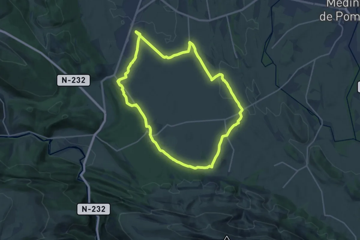
Medium · Trail
Los jueces de Castilla
17.1 km · ↑ 195 m · 4 h 42 min
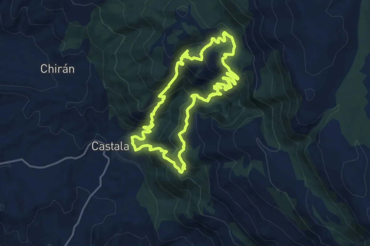
Demanding · Trail
Los Lavaderos
13.0 km · ↑ 938 m · 5 h 17 min
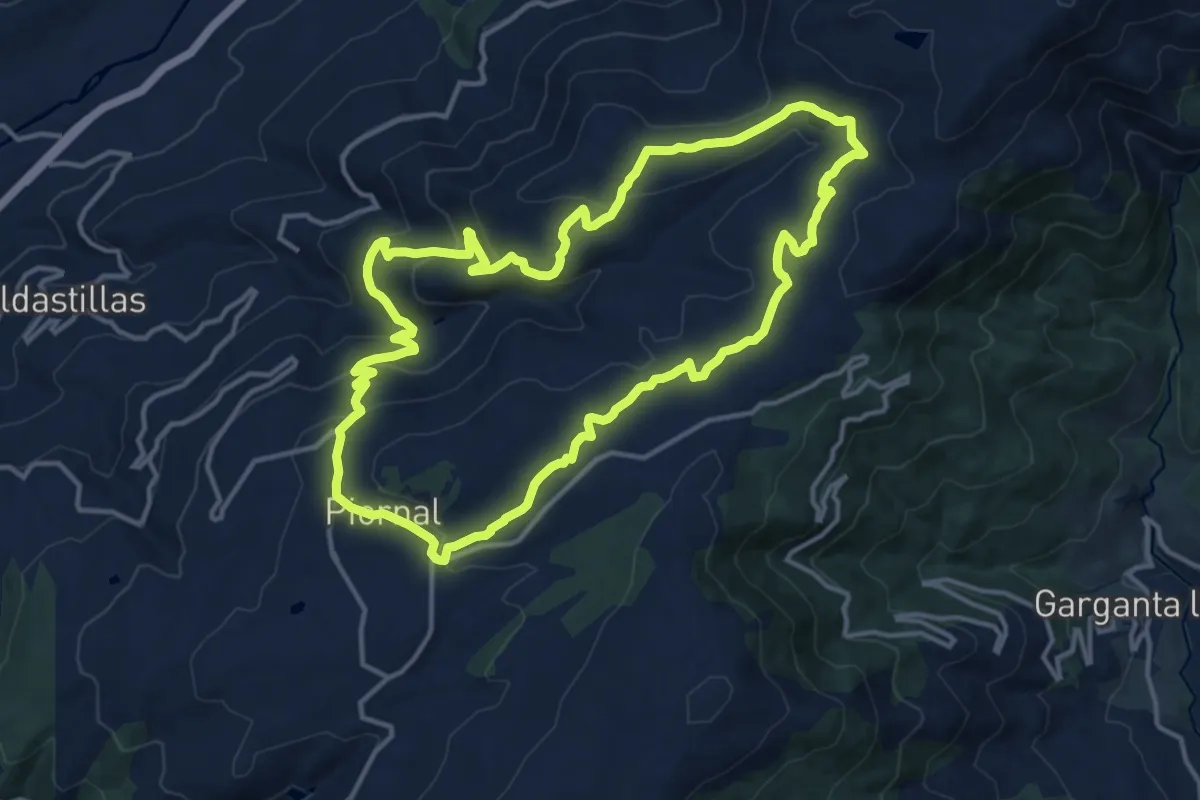
Medium · Trail
Los Llanos - Calderón
15.9 km · ↑ 479 m · 5 h 1 min
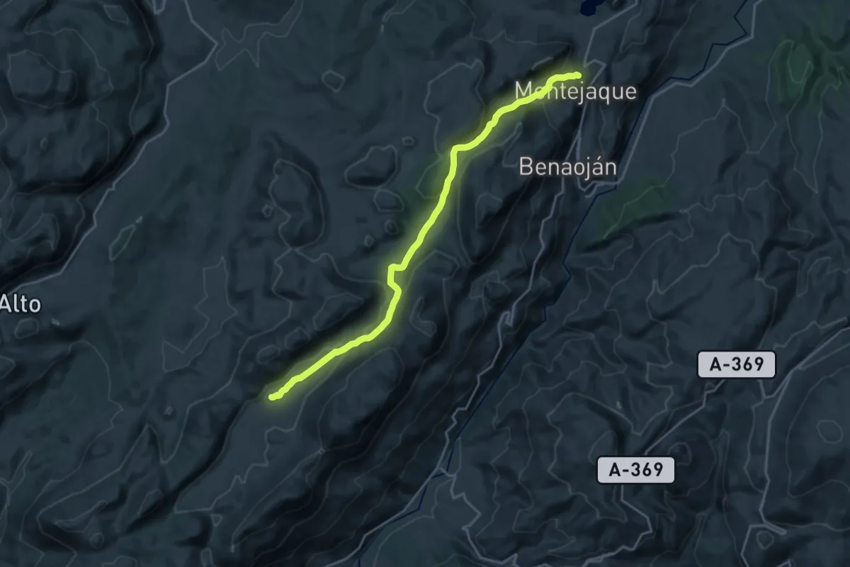
Demanding · Trail
Los Llanos de Líbar
22.2 km · ↑ 523 m · 6 h 22 min
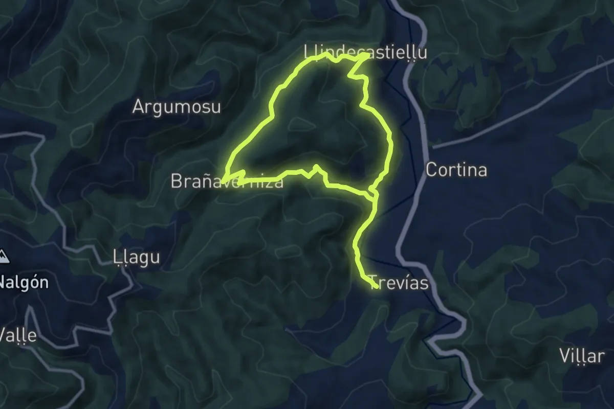
Medium · Trail
Los Ḷḷugarinos
8.6 km · ↑ 354 m · 2 h 55 min
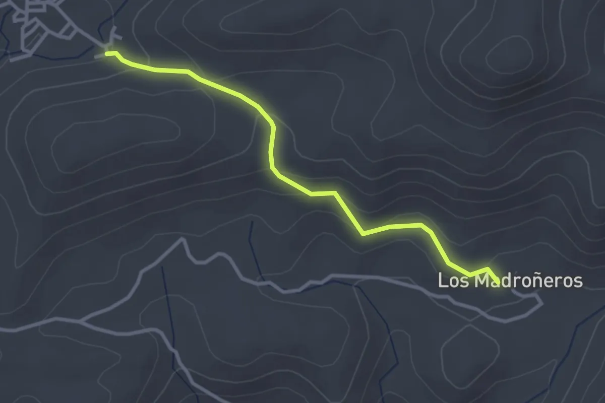
Easy · Trail
LOS MADROÑEROS
3.3 km · ↑ 169 m · 1 h 9 min
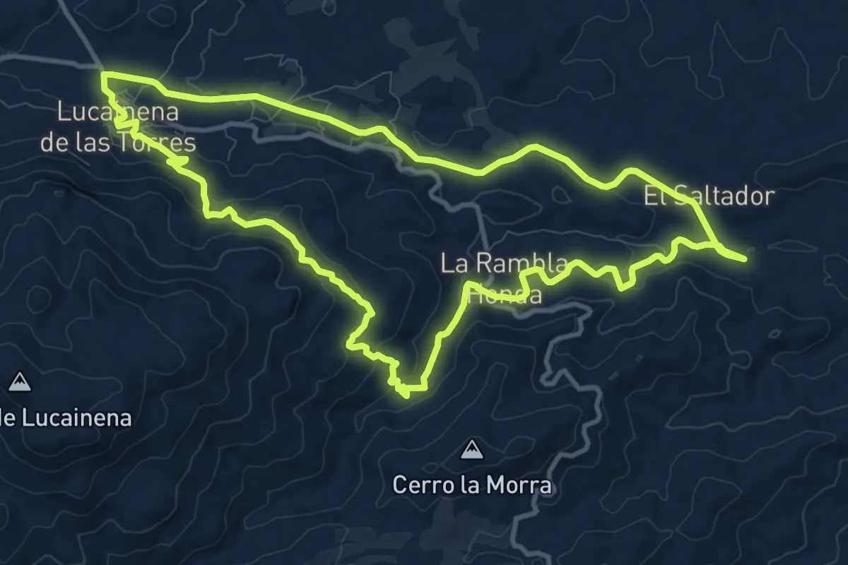
Medium · Trail
Los Marchales
12.7 km · ↑ 352 m · 3 h 56 min
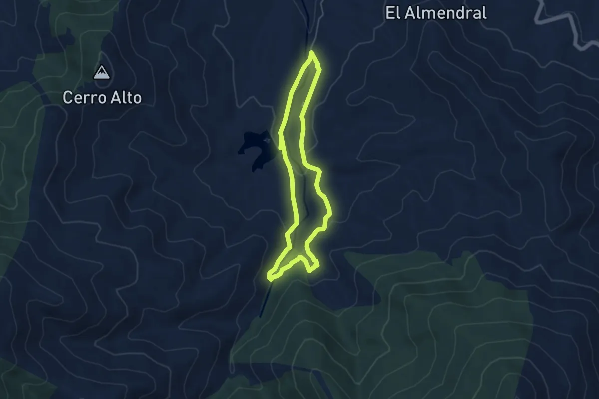
Easy · Trail
Los Molinos de Isfalada
4.7 km · ↑ 129 m · 1 h 27 min
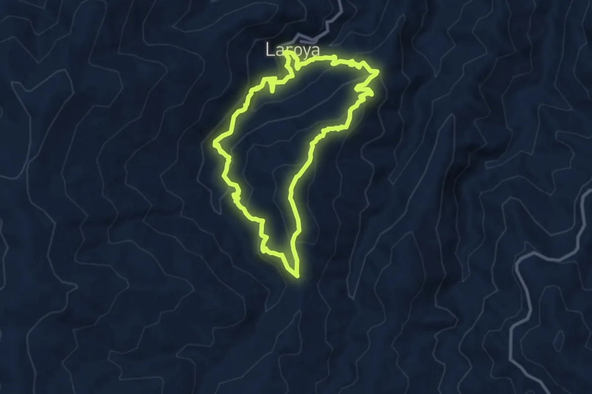
Medium · Summit
Los Molinos de Laroya
9.3 km · ↑ 587 m · 3 h 36 min
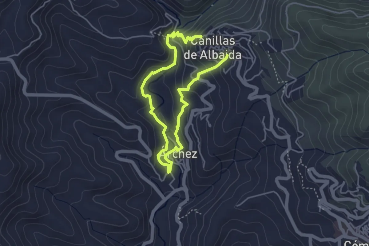
Medium · Trail
Los Molinos - Río Turvilla
6.4 km · ↑ 325 m · 2 h 13 min
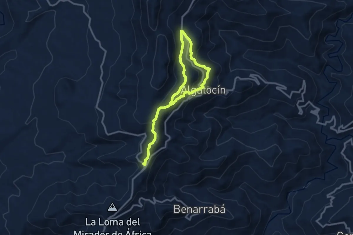
Easy · Trail
Los Nacimientillos - Las Pilas
6.0 km · ↑ 304 m · 2 h 9 min
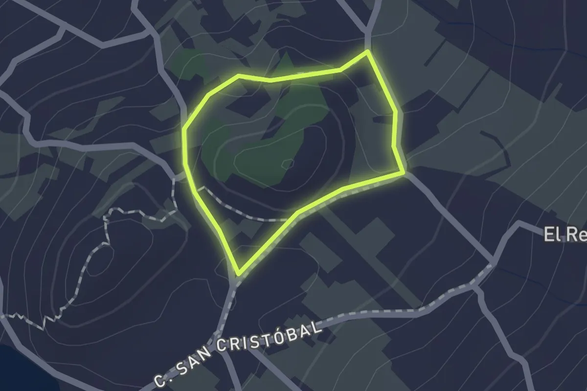
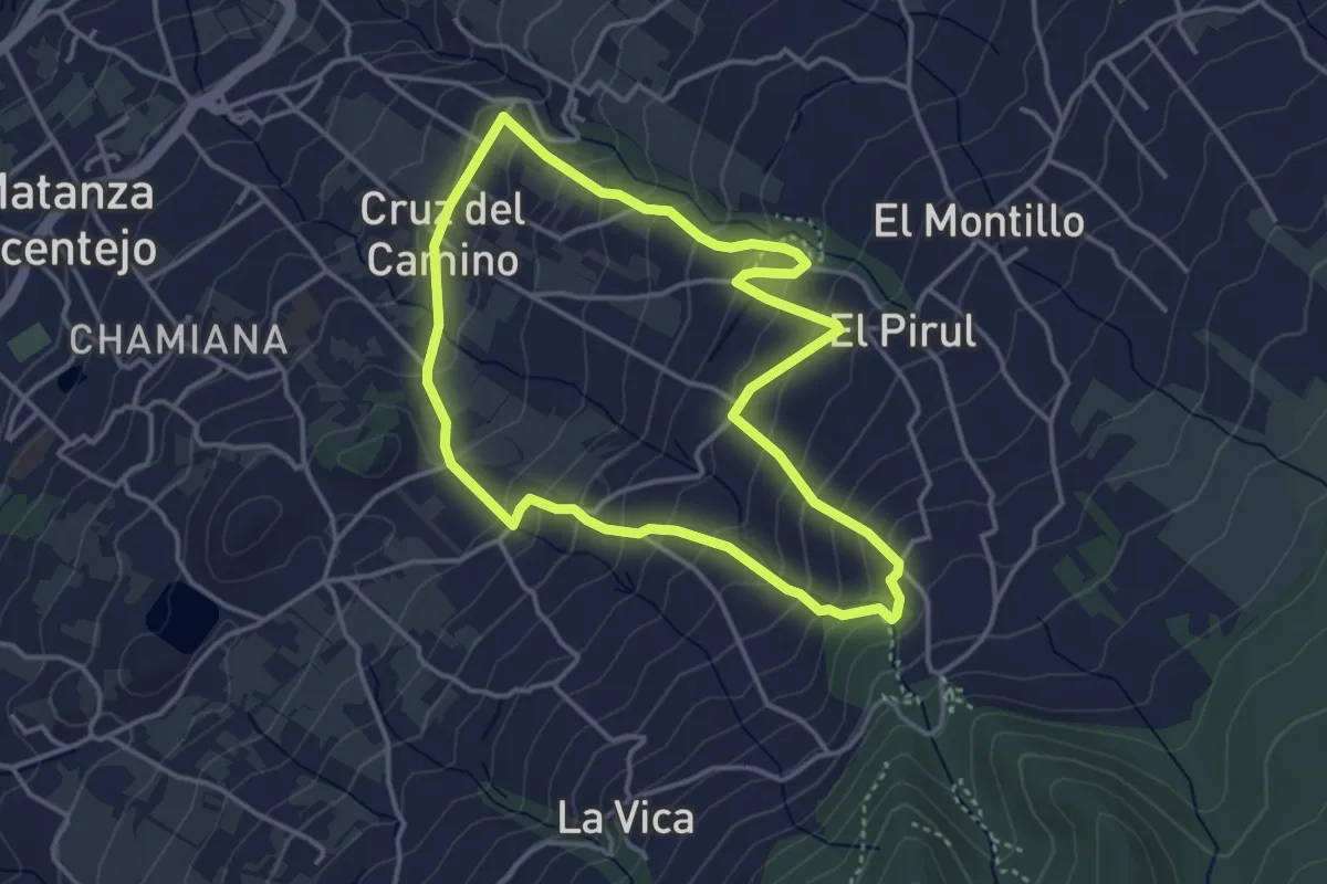
Easy · Trail
Los Nateros
1.2 km · ↑ 17 m · 20 min
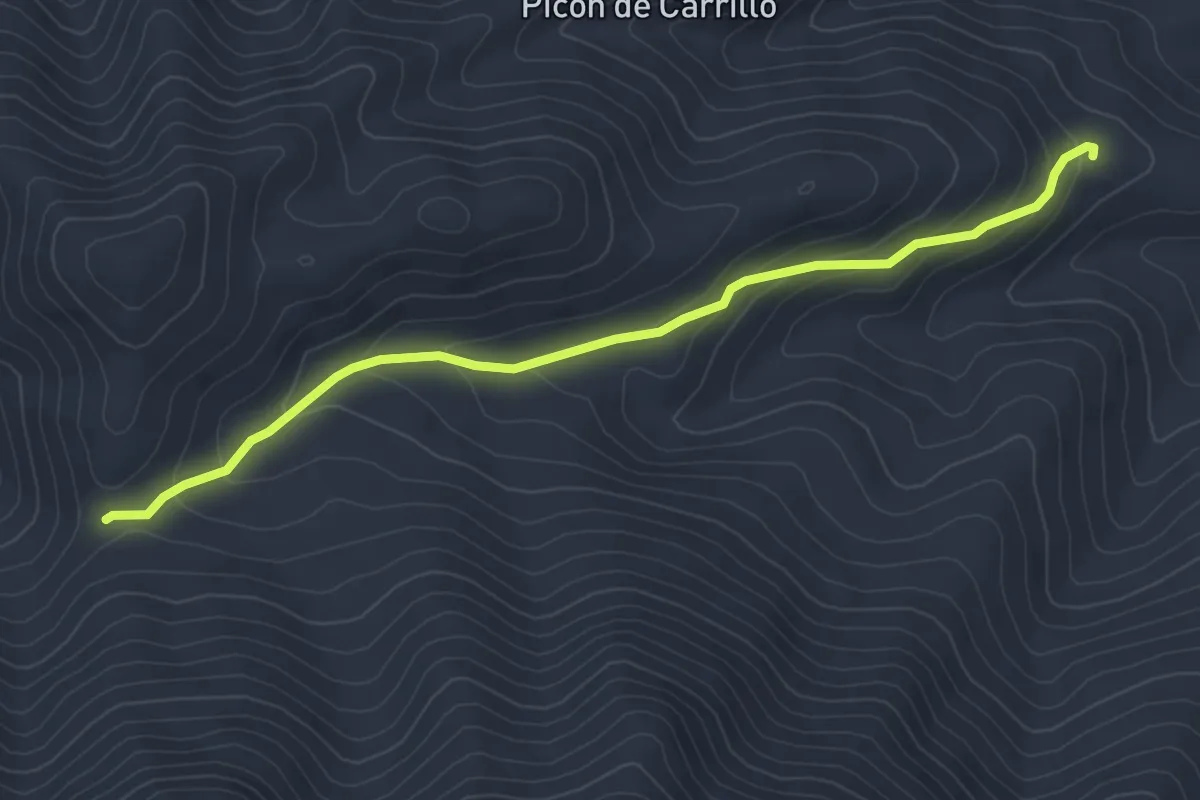
Easy · Trail
Los Nateros-La Vica
4.6 km · ↑ 313 m · 1 h 50 min
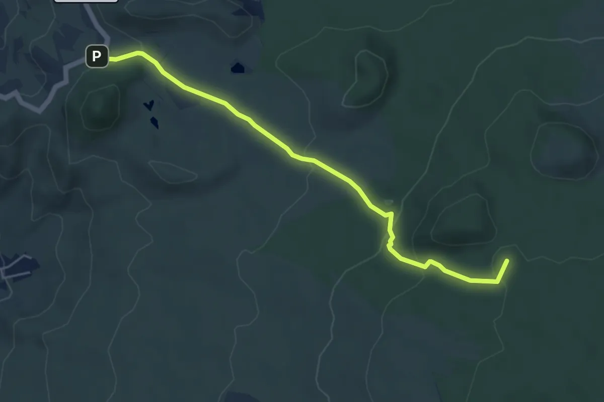
Easy · Trail
Los Neveros
5.3 km · ↑ 262 m · 1 h 49 min
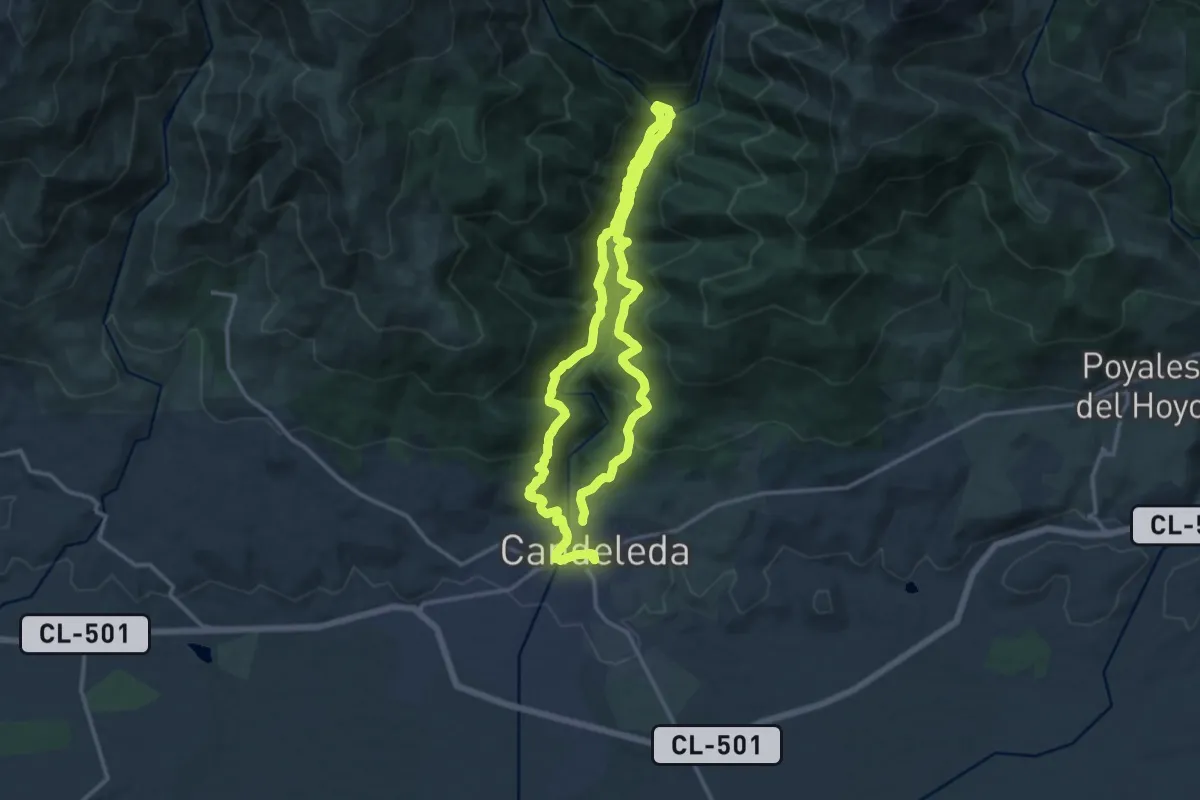
Easy · Summit
Los Partidos de Franquis - Chinyero
6.1 km · ↑ 217 m · 1 h 55 min
Medium · Trail
Los Pescadores
13.8 km · ↑ 568 m · 4 h 41 min
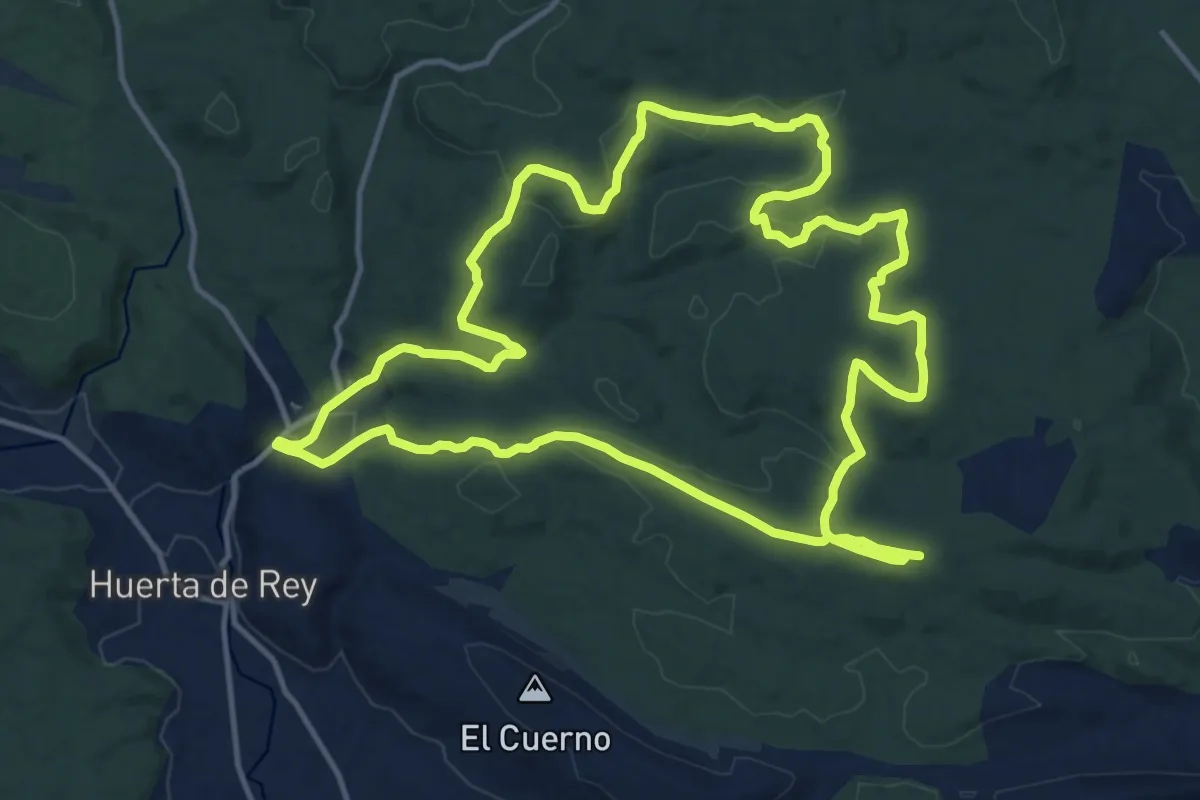
Medium · Summit
Los Pinares
16.1 km · ↑ 394 m · 4 h 53 min
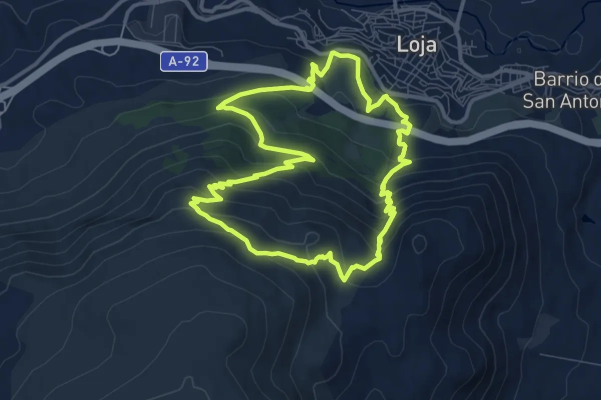
Medium · Trail
Los Pinos de Loja
9.2 km · ↑ 586 m · 3 h 34 min
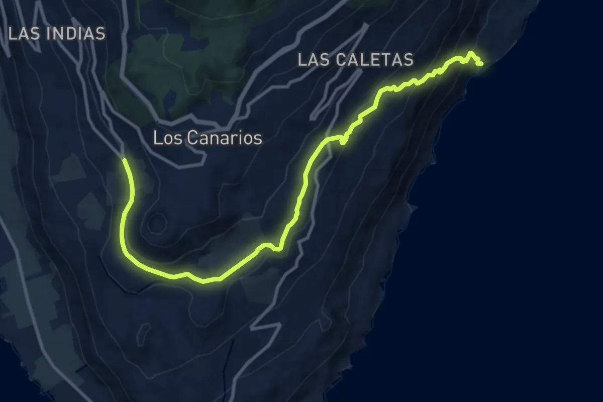
Medium · Trail
Los Quemados – El Puertito
14.1 km · ↑ 607 m · 4 h 38 min
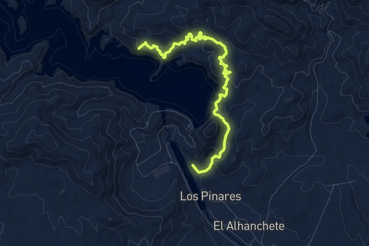
Medium · Trail
Los reforestadores de la Sierra de Almagro
11.1 km · ↑ 594 m · 3 h 55 min
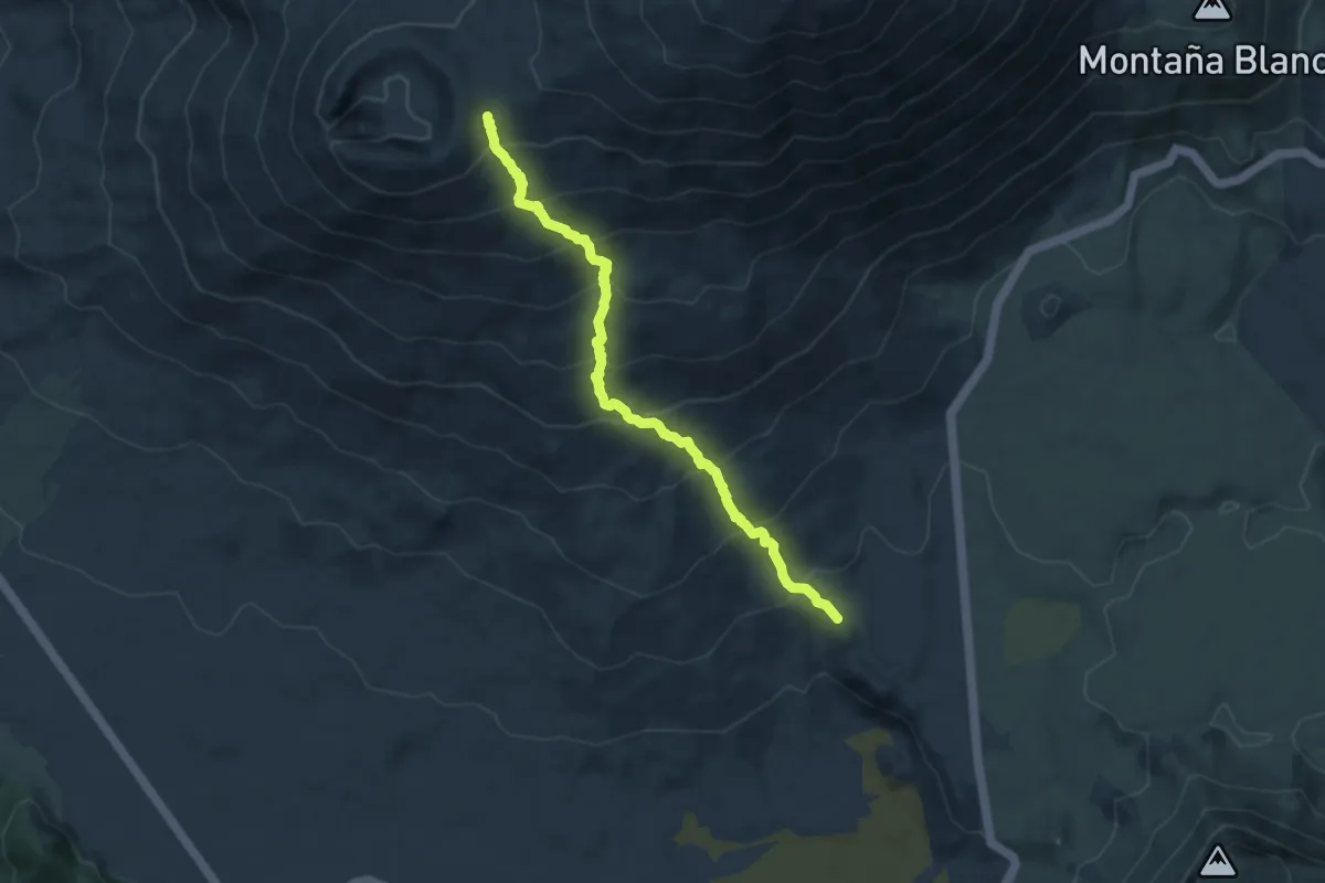
Demanding · Trail
Los Regatones Negros
9.9 km · ↑ 872 m · 4 h 14 min
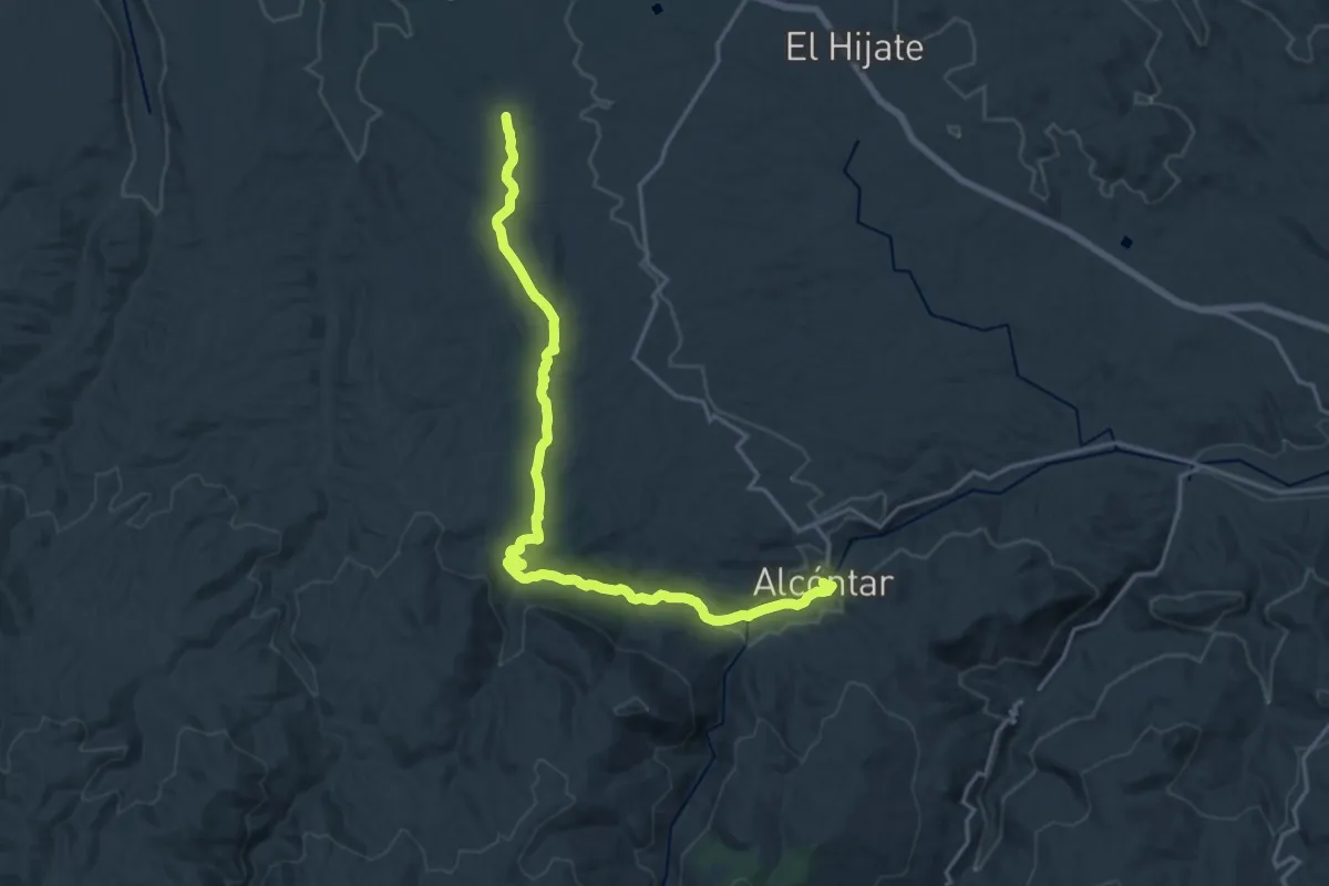
Demanding · Summit
Los Rincones
22.7 km · ↑ 450 m · 6 h 21 min
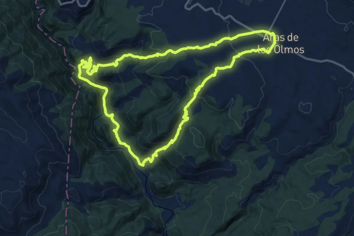
Demanding · Summit
Los Rubiales - Rio Turia
18.3 km · ↑ 792 m · 6 h 18 min
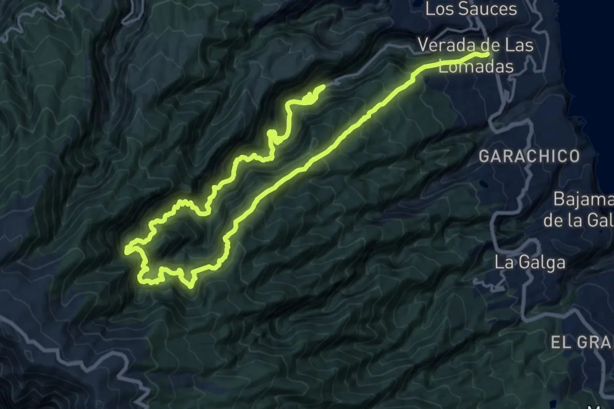
Demanding · Trail
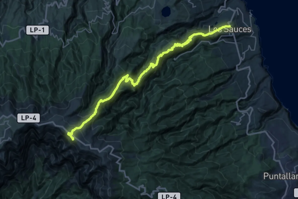
Los Sauces - Los Tilos. Centro de Visitantes
16.6 km · ↑ 2351 m · 9 h 7 min
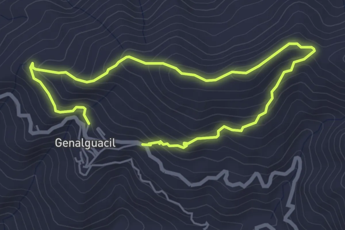
Demanding · Summit
Los Sauces-Pico de La Cruz
28.3 km · ↑ 2554 m · 12 h 13 min
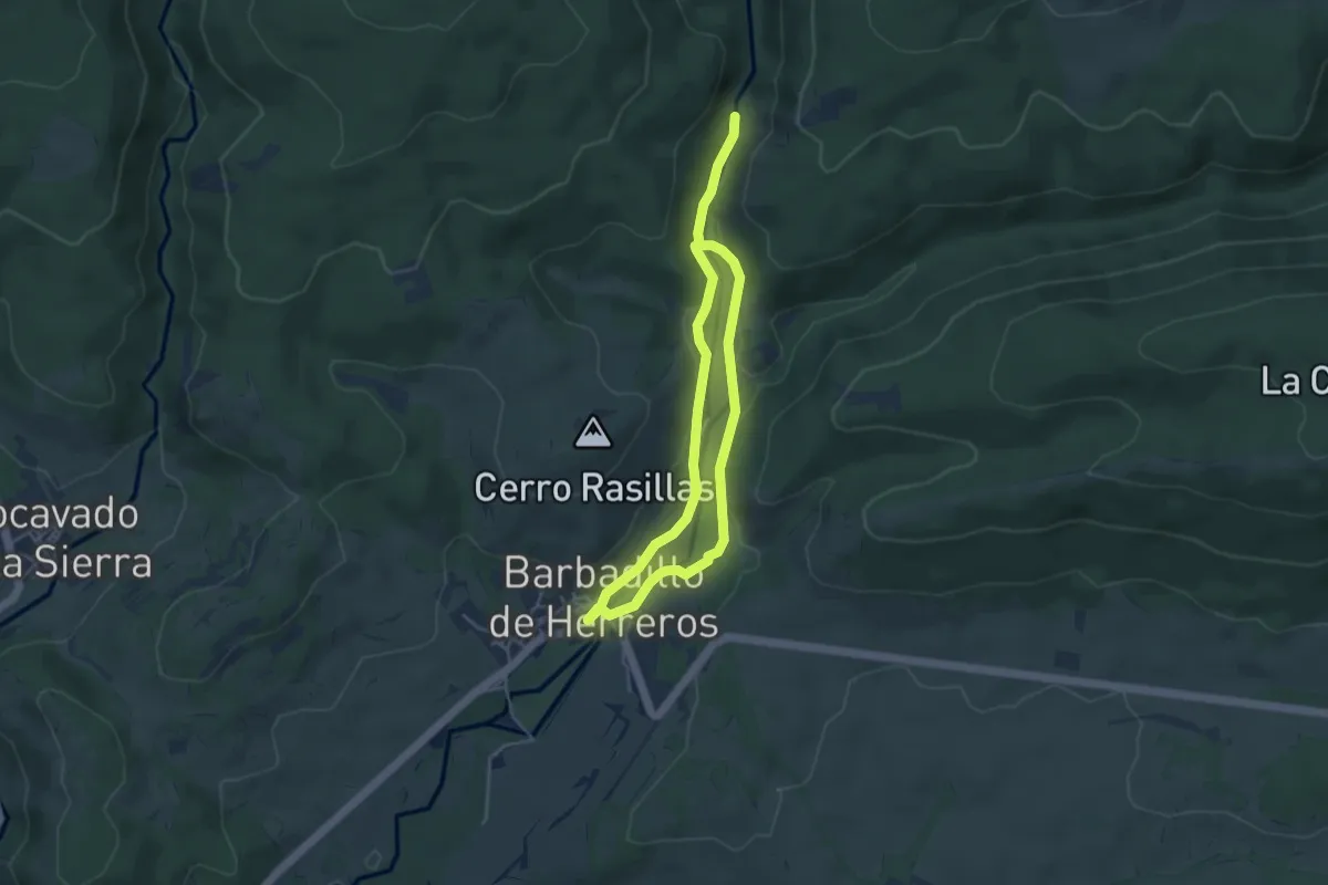
Easy · Trail
Los Saucillos
4.1 km · ↑ 233 m · 1 h 31 min
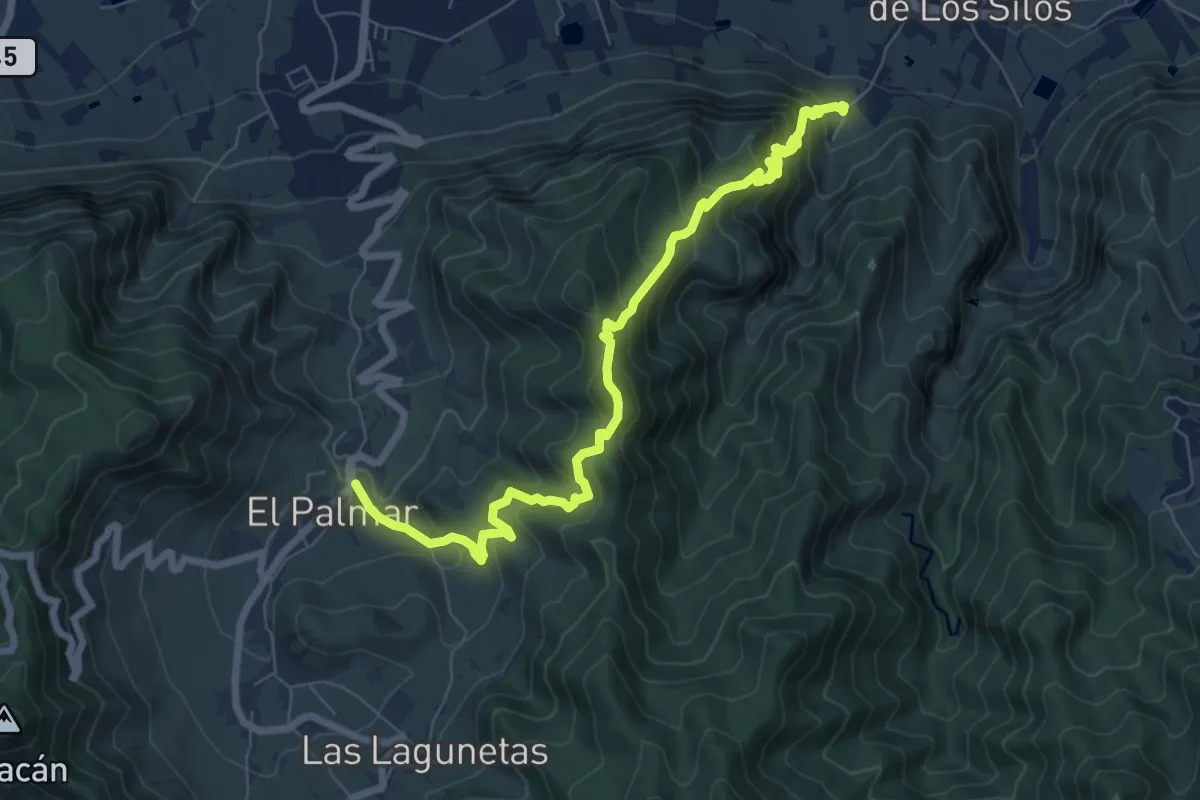
Easy · Trail
Los Seis Azudes
7.3 km · ↑ 92 m · 1 h 55 min
Demanding · Trail
Los Silos - Talavera - El Palmar
10.3 km · ↑ 882 m · 4 h 20 min
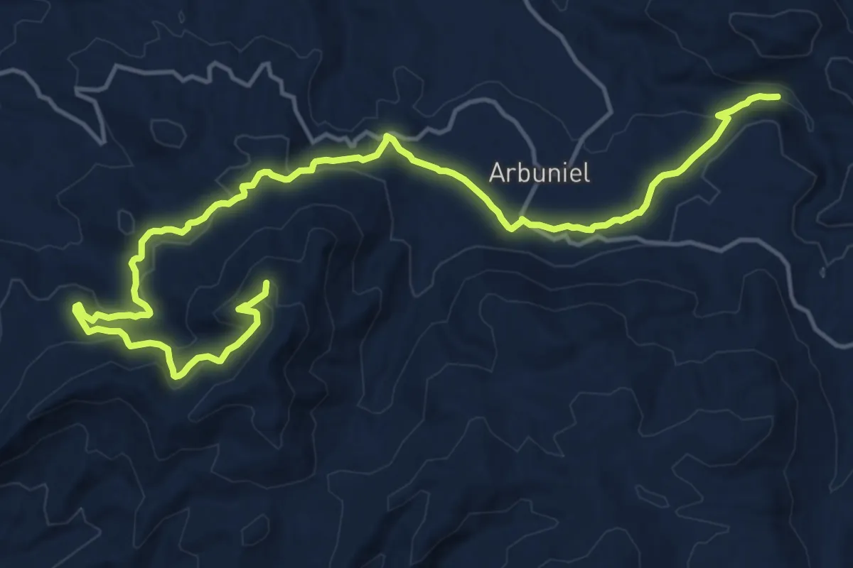
Demanding · Summit
Los tesoros de Arbuniel
21.6 km · ↑ 648 m · 6 h 30 min
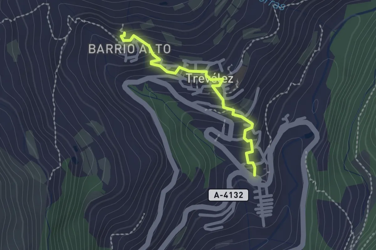
Easy · Trail
Los Tres Barrios
2.3 km · ↑ 159 m · 53 min
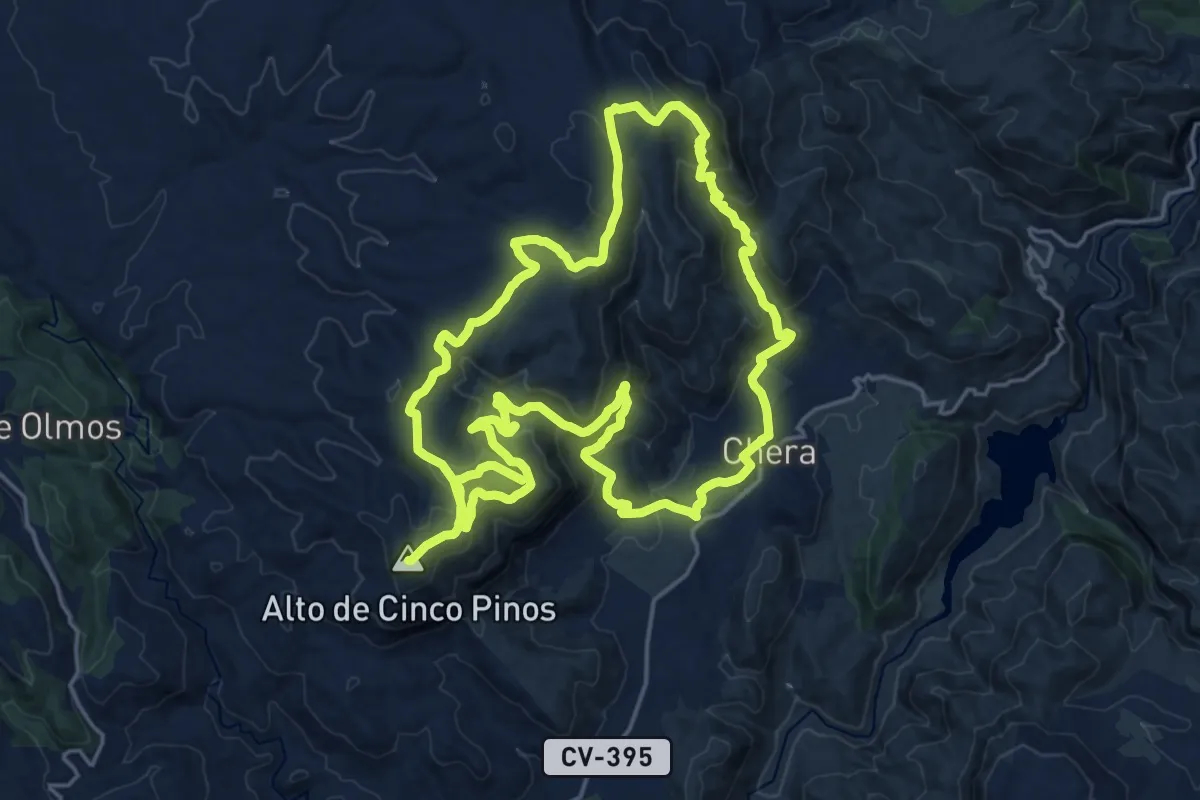
Demanding · Summit
Los Tres Picos
21.9 km · ↑ 750 m · 7 h 5 min
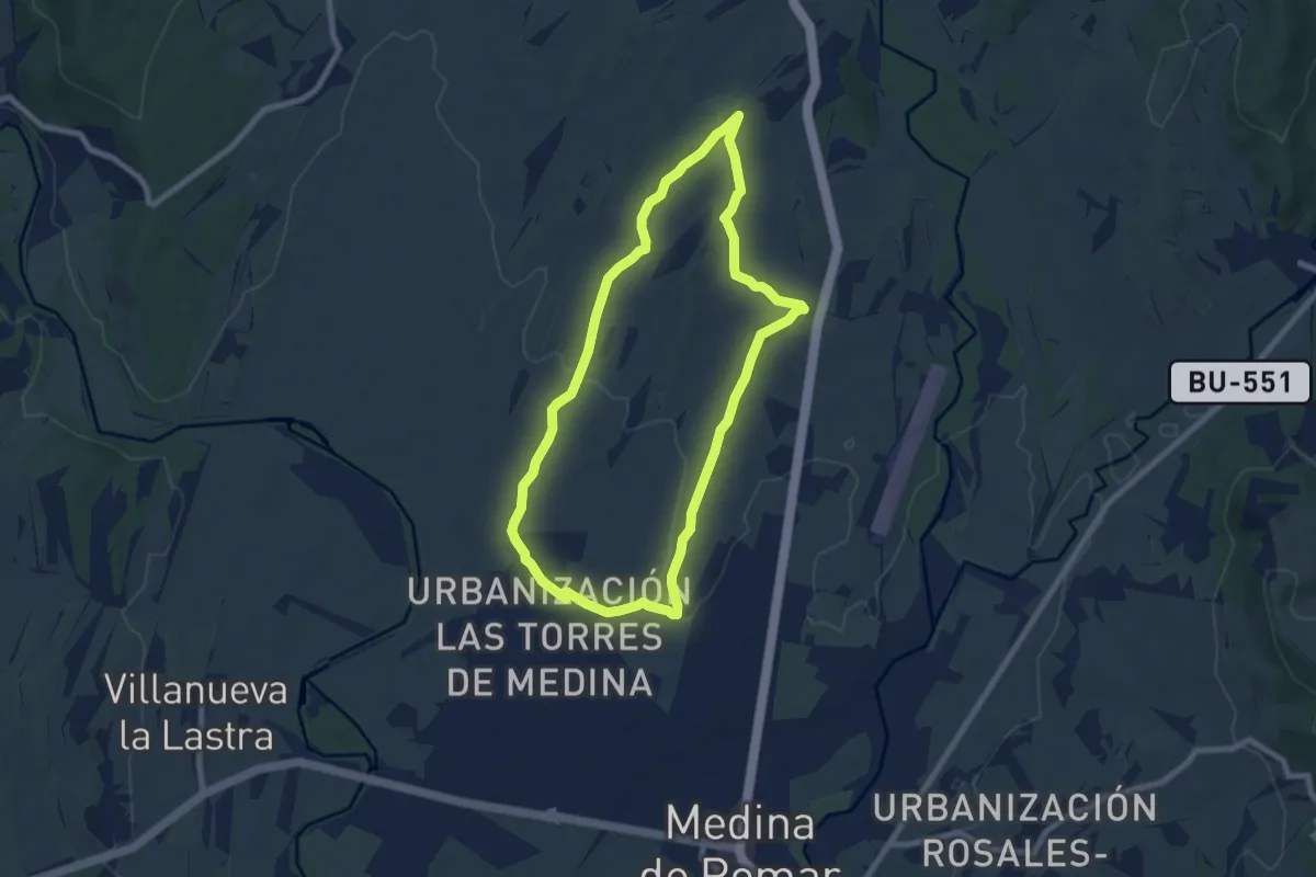
Easy · Trail
Los Valles
7.7 km · ↑ 104 m · 2 h 9 min
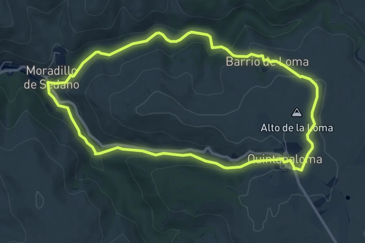
Easy · Summit
Los Valles Románicos
7.0 km · ↑ 222 m · 2 h 13 min
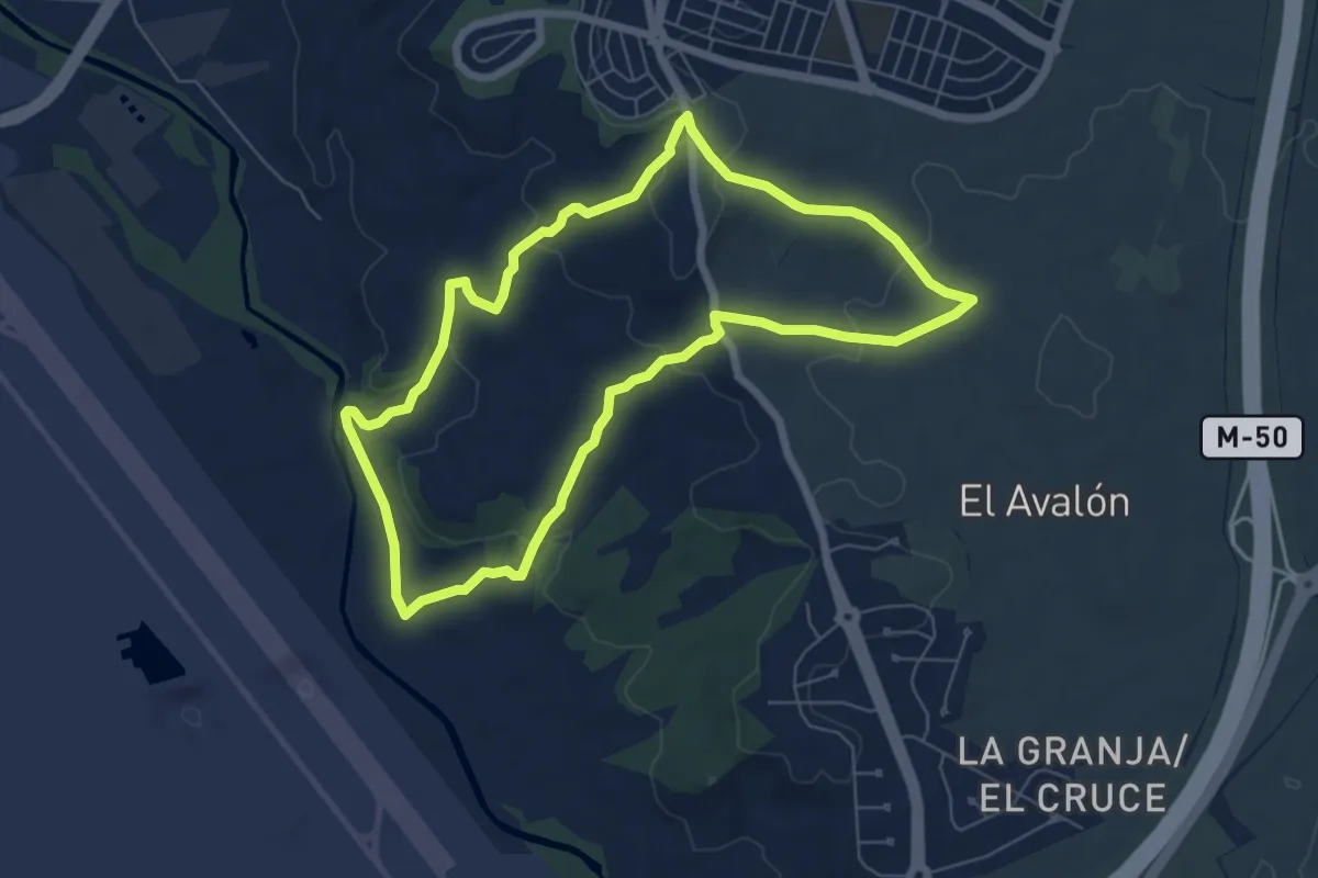
Easy · Trail
Los Valles y Las Peñuelas
7.2 km · ↑ 161 m · 2 h 8 min
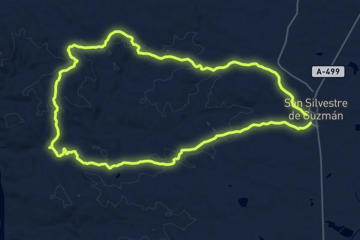
Demanding · Trail
Los Verdes
18.2 km · ↑ 318 m · 5 h 14 min
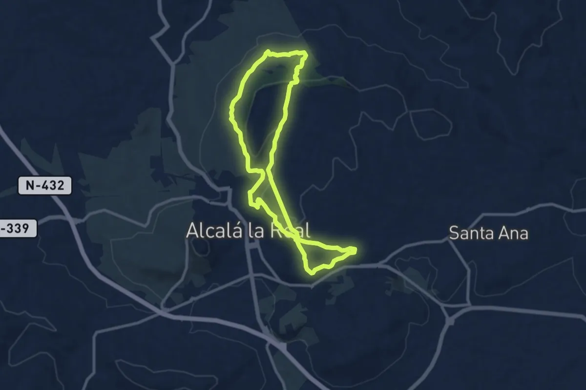
Medium · Trail
Los Zumaques
9.2 km · ↑ 238 m · 2 h 48 min
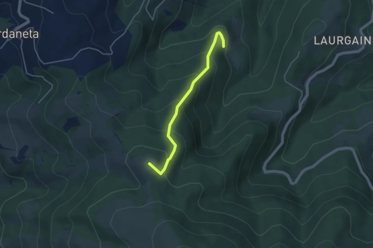
Medium · Summit
Lotura Neberako lizarra - Sarrola
3.3 km · ↑ 272 m · 1 h 22 min
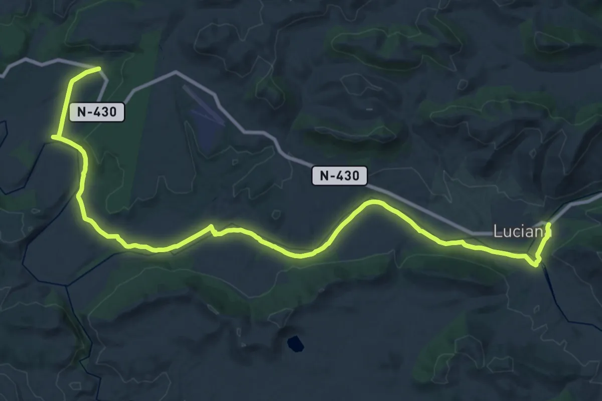
Demanding · Trail
Luciana - río Guadiana - El Chiquero
19.7 km · ↑ 94 m · 5 h 7 min
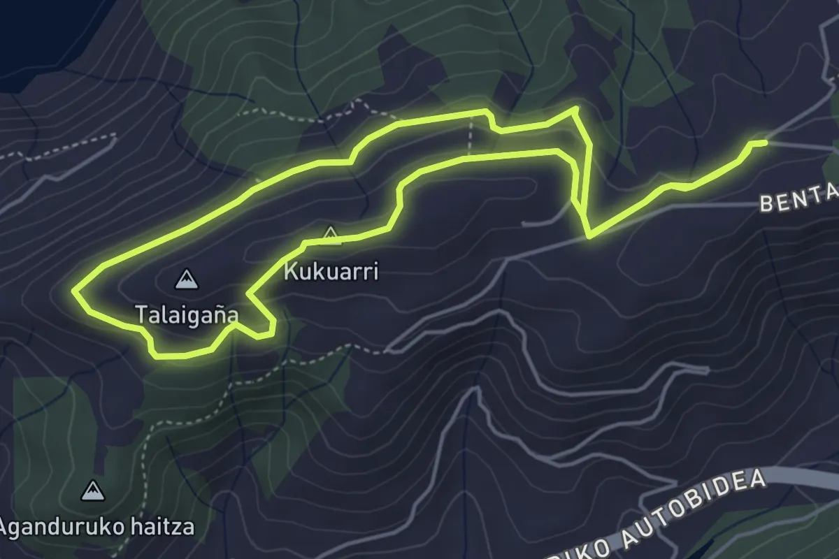
Easy · Summit
Lusarbe-Kukuarri
5.0 km · ↑ 153 m · 1 h 35 min
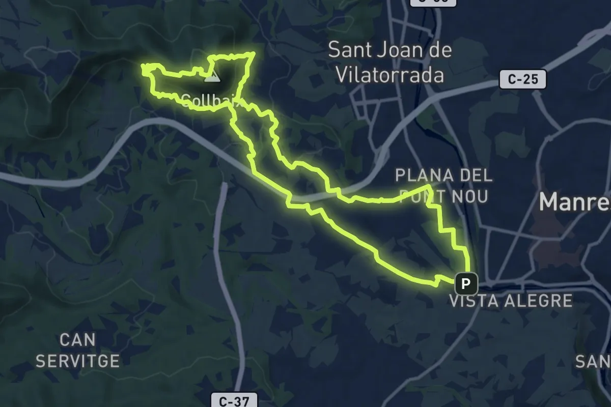
Medium · Summit
M1 - Itinerari El Collbaix
11.9 km · ↑ 439 m · 3 h 56 min