Trails in Spain
5,962 hiking trails, each with its route, climb, walking time and grade.
All trails, page 60 of 125
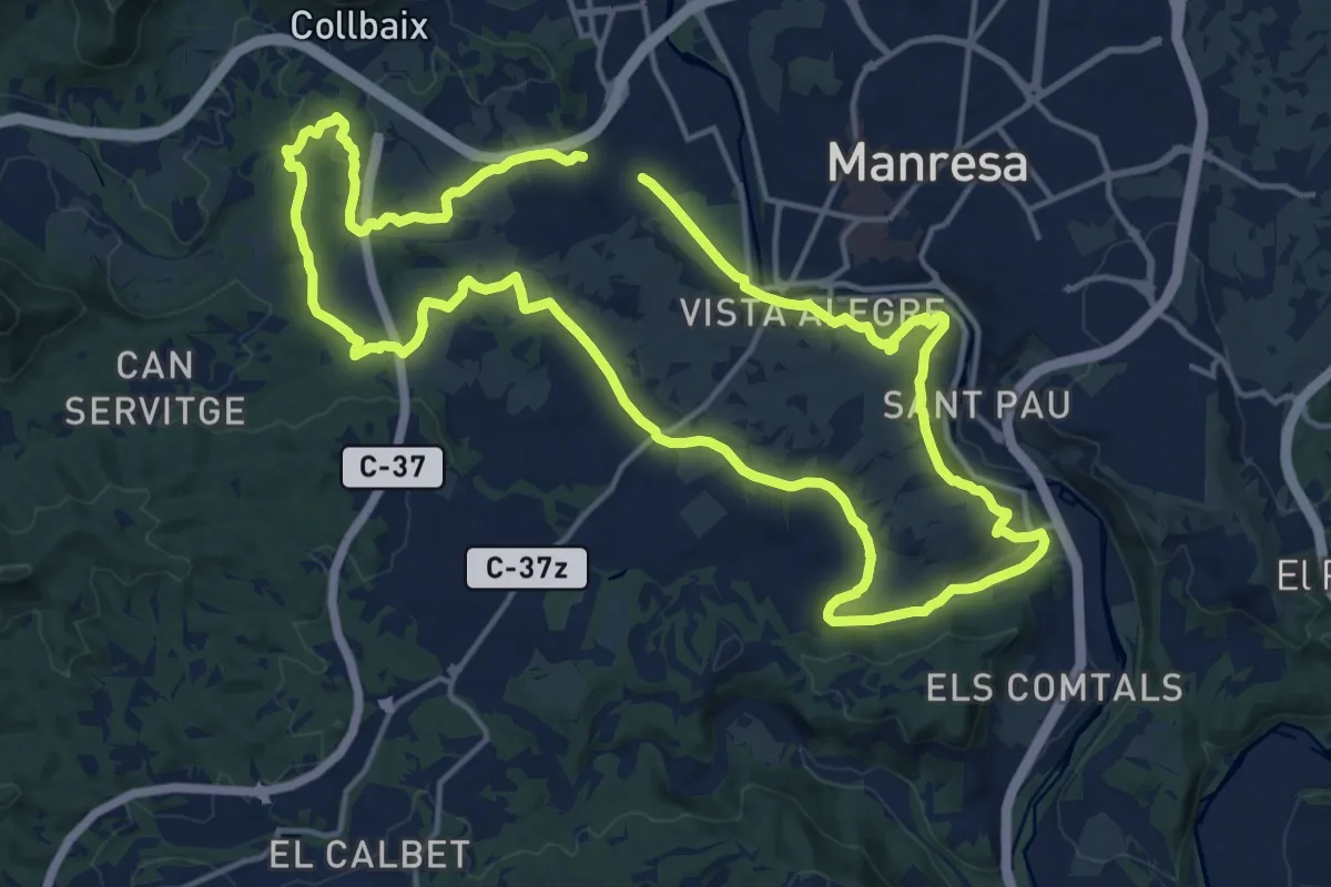
Demanding · Trail
M2 - Itinerari La riera de Rajadell
18.0 km · ↑ 287 m · 5 h 8 min
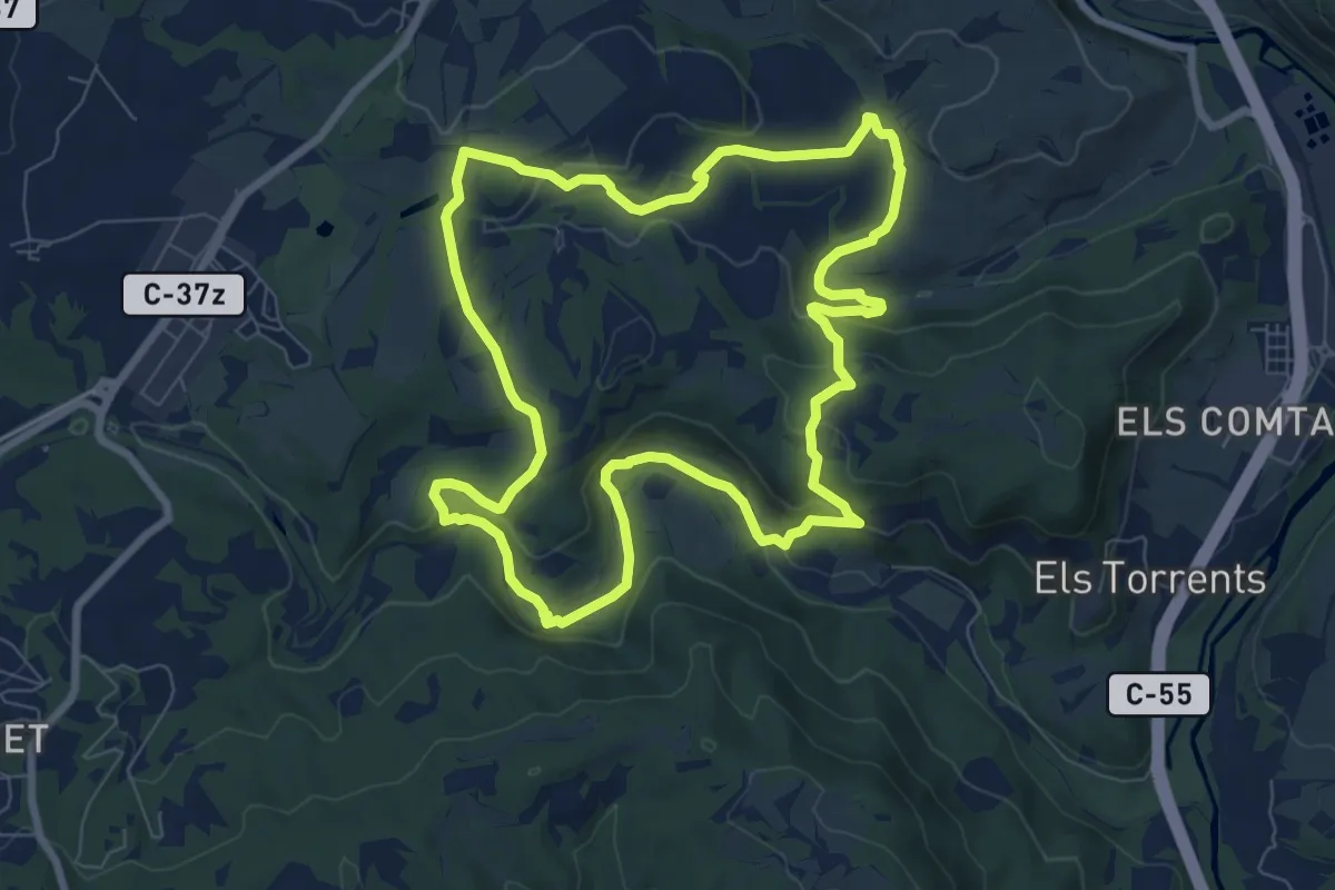
Medium · Trail
M3 - Itinerari Els pous de glaç i la riera de Guardiola
8.6 km · ↑ 219 m · 2 h 38 min
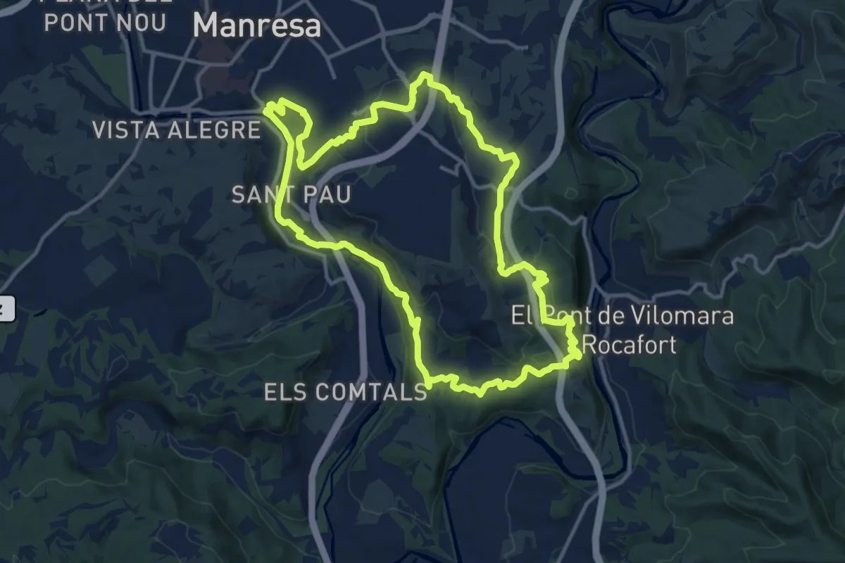
Medium · Summit
M4 - Itinerari Del Cardener al Llobregat
13.9 km · ↑ 414 m · 4 h 23 min
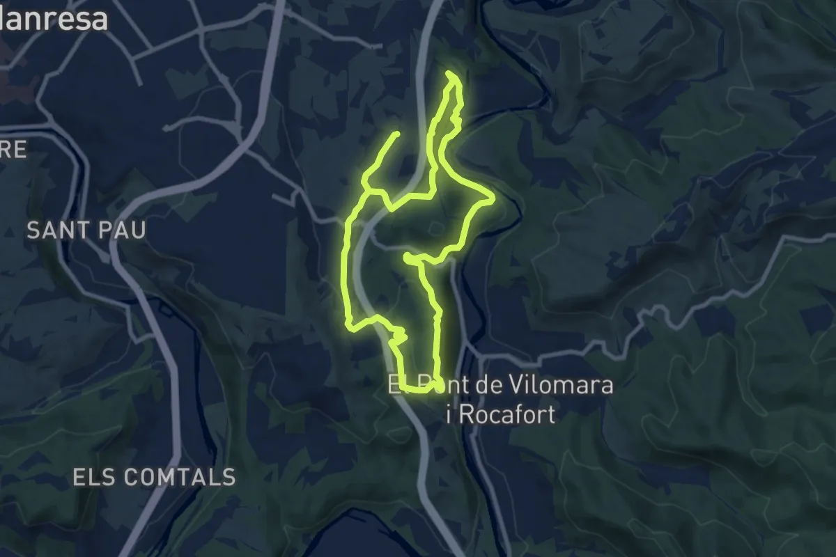
Medium · Summit
M5 - Itinerari Els cingles del Llobregat
8.5 km · ↑ 323 m · 2 h 49 min
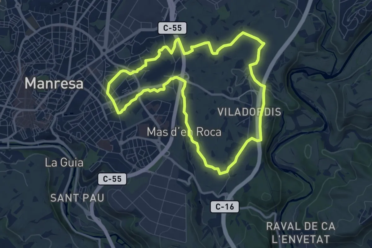
Medium · Trail
M6 - Itinerari El regadiu de Viladordis
9.2 km · ↑ 110 m · 2 h 32 min
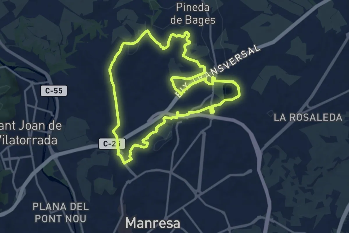
Medium · Trail
M7 - Itinerari El regadiu del Poal
10.0 km · ↑ 115 m · 2 h 45 min
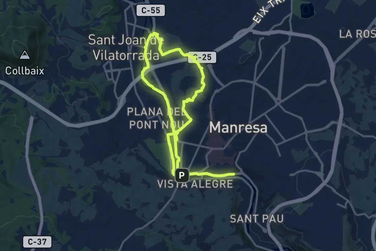
Medium · Summit
M8 - Itinerari El Cardener i el Puigberenguer
9.8 km · ↑ 117 m · 2 h 42 min
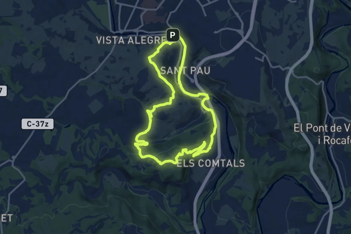
Medium · Summit
M9 - Els Comtals i la serra de Montlleó
11.0 km · ↑ 305 m · 3 h 25 min
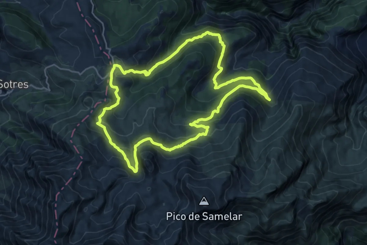
Demanding · Trail
Macizo de Ándara
15.6 km · ↑ 887 m · 5 h 49 min
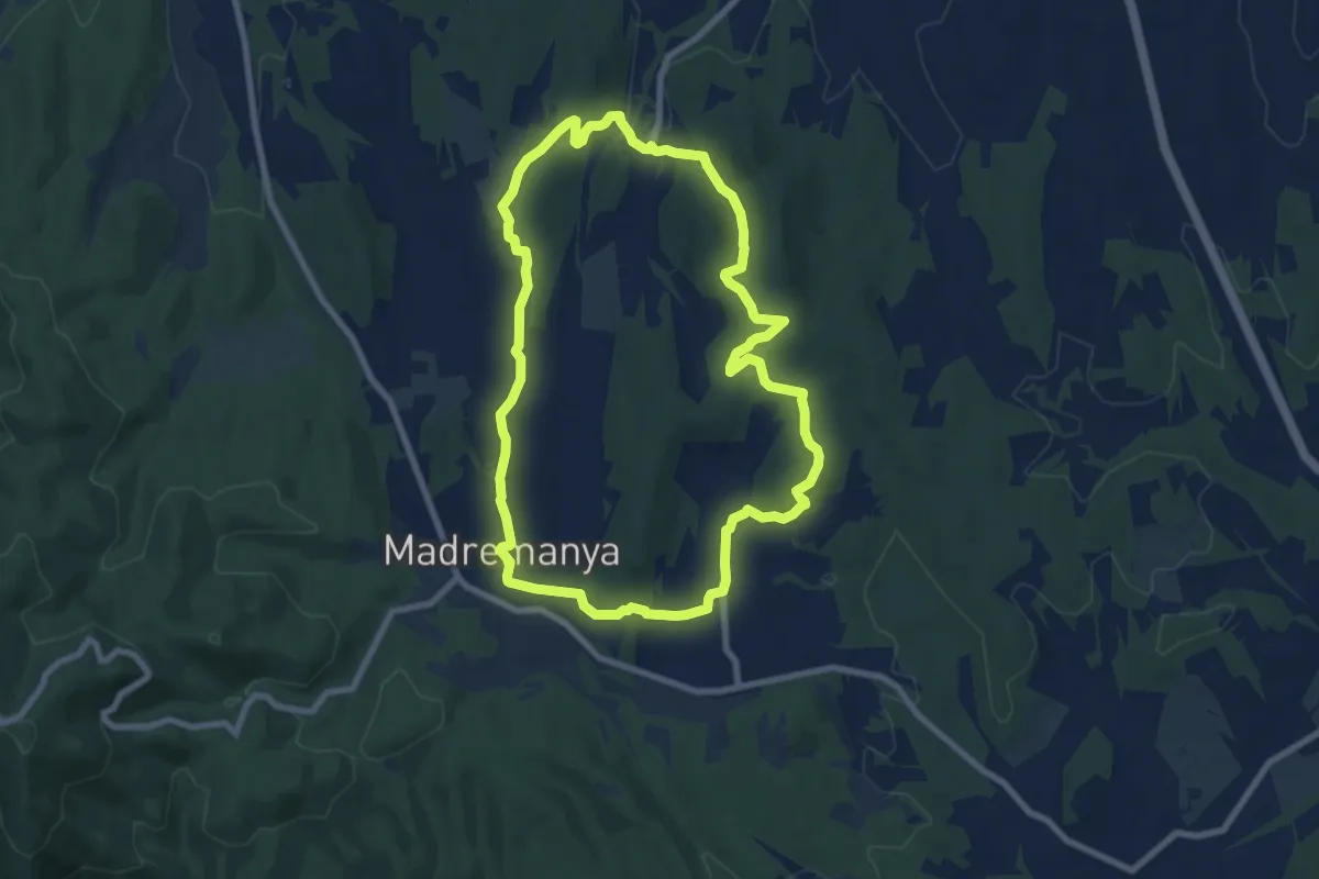
Medium · Trail
Madremanya-Millàs-Pedrinyà
8.7 km · ↑ 174 m · 2 h 33 min
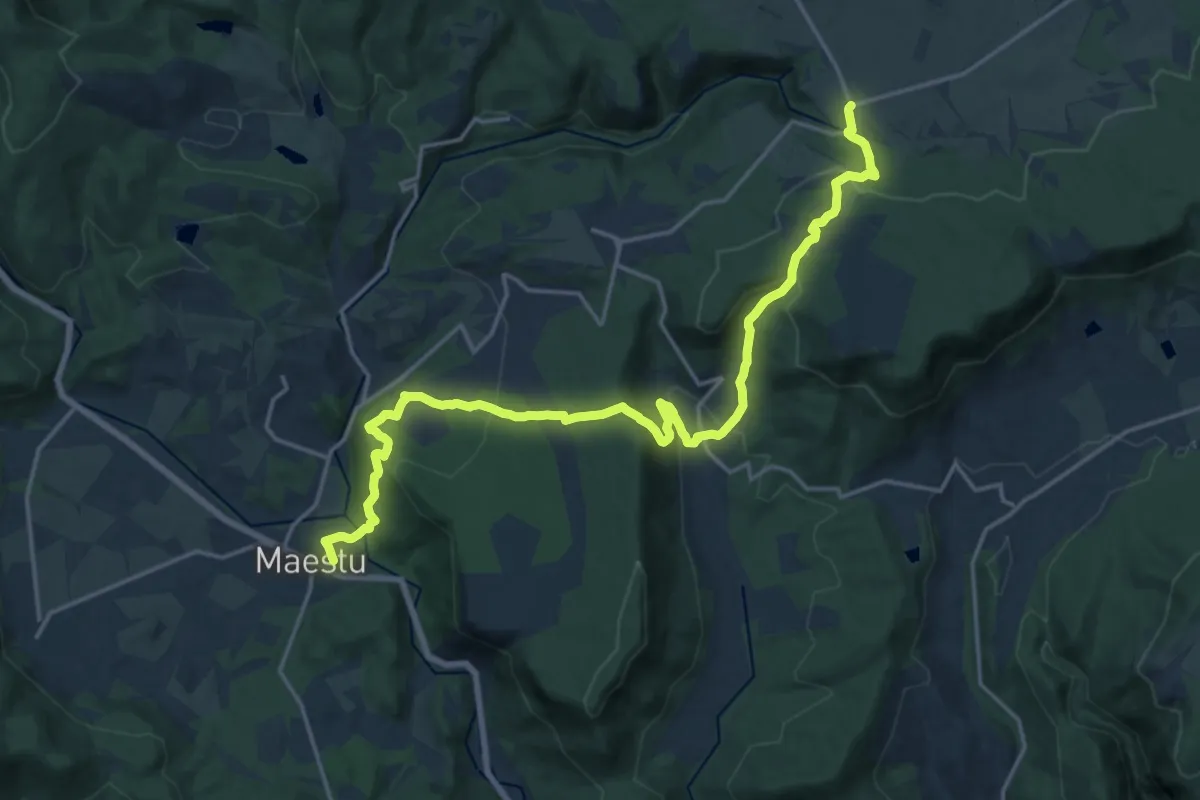
Demanding · Trail
Maeztu-Zikuiano-Sabando-Erroitegi
22.1 km · ↑ 925 m · 7 h 13 min
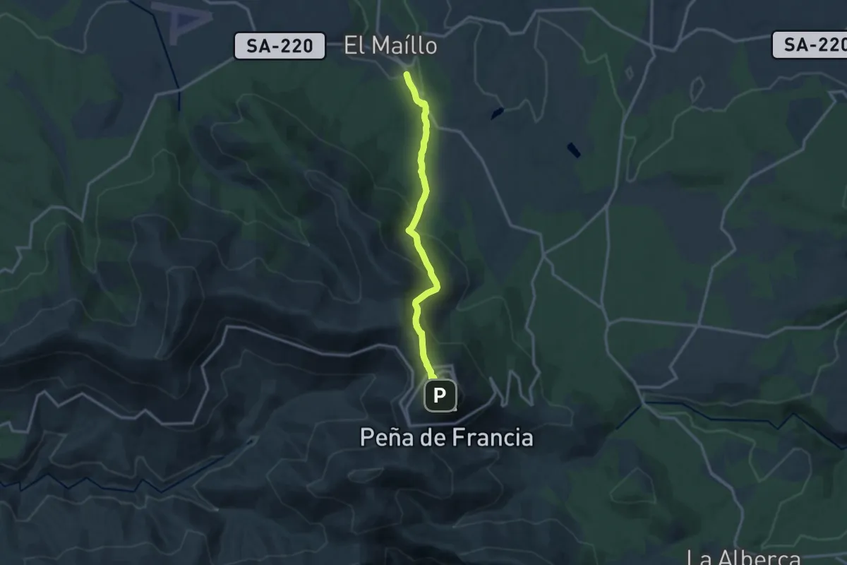
Demanding · Trail
Maillo - Peña de Francia
12.6 km · ↑ 720 m · 4 h 32 min
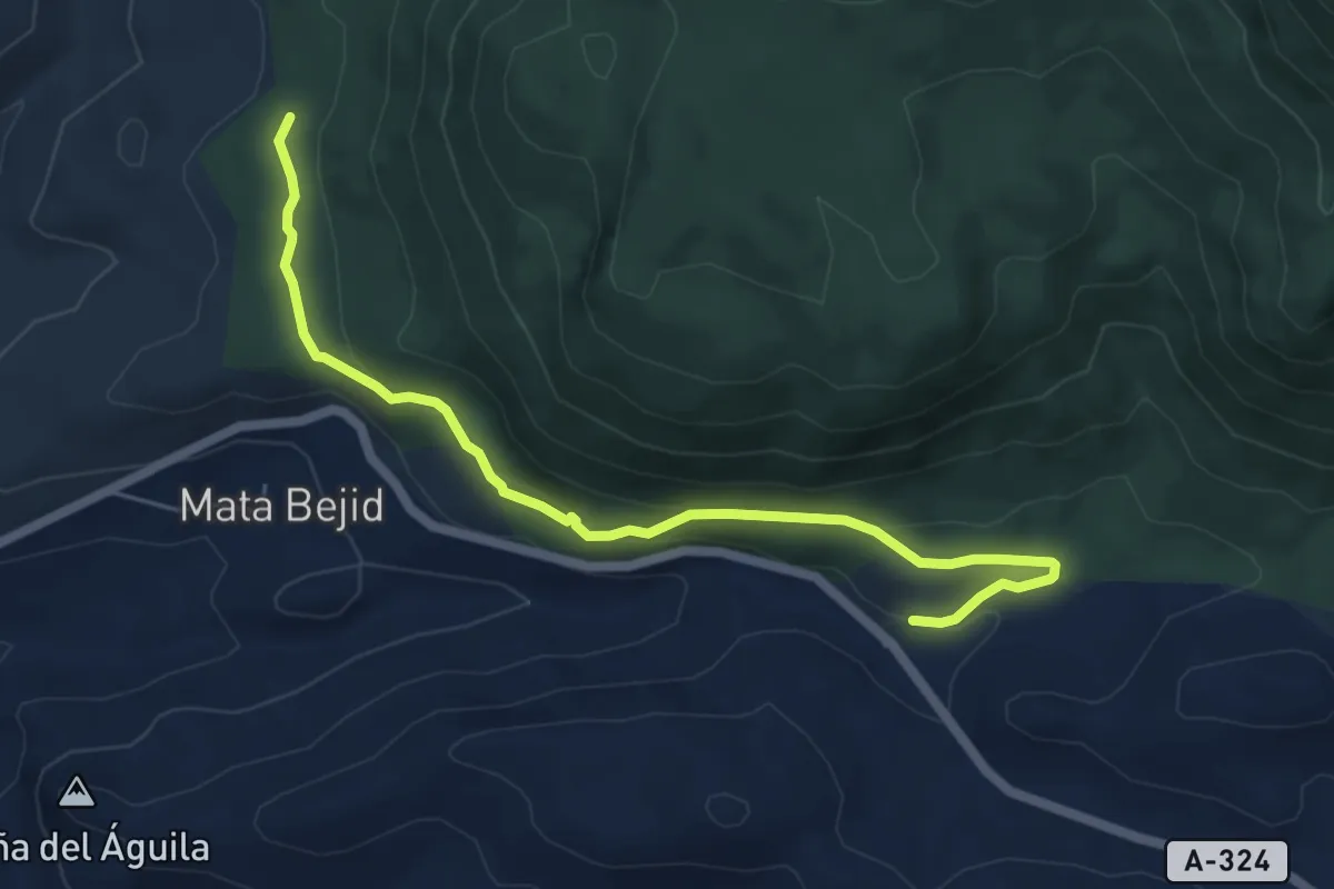
Easy · Trail
Majada del Rincón
7.0 km · ↑ 204 m · 2 h 6 min
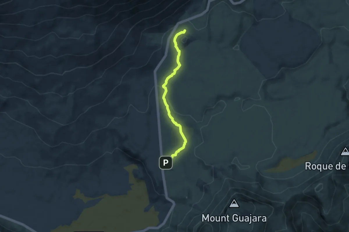
Easy · Trail
Majúa
7.7 km · ↑ 157 m · 2 h 9 min
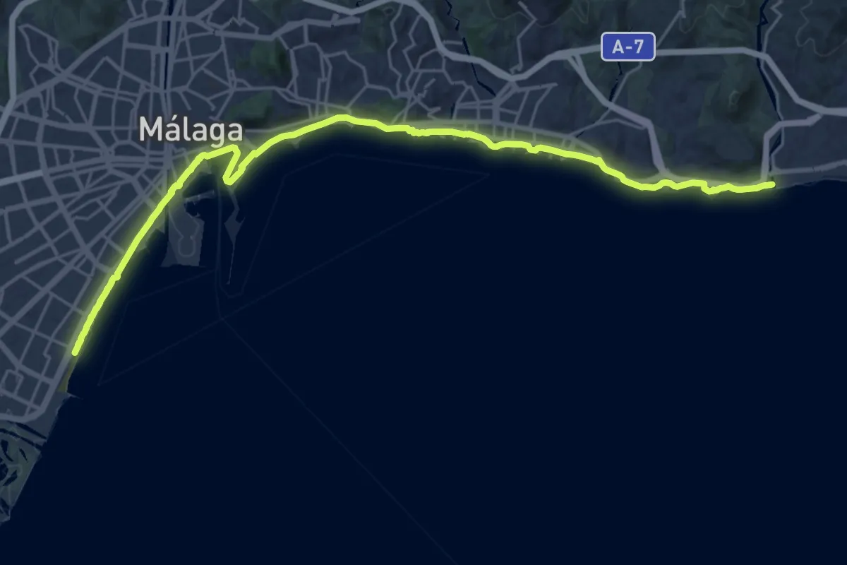
Demanding · Trail
Málaga - Rincón de la Victoria
30.1 km · ↑ 105 m · 7 h 19 min
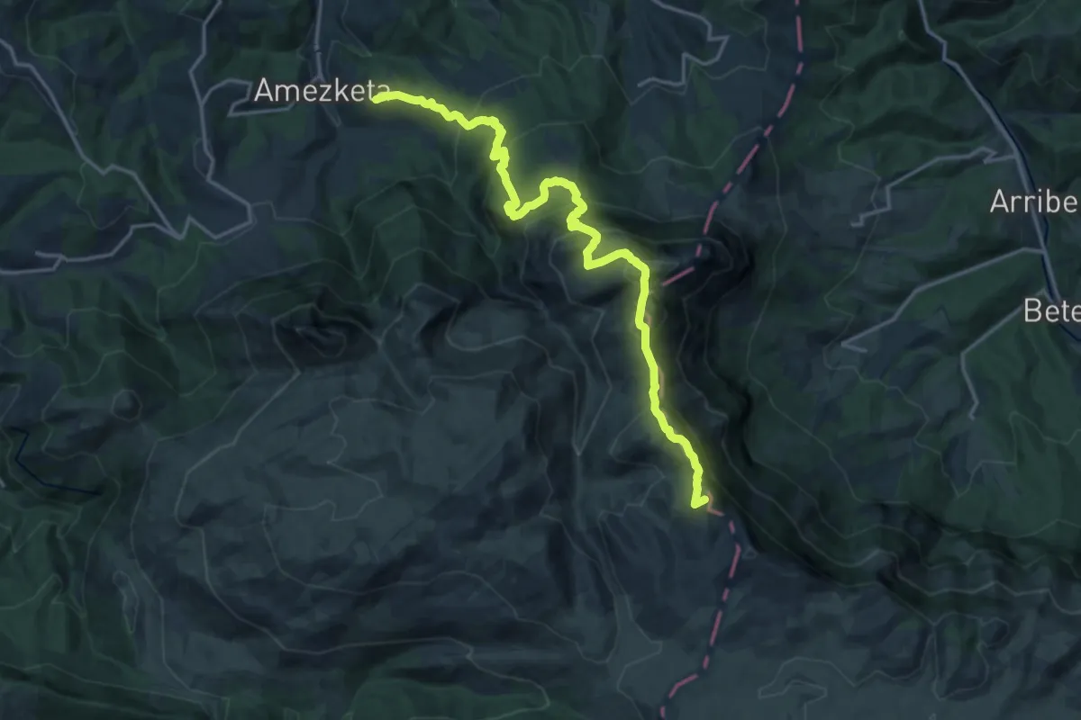
Demanding · Summit
Malloetako zeharkaldia
19.3 km · ↑ 1450 m · 7 h 42 min
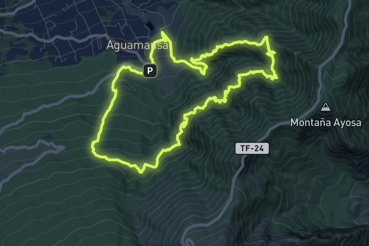
Demanding · Trail
Mamio - Pinolere
12.6 km · ↑ 1240 m · 5 h 50 min
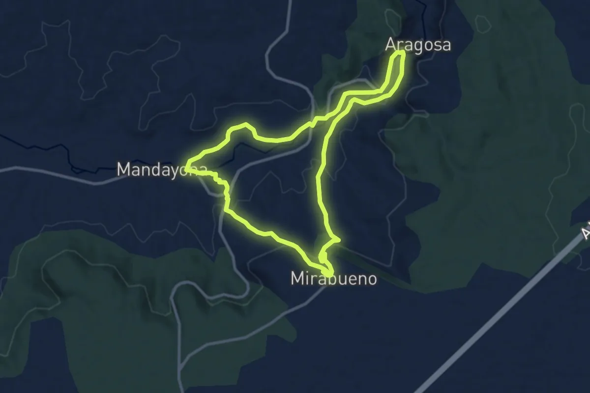
Medium · Trail
Mandayona-Mirabueno-Aragosa
10.2 km · ↑ 247 m · 3 h 5 min
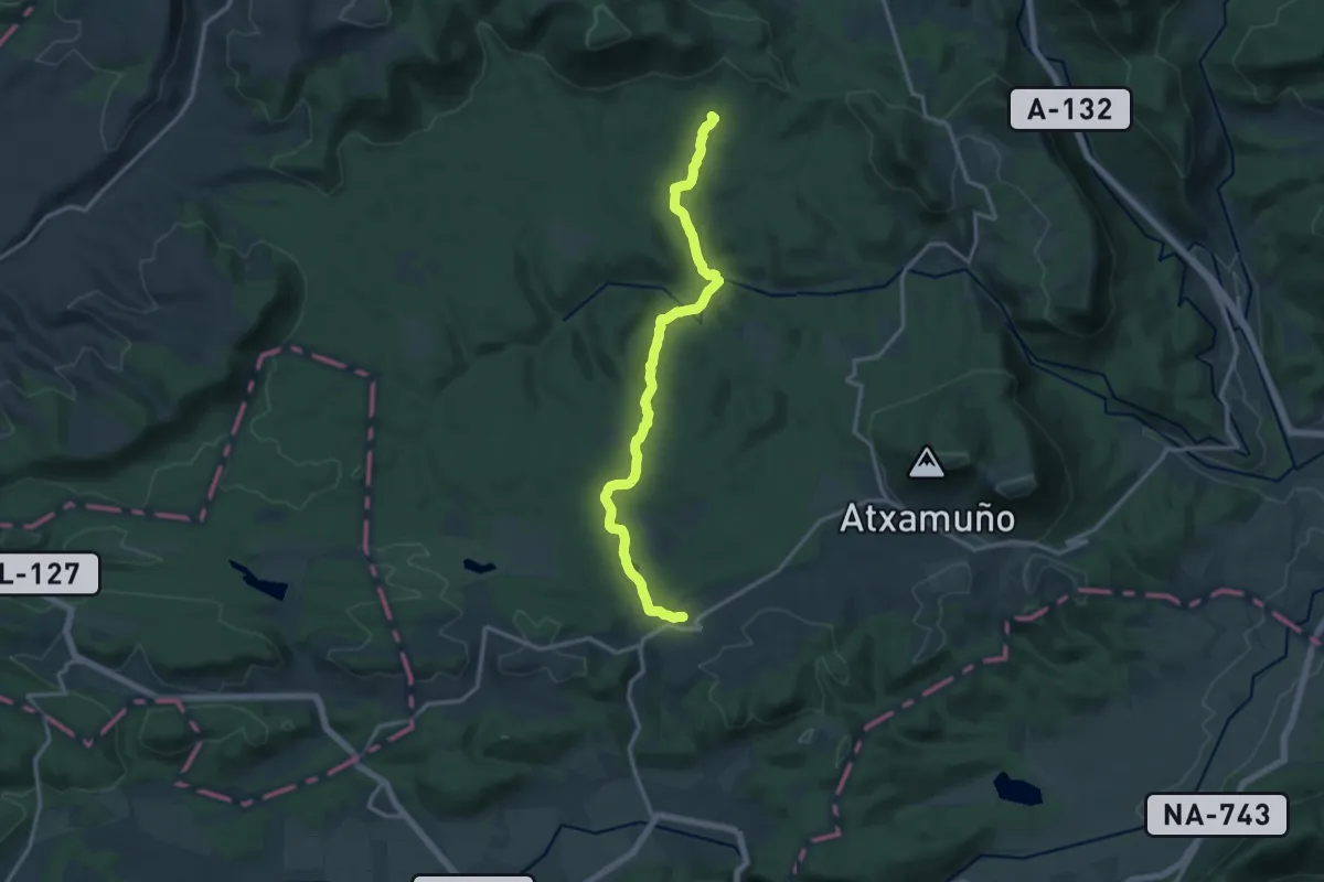
Medium · Summit
Mandazainak
15.8 km · ↑ 280 m · 4 h 20 min
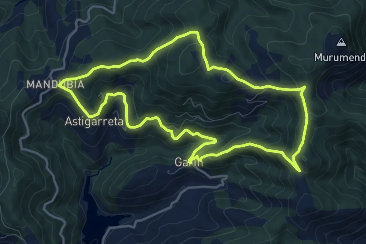
Medium · Summit
Mandubia-Larrarte-Garin-Astigarreta-Mandubia
9.6 km · ↑ 514 m · 3 h 30 min
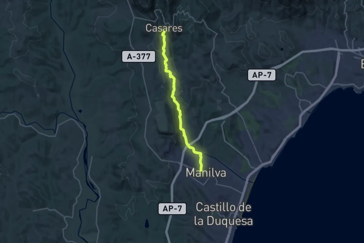
Medium · Trail
Manilva - Casares (Ruta de los Molinos)
17.2 km · ↑ 568 m · 5 h 18 min
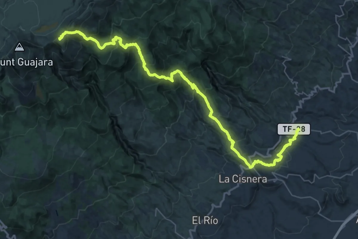
Demanding · Summit
Mar a cumbre de Arico
41.6 km · ↑ 2463 m · 15 h 10 min
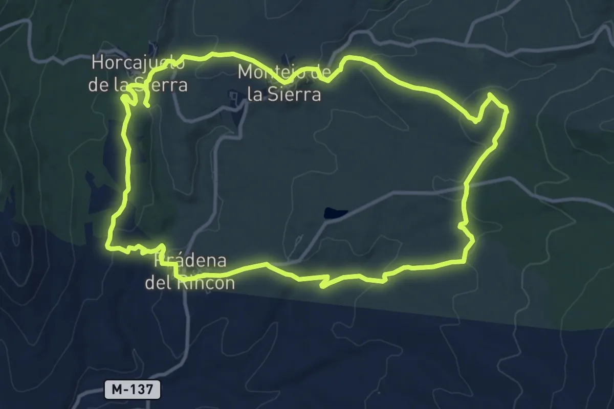
Medium · Trail
Maravillas de la Sierra del Rincón
11.6 km · ↑ 243 m · 3 h 26 min
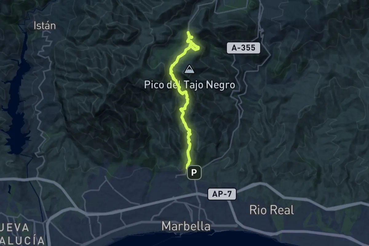
Demanding · Trail
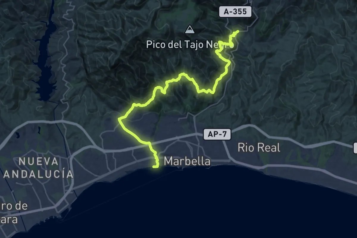
Marbella - Juanar
17.9 km · ↑ 950 m · 6 h 17 min
Demanding · Trail
Marbella - Ojén
15.9 km · ↑ 1036 m · 6 h 3 min
Medium · Summit
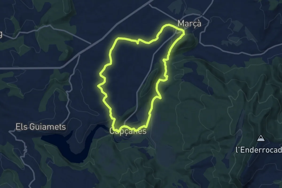
Marçà-Capçanes-Marcà. Dos mon en un de sol
10.4 km · ↑ 259 m · 3 h 10 min
Demanding · Trail
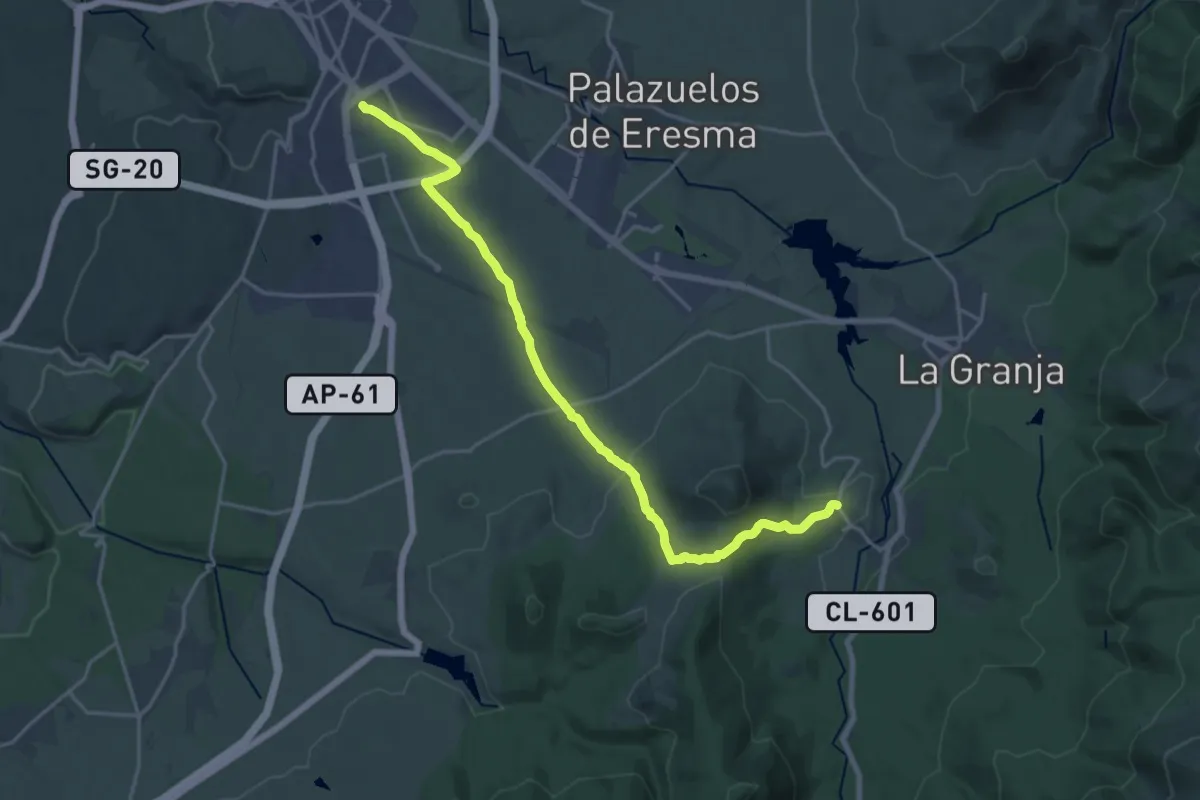
Marcha del Punto de Encuentro
22.6 km · ↑ 485 m · 6 h 23 min
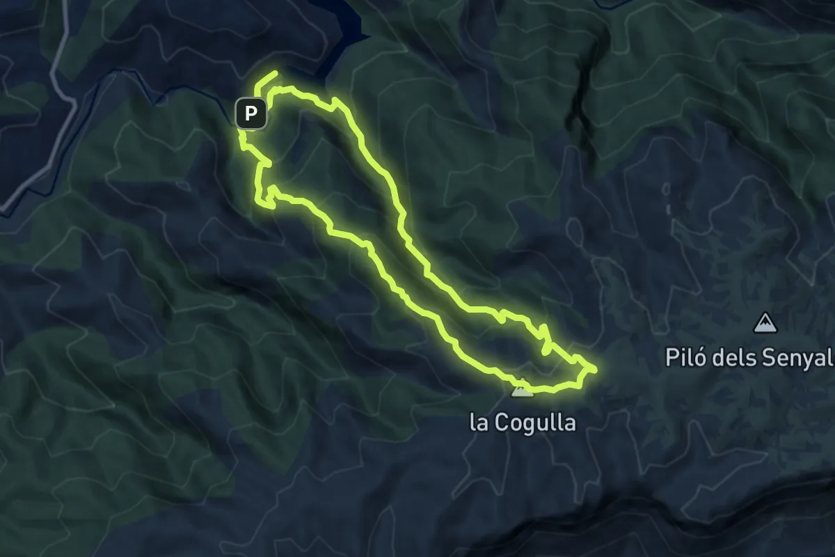
Easy · Summit
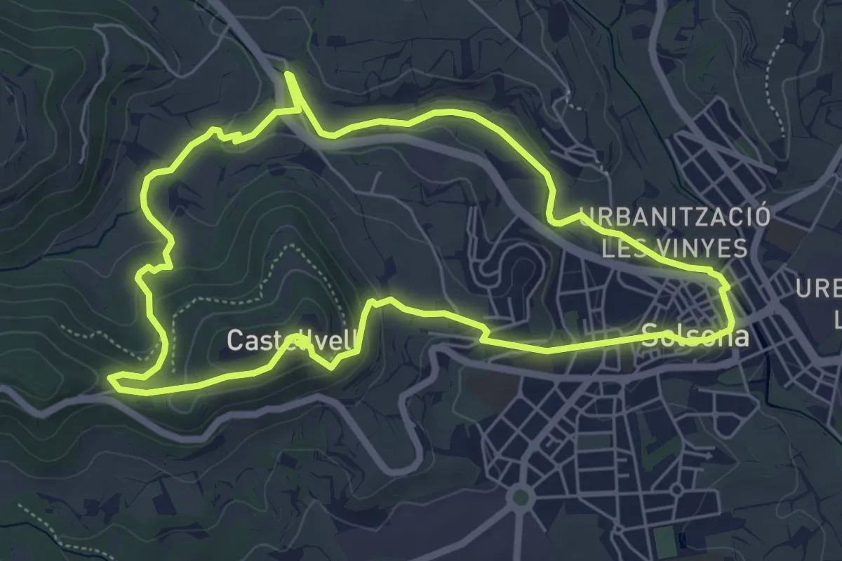
Mare de la Font-Castellvell
6.3 km · ↑ 161 m · 1 h 55 min
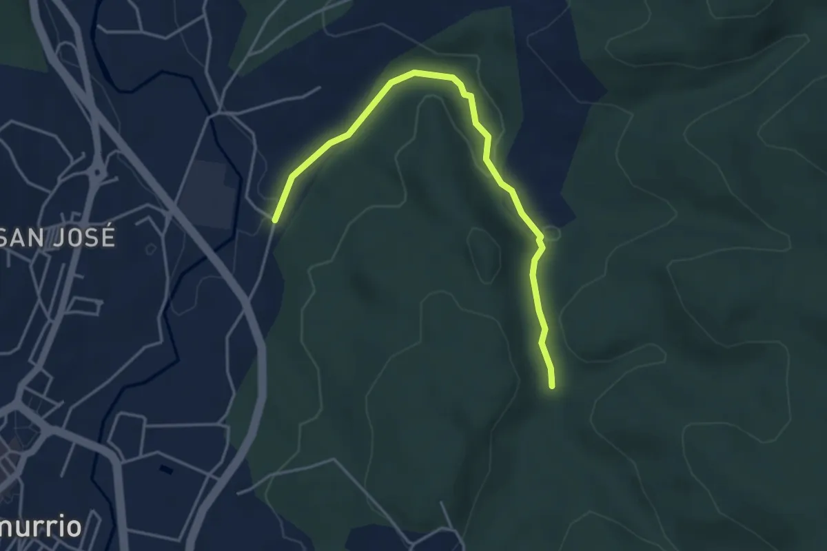
Medium · Summit
Margalef
9.8 km · ↑ 787 m · 4 h 9 min
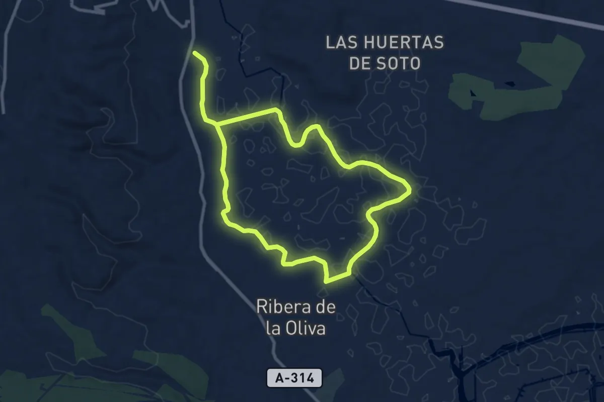
Easy · Trail
Mariaka Dorrea
4.3 km · ↑ 76 m · 1 h 10 min
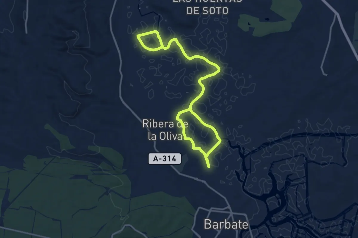
Medium · Trail
Marismas de Barbate
8.8 km · ↑ 0 m · 2 h 13 min
Medium · Trail
Marismas del Barbate
9.1 km · ↑ 0 m · 2 h 17 min
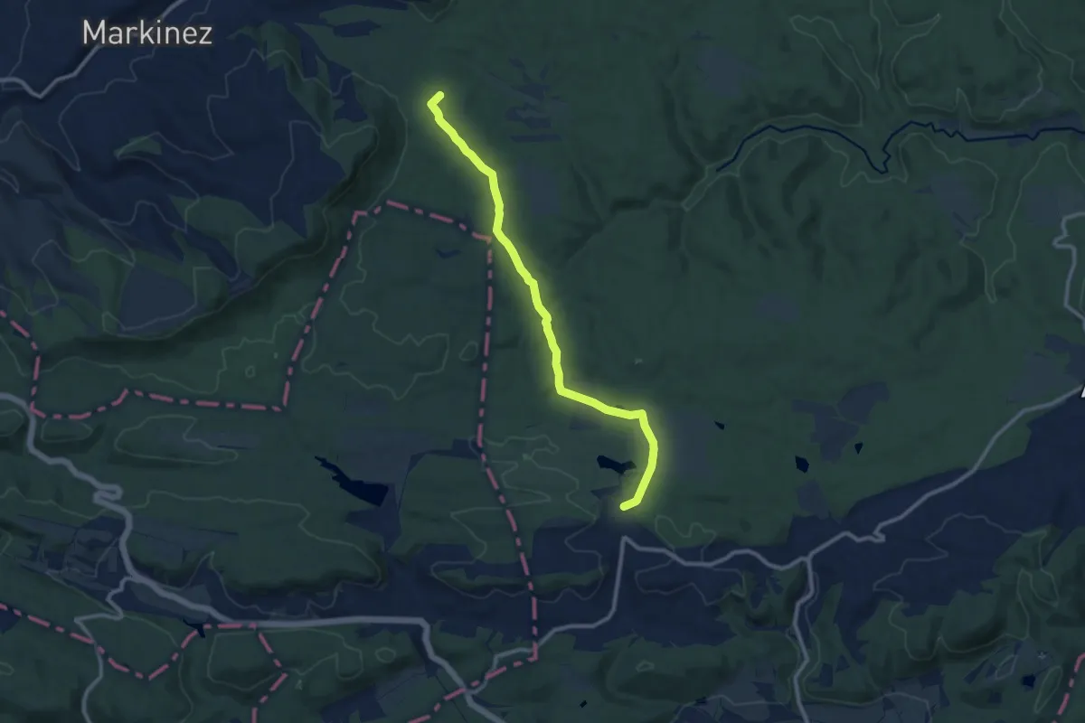
Medium · Summit
Marizurieta
10.8 km · ↑ 186 m · 2 h 57 min
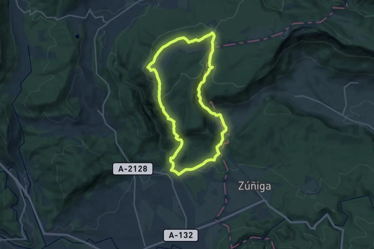
Medium · Summit
Marquillanorako ibilbidea
14.5 km · ↑ 561 m · 4 h 50 min
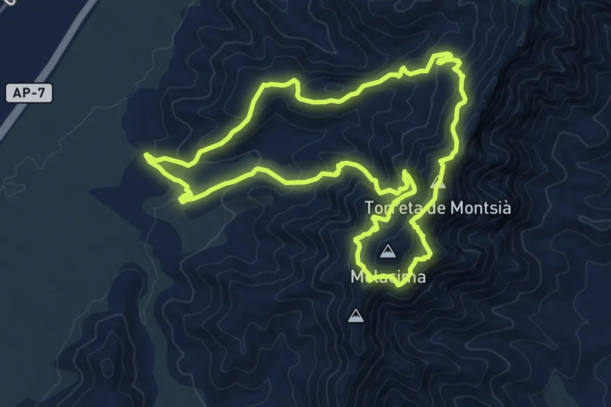
Medium · Summit
Mas de Comú i la Torreta
12.0 km · ↑ 749 m · 4 h 37 min
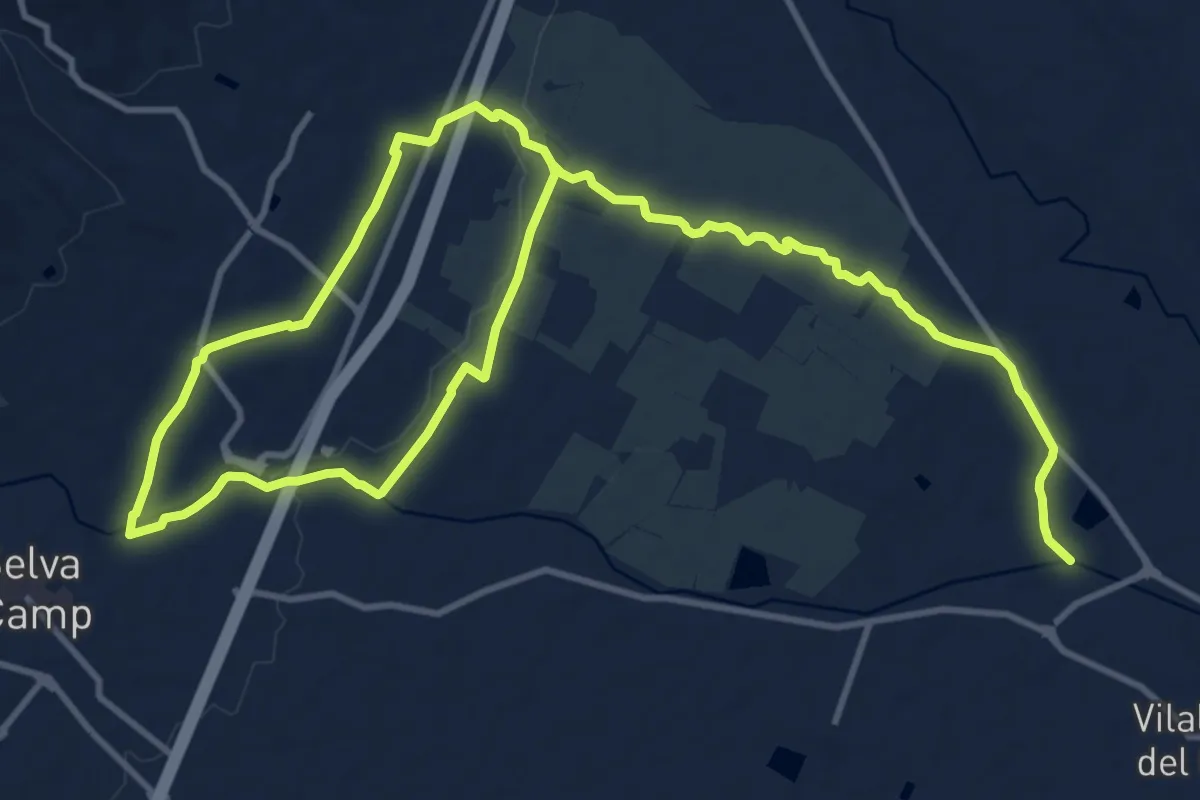
Medium · Trail
Masies catalanes
10.6 km · ↑ 34 m · 2 h 45 min
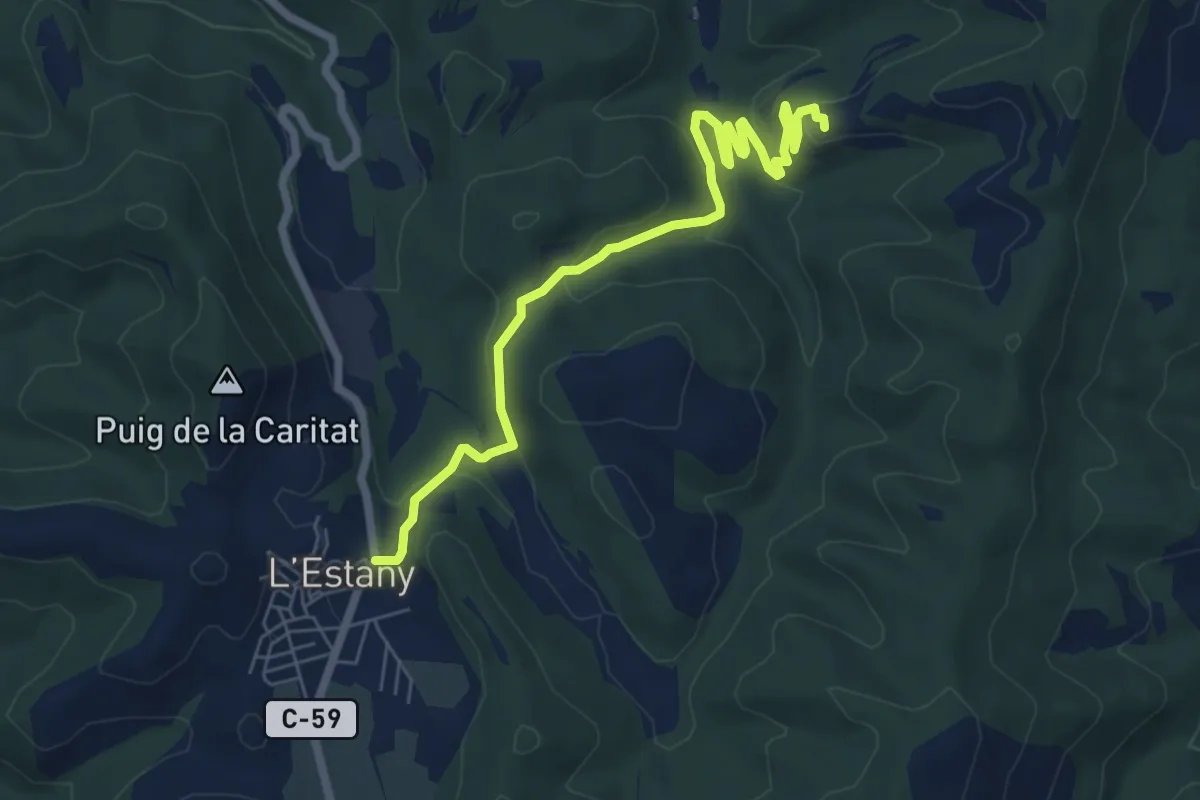
Easy · Trail
Mas Postius - L'Estany
7.6 km · ↑ 279 m · 2 h 24 min
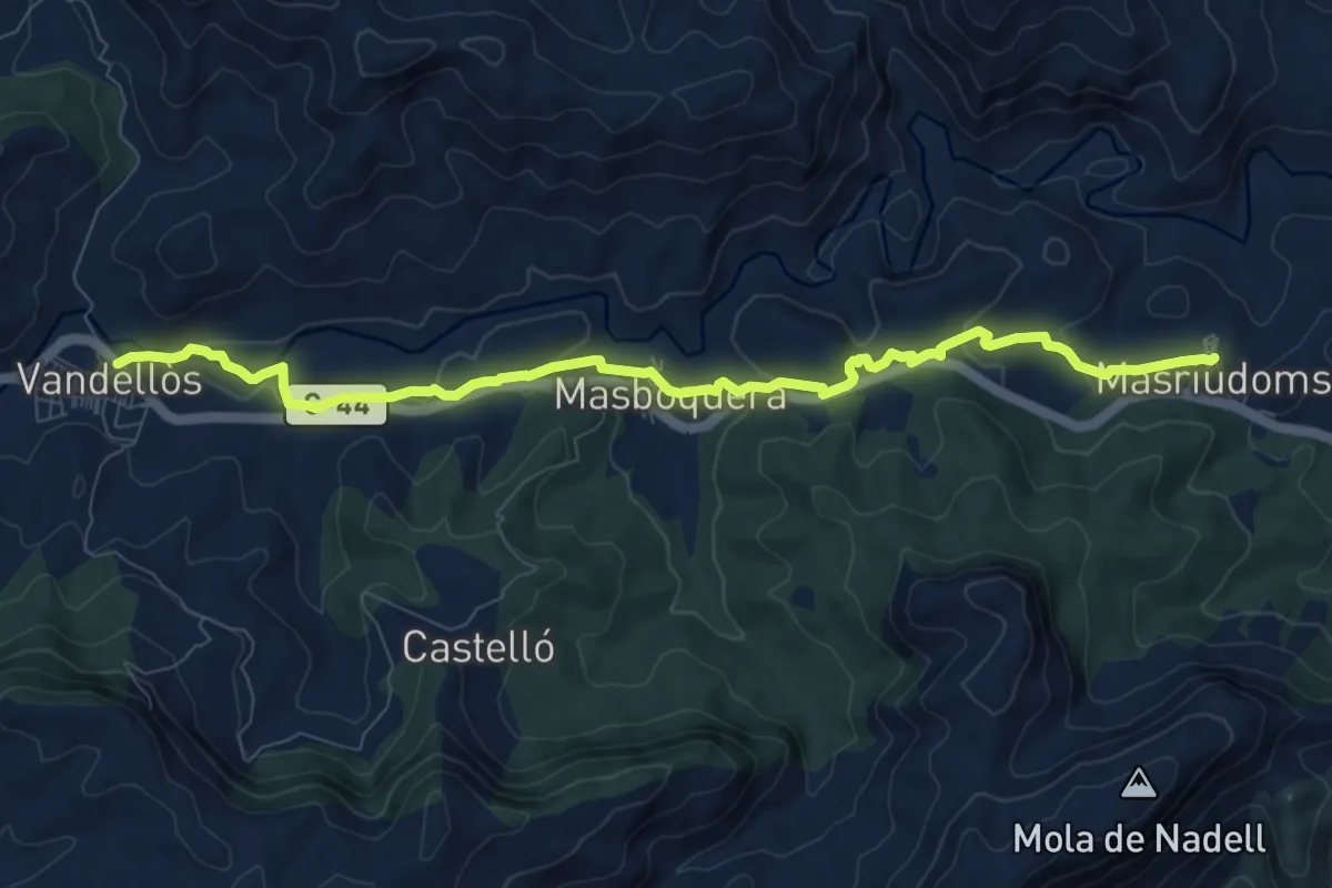
Medium · Trail
Masriudoms - Vandellós
10.3 km · ↑ 247 m · 2 h 58 min
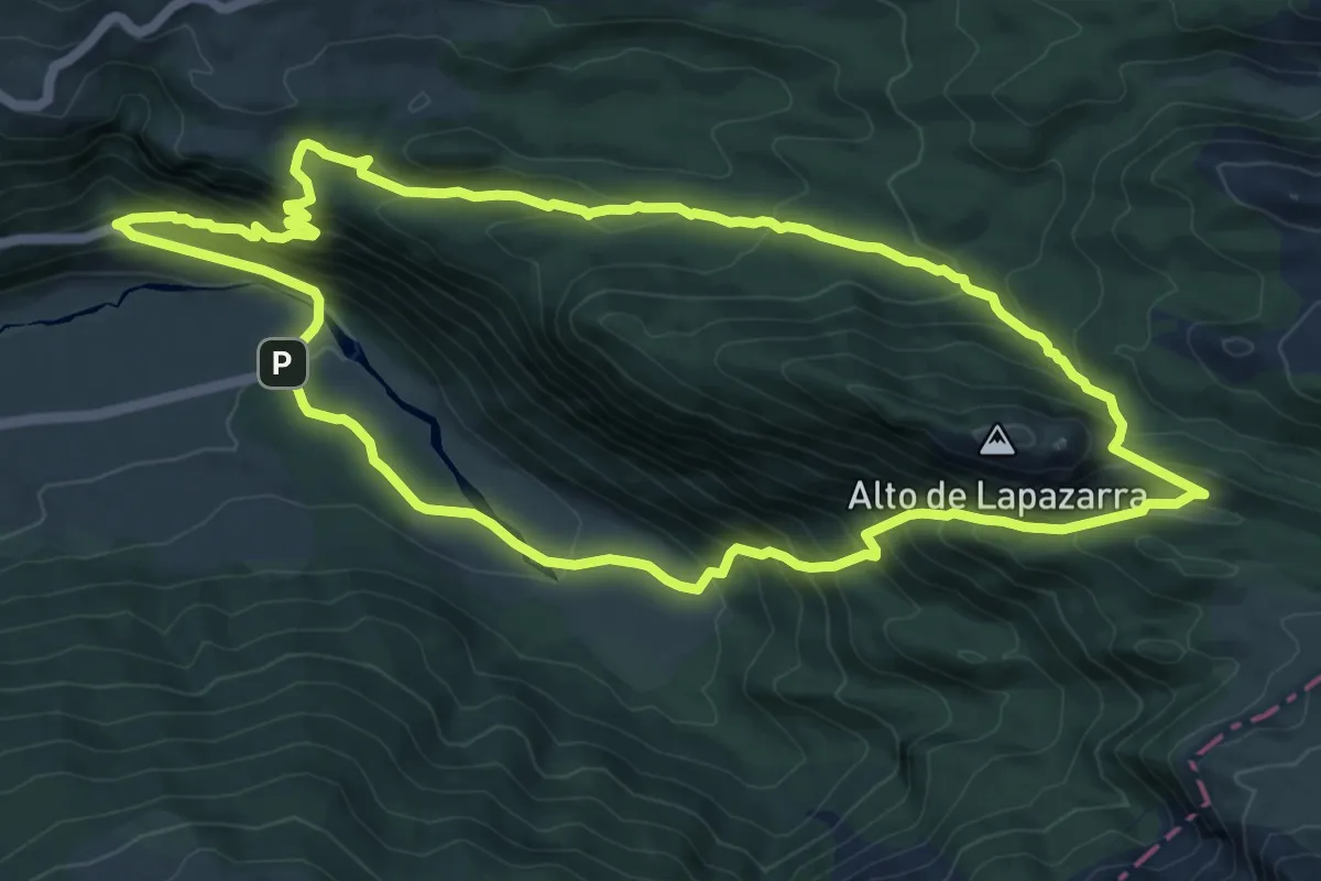
Medium · Summit
Mata de Haya-Larreria-Zemeto
11.4 km · ↑ 736 m · 4 h 27 min
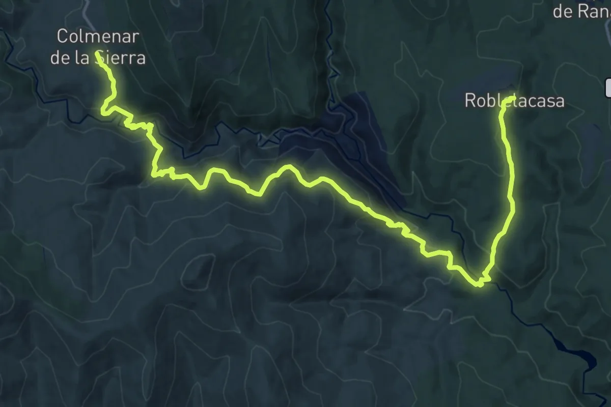
Demanding · Trail
Matallana - Colmenar
23.1 km · ↑ 990 m · 7 h 36 min
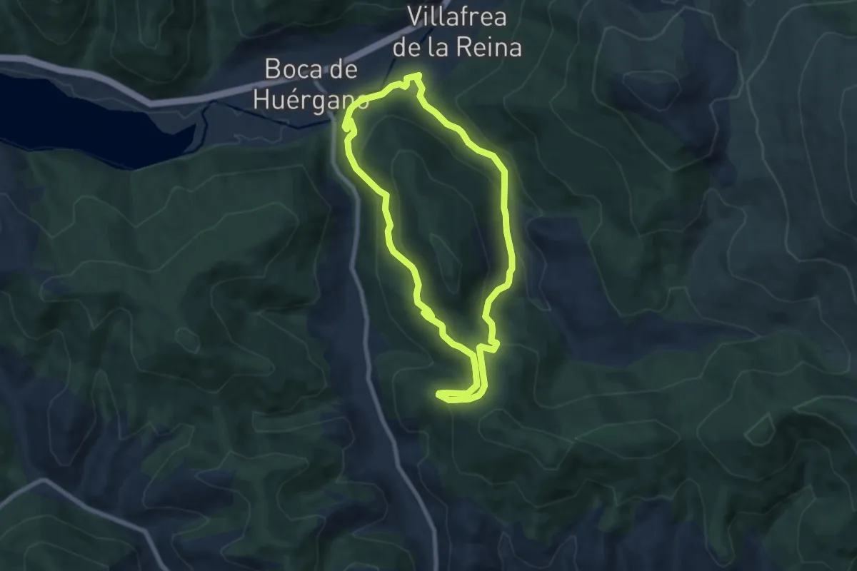
Medium · Trail
Matapiojos
6.9 km · ↑ 360 m · 2 h 31 min
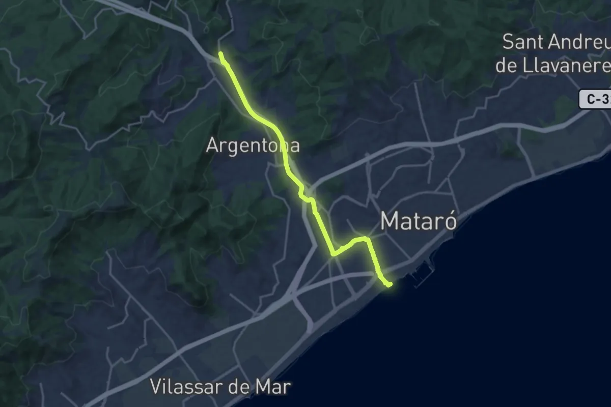
Medium · Trail
Mataró-Argentona
15.5 km · ↑ 120 m · 3 h 55 min
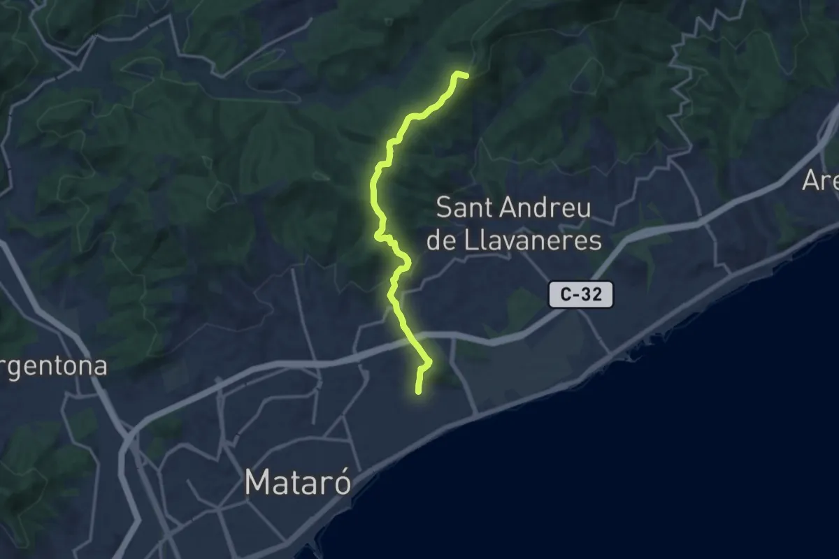
Medium · Summit
Mataró-Creu de Rupit
12.5 km · ↑ 431 m · 3 h 53 min
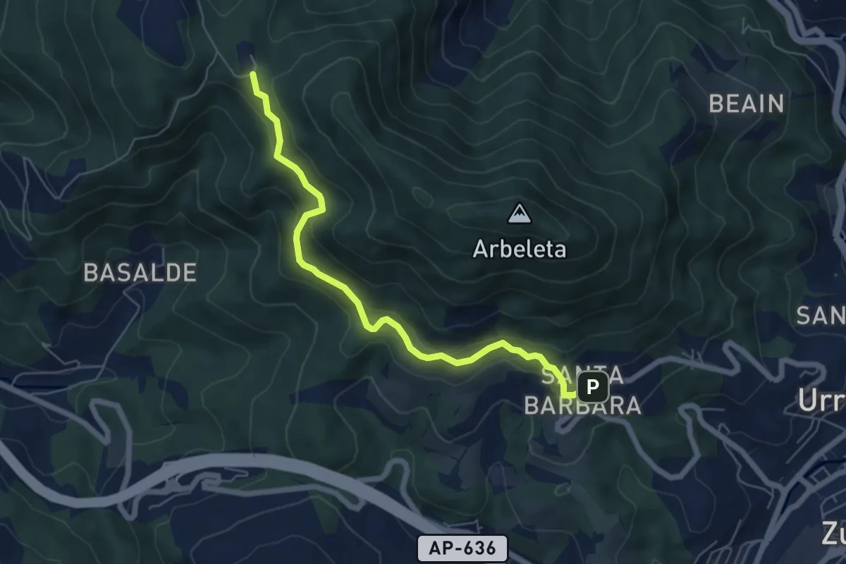
Easy · Trail
Meaka bidea
6.2 km · ↑ 278 m · 2 h 4 min
Medium · Summit
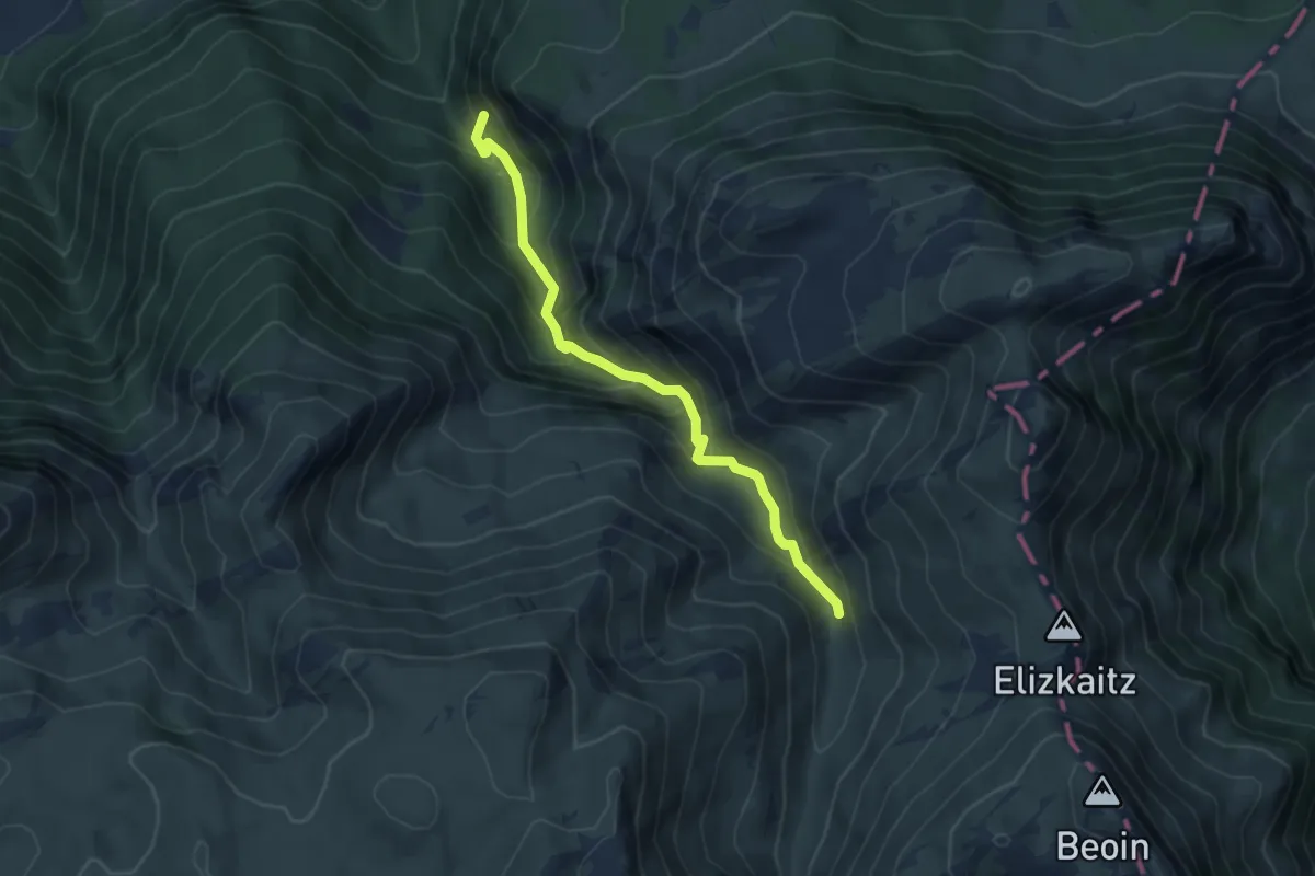
Meatze bidea (Mina bidea)
5.3 km · ↑ 426 m · 2 h 11 min
Medium · Summit
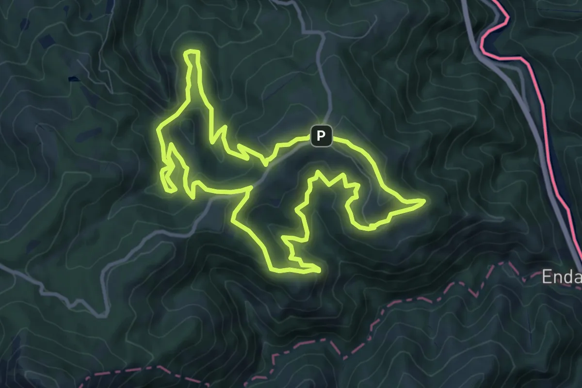
Meazuriko bira
10.4 km · ↑ 565 m · 3 h 49 min
Medium · Trail
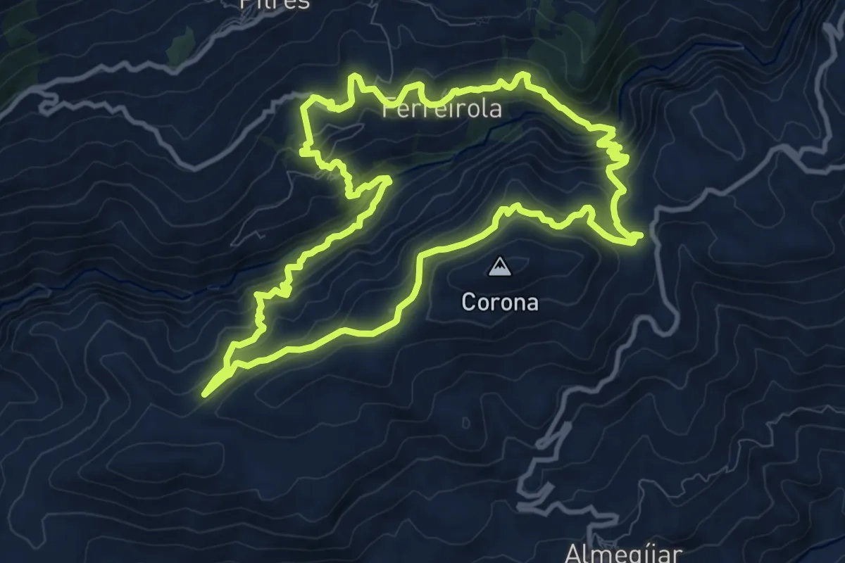
Mecina, Escarihuela de Fondales, Cerro Corona, Escarihuela de Panjuila, Ferreirola
12.0 km · ↑ 743 m · 4 h 36 min
Medium · Trail
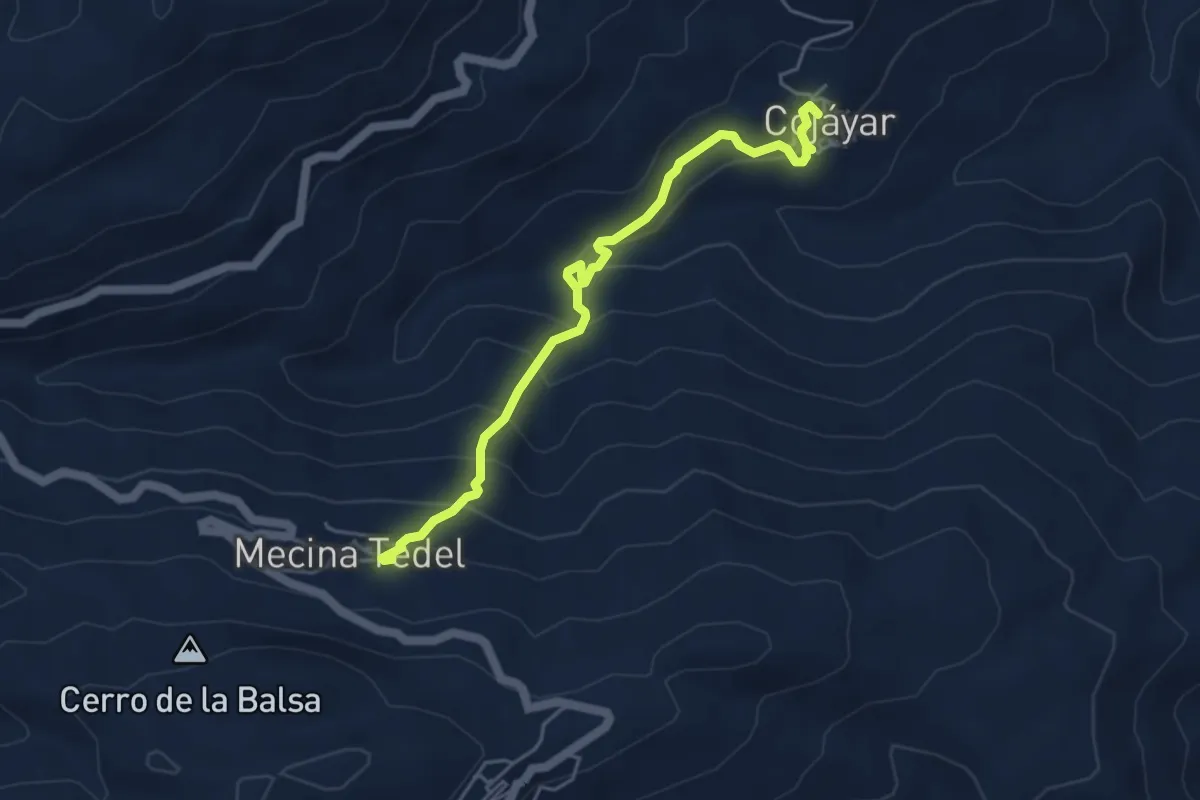
Mecina Tedel - Cojáyar
5.4 km · ↑ 384 m · 2 h 6 min