Trails in Spain
5,962 hiking trails, each with its route, climb, walking time and grade.
All trails, page 63 of 125
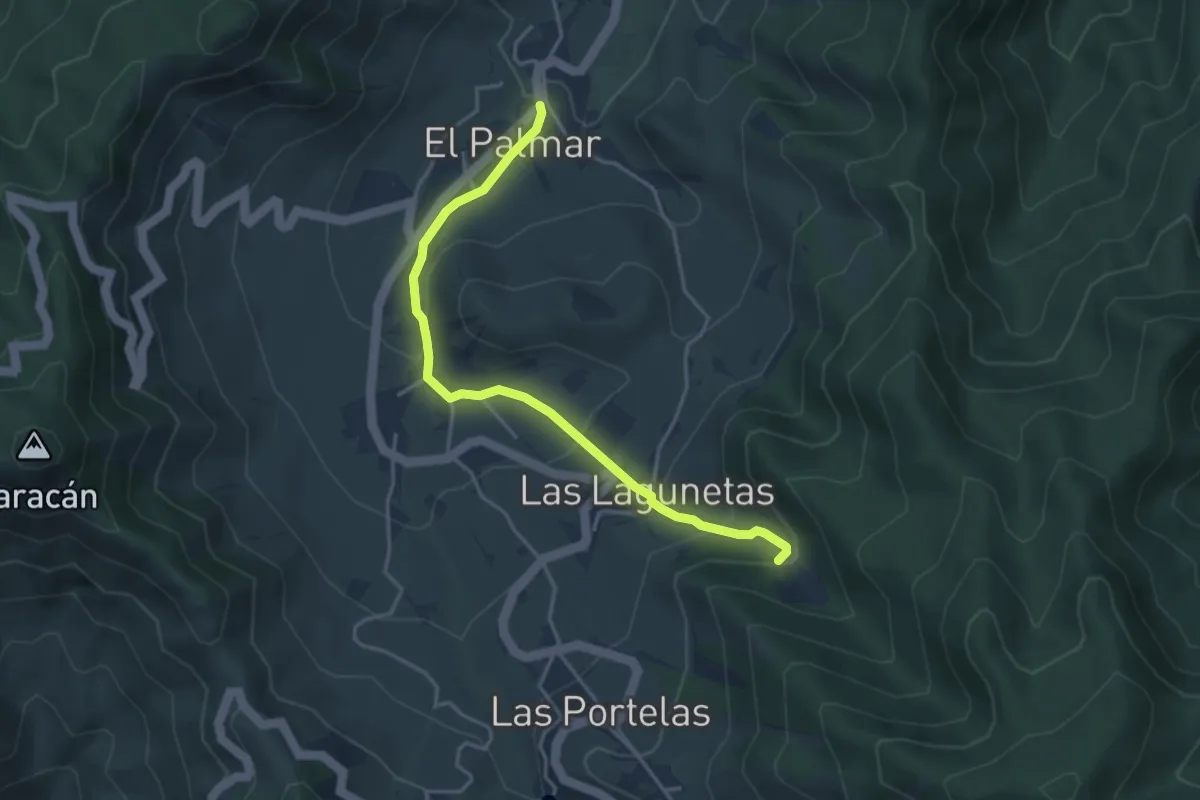
Easy · Trail
Monte del Agua por Las Lagunetas
4.9 km · ↑ 265 m · 1 h 44 min
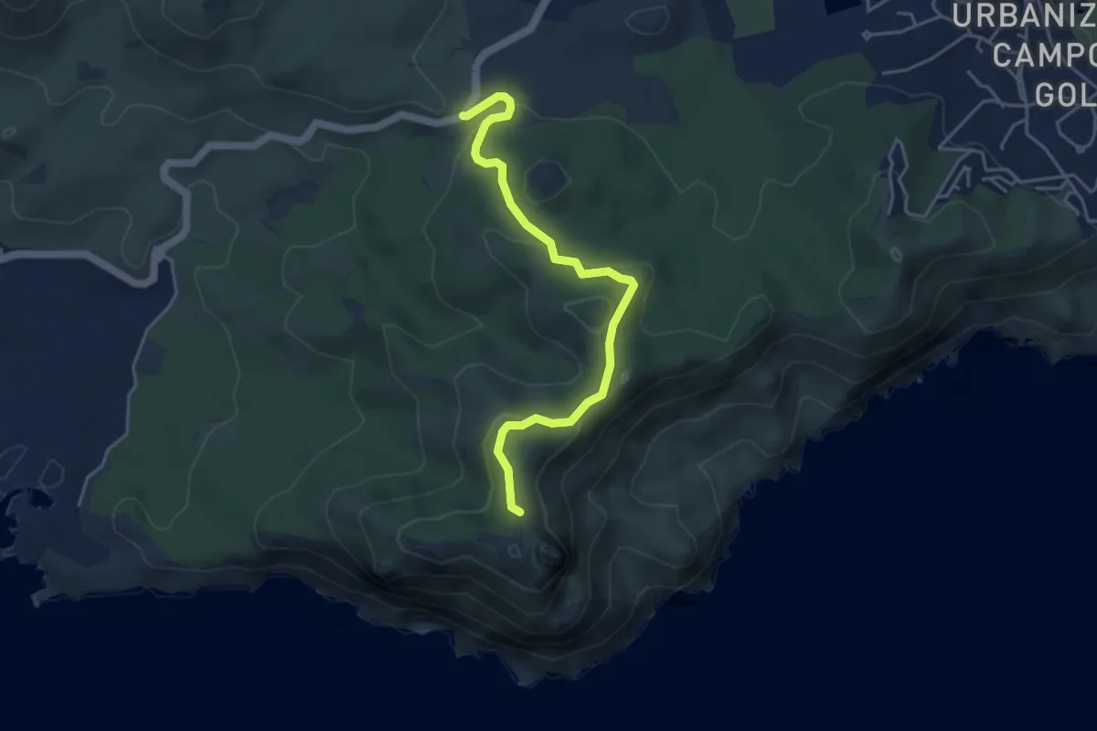
Easy · Summit
Monte de las cenizas
5.0 km · ↑ 203 m · 1 h 38 min
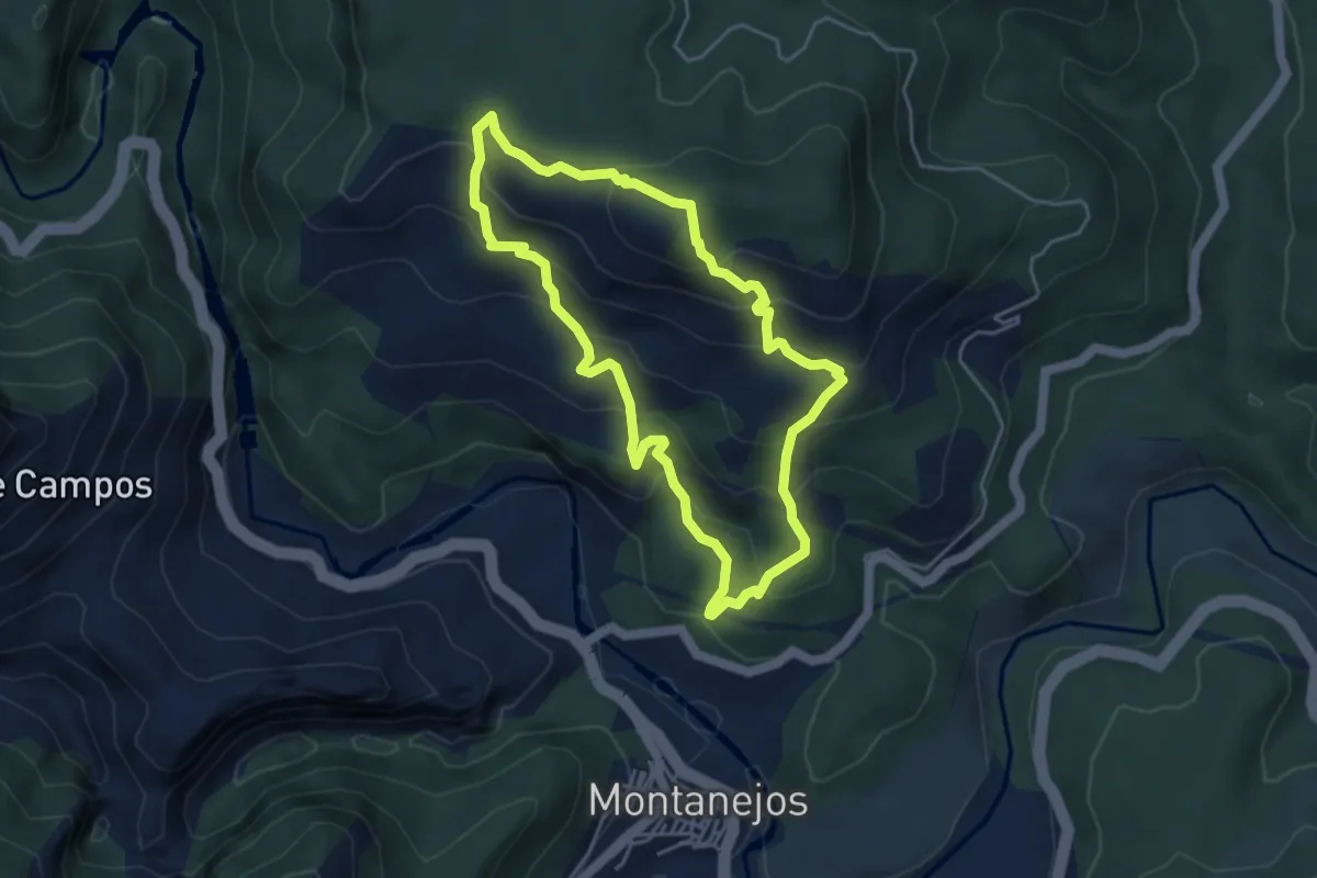
Medium · Summit
Monte del Copa
4.6 km · ↑ 373 m · 1 h 57 min
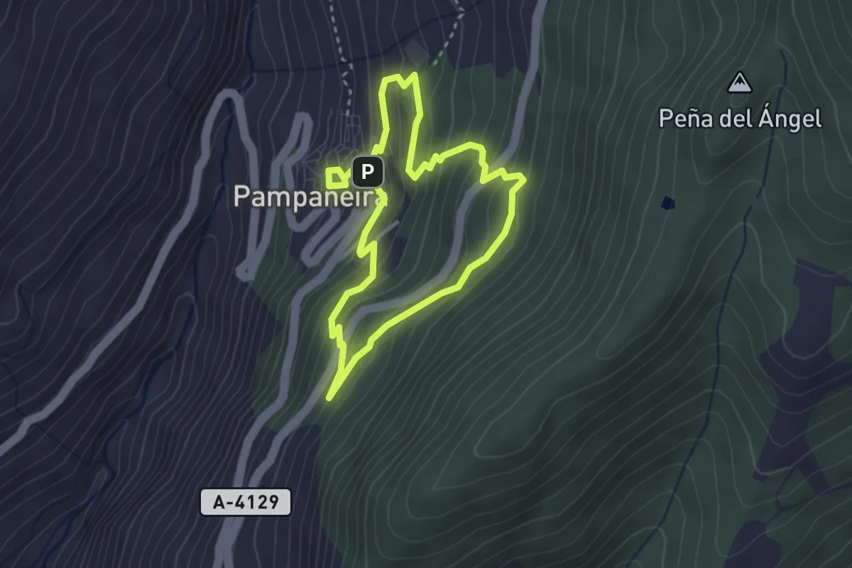
Easy · Trail
Monte de Pampaneira
3.1 km · ↑ 235 m · 1 h 17 min
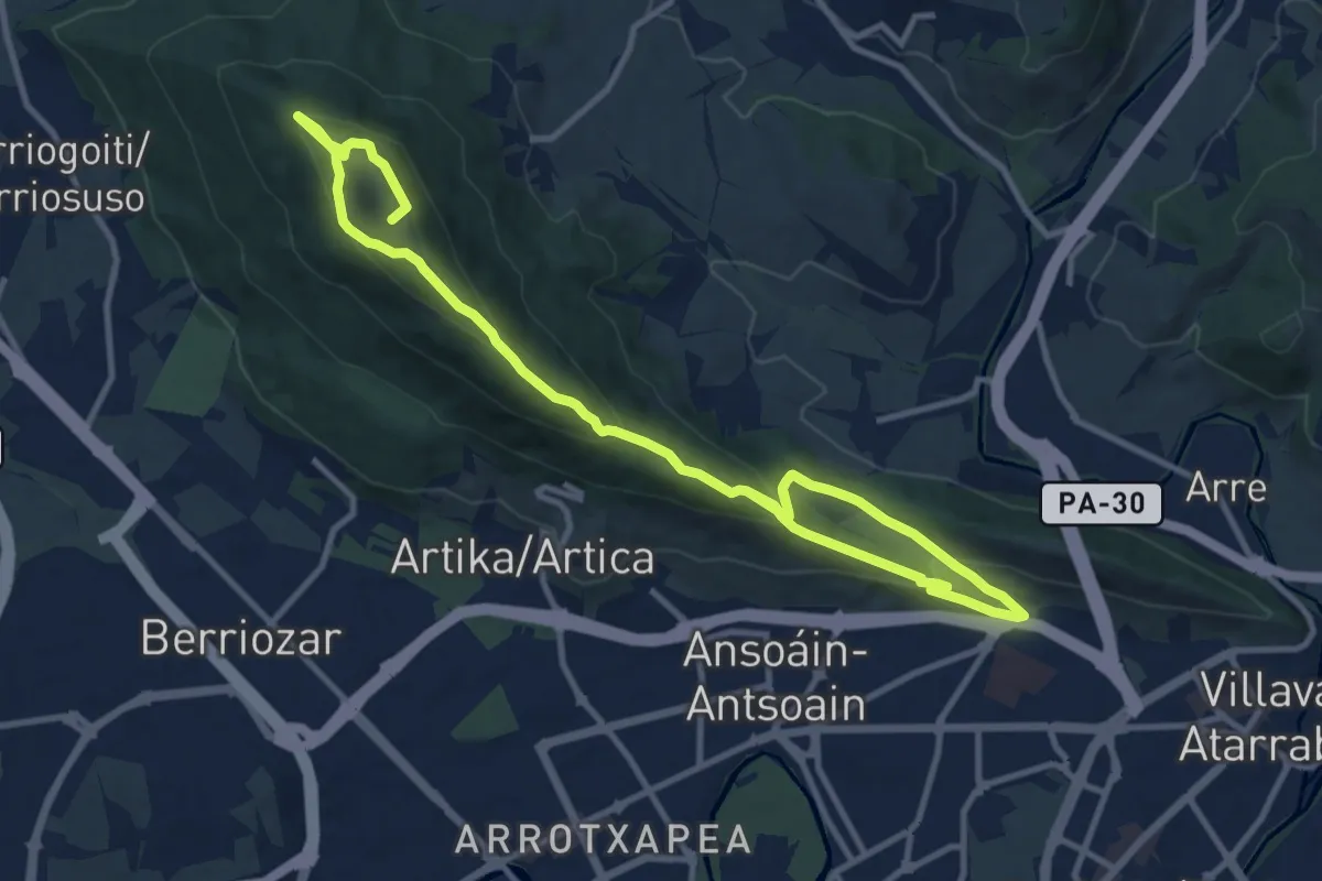
Demanding · Summit
Monte Ezkaba
18.1 km · ↑ 903 m · 6 h 14 min
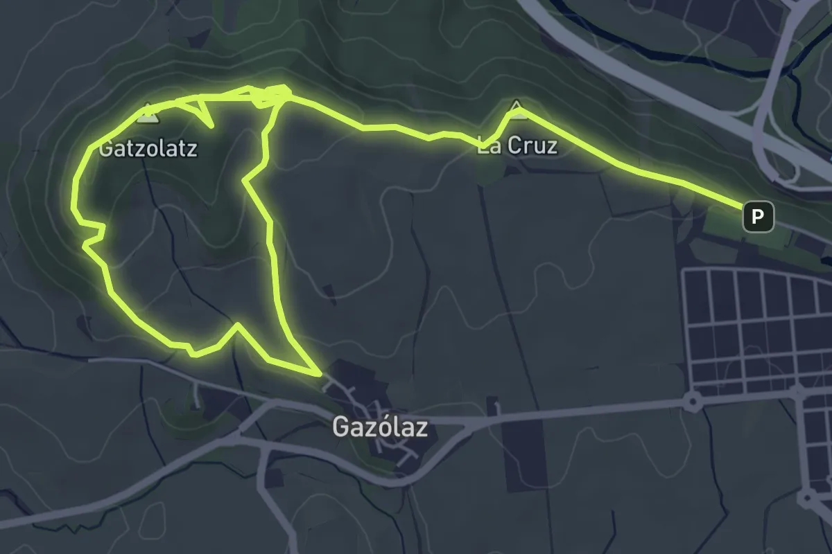
Medium · Summit
Monte Gazolatz
10.8 km · ↑ 270 m · 3 h 9 min
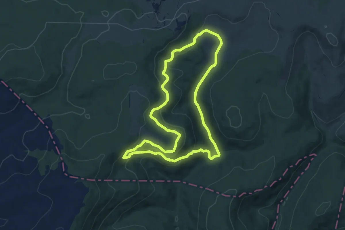
Medium · Trail
Monte Hijedo
7.3 km · ↑ 239 m · 2 h 20 min
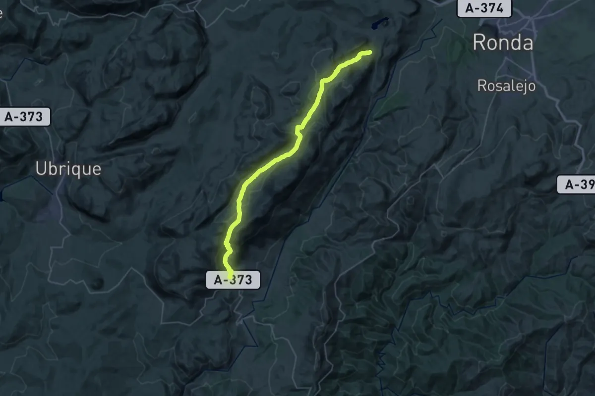
Medium · Trail
Montejaque - Cortes de la Frontera
17.8 km · ↑ 524 m · 5 h 37 min
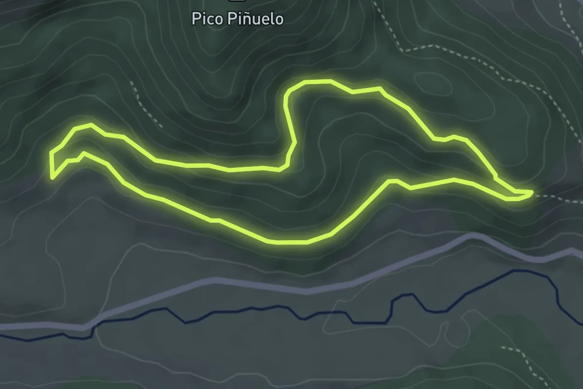
Easy · Summit
Monte la Bollería
4.2 km · ↑ 158 m · 1 h 23 min
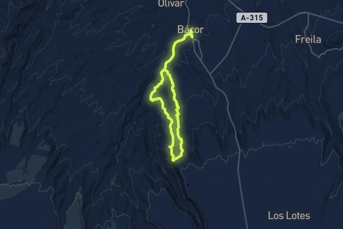
Medium · Trail
Monte Pajarillo y Vereda Trancamulas
10.5 km · ↑ 380 m · 3 h 26 min
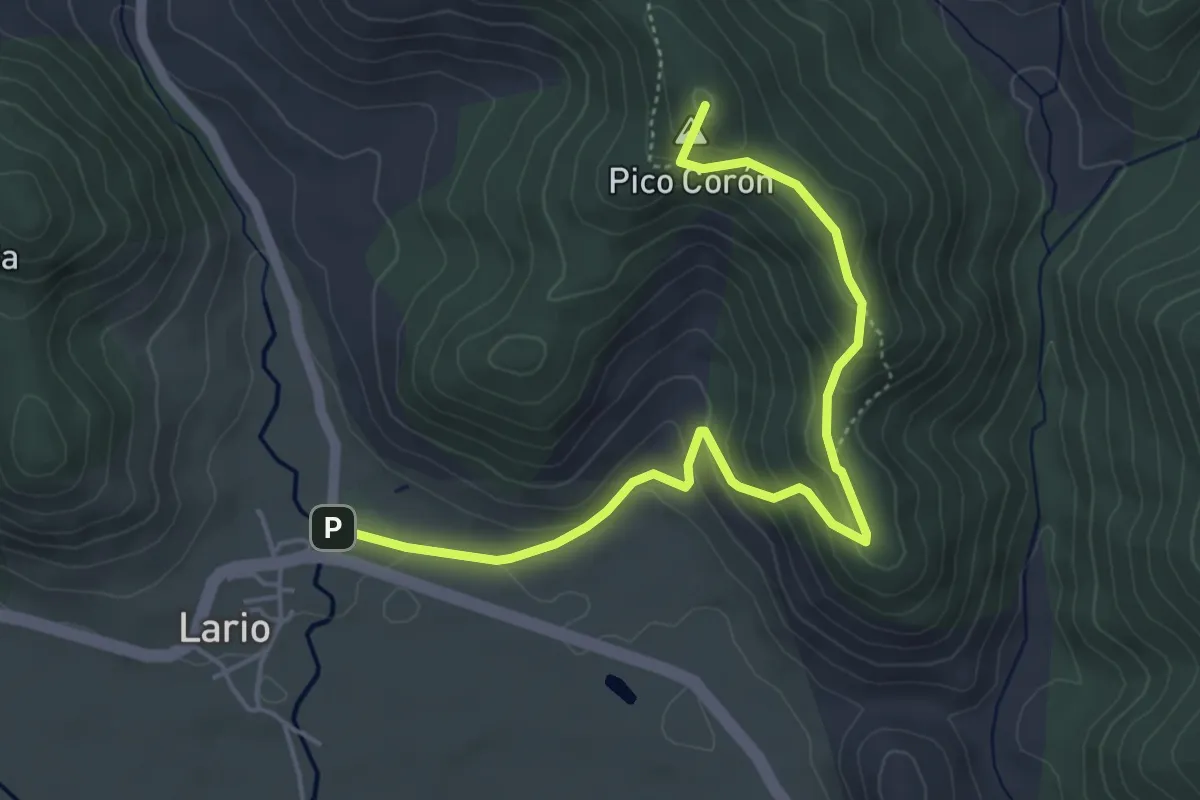
Easy · Summit
Monte Ranedo
5.5 km · ↑ 278 m · 1 h 54 min
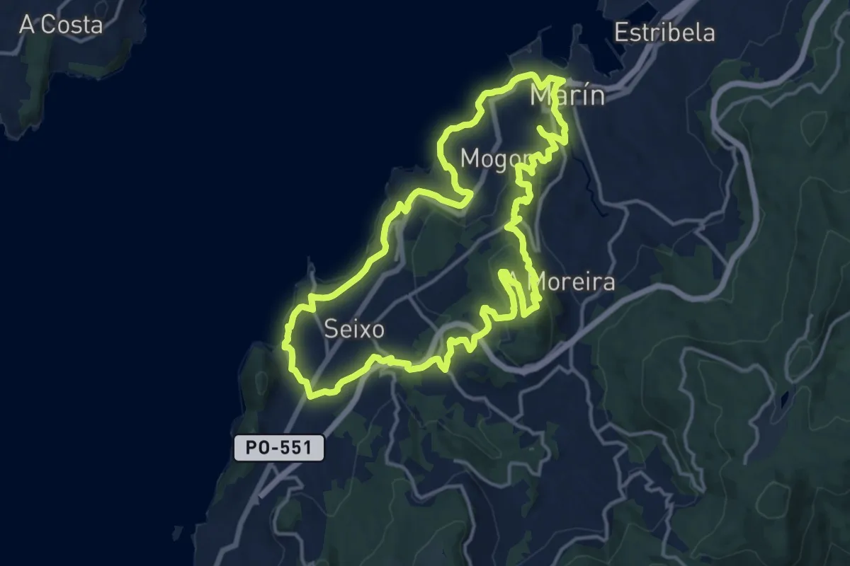
Medium · Trail
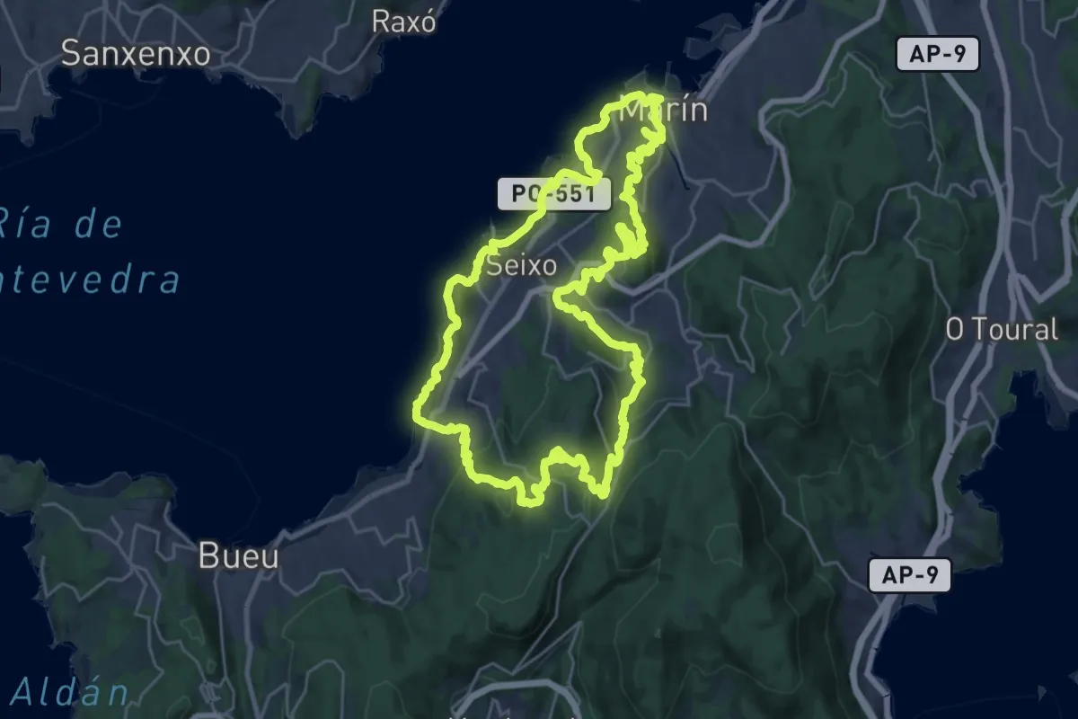
Montes e Praias - corta (Sendeiro Azul)
15.5 km · ↑ 425 m · 4 h 48 min
Demanding · Summit
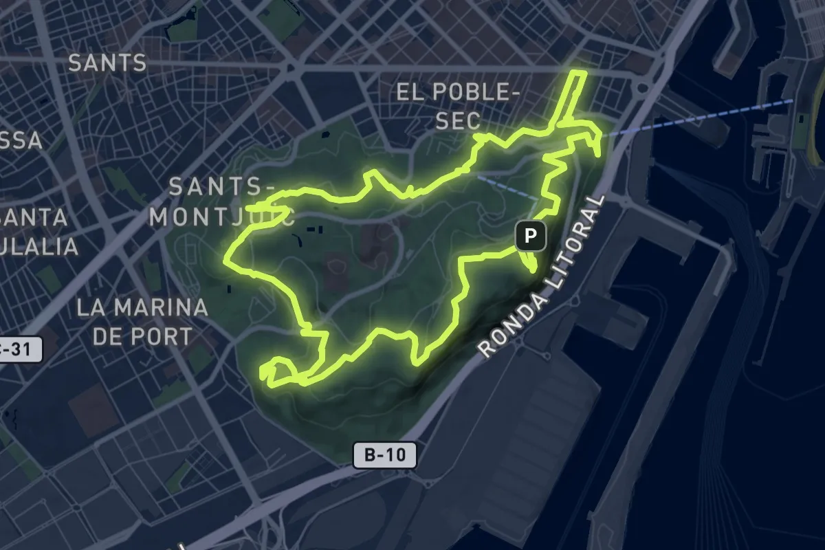
Montes e Praias - Longa (Sendeiro Azul)
27.9 km · ↑ 987 m · 9 h 6 min
Medium · Summit
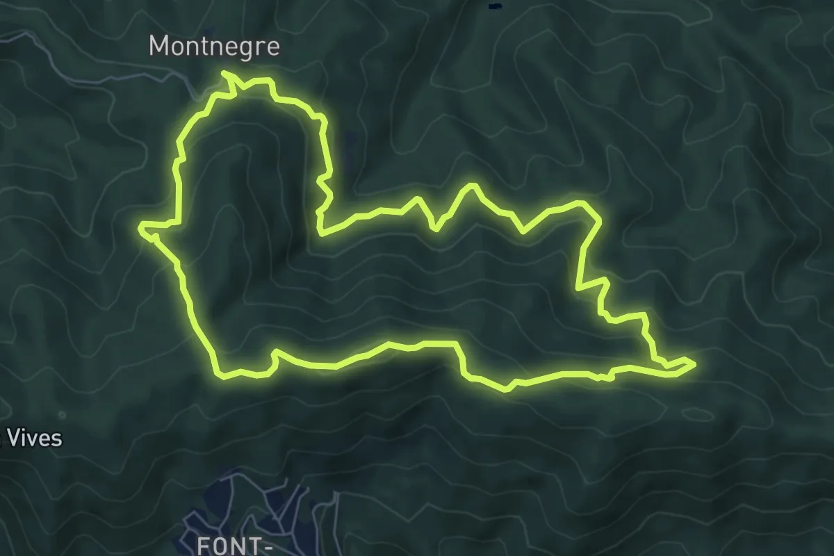
Montjuïc 360
11.2 km · ↑ 311 m · 3 h 29 min
Medium · Summit
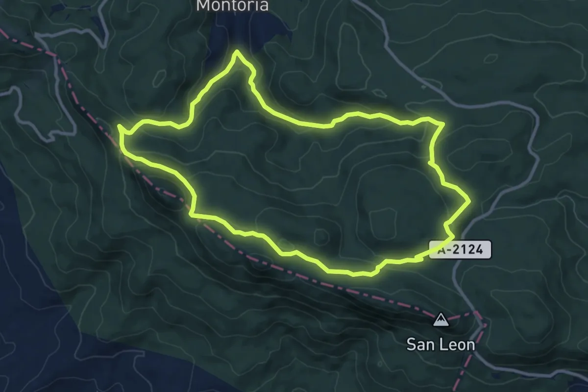
Montnegre carener
8.1 km · ↑ 528 m · 3 h 11 min
Medium · Trail
Montoria-San León-Atxabal
9.7 km · ↑ 345 m · 3 h 10 min
Medium · Summit
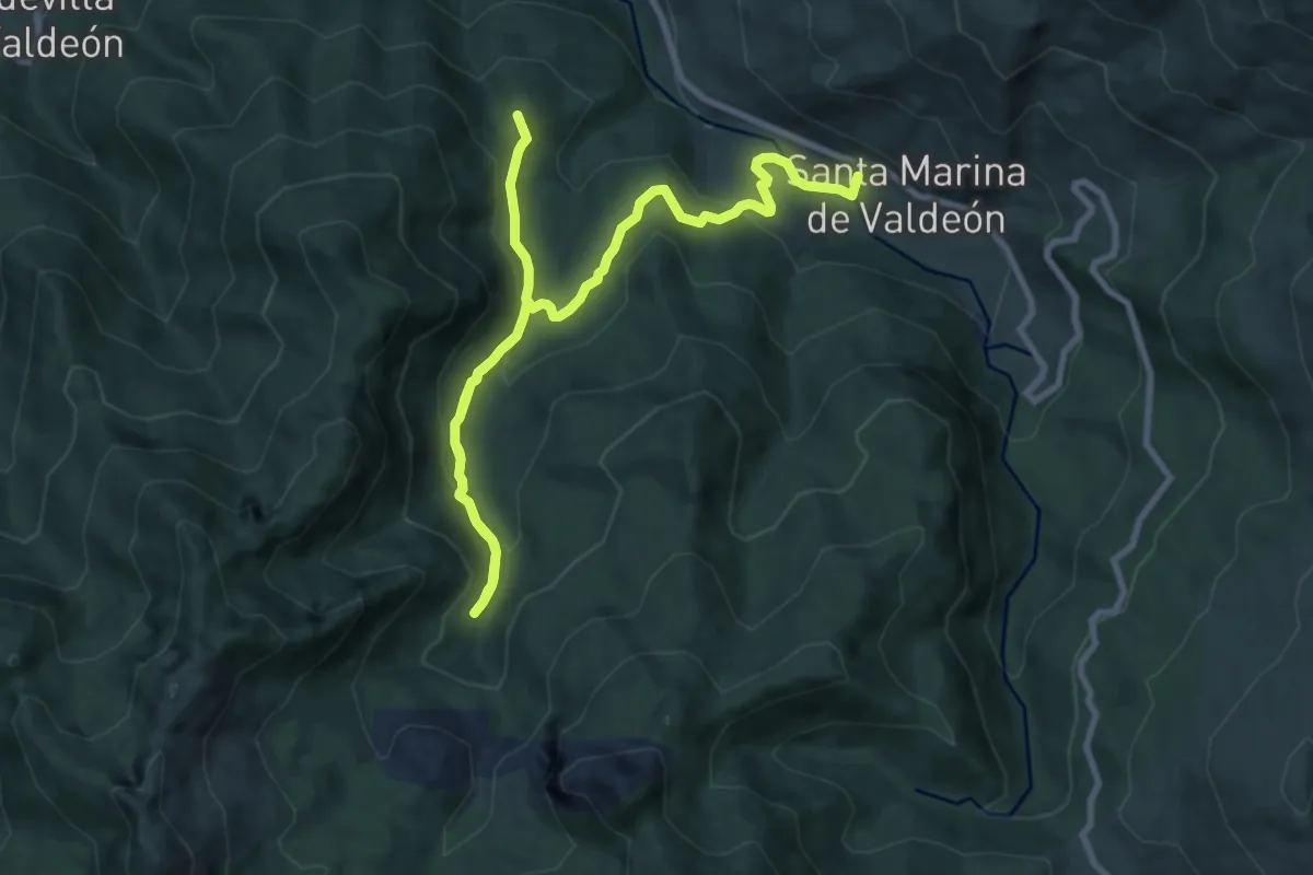
Montó (Valle de Prada)
13.8 km · ↑ 656 m · 4 h 41 min
Medium · Trail
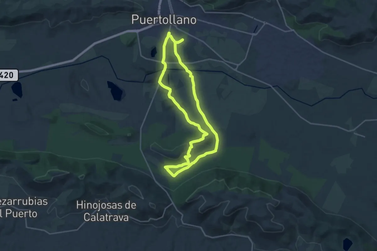
Monumento Natural Carbonífero de Puertollano. Puertollano - Dehesa Boyal
17.3 km · ↑ 201 m · 4 h 45 min
Medium · Trail
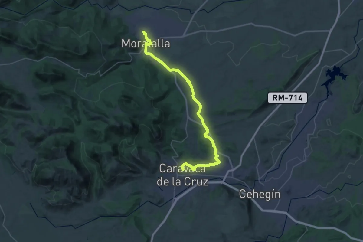
Moratalla - Caravaca de la Cruz. Tramo C.1.
16.7 km · ↑ 226 m · 4 h 39 min
Medium · Trail
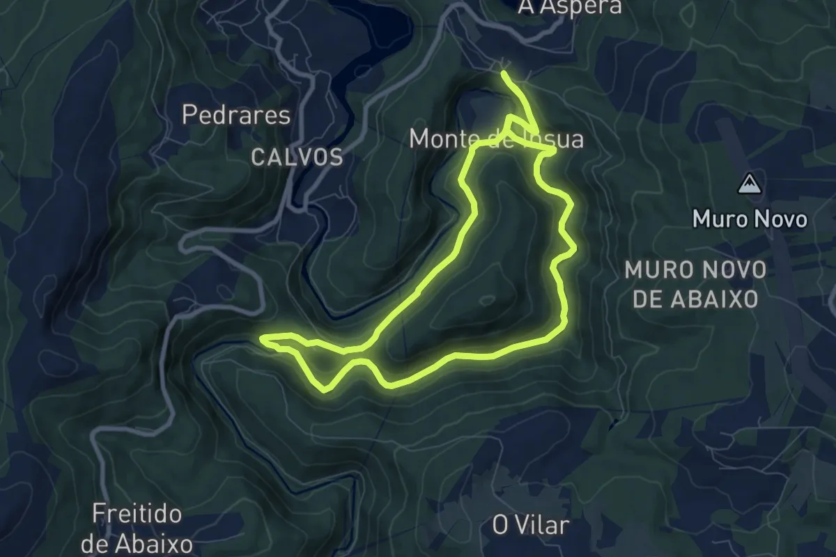
Morgallón - Río Sor - Morgallon
8.3 km · ↑ 280 m · 2 h 41 min
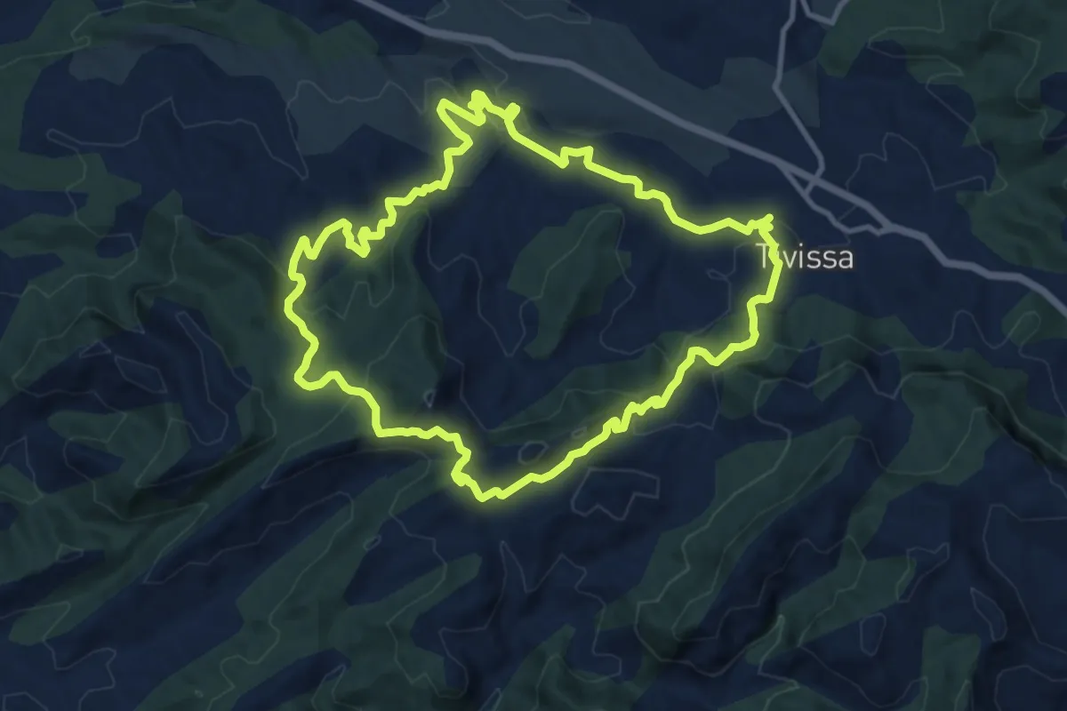
Medium · Summit
Morral de Pena-Roja. Tivissa
12.2 km · ↑ 489 m · 4 h 7 min
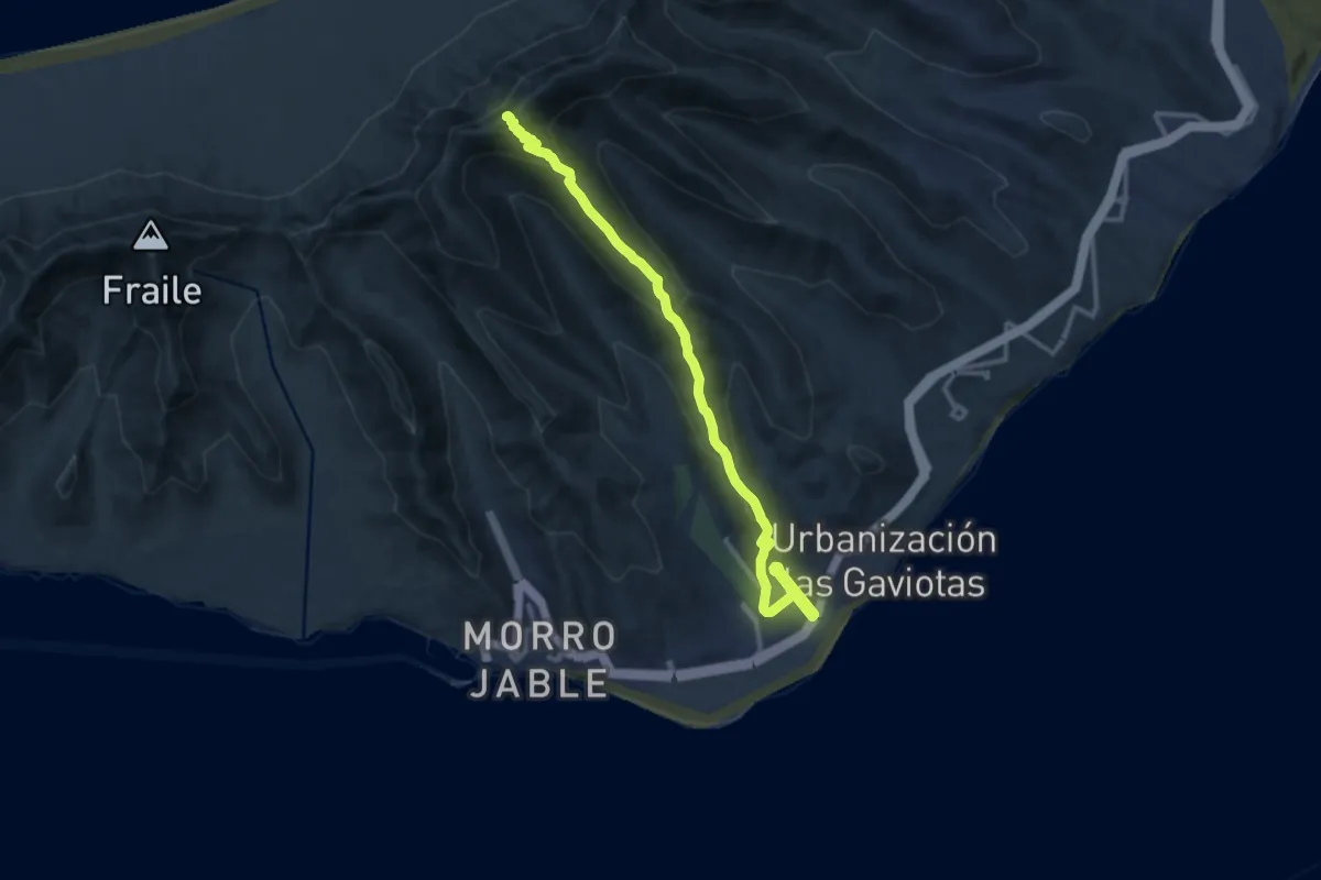
Demanding · Summit
Morro Jable - Pico de la Zarza
17.2 km · ↑ 960 m · 6 h 8 min
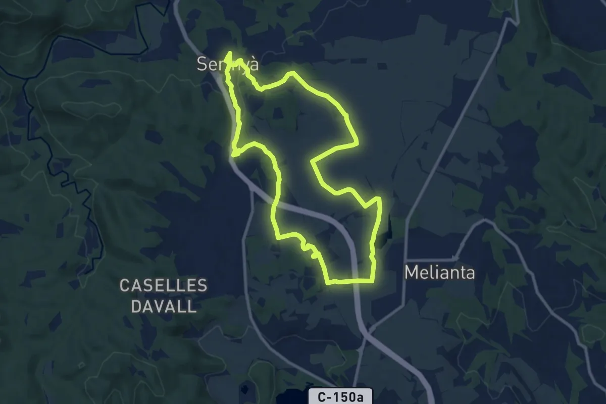
Medium · Trail
Mossoga
9.6 km · ↑ 41 m · 2 h 29 min
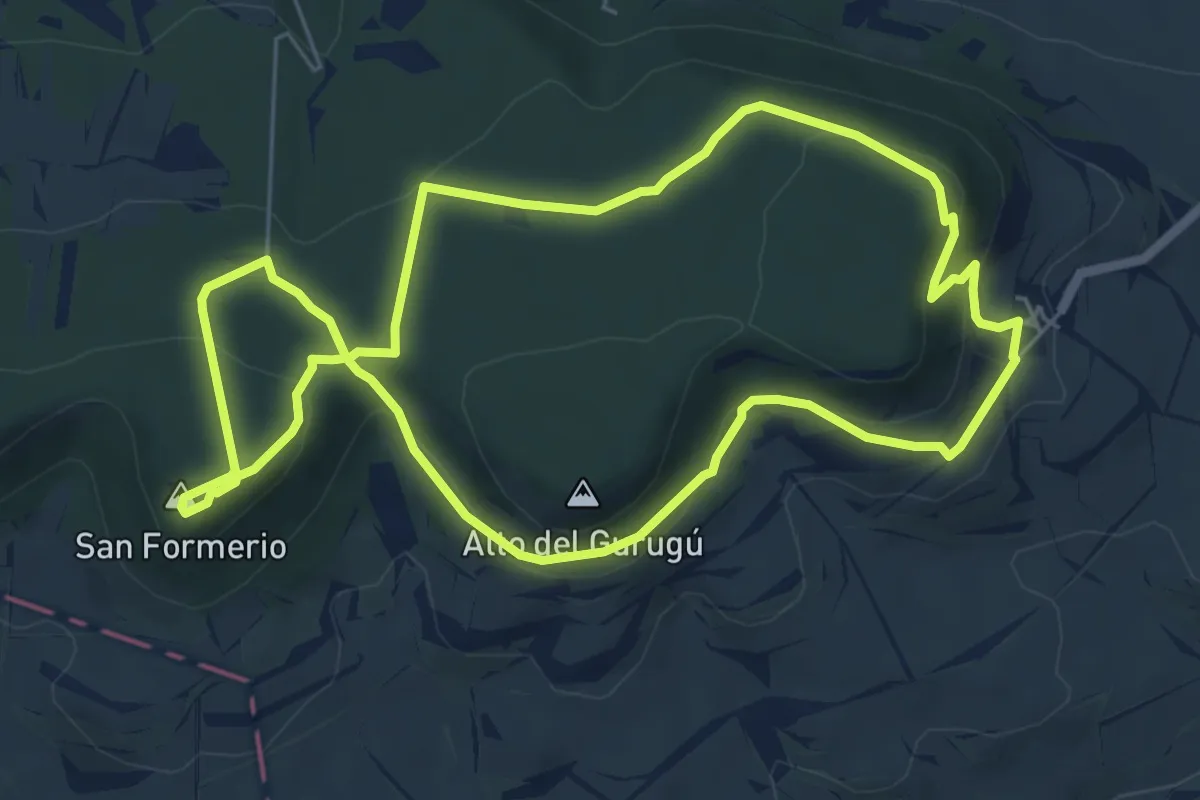
Easy · Summit
Muergas-San Formerio
6.7 km · ↑ 235 m · 2 h 12 min
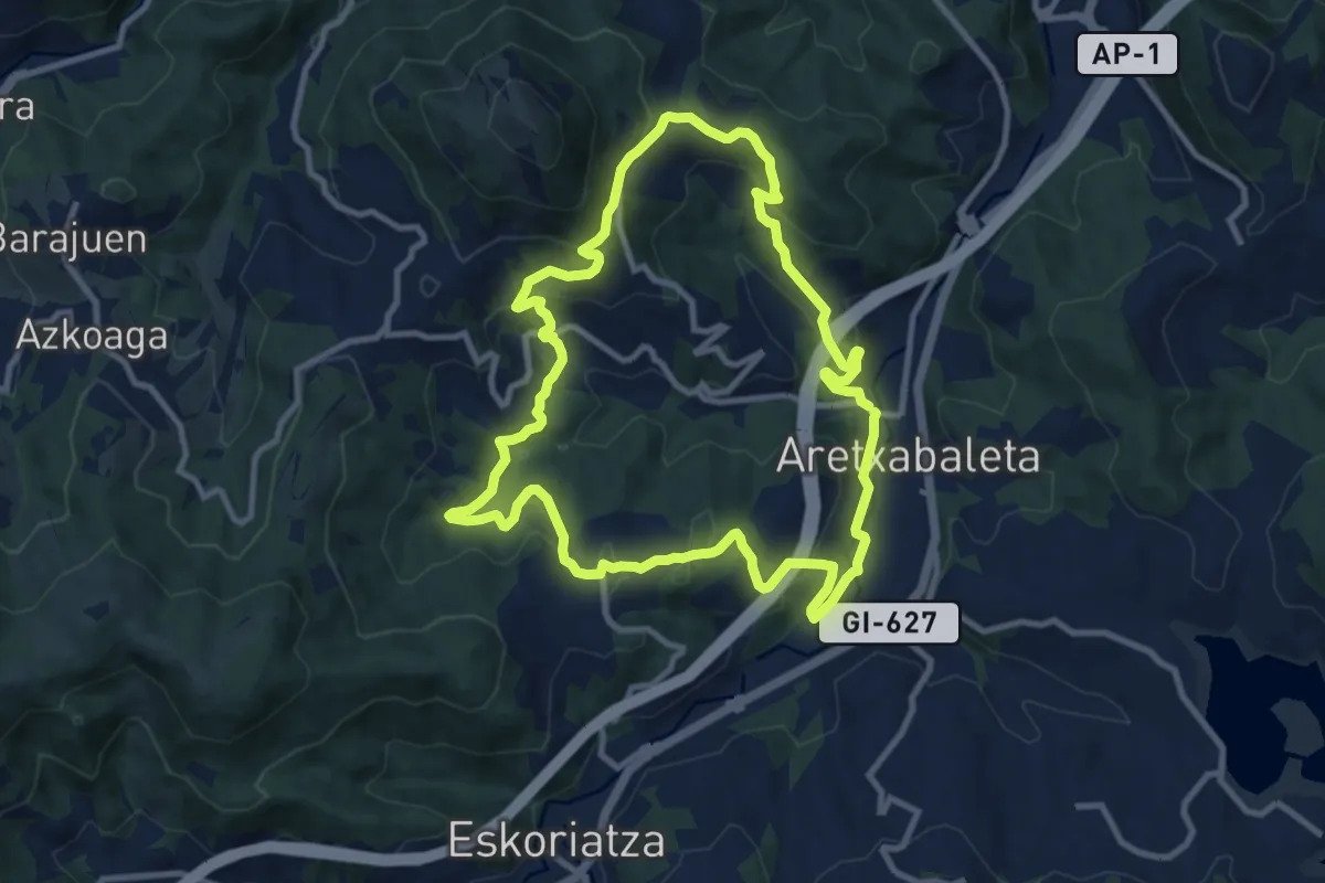
Medium · Trail
Muga ertzeko bidea
10.7 km · ↑ 434 m · 3 h 37 min
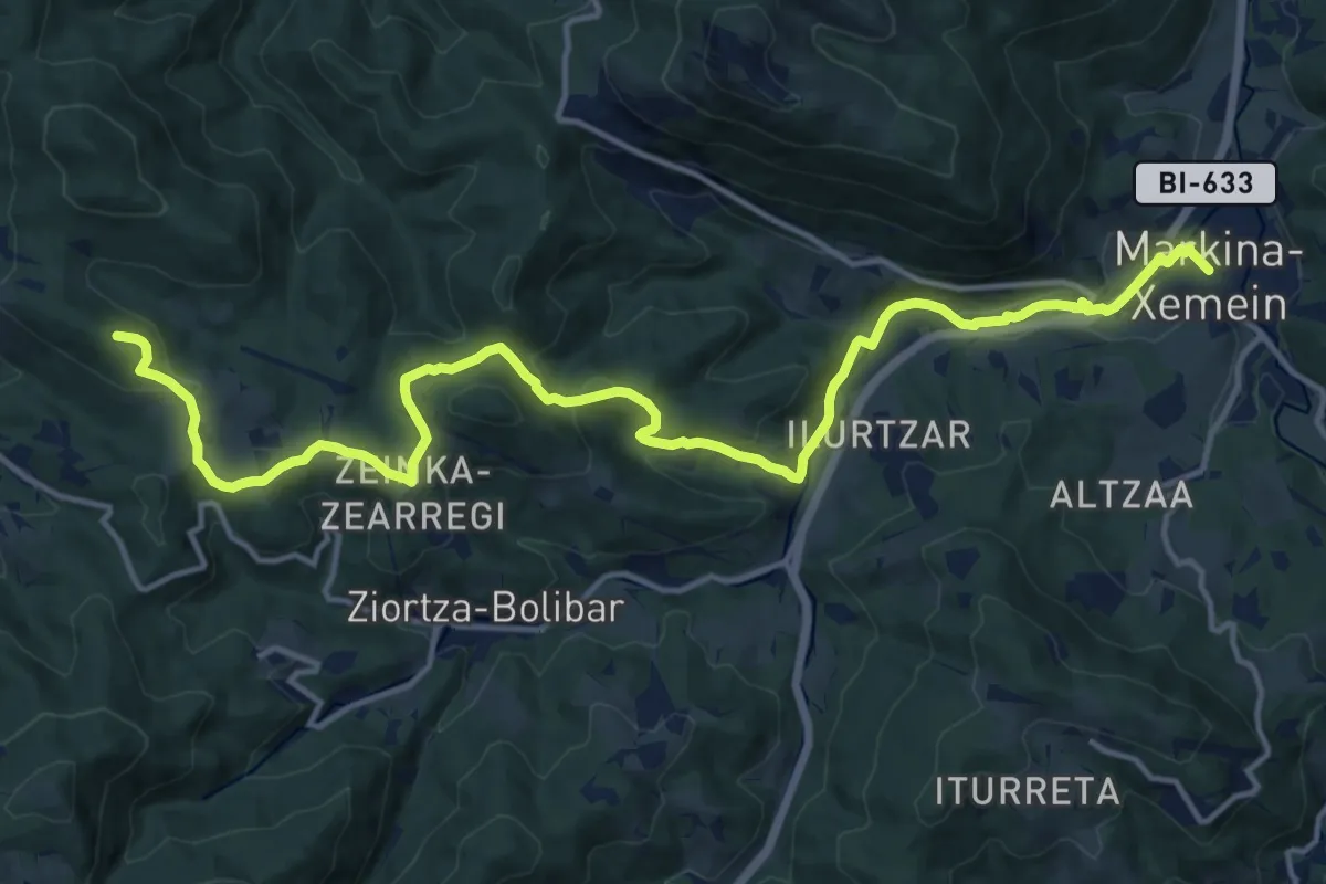
Demanding · Summit
Munitibar-Arbatzegi-Gerrikaizko bidezidorra
18.2 km · ↑ 486 m · 5 h 21 min
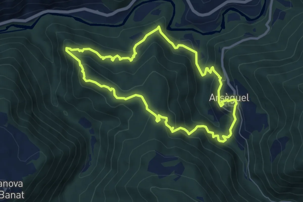
Medium · Trail
Muntanya del Coll
6.6 km · ↑ 439 m · 2 h 37 min
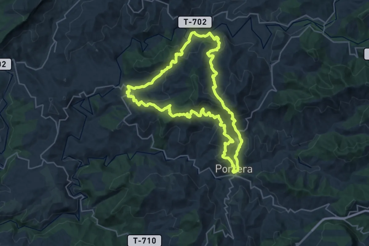
Demanding · Trail
Muntanyes que fan gran un petit País. Porrera-Torroja-Poboleda
19.9 km · ↑ 1098 m · 7 h 21 min
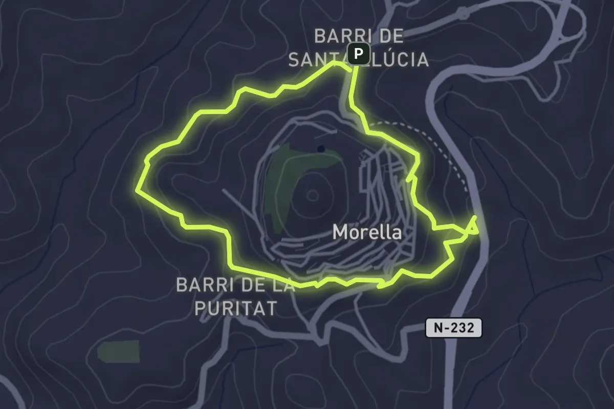
Easy · Trail
Murallas exteriores de Morella
3.6 km · ↑ 198 m · 1 h 20 min
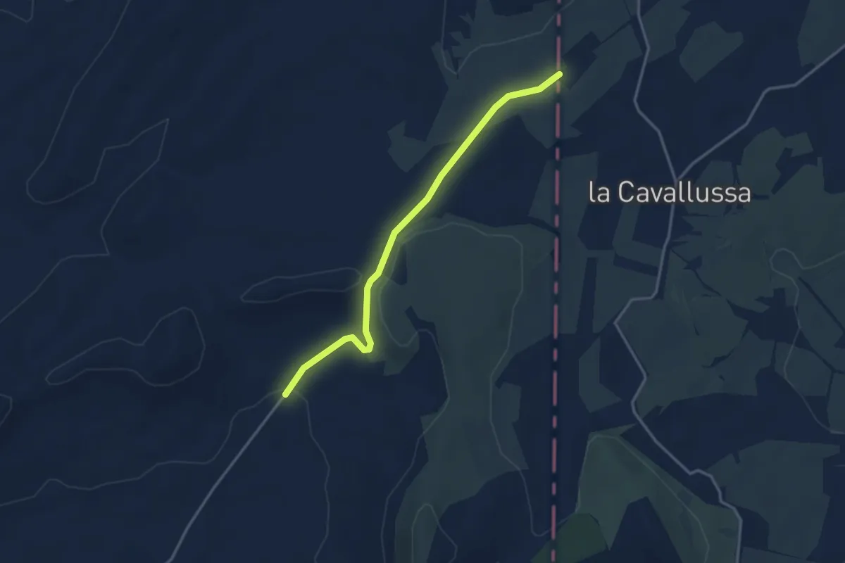
Easy · Trail
Murcia
3.8 km · ↑ 50 m · 1 h
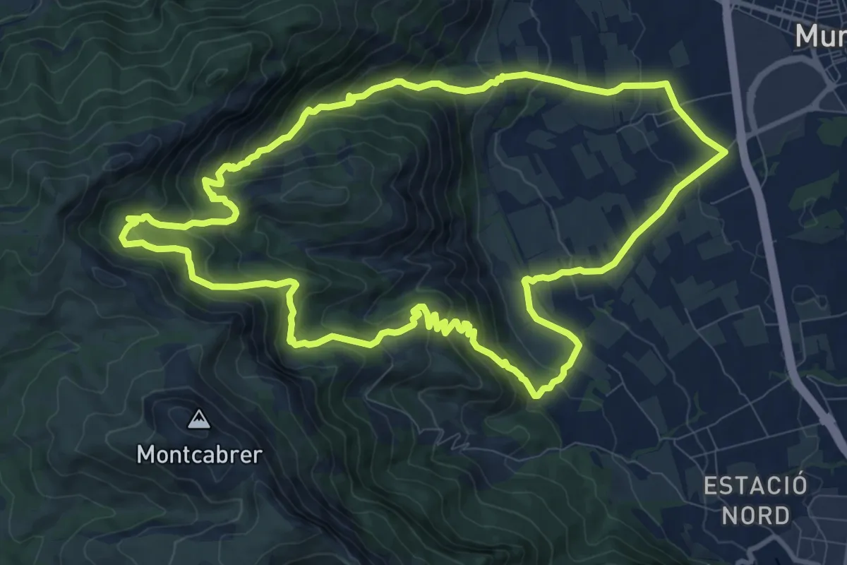
Medium · Trail
Muro d'Alcoi - Racó Llobet
12.6 km · ↑ 660 m · 4 h 34 min
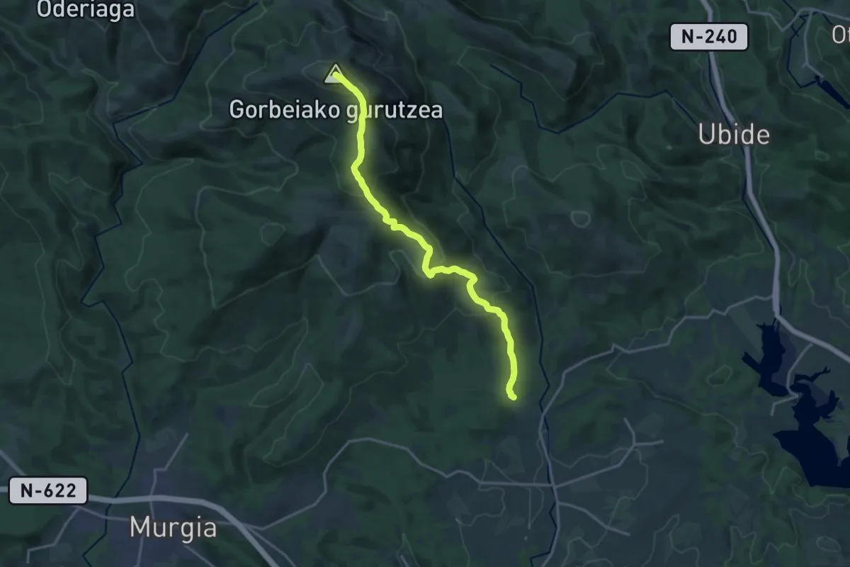
Demanding · Summit
Murua-Gorbea
17.3 km · ↑ 844 m · 5 h 55 min
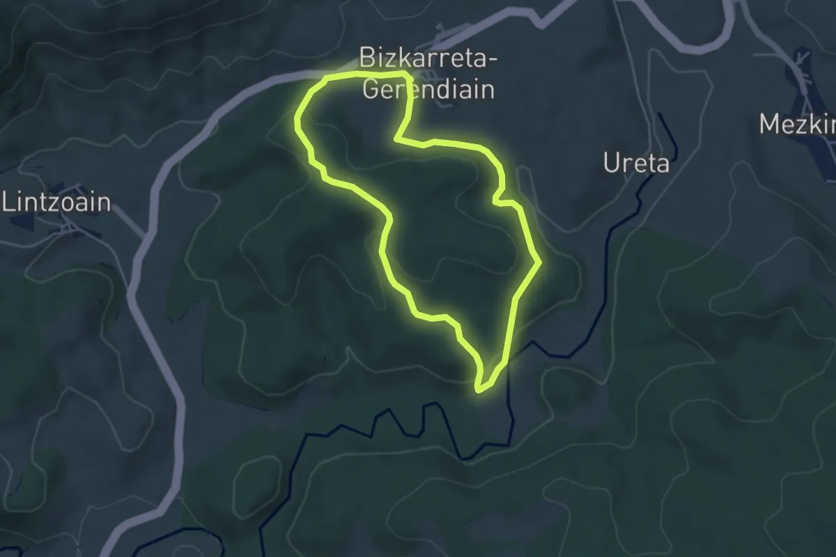
Easy · Summit
Muskildako hariztiaren bidexka
4.3 km · ↑ 130 m · 1 h 22 min
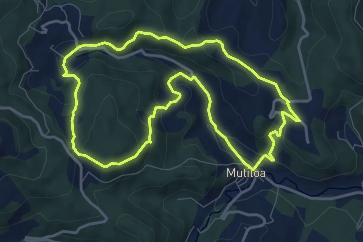
Medium · Trail
Mutiloa-Liernia-Mañastegi-Mutiloa
7.3 km · ↑ 264 m · 2 h 24 min
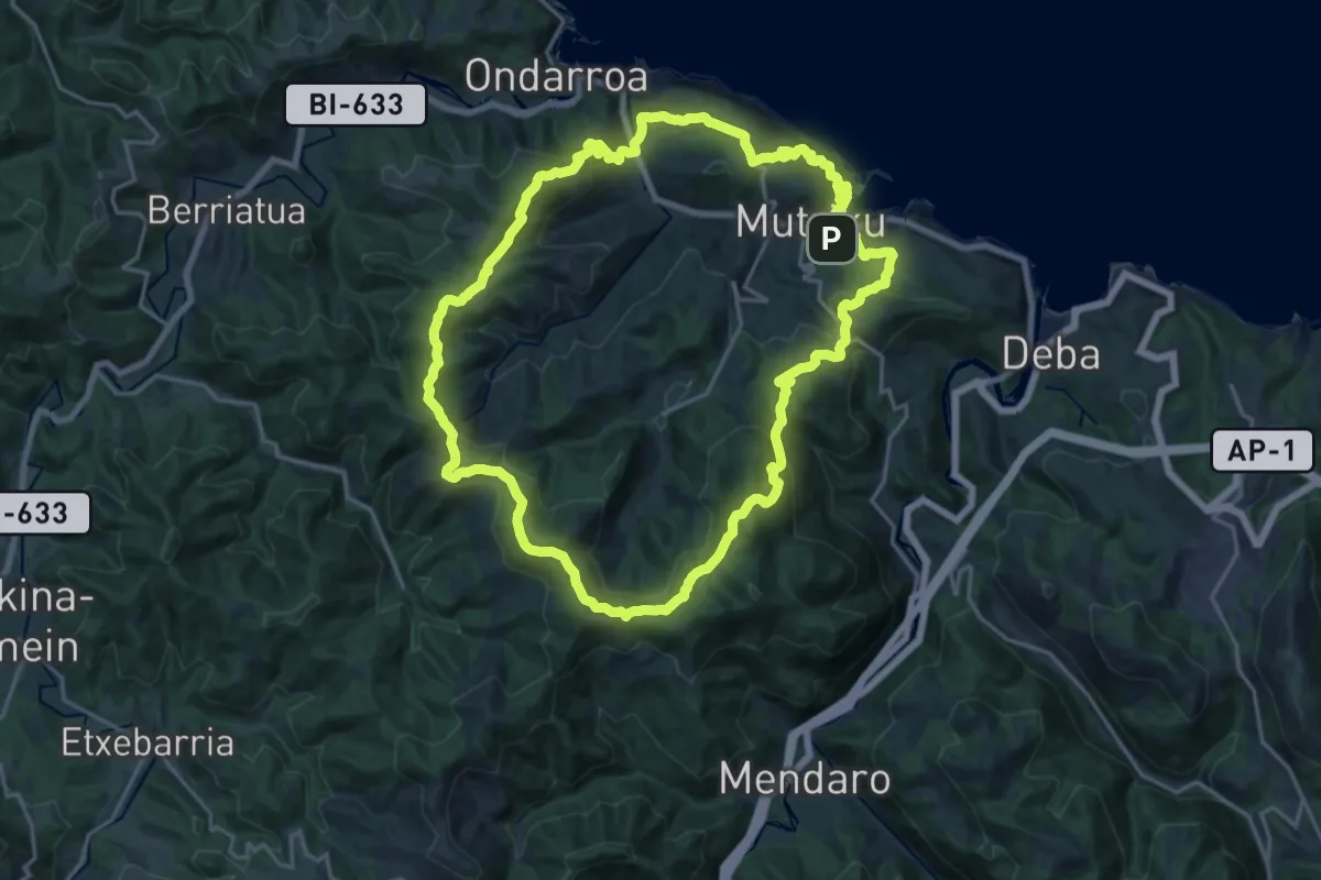
Demanding · Summit
Mutrikuko itzulia
21.0 km · ↑ 987 m · 7 h 23 min
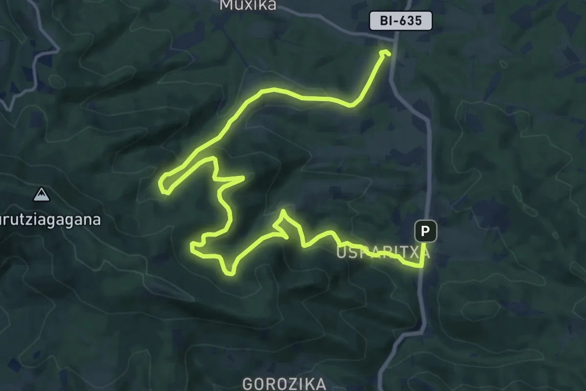
Demanding · Trail
Muxika. Barnealdeko bideetan barrena
19.3 km · ↑ 838 m · 6 h 23 min
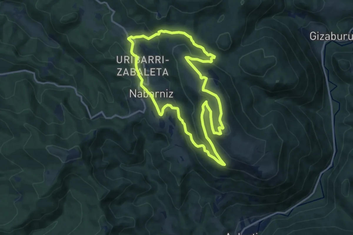
Medium · Summit
Nabarniz. Illuntzar, Urdaibaiko begiratokia
10.6 km · ↑ 447 m · 3 h 37 min
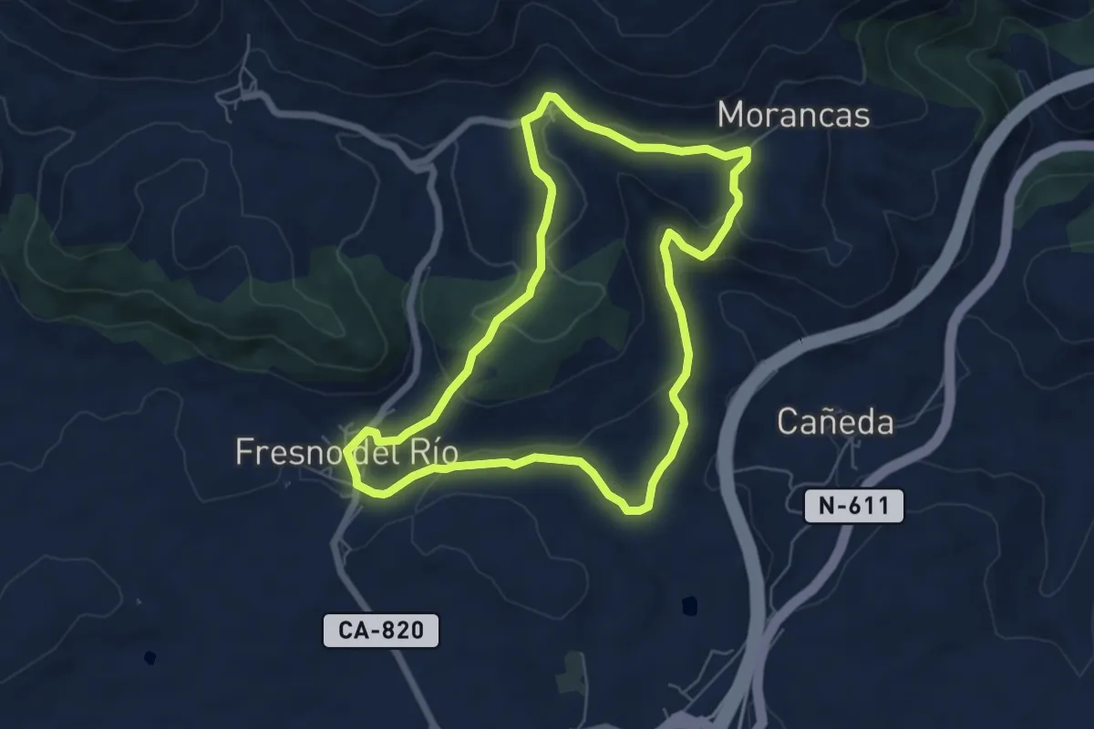
Easy · Trail
Nacimiento del Besaya
6.2 km · ↑ 170 m · 1 h 55 min
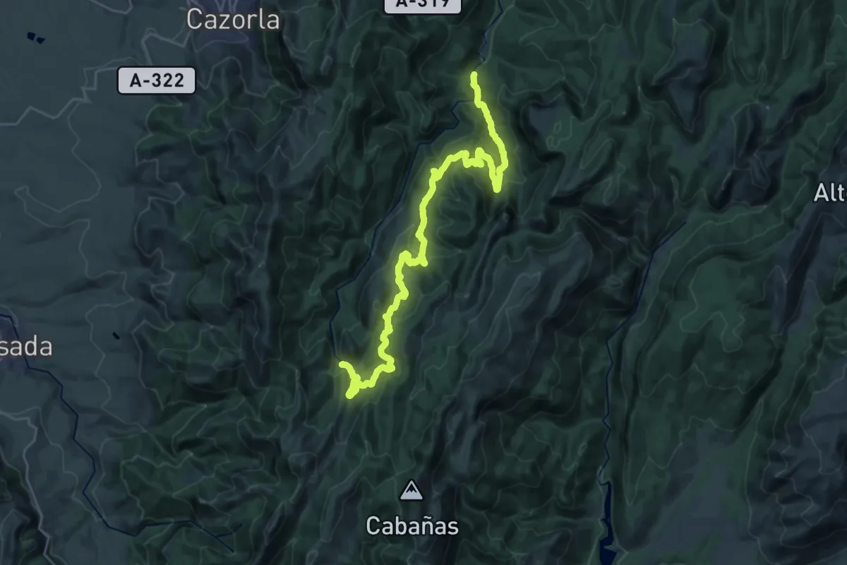
Medium · Trail
Nacimiento del Guadalquivir
16.0 km · ↑ 789 m · 5 h 31 min
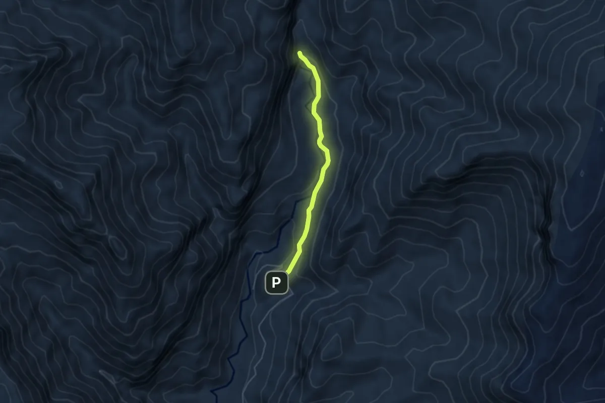
Medium · Trail
Nacimiento del Río Castril
4.4 km · ↑ 142 m · 1 h 20 min
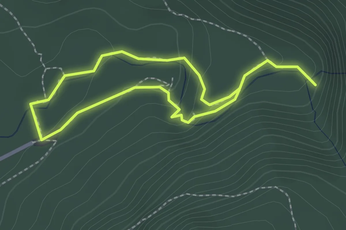
Easy · Trail
Nacimiento del rio Cuervo
1.8 km · ↑ 43 m · 33 min
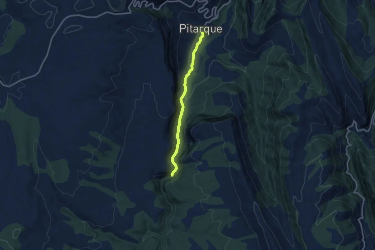
Medium · Trail
Nacimiento del Río Pitarque
8.0 km · ↑ 417 m · 2 h 47 min
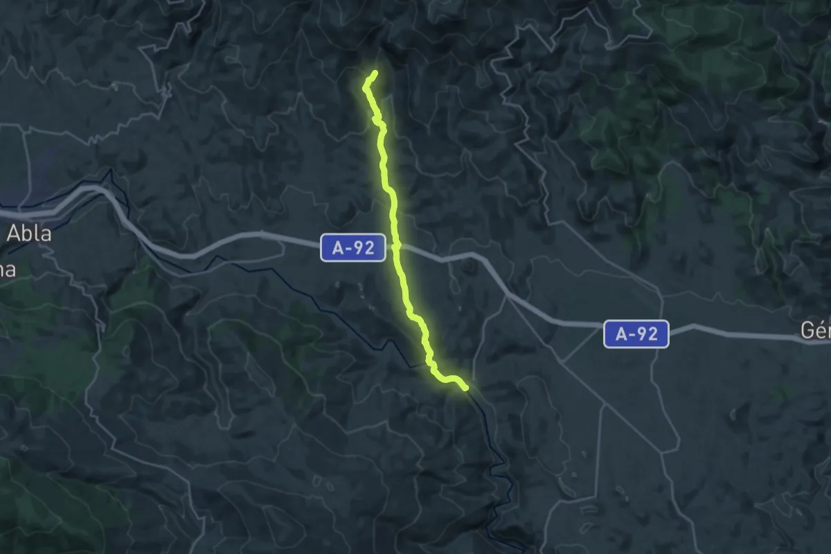
Demanding · Trail
Nacimiento - Gilma
20.4 km · ↑ 637 m · 6 h 12 min
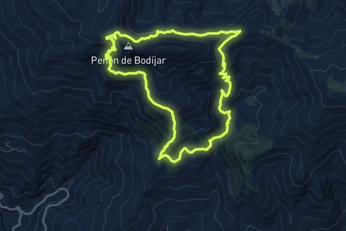
Medium · Summit
Nacimiento río Ítrabo-Picacho Bodíjaras
8.9 km · ↑ 640 m · 3 h 36 min
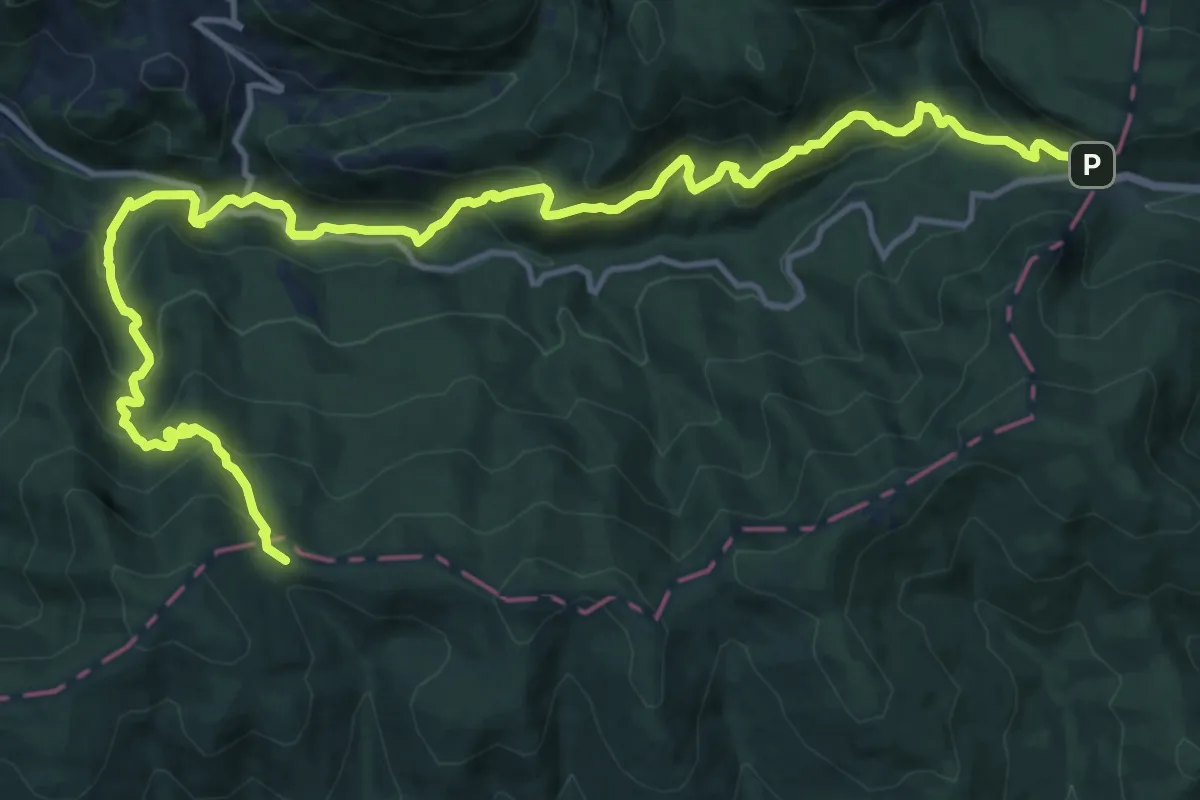
Demanding · Trail
Nafar bideak
19.4 km · ↑ 1391 m · 7 h 35 min
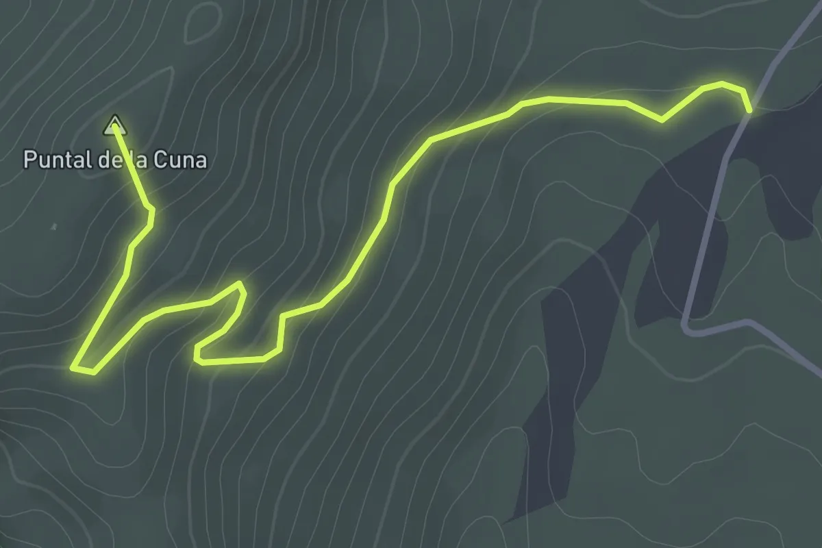
Easy · Summit
Navazalto
4.1 km · ↑ 191 m · 1 h 23 min
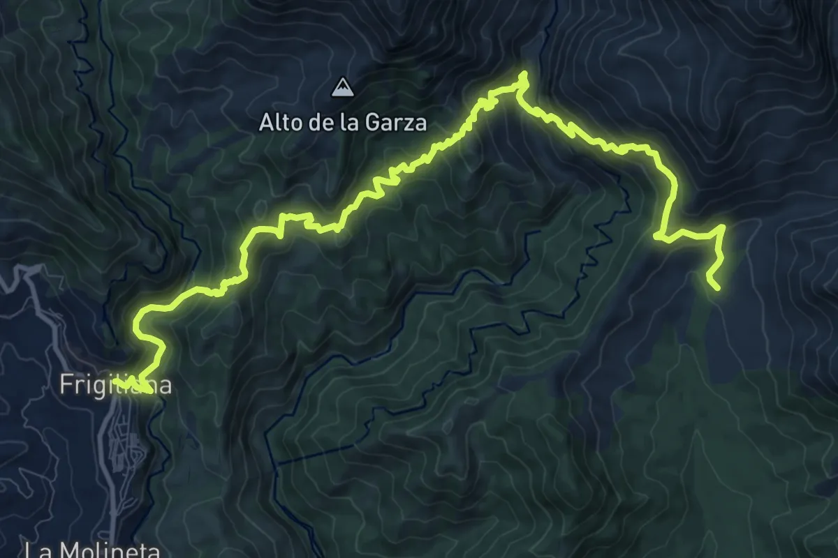
Medium · Trail
Nerja - Frigiliana
8.6 km · ↑ 725 m · 3 h 39 min
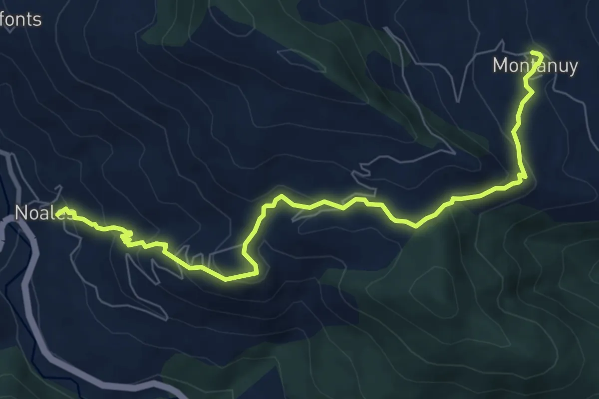
Medium · Trail
Noales - Escané - Montanuy
8.4 km · ↑ 461 m · 2 h 59 min