Trails in Spain
5,962 hiking trails, each with its route, climb, walking time and grade.
All trails, page 64 of 125
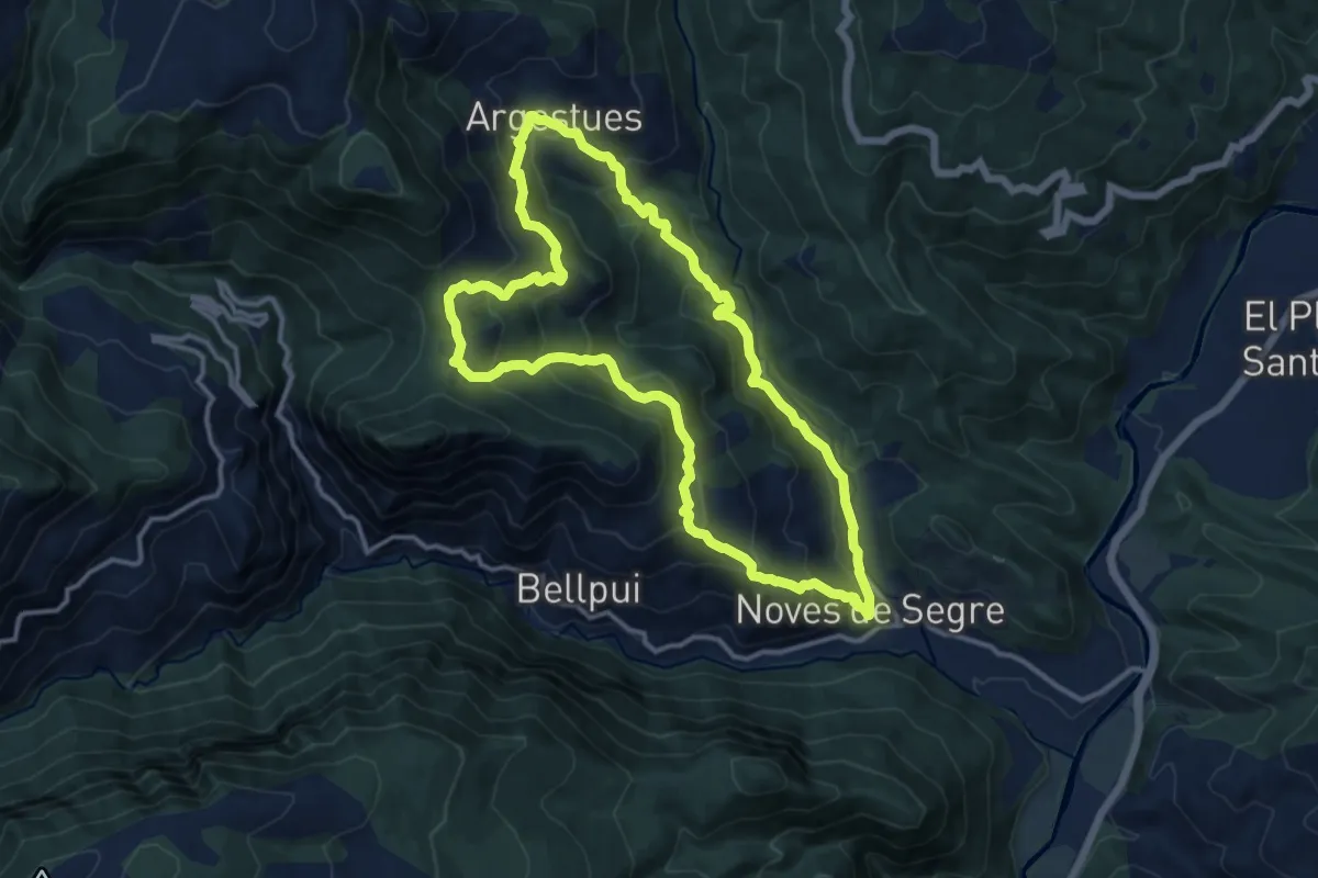
Demanding · Summit
Noves de Segre-Arguestues-Plaça de Sant Quiri
13.0 km · ↑ 841 m · 5 h 4 min
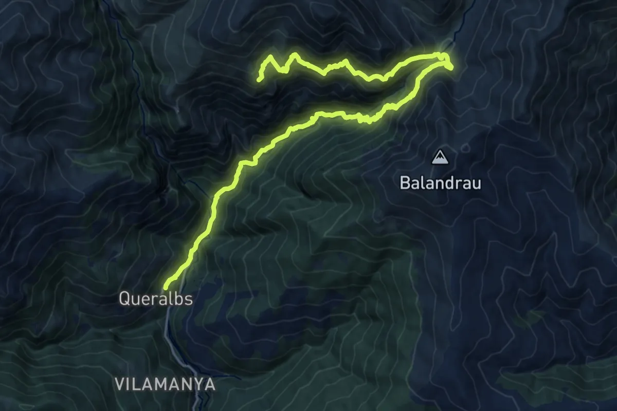
Demanding · Summit
Núria-Queralbs per pastures i camins miners
25.2 km · ↑ 2099 m · 10 h 30 min
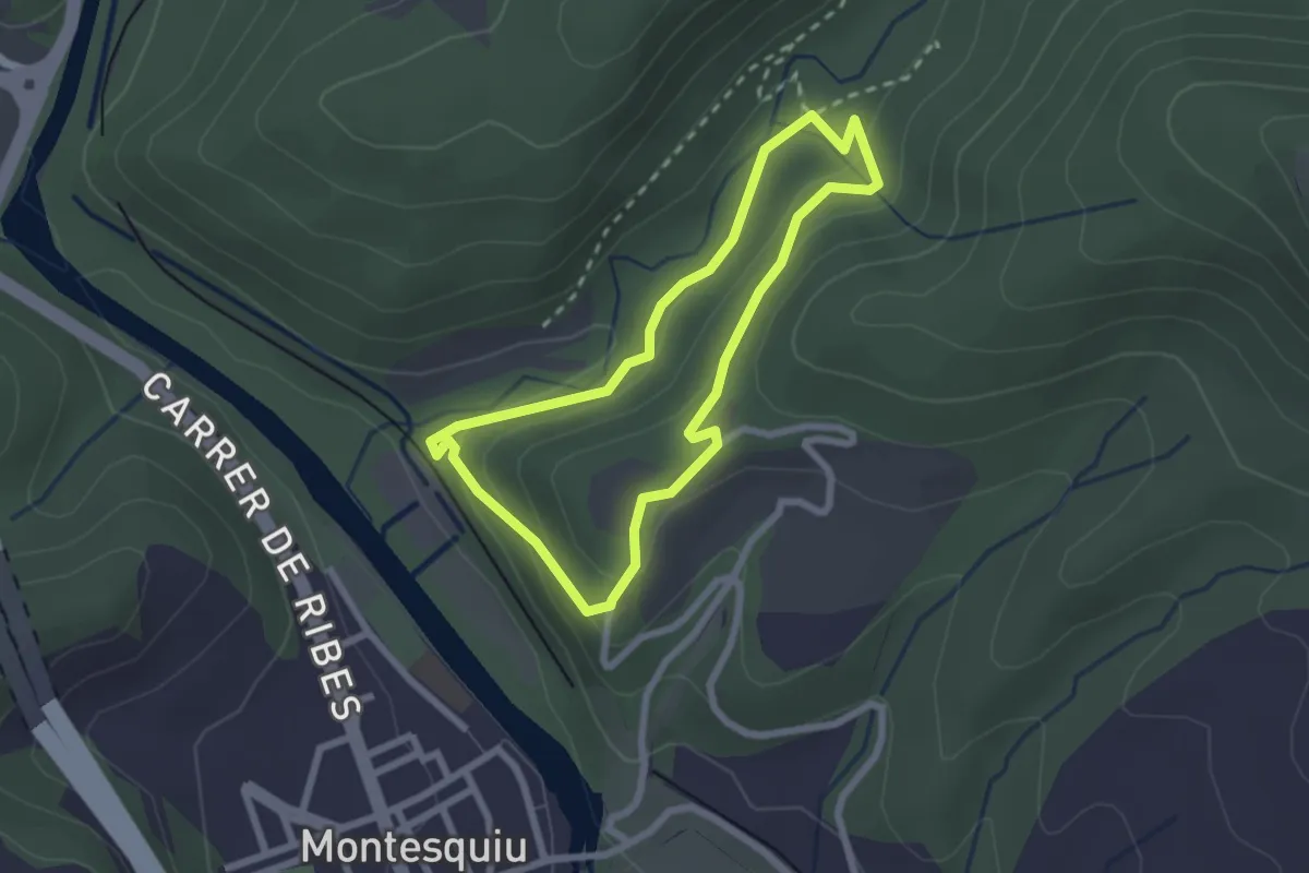
Easy · Trail
Obaga del Castell
2.3 km · ↑ 84 m · 45 min
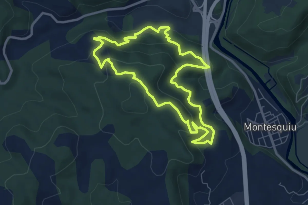
Medium · Trail
Obaga de les Codines
6.1 km · ↑ 331 m · 2 h 14 min
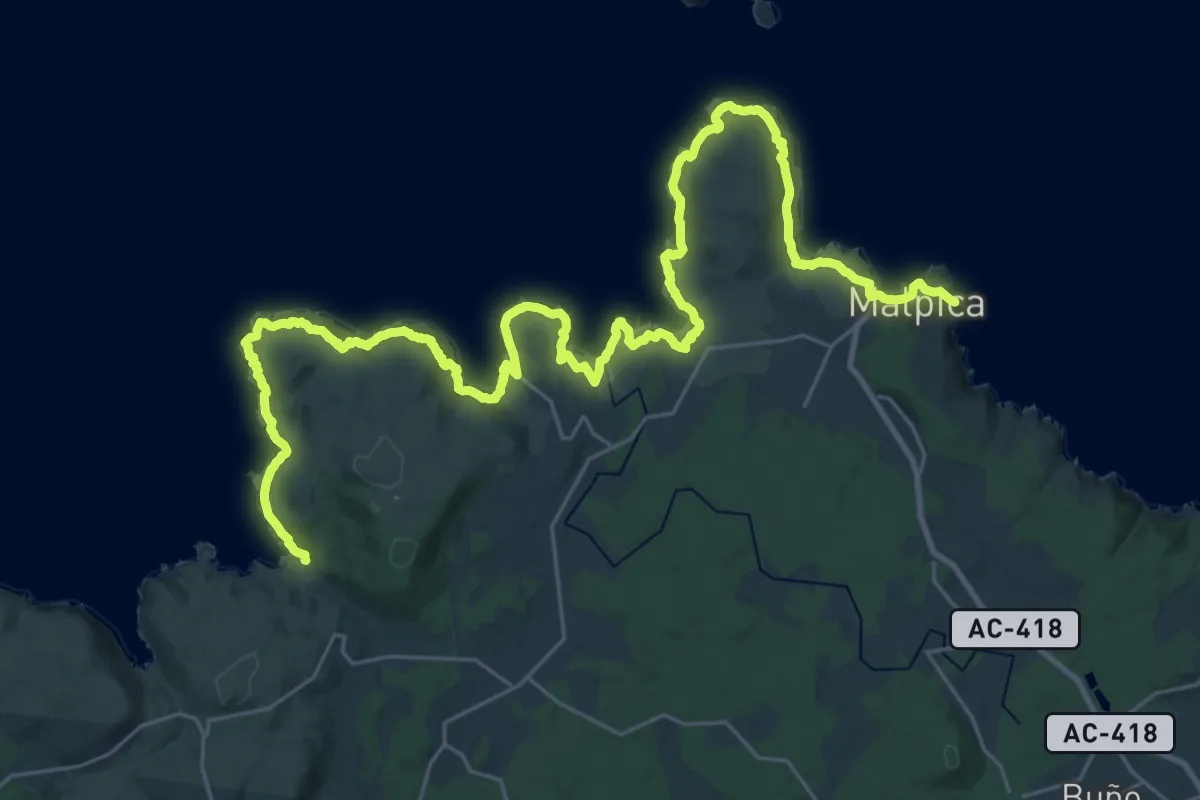
Demanding · Trail
O Camiño dos Faros. Etapa 1 Malpica-Niñóns
21.8 km · ↑ 609 m · 6 h 46 min
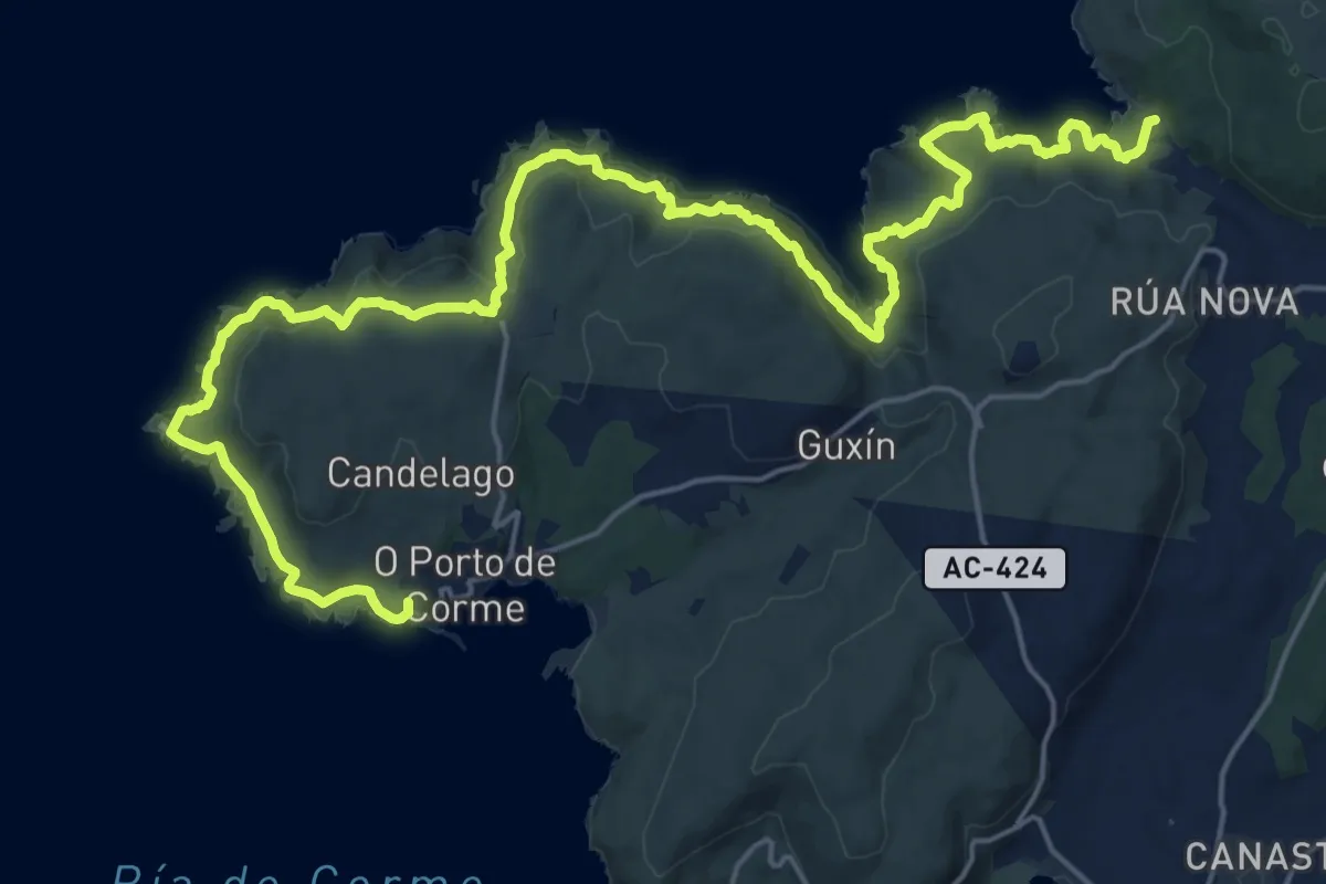
Demanding · Summit
O Camiño dos Faros: Etapa 2 Niñóns-Ponteceso
30.2 km · ↑ 1086 m · 9 h 29 min
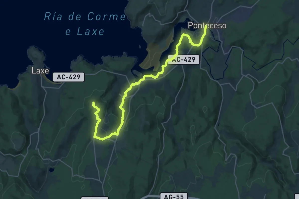
Demanding · Summit
O Camiño dos Faros: Etapa 3 Ponteceso-Laxe
26.9 km · ↑ 409 m · 7 h 14 min
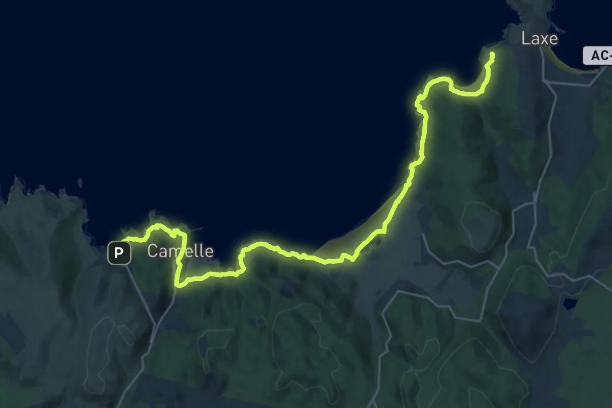
Demanding · Summit
O Camiño dos Faros: Etapa 4 Laxe-Arou
27.1 km · ↑ 201 m · 6 h 50 min
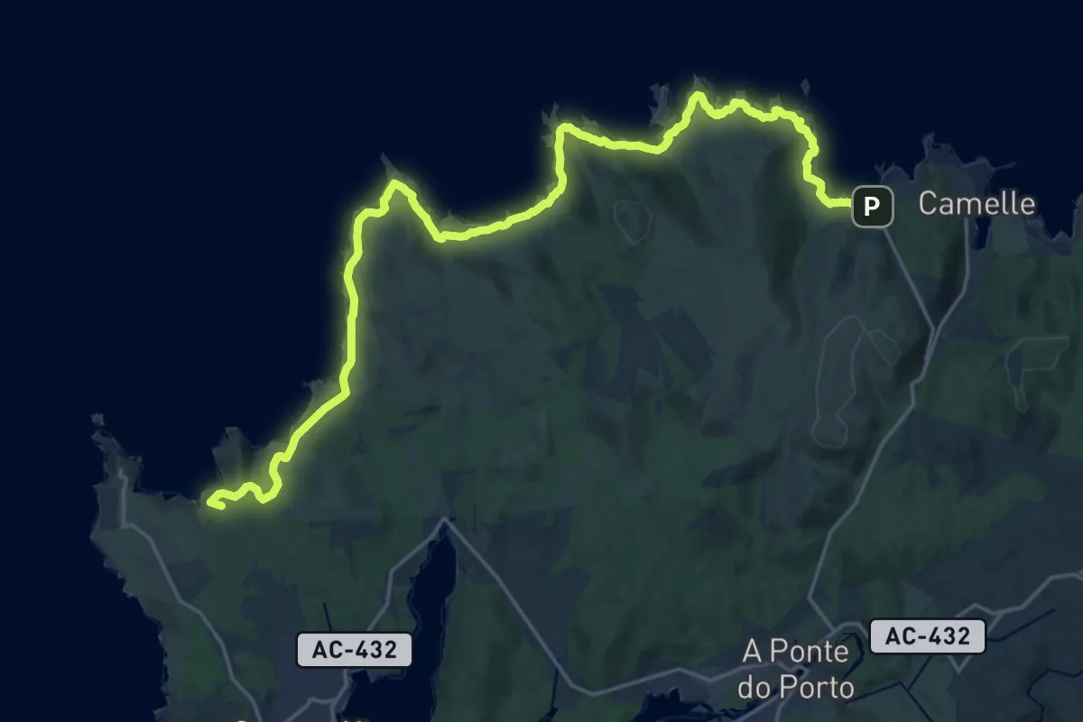
Demanding · Summit
O Camiño dos faros. Etapa 5 Arou-Camariñas
27.5 km · ↑ 287 m · 7 h 7 min
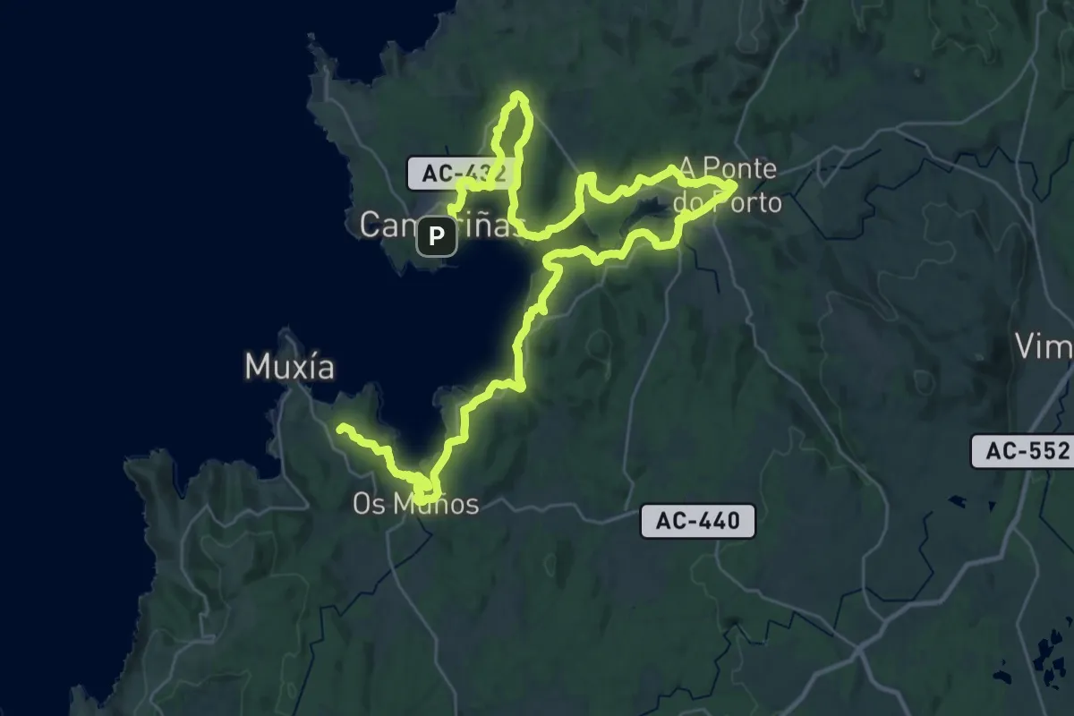
Demanding · Summit
O Camiño dos Faros: Etapa 6 Camariñas-Muxía
56.5 km · ↑ 876 m · 15 h 15 min
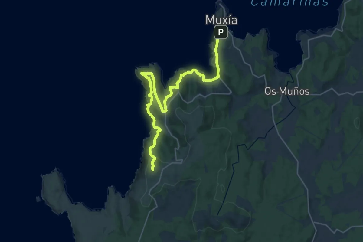
Demanding · Summit
O Camiño dos Faros: Etapa 7 Muxía-Nemiña
23.3 km · ↑ 1021 m · 7 h 43 min
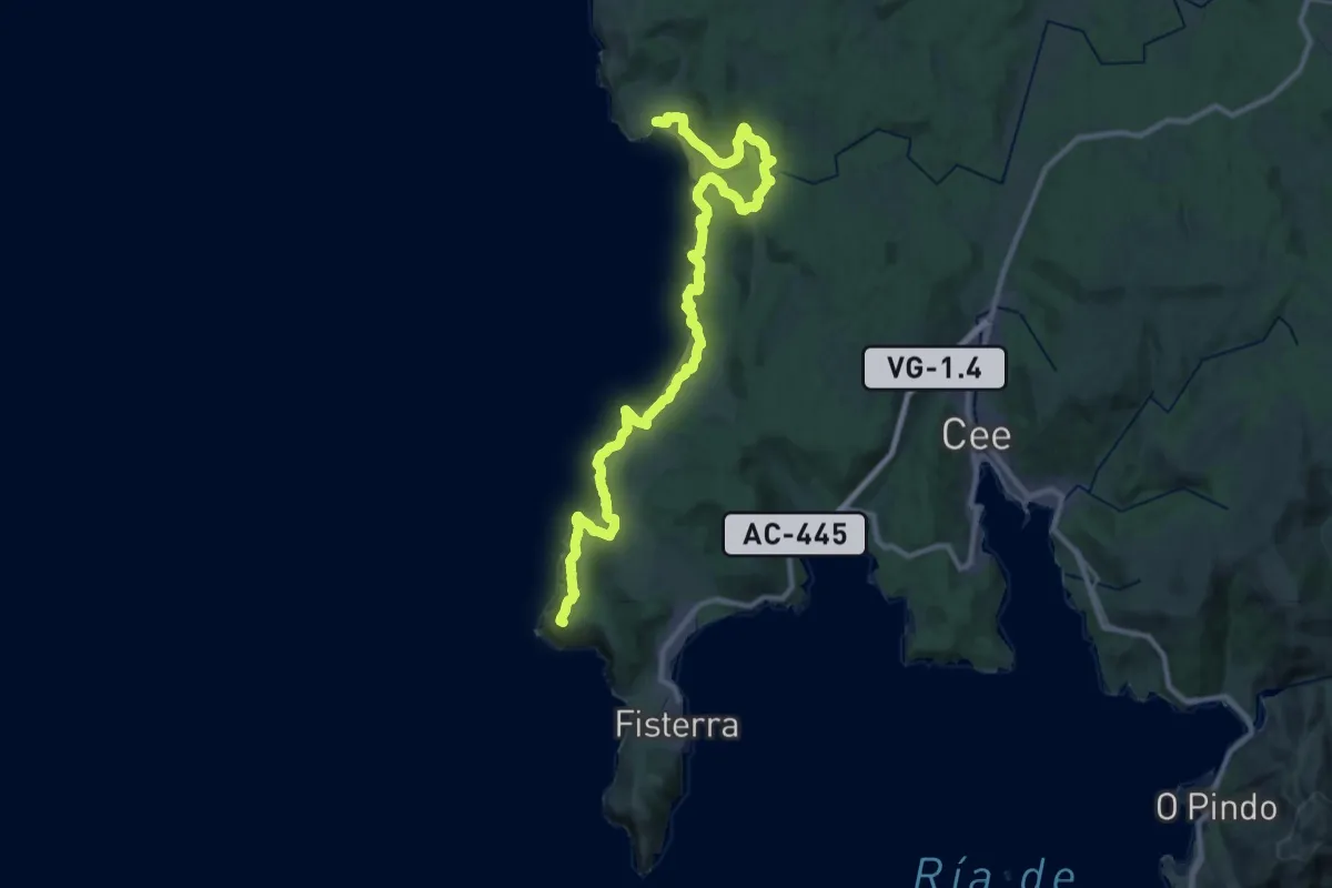
Demanding · Summit
O Camiño dos Faros: Etapa 8 Nemiña-Faro Fisterra
38.3 km · ↑ 1325 m · 11 h 55 min
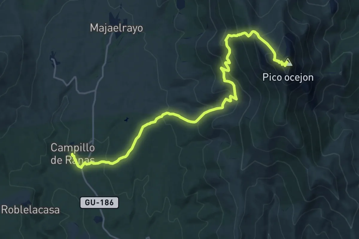
Demanding · Summit
Ocejón
18.4 km · ↑ 1001 m · 6 h 31 min
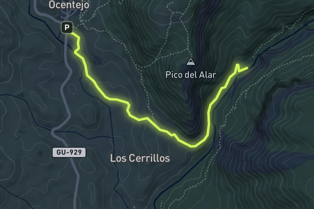
Easy · Trail
Ocentejo-Hundido de Armallones
5.8 km · ↑ 144 m · 1 h 41 min
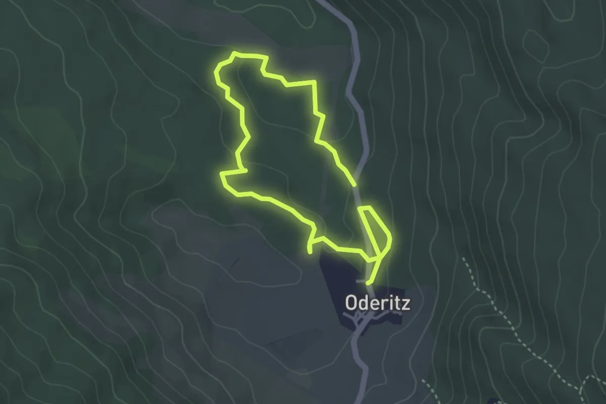
Easy · Trail
Oderizko trikuharrien ibilbidea
6.1 km · ↑ 132 m · 1 h 43 min
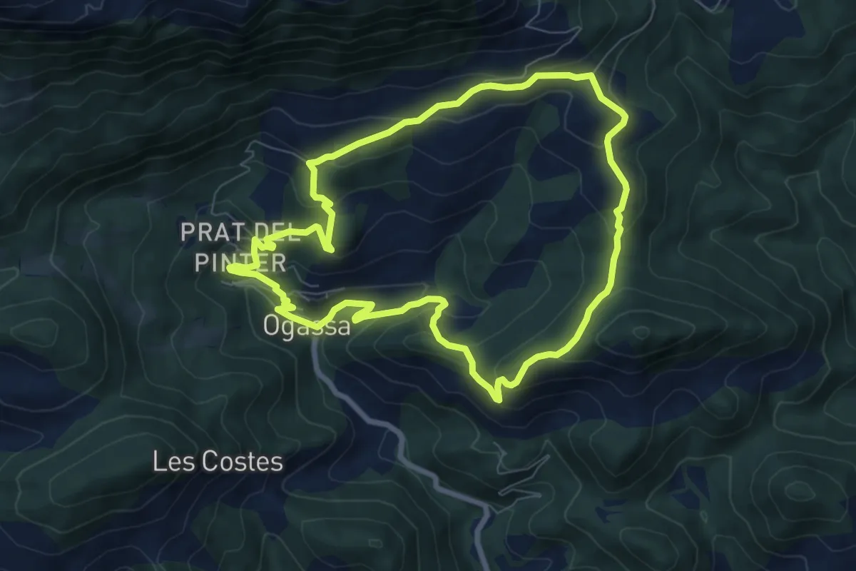
Medium · Trail
Ogassa-Sant Martí Surroca
7.8 km · ↑ 405 m · 2 h 50 min
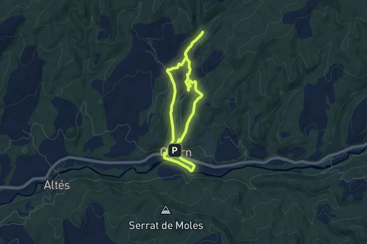
Easy · Summit
Ogern, ruta del patrimoni
5.8 km · ↑ 167 m · 1 h 49 min
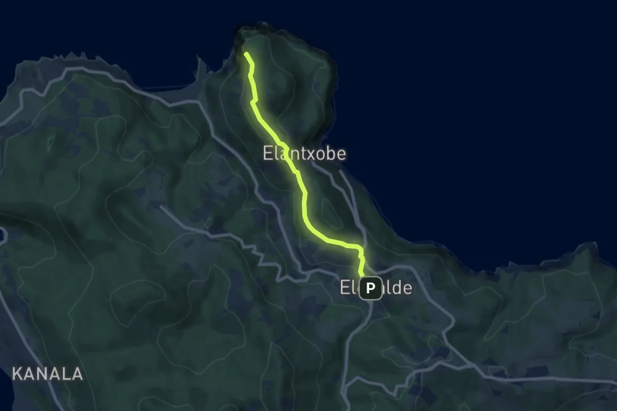
Easy · Summit
Ogoño. Ruta hacia el mar
6.4 km · ↑ 188 m · 1 h 56 min
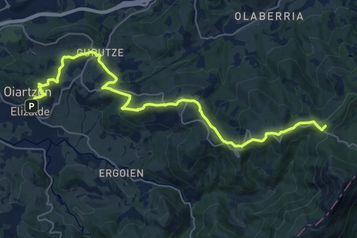
Demanding · Summit
Oiartzundik Aiako Harrira
19.0 km · ↑ 830 m · 6 h 17 min
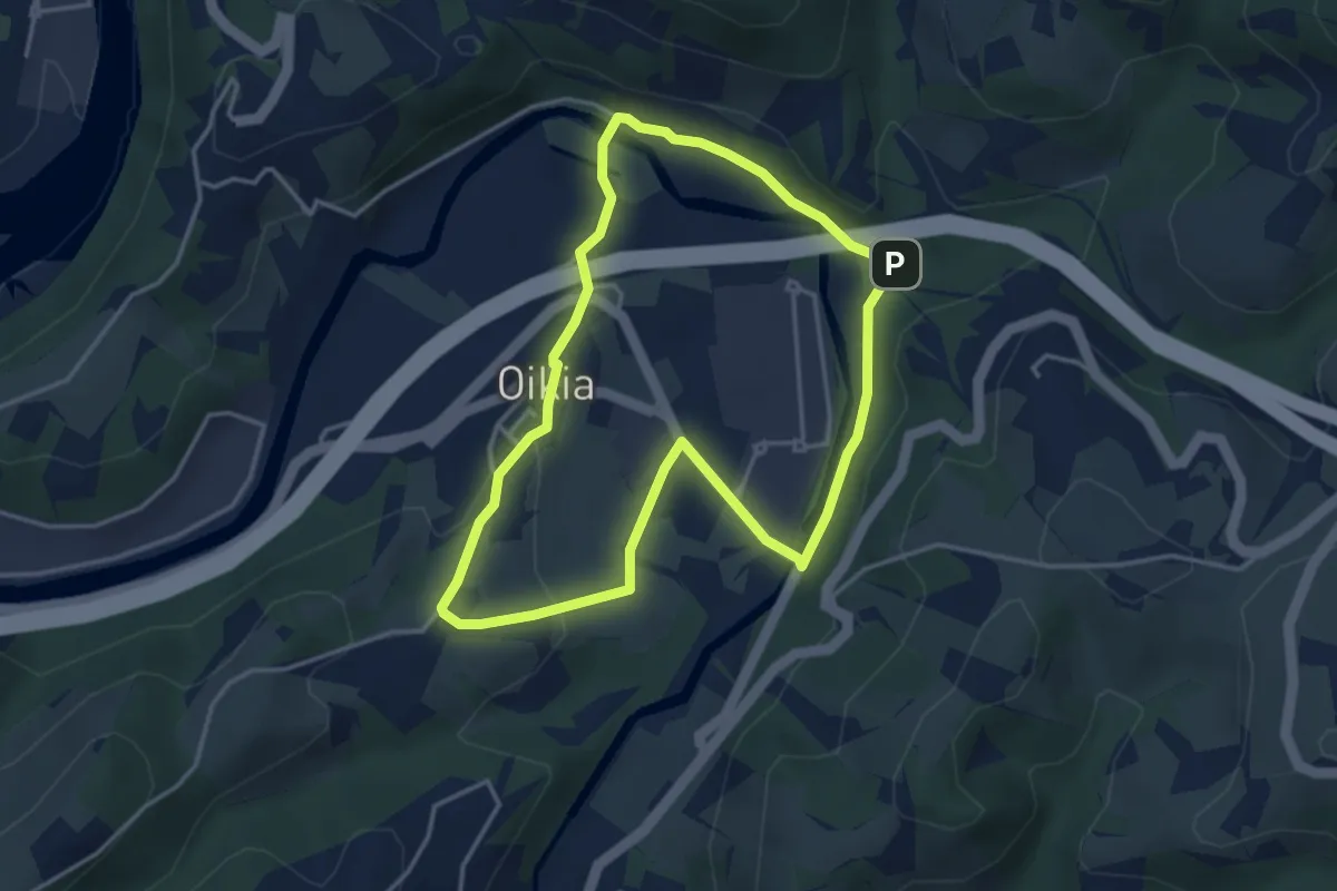
Easy · Trail
Oikia
3.8 km · ↑ 82 m · 1 h 8 min
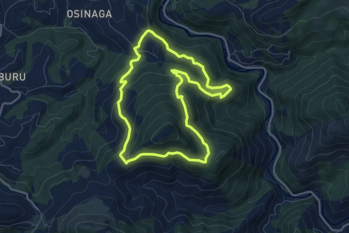
Medium · Summit
Oindiri bira
8.2 km · ↑ 440 m · 3 h
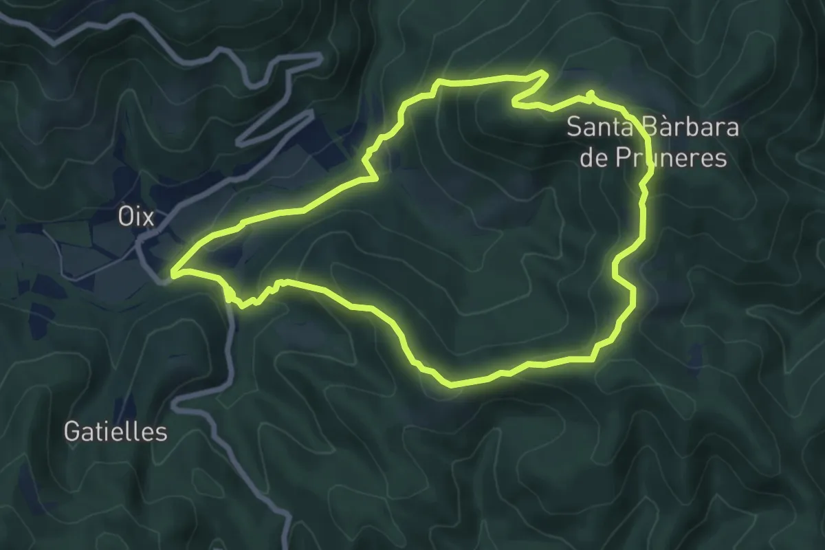
Medium · Trail
Oix-Santa Bàrbara de Pruneres
7.3 km · ↑ 337 m · 2 h 33 min
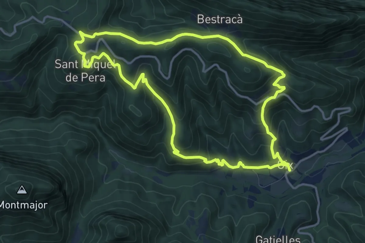
Medium · Trail
Oix-Sant Andreu-Puig de Bestracà
10.7 km · ↑ 454 m · 3 h 40 min
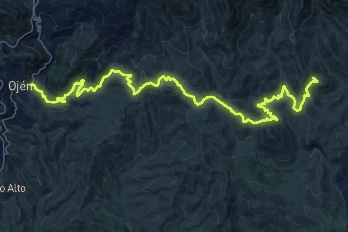
Demanding · Summit
Ojén - Mijas
29.7 km · ↑ 1259 m · 9 h 44 min
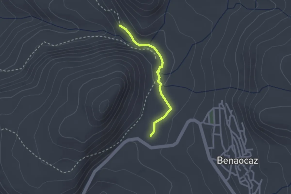
Easy · Trail
OJO DEL MORO
2.2 km · ↑ 48 m · 37 min
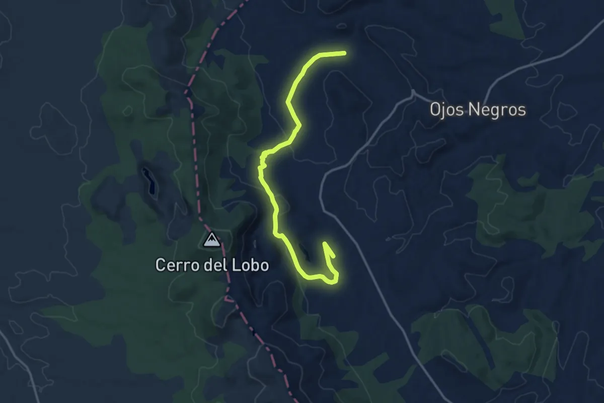
Medium · Trail
Ojos Negros - Sierra Menera
14.3 km · ↑ 254 m · 3 h 56 min
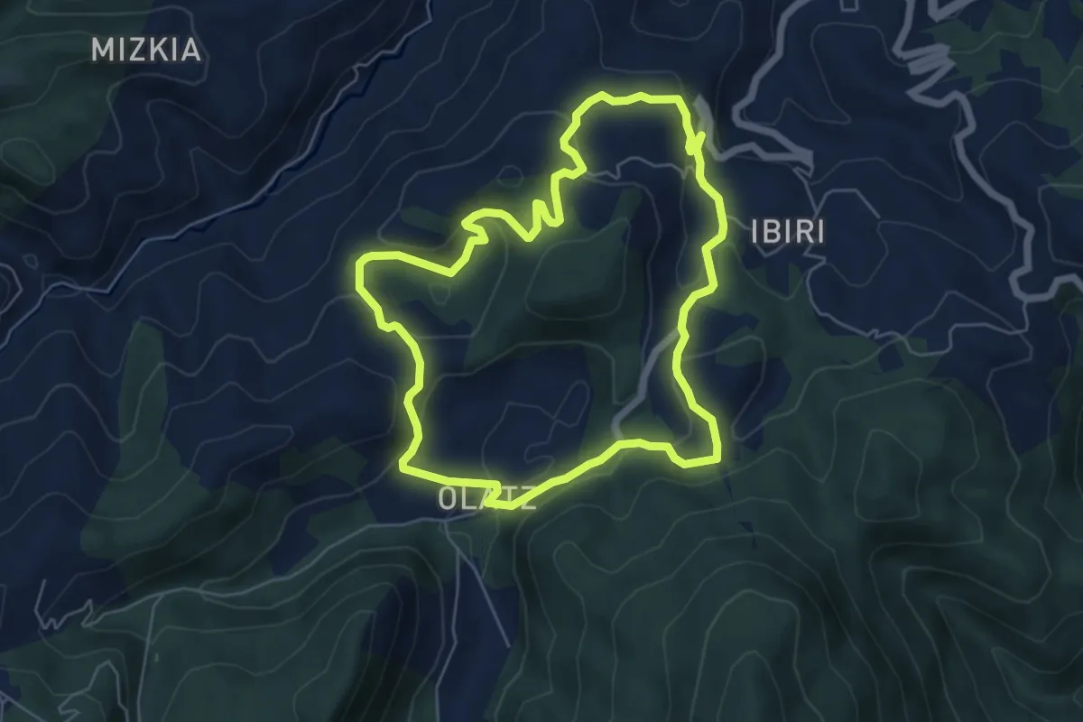
Easy · Trail
Olatz auzoa
6.0 km · ↑ 242 m · 2 h 2 min
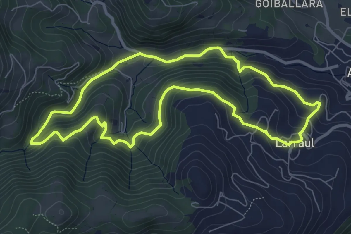
Medium · Trail
Olazar (Ibeltz)
6.3 km · ↑ 321 m · 2 h 16 min
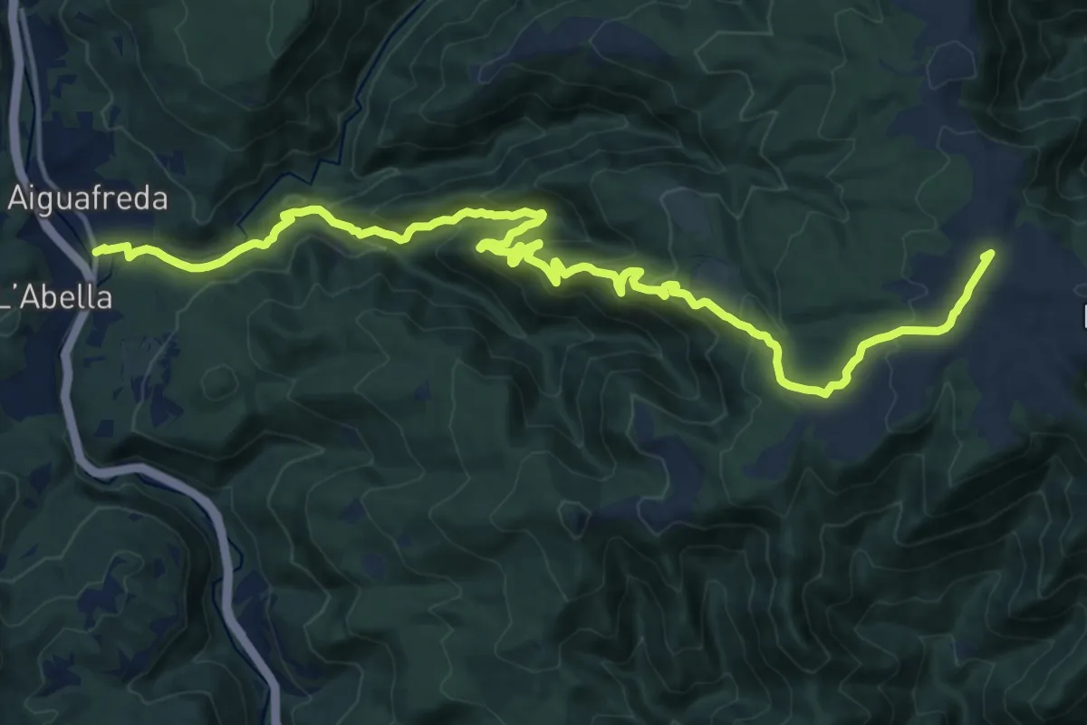
Demanding · Summit
Old Matagalls-Montserrat
21.9 km · ↑ 1032 m · 7 h 24 min
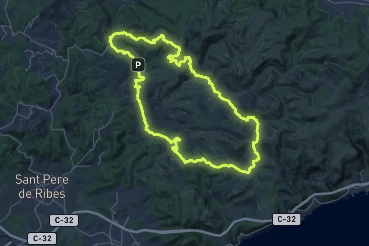
Demanding · Summit
Olivella
24.9 km · ↑ 740 m · 7 h 50 min
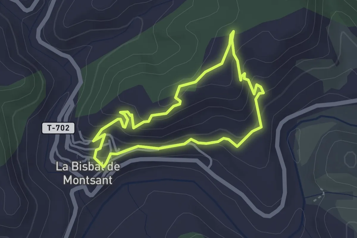
Easy · Summit
Oliveres damunt la roca
3.1 km · ↑ 162 m · 1 h 7 min
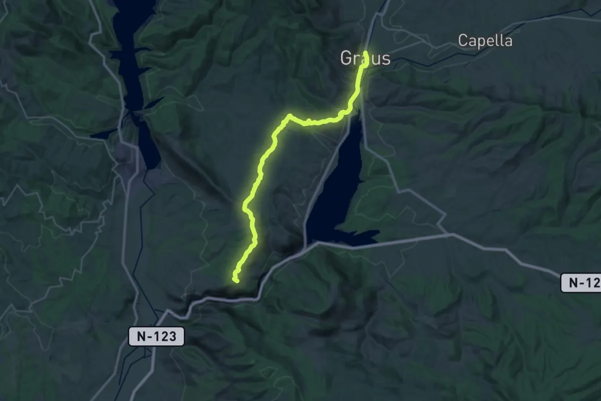
Demanding · Summit
Olvena-La Puebla de Castro-Graus
26.6 km · ↑ 558 m · 7 h 29 min
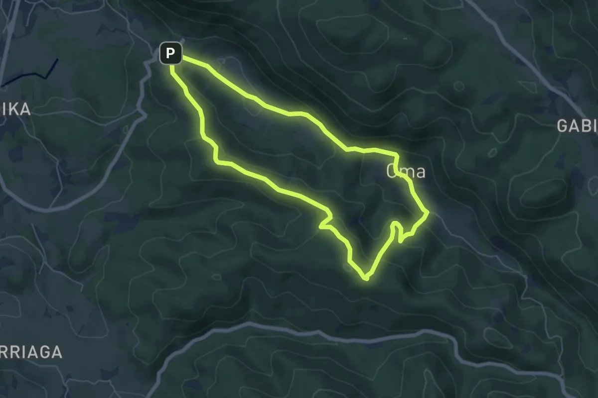
Easy · Summit
Oma-Basondo
5.9 km · ↑ 268 m · 2 h 4 min
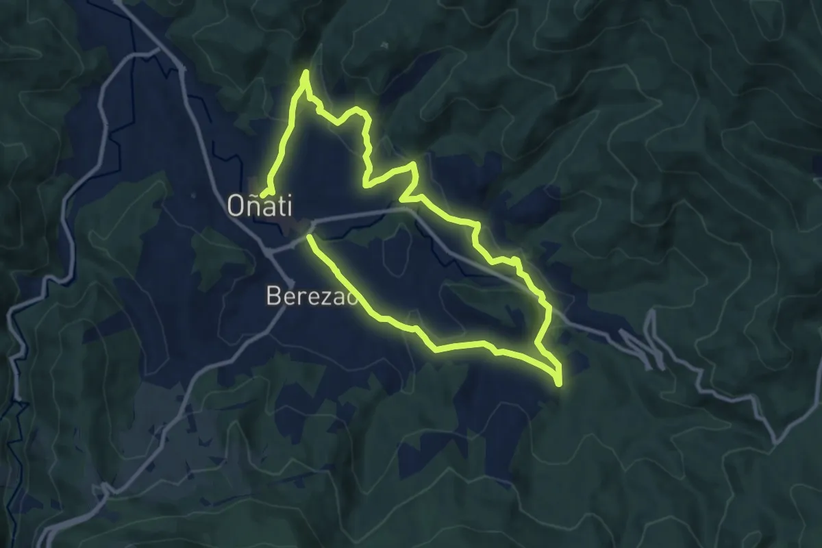
Medium · Trail
Oñati Ekialdea: Aloñapeko ibilbidea
17.7 km · ↑ 545 m · 5 h 22 min
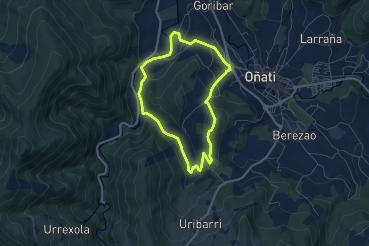
Easy · Trail
Oñati Mendebaldea: Garagaltza Auzoari itzulia
5.5 km · ↑ 171 m · 1 h 45 min
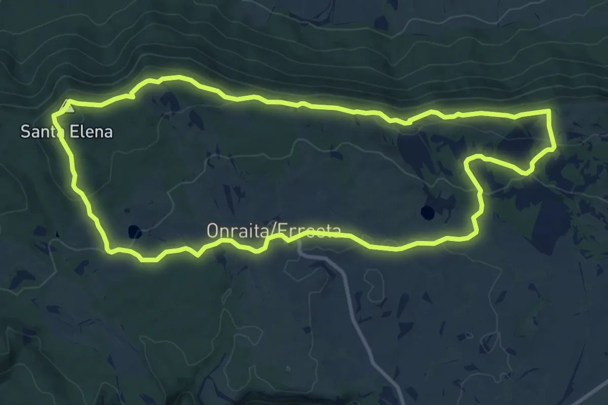
Medium · Summit
Onraita - Iturrieta mendiak
10.8 km · ↑ 319 m · 3 h 23 min
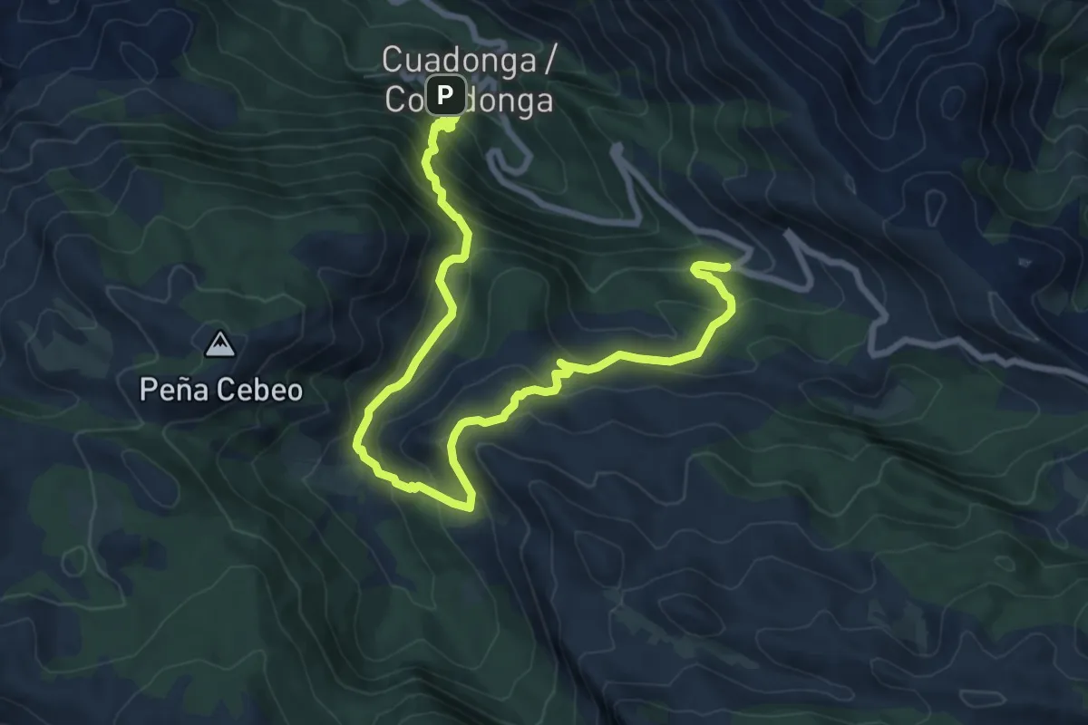
Demanding · Trail
Orandi
10.5 km · ↑ 805 m · 4 h 14 min
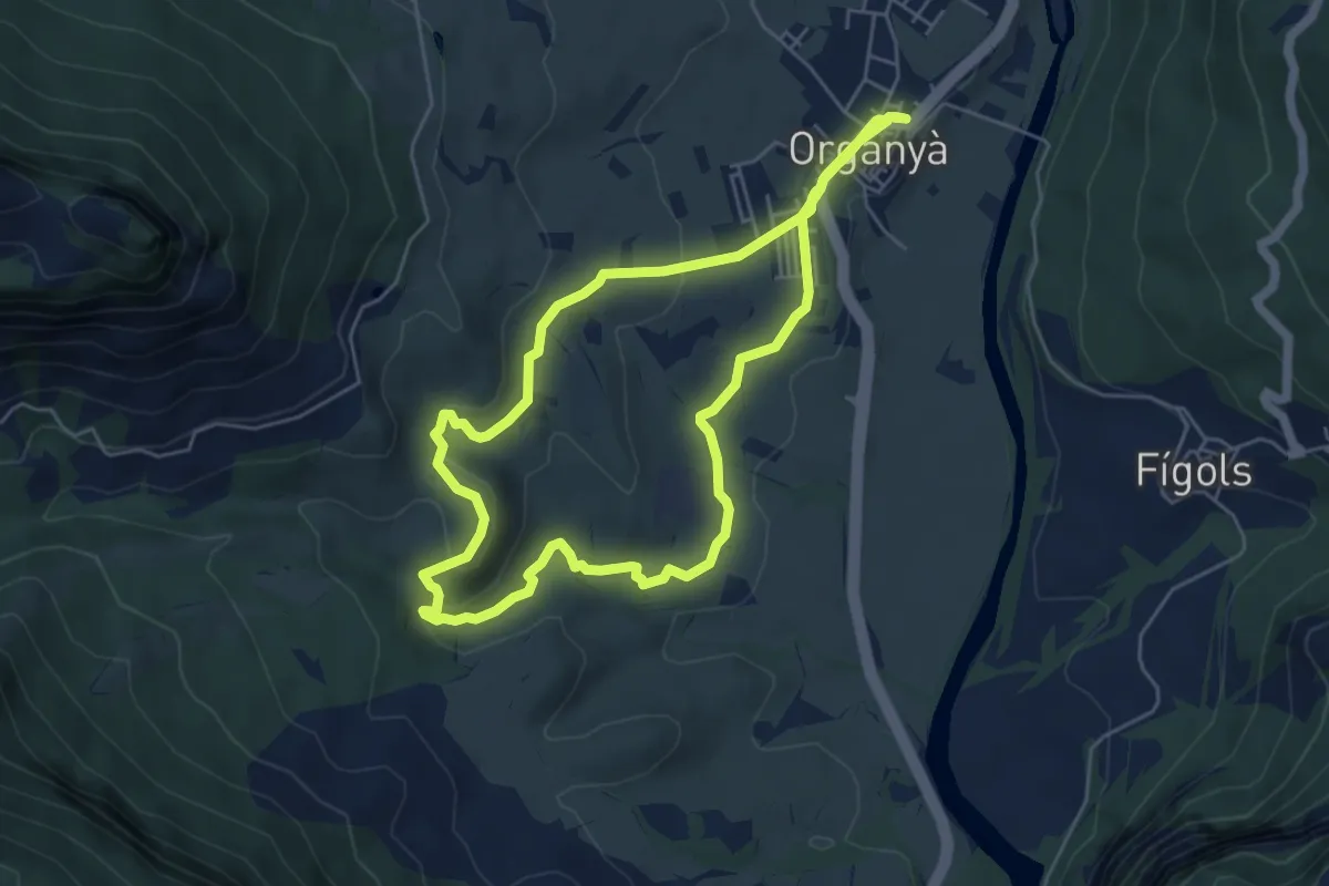
Easy · Trail
Organyà-Basses de Fontanet
5.8 km · ↑ 136 m · 1 h 45 min
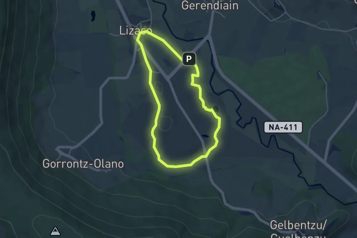
Easy · Summit
Orgiko basoaren ibilaldia
3.8 km · ↑ 39 m · 1 h 1 min
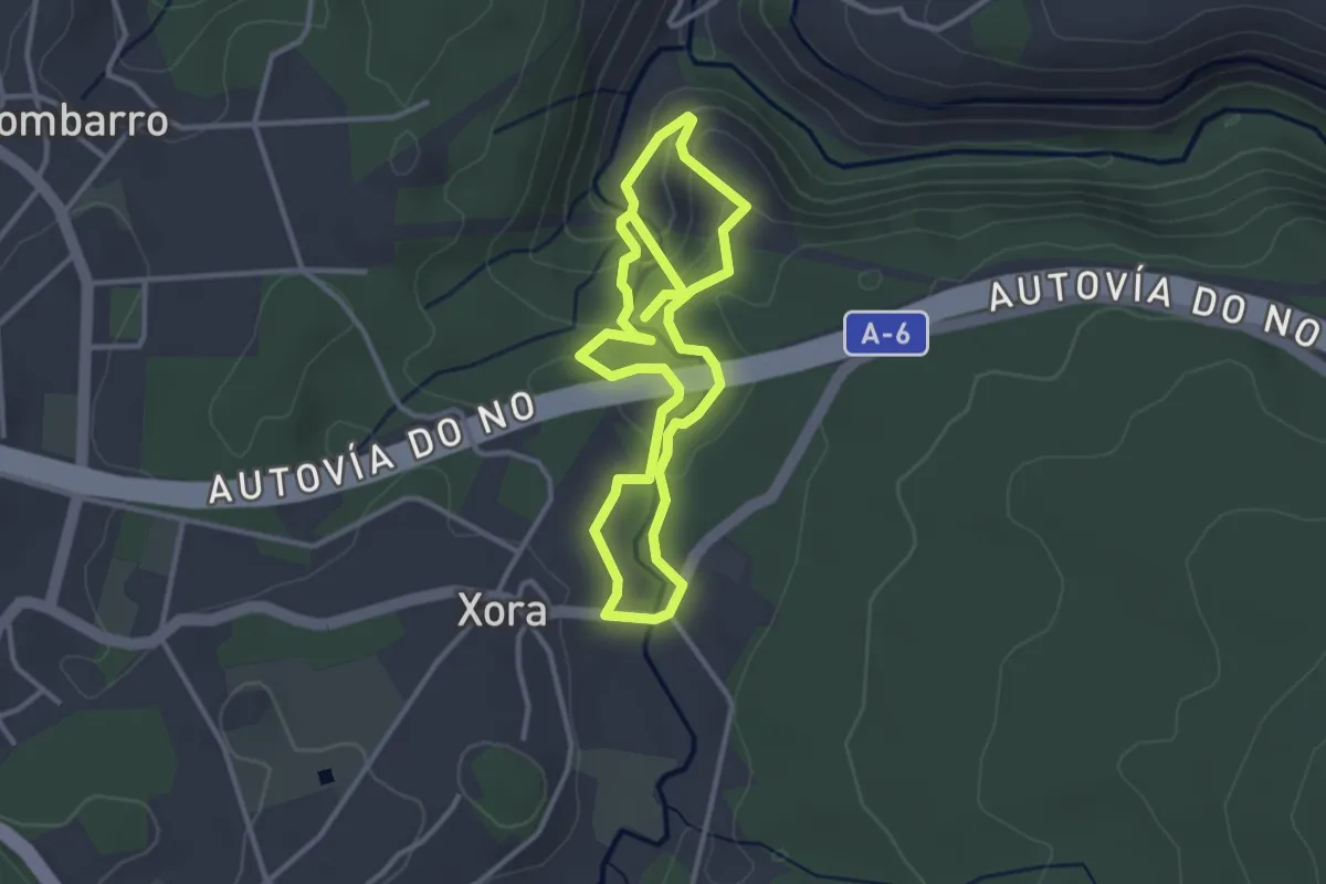
Easy · Summit
O Río dos Dous Nomes
3.1 km · ↑ 108 m · 1 h 2 min
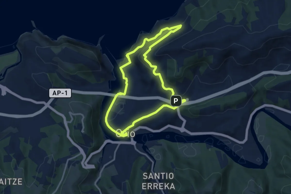
Easy · Trail
Orio - Itxaspe
7.8 km · ↑ 231 m · 2 h 26 min
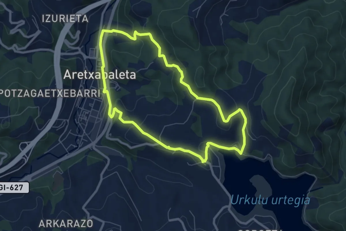
Easy · Trail
Oro-Larrino-Urkulu urtegia-Aozaratza
6.8 km · ↑ 226 m · 2 h 11 min
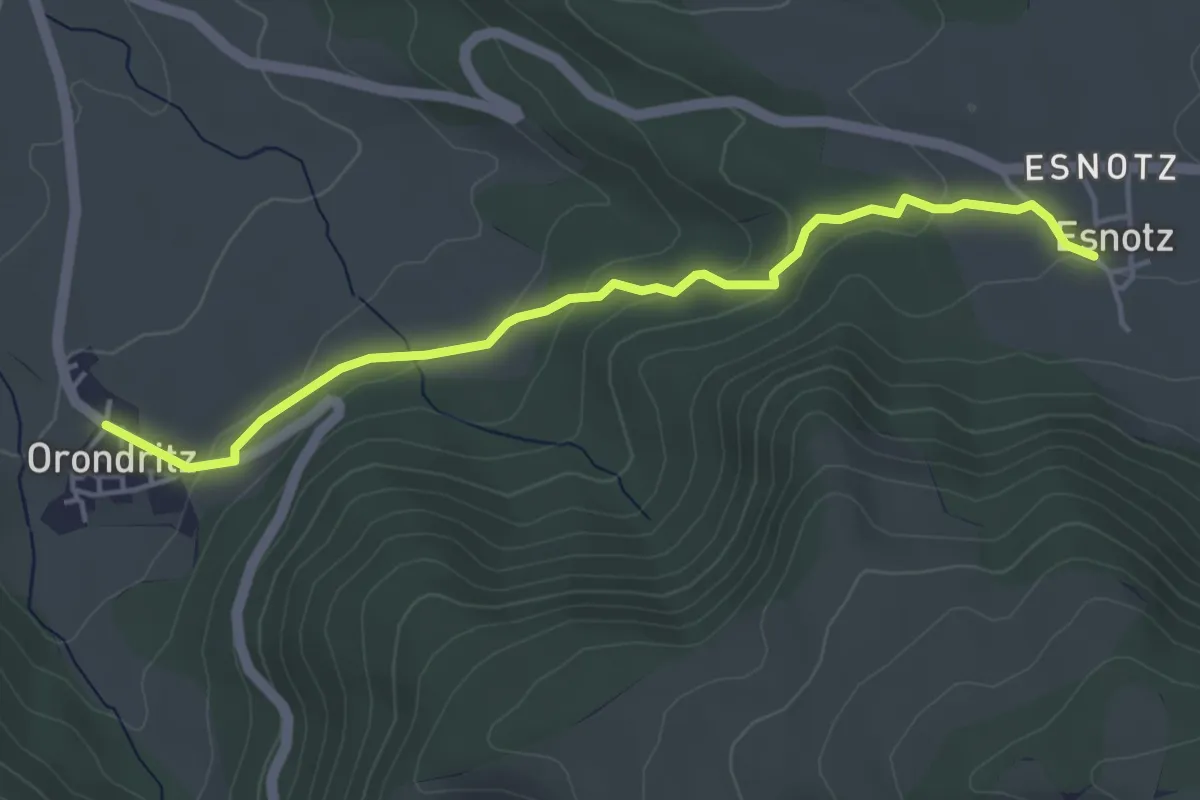
Easy · Trail
Orondritz - Esnotz
4.7 km · ↑ 126 m · 1 h 23 min
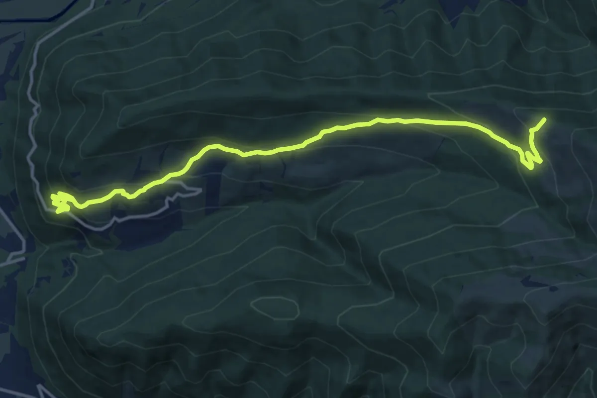
Medium · Trail
Orós Bajo-Yésero
14.3 km · ↑ 727 m · 4 h 57 min
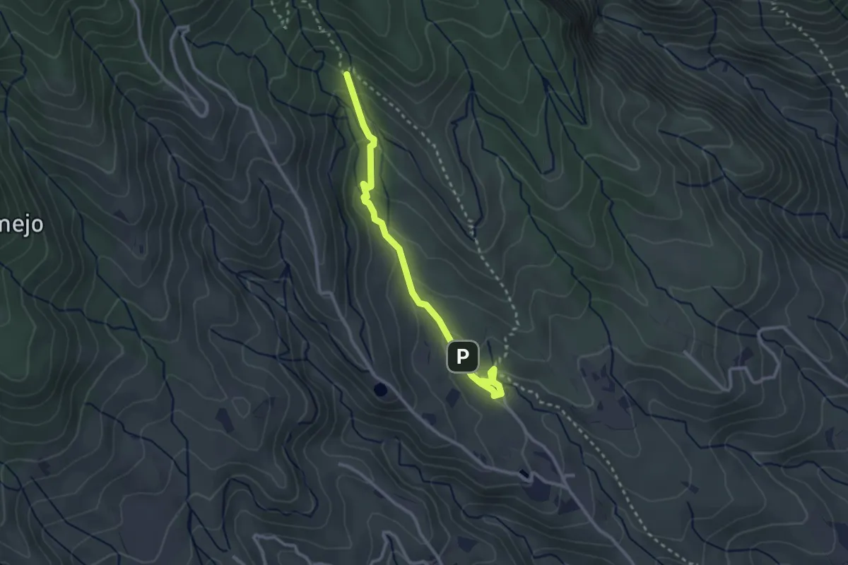
Medium · Trail
Ortiz - La Puente
3.7 km · ↑ 214 m · 1 h 20 min
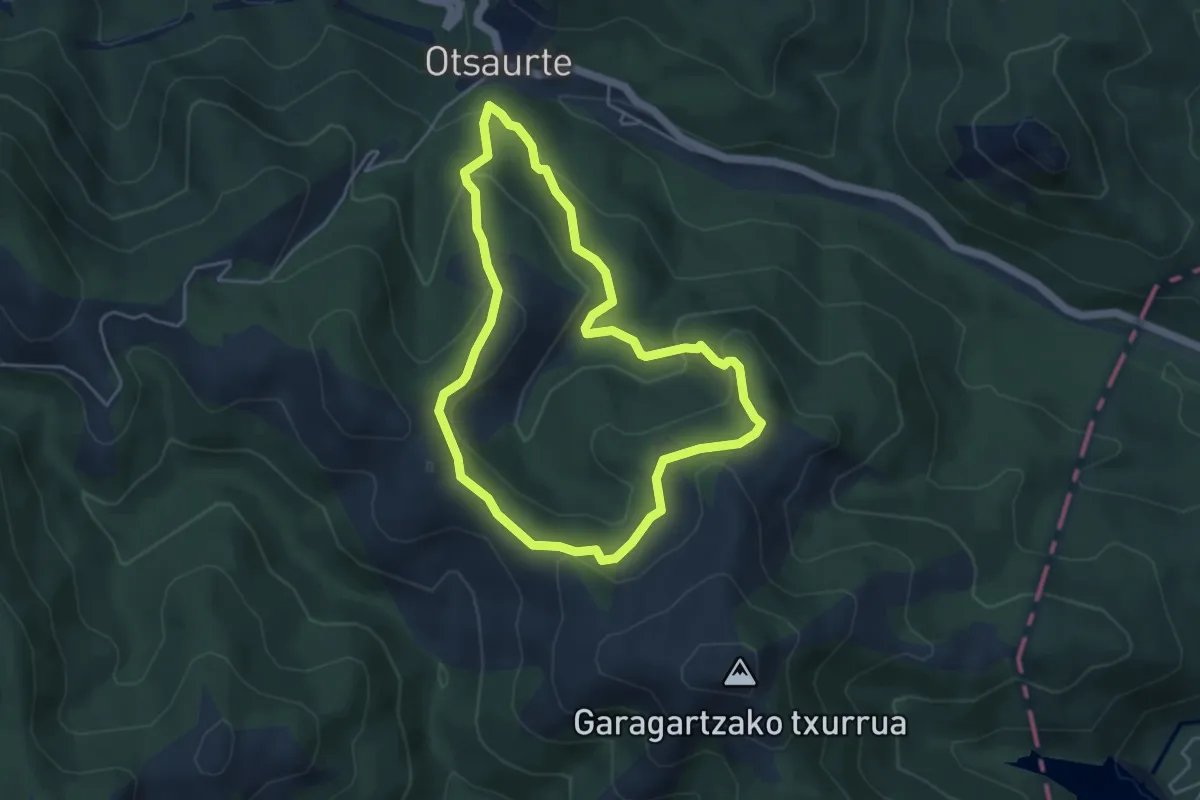
Easy · Summit
Ortsaurteko artzain bideak
4.6 km · ↑ 215 m · 1 h 36 min
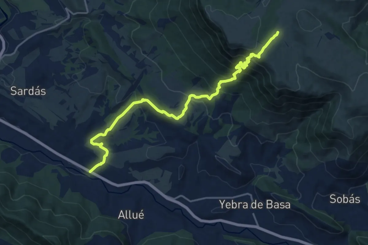
Demanding · Cabin
Osán - Santa Orosia
14.7 km · ↑ 952 m · 5 h 32 min
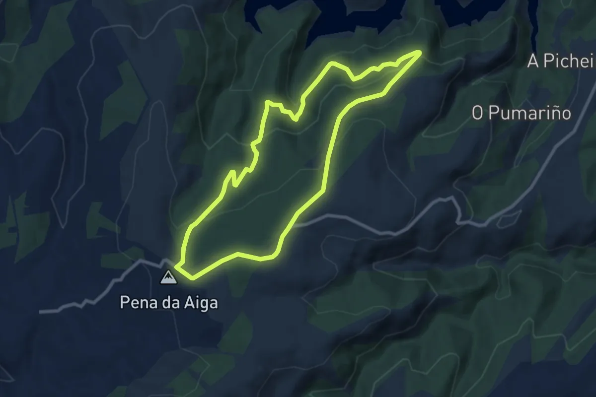
Easy · Summit
Os Cerqueiros
7.7 km · ↑ 278 m · 2 h 31 min