Trails in Spain
5,962 hiking trails, each with its route, climb, walking time and grade.
All trails, page 65 of 125
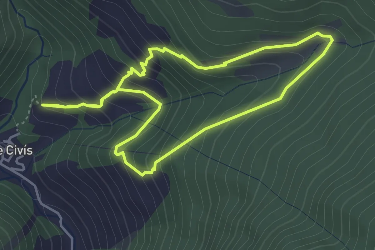
Medium · Trail
Os de Civís-Borda Cremada
3.6 km · ↑ 337 m · 1 h 37 min
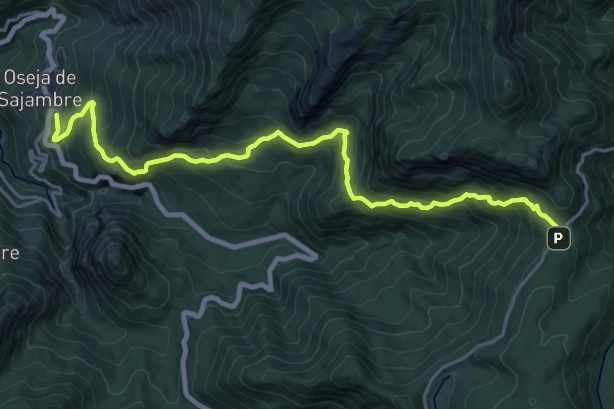
Demanding · Trail
Oseja de Sajambre - panderruedas
13.3 km · ↑ 909 m · 5 h 7 min
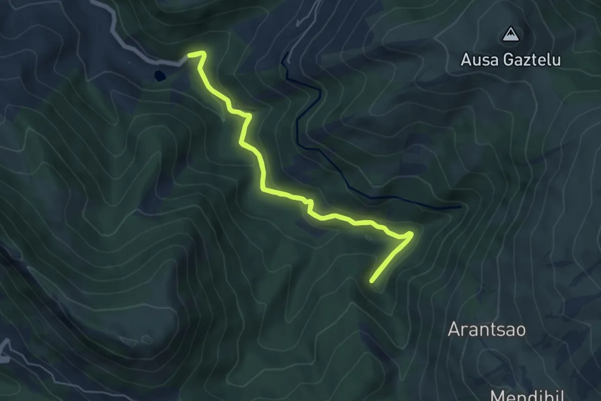
Easy · Trail
Osiberde ibilbidea
5.2 km · ↑ 264 m · 1 h 53 min
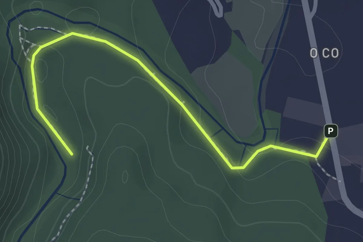
Easy · Trail
O Souto da Retorta
2.3 km · ↑ 34 m · 37 min
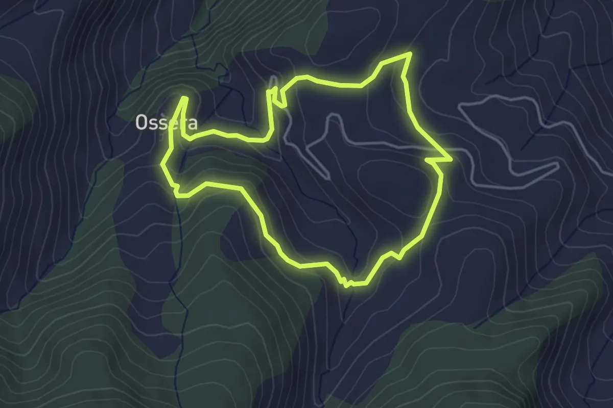
Easy · Summit
Ossera, itinerari botànic
4.2 km · ↑ 190 m · 1 h 27 min
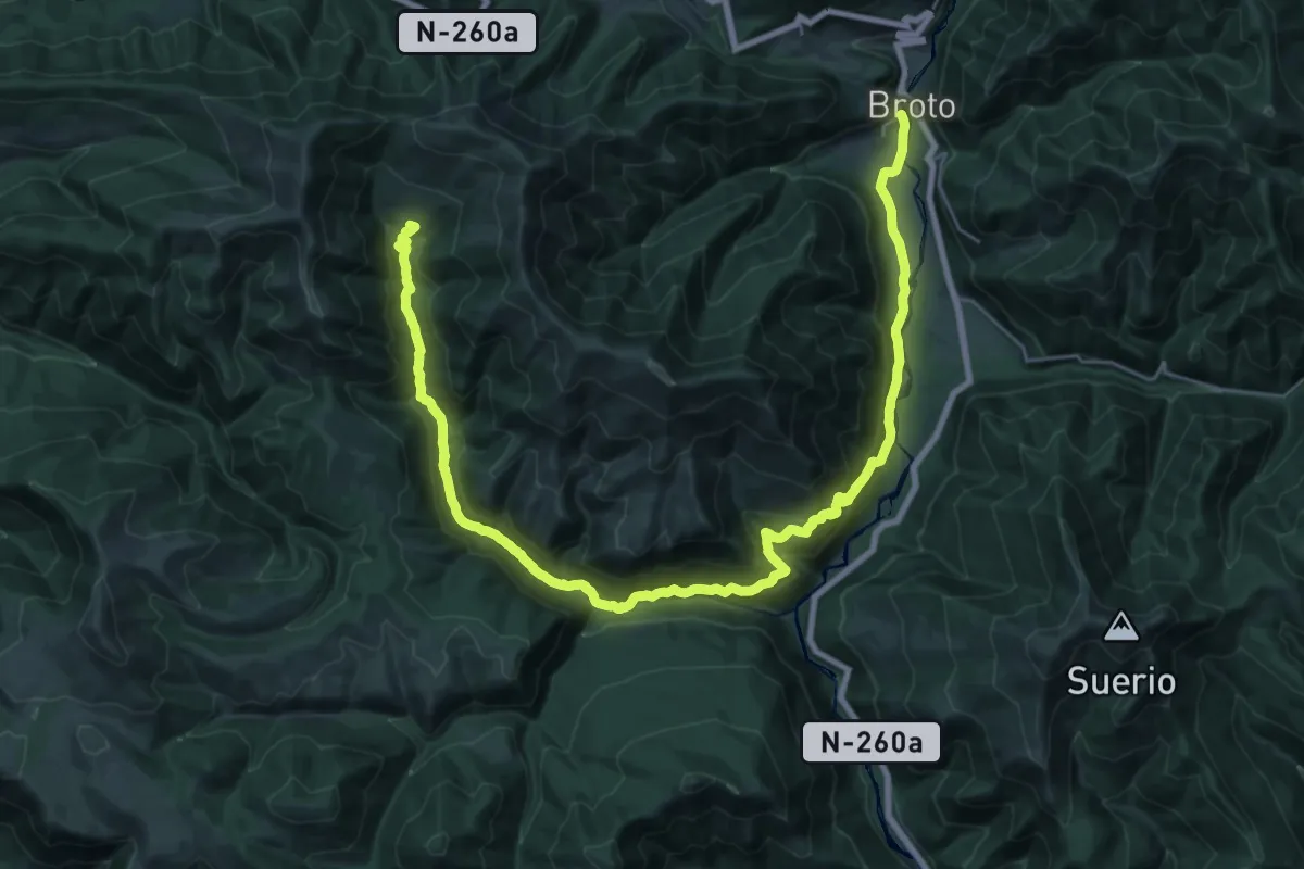
Demanding · Trail
Oto - Ayerbe de Broto - Bergua - Otal
19.6 km · ↑ 1195 m · 7 h 12 min
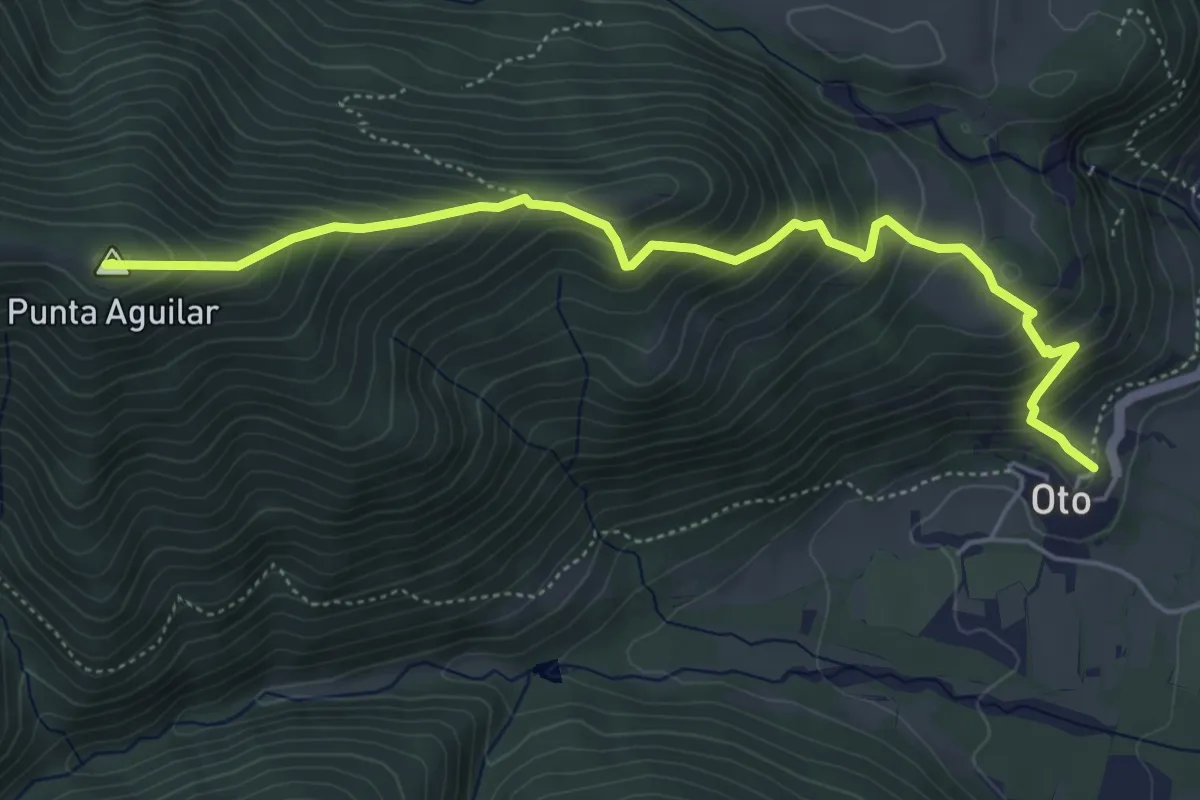
Medium · Summit
Oto - Yosa (desvío a Linás de Broto)
6.0 km · ↑ 631 m · 2 h 47 min
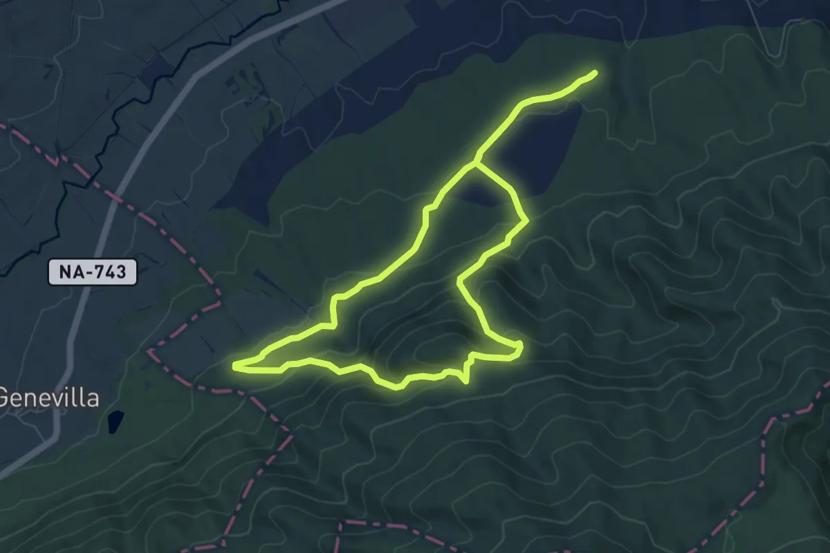
Medium · Trail
Otsoen ibilbidea
7.8 km · ↑ 346 m · 2 h 42 min
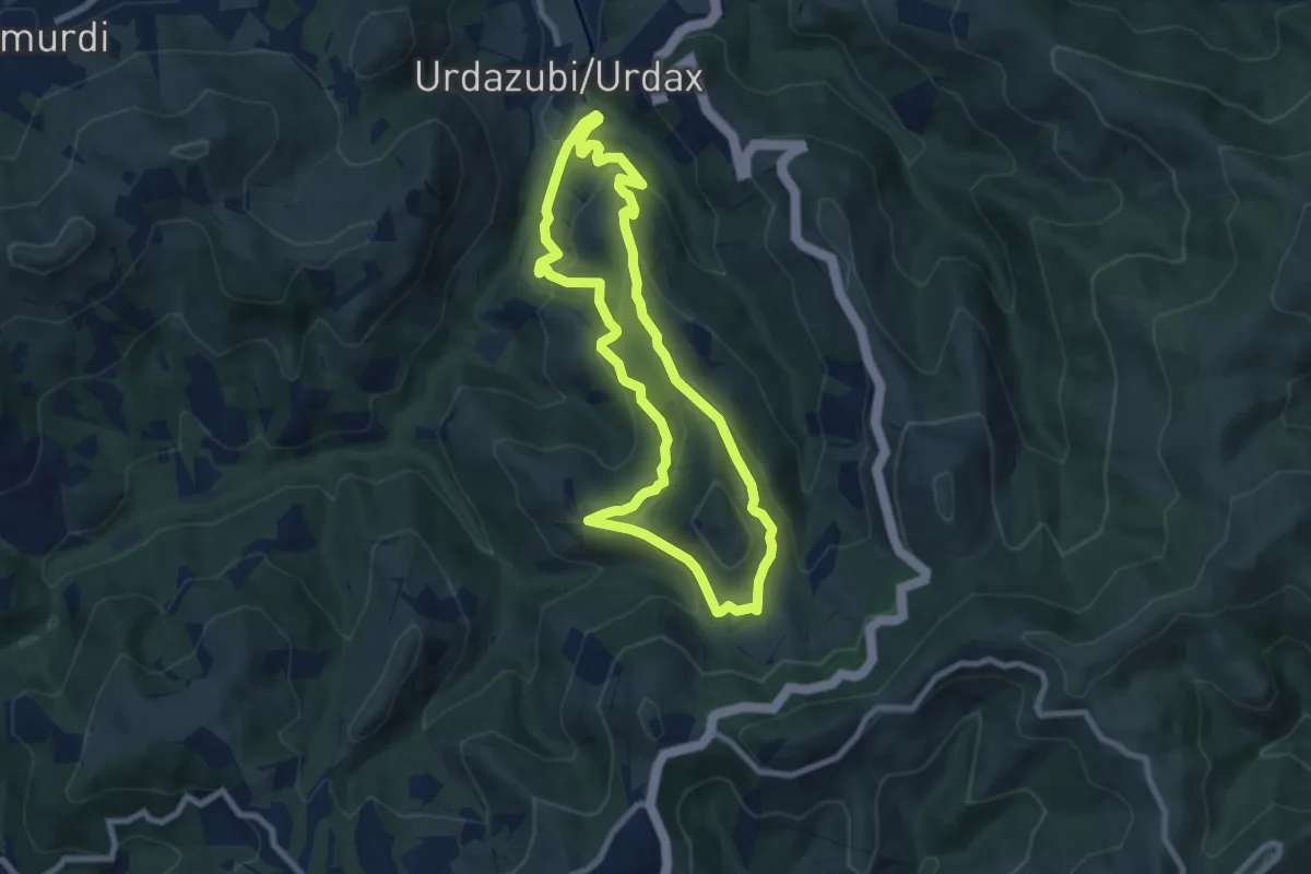
Medium · Trail
Otsondottiki
7.7 km · ↑ 398 m · 2 h 48 min
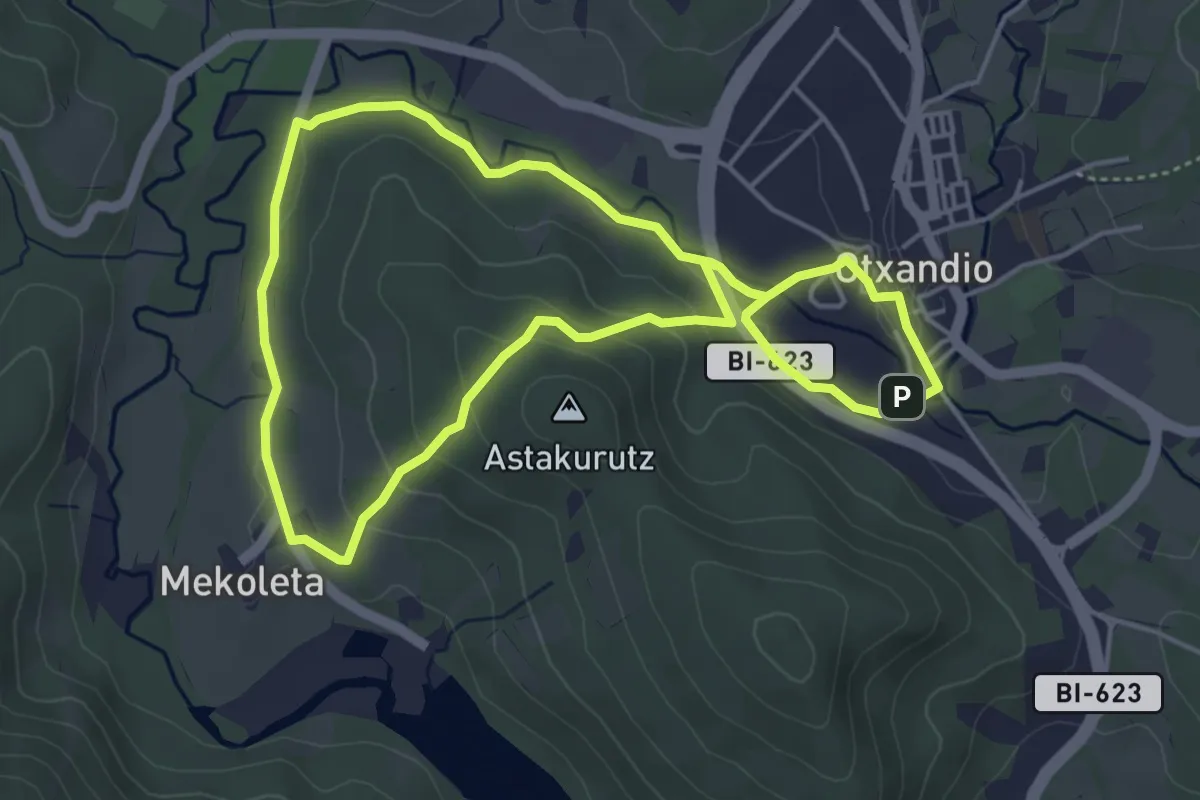
Easy · Trail
Otxandioko galtzadetatik
4.7 km · ↑ 128 m · 1 h 28 min
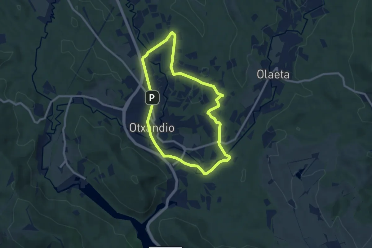
Easy · Trail
Otxandioko pagadiak
6.3 km · ↑ 52 m · 1 h 42 min
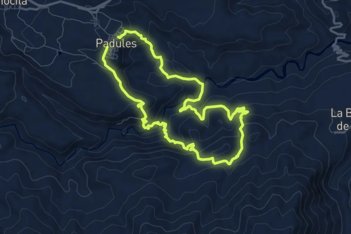
Medium · Trail
Padules - Cordel de la Carretera
8.5 km · ↑ 459 m · 3 h 7 min
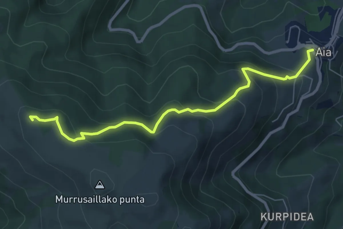
Medium · Summit
Pagoetako gurutzea
6.4 km · ↑ 397 m · 2 h 22 min
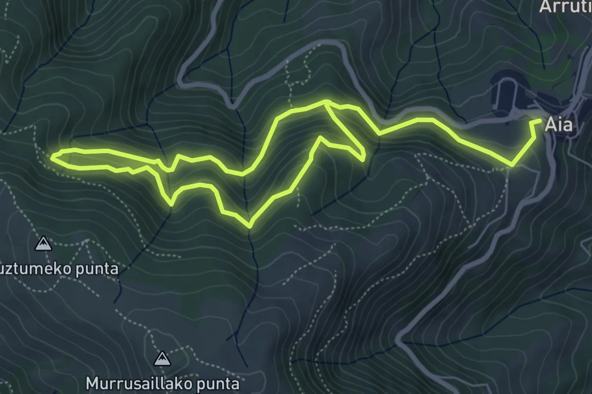
Medium · Trail
Pagoetako hagina
5.2 km · ↑ 327 m · 2 h 2 min
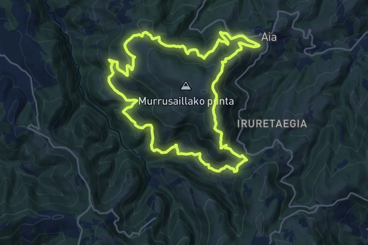
Demanding · Summit
Pagoetari bira
16.3 km · ↑ 937 m · 6 h 7 min
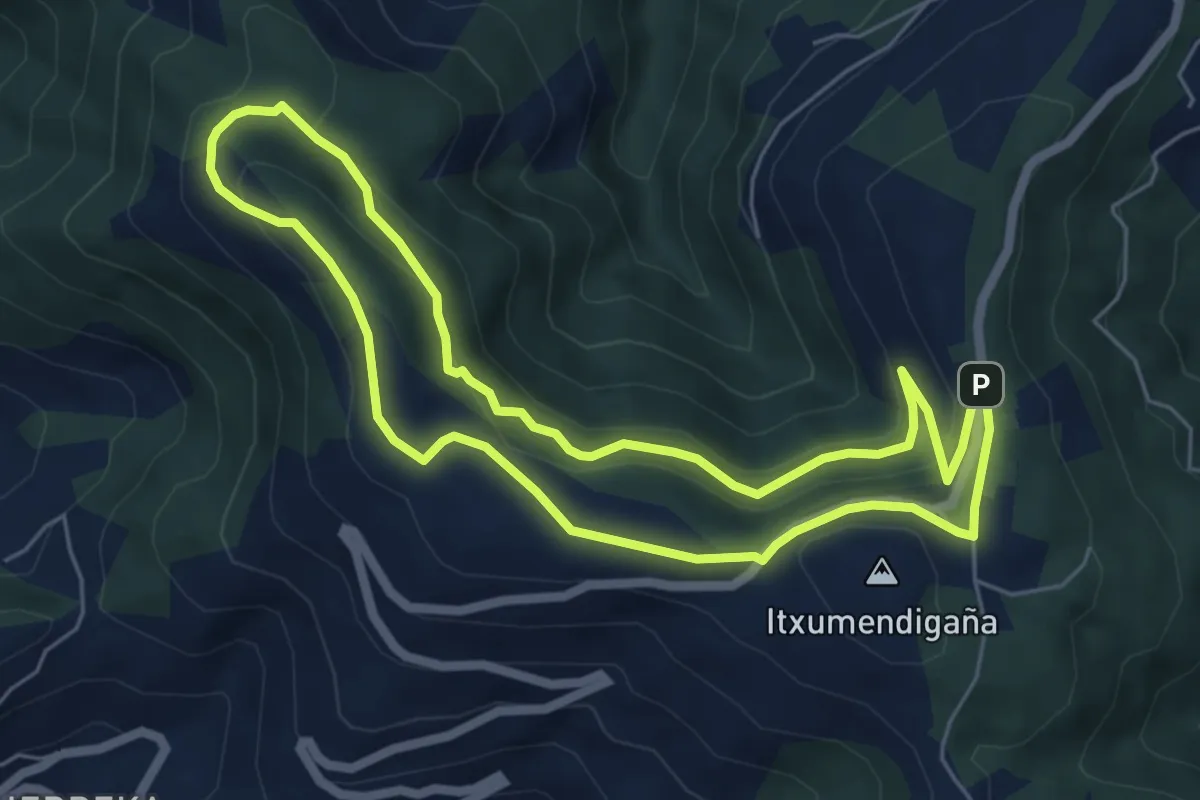
Medium · Summit
Pagolako ubidea
6.0 km · ↑ 200 m · 1 h 56 min
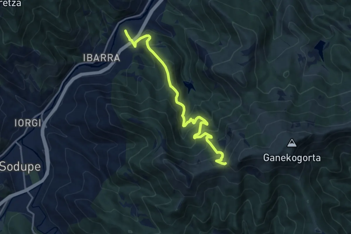
Demanding · Trail
Paguero
11.4 km · ↑ 891 m · 4 h 38 min
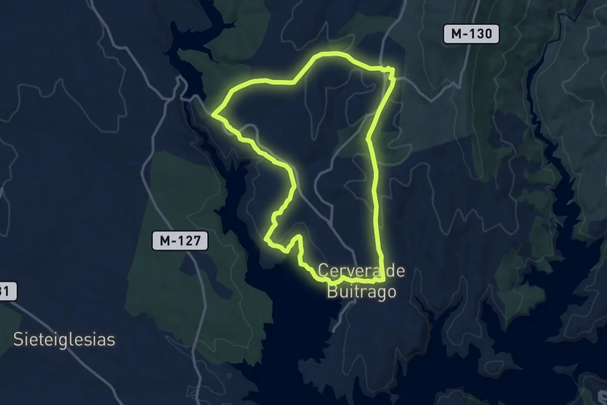
Medium · Trail
Paisajes de Agua y Jara
12.7 km · ↑ 277 m · 3 h 46 min
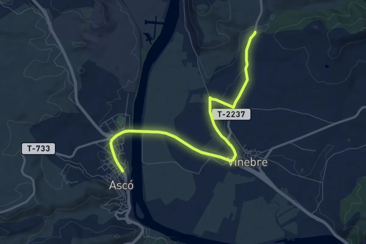
Easy · Trail
Paissatges de la Batalla de l'Ebre
4.9 km · ↑ 40 m · 1 h 19 min
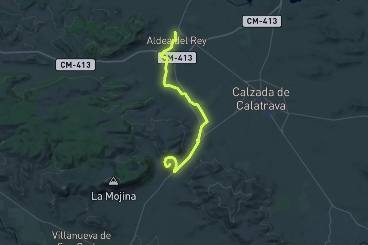
Demanding · Trail
Palacio de Claveria. Castillo de Cva. la Nueva
29.7 km · ↑ 376 m · 7 h 50 min
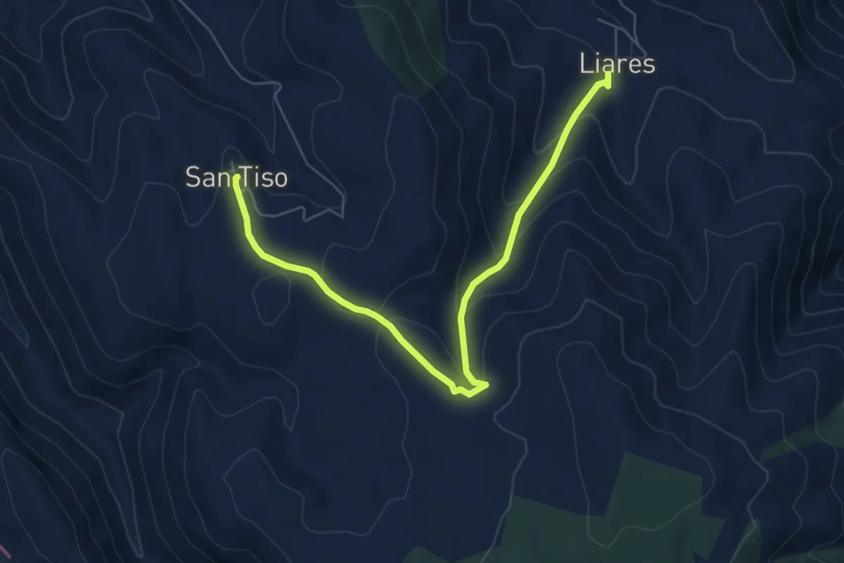
Medium · Trail
Pallozas de Santiso
7.2 km · ↑ 320 m · 2 h 23 min
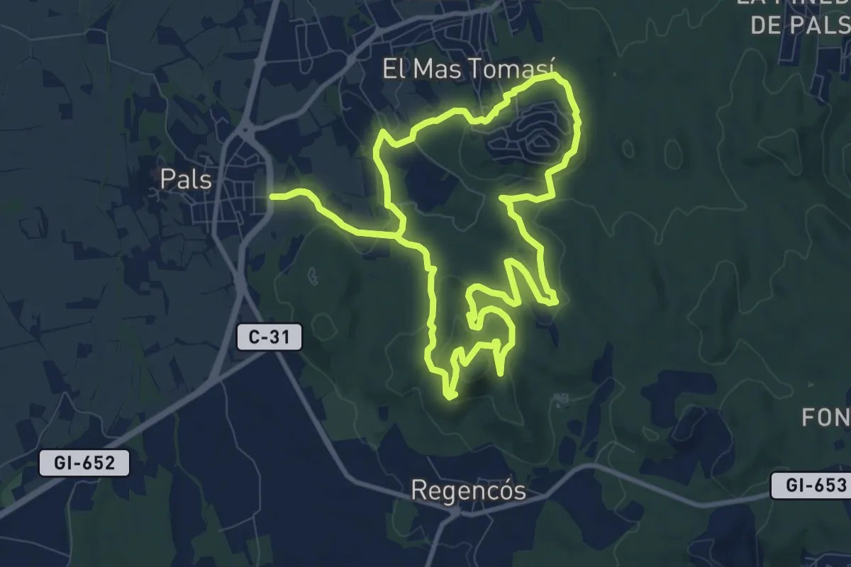
Medium · Summit
Pals al Quermany Gros i mines d'en Bofill
10.8 km · ↑ 293 m · 3 h 20 min
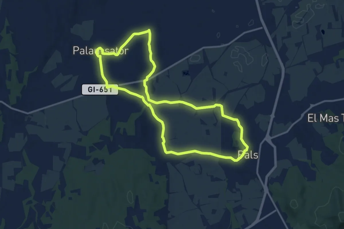
Medium · Trail
Pals-Palau-sator
10.3 km · ↑ 77 m · 2 h 44 min
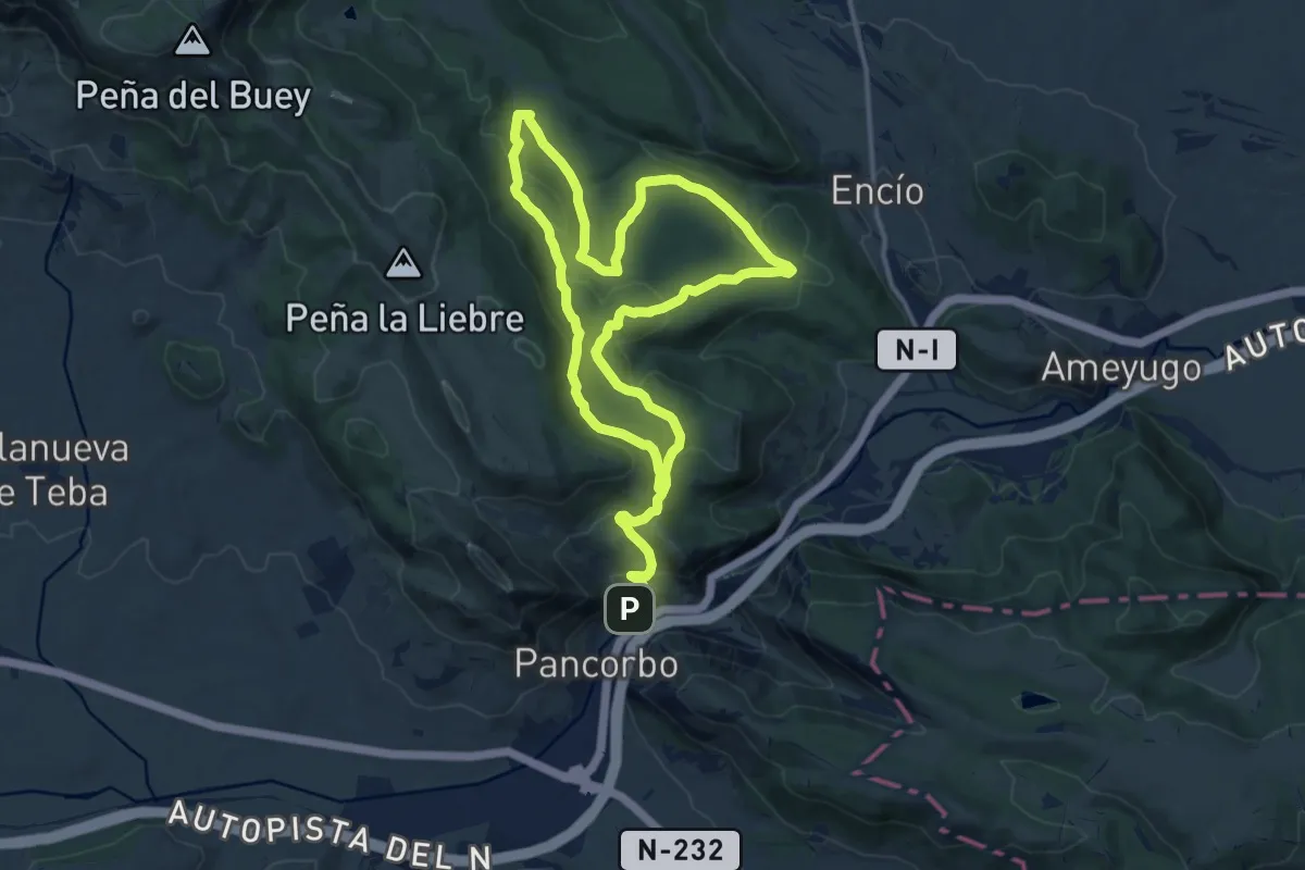
Demanding · Trail
Pancorbo
24.5 km · ↑ 913 m · 7 h 46 min
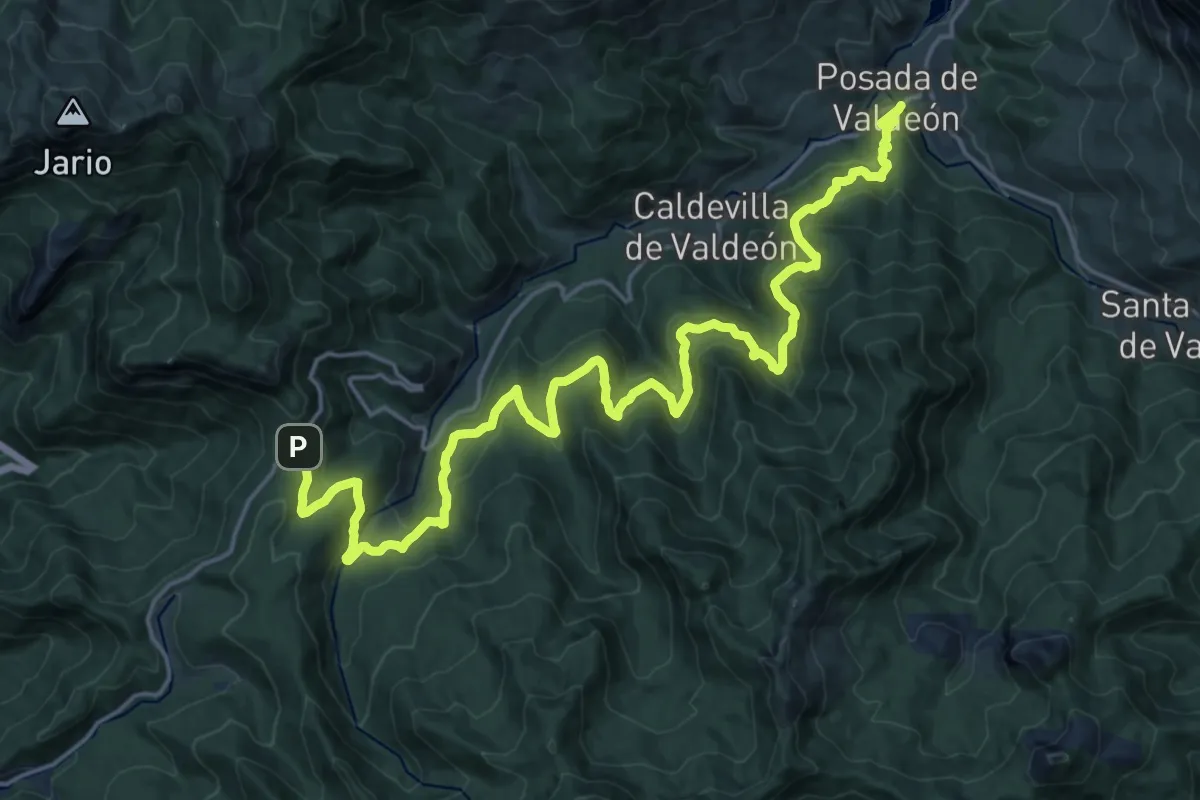
Medium · Trail
Panderruedas-Posada de Valdeón
12.5 km · ↑ 339 m · 4 h 8 min
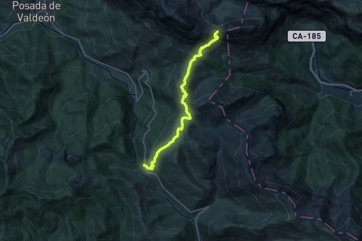
Demanding · Summit
Pandetrave - Collado Hermoso
13.3 km · ↑ 818 m · 4 h 55 min
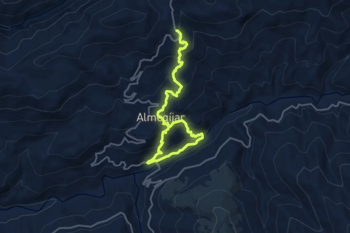
Medium · Trail
Panjuila
6.4 km · ↑ 571 m · 2 h 40 min
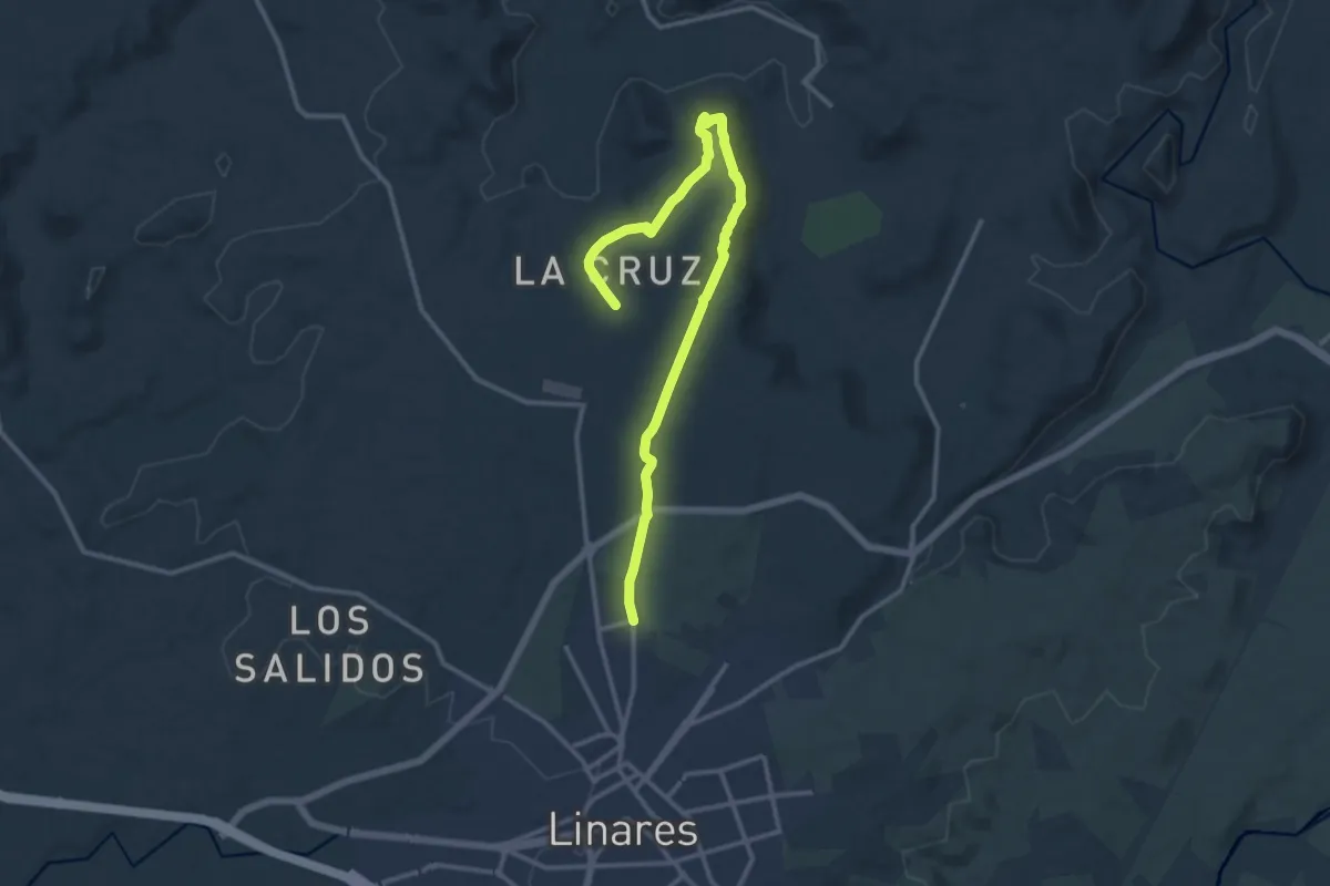
Medium · Trail
Paño Pico
17.0 km · ↑ 228 m · 4 h 30 min
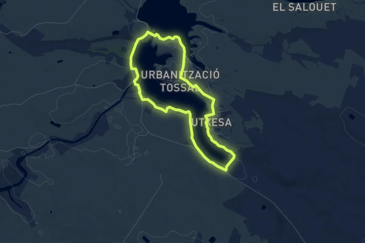
Easy · Summit
Pantà d'Utxesa
6.7 km · ↑ 34 m · 1 h 45 min
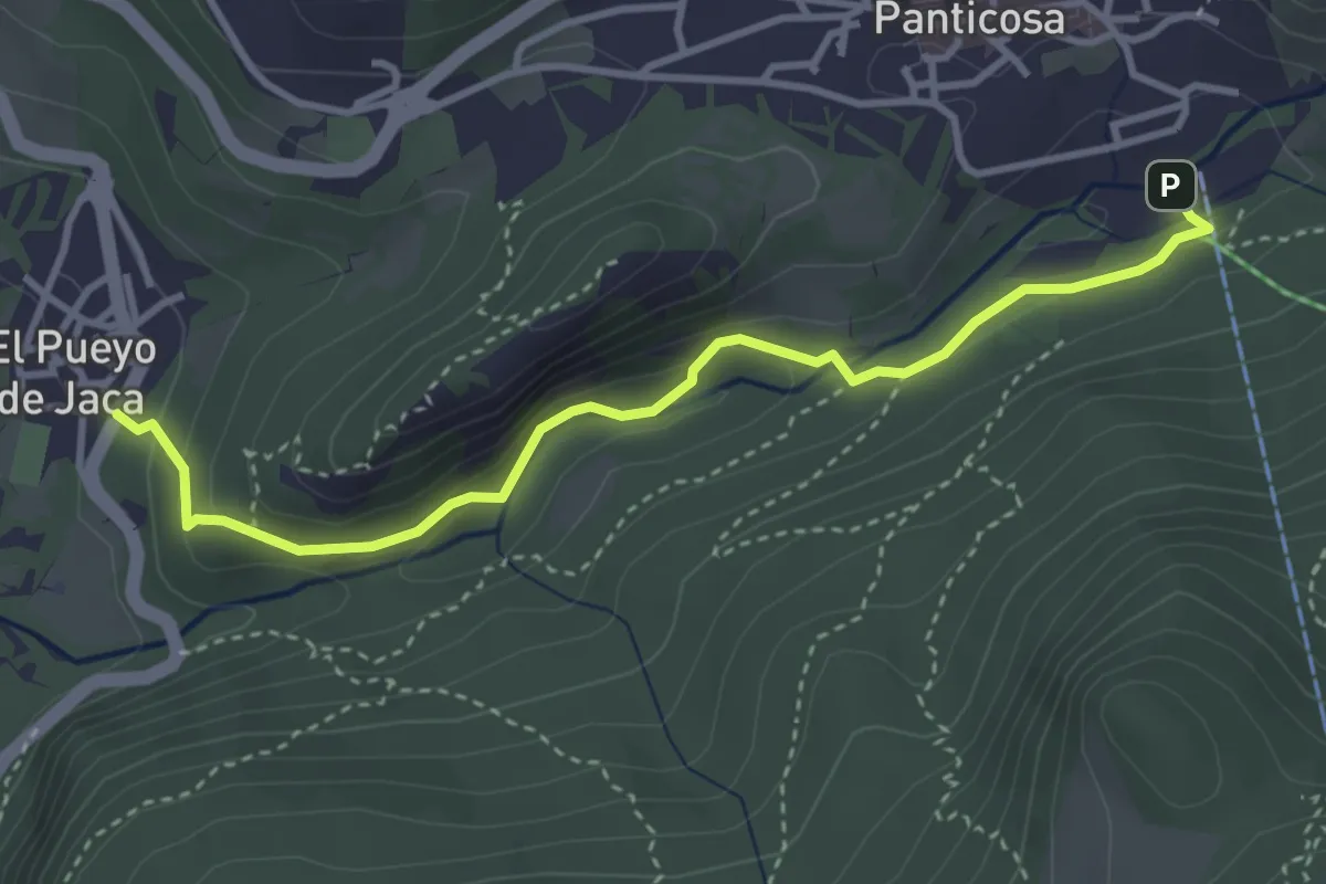
Easy · Trail
Panticosa - El Pueyo de Jaca
4.0 km · ↑ 135 m · 1 h 14 min
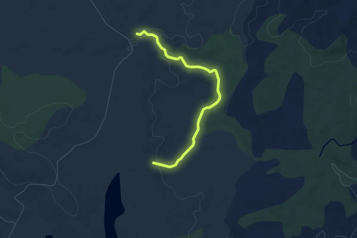
Easy · Trail
Paraje del Berrocal del Rugidero
6.9 km · ↑ 96 m · 1 h 50 min
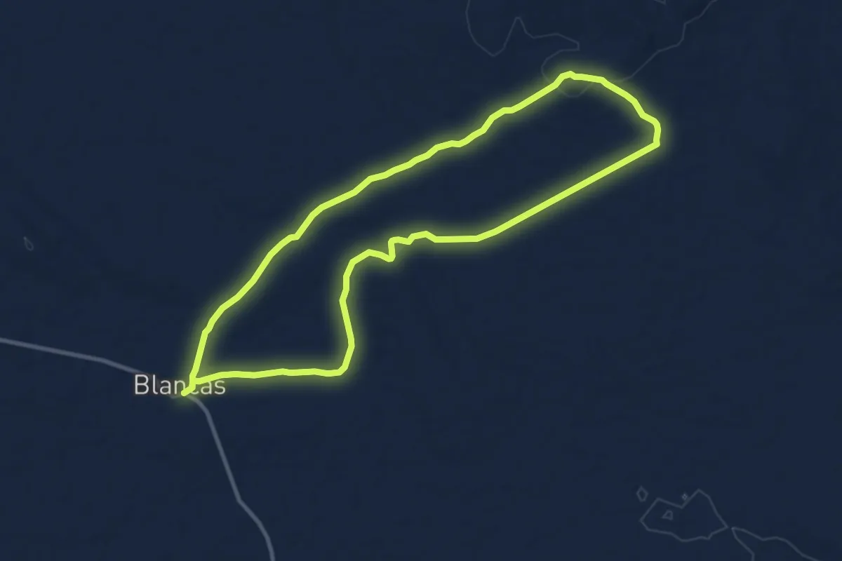
Medium · Trail
Paramera de Blancas
10.9 km · ↑ 117 m · 2 h 59 min
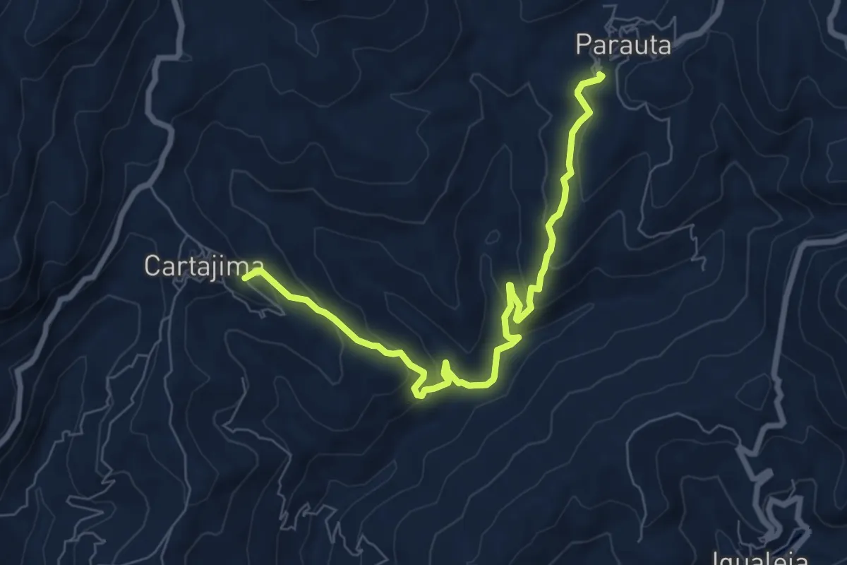
Medium · Trail
Parauta - Cartajima
8.7 km · ↑ 432 m · 2 h 59 min
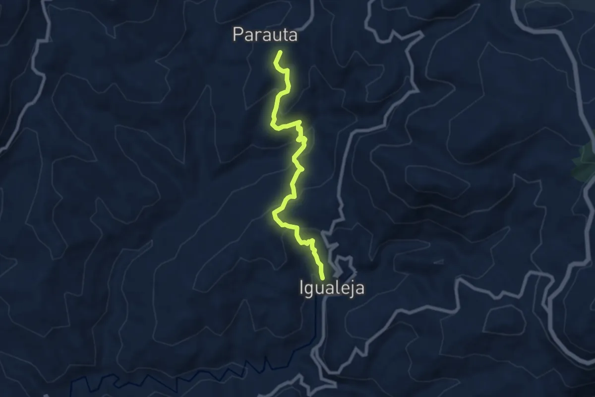
Medium · Summit
Parauta - Igualeja
7.5 km · ↑ 445 m · 2 h 44 min
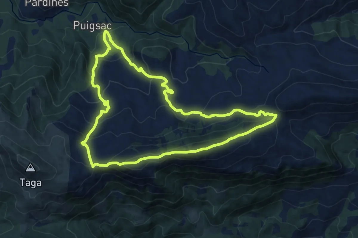
Medium · Summit
Pardines al Puig Estela
13.6 km · ↑ 764 m · 5 h 3 min
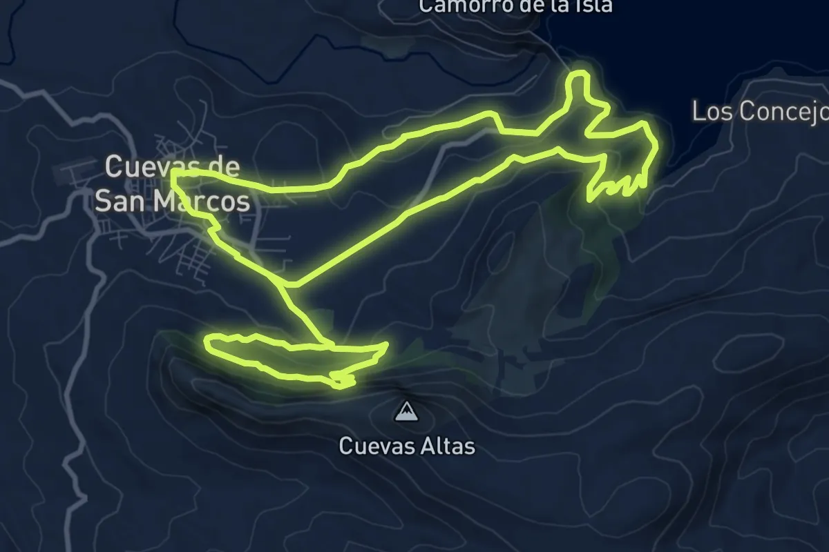
Medium · Trail
Parque Arqueología y Natura Belda
12.6 km · ↑ 559 m · 4 h 21 min
Medium · Cabin
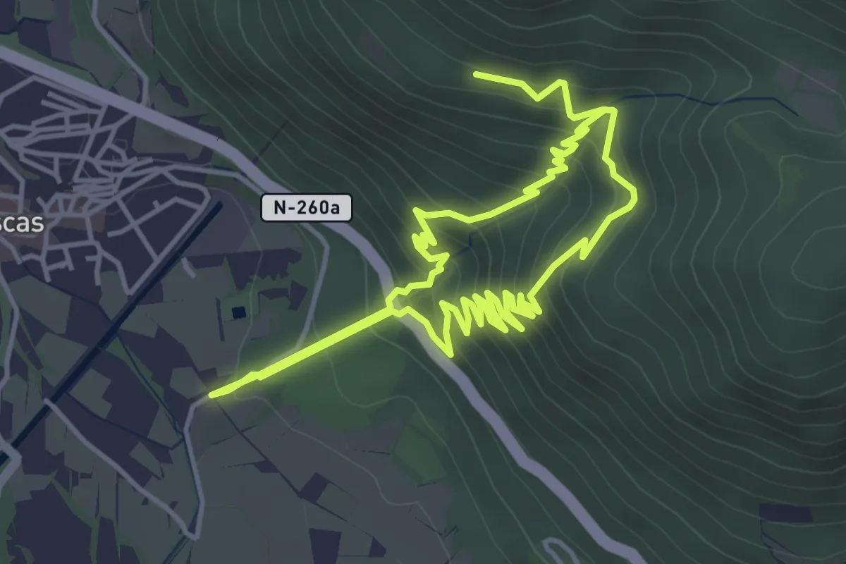
Parque de Arratiecho - Casita de las Brujas
4.2 km · ↑ 343 m · 1 h 48 min
Easy · Trail
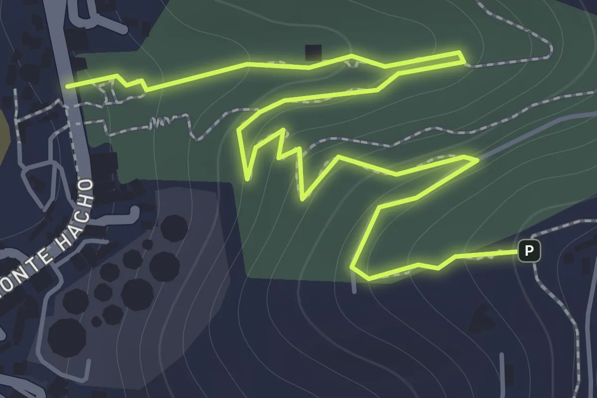
Parque de San Amaro a la Fortaleza del Hacho
2.7 km · ↑ 173 m · 1 h 1 min
Demanding · Summit
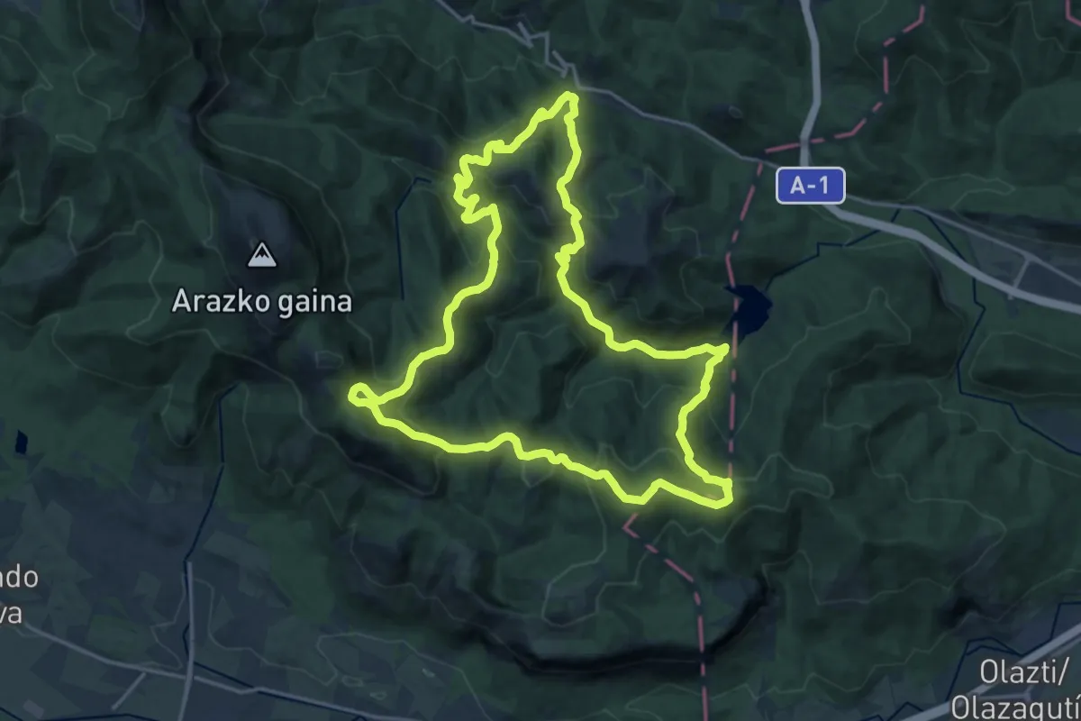
Partzoneriako basoak
19.8 km · ↑ 986 m · 7 h 5 min
Demanding · Trail
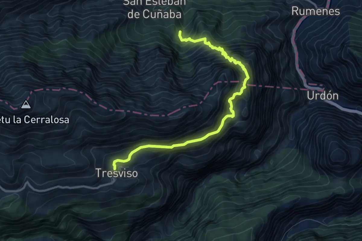
Pasá de Picayo
9.1 km · ↑ 1189 m · 4 h 44 min
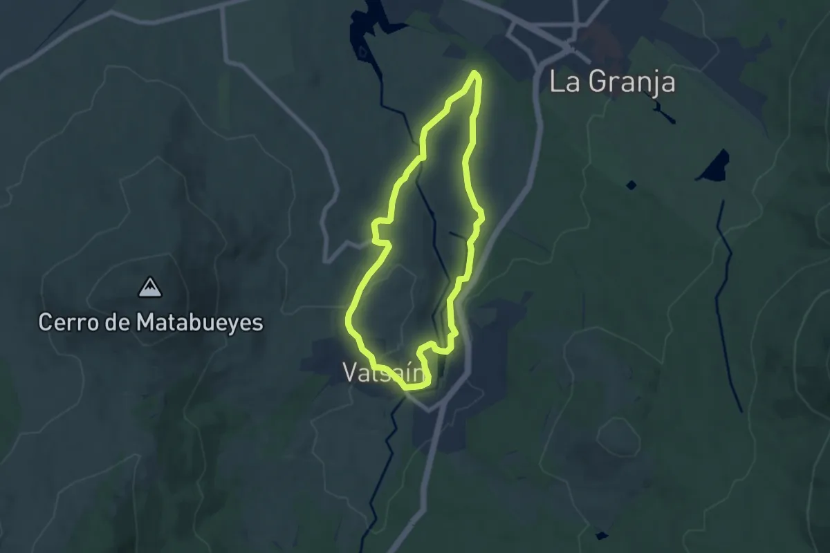
Easy · Trail
Pasaderas - Pesquerías
6.1 km · ↑ 120 m · 1 h 47 min
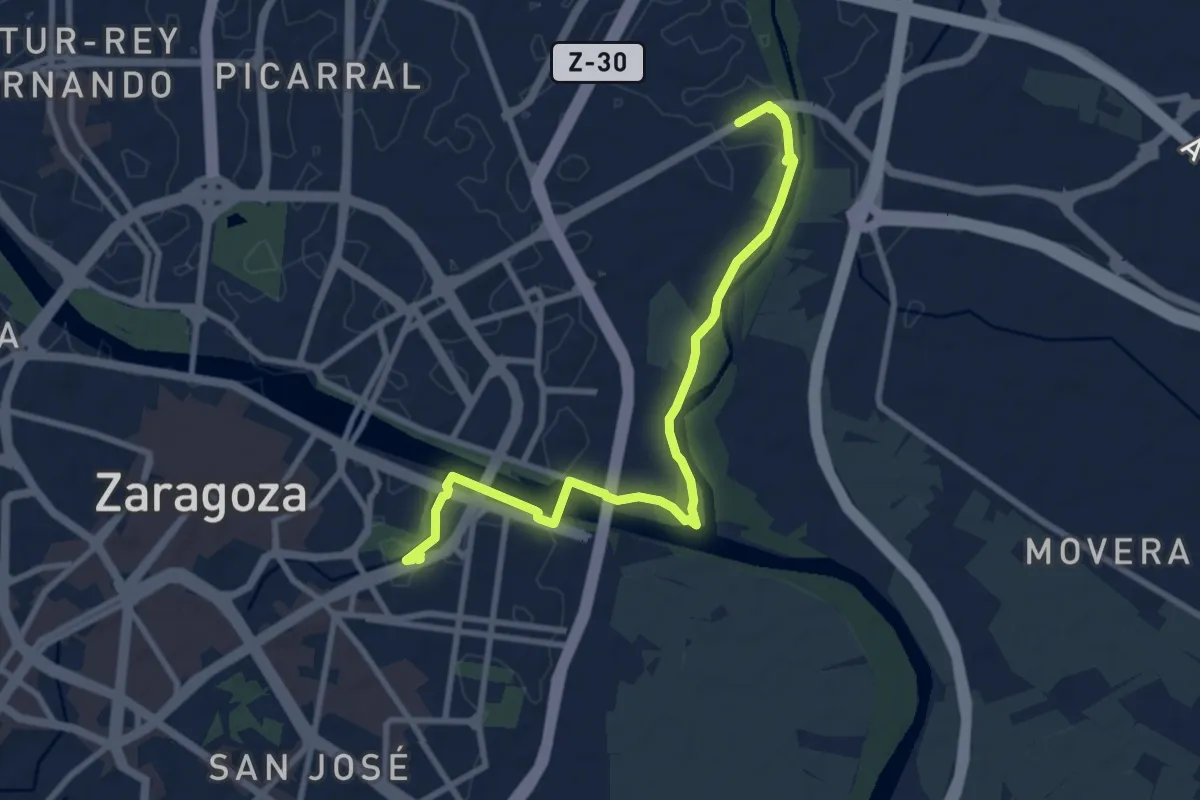
Medium · Trail
Paseando por los tres ríos
10.2 km · ↑ 48 m · 2 h 31 min
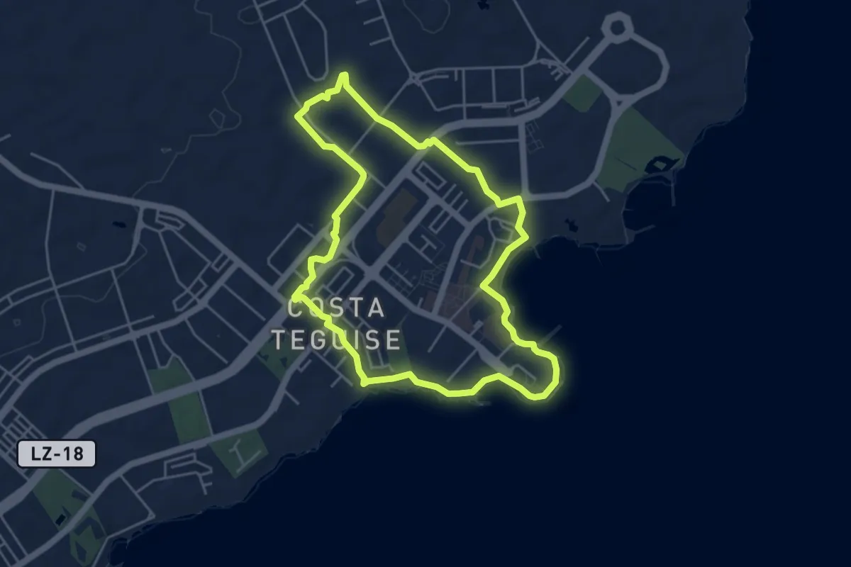
Easy · Trail
Paseo 1
5.7 km · ↑ 41 m · 1 h 31 min
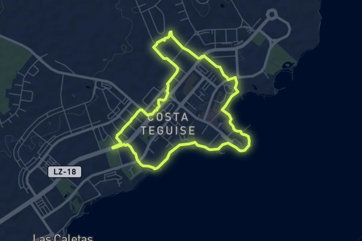
Easy · Trail
Paseo 2
7.2 km · ↑ 48 m · 1 h 55 min
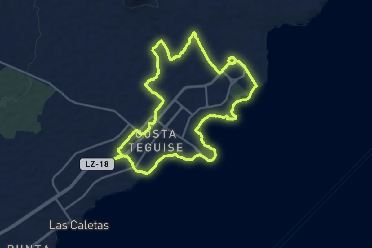
Medium · Trail
Paseo 3
11.4 km · ↑ 91 m · 3 h 2 min
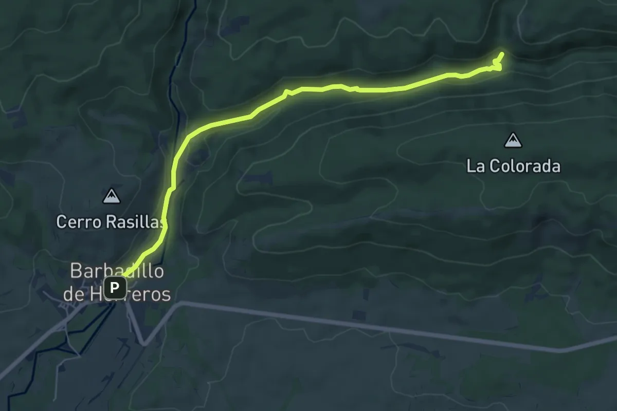
Easy · Trail
Paseo al Chorranco
6.9 km · ↑ 85 m · 1 h 48 min
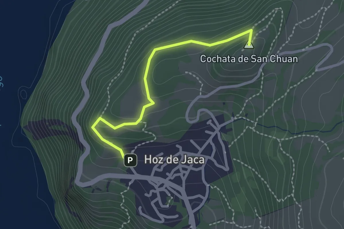
Easy · Summit
Paseo Cochata-Sanchuan
2.3 km · ↑ 126 m · 49 min
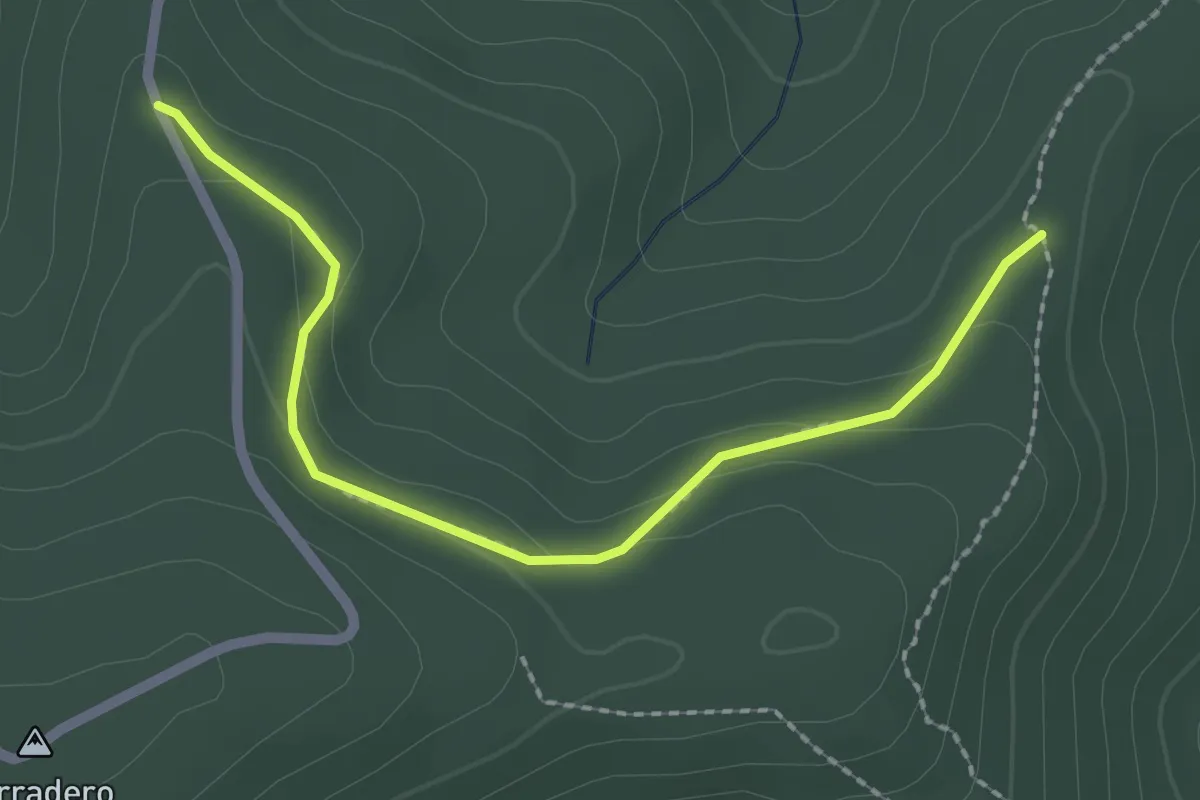
Easy · Trail
Paseo de las Neveras de Daroca
2.5 km · ↑ 73 m · 45 min