Trails in Spain
5,962 hiking trails, each with its route, climb, walking time and grade.
All trails, page 66 of 125
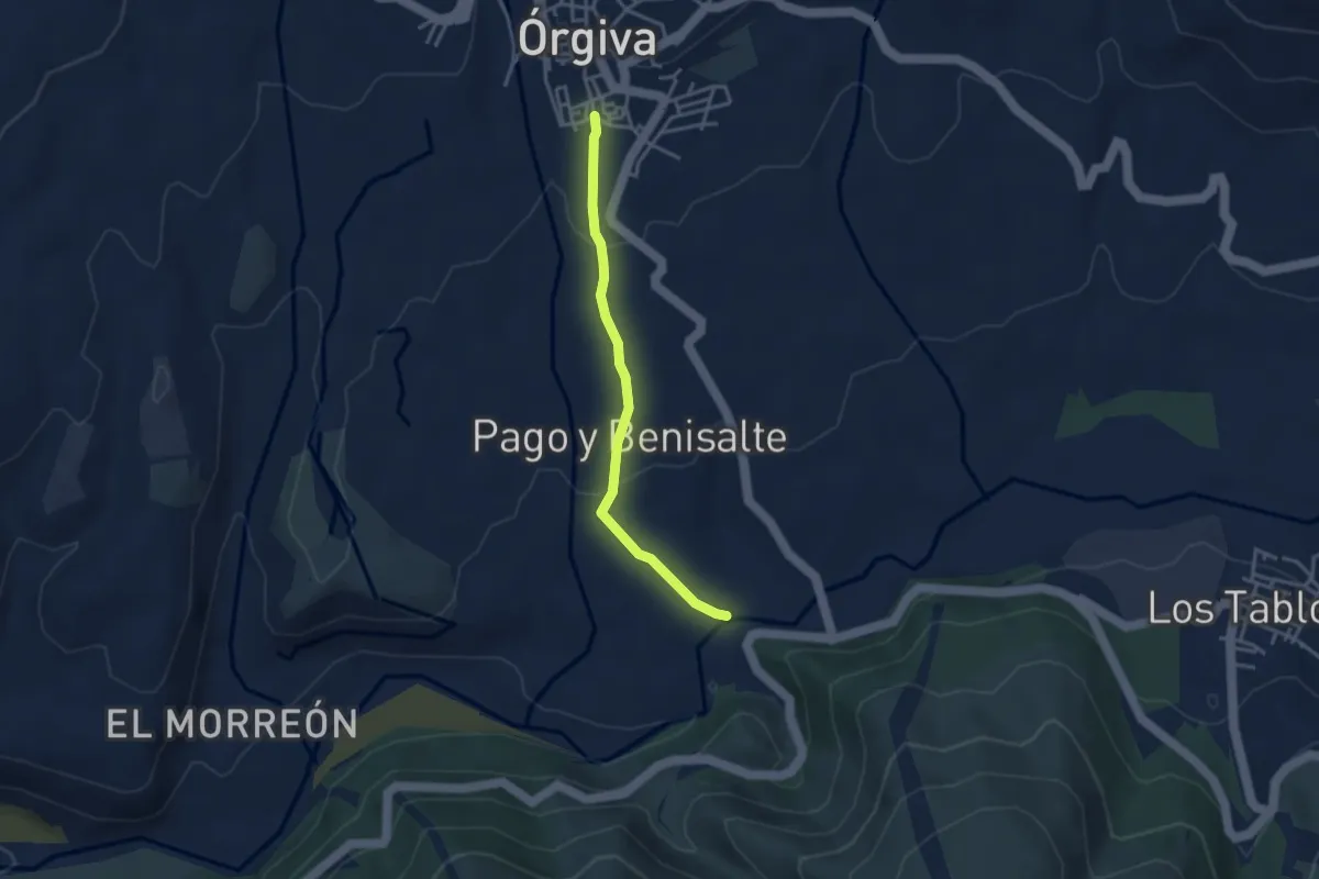
Easy · Trail
Paseo de la Vegueta
3.6 km · ↑ 124 m · 1 h 8 min
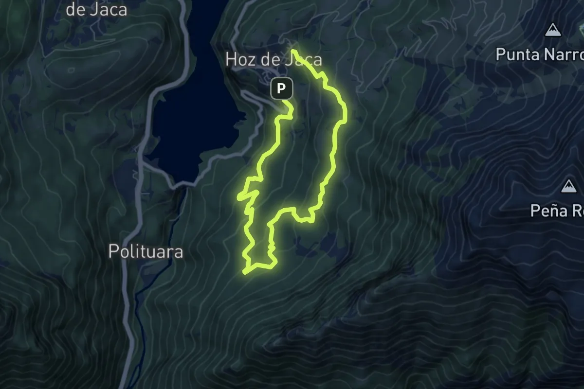
Medium · Trail
Paseo del Haya Centenaria (Huertascols)
11.6 km · ↑ 629 m · 4 h 6 min
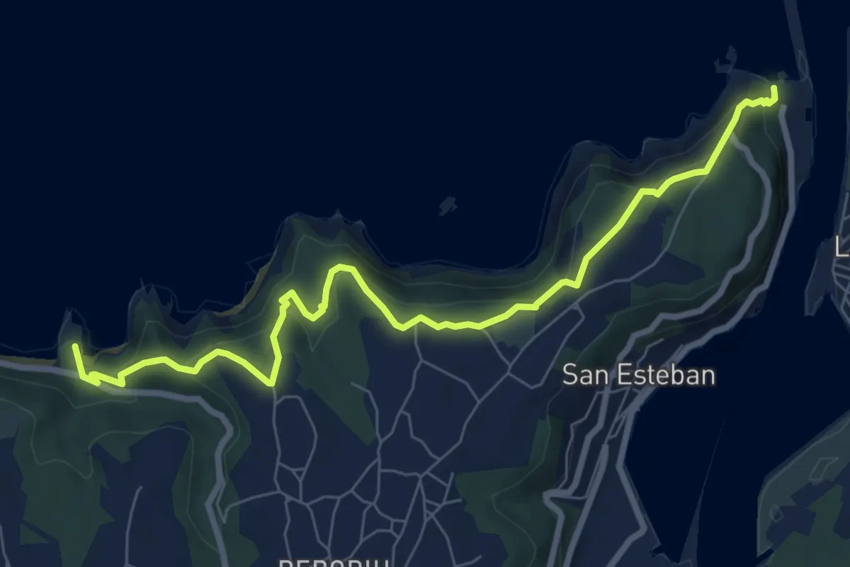
Medium · Summit
Paseo de los Miradores
8.7 km · ↑ 373 m · 2 h 52 min
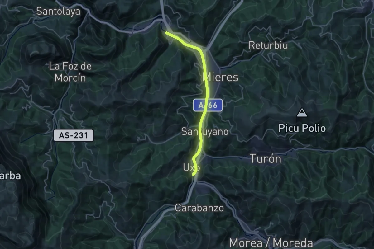
Demanding · Trail
Paseo del Rio Caudal
18.1 km · ↑ 222 m · 4 h 45 min
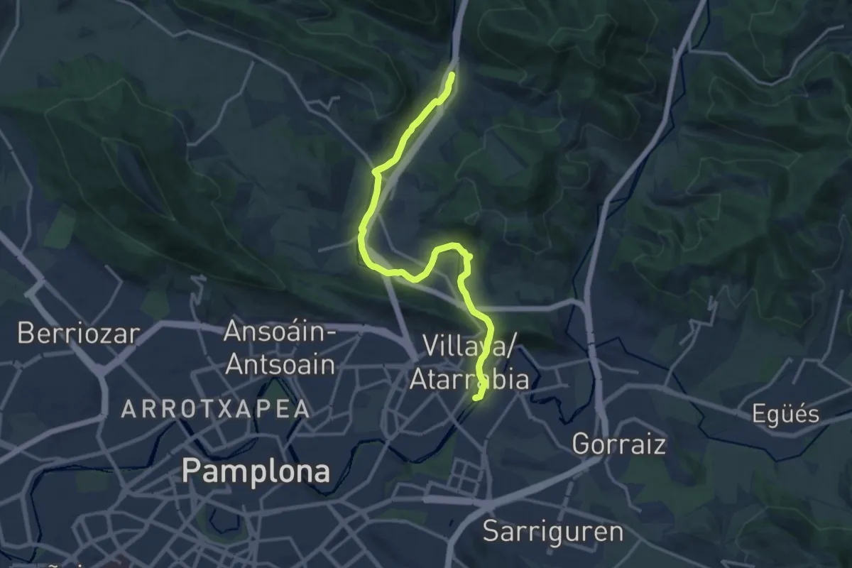
Demanding · Trail
Paseo del Ulzama
18.5 km · ↑ 209 m · 4 h 49 min
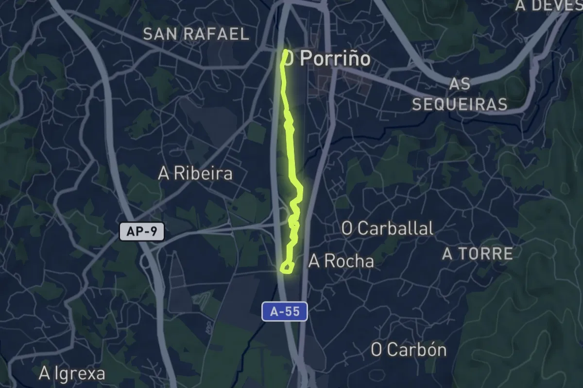
Easy · Trail
Paseo do Louro
7.8 km · ↑ 8 m · 1 h 52 min
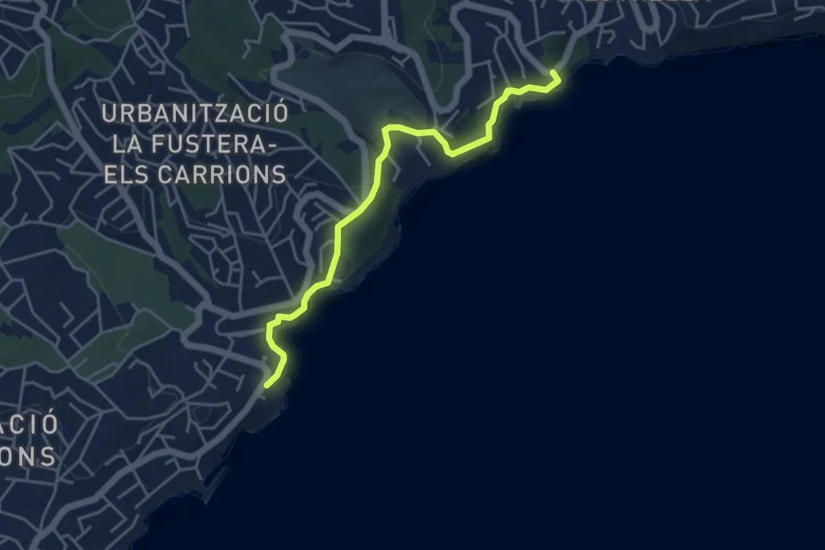
Easy · Trail
Paseo ecologico de Besnissa
4.3 km · ↑ 134 m · 1 h 19 min
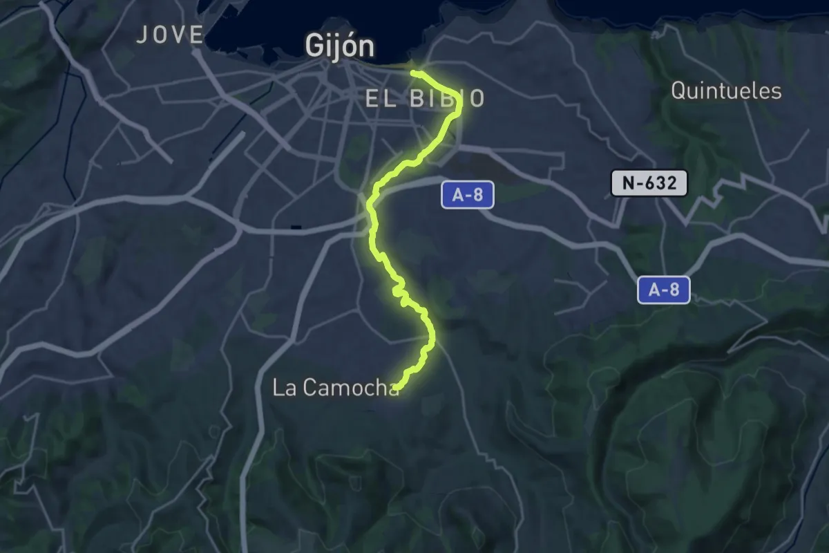
Medium · Trail
Paseo fluvial del Rio Piles (peatonal)
17.8 km · ↑ 101 m · 4 h 26 min
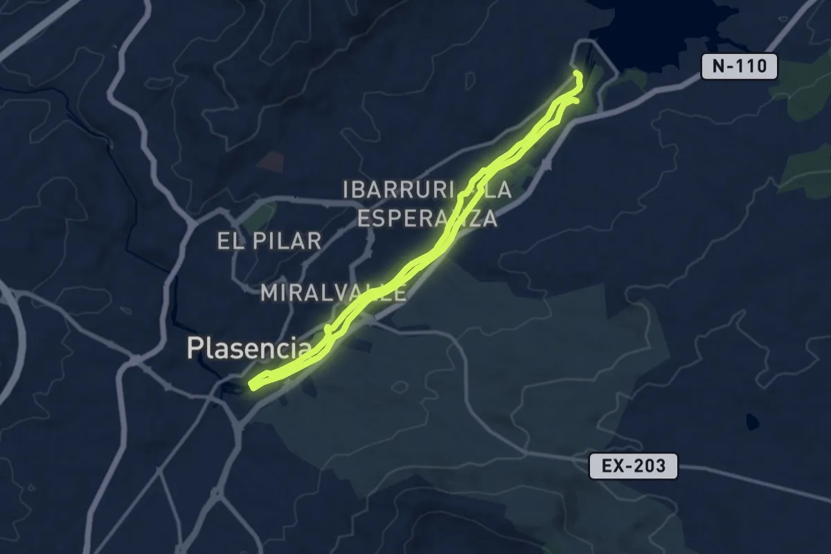
Demanding · Trail
Paseo Fluvial Plasencia, Aguas Abajo
21.5 km · ↑ 39 m · 5 h 10 min
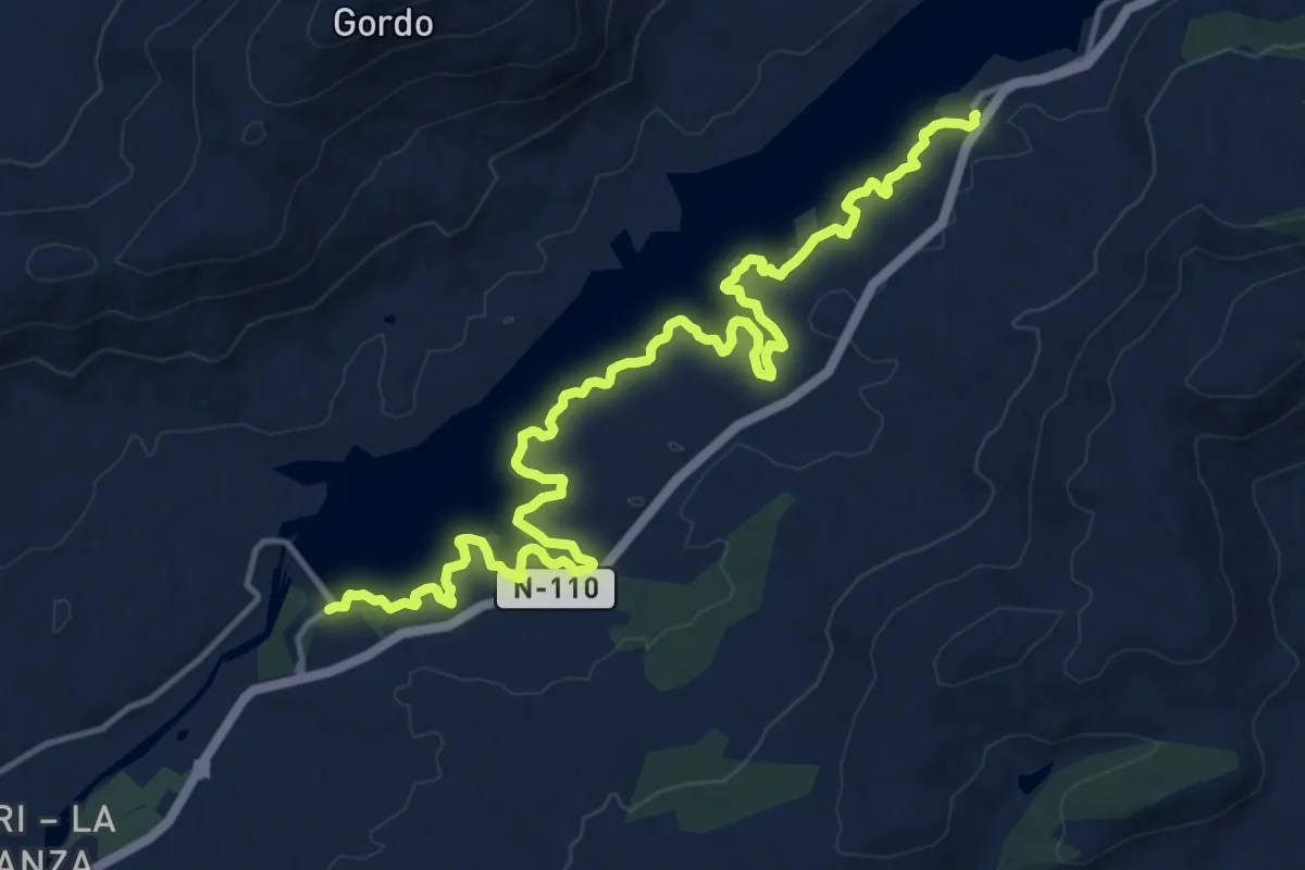
Demanding · Trail
Paseo Fluvial Plasencia, Aguas Arriba
20.6 km · ↑ 202 m · 5 h 18 min
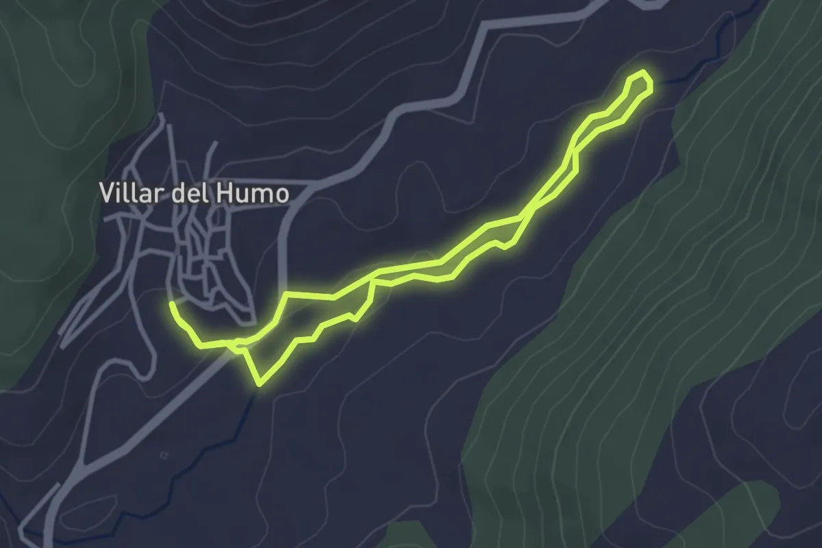
Easy · Trail
Paseo fluvial Río Vencherque
3.1 km · ↑ 40 m · 52 min
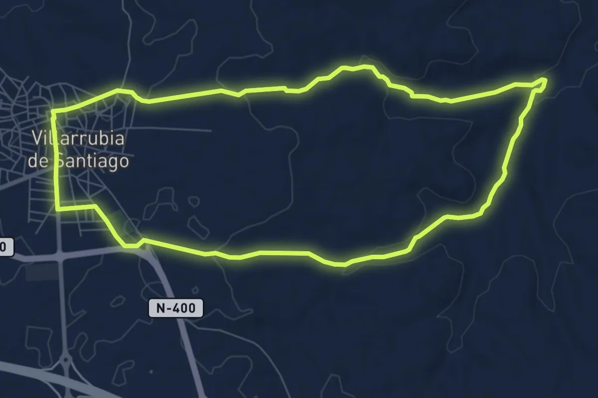
Medium · Trail
Paseo por las Fuentes
8.3 km · ↑ 119 m · 2 h 19 min
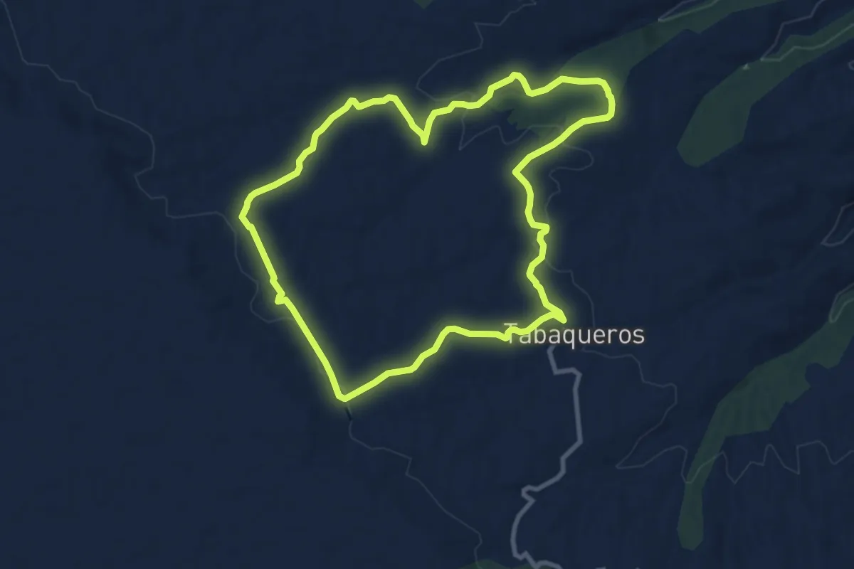
Medium · Trail
Paseo por las Huertas
9.8 km · ↑ 186 m · 2 h 51 min
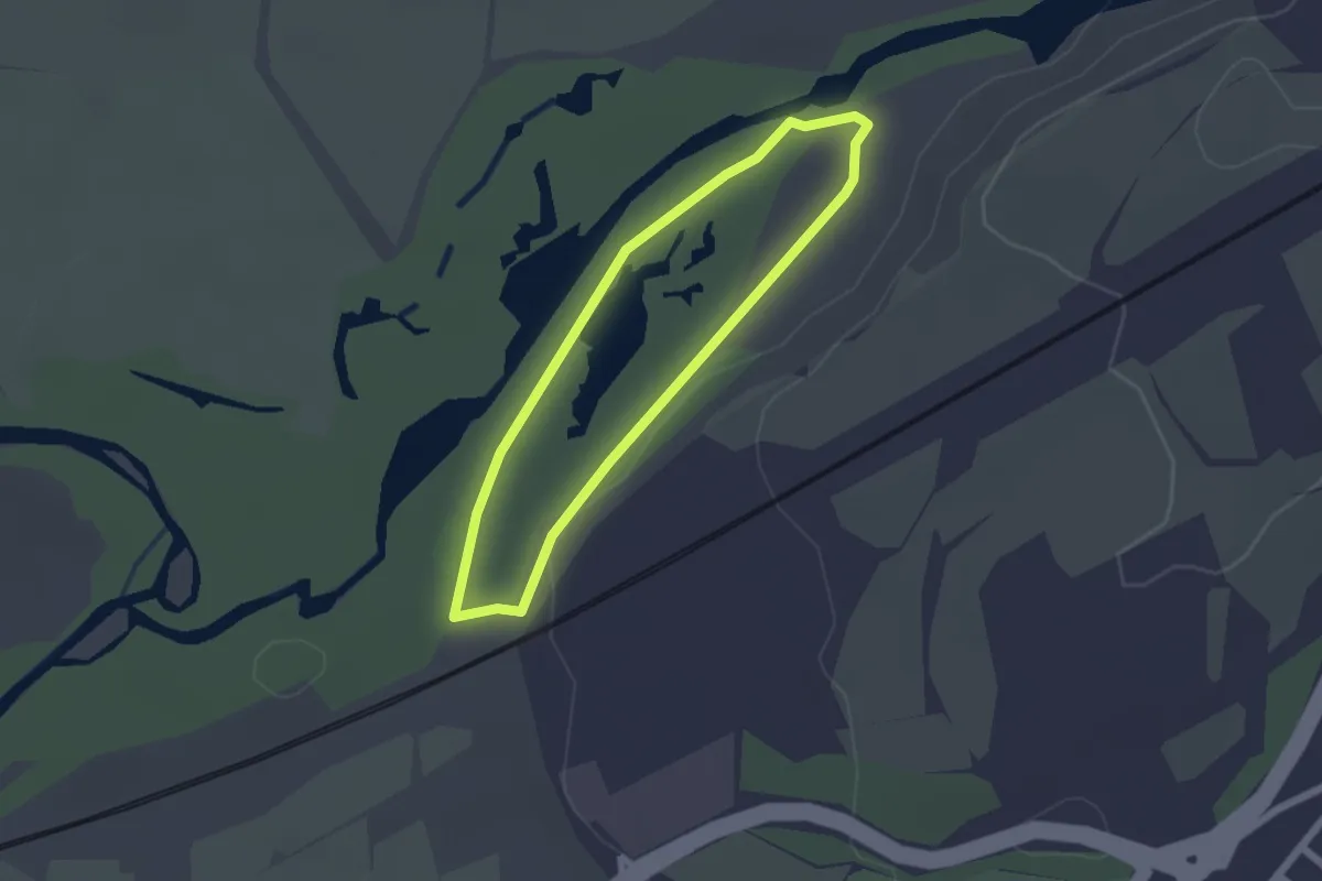
Easy · Trail
Paseo por las lagunas y la presa del río Henares
1.9 km · ↑ 4 m · 30 min
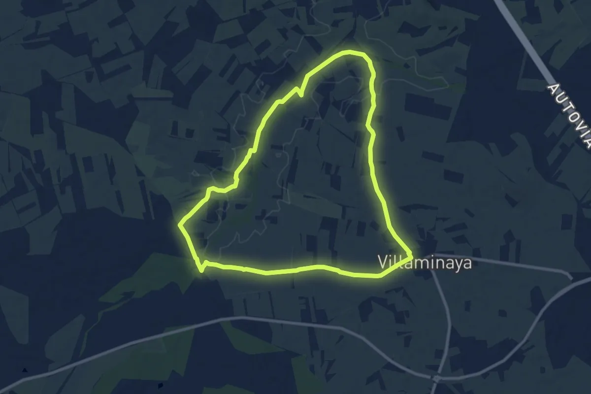
Medium · Trail
Paseo por Moracantá y Peña Manaera
9.7 km · ↑ 47 m · 2 h 32 min
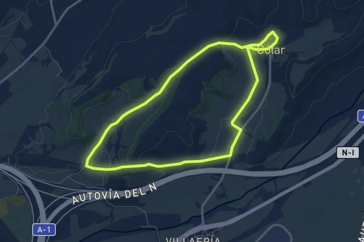
Easy · Trail
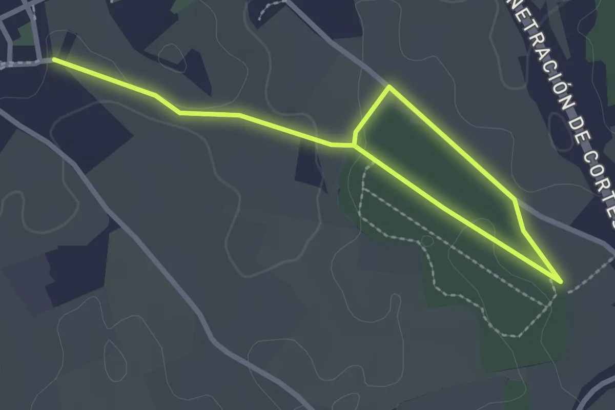
Paseos por el Cinturón Verde: Barrio de Villimar - Barrio de Cótar
7.1 km · ↑ 147 m · 2 h 6 min
Easy · Trail
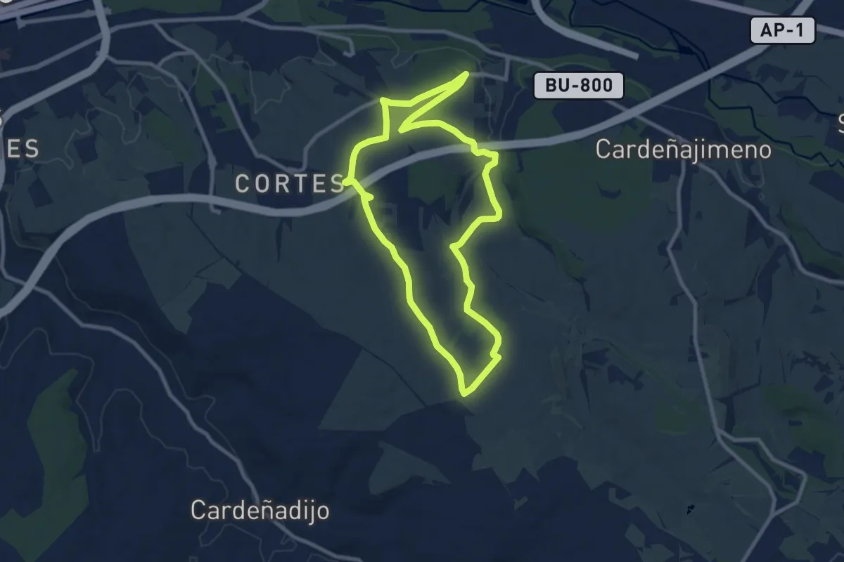
Paseos por el Cinturón Verde: Campo Lilaila
1.7 km · ↑ 31 m · 29 min
Medium · Trail
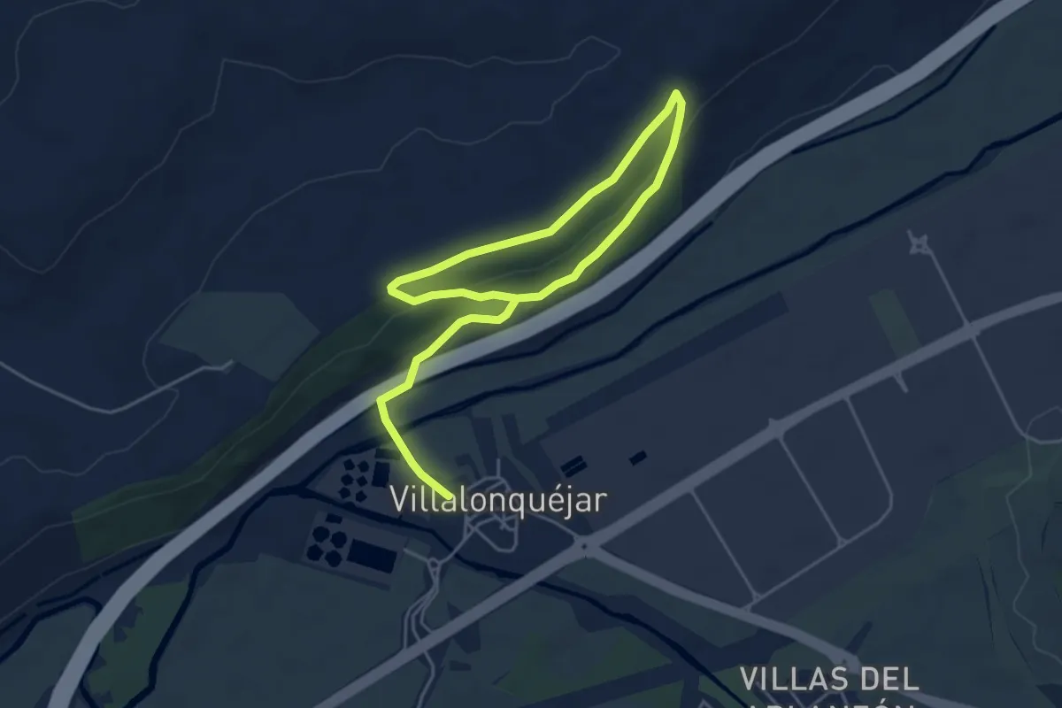
Paseos por el Cinturón Verde: Cartuja de Miraflores
8.9 km · ↑ 126 m · 2 h 29 min
Easy · Trail
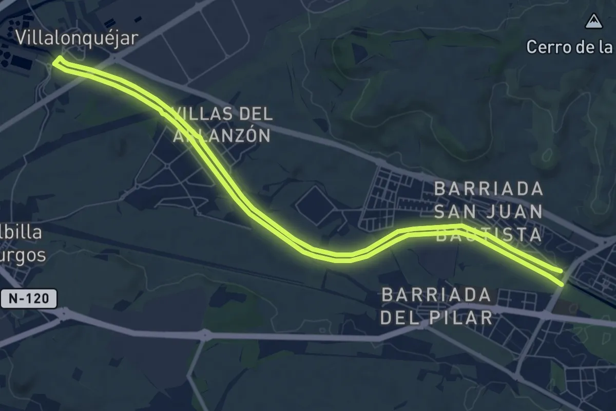
Paseos por el Cinturón Verde: El Patillo
3.6 km · ↑ 114 m · 1 h 8 min
Medium · Trail
Paseos por el Cinturón Verde: Fábrica de la Moneda y Timbre - Barrio de Villalonquéjar
9.1 km · ↑ 17 m · 2 h 19 min
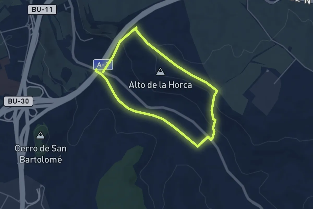
Easy · Summit
Paseos por el Cinturón Verde: Fuente el Pinto
3.6 km · ↑ 89 m · 1 h 6 min
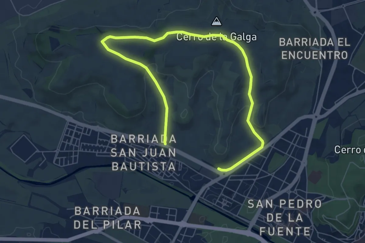
Medium · Trail
Paseos por el Cinturón Verde: La Lora - Cerro de la Galga
9.7 km · ↑ 184 m · 2 h 42 min
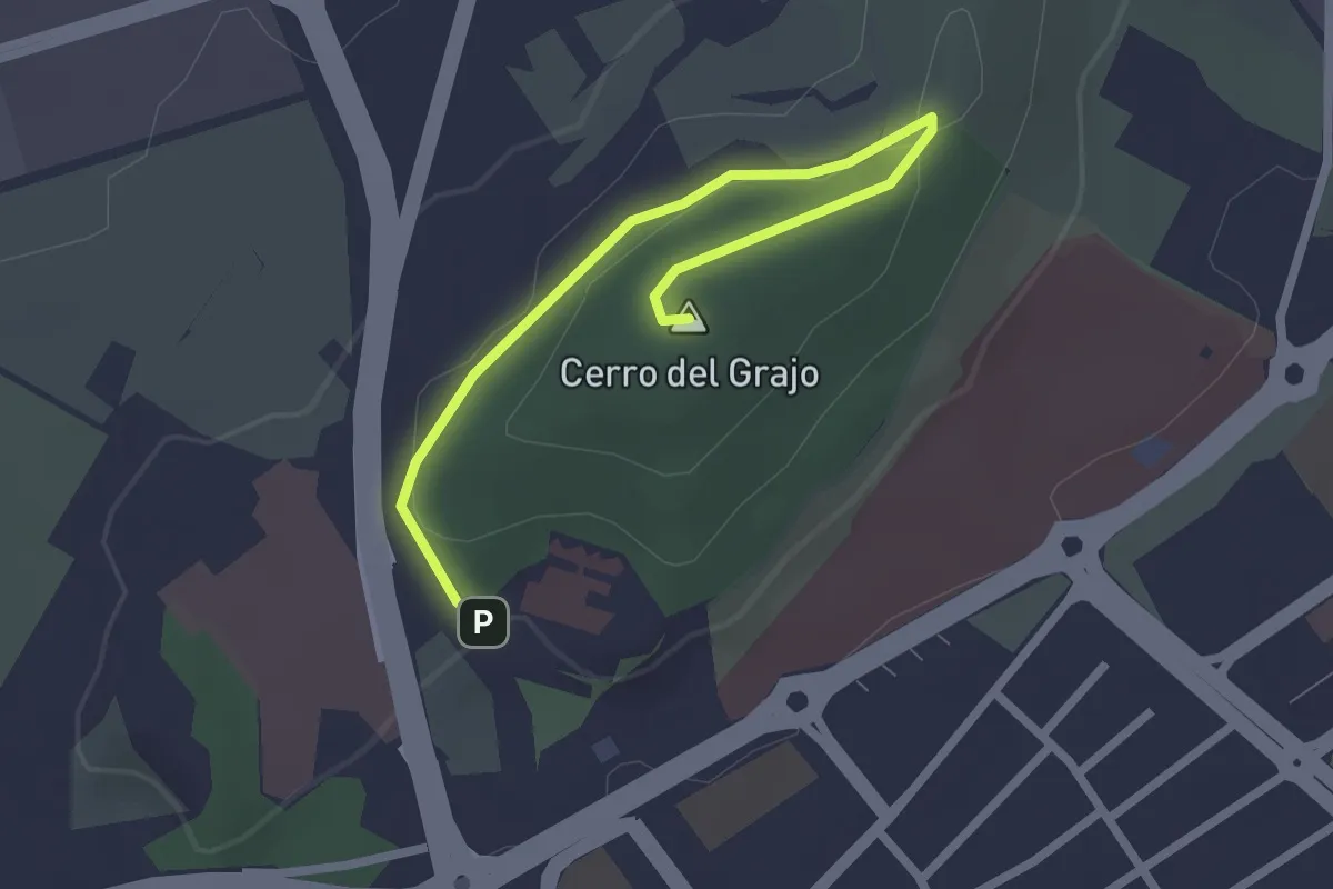
Easy · Summit
Paseos por el Cinturón Verde: Monte Bellavista
2.8 km · ↑ 48 m · 45 min
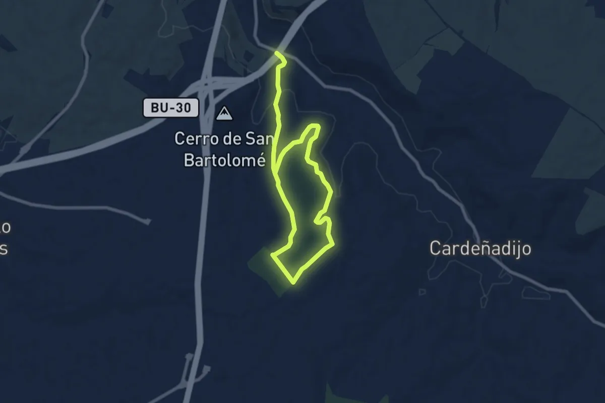
Easy · Summit
Paseos por el Cinturón Verde: Rehoyo y los Llanos
5.6 km · ↑ 89 m · 1 h 34 min
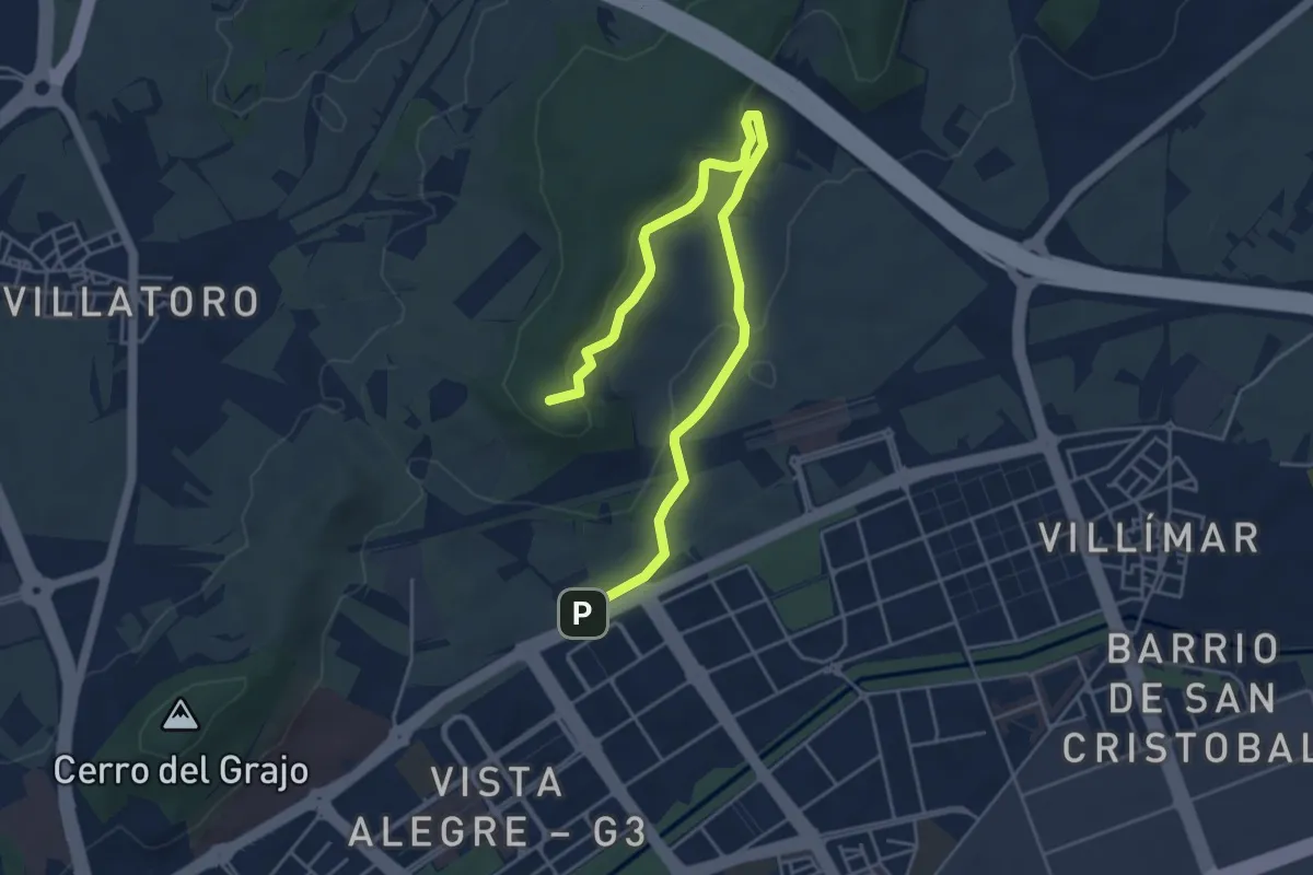
Easy · Summit
Paseos por el Cinturón Verde: Santimia
6.3 km · ↑ 158 m · 1 h 49 min
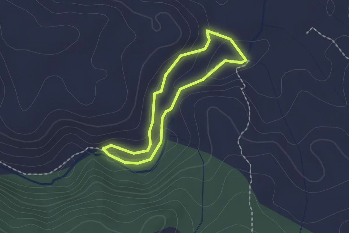
Easy · Trail
Paseo temático de la Hoz del Rio Mira
1.4 km · ↑ 48 m · 28 min
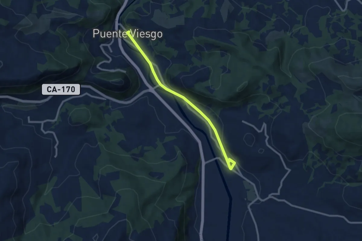
Easy · Trail
Paseo Verde desde Puente Viesgo a El Soto
7.4 km · ↑ 35 m · 1 h 49 min
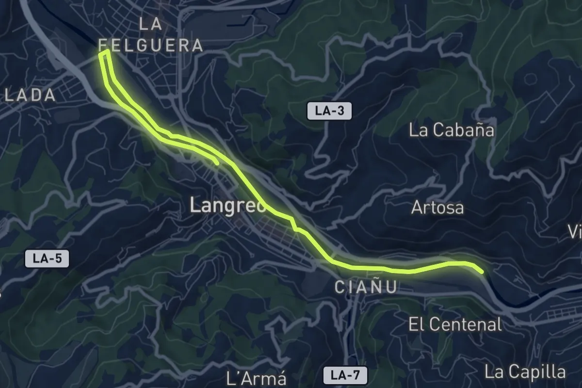
Medium · Trail
Paséu fluvial del Nalón
11.6 km · ↑ 53 m · 2 h 51 min
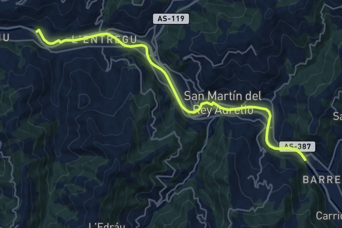
Medium · Trail
Paséu fluvial del Nalón
16.6 km · ↑ 115 m · 4 h 10 min
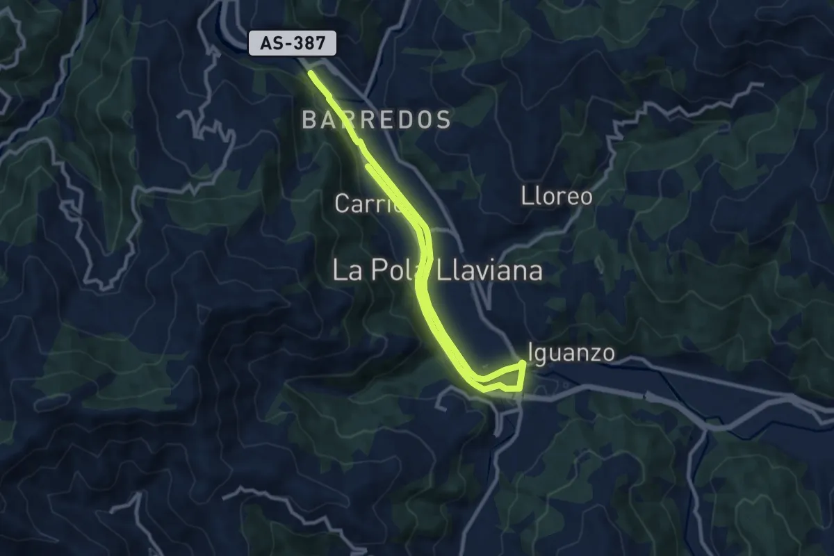
Medium · Trail
Paséu fluvial del Nalón
14.4 km · ↑ 101 m · 3 h 37 min
Medium · Trail
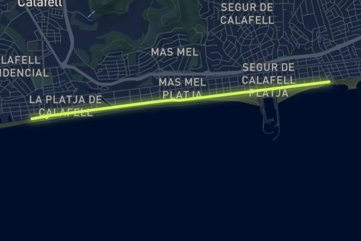
Passeig de Calafell i Segur
8.9 km · ↑ 0 m · 2 h 6 min
Easy · Trail
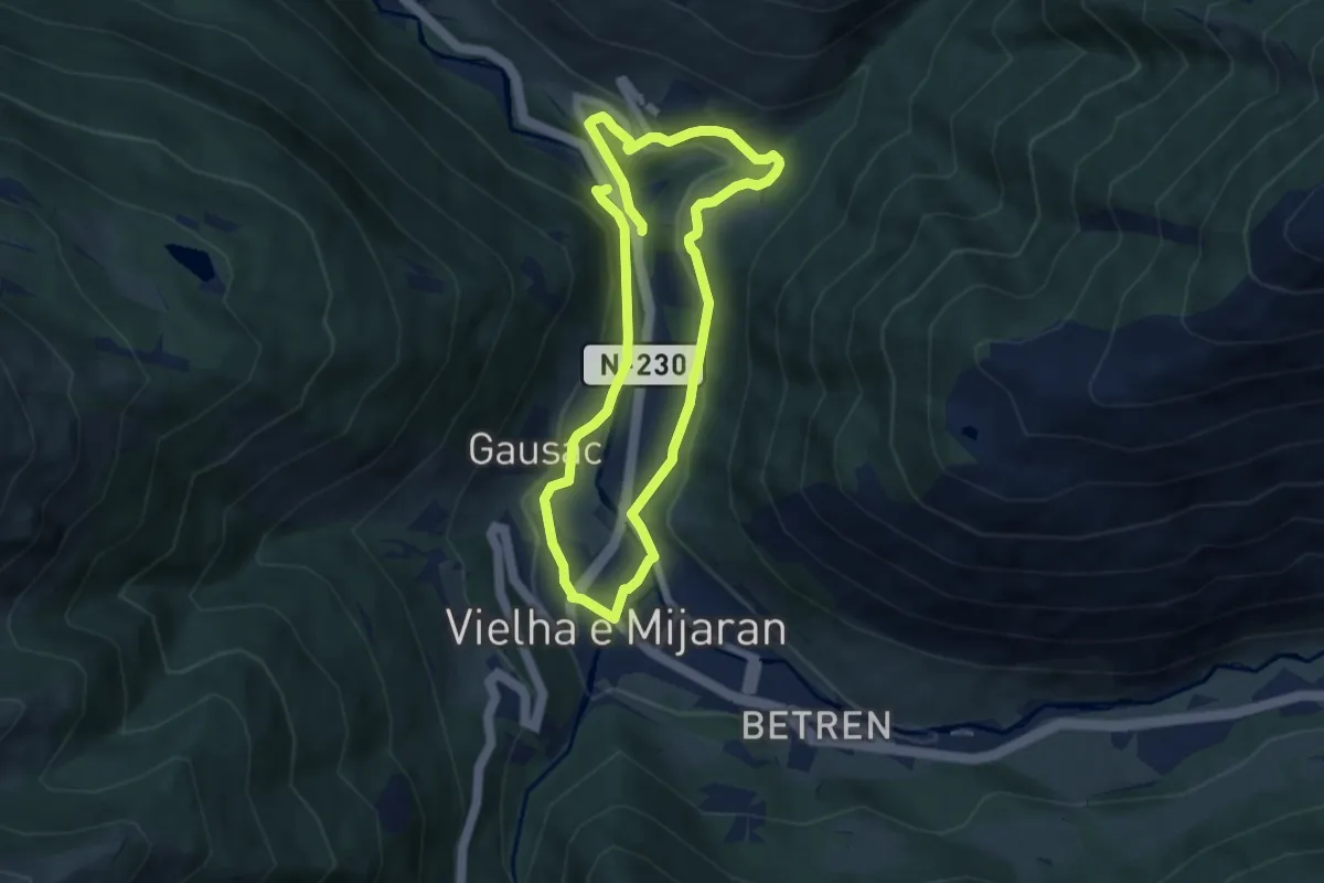
Passeig de contrastos per Mijaran
6.1 km · ↑ 137 m · 1 h 50 min
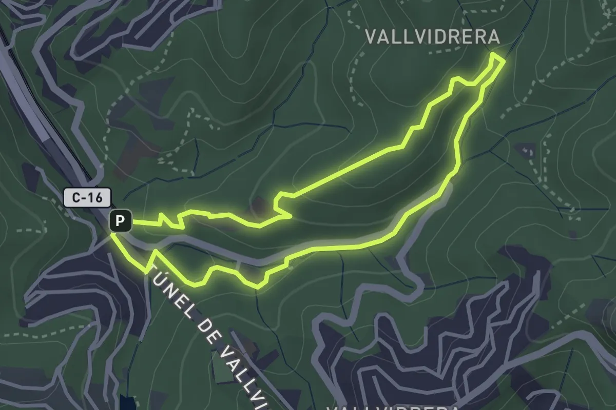
Easy · Summit
Passejada pel fondal
3.2 km · ↑ 115 m · 1 h 3 min
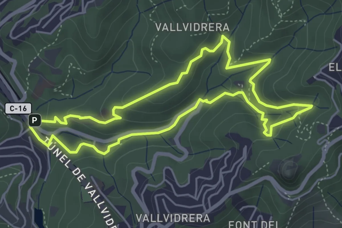
Easy · Summit
Passejada per la font de la Budellera
4.8 km · ↑ 227 m · 1 h 41 min
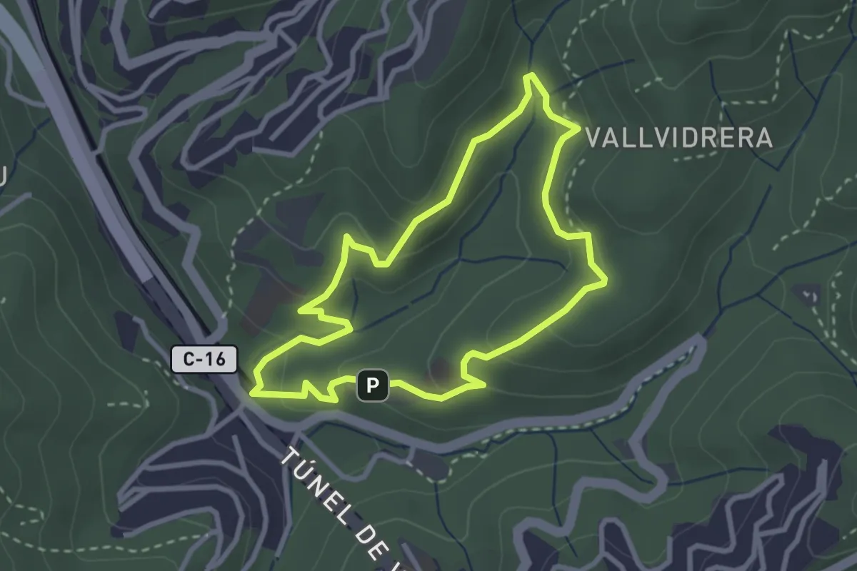
Easy · Summit
Passejada per l'alzinar
2.8 km · ↑ 105 m · 55 min
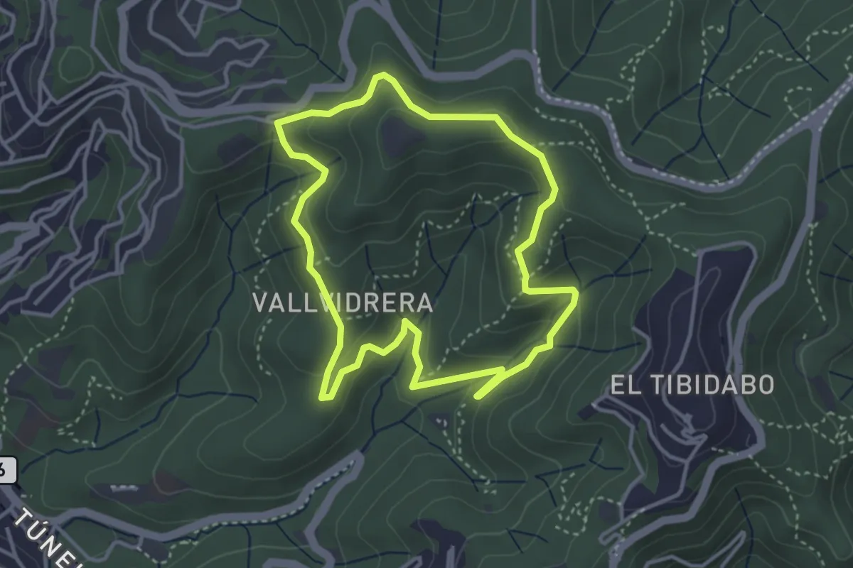
Easy · Summit
Passejada per la serra d'en Cardona
3.7 km · ↑ 162 m · 1 h 16 min
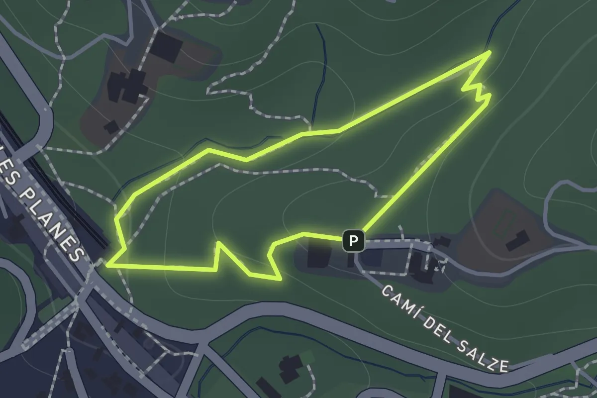
Easy · Trail
Passejada per les fonts
1.1 km · ↑ 26 m · 20 min
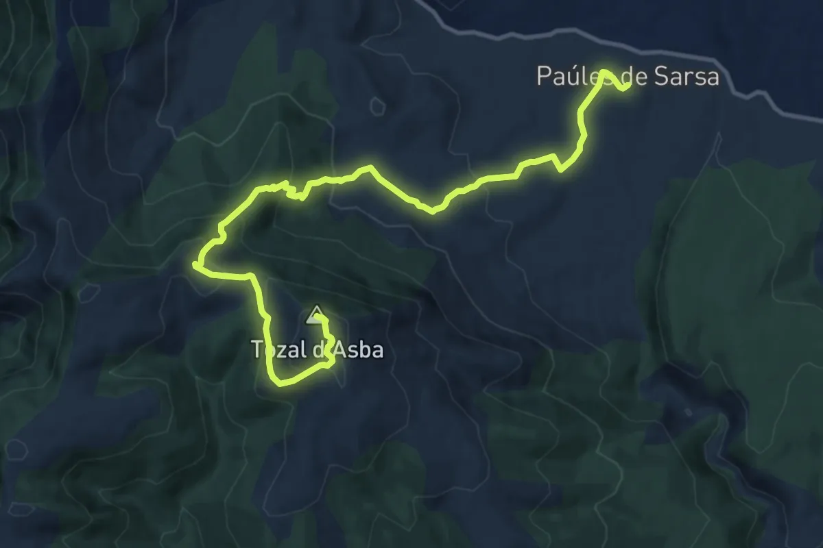
Medium · Summit
Paúles de Sarsa - Santa María de la Nuez - Tozal de Asba
14.0 km · ↑ 658 m · 4 h 44 min
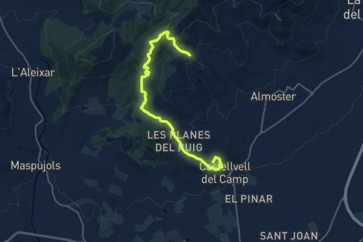
Medium · Summit
Pel camí de Prades
13.0 km · ↑ 460 m · 4 h 3 min
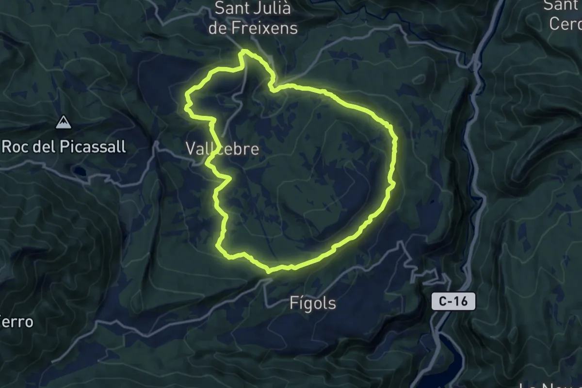
Medium · Trail
Pels Cingles de Vallcebre
12.8 km · ↑ 522 m · 4 h 20 min
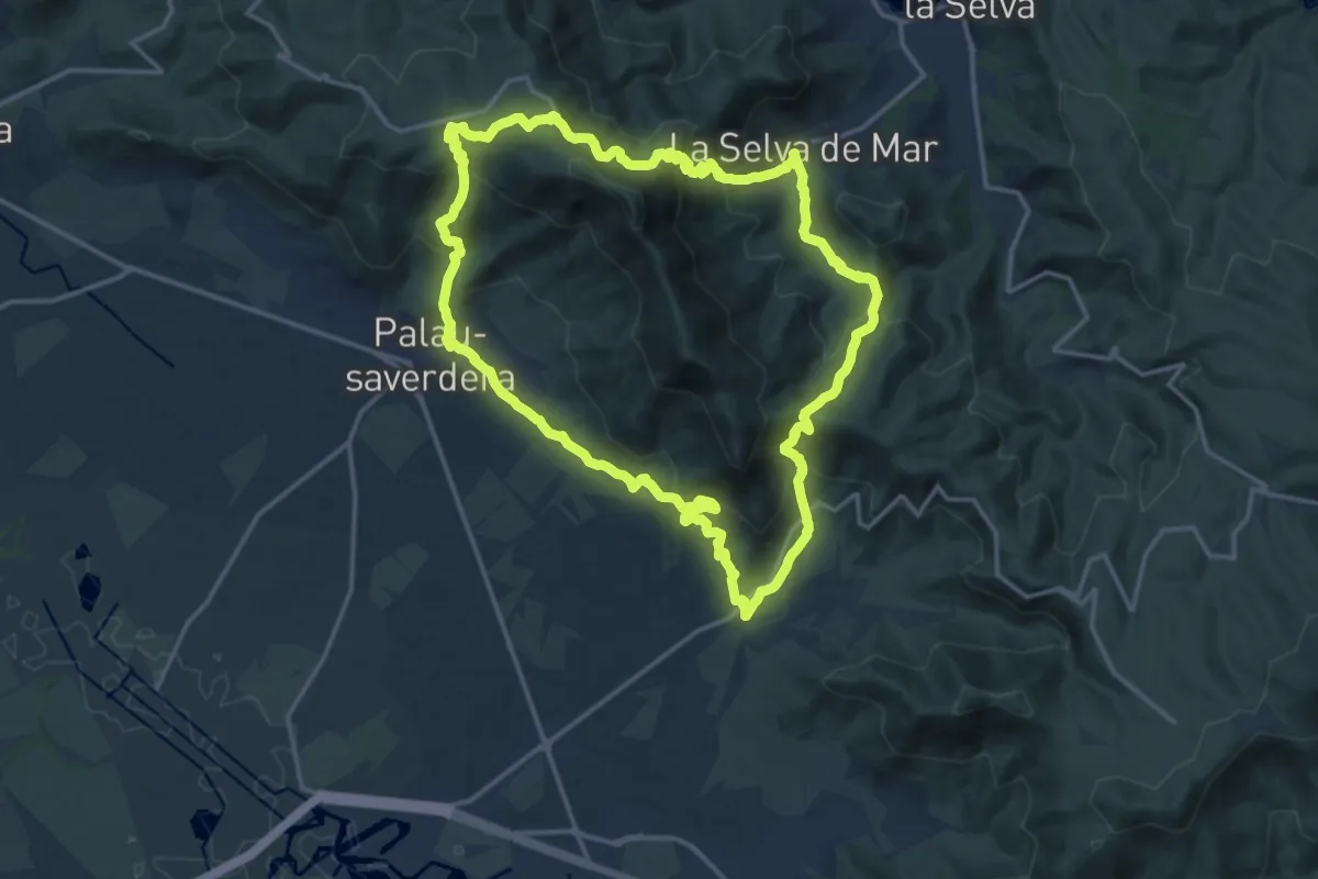
Demanding · Trail
Pels dominis de Sant Pere de Rodes
17.3 km · ↑ 954 m · 6 h 24 min
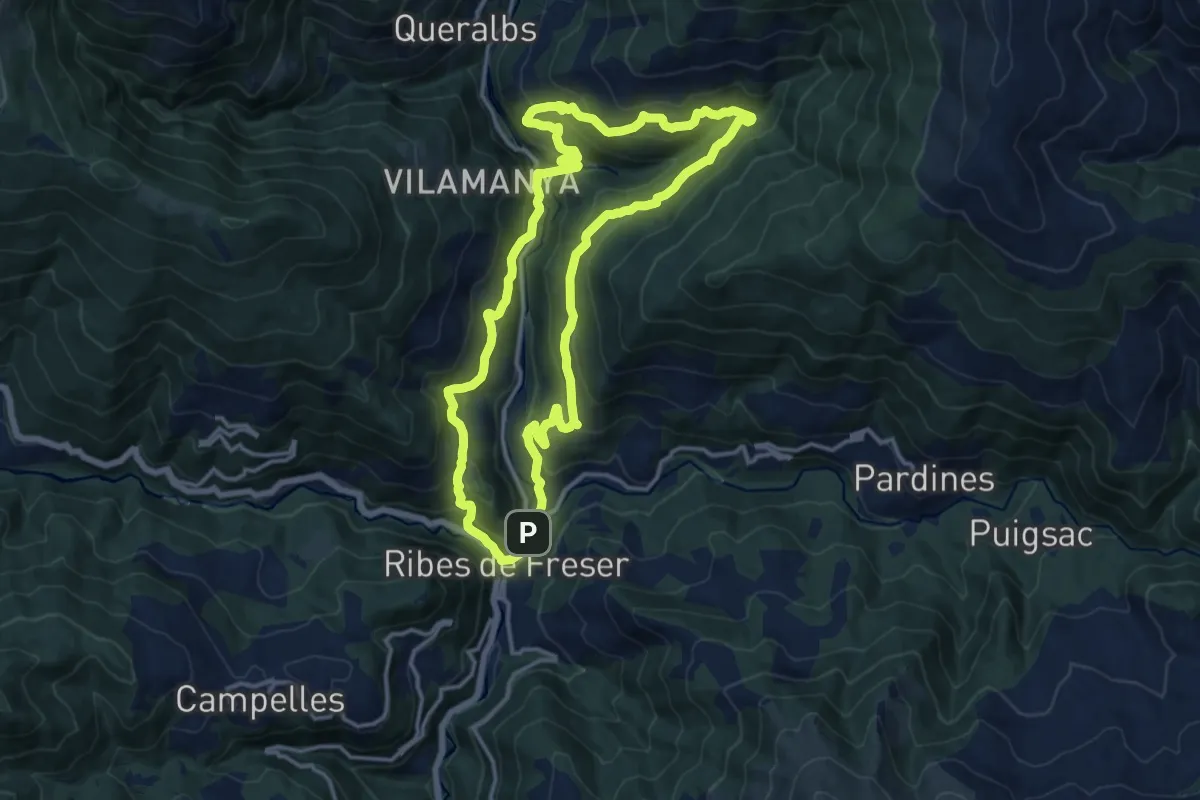
Medium · Summit
Pels veïnats de l'Alt Freser
14.7 km · ↑ 741 m · 5 h 16 min
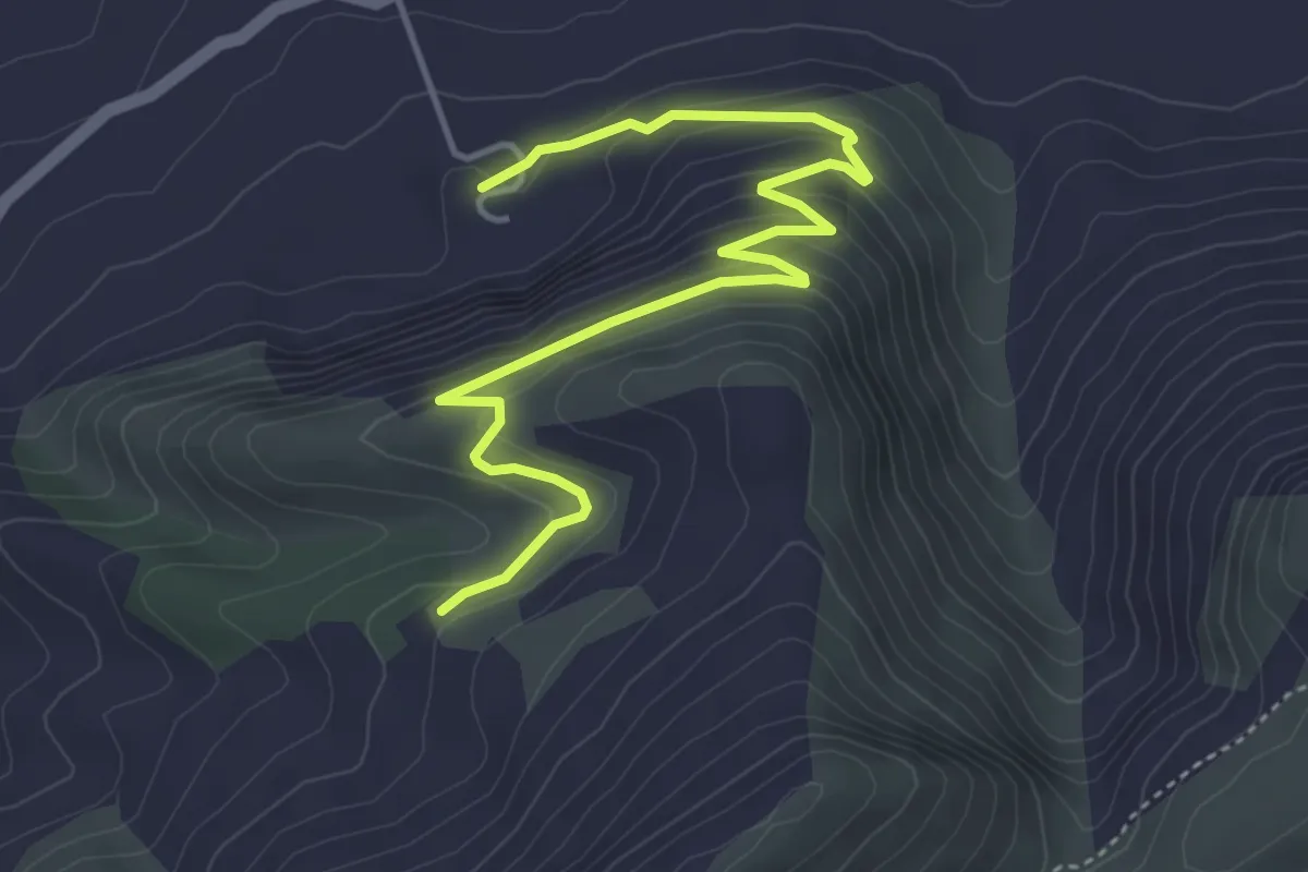
Easy · Trail
Peña Bermeja
5.9 km · ↑ 265 m · 1 h 58 min
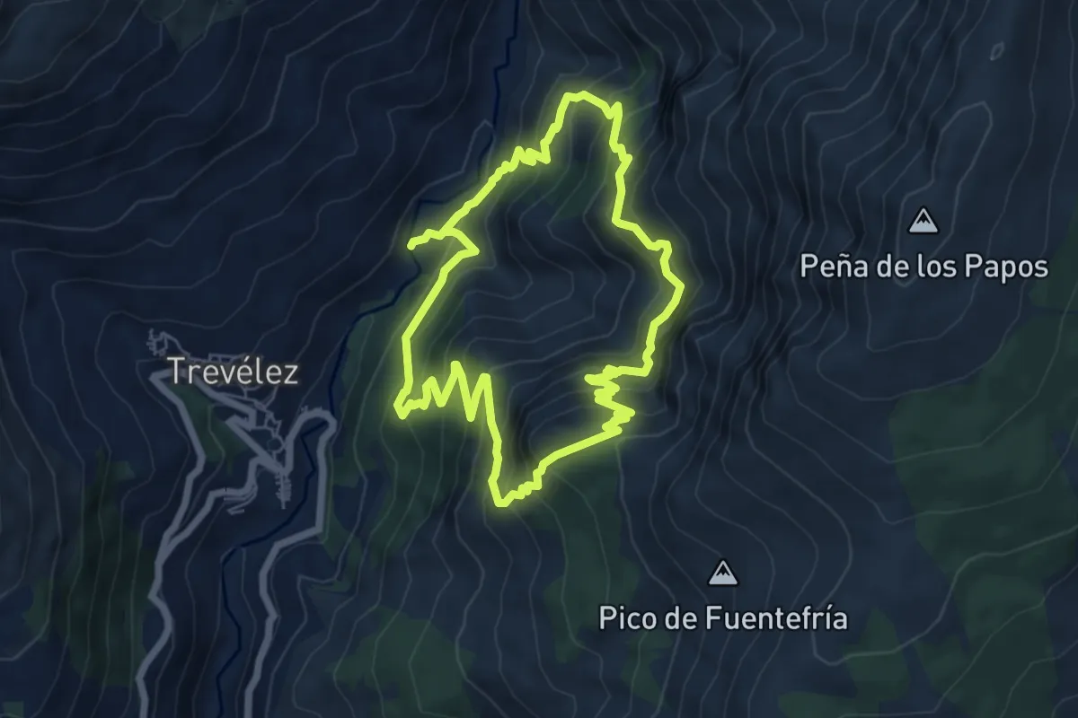
Medium · Summit
Peñabón
6.9 km · ↑ 650 m · 3 h 8 min
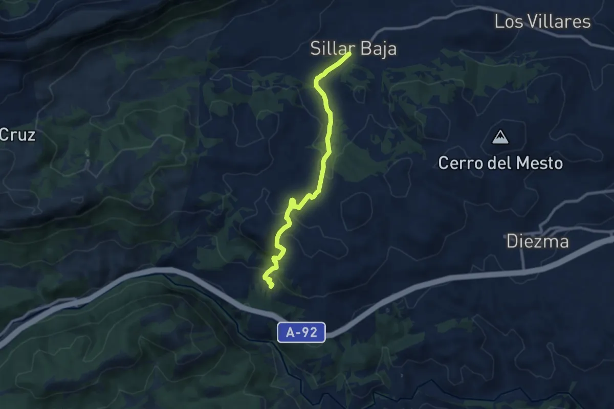
Easy · Trail
Peña Cabrera-Sillar Baja
4.6 km · ↑ 159 m · 1 h 31 min
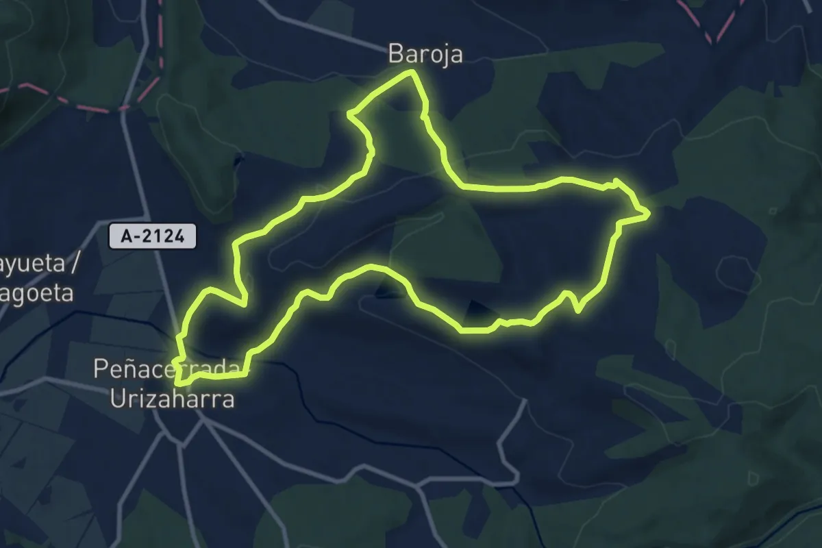
Medium · Trail
Peñacerrada-Baroja
10.9 km · ↑ 338 m · 3 h 27 min
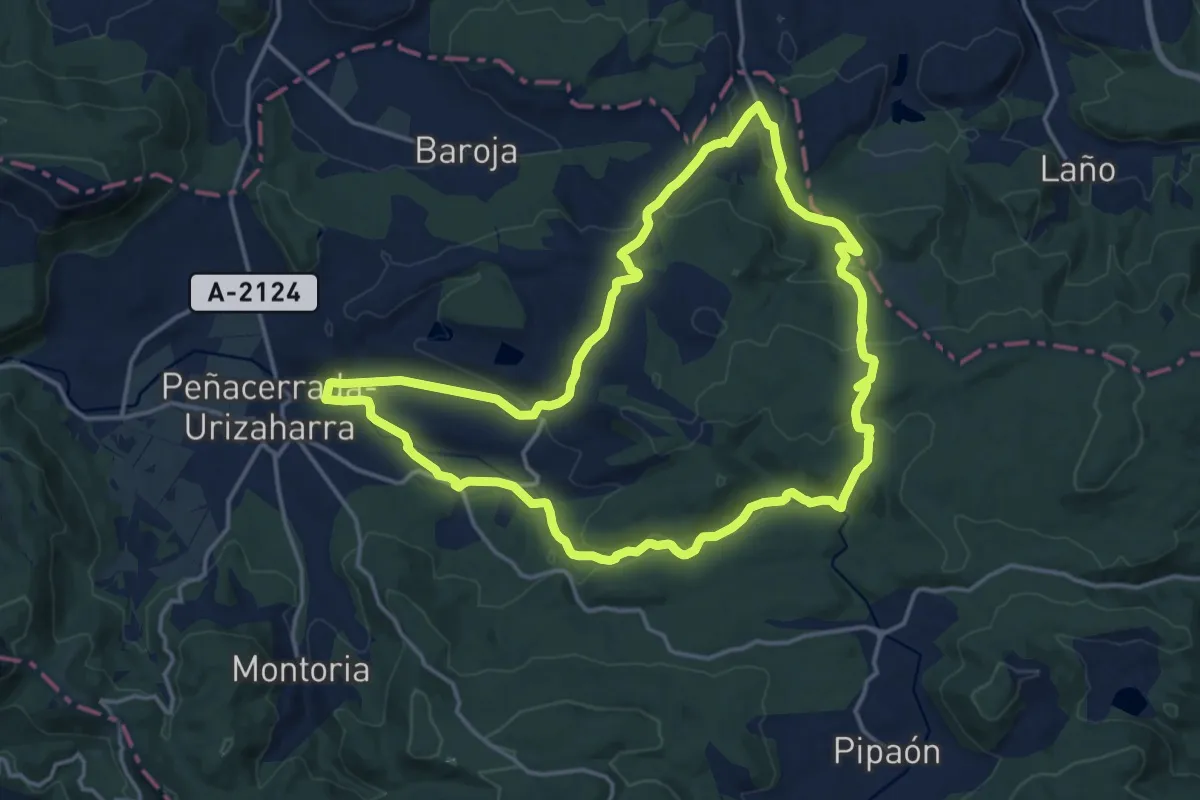
Medium · Summit
Peñacerrada-Urizaharra - Las Rasas
17.2 km · ↑ 424 m · 5 h 14 min
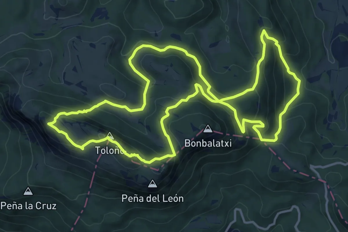
Demanding · Summit
Peñacerrada-Urizaharra - Toloño
11.7 km · ↑ 537 m · 4 h 6 min