Trails in Spain
5,962 hiking trails, each with its route, climb, walking time and grade.
All trails, page 67 of 125
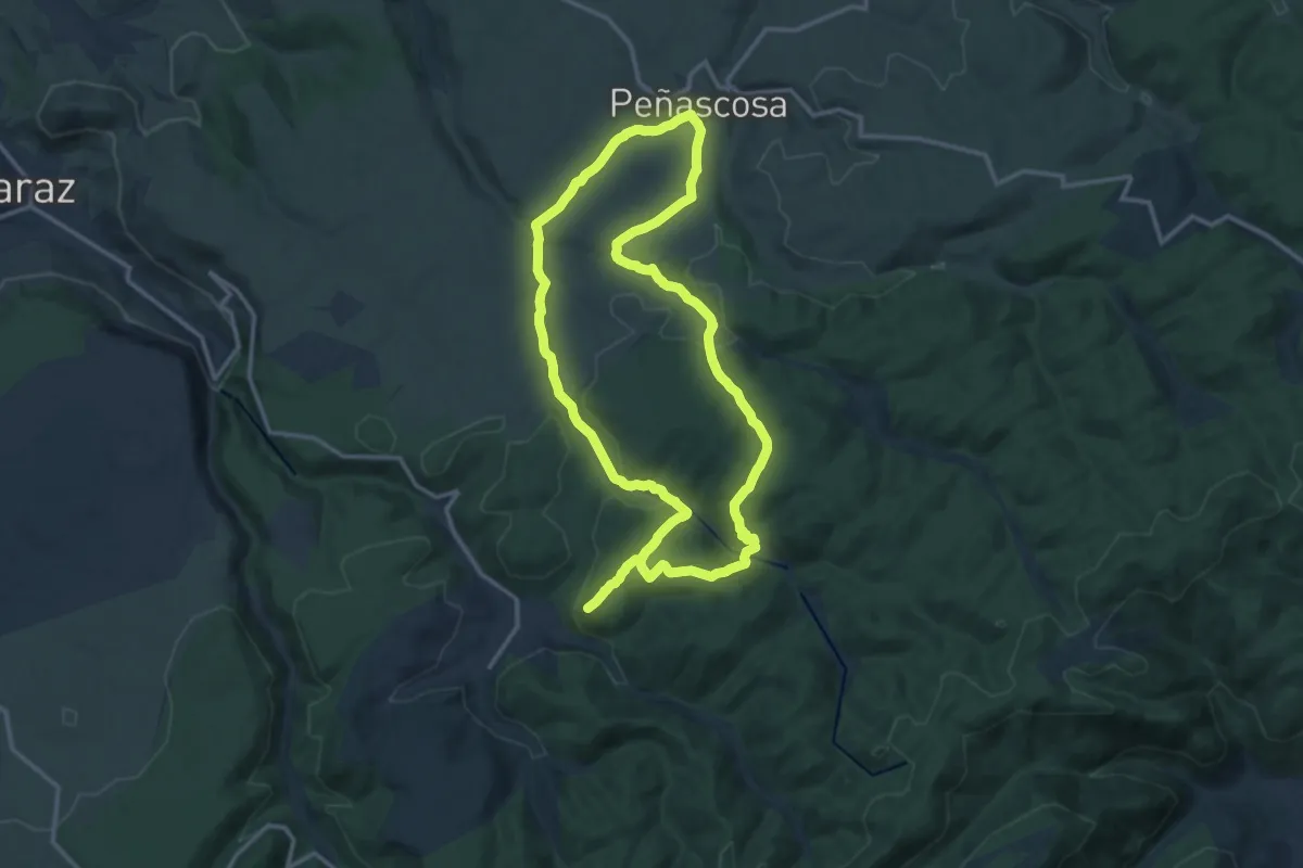
Medium · Summit
Peña del Águila
14.8 km · ↑ 342 m · 4 h 27 min
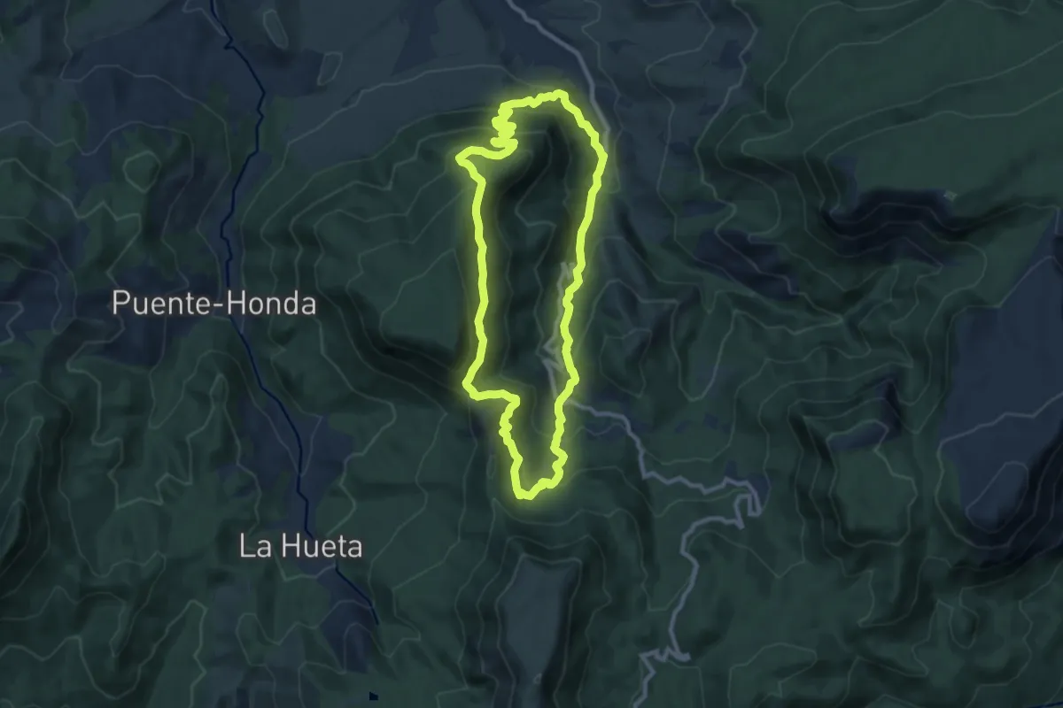
Medium · Summit
Peña del Olivar
10.5 km · ↑ 785 m · 4 h 19 min
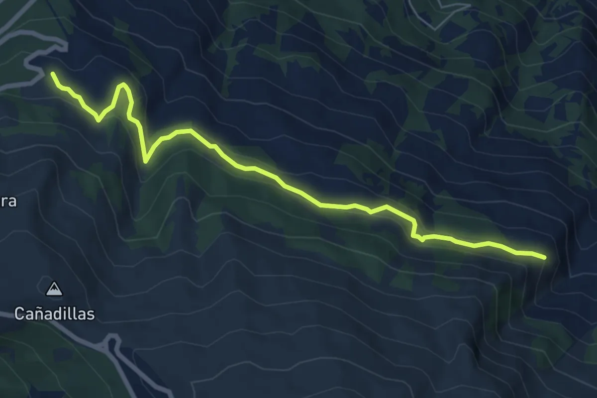
Easy · Trail
Peña del Perro
7.6 km · ↑ 298 m · 2 h 27 min
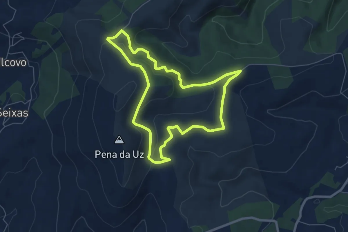
Easy · Trail
Pena Fesa
6.1 km · ↑ 166 m · 1 h 53 min
Demanding · Trail
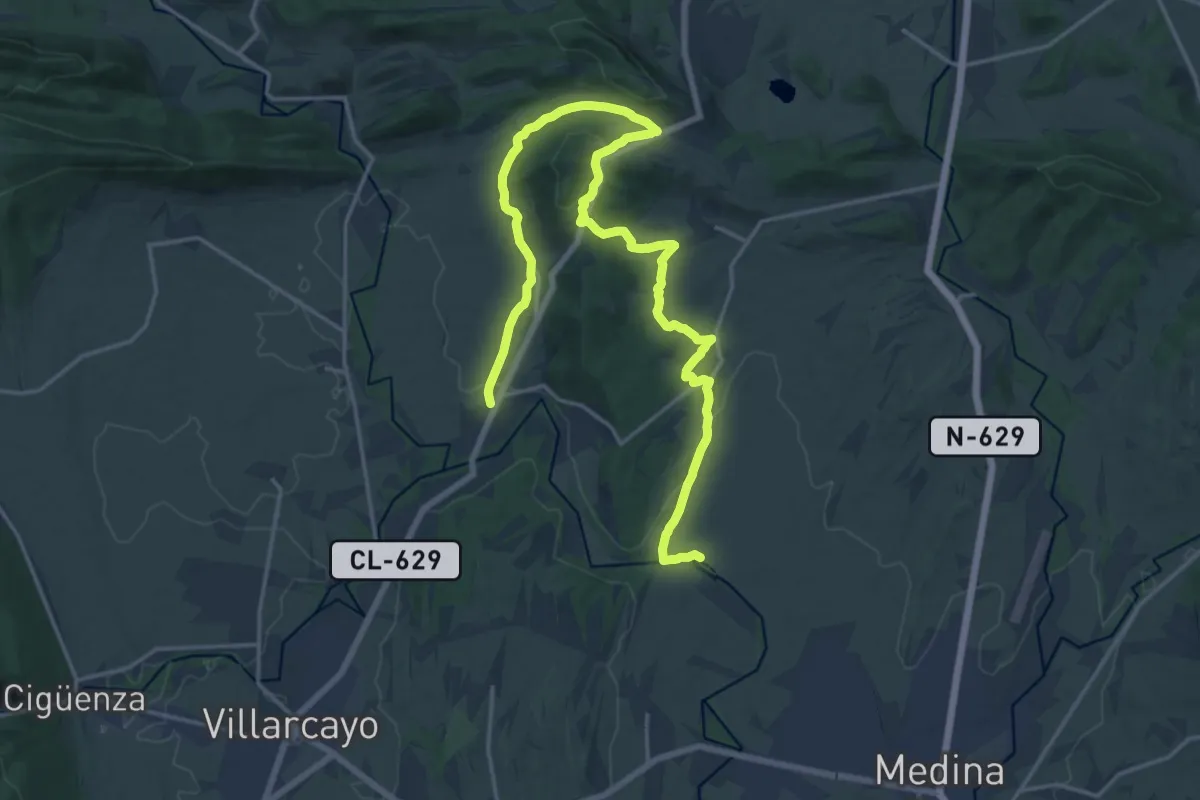
Peña Horrero
25.0 km · ↑ 530 m · 7 h 3 min
Demanding · Summit
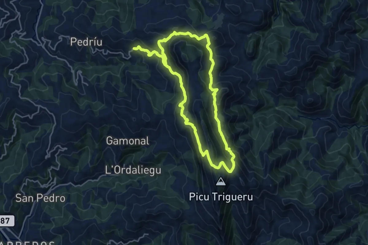
Peñamayor - Trigueira
15.2 km · ↑ 927 m · 5 h 49 min
Demanding · Summit
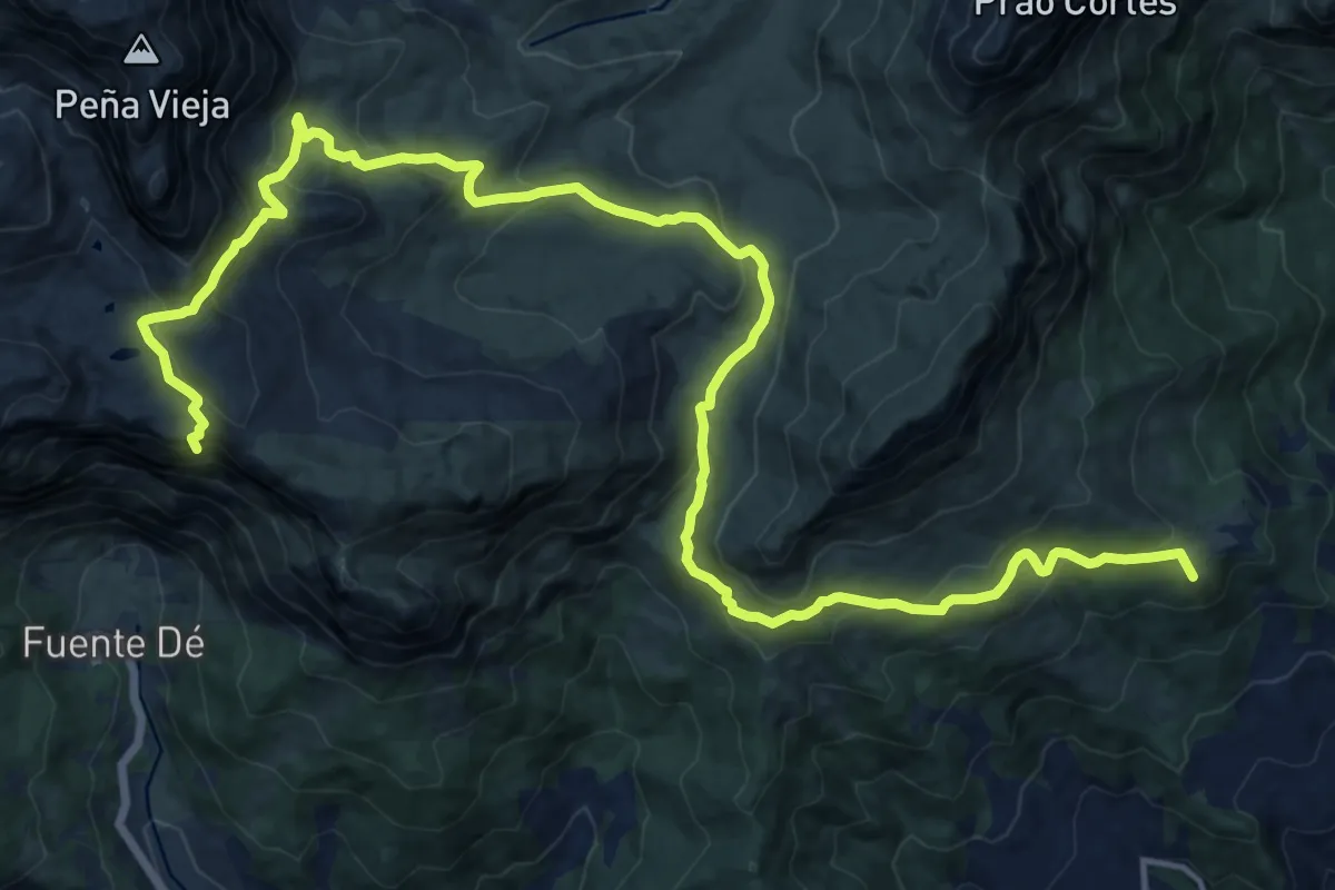
Peña Oviedo (El Cable - Mogrovejo)
29.6 km · ↑ 1709 m · 10 h 41 min
Medium · Summit
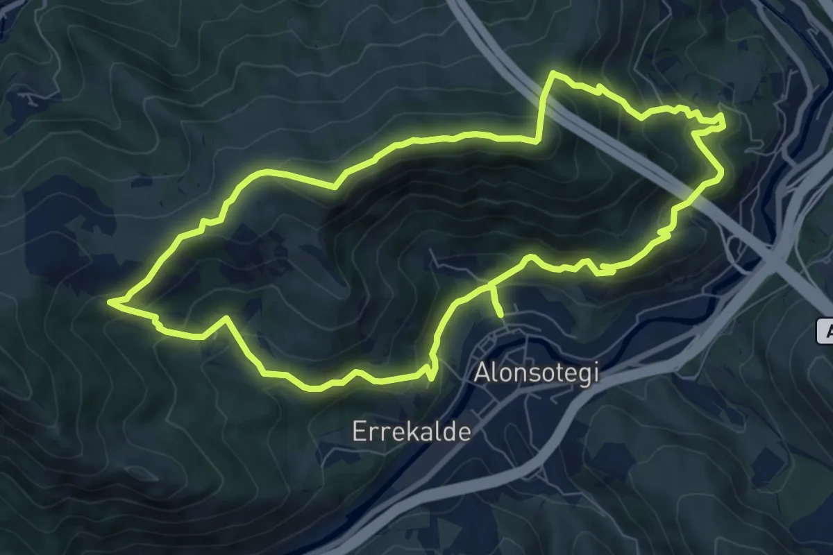
Peñas Blancas
8.8 km · ↑ 529 m · 3 h 21 min
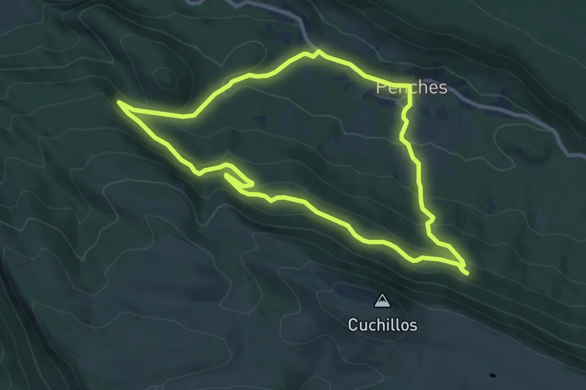
Easy · Trail
Penches
7.4 km · ↑ 274 m · 2 h 27 min
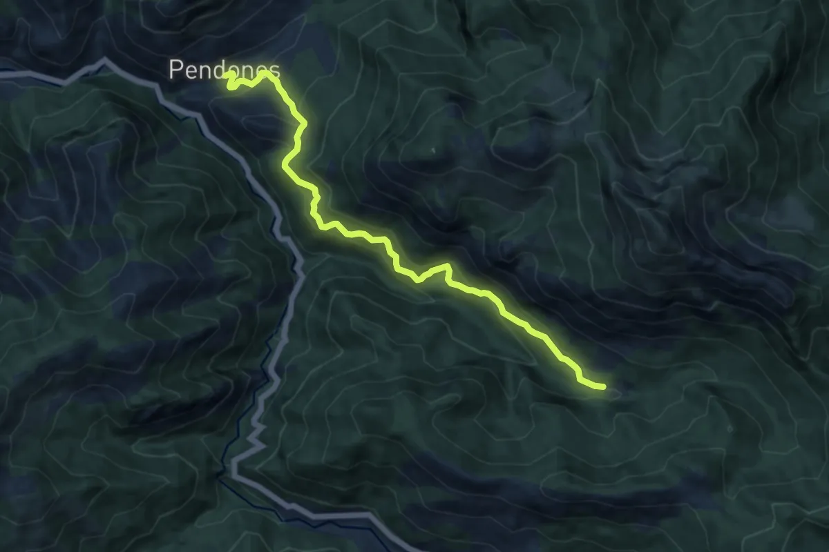
Medium · Trail
Pendones - La Vega Baxo
10.8 km · ↑ 677 m · 4 h 1 min
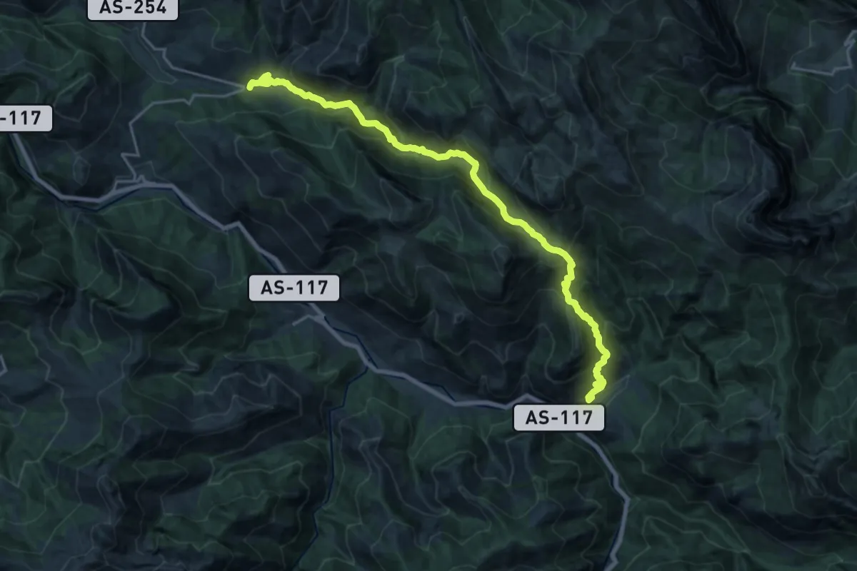
Demanding · Trail
Pendones - Orllé
10.6 km · ↑ 889 m · 4 h 31 min
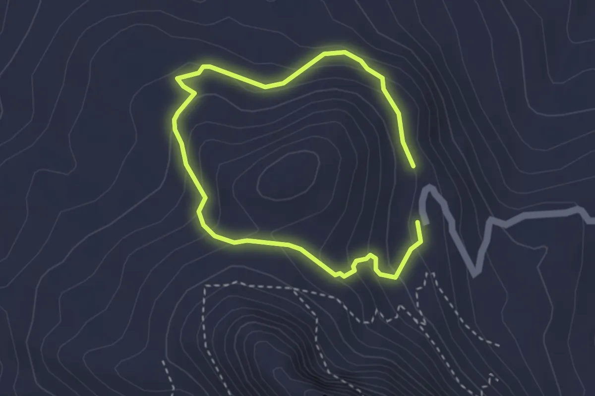
Easy · Trail
Peñón de Algámitas
2.6 km · ↑ 152 m · 58 min
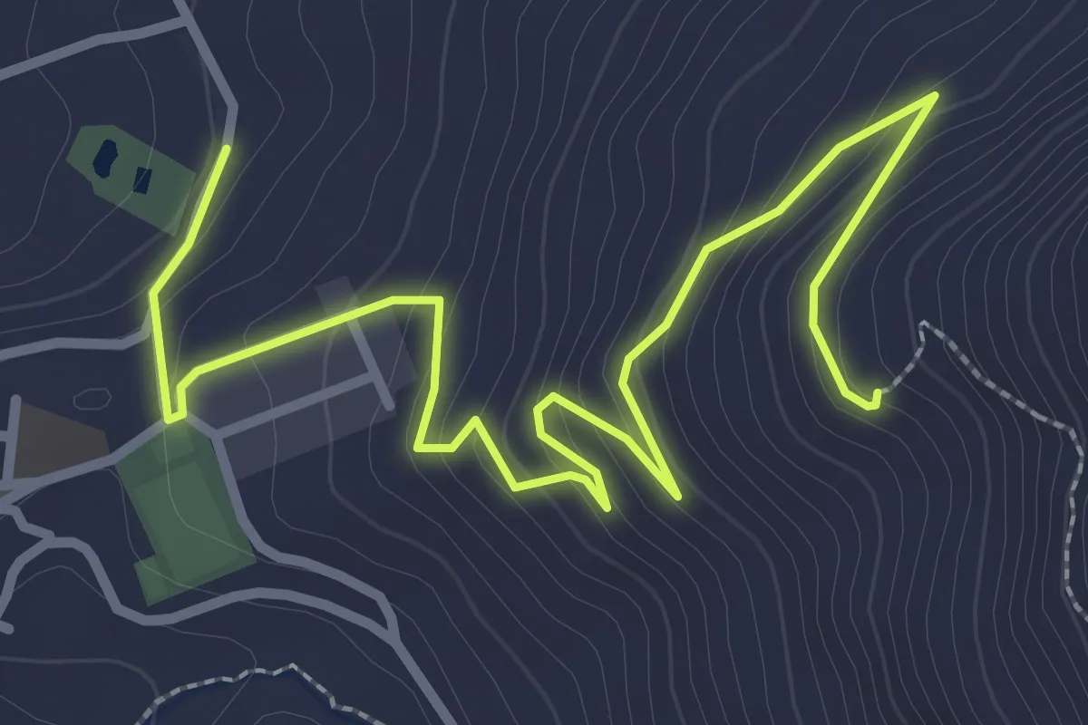
Easy · Trail
Peñon de Gil Lopez
2.2 km · ↑ 235 m · 57 min
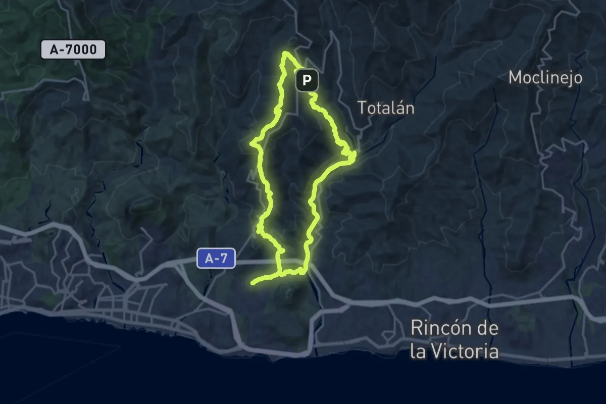
Medium · Summit
Peñón del Cuervo - Olías
17.2 km · ↑ 712 m · 5 h 51 min
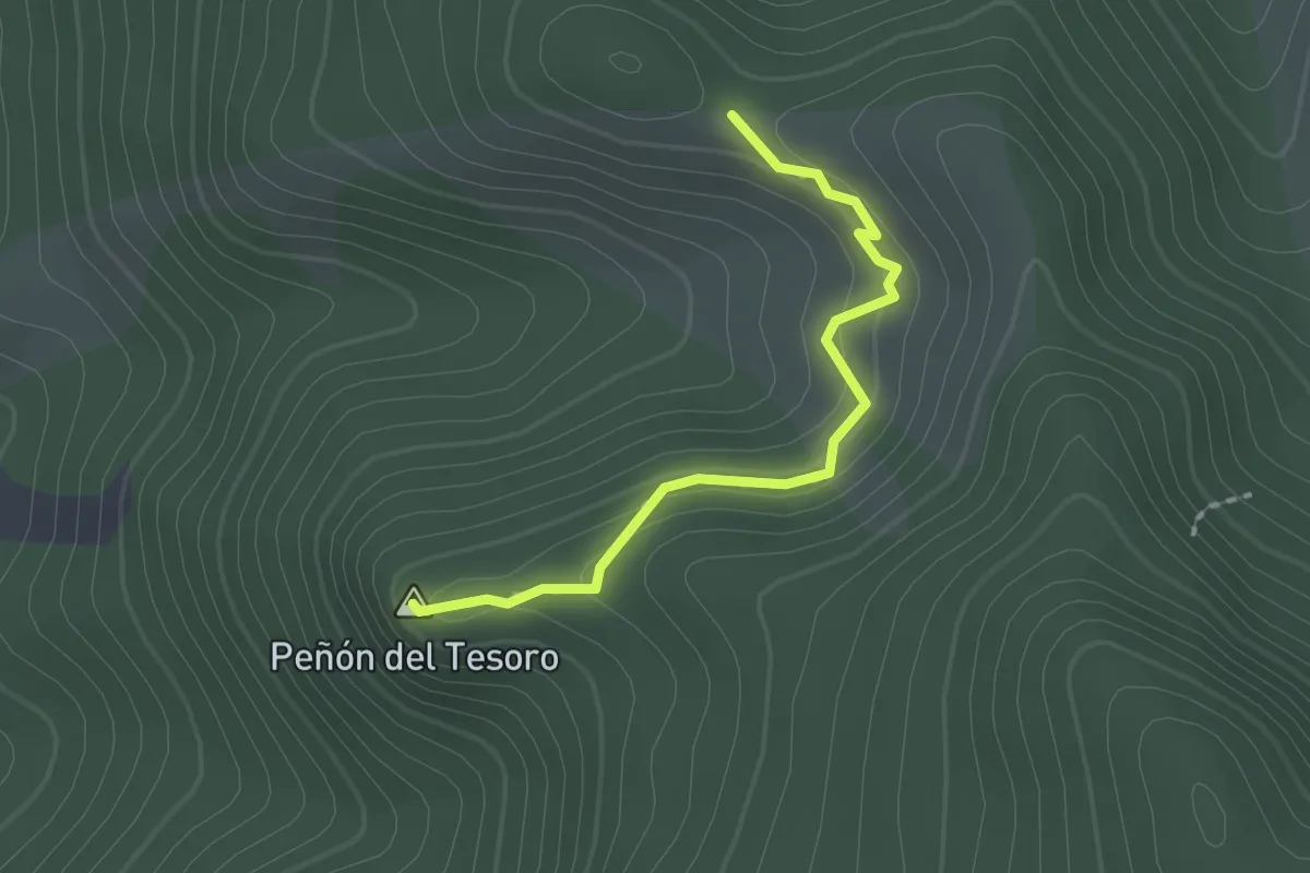
Easy · Summit
Peñón del Tesoro
2.0 km · ↑ 113 m · 43 min
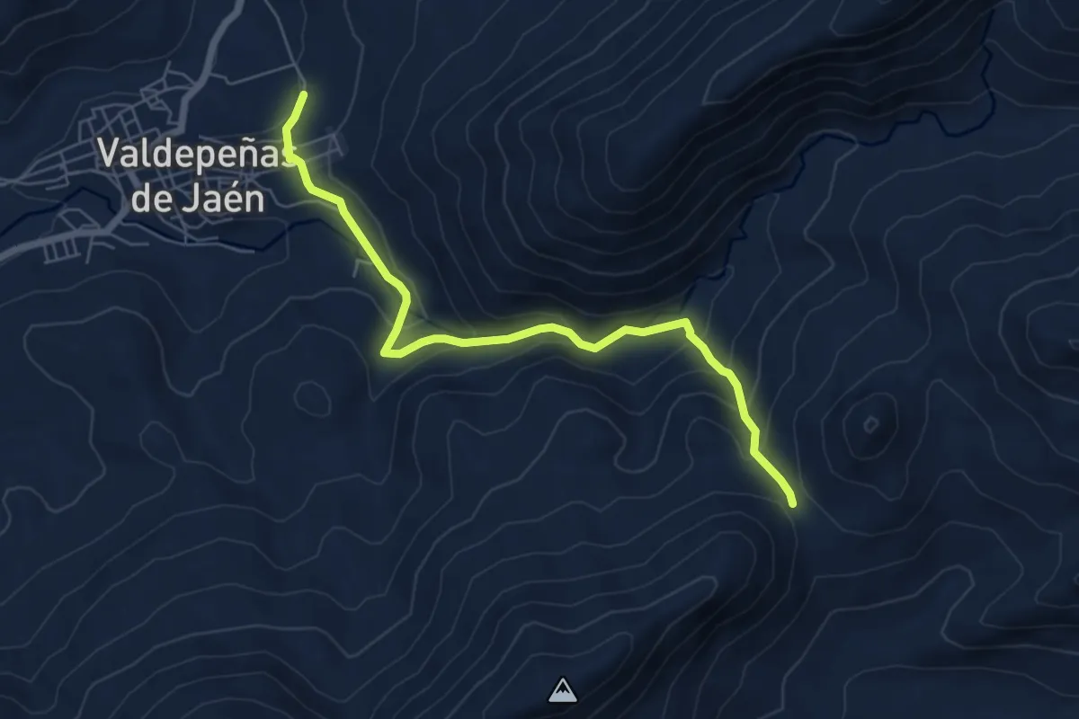
Easy · Trail
Peñones
3.6 km · ↑ 5 m · 1 h 6 min
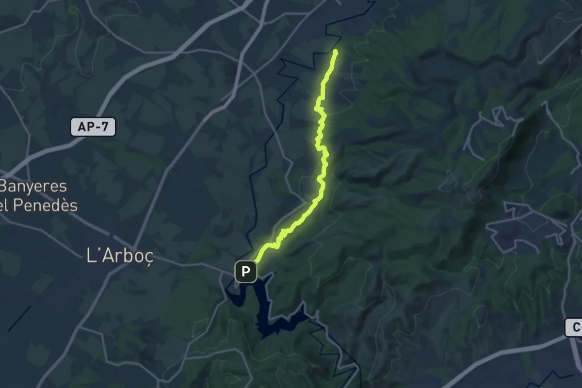
Medium · Trail
Penyafort-Castellet
13.5 km · ↑ 299 m · 3 h 51 min
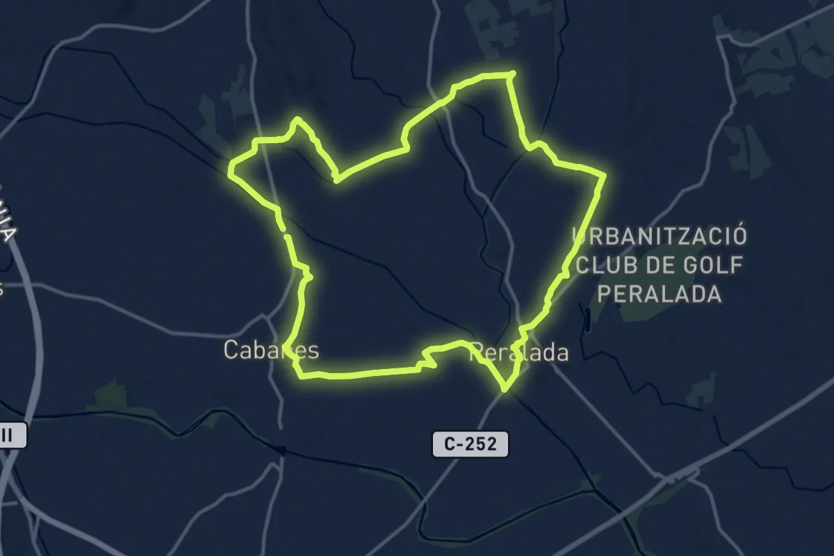
Medium · Trail
Peralada-Serra d'Altrera
14.5 km · ↑ 81 m · 3 h 48 min
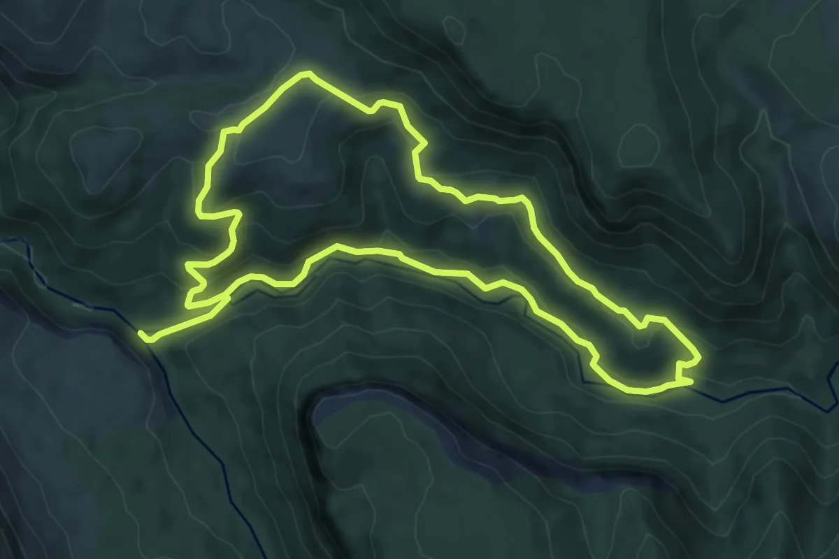
Medium · Trail
Peralejos de las Truchas. Por el Tajo y la Hoz Seca hasta la Herrería Vieja
8.4 km · ↑ 260 m · 2 h 39 min
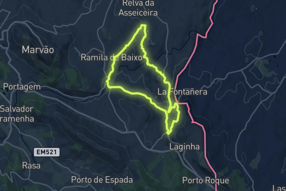
Medium · Trail
Percurso Pedestre dos Galegos
11.5 km · ↑ 221 m · 3 h 21 min
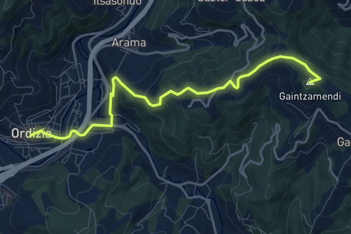
Medium · Summit
Peribidea
9.6 km · ↑ 386 m · 3 h 7 min
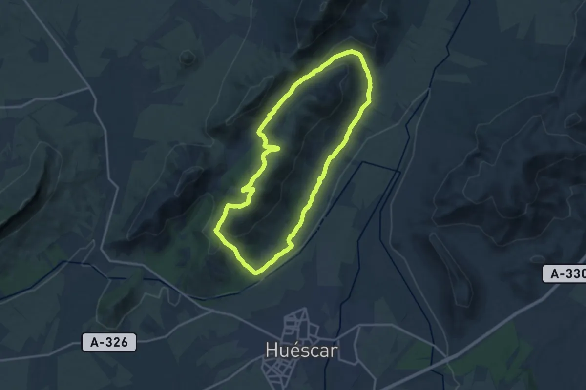
Medium · Trail
Perico Ruiz - Puente Roque
14.1 km · ↑ 431 m · 4 h 28 min
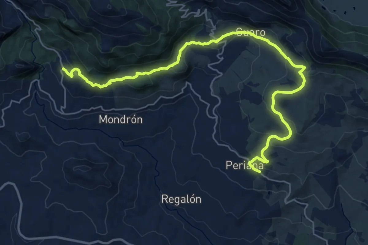
Demanding · Trail
Perina - Pulgarín
26.3 km · ↑ 756 m · 7 h 51 min
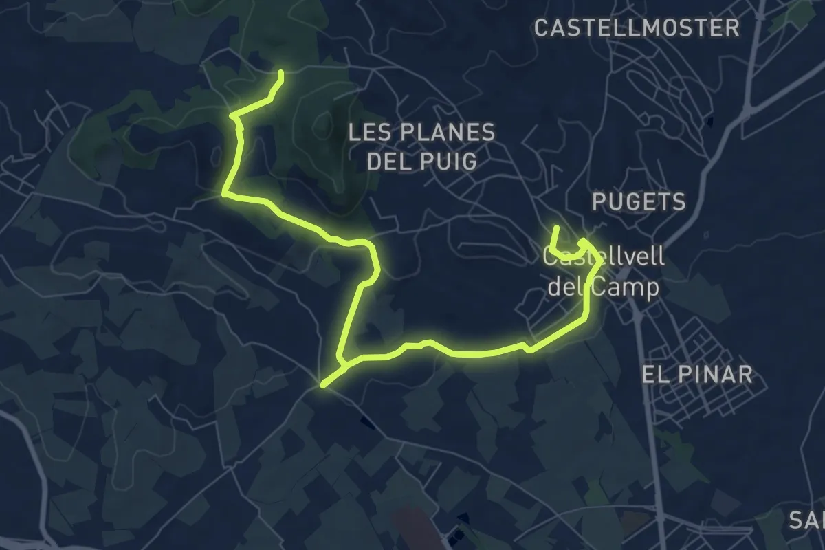
Medium · Summit
Per les pedreres
10.9 km · ↑ 195 m · 3 h
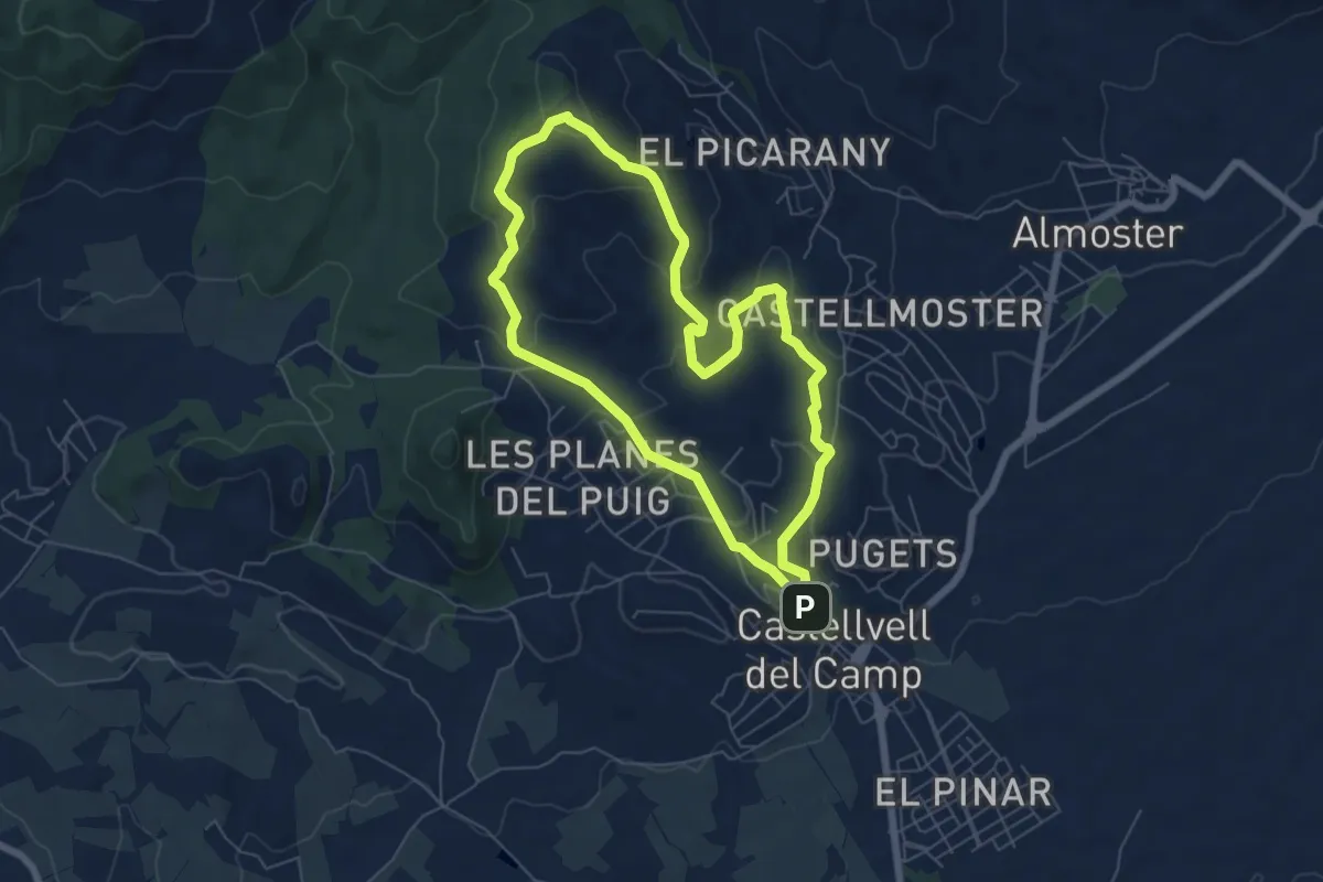
Easy · Summit
Per les rouredes i els sovians
6.7 km · ↑ 236 m · 2 h 11 min
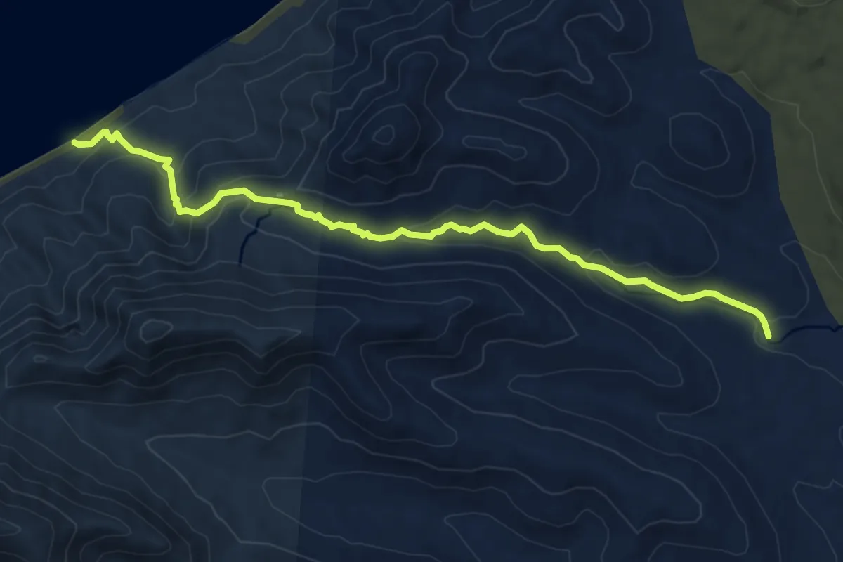
Demanding · Trail
Pescenescal-Playa Larga
9.9 km · ↑ 381 m · 3 h 10 min
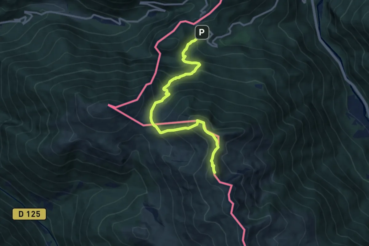
Demanding · Summit
Pic d'Arrès par le col du Portillon
10.1 km · ↑ 915 m · 4 h 22 min
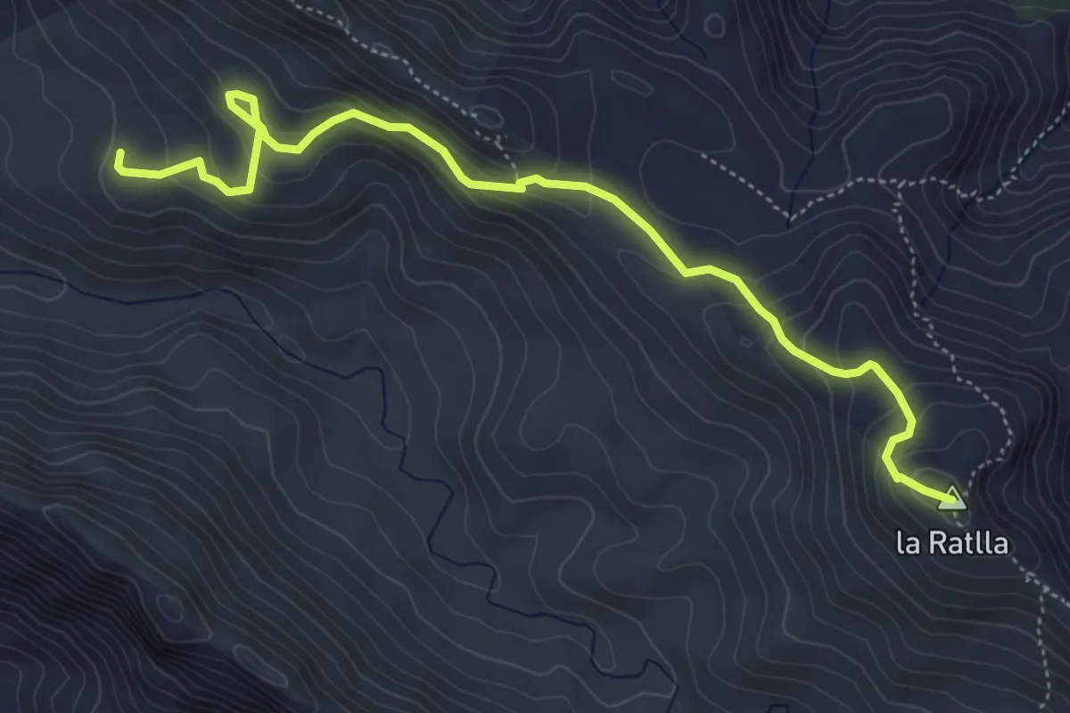
Demanding · Summit
Pic de la Ratlla
6.4 km · ↑ 441 m · 2 h 28 min
Demanding · Summit
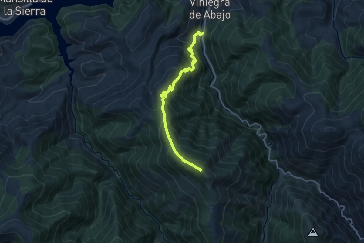
Pico Alcaste
10.7 km · ↑ 929 m · 4 h 33 min
Medium · Summit
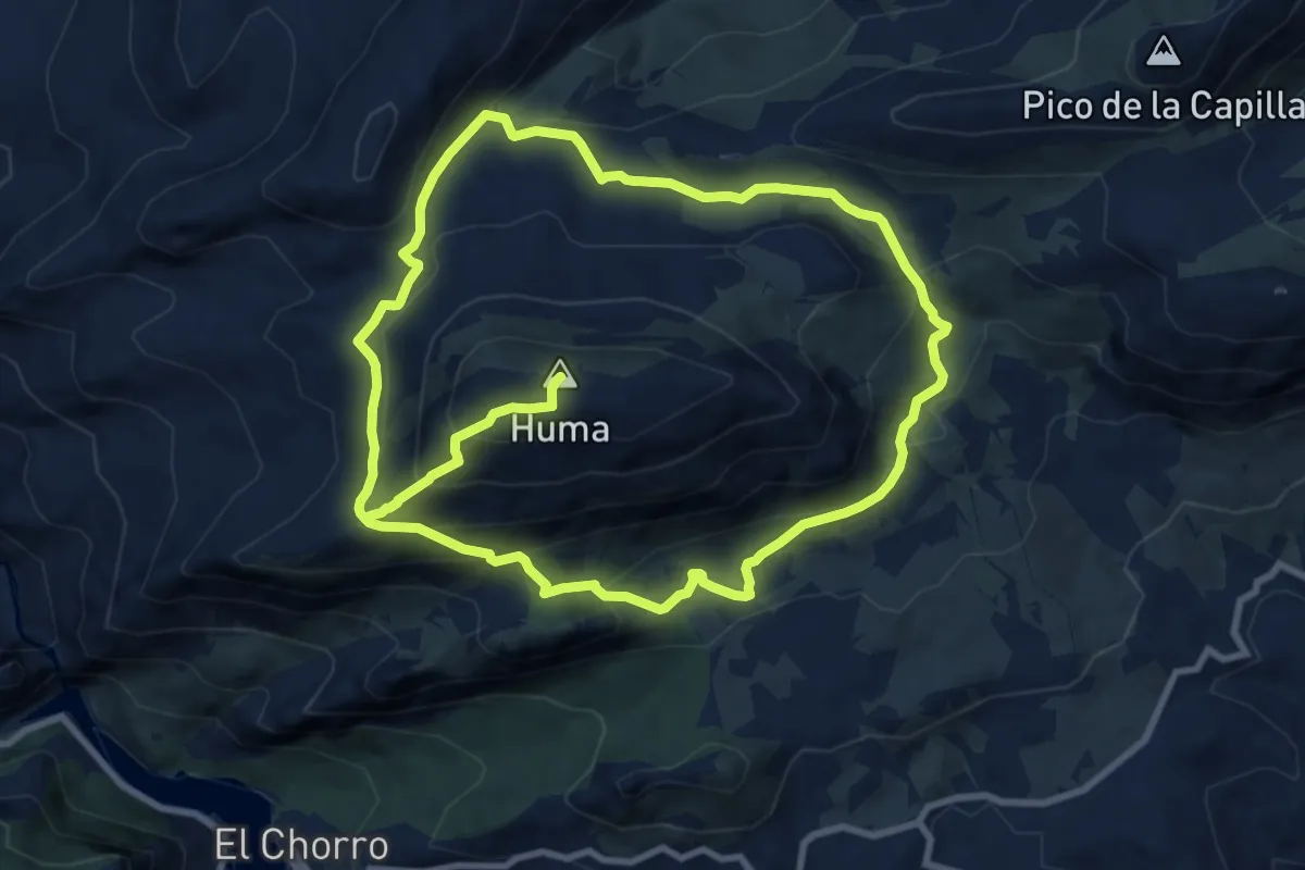
Pico de Huma
10.3 km · ↑ 694 m · 3 h 57 min
Medium · Summit
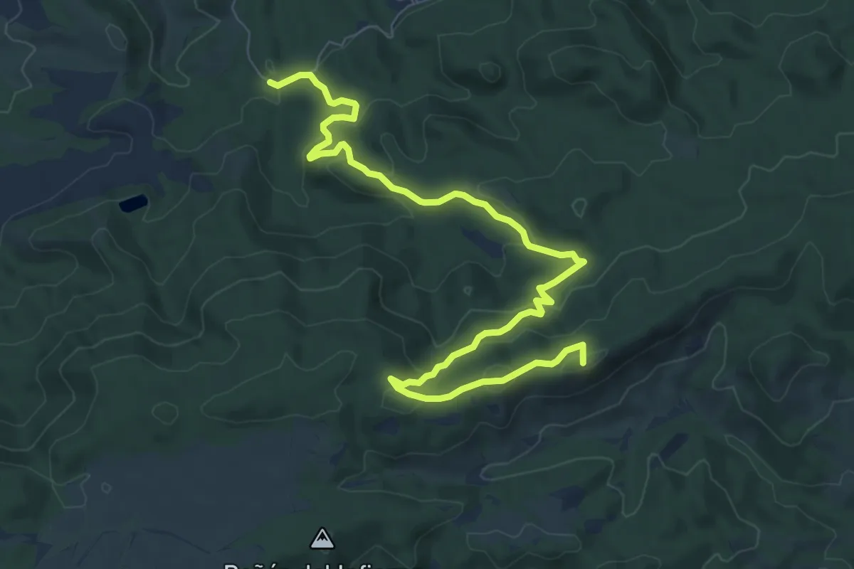
Pico del Águila
10.9 km · ↑ 380 m · 3 h 24 min
Demanding · Summit
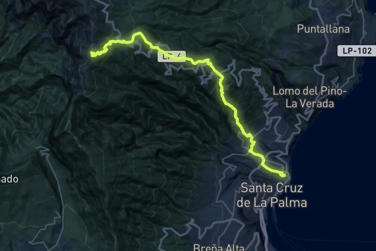
Pico de La Nieve - Santa Cruz de La Palma
26.7 km · ↑ 2414 m · 11 h 31 min
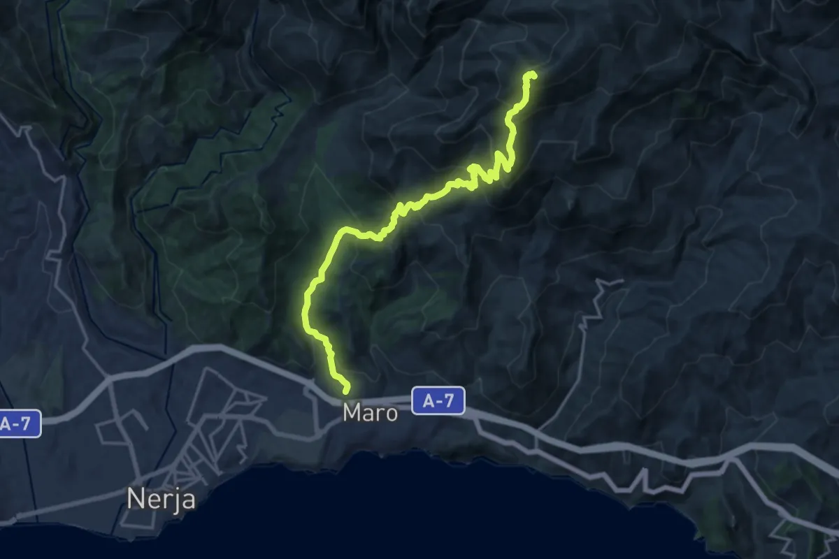
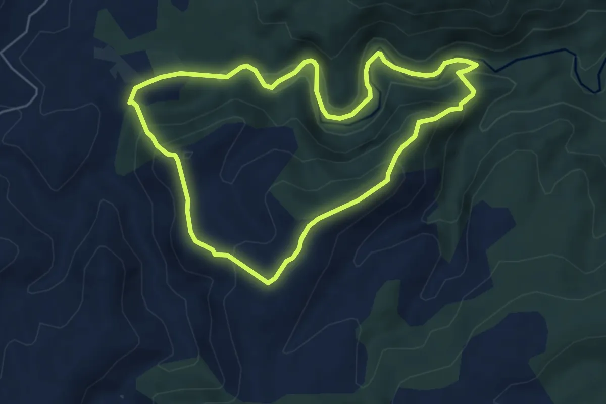
Demanding · Summit
Pico del Cielo
19.3 km · ↑ 1417 m · 7 h 38 min
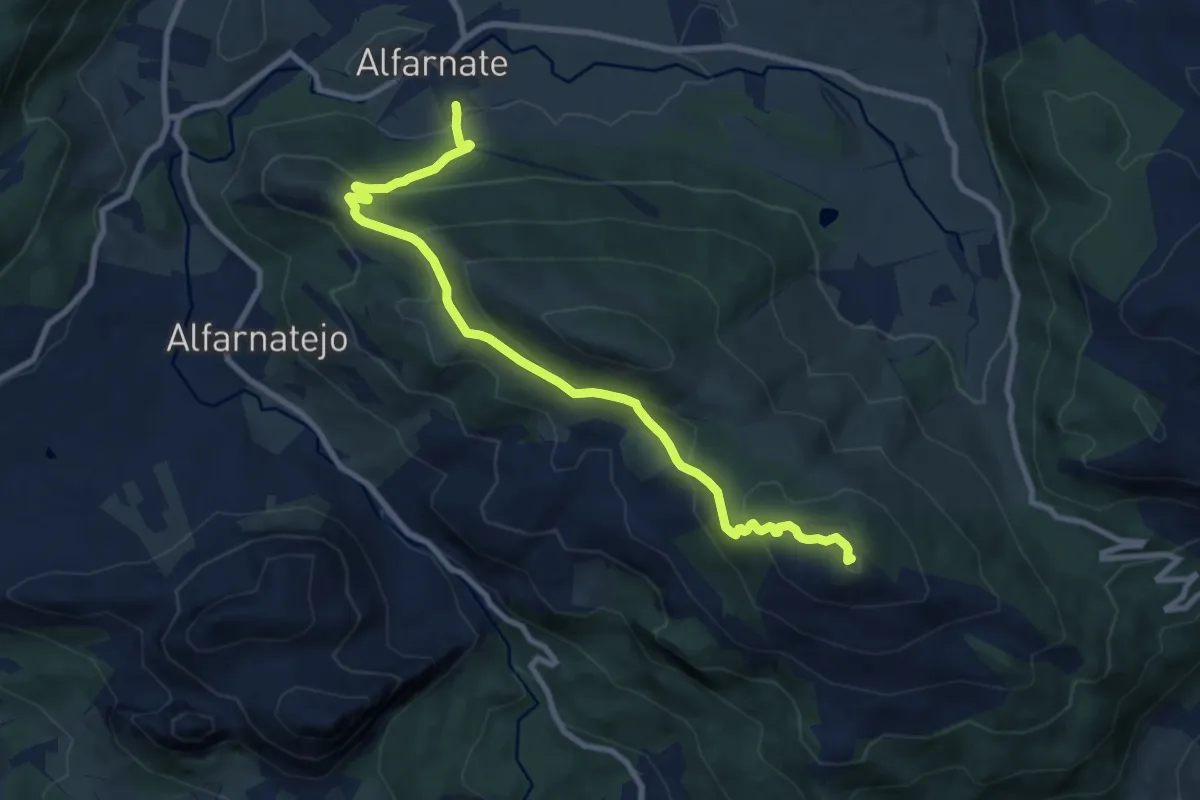
Easy · Trail
Pico del Fraile
5.6 km · ↑ 280 m · 2 h 1 min
Medium · Summit
Pico del Vilo
11.4 km · ↑ 599 m · 3 h 59 min
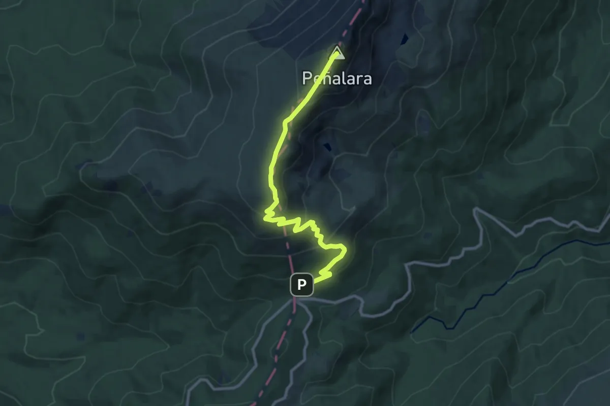
Medium · Summit
Pico de Peñalara
9.9 km · ↑ 573 m · 3 h 34 min
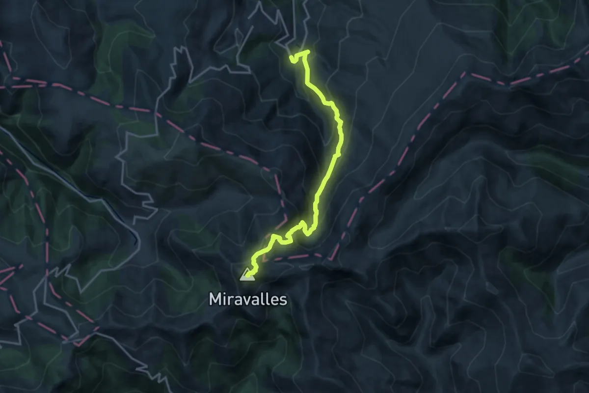
Demanding · Summit
Pico Miravalles
14.7 km · ↑ 1307 m · 6 h 19 min
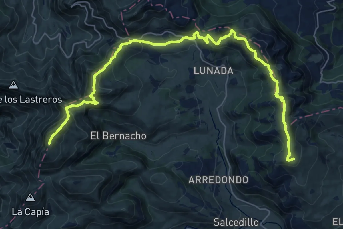
Demanding · Summit
Picón Castro – UTPC66 Ultra Trail
25.7 km · ↑ 1527 m · 9 h 22 min
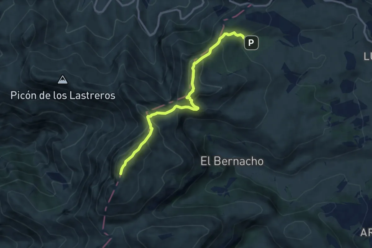
Demanding · Summit
Picón Castro Vertical 2019
8.7 km · ↑ 798 m · 3 h 47 min
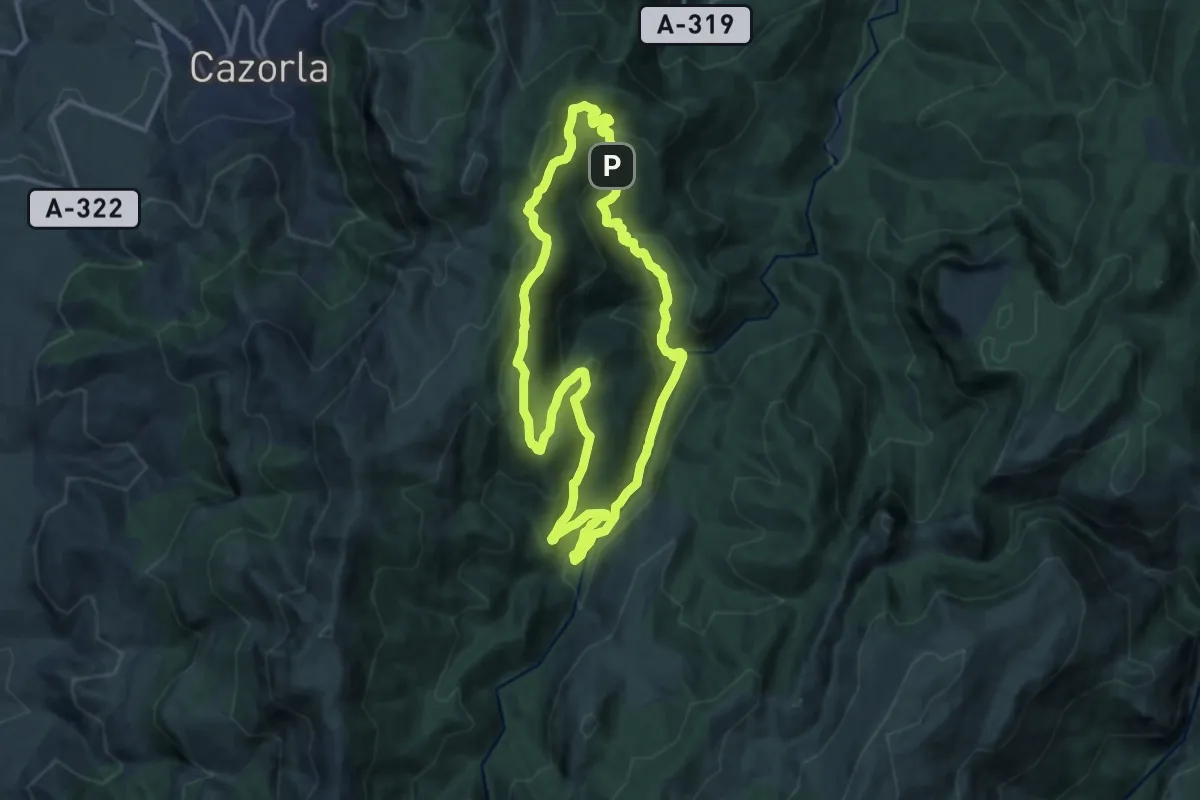
Medium · Summit
Picón del Rey - Arroyo de los Cierzos
14.8 km · ↑ 556 m · 4 h 54 min
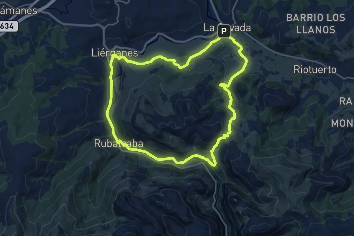
Medium · Summit
Picos de Busampiro
14.5 km · ↑ 395 m · 4 h 29 min
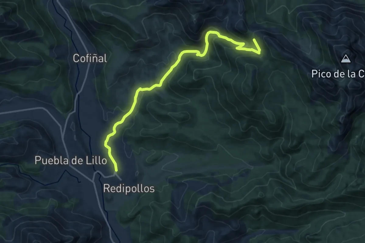
Medium · Trail
Picos de Mampodre
14.6 km · ↑ 623 m · 4 h 48 min
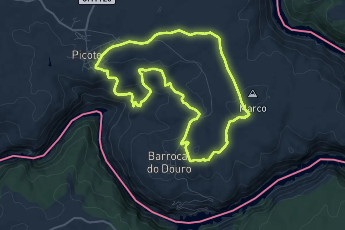
Medium · Trail
Picote - Barrocal do Douro- Picote _ Camino de la barraige - Tierra
9.2 km · ↑ 225 m · 2 h 47 min
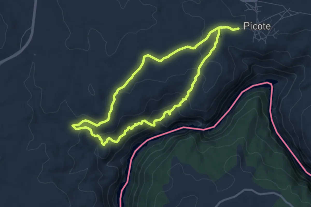
Medium · Trail
Picote - Santos - Picote _ Camino de ls Santos - Fuogo
14.3 km · ↑ 445 m · 4 h 21 min
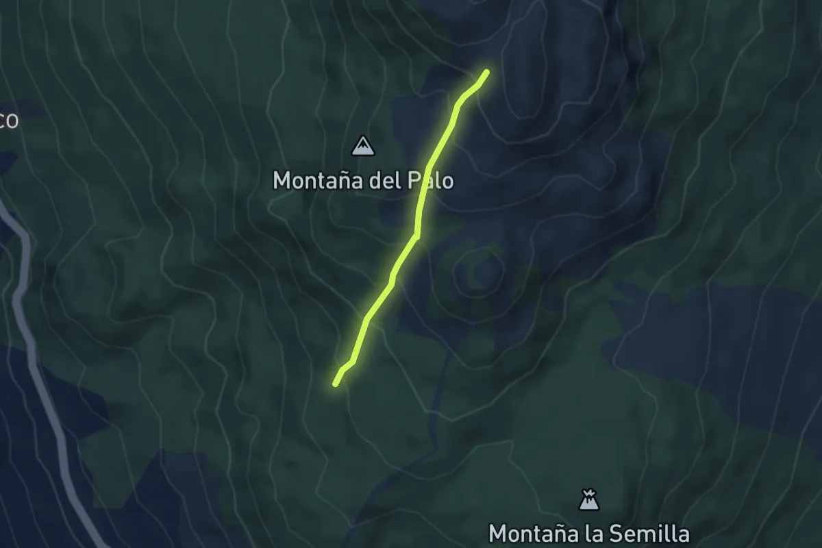
Medium · Trail
Pie del Volcán Martín – Fuente de El Tión
3.2 km · ↑ 323 m · 1 h 28 min
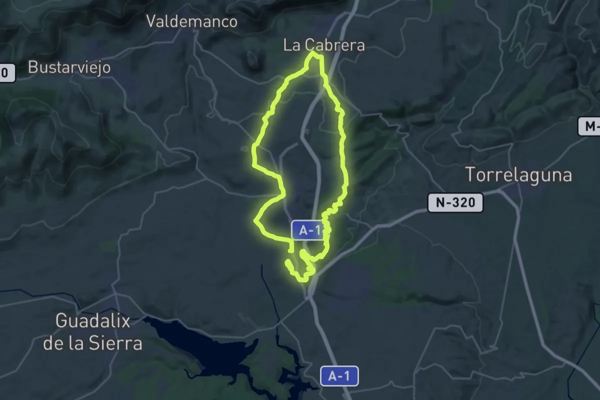
Demanding · Trail
Piedemonte Serrano
21.1 km · ↑ 381 m · 6 h 7 min
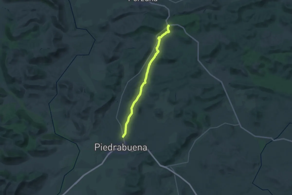
Demanding · Trail
Piedrabuena - Puerto de los Majales
22.1 km · ↑ 254 m · 5 h 46 min
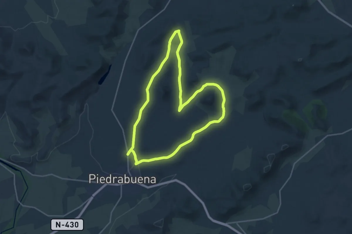
Medium · Trail
Piedrabuena - Volcan de la Arzollosa
15.7 km · ↑ 167 m · 4 h 17 min