Trails in Spain
5,962 hiking trails, each with its route, climb, walking time and grade.
All trails, page 68 of 125
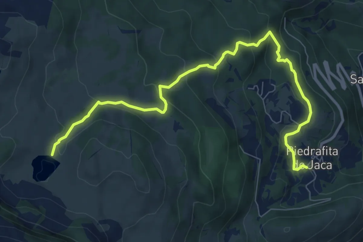
Medium · Cabin
Piedrafita de Jaca - Ibón de Piedrafita
9.2 km · ↑ 397 m · 3 h 2 min
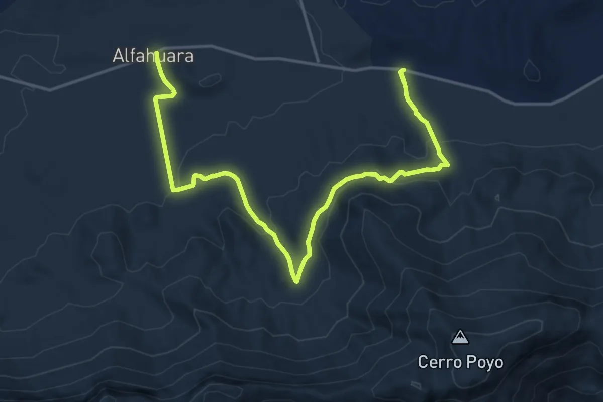
Medium · Trail
Pinar de la Alfahuara
16.8 km · ↑ 566 m · 5 h 11 min
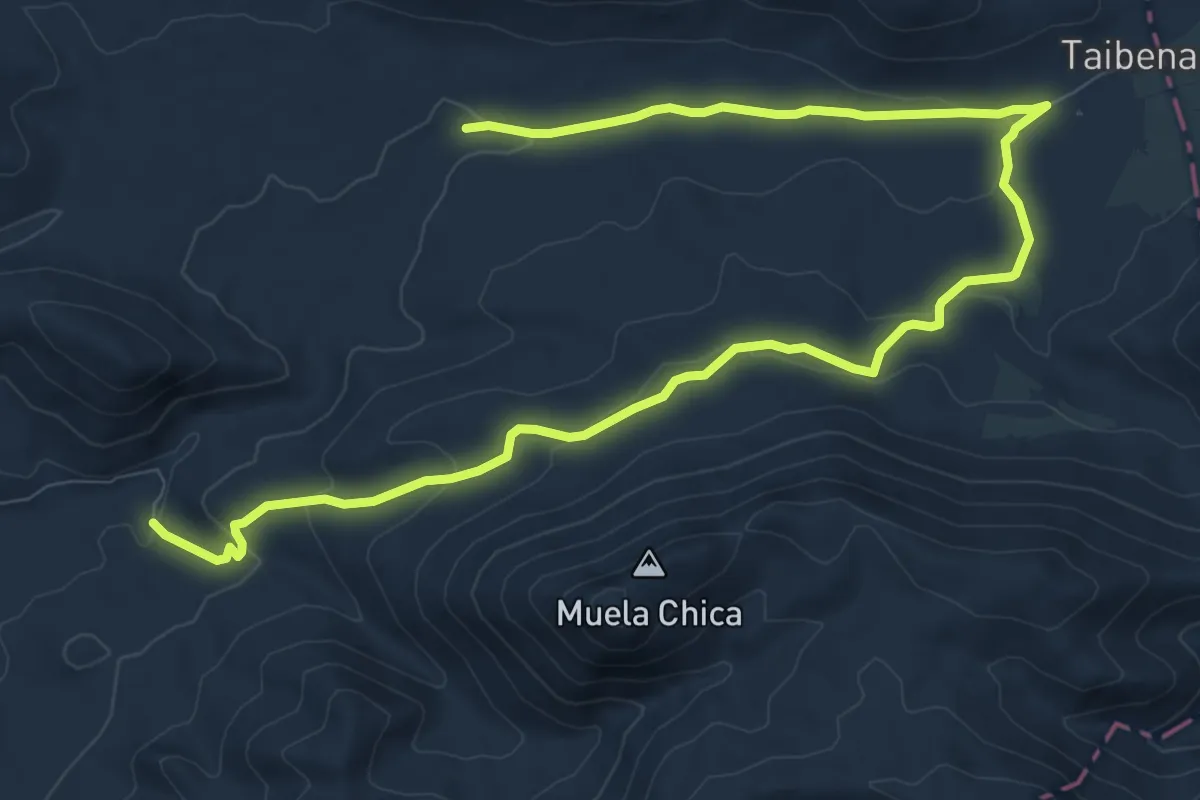
Medium · Trail
Pinar de las Muelas y Hoya de Taibena
14.7 km · ↑ 407 m · 4 h 21 min
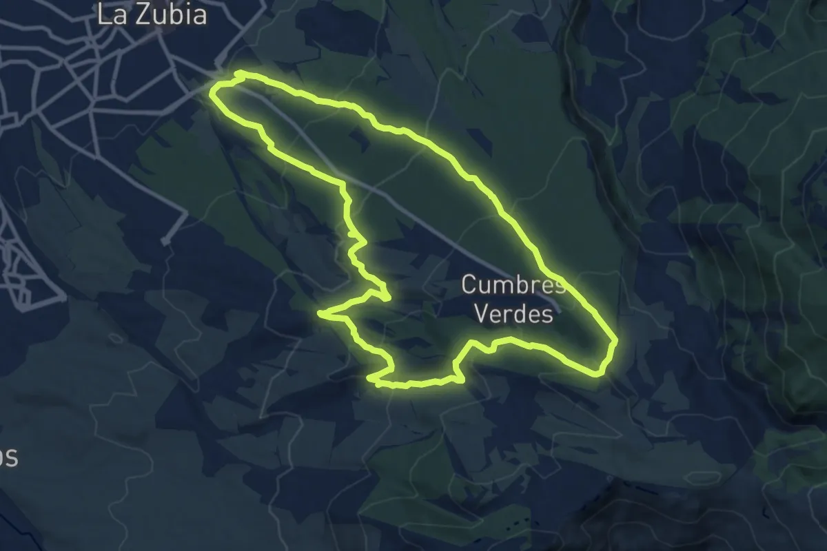
Medium · Summit
Pinares de la Zubia
12.8 km · ↑ 559 m · 4 h 25 min
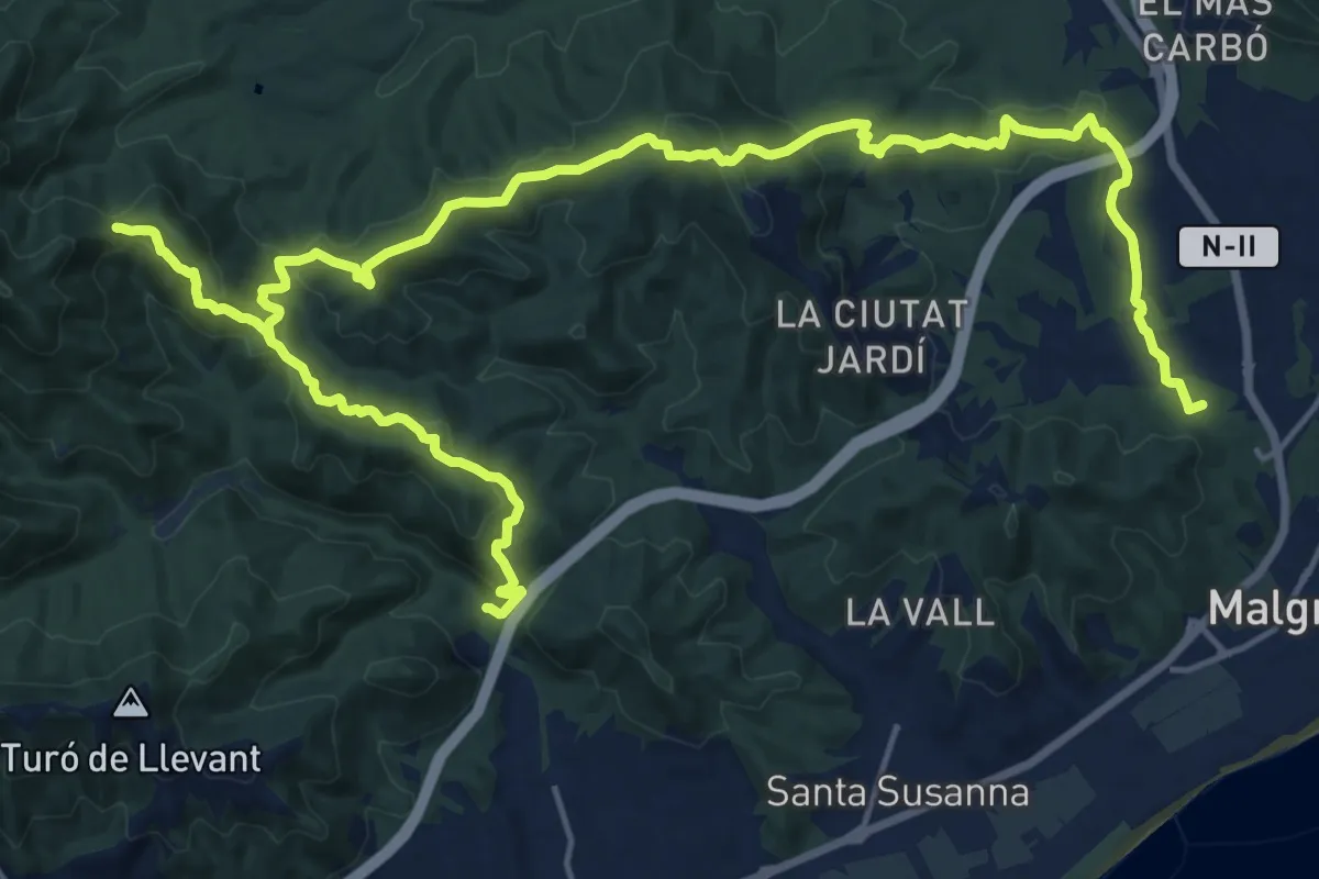
Demanding · Summit
Pineda-Vilamanya-Malgrat
30.4 km · ↑ 1271 m · 9 h 56 min
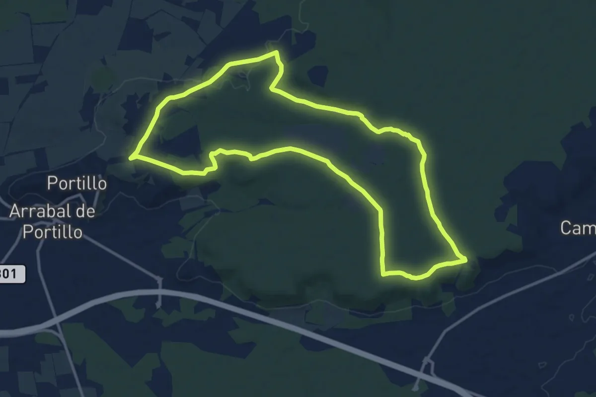
Medium · Trail
Pino Pinilla
12.4 km · ↑ 87 m · 3 h 17 min
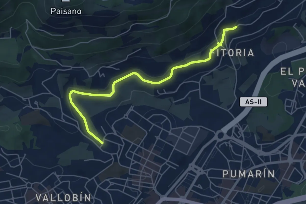
Easy · Trail
Pista Finlandesa
5.3 km · ↑ 109 m · 1 h 29 min
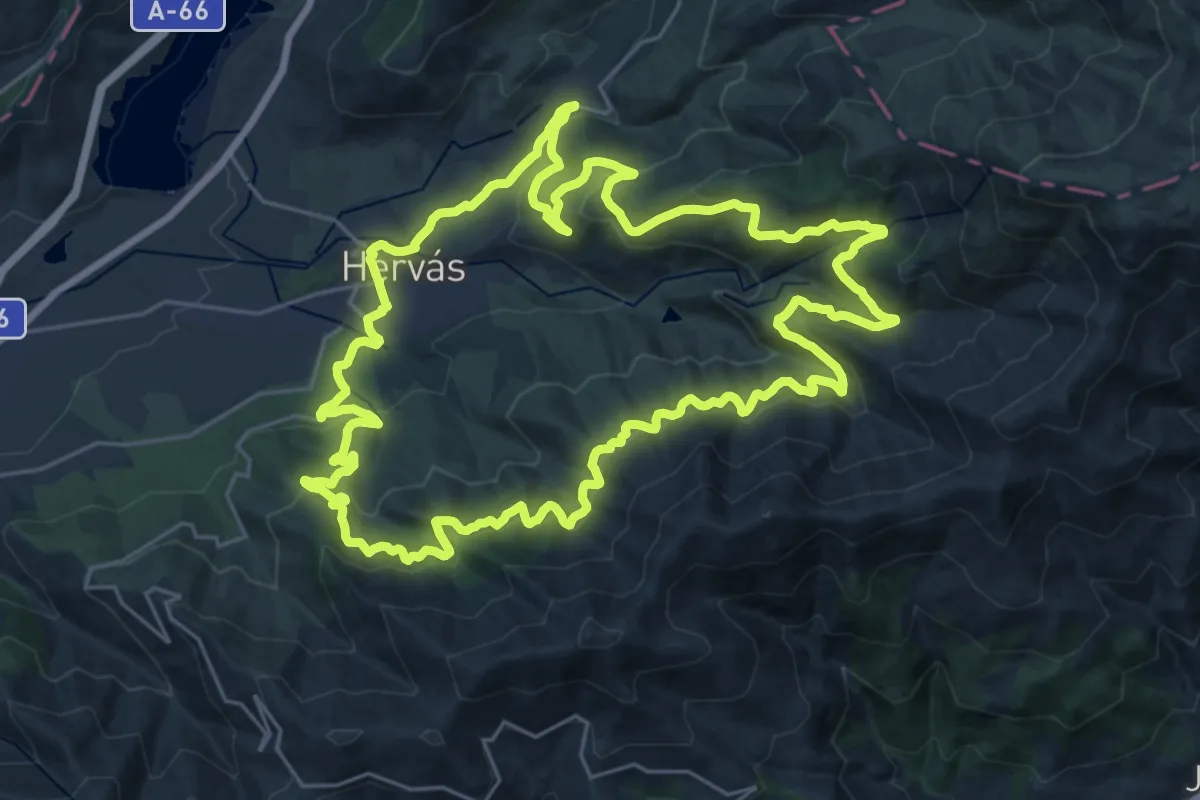
Demanding · Trail
Pista Heidi
30.4 km · ↑ 1174 m · 10 h 8 min
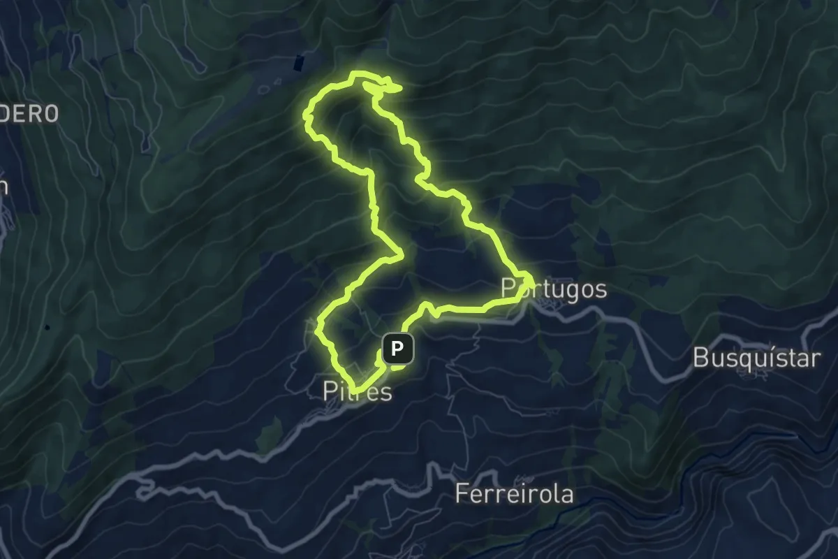
Medium · Cabin
Pitres, Acequia Gorda, Área Recreativa, Pórtugos
8.5 km · ↑ 576 m · 3 h 22 min
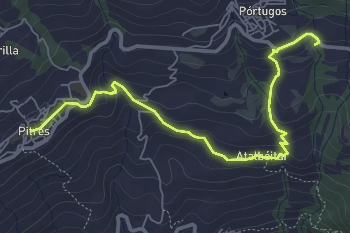
Easy · Trail
Pitres, Atalbéitar, Fuente Agria de Pórtugos
6.4 km · ↑ 289 m · 2 h 8 min
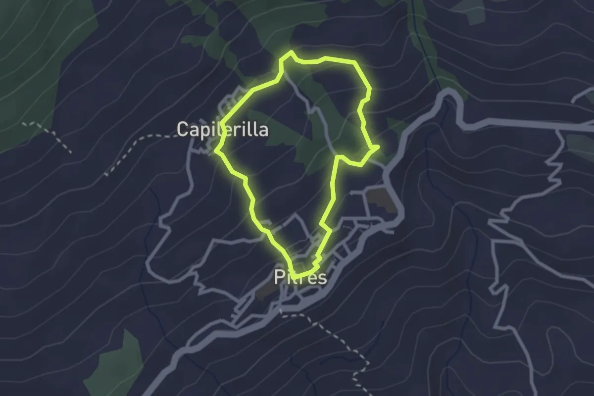
Easy · Trail
Pitres, Capilerilla, Camino de los Aylacares
2.2 km · ↑ 125 m · 50 min
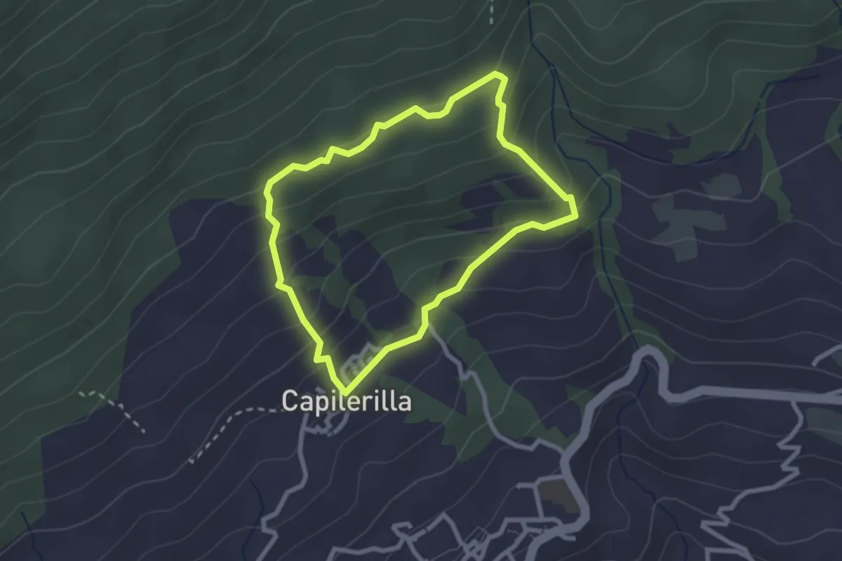
Easy · Trail
Pitres, Capilerrilla, Acequia Gorda, Pitres
2.6 km · ↑ 156 m · 59 min
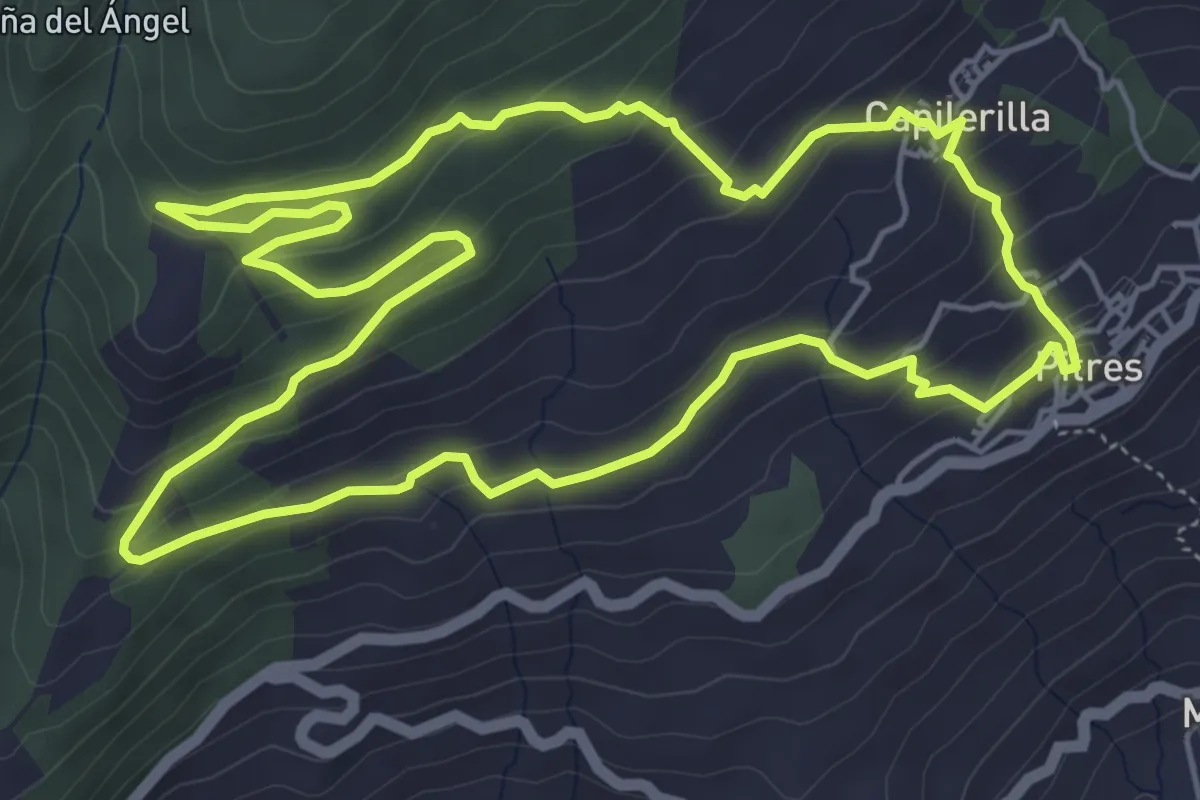
Easy · Trail
Pitres, cruce GR-7, Capilerilla, Pitres
6.8 km · ↑ 314 m · 2 h 23 min
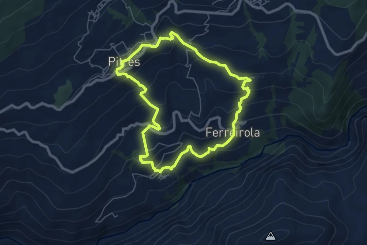
Medium · Trail
Pitres, Mecina, Mecinilla, Fondales, Ferreirola, Atalbéitar, Pitres
5.5 km · ↑ 348 m · 2 h 7 min
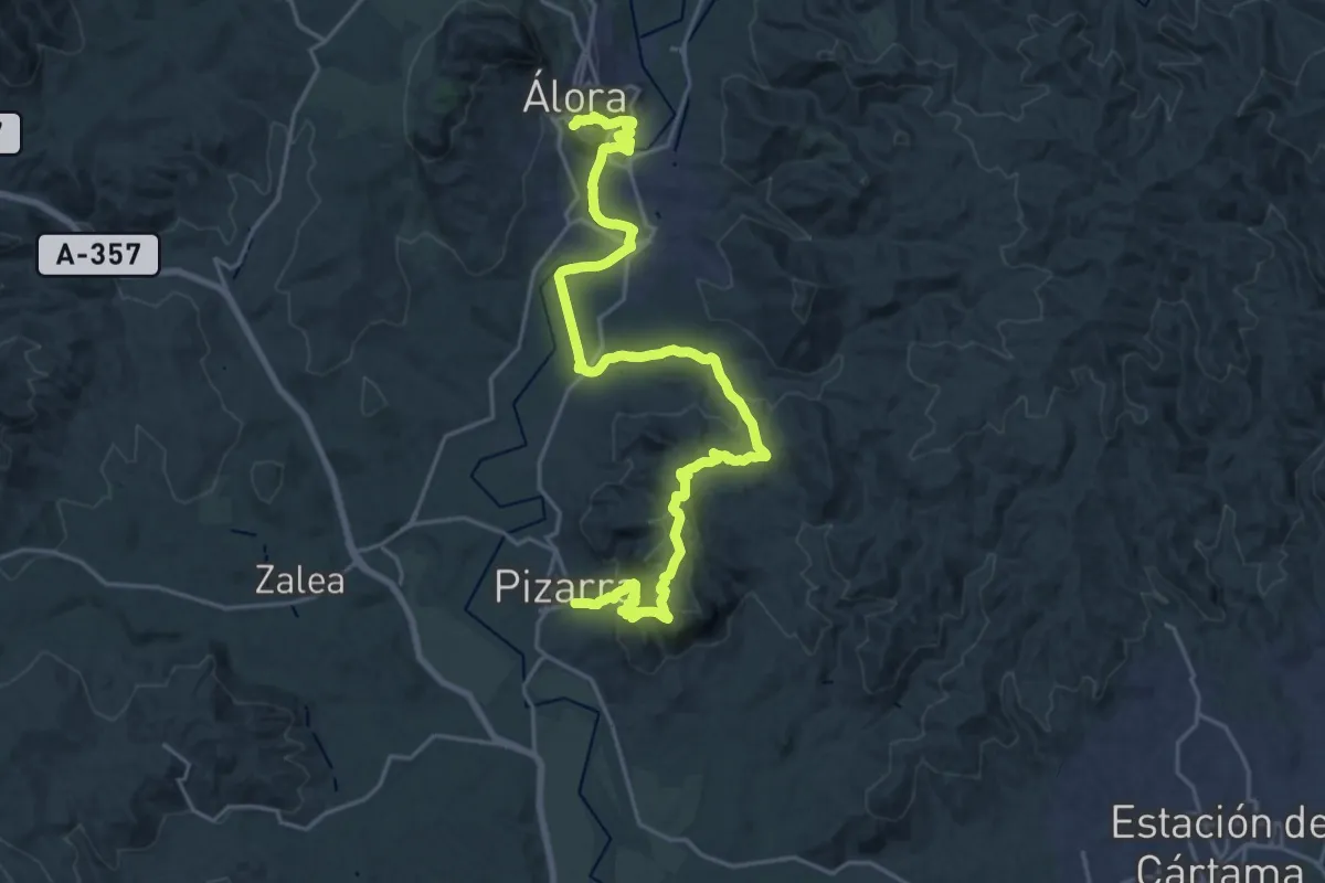
Medium · Trail
Pizarra - Álora
15.3 km · ↑ 554 m · 4 h 58 min
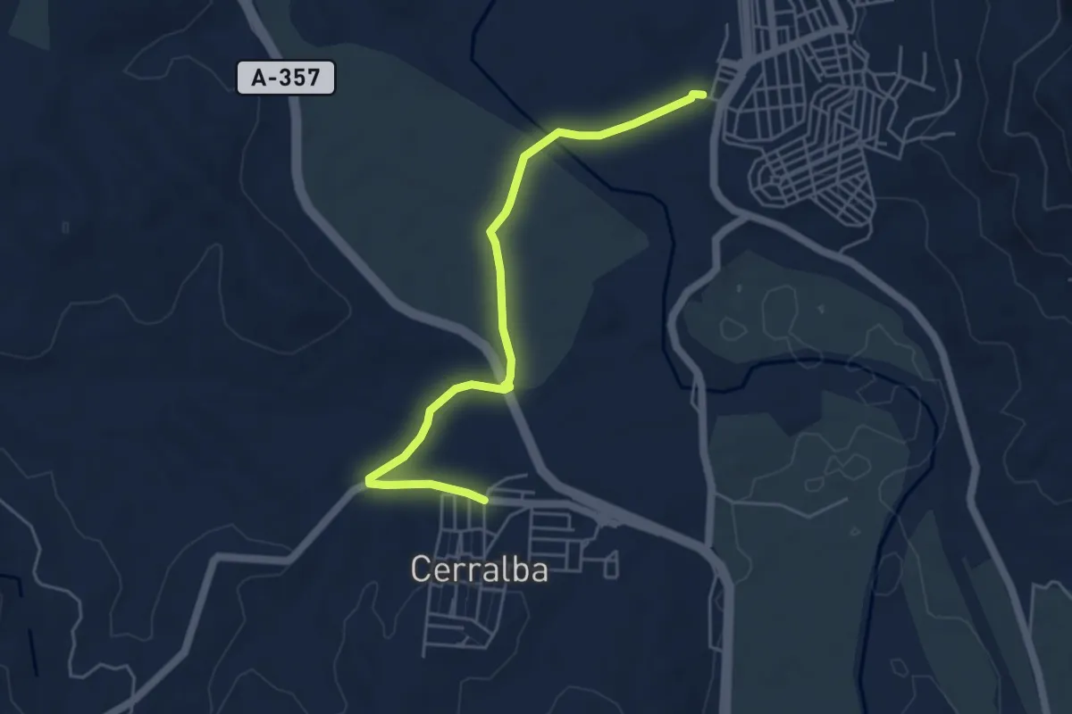
Easy · Trail
Pizarra - Cerralba
5.8 km · ↑ 31 m · 1 h 26 min
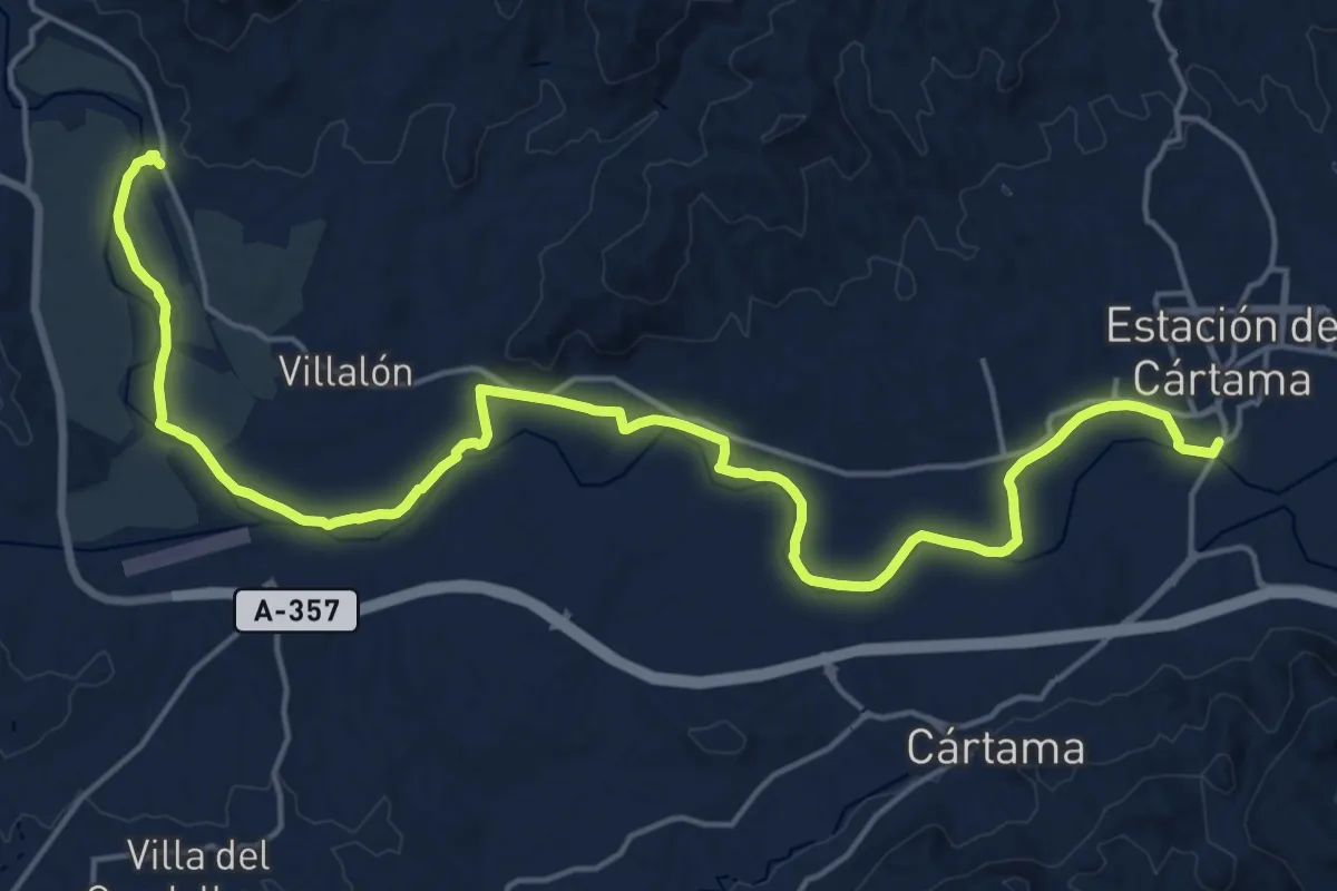
Demanding · Trail
Pizarra - Estación de Cártama
26.9 km · ↑ 110 m · 6 h 35 min
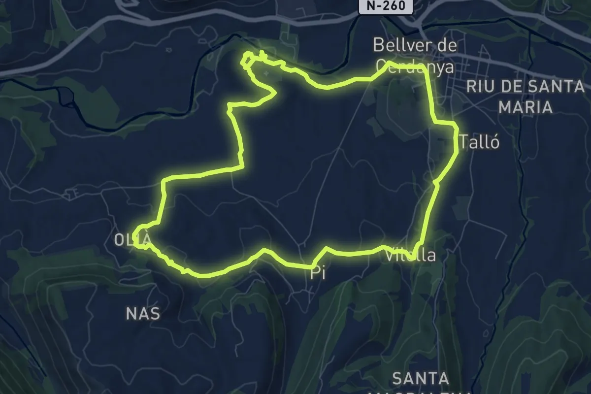
Medium · Summit
Pla de la Batllia - Turò de Gallisà
10.3 km · ↑ 228 m · 3 h 4 min
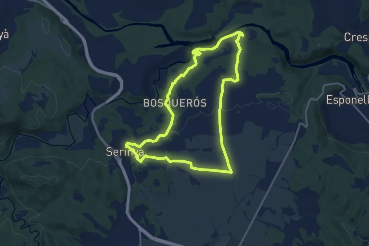
Medium · Trail
Pla de Martís i Fluvià
9.4 km · ↑ 137 m · 2 h 38 min
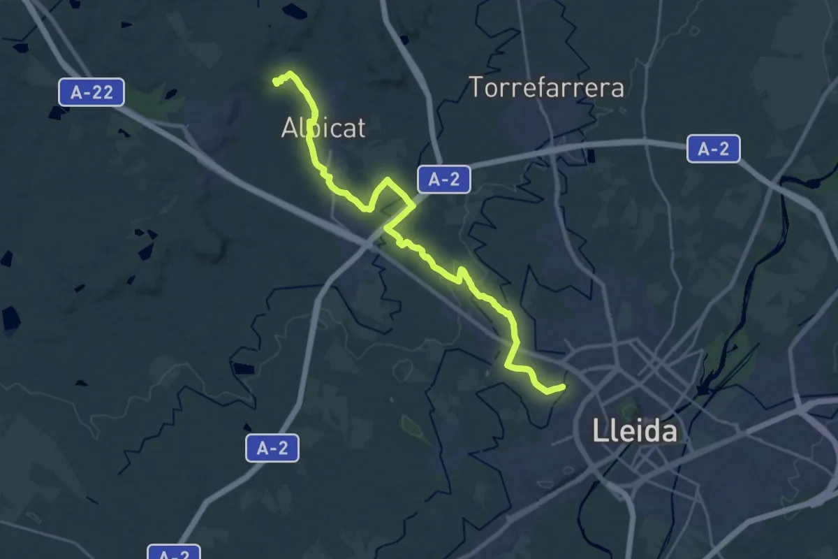
Demanding · Summit
Pla de Ponent
23.5 km · ↑ 154 m · 5 h 54 min
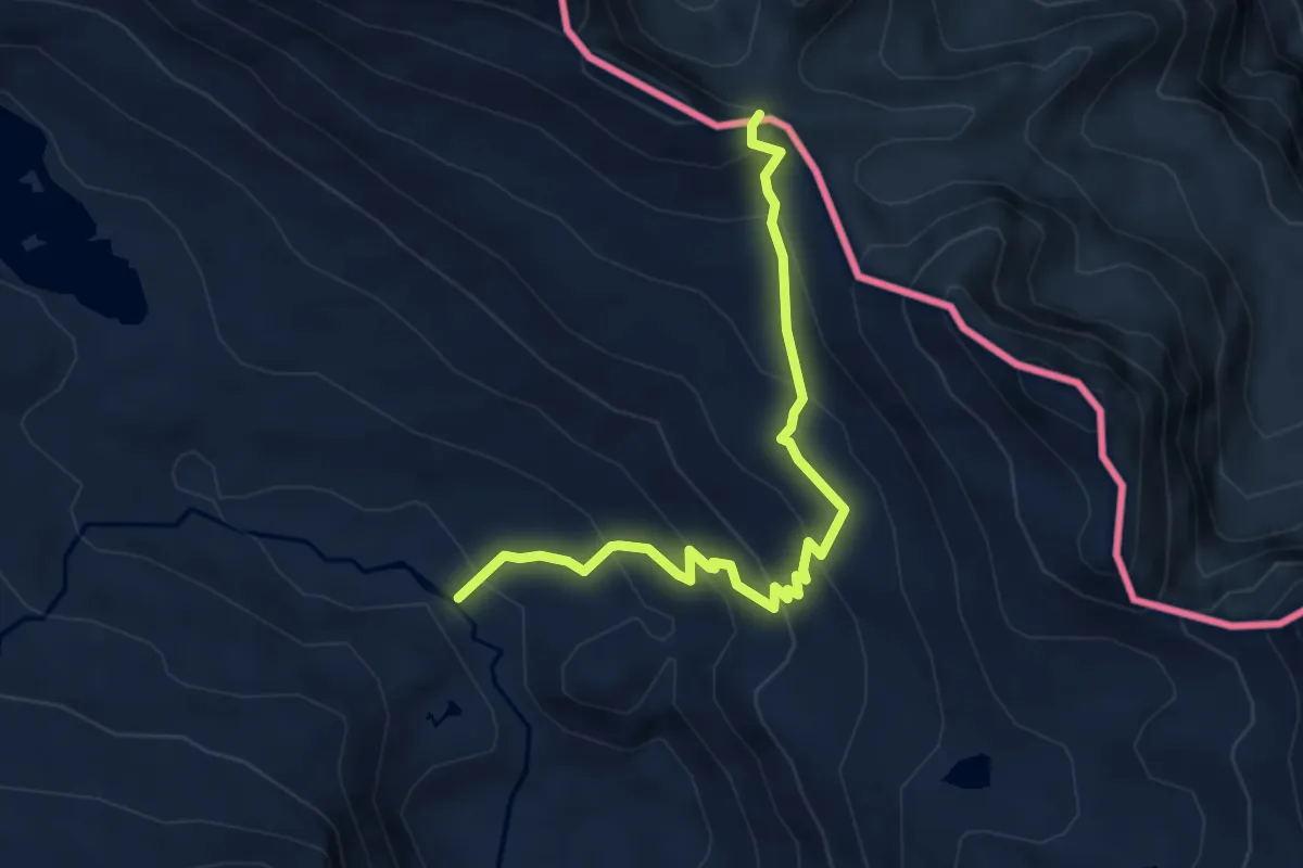
Medium · Summit
Plans del Pas Estret - Mines de Bentaillou
5.0 km · ↑ 359 m · 1 h 57 min
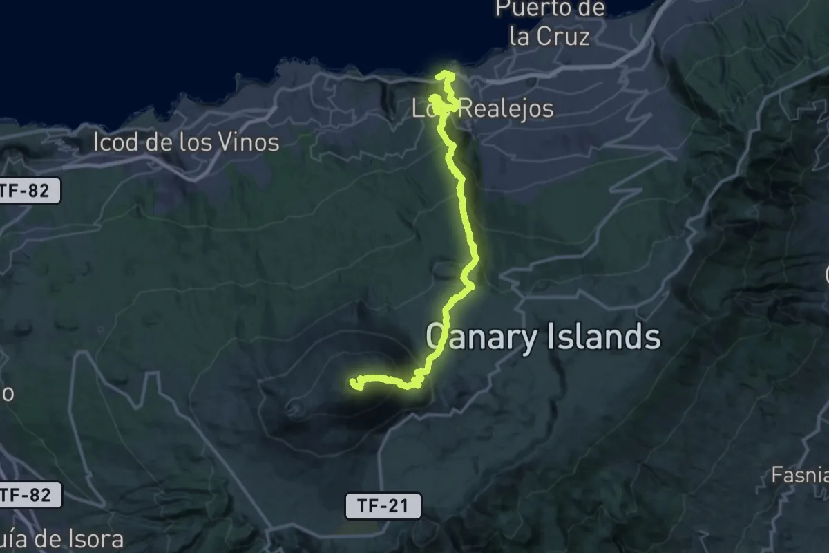
Demanding · Summit
Playa de El Socorro - Pico del Teide
54.3 km · ↑ 4104 m · 21 h 43 min
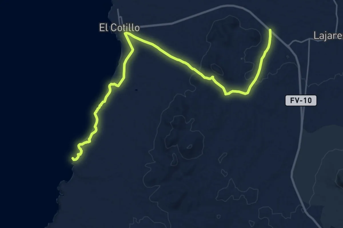
Demanding · Summit
Playa del Esquinzo - Barranco del Jable
27.1 km · ↑ 344 m · 7 h 9 min
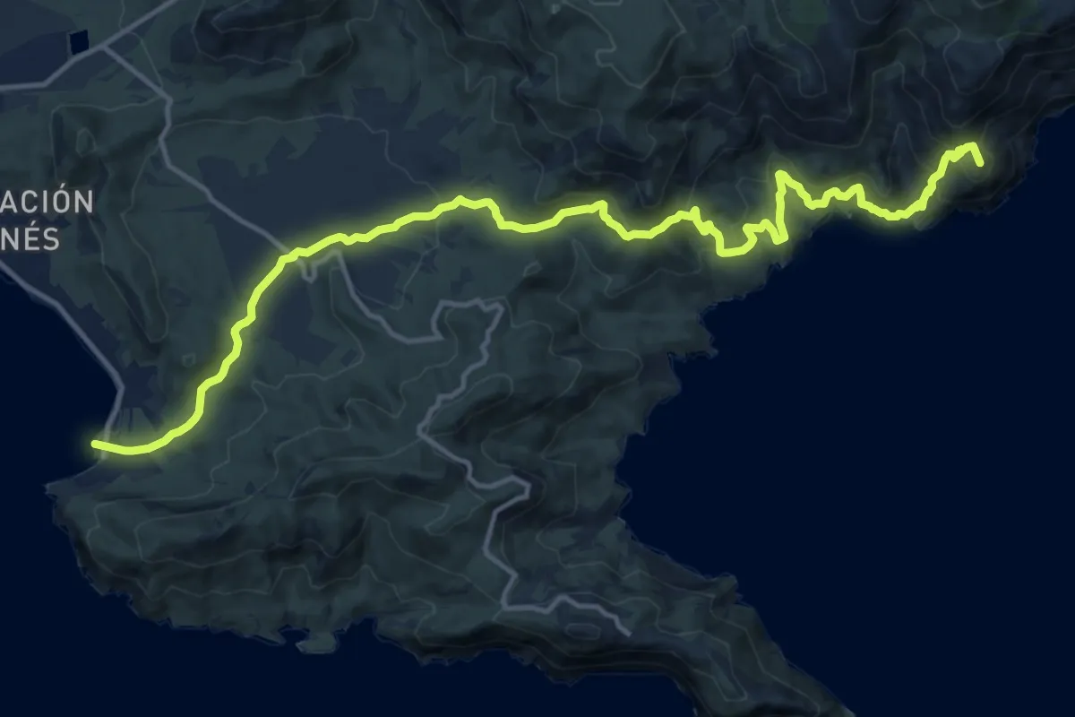
Demanding · Summit
Playa del Portús - Campillo de Adentro - La Azohía
20.0 km · ↑ 854 m · 6 h 34 min
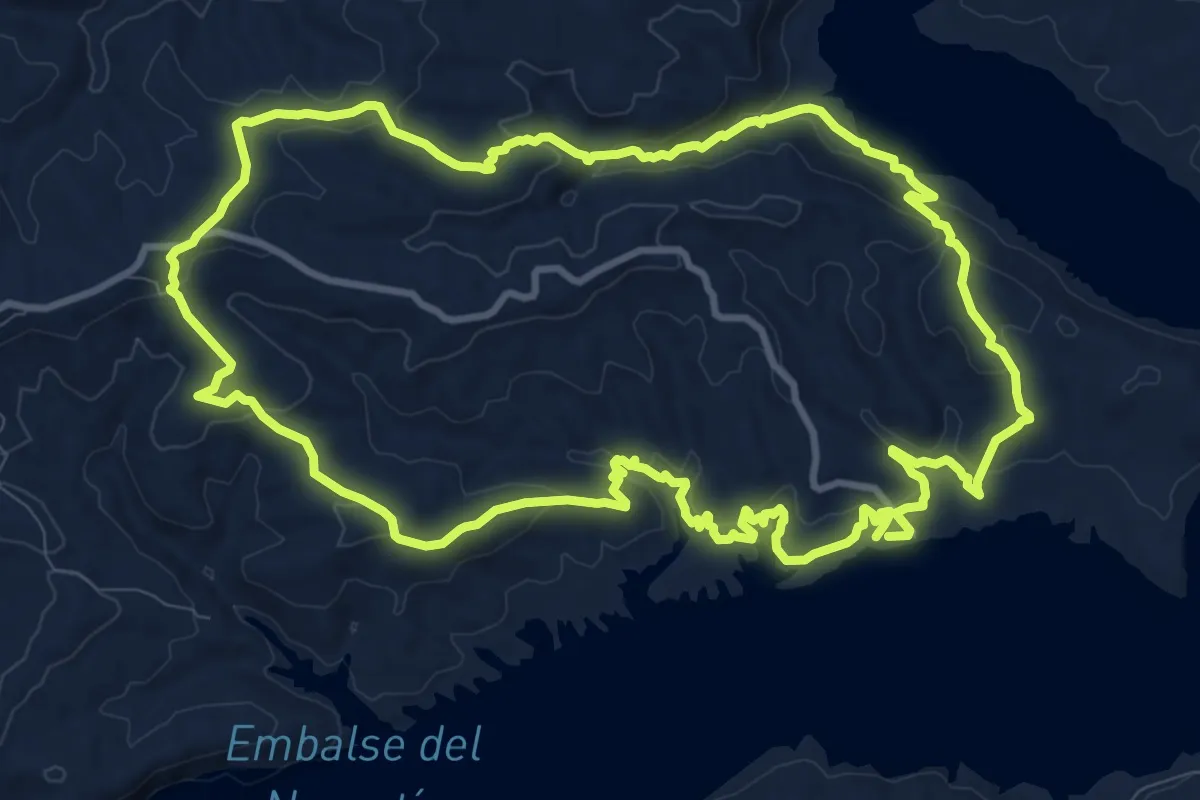
Medium · Trail
Playas del Negratín - Catedrales de Geoparque
13.2 km · ↑ 361 m · 4 h 5 min
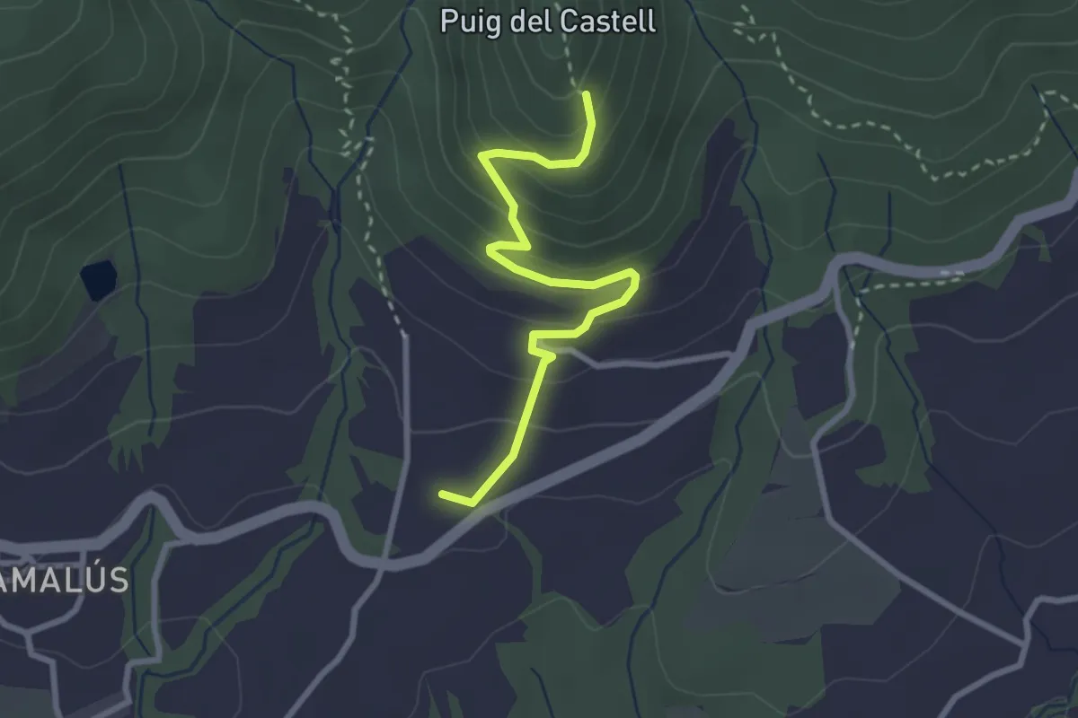
Easy · Trail
Poblat Ibèric del Puig del Castell de Samalús
3.0 km · ↑ 224 m · 1 h 11 min
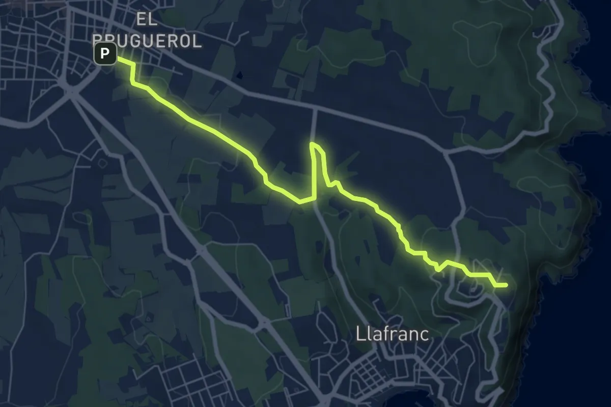
Medium · Summit
poblat ibèric de St. Sebastià de la Guàrdia
8.0 km · ↑ 131 m · 2 h 11 min
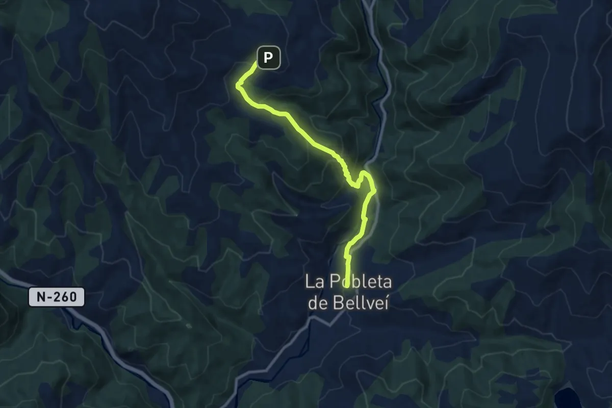
Medium · Trail
Pobleta de Bellveí-Antist
9.5 km · ↑ 484 m · 3 h 18 min
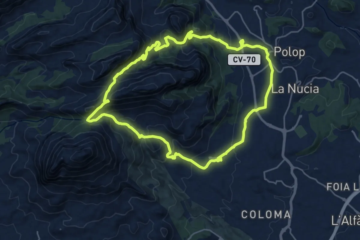
Demanding · Trail
Polop - Collado del Llamp i Pouet - Polop
17.7 km · ↑ 807 m · 6 h 11 min
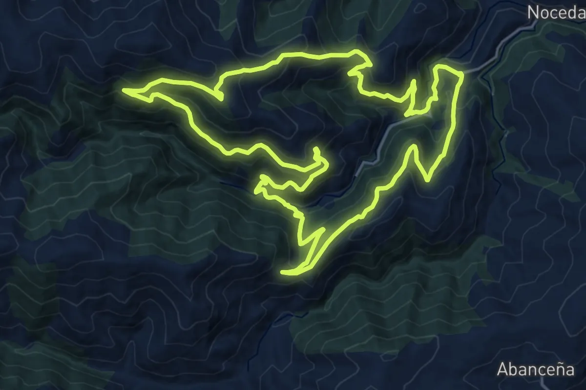
Demanding · Trail
Pomar de las Montañas
19.7 km · ↑ 1103 m · 7 h 19 min
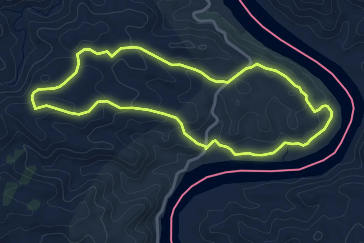
Easy · Trail
Pontal (Rota do Contrabandista)
6.2 km · ↑ 146 m · 1 h 51 min
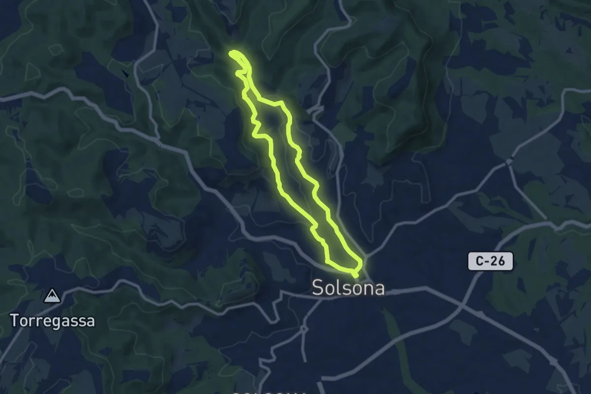
Medium · Trail
Pont de l'Afrau
8.2 km · ↑ 171 m · 2 h 25 min
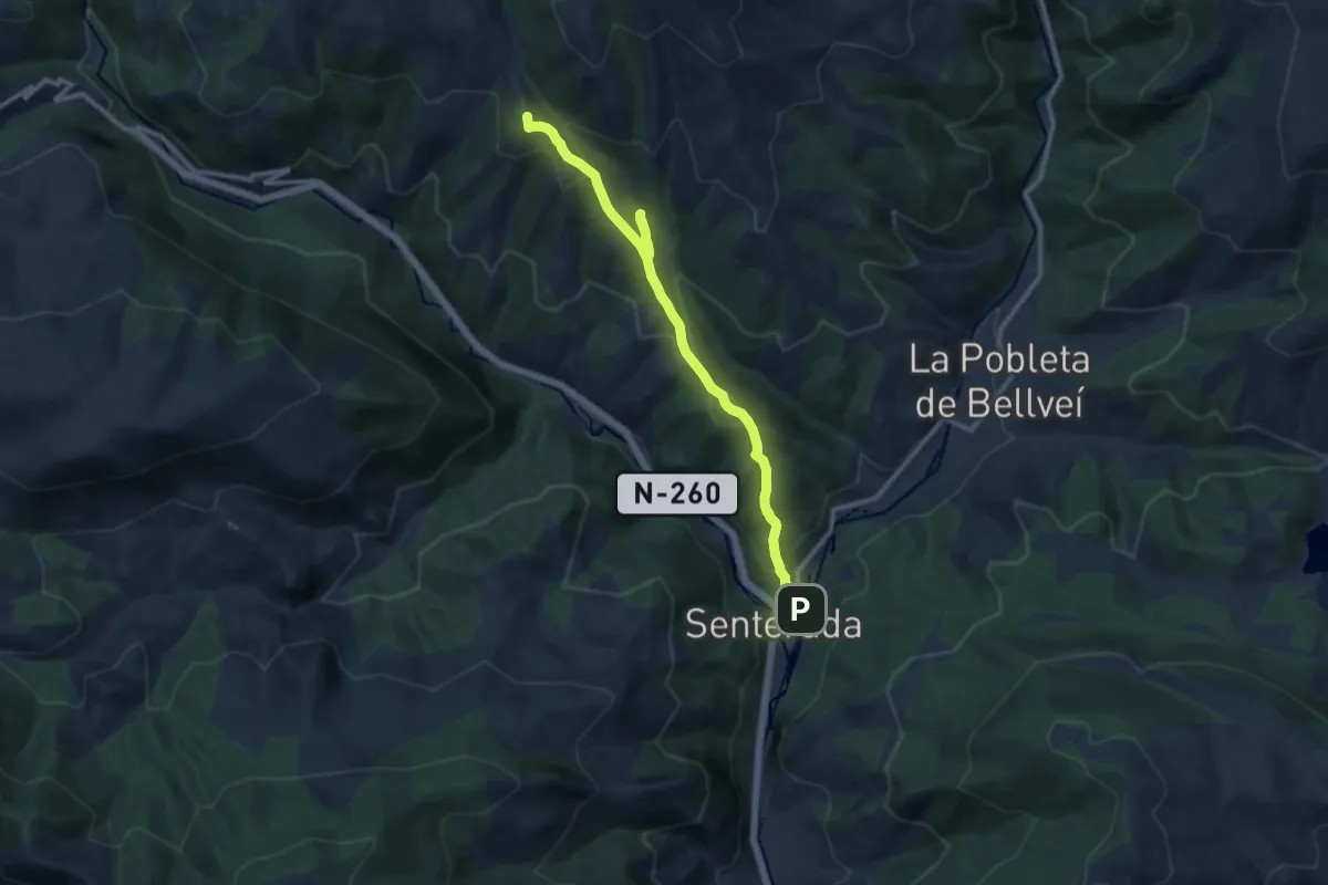
Medium · Summit
Pont del Diable, Senterada
12.8 km · ↑ 545 m · 4 h 12 min
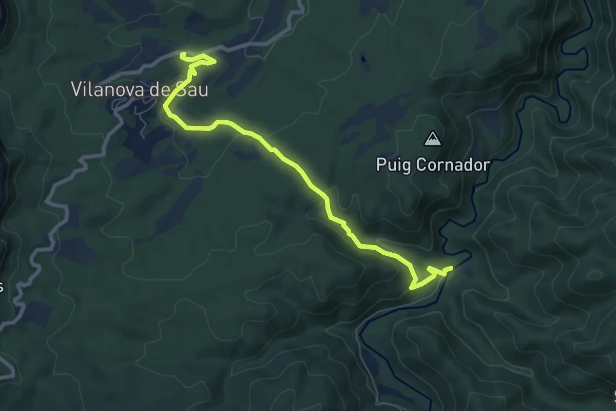
Easy · Trail
Pont de Malafogassa
7.8 km · ↑ 206 m · 2 h 17 min
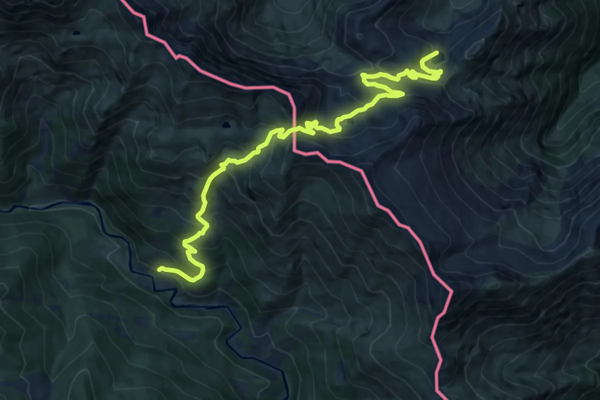
Demanding · Trail
Pont de Pedrosa - Étang d'Areau
16.5 km · ↑ 1207 m · 6 h 31 min
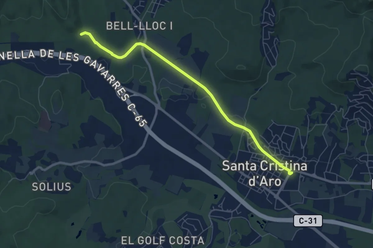
Easy · Trail
Pont de Salenys
7.0 km · ↑ 26 m · 1 h 43 min
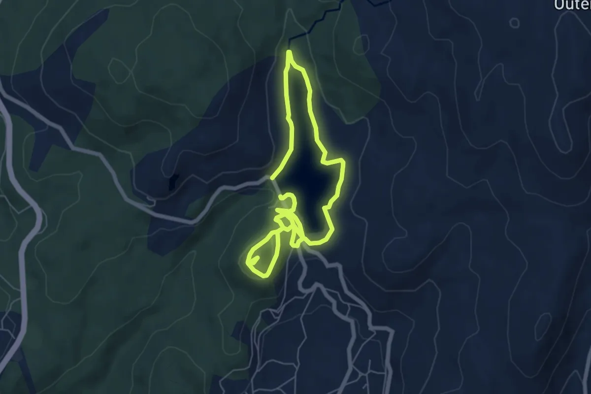
Easy · Trail
Pontillón do Castro
5.2 km · ↑ 130 m · 1 h 35 min
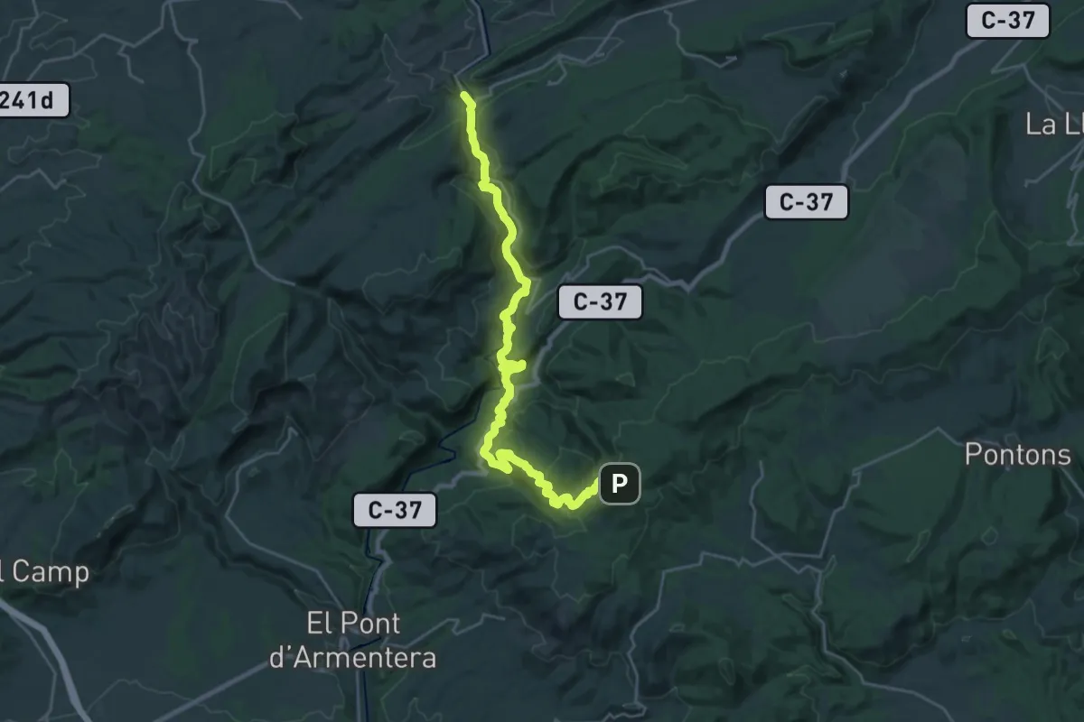
Medium · Trail
Pontils-Montagut
14.0 km · ↑ 304 m · 4 h 19 min
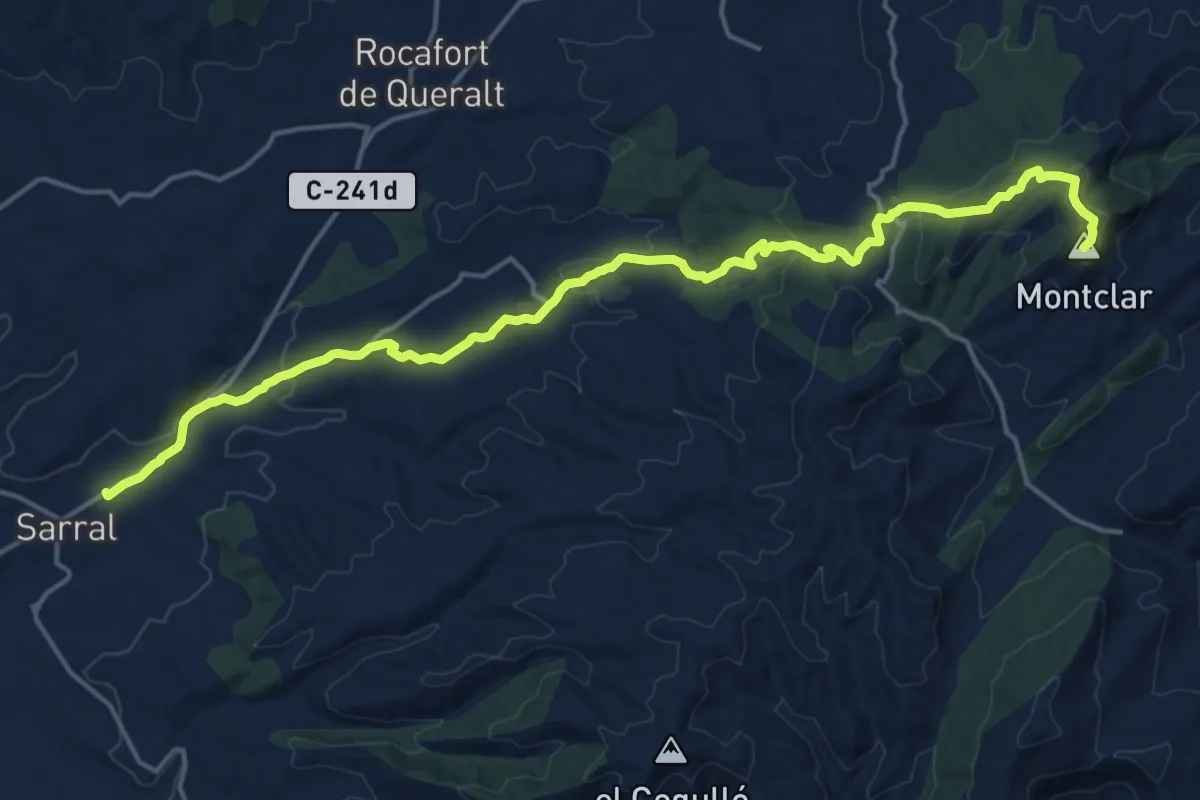
Demanding · Summit
Pontils - Sarral
21.2 km · ↑ 565 m · 6 h 13 min
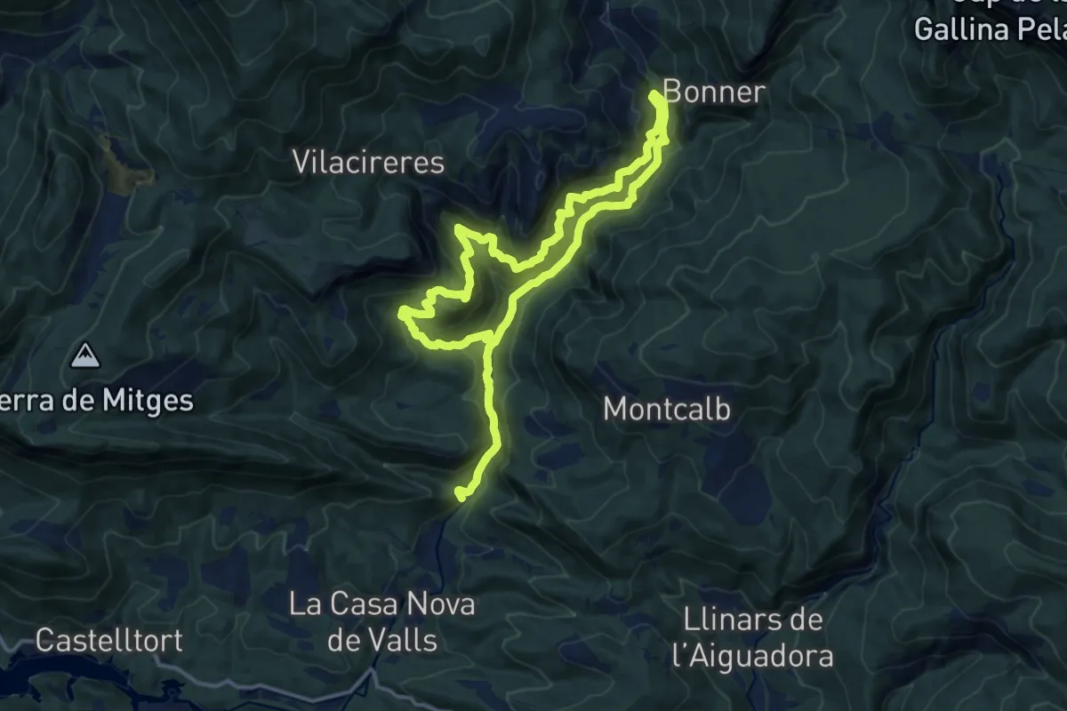
Demanding · Trail
Pont Quebradís
13.2 km · ↑ 873 m · 5 h 11 min
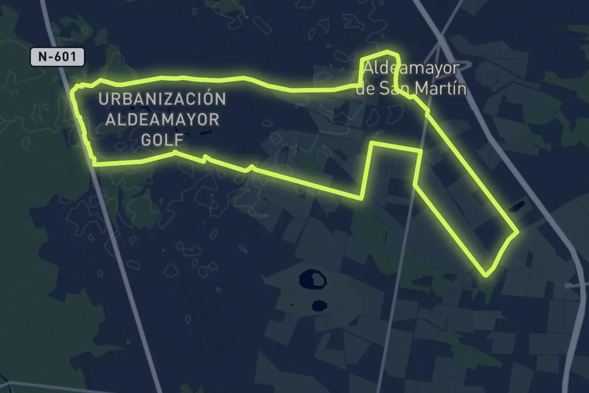
Medium · Trail
Por Campiñas y Humedales
15.6 km · ↑ 21 m · 3 h 57 min
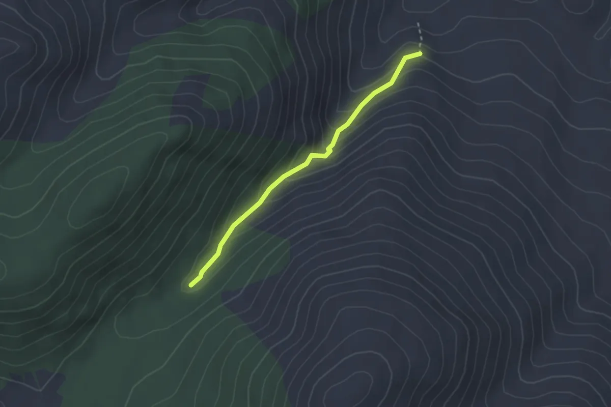
Medium · Trail
Por el Ibor
2.7 km · ↑ 175 m · 1 h 1 min
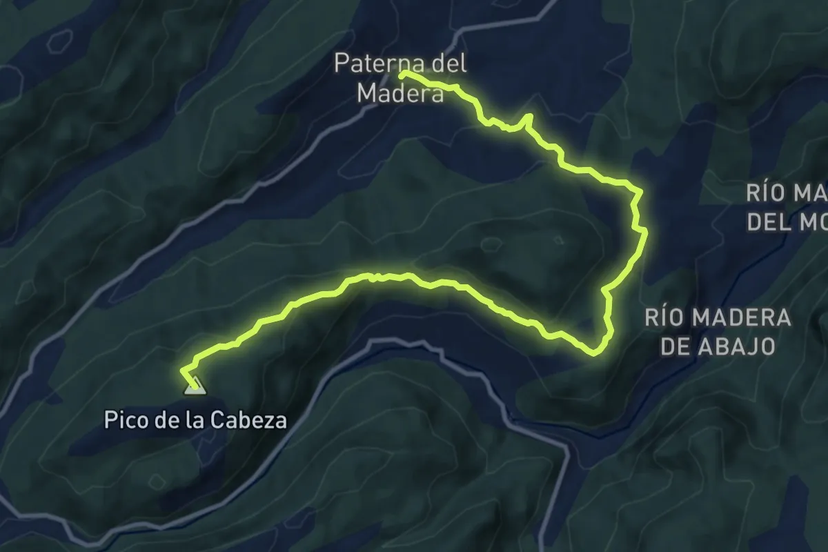
Medium · Summit
Por el Pico Cabeza y Sierra Veracruz
15.0 km · ↑ 655 m · 4 h 57 min
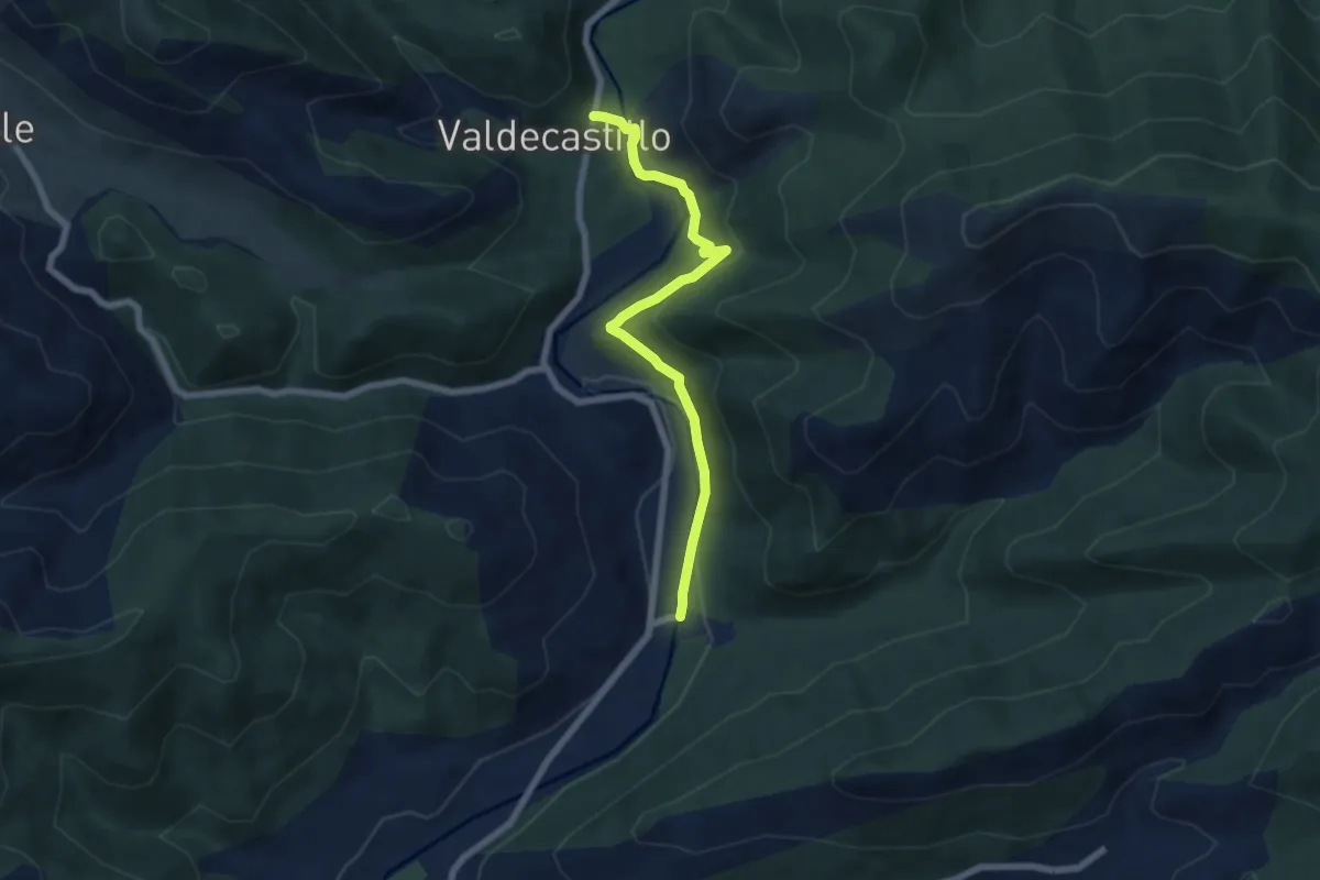
Easy · Trail
Por el río Porma
6.9 km · ↑ 228 m · 2 h 7 min
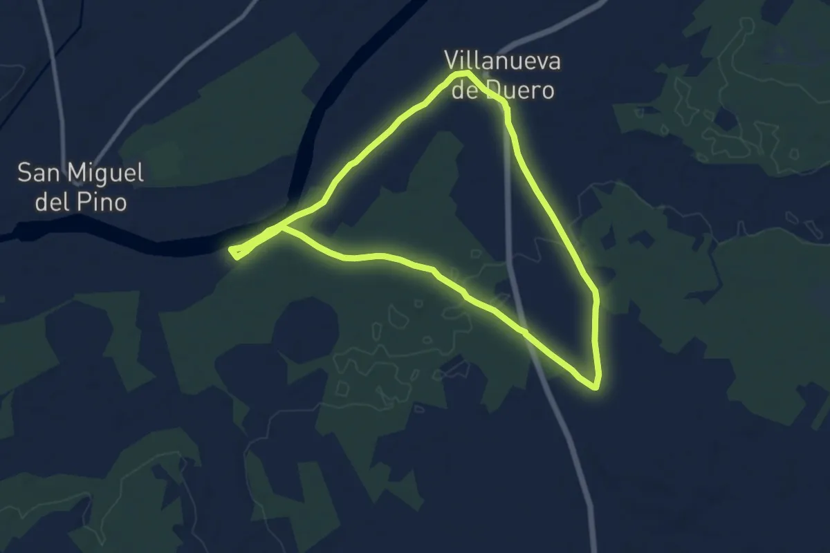
Medium · Trail
Por la Cerviguera y sus Cañadas
9.4 km · ↑ 45 m · 2 h 27 min
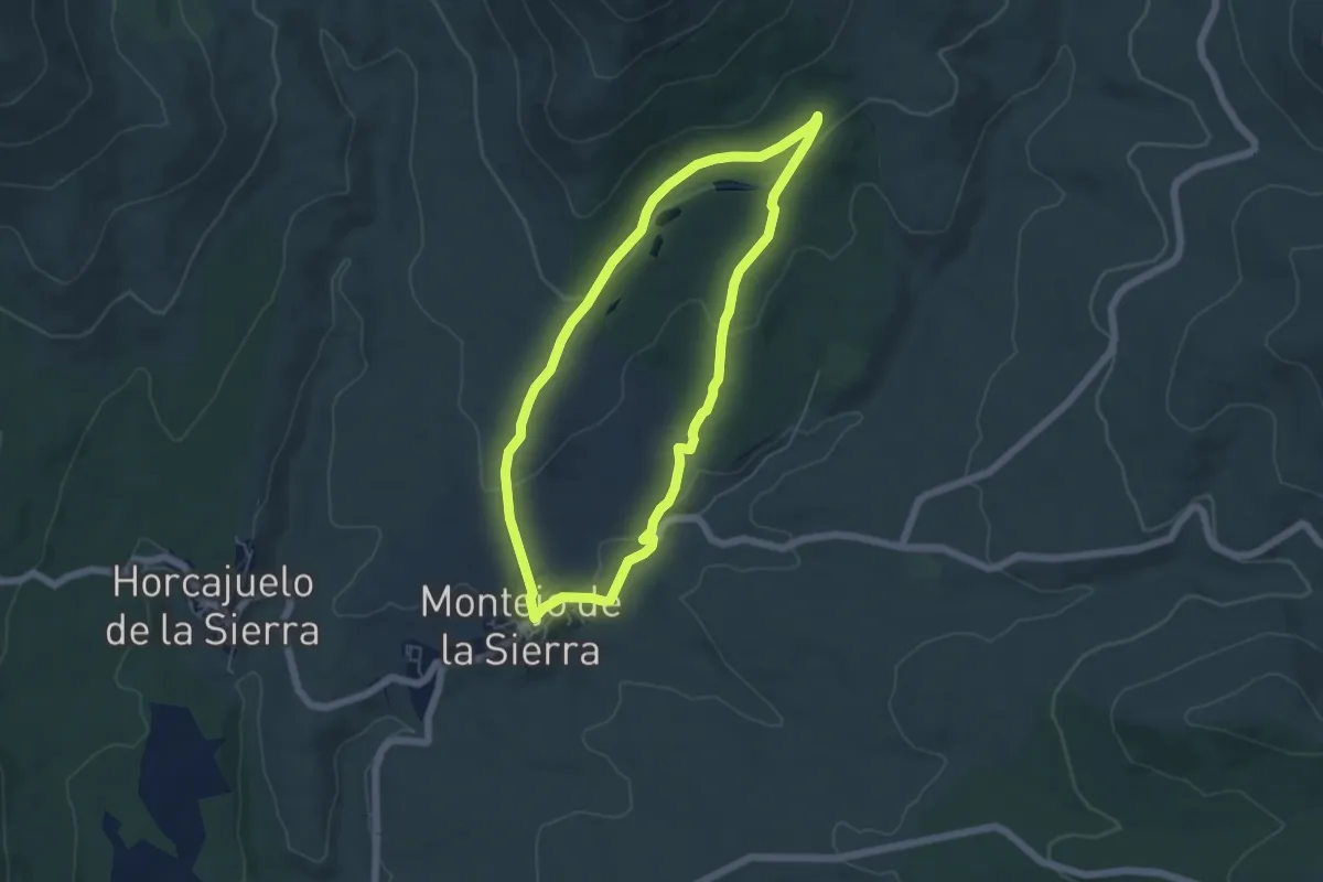
Easy · Trail
Por la Dehesa Boyal de Montejo
5.5 km · ↑ 140 m · 1 h 41 min
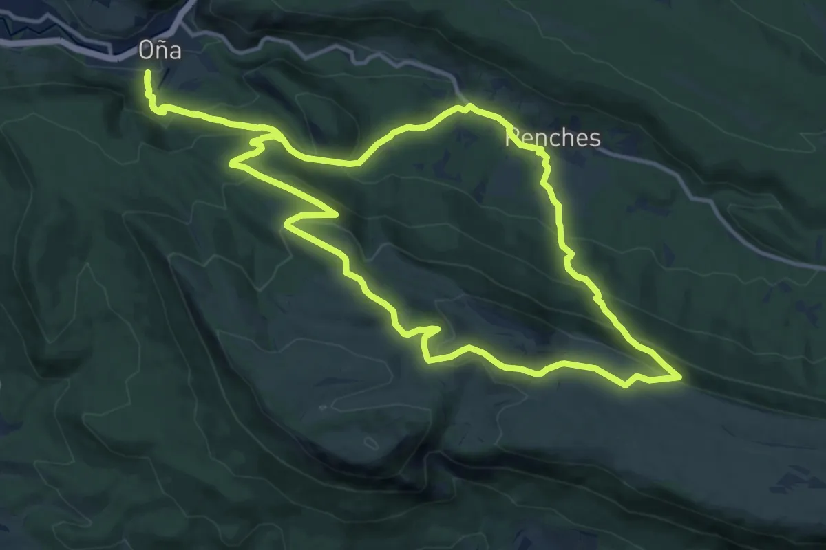
Medium · Trail
Por la Mesa de Oña
14.3 km · ↑ 699 m · 5 h 5 min
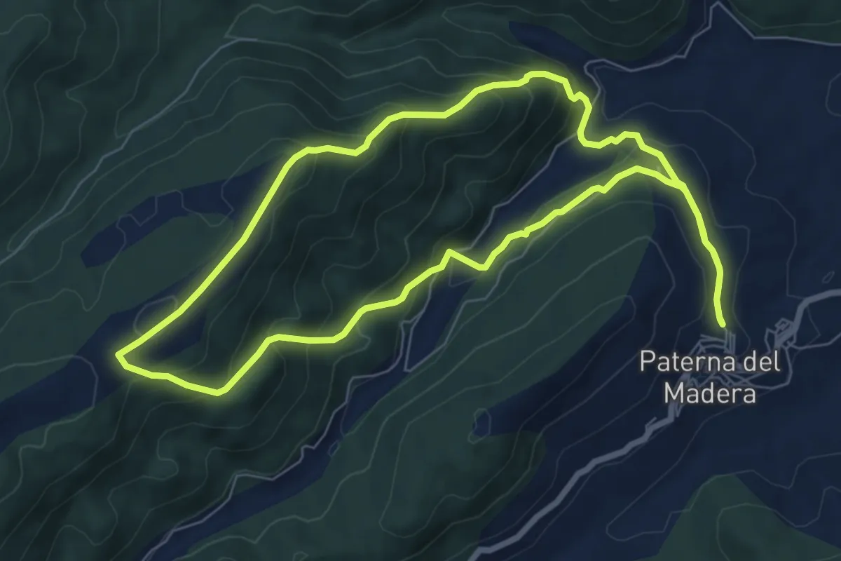
Medium · Trail
Por las Sierras de Pino Cano
8.0 km · ↑ 461 m · 3 h