Trails in Spain
5,962 hiking trails, each with its route, climb, walking time and grade.
All trails, page 69 of 125
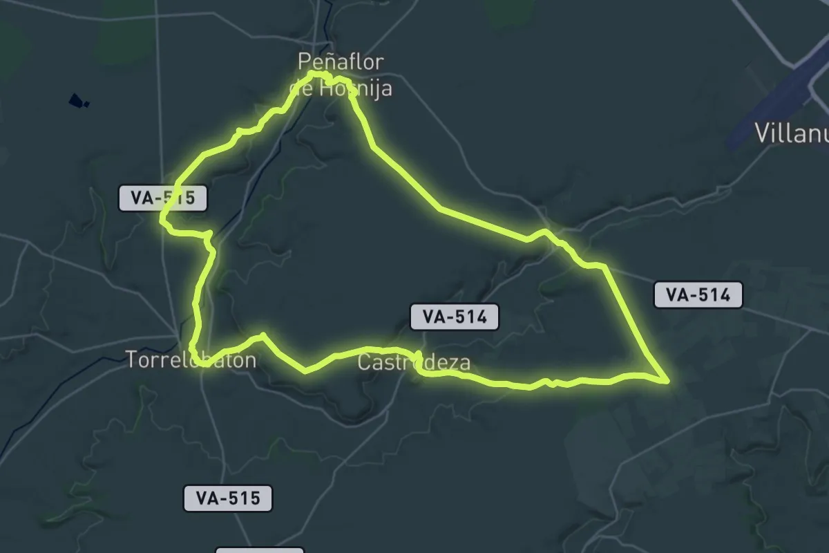
Demanding · Trail
Por los Páramos de Torozos
36.5 km · ↑ 418 m · 10 h 2 min
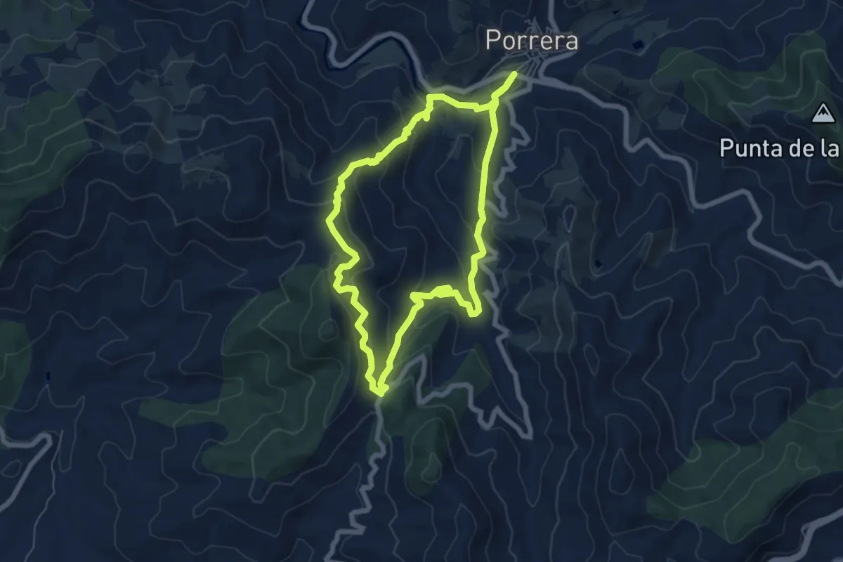
Medium · Trail
Porrera, camins del vi
6.4 km · ↑ 346 m · 2 h 22 min
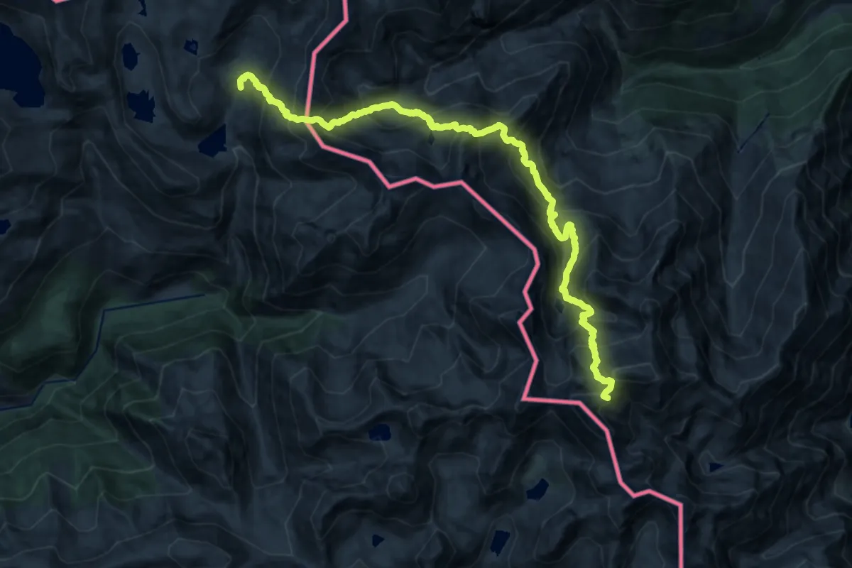
Expert · Summit
Porta del Cel
20.7 km · ↑ 2668 m · 10 h 40 min
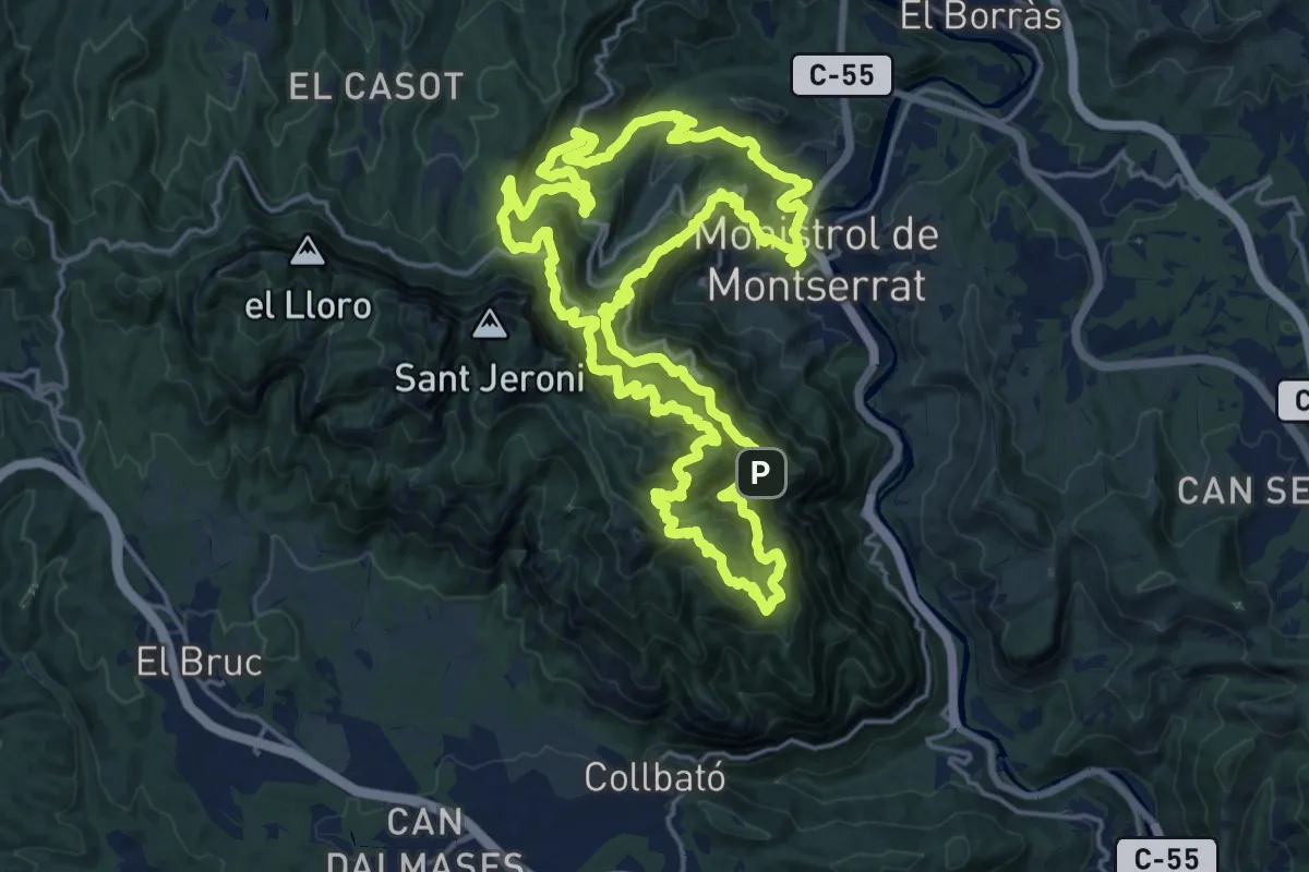
Expert · Summit
Portal de Montserrat
22.2 km · ↑ 2064 m · 10 h 2 min
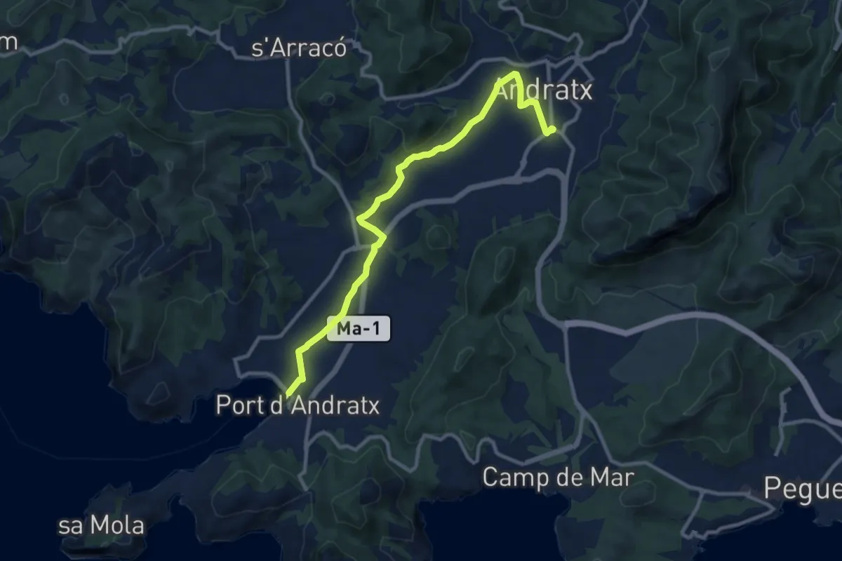
Medium · Trail
Port Andratx - Andratx
11.3 km · ↑ 94 m · 2 h 53 min
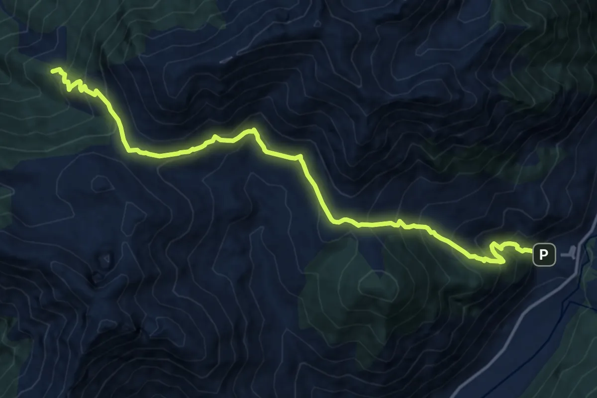
Demanding · Summit
Port de Gelada, Erill la Vall-Senet de Barravés
15.3 km · ↑ 1245 m · 6 h 18 min
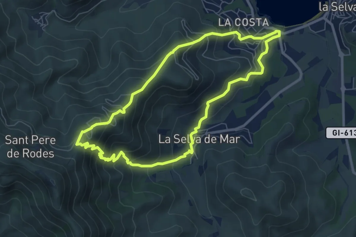
Medium · Trail
Port de la Selva a Sant Pere de Rodes i Selva de Mar
6.6 km · ↑ 538 m · 2 h 49 min
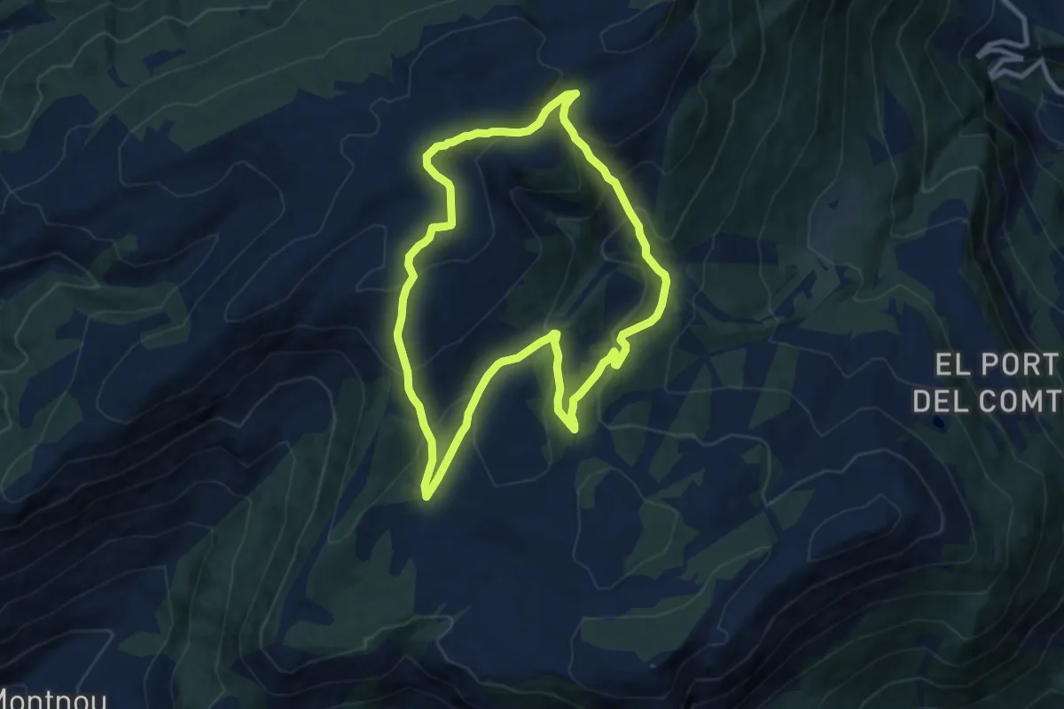
Medium · Summit
Port del Comte i Pedrò dels Quatre Batlles
9.6 km · ↑ 493 m · 3 h 28 min
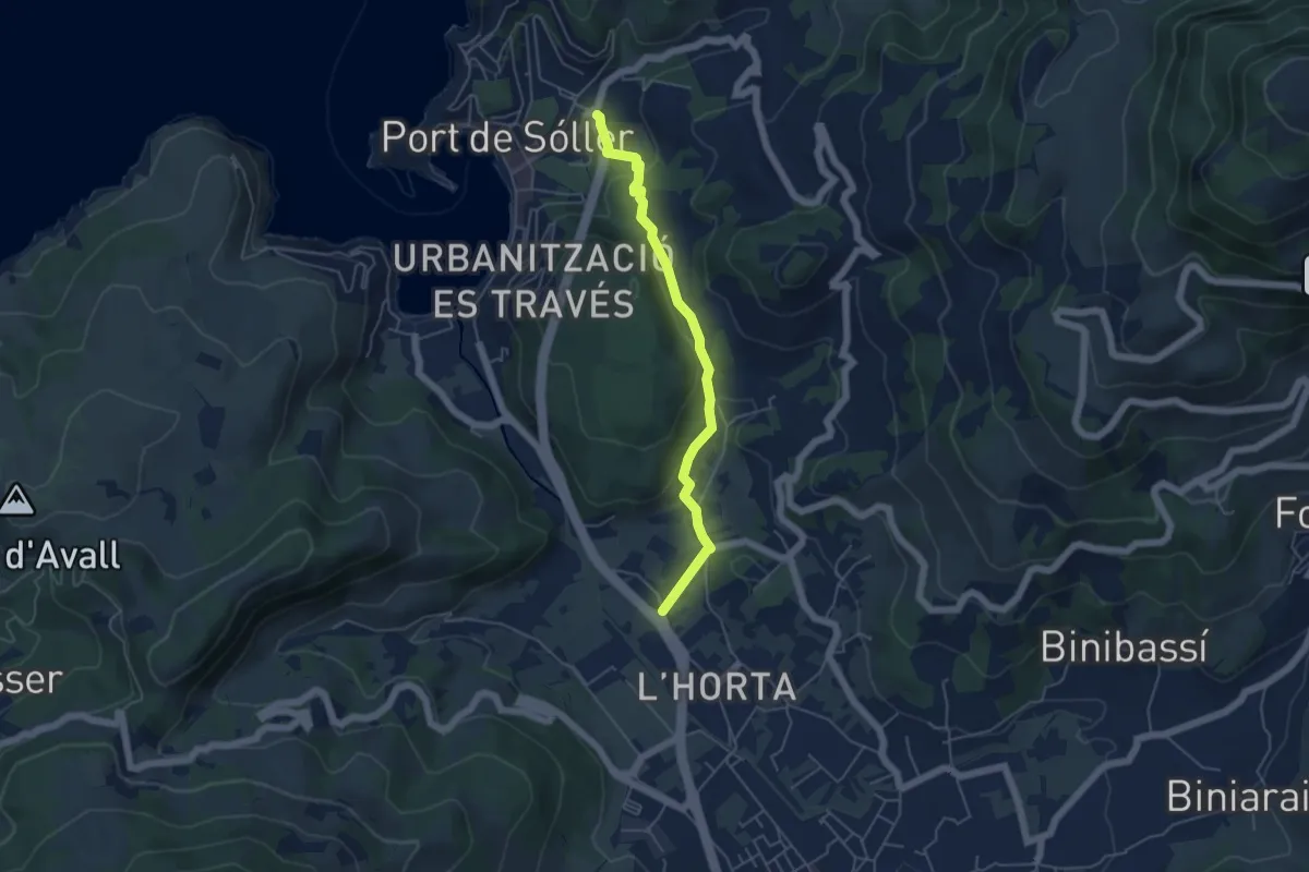
Easy · Trail
Port de Sóller - Sóller
5.4 km · ↑ 181 m · 1 h 40 min
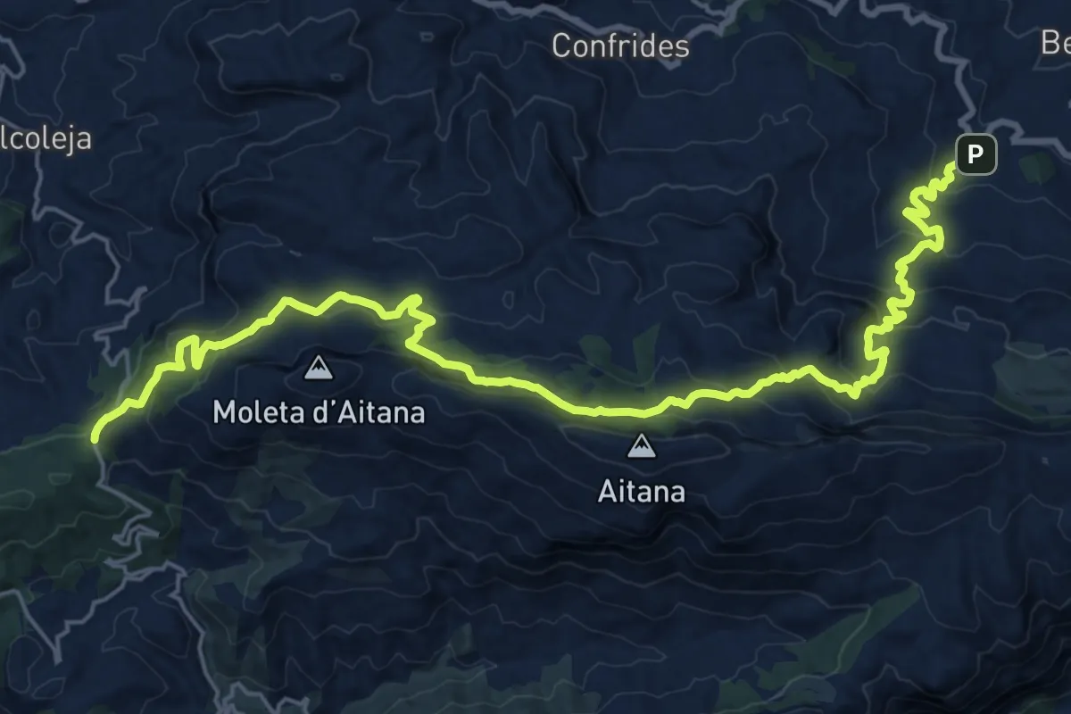
Demanding · Trail
Port de Tudons - Benifato
14.5 km · ↑ 854 m · 5 h 17 min
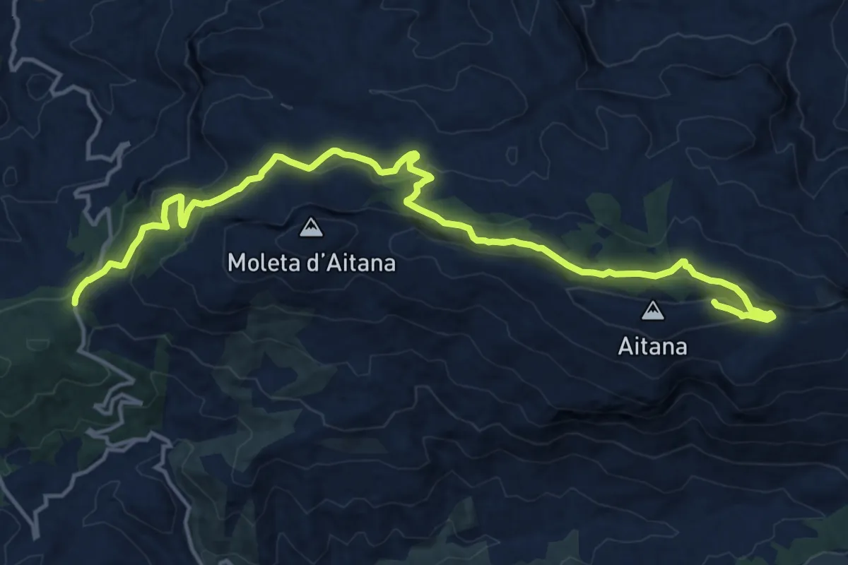
Demanding · Summit
Port de Tudons - Cim d'Aitana
18.7 km · ↑ 778 m · 6 h 6 min
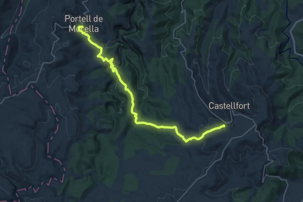
Demanding · Trail
Portell - Castellfort
21.5 km · ↑ 768 m · 6 h 45 min
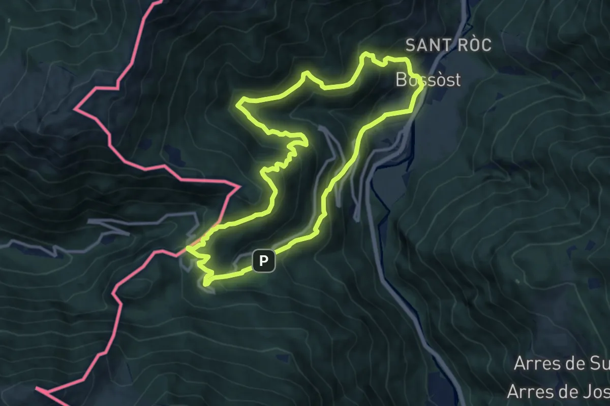
Medium · Summit
Portilhon
10.8 km · ↑ 795 m · 4 h 25 min
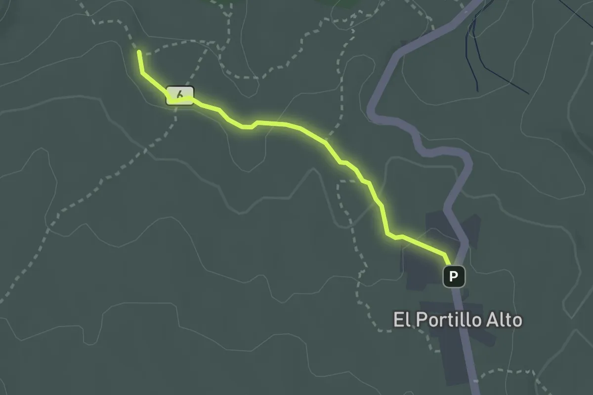
Easy · Trail
Portillo Alto
2.9 km · ↑ 53 m · 48 min
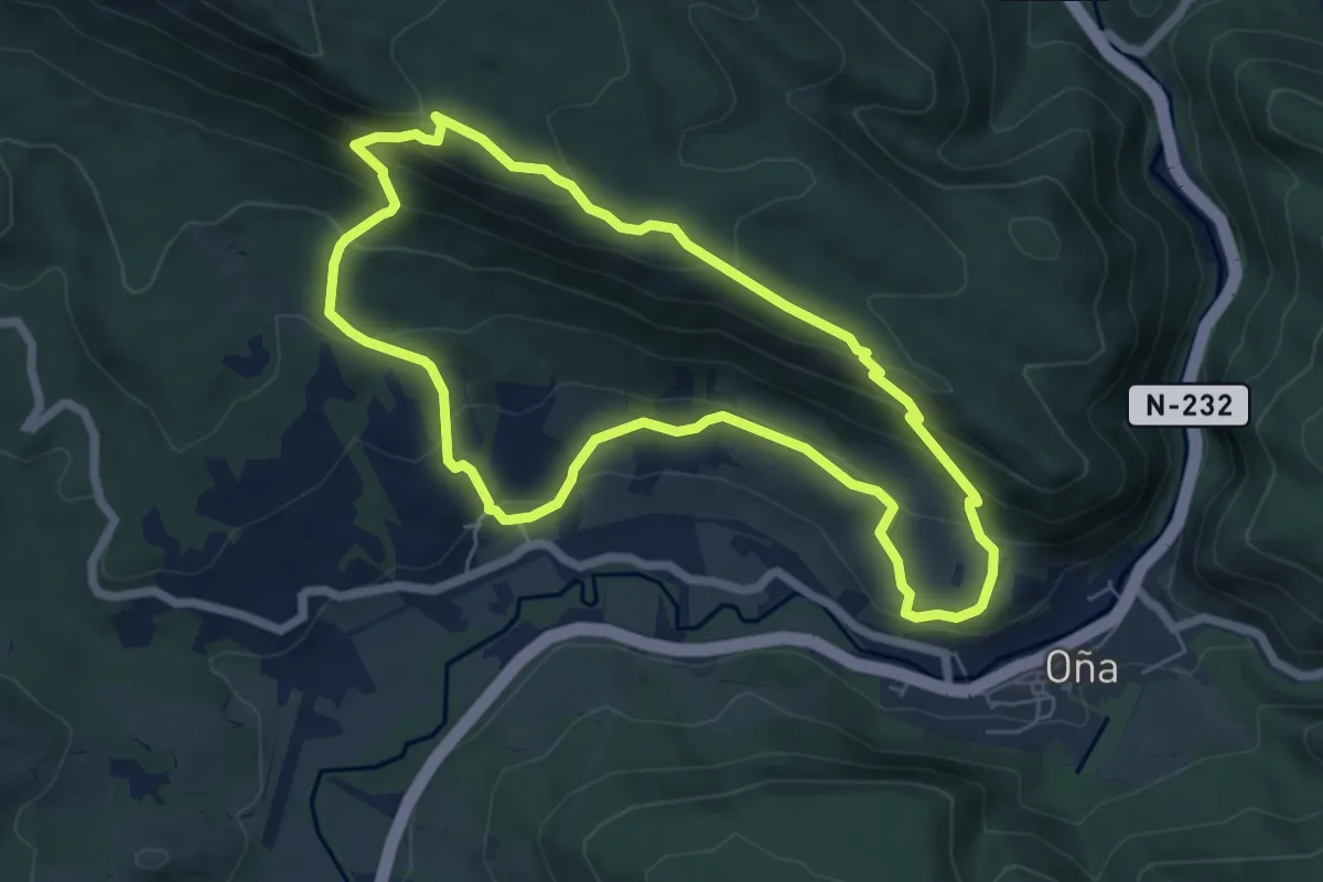
Medium · Trail
Portillo Amargo
6.5 km · ↑ 397 m · 2 h 29 min
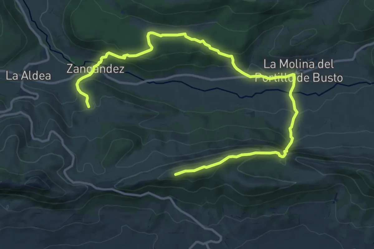
Expert · Summit
Portillo del Busto
13.9 km · ↑ 645 m · 4 h 41 min
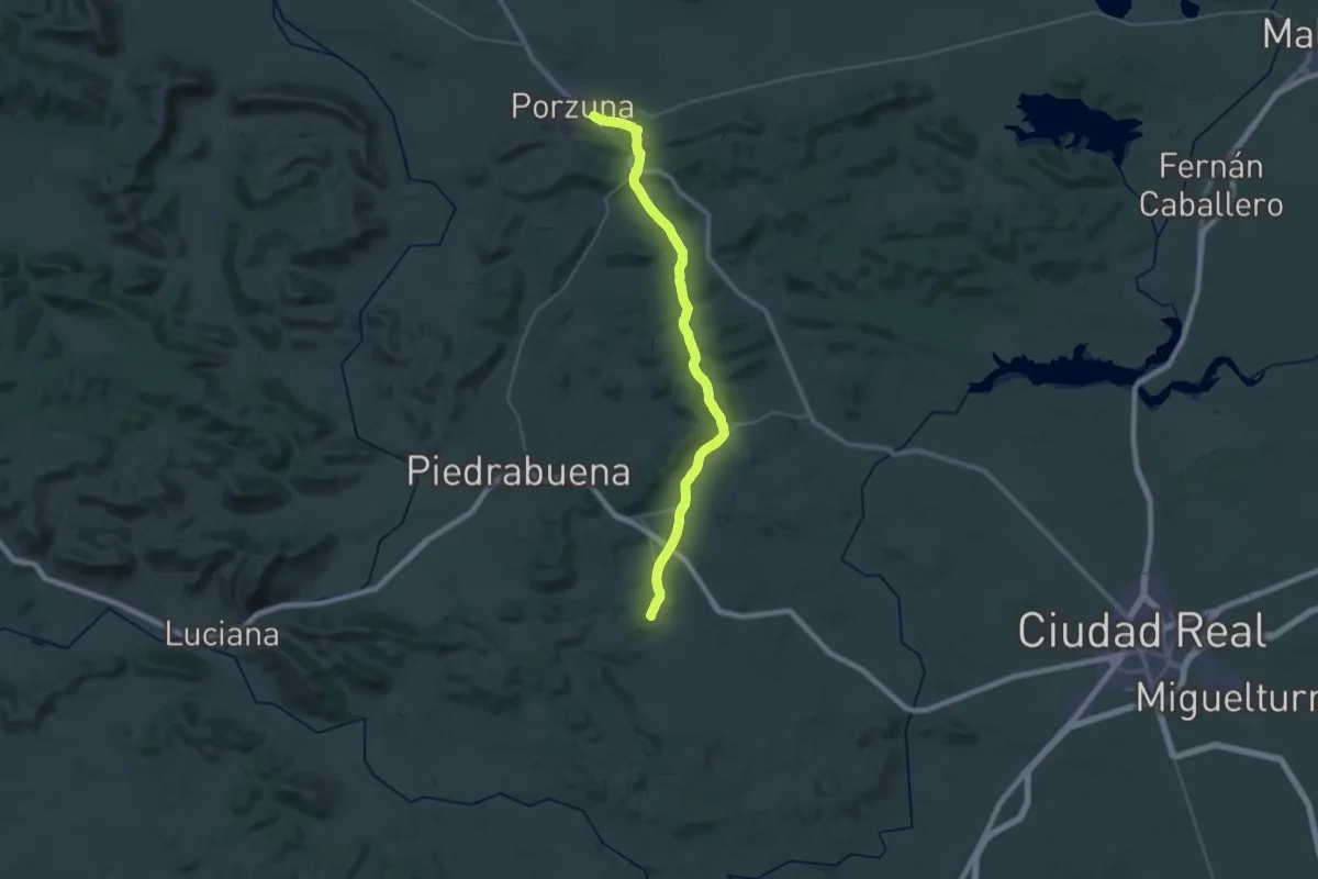
Demanding · Trail
Porzuna - Alcolea de Calatrava
20.5 km · ↑ 288 m · 5 h 44 min
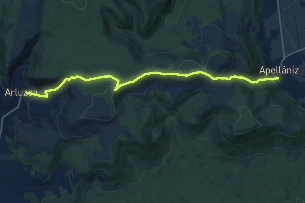
Medium · Trail
Postaria
11.5 km · ↑ 508 m · 3 h 49 min
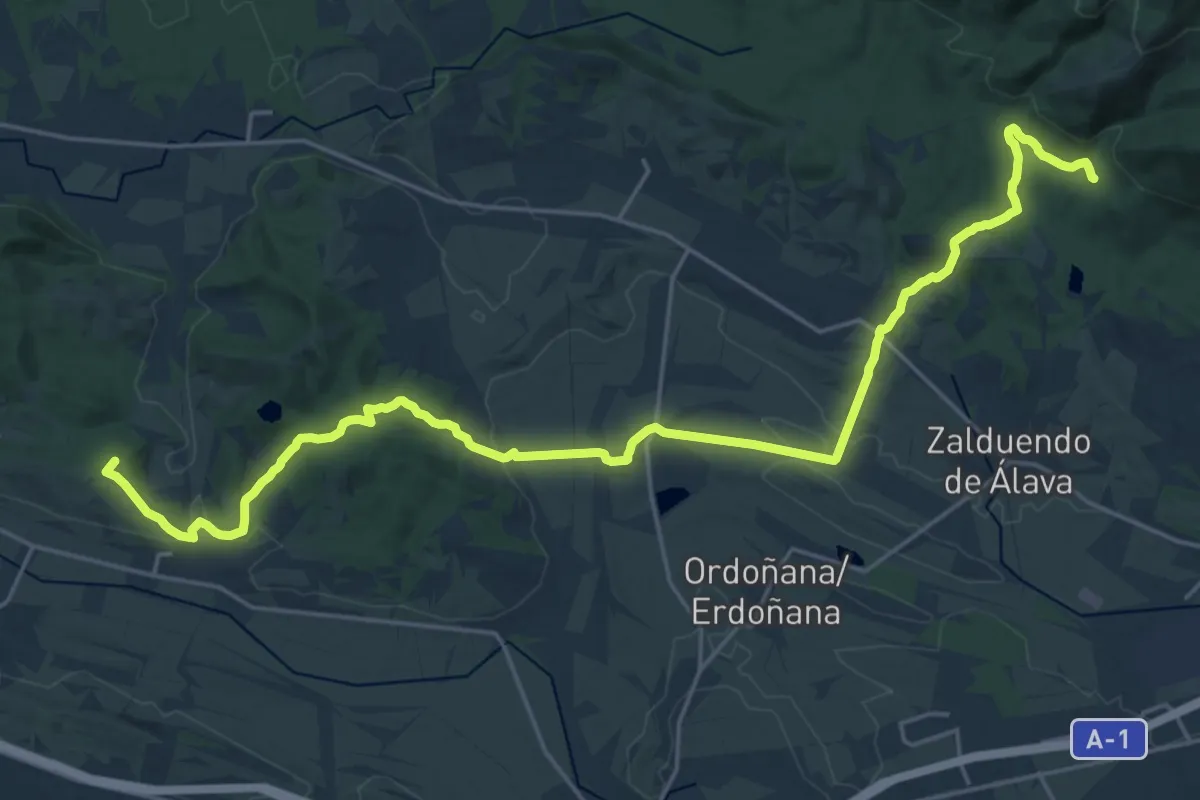
Demanding · Summit
Posten erregebibea
28.4 km · ↑ 575 m · 7 h 56 min
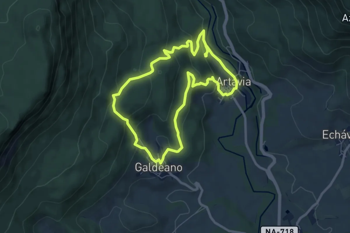
Easy · Trail
Pottoka-bustoaren formako ibilaldia
6.3 km · ↑ 278 m · 2 h 10 min
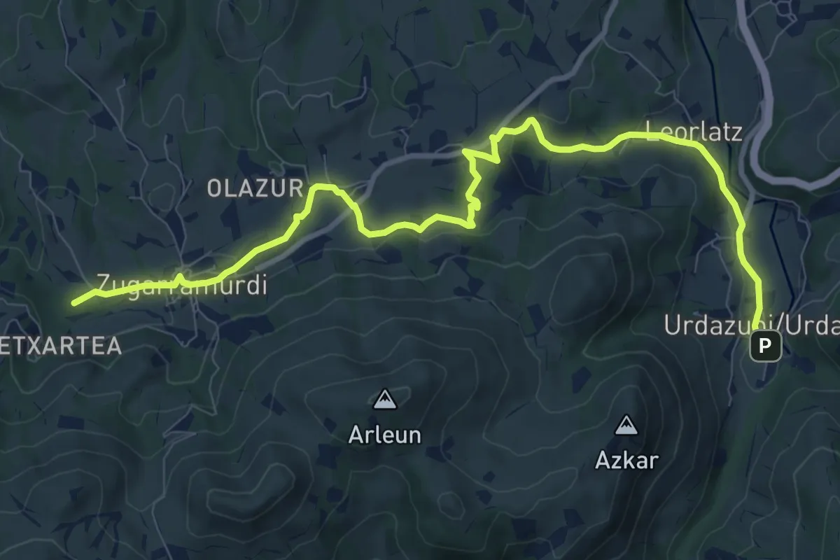
Medium · Summit
Pottoka Urdinaren ibilbidea
11.7 km · ↑ 285 m · 3 h 23 min
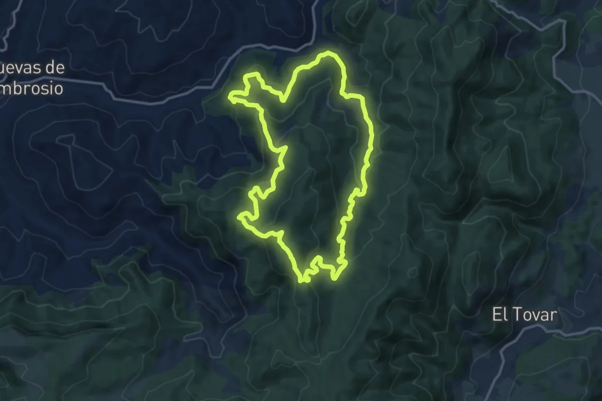
Medium · Trail
Poyo del Burgo
13.2 km · ↑ 536 m · 4 h 28 min
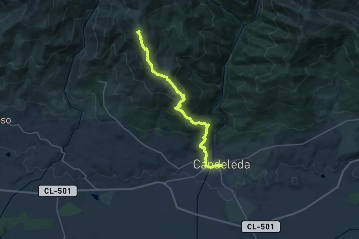
Demanding · Summit
Pozos del Tío Ruperto
16.6 km · ↑ 1050 m · 6 h 12 min
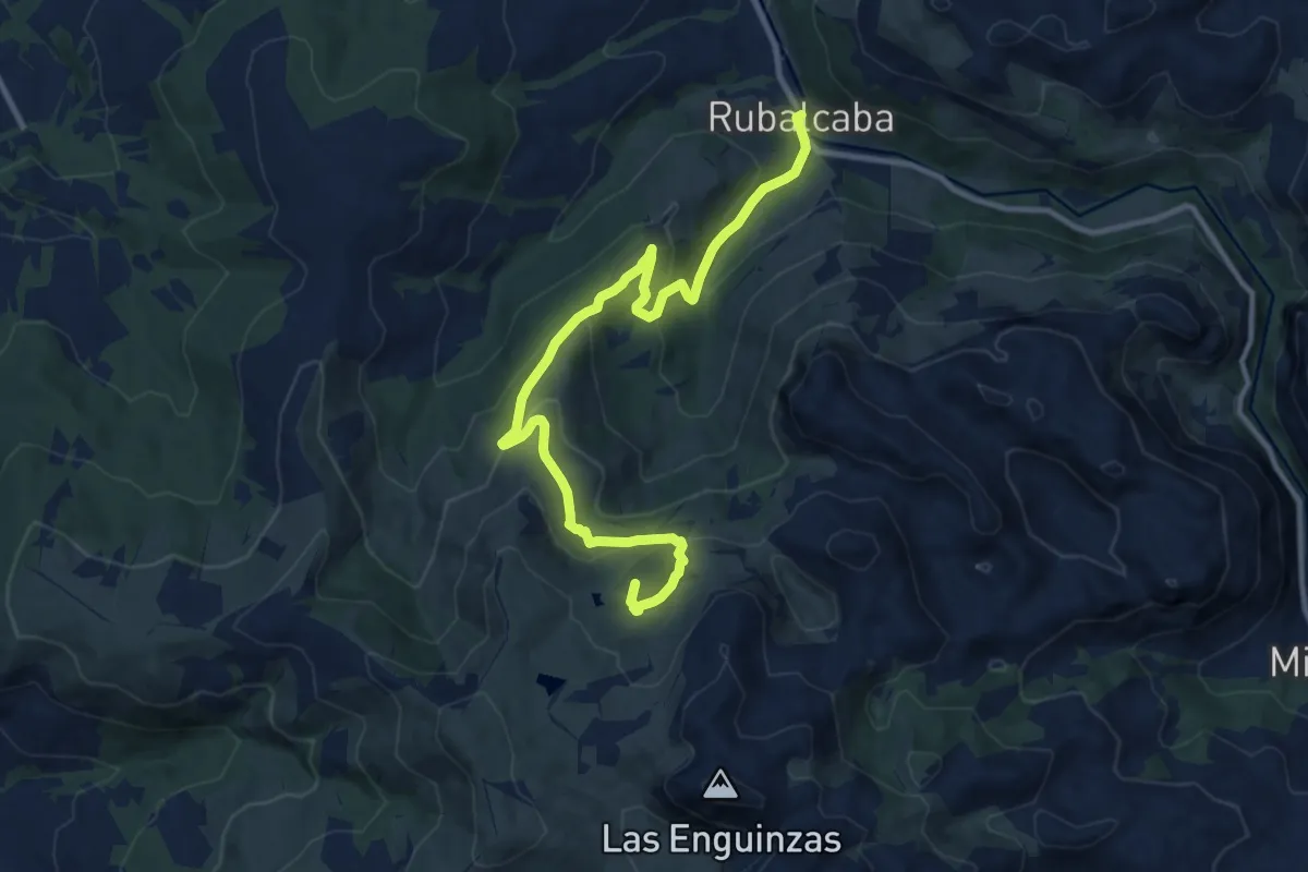
Medium · Summit
Pozos de Noja
12.4 km · ↑ 670 m · 4 h 23 min
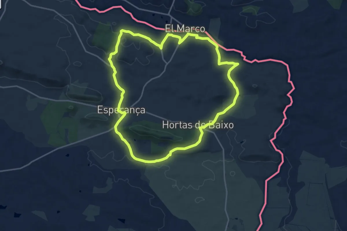
Medium · Trail
PR1 - Percurso Pedestre da Esperança
15.3 km · ↑ 202 m · 4 h 15 min
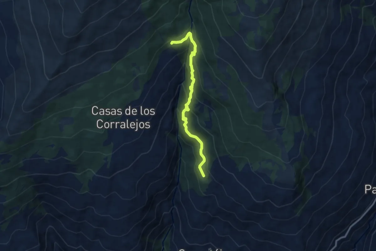
Medium · Trail
PR-A 22 Puente Palo
8.4 km · ↑ 617 m · 3 h 20 min
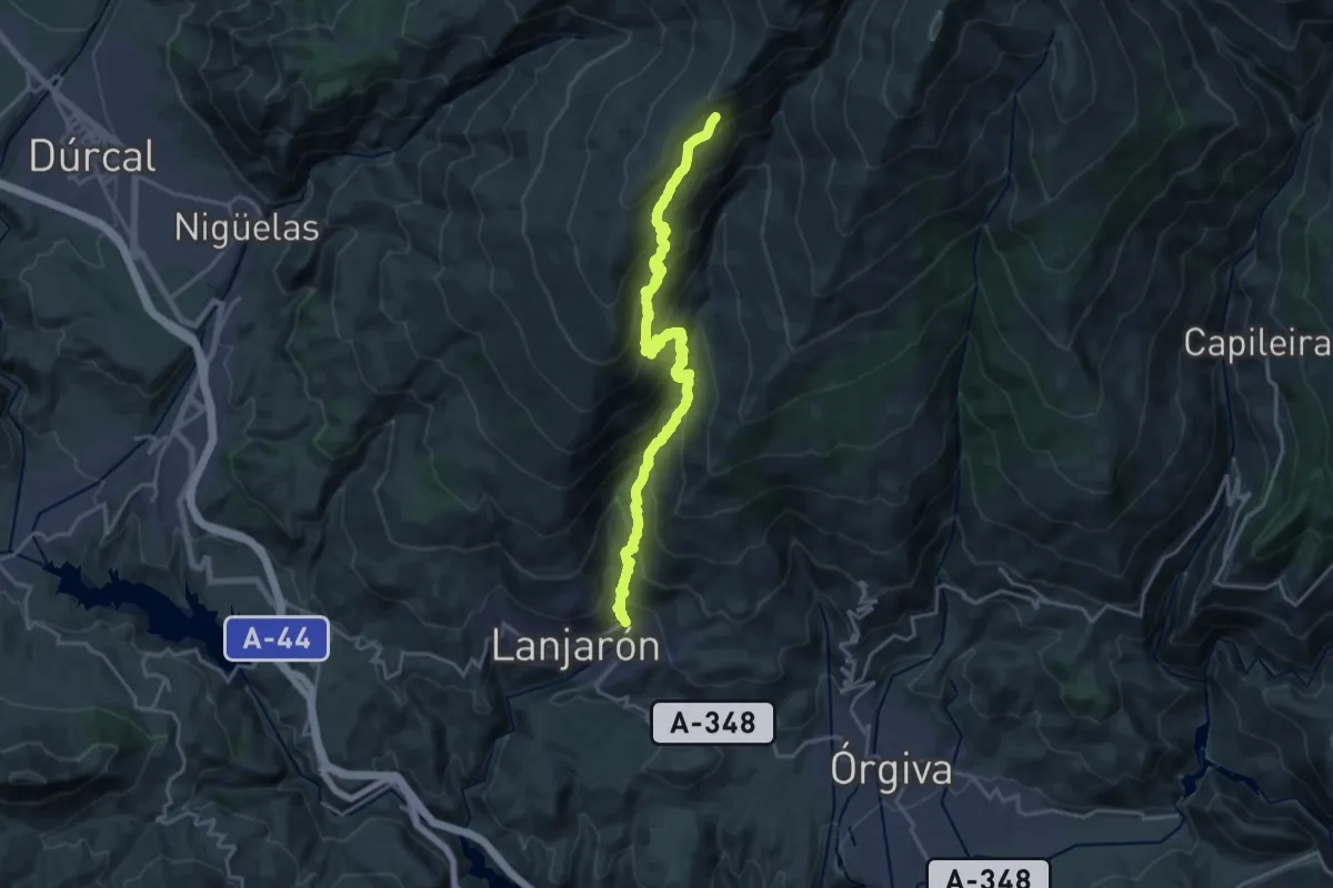
Expert · Trail
PR-A 34 Lanjarón - Tello - Ventura
12.5 km · ↑ 1857 m · 6 h 14 min
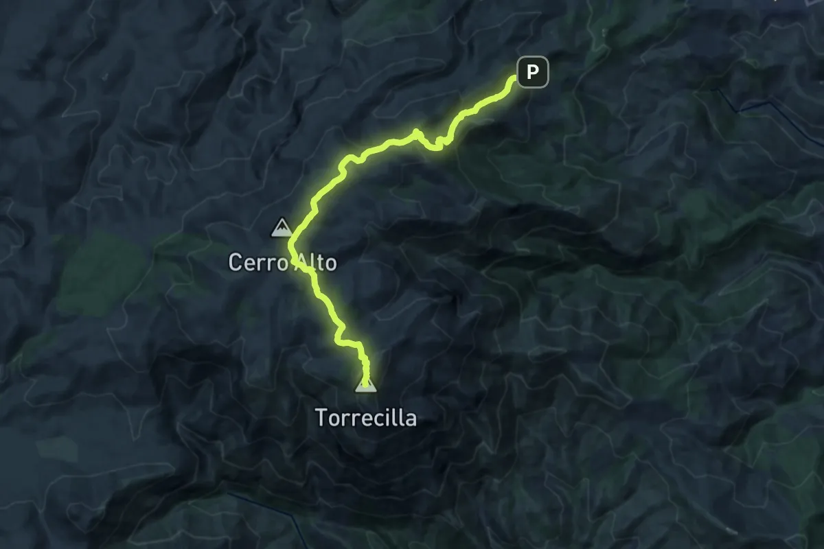
Demanding · Summit
PR-A 351 Puerto Saucillo - Torrecilla
18.7 km · ↑ 953 m · 6 h 29 min
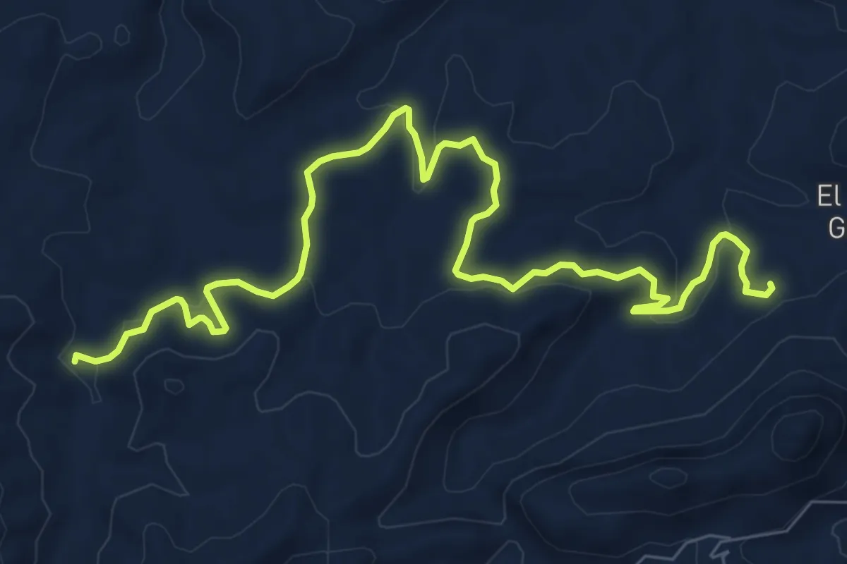
Medium · Trail
PR-A 515
11.2 km · ↑ 287 m · 3 h 16 min
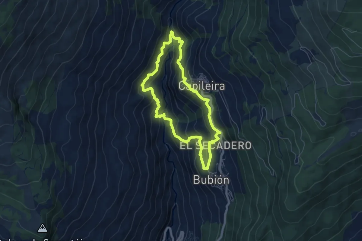
Medium · Trail
PR-A 70 Pueblos del Poqueira
6.1 km · ↑ 427 m · 2 h 27 min
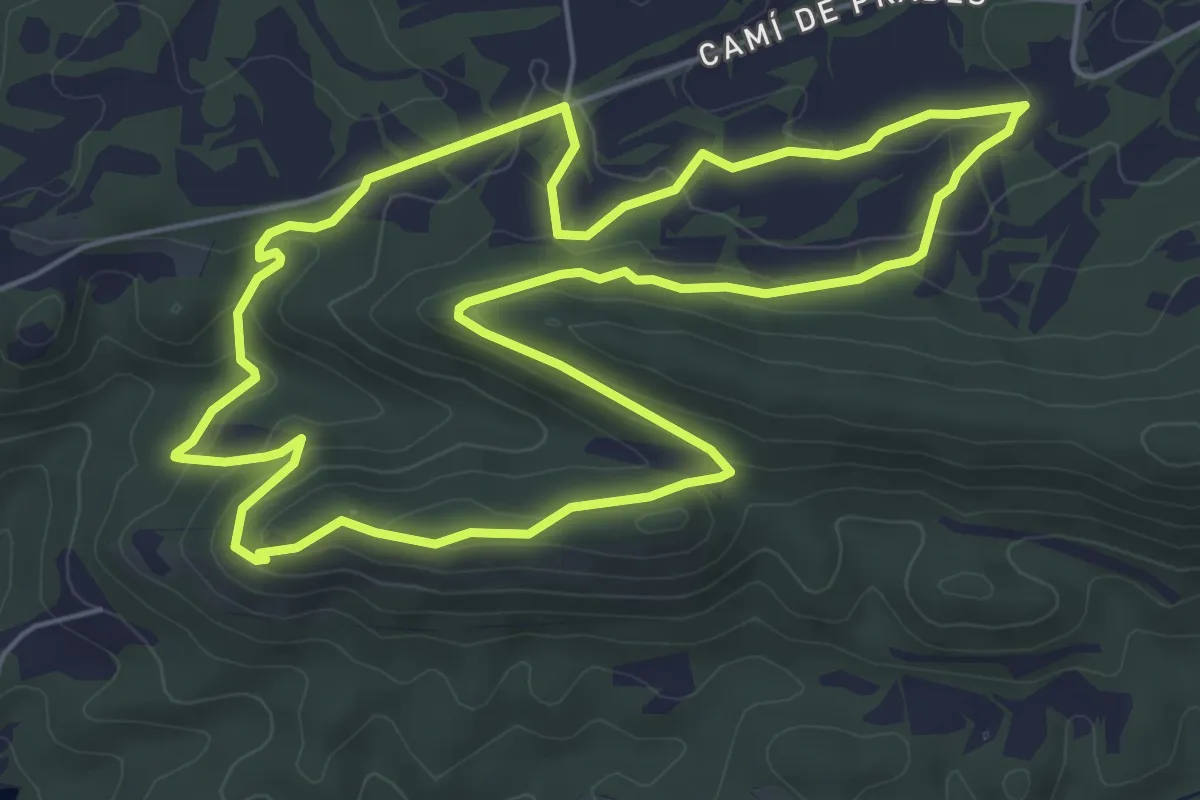
Easy · Trail
Prades de la Molsosa
6.6 km · ↑ 173 m · 2 h 1 min
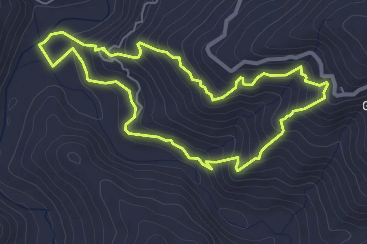
Medium · Trail
Prado de la Escribana
4.8 km · ↑ 393 m · 2 h 3 min
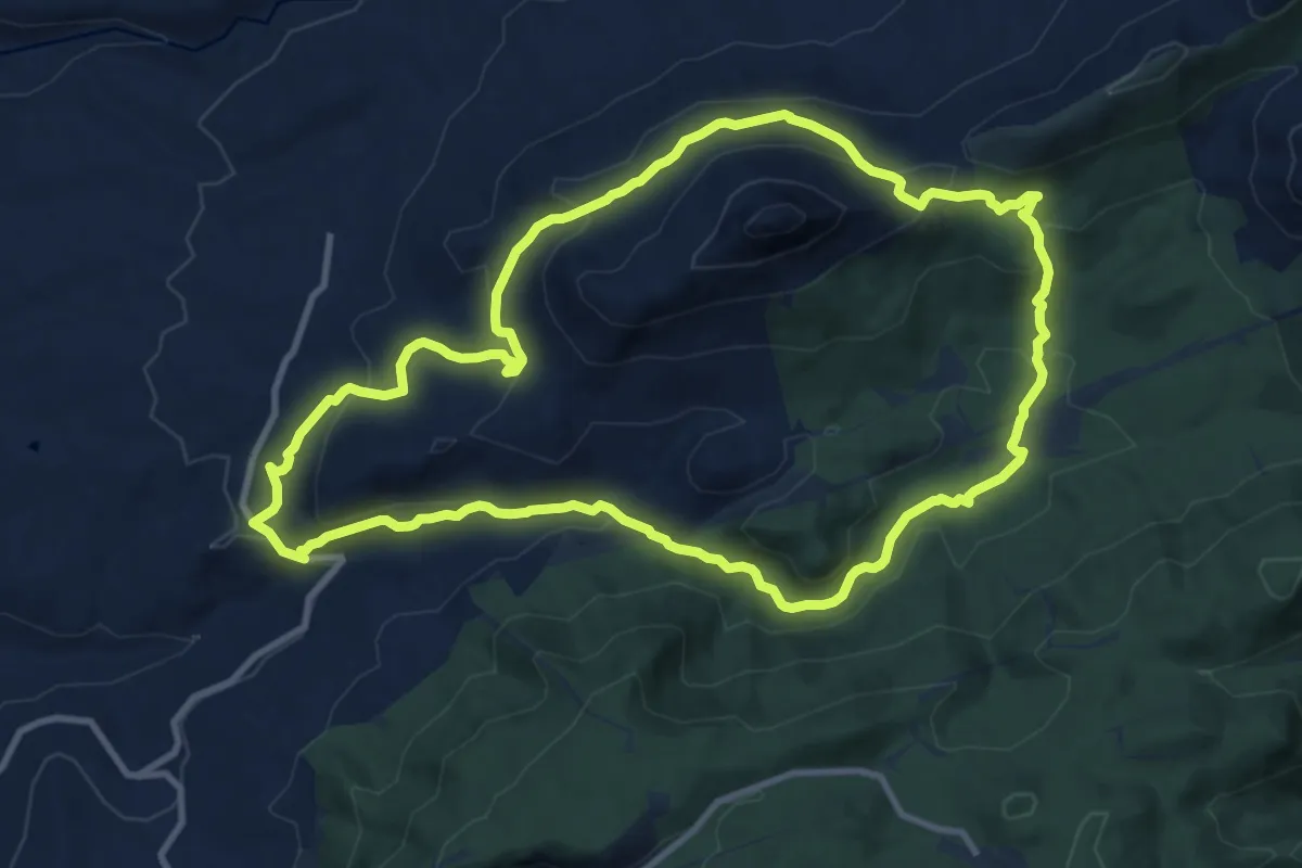
Medium · Summit
Prado Largo - Carifaquín
12.5 km · ↑ 453 m · 4 h 6 min
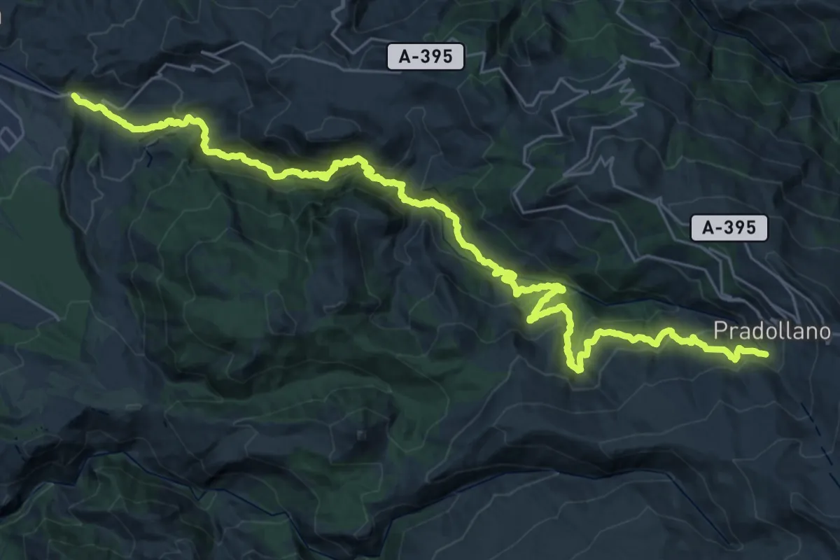
Demanding · Trail
Pradollano - Monachil
21.0 km · ↑ 568 m · 7 h 8 min
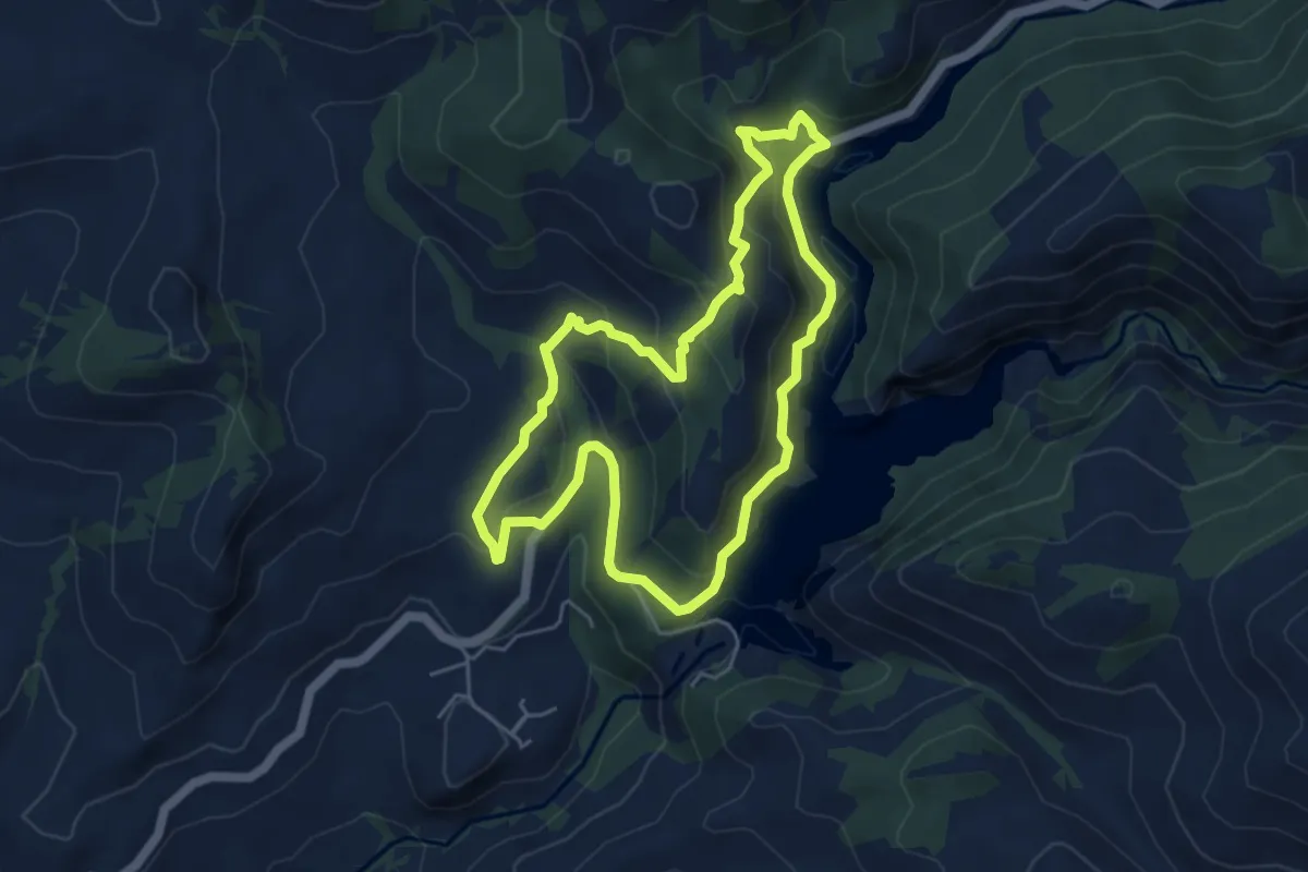
Easy · Summit
Prados - Cortijo del Muerto - Prados
5.6 km · ↑ 317 m · 2 h 6 min
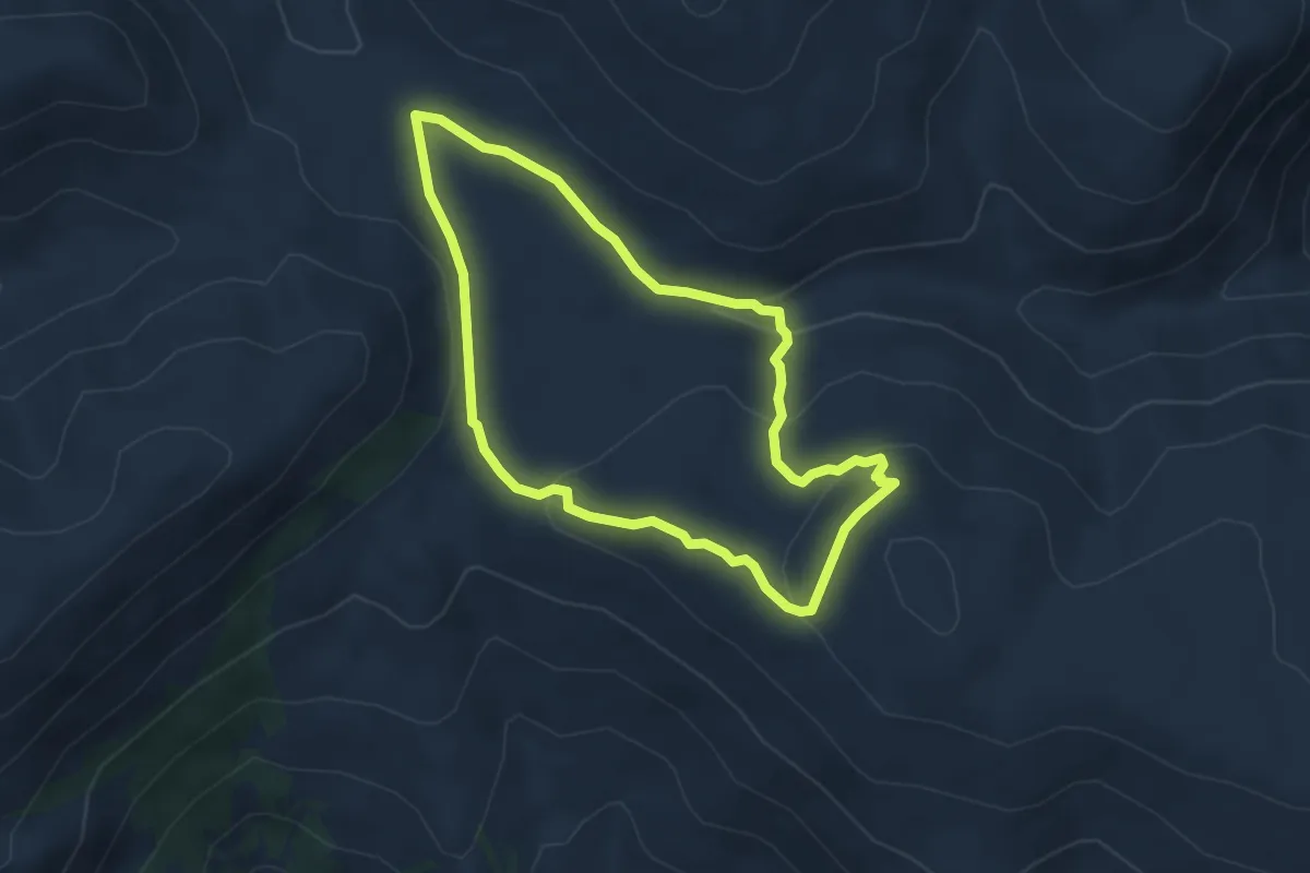
Easy · Trail
Prados del Rey - Filón Violeta
4.3 km · ↑ 148 m · 1 h 24 min
Easy · Trail
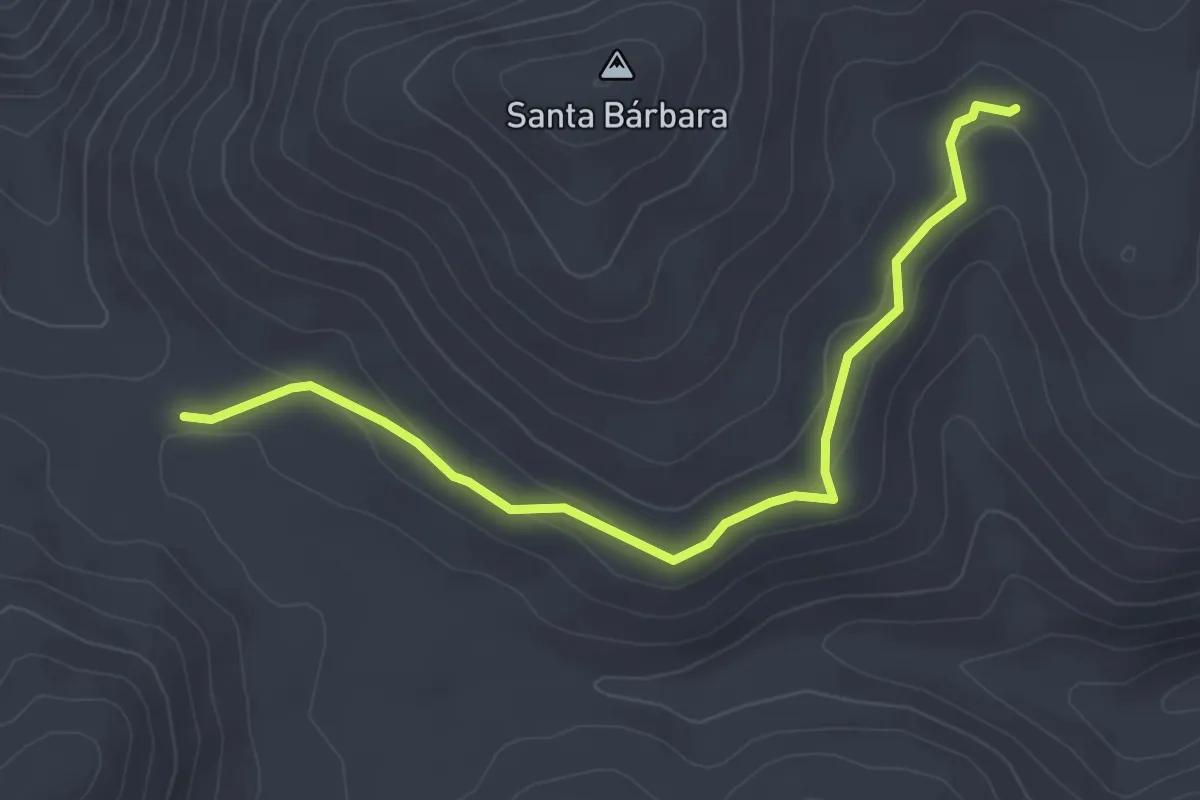
Prados del Rey - Minas del Carmen
4.5 km · ↑ 103 m · 1 h 17 min
Medium · Summit
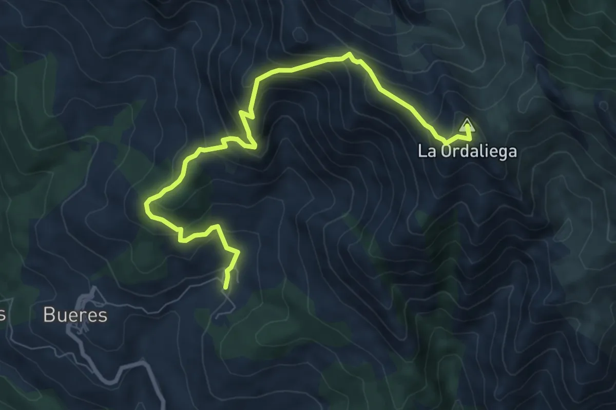
PR-AS 125 Ruta de Cañandi
8.9 km · ↑ 662 m · 3 h 32 min
Easy · Trail
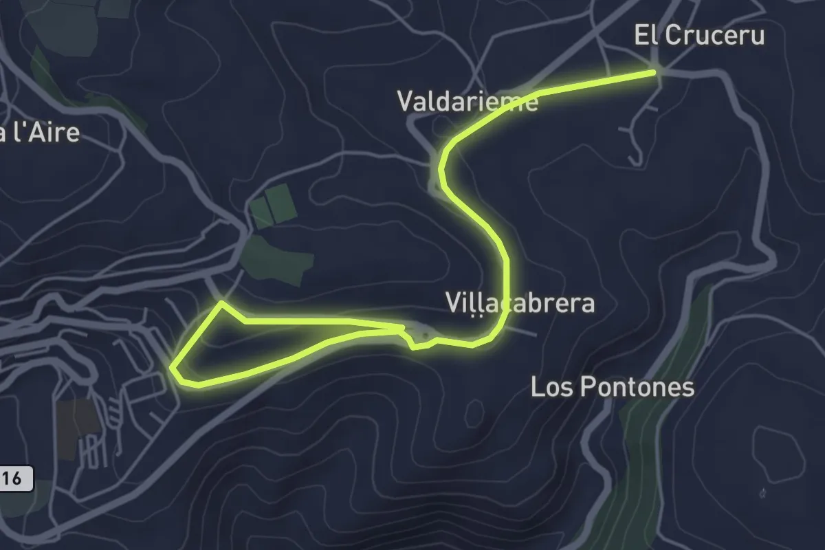
PR-AS 245 Senda Verde Tineo - El Crucero
6.6 km · ↑ 119 m · 1 h 49 min
Medium · Summit
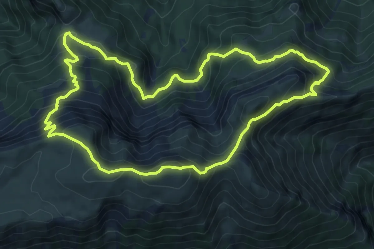
Prat d'Aguiló - Comabona
9.6 km · ↑ 764 m · 4 h 4 min
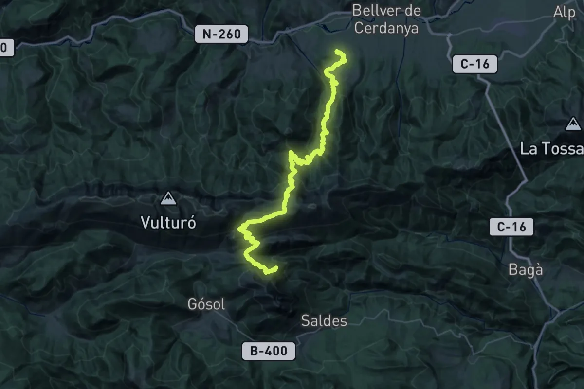
Demanding · Summit
PR-C 124 Saldes - Olià
47.1 km · ↑ 3030 m · 17 h 41 min
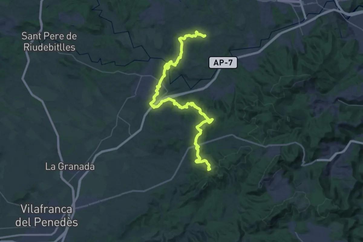
Demanding · Summit
PR-C 156 Garnatxa
43.8 km · ↑ 1354 m · 13 h 17 min
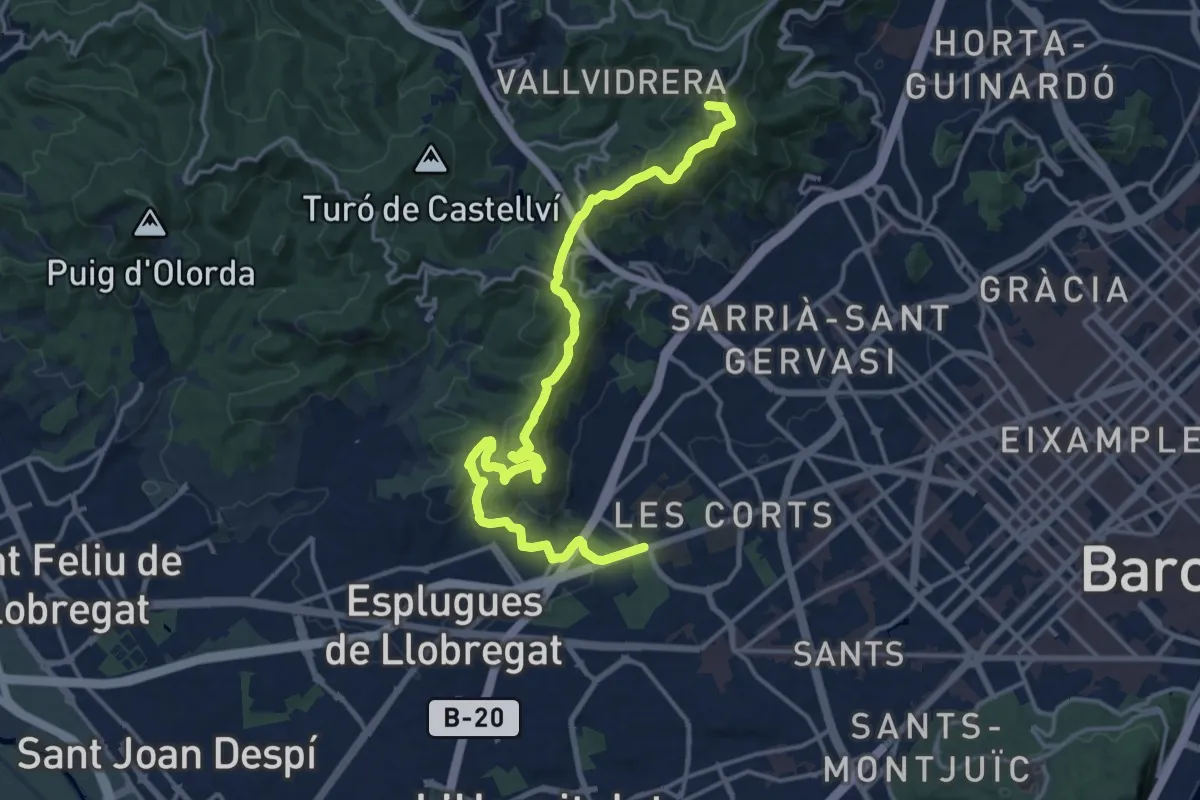
Demanding · Summit
PR-C 171 Barcelona (Parc de Cervantes) - Barcelona (Trinitat Nova)
19.3 km · ↑ 749 m · 6 h 11 min
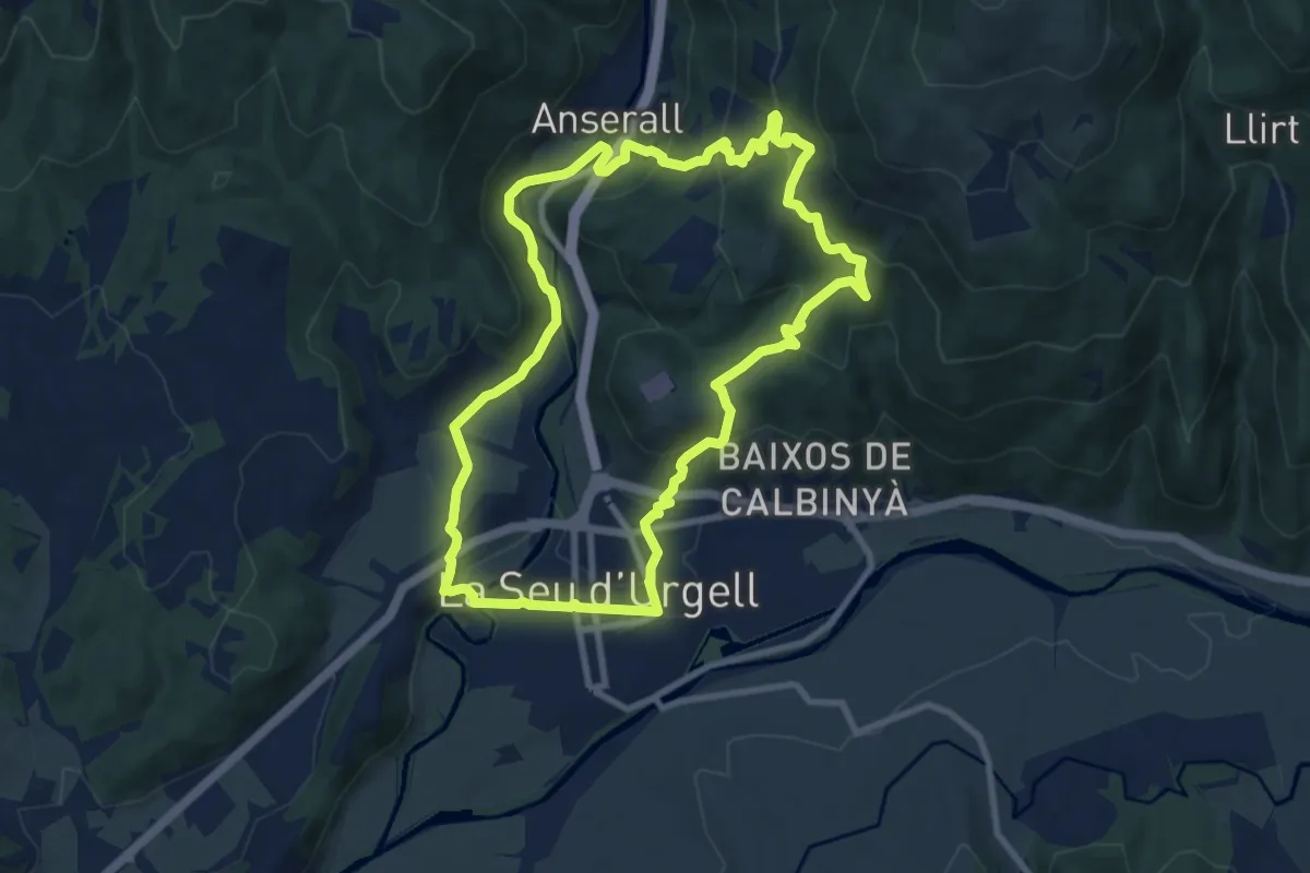
Medium · Trail
PR-C 62 La Seu d'Urgell - Calbinyà
9.7 km · ↑ 413 m · 3 h 20 min
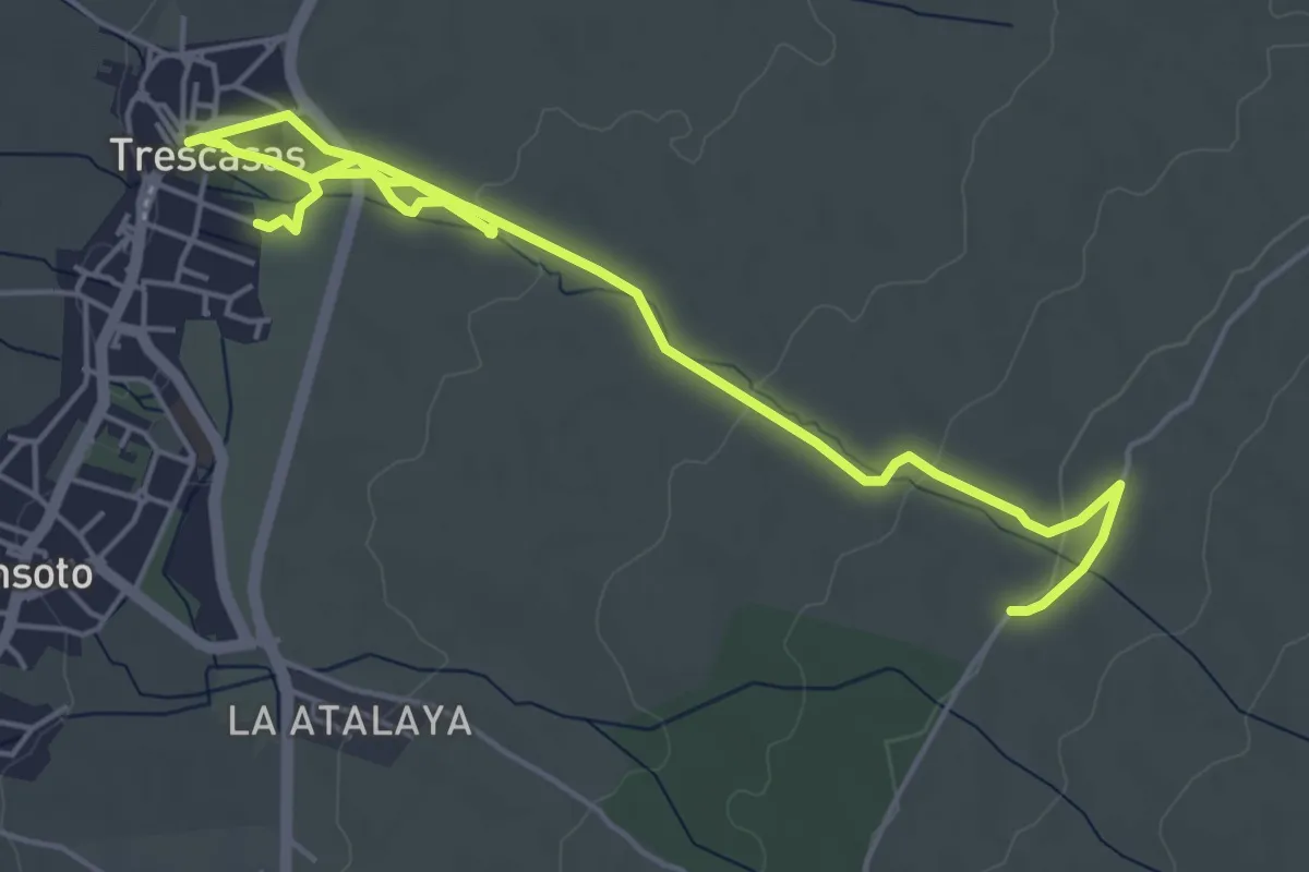
Easy · Trail
Precañada
7.8 km · ↑ 114 m · 2 h 5 min
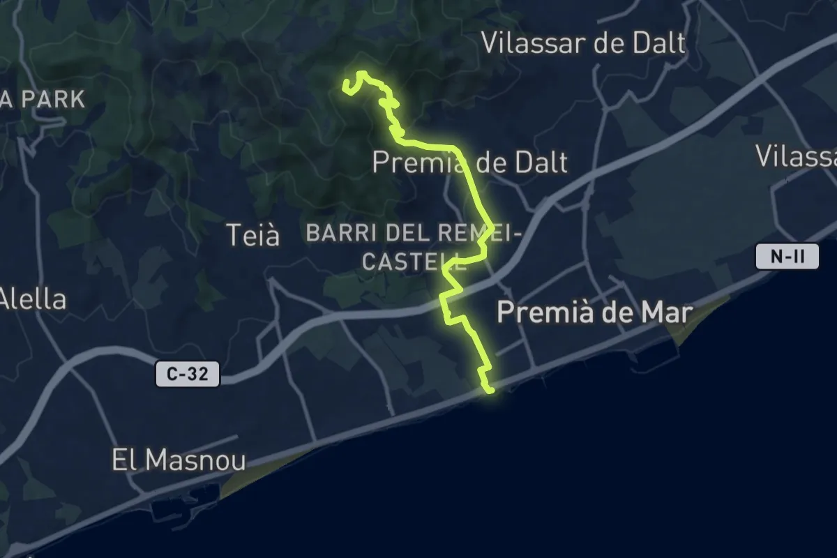
Medium · Summit
Premià de Dalt-Premià de Mar
11.3 km · ↑ 424 m · 3 h 35 min
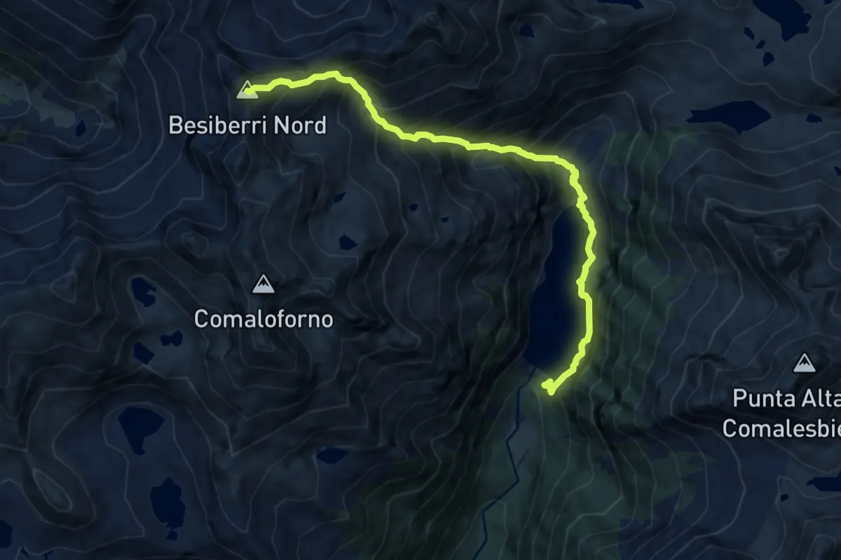
Expert · Summit
Presa de Cavallers-Besiberri Nord
10.8 km · ↑ 1456 m · 5 h 42 min
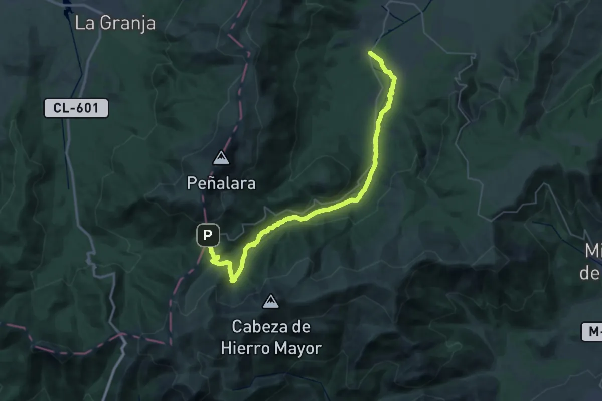
Medium · Trail
Presa del Pradillo
16.3 km · ↑ 108 m · 4 h 40 min