Trails in Spain
5,962 hiking trails, each with its route, climb, walking time and grade.
All trails, page 71 of 125
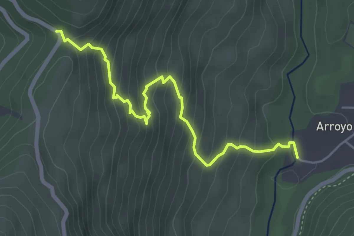
Medium · Trail
Puerto de las Palomas - Arroyo Frío
5.0 km · ↑ 395 m · 2 h 2 min
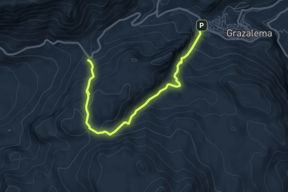
Medium · Trail
PUERTO DE LAS PRESILLAS
8.3 km · ↑ 546 m · 3 h 9 min
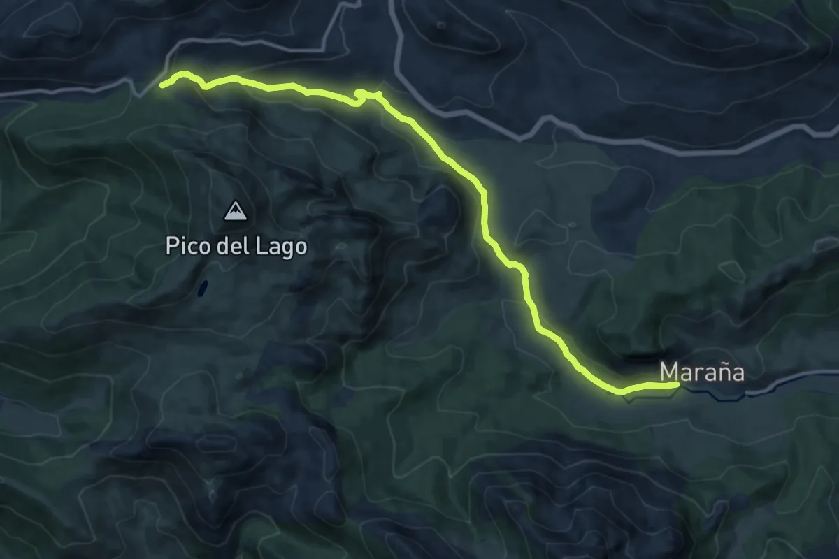
Medium · Trail
Puerto de Las Señales
14.1 km · ↑ 449 m · 4 h 18 min
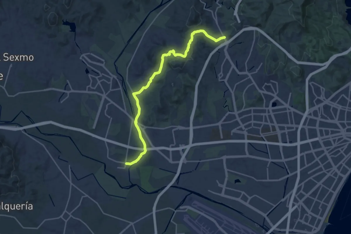
Demanding · Trail
Puerto de la Torre - Campanillas - GR 248
19.8 km · ↑ 361 m · 5 h 28 min
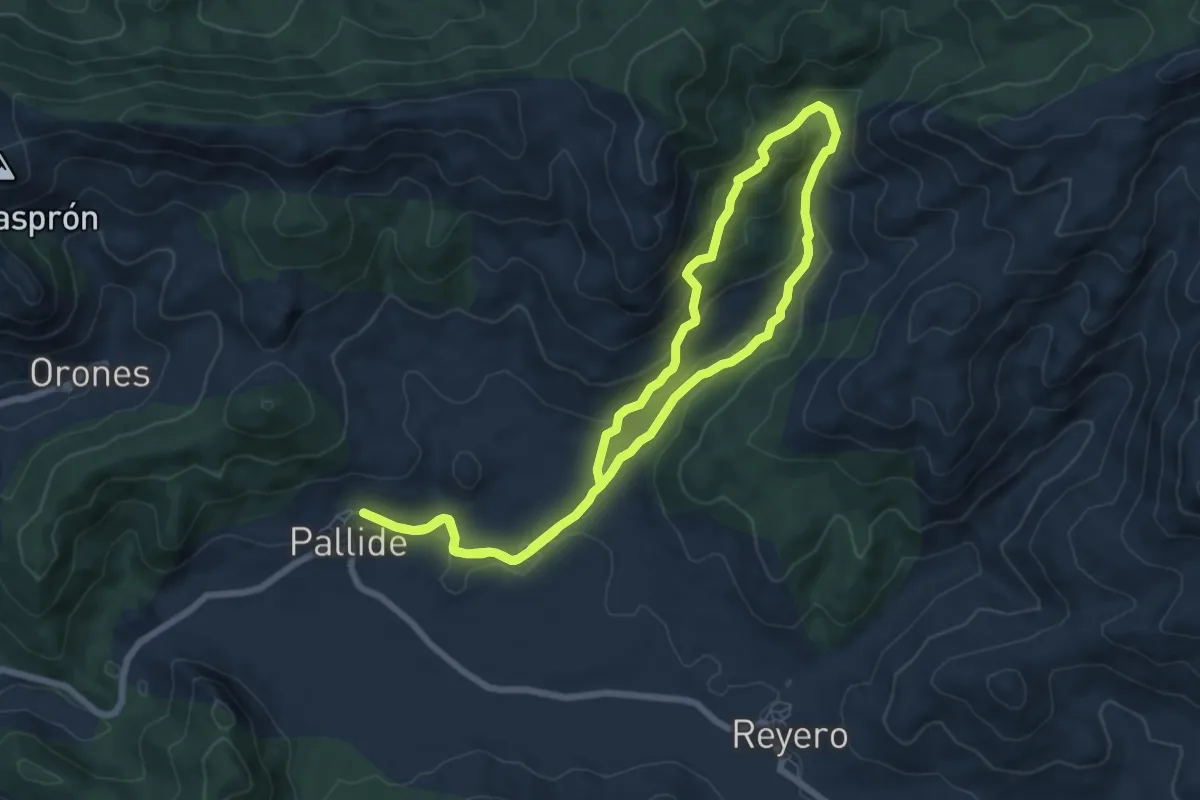
Easy · Trail
Puerto de Linares
7.2 km · ↑ 270 m · 2 h 24 min
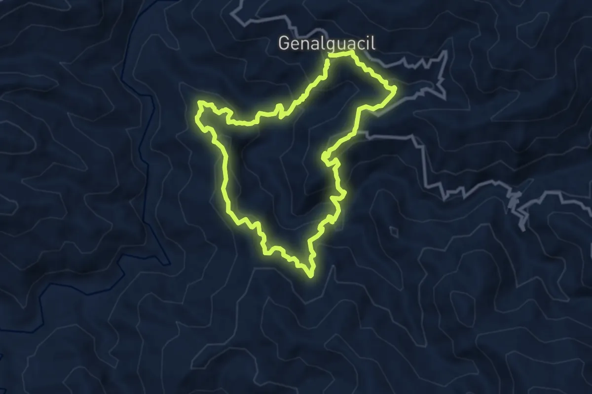
Medium · Trail
Puerto del Lentisco
9.7 km · ↑ 659 m · 3 h 52 min
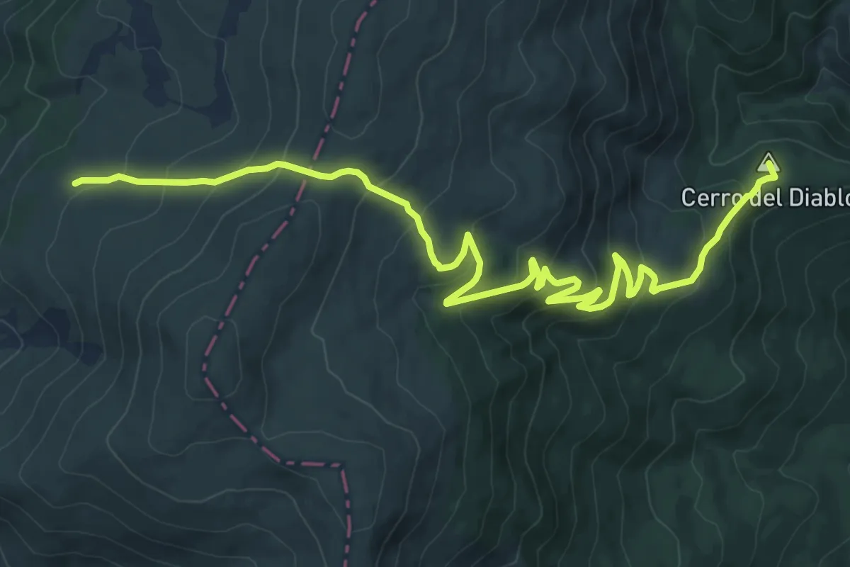
Medium · Summit
Puerto del Reventón
14.6 km · ↑ 700 m · 4 h 57 min
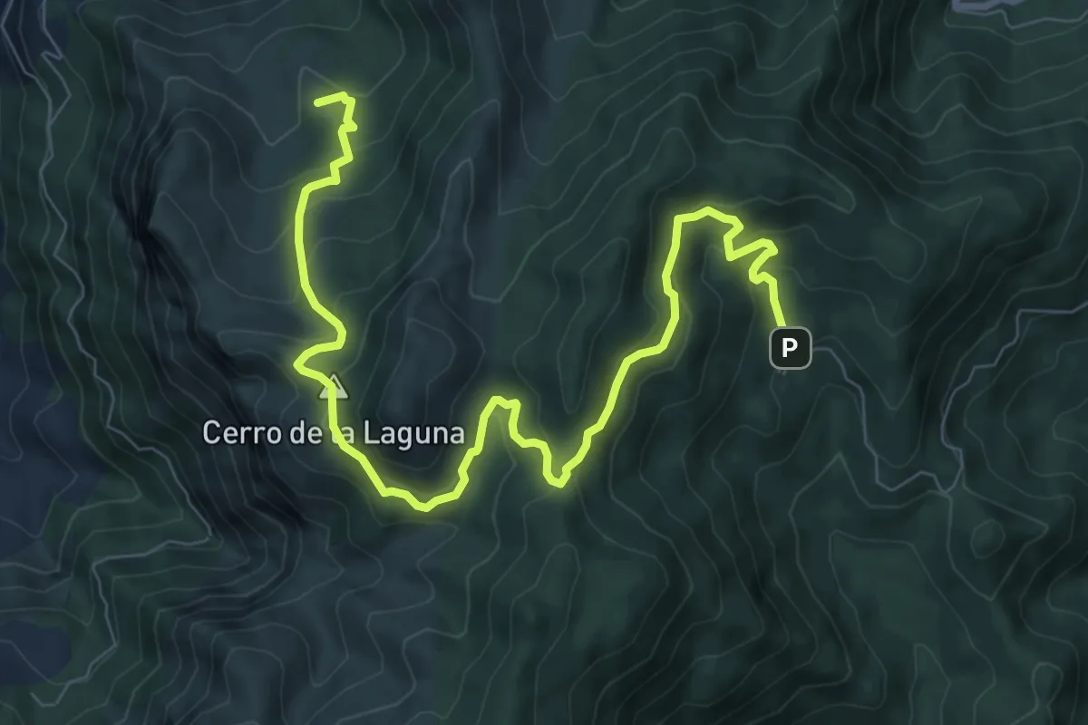
Medium · Summit
Puerto del Tejo - Arroyo de los Cierzos
11.9 km · ↑ 605 m · 4 h 7 min
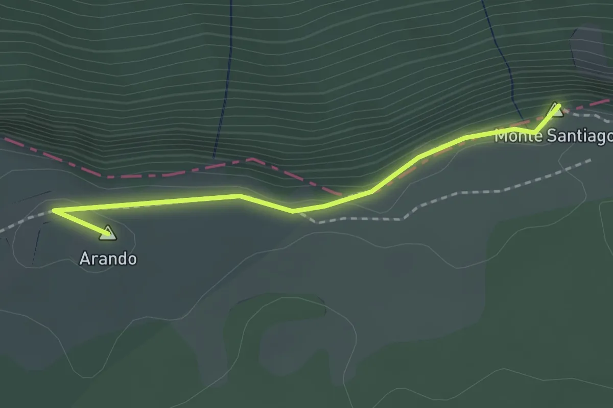
Easy · Summit
Puerto de Orduña
1.8 km · ↑ 35 m · 30 min
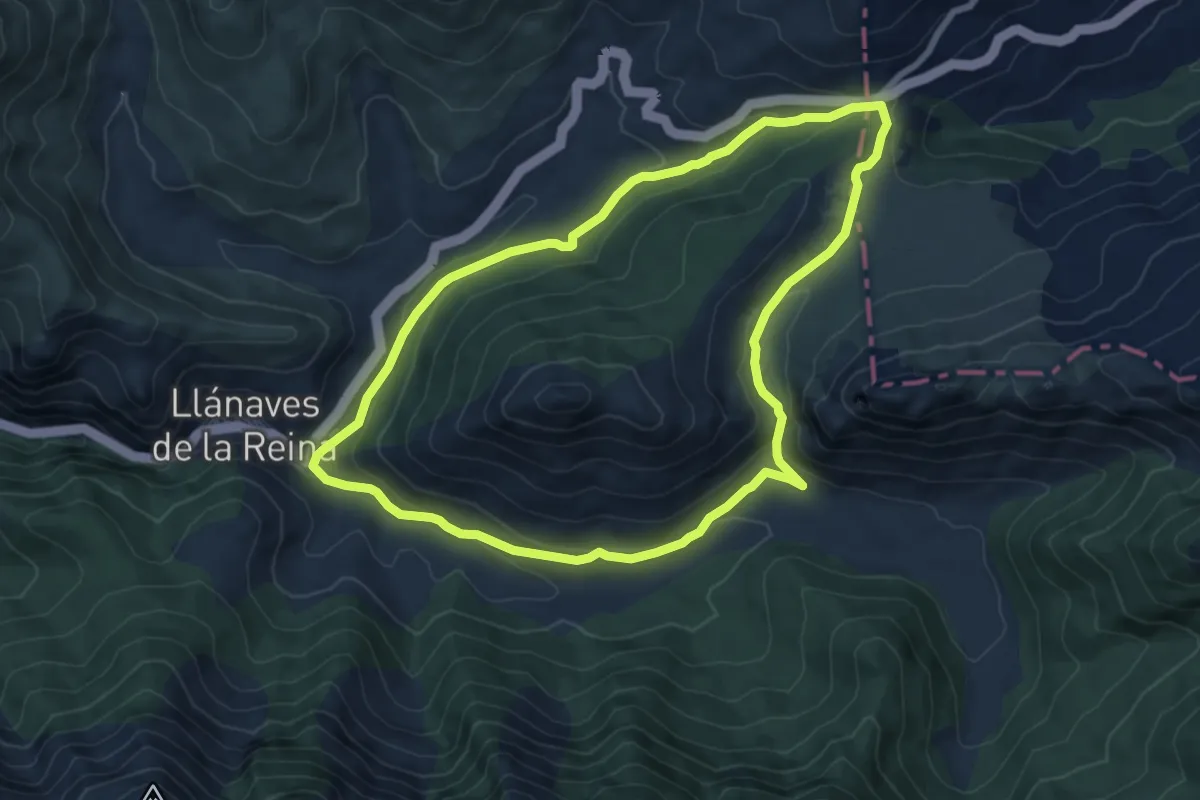
Easy · Trail
Puerto de San Glorio
7.6 km · ↑ 269 m · 2 h 29 min
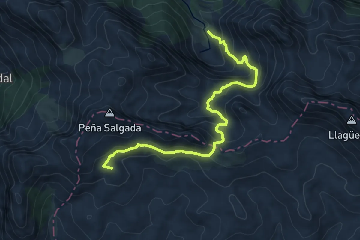
Medium · Summit
Puerto de Somiedo - Valle del Lago
9.1 km · ↑ 539 m · 3 h 19 min
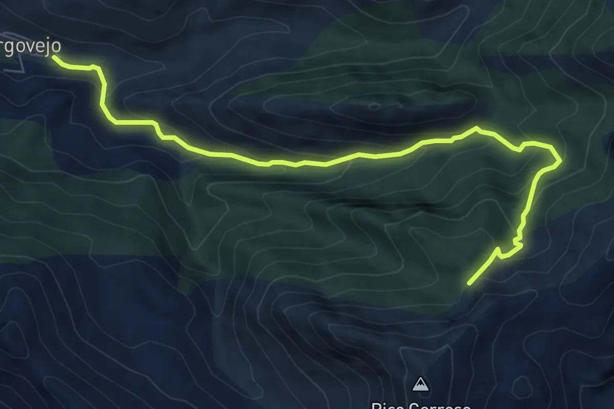
Medium · Trail
Puerto de Tejedo
8.3 km · ↑ 559 m · 3 h 10 min
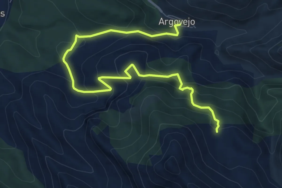
Medium · Trail
Puerto de Tejedo
9.3 km · ↑ 582 m · 3 h 28 min
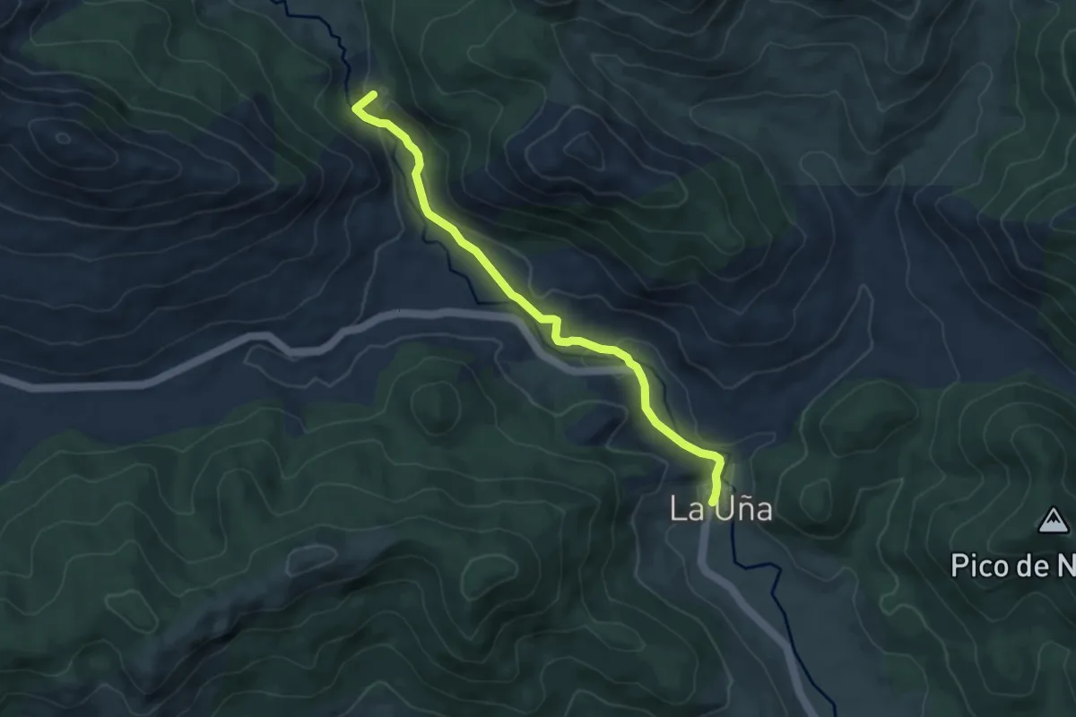
Medium · Summit
Puerto de Ventaniella
6.4 km · ↑ 144 m · 1 h 49 min
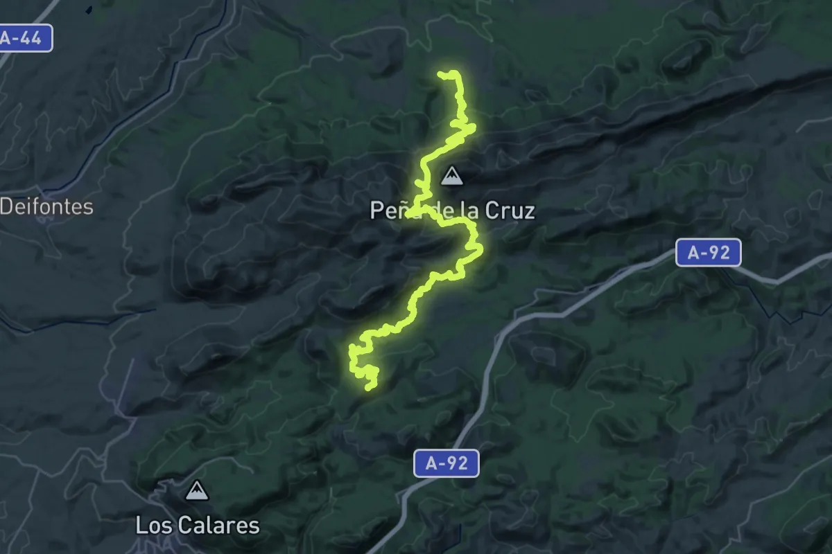
Demanding · Summit
Puerto Lobo - El Sotillo
44.2 km · ↑ 1898 m · 14 h 32 min
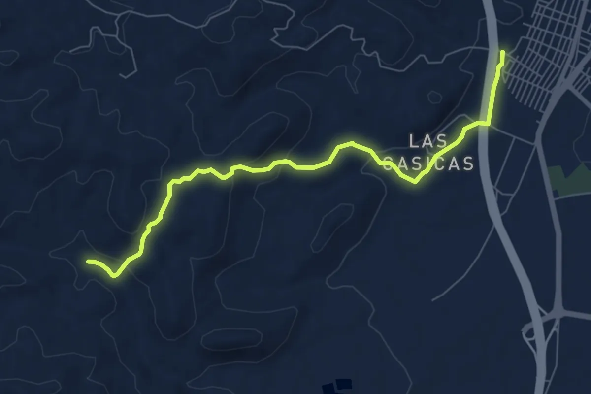
Medium · Trail
Puerto Lumbreras - Albergue
7.9 km · ↑ 236 m · 2 h 22 min
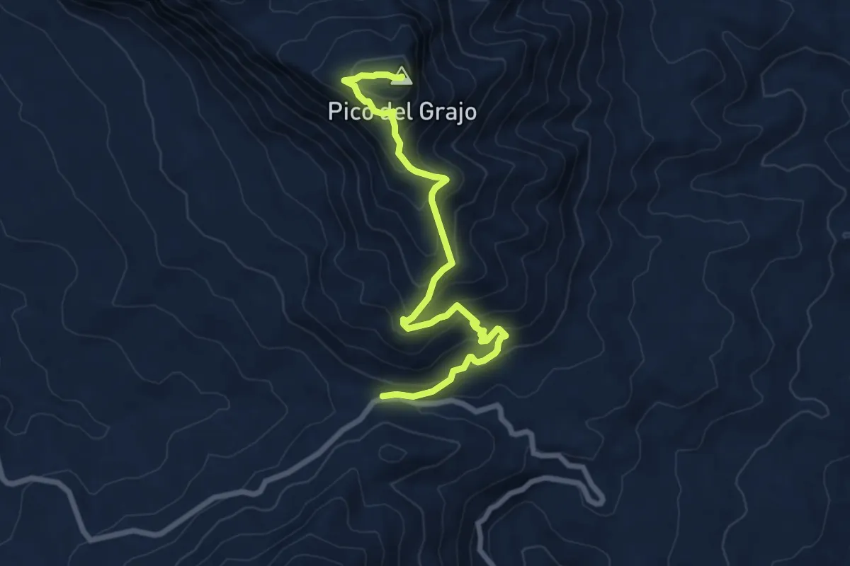
Medium · Summit
Puerto Martínez - Alcaparaín
8.5 km · ↑ 666 m · 3 h 27 min
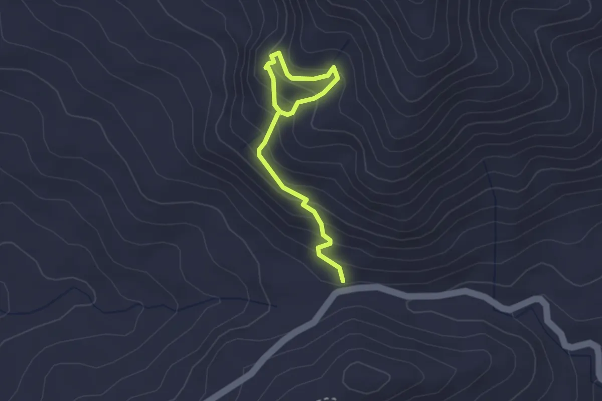
Easy · Trail
Puerto Martínez - Fuente Madrid
1.6 km · ↑ 196 m · 46 min
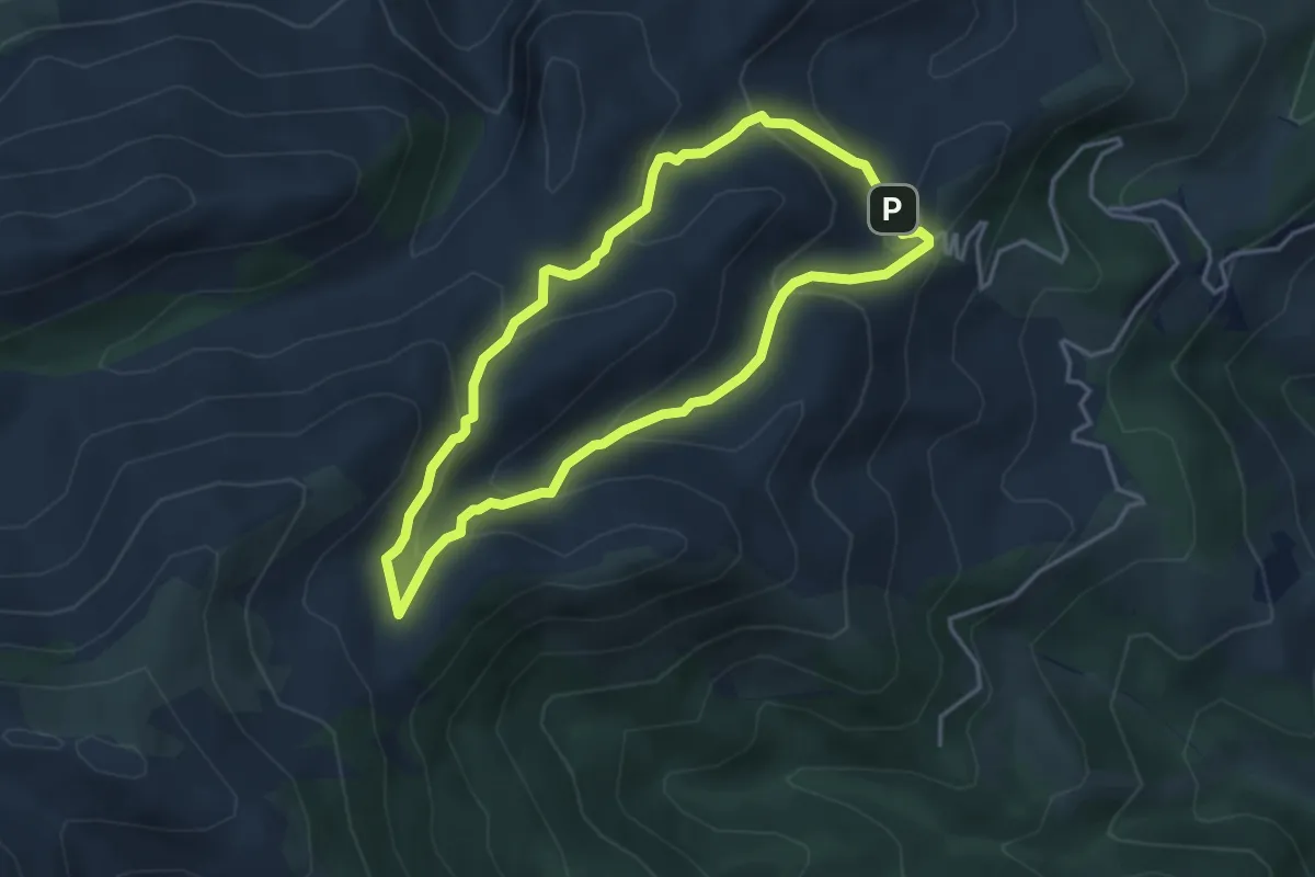
Easy · Summit
PUERTO SAUCILLO-PUERTO BELLINA
4.2 km · ↑ 229 m · 1 h 32 min
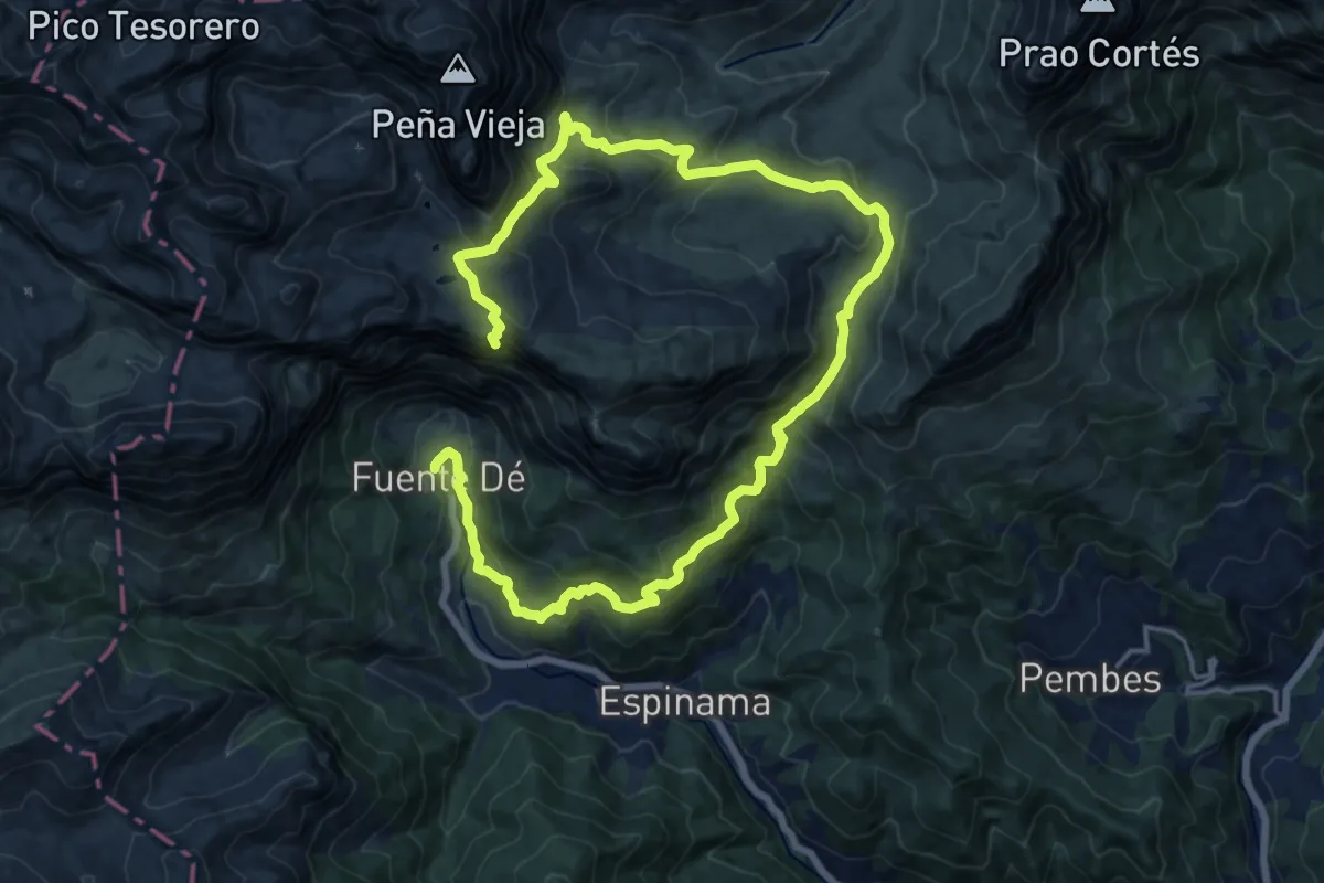
Demanding · Summit
Puertos de Áliva - Fuente De
25.8 km · ↑ 1511 m · 9 h 23 min
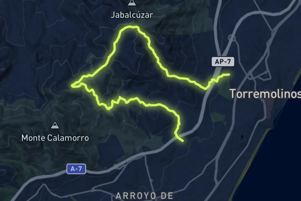
Demanding · Trail
Puertos de Torremolinos
21.8 km · ↑ 1275 m · 7 h 54 min
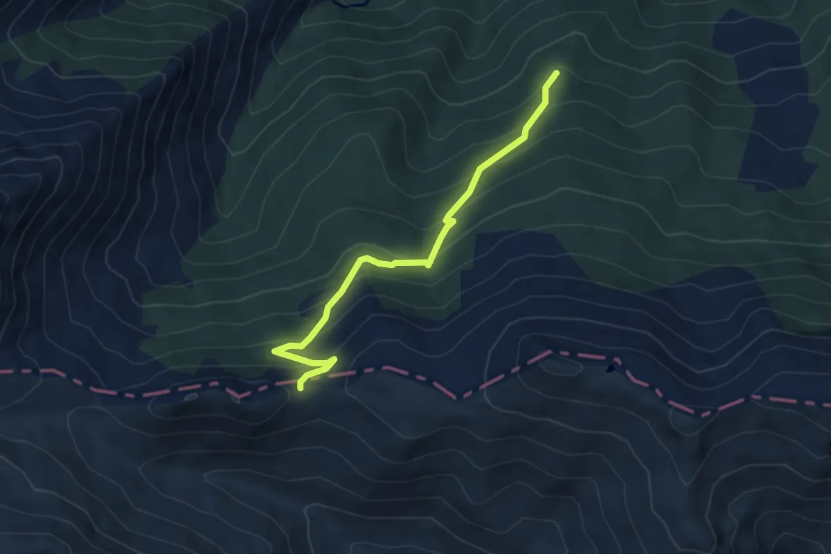
Medium · Trail
Puertu de Piedrafita
5.3 km · ↑ 386 m · 2 h 5 min
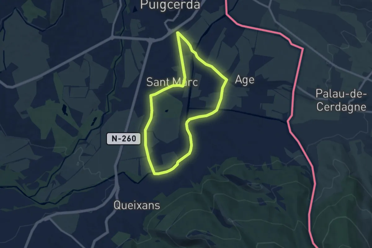
Easy · Trail
Puigcerdà Camí del Segre ermita de Sant Marc
7.2 km · ↑ 38 m · 1 h 53 min
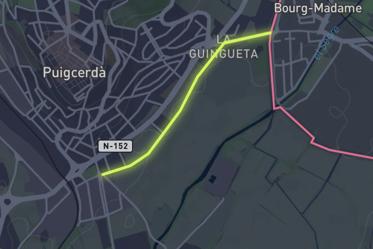
Easy · Trail
Puigcerdà - Montserrat
2.5 km · ↑ 9 m · 36 min
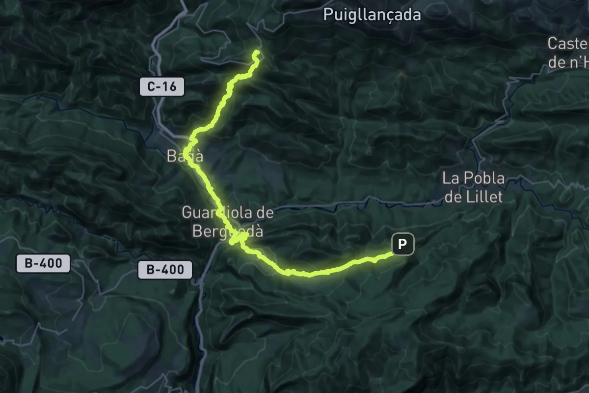
Demanding · Summit
Puigcerdà-Montserrat. Variant Bagà
34.6 km · ↑ 1886 m · 12 h 15 min
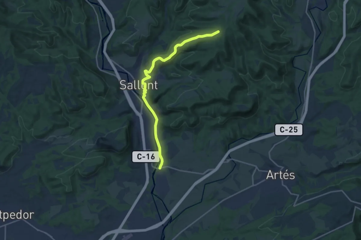
Medium · Trail
Puigcerdà-Montserrat. Variant Cabrianes
14.7 km · ↑ 326 m · 4 h 11 min
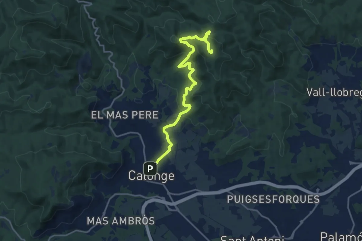
Medium · Summit
Puig del Cargol
12.3 km · ↑ 584 m · 4 h 10 min
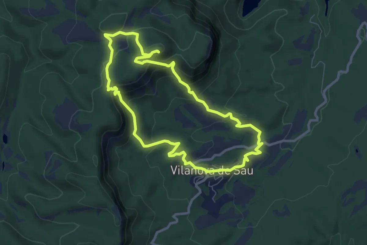
Medium · Summit
Puig del Far
7.1 km · ↑ 332 m · 2 h 30 min
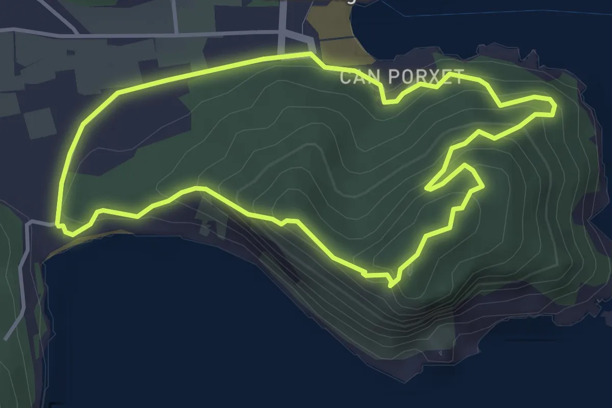
Easy · Summit
Puig de ses Torretes
4.0 km · ↑ 231 m · 1 h 31 min
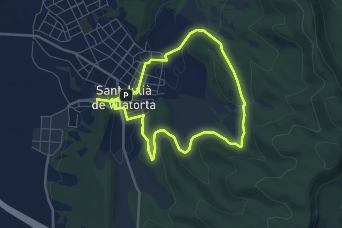
Easy · Trail
Puigsec
5.6 km · ↑ 97 m · 1 h 37 min
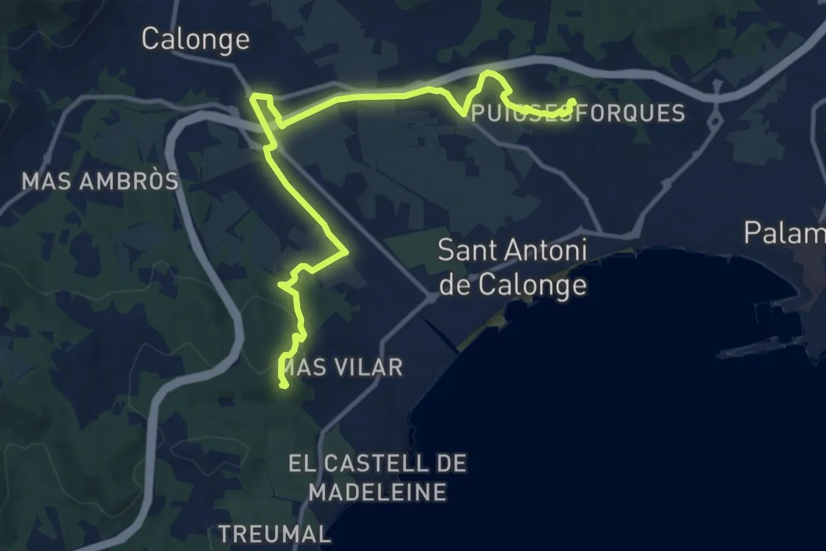
Medium · Summit
Puig ses Forques
12.4 km · ↑ 181 m · 3 h 19 min
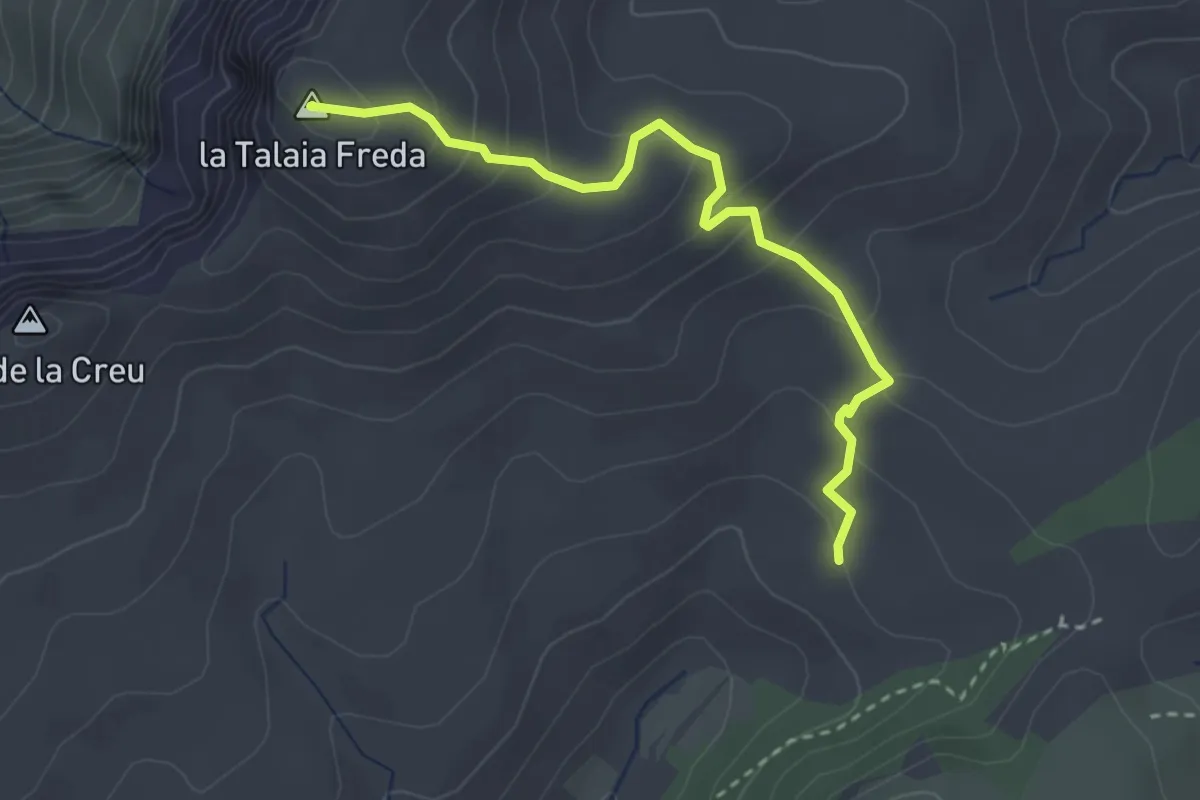
Easy · Summit
Pujada a la Talaia Freda
3.4 km · ↑ 218 m · 1 h 17 min
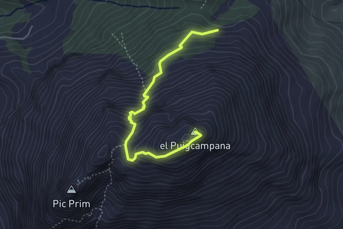
Medium · Summit
Pujada Puigcampana
4.4 km · ↑ 501 m · 2 h 8 min
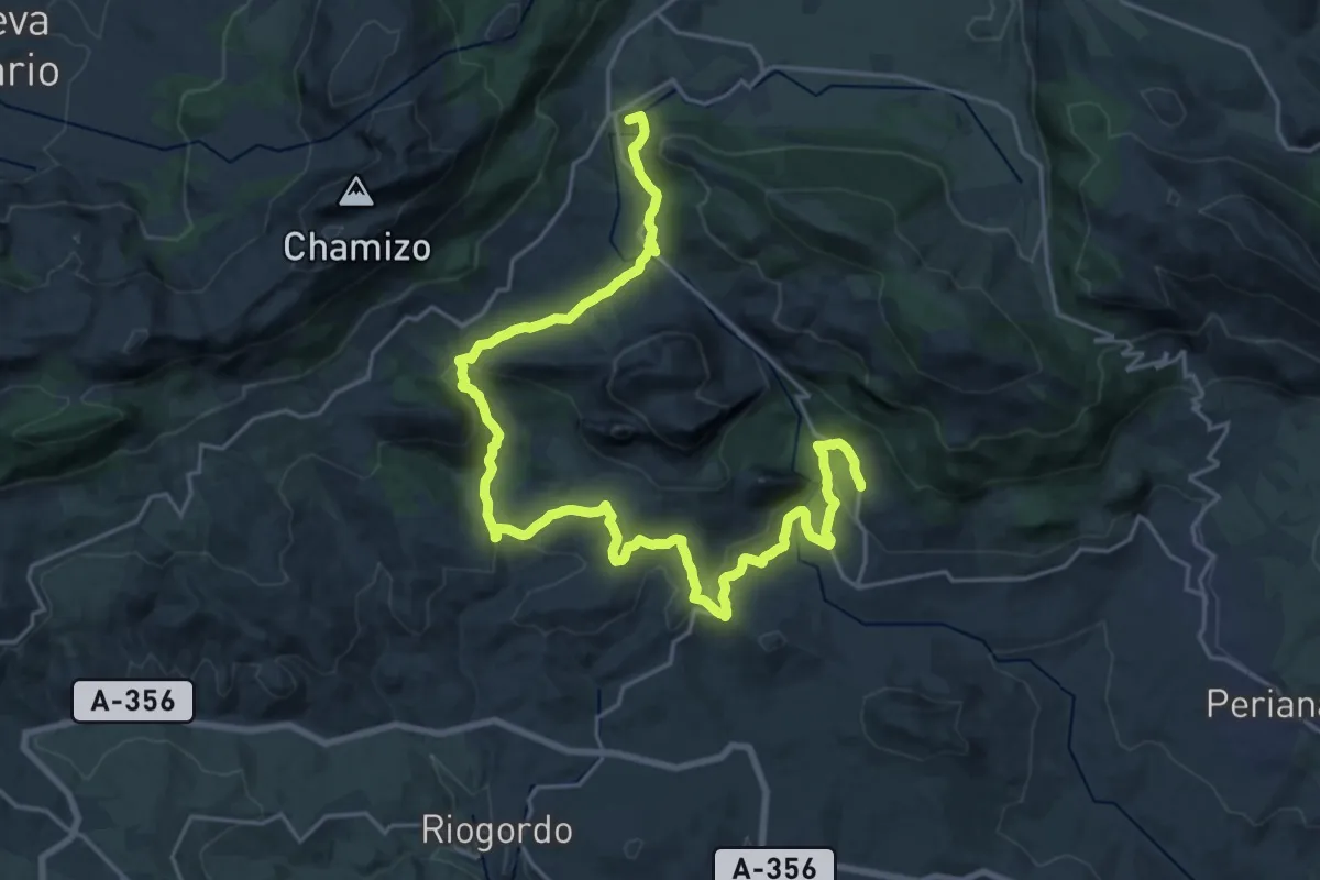
Demanding · Summit
Pulgarín - Alfarnate
32.7 km · ↑ 1014 m · 9 h 55 min
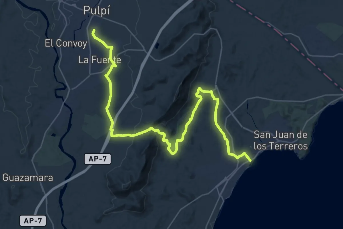
Medium · Trail
Pulpí - Terreros
16.5 km · ↑ 164 m · 4 h 34 min
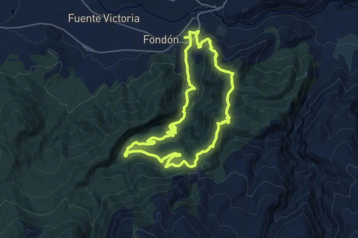
Medium · Summit
Púlpito - La Parra
15.0 km · ↑ 655 m · 5 h 10 min
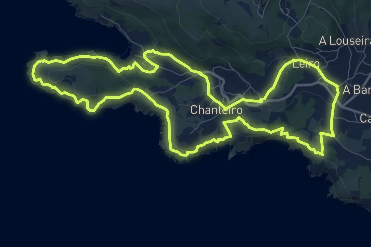
Medium · Trail
Punta Coitelada
10.4 km · ↑ 342 m · 3 h 20 min
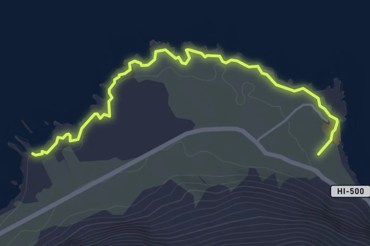
Easy · Trail
(Punta de La Dehesa)
5.6 km · ↑ 43 m · 1 h 25 min
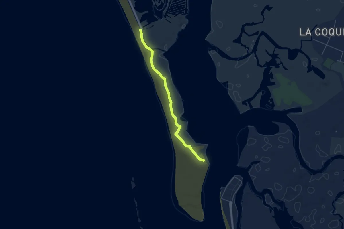
Easy · Trail
Punta del Boquerón
5.3 km · ↑ 0 m · 1 h 15 min
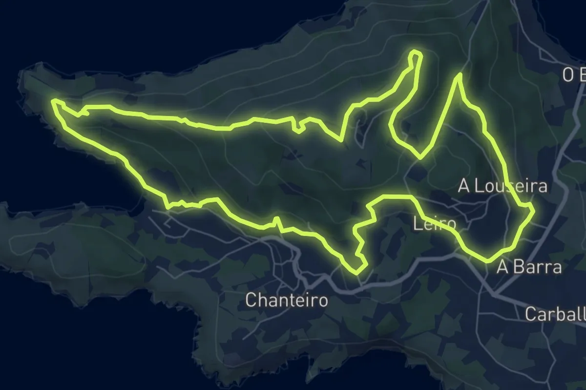
Medium · Summit
Punta do Segaño
10.4 km · ↑ 400 m · 3 h 28 min
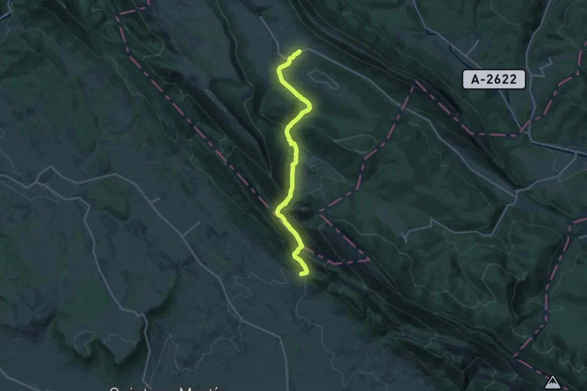
Medium · Trail
Puron ibaiaren haitzartea
15.4 km · ↑ 429 m · 4 h 34 min
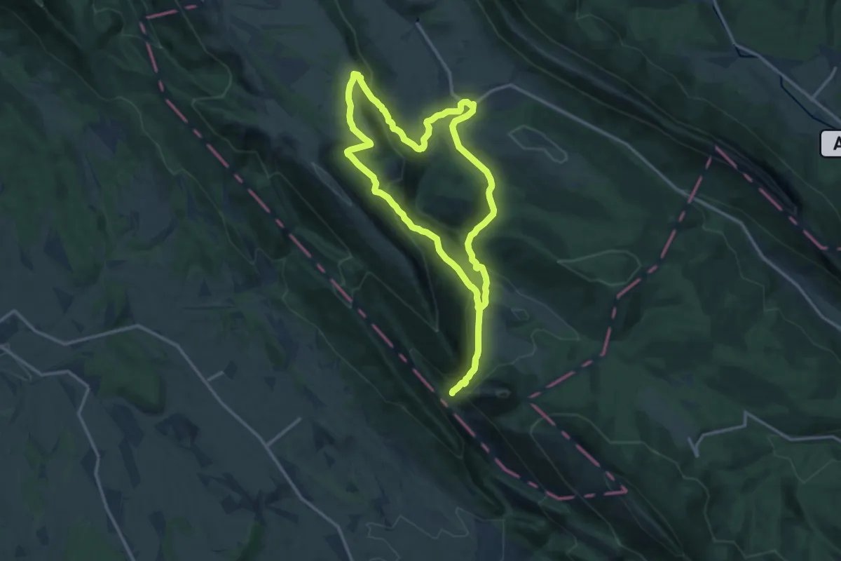
Medium · Trail
Purón ibaiaren ibilbidea
13.3 km · ↑ 473 m · 4 h 20 min
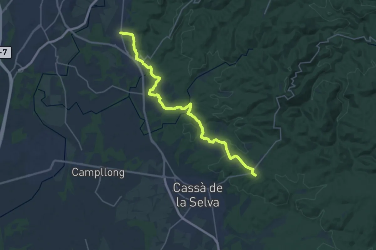
Demanding · Summit
Quart-Cassà de la Selva
19.4 km · ↑ 296 m · 5 h 14 min
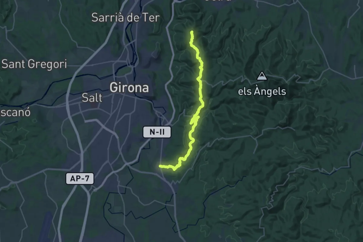
Demanding · Summit
Quart-Castell de Sant Miquel
23.6 km · ↑ 572 m · 6 h 48 min
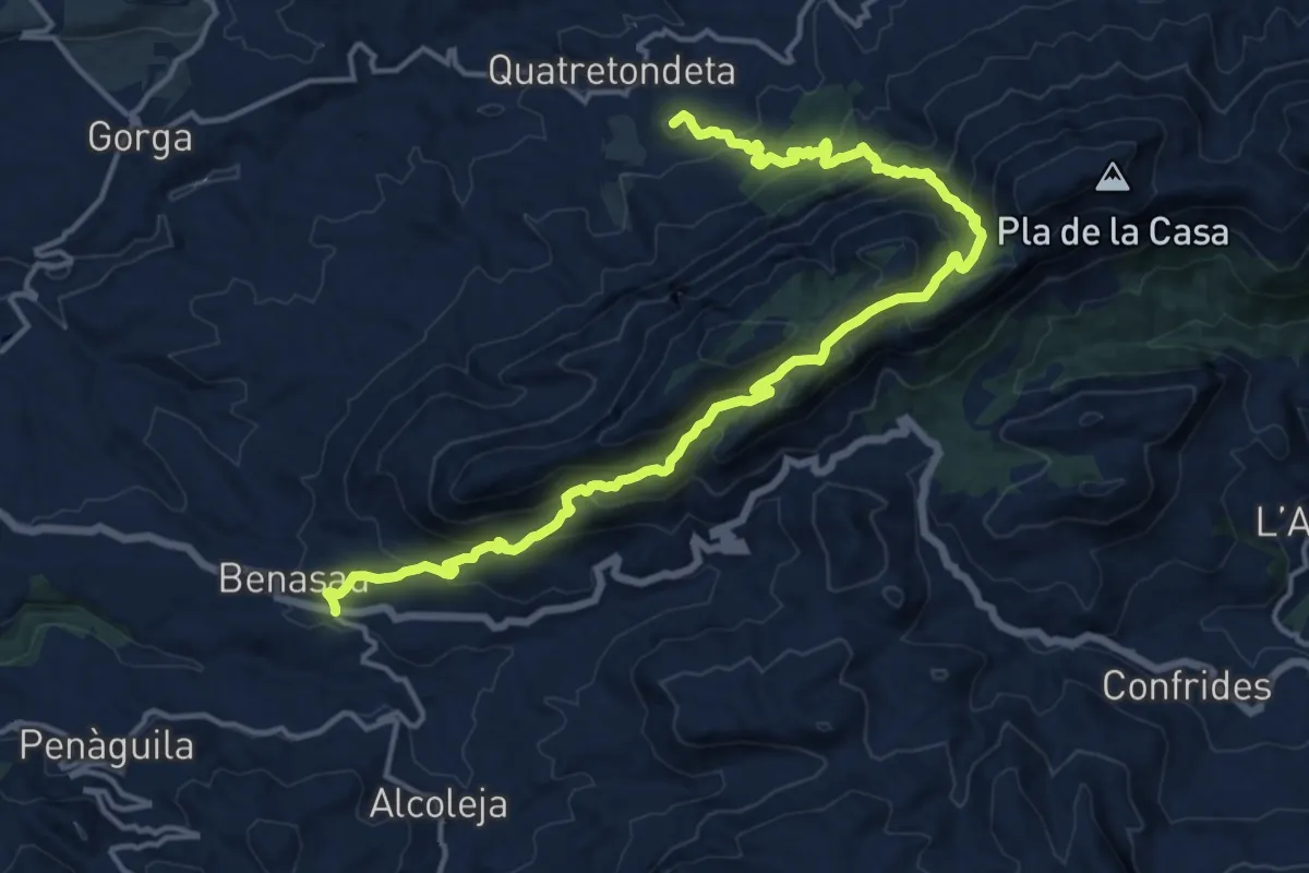
Demanding · Summit
Quatretondeta - Benasau
20.6 km · ↑ 1135 m · 7 h 19 min
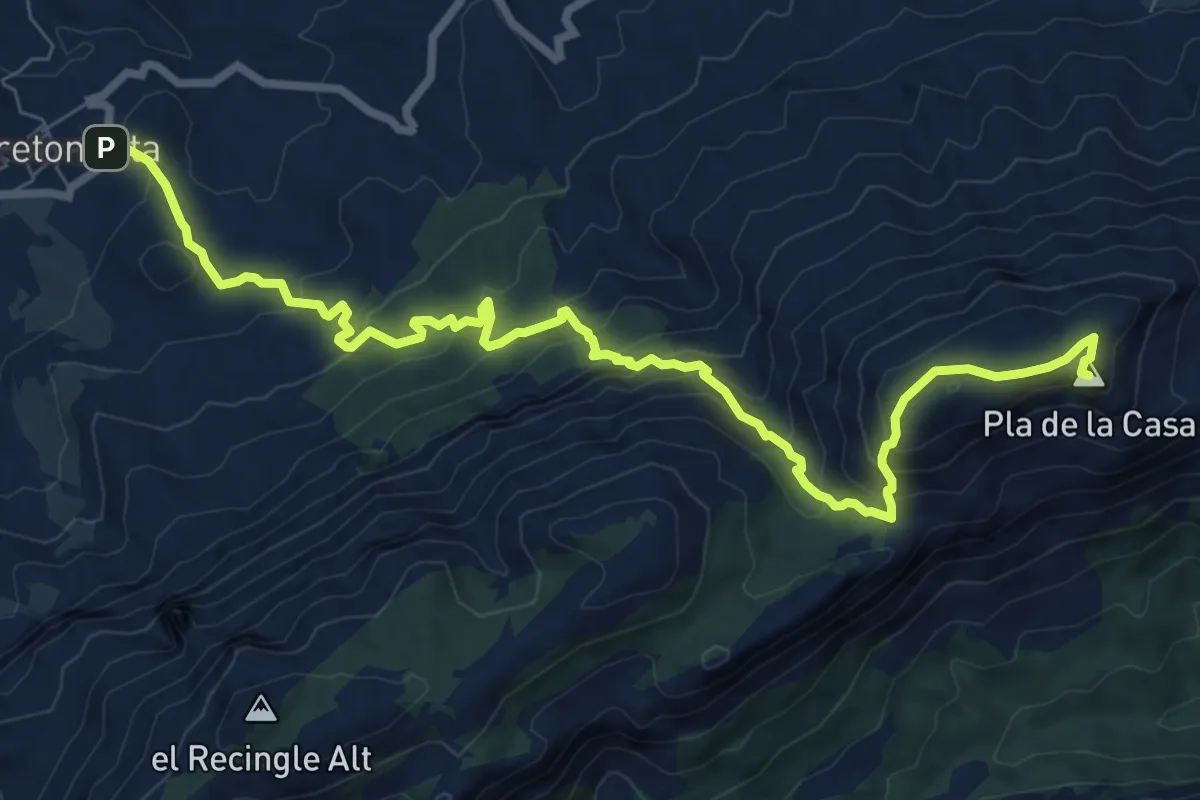
Medium · Summit
Quatretondeta - Pla de la Casa
11.1 km · ↑ 773 m · 4 h 18 min
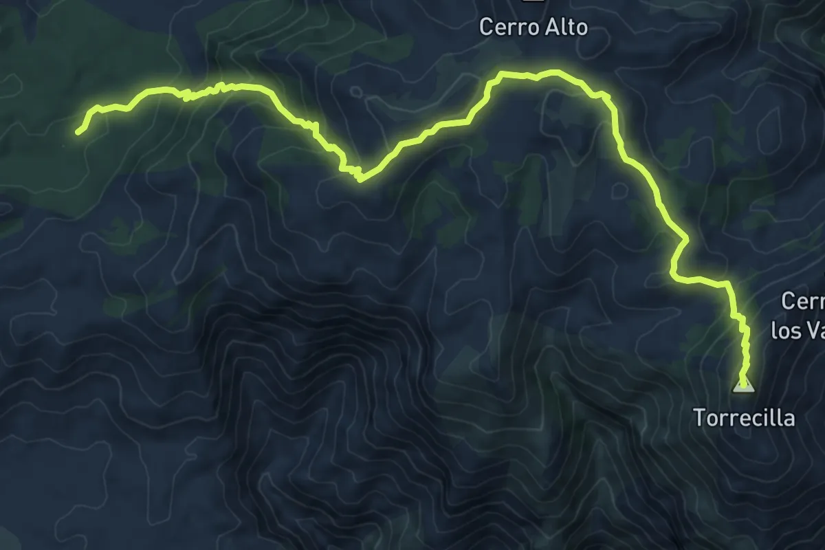
Demanding · Summit
Quejigales - Torrecilla
14.4 km · ↑ 813 m · 5 h 10 min
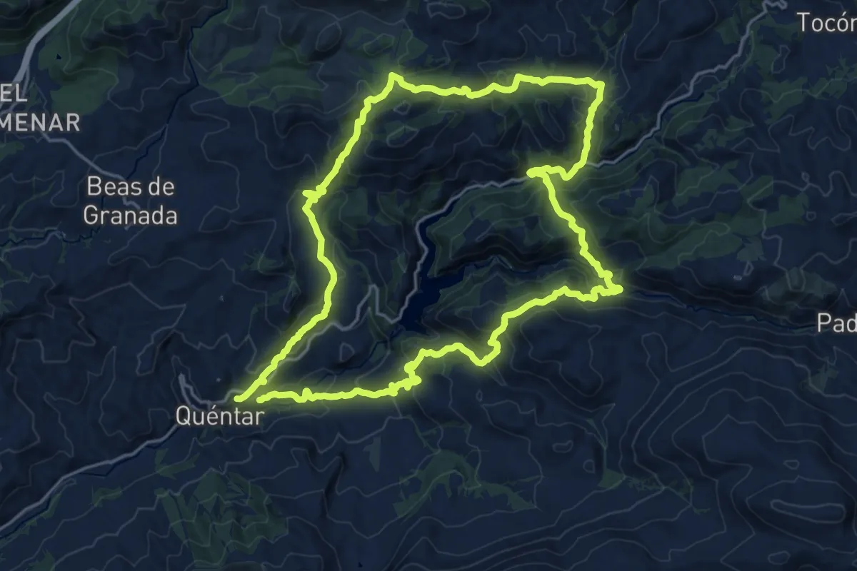
Demanding · Trail
Quéntar - Aguas Blancas - Cuevas - Quéntar
21.5 km · ↑ 1057 m · 7 h 39 min