Trails in Spain
5,962 hiking trails, each with its route, climb, walking time and grade.
All trails, page 72 of 125
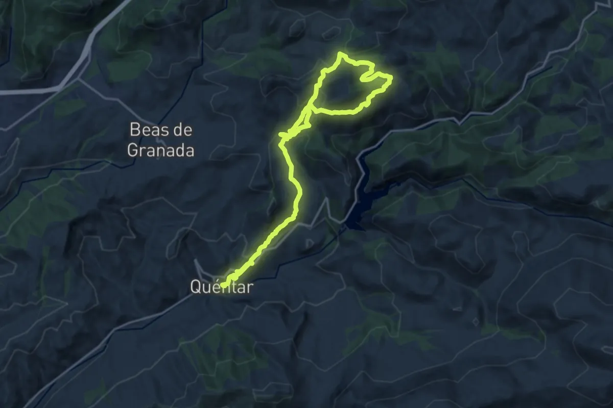
Medium · Trail
Quéntar - Avellanos - Quéntar
12.5 km · ↑ 406 m · 4 h 11 min
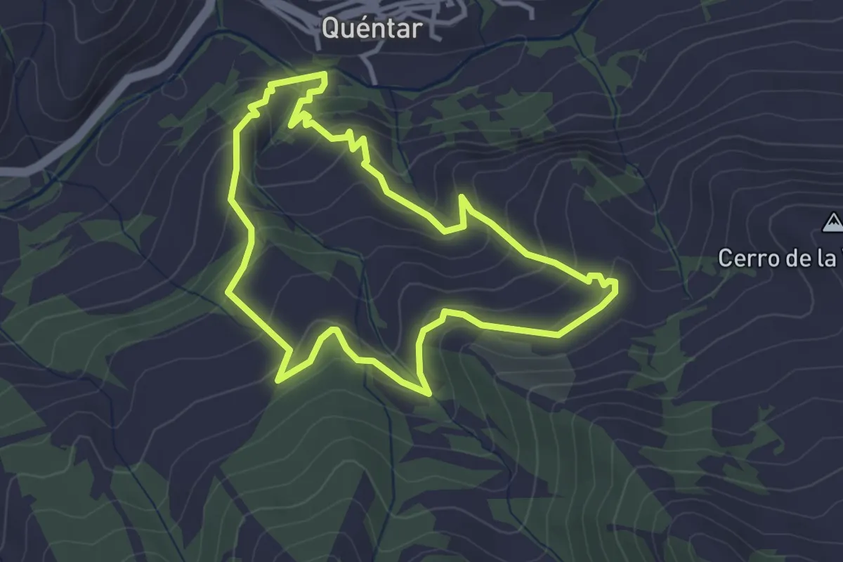
Easy · Trail
Quéntar - Cuesta el Majano - Quéntar
3.6 km · ↑ 238 m · 1 h 25 min
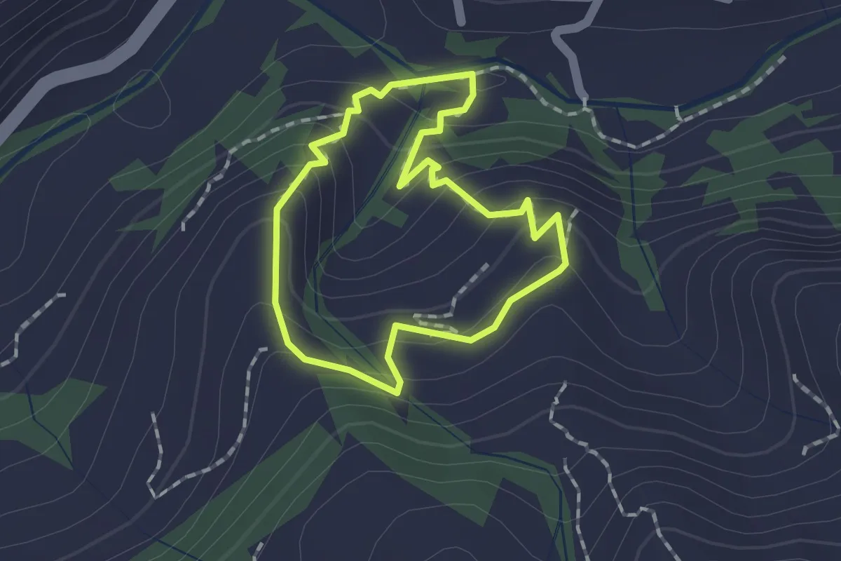
Easy · Trail
Quéntar - Cuesta Lolo - Cerrillo - Quéntar
1.5 km · ↑ 96 m · 34 min
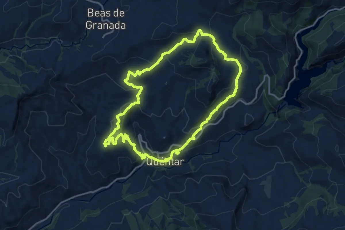
Medium · Summit
Quéntar - Fiñana - Álamo - Quéntar
11.3 km · ↑ 515 m · 3 h 57 min
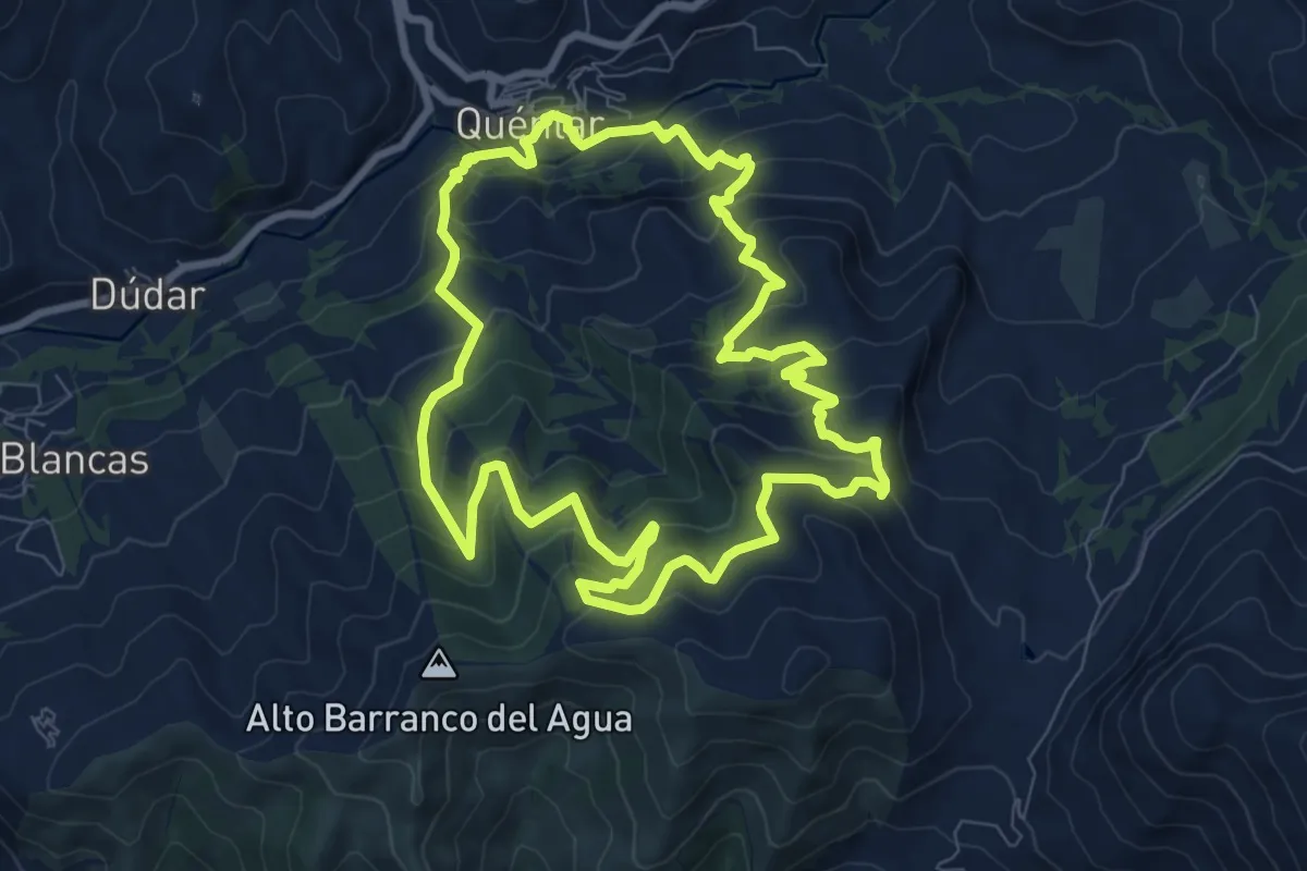
Medium · Trail
Quéntar - Muñoces - Quéntar
9.7 km · ↑ 624 m · 3 h 47 min
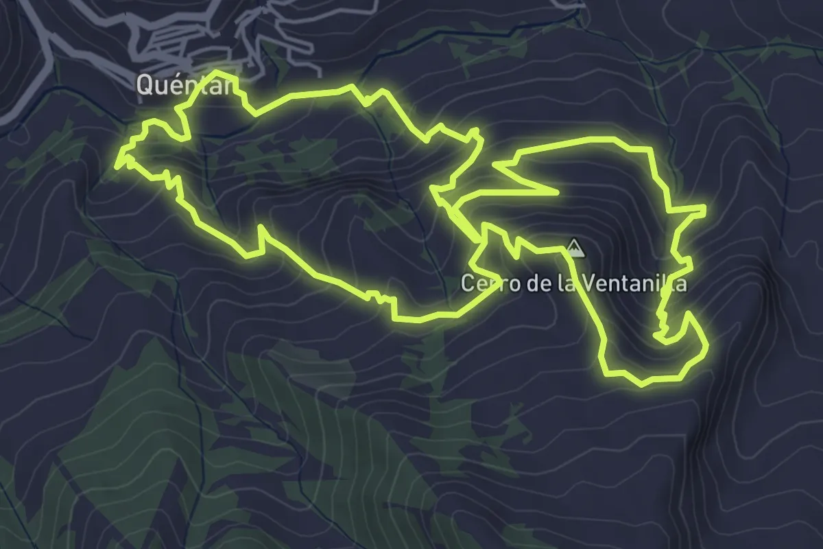
Medium · Summit
Quéntar - Queso - Quéntar
7.3 km · ↑ 535 m · 2 h 58 min
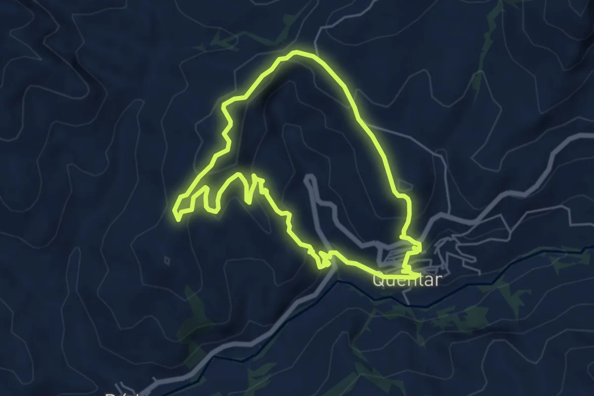
Easy · Trail
Quéntar - Solana - Quéntar
5.5 km · ↑ 290 m · 2 h 1 min
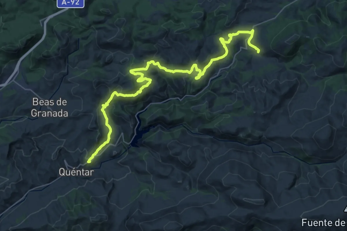
Demanding · Trail
Quéntar - Tocón
18.9 km · ↑ 734 m · 6 h 11 min
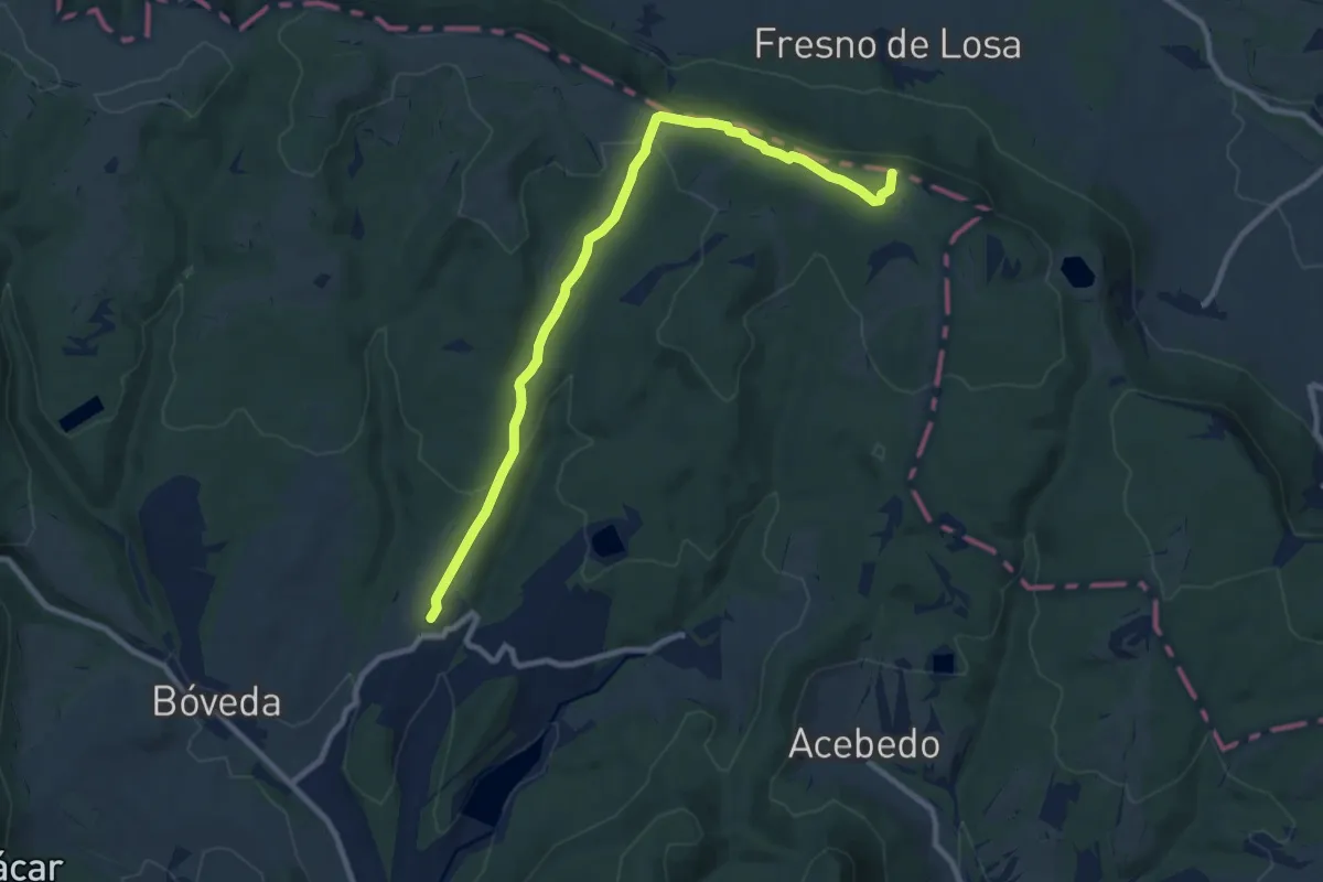
Medium · Summit
Quintanilla-Risca de San Pedro
10.7 km · ↑ 238 m · 3 h 2 min
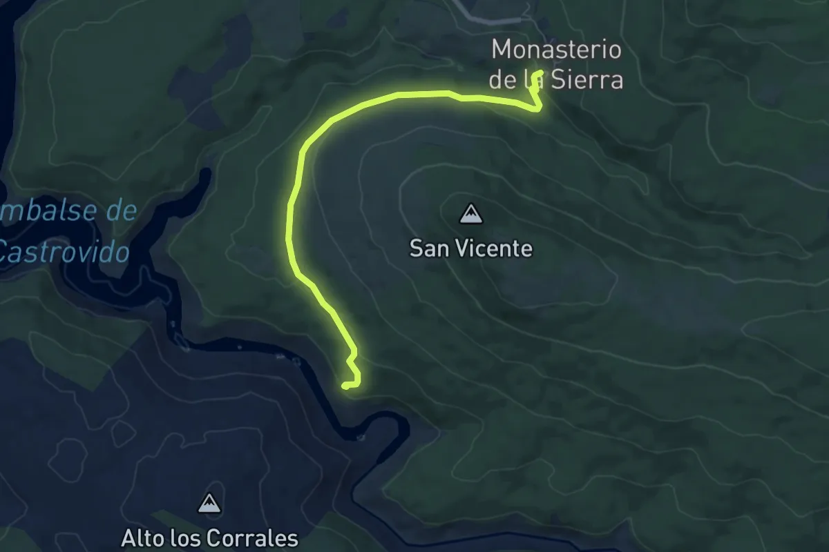
Easy · Trail
R1
7.3 km · ↑ 127 m · 1 h 59 min
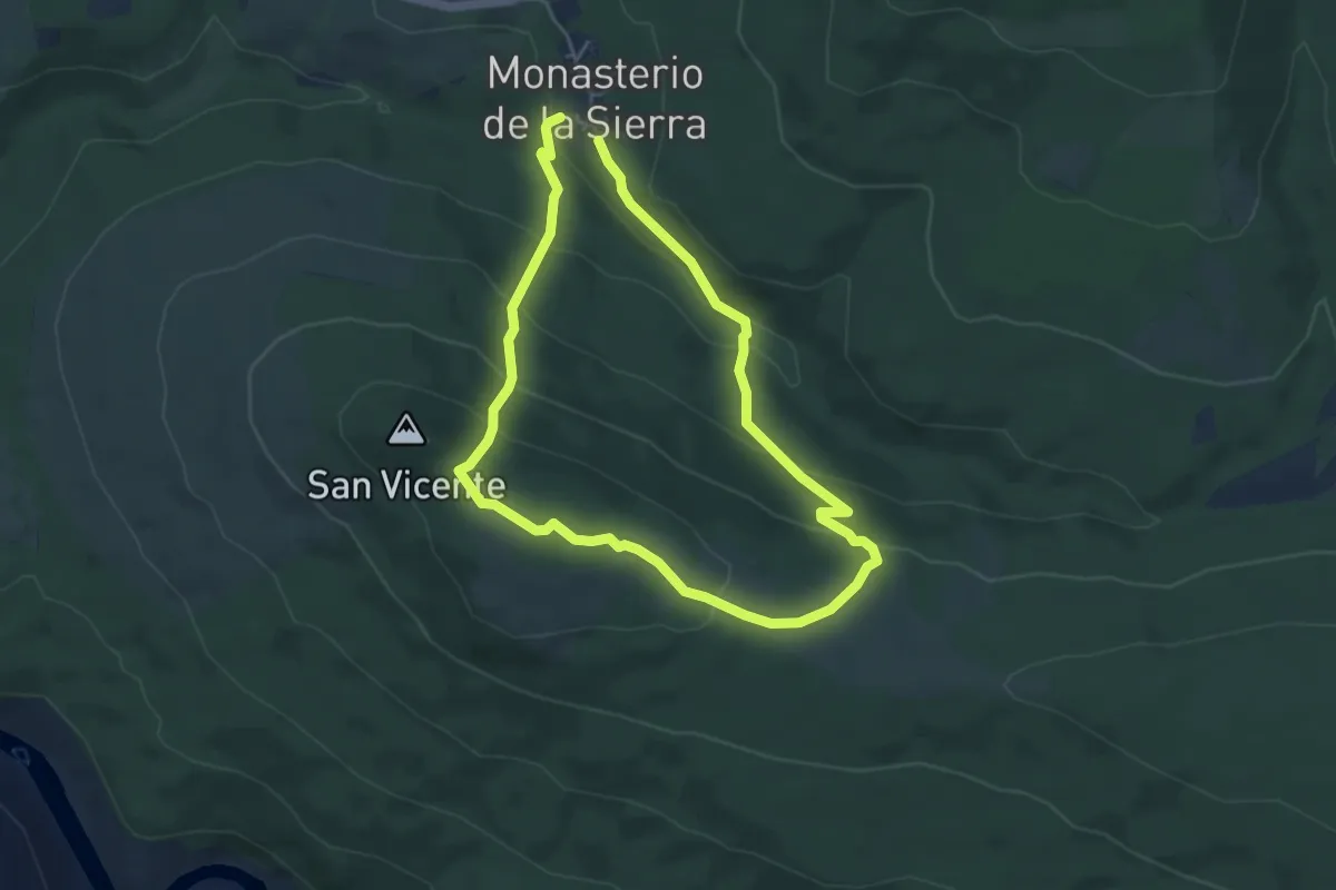
Easy · Trail
R2
4.3 km · ↑ 204 m · 1 h 31 min
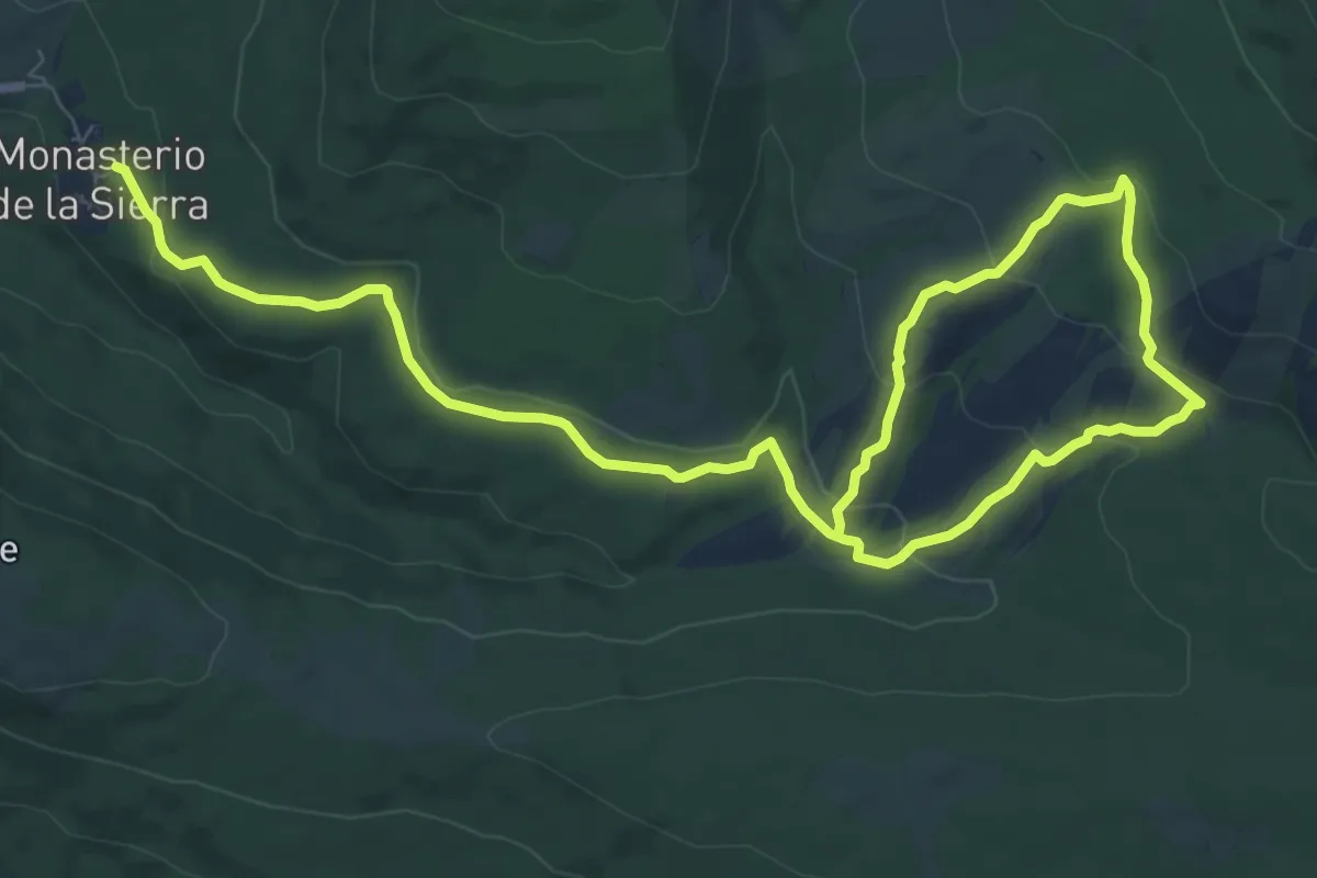
Medium · Trail
R3
13.1 km · ↑ 415 m · 4 h
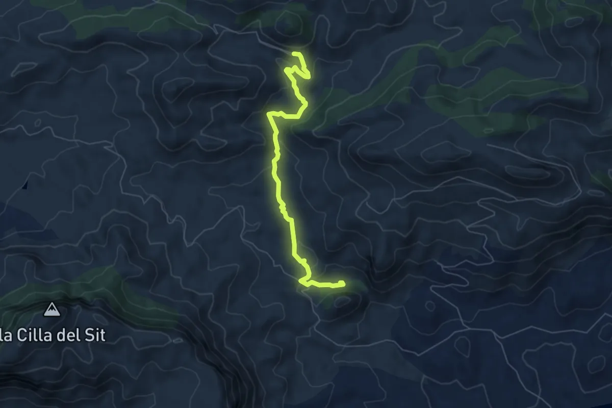
Medium · Cabin
Rabosa - Rincón Bello - Rabosa
6.8 km · ↑ 219 m · 2 h 5 min
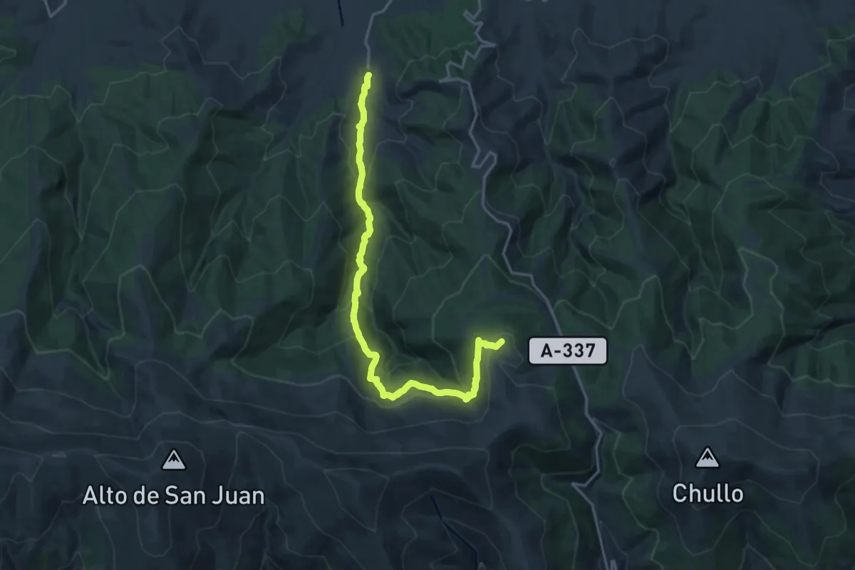
Expert · Summit
Ragua-Aldeire
21.3 km · ↑ 996 m · 7 h 11 min
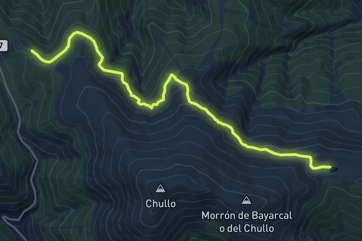
Expert · Trail
Ragua - Lagunilla Seca
15.0 km · ↑ 526 m · 4 h 41 min
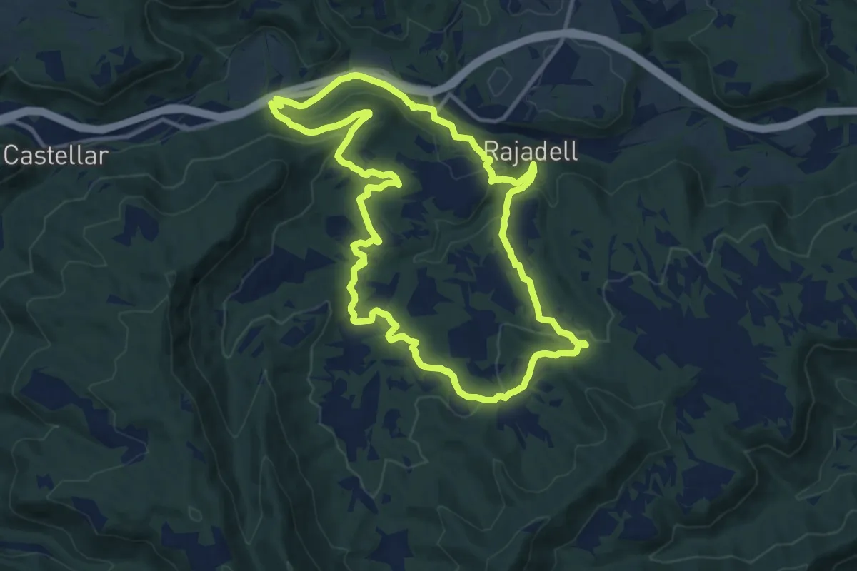
Medium · Summit
Rajadell circular
12.7 km · ↑ 317 m · 3 h 52 min
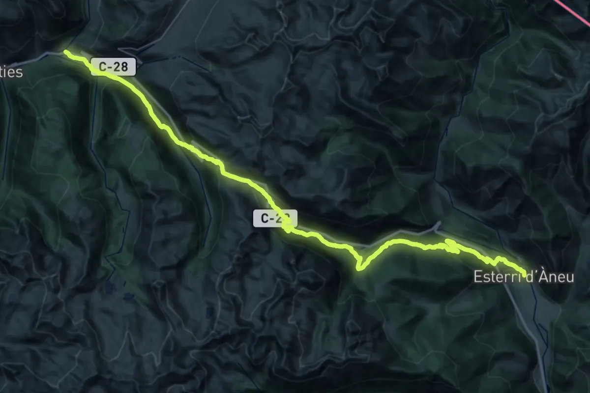
Demanding · Trail
Ramat de Camins. Etapa 10 : Esterri d'Àneu => Salardú
26.3 km · ↑ 1153 m · 9 h 13 min
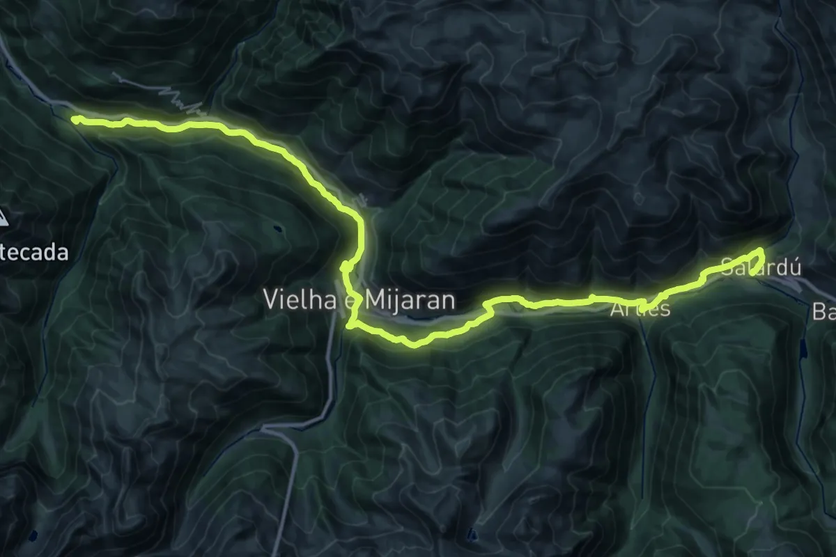
Demanding · Summit
Ramat de Camins. Etapa 11 : Salardú => Bossòst
44.6 km · ↑ 1148 m · 13 h 1 min
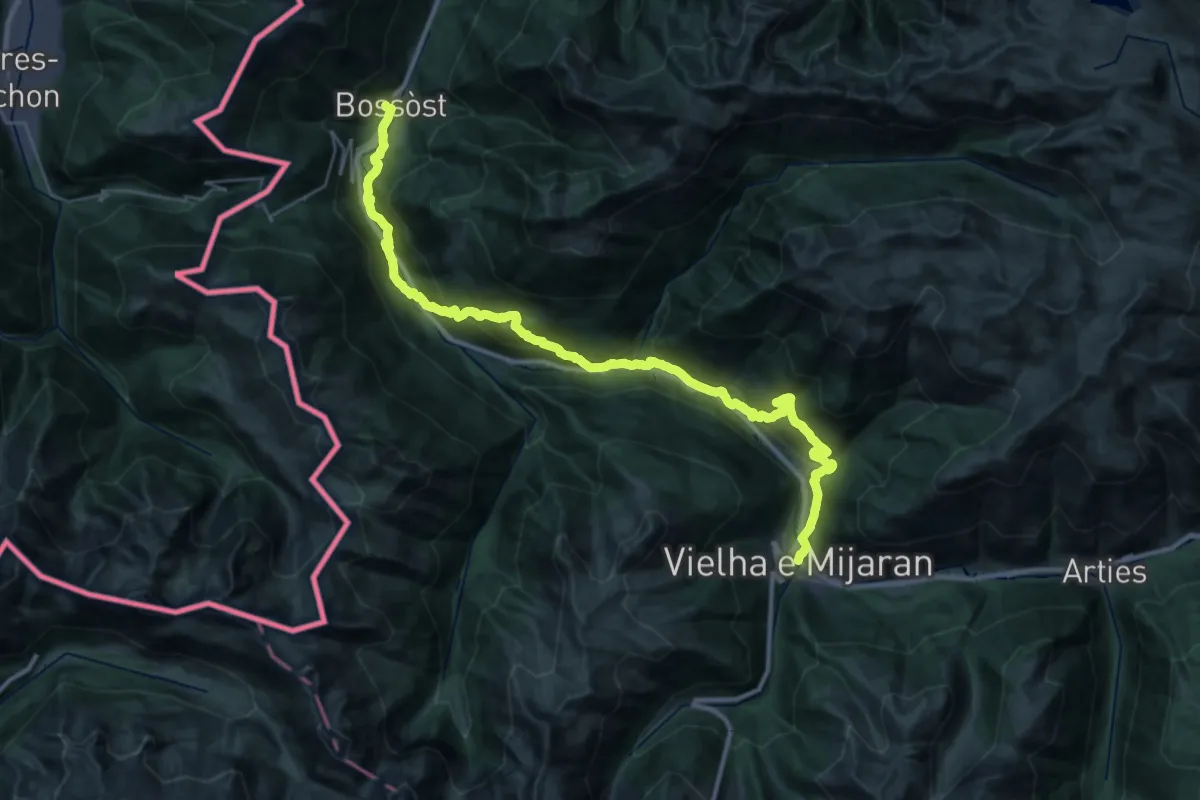
Demanding · Trail
Ramat de Camins. Etapa 12 : Bossòt => Vielha
20.2 km · ↑ 815 m · 6 h 56 min
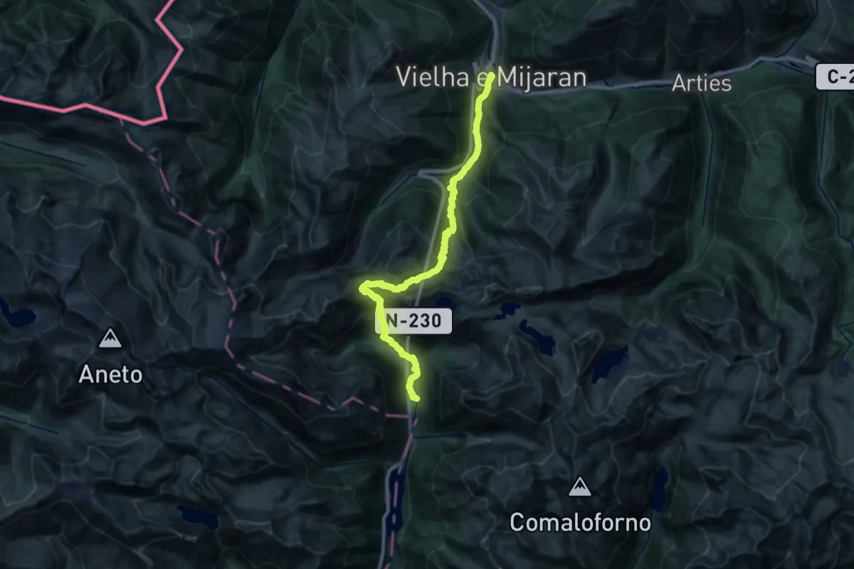
Demanding · Cabin
Ramat de Camins. Etapa 13 : Vielha => Refugi de Conangles
15.6 km · ↑ 1530 m · 6 h 55 min
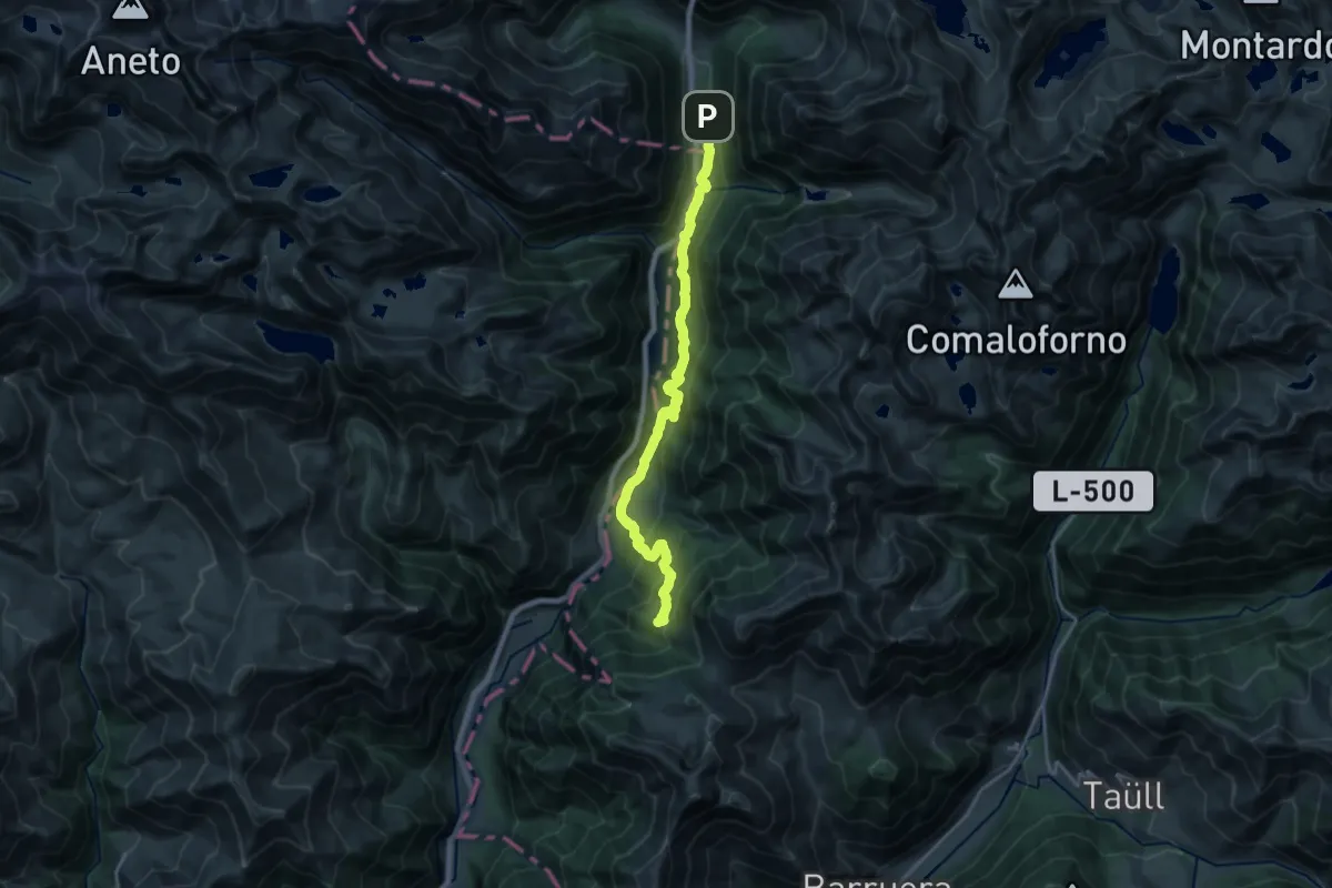
Demanding · Summit
Ramat de Camins. Etapa 14 : Refugi de Conangles => Barruera
20.8 km · ↑ 1073 m · 7 h 15 min
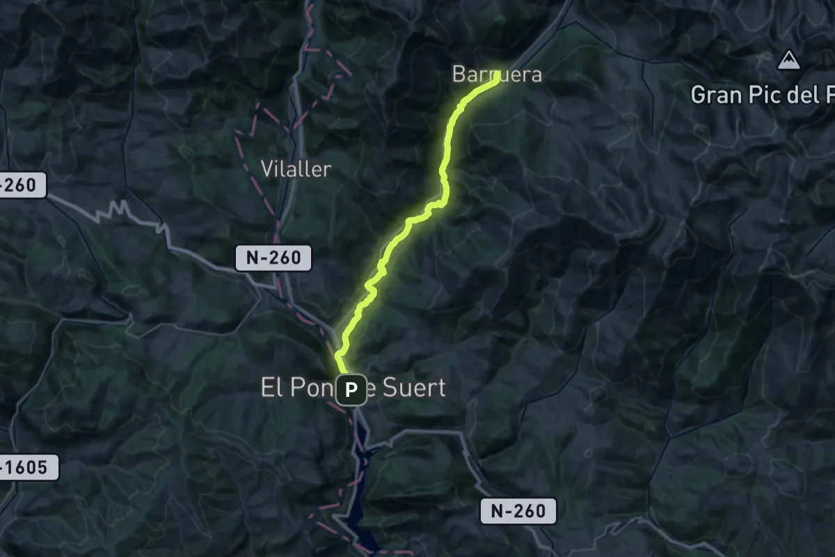
Medium · Trail
Ramat de Camins. Etapa 15 : Barruera => El Pont de Suert
14.7 km · ↑ 481 m · 4 h 35 min
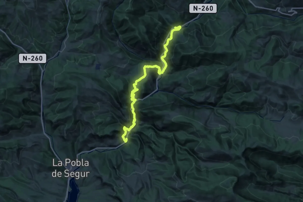
Demanding · Trail
Ramat de Camins. Etapa1 : Font de la Figuereta => Baro
20.3 km · ↑ 1038 m · 7 h 22 min
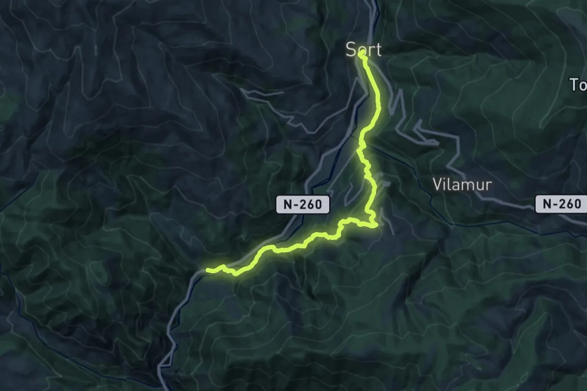
Medium · Trail
Ramat de Camins. Etapa 2 : Baro => Sort
11.4 km · ↑ 700 m · 4 h 21 min
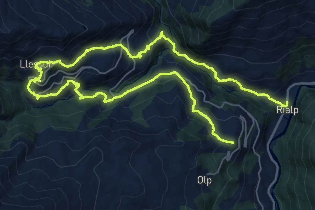
Demanding · Summit
Ramat de Camins. Etapa 3 : Sort => Rialp
28.1 km · ↑ 1631 m · 10 h 10 min
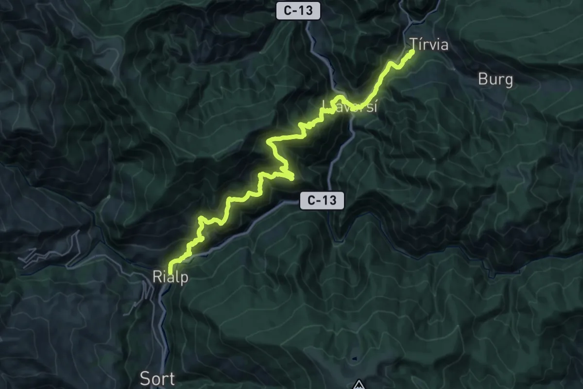
Demanding · Summit
Ramat de Camins. Etapa 4 : Rialp => Tírvia
37.1 km · ↑ 2376 m · 13 h 54 min
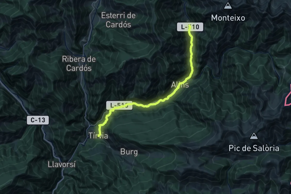
Medium · Trail
Ramat de Camins. Etapa 5 : Tírvia => Àreu
13.9 km · ↑ 528 m · 4 h 30 min
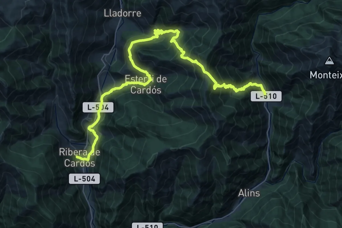
Demanding · Trail
Ramat de Camins. Etapa 6 : Àreu => Riera de Cardós
19.9 km · ↑ 1286 m · 7 h 54 min
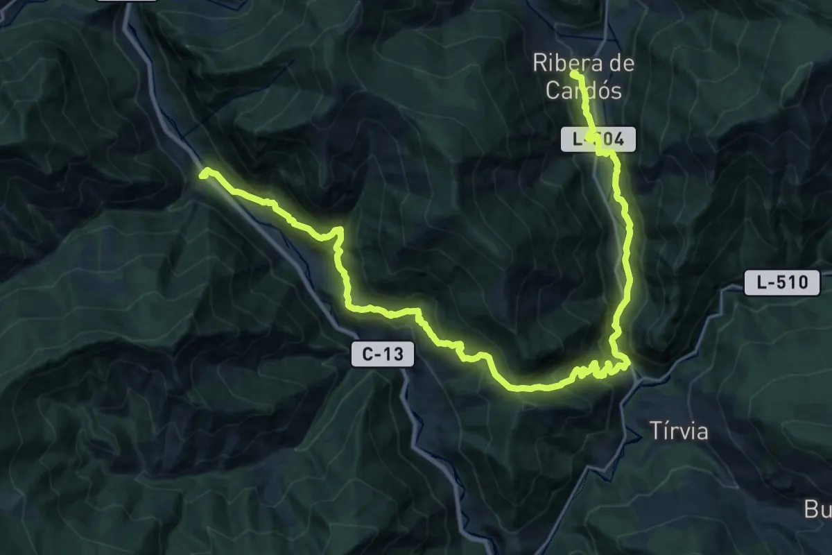
Demanding · Trail
Ramat de Camins. Etapa 7 : Ribera de Cardós => Escaló
15.6 km · ↑ 927 m · 5 h 57 min
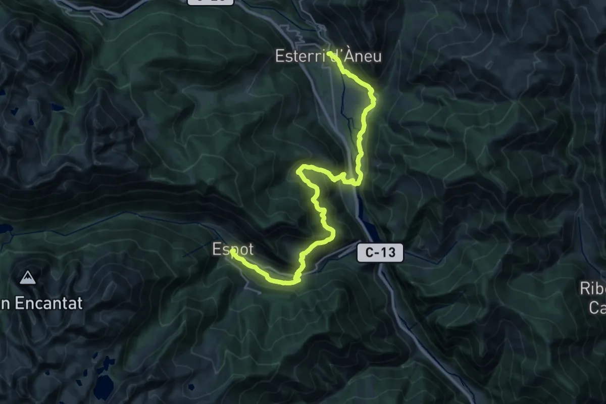
Medium · Trail
Ramat de Camins. Etapa 9 : Espot => Esterri d'Àneu
14.7 km · ↑ 470 m · 4 h 52 min
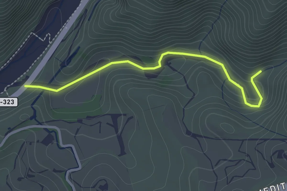
Easy · Trail
Rambla de Cañizares
2.8 km · ↑ 98 m · 53 min
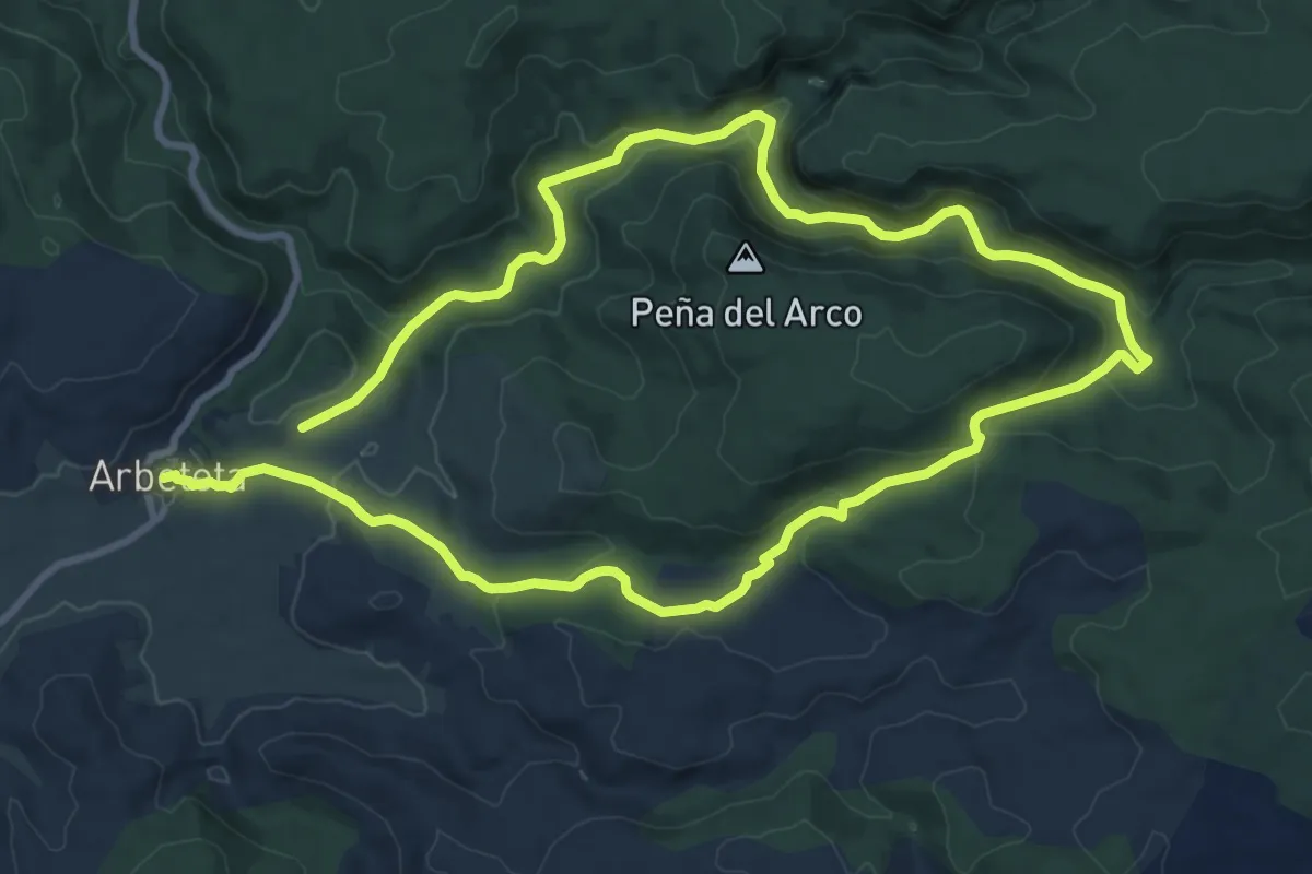
Medium · Trail
Rambla del Avellano (Arbeteta)
9.8 km · ↑ 316 m · 3 h 8 min
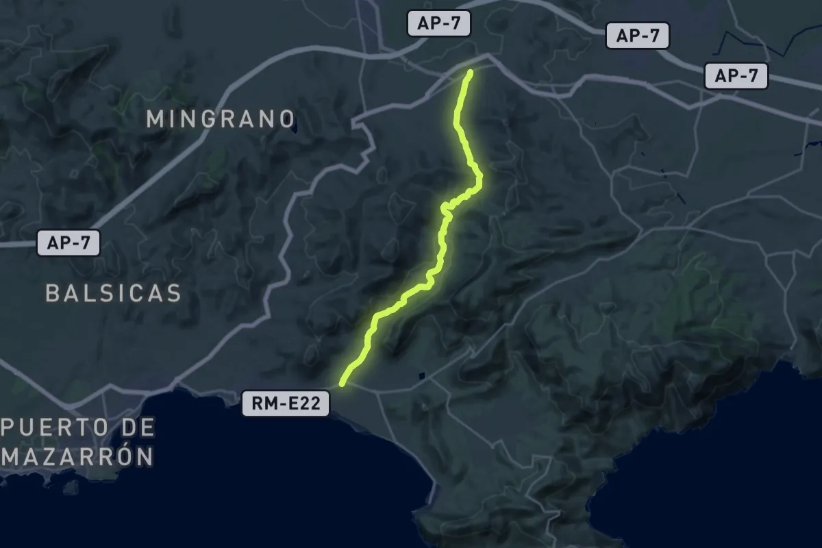
Demanding · Trail
Rambla del Cañar
20.0 km · ↑ 456 m · 5 h 42 min
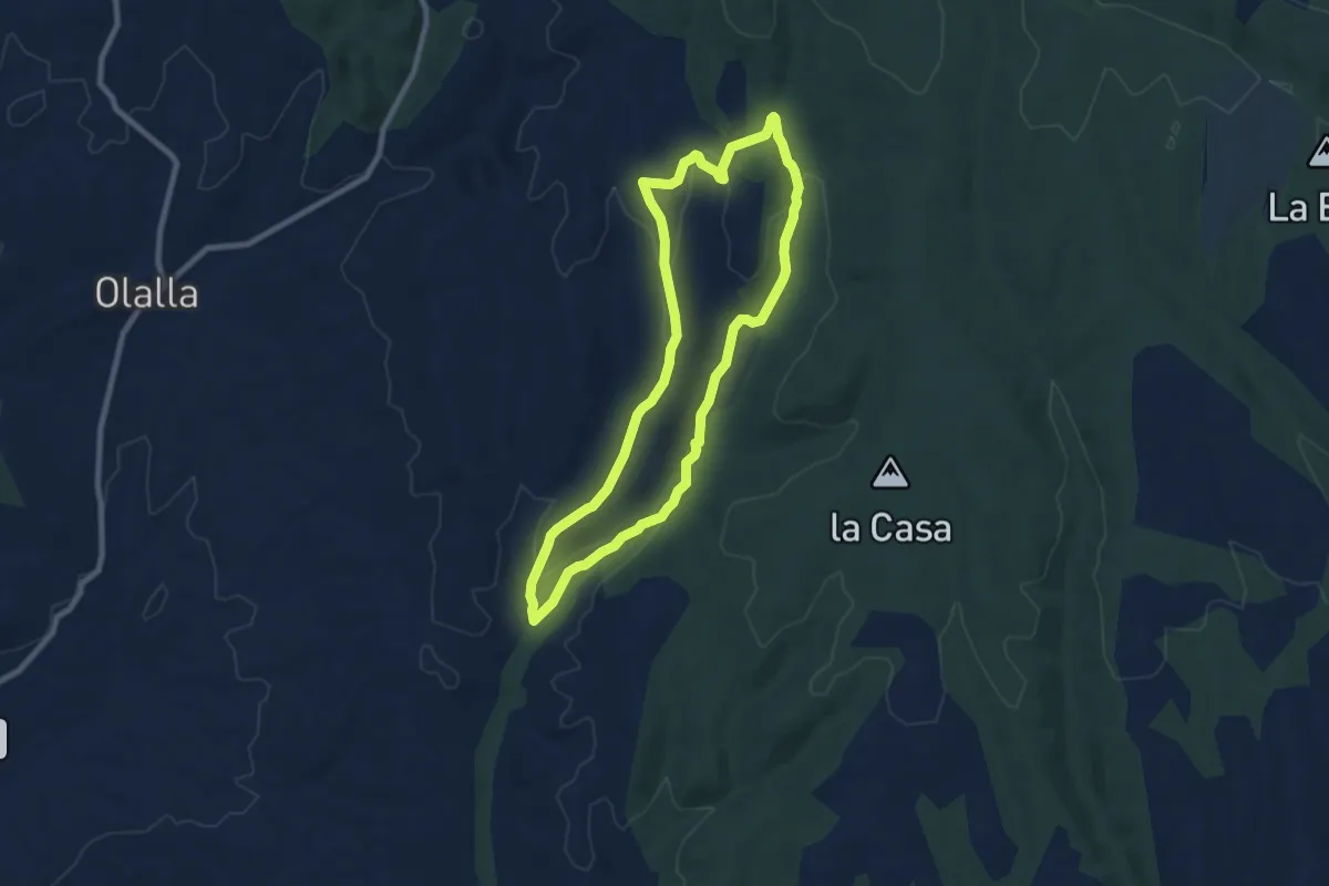
Medium · Trail
Rambla de Nueros - Santuario de Pelarda
8.7 km · ↑ 224 m · 2 h 39 min
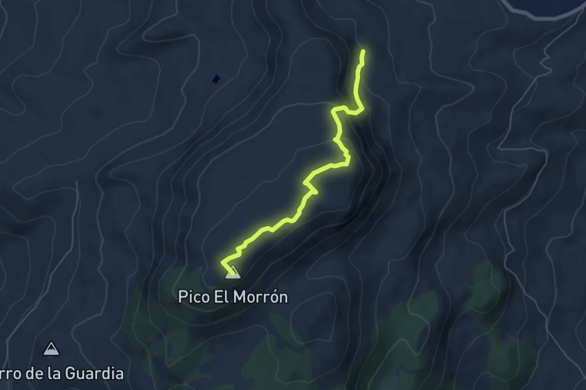
Medium · Summit
Ramos - Morrón
5.9 km · ↑ 278 m · 2 h
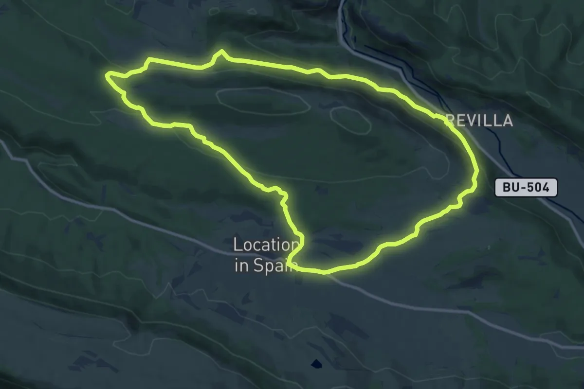
Medium · Trail
Ranera
11.3 km · ↑ 274 m · 3 h 26 min
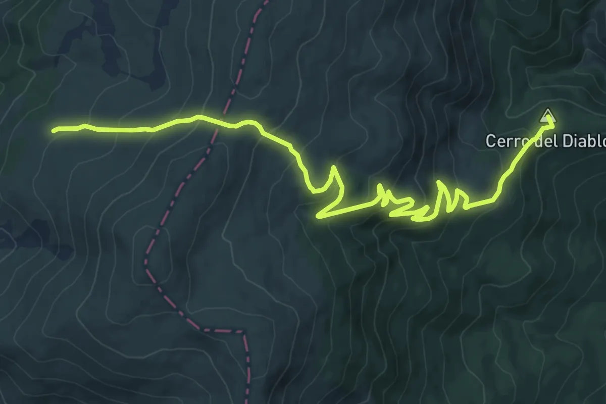
Medium · Summit
Rascafría - Puerto del Reventón
14.6 km · ↑ 699 m · 4 h 57 min
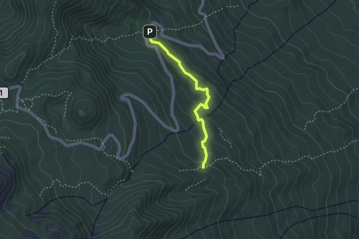
Easy · Trail
Rastplatz Pared Vieja - Camino de La Faya
3.5 km · ↑ 123 m · 1 h 6 min
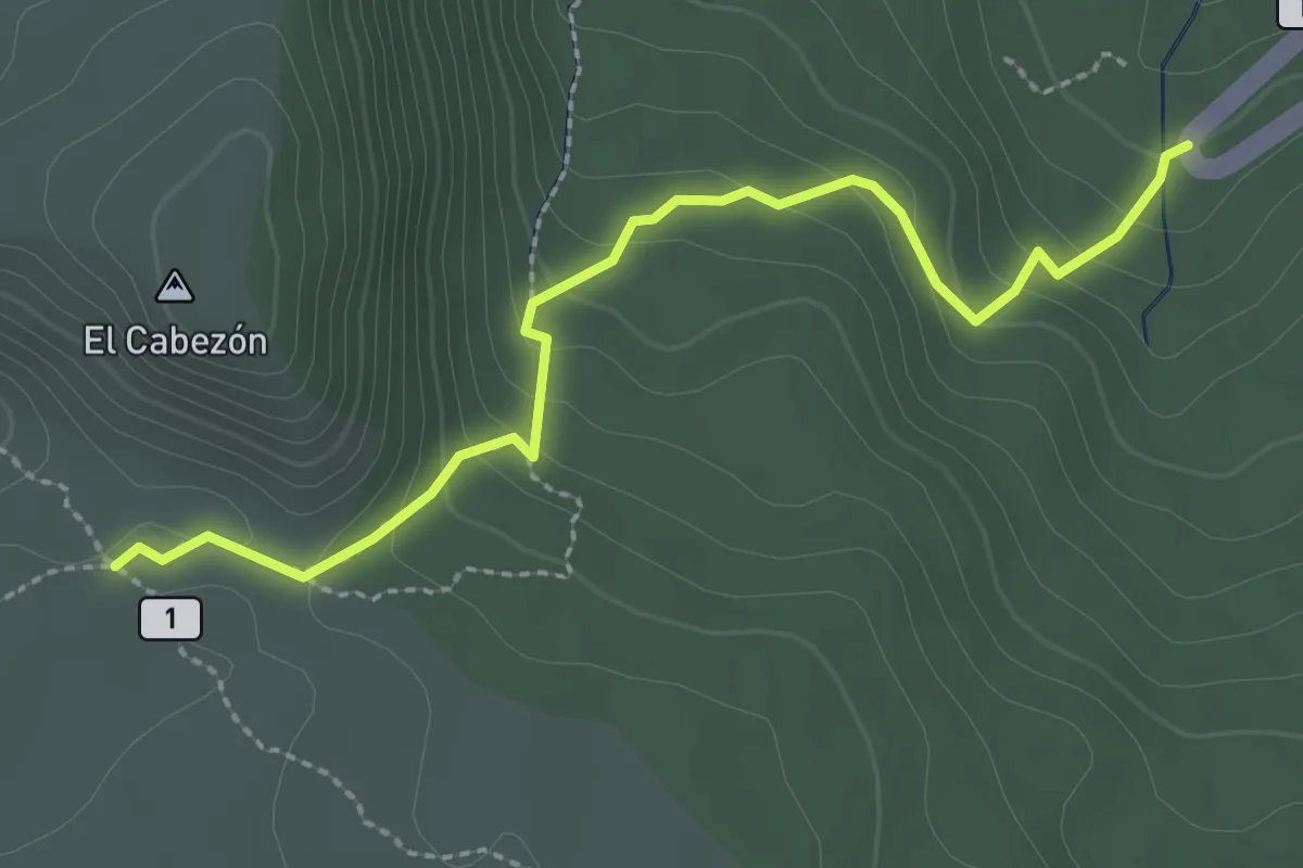
Easy · Trail
Recibo Quemado
3.4 km · ↑ 176 m · 1 h 11 min
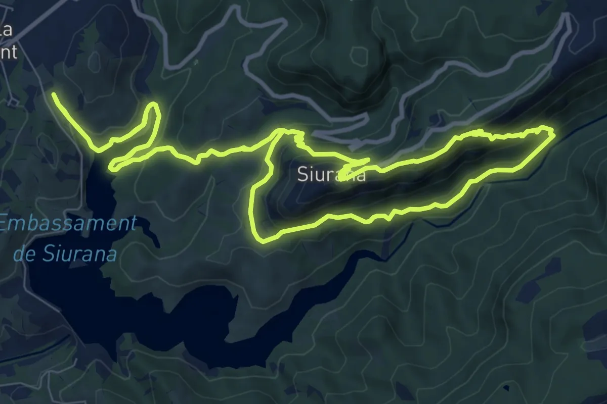
Medium · Summit
Records de princeses i guerrers
11.0 km · ↑ 616 m · 4 h 5 min
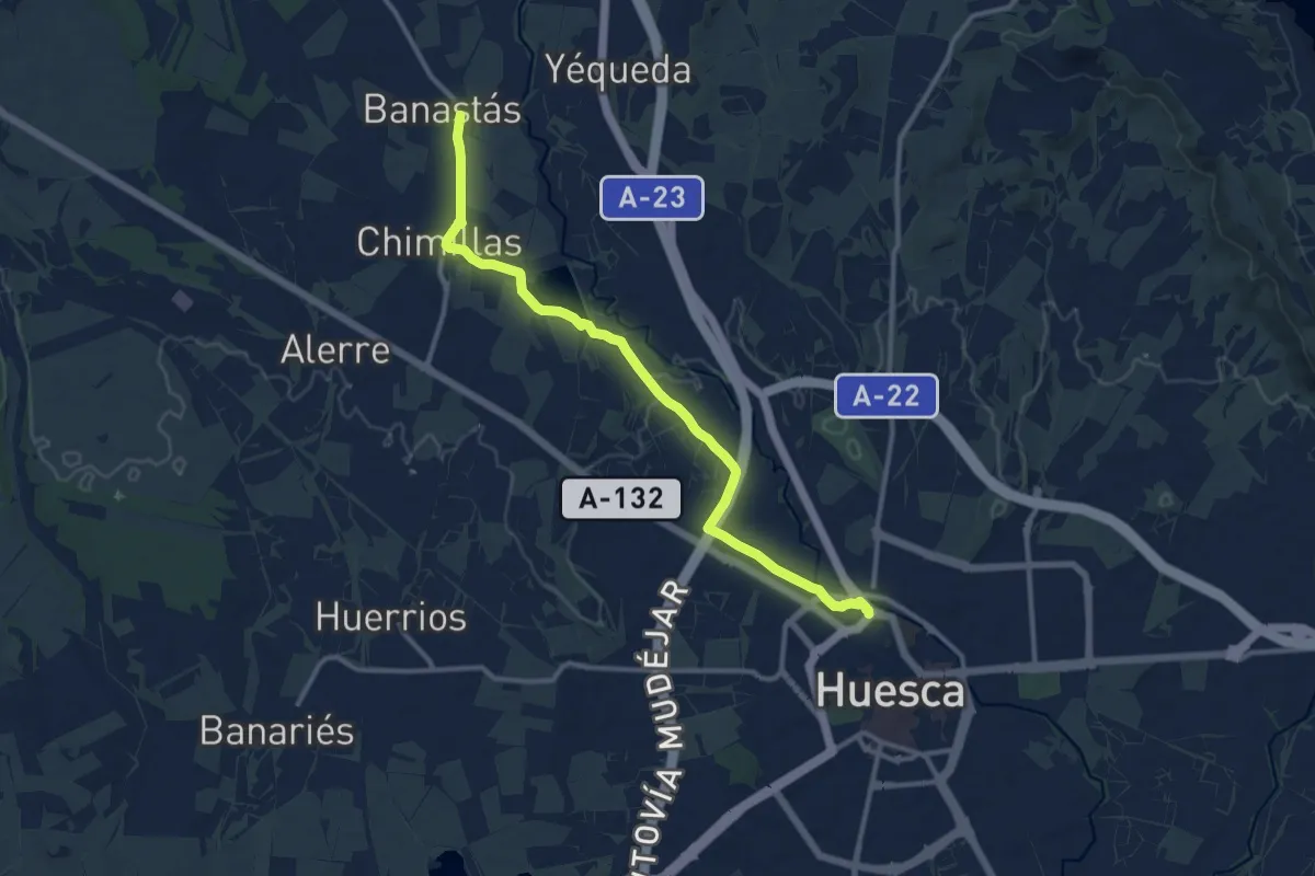
Medium · Trail
Recorrido por el humedal de Cortés
13.1 km · ↑ 57 m · 3 h 13 min
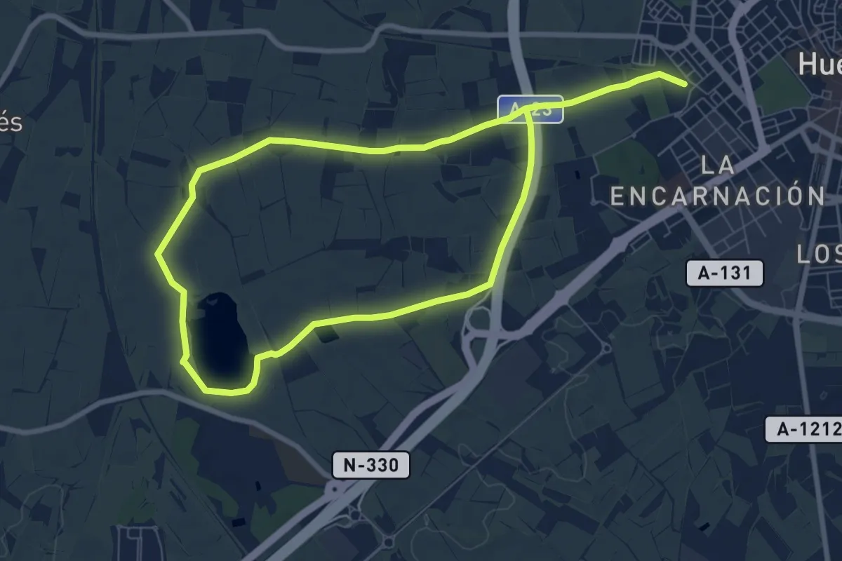
Medium · Trail
Recorrido por el humedal de Loreto
14.6 km · ↑ 61 m · 3 h 34 min
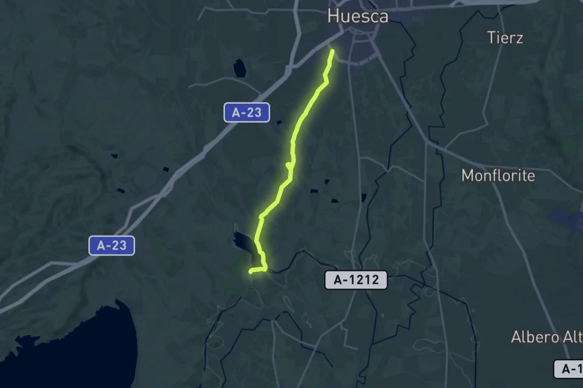
Medium · Trail
Recorrido por el humedal de Valdabra
16.4 km · ↑ 114 m · 4 h 8 min
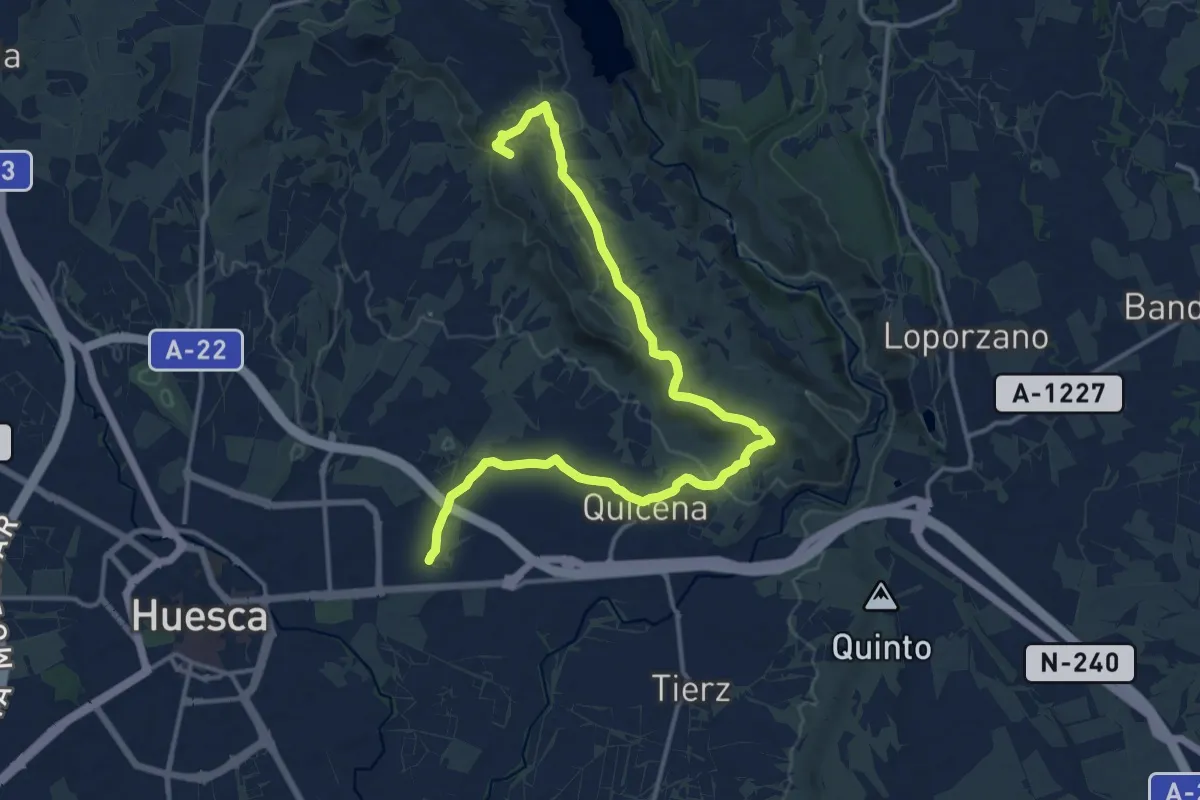
Demanding · Summit
Recorrido por el Saso de Montearagón
18.0 km · ↑ 218 m · 4 h 44 min
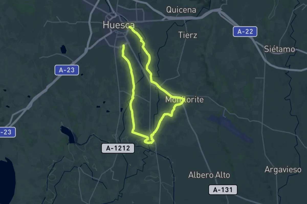
Demanding · Trail
Recorrido por los pueblos de la Hoya
19.0 km · ↑ 64 m · 4 h 54 min
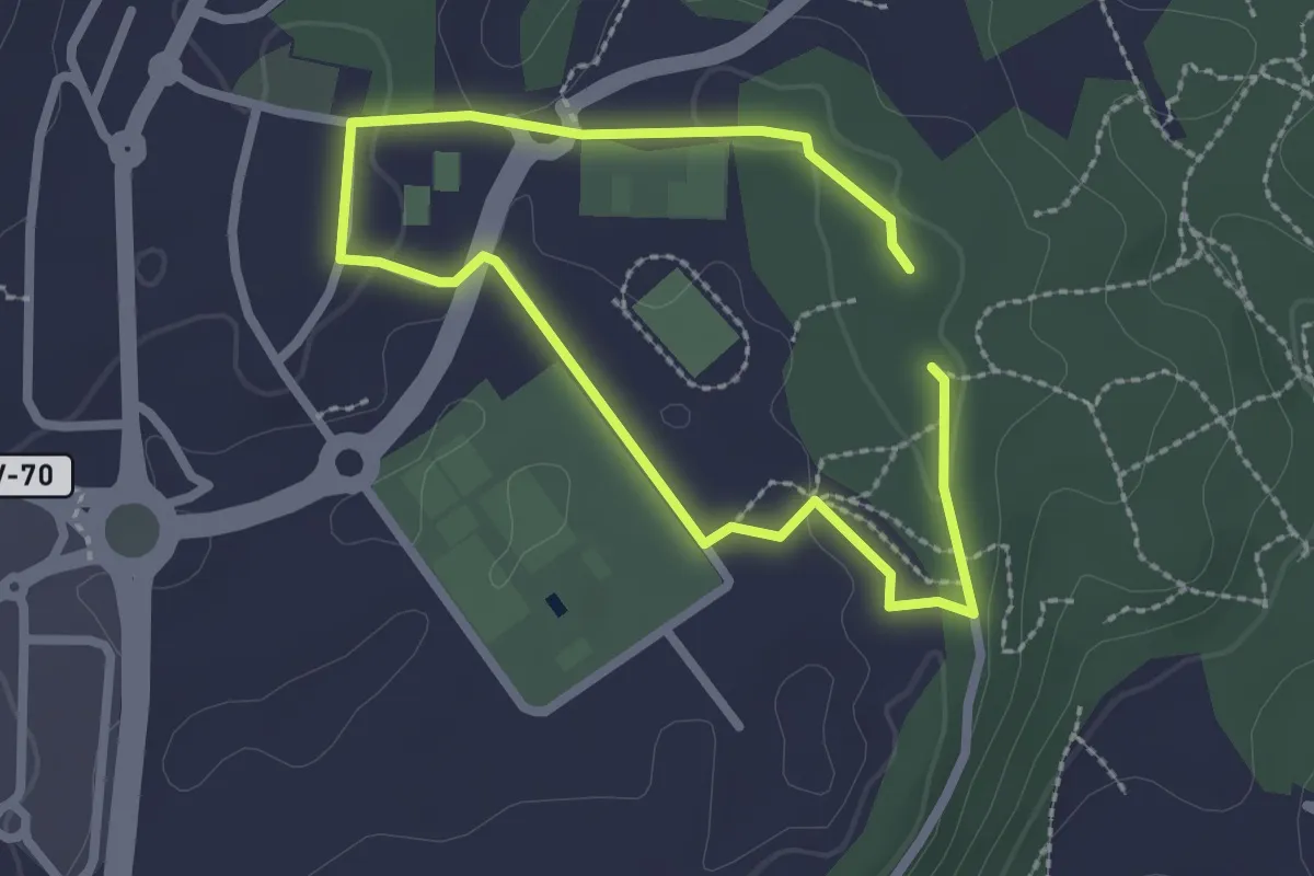
Easy · Trail
Red de senderos - Ruta 1
2.1 km · ↑ 29 m · 35 min
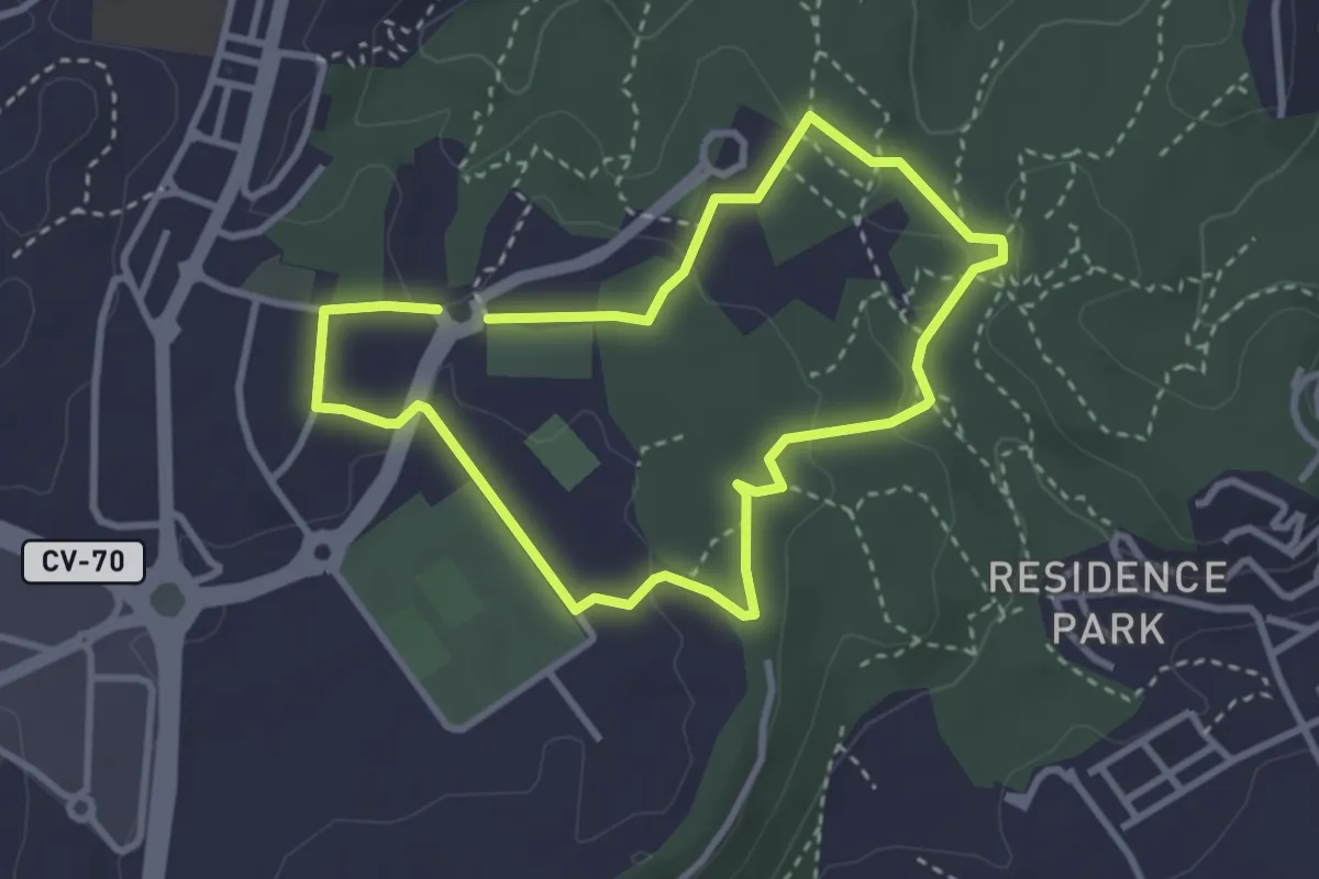
Easy · Trail
Red de senderos - Ruta 2
3.2 km · ↑ 54 m · 55 min
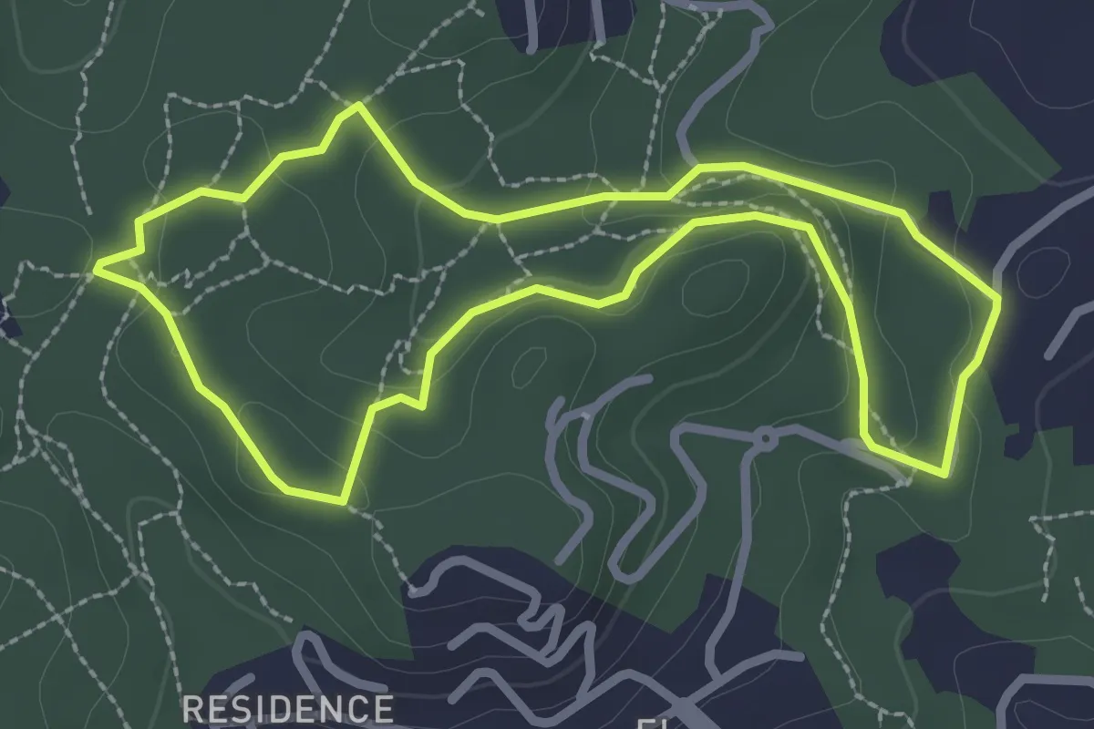
Easy · Trail
Red de senderos - Ruta 3
2.8 km · ↑ 70 m · 52 min