Trails in Spain
5,962 hiking trails, each with its route, climb, walking time and grade.
All trails, page 73 of 125
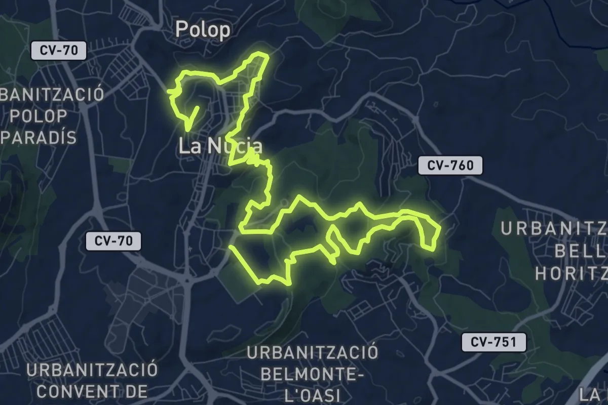
Demanding · Trail
Red de senderos - Senda Local
21.5 km · ↑ 605 m · 6 h 23 min
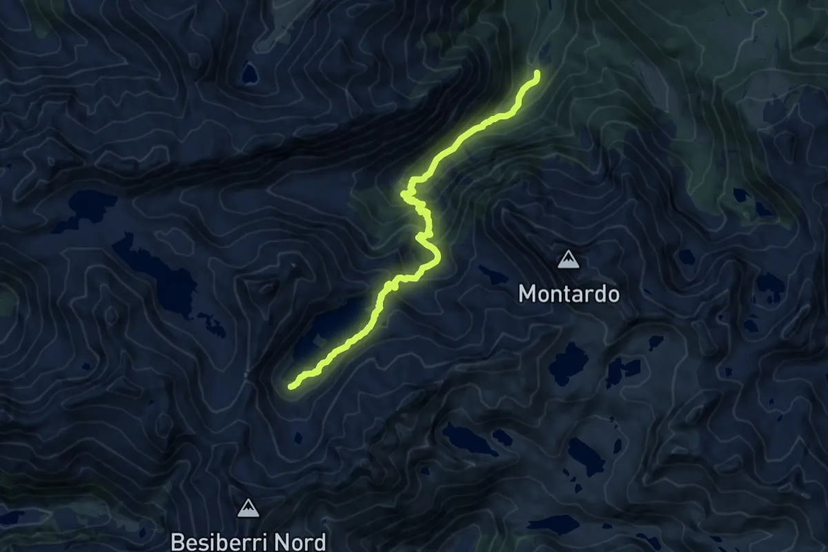
Demanding · Trail
Refuge de Restanca et lac de Mar
7.2 km · ↑ 88 m · 2 h 24 min
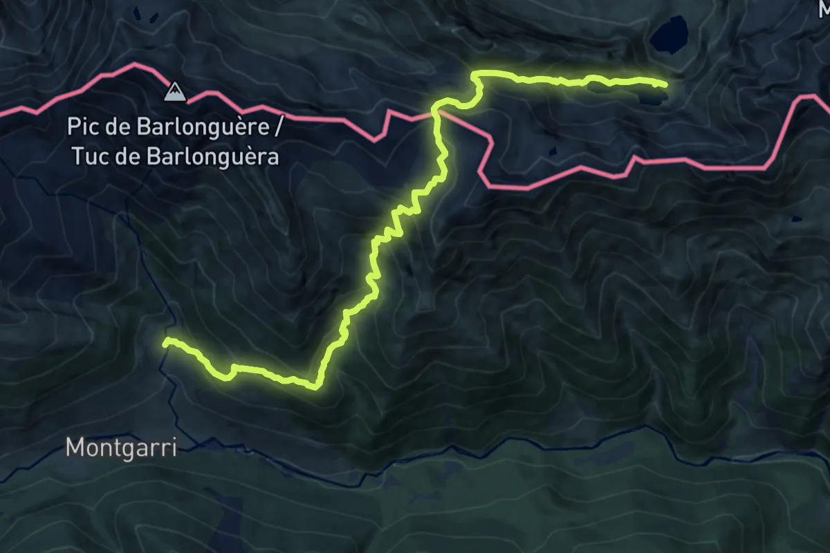
Expert · Trail
Refugi Amics de Montgarri - Étang Long
15.7 km · ↑ 1377 m · 6 h 41 min
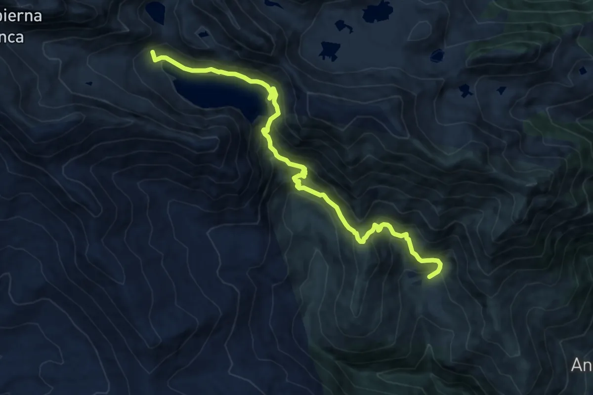
Demanding · Trail
Refugio Cap de Llauset - Bordas de Nestui
12.8 km · ↑ 1184 m · 5 h 35 min
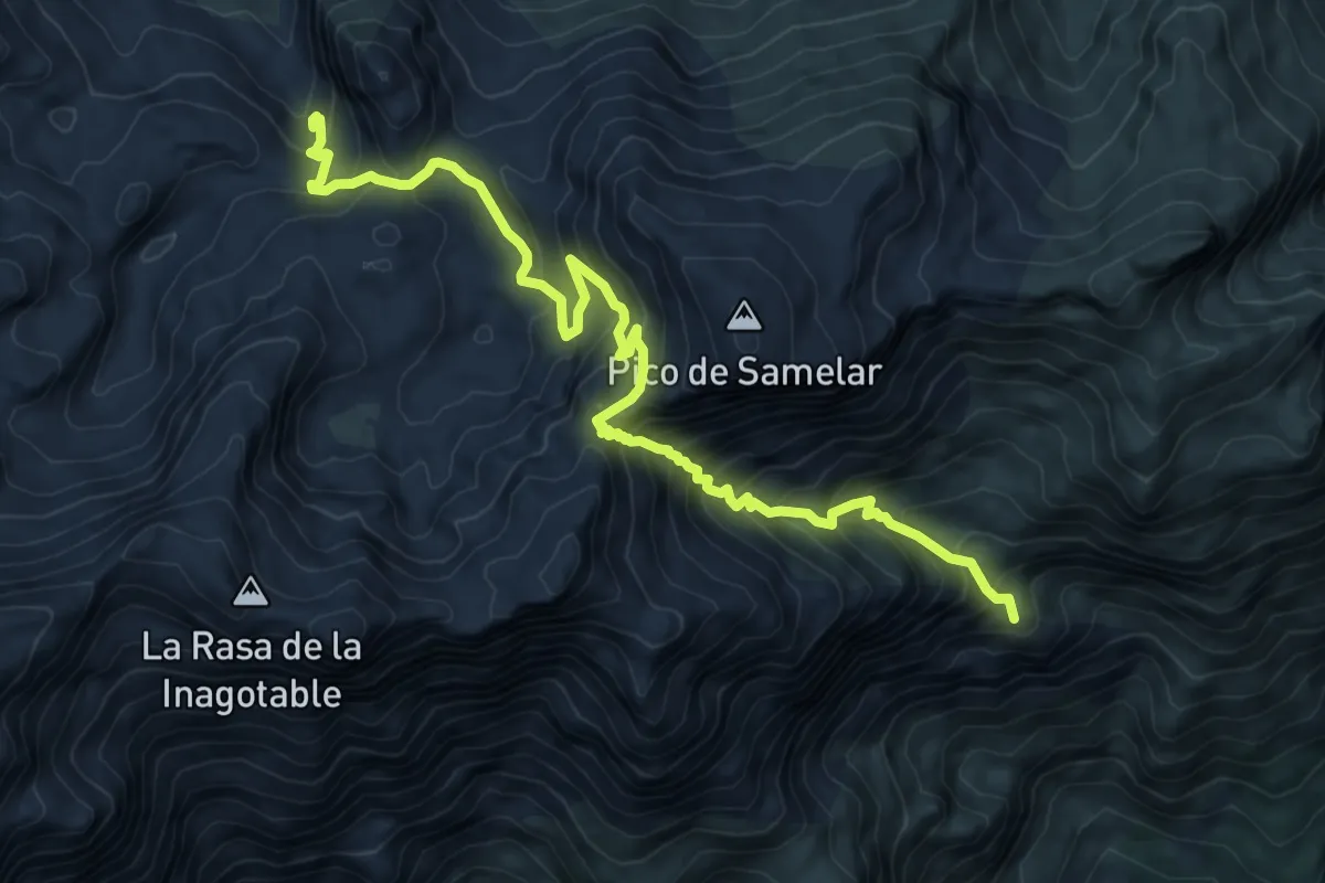
Expert · Summit
Refugio de Ándara - Canal de San Carlos - Argüébanes
10.9 km · ↑ 1023 m · 4 h 47 min
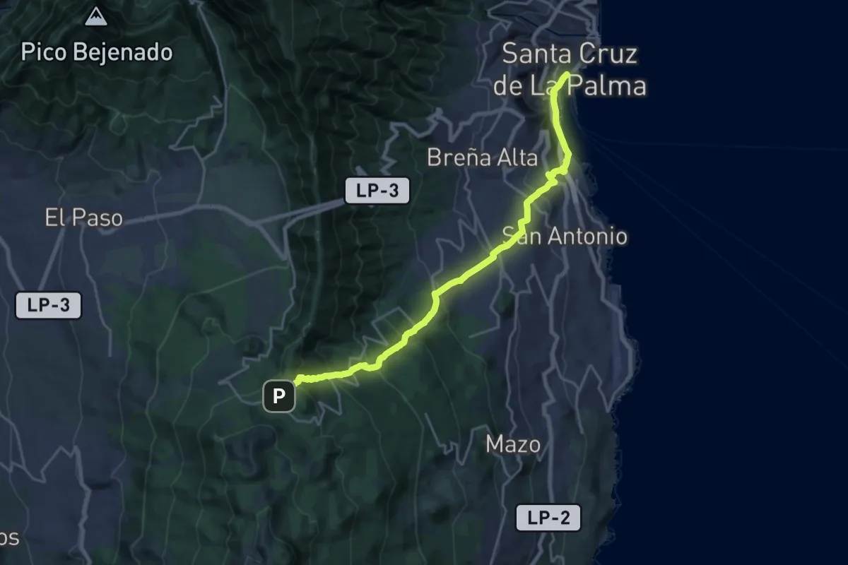
Medium · Trail
Refugio de El Pilar - Los Guinchos
12.3 km · ↑ 48 m · 3 h 55 min
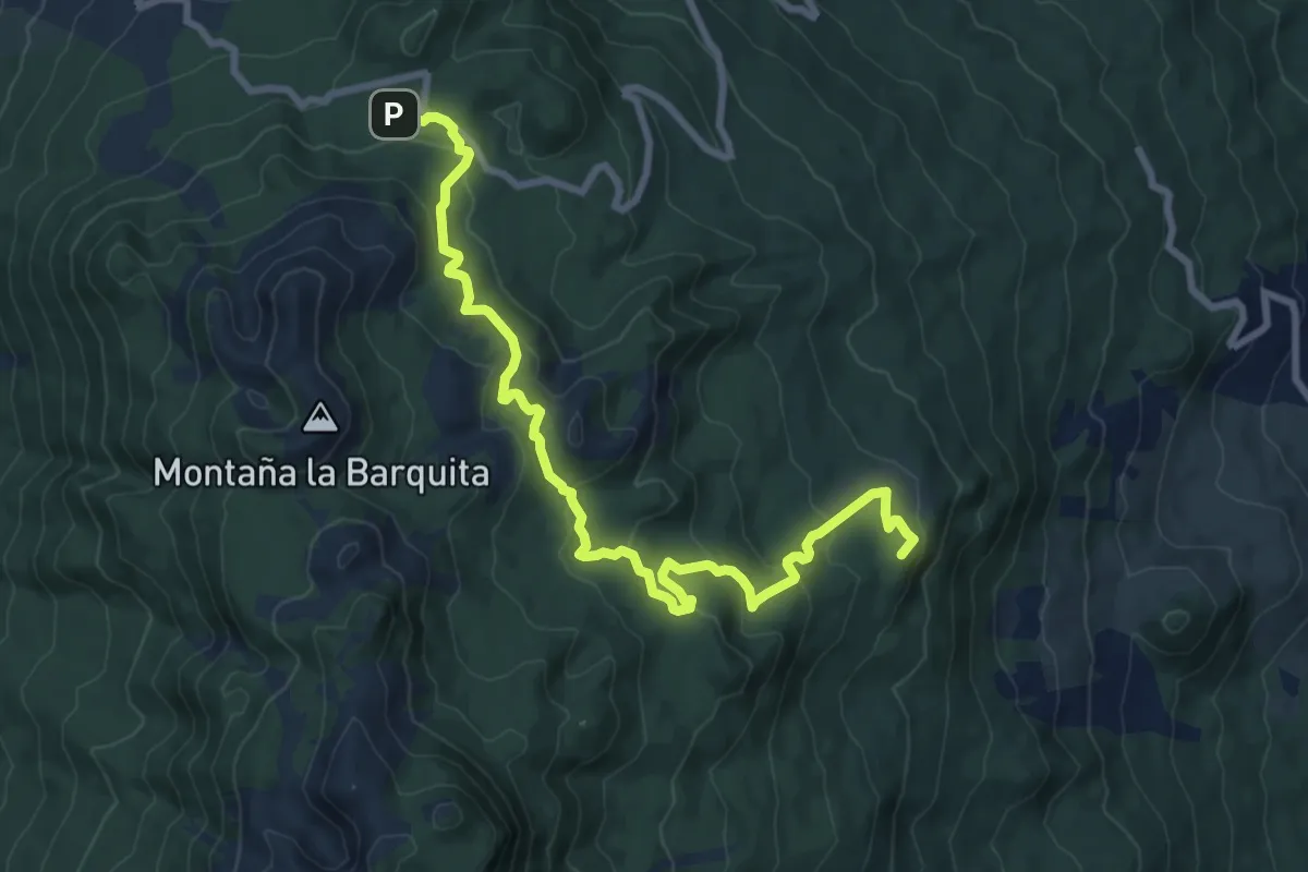
Medium · Summit
Refugio del Pilar-Playa del Hoyo
11.9 km · ↑ 524 m · 3 h 57 min
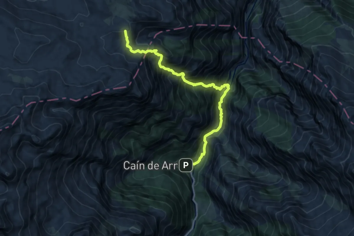
Expert · Trail
Refugio de Vega de Ario - Caín (por Canal de Trea)
10.7 km · ↑ 1453 m · 5 h 41 min
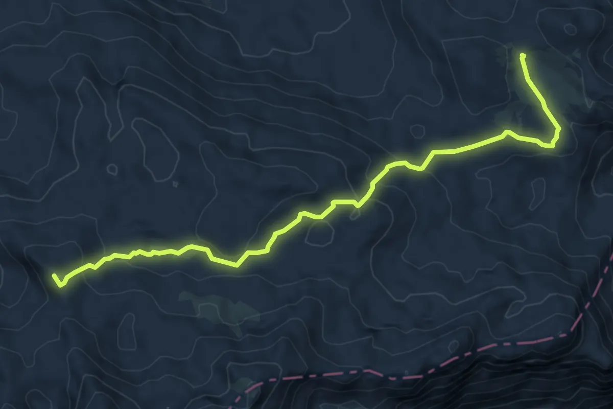
Expert · Summit
Refugio de Vega de Ario - Refugio de Vegarredonda
8.7 km · ↑ 367 m · 2 h 52 min
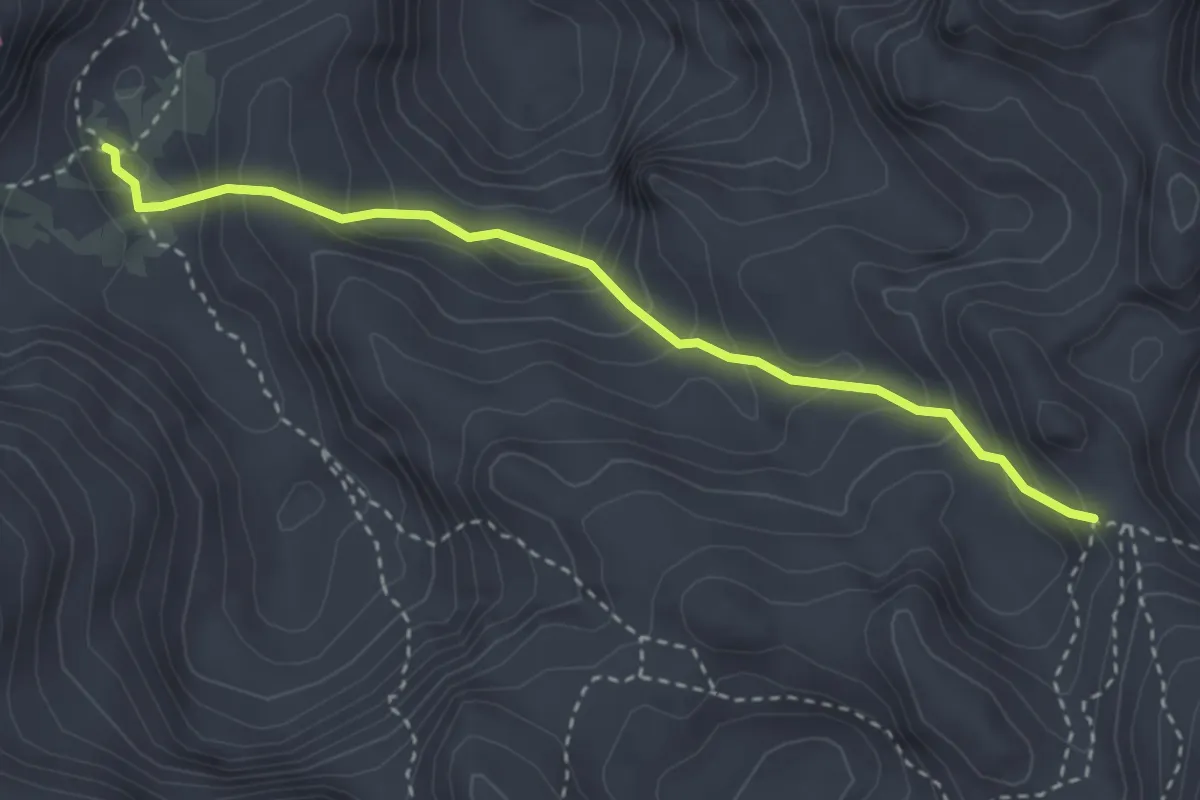
Demanding · Cabin
Refugio de Vega de Urriellu (J. Delgado Ubeda) - Refugio Jou de los Cabrones
3.4 km · ↑ 269 m · 1 h 23 min
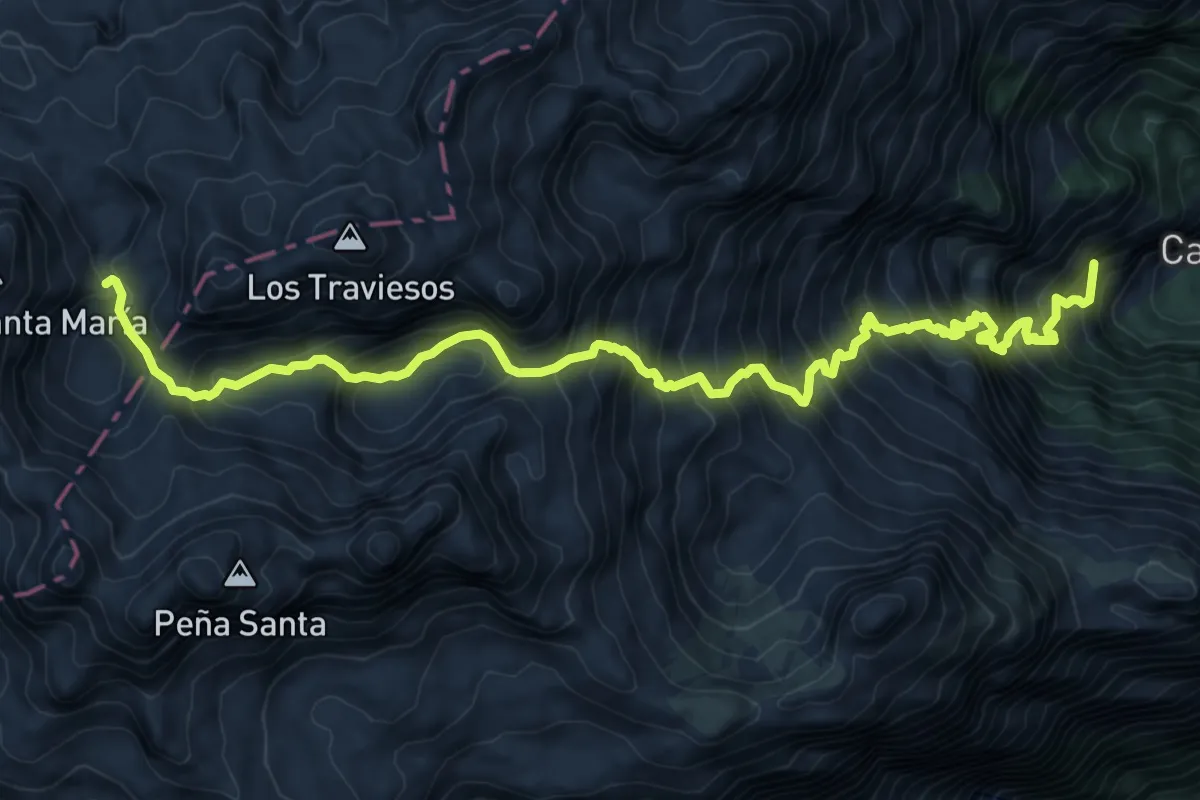
Demanding · Summit
Refugio de Vegarredonda - Cain (por Canl de Mesones)
11.8 km · ↑ 1829 m · 6 h 44 min
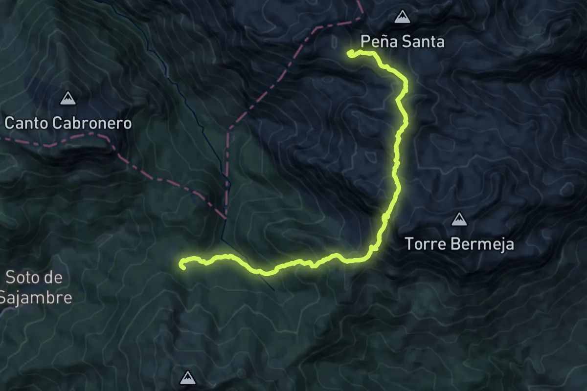
Expert · Summit
Refugio de Vegarredonda - Refugio de Vegabaño
16.4 km · ↑ 1336 m · 6 h 46 min
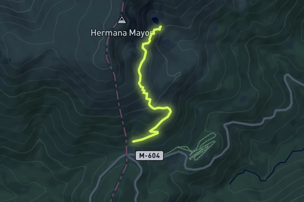
Medium · Cabin
Refugio de Zabala
5.3 km · ↑ 351 m · 2 h 1 min
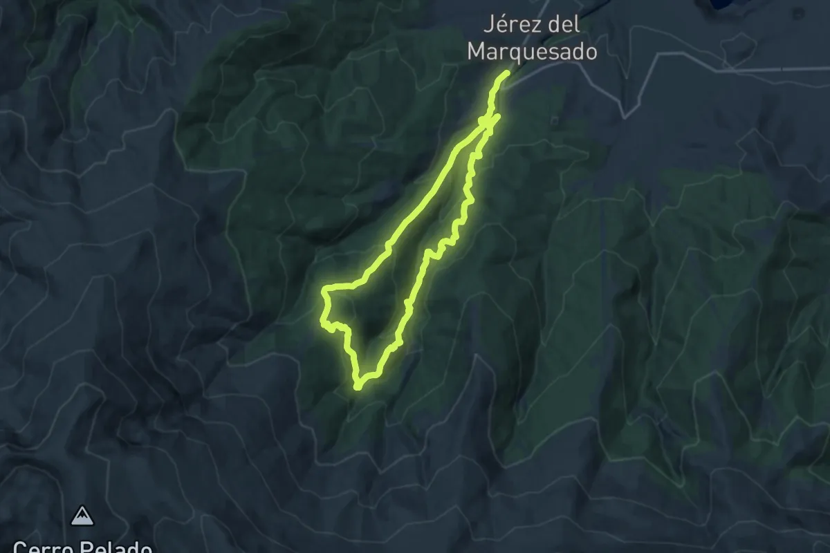
Medium · Summit
Refugio Postero Alto
15.7 km · ↑ 773 m · 5 h 37 min
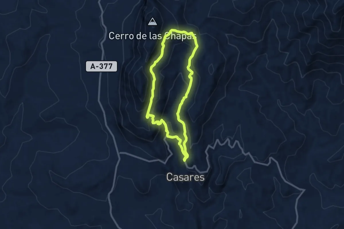
Demanding · Trail
Refugio Sierra Crestellina
8.0 km · ↑ 459 m · 3 h
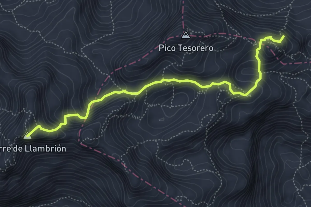
Expert · Summit
Refugio Vega de Urriellu - Refugio Collado Hermoso
5.9 km · ↑ 588 m · 2 h 41 min
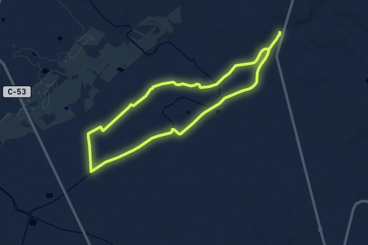
Medium · Trail
Reguer de Claravalls
10.4 km · ↑ 27 m · 2 h 40 min
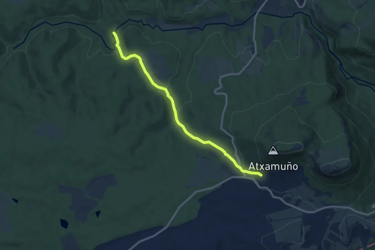
Easy · Trail
Renabar
7.7 km · ↑ 194 m · 2 h 14 min
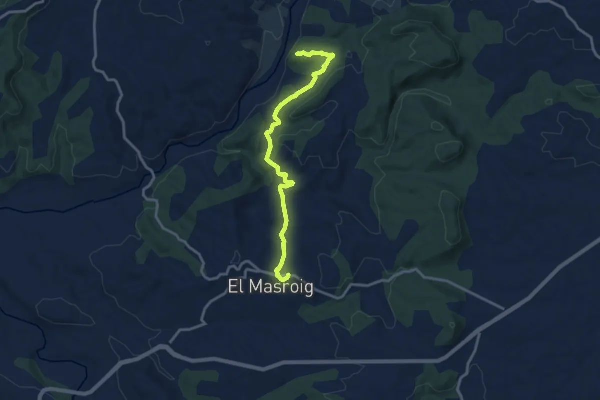
Medium · Summit
Rere la petjada d'antics pobladors
9.3 km · ↑ 256 m · 2 h 45 min
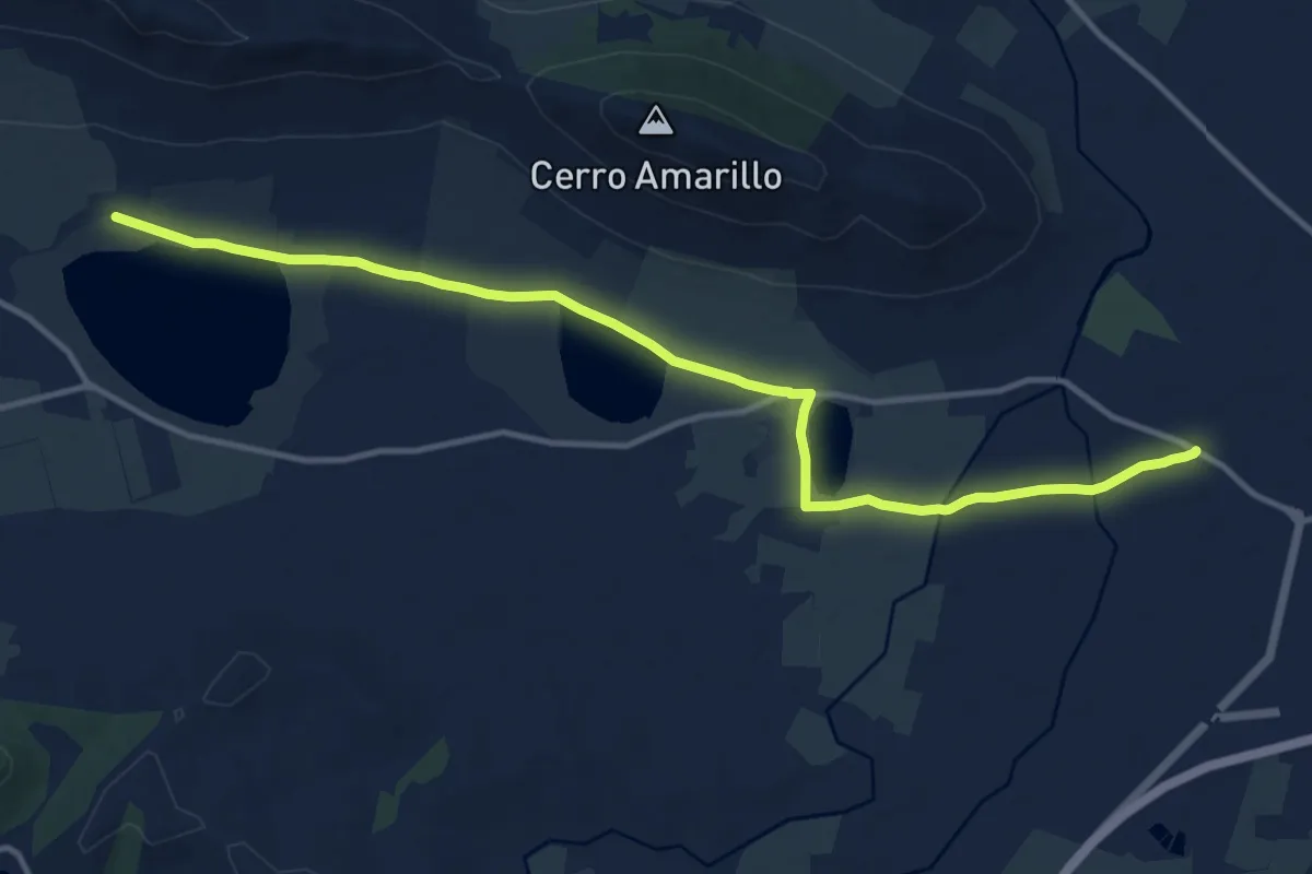
Medium · Trail
Reserva Natural de las Navas de Malagón
15.3 km · ↑ 34 m · 3 h 42 min
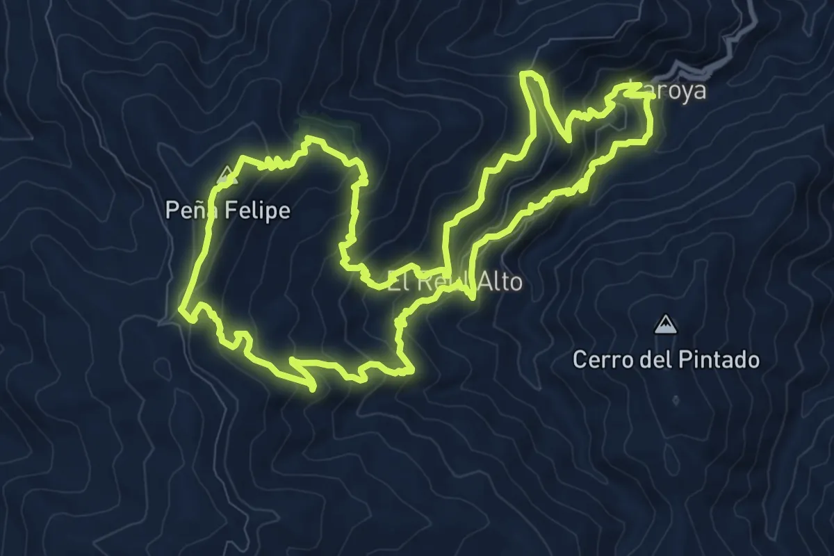
Demanding · Summit
Reul Alto
13.4 km · ↑ 806 m · 5 h 6 min
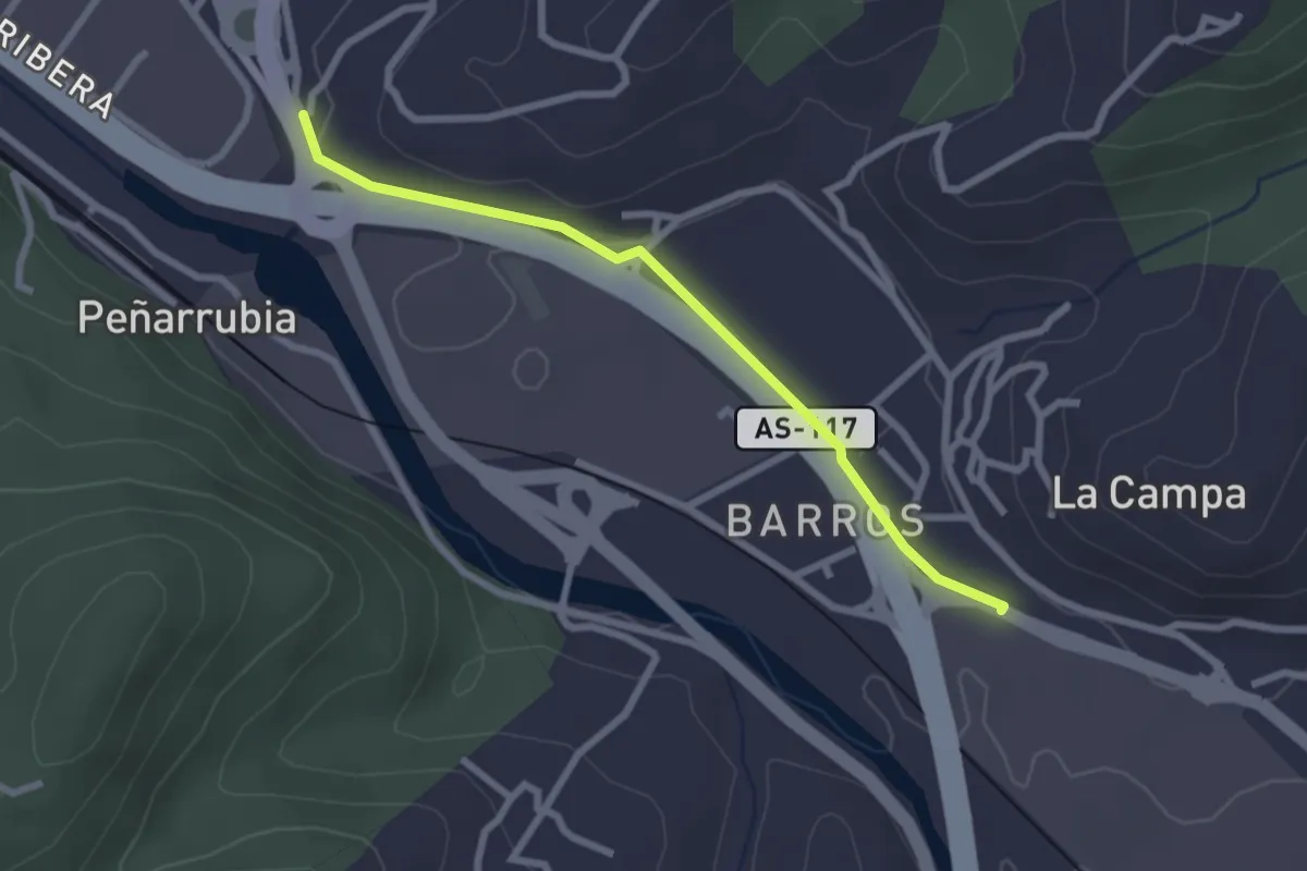
Easy · Trail
Riañu - Barros
2.6 km · ↑ 44 m · 42 min
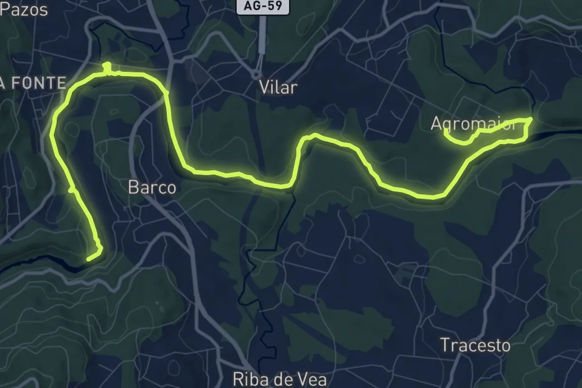
Medium · Trail
Ribeira do Ulla Teense
17.3 km · ↑ 181 m · 4 h 28 min
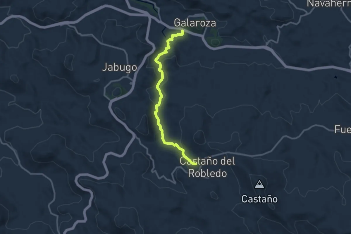
Medium · Trail
Ribera del Jabugo
9.1 km · ↑ 260 m · 2 h 42 min
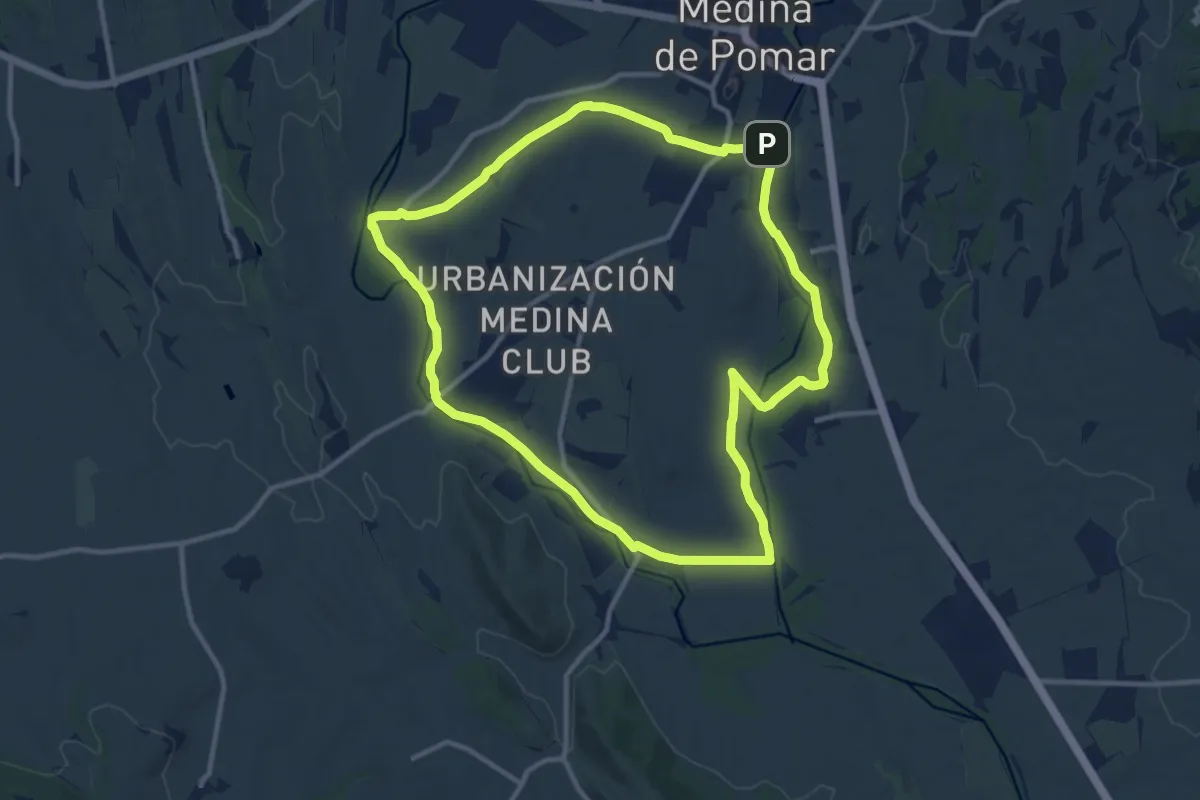
Medium · Trail
Riberas de Medina
12.3 km · ↑ 42 m · 3 h 9 min
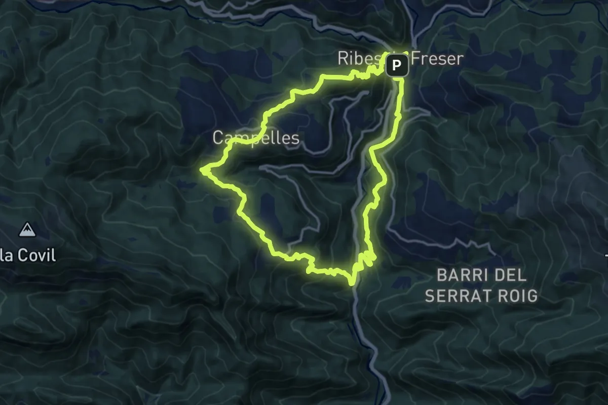
Medium · Trail
Ribes de Freser-El Baell-Campelles
14.7 km · ↑ 734 m · 5 h 16 min
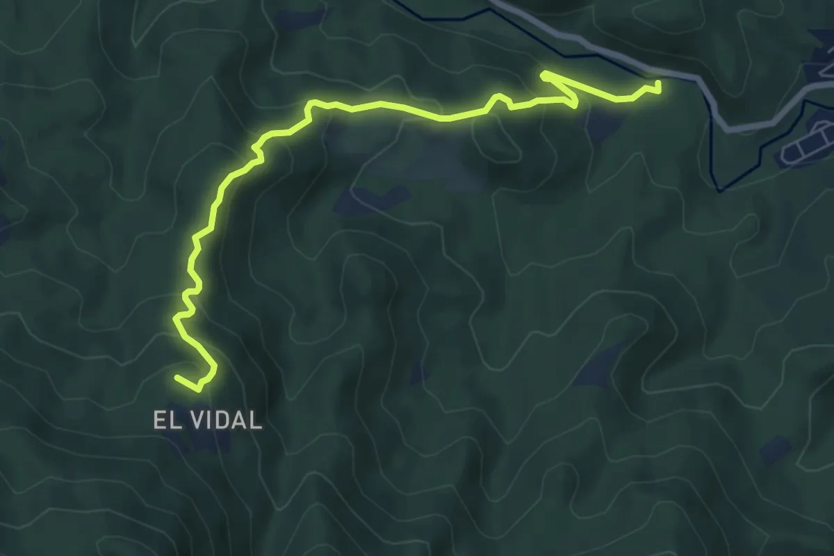
Medium · Summit
Riera d'Arbúcies - Sant Marçal
7.4 km · ↑ 473 m · 2 h 47 min
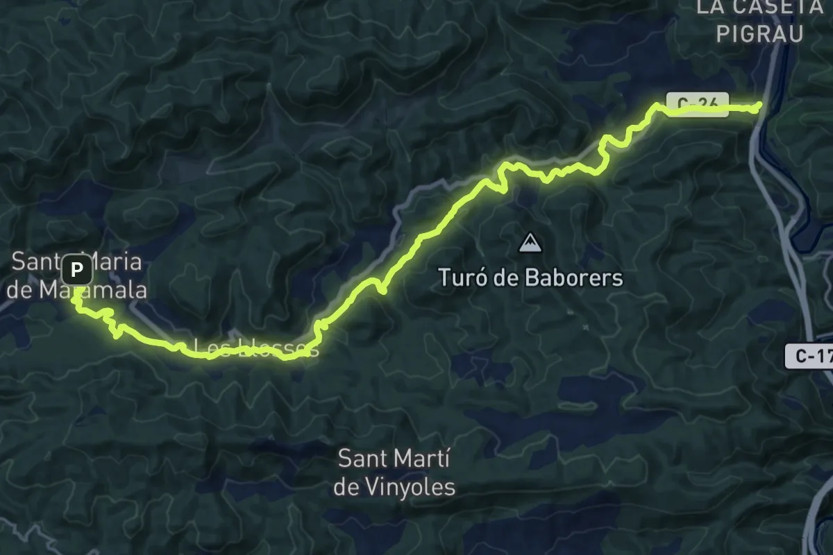
Demanding · Trail
Riera de les Llosses
26.3 km · ↑ 637 m · 7 h 36 min
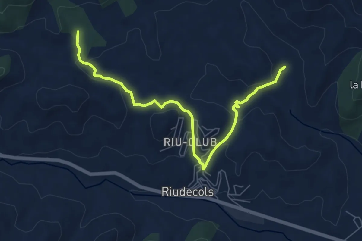
Easy · Trail
Riera de les Voltes
7.1 km · ↑ 176 m · 2 h 3 min
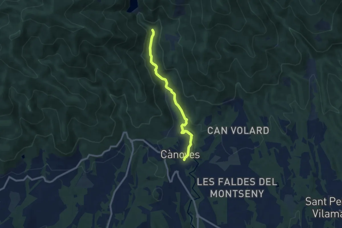
Easy · Trail
Riera de Vallfornes
6.5 km · ↑ 141 m · 1 h 51 min
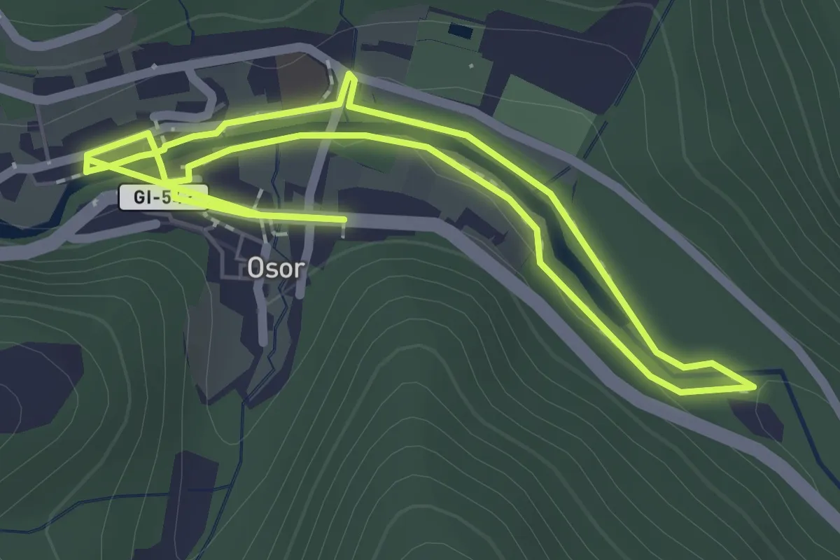
Easy · Trail
Riera d'Osor
2.3 km · ↑ 22 m · 38 min
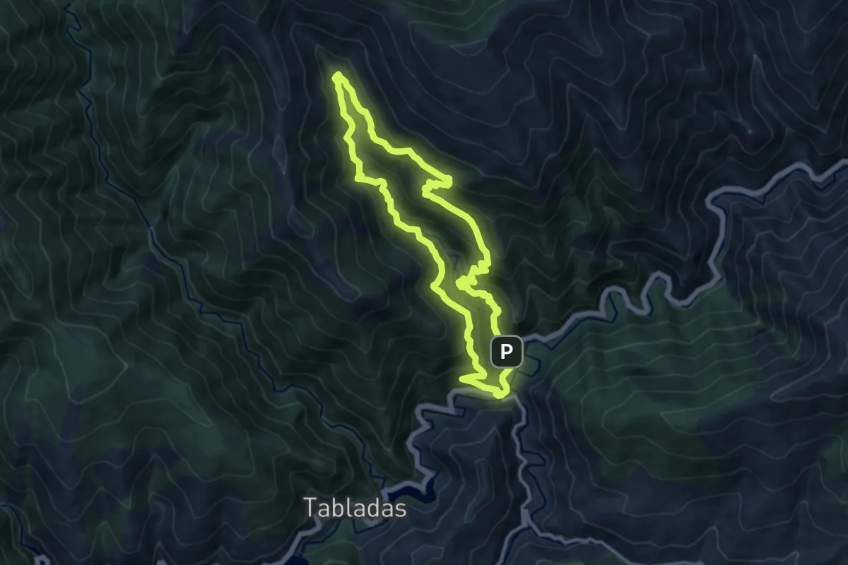
Medium · Trail
Rigüelo
10.8 km · ↑ 770 m · 4 h 22 min
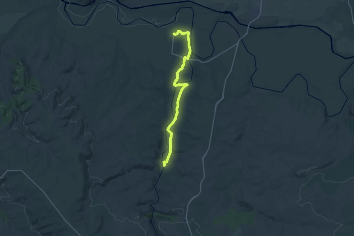
Demanding · Trail
Rinconada al Puente Ruidero
19.0 km · ↑ 205 m · 4 h 55 min
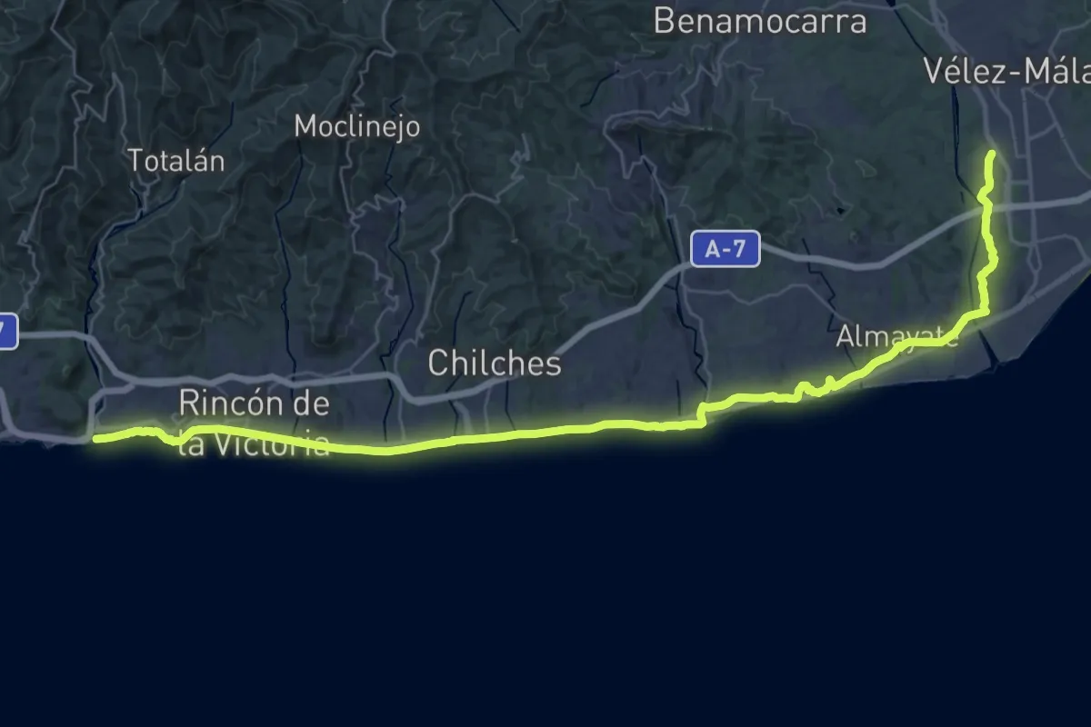
Expert · Trail
Rincón de la Victoria - Vélez-Málaga
24.1 km · ↑ 115 m · 6 h 16 min
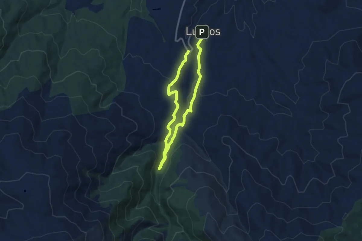
Easy · Trail
Río Alhama
6.8 km · ↑ 174 m · 2 h 7 min
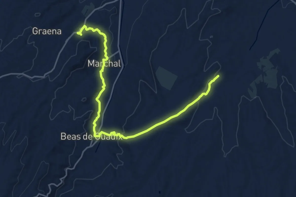
Medium · Trail
Río Alhama - Paulenca
16.2 km · ↑ 399 m · 4 h 42 min
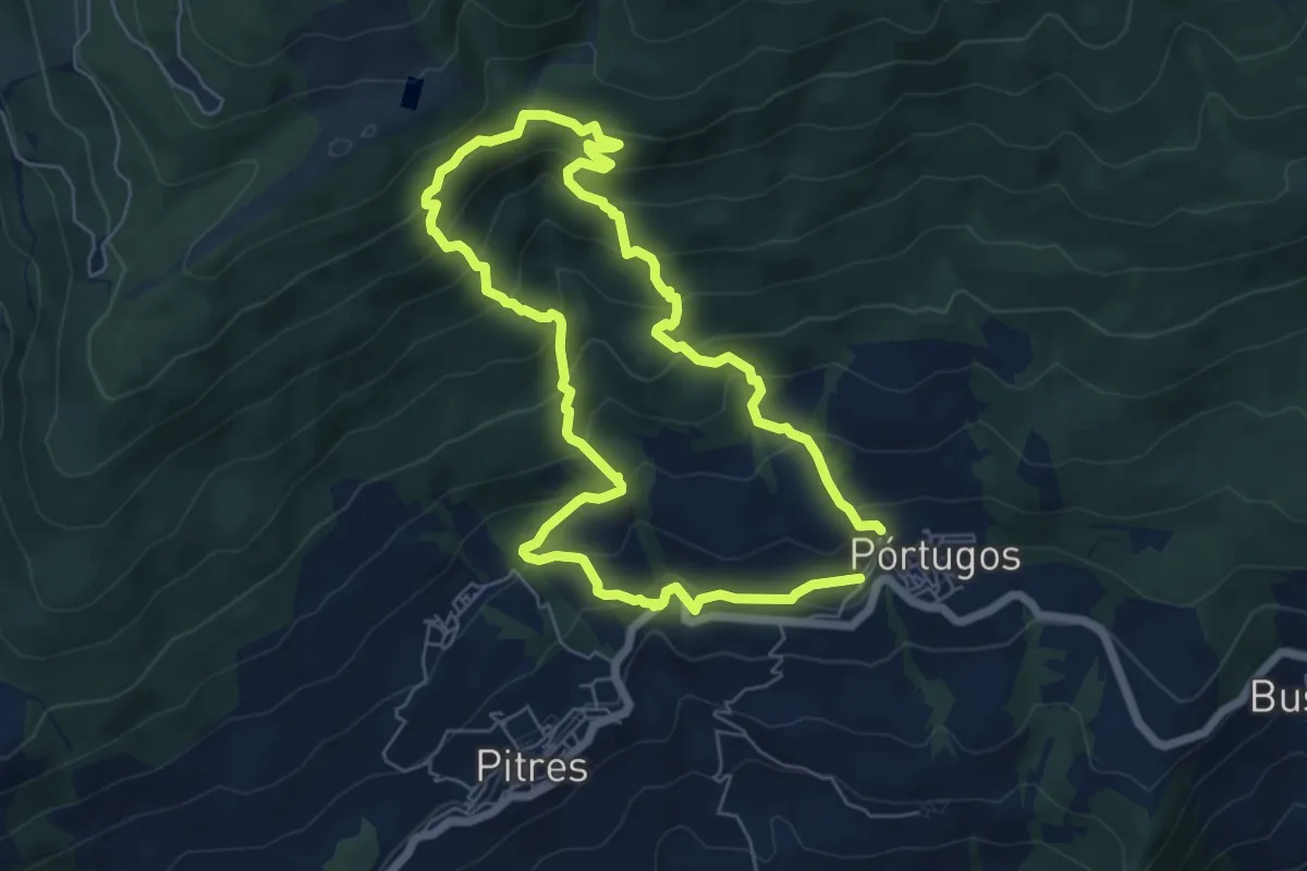
Medium · Trail
Río Bermejo
6.6 km · ↑ 516 m · 2 h 46 min
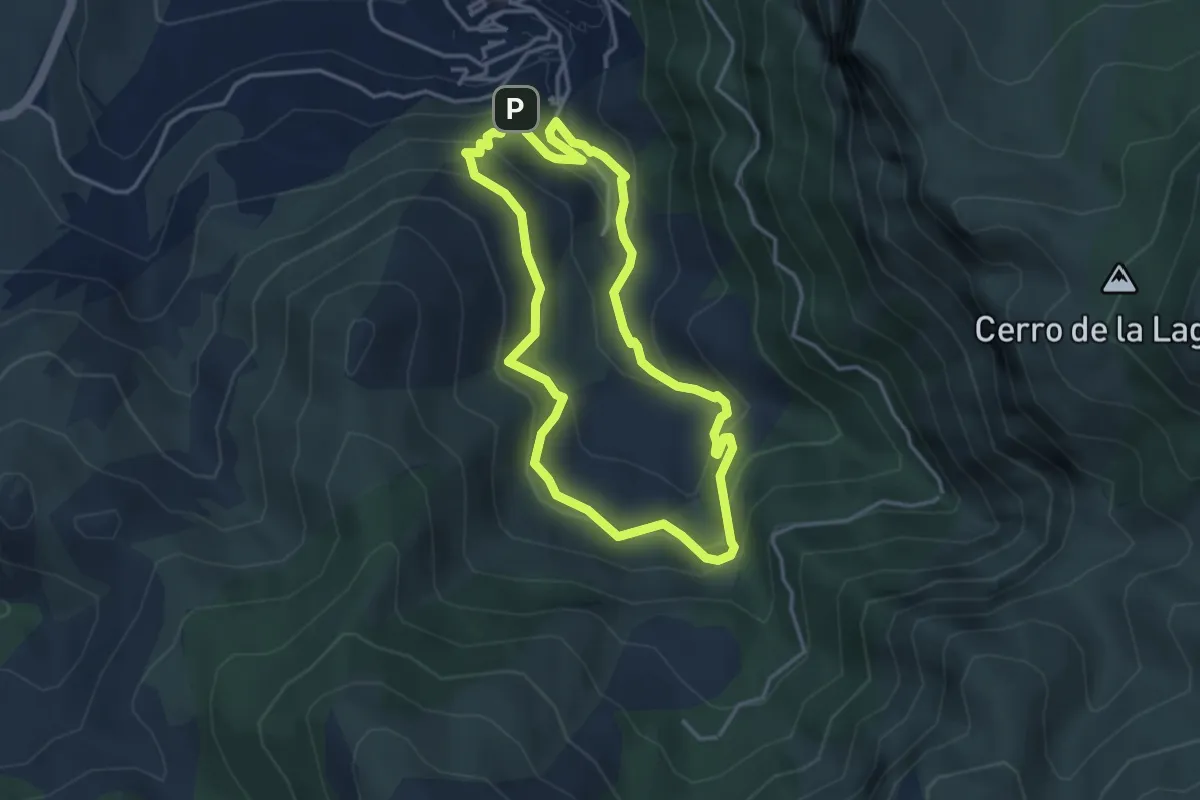
Medium · Trail
Río Cerezuelo
4.1 km · ↑ 298 m · 1 h 40 min
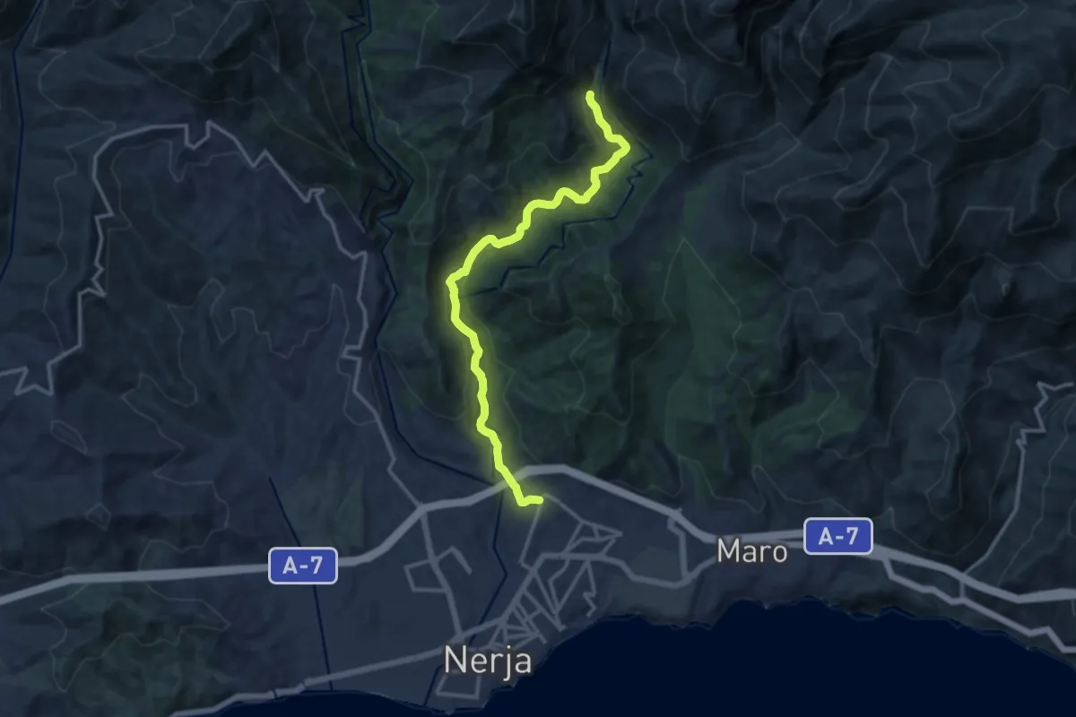
Medium · Trail
Rio Chillar
14.7 km · ↑ 527 m · 4 h 37 min
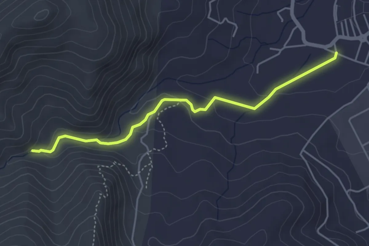
Medium · Trail
Rio de la Miel
4.8 km · ↑ 106 m · 1 h 22 min
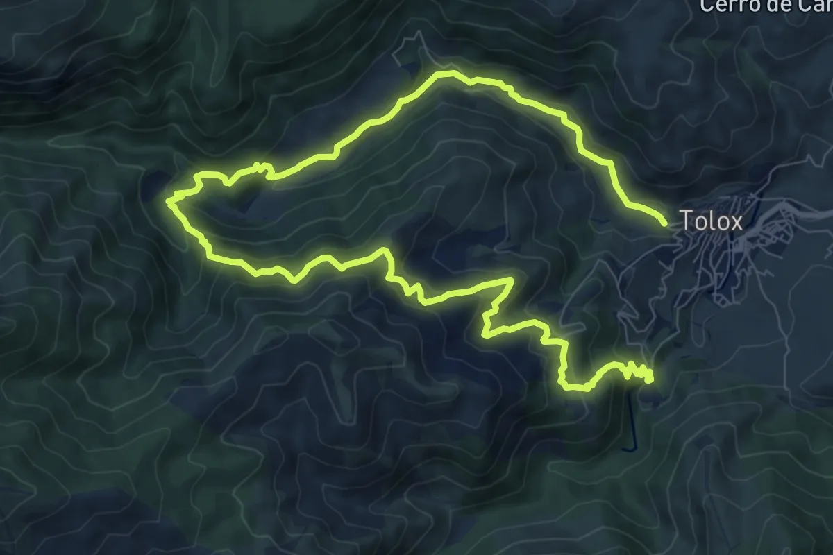
Medium · Summit
Río de los Horcajos
8.4 km · ↑ 468 m · 3 h 7 min
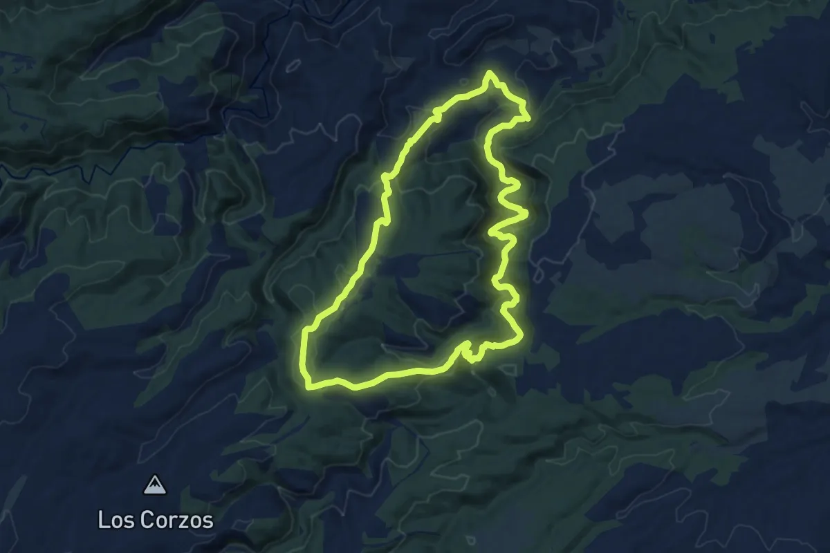
Medium · Summit
Rio Grande - Abrigo de Voro
14.4 km · ↑ 423 m · 4 h 30 min
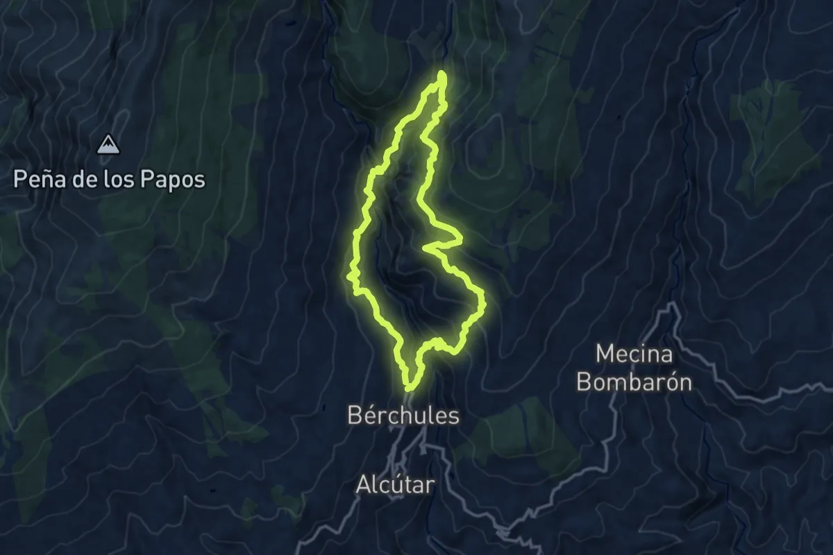
Demanding · Trail
Río Grande de los Bérchules
12.8 km · ↑ 904 m · 5 h 10 min
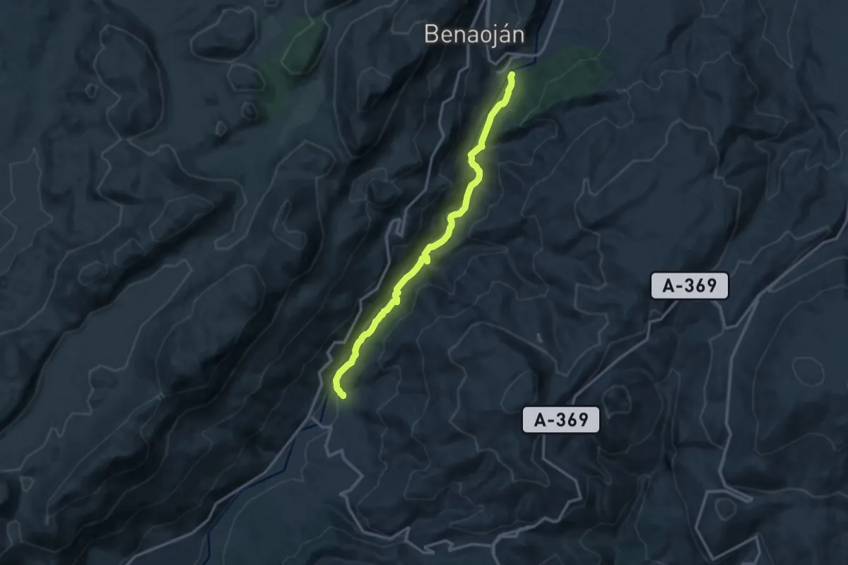
Medium · Trail
Río Guadiaro
14.6 km · ↑ 397 m · 4 h 18 min
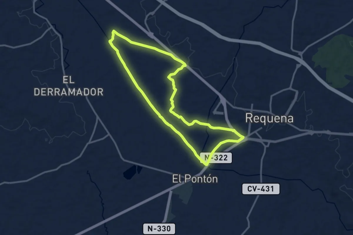
Demanding · Trail
Río Magro - Fuente de Santa Catalina
27.6 km · ↑ 106 m · 6 h 45 min
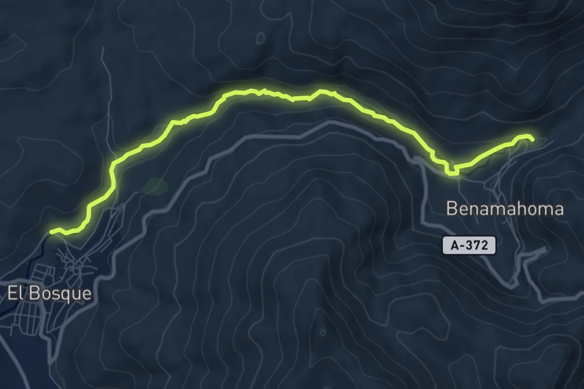
Medium · Trail
RÍO MAJACEITE
10.1 km · ↑ 185 m · 2 h 47 min
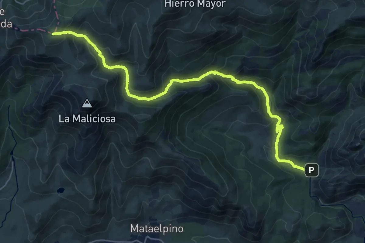
Demanding · Summit
Río Manzanares
23.1 km · ↑ 1265 m · 8 h 11 min
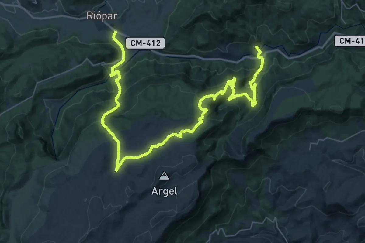
Demanding · Trail
Riópar-Calar del Mundo-Mesones
19.9 km · ↑ 739 m · 6 h 33 min