Trails in Spain
5,962 hiking trails, each with its route, climb, walking time and grade.
All trails, page 74 of 125
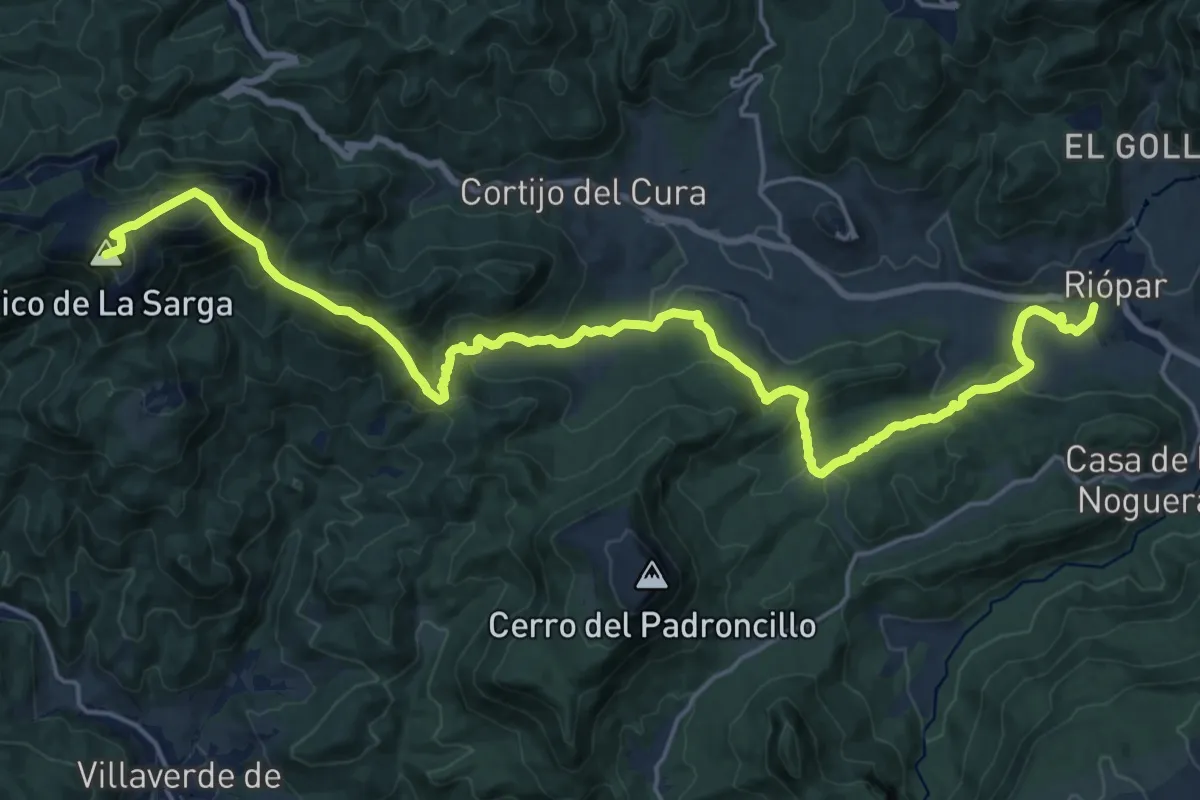
Demanding · Summit
Riópar-Campamento de San Juan-Picarazos-La Sarga-Villaverde de Guadalimar
27.4 km · ↑ 1451 m · 9 h 37 min
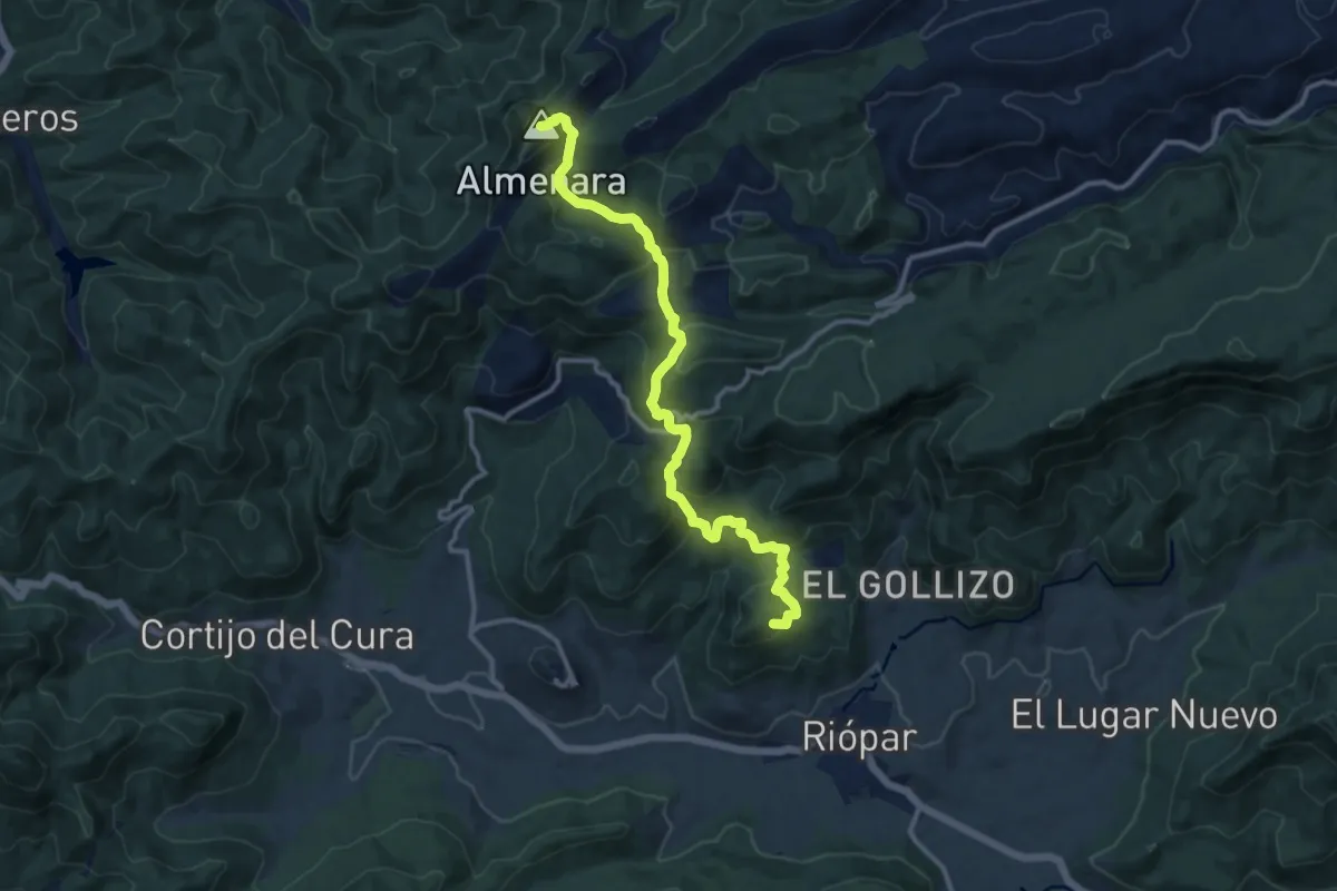
Medium · Summit
Riópar-Pico Almenara-Riópar Viejo
13.8 km · ↑ 787 m · 4 h 58 min
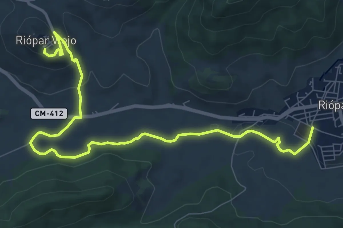
Medium · Trail
Riópar-Riópar Viejo
10.1 km · ↑ 211 m · 2 h 50 min
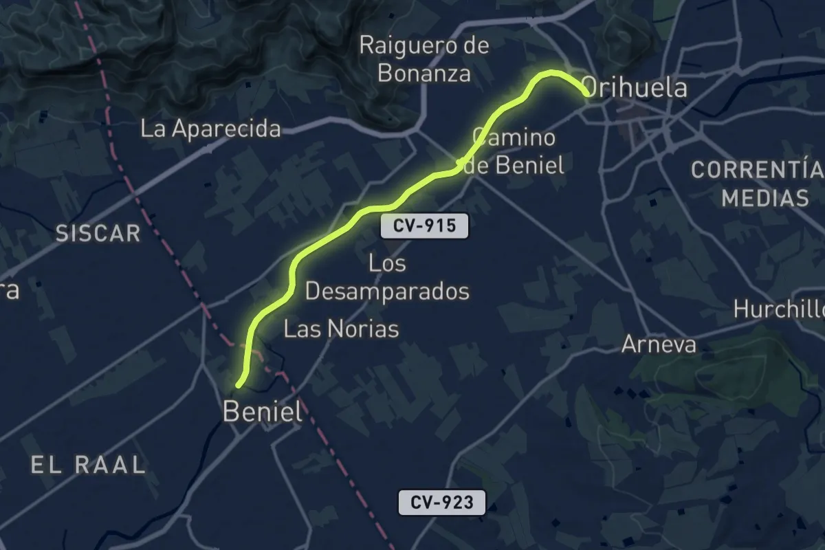
Medium · Trail
Río Segura
14.0 km · ↑ 4 m · 3 h 18 min
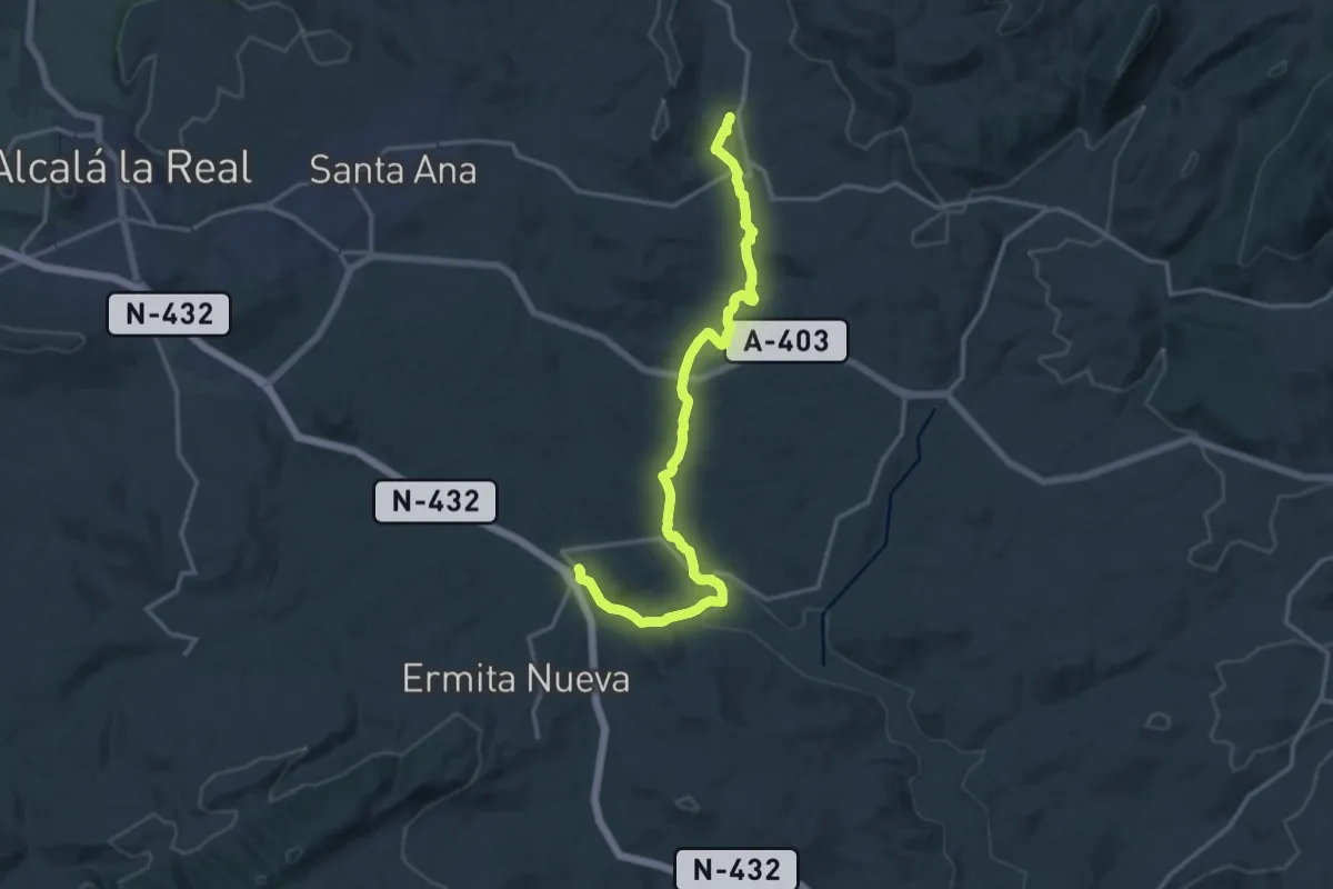
Demanding · Trail
Río Velillos
19.4 km · ↑ 192 m · 5 h
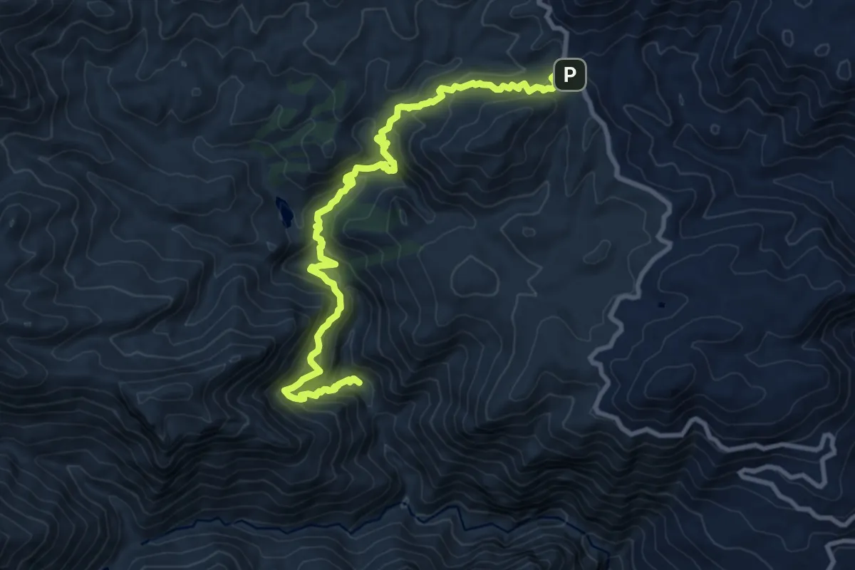
Demanding · Trail
Río Verde
12.0 km · ↑ 1143 m · 5 h 18 min
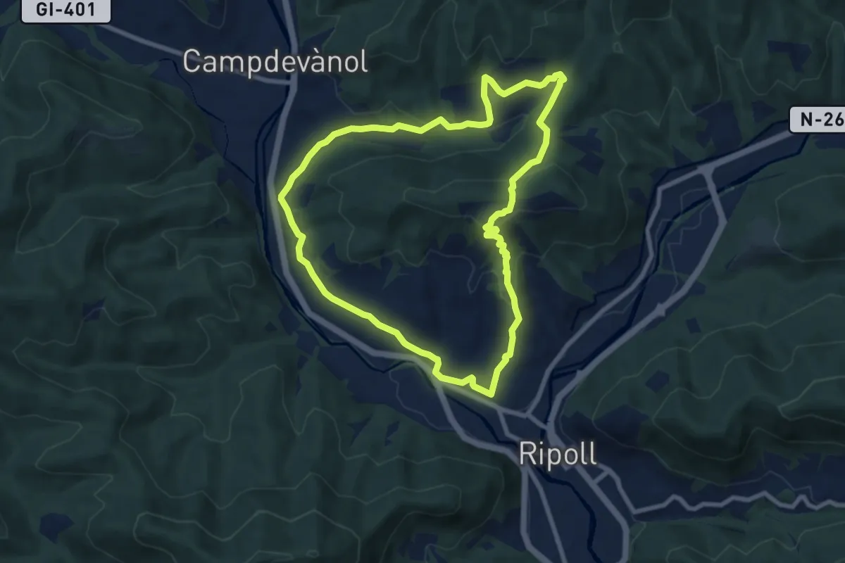
Easy · Trail
Ripoll
8.0 km · ↑ 264 m · 2 h 34 min
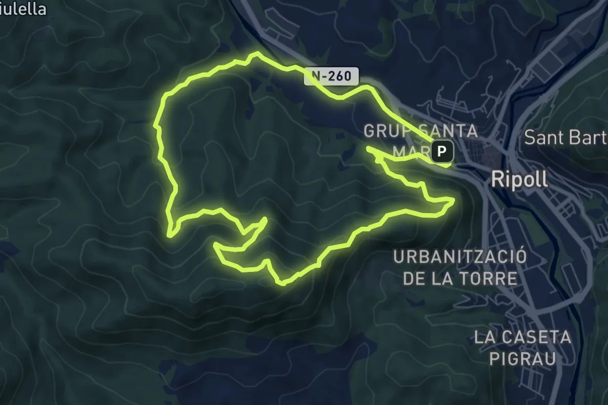
Medium · Summit
Ripoll
8.2 km · ↑ 471 m · 3 h 4 min
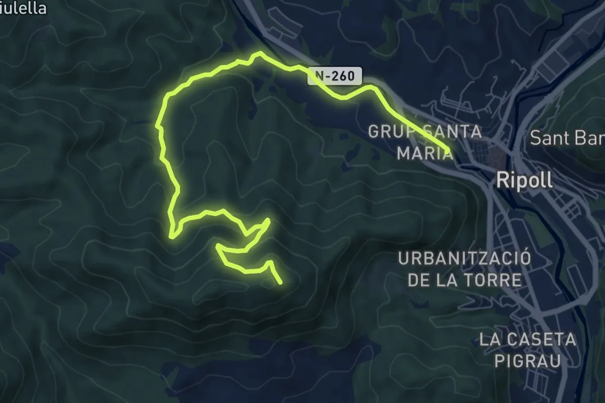
Easy · Trail
Ripoll
5.3 km · ↑ 57 m · 1 h 39 min
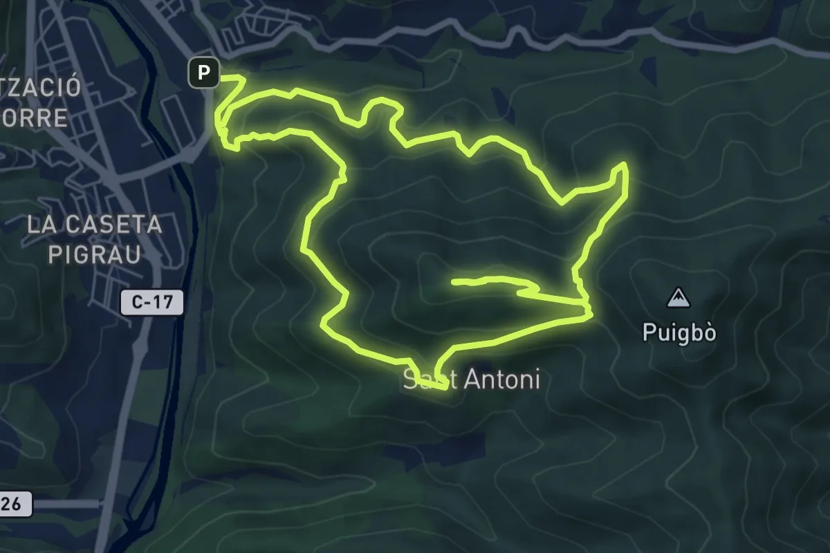
Medium · Trail
Ripoll-Sant Antoni
7.6 km · ↑ 464 m · 2 h 54 min
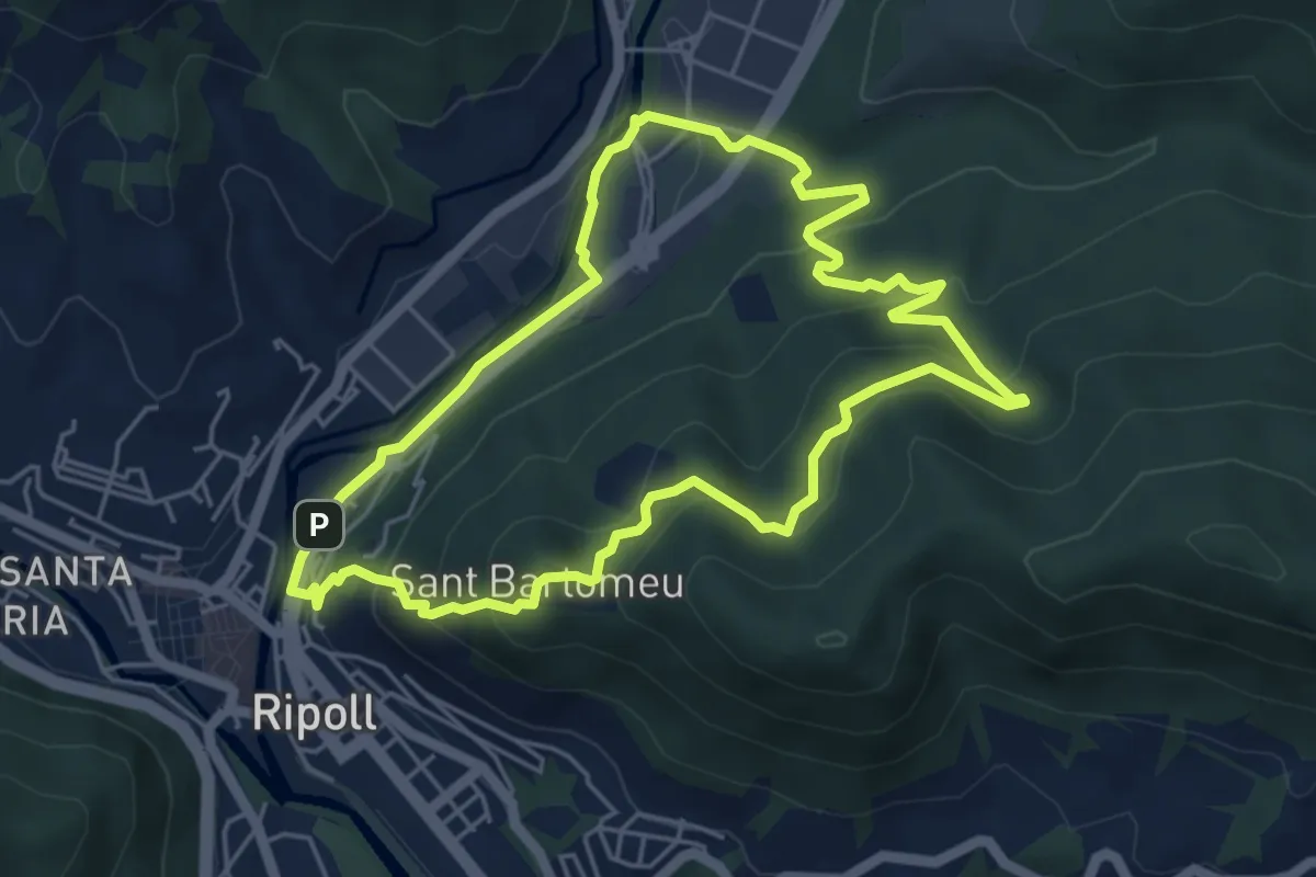
Easy · Summit
Ripoll - Sant Bartomeu
5.4 km · ↑ 247 m · 1 h 53 min
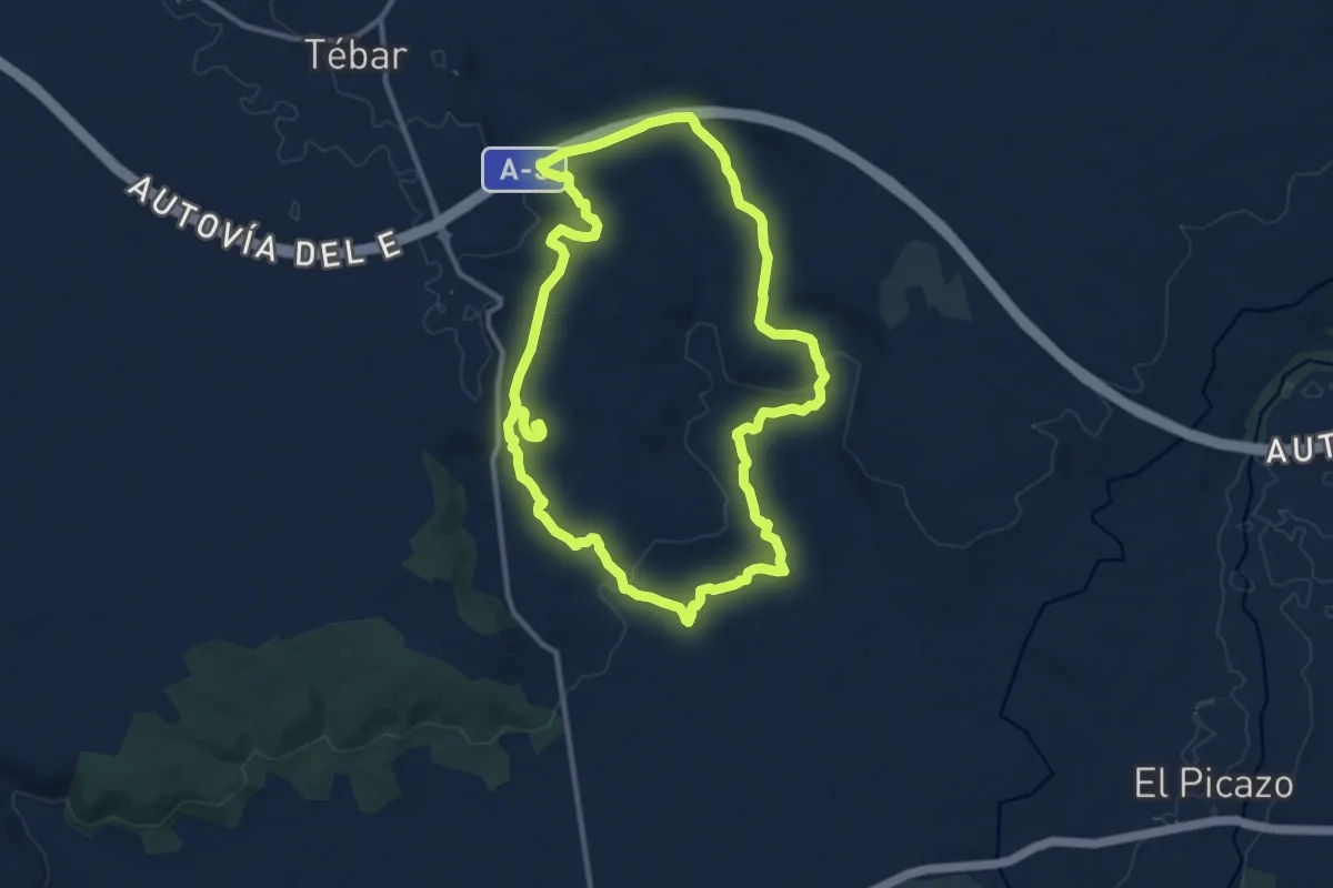
Medium · Trail
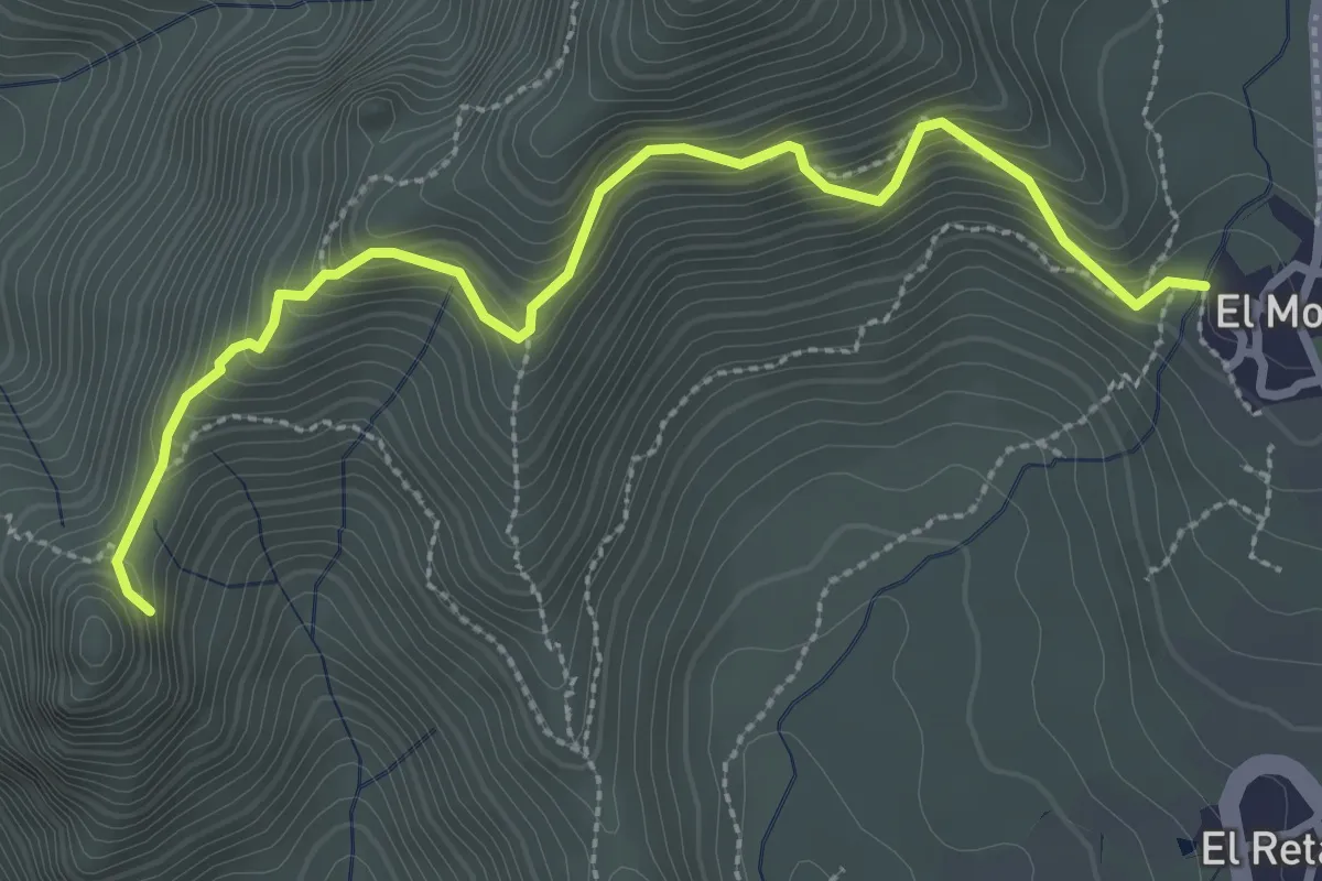
Riscas y Marañosas
13.2 km · ↑ 202 m · 3 h 45 min
Medium · Summit
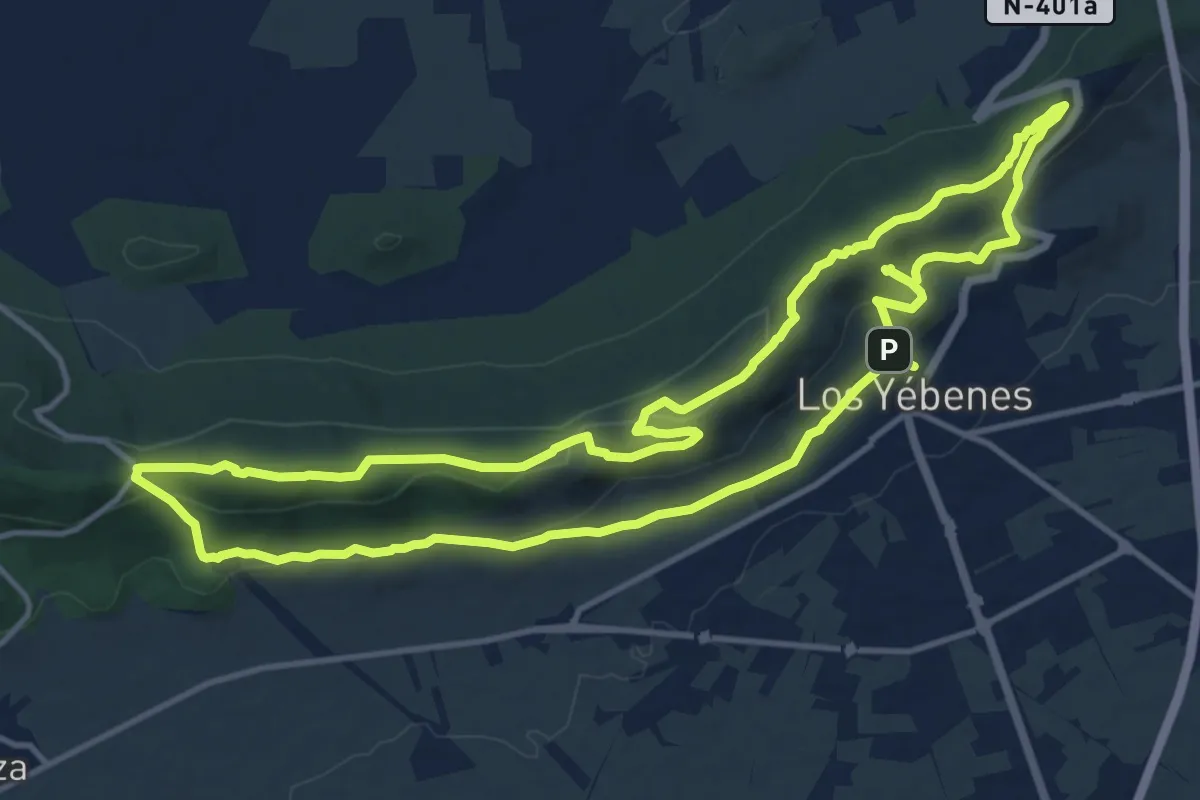
Risco Blanco
2.0 km · ↑ 205 m · 58 min
Medium · Summit
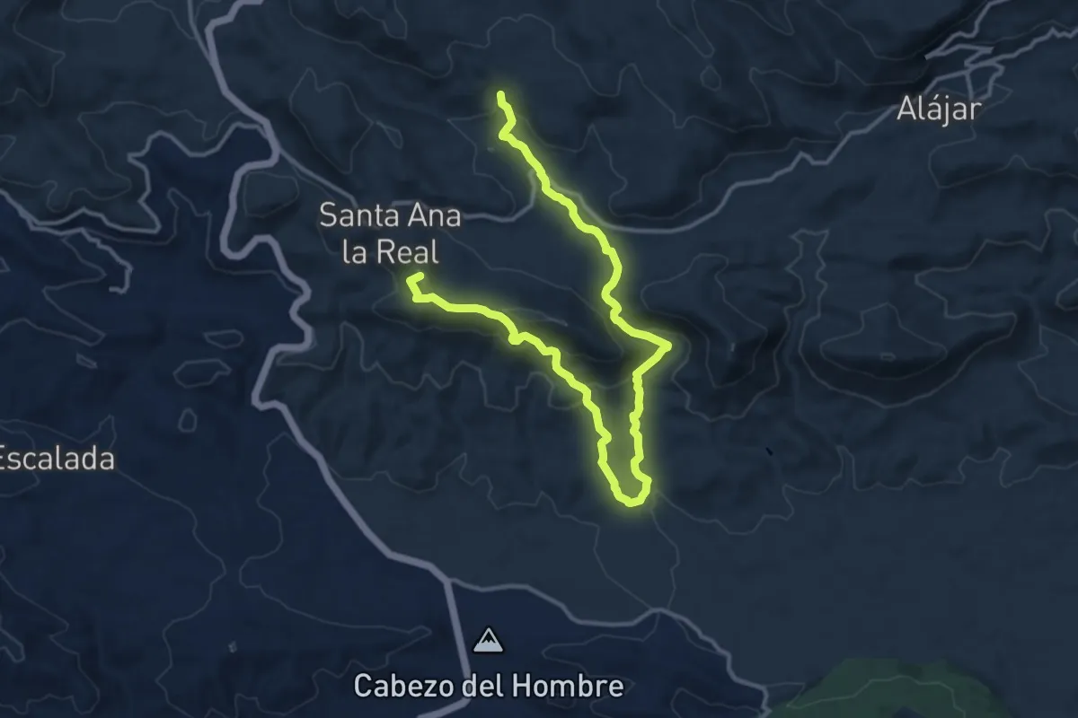
Risco de Los Yébenes
15.4 km · ↑ 440 m · 4 h 47 min
Demanding · Summit
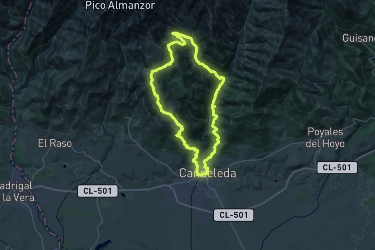
Risco Levante-Los Chorros
18.1 km · ↑ 669 m · 5 h 43 min
Demanding · Summit
Rituerta-Albarea-Puente del Puerto
24.5 km · ↑ 1381 m · 9 h 7 min
Demanding · Summit
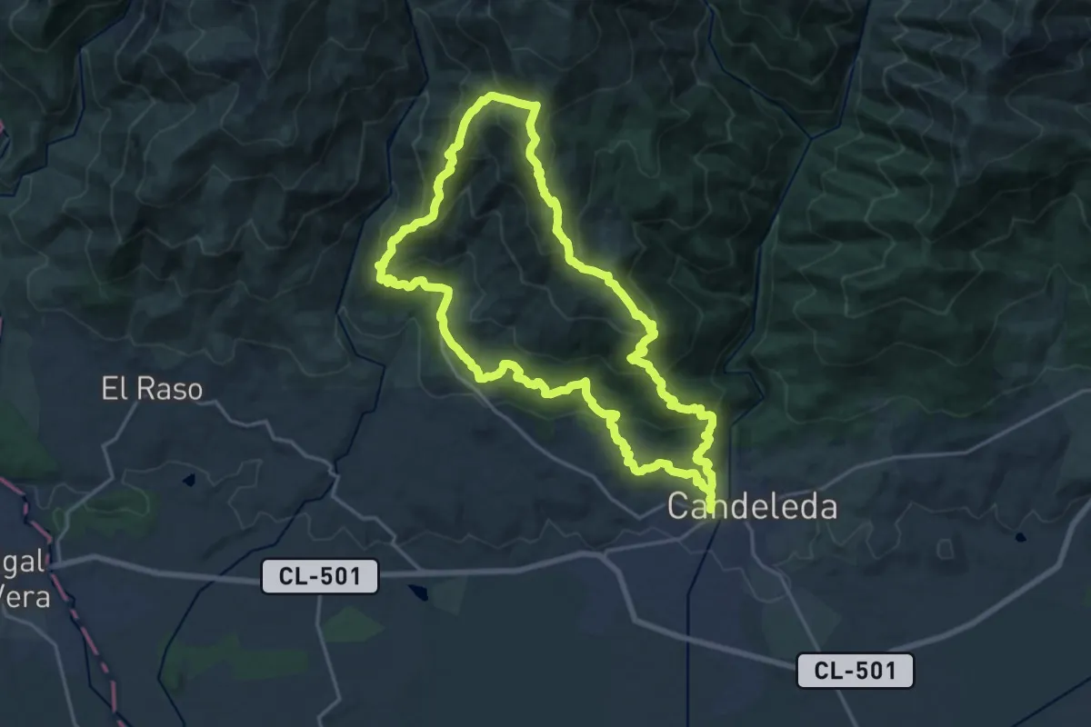
Rituerta-Chilla
20.7 km · ↑ 1216 m · 7 h 49 min
Medium · Trail
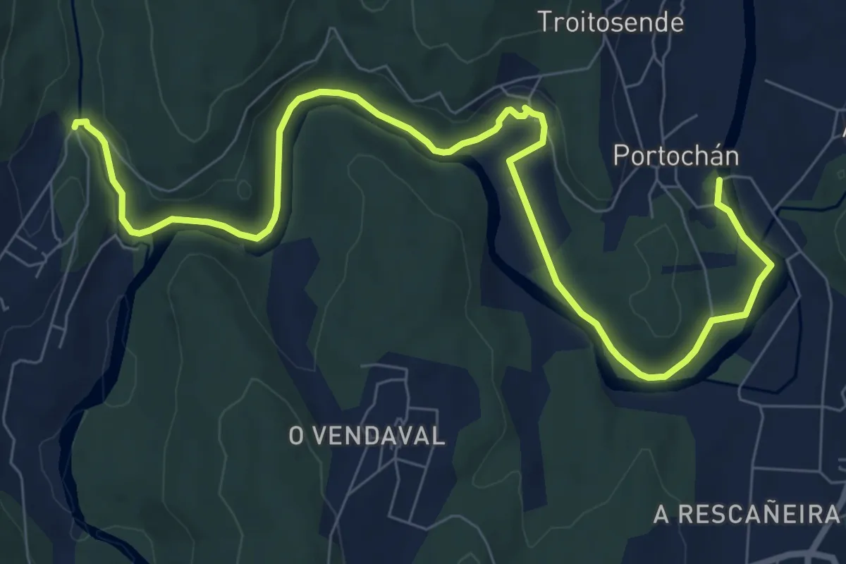
riveira do rio tambre
10.9 km · ↑ 166 m · 2 h 56 min
Medium · Summit
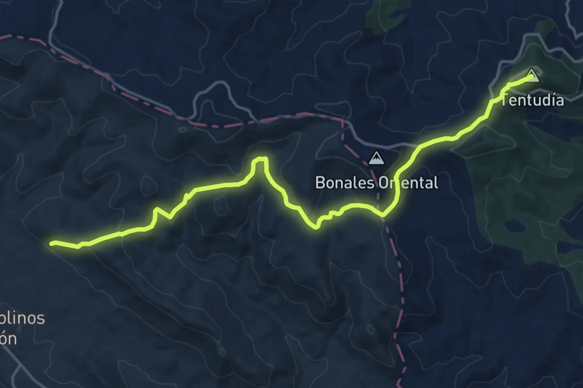
Rivera de Montemayor - Monasterio de Tentudía
18.0 km · ↑ 623 m · 5 h 35 min
Medium · Trail
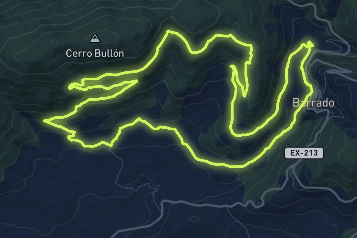
Robledal de la Solana
17.0 km · ↑ 536 m · 5 h 25 min
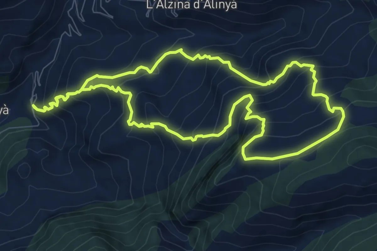
Demanding · Summit
Roca de la Pena
9.0 km · ↑ 816 m · 4 h 1 min
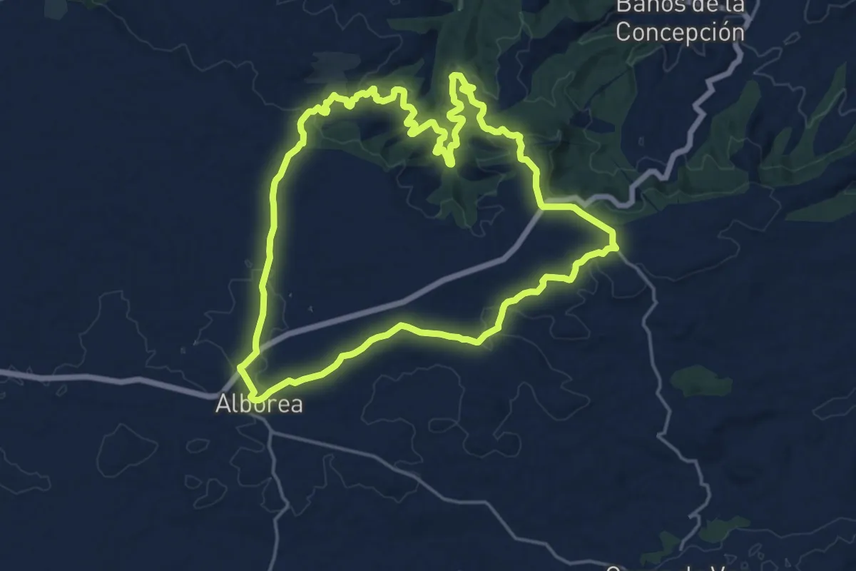
Demanding · Trail
Rocha de la Virgen
19.3 km · ↑ 302 m · 5 h 29 min
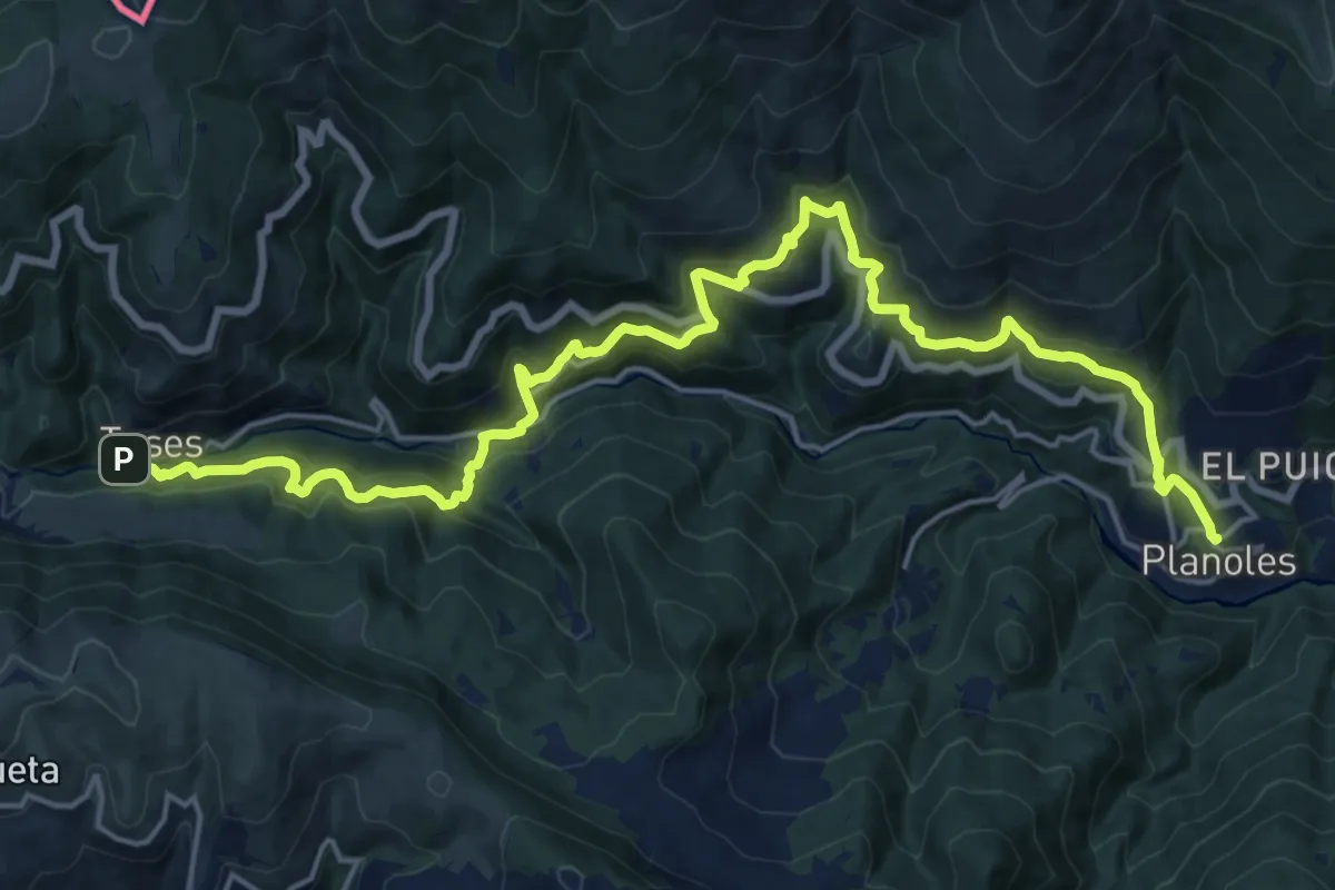
Medium · Trail
Romànic i natura a la Vall del Rigart
12.0 km · ↑ 647 m · 4 h 33 min
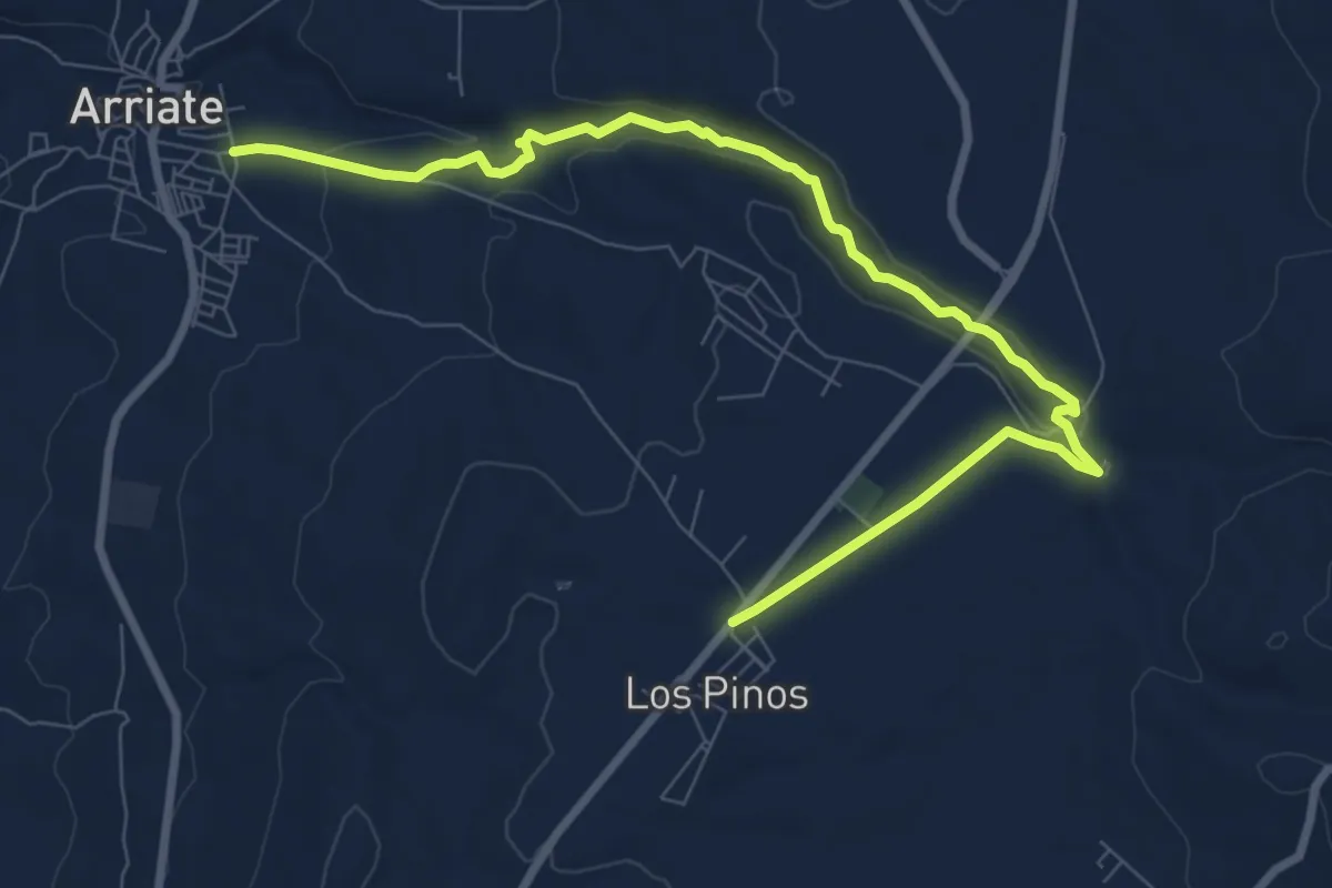
Medium · Trail
Ronda - Arriate
11.4 km · ↑ 214 m · 3 h 9 min
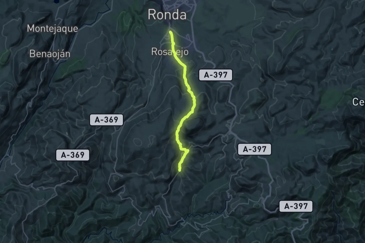
Demanding · Trail
Ronda - Cartajima
22.5 km · ↑ 1029 m · 7 h 32 min
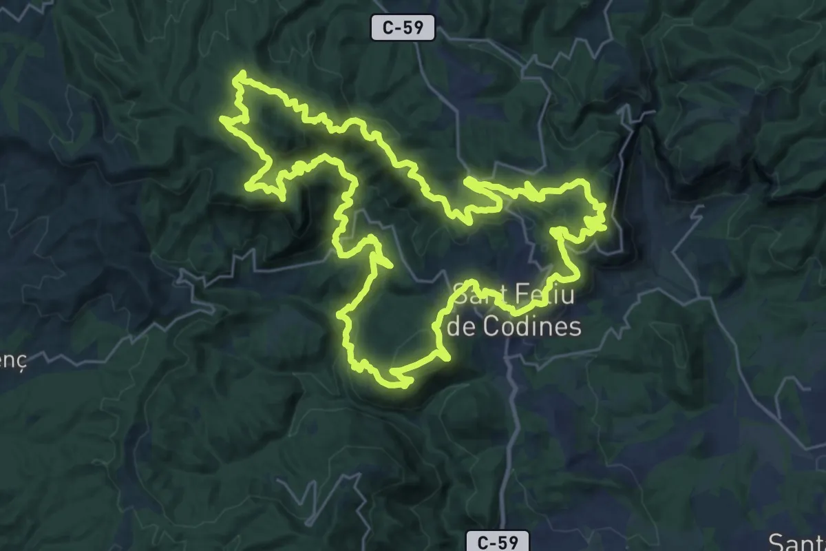
Demanding · Summit
Ronda Codinenca
32.7 km · ↑ 1383 m · 11 h 10 min
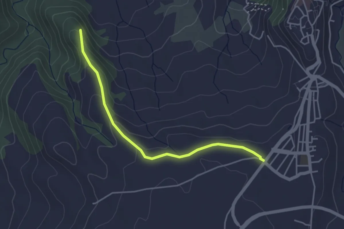
Easy · Trail
Ronda - Ermita de la Virgen de la Cabeza
4.2 km · ↑ 113 m · 1 h 14 min
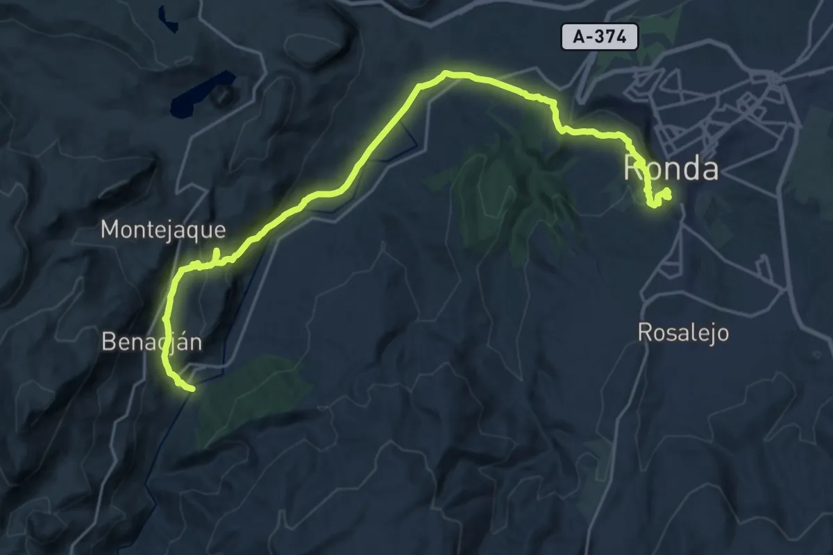
Medium · Trail
Ronda - Estación de Benaojan
13.0 km · ↑ 573 m · 4 h 21 min
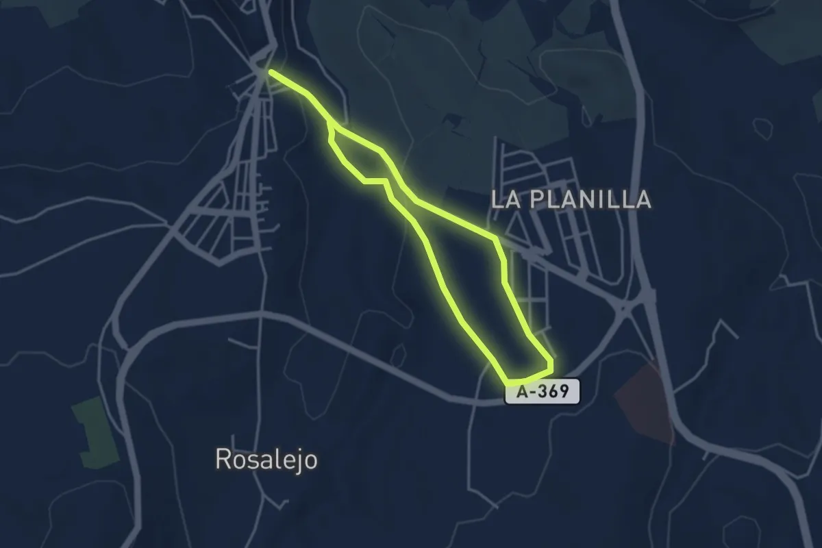
Easy · Trail
Ronda - La Planilla
3.7 km · ↑ 81 m · 1 h 6 min
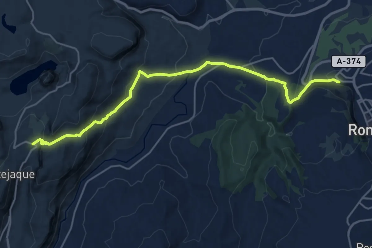
Medium · Trail
Ronda - Montejaque
16.3 km · ↑ 679 m · 5 h 20 min
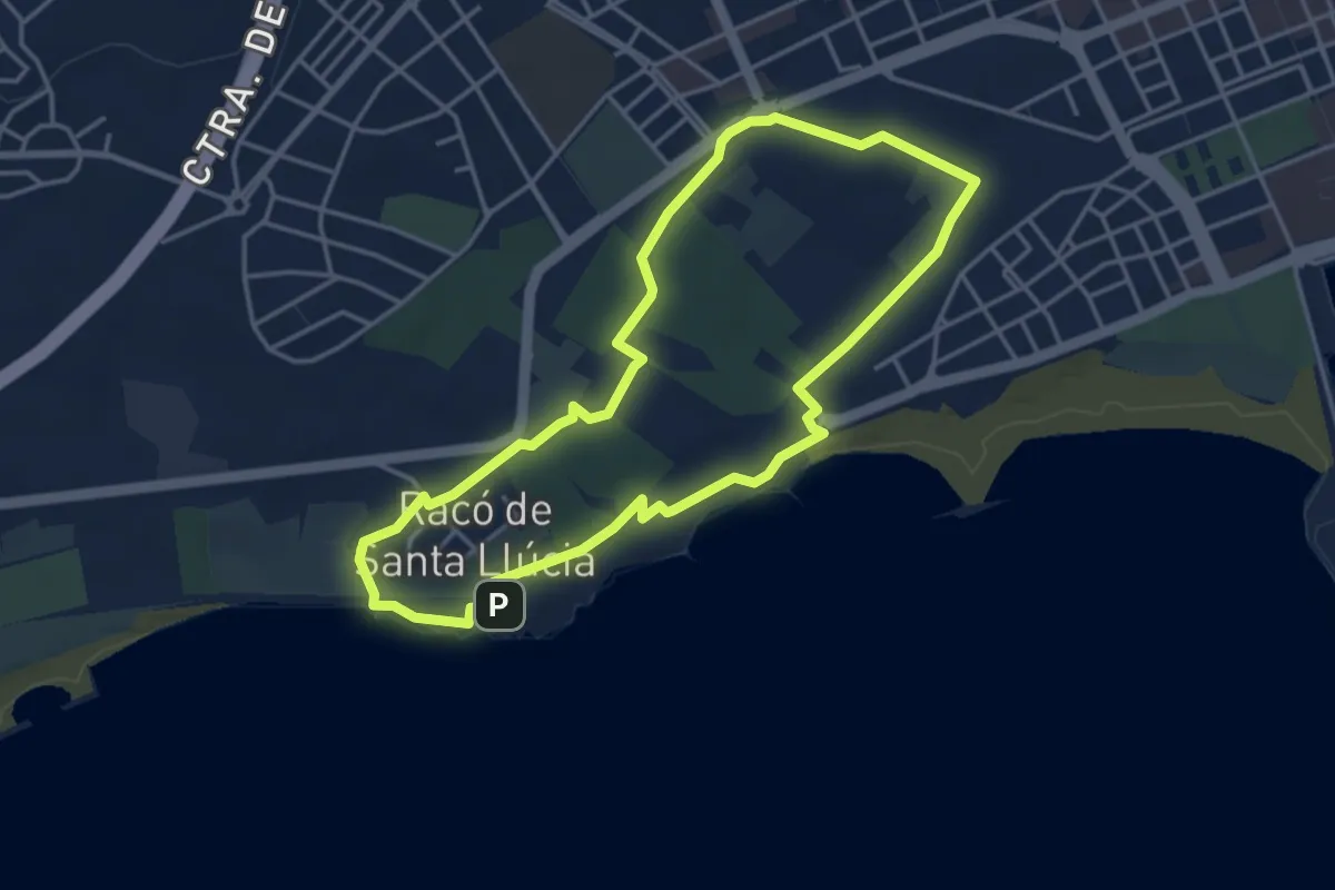
Easy · Summit
Ronda Ortoll Adarró
4.3 km · ↑ 39 m · 1 h 9 min
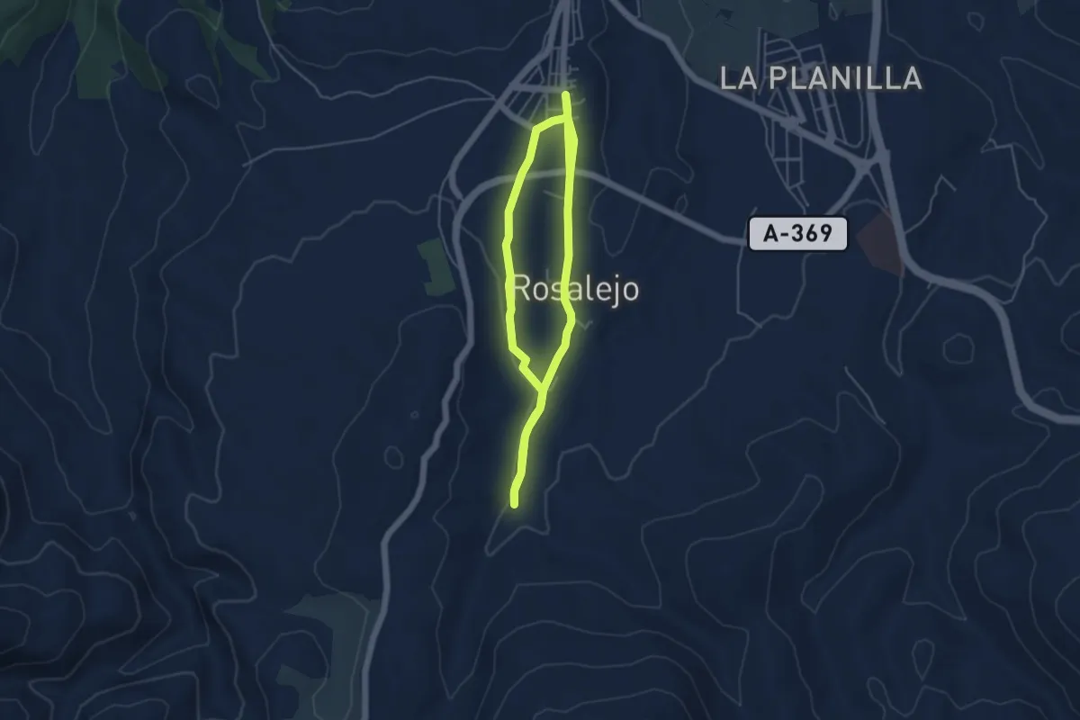
Easy · Trail
Ronda - Pilar de Cartajima
4.8 km · ↑ 38 m · 1 h 17 min
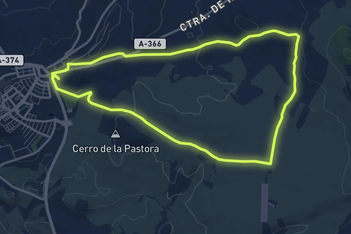
Medium · Trail
Ronda - Pilar de Coca
9.3 km · ↑ 95 m · 2 h 31 min
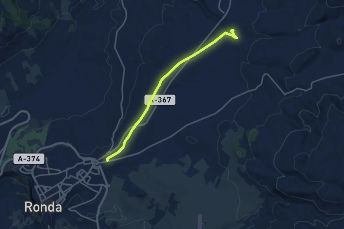
Medium · Trail
Ronda - Puente de la Ventilla
12.0 km · ↑ 150 m · 3 h 10 min
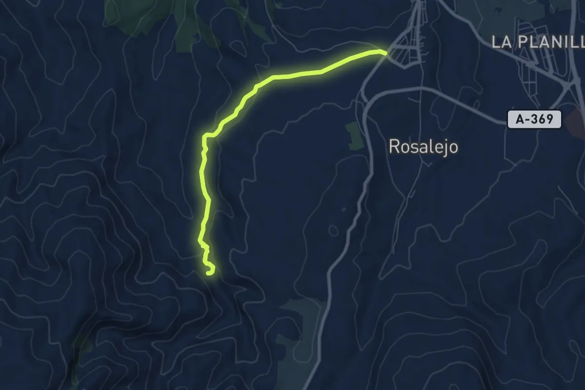
Easy · Trail
Ronda - Tajo del Abanico
7.6 km · ↑ 181 m · 2 h 11 min
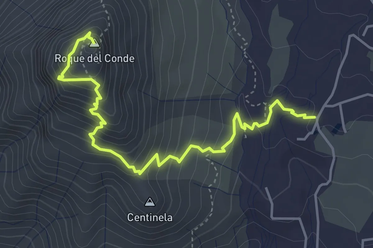
Medium · Summit
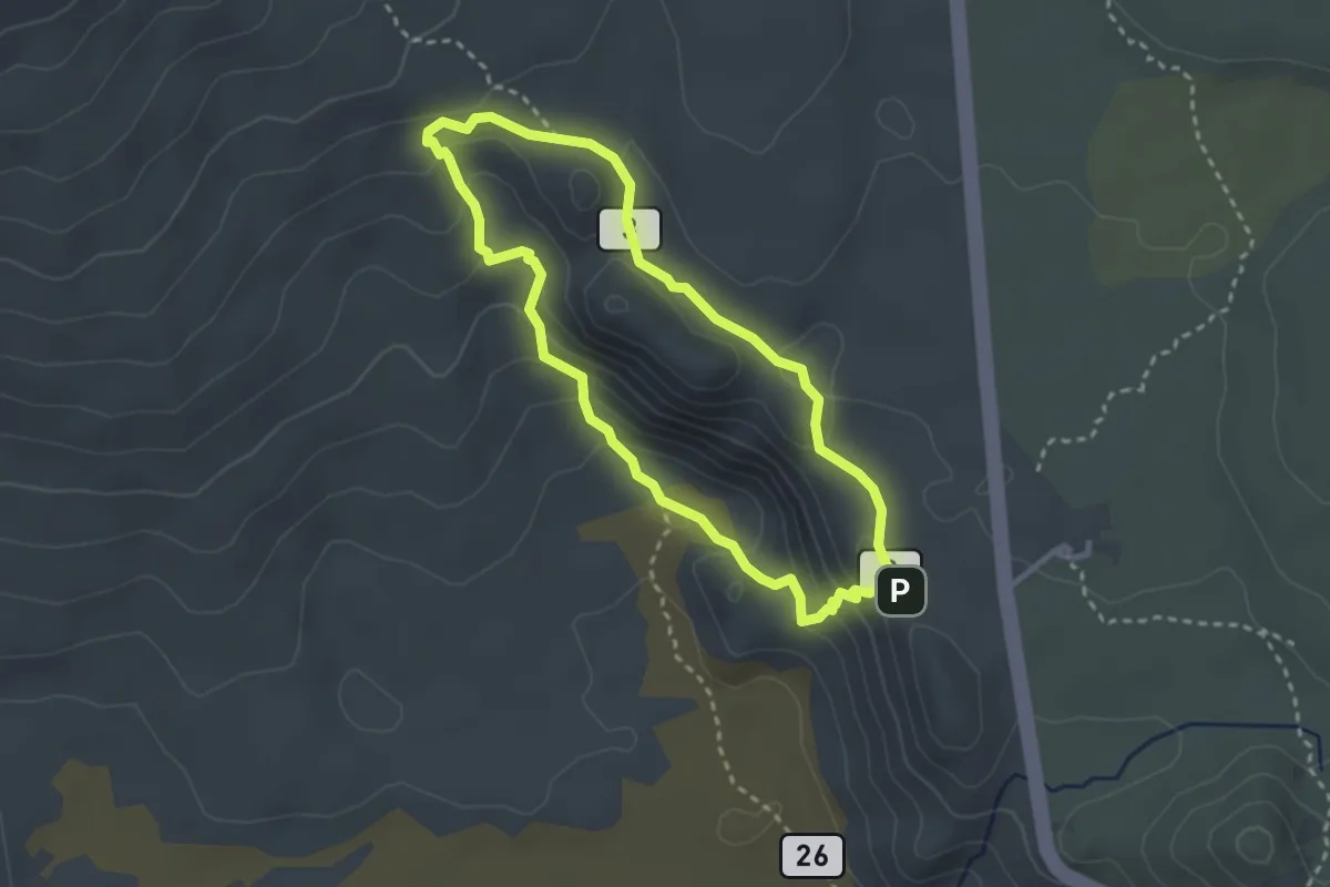
Roque del Conde
5.4 km · ↑ 458 m · 2 h 17 min
Medium · Summit
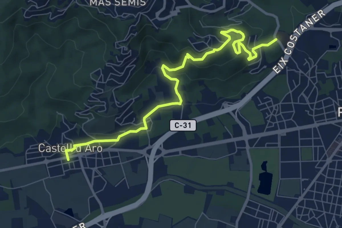
Roques de García
3.4 km · ↑ 164 m · 1 h 12 min
Medium · Trail
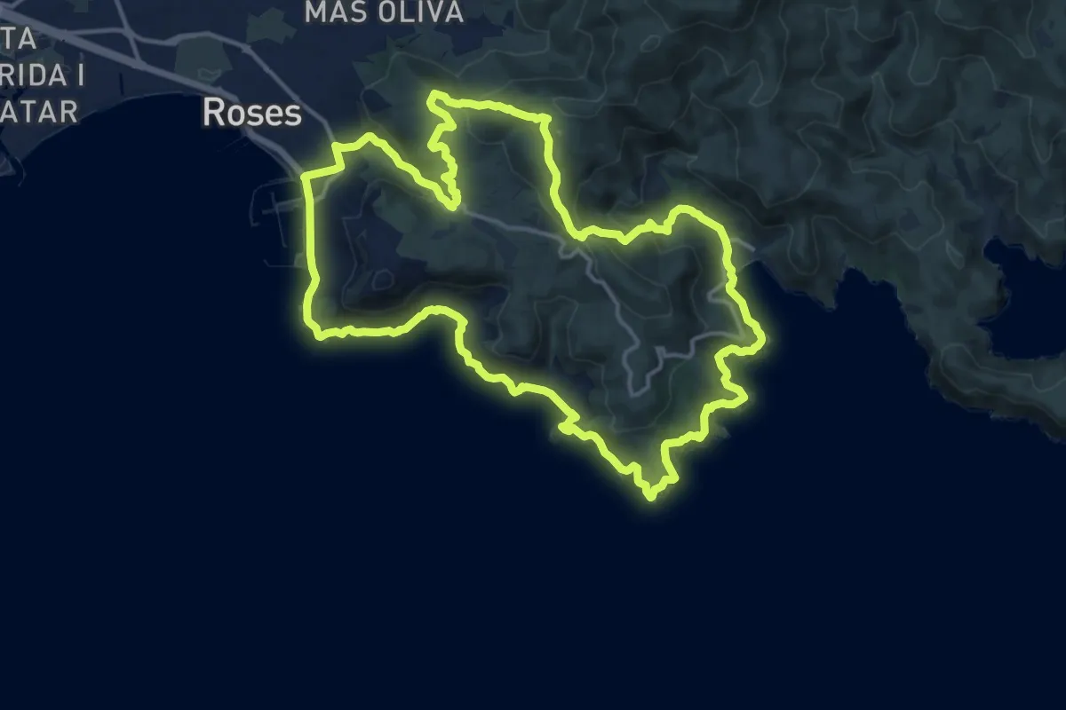
Roques Martines
8.9 km · ↑ 378 m · 2 h 56 min
Medium · Summit
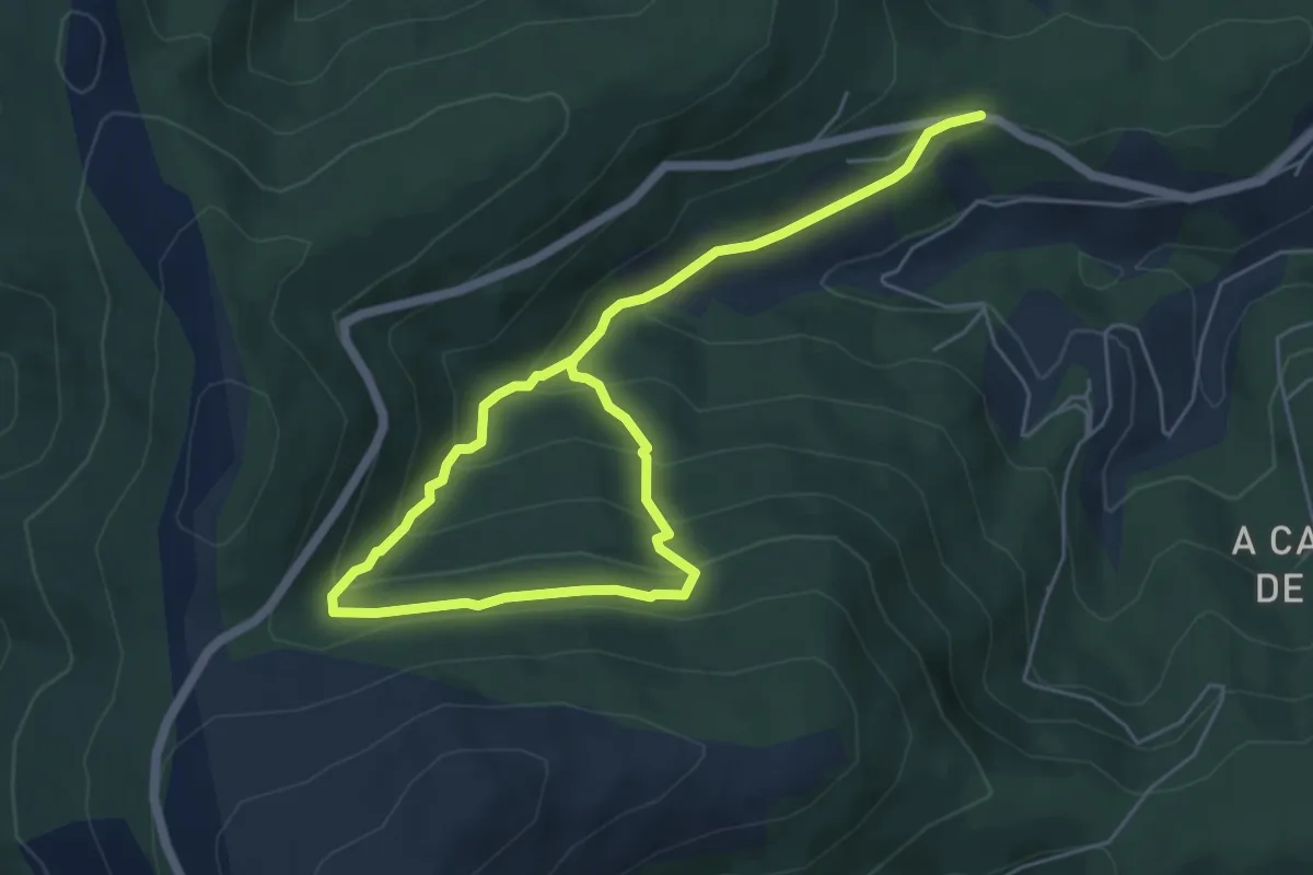
Roses, camí de ronda i el megalític
16.7 km · ↑ 571 m · 5 h 26 min
Medium · Trail
Rota da Fraga da Becerreira
8.4 km · ↑ 482 m · 3 h 2 min
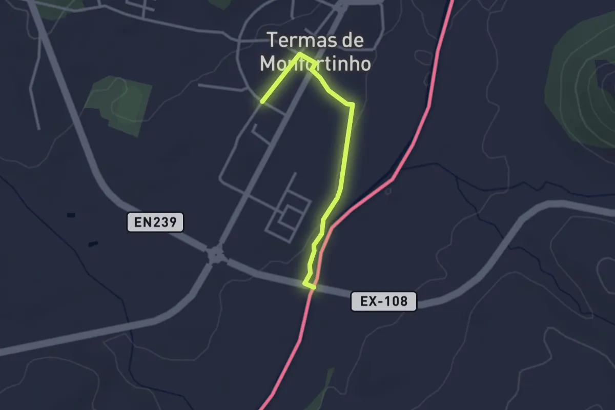
Easy · Trail
Rota da Idanha
2.8 km · ↑ 17 m · 42 min
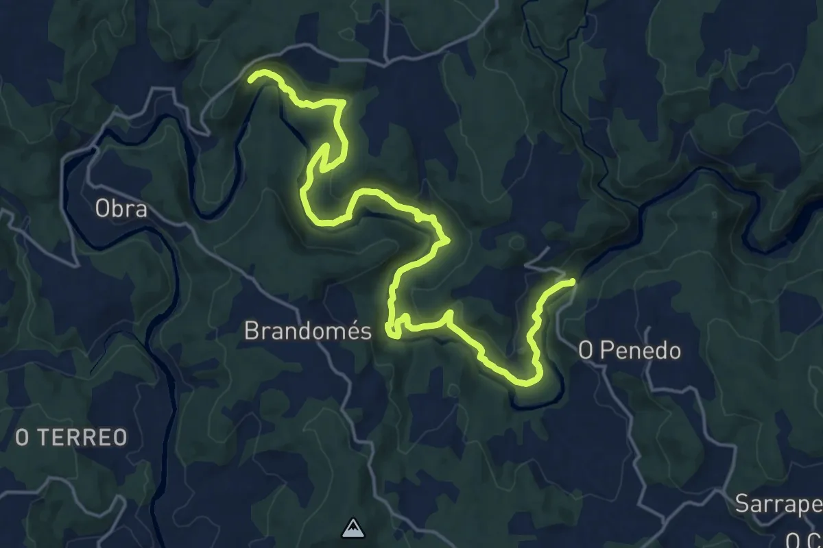
Demanding · Trail
Rota da Ribeira do Ulla
23.1 km · ↑ 1039 m · 8 h 1 min
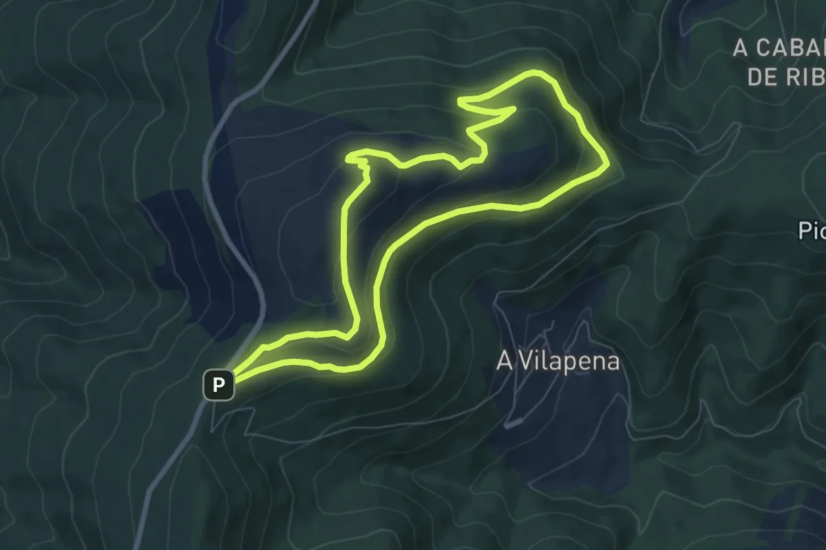
Easy · Trail
Rota de subida ao Picato
7.5 km · ↑ 266 m · 2 h 27 min
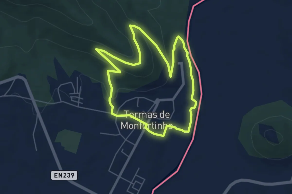
Easy · Trail
Rota do Erges
5.0 km · ↑ 130 m · 1 h 32 min
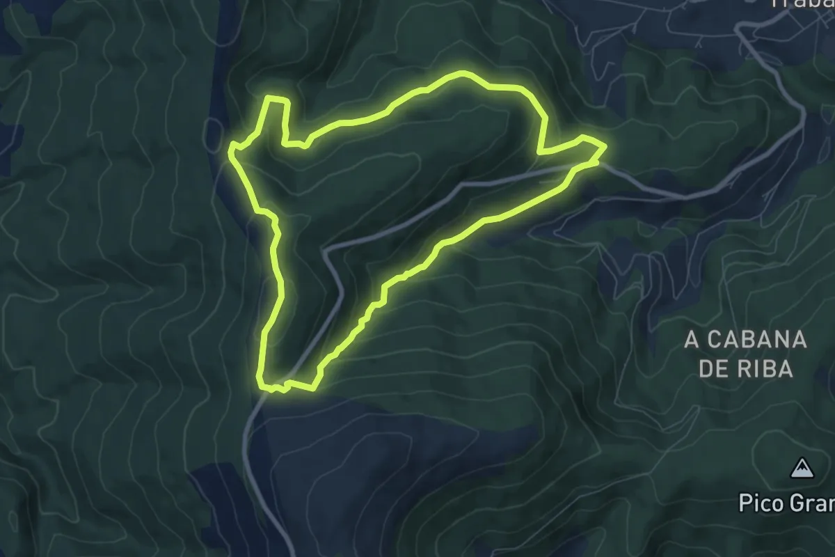
Medium · Summit
Rota do monte Roxal -Teixido
8.2 km · ↑ 368 m · 2 h 50 min
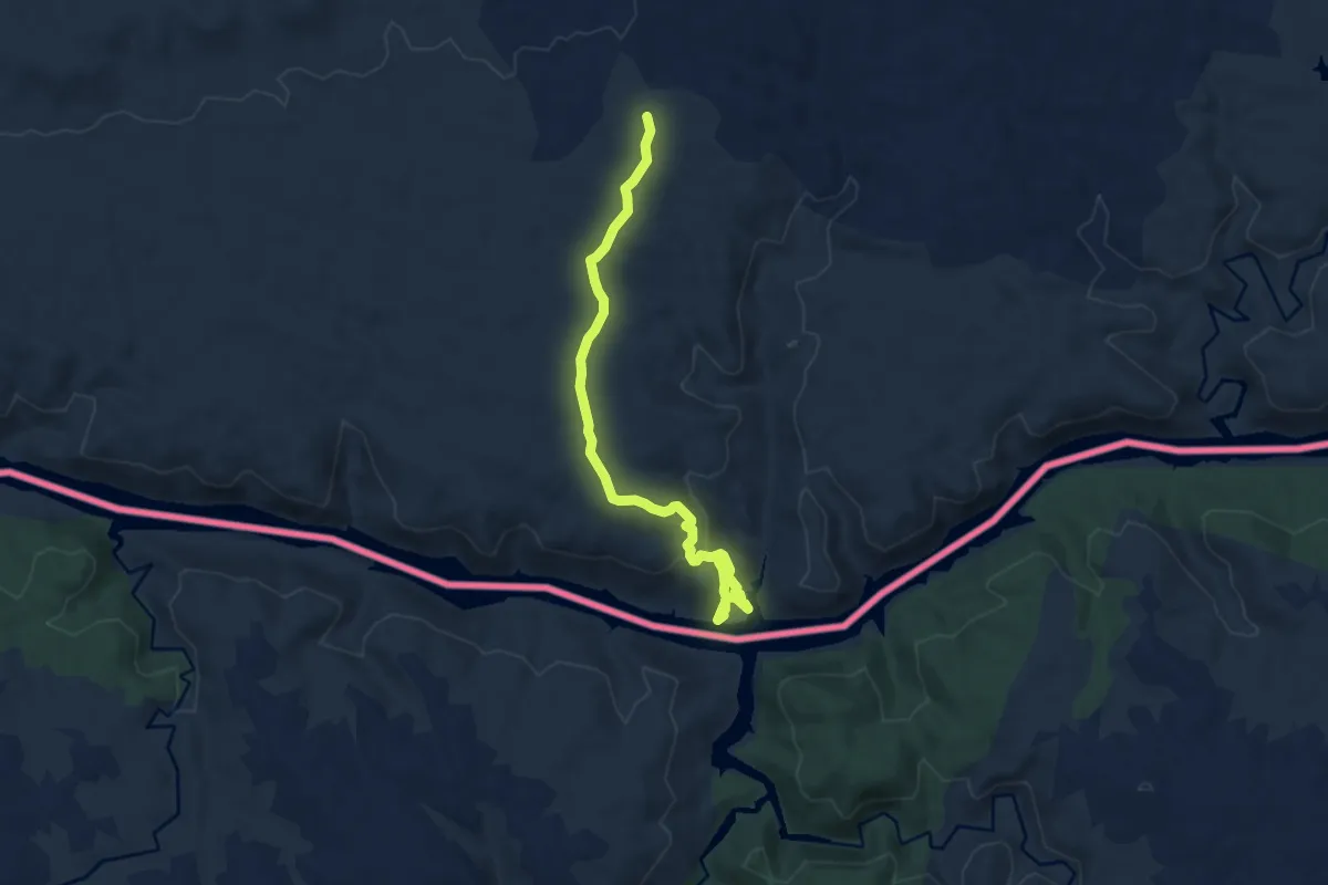
Medium · Trail
Rota dos Veados
9.5 km · ↑ 307 m · 2 h 54 min
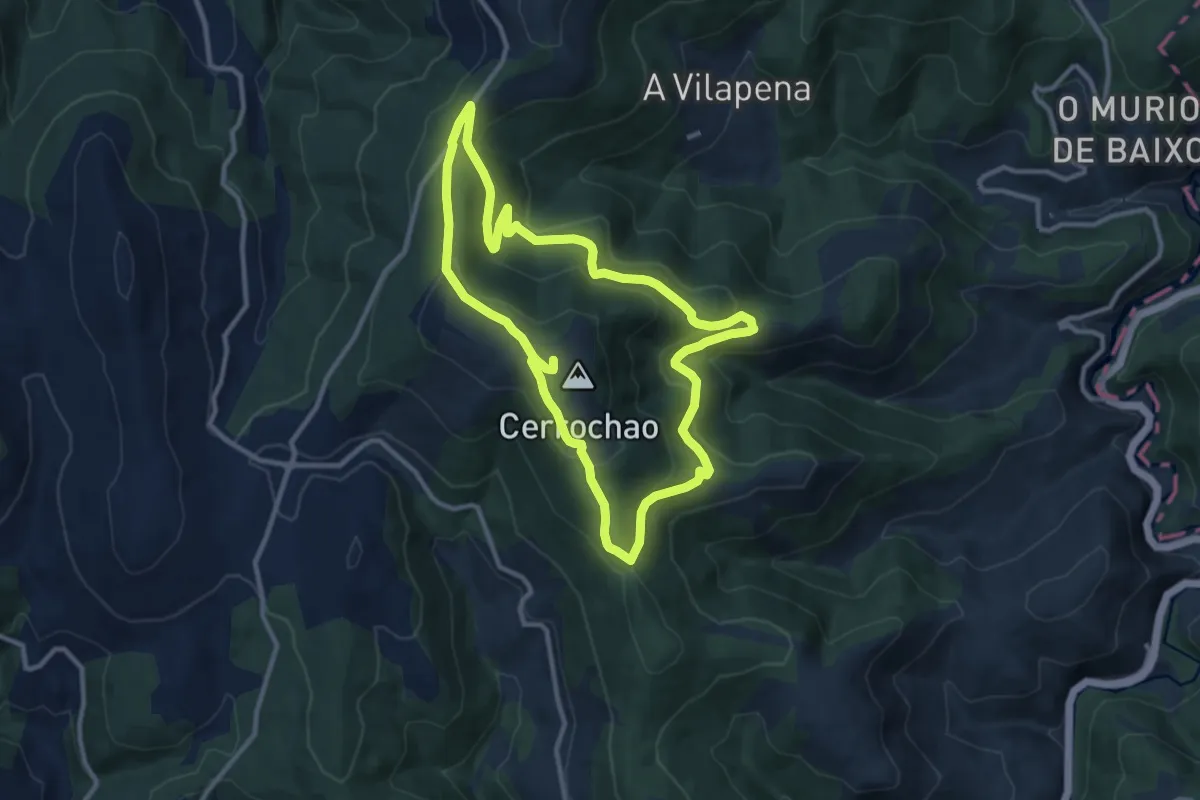
Medium · Summit
Rota do Vento
10.9 km · ↑ 415 m · 3 h 37 min
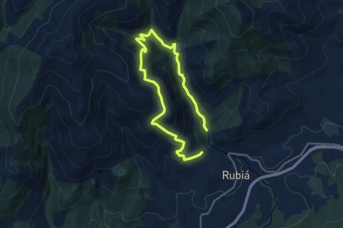
Medium · Trail
Rota Natural dos Castros a Nivieira
12.5 km · ↑ 754 m · 4 h 35 min