Trails in Spain
5,962 hiking trails, each with its route, climb, walking time and grade.
All trails, page 75 of 125
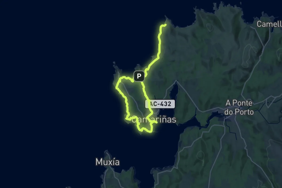
Medium · Summit
Roteiro da Aldea
16.9 km · ↑ 201 m · 4 h 42 min
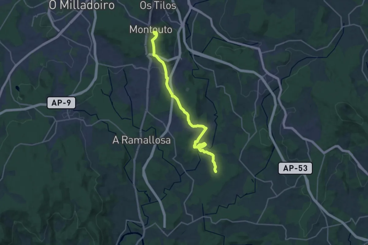
Medium · Summit
Roteiro da Batalla de Cacheiras
17.1 km · ↑ 380 m · 4 h 51 min
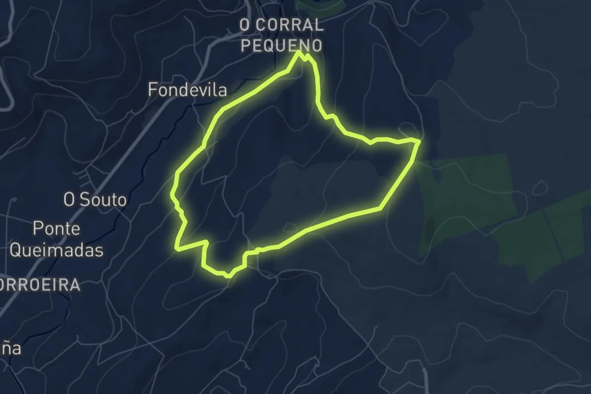
Easy · Trail
Roteiro da Ermida
6.9 km · ↑ 261 m · 2 h 17 min
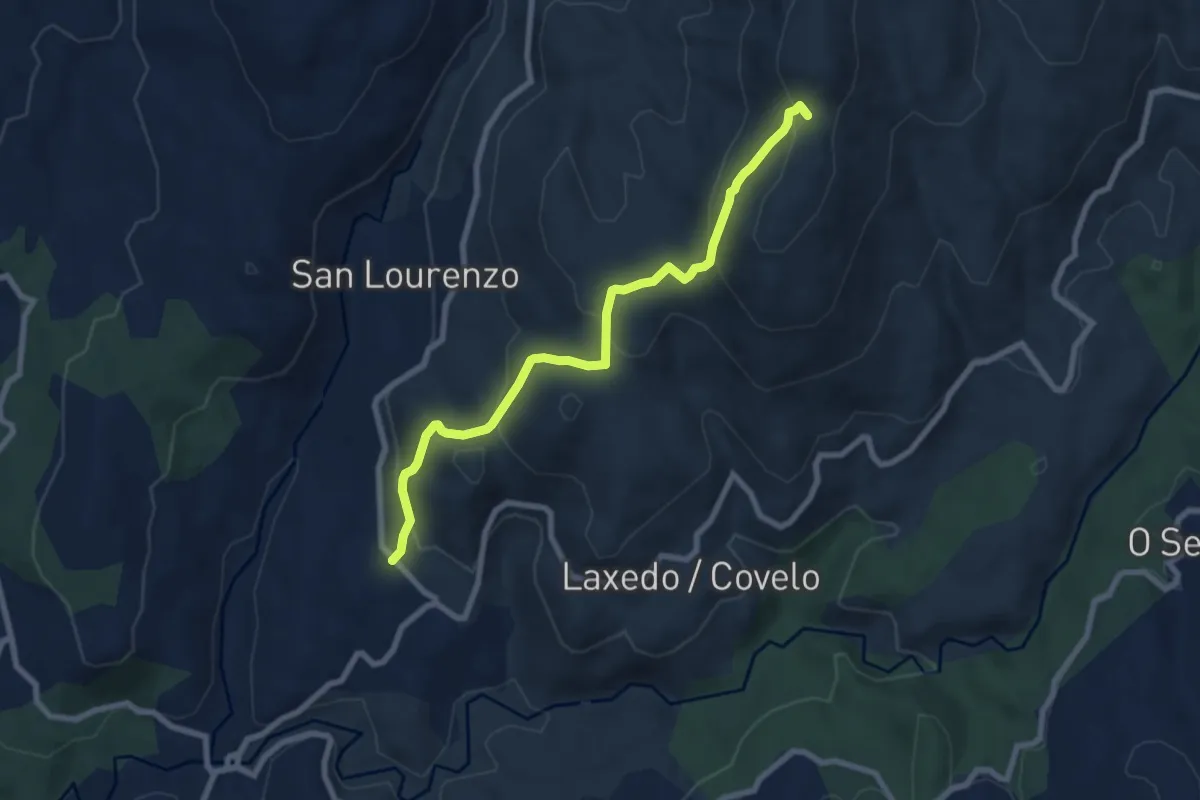
Medium · Summit
Roteiro da Escuadra
8.2 km · ↑ 429 m · 2 h 51 min
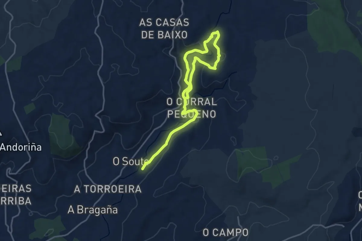
Medium · Trail
Roteiro das Fervenzas de Toques
8.8 km · ↑ 259 m · 2 h 47 min
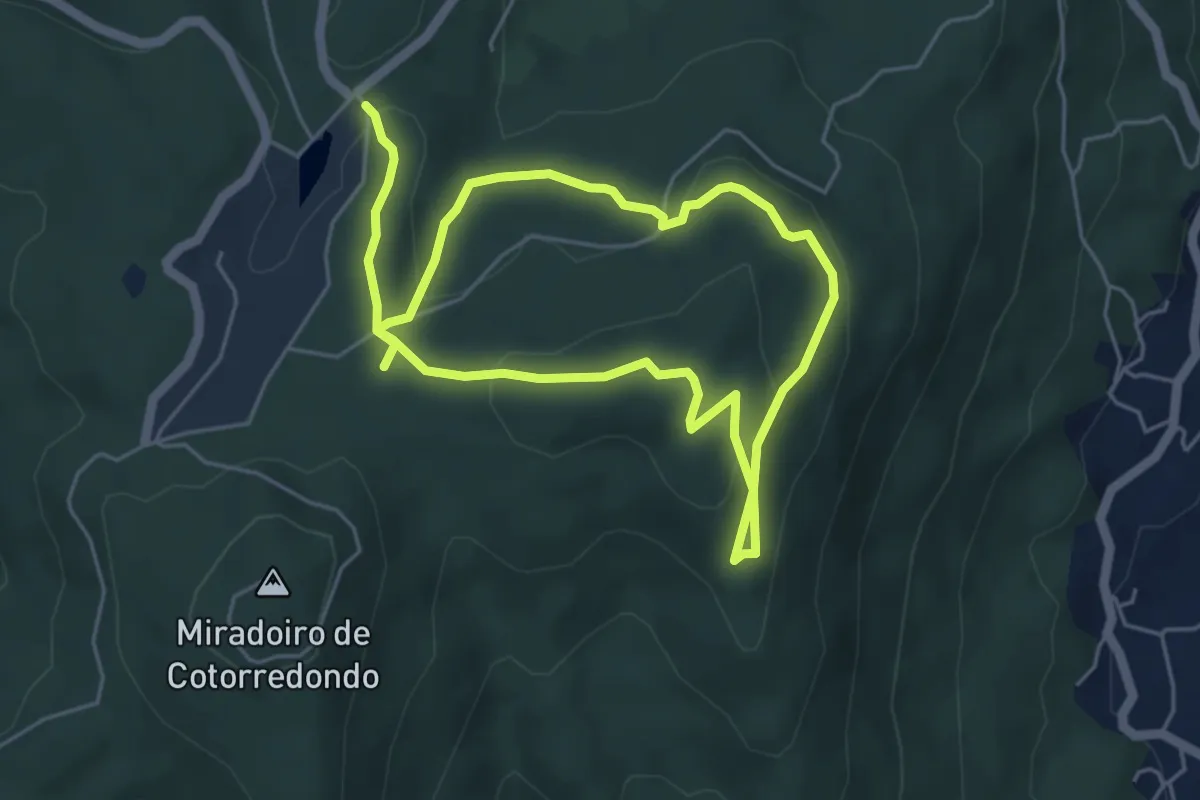
Easy · Trail
Roteiro das Mámoas
4.7 km · ↑ 181 m · 1 h 33 min
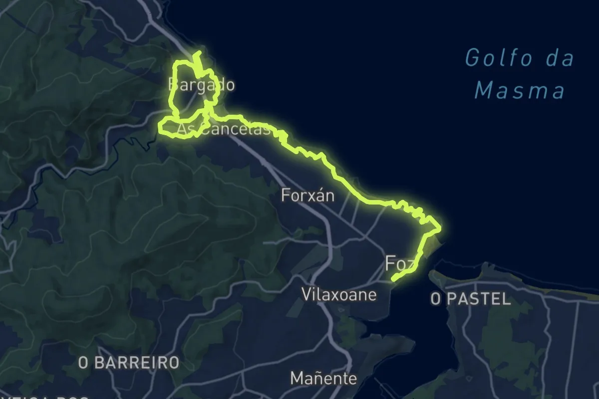
Demanding · Trail
Roteiro das Praias
29.5 km · ↑ 399 m · 7 h 50 min
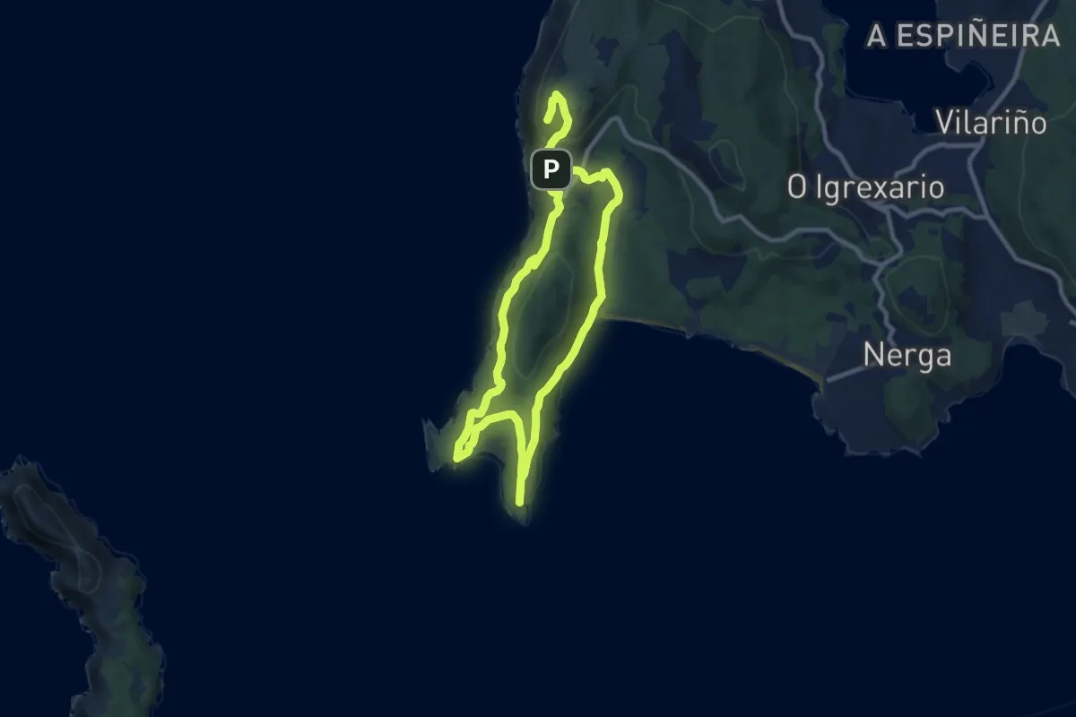
Medium · Summit
Roteiro de Donón - Sendeiro Azul
8.8 km · ↑ 286 m · 2 h 47 min
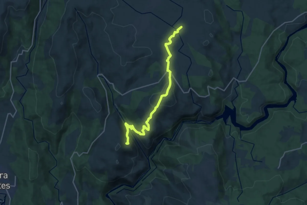
Medium · Trail
Roteiro de Ponte da Pedra a San Xoán do Carballoso
16.0 km · ↑ 478 m · 4 h 49 min
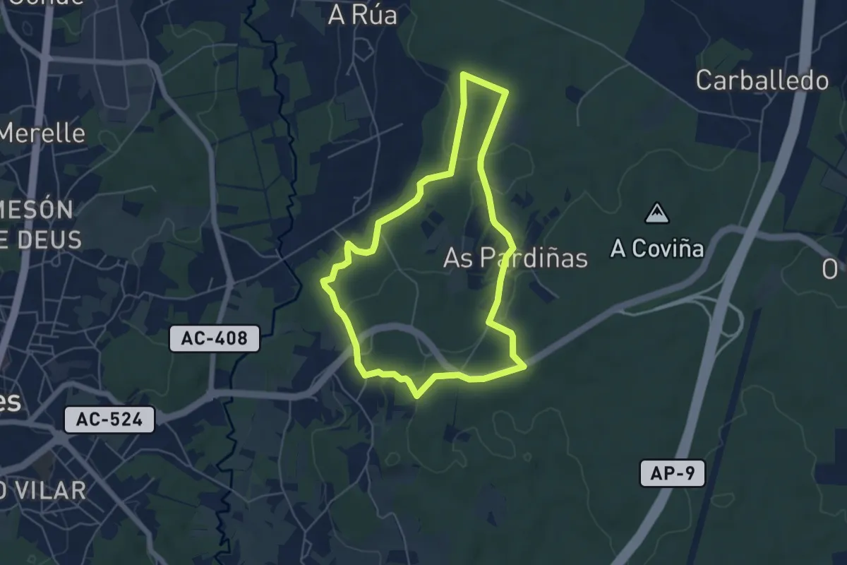
Easy · Trail
Roteiro de San Paio
5.3 km · ↑ 115 m · 1 h 34 min
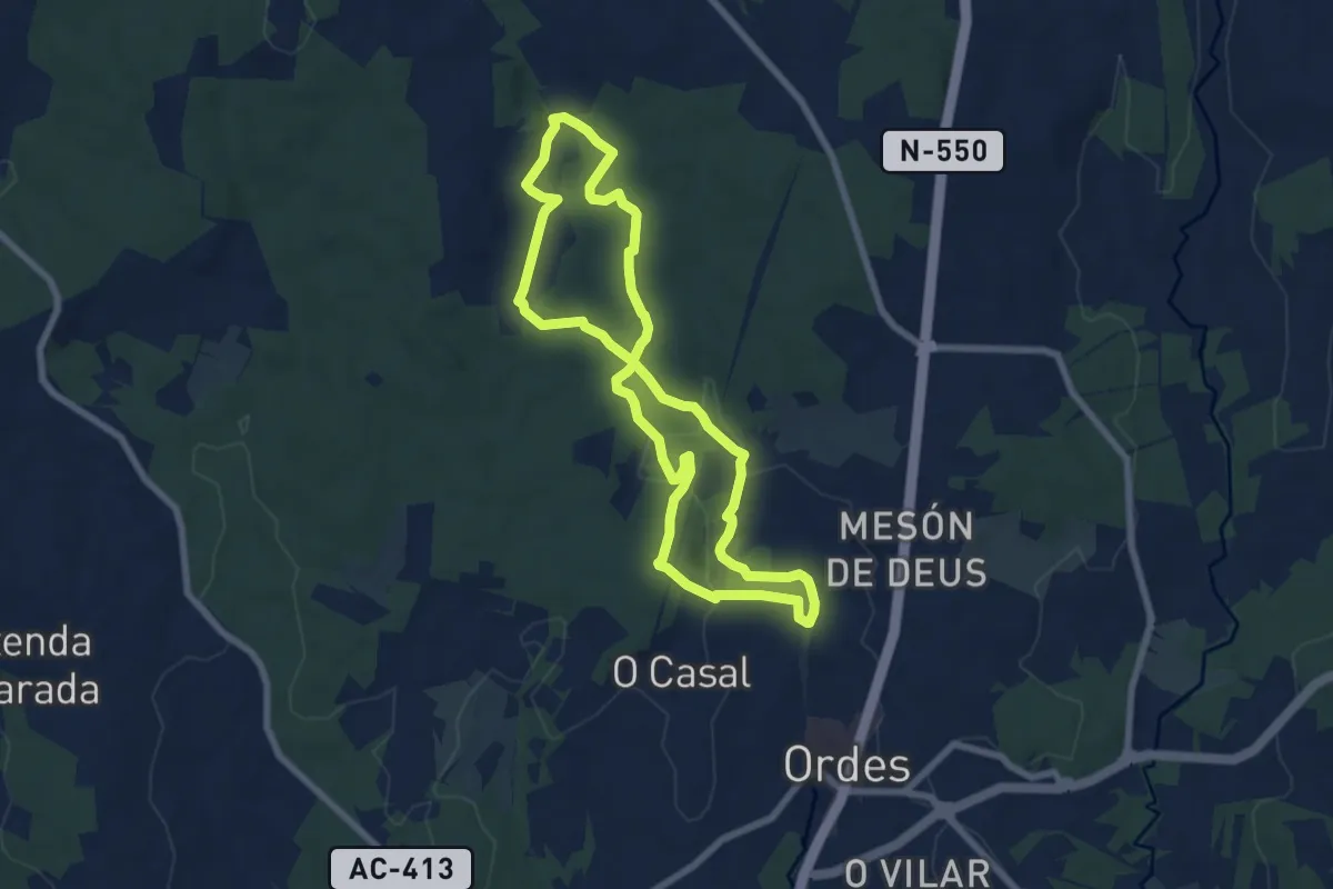
Easy · Trail
Roteiro do Río Mercurín
7.3 km · ↑ 130 m · 2 h 6 min
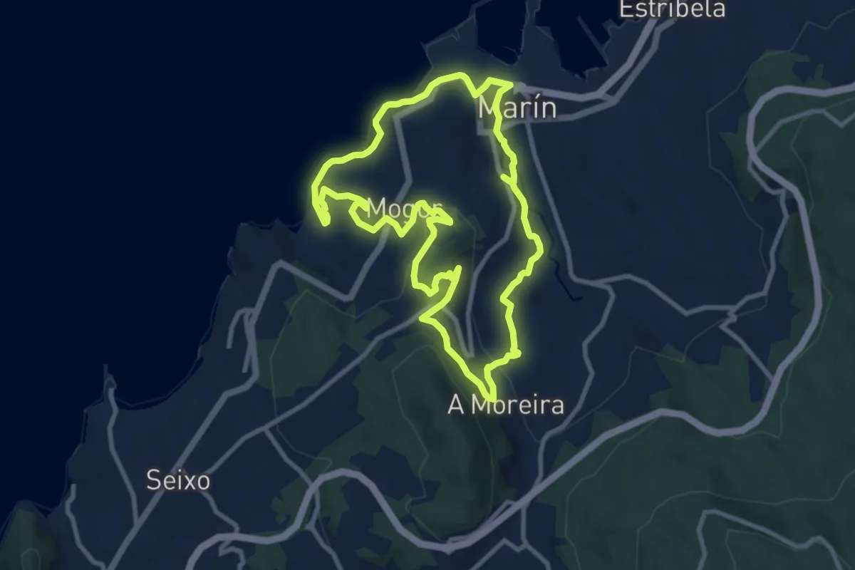
Medium · Trail
Roteiro dos Cinco Miradoiros
8.9 km · ↑ 256 m · 2 h 47 min
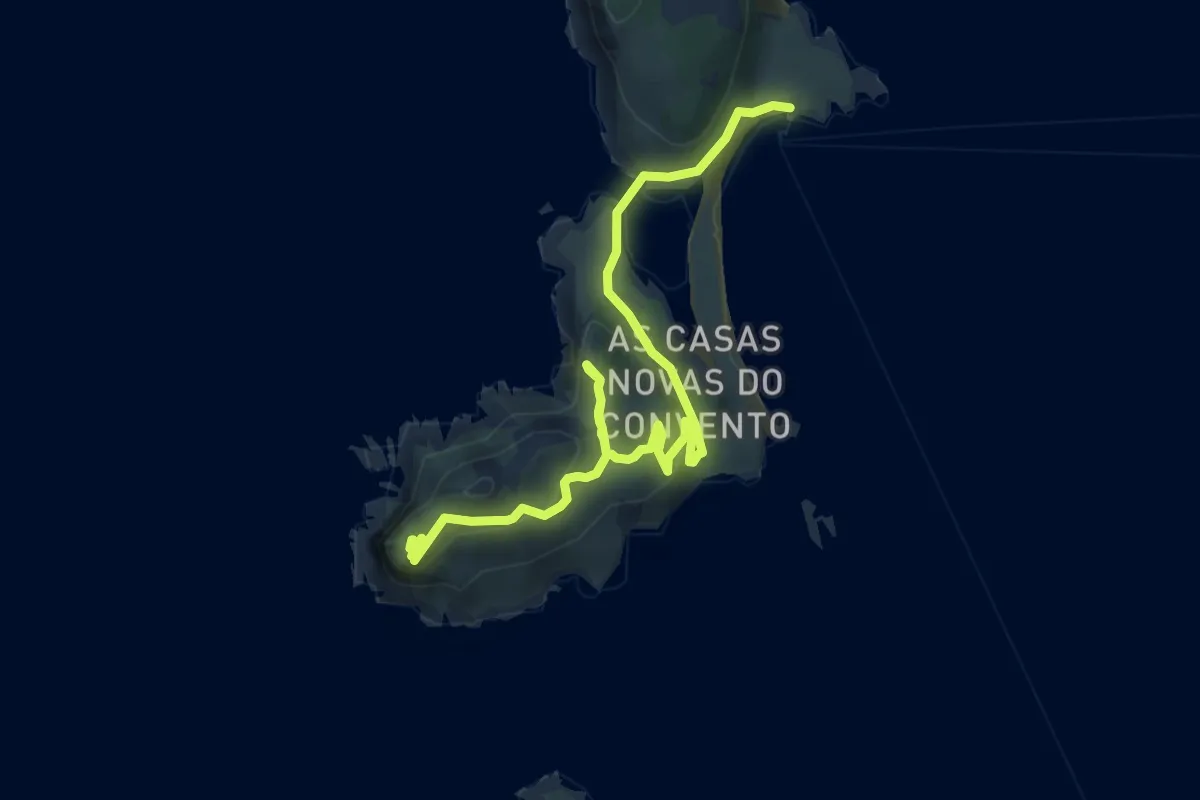
Medium · Summit
Roteiro Illas Cíes 1: O Monte Faro
8.4 km · ↑ 316 m · 2 h 41 min
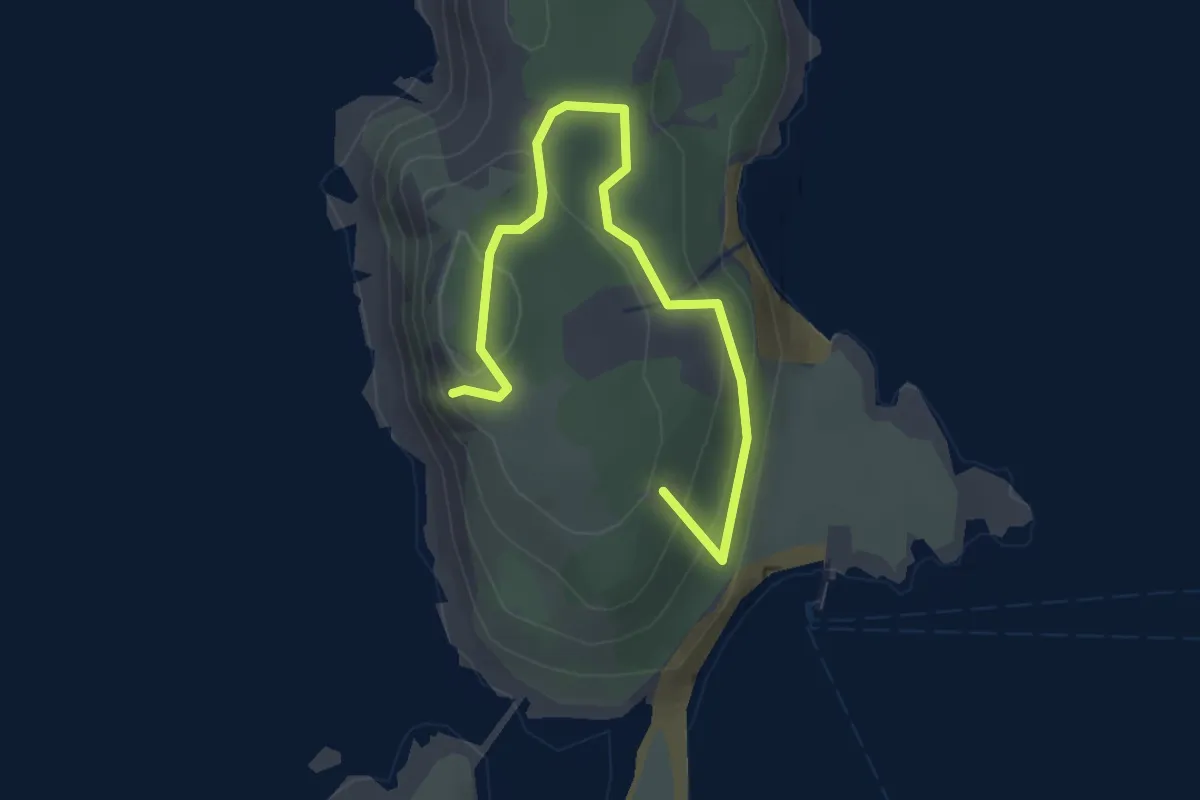
Easy · Summit
Roteiro Illas Cíes 3: O Alto do Príncipe
3.5 km · ↑ 180 m · 1 h 12 min
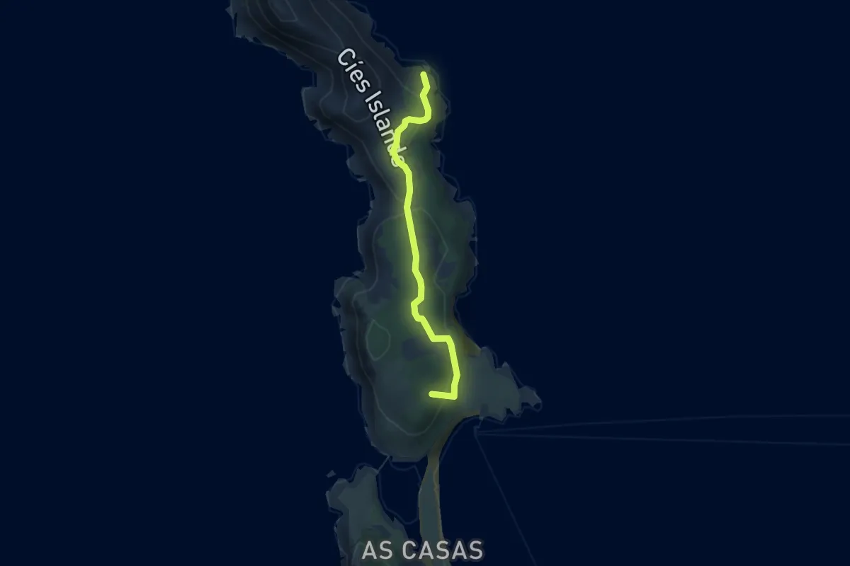
Easy · Summit
Roteiro Illas Cíes 4: O Monteagudo
4.3 km · ↑ 220 m · 1 h 30 min
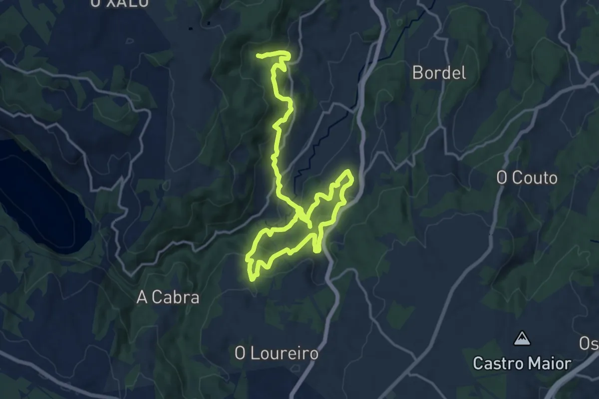
Demanding · Trail
Roteiro Mariñán - Costa da Égoa
21.3 km · ↑ 1110 m · 7 h 26 min
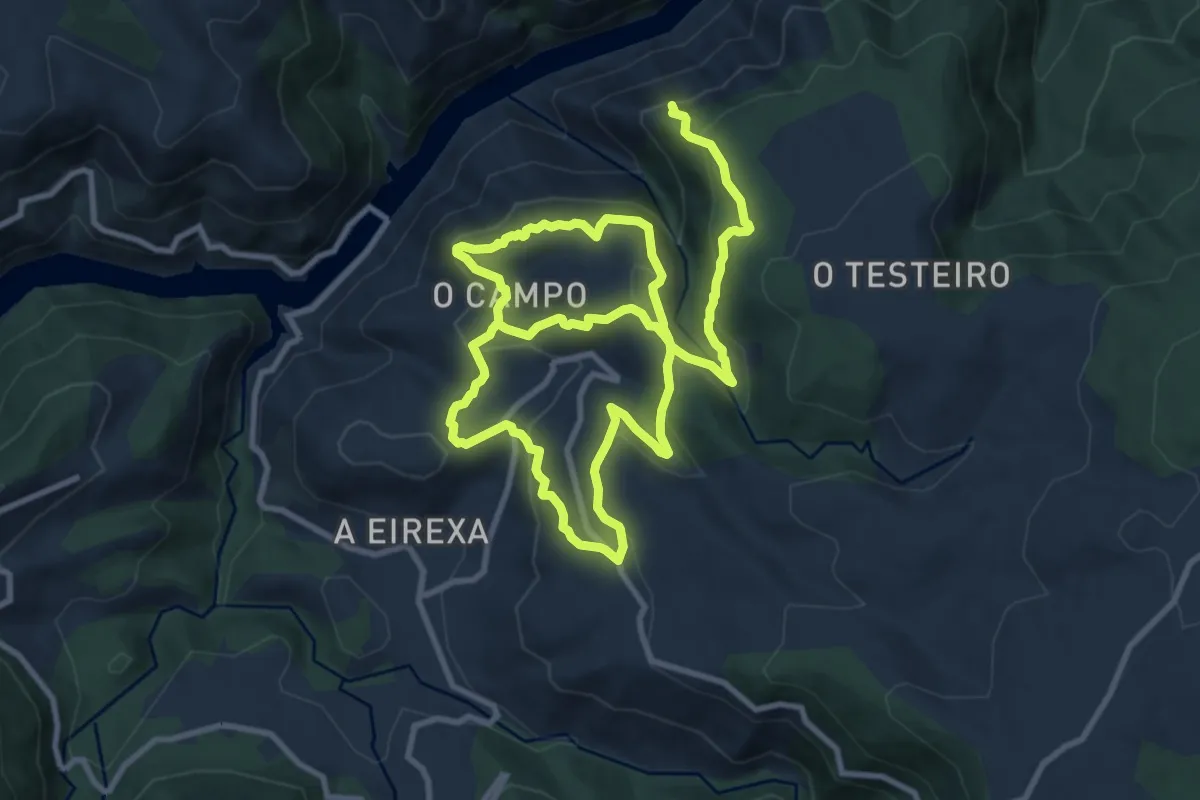
Demanding · Trail
Roteiros de Matacás
19.5 km · ↑ 861 m · 6 h 28 min
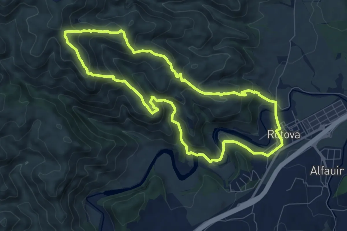
Medium · Summit
Ròtova
8.6 km · ↑ 495 m · 3 h 14 min
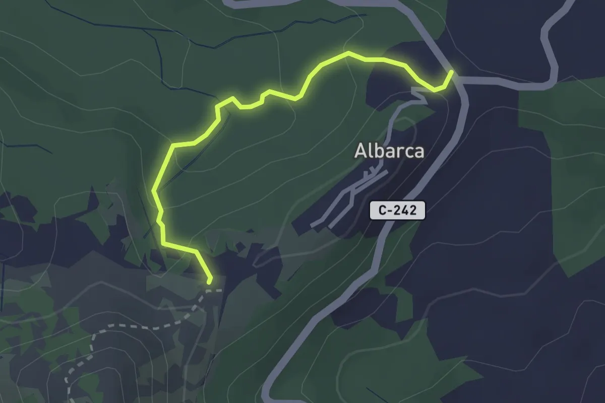
Easy · Trail
Roureda d'obaga. Albarca
2.6 km · ↑ 110 m · 51 min
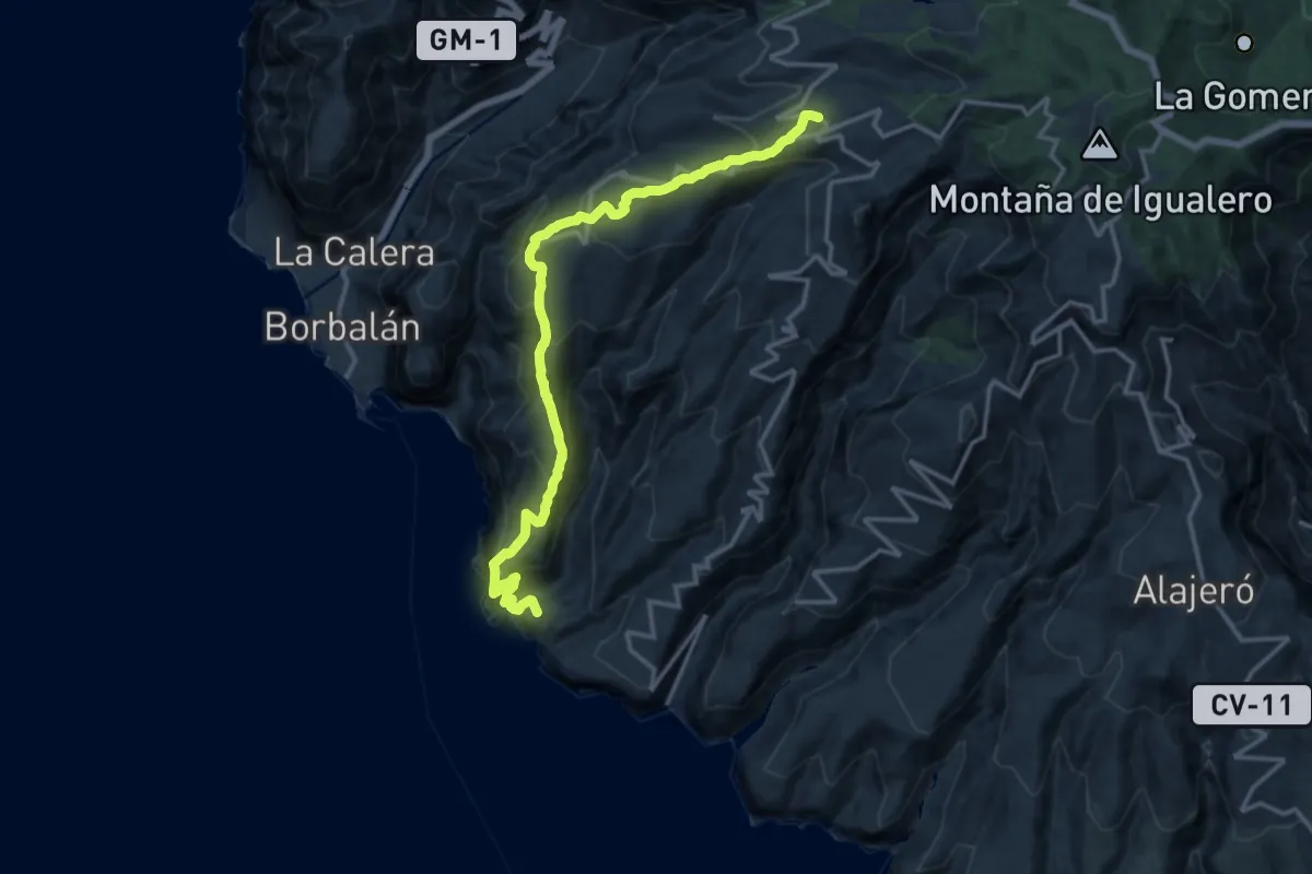
Demanding · Summit
Routa 16
20.0 km · ↑ 1416 m · 7 h 48 min
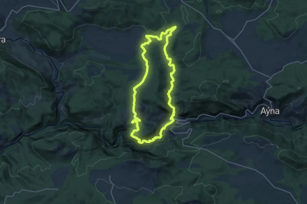
Medium · Trail
Royo Odrea por los Luisos, la Rambla de el Griego, y la Fuente de la Parra
16.2 km · ↑ 558 m · 5 h 16 min
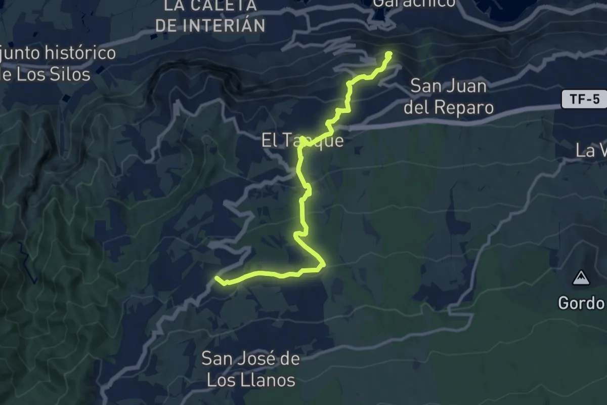
Easy · Trail
Ruigómez - El Tanque - EL Tanque Bajo - La Atalaya
6.2 km · ↑ 38 m · 1 h 55 min
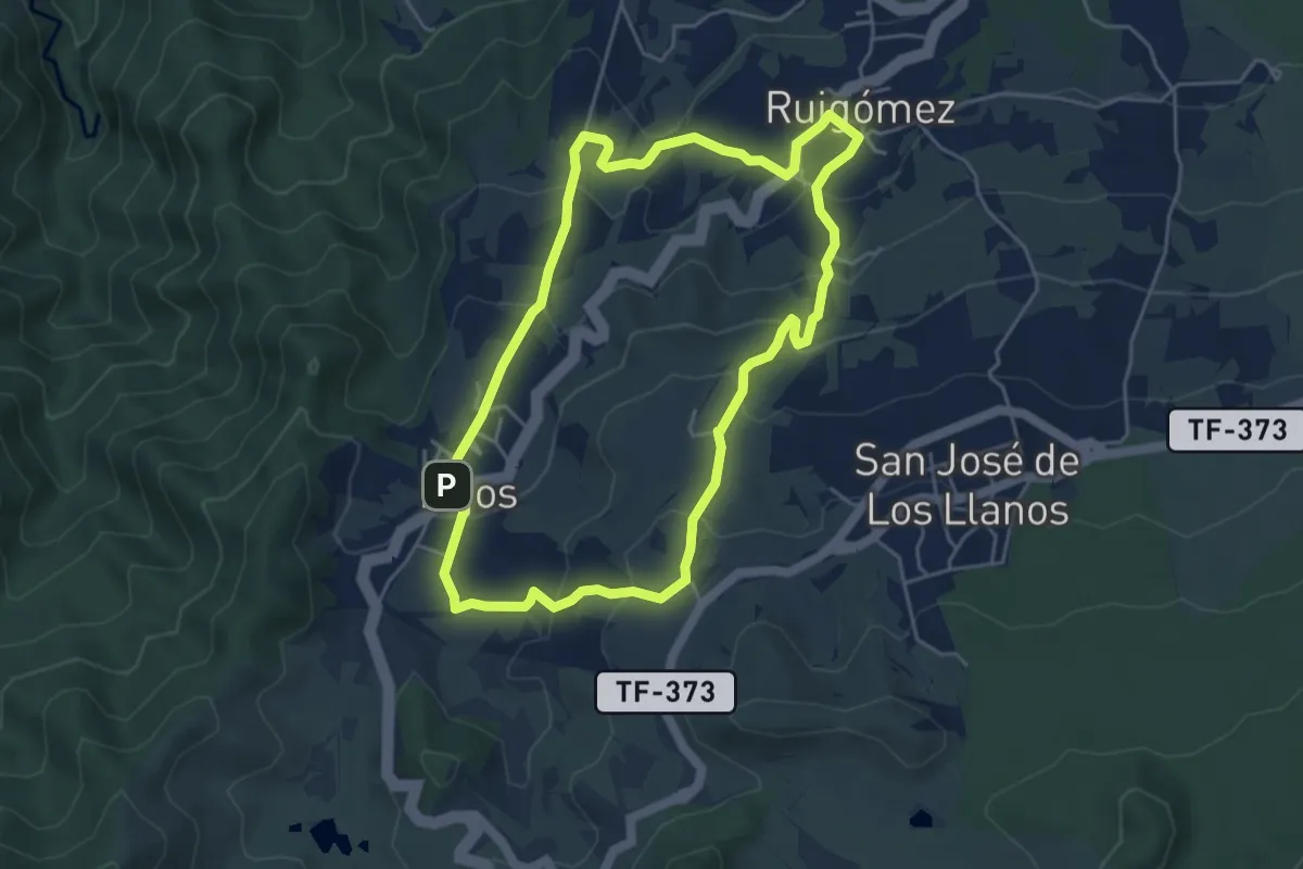
Easy · Trail
Ruigómez - Erjos - Ruigómez
5.8 km · ↑ 272 m · 2 h 3 min
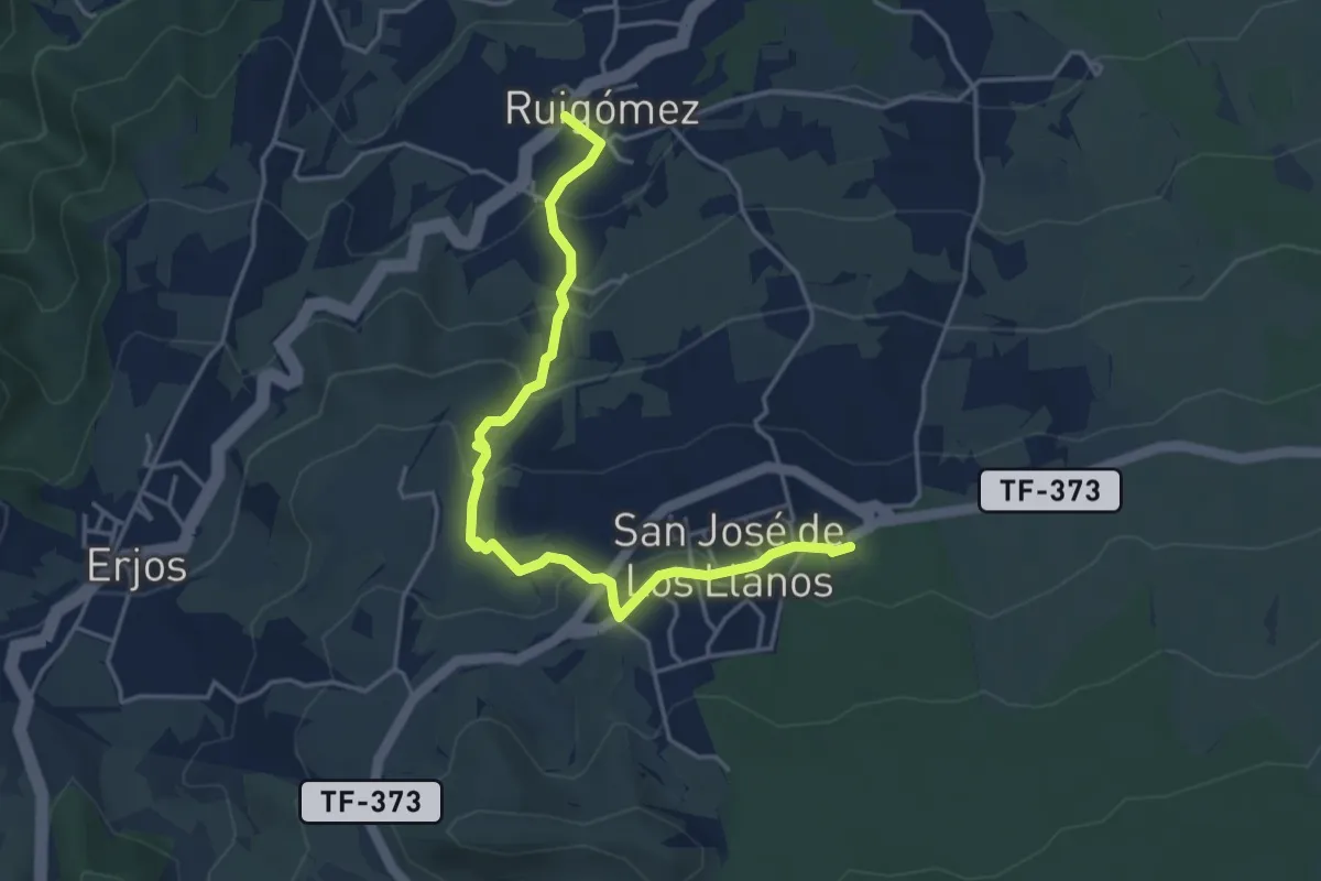
Easy · Trail
Ruigómez - San José de Los Llanos
2.9 km · ↑ 239 m · 1 h 8 min
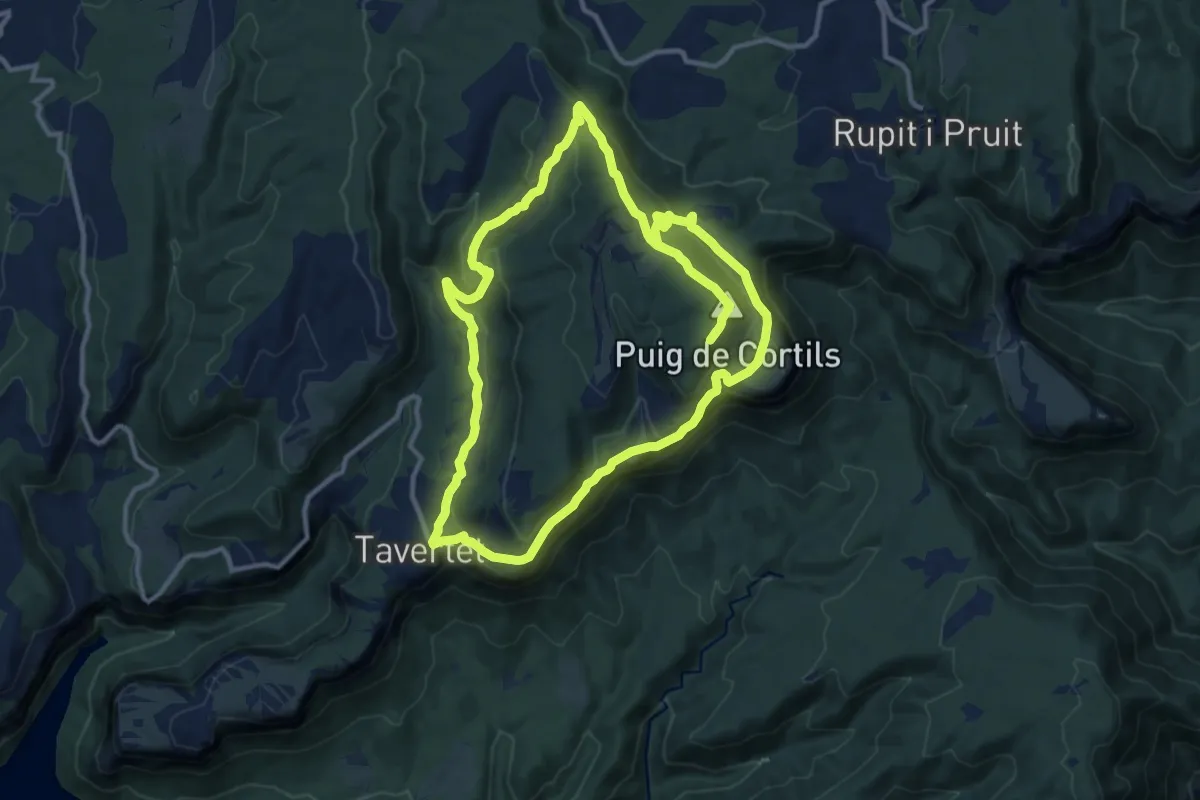
Medium · Summit
Rupit a Roca Llarga, Sant Corneli i Tavertet
13.3 km · ↑ 464 m · 4 h 21 min
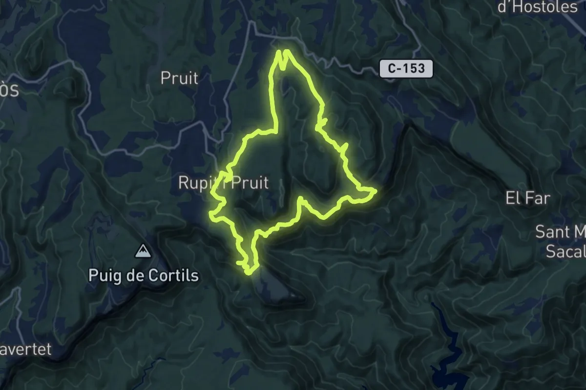
Medium · Summit
Rupit-Cinglera Casadevall-Salt Sallent-Sant Joan Fàbregues
15.9 km · ↑ 647 m · 5 h 23 min
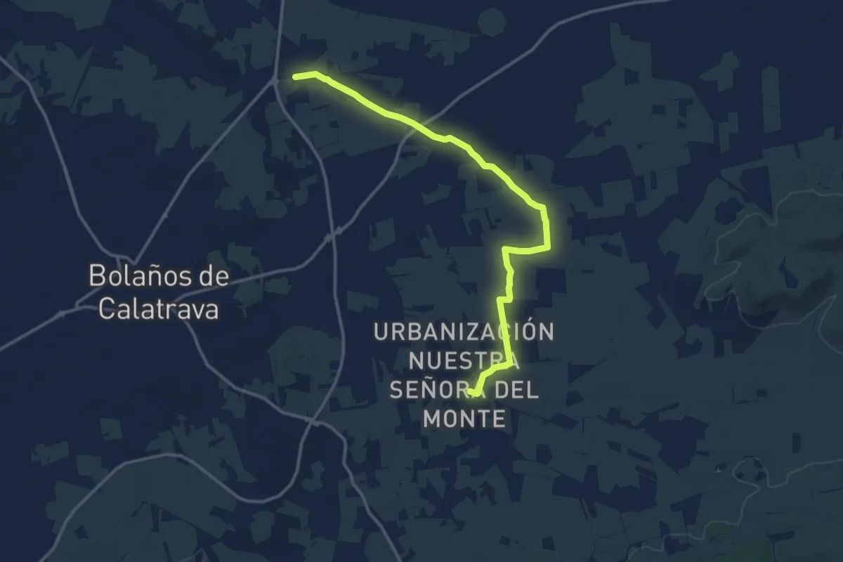
Medium · Trail
Rurta entre santuarios. Santuario de la Virden del Monte. Santuario de Ntra. Sra. de las Nieves
15.5 km · ↑ 27 m · 3 h 43 min
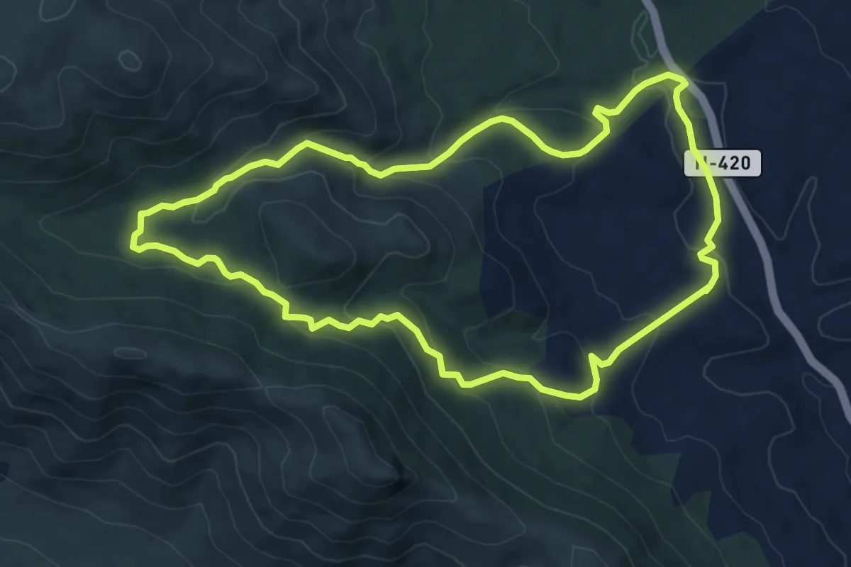
Medium · Trail
Ruta 01.- San Isidro-Chorrera de las Sierpes-Robledo de las Hoyas-El Abuelo
8.7 km · ↑ 356 m · 2 h 57 min
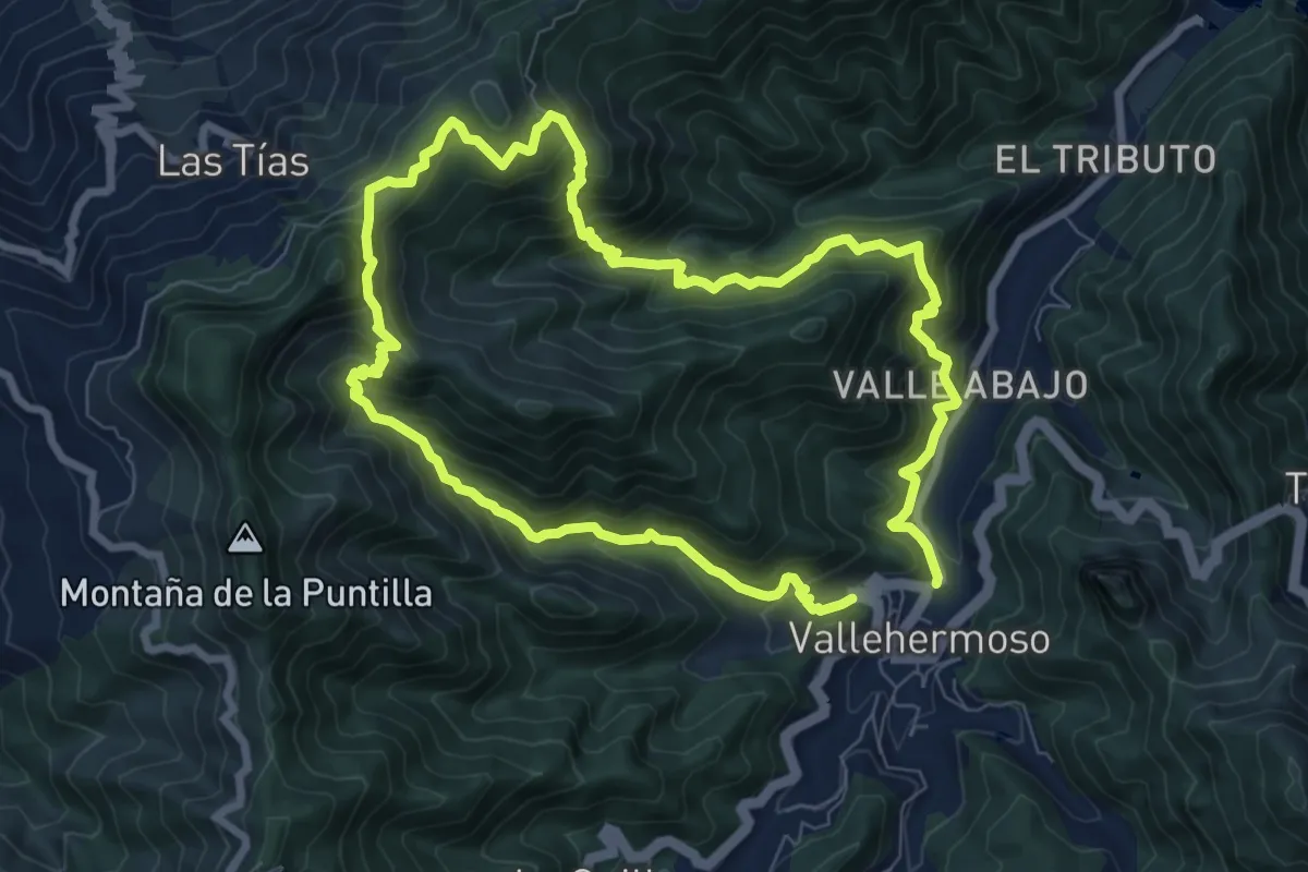
Demanding · Summit
Ruta 04
9.3 km · ↑ 827 m · 4 h 6 min
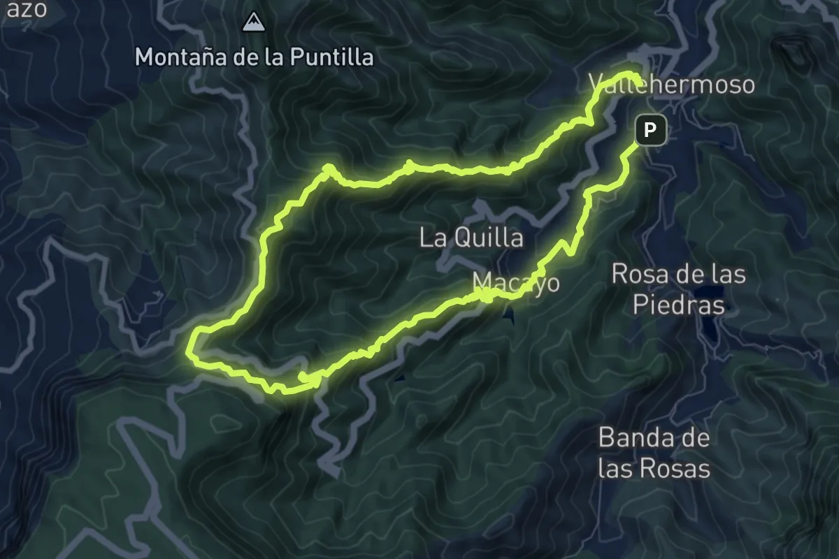
Demanding · Summit
Ruta 05
10.2 km · ↑ 863 m · 4 h 24 min
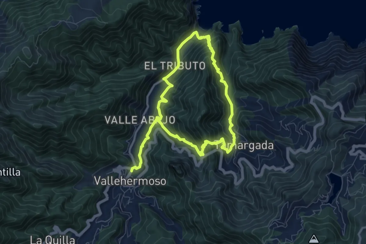
Medium · Trail
Ruta 06
8.6 km · ↑ 688 m · 3 h 37 min
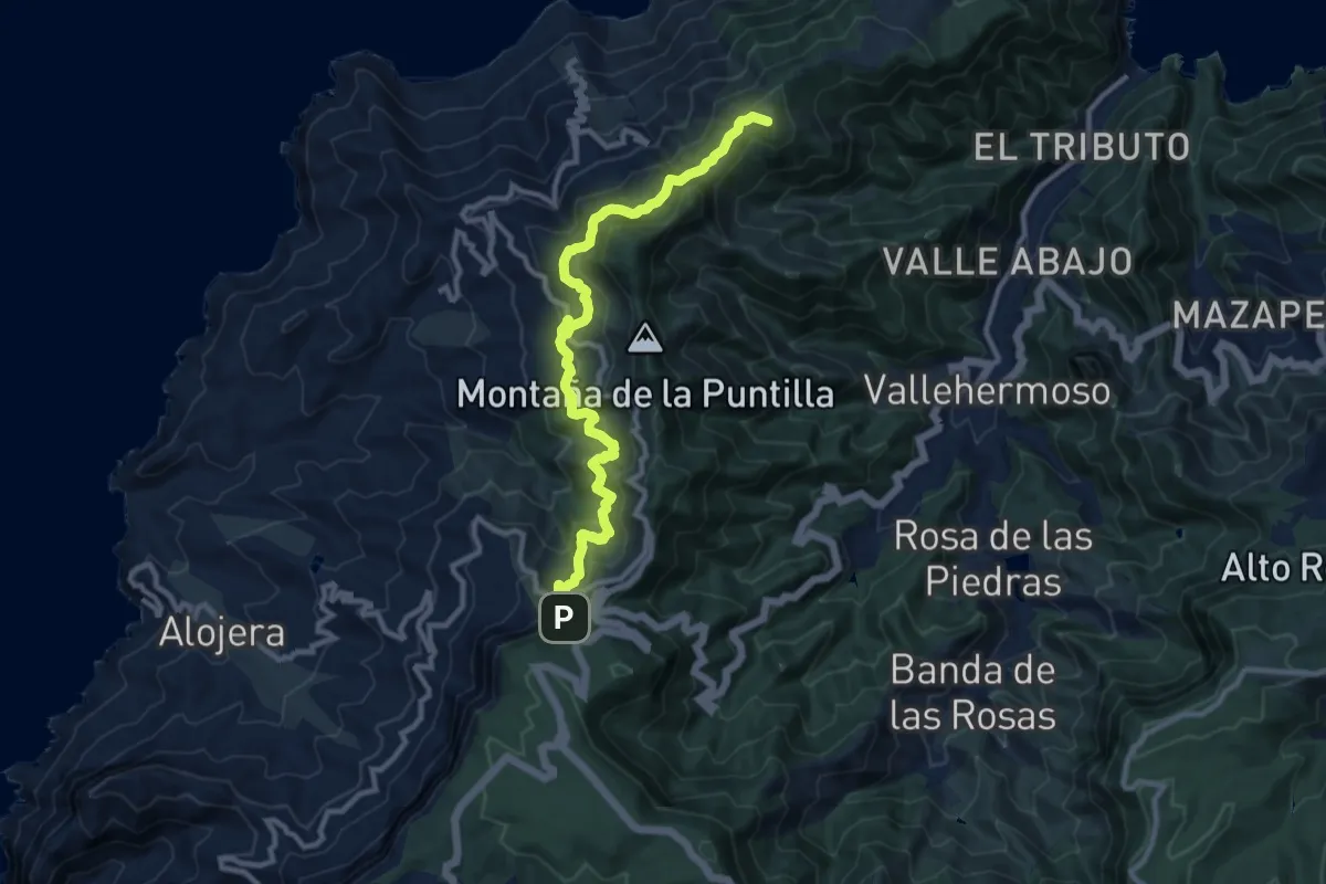
Demanding · Summit
Ruta 07
14.1 km · ↑ 848 m · 5 h 10 min
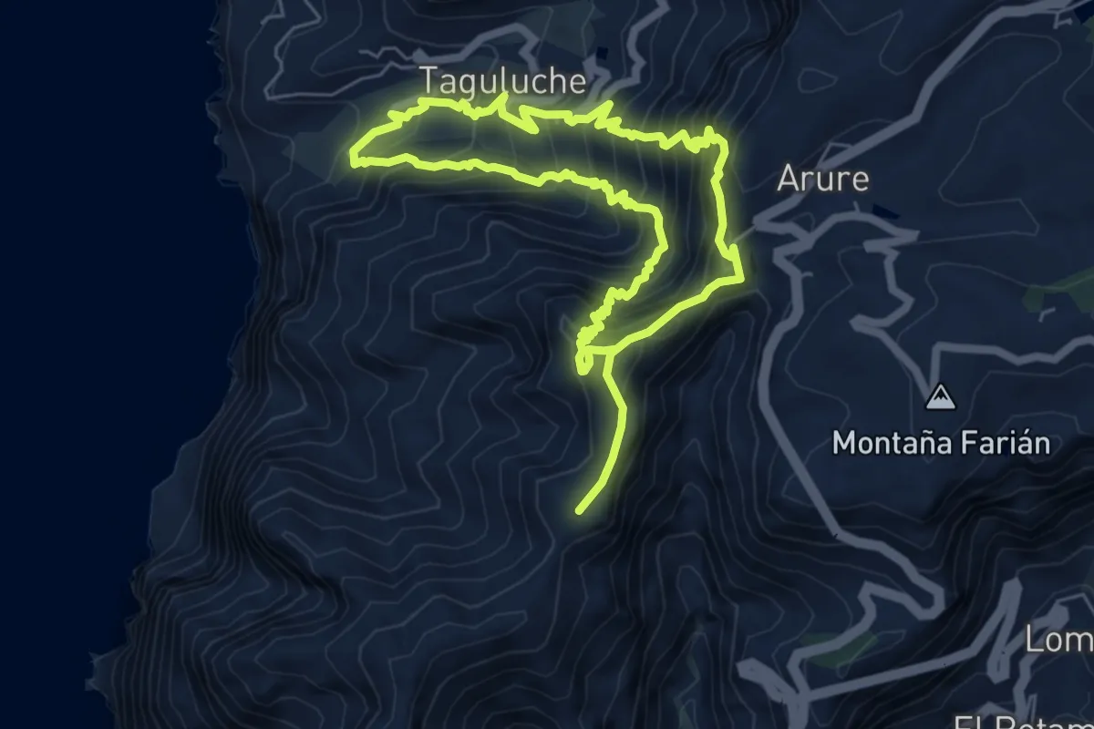
Demanding · Summit
Ruta 08
6.9 km · ↑ 763 m · 3 h 22 min
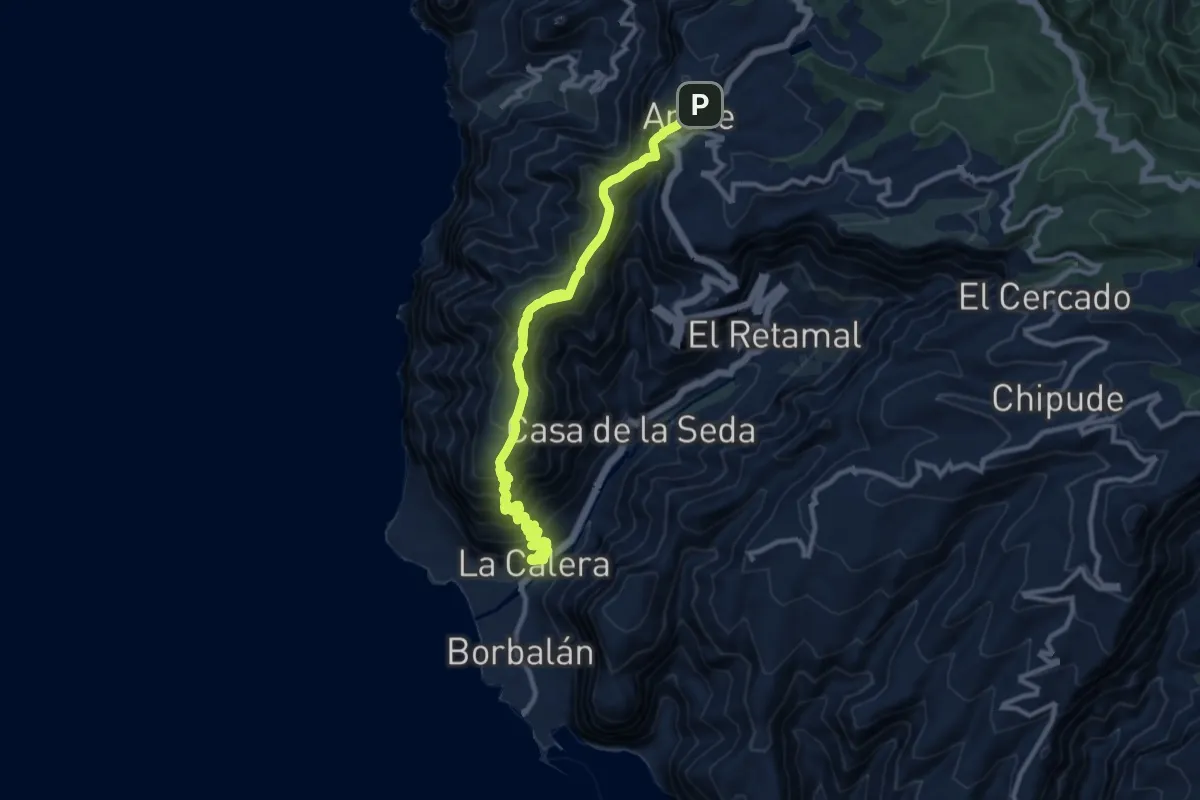
Demanding · Trail
Ruta 09
16.4 km · ↑ 1097 m · 6 h 15 min
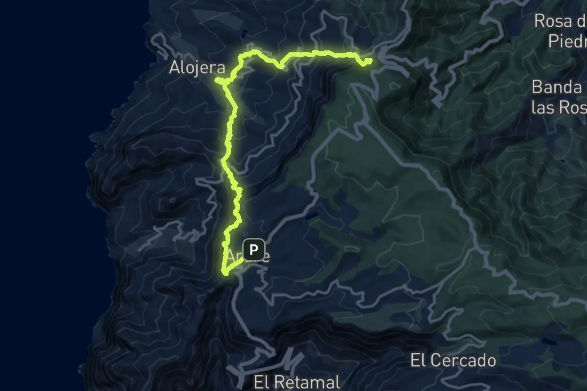
Demanding · Trail
Ruta 10
8.6 km · ↑ 960 m · 4 h 15 min
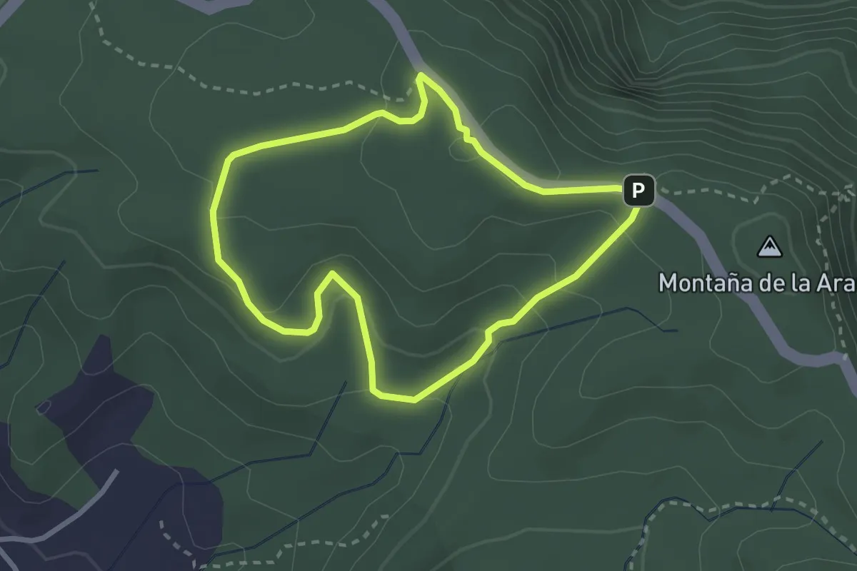
Medium · Summit
Ruta 10: Cañada de Jorge
3.1 km · ↑ 110 m · 1 h 1 min
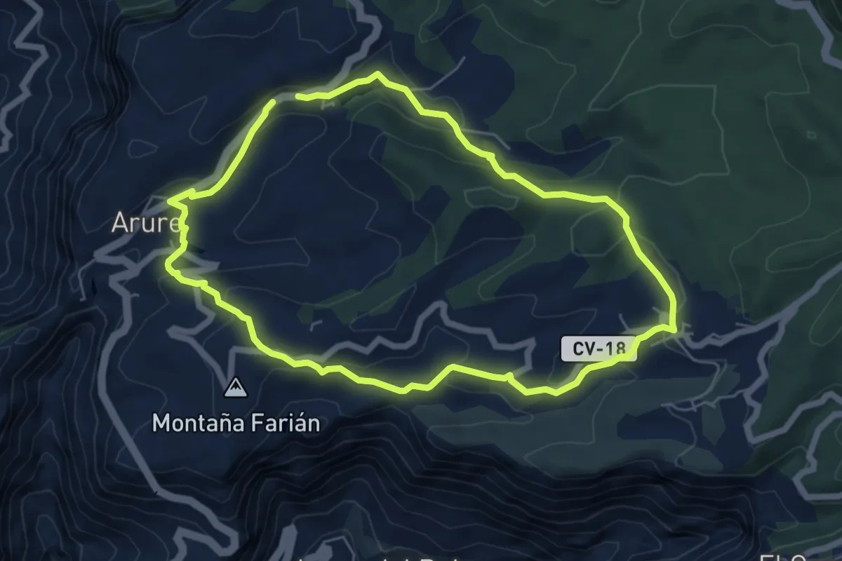
Easy · Trail
Ruta 11
6.9 km · ↑ 258 m · 2 h 17 min
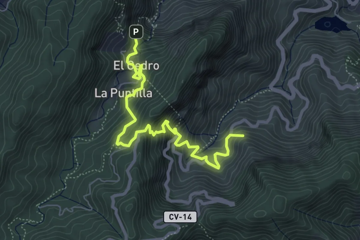
Medium · Summit
Ruta 11: La Meseta de Hermigua - Chorro del Cedro
7.9 km · ↑ 761 m · 3 h 30 min
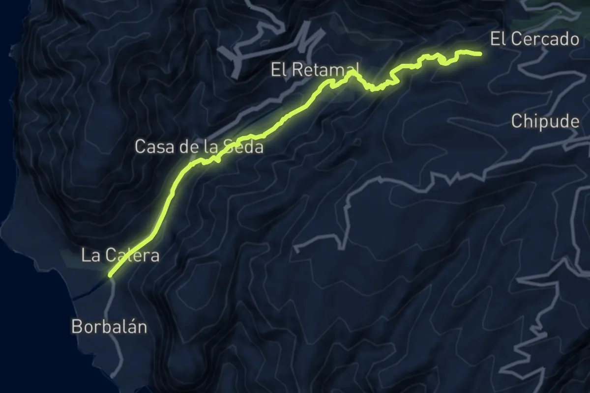
Demanding · Summit
Ruta 12
13.5 km · ↑ 1181 m · 5 h 44 min
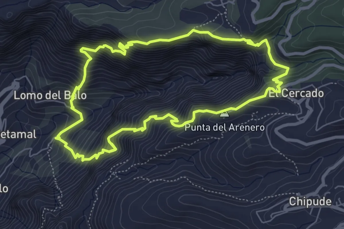
Demanding · Summit
Ruta 13
7.2 km · ↑ 901 m · 3 h 45 min
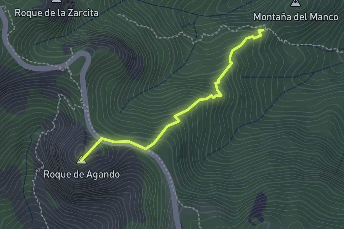
Medium · Summit
Ruta 13: Agando - La Laja - Agando
2.6 km · ↑ 269 m · 1 h 11 min
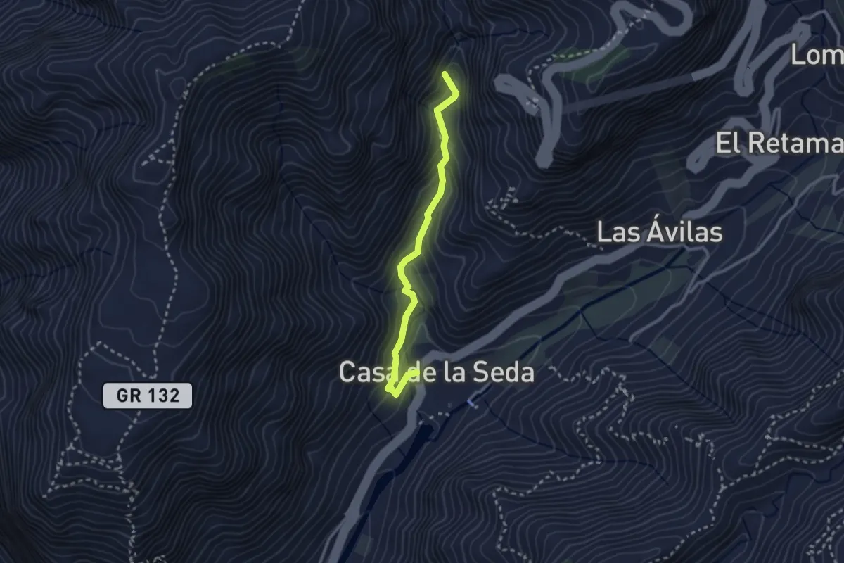
Medium · Trail
Ruta 14
3.1 km · ↑ 237 m · 1 h 15 min
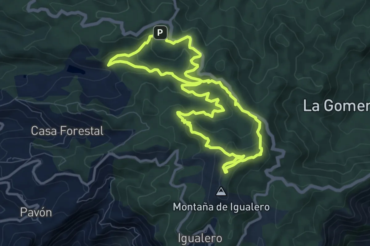
Medium · Summit
Ruta 14: Laguna Grande - Alto de Garajonay
9.7 km · ↑ 400 m · 3 h 18 min
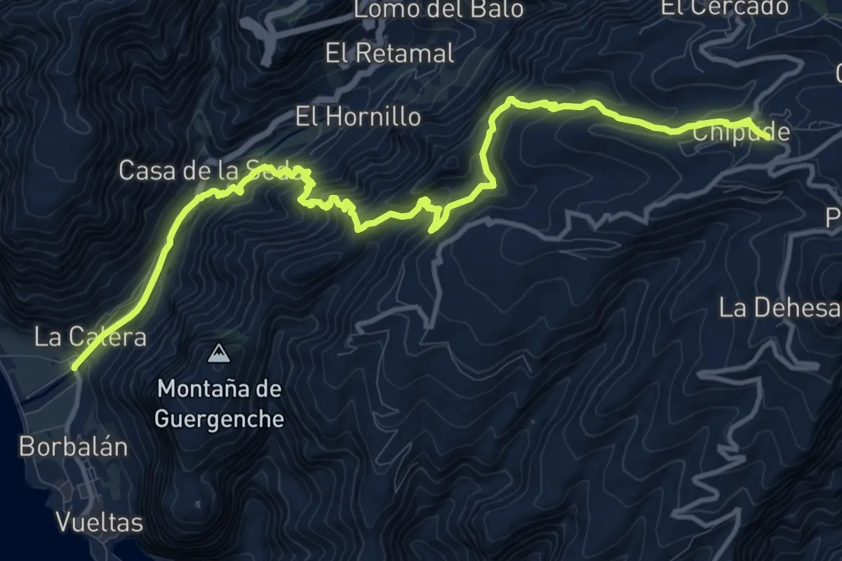
Demanding · Trail
Ruta 15
17.6 km · ↑ 1264 m · 6 h 53 min
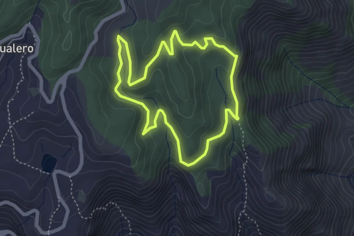
Easy · Trail
Ruta 16: Pajarito - Lajugal
4.5 km · ↑ 175 m · 1 h 30 min
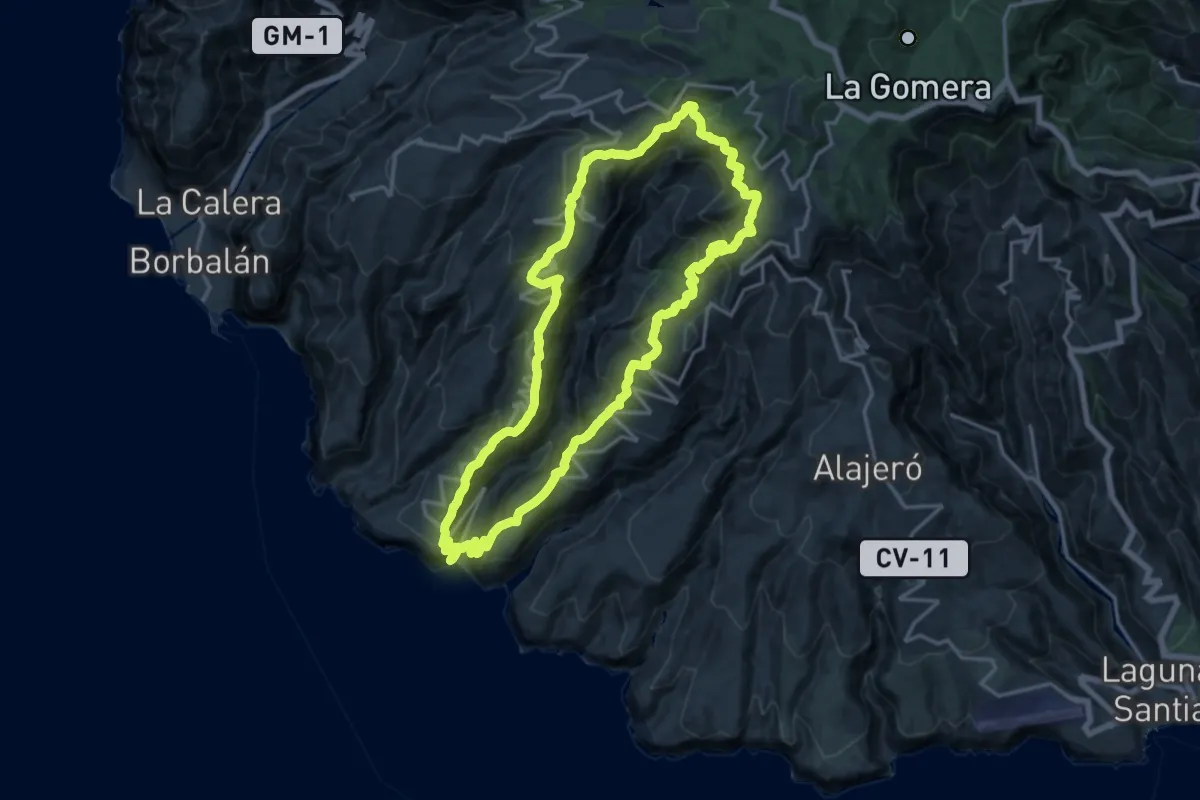
Demanding · Summit
Ruta 17
21.6 km · ↑ 1812 m · 9 h 19 min
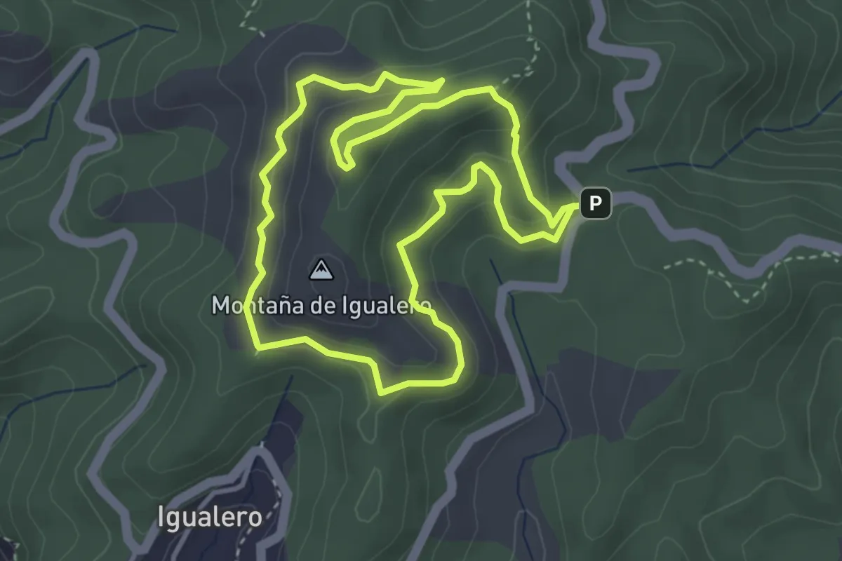
Easy · Summit
Ruta 17: Pajarito - Alto de Garajonay - Pajarito
4.4 km · ↑ 202 m · 1 h 32 min
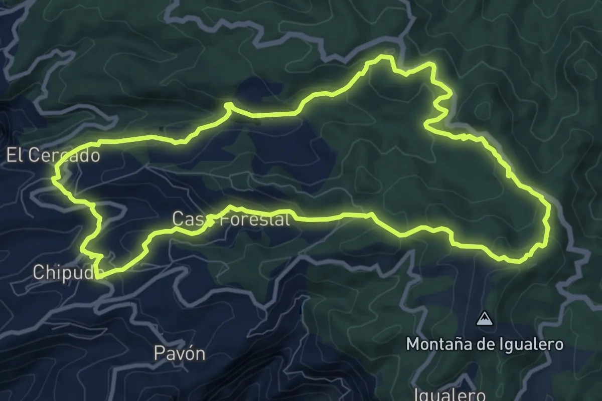
Medium · Summit
Ruta 18
12.8 km · ↑ 584 m · 4 h 27 min