Trails in Spain
5,962 hiking trails, each with its route, climb, walking time and grade.
All trails, page 76 of 125
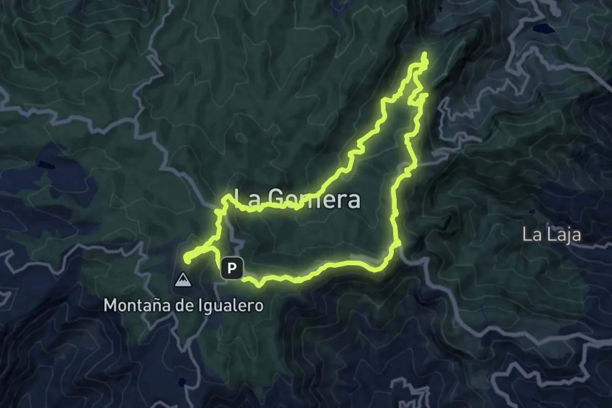
Medium · Summit
Ruta 18: Pajarito - El Cedro - Tajaqué - Pajarito
14.4 km · ↑ 735 m · 5 h 11 min
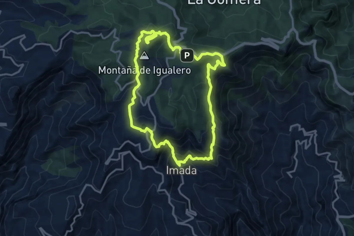
Medium · Summit
Ruta 19
10.8 km · ↑ 768 m · 4 h 22 min
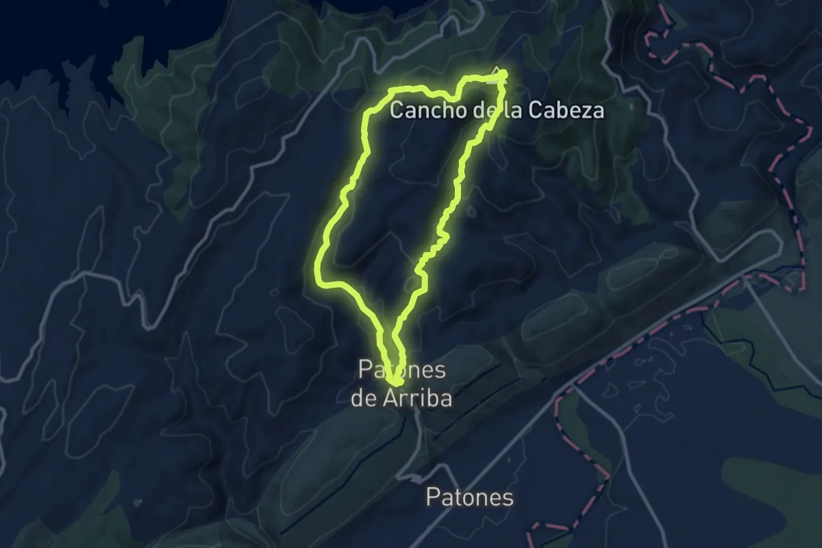
Medium · Summit
Ruta 1: Subida al Cancho de la Cabeza por el Arroyo de Patones
9.9 km · ↑ 454 m · 3 h 28 min
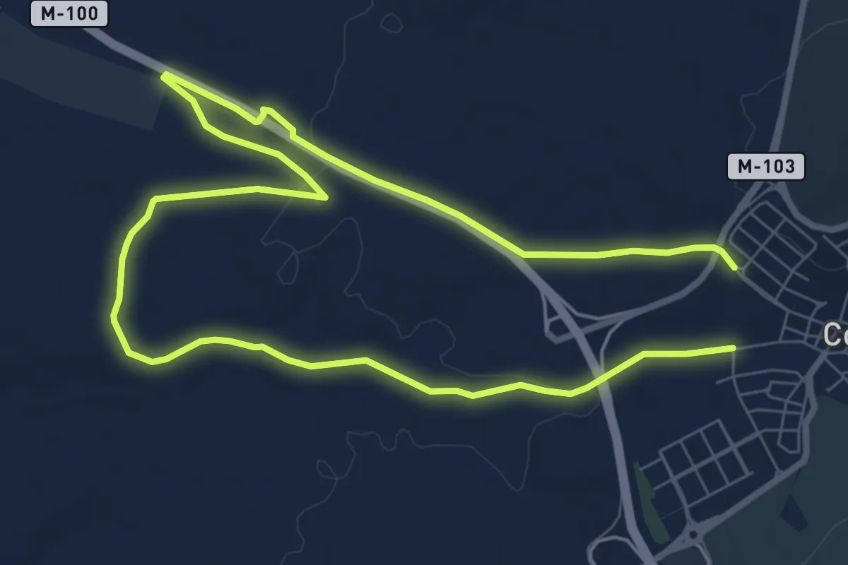
Medium · Trail
Ruta 1: Valle de Abajo y de los medios cerealistas
14.6 km · ↑ 143 m · 3 h 46 min
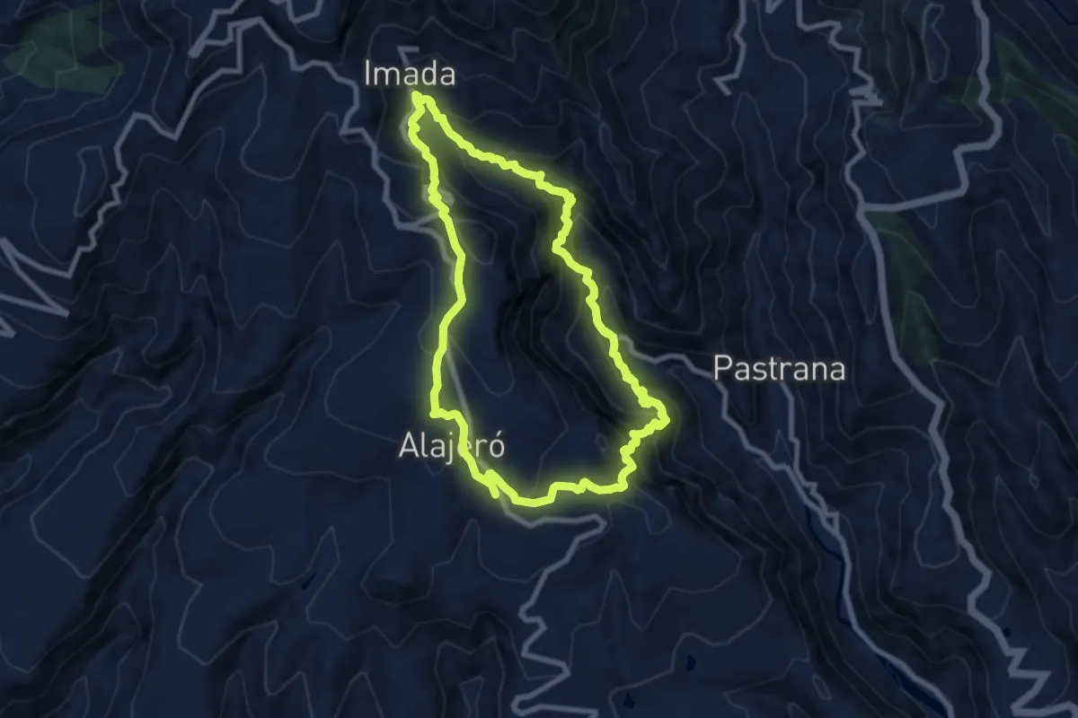
Demanding · Summit
Ruta 20
9.5 km · ↑ 824 m · 4 h 9 min
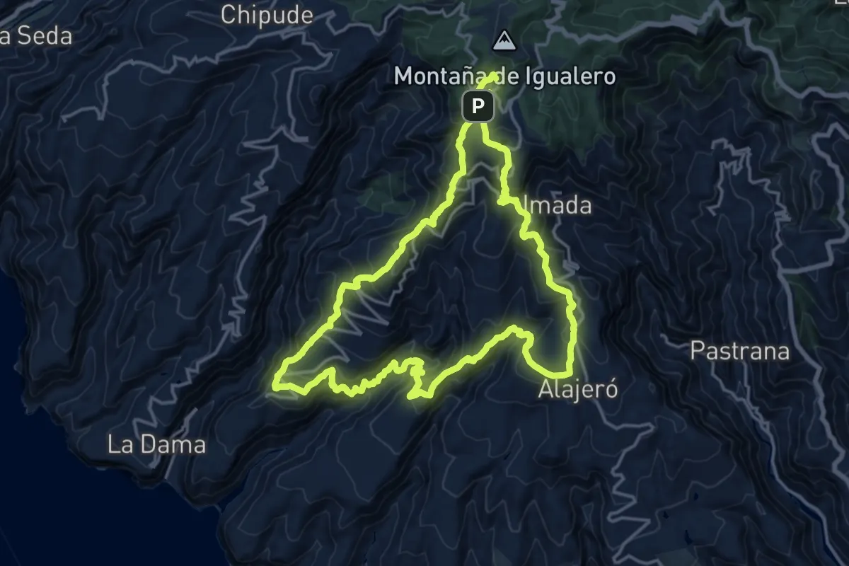
Demanding · Summit
Ruta 21
19.9 km · ↑ 1601 m · 8 h 25 min
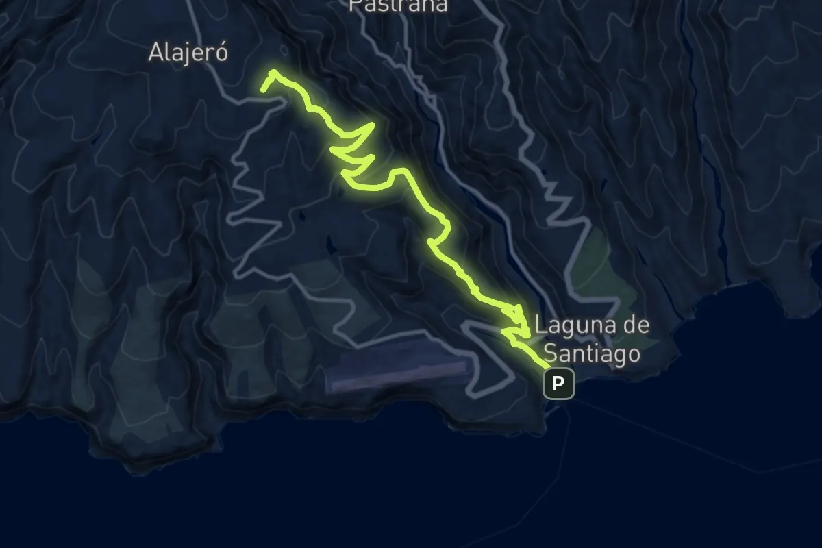
Demanding · Summit
Ruta 22
17.0 km · ↑ 895 m · 5 h 58 min
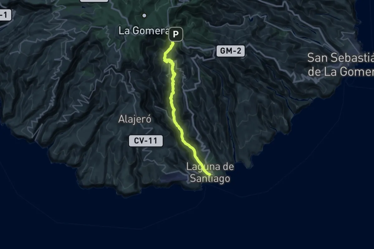
Medium · Trail
Ruta 23
11.4 km · ↑ 138 m · 3 h 40 min
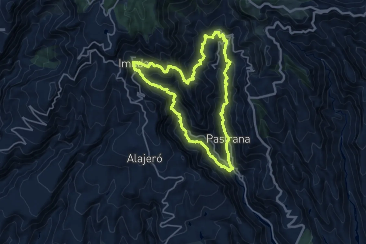
Demanding · Trail
Ruta 24
14.8 km · ↑ 1130 m · 6 h 8 min
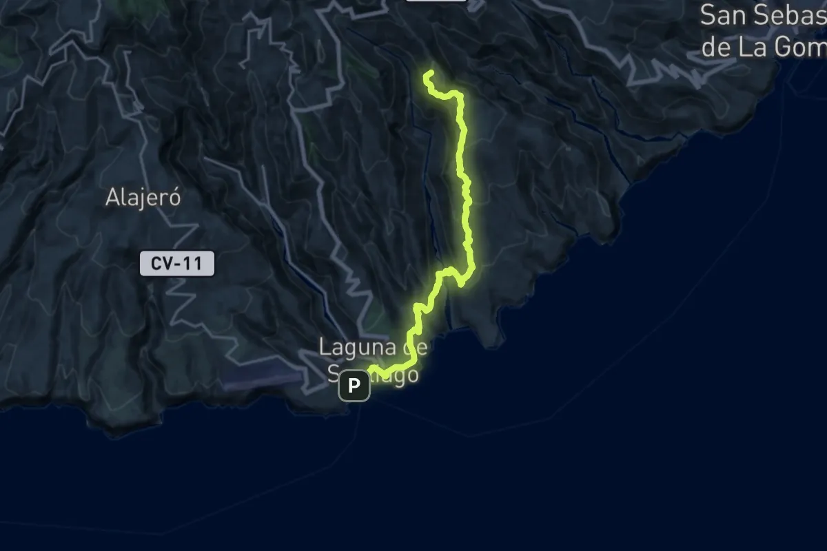
Demanding · Summit
Ruta 25
20.5 km · ↑ 1457 m · 8 h
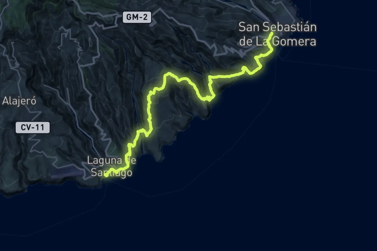
Demanding · Summit
Ruta 27
39.0 km · ↑ 2315 m · 14 h 13 min
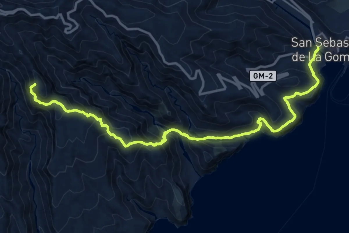
Demanding · Summit
Ruta 28
22.7 km · ↑ 1679 m · 8 h 59 min
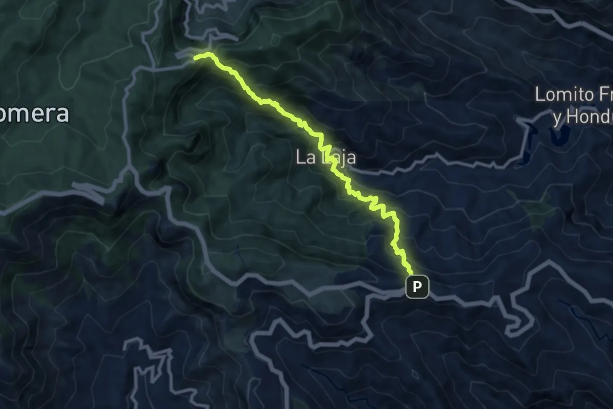
Medium · Trail
Ruta 29
5.2 km · ↑ 716 m · 2 h 47 min
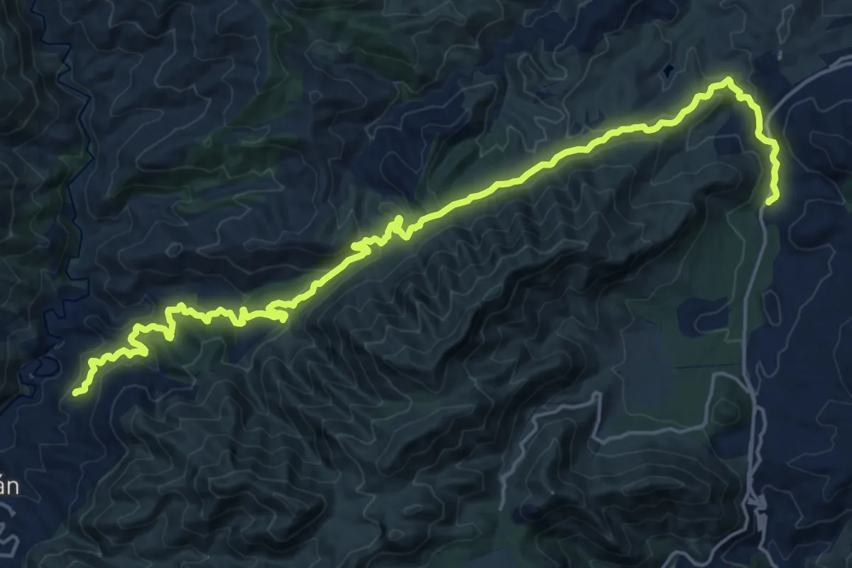
Medium · Trail
Ruta 2 Istán-Monda
13.5 km · ↑ 624 m · 4 h 41 min
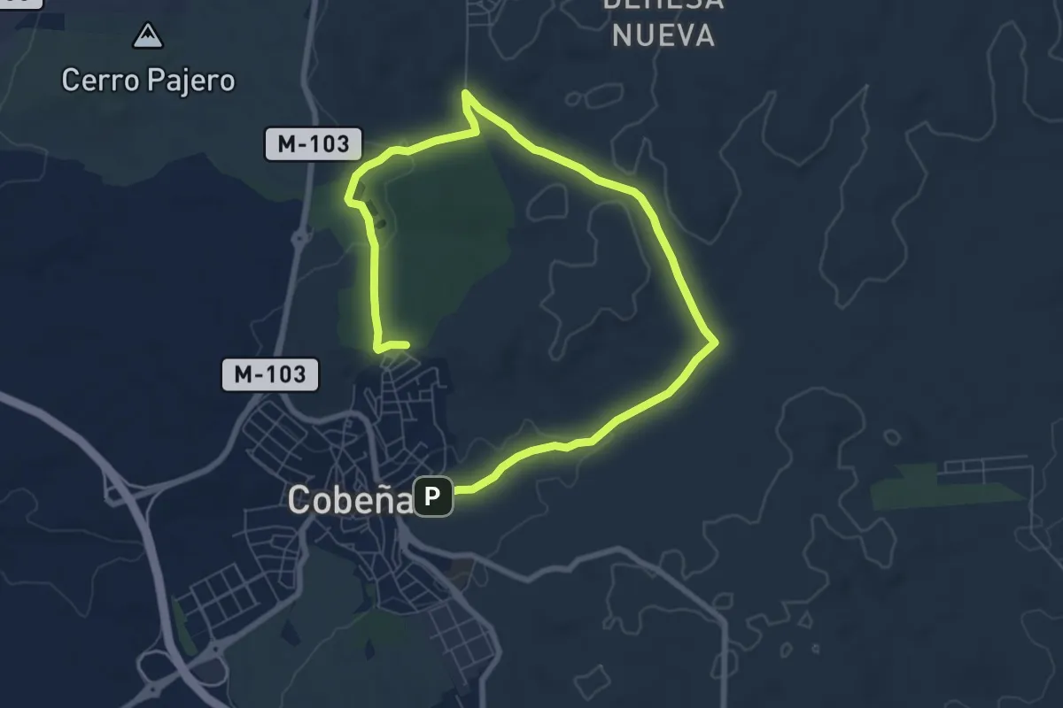
Medium · Trail
Ruta 2: Valle de Arriba y la Dehesa de Cobeña
11.7 km · ↑ 166 m · 3 h 8 min
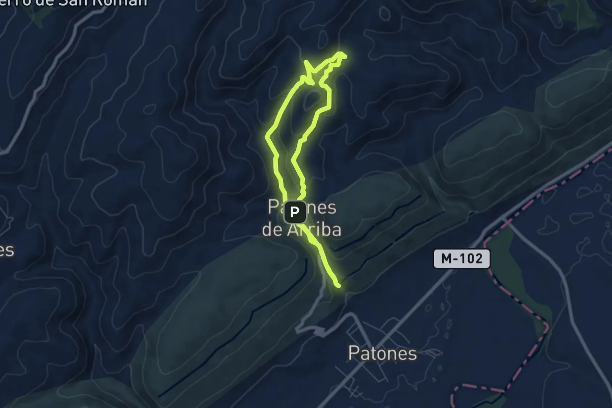
Easy · Summit
Ruta 2: Vuelta al Cabezo
6.2 km · ↑ 269 m · 2 h 8 min
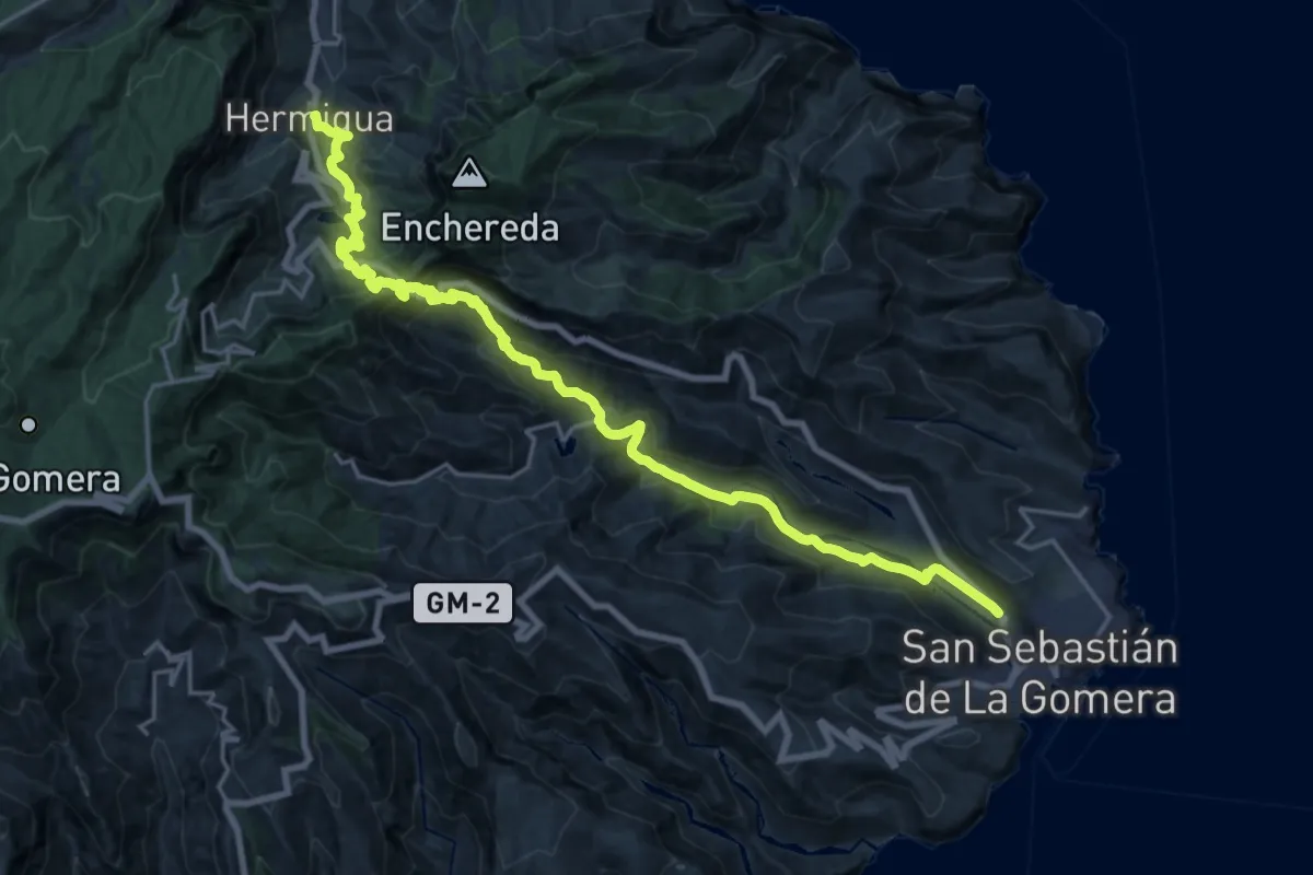
Demanding · Trail
Ruta 30
14.5 km · ↑ 1097 m · 5 h 53 min
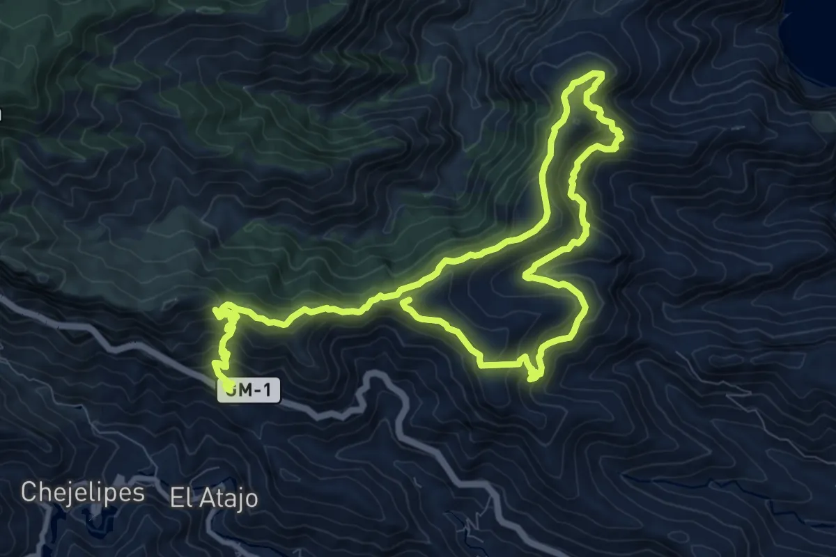
Demanding · Summit
Ruta 31
20.9 km · ↑ 1461 m · 8 h 6 min
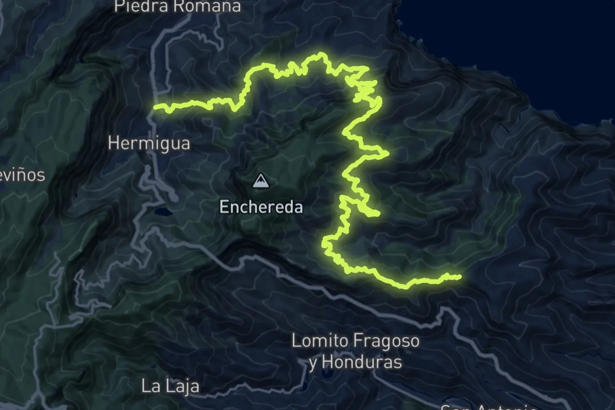
Demanding · Summit
Ruta 32
36.6 km · ↑ 2789 m · 14 h 41 min
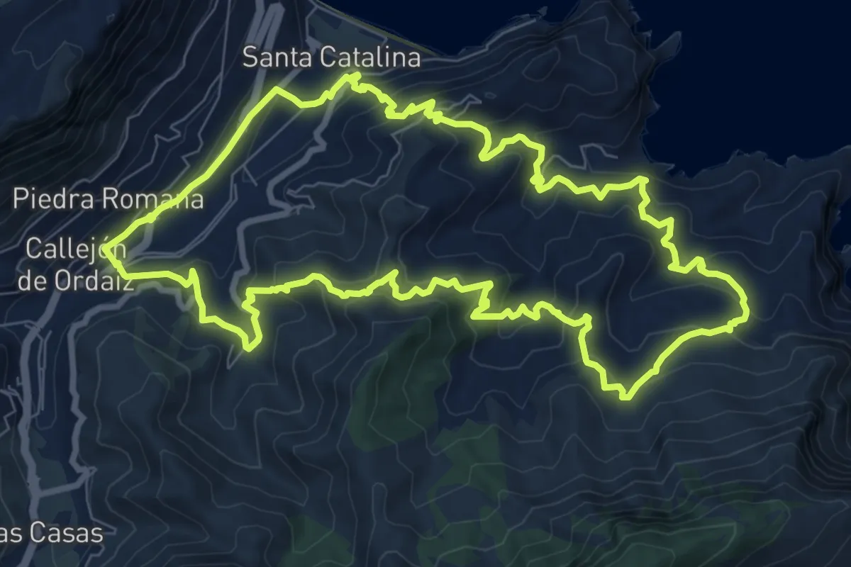
Demanding · Trail
Ruta 33
11.4 km · ↑ 754 m · 4 h 29 min
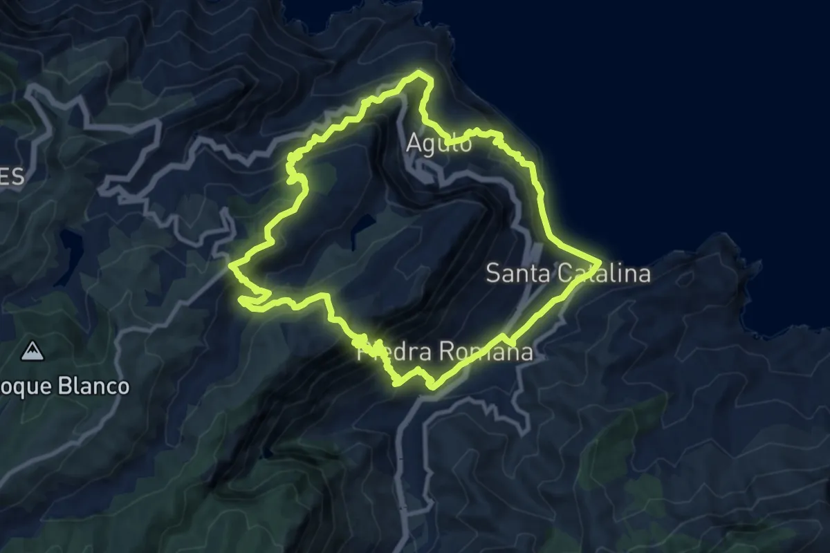
Demanding · Summit
Ruta 34
13.0 km · ↑ 1123 m · 5 h 42 min
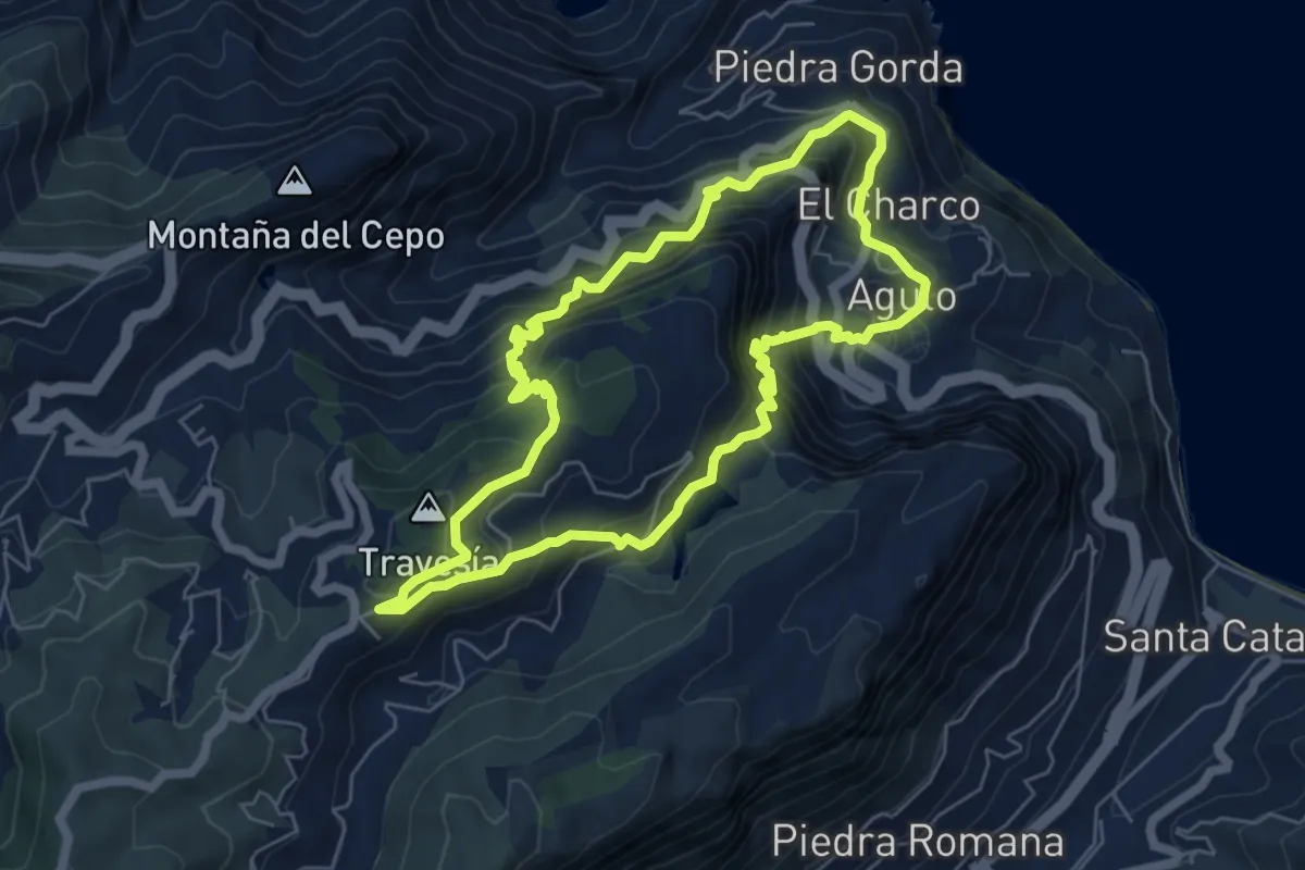
Demanding · Summit
Ruta 35
7.3 km · ↑ 806 m · 3 h 34 min
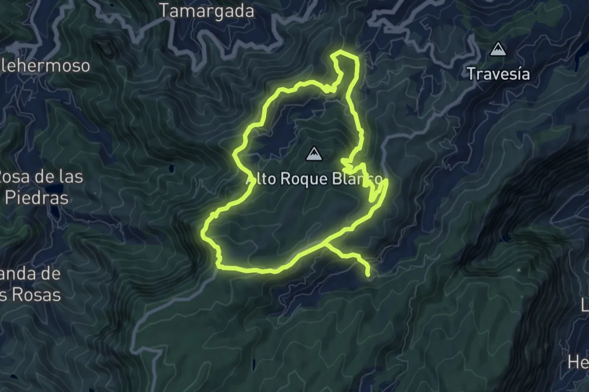
Medium · Summit
Ruta 36
10.2 km · ↑ 537 m · 3 h 48 min
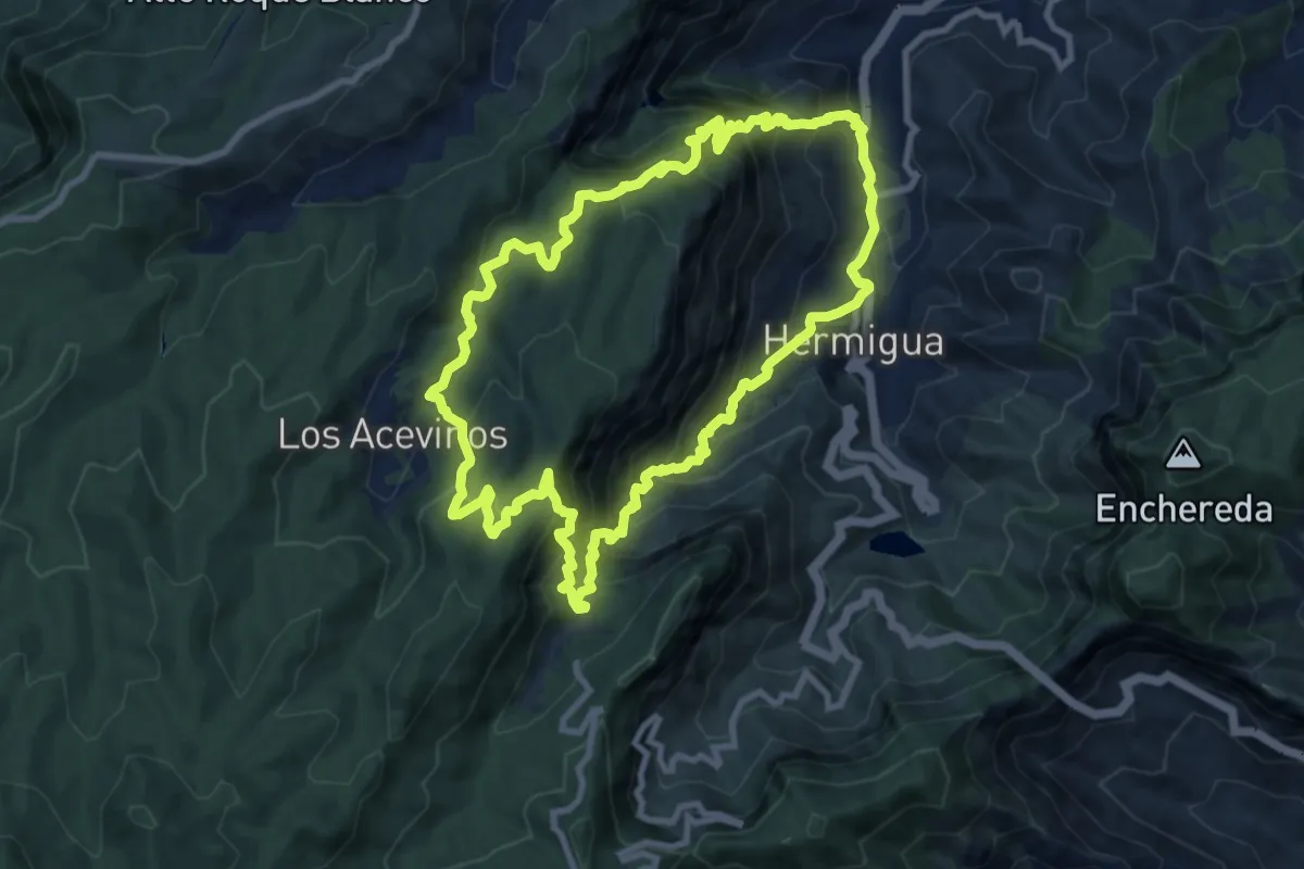
Demanding · Trail
Ruta 37: Hermigua - El Cedro - Los Acevinos - Hermigua
12.3 km · ↑ 1191 m · 5 h 39 min
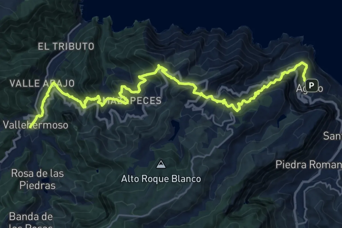
Demanding · Trail
Ruta 38
13.3 km · ↑ 1143 m · 5 h 49 min
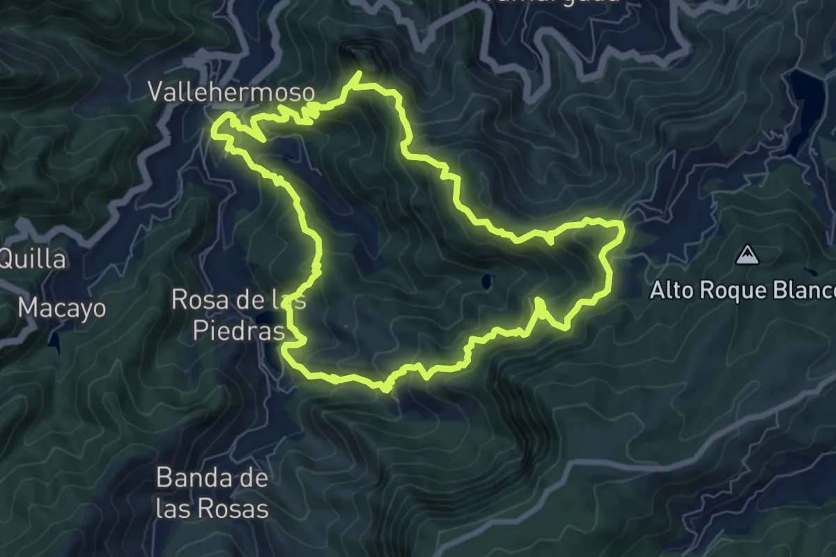
Demanding · Summit
Ruta 39
10.0 km · ↑ 883 m · 4 h 25 min
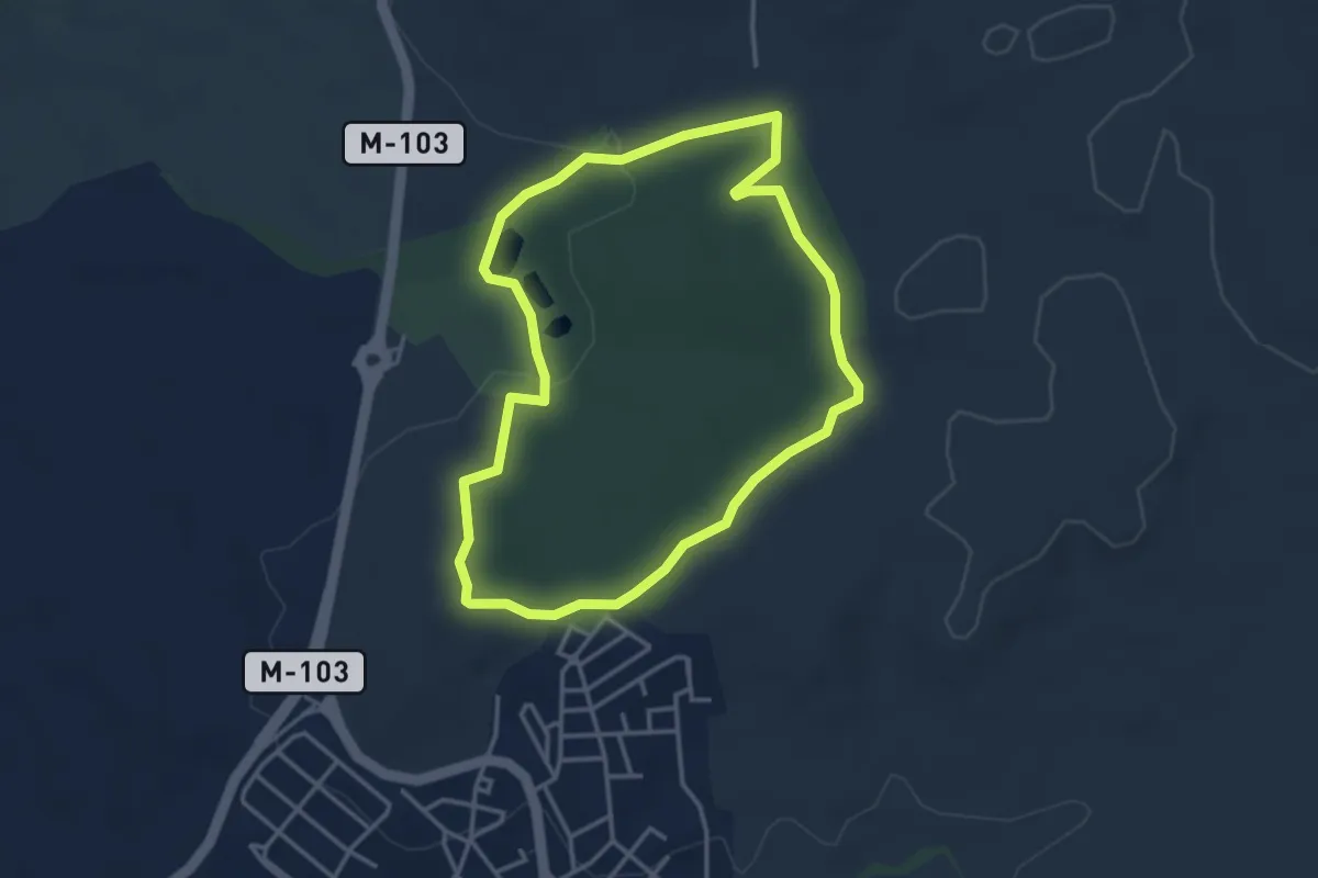
Easy · Trail
Ruta 3: Dehesa de Cobeña
3.8 km · ↑ 65 m · 1 h 6 min
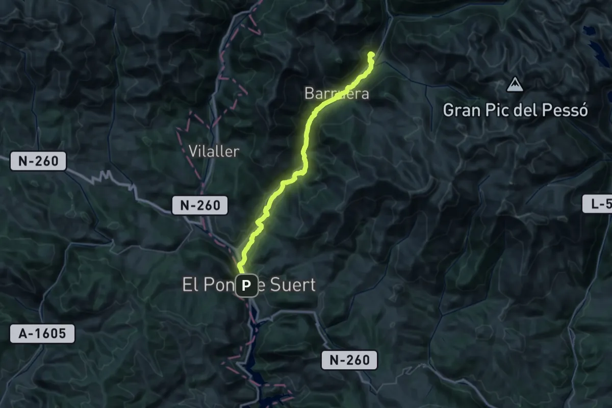
Demanding · Trail
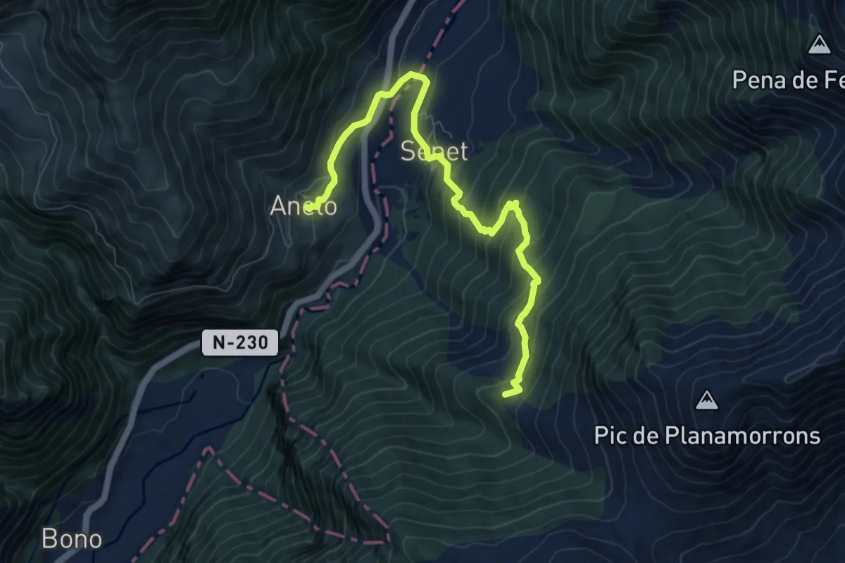
Ruta 3 Valls. Etapa 1: El Pont de Suert => Erill la Vall
18.7 km · ↑ 621 m · 5 h 48 min
Medium · Summit
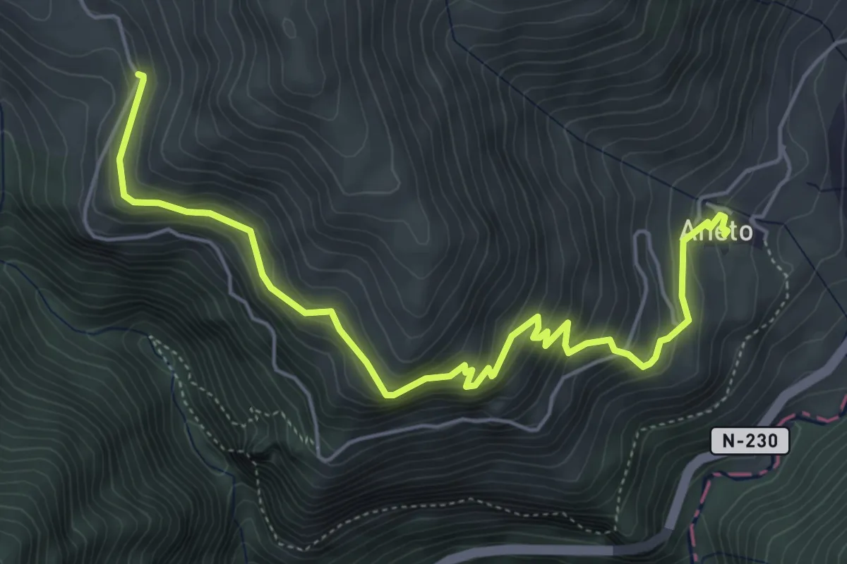
Ruta 3 Valls. Etapa 2: Erill la Vall => Aneto
9.0 km · ↑ 596 m · 3 h 25 min
Medium · Trail
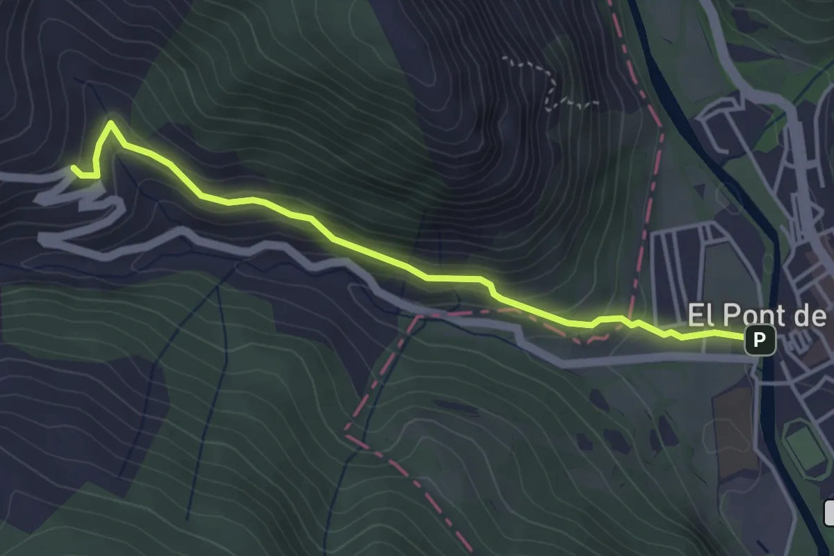
Ruta 3 Valls. Etapa 3: Aneto => Castanesa
6.4 km · ↑ 574 m · 2 h 45 min
Easy · Trail
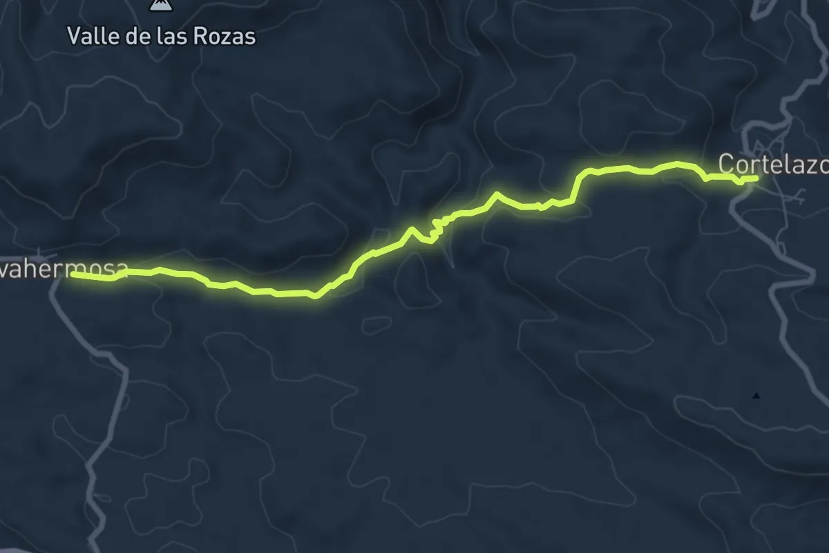
Ruta 3 Valls. Etapa 4: Castanesa => El Pont de Suert
4.1 km · ↑ 253 m · 1 h 31 min
Medium · Trail
Ruta 3 Verde
8.6 km · ↑ 249 m · 2 h 34 min
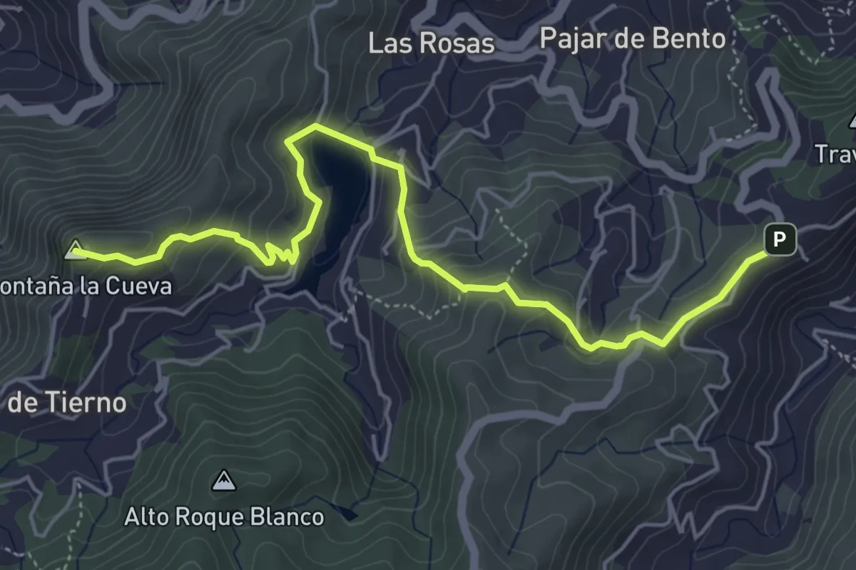
Medium · Summit
Ruta 40
7.1 km · ↑ 409 m · 2 h 34 min
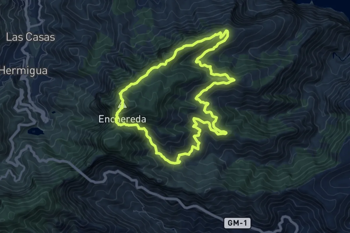
Demanding · Summit
Ruta 41
11.3 km · ↑ 821 m · 4 h 37 min
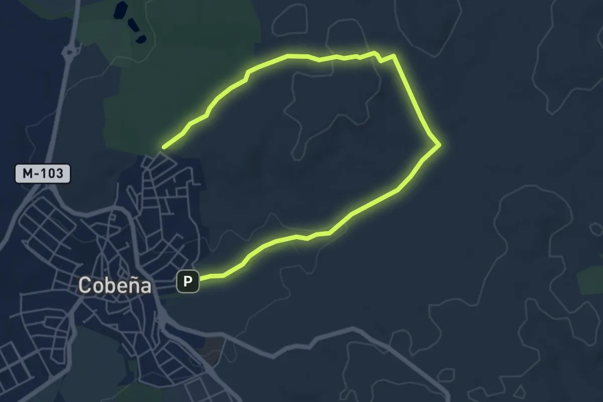
Medium · Trail
Ruta 4: Valle de Arriba y el Alfalfar
8.1 km · ↑ 118 m · 2 h 10 min
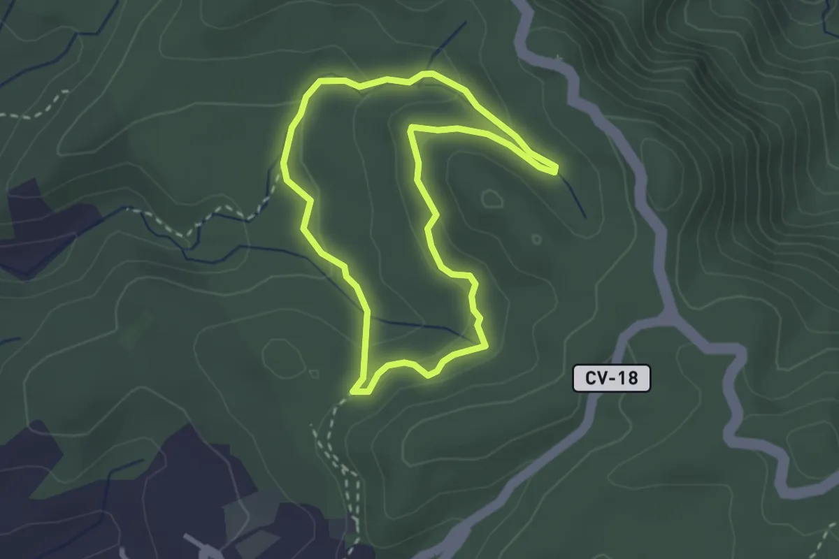
Easy · Trail
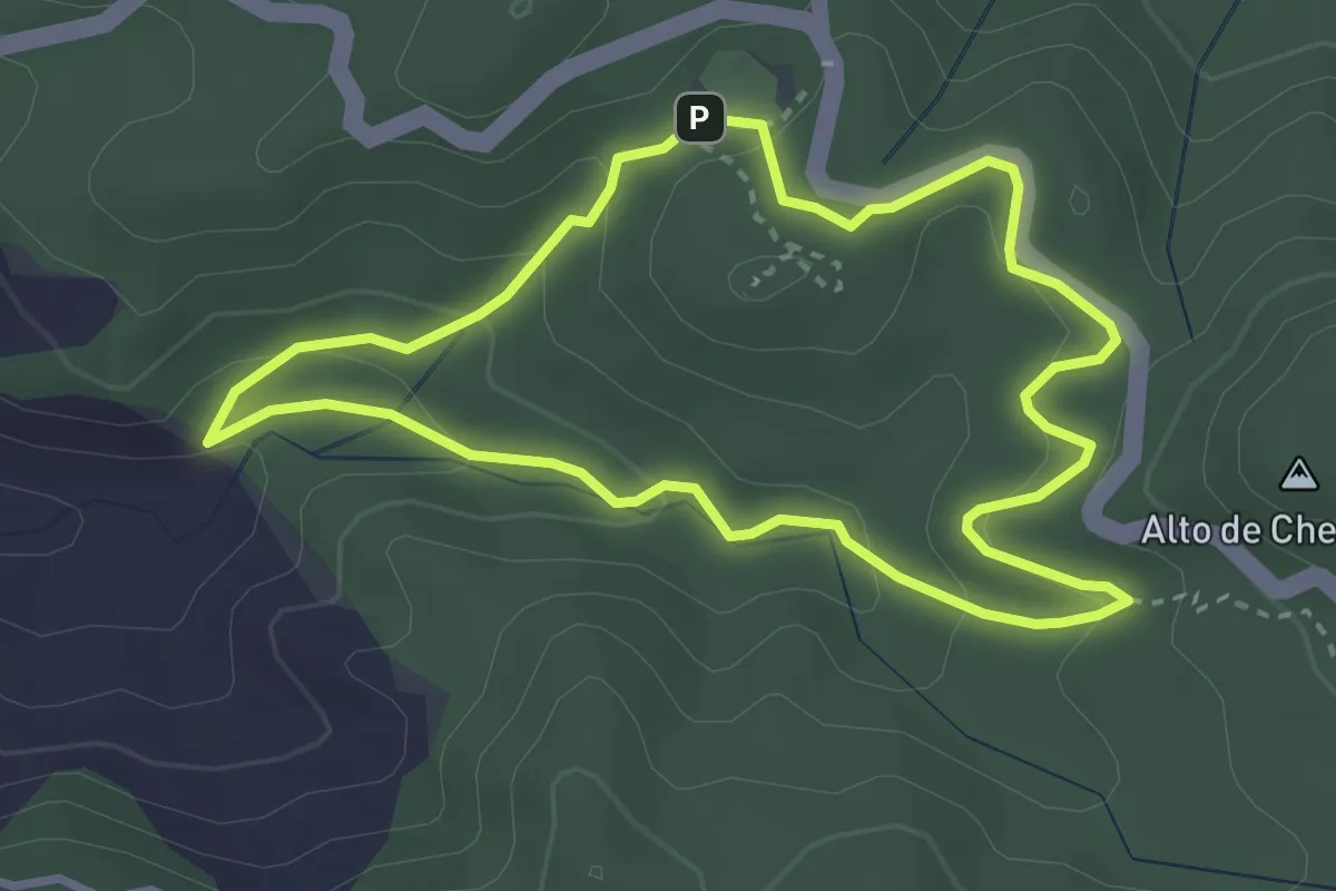
Ruta 5: Las Creces
3.1 km · ↑ 121 m · 1 h 2 min
Easy · Trail
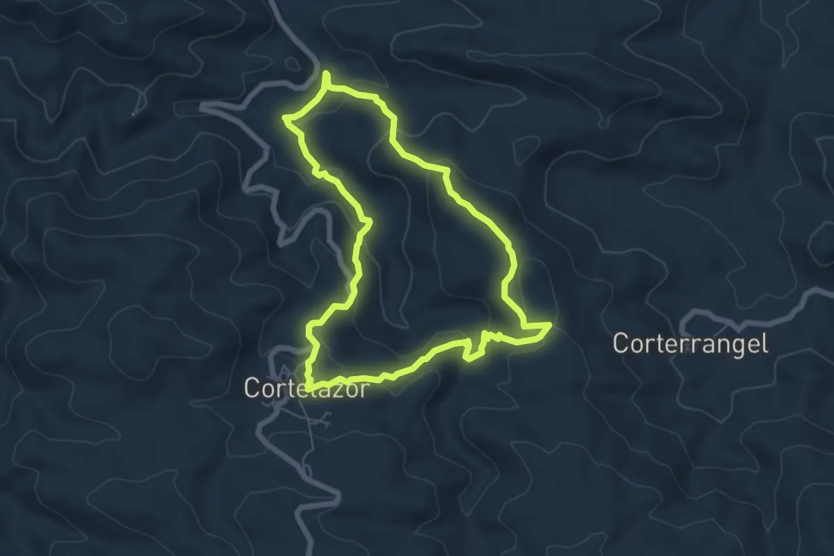
Ruta 6: Laguna Grande II
3.9 km · ↑ 154 m · 1 h 18 min
Easy · Trail
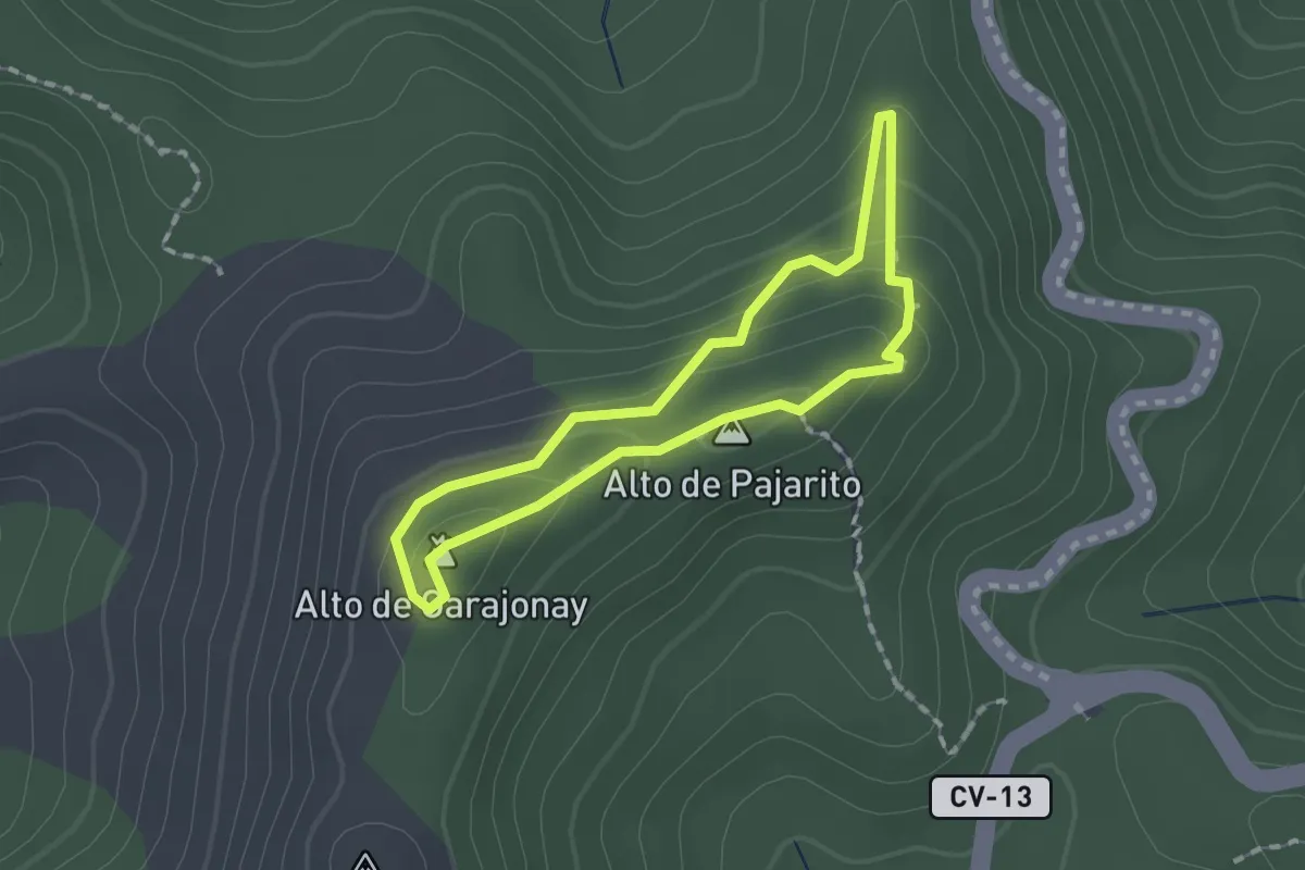
Ruta 7 Azul
6.3 km · ↑ 276 m · 2 h 10 min
Easy · Summit
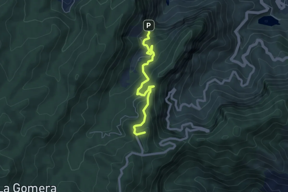
Ruta 7: Contadero - Alto Garajonay - Contadero
1.7 km · ↑ 76 m · 35 min
Medium · Summit
Ruta 8: Reventón Oscuro - El Cedro
5.9 km · ↑ 379 m · 2 h 13 min
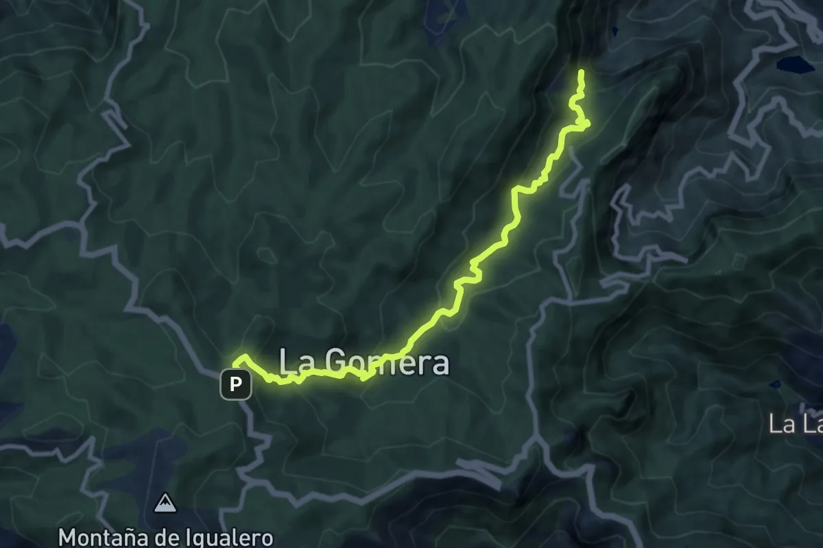
Medium · Trail
Ruta 9: Contadero - El Cedro - Contadero
11.3 km · ↑ 605 m · 3 h 58 min
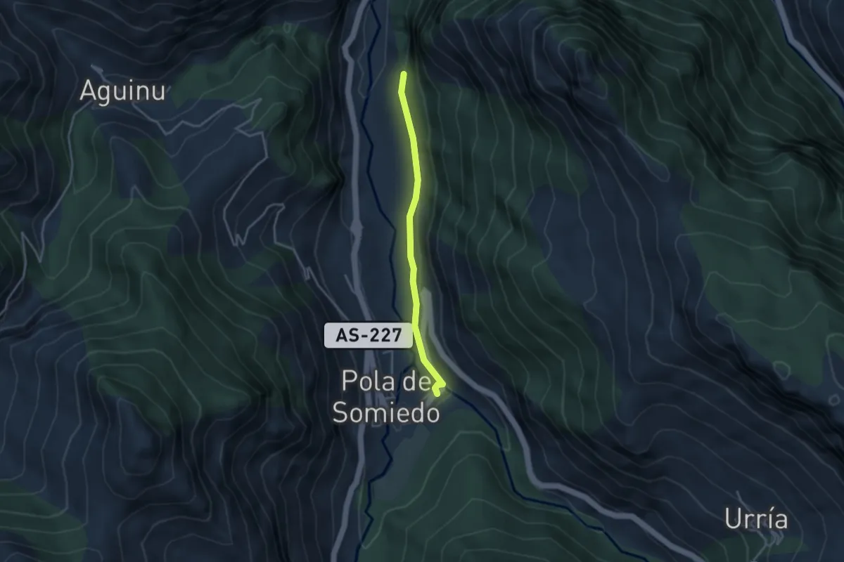
Easy · Trail
Ruta Accesible hasta el Desfiladero de La Malva
3.1 km · ↑ 48 m · 51 min
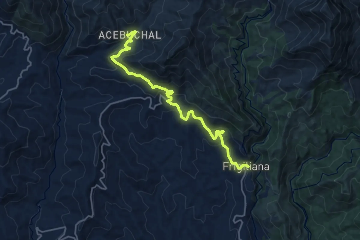
Medium · Trail
Ruta Acebuchal
13.6 km · ↑ 703 m · 4 h 45 min
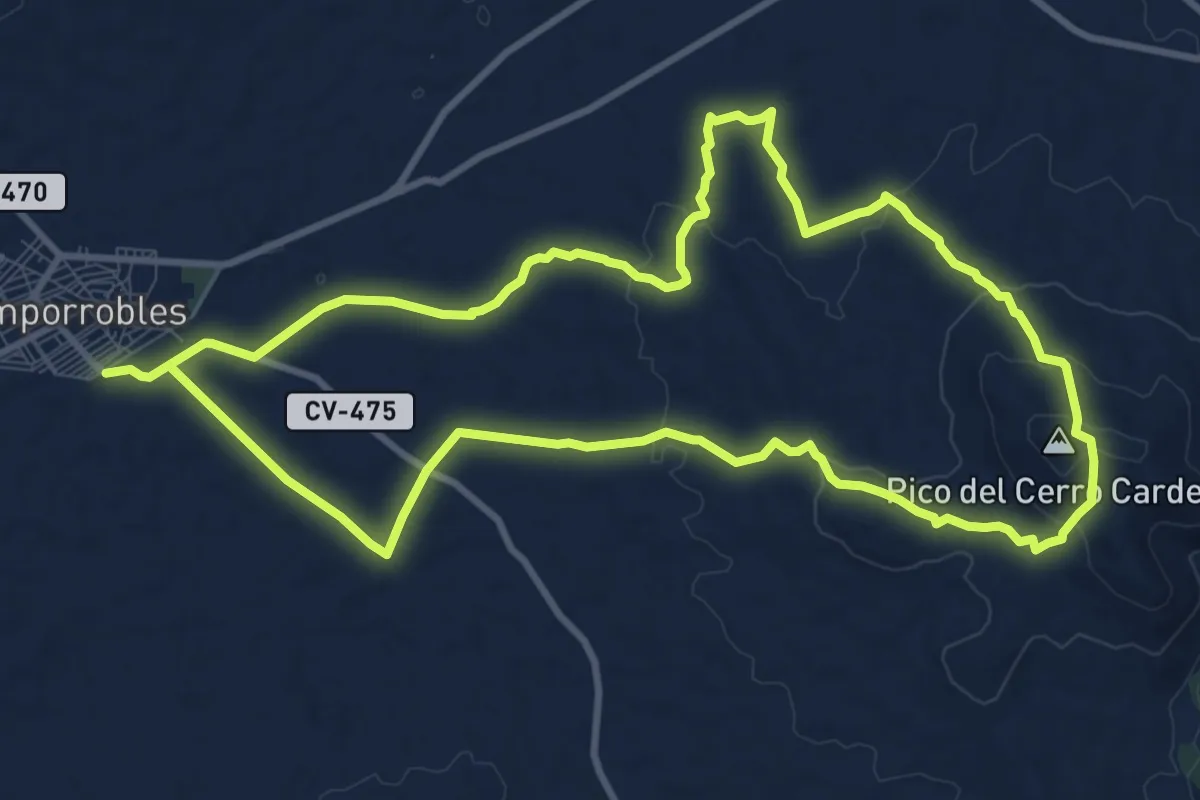
Medium · Summit
Ruta a Cerro Cardete
11.8 km · ↑ 240 m · 3 h 28 min
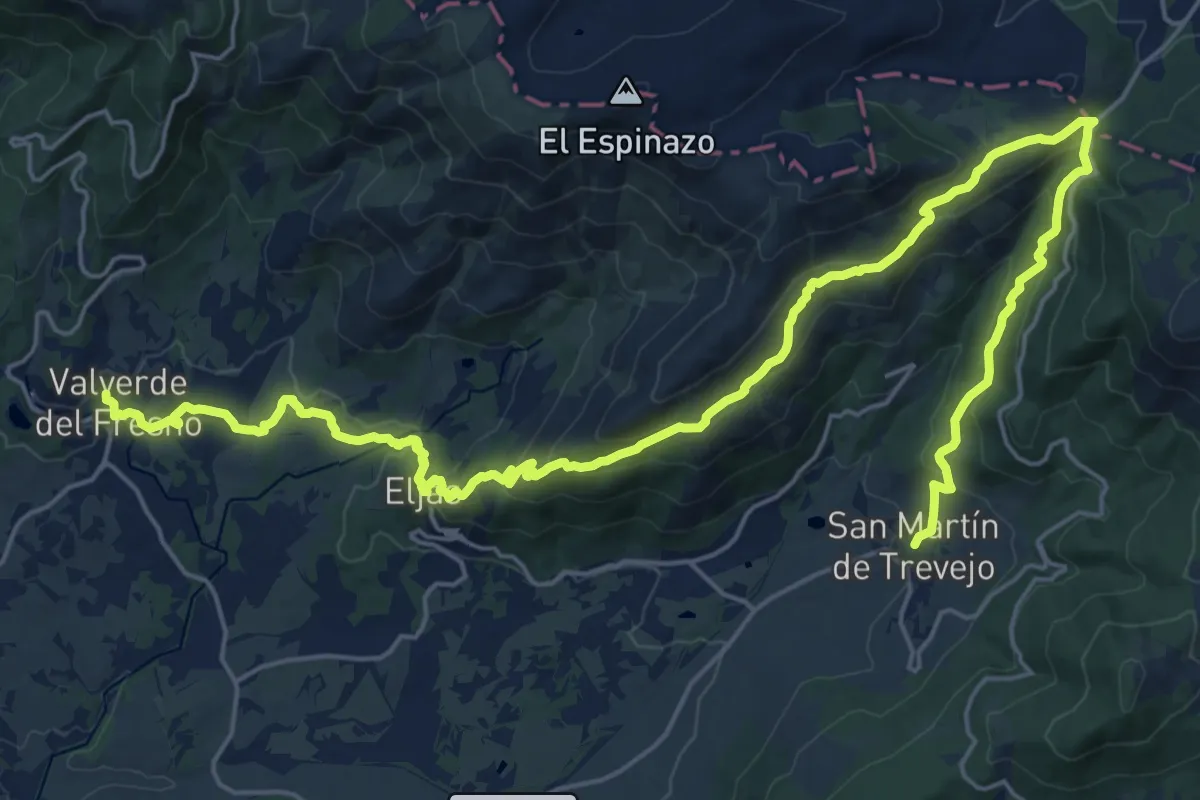
Medium · Trail
Ruta A Fala
17.1 km · ↑ 552 m · 5 h 32 min
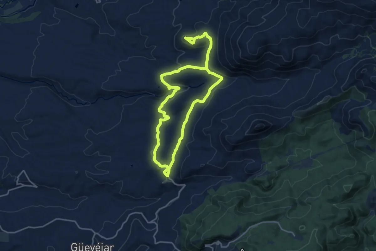
Medium · Trail
Ruta a la Atalaya
12.2 km · ↑ 270 m · 3 h 36 min
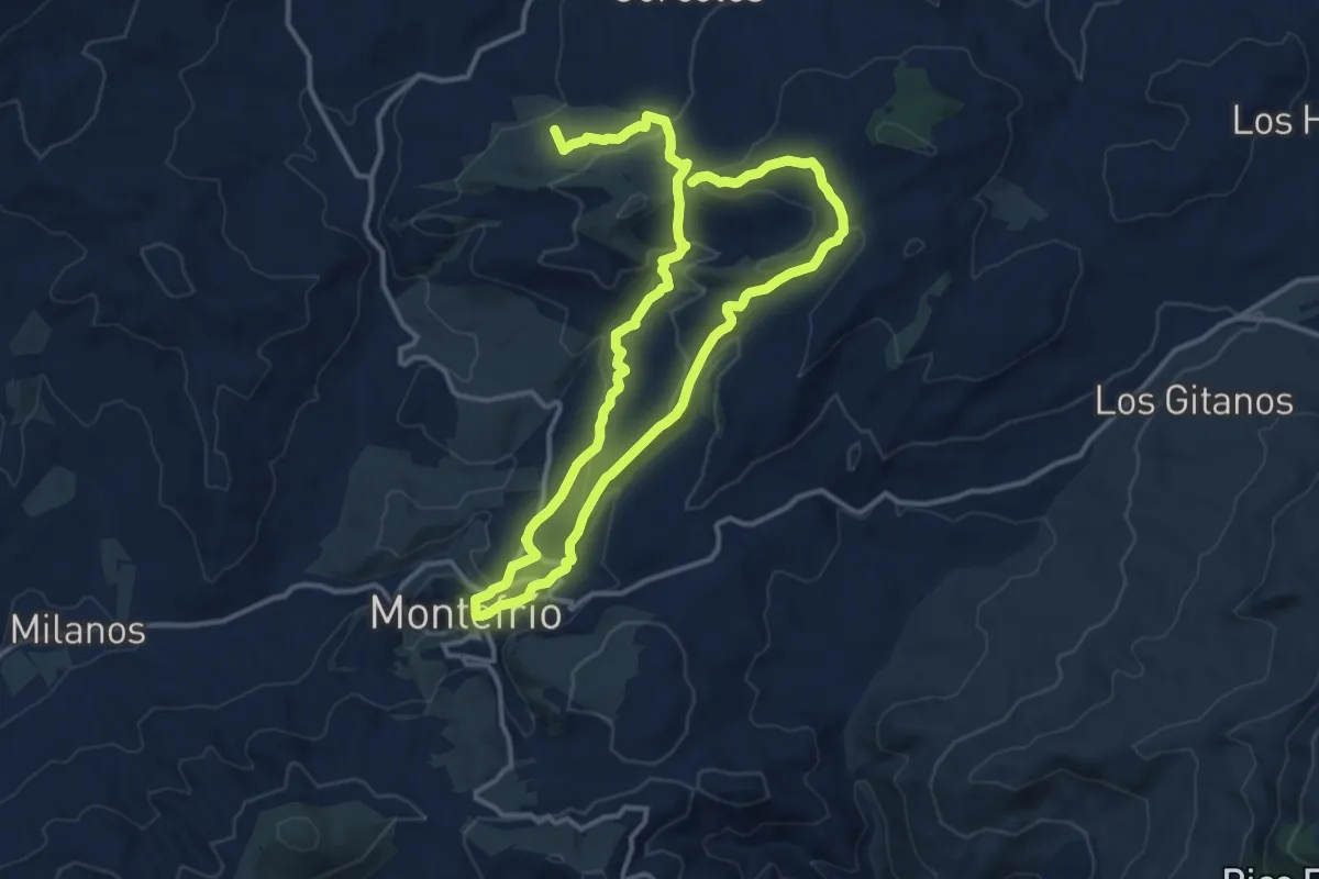
Medium · Trail
Ruta a la Encina de la Inquisición
13.2 km · ↑ 358 m · 4 h 9 min
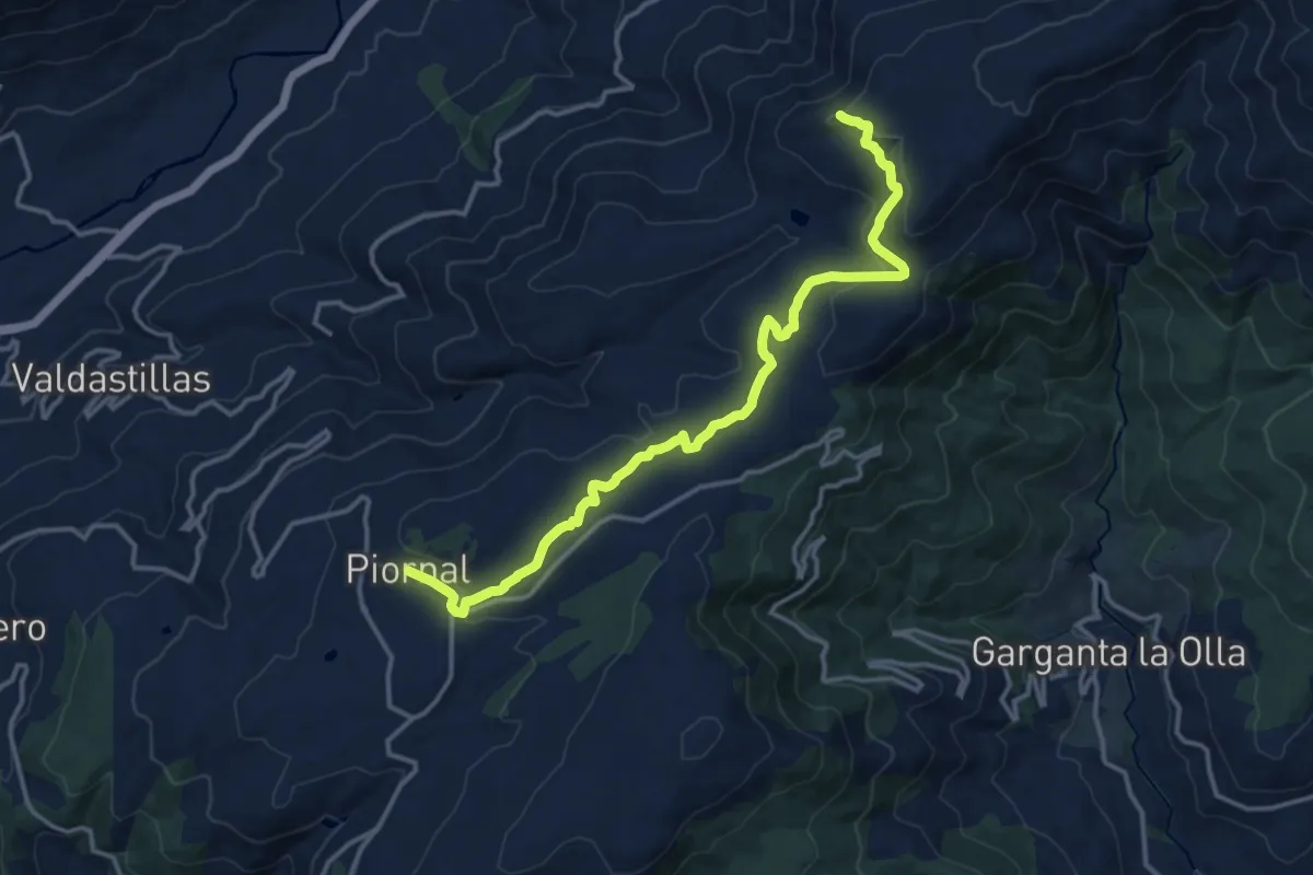
Medium · Trail
Ruta a la Peñanegra
17.4 km · ↑ 328 m · 4 h 49 min