Trails in Spain
5,962 hiking trails, each with its route, climb, walking time and grade.
All trails, page 77 of 125
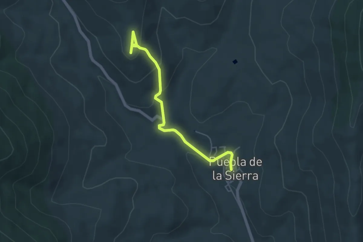
Medium · Trail
Ruta a la silla gigante de Meira
4.5 km · ↑ 177 m · 1 h 26 min
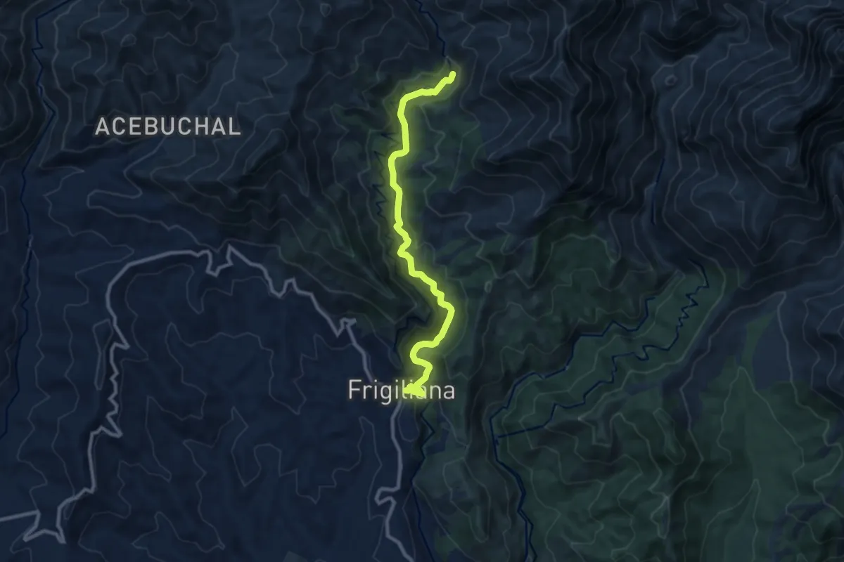
Medium · Trail
Ruta al Cóncar
10.5 km · ↑ 511 m · 3 h 35 min
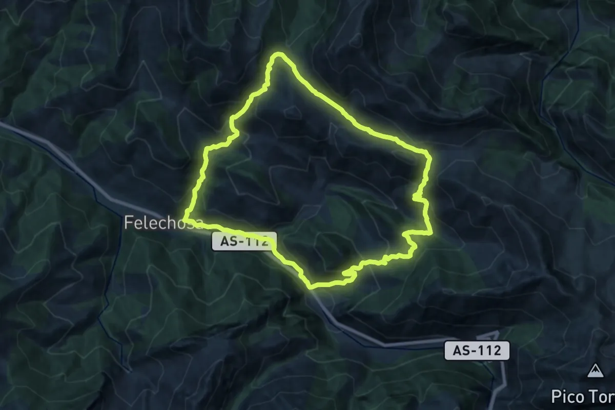
Demanding · Trail
Ruta allerana de Las Brañas
16.5 km · ↑ 925 m · 6 h 7 min
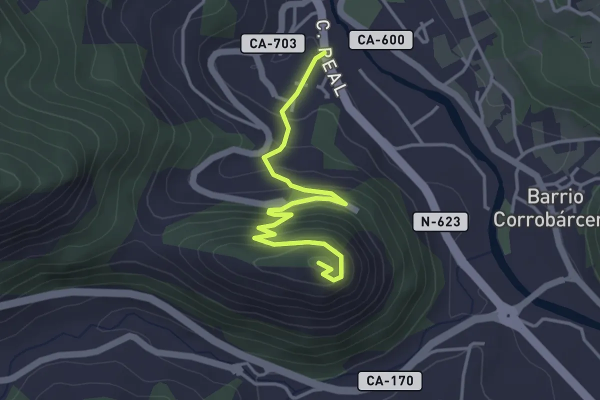
Medium · Trail
Ruta al Monte del Castillo desde Puente Viesgo
3.7 km · ↑ 231 m · 1 h 23 min
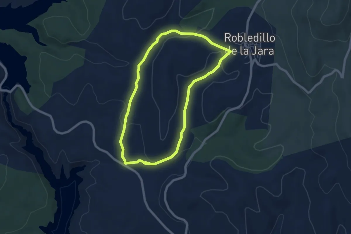
Easy · Trail
Ruta al Santo Roto
5.2 km · ↑ 100 m · 1 h 32 min
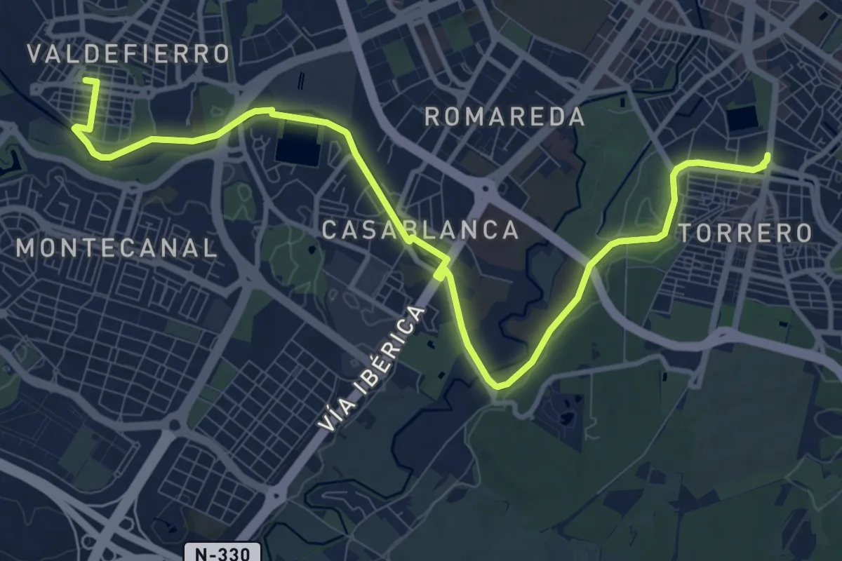
Medium · Trail
Ruta Alto Canal: Valdefierro-Torrero
13.4 km · ↑ 92 m · 3 h 21 min
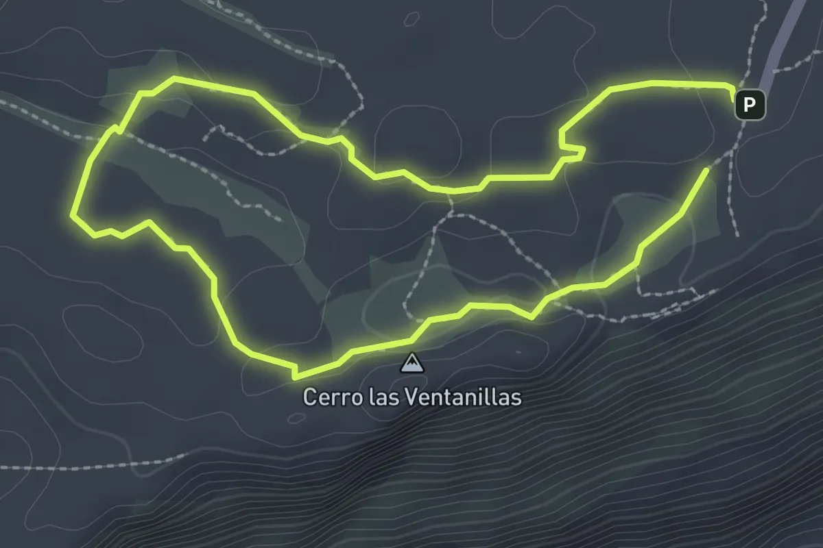
Medium · Summit
Ruta amarilla
2.6 km · ↑ 34 m · 44 min
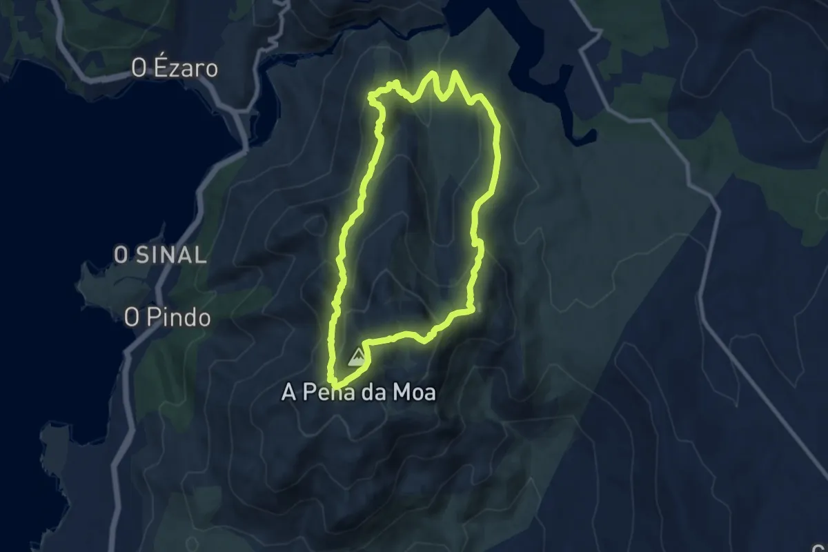
Medium · Summit
Ruta A Moa
8.4 km · ↑ 482 m · 3 h 9 min
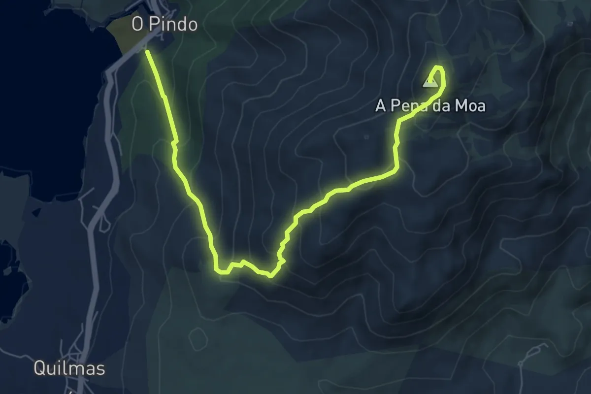
Medium · Summit
Ruta á Moa desde O Pindo
4.0 km · ↑ 603 m · 2 h 1 min
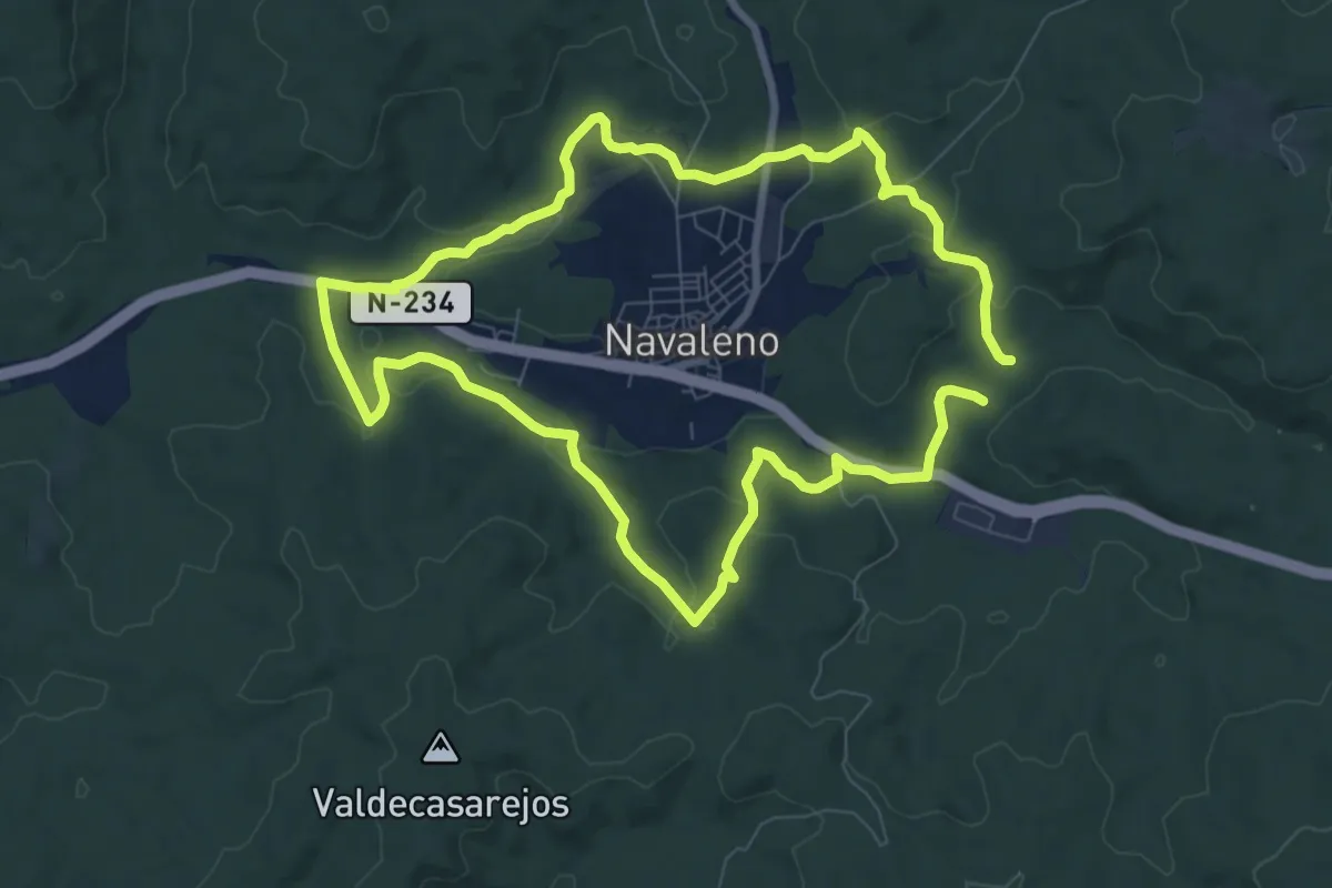
Medium · Trail
Ruta Anillo Verde
8.5 km · ↑ 189 m · 2 h 32 min
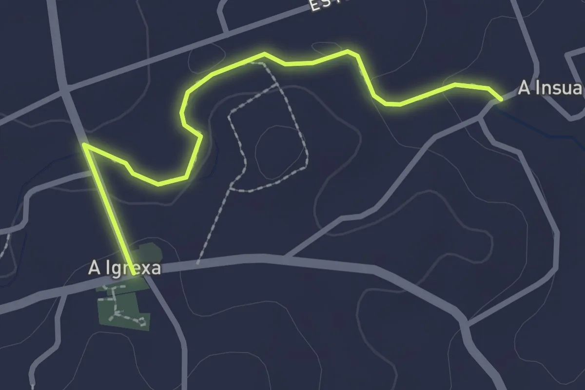
Easy · Trail
Ruta Apego das Muiñeiras de Luou
2.5 km · ↑ 32 m · 39 min
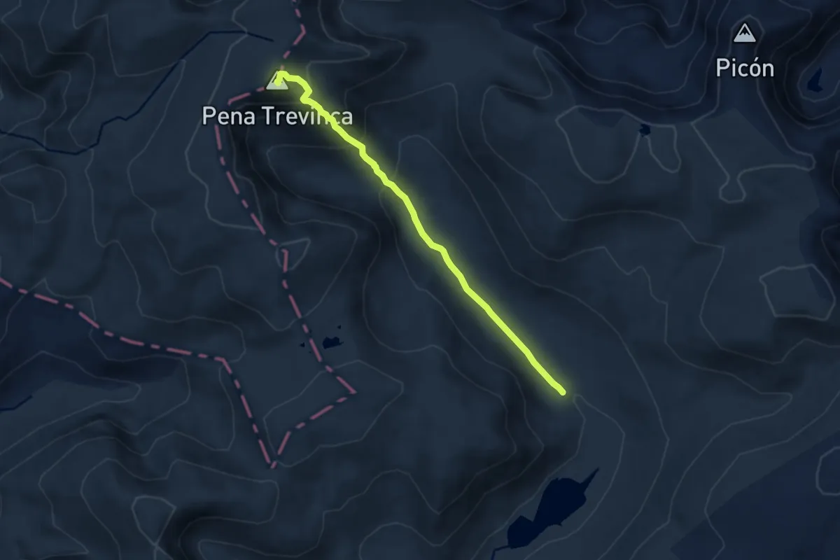
Medium · Summit
Ruta a Peña Trevinca (desde la Laguna de los Peces, Sanabria)
8.8 km · ↑ 482 m · 3 h 7 min
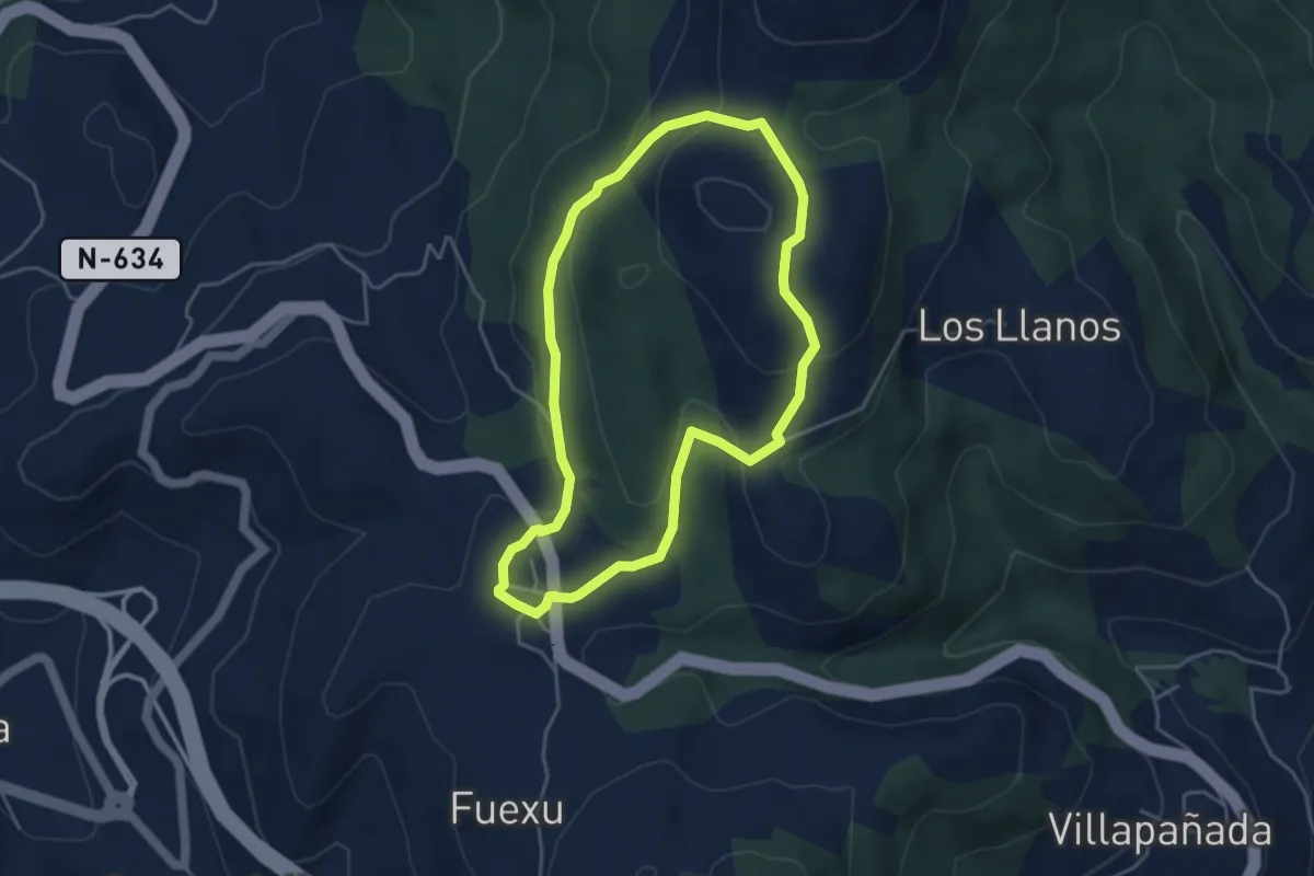
Easy · Trail
Ruta Arqueológica de la Cabruñana
4.3 km · ↑ 148 m · 1 h 23 min
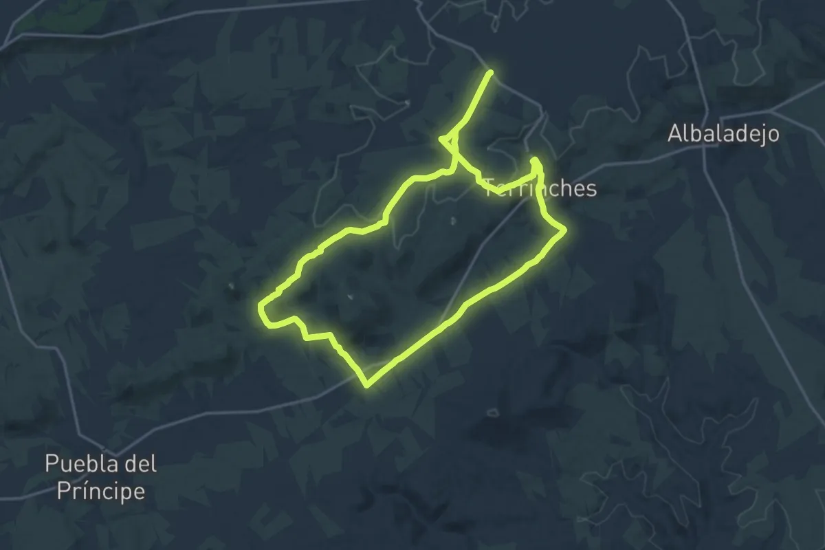
Demanding · Trail
Ruta arqueologica y Puntos BIC
18.2 km · ↑ 221 m · 5 h 2 min
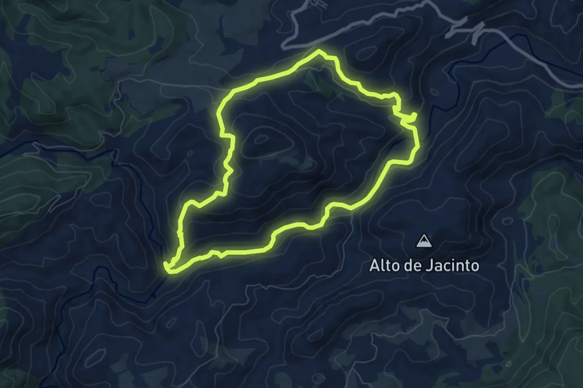
Medium · Trail
Ruta Benedriz
8.5 km · ↑ 315 m · 2 h 49 min
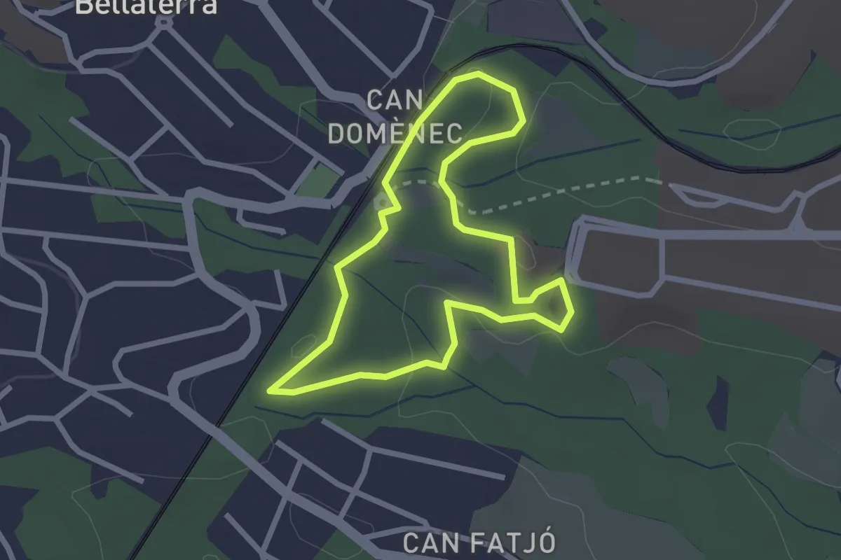
Easy · Trail
Ruta blau cel
2.2 km · ↑ 53 m · 41 min
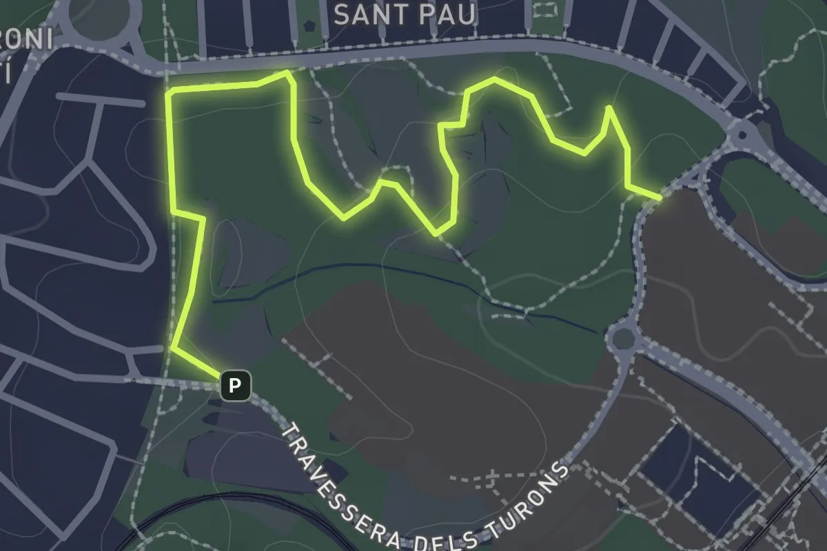
Easy · Trail
Ruta blava
3.4 km · ↑ 39 m · 54 min
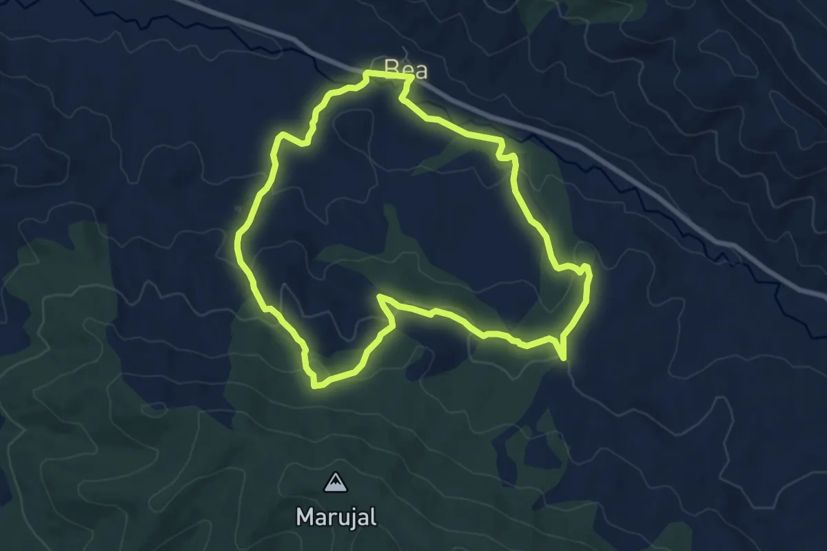
Medium · Trail
Ruta Botánica de Bea
8.2 km · ↑ 273 m · 2 h 39 min
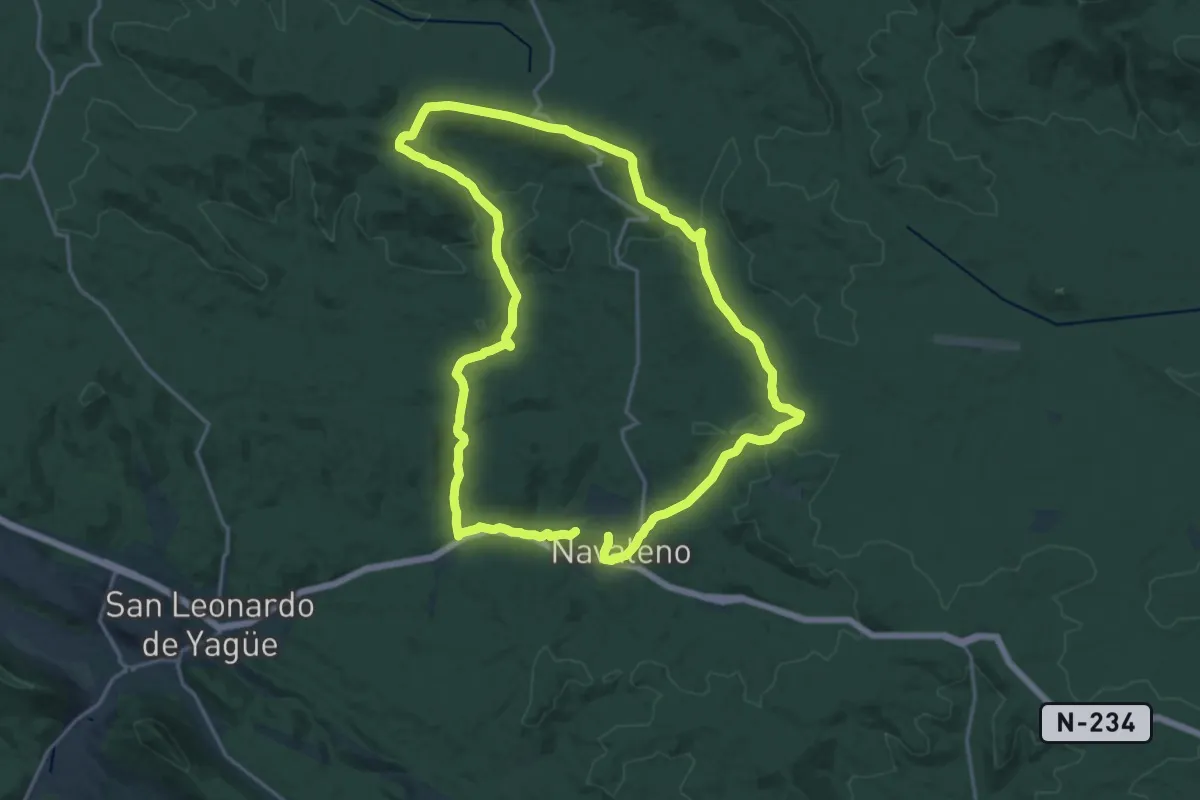
Demanding · Summit
Ruta Brabojo
19.5 km · ↑ 335 m · 5 h 36 min
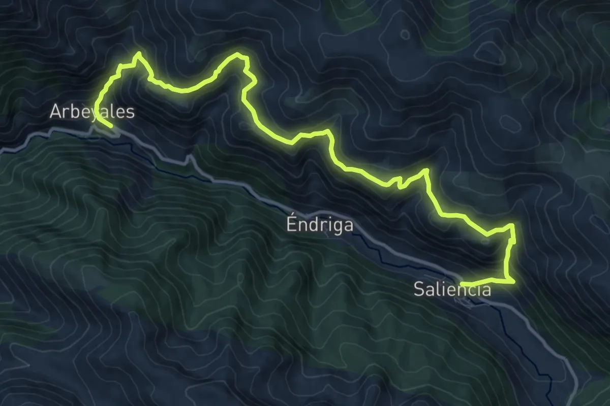
Demanding · Trail
Ruta Brañas de Saliencia
14.1 km · ↑ 1021 m · 5 h 33 min
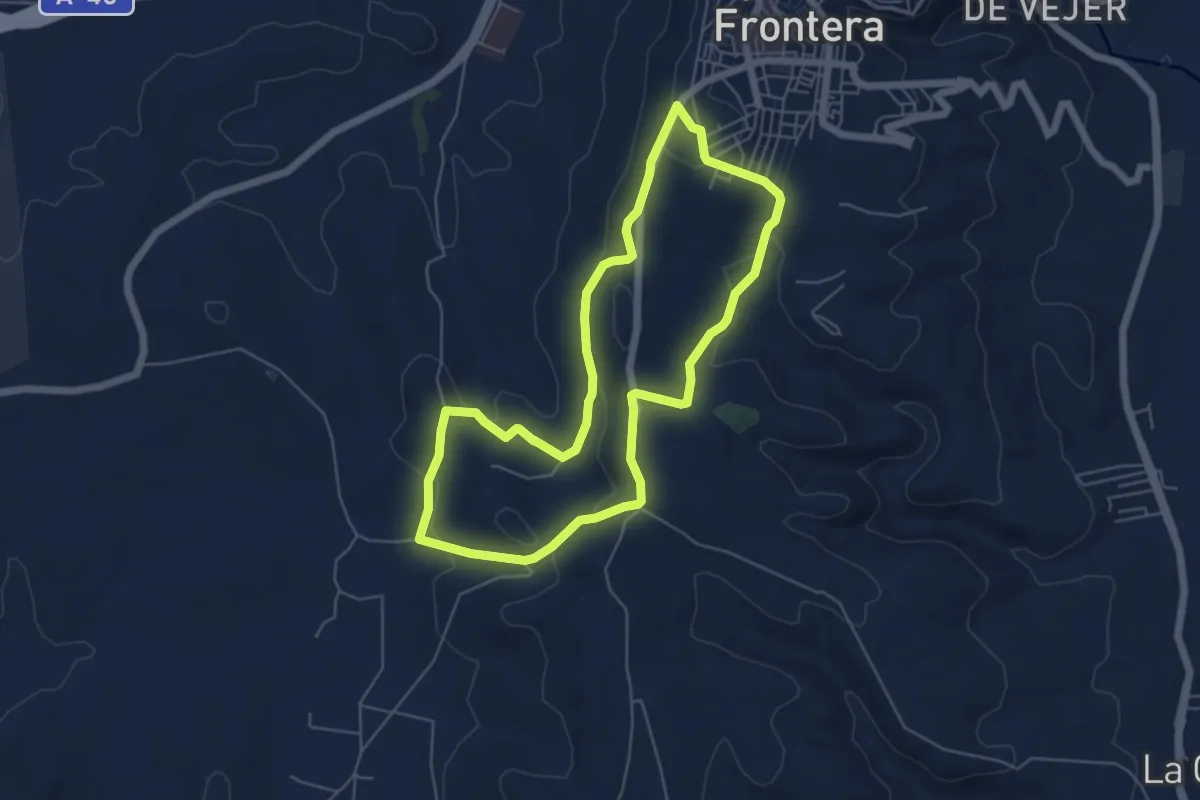
Easy · Trail
Ruta Buenavista
6.3 km · ↑ 182 m · 1 h 58 min
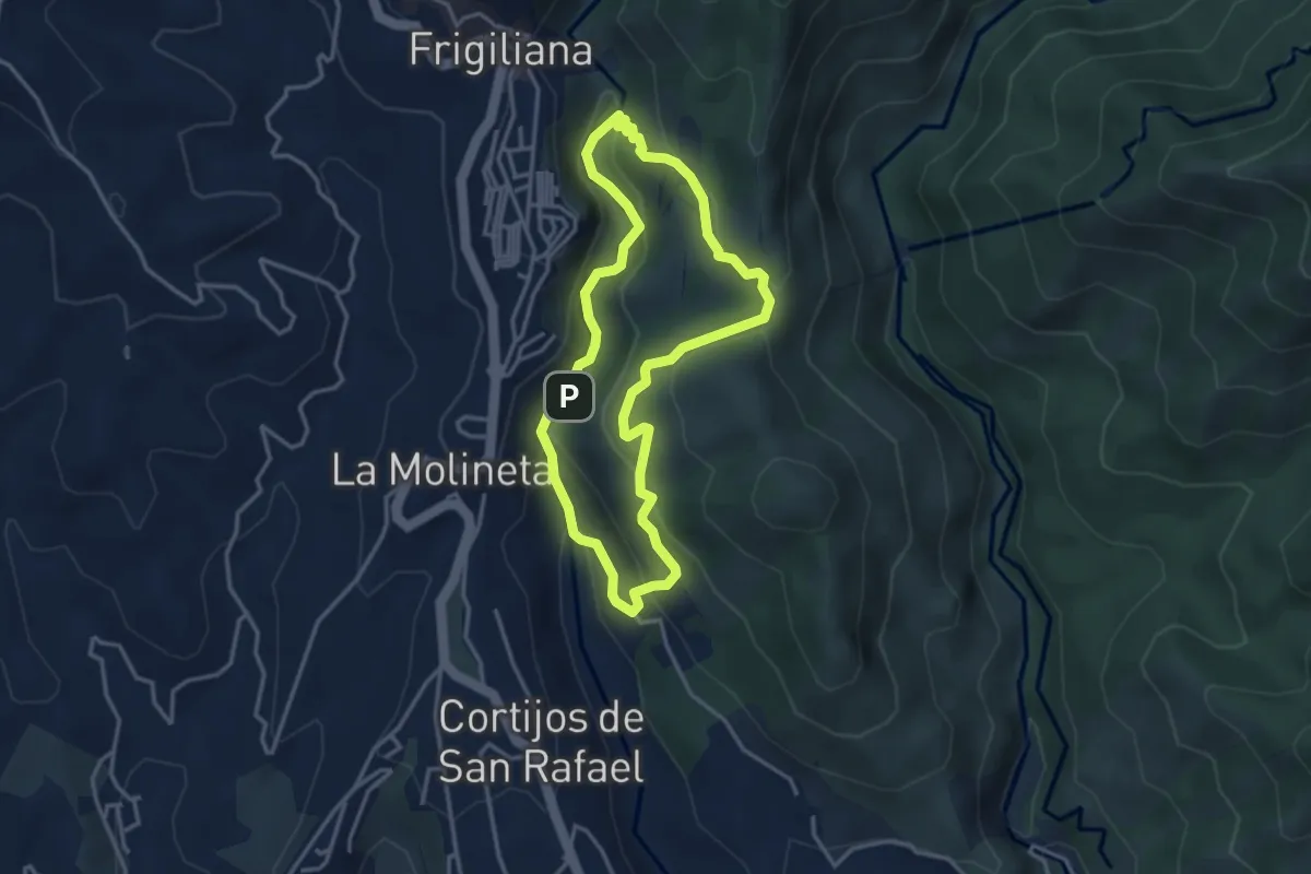
Medium · Trail
Ruta Cahorros
3.8 km · ↑ 176 m · 1 h 20 min
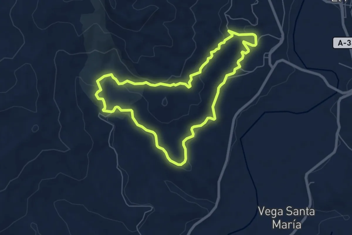
Easy · Trail
Ruta Canca
6.4 km · ↑ 166 m · 1 h 58 min
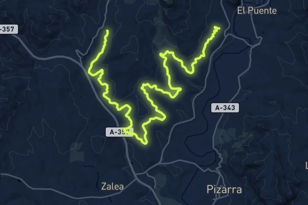
Medium · Trail
Ruta Canca Familiar
15.4 km · ↑ 222 m · 4 h 20 min
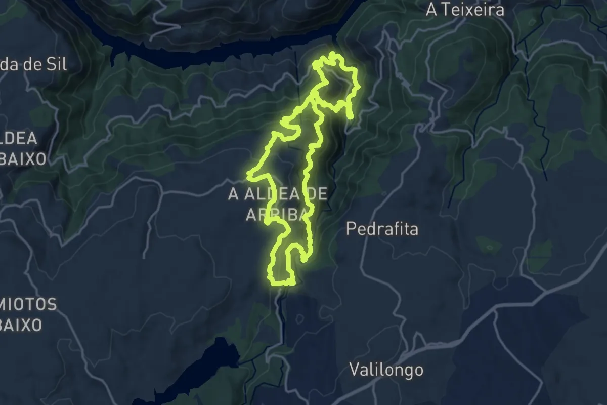
Demanding · Trail
Ruta Canón do Río Mao
15.7 km · ↑ 896 m · 5 h 52 min
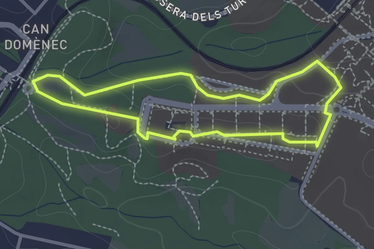
Easy · Trail
Ruta carabassa
2.3 km · ↑ 25 m · 38 min
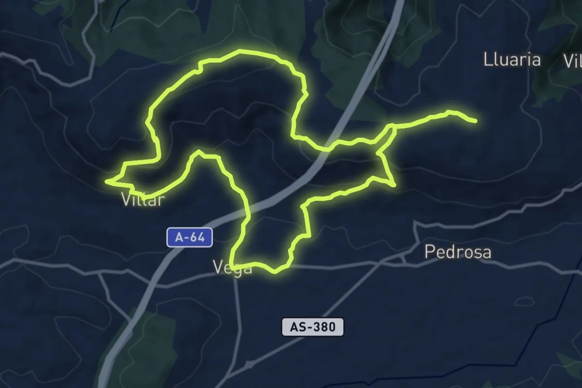
Medium · Trail
Ruta Cercanias del Cielo
11.9 km · ↑ 478 m · 4 h 1 min
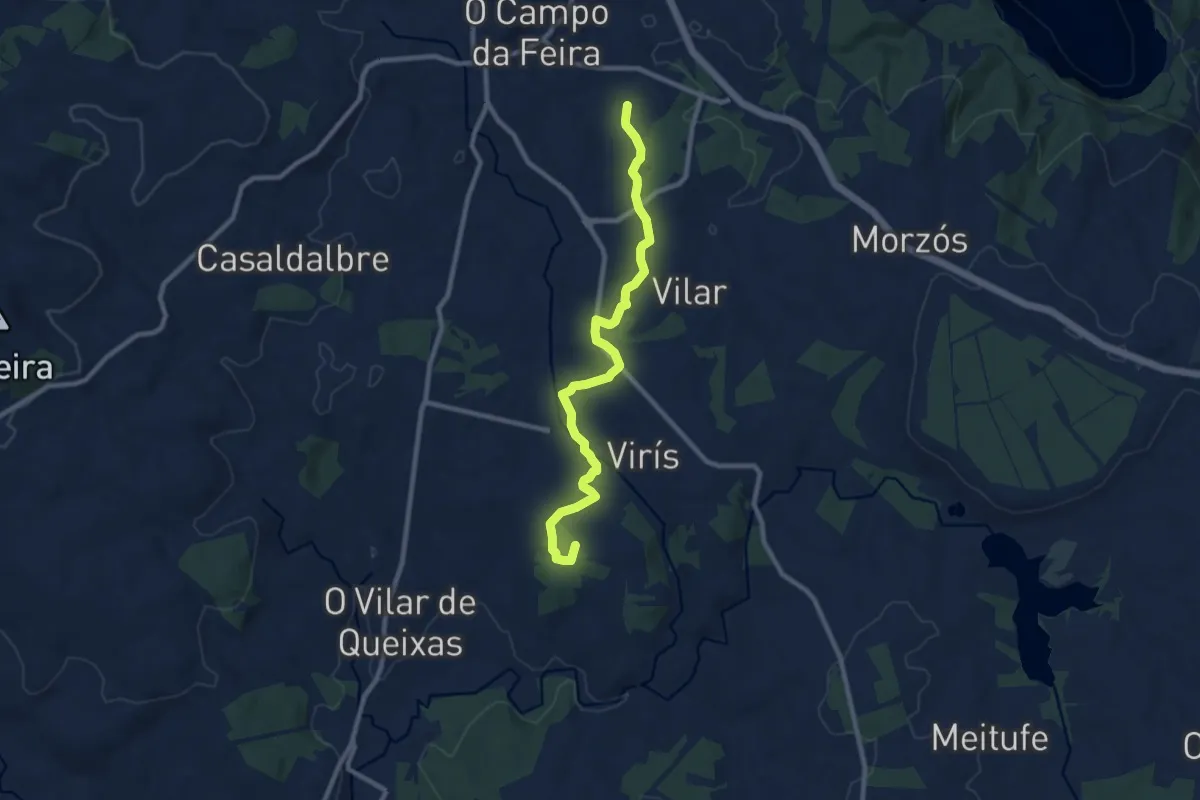
Medium · Summit
Ruta Cerceda - Portobrea
10.2 km · ↑ 123 m · 2 h 40 min
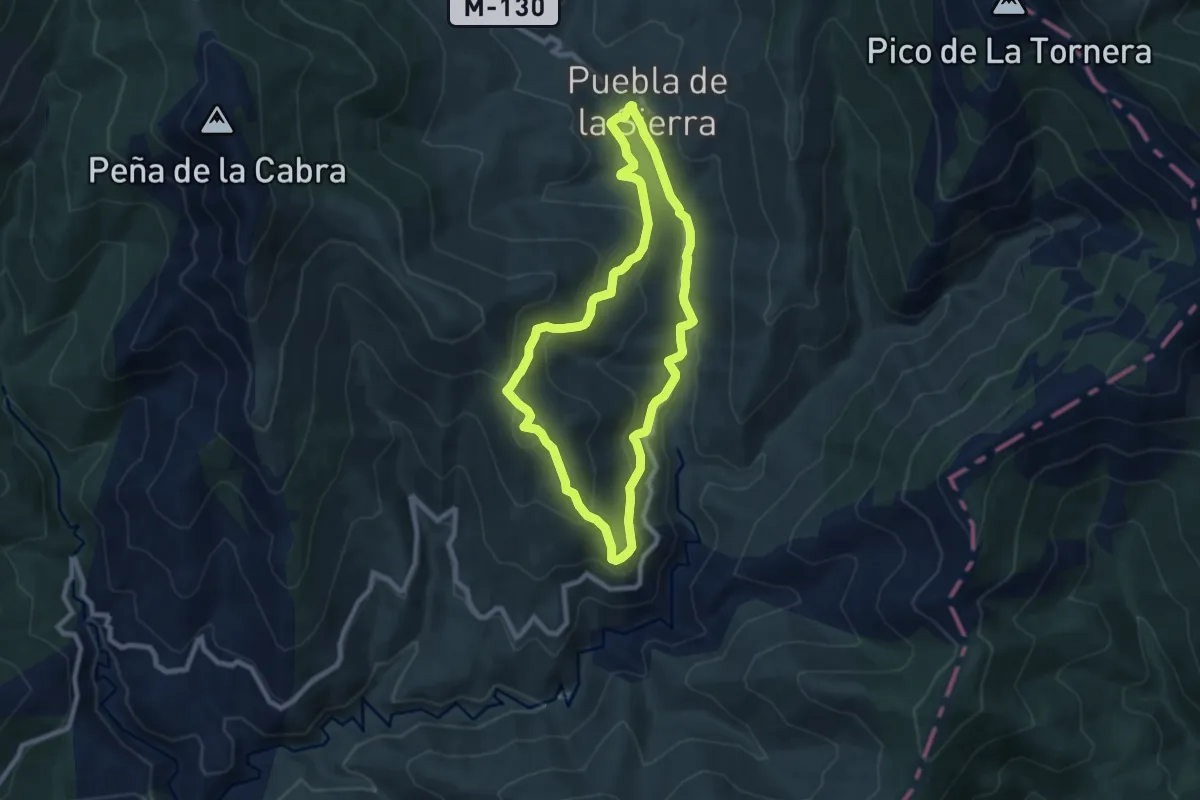
Medium · Summit
Ruta Cerro Larda
8.4 km · ↑ 364 m · 2 h 53 min
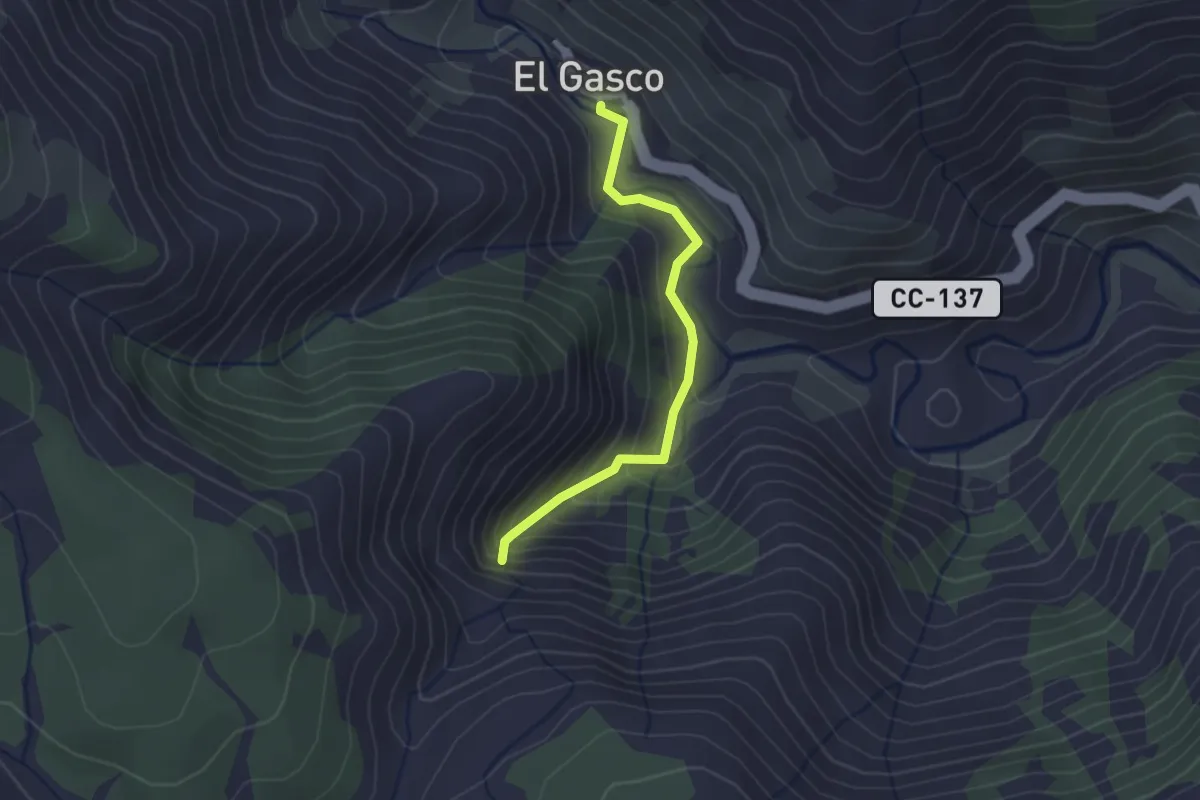
Easy · Trail
Ruta Chorro de la Meancera
2.4 km · ↑ 187 m · 58 min
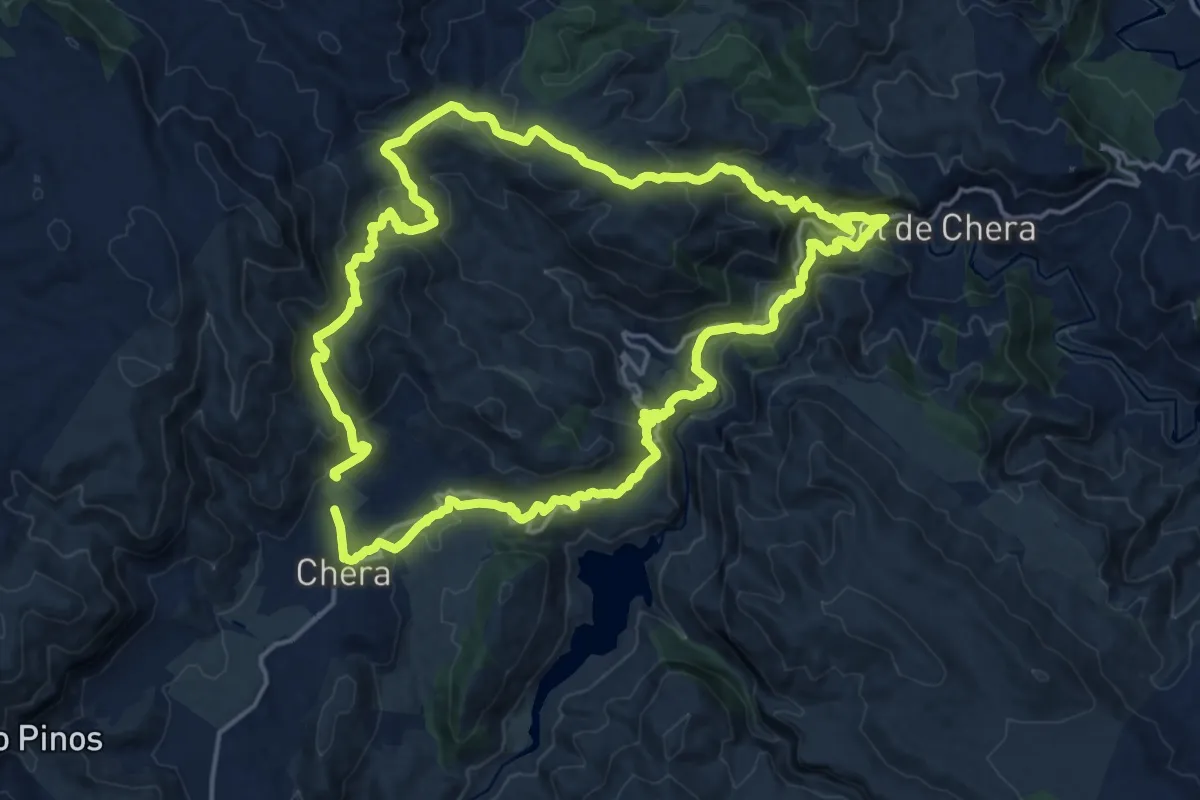
Demanding · Trail
Ruta Circular Chera - Sot de Chera
19.5 km · ↑ 890 m · 6 h 47 min
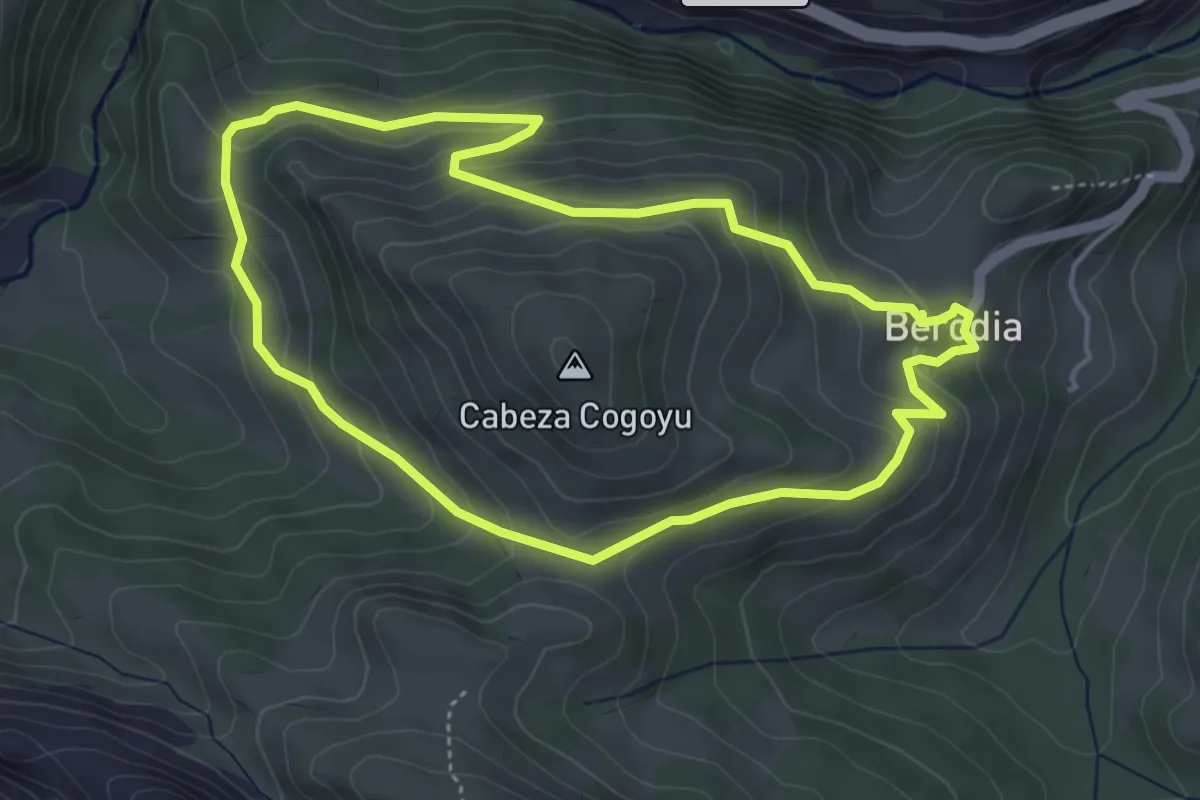
Medium · Trail
Ruta Circular de Berodia
4.5 km · ↑ 241 m · 1 h 39 min
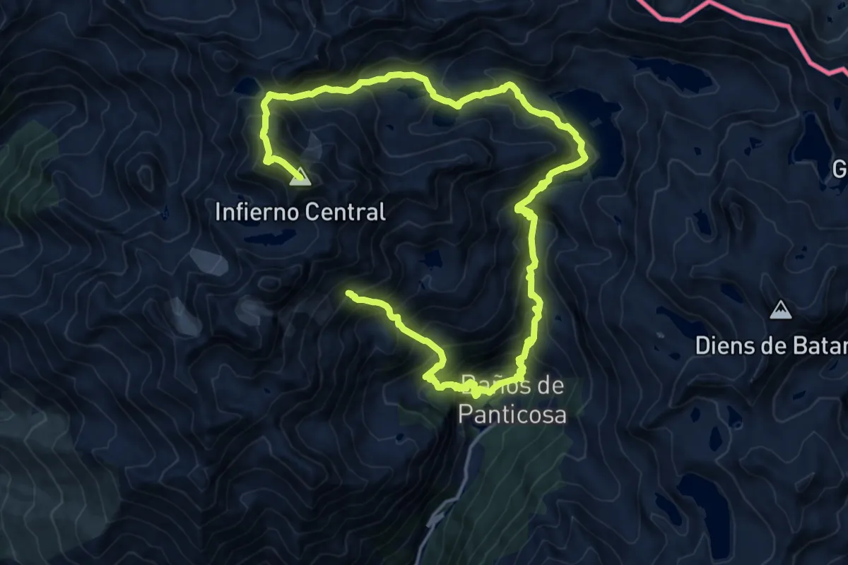
Demanding · Summit
Ruta circular de los Infiernos-Ibones Azules-Bachimañaa
24.1 km · ↑ 2393 m · 10 h 52 min
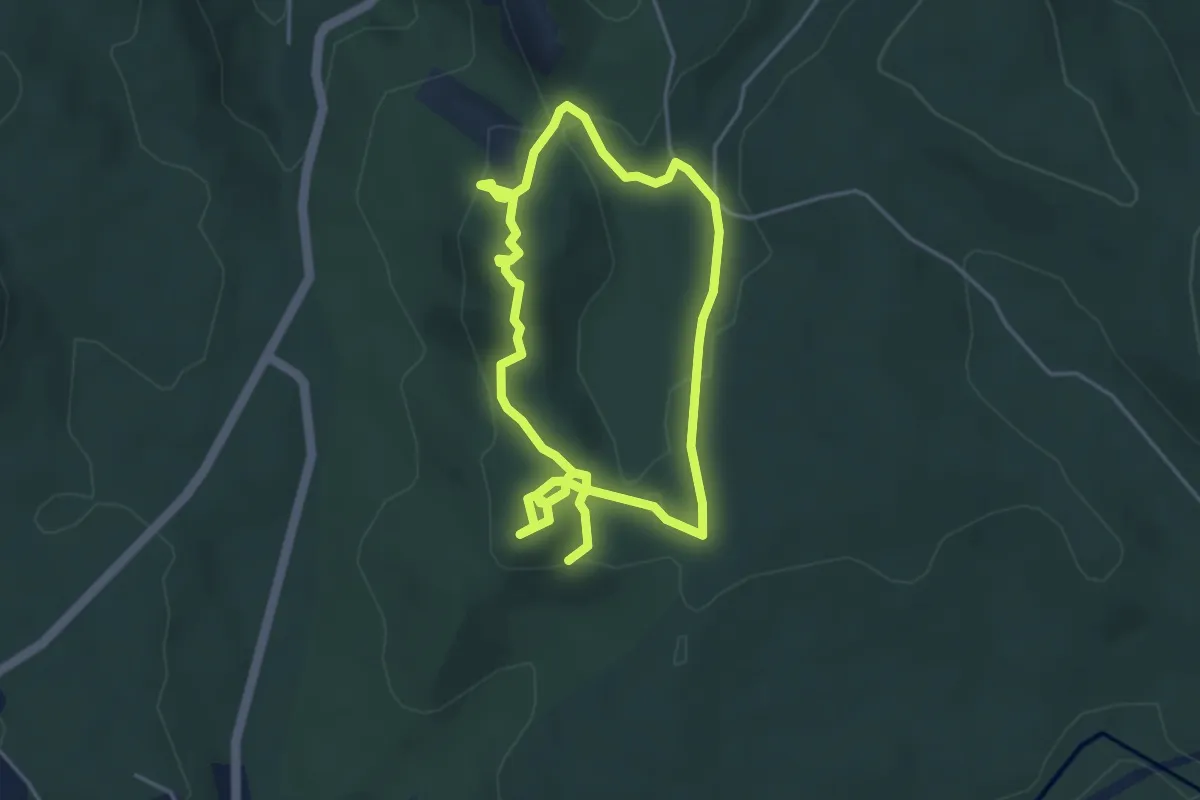
Medium · Summit
Ruta circular desde el cruce del Bañal
4.1 km · ↑ 80 m · 1 h 12 min
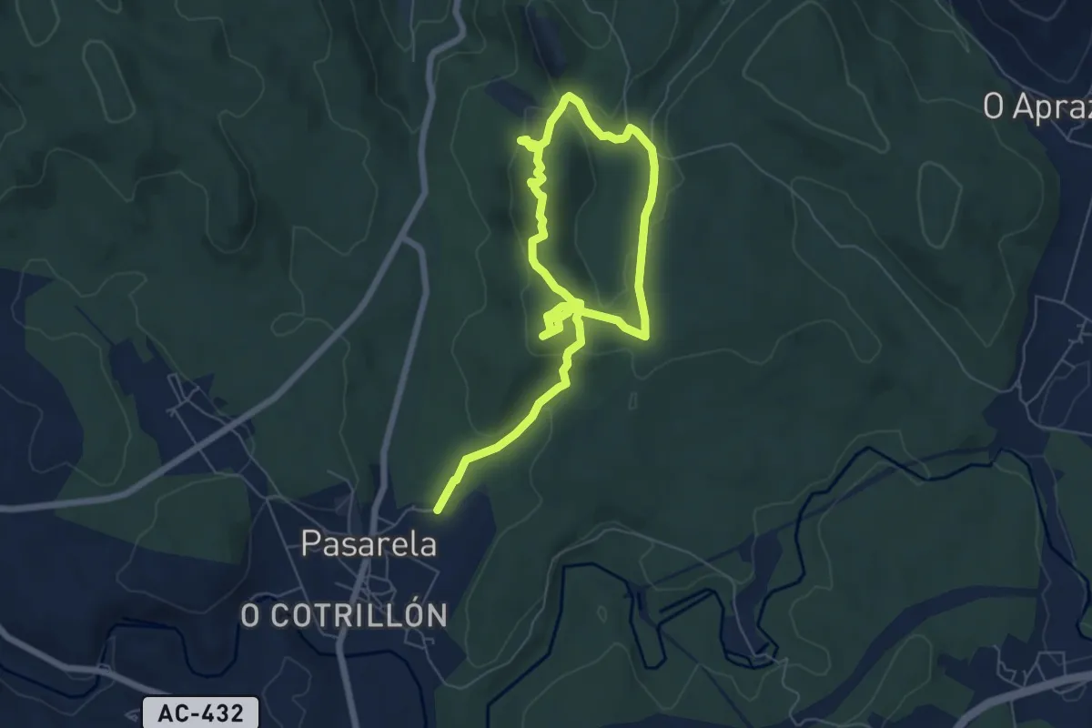
Medium · Summit
Ruta circular desde Pasarela
5.1 km · ↑ 79 m · 1 h 30 min
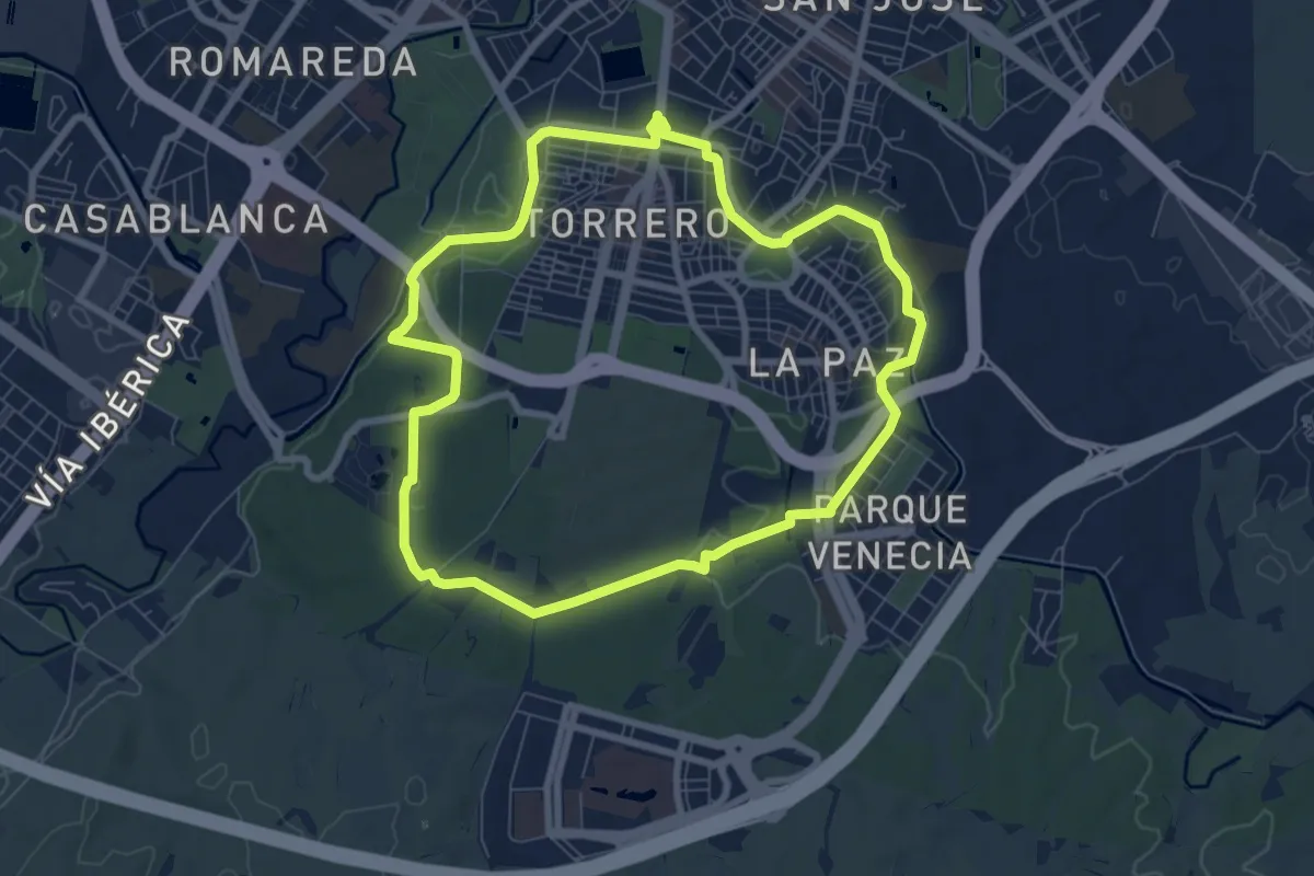
Medium · Trail
Ruta circular por el Canal y los pinares de Venecia
8.2 km · ↑ 90 m · 2 h 15 min
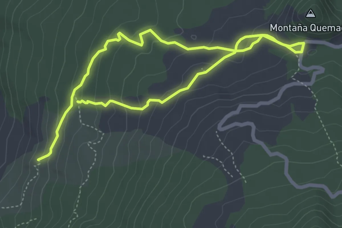
Medium · Trail
Ruta circular Volcán de Tajogaite
9.1 km · ↑ 386 m · 2 h 59 min
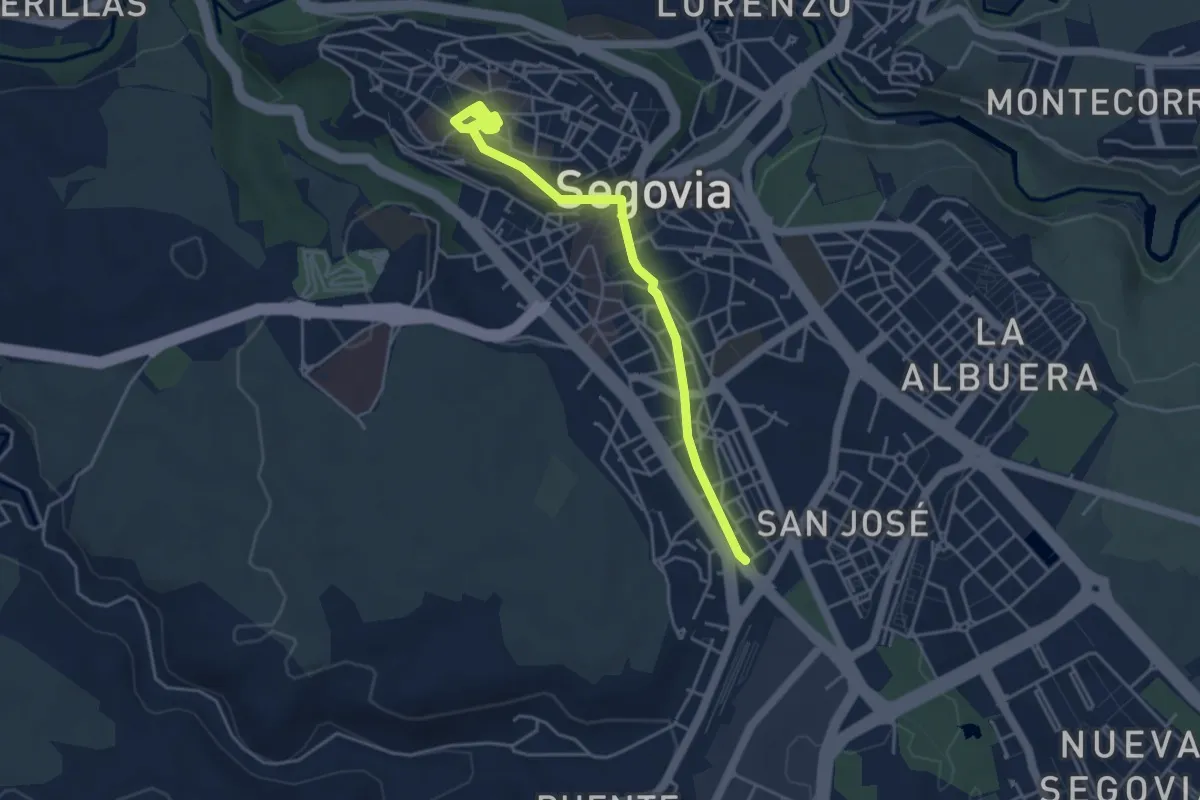
Easy · Trail
Ruta Comunera de Segovia
5.1 km · ↑ 61 m · 1 h 20 min
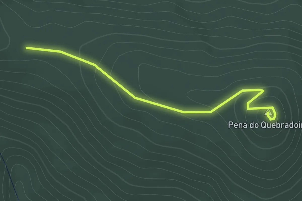
Easy · Summit
Ruta Cornería
2.4 km · ↑ 67 m · 42 min
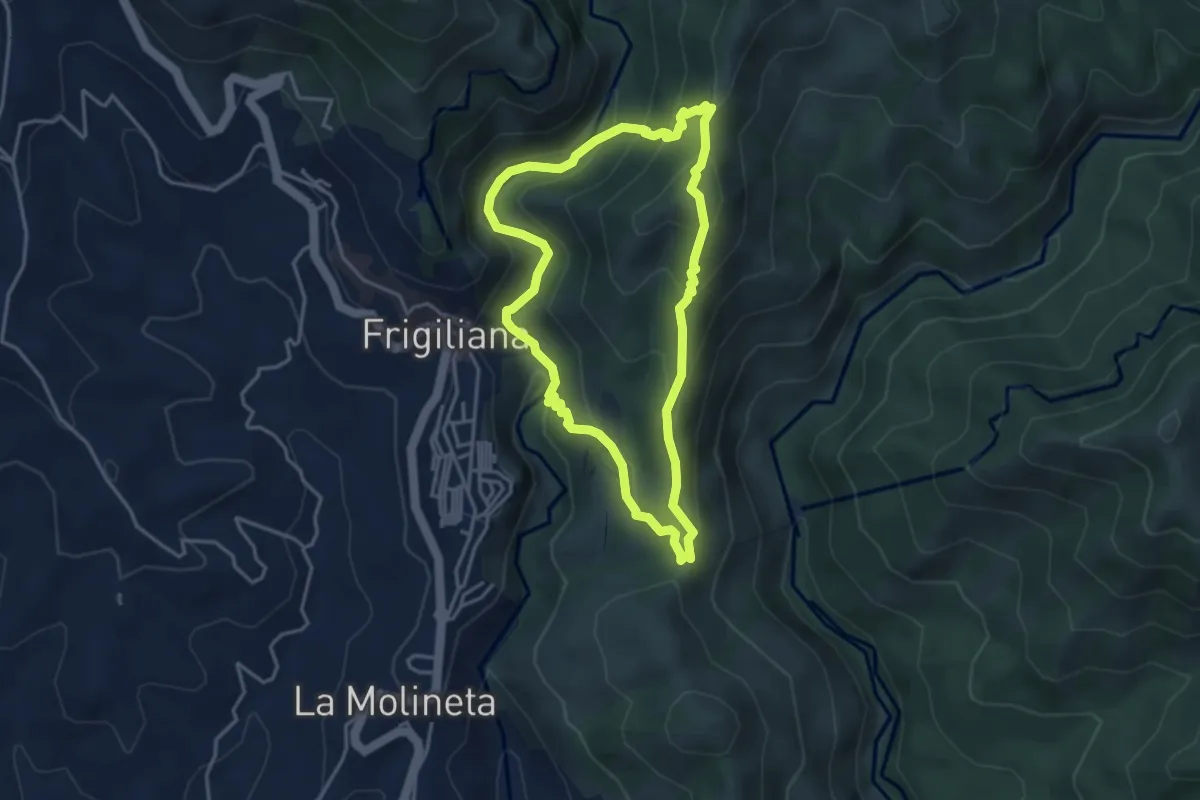
Medium · Trail
Ruta Cruz de Félix
4.1 km · ↑ 305 m · 1 h 41 min
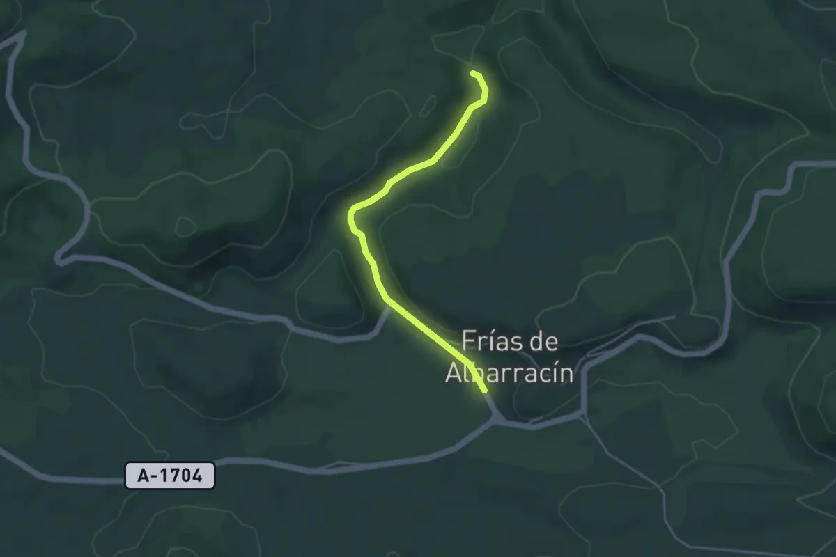
Easy · Trail
Ruta Cruz de los caminos
4.1 km · ↑ 45 m · 1 h 4 min
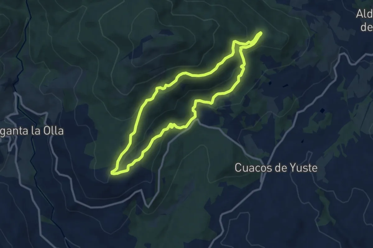
Medium · Trail
Ruta Cuacos - Pantano
8.8 km · ↑ 317 m · 2 h 54 min
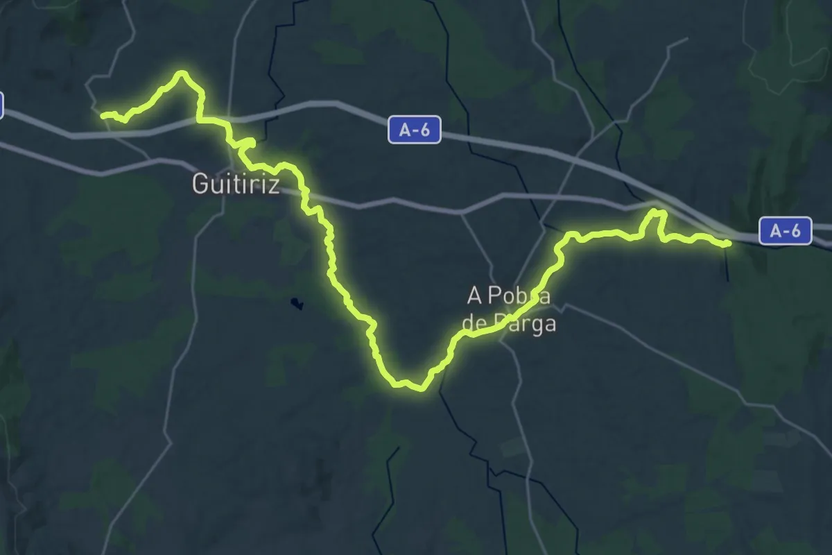
Demanding · Trail
Ruta da agua de Guitiriz
18.2 km · ↑ 133 m · 4 h 50 min
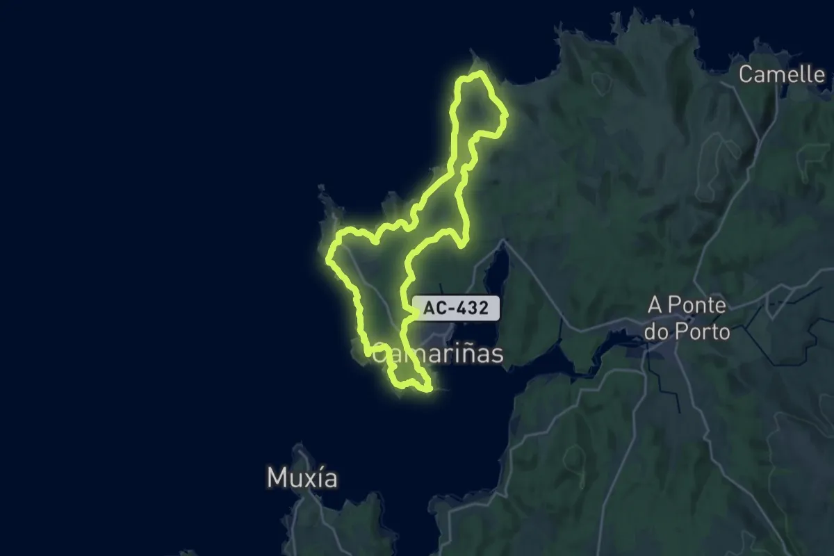
Demanding · Summit
Ruta da Costa da Morte
21.6 km · ↑ 377 m · 6 h 13 min
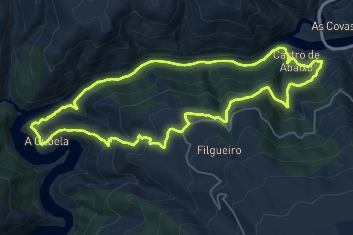
Medium · Trail
Ruta da Cubela
13.2 km · ↑ 584 m · 4 h 33 min
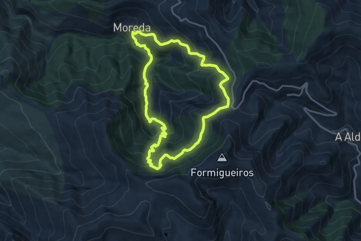
Medium · Summit
Ruta da Devesa da Rogueira
9.4 km · ↑ 771 m · 4 h 2 min
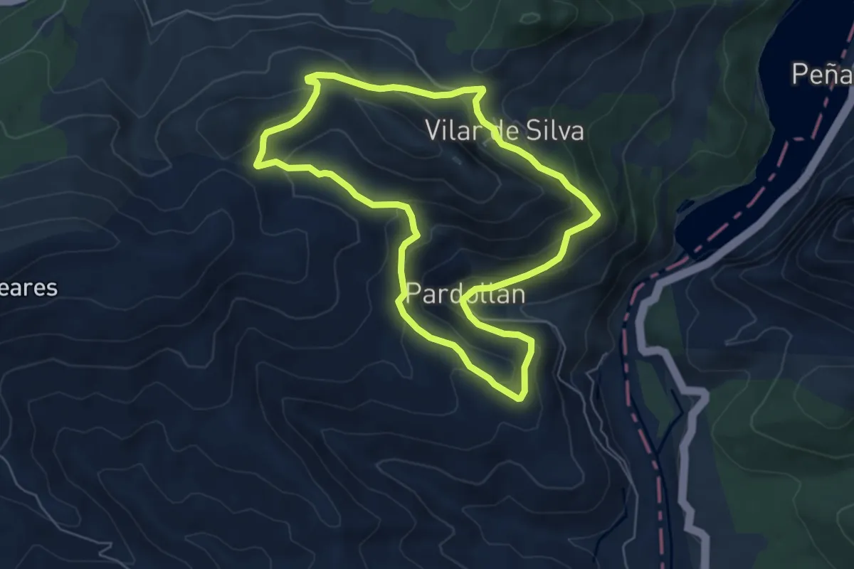
Easy · Trail
Ruta da Ermida de Santo Estevo
6.1 km · ↑ 318 m · 2 h 13 min
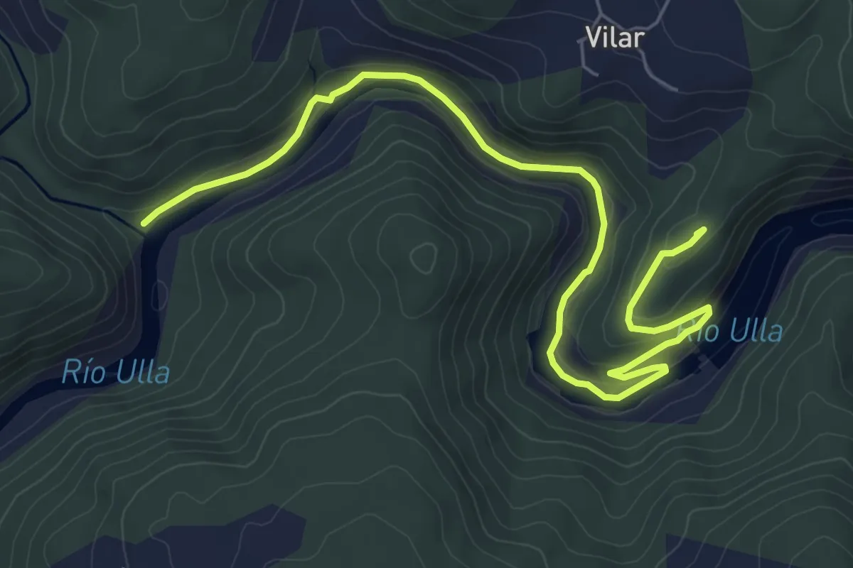
Medium · Summit
Ruta da Fervenza das Hortas ao Río Lañas
8.1 km · ↑ 276 m · 2 h 31 min