Trails in Spain
5,962 hiking trails, each with its route, climb, walking time and grade.
All trails, page 78 of 125
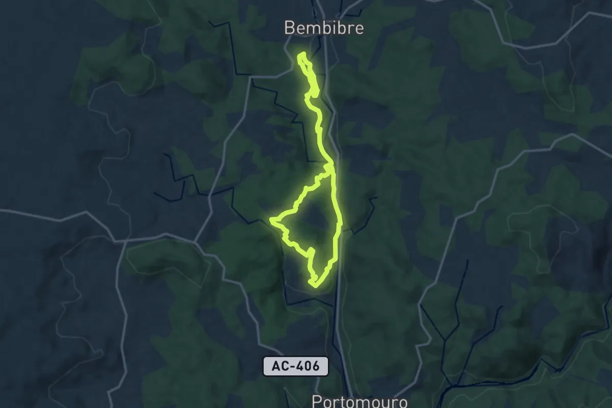
Demanding · Trail
Ruta da Fervenza do Rexedoiro
20.1 km · ↑ 499 m · 5 h 50 min
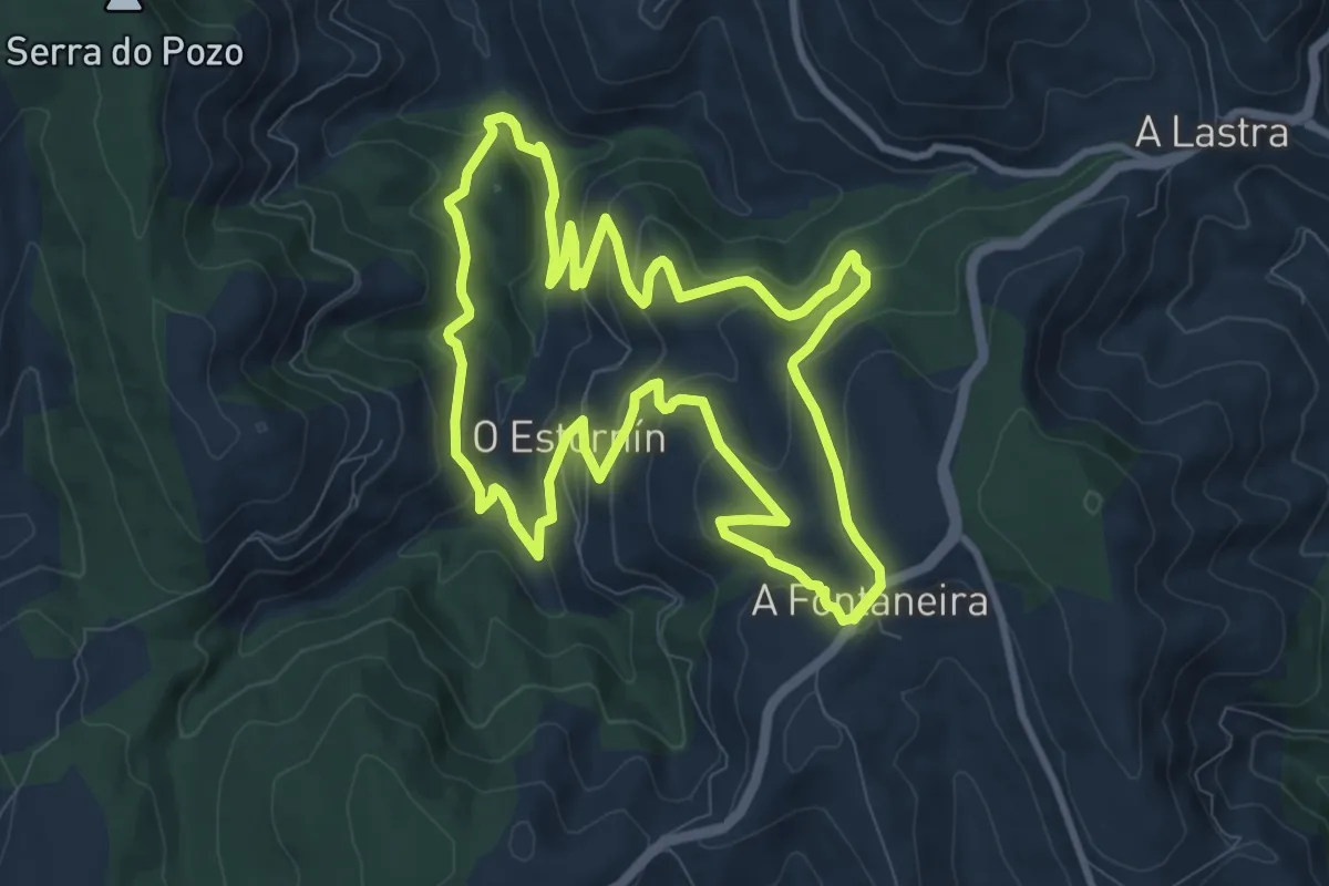
Medium · Summit
Ruta da Fontaneira
10.5 km · ↑ 499 m · 3 h 42 min
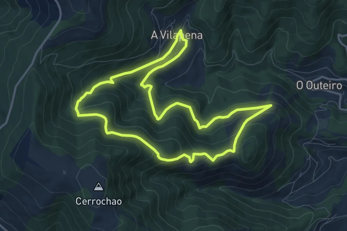
Medium · Trail
Ruta da Fraga da Vilapena
9.4 km · ↑ 417 m · 3 h 15 min
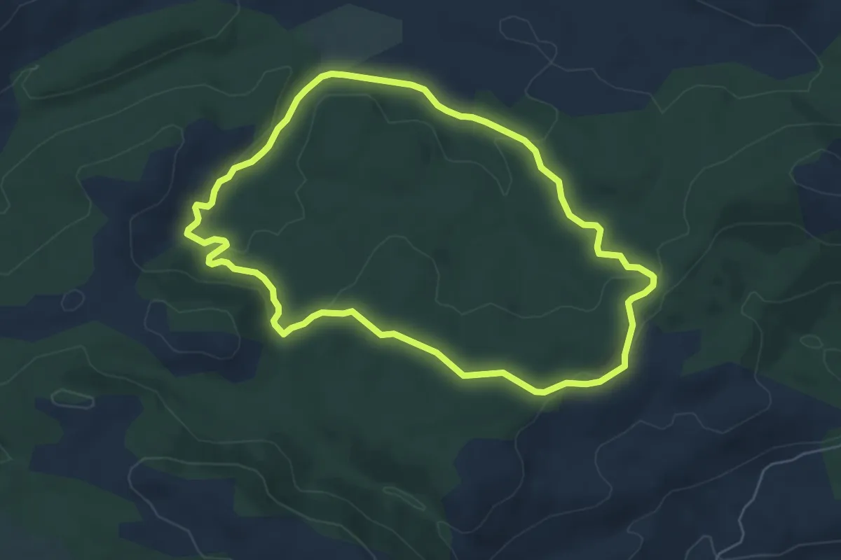
Easy · Trail
Ruta da Fraga Vella
5.9 km · ↑ 146 m · 1 h 47 min
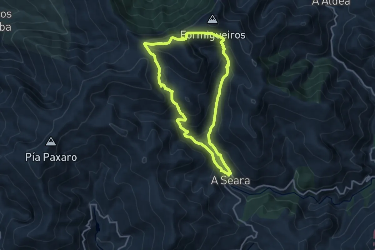
Medium · Summit
Ruta da Lagoa da Lucenza
9.6 km · ↑ 584 m · 3 h 39 min
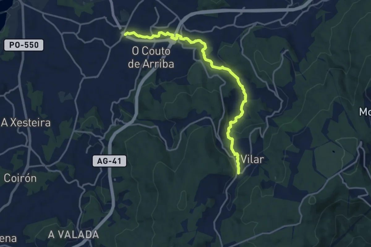
Medium · Trail
Ruta da Pedra e da Auga
13.0 km · ↑ 263 m · 3 h 39 min
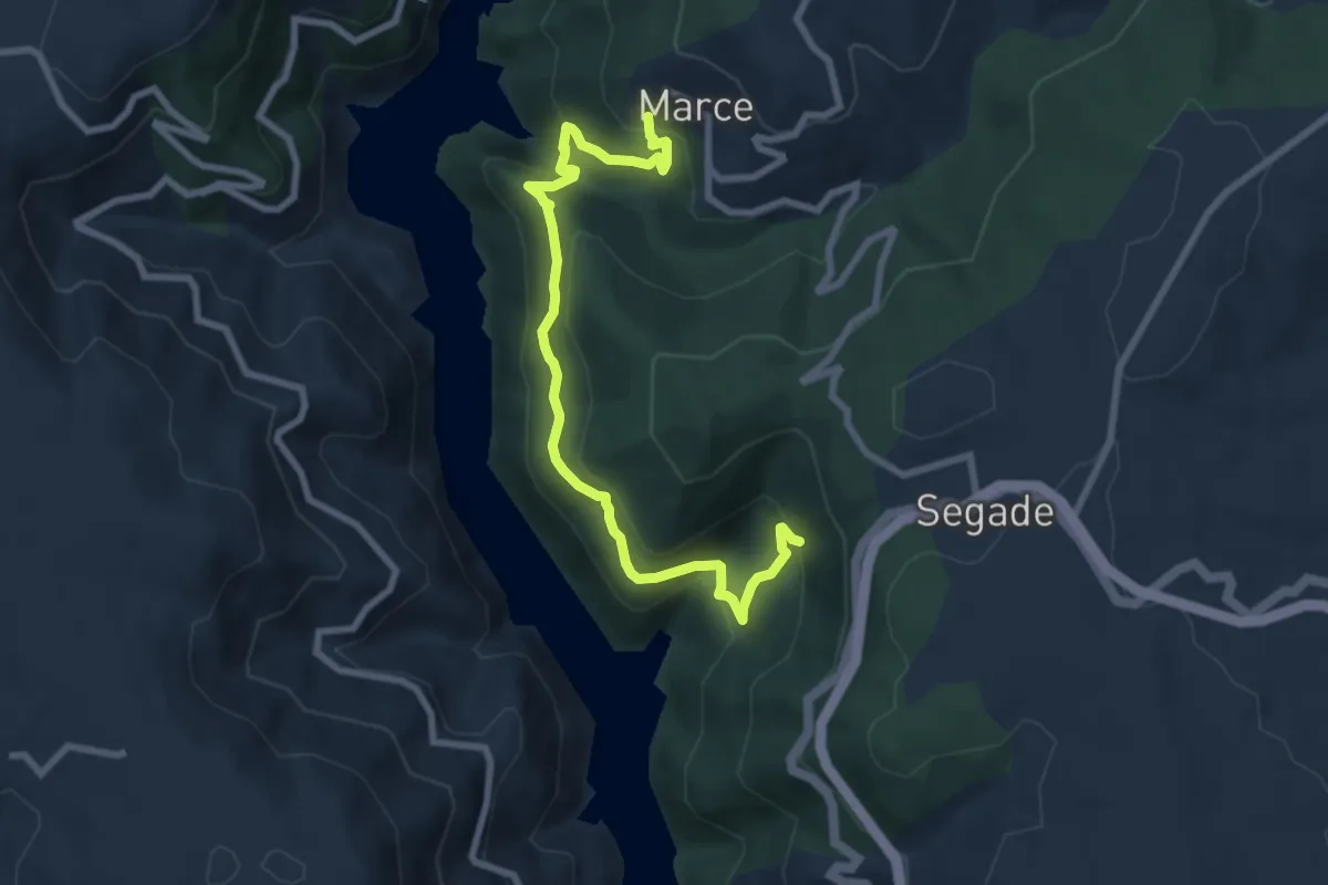
Medium · Trail
Ruta da Ribeira Sacra do Río Miño
9.1 km · ↑ 512 m · 3 h 15 min
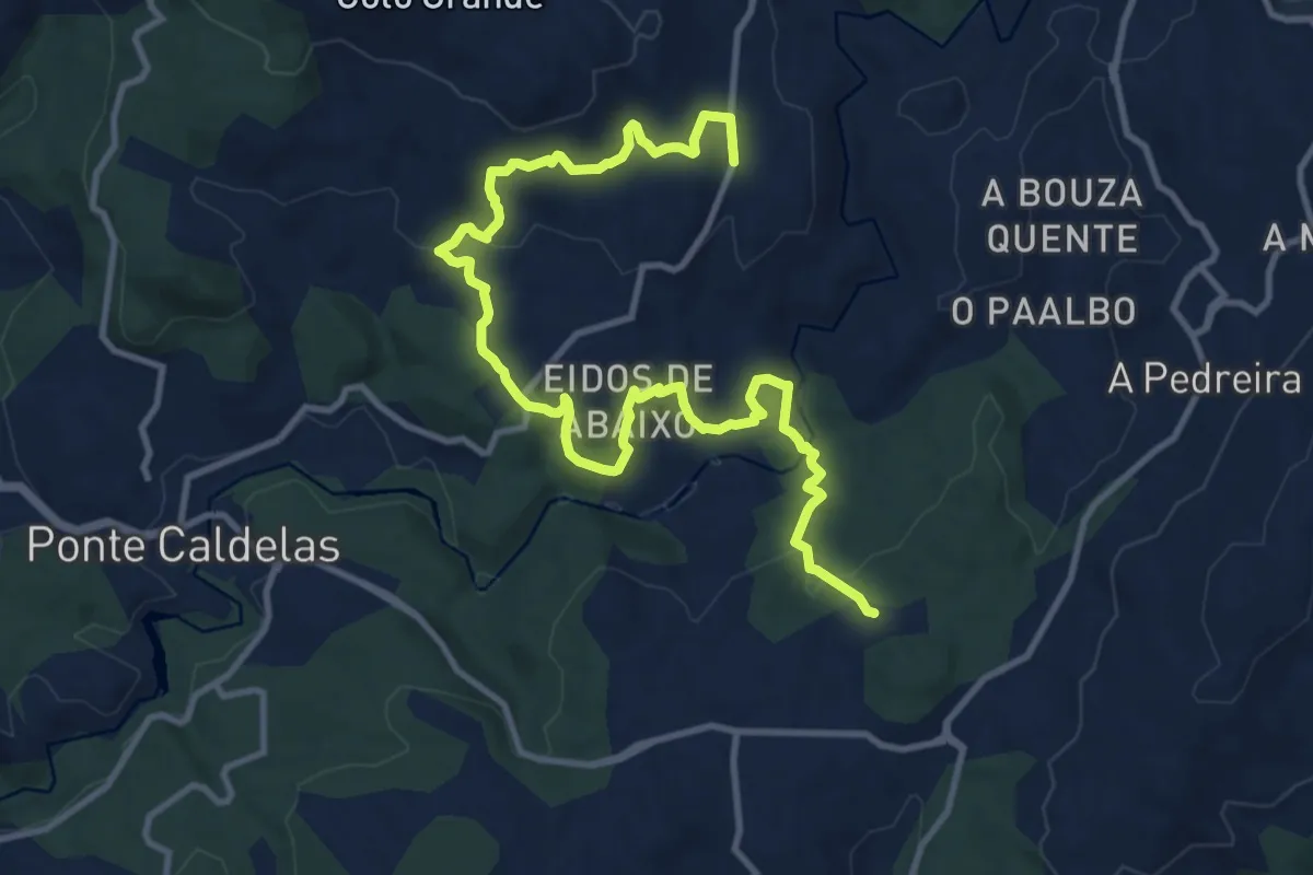
Medium · Trail
Ruta das Almiñas e foxo do lobo
15.1 km · ↑ 497 m · 4 h 39 min
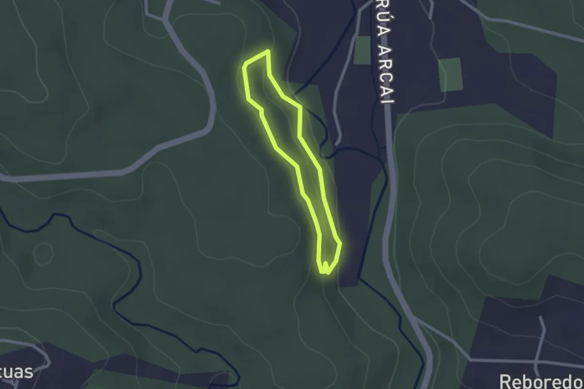
Easy · Trail
Ruta das Carballeiras do Dubra
1.8 km · ↑ 43 m · 33 min
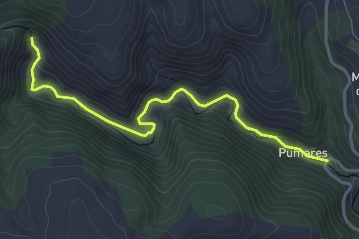
Easy · Trail
Ruta da Seimeira
6.5 km · ↑ 265 m · 2 h 6 min
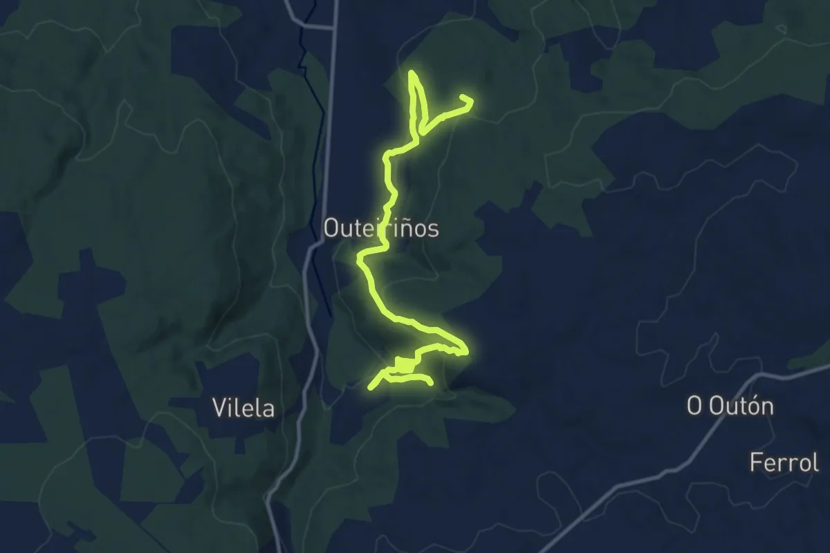
Medium · Summit
Ruta das Fervanzas
14.1 km · ↑ 596 m · 4 h 37 min
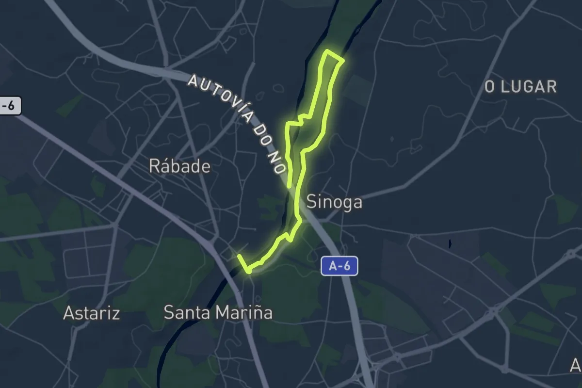
Easy · Trail
Ruta das Insuas do Miño
3.9 km · ↑ 27 m · 1 h 2 min
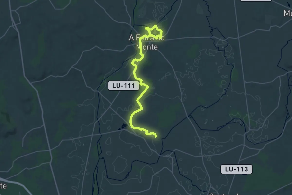
Demanding · Trail
Ruta das Lagoas
28.5 km · ↑ 159 m · 7 h 5 min
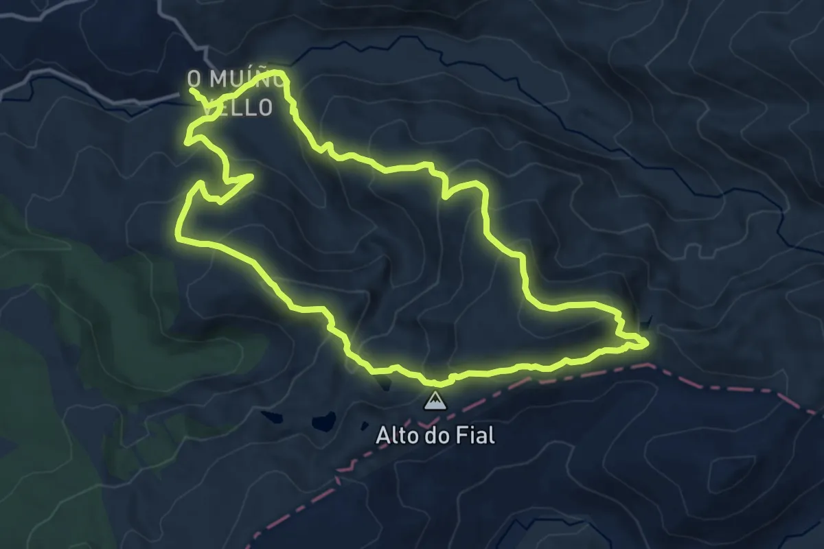
Demanding · Cabin
Ruta das Lagoas Glaciares da Serpe e de Ocelo
14.0 km · ↑ 809 m · 5 h 16 min
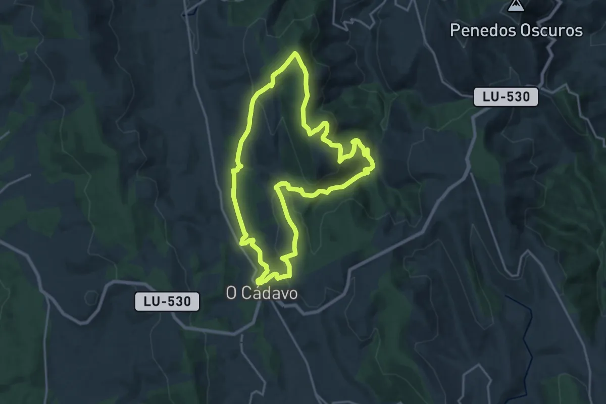
Medium · Summit
Ruta das Loras
15.3 km · ↑ 591 m · 5 h 6 min
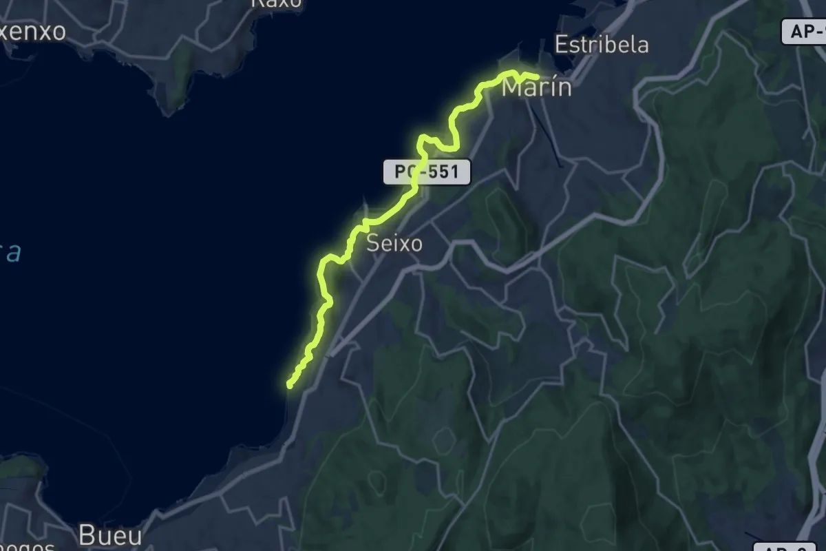
Medium · Trail
Ruta das Praias (Sendeiro Azul)
8.6 km · ↑ 231 m · 2 h 40 min
Easy · Trail
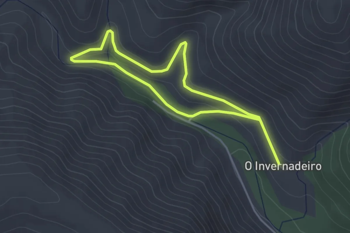
Ruta das Troitas
6.3 km · ↑ 115 m · 1 h 44 min
Medium · Trail
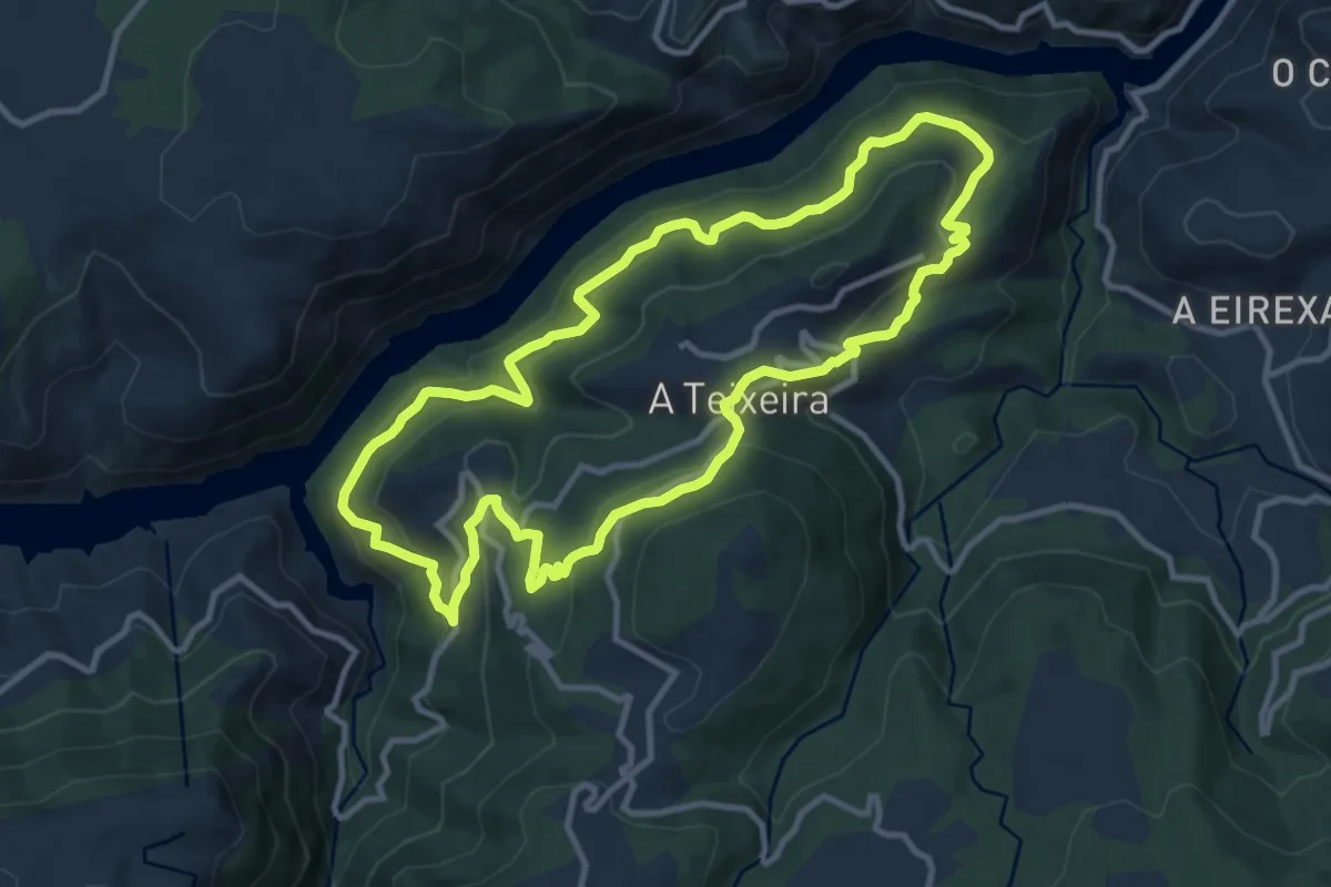
Ruta da Teixeira
11.4 km · ↑ 607 m · 4 h 10 min
Demanding · Trail
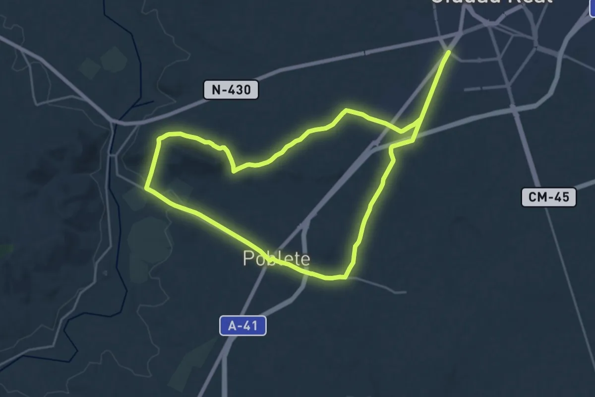
Ruta de Alarcos
19.4 km · ↑ 193 m · 5 h 16 min
Medium · Trail
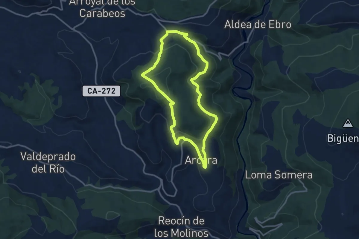
Ruta de Arcera a la Ermita de los Remedios
9.4 km · ↑ 267 m · 2 h 56 min
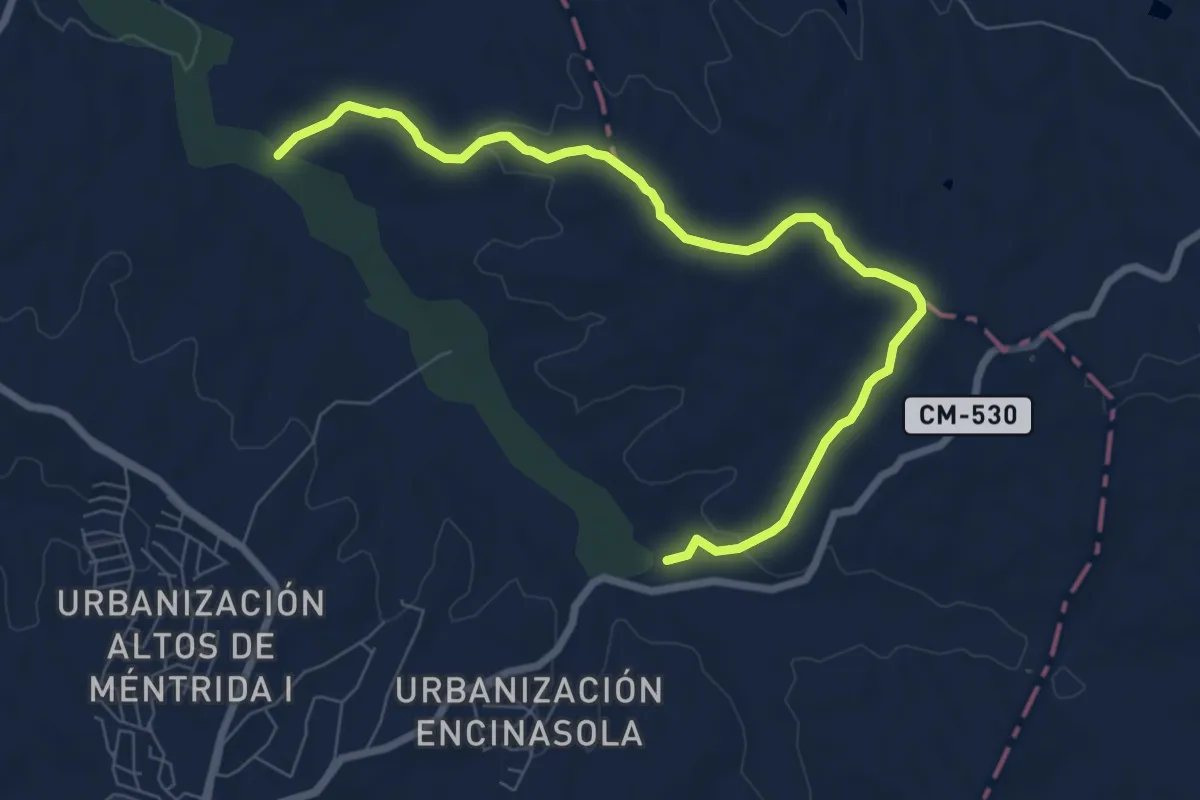
Easy · Trail
Ruta de Berciana
4.6 km · ↑ 60 m · 1 h 18 min
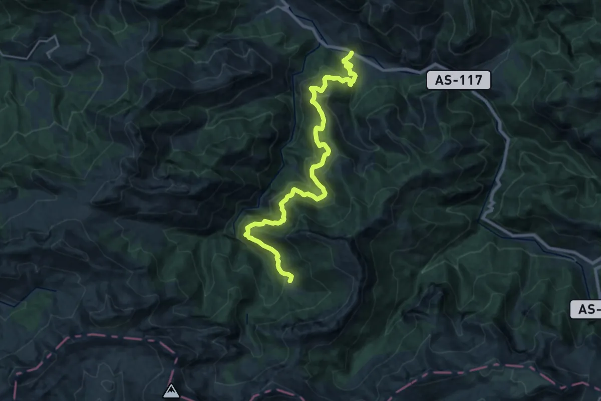
Demanding · Trail
Ruta de Brañagallones
20.3 km · ↑ 1339 m · 7 h 41 min
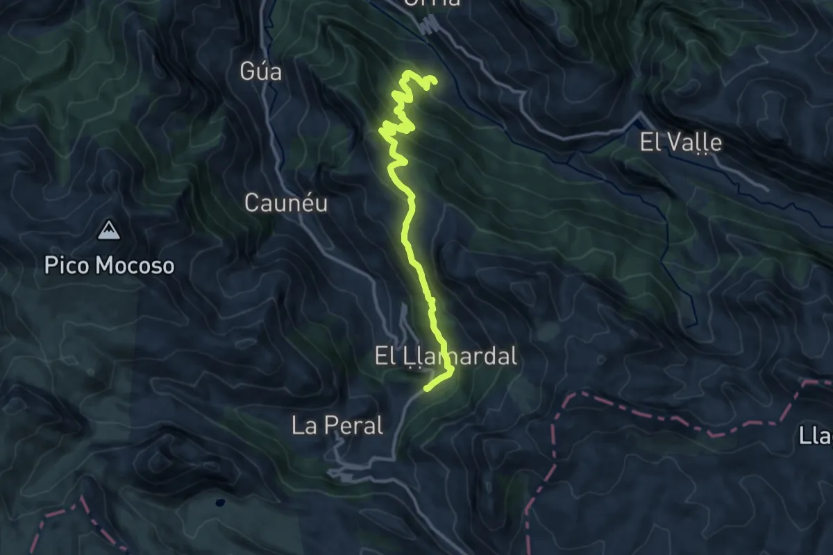
Medium · Trail
Ruta de Braña Mumian
12.2 km · ↑ 762 m · 4 h 32 min
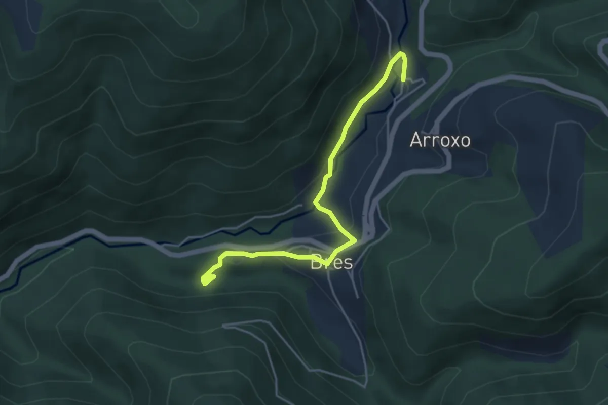
Medium · Trail
Ruta de Bres
2.2 km · ↑ 71 m · 42 min
Demanding · Trail
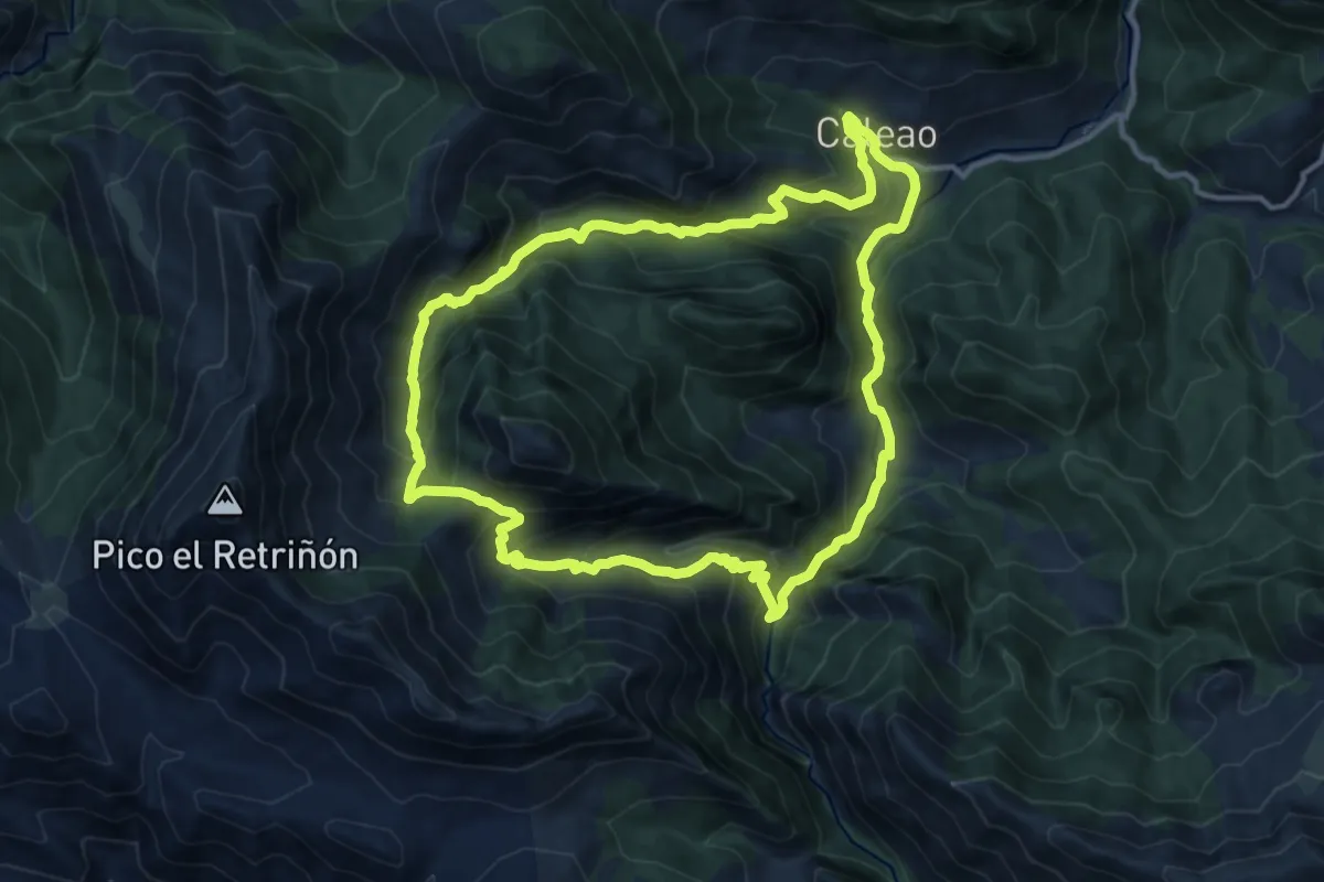
Ruta de Cabeza de Arco
13.0 km · ↑ 853 m · 5 h 6 min
Easy · Summit
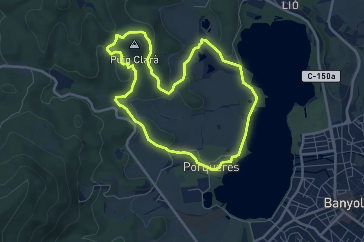
Ruta de Can Morgat i Puig Clarà
6.1 km · ↑ 128 m · 1 h 48 min
Medium · Trail
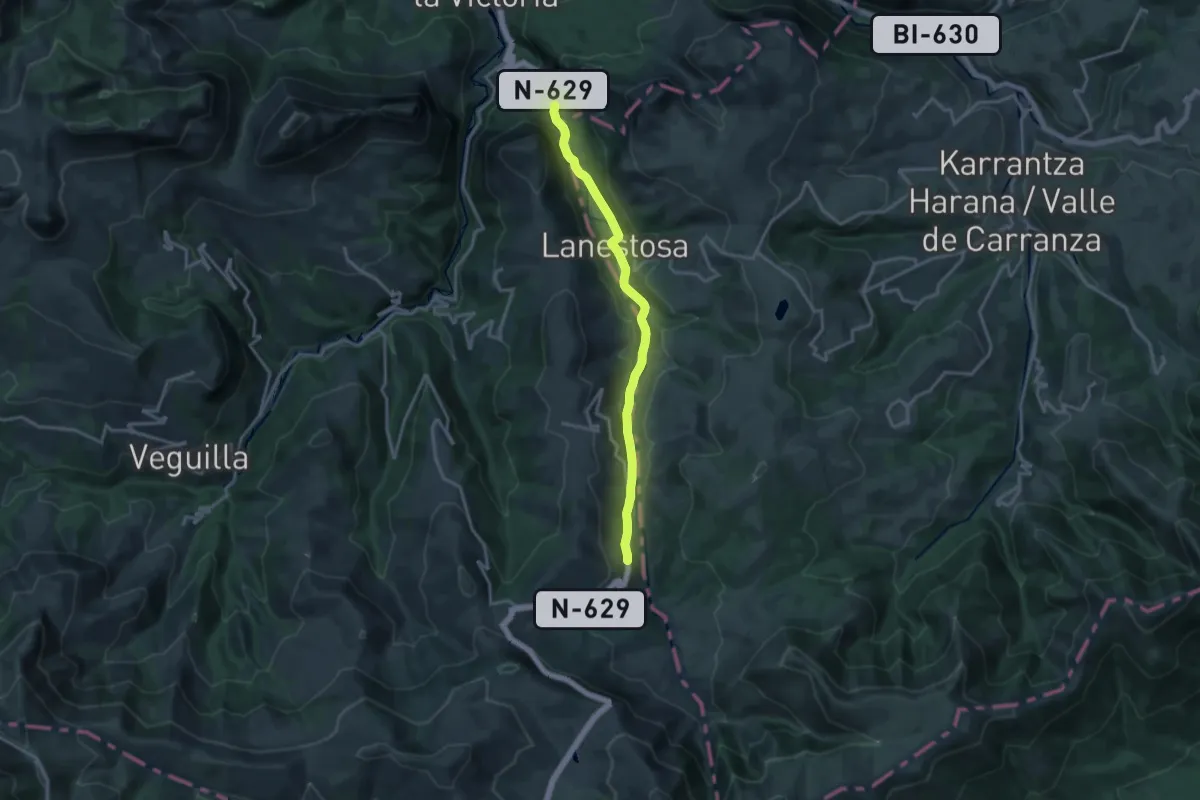
Ruta de Carlos V
16.0 km · ↑ 378 m · 4 h 36 min
Demanding · Trail
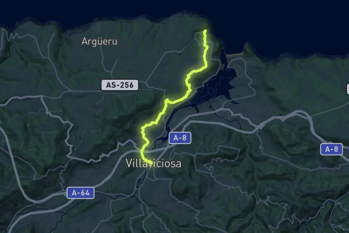
Ruta de Carlos V - Camín Real
22.0 km · ↑ 577 m · 6 h 26 min
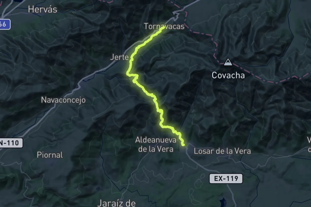
Demanding · Trail
Ruta de Carlos V (de Tornavacas a Jarandilla de la Vera)
25.2 km · ↑ 1124 m · 8 h 52 min
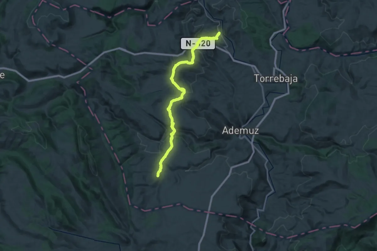
Medium · Trail
Ruta de Cavanilles
15.7 km · ↑ 330 m · 4 h 45 min
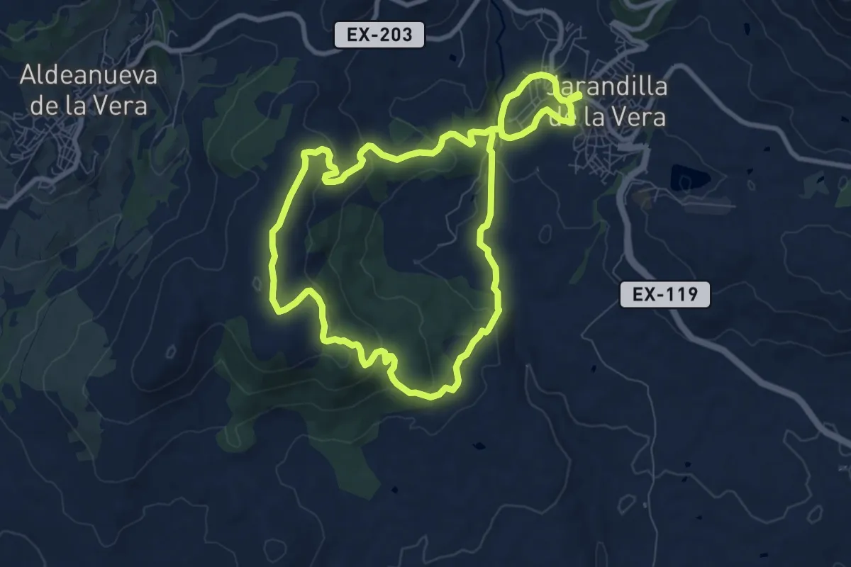
Medium · Trail
Ruta de Cerro Pino
9.0 km · ↑ 295 m · 2 h 54 min
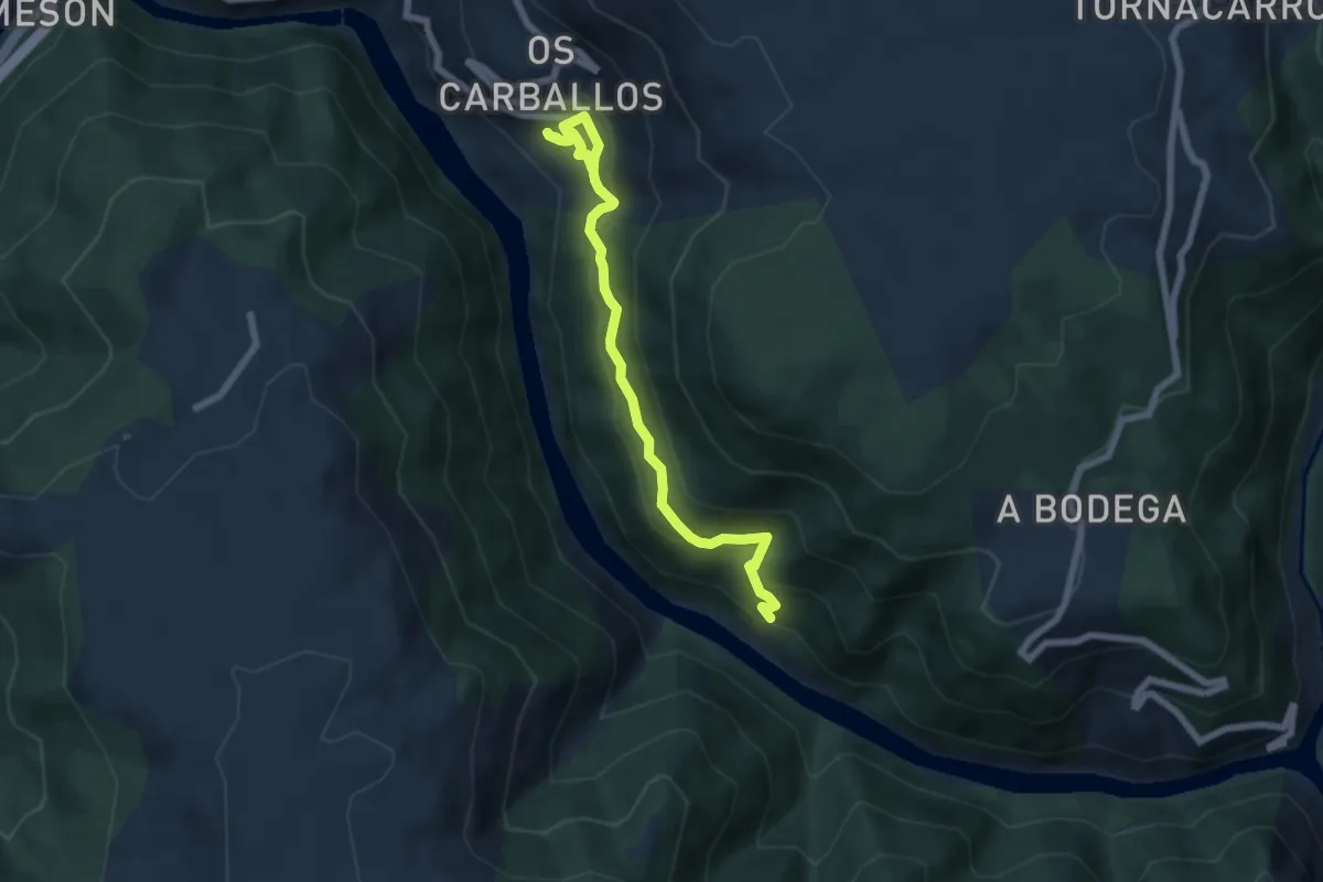
Medium · Trail
Ruta de Cibrisqueiros a San Cosmede
7.9 km · ↑ 507 m · 2 h 58 min
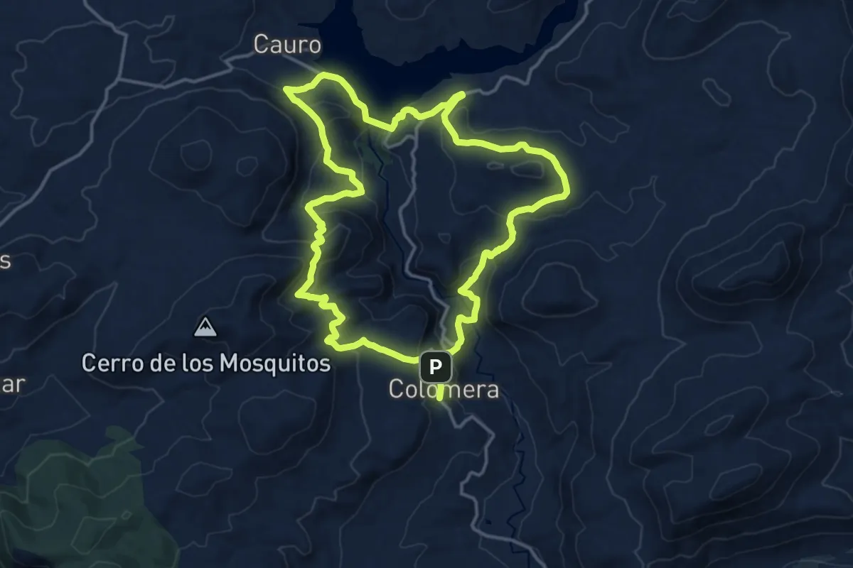
Medium · Trail
Ruta de Colomera
16.5 km · ↑ 686 m · 5 h 37 min
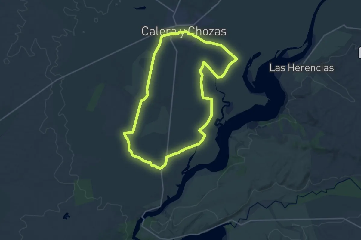
Demanding · Trail
Ruta de Covisa
18.6 km · ↑ 81 m · 4 h 50 min
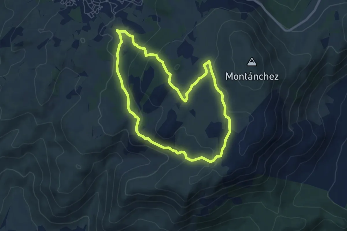
Demanding · Trail
Ruta de donde nace
6.8 km · ↑ 169 m · 2 h 3 min
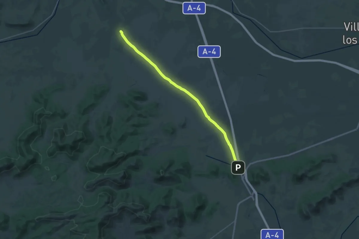
Demanding · Trail
Ruta de Don Quijote - 8
28.4 km · ↑ 77 m · 6 h 53 min
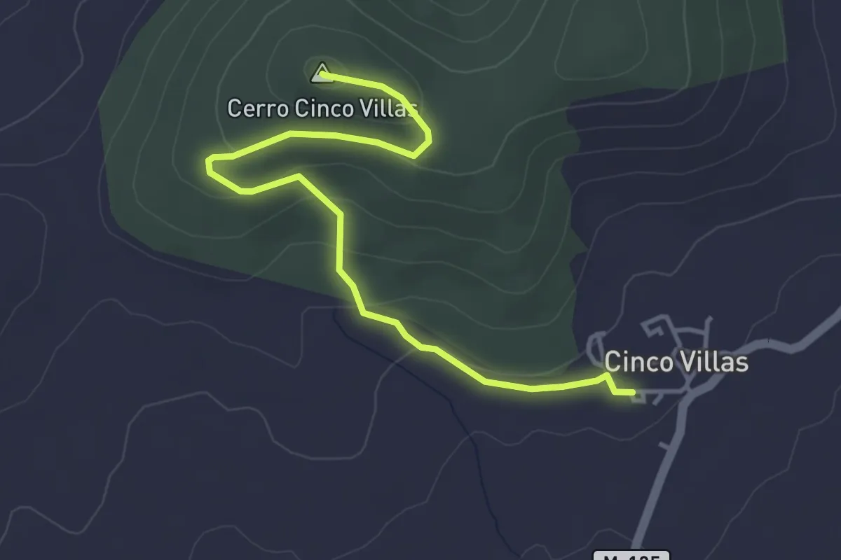
Easy · Summit
Ruta de El Picazuelo
4.5 km · ↑ 151 m · 1 h 24 min
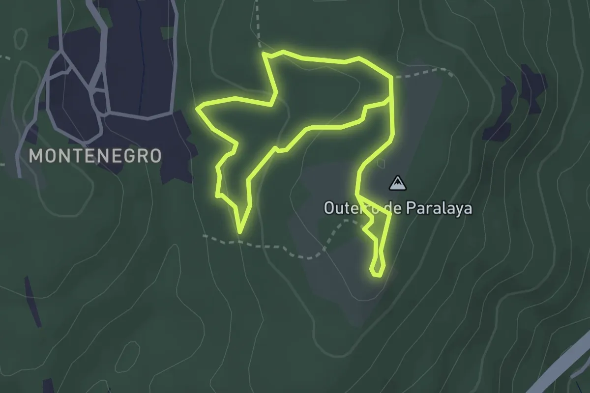
Easy · Summit
Ruta de Ermelo
2.9 km · ↑ 69 m · 52 min
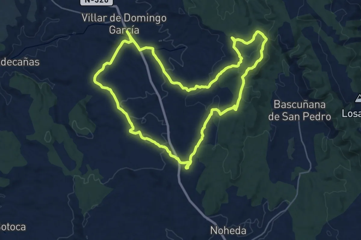
Demanding · Trail
Ruta de la Alcarria a la Sierra
20.3 km · ↑ 429 m · 6 h
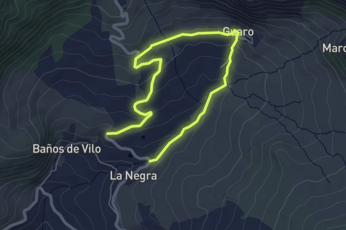
Easy · Trail
Ruta de la Aqua
3.8 km · ↑ 133 m · 1 h 14 min
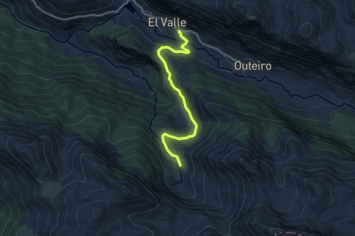
Easy · Trail
Ruta de la Braña de Sousas
6.0 km · ↑ 264 m · 2 h
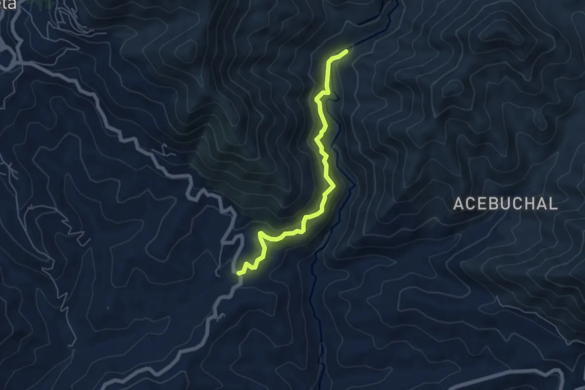
Medium · Trail
Ruta del Acebuchal
5.7 km · ↑ 393 m · 2 h 12 min
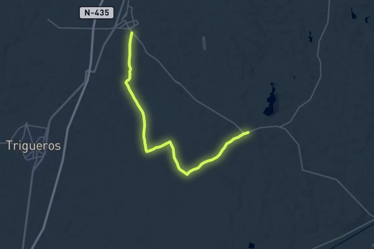
Demanding · Trail
Ruta del Aceite de Beas
20.3 km · ↑ 173 m · 5 h 10 min
Easy · Trail
Ruta del Aceite de Beas
3.5 km · ↑ 24 m · 53 min
Easy · Trail
Ruta del Aceite de Beas
3.4 km · ↑ 13 m · 50 min
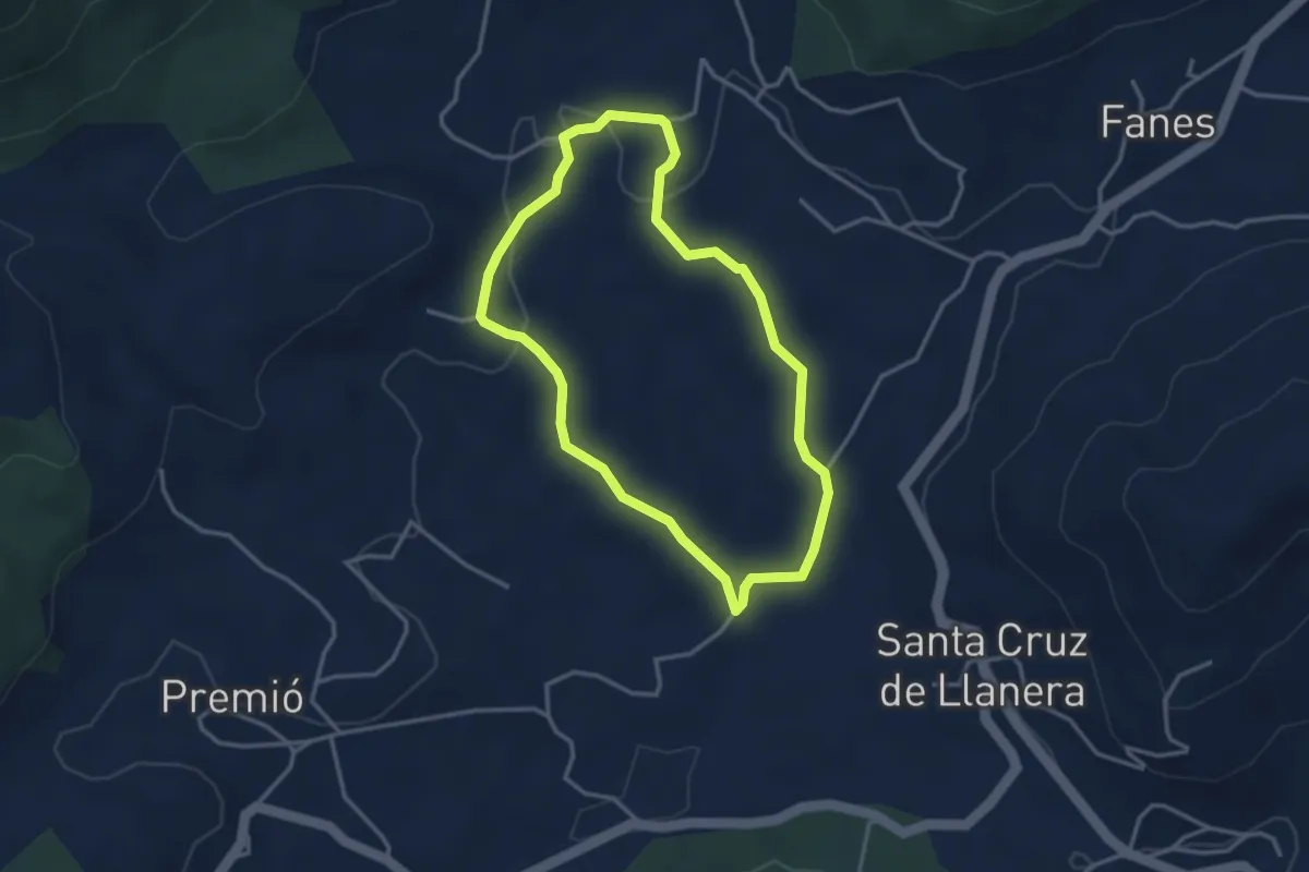
Easy · Trail
Ruta de la cerámica
3.3 km · ↑ 59 m · 56 min
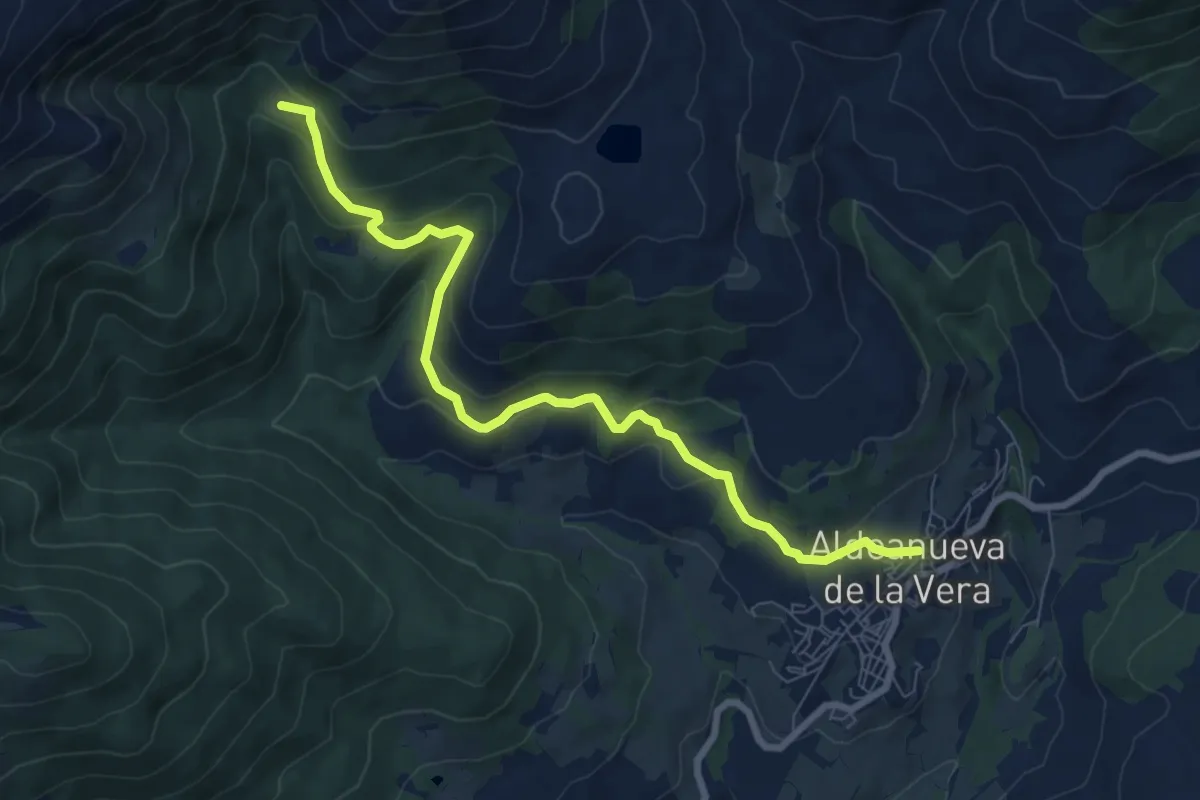
Medium · Trail
Ruta de la Chorrera de la Mora
9.4 km · ↑ 401 m · 3 h 5 min
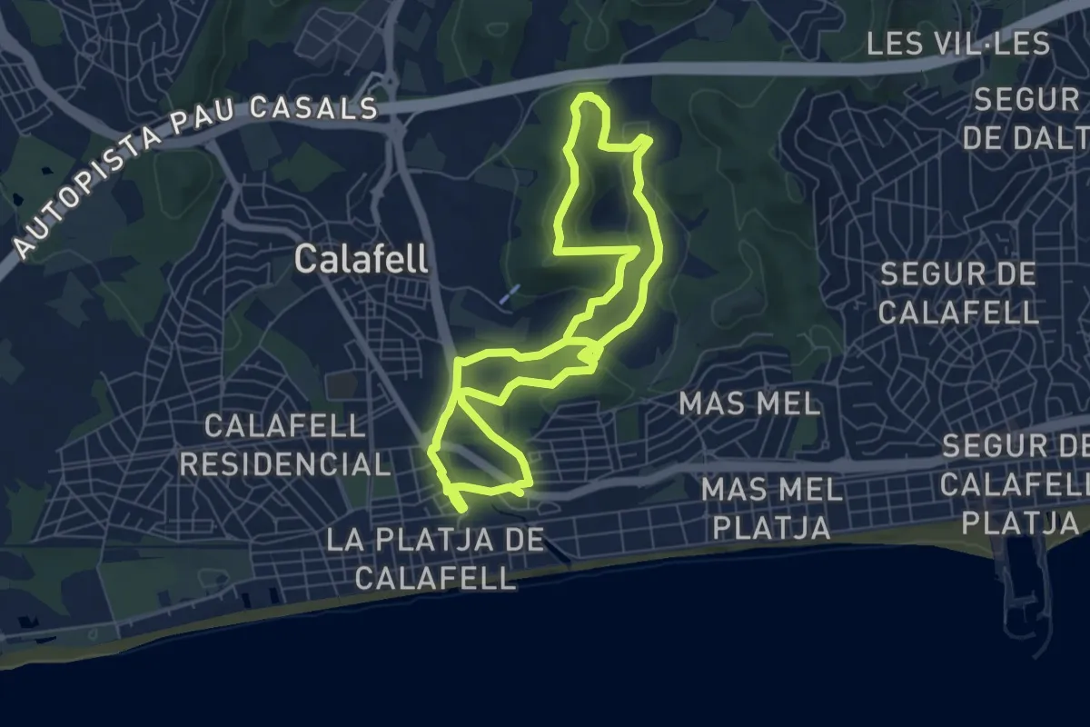
Easy · Summit
Ruta de la Cova Foradada
7.3 km · ↑ 118 m · 2 h 5 min