Trails in Spain
5,962 hiking trails, each with its route, climb, walking time and grade.
All trails, page 79 of 125
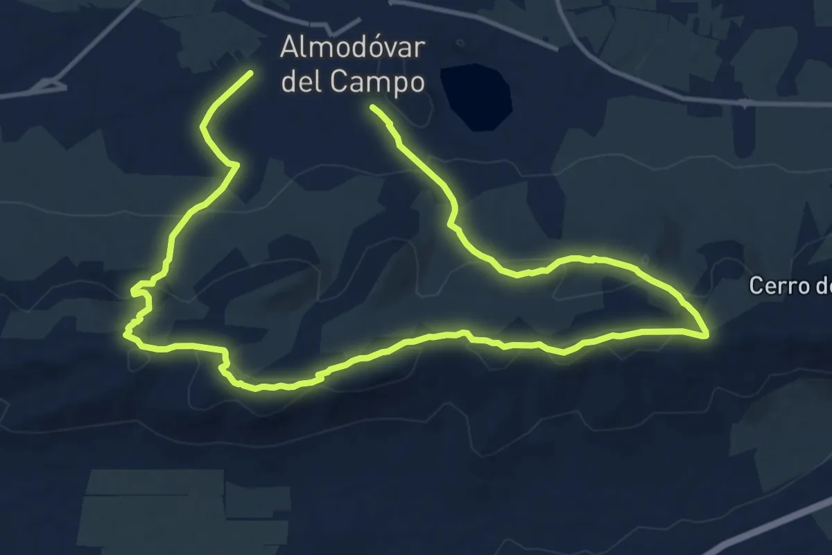
Demanding · Trail
Ruta de la Cuerda de la Sierra de Almodóvar
22.1 km · ↑ 684 m · 6 h 42 min
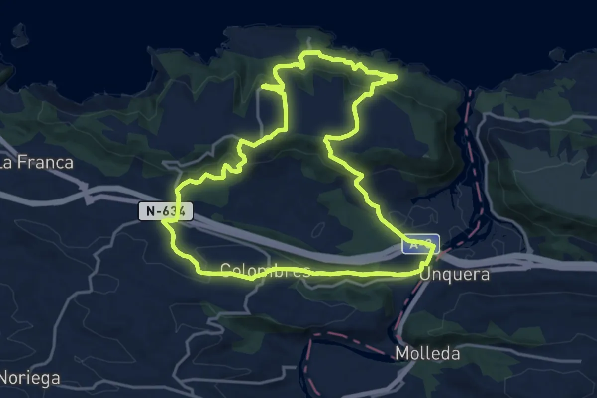
Medium · Trail
Ruta de la Cueva del Pindal
12.2 km · ↑ 410 m · 3 h 57 min
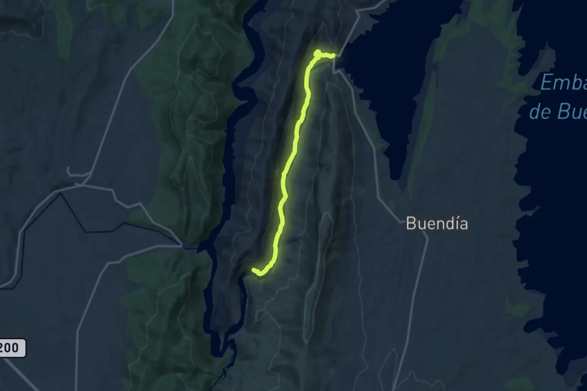
Medium · Trail
Ruta de la ermita de Nuestra Señora de los Desamparados
12.0 km · ↑ 387 m · 3 h 40 min
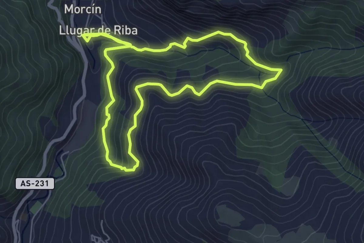
Medium · Trail
Ruta de la Esperanza
5.7 km · ↑ 362 m · 2 h 14 min
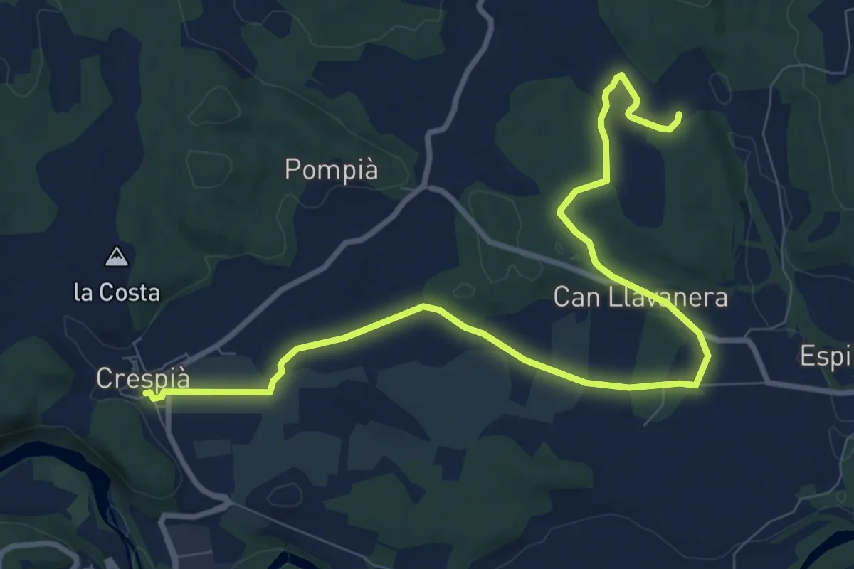
Medium · Trail
Ruta de la Font
11.8 km · ↑ 107 m · 3 h 1 min
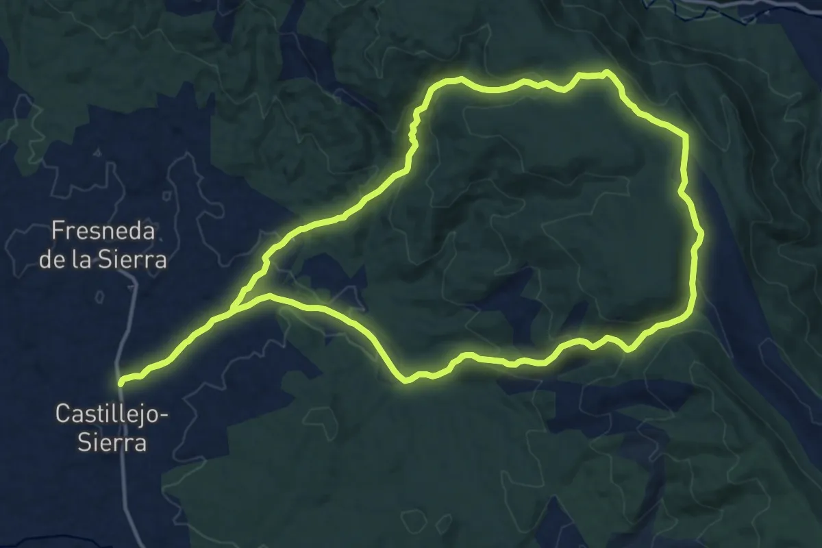
Medium · Trail
Ruta de la Fuente de la Herrería. Castillejo-Sierra
16.0 km · ↑ 424 m · 4 h 56 min
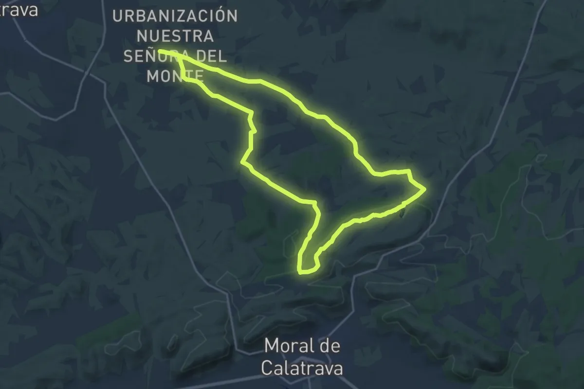
Demanding · Trail
Ruta de la Fuente del Caño
19.6 km · ↑ 243 m · 5 h 25 min
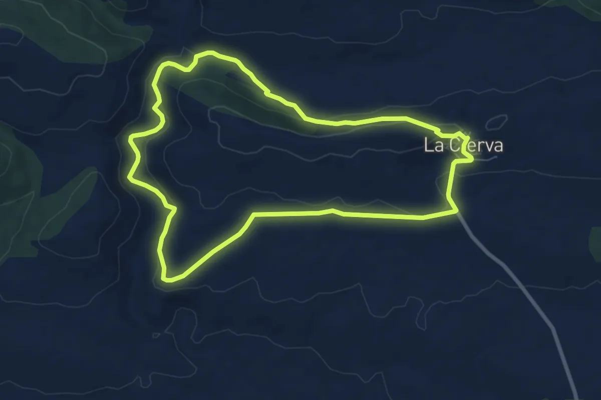
Easy · Trail
Ruta de la Fuente de Marimingo
8.0 km · ↑ 155 m · 2 h 19 min
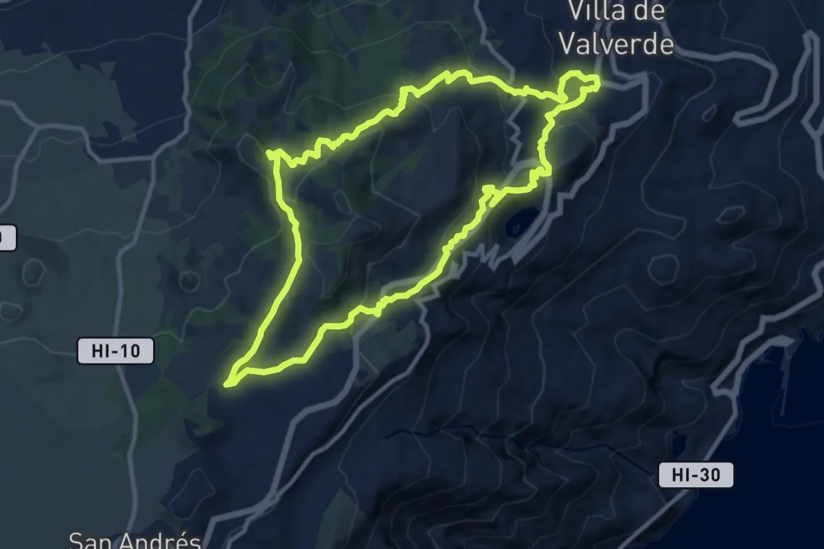
Medium · Summit
Ruta del Agua
11.6 km · ↑ 599 m · 4 h 12 min
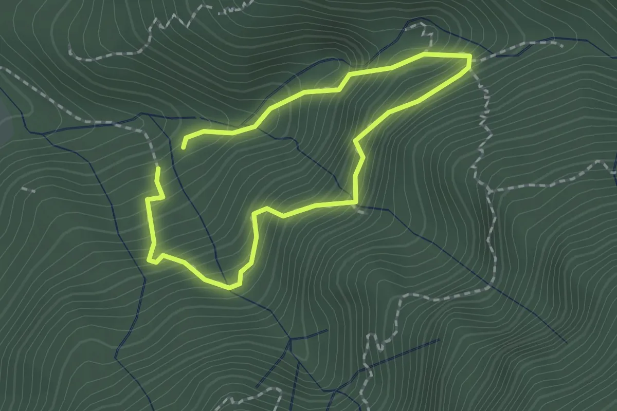
Medium · Trail
Ruta del Agua
1.7 km · ↑ 216 m · 54 min
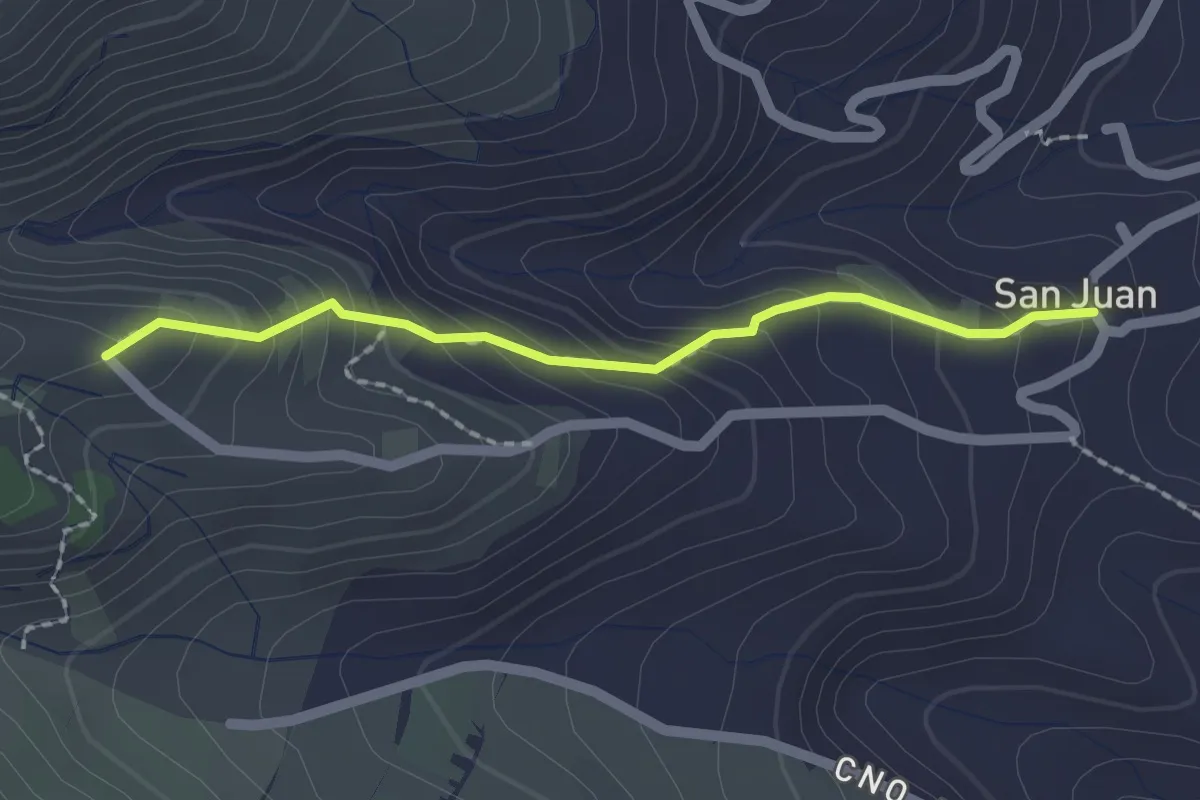
Easy · Trail
Ruta del Agua
2.3 km · ↑ 191 m · 57 min
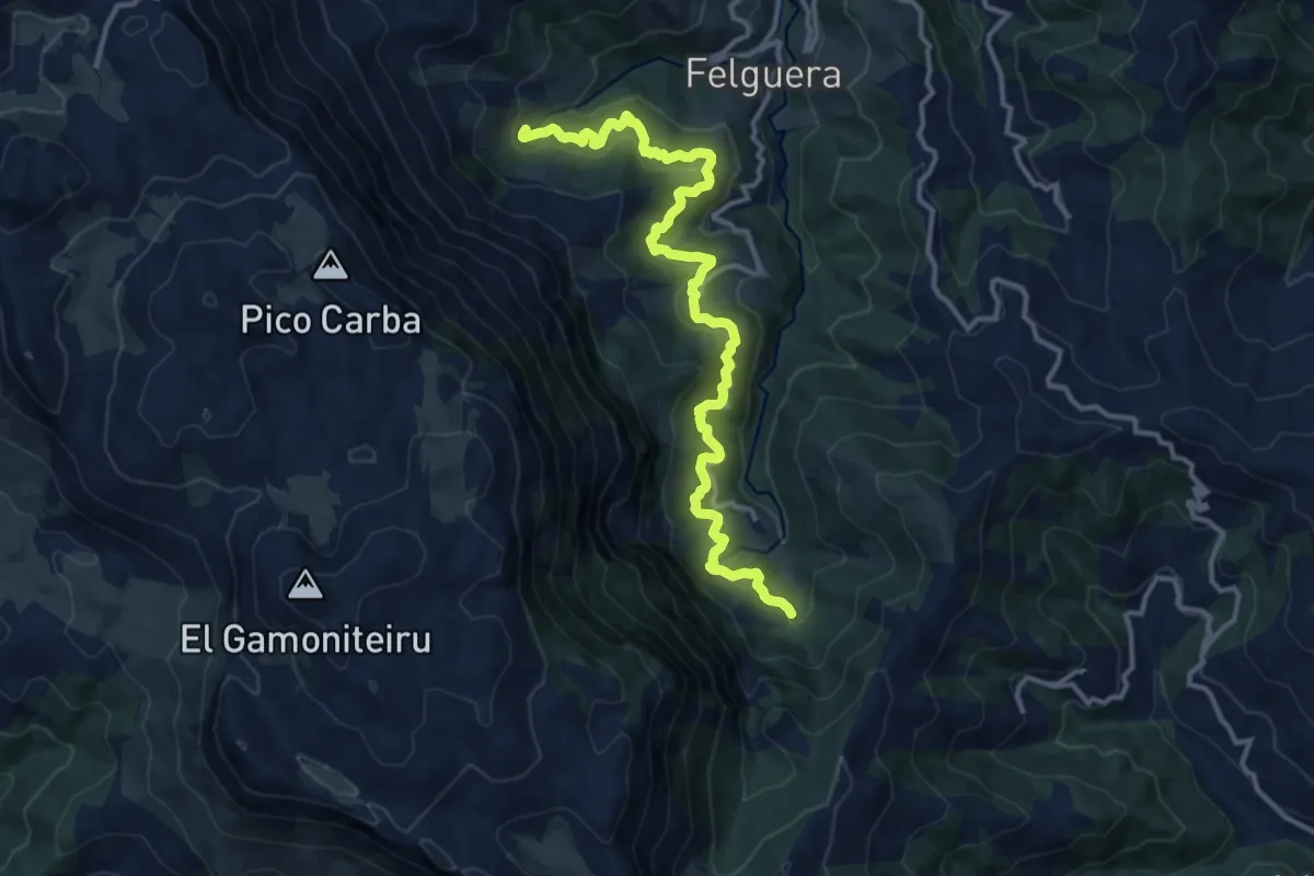
Demanding · Trail
Ruta del Agua
14.6 km · ↑ 849 m · 5 h 17 min
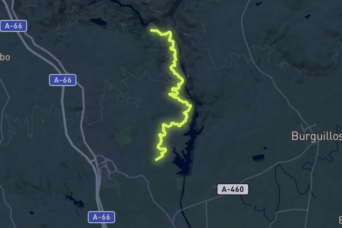
Medium · Trail
Ruta del Agua de Guillena
14.5 km · ↑ 343 m · 4 h 21 min
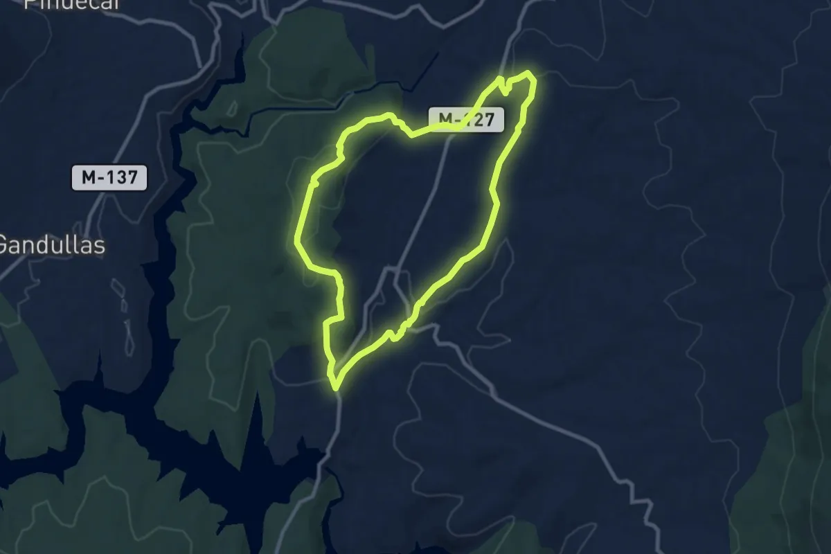
Medium · Summit
Ruta de la Guerra Civil. Frente del Agua
9.3 km · ↑ 203 m · 2 h 46 min
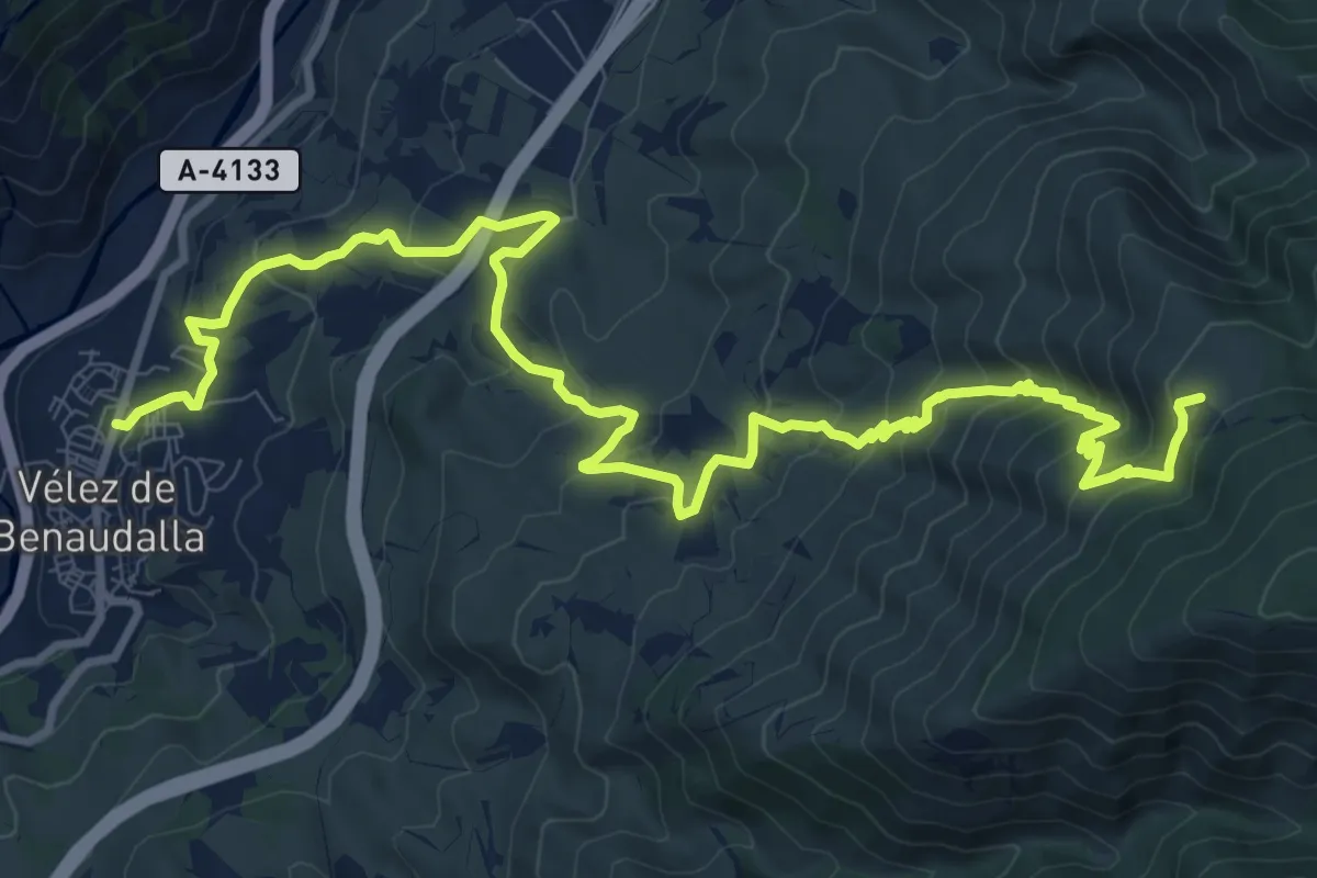
Demanding · Trail
Ruta de la Haza del Señor o Sendero de las Minas
15.8 km · ↑ 948 m · 5 h 46 min
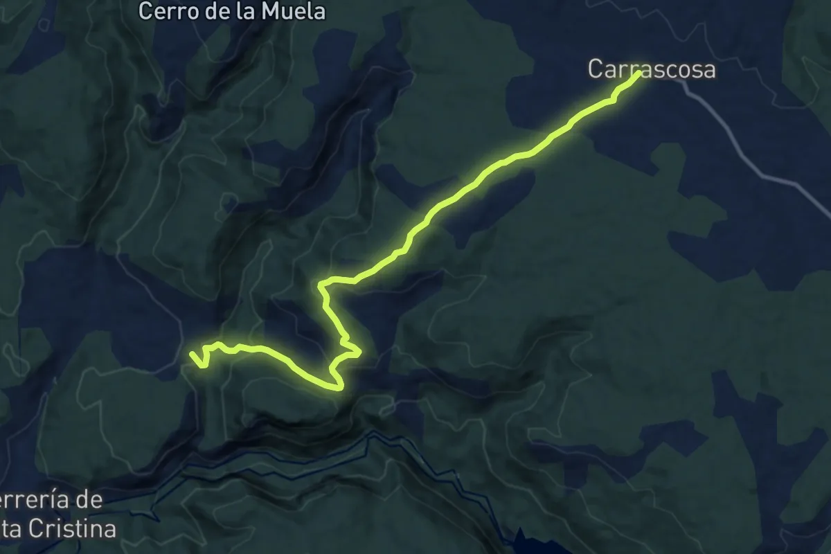
Medium · Summit
Ruta de la Herrería de Santa Cristina
13.2 km · ↑ 468 m · 4 h 8 min
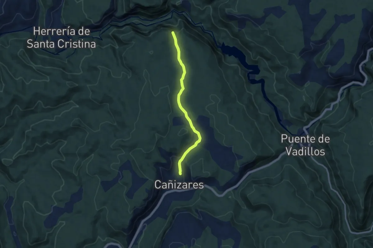
Medium · Trail
Ruta de la Hoz de Tragavivos
8.8 km · ↑ 179 m · 2 h 27 min
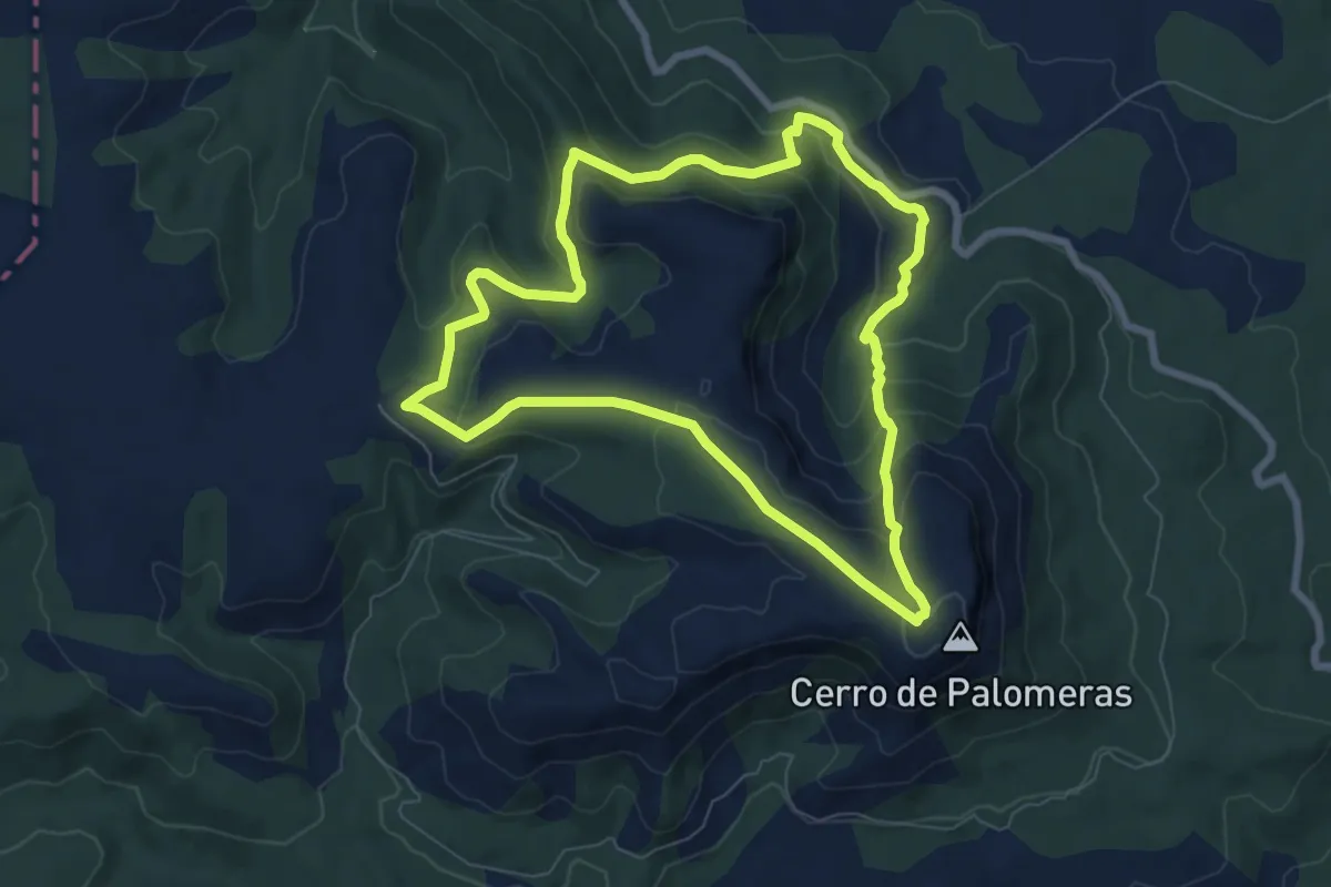
Medium · Trail
Ruta de la Hunde - Pico Palomera
8.0 km · ↑ 326 m · 2 h 43 min
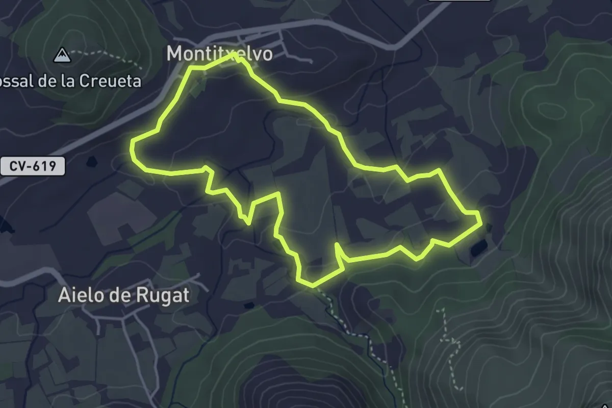
Medium · Trail
Ruta de l'aigua
4.5 km · ↑ 99 m · 1 h 20 min
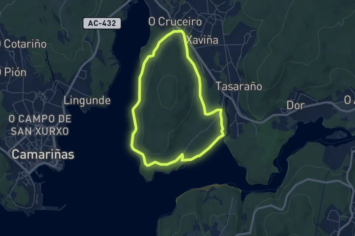
Easy · Summit
Ruta de la Insua
5.7 km · ↑ 72 m · 1 h 35 min
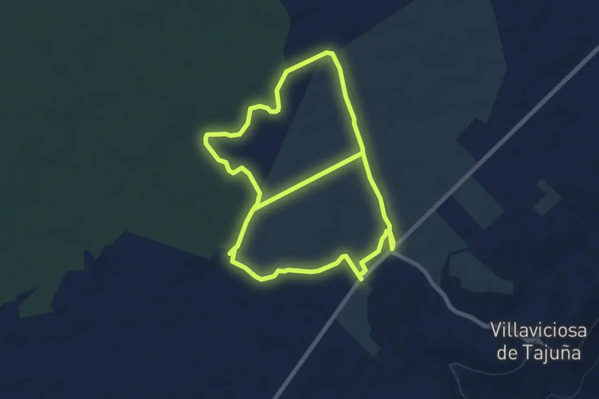
Medium · Trail
Ruta de la lavanda
12.0 km · ↑ 36 m · 2 h 54 min
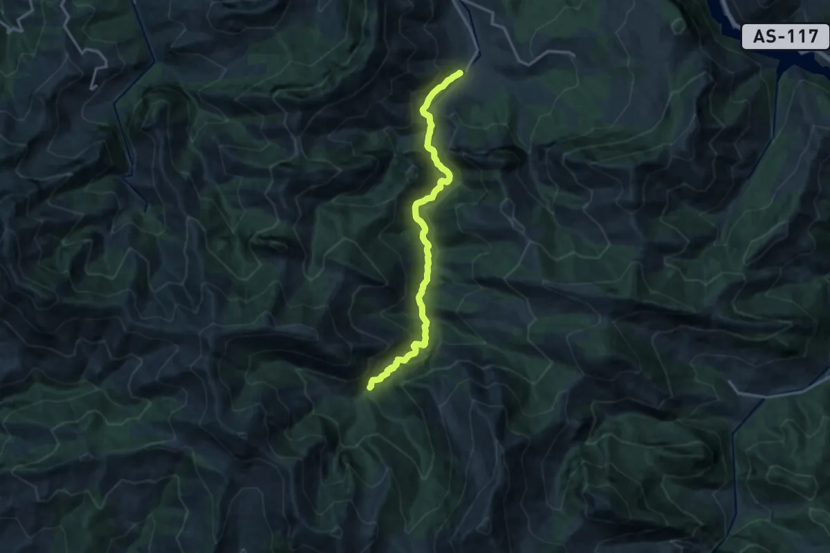
Medium · Trail
Ruta del Alba
14.1 km · ↑ 781 m · 5 h 1 min
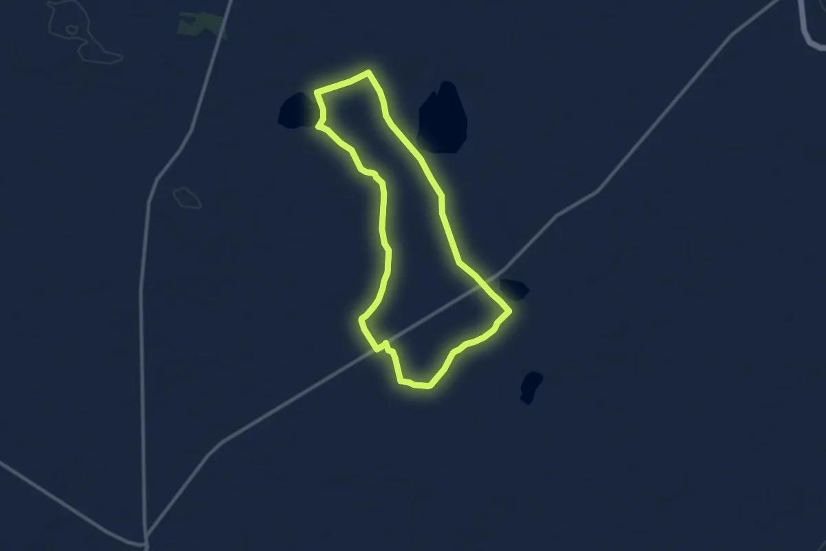
Medium · Trail
Ruta del Alcaraván
9.6 km · ↑ 4 m · 2 h 25 min
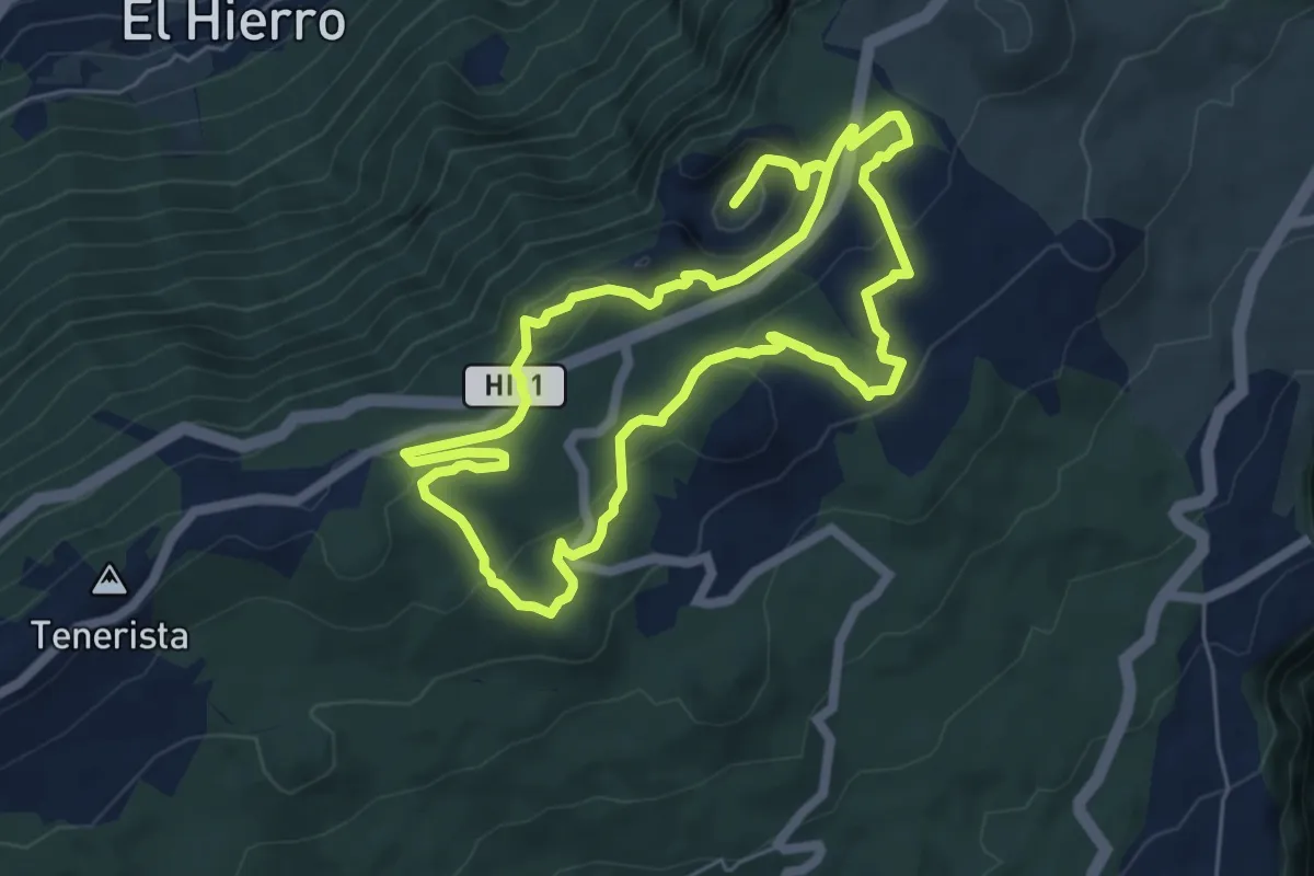
Medium · Summit
(Ruta de la Llanía)
7.6 km · ↑ 234 m · 2 h 25 min
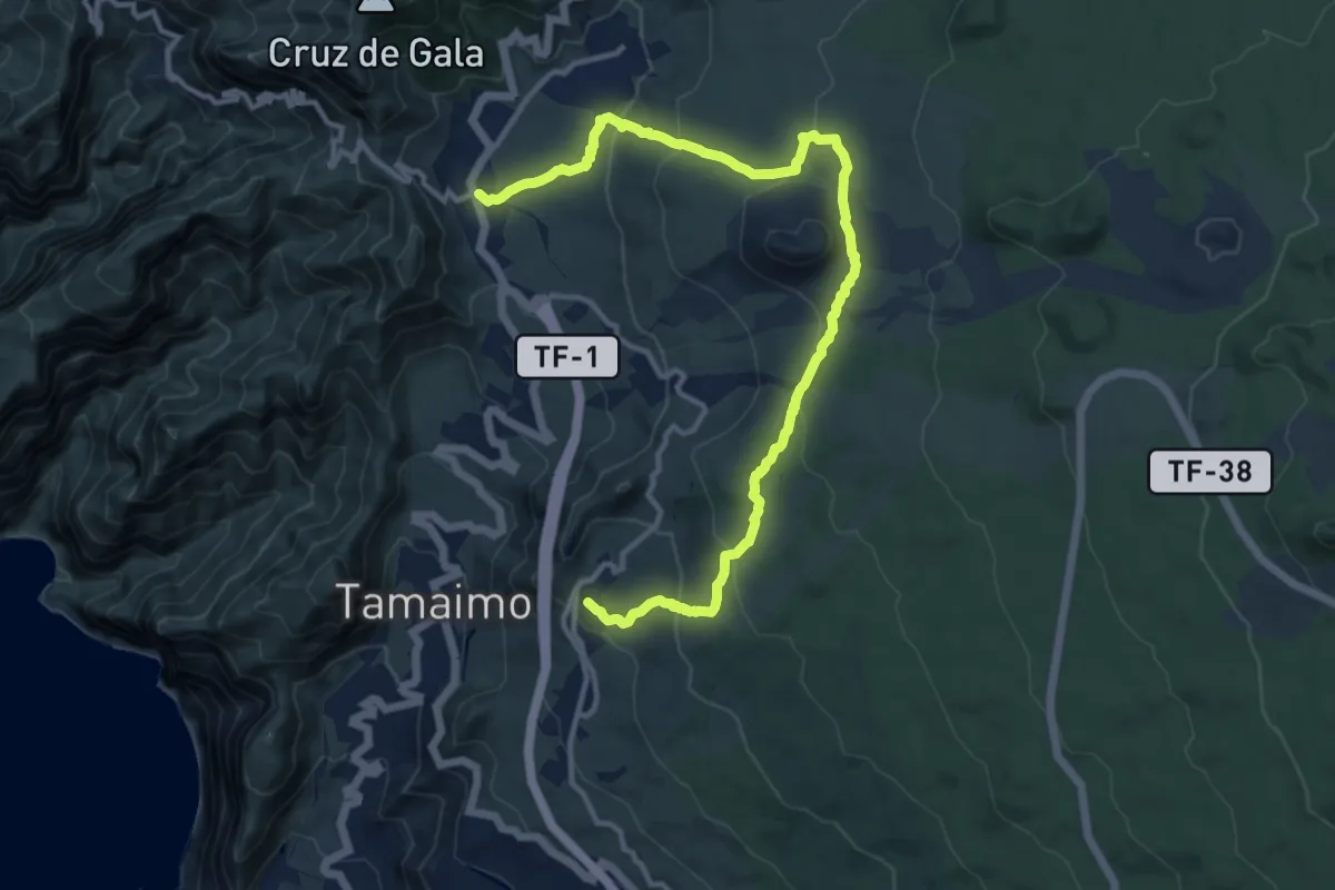
Demanding · Trail
Ruta del Almendro en Flor
18.0 km · ↑ 688 m · 5 h 45 min
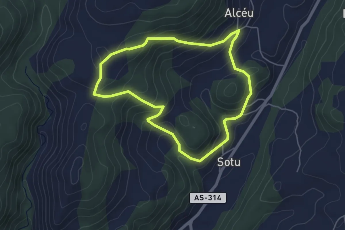
Easy · Trail
Ruta del alto de Piedrafita
4.0 km · ↑ 213 m · 1 h 28 min
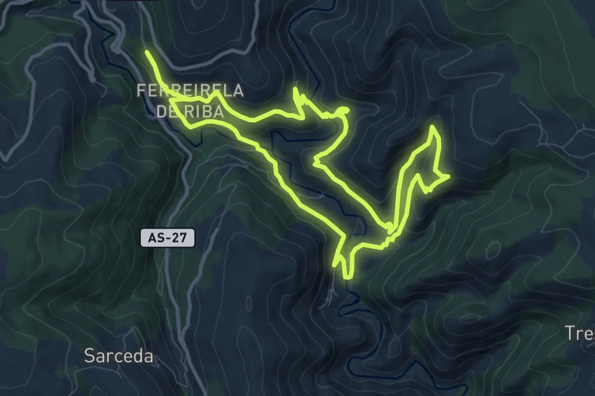
Medium · Trail
Ruta de la Mina de As Talladas
10.5 km · ↑ 519 m · 3 h 45 min
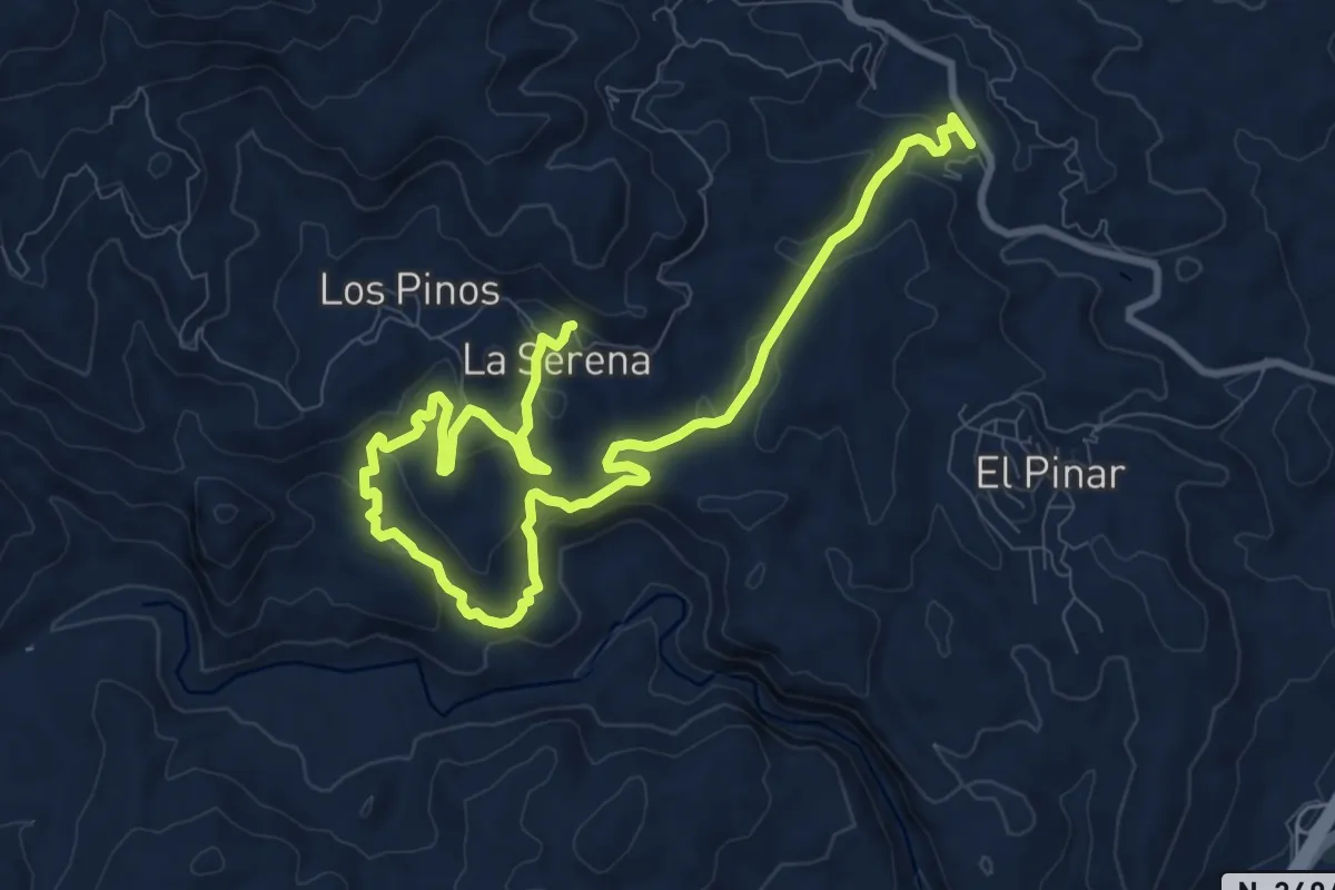
Medium · Trail
Ruta de la Minería de Bédar
15.2 km · ↑ 498 m · 4 h 40 min
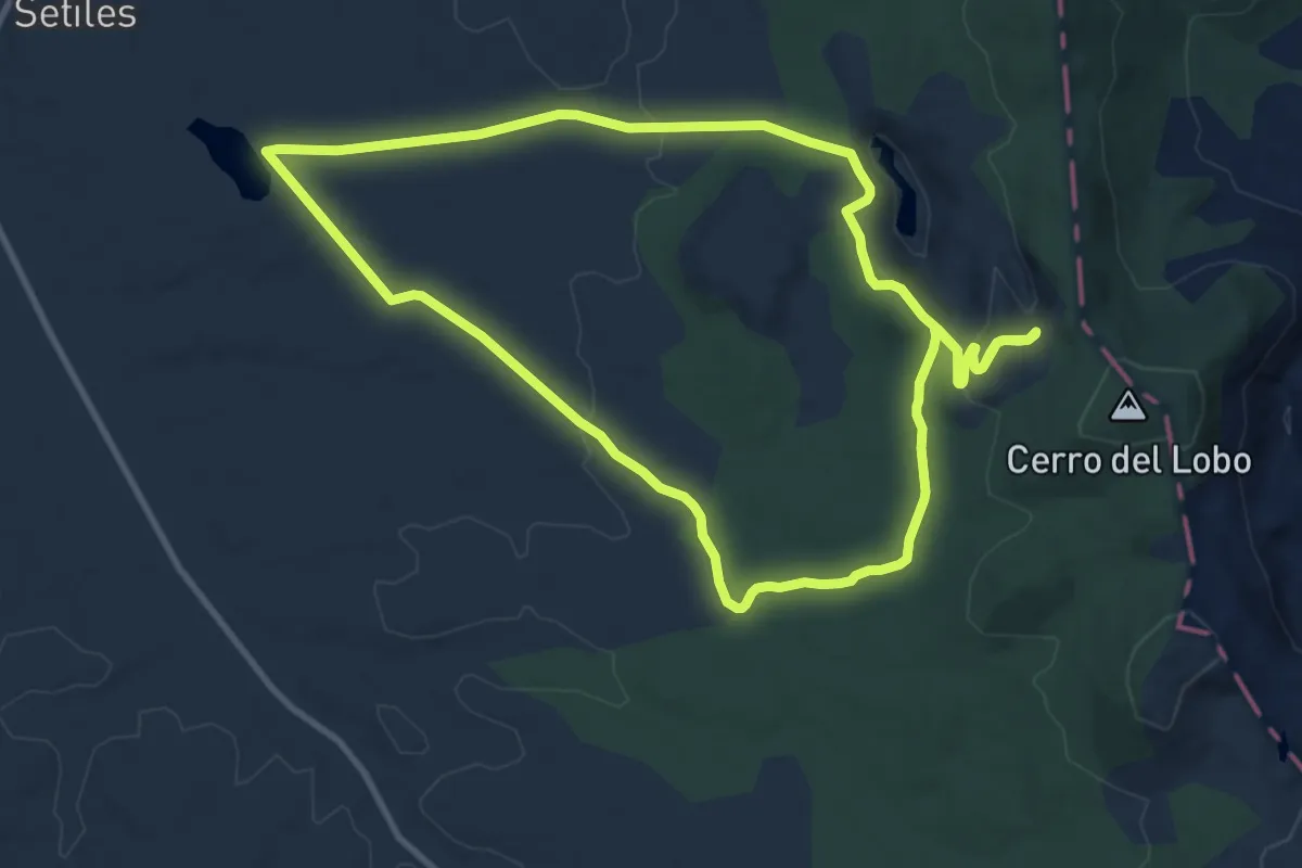
Medium · Trail
Ruta de la Minería Histórica en Setiles
11.6 km · ↑ 160 m · 3 h 15 min
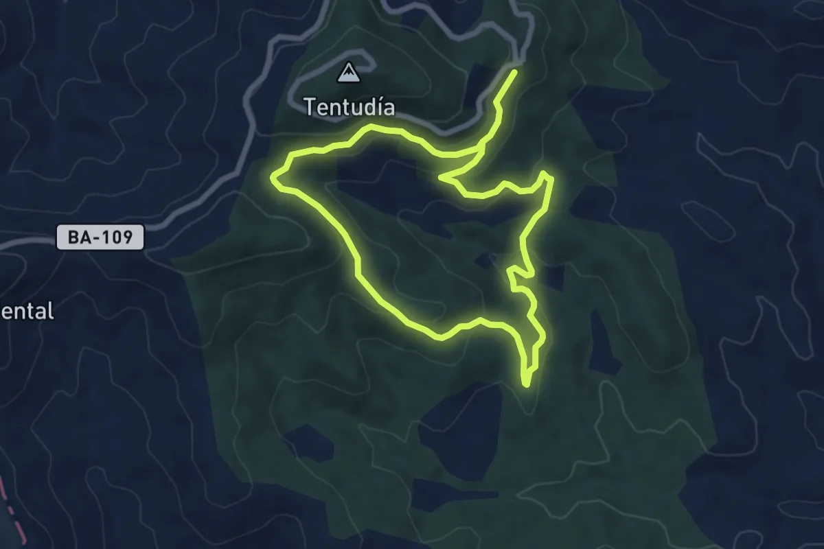
Easy · Trail
Ruta de la Pantaneta
6.4 km · ↑ 232 m · 2 h 6 min
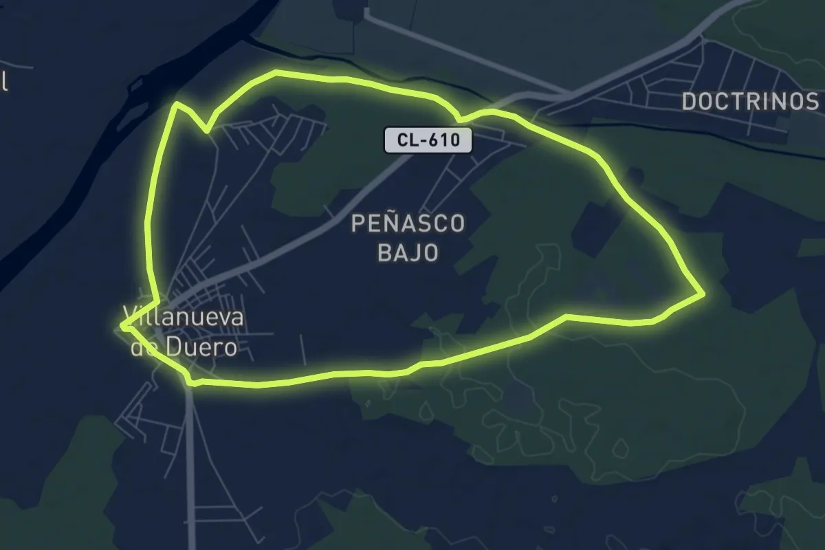
Medium · Trail
Ruta de la Pesquera al Adaja
8.8 km · ↑ 34 m · 2 h 16 min
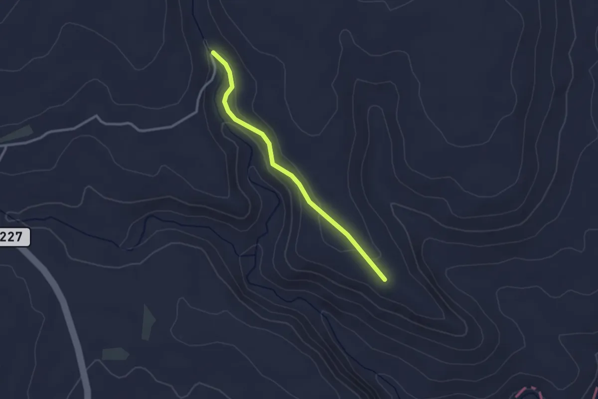
Easy · Trail
Ruta de la Piedra Seca
2.7 km · ↑ 69 m · 47 min
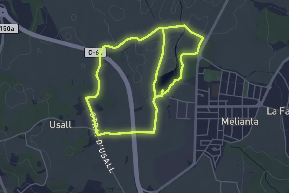
Easy · Trail
Ruta de la platja d’Espolla i Usall
4.4 km · ↑ 18 m · 1 h 8 min
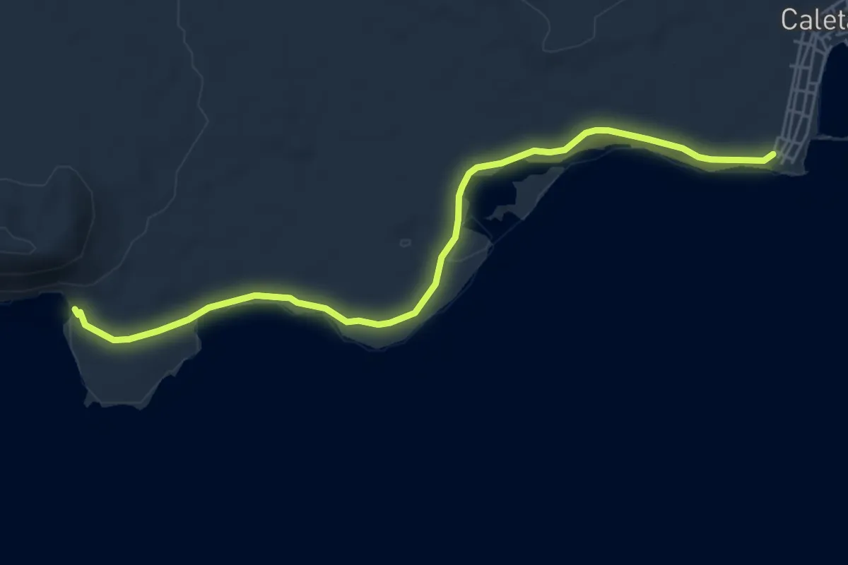
Easy · Trail
Ruta de la Playa de la Cocina
7.1 km · ↑ 38 m · 1 h 45 min
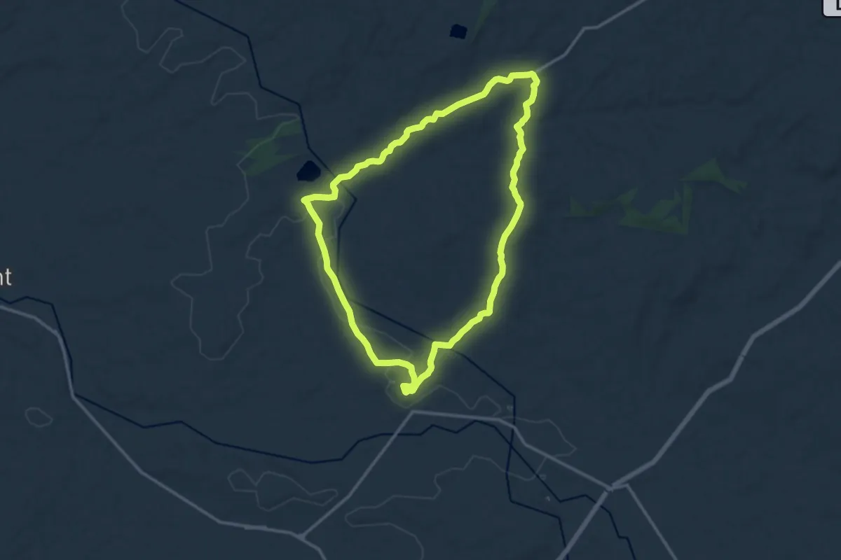
Medium · Summit
Ruta de la Pleta
12.8 km · ↑ 148 m · 3 h 32 min
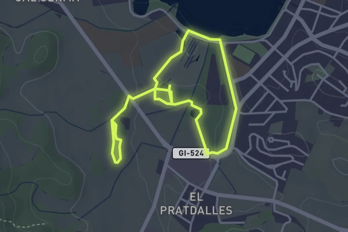
Easy · Trail
Ruta de la Puda i les Estunes
2.9 km · ↑ 26 m · 47 min
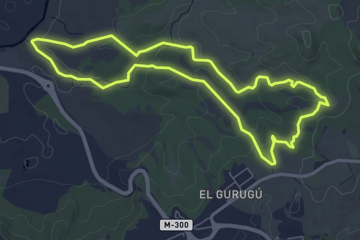
Easy · Trail
Ruta de la Puerta Verde
6.1 km · ↑ 137 m · 1 h 50 min
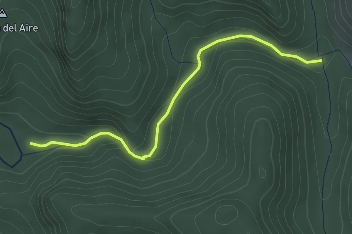
Demanding · Trail
Ruta de la Rambla Malilla
3.9 km · ↑ 100 m · 1 h 8 min
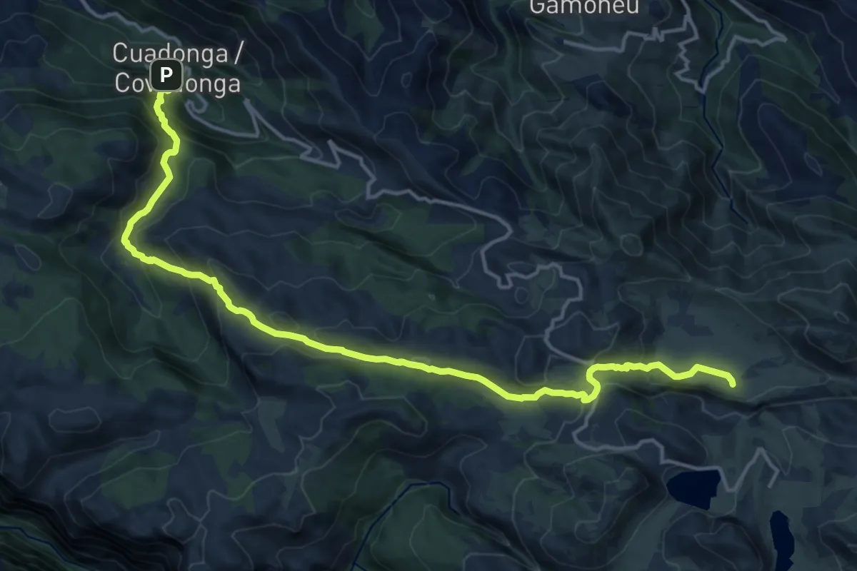
Demanding · Summit
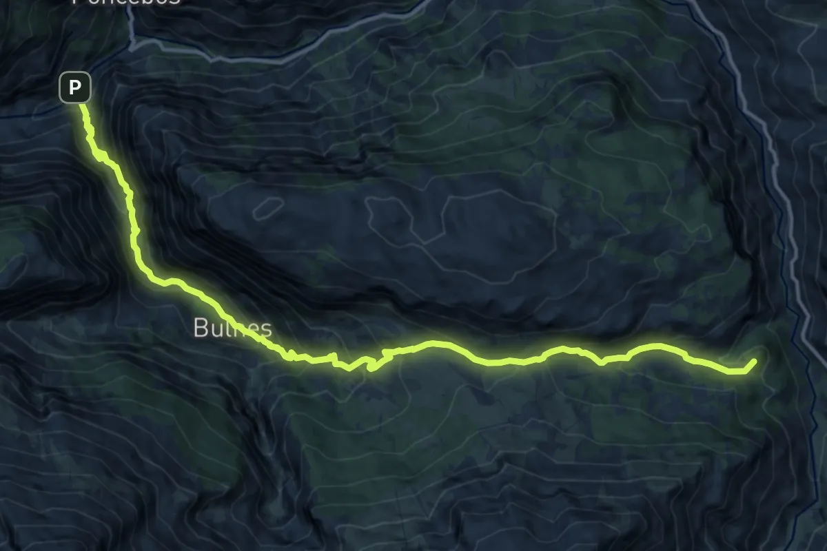
Ruta de la Reconquista (Etapa 1)
18.2 km · ↑ 1222 m · 6 h 56 min
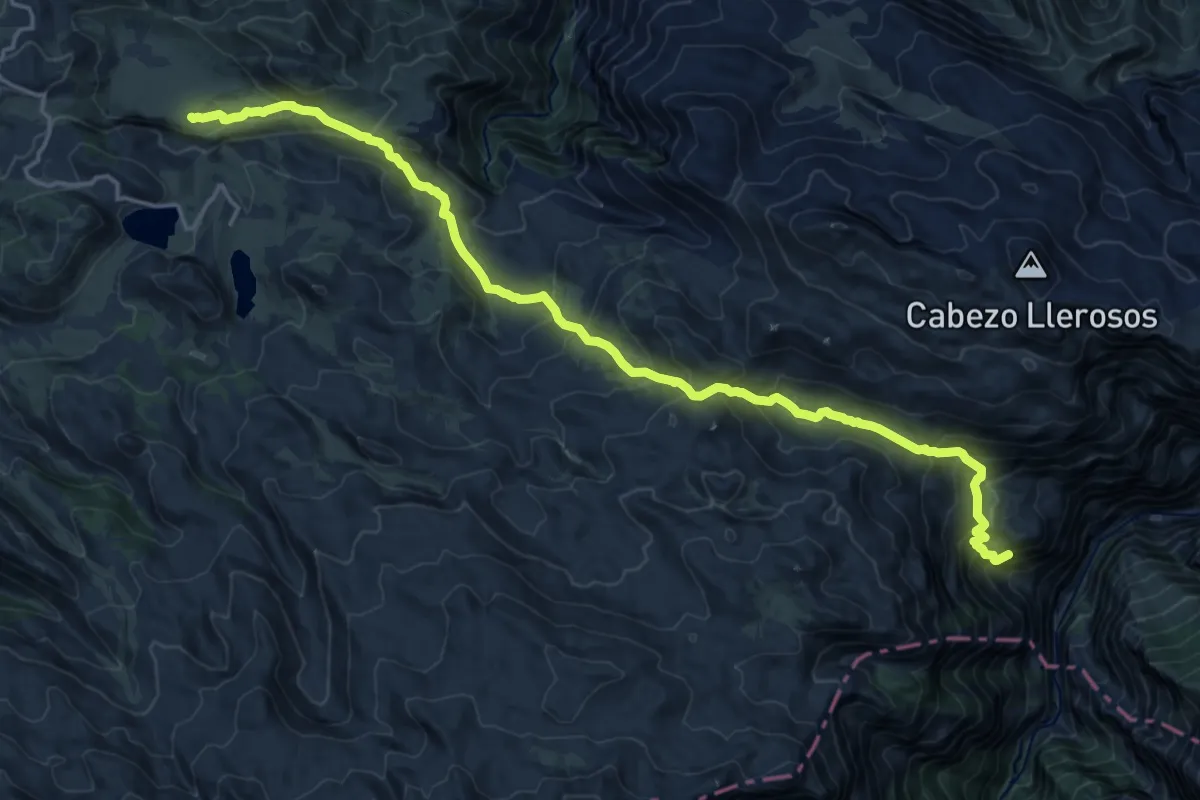
Demanding · Summit
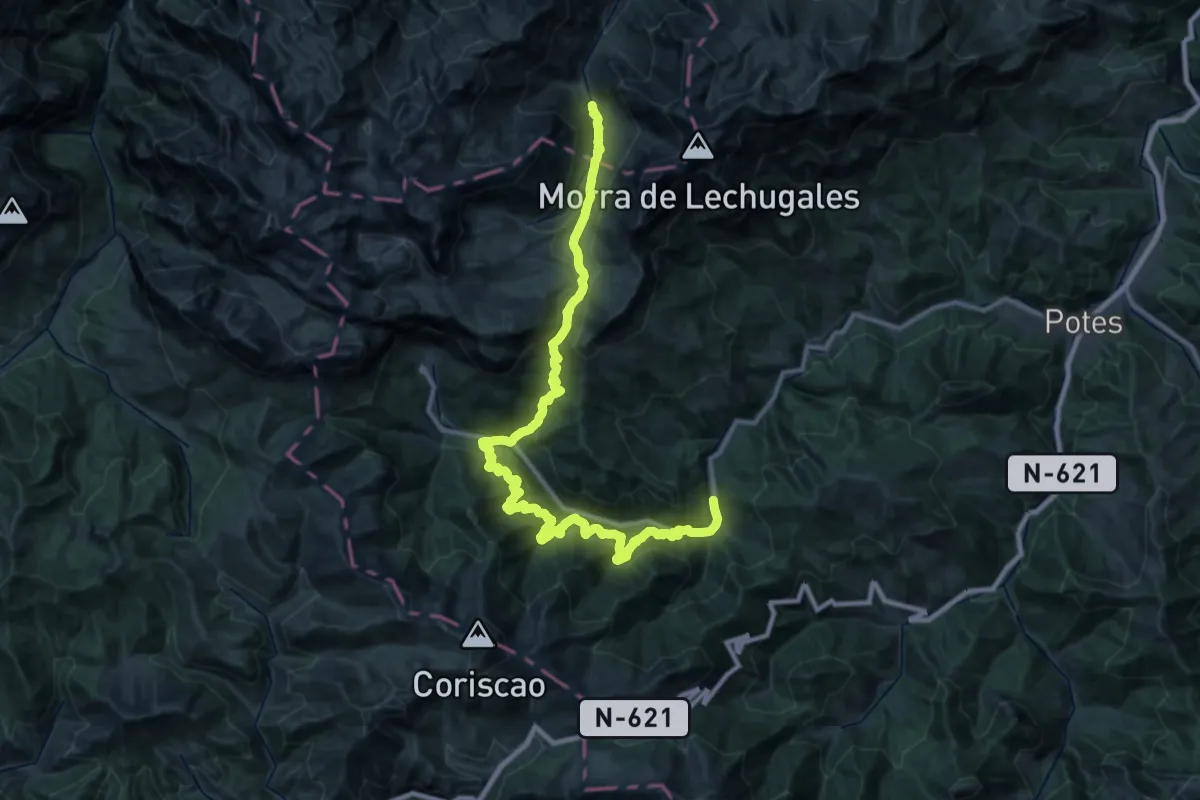
Ruta de la Reconquista (Etapa 2)
28.9 km · ↑ 3767 m · 14 h 59 min
Demanding · Summit
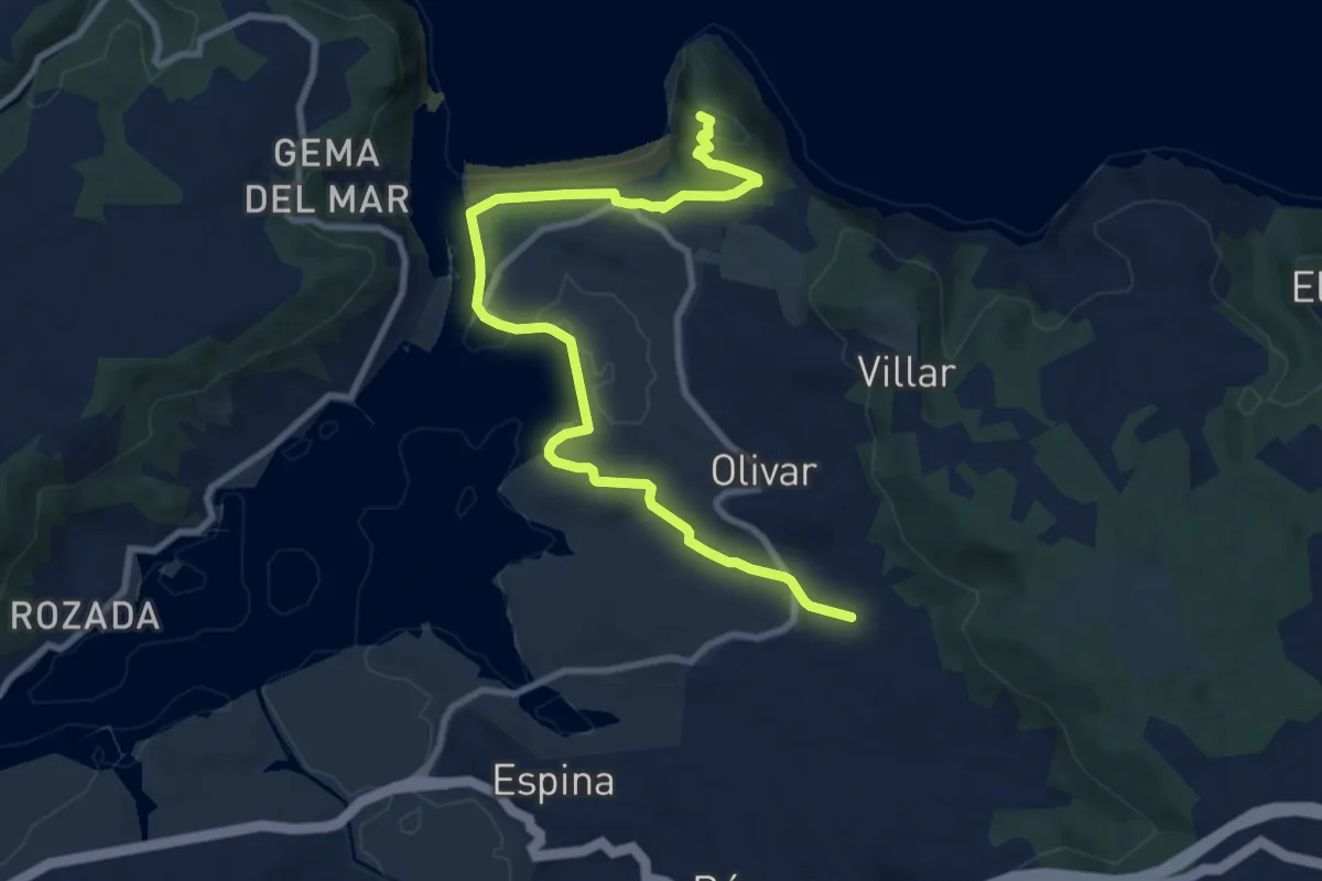
Ruta de la Reconquista (Etapa 3)
17.5 km · ↑ 1321 m · 7 h
Demanding · Trail
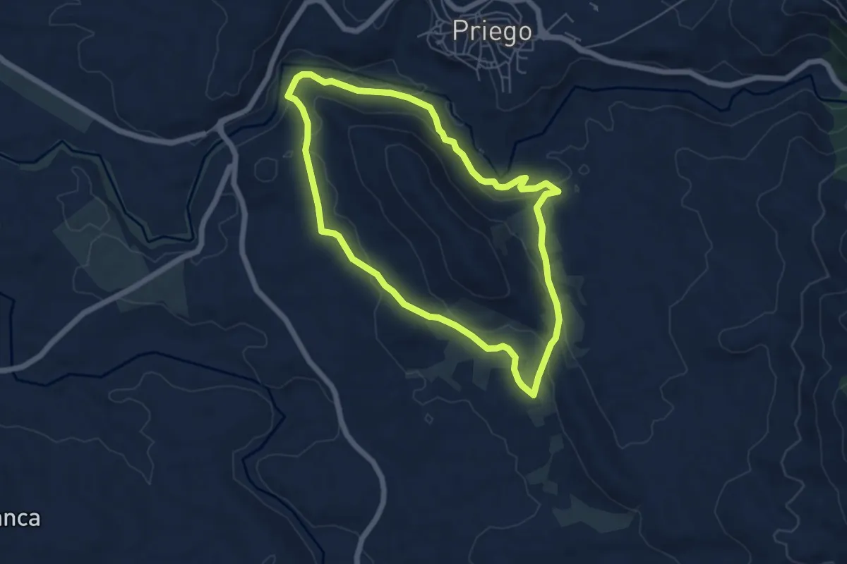
Ruta de la Reconquista (Etapa 4)
22.0 km · ↑ 1576 m · 8 h 40 min
Medium · Trail
Ruta de la Ria de Villaviciosa
10.9 km · ↑ 181 m · 2 h 58 min
Easy · Trail
Ruta de la Ribera del Escabas y la Cerroya
5.7 km · ↑ 165 m · 1 h 47 min
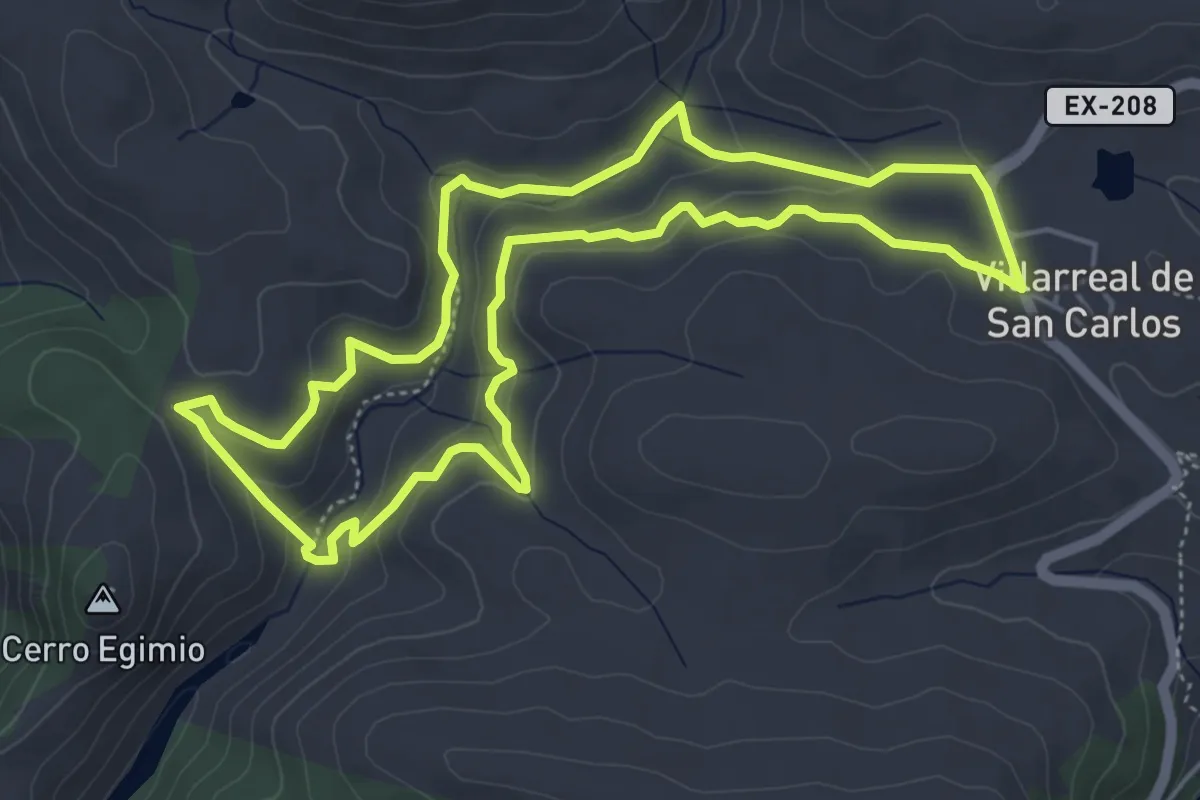
Medium · Trail
Ruta del Arroyo de Malvecino-Cerro Gimio
5.6 km · ↑ 180 m · 1 h 48 min
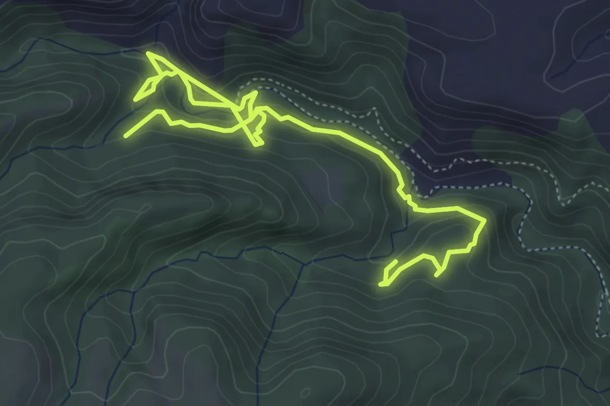
Medium · Trail
Ruta del Arte Rupestre de Bicorp Barranco Moreno
7.8 km · ↑ 380 m · 2 h 40 min
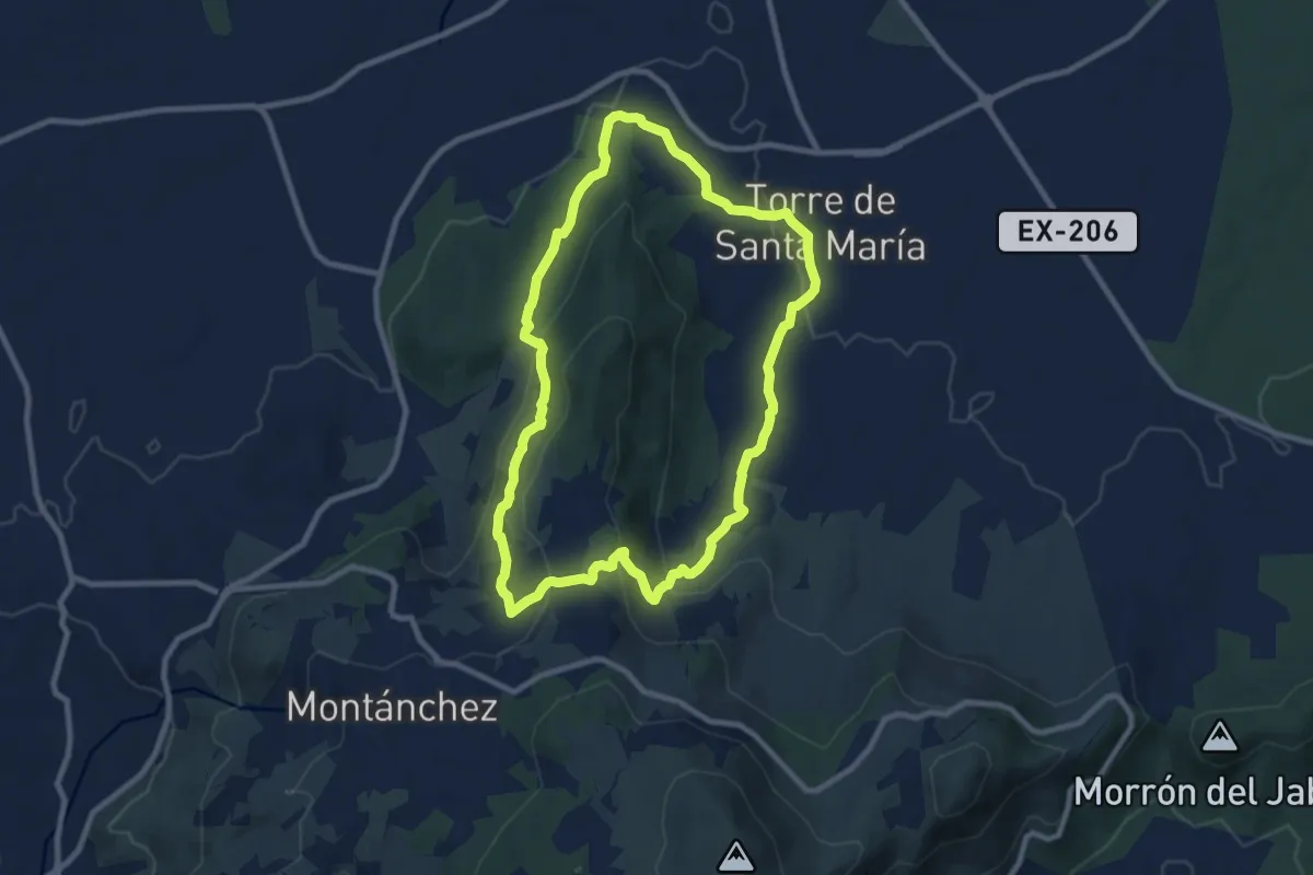
Medium · Trail
Ruta de las Aguas
9.8 km · ↑ 290 m · 3 h 5 min
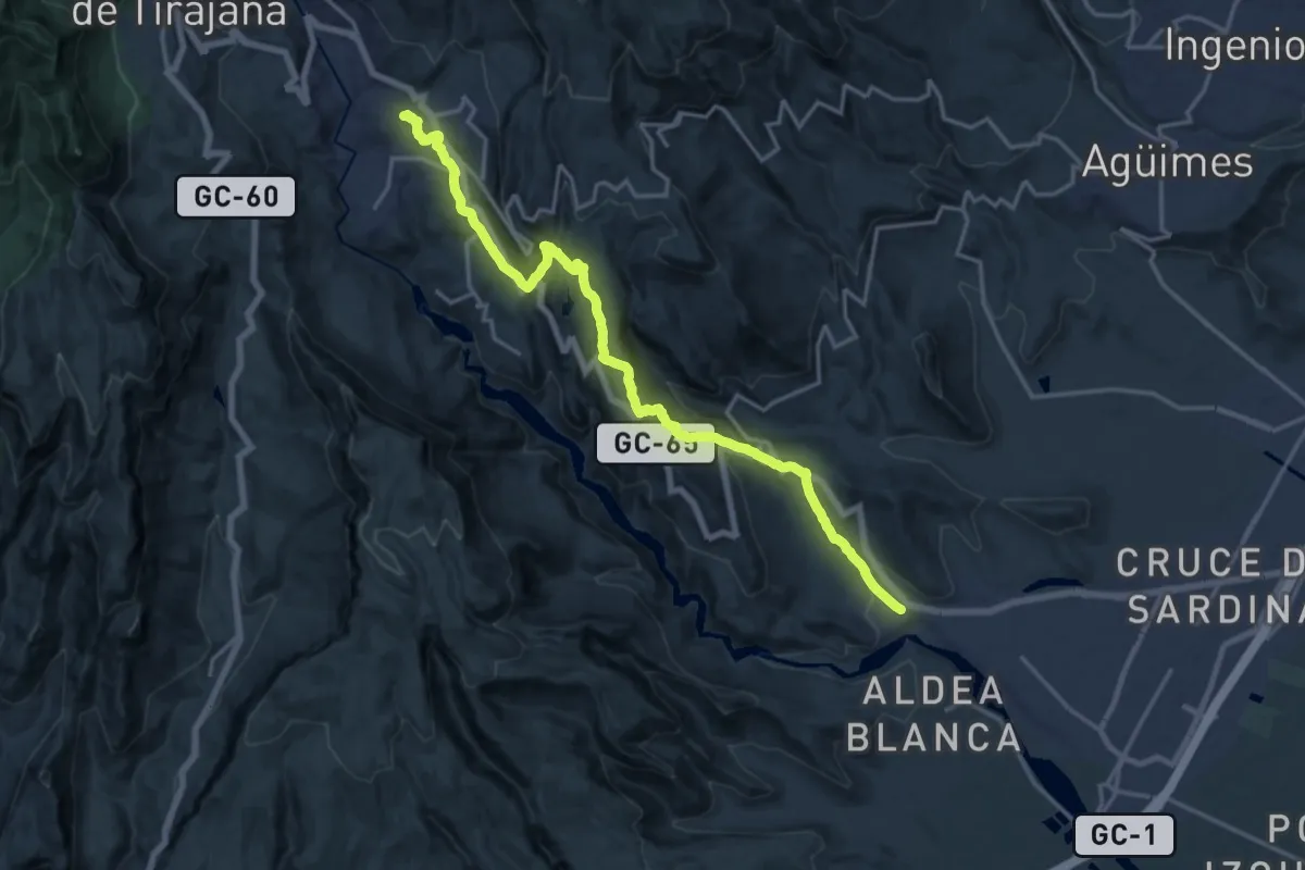
Demanding · Trail
Ruta de la Sal
23.1 km · ↑ 1035 m · 7 h 41 min