Trails in Spain
5,962 hiking trails, each with its route, climb, walking time and grade.
All trails, page 88 of 125
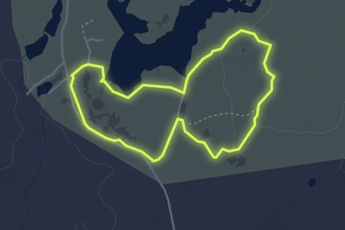
Easy · Trail
Ruta Patrimonio Geológico y Arqueológico
3.3 km · ↑ 27 m · 53 min
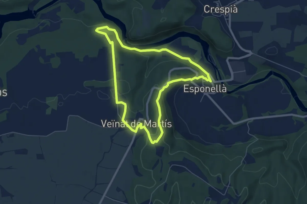
Easy · Trail
Ruta pels volts d’Esponellà
6.1 km · ↑ 170 m · 1 h 53 min
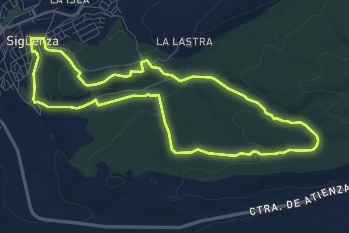
Easy · Trail
Ruta Peña de los Ángeles
7.9 km · ↑ 159 m · 2 h 19 min
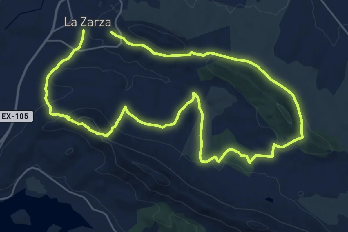
Medium · Trail
Ruta Peñas Blancas
16.2 km · ↑ 477 m · 5 h 4 min
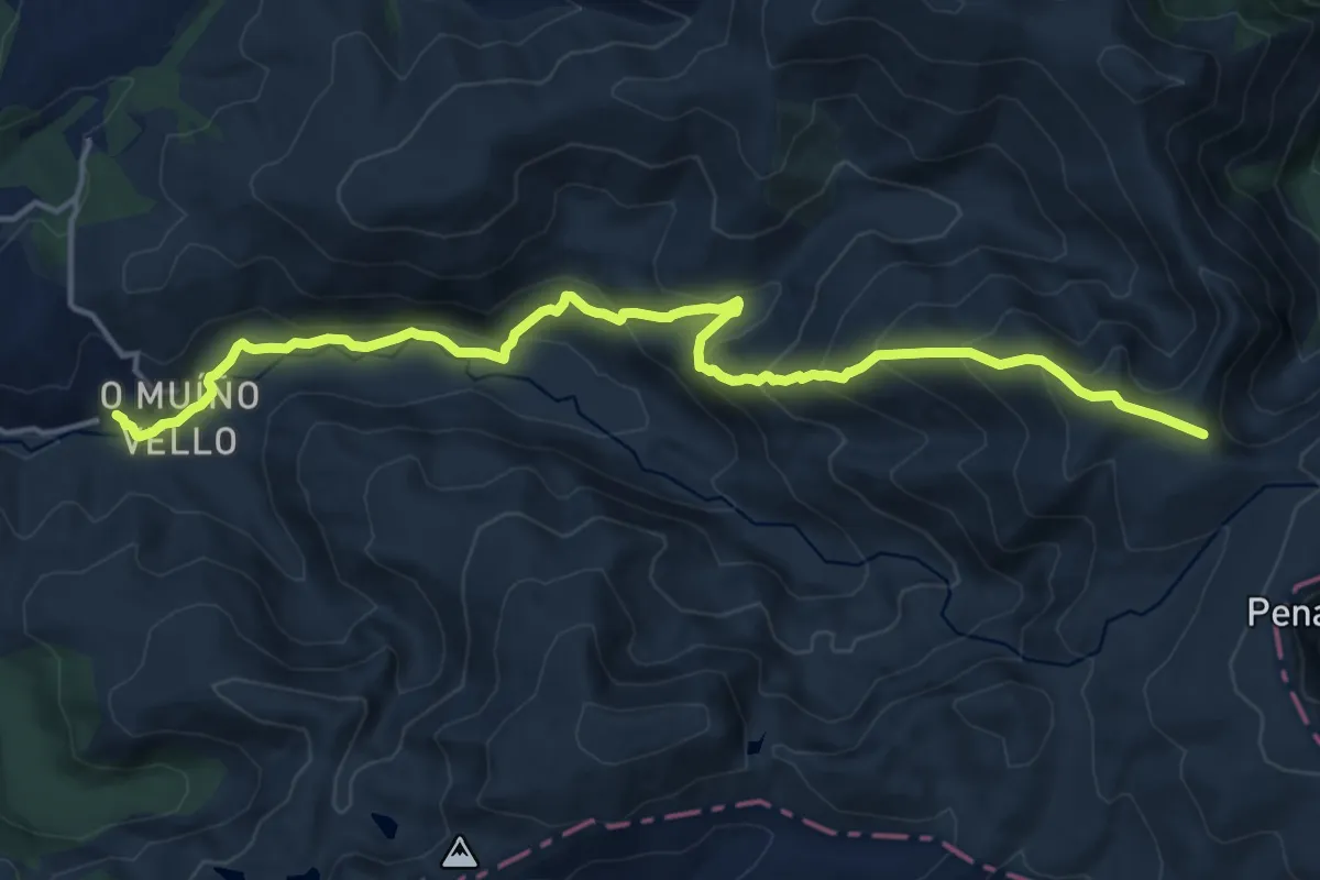
Demanding · Cabin
Ruta Pena Trevinca polo Sestil Alto
17.9 km · ↑ 916 m · 6 h 13 min
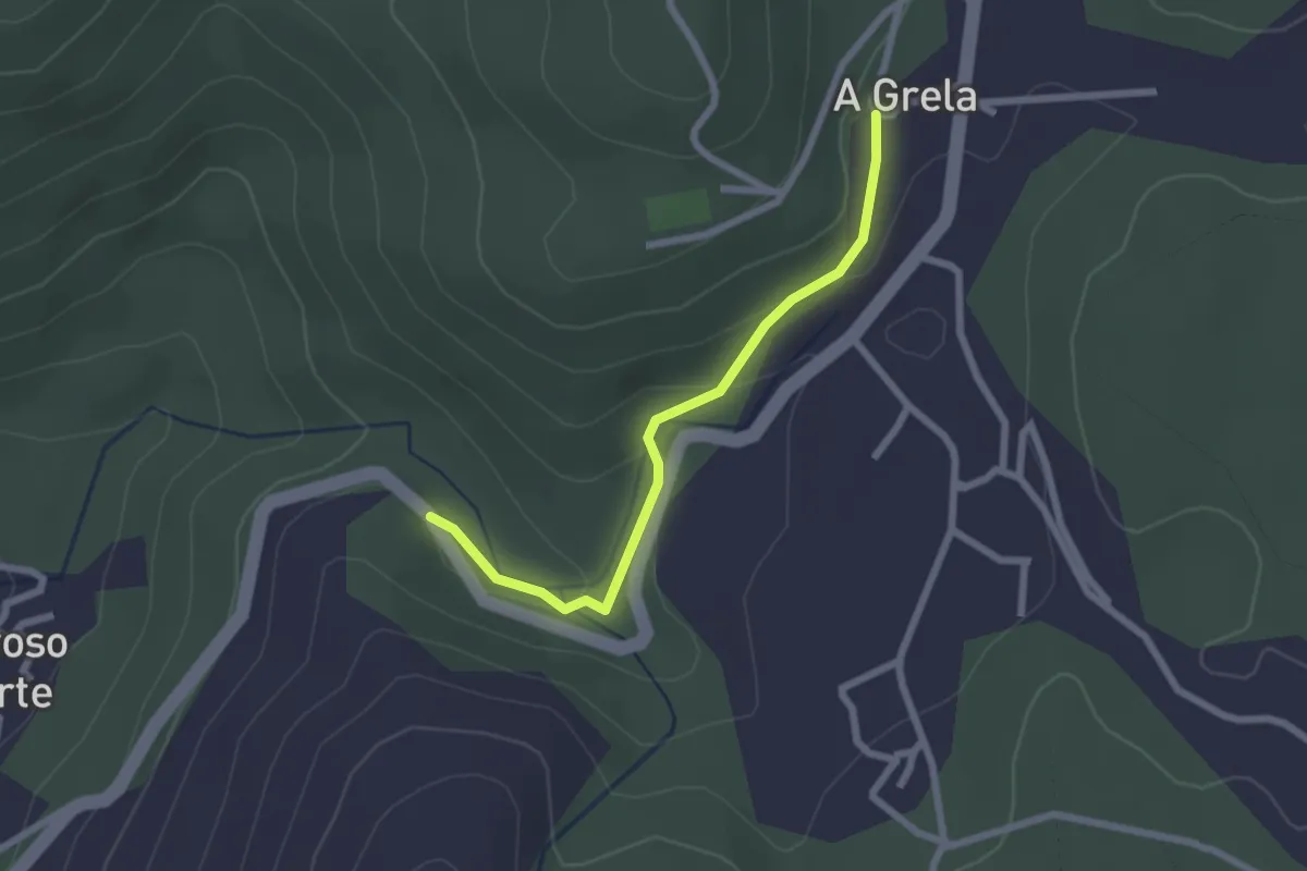
Easy · Trail
Ruta Per Caminho de Lampai
2.4 km · ↑ 81 m · 44 min
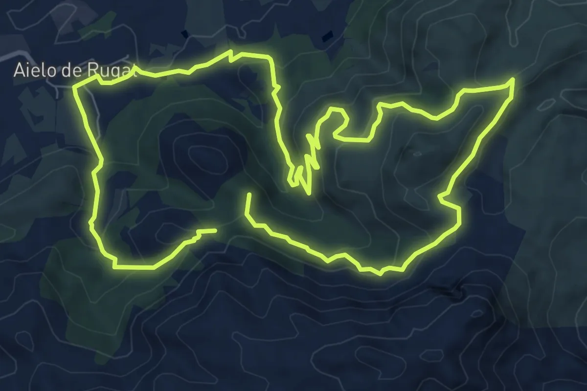
Demanding · Summit
Ruta per les Penyes Albes
19.0 km · ↑ 793 m · 6 h 12 min
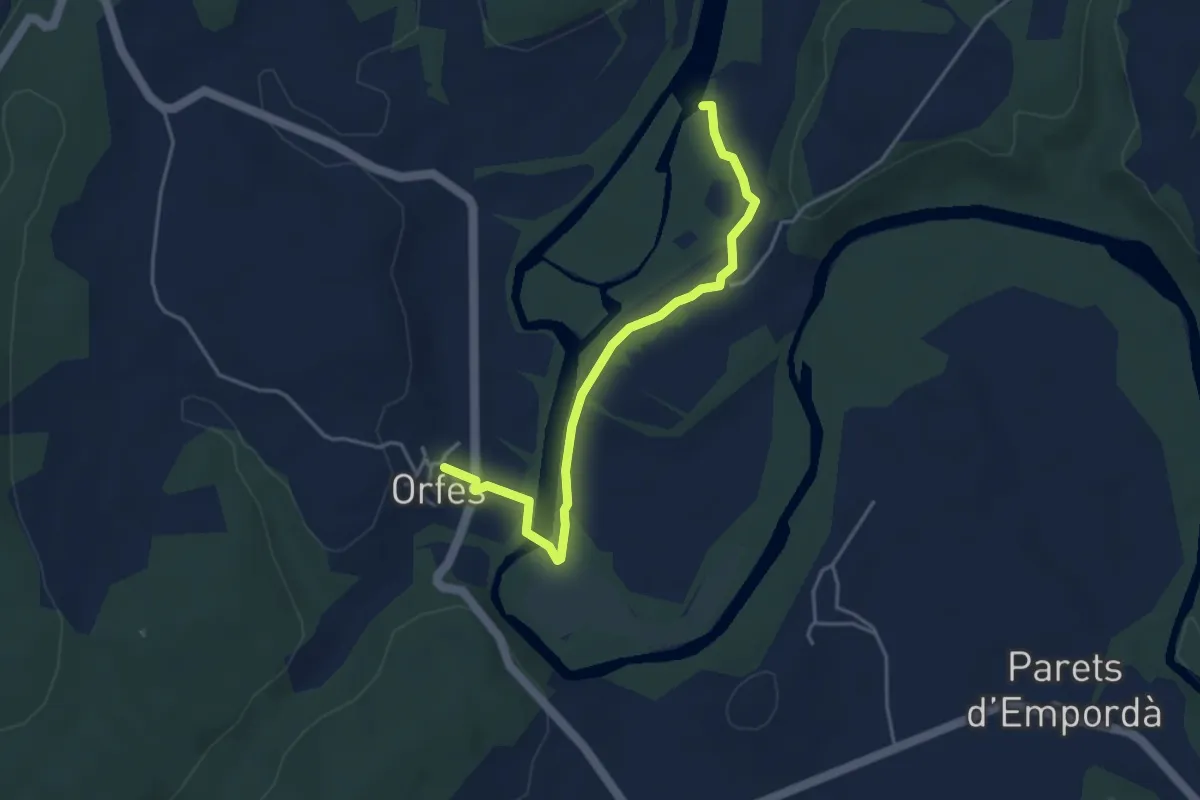
Easy · Trail
Ruta per les ribes del Fluvià - Riba dreta
4.4 km · ↑ 25 m · 1 h 6 min
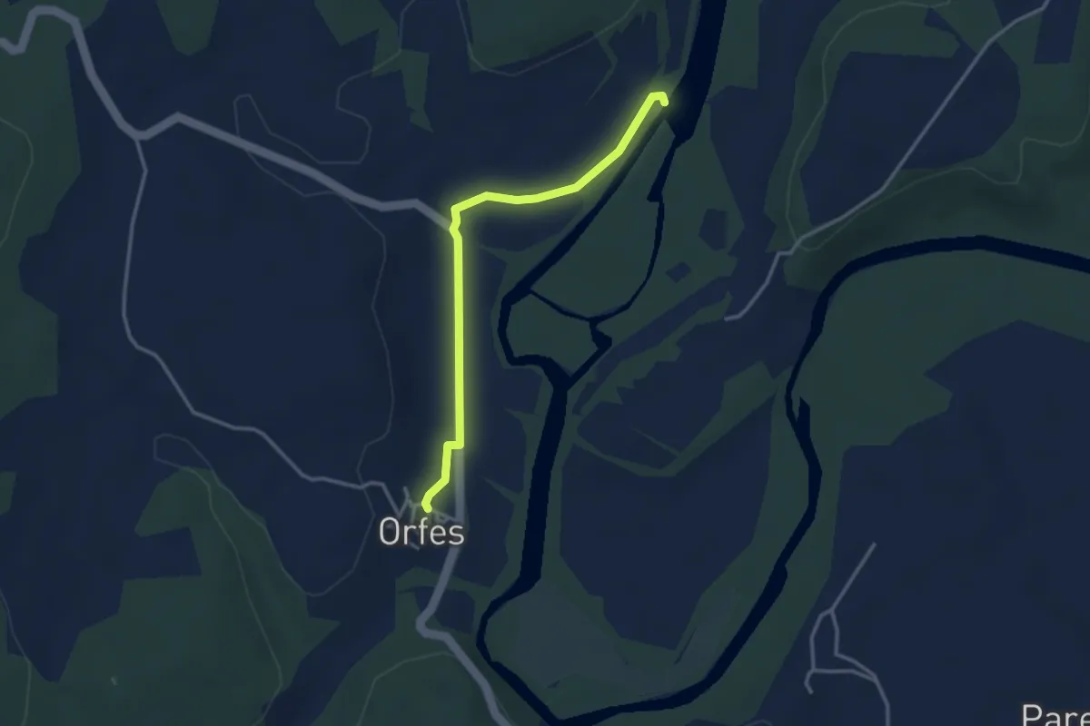
Easy · Trail
Ruta per les ribes del Fluvià - Riba esquerra
3.3 km · ↑ 14 m · 49 min
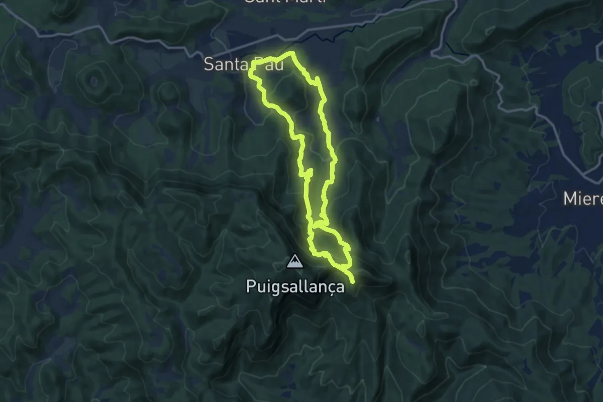
Medium · Trail
Ruta per les Terres dels Barons de Santa Pau
11.2 km · ↑ 544 m · 3 h 59 min
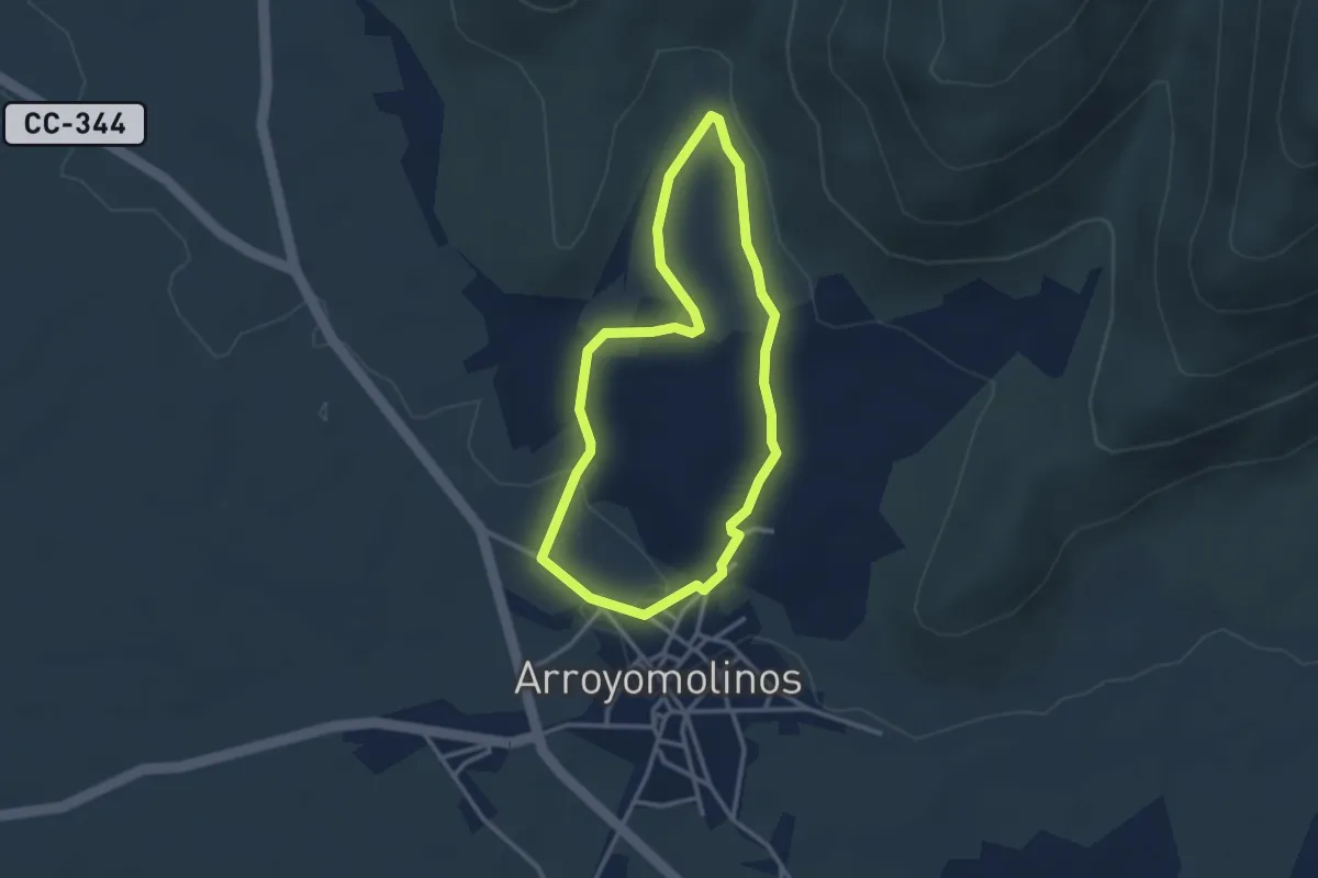
Easy · Trail
Ruta Piedra del Dedo Meñique
3.1 km · ↑ 51 m · 53 min
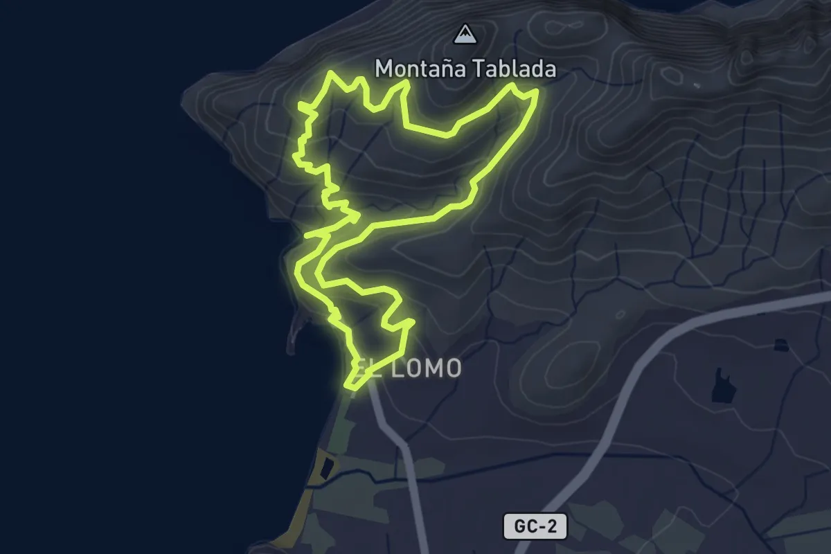
Easy · Trail
Ruta Playa de El Puerto
4.9 km · ↑ 237 m · 1 h 45 min
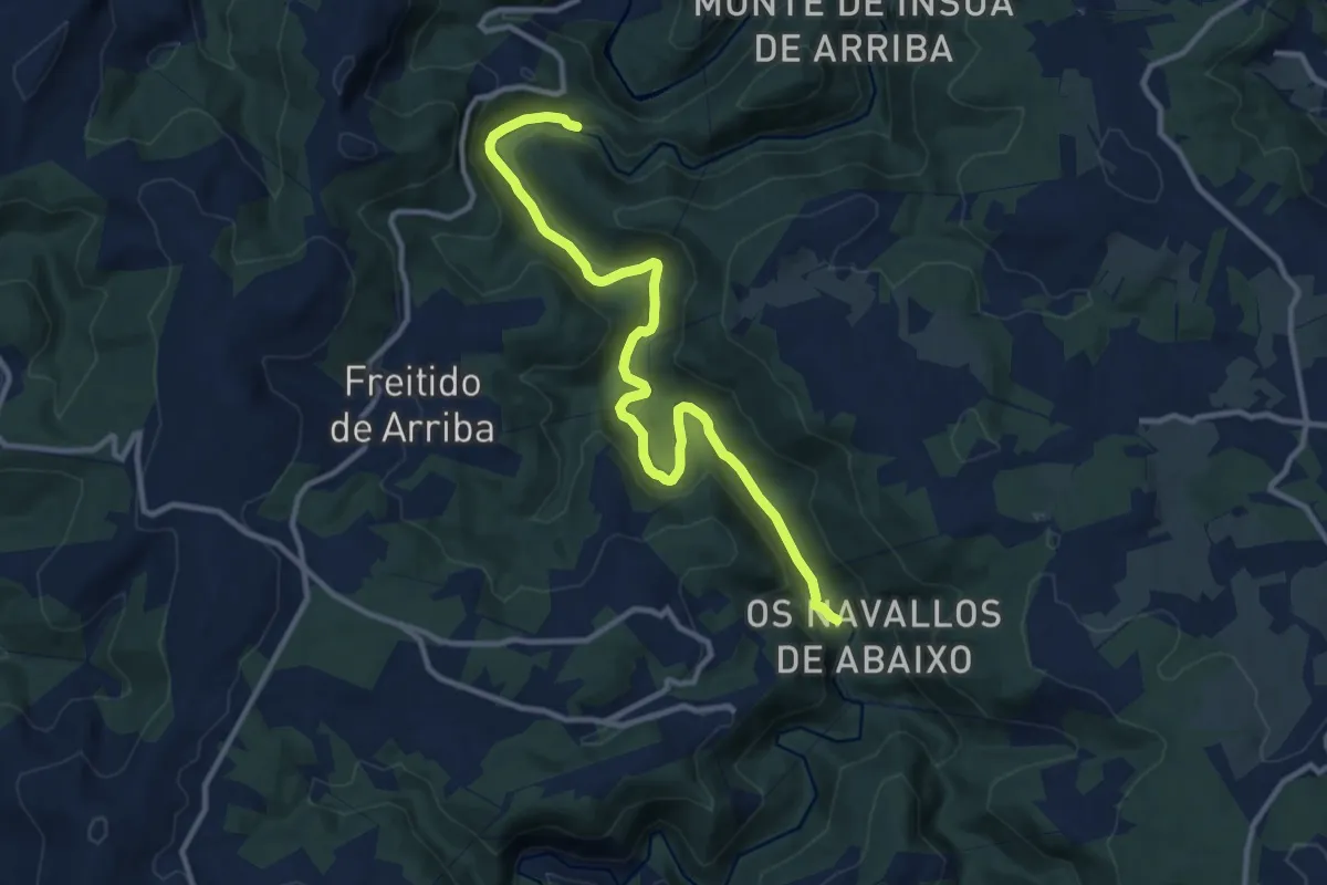
Medium · Trail
Ruta Ponte do Porto - Ponte Ulló
12.6 km · ↑ 578 m · 4 h 13 min
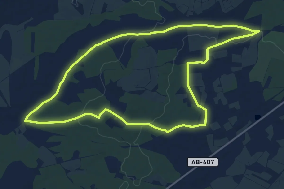
Medium · Trail
Ruta por el pinar y la Almorada
10.4 km · ↑ 83 m · 2 h 47 min
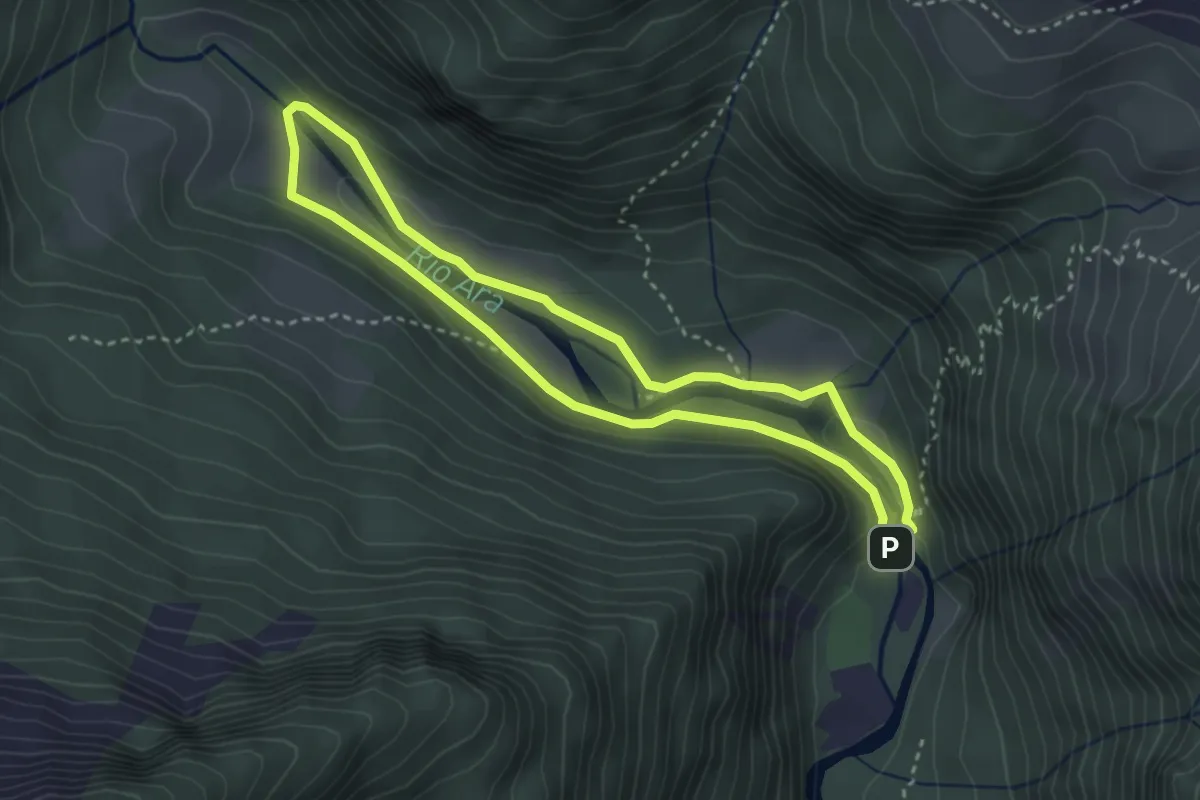
Easy · Cabin
Ruta por el valle de Bujaruelo en la reserva de la biosfera Ordesa-Viñamala
3.3 km · ↑ 64 m · 57 min
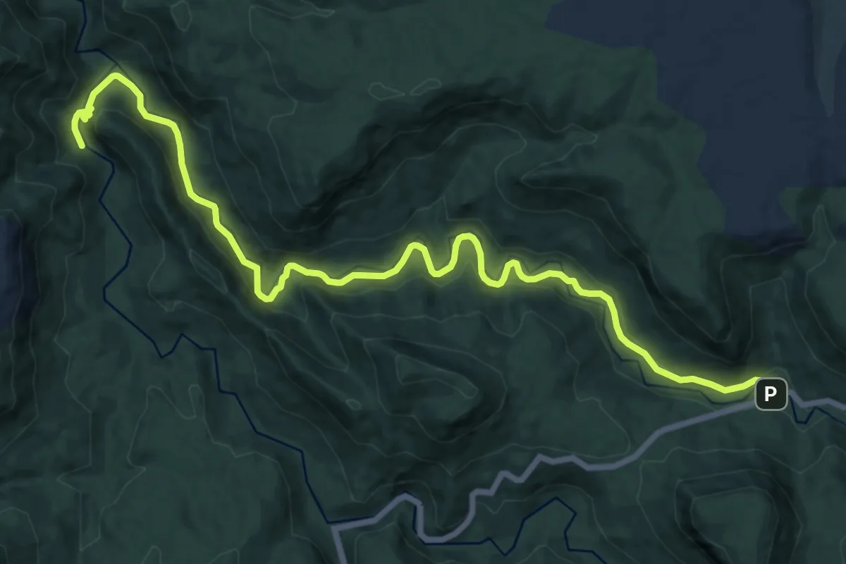
Medium · Trail
Ruta por el Valle de las Cabrillas
8.6 km · ↑ 155 m · 2 h 31 min
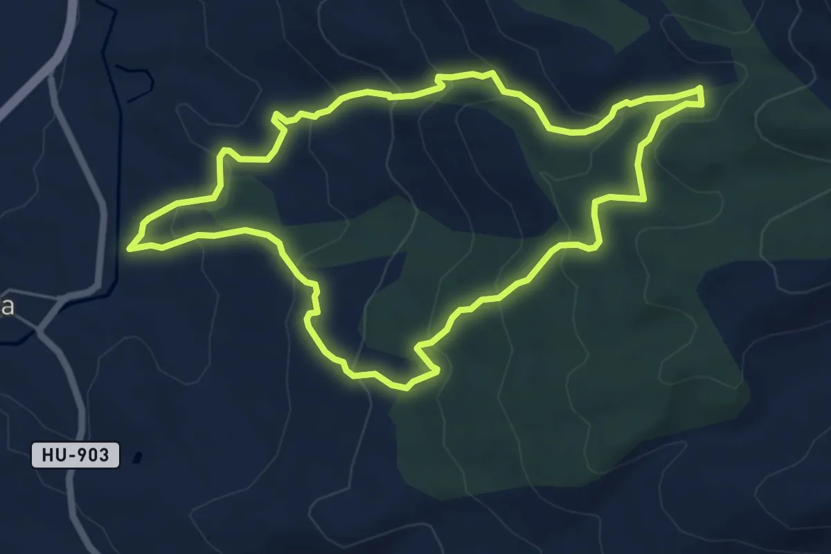
Medium · Trail
Ruta por la Sierra de Estada Senderos del Somontano
6.0 km · ↑ 325 m · 2 h 13 min
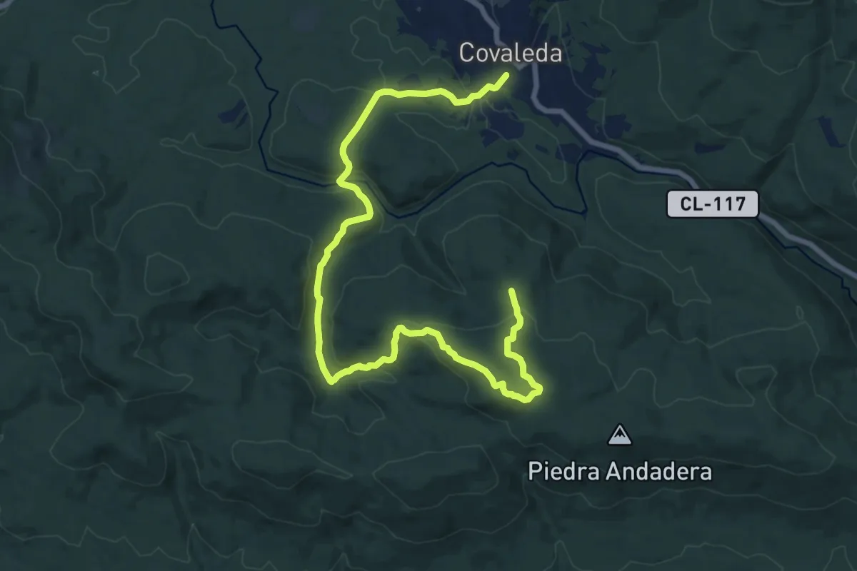
Demanding · Trail
Ruta por la Sierra de la Umbría
19.7 km · ↑ 660 m · 6 h 4 min
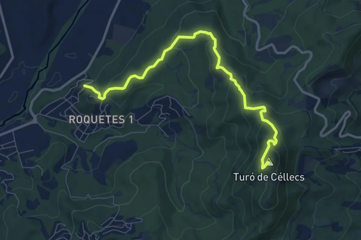
Medium · Summit
Ruta Prehistòrica I : Can Gol-Céllecs
8.6 km · ↑ 365 m · 2 h 49 min
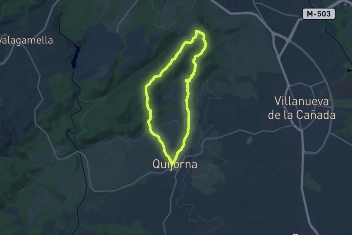
Medium · Summit
Ruta Quijorna - Hornos de Cal - Restos de la Guerra Civil Española
11.9 km · ↑ 254 m · 3 h 32 min
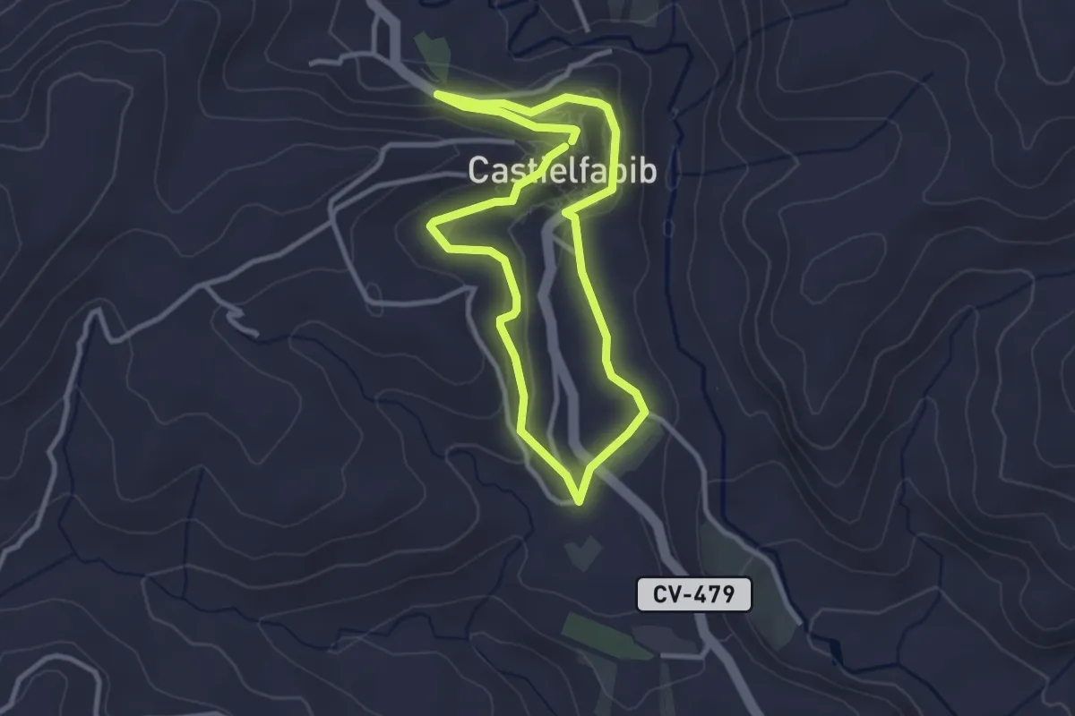
Easy · Trail
Ruta Regajo
3.0 km · ↑ 95 m · 57 min
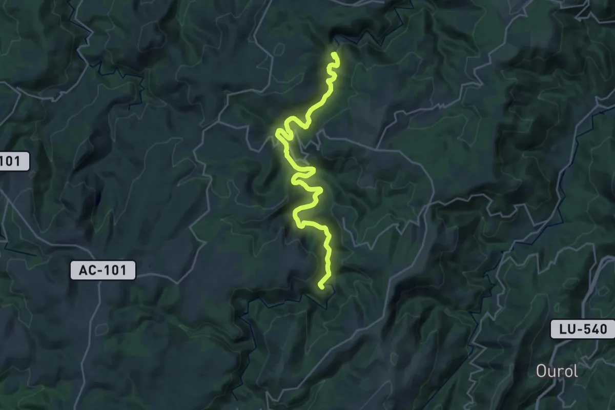
Demanding · Trail
Ruta Ribeira do Bispo - Miradoiro de Augas Caídas
23.6 km · ↑ 936 m · 7 h 37 min
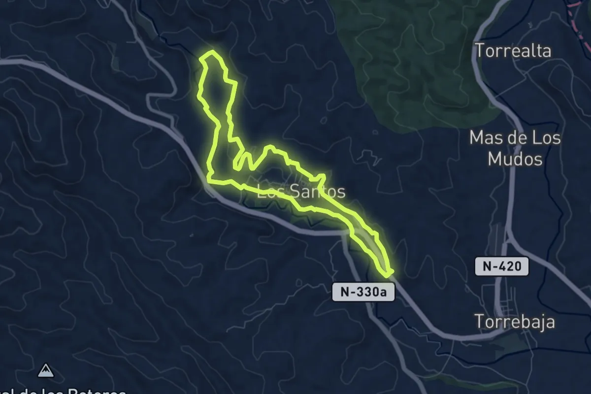
Easy · Trail
Ruta Riberas del Ebrón
7.8 km · ↑ 169 m · 2 h 20 min
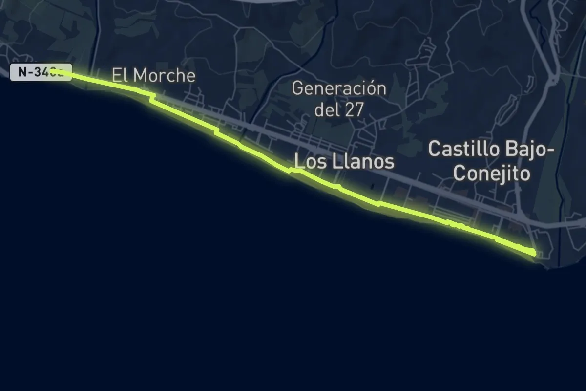
Medium · Trail
Ruta Roja
10.0 km · ↑ 17 m · 2 h 24 min
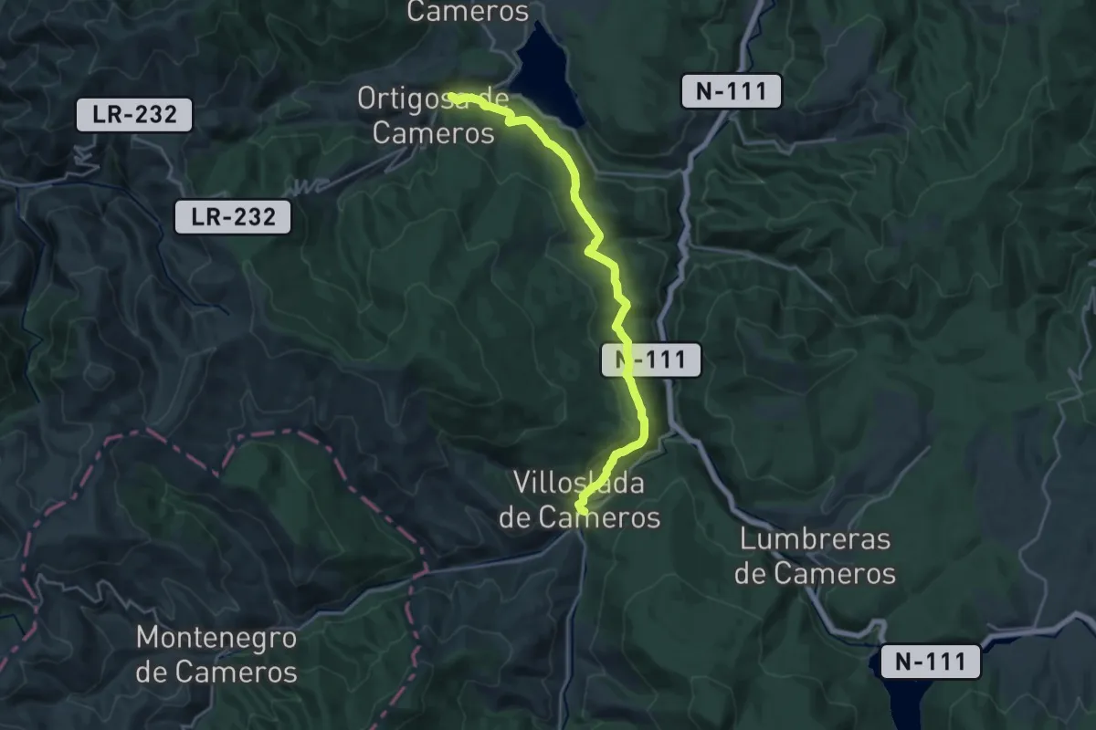
Demanding · Trail
Ruta romana del Iregua tramo 3
20.9 km · ↑ 509 m · 6 h 2 min
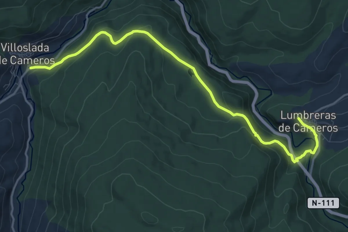
Medium · Trail
Ruta romana del Iregua tramo 4
12.4 km · ↑ 420 m · 3 h 51 min
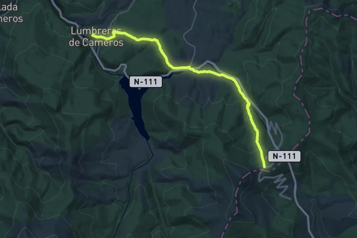
Demanding · Trail
Ruta romana del iregua tramo 5
22.6 km · ↑ 800 m · 7 h 4 min
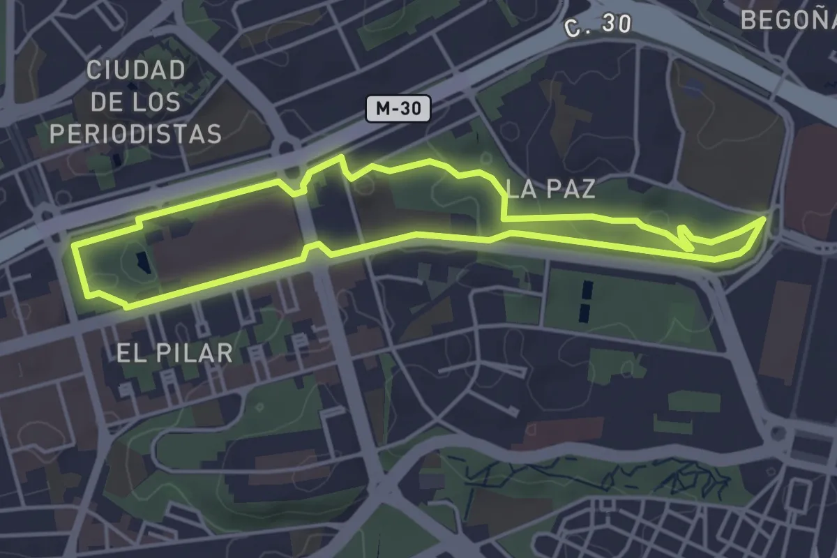
Easy · Trail
Ruta Saludable 13 - Fuencarral
4.6 km · ↑ 51 m · 1 h 16 min
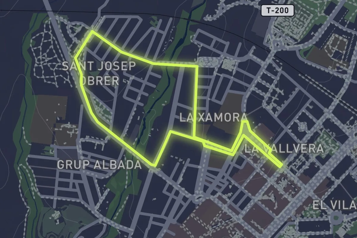
Easy · Trail
Ruta Sant Josep Obrer - Xamora
2.4 km · ↑ 22 m · 39 min
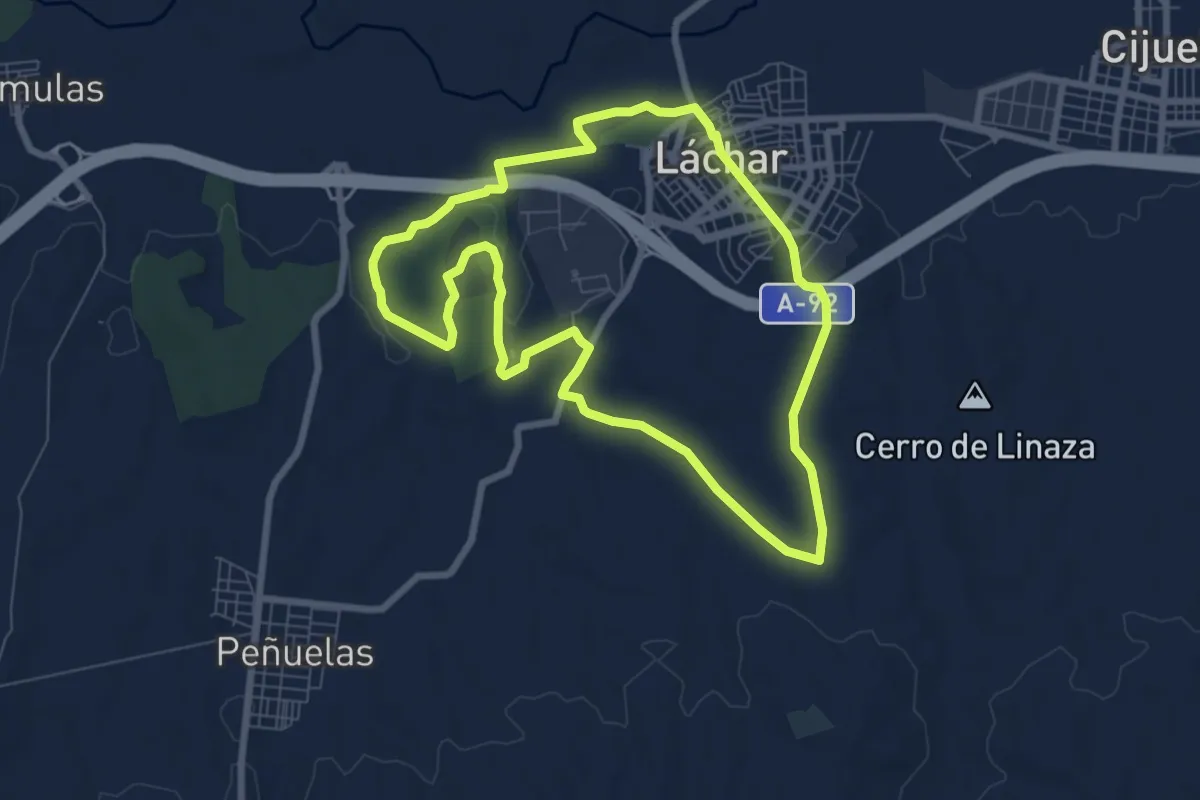
Medium · Trail
Rutas del Señorío de Láchar
8.5 km · ↑ 100 m · 2 h 21 min
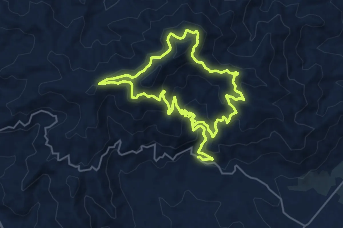
Medium · Summit
Ruta Sierra de Aguas
12.3 km · ↑ 646 m · 4 h 32 min
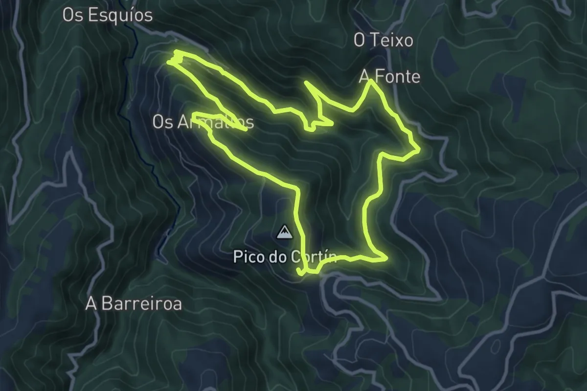
Medium · Summit
Ruta Teixo-Teixóis
9.5 km · ↑ 529 m · 3 h 32 min
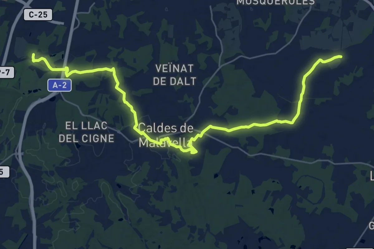
Demanding · Trail
Ruta Termal
27.9 km · ↑ 221 m · 7 h 4 min
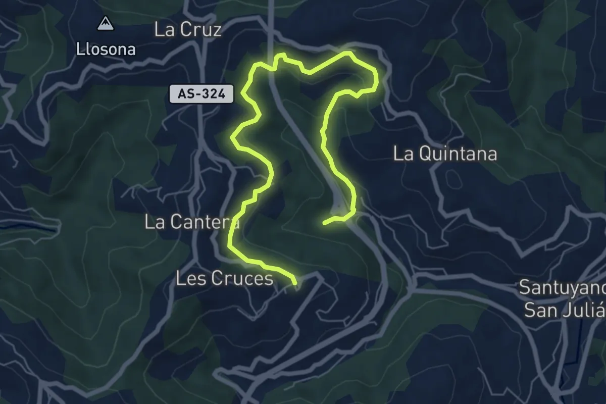
Medium · Trail
Ruta Tunel de Saus
8.2 km · ↑ 378 m · 2 h 45 min
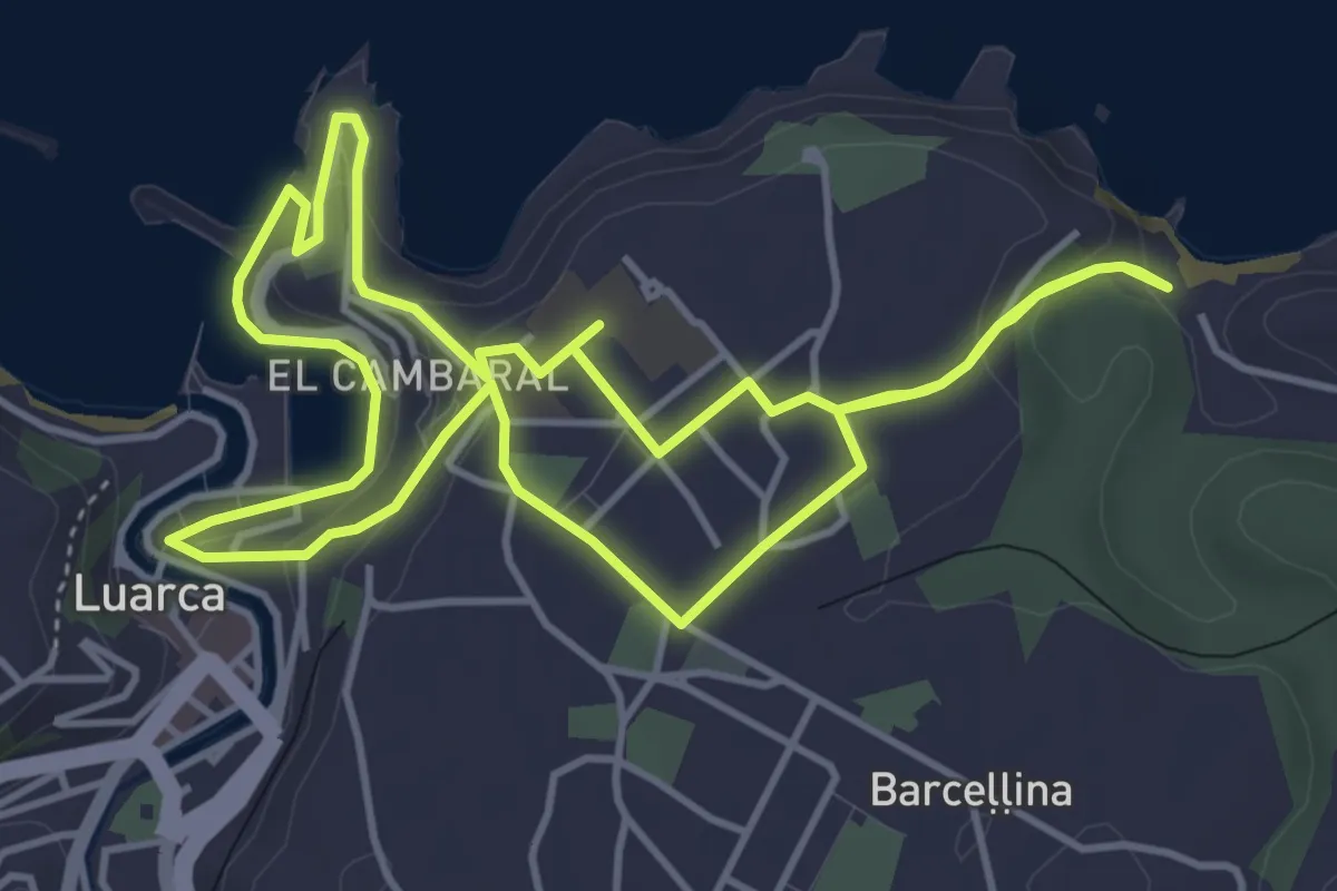
Easy · Trail
Ruta Turística Severo Ochoa
4.8 km · ↑ 139 m · 1 h 30 min
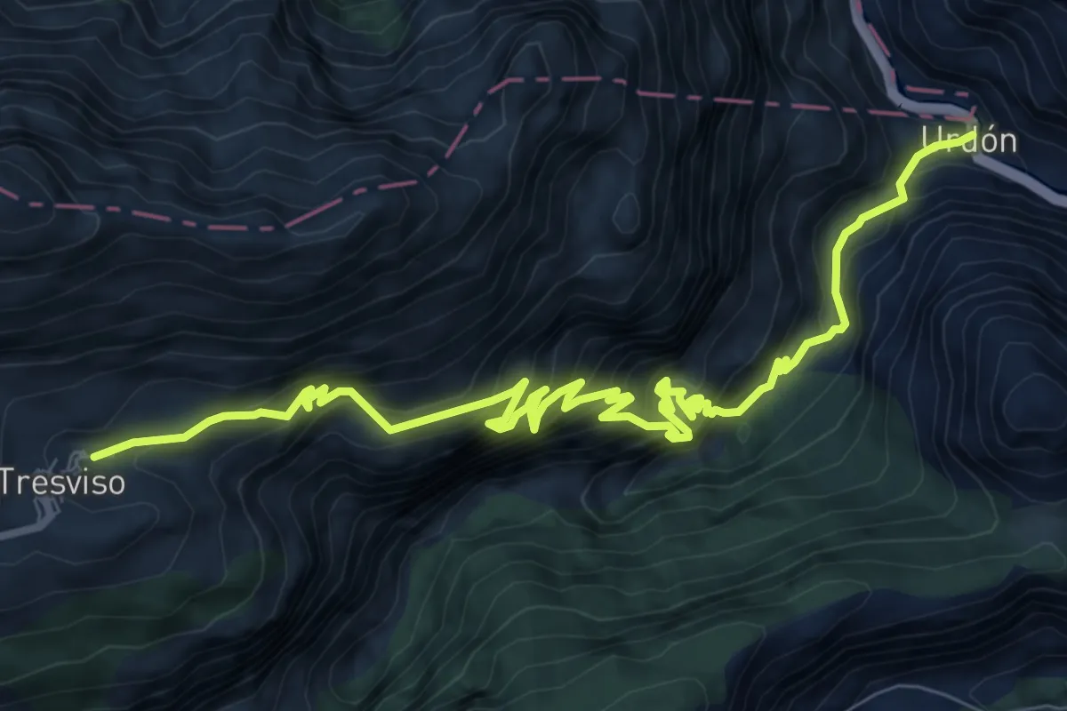
Demanding · Trail
Ruta Urdón - Tresviso
11.4 km · ↑ 1853 m · 6 h 43 min
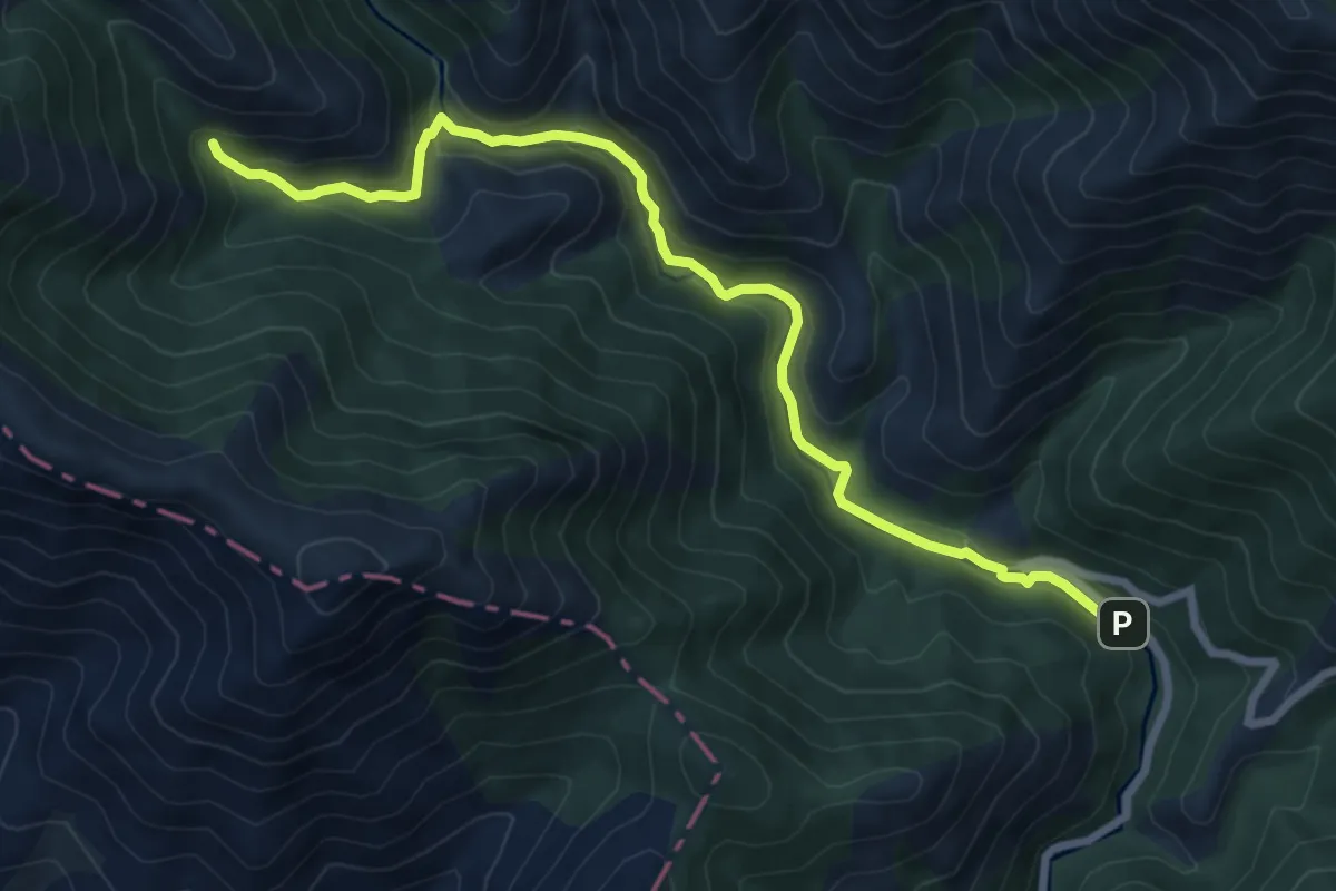
Easy · Trail
Ruta Valle de las Batuecas al Chorro de las Batuecas
4.6 km · ↑ 313 m · 1 h 40 min
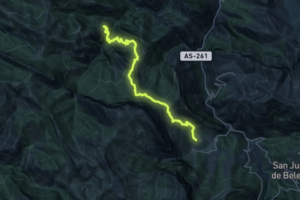
Demanding · Trail
Ruta Vallemoru
18.8 km · ↑ 1425 m · 7 h 32 min
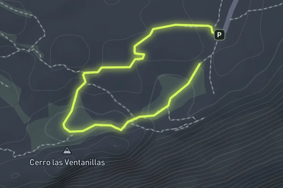
Medium · Summit
Ruta verde
1.4 km · ↑ 30 m · 25 min
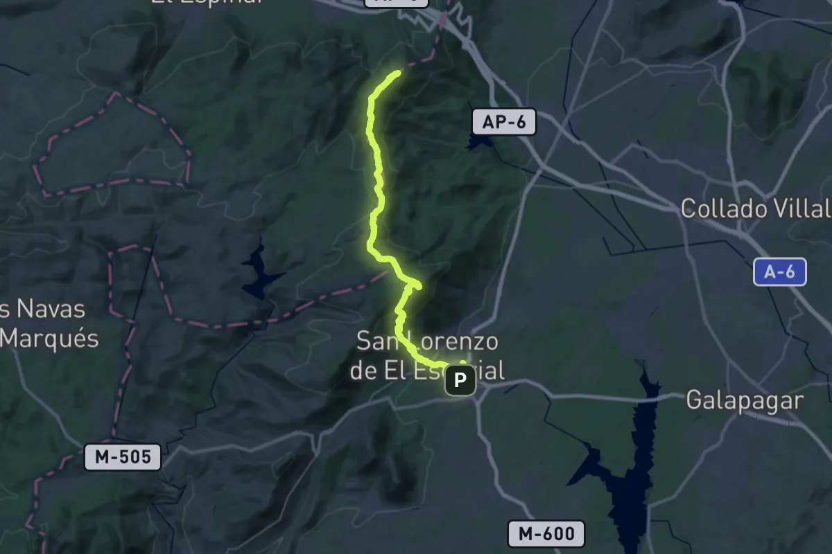
Demanding · Summit
Ruta Verde Guadarrama - El Escorial
39.2 km · ↑ 1675 m · 12 h 54 min
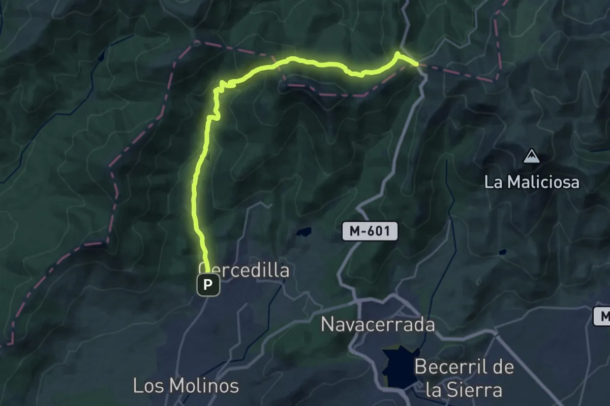
Demanding · Cabin
Ruta Verde Puerto de Navacerrada - Cercedilla
23.4 km · ↑ 1015 m · 7 h 43 min
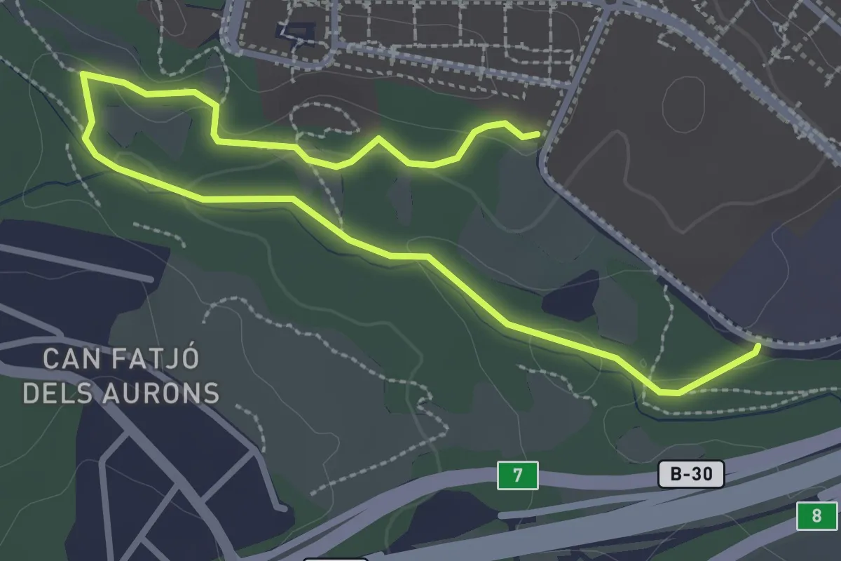
Easy · Trail
Ruta vermella
4.2 km · ↑ 55 m · 1 h 7 min
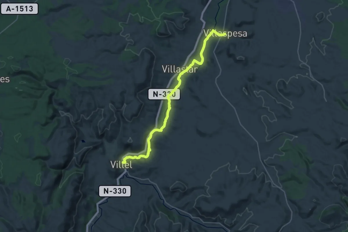
Demanding · Trail
Ruta Vivir con el Río
22.9 km · ↑ 165 m · 5 h 46 min
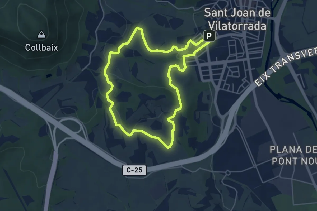
Easy · Trail
Rutes d'aigua i secà 1: Testimonis de la vinya
4.5 km · ↑ 86 m · 1 h 18 min
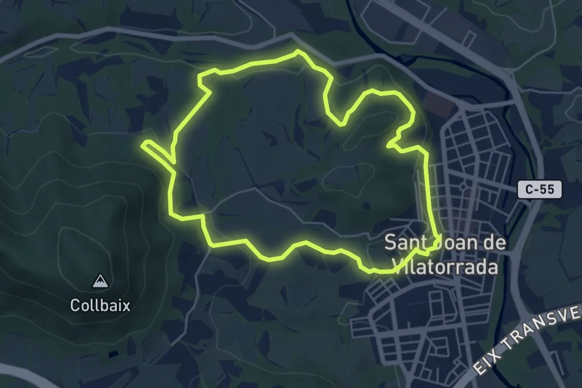
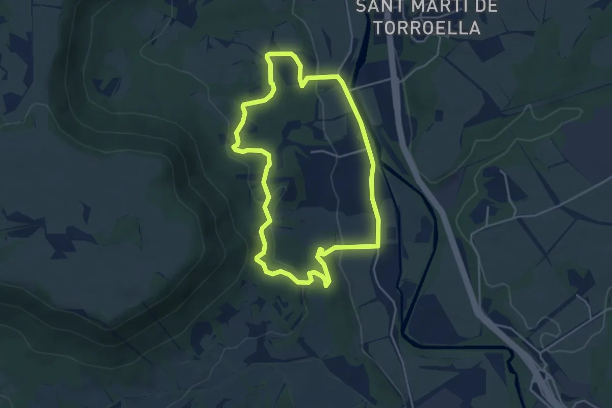
Easy · Trail
Rutes d'aigua i secà 2: Obaga de Collbaix i Riera de Fonollosa
5.7 km · ↑ 156 m · 1 h 46 min
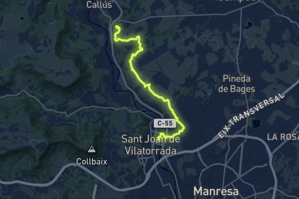
Easy · Trail
Rutes d'aigua i secà 3: Els antics molins del Cardener
4.0 km · ↑ 108 m · 1 h 14 min
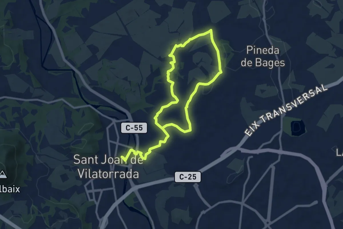
Medium · Trail
Rutes d'aigua i secà 4: Els testimònis històrics del romànic a la Guerra Civil
14.0 km · ↑ 169 m · 3 h 41 min
Medium · Trail
Rutes d'aigua i secà 5: Per terres de regadiu i secà
14.2 km · ↑ 190 m · 3 h 46 min