Trails in Spain
5,962 hiking trails, each with its route, climb, walking time and grade.
All trails, page 89 of 125
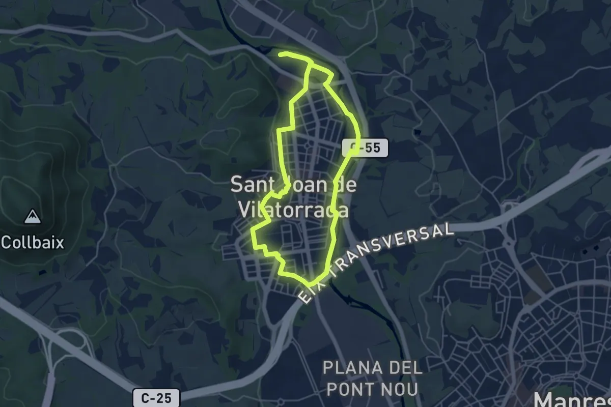
Easy · Trail
Rutes d'aigua i secà 6: Retalls d'història a l'espai urbà
4.8 km · ↑ 31 m · 1 h 16 min
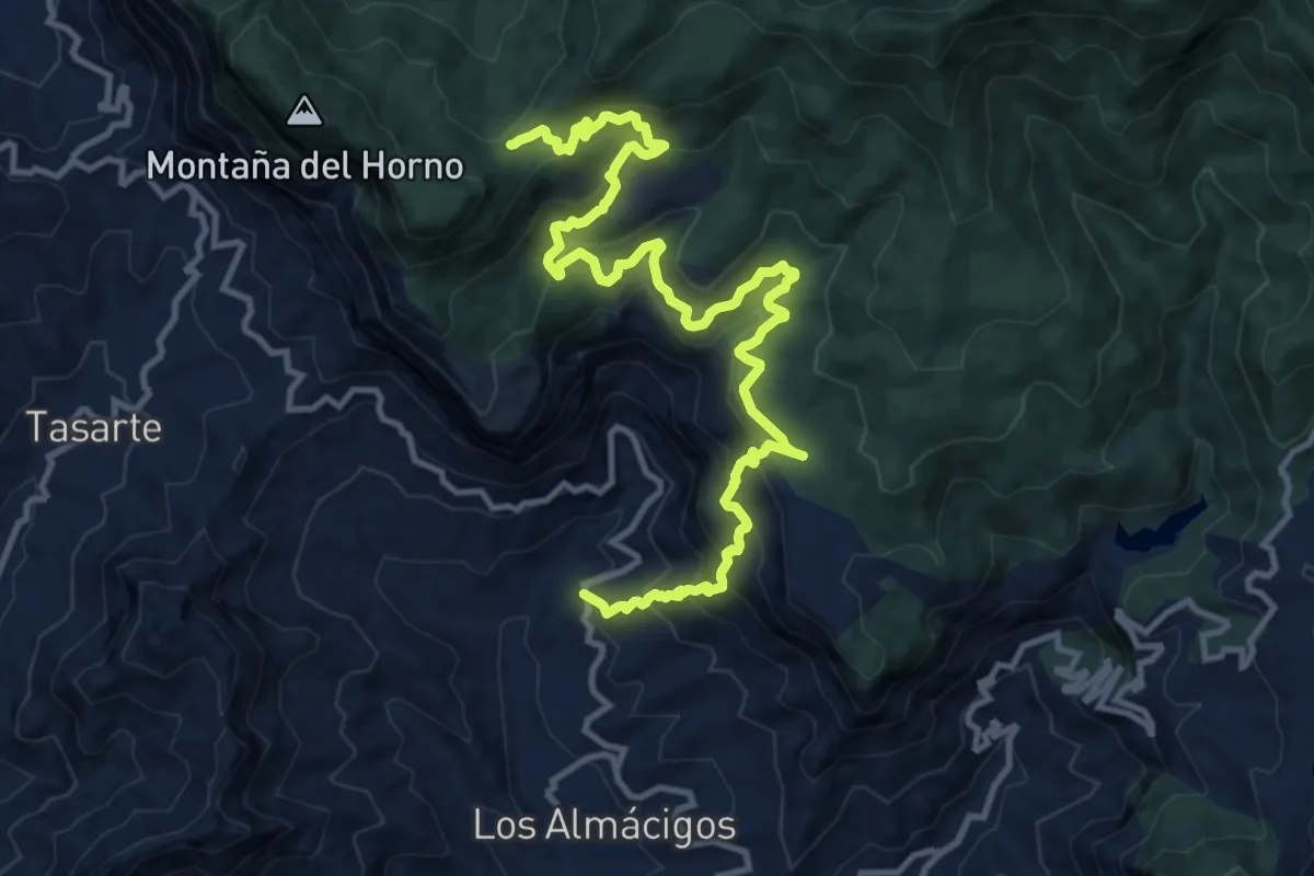
Demanding · Trail
S-10
18.8 km · ↑ 1264 m · 7 h 10 min
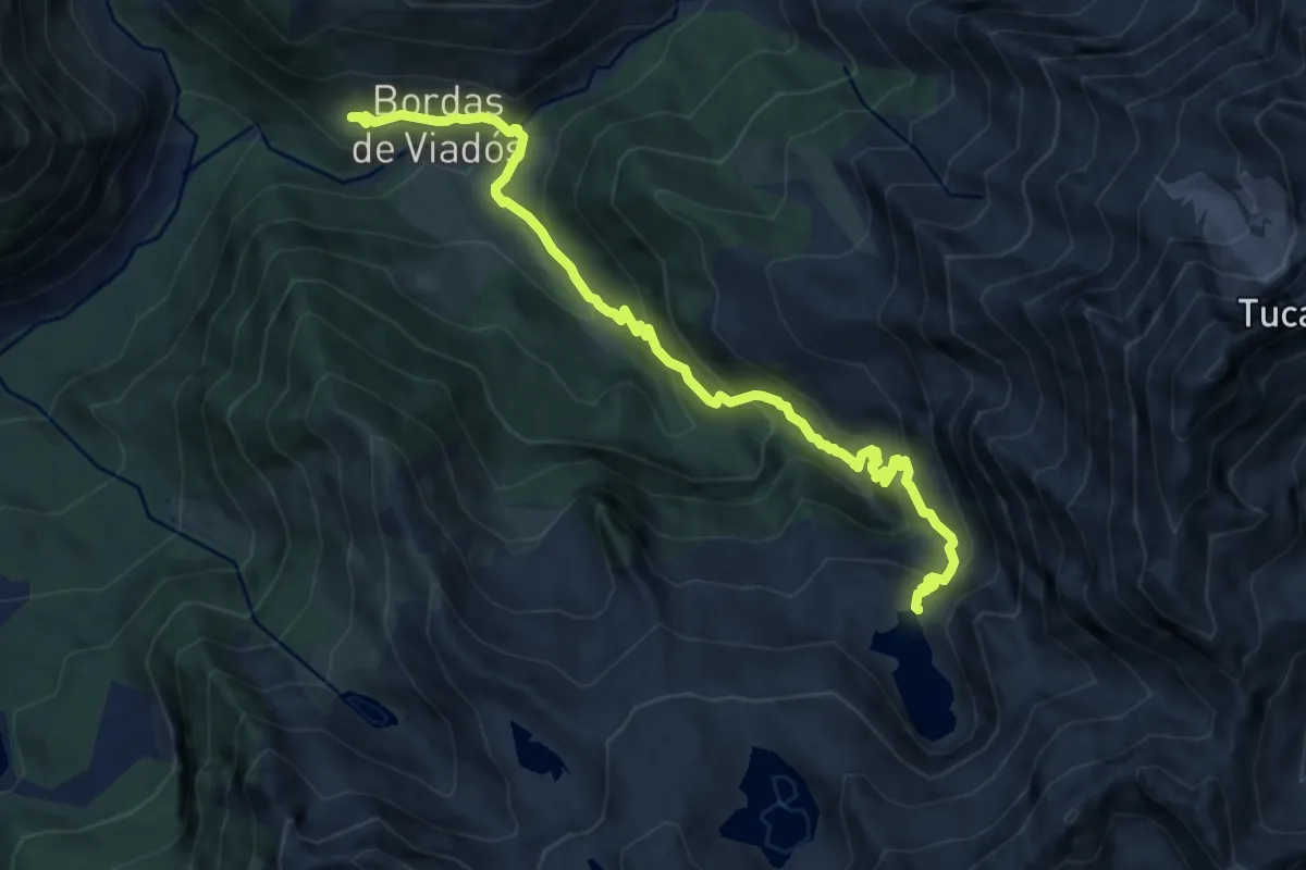
Medium · Cabin
S-11 Refugio de Viadós - Ibón de Millares
10.8 km · ↑ 736 m · 4 h 9 min
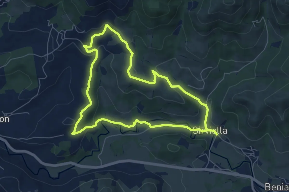
Easy · Trail
S4. Sirviella, Evergreen et Castañéu Sanchón
6.2 km · ↑ 164 m · 1 h 54 min
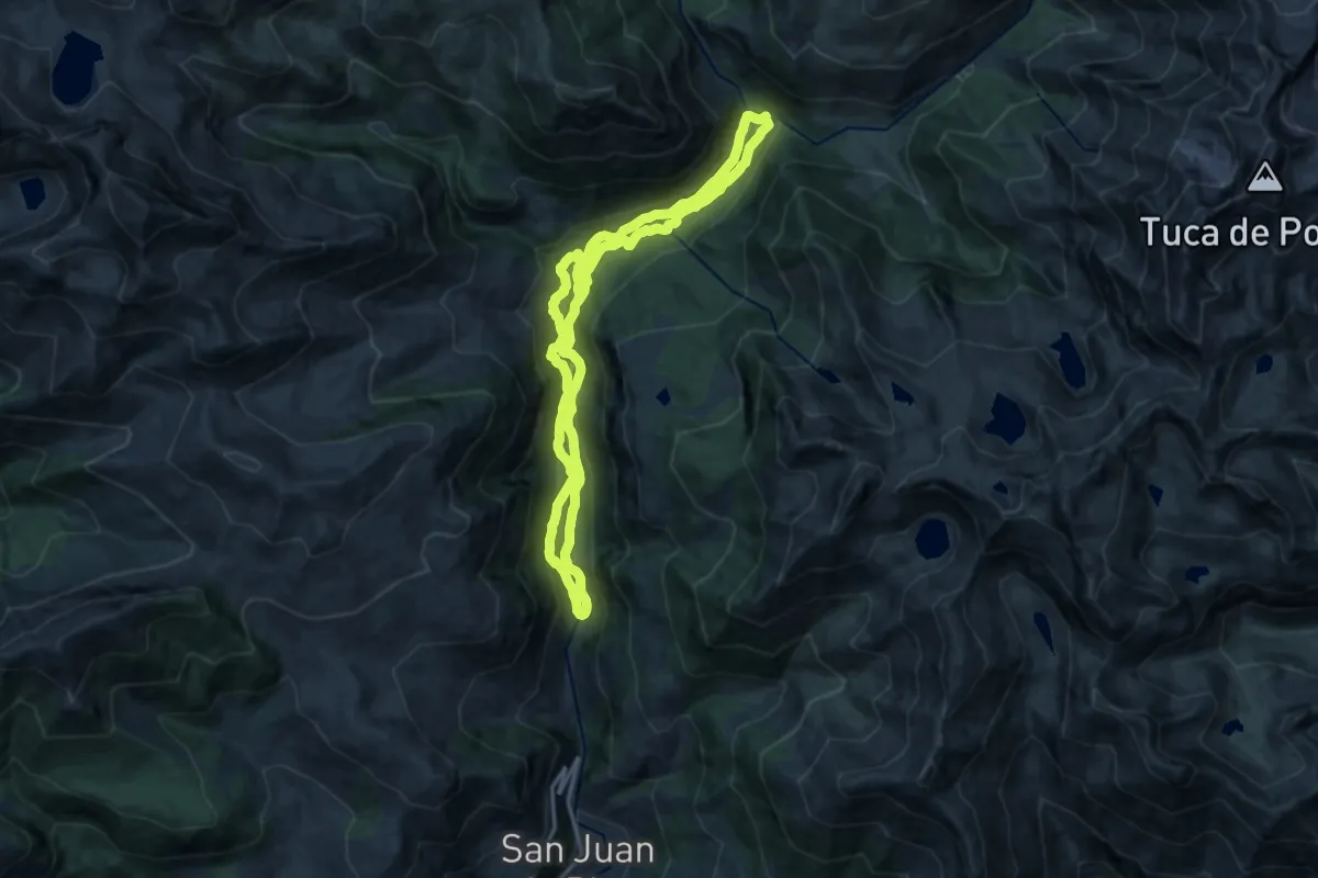
Medium · Trail
S-7 Sendero de la Ribera del Zinqueta
15.2 km · ↑ 490 m · 4 h 53 min
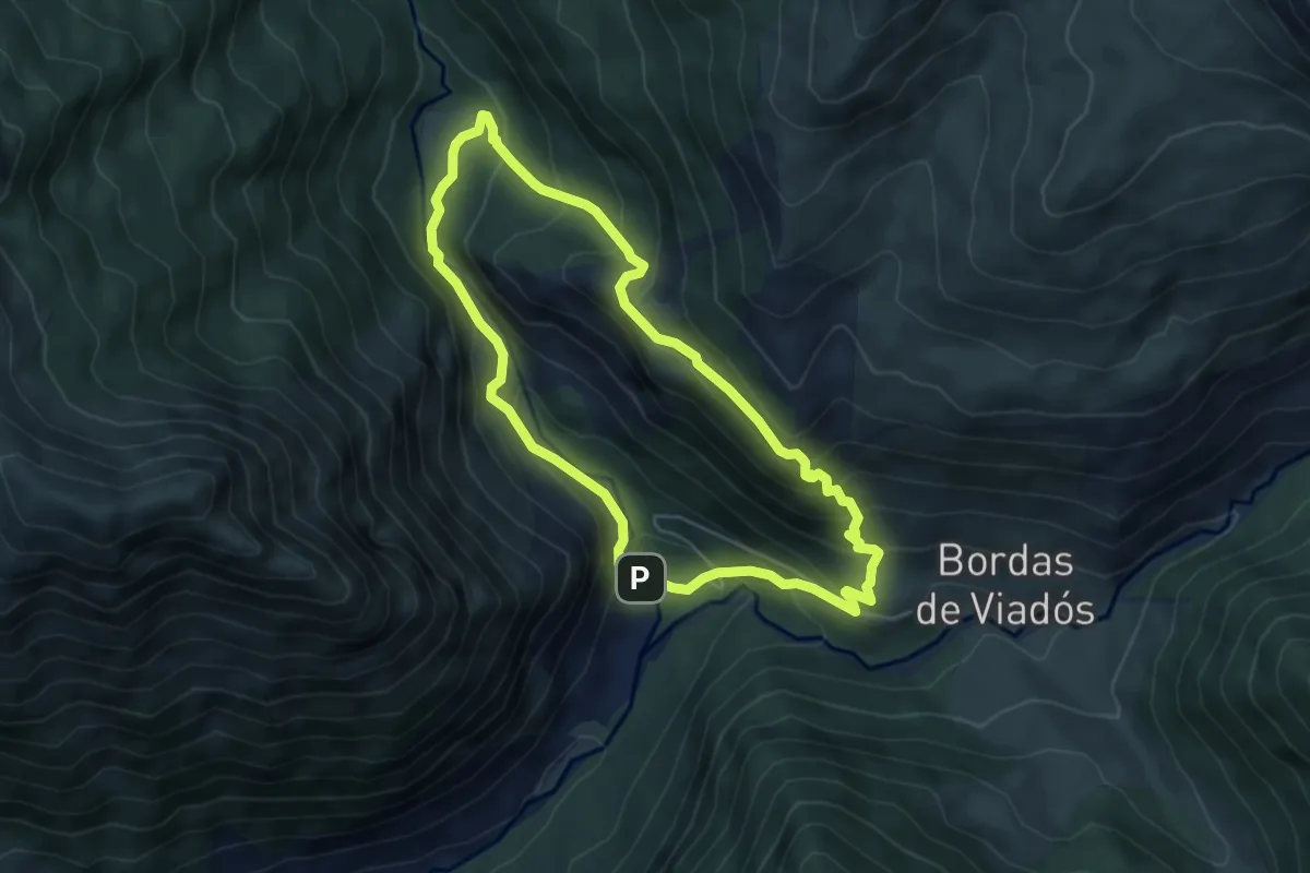
Medium · Trail
S-8 Circular de Virgen Blanca - Refugio de Viados - Tabernés
5.4 km · ↑ 406 m · 2 h 13 min
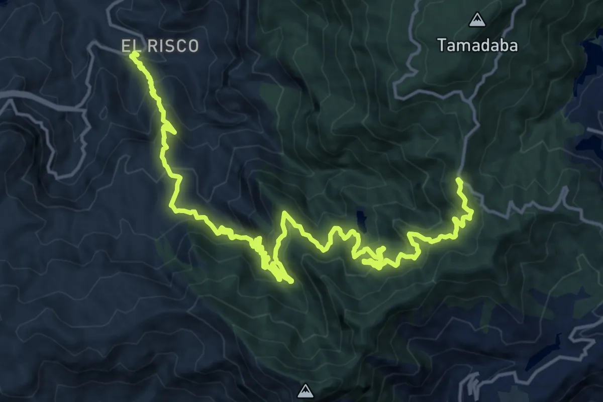
Medium · Trail
S-94 PORTADA DE TIRMA - LA MARQUESA - EL RISCO DE AGAETE
12.9 km · ↑ 393 m · 4 h 38 min
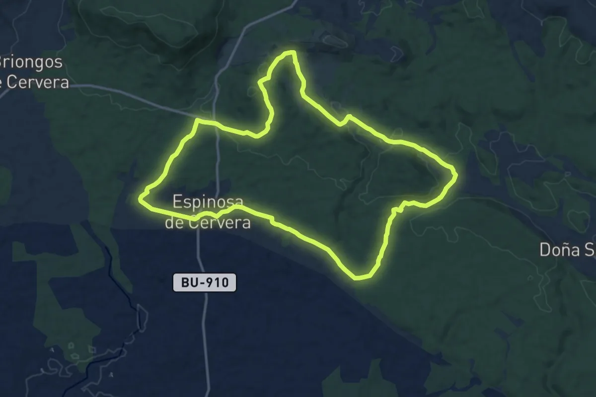
Medium · Summit
Sabinar del Arlanza
14.3 km · ↑ 204 m · 4 h 1 min
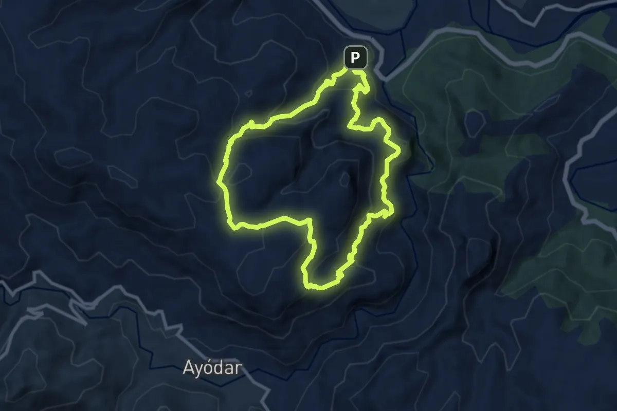
Medium · Trail
Saganta
8.8 km · ↑ 669 m · 3 h 39 min
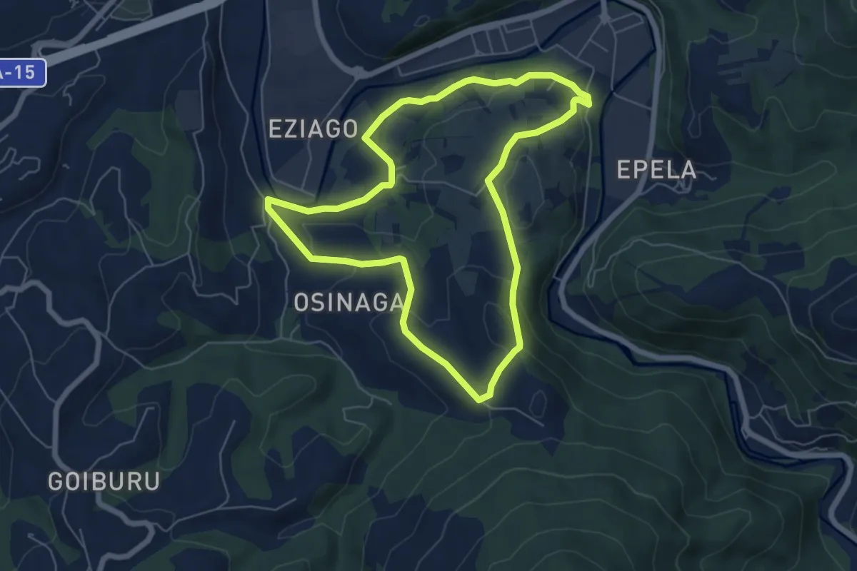
Easy · Summit
Sagardotegiak
6.0 km · ↑ 178 m · 1 h 54 min
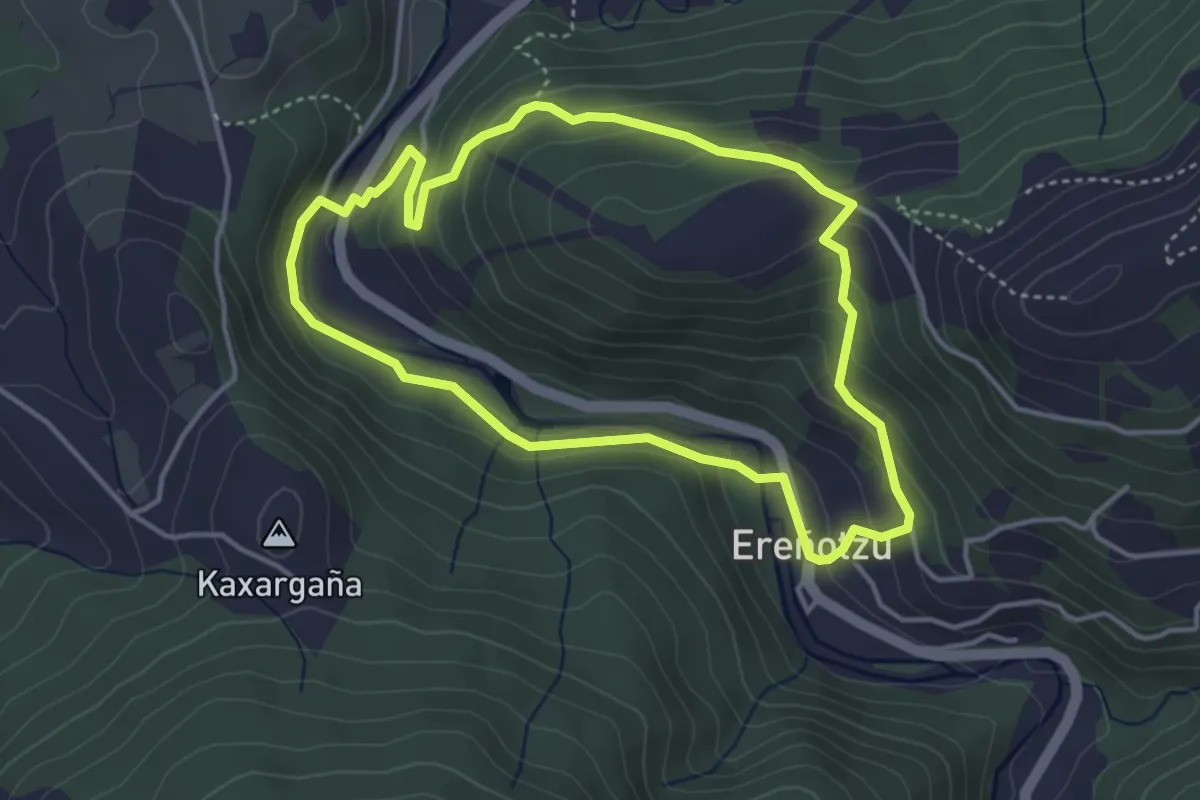
Medium · Trail
Sagarraren bidea
4.0 km · ↑ 180 m · 1 h 23 min
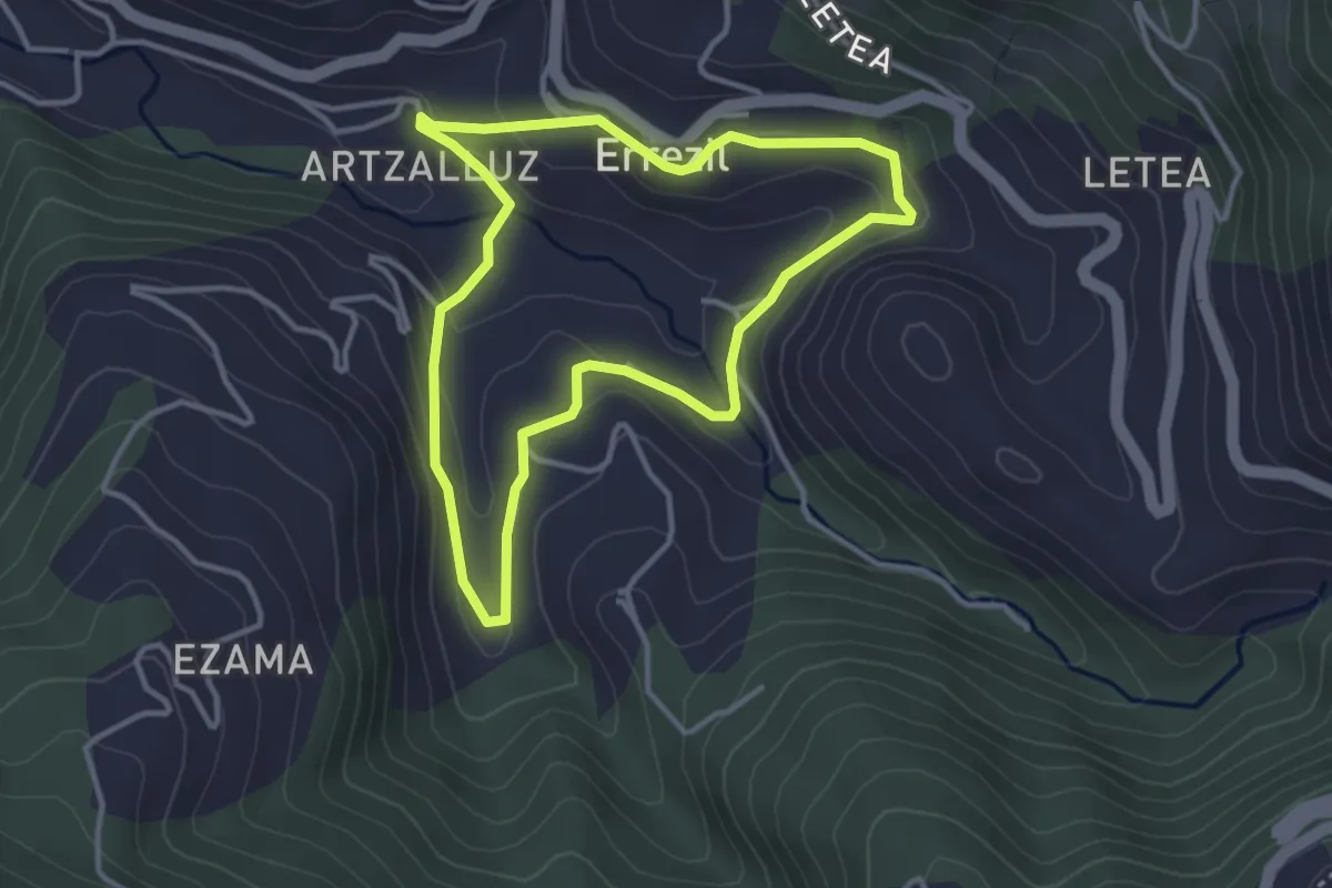
Easy · Trail
Sagarraren bidea
3.5 km · ↑ 123 m · 1 h 8 min
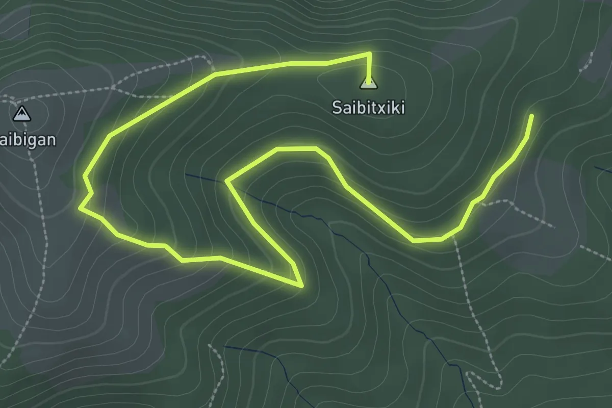
Medium · Summit
Saibiko magaletik
5.2 km · ↑ 276 m · 1 h 49 min
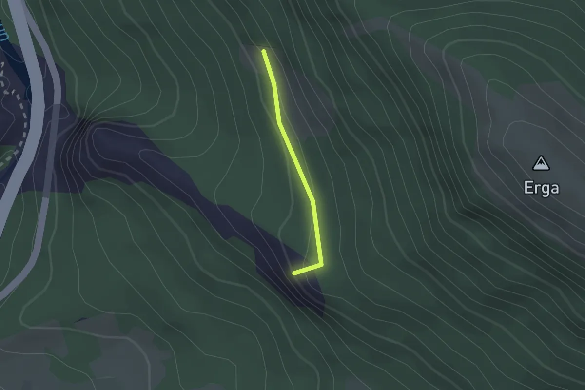
Easy · Summit
Saien balkoiaren ibilbidea
1.4 km · ↑ 51 m · 26 min
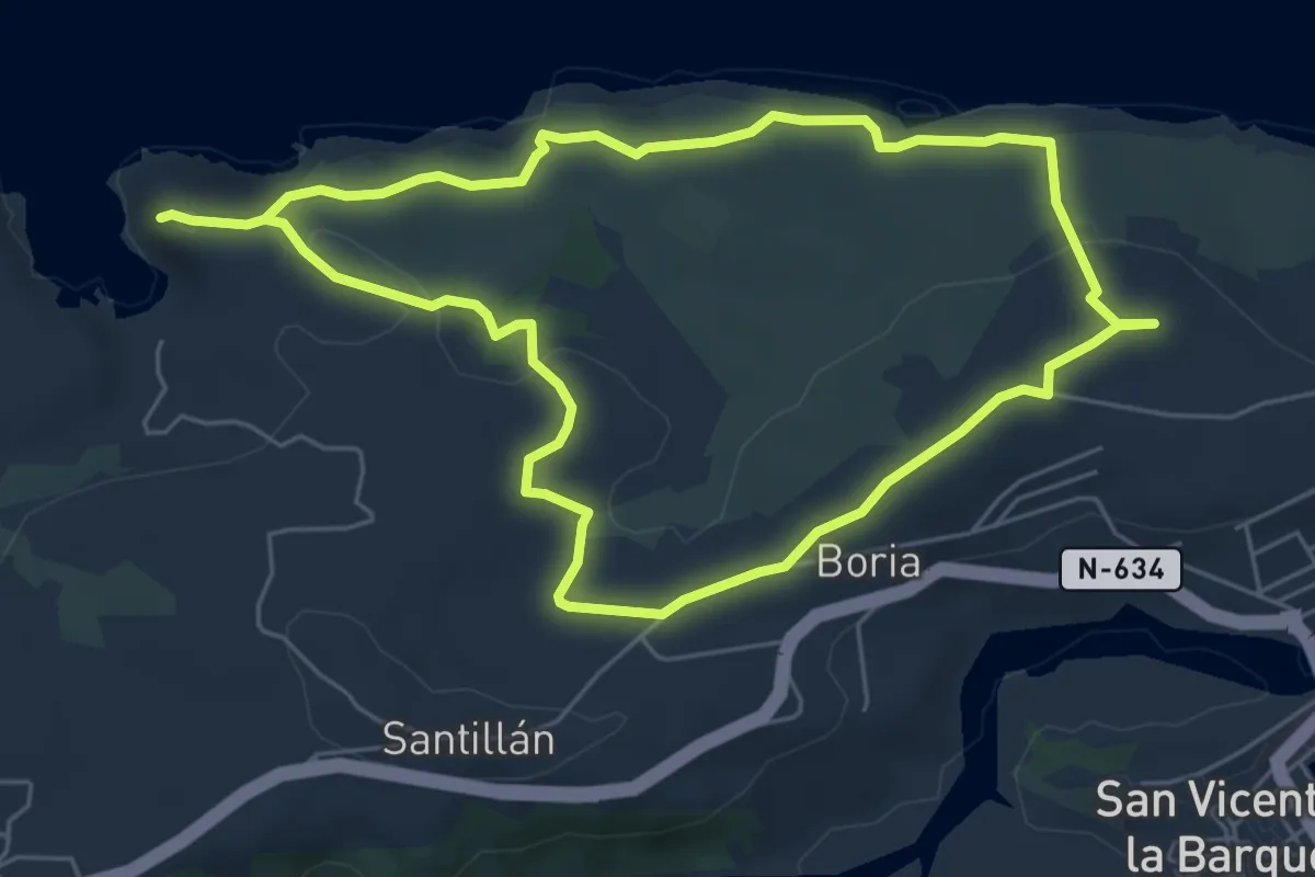
Easy · Trail
Saja Nansa / Acantilados de San Vicente
5.9 km · ↑ 107 m · 1 h 43 min
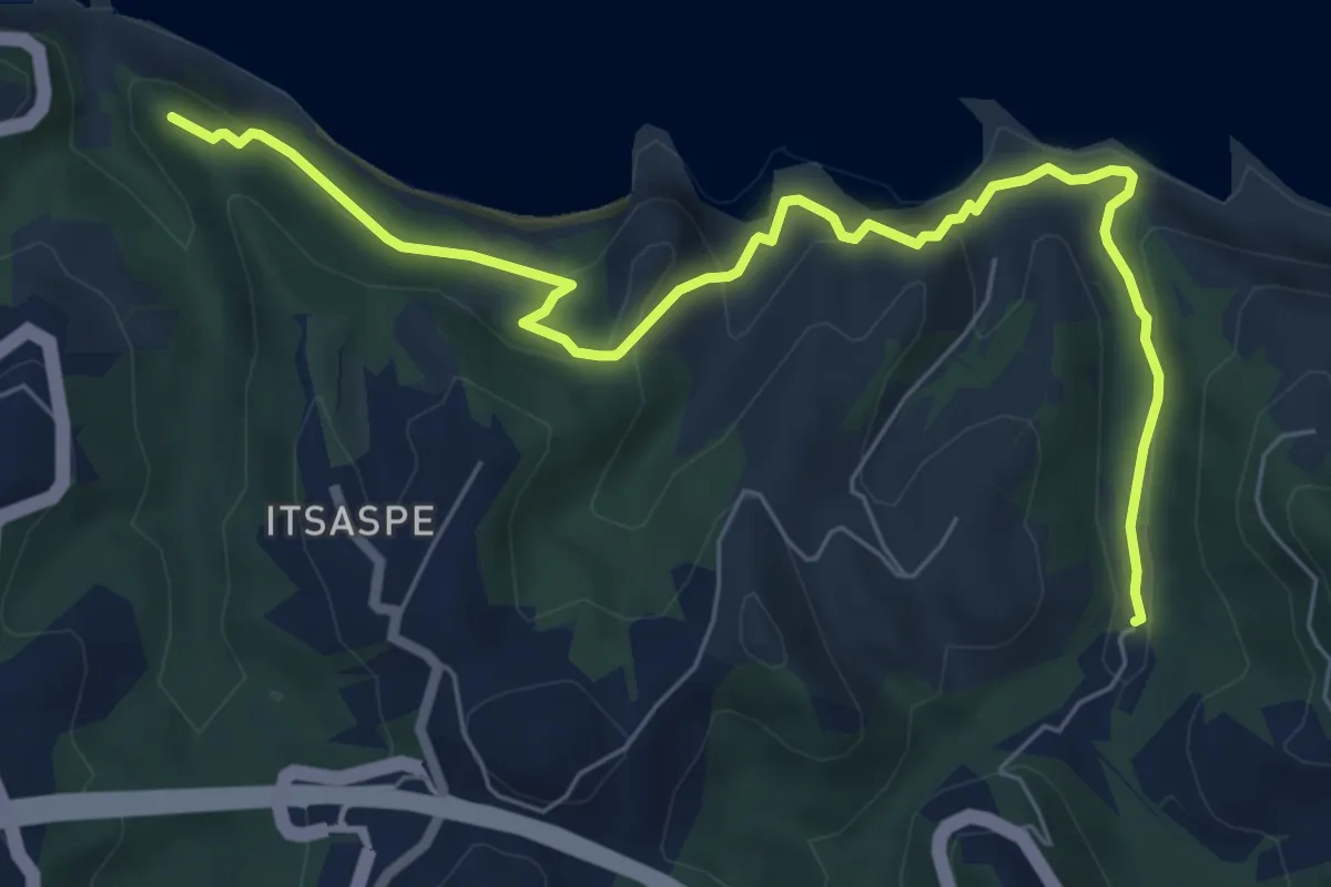
Medium · Summit
Sakoneta
8.1 km · ↑ 393 m · 2 h 45 min
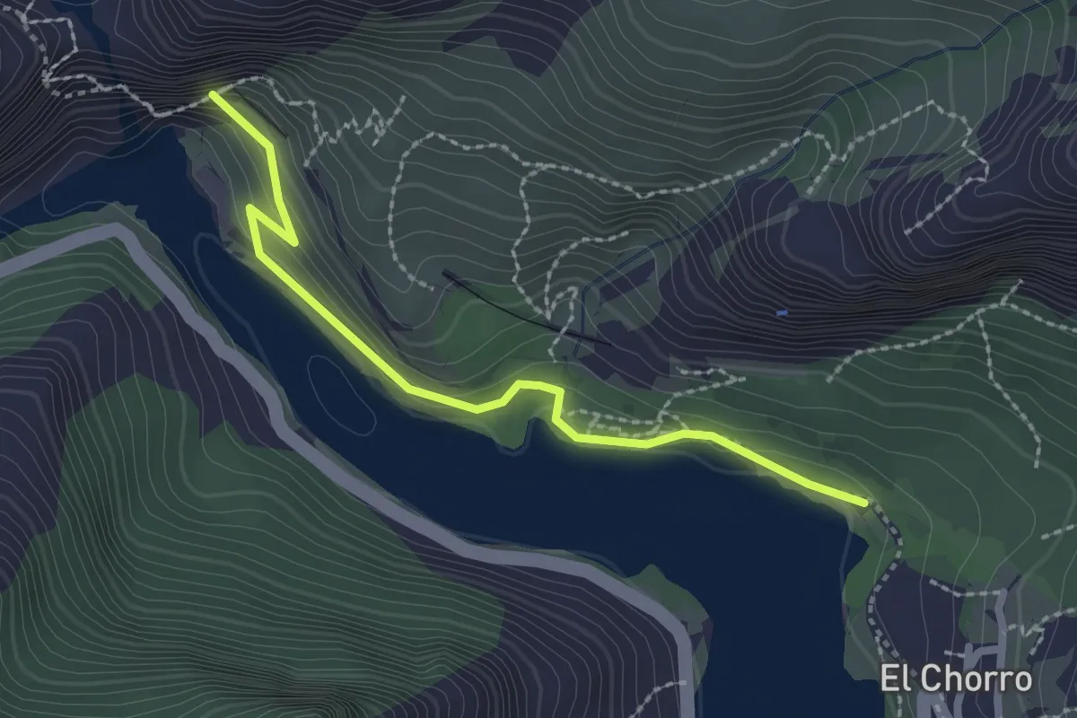
Easy · Trail
Salida Caminito del Rey
2.7 km · ↑ 120 m · 54 min
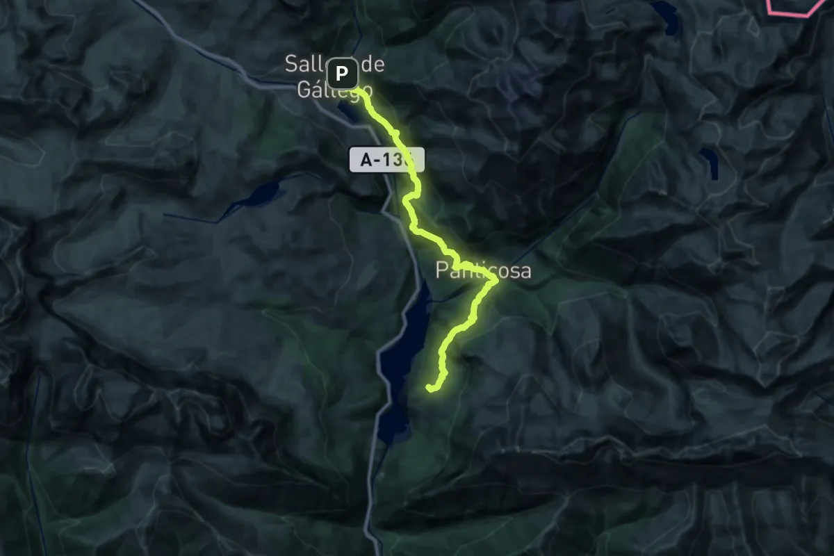
Demanding · Summit
Sallent de Gállego - Hoz de Jaca
26.8 km · ↑ 1113 m · 8 h 44 min
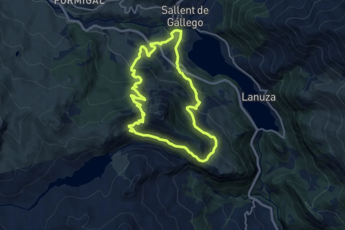
Medium · Trail
Sallent de Gállego - Sallent de Gállego
10.3 km · ↑ 675 m · 4 h 3 min
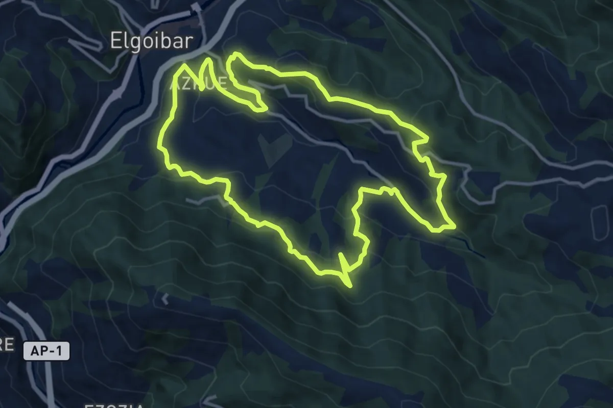
Medium · Trail
Sallobenteko sekretuak
11.4 km · ↑ 532 m · 4 h
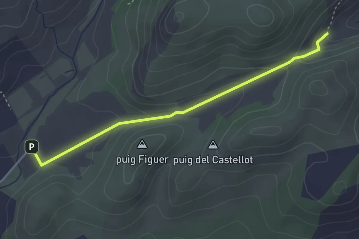
Easy · Trail
s'Alqueria Vella - es Verger
3.6 km · ↑ 126 m · 1 h 7 min
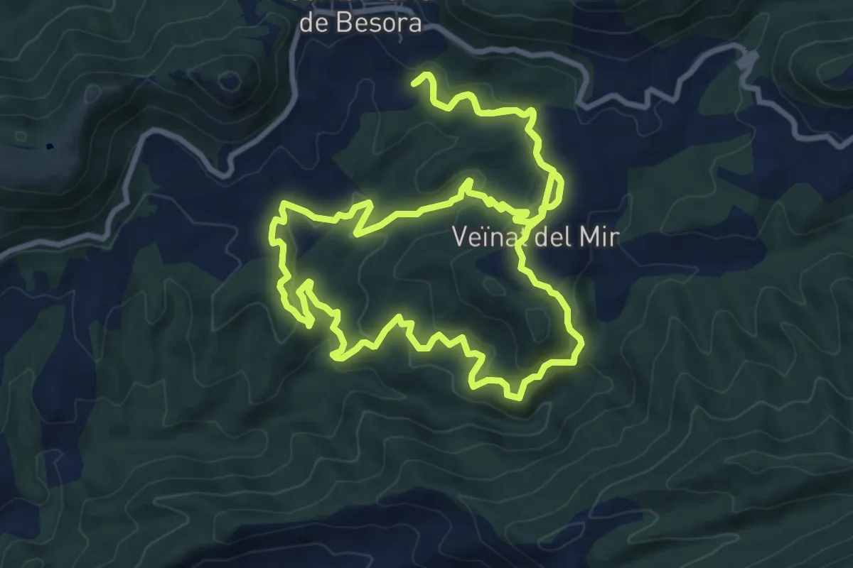
Medium · Summit
Salt del Mir
10.2 km · ↑ 447 m · 3 h 30 min
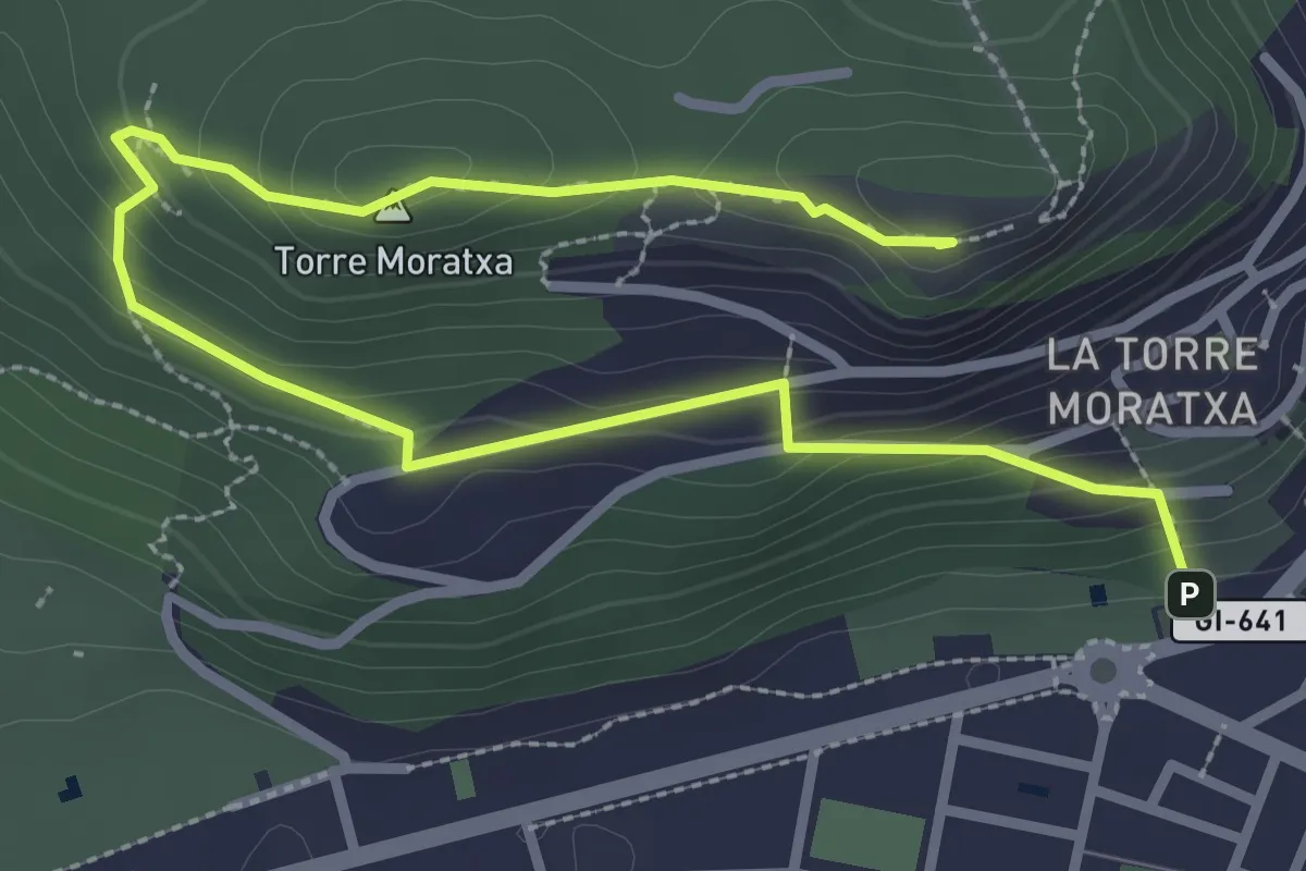
Medium · Summit
Salt d'Euga
4.3 km · ↑ 303 m · 1 h 41 min
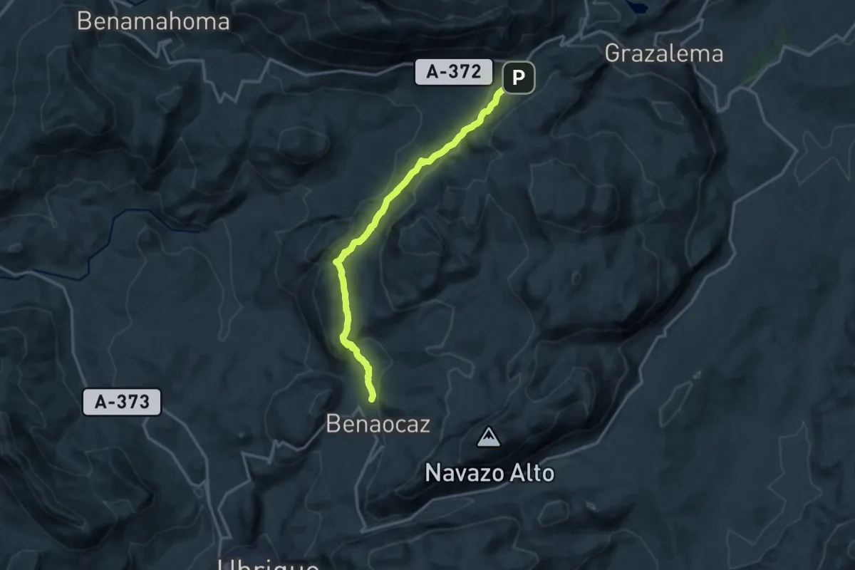
Medium · Trail
SALTO DEL CABRERO
15.5 km · ↑ 620 m · 5 h
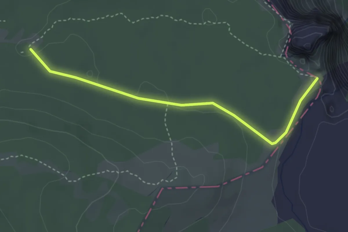
Easy · Trail
Salto del Nervión
3.6 km · ↑ 45 m · 58 min
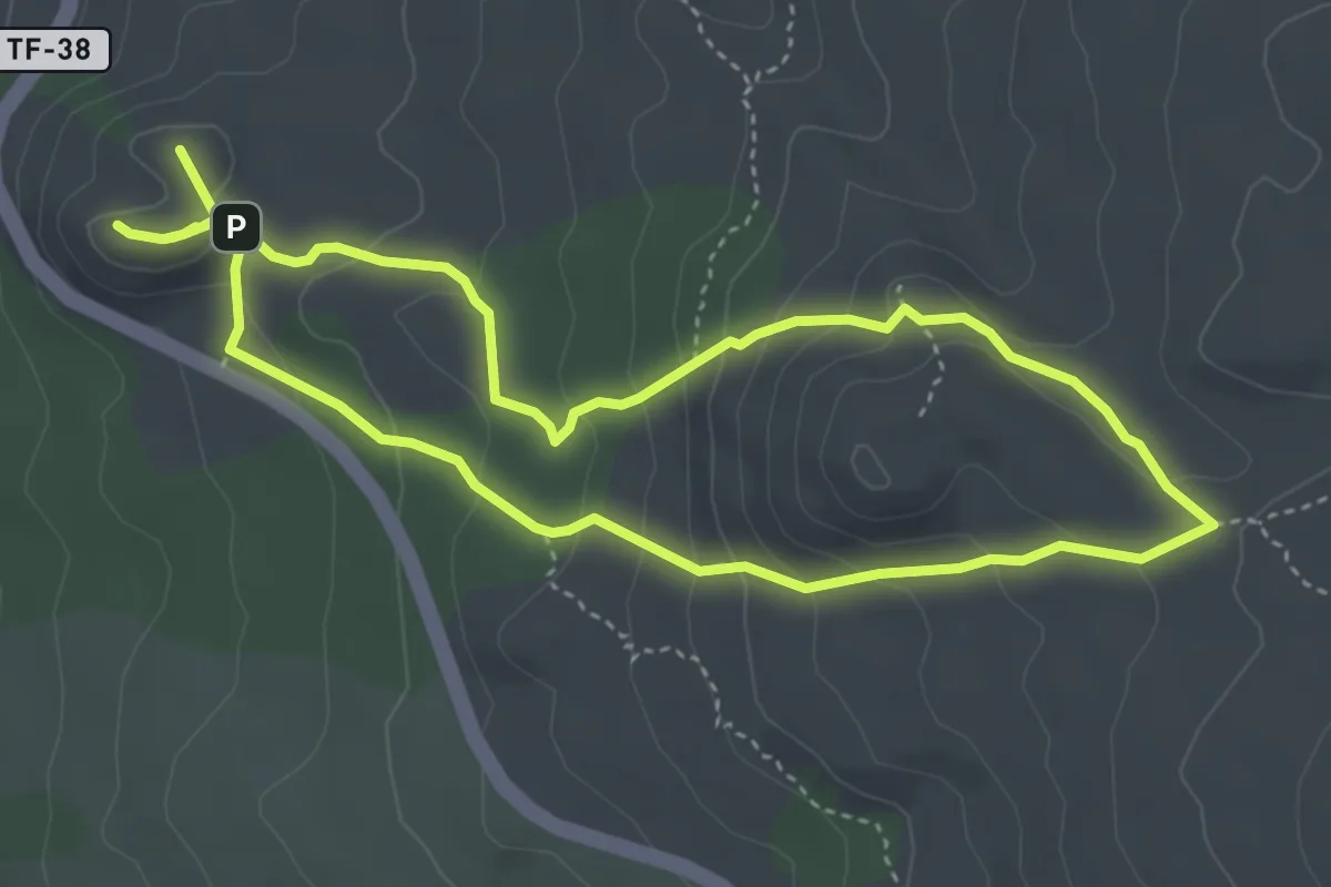
Medium · Summit
Sámara
10.1 km · ↑ 519 m · 3 h 30 min
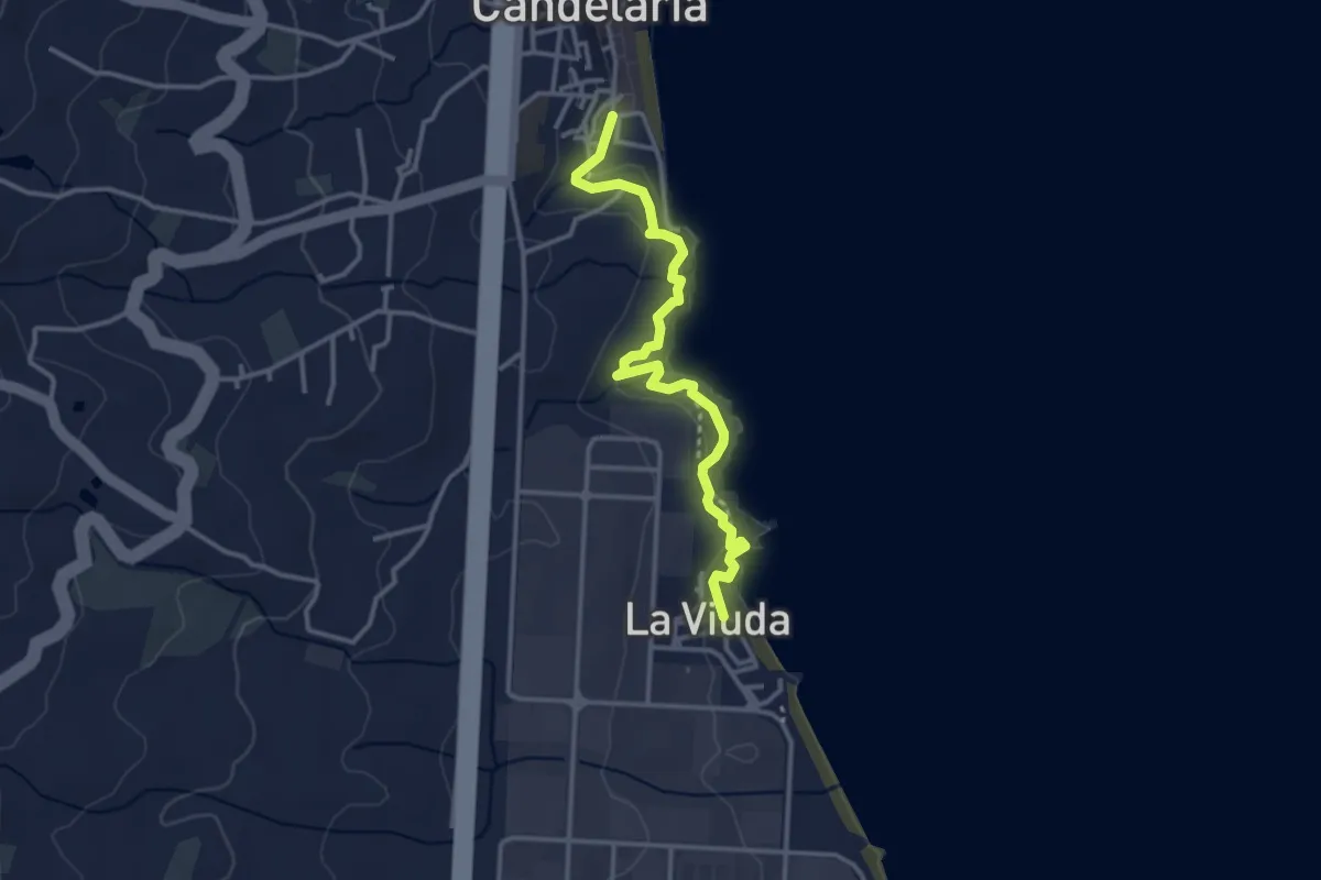
Easy · Trail
Samarines
4.2 km · ↑ 207 m · 1 h 26 min
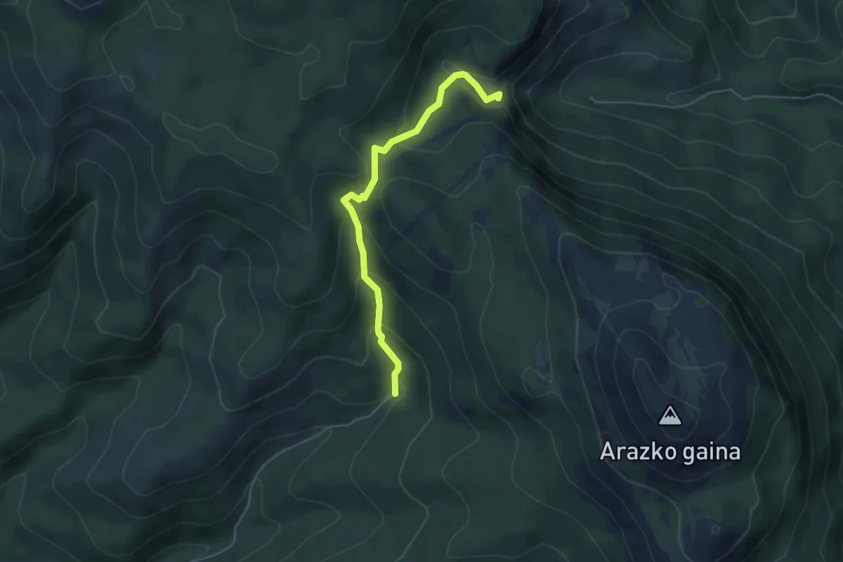
Medium · Summit
San Adrián
4.7 km · ↑ 288 m · 1 h 44 min
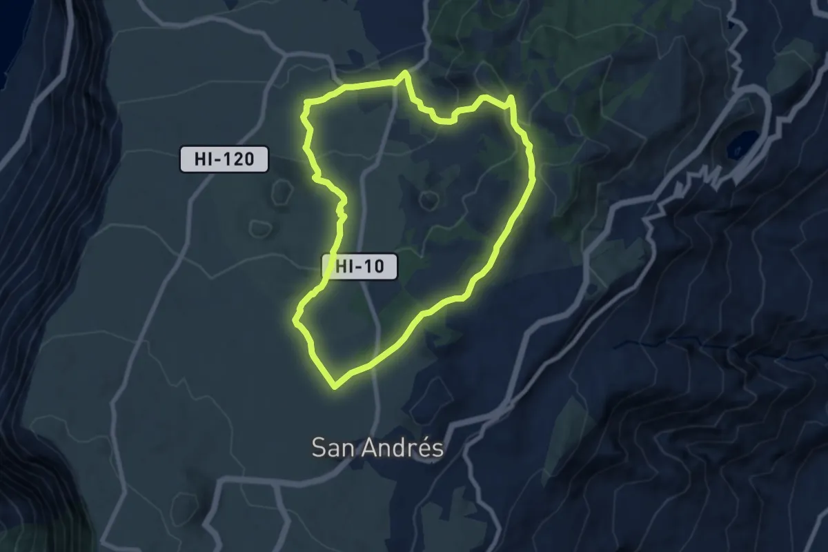
Medium · Trail
San Andrés - Árbol Santo - Las Montañetas
8.8 km · ↑ 323 m · 2 h 54 min
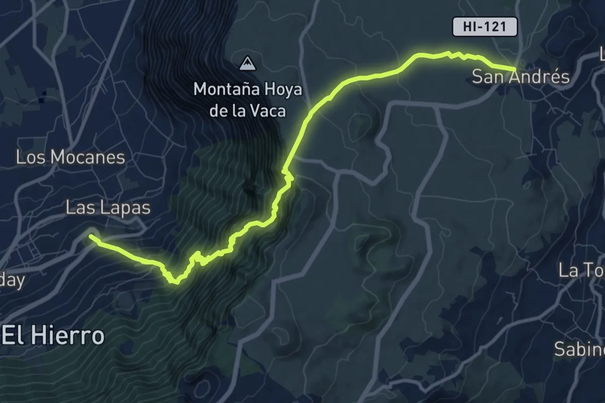
Demanding · Summit
San Andrés El Golfo por Camino de Jinama
14.0 km · ↑ 1370 m · 6 h 17 min
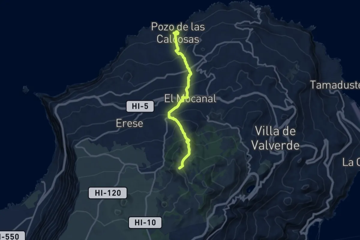
Demanding · Summit
San Andrés - Pozo de las Calcosas
11.8 km · ↑ 1069 m · 5 h 7 min
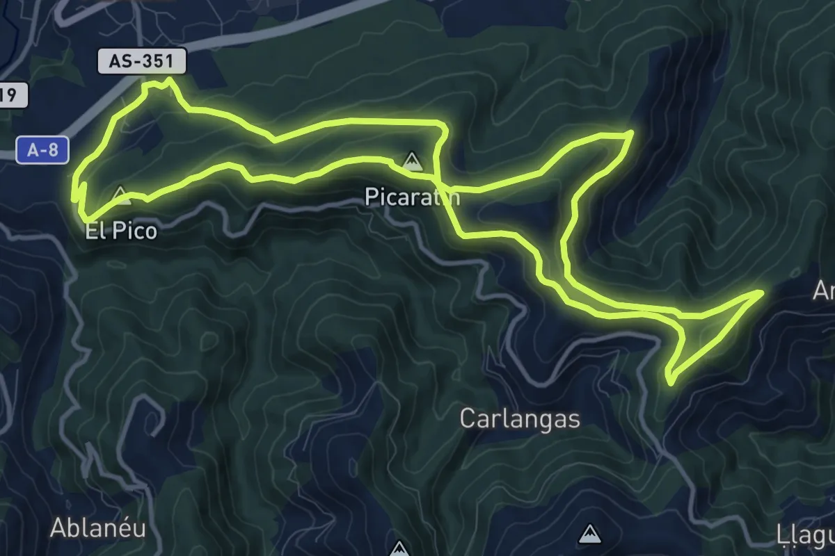
Medium · Summit
San Antón de Concilleiro
13.4 km · ↑ 499 m · 4 h 26 min
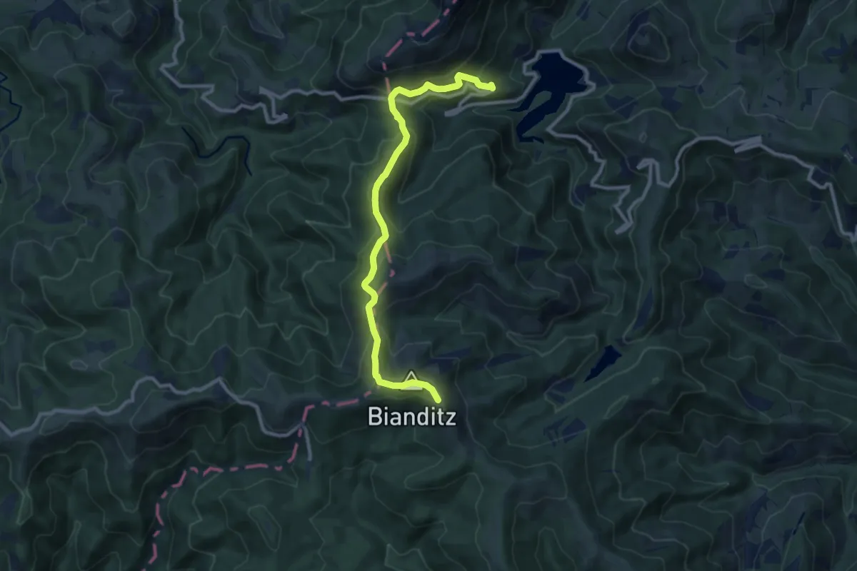
Medium · Trail
San Antón - Domiko
5.2 km · ↑ 553 m · 2 h 16 min
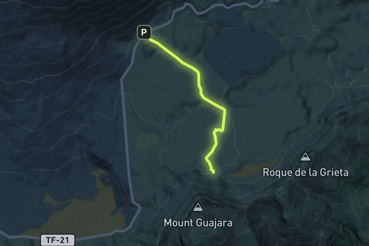
Medium · Trail
Sanatorio
9.1 km · ↑ 156 m · 2 h 30 min
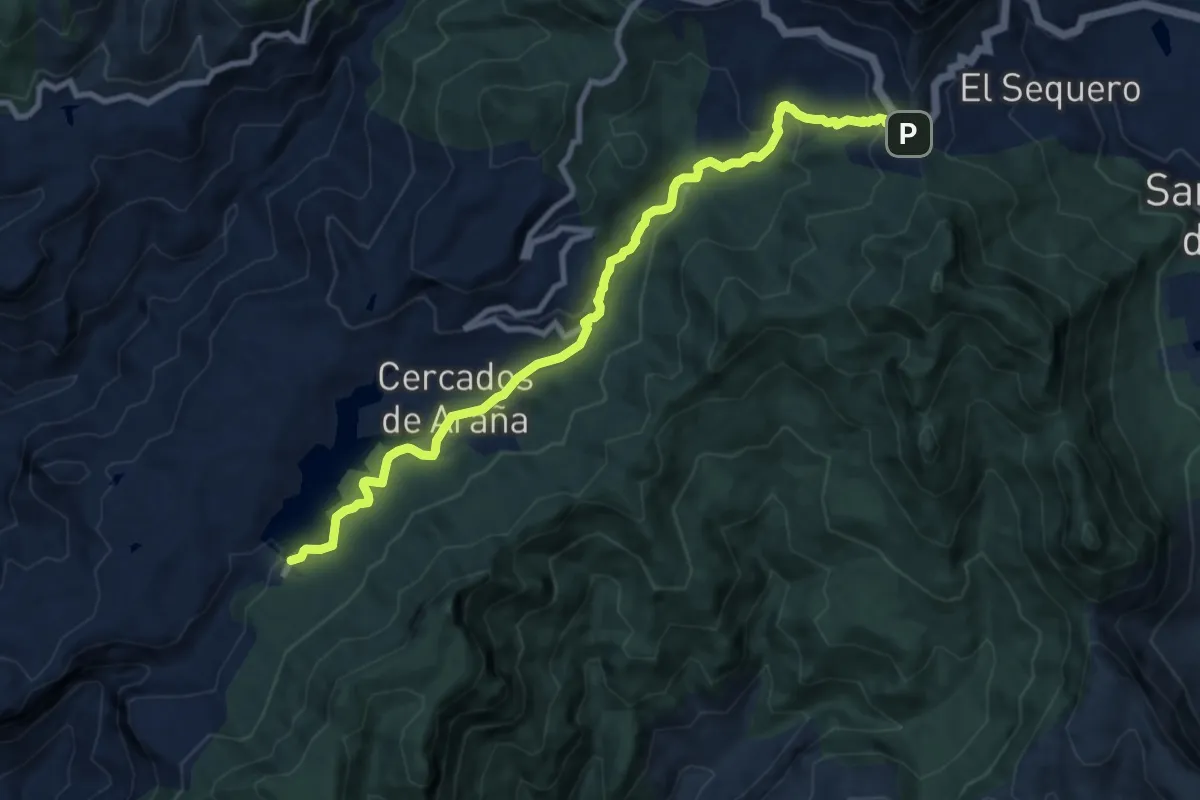
Medium · Trail
San Bartolomé
12.5 km · ↑ 450 m · 3 h 56 min
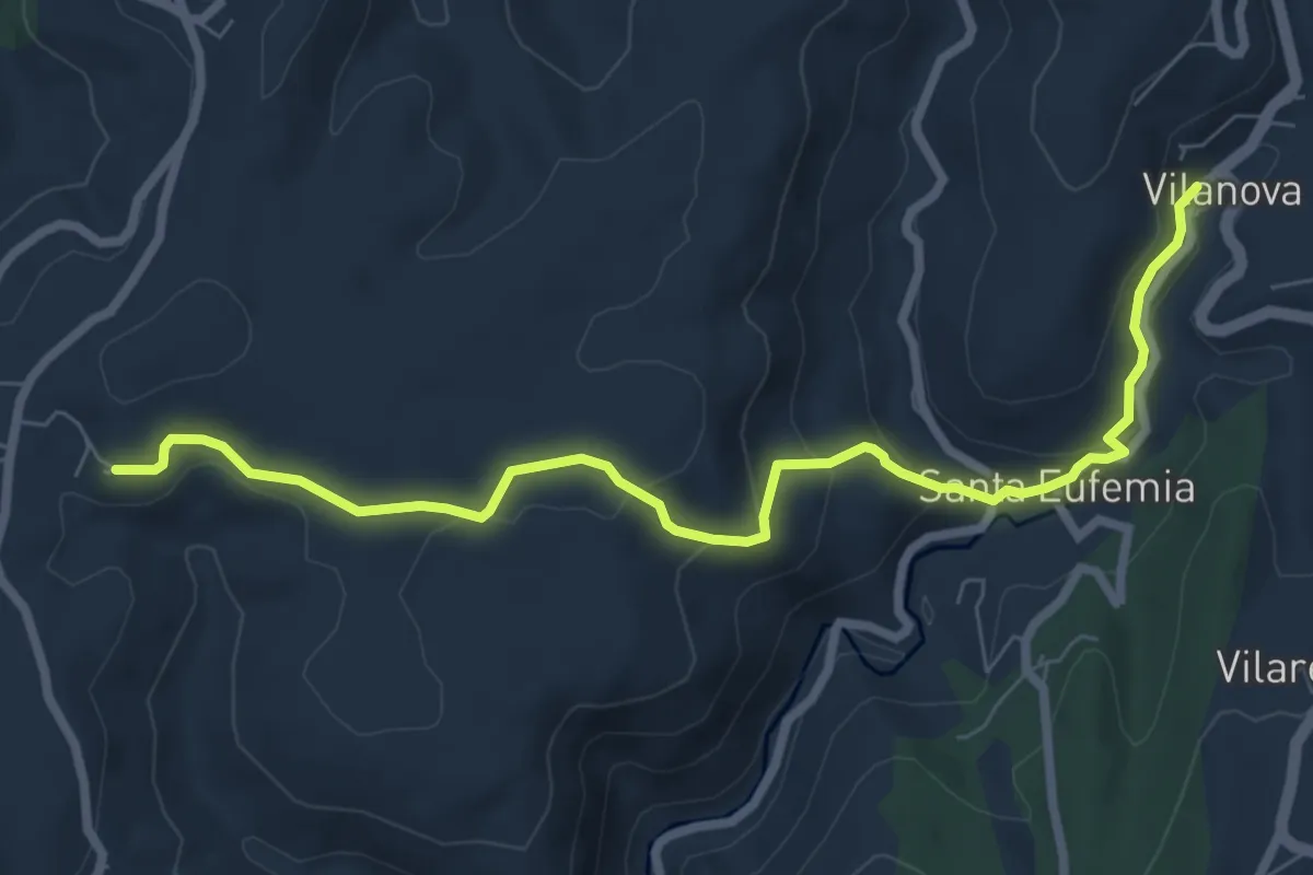
Medium · Trail
Sanda Verde La Agüera
8.4 km · ↑ 338 m · 2 h 43 min
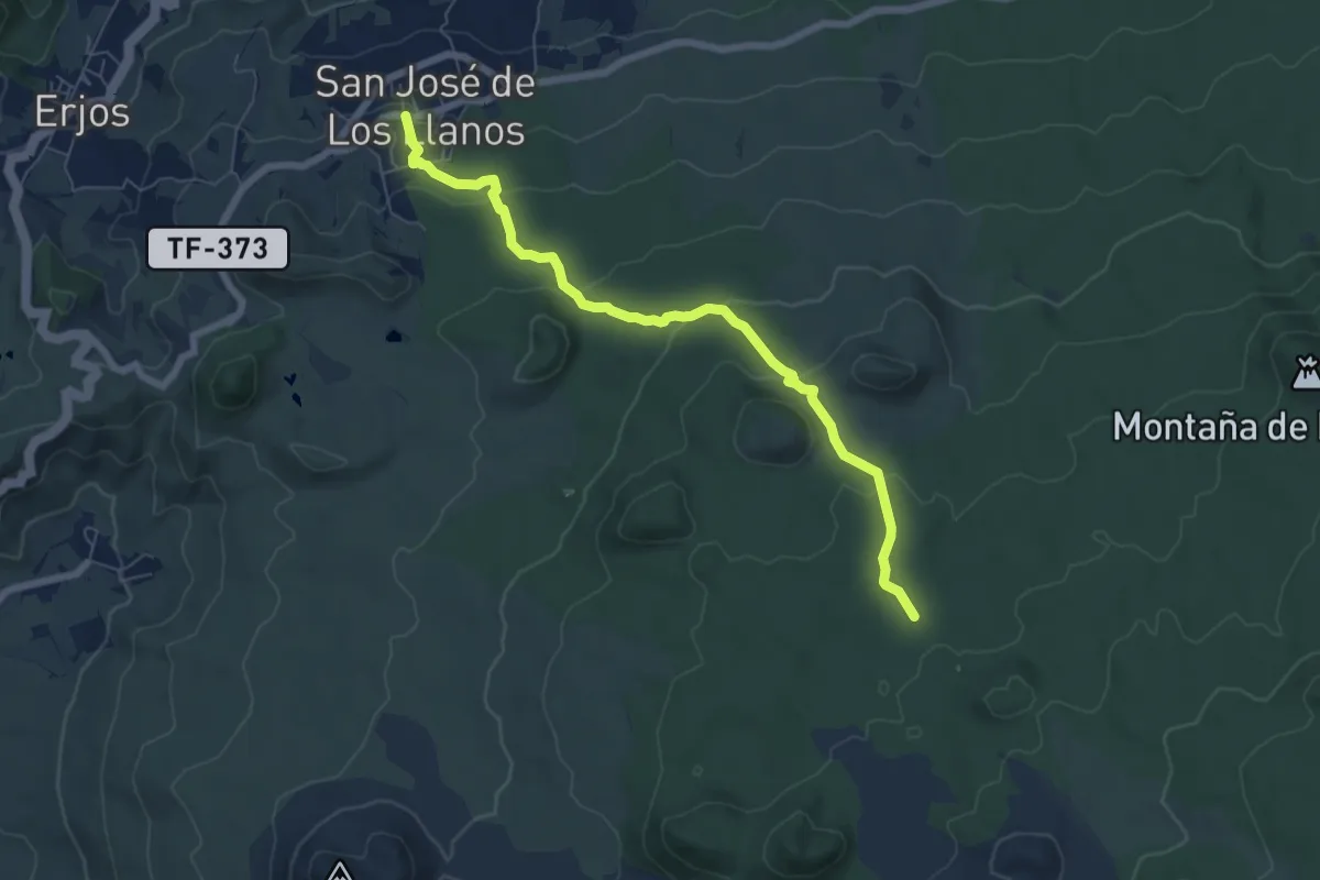
Medium · Trail
San José de Los Llanos - Montaña Chinyero
8.6 km · ↑ 281 m · 2 h 39 min
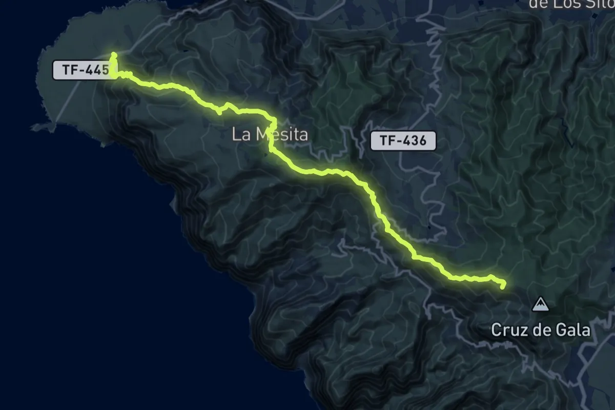
Demanding · Summit
San José de los Llanos - Punta de Teno
23.6 km · ↑ 1493 m · 8 h 49 min
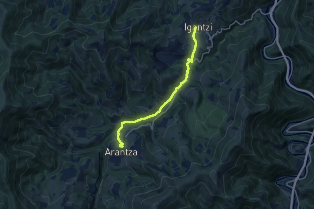
Medium · Trail
San Juan Xar
9.3 km · ↑ 323 m · 2 h 54 min
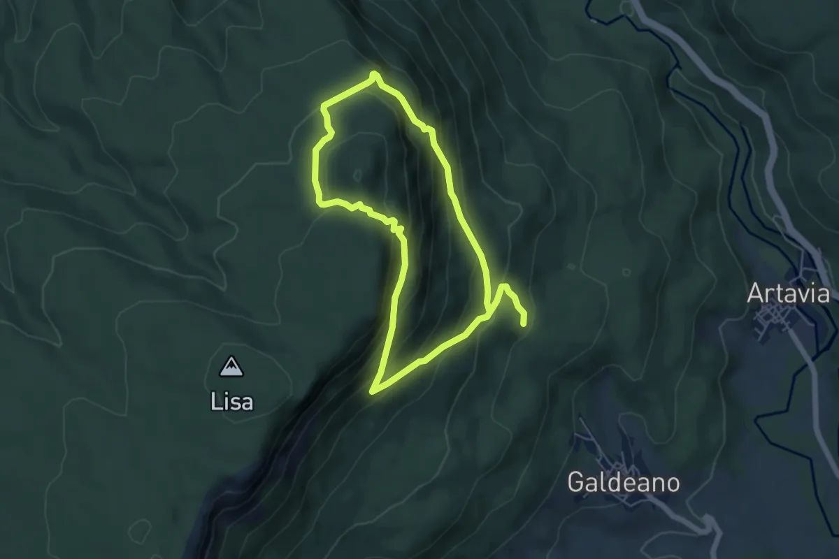
Medium · Trail
San Kosme eta San Damian ibilaldia
9.9 km · ↑ 712 m · 3 h 53 min
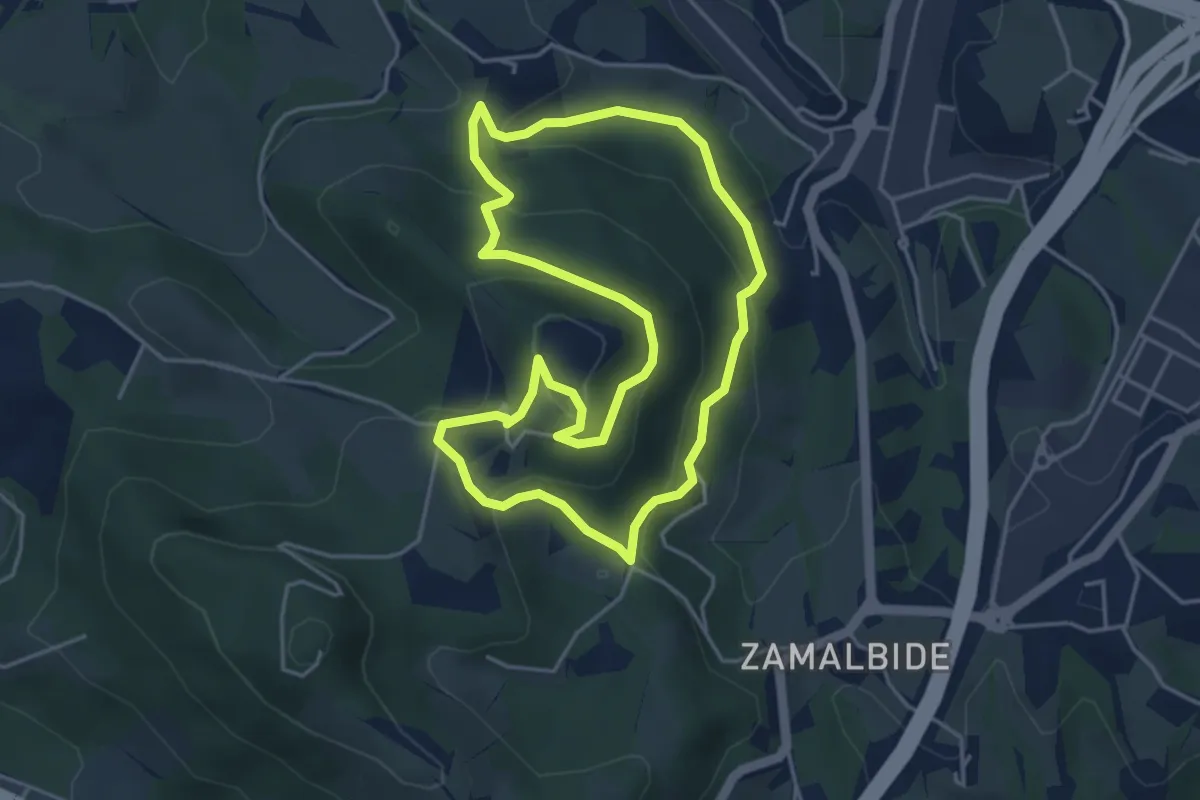
Medium · Summit
San Markos
4.4 km · ↑ 211 m · 1 h 34 min
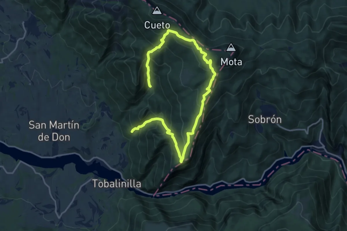
Demanding · Trail
San Martín de Don
17.0 km · ↑ 1060 m · 6 h 19 min
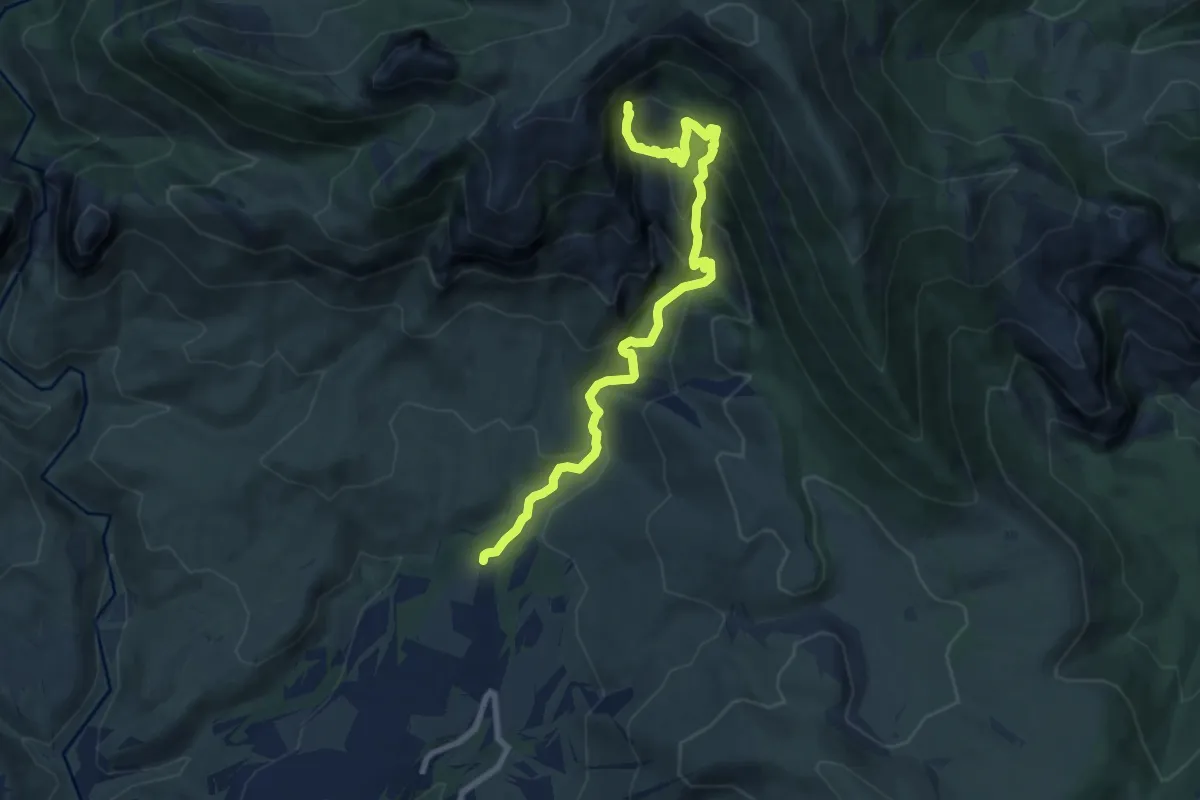
Medium · Trail
San Martín de la Bal d'Onsera
9.3 km · ↑ 784 m · 3 h 54 min
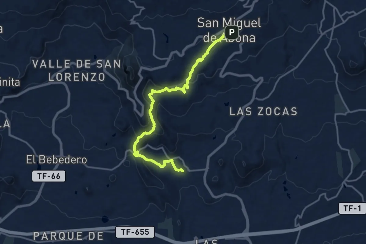
Medium · Trail
San Miguel de Abona-Aldea Blanca
14.8 km · ↑ 577 m · 4 h 44 min
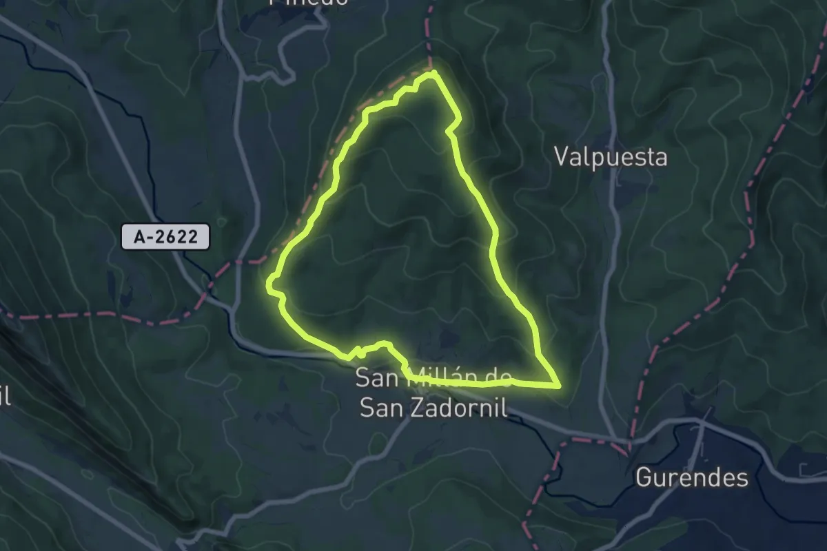
Medium · Summit
San Millán de San Zadornil
6.6 km · ↑ 320 m · 2 h 20 min
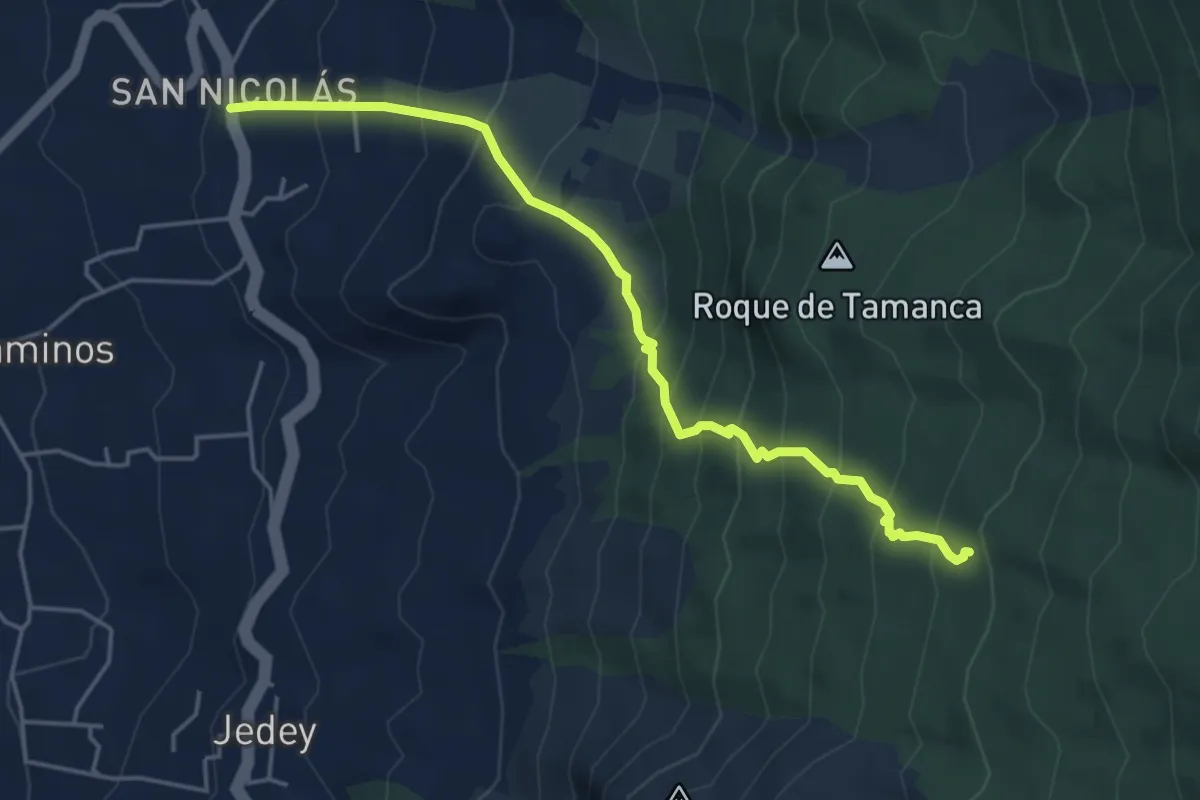
Medium · Trail
San Nicolás-Hoyo de La Sima
6.1 km · ↑ 608 m · 2 h 45 min
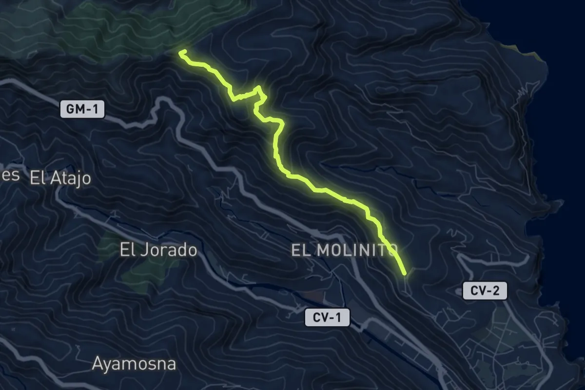
Medium · Summit
San Sebastián - Jaragán - San Sebastián
9.3 km · ↑ 645 m · 3 h 36 min
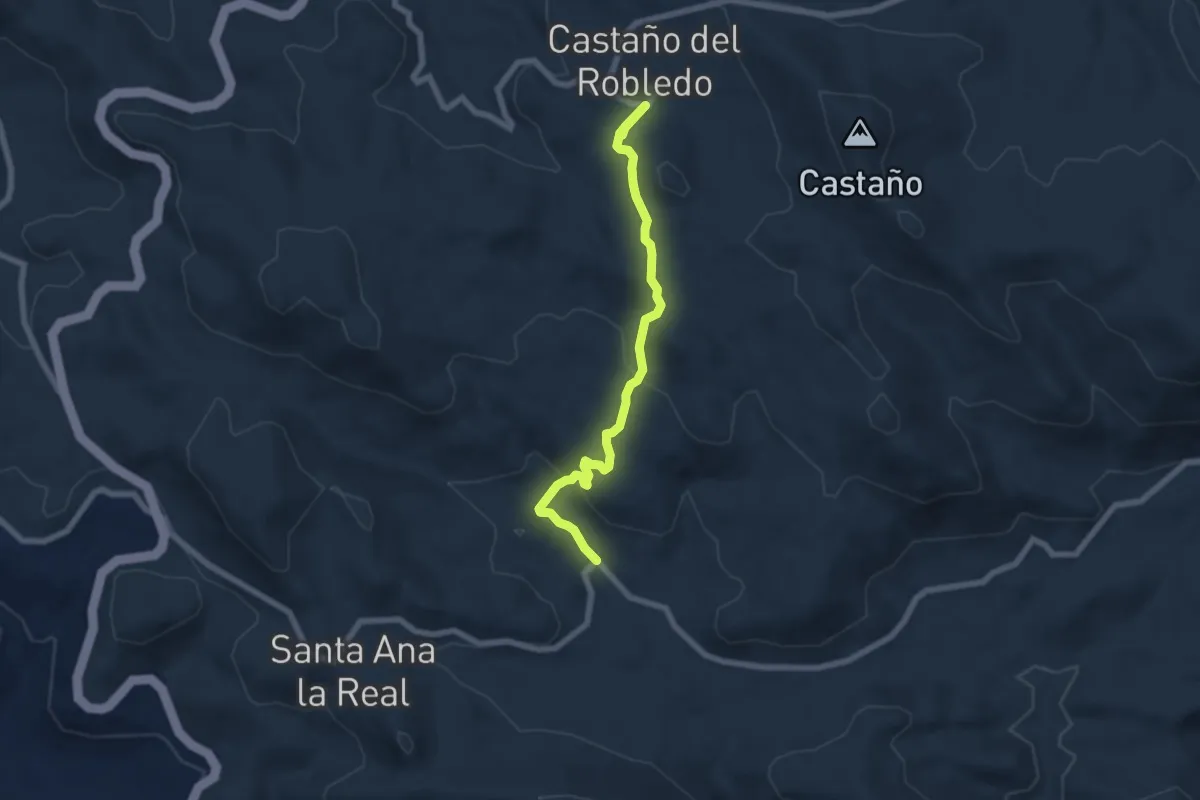
Easy · Trail
Santa Ana la Real-Castaño del Robledo
7.6 km · ↑ 278 m · 2 h 23 min