Trails in Spain
5,962 hiking trails, each with its route, climb, walking time and grade.
All trails, page 90 of 125
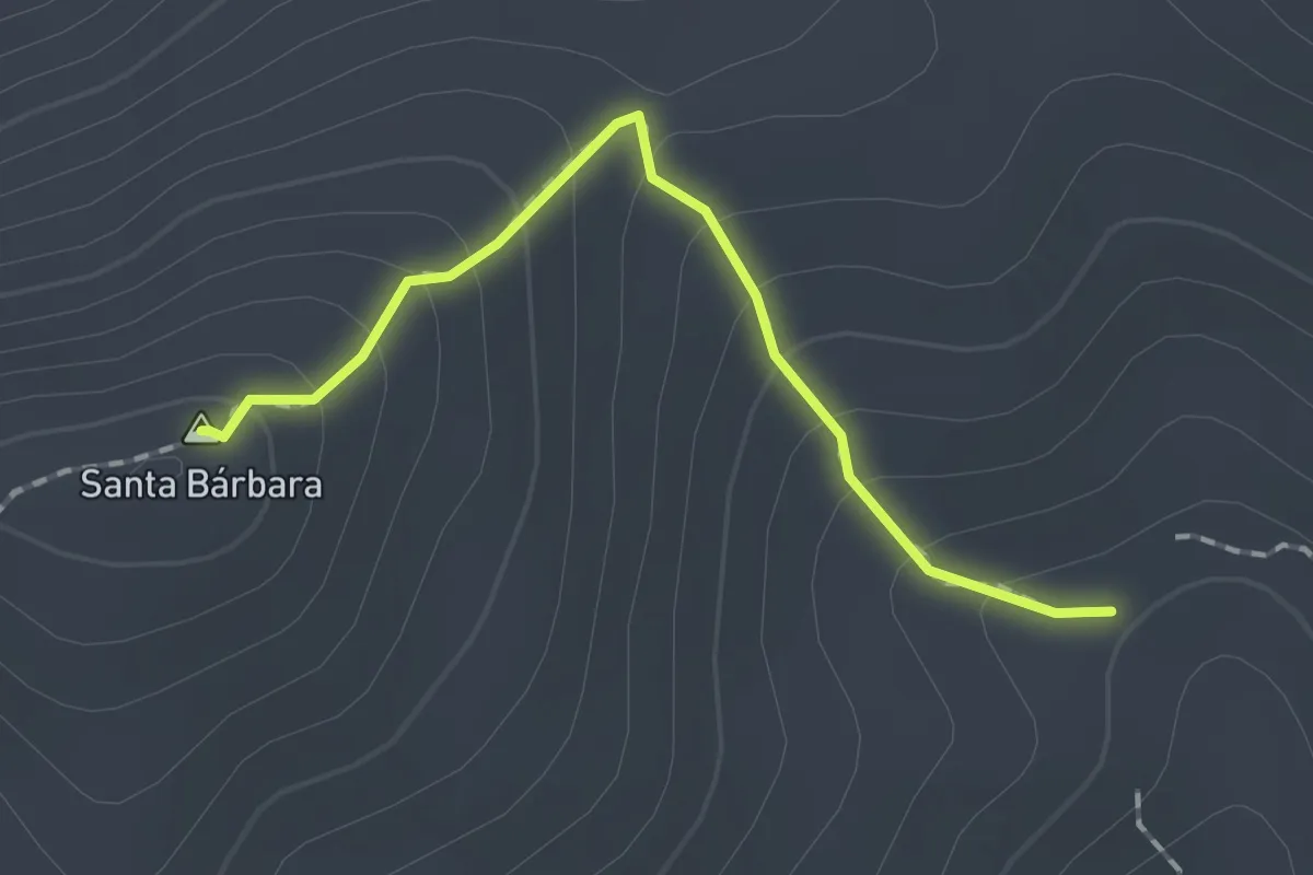
Easy · Summit
Santa Bárbara
1.8 km · ↑ 148 m · 45 min
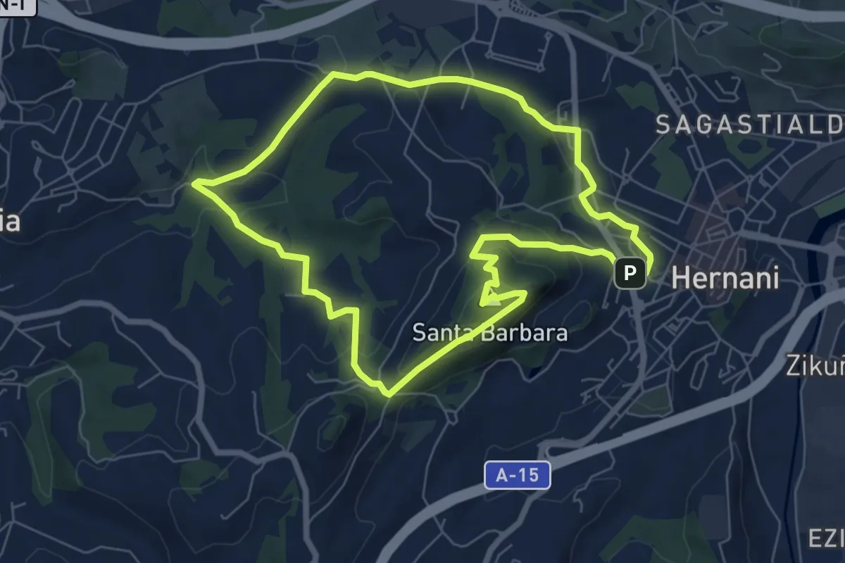
Medium · Summit
Santa Bárbara
6.8 km · ↑ 240 m · 2 h 13 min
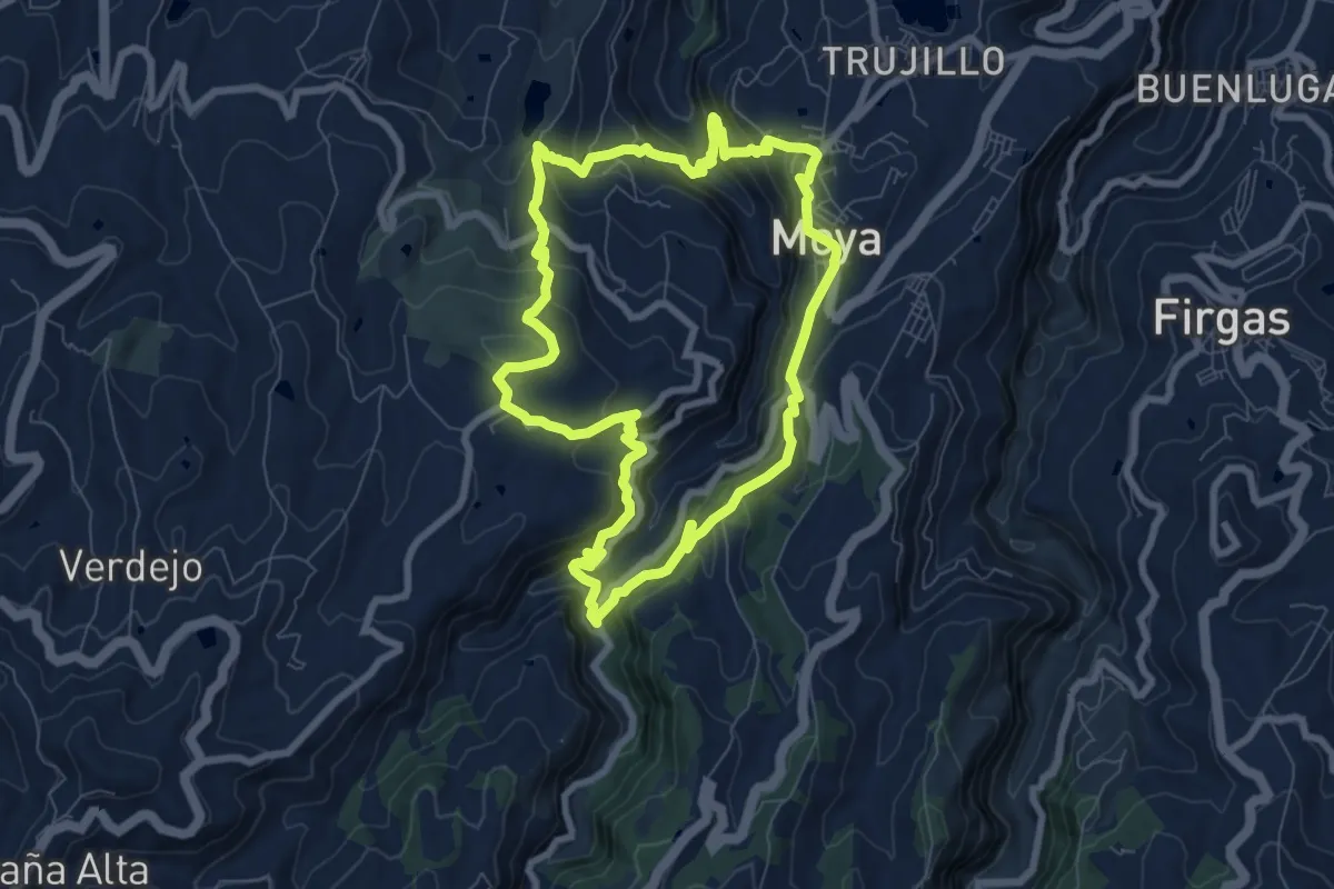
Medium · Trail
Santa Cristina - Ruta 3
9.7 km · ↑ 651 m · 3 h 50 min
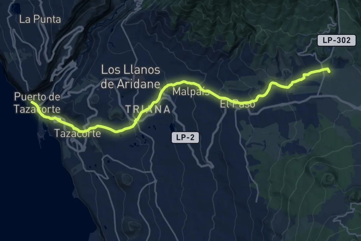
Demanding · Summit
Santa Cruz de La Palma-Puerto de Tazacorte
23.8 km · ↑ 857 m · 7 h 28 min
Medium · Summit
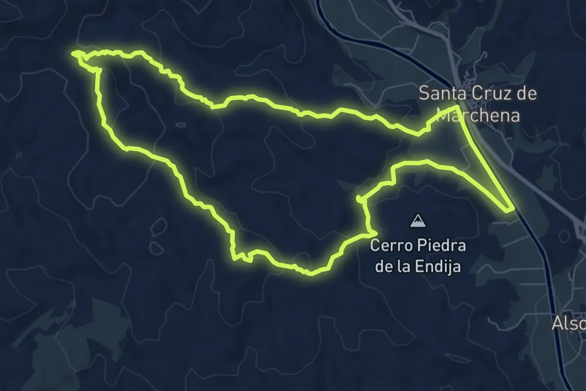
Santa Cruz - Loma de los Beltranes
9.5 km · ↑ 283 m · 2 h 59 min
Medium · Trail
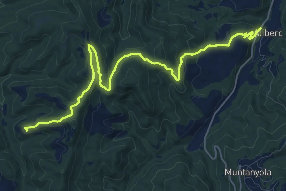
Santa Eulalia de Riuprimer - Mas Postius
15.1 km · ↑ 520 m · 4 h 42 min
Medium · Summit
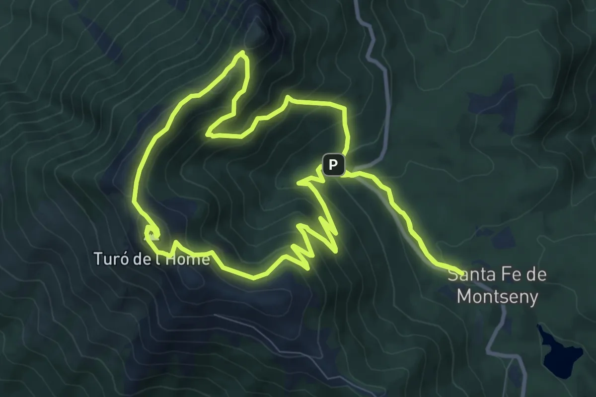
Santa Fe-Turò de l'Home-Les Agudes
10.5 km · ↑ 579 m · 3 h 52 min
Medium · Trail
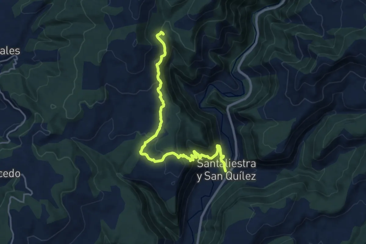
Santaliestra - Caballera - San Martín
15.2 km · ↑ 733 m · 5 h 10 min
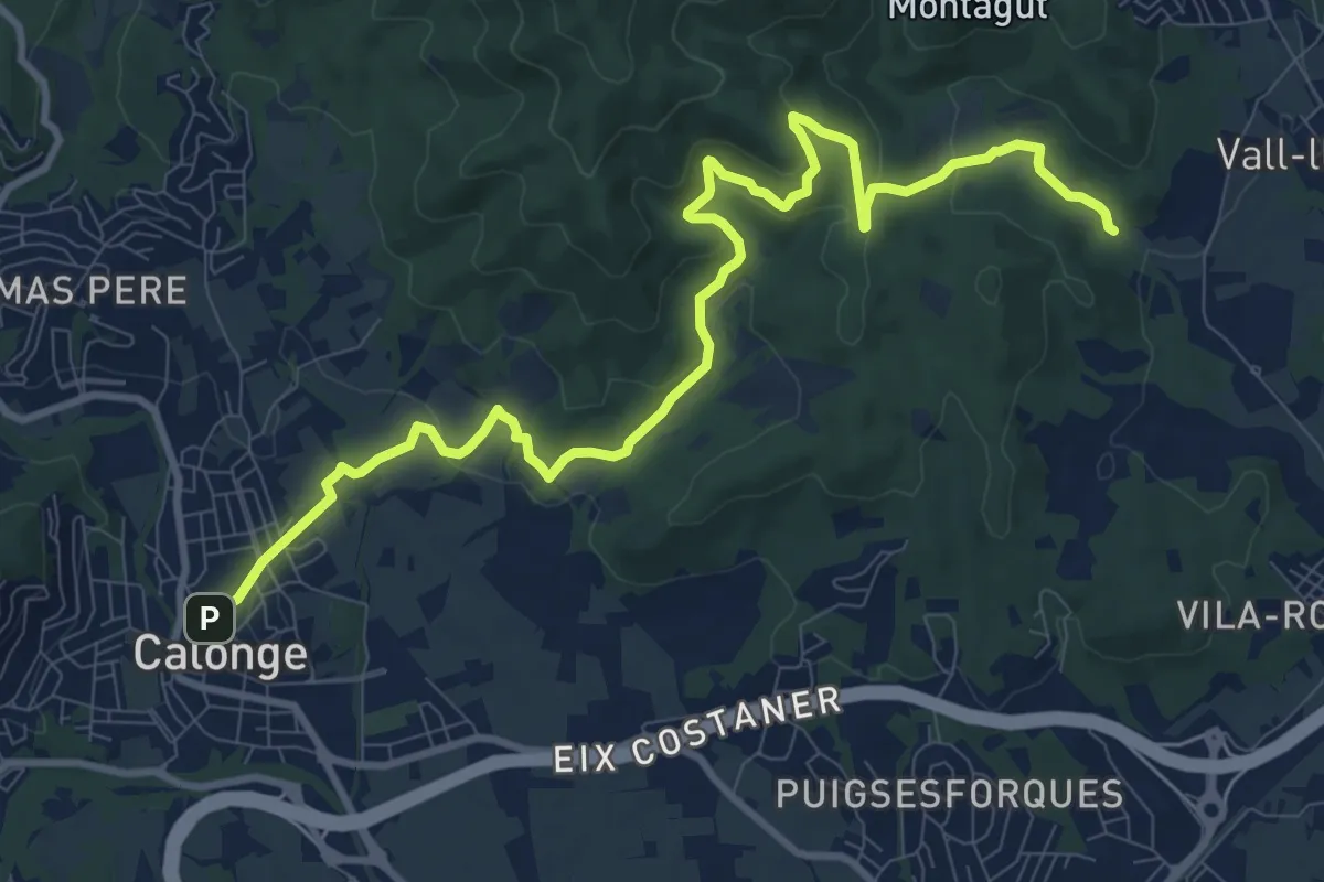
Medium · Trail
Santa Maria de Bell-lloc
13.0 km · ↑ 384 m · 3 h 53 min
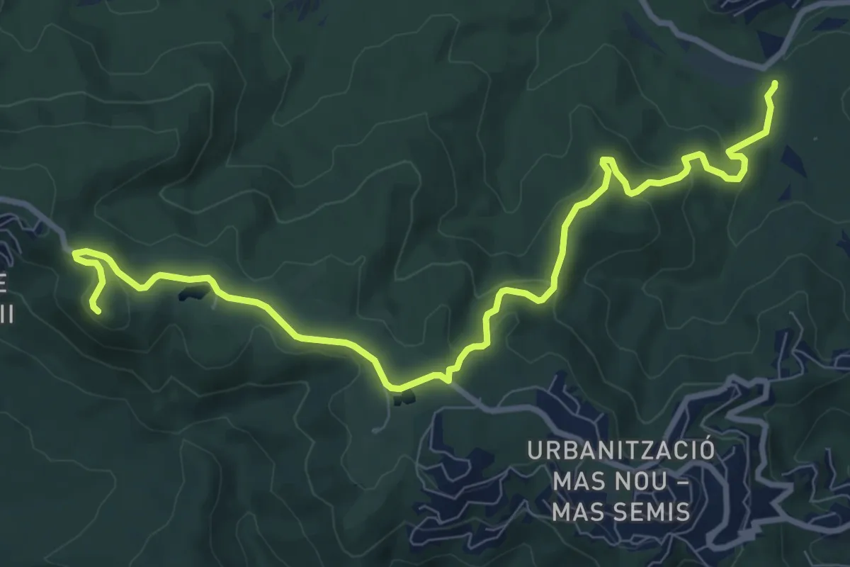
Medium · Summit
Santa Maria de Fenals
10.9 km · ↑ 353 m · 3 h 20 min
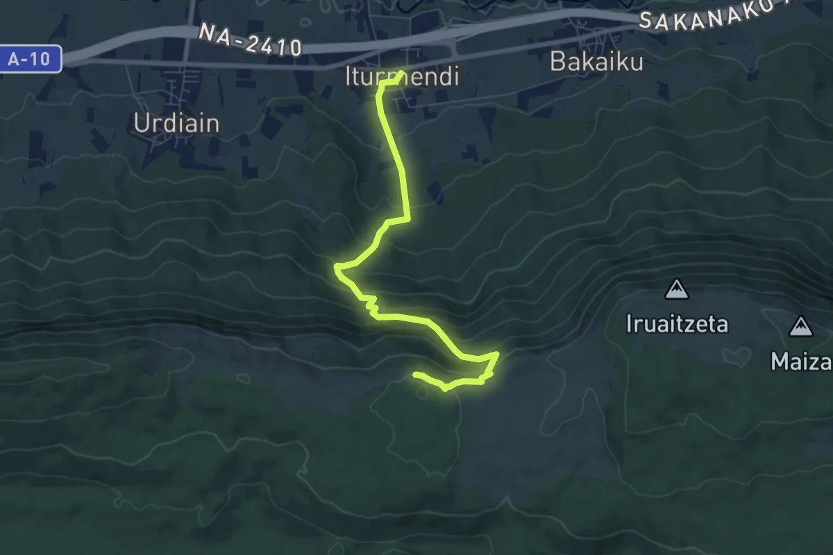
Medium · Summit
Santa Marina ermita, Urbasa
7.8 km · ↑ 530 m · 3 h
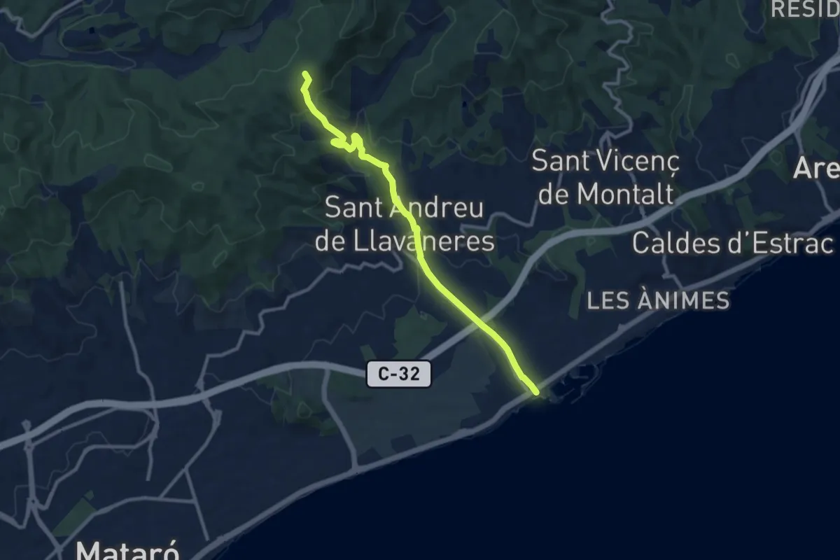
Medium · Trail
Sant Andreu de Llavaneres
10.6 km · ↑ 374 m · 3 h 19 min
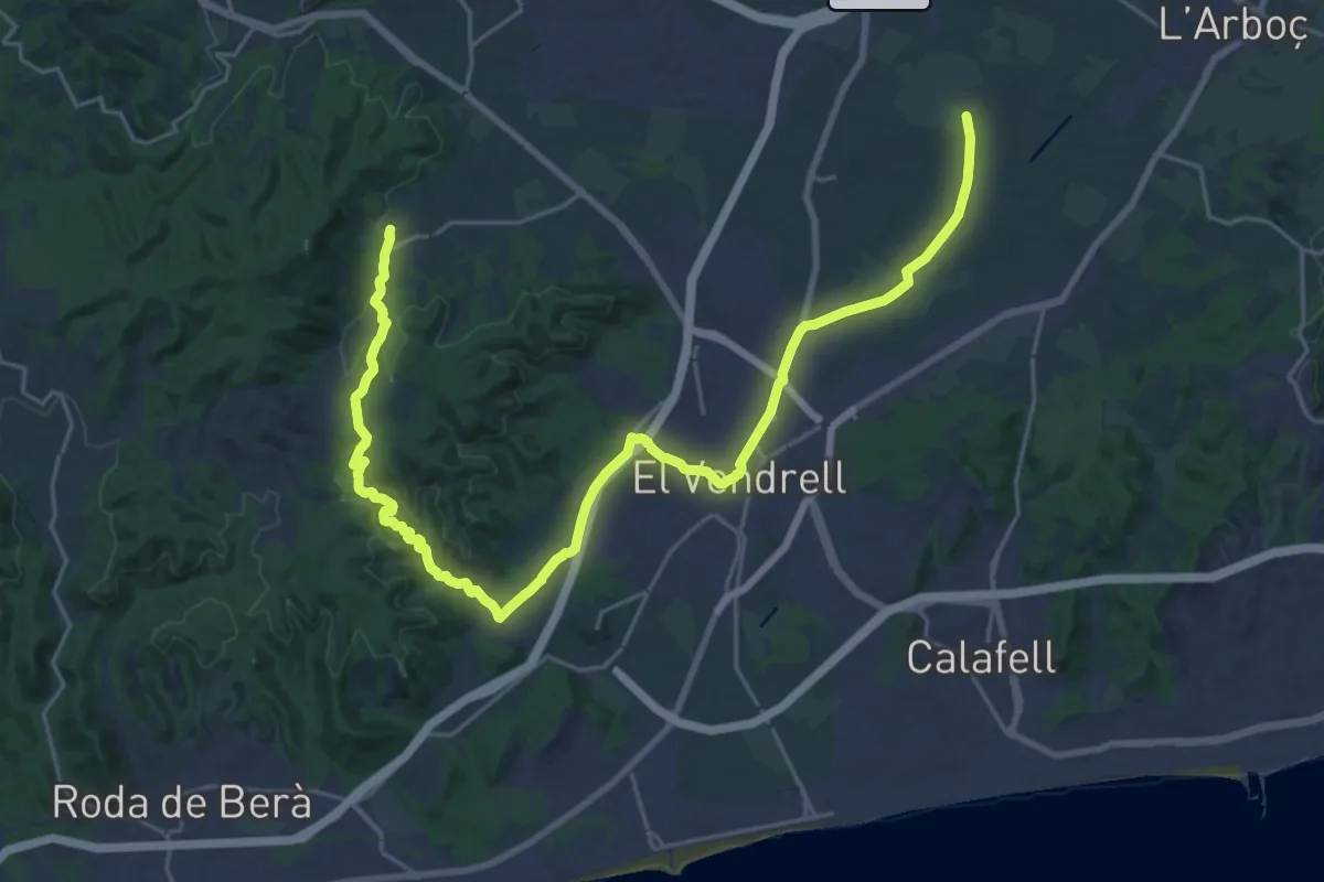
Medium · Trail
Santa Oliva-El Vendrell-Albinyana
16.1 km · ↑ 256 m · 4 h 33 min
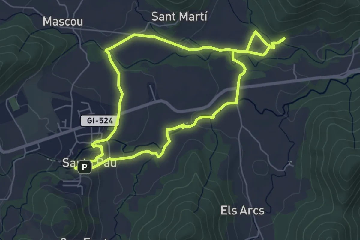
Easy · Trail
Santa Pau, ruta dels gorgs
5.4 km · ↑ 75 m · 1 h 31 min
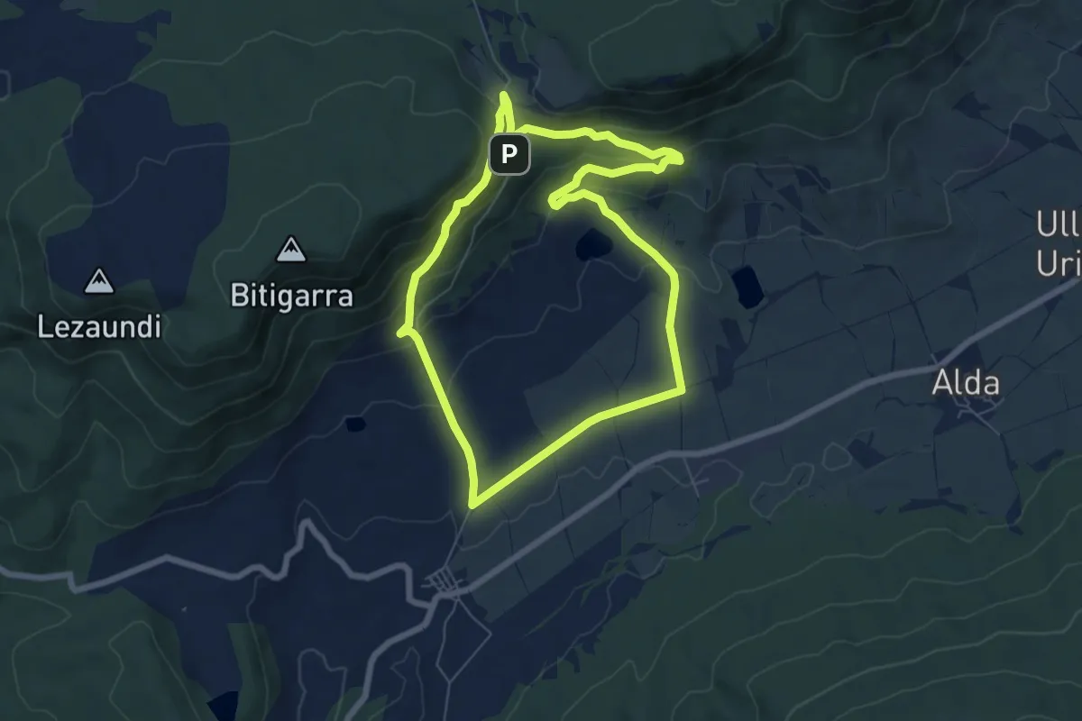
Easy · Trail
Santa Teodosiarako ibilbidea
6.8 km · ↑ 271 m · 2 h 17 min
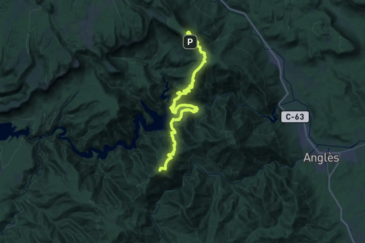
Demanding · Summit
Sant Benet-Mare de Déu del Far
38.8 km · ↑ 2543 m · 14 h 40 min
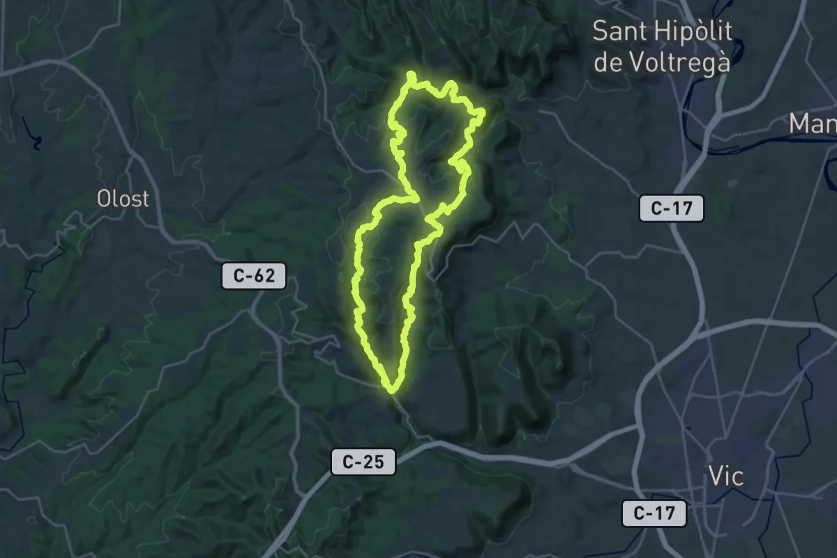
Demanding · Summit
Sant Bertomeu del Grau
22.3 km · ↑ 757 m · 7 h 13 min
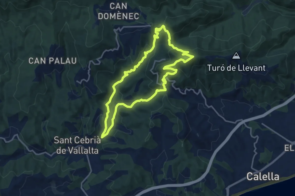
Medium · Summit
Sant Cebrià de Vallalta
10.2 km · ↑ 440 m · 3 h 30 min
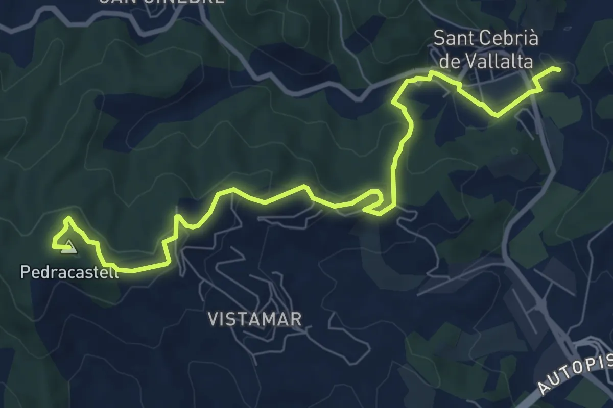
Medium · Summit
Sant Cebrià de Vallalta-Arenys de Mar
9.2 km · ↑ 311 m · 2 h 51 min
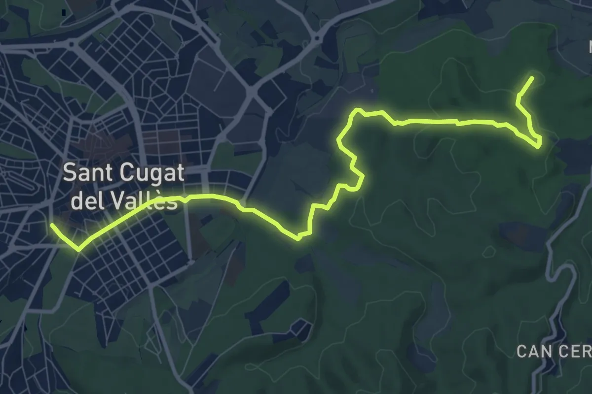
Medium · Summit
Sant Cugat-Cerdanyola per les rieres
11.5 km · ↑ 194 m · 3 h 8 min
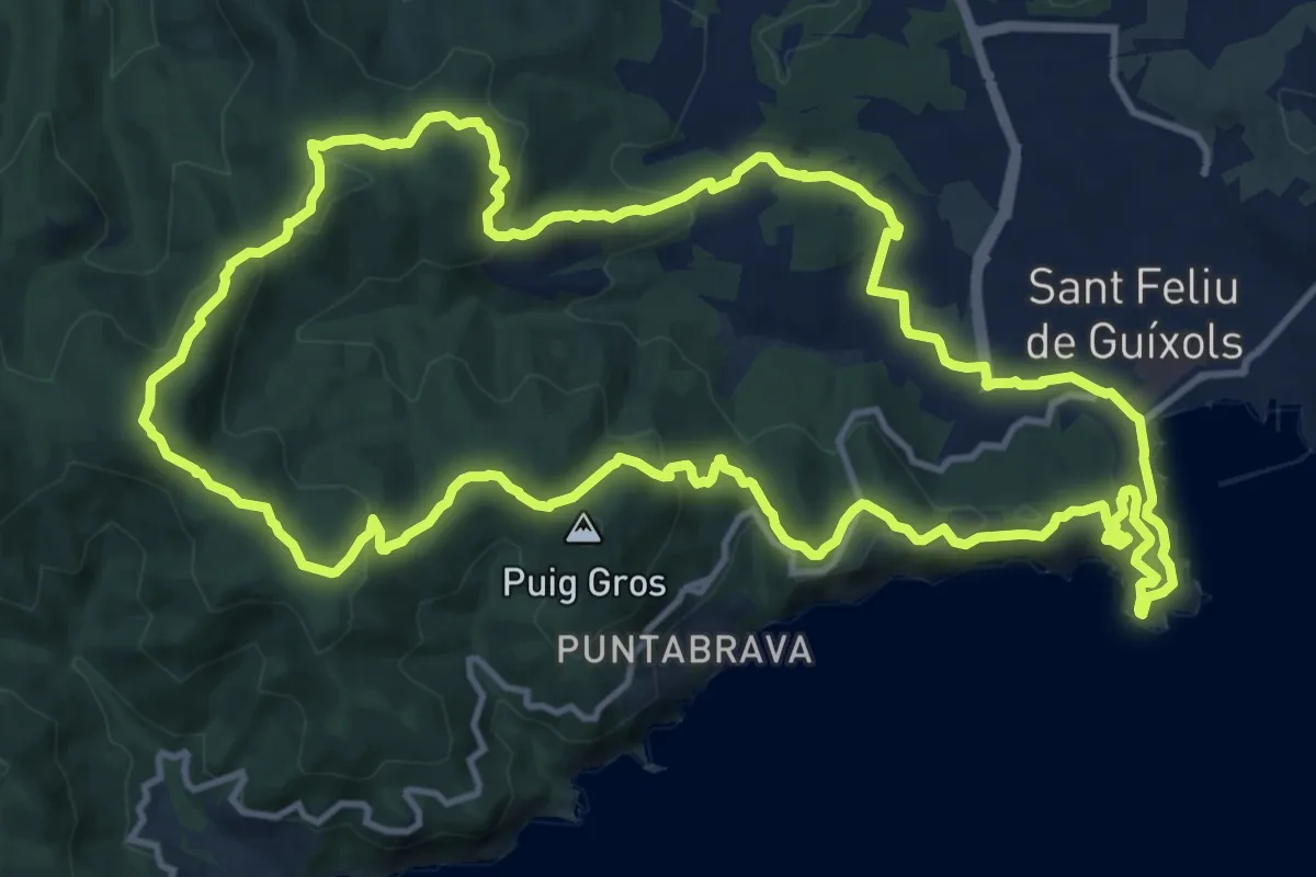
Medium · Summit
Sant Feliu de Guixols-Pedralta-Sant Benet
15.9 km · ↑ 553 m · 5 h 10 min
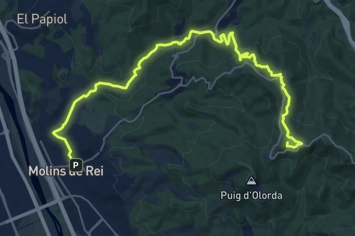
Demanding · Summit
Sant Feliu de Llobregat a Molins de Rei
18.6 km · ↑ 467 m · 5 h 24 min
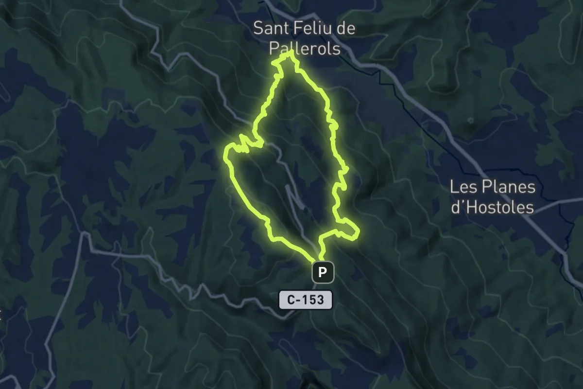
Medium · Summit
Sant Feliu de Pallerols-Sant Pere Sacosta-La Salut
10.0 km · ↑ 702 m · 4 h 2 min
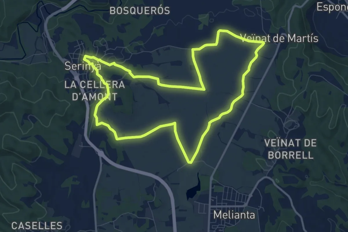
Medium · Trail
Sant Galderic
10.2 km · ↑ 56 m · 2 h 41 min
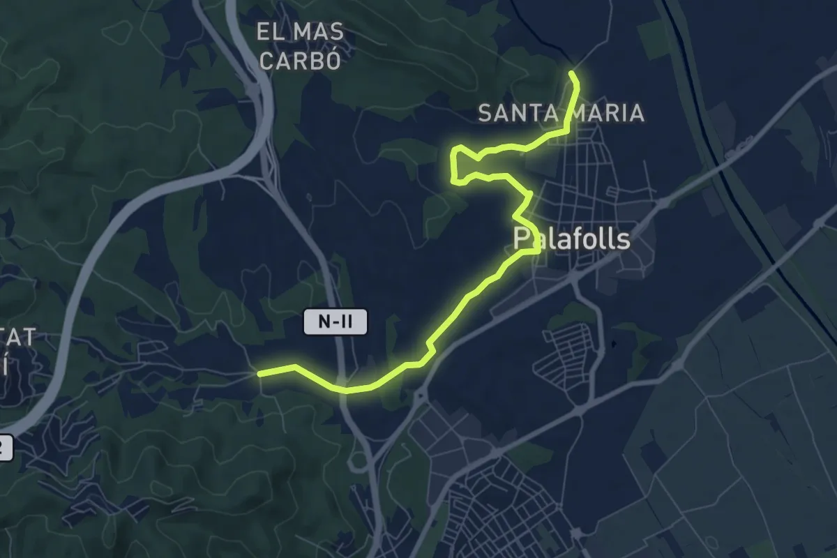
Medium · Trail
Sant Genís-Palafolls
9.1 km · ↑ 79 m · 2 h 20 min
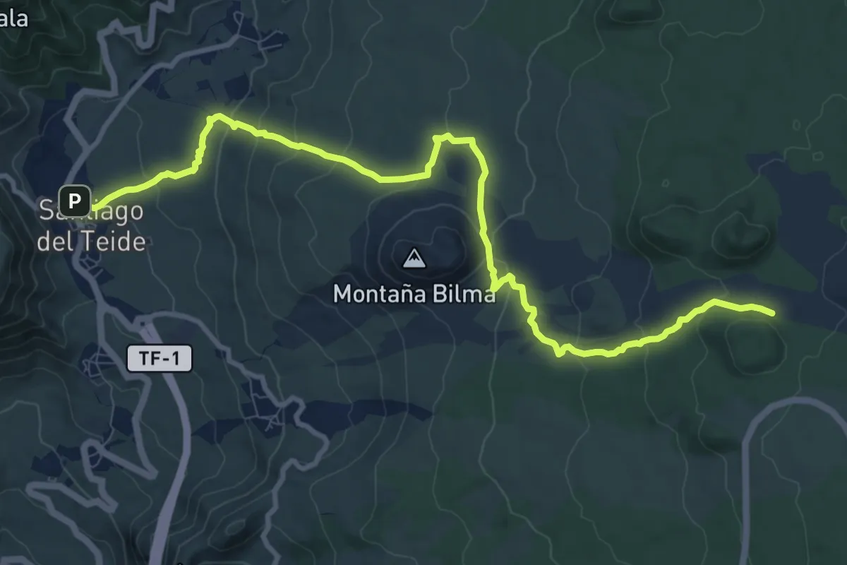
Medium · Trail
Santiago del Teide - Montaña Chinyero
14.6 km · ↑ 525 m · 4 h 35 min
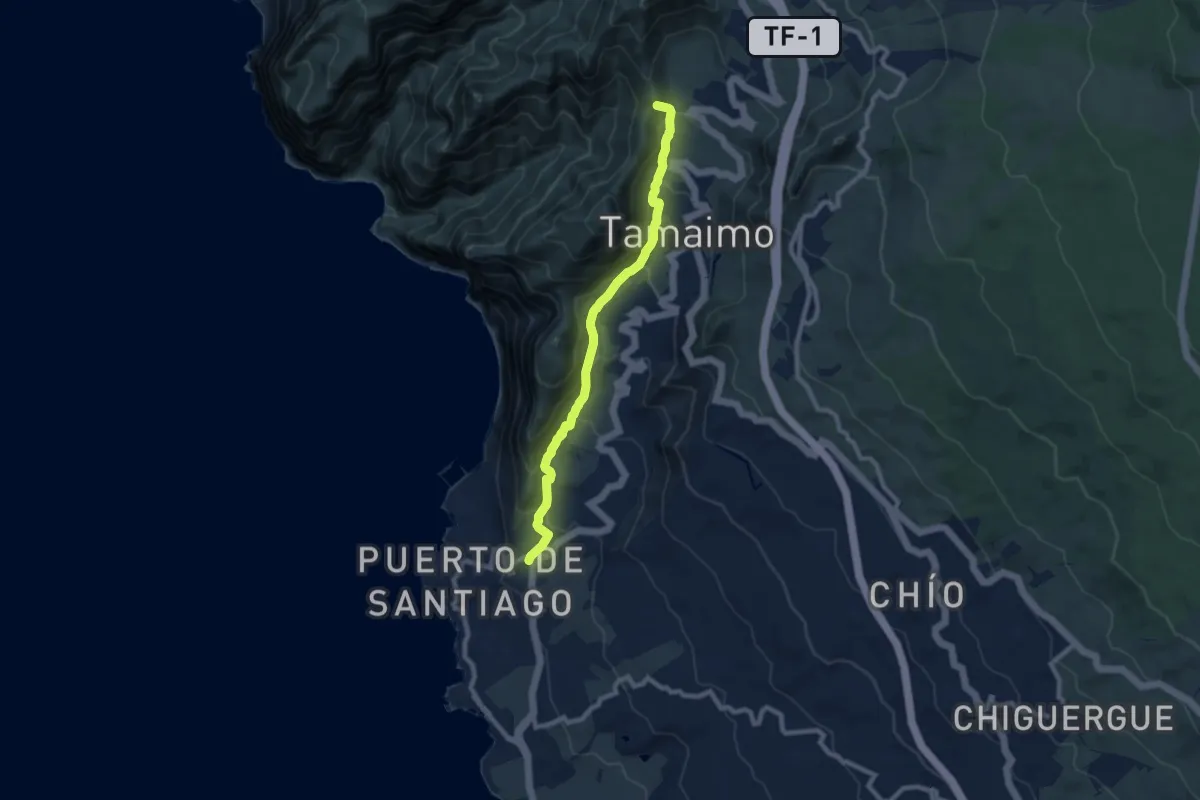
Medium · Summit
Santiago del Teide - Puerto de Santiago
10.6 km · ↑ 646 m · 3 h 54 min
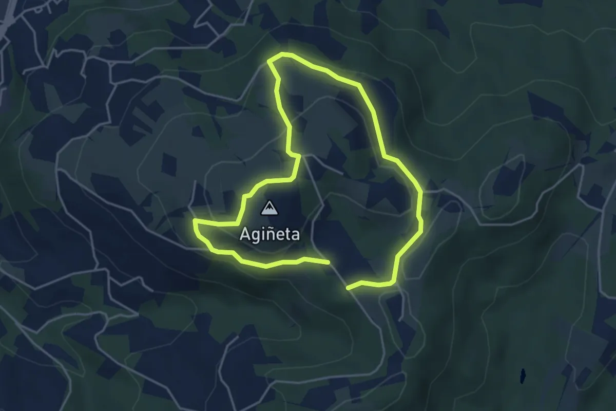
Medium · Summit
Santiagomendiko ibilbidea
3.6 km · ↑ 130 m · 1 h 11 min
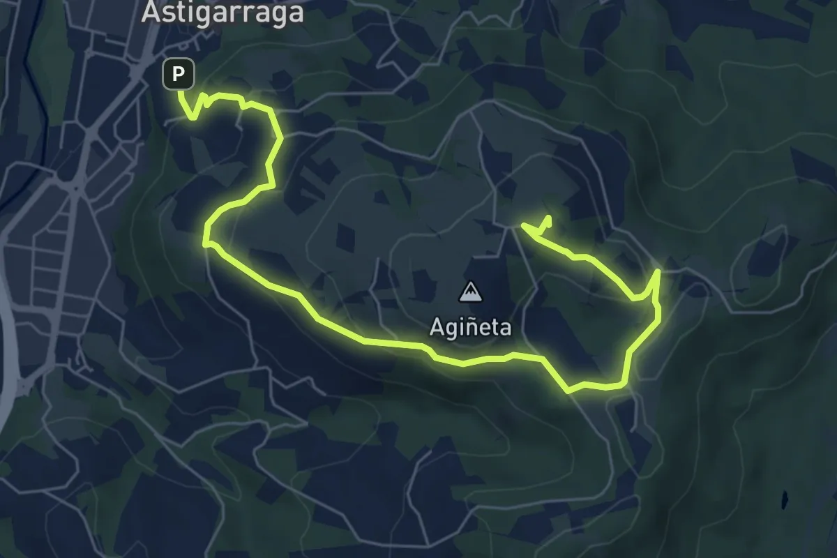
Medium · Summit
Santiagomendiko Sagardo bidea
8.6 km · ↑ 276 m · 2 h 37 min
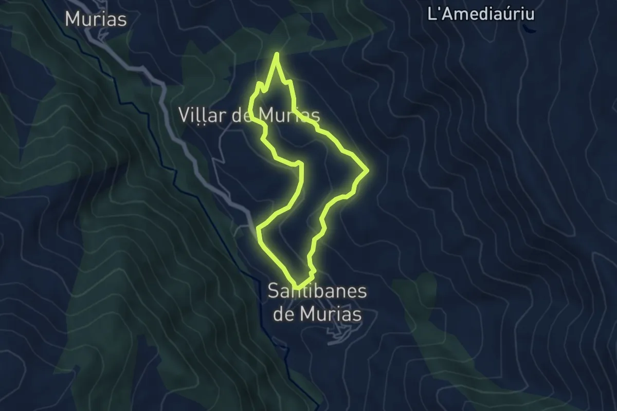
Medium · Trail
Santibanes - Santibanes
4.0 km · ↑ 209 m · 1 h 27 min
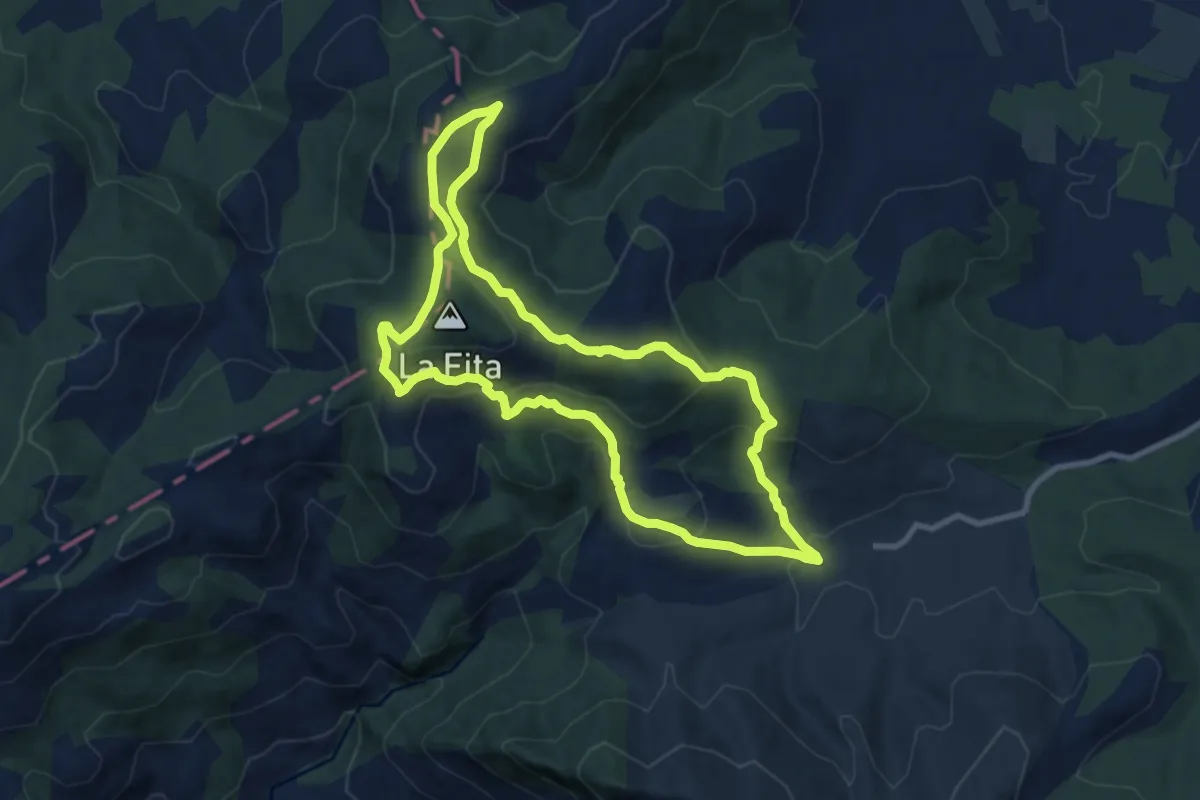
Medium · Summit
Sant Joan - Sant Joan por Monte Bovalar
10.2 km · ↑ 445 m · 3 h 31 min
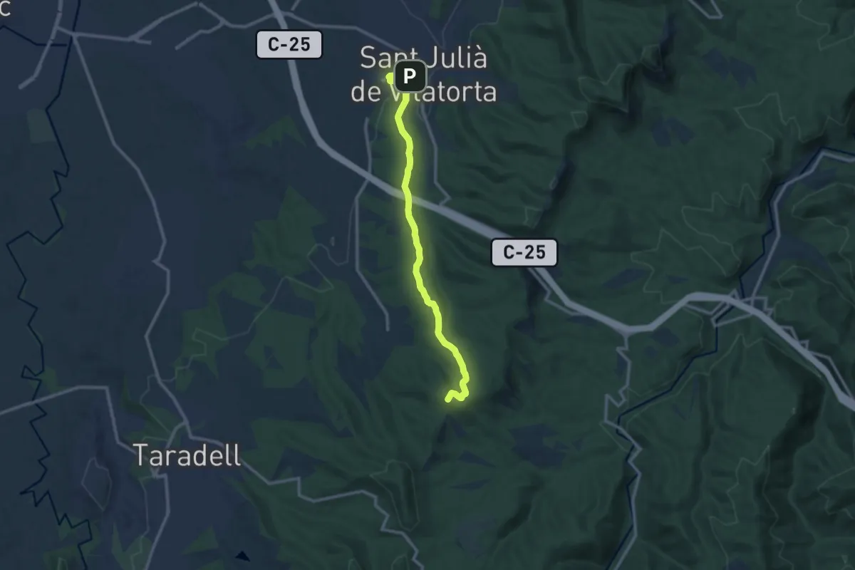
Medium · Summit
Sant Julià de Vilatorta-Puig l'Agulla
10.9 km · ↑ 217 m · 3 h 3 min
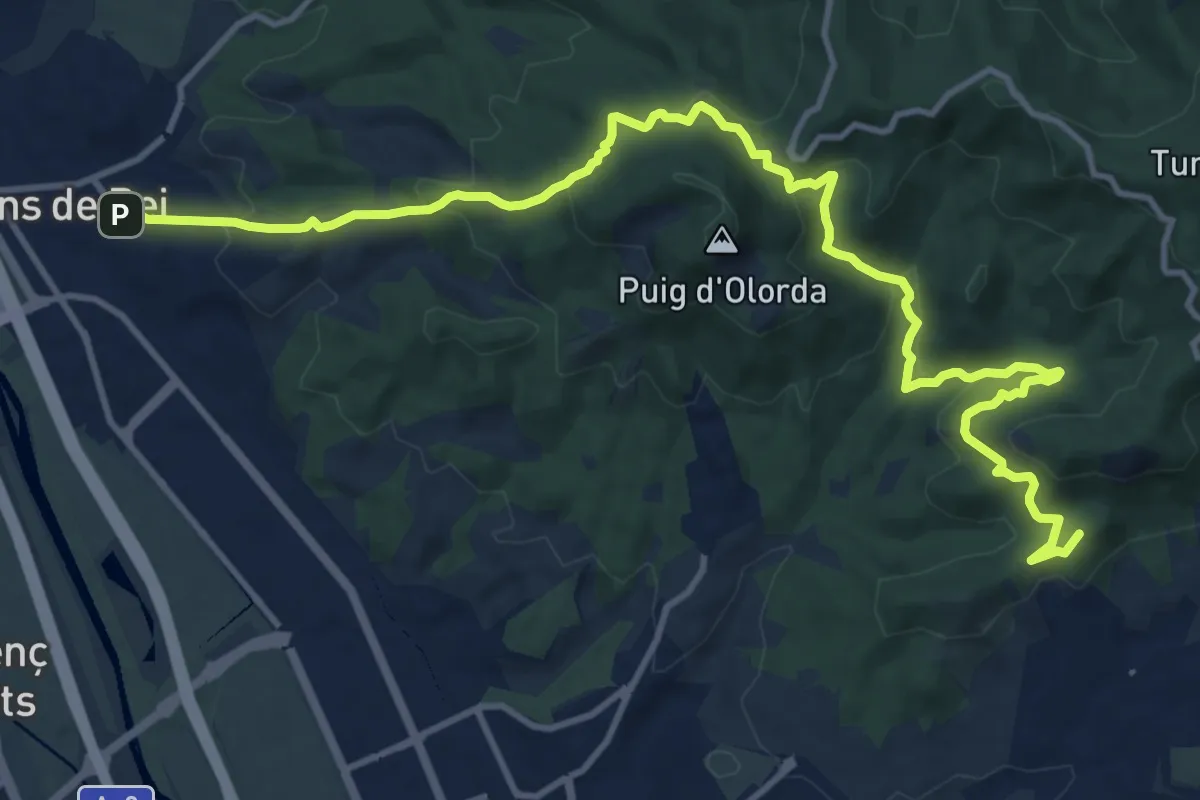
Medium · Summit
Sant Just Desvern.Molins de Rei per SantaCreu d'Olorda
16.4 km · ↑ 689 m · 5 h 23 min
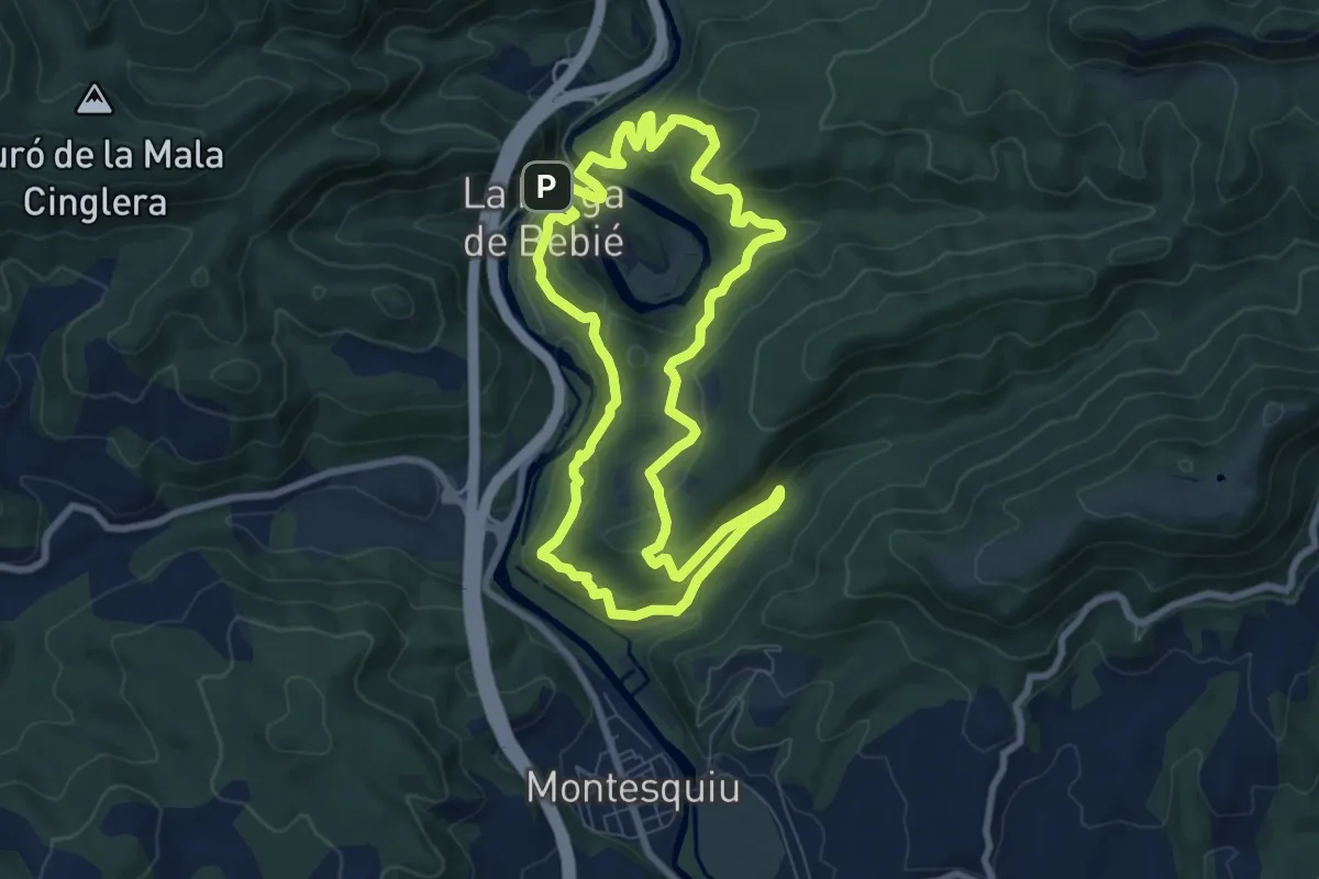
Medium · Summit
Sant Moí
8.5 km · ↑ 319 m · 2 h 49 min
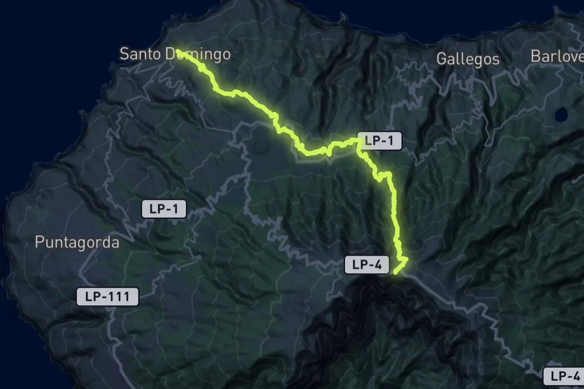
Demanding · Trail
Santo Domingo-Pico de La Cruz
18.0 km · ↑ 219 m · 5 h 56 min
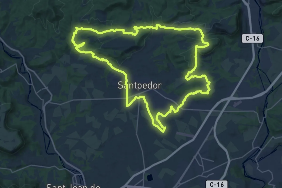
Demanding · Summit
Santpedor Circular
24.8 km · ↑ 438 m · 7 h 10 min
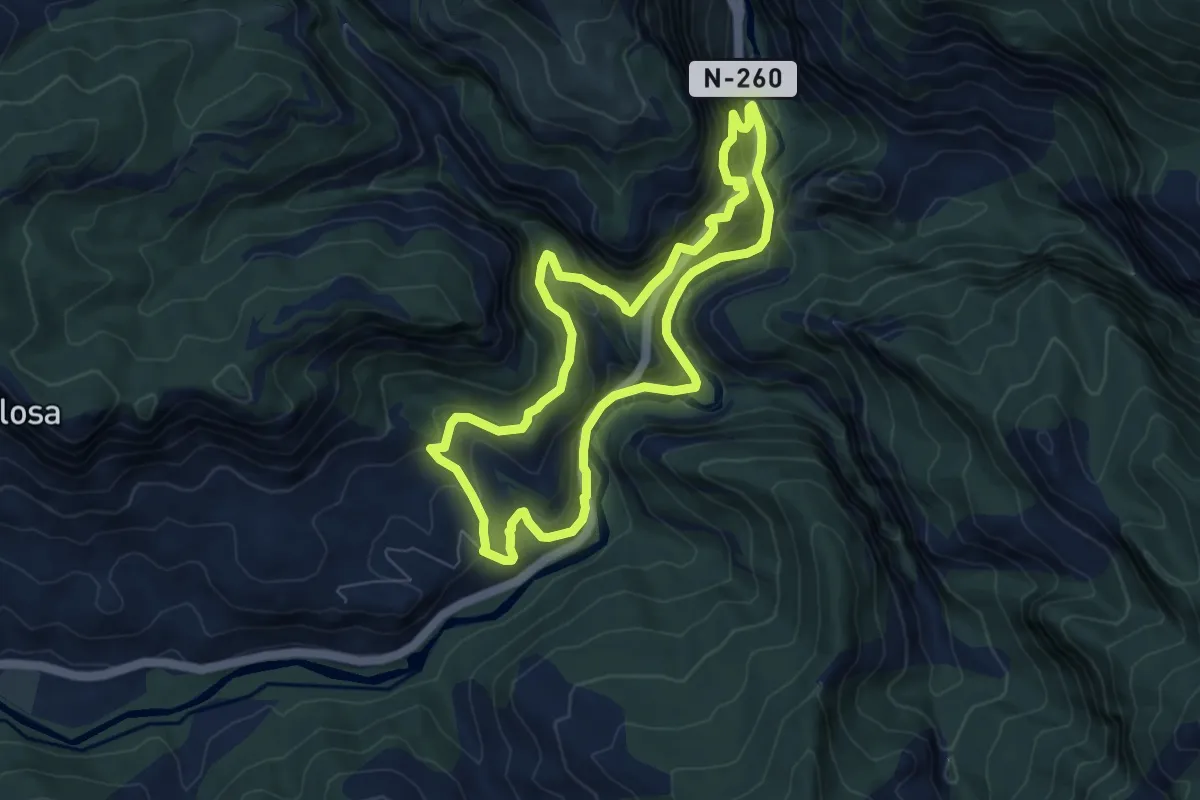
Medium · Trail
Sant Pere de les Maleses-Collegats
7.4 km · ↑ 601 m · 3 h 9 min
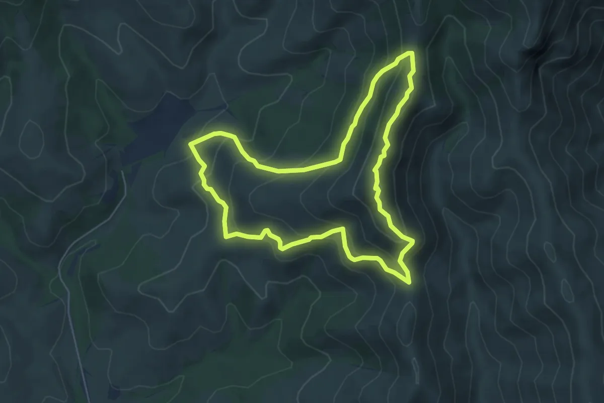
Demanding · Summit
Sant Quirze de Colera, per la cresta i les carenes
5.7 km · ↑ 400 m · 2 h 18 min
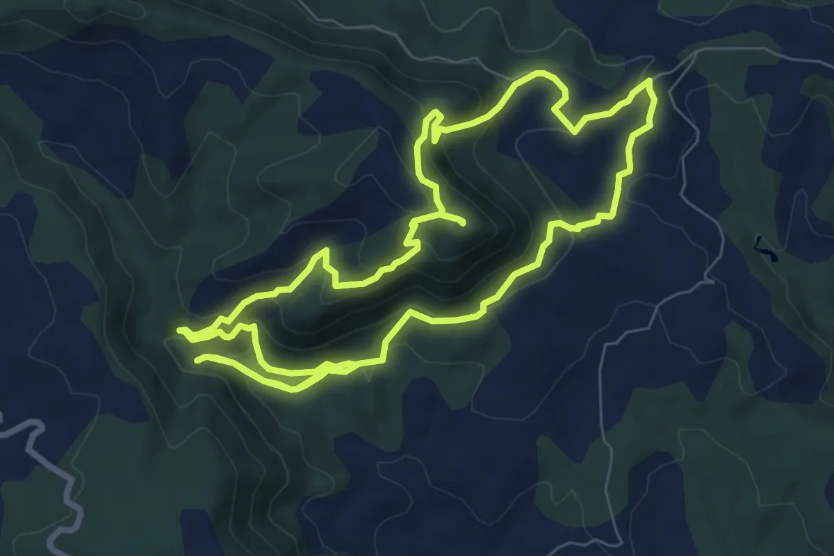
Medium · Summit
Sant Salvador de Bellver
8.5 km · ↑ 468 m · 3 h 8 min
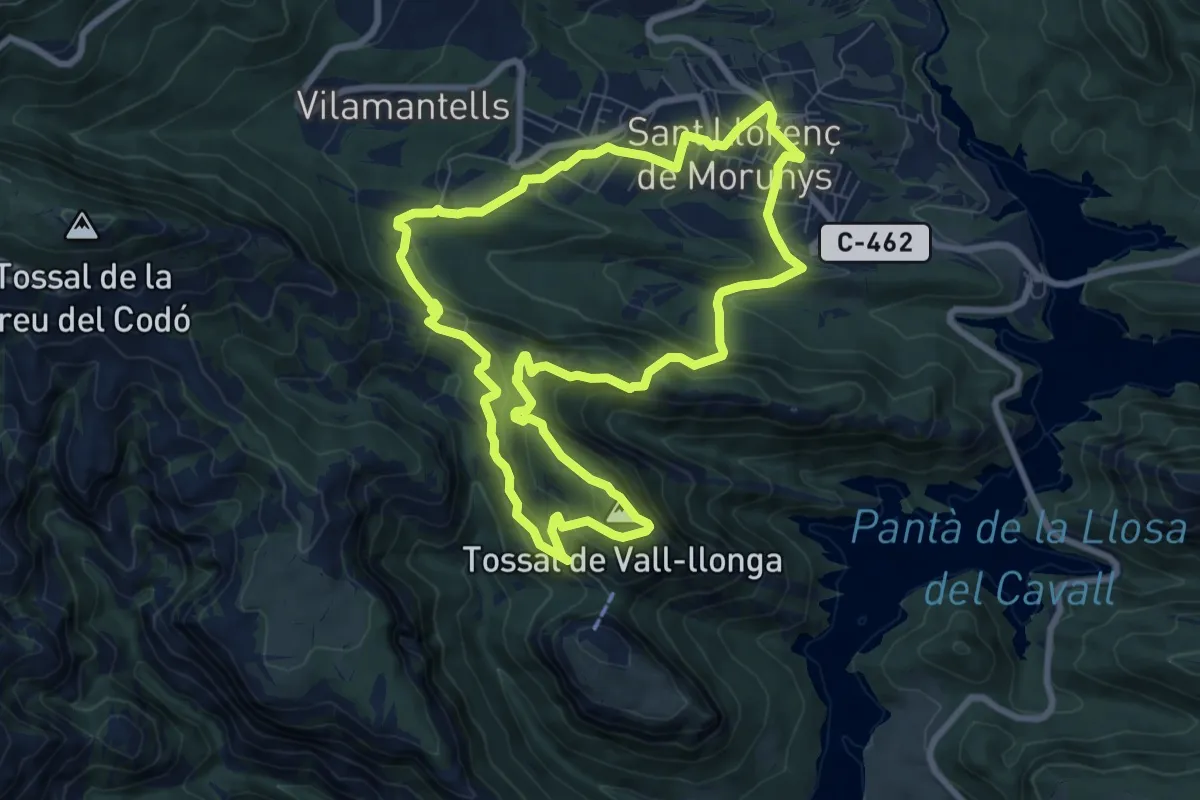
Medium · Summit
Santuari de Lord pel Tossal de Vallonga
8.8 km · ↑ 497 m · 3 h 16 min
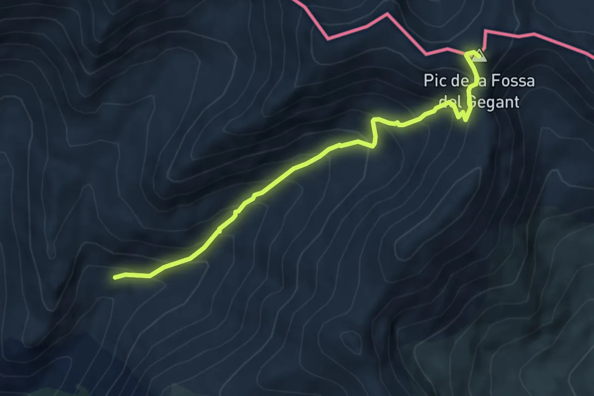
Demanding · Summit
Santuari de Núria al Coll de Carançà
6.0 km · ↑ 601 m · 2 h 44 min
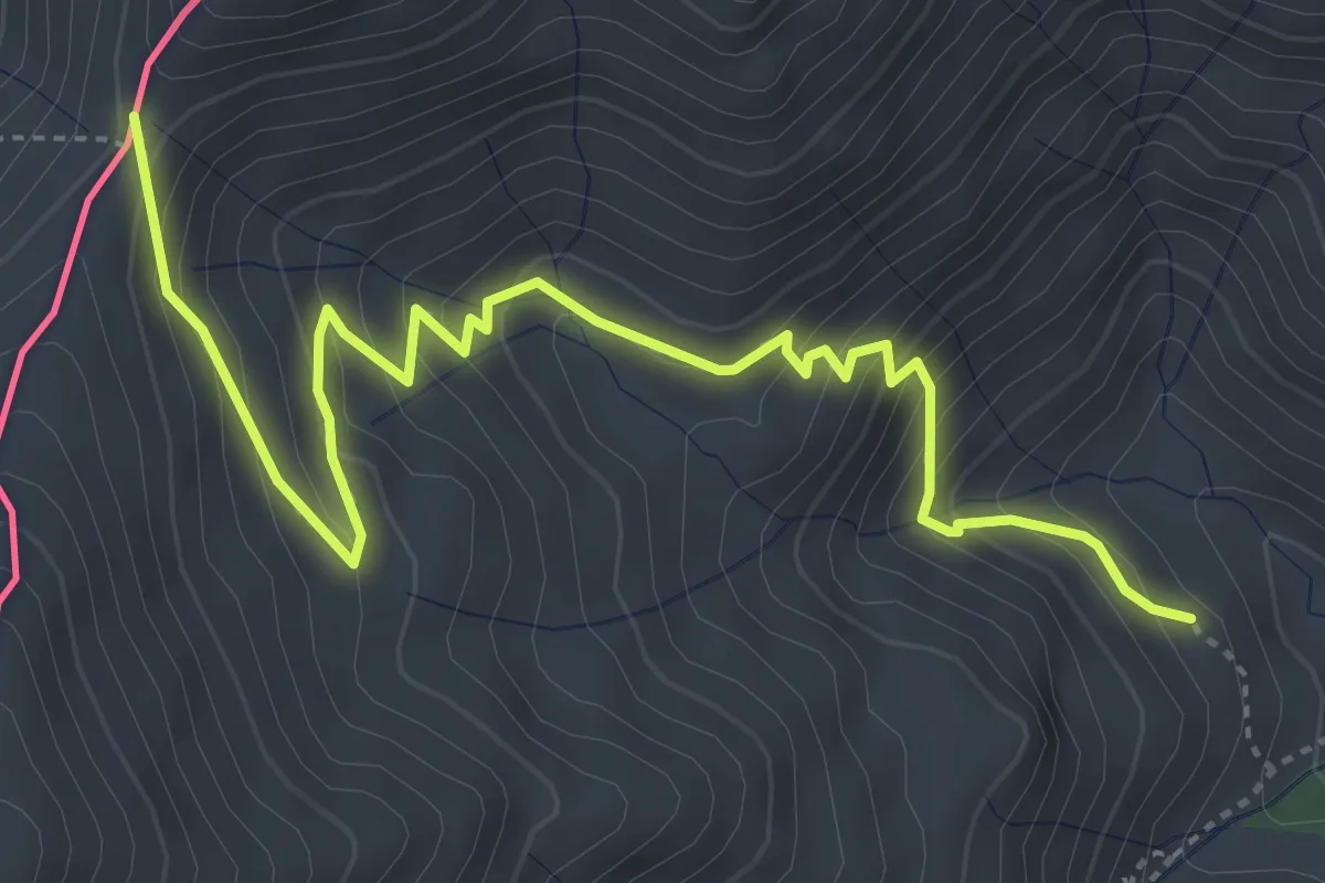
Demanding · Trail
Santuari de Núria al Coll de Finestrelles
5.6 km · ↑ 463 m · 2 h 19 min
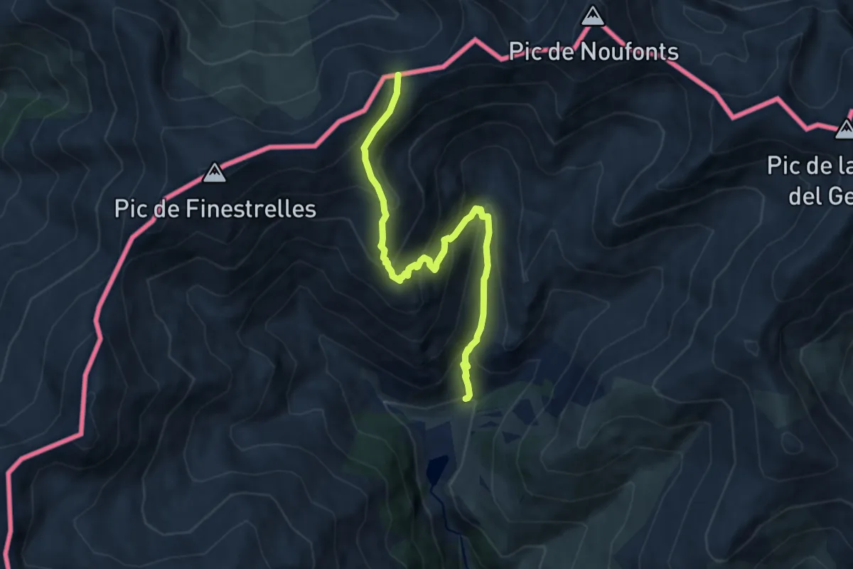
Medium · Trail
Santuari de Núria al Coll d'Eina
8.8 km · ↑ 715 m · 3 h 38 min
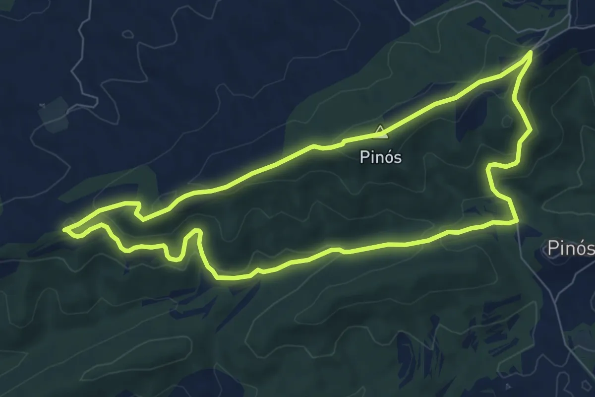
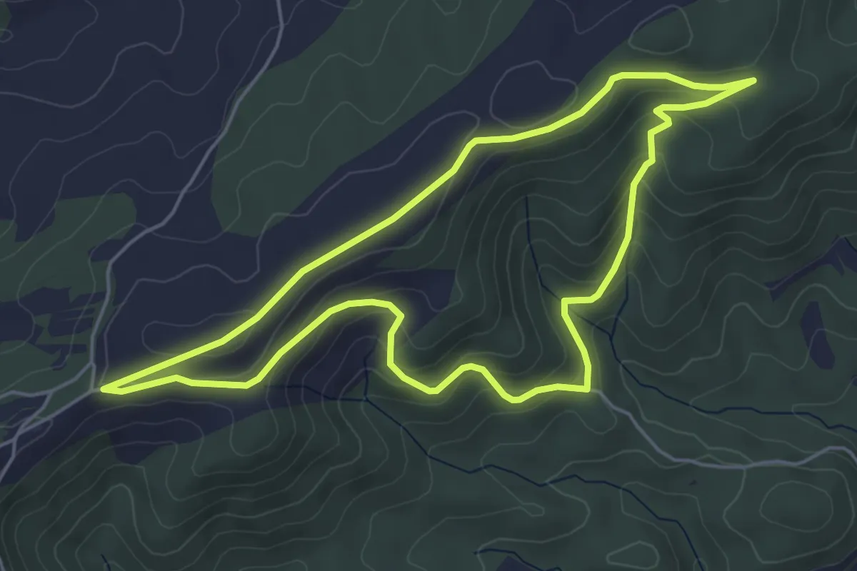
Easy · Summit
Santuari de Pinós Antic Hostal de Grumau
7.7 km · ↑ 209 m · 2 h 22 min
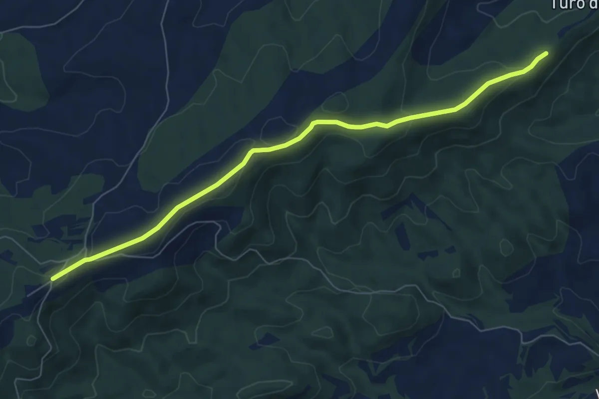
Easy · Trail
Santuari de Pinós dolmen de Cal Cabot
5.5 km · ↑ 217 m · 1 h 50 min
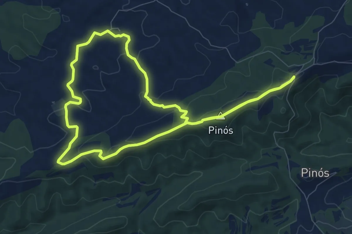
Easy · Trail
Santuari de Pinós mirador de Passaportella
7.7 km · ↑ 168 m · 2 h 11 min
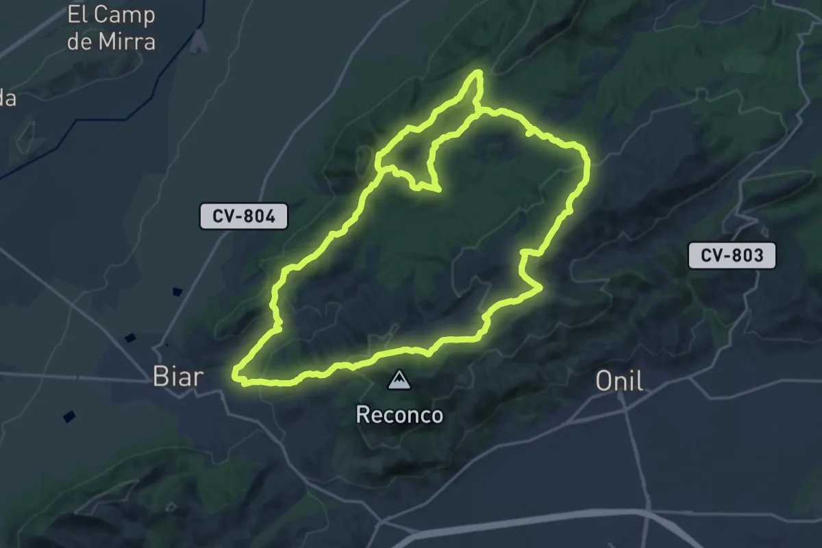
Medium · Summit
Santuari de Pinós obaga de Peçarrodona clot de la Planella
9.0 km · ↑ 224 m · 2 h 43 min
Demanding · Trail
Santuario - Fontalbres - Sierra de la Fontanella - Santuario
24.1 km · ↑ 734 m · 7 h 36 min