Trails in Spain
5,962 hiking trails, each with its route, climb, walking time and grade.
All trails, page 91 of 125
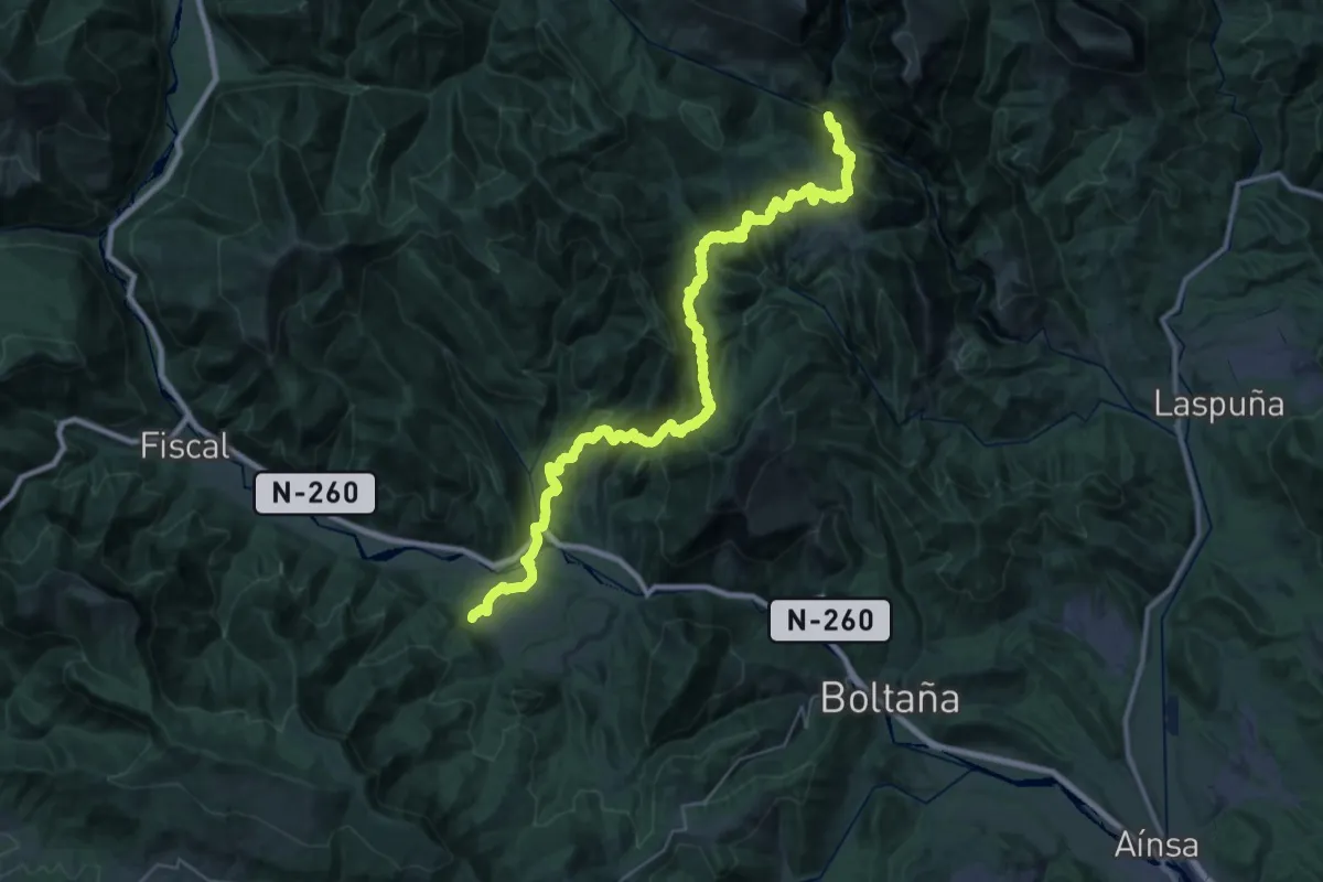
Demanding · Trail
San Úrbez - Albella por variante
22.5 km · ↑ 1128 m · 8 h 9 min
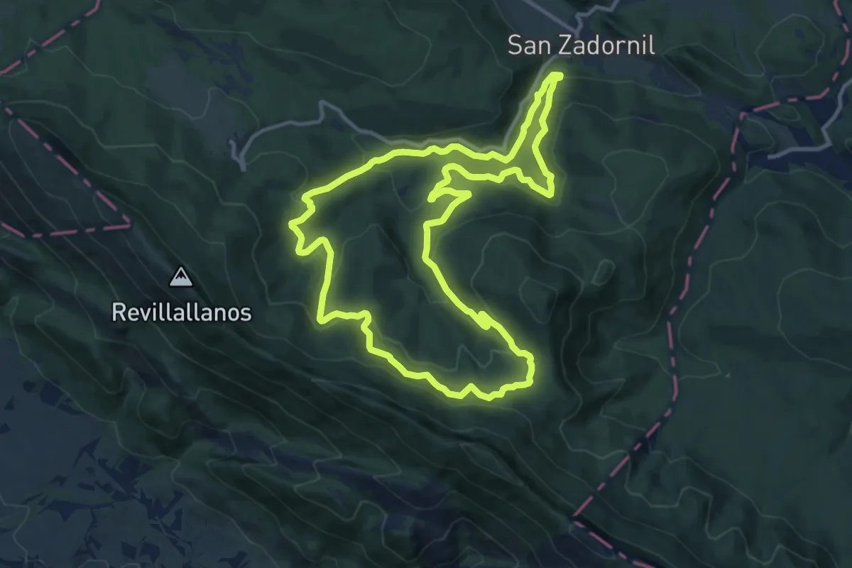
Medium · Trail
San Zadornil
12.3 km · ↑ 505 m · 4 h 11 min
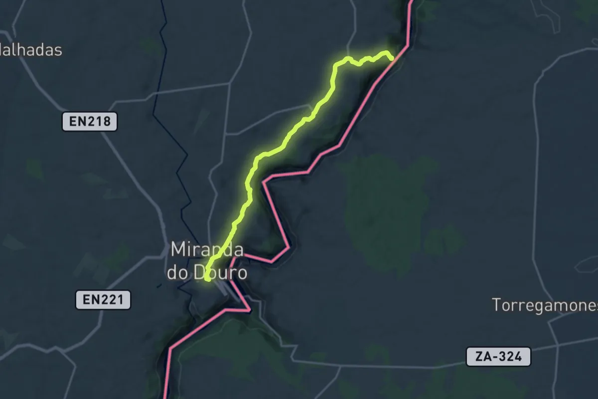
Medium · Trail
São João das Arribas
8.1 km · ↑ 121 m · 2 h 18 min
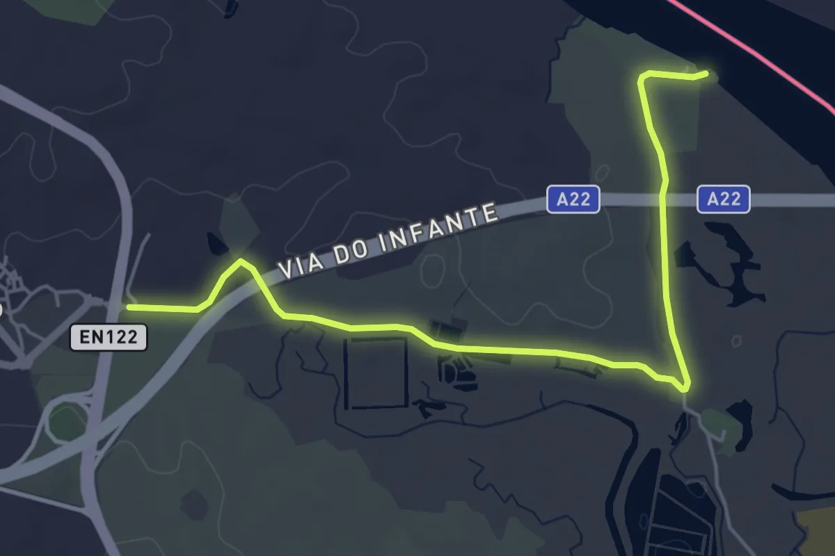
Easy · Trail
Sapal de Venta Moinhos
6.3 km · ↑ 21 m · 1 h 33 min
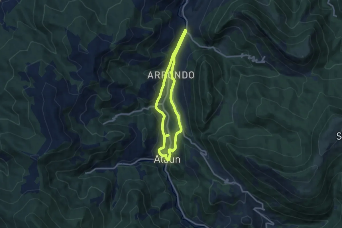
Medium · Trail
Sara ibilbidea
6.8 km · ↑ 239 m · 2 h 13 min
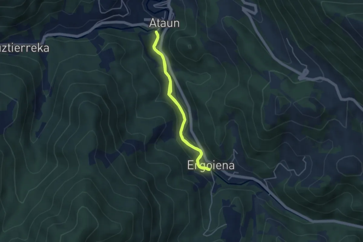
Easy · Trail
Sara ibilbidea II
3.4 km · ↑ 50 m · 58 min
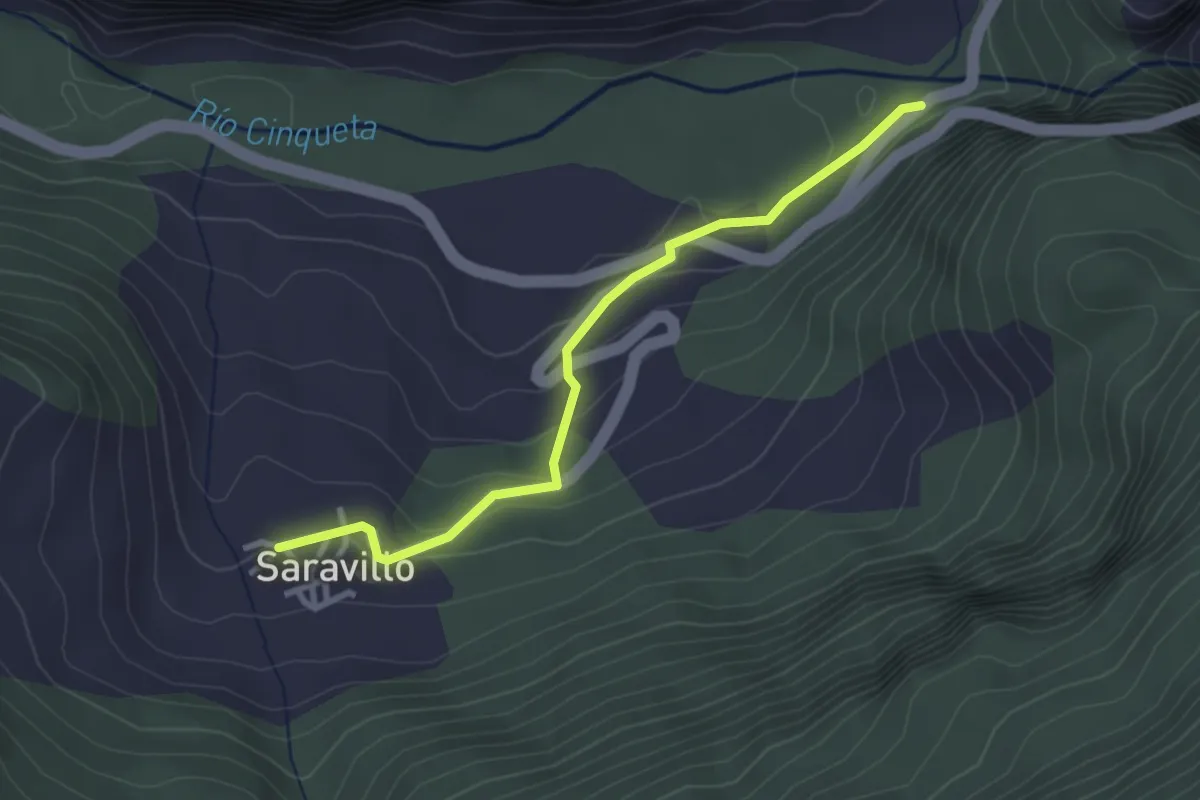
Easy · Trail
Saravillo – Sin – Saravillo
3.2 km · ↑ 148 m · 1 h 4 min
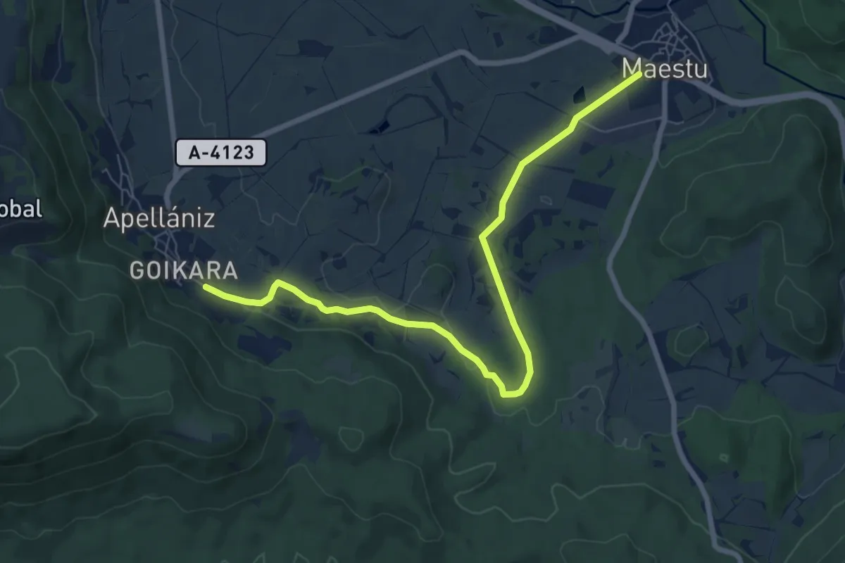
Medium · Trail
Sarrondo
8.5 km · ↑ 112 m · 2 h 15 min
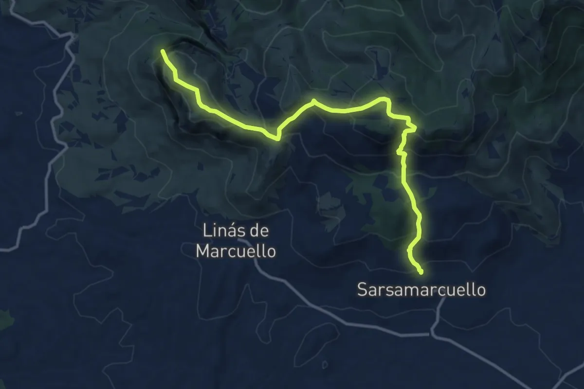
Demanding · Summit
Sarsamarcuello - Mirador de los buitres
12.5 km · ↑ 928 m · 4 h 57 min
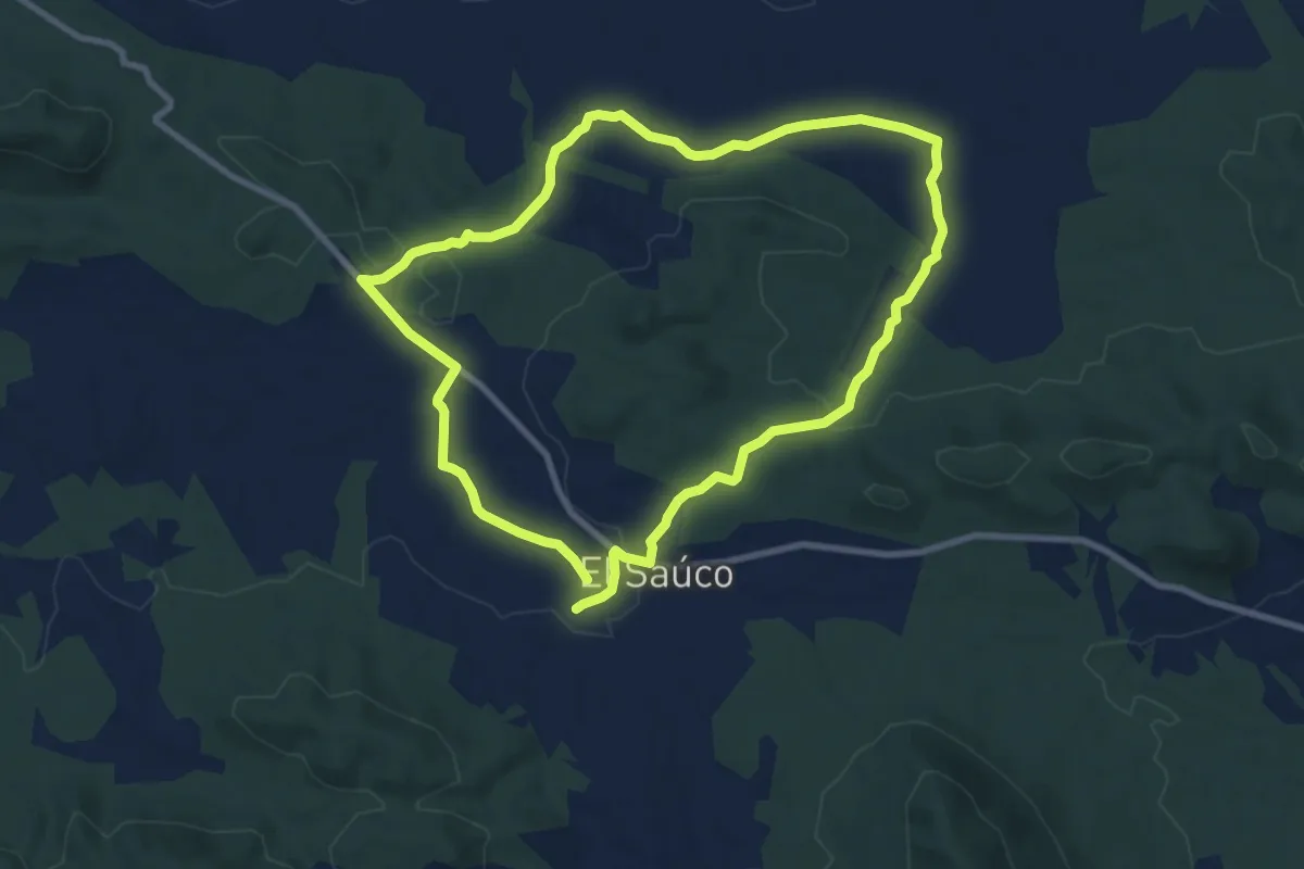
Medium · Trail
Sauco - El Madroñal
9.9 km · ↑ 164 m · 2 h 50 min
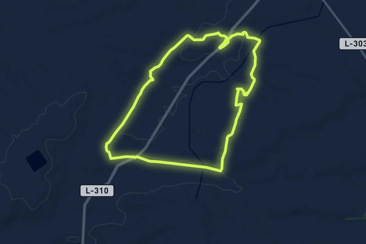
Medium · Trail
Secans de la Figuerosa i Riudovelles
9.0 km · ↑ 52 m · 2 h 22 min
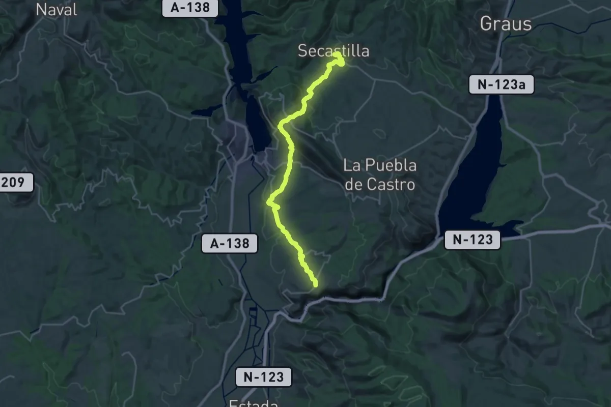
Demanding · Trail
Secastilla-Olvena
22.8 km · ↑ 956 m · 7 h 28 min
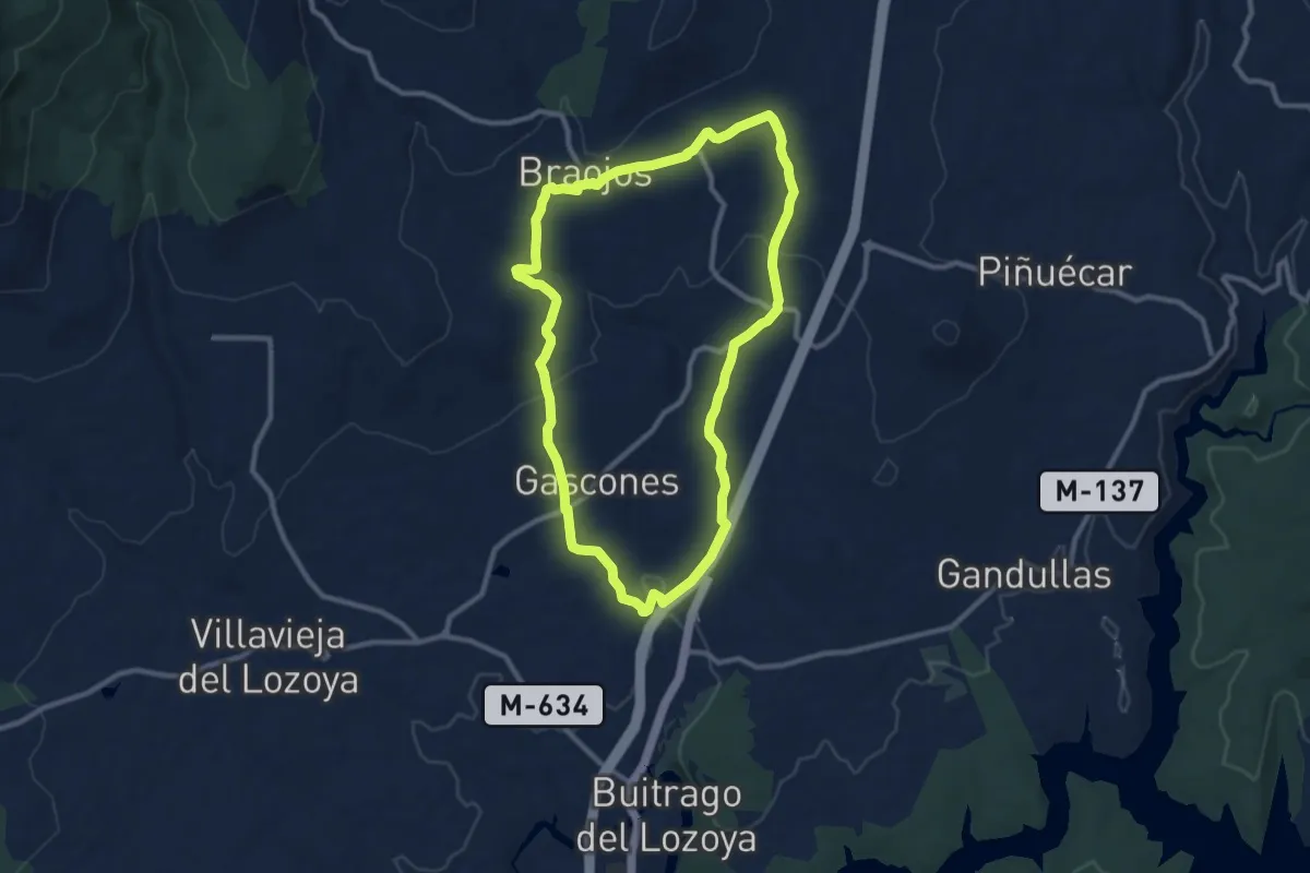
Medium · Trail
Secretos del Valle Medio del Lozoya
10.6 km · ↑ 192 m · 3 h 4 min
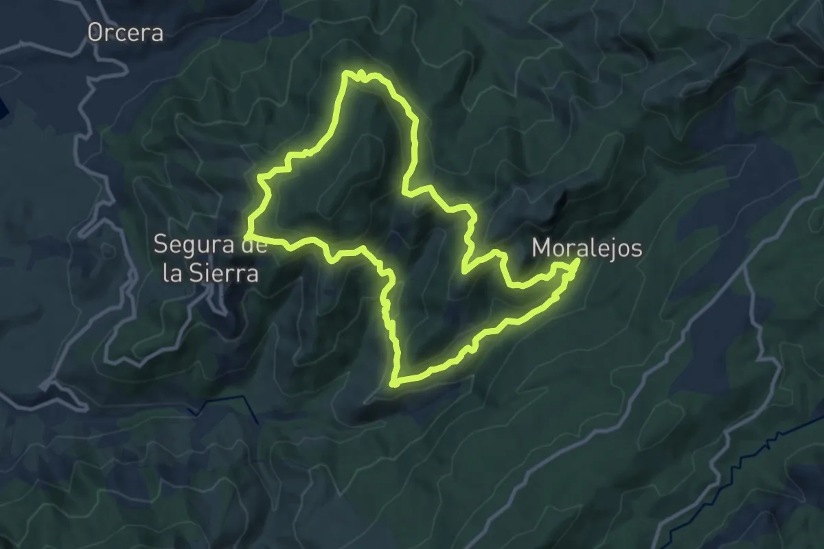
Medium · Trail
Segura de la Sierra - Moralejos
12.2 km · ↑ 598 m · 4 h 21 min
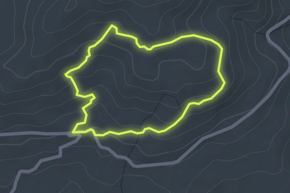
Easy · Trail
Señalizado el Pimpollar
3.3 km · ↑ 135 m · 1 h 7 min
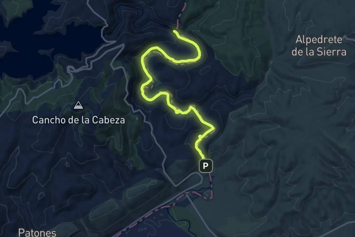
Medium · Trail
Senda 2: Remontando el Lozoya hasta la Presa de la Parra
15.3 km · ↑ 288 m · 4 h 14 min
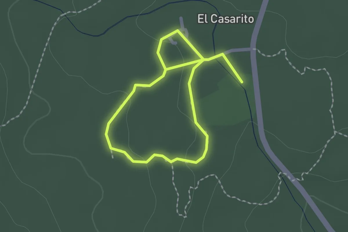
Easy · Trail
Senda Accesible 'Los Castaños Centenarios'
3.1 km · ↑ 28 m · 47 min
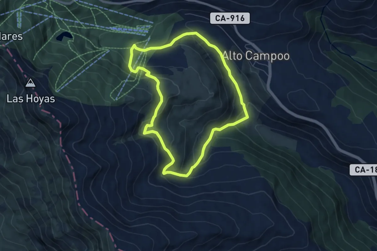
Medium · Trail
Senda a Hoyo Sacro
6.3 km · ↑ 326 m · 2 h 17 min
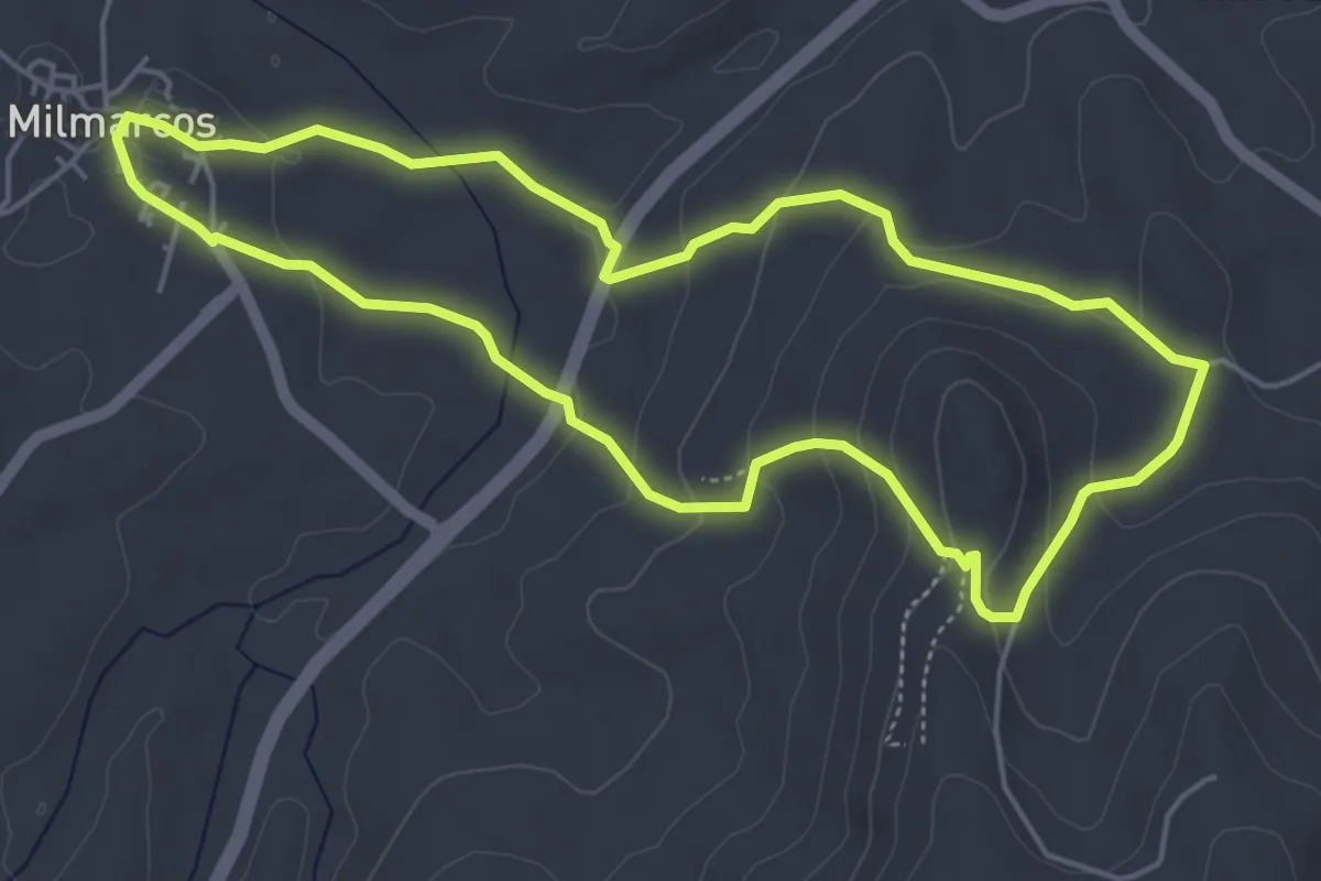
Easy · Trail
Senda a la Cueva y Fuente del Moro
5.4 km · ↑ 178 m · 1 h 45 min
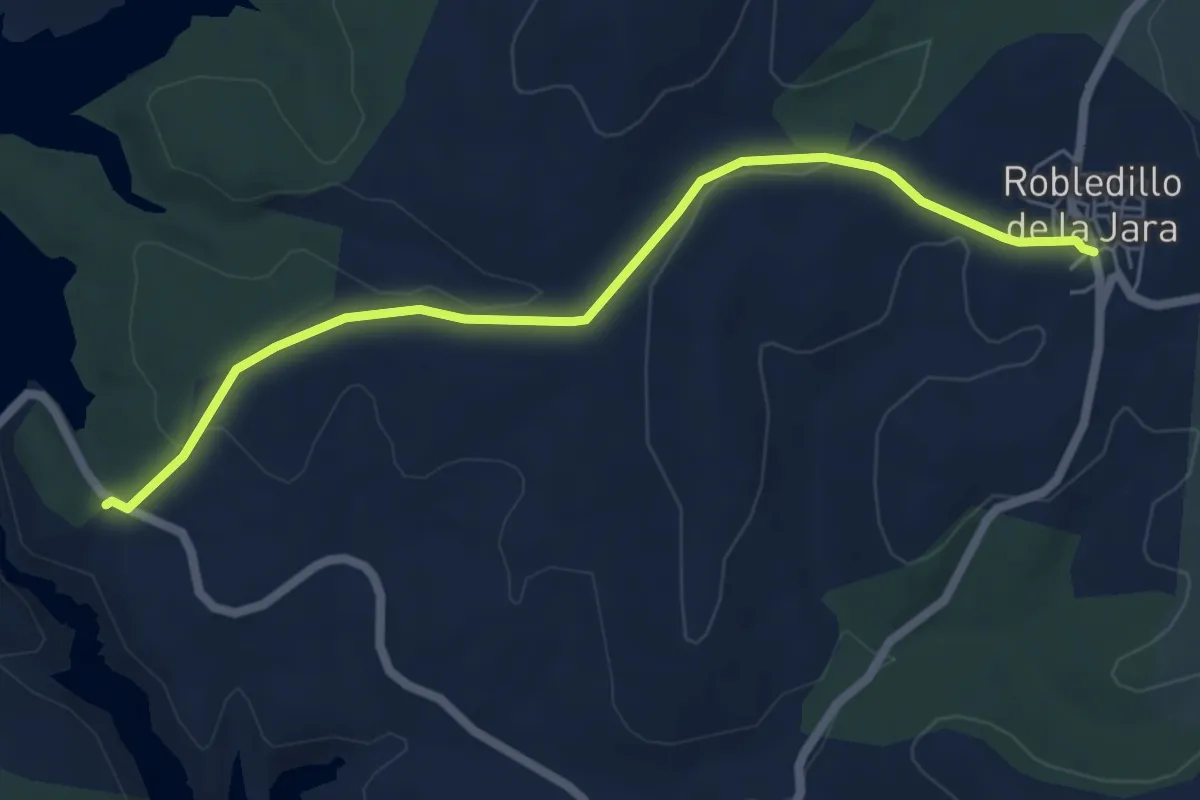
Easy · Trail
Senda al embalse de El Villar
6.7 km · ↑ 122 m · 1 h 51 min
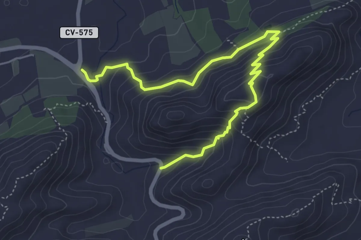
Medium · Trail
Senda Ampla
6.2 km · ↑ 441 m · 2 h 25 min
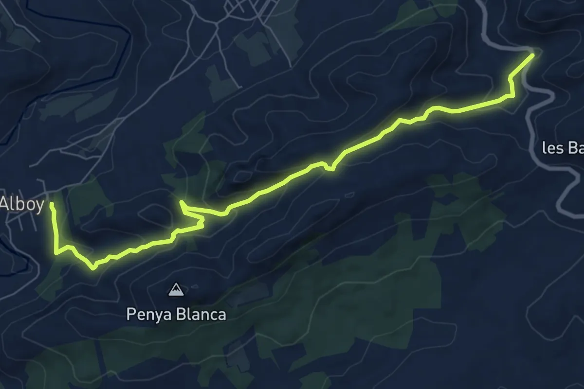
Medium · Trail
Senda Andalusa
9.1 km · ↑ 447 m · 3 h 7 min
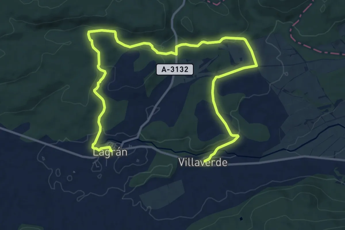
Medium · Trail
Senda a Villaverde
15.0 km · ↑ 297 m · 4 h 11 min
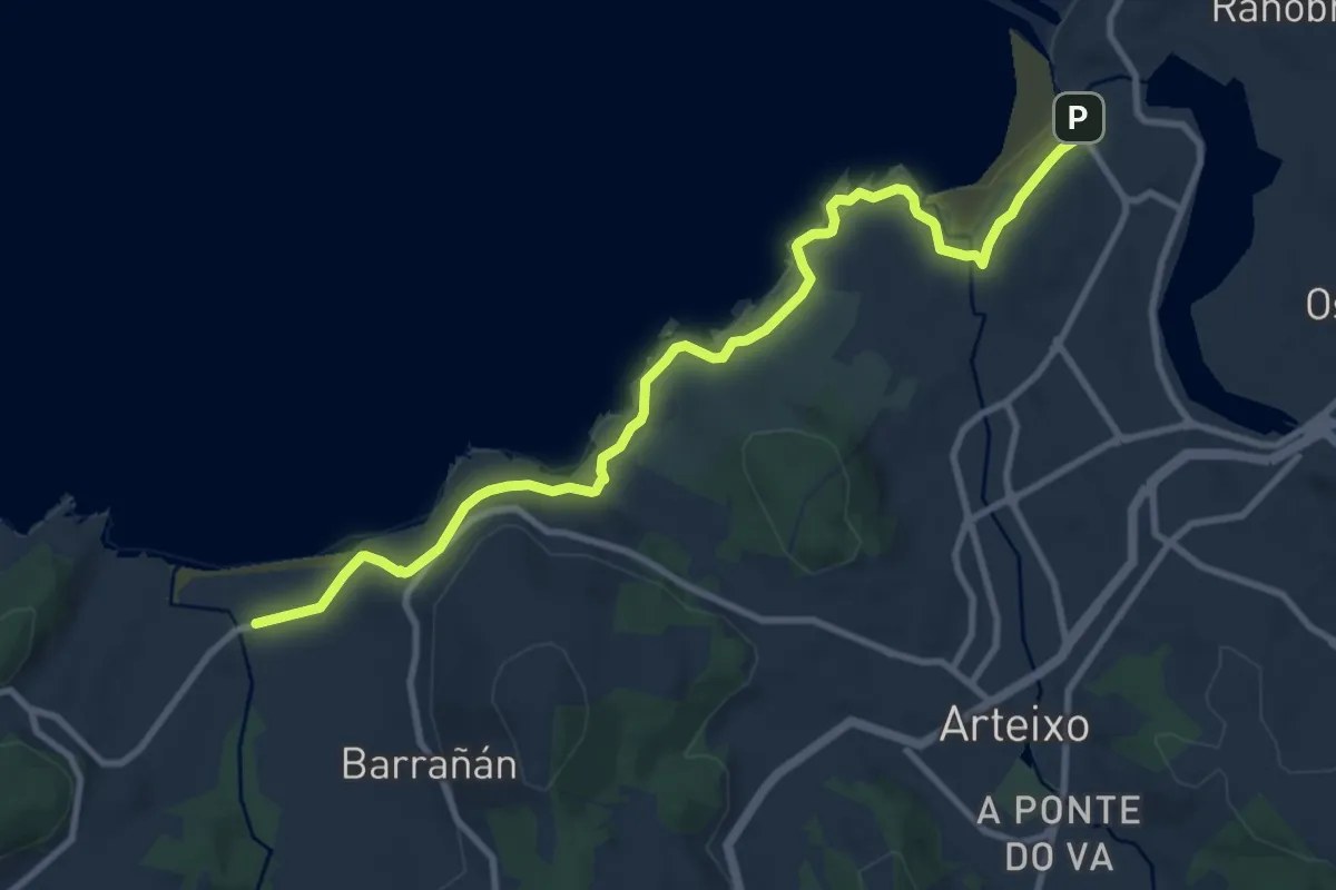
Medium · Trail
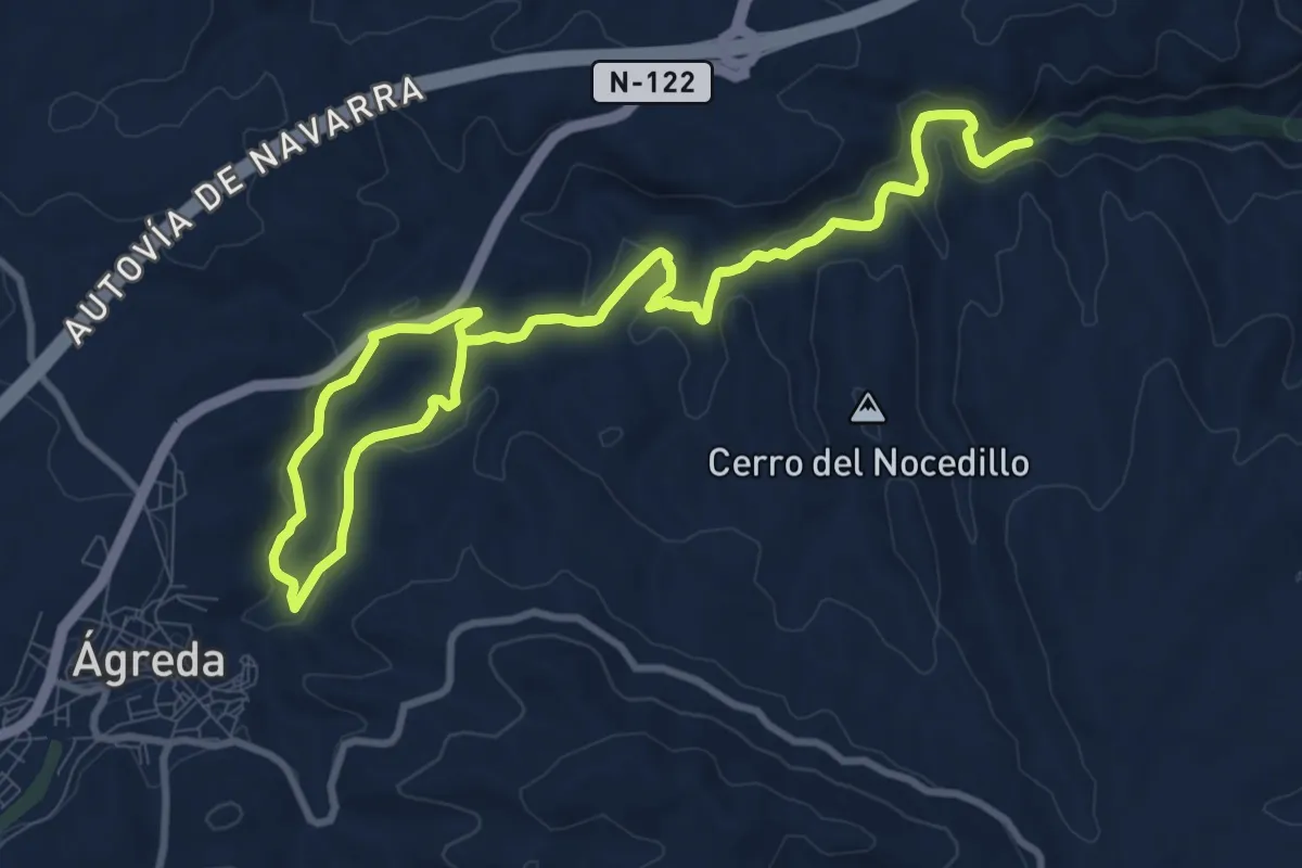
Senda Azul de Arteixo
11.8 km · ↑ 173 m · 3 h 9 min
Medium · Trail
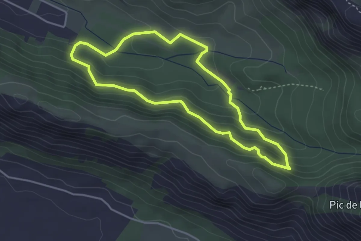
Senda Barranco del Val
10.9 km · ↑ 223 m · 3 h 12 min
Easy · Trail
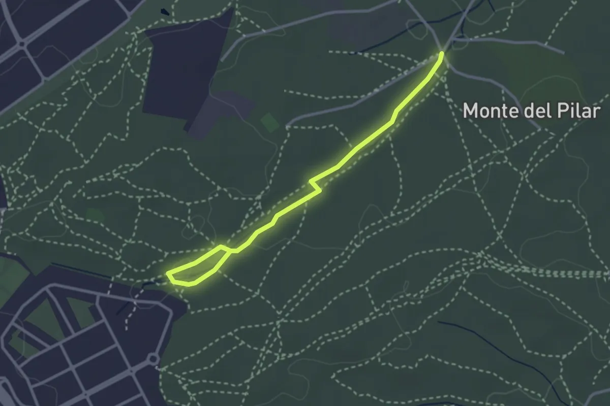
Senda Botànica
3.6 km · ↑ 220 m · 1 h 23 min
Easy · Trail
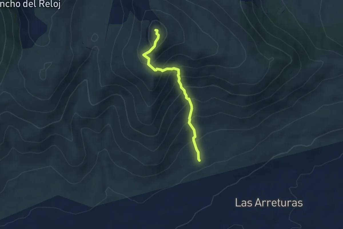
Senda Botánica del Aroyo de Vagrande
1.7 km · ↑ 17 m · 28 min
Medium · Summit
Senda Buford
4.6 km · ↑ 460 m · 2 h 5 min
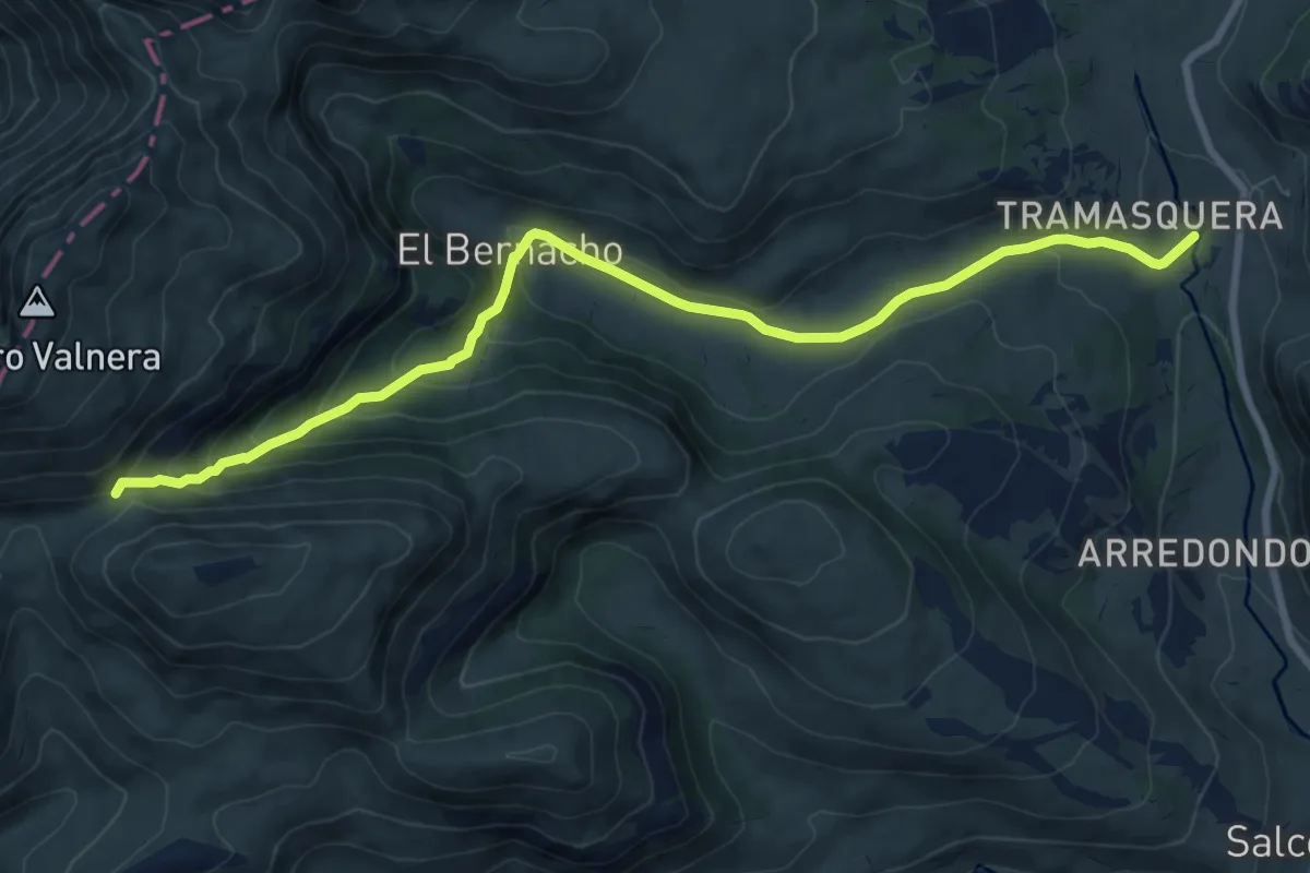
Demanding · Trail
Senda Canal del Castro Valnera
9.9 km · ↑ 471 m · 3 h 21 min
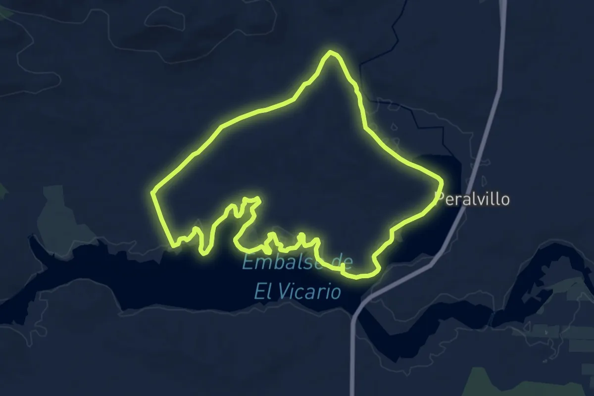
Medium · Trail
Senda Carrera del Caballo
15.9 km · ↑ 70 m · 4 h 7 min
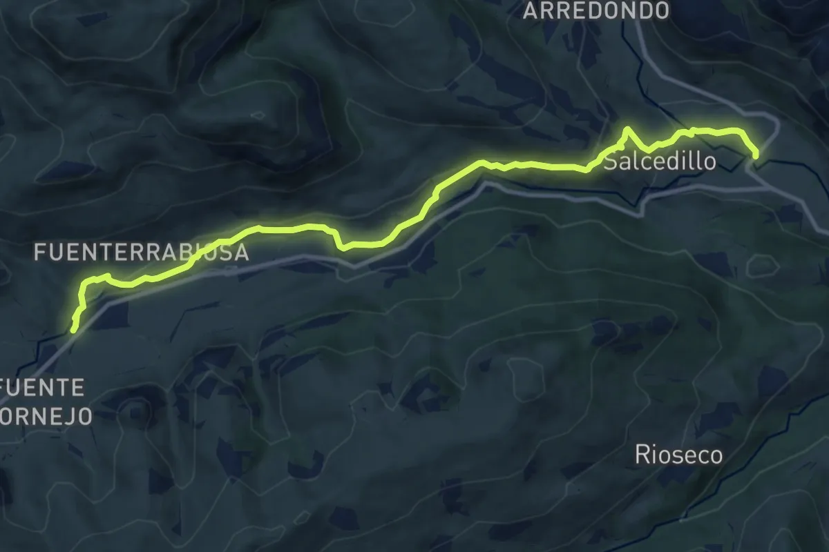
Medium · Trail
Senda Cascada Guarguero
13.0 km · ↑ 267 m · 3 h 38 min
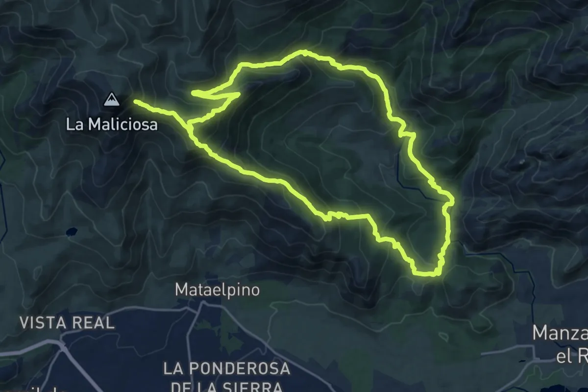
Demanding · Summit
Senda circular Sierra de los Porrones - Arroyo Manzanares
18.9 km · ↑ 980 m · 6 h 57 min
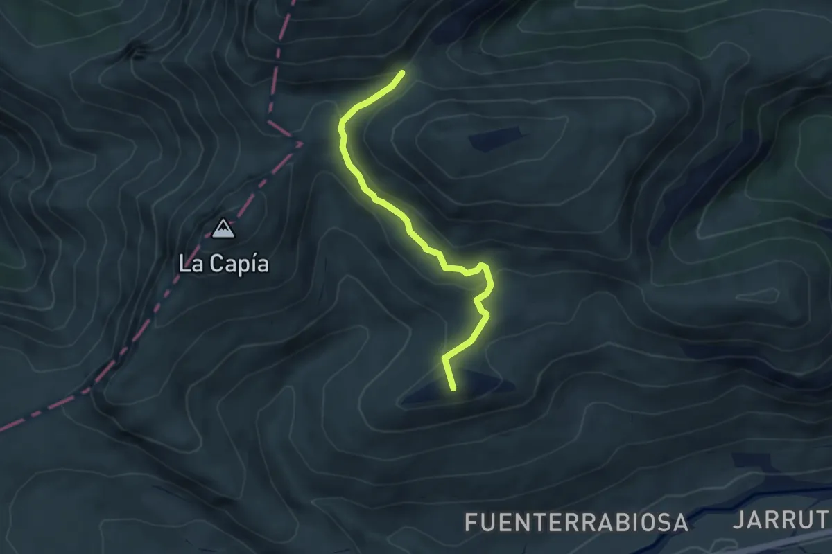
Easy · Summit
Senda Collado del Castro Valnera
4.3 km · ↑ 166 m · 1 h 22 min
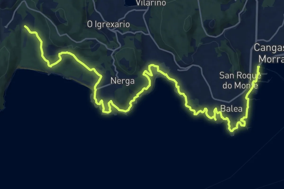
Demanding · Trail
Senda Costeira Cangas-Donón
26.4 km · ↑ 496 m · 7 h 18 min
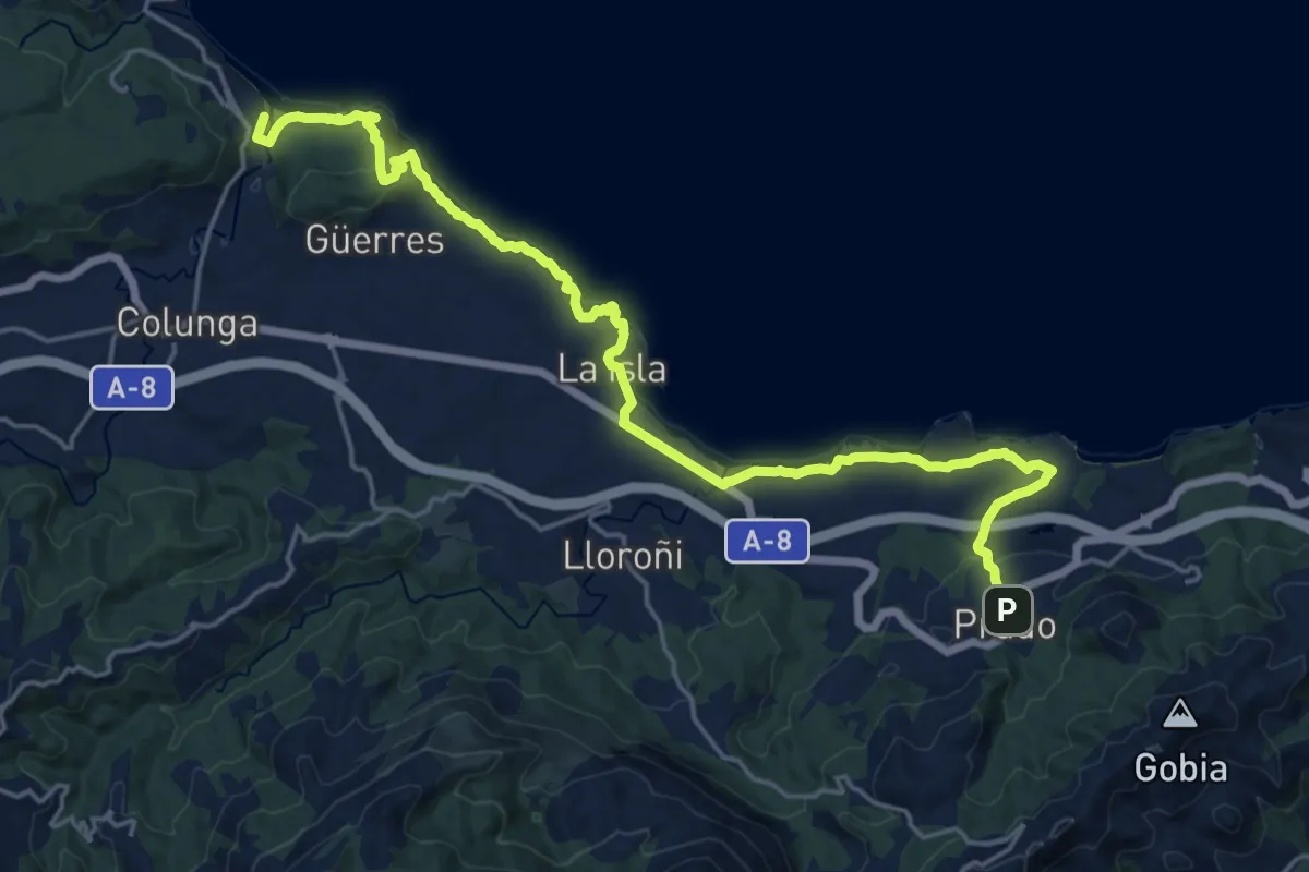
Demanding · Trail
Senda costera Arenal de Morís - Playa de La Griega
23.5 km · ↑ 561 m · 6 h 46 min
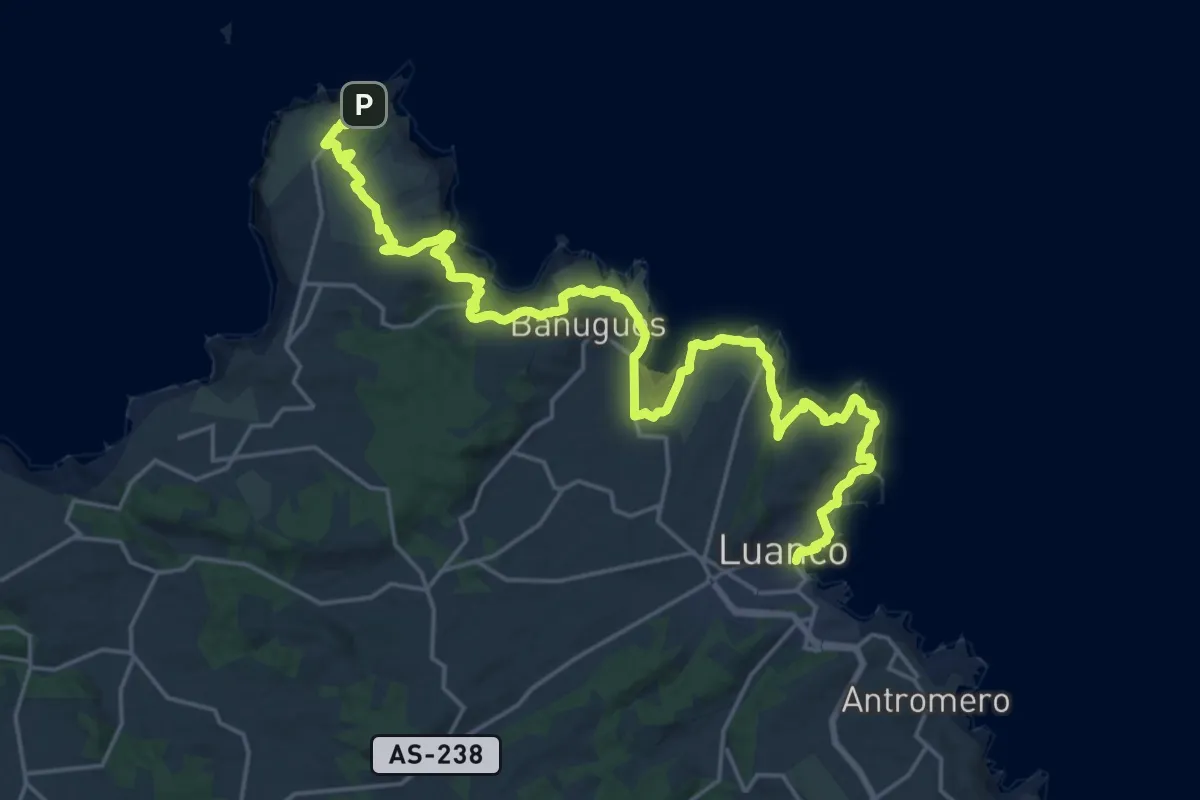
Medium · Trail
Senda Costera Cabo Peñas - Luanco
14.5 km · ↑ 483 m · 4 h 40 min
Medium · Trail
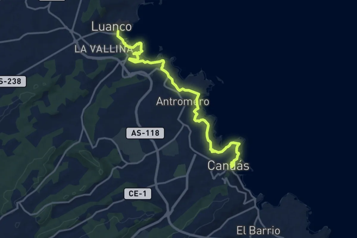
Senda Costera Candas - Luanco
12.7 km · ↑ 340 m · 3 h 44 min
Demanding · Trail
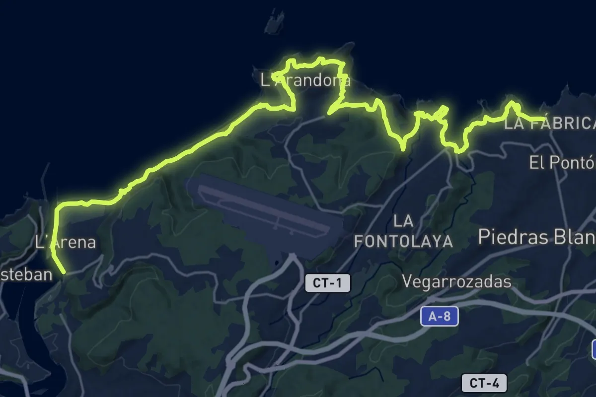
Senda Costera de Arnao a San Juan de la Arena
15.5 km · ↑ 821 m · 5 h 40 min
Medium · Trail
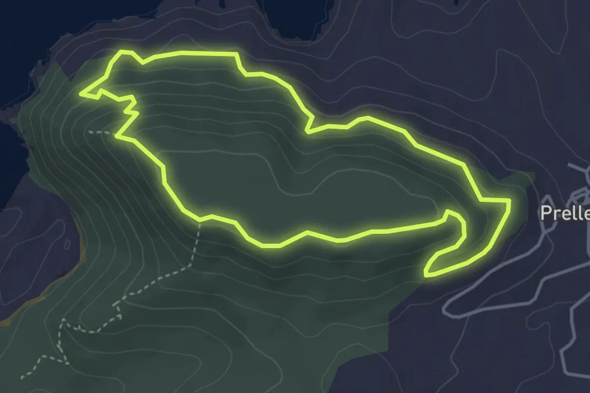
Senda Costera de Prellezo
4.1 km · ↑ 218 m · 1 h 30 min
Demanding · Trail
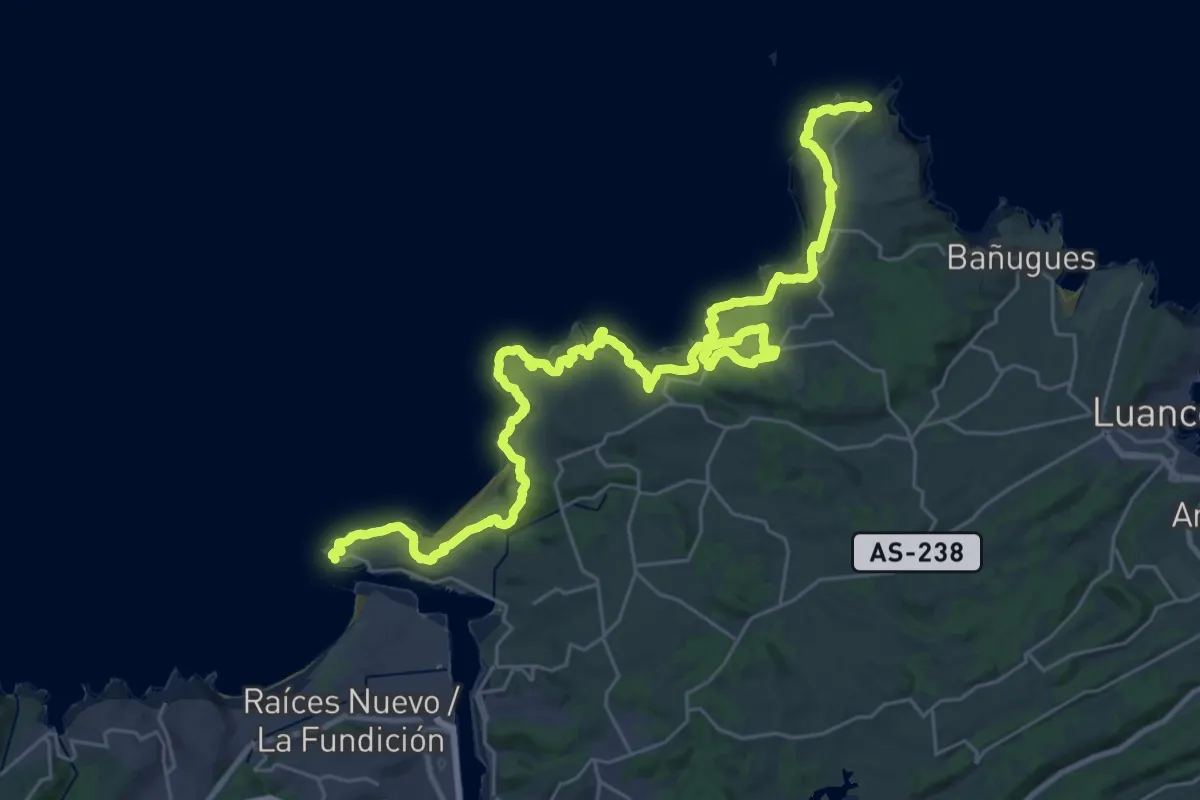
Senda Costera Faro San Juan de Nieva - Cabo Peñas
21.2 km · ↑ 866 m · 7 h 10 min
Medium · Trail
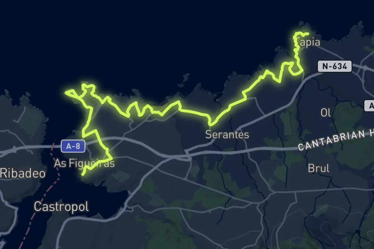
Senda Costera Tapia de Casariego - Figueras
17.1 km · ↑ 158 m · 4 h 37 min
Medium · Trail
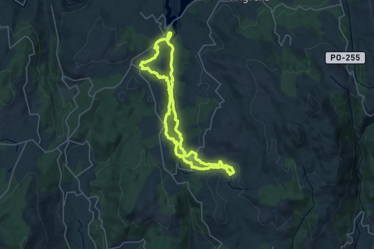
Senda da Fraga do Barragán
16.6 km · ↑ 482 m · 5 h 12 min
Medium · Summit
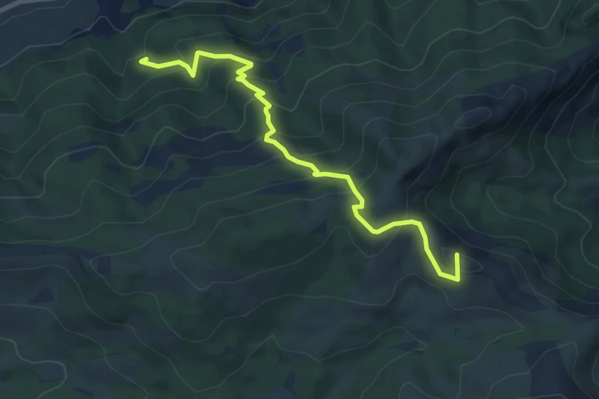
Senda d'Agres - Cocentaina
6.2 km · ↑ 499 m · 2 h 33 min
Medium · Trail
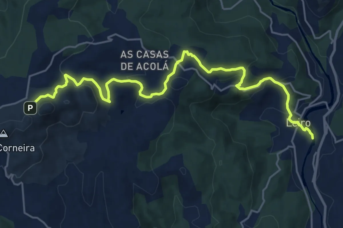
Senda da Pena Corneira
16.5 km · ↑ 594 m · 5 h 11 min
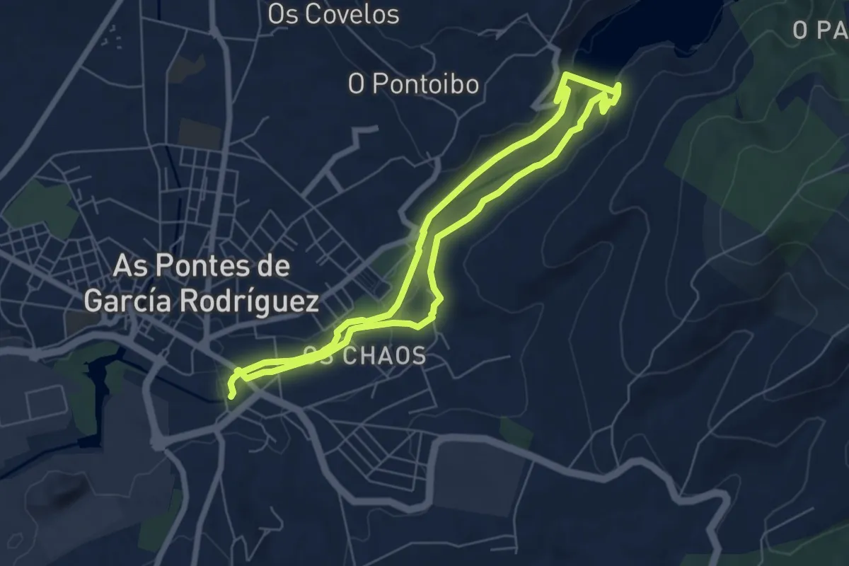
Easy · Trail
Senda da Ribeira
5.9 km · ↑ 108 m · 1 h 42 min
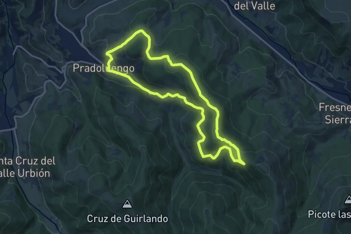
Medium · Trail
Senda de Bagadía
10.4 km · ↑ 433 m · 3 h 32 min
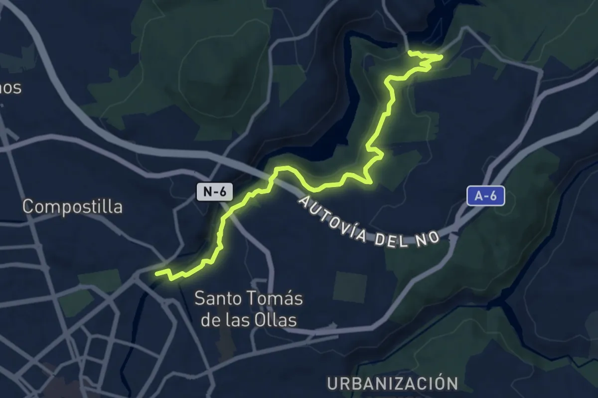
Medium · Trail
Senda de Bas
10.7 km · ↑ 463 m · 3 h 32 min
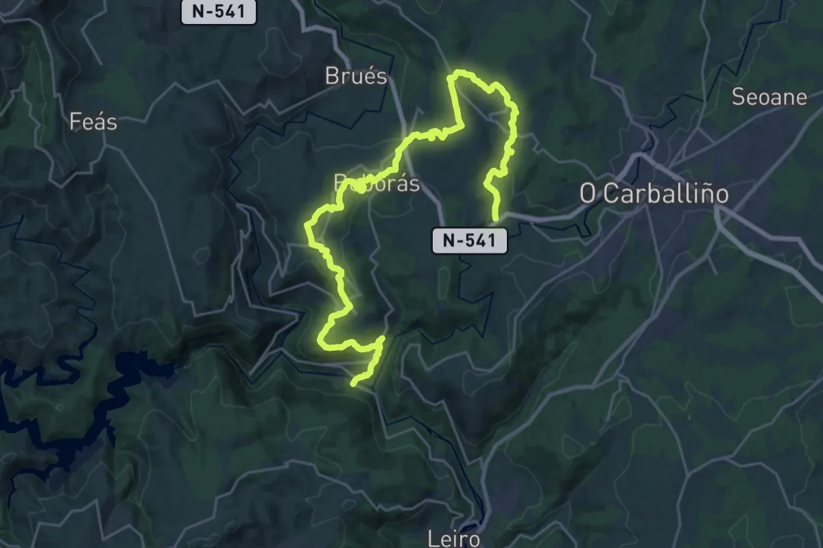
Medium · Trail
Senda de Boborás
16.3 km · ↑ 359 m · 4 h 58 min