Trails in Sweden
3,247 hiking trails, each with its route, climb, walking time and grade.
All trails, page 56 of 68
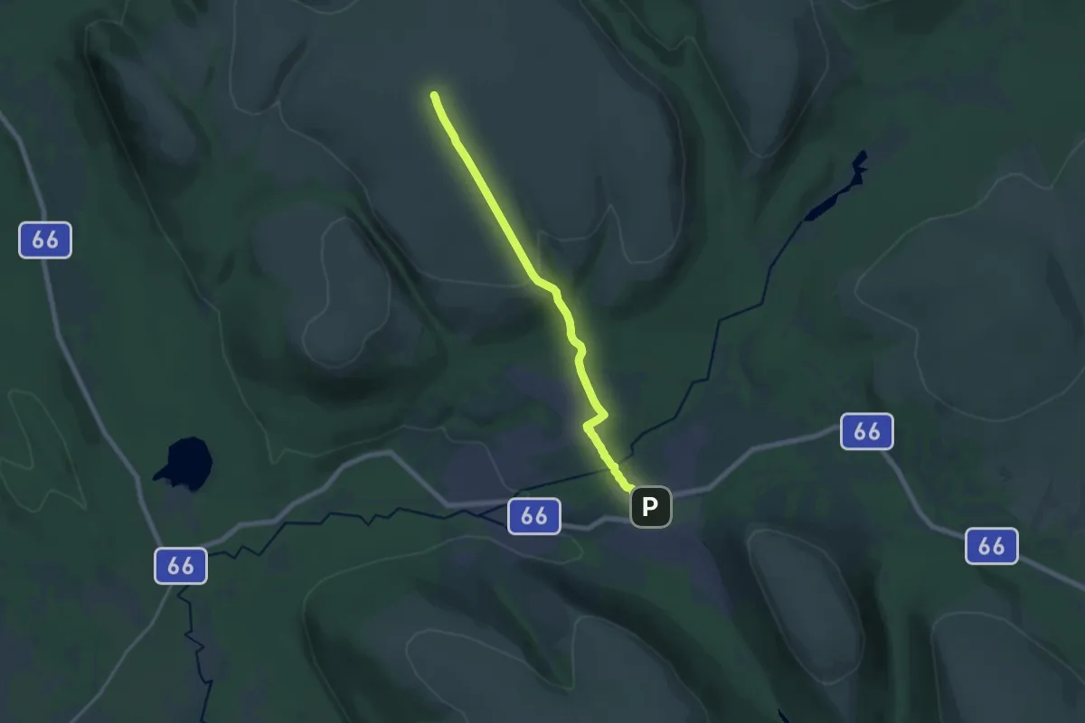
Medium · Summit
Stor-Närfjällsleden
11.3 km · ↑ 331 m · 3 h 23 min
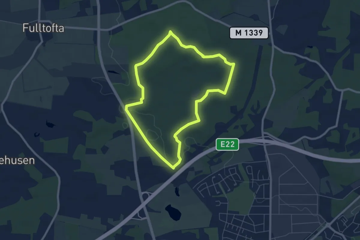
Easy · Trail
Storskiftet
4.9 km · ↑ 49 m · 1 h 19 min
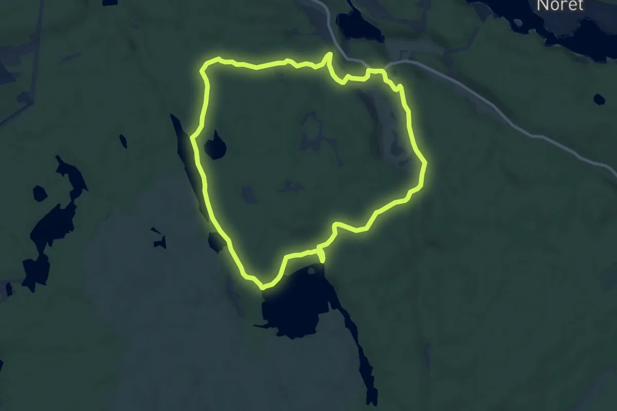
Easy · Trail
Storskogsrundan
7.9 km · ↑ 78 m · 2 h 8 min
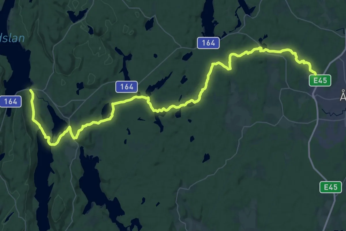
Demanding · Trail
Storspåret
20.8 km · ↑ 229 m · 5 h 43 min
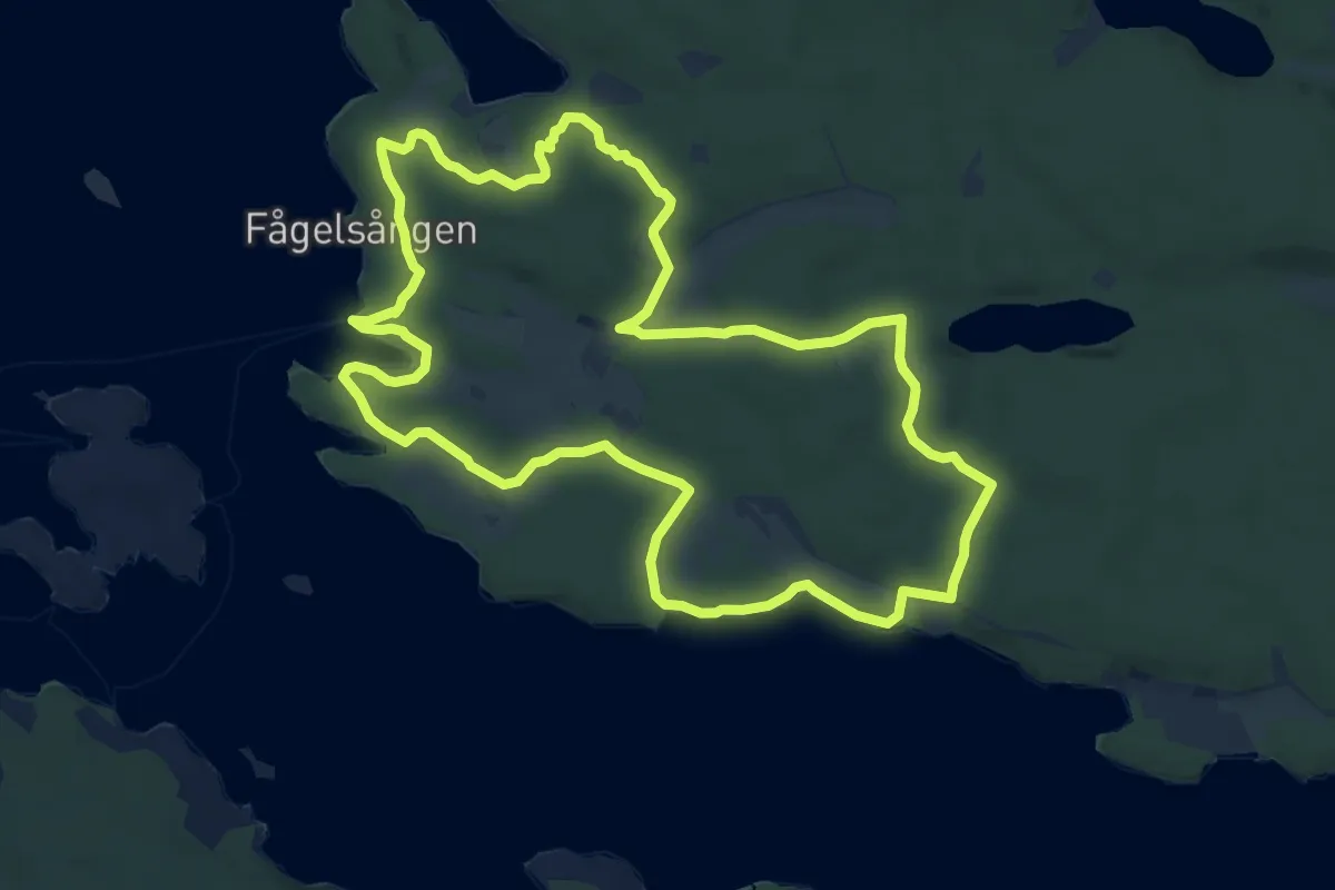
Medium · Summit
Stortallsrundan
9.7 km · ↑ 116 m · 2 h 41 min
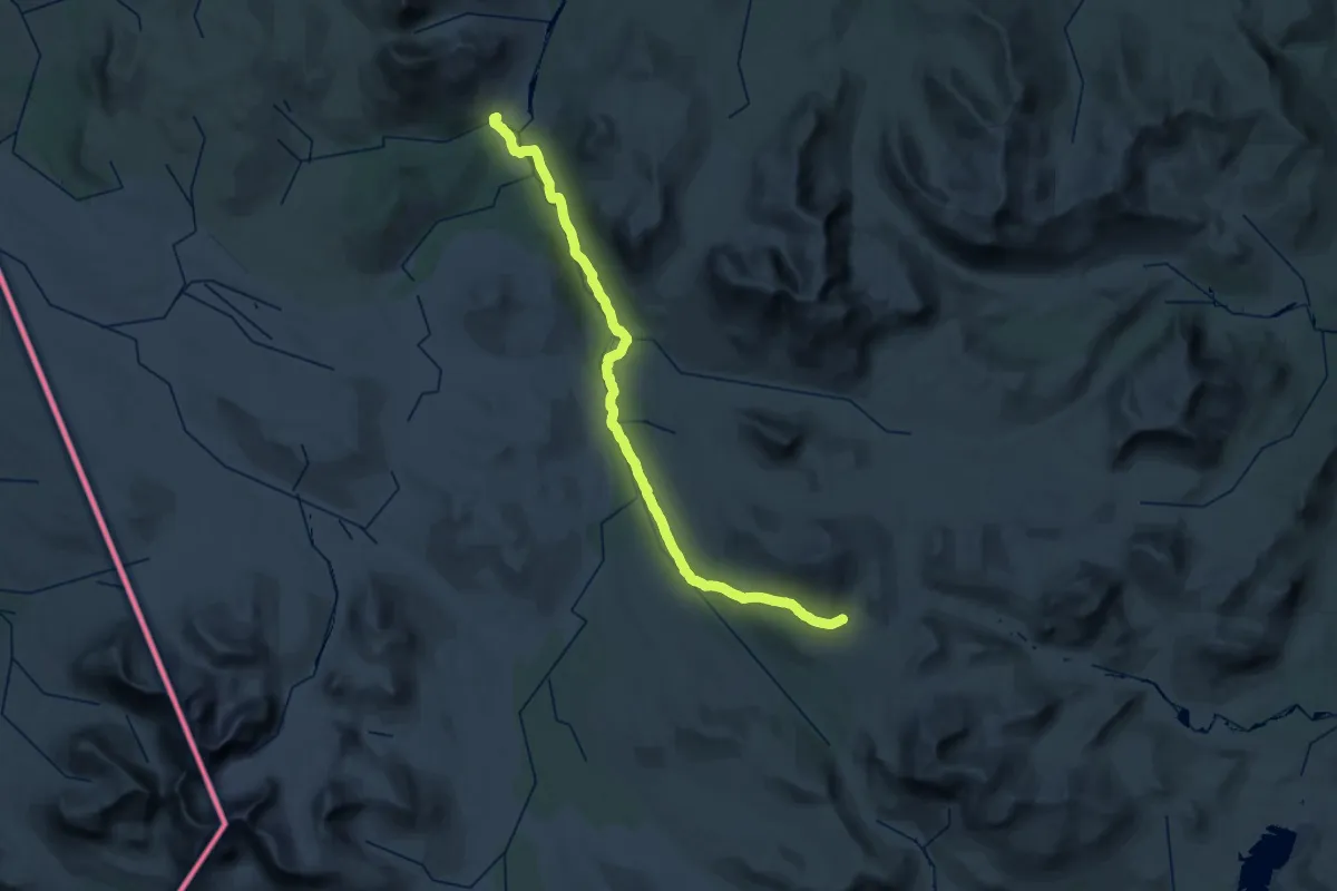
Demanding · Cabin
Storulvån - Gåsen sommarled
19.5 km · ↑ 29 m · 5 h 8 min
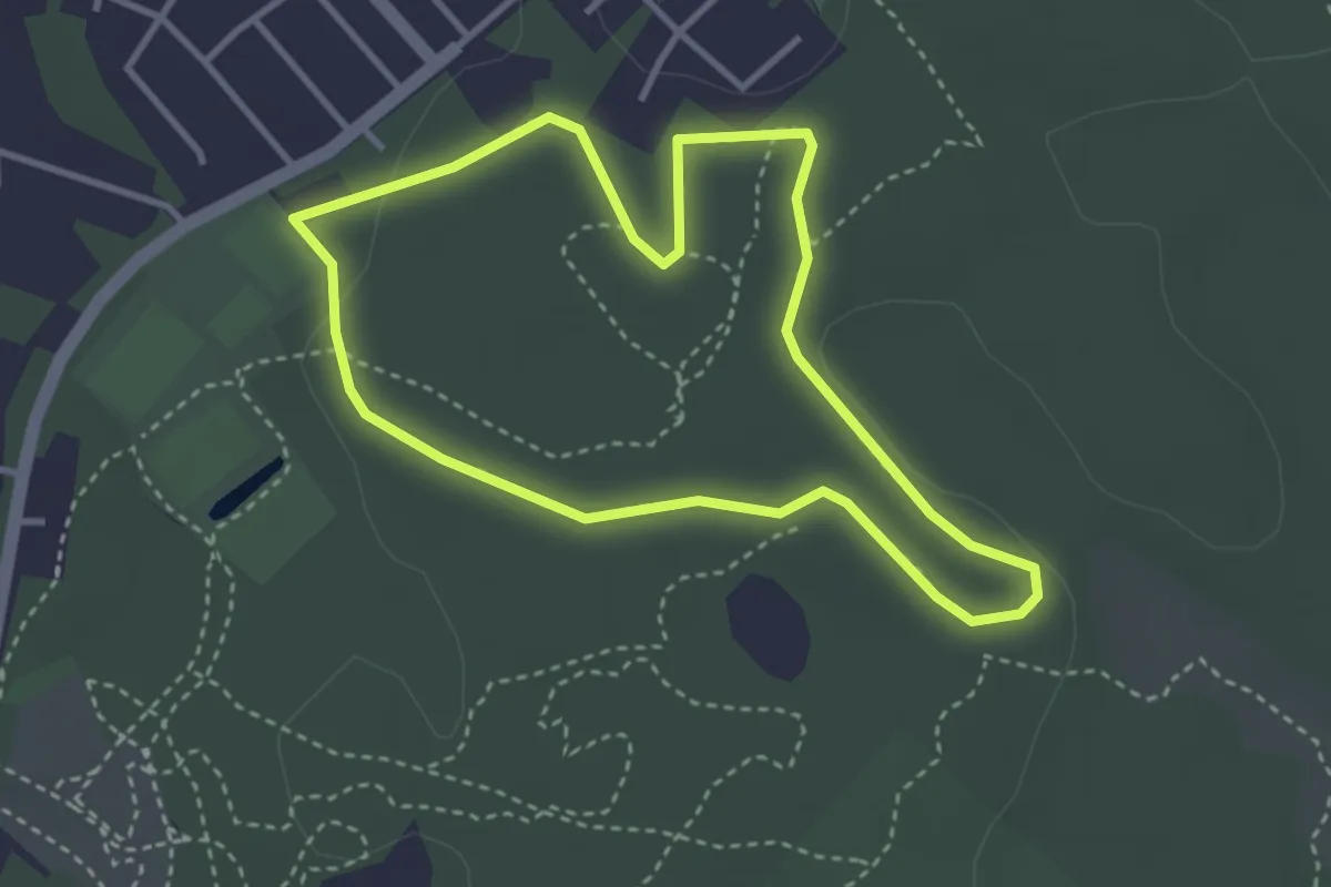
Easy · Trail
Storvreta elljusspår
2.4 km · ↑ 18 m · 38 min
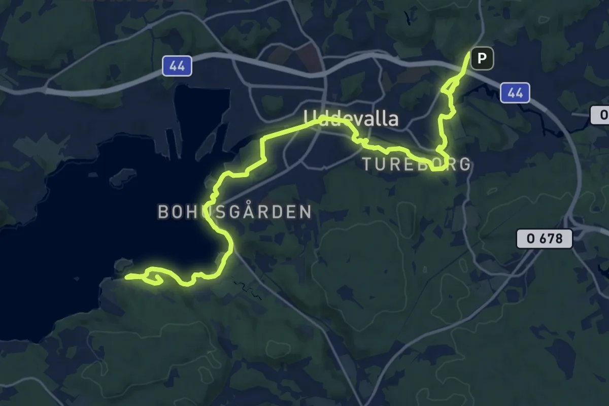
Demanding · Summit
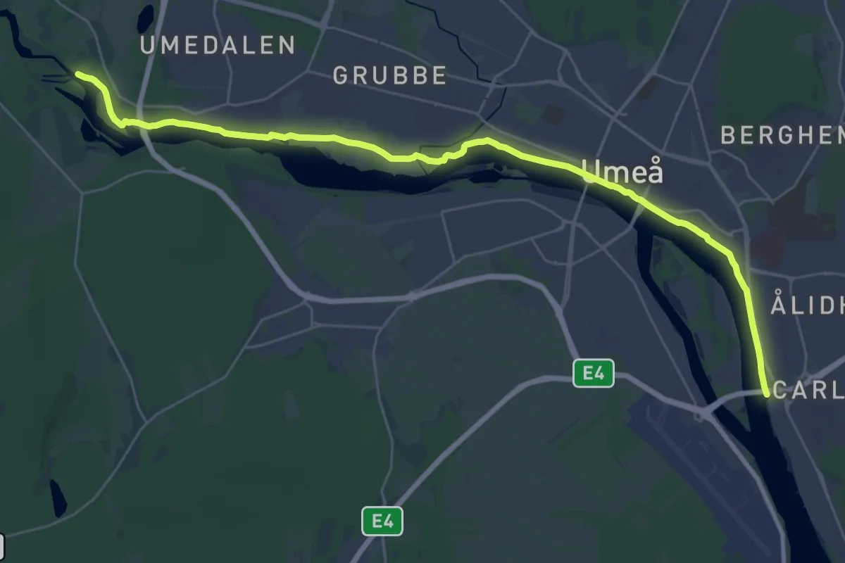
Strandpromenaden
20.2 km · ↑ 354 m · 5 h 33 min
Demanding · Trail
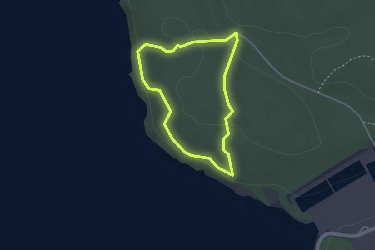
Strandpromenaden
21.7 km · ↑ 86 m · 5 h 19 min
Easy · Trail
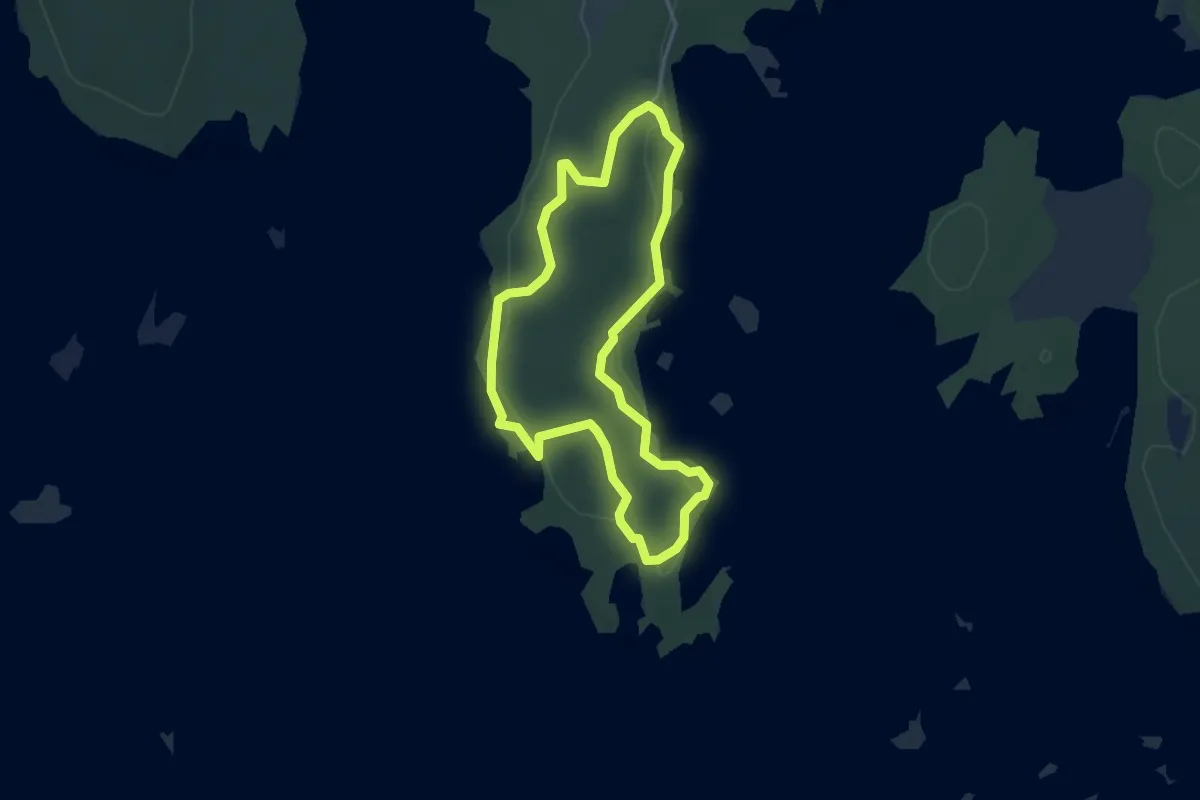
Strandrundan
1.7 km · ↑ 23 m · 29 min
Easy · Trail
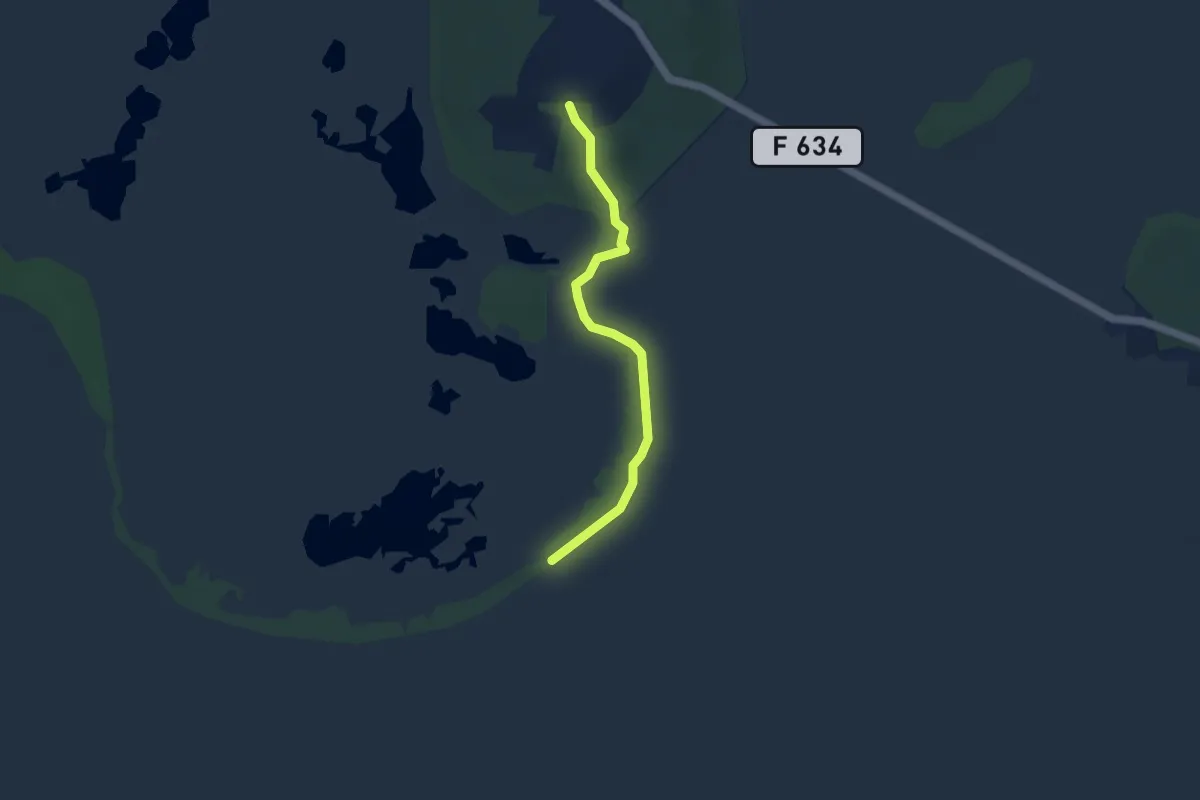
Strandslingan
2.7 km · ↑ 29 m · 45 min
Easy · Trail
Strandstigen
3.1 km · ↑ 19 m · 47 min
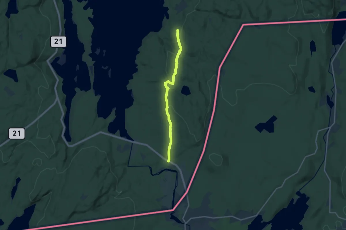
Easy · Trail
Strandveien
7.9 km · ↑ 147 m · 2 h 12 min
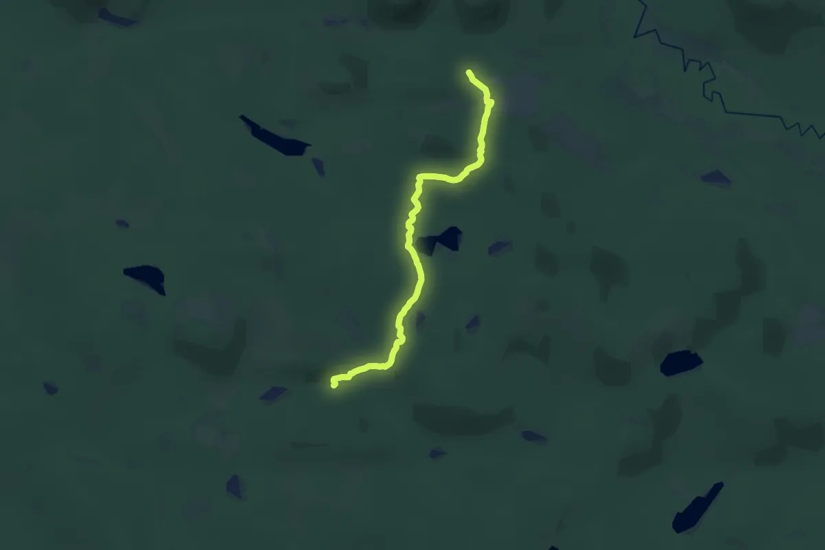
Demanding · Trail
Stråsöstigen
19.0 km · ↑ 509 m · 5 h 35 min
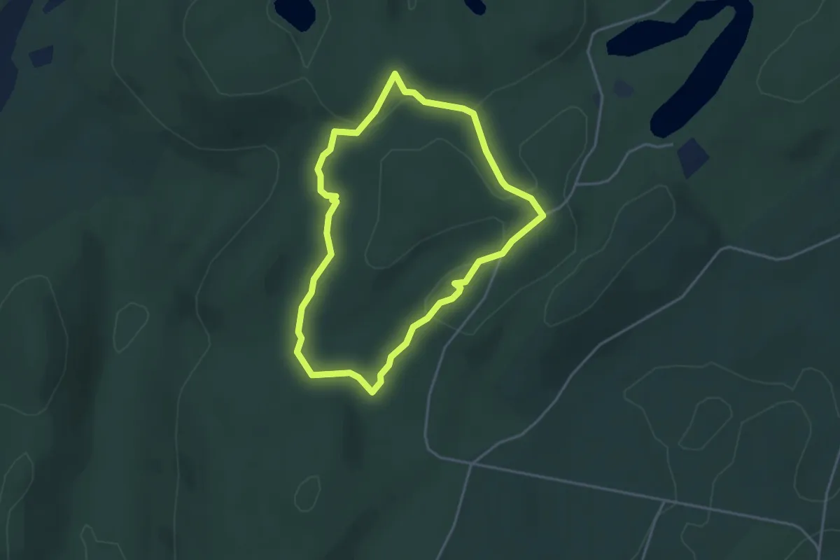
Easy · Trail
Strettelienslingan
2.8 km · ↑ 52 m · 48 min
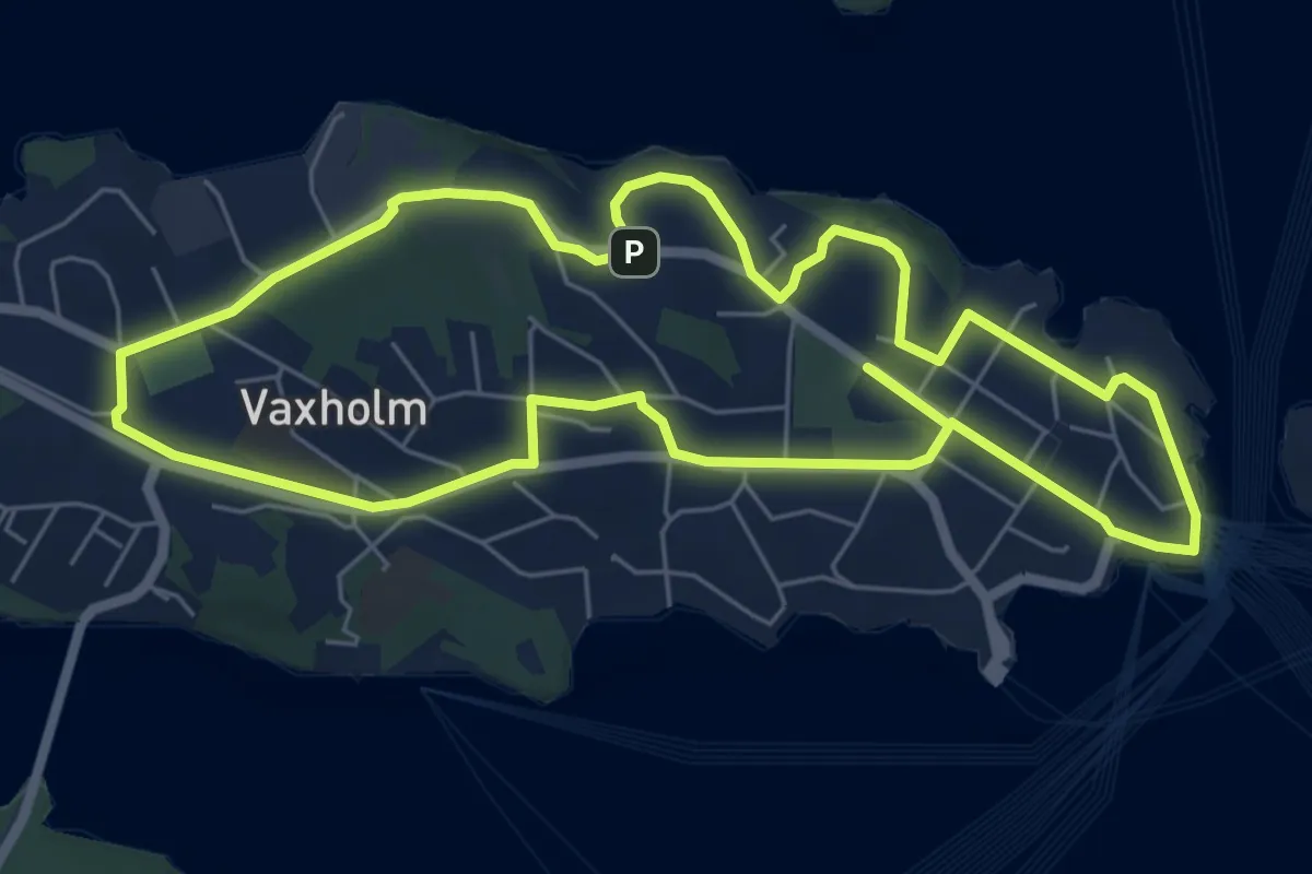
Easy · Trail
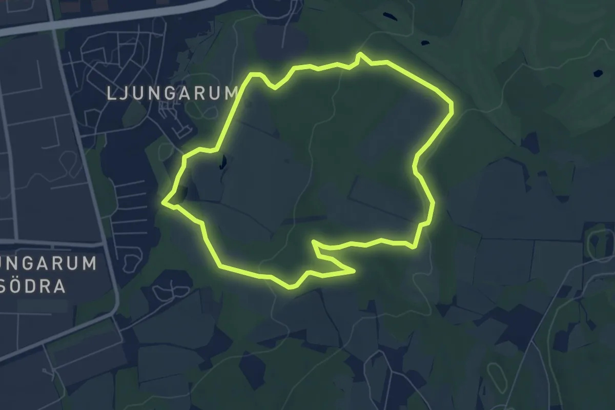
Strömmingsrundan 5km
5.0 km · ↑ 36 m · 1 h 20 min
Easy · Trail
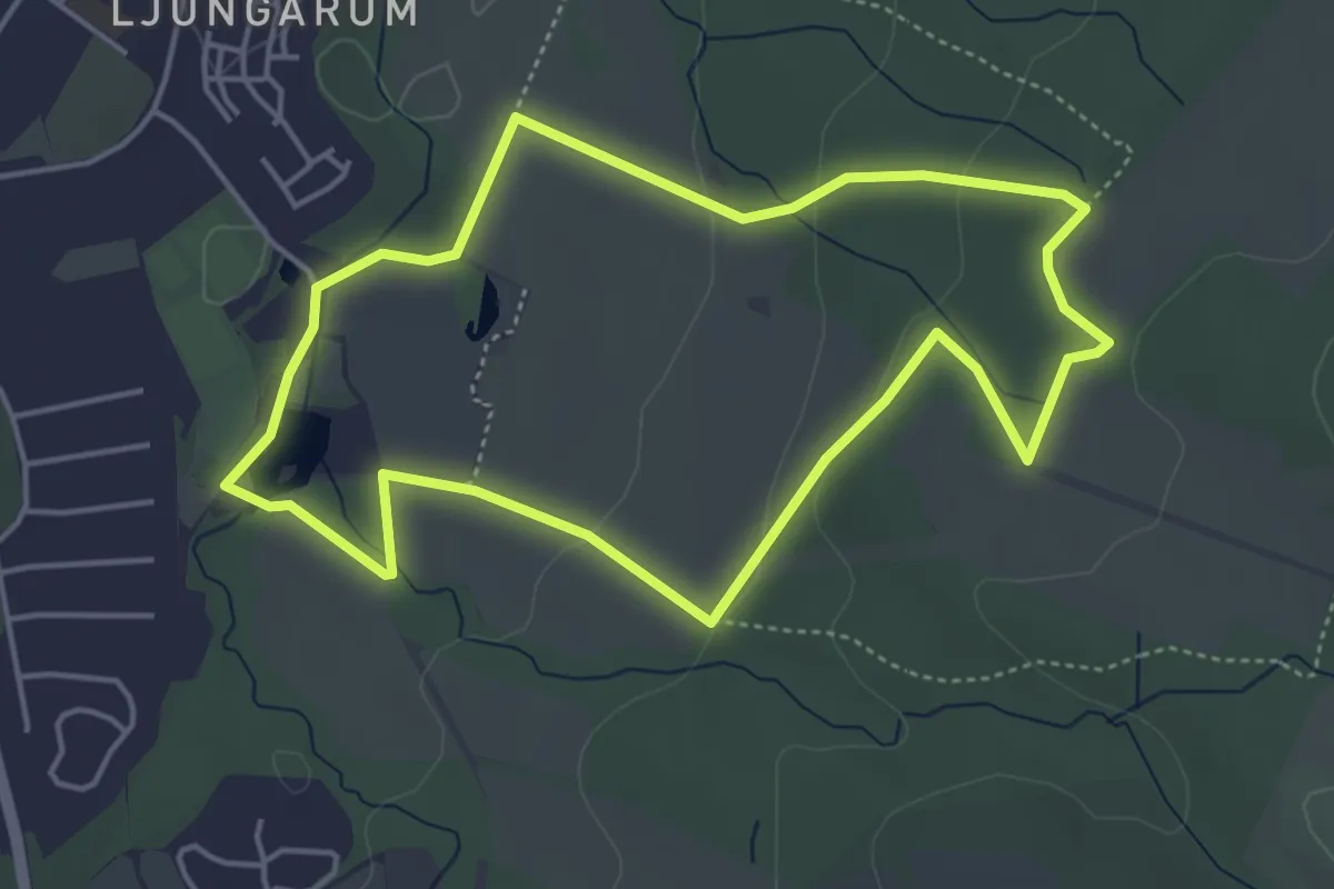
Strömsberg - gula leden
5.6 km · ↑ 119 m · 1 h 39 min
Easy · Trail
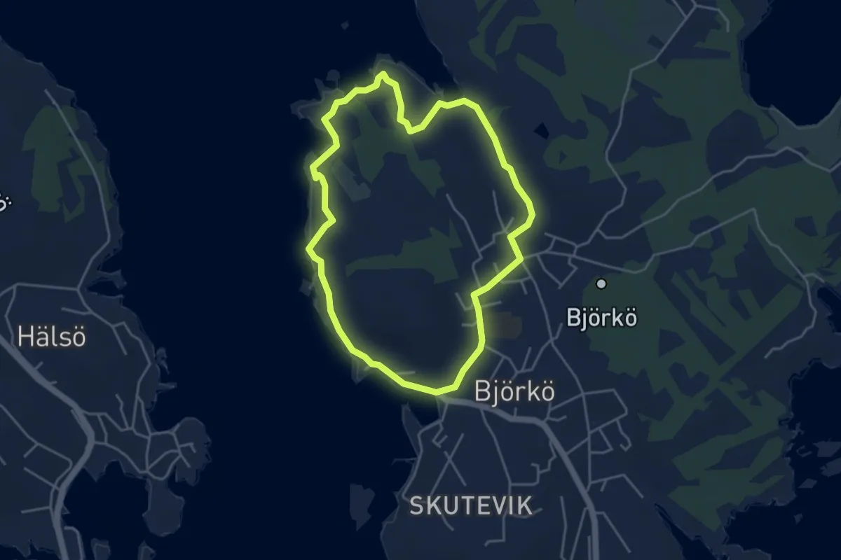
Strömsberg - röda leden
3.5 km · ↑ 77 m · 1 h 2 min
Easy · Trail
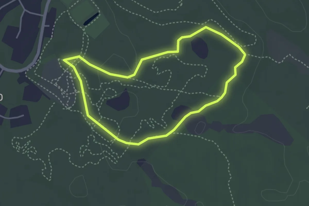
Strömskärsleden
3.1 km · ↑ 8 m · 47 min
Easy · Trail
Strövarleden
2.5 km · ↑ 9 m · 38 min
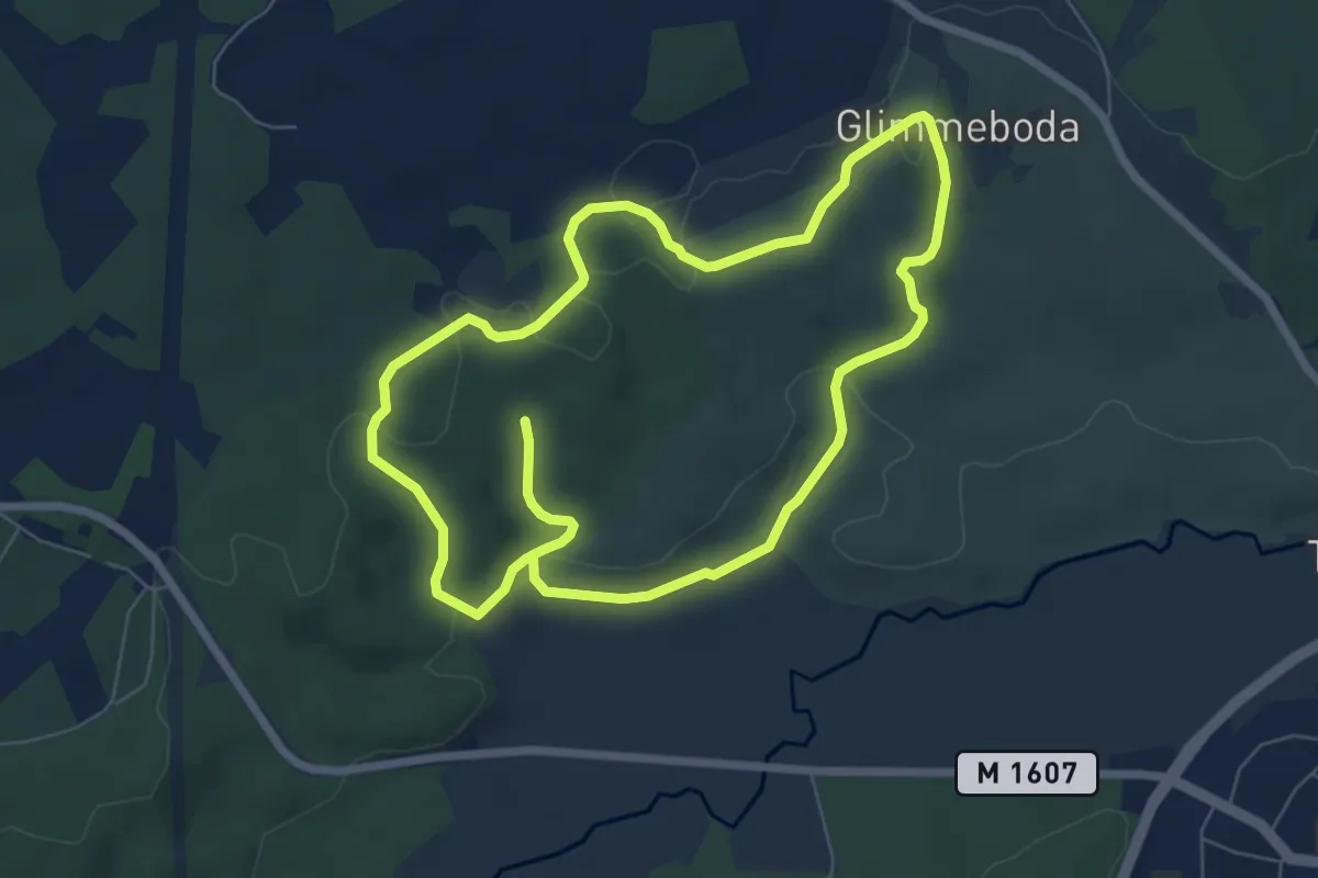
Medium · Trail
Strövstigen
10.9 km · ↑ 191 m · 2 h 59 min
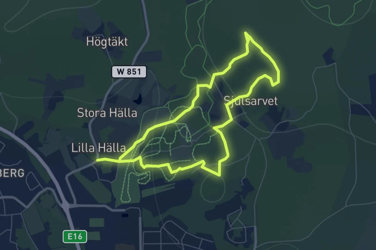
Easy · Summit
Stugstigen
4.6 km · ↑ 156 m · 1 h 30 min
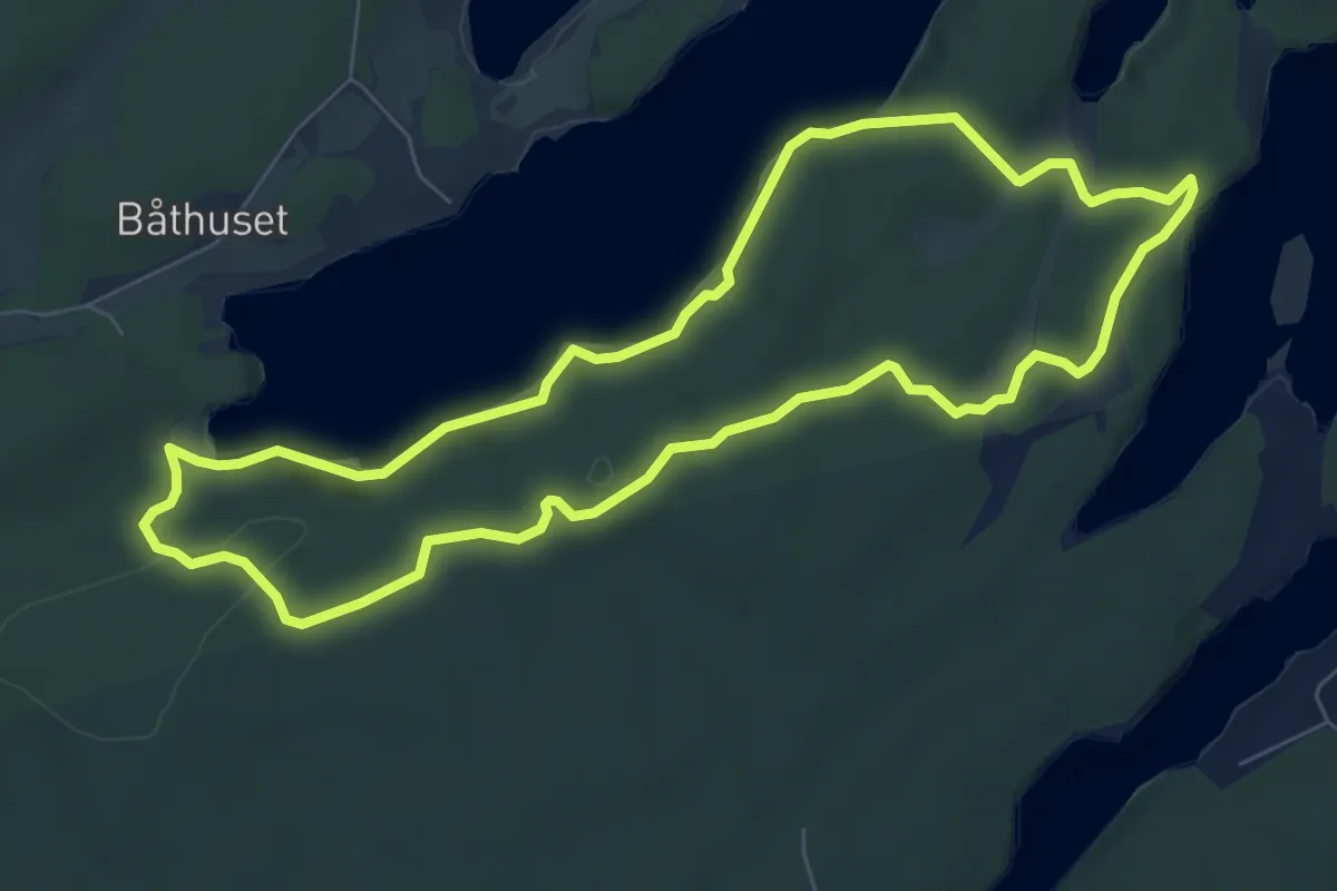
Medium · Trail
Styvnäsrundan
5.7 km · ↑ 96 m · 1 h 38 min
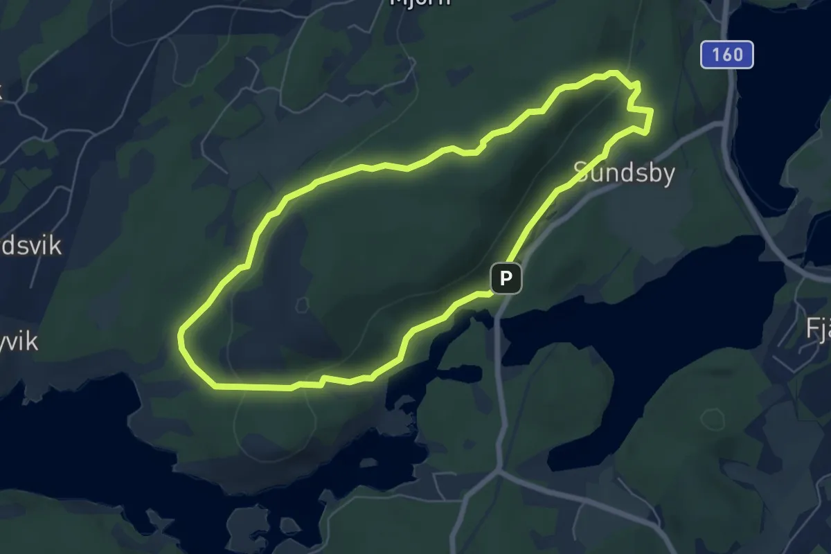
Easy · Trail
Sundsbyleden
4.8 km · ↑ 112 m · 1 h 26 min
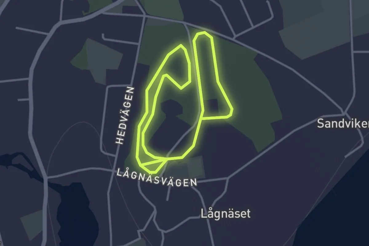
Easy · Trail
Sunnansjö elljusspår
4.6 km · ↑ 56 m · 1 h 13 min
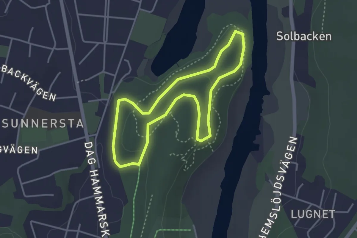
Easy · Trail
Sunnerstaåsens elljusspår
2.3 km · ↑ 37 m · 40 min
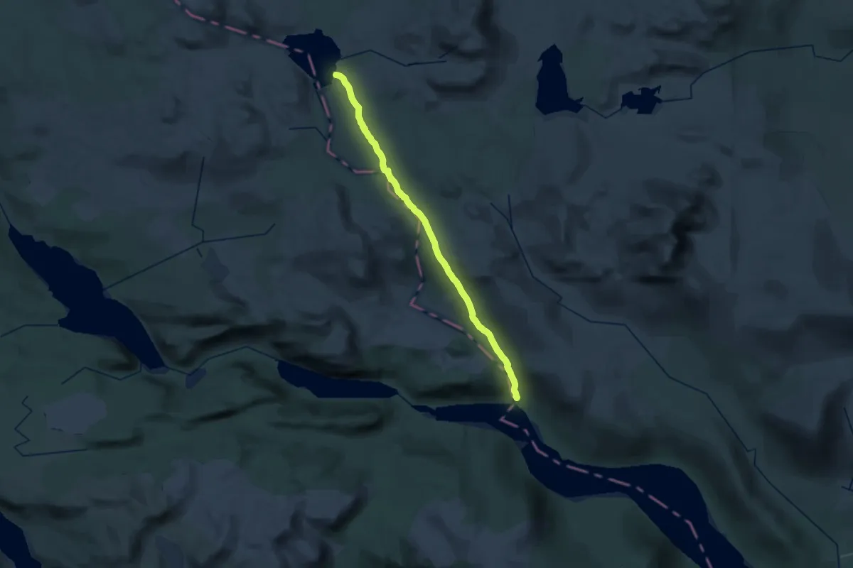
Demanding · Cabin
Sutme - Slipsikstugan
26.5 km · ↑ 480 m · 7 h 18 min
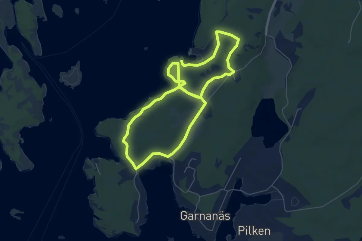
Medium · Trail
Svalemålaleden
9.3 km · ↑ 89 m · 2 h 24 min
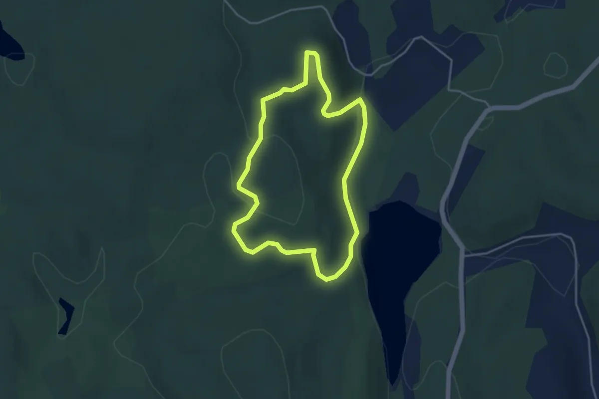
Easy · Trail
Svalgölenbrantens vandringsled
2.5 km · ↑ 55 m · 45 min
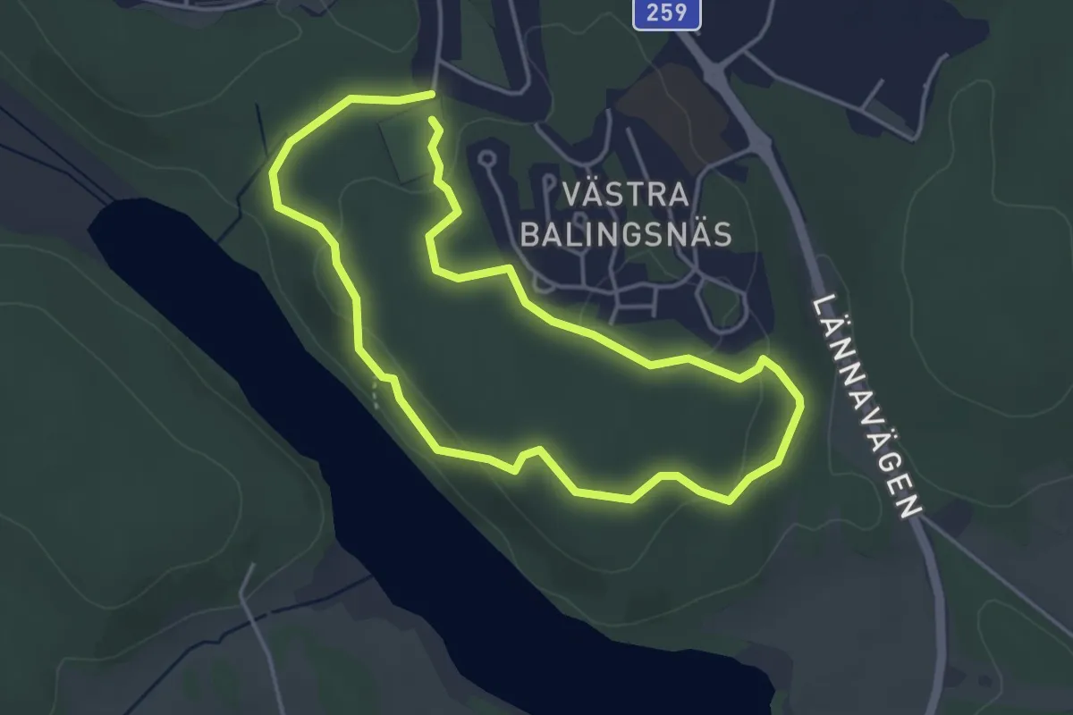
Easy · Trail
Svampslingan
2.8 km · ↑ 37 m · 47 min
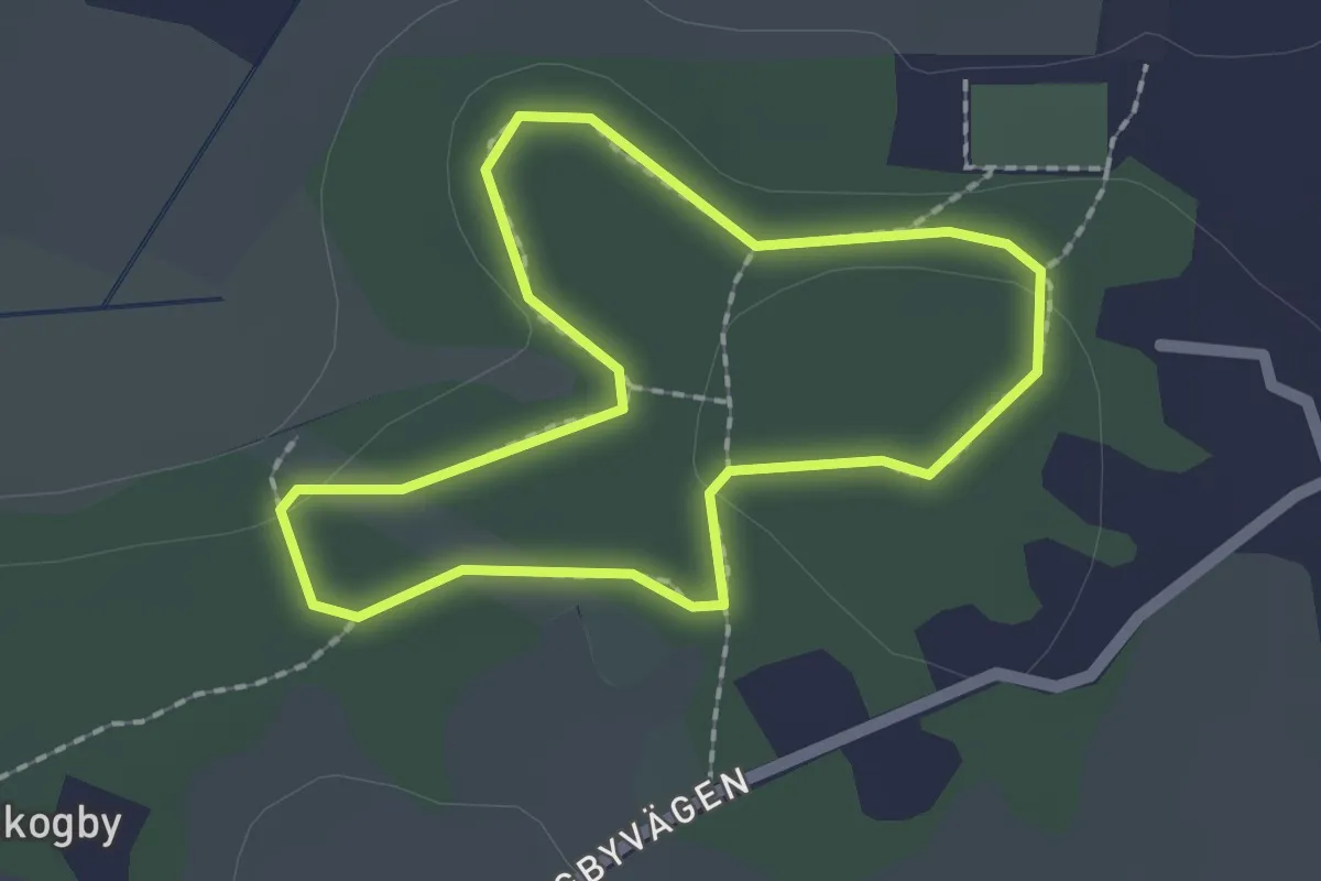
Easy · Trail
Svanängens motionsspår 1.5 km
1.3 km · ↑ 14 m · 21 min
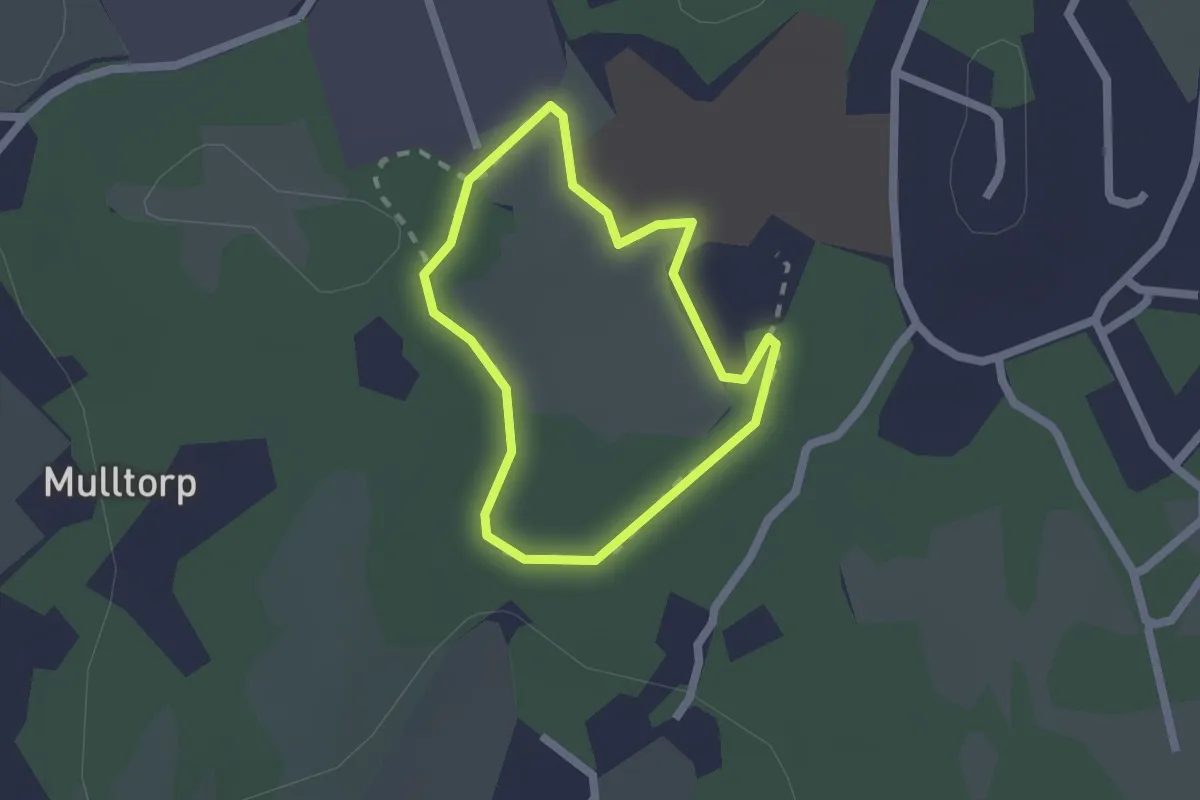
Easy · Trail
Svanesunds Elljusspår
1.2 km · ↑ 5 m · 19 min
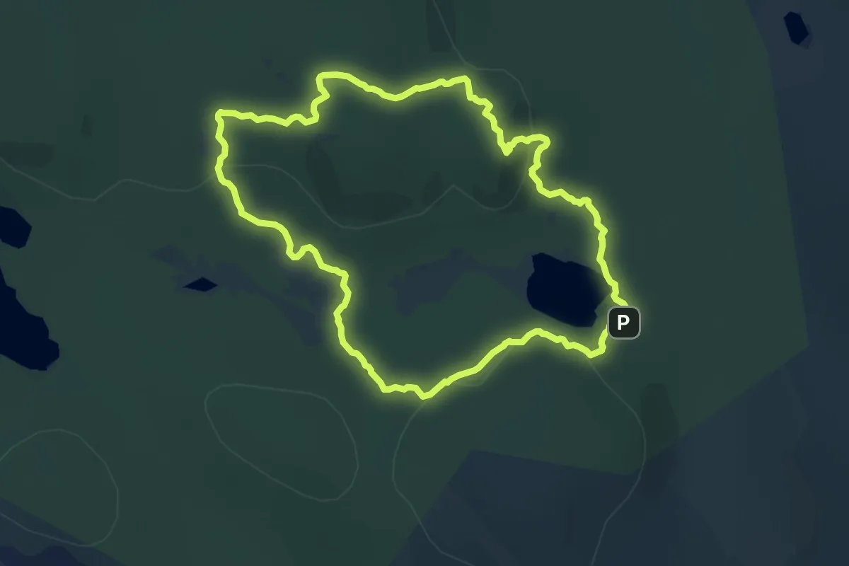
Medium · Summit
Svärmorsleden
12.4 km · ↑ 361 m · 3 h 53 min
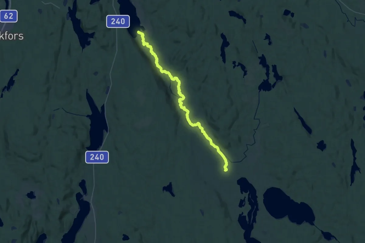
Medium · Trail
Svartåleden
16.9 km · ↑ 153 m · 4 h 34 min
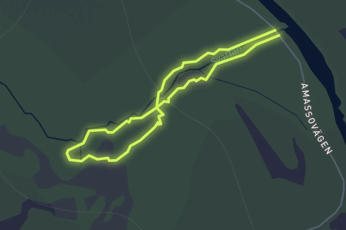
Easy · Trail
Svartåslingan
2.4 km · ↑ 23 m · 38 min
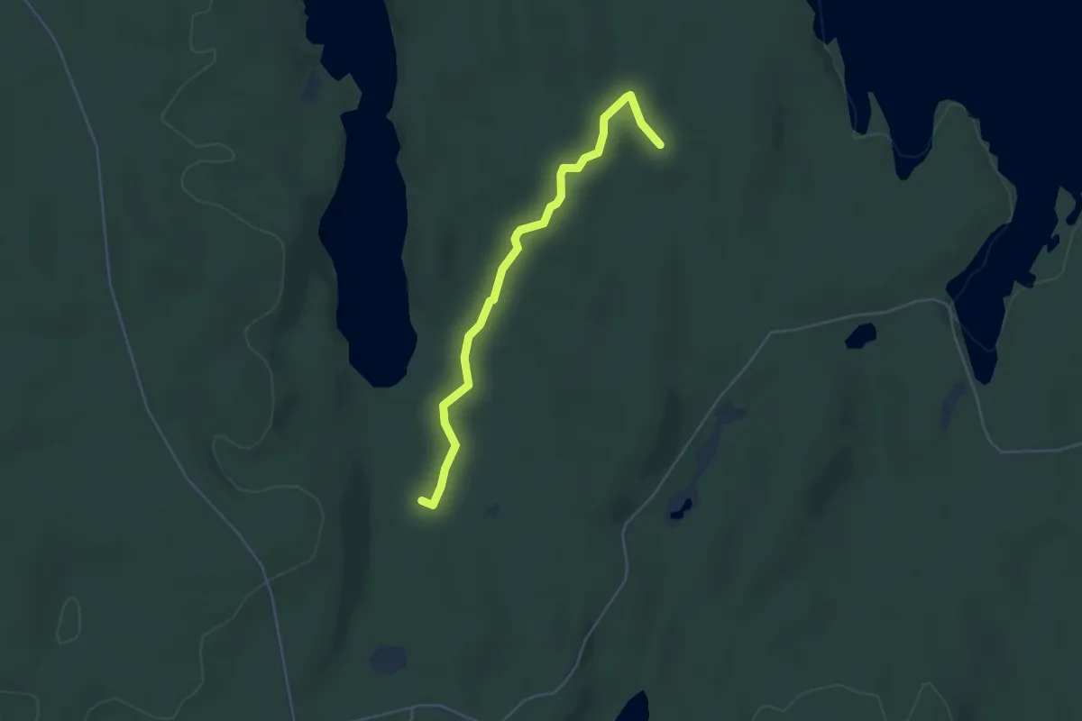
Easy · Trail
Svarterud - Komyren
3.5 km · ↑ 40 m · 55 min
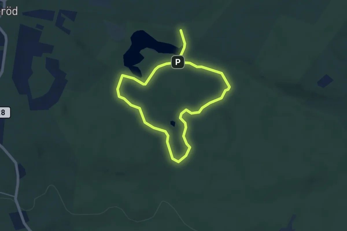
Easy · Cabin
Svartesjö
2.9 km · ↑ 31 m · 48 min
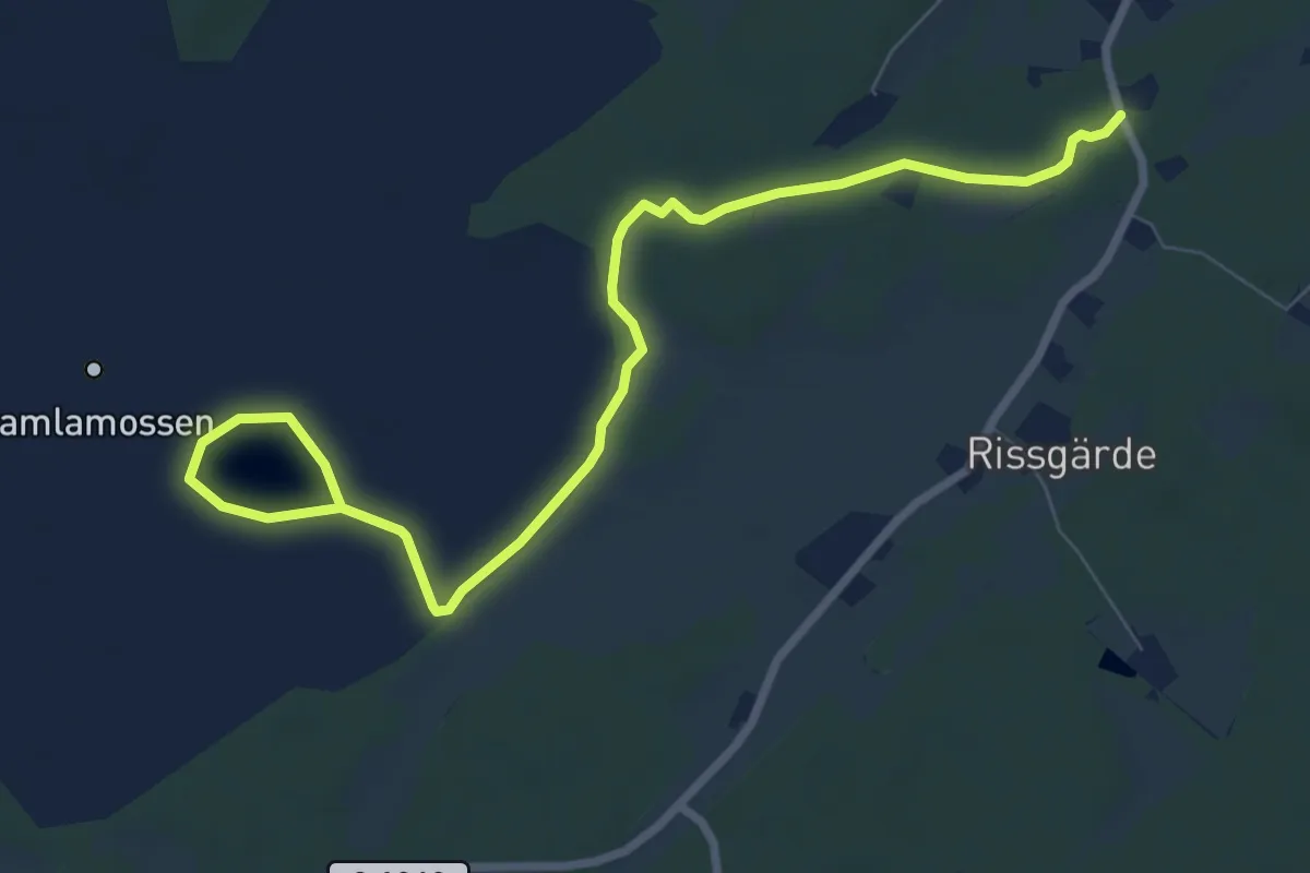
Easy · Trail
Svartesjöleden
7.4 km · ↑ 8 m · 1 h 46 min
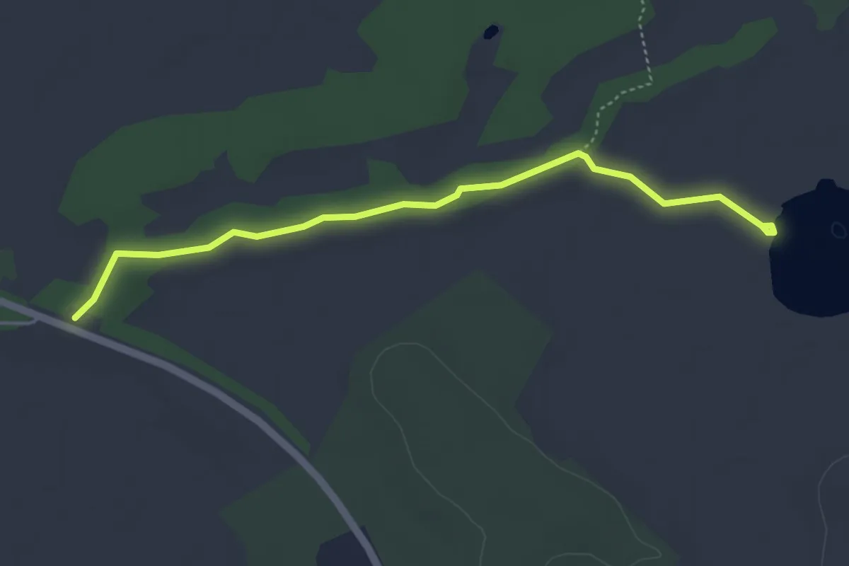
Easy · Trail
Svartgölsleden
3.6 km · ↑ 0 m · 51 min
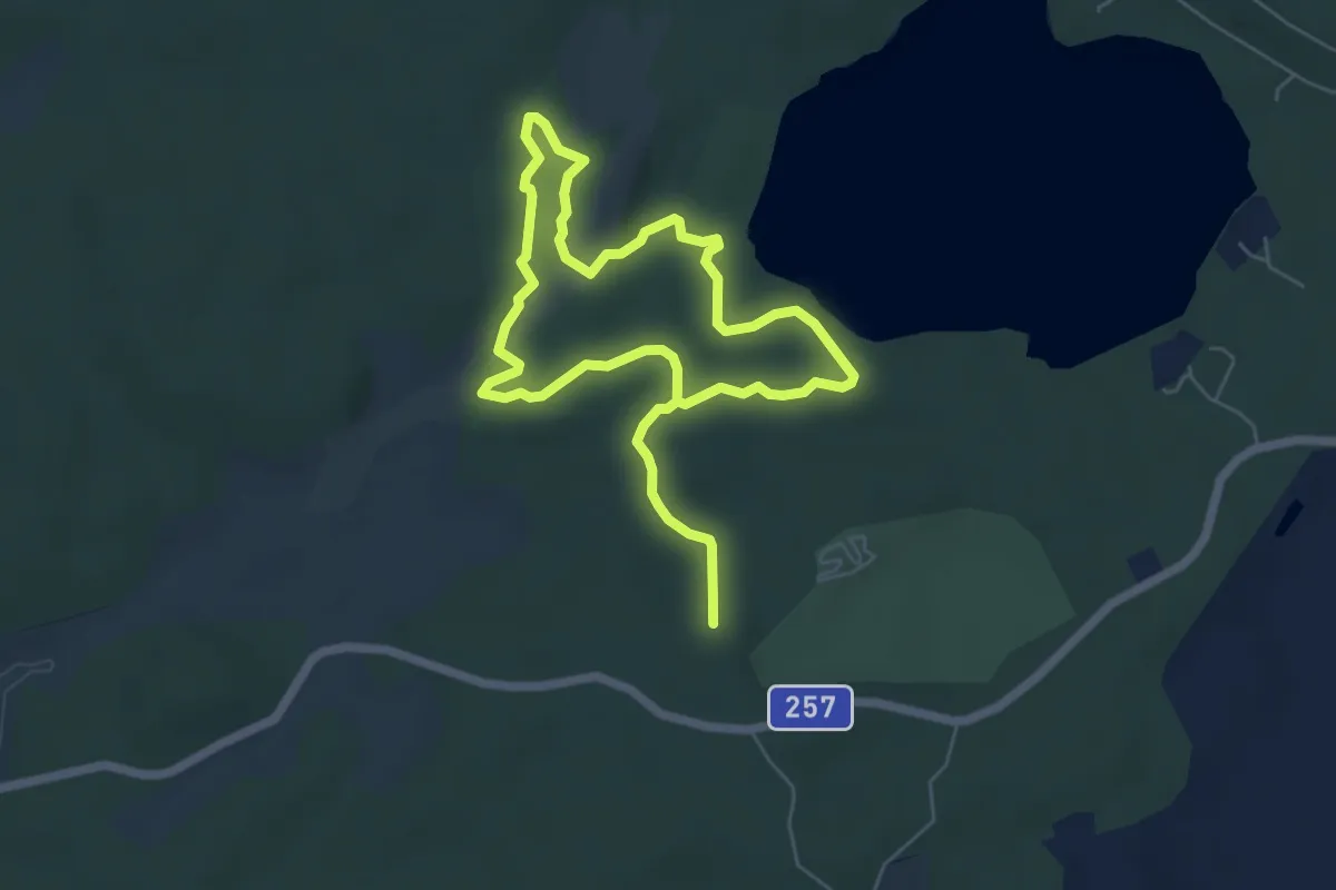
Easy · Trail
Svartkällsrundan
3.6 km · ↑ 25 m · 57 min
Easy · Trail
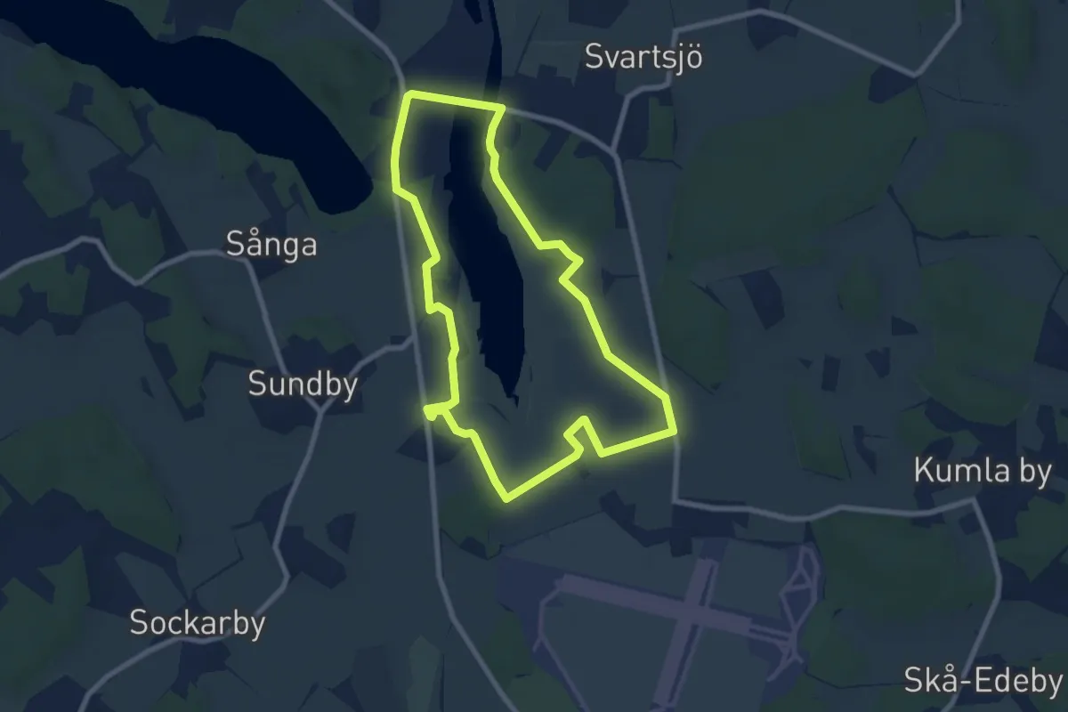
Svartsjöleden
5.5 km · ↑ 22 m · 1 h 25 min
Easy · Trail
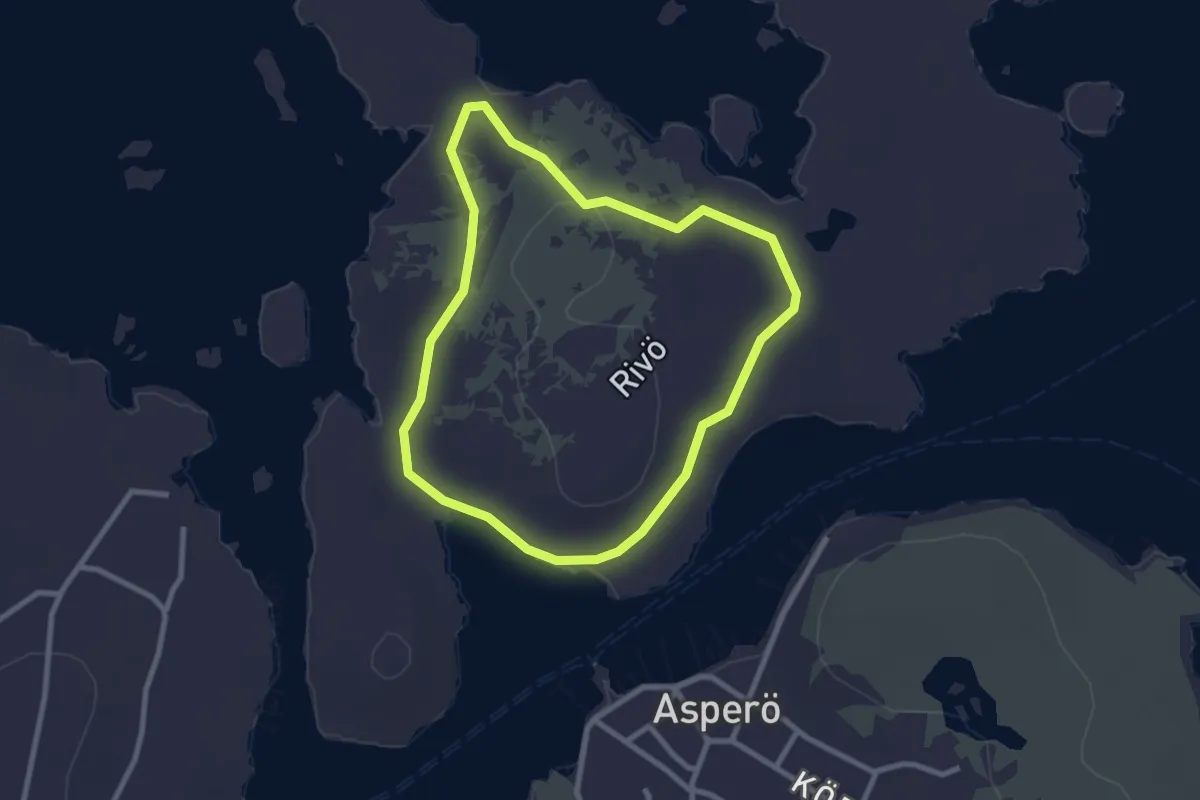
Svart slinga
1.9 km · ↑ 13 m · 30 min
Medium · Trail
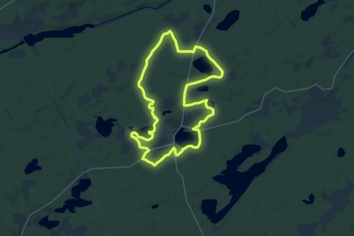
Svart slinga
13.3 km · ↑ 85 m · 3 h 30 min
Easy · Trail
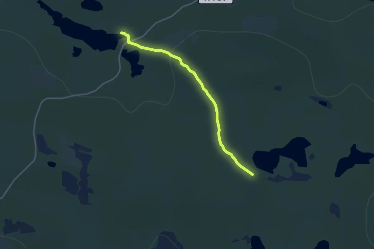
Svartvallsleden
7.2 km · ↑ 155 m · 2 h 2 min
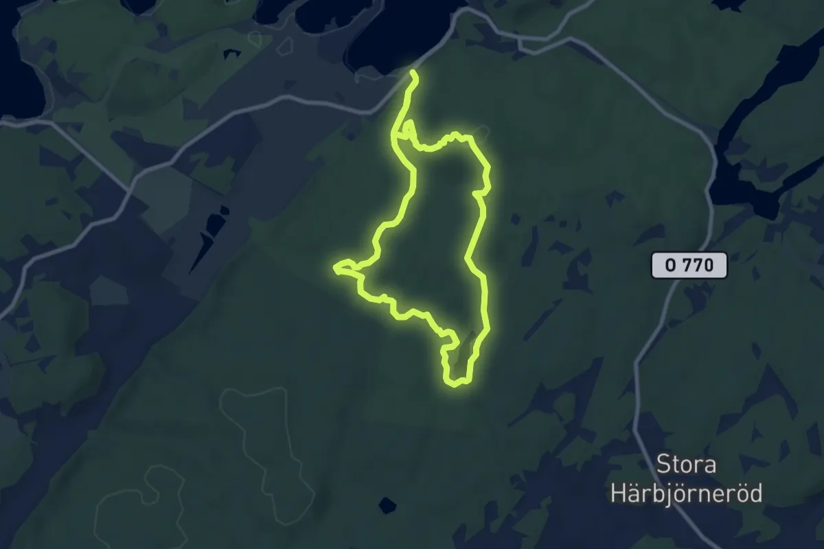
Easy · Trail
Svens Altare, Storehamn
6.0 km · ↑ 111 m · 1 h 44 min
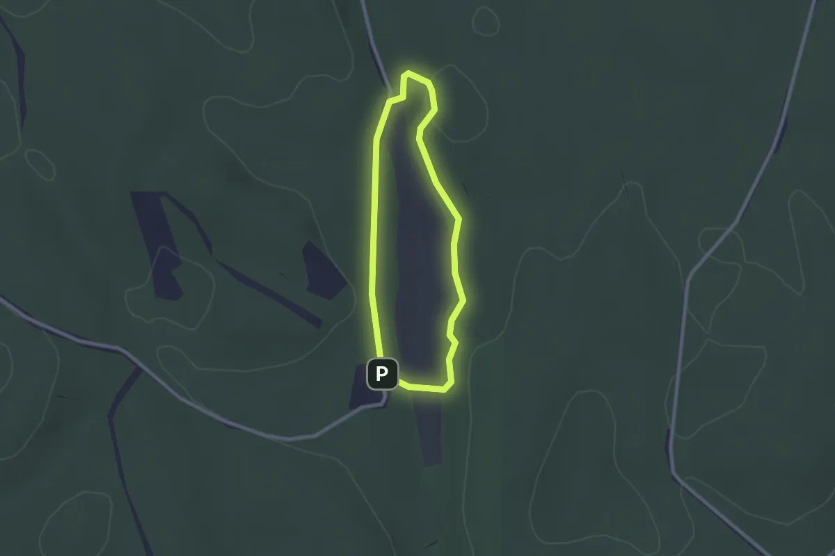
Easy · Cabin
Svensbokärret runt
1.5 km · ↑ 9 m · 24 min
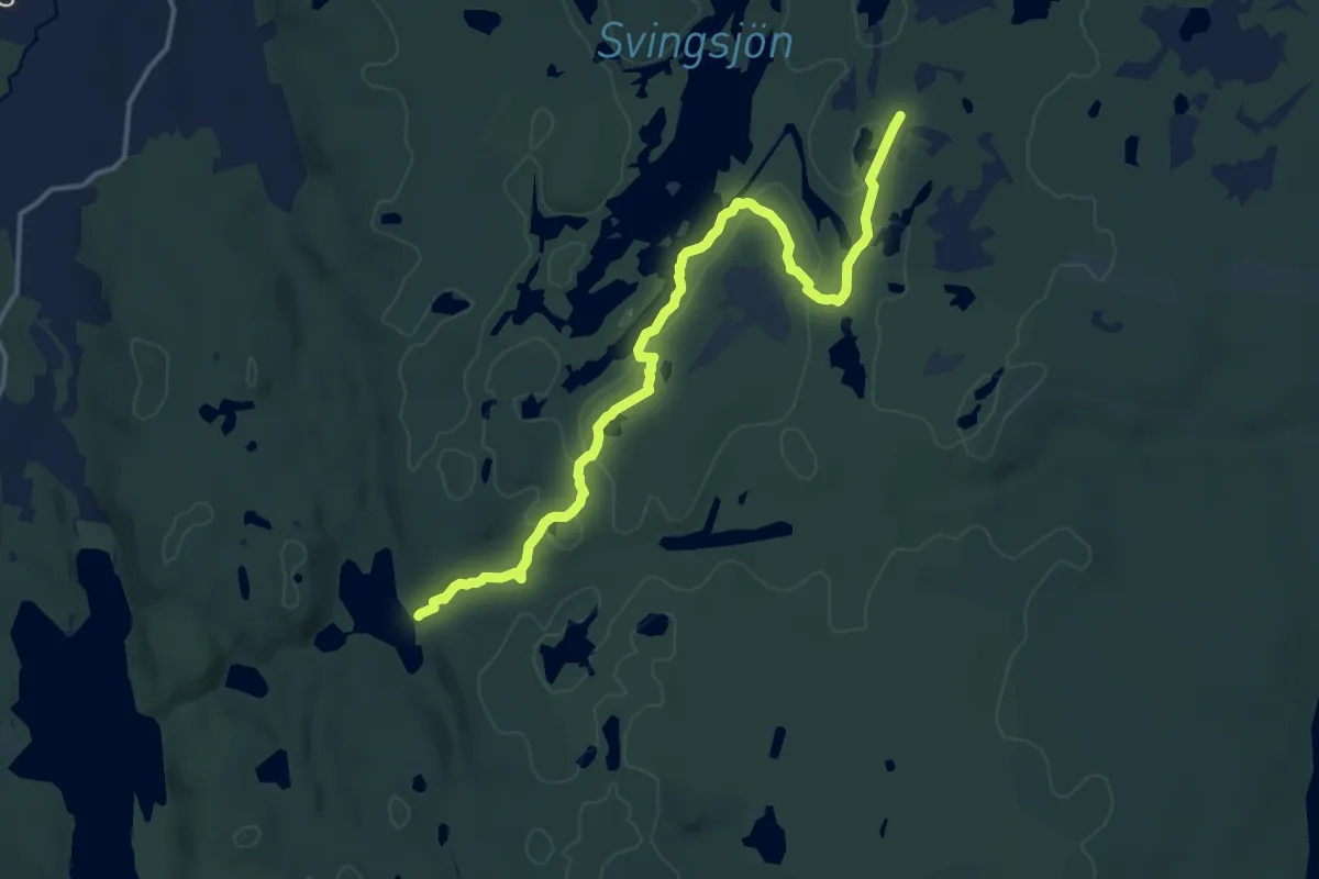
Medium · Trail
Svingsjöleden
11.8 km · ↑ 78 m · 2 h 57 min
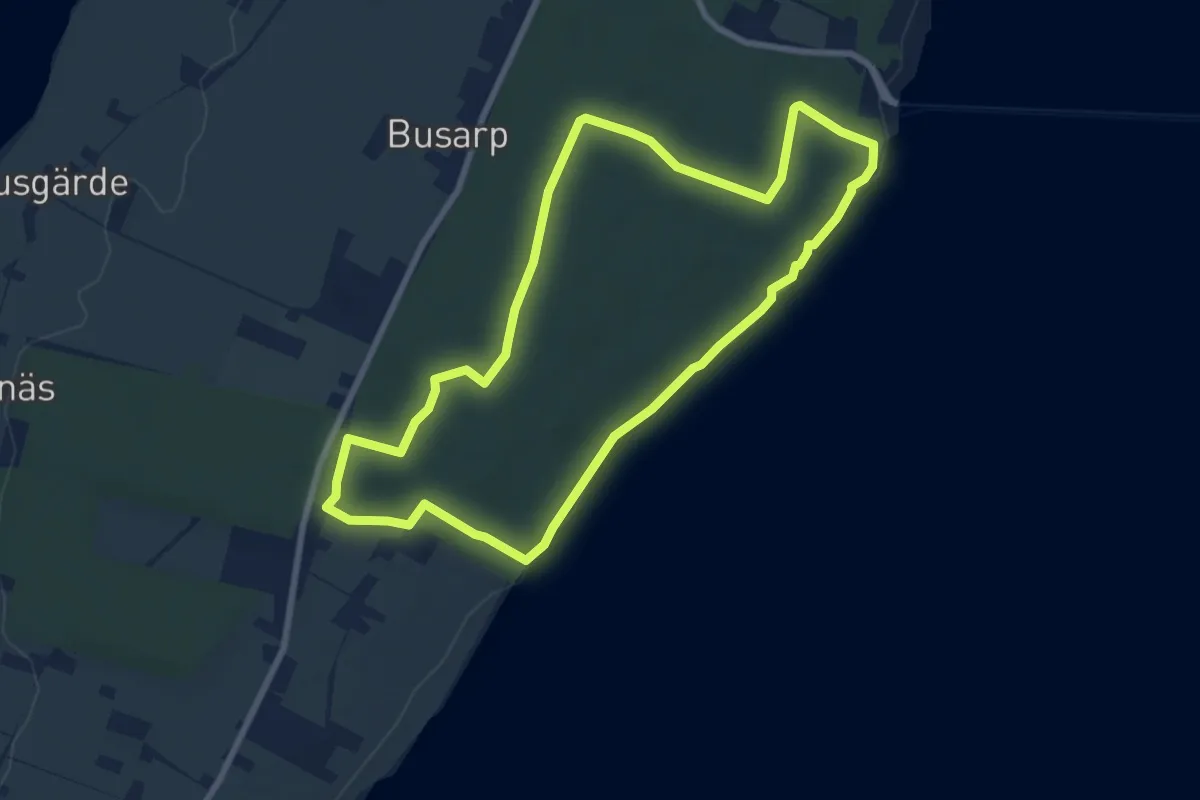
Easy · Trail
Sydslingan
6.2 km · ↑ 35 m · 1 h 37 min