Trails in Sweden
3,247 hiking trails, each with its route, climb, walking time and grade.
All trails, page 57 of 68
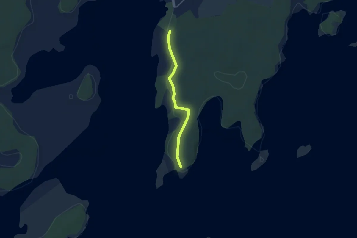
Easy · Trail
Sydspetsen
2.3 km · ↑ 0 m · 32 min
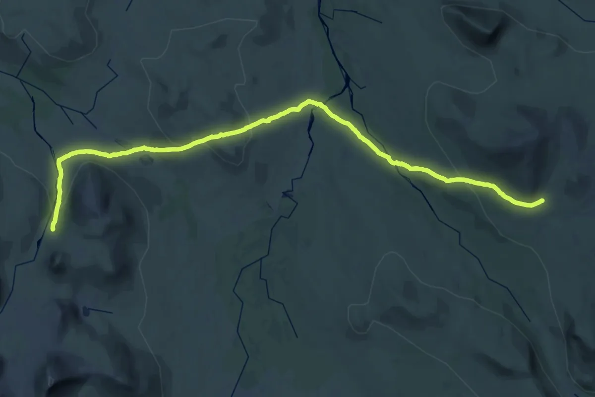
Medium · Cabin
Sylarna - Gåsen sommarled
17.1 km · ↑ 364 m · 5 h 6 min
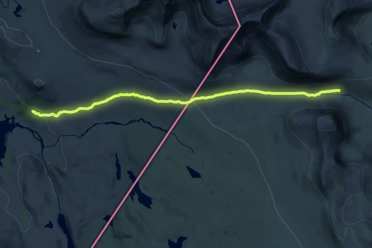
Demanding · Cabin
Sylarna - Nedalshytta Sommarled
18.3 km · ↑ 352 m · 5 h 6 min
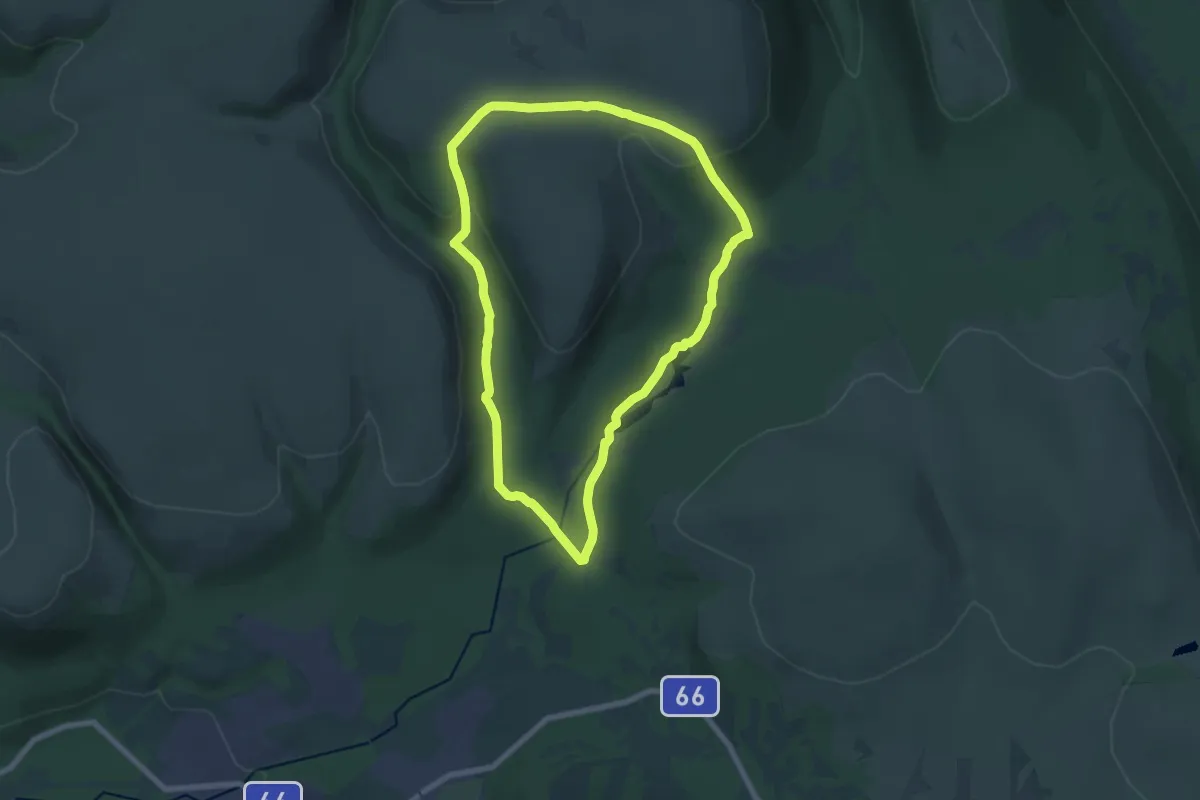
Medium · Cabin
Syndalsturen
11.2 km · ↑ 278 m · 3 h 24 min
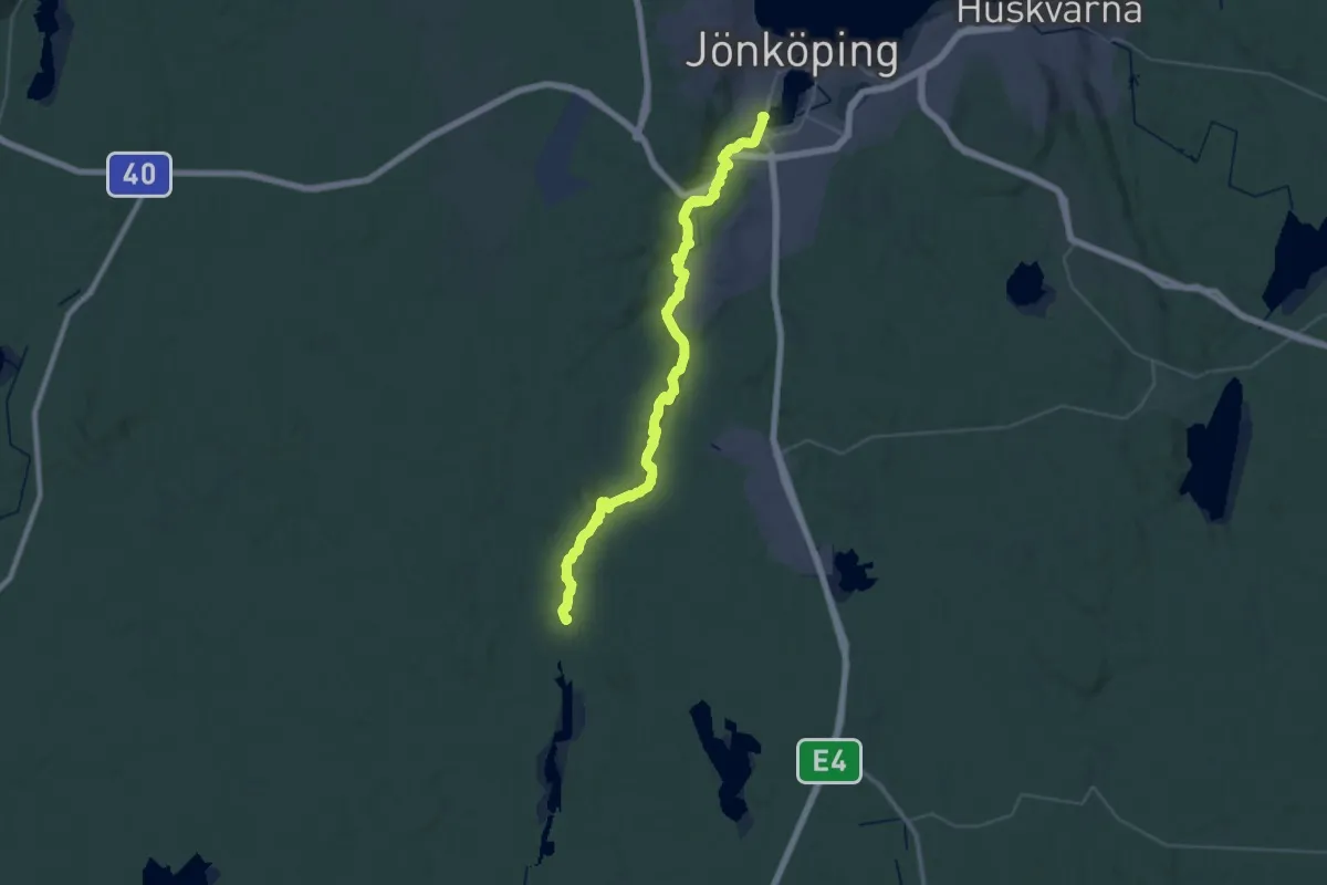
Medium · Trail
Tabergs-å-leden
17.5 km · ↑ 203 m · 4 h 53 min
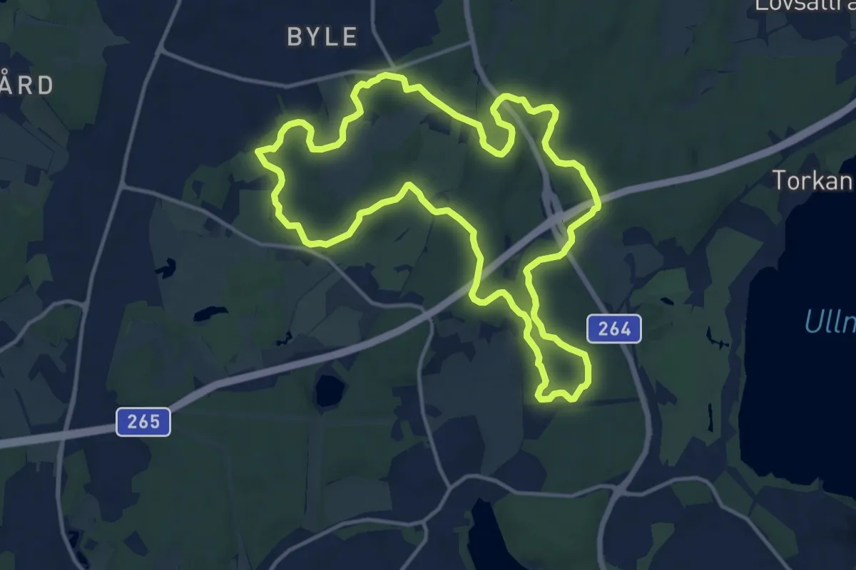
Medium · Trail
Täby IP milen 10km grön
10.0 km · ↑ 134 m · 2 h 48 min
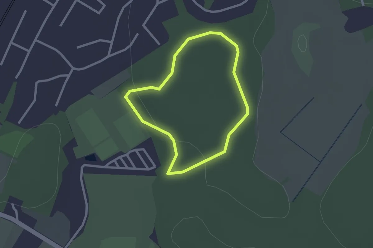
Easy · Trail
Täby IP milen 1.25km blå
1.4 km · ↑ 22 m · 23 min
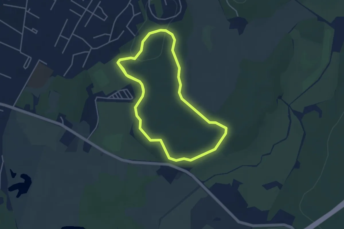
Easy · Trail
Täby IP milen 2.5km röd
5.6 km · ↑ 69 m · 1 h 28 min
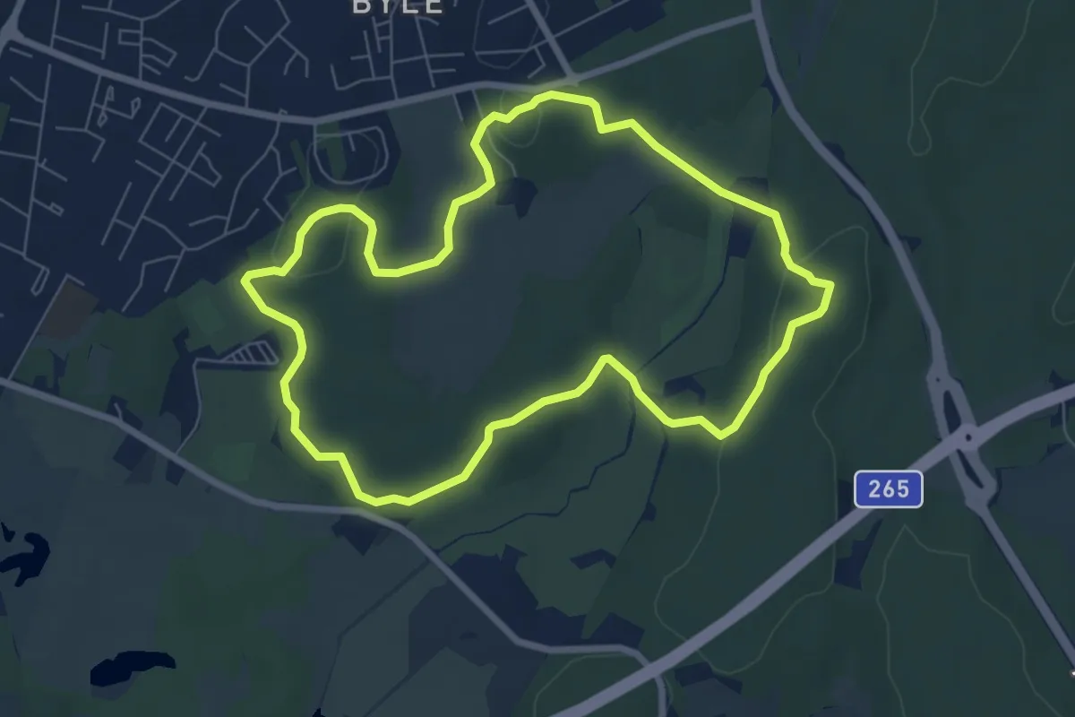
Easy · Trail
Täby IP milen 5km gul
5.1 km · ↑ 77 m · 1 h 27 min
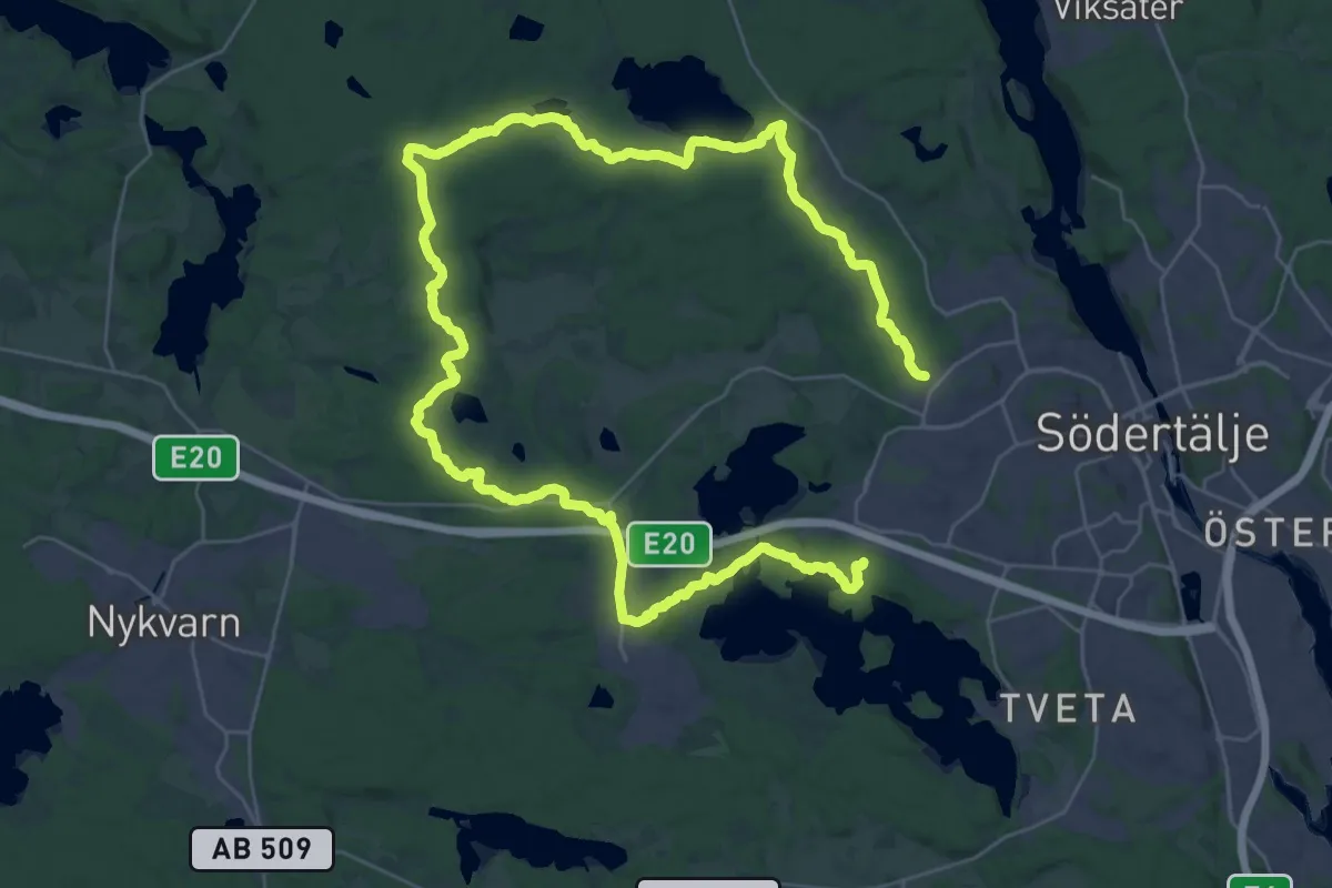
Demanding · Trail
Täljeleden
20.7 km · ↑ 180 m · 5 h 34 min
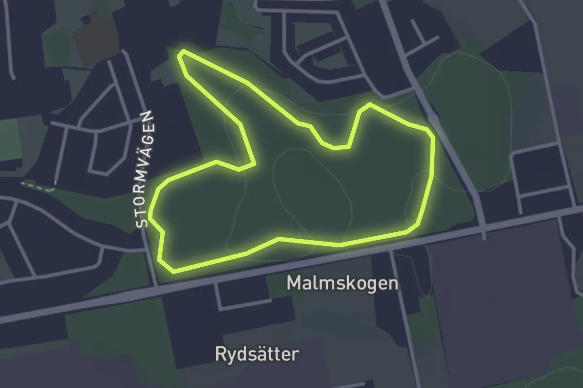
Easy · Trail
Tallboda elljusspår
2.1 km · ↑ 23 m · 35 min
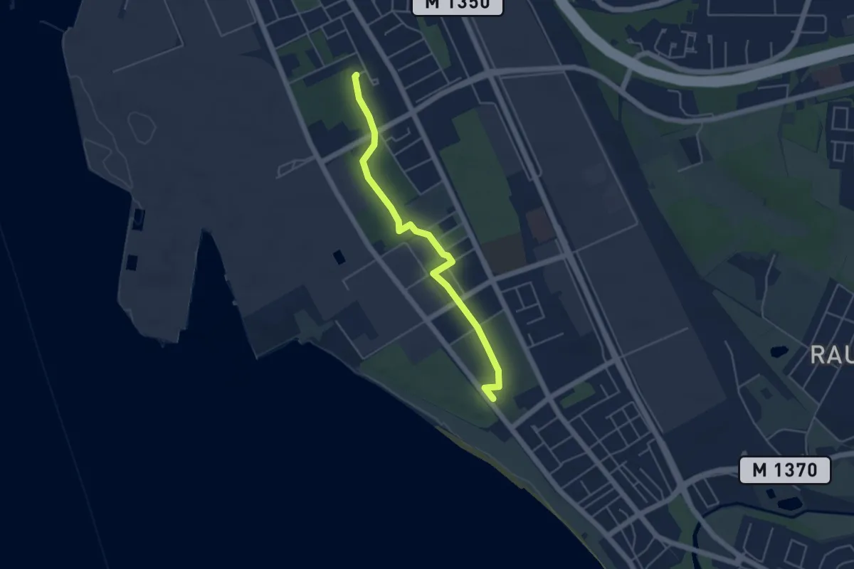
Easy · Trail
Tallskogsleden
3.7 km · ↑ 4 m · 53 min
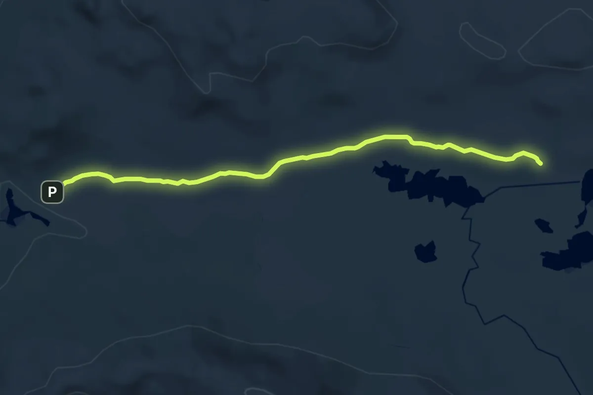
Medium · Trail
Tängen - Sielken
12.0 km · ↑ 101 m · 3 h 3 min
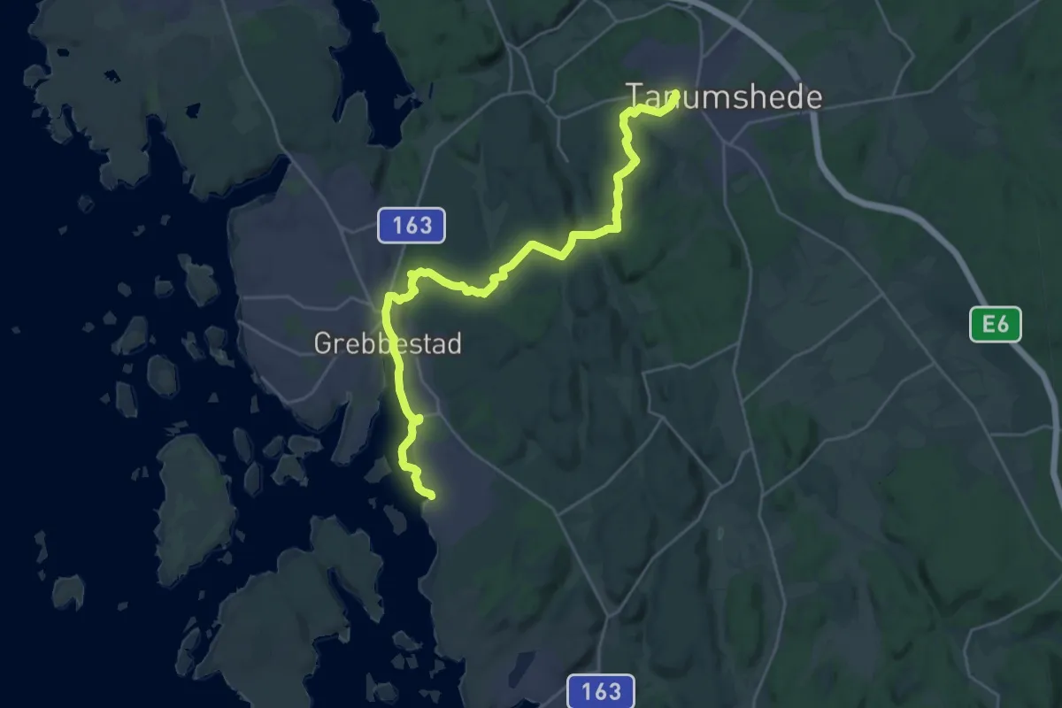
Demanding · Trail
Tanumstrand-Tanumshede
20.4 km · ↑ 217 m · 5 h 18 min
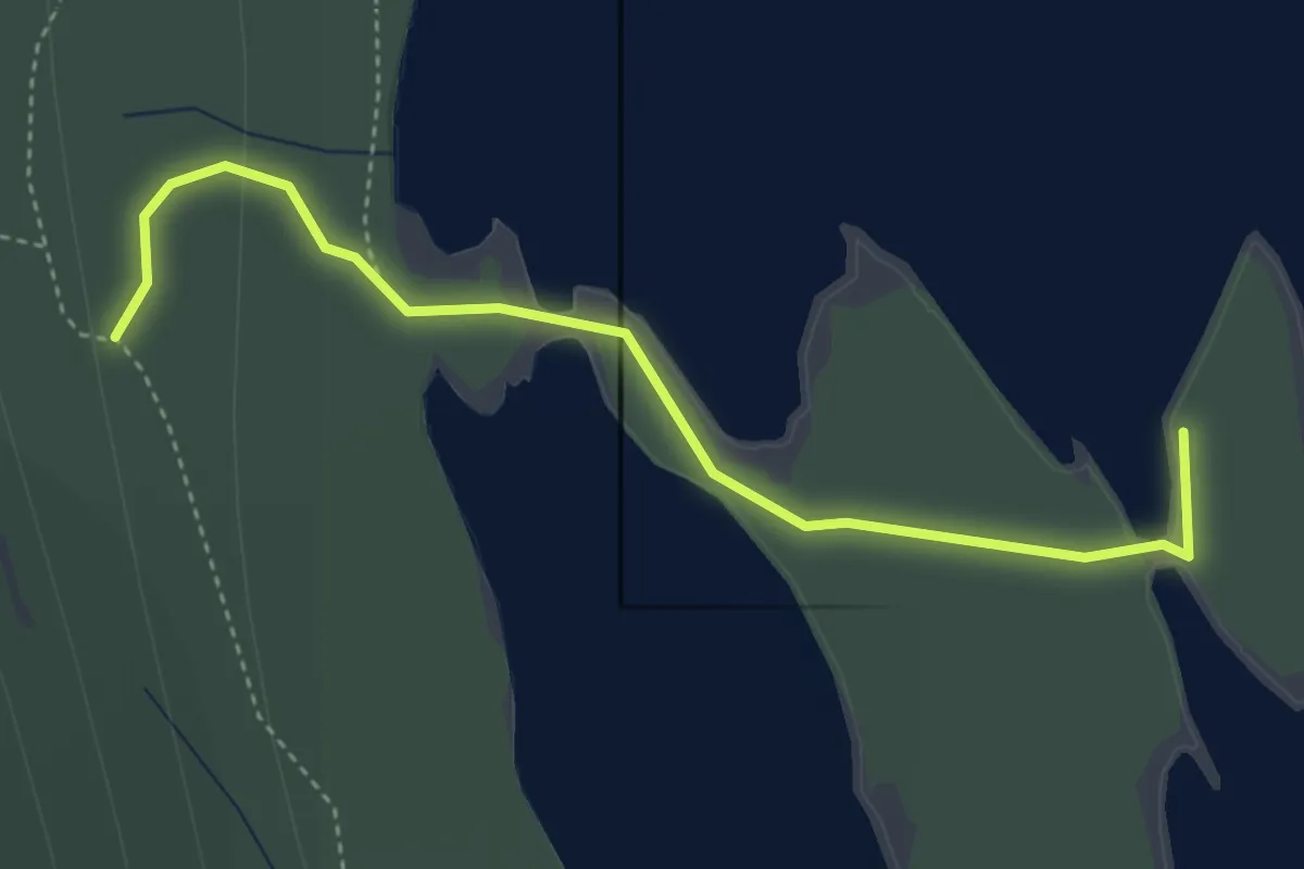
Easy · Trail
Tärnättholmarna
2.7 km · ↑ 99 m · 52 min
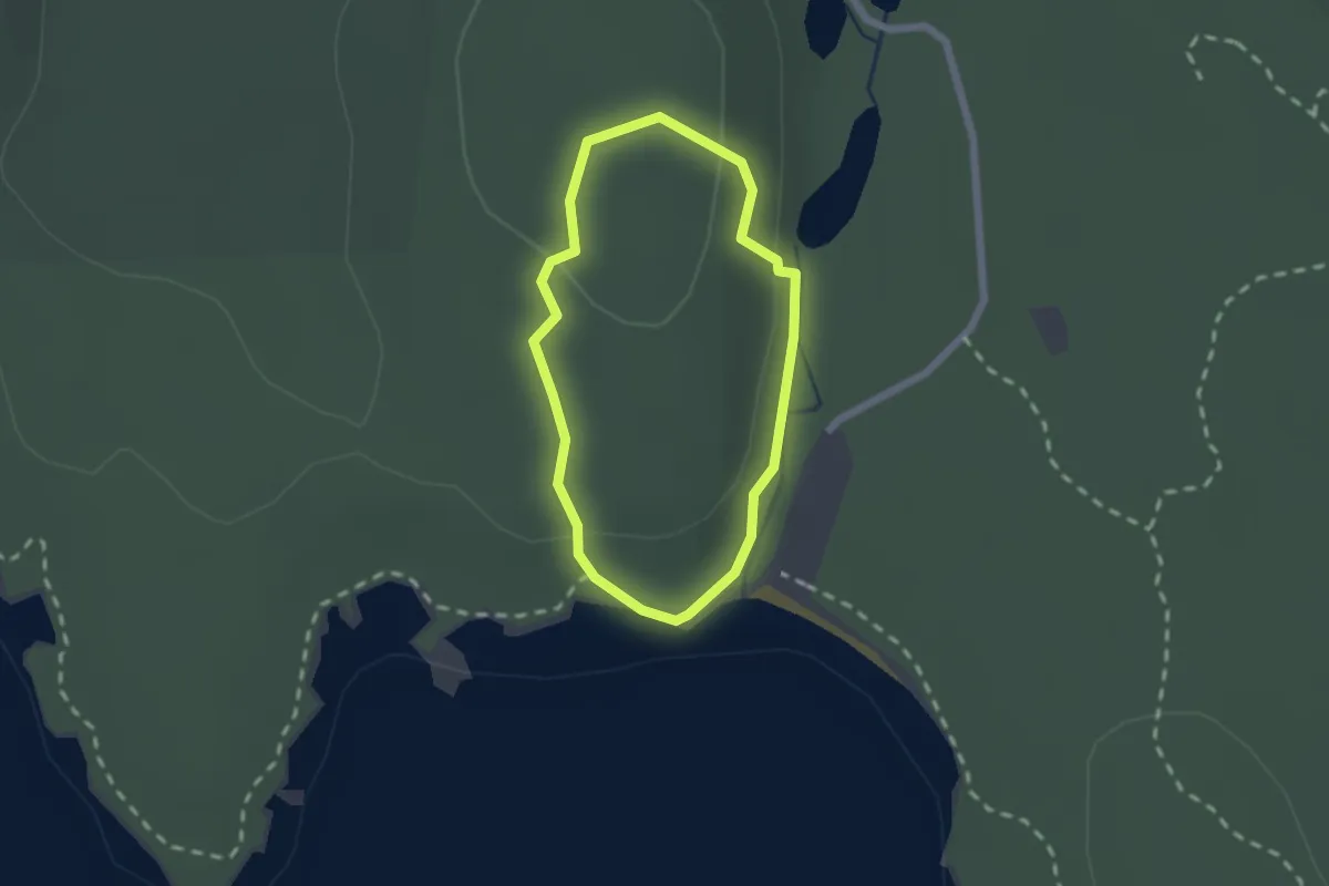
Easy · Trail
Tärnekullerundan
1.2 km · ↑ 45 m · 24 min
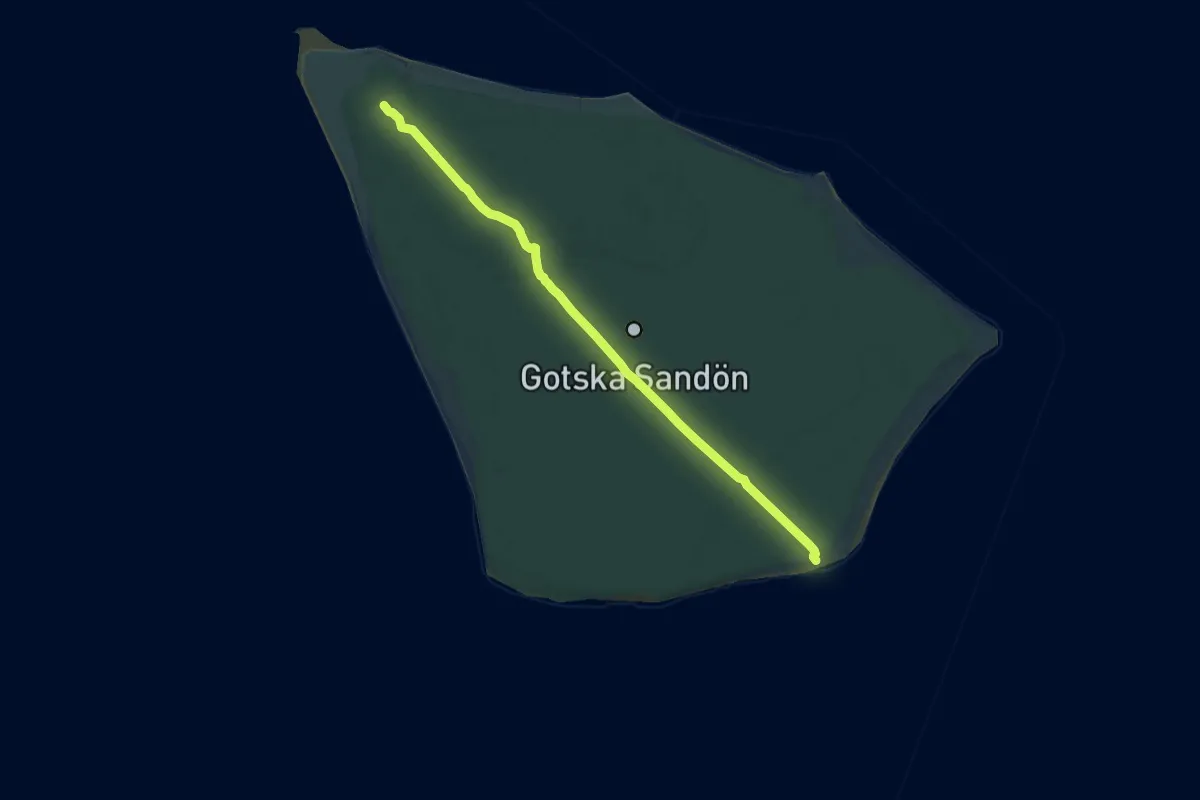
Medium · Trail
Tärnudden
16.1 km · ↑ 48 m · 3 h 54 min
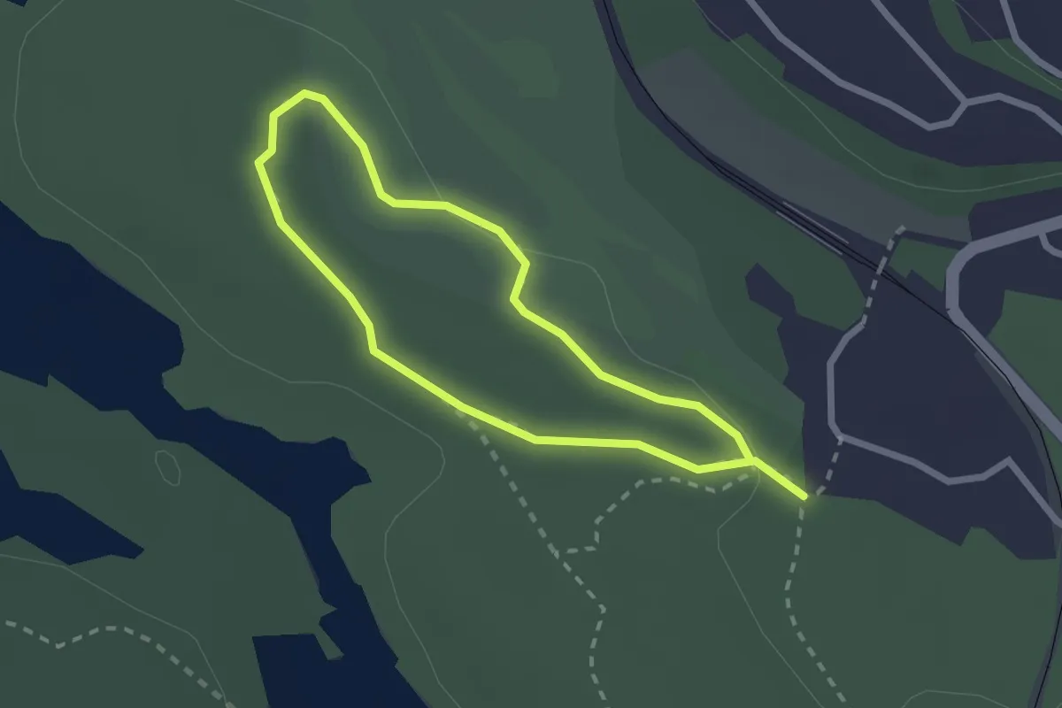
Easy · Trail
Tattbymotionsspår 1,3km
1.4 km · ↑ 9 m · 23 min
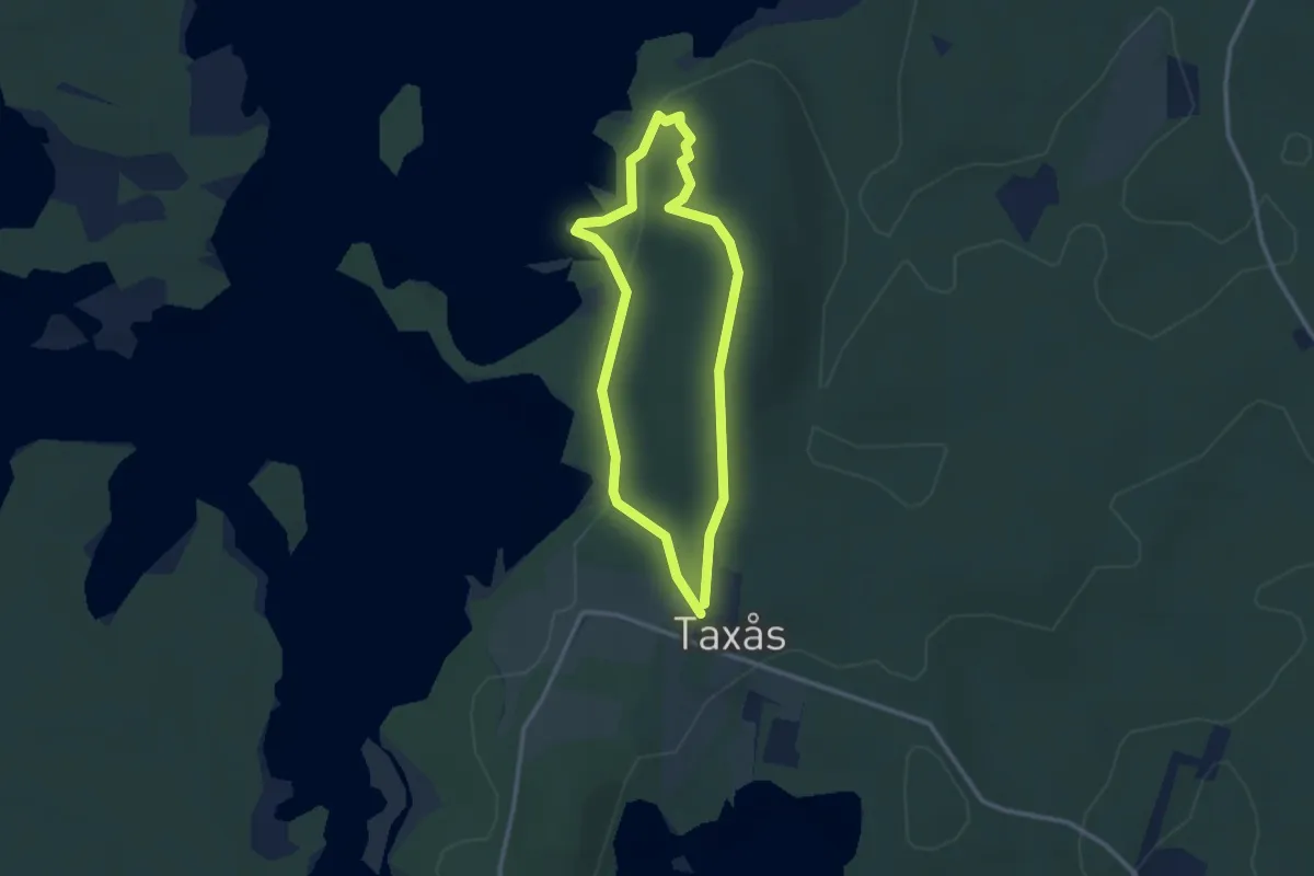
Easy · Trail
Taxås Nature Reserve Blue
2.0 km · ↑ 46 m · 36 min
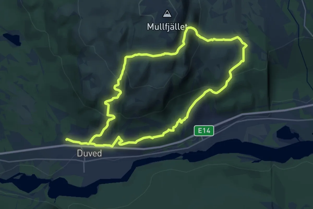
Medium · Trail
Tegefjället runt
12.2 km · ↑ 560 m · 4 h 16 min
Easy · Trail
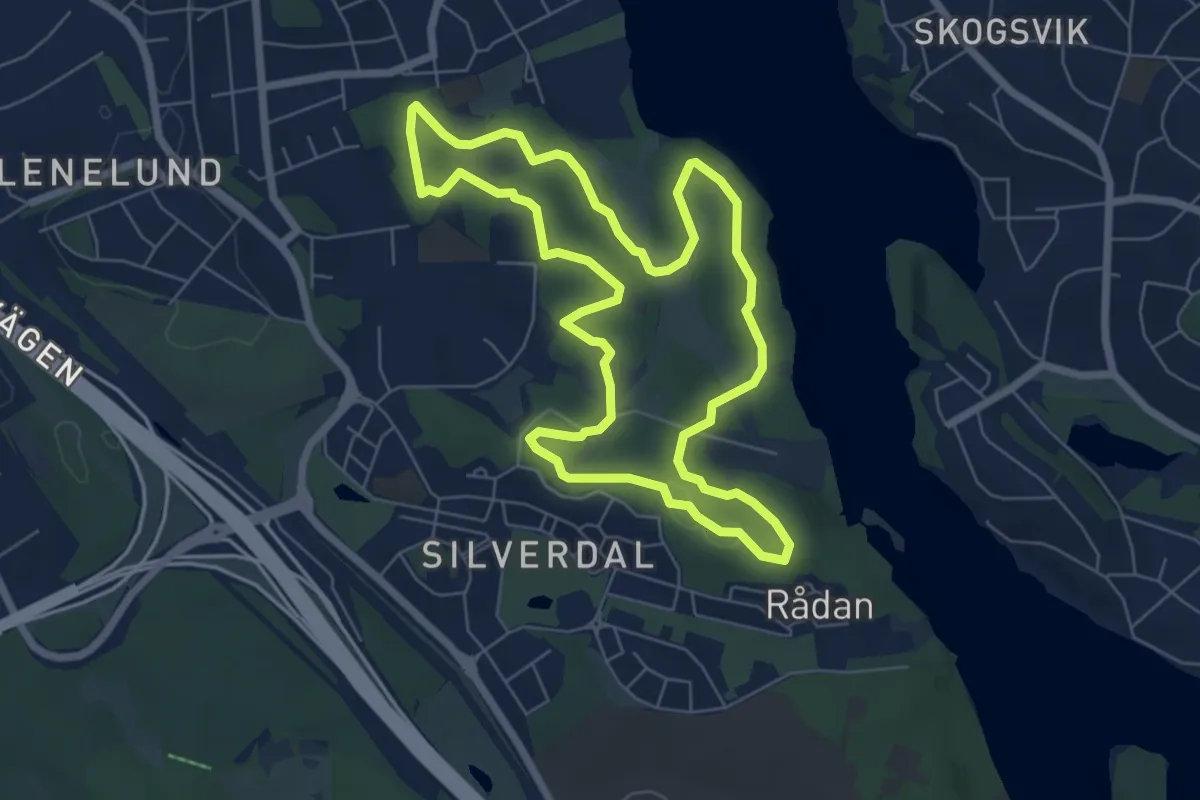
Tegelhagsskogen runt
4.9 km · ↑ 36 m · 1 h 18 min
Demanding · Summit
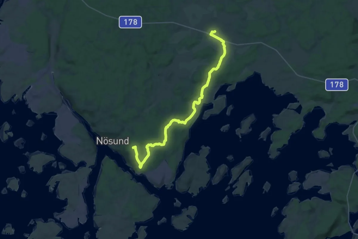
Tegneby kyrka – Nösunds kapell
21.9 km · ↑ 309 m · 5 h 51 min
Easy · Summit
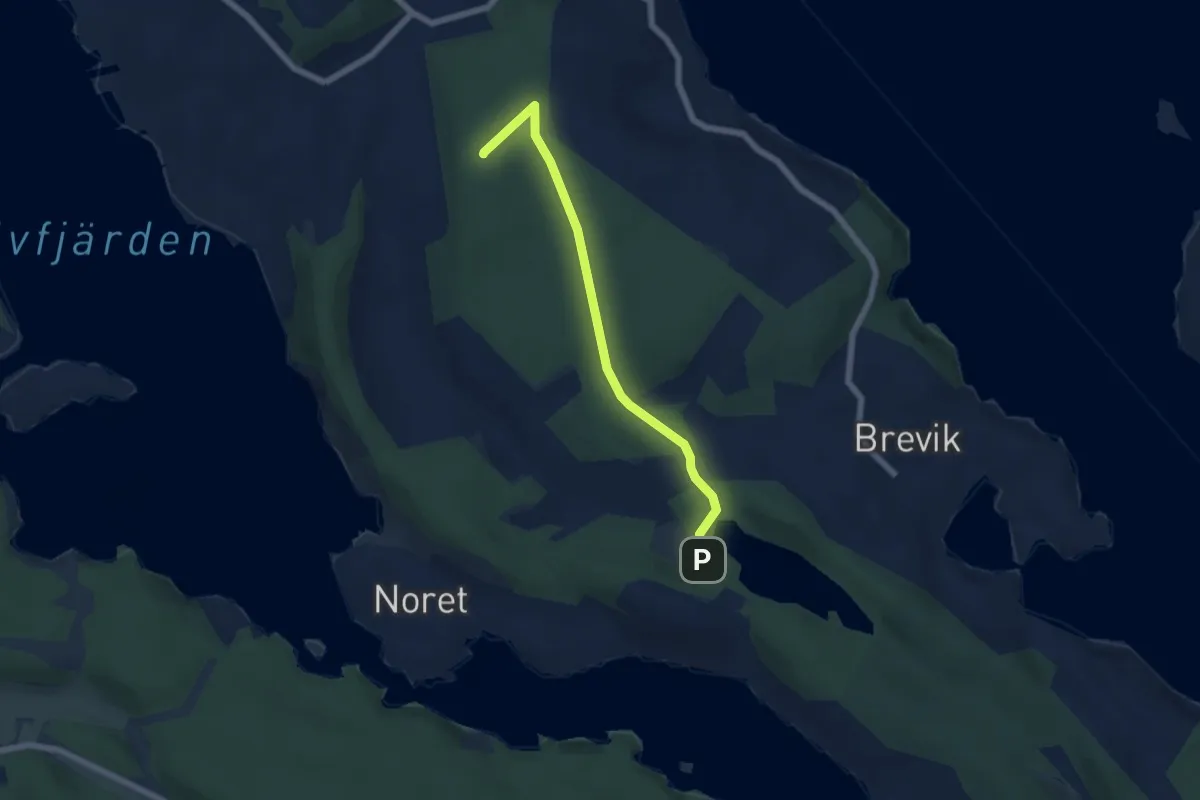
Telegrafberget nature reserve blå
4.3 km · ↑ 47 m · 1 h 7 min
Easy · Trail
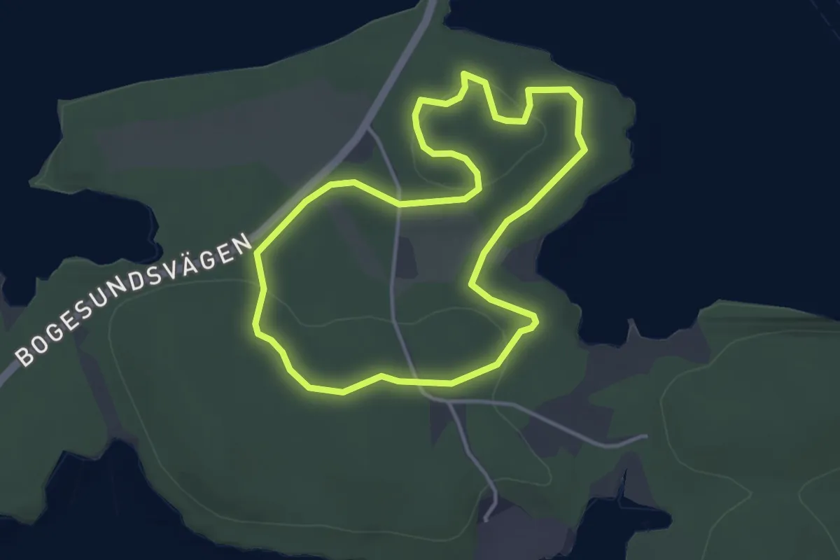
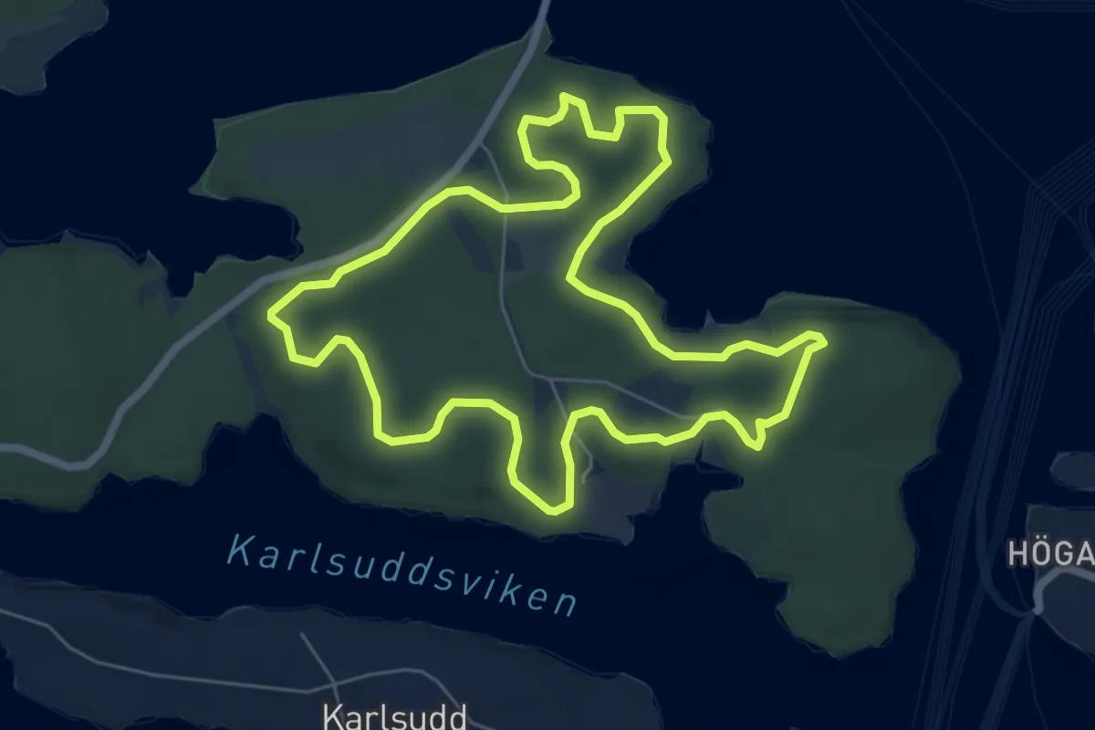
Tenö 2.5 km
2.6 km · ↑ 33 m · 43 min
Easy · Trail
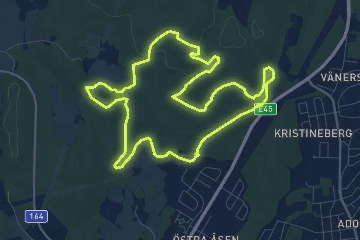
Tenö 5 km
4.8 km · ↑ 55 m · 1 h 19 min
Easy · Trail
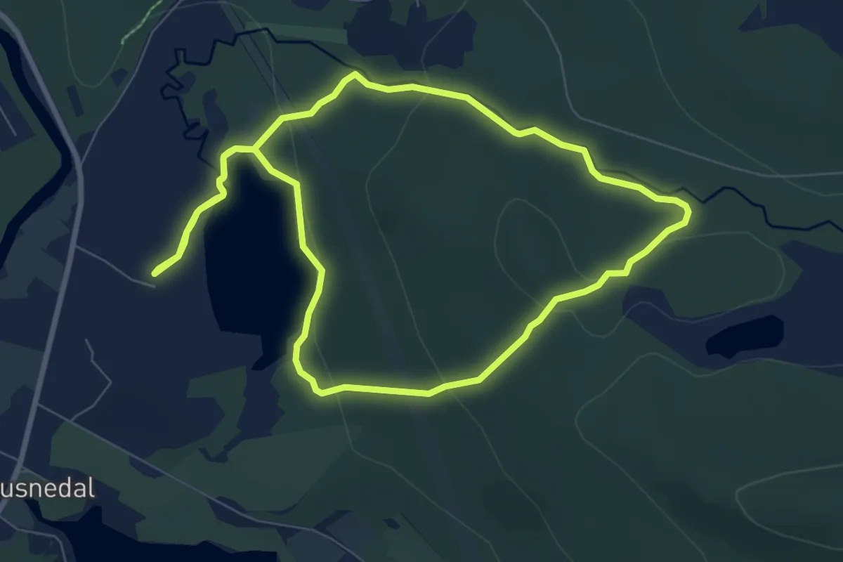
Terrängspåret 7K
6.9 km · ↑ 63 m · 1 h 51 min
Easy · Trail
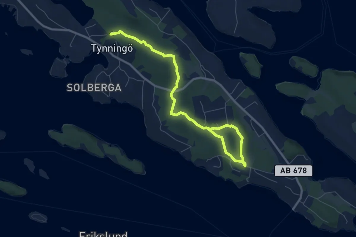
Tevsjön
5.2 km · ↑ 118 m · 1 h 33 min
Easy · Trail
TGEF led
6.0 km · ↑ 36 m · 1 h 30 min
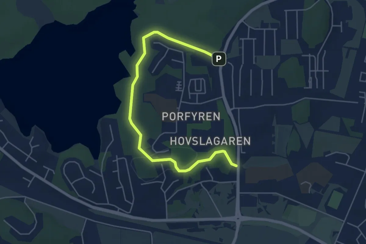
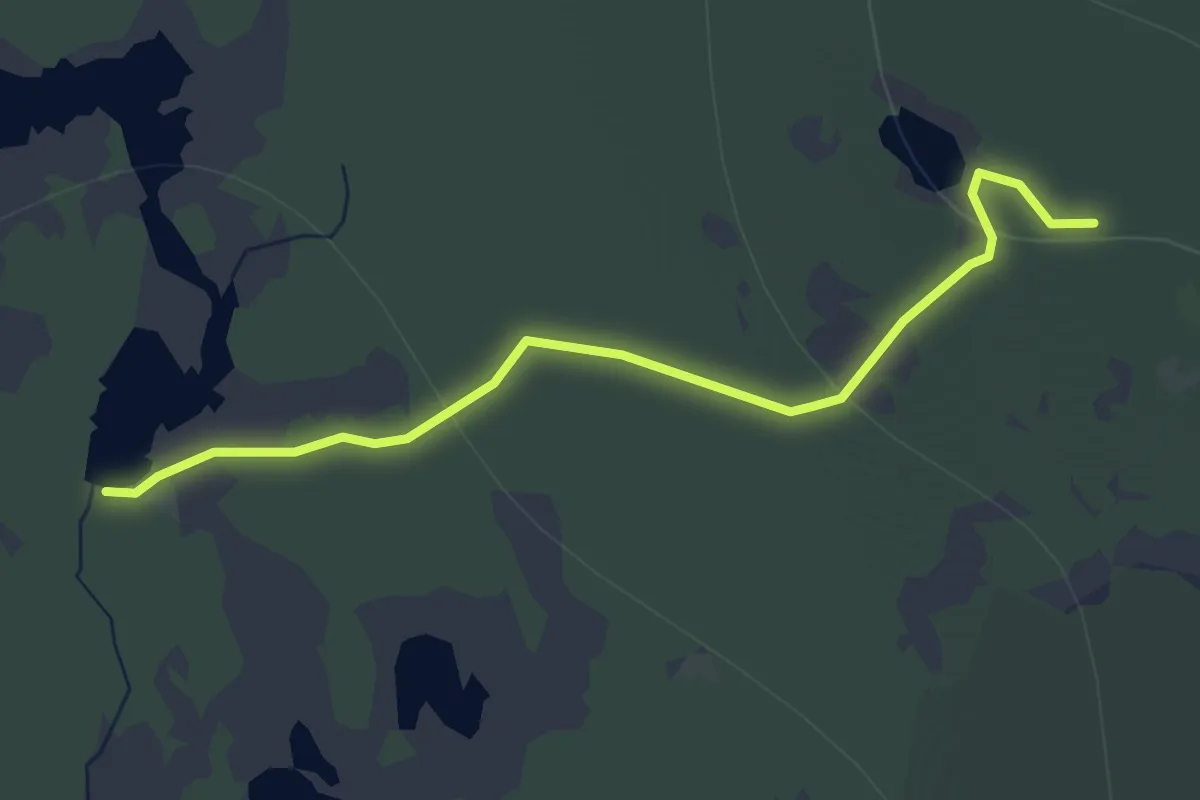
Easy · Trail
Tibble Elljusspår 1.9 km
4.1 km · ↑ 47 m · 1 h 4 min
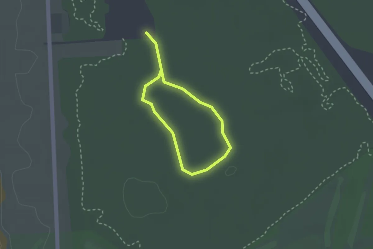
Easy · Trail
Till Digerbergslingan -- Till Trubbingslingan
3.3 km · ↑ 50 m · 53 min
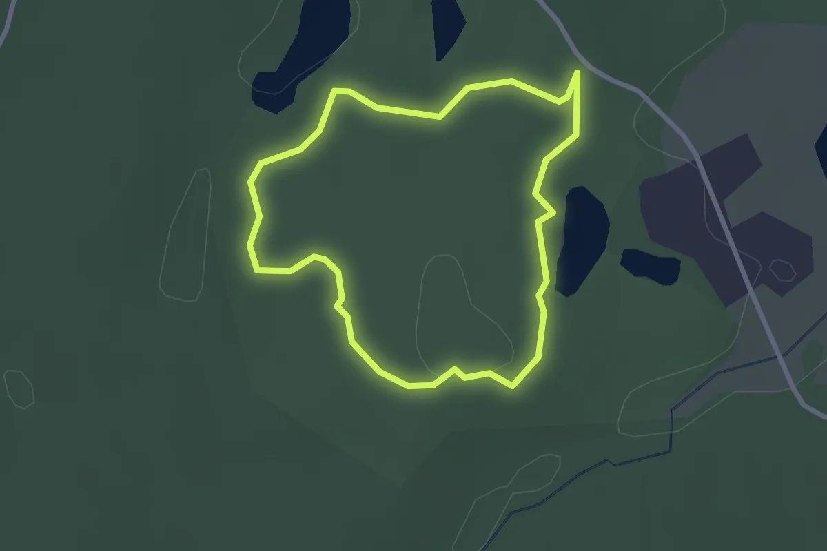
Easy · Trail
Tillgänglig stig
1.3 km · ↑ 8 m · 20 min
Easy · Trail
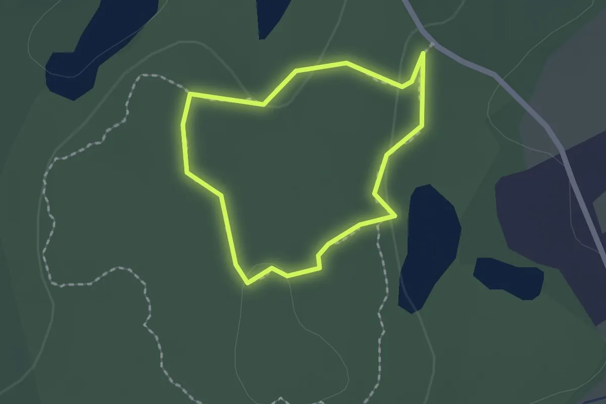
Timmermon Blå
1.8 km · ↑ 10 m · 28 min
Easy · Trail
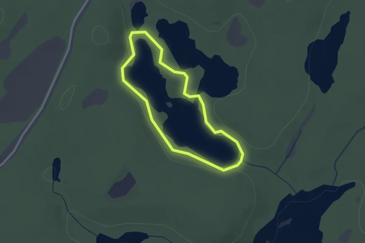
Timmerrmn Röd
1.1 km · ↑ 8 m · 17 min
Easy · Trail
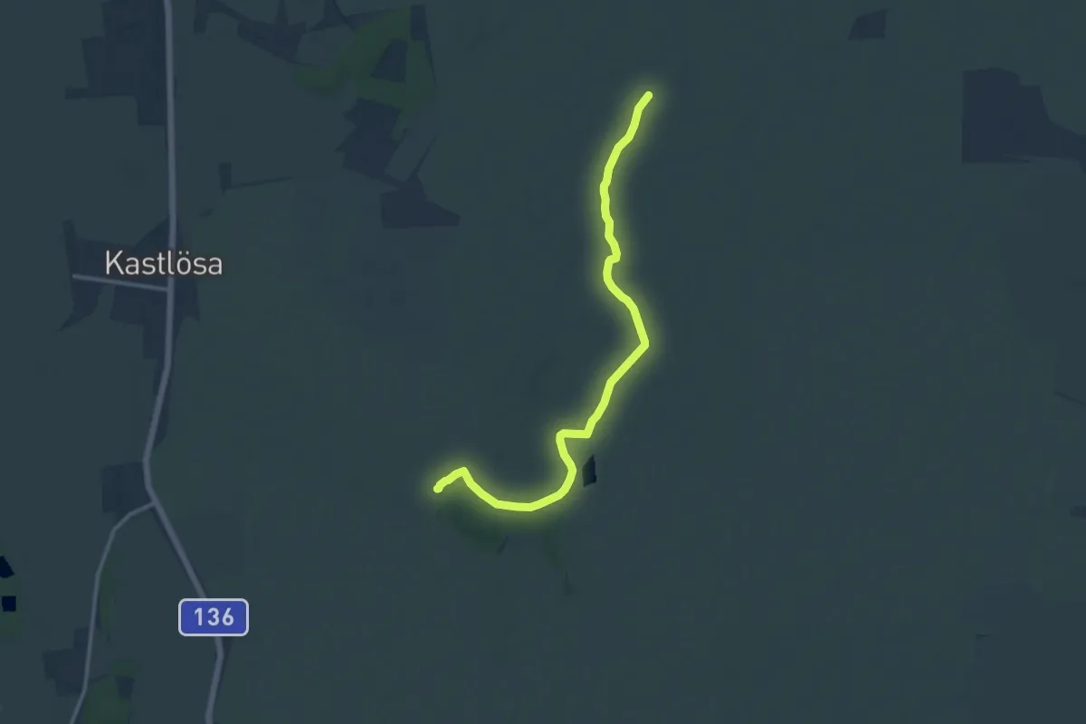
Timmervatten Röd
1.5 km · ↑ 4 m · 23 min
Medium · Trail
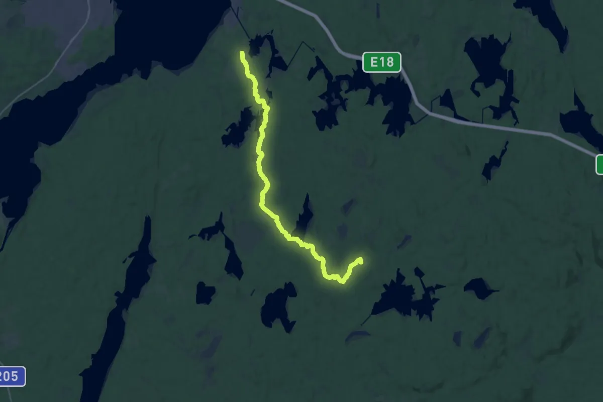
Tingstad flisor – Penåsa parkering
10.3 km · ↑ 17 m · 2 h 29 min
Demanding · Cabin
Tio sjöars led
21.9 km · ↑ 222 m · 5 h 39 min
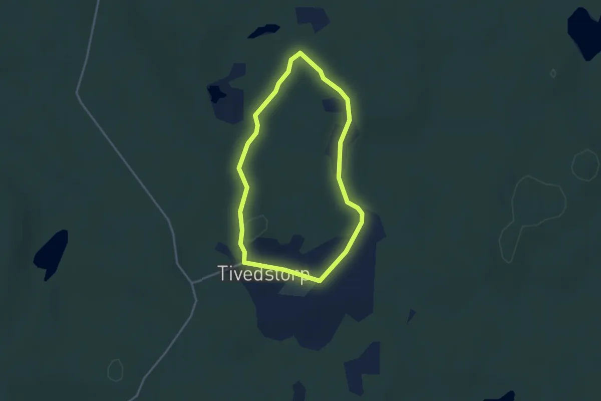
Easy · Trail
Tivedstorps skogspromenad 2,5 km
2.1 km · ↑ 15 m · 33 min
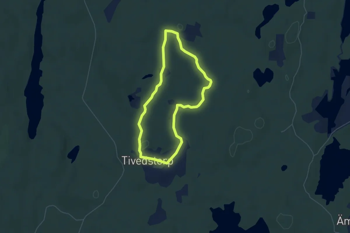
Easy · Trail
Tivedstorps skogspromenad 5 km
3.6 km · ↑ 21 m · 57 min
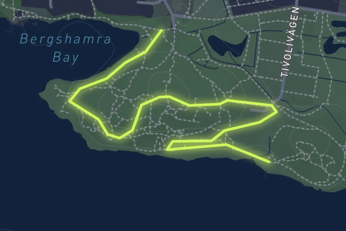
Easy · Trail
Tivolipromenaden
2.8 km · ↑ 50 m · 47 min
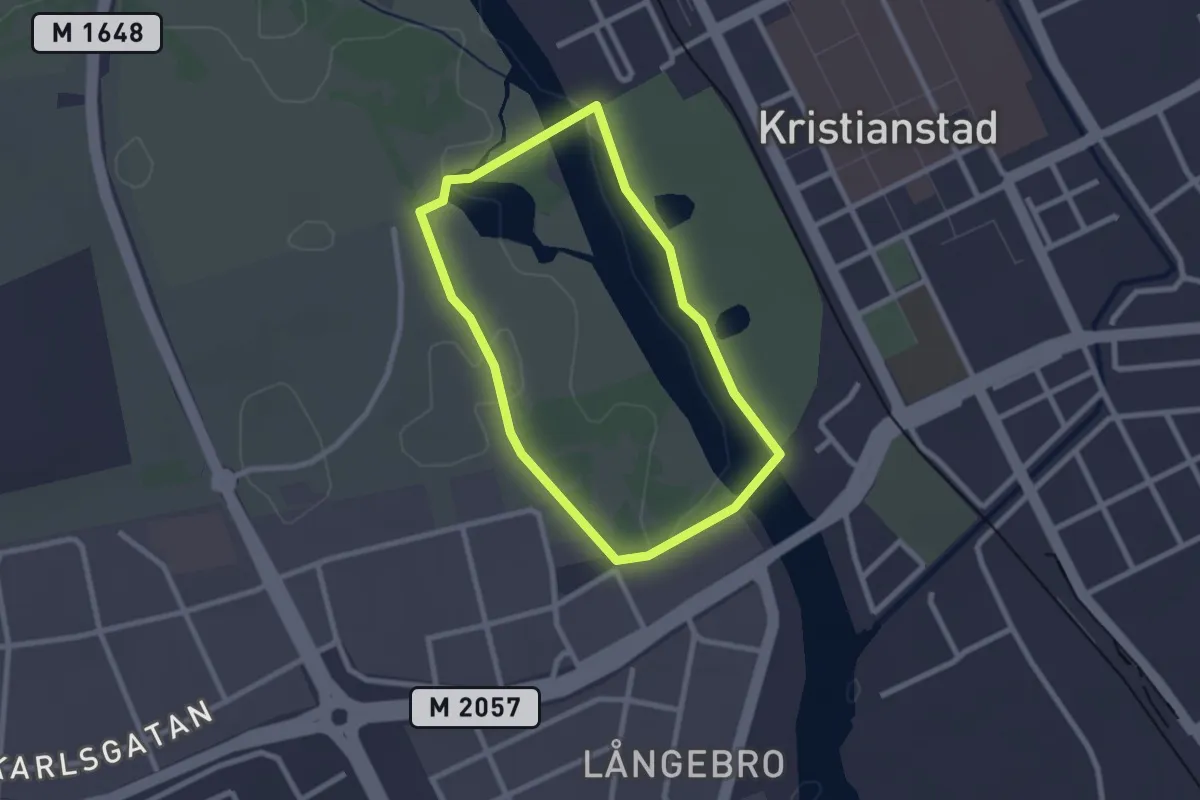
Easy · Trail
Tivolirundan
1.8 km · ↑ 0 m · 26 min
Easy · Trail
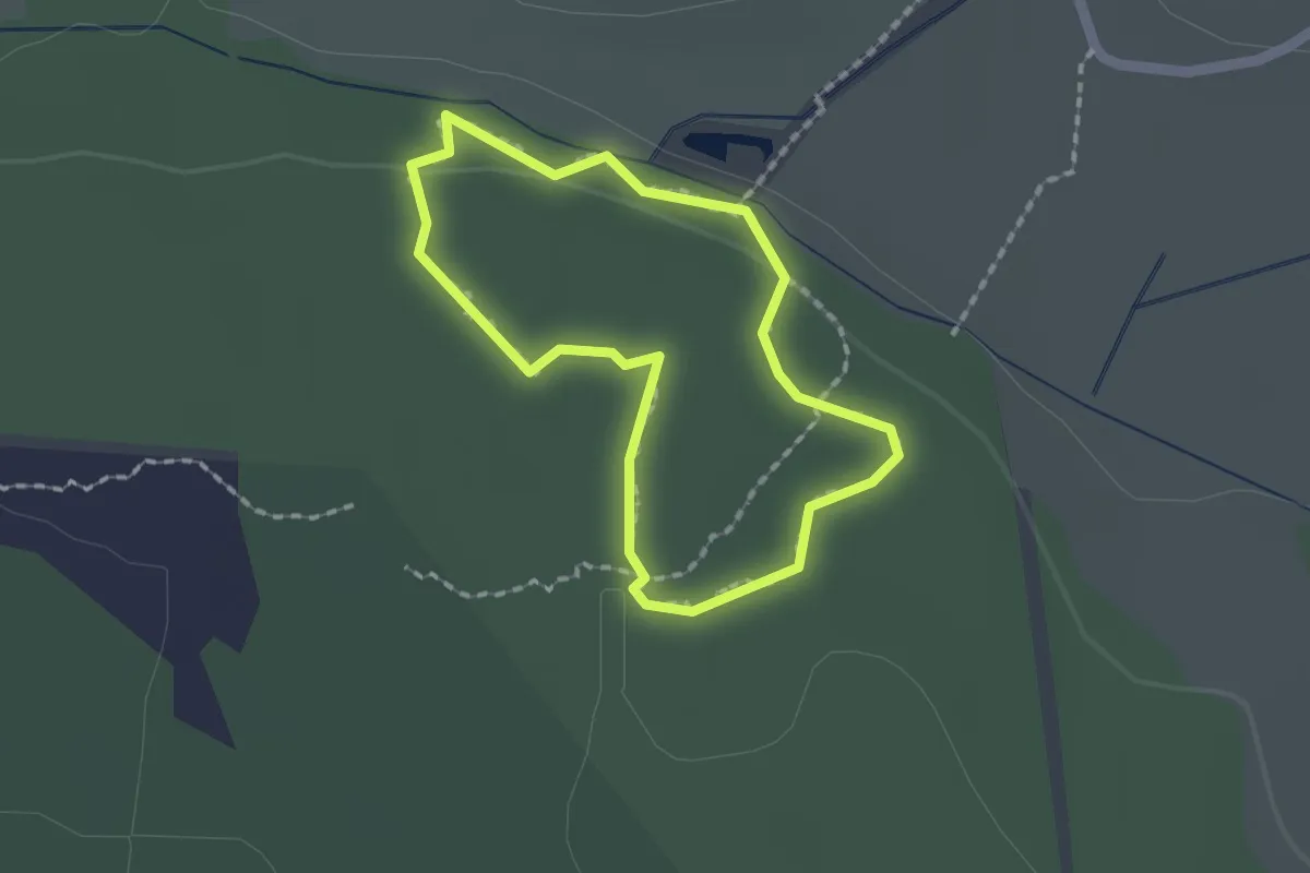
Tjäderstigen
1.1 km · ↑ 10 m · 18 min
Medium · Cabin
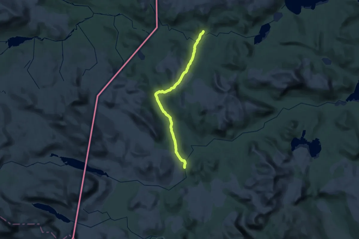
Tjåkkelestugorna - Åtnikstugan
17.4 km · ↑ 367 m · 5 h 6 min
Demanding · Cabin
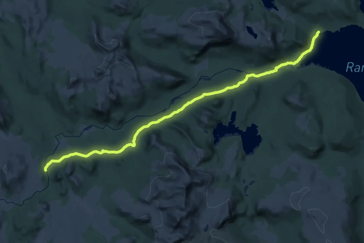
Tjåkkelestugorna - Grundvik
22.0 km · ↑ 296 m · 6 h 5 min
Medium · Trail
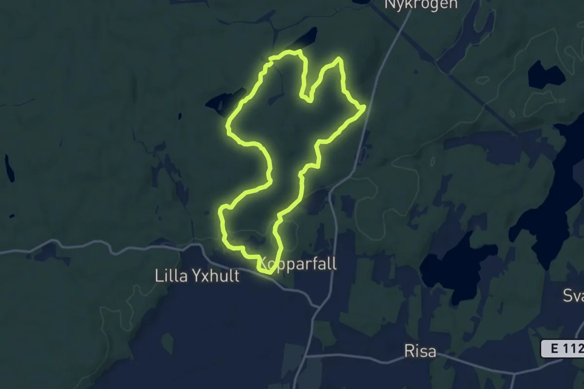
Tjällmoslingan, Östgötaleden, 10 km
9.7 km · ↑ 151 m · 2 h 45 min
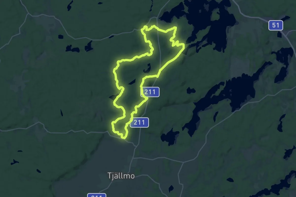
Demanding · Trail
Tjällmoslingan, Östgötaleden, 20 km
21.3 km · ↑ 284 m · 5 h 56 min
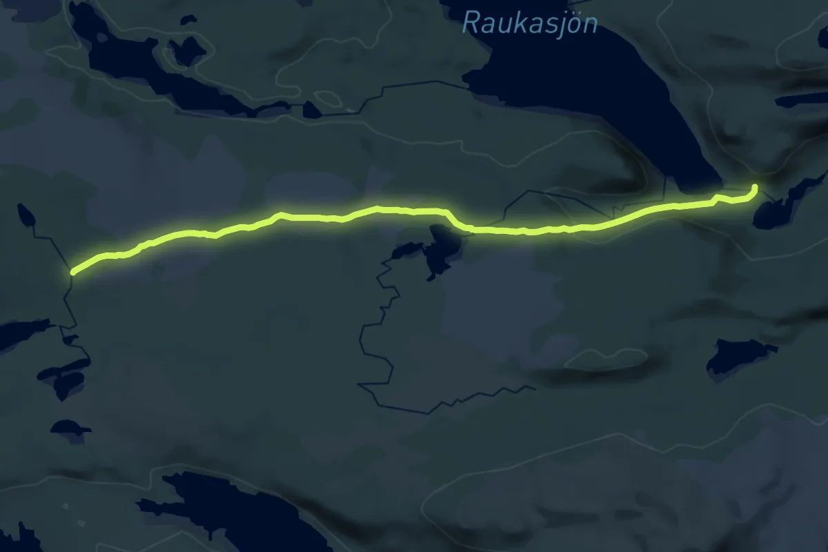
Demanding · Trail
Tjärnbäcken - Raukaselet
20.3 km · ↑ 192 m · 5 h 13 min
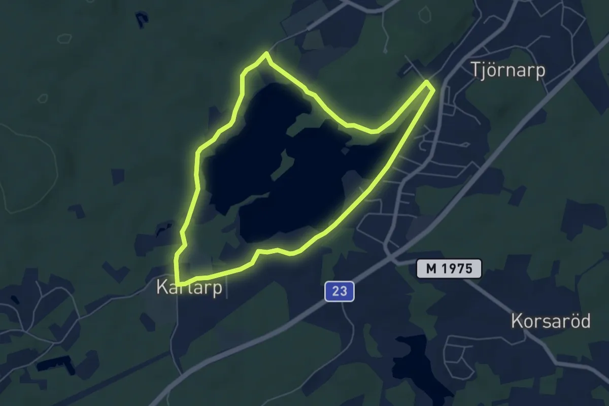
Easy · Trail
Tjörnarpssjön Runt
4.8 km · ↑ 5 m · 1 h 13 min
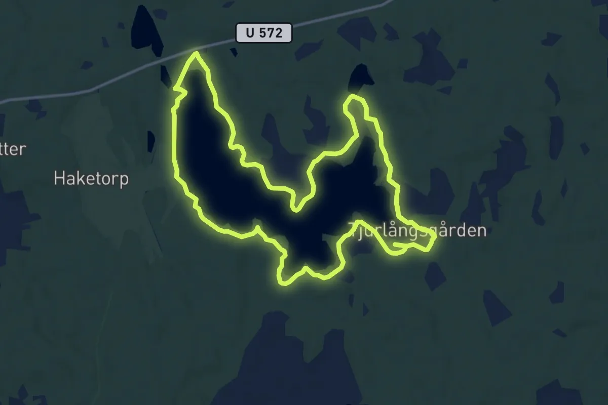
Demanding · Trail
Tjurlångsleden
21.3 km · ↑ 88 m · 5 h 13 min