Trails in Sweden
3,247 hiking trails, each with its route, climb, walking time and grade.
All trails, page 63 of 68
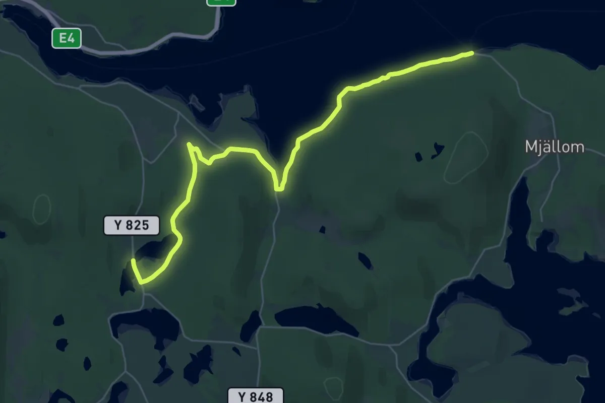
Medium · Trail
Världsarvsleden: Etapp 1, Främmerveda - Mjällomslandet
12.2 km · ↑ 613 m · 4 h 24 min
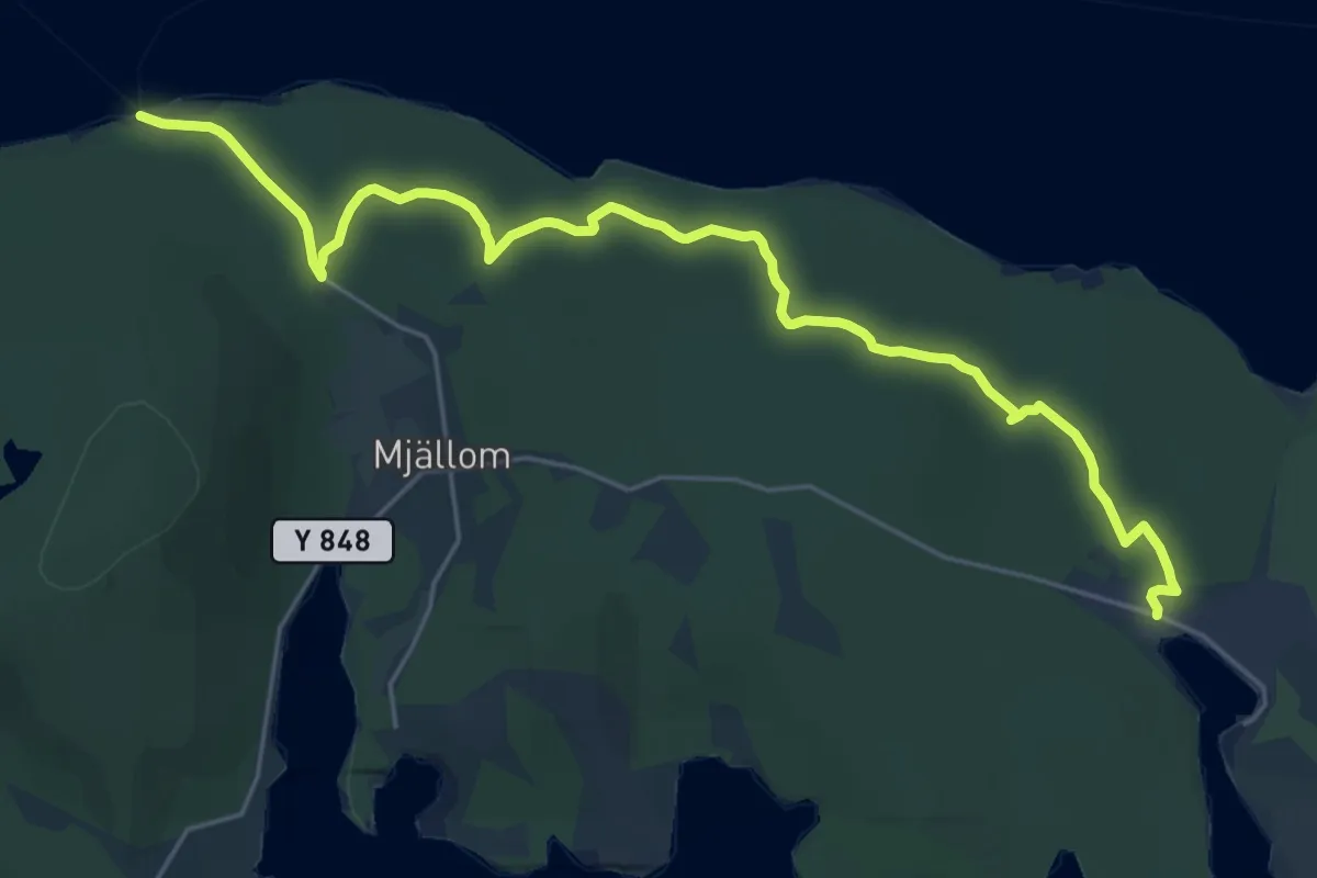
Demanding · Trail
Världsarvsleden: Etapp 2, Mjällomslandet - Norrfällsviken
18.1 km · ↑ 325 m · 4 h 58 min
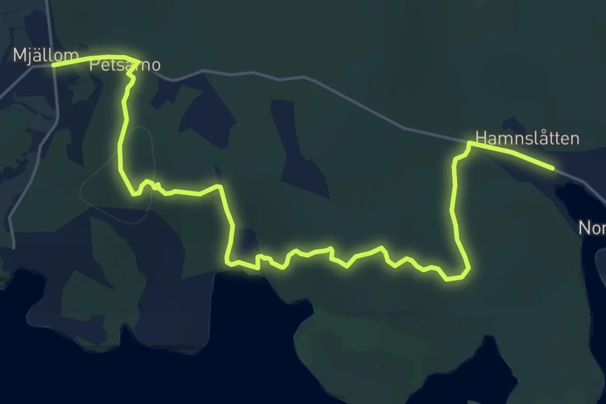
Medium · Trail
Världsarvsleden: Etapp 3, Norrfällsviken - Mjällom
15.6 km · ↑ 501 m · 4 h 46 min
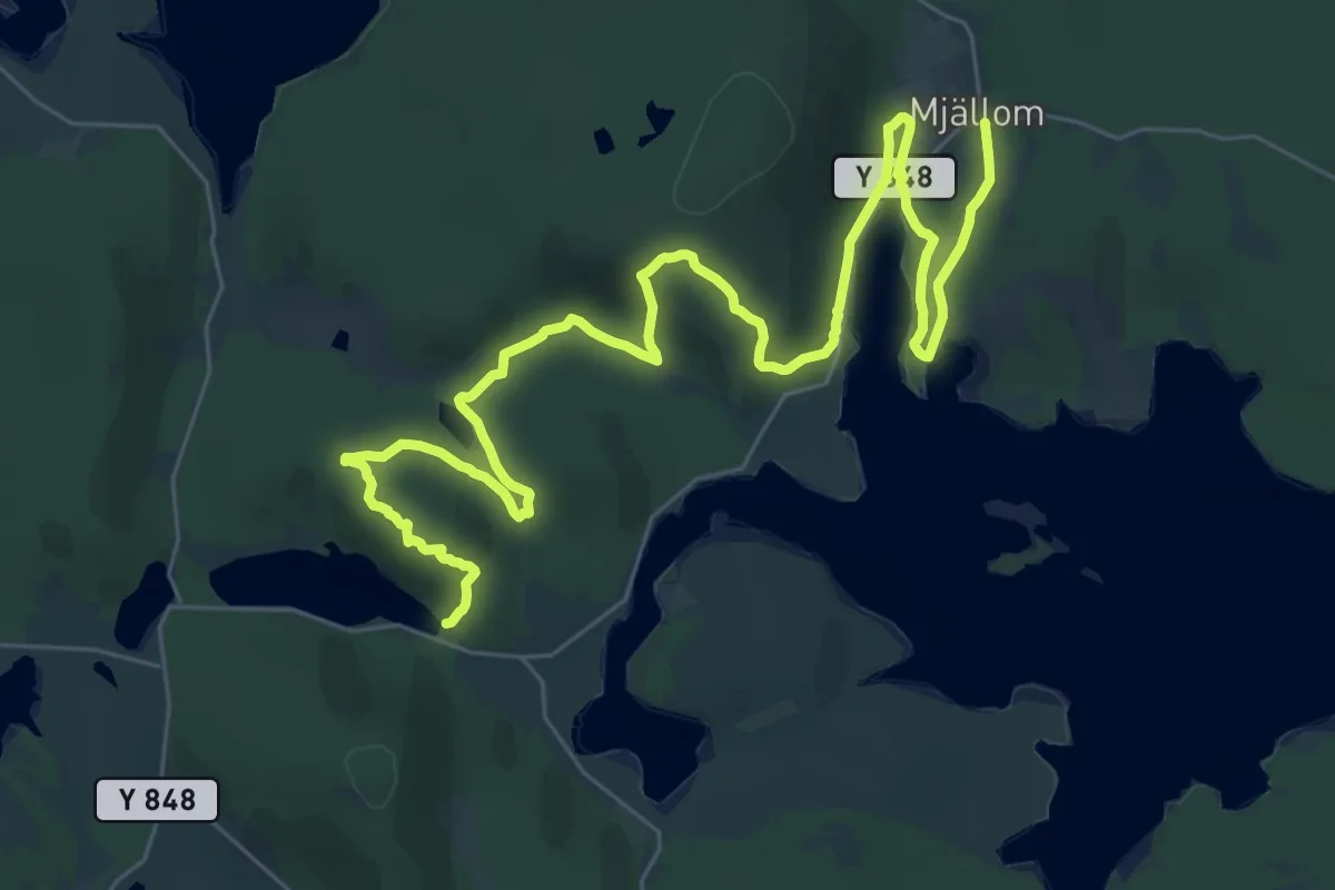
Medium · Trail
Världsarvsleden: Etapp 4, Mjällom - Omne
15.6 km · ↑ 446 m · 4 h 52 min
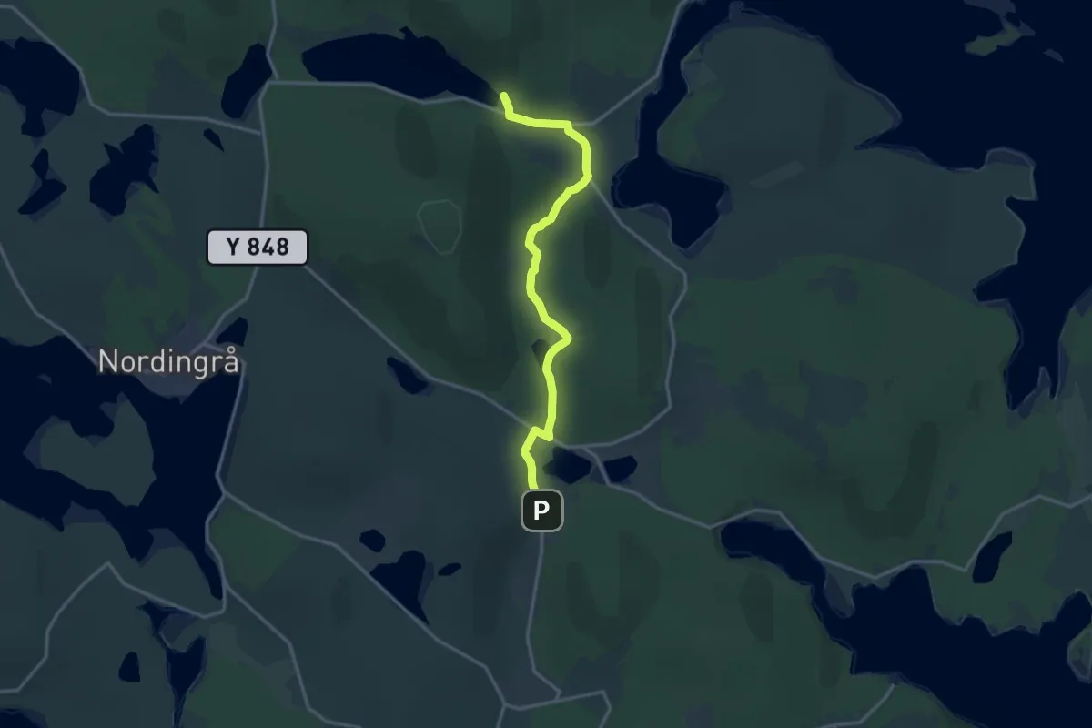
Medium · Trail
Världsarvsleden: Etapp 5, Omne - Själand
10.1 km · ↑ 316 m · 3 h 4 min
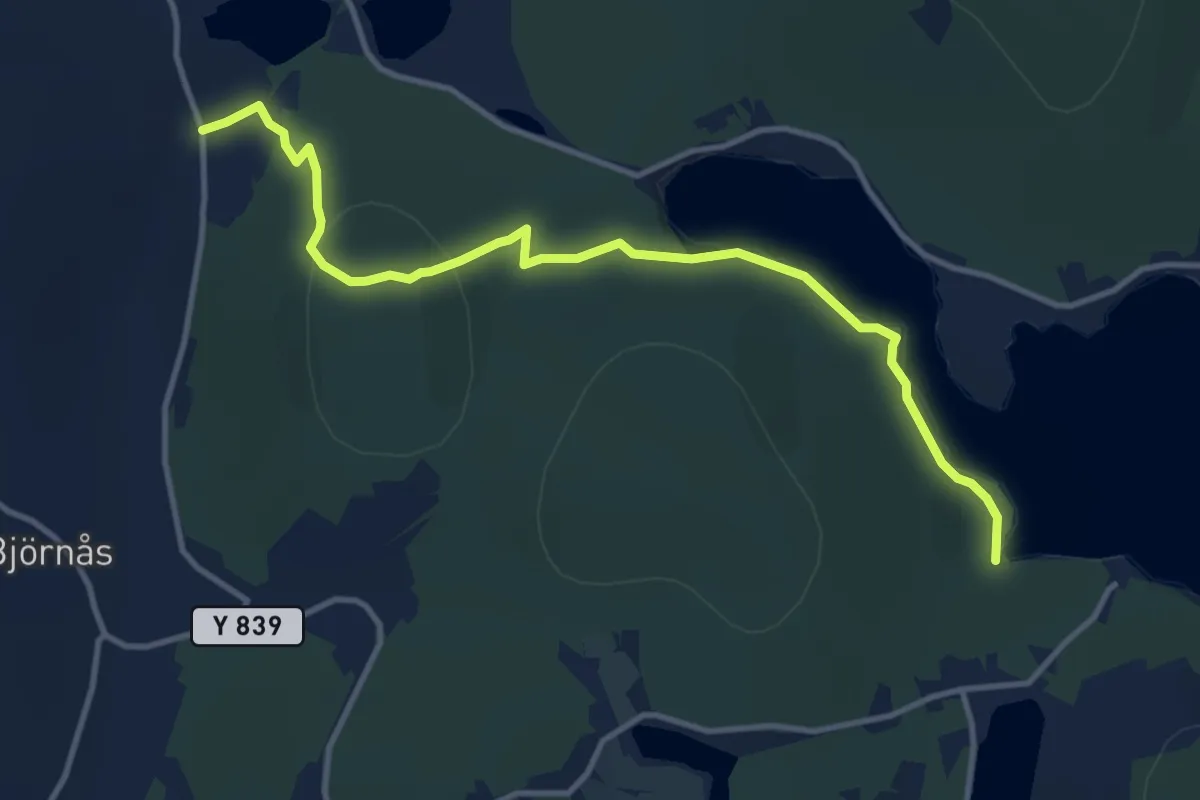
Demanding · Trail
Världsarvsleden: Etapp 6, Själand - Älgsjö
8.4 km · ↑ 640 m · 3 h 22 min
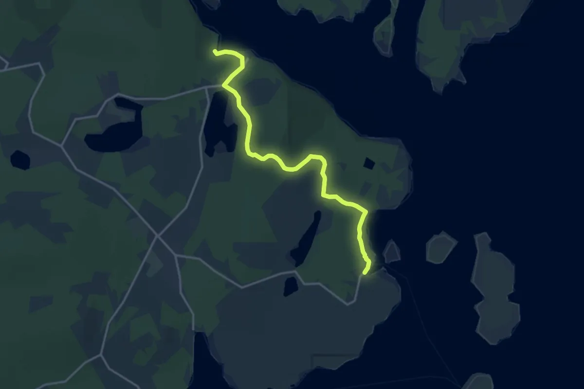
Medium · Trail
Världsarvsleden: Etapp 7, Älgsjö - Bönhamn
9.6 km · ↑ 305 m · 2 h 55 min
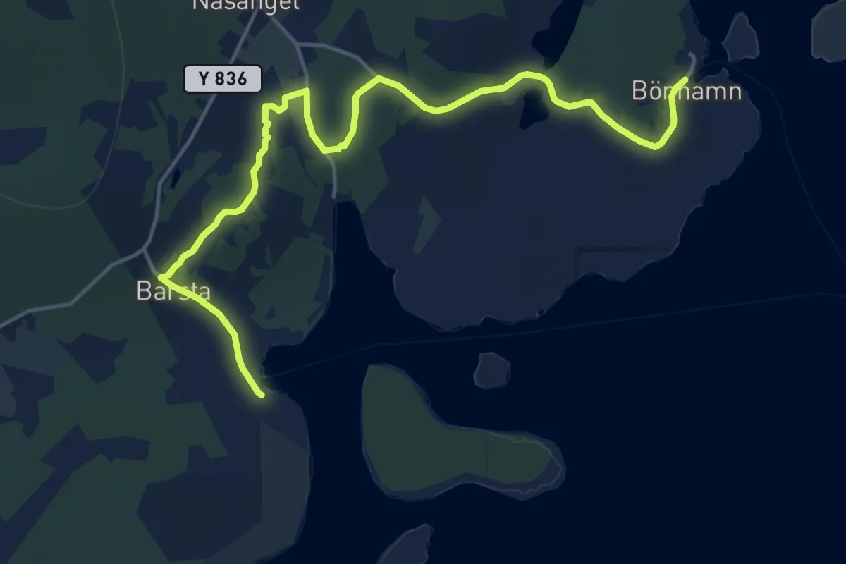
Medium · Trail
Världsarvsleden: Etapp 8, Bönhamn - Barsta
12.4 km · ↑ 325 m · 3 h 38 min
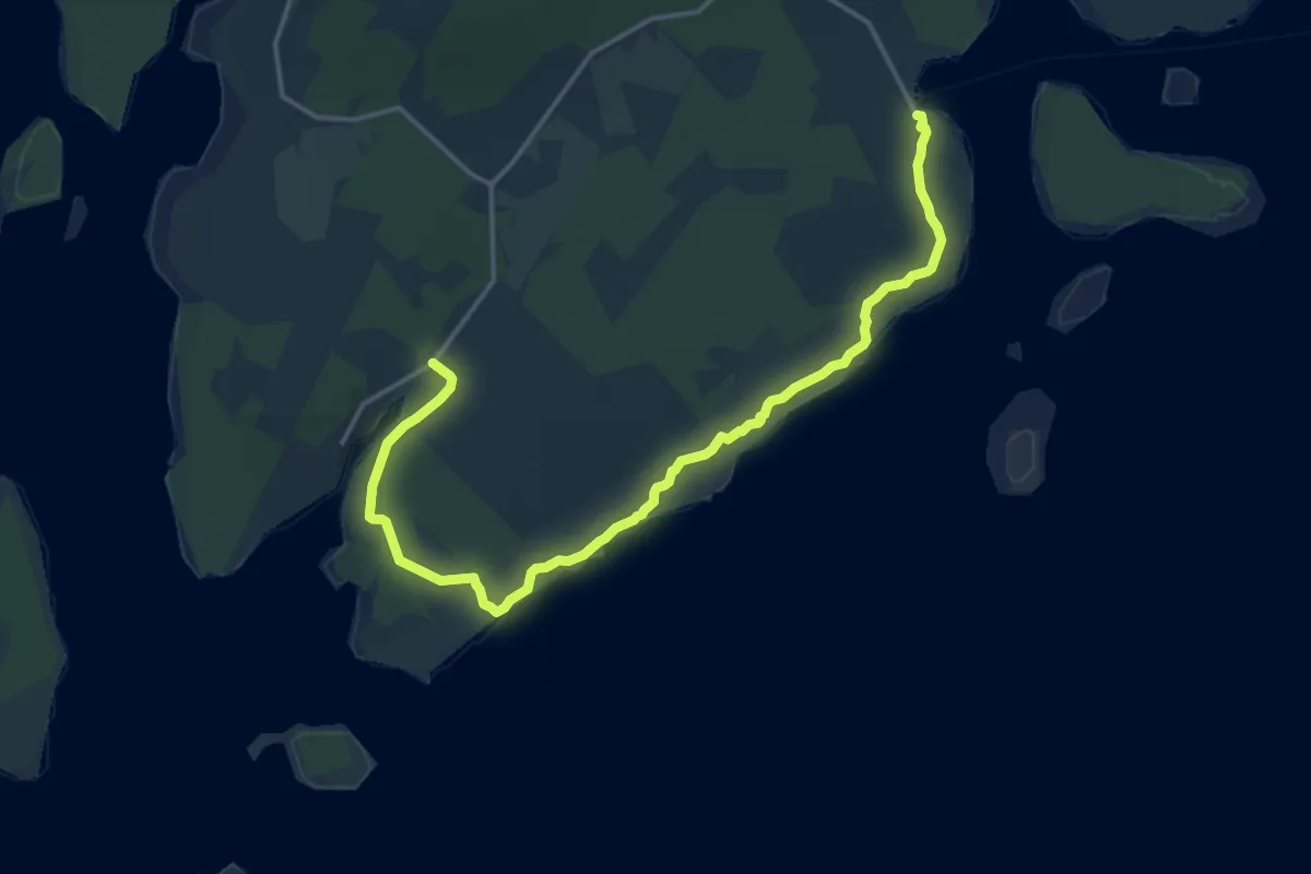
Medium · Trail
Världsarvsleden: Etapp 9, Barsta - Fällsvik
12.3 km · ↑ 208 m · 3 h 21 min
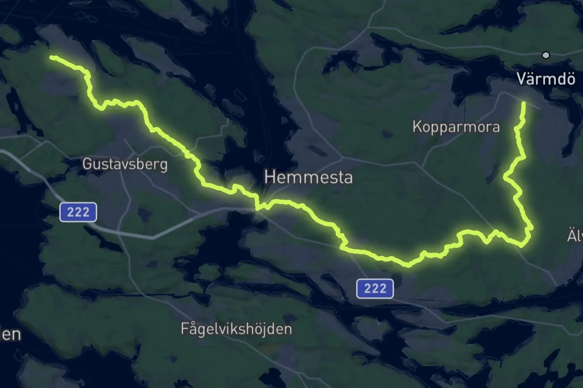
Demanding · Trail
Värmdöleden
26.5 km · ↑ 190 m · 7 h 2 min
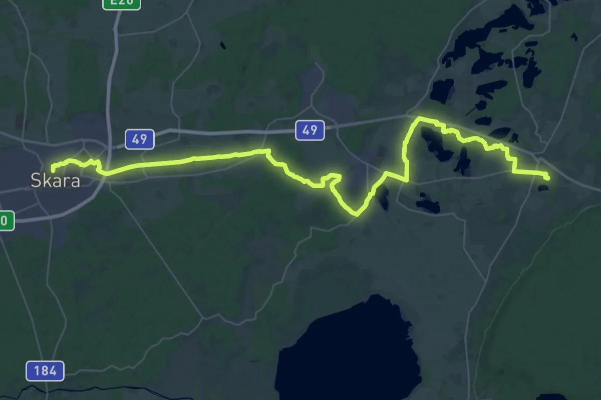
Demanding · Pilgrim path
Varnhem-Skara
18.2 km · ↑ 61 m · 4 h 40 min
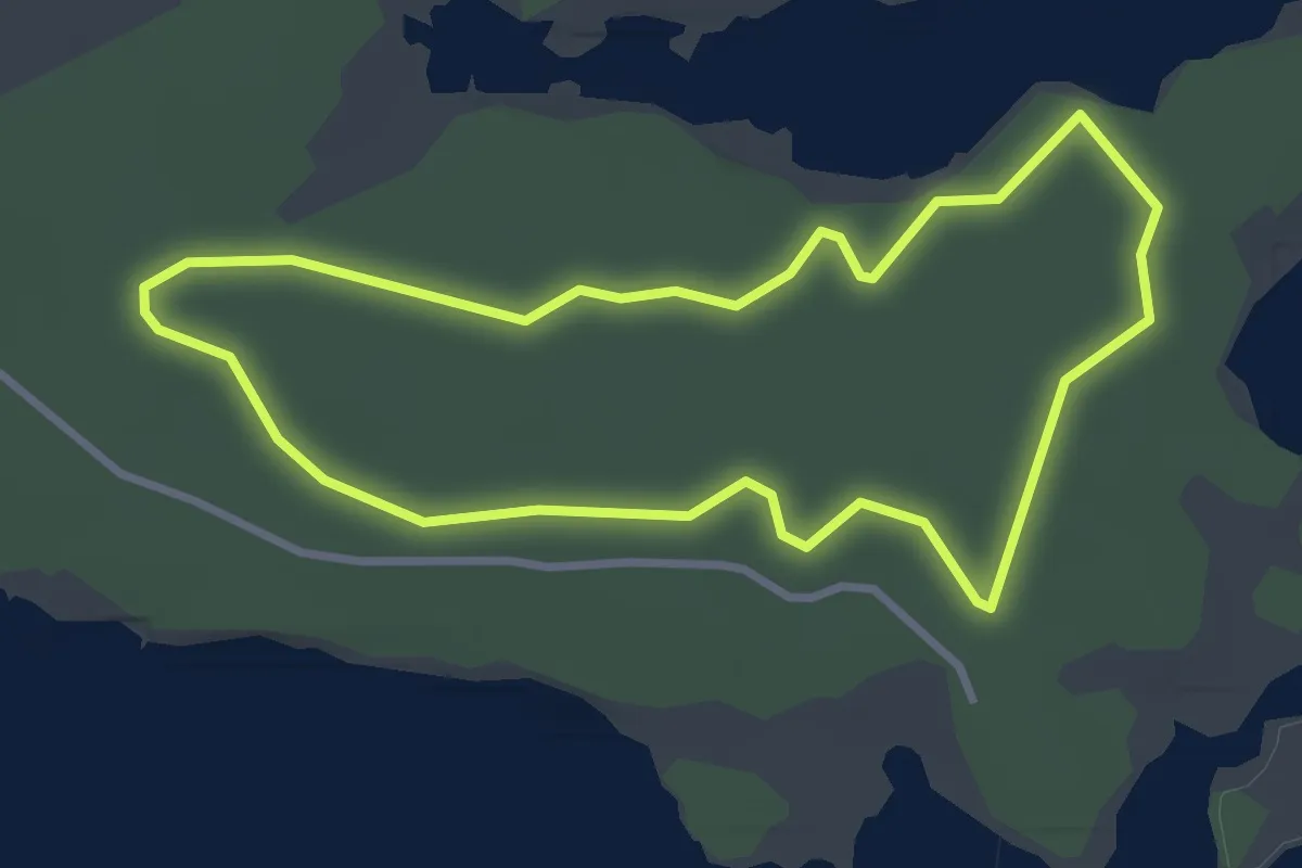
Easy · Trail
Värsnäs 2,5km
2.4 km · ↑ 5 m · 37 min
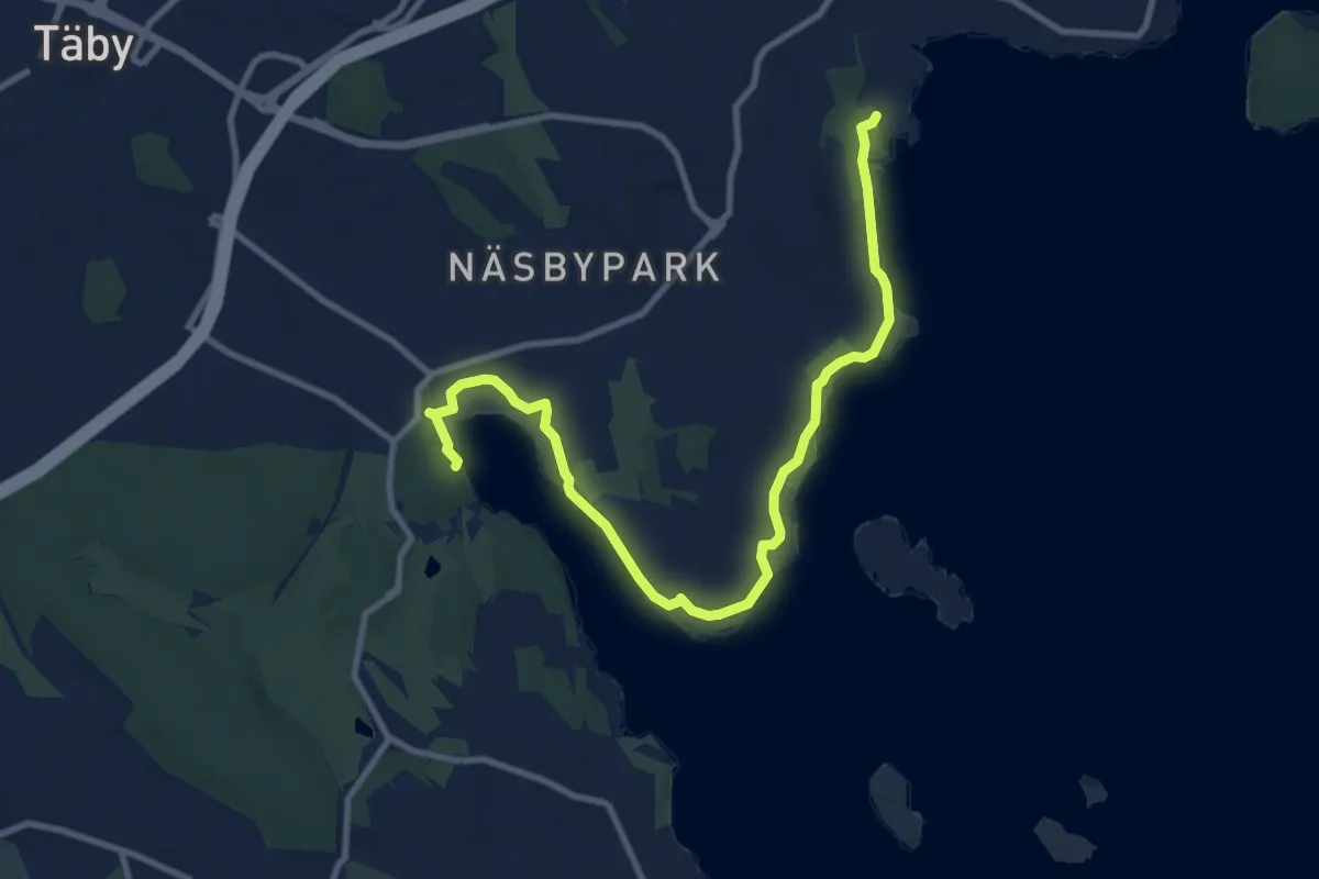
Medium · Trail
Värtans stränder
8.3 km · ↑ 42 m · 2 h 3 min
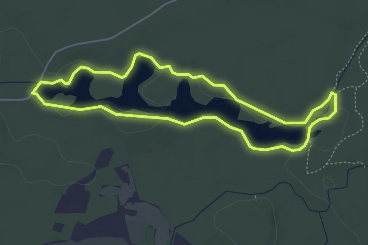
Easy · Trail
Vasasjöslingan
3.3 km · ↑ 9 m · 51 min
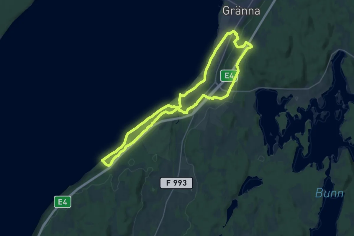
Medium · Trail
Västanåleden
16.1 km · ↑ 312 m · 4 h 42 min
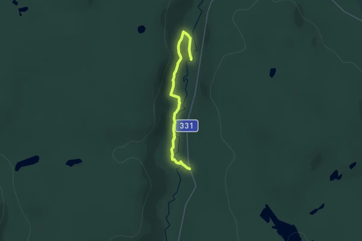
Medium · Trail
Västanåleden
11.6 km · ↑ 381 m · 3 h 34 min
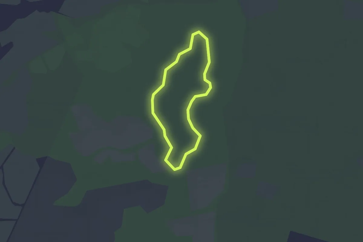
Easy · Trail
Västra ängleden
1.5 km · ↑ 4 m · 23 min
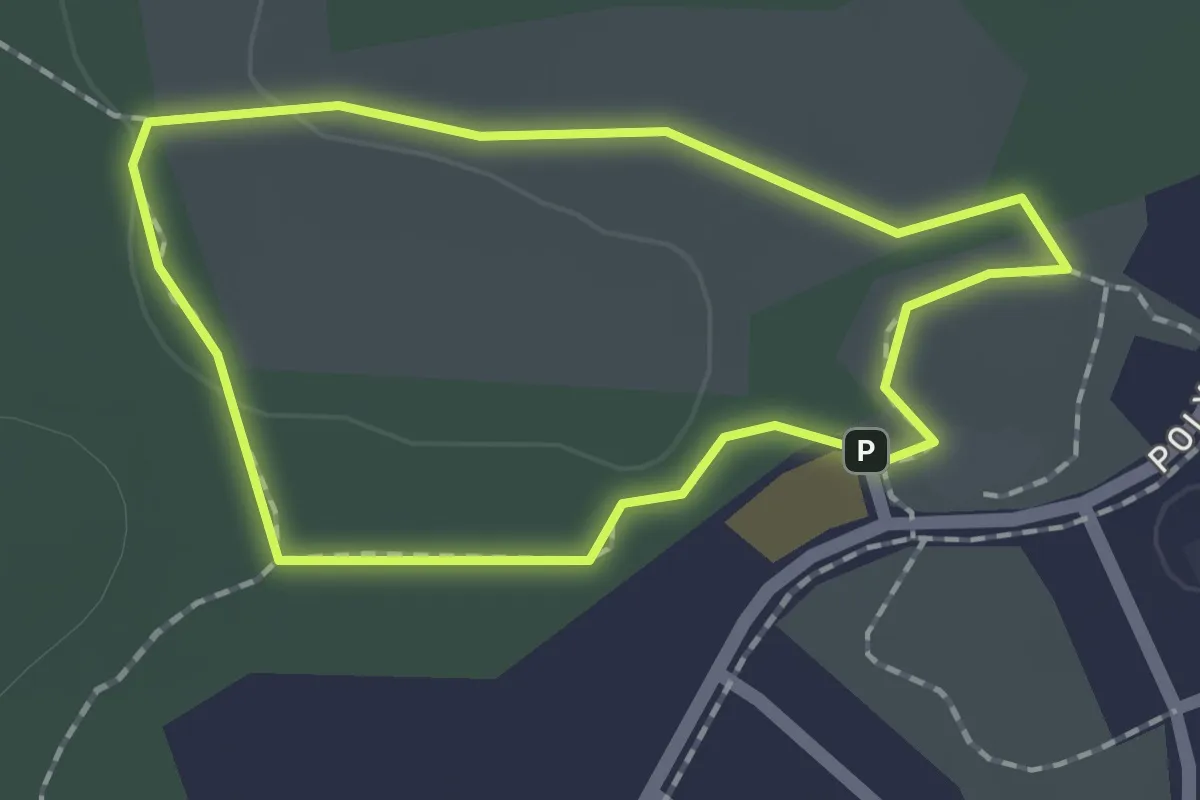
Easy · Trail
Västra Bökhult Blå
1.2 km · ↑ 4 m · 18 min
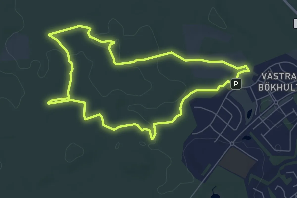
Easy · Trail
Västra Bökhult Trail - Orange
4.4 km · ↑ 19 m · 1 h 9 min
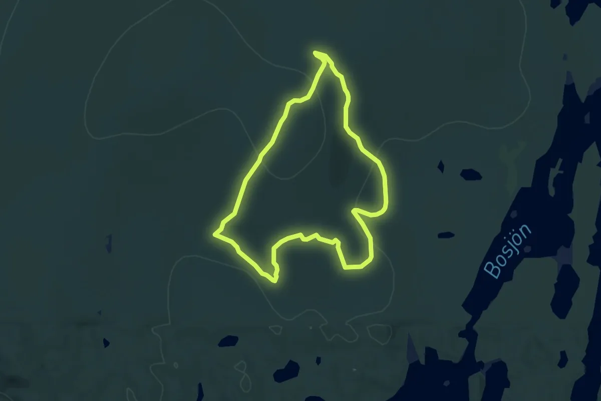
Medium · Trail
Västra granbergsleden
8.3 km · ↑ 225 m · 2 h 33 min
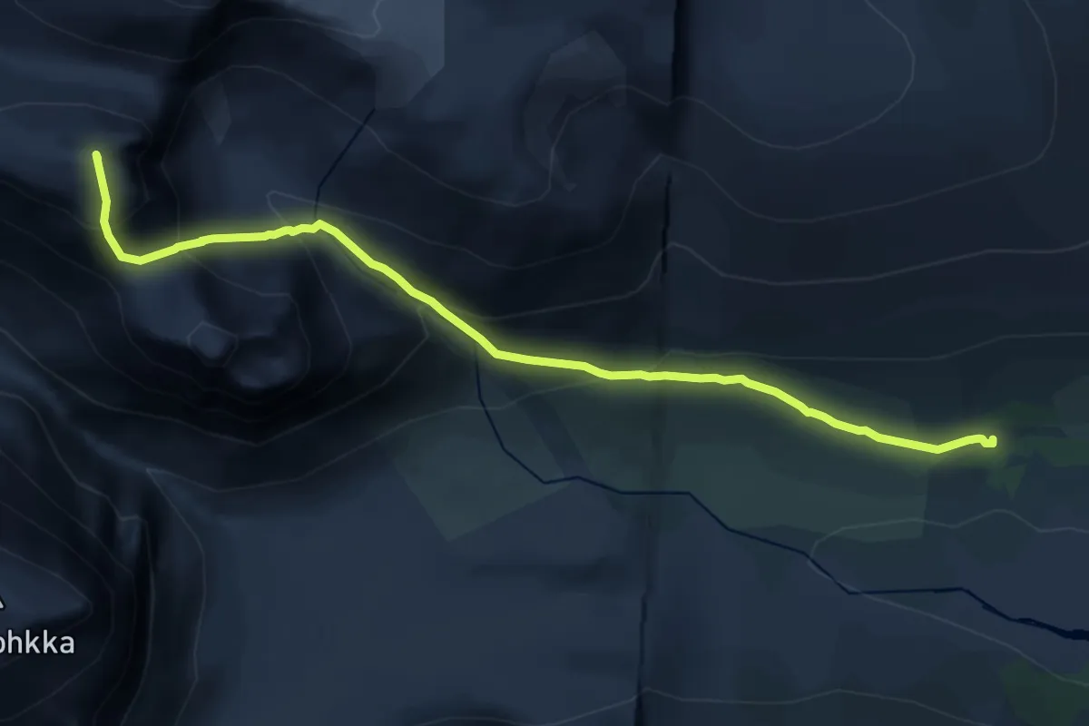
Demanding · Summit
Västra leden
12.1 km · ↑ 1105 m · 5 h 16 min
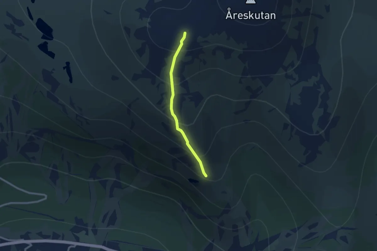
Medium · Trail
Västra leden till skutans topp
3.6 km · ↑ 339 m · 1 h 36 min
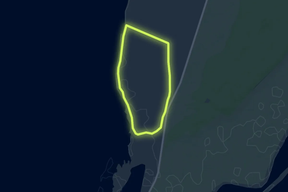
Easy · Trail
Västra markslingan
3.4 km · ↑ 0 m · 51 min
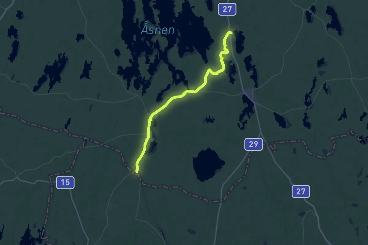
Demanding · Trail
Västra Sigfridsleden - extra
36.5 km · ↑ 176 m · 9 h 29 min
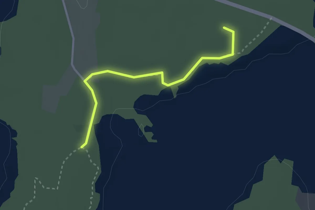
Easy · Trail
Västra Torpaslingan
2.1 km · ↑ 10 m · 31 min
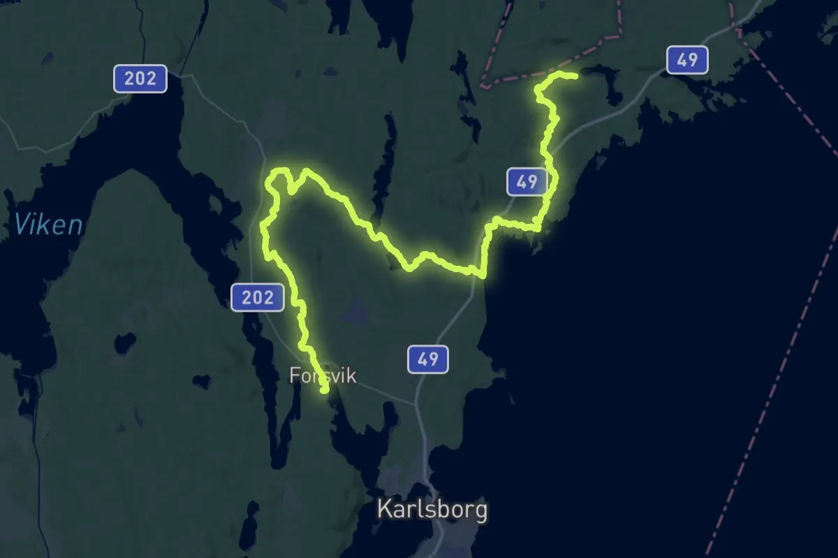
Demanding · Trail
Västra Vätterleden: Etapp 1, Stenkällegården - Forsvik (main route)
36.1 km · ↑ 557 m · 10 h 15 min
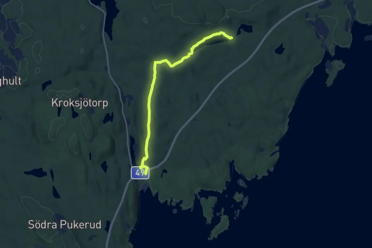
Medium · Trail
Västra Vätterleden: Etapp 1, Stenkällegården - Forsvik (shortcut north)
9.1 km · ↑ 82 m · 2 h 20 min
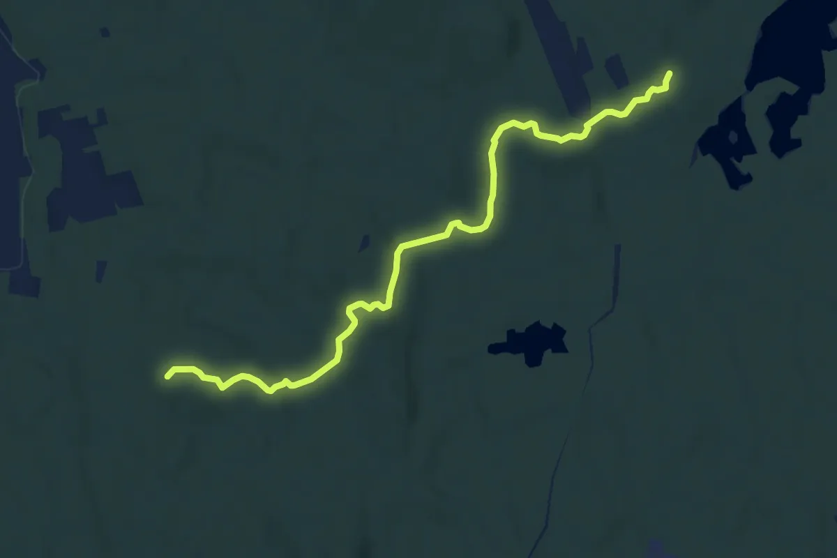
Medium · Trail
Västra Vätterleden: Etapp 1, Stenkällegården - Forsvik (shortcut south)
8.6 km · ↑ 150 m · 2 h 21 min
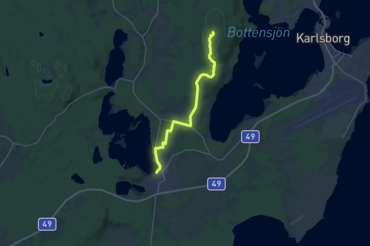
Medium · Summit
Västra Vätterleden: Etapp 2, Forsvik-Mölltorp
13.4 km · ↑ 142 m · 3 h 28 min
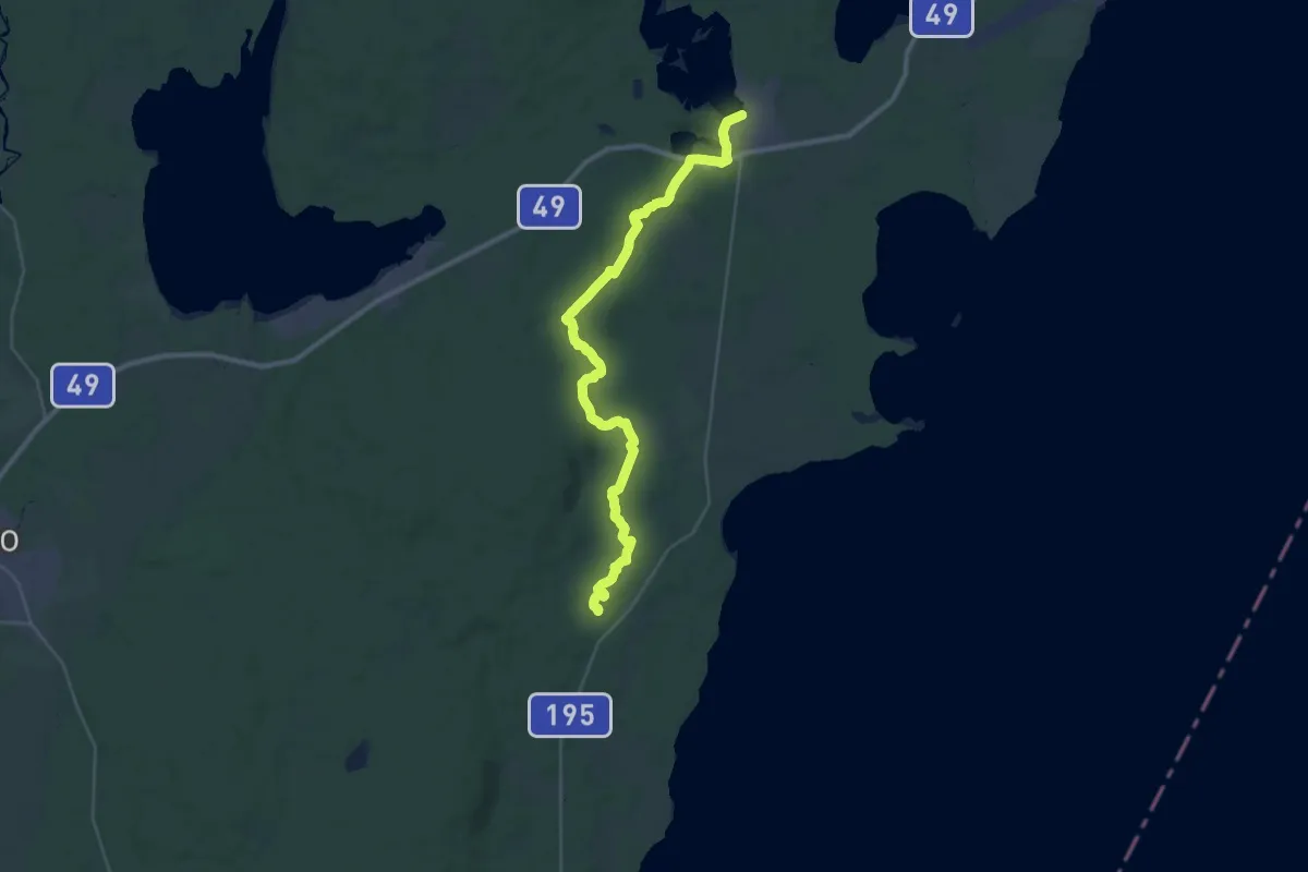
Demanding · Trail
Västra Vätterleden: Etapp 3, Mölltorp - Gunnarflon - Röå
27.5 km · ↑ 377 m · 7 h 19 min
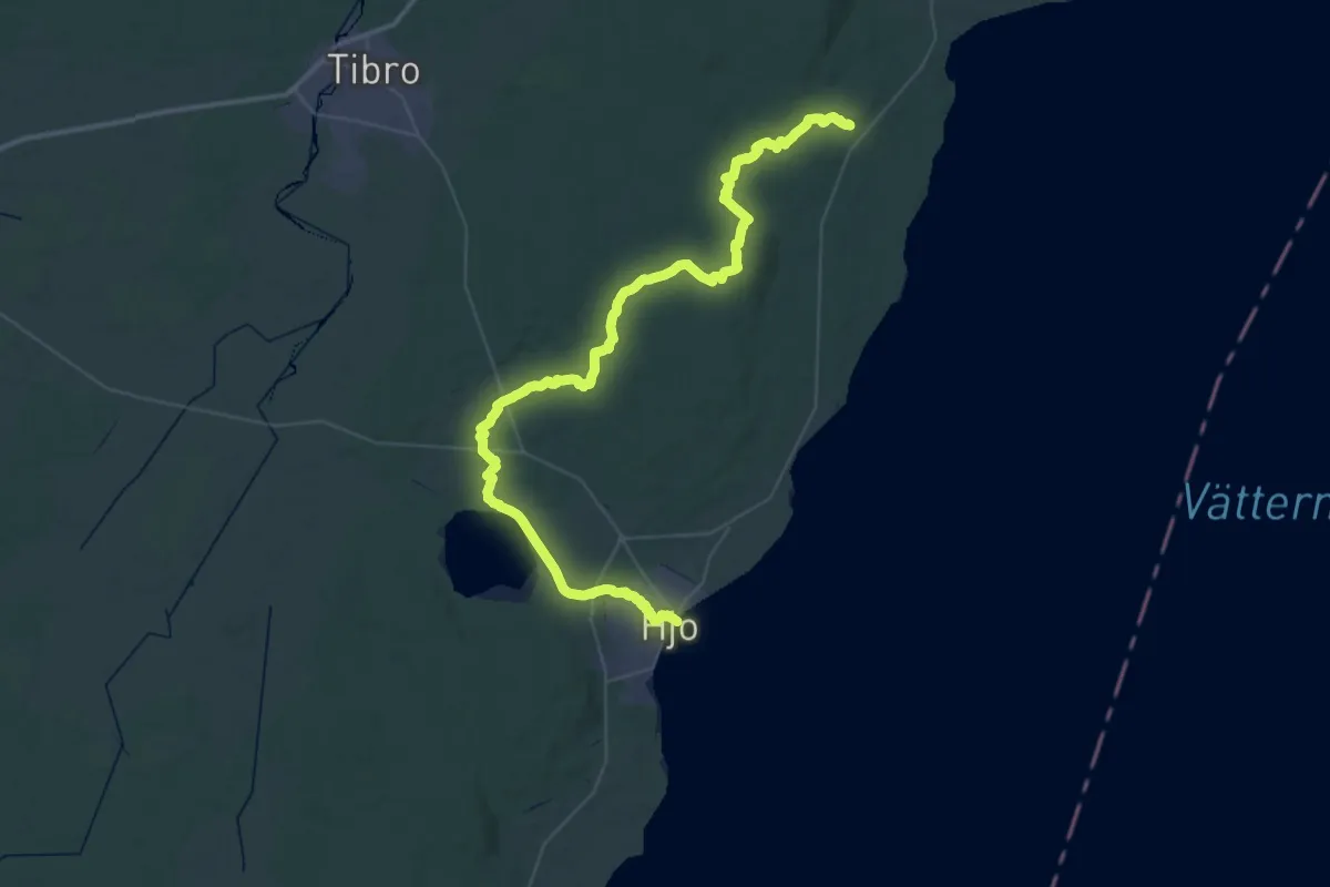
Demanding · Trail
Västra Vätterleden: Etapp 4, Röå - Lunnakulle - Hjo
25.6 km · ↑ 208 m · 6 h 49 min
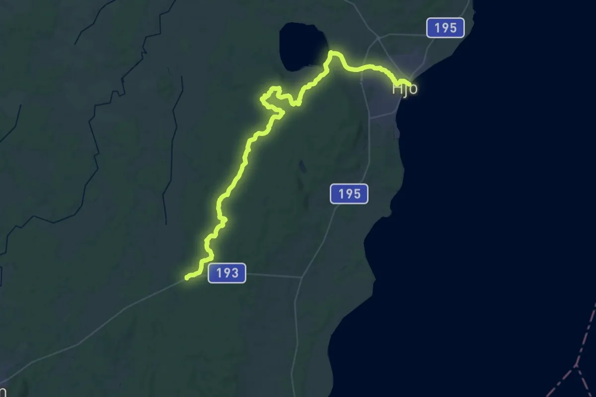
Demanding · Trail
Västra Vätterleden: Etapp 5, Hjo - Baståsen
22.0 km · ↑ 238 m · 5 h 59 min
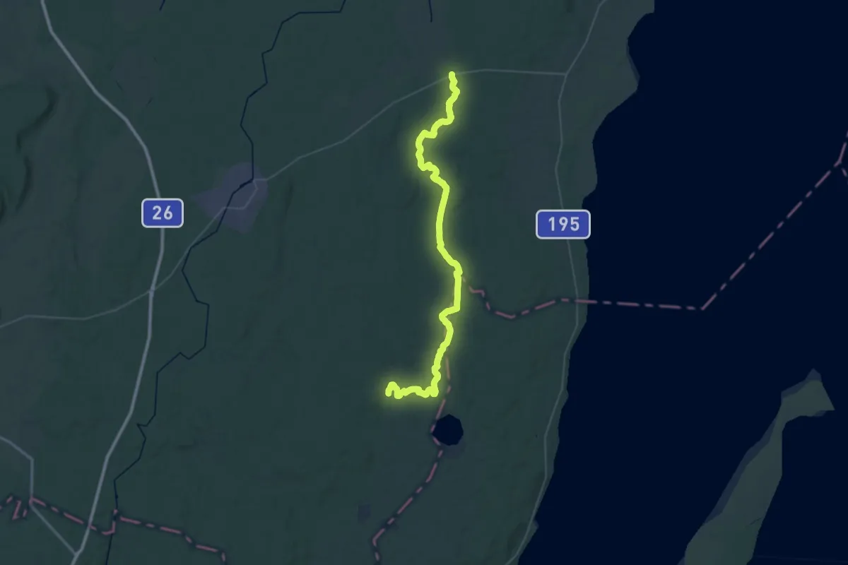
Demanding · Trail
Västra Vätterleden: Etapp 6, Baståsen - Semesterbyn
21.6 km · ↑ 241 m · 5 h 52 min
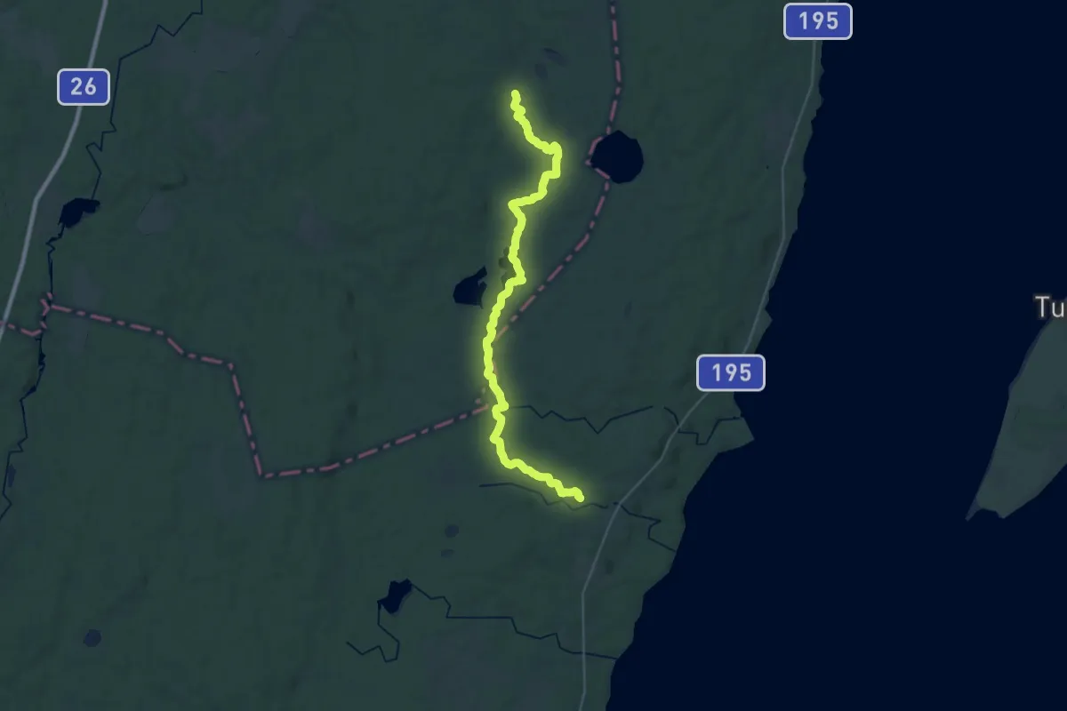
Demanding · Trail
Västra Vätterleden: Etapp 7, Semesterbyn - Fagerhult
31.0 km · ↑ 151 m · 7 h 39 min
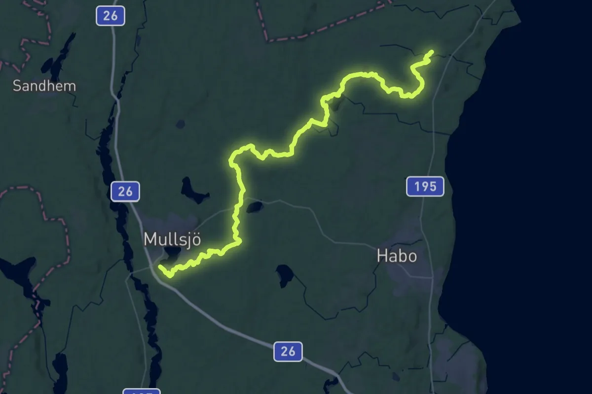
Demanding · Trail
Västra Vätterleden: Etapp 8, Fagerhult - Hotel Mullsjö
29.7 km · ↑ 241 m · 7 h 58 min
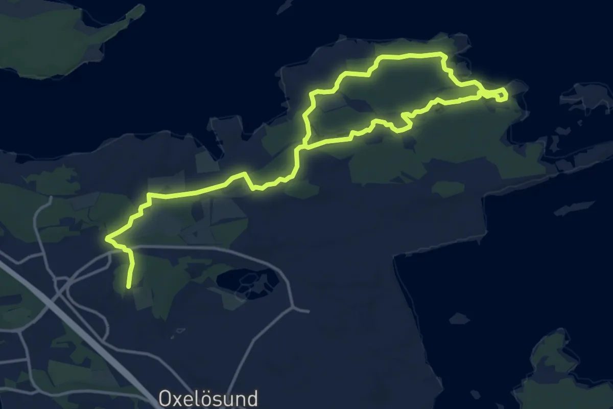
Medium · Trail
Våtmarken rundslinga
16.0 km · ↑ 33 m · 3 h 52 min
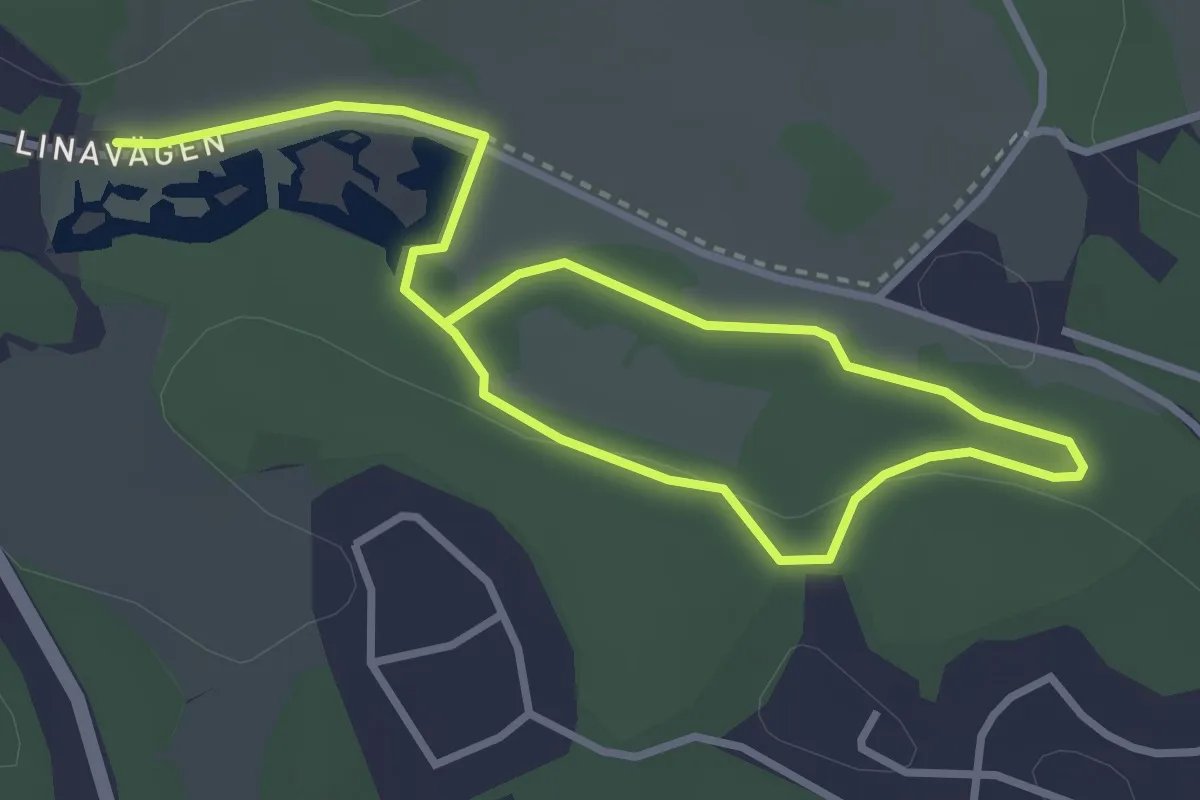
Easy · Trail
Våtmarksstigen
3.7 km · ↑ 35 m · 57 min
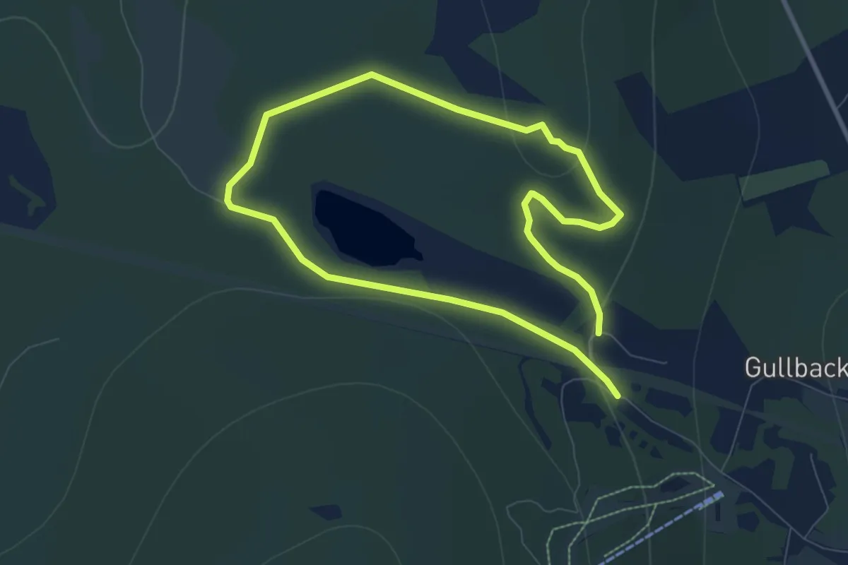
Medium · Trail
Vättabergsleden
9.4 km · ↑ 377 m · 3 h 3 min
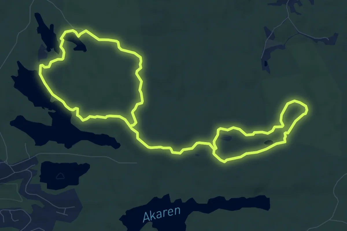
Medium · Trail
Vattgruvan rundslinga
16.0 km · ↑ 85 m · 3 h 58 min
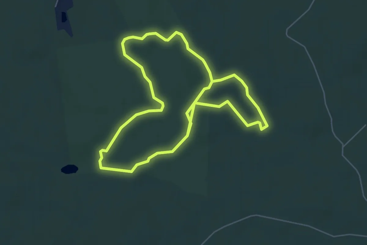
Easy · Trail
Vattgruvsmossen
3.9 km · ↑ 17 m · 1 h
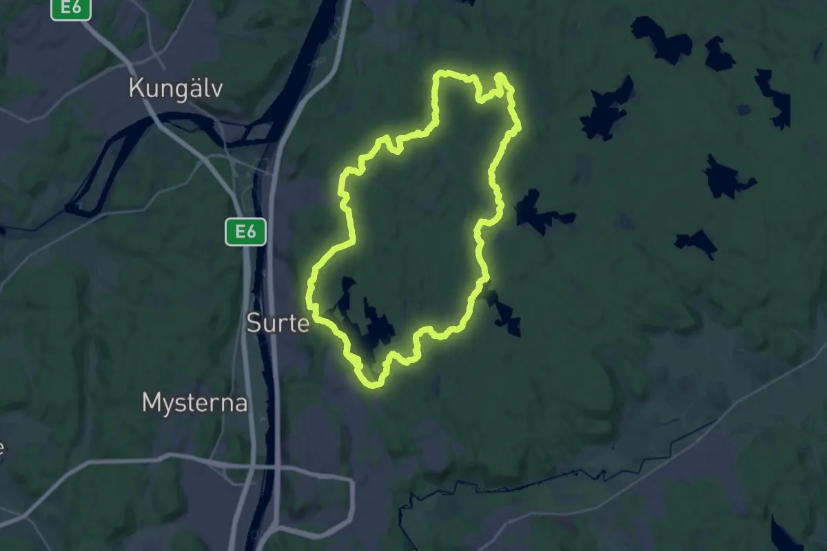
Demanding · Trail
Vättlefjällsleden
22.8 km · ↑ 273 m · 6 h 17 min
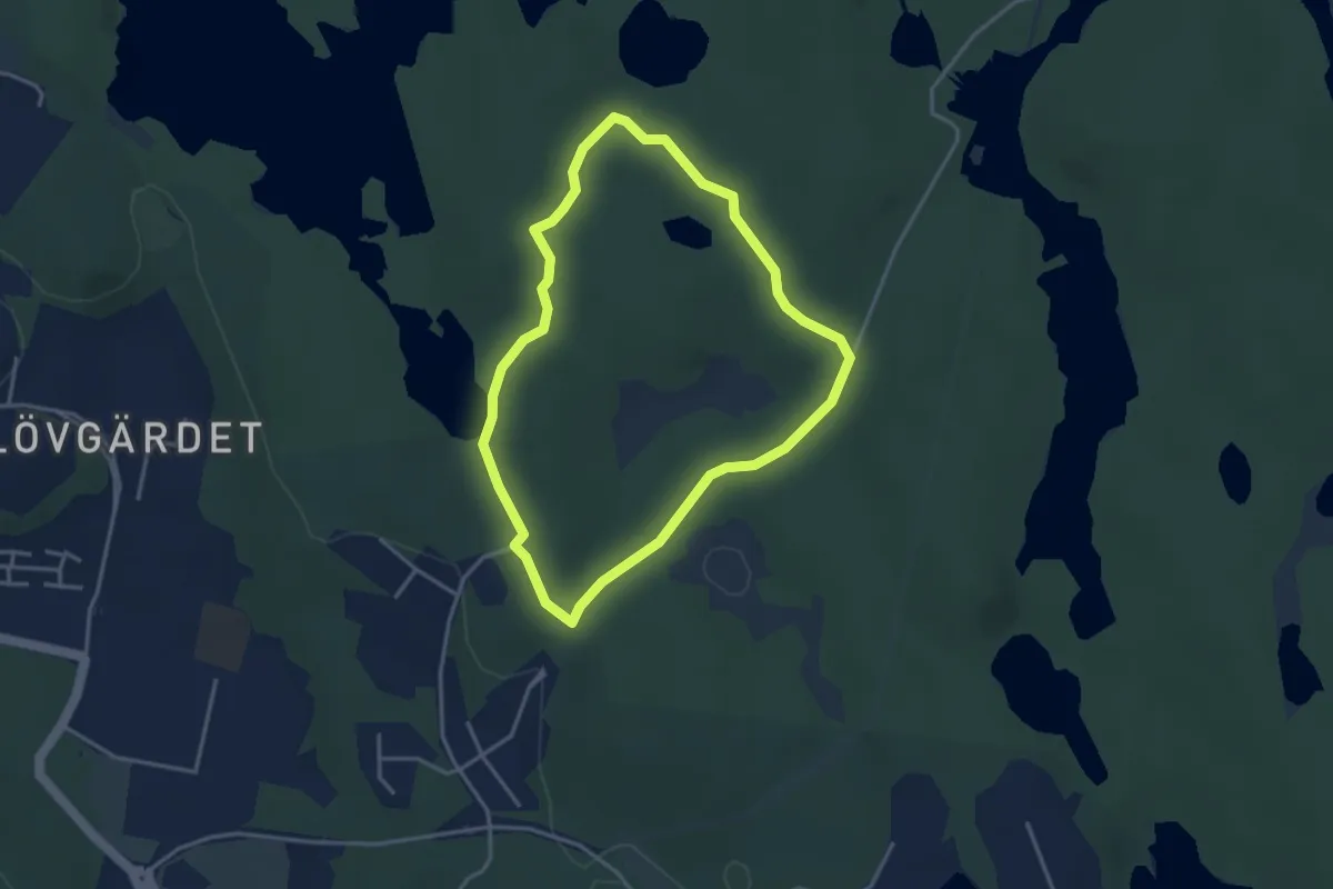
Easy · Trail
Vättlestugan Blå
2.6 km · ↑ 39 m · 44 min
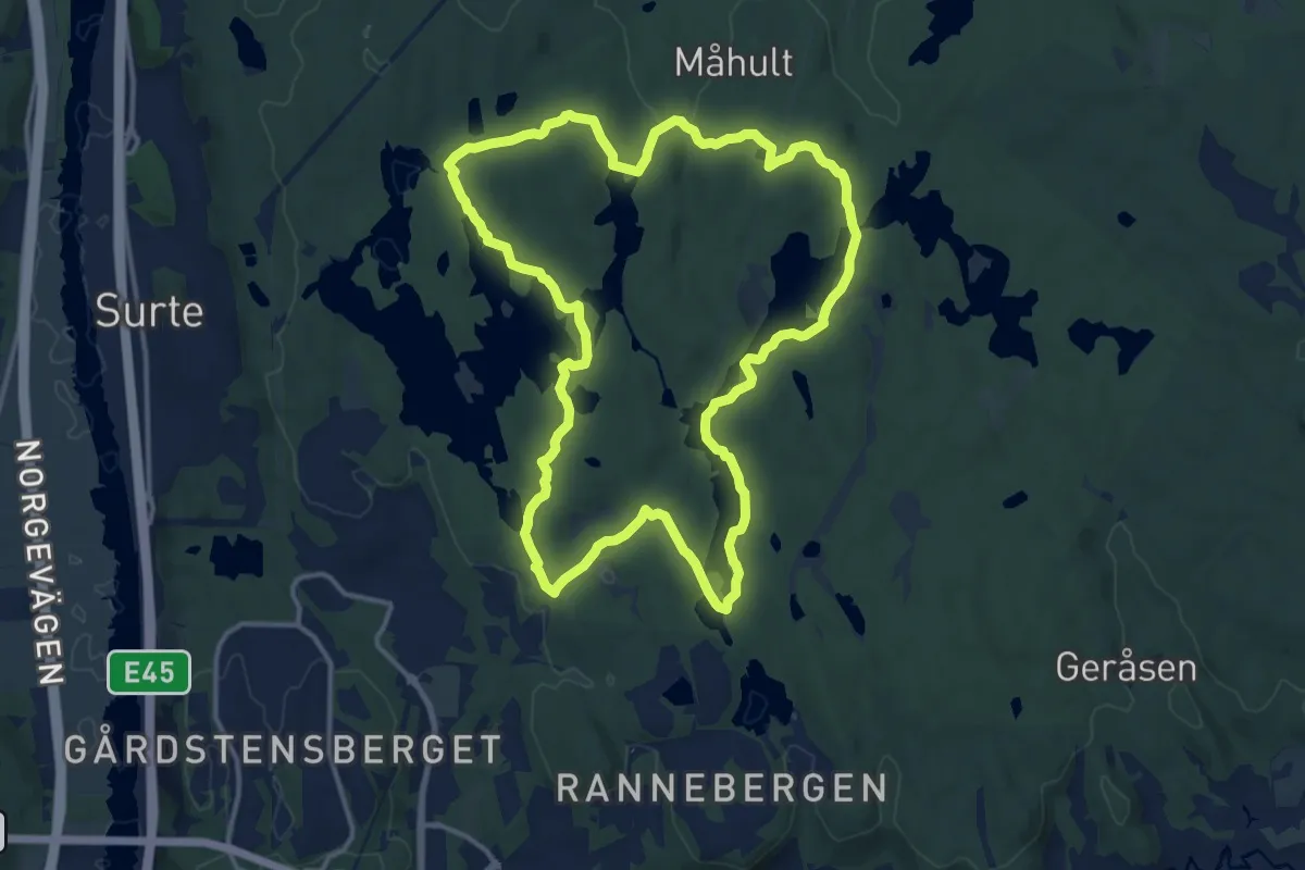
Medium · Trail
Vättlestugan Grön
11.0 km · ↑ 198 m · 3 h 10 min
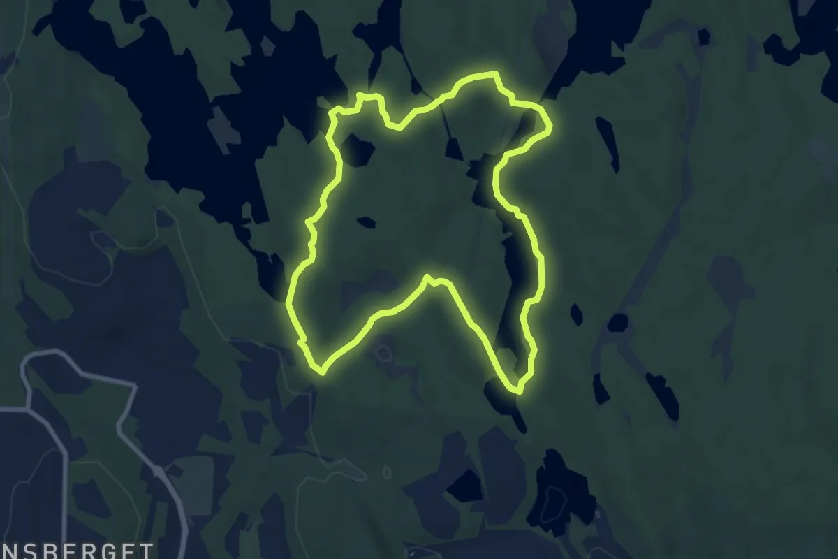
Easy · Trail
Vättlestugan Röd
6.2 km · ↑ 105 m · 1 h 46 min
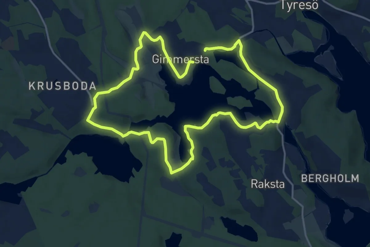
Medium · Trail
Vattnets kraft
8.5 km · ↑ 96 m · 2 h 19 min
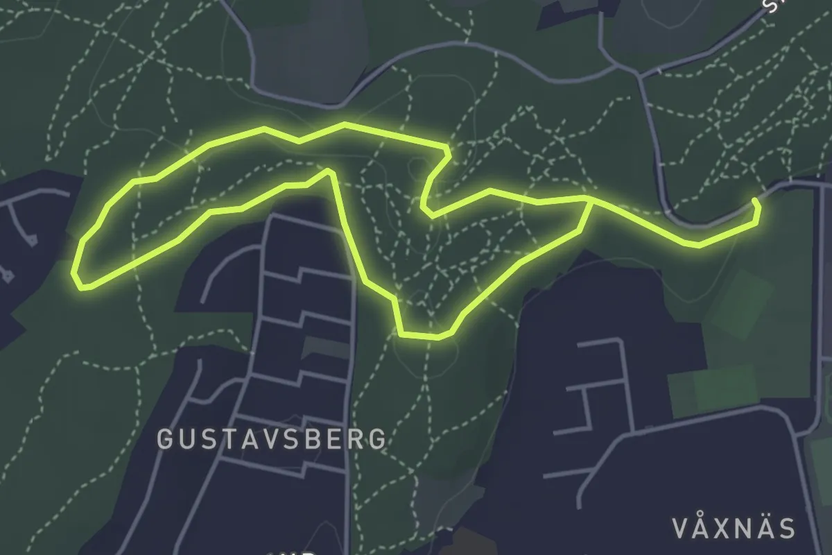
Easy · Trail
Våxnäs motionsspår
5.6 km · ↑ 43 m · 1 h 25 min
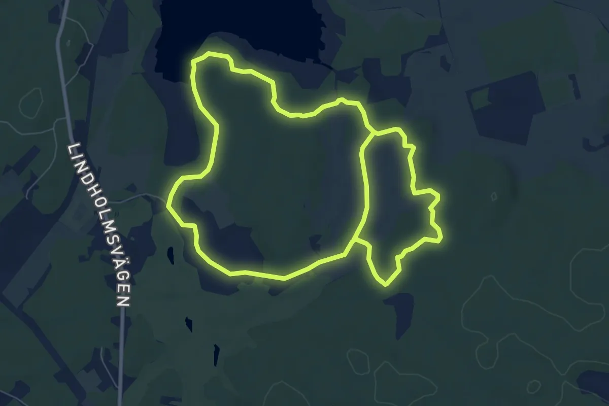
Medium · Trail
Veda-slingan
11.7 km · ↑ 77 m · 2 h 56 min
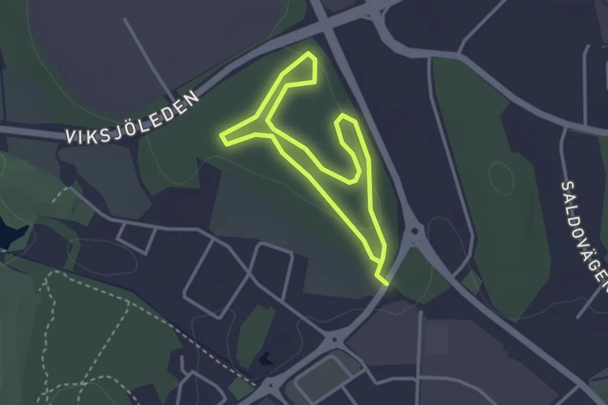
Easy · Trail
Veddestaspåret
1.8 km · ↑ 24 m · 30 min