Trails in Sweden
3,247 hiking trails, each with its route, climb, walking time and grade.
All trails, page 64 of 68
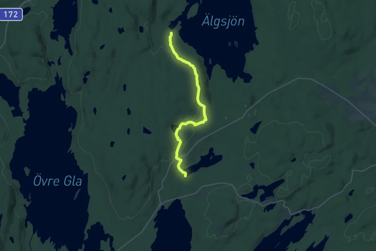
Medium · Trail
Vedviken - Kallbäcken
14.2 km · ↑ 262 m · 3 h 55 min
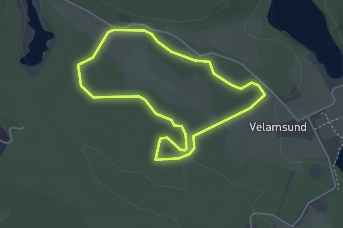
Easy · Trail
Velamsund Elljusspår (2.5 km)
2.3 km · ↑ 9 m · 36 min
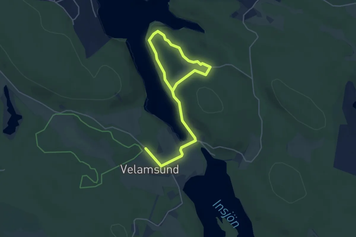
Easy · Trail
Velamsund Getstigen
2.2 km · ↑ 34 m · 38 min
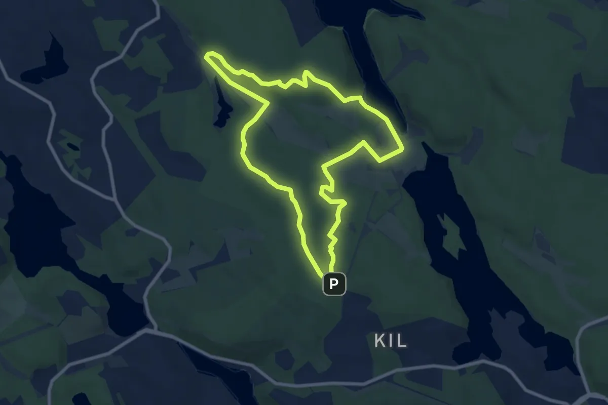
Easy · Trail
Velamsund Röda spåret
5.5 km · ↑ 62 m · 1 h 30 min
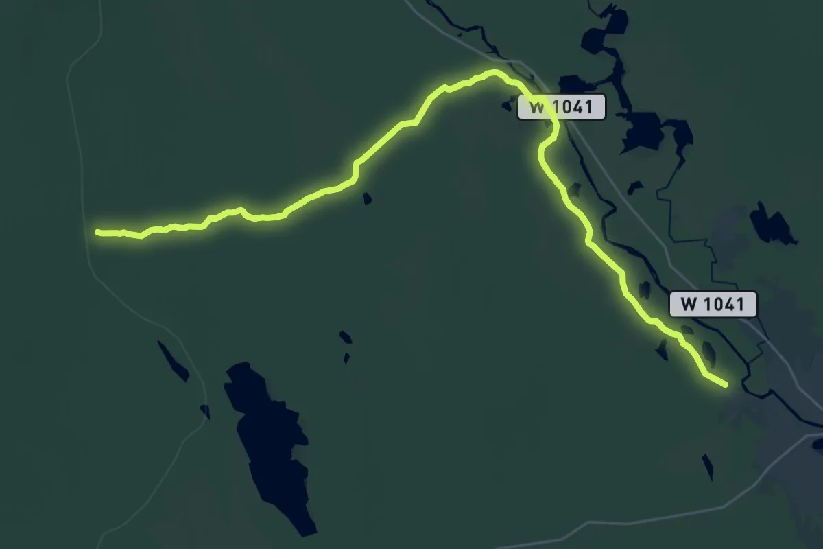
Demanding · Trail
Venjan till Norrgårdssälen
25.5 km · ↑ 193 m · 6 h 27 min
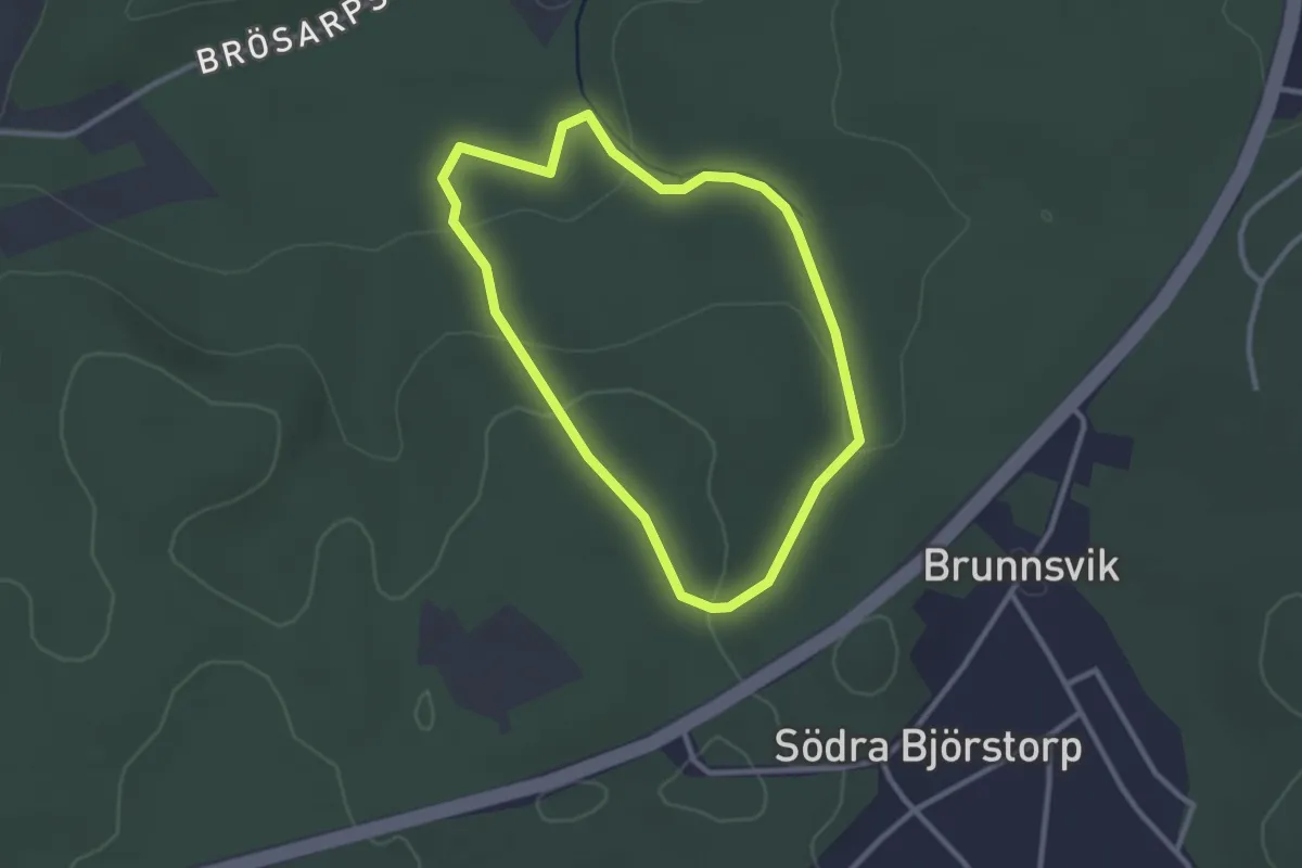
Easy · Trail
Verkeån blå
2.1 km · ↑ 53 m · 38 min
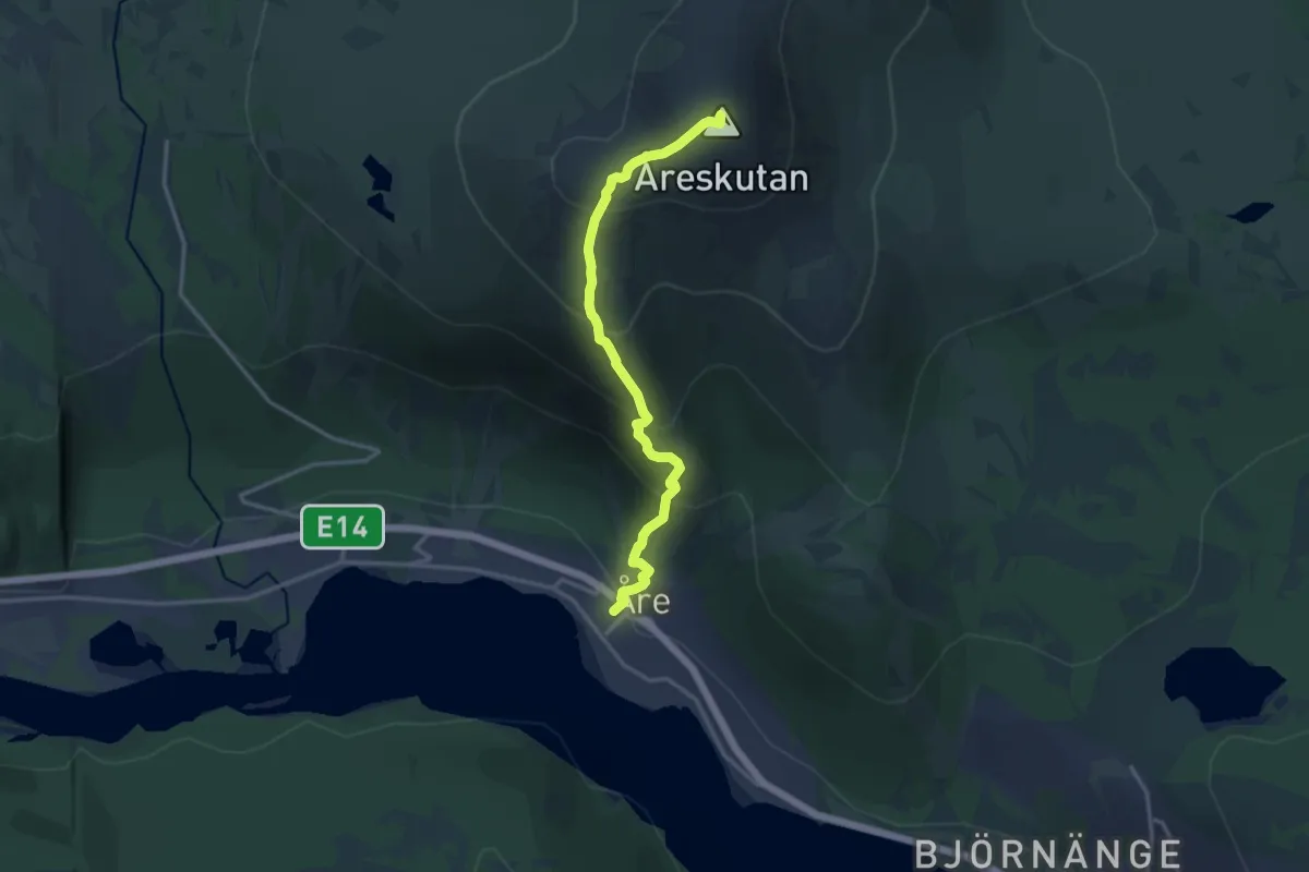
Demanding · Summit
Vertical K
9.6 km · ↑ 1219 m · 4 h 54 min
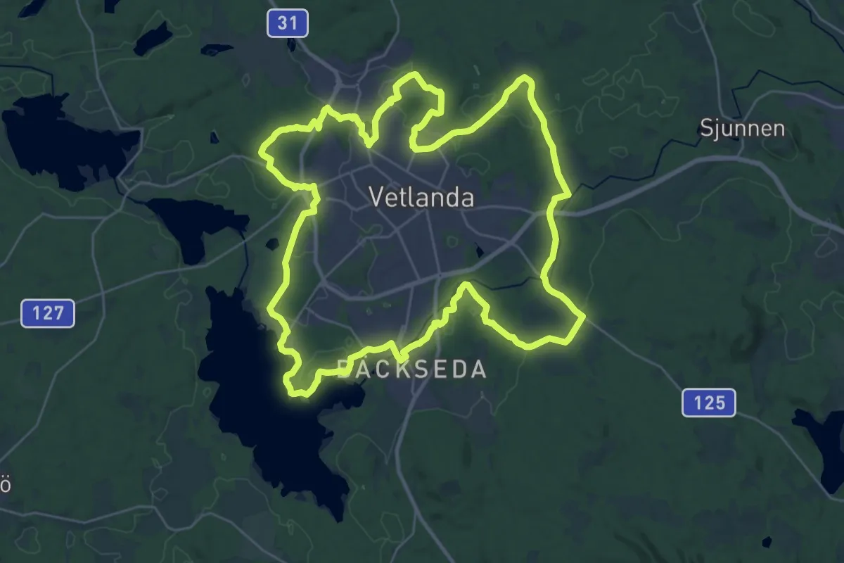
Demanding · Trail
Vetlandarundan
25.1 km · ↑ 213 m · 6 h 44 min
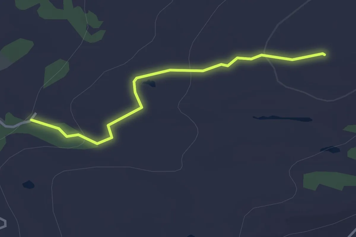
Easy · Summit
Vetteberget vandringsled
2.3 km · ↑ 73 m · 42 min
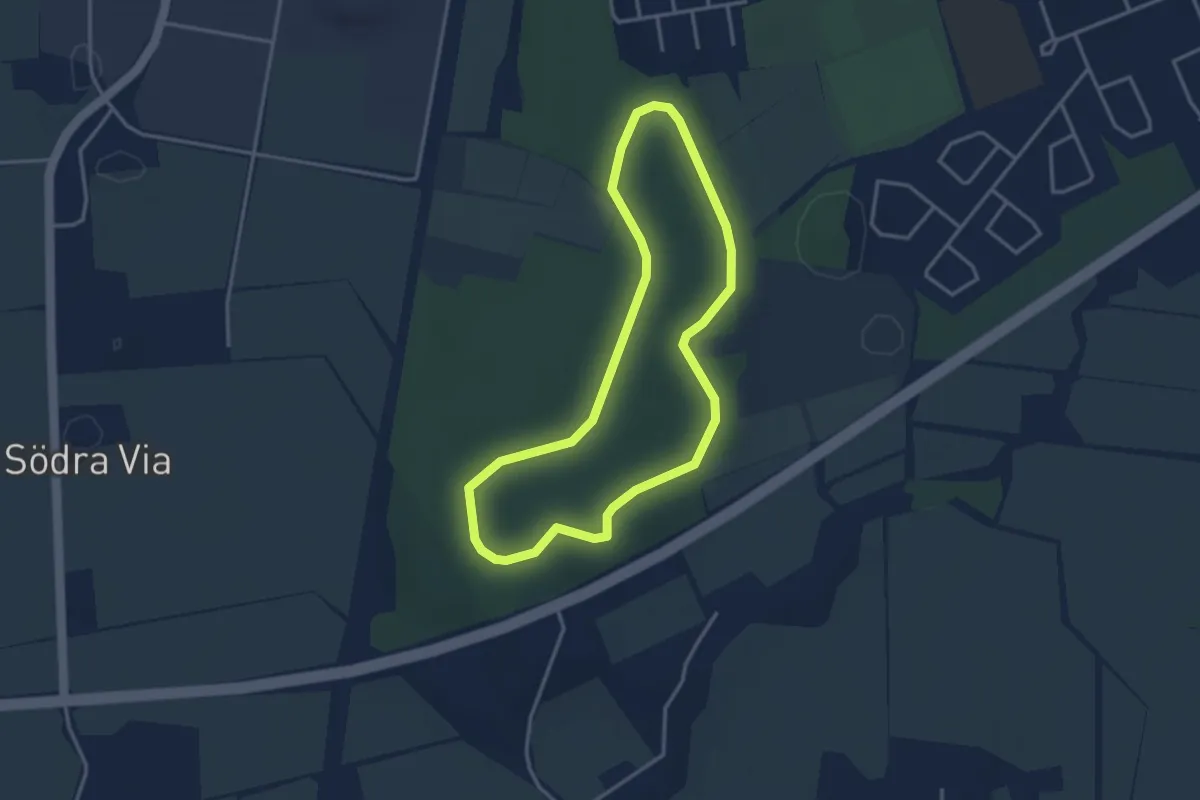
Easy · Trail
Viaspåret
2.4 km · ↑ 9 m · 37 min
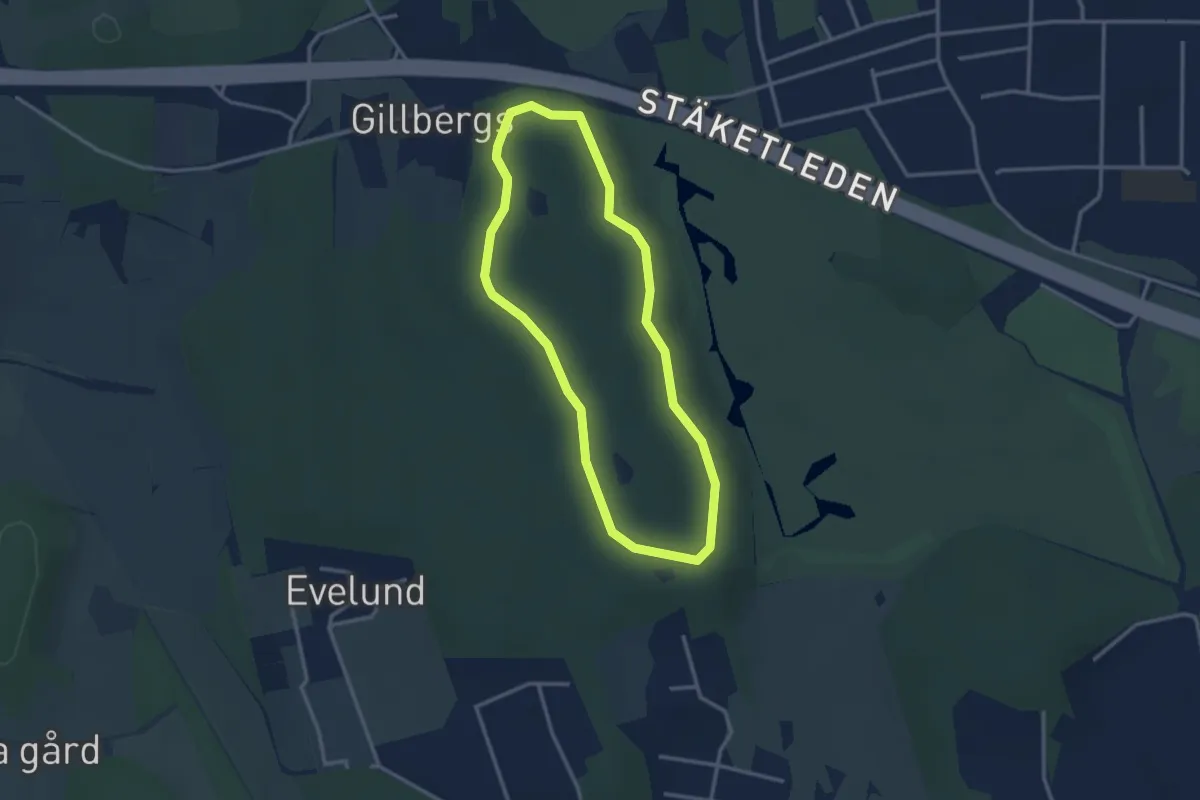
Easy · Trail
Vibyspåret
2.1 km · ↑ 13 m · 33 min
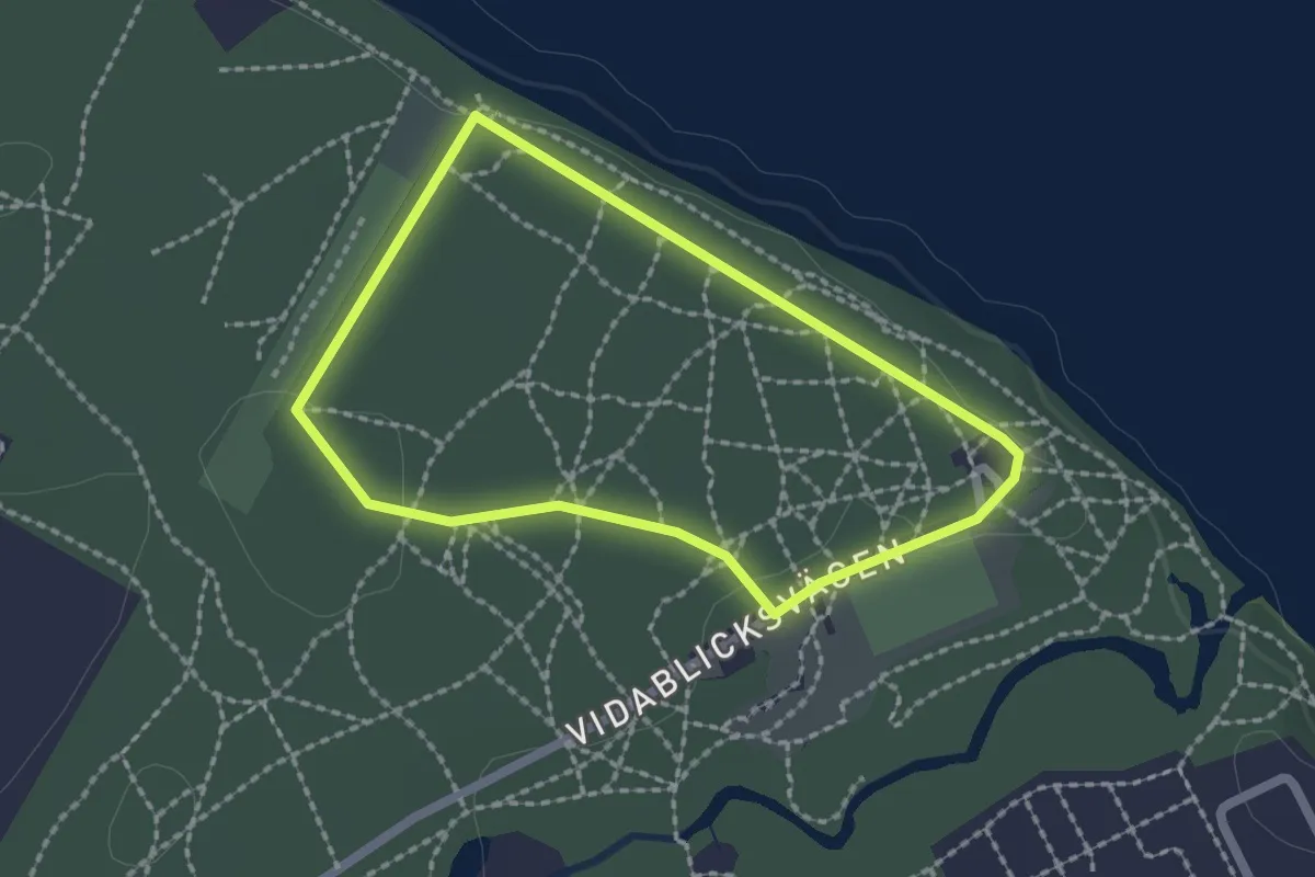
Easy · Trail
Vidablickspåret
1.4 km · ↑ 4 m · 21 min
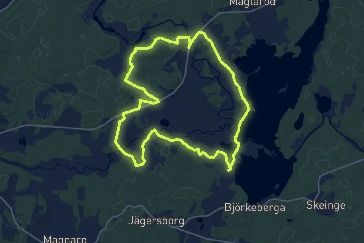
Medium · Trail
Vieåleden
10.9 km · ↑ 97 m · 2 h 56 min
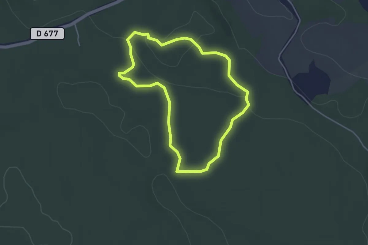
Easy · Trail
Vigors kyrko
2.4 km · ↑ 17 m · 39 min
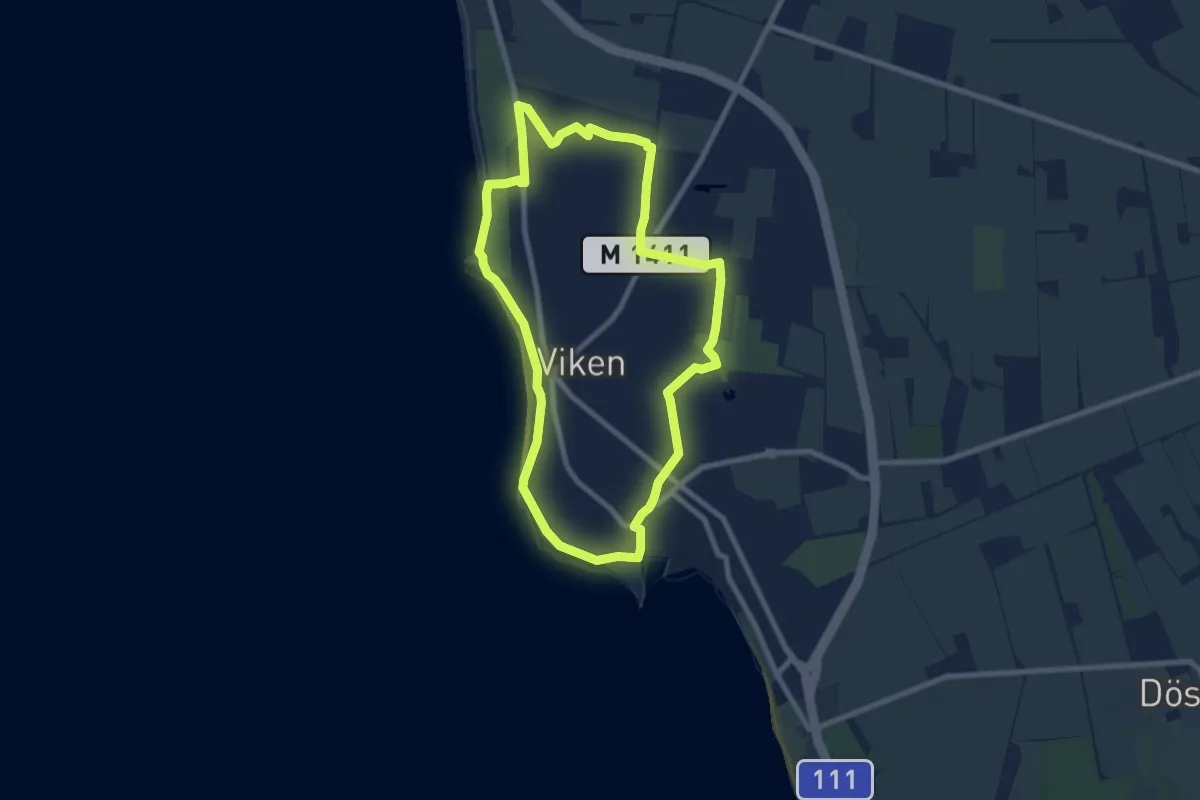
Easy · Trail
Vikenrundan
6.5 km · ↑ 4 m · 1 h 38 min
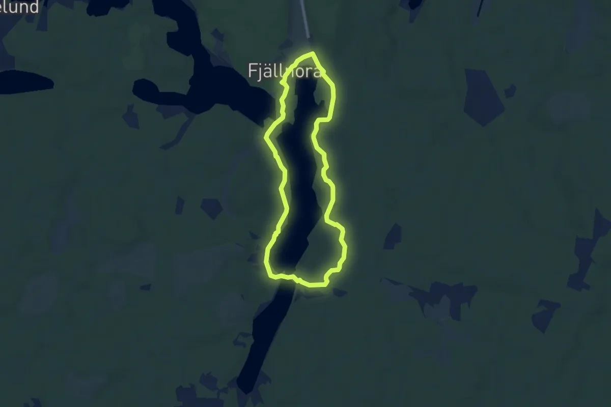
Demanding · Trail
Vildmarksled
4.9 km · ↑ 50 m · 1 h 21 min
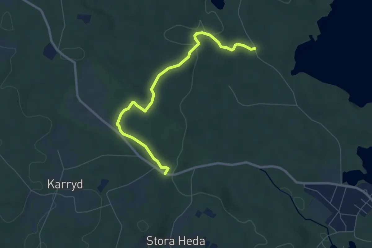
Easy · Trail
Vildmarksleden
2.7 km · ↑ 45 m · 46 min
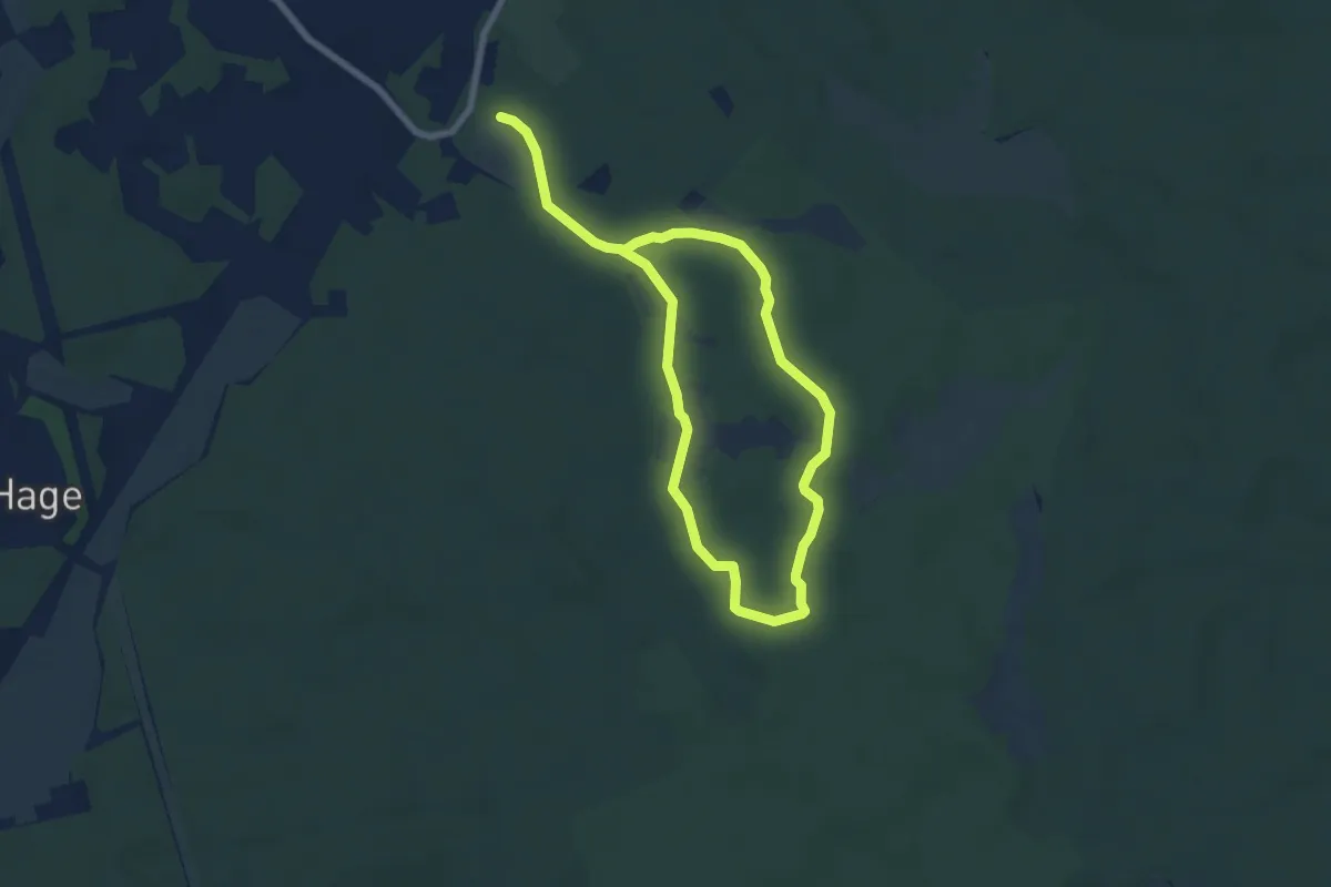
Easy · Trail
Vildmarksleden
4.0 km · ↑ 13 m · 1 h 1 min
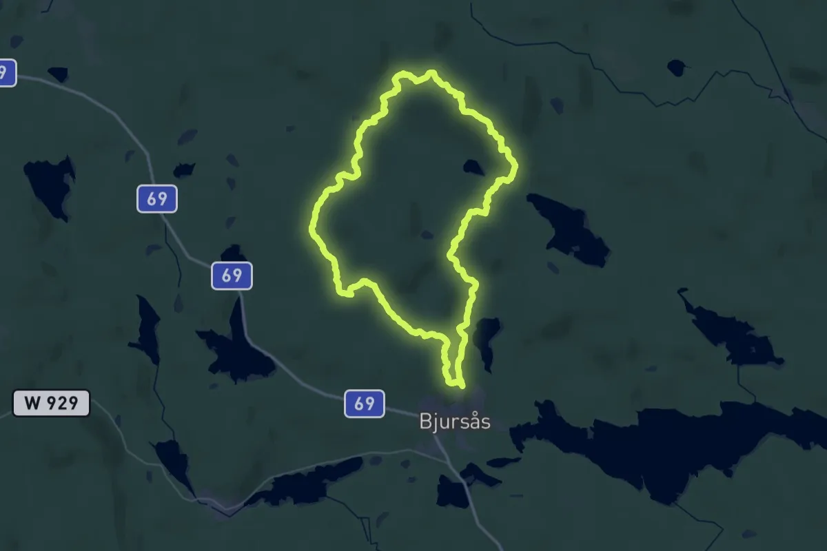
Demanding · Summit
Vildmarksleden (Bjursås)
34.3 km · ↑ 917 m · 10 h 33 min
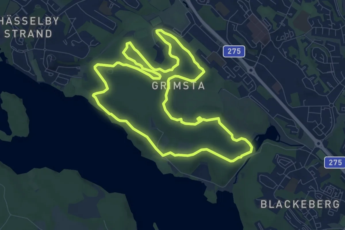
Easy · Trail
Vildmarksspåret
7.9 km · ↑ 88 m · 2 h 10 min
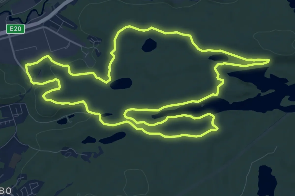
Medium · Trail
Vildmarksspåret Hjortgården 10km
10.1 km · ↑ 109 m · 2 h 46 min
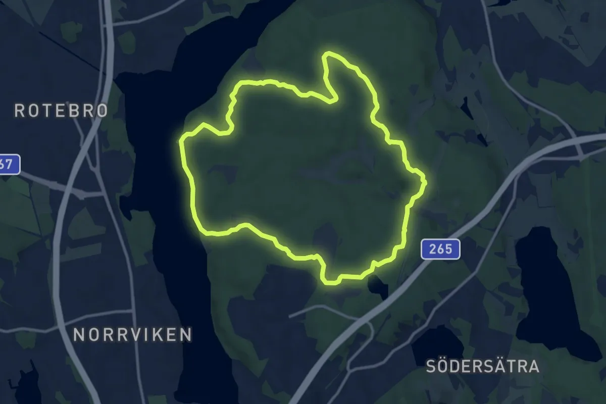
Medium · Trail
Vildmarkstigen
8.1 km · ↑ 94 m · 2 h 14 min
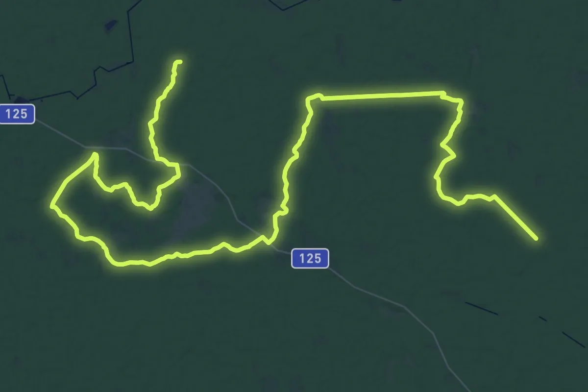
Demanding · Trail
Vilseleden
37.7 km · ↑ 98 m · 9 h 39 min
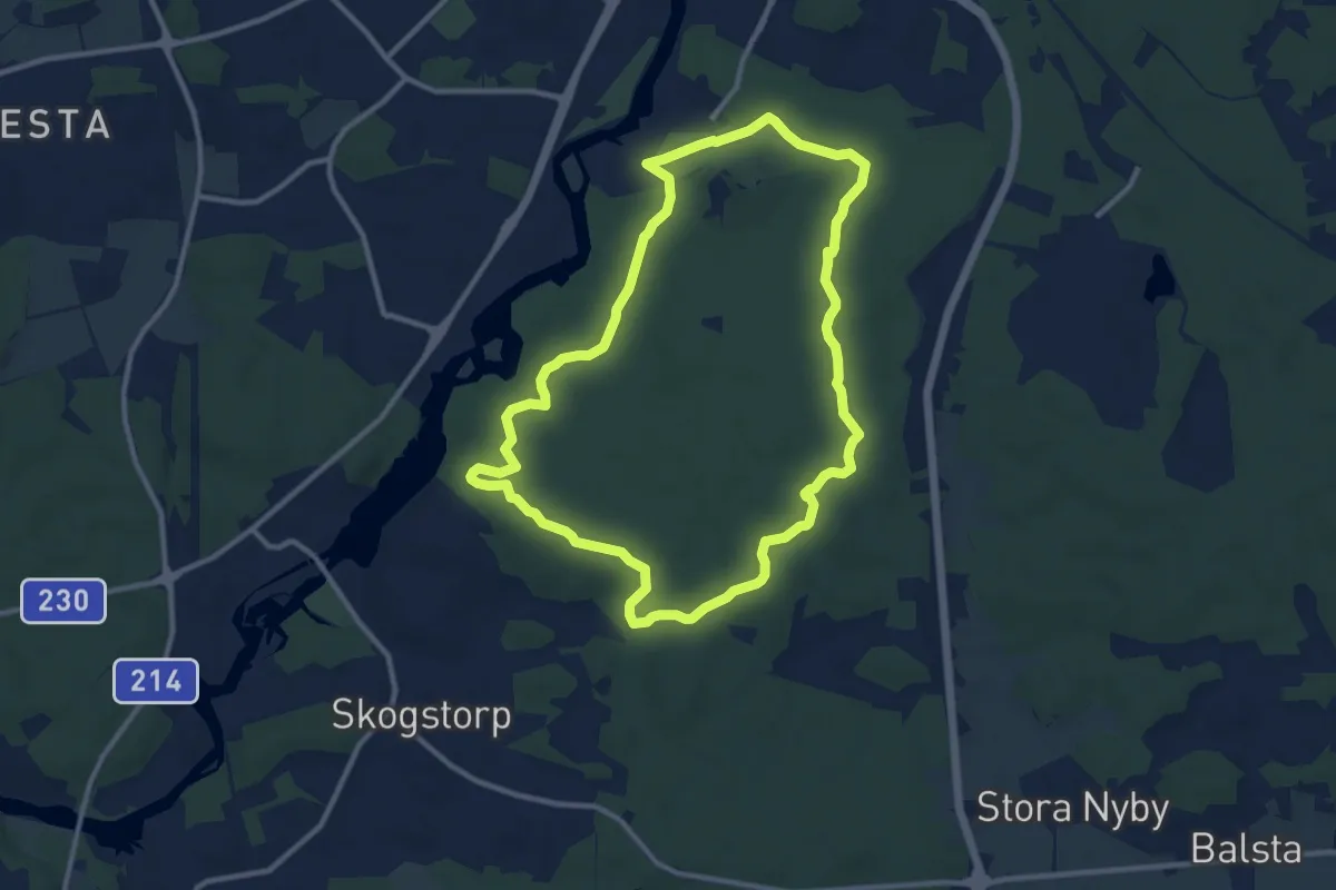
Easy · Trail
Vilstarundan
7.9 km · ↑ 87 m · 2 h 10 min
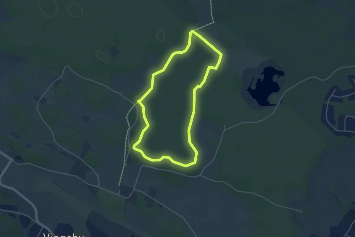
Easy · Trail
Viltstigen (vit)
2.9 km · ↑ 17 m · 46 min
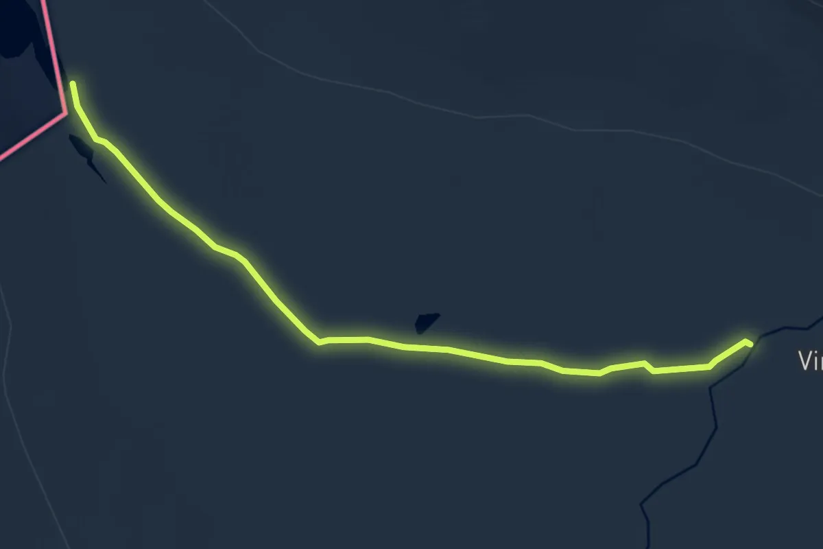
Easy · Trail
Vindelvaggileden
6.6 km · ↑ 9 m · 1 h 35 min
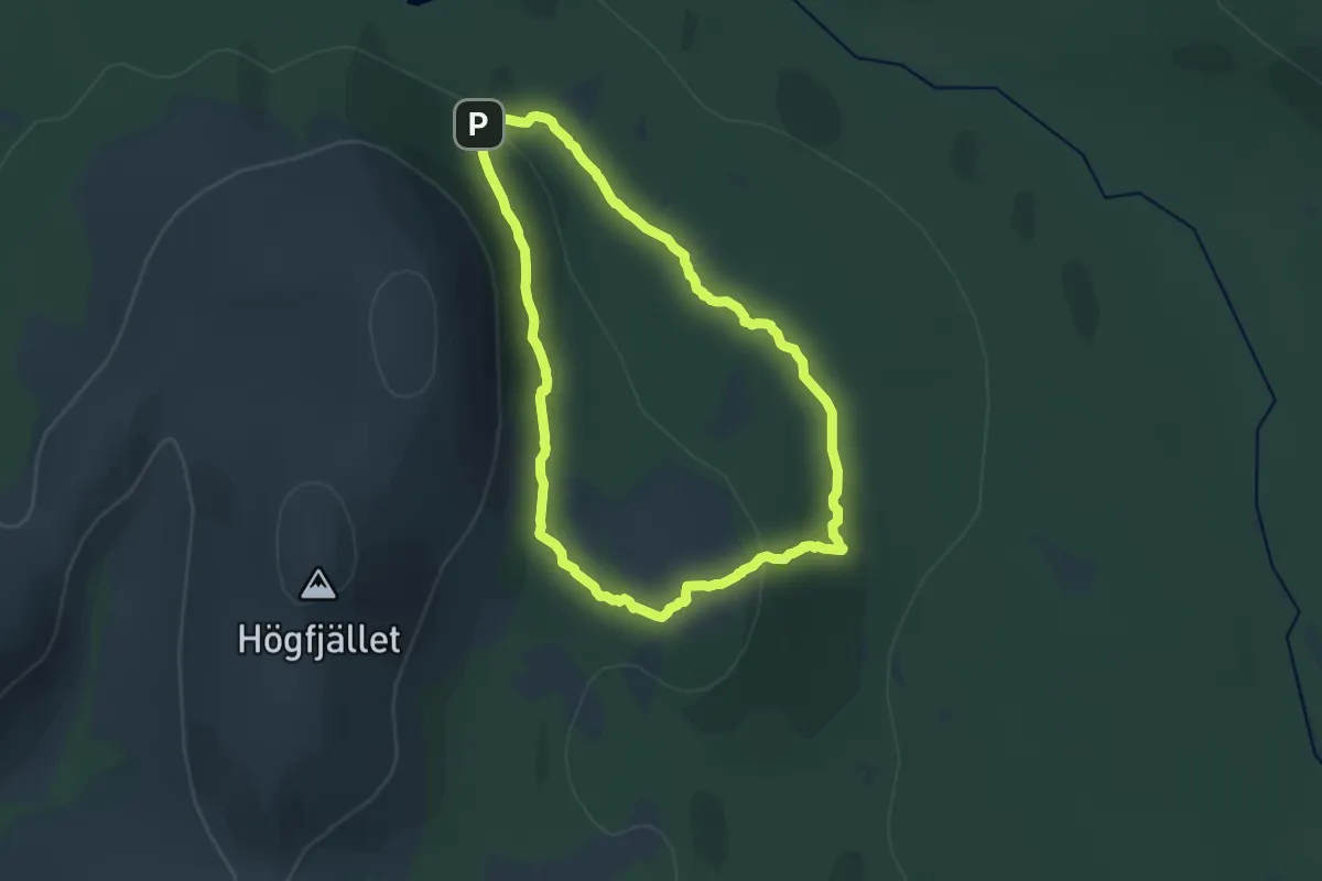
Demanding · Trail
Vindskyddet vid Stor-Ryvålen
11.2 km · ↑ 1321 m · 5 h 40 min
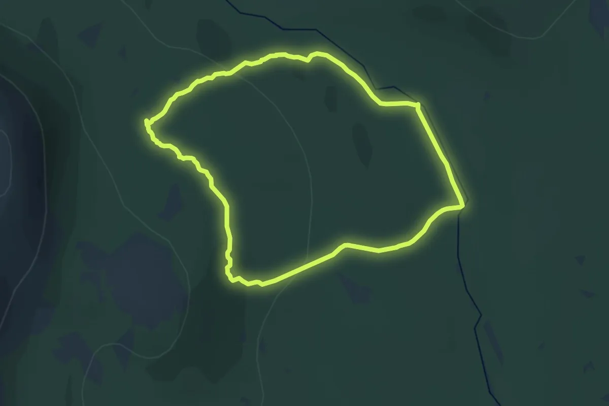
Demanding · Trail
Vindskyddet vid Valmen
12.5 km · ↑ 1218 m · 5 h 46 min
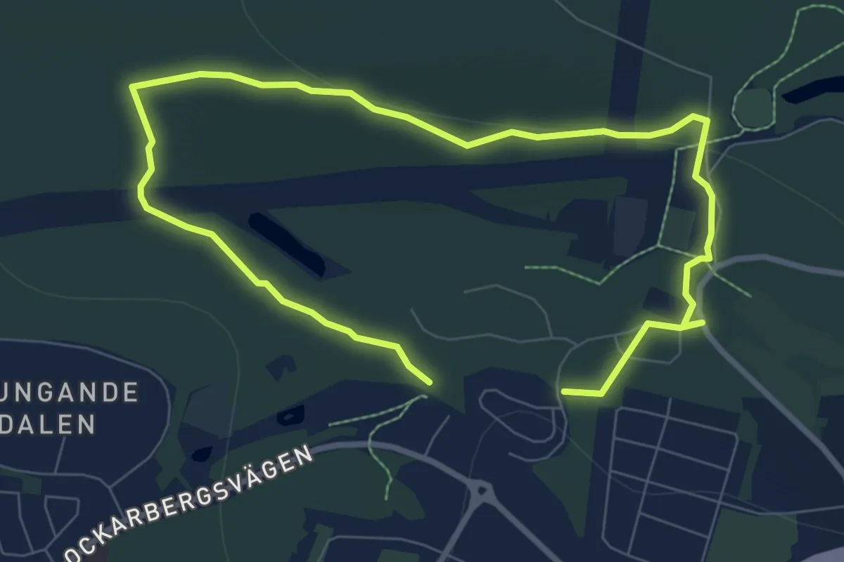
Easy · Trail
Vinterpromenaden
7.6 km · ↑ 120 m · 2 h 4 min
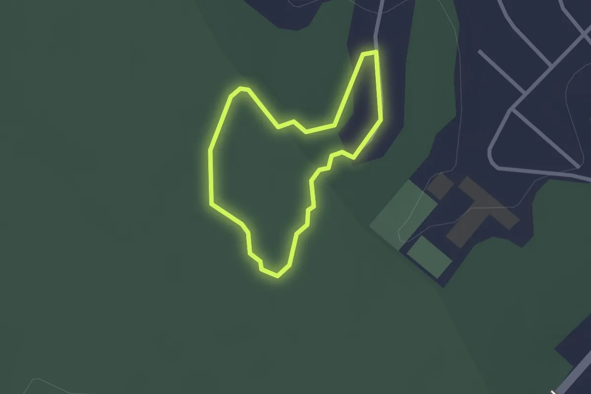
Easy · Trail
Vinterskogen - Dynamiten
1.3 km · ↑ 8 m · 21 min
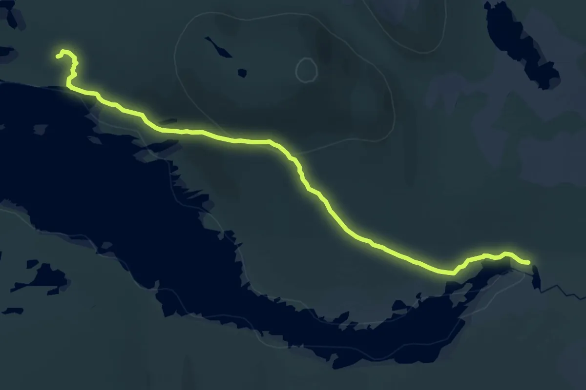
Demanding · Trail
Virisen
18.7 km · ↑ 454 m · 5 h 24 min
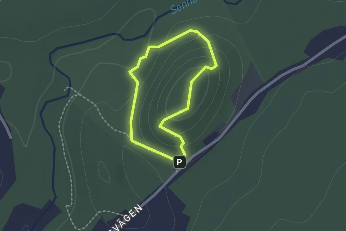
Easy · Trail
Virsehatt rundan
1.0 km · ↑ 37 m · 21 min
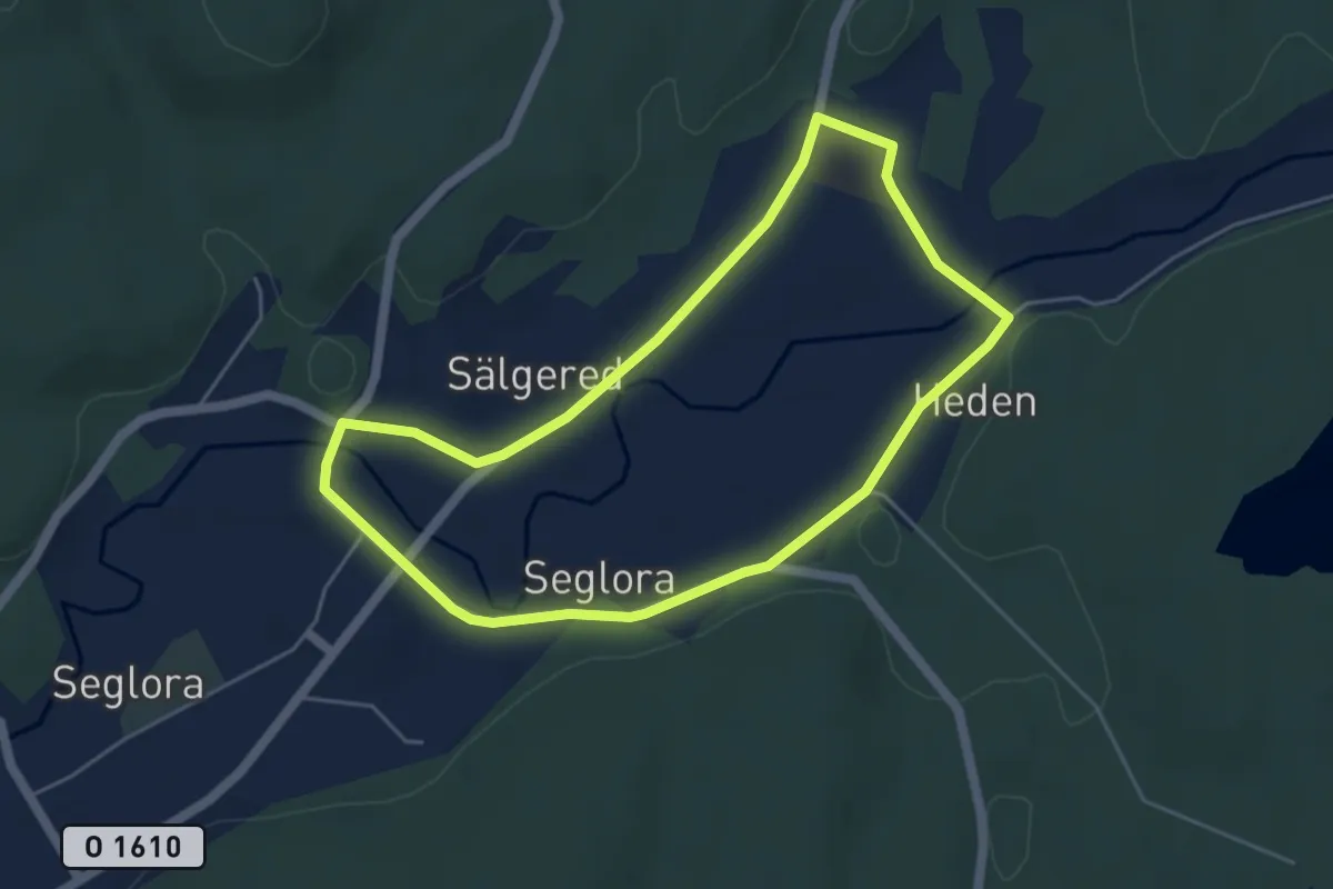
Easy · Trail
Viskadalens Vandringsled Grön
3.7 km · ↑ 13 m · 57 min
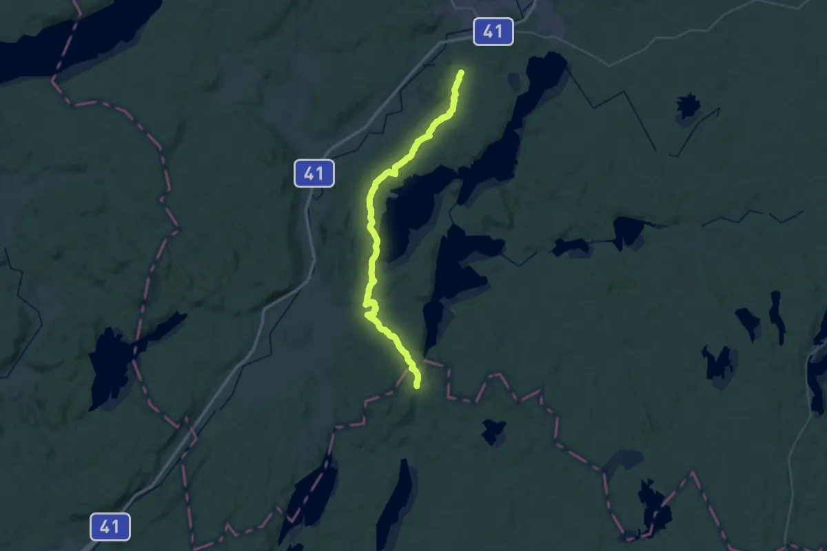
Demanding · Summit
Viskastigen
38.1 km · ↑ 496 m · 10 h 4 min
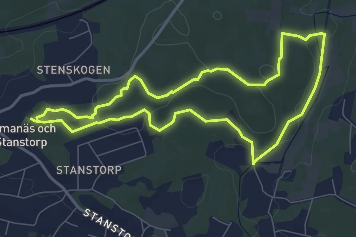
Easy · Trail
Vit
4.9 km · ↑ 47 m · 1 h 20 min
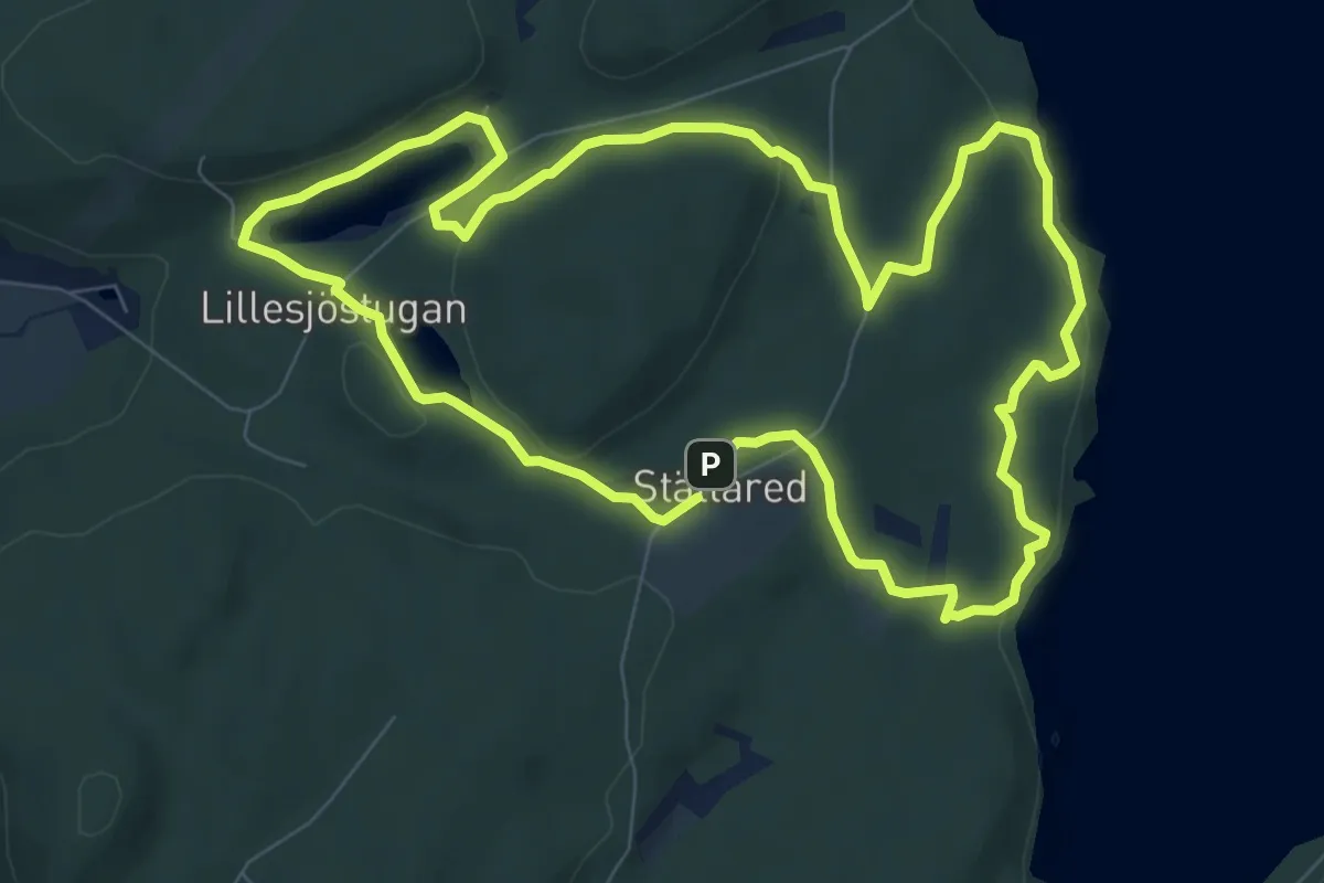
Easy · Summit
Vit
6.8 km · ↑ 91 m · 1 h 55 min
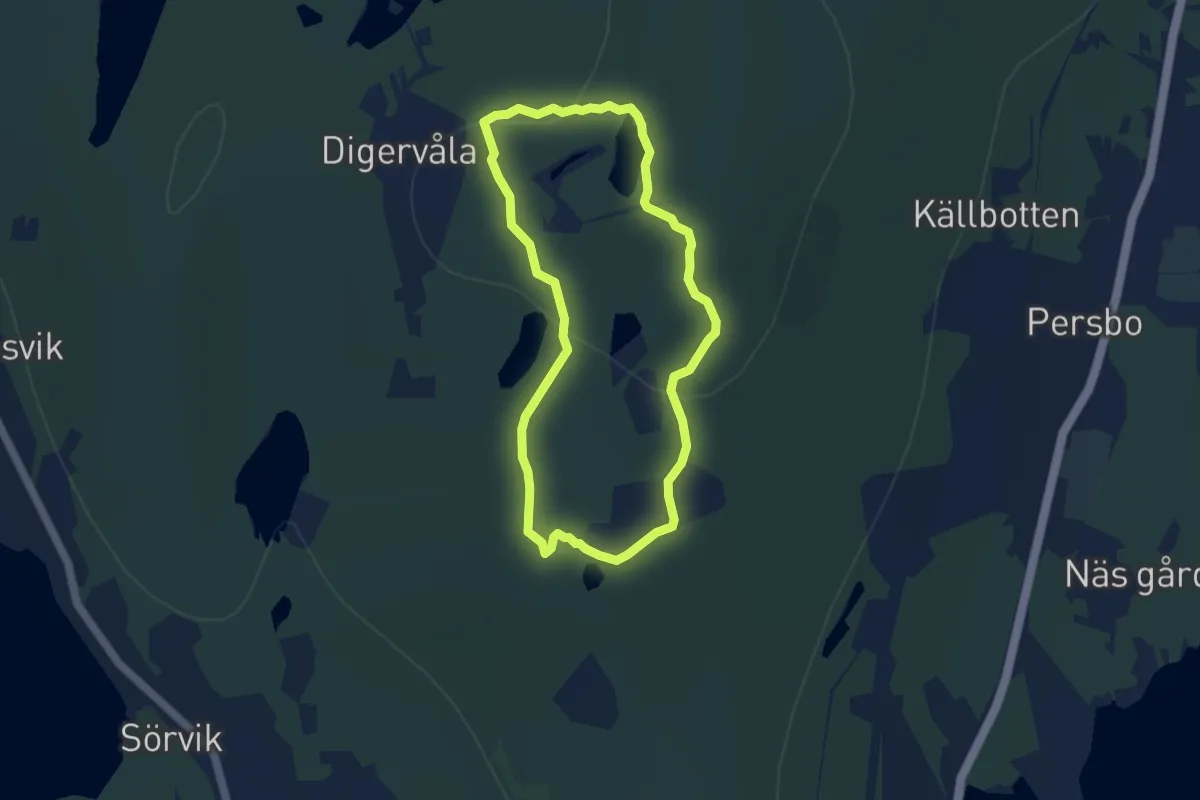
Easy · Summit
Vit 6,5km
5.5 km · ↑ 121 m · 1 h 38 min
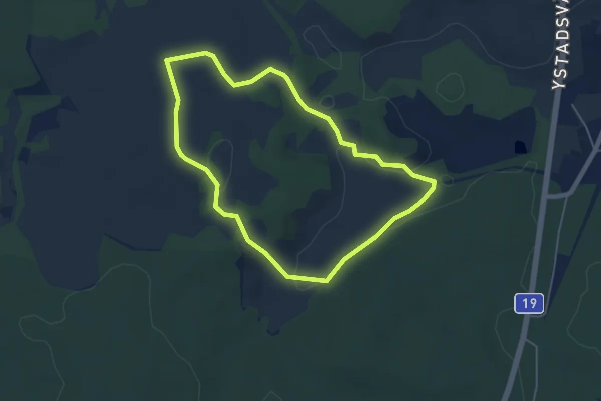
Easy · Trail
Vita leden
3.3 km · ↑ 43 m · 55 min
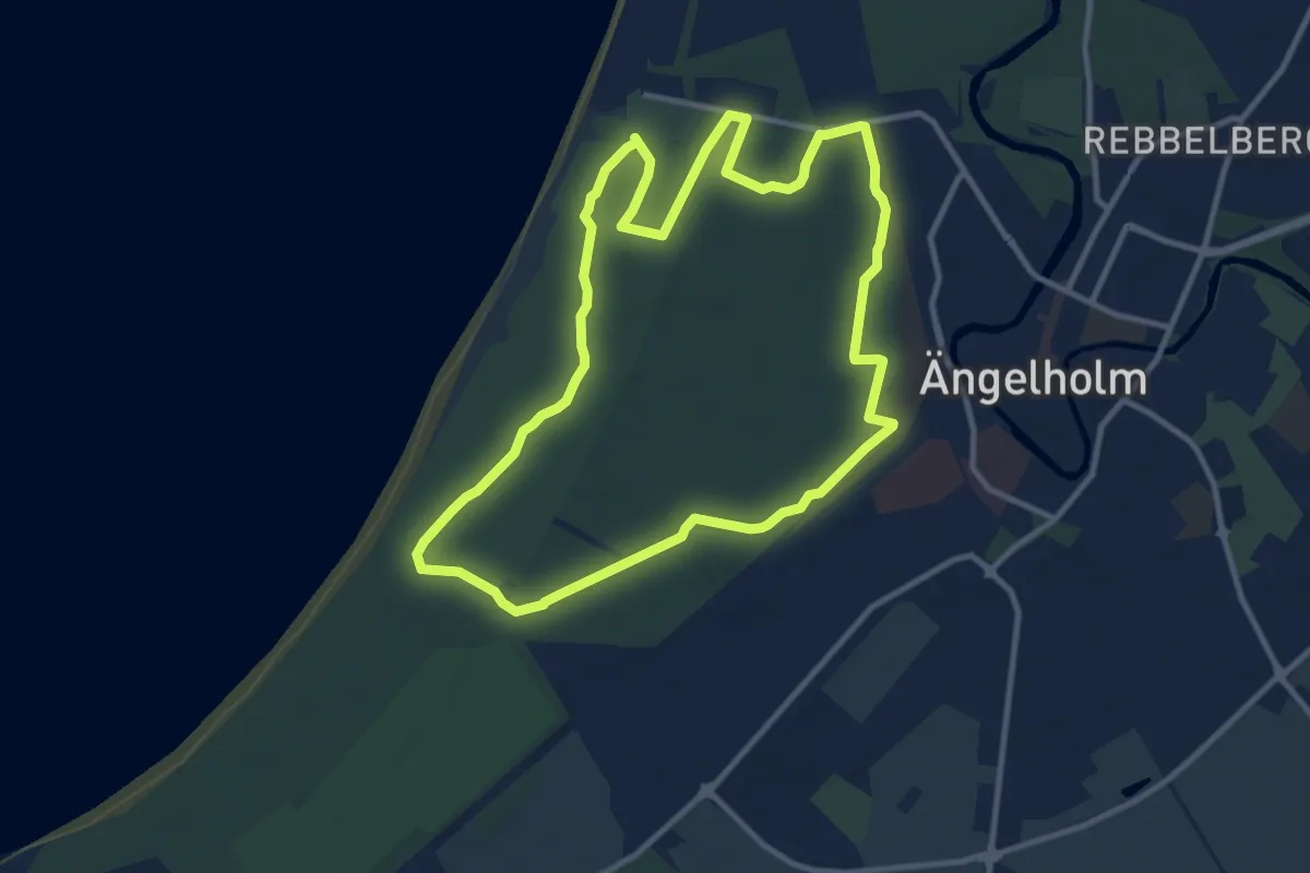
Medium · Trail
Vita Spåret
8.8 km · ↑ 12 m · 2 h 13 min
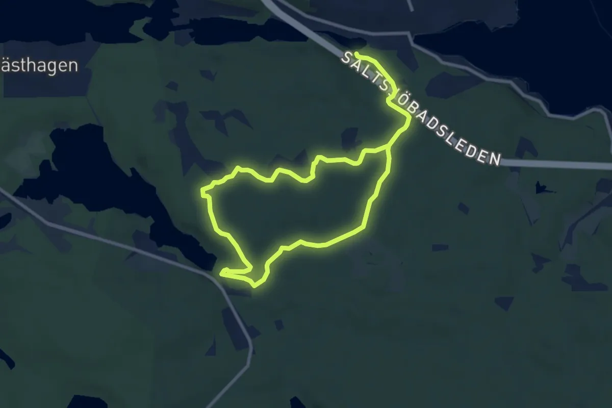
Medium · Trail
Vita Spåret
10.4 km · ↑ 79 m · 2 h 38 min
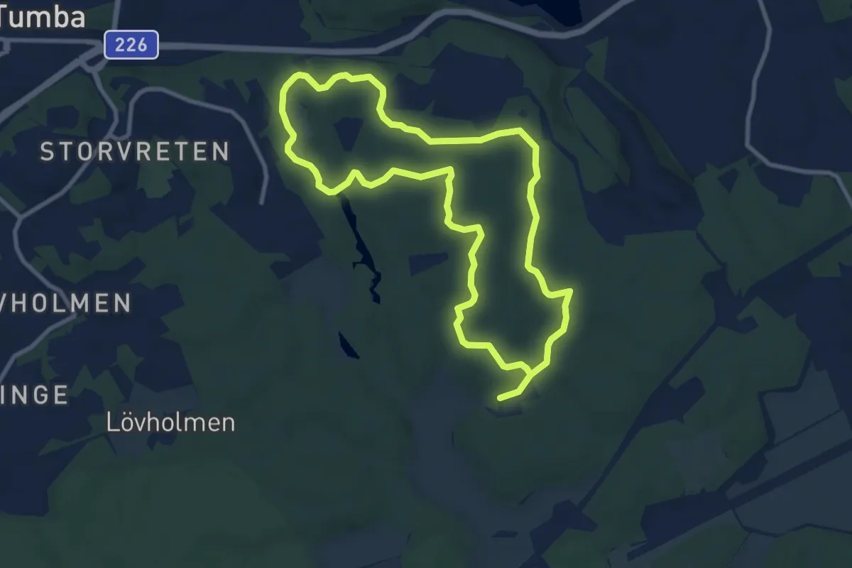
Medium · Trail
Vit / grön Harbro
12.9 km · ↑ 141 m · 3 h 22 min
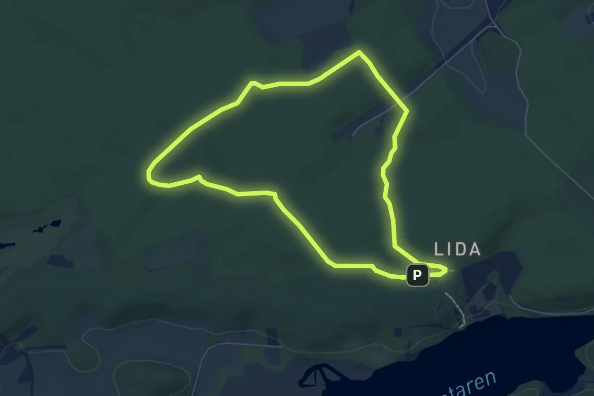
Easy · Trail
Vit / Grön Lida
4.4 km · ↑ 37 m · 1 h 11 min
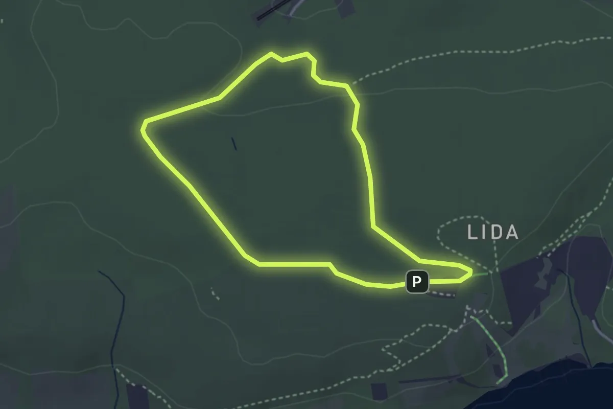
Easy · Trail
Vit / Gul
2.4 km · ↑ 19 m · 38 min
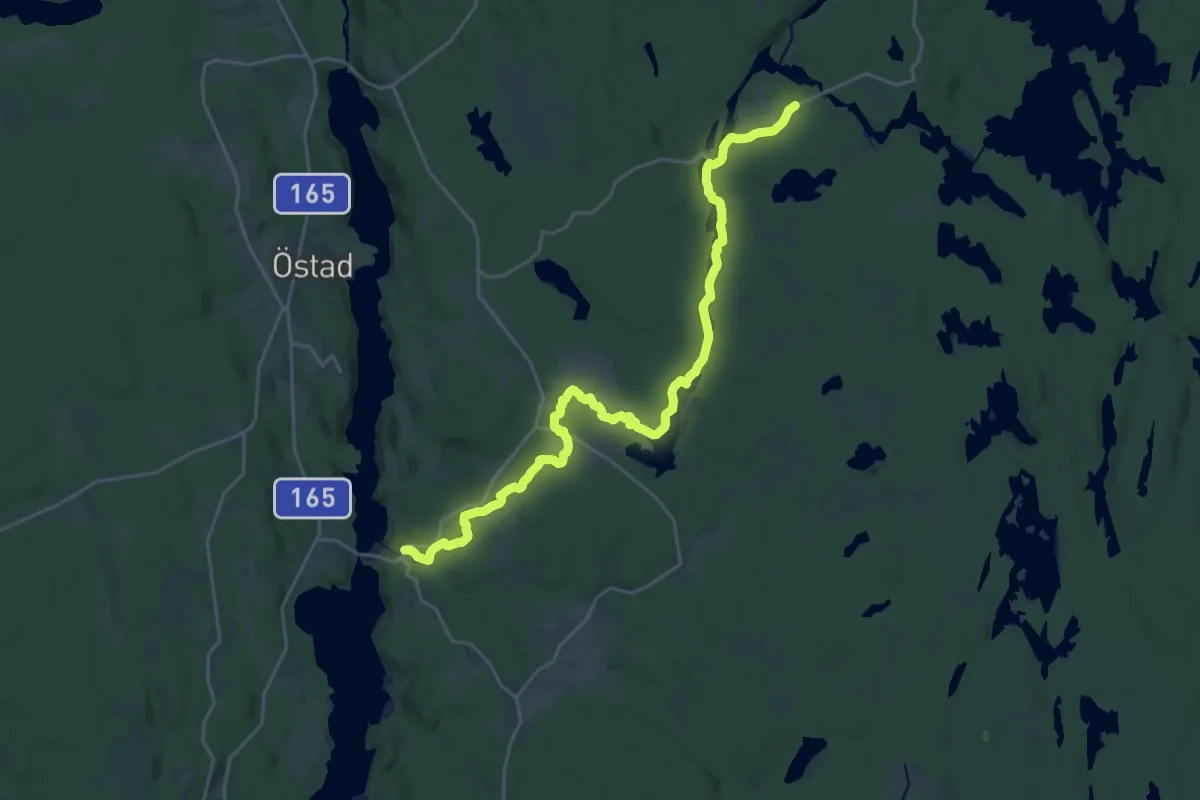
Demanding · Trail
Vitingeleden
21.9 km · ↑ 97 m · 5 h 23 min
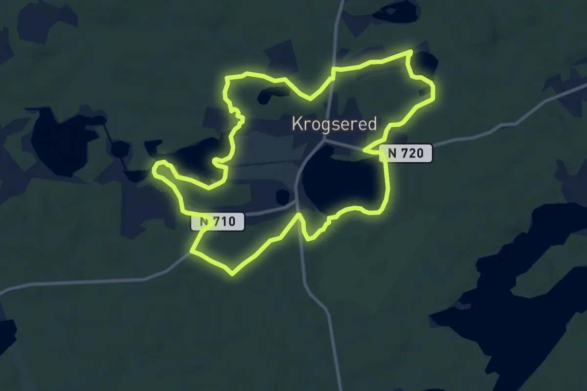
Easy · Trail
Vit slinga
8.0 km · ↑ 44 m · 2 h 5 min
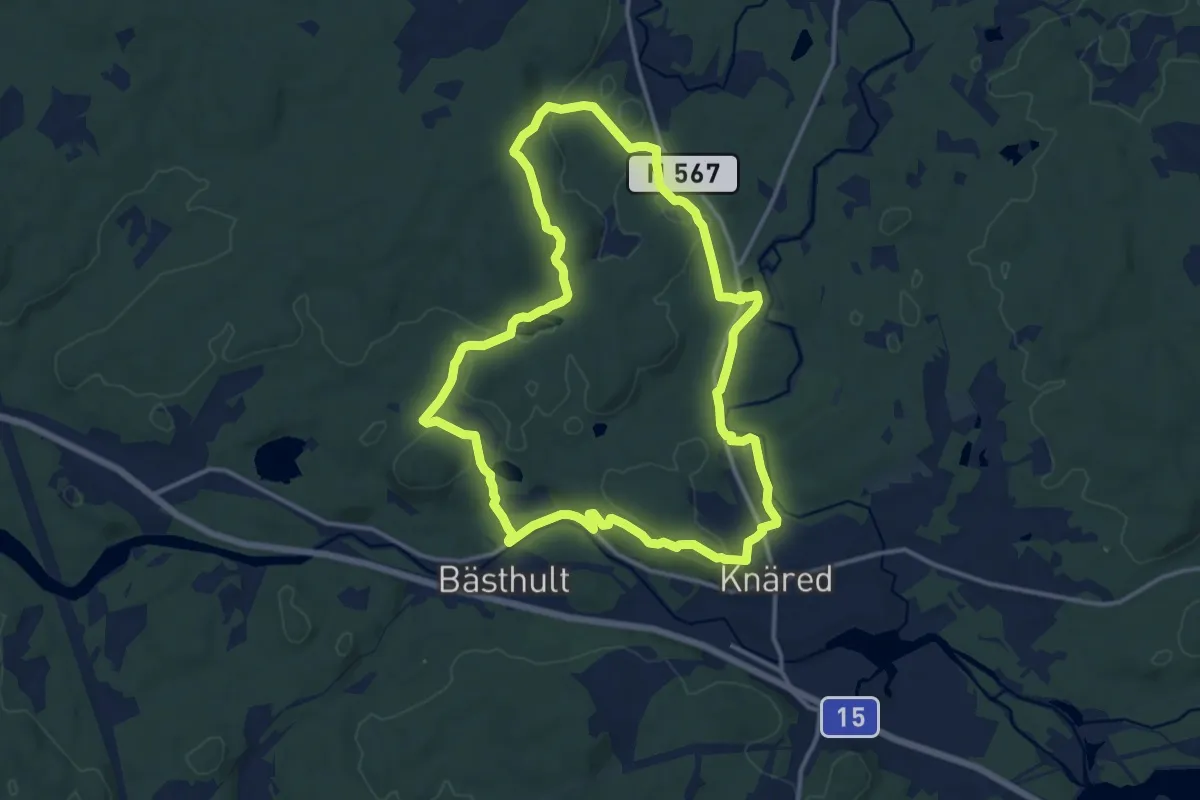
Medium · Trail
Vitslinga
10.9 km · ↑ 133 m · 3 h 1 min
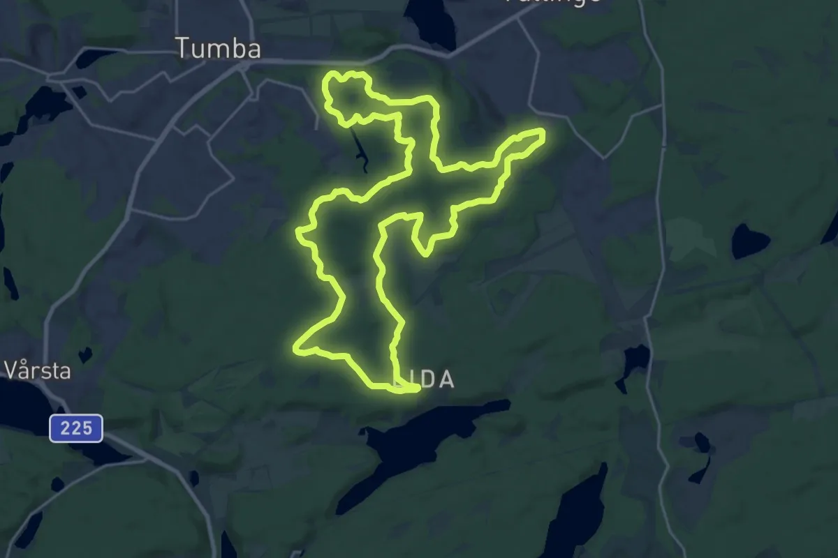
Medium · Trail
Vit / Svart
17.7 km · ↑ 156 m · 4 h 46 min
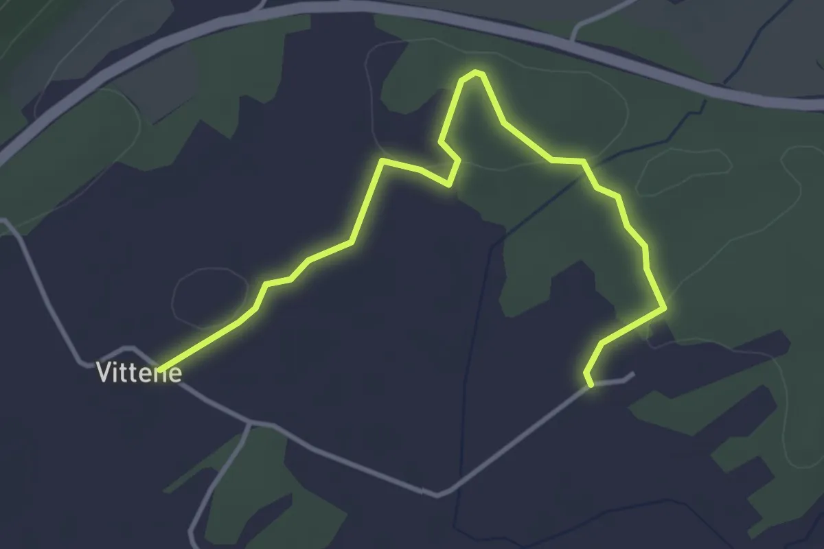
Easy · Trail
Vittene kulturled
3.1 km · ↑ 18 m · 46 min