Trails in Sweden
3,247 hiking trails, each with its route, climb, walking time and grade.
All trails, page 65 of 68
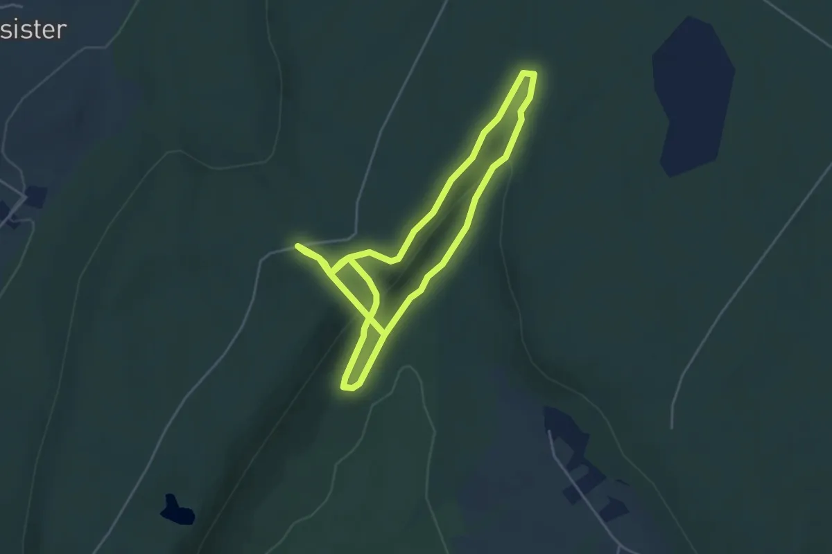
Easy · Trail
Vråhålans vandringsled
3.2 km · ↑ 109 m · 1 h
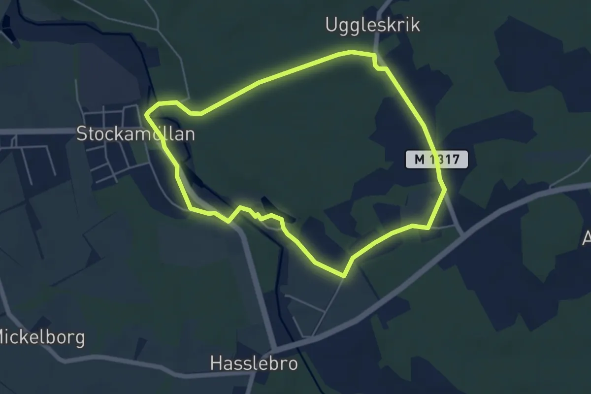
Easy · Trail
Wittserödsrundan
3.7 km · ↑ 23 m · 58 min
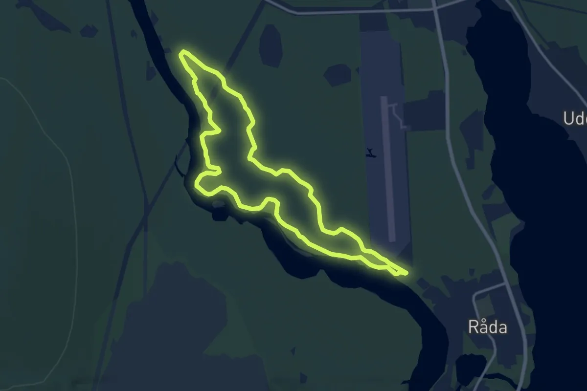
Medium · Trail
10km
8.4 km · ↑ 105 m · 2 h 20 min
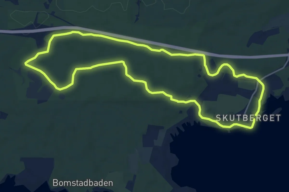
Medium · Trail
10 km motionsspår
9.6 km · ↑ 63 m · 2 h 32 min
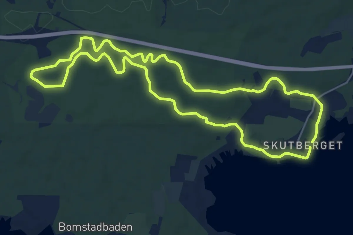
Medium · Trail
10 km träningsspår
10.3 km · ↑ 77 m · 2 h 45 min
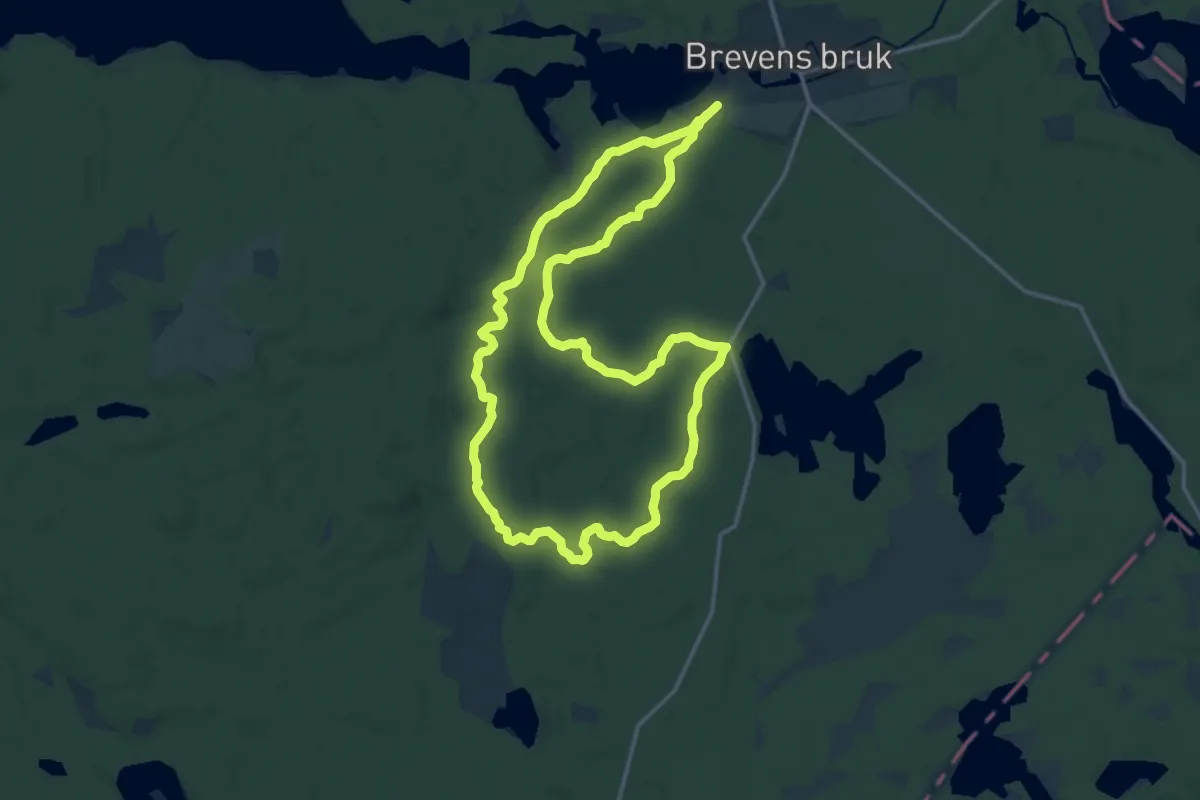
Medium · Trail
12 km walk/run
11.6 km · ↑ 104 m · 3 h 7 min
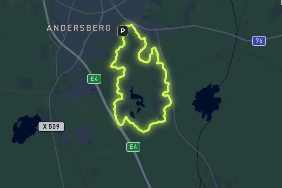
Medium · Trail
15 km
15.0 km · ↑ 141 m · 4 h 3 min
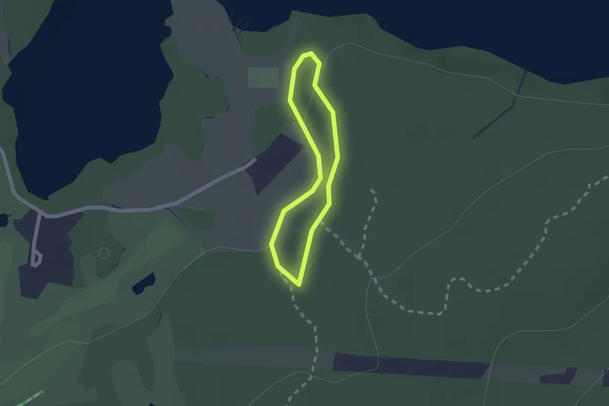
Easy · Trail
1km
1.0 km · ↑ 13 m · 17 min
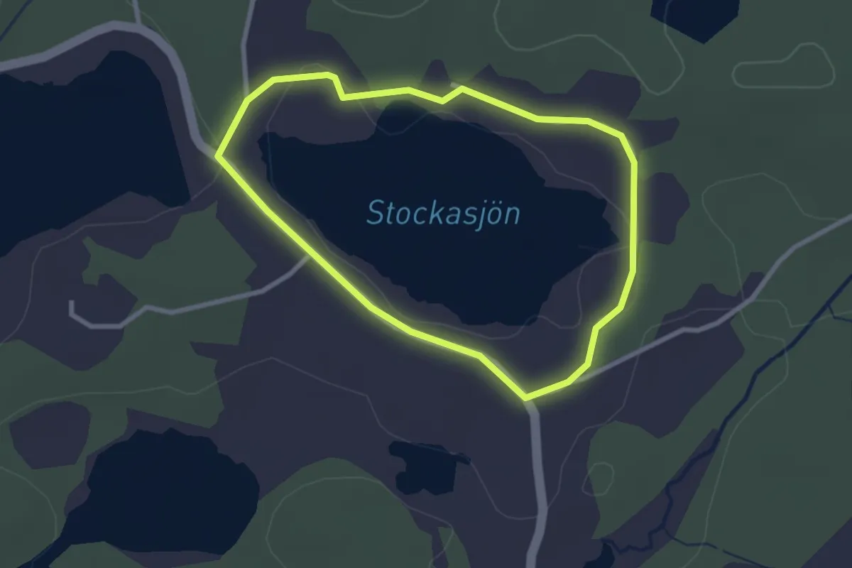
Easy · Trail
1 Stockasjön
1.9 km · ↑ 15 m · 31 min
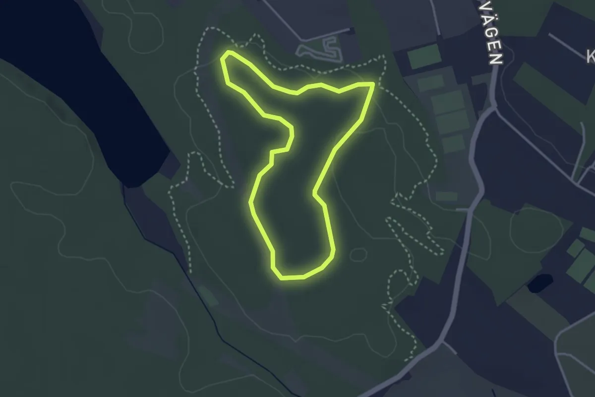
Easy · Trail
2,5 km
2.3 km · ↑ 10 m · 35 min
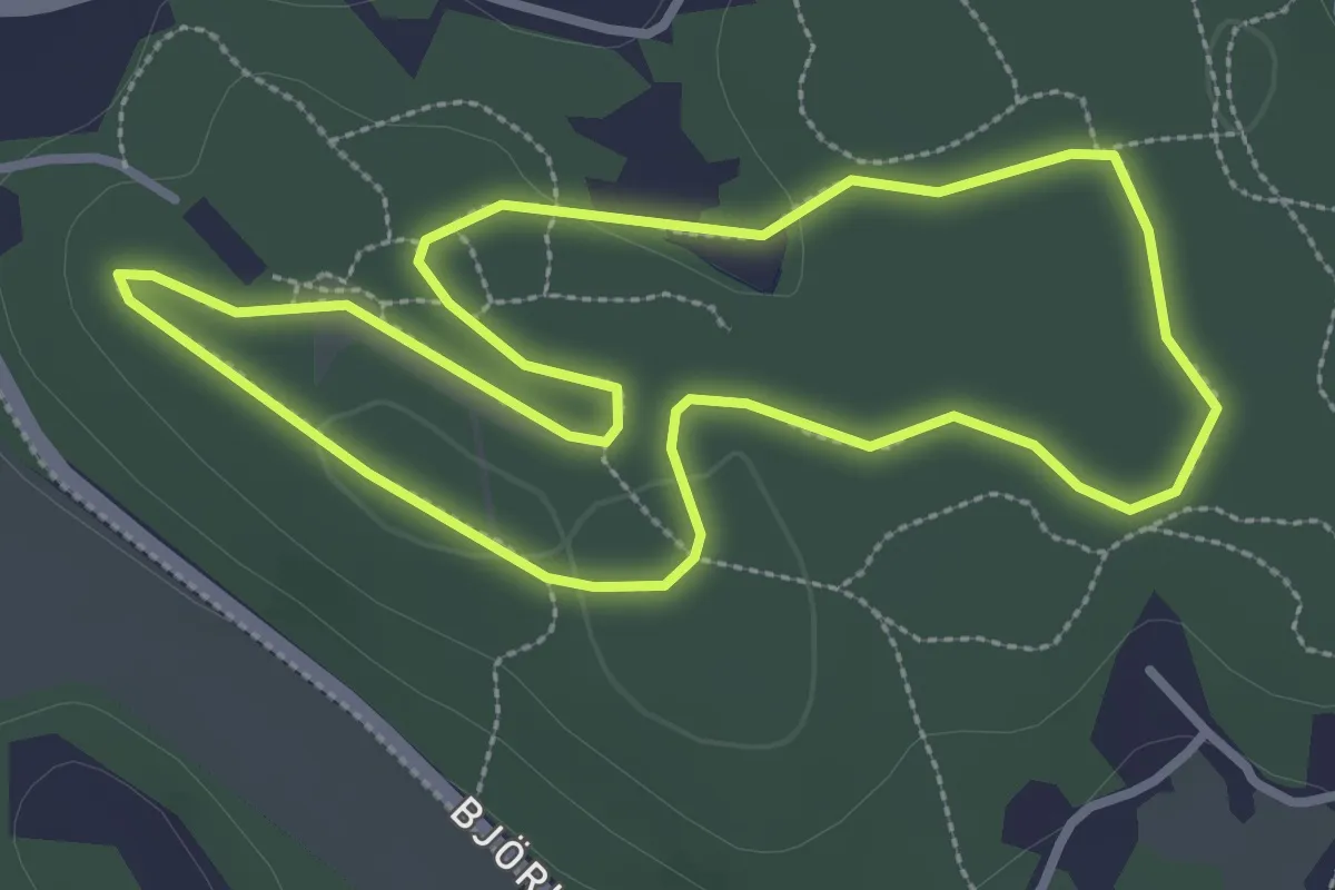
Easy · Trail
2,5 km
2.4 km · ↑ 15 m · 38 min
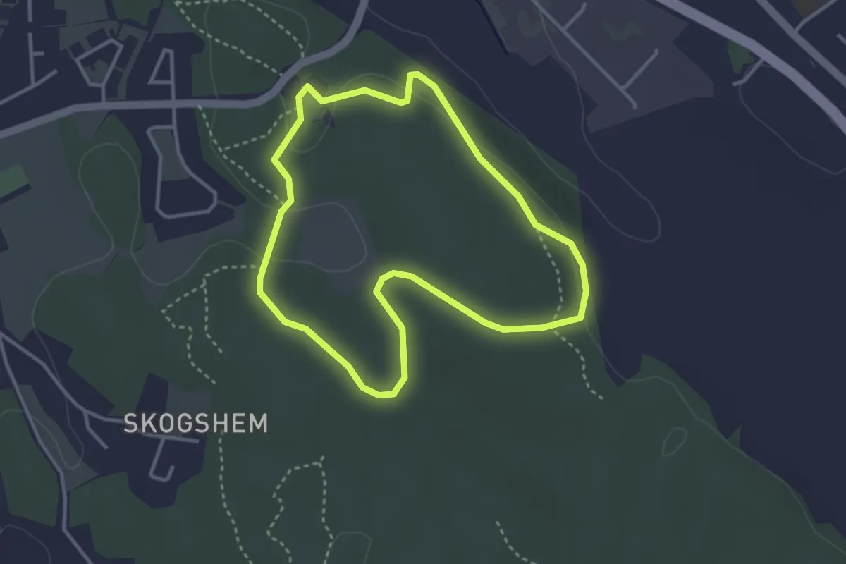
Easy · Trail
2,5 km
2.4 km · ↑ 36 m · 41 min
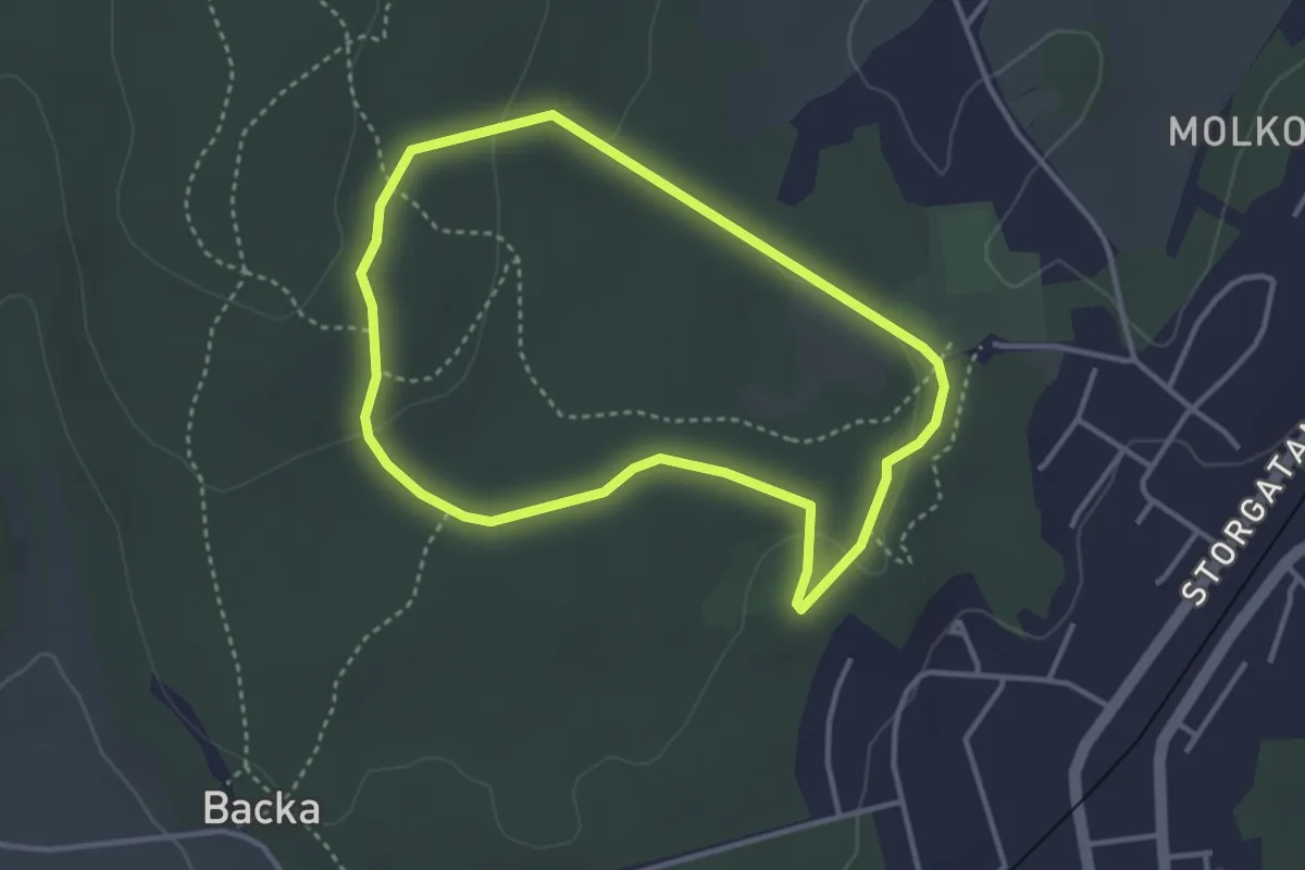
Easy · Trail
2,5 km
2.4 km · ↑ 42 m · 41 min
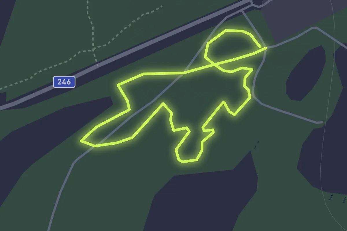
Easy · Trail
2,5 km
2.4 km · ↑ 39 m · 41 min
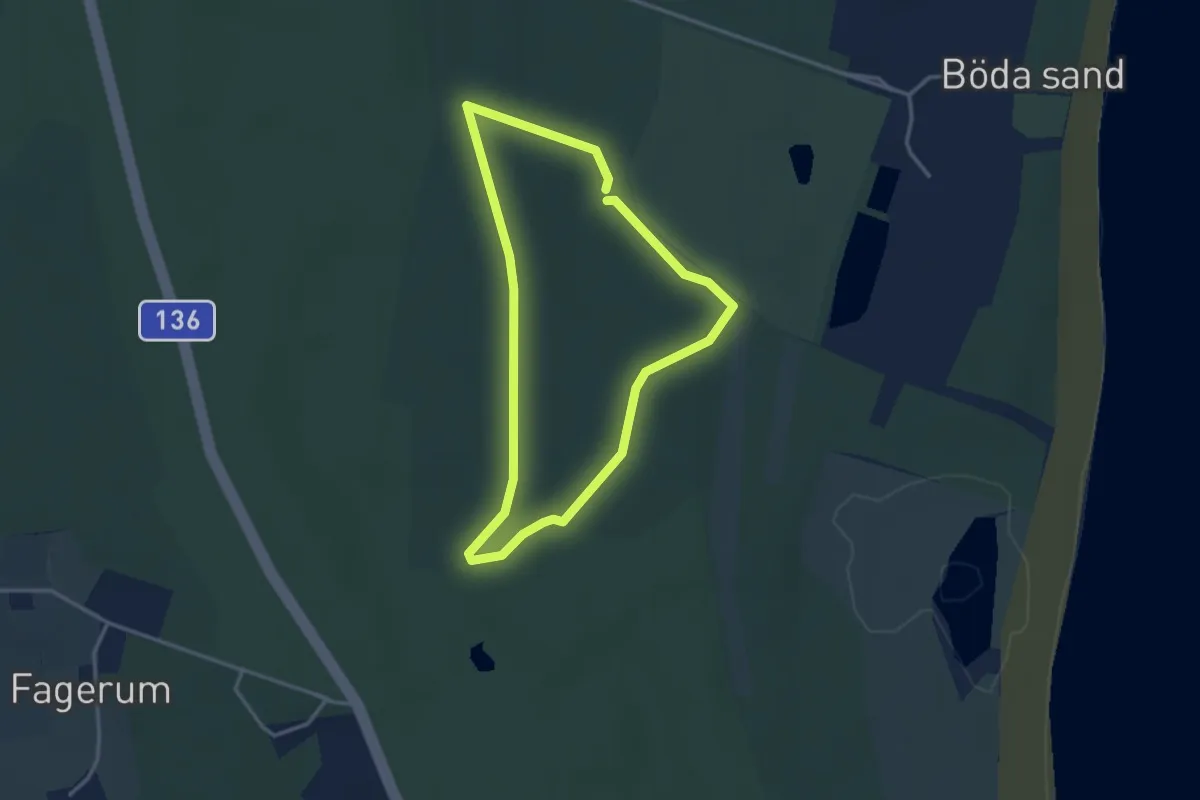
Easy · Trail
2.5 km
2.4 km · ↑ 0 m · 36 min
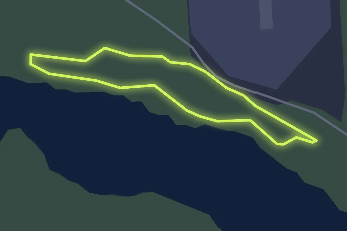
Easy · Trail
2,5km
1.8 km · ↑ 26 m · 31 min
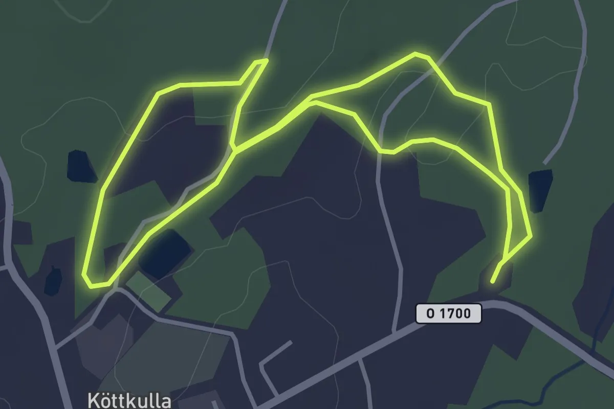
Easy · Trail
2,5 km elljus
2.6 km · ↑ 33 m · 43 min
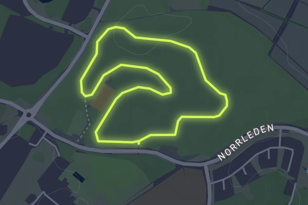
Easy · Trail
2.6 km
2.5 km · ↑ 17 m · 40 min
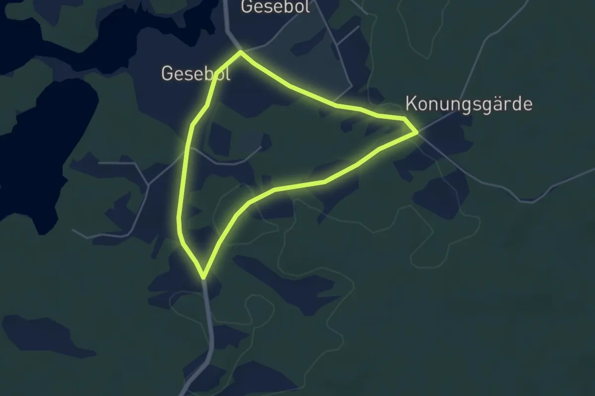
Easy · Trail
2 Gesebol
3.1 km · ↑ 22 m · 50 min
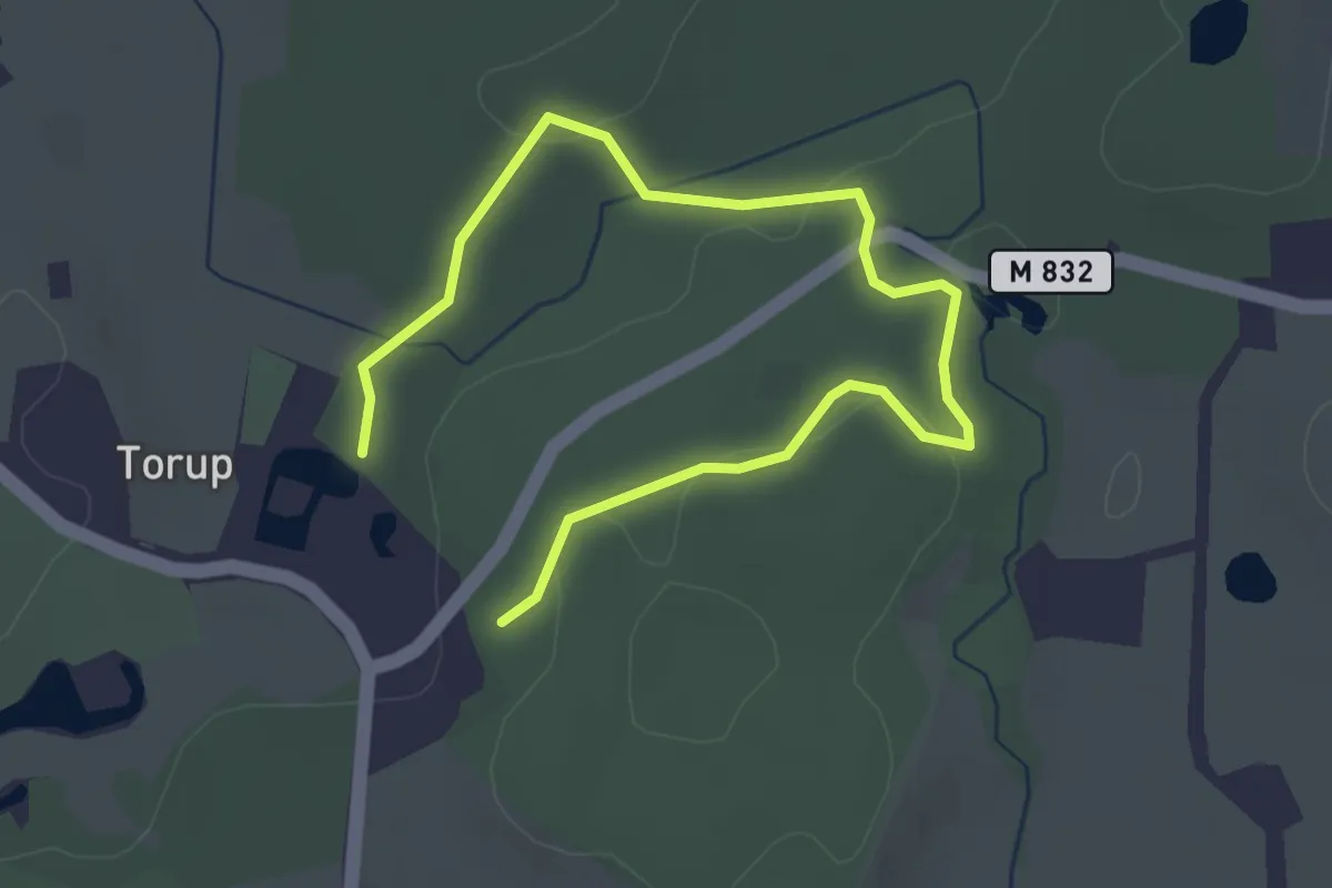
Easy · Trail
2 km
3.6 km · ↑ 27 m · 55 min
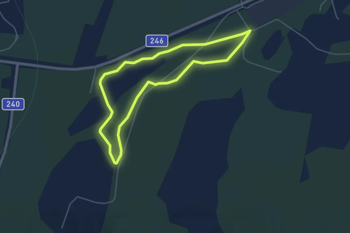
Easy · Trail
3,2 km
2.9 km · ↑ 51 m · 49 min
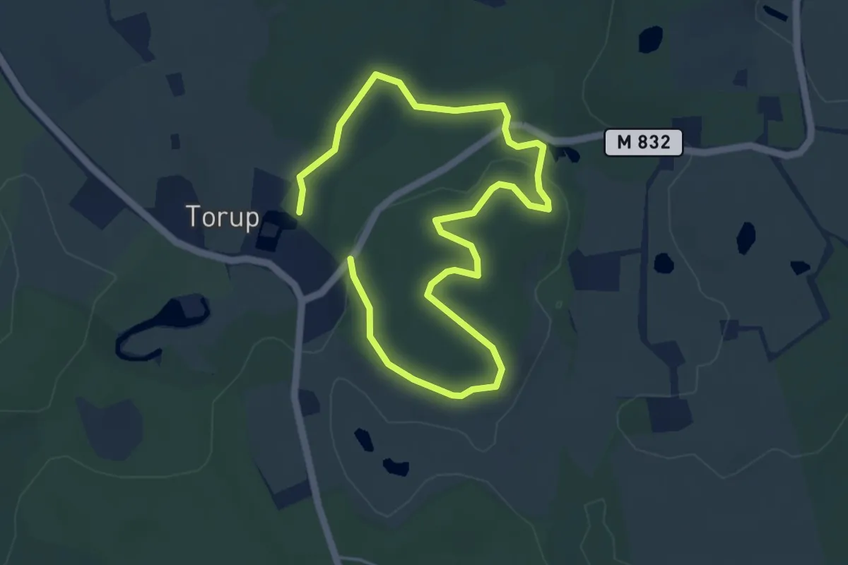
Easy · Trail
3 km
5.7 km · ↑ 46 m · 1 h 26 min
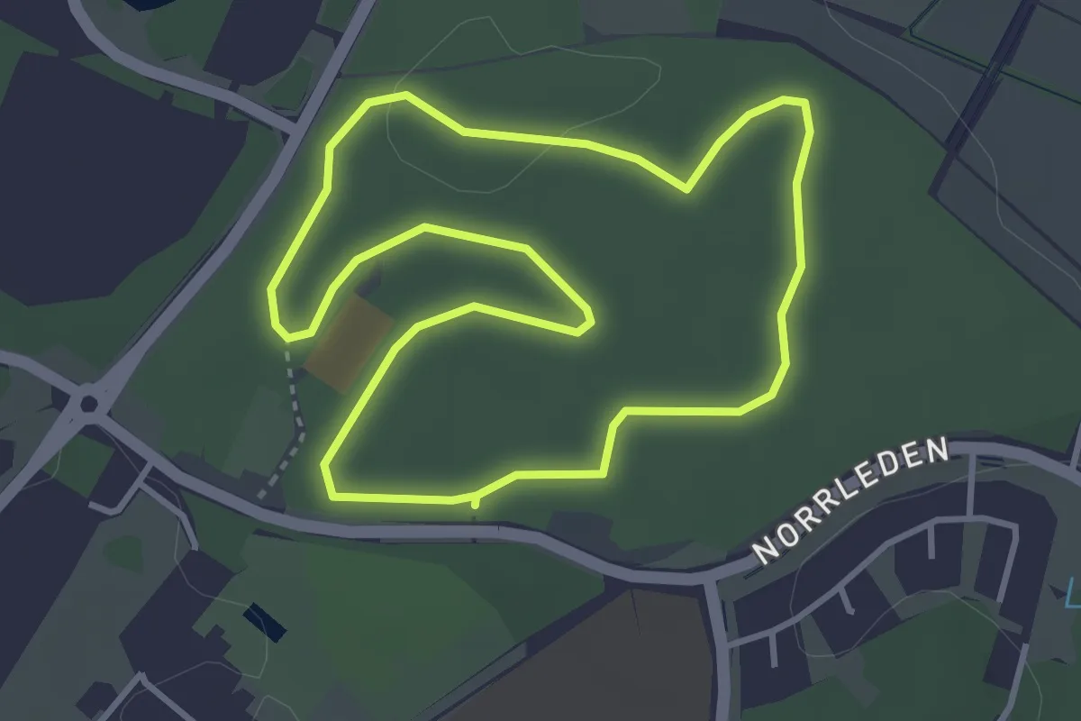
Easy · Trail
3 km
2.8 km · ↑ 18 m · 44 min
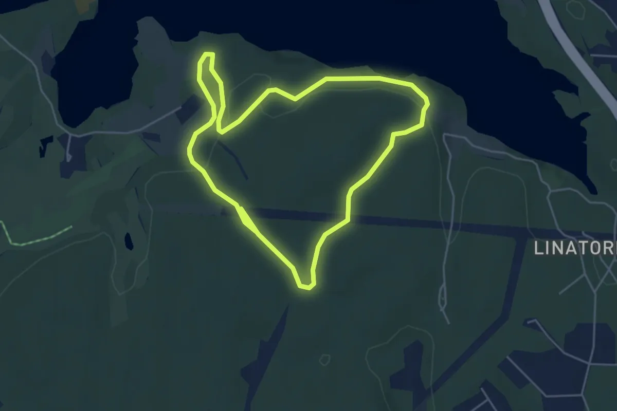
Easy · Trail
3 km
3.3 km · ↑ 42 m · 55 min
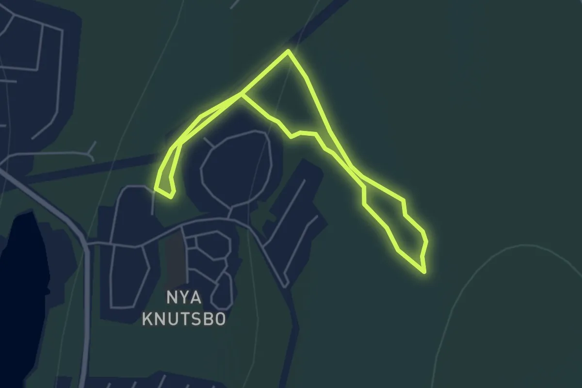
Easy · Trail
3 km
2.9 km · ↑ 73 m · 54 min
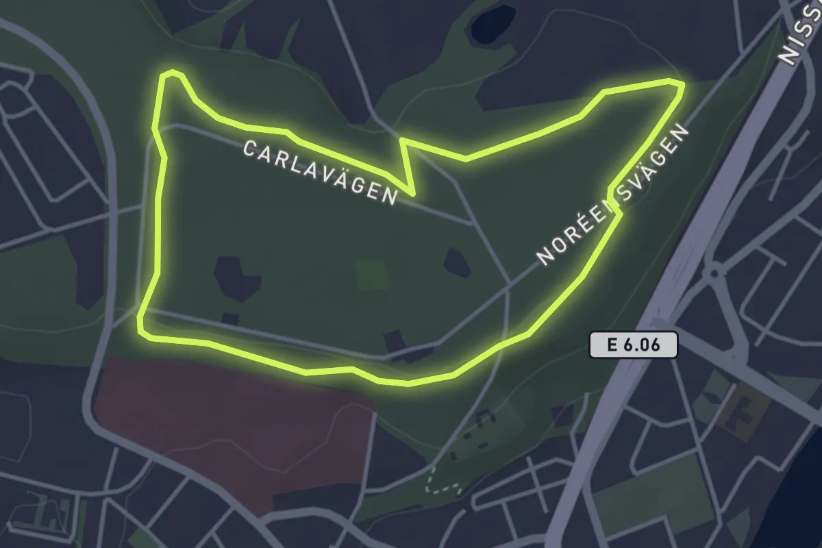
Easy · Trail
3 Km elljusspår
3.1 km · ↑ 14 m · 48 min
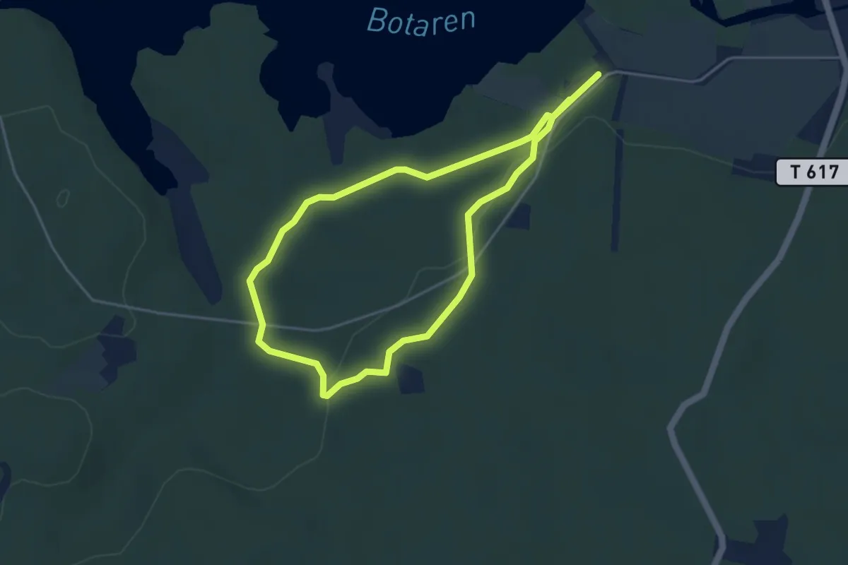
Easy · Trail
3 km walk/run
2.8 km · ↑ 38 m · 46 min
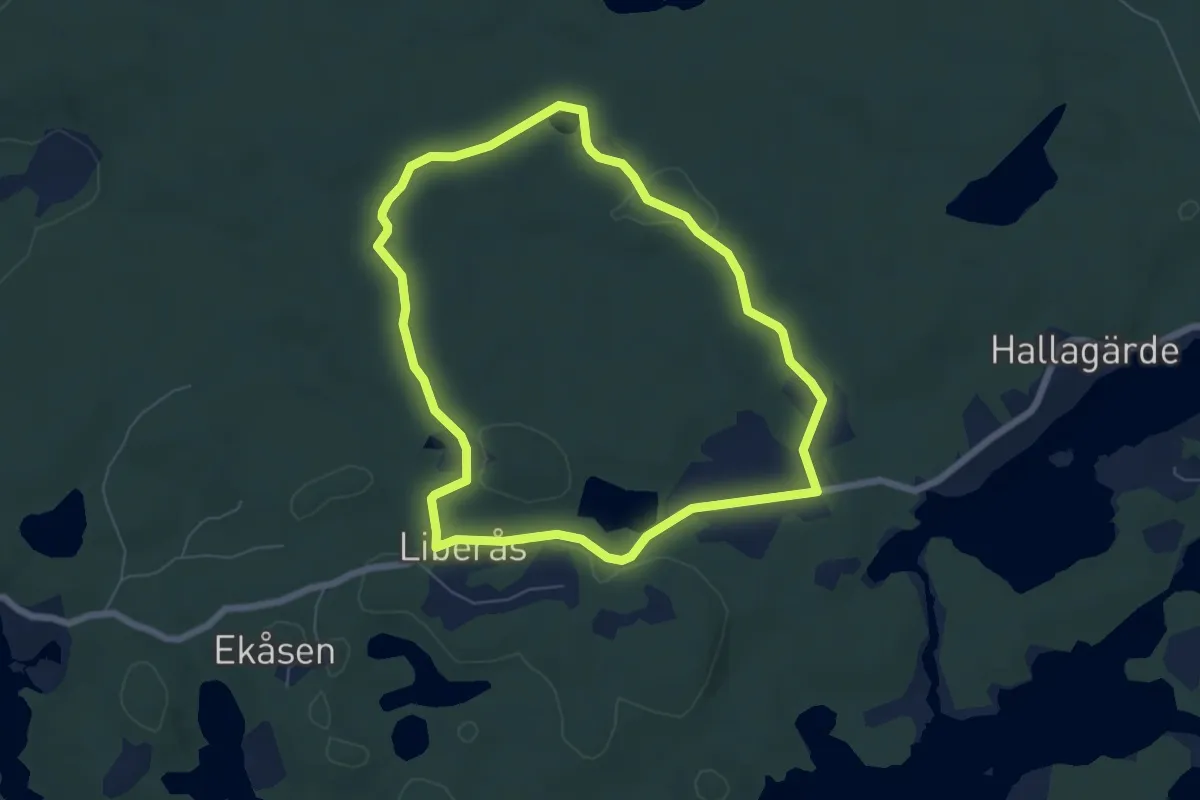
Easy · Trail
3 Liberås
4.8 km · ↑ 39 m · 1 h 18 min
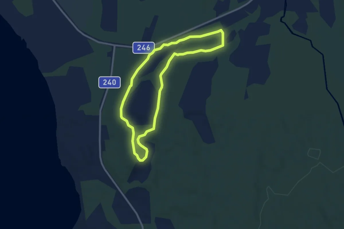
Easy · Trail
5,0 km
5.2 km · ↑ 86 m · 1 h 29 min
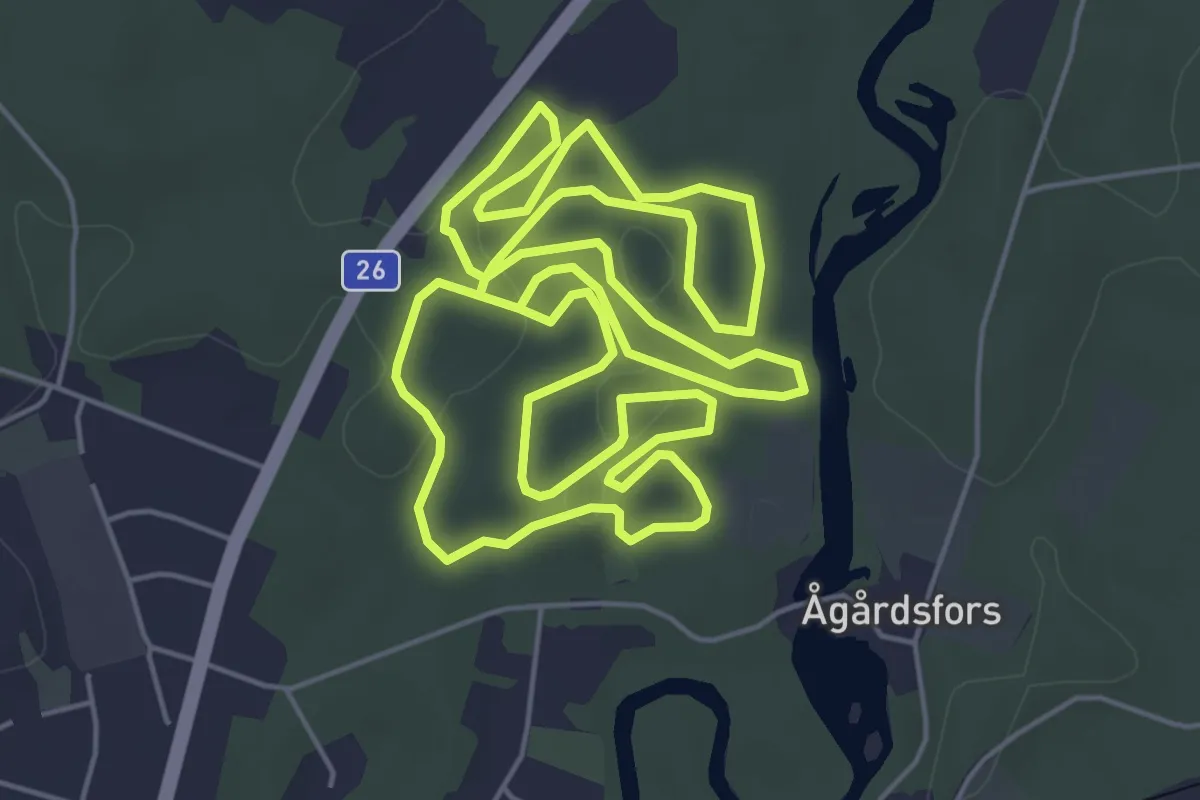
Easy · Trail
5an
5.4 km · ↑ 21 m · 1 h 24 min
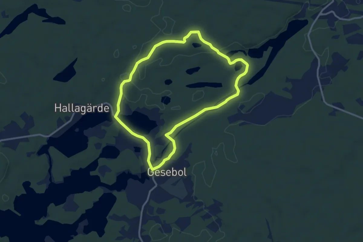
Easy · Trail
5 Flathult/Lindedalen
6.8 km · ↑ 45 m · 1 h 47 min
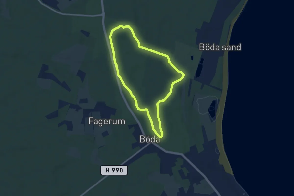
Easy · Trail
5 km
4.9 km · ↑ 4 m · 1 h 14 min
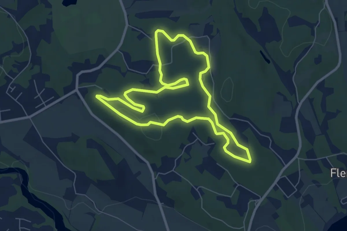
Easy · Trail
5 km
4.9 km · ↑ 53 m · 1 h 20 min
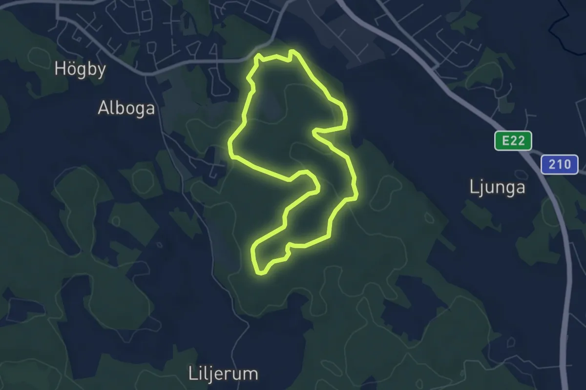
Easy · Trail
5 km
4.8 km · ↑ 56 m · 1 h 19 min
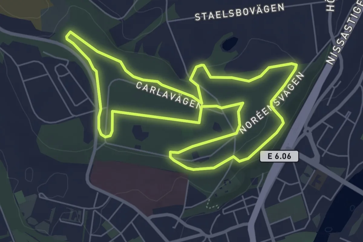
Easy · Trail
5 Km
5.0 km · ↑ 31 m · 1 h 19 min
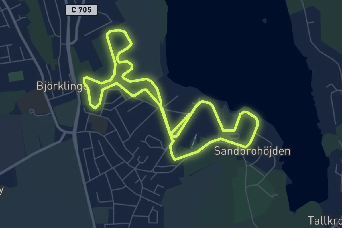
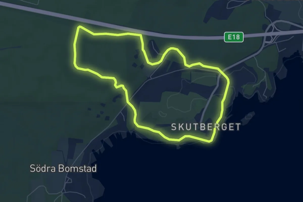
Medium · Trail
5km elljusspår
10.3 km · ↑ 219 m · 2 h 55 min
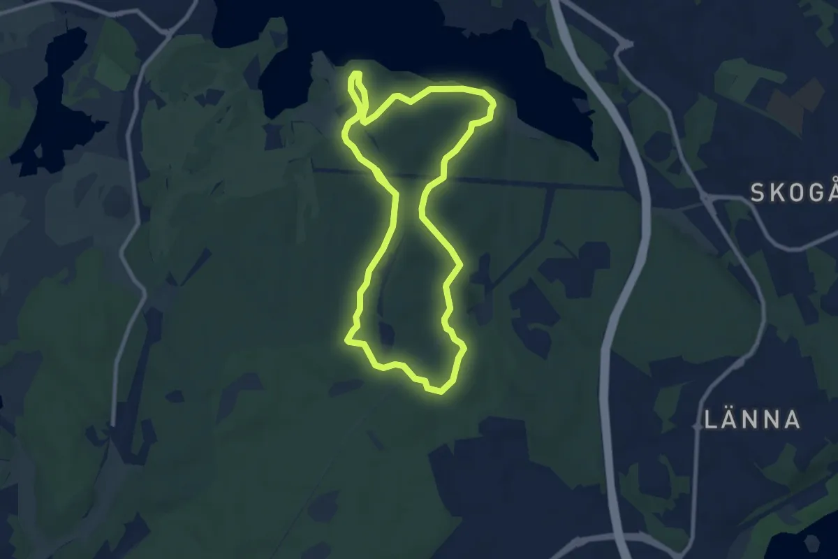
Easy · Trail
5 km elljusspår
5.1 km · ↑ 57 m · 1 h 23 min
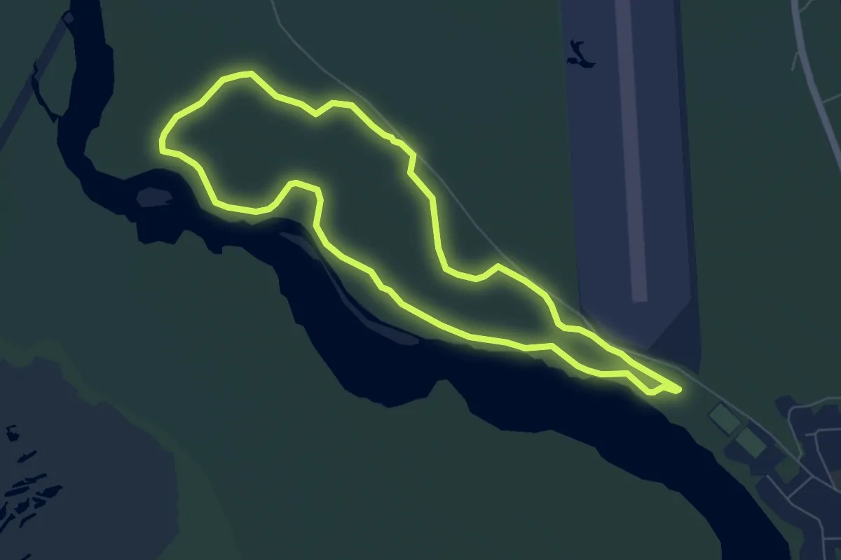
Easy · Trail
6 km
6.0 km · ↑ 64 m · 1 h 38 min
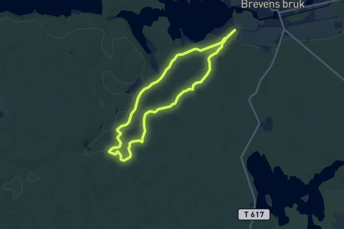
Easy · Trail
6km
5.1 km · ↑ 64 m · 1 h 25 min
Easy · Trail
6 km walk/run
5.7 km · ↑ 62 m · 1 h 33 min
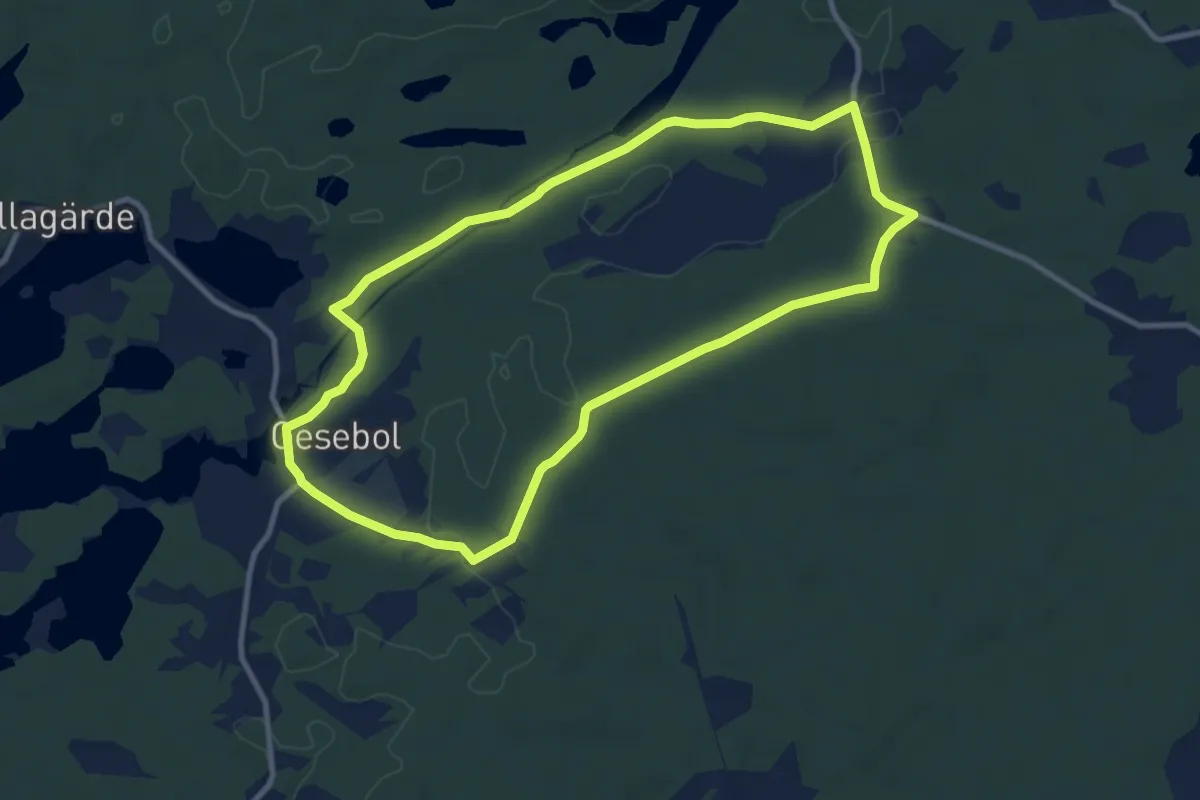
Easy · Trail
6 Pukared
7.7 km · ↑ 67 m · 2 h 5 min
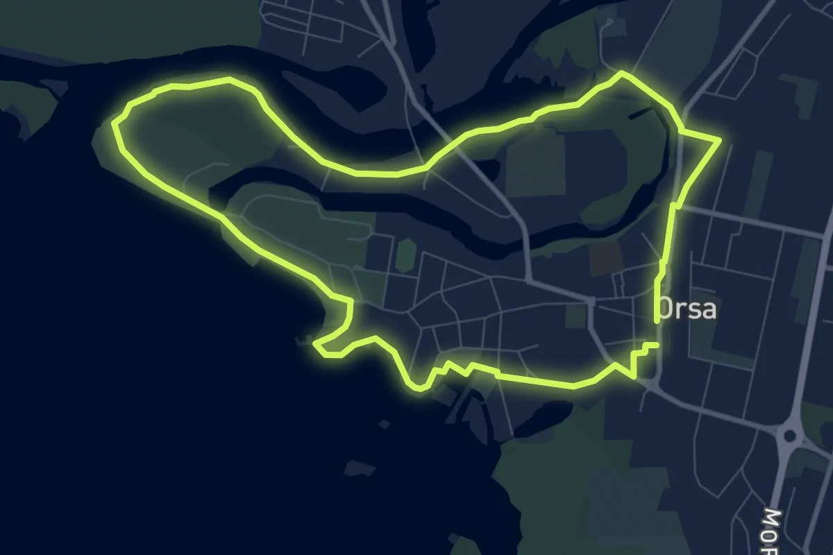
Easy · Trail
7000 steg
6.5 km · ↑ 31 m · 1 h 42 min
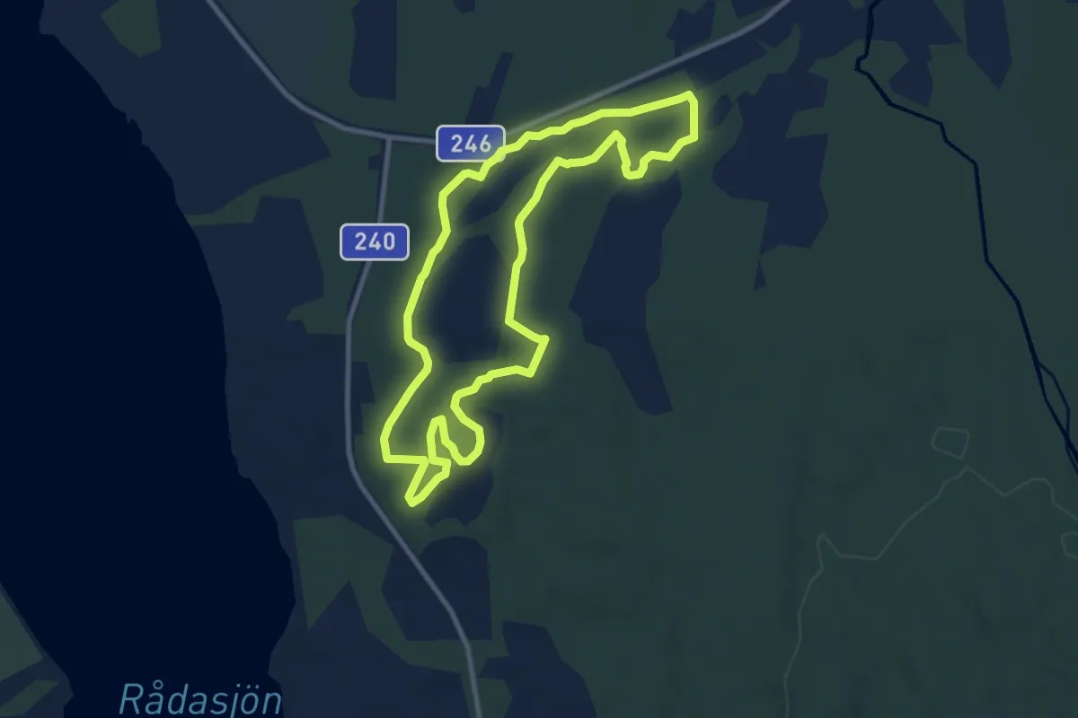
Easy · Trail
7,0 km
7.0 km · ↑ 105 m · 1 h 58 min
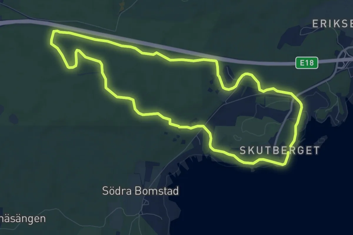
Easy · Trail
7,5 km träningsspår
7.6 km · ↑ 58 m · 2 h 1 min
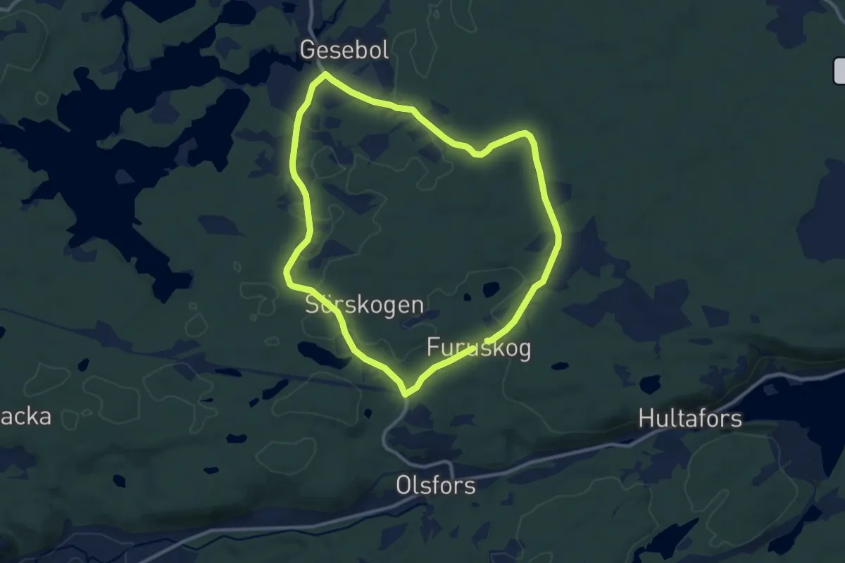
Easy · Trail
7 Gesebo/Olsfors
7.8 km · ↑ 77 m · 2 h 7 min
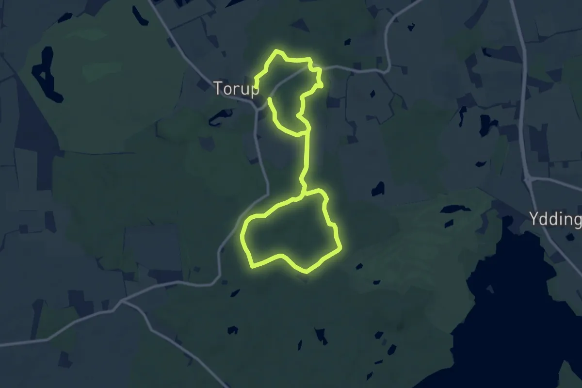
Medium · Trail
7 km
13.4 km · ↑ 99 m · 3 h 23 min
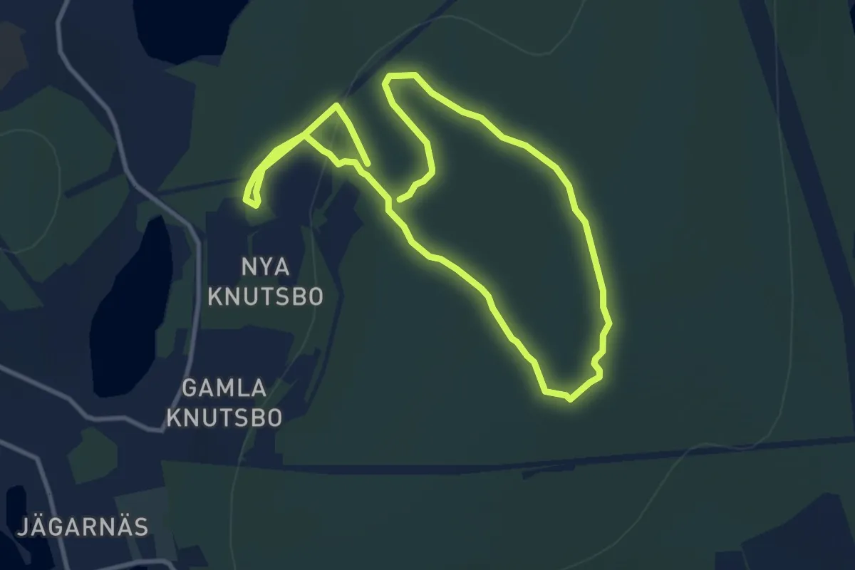
Medium · Trail
7 km
12.7 km · ↑ 231 m · 3 h 29 min
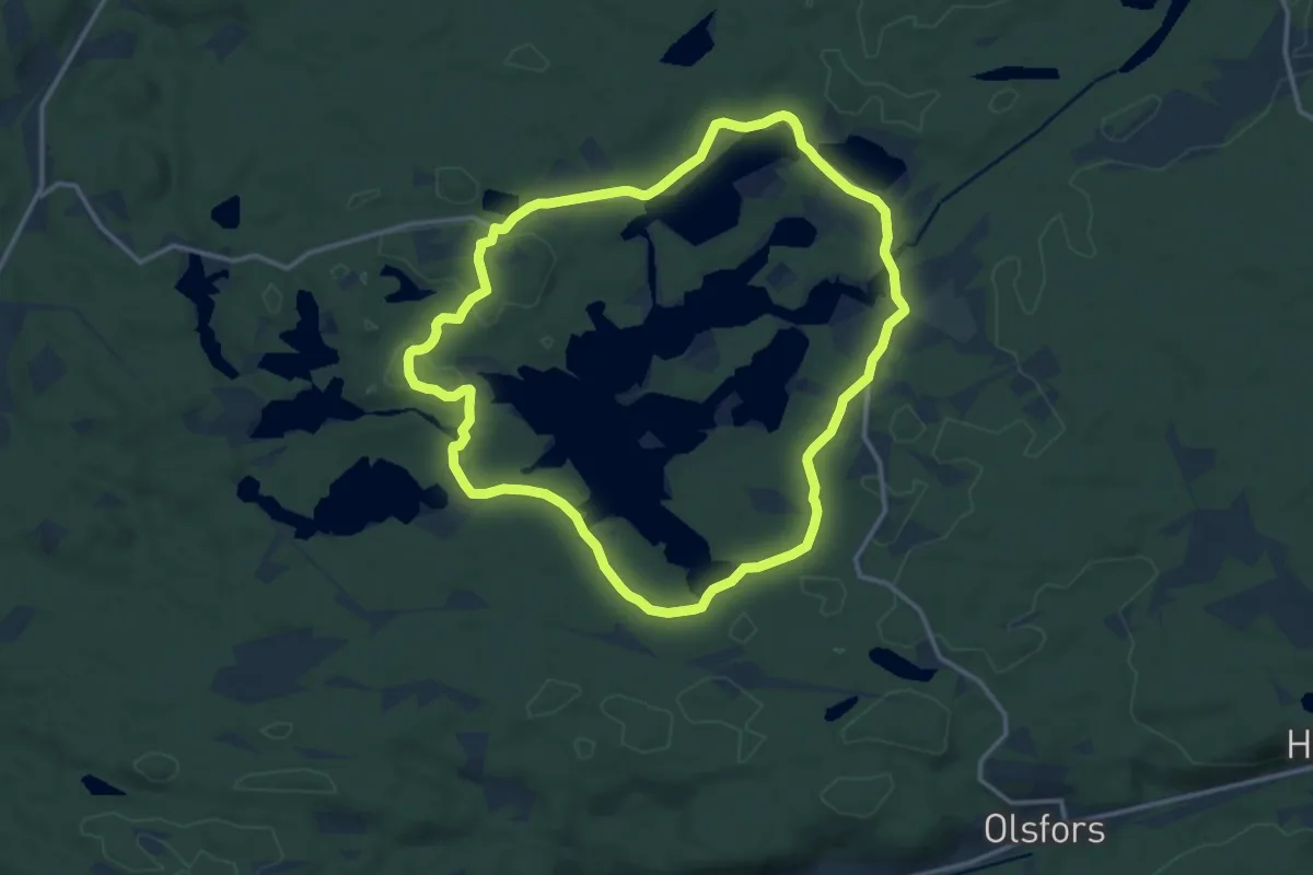
Medium · Trail
8 Gesebolssjön
10.8 km · ↑ 88 m · 2 h 53 min