Trails in Sweden
3,247 hiking trails, each with its route, climb, walking time and grade.
All trails, page 66 of 68
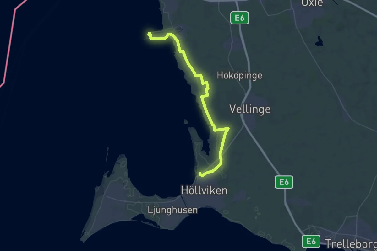
Demanding · Trail
Klagshamn – Höllviken
18.3 km · ↑ 13 m · 4 h 36 min
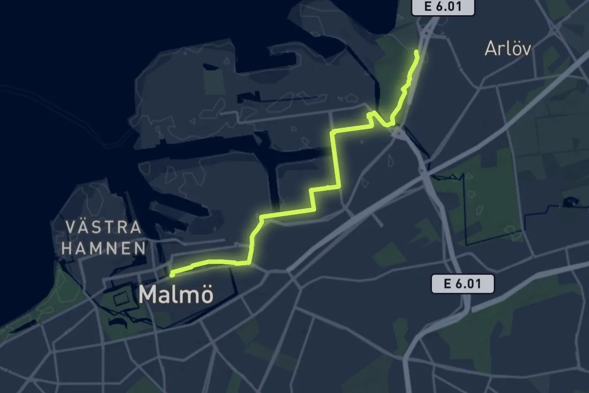
Medium · Trail
Spillepeng – Malmö
13.3 km · ↑ 33 m · 3 h 12 min
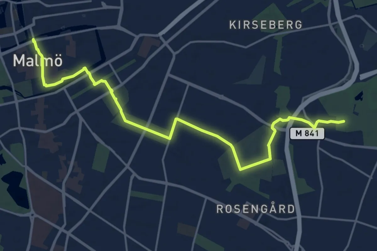
Medium · Trail
Bulltofta – Malmö
13.1 km · ↑ 9 m · 3 h 6 min
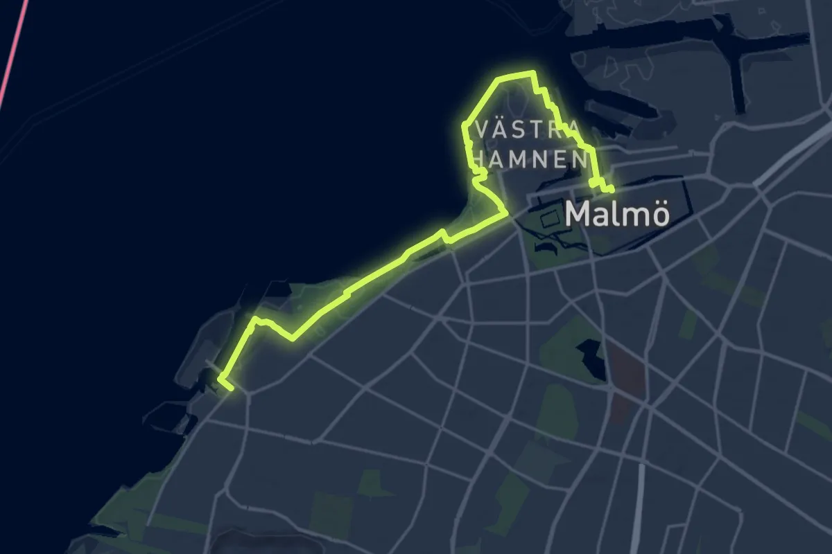
Demanding · Trail
Malmö – Limhamn
19.3 km · ↑ 76 m · 4 h 44 min
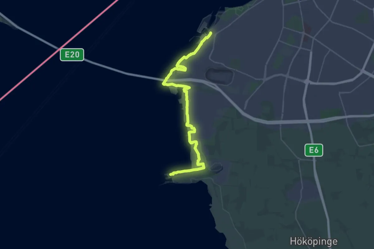
Demanding · Trail
Limhamn – Klagshamn
26.4 km · ↑ 37 m · 6 h 19 min
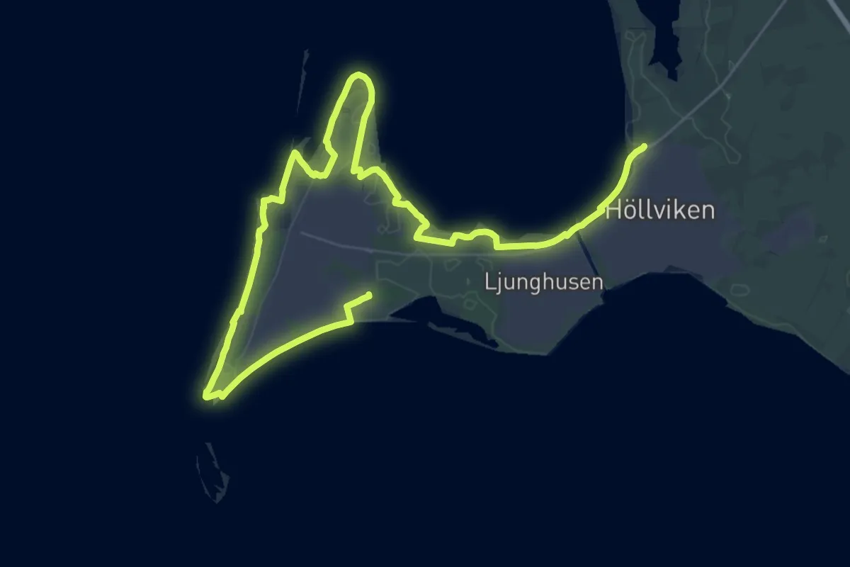
Demanding · Trail
Foteviken – Falsterbo resort
25.3 km · ↑ 4 m · 6 h 20 min
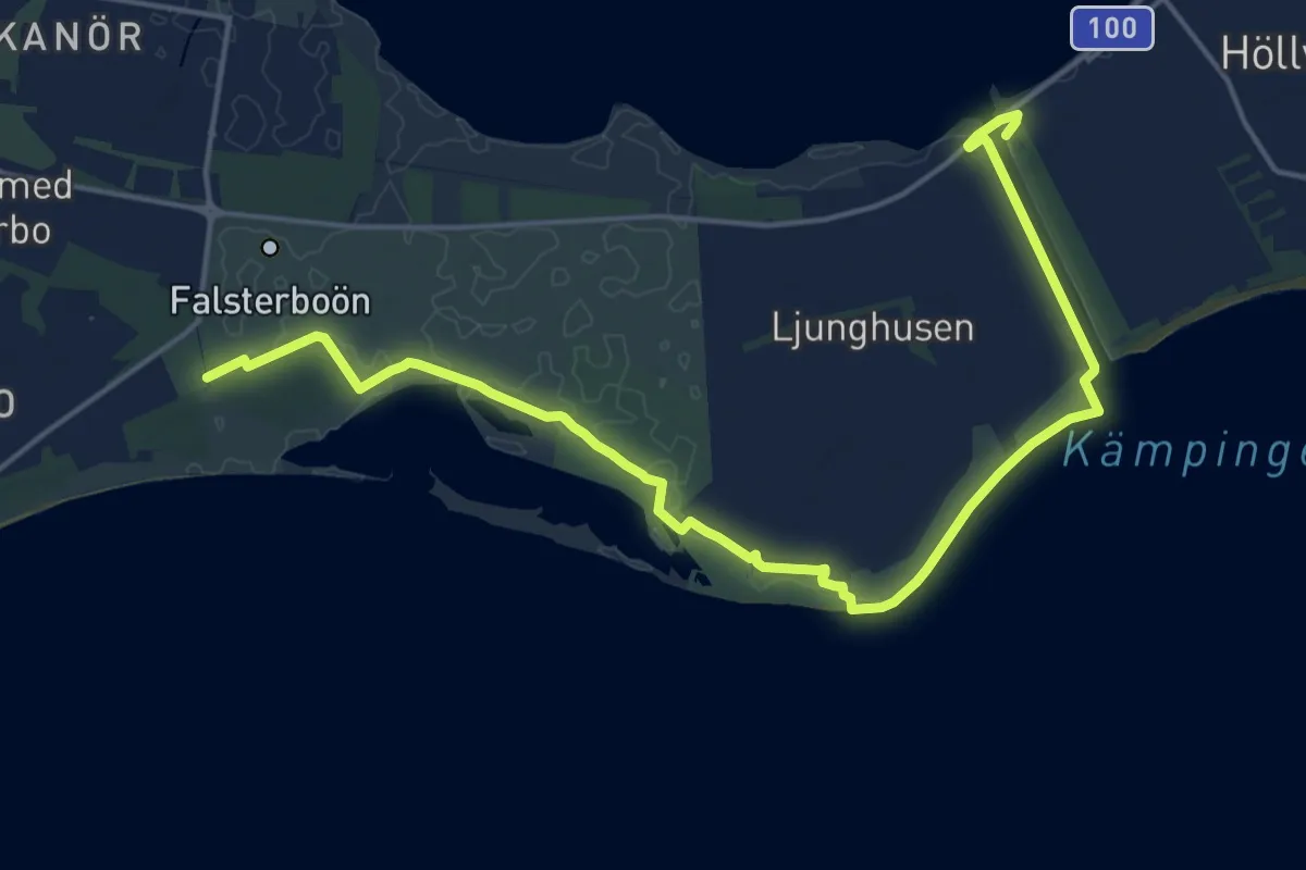
Medium · Trail
Falsterbo resort – Falsterbokanalen
17.5 km · ↑ 13 m · 4 h 9 min
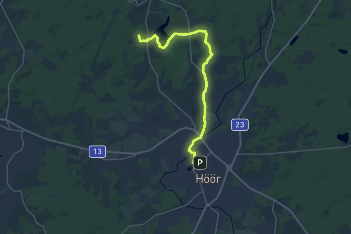
Medium · Trail
Frostavallen – Höör
14.4 km · ↑ 123 m · 3 h 41 min
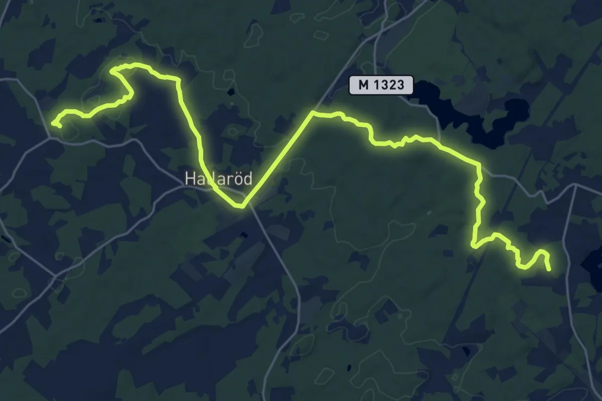
Demanding · Trail
S Hultarp – Frostavallen
23.5 km · ↑ 223 m · 6 h 2 min
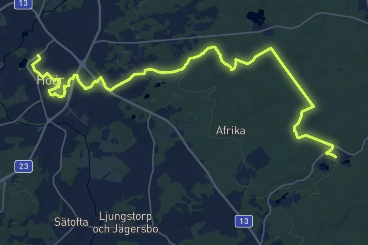
Demanding · Trail
Höör – Bjeveröd
21.1 km · ↑ 132 m · 5 h 16 min
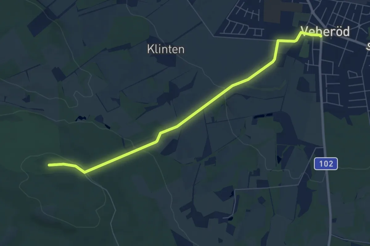
Easy · Summit
Väderkullen – Häckeberga/Veberöd
6.1 km · ↑ 124 m · 1 h 43 min
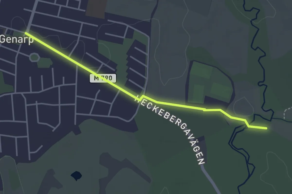
Easy · Trail
Häckeberga – Sturup/Genarp
3.1 km · ↑ 4 m · 44 min
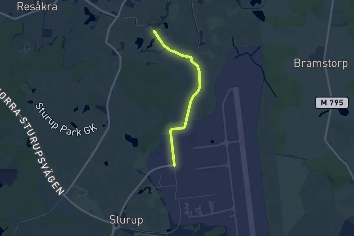
Easy · Trail
Sturup – Eksholmssjön/flygplatsen
4.2 km · ↑ 21 m · 1 h 2 min
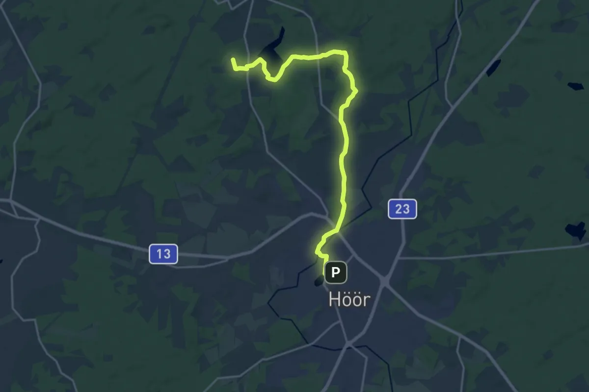
Medium · Trail
Frostavallen – Höör
14.4 km · ↑ 123 m · 3 h 41 min
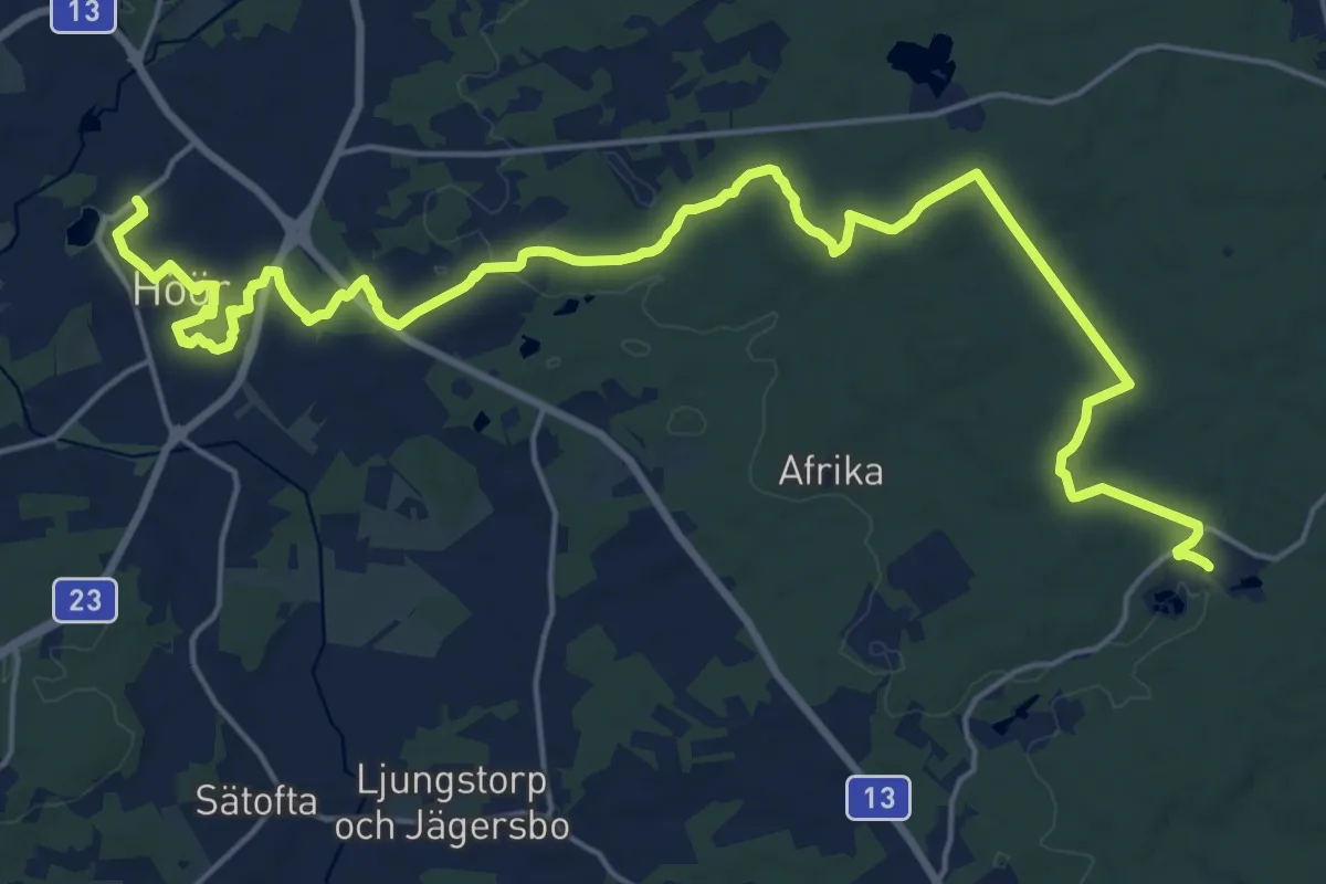
Demanding · Trail
Höör – Bjeveröd
21.1 km · ↑ 132 m · 5 h 16 min
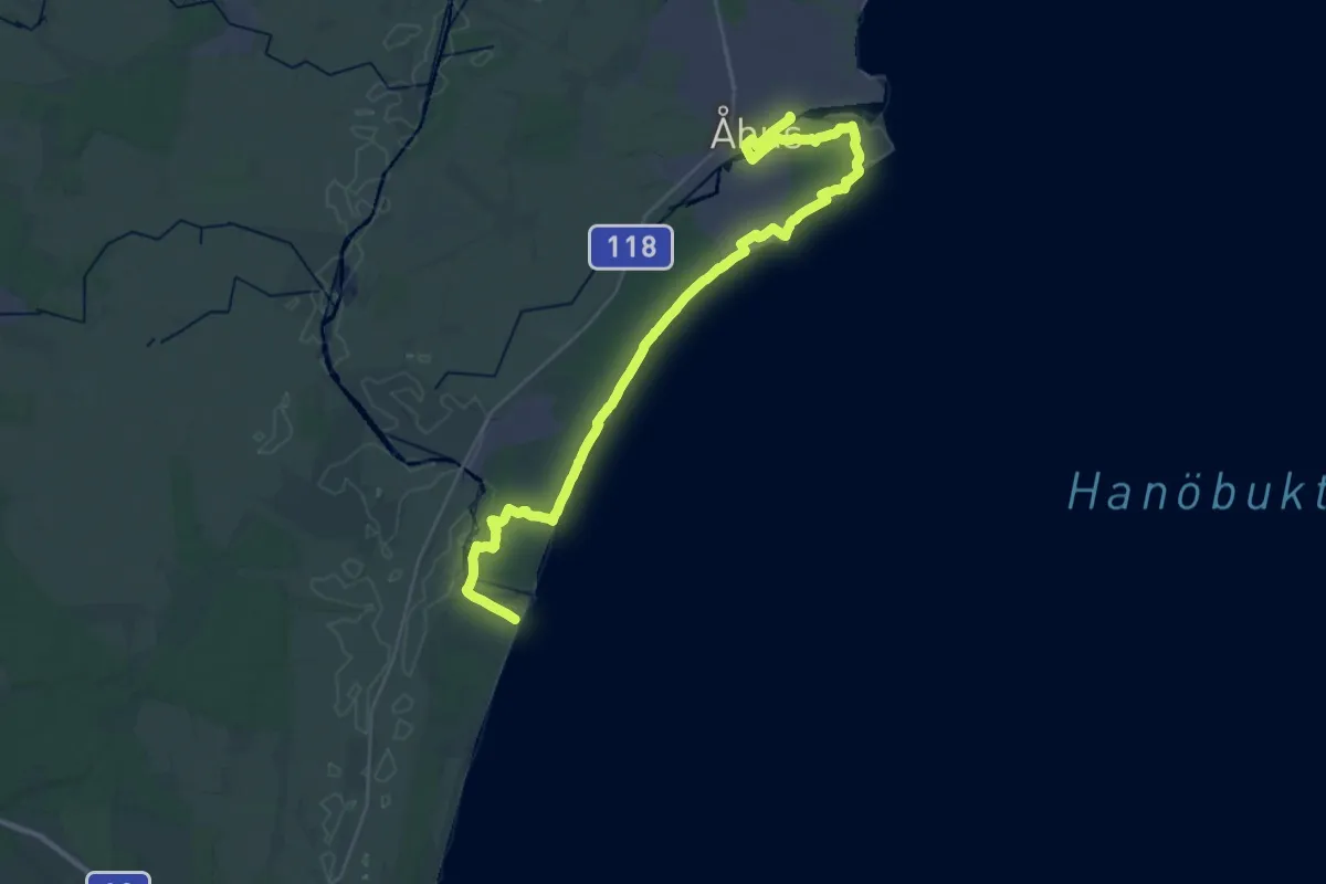
Demanding · Trail
Nyehusen – Åhus
31.4 km · ↑ 66 m · 7 h 33 min
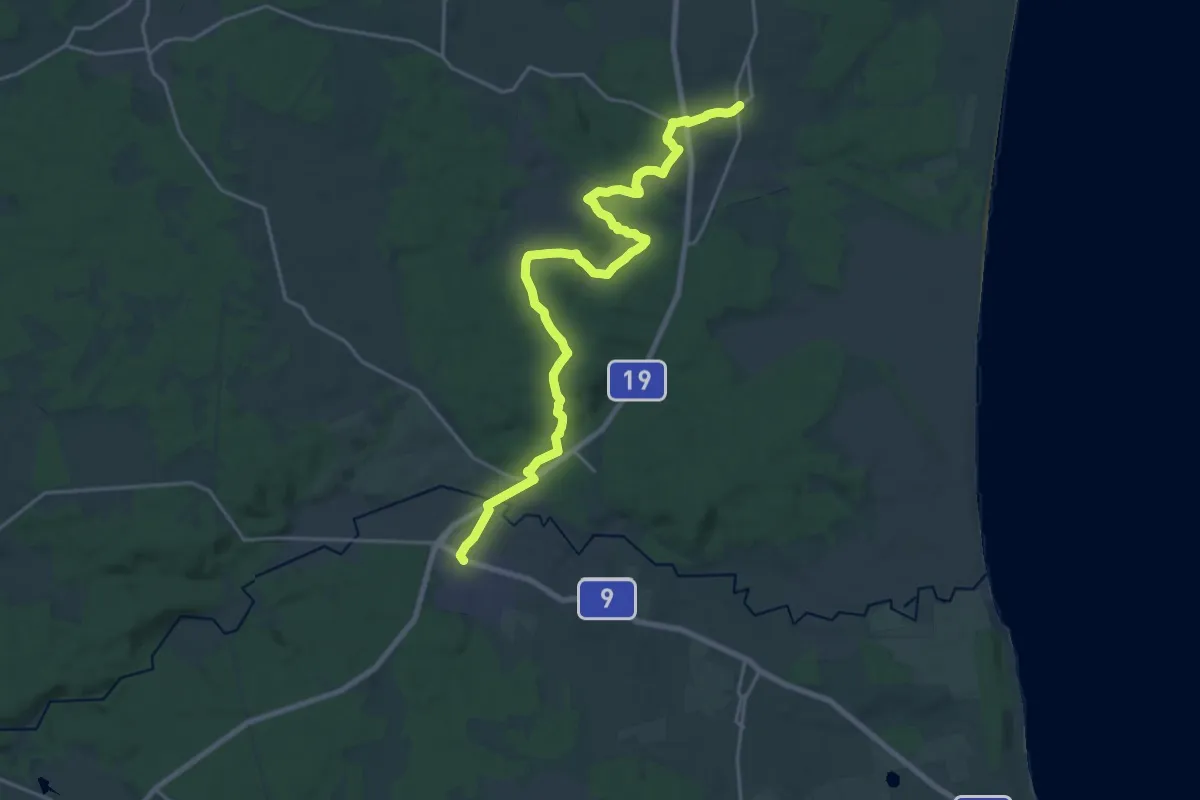
Demanding · Trail
Brösarp – Maglehem
19.5 km · ↑ 308 m · 5 h 16 min
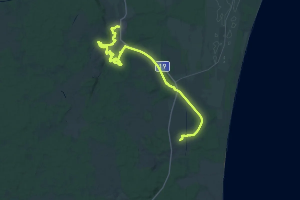
Demanding · Trail
Maglehem – Degeberga
18.1 km · ↑ 181 m · 4 h 57 min
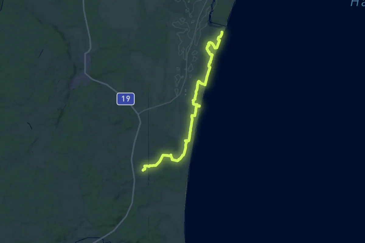
Demanding · Trail
Maglehem – Nyehusen
31.2 km · ↑ 142 m · 7 h 41 min
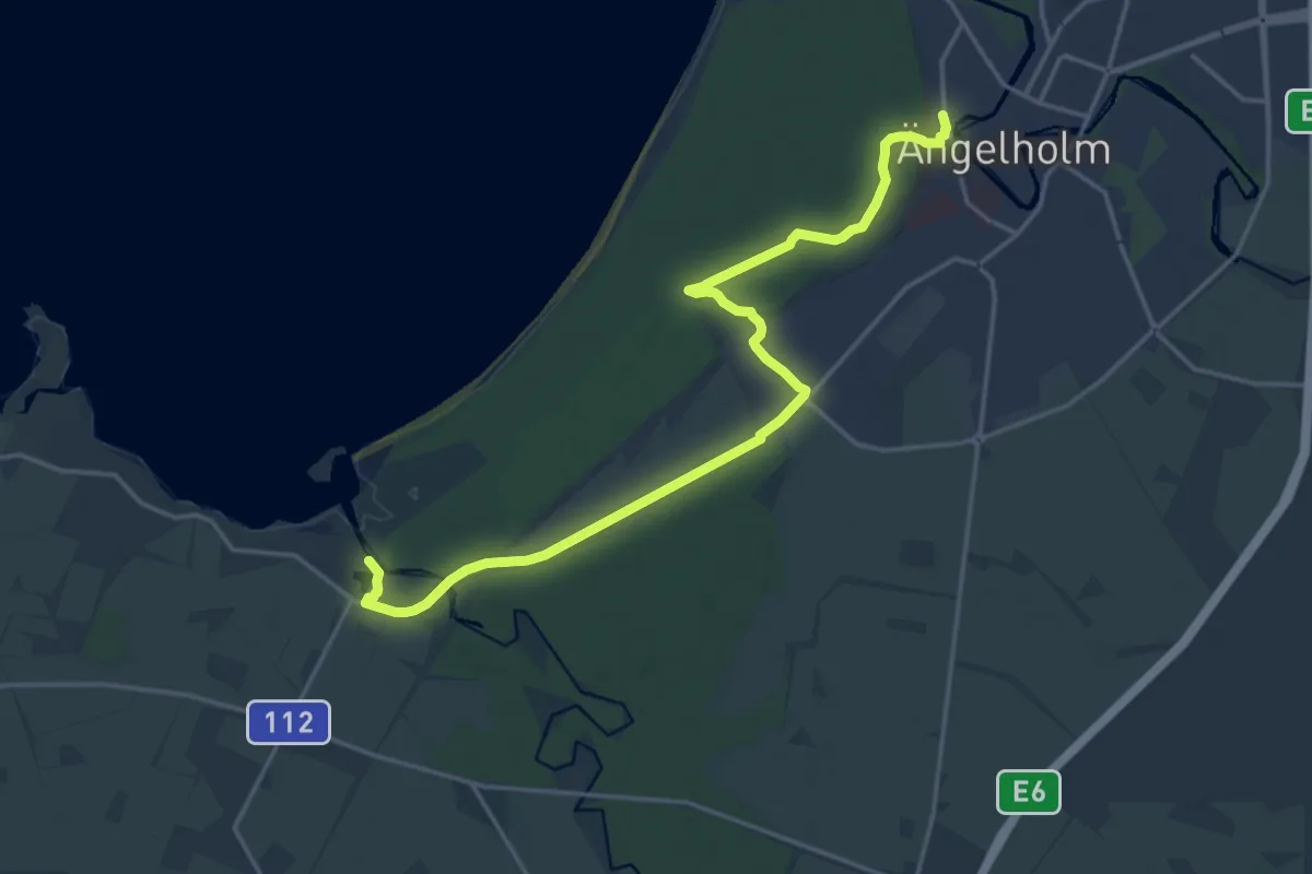
Medium · Trail
Ängelholm – Utvälinge
16.3 km · ↑ 38 m · 3 h 56 min
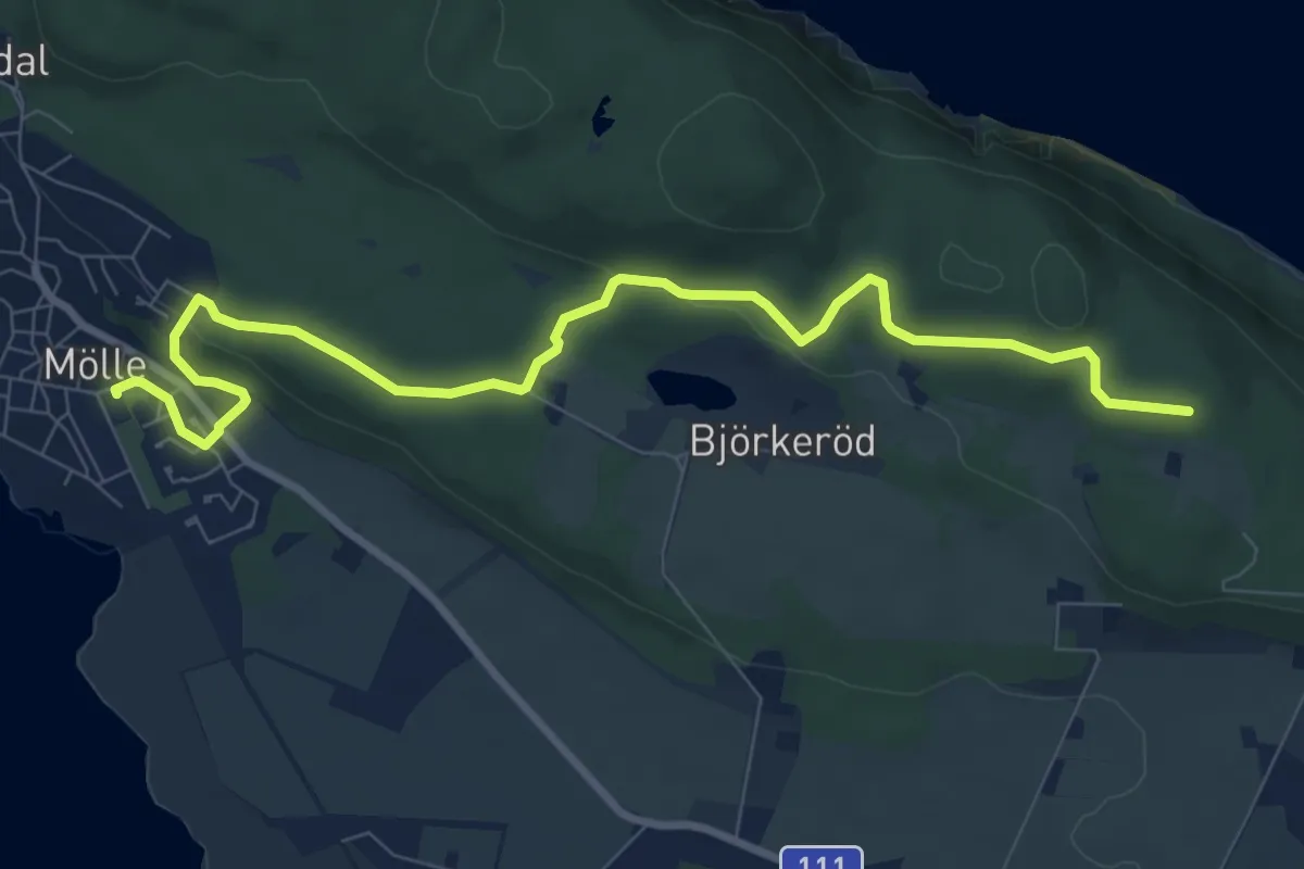
Medium · Trail
Mölle – Himmelstorp
8.1 km · ↑ 135 m · 2 h 12 min
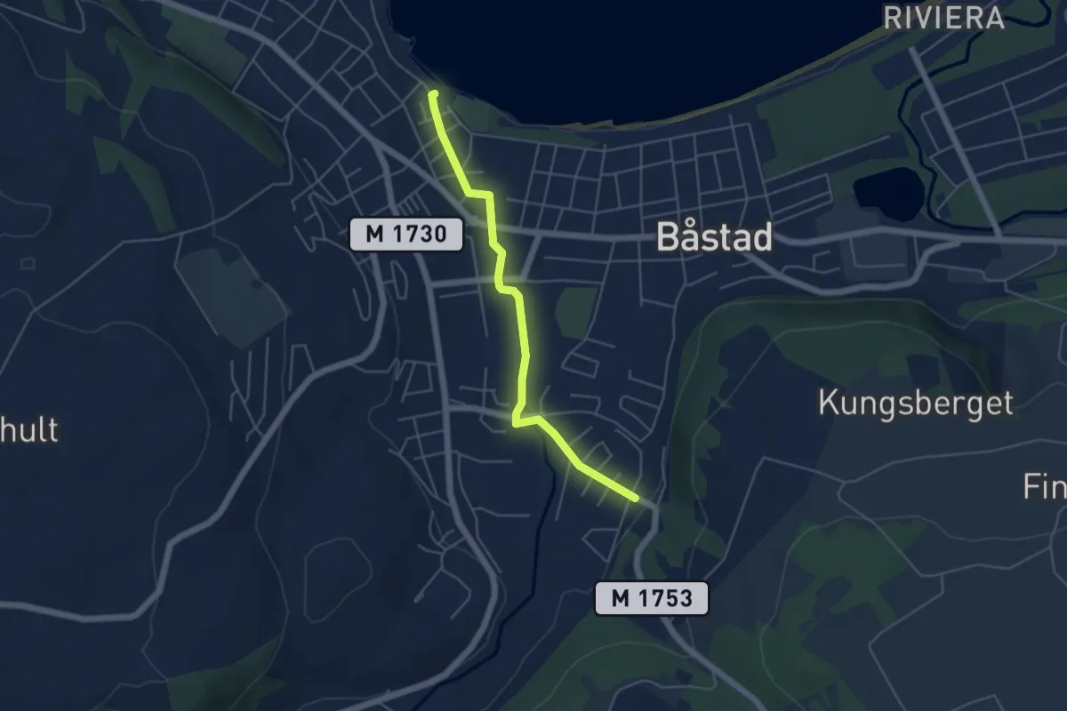
Easy · Trail
Båstad – Båstad
3.7 km · ↑ 36 m · 57 min
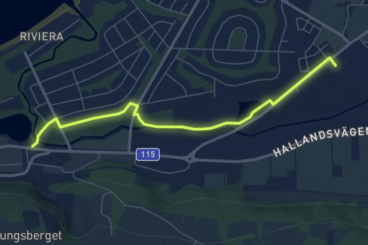
Easy · Trail
Båstad – Båstad tågstation
5.2 km · ↑ 4 m · 1 h 14 min
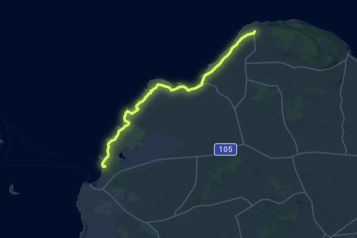
Medium · Trail
Hovs hallar – Torekov
15.4 km · ↑ 36 m · 3 h 43 min
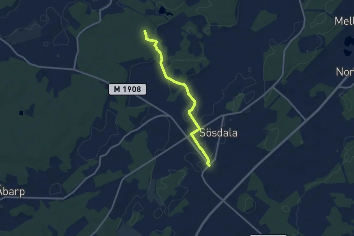
Easy · Trail
Lillsjödal – Maglebjär/Sösdala
5.6 km · ↑ 17 m · 1 h 21 min
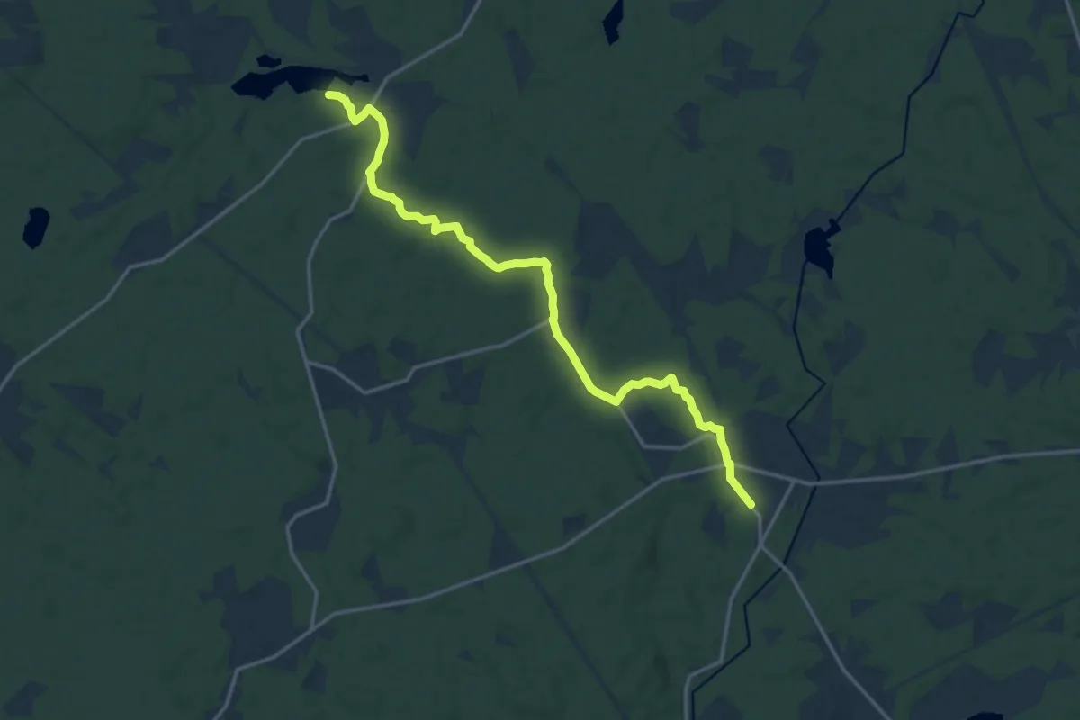
Medium · Trail
Hårsjö – Hillarp
13.3 km · ↑ 114 m · 3 h 24 min
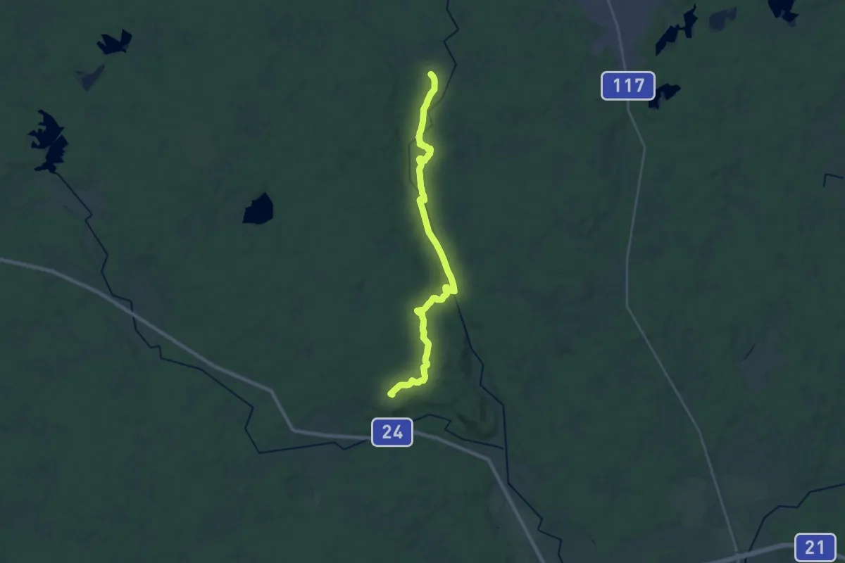
Demanding · Trail
Hillarp – Vedema
19.9 km · ↑ 240 m · 5 h 13 min
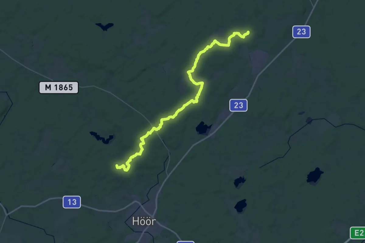
Demanding · Trail
Lillsjödal – Frostavallen
20.7 km · ↑ 149 m · 5 h 28 min
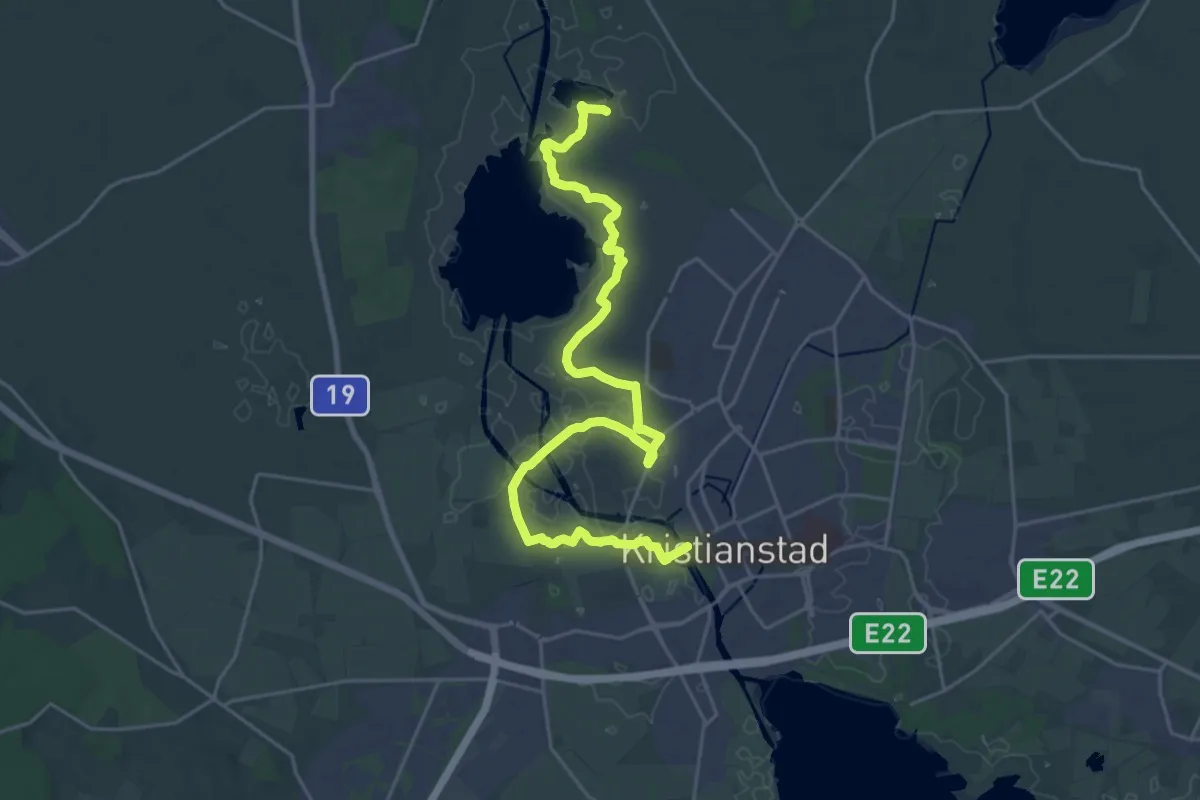
Demanding · Trail
Kristianstad – Norra Lingenäset
22.6 km · ↑ 35 m · 5 h 25 min
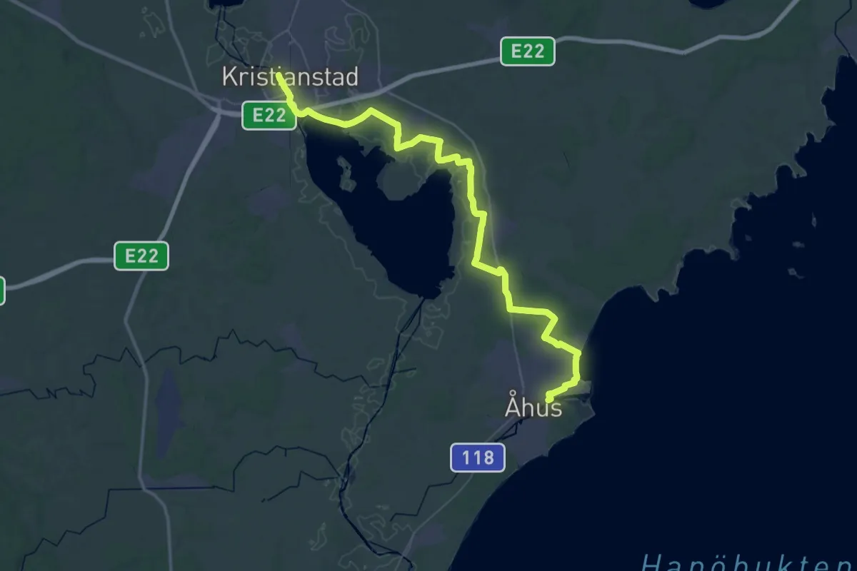
Demanding · Trail
Åhus – Kristianstad
23.0 km · ↑ 25 m · 5 h 48 min
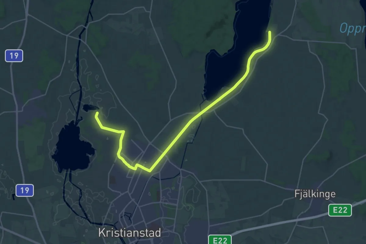
Demanding · Trail
Norra Lingenäset – Österslöv
23.5 km · ↑ 8 m · 5 h 34 min
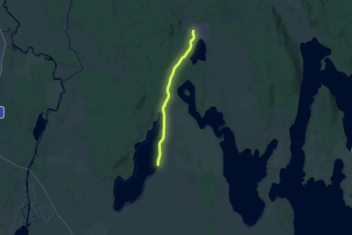
Medium · Trail
Österslöv – Arkelstorp
17.1 km · ↑ 68 m · 4 h 11 min
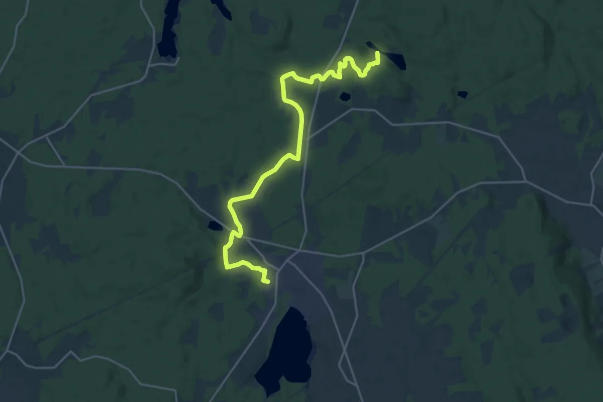
Medium · Trail
Arkelstorp – Lerjevallen
16.2 km · ↑ 182 m · 4 h 13 min
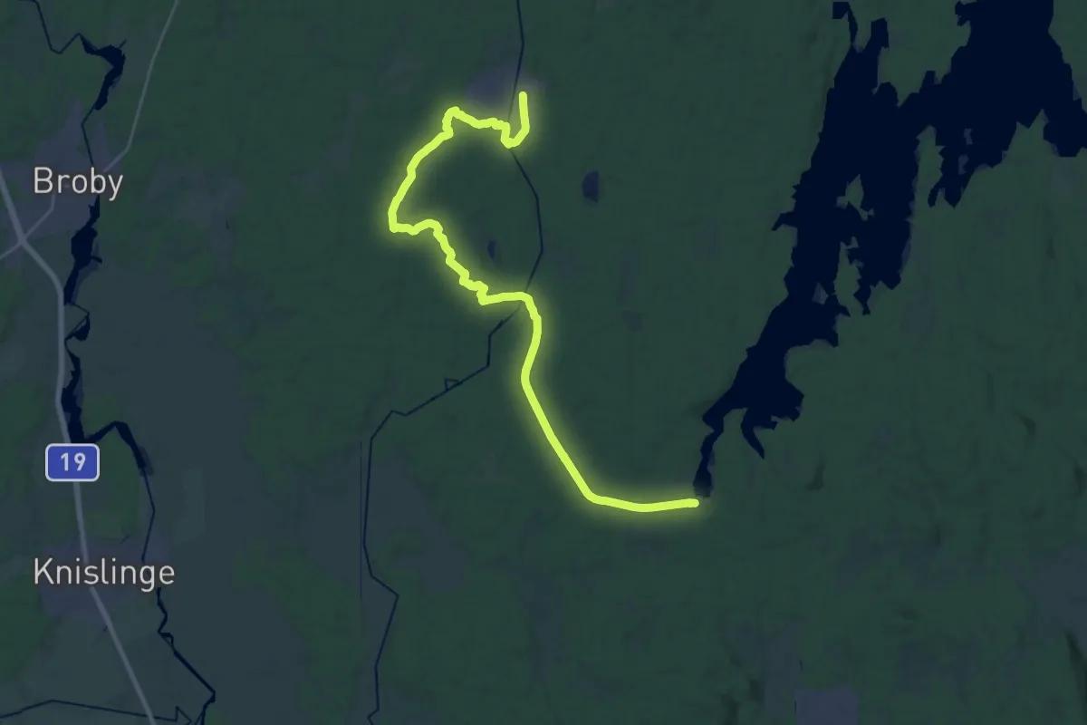
Demanding · Trail
Immeln – Sibbhult
28.3 km · ↑ 179 m · 7 h 5 min
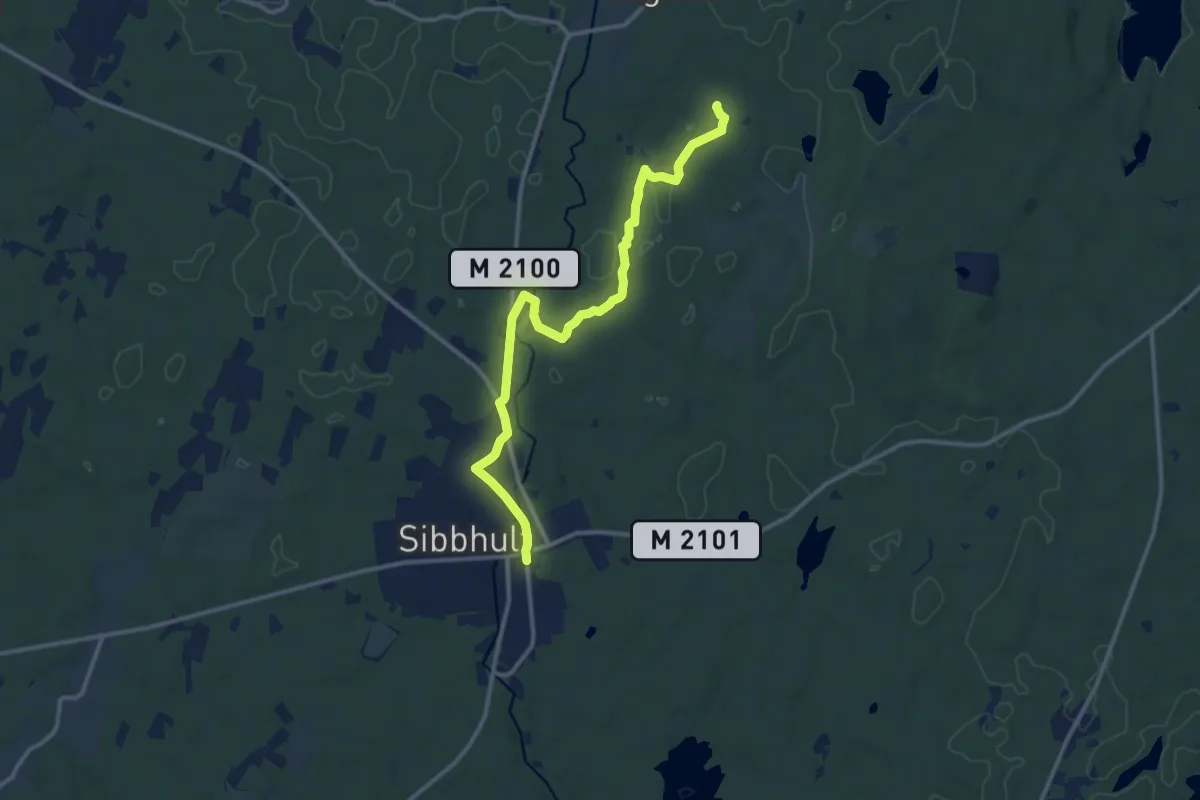
Medium · Trail
Sibbhult – Simontorp
10.3 km · ↑ 51 m · 2 h 32 min
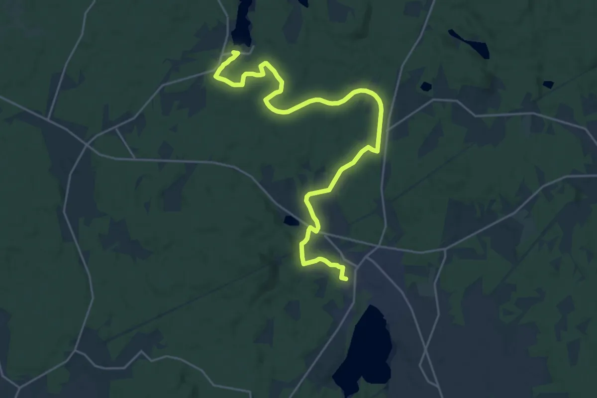
Demanding · Trail
Arkelstorp – Immeln
18.9 km · ↑ 154 m · 4 h 48 min
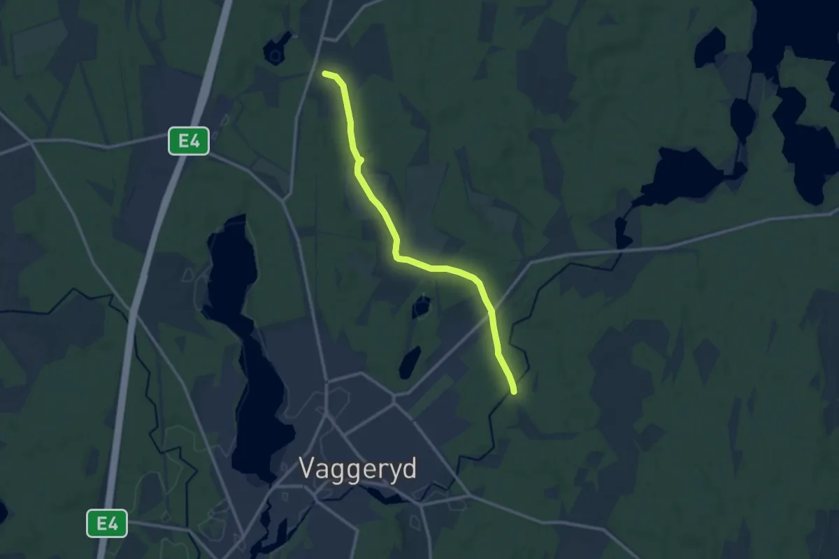
Medium · Trail
Tolvabron – Byarum
8.5 km · ↑ 68 m · 2 h 9 min
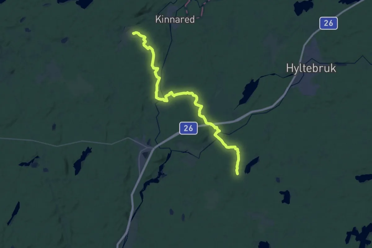
Demanding · Trail
Kollabo – Sandsjön
30.4 km · ↑ 263 m · 7 h 45 min
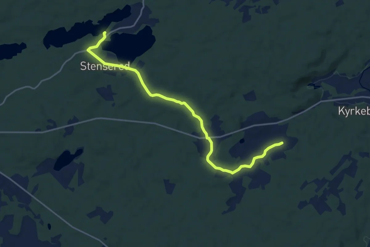
Medium · Trail
Långesjön – Kollabo
11.5 km · ↑ 105 m · 2 h 57 min
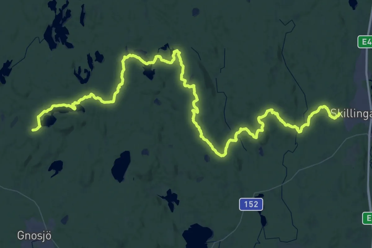
Demanding · Trail
Grönelund (Skillingaryd) – Kärringabacka
39.6 km · ↑ 415 m · 10 h 48 min
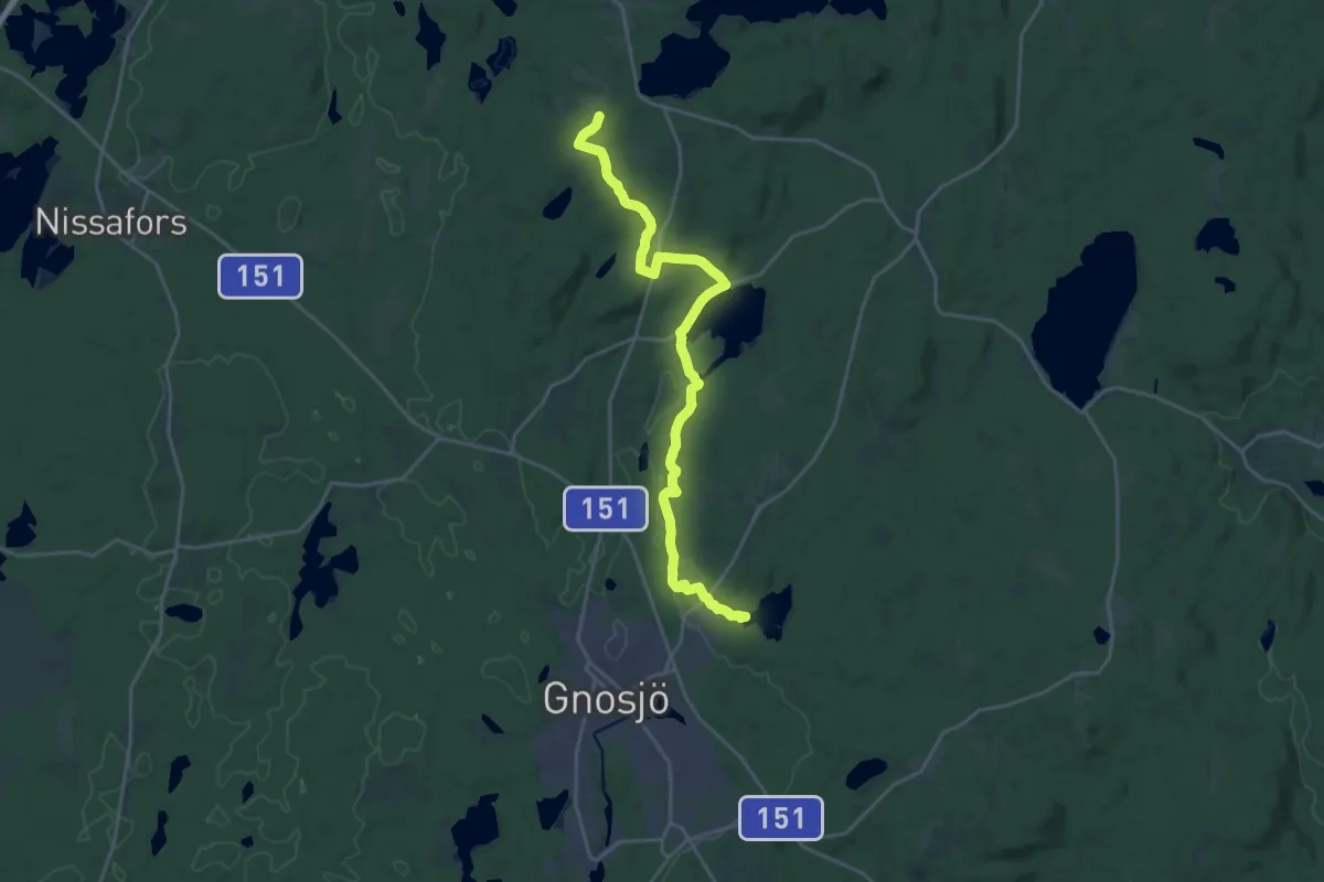
Demanding · Trail
Töllstorp (Gnosjö) – Kärringabacka
18.0 km · ↑ 219 m · 4 h 44 min
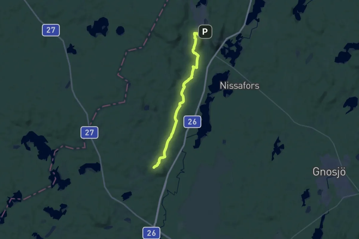
Demanding · Trail
Hägnalian – Hestra
23.0 km · ↑ 295 m · 6 h 4 min
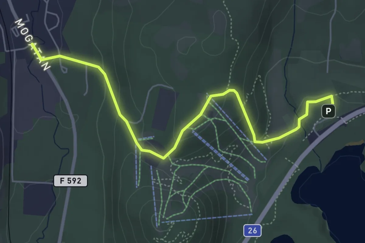
Easy · Trail
Hestra – Isaberg
4.7 km · ↑ 172 m · 1 h 29 min
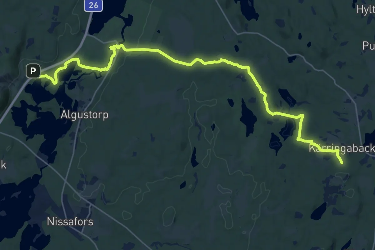
Demanding · Trail
Kärringabacka – Isaberg
19.5 km · ↑ 280 m · 5 h 13 min
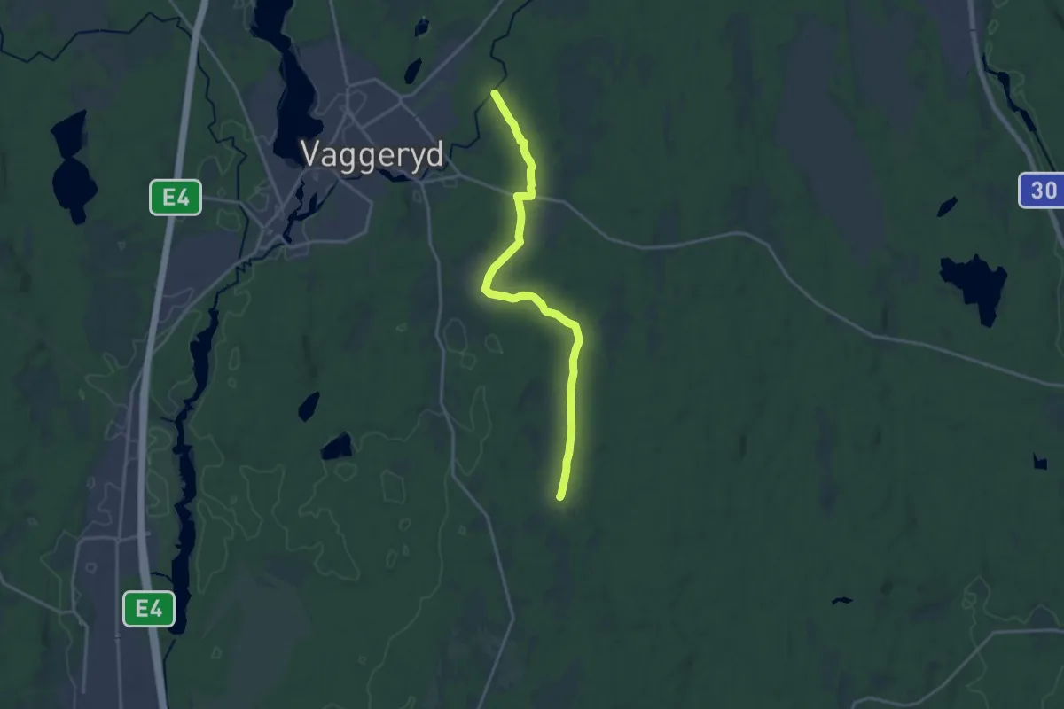
Medium · Trail
Hult – Tolvabron
13.4 km · ↑ 86 m · 3 h 21 min
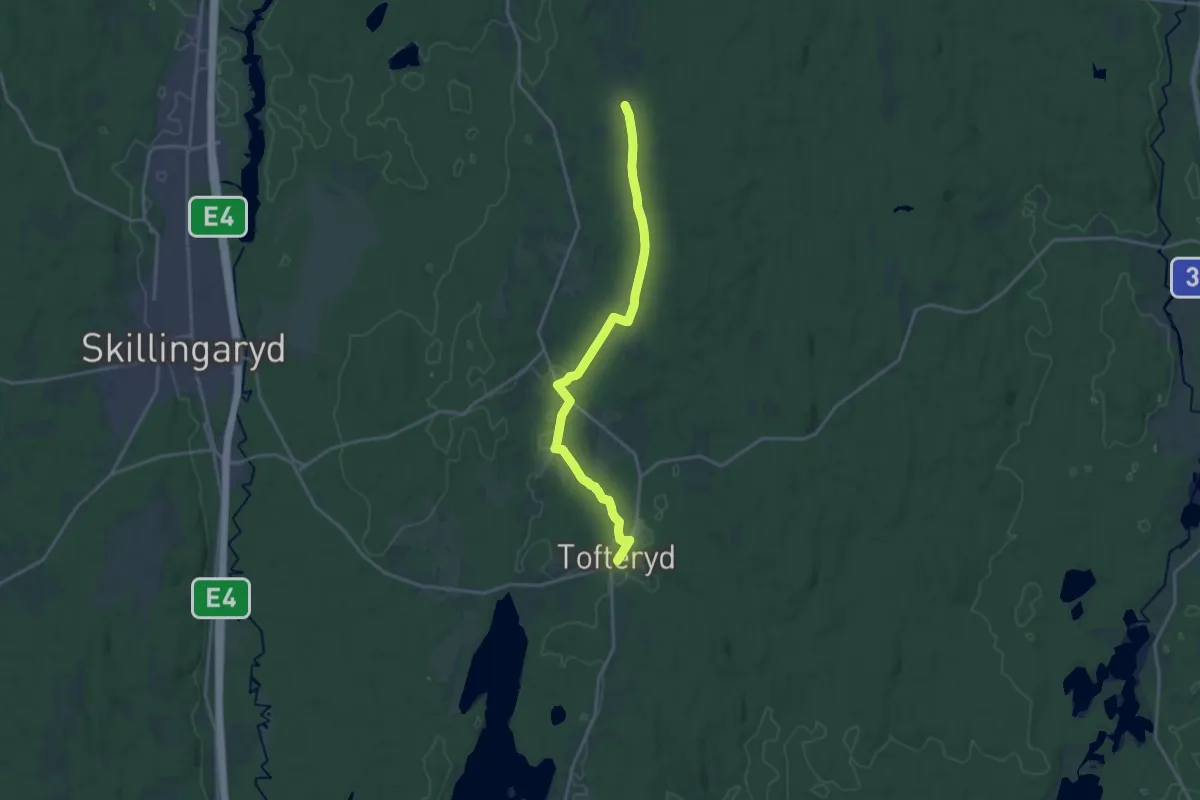
Medium · Trail
Tofteryd – Hult
14.7 km · ↑ 94 m · 3 h 40 min
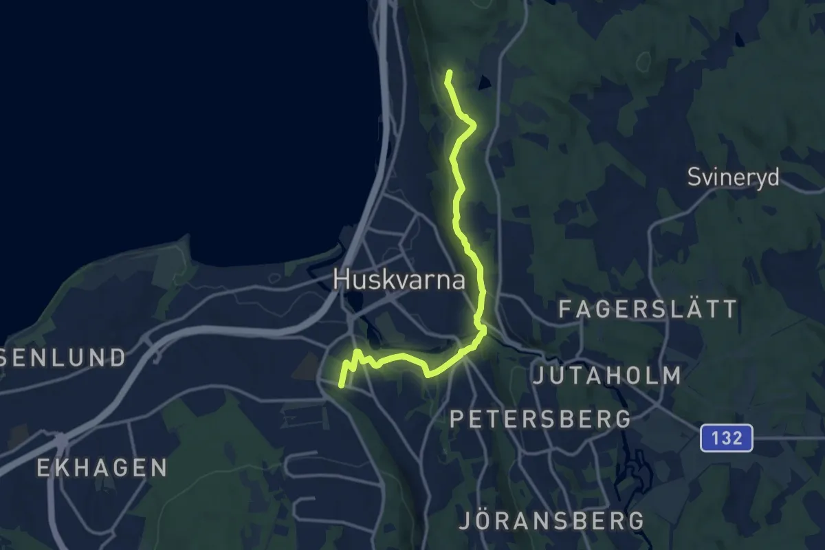
Medium · Trail
Huskvarna station – Huskvarna
9.5 km · ↑ 279 m · 2 h 51 min
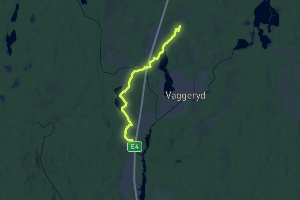
Demanding · Trail
S Duveled – Byarum
20.6 km · ↑ 95 m · 5 h 5 min