Trails in Sweden
3,247 hiking trails, each with its route, climb, walking time and grade.
All trails, page 67 of 68
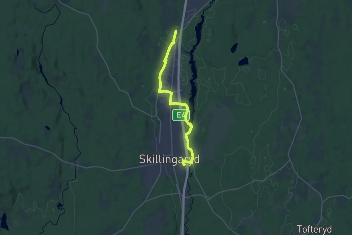
Medium · Trail
Östra Lägret Skjutfält – S Duveled
14.9 km · ↑ 57 m · 3 h 39 min
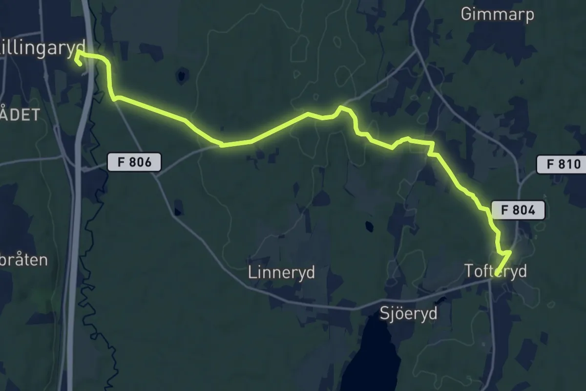
Medium · Trail
Tofteryd – Östra Lägret Skjutfält
15.6 km · ↑ 120 m · 3 h 57 min
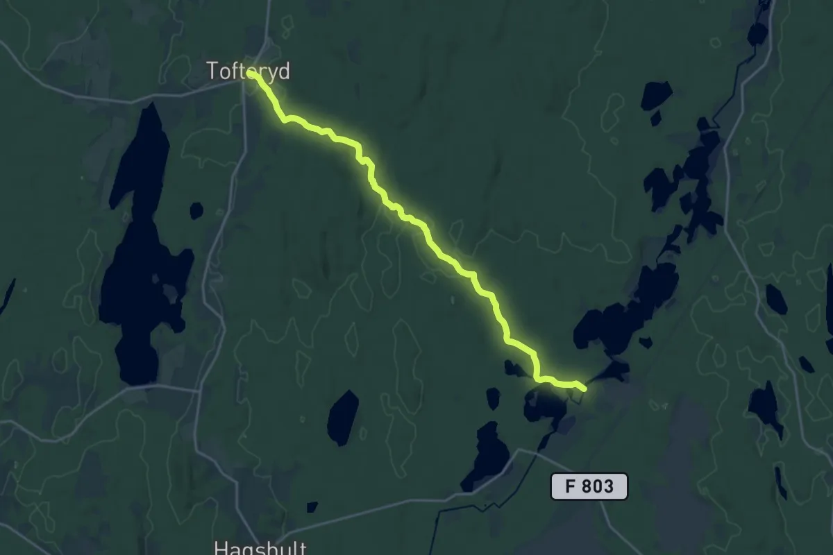
Medium · Trail
Märkes bro – Tofteryd
15.8 km · ↑ 141 m · 4 h 2 min
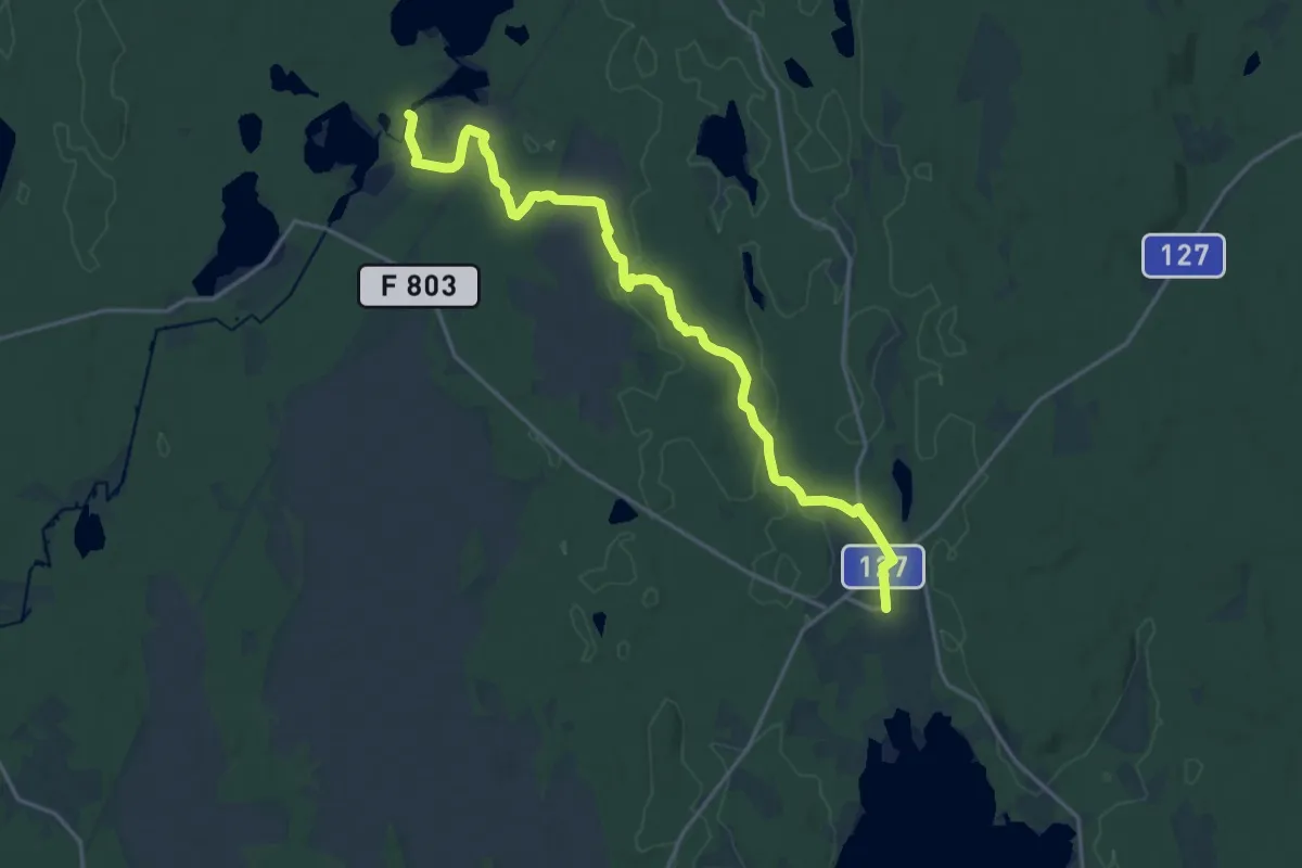
Medium · Trail
Nydala – Märkesbron
16.1 km · ↑ 109 m · 4 h 3 min
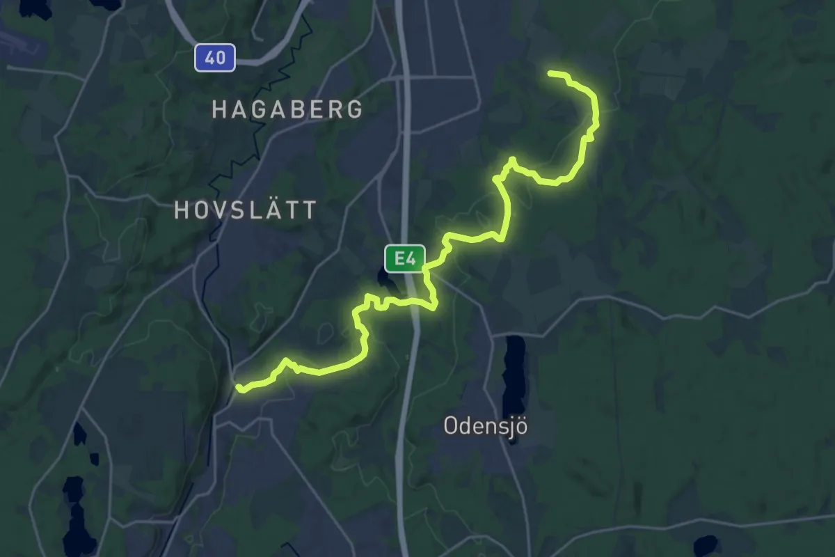
Demanding · Trail
Norrahammar – Strömsberg
19.7 km · ↑ 406 m · 5 h 33 min
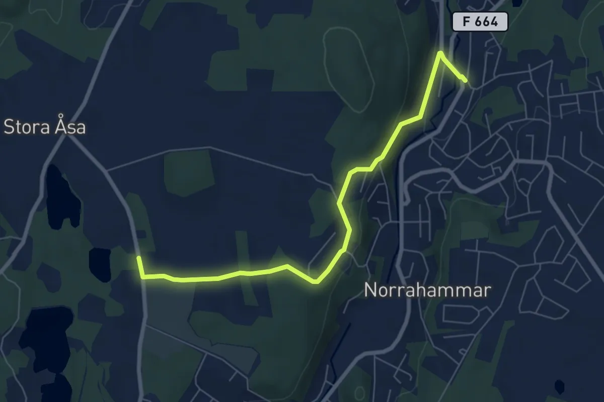
Easy · Trail
Martinsgården – Nordhamra (Norrahammar)
5.4 km · ↑ 110 m · 1 h 30 min
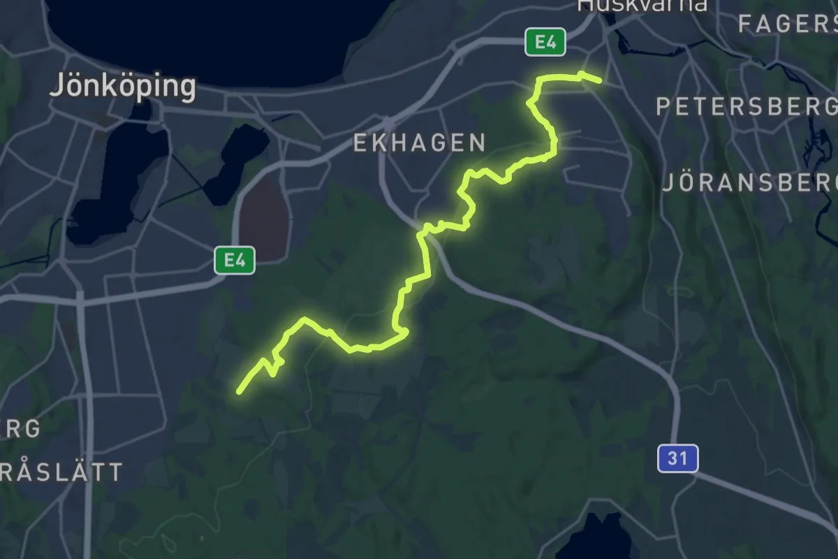
Demanding · Trail
Strömsberg – Huskvarna station
18.9 km · ↑ 464 m · 5 h 28 min
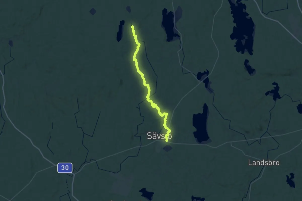
Demanding · Trail
Sävsjö – Vikskvarn
22.3 km · ↑ 285 m · 6 h 8 min
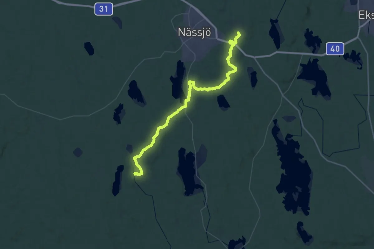
Demanding · Trail
Vikskvarn – Lövhult
24.6 km · ↑ 238 m · 6 h 39 min
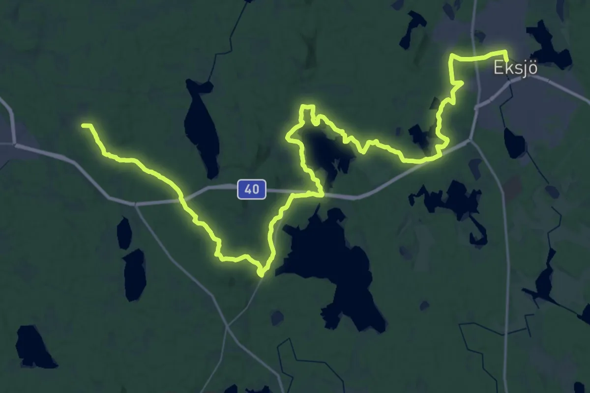
Demanding · Trail
Lövhult – Eksjö
26.5 km · ↑ 260 m · 7 h 8 min
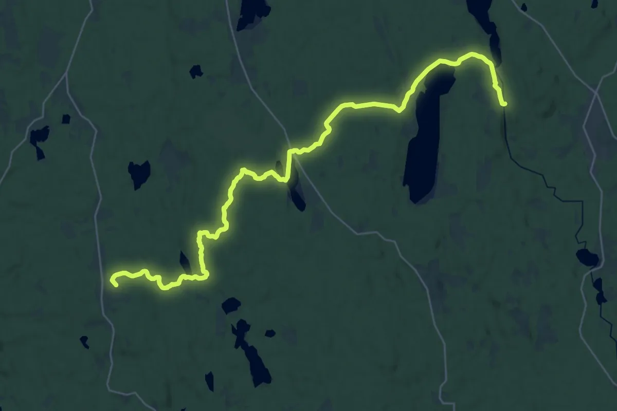
Demanding · Summit
Vikskvarn – Hok
28.0 km · ↑ 275 m · 7 h 12 min
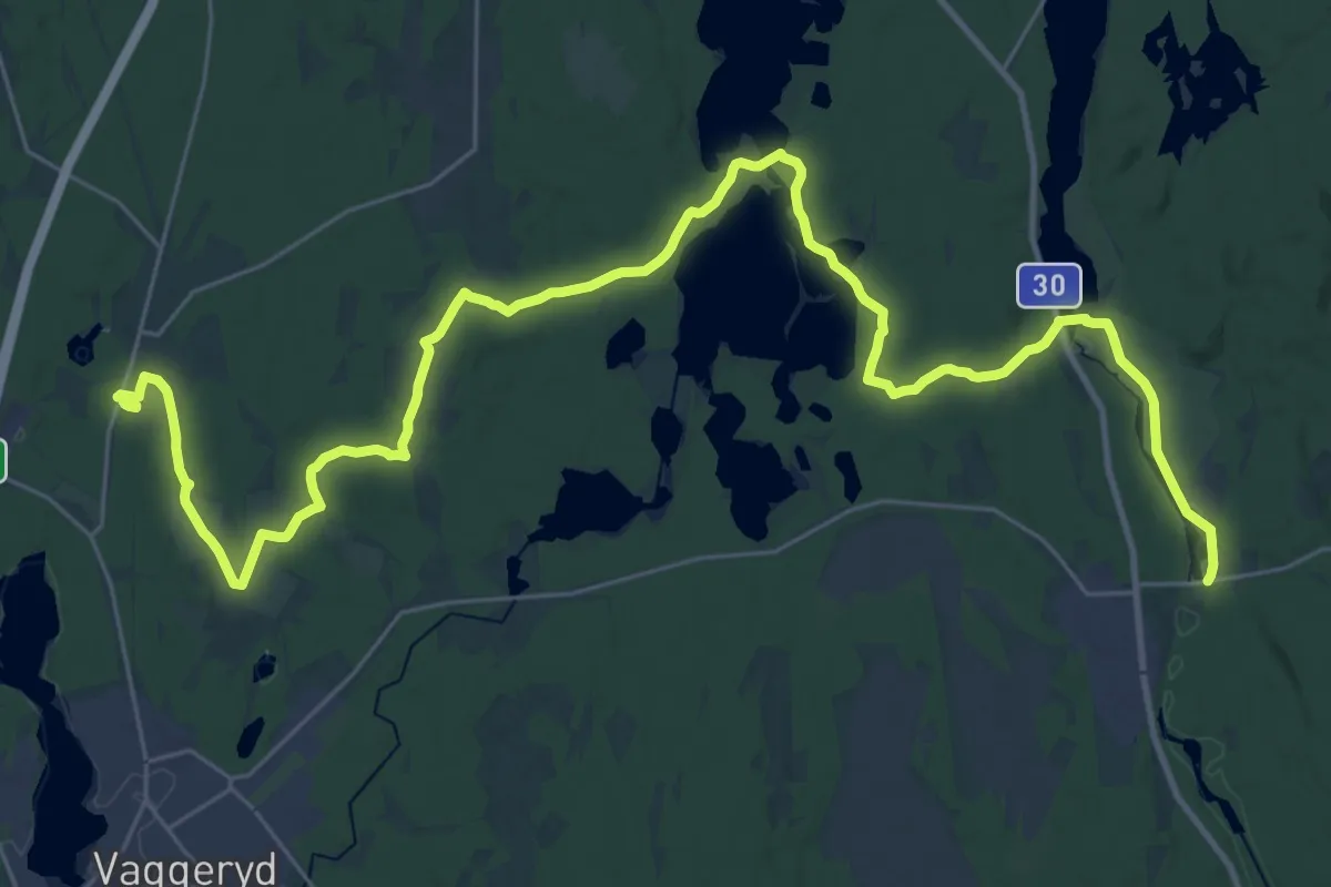
Medium · Trail
Hok – Byarum
16.7 km · ↑ 108 m · 4 h 23 min
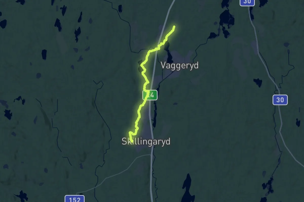
Medium · Trail
Byarum – Grönelund (Skillingaryd)
16.3 km · ↑ 108 m · 4 h 18 min
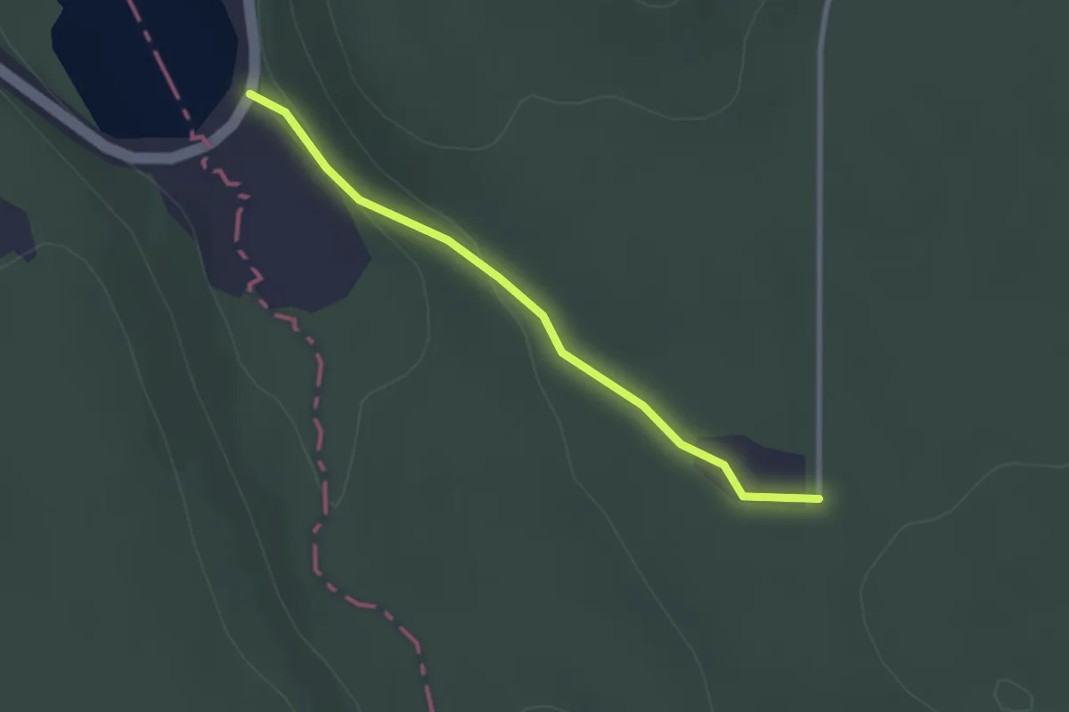
Easy · Trail
Munkebo – Västra Lägern
2.0 km · ↑ 38 m · 33 min
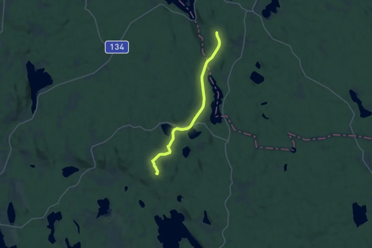
Medium · Summit
Klinten – Munkebo
14.0 km · ↑ 137 m · 3 h 35 min
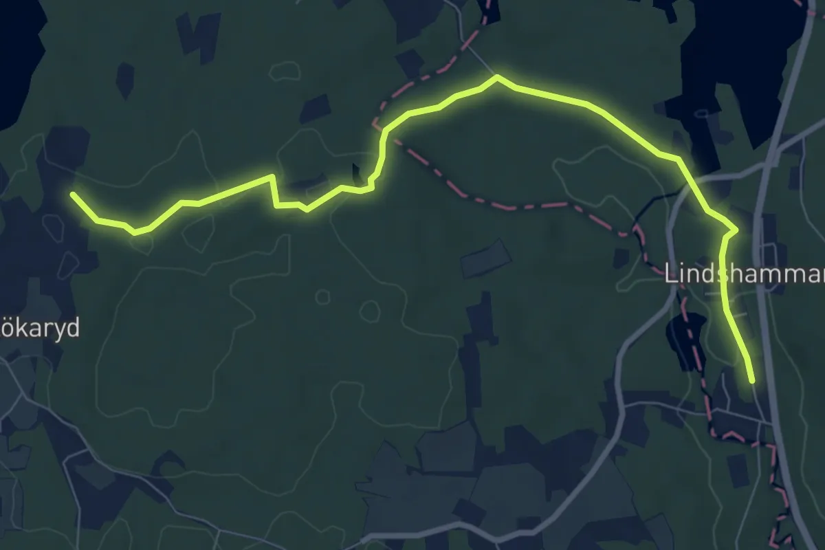
Easy · Trail
Lindshammar – Lökarydssjön
7.3 km · ↑ 65 m · 1 h 52 min
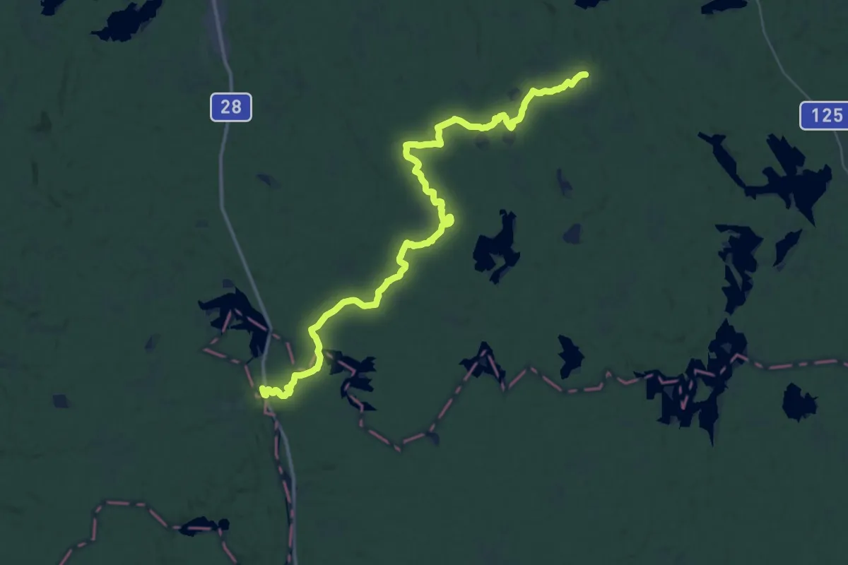
Medium · Trail
Lemnhult – Lindshammar
17.5 km · ↑ 129 m · 4 h 38 min
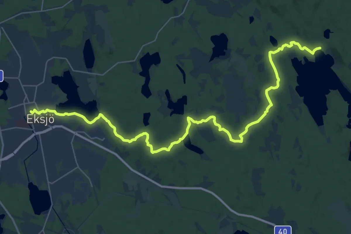
Demanding · Trail
Eksjö – Klinten
26.5 km · ↑ 155 m · 6 h 36 min
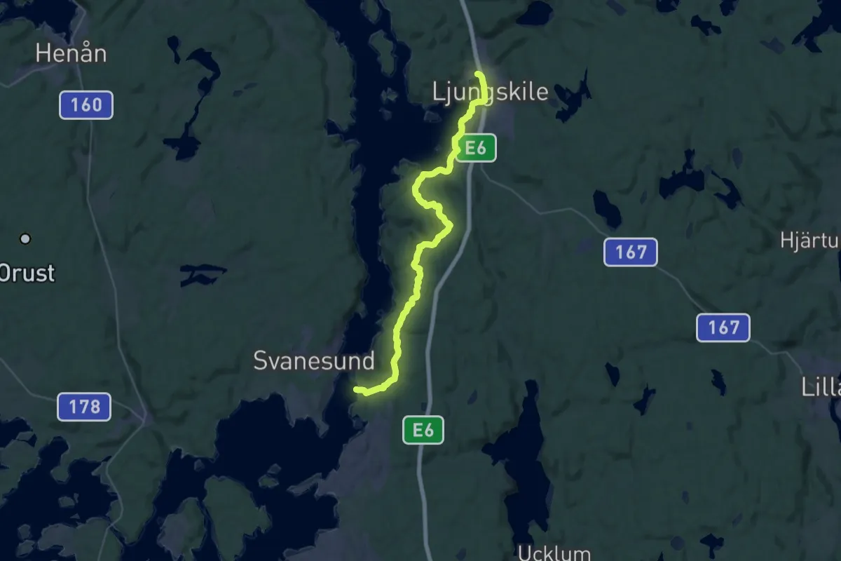
Medium · Trail
Ljungskile – Kolhättans färgeläge
15.6 km · ↑ 352 m · 4 h 41 min
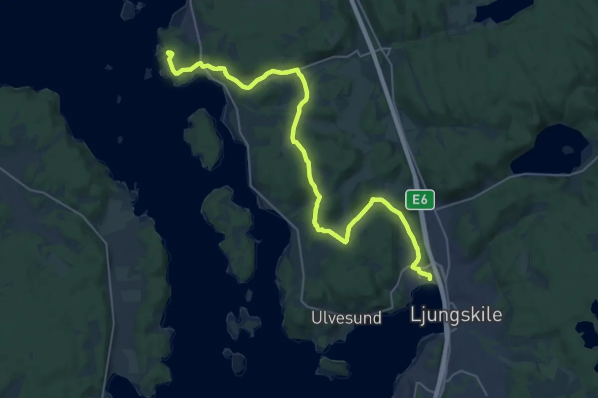
Medium · Trail
Saxenhov – Ljungskile
17.5 km · ↑ 310 m · 4 h 48 min
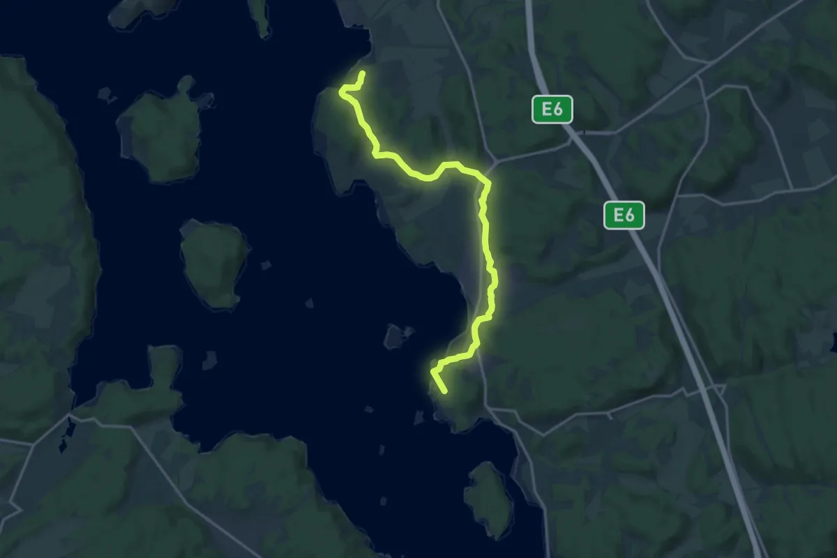
Medium · Summit
Ammenäs – Saxenhov
12.7 km · ↑ 161 m · 3 h 21 min
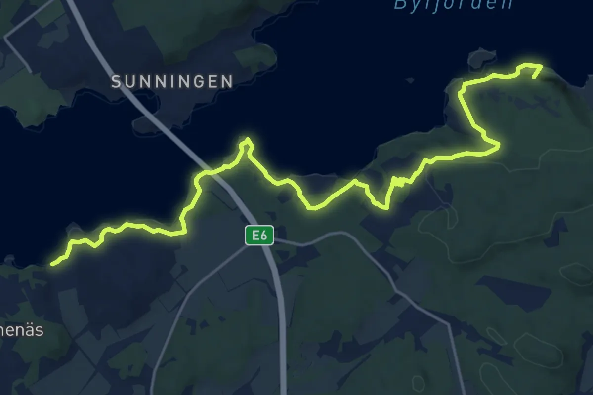
Medium · Summit
Gustavsberg – Ammenäs
14.5 km · ↑ 401 m · 4 h 17 min
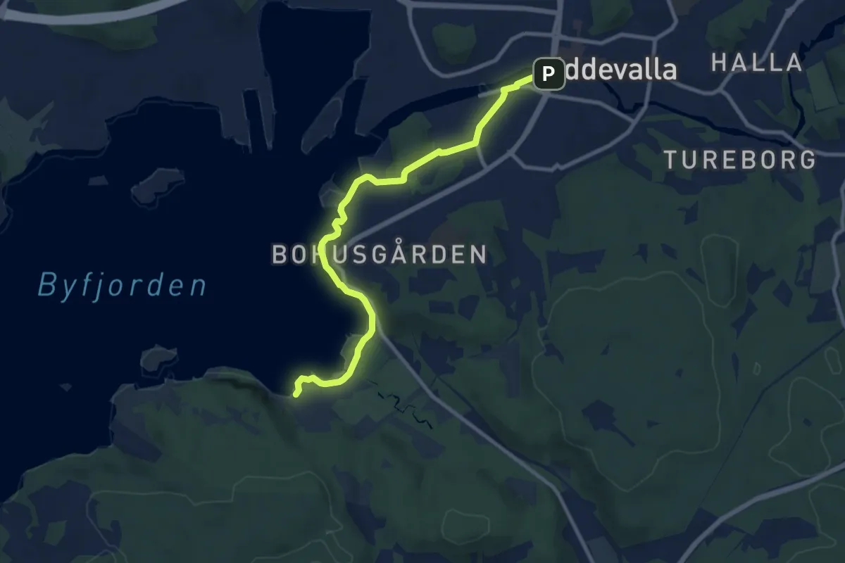
Easy · Trail
Snäckskalsbankarna – Gustafsberg
7.4 km · ↑ 87 m · 1 h 55 min
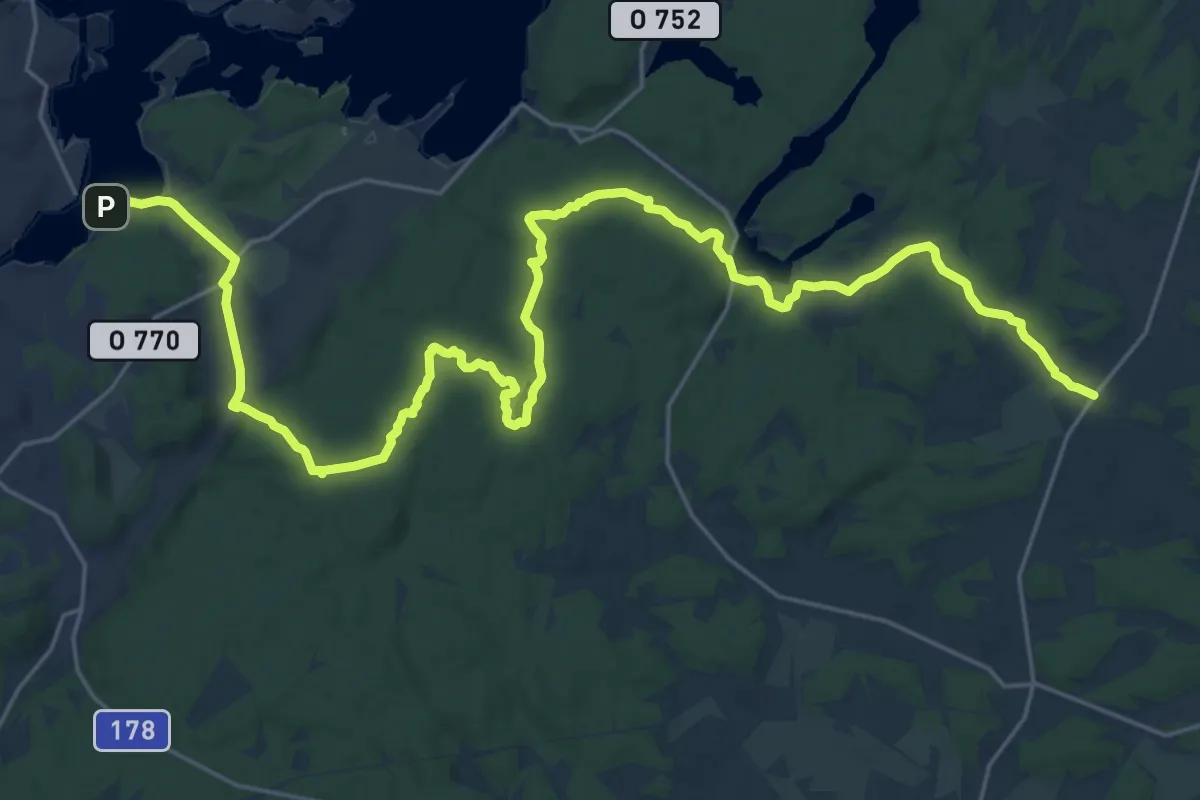
Demanding · Trail
Göksäter – Malö Strömmar
25.6 km · ↑ 370 m · 6 h 51 min
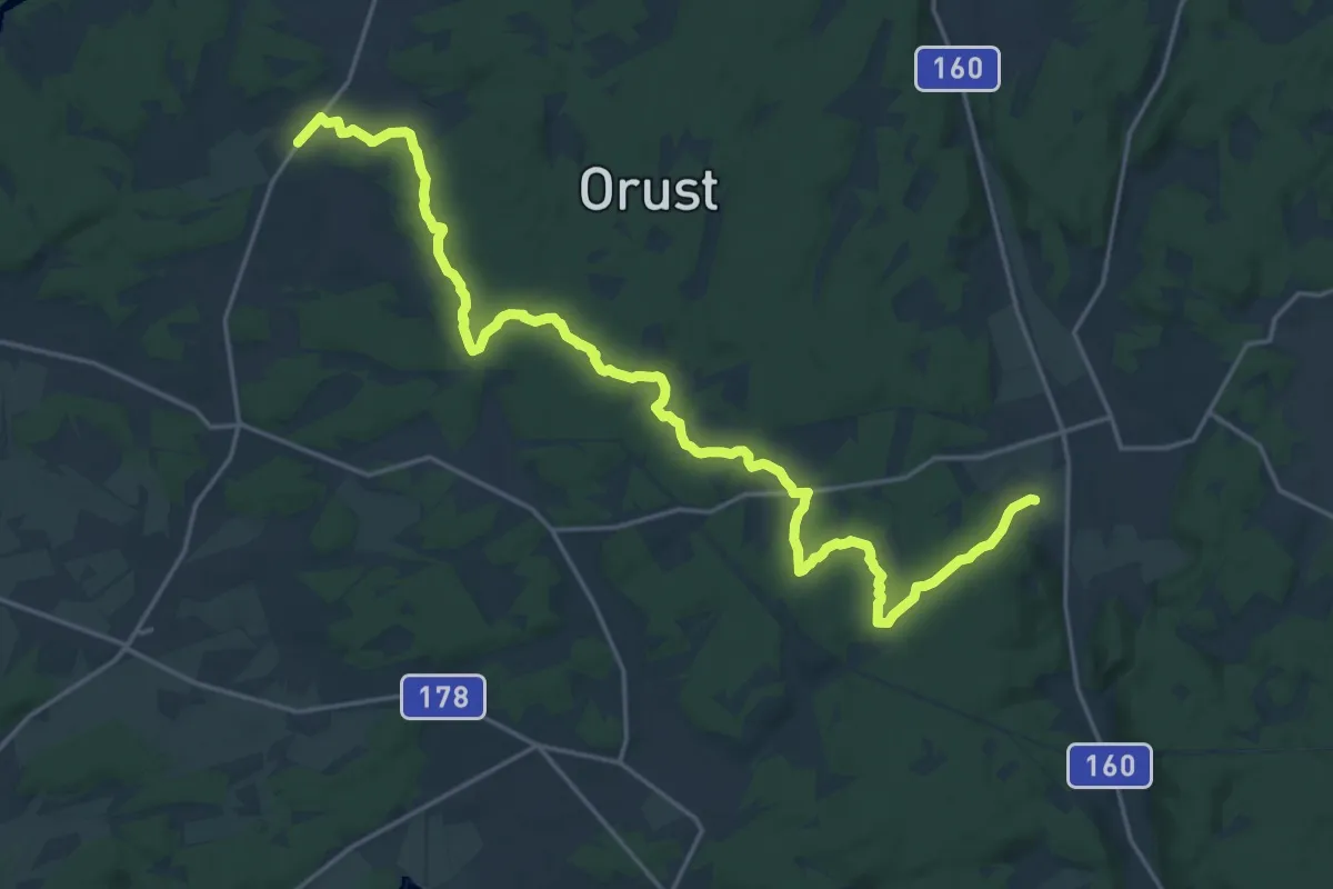
Demanding · Trail
Hoga – Göksäter
19.6 km · ↑ 221 m · 5 h 6 min
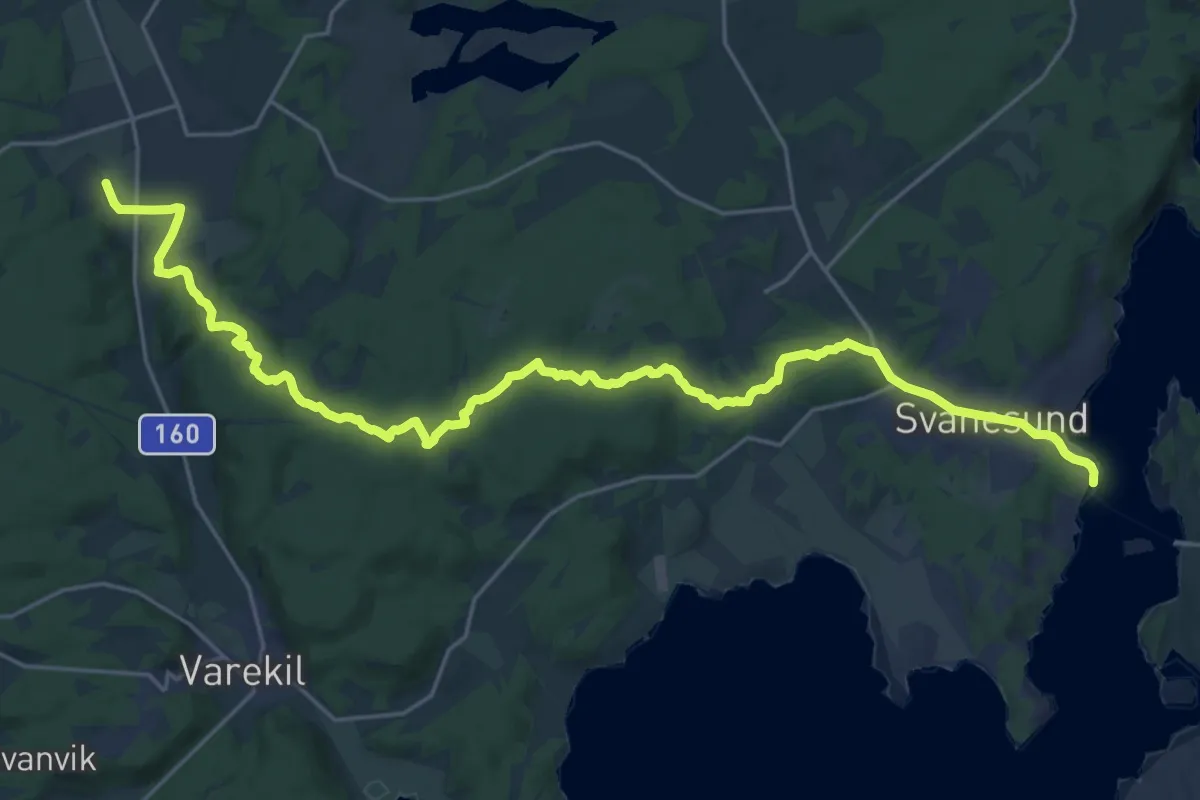
Demanding · Trail
Svanesund – Hoga
22.1 km · ↑ 353 m · 5 h 59 min
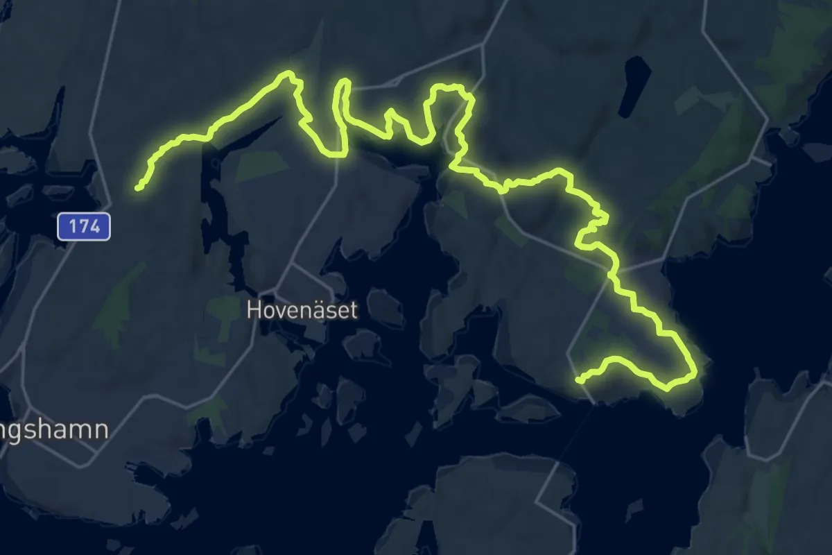
Demanding · Trail
Väjern – Tullboden
27.1 km · ↑ 408 m · 7 h 16 min
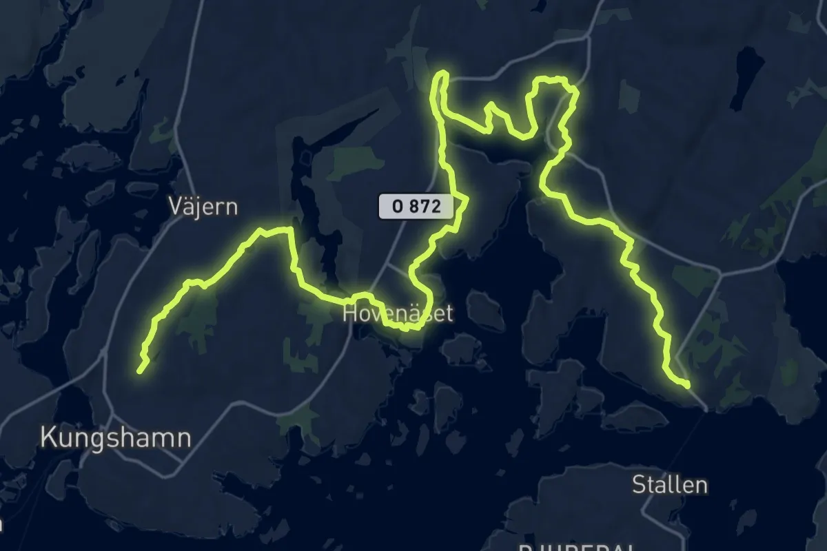
Demanding · Trail
Kungshamn – Tullboden
27.4 km · ↑ 300 m · 7 h 8 min
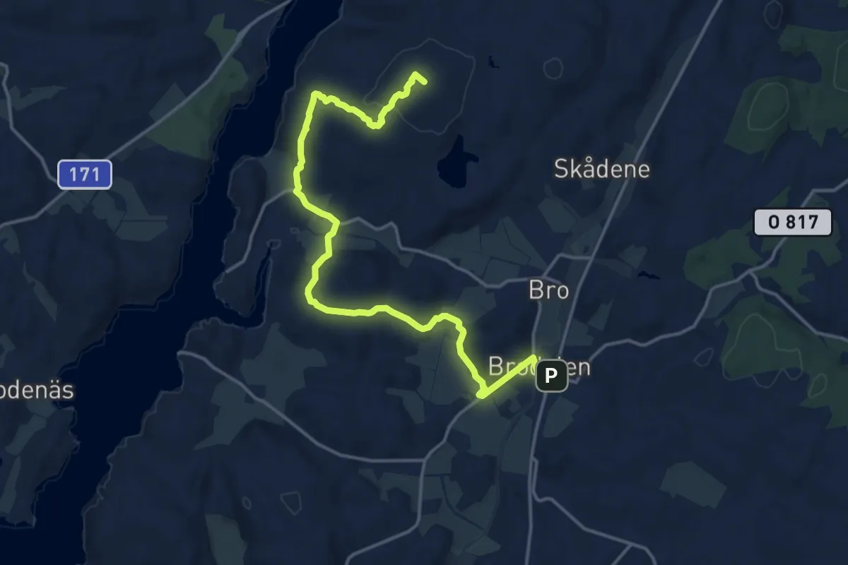
Medium · Summit
Brodalen – Nordens ark
13.1 km · ↑ 238 m · 3 h 37 min
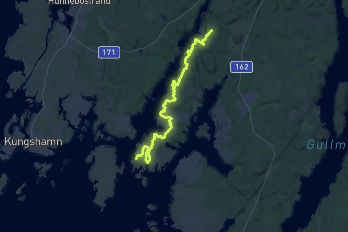
Medium · Trail
Röe – Näverkärr
17.5 km · ↑ 336 m · 5 h 7 min
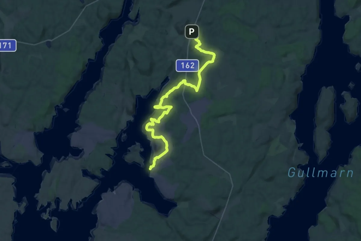
Demanding · Trail
Rixö – Brodalen
26.3 km · ↑ 516 m · 7 h 19 min
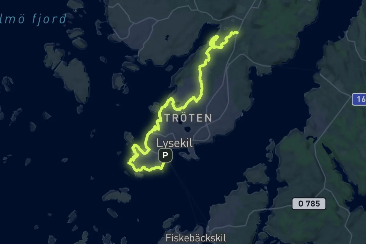
Demanding · Trail
Lysekil – Skal
27.6 km · ↑ 229 m · 7 h
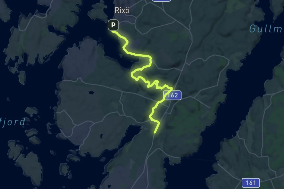
Demanding · Trail
Skal – Rixö
21.3 km · ↑ 294 m · 5 h 40 min
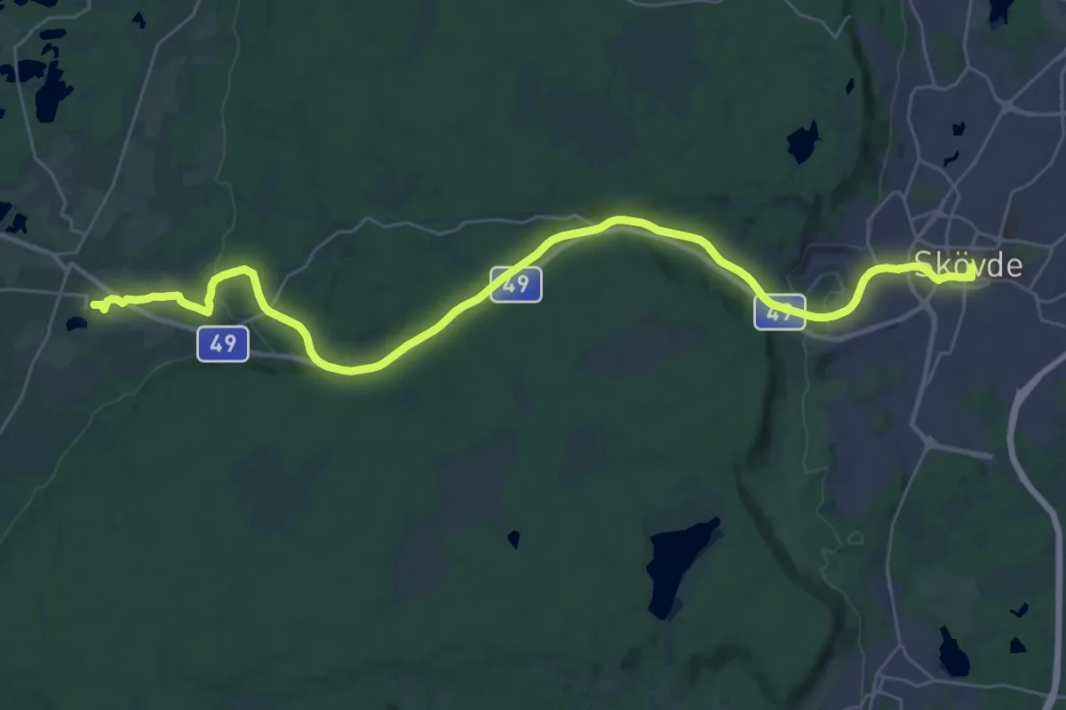
Medium · Pilgrim path
Varnhem – Skövde
13.9 km · ↑ 130 m · 3 h 45 min
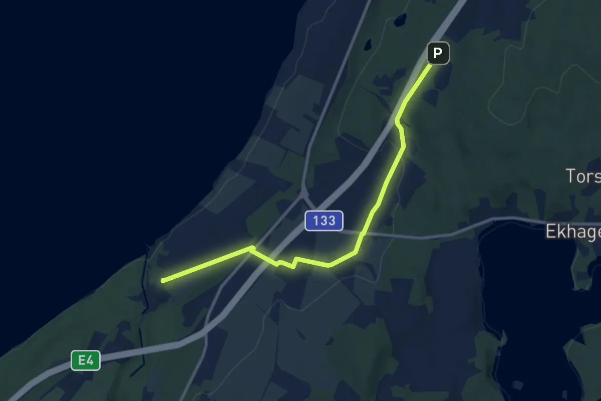
Easy · Trail
Röttle – Grännaberget
7.0 km · ↑ 127 m · 1 h 55 min
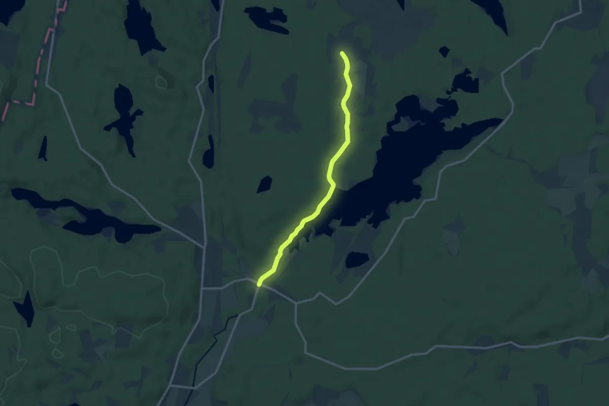
Medium · Trail
Godegård – Stappegården
8.4 km · ↑ 80 m · 2 h 10 min
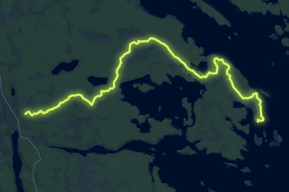
Demanding · Trail
Ramsdal – Ekudden
29.1 km · ↑ 230 m · 7 h 22 min
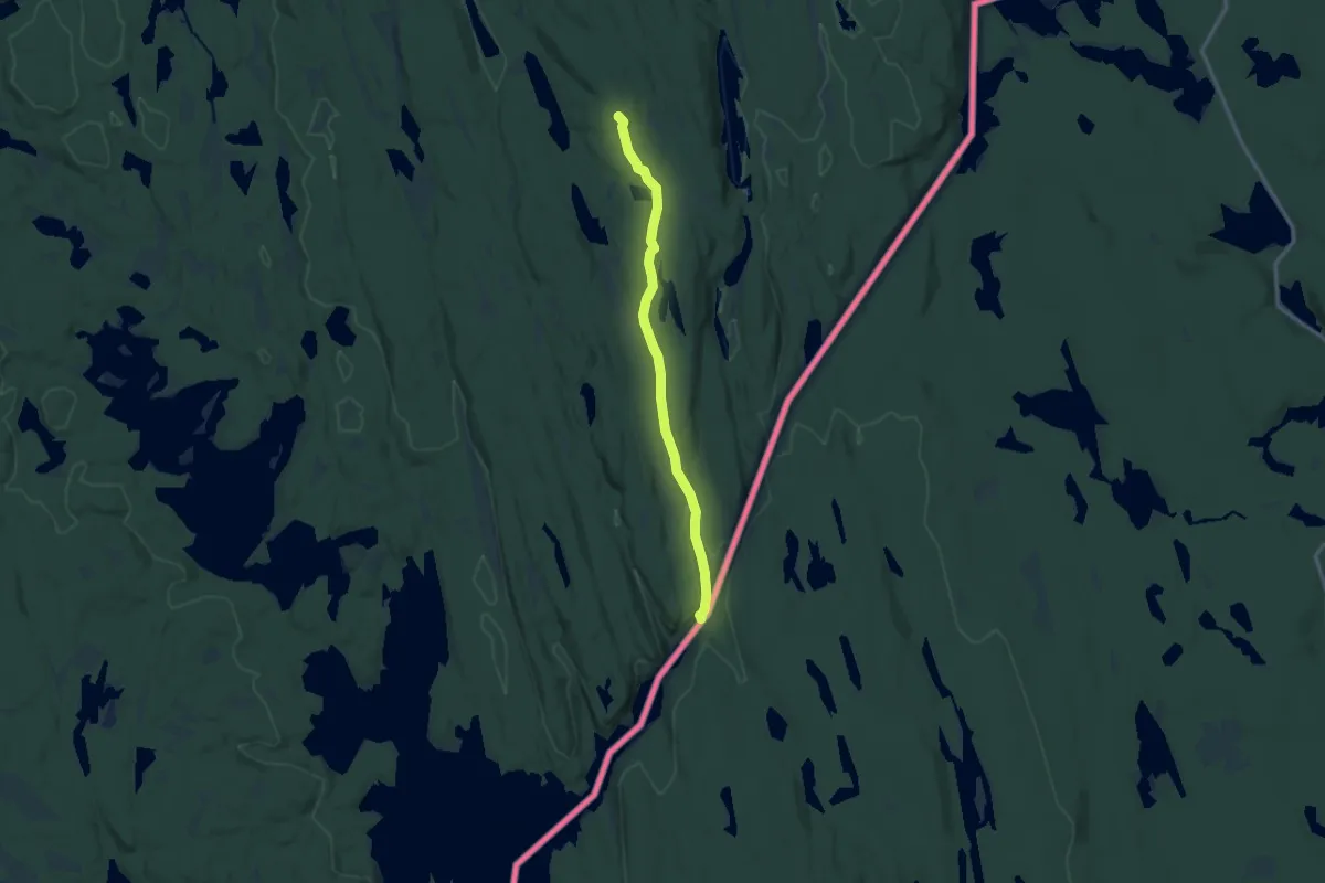
Medium · Summit
Remne – Budalsvika
8.9 km · ↑ 117 m · 2 h 21 min
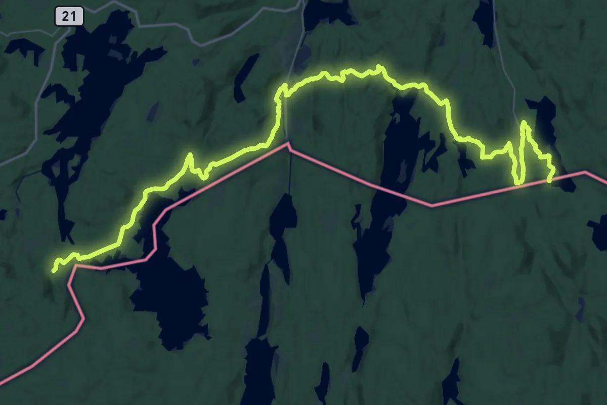
Demanding · Trail
Fisketjernmoen – Holmsjøen sørvest
24.1 km · ↑ 310 m · 6 h 42 min
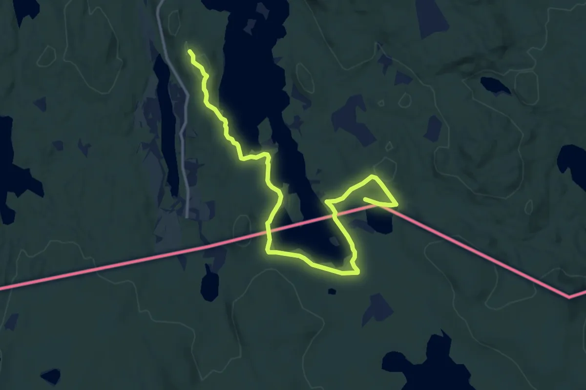
Medium · Trail
Holmsjøen sørøst – Holmsjøen sørvest
9.7 km · ↑ 104 m · 2 h 31 min
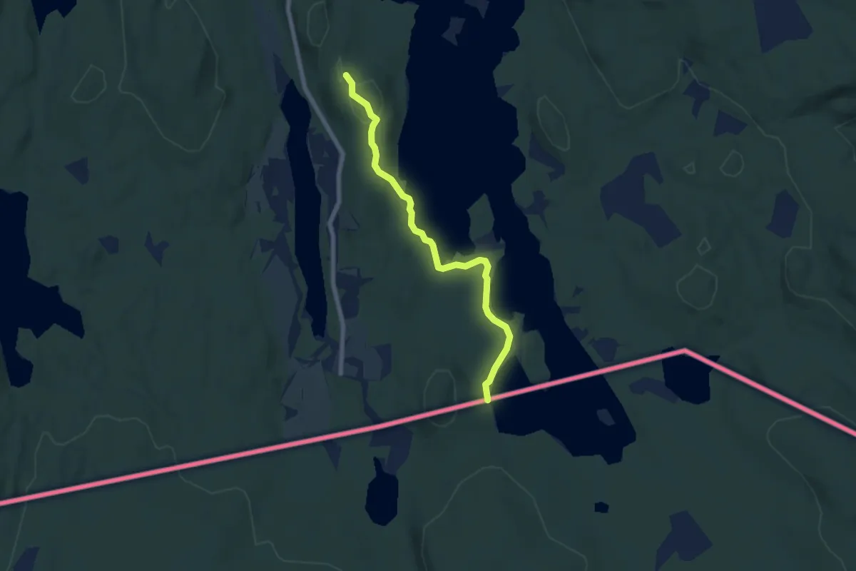
Easy · Trail
Holmsjøen sørvest – Holmsjøen nord
4.2 km · ↑ 38 m · 1 h 5 min
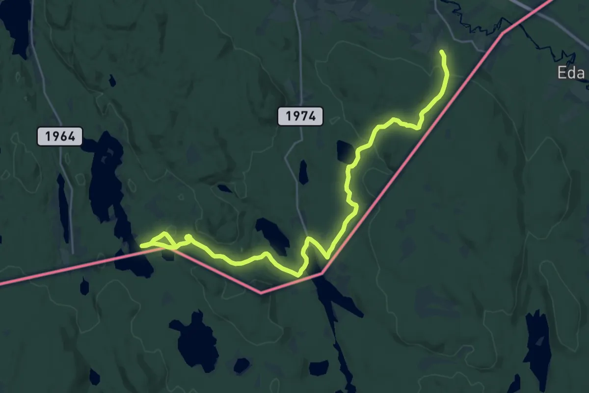
Demanding · Trail
Morokullen – Holmsjøen sørøst
20.7 km · ↑ 243 m · 5 h 24 min
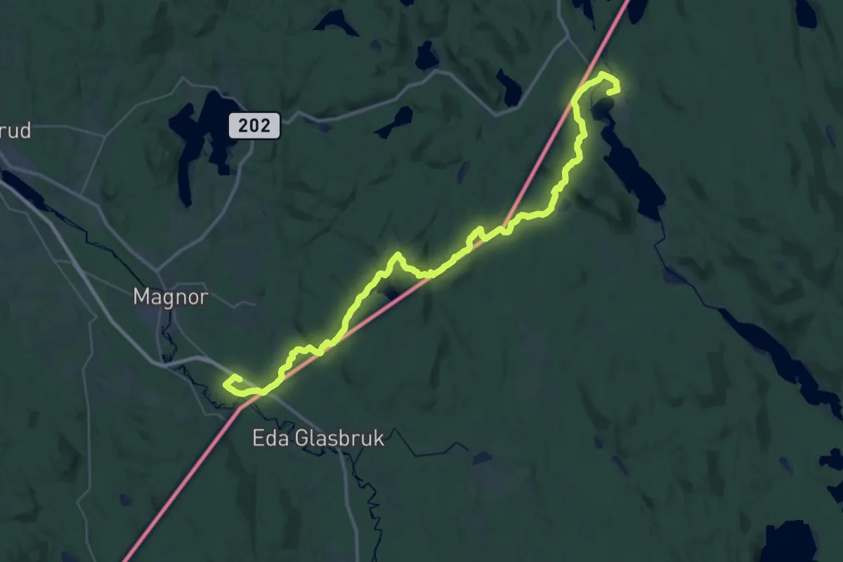
Medium · Cabin
Morokullen – Holmsjøen sørøst
16.4 km · ↑ 244 m · 4 h 37 min
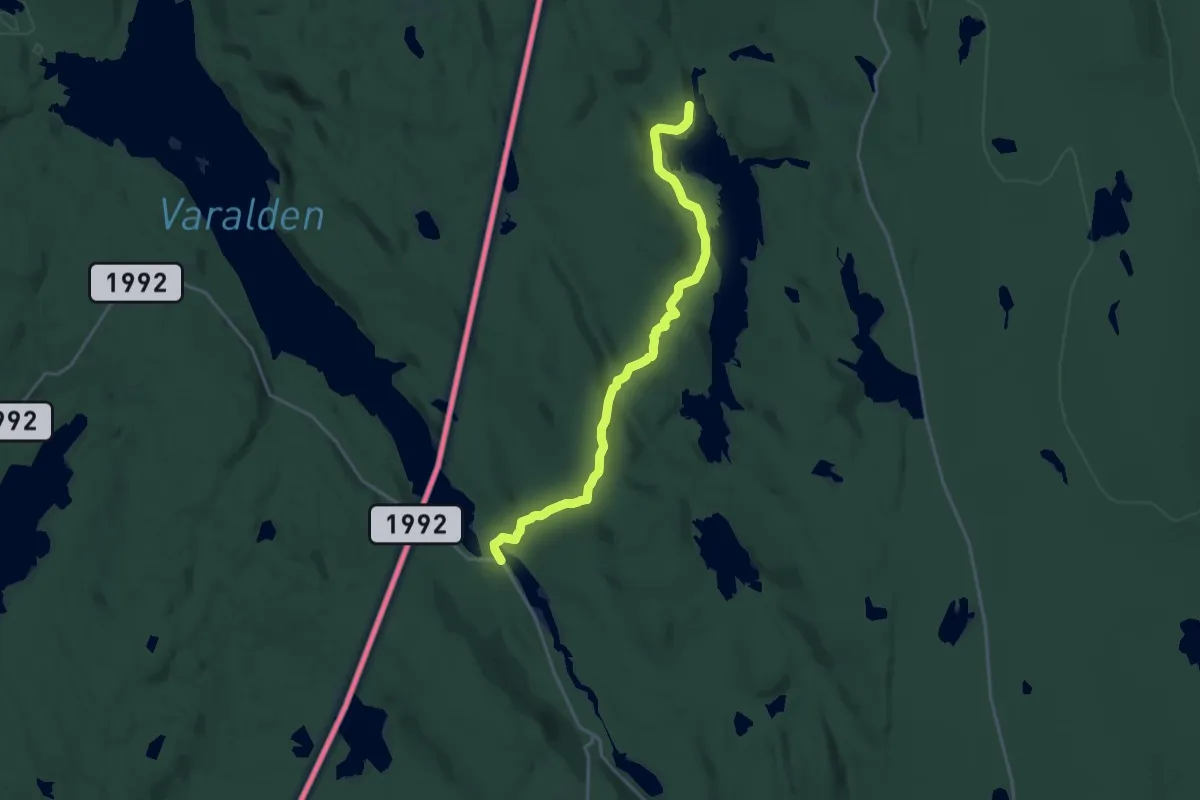
Medium · Cabin
Mitandersfors – Lomstorp
15.3 km · ↑ 286 m · 4 h 13 min
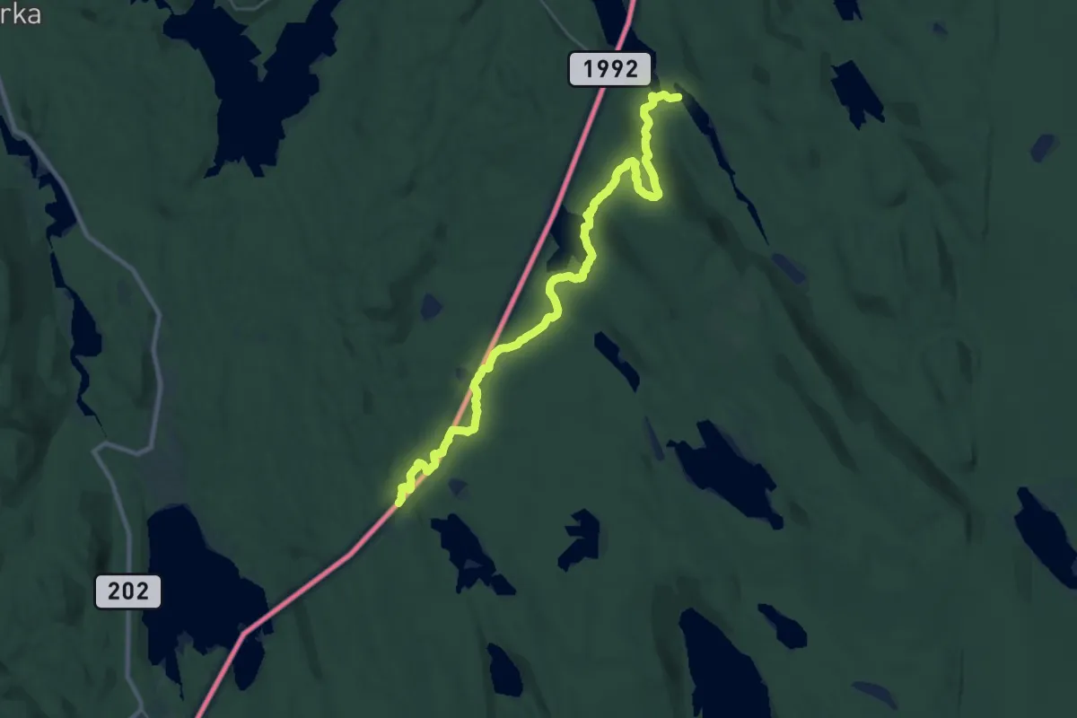
Demanding · Trail
Vangen / Håkerudtomta – Mitandersfors
22.1 km · ↑ 382 m · 6 h 2 min
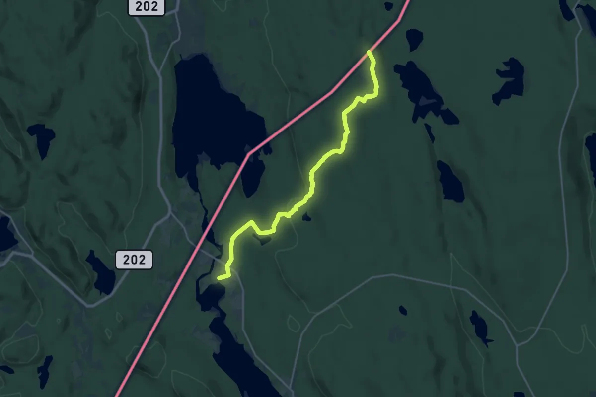
Medium · Cabin
Håvilsrud – Vangen / Håkerudtomta
13.8 km · ↑ 201 m · 3 h 42 min
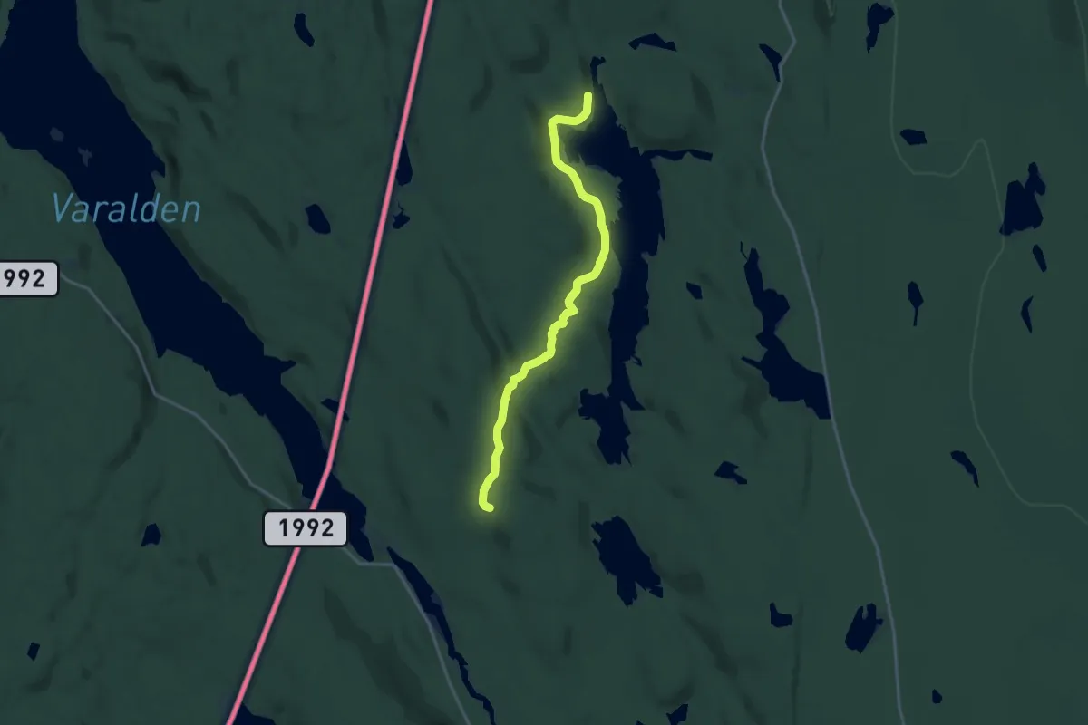
Medium · Cabin
Bengtstorp – Lomstorp
12.3 km · ↑ 196 m · 3 h 20 min
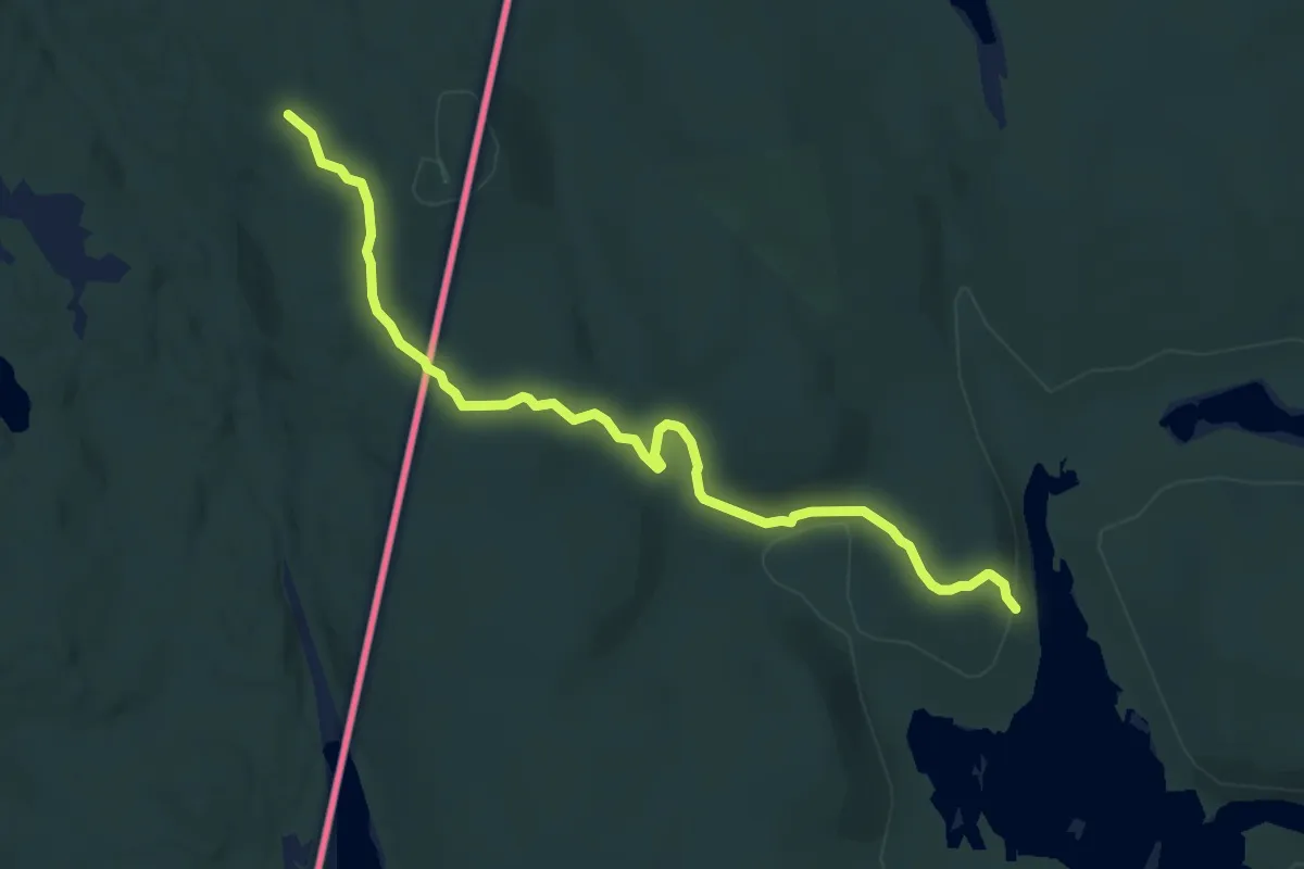
Easy · Cabin
Lebiko – Lomstorp
7.3 km · ↑ 158 m · 2 h 4 min