Trails near Aigle
186 hikes starting within 15 km, nearest first.
Nearest first, page 2 of 4
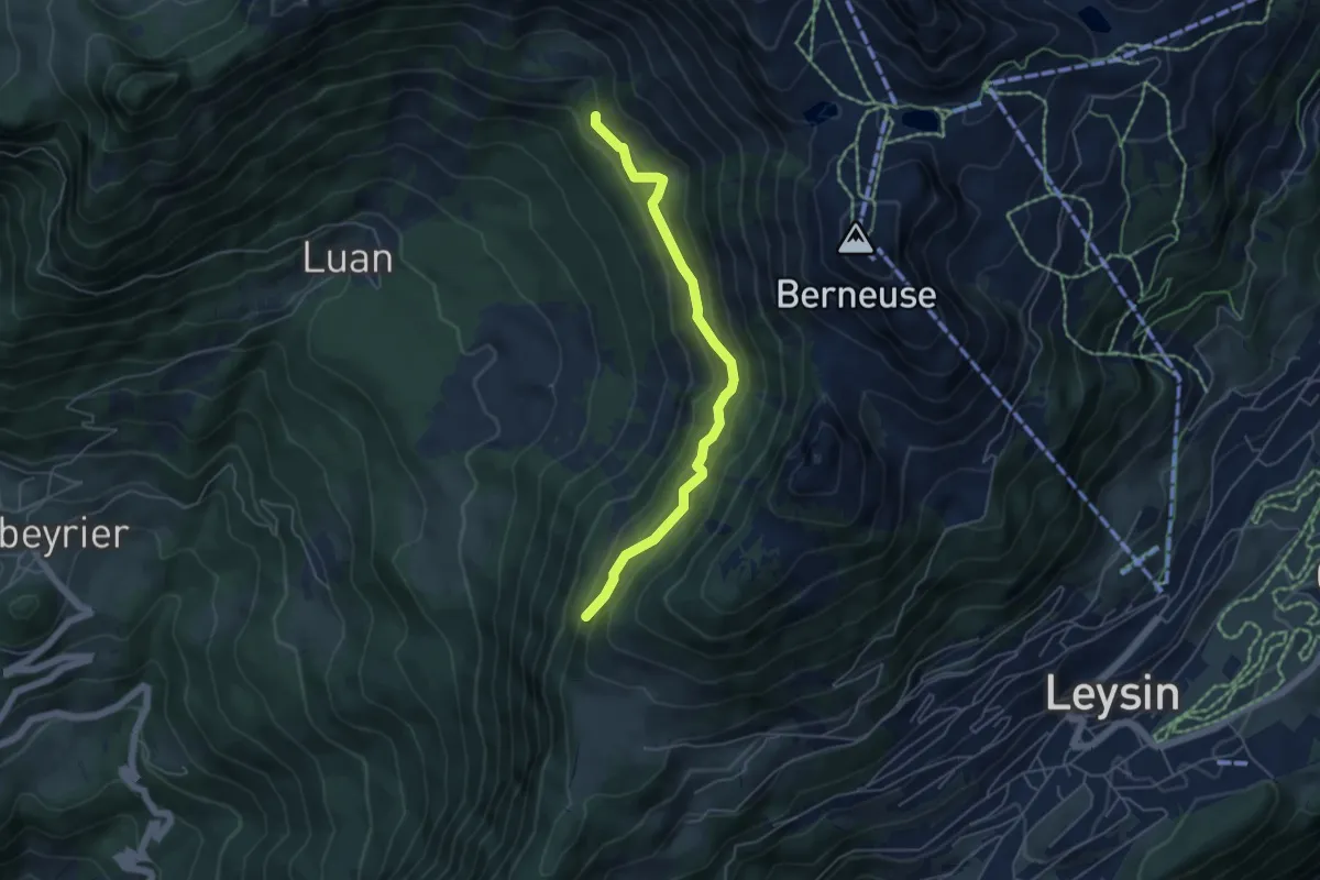
Medium · Trail
Maupas – Les Mandreys
4.9 km · ↑ 410 m · 2 h 3 min · 5 km away
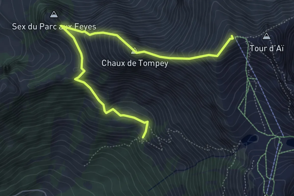
Demanding · Summit
Les Mandreys – Chaux-de-Mont
6.3 km · ↑ 691 m · 3 h · 5 km away
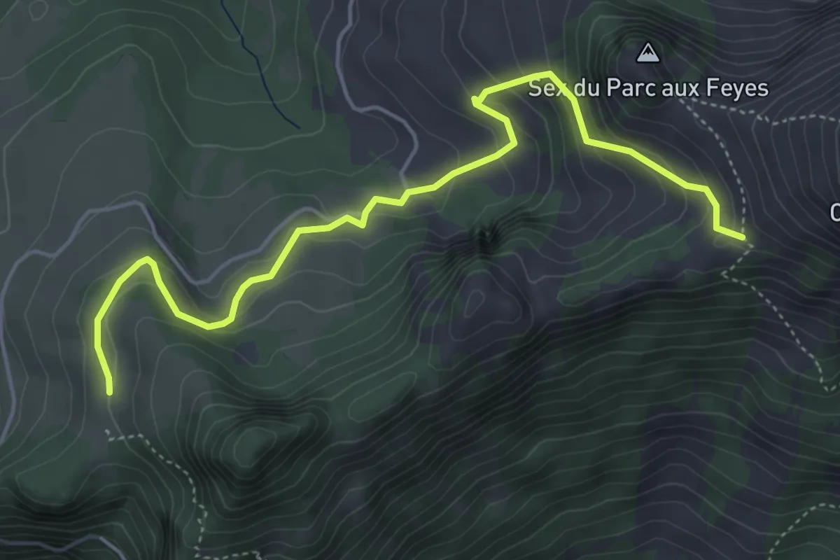
Medium · Trail
Les Agittes – Col de Tompey
5.4 km · ↑ 335 m · 2 h · 5 km away
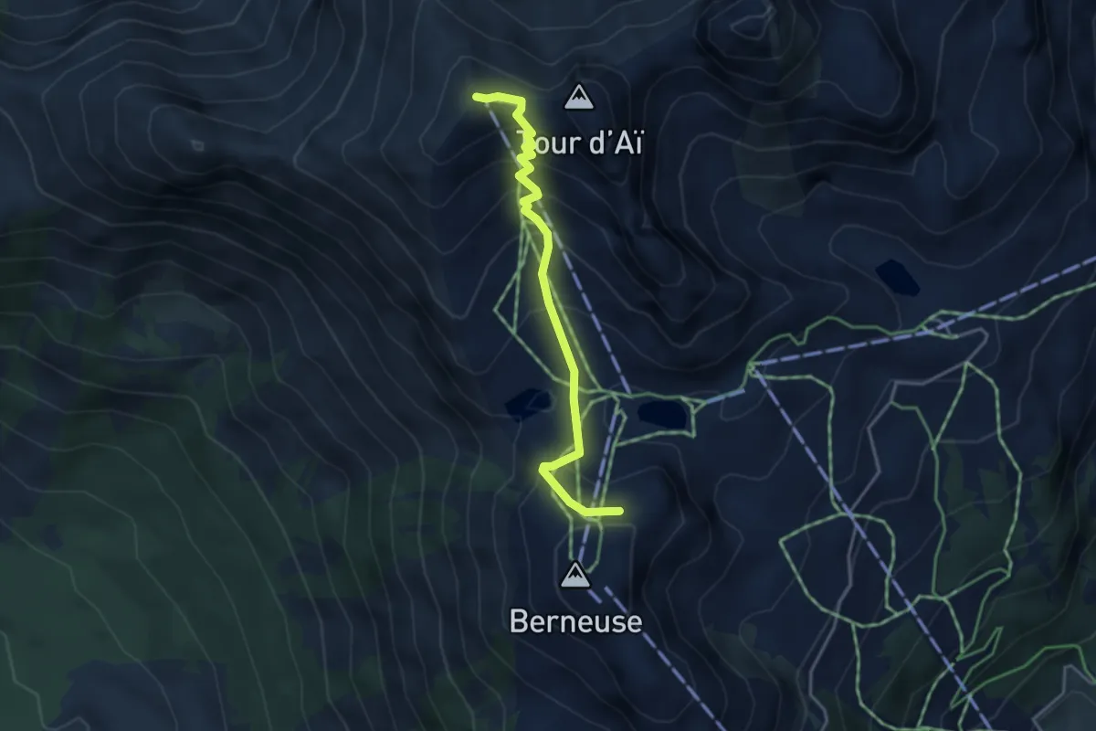
Medium · Summit
Berneuse – Chaux-de-Mont
3.5 km · ↑ 357 m · 1 h 37 min · 6 km away
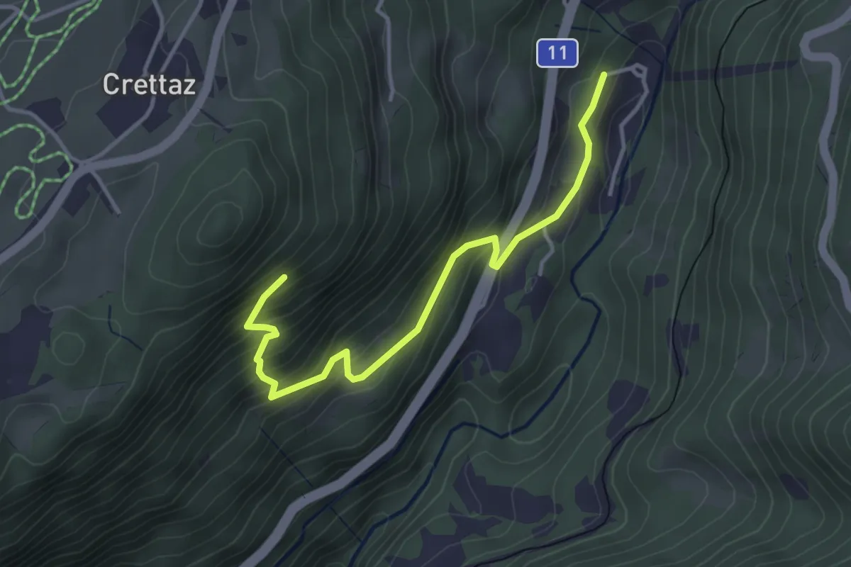
Medium · Trail
Le Flot de Crête – Le Pont
3.8 km · ↑ 352 m · 1 h 39 min · 6 km away
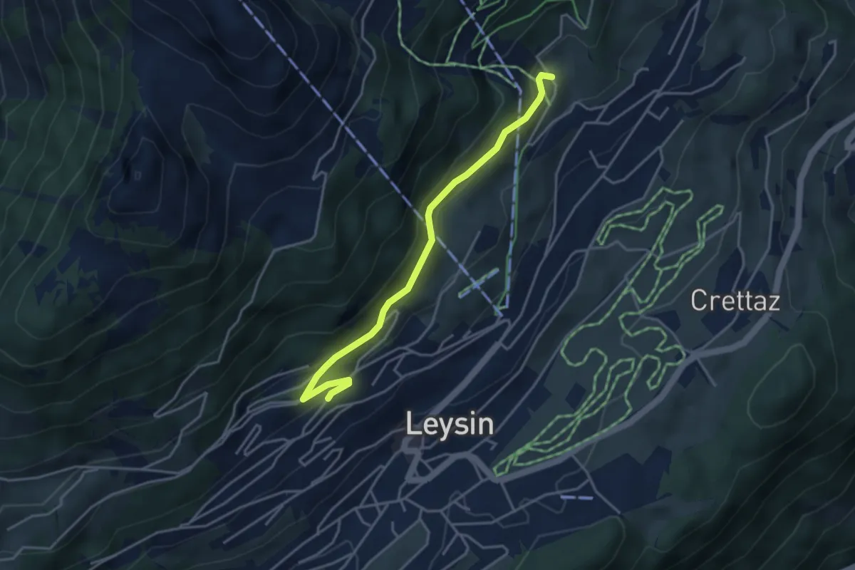
Medium · Trail
Féydey – Tresselerie
3.8 km · ↑ 169 m · 1 h 16 min · 6 km away
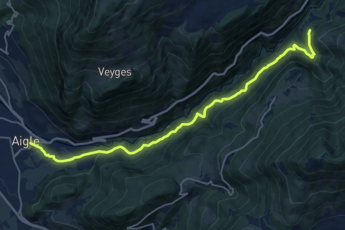
Demanding · Trail
Exergillod – Aigle
14.5 km · ↑ 950 m · 5 h 28 min · 6 km away
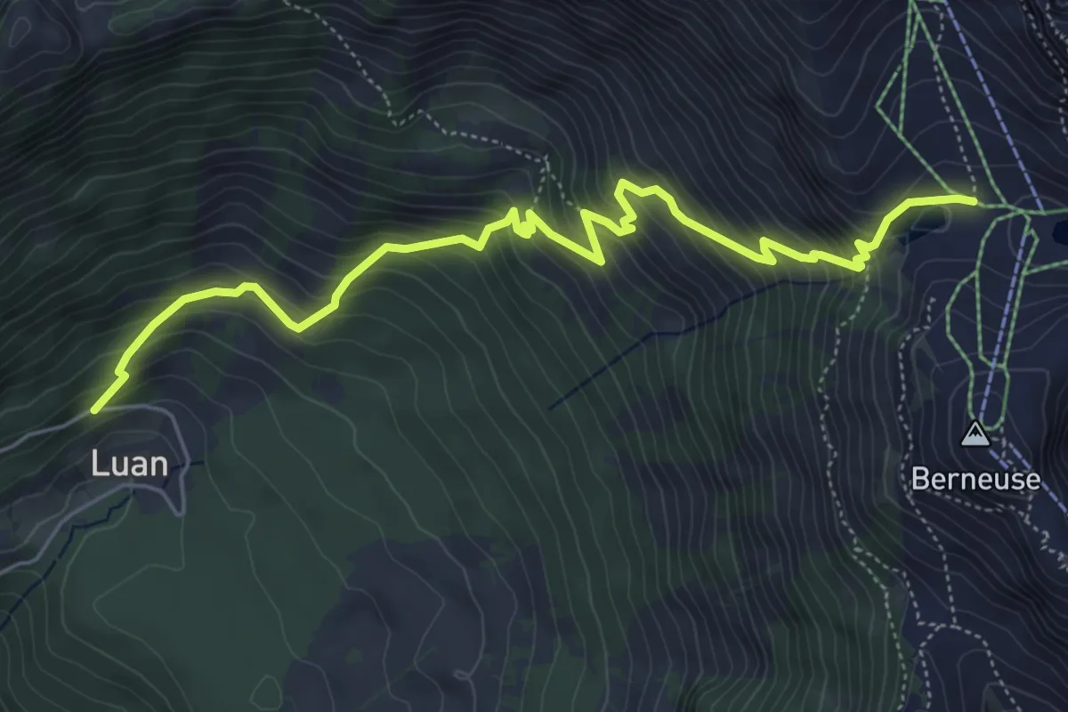
Medium · Trail
Luan – Ai
6.4 km · ↑ 687 m · 3 h · 6 km away
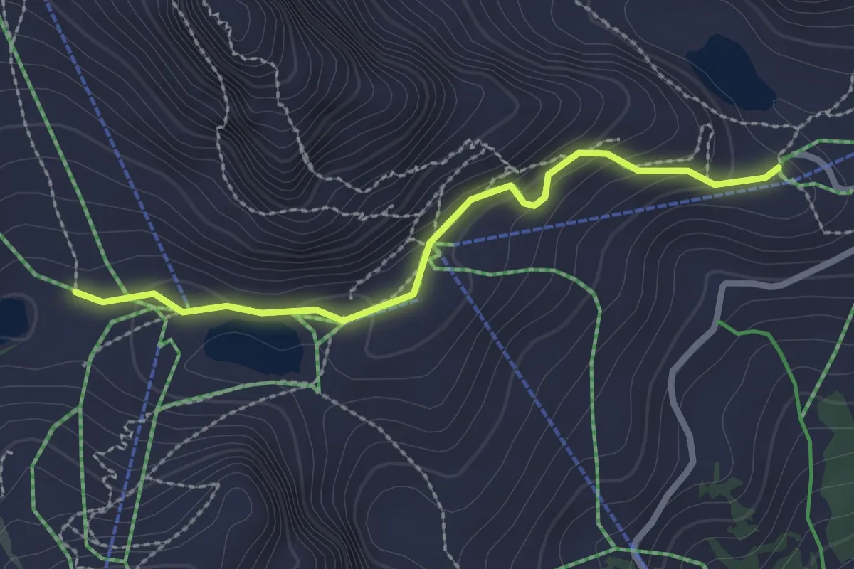
Easy · Cabin
Aï – Mayen
2.4 km · ↑ 96 m · 46 min · 6 km away
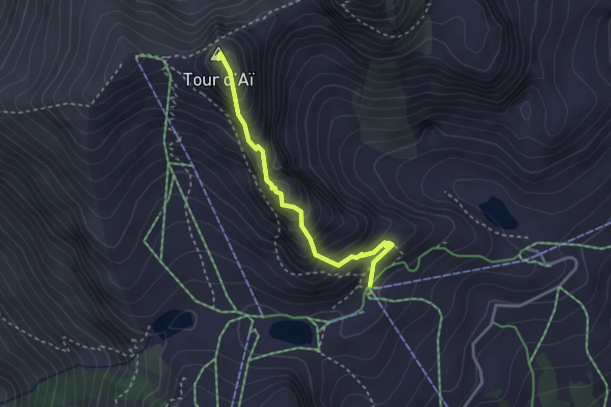
Expert · Summit
Tête d'Aï – Tour d'Aï
2.6 km · ↑ 331 m · 1 h 20 min · 6 km away
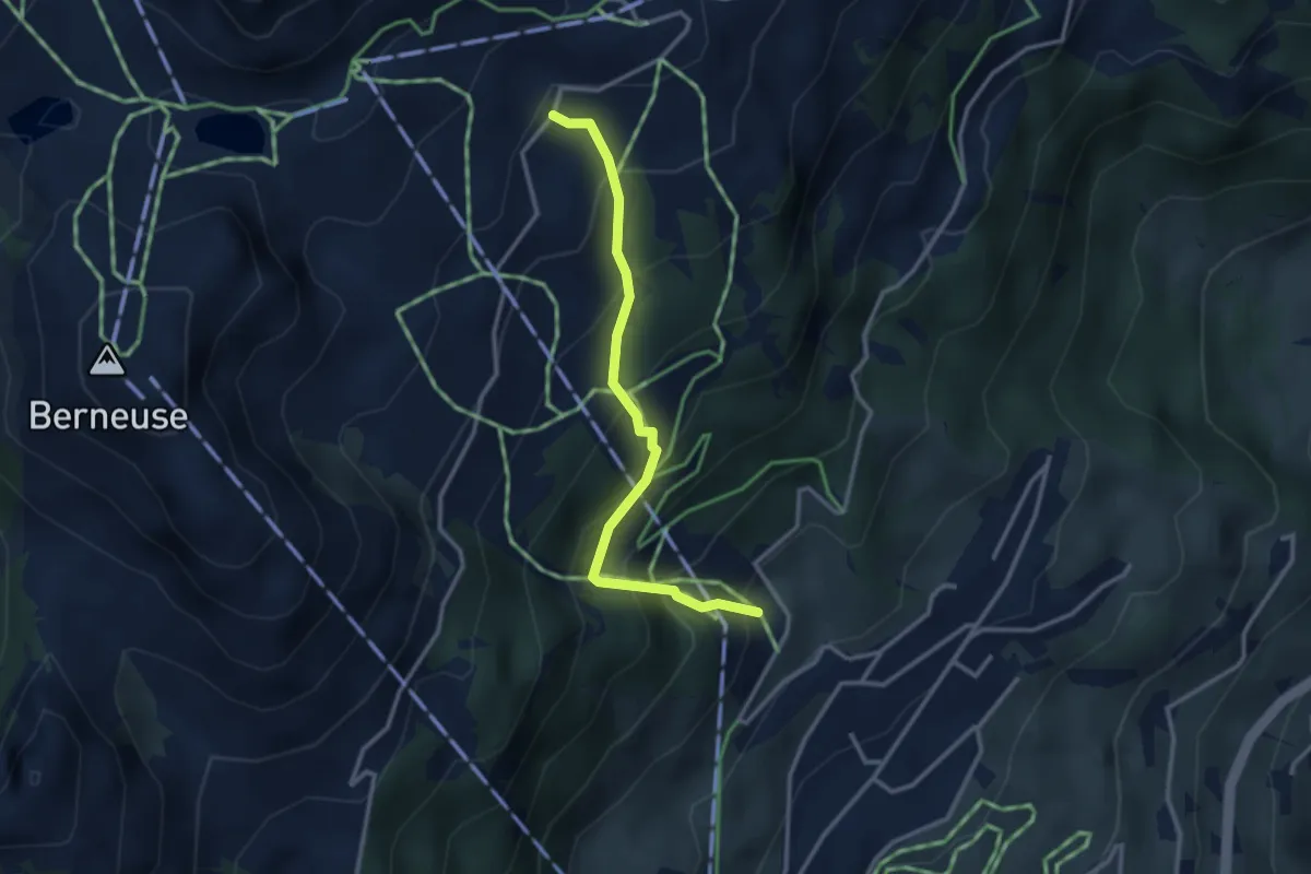
Medium · Trail
Tresseleire – Mayen
2.9 km · ↑ 345 m · 1 h 26 min · 6 km away
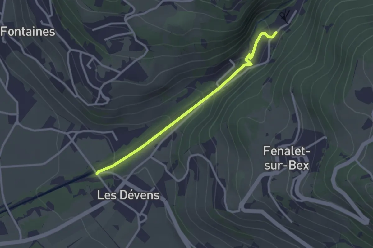
Easy · Trail
Le Bouillet Mines de sel – Les Dévens
2.5 km · ↑ 108 m · 50 min · 6 km away
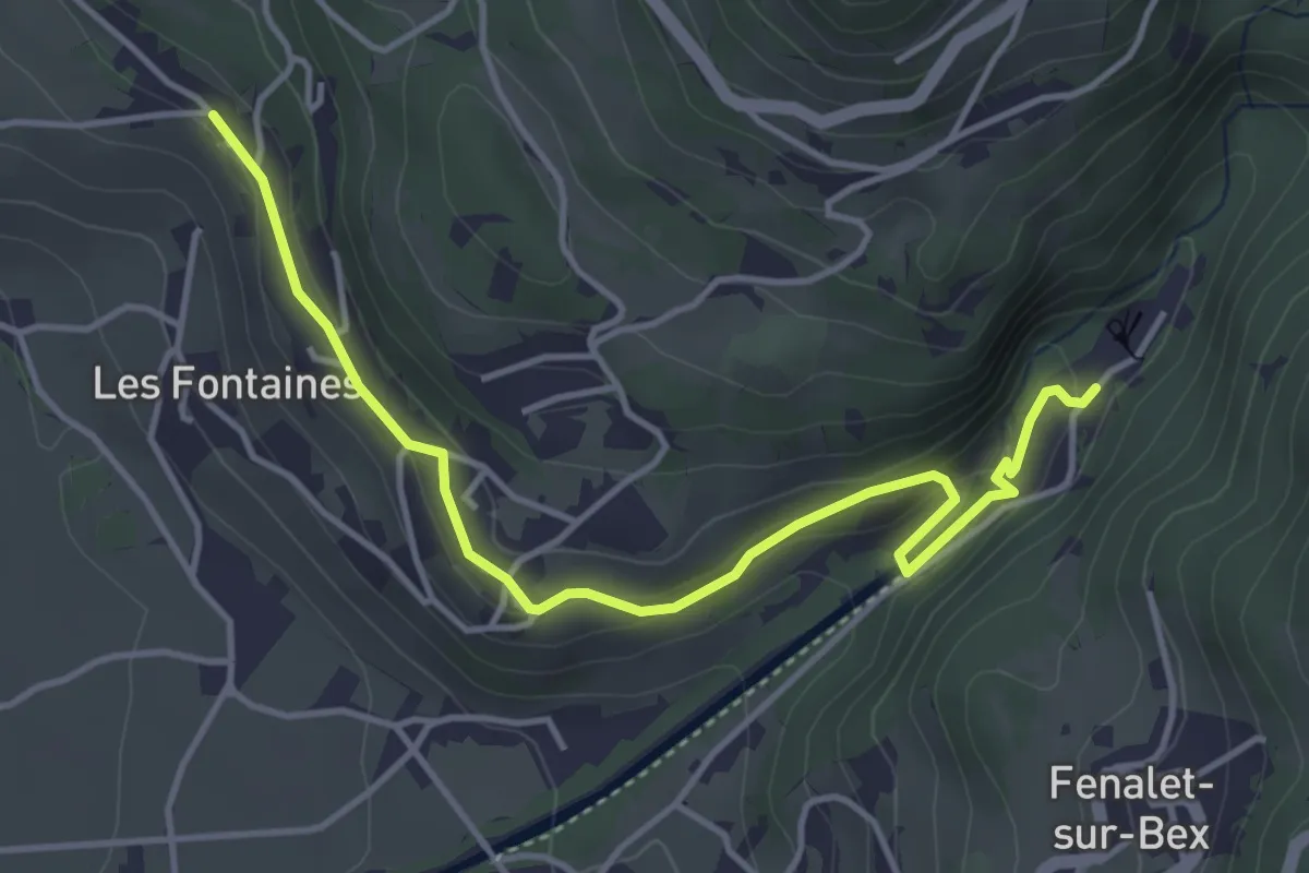
Easy · Trail
Antagnes – Le Bouillet Mines de sel
4.6 km · ↑ 167 m · 1 h 26 min · 6 km away
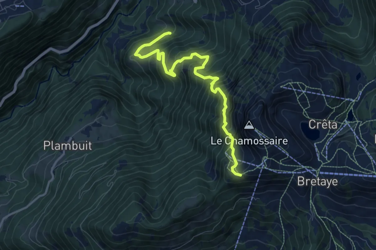
Demanding · Trail
Les Larets – L'Aiguille
9.4 km · ↑ 1033 m · 4 h 27 min · 6 km away
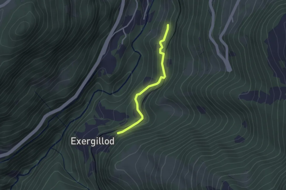
Easy · Trail
Les Faveires – Exergillod
2.3 km · ↑ 144 m · 52 min · 7 km away
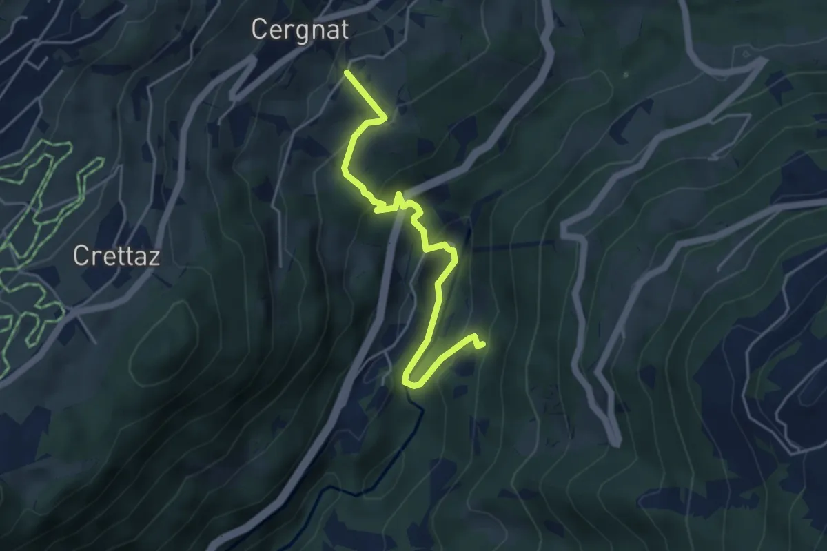
Easy · Trail
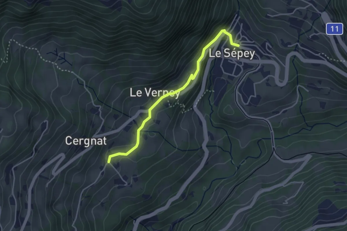
Cergnat – Les Faveires
4.2 km · ↑ 259 m · 1 h 34 min · 7 km away
Easy · Trail
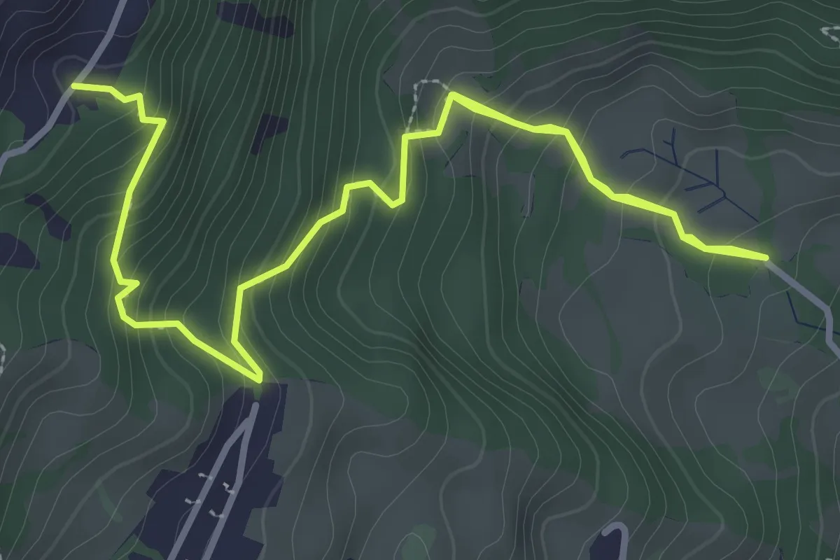
Cergnat – Le Sépey
3.3 km · ↑ 127 m · 1 h 3 min · 7 km away
Medium · Trail
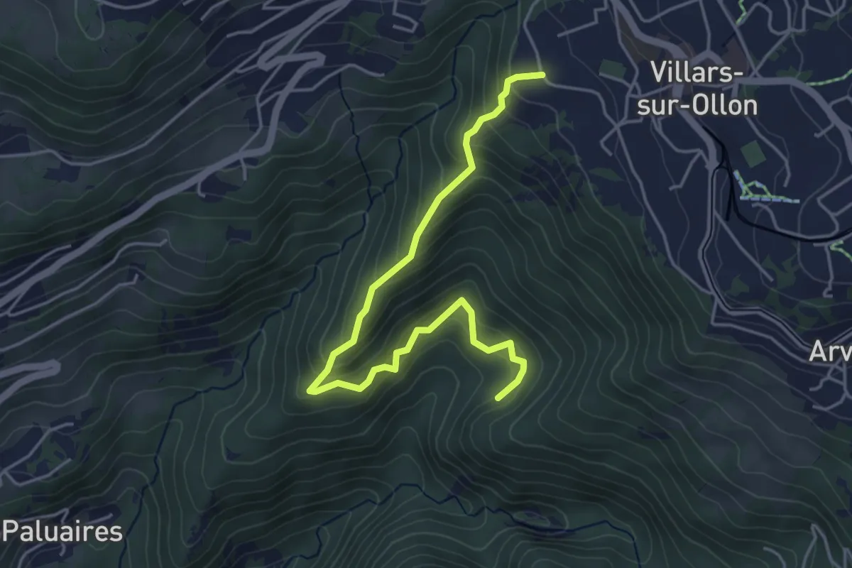
Chemin de la Bonne Eau – Lavanchy
4.6 km · ↑ 418 m · 2 h · 7 km away
Medium · Trail
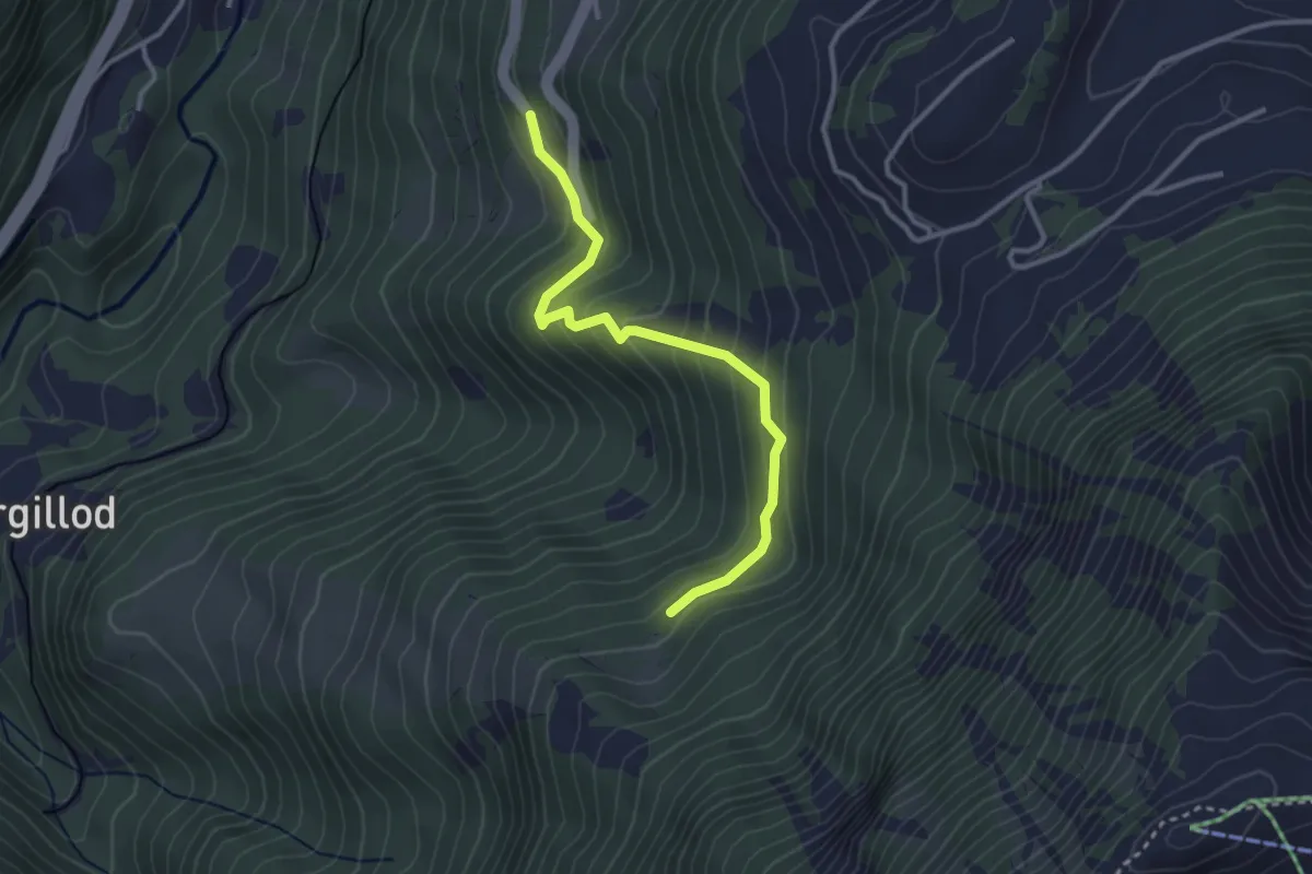
Villars-sur-Ollon – Dominge
4.8 km · ↑ 419 m · 2 h 3 min · 7 km away
Easy · Trail
Les Granges – Creux des Dardeys
3.1 km · ↑ 232 m · 1 h 14 min · 7 km away
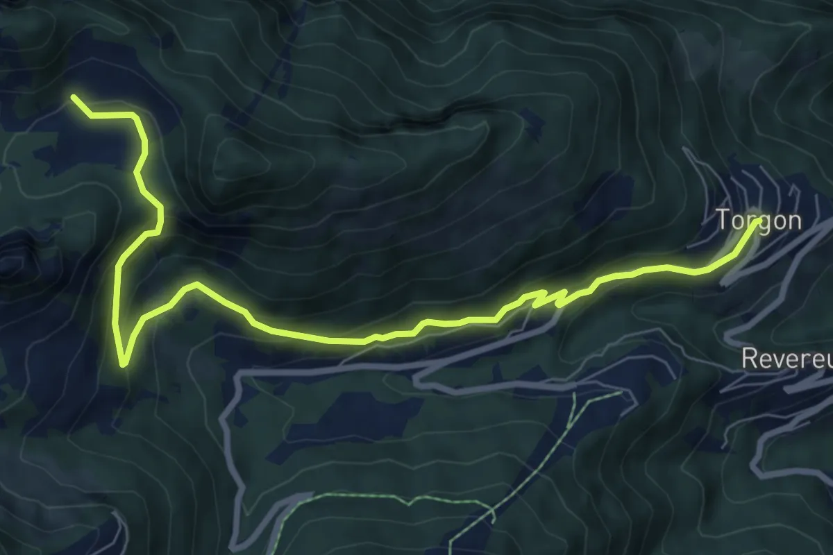
Medium · Trail
Torgon village – Chalet de Blancsex
8.7 km · ↑ 508 m · 3 h 10 min · 7 km away
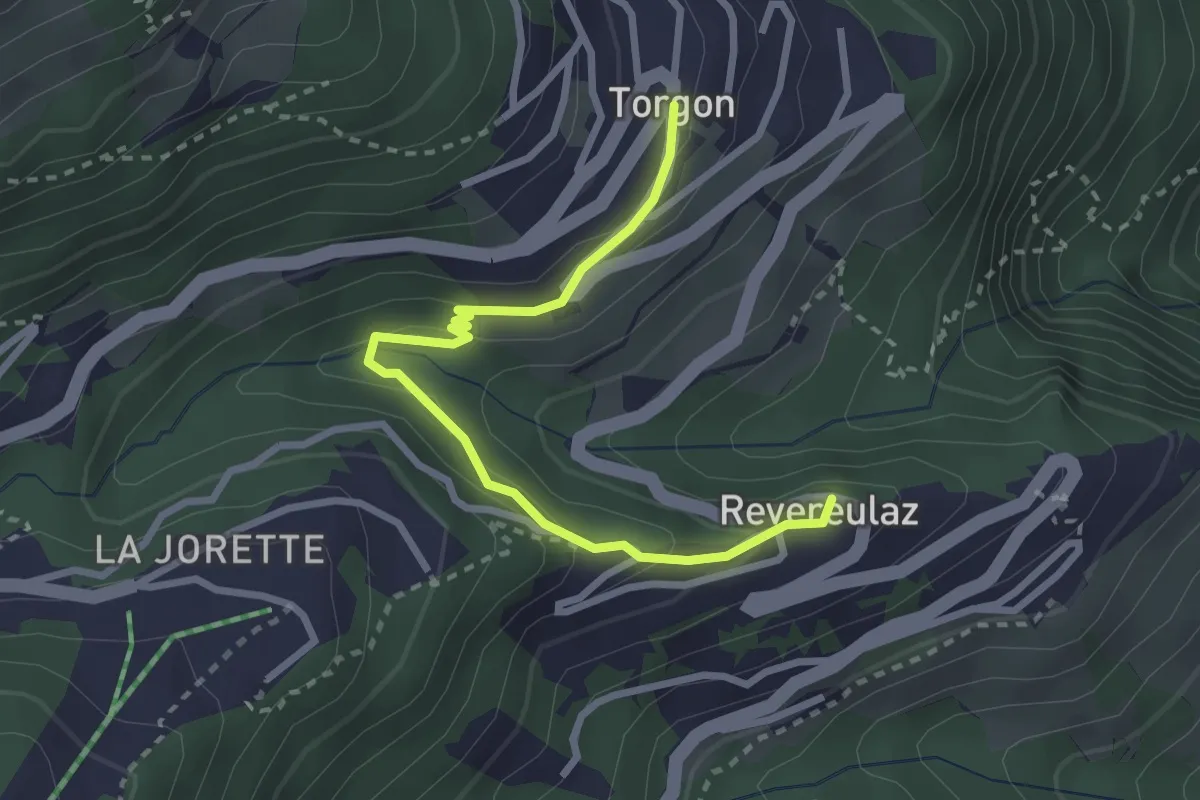
Easy · Trail
Revereulaz – Torgon Village
2.9 km · ↑ 153 m · 1 h 1 min · 7 km away
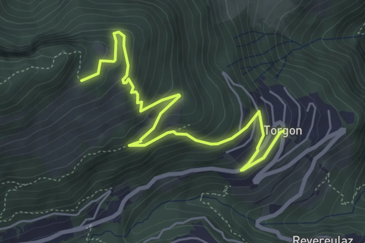
Medium · Trail
Torgon village – La Caux
5.5 km · ↑ 430 m · 2 h 14 min · 7 km away
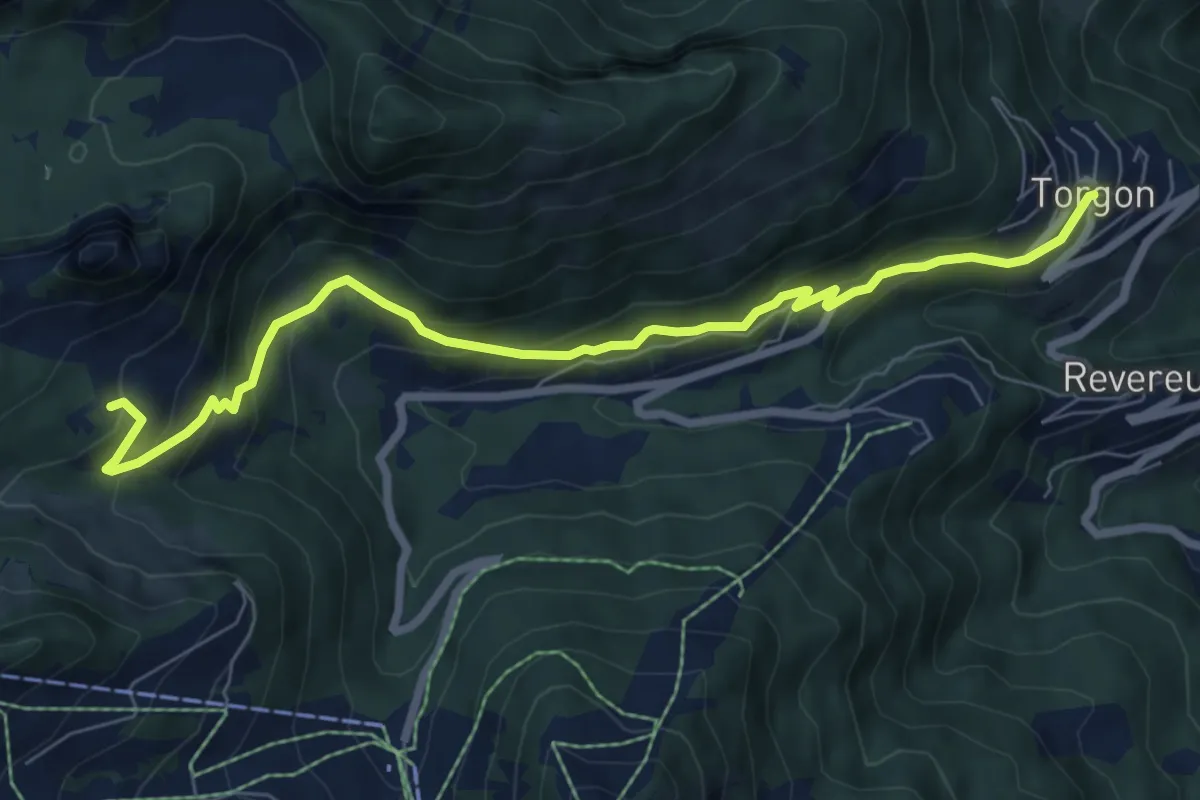
Medium · Trail
Torgon village – Dravers
7.8 km · ↑ 506 m · 2 h 56 min · 7 km away
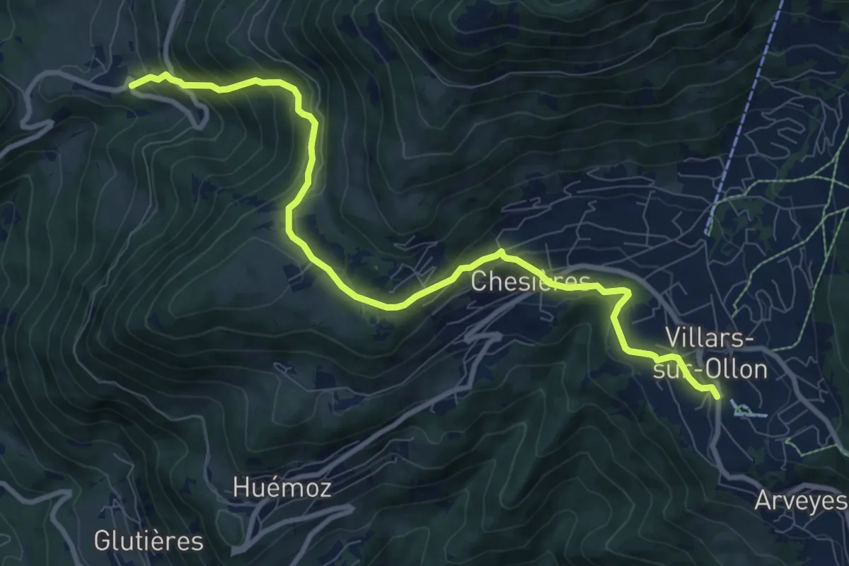
Medium · Trail
Panex – Villars
10.0 km · ↑ 565 m · 3 h 35 min · 7 km away
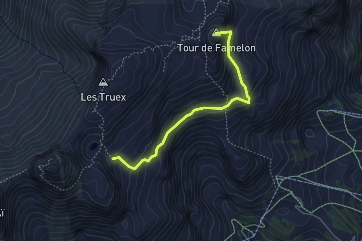
Medium · Summit
Lac Segray – Dessus Corbex
3.8 km · ↑ 396 m · 1 h 45 min · 7 km away
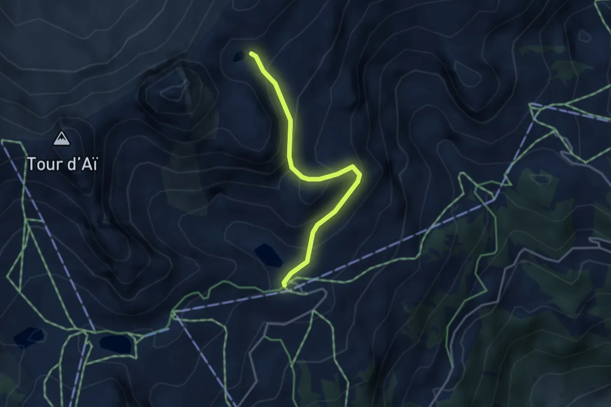
Medium · Cabin
Mayen – Lac Segray
3.1 km · ↑ 247 m · 1 h 16 min · 7 km away
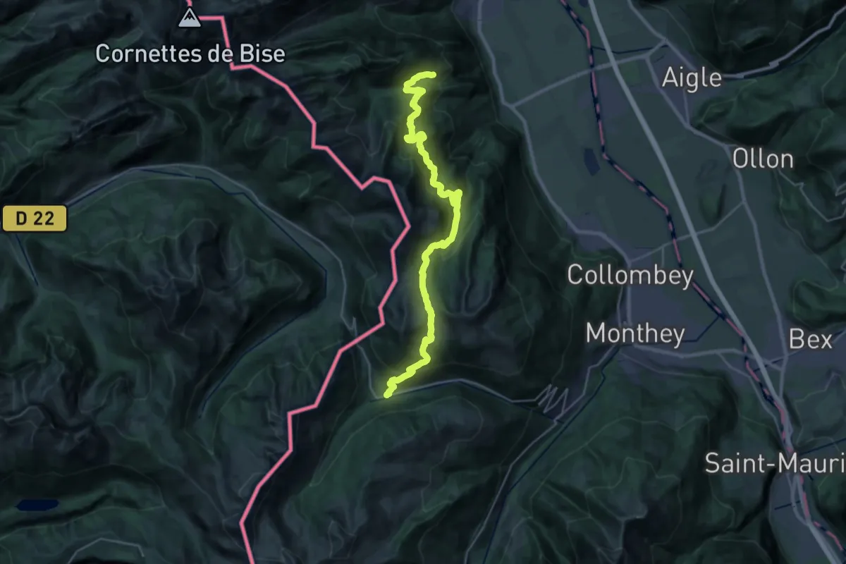
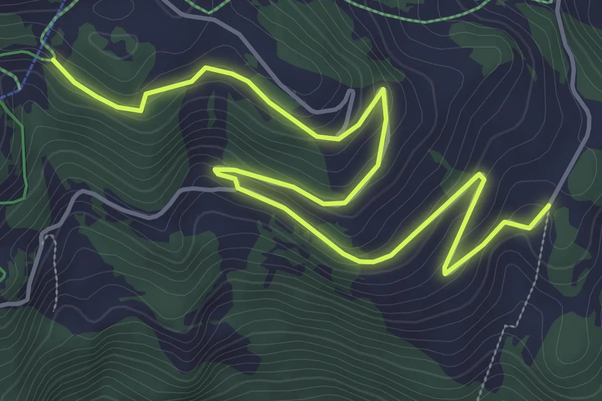
Demanding · Trail
41-Chemin des cols alpins
14.8 km · ↑ 975 m · 5 h 42 min · 7 km away
Easy · Trail
Le Cerf – Crête du Fer
5.4 km · ↑ 182 m · 1 h 40 min · 7 km away
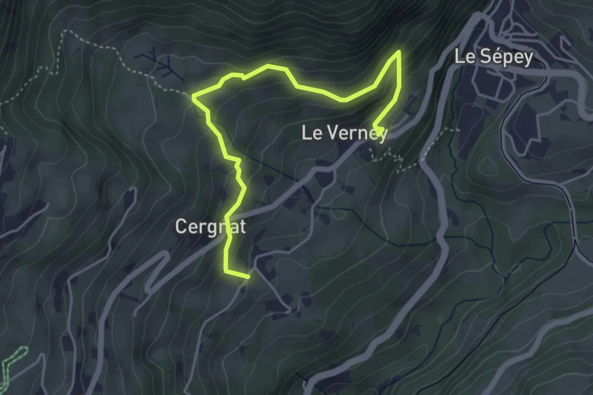
Easy · Trail
La Verney – Cergnat
4.4 km · ↑ 316 m · 1 h 44 min · 7 km away
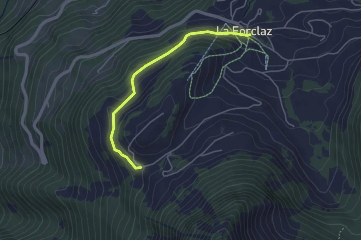
Easy · Trail
La Forclaz – Les Cougnons
3.4 km · ↑ 131 m · 1 h 5 min · 8 km away
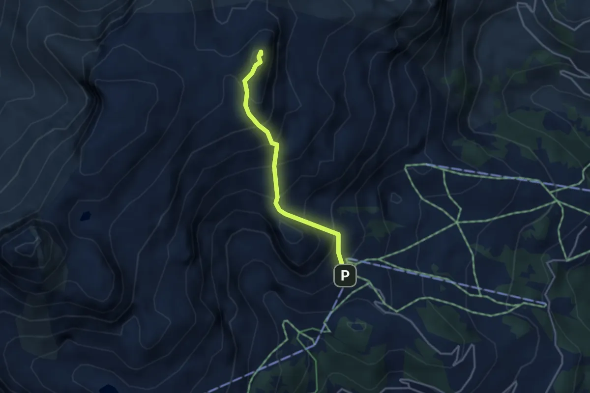
Medium · Summit
Les Fers – Tour de Famelon
2.9 km · ↑ 380 m · 1 h 30 min · 8 km away
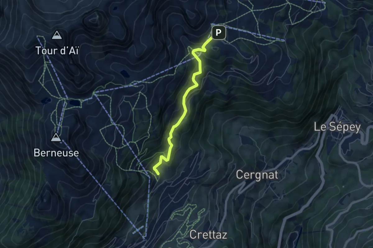
Medium · Trail
Tresseleire – Crête du Fer
5.4 km · ↑ 413 m · 2 h 10 min · 8 km away
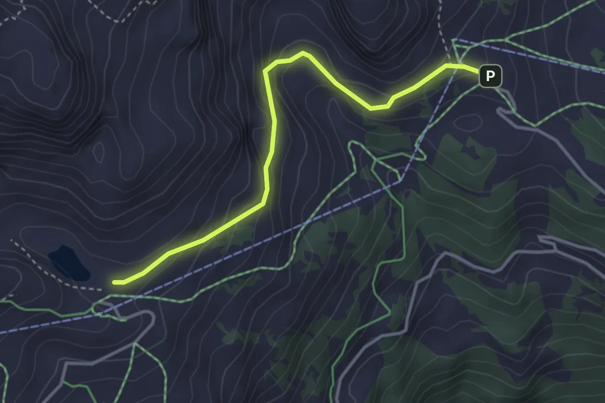
Medium · Cabin
Lac de Mayen – Crête du Fer
3.5 km · ↑ 230 m · 1 h 19 min · 8 km away
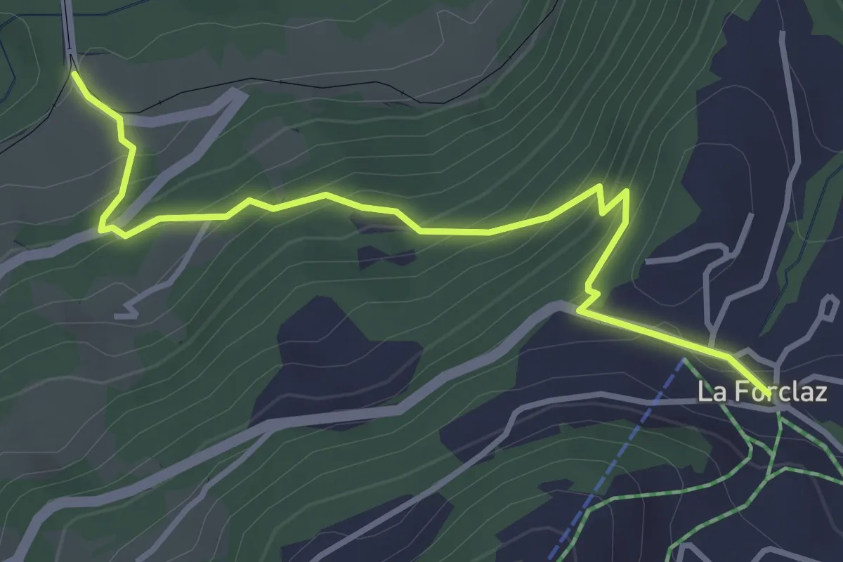
Medium · Trail
Les Planches – La Forclaz
3.6 km · ↑ 328 m · 1 h 34 min · 8 km away
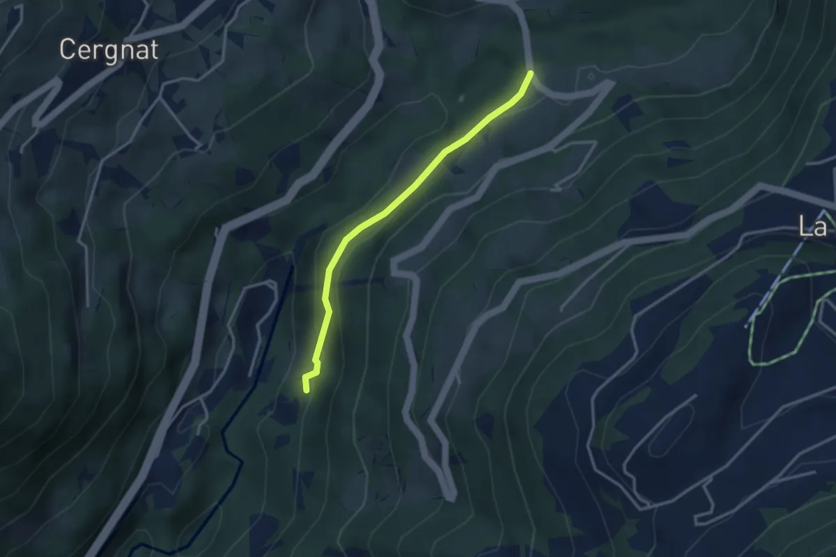
Easy · Trail
Les Planches – Les Faveires
2.8 km · ↑ 105 m · 53 min · 8 km away
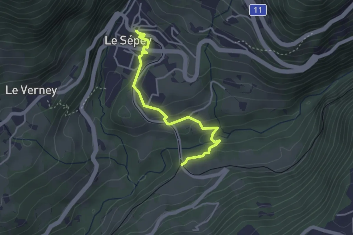
Easy · Trail
Les Planches – Le Sépey
3.2 km · ↑ 80 m · 56 min · 8 km away
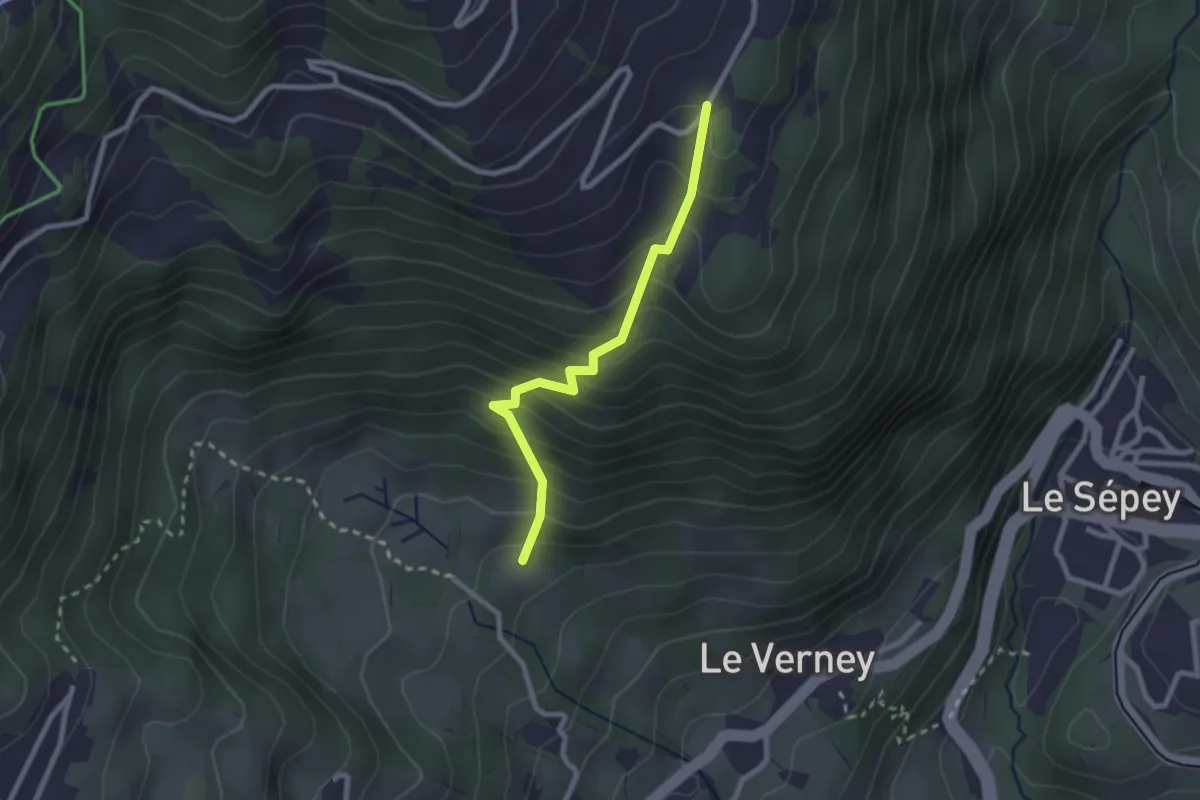
Easy · Trail
Chemin de la Bonne Eau – Le Cerf
2.3 km · ↑ 282 m · 1 h 9 min · 8 km away
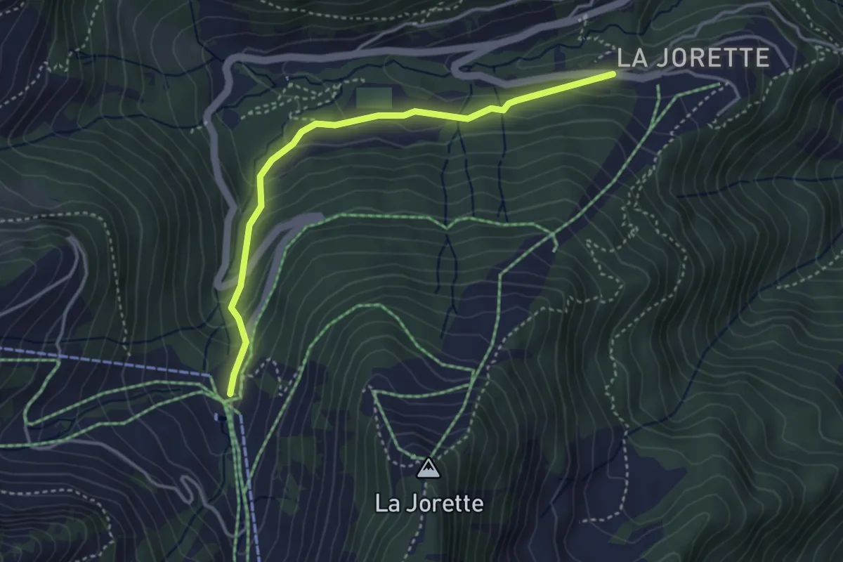
Easy · Trail
Torgon/La Jorette – Plan du Croix
3.7 km · ↑ 204 m · 1 h 19 min · 8 km away
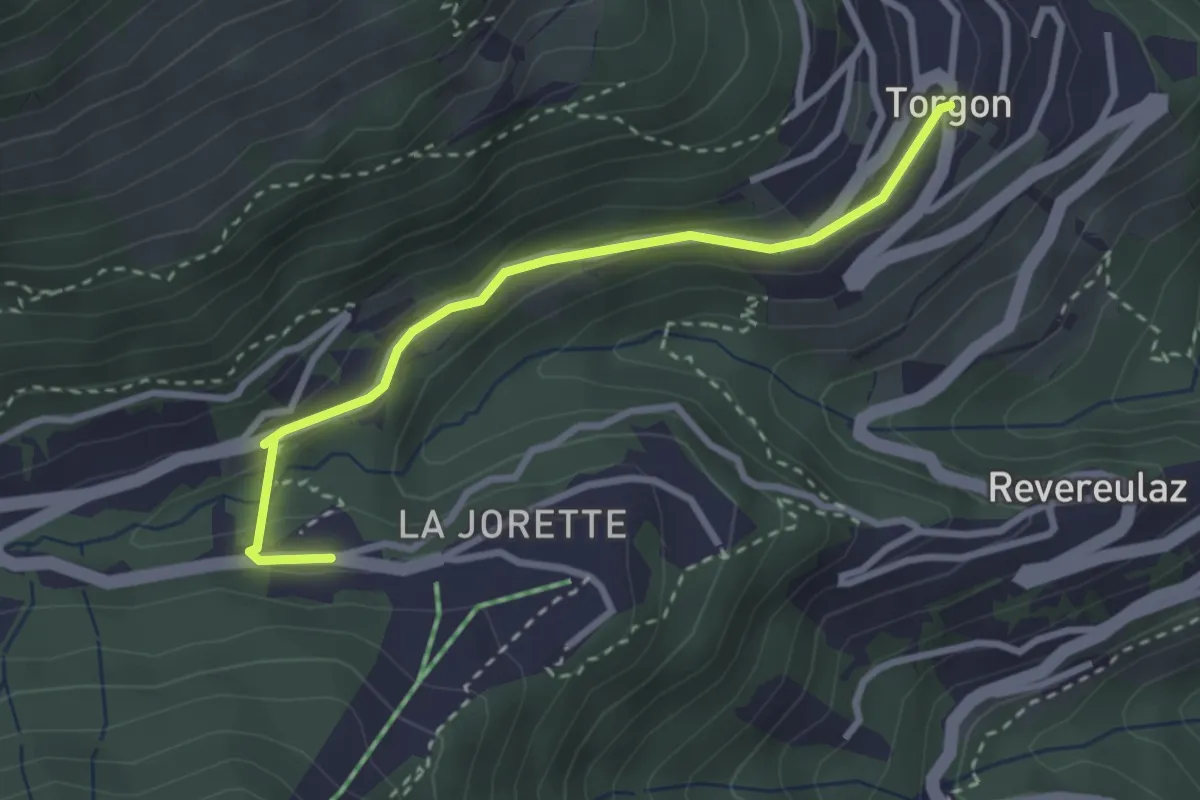
Easy · Trail
Torgon village - Torgon/La Jorette
2.9 km · ↑ 74 m · 50 min · 8 km away
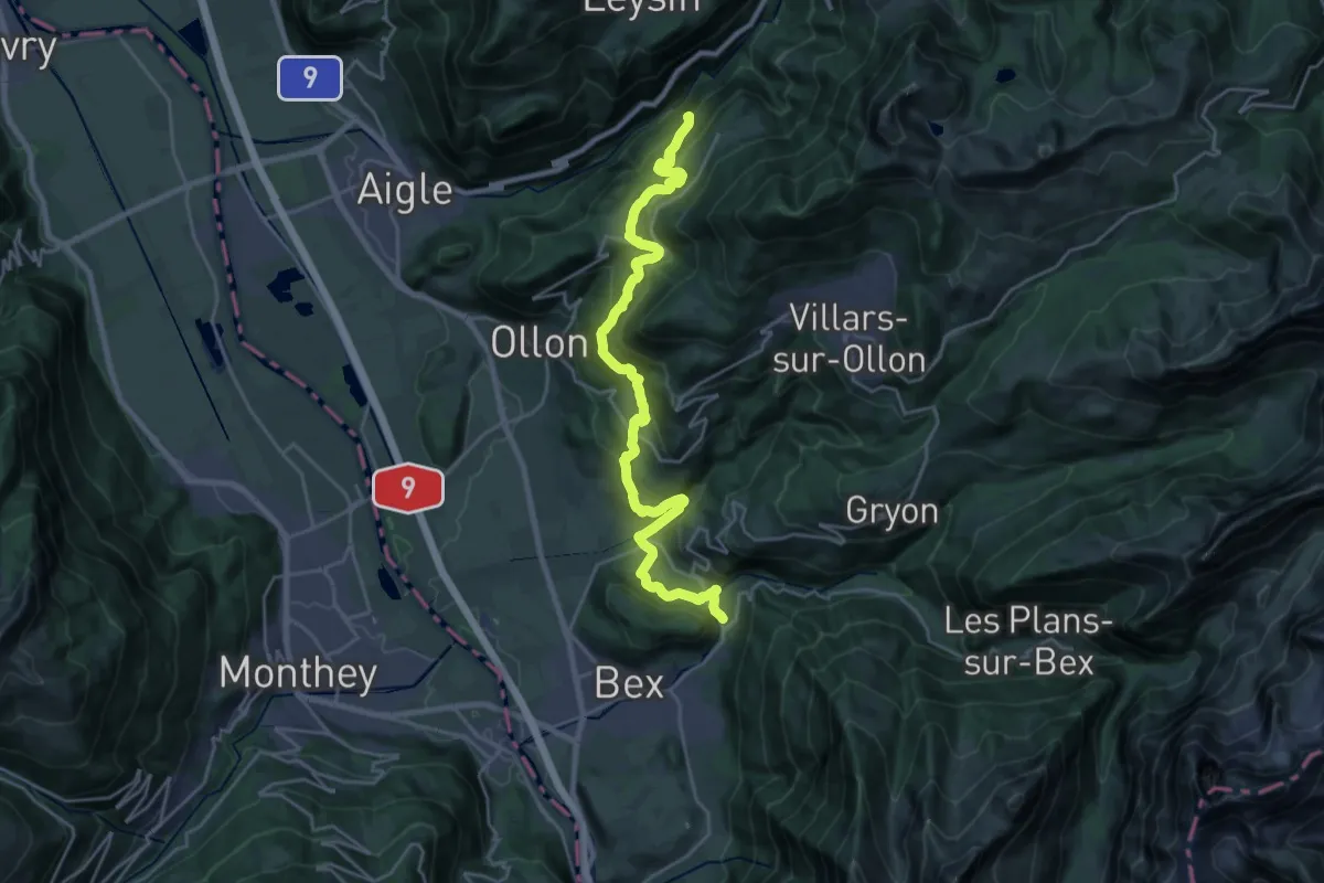
Medium · Trail
Sentier du Sel
12.8 km · ↑ 777 m · 4 h 44 min · 8 km away
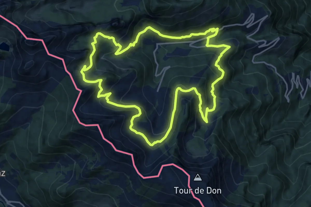
Demanding · Trail
Sentier des alpages de Vionnaz
13.4 km · ↑ 842 m · 5 h 11 min · 8 km away
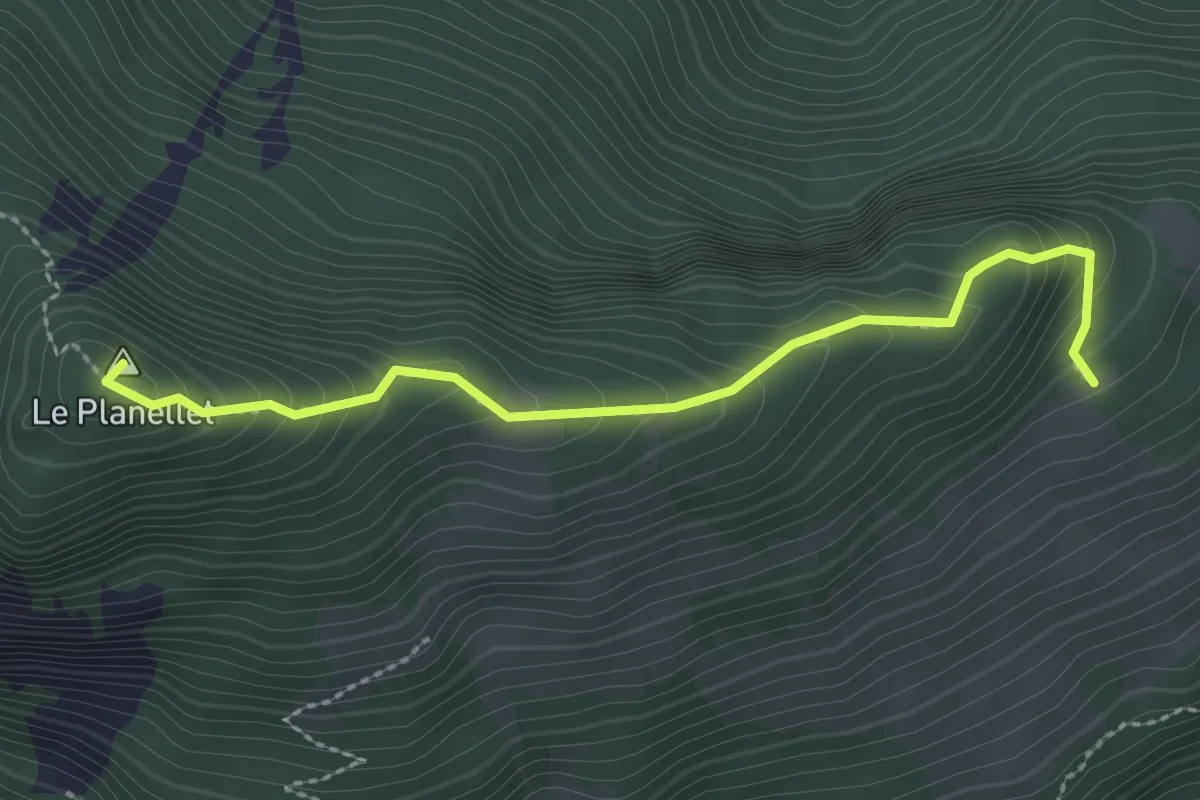
Demanding · Summit
Col du Blancsex – La Caux
2.6 km · ↑ 250 m · 1 h 9 min · 8 km away
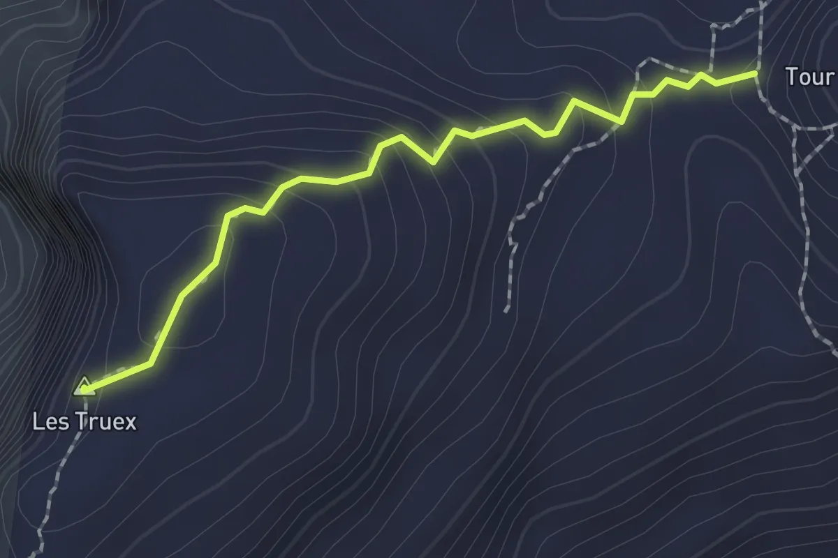
Medium · Summit
Lac Segray – Tour de Famelon
1.8 km · ↑ 126 m · 42 min · 8 km away
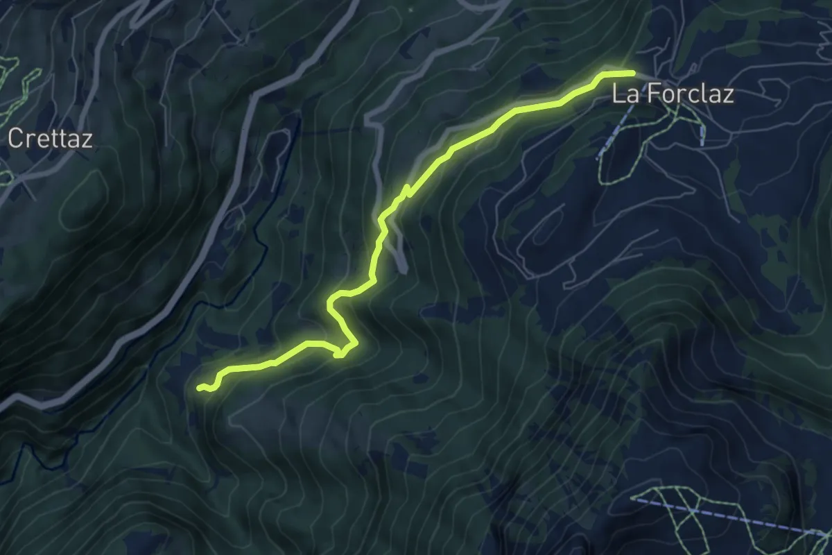
Medium · Trail
Exergillod – La Forclaz
6.8 km · ↑ 495 m · 2 h 40 min · 8 km away
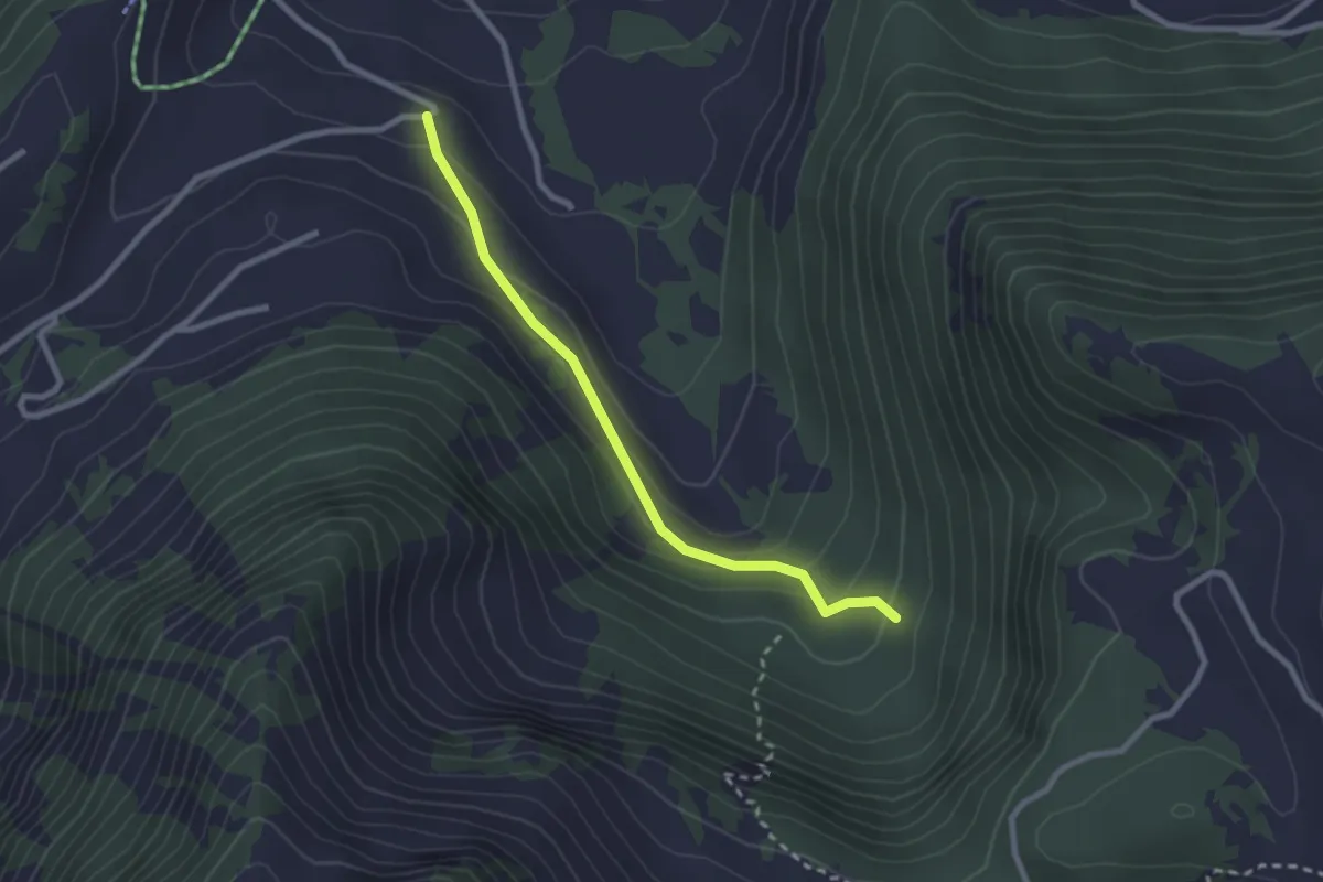
Easy · Trail
Les Perrettorins – Les Fontaines
2.5 km · ↑ 122 m · 51 min · 8 km away
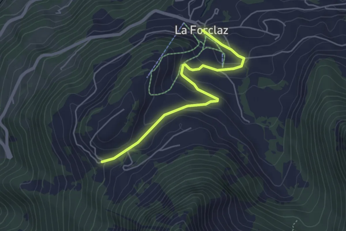
Easy · Trail
La Forclaz – Les Cougnons
4.4 km · ↑ 164 m · 1 h 24 min · 9 km away
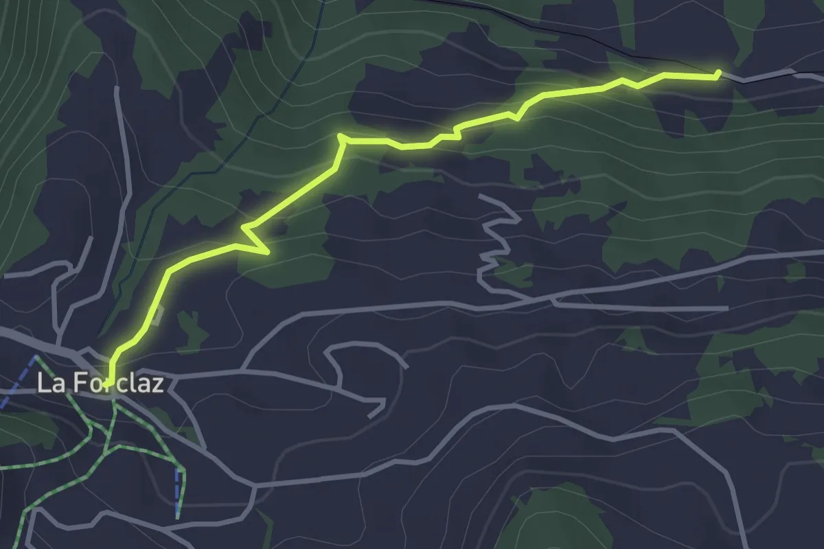
Easy · Trail
Les Echenards – La Forclaz
3.2 km · ↑ 181 m · 1 h 9 min · 9 km away